Slow Cruise

Sailing Adventures of s/v Alpine Zephyr
"Life is what happens while we are busy making plans" -- John Lennon.
<< Older Entries     Logs Archive     Newer Entries >>

Sailing Log: South Leeward Islands

Moving south along the Leeward Islands chain.

Deshaies Guadeloupe

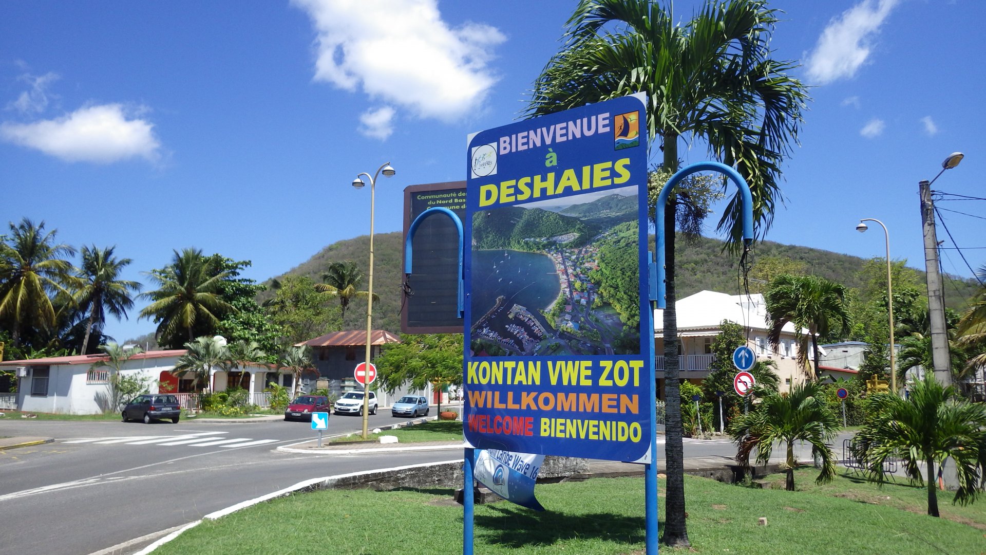
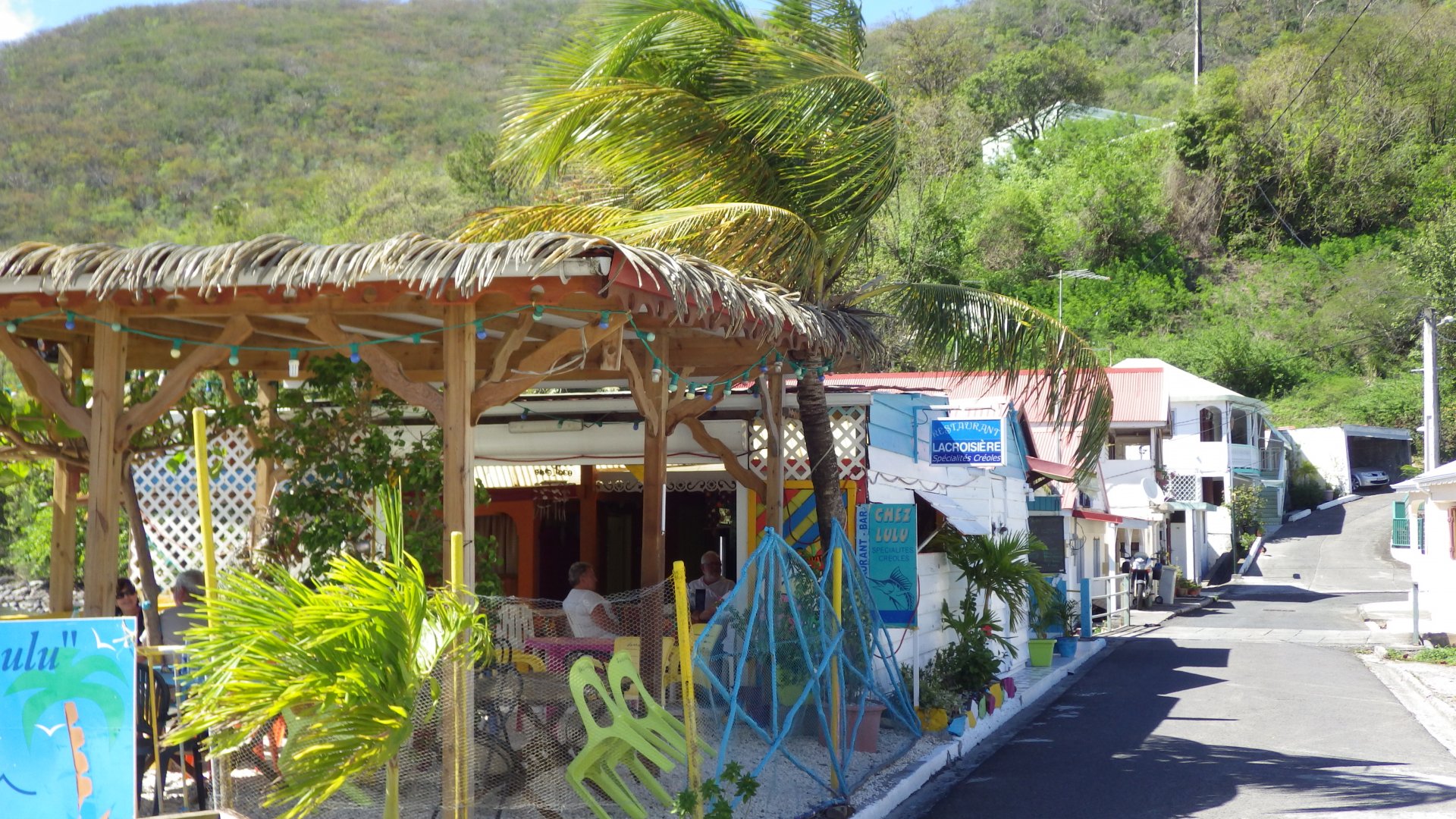
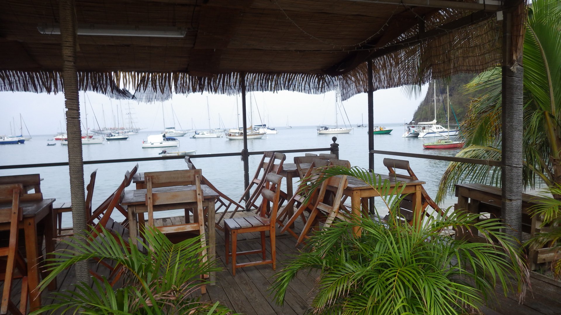
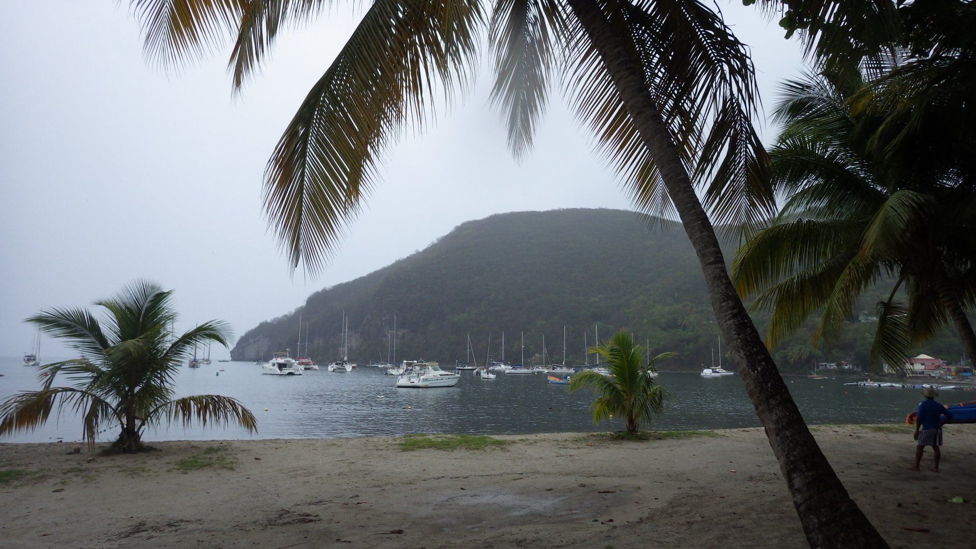
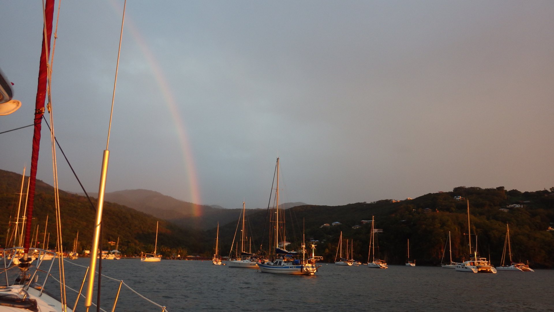
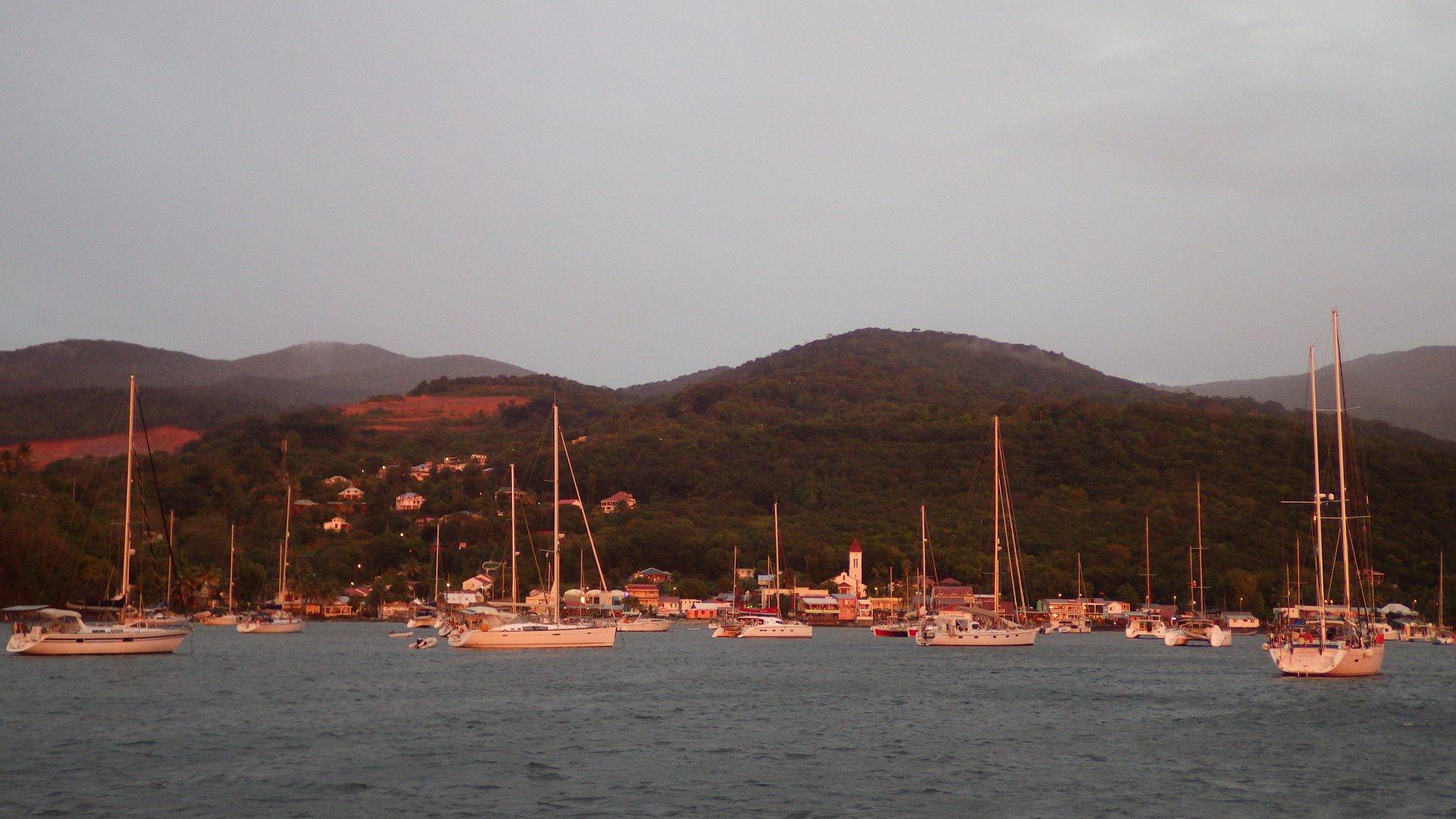
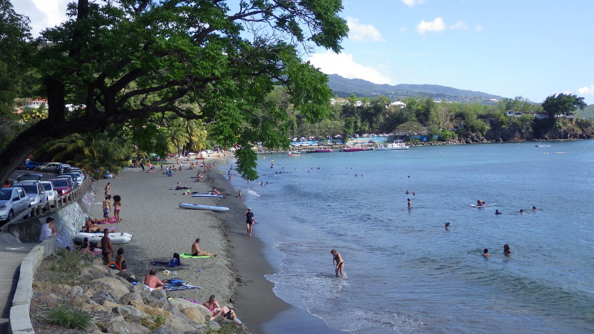
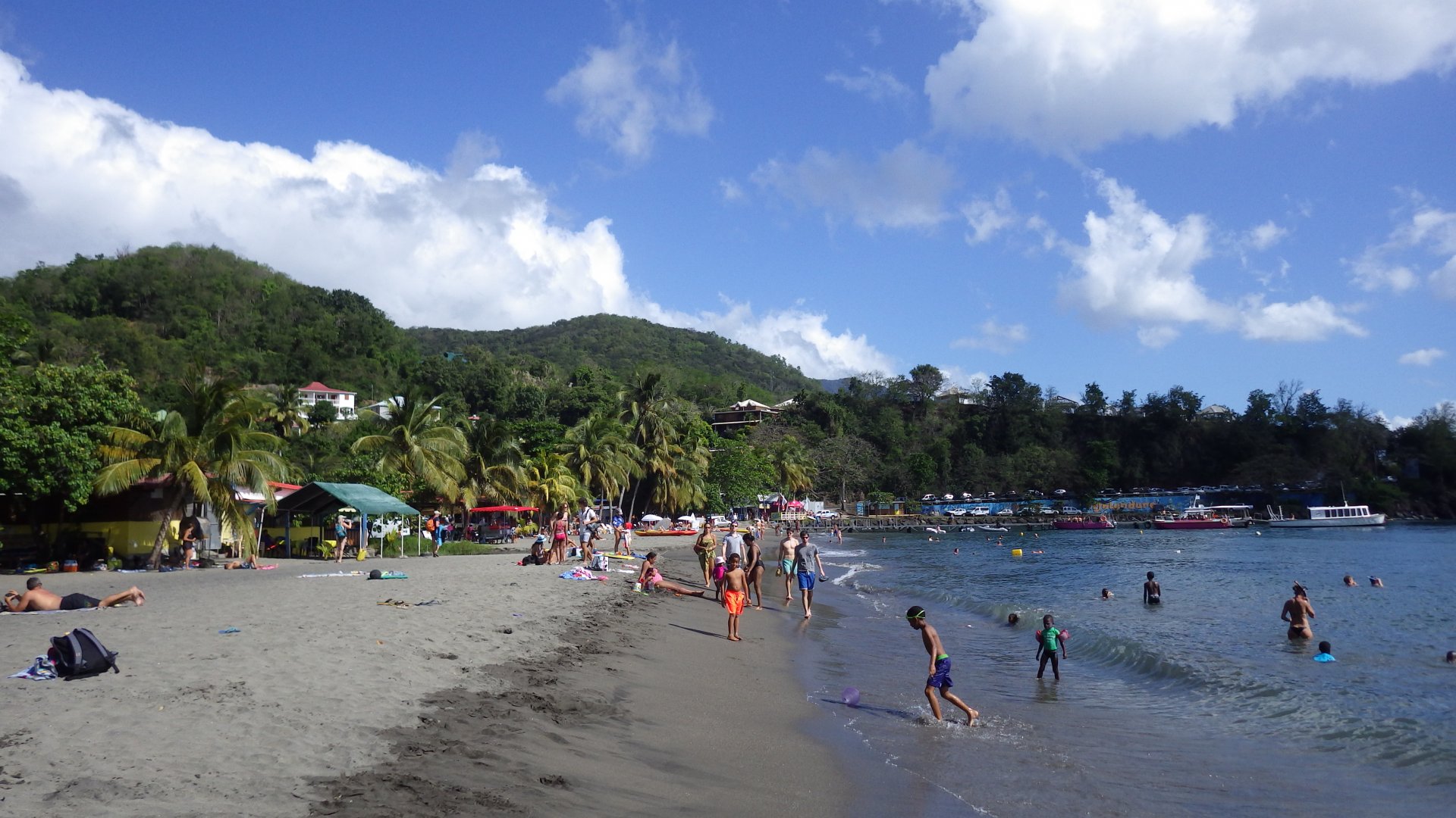
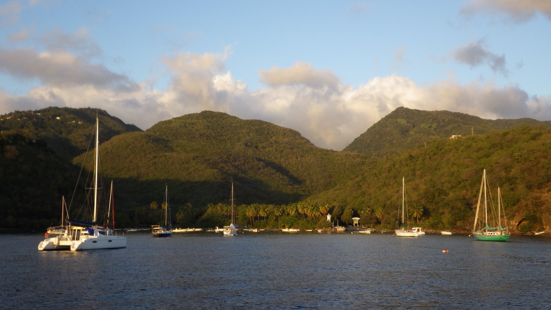
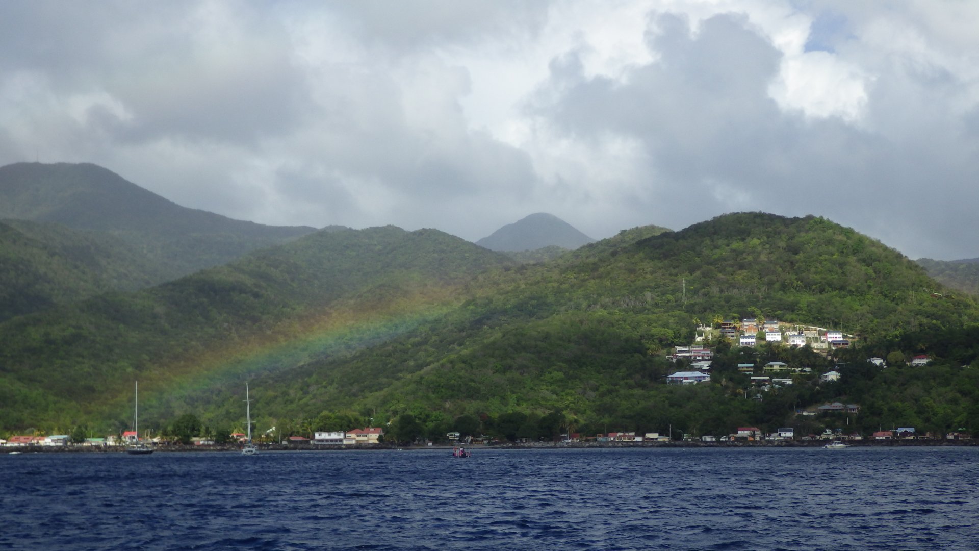
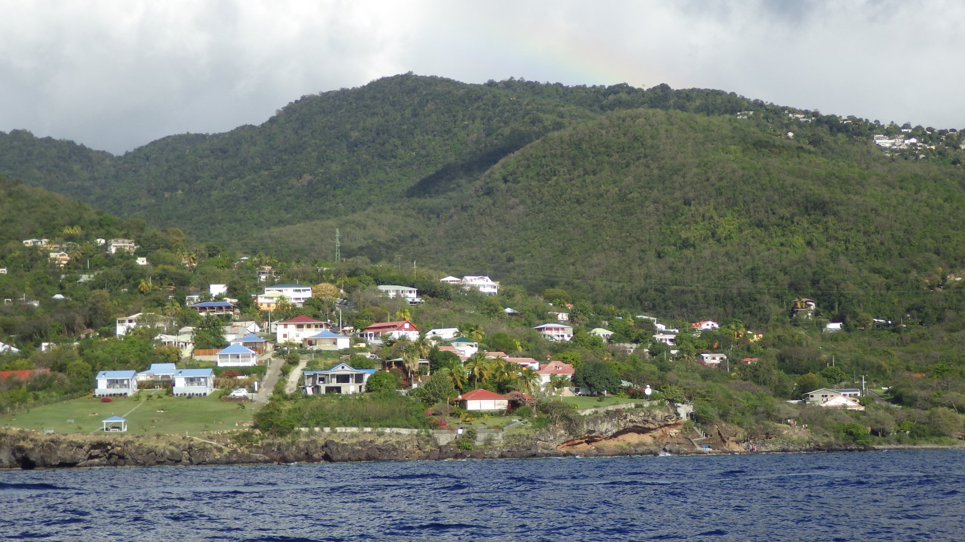
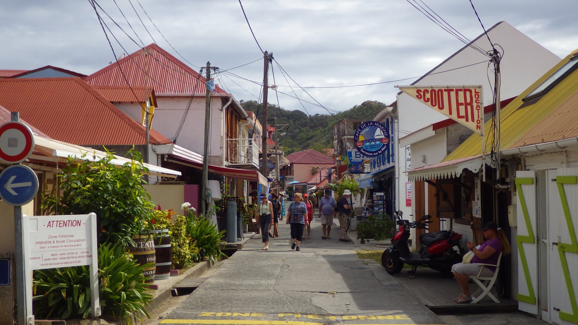
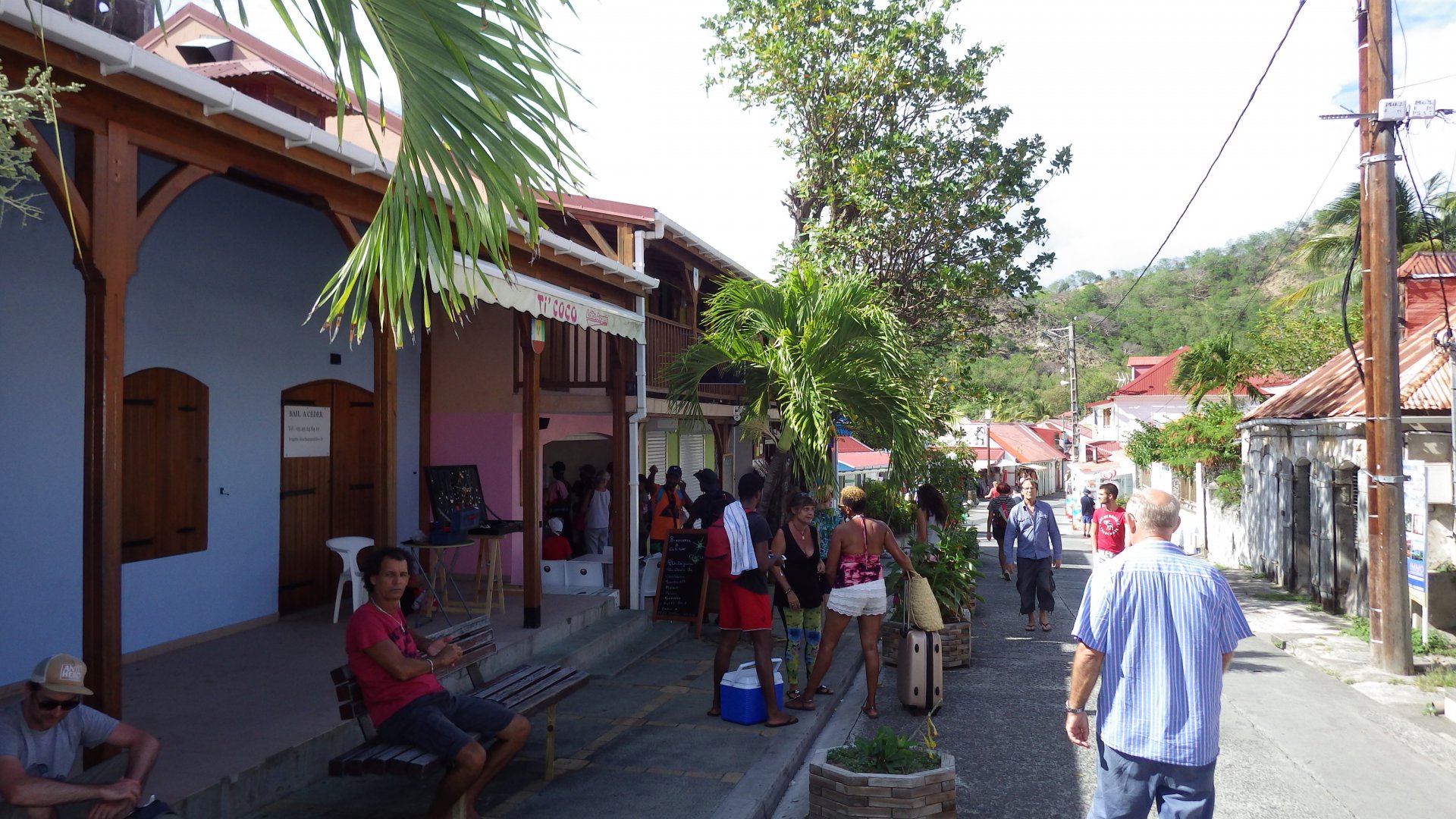
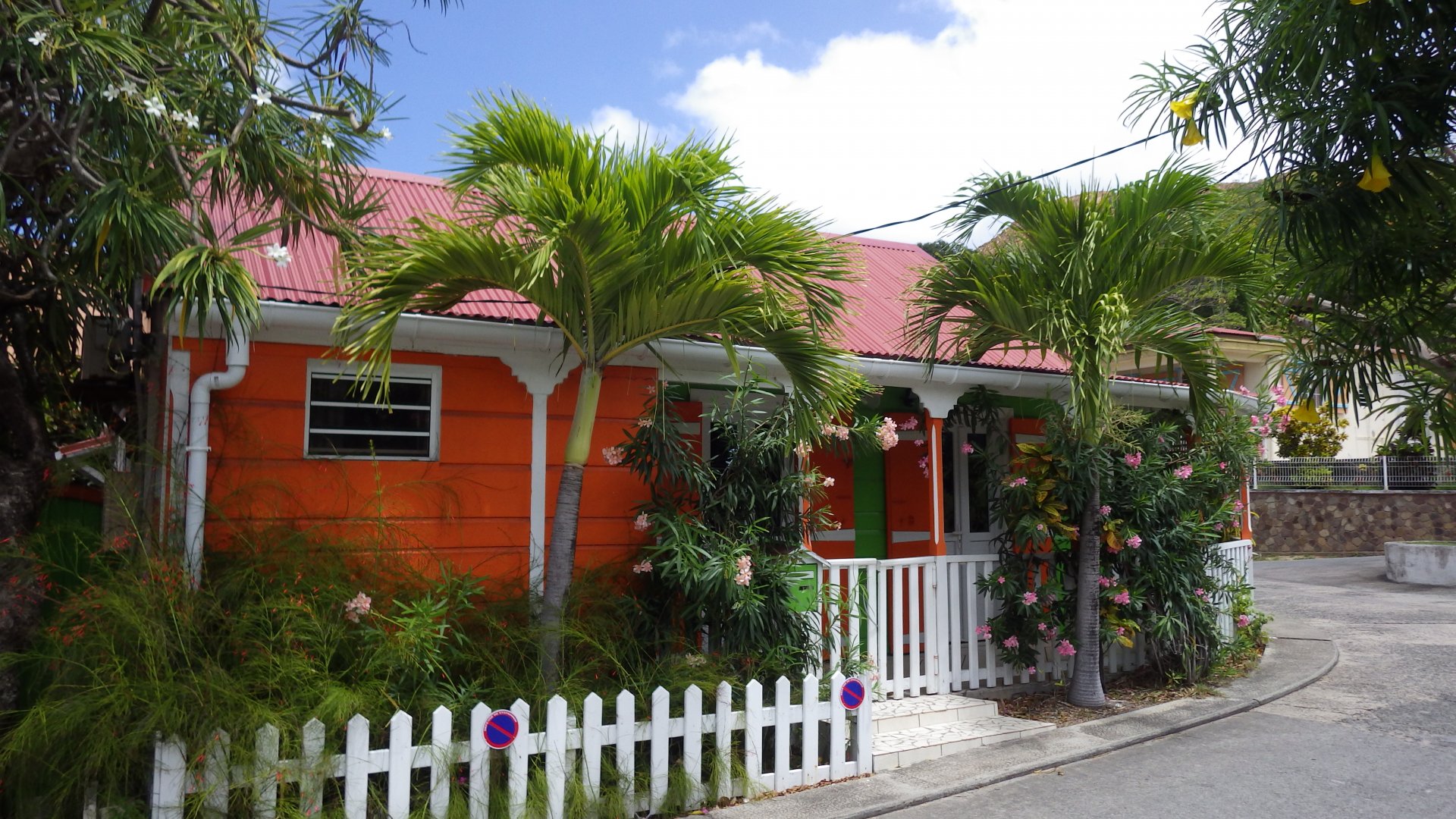
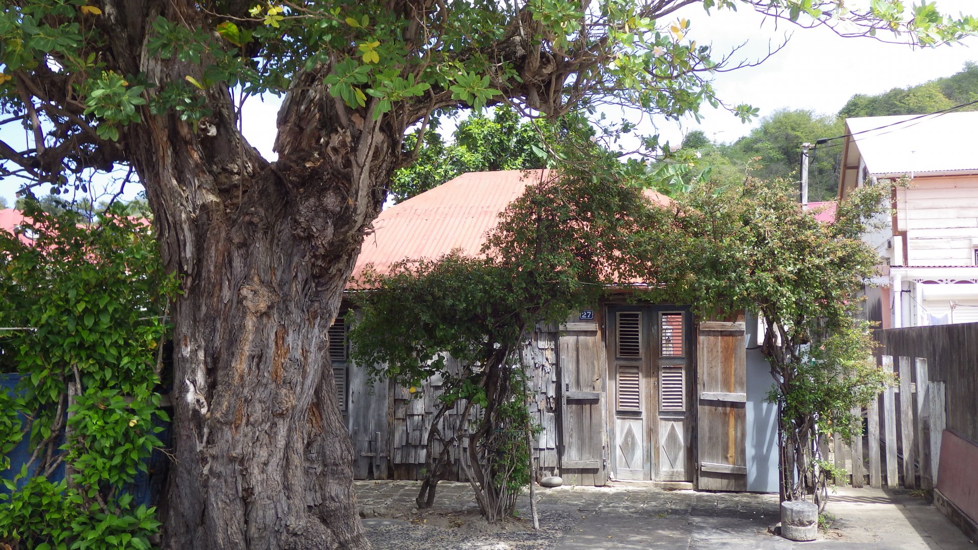
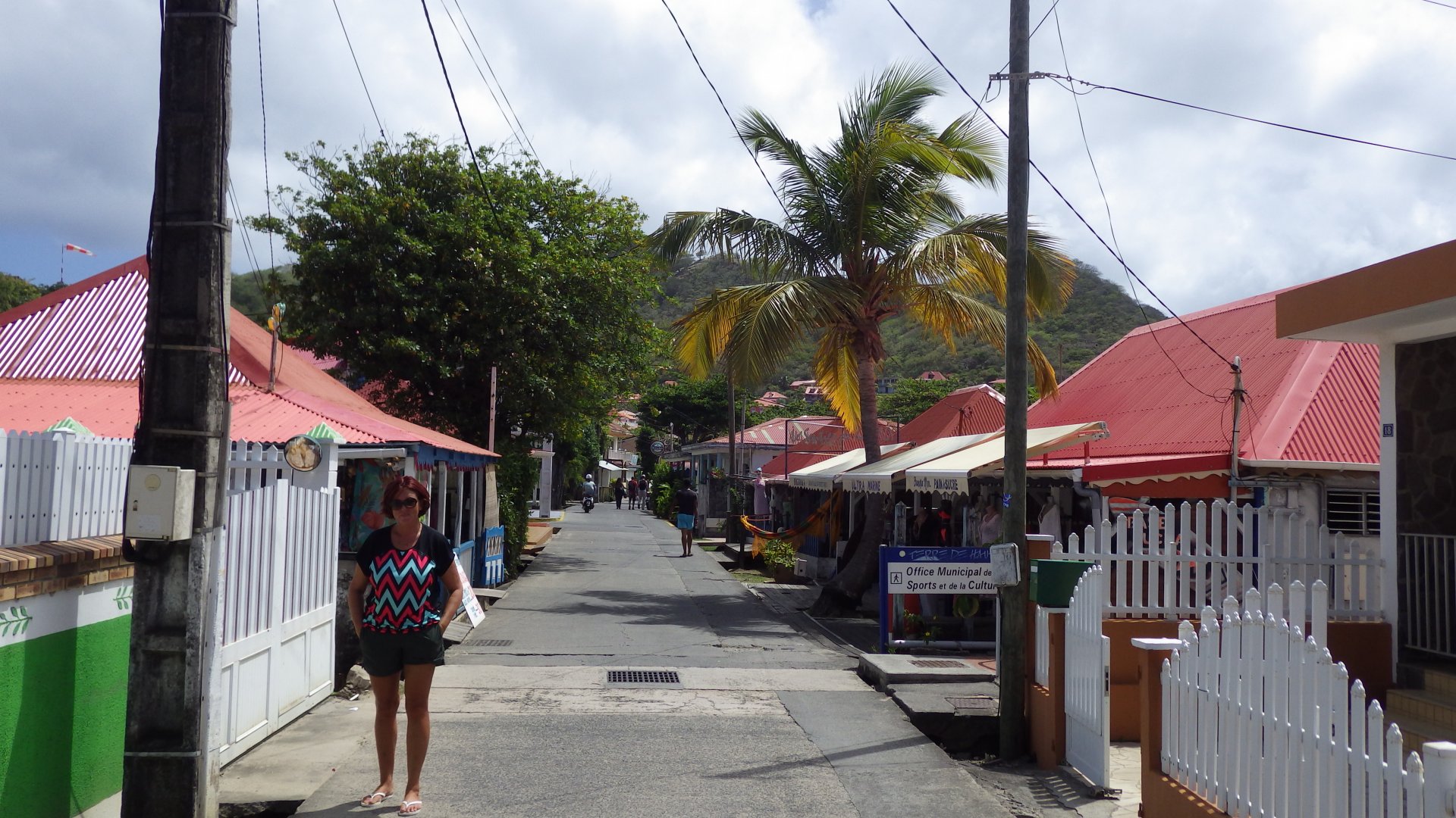
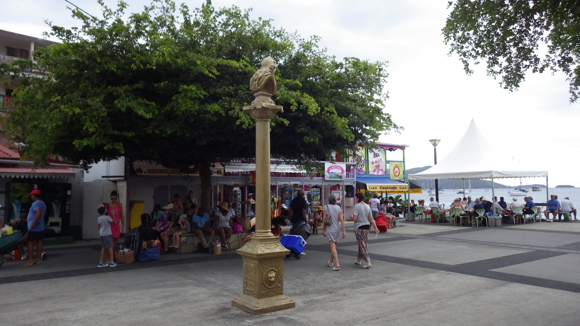
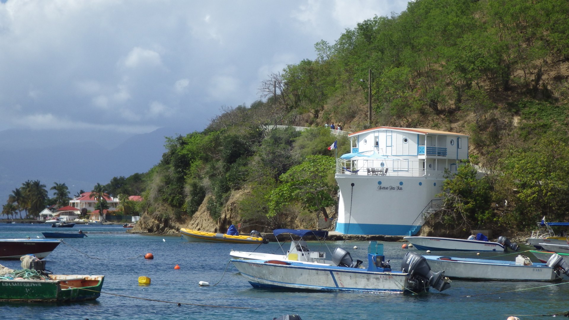
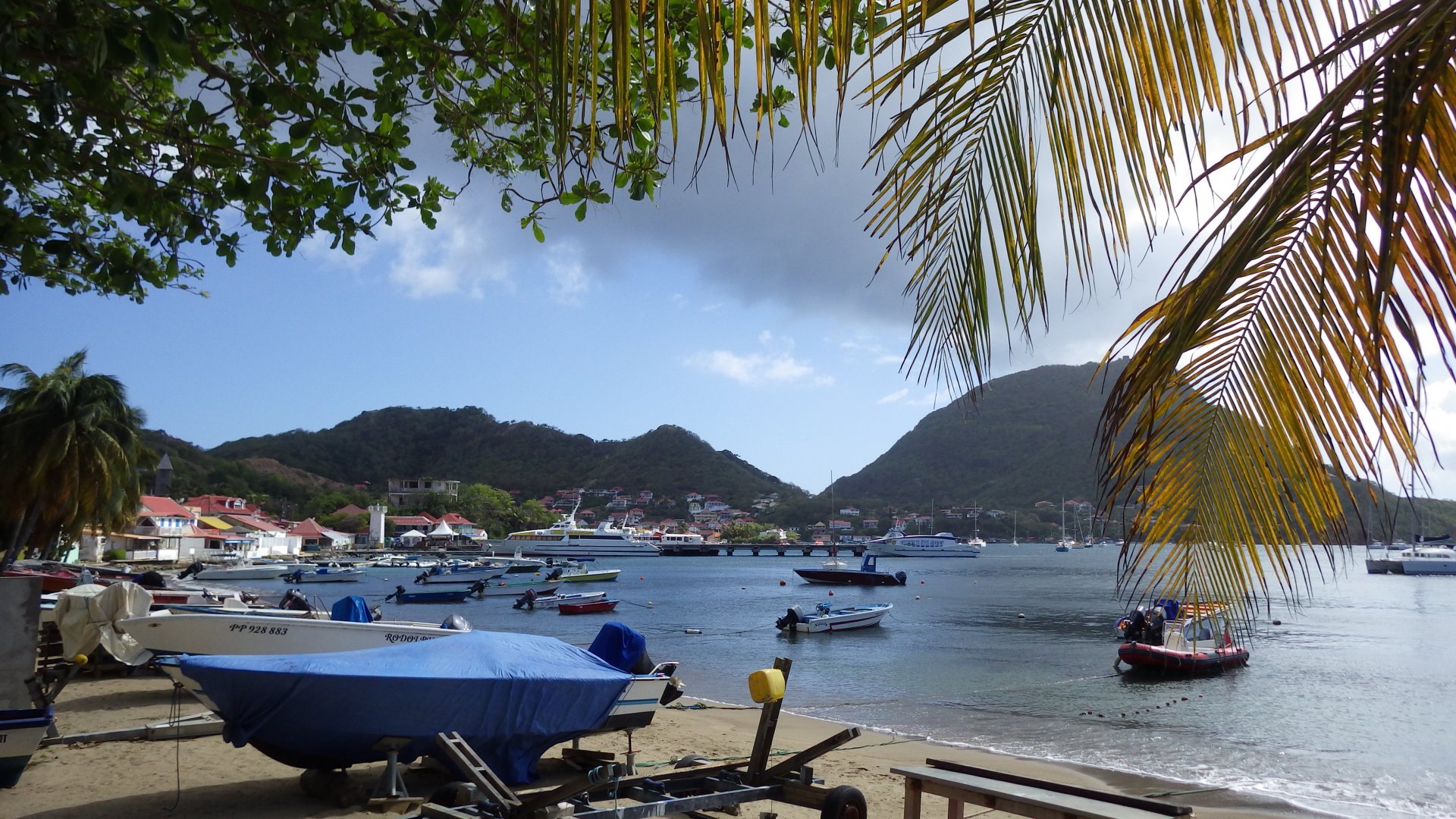
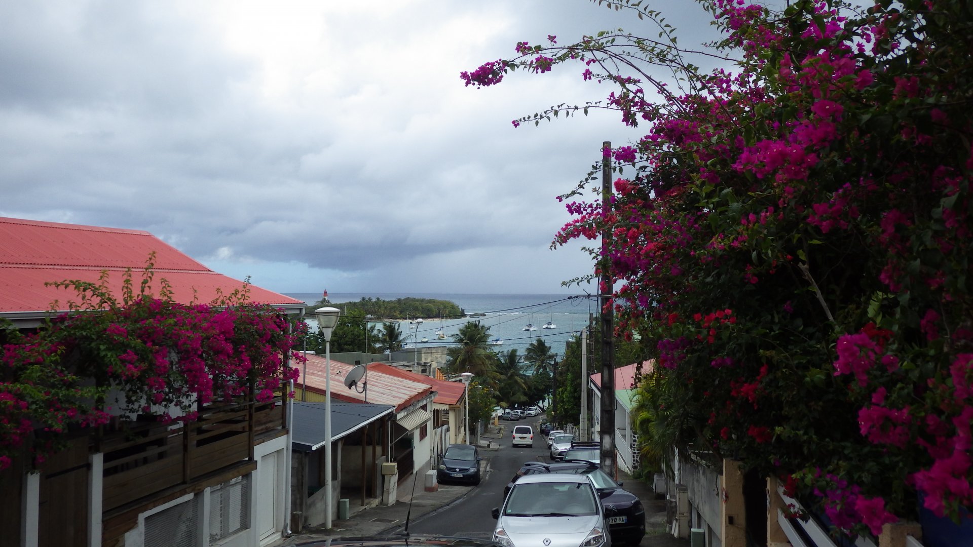
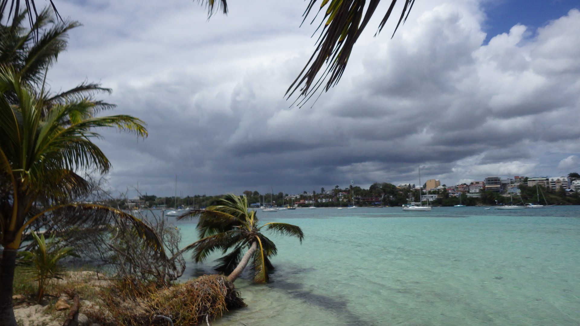
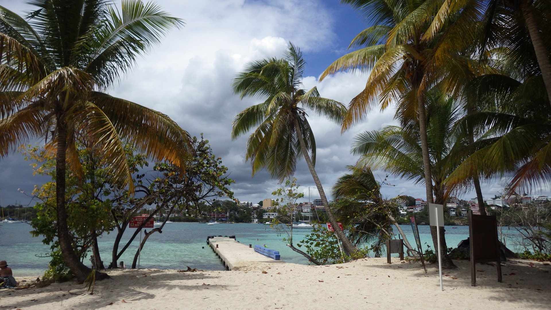
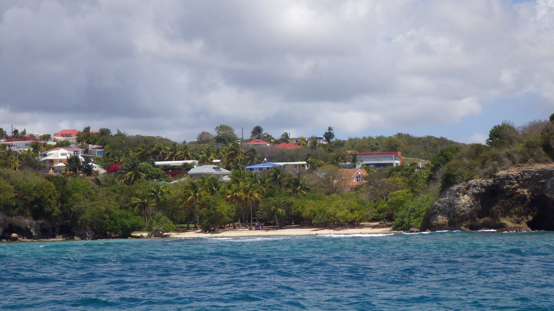
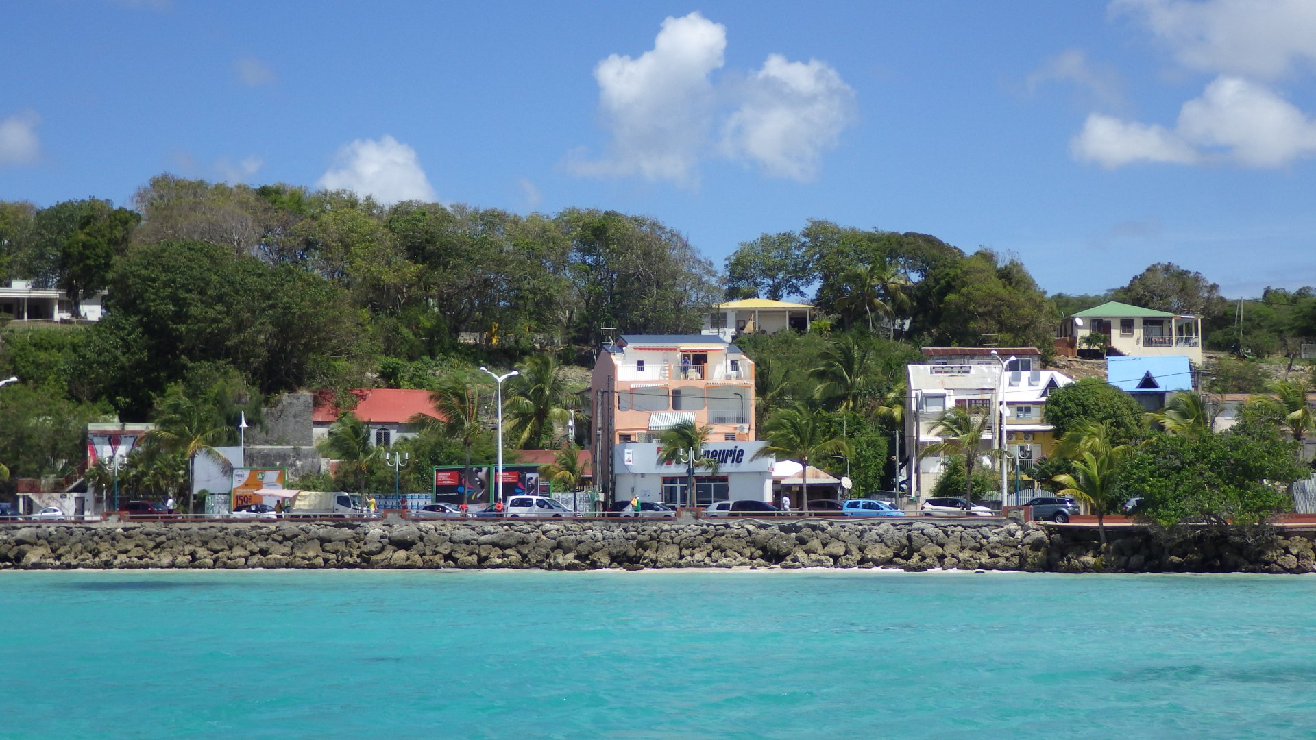
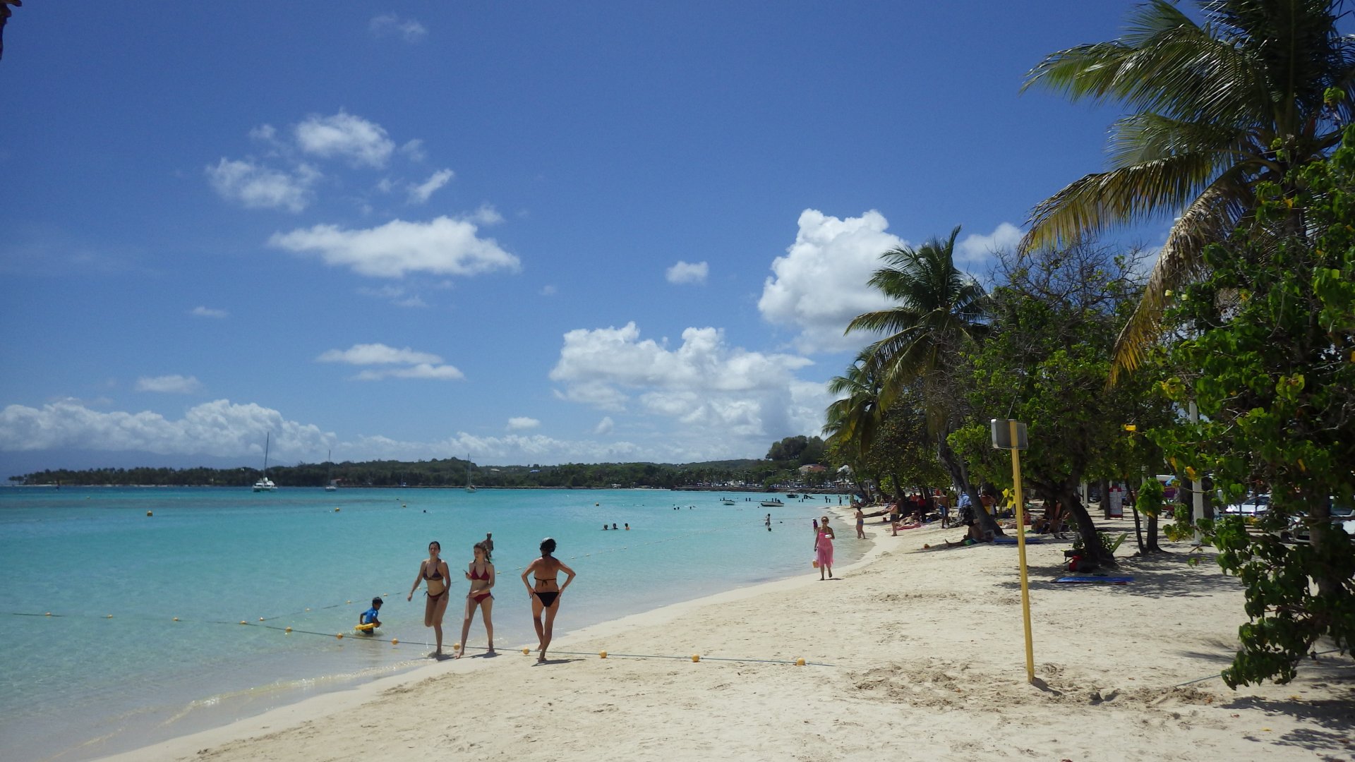
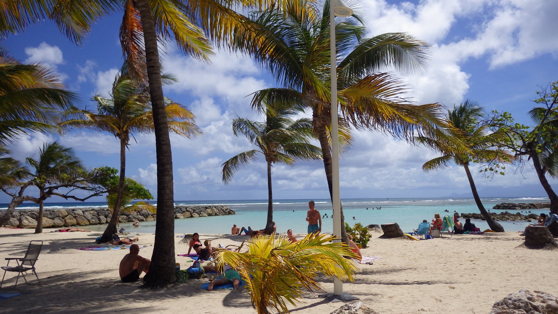
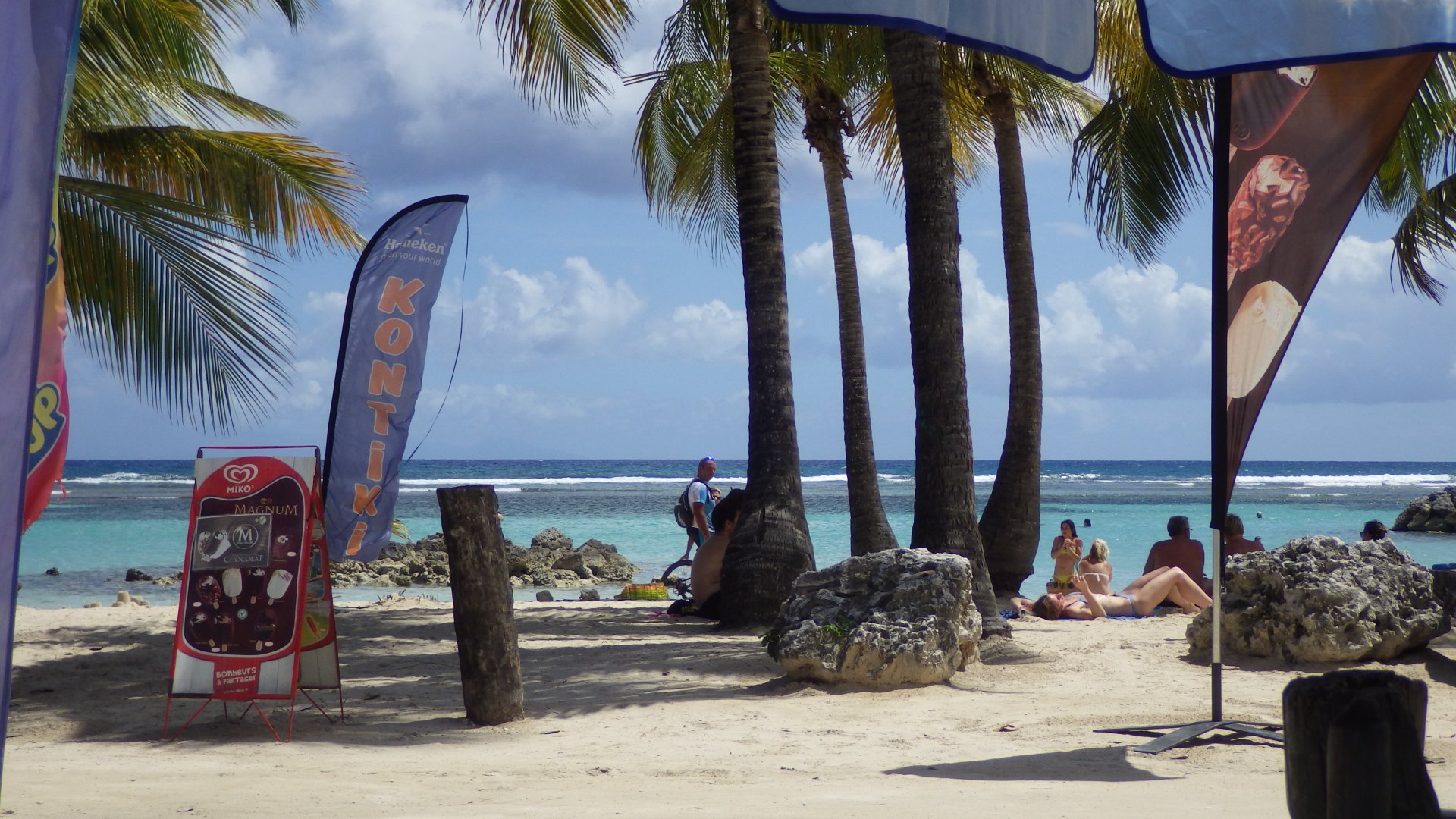
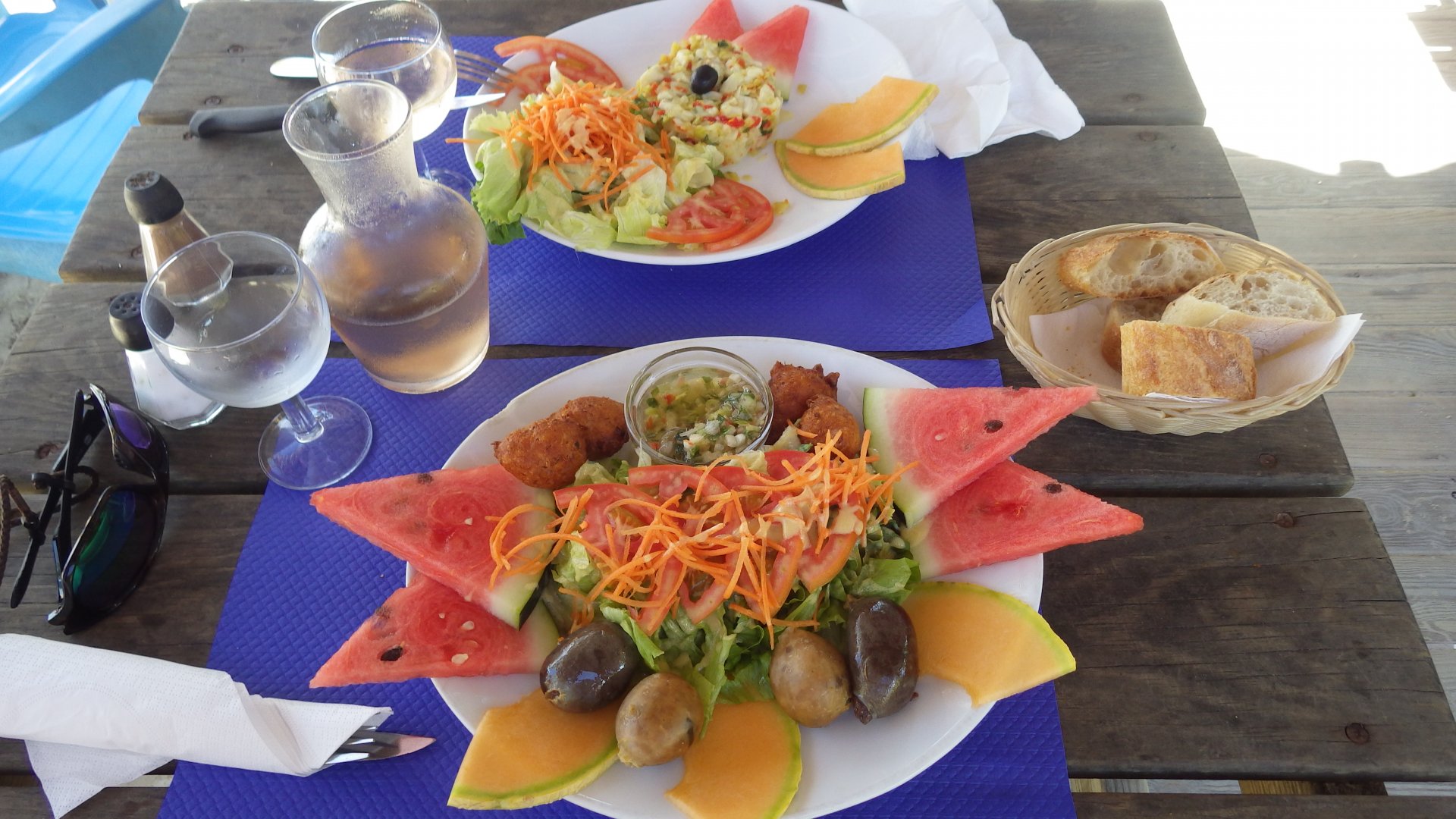
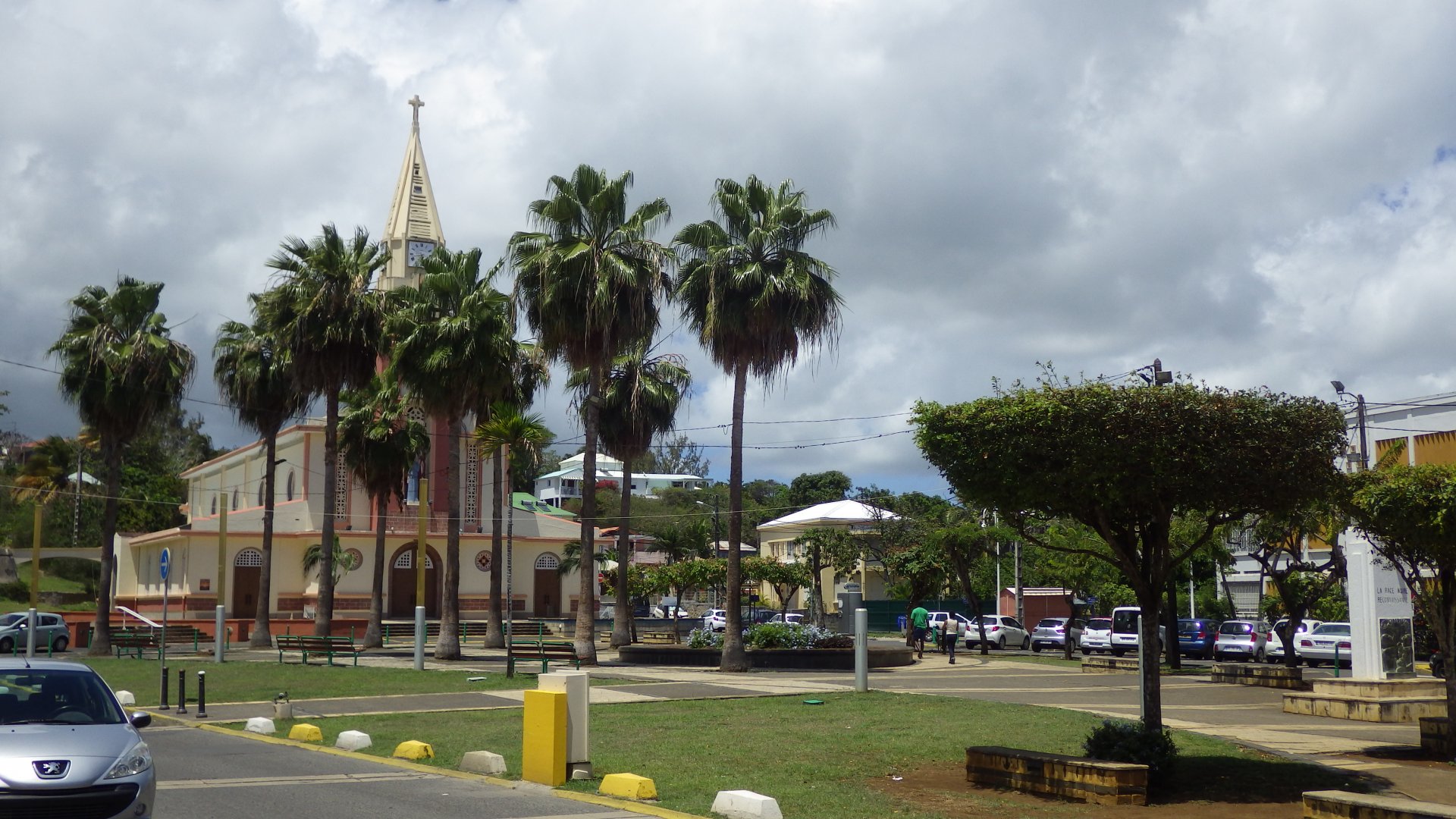
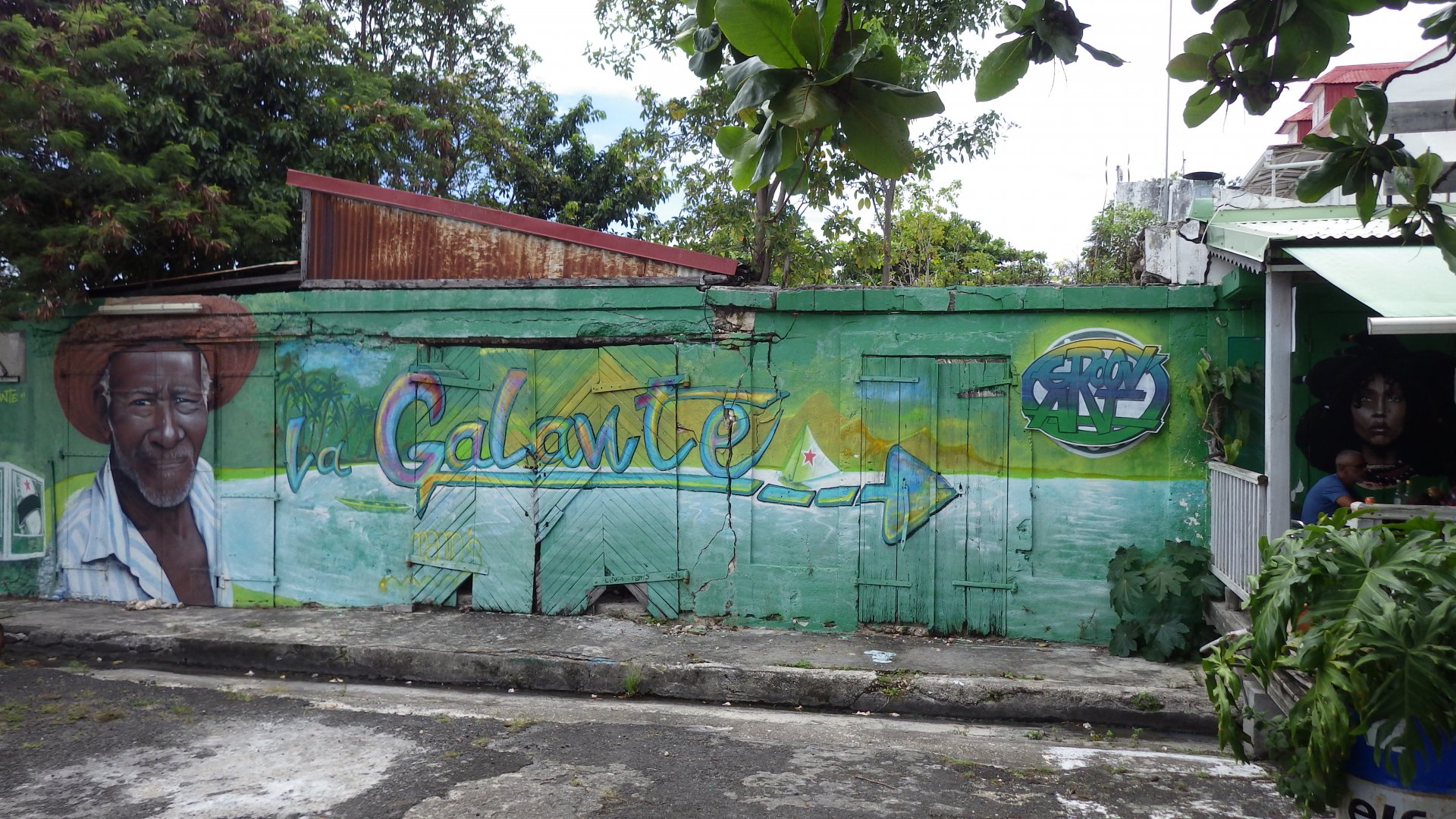
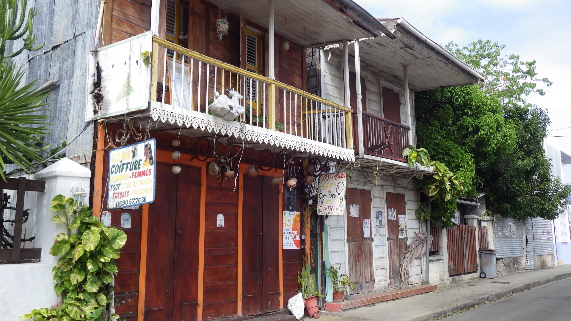
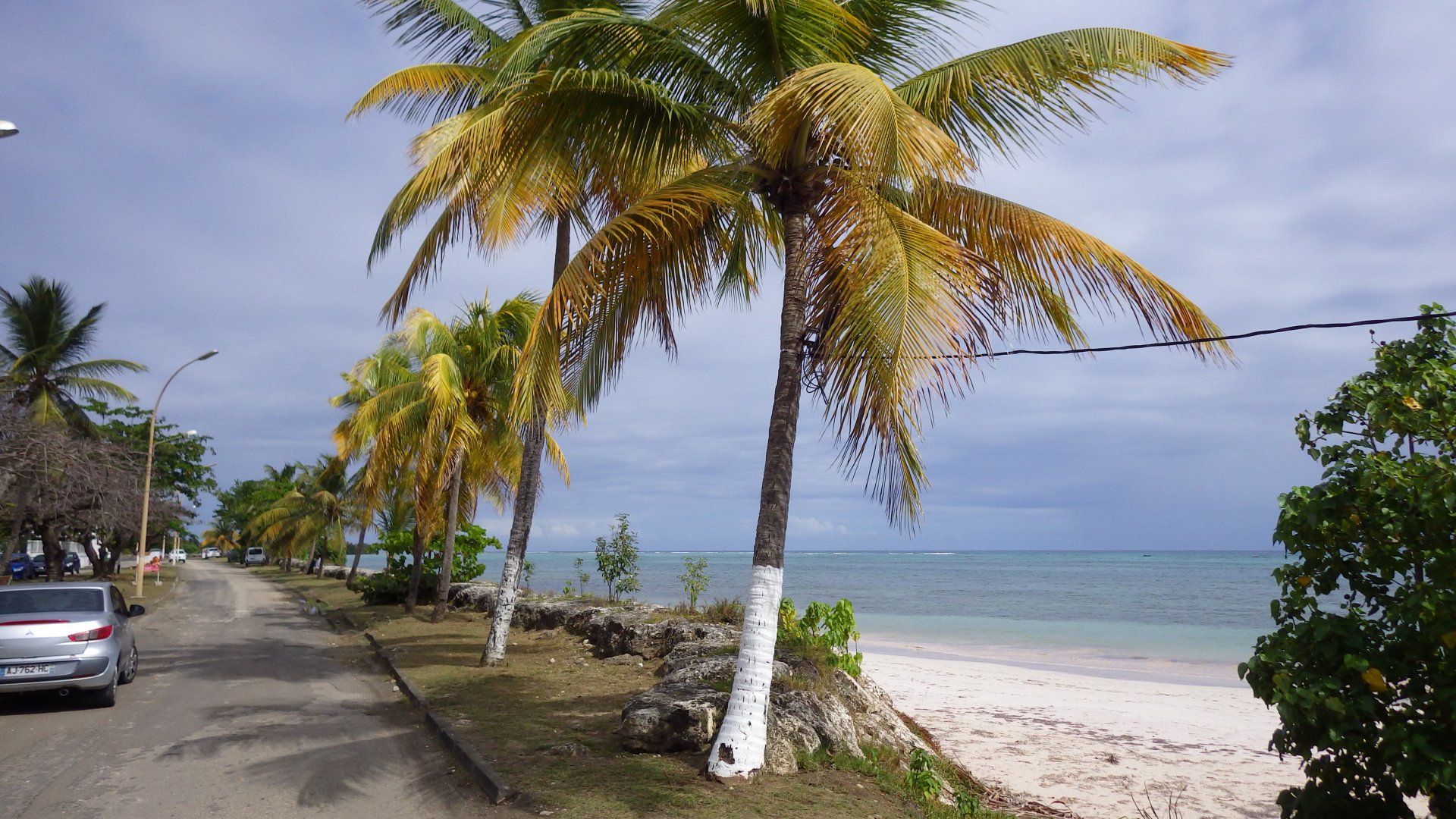
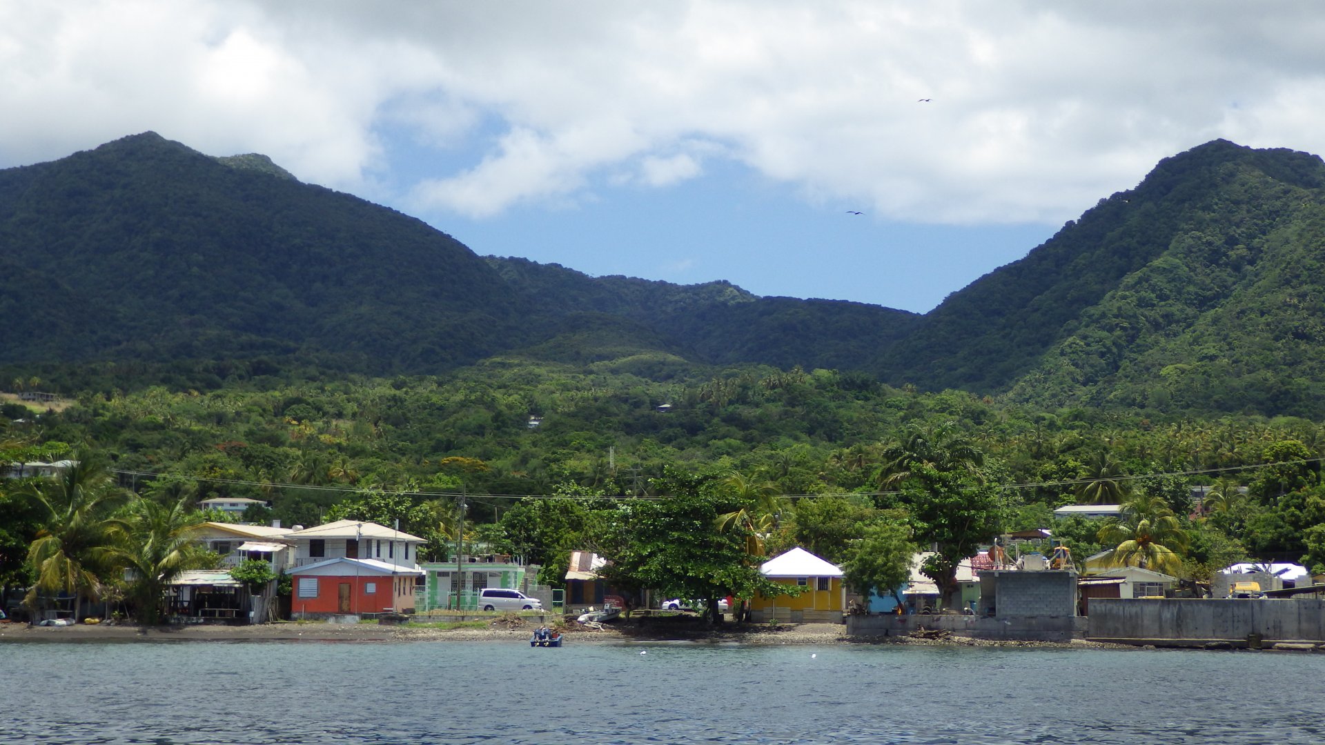
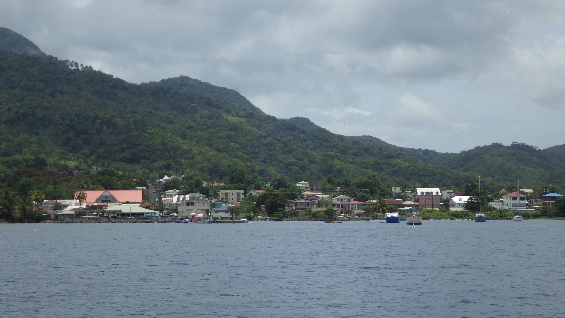
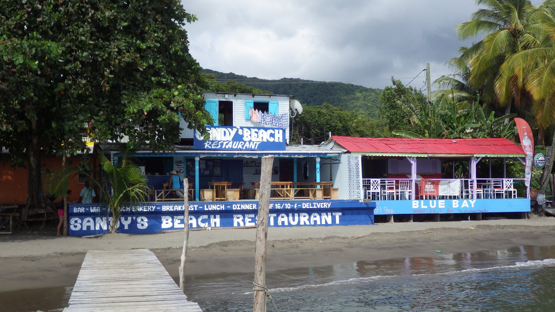
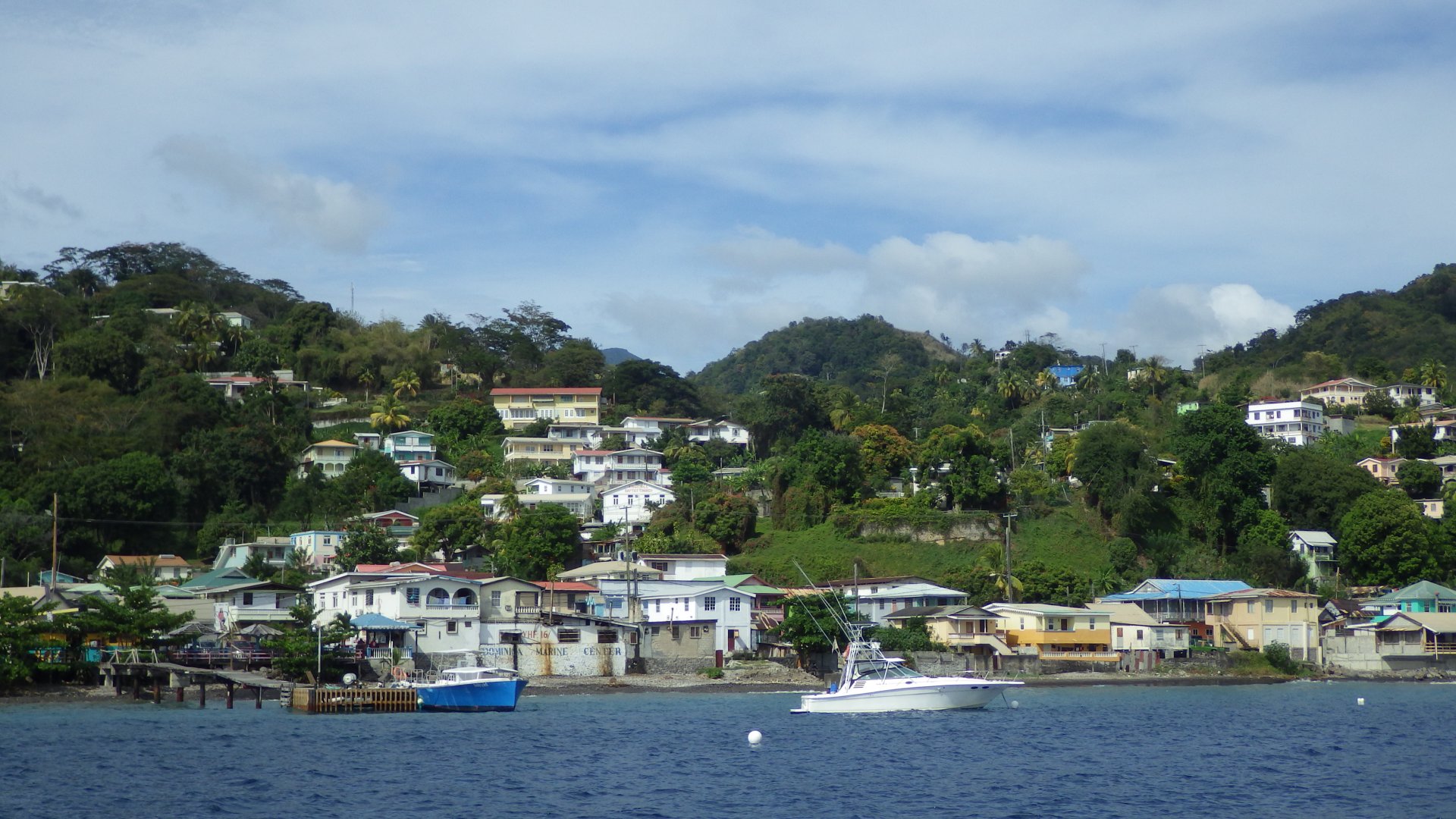
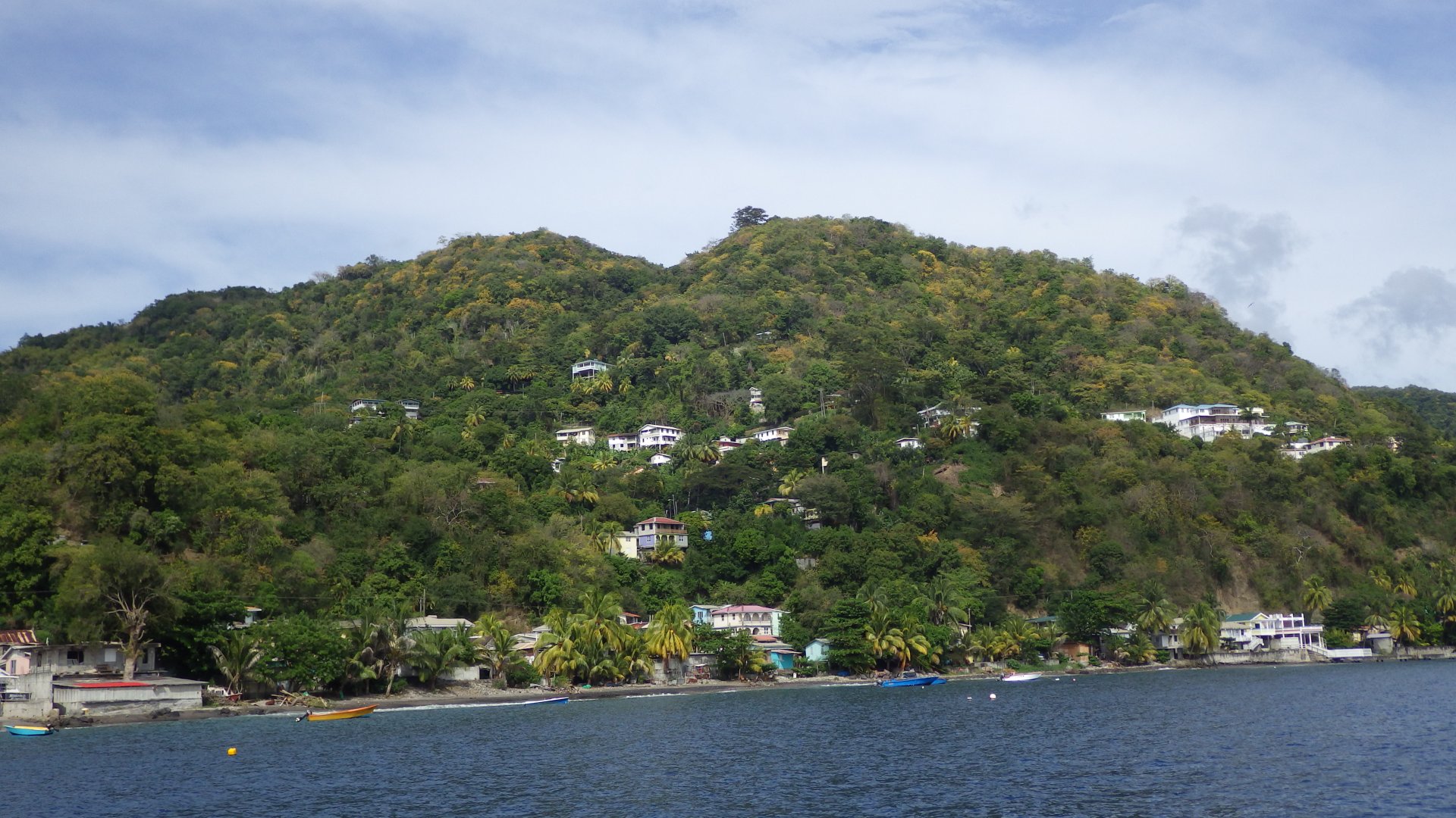
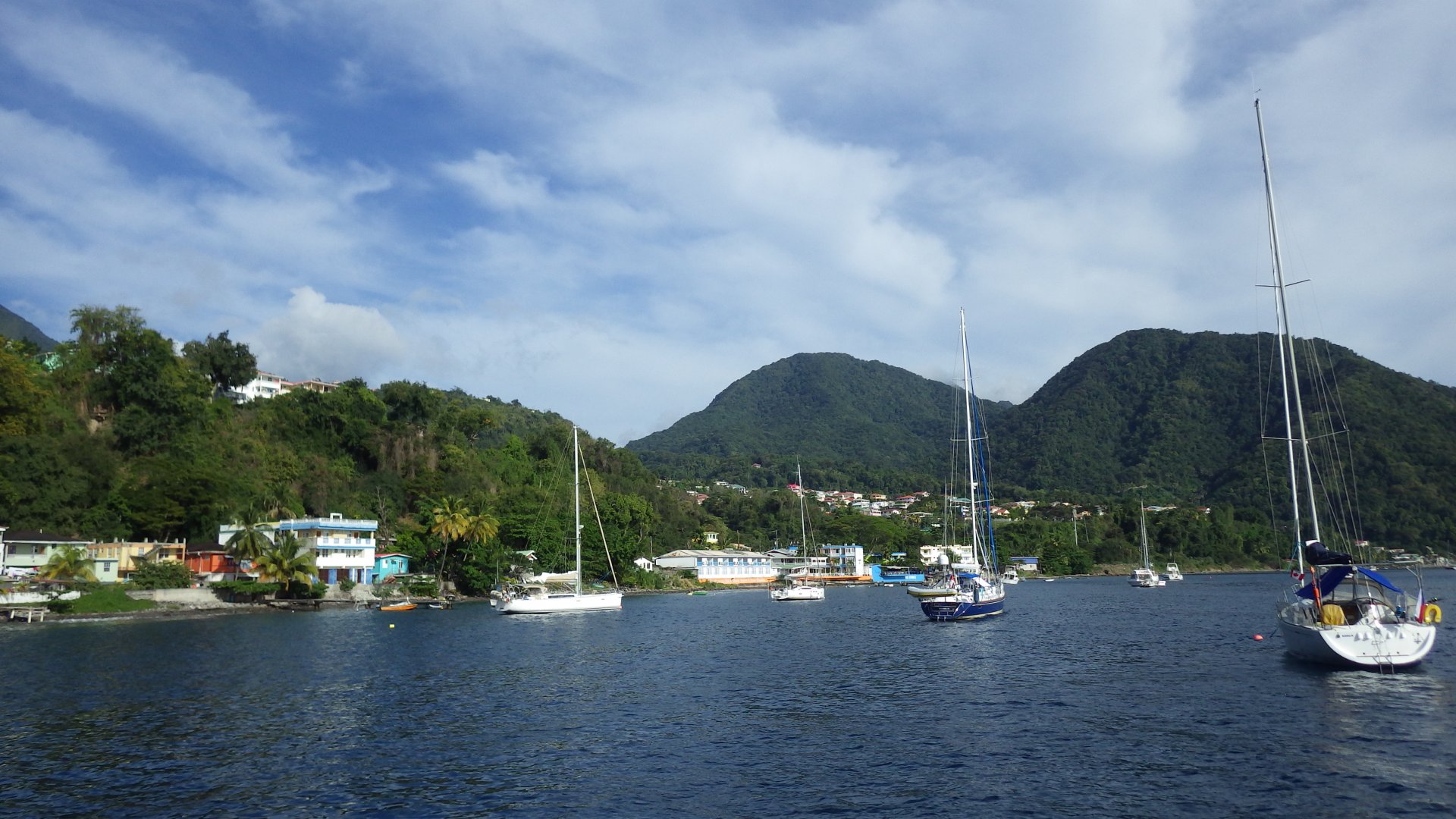
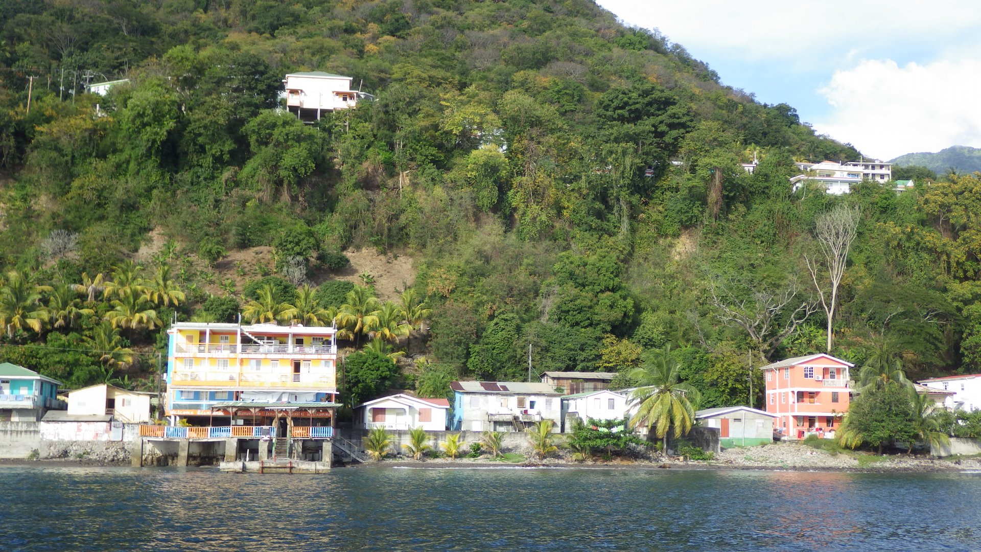
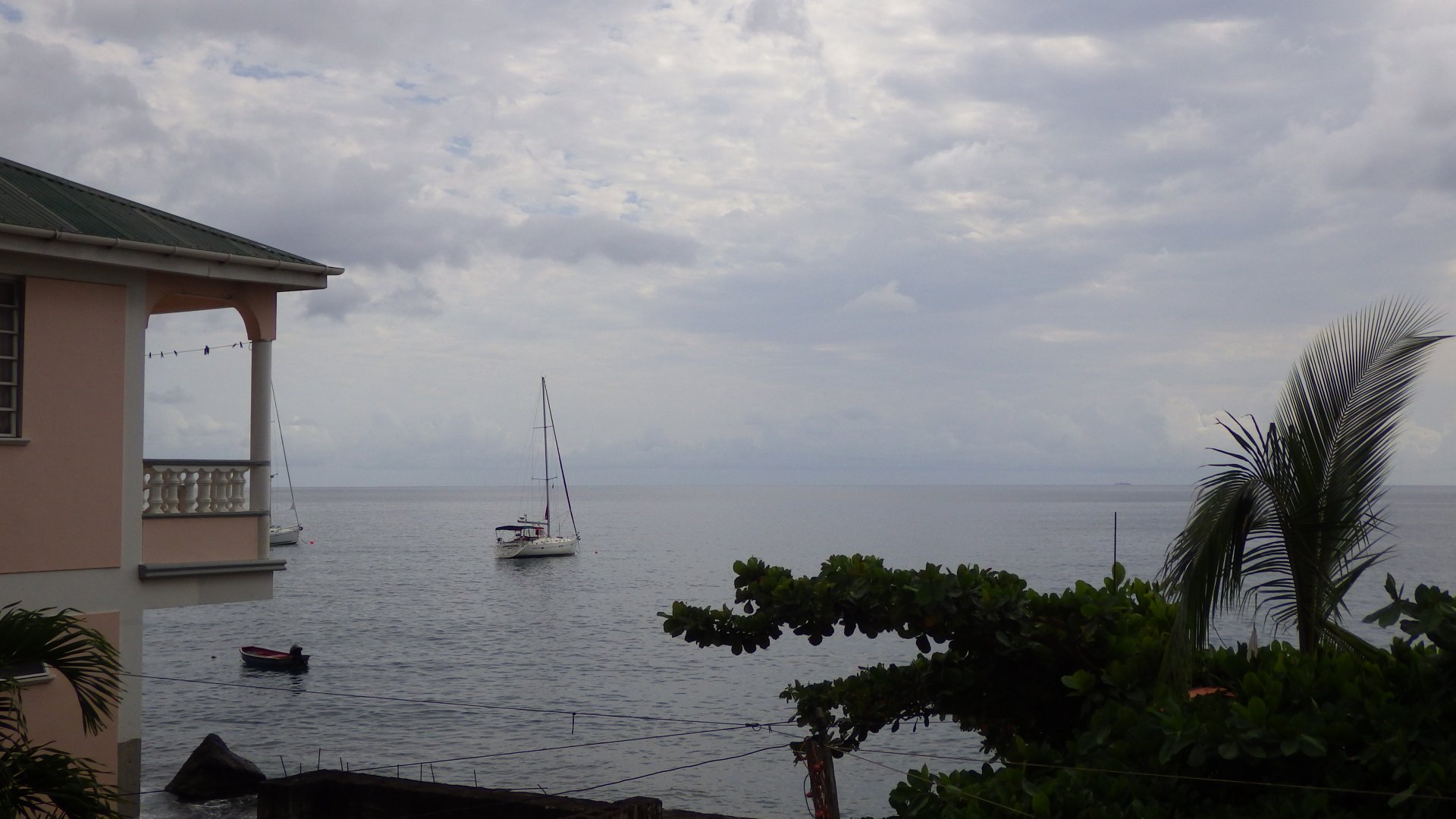
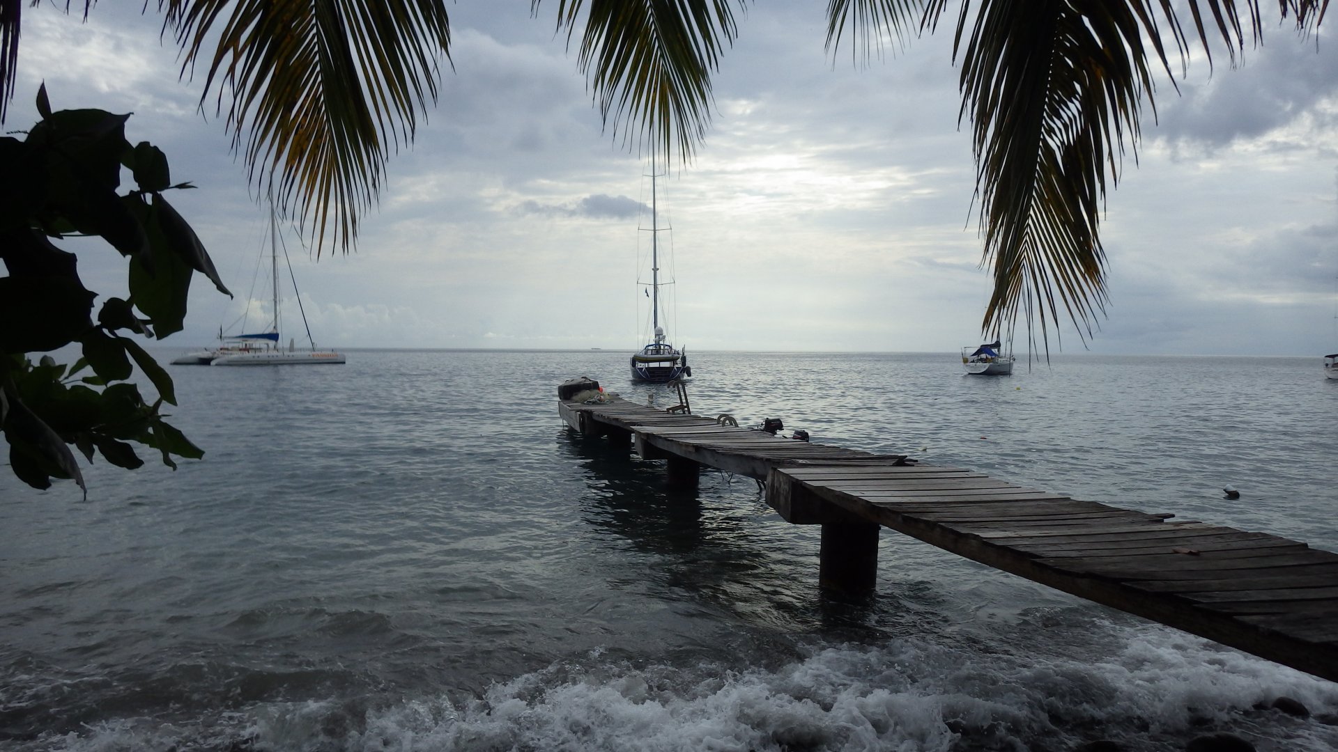
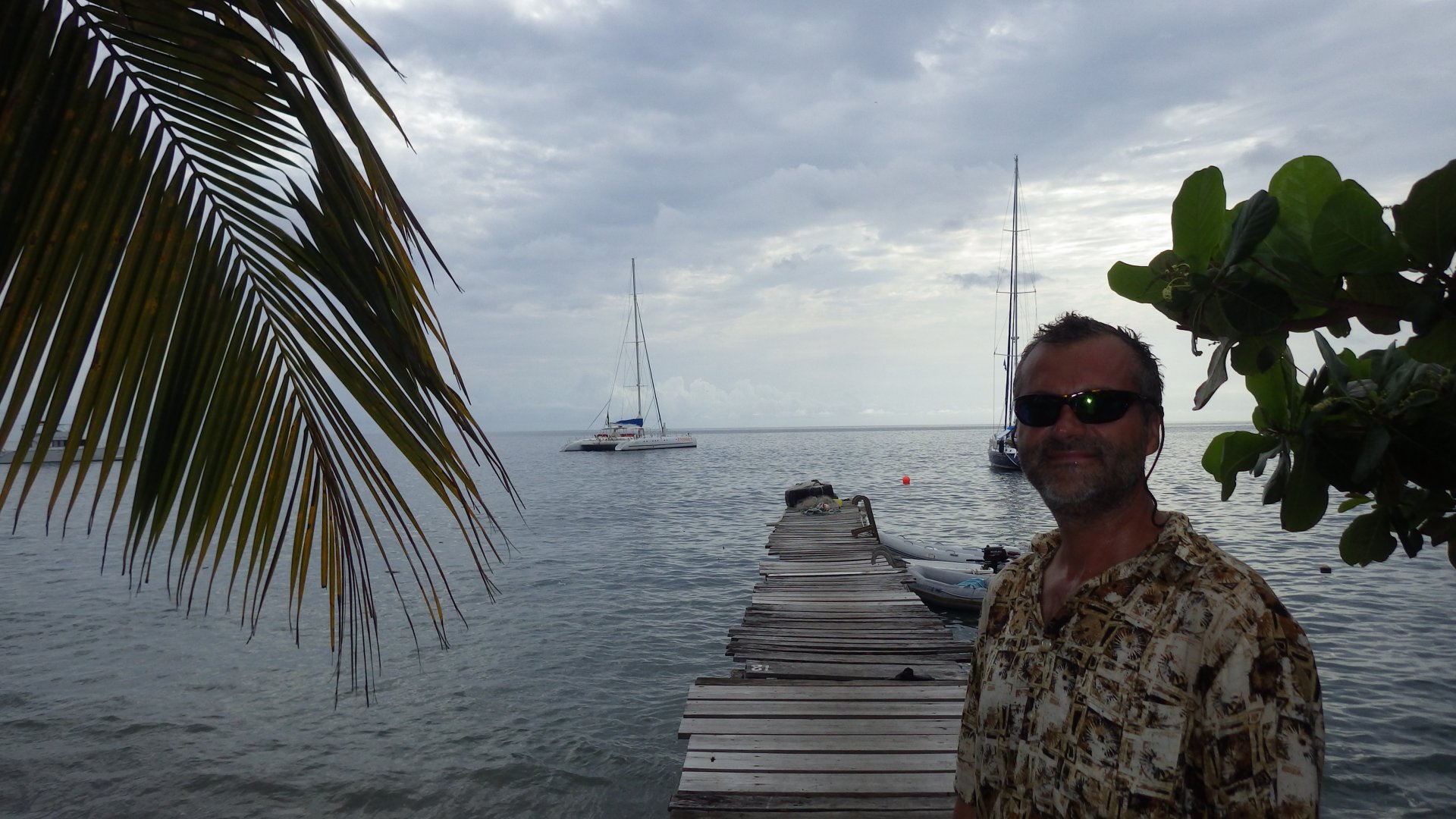
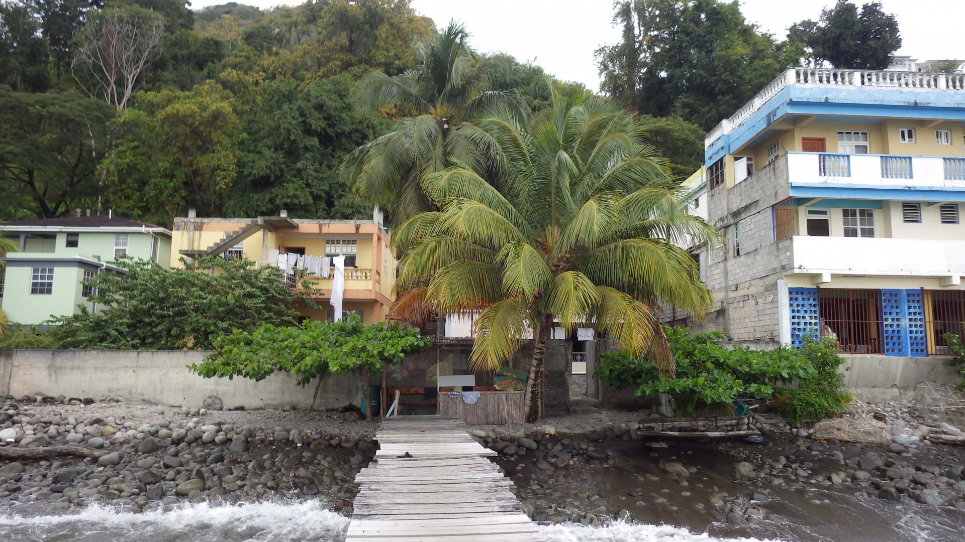
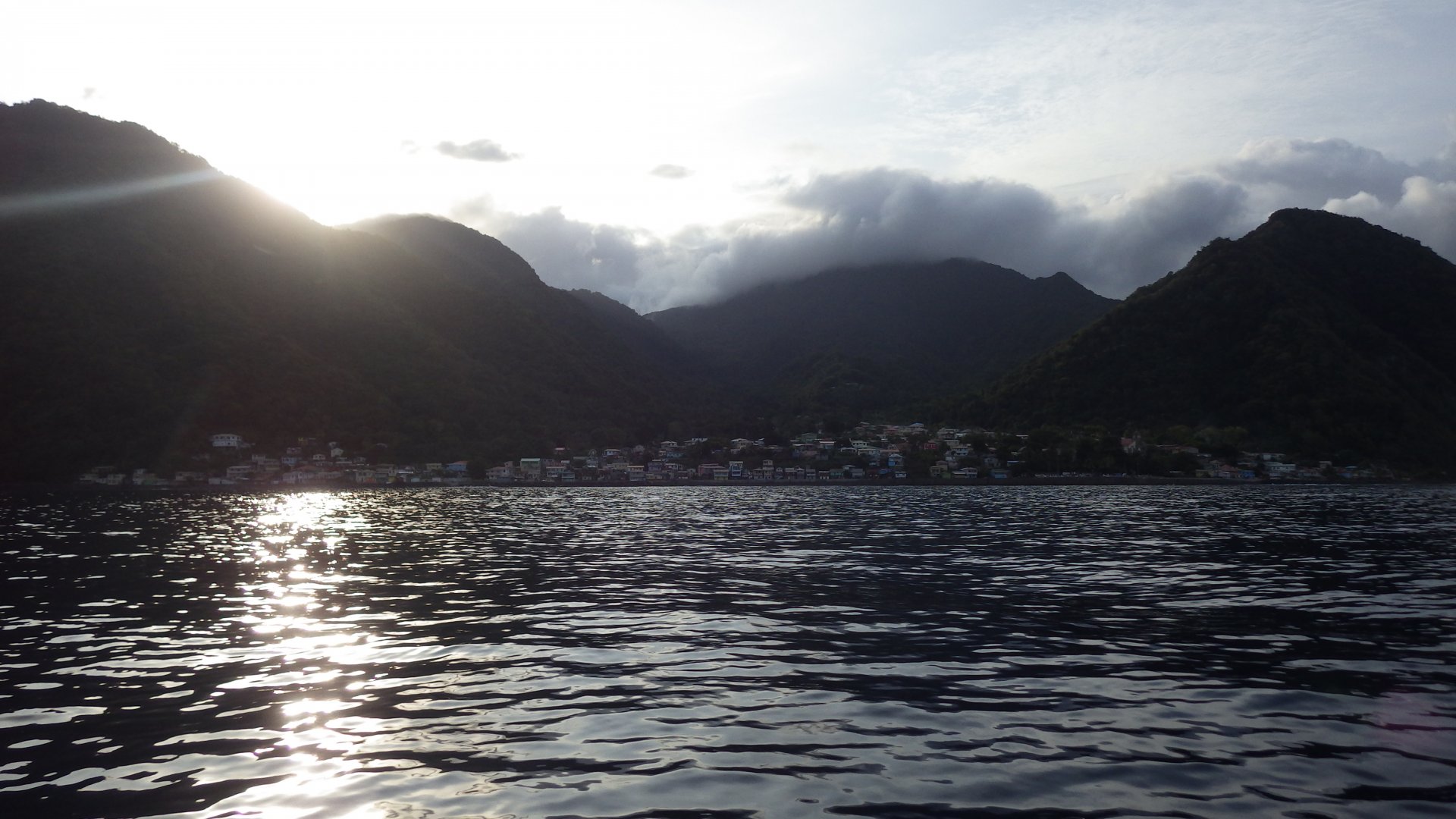
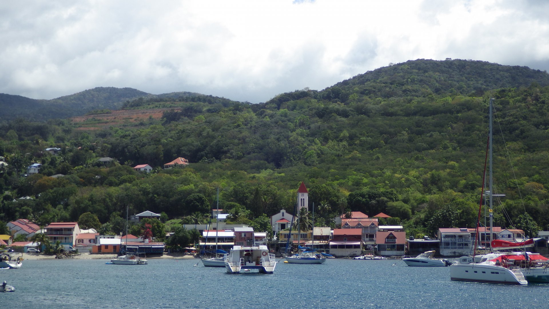
Deshaies, Guadeloupe

Log#: 184
LatLon: 16°18.434'N, 061°47.861'W

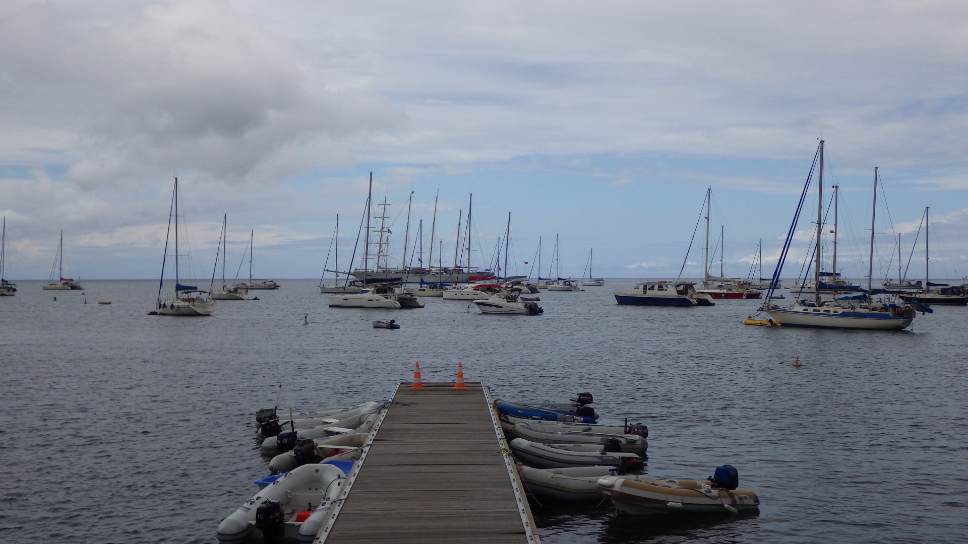
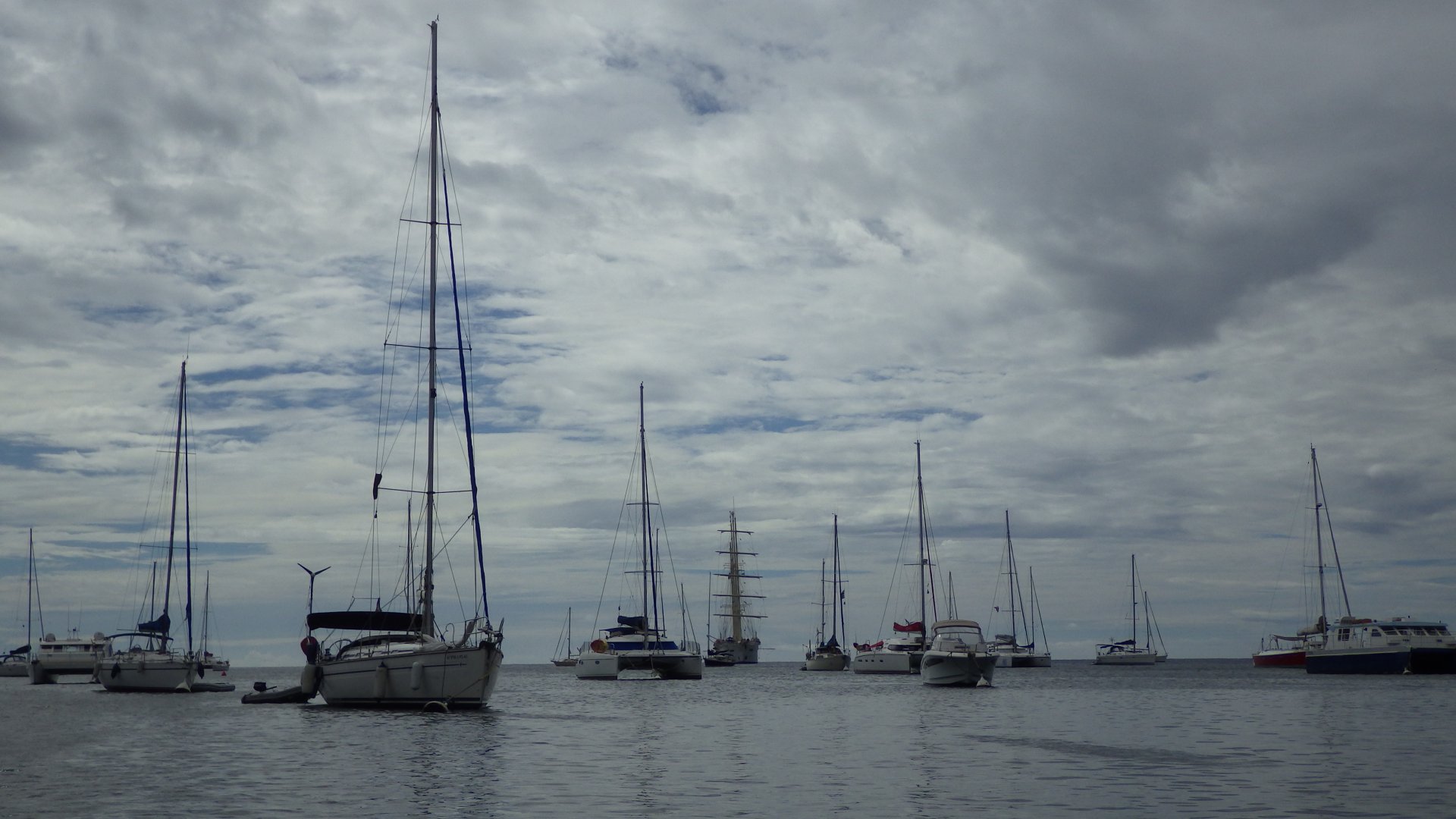
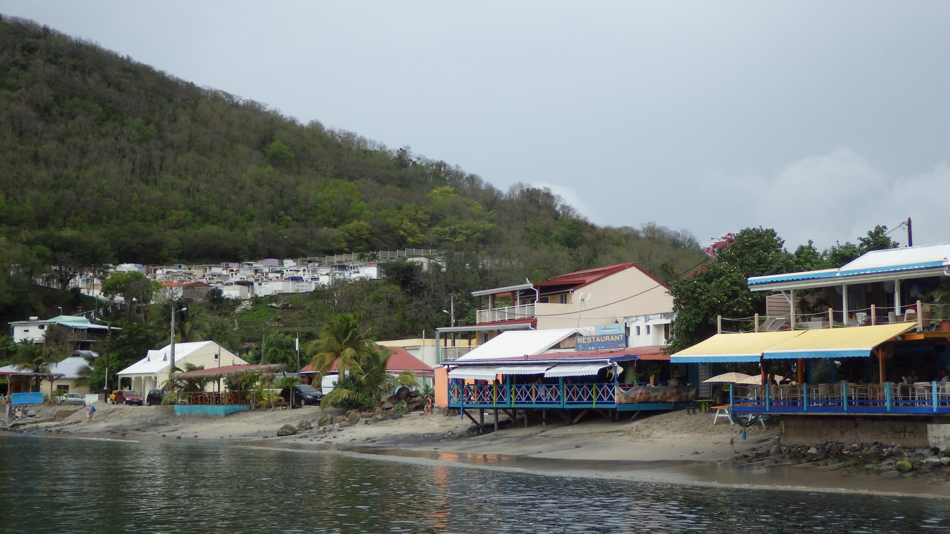
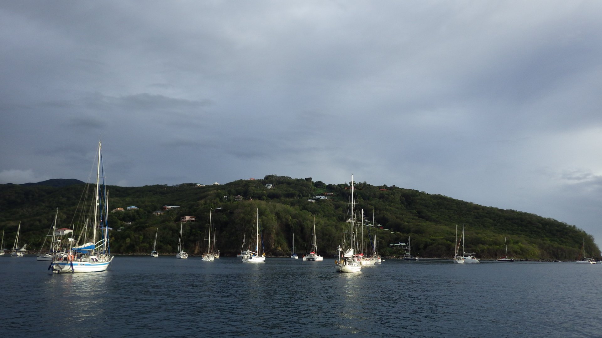
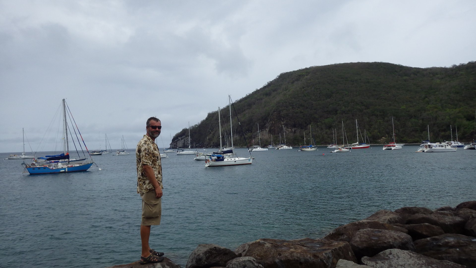
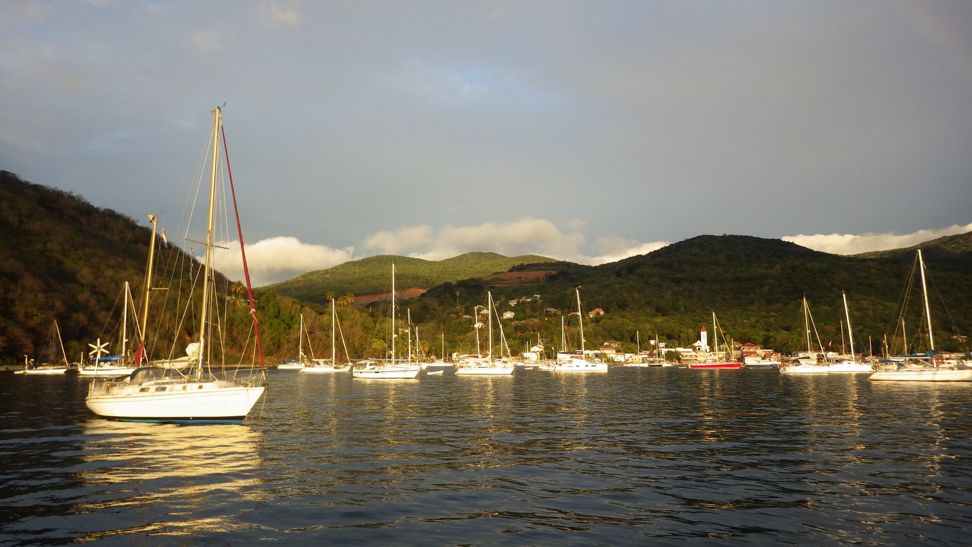
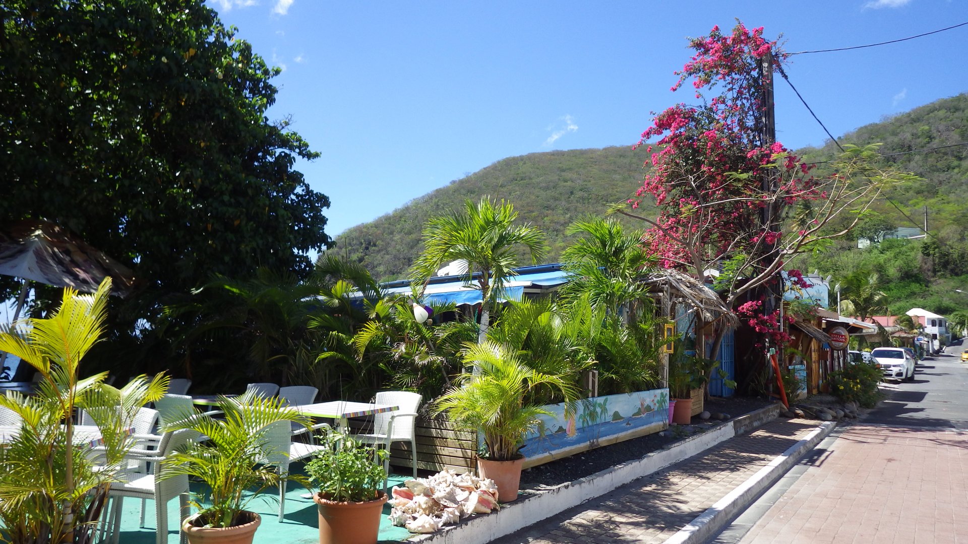
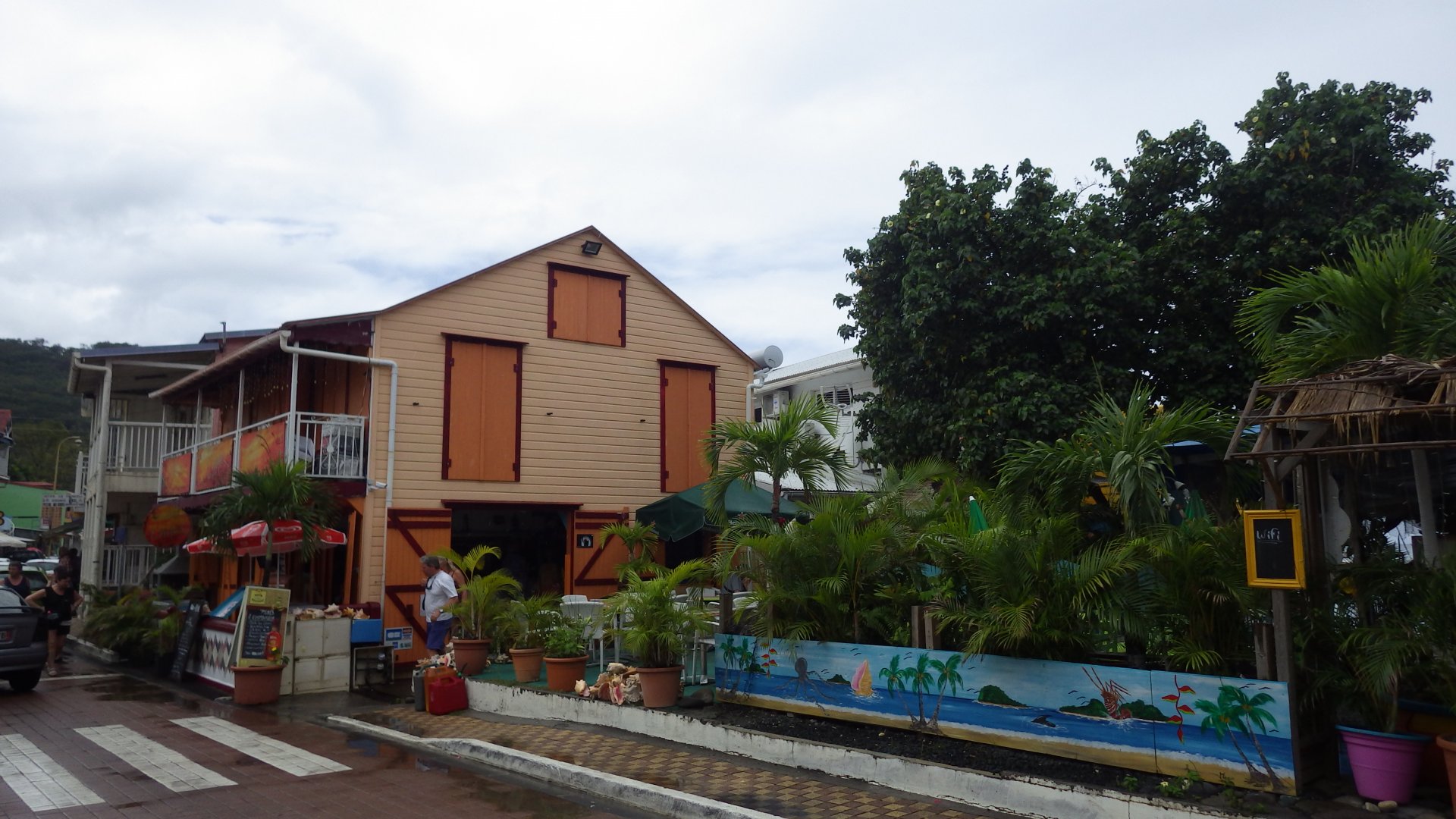
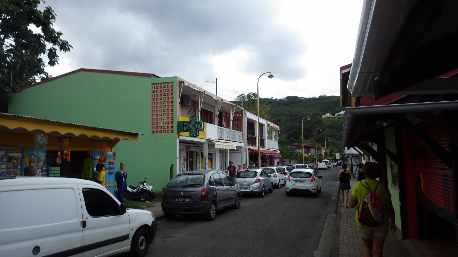
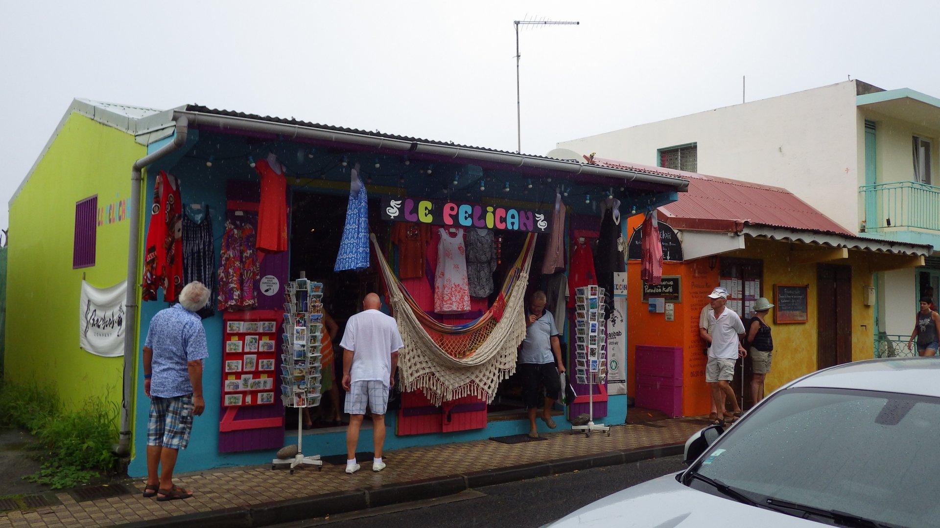
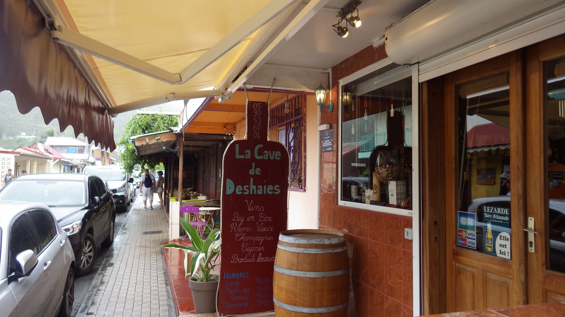
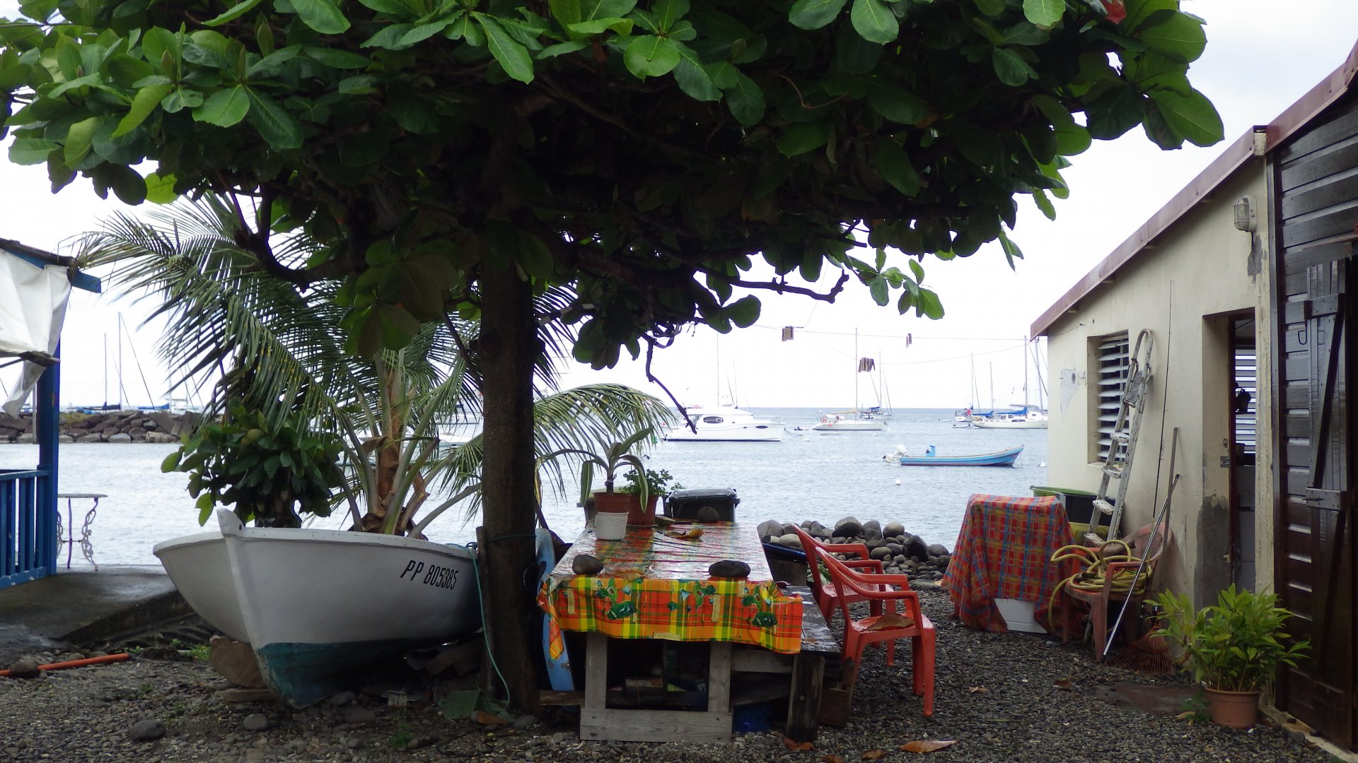
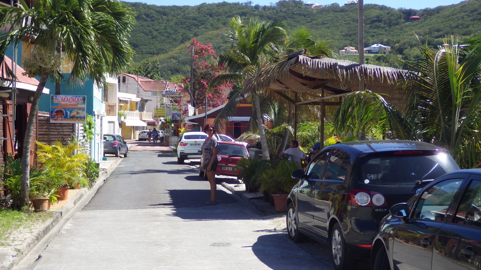
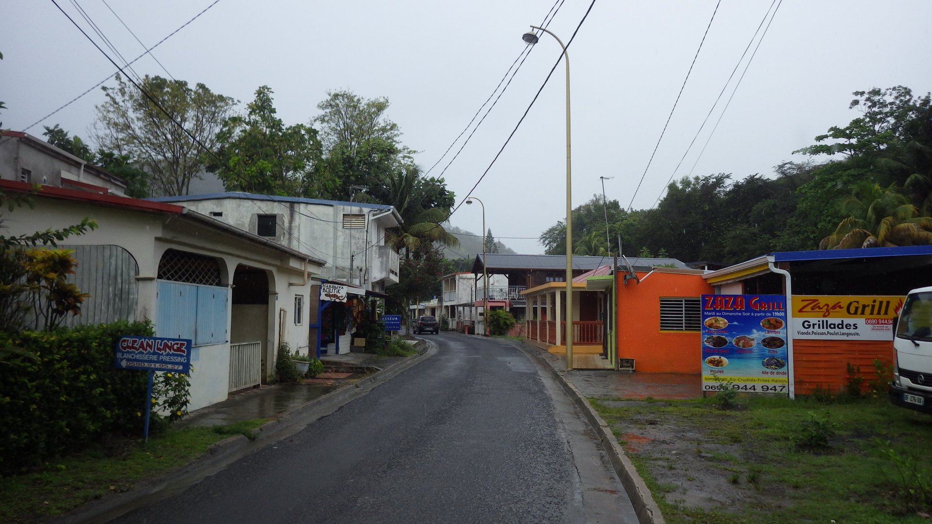
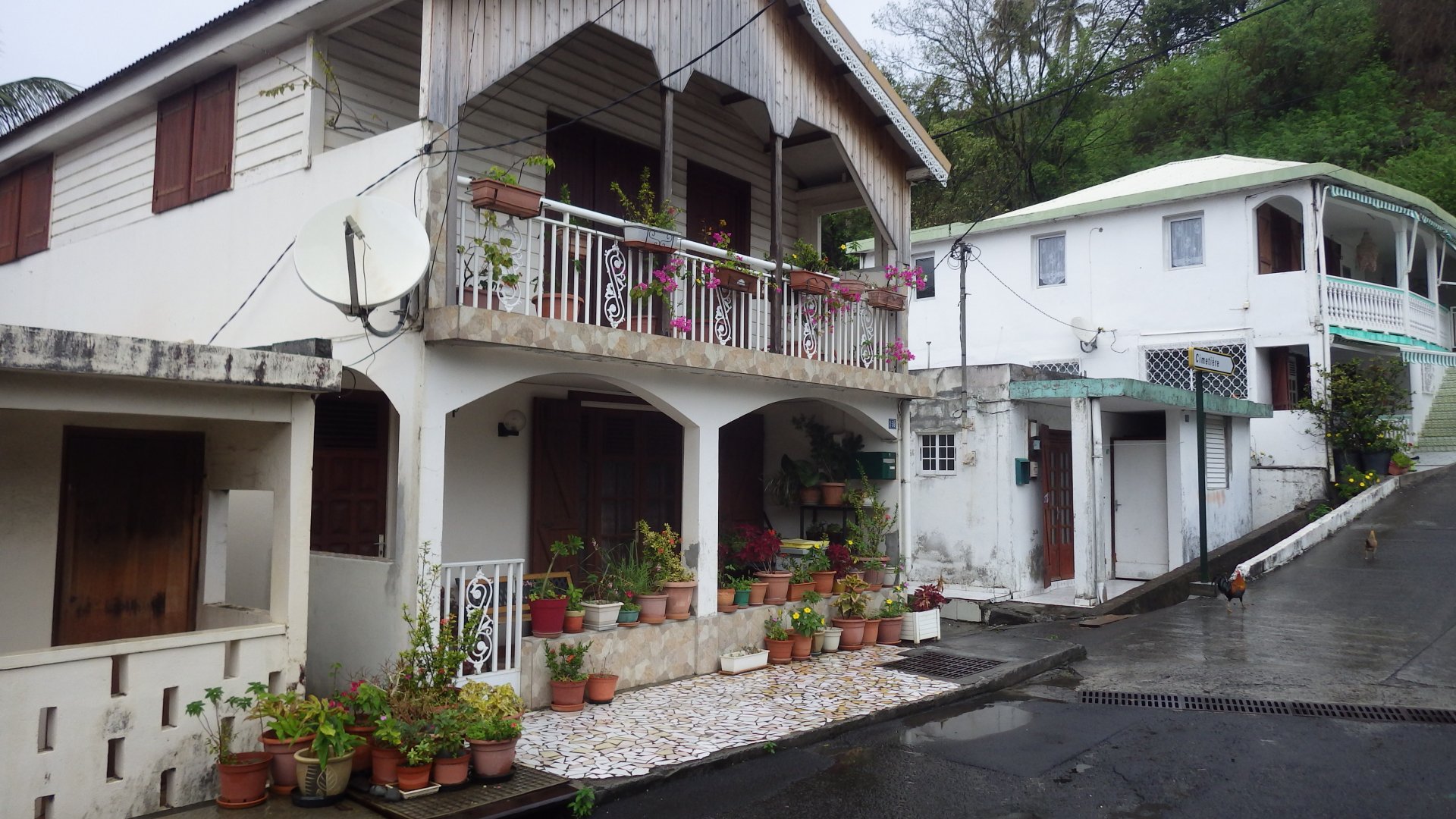
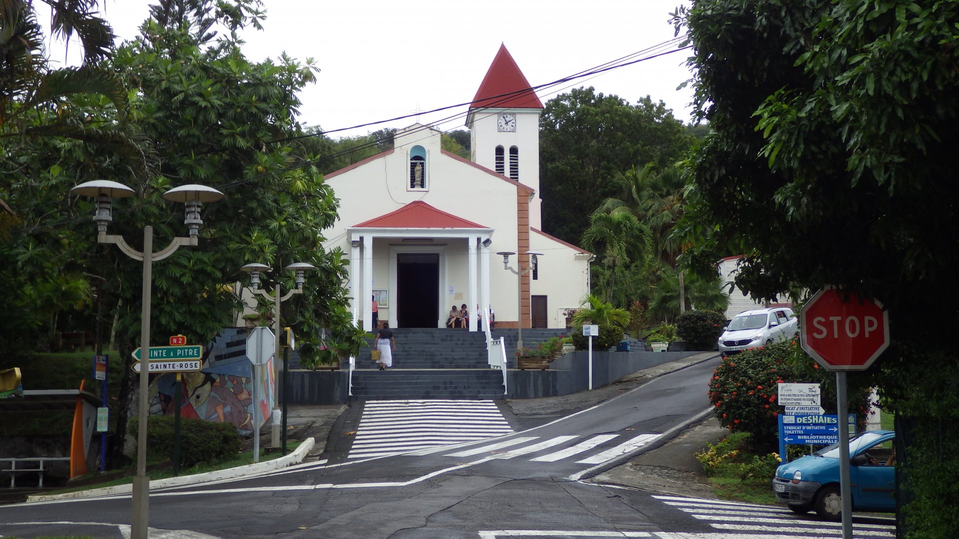
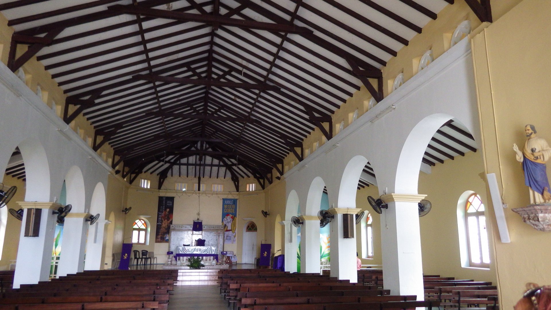
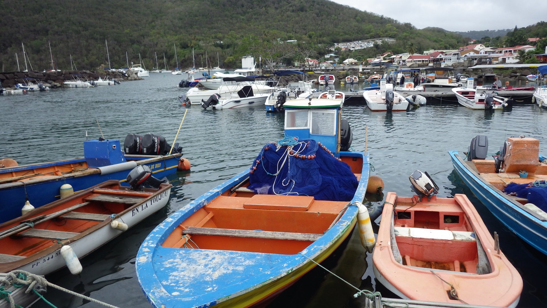
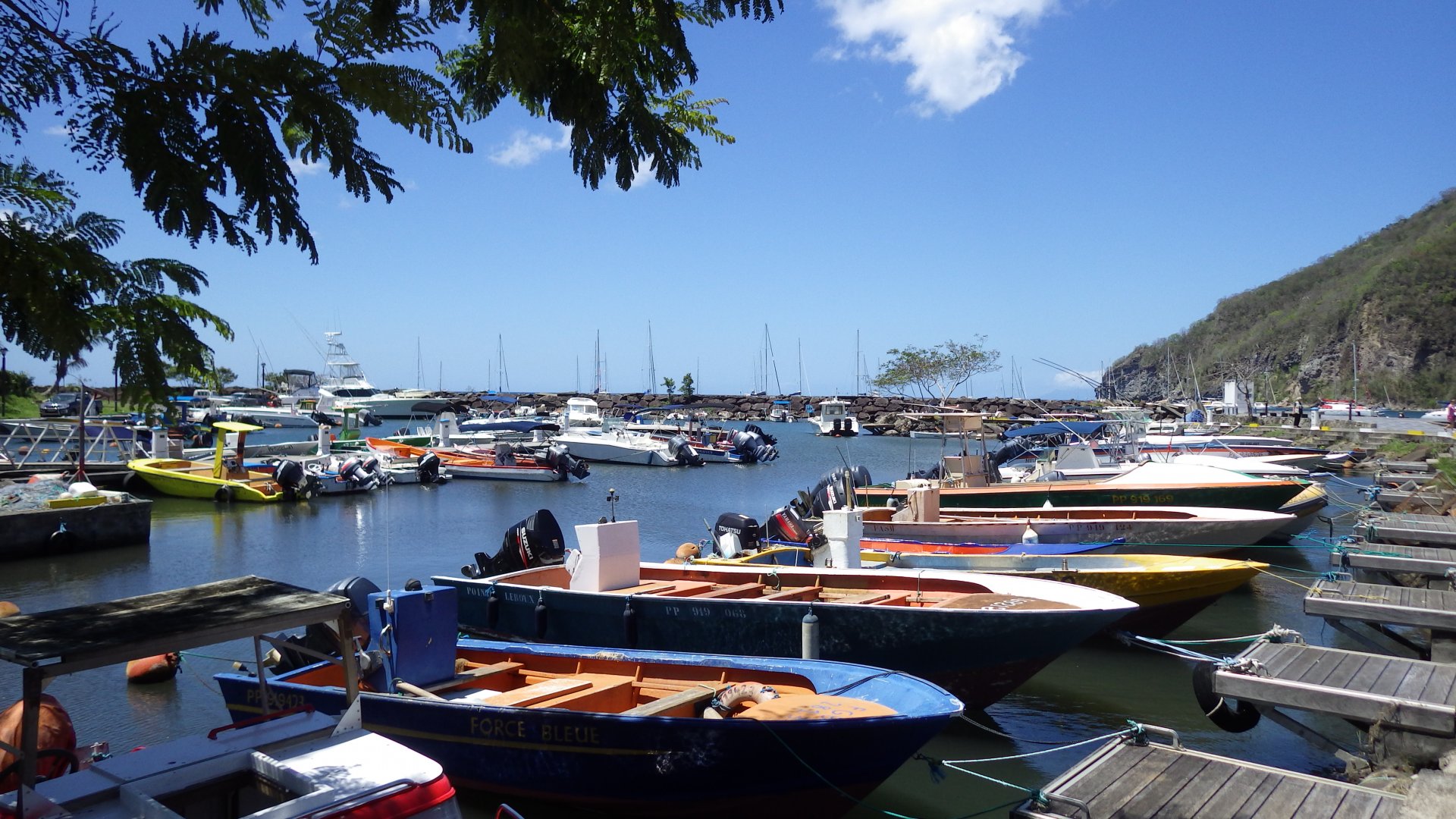
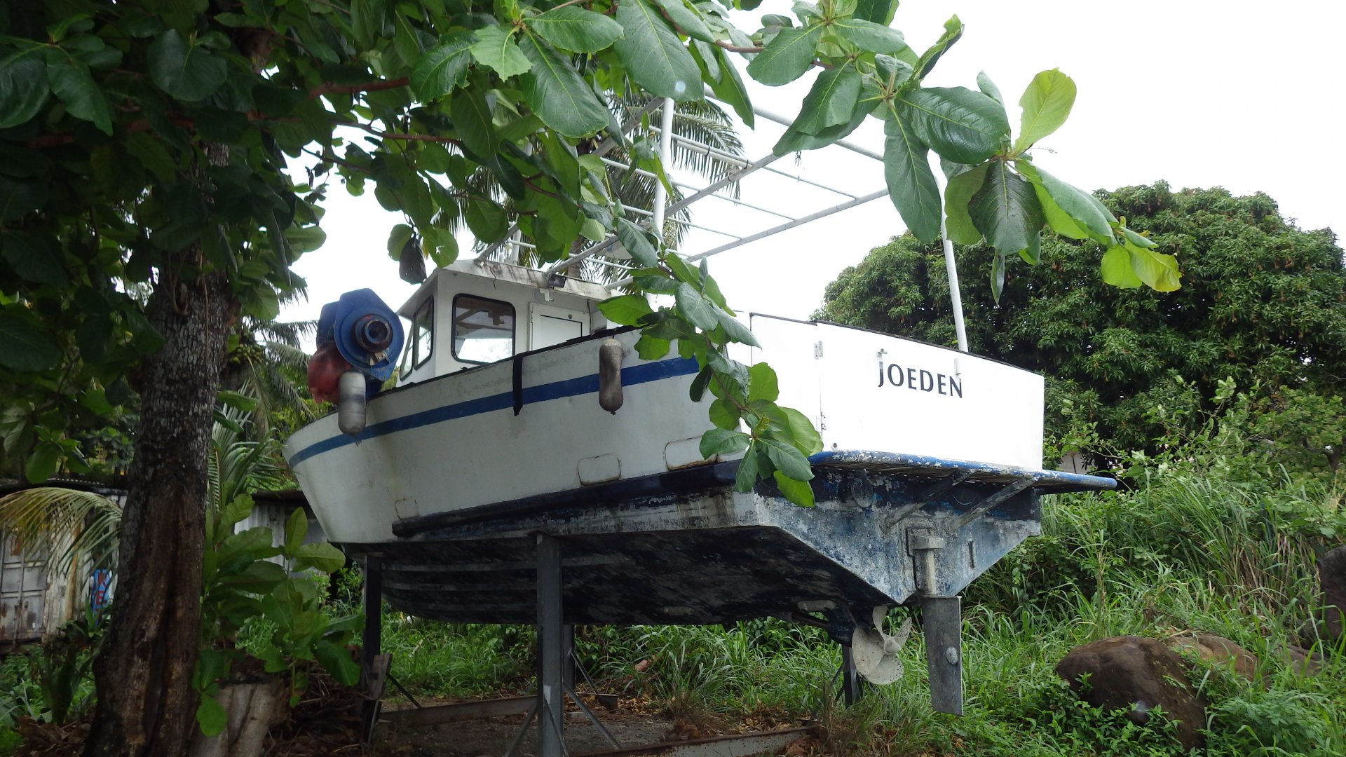
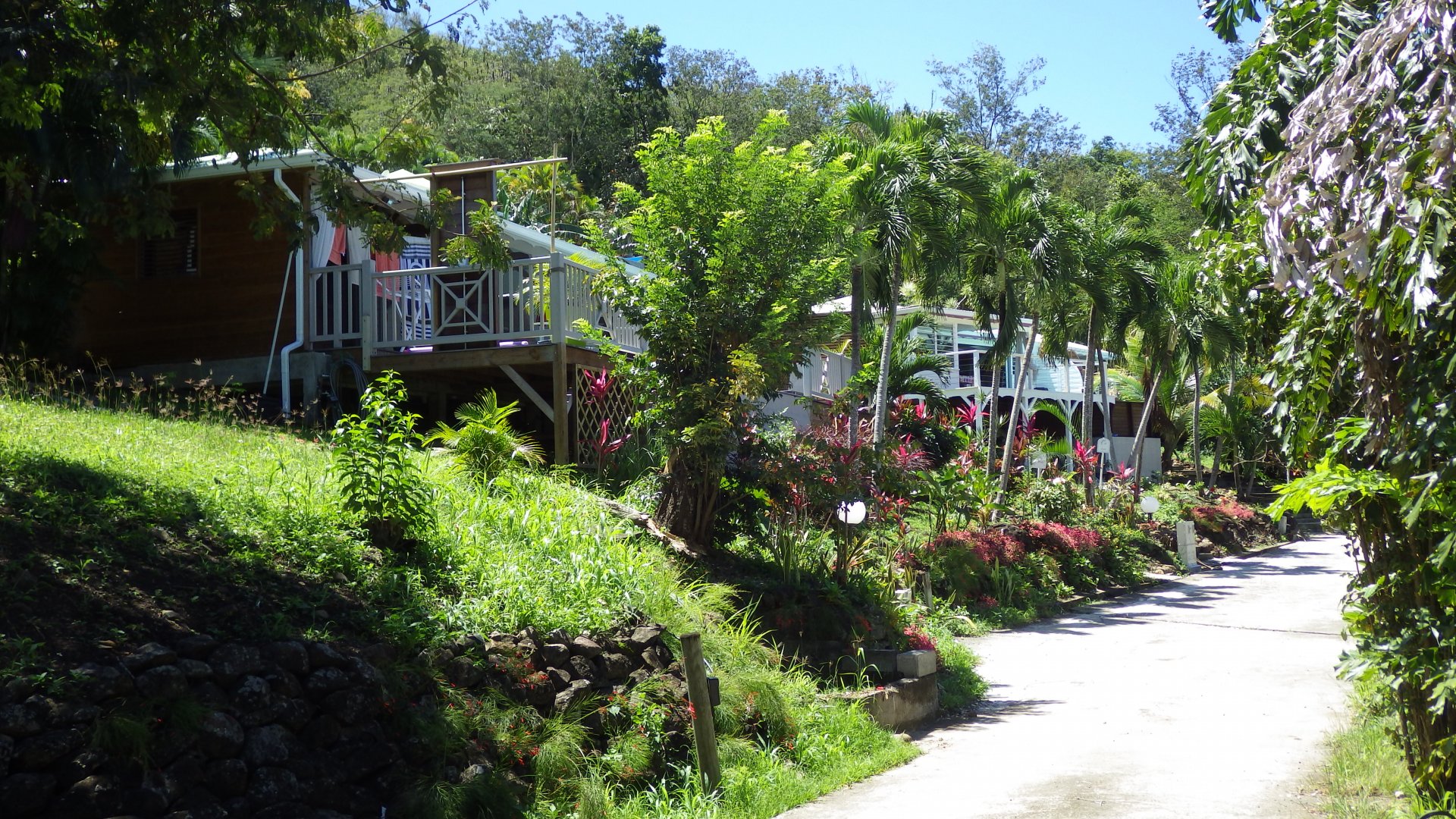
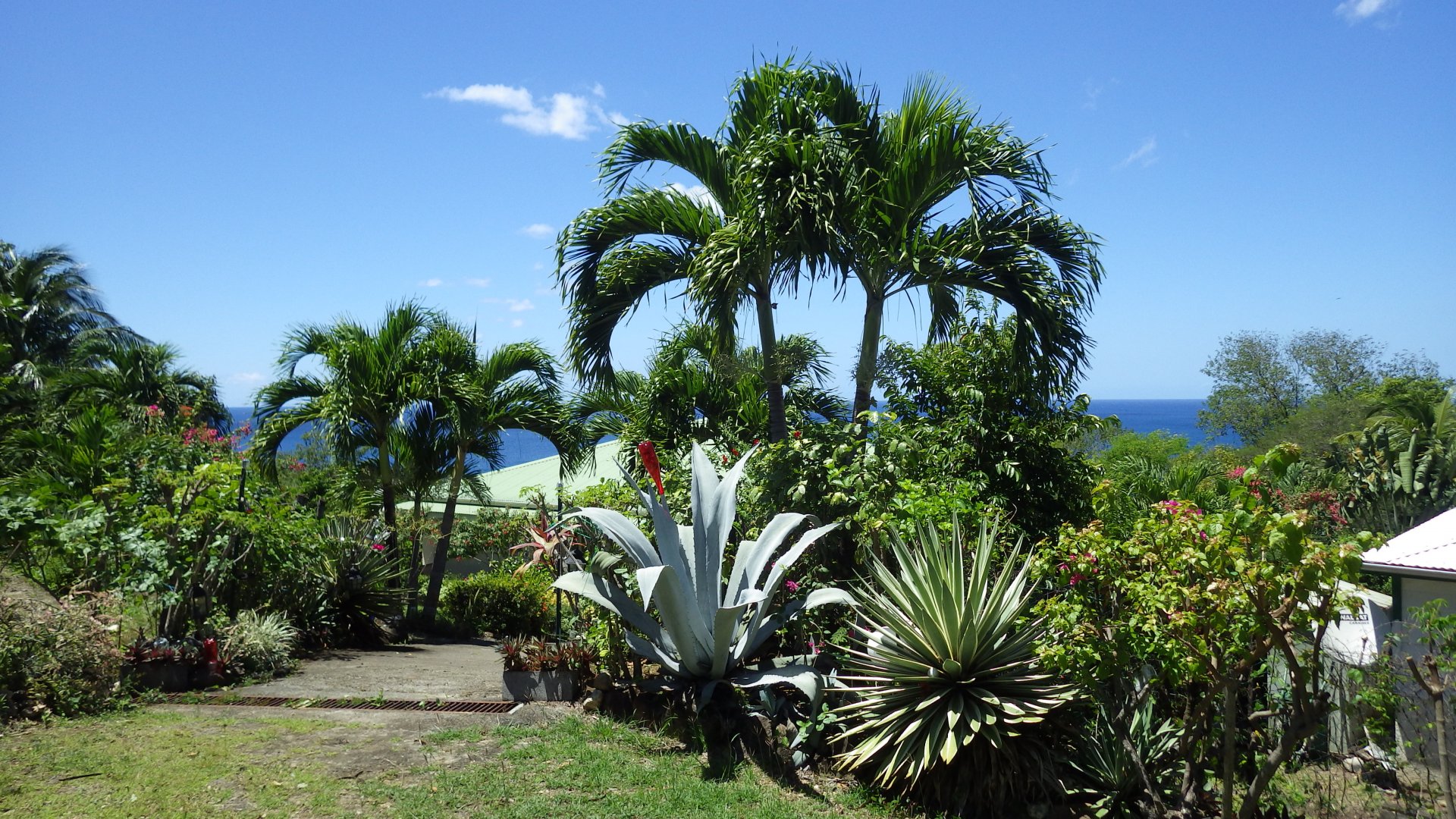
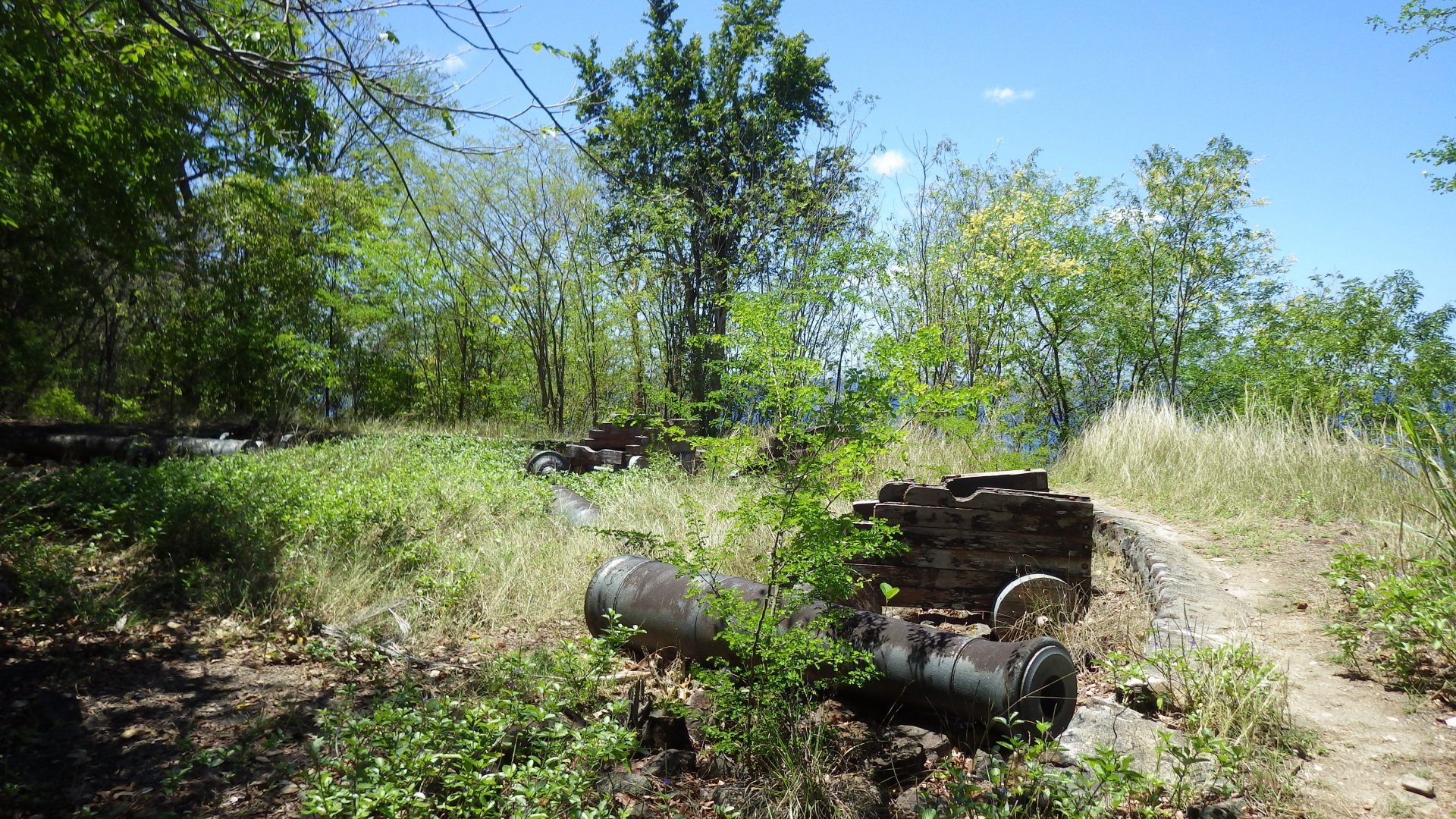
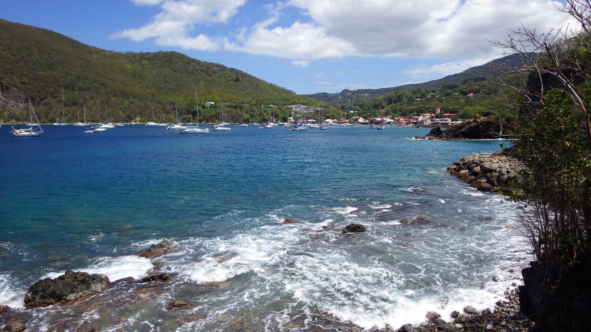
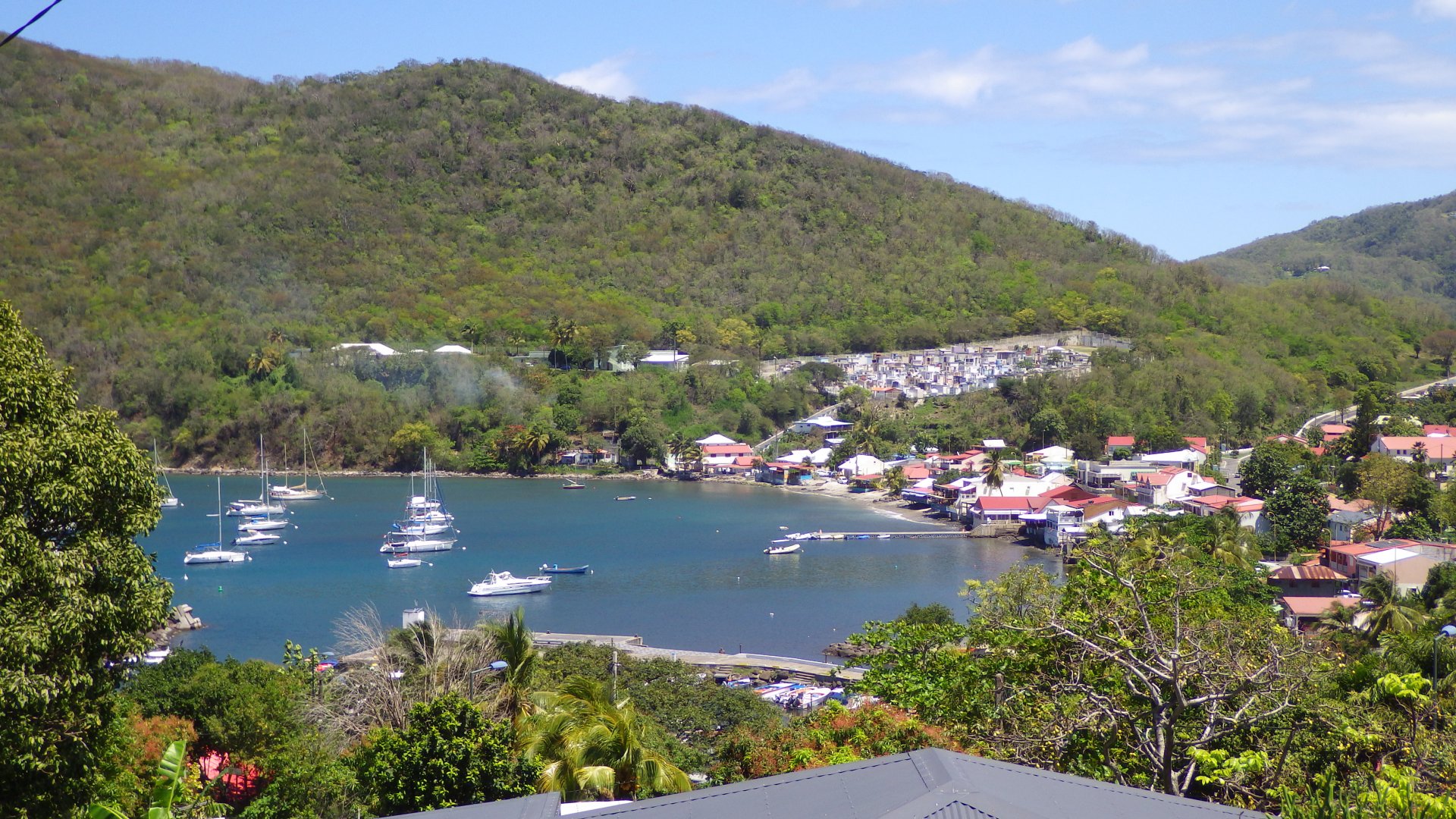
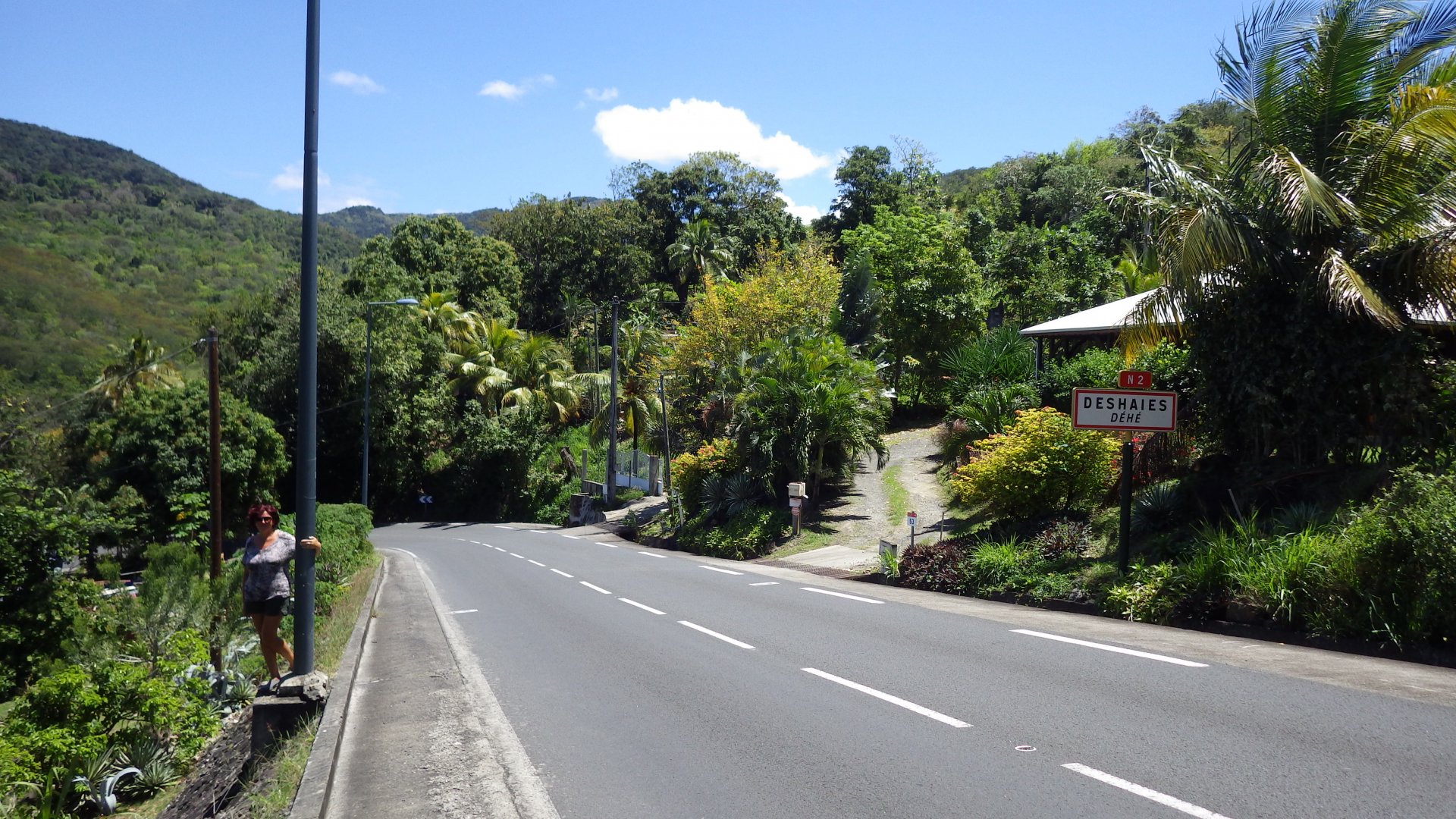
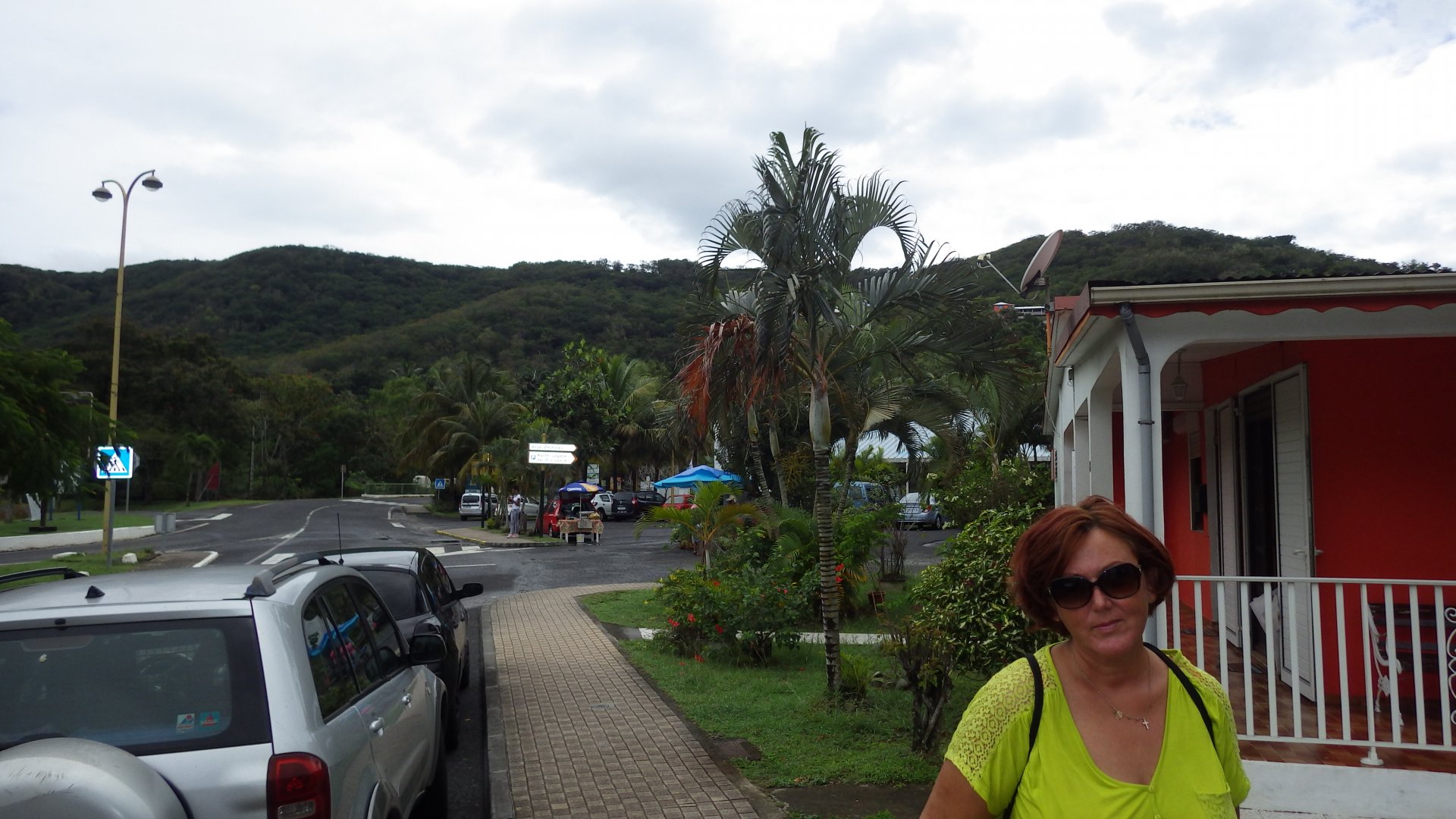
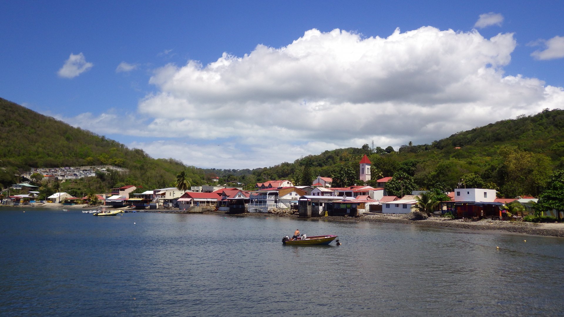
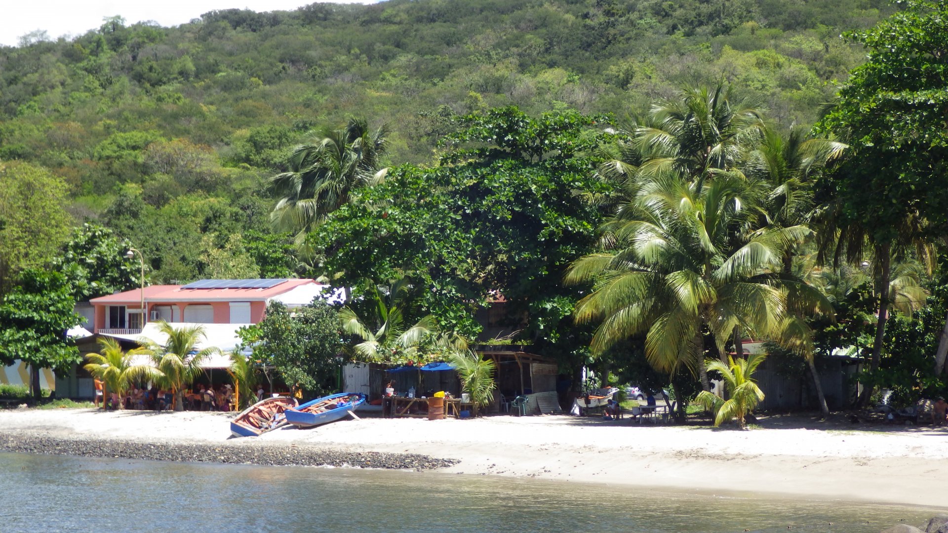
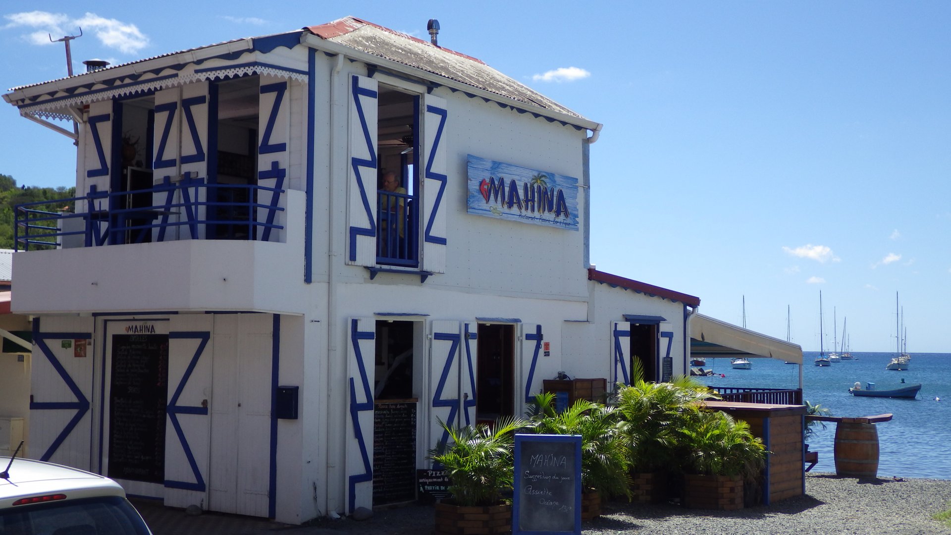
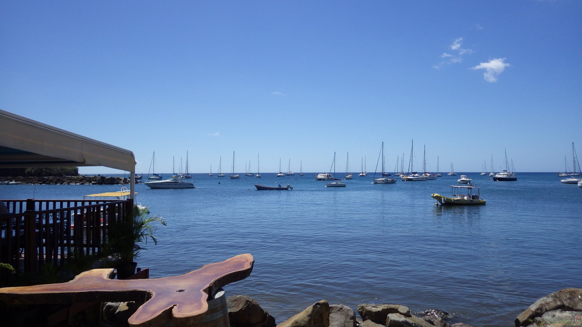
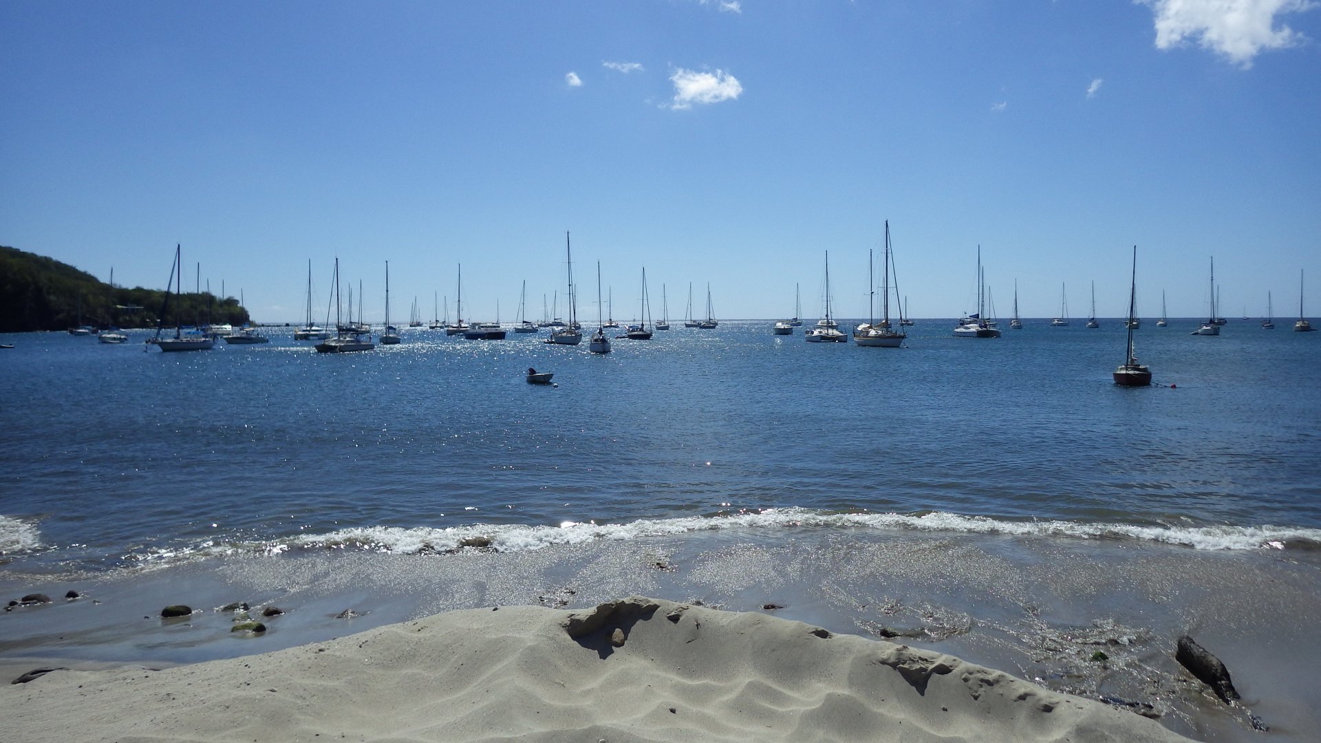
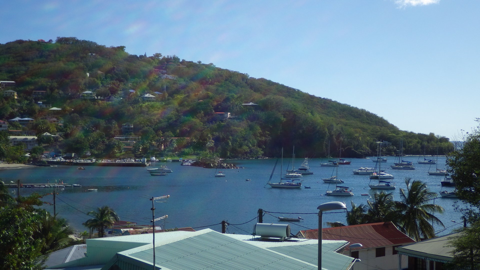
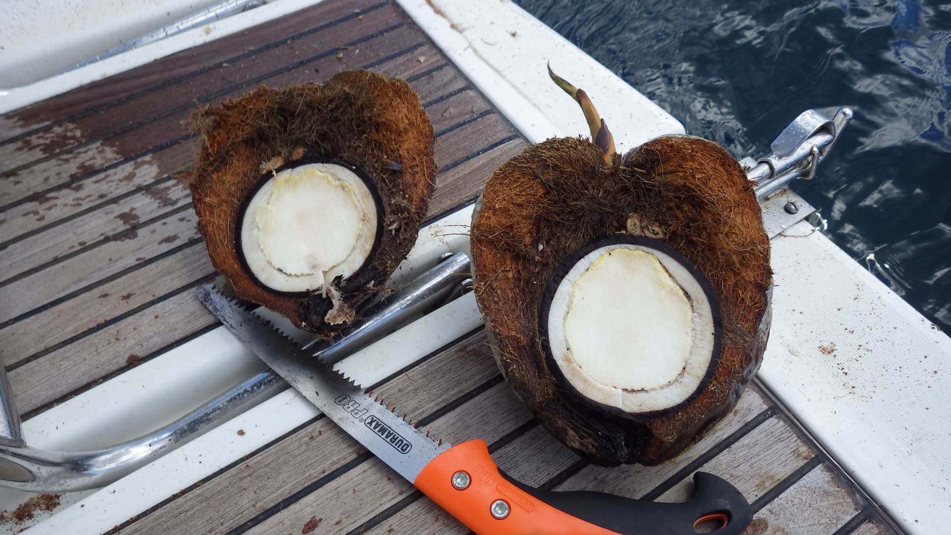
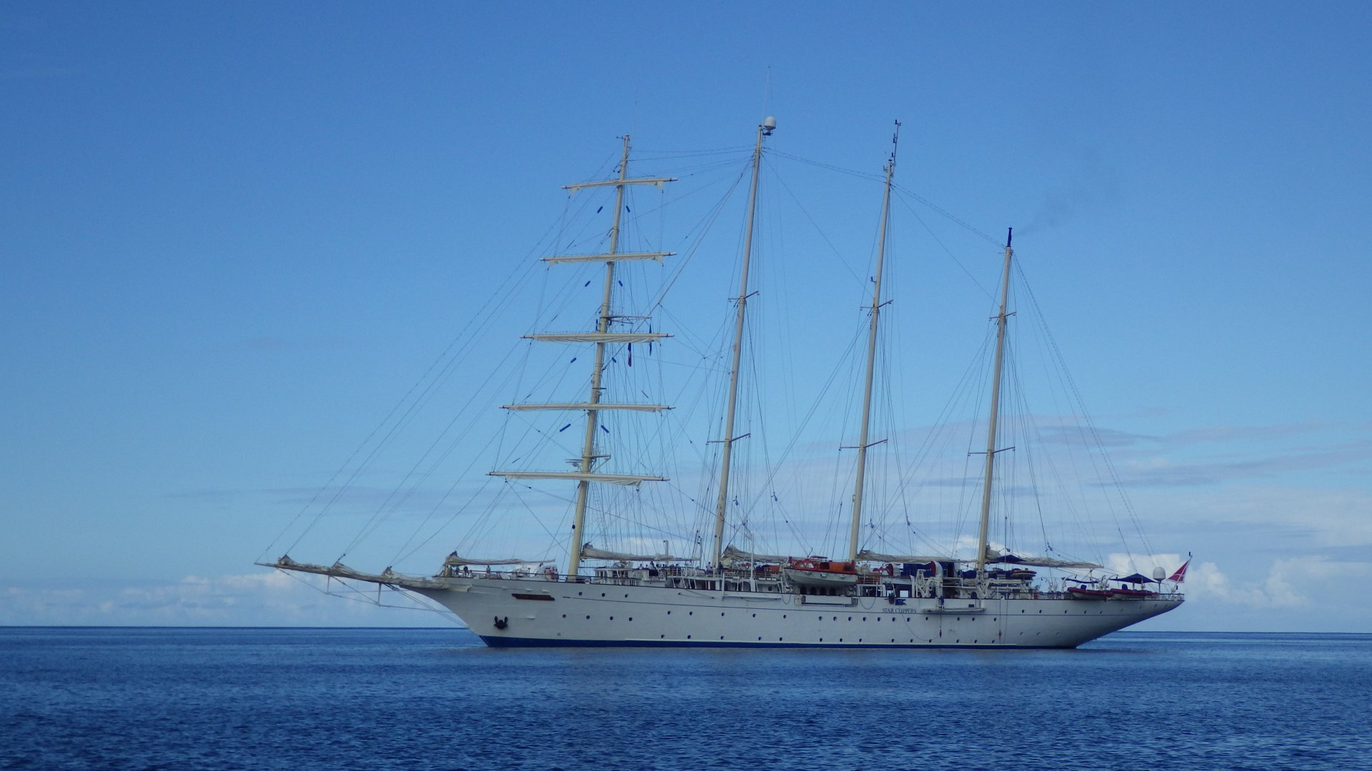
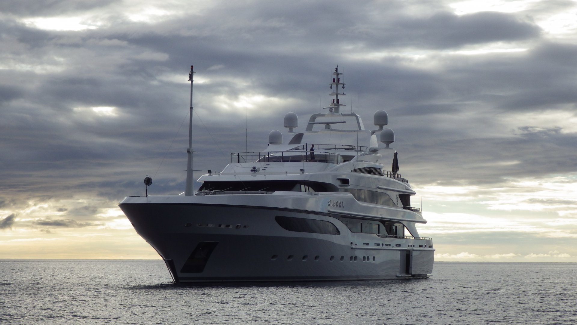
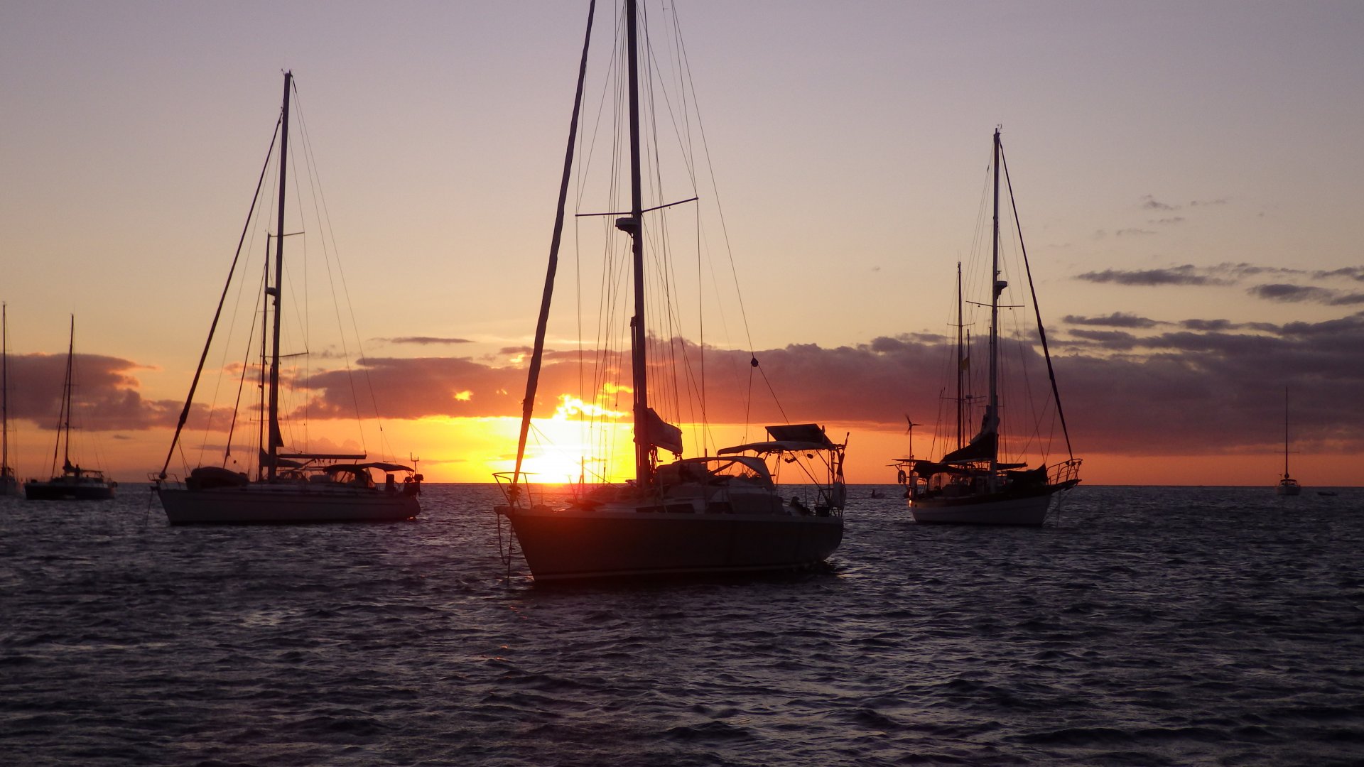
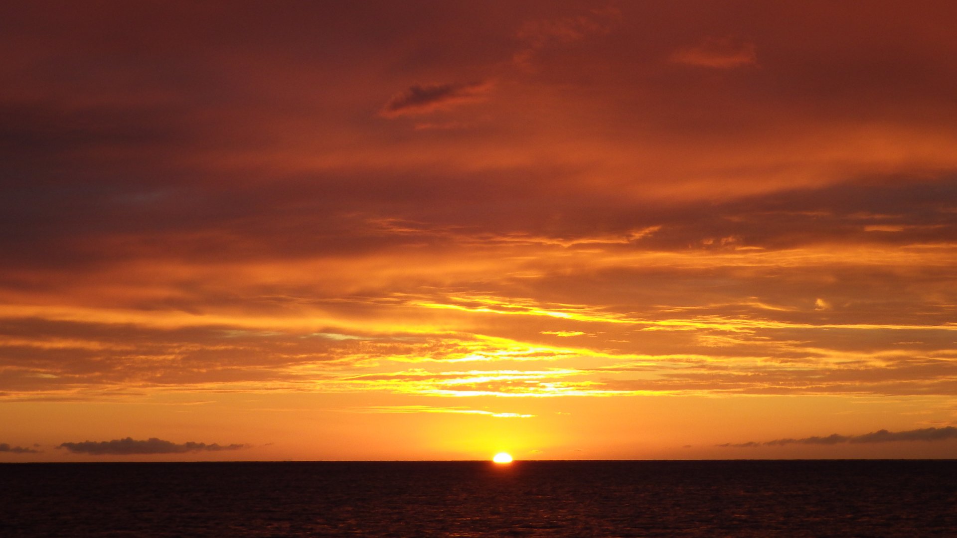
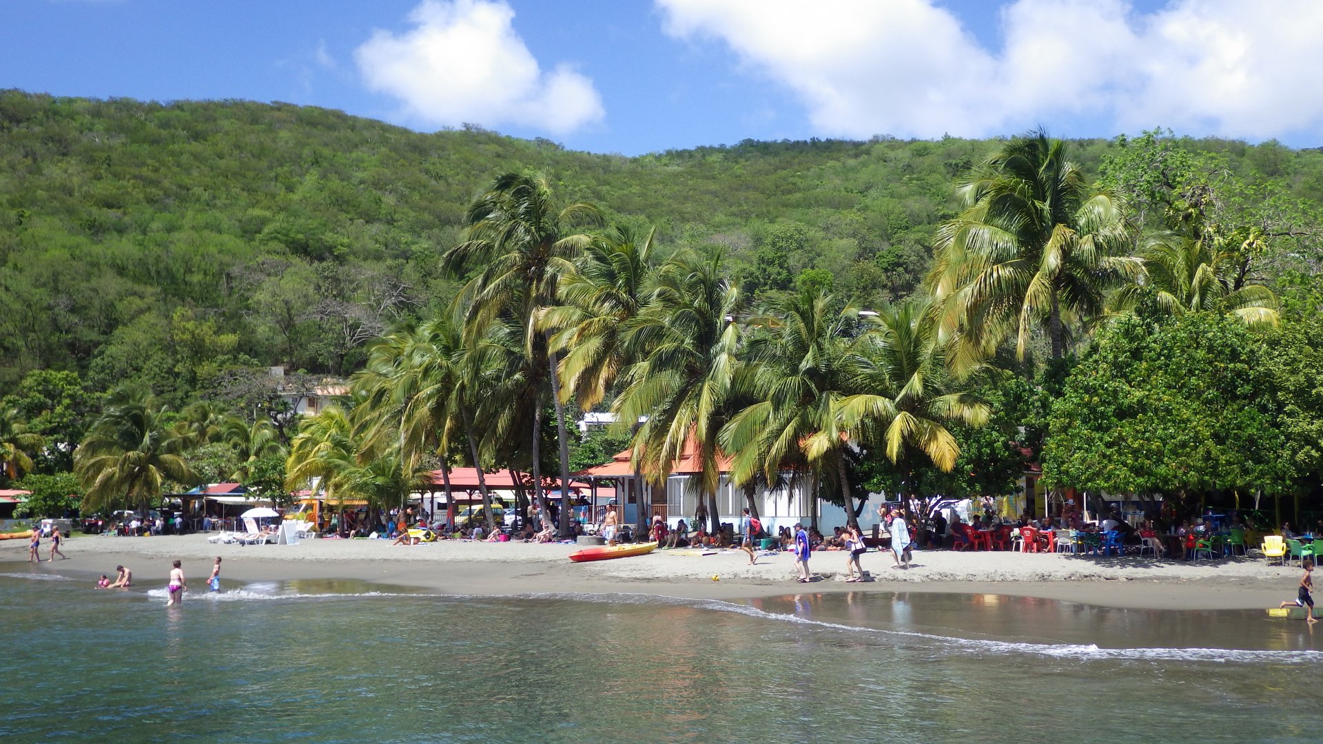
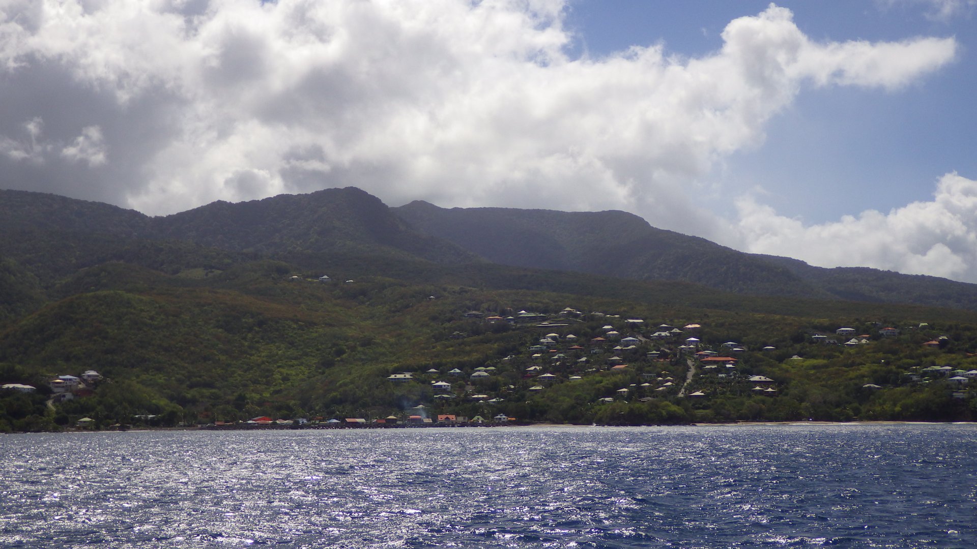
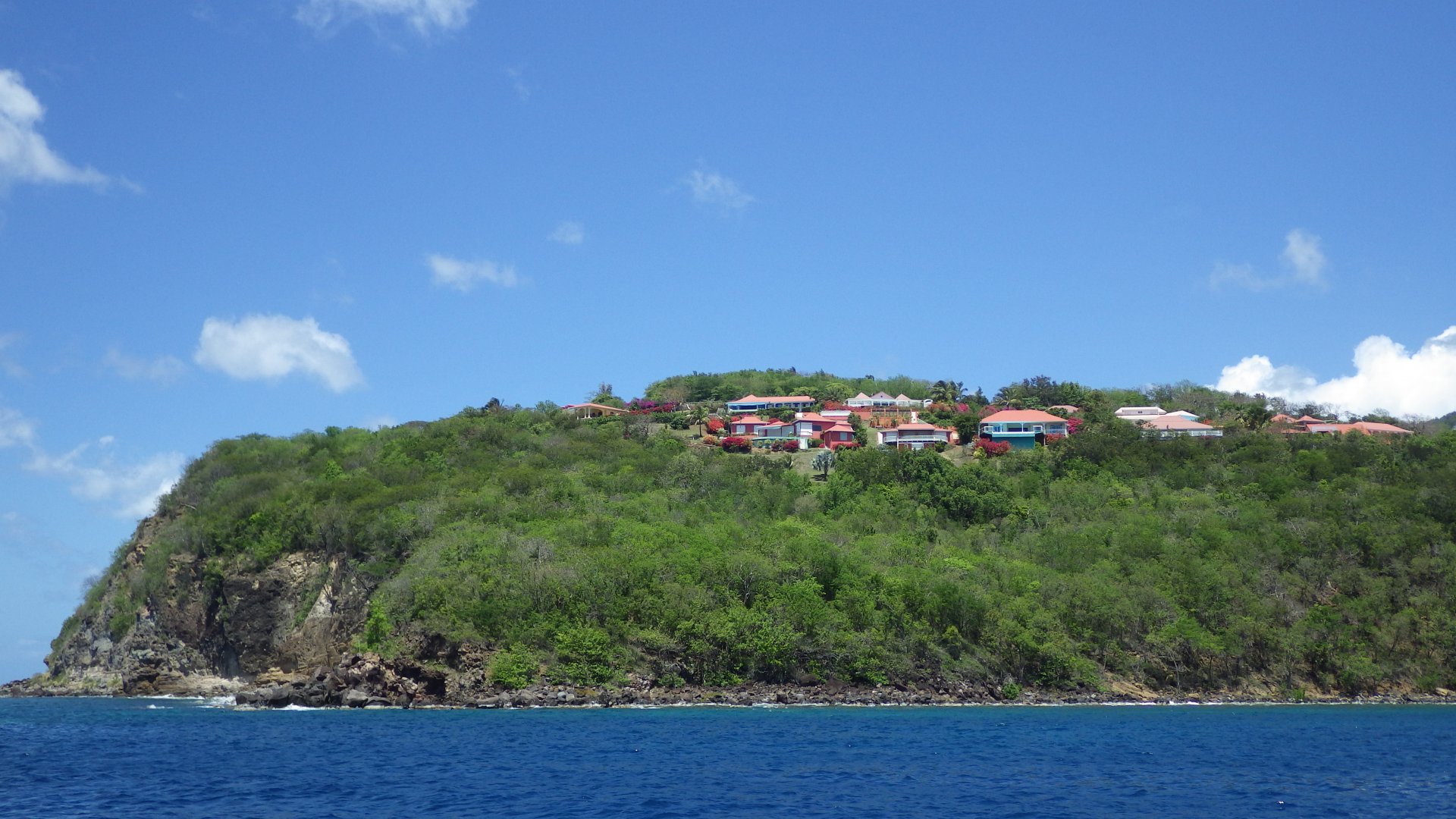
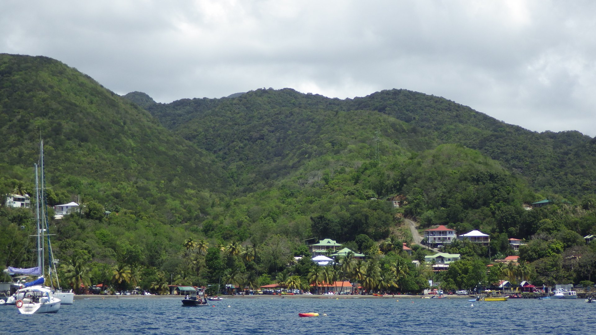
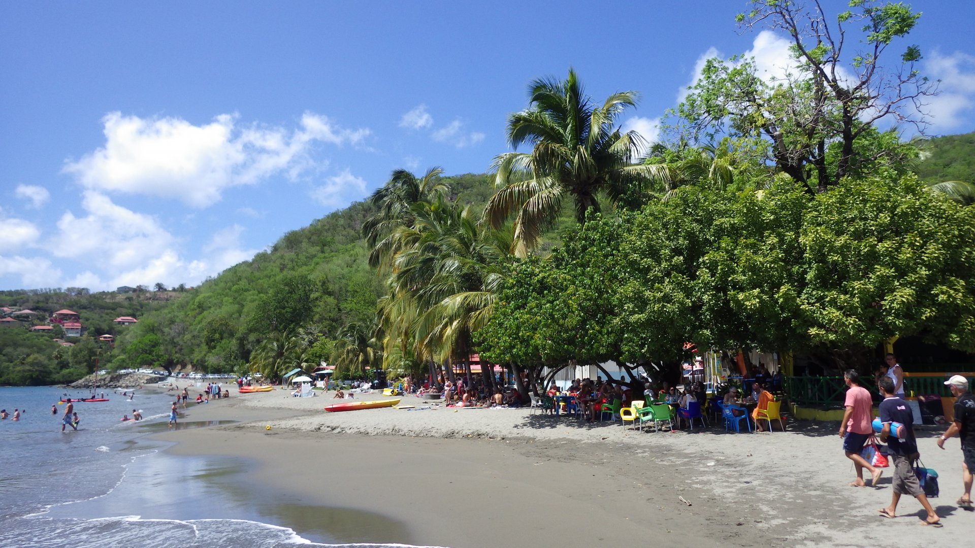
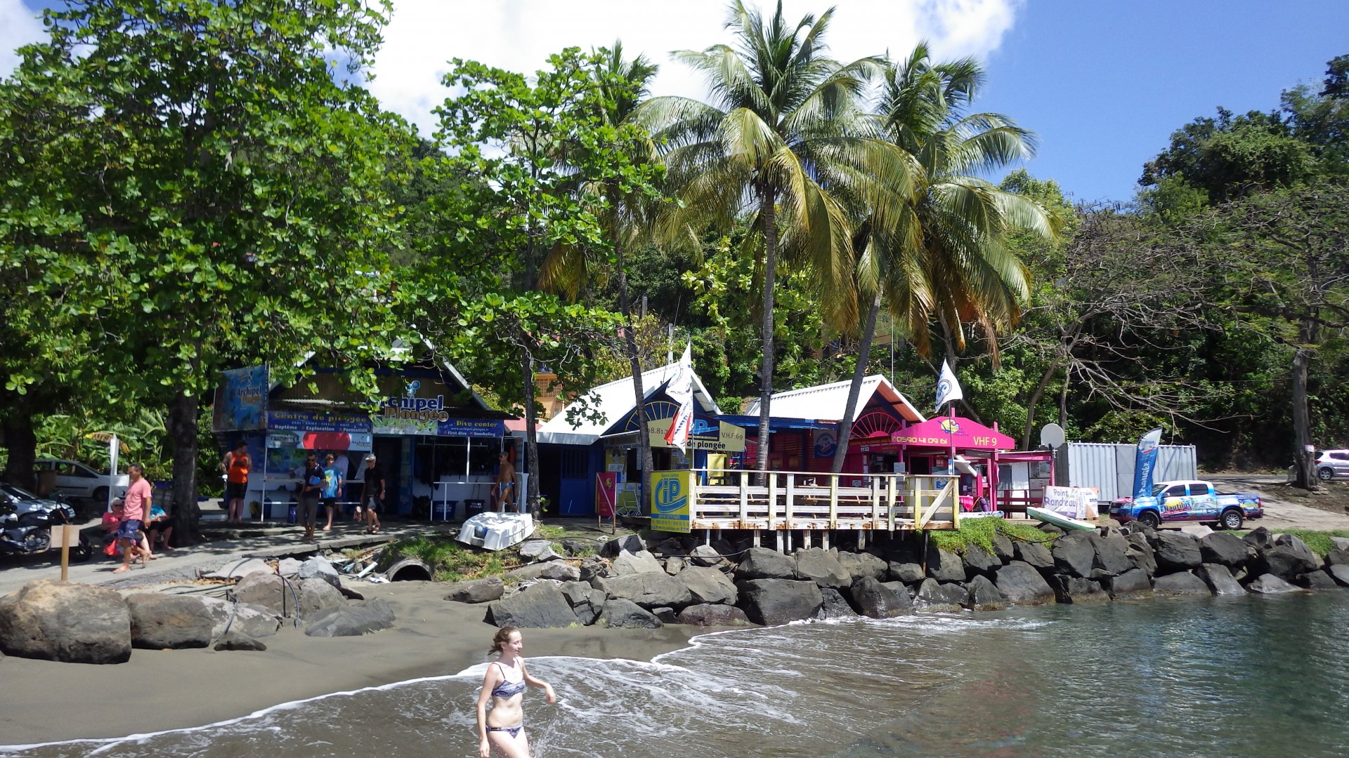
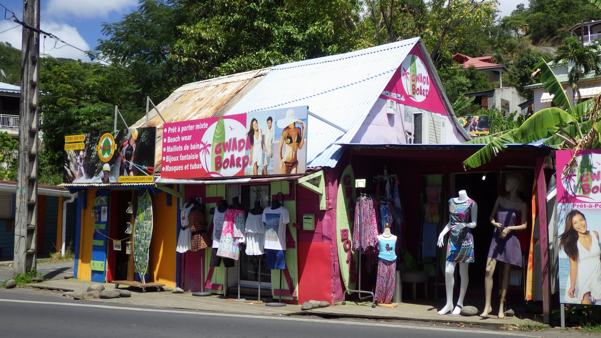
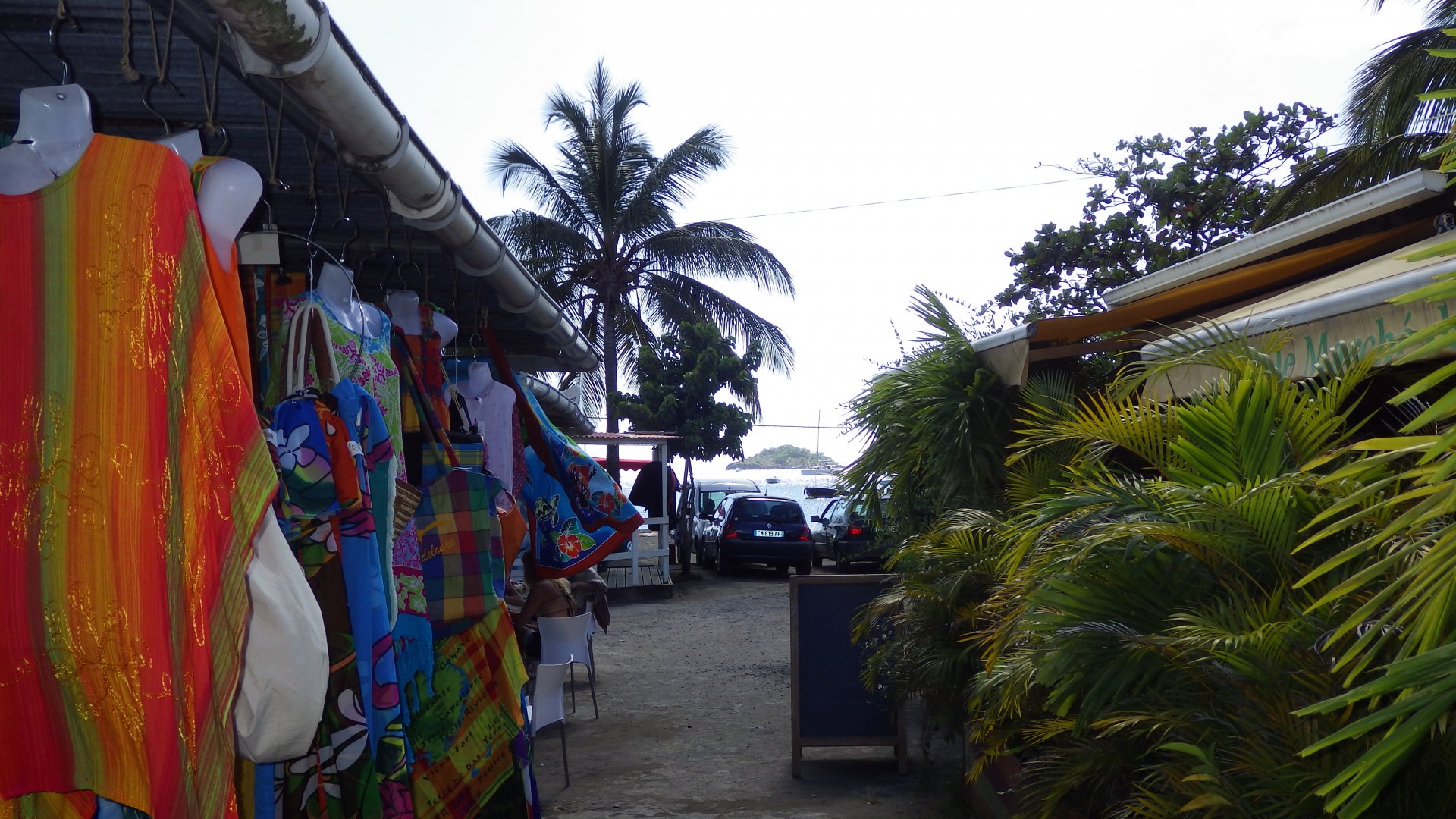
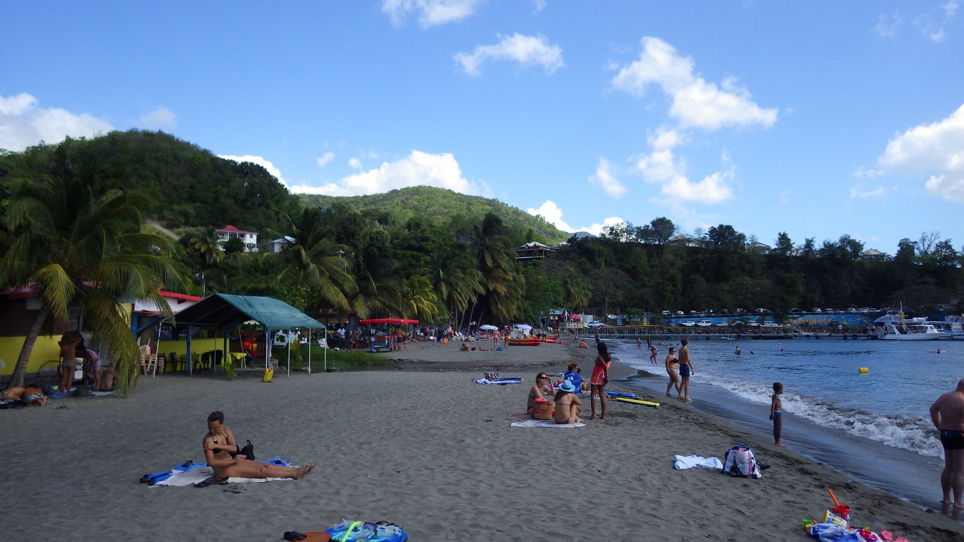
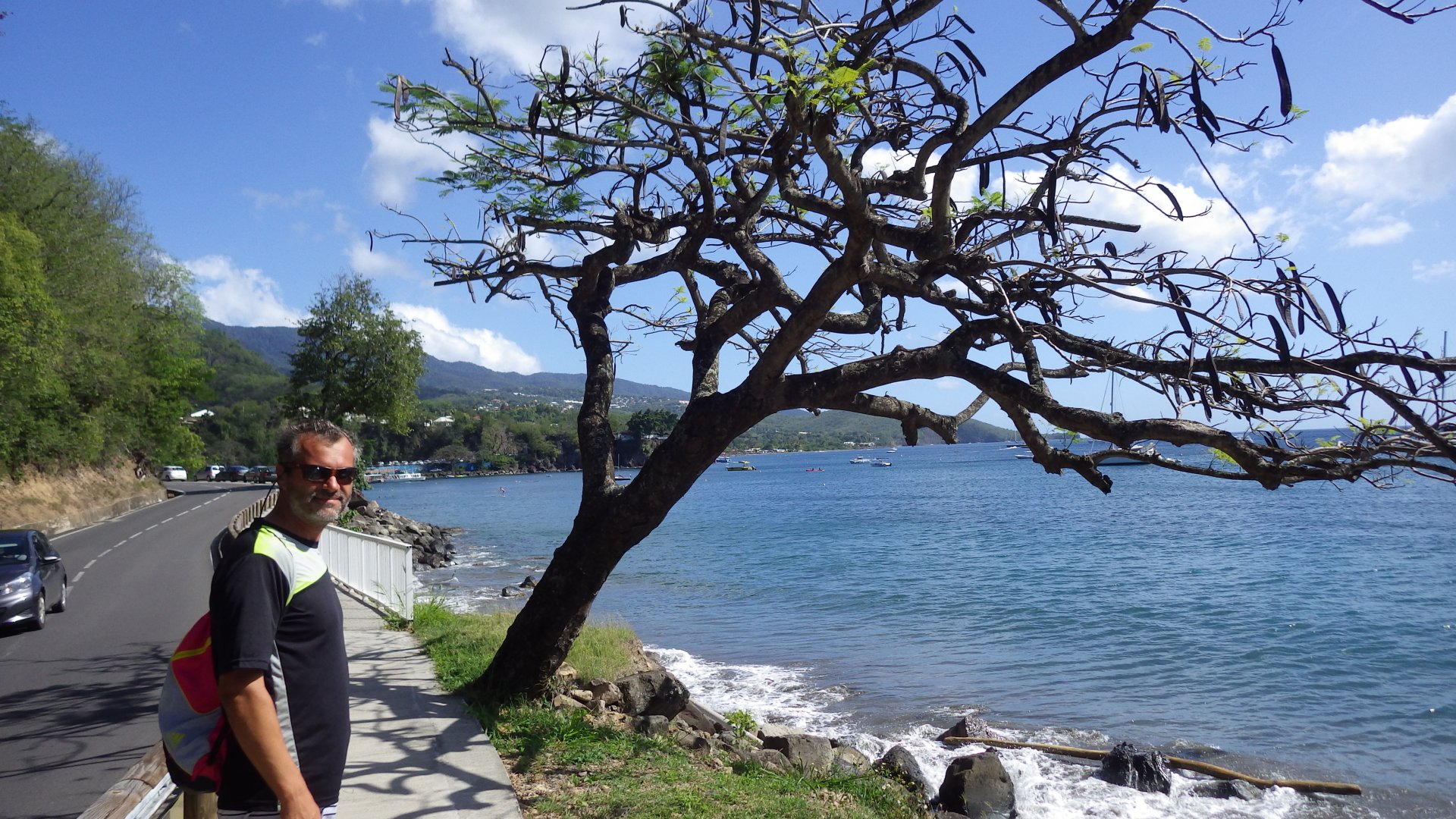
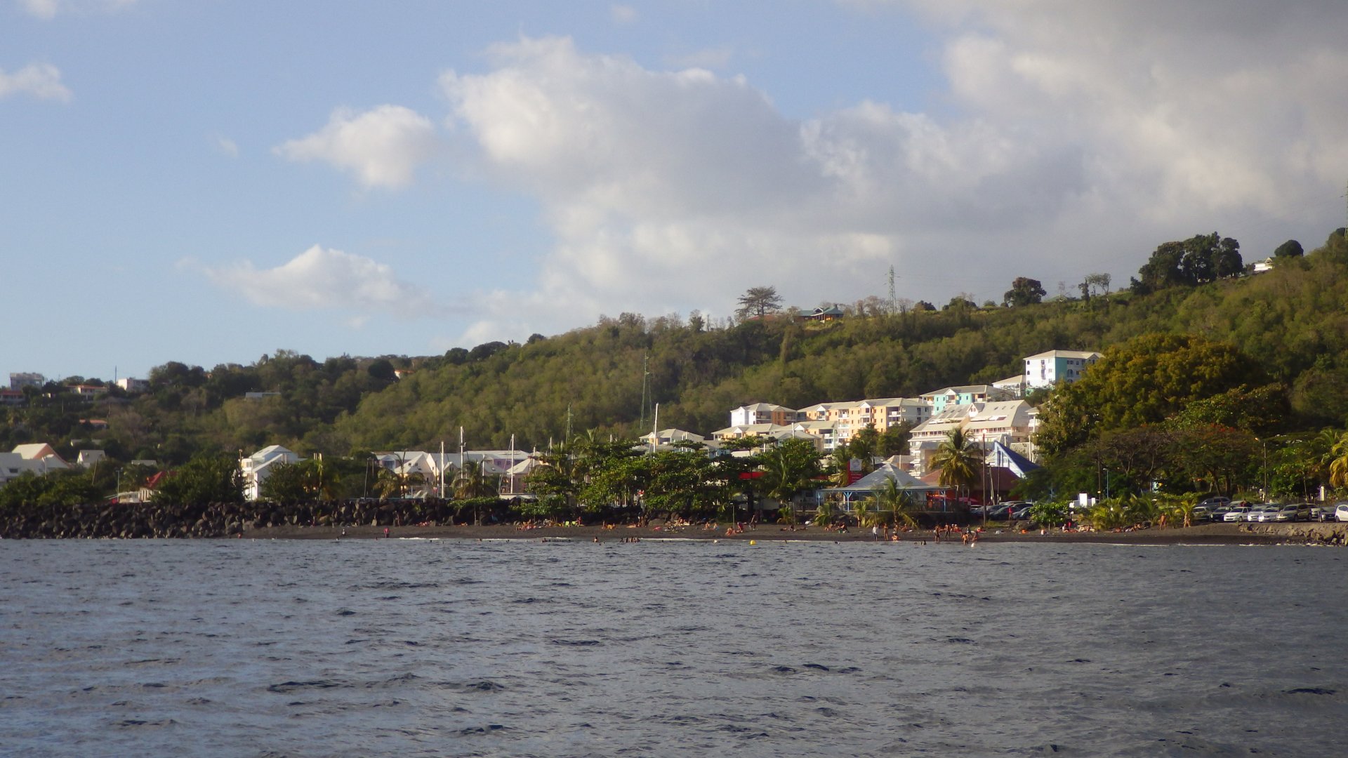
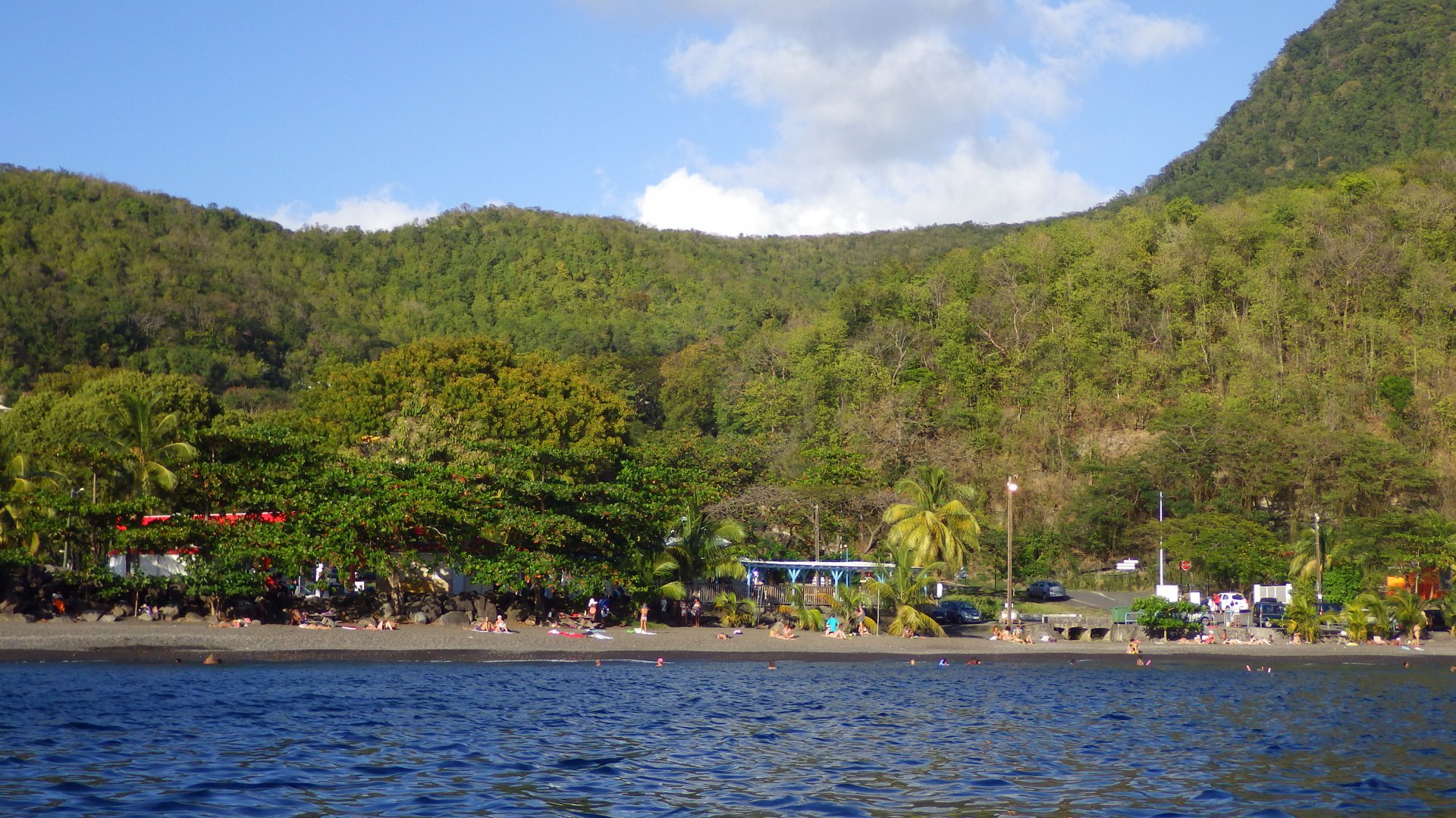
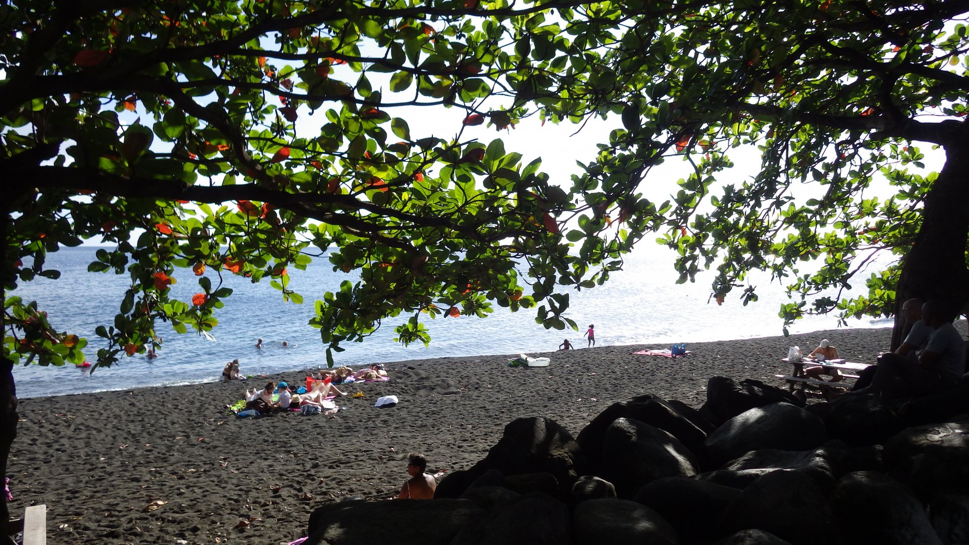
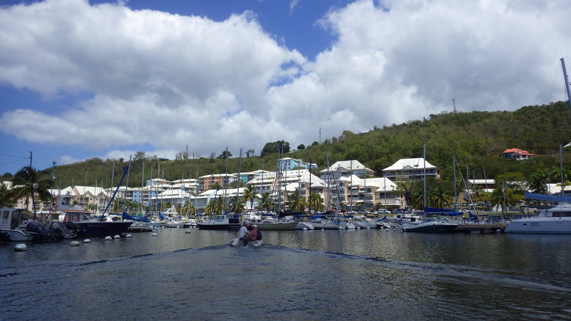
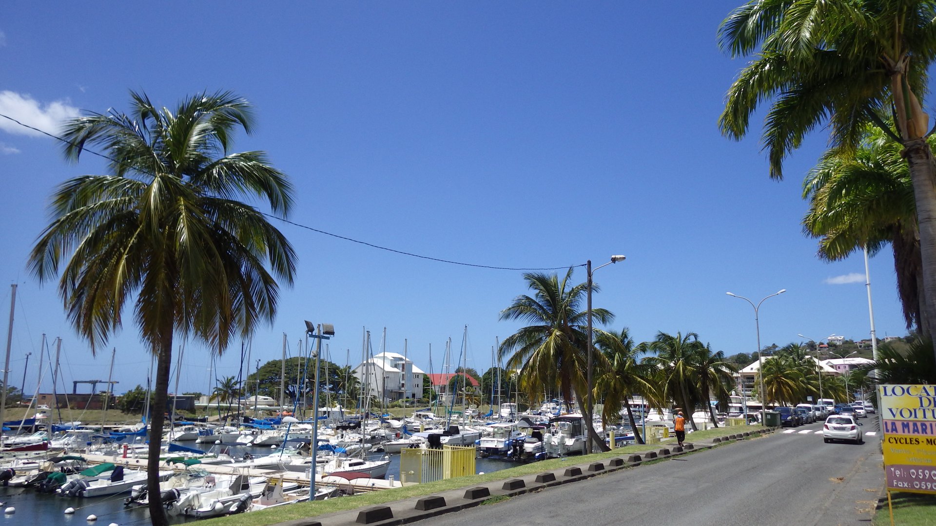
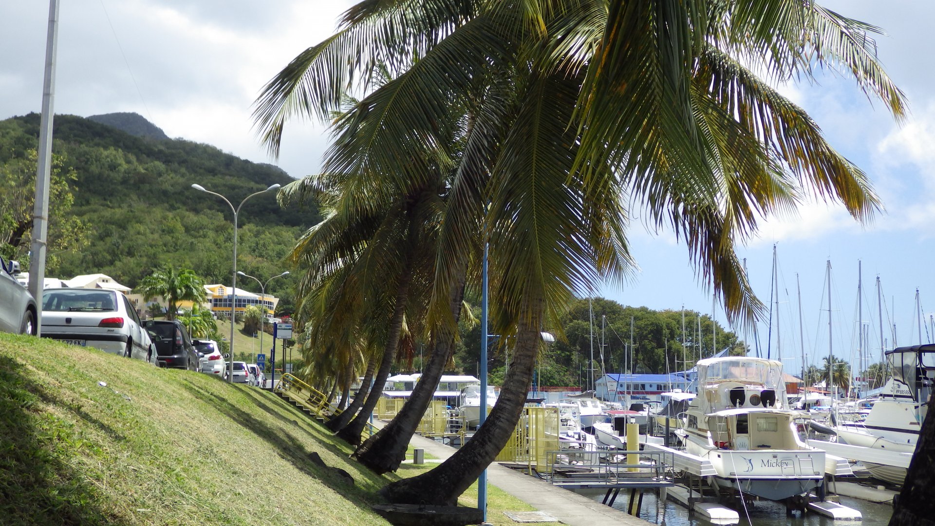
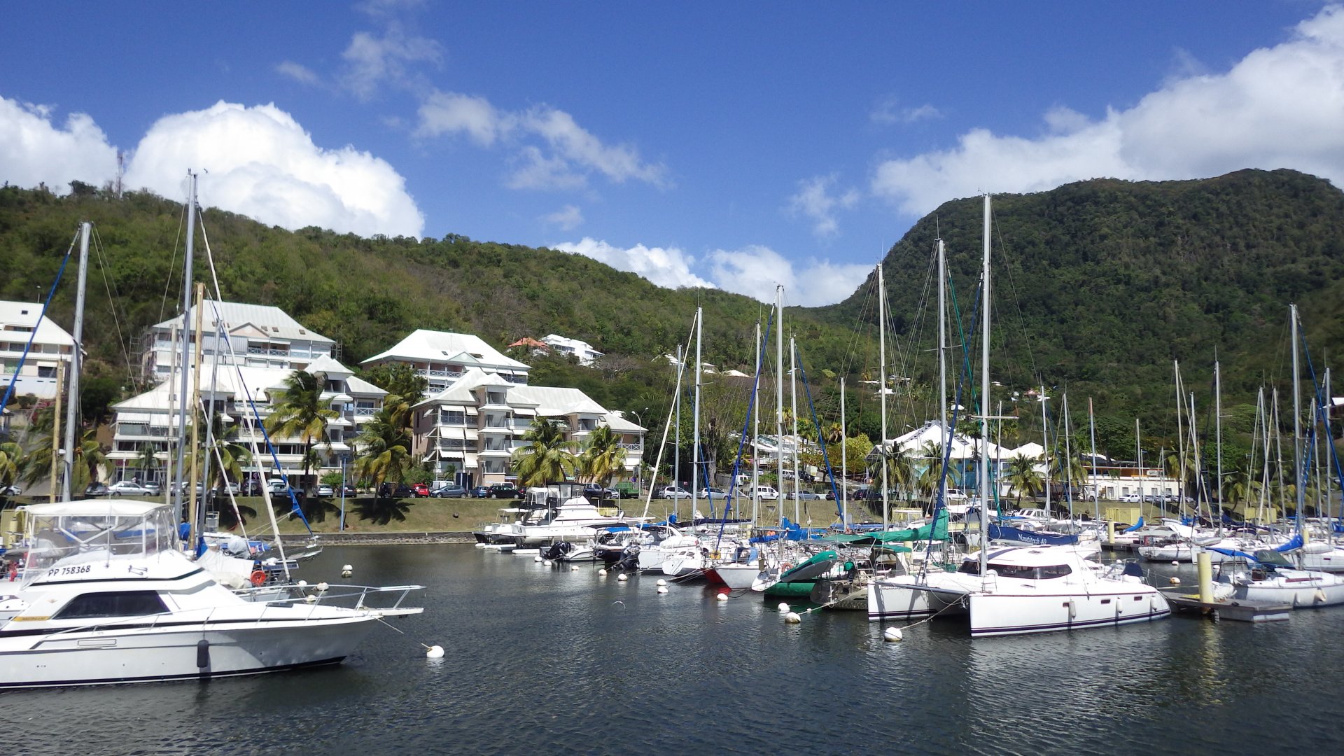
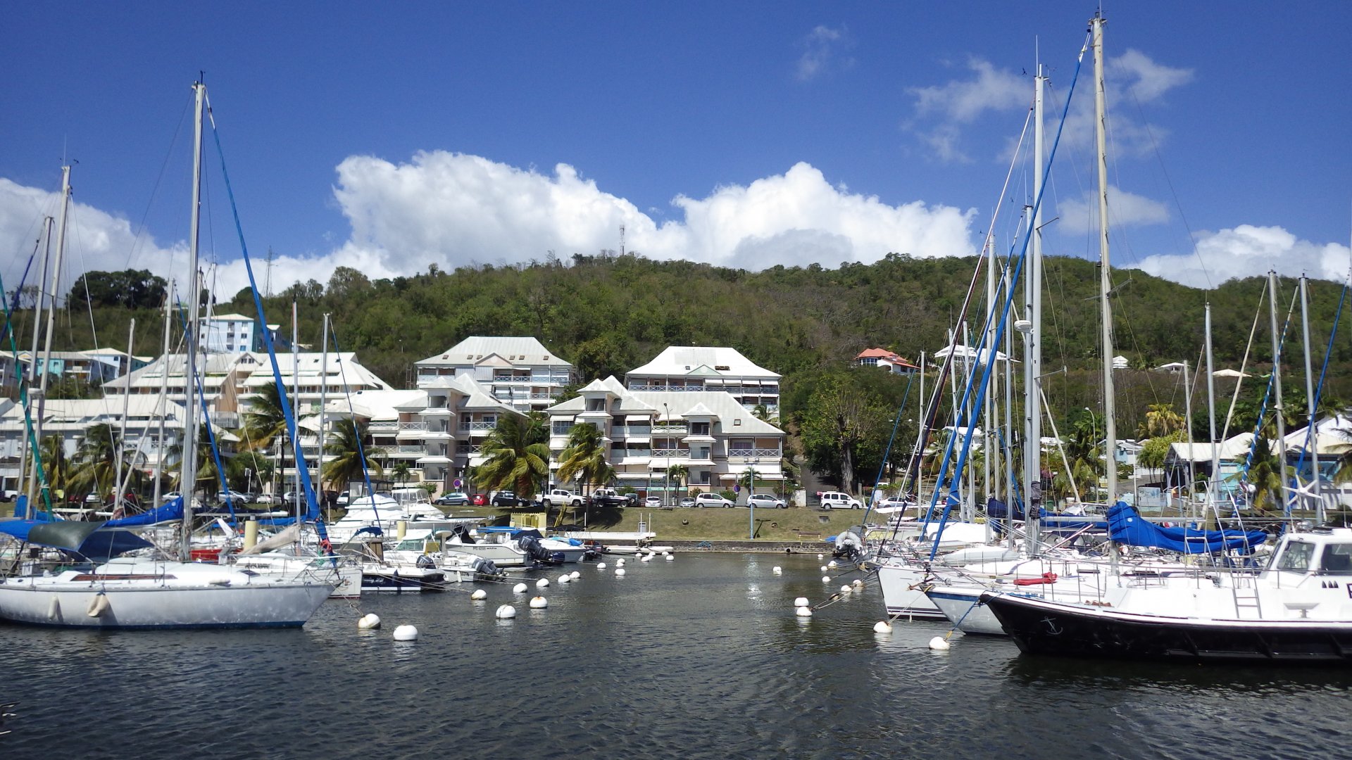
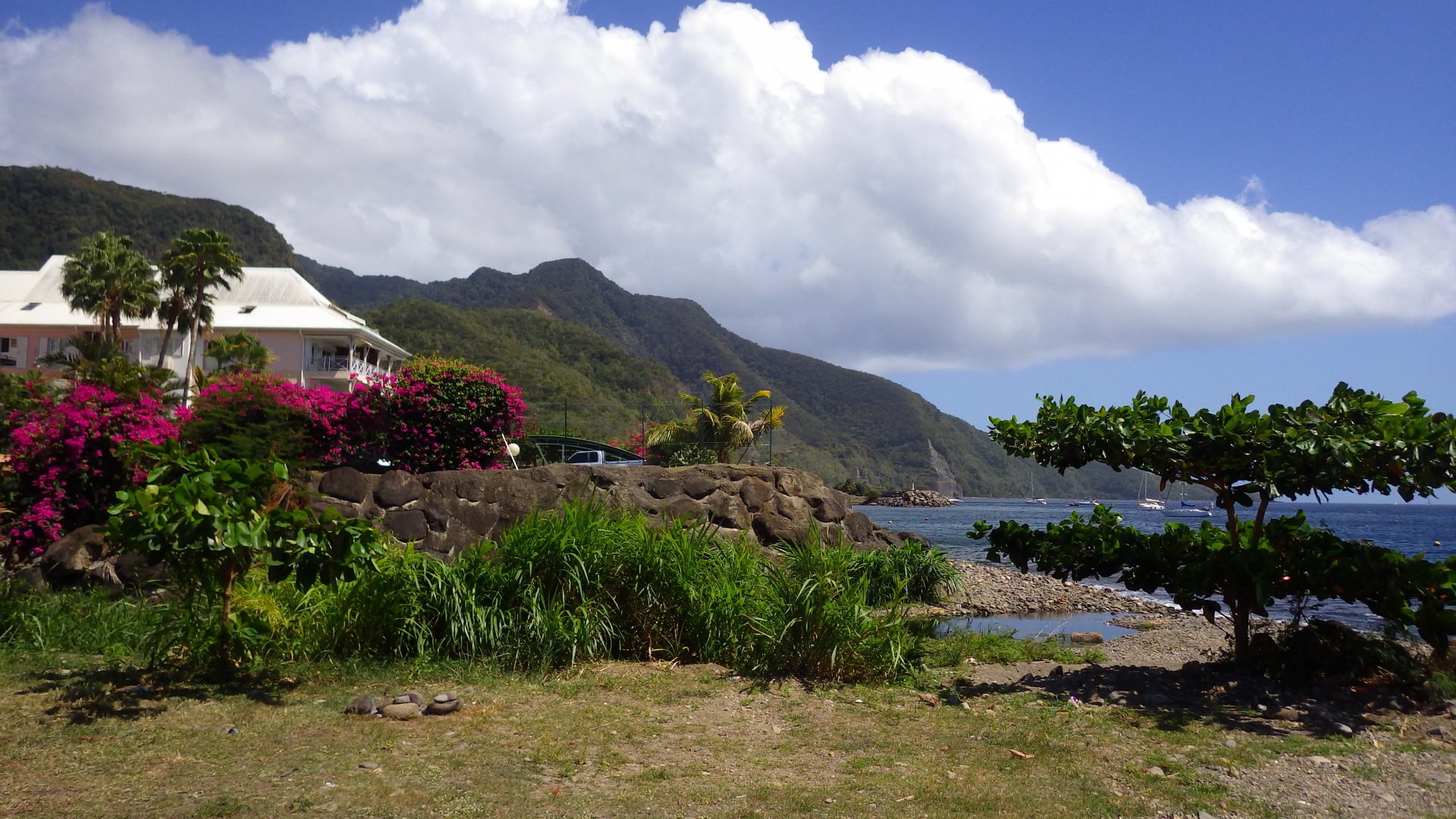
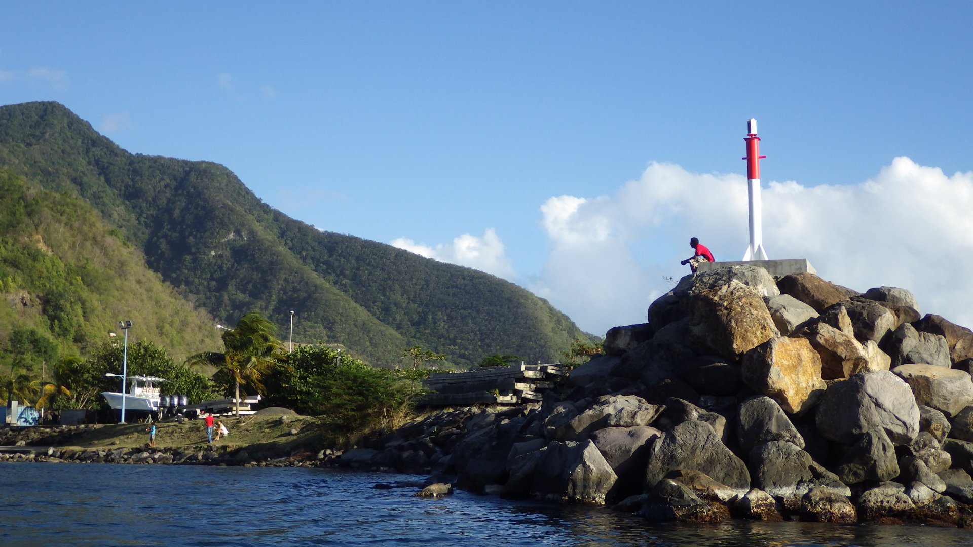
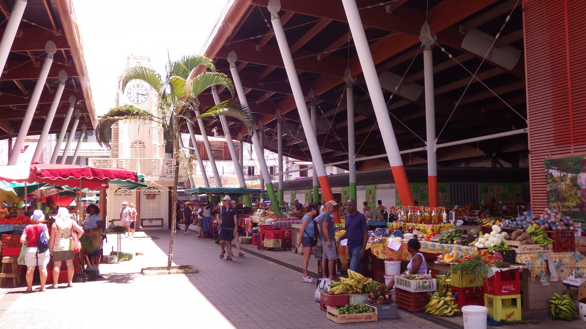
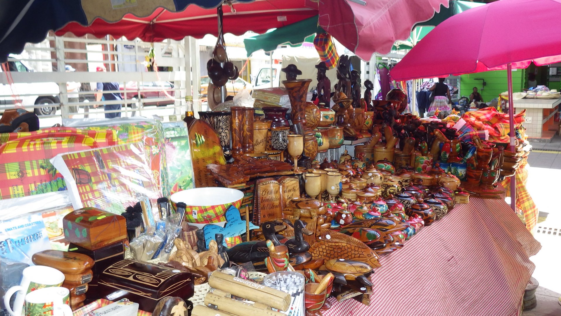
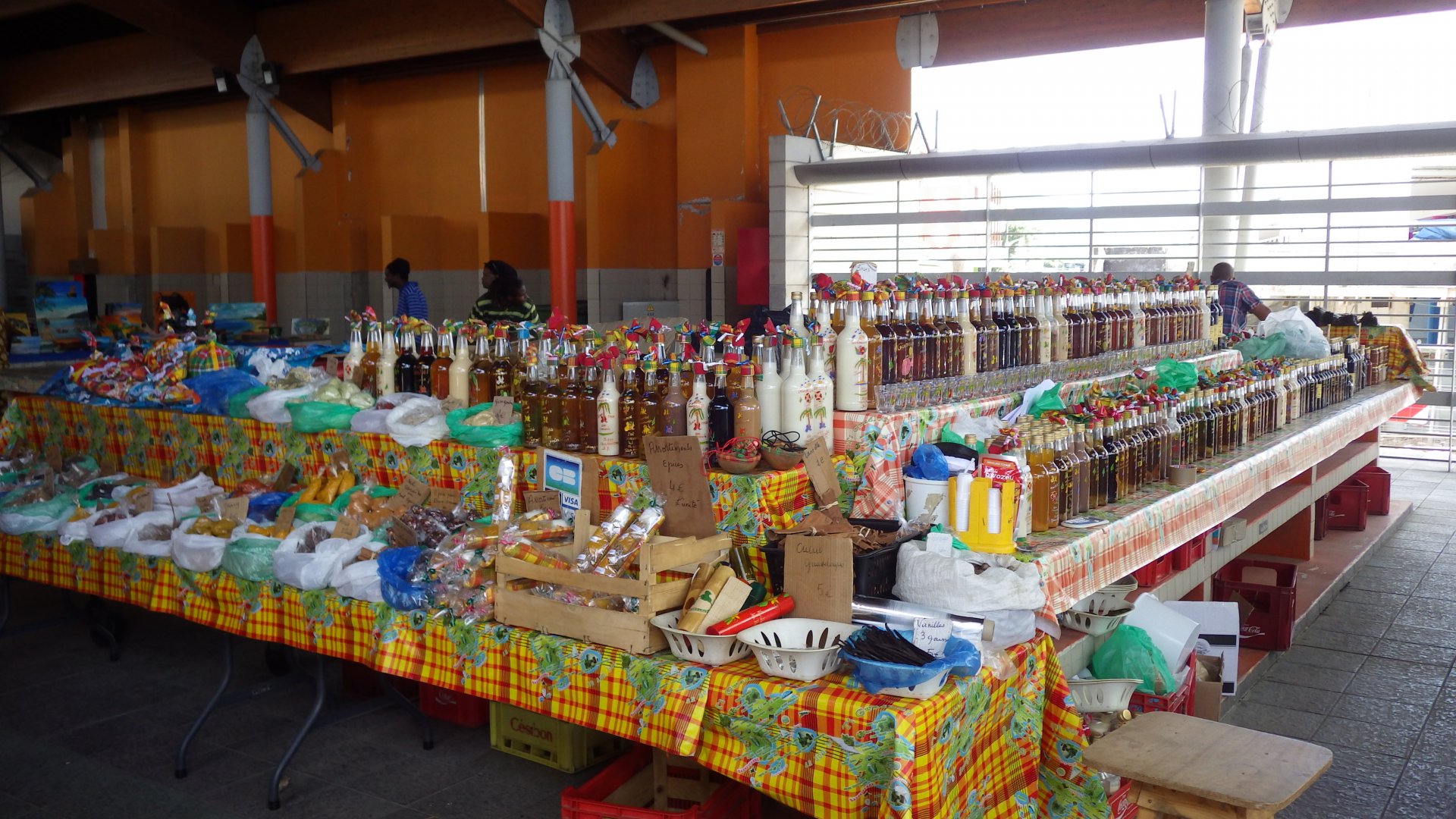
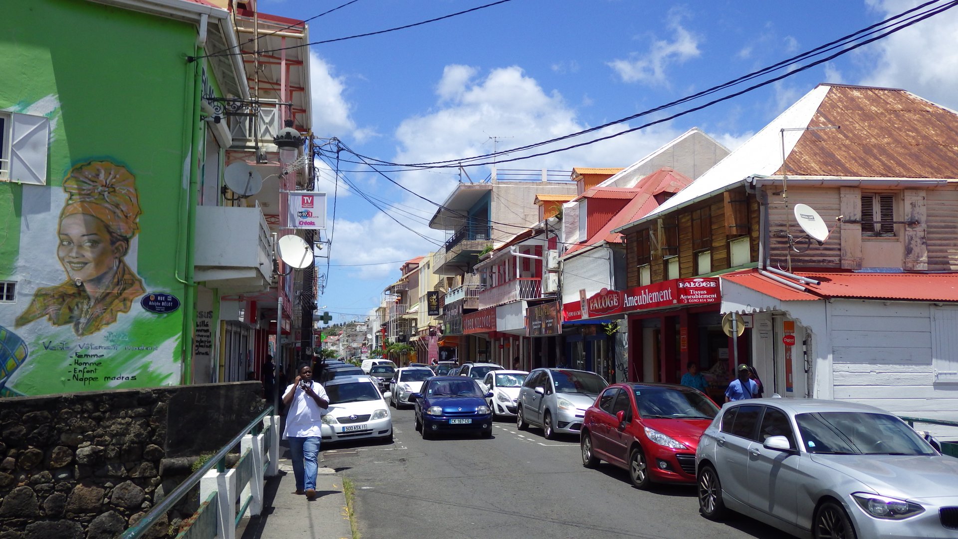
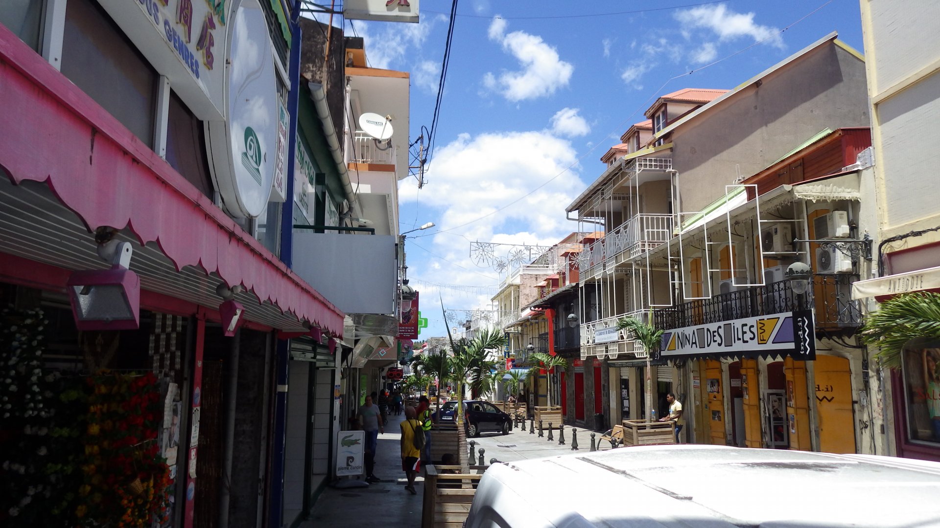
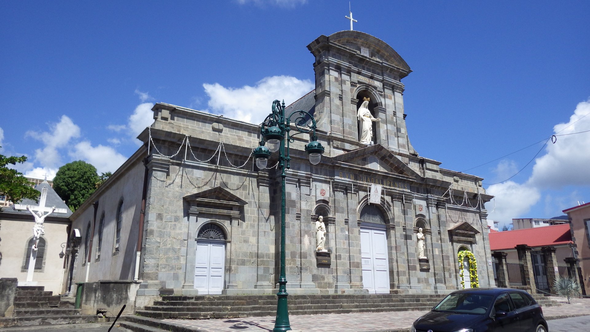
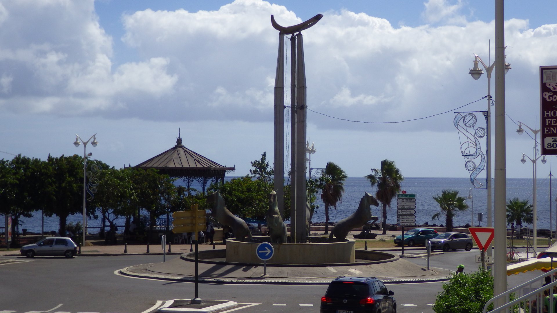
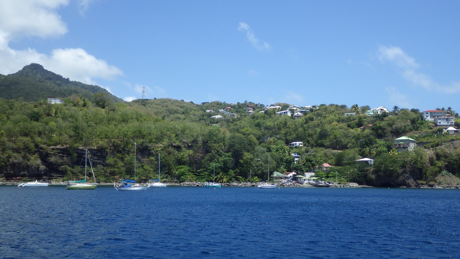
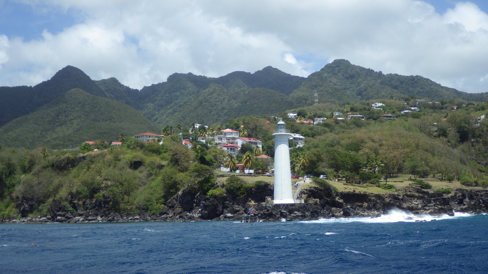
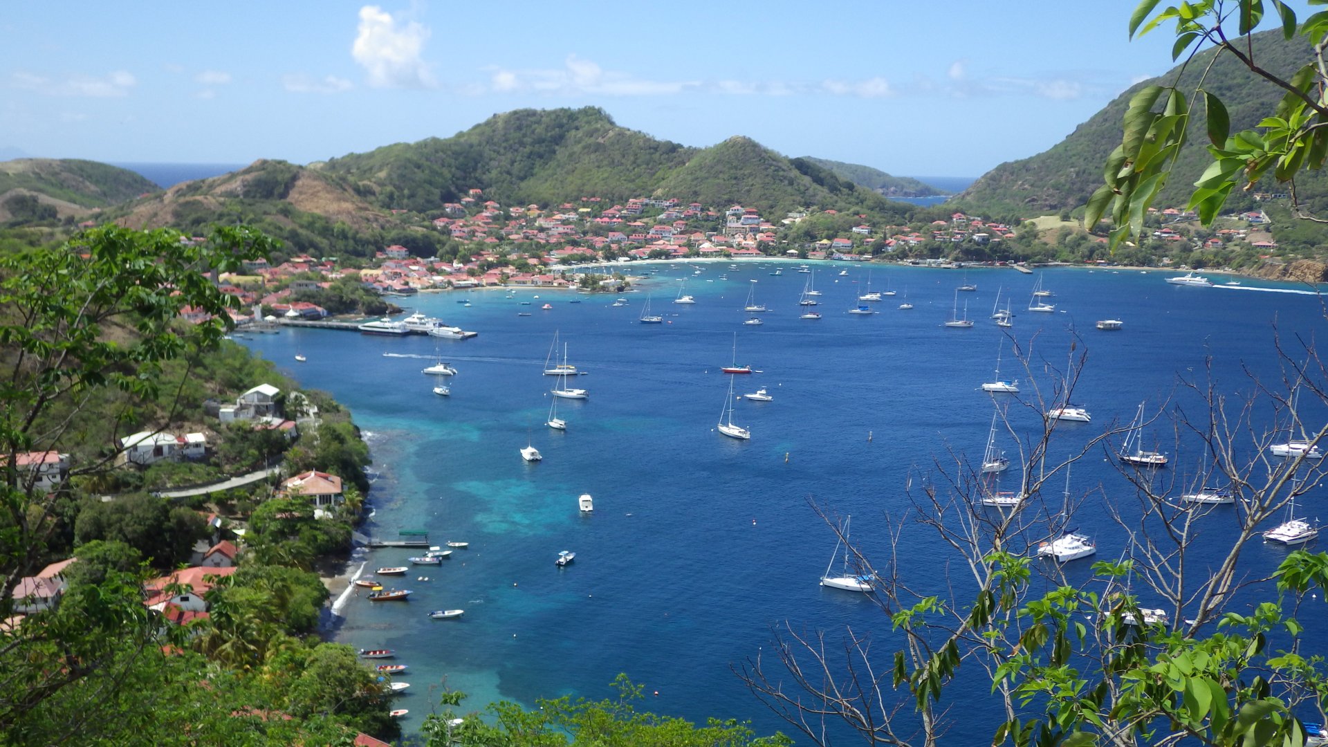
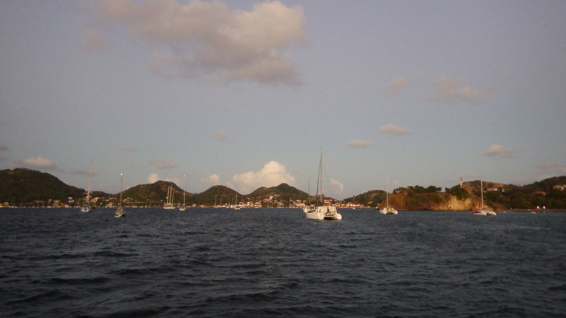
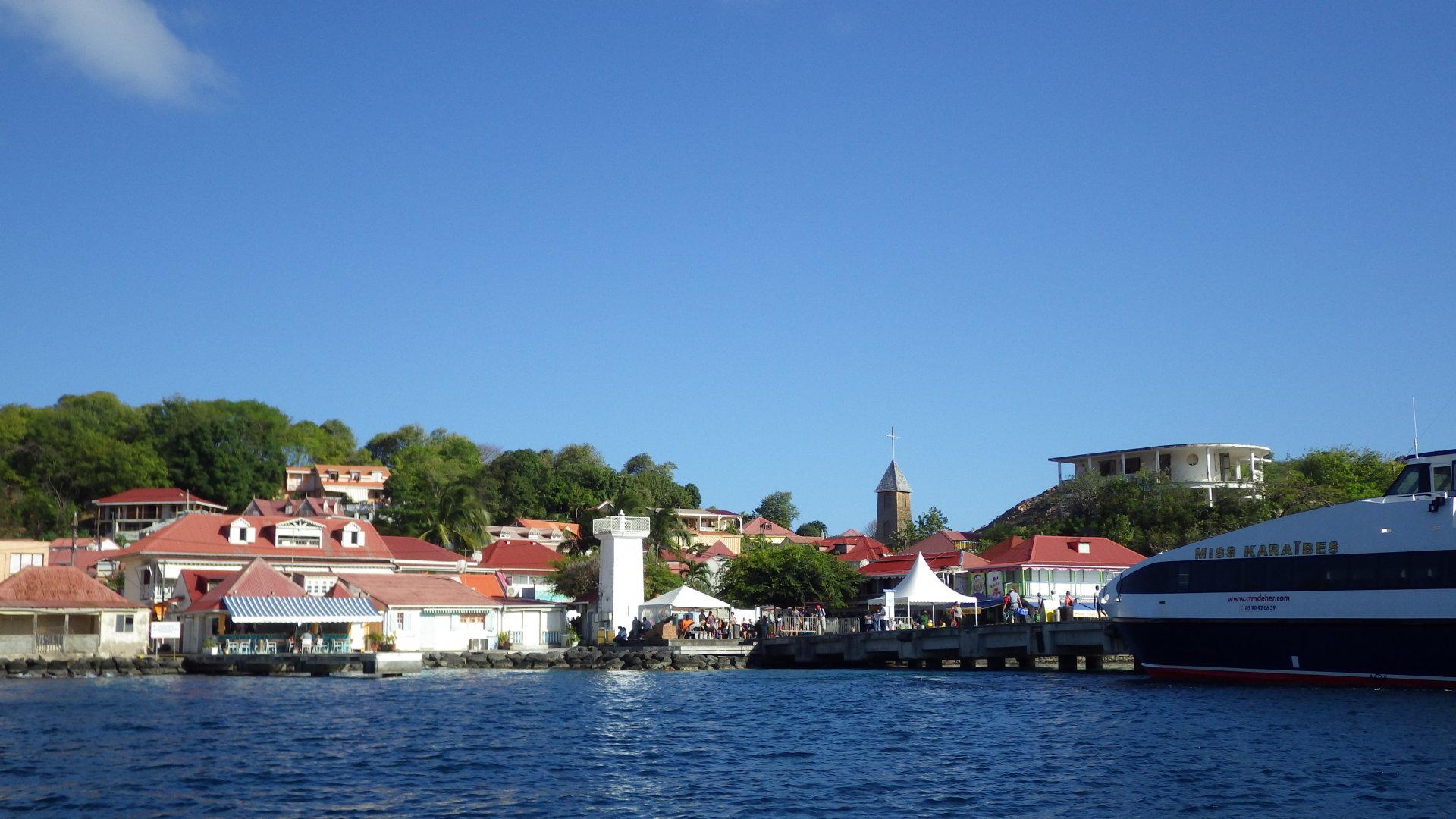
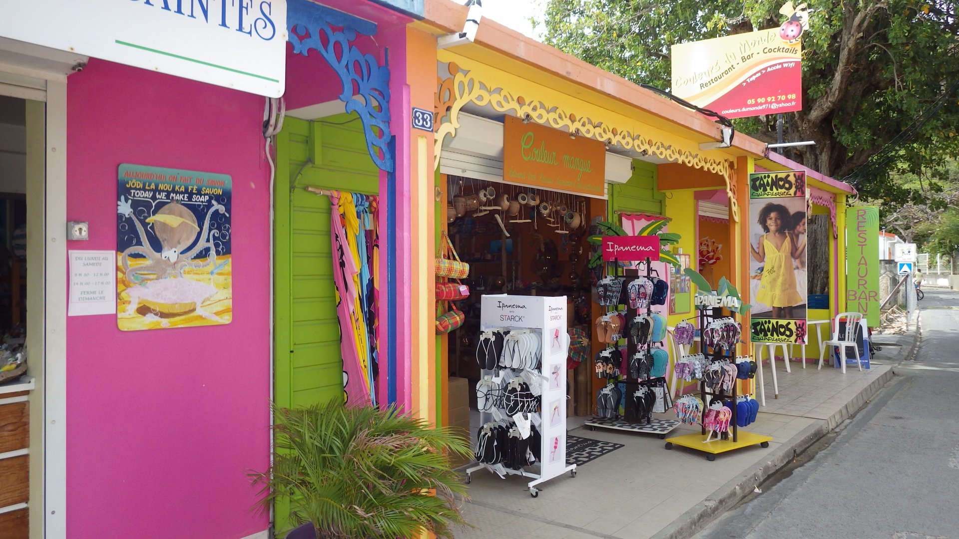
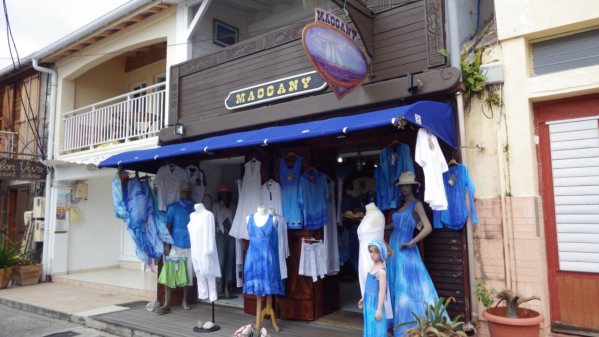
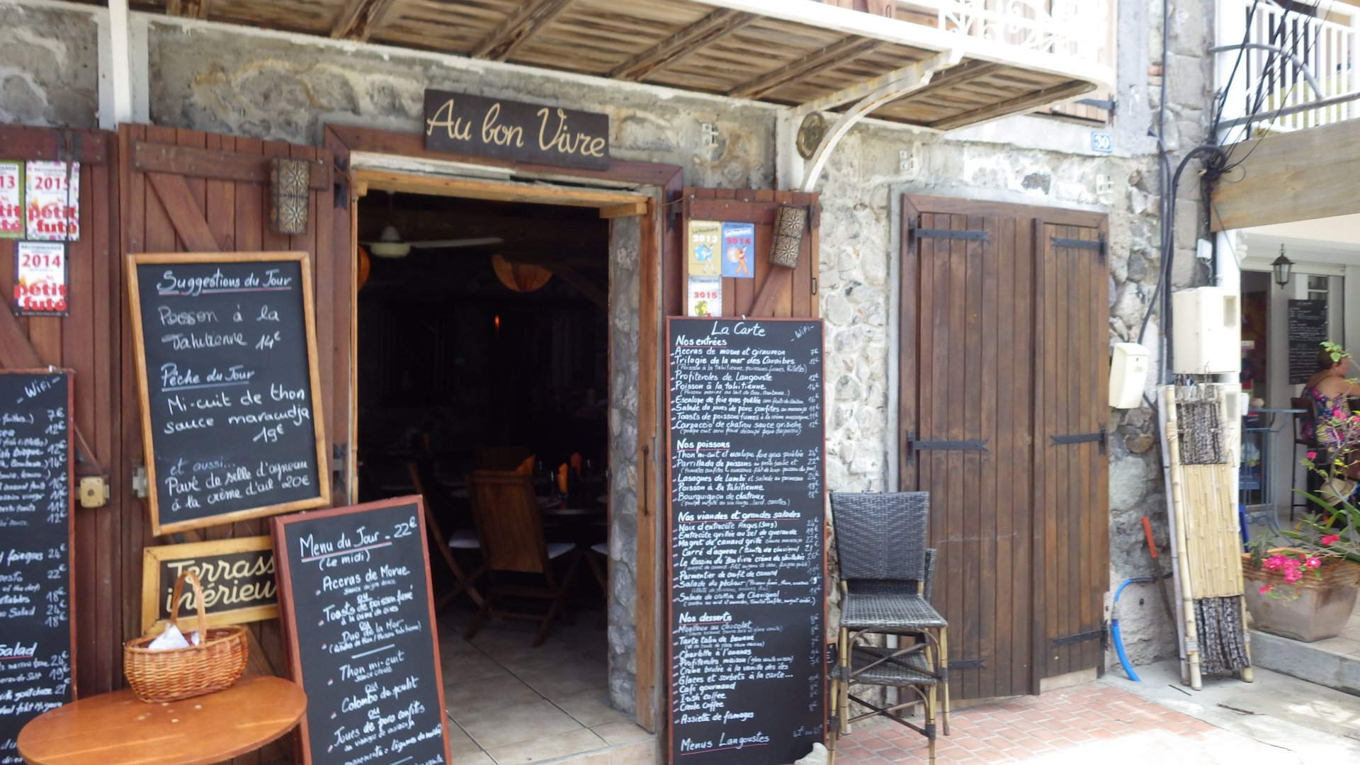
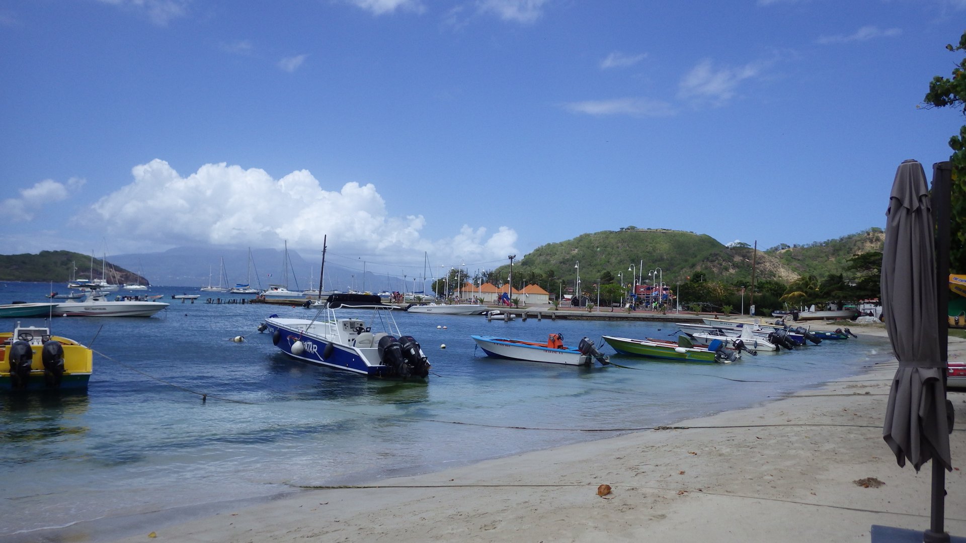
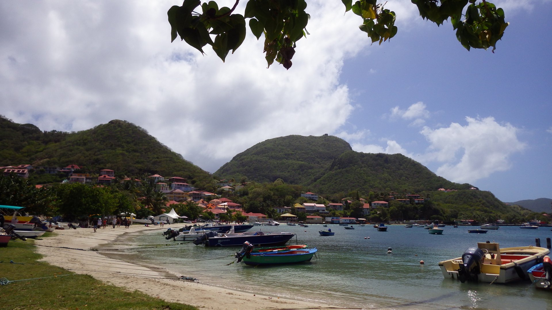
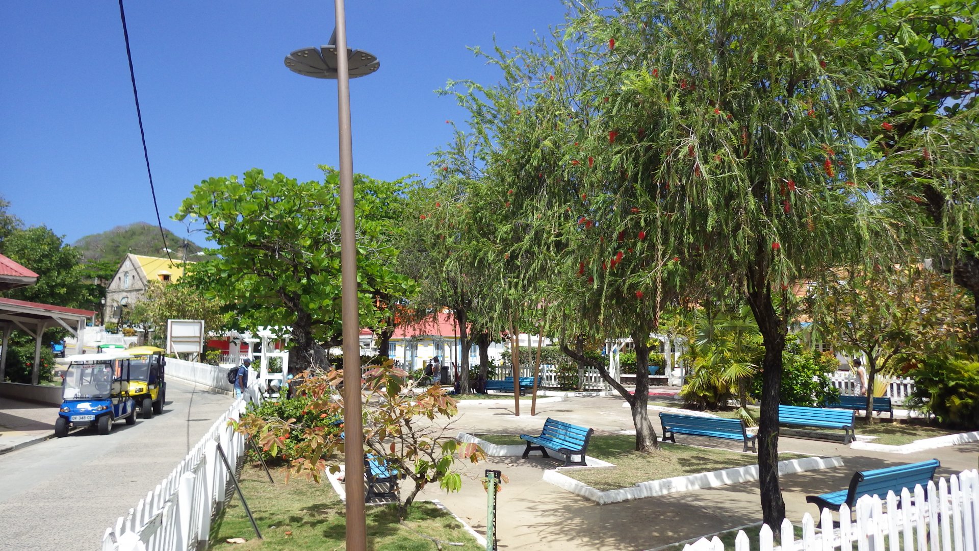
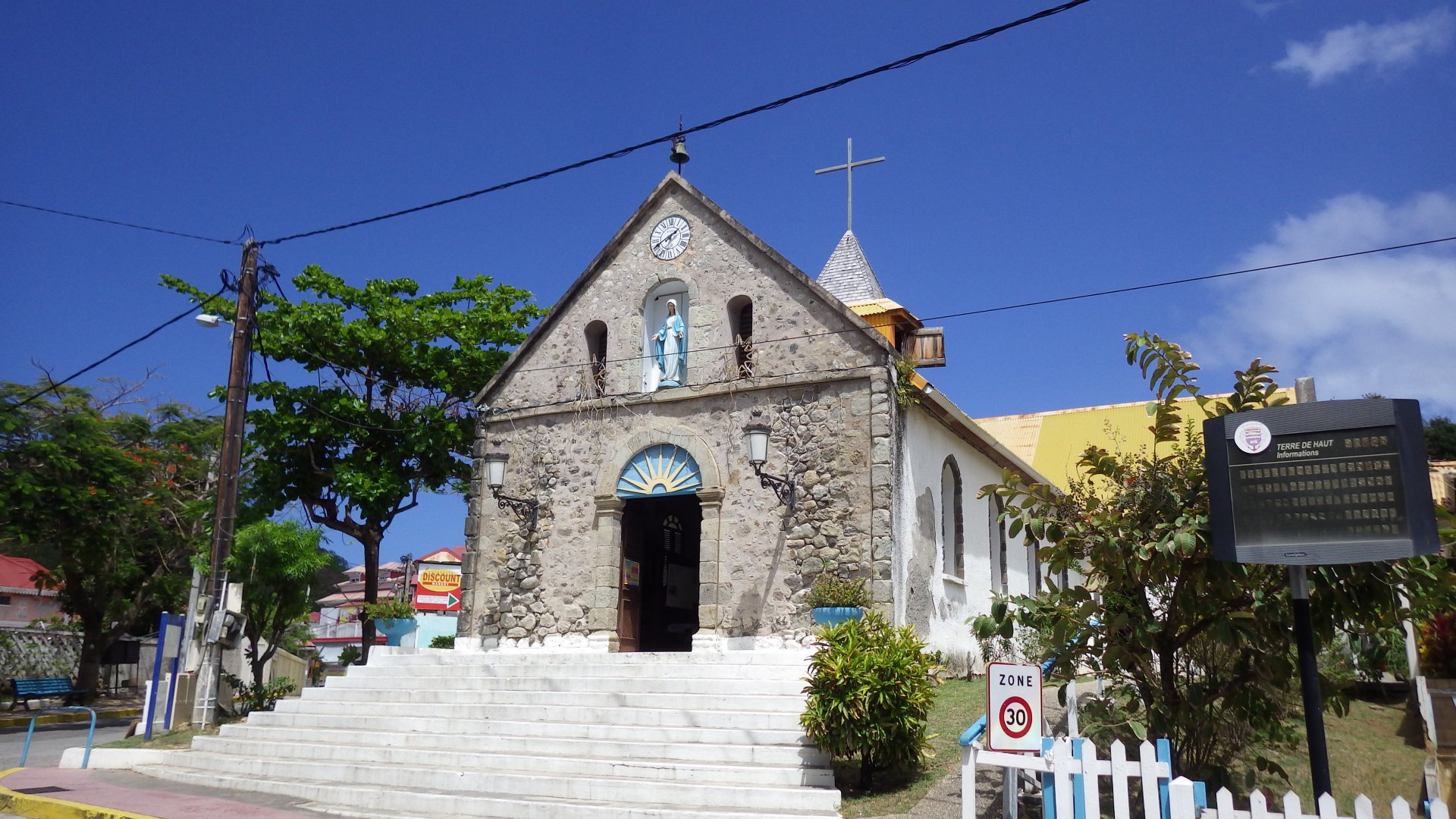
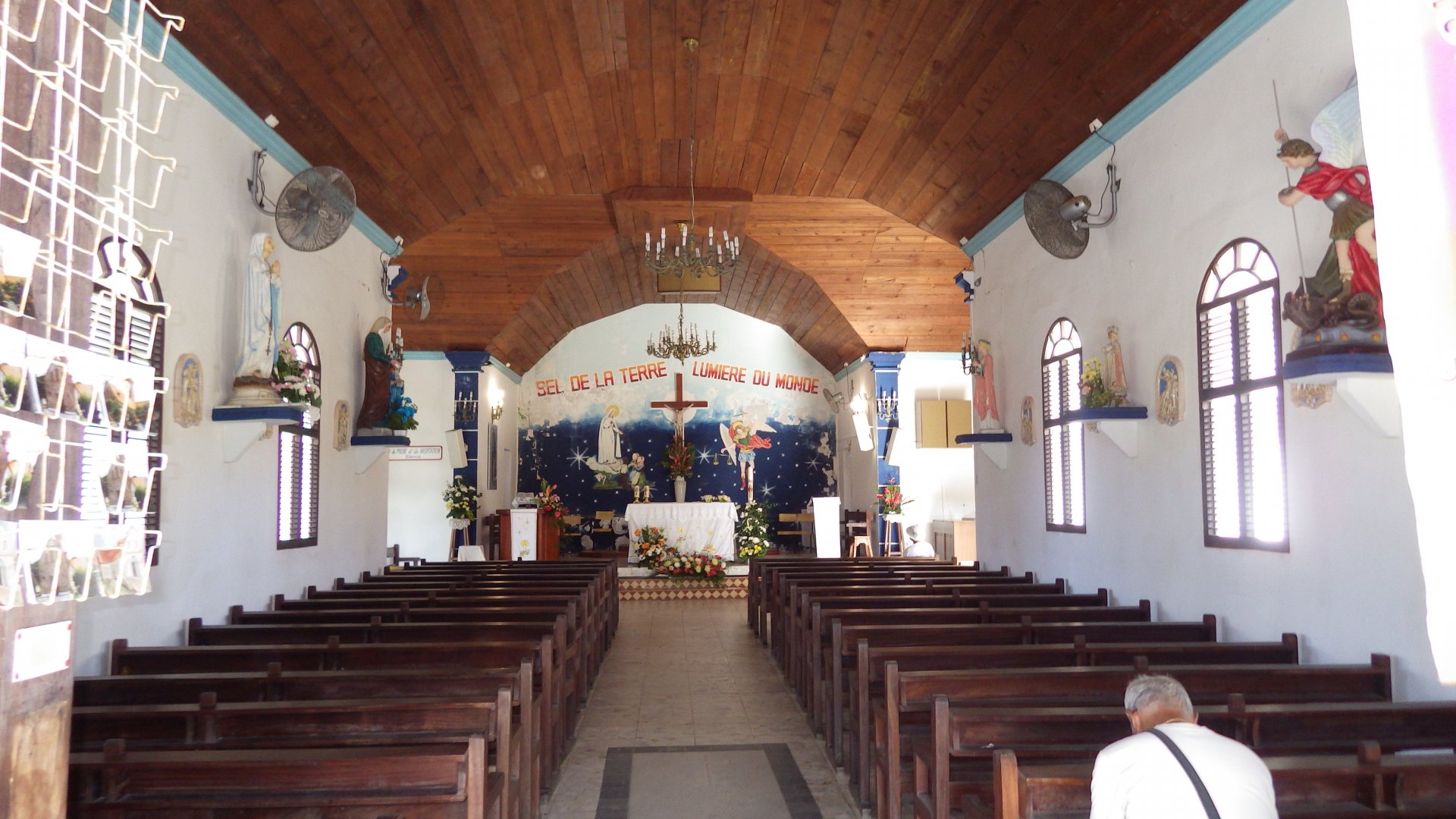
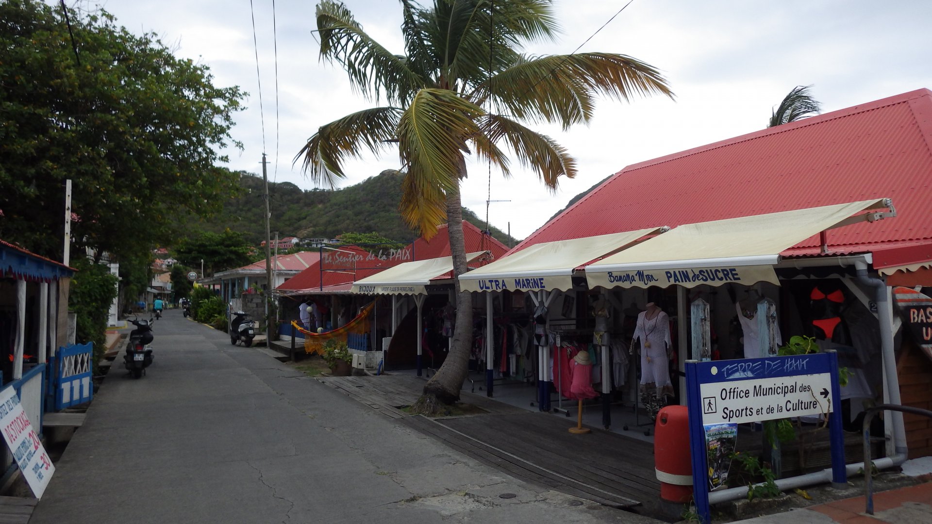
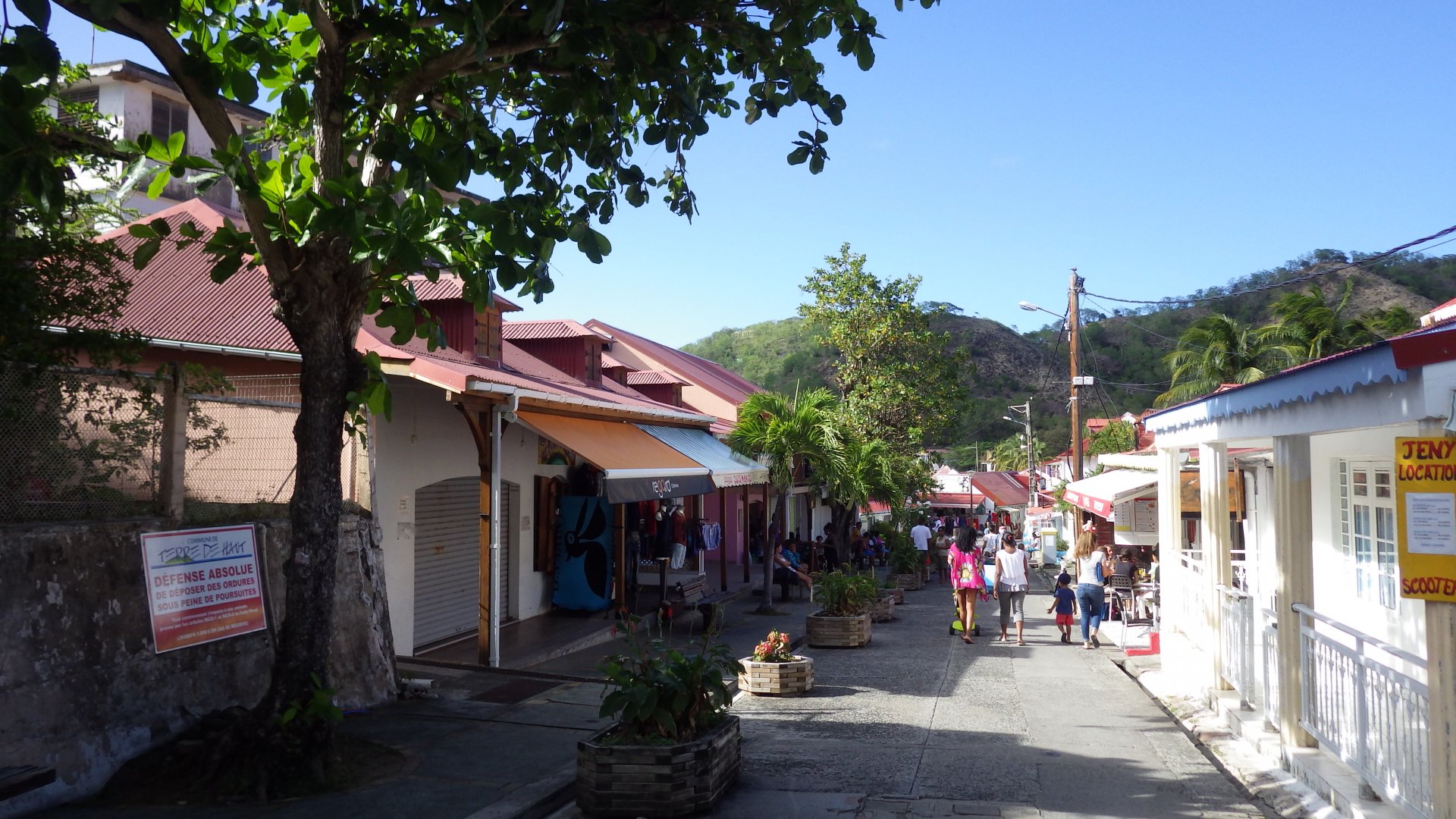
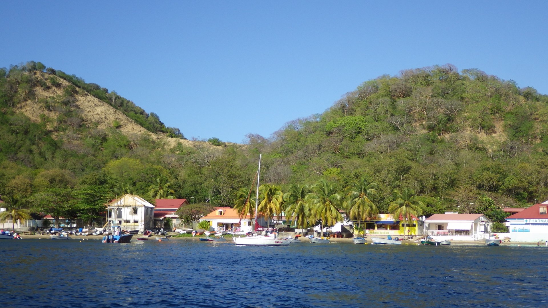
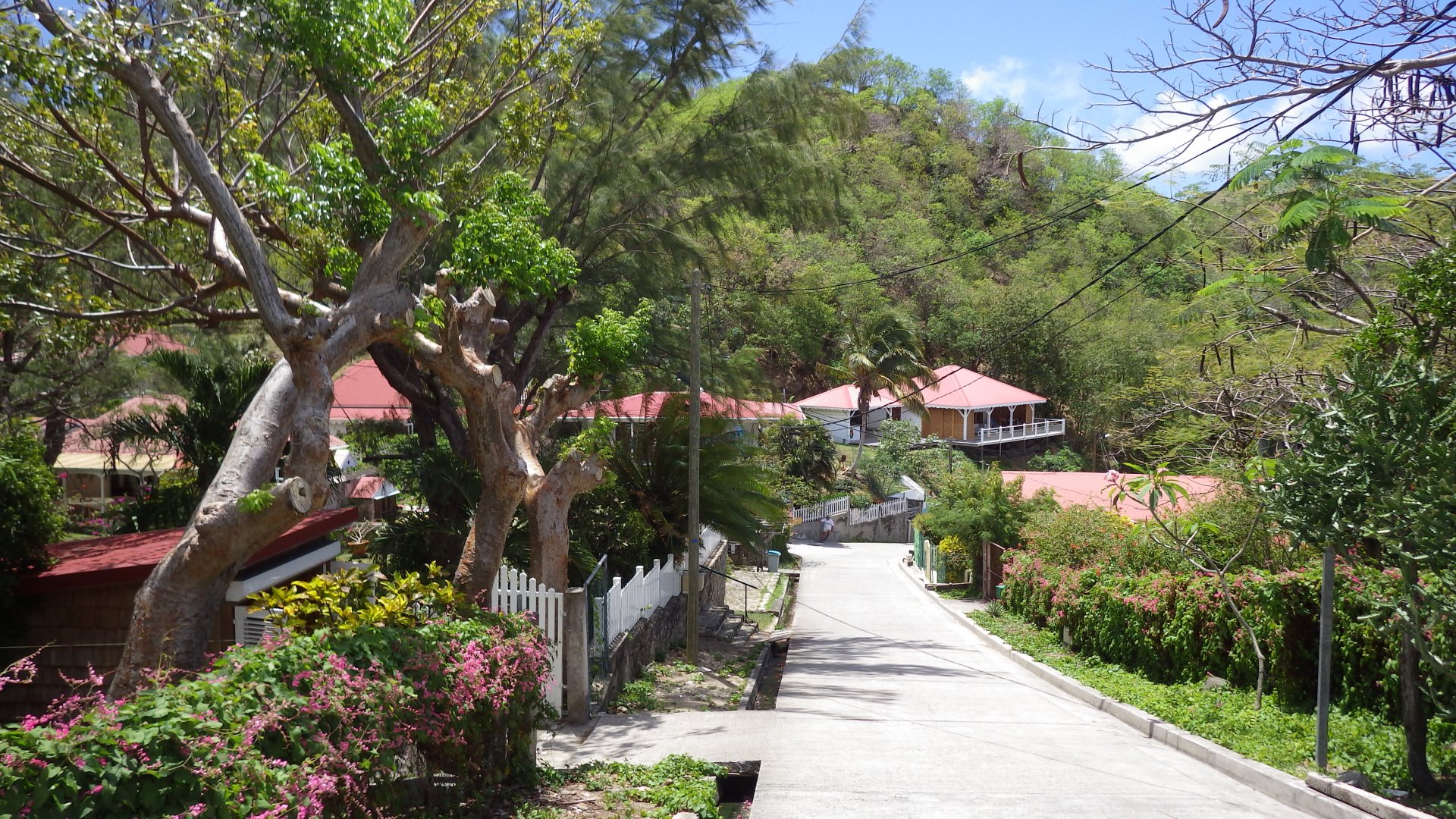
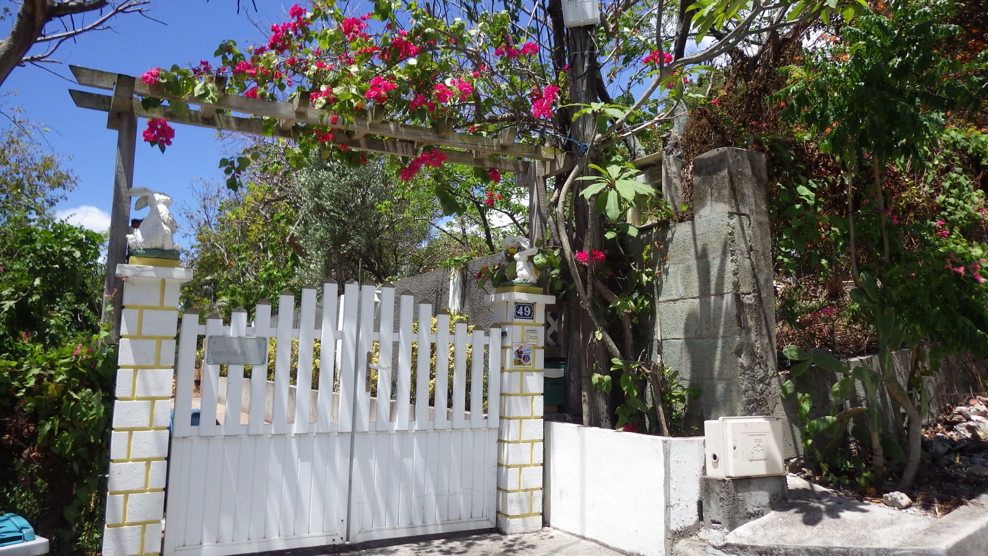
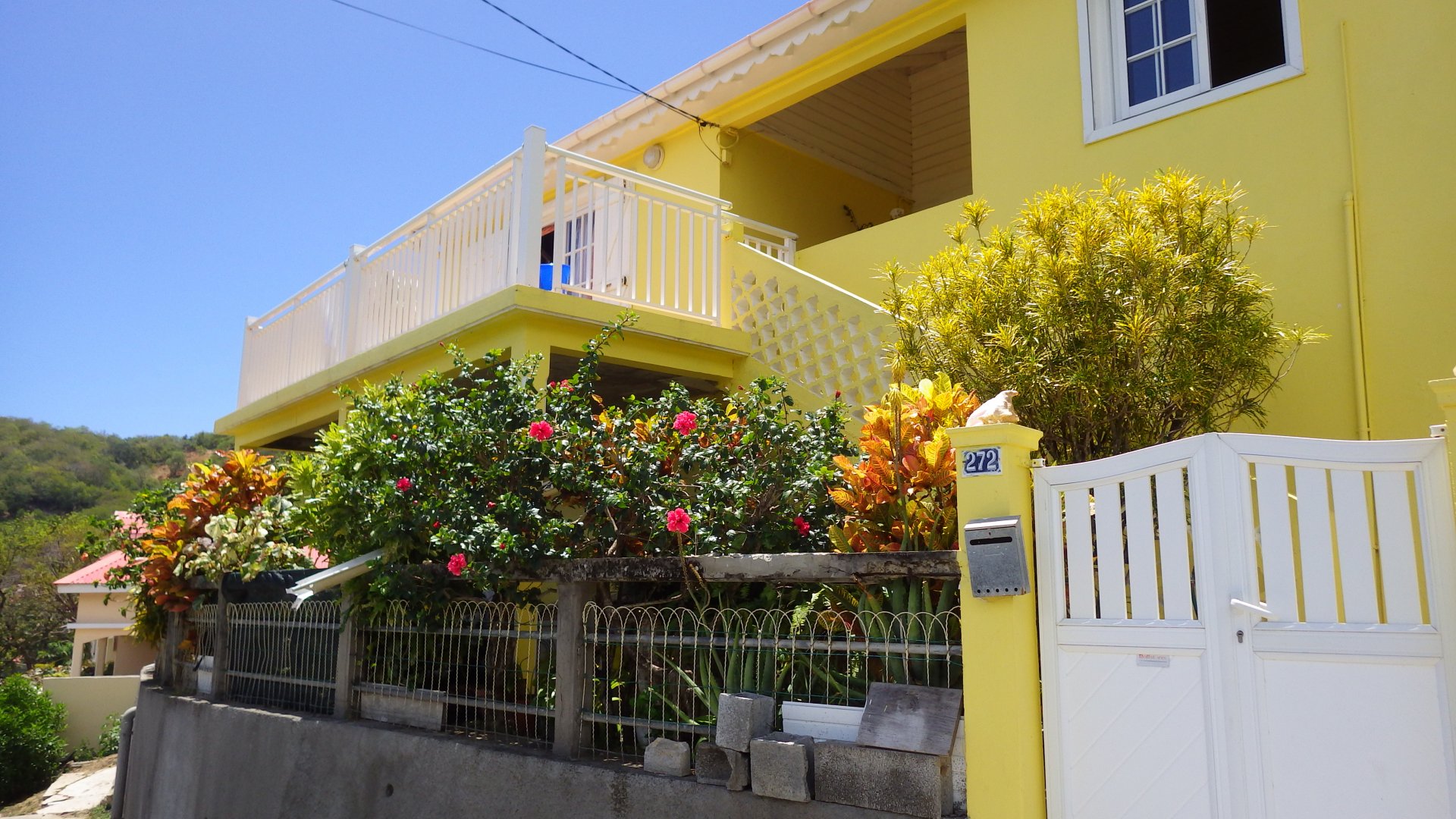
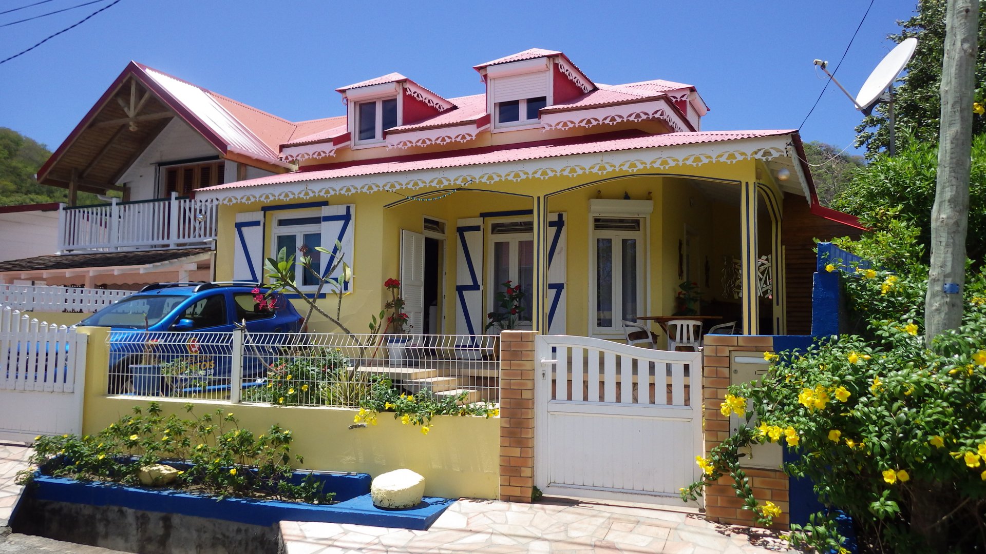
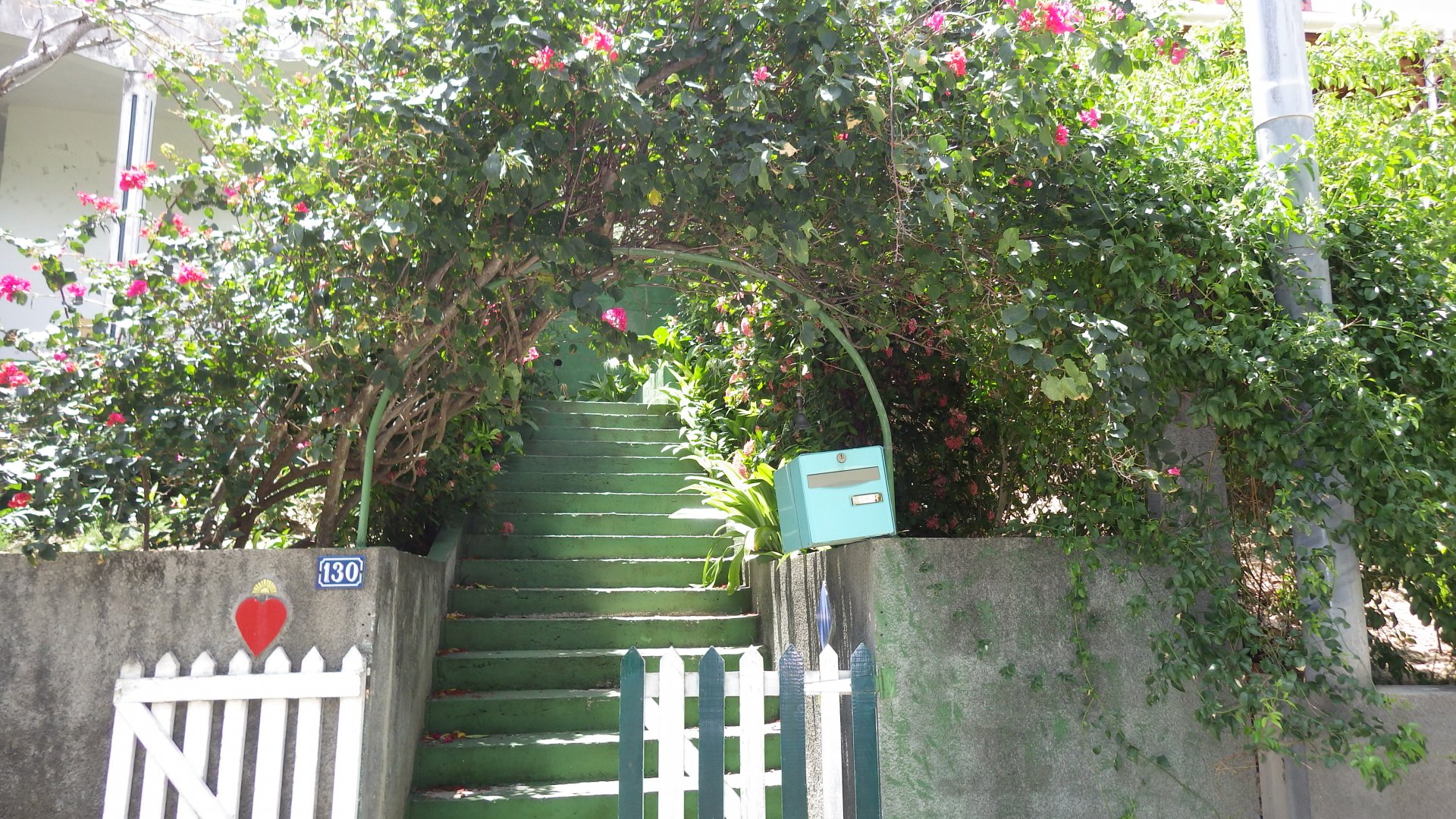
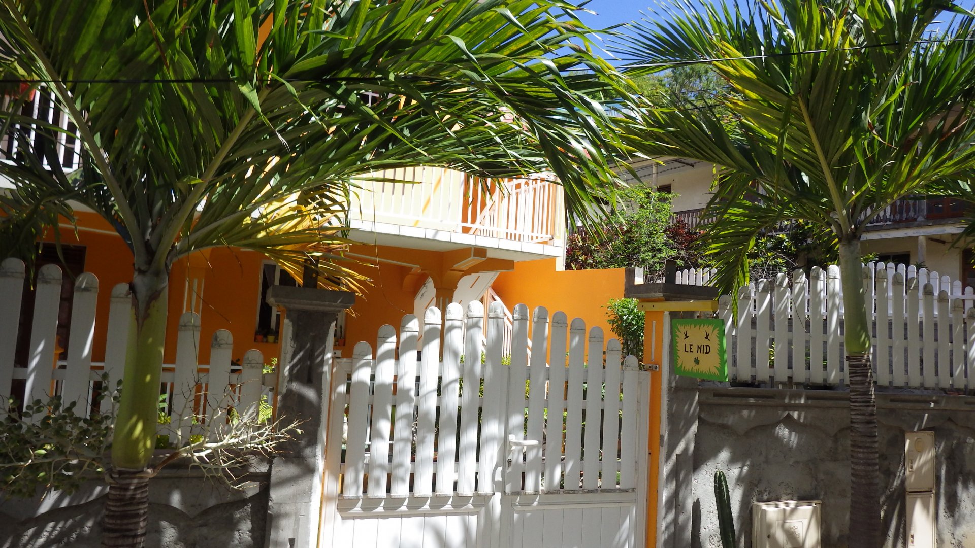
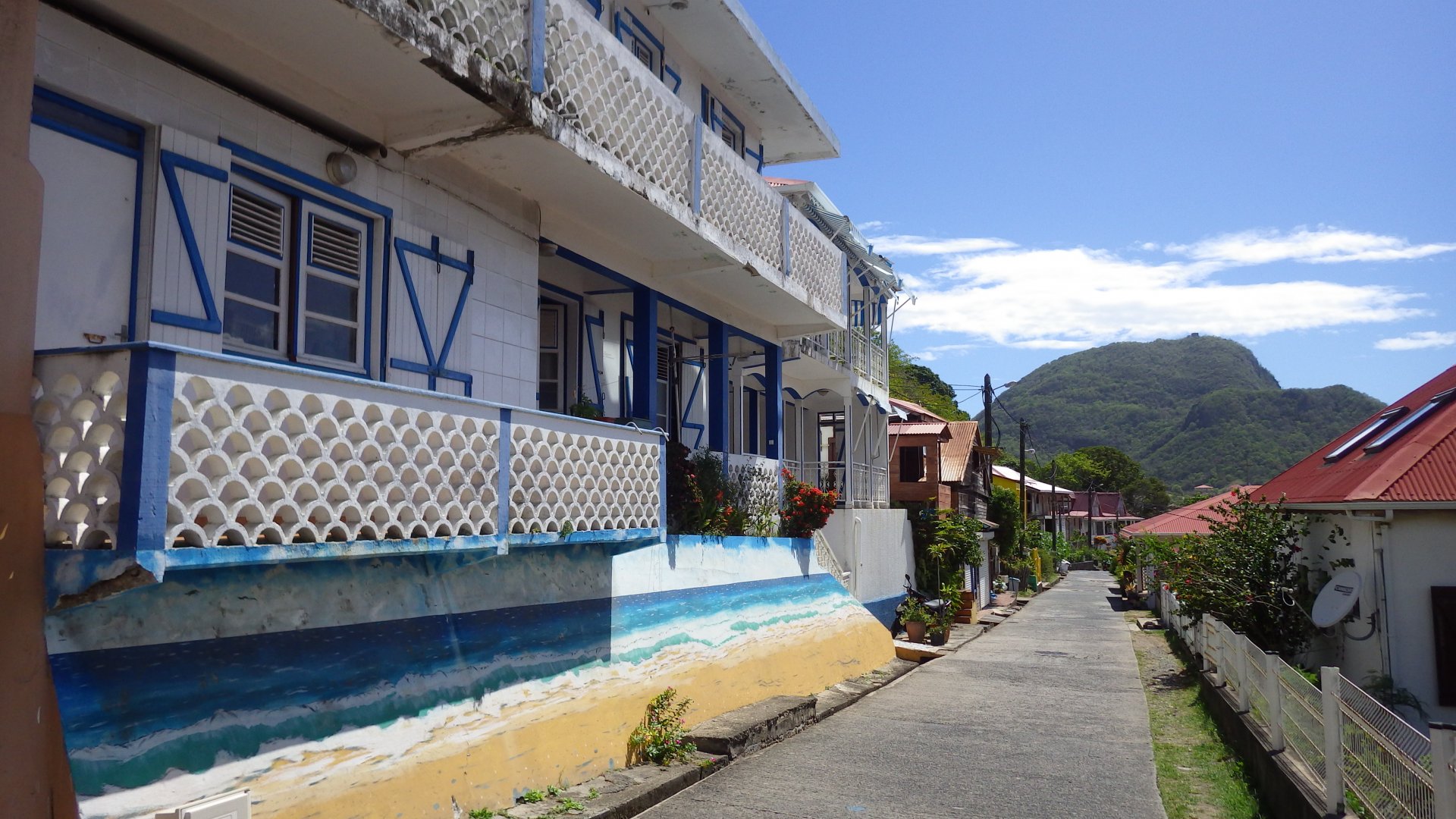
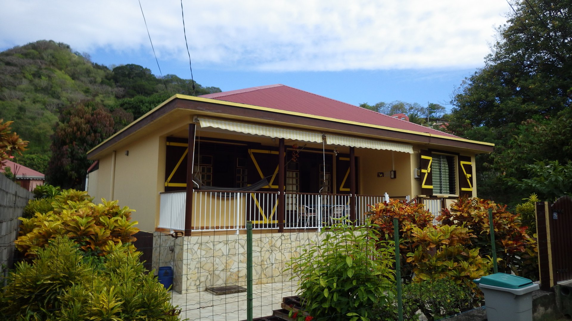
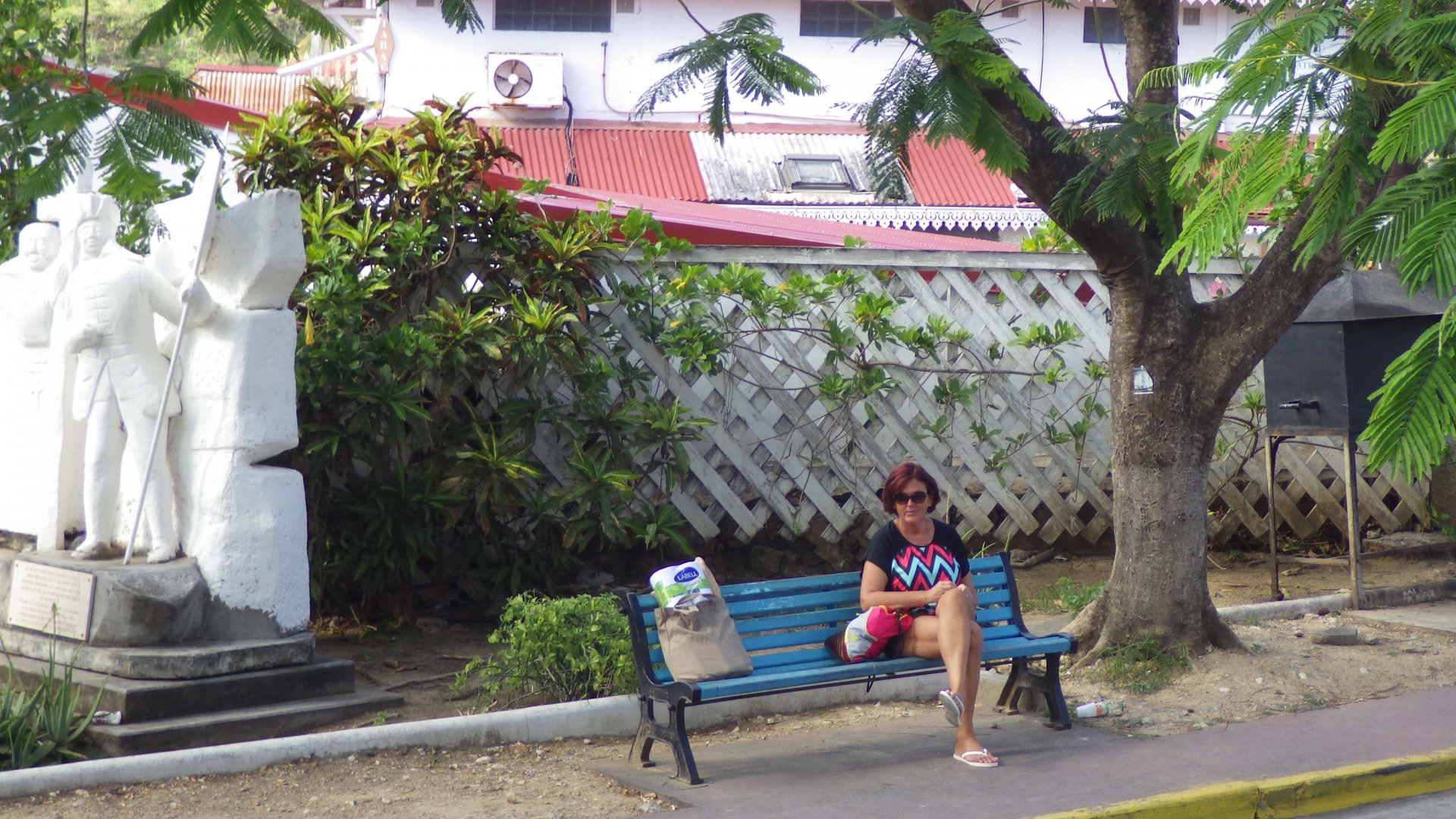
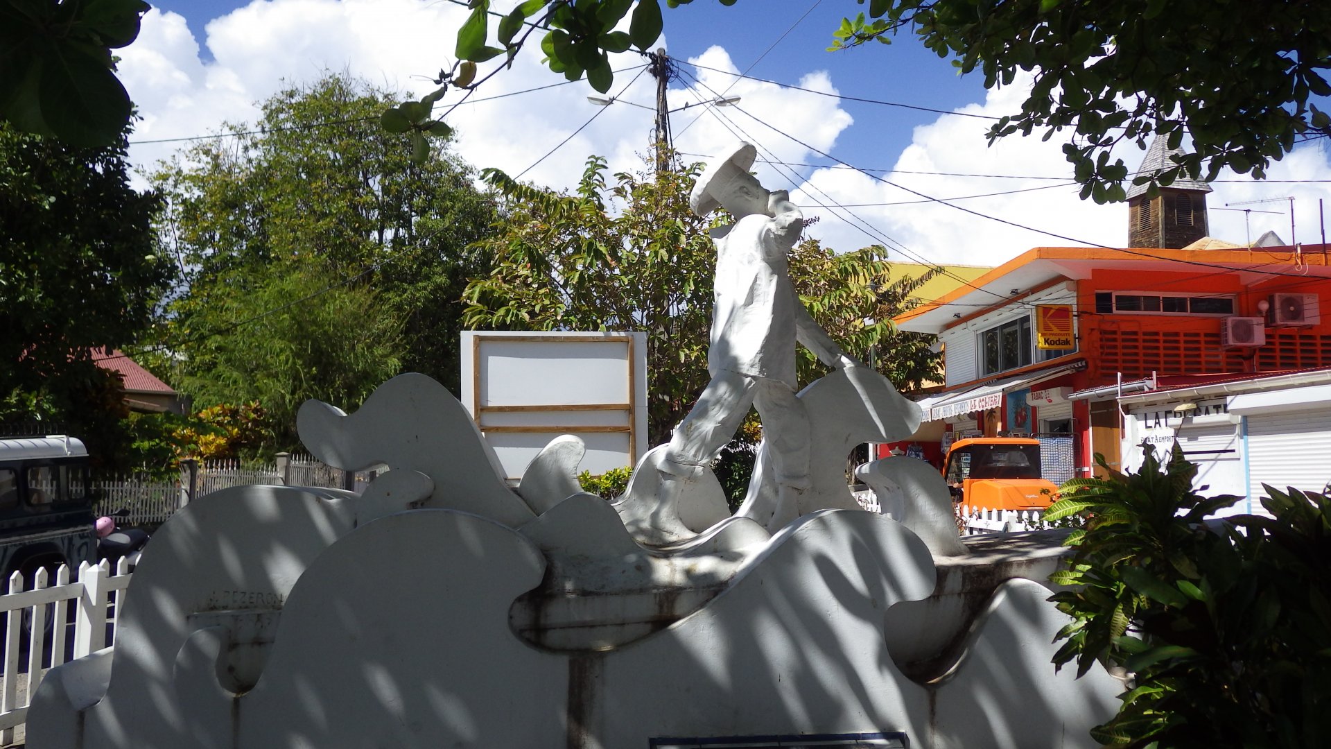
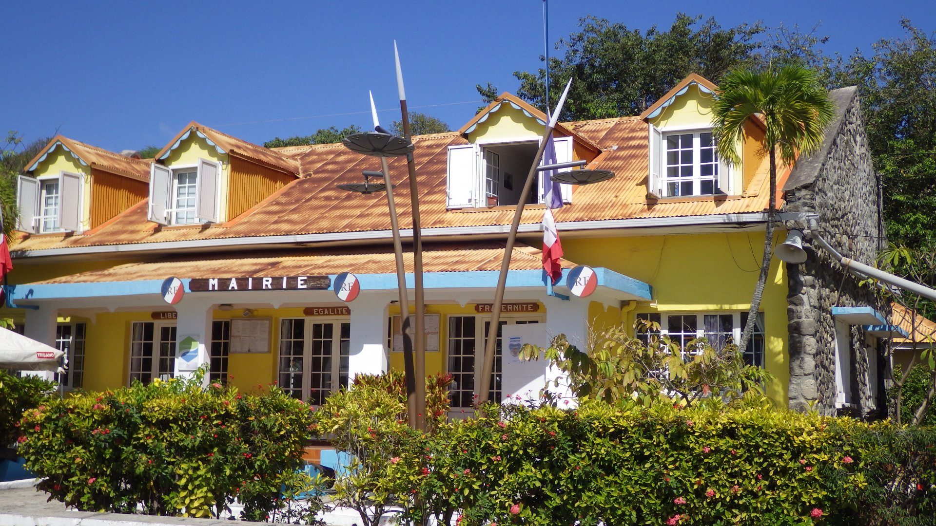
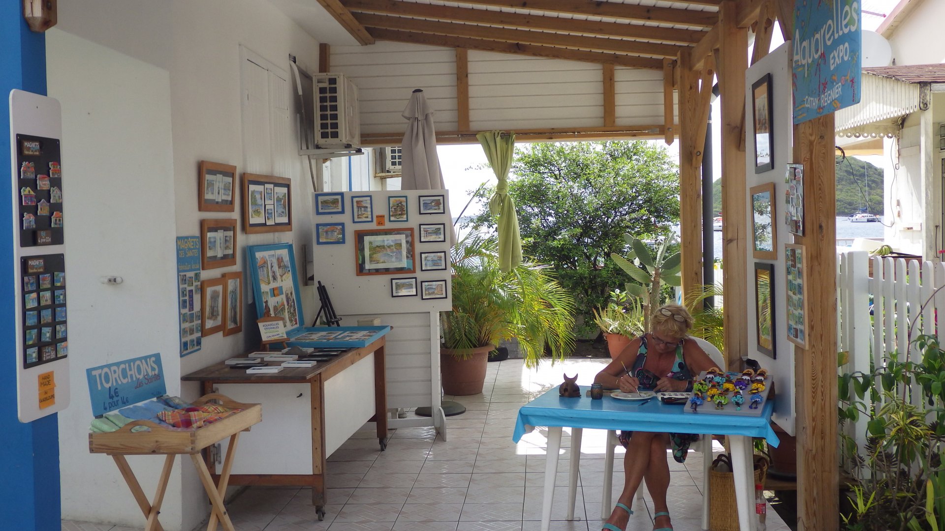
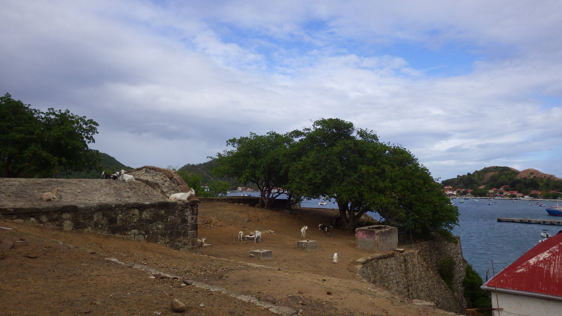
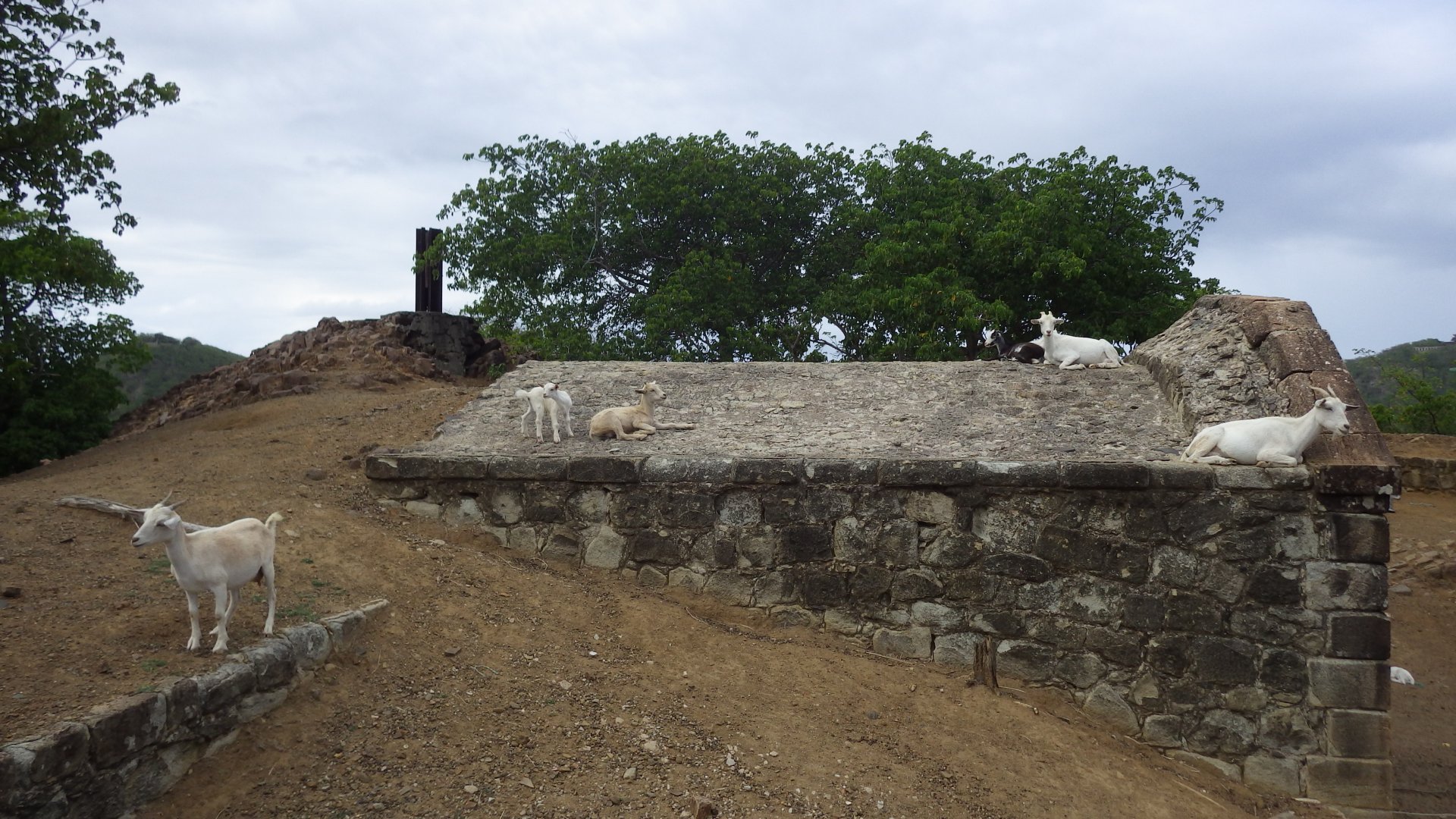
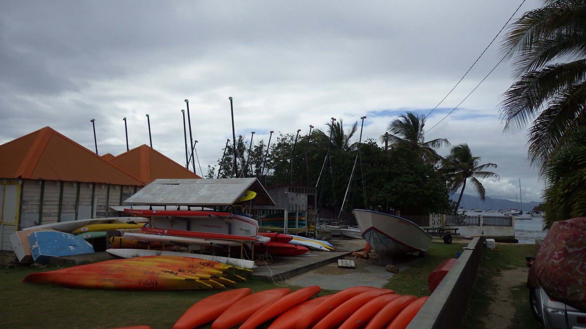
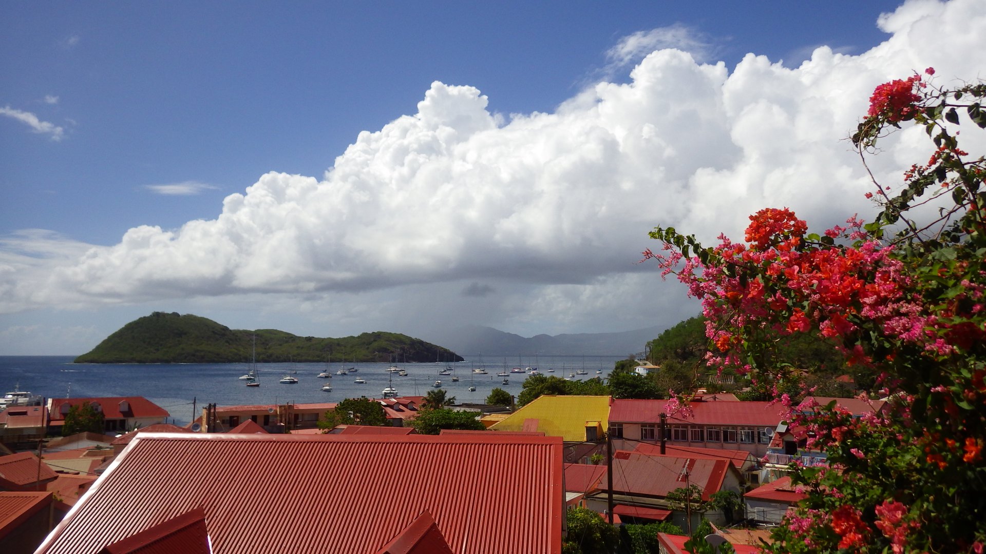
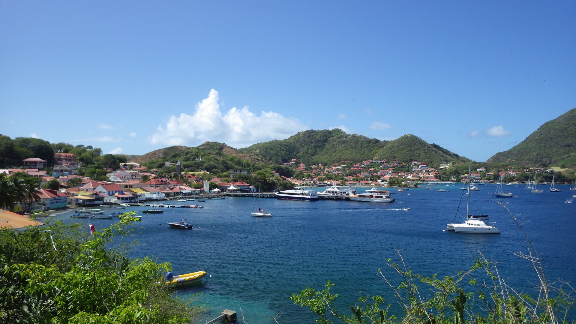
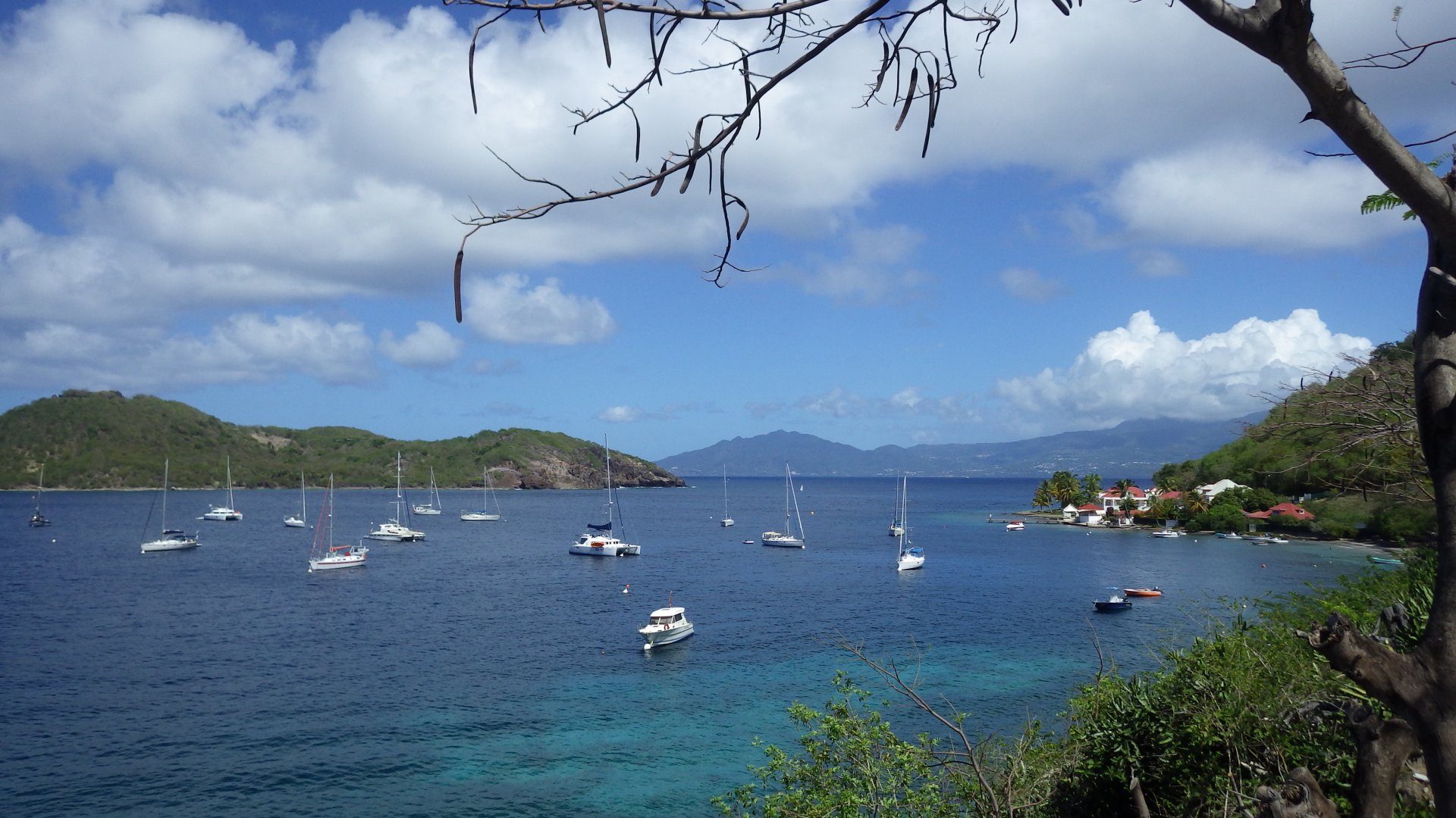
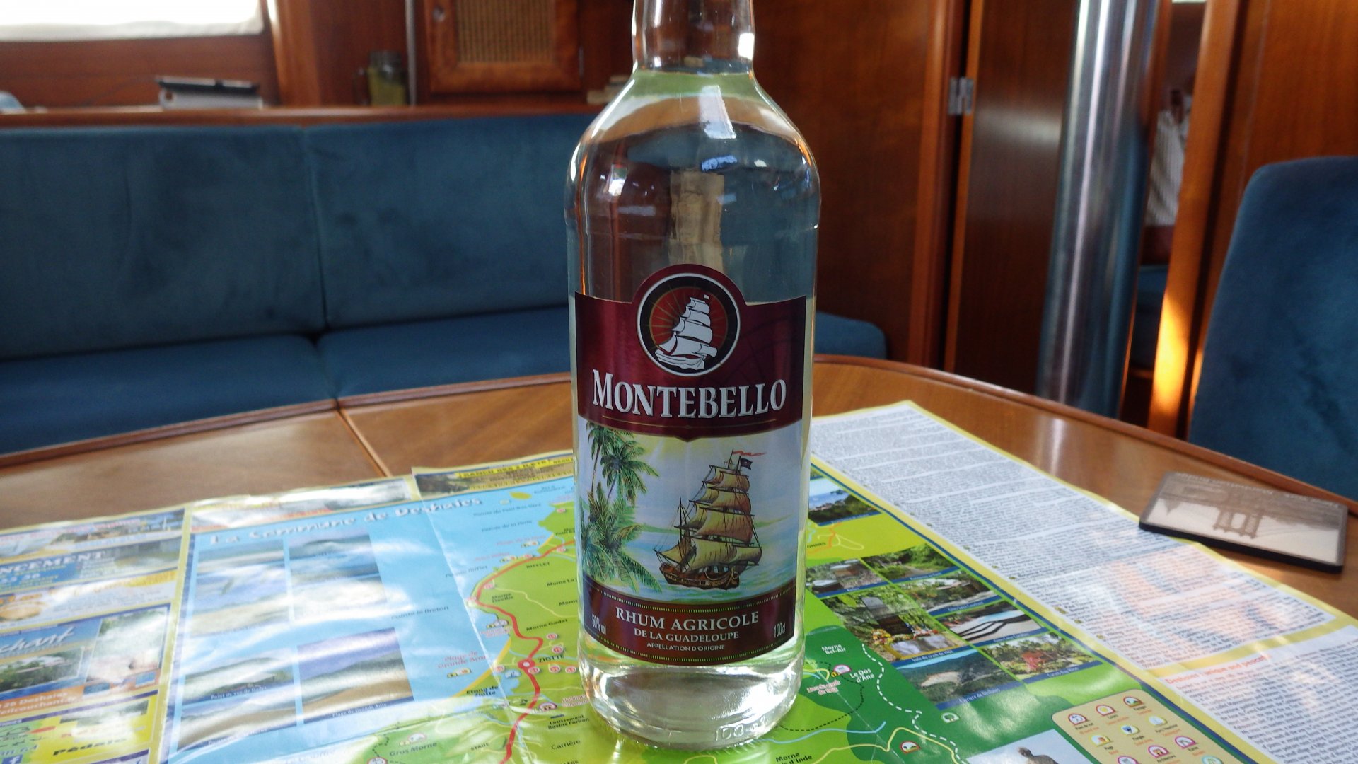
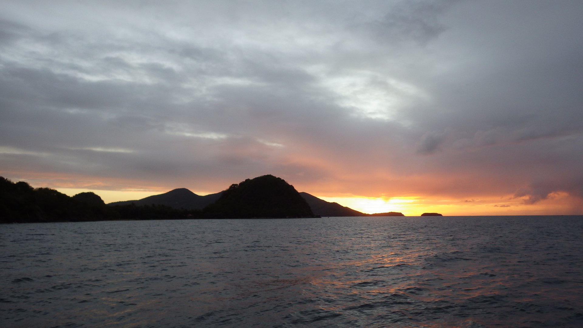
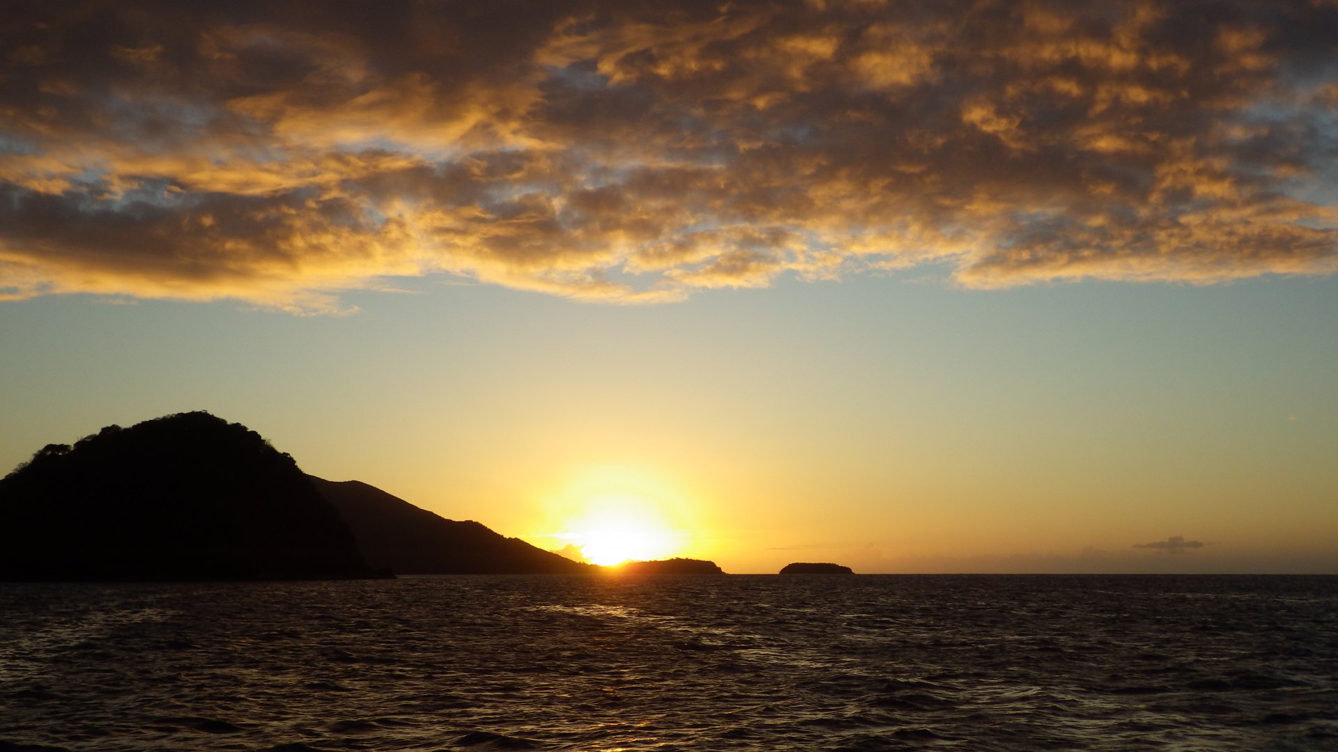
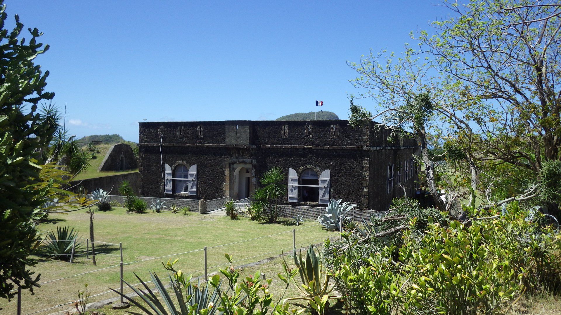
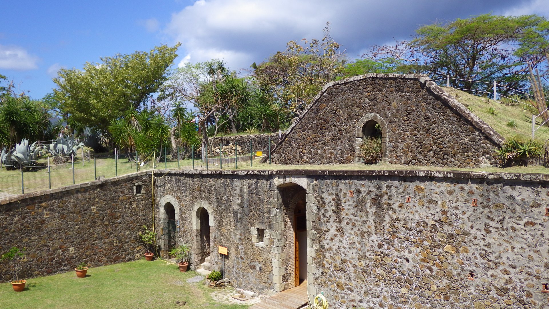
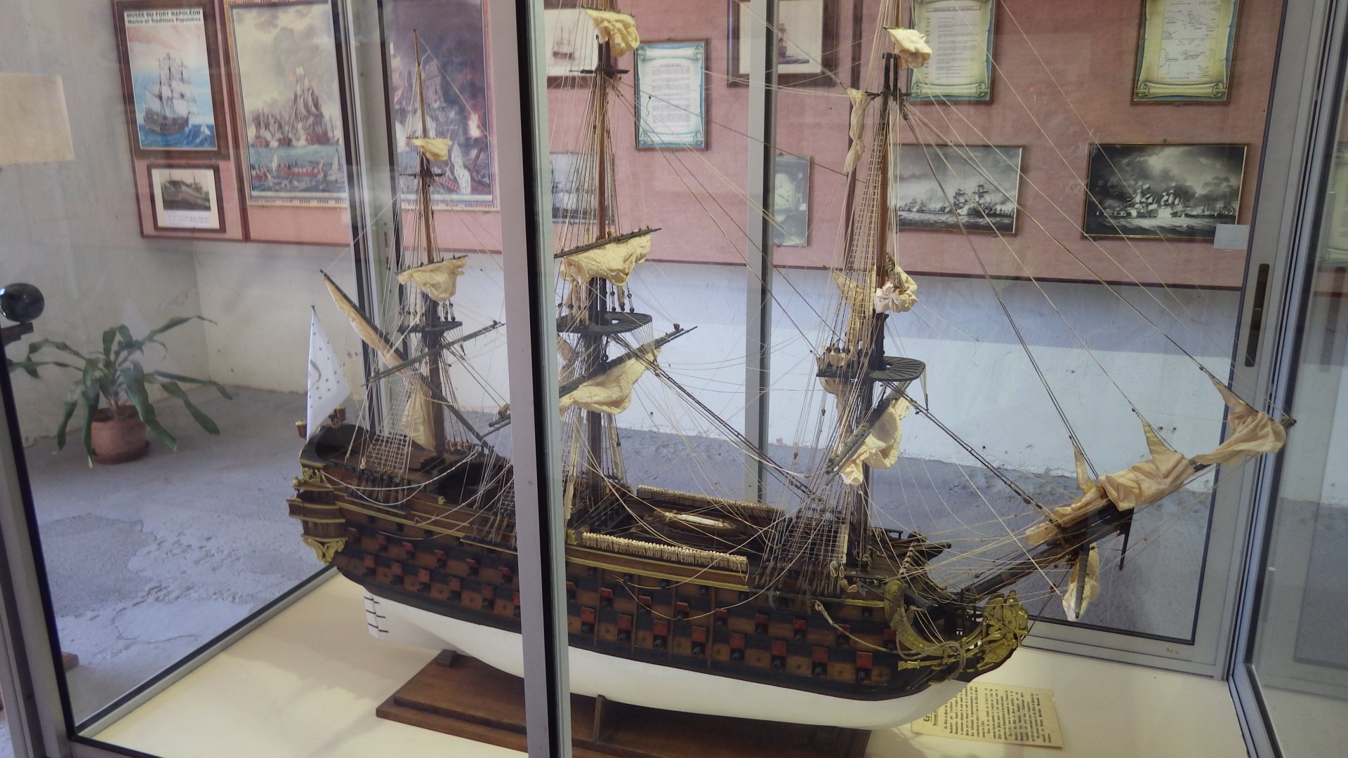
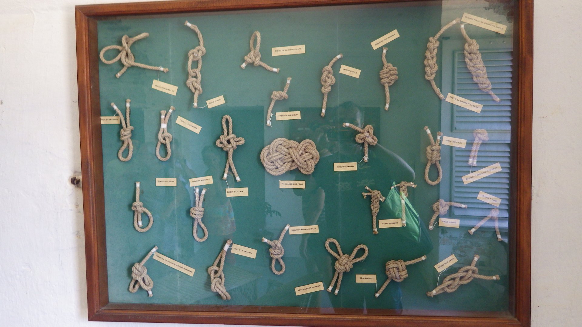
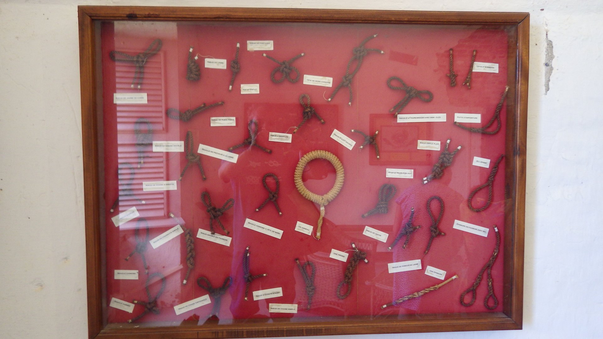
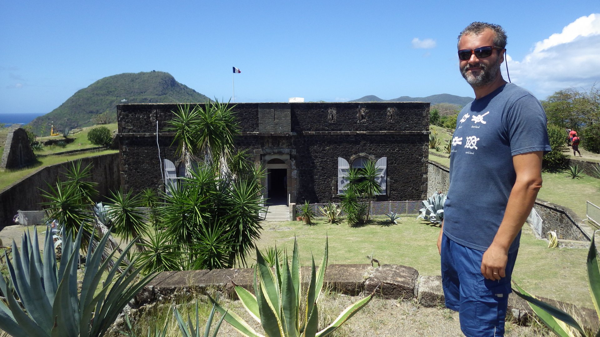
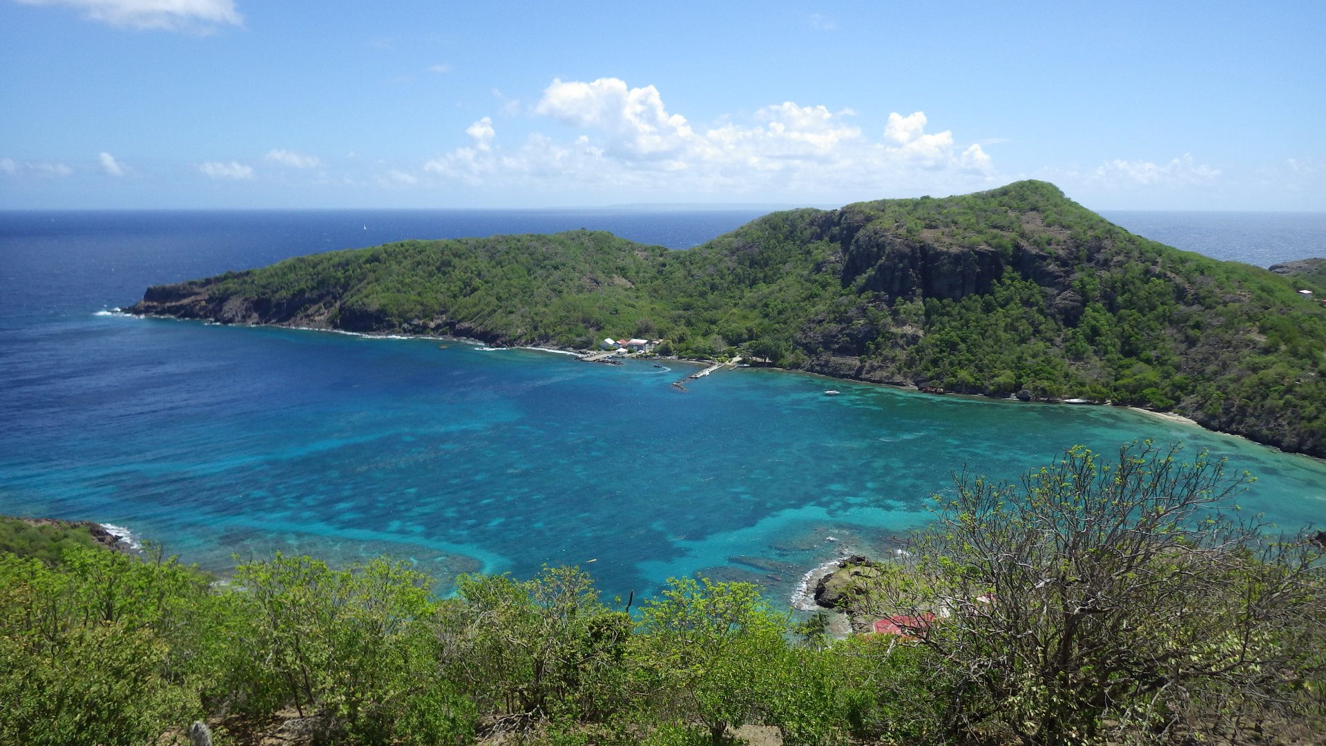
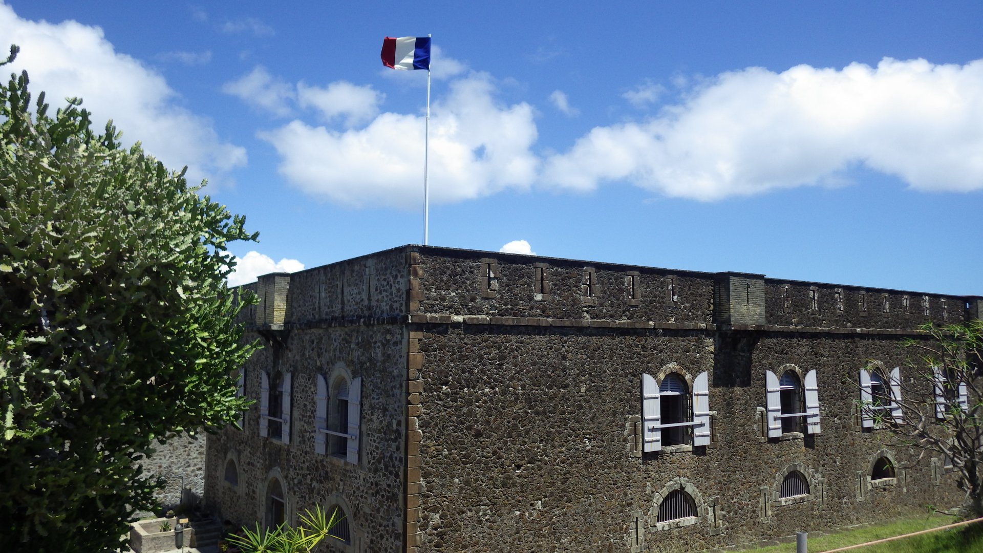
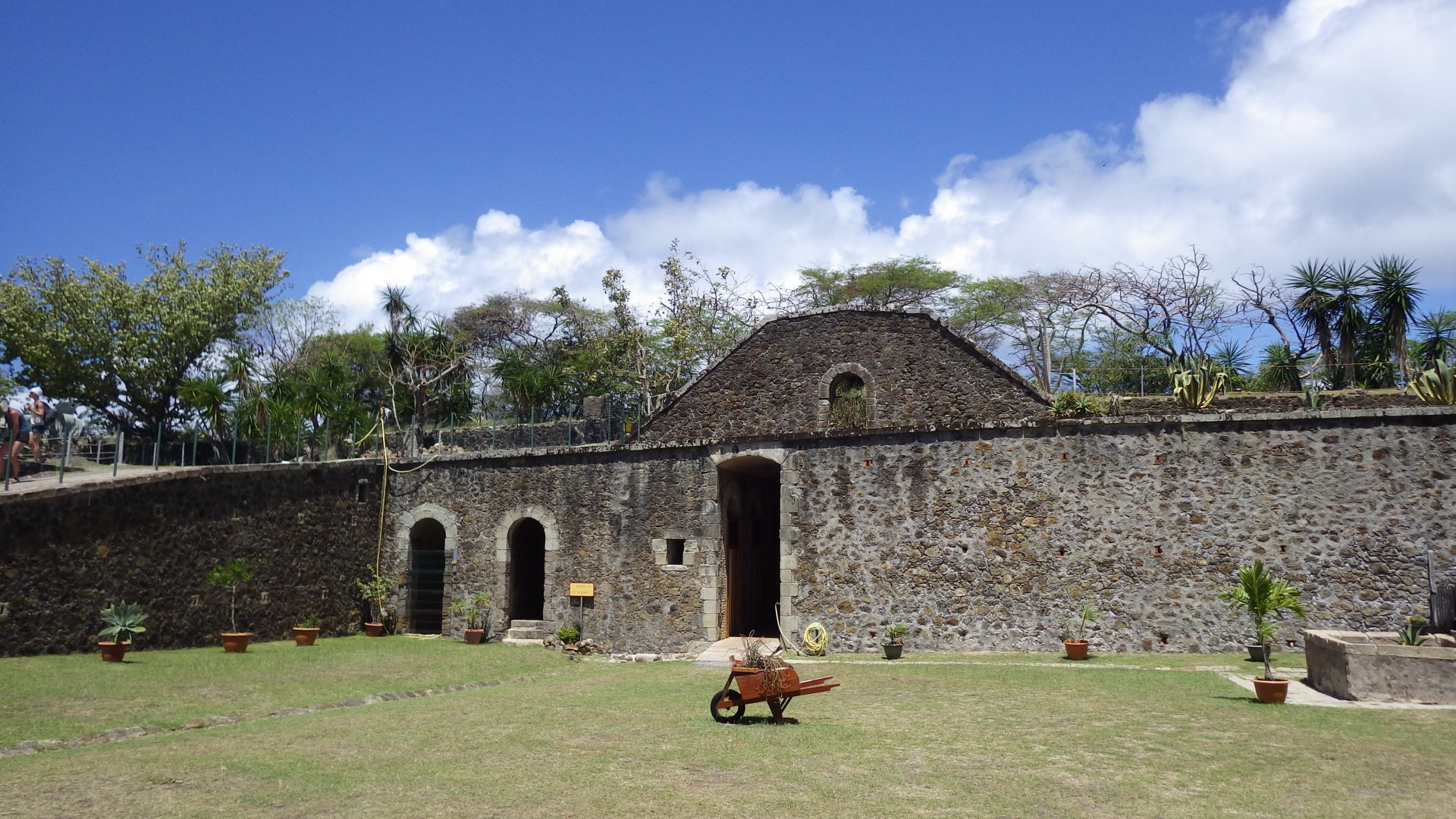
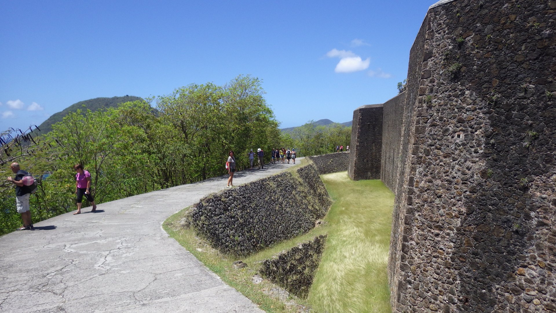
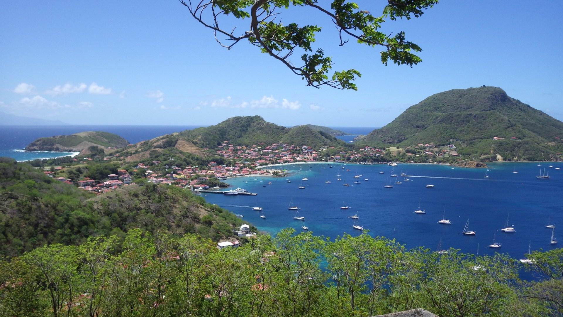
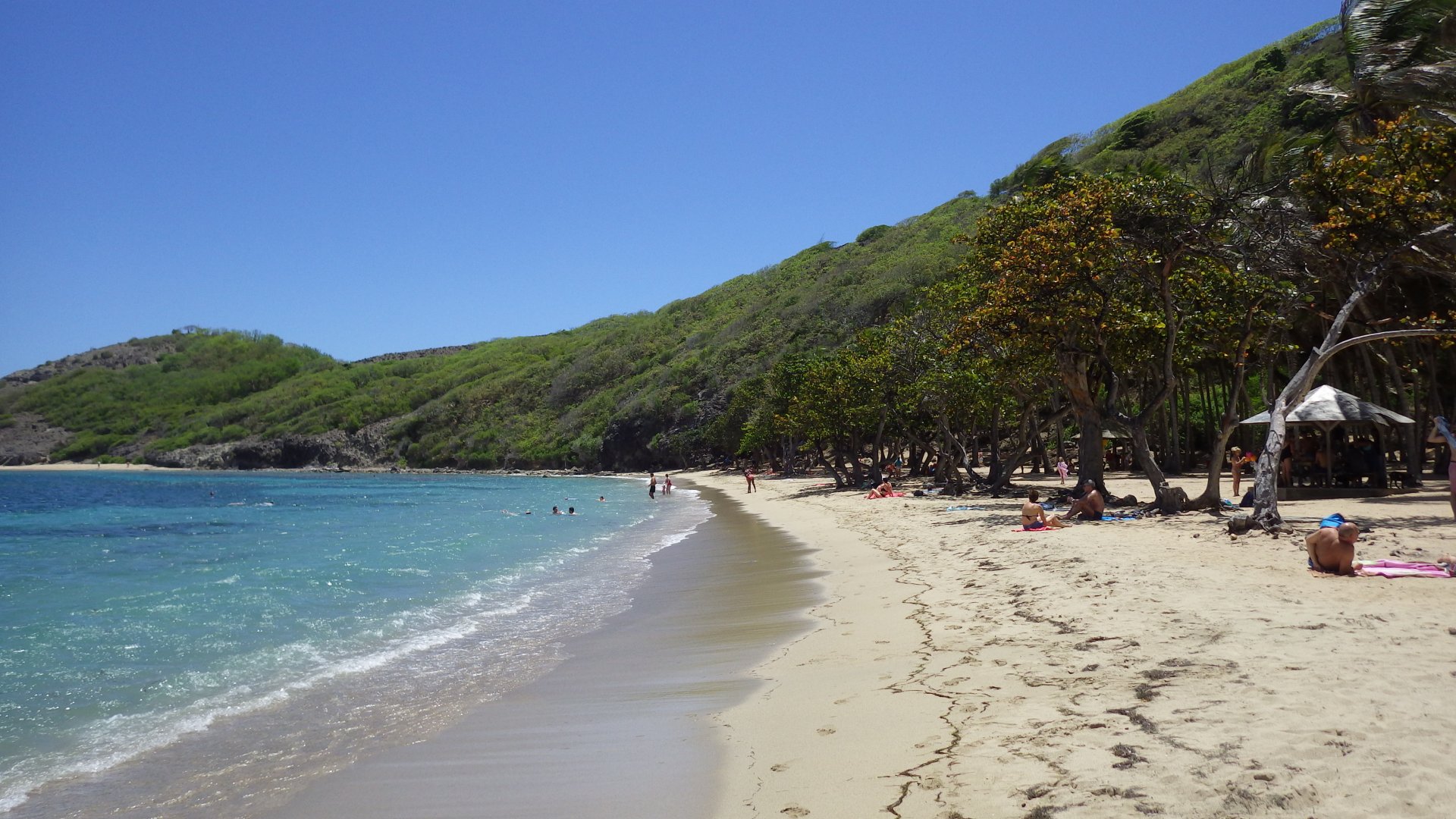
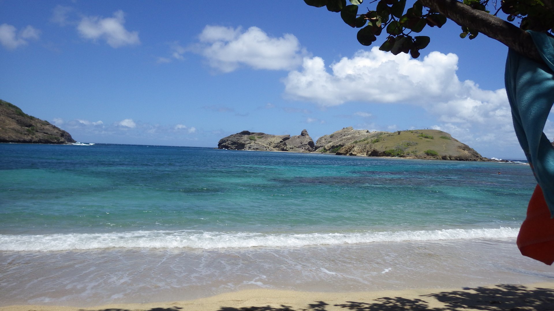
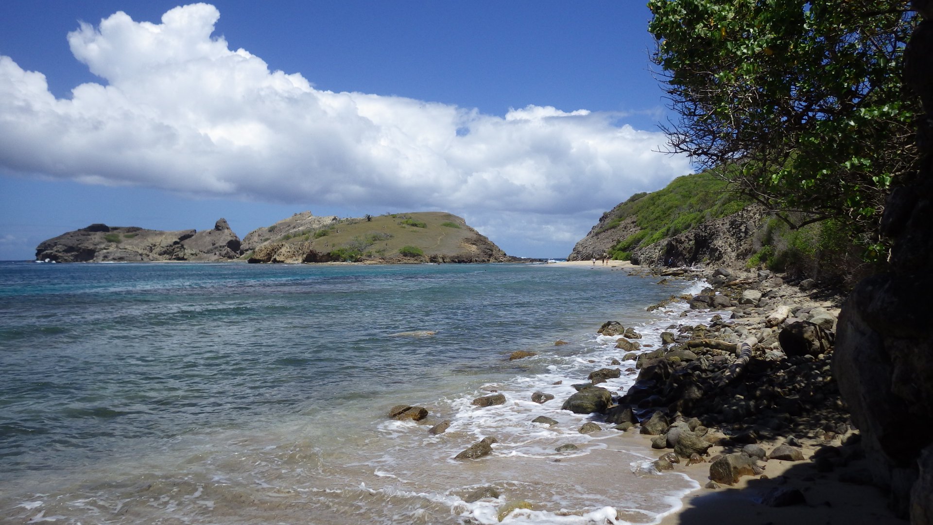
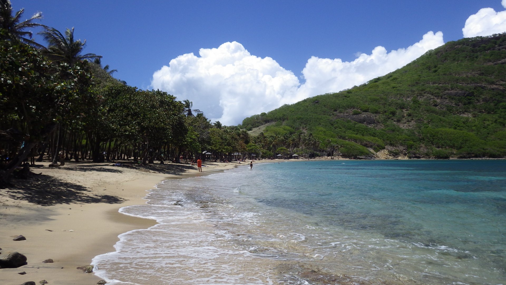
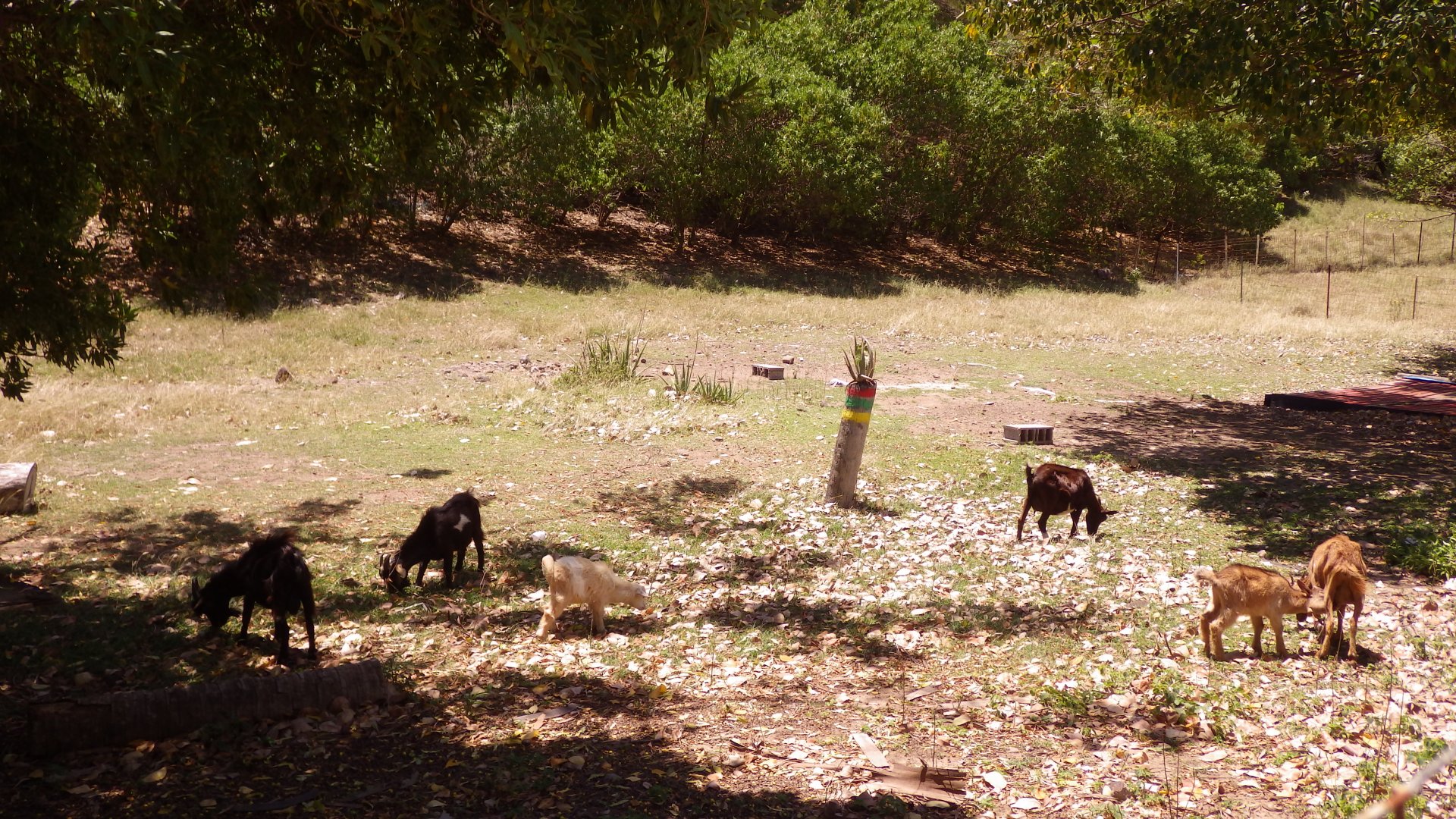
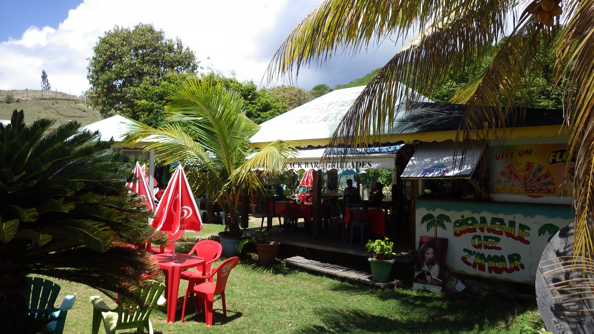
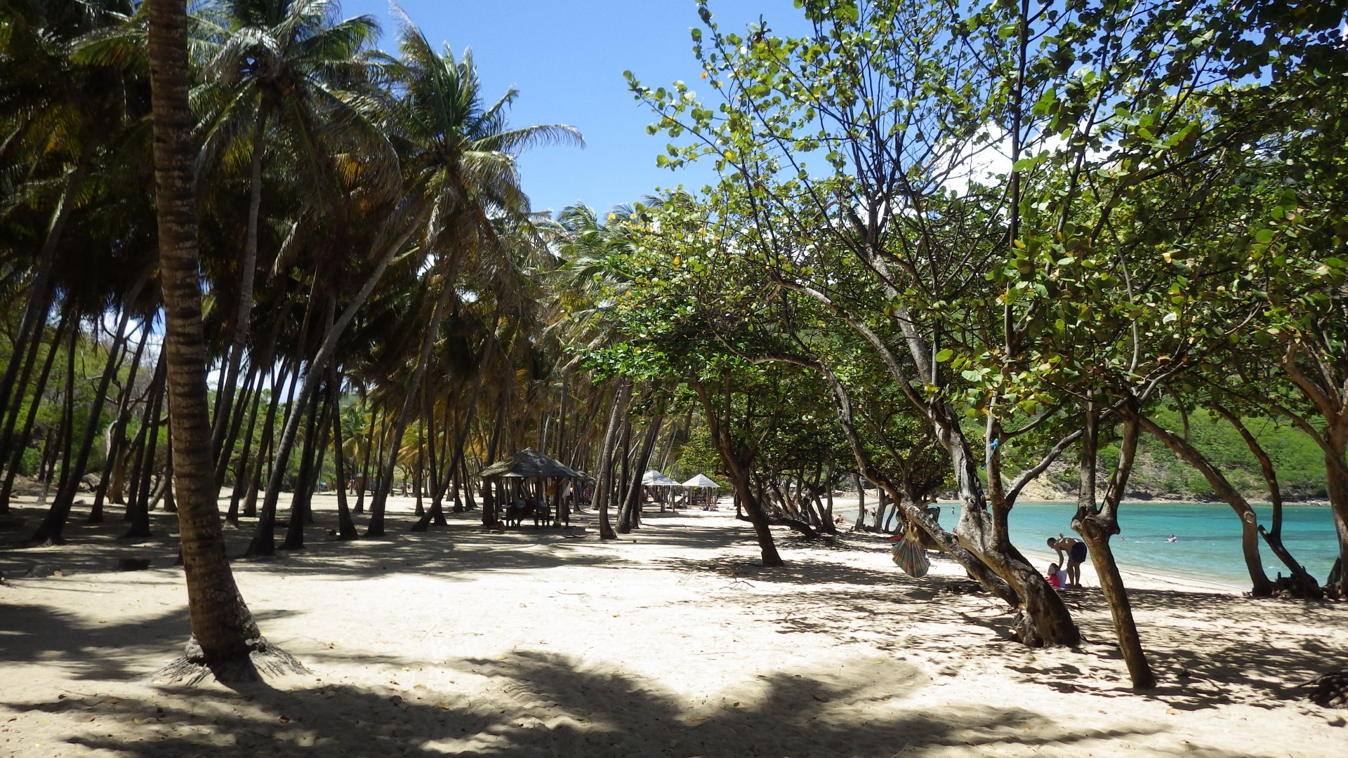
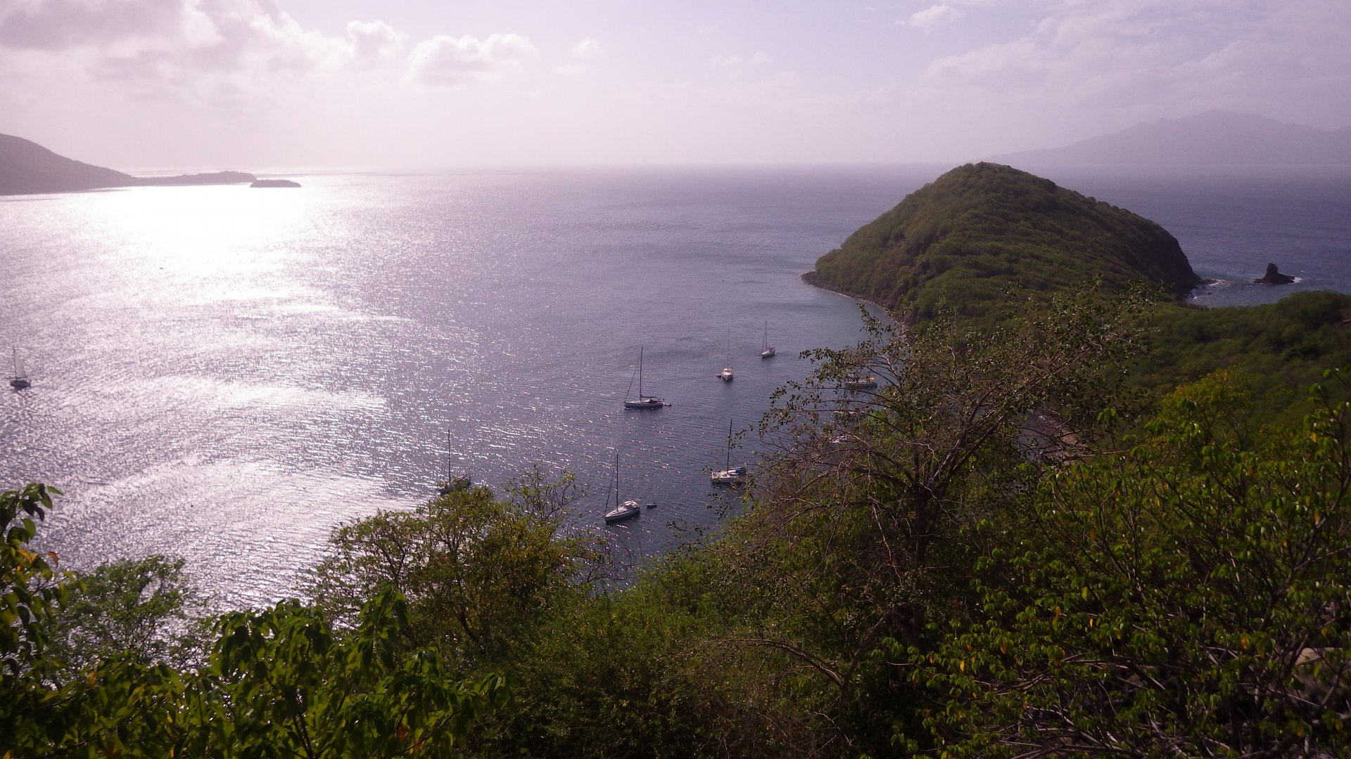
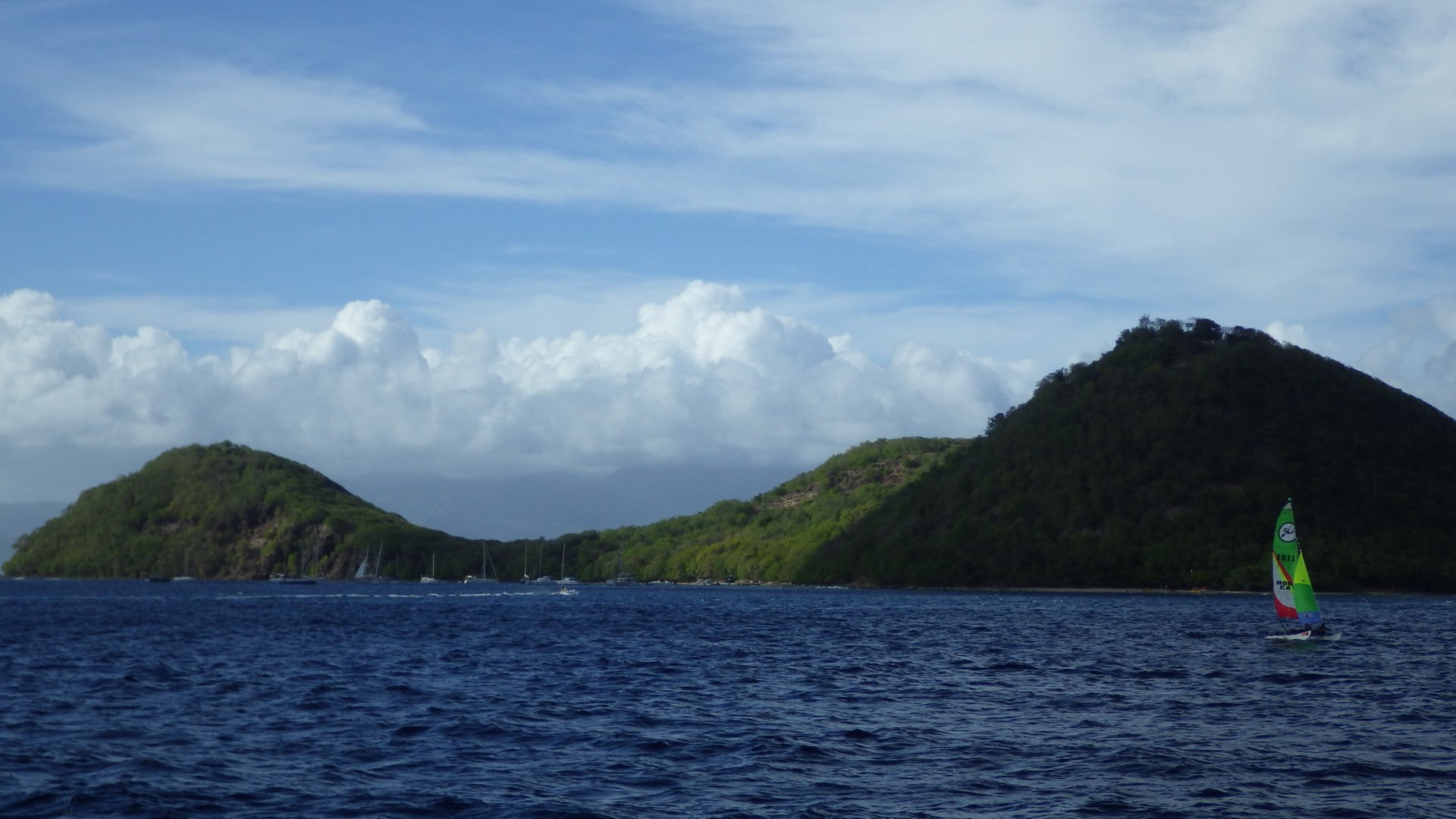
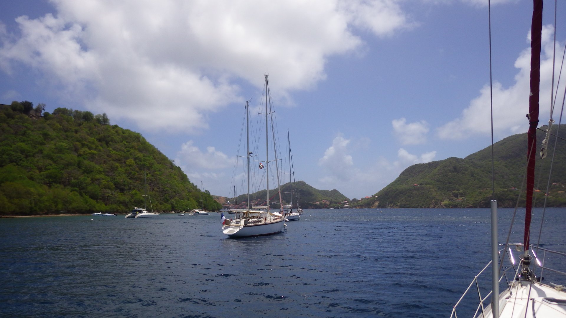
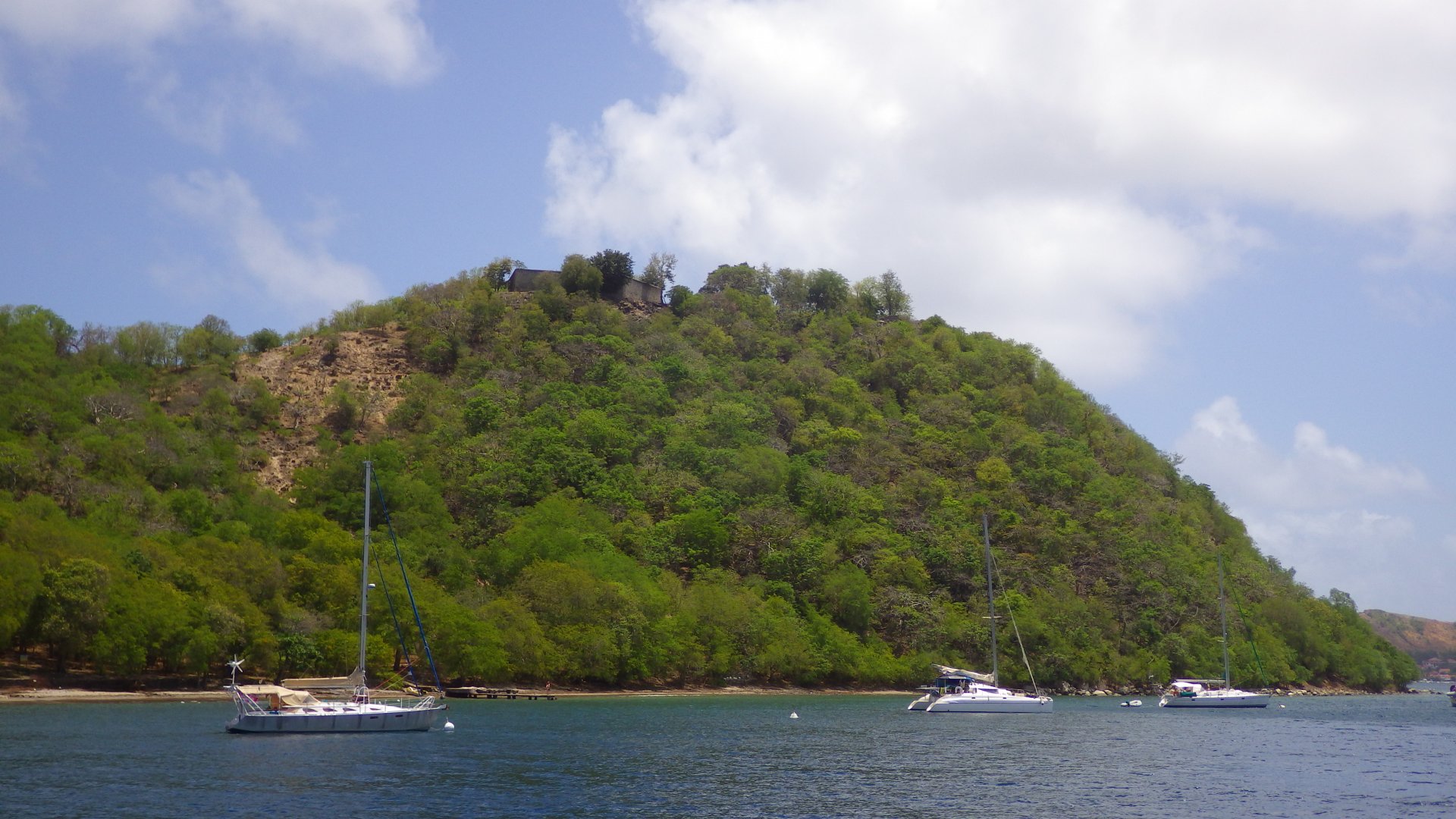
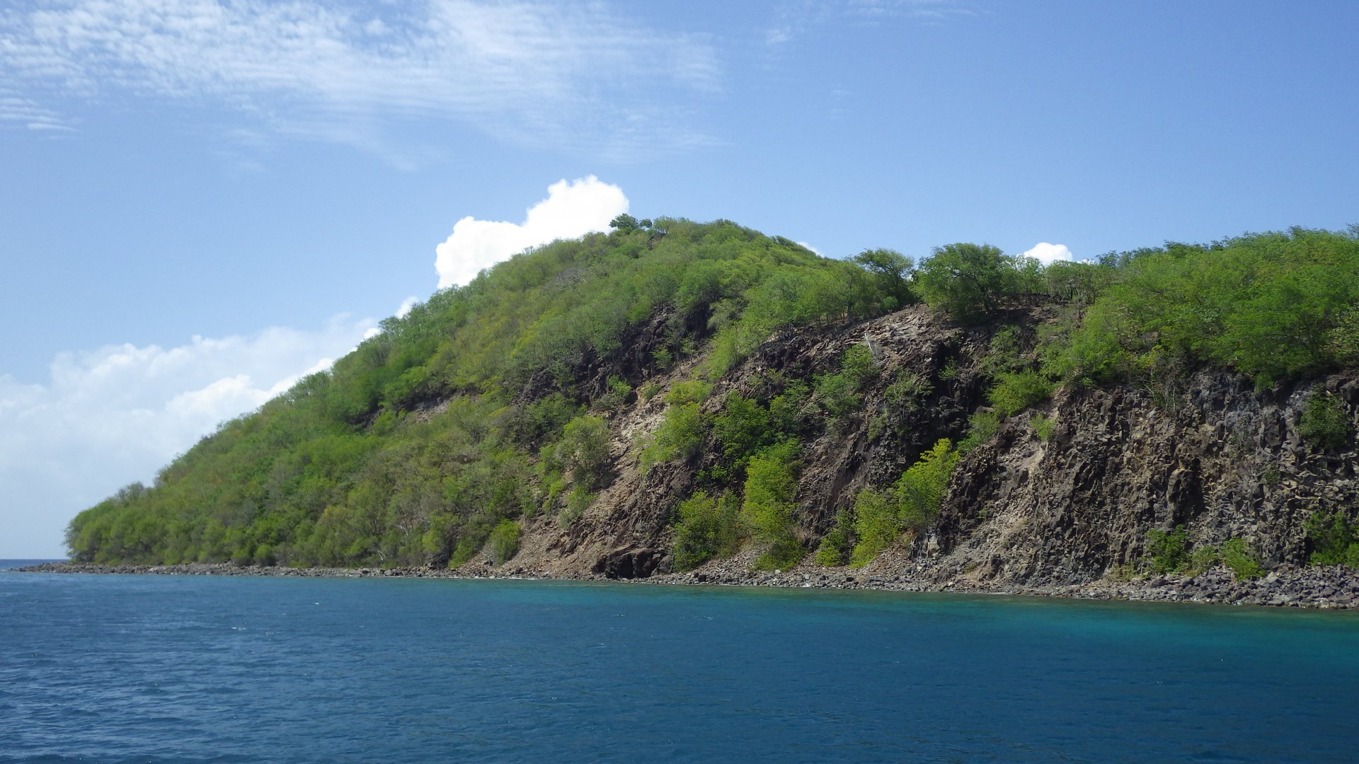
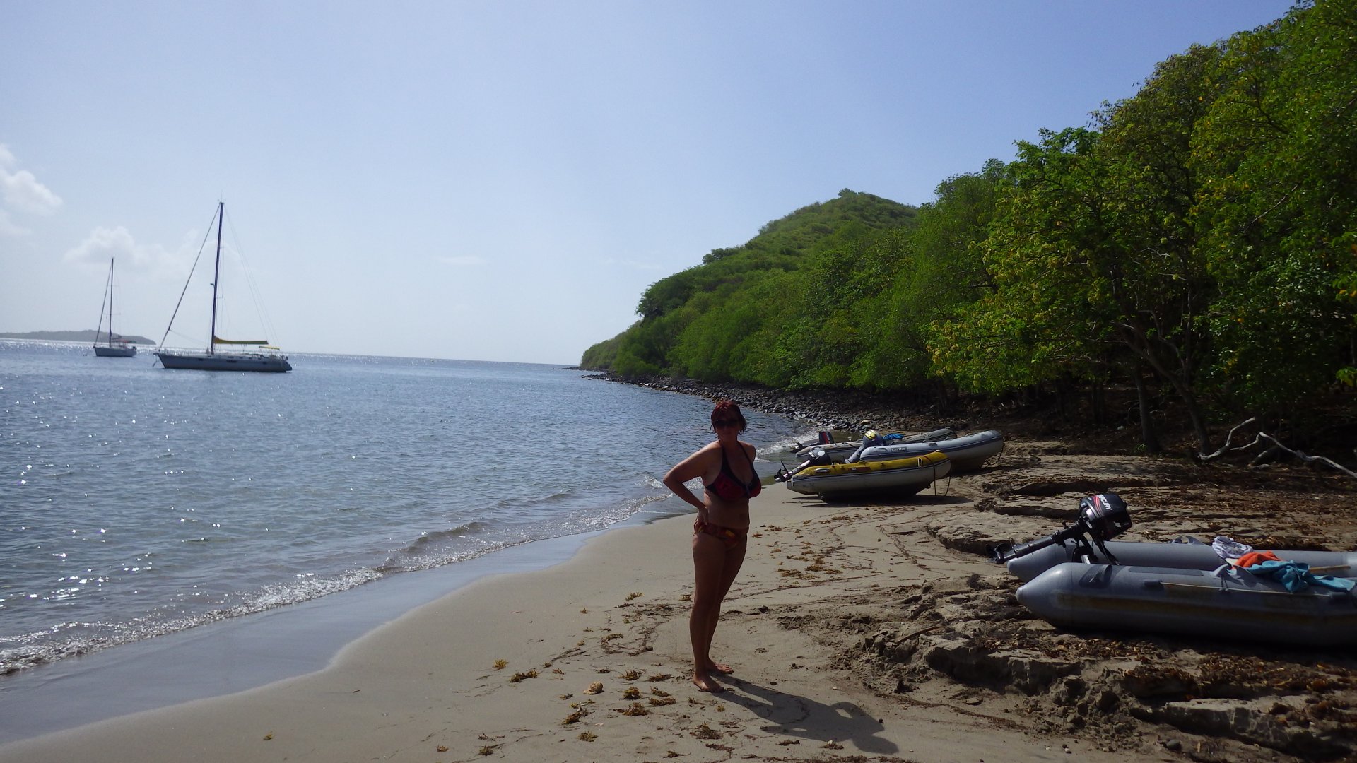
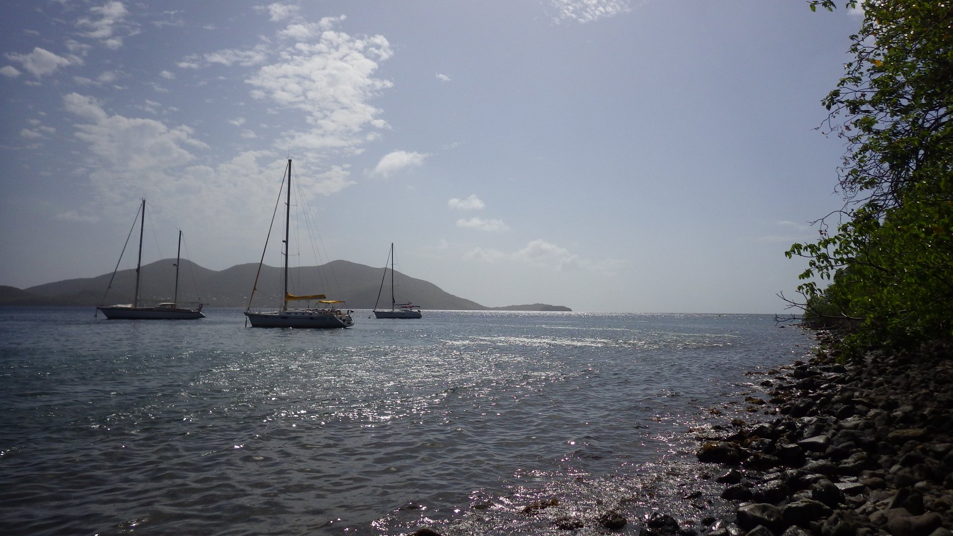
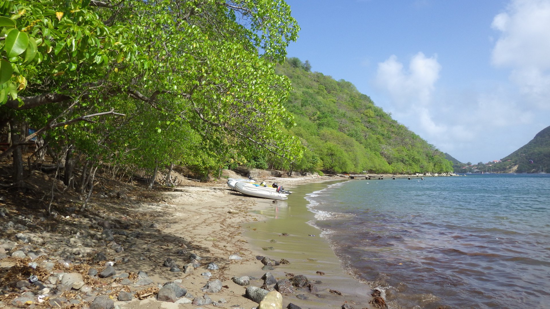
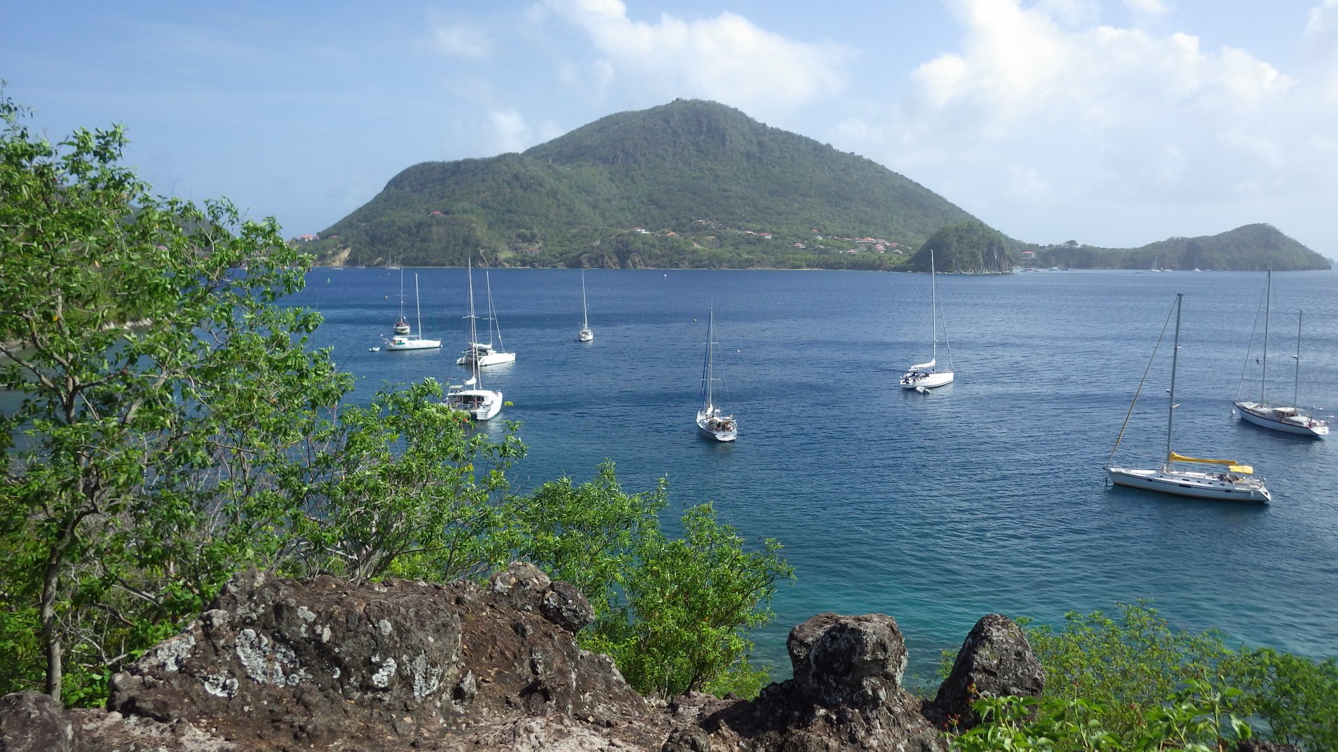
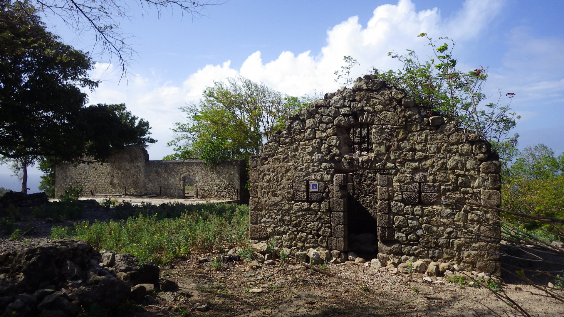
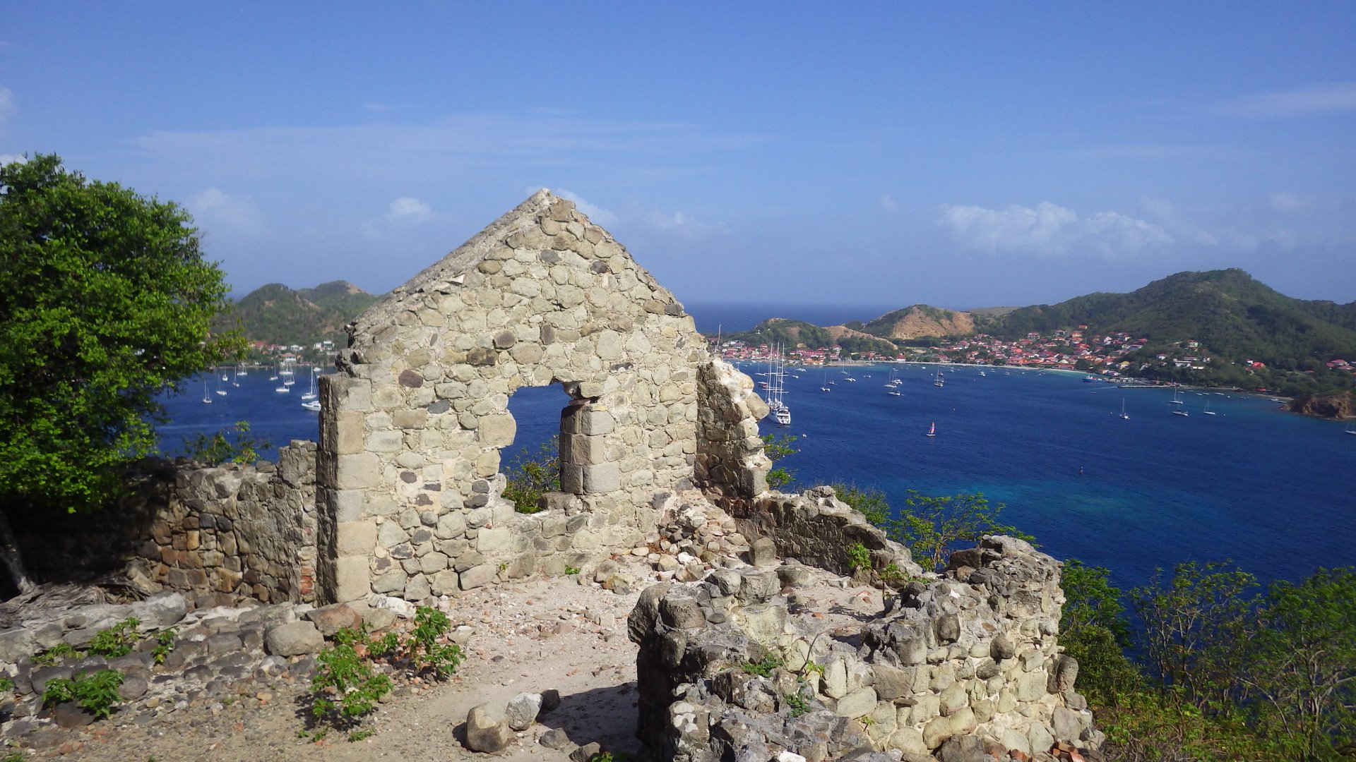
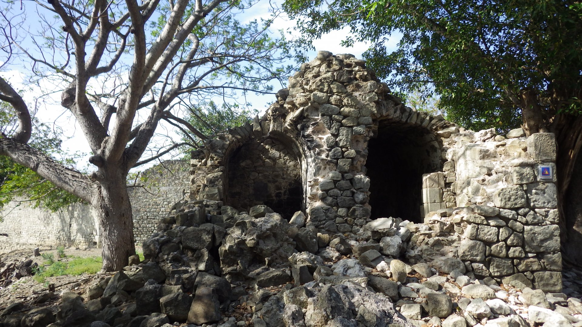
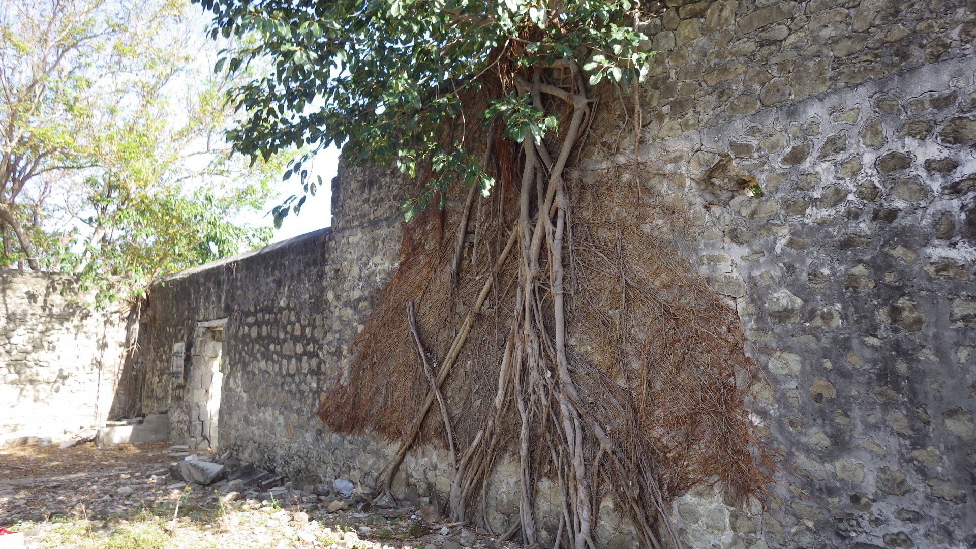
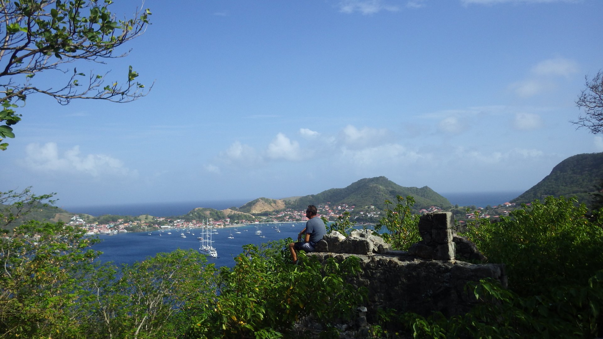
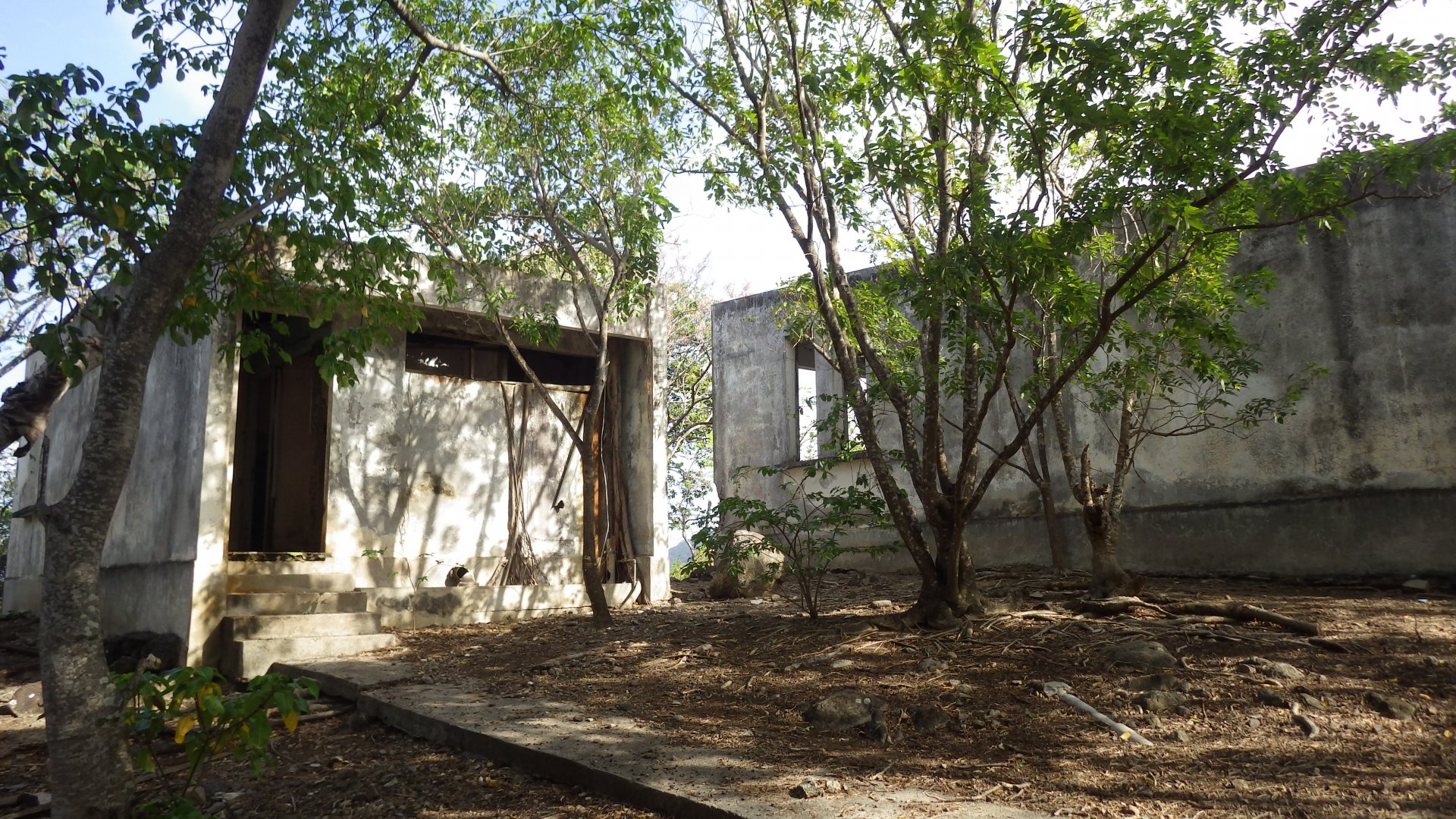
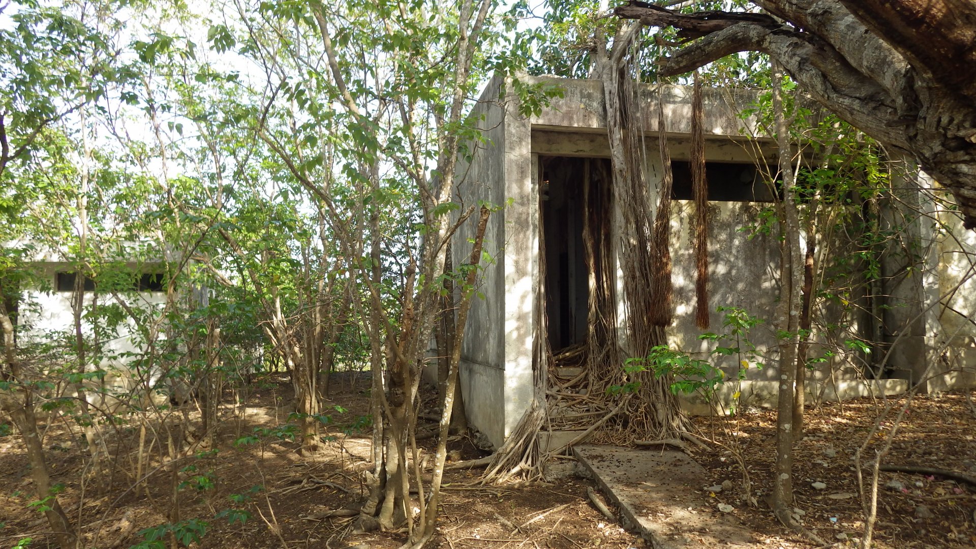
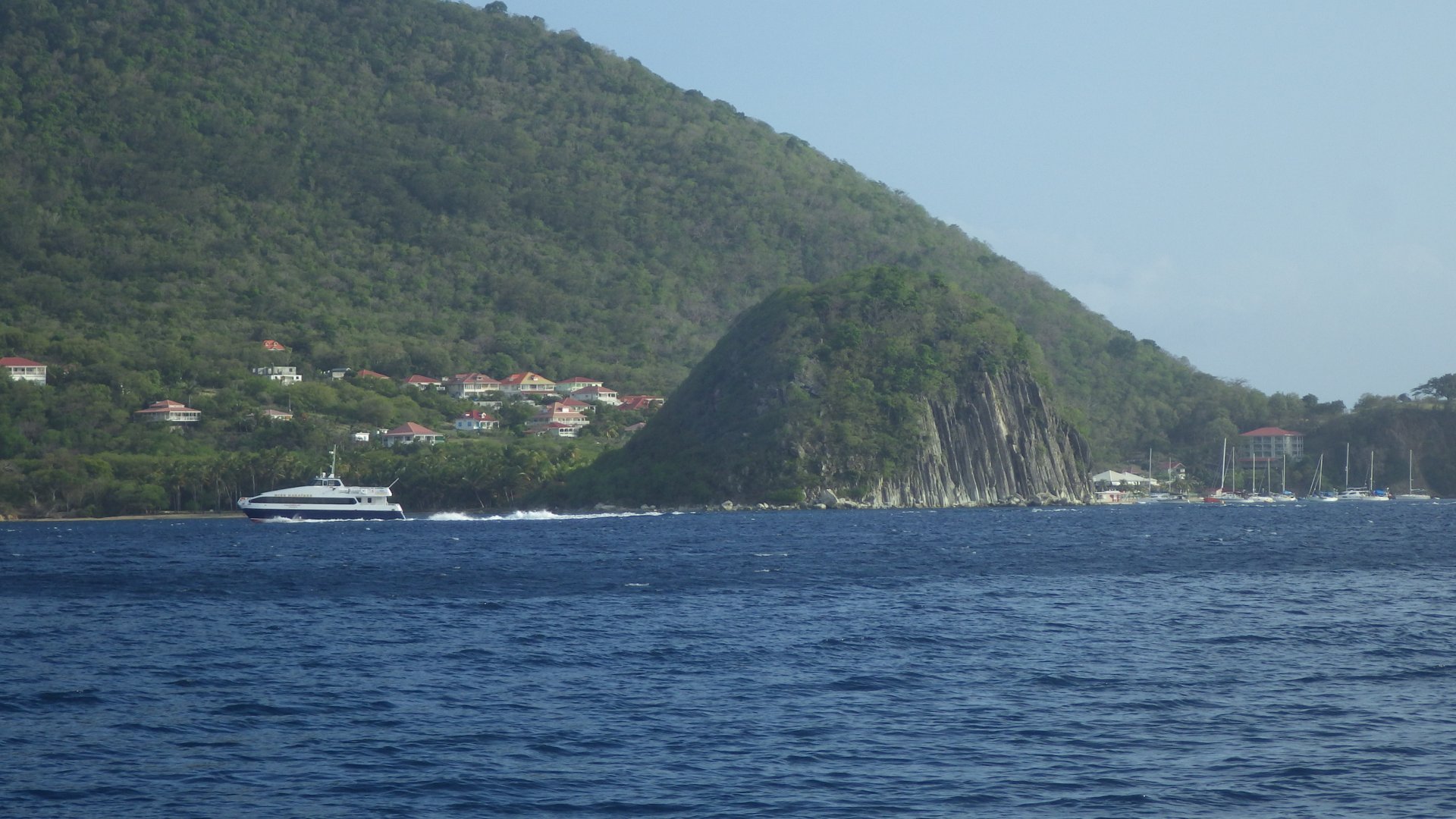
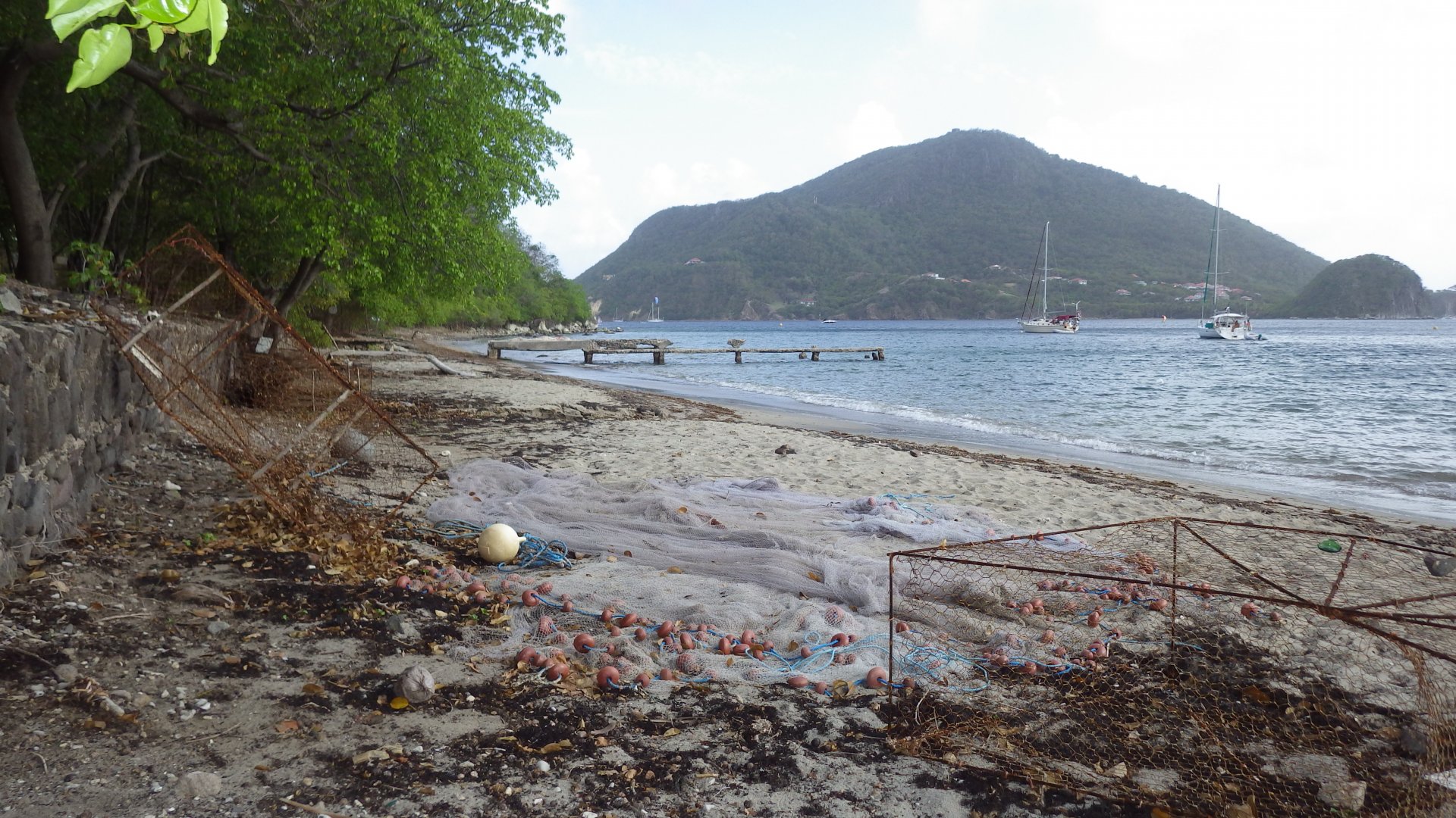
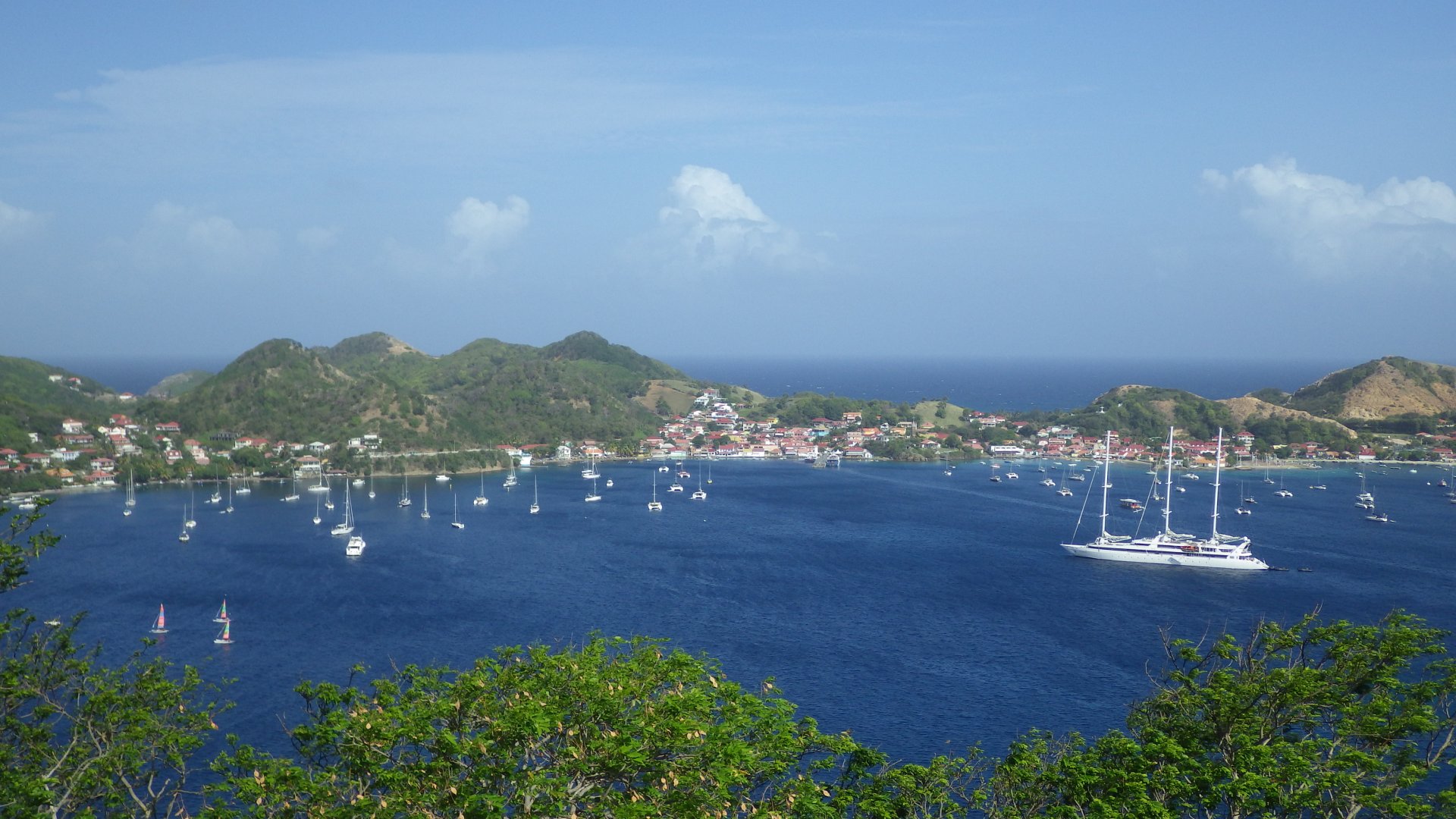
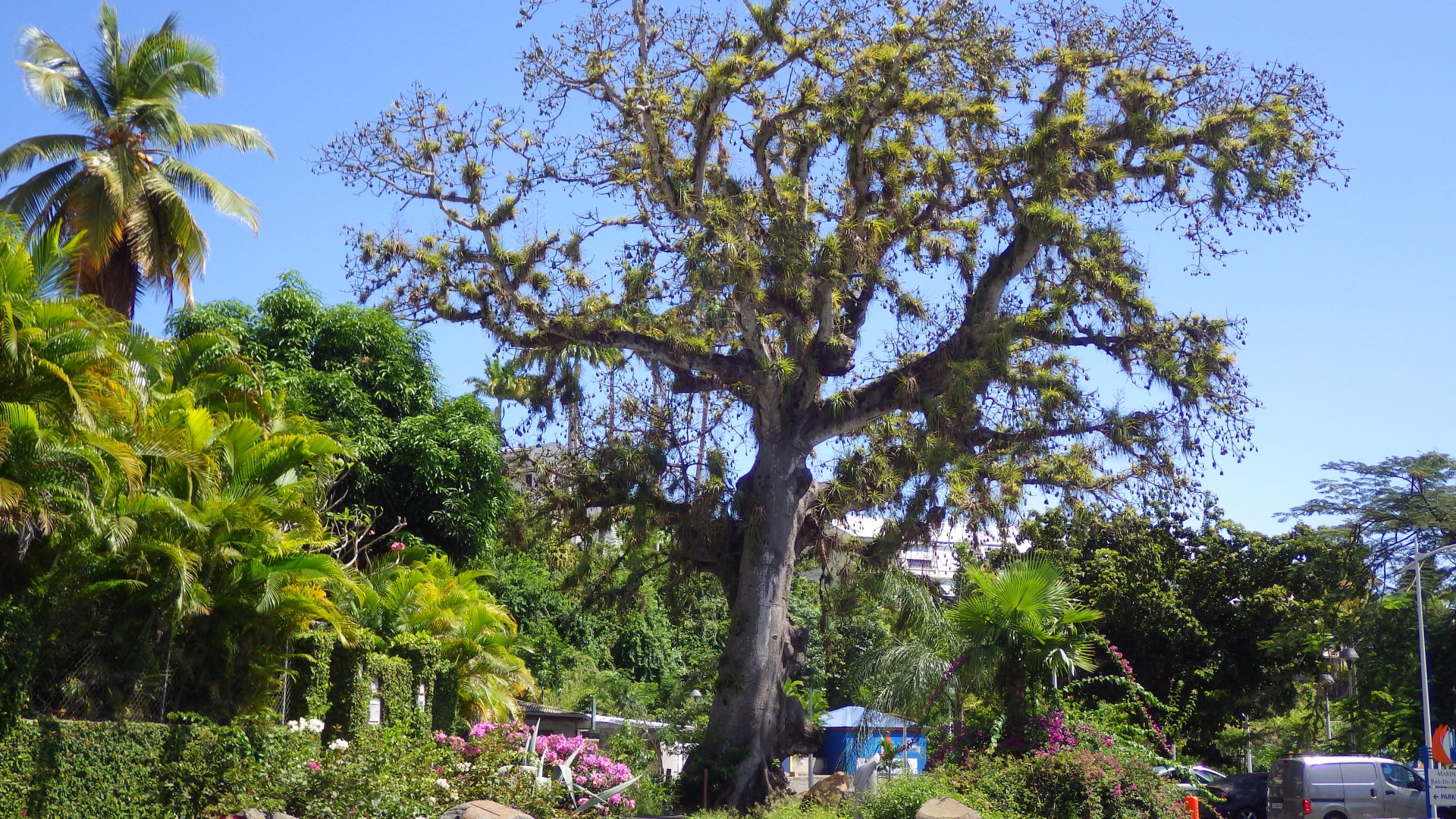
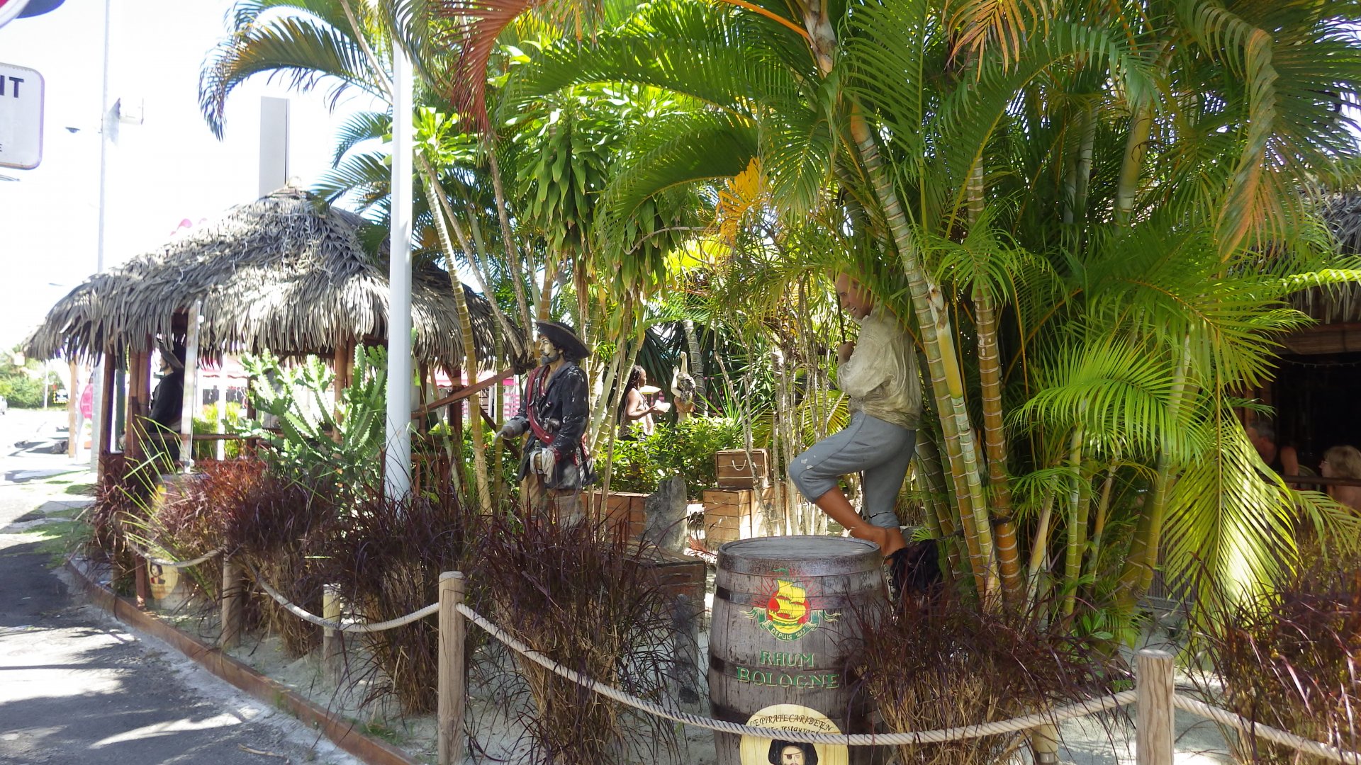
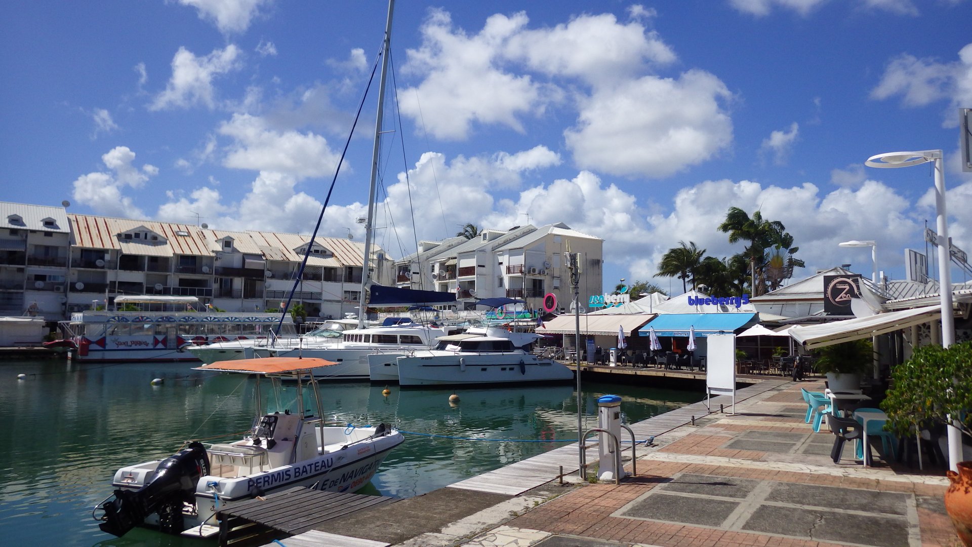
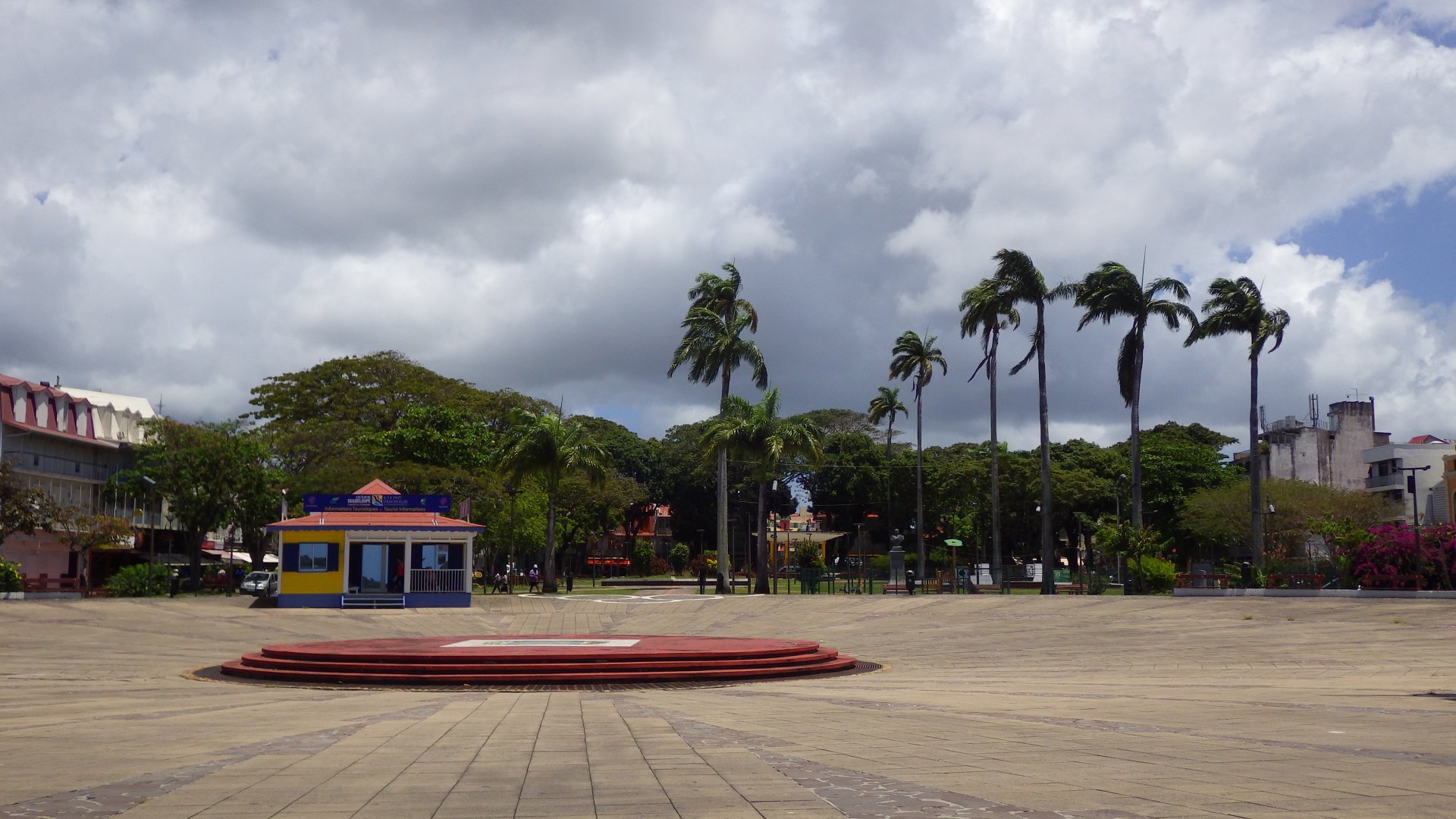
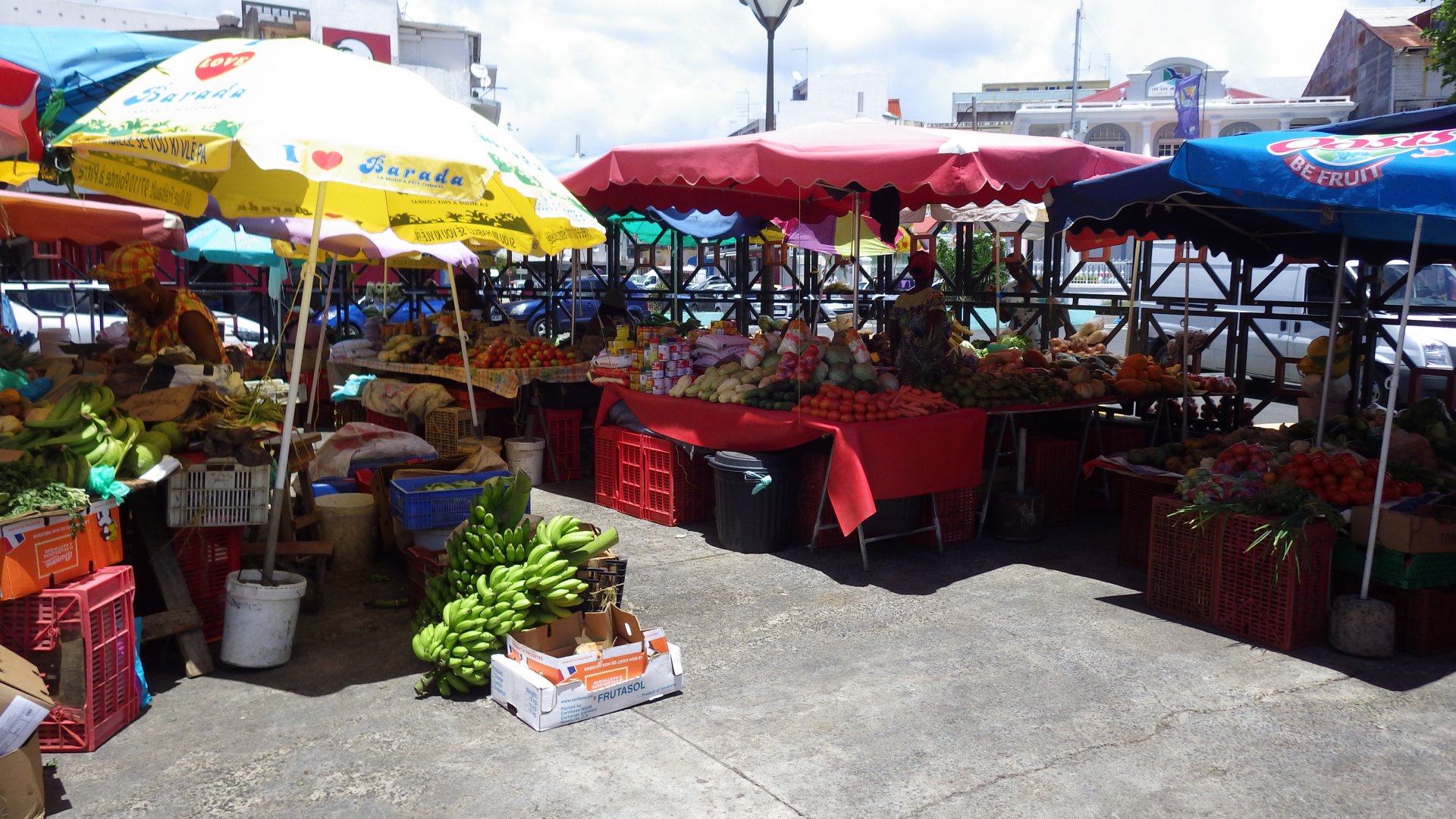
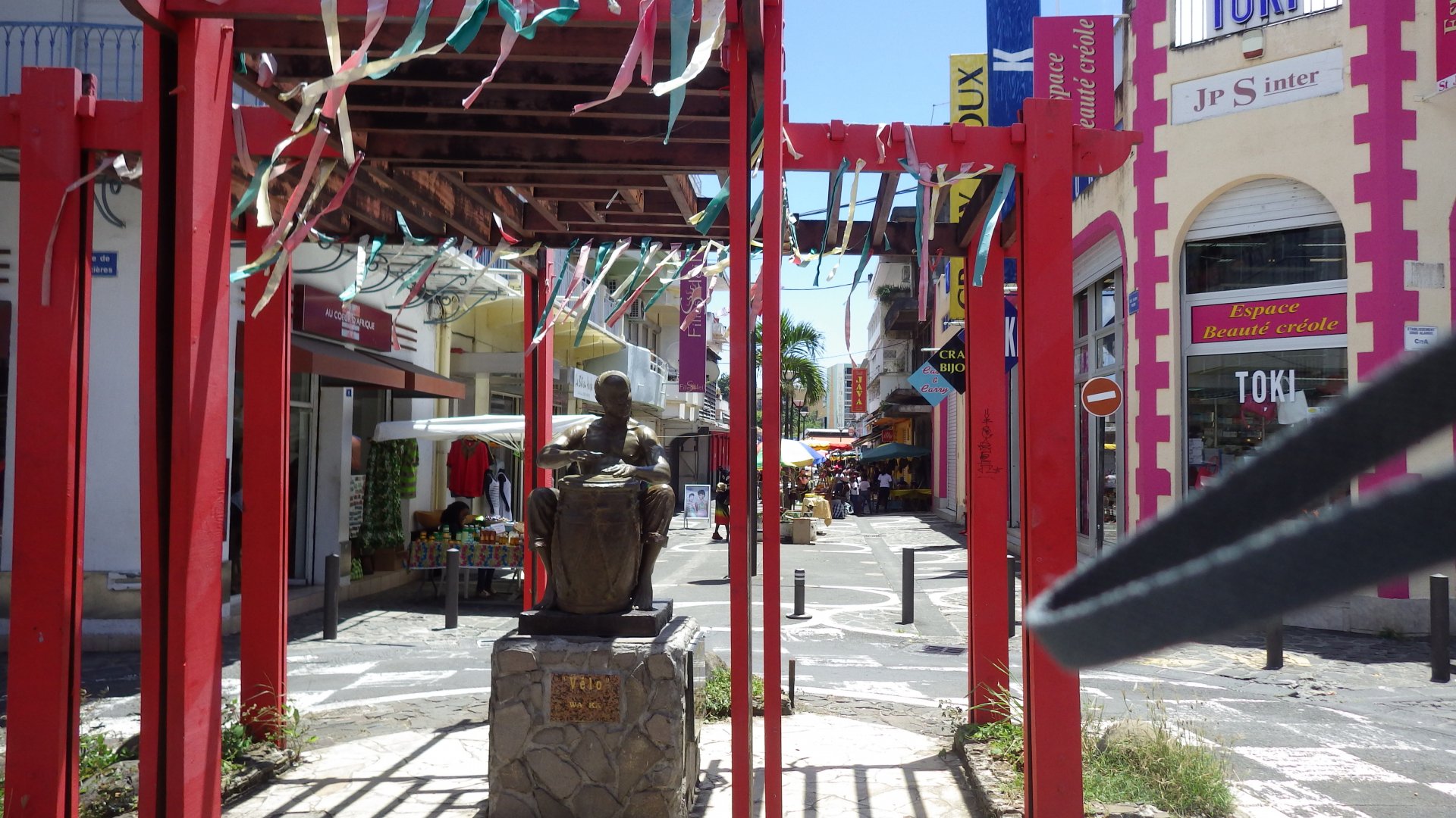
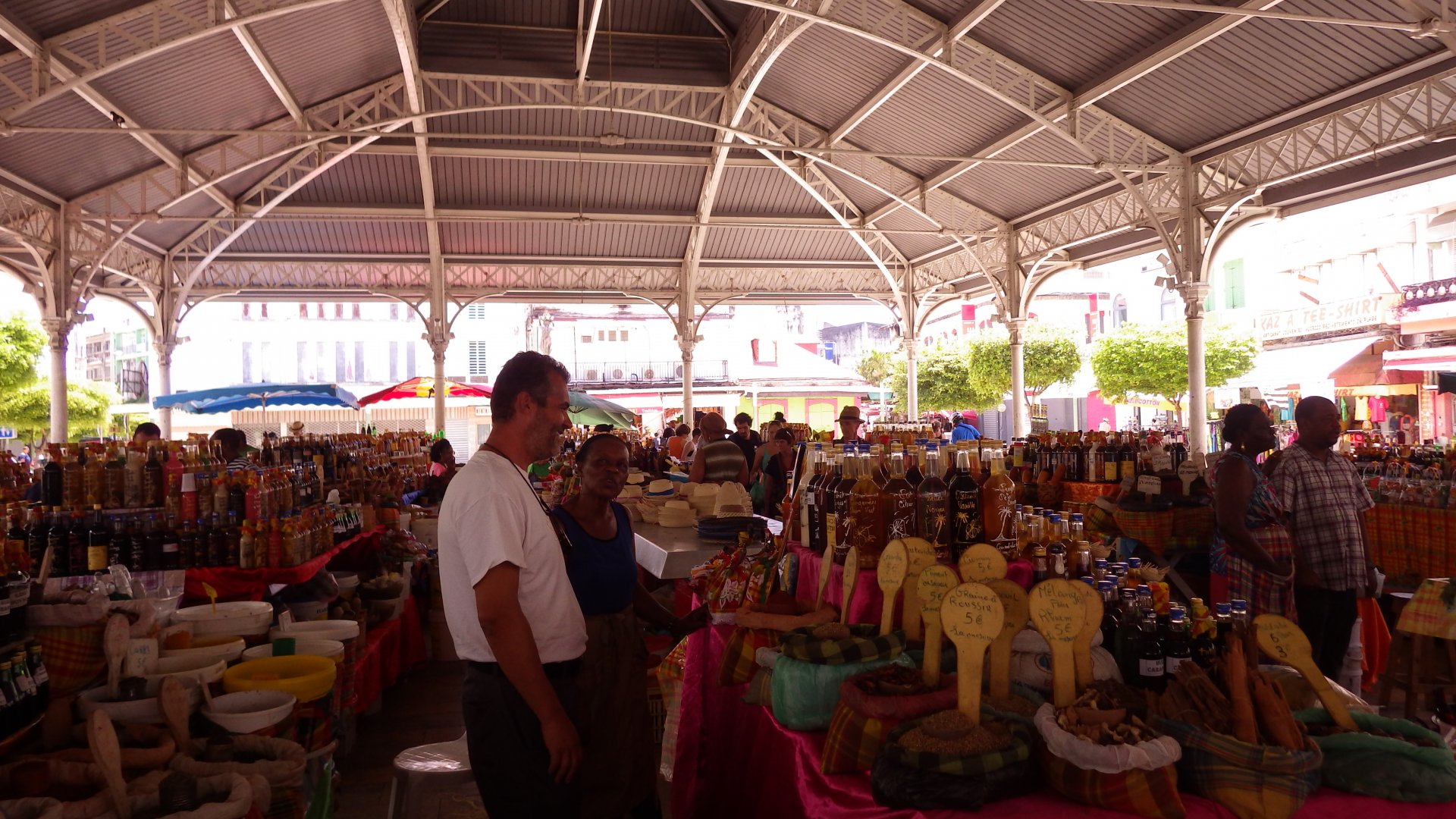
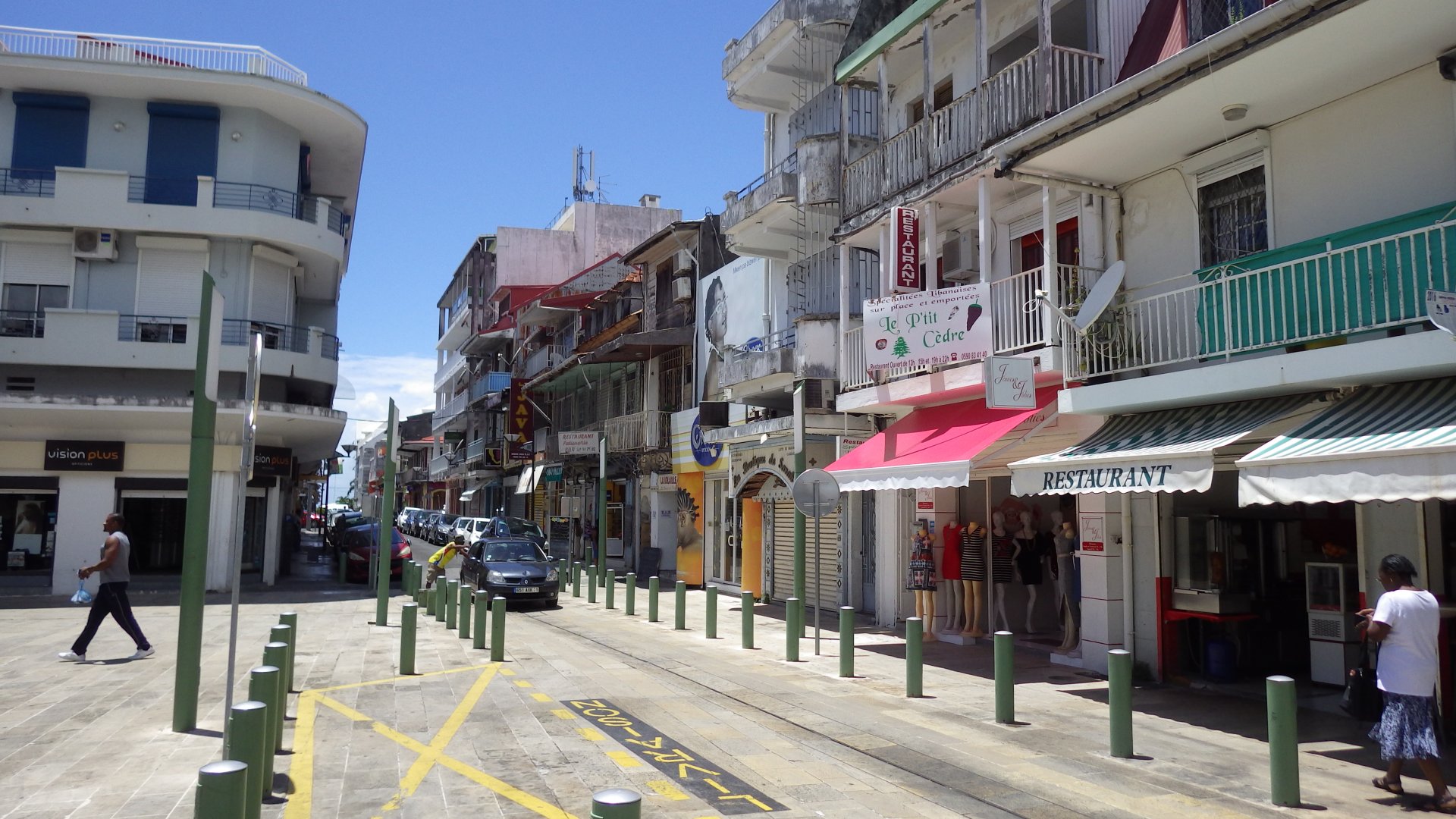
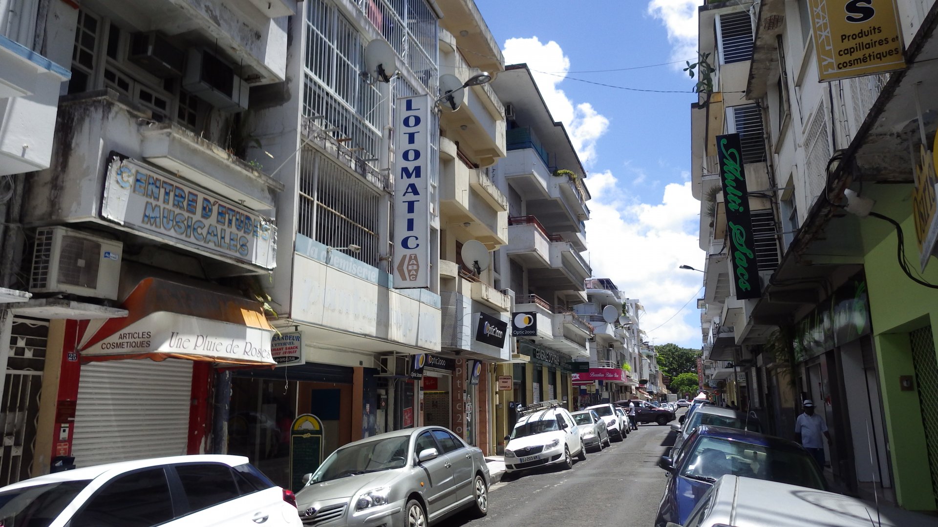
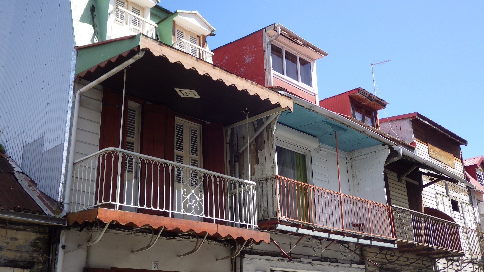
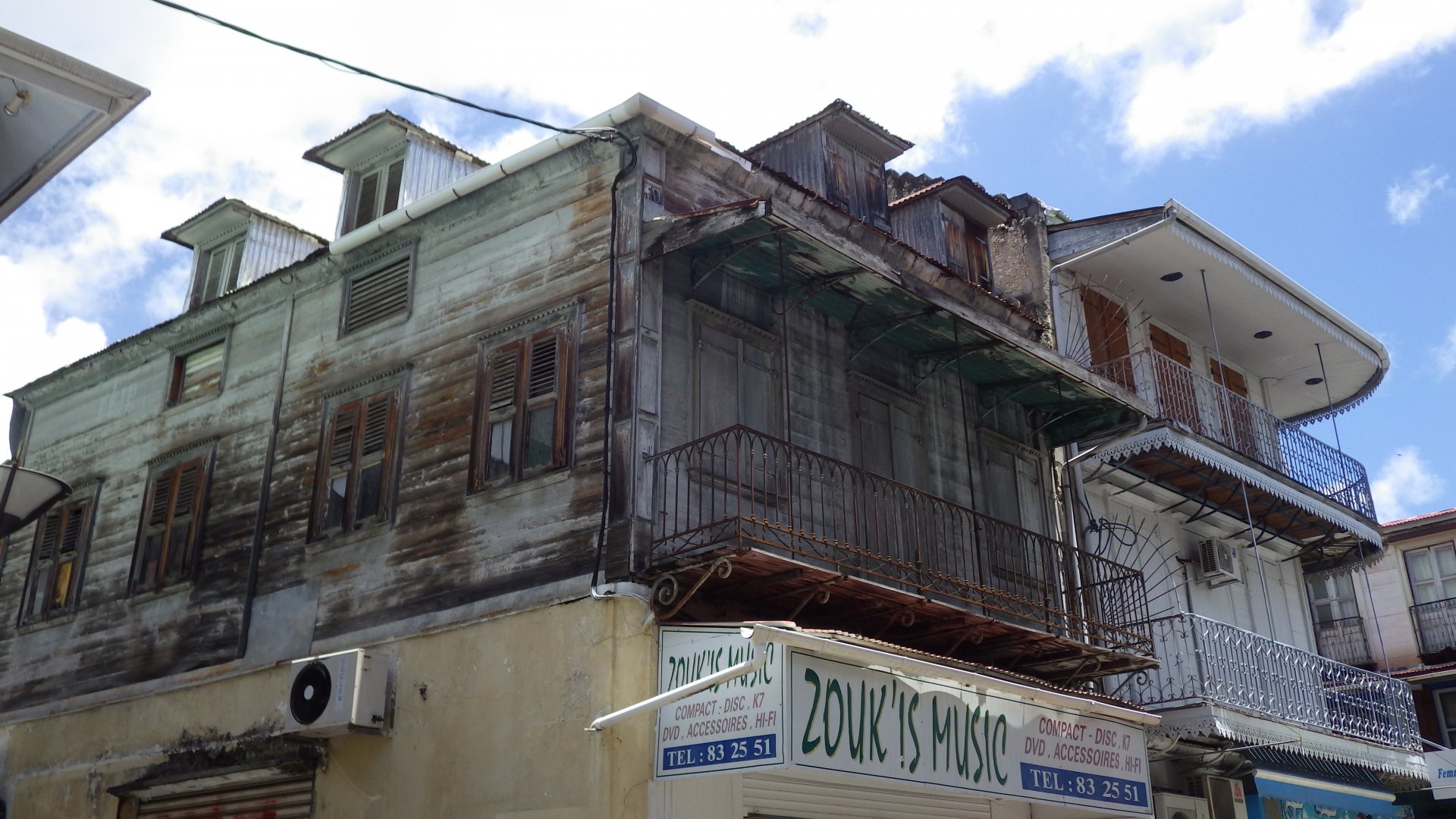
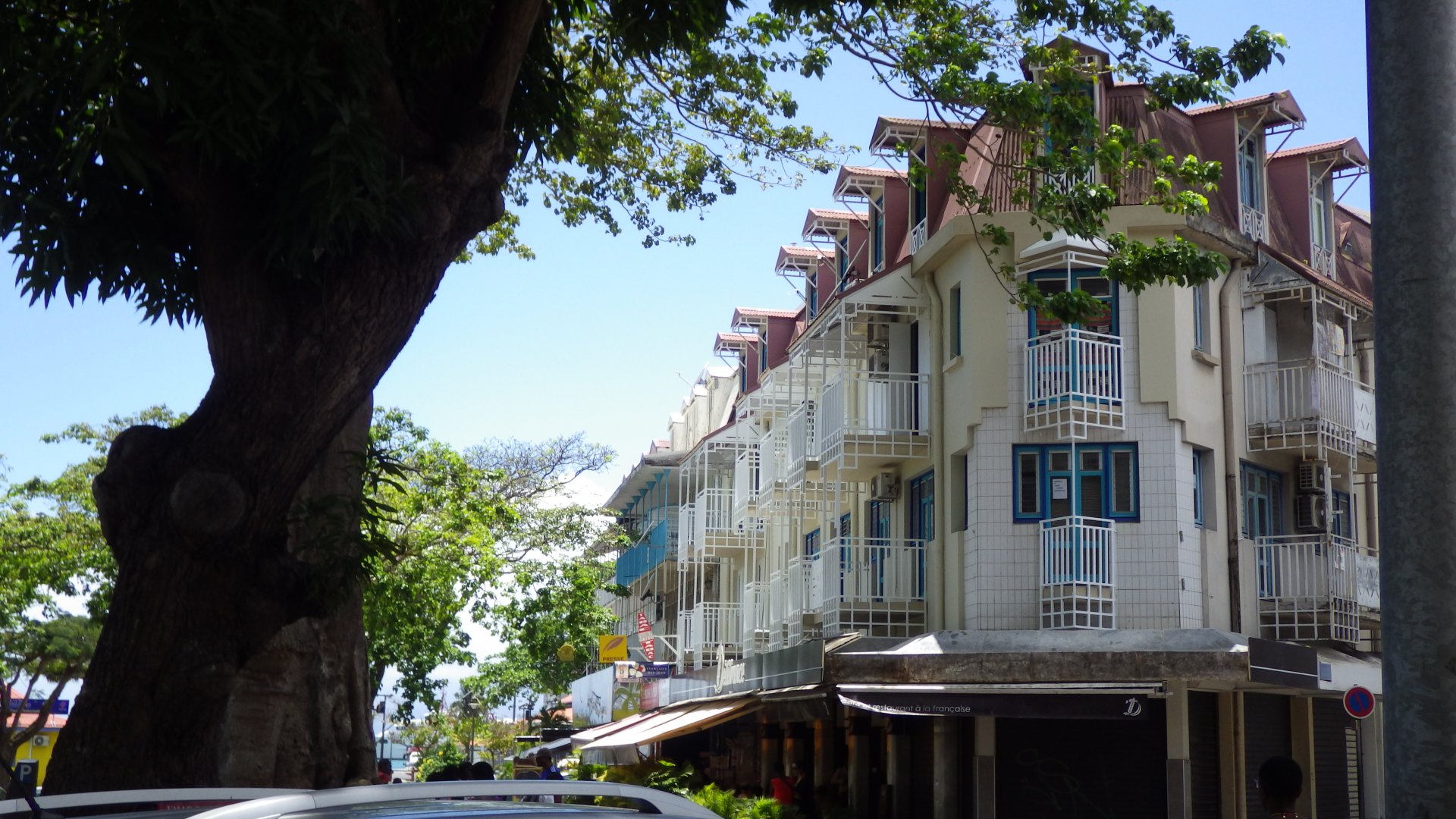
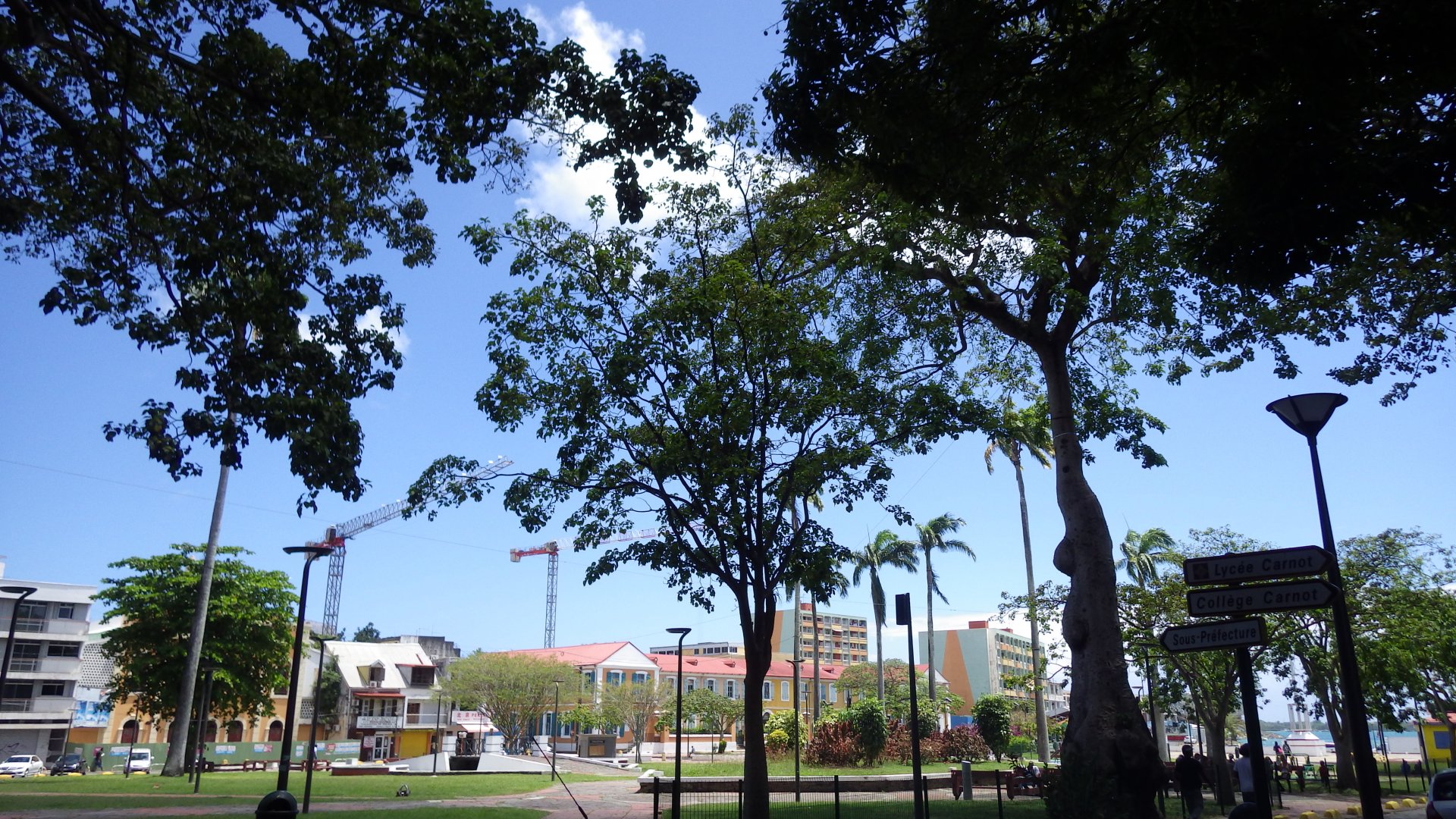
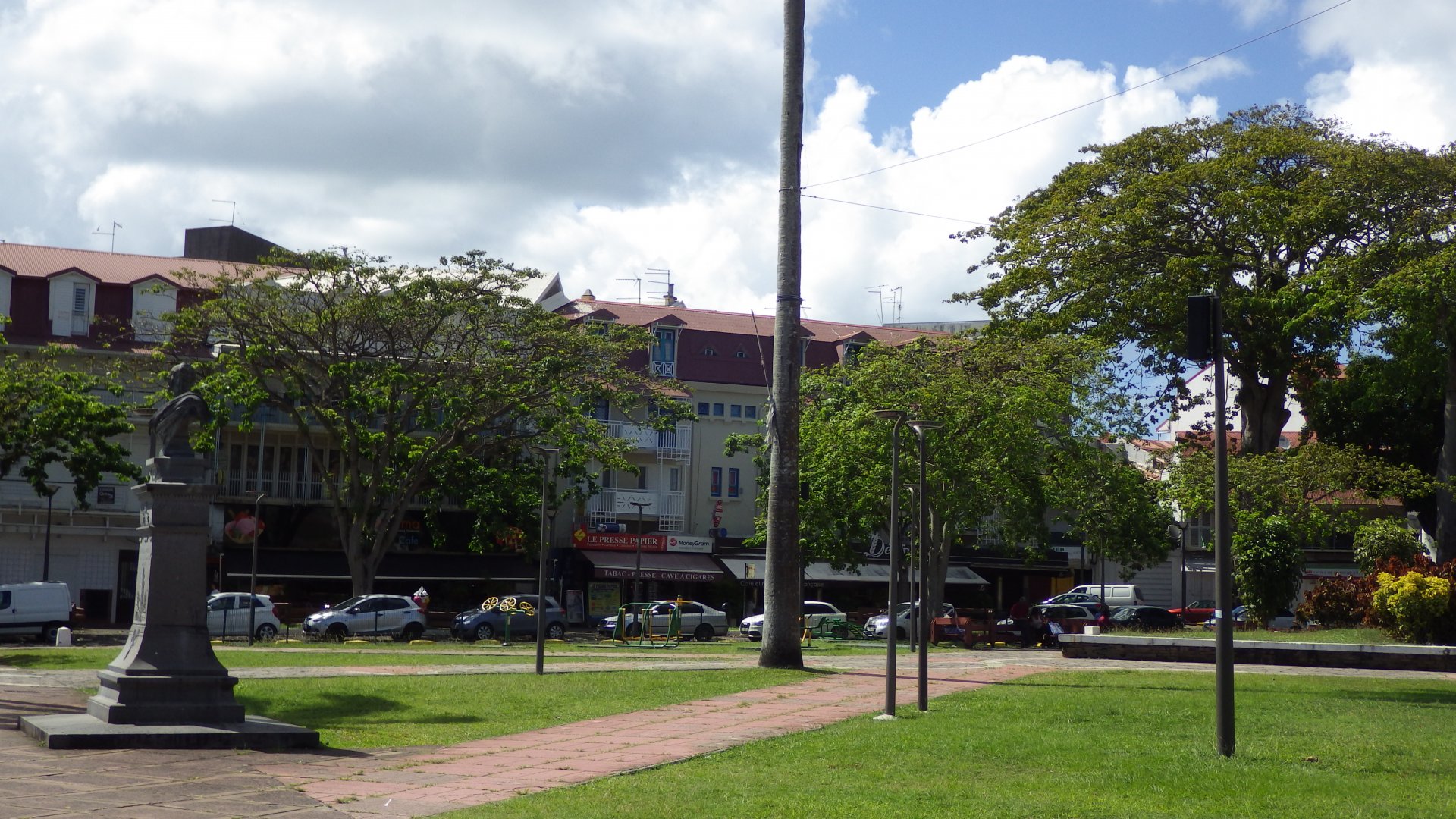
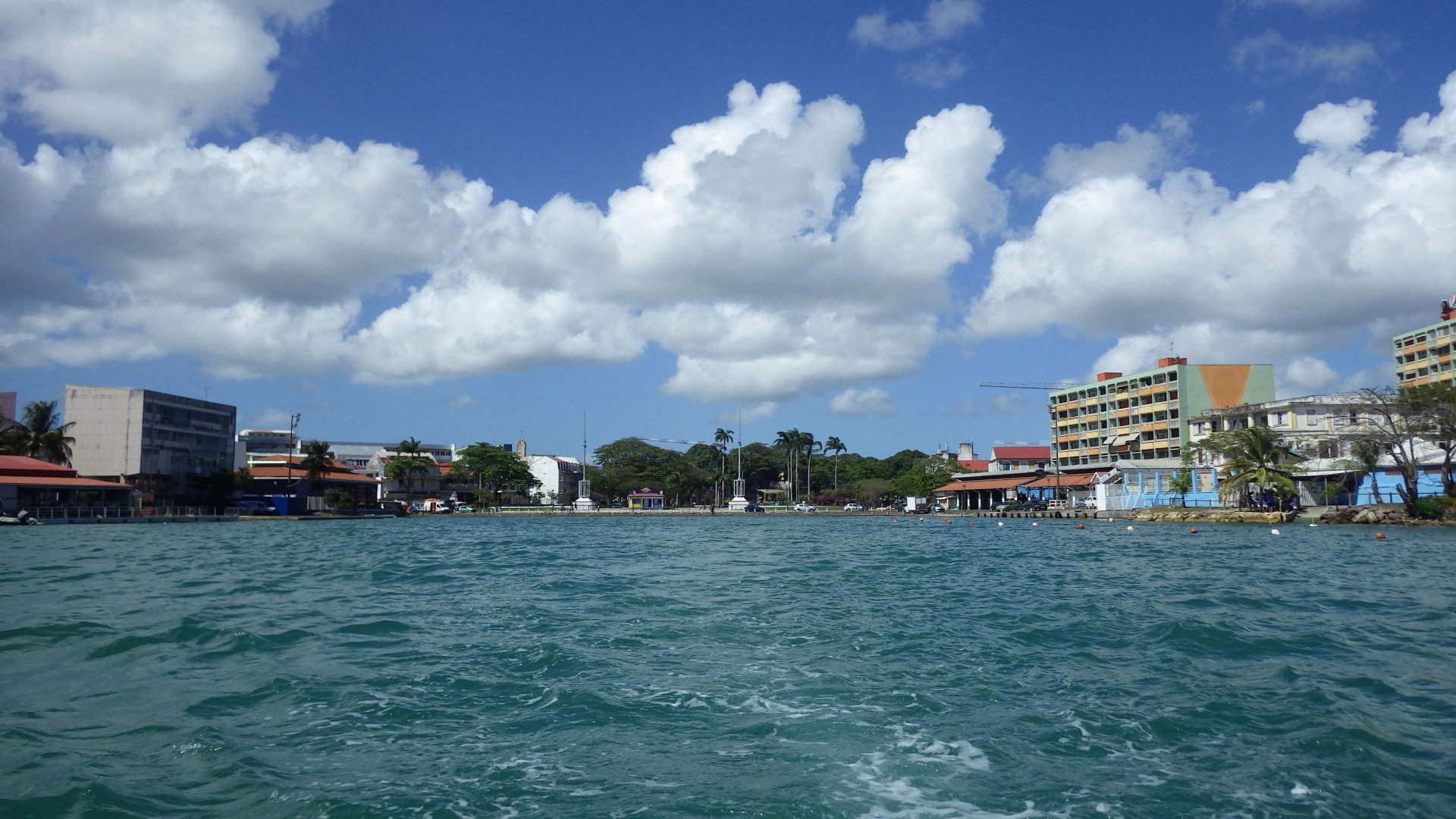
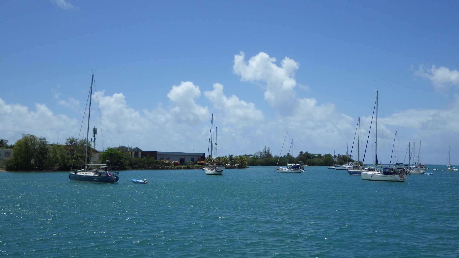
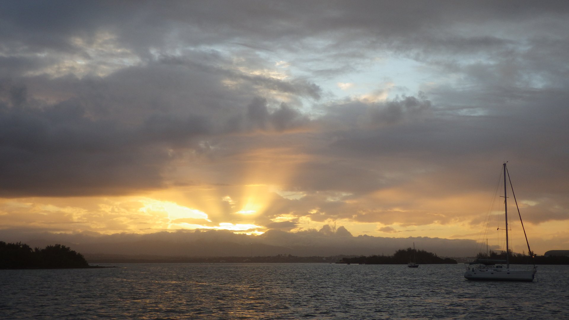
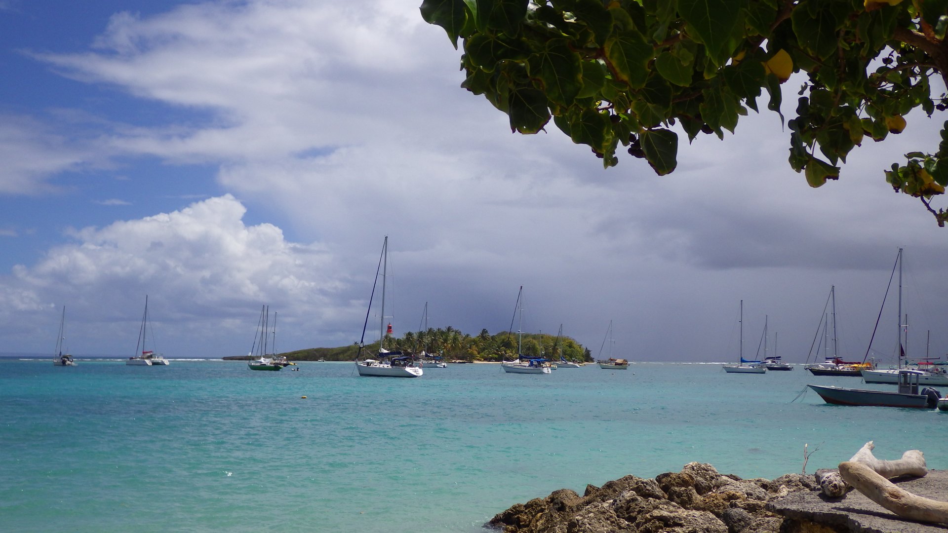
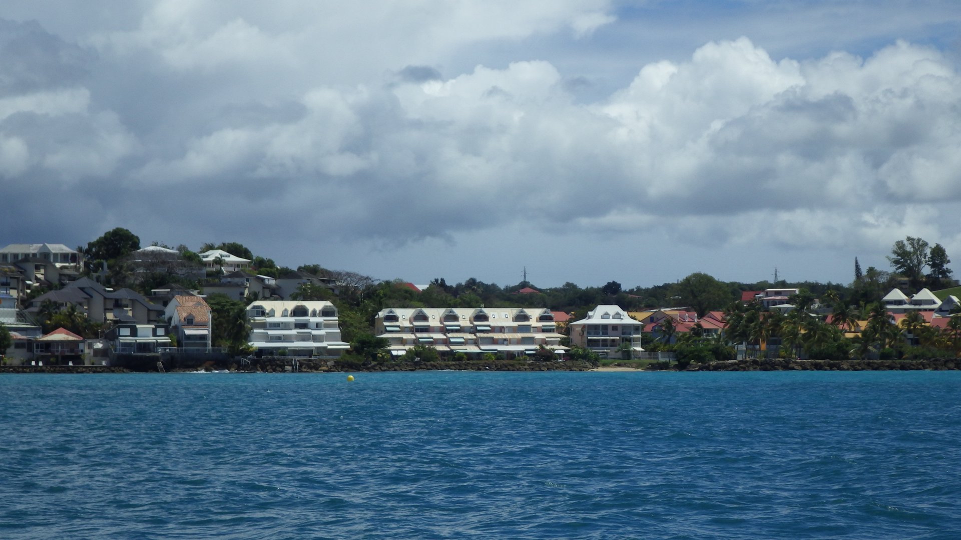
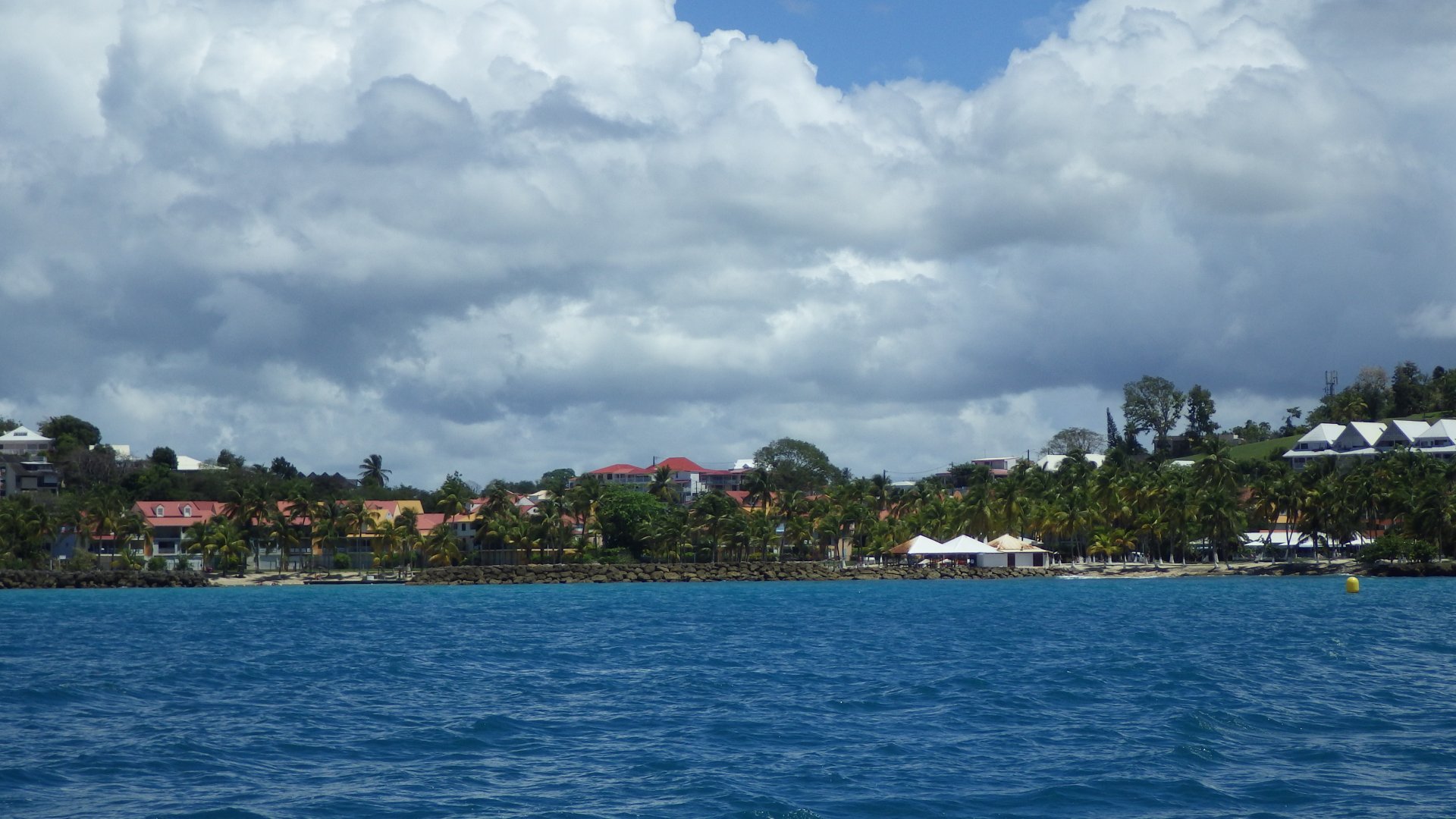
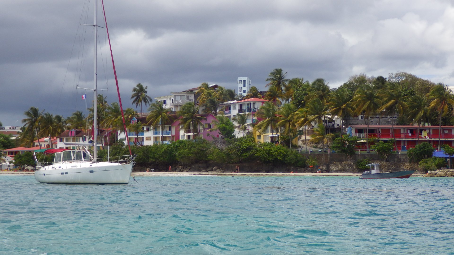
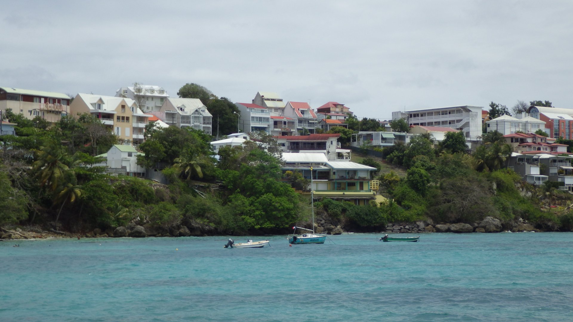
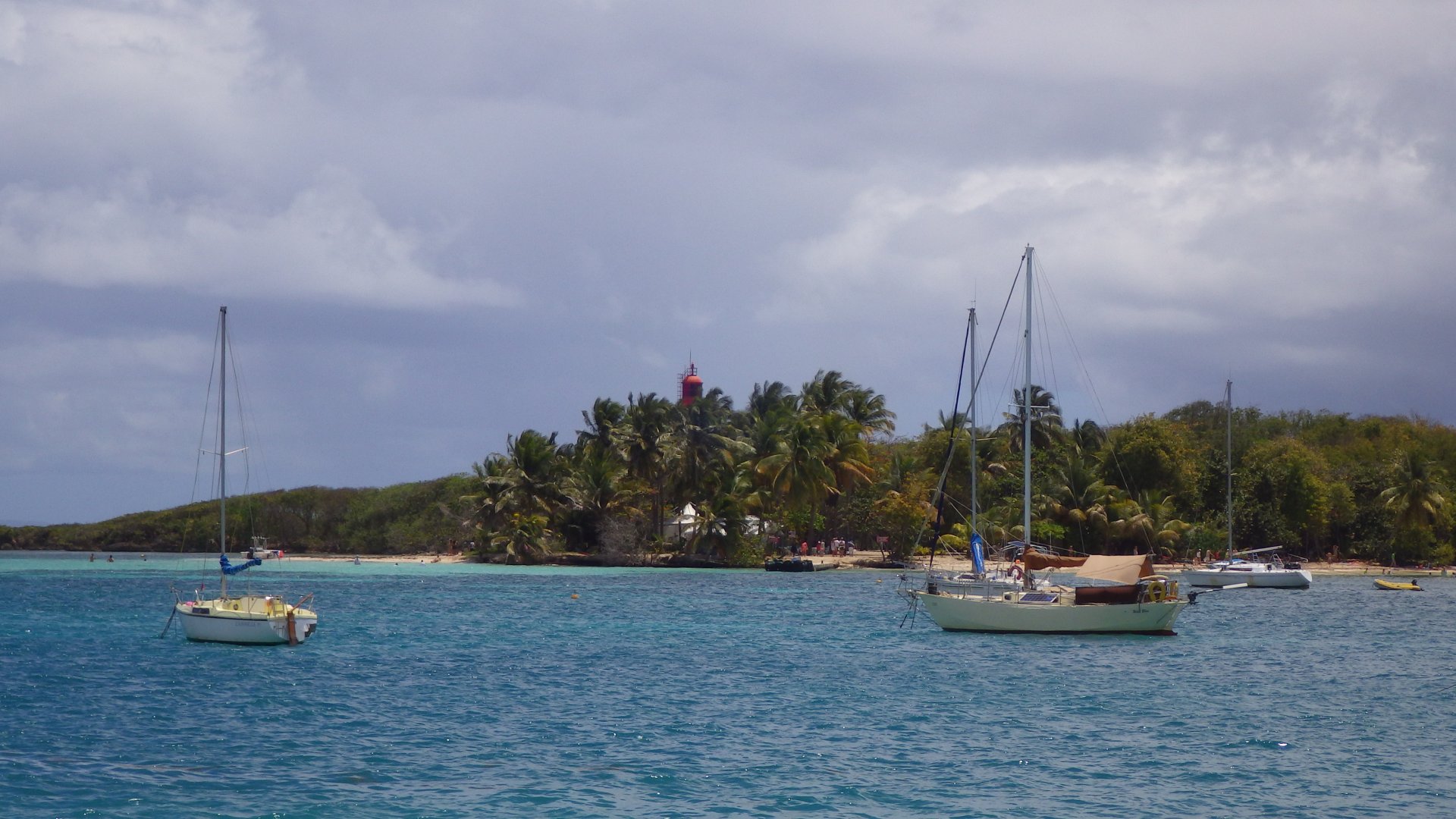
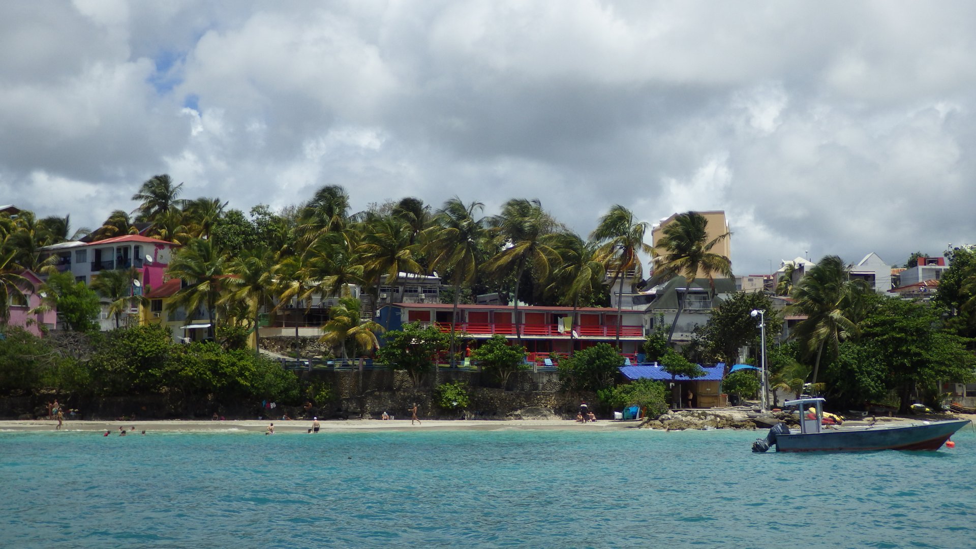
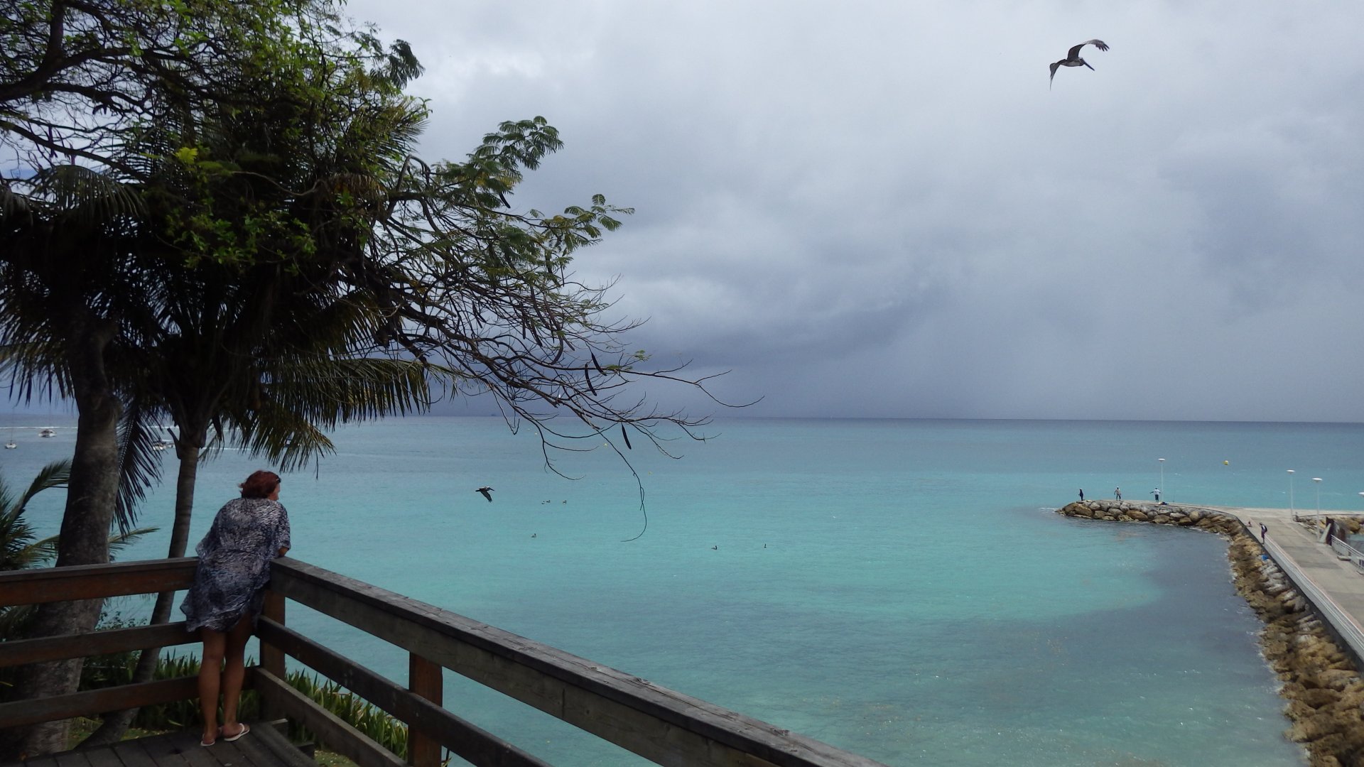
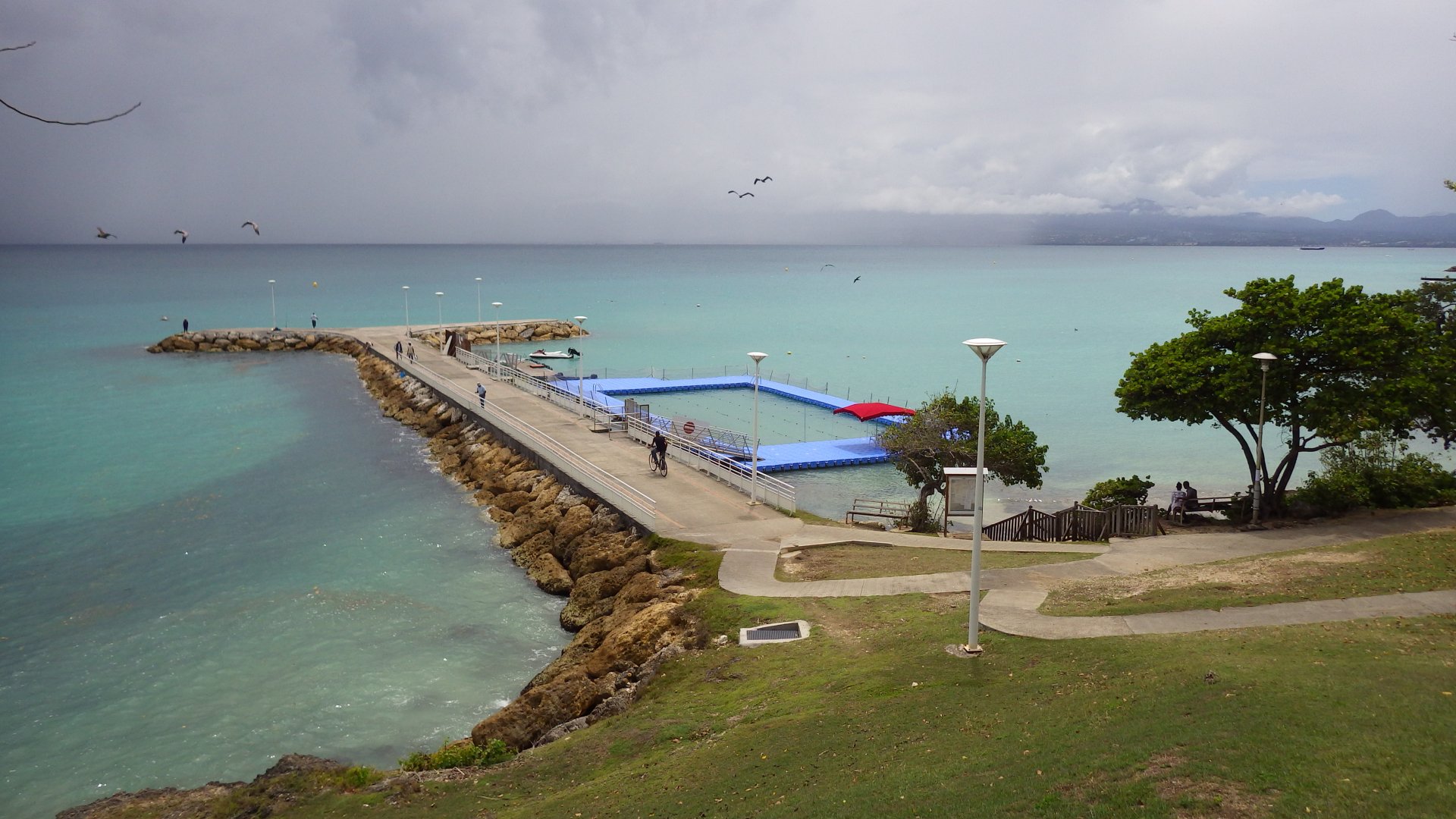
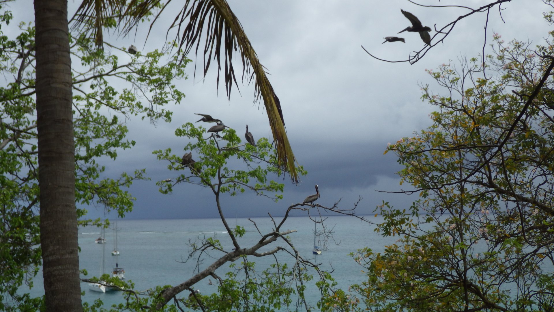
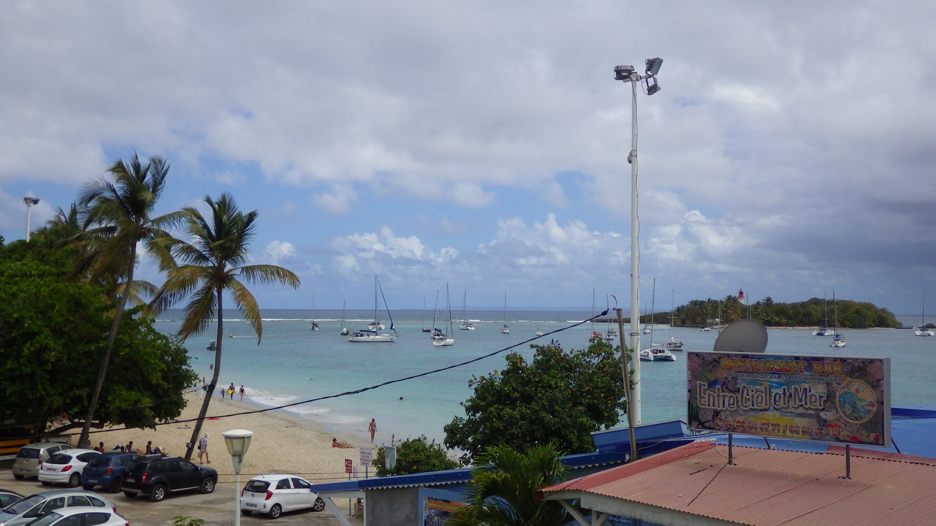
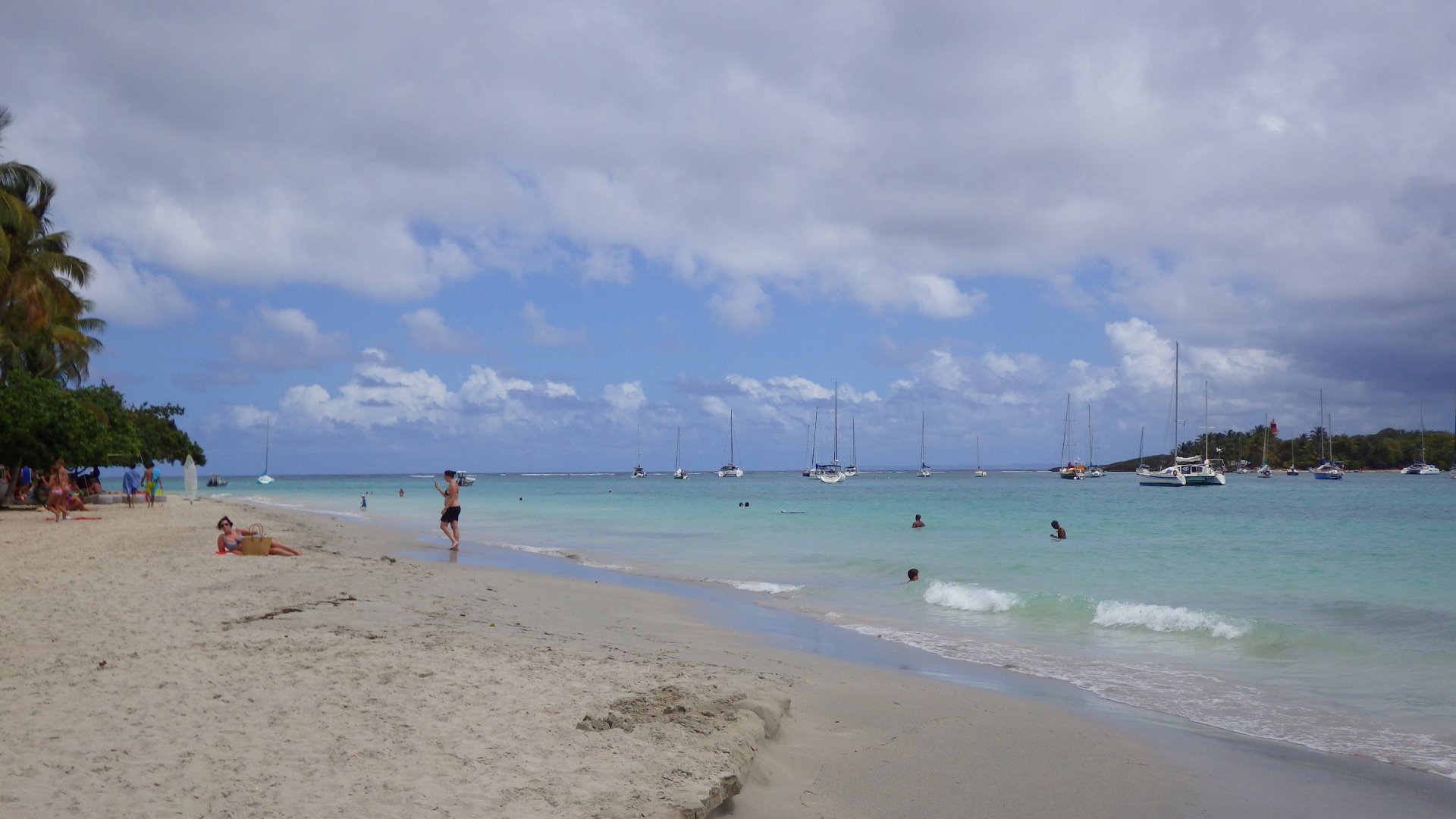
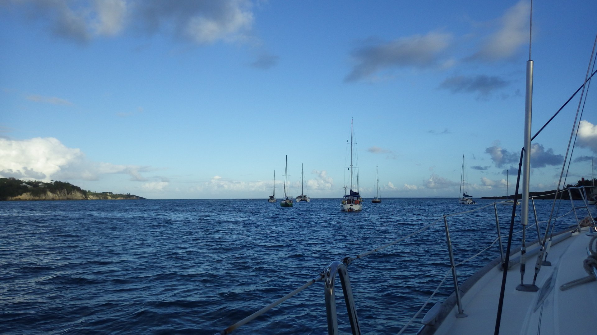
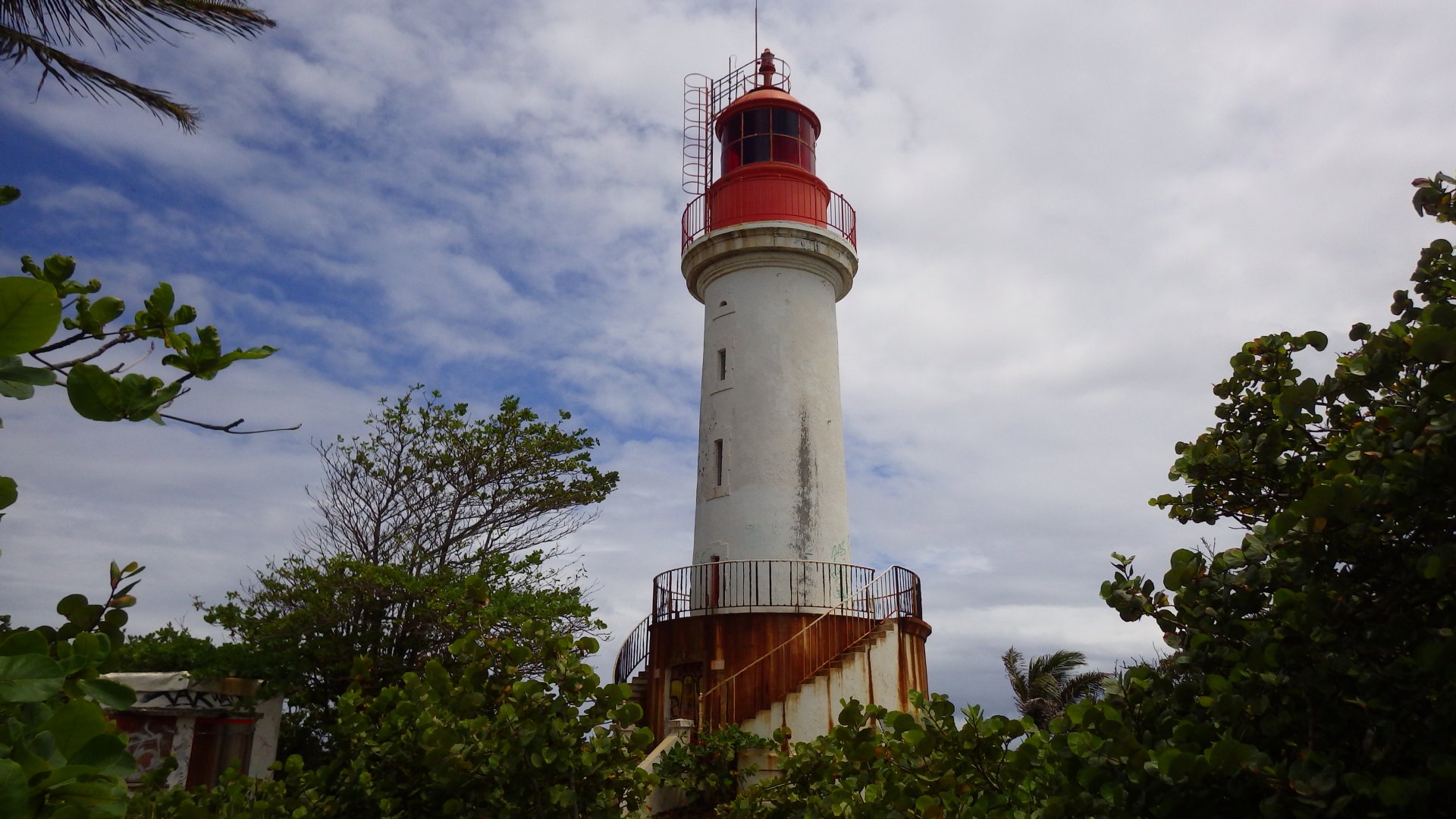
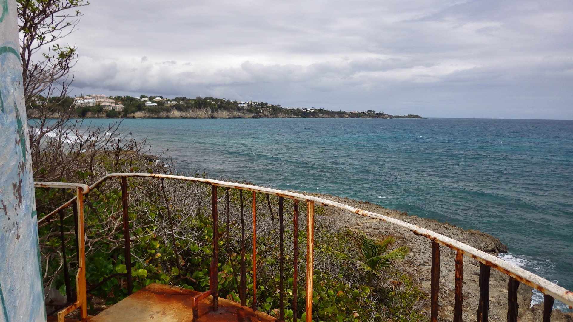
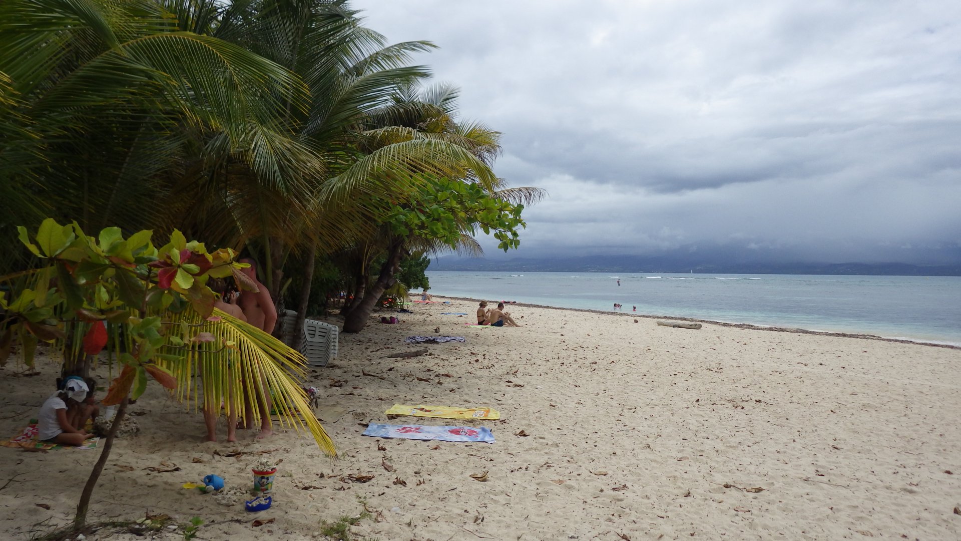
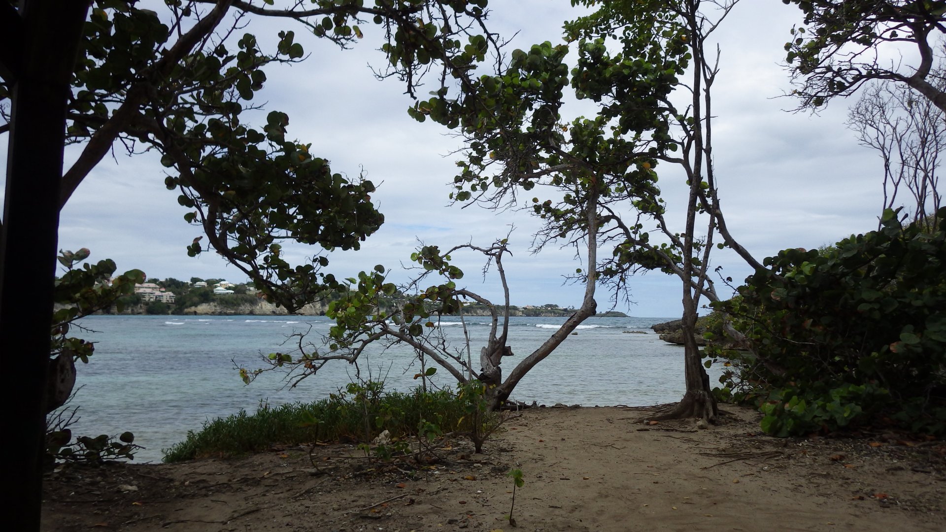
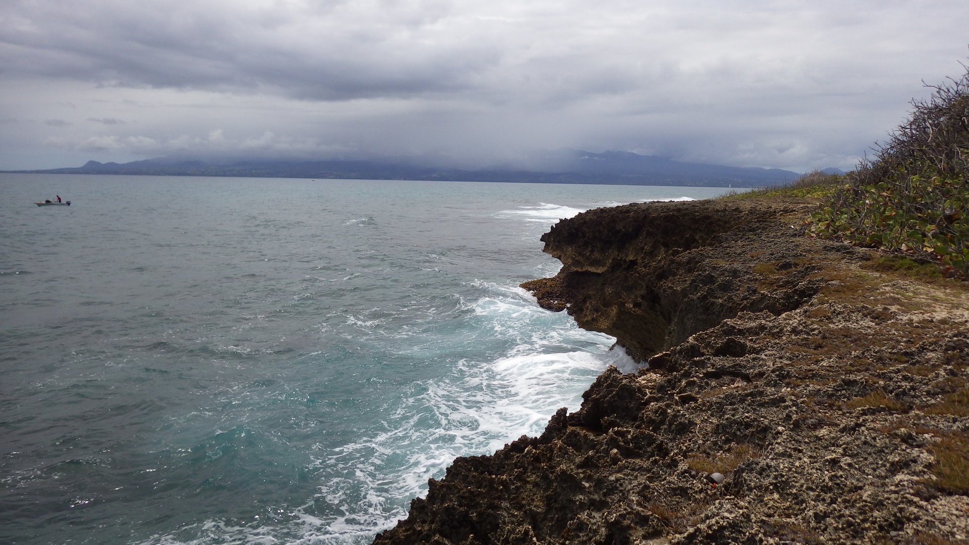
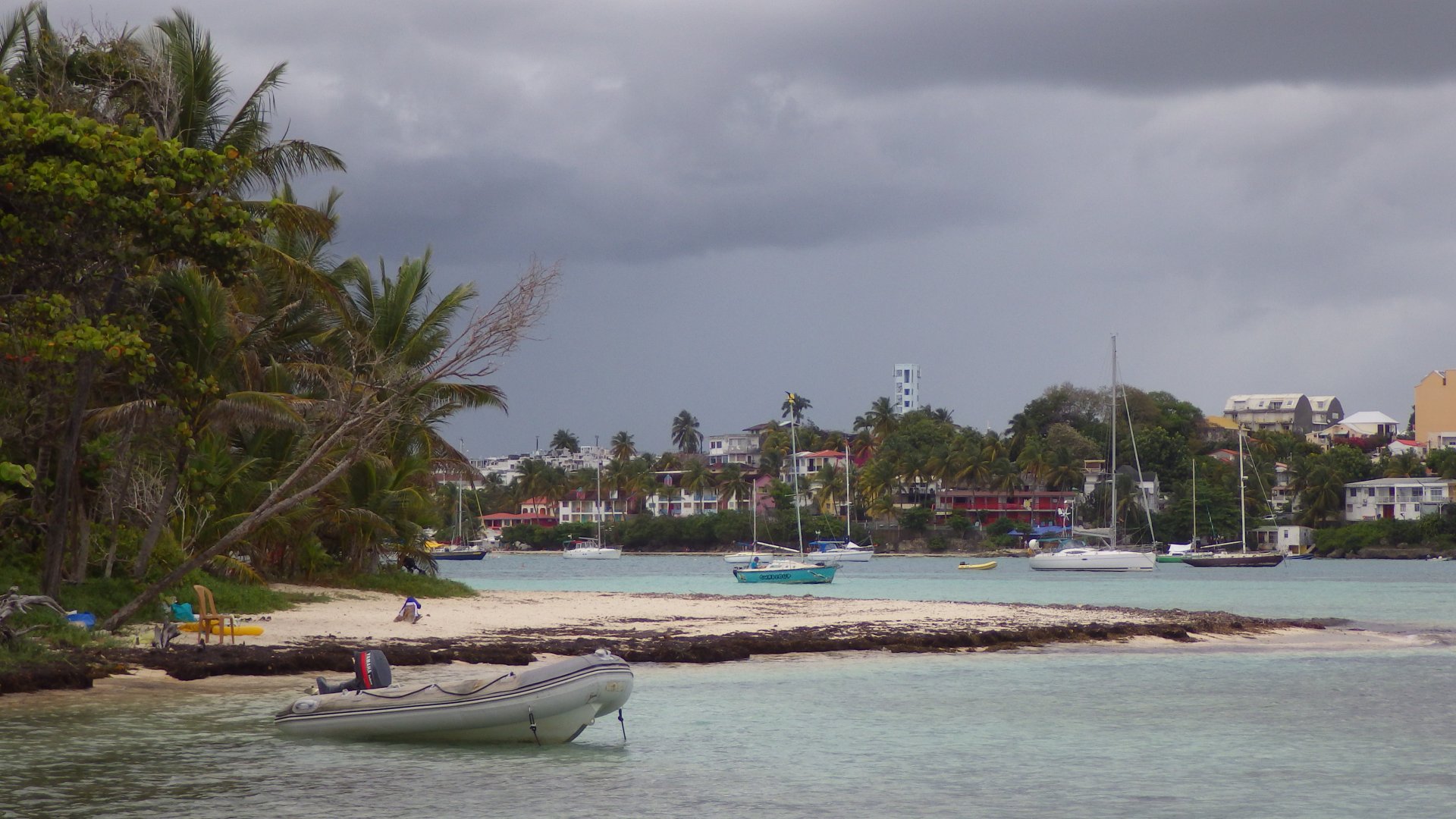
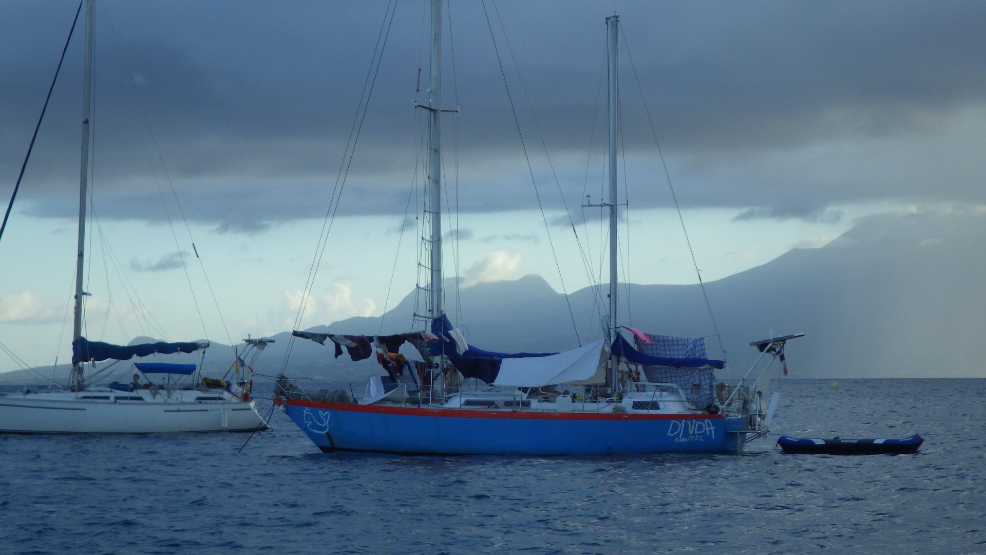
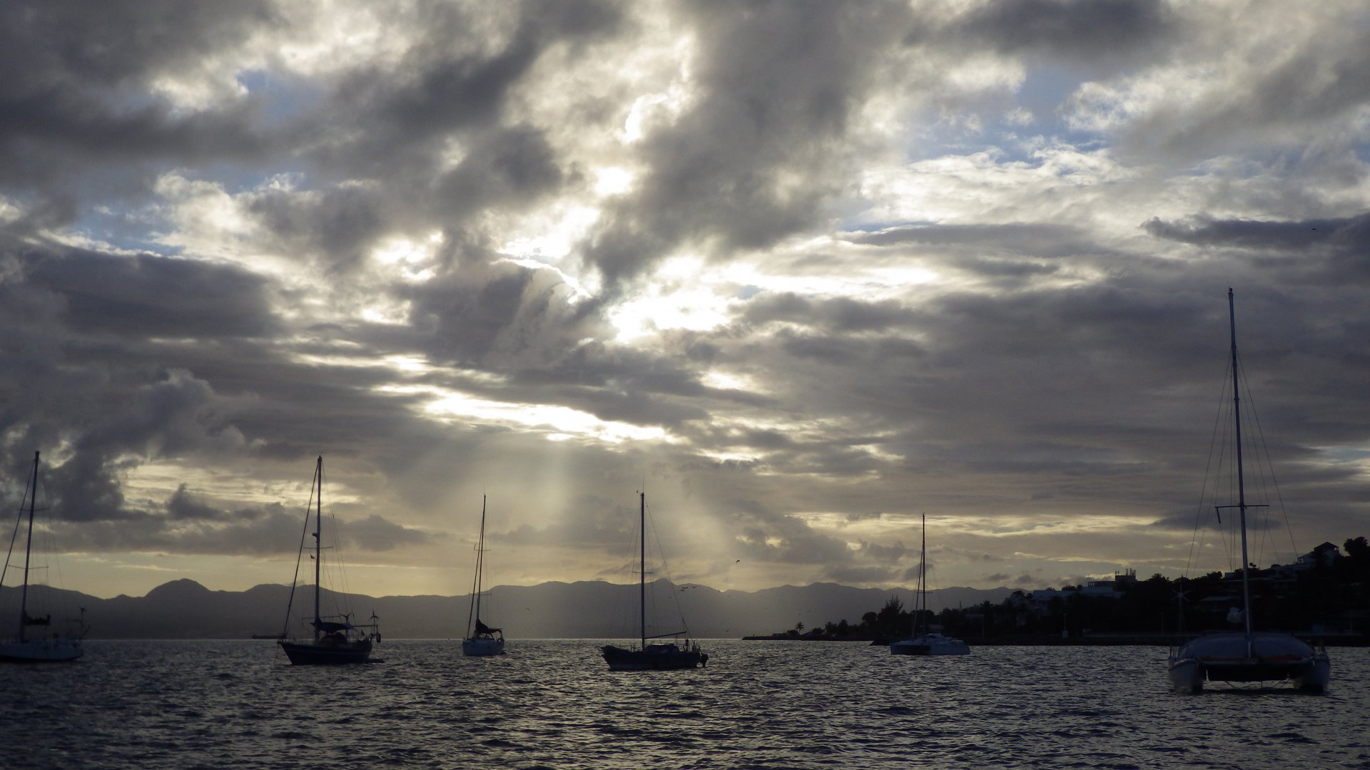
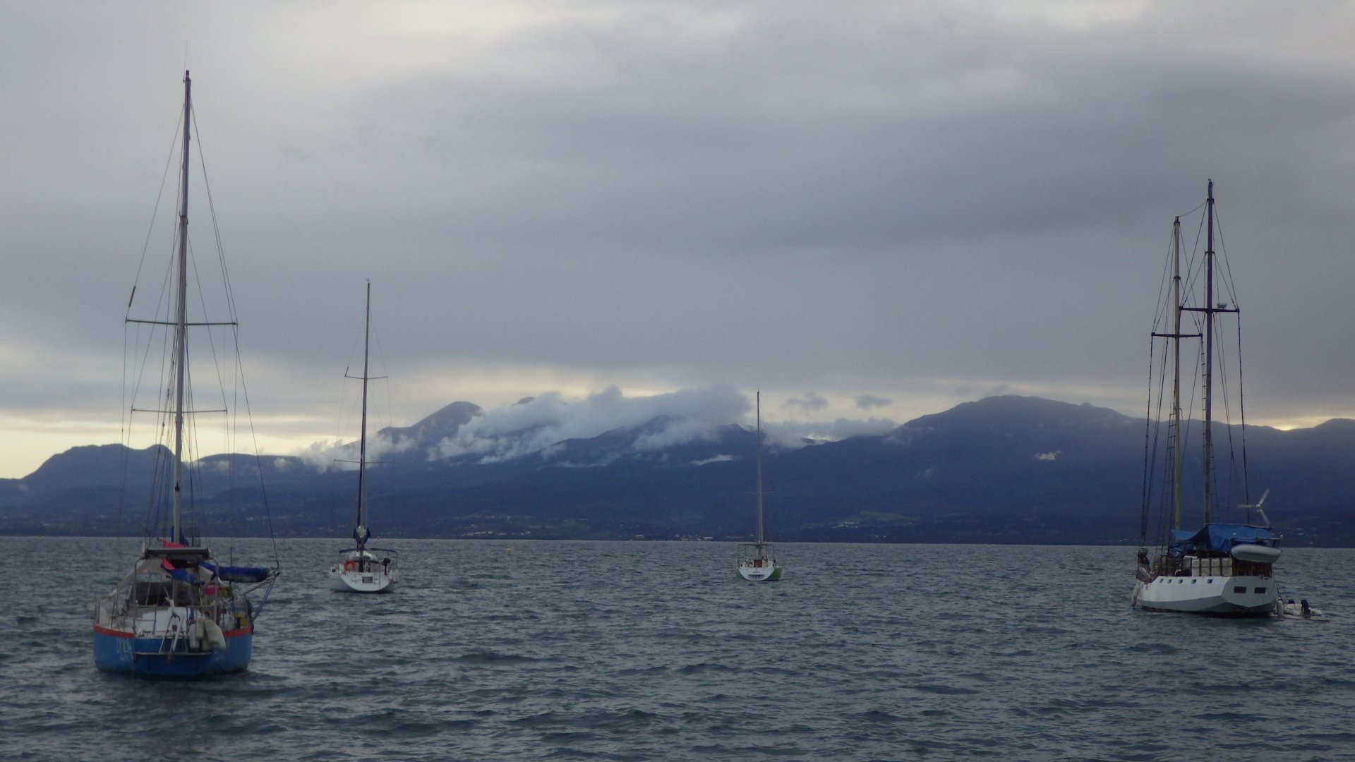
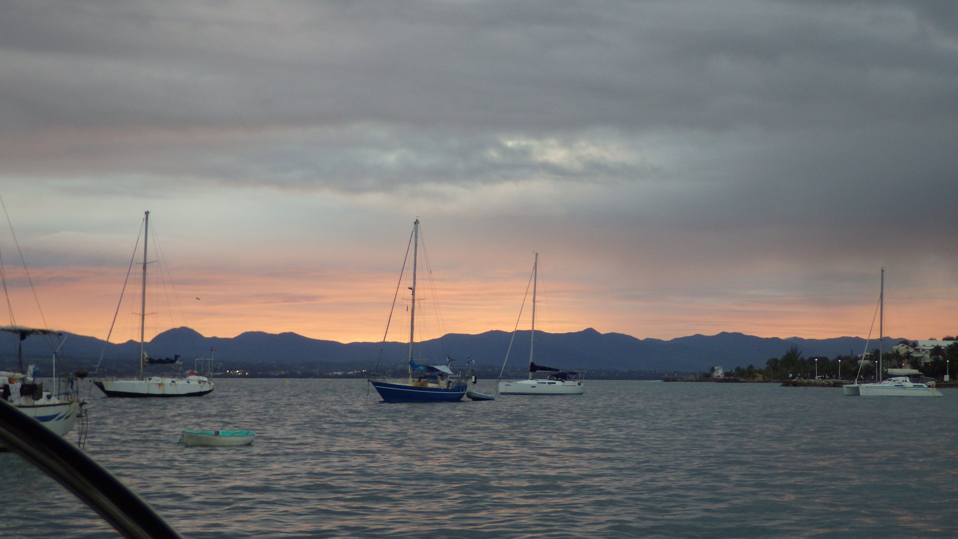
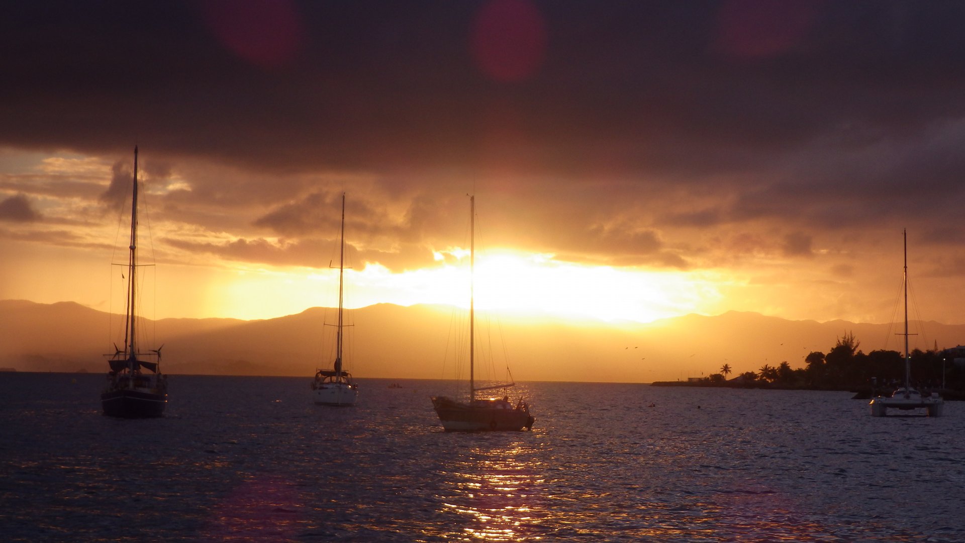
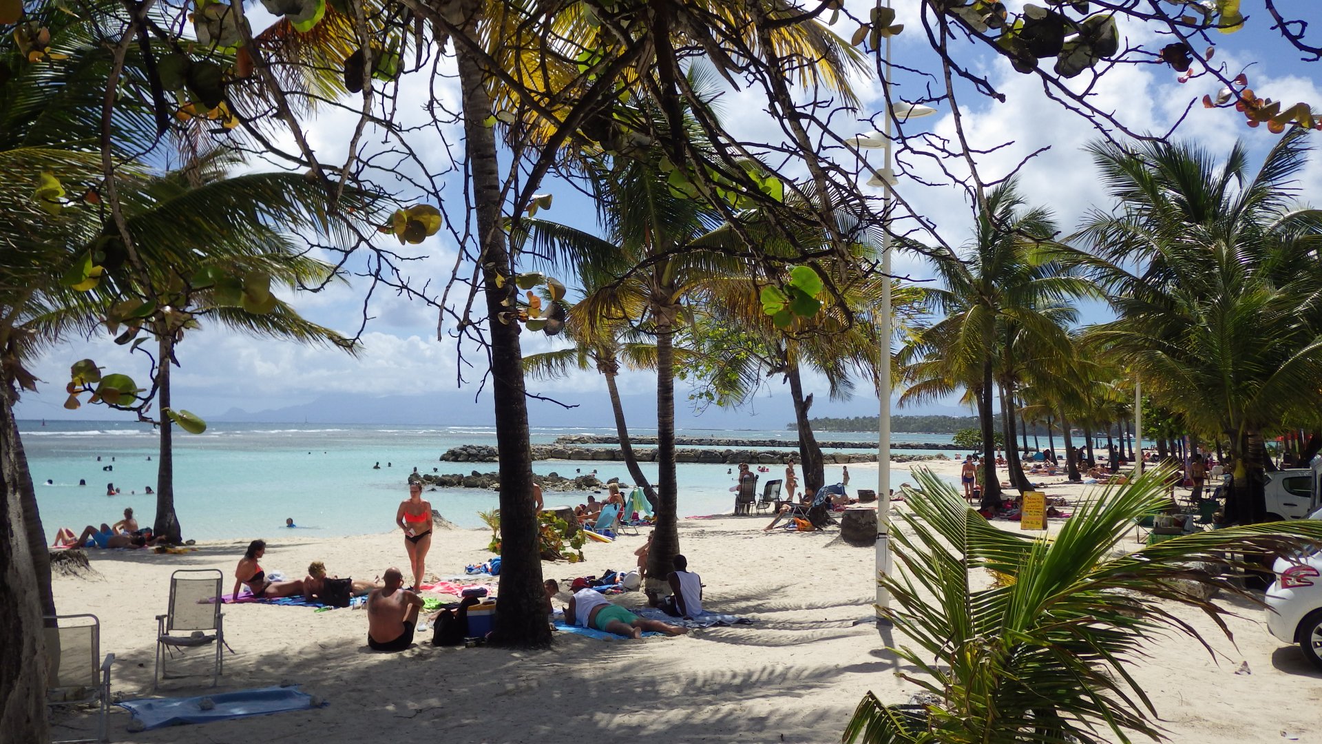
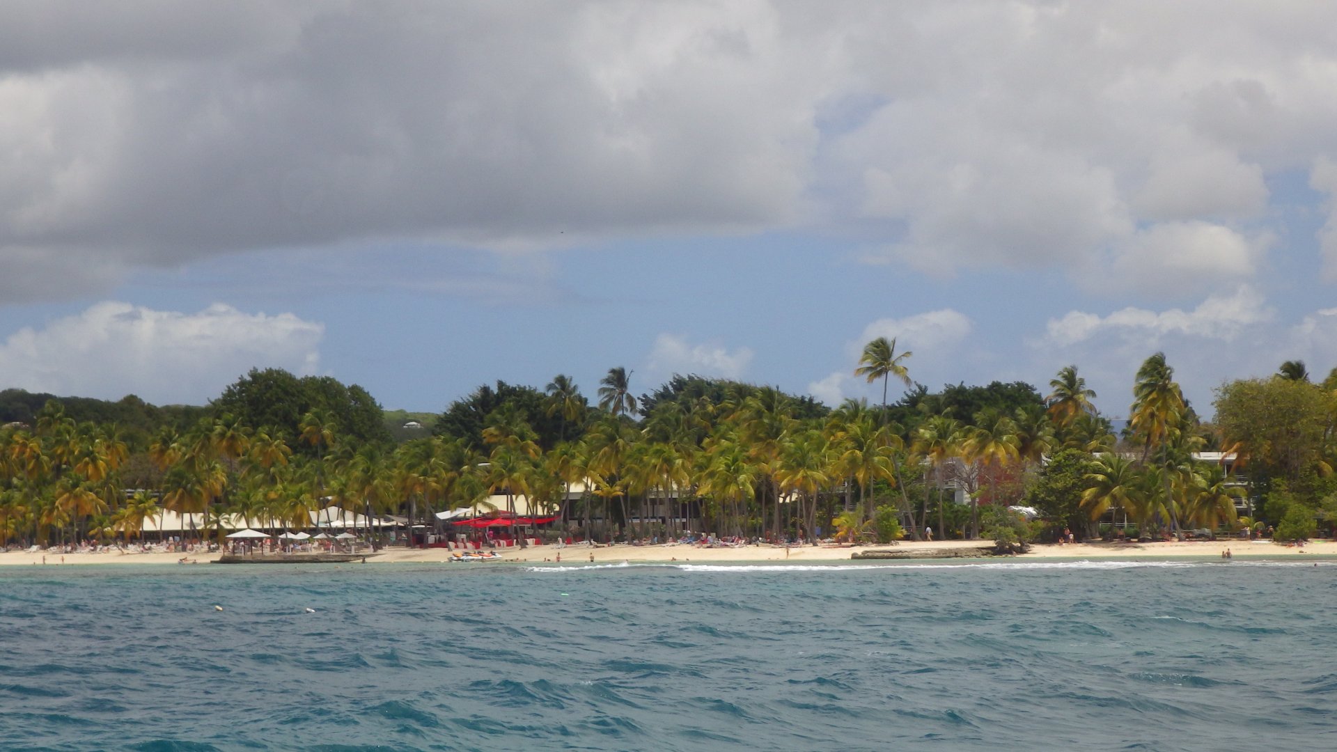
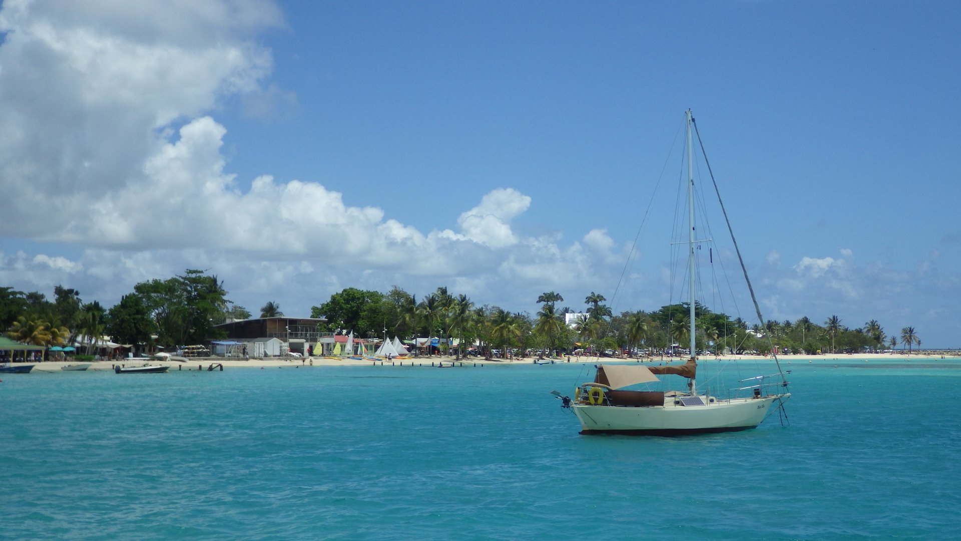
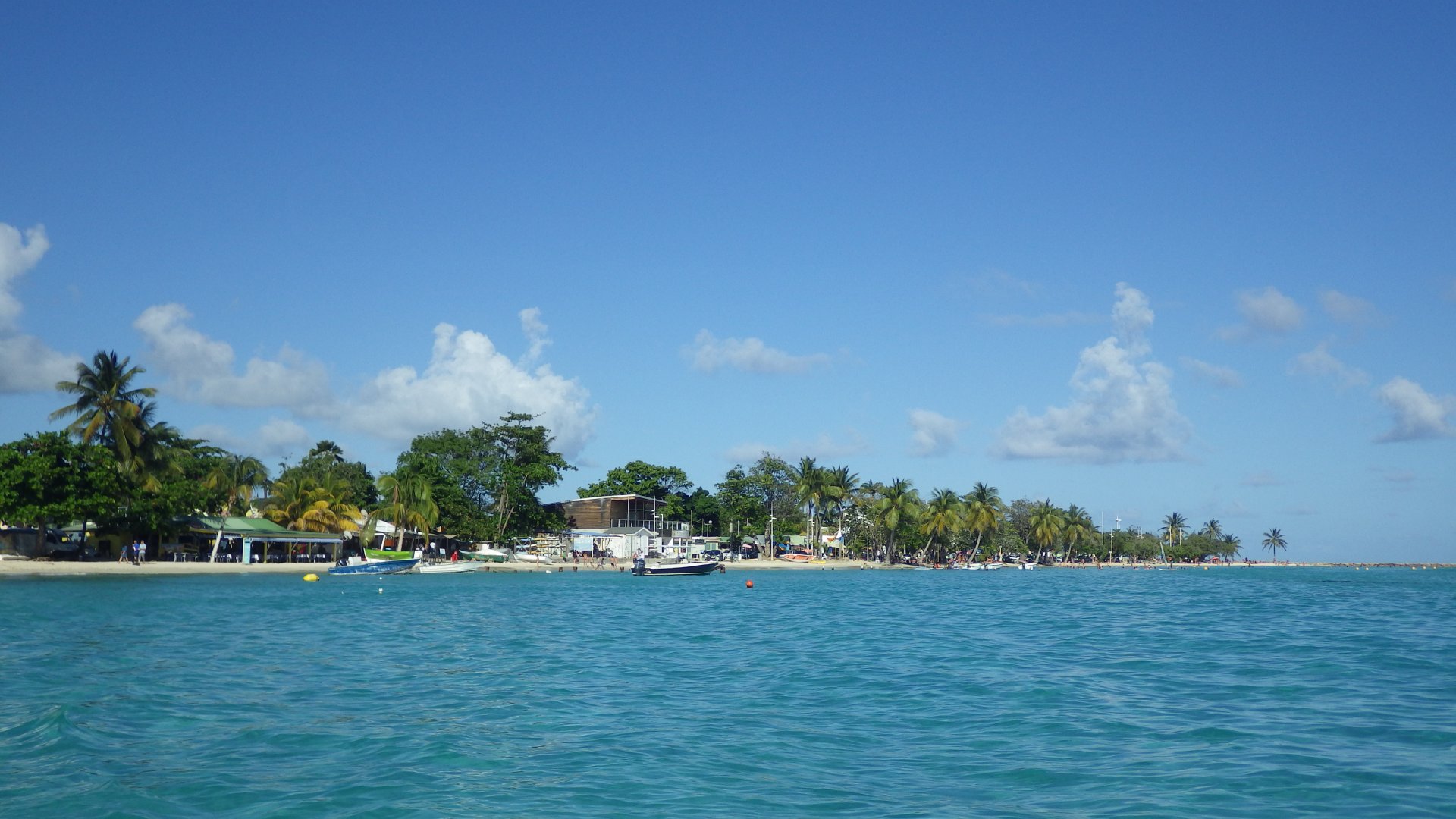
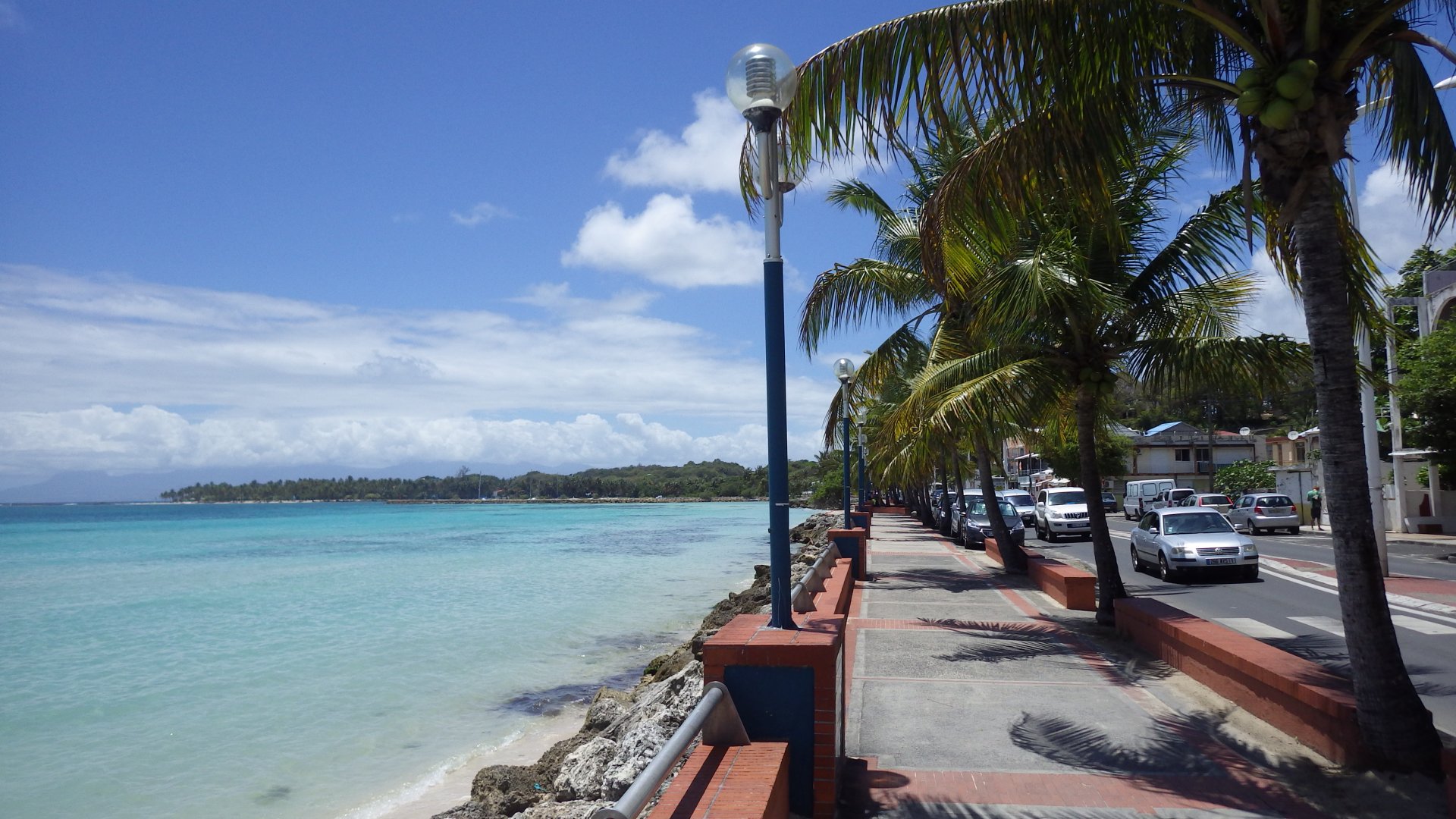
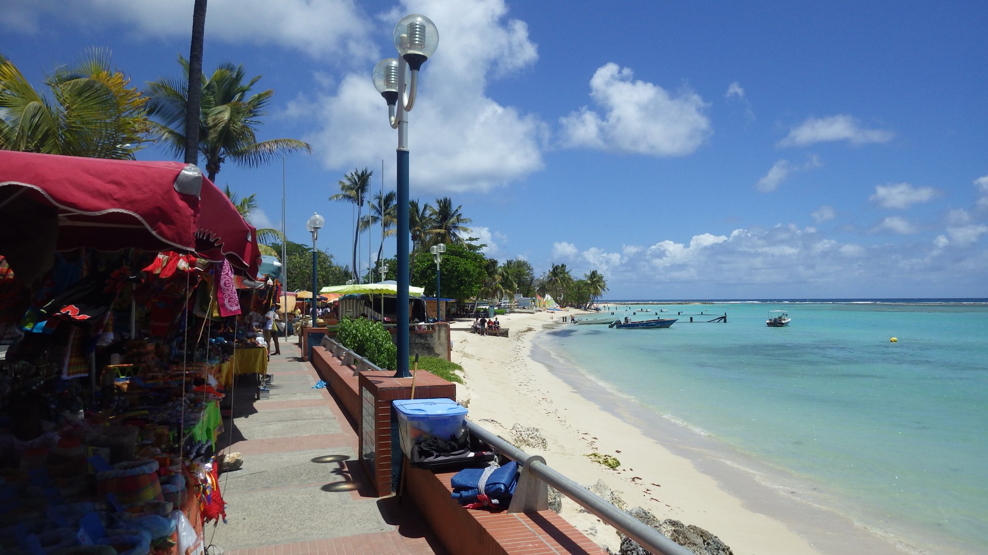
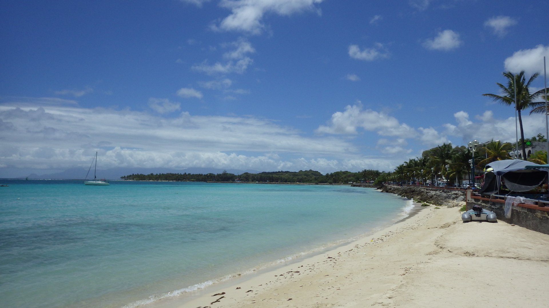
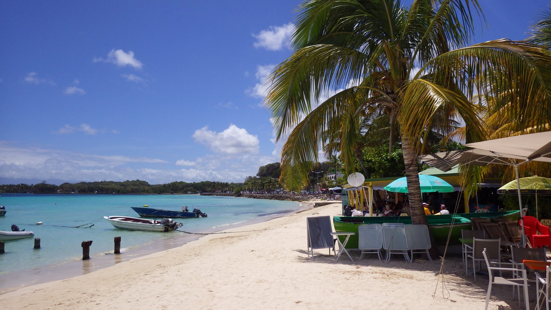
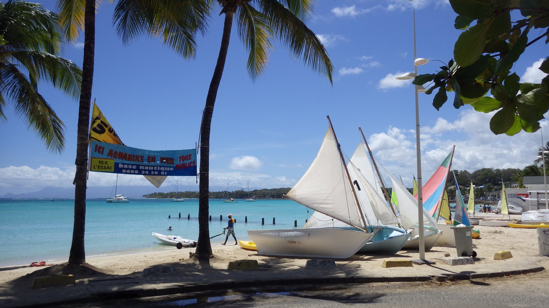
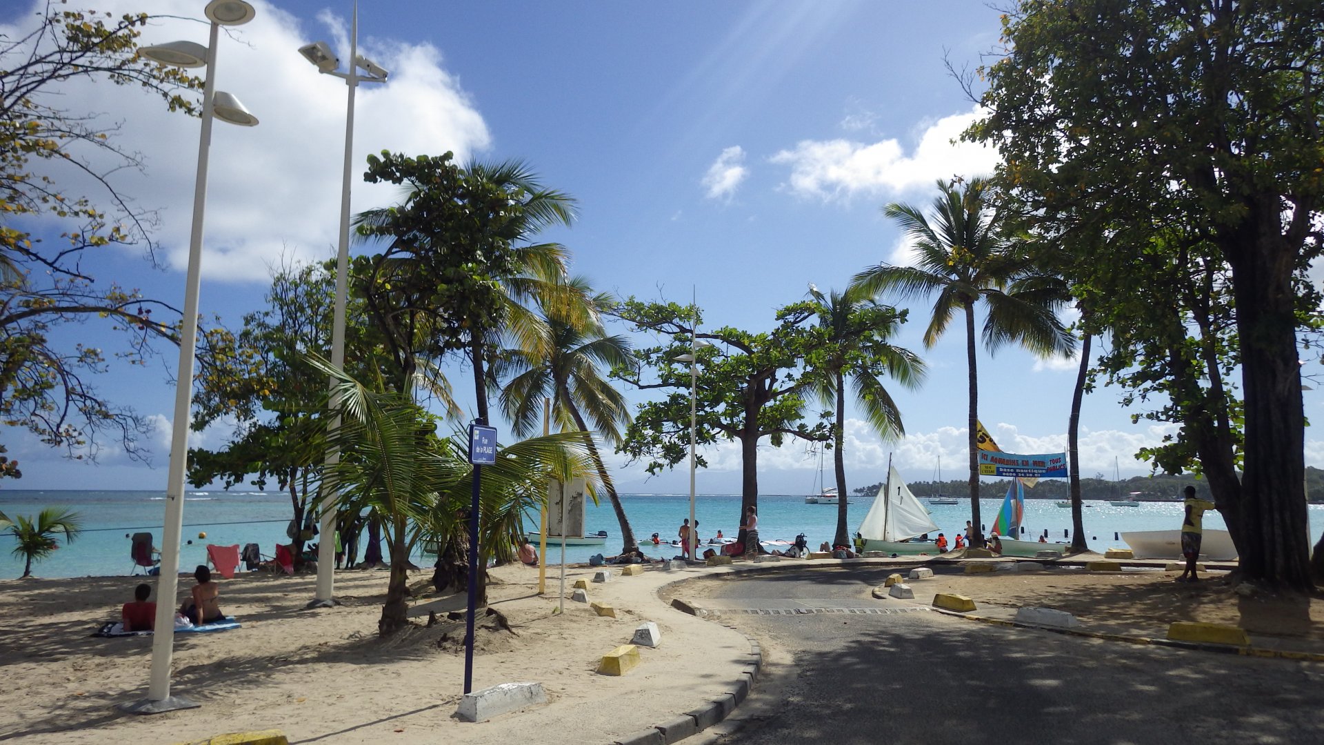
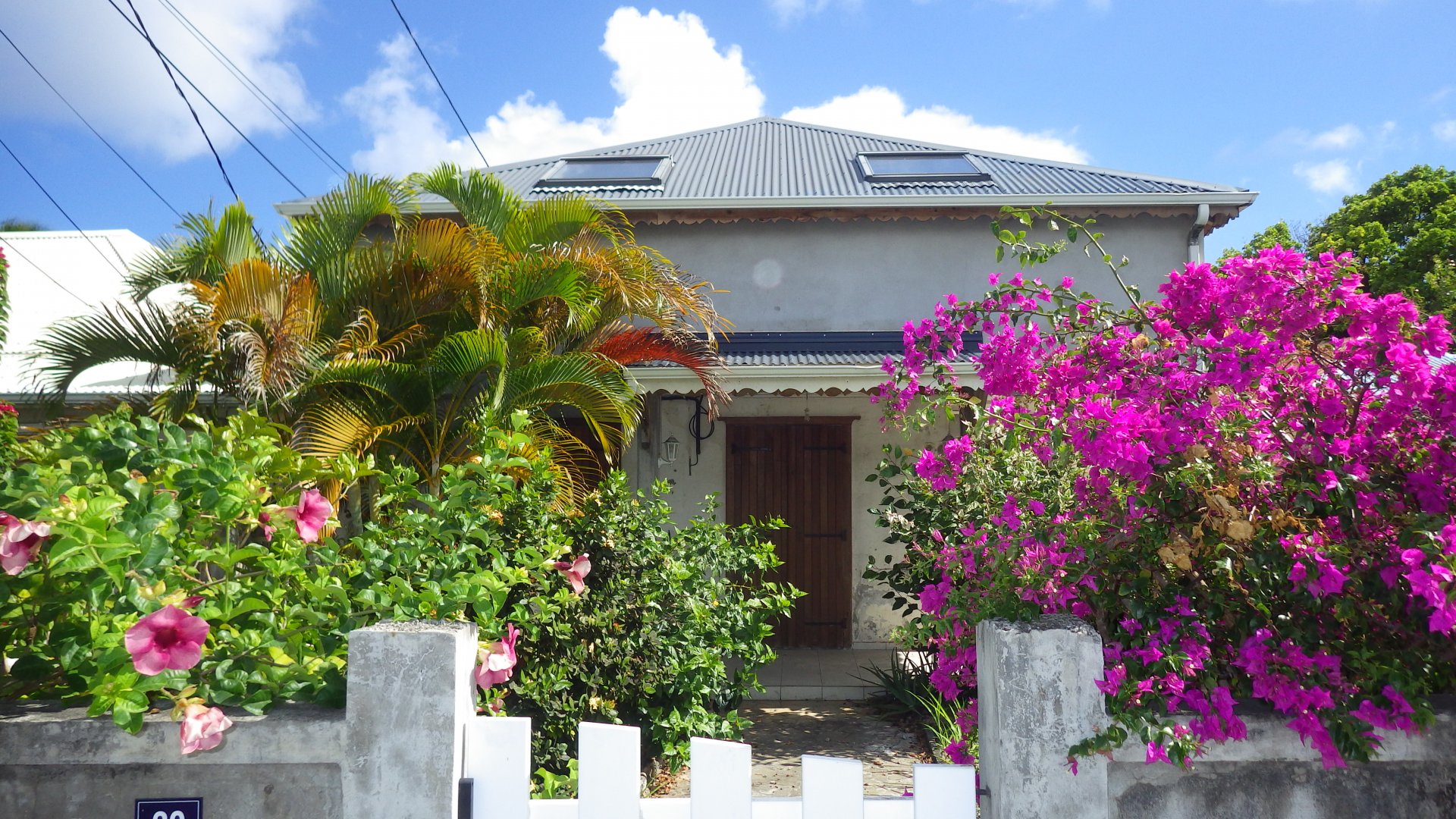
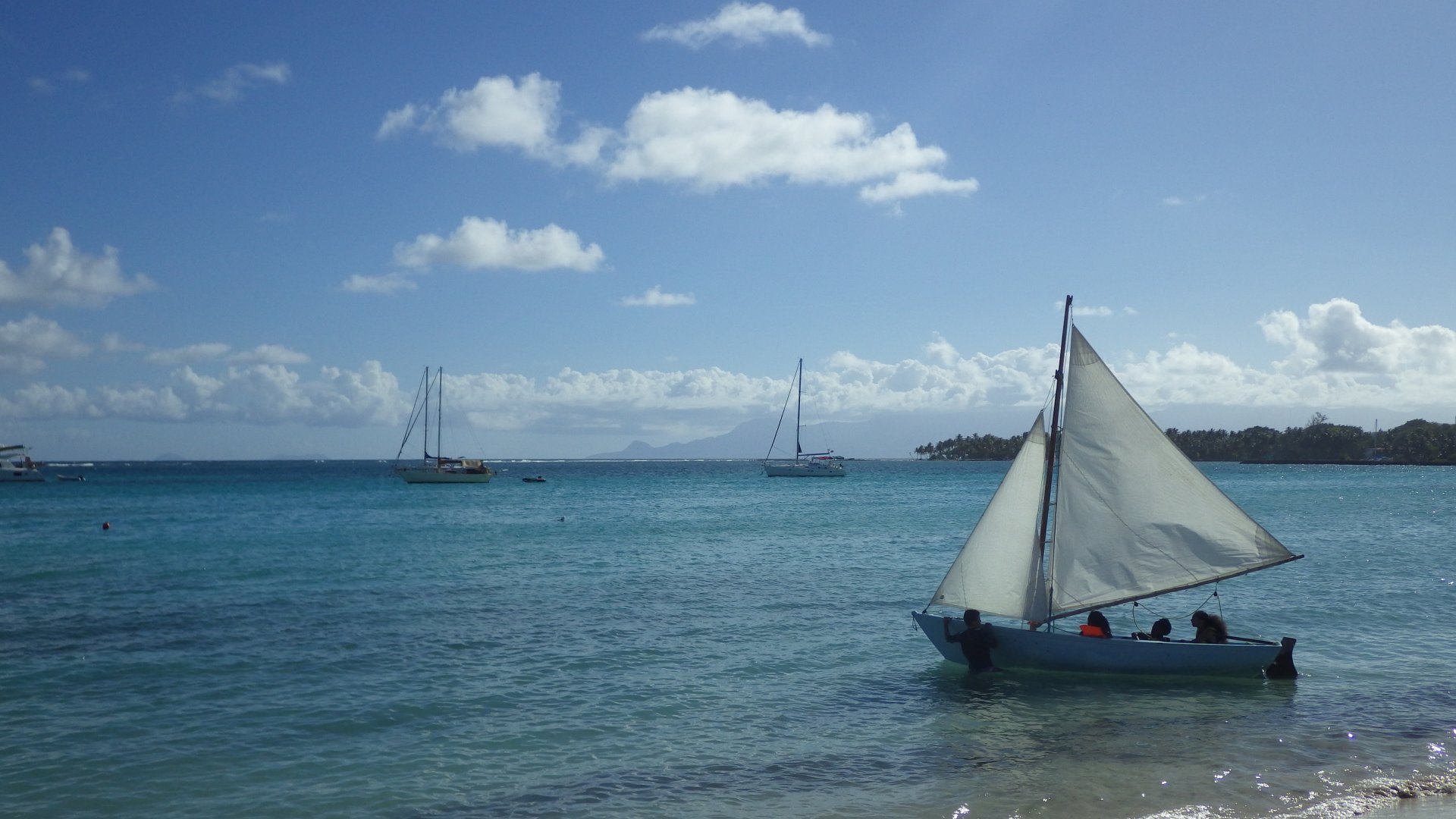
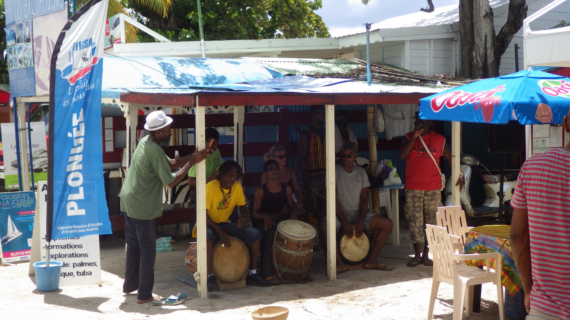
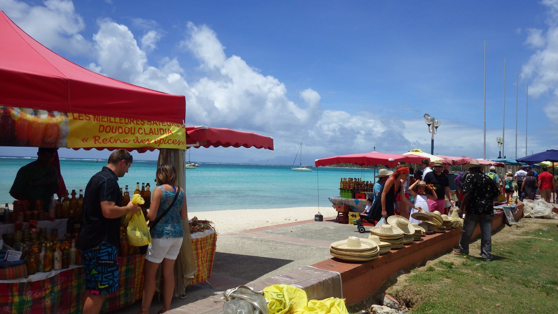
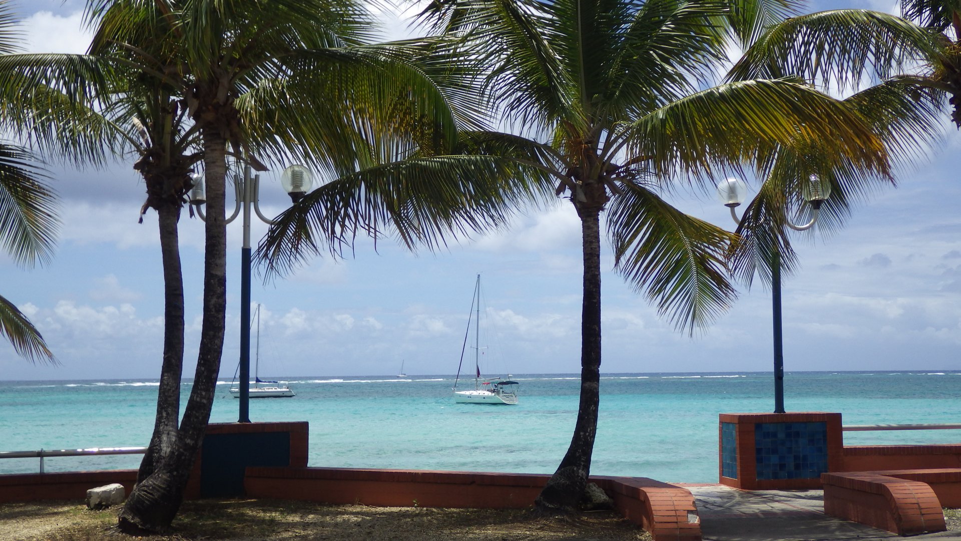
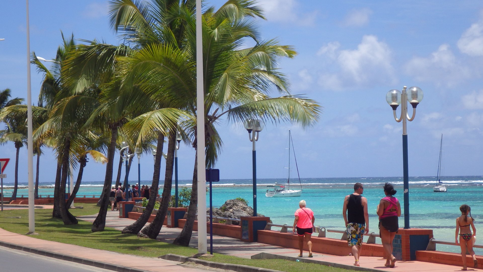
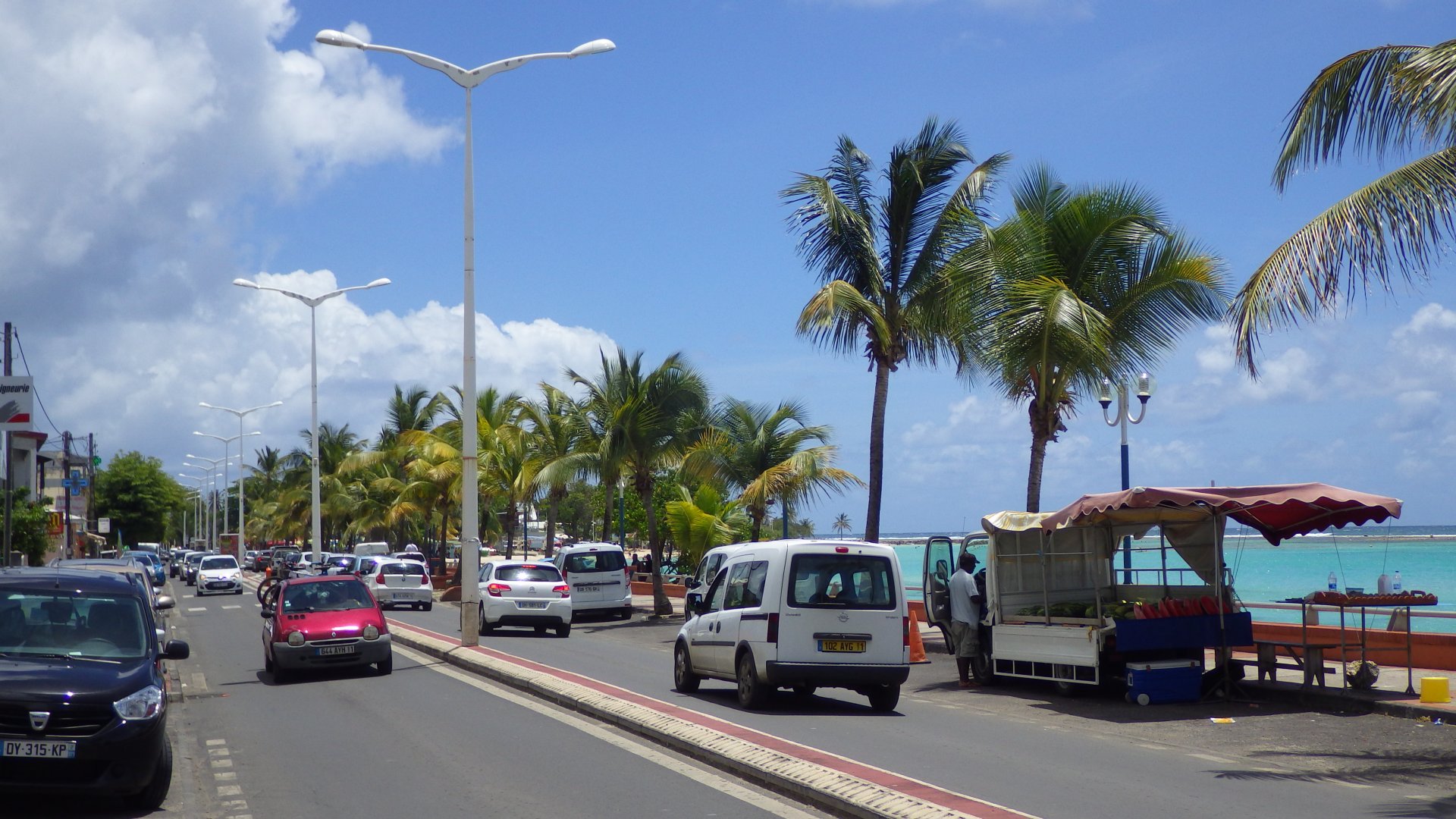
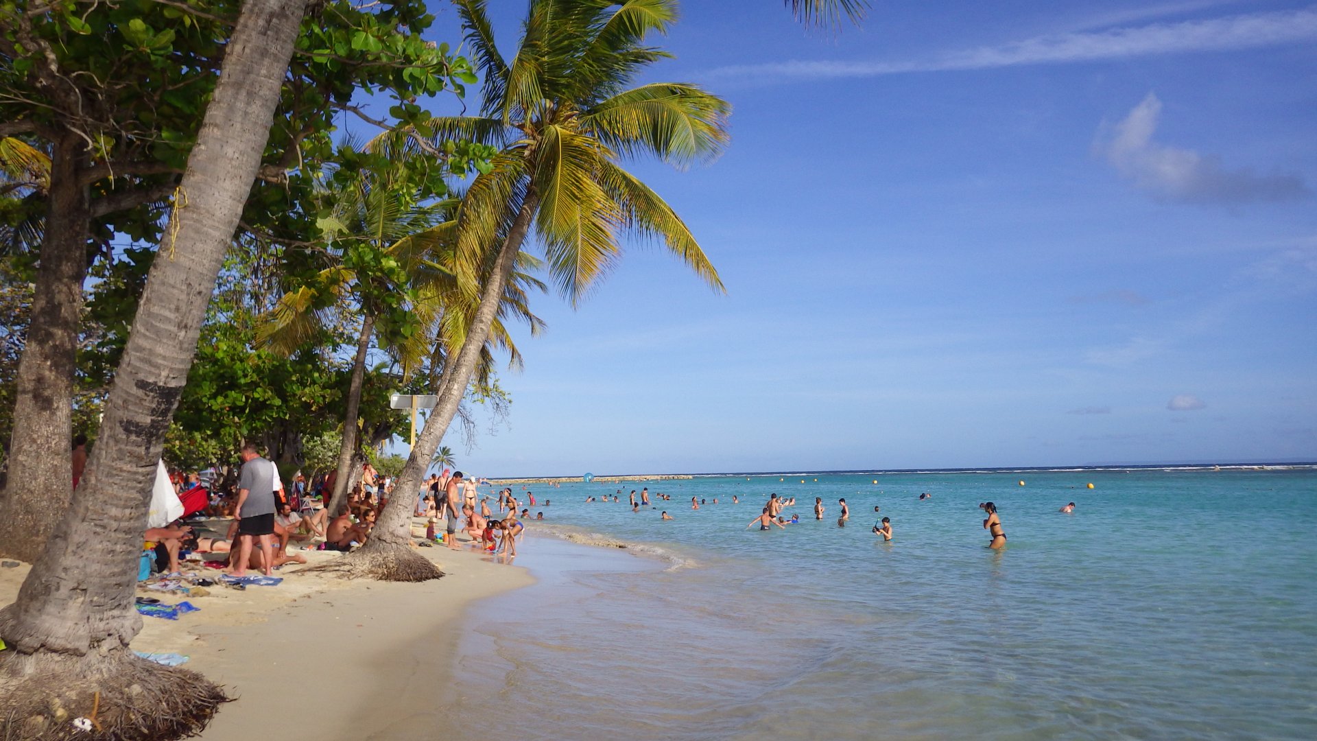
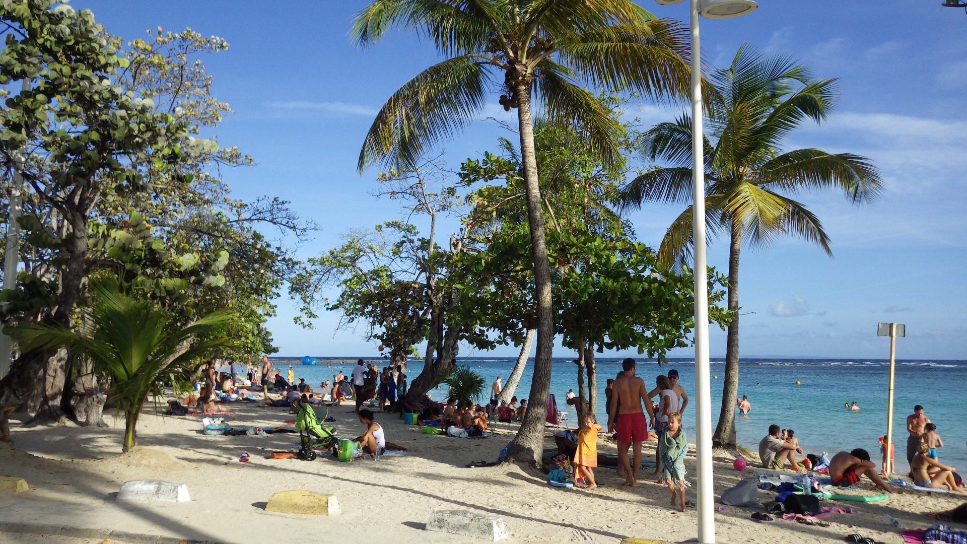
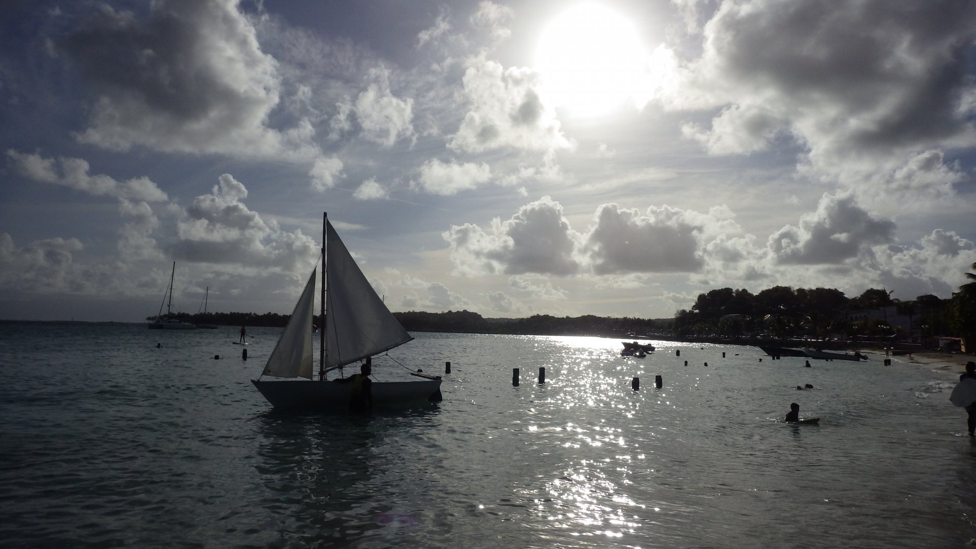
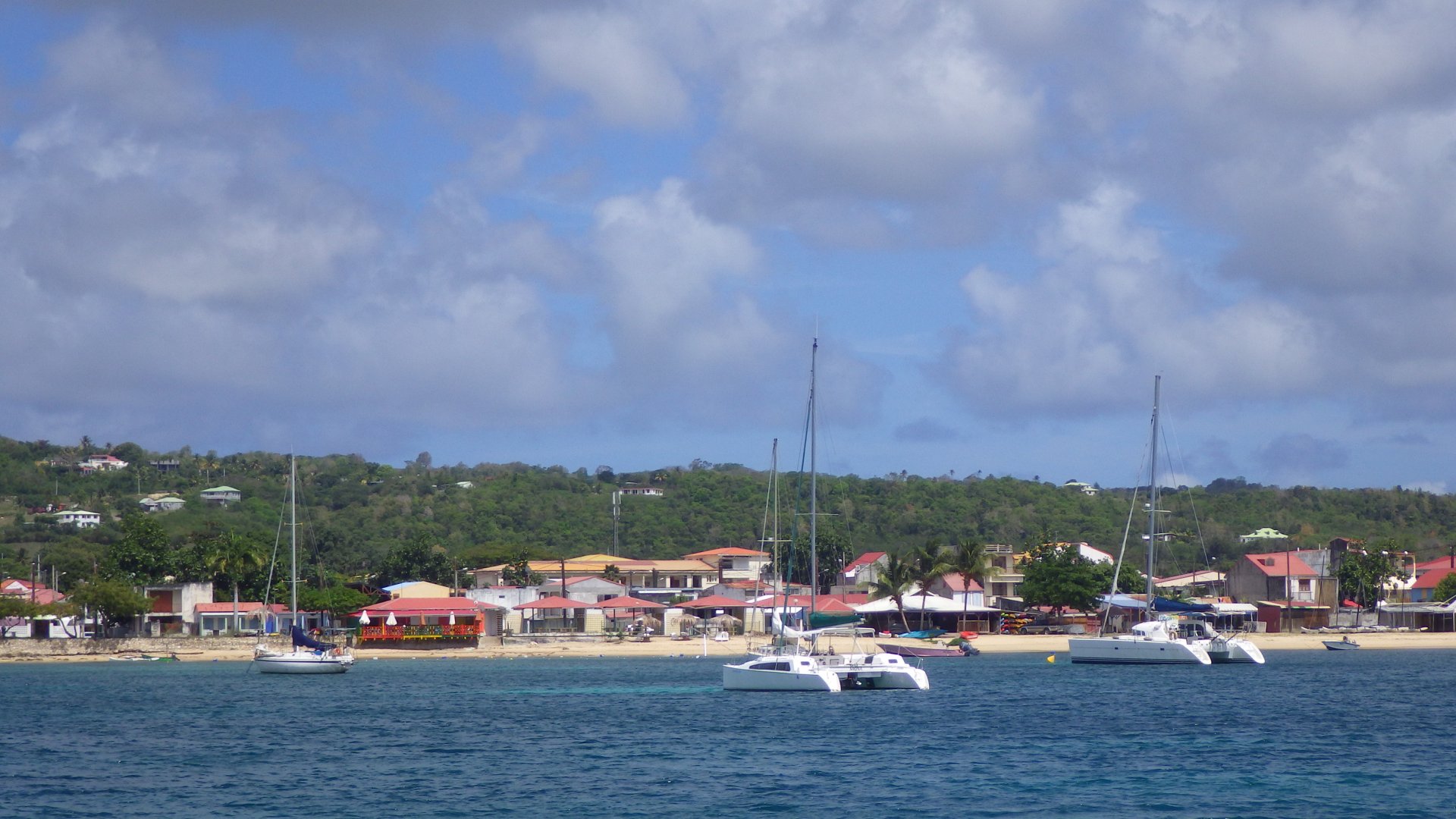
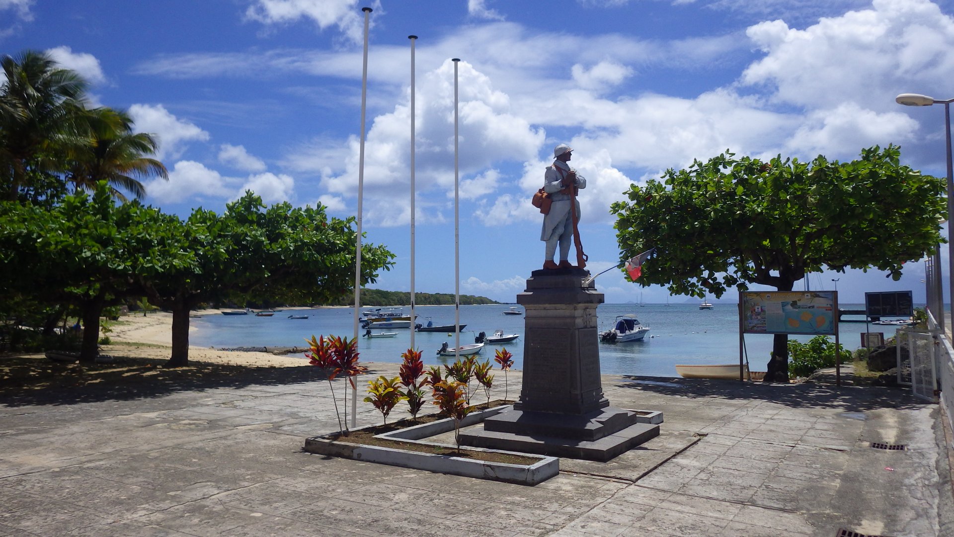
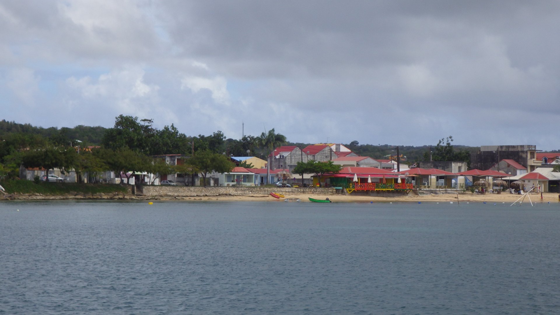
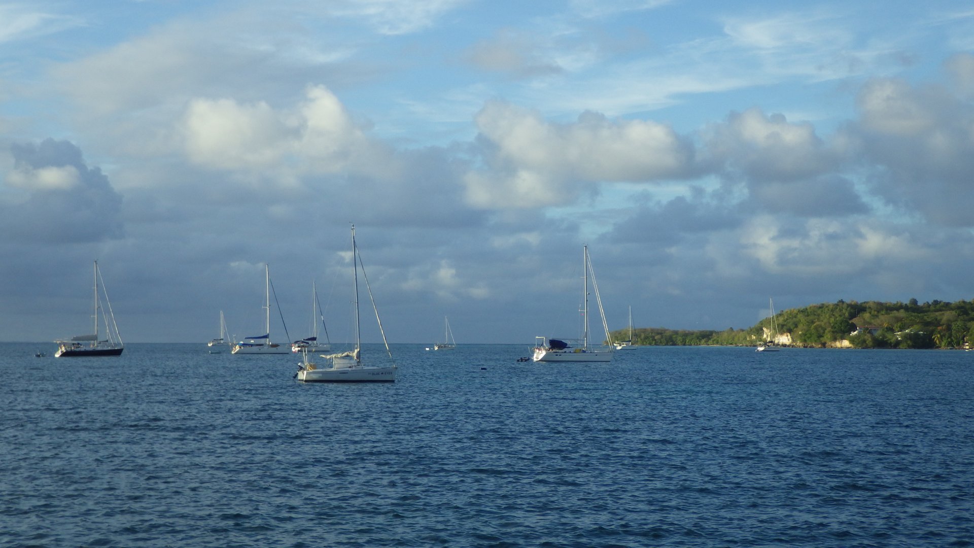
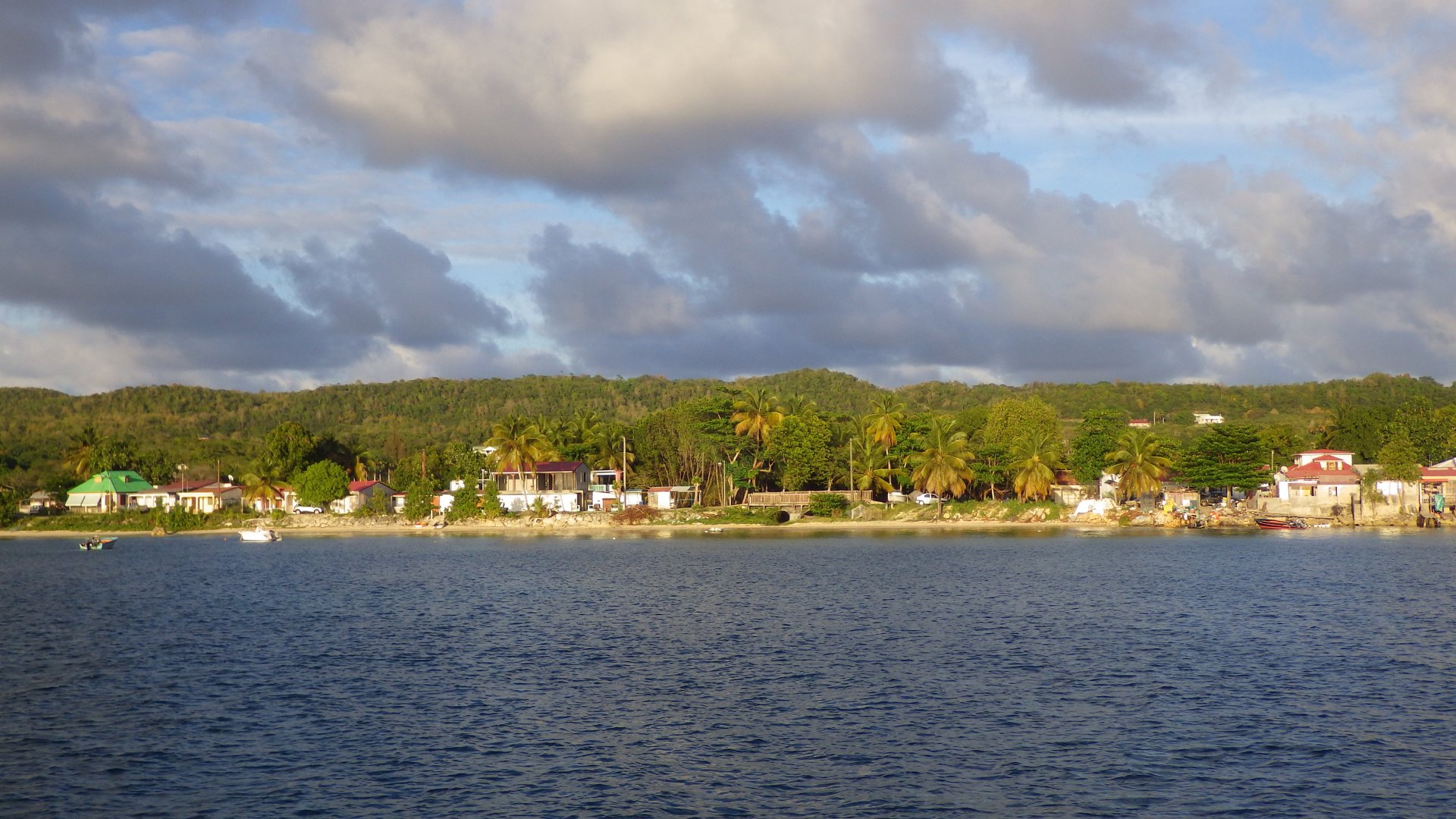
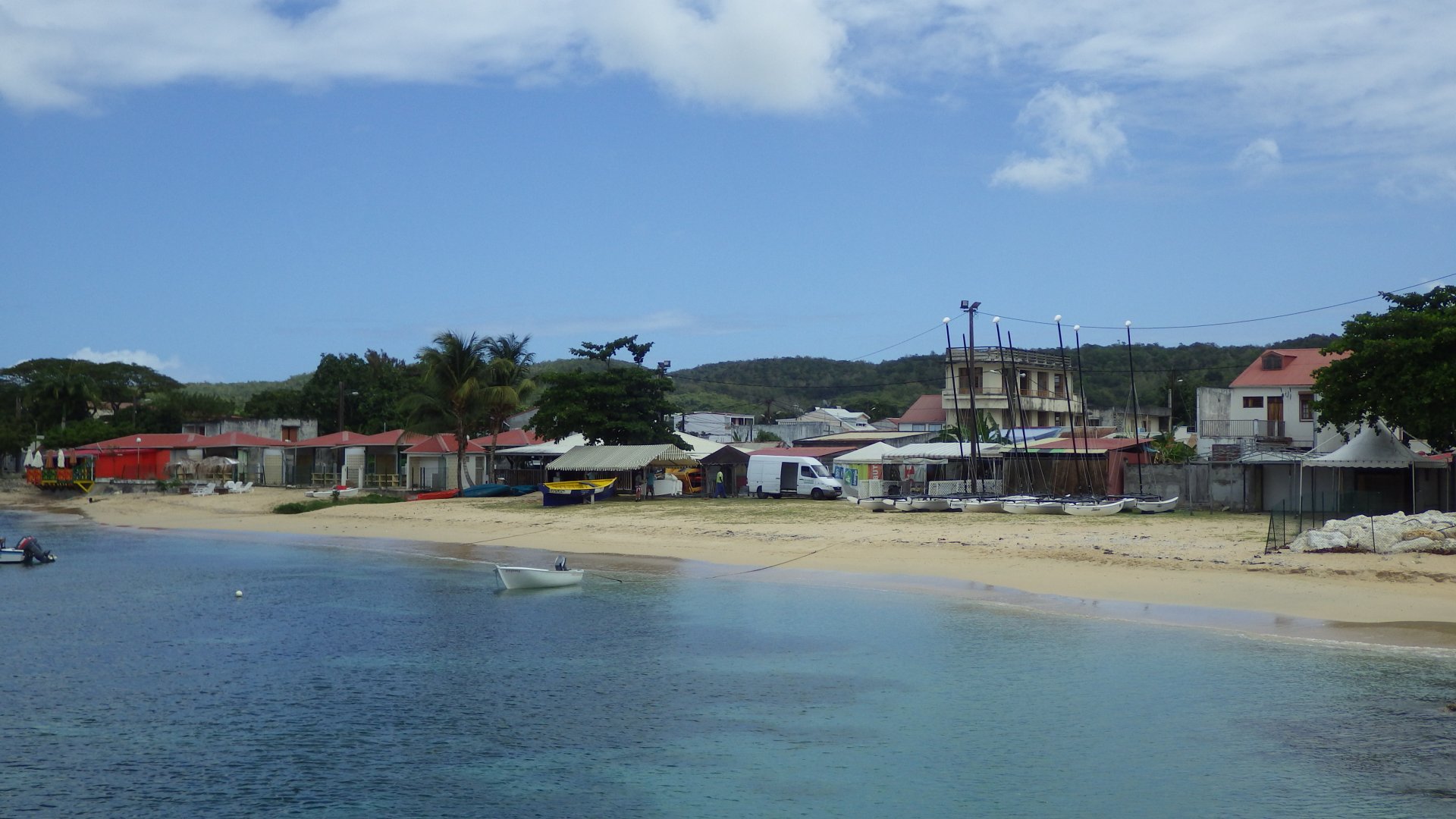
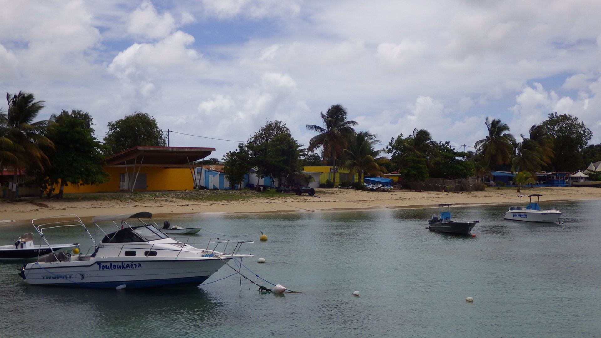
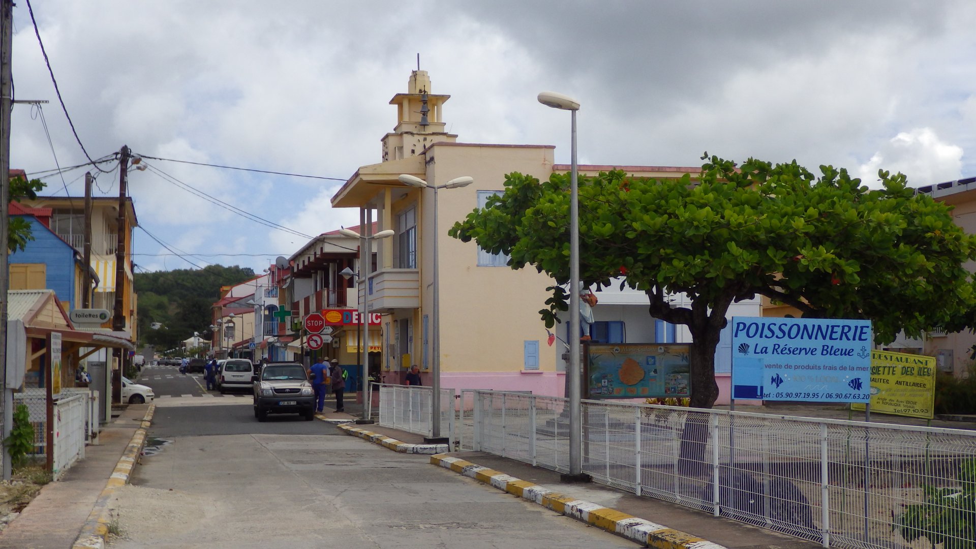
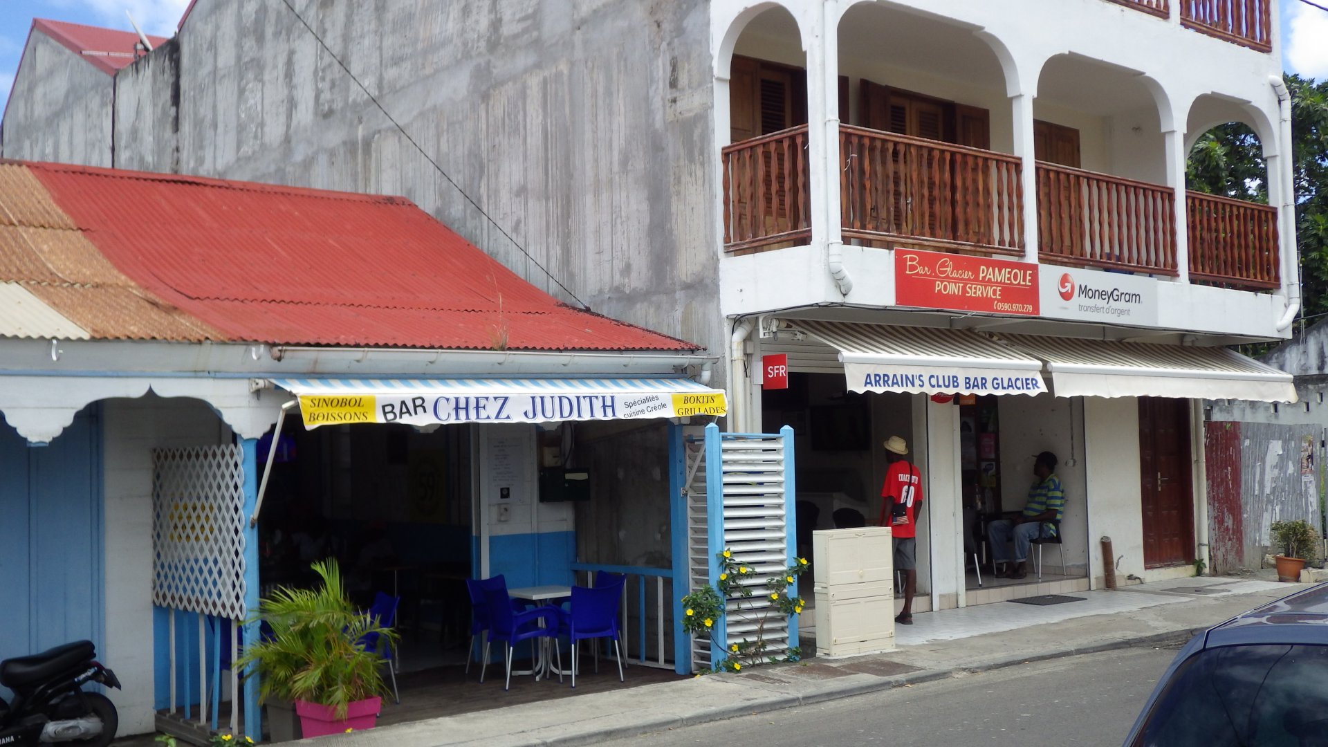
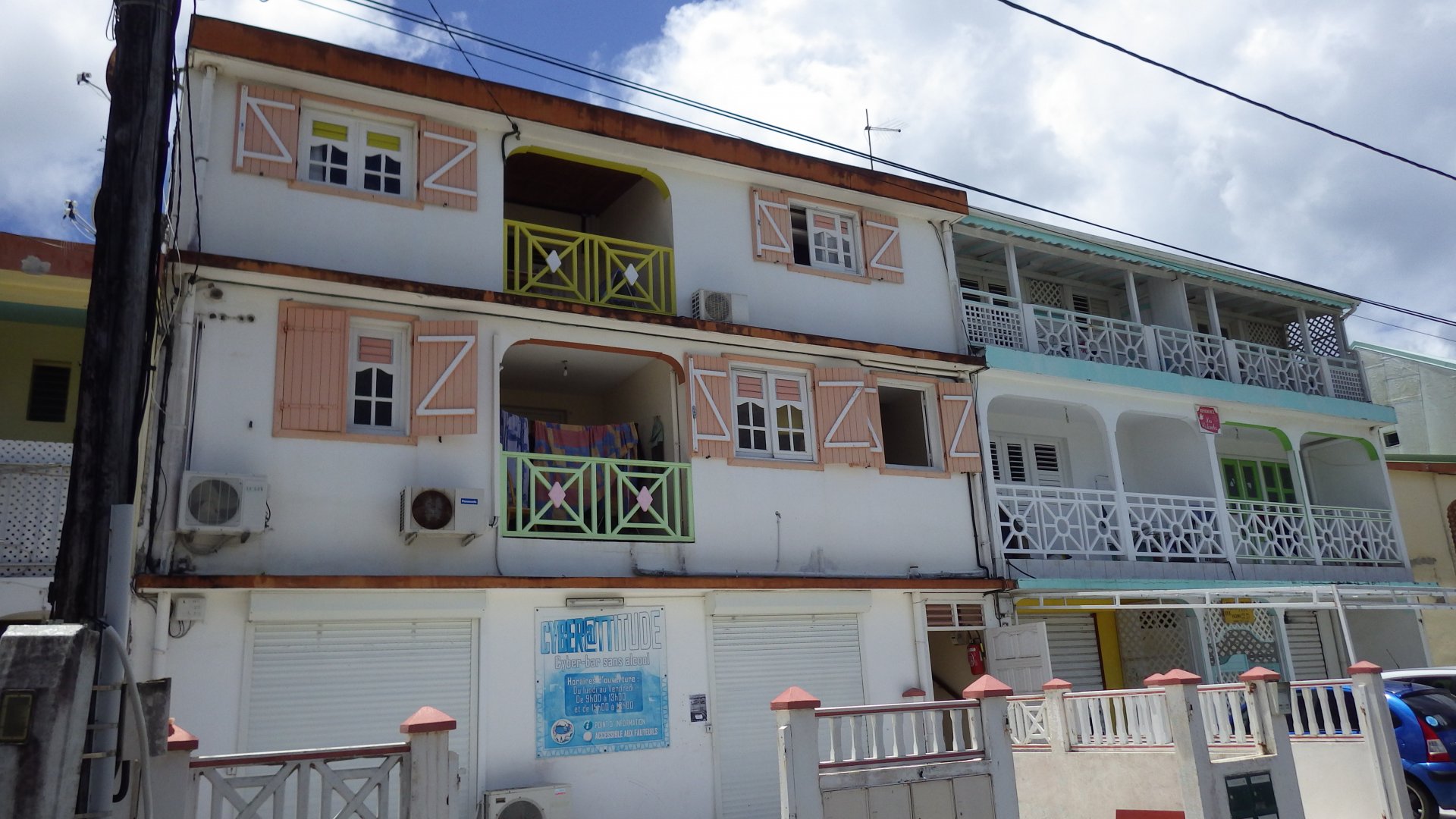
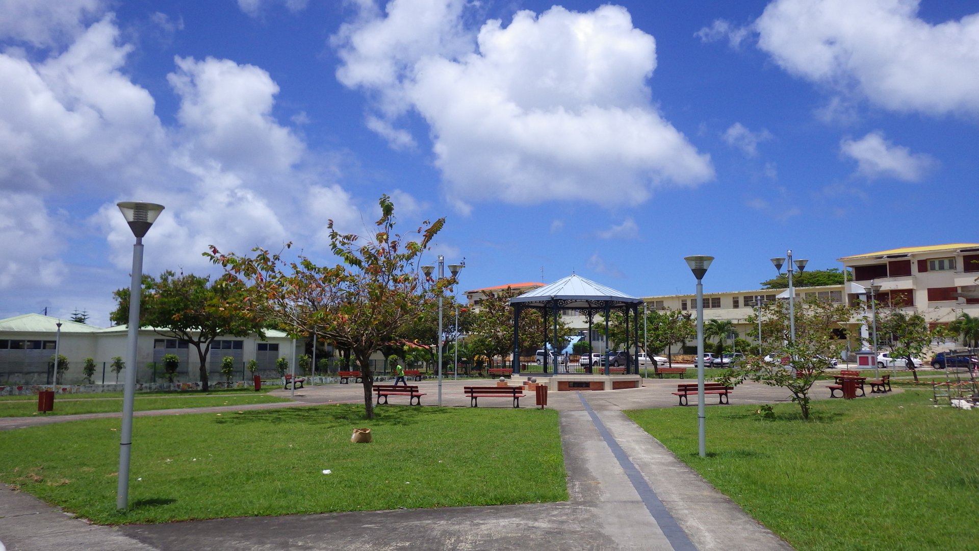
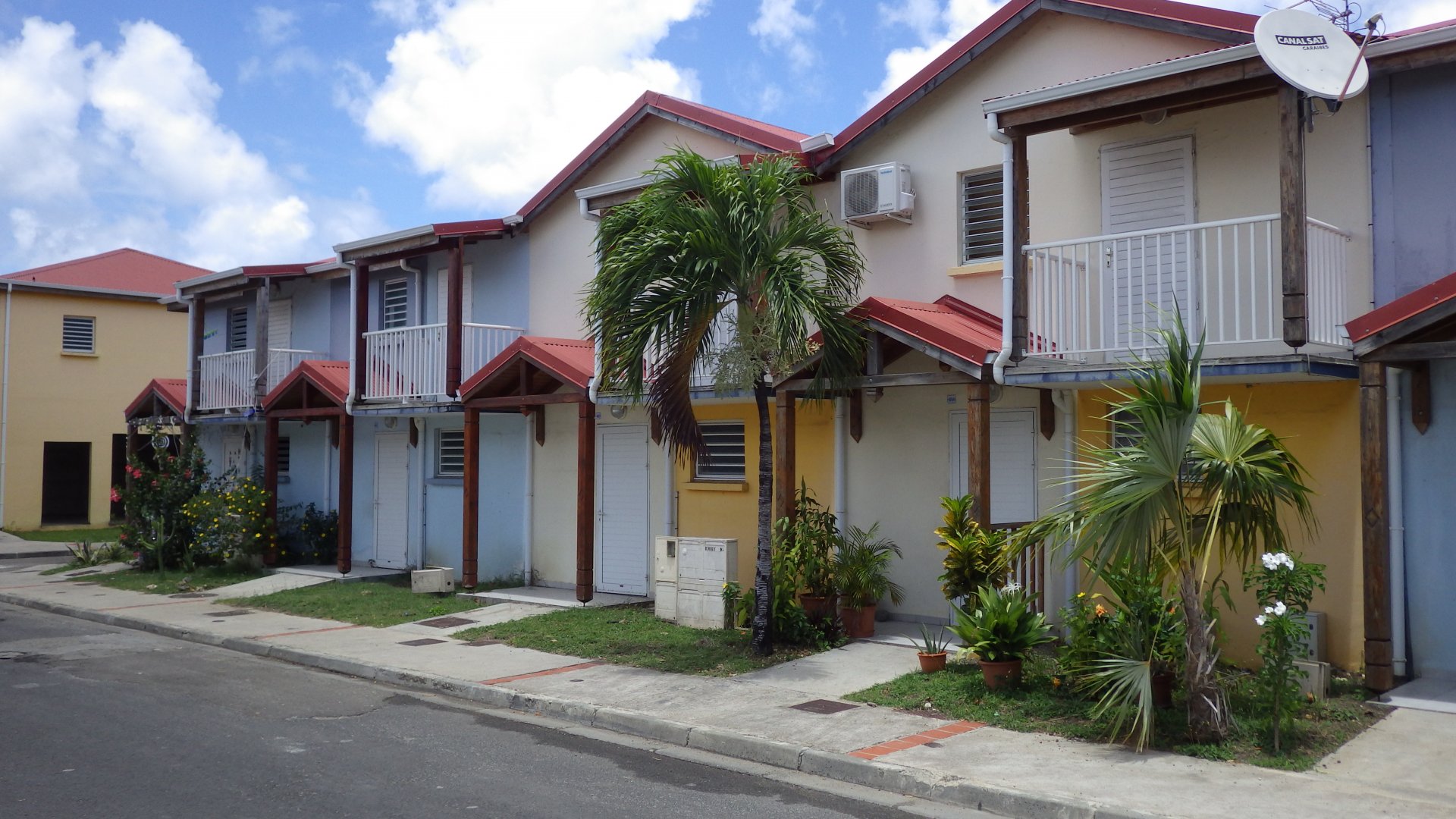
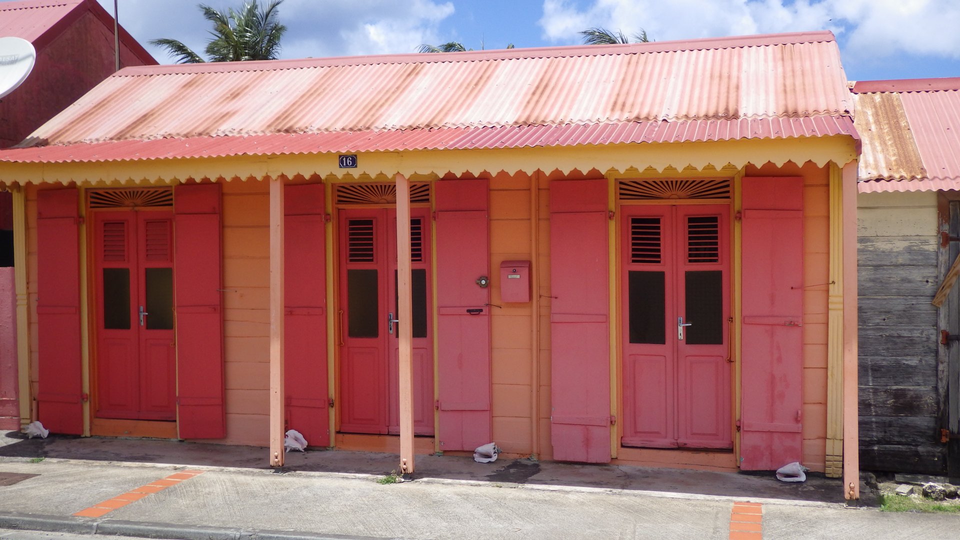
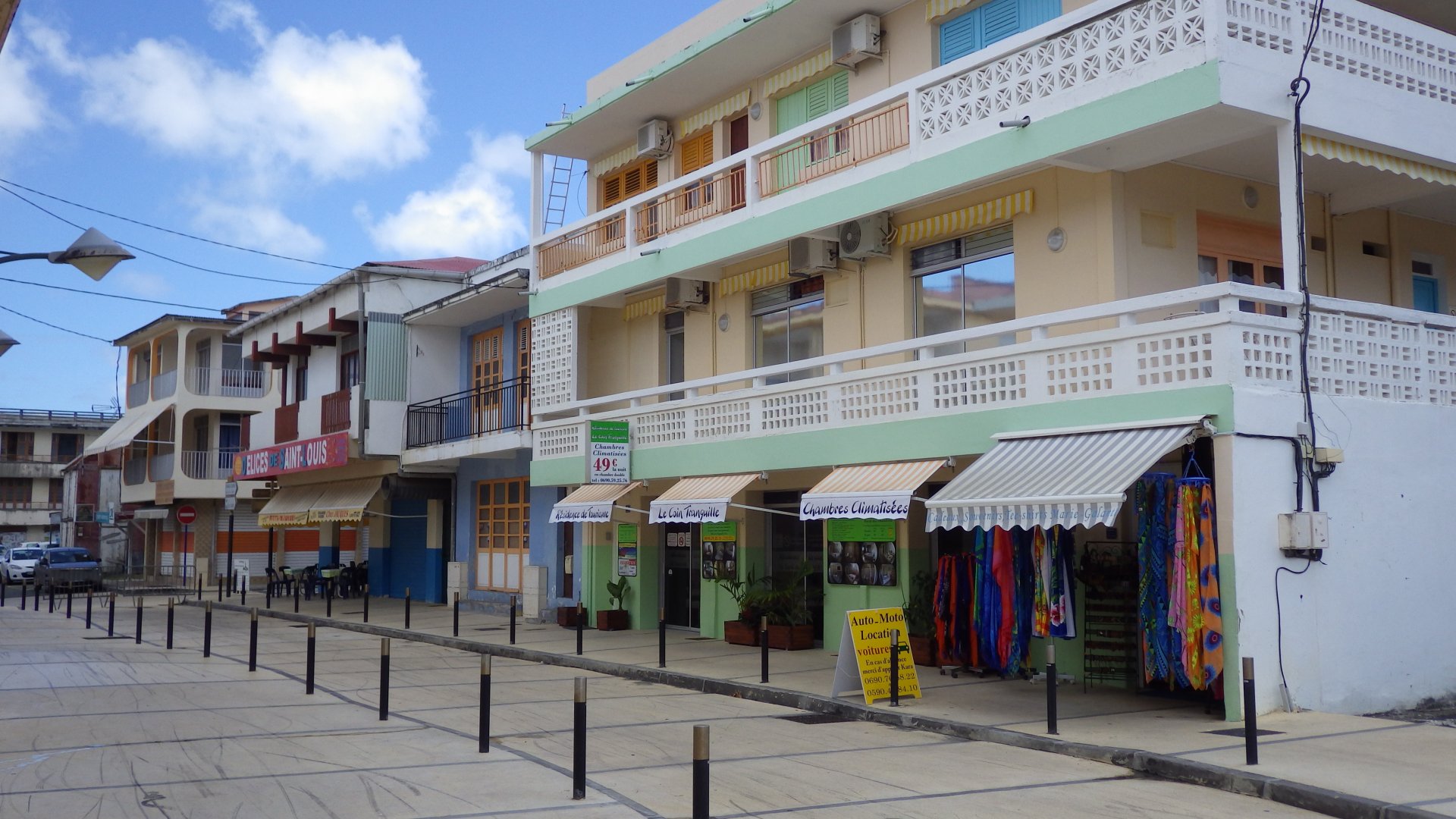
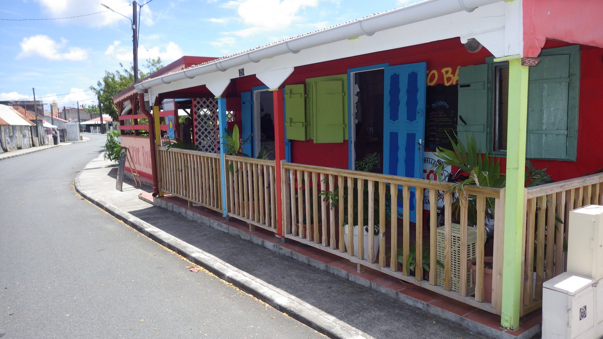
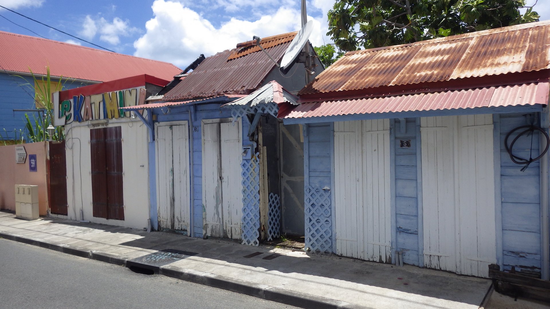
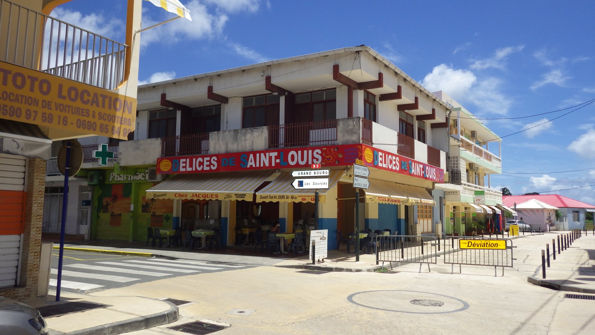
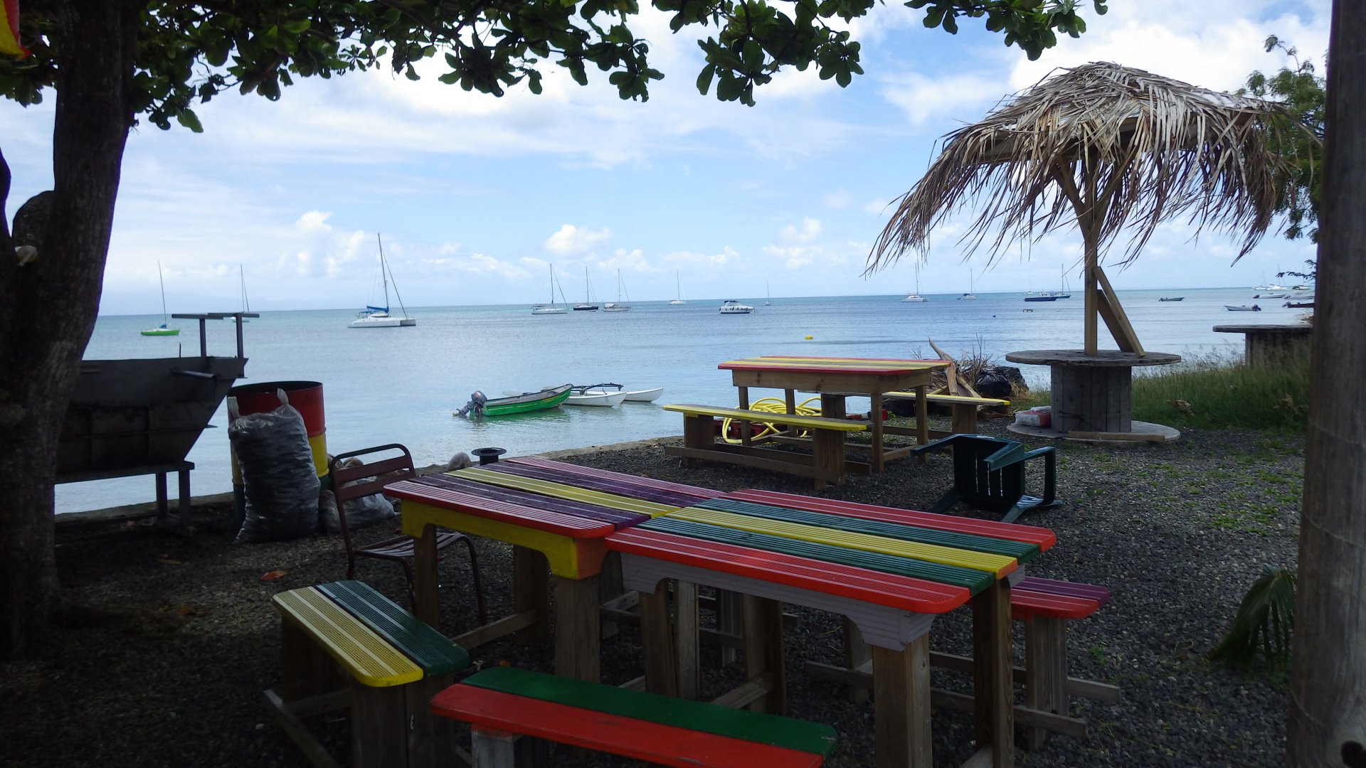
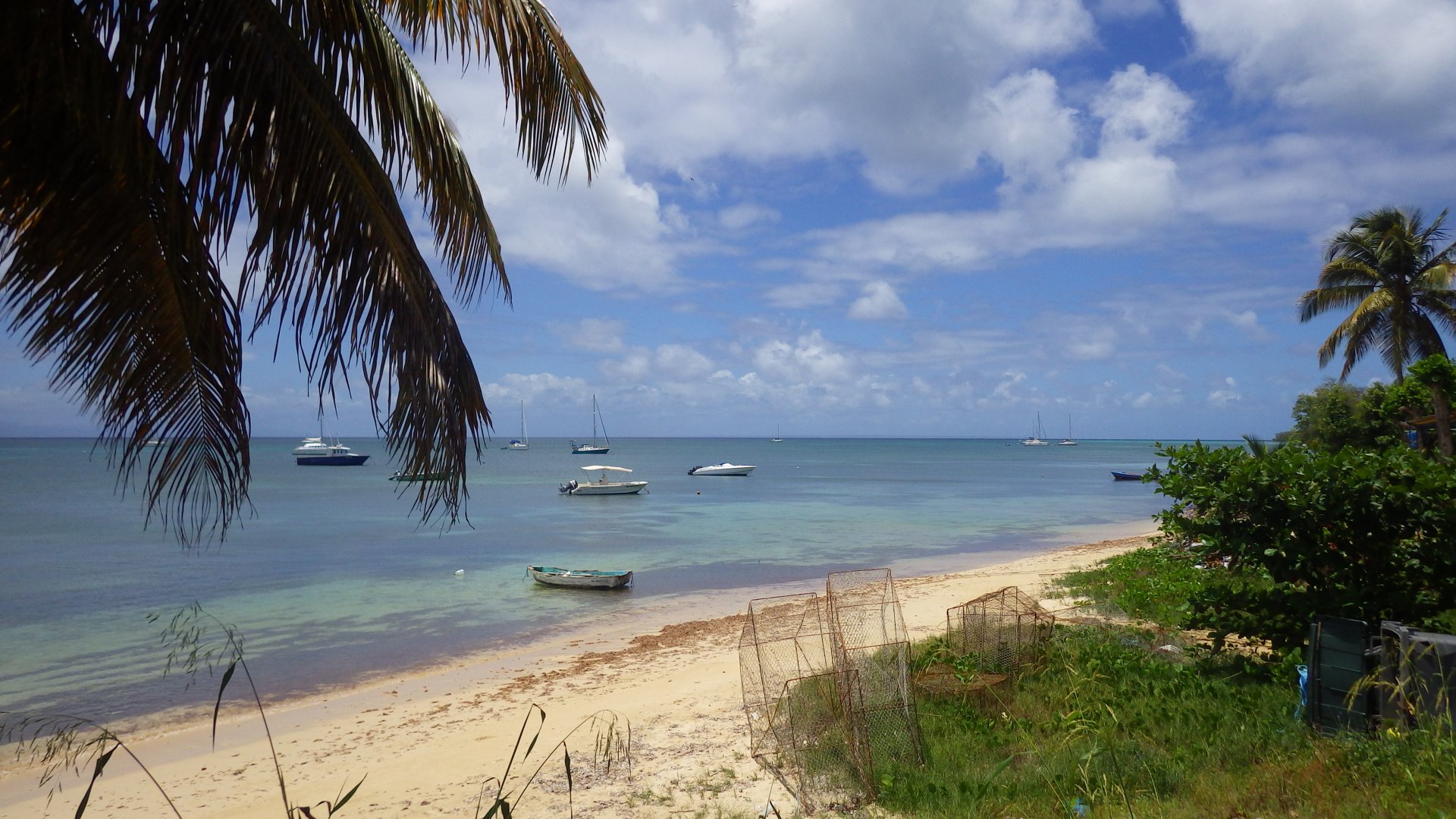
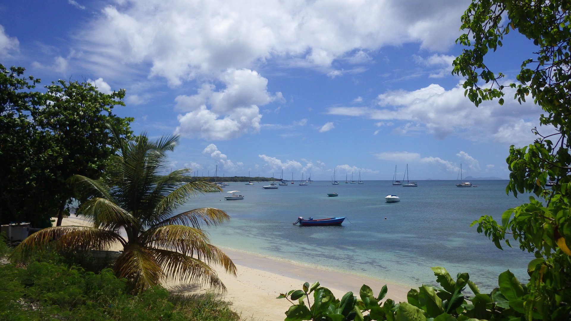
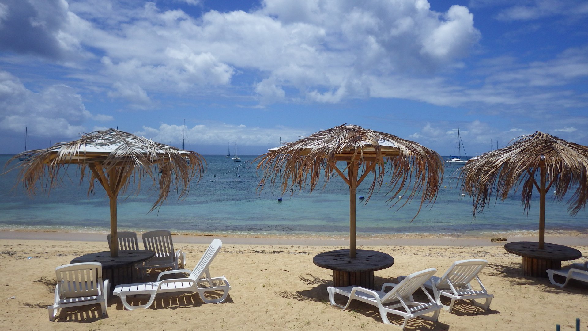
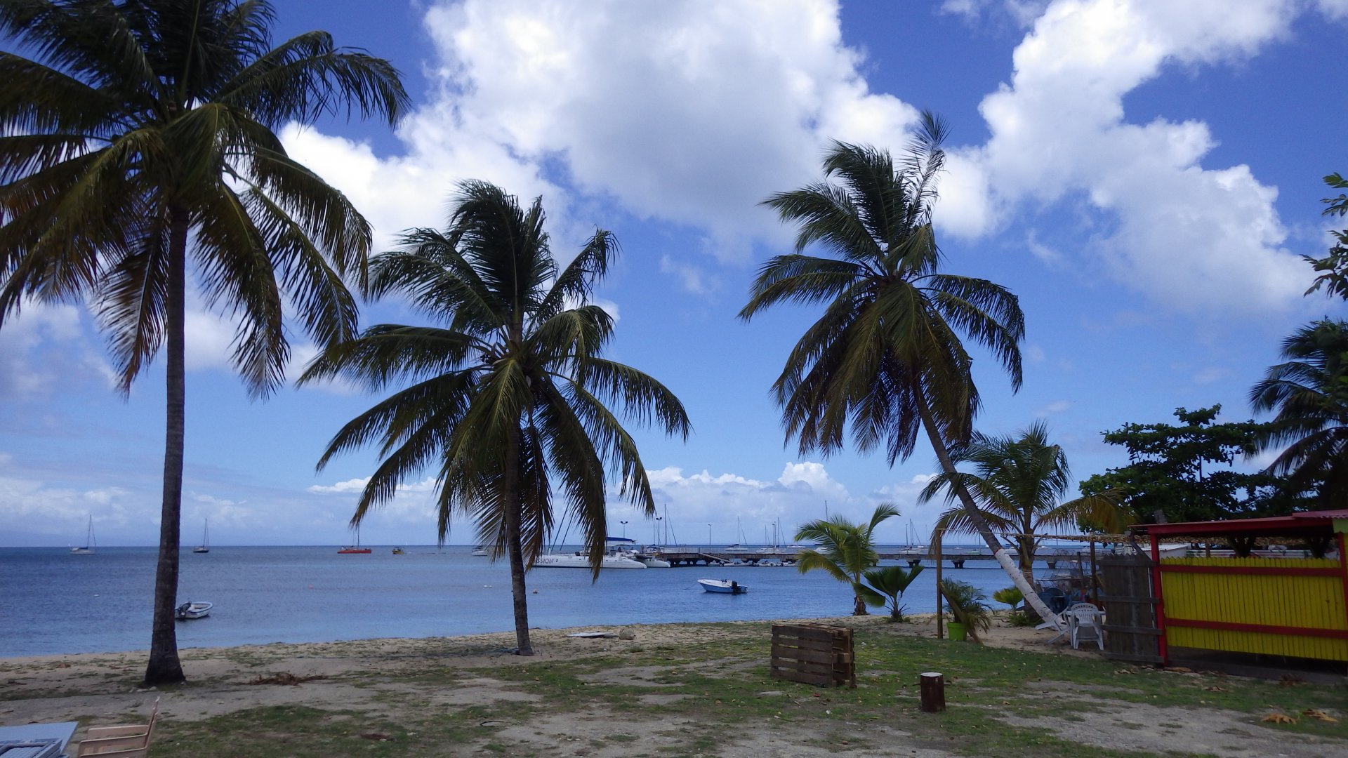
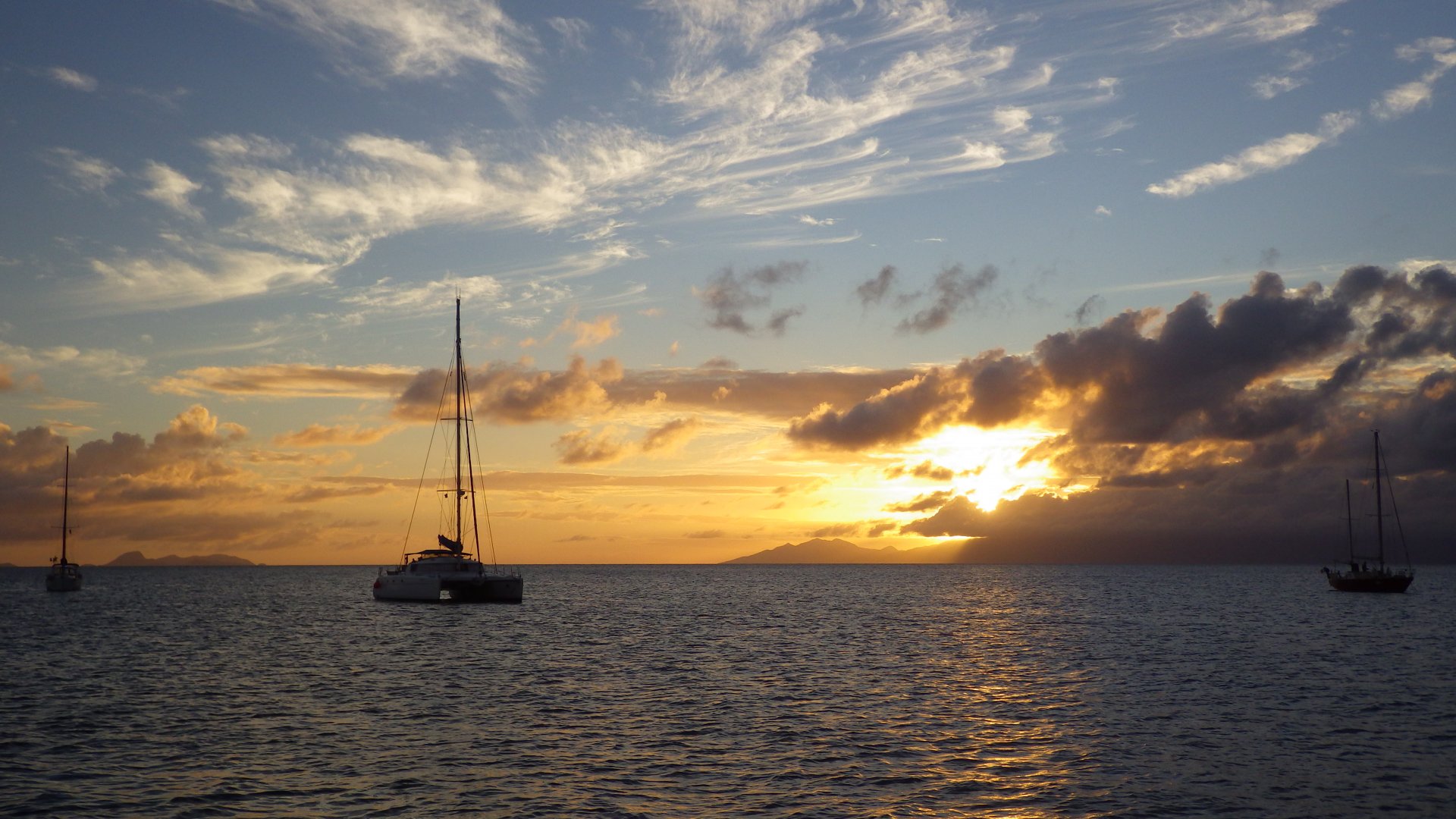
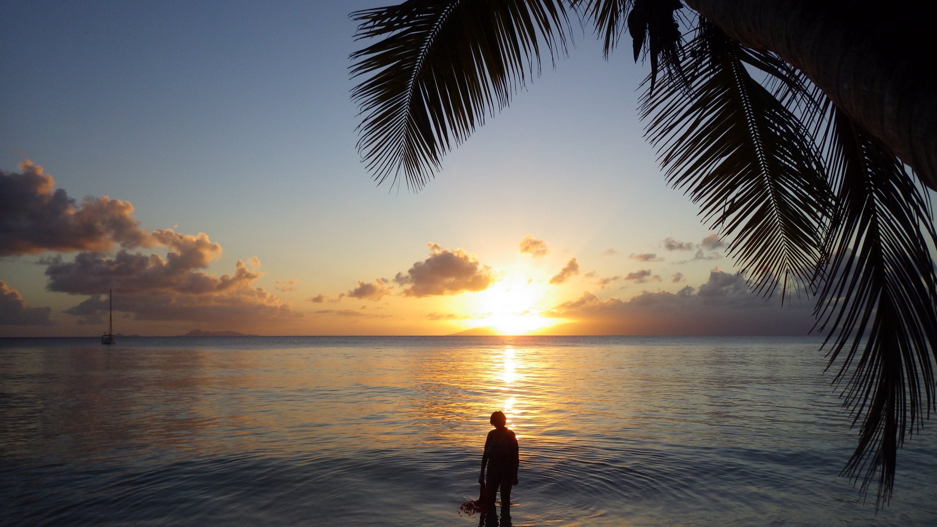
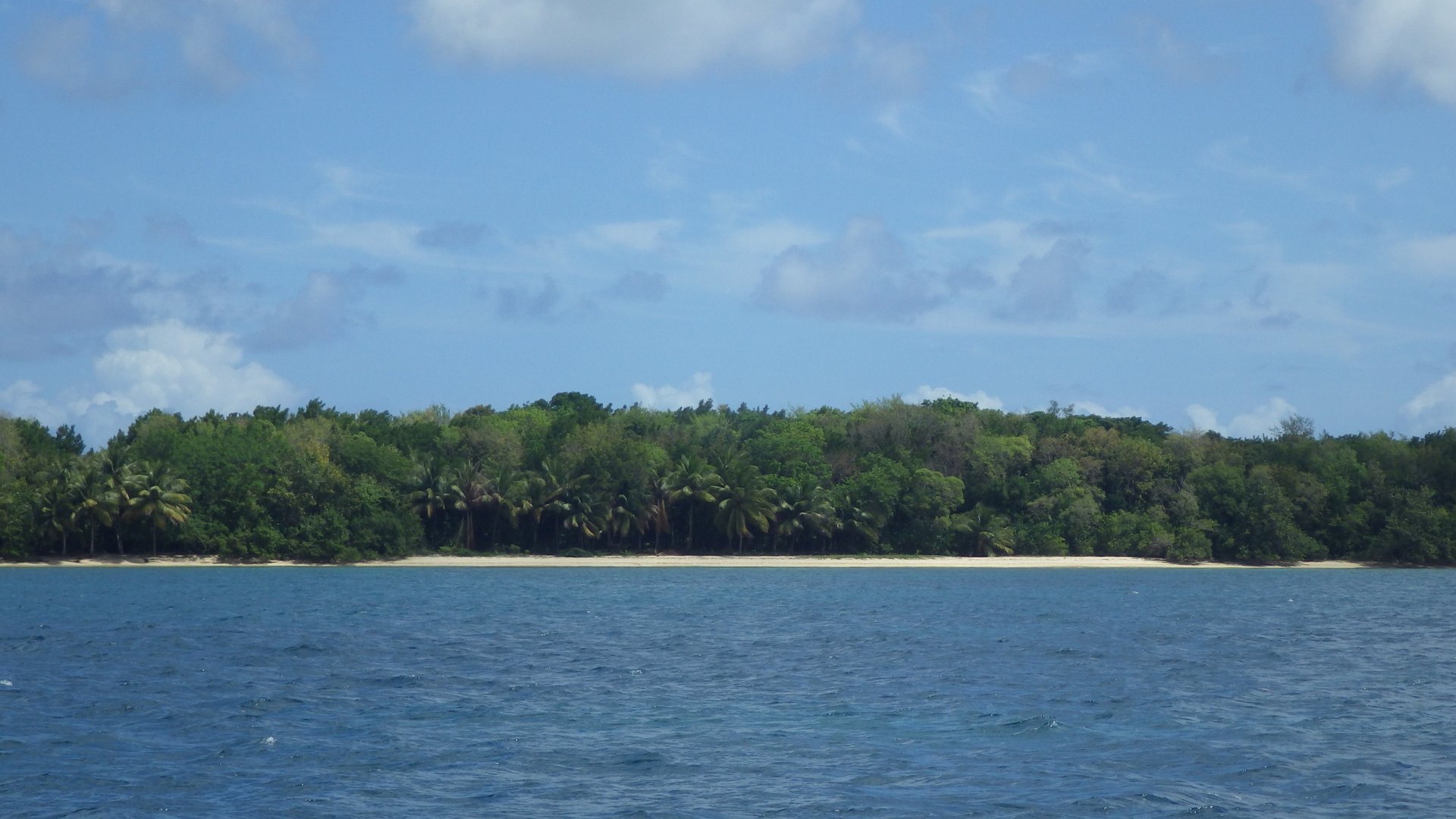
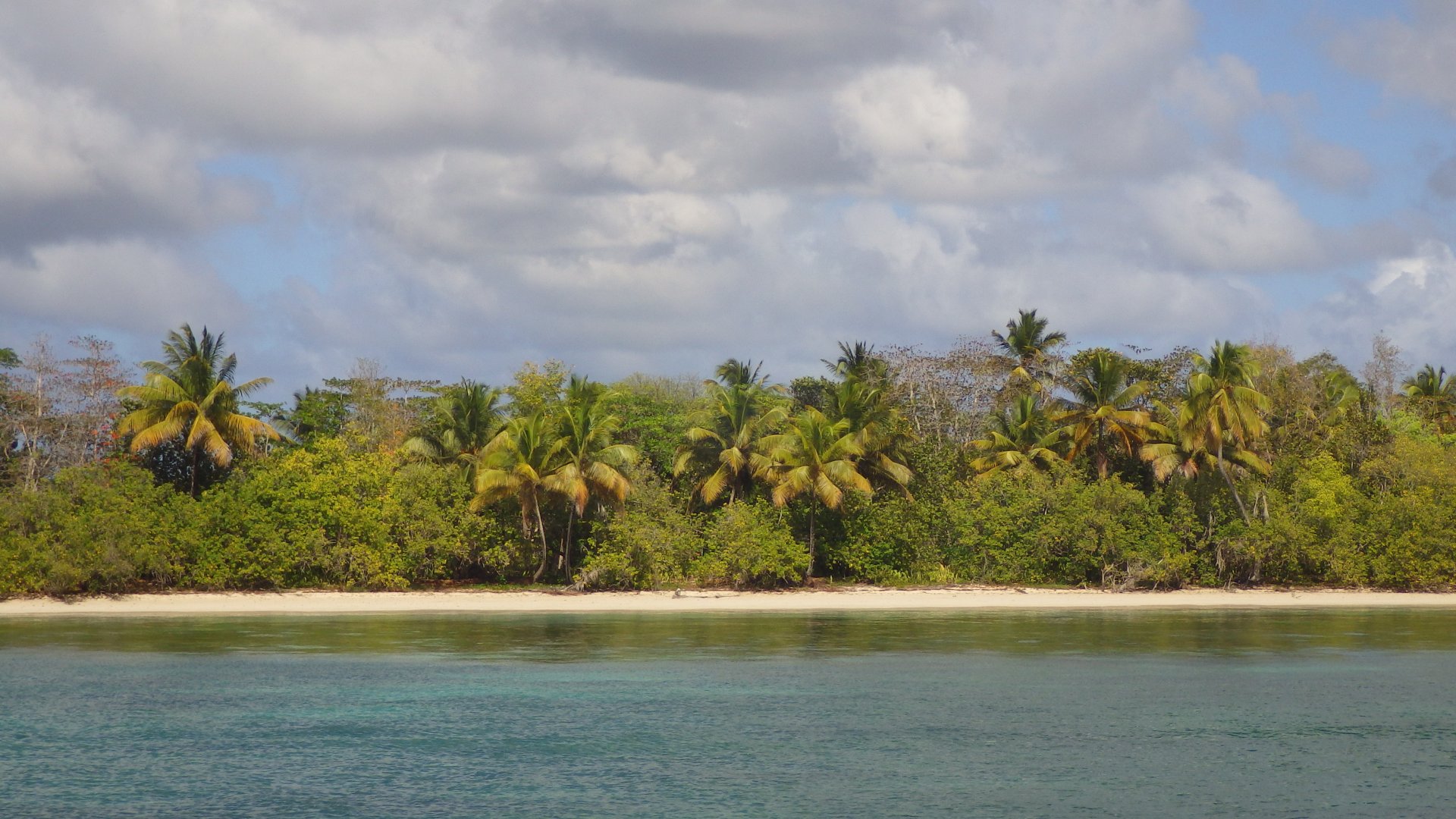
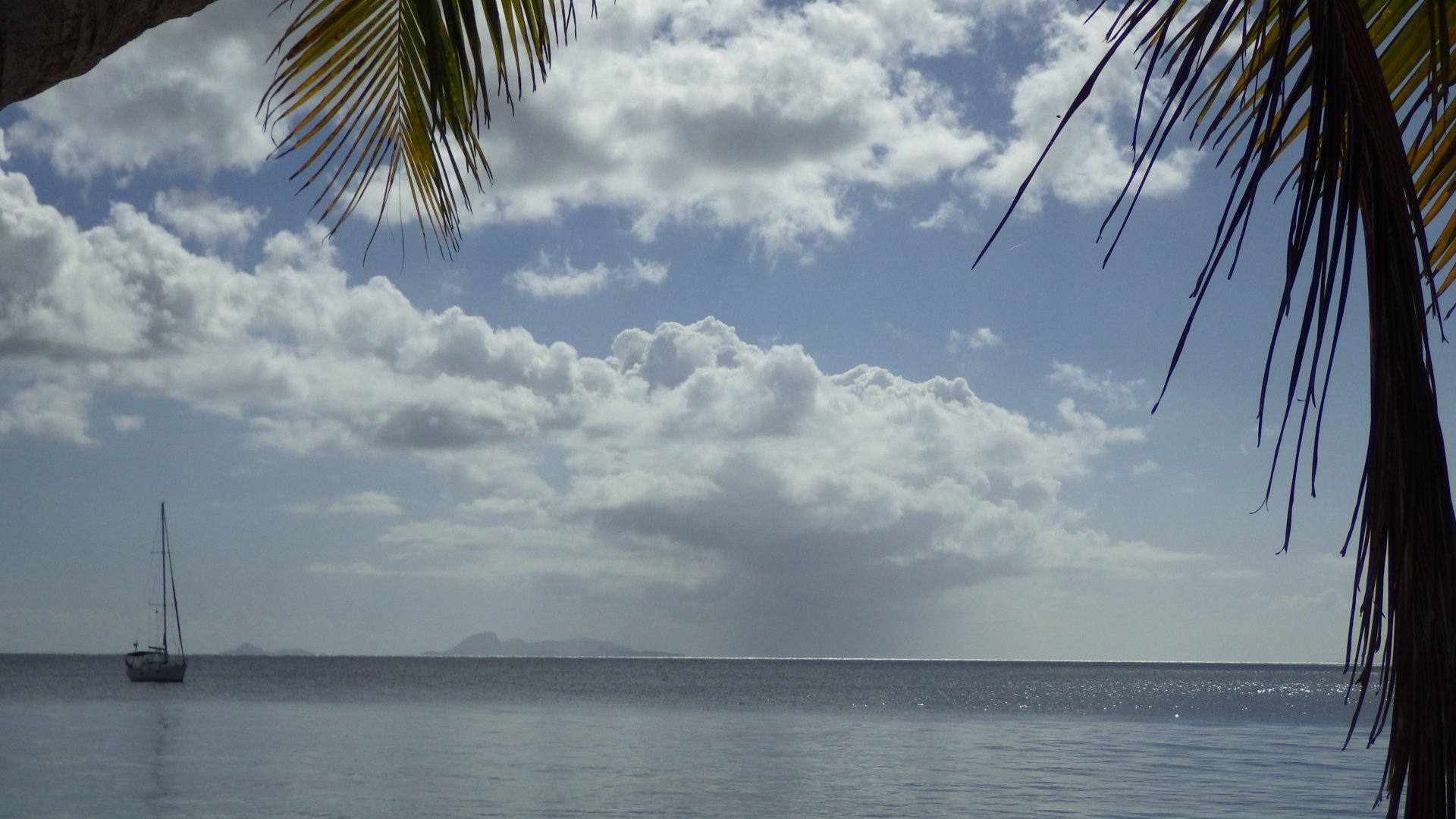
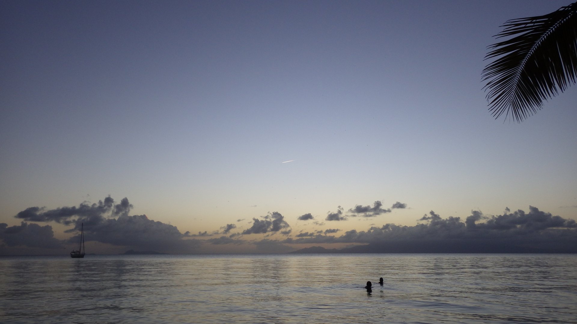
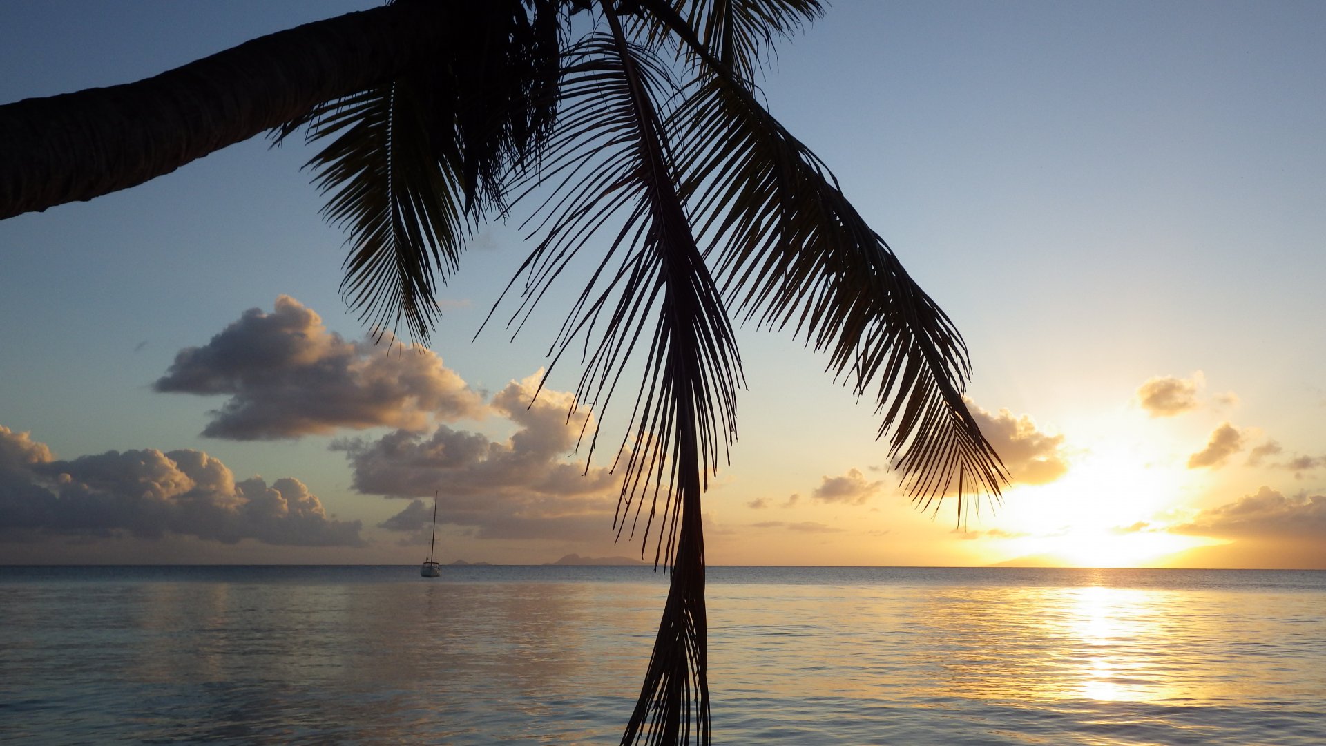
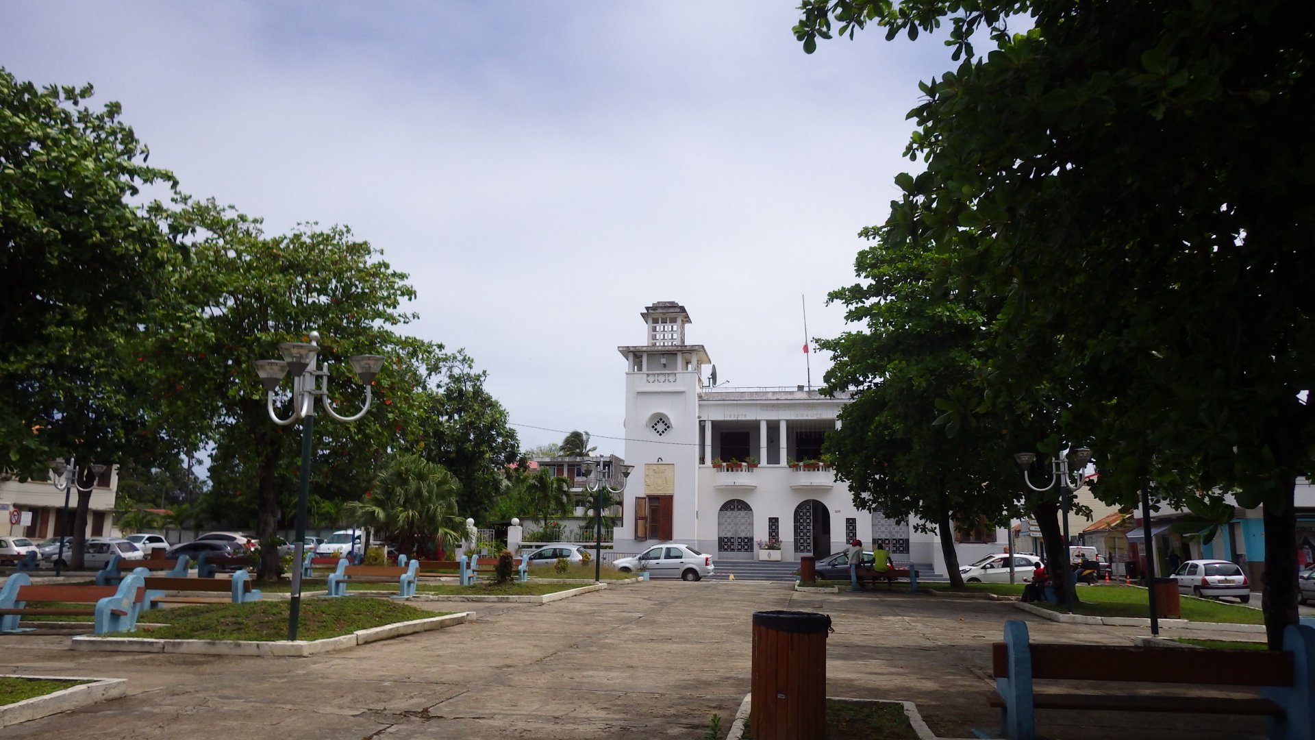
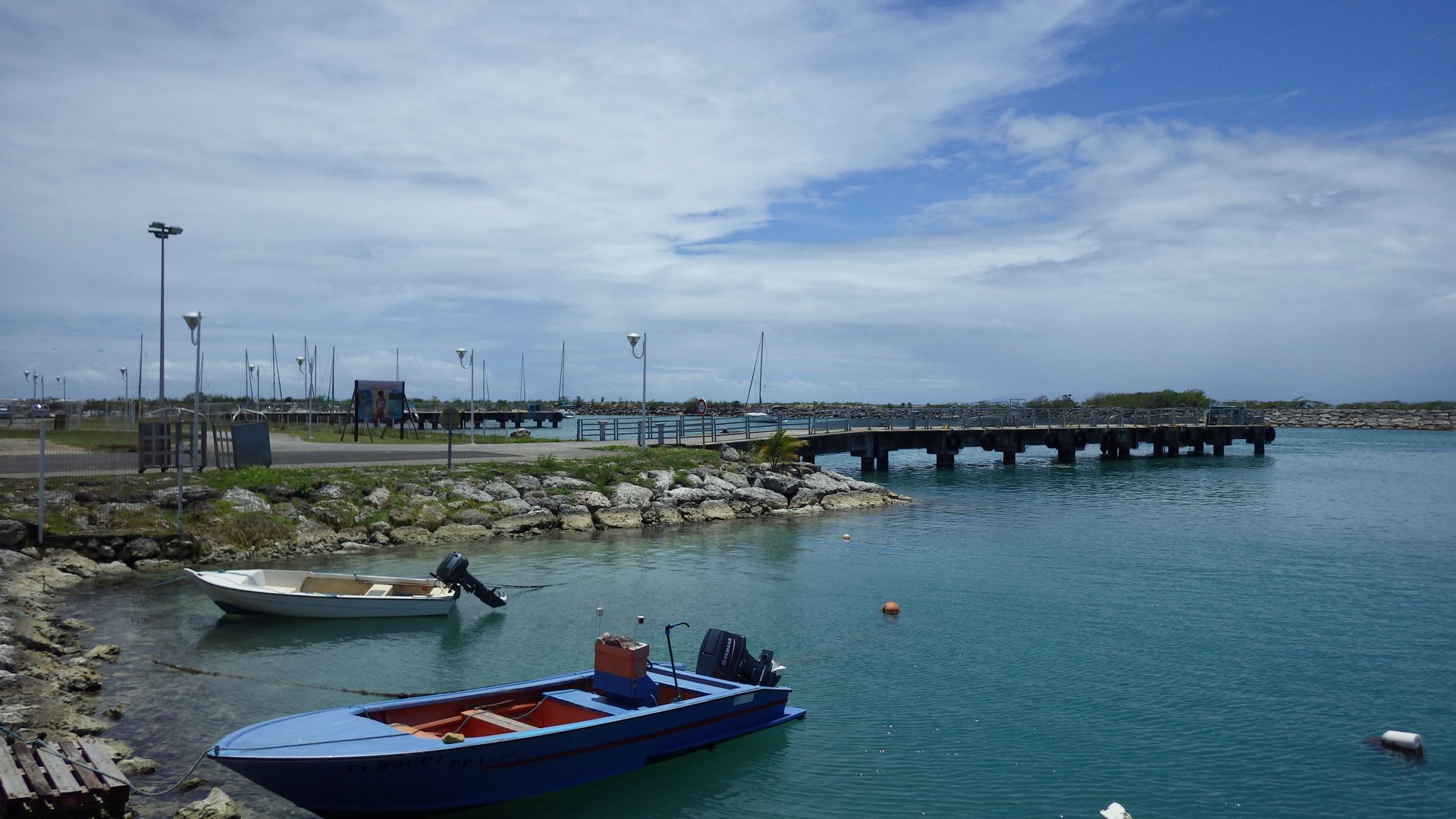
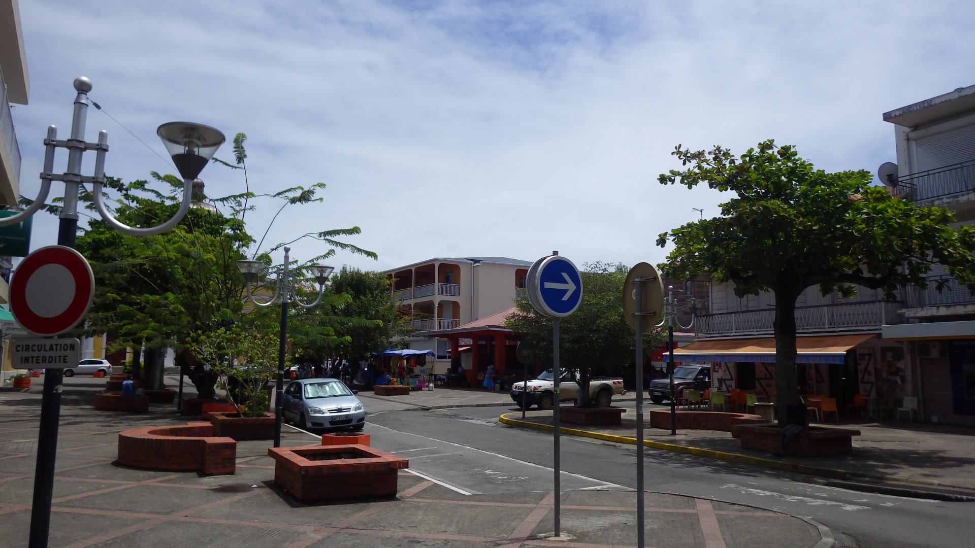
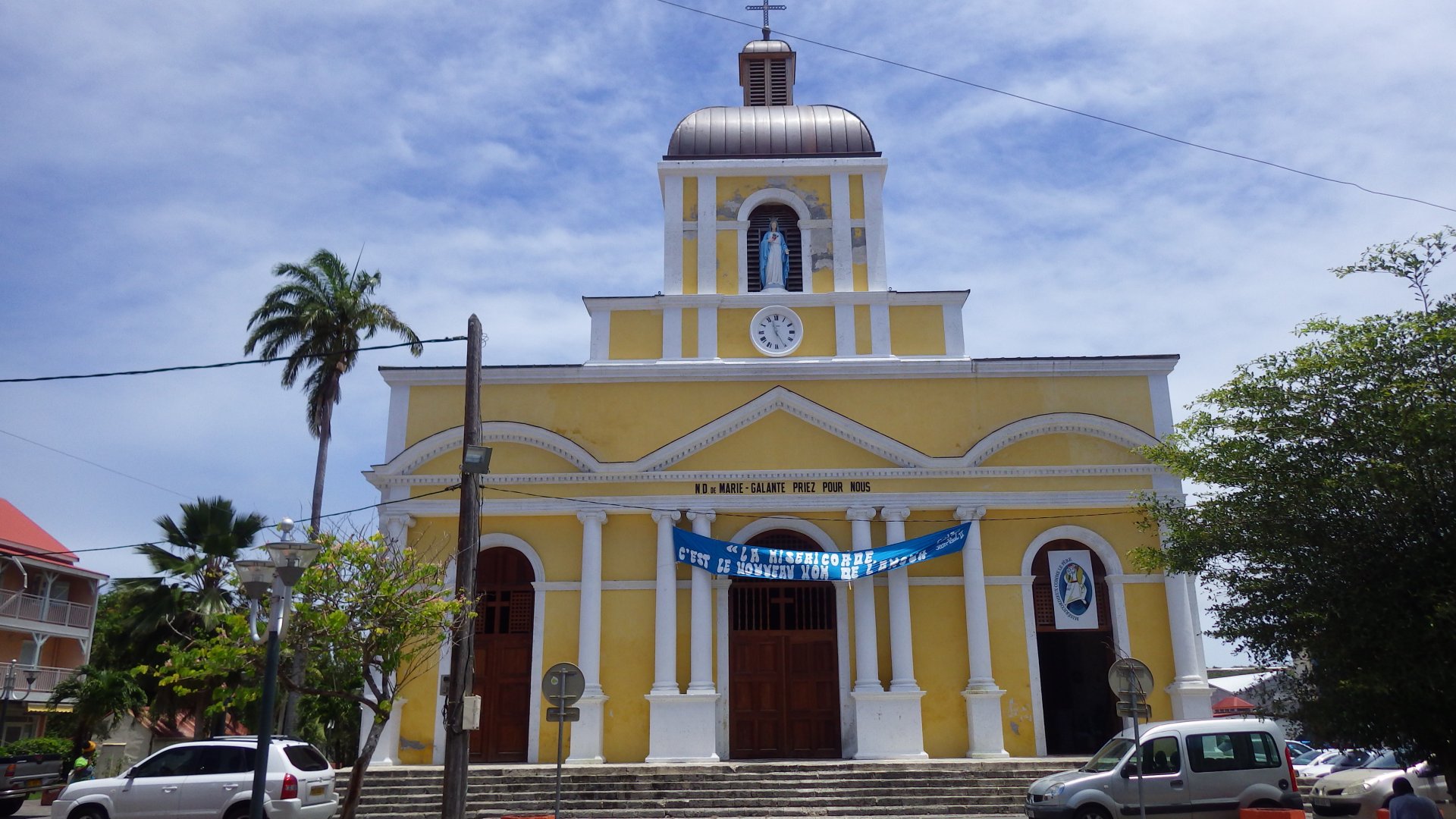
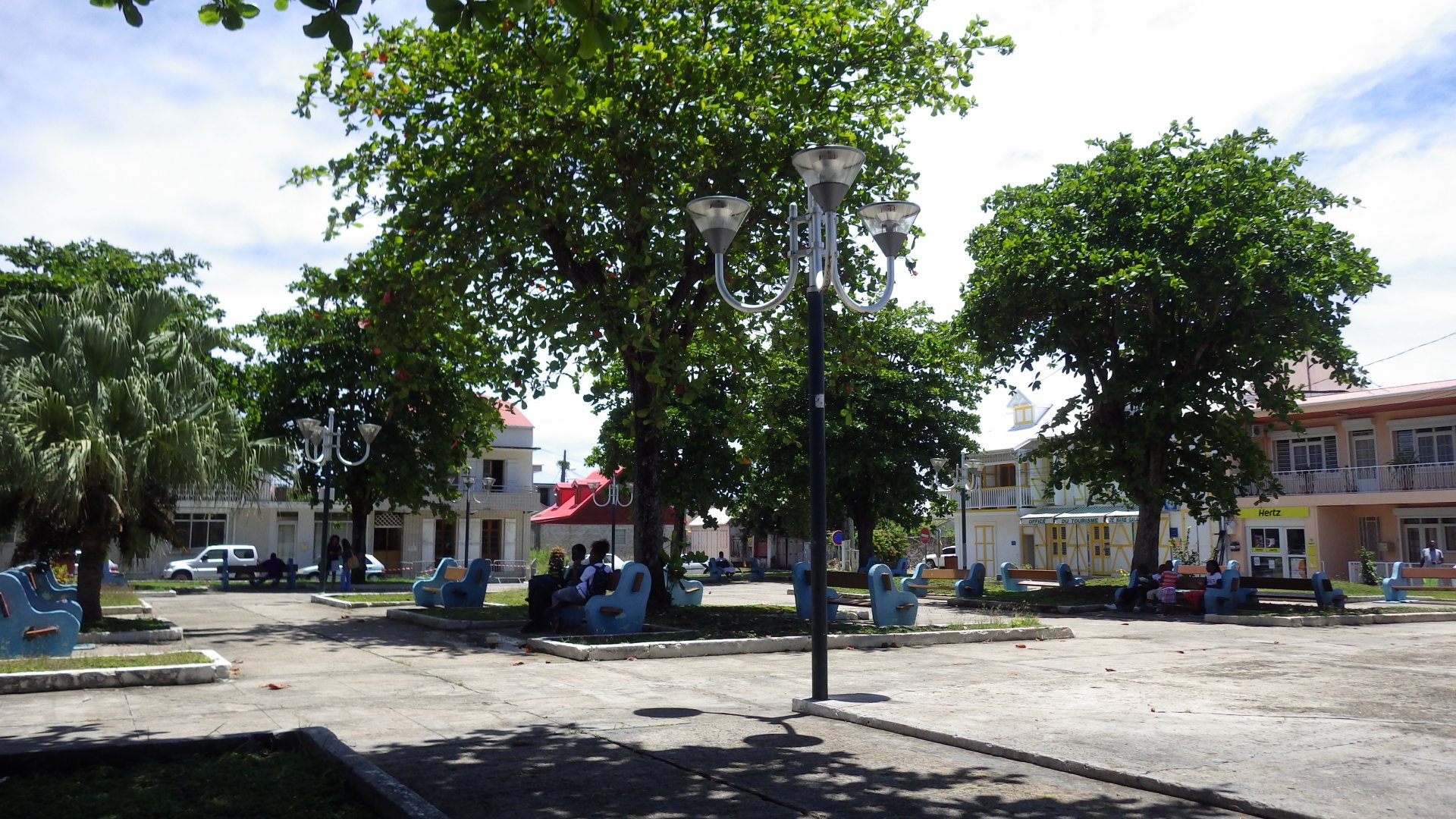
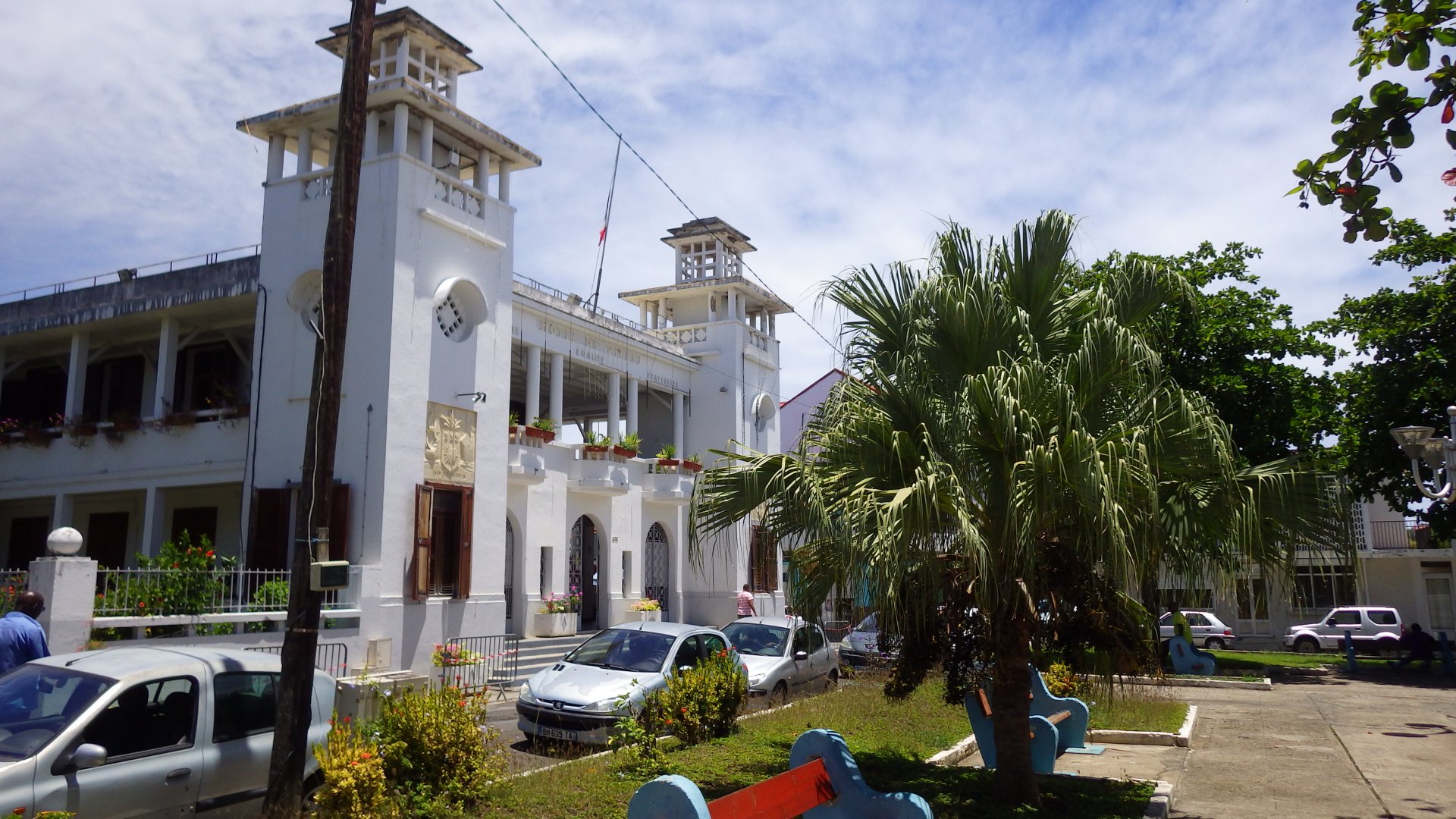
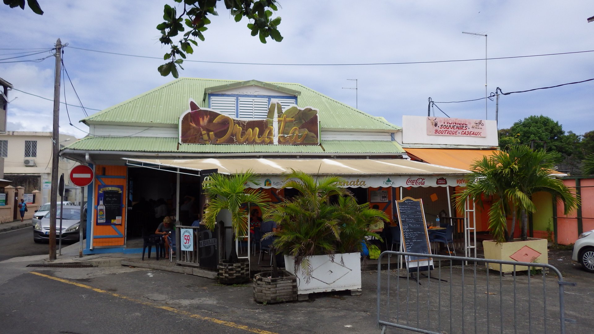
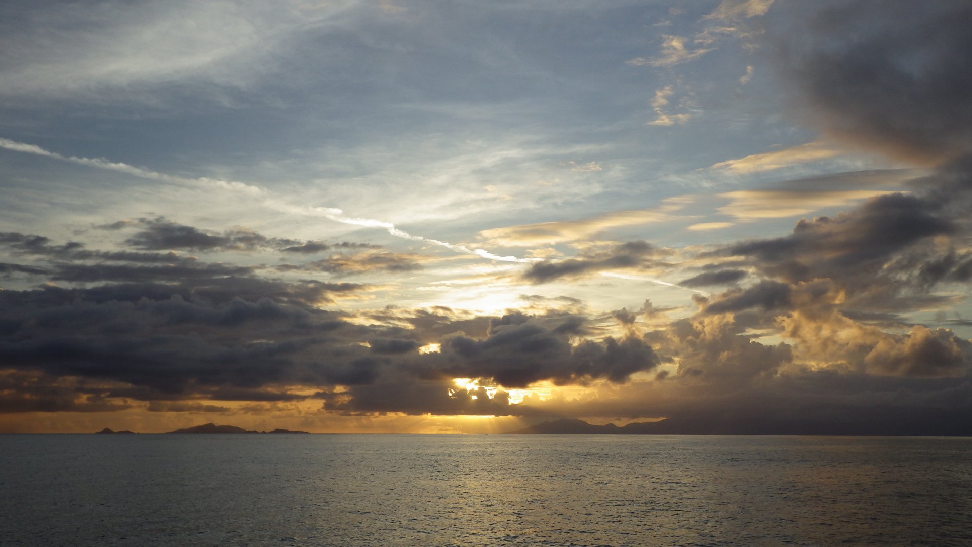
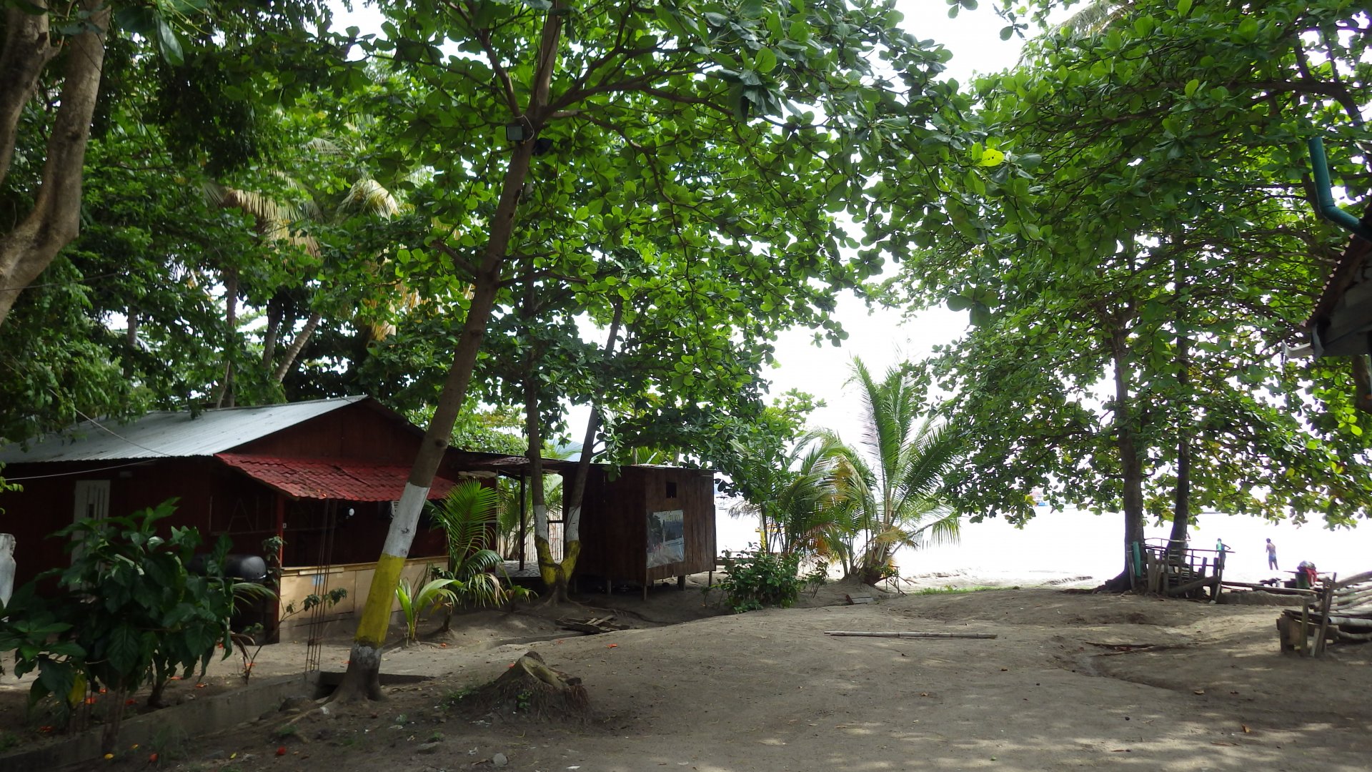
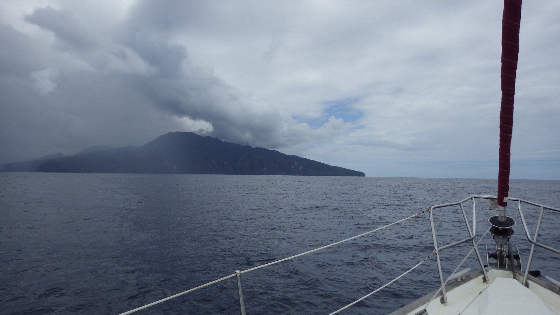
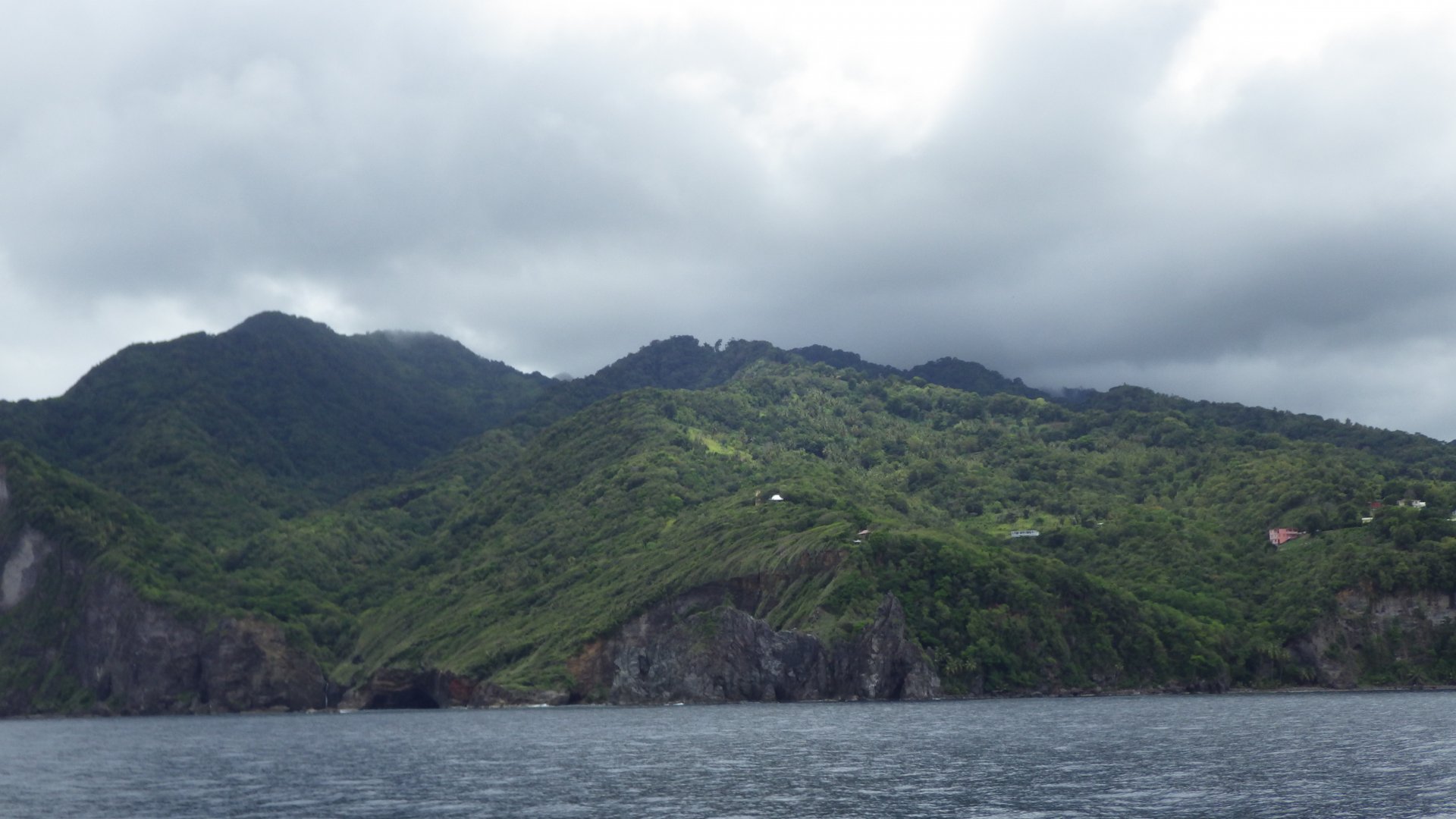
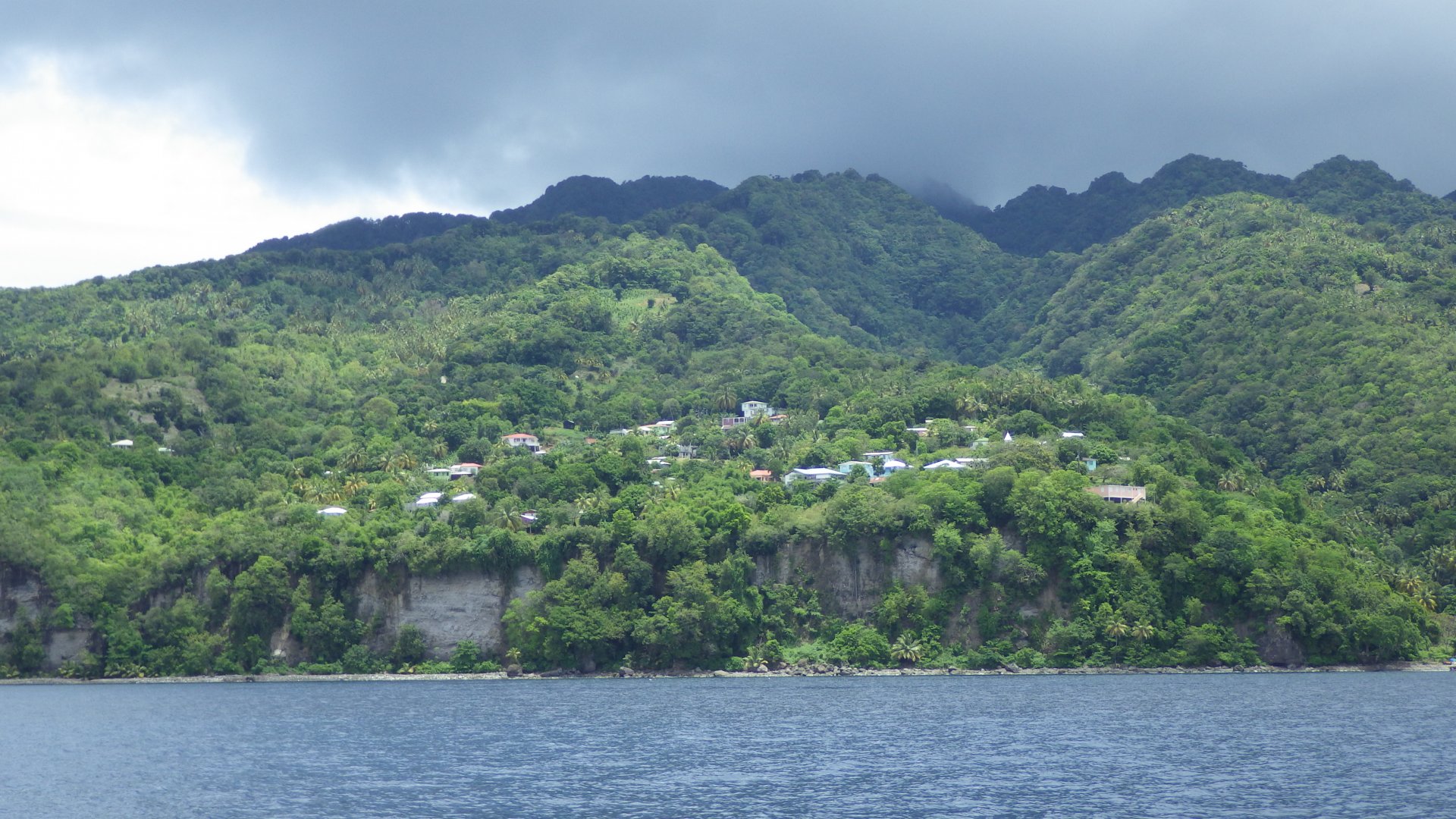
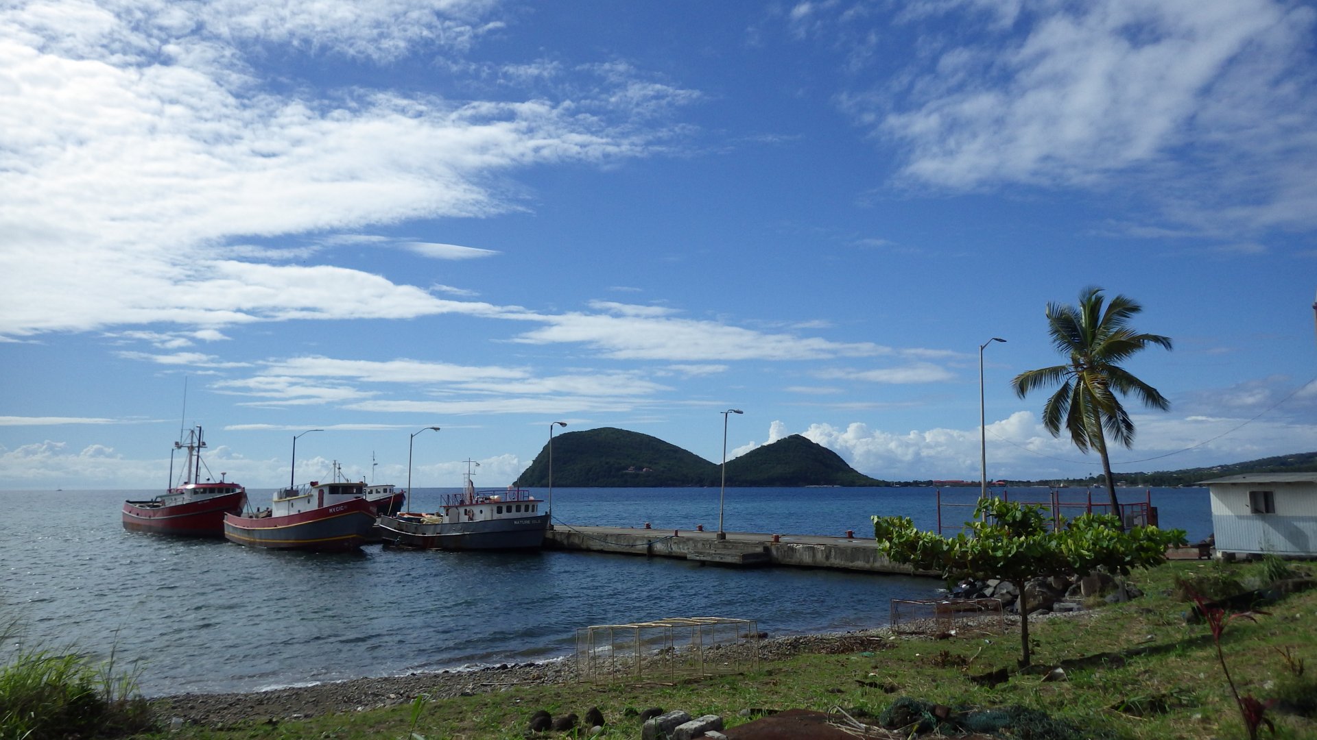
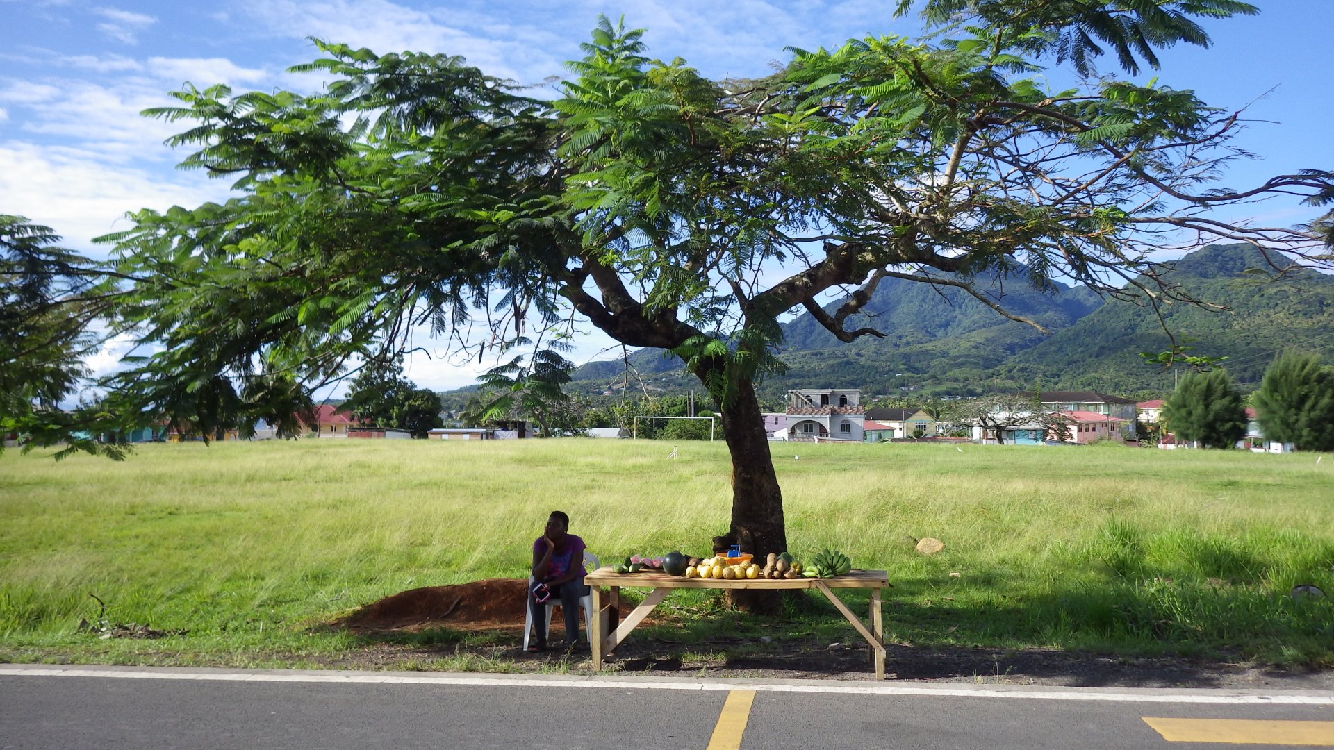
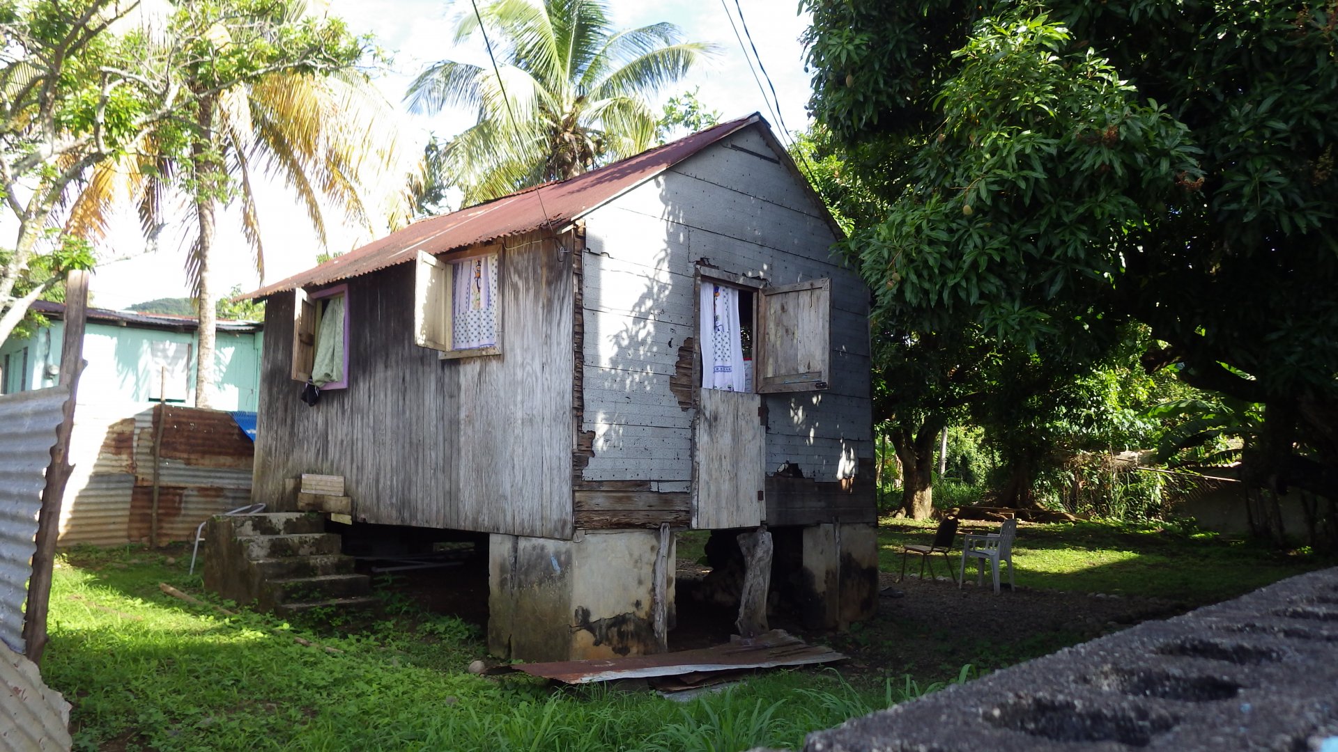
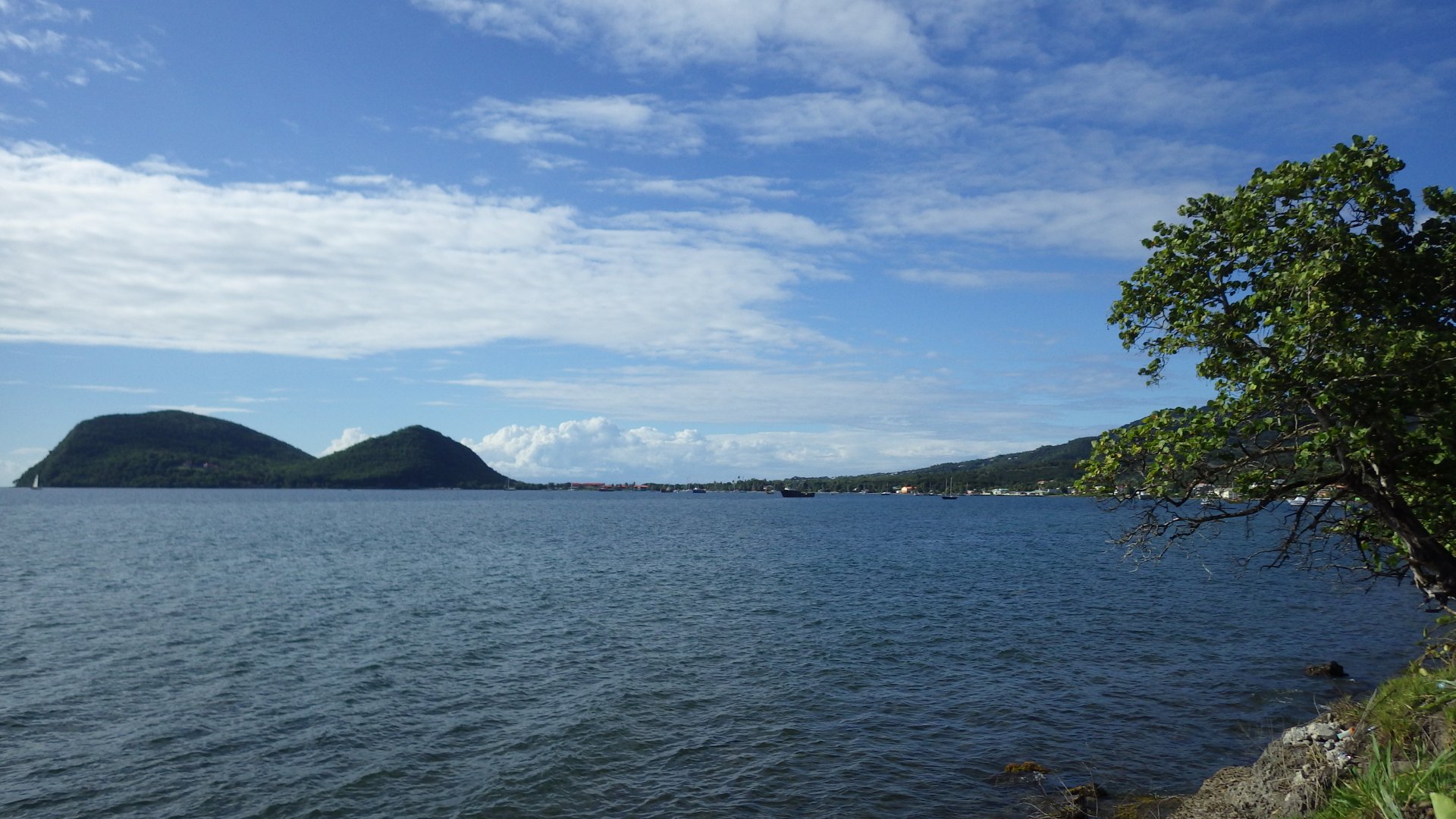
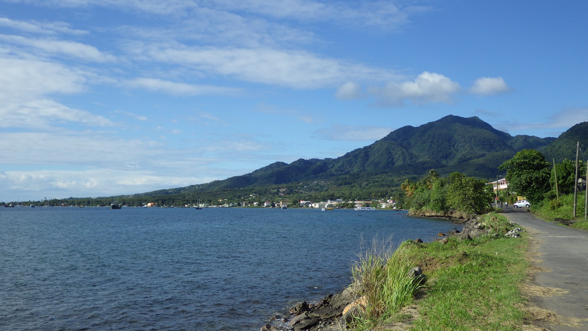
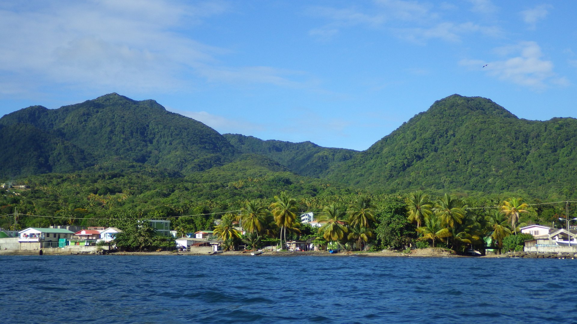
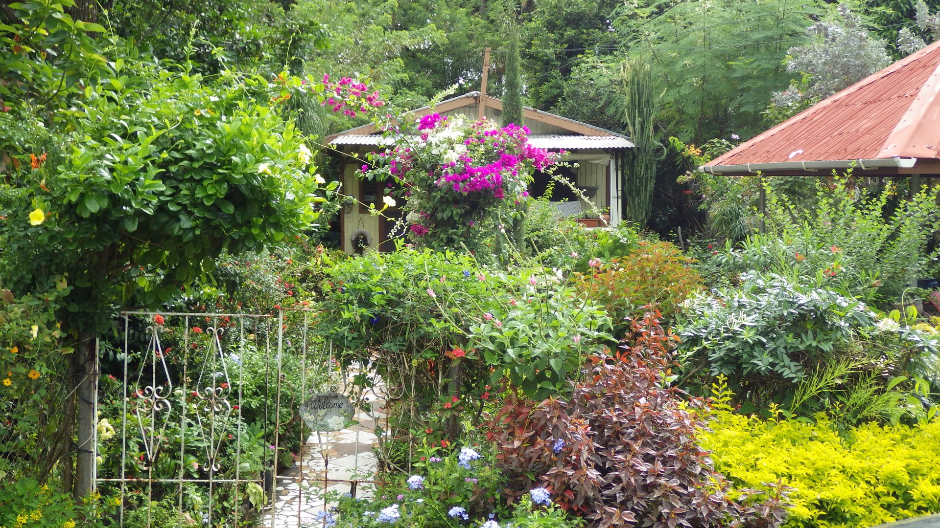
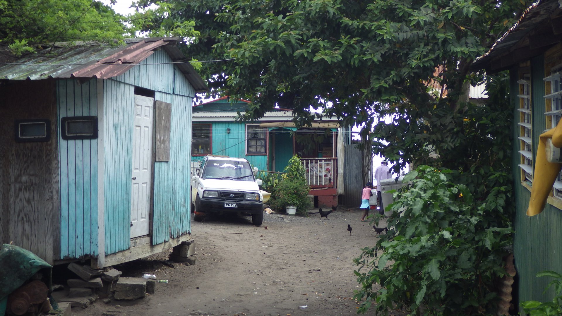
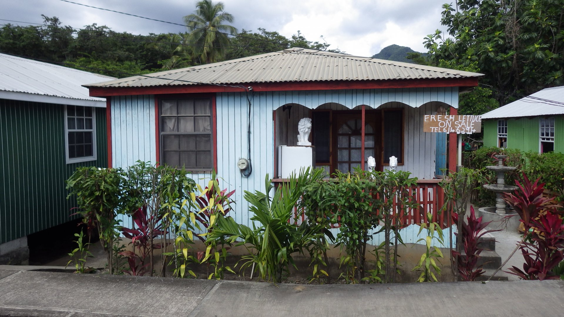
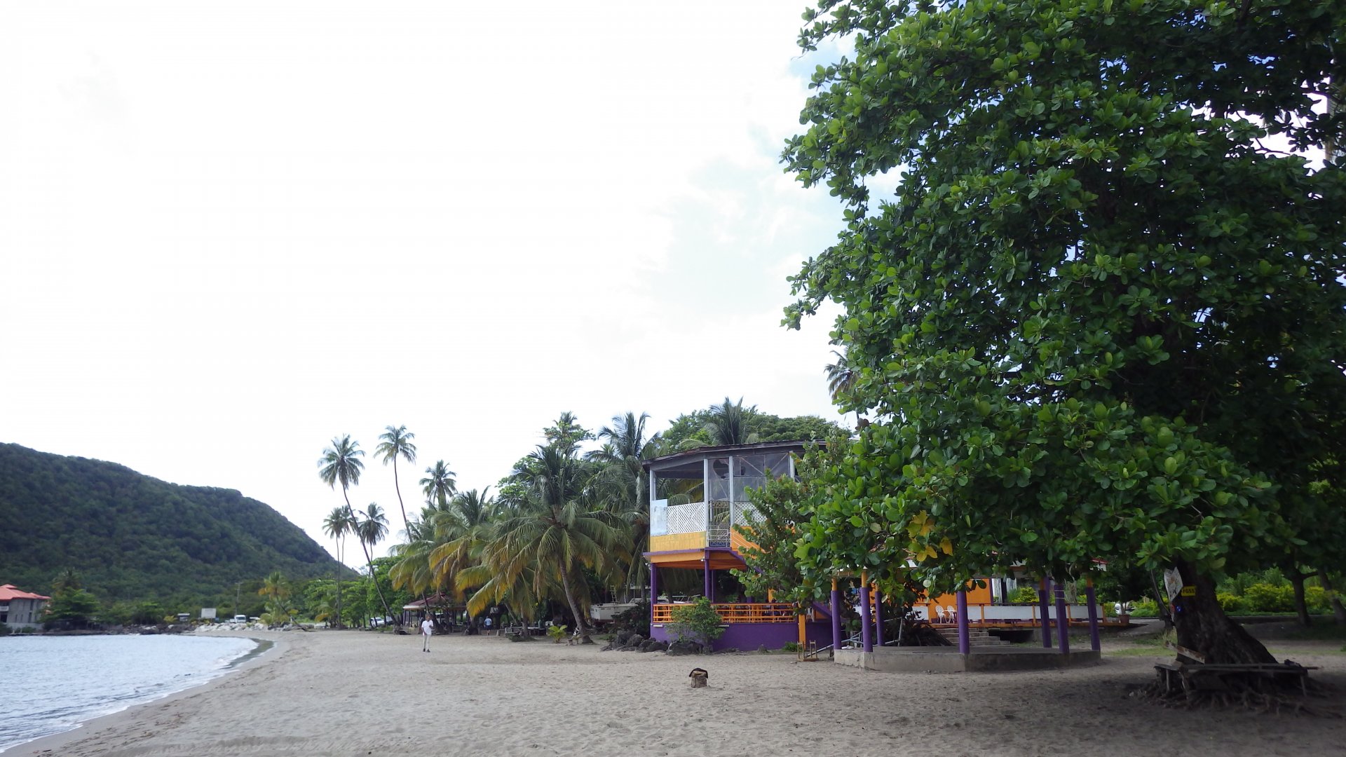
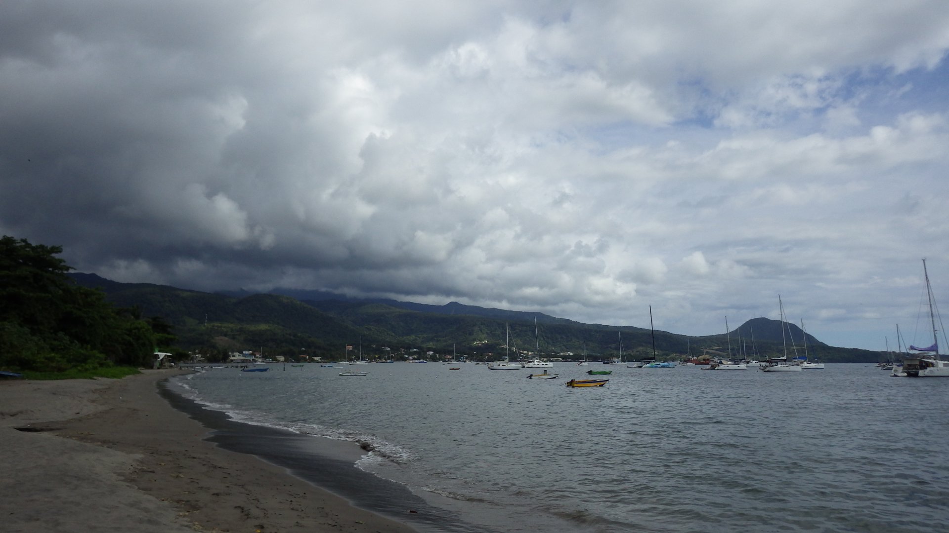
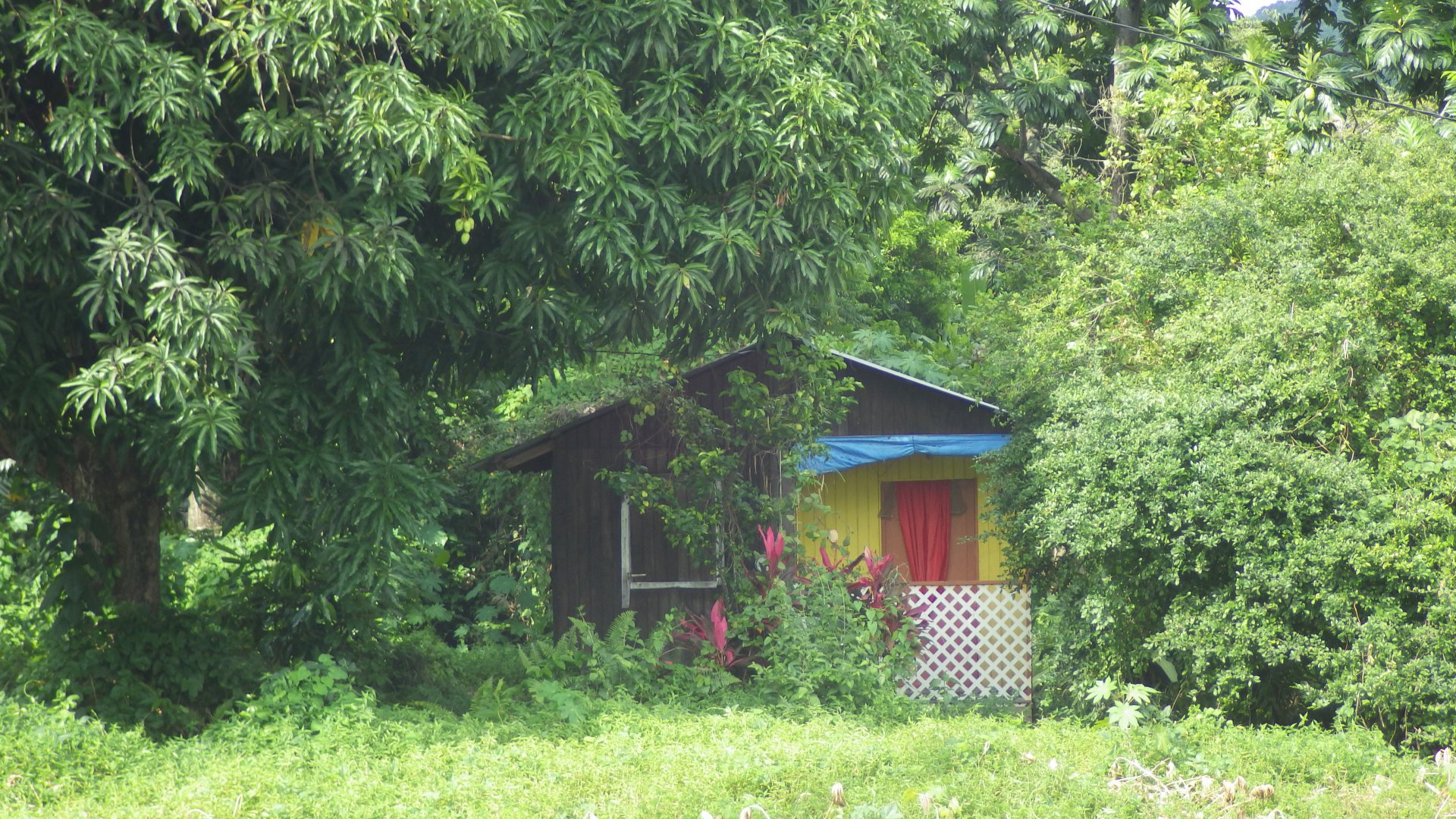
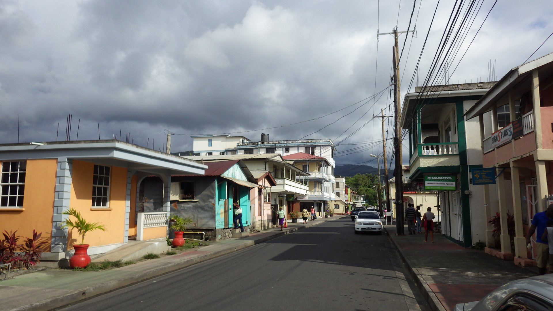
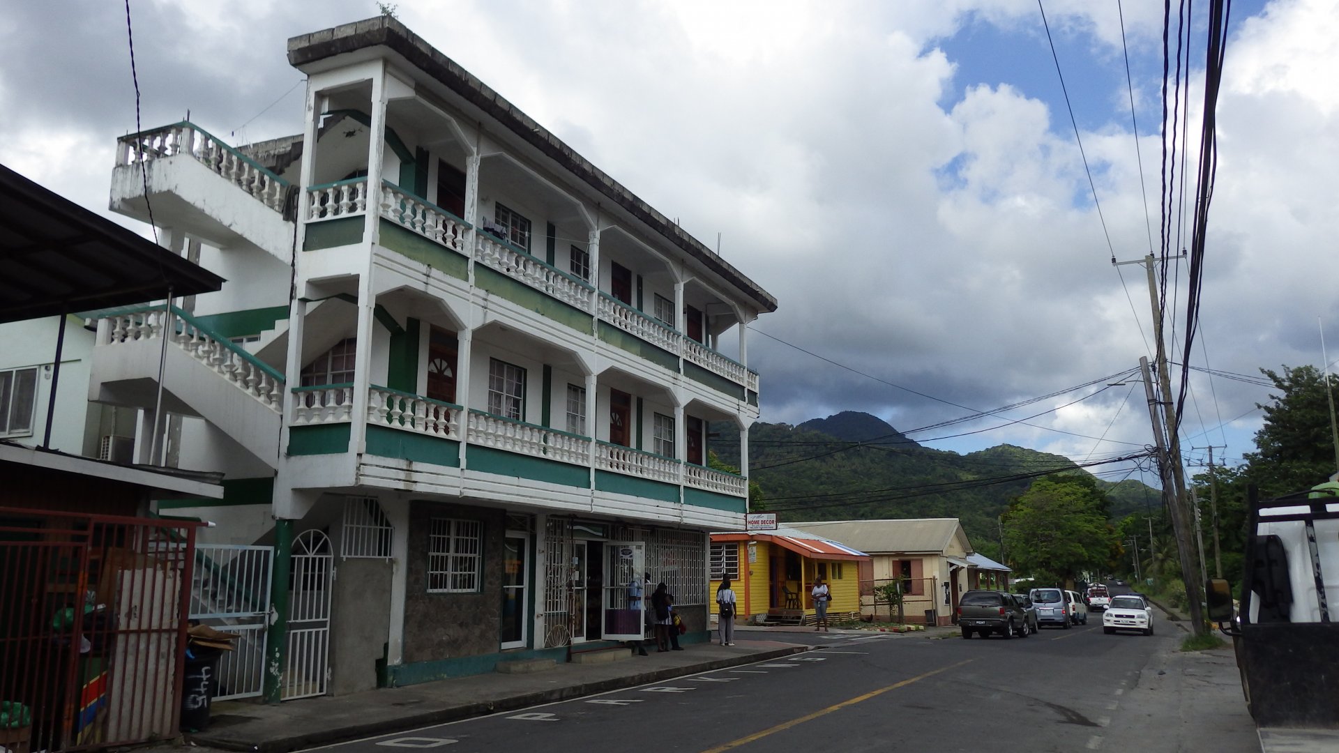
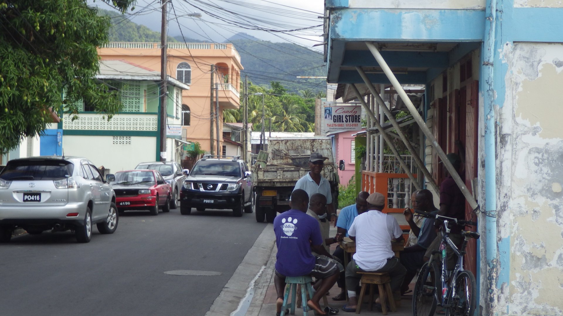
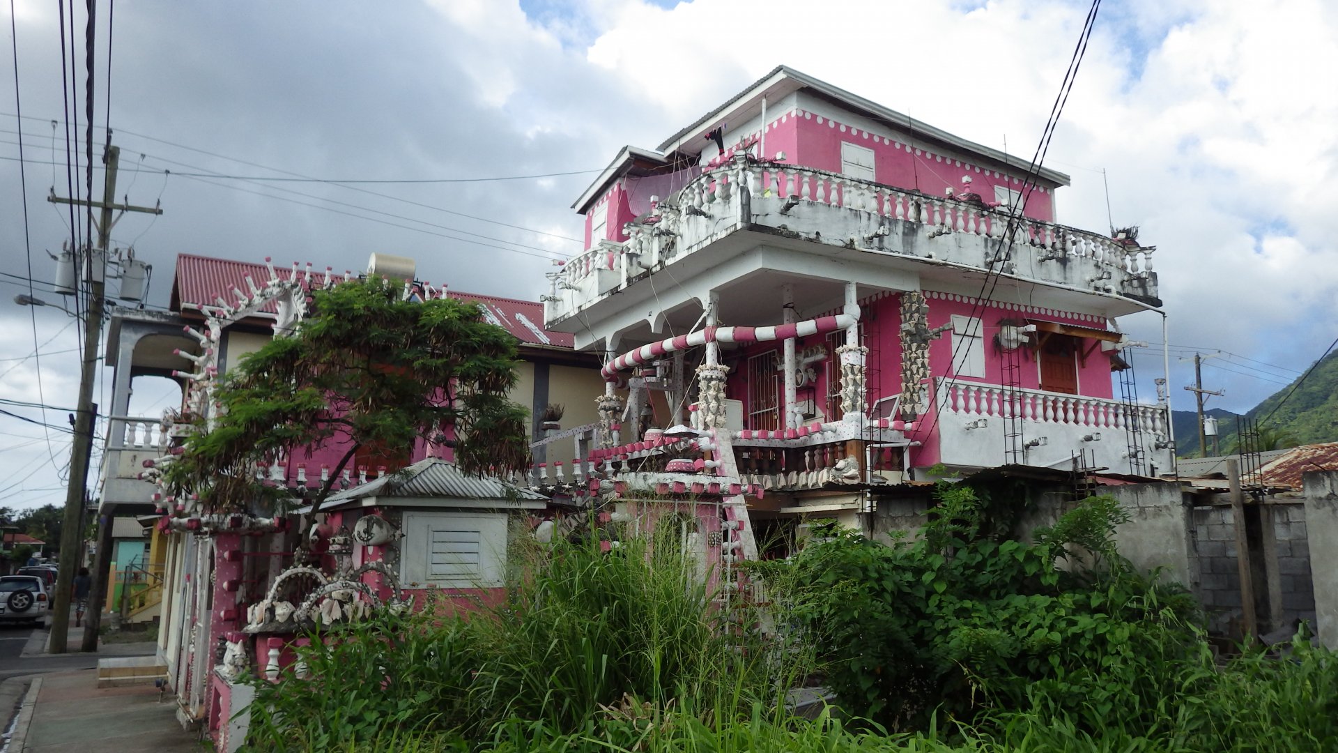
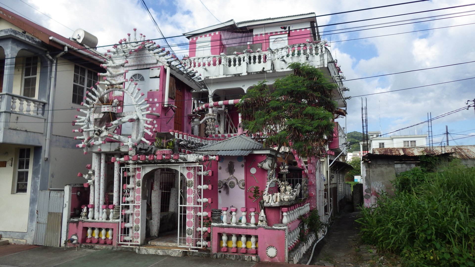
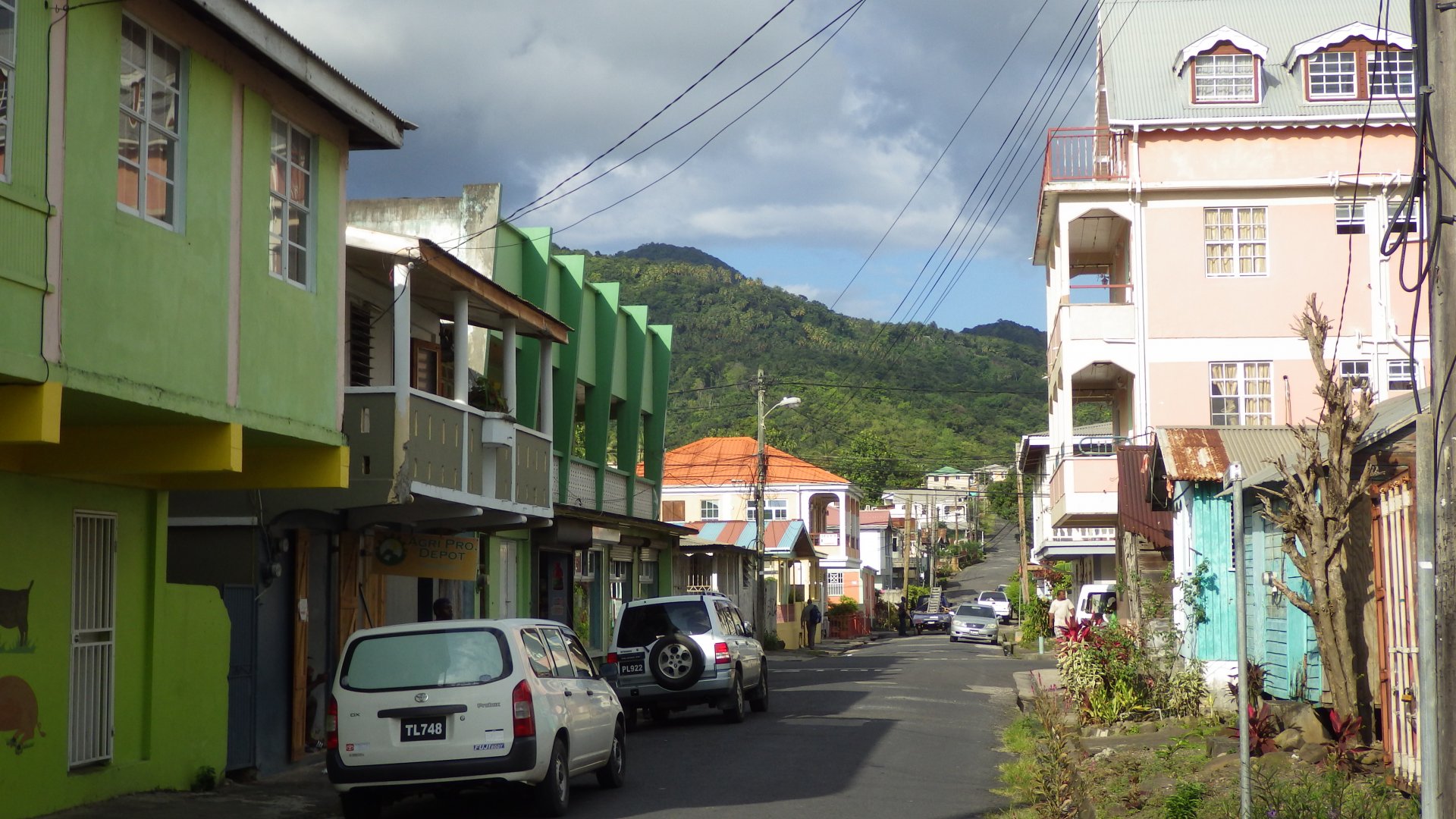
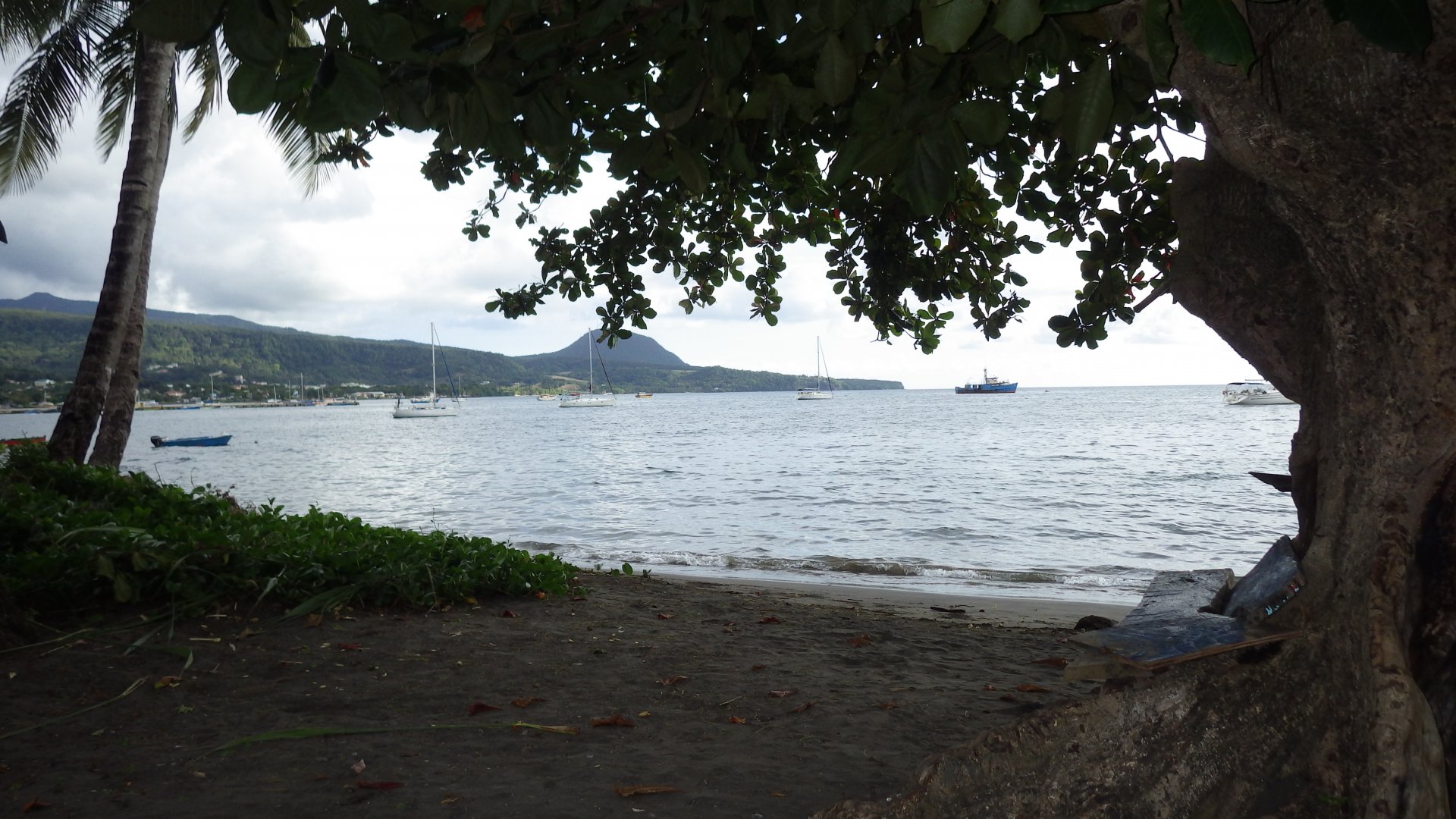
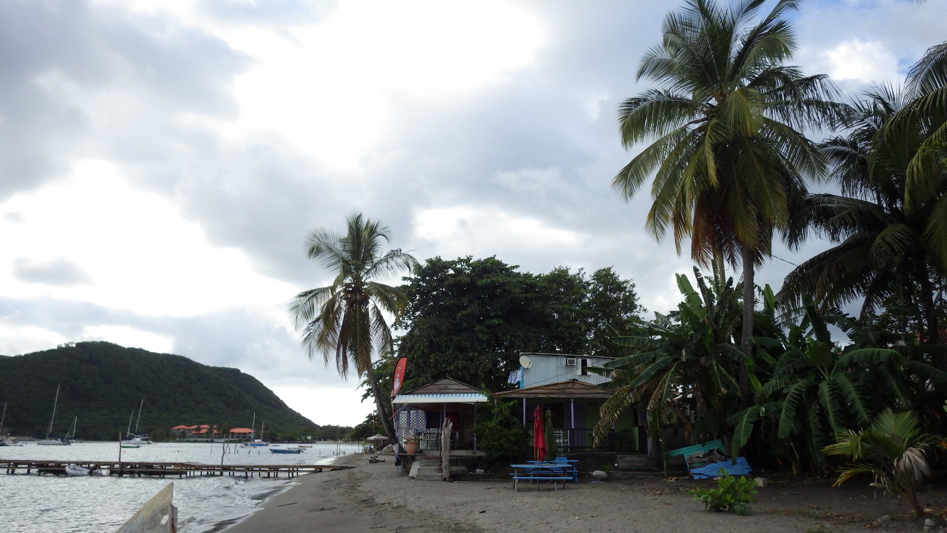
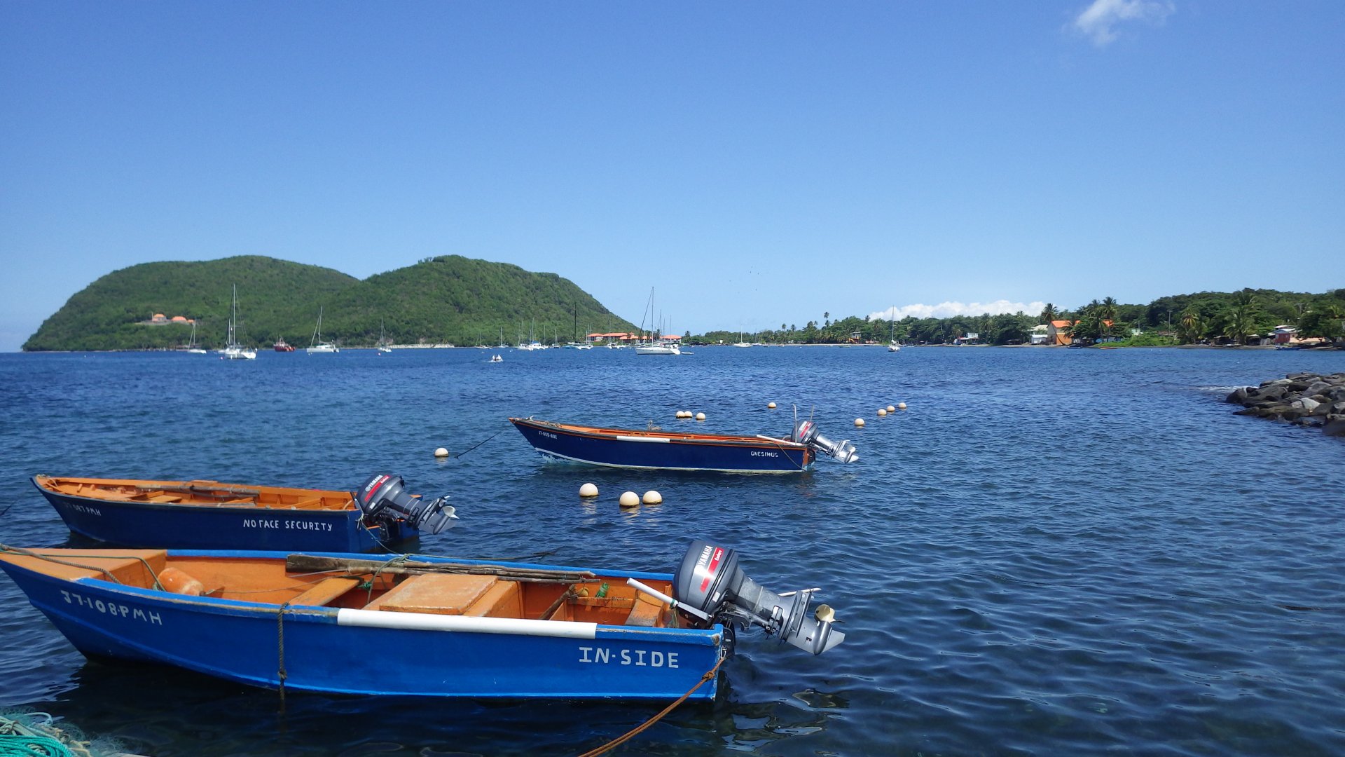
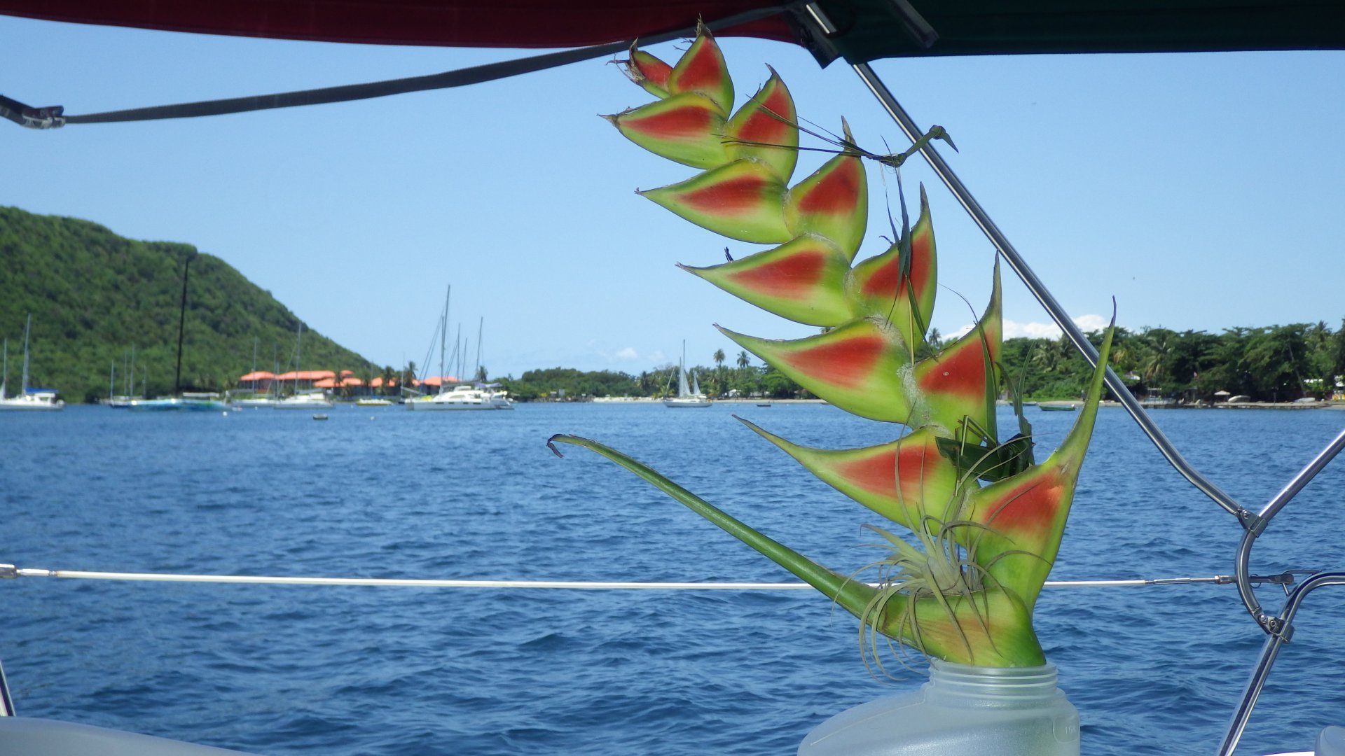
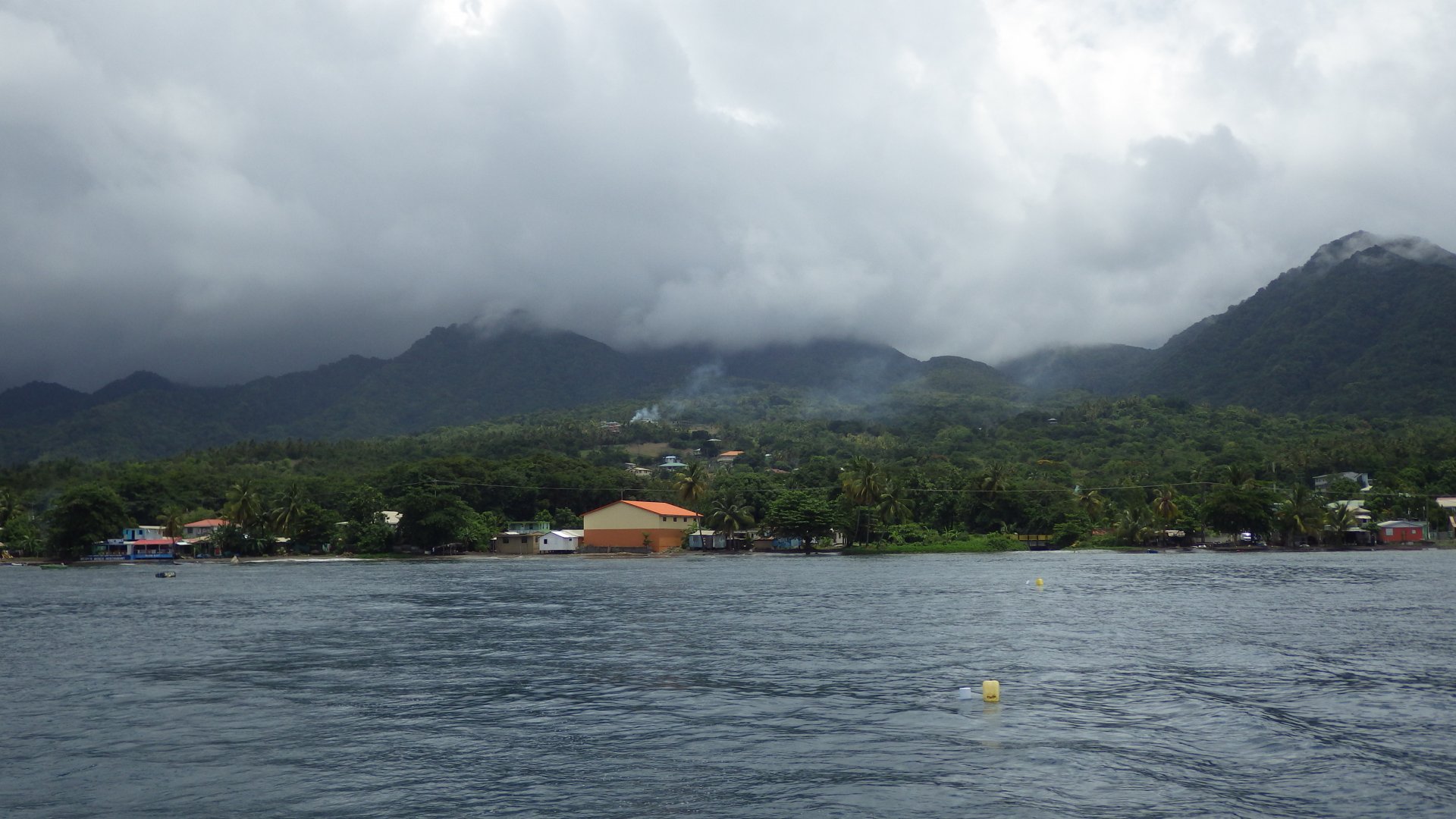
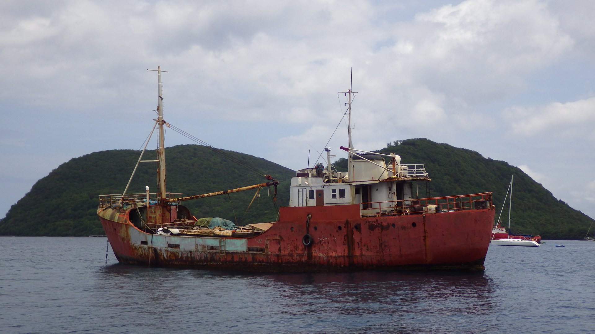
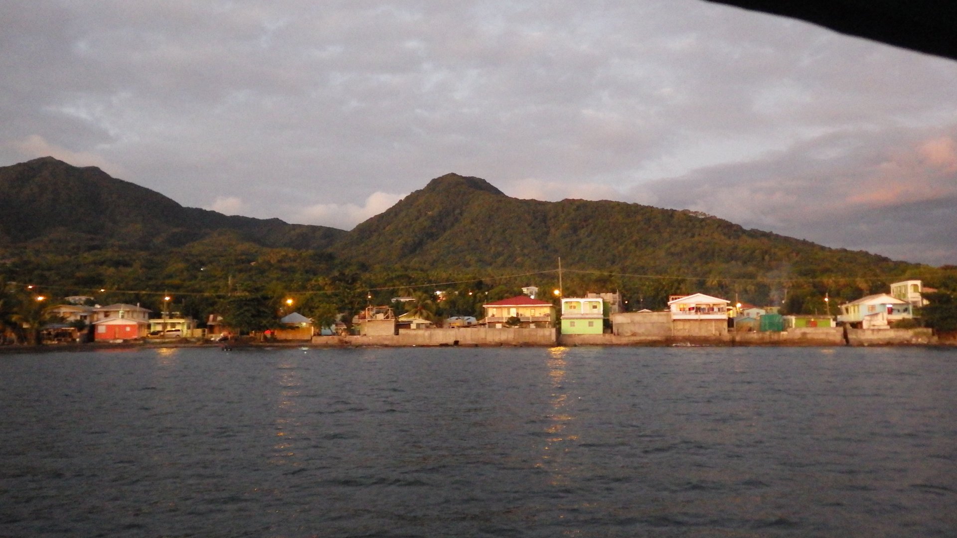
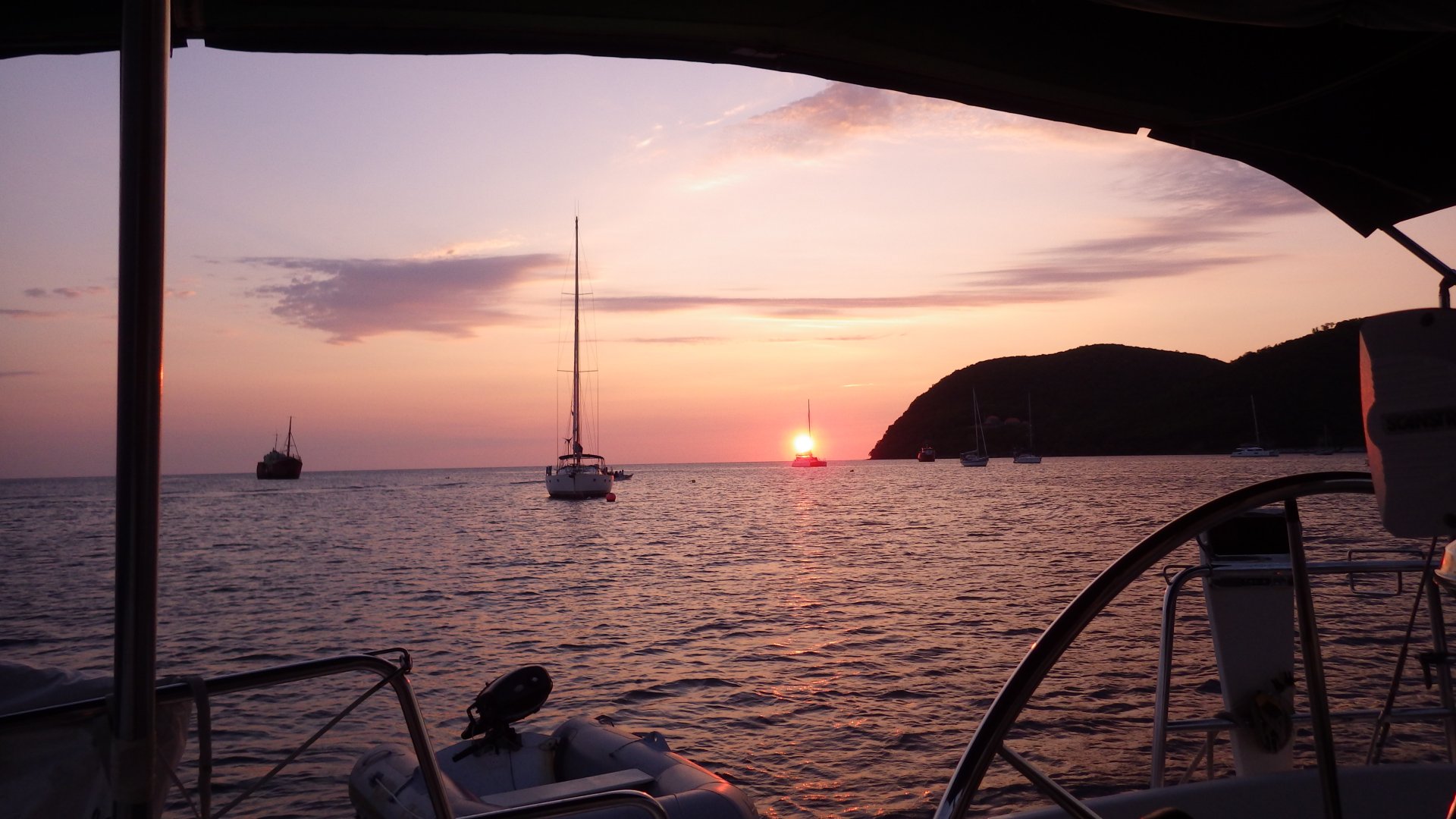
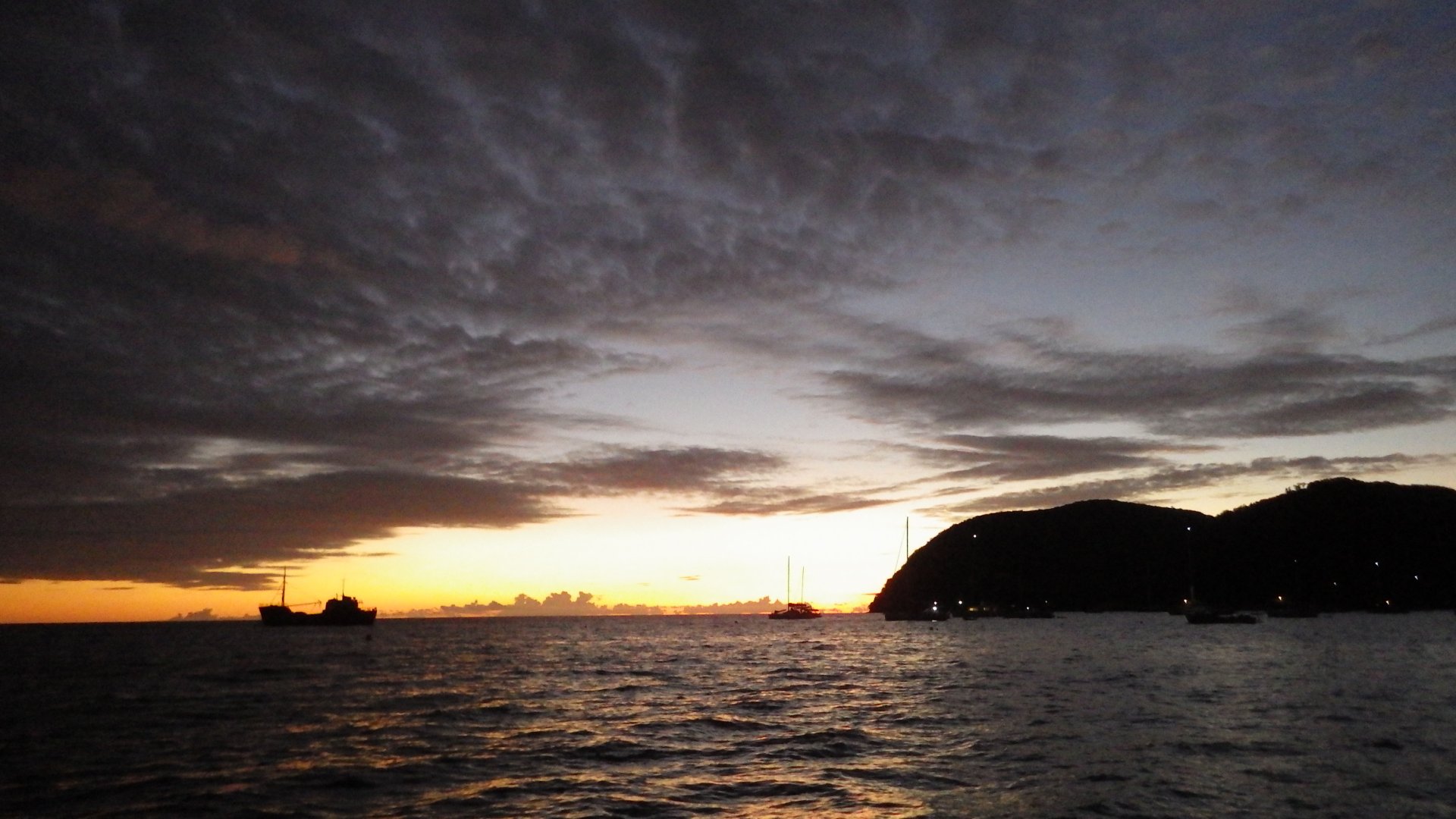
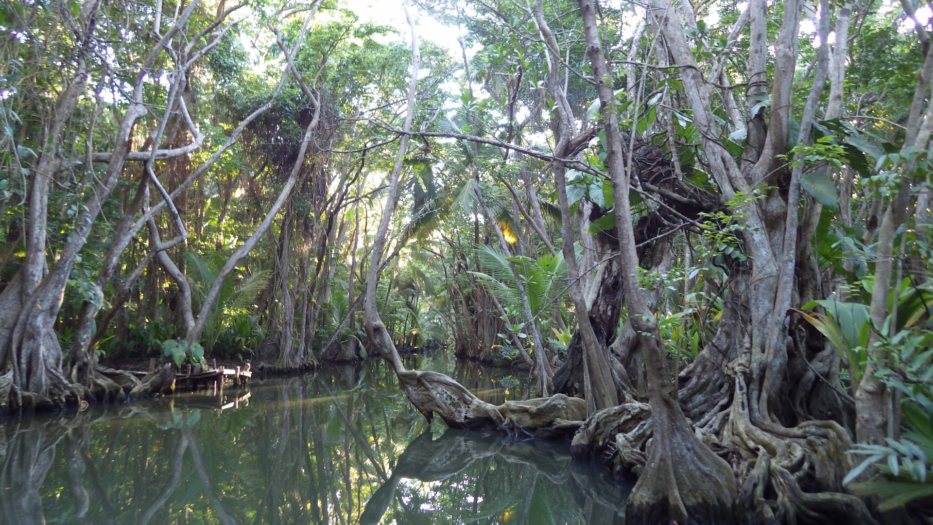
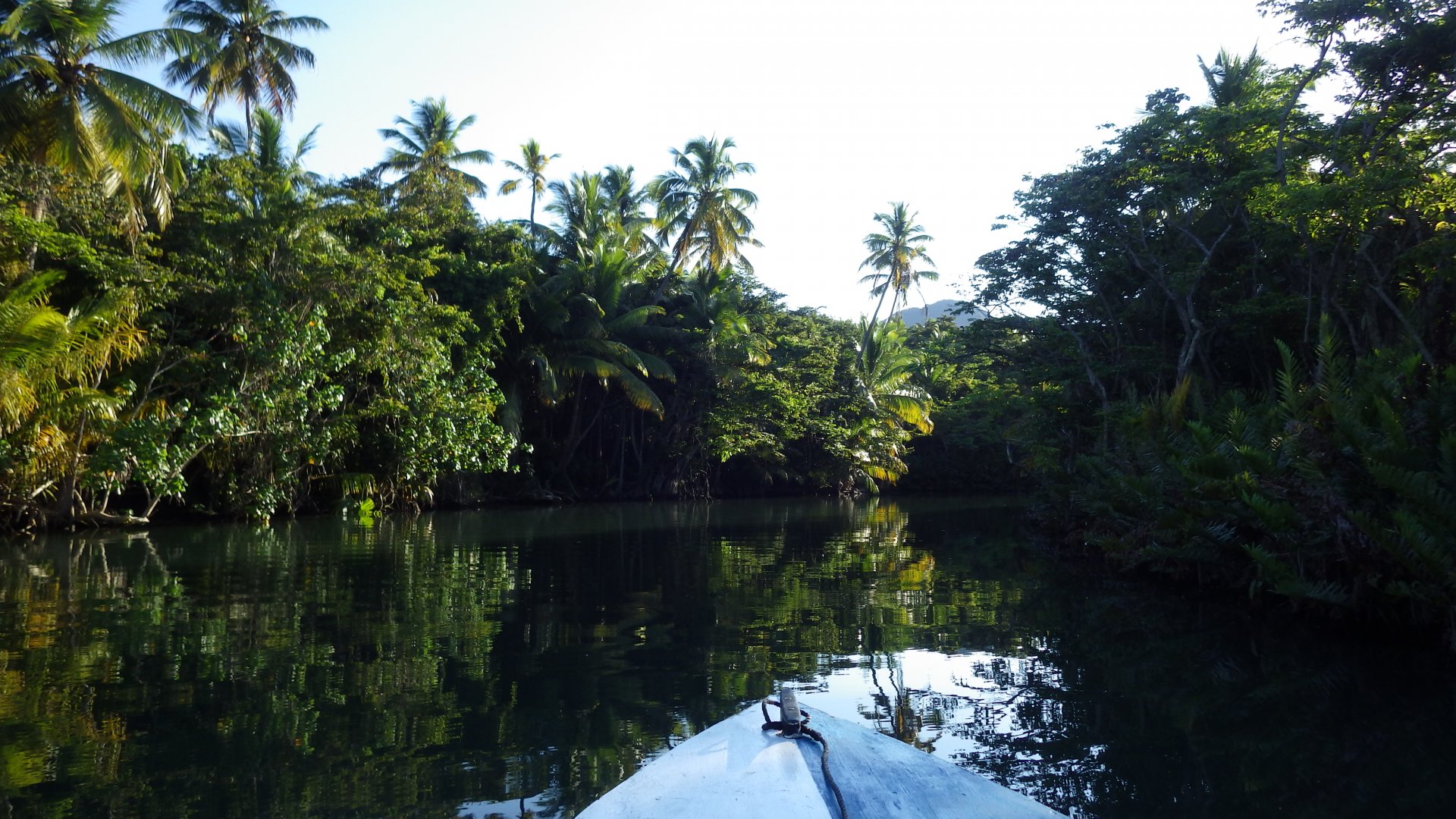
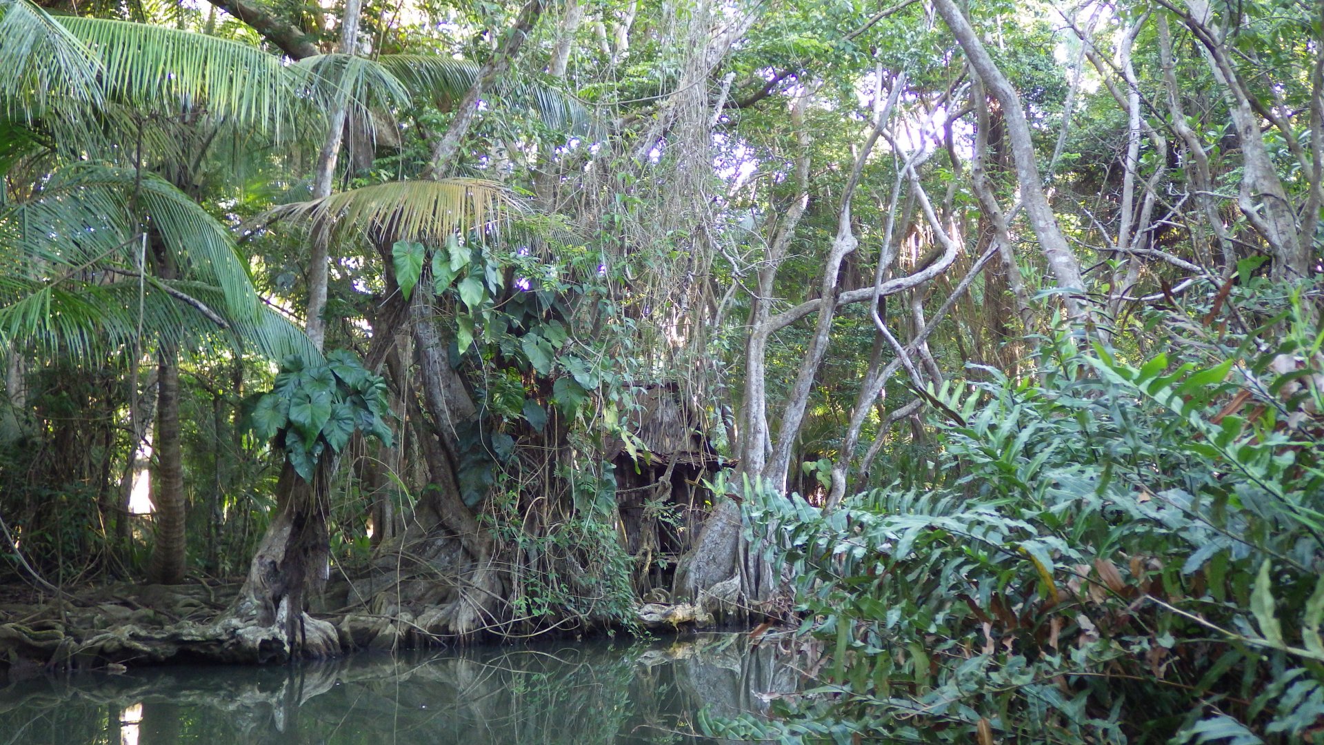
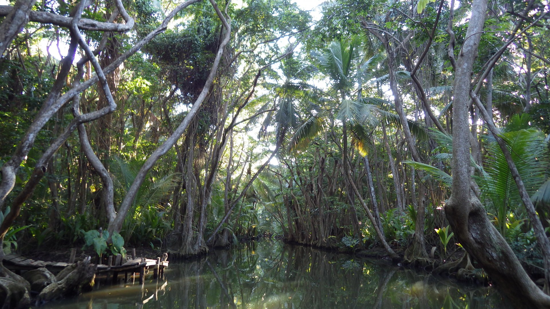
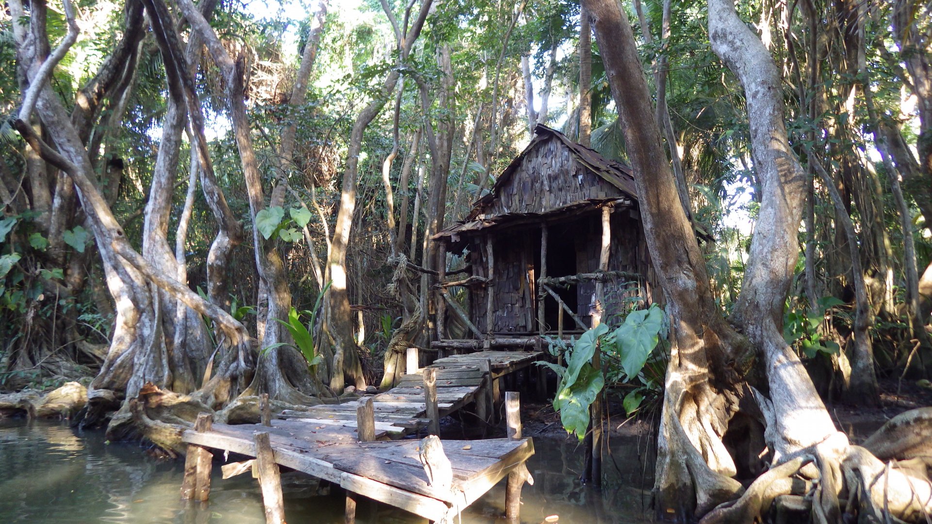
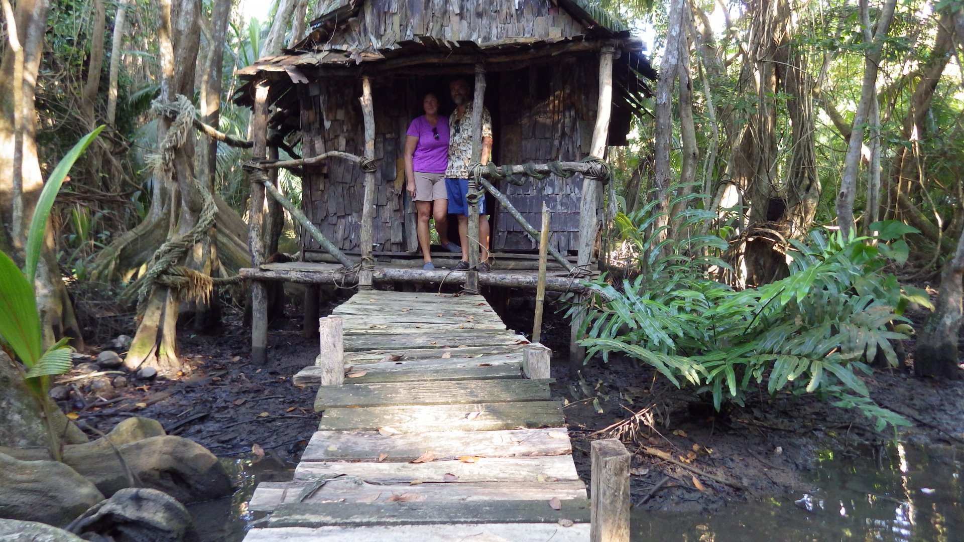
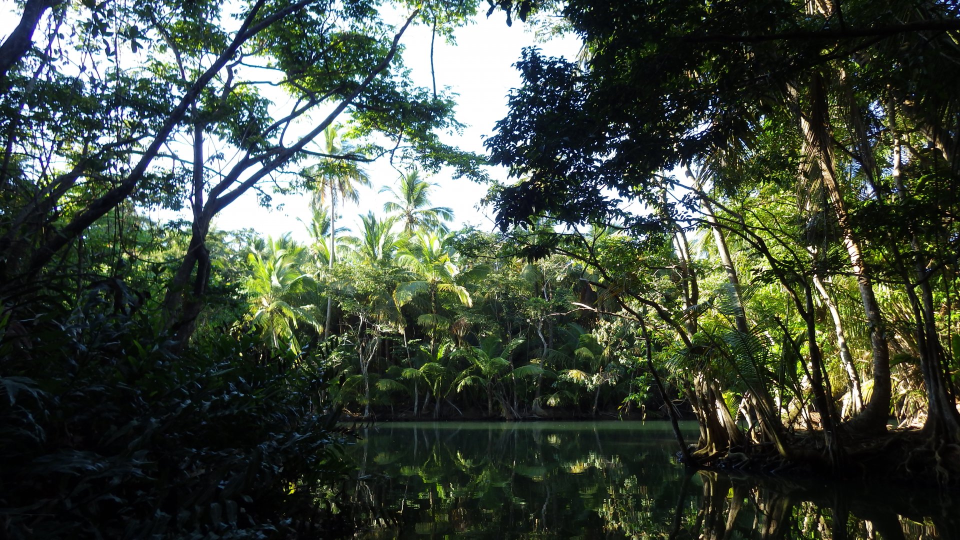
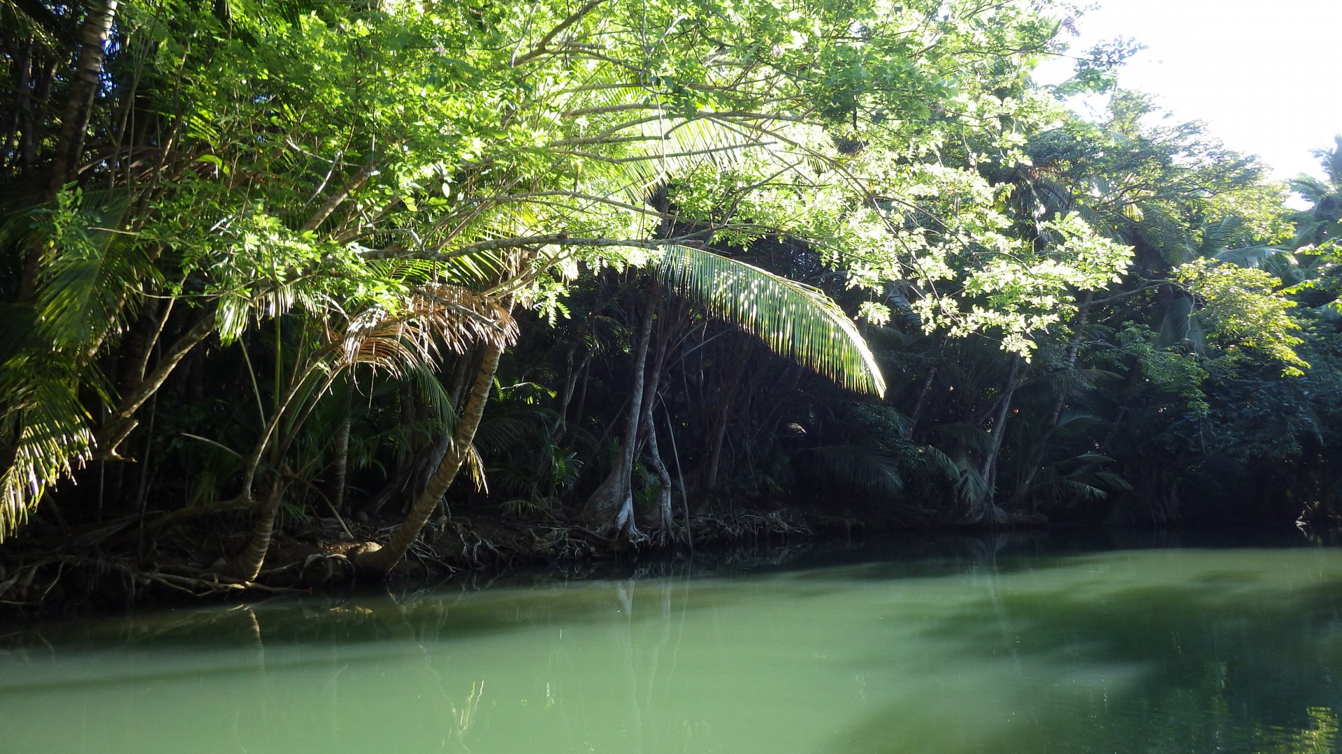
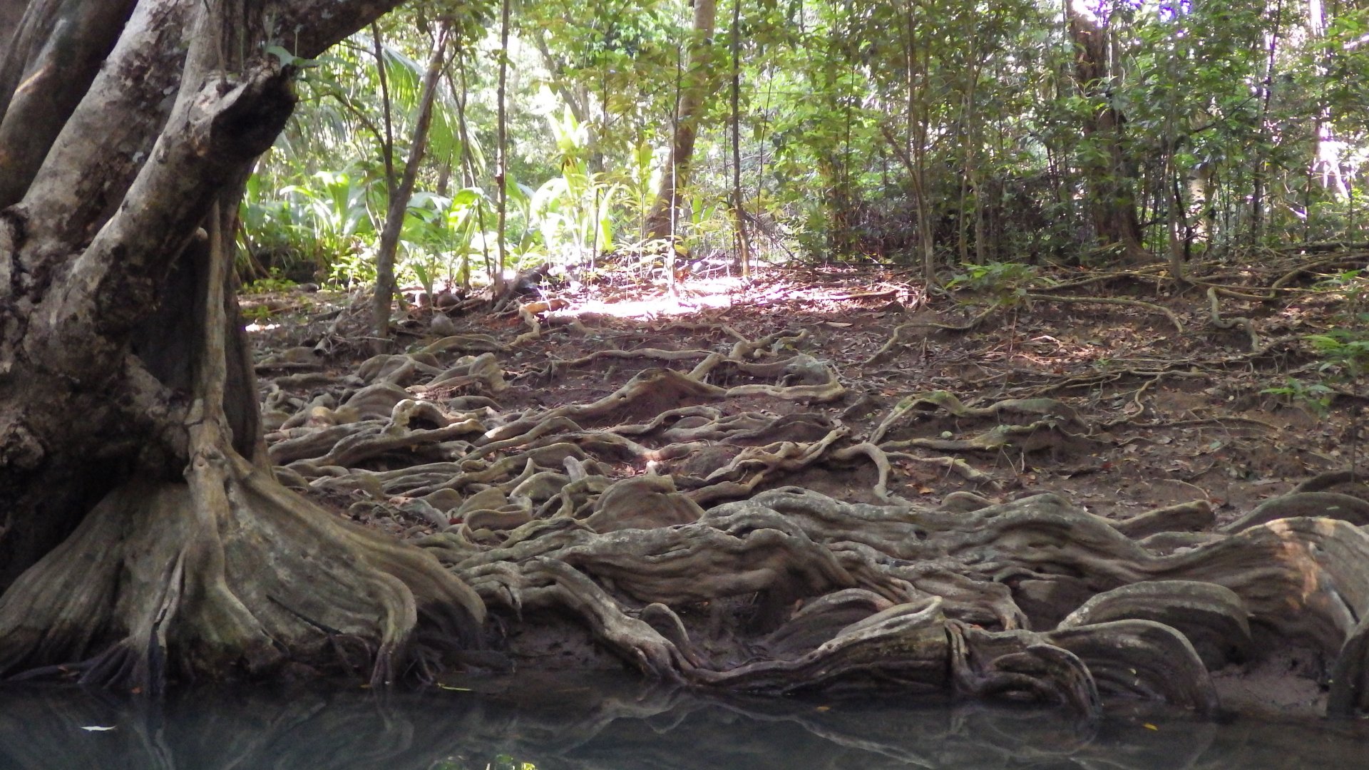
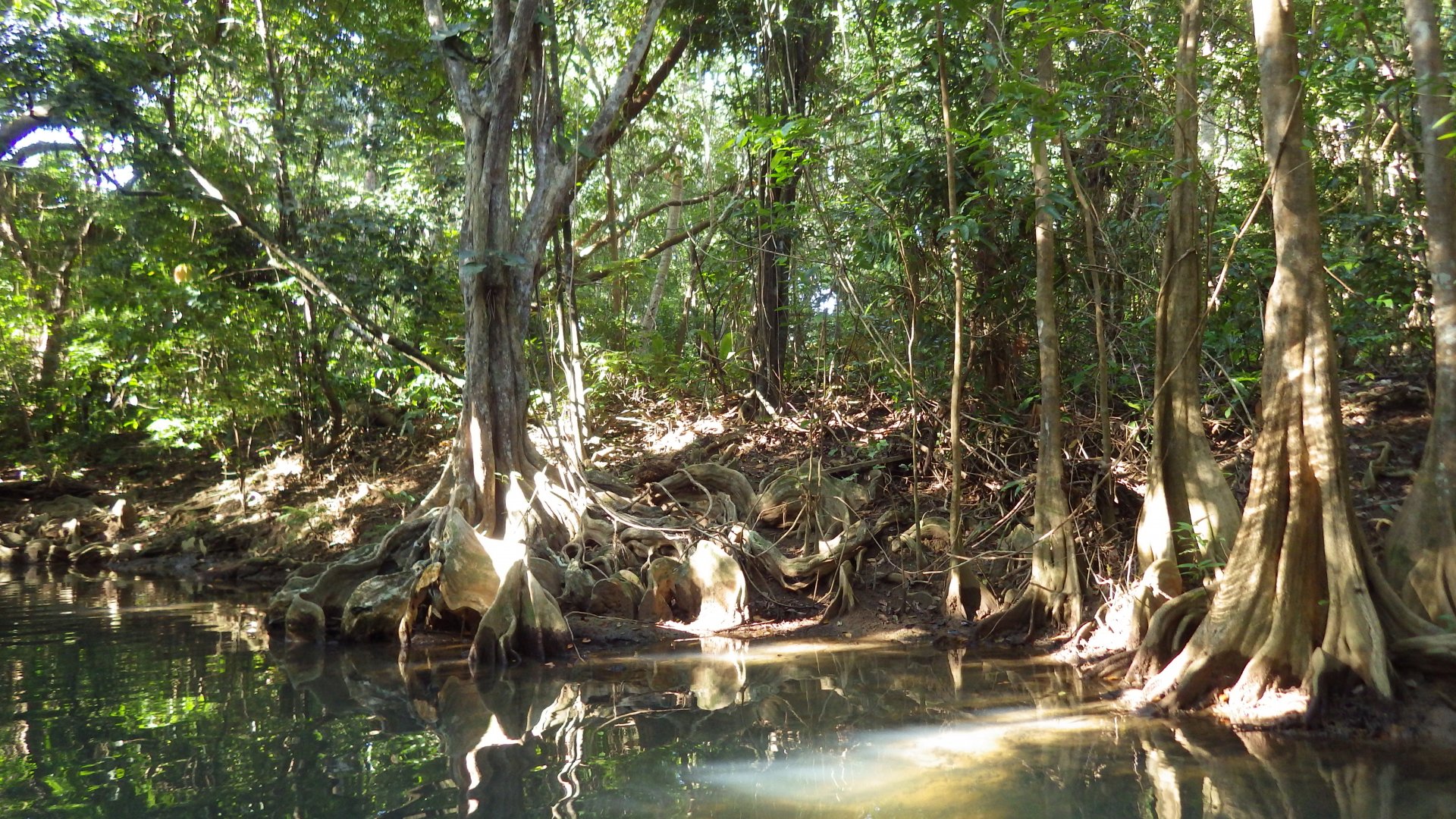
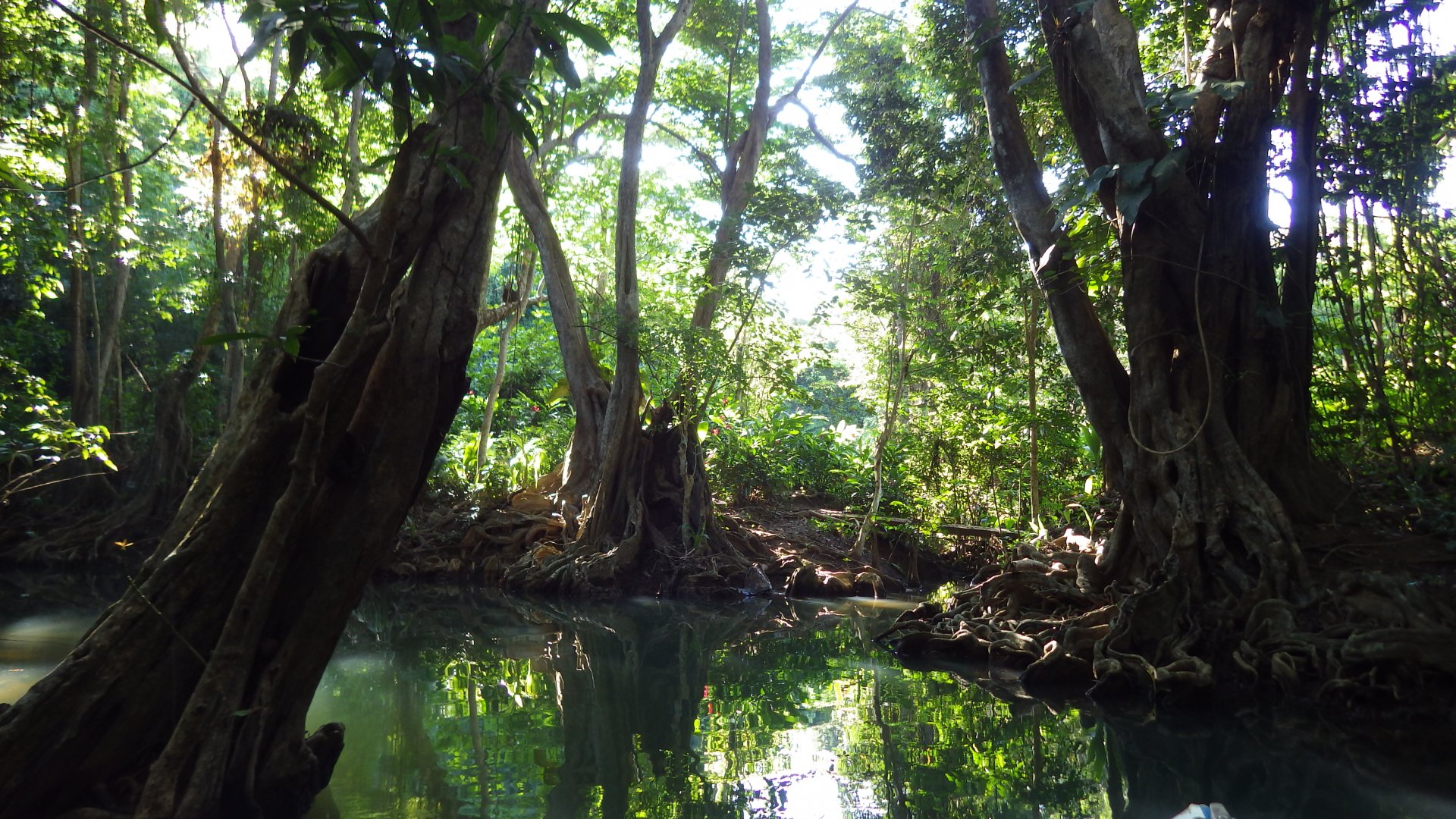
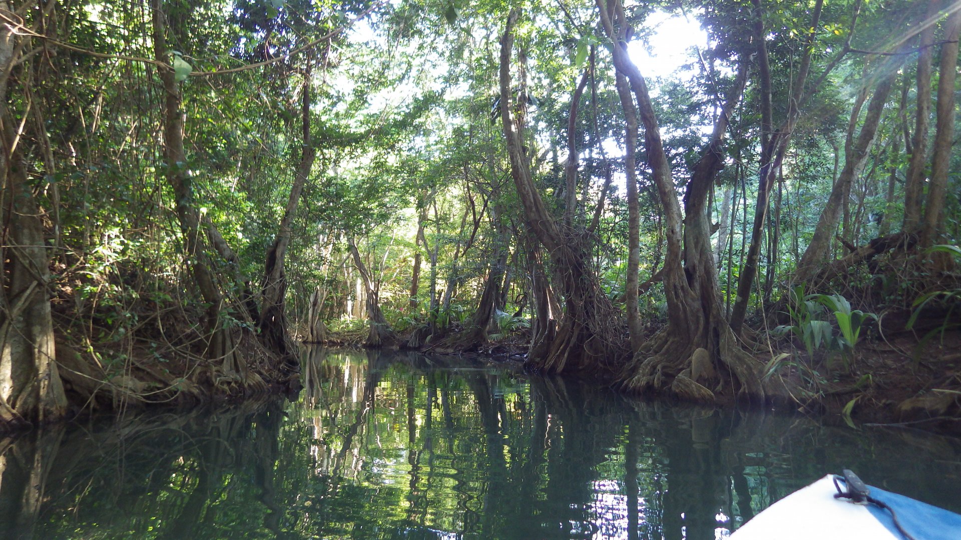
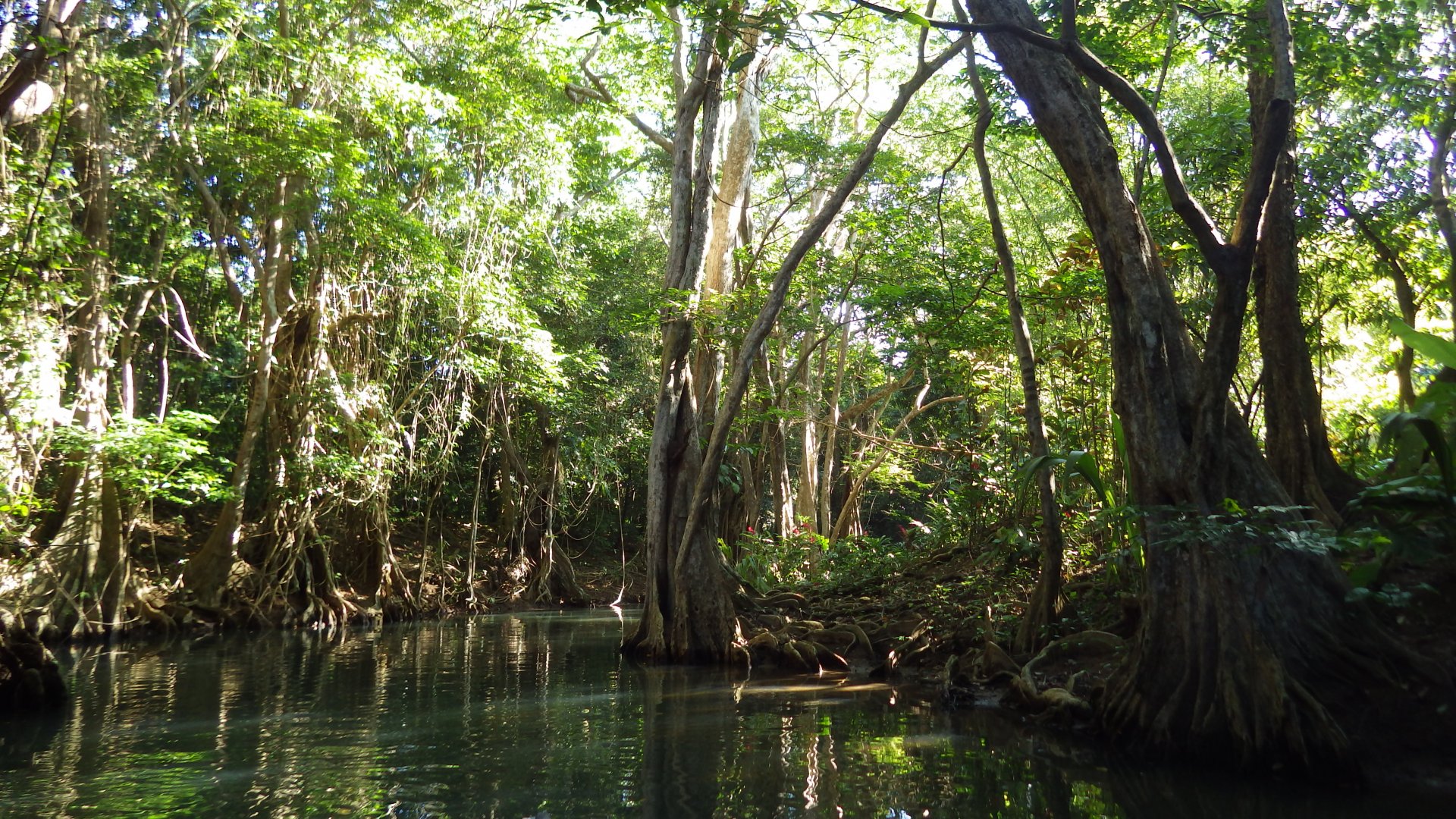
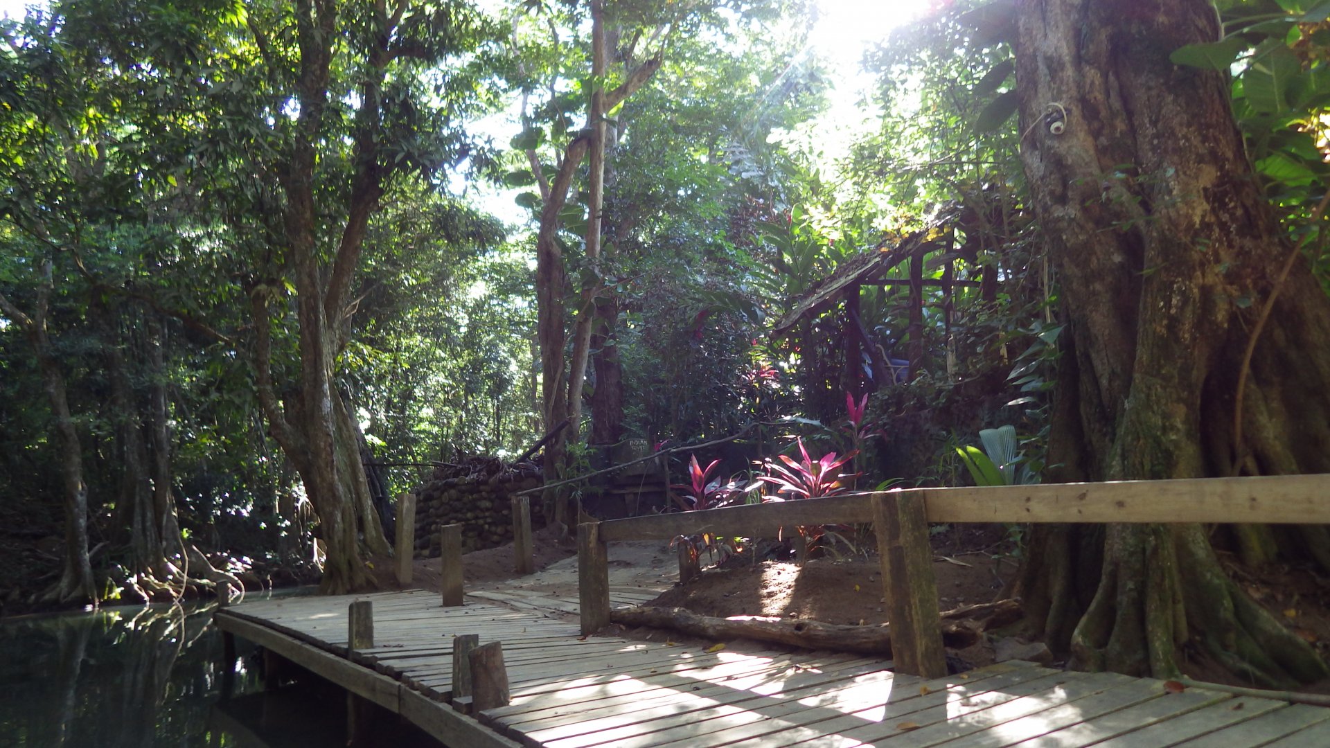
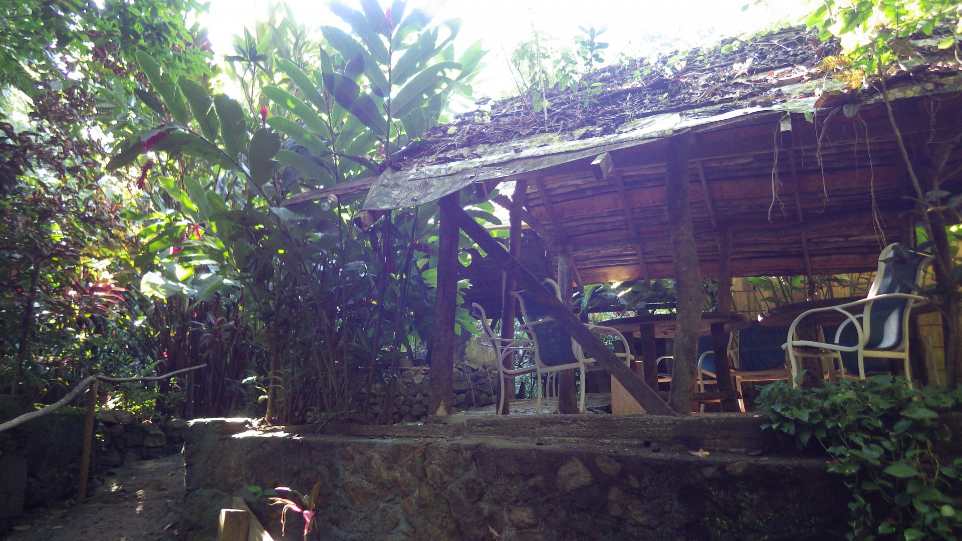
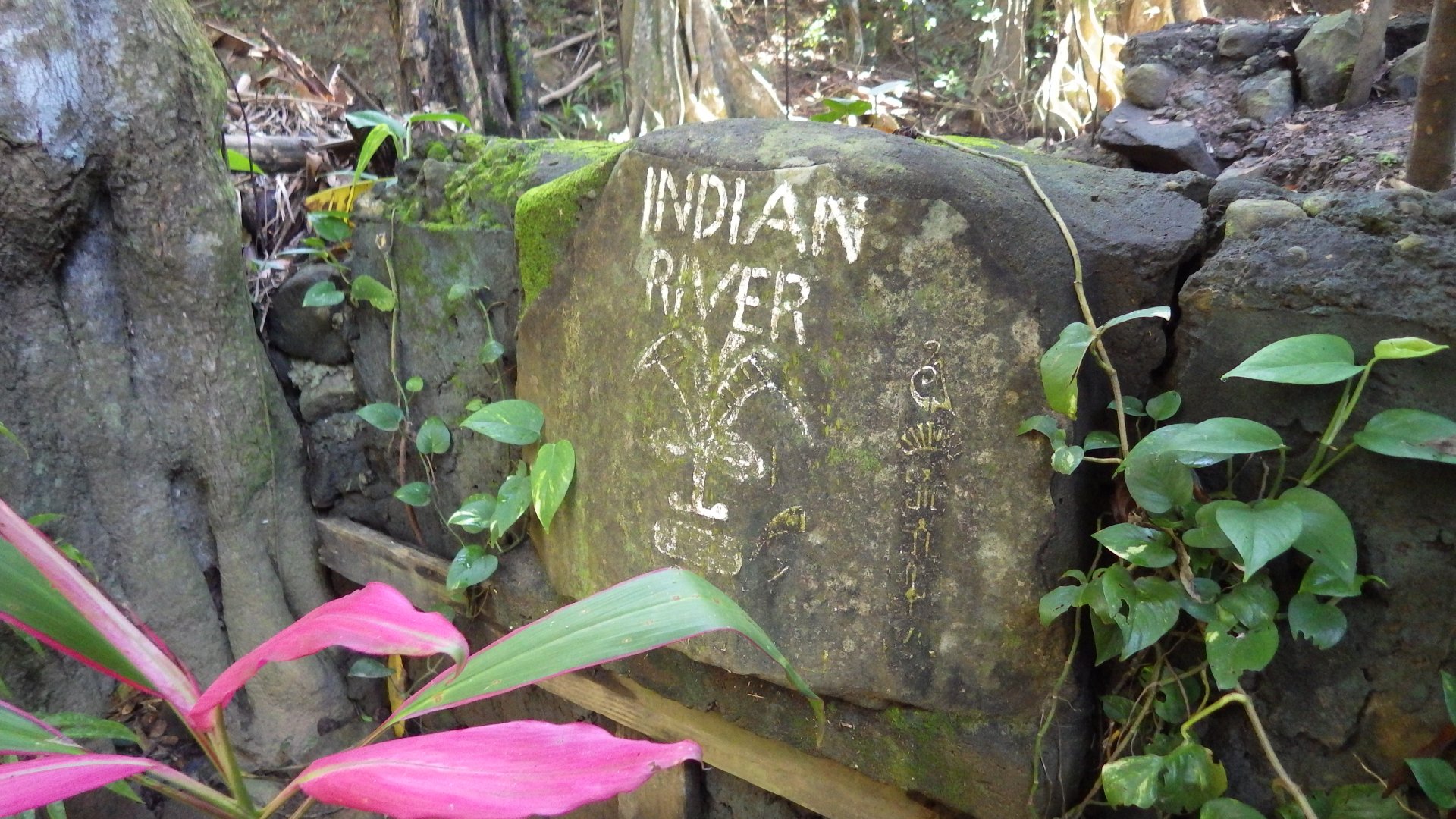
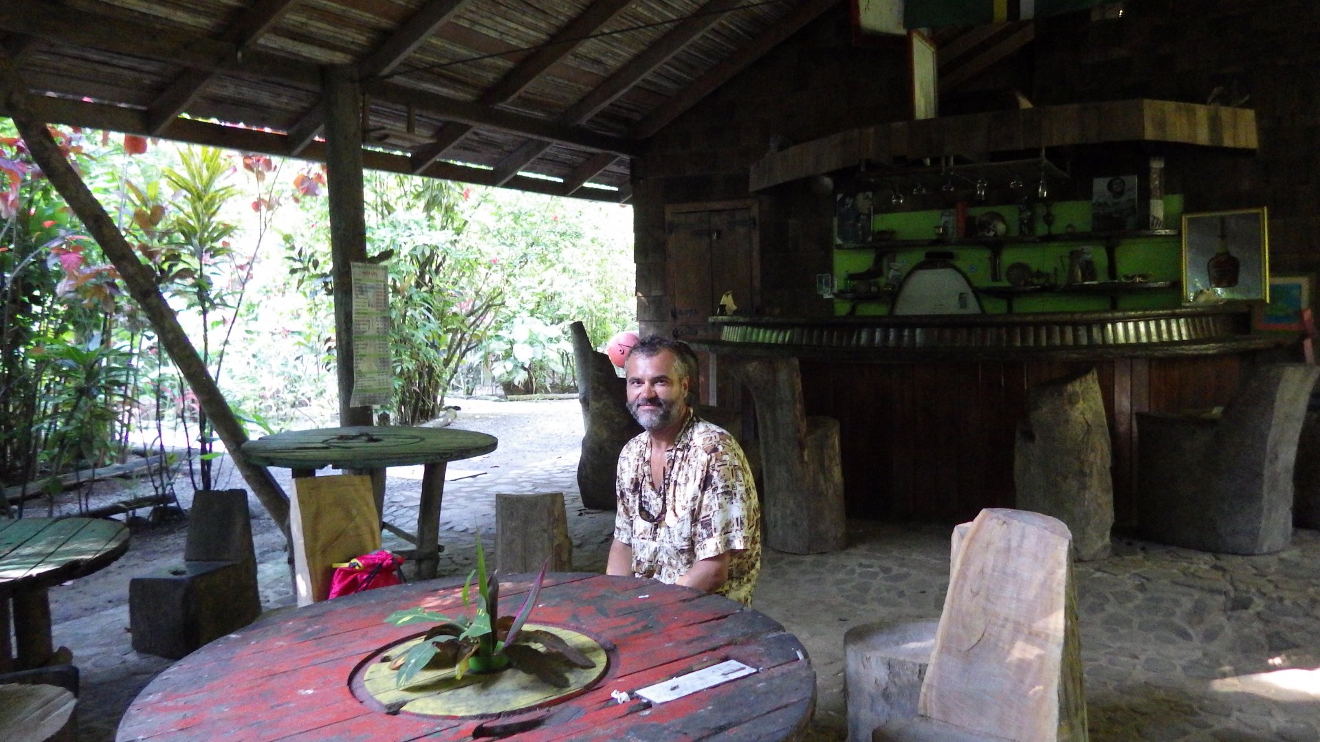
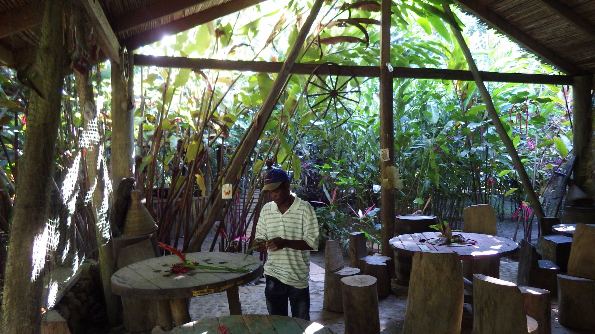
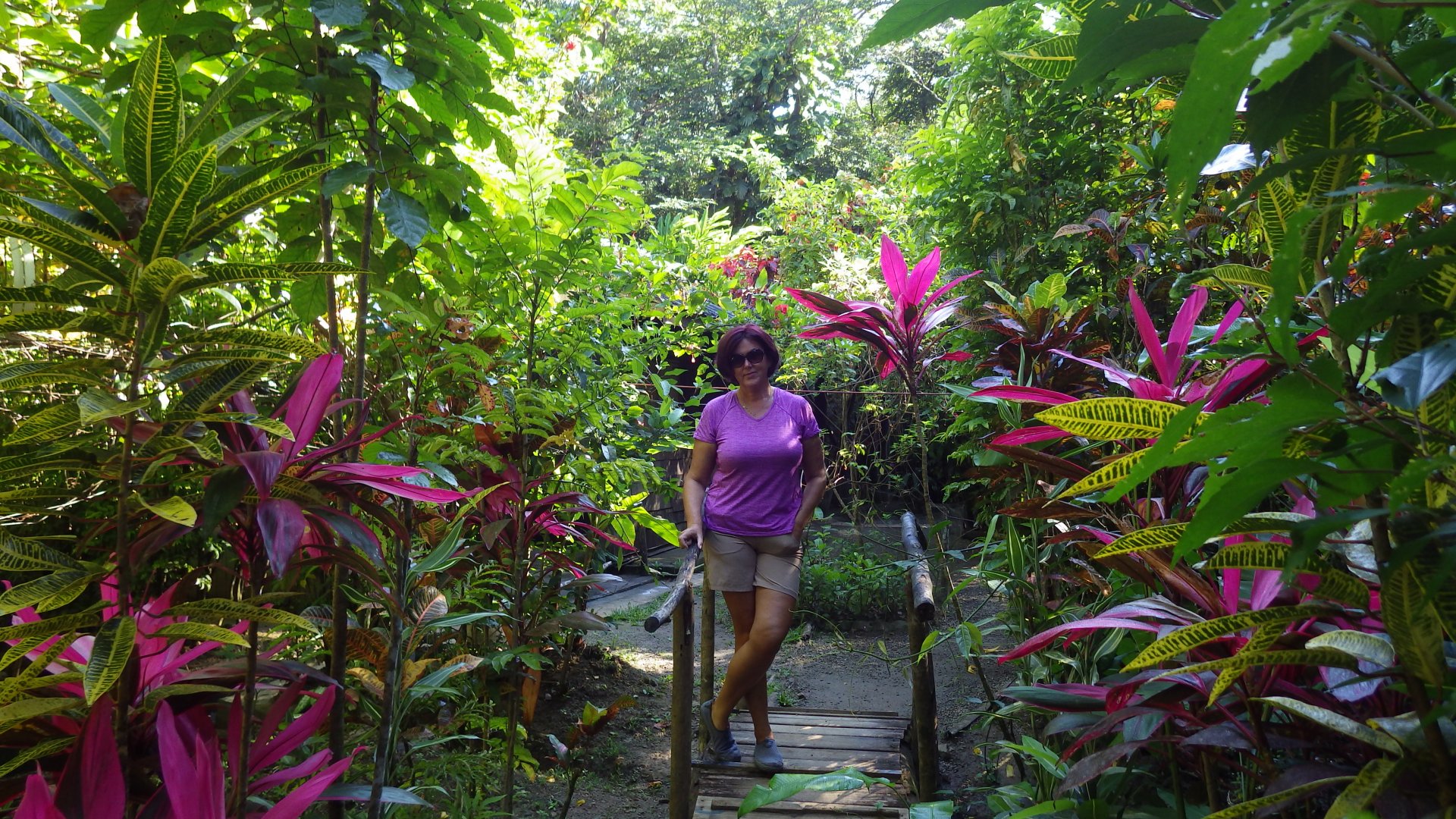
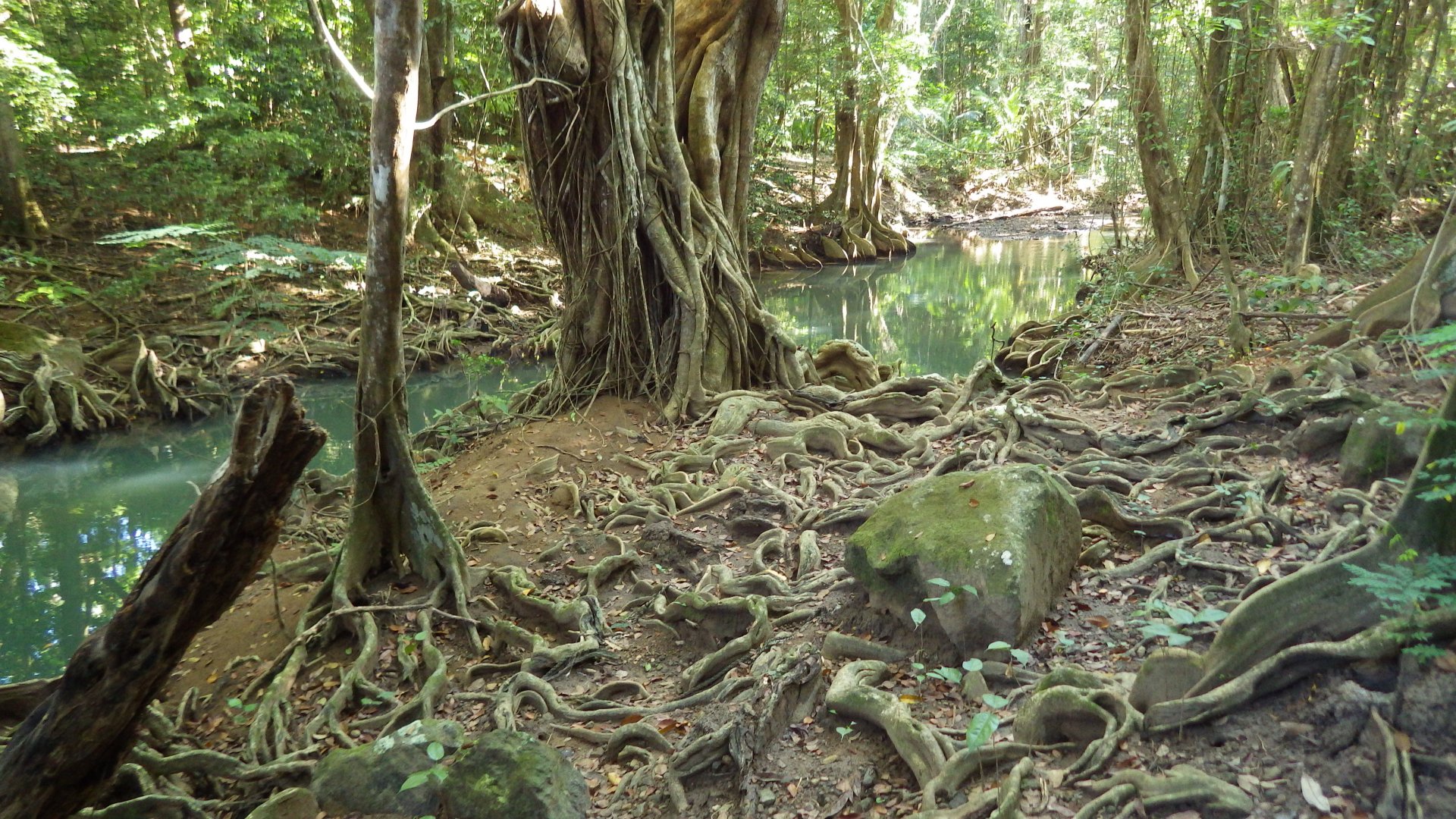
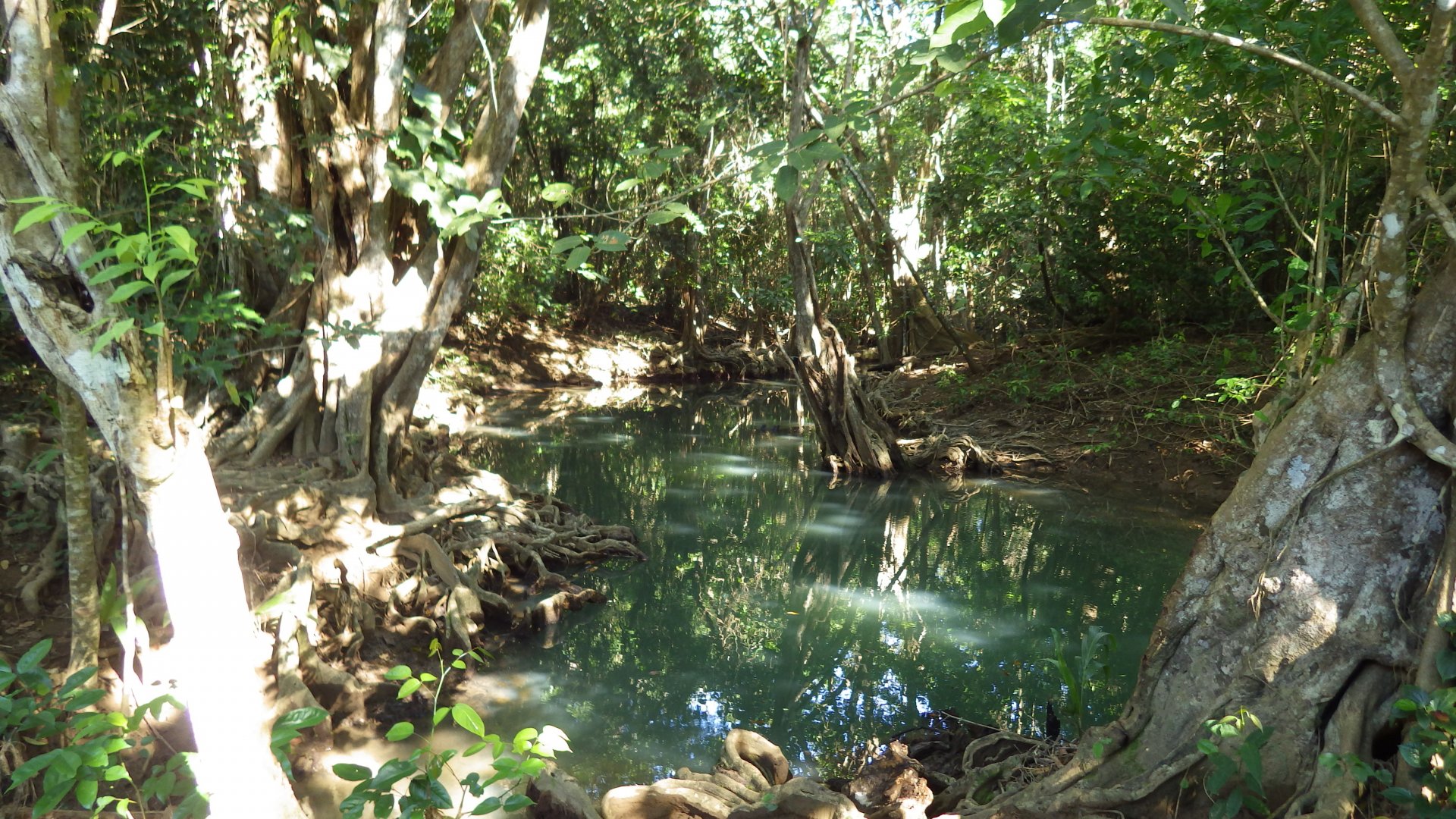
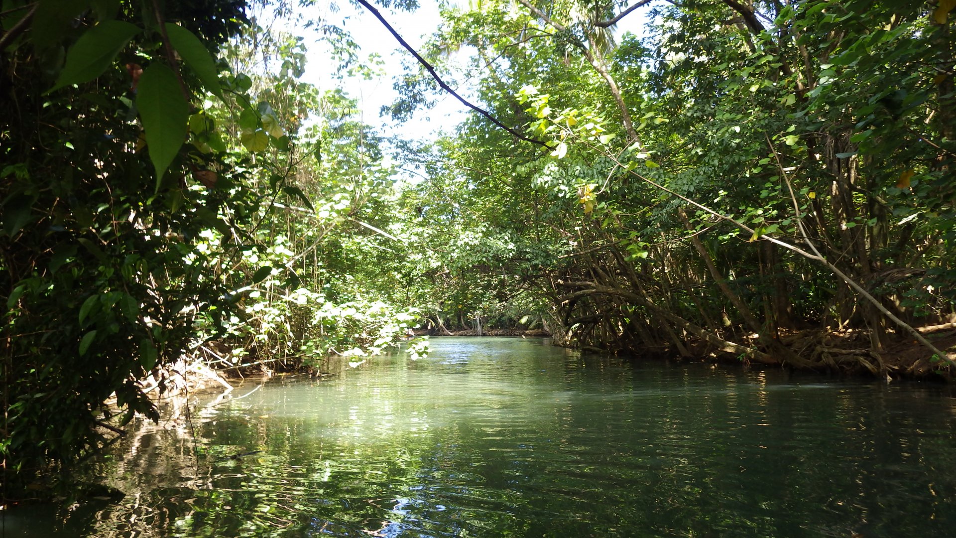
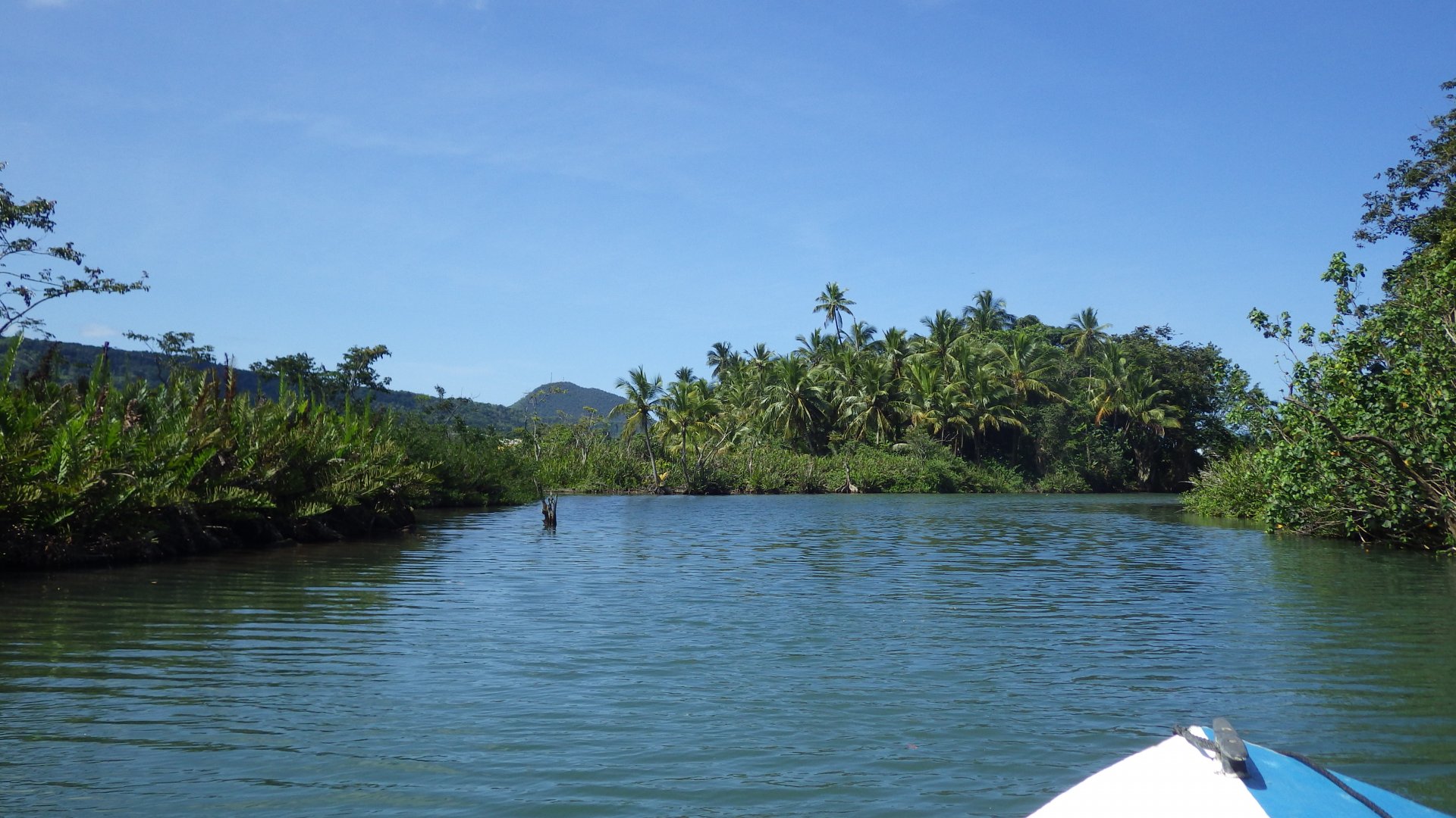
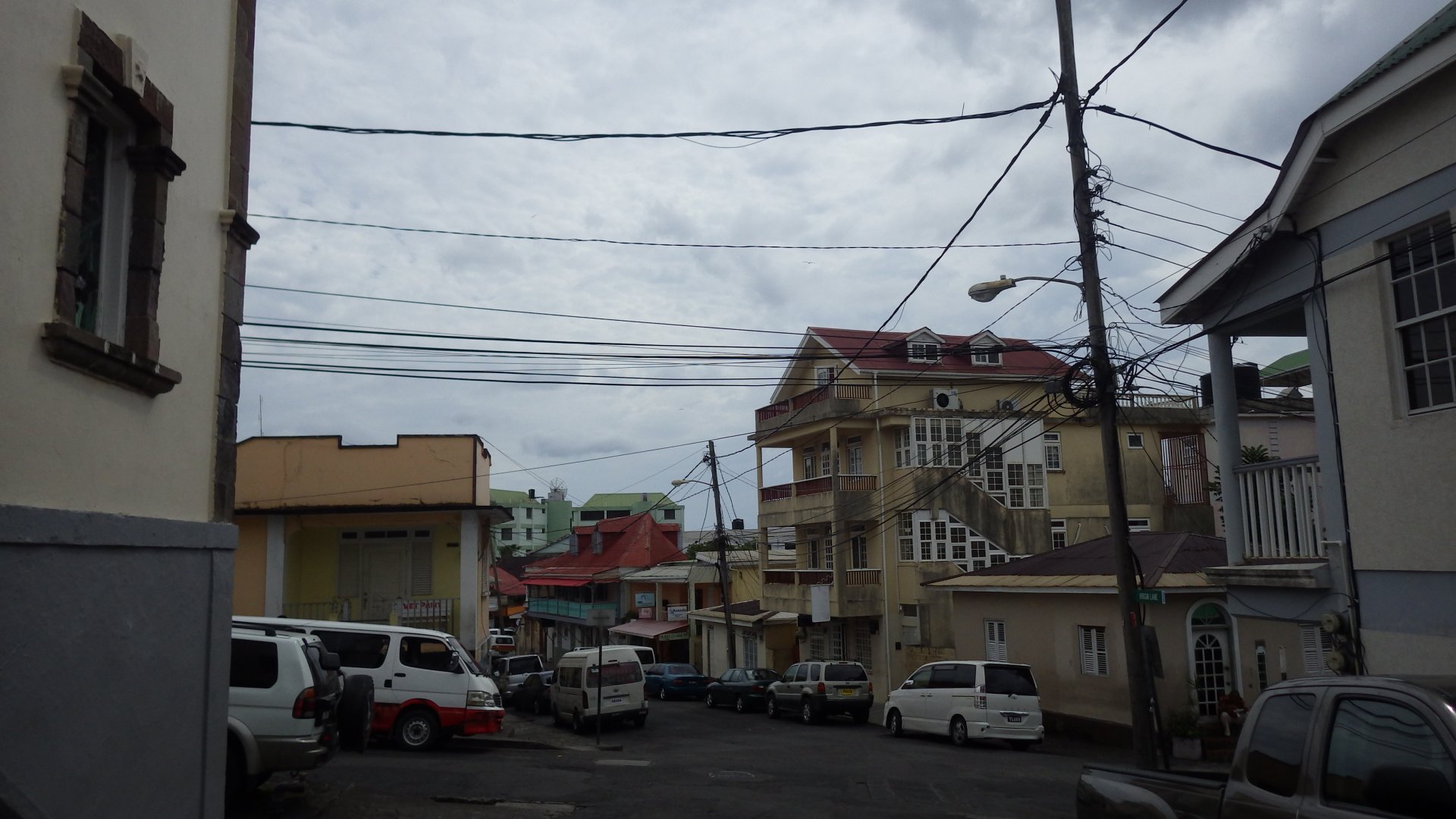
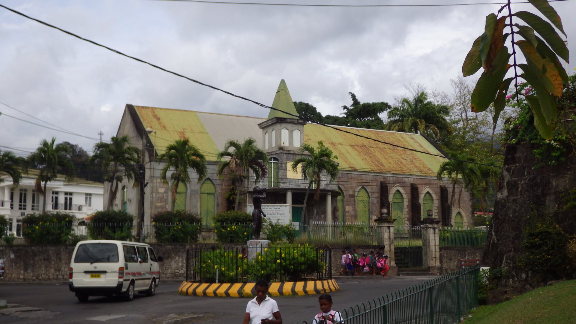
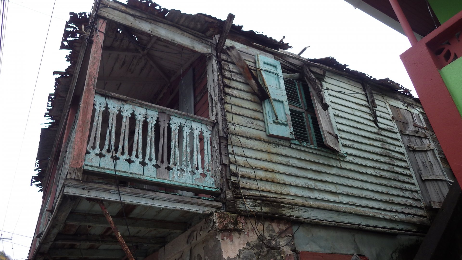
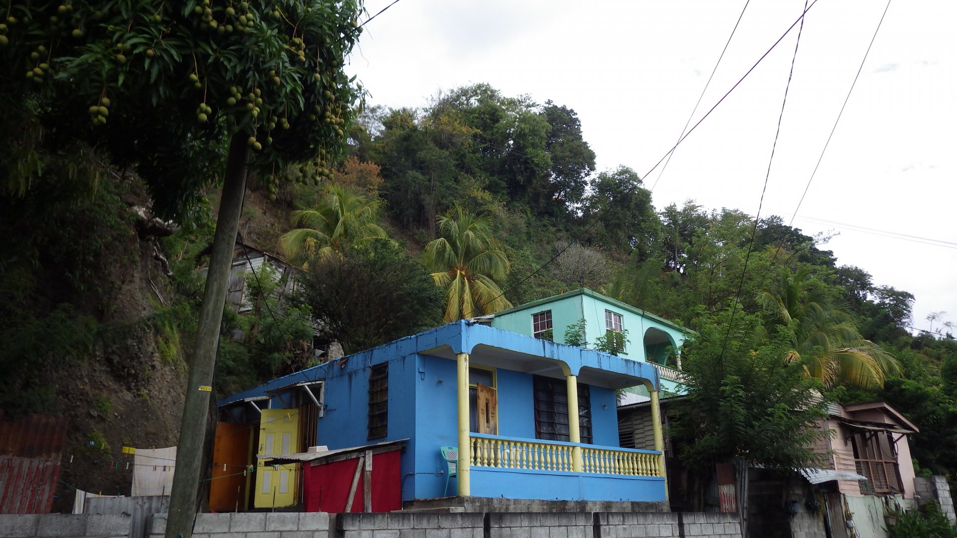
Our first port of call in French speaking Guadeloupe was Deshaies, on the island's northwest shore. The bay is very picturesque and the village is pretty and inviting. Although the anchorage is very crowded.

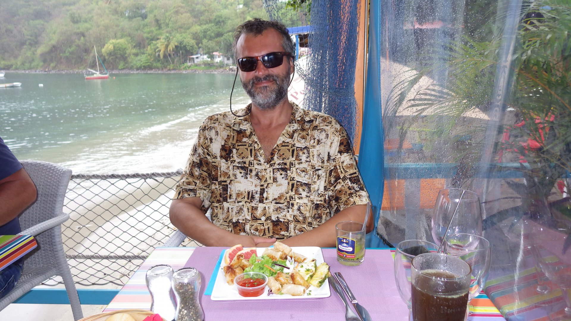
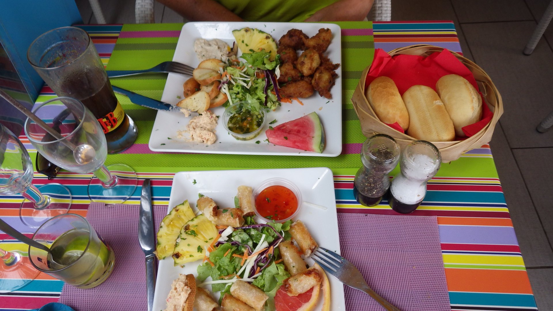
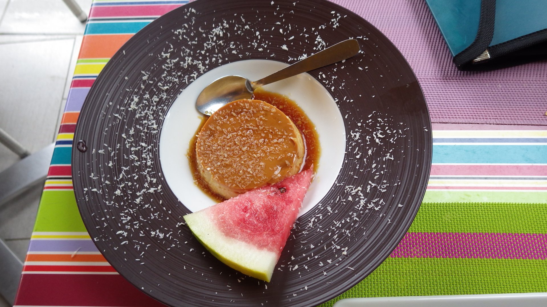
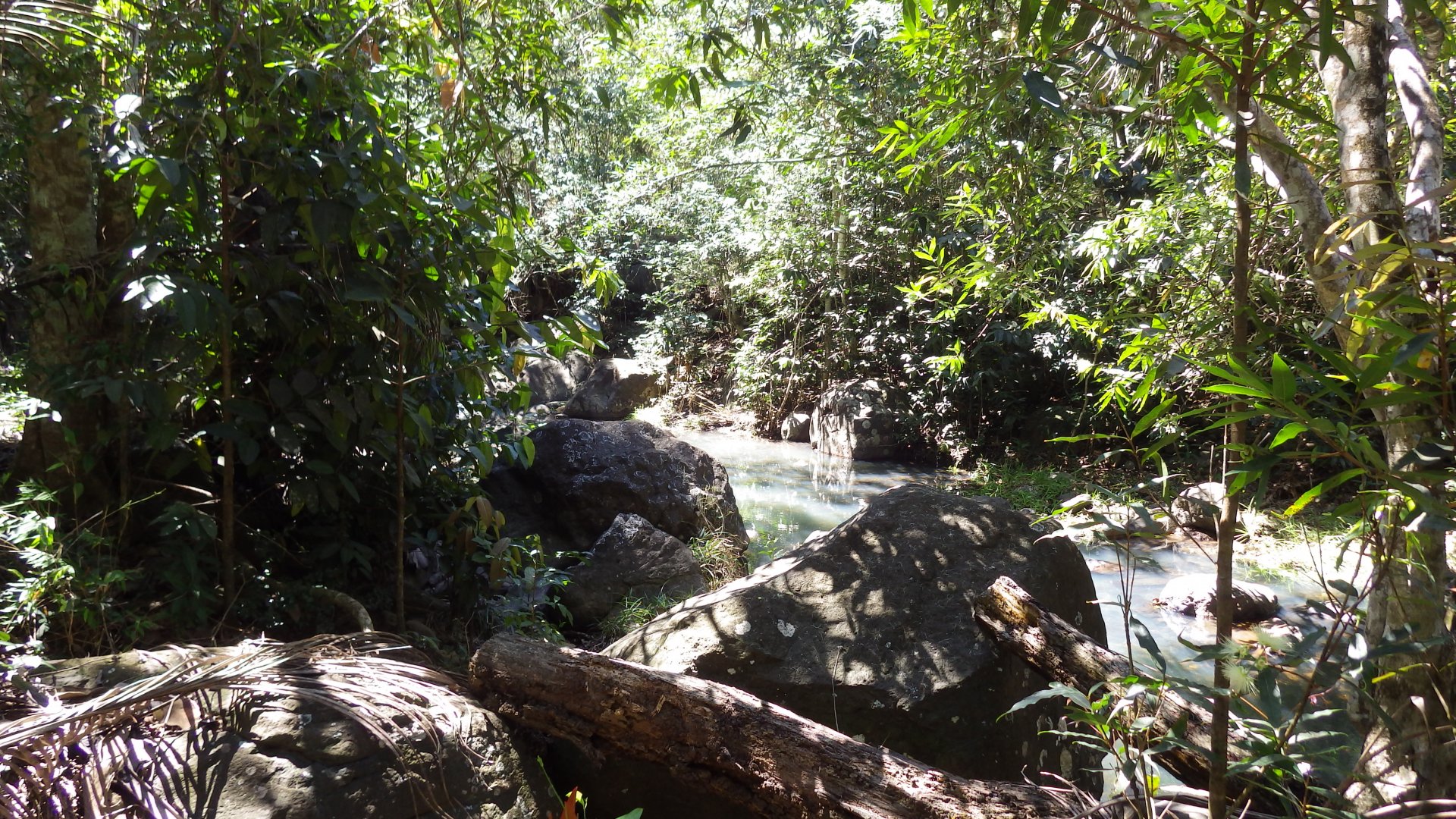
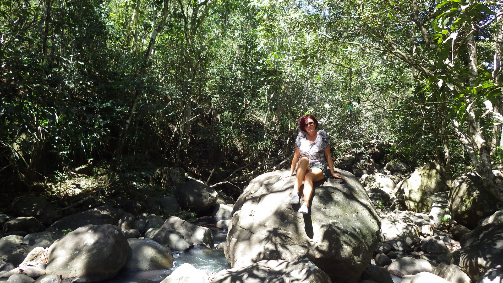
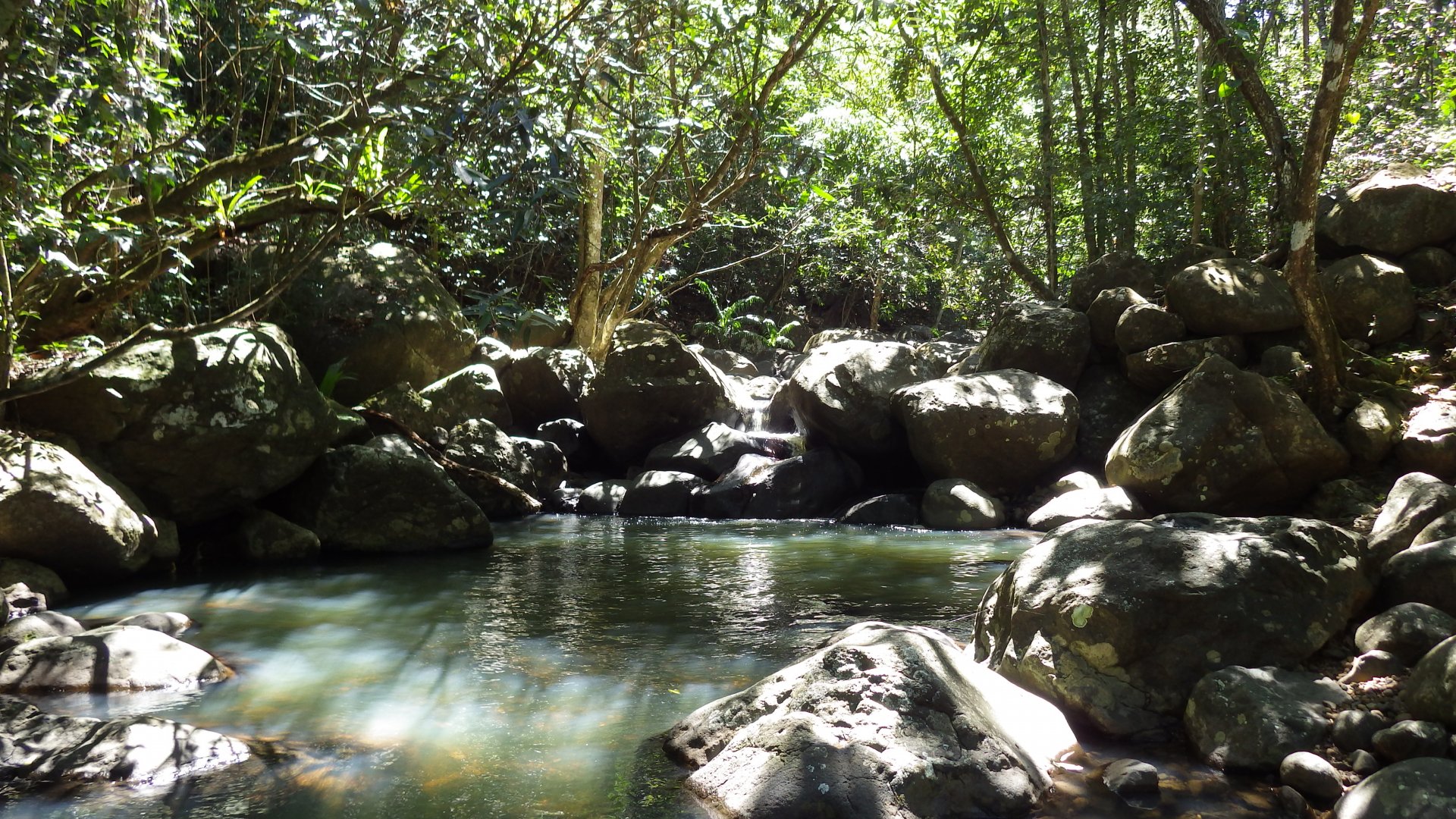
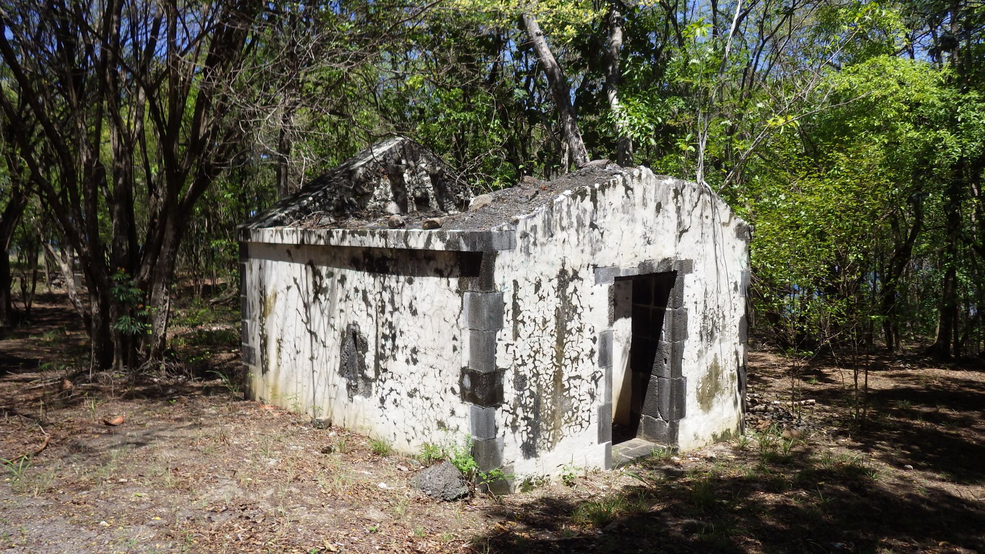
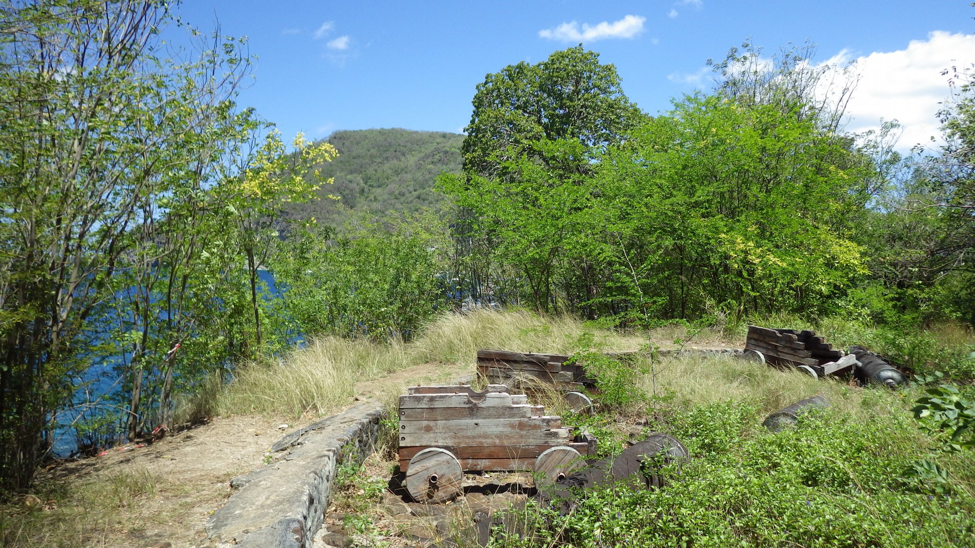
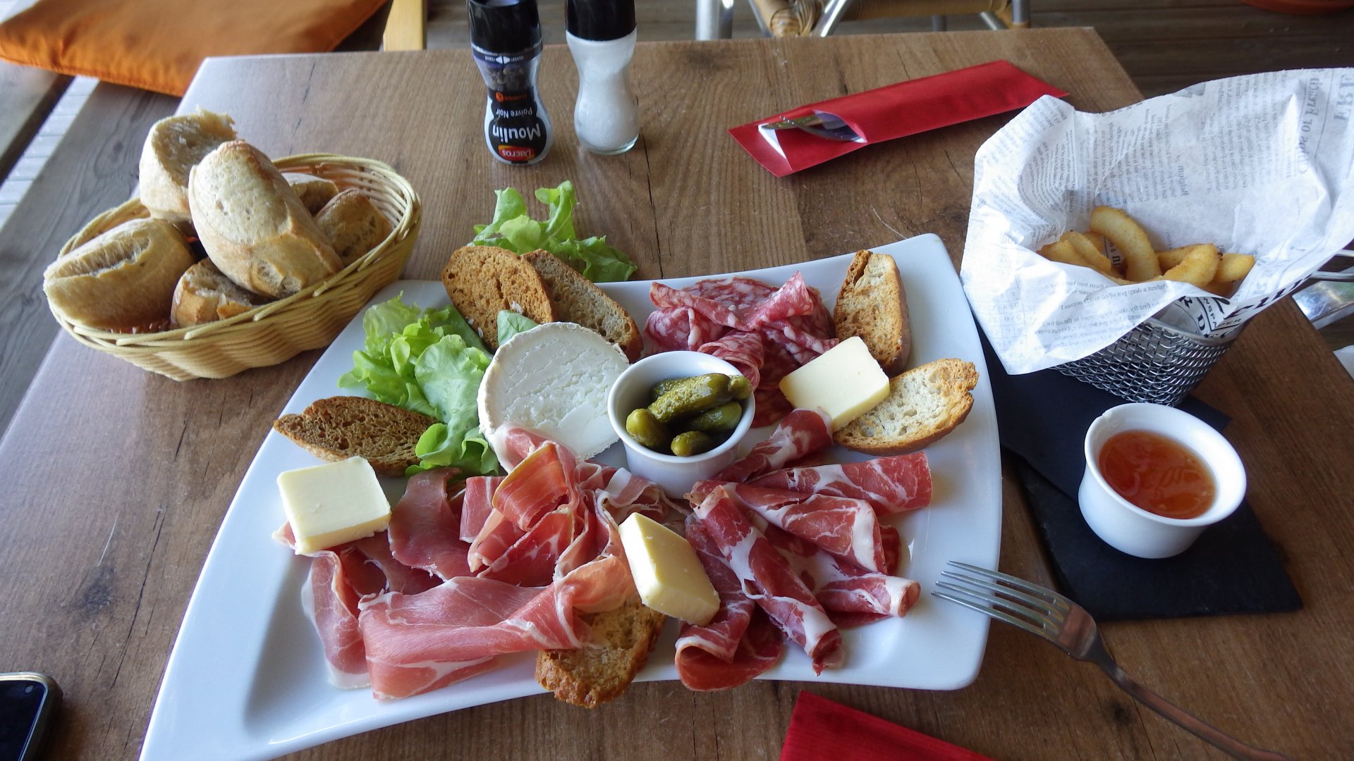
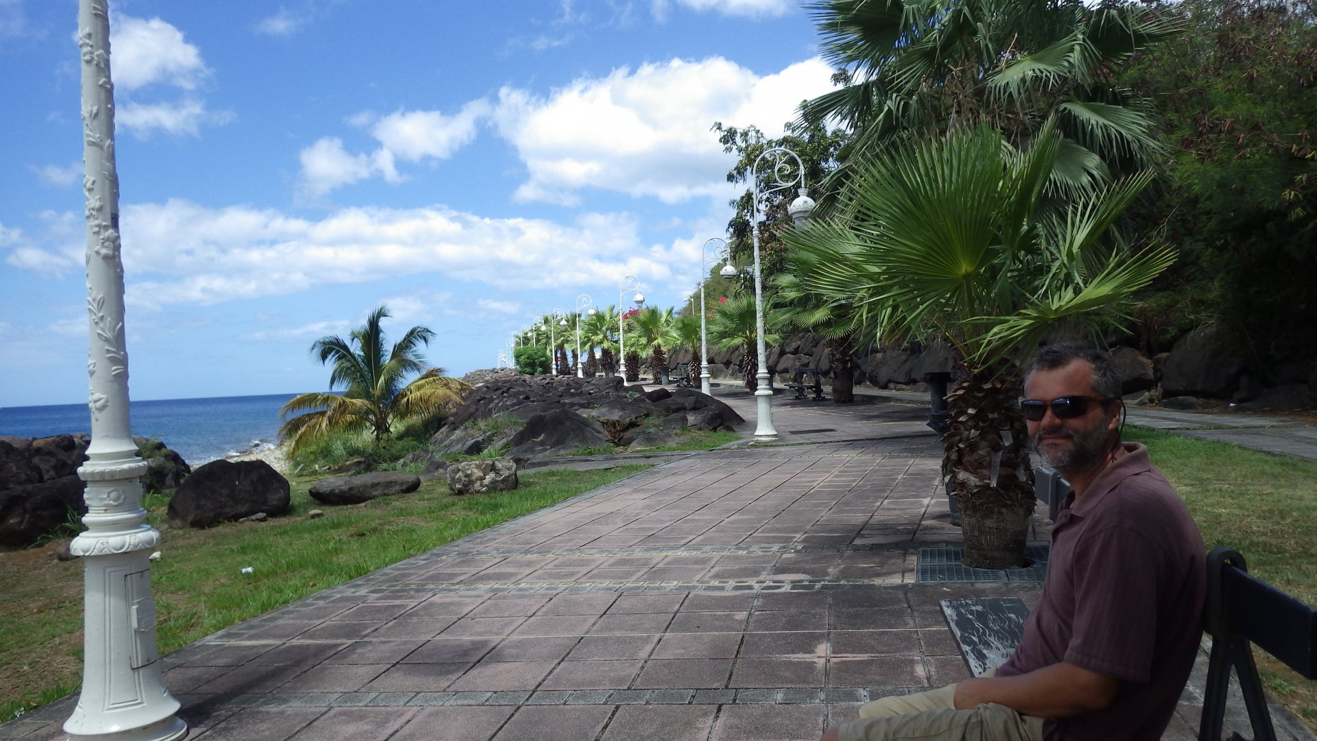
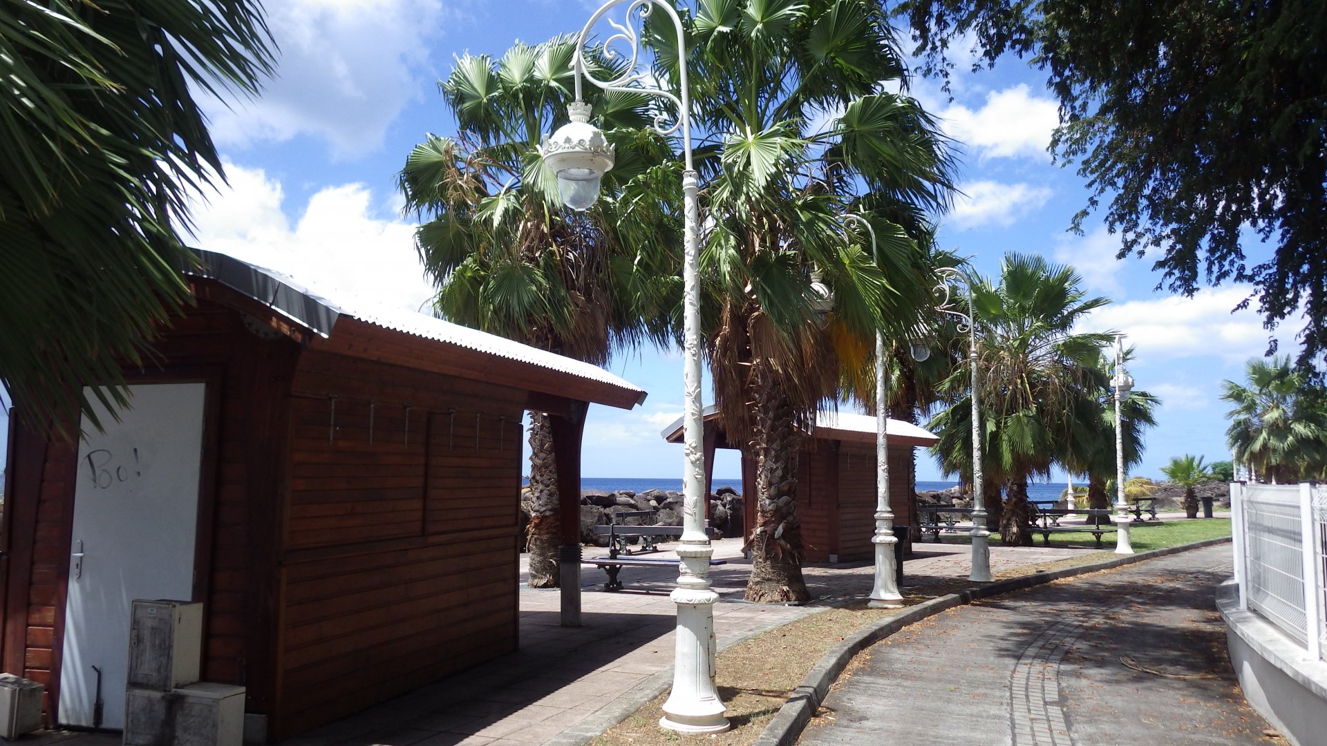
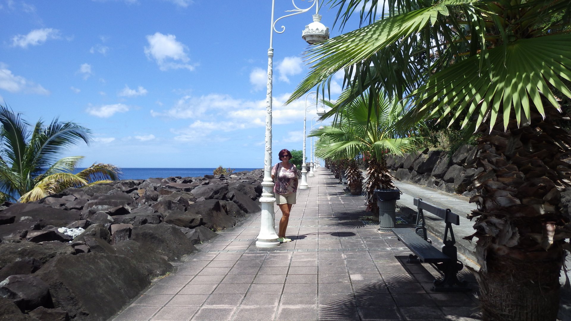
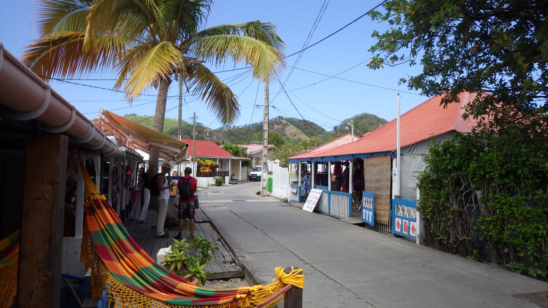
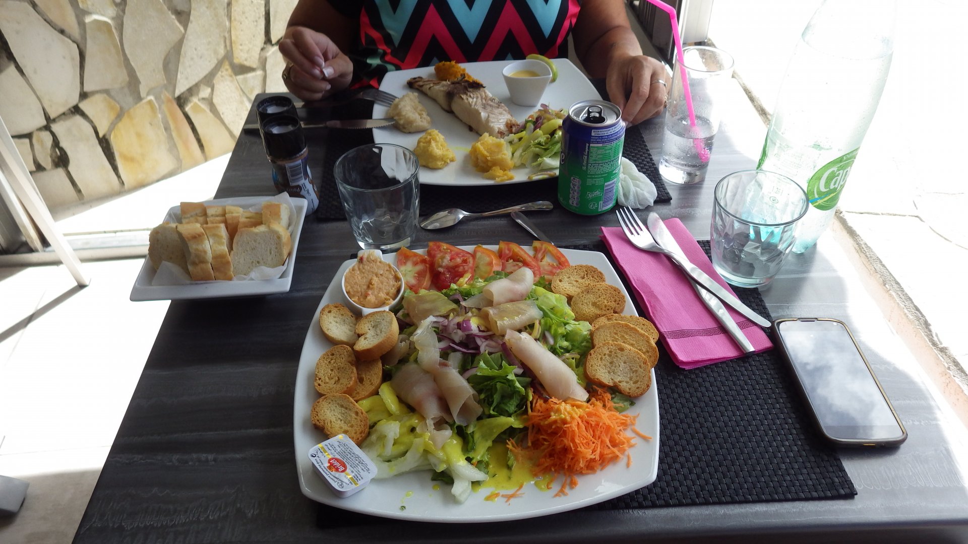
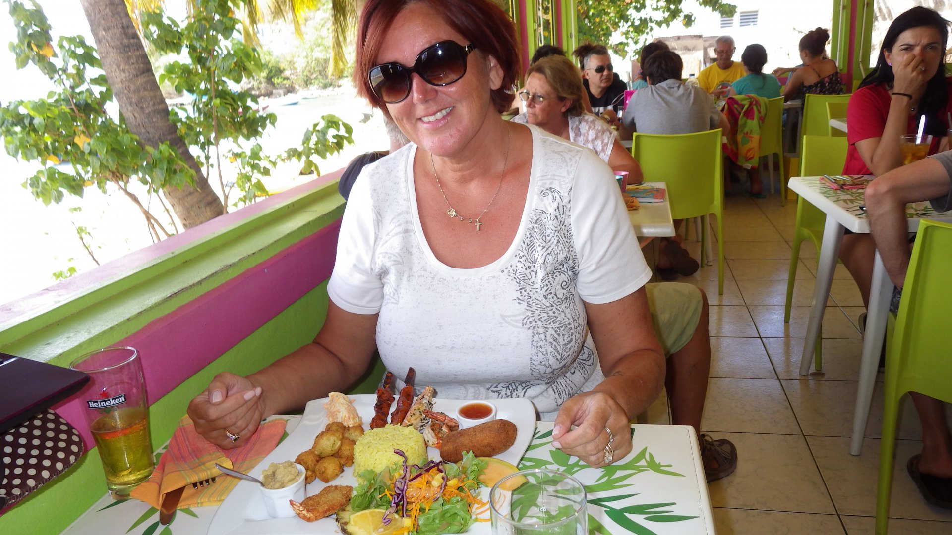
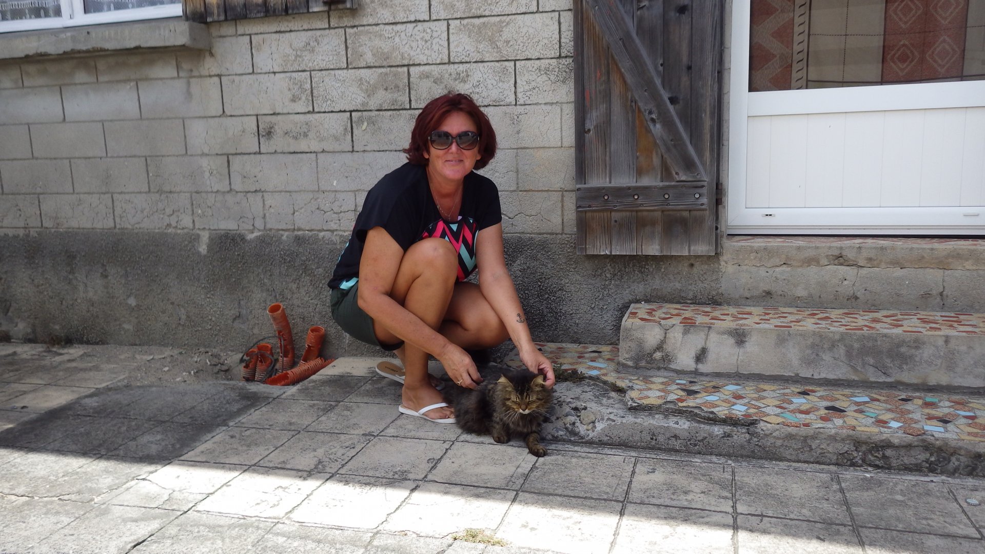
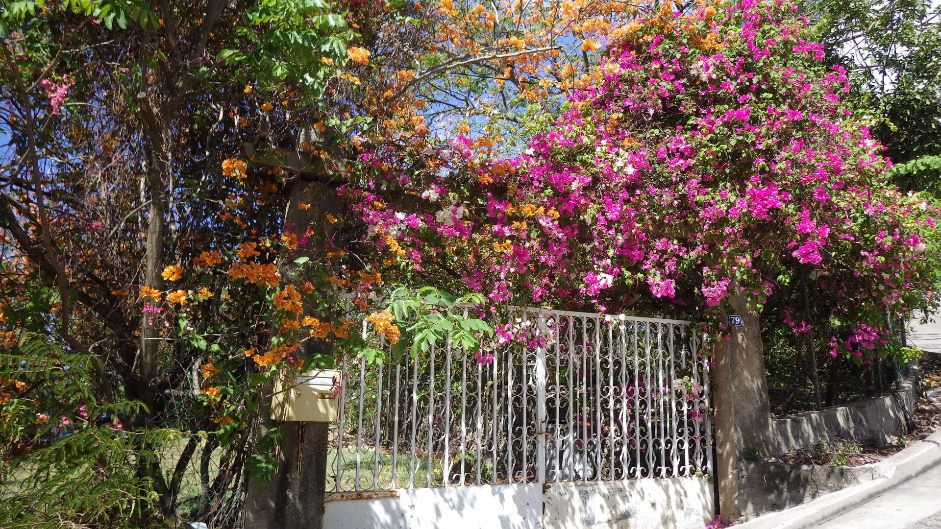
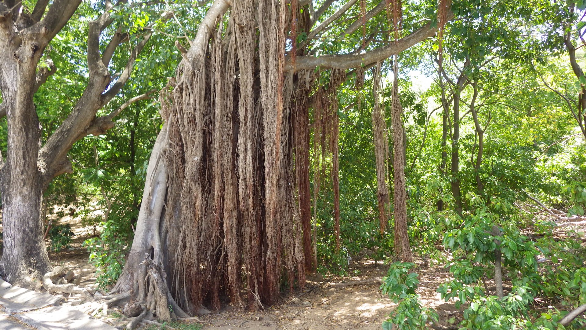
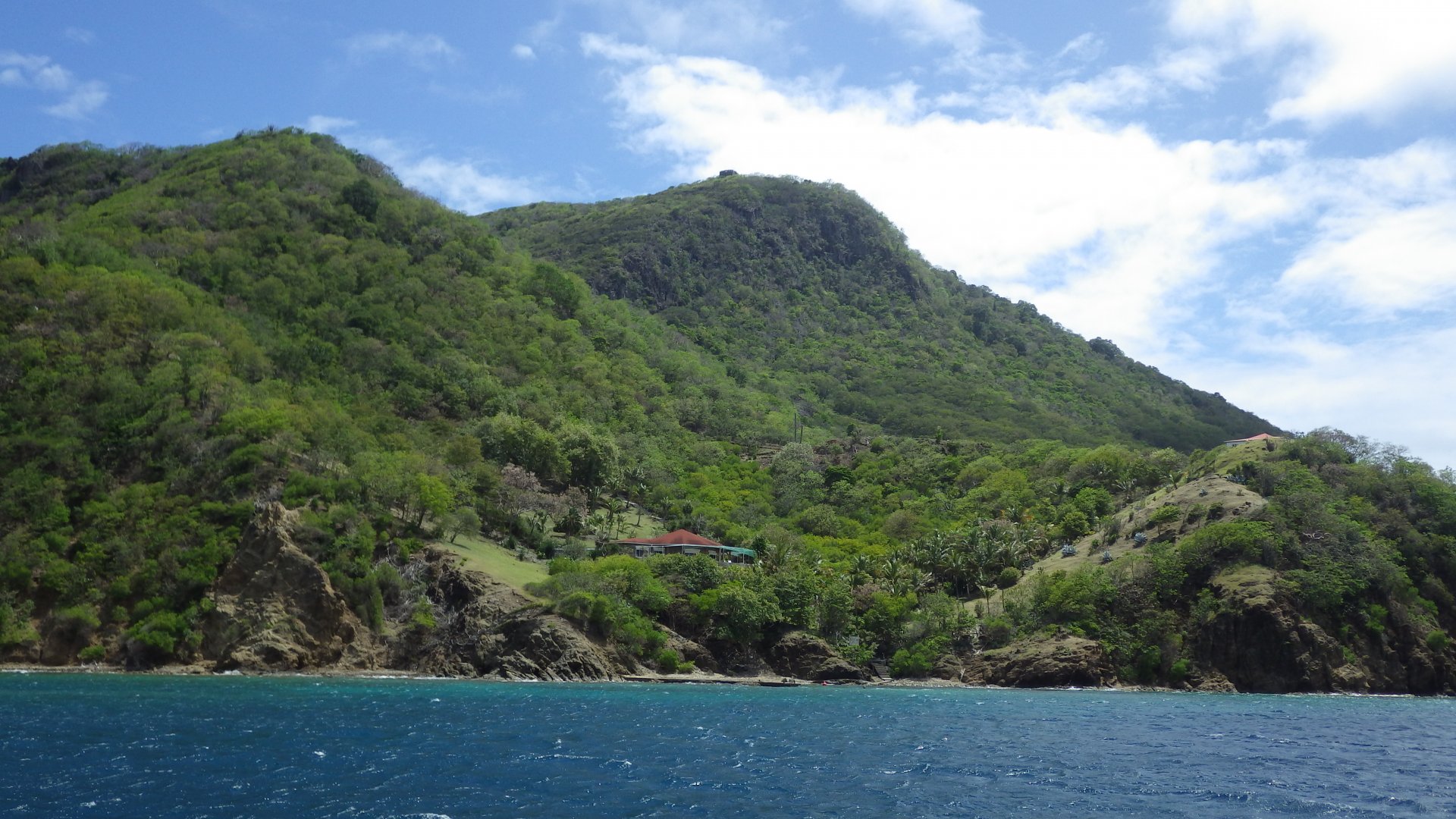
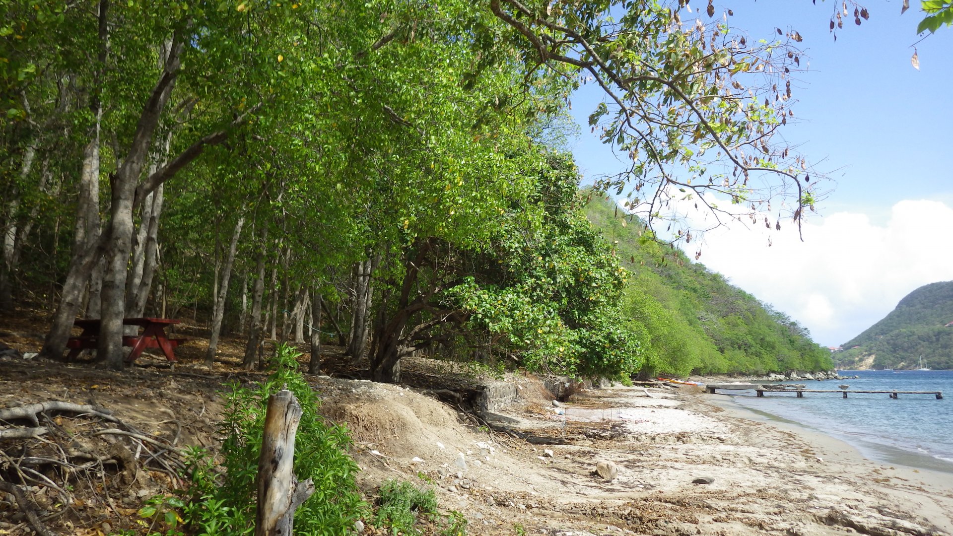
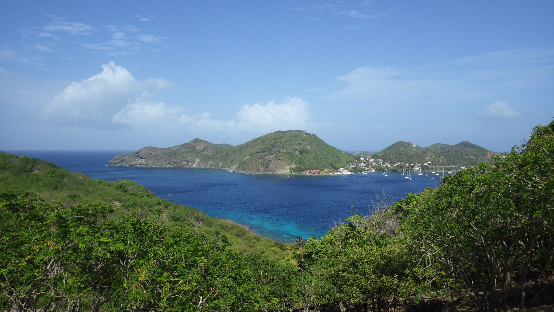
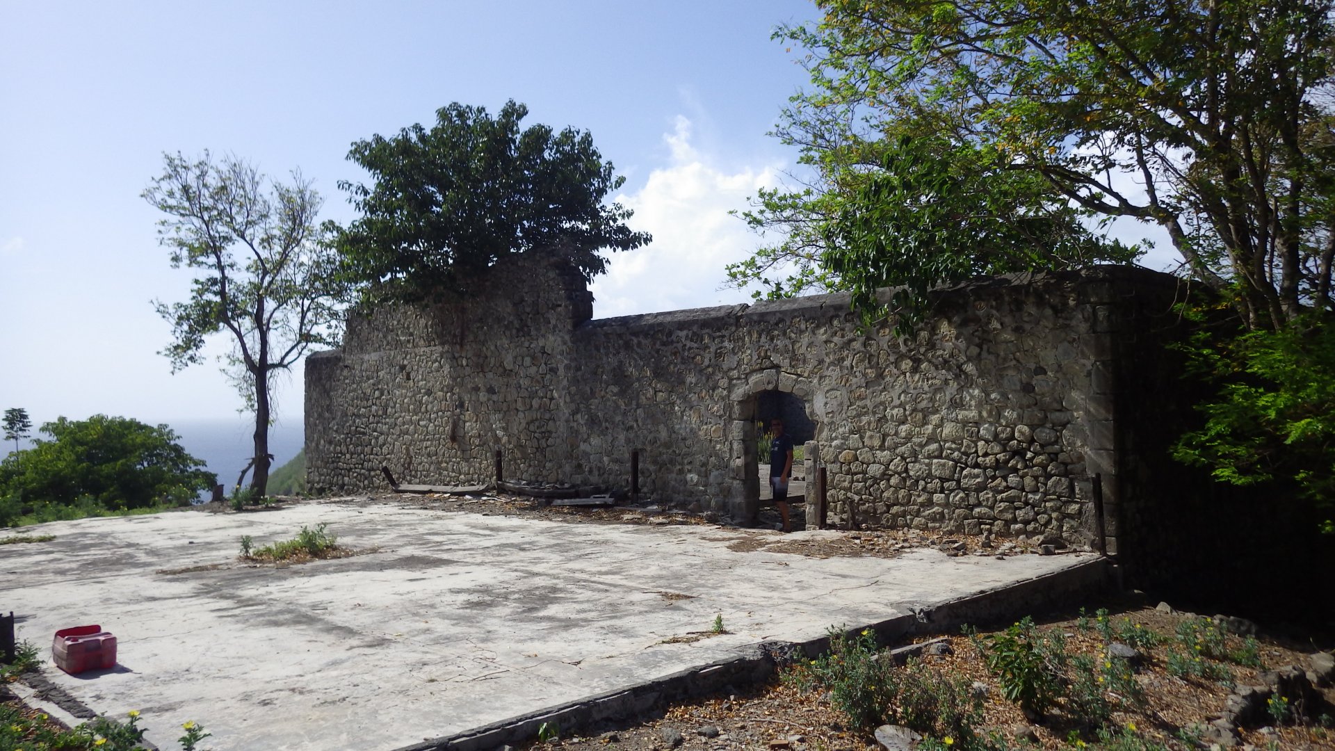
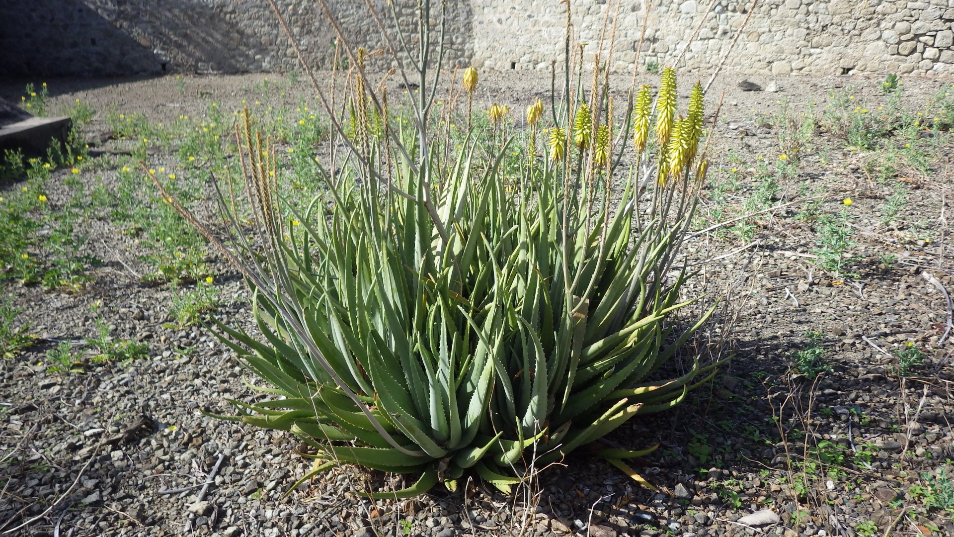
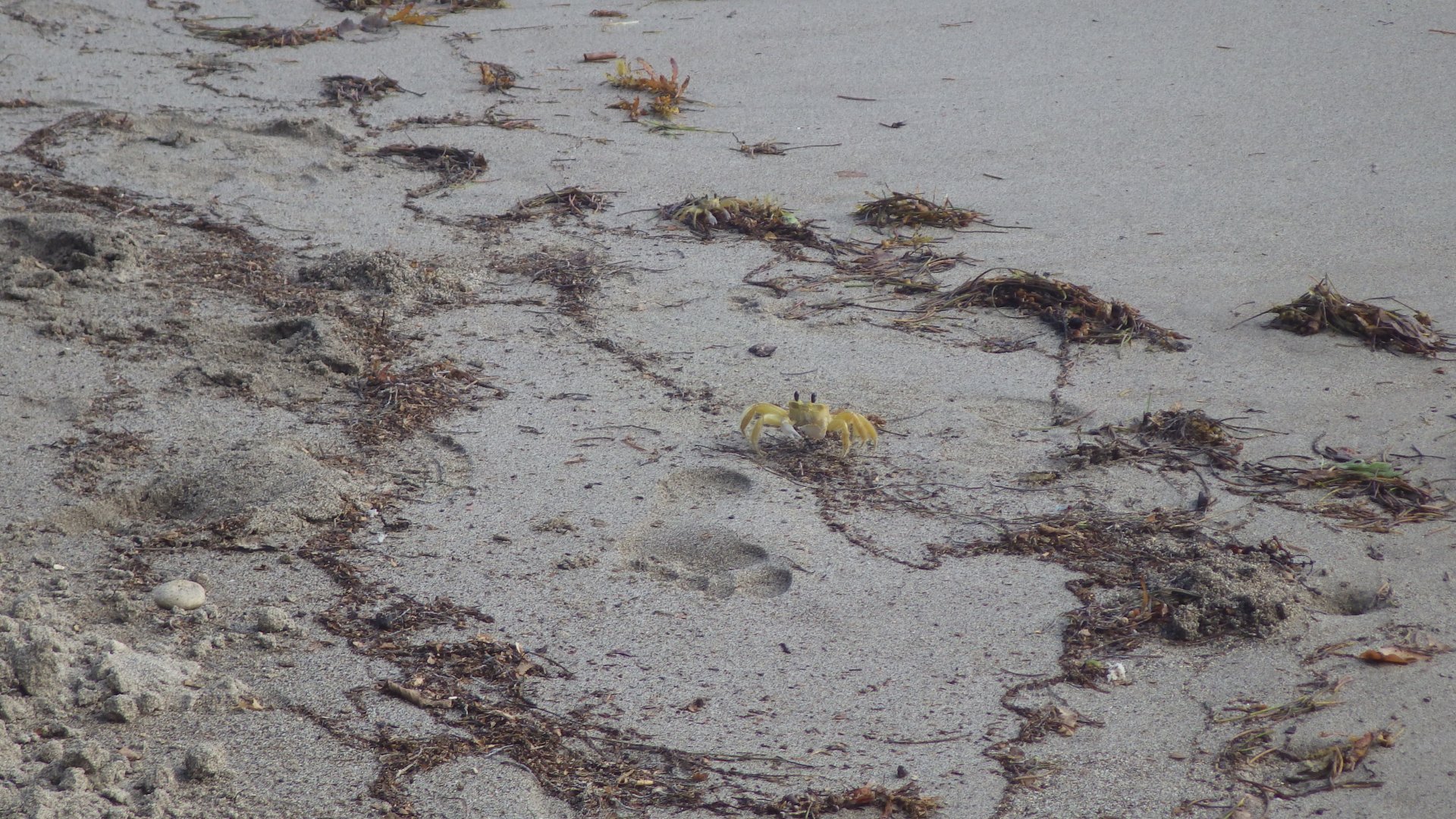
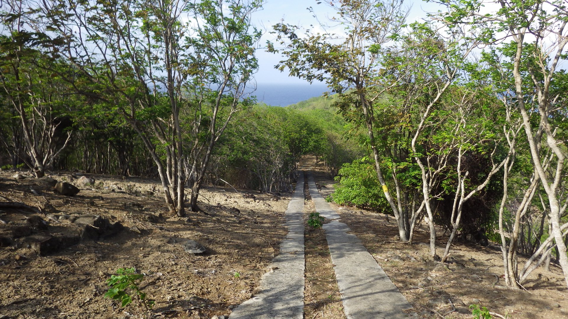
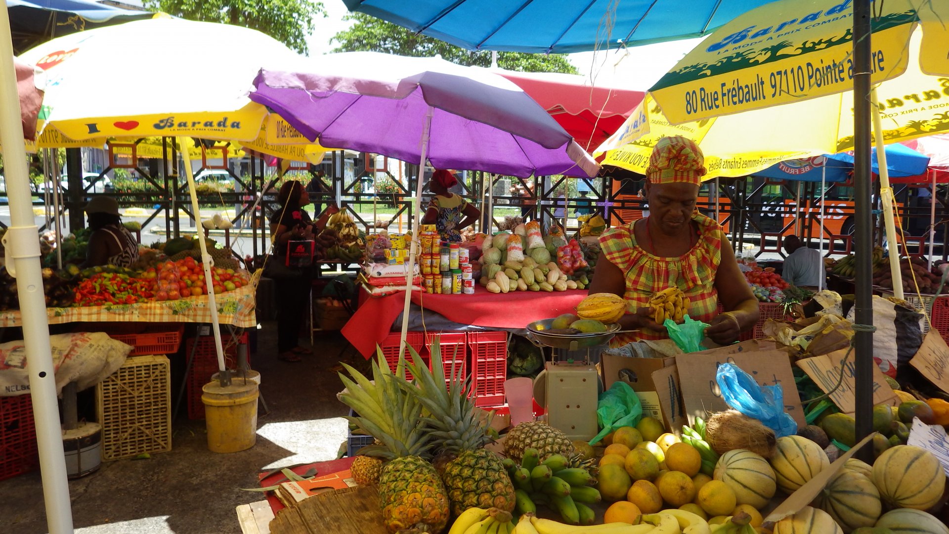
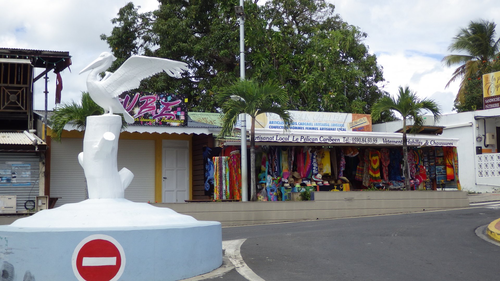
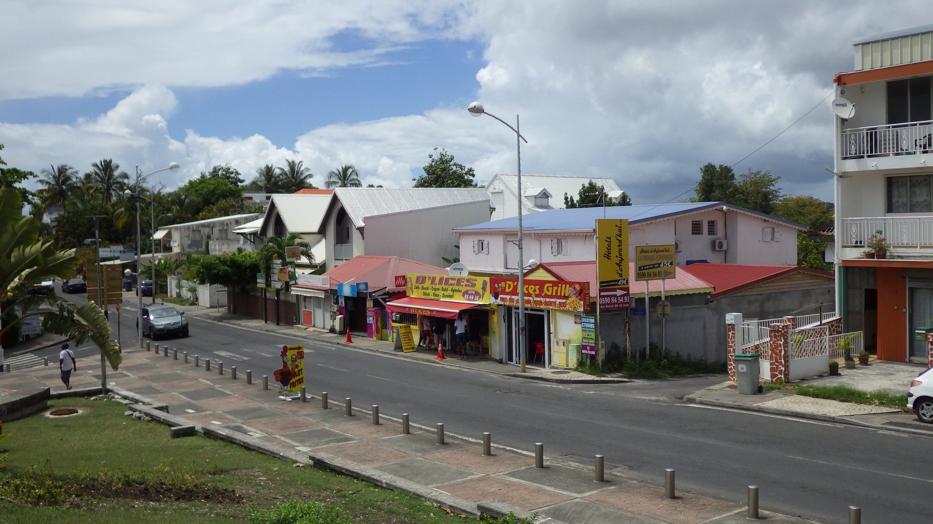
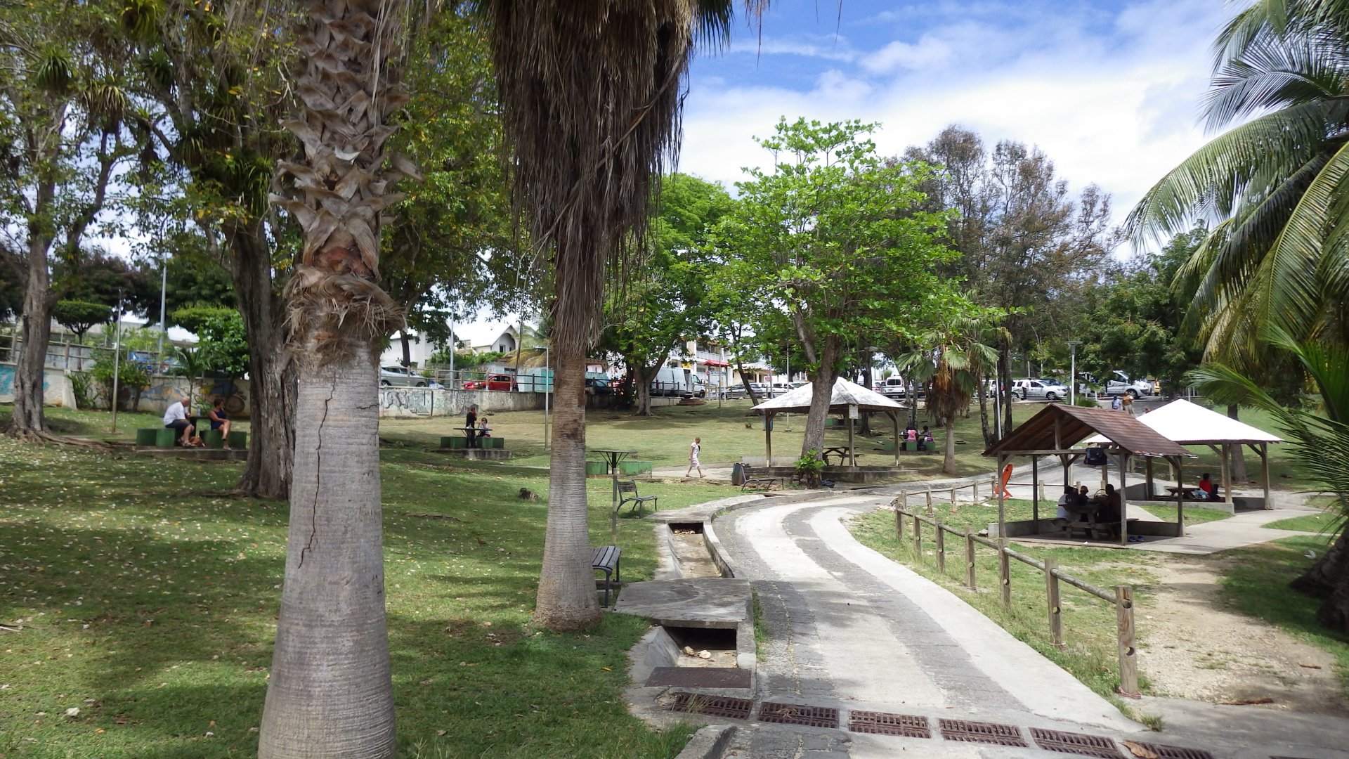
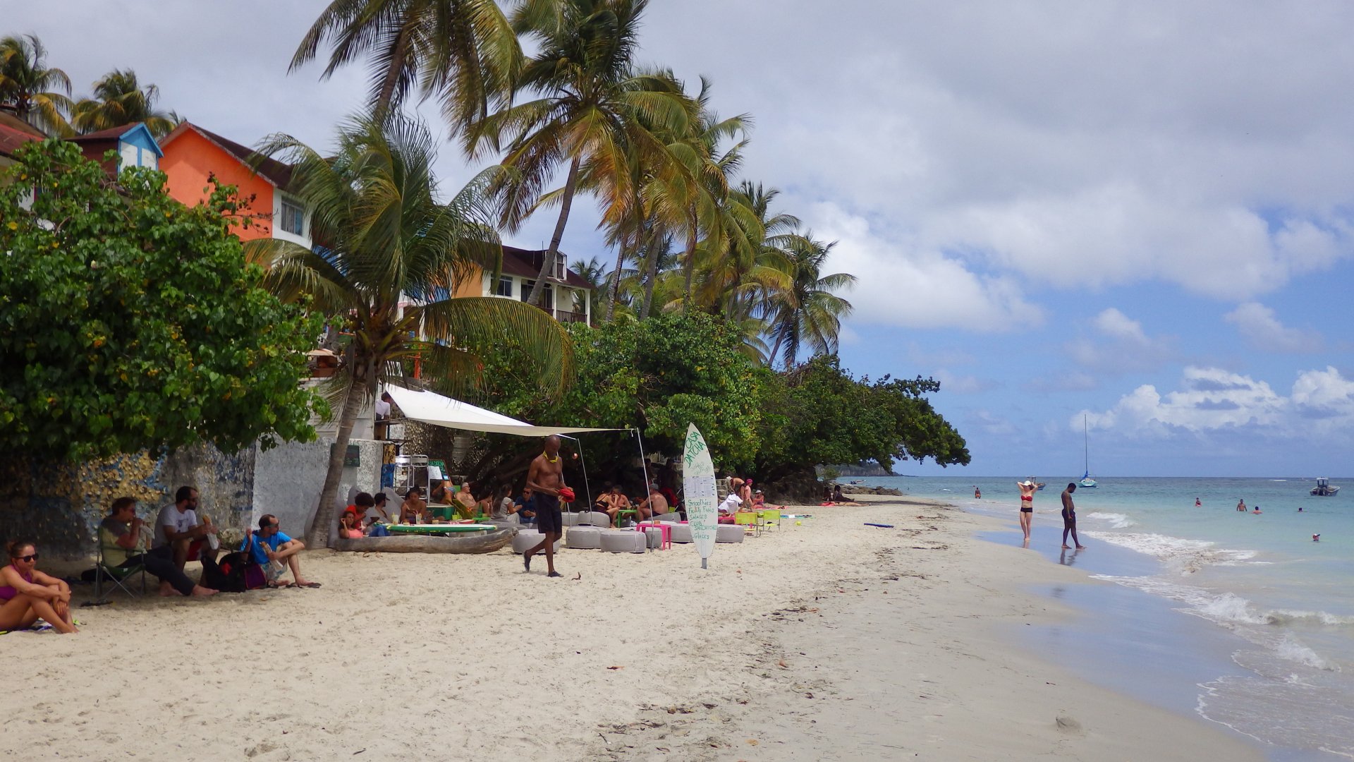
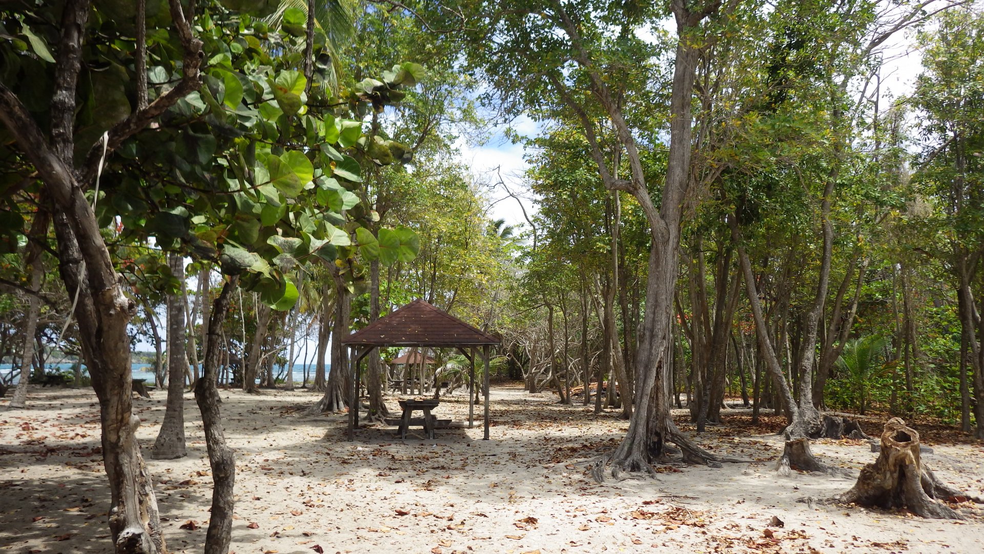
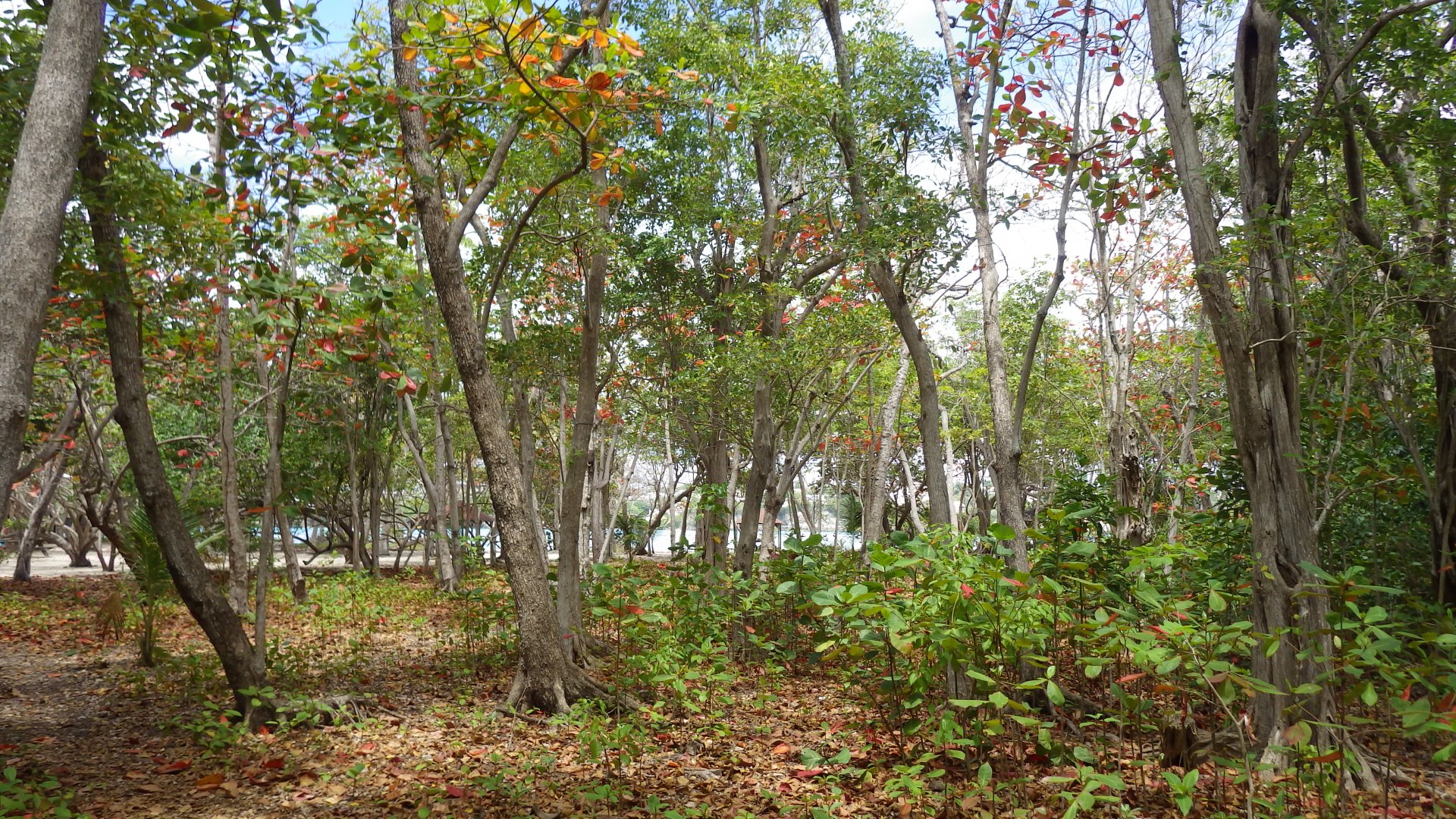
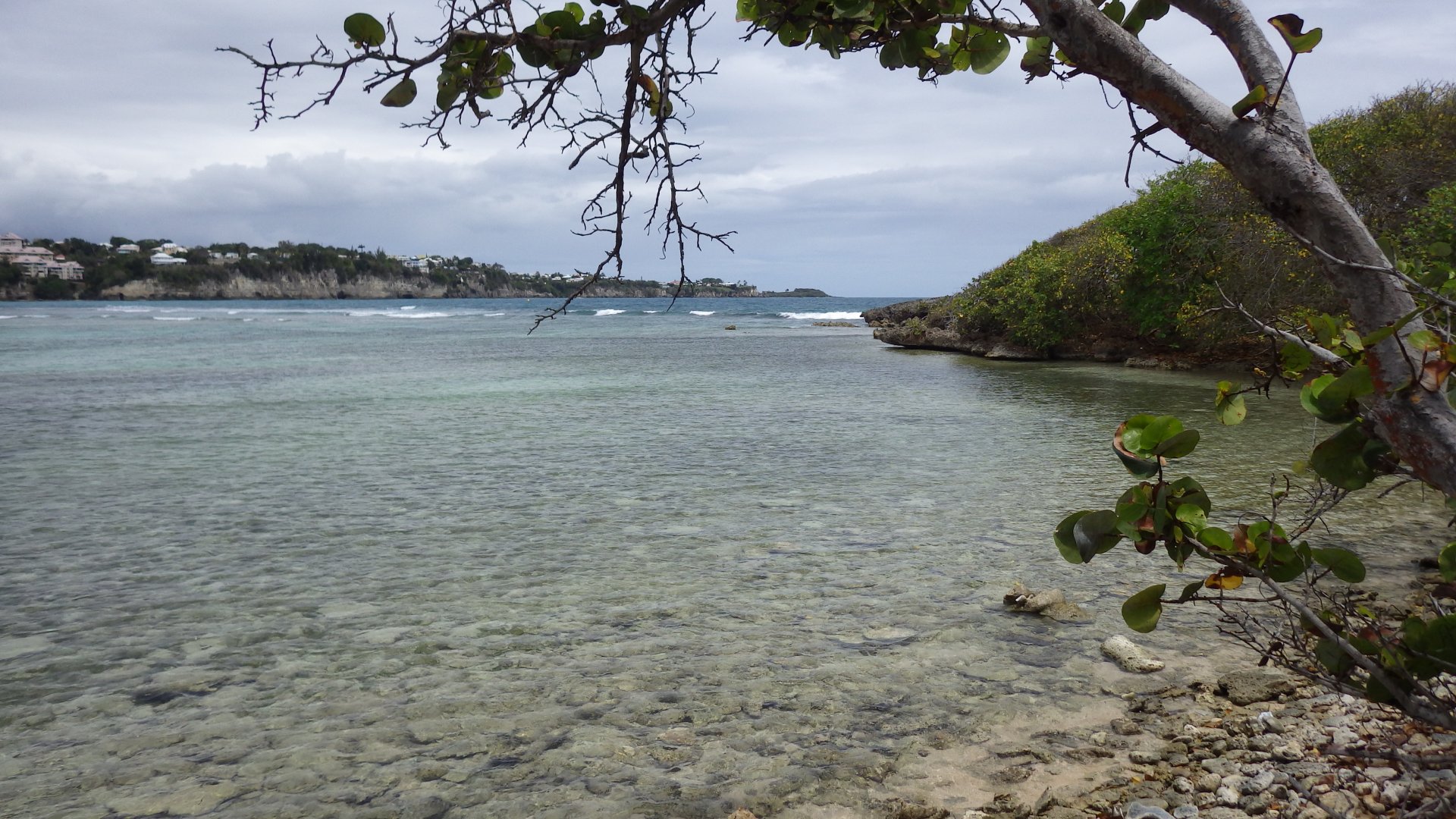
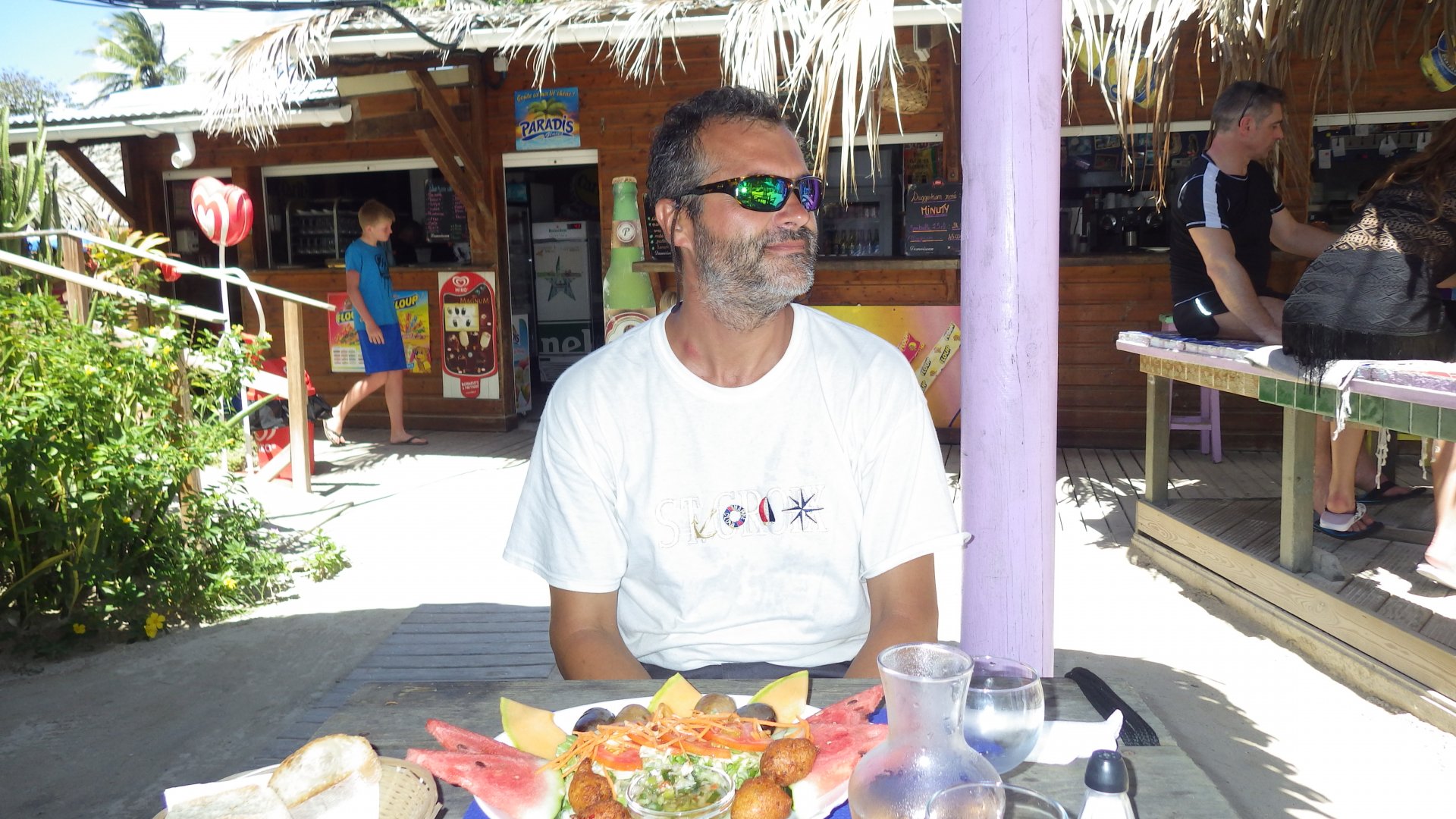
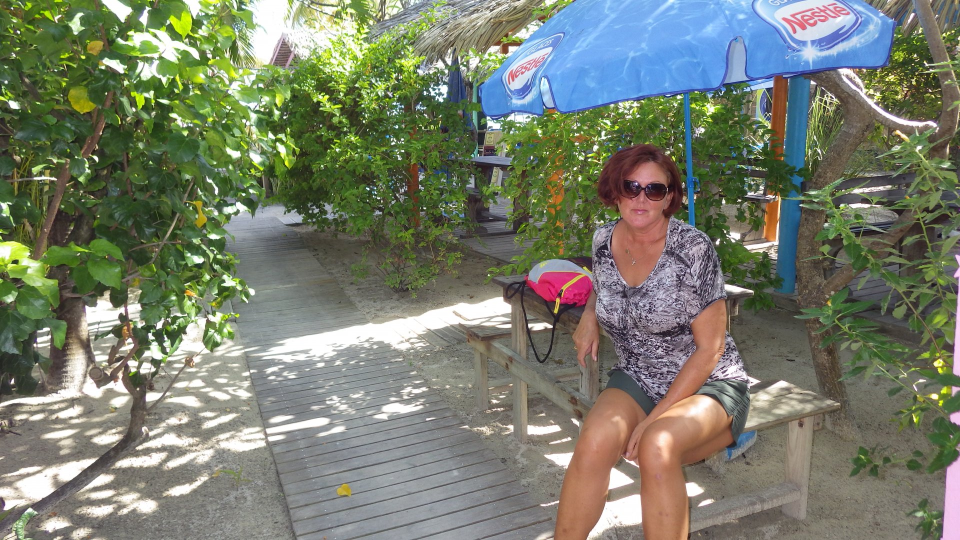
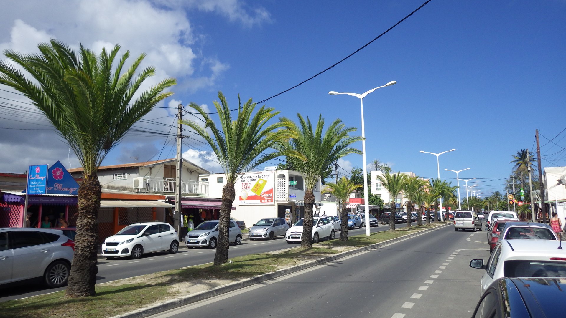
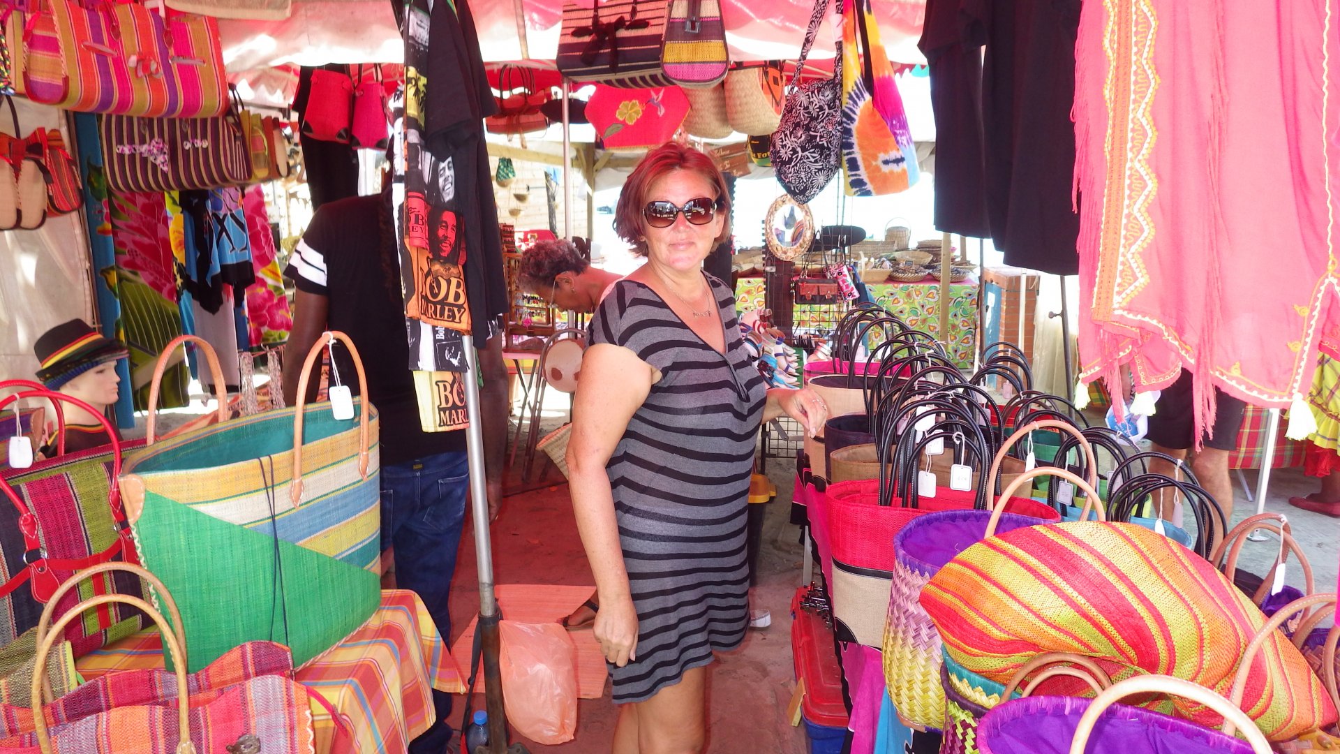
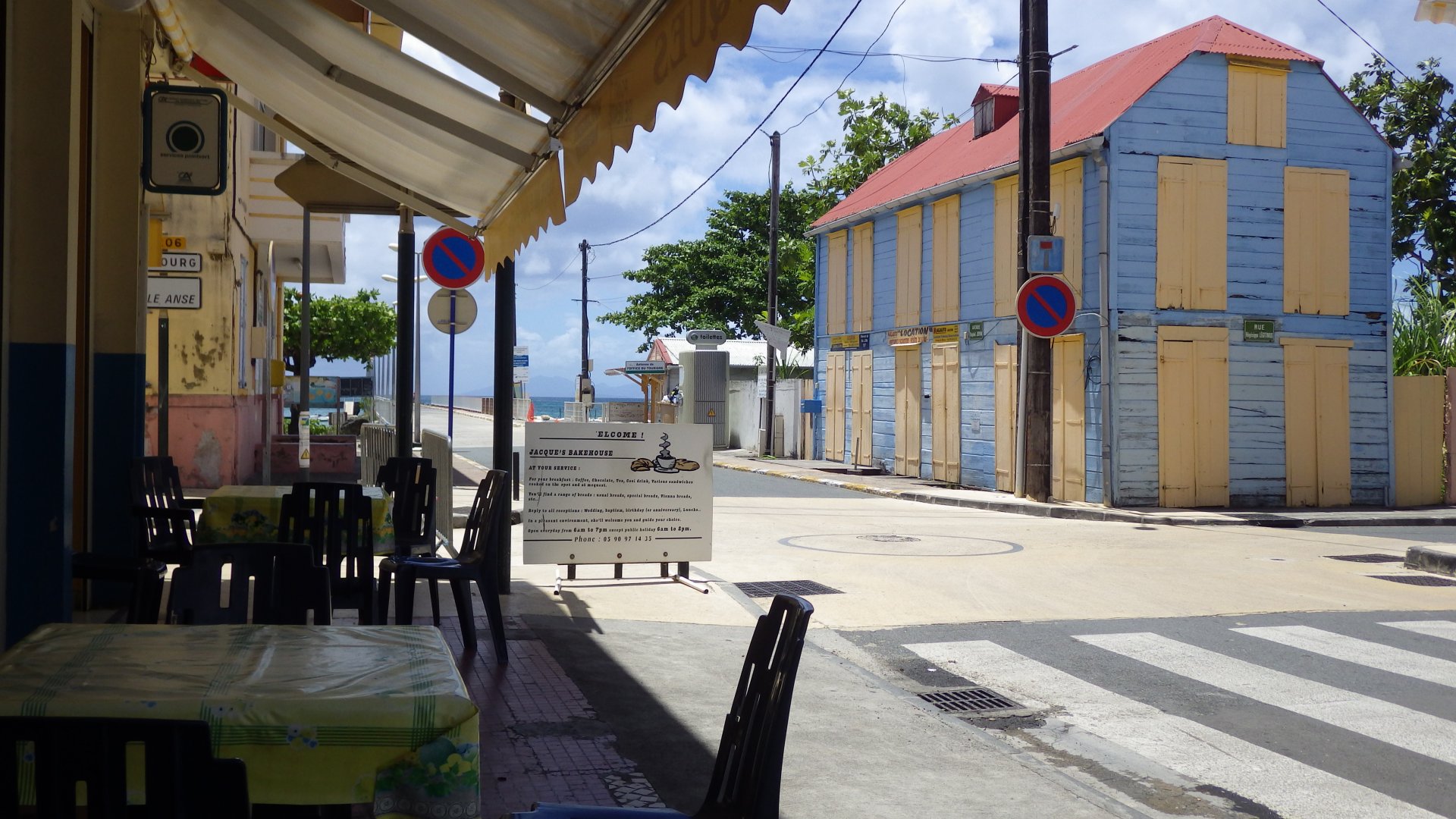
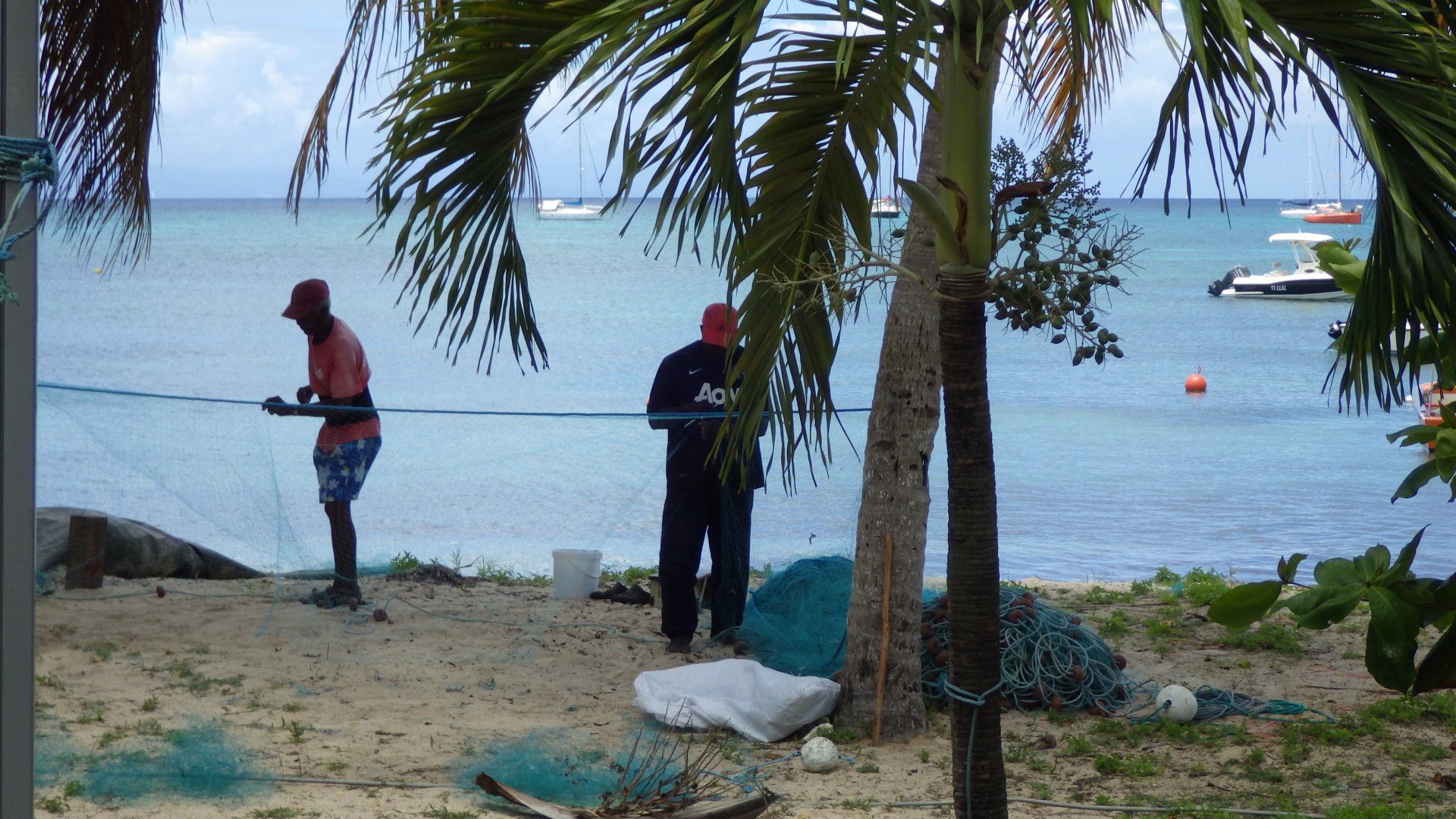
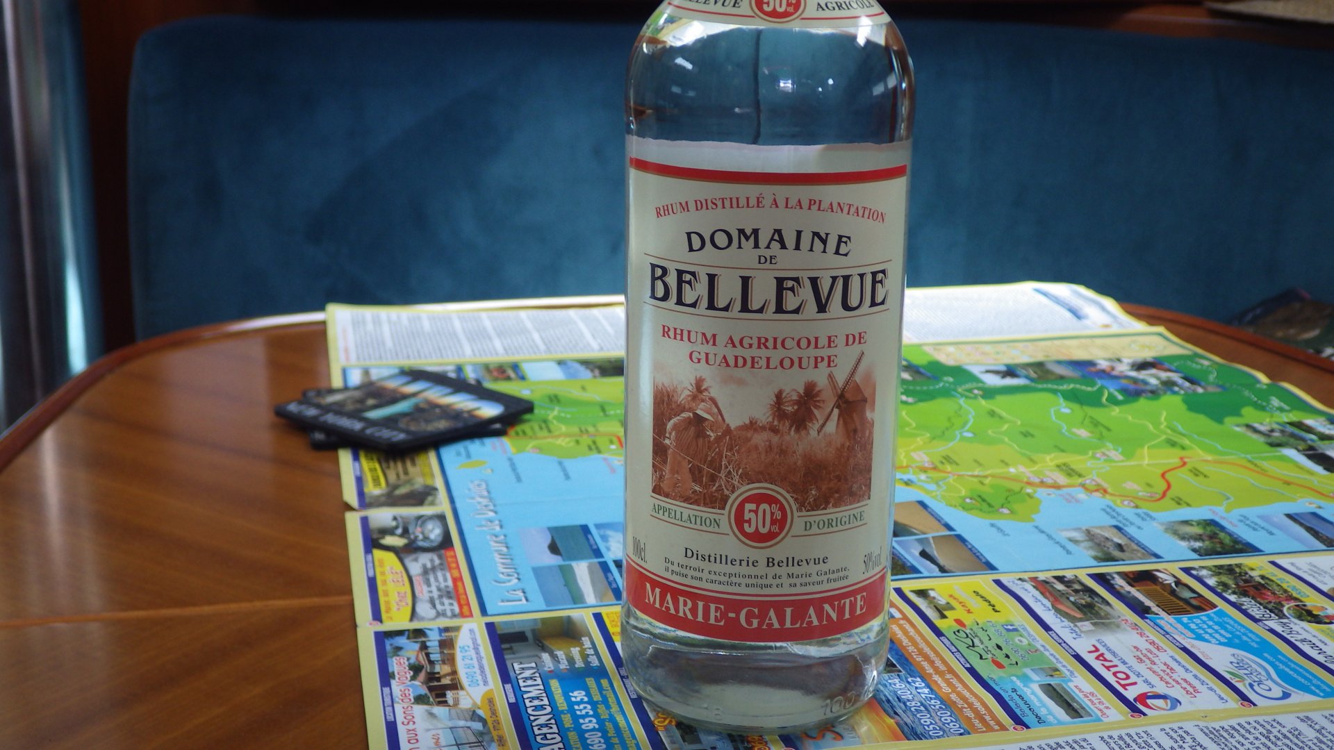
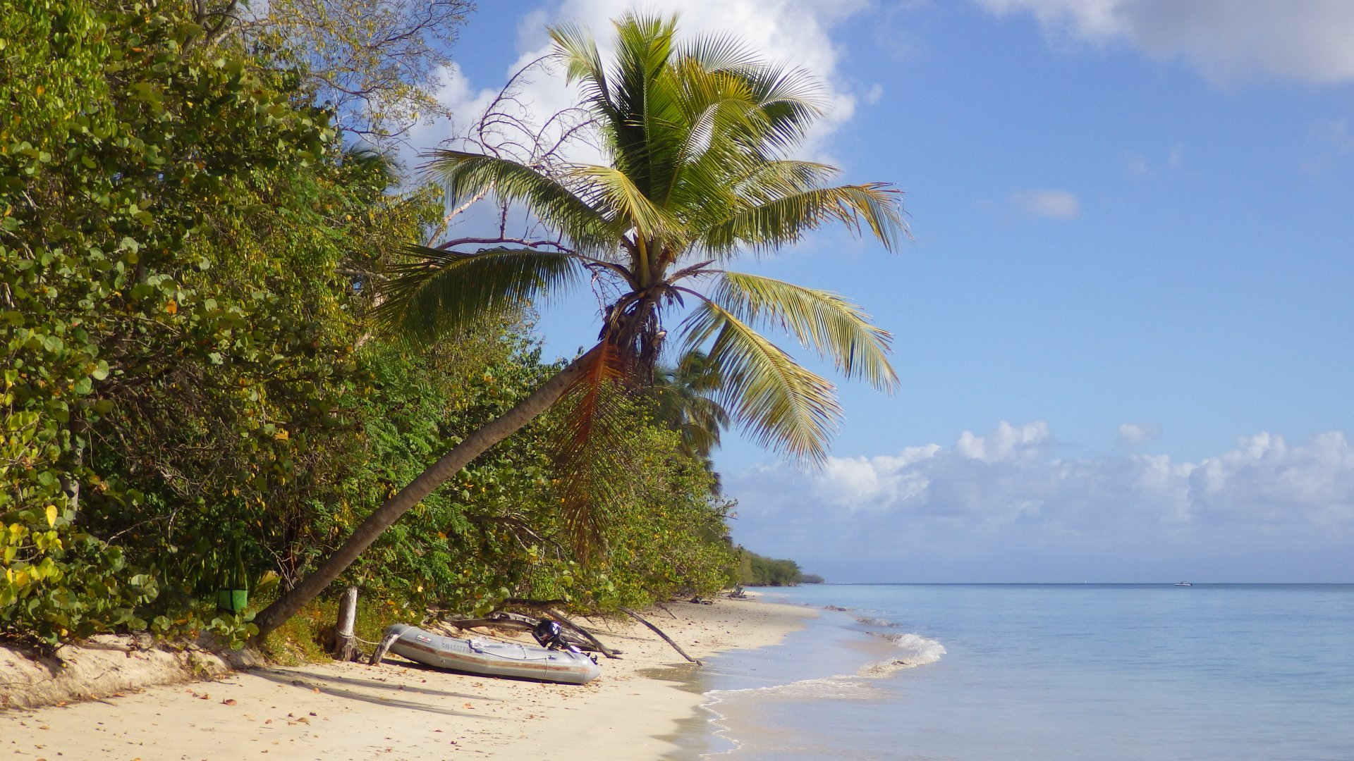
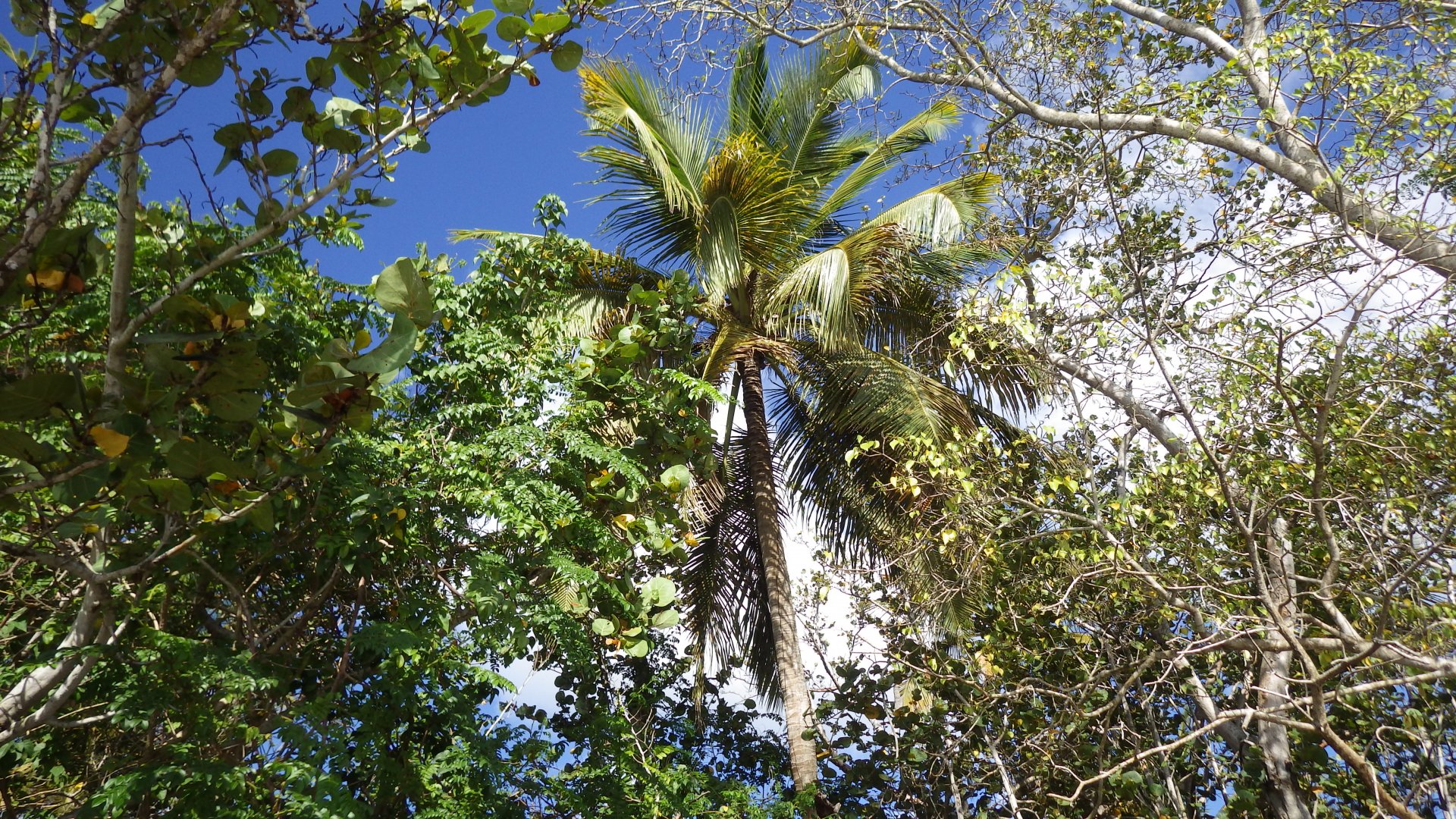
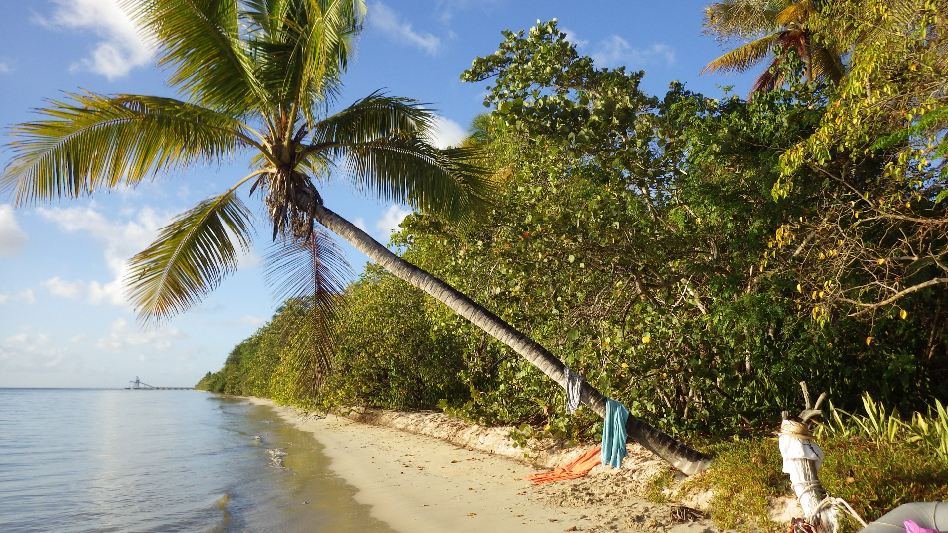
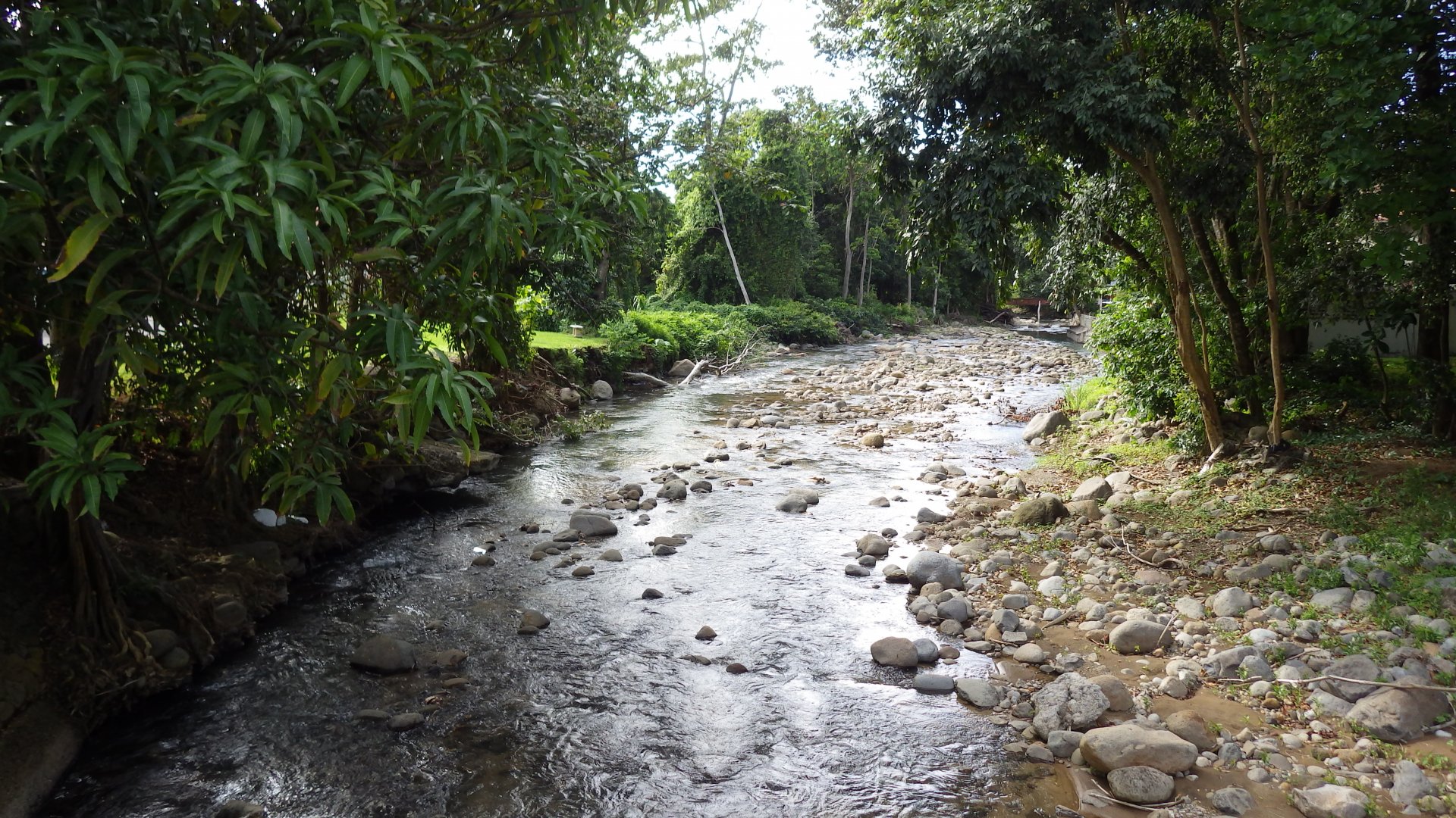
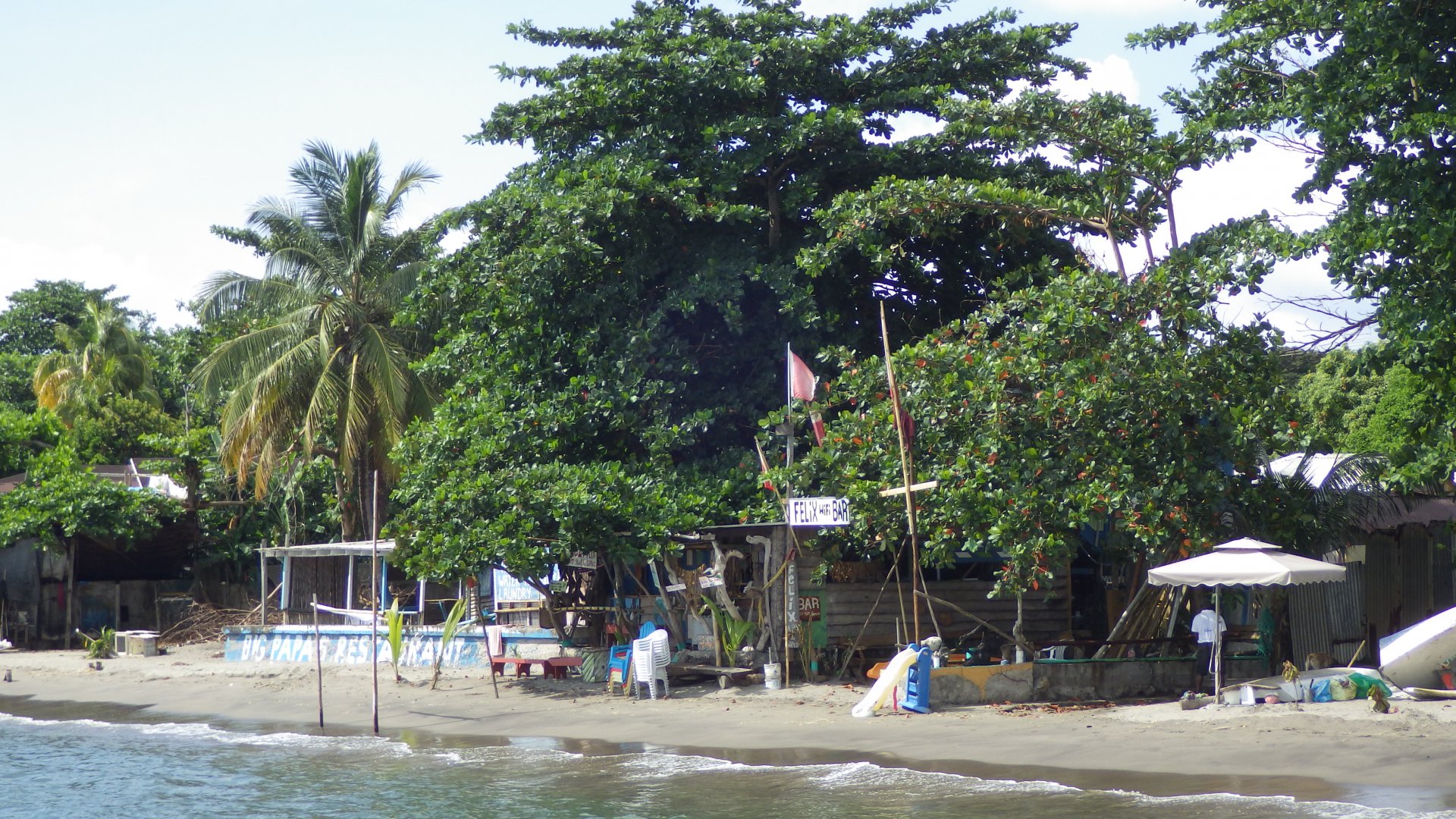
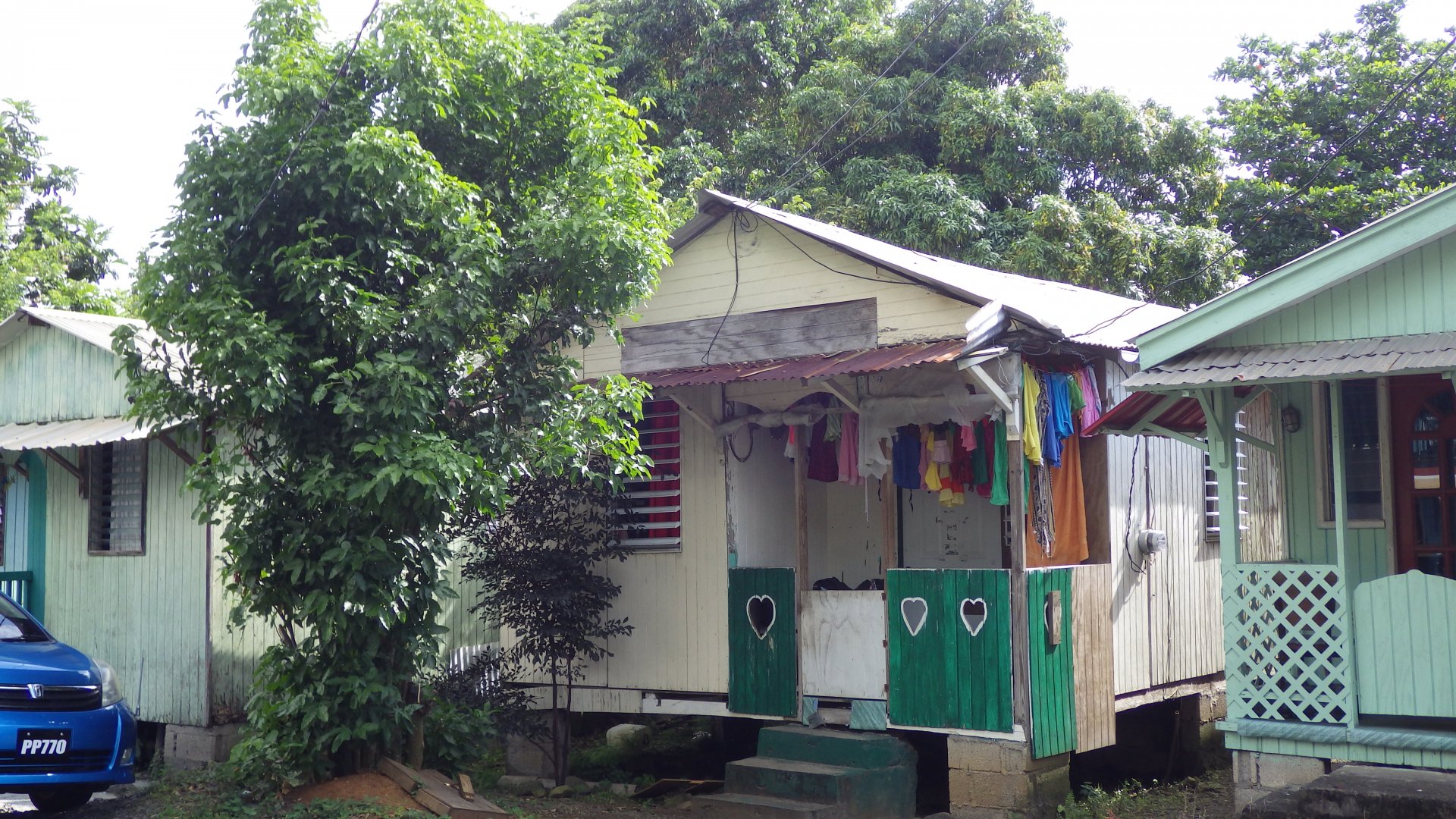
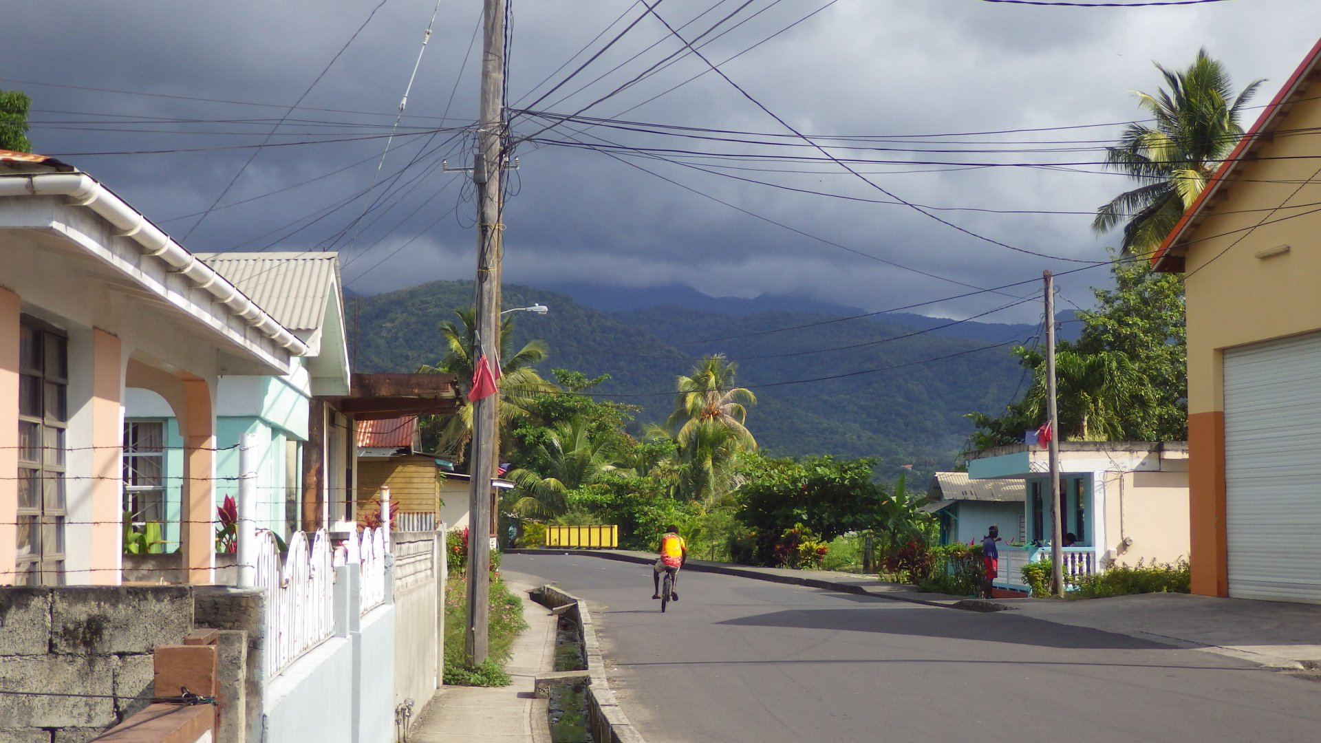
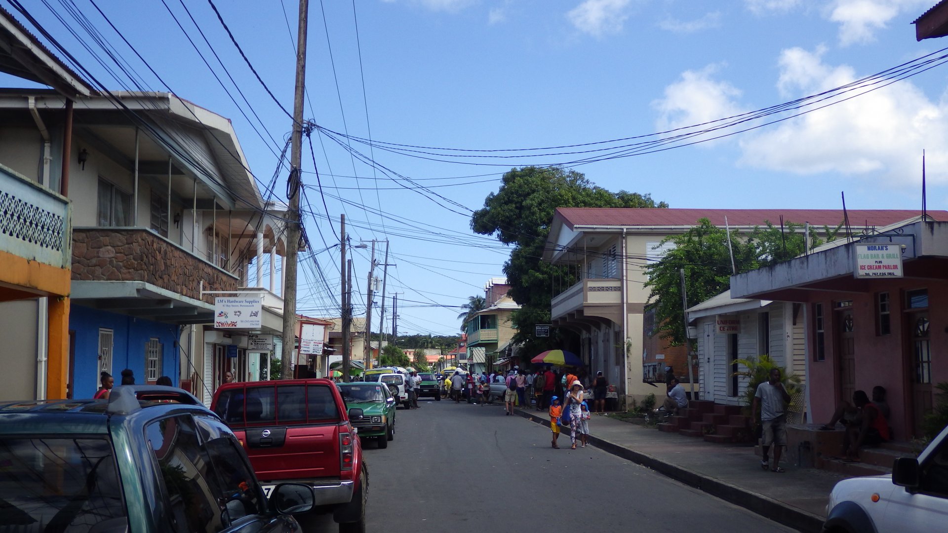
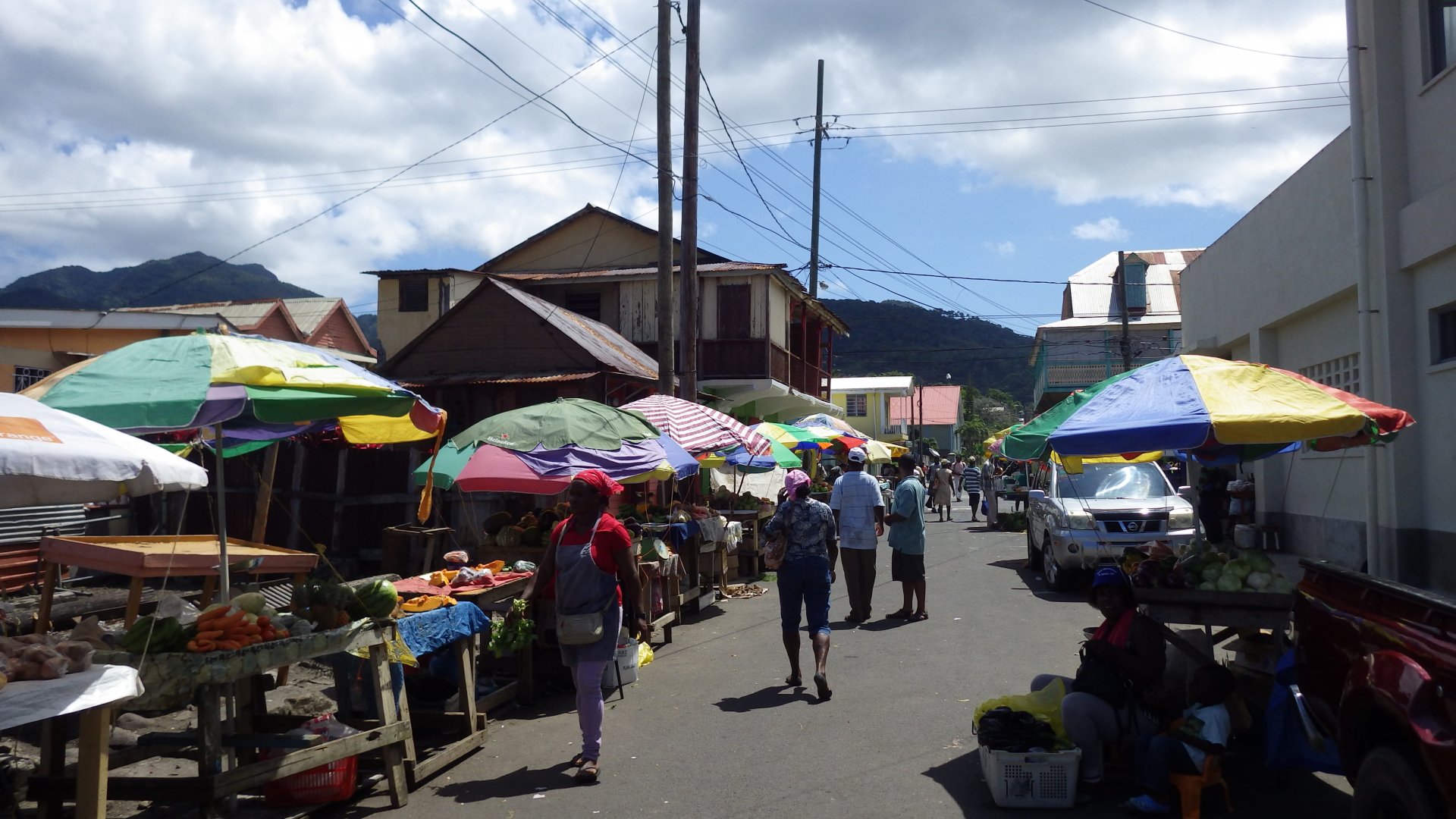
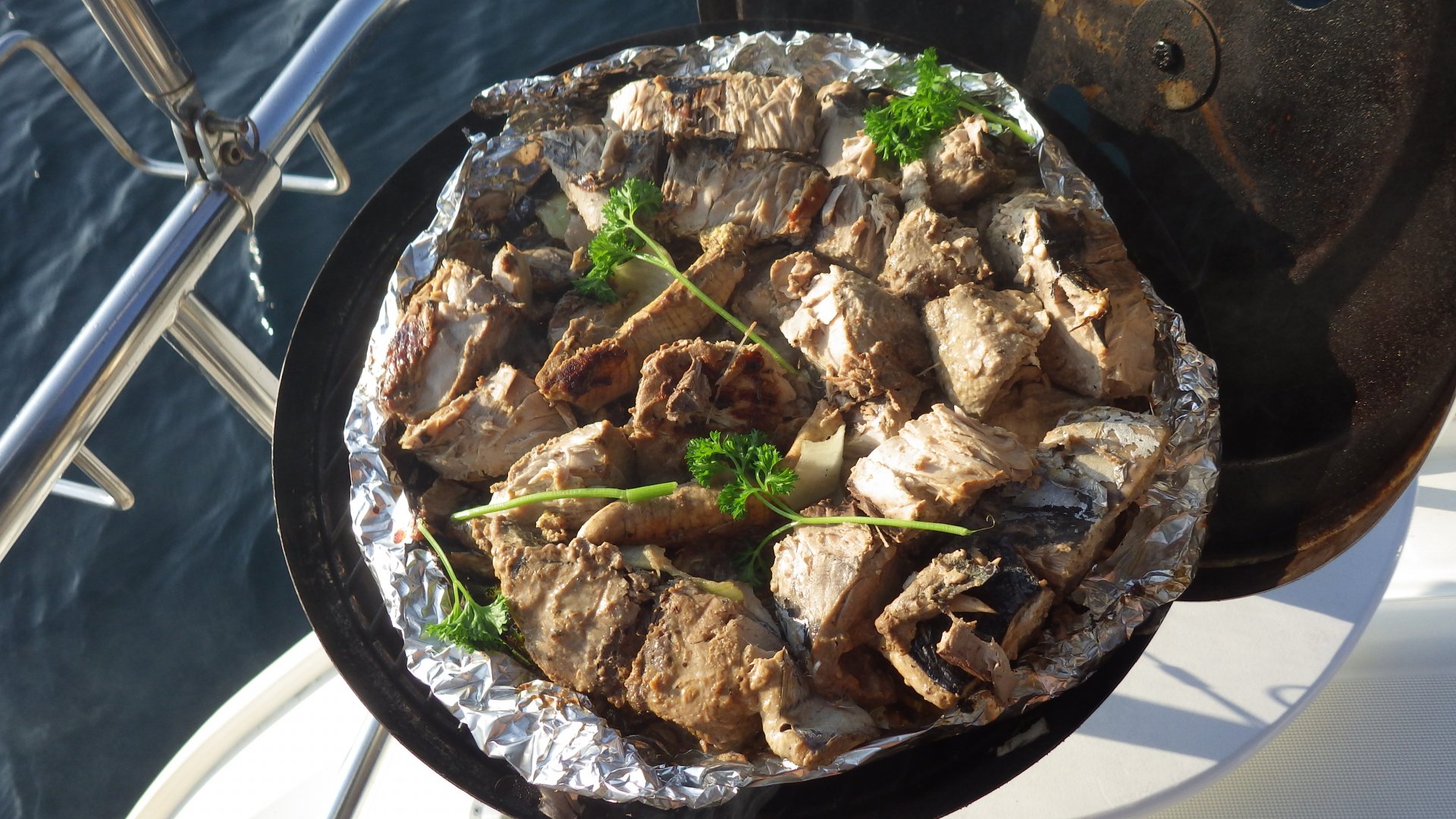
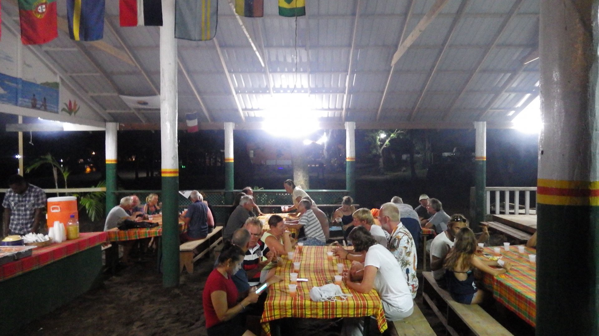
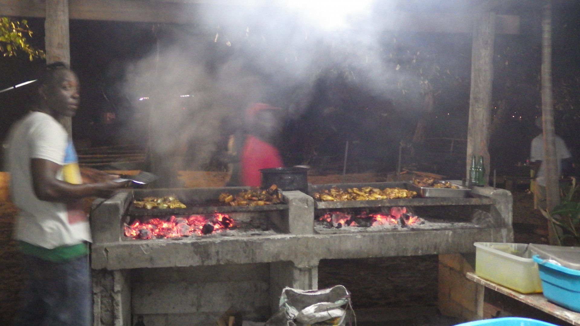
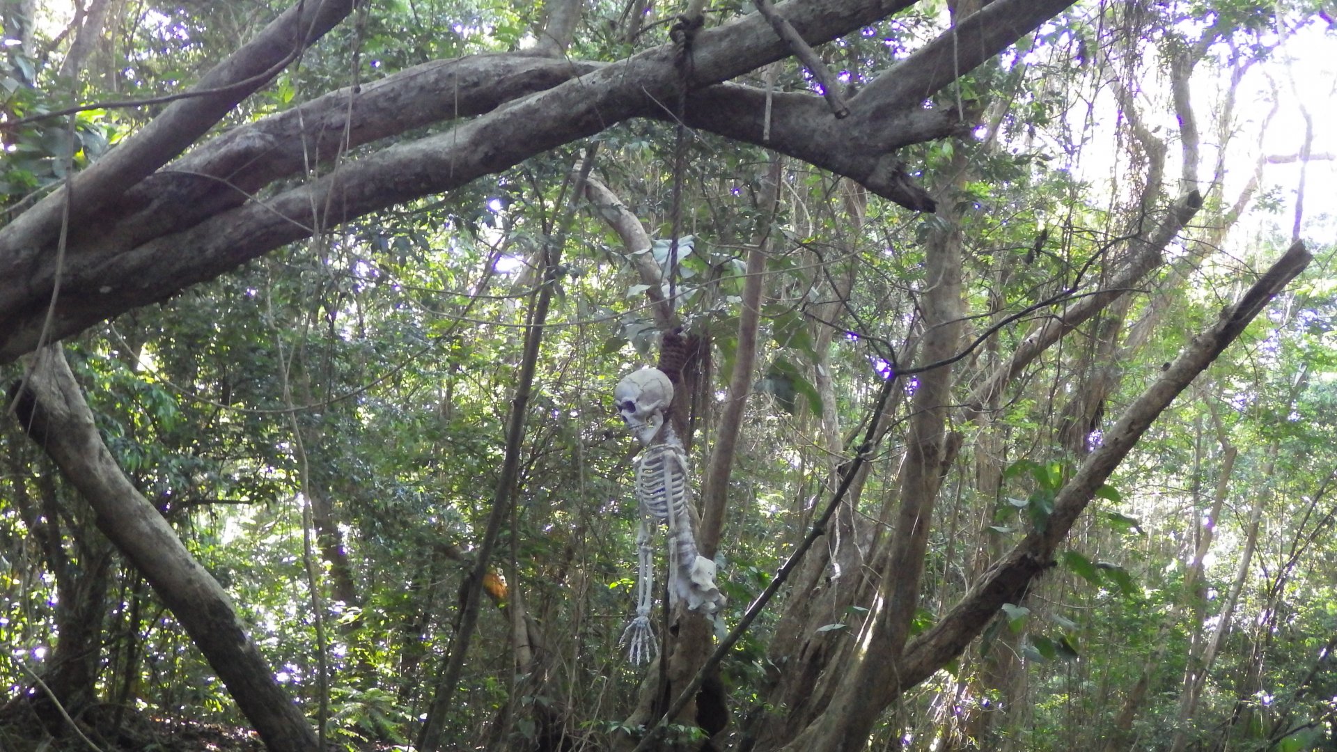
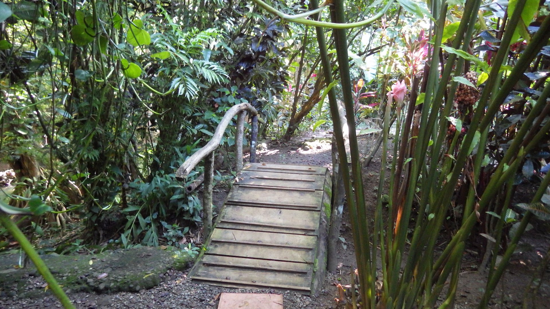
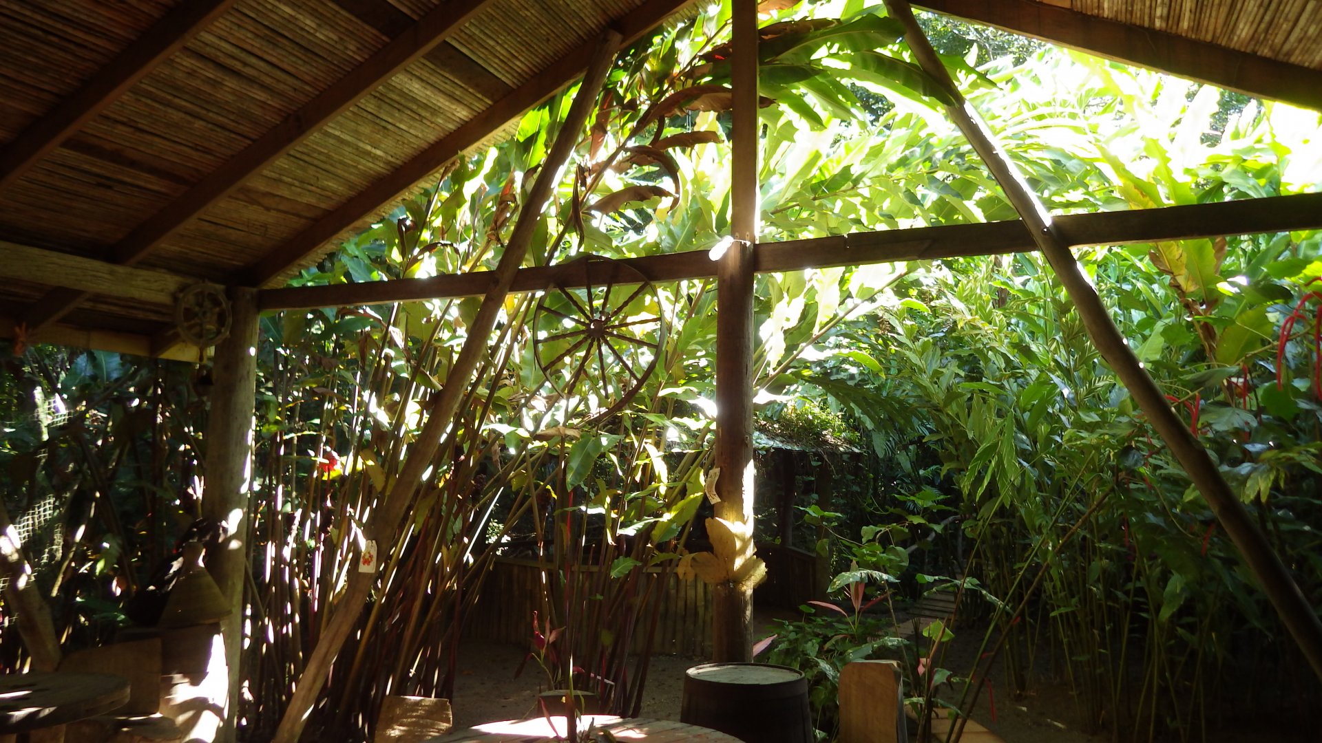
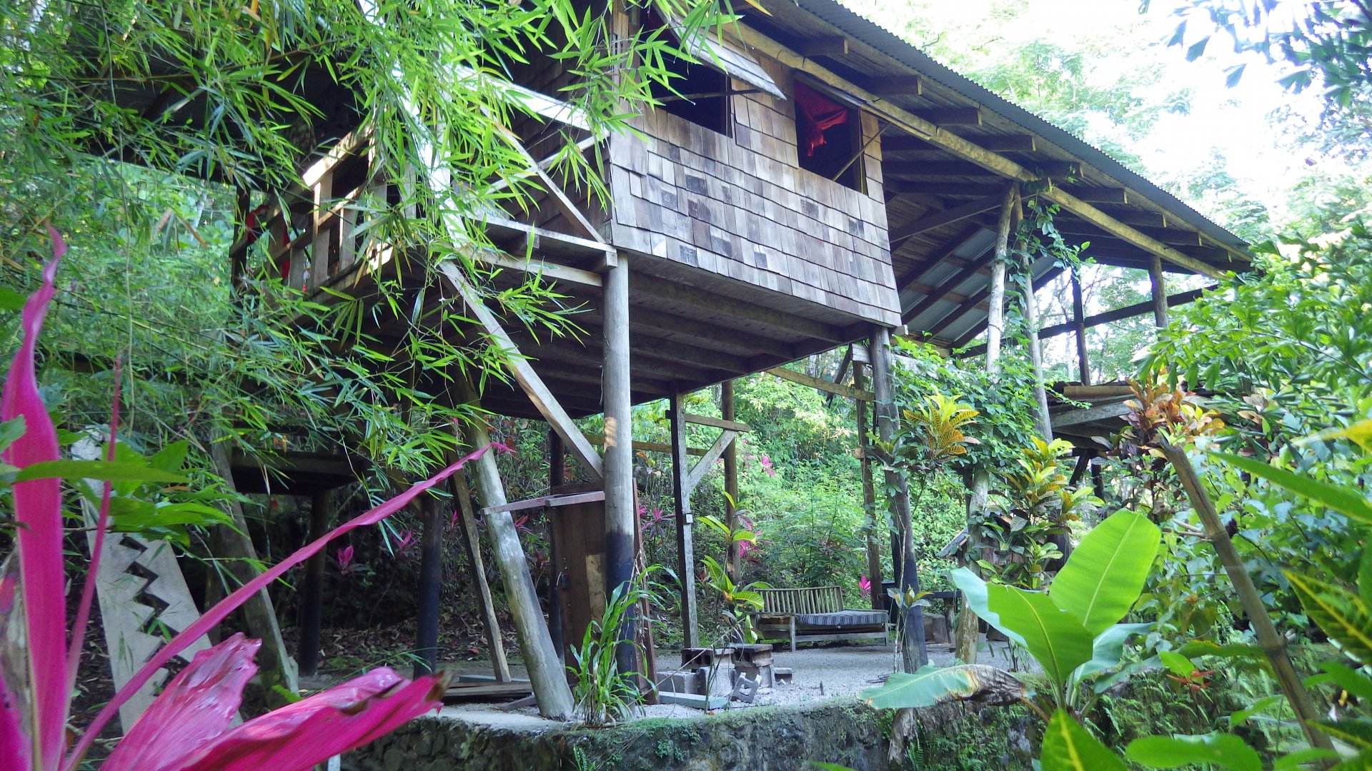
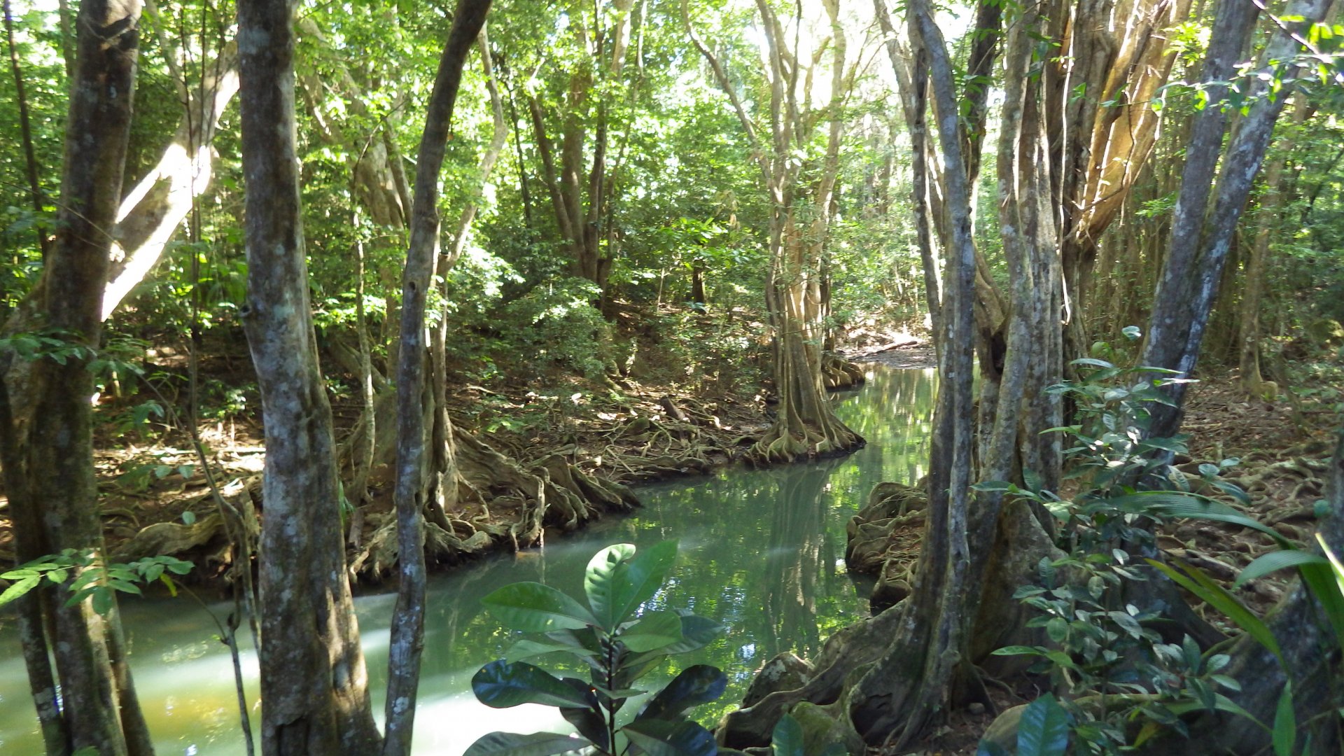
We stayed several days here, resting from the passage, strolling the town streets, hiking nearby areas and tasting French cuisine.

Welcome to Deshaies Sign Deshaies Dingy Dock Busy Anchorage Deshaies Shore Establishements Deshaies Anchorage View South At Deshaies Bay Deshaies Acnhorage Deshaies Street Cafe Deshaies Stret Cafe Deshaies Restaurant Deshaies Street Souvenir Shop Deshaies Street At Restaurant Our Lunch Decert Bayside Cafe Deshaies Bay Rainy Day Reinbow Over Deshaies Bay Vire of Deshaies from Bay Anchorage Unconspicious Housing At Deshaies Street Deshaies back Street House with Pots Deshaies Church In Deshaies Church Fishing Boats Fishing Boats at Deshaies Harbour Old Fishing Motorboat Deshaies River At Deshaies River Small Pond at Deshaies River Deshaies Neighbourhood Tropical Neighbourhood Plants Old Hut Old Fort Ruins Cannons at Old Fort Ruins Deshaies Bay View From Fort Park Deshaies Top View Deshaies Road Entrance At Deshaies Street Deshaies Village View from Bay Pier Deshaies Beach Restaurant Sculpture at Deshaies Library Restaurant Deshaies Bay View from Restaurant Deshaies Bay Anchorage Deshaies View Cutting Coconut Humble Meal at Deshaies Guadeloupe Big Tallship Pretty SuperYacht Superyacht at Night Sunset at Deshaies ay Sunset from Cockpit at Deshaies Sunset at Deshaies
Pigeon Island Bay Beach

Pigeon Island Bay Beach, Guadeloupe

Log#: 185
LatLon: 16°10.307'N, 061°46.842'W

We had a pleasant brief stop on the black sand beach near Pigeon Island Bay. The bay is lively and popular, with lots of small beach side restaurants and shops.

Unfortunately, the anchorage here is very rolly and our yacht was rocking badly. So after having a tasty lunch and walking the beach, we have decided not to stay overnight and move on.

We wished to take an excursion to the nearby Pigeon Island Marine Reserve inside a glass bottom boat, but I hope we will do it next time we visit this place.

Sailing Guadeloupe Leawed Coast Houses on Hill Pigeon Island Bay Pigeon Island Bay Beach Beach Side Restaurants Pigeon Island Bay Small Shops Beach Side Shops Pigeon Island Bay Beach Walking the Pigeon Bay Area Pigeon Island Bay Beach Pigeon Island Bay Beach
Sunset Approaching Anse A La Barque

Anse A La Barque, Guadeloupe

Log#: 186
LatLon: 16°05.276'N, 061°46.197'W

This is supposed to be a small sheltered bay to anchor when the swell is coming around the west coast of Guadeloupe.
When we arrived, it was full with local and cruising boats, private mooring buoys and fishing traps. With sunset approaching, we had no time to move to a better place and had to anchor outside of the bay in the open, exposed to wind and swell.

Because the wind coming from the mountains swirls in wild gusts from different directions, and because the water was deep, we would not be able to successfully deploy an anchor bridle or a secondary stern anchor to deal with the rolly conditions - so we had an unpleasant night.

Rainbow Over Guadeloupe West Coast Guadeloupe West Coast Faimily on Small Sailing Trimaran Coming to Bay Rocky Shore Sailboat in Sunset
Basse Terre Guadeloupe Downtown

Basse-Terre and Marina Riviere Sens, Guadeloupe

Log#: 187
LatLon: 15°58.704'N, 061°42.895'W

We anchored near the town of Basse-Terre, close to the Marina Riviere Sens. The area around the marina is quite pleasant, with low-rise buildings, several restaurants, shops and services.

We walked to the nearby town of Basse-Terre. It's about a mile from our anchorage, along the well done shoreline walkway.
The town's marketplace there is quite interesting, as well as its downtown.

We were also staying there waiting for the broken Lewmar winch part to arrive. Meanwhile, did some fishing, boat hull bottom cleaning, etc.

Unfortunately, as it turns out, the whole west coast of Guadeloupe is quite rolly, and there are no good anchorages to hide. Also, the only place to get water into the boat's tanks is at the Marina Riviere Sens - and with small med-moor only docks that was not easy.

Basse Terre Guadeloupe Shore View Black Sand Beach Anchorage Black Sand Beach Black Sand Beach Marina Riviere Sens Marina Riviere Sens Marina Riviere Sens Marina Riviere Sens Marina Riviere Sens Basse Terre Shore Marina Riviere Sens Entrance Our Lunch Walkway To Town Basse Terre Walkway To Basse Terre At Walkway To Basse Terre Basse Terre Open Market Basse Terre Market Stall Basse Terre Market Basse Terre Town Street Basse Terre Street Basse Terre Church Canal Wall Grafiti Basse Terre Roundabout Monument Road Around Basse Terre Mountain Quary Basse Terre Fishing from Yacht Stern Just Sea and Sky Sunset at Basse Terre Small Bay Southern Tip Basse Tere Basse Terre Southwest Tip Lighthouse
View of Bourg des Saintes

Bourg Des Saintes, The Saintes

Log#: 188
LatLon: 15°51.939'N, 061°35.617'W

After a windy but short passage from Guadeloupe, we arrived at The Saintes Islands. The Sainties are Guadeloupe's dependency, therefore also part of French territories - French language and cuisine, European products in stores, etc.

Bourg de Saintes is a small and inviting town with a Gallic charm. There are many stores, restaurants and some basic services. Quite few tourists arrive by ferry daily.

We wondered along town streets, tasted couple restaurants, relaxed on the beach, browsed shops, enjoyed baguettes, pates, tasty fresh vegetables and inexpensive good French vine.

Here it also comes to my mind - our yacht, Beneteau, is also of French design.

Everything fits nicely here. I only wish I could speak some French.

Club Med Cruiseship Anchored at The Saintes Rainbow over The Sainties View of Bourg des Saintes from Our Anchorage Bourg des Saintes Shore Streets of Bourg des Saintes Bourg des Saintes Street Bourg des Saintes Shop Blue Shop in Bourg des Saintes Bourg des Saintes Cafe Fishnig Boats at Beaach Fishing Fleet of Bourg des Saintes Bourg des Saintes Street Bourg des Saintes House Bourg des Saintes Old House On Bourg des Saintes Street Near Ferry Pier Bourg des Saintes Park Bourg des Saintes Church In Bourg des Saintes Church Bourg des Saintes Street Boat House Frecnh Cuisine Tasting French Cuisine Fishing Boarts at Bourg des Saintes Beach Bourg des Saintes Street She Misses Her Cats Bourg des Saintes Palm Beach Houses of Bourg des Saintes Houses of Bourg des Saintes Houses of Bourg des Saintes Houses of Bourg des Saintes Houses of Bourg des Saintes Houses of Bourg des Saintes Houses of Bourg des Saintes Houses of Bourg des Saintes Houses of Bourg des Saintes In Bourg des Saintes Park Monument to Fishermen in Bourg des Saintes Bourg des Saintes Townhall Bourg des Saintes Local Artist Goats At Fort Ruins Goat at Fort Ruins Boats at Local Yacht Club Rred Roofs of Bourg des Saintes View of Bourg des Saintes Moored Boat at Bourg des Saintes Tree Moutain House Local Rhum Flying French Courtesy Flag Sunset Over The Saintes Sunset
Fort Napoleon

Fort Napoleon, Terre de Haut, The Saintes

Log#: 189
LatLon: 15°52.519'N, 061°34.924'W

Fort Mapoleon is a moderate uphill hill hike from the Bourg des Saintes town.
It is a well restored historical site, with very interesting and informative museum and a botanical garden. Great views from the hill top.

Fort Napoleon Wal Canon a Fort Napoleon Fort Napoleon Yard Fort Napoleon yard Sailship Model Knots Display 1 Knots Display 2 At Fort Napoleon marigot Bay View from Fort Napoleon Guadeloue Island View from Fort Napoleon Fort Napoleon Barracks Fort Napoleon yard View from Barracks Window Short Cannnon at Fort Napoleon Fort Napoleon Wall Viiev of Bourg des Saintes from Fort
Baie de Pompierre

Baie de Pompierre, The Saintes

Log#: 190
LatLon: 15°52.310'N 061°34.217'W

Baie de Pompierre is one of the prettiest palm beaches we have visited.
Although it was a little windy that day, we had a good relaxing afternoon there.

Baie de Pompierre Entrance Baie de Pompierre Palms Baie de Pompierre Beach Baie de Pompierre Baie de PompierreRocky Side Baie de Pompierre Beach Goats Nearby Restaurant Near Baie de Pompierre Baie de Pompierre Beach View
Ilet a Cabrit

Ilet a Cabrit, The Saintes

Log#: 191
LatLon: 15°52.488'N 061°35.902'W

To change scenery and for more wind protection, we have moved from our anchorage to the nearby small island, Ilet a Cabrit.

We had a cooling swim on its beach, hiked uphill to see ruins of Fort Josephine and some abandoned hotel which didn't work out.

Looking from the top of the hill overlooking these waters, can't stop thinking about the great naval Battle of the Saintes which took place here in 1792, decisively changing the balance of power at that time.

View of Ilet a Cabrit Ilet a Cabrit Map Boats Moored at Ilet a Cabrit Ilet a Cabrit Ilet a Cabrit West Ilet a Cabrit Shore At Ilet a Cabrit Shore Boats Moored at Ilet a Cabrit Dinghies Beached at Ilet a Cabrit Bay View from Ilet a Cabrit View from Ilet a Cabrit Fort Josephine Ruins Fort Josephine Ruins Ruins of Fort Josephine Ruins of Fort Josephine Tree Roots on Fort Josephine Wall At Fort Josephine Overlooking Bourd des Saintes Big Aloe Crab on Ilet a Cabrit Beach Path on Ilet a Cabrit Abandoned Hote Villasl Abandoned Hotel Villa Bay View The Saintes Fishing Nets on Ilet a Cabrit Beach View of Bourd des Saintes from Ilet a Cabrit
Pointe a Pitre Market

Pointe a Pitre, Guadeloupe

We had some time, and weatherman promised that good calm days are ahead, so we decided to make a detour and tack back to Guadeloupe to explore its southeast coast.

Our first stop there was Poine-a-Pitre, Guadeloupe's largest and most important city. Although we dinghied and visited only its central part. It is a pretty decorative creole town, with lively markets. We had a good day there, ended with a nice meal overlooking park with old large trees. Buildings just few blocks outside the central area seemed quite worn.

Most of our stay here we spent anchored near marina Bas-du-Fort. The area around marina is pleasant, with marine services, chandlery, aquarium, good European grocery store and fine restaurants.

Pointe a Pitre Port Pointe a Pitre Anchorage Marina Area Bas du Fort Marina Architectual Head Round Square Large Tree Restaurant Bas du Fort Marina Area Water Growth Aquarium Aquarium Aquarium Aquarium Aquarium View of Pointe a Pitre Yachts At Pointe a Pitre Cruiseship at Pointe a Pitre Pointe a Pitre Comercial Port Pointe a Pitre Park Square Pointe a Pitre Market Pointe a Pitre Market Street At Pointe a Pitre Market Pointe a Pitre Sreet Pointe a Pitre Street Pointe a Pitre House Pointe a Pitre Worn House Pointe a Pitre Park Pointe a Pitre Building Pointe a Pitre Park Pointe a Pitre Park Leaving Pointe a Pitre Old Dock Anchorage Near Bas du Fort Marina Sunset at Pointe a Pitre Anchorage
Islet du Gosier

Gosier, Guadeloupe

Log#: 193
LatLon: 16°12.193'N 061°29.596'W

The town of Le Gosier and the nearby island Ilet du Gosier are only 3 miles east from Pointe a Pitre.

The anchorage between island and town is picturesque, with nice beaches. The place is fairly popular with locals and vacationers.

There are lots of swimmers around the bay, swimming between the beach and the island. It seems there is some sort of serious swimming culture here - swimming activities start at 5 AM, ending well after dark.

The small wooded island is partially surrounded by reefs, with an old-fashioned but still functional lighthouse.

We stayed couple days here - visited the town, beach and spend a nice picnic day on the Ilet du Gosier.

Resorts Along the Shore Resorts Along the Shore Anhored at Gosier Buildings at Shore View of Ilet du Gosier Resort at Gosier Beach Gosier Street Chicken Place in Gosier Gosier Park At Gosier Park Waterfront Gosier Park Pier Pelicans in Gosier Park Ilet du Gosier View From Shore Gosier Beach Gosier Beach Anchored At Ilet du Gosier Ilet du Gosier View from Shore Gosier Street Anhored at Gosier Hull Bottom Cleaners Ilet du Gosier Map View from Ilet du Gosier Shore Ilet du Gosier Pier Ilet du Gosier Picnic Area Ilet du Gosier Woods Ilet du Gosier Lighthouse View from Ilet du Gosier Lighthouse Ilet du Gosier Beach View From Ilet du Gosier Shore Ilet du Gosier Windward Side Town View from Ilet du Gosier Ilet du Gosier Rocky Beach Ilet du Gosier Coral Beach Lizard on Ilet du Gosier Campfire at Ilet du Gosier Someones Laundry Day Gosier Anchorage in the Afternoon View of Basse Terre From Gosier Anchorage Gosier Anchorage in the Afternoon Sunset at Gosier Leaving Gosier
Rock and Reef at Petit Havre

Petit Havre, Guadeloupe

Log#: 194
LatLon: 16°12.204'N 061°26.344'W

Moving further east along the southeast coast of Guadeloupe.
Just wanted to have a secluded spot for a day, and Petit Havre seemed like such place. Reef protects the small anchorage, with waves barely passing through. We were the only boat here, with occasional windsurfers zooming by.
Had lots of sun tanning and just feeling lazy.

Petit Havre Bay Sunset at Petit Havre
Sainte Ane Beach

Sainte Anne, Guadeloupe

Log#: 195
LatLon: 16°13.347'N 061°23.220'W

We really liked Sainte Anne. It's a very pleasant resort town. The beaches are great, protected by reef, although a bit crowded for our taste.

The atmosphere is holiday central. There are lots of people, including kids, all having fun.

There are many artisan souvenir markets, fresh fruits and vegetable stands, restaurants, good grocery stores, several bakeries making tasty French baguettes.

Small Beach Along Guadeloupe Shore Club Med Beach Sainte Anne Shore Sainte Anne Shoreline View Sainte Anne Shore Buildings Sainte Anne Waterfront Sainte Anne Waterfront Anchored Near Sainte Anne Waterfont Sainte Anne Shore Small Sailboats at Sainte Anne Shore Sainte Anne Beach Sainte Anne Beach View Sainte Anne Beach Coconut Palms Sainte Anne Beach Sainte Anne Beach View from Kon Tiki Restaurant Salads at Kon Tiki Restaurant At Sainte Anne Resaurant At Sainte Anne Sainte Anne Beachfront Sainte Anne Street Sainte Anne House in Flowers Small Sailboat at Beach Hobby Cats at Sainte Anne Beach Seastar Lots of Seaurchins Seaurchins Like My Anchor Band at Sainte Anne Market Sainte Anne Shore Market and Our Yacht Anchored Yacht Anhored at Sainte Anne Great Palm View Anchored Near Sainte Anne Shore Busy Sainte Anne Waterfront Street Sainte Anne Waterfont Sainte Anne Church Sainte Anne Beach Sainte Anne Beach She Found Bags At Sainte Anne Market Sainte Anne Waters Afternoon
St Louis Marie Galante

Saint Louis, Marie Galante

Log#: 196
LatLon: 15°57.450'N 061°19.268'W

St. Louis is a small, quiet and unassuming town on the island of Maria Galante. Off the beaten track, there are not many tourists on the island.

There are some still running sugar cane plantations and mills, and you can taste one of the finest rums here.

Marie Galante Map Poster Anchorage at St Louis Maria Galante Monument at the Pier St Louis Shore St Louis Anchorge Marie Galante Shore St Louis Beach Fishermaln Boats St Louis Street Small Bars on St Louis Street Small Place of Worship Typical St Louis Buildings St Louis Park Small Dwellings Pink House St Louis Street Small Bar House Old Houses St Louis Corner Eatery Locals Tables Ashore St Louis Beach St Louis Shore Tiki Huts St Louis Beach St Louis Shore St Louis Fishermen Fixing Nets Guadeloupe Marie Galante Rum Sunset at Marie Galante
Sunset at Marie Galante Beach

Anse Ballet, Marie Galante

Log#: 197
LatLon: 15°55.608'N 061°20.196'W

We had a great memorable two night stay at this long, beautiful and rarely visited beach
Good swimming, evening picnic ashore... We were the only yacht here.

Marie Galante Beach Marie Galante Palm Beach Passing Sugar Terminal Anchored at Anse Ballet Beach Our Beach Blending In Our Yacht Anchored Our Dinghy Under Palm Island Vegetation Coconut Palm Our Favorite Spot Marie Galante Beach Roasting Coconut Swiming Friend Dog for the Evening Sunset Under Palm at Marie Galante Beach Smoking Sugar Plant
Grand Bourg Marie Galante

Grand Bourg, Marie Galante

This was a quick one day stay, checking out with customs before leaving for Dominica.

Did some street walking, sitting in the park, minor provisioning, lunch at the restaurant, looking for wi-fi.

We first anchored inside of the wall-protected harbour, but it turned out to be too small - we were in the turning place of large ferries, so we re-anchored outside for the night.

Ciguatera Poison Fish Poster Grand Bourg Harbour Grand Bourg Street Grand Bourg Church Grand Bourg Park Hotel At Grand Bourg Park Ornata Restaurant Grafiti Art Grand Bourg Grand Bourg Buidings Grand Bourg Palmed Shore Sunset at Grand Bourg Marie Galante
Prince Rupert Bay Dominica

Prince Rupert Bay, Portsmouth, Dominica

Log#: 199
LatLon: 15°34.708'N 061°27.569'W

So we sailed to Dominica Island, arriving at Prince Rupert Bay and the town of Portsmouth, where we stayed several days.

There is a tightly connected group of local guides here - Portsmouth Association of Yacht Services (PAYS). One of their members would meet you on their boat as soon as you approach the bay, offering their services. They provide tours, help with repairs, getting water and whatever else you may need, as well as look after security in the area.

On the last night of our stay here, we went to the Saturday BBQ organized by PAYS.

Approaching Dominica Hills of Domininca Houses on Domininca Hills Prince Rupert Bay Shore Portsmouth Prince Rupert Bay Dominica Customs Pier Prince Rupert Bay Small River Banana Plantation House Up the Hill Roadside Vendor Very Simple Dominican Cabin Prince Rupert Bay View Prince Rupert Bay Prince Rupert Bay Shore Portsmouth Shore Shore Restaurnat Portsmouth House in Flowers Portsmouth Alley Portsmouth Small House Portsmouth Beachside Portsmouth Beach Portsmouth Small House Portsmouth Road Portsmouth House in Woods Portsmouth Street Portsmouth Street House Locals Playing Domino on Portsmouth Street Interesting Pink House Portsmouth Dominica Interesting Pink House Portsmouth Dominica Portsmouth Street Portsmouth Shore Tree Portsmouth Shore Busy Portsmouth Street Portsmouth Street Market Fishing Boats in Prince Rupert Bay BBQ Tuna Tropical Flower PAYS BBQ PAYS BBQ Grill At PAYS BBQ BAYS BBQ PAYS BBQ PAYS BBQ Kids Palying at PAYS BBQ Dancing with Dog Leaving PAYS BBQ Prince Rupert Bay Old Fishing Ship at Prince Rupert Bay Cabrits Prince Rupert bay Evening Sunset a Prince Rupert Bay Anchorage After Sunset Prince Rupet Bay
Indian River Dominica

Indian River, Dominica

Log#: 200
LatLon: 15°34.329'N 061°27.222'W

Although being relatively poor, Dominica offers unspoiled and spectacular natural beauty.

We did not go to the hot waterfalls, boiling lakes, craters and rainforest, but just to get a taste of the Dominica's nature, we took a guided tour into the Indian River. It was well worth it. Pictures describe it better than I can write.

At the end of the river, there is a unique jungle bar were we really enjoyed its special rum punches.

This river is the place where some scenes of the Pirates of the Caribbean movie were shot. You may recognize the witch's hut and hanging skeleton.

Indian River Dominica Indian River Dominica Indian River Dominica Indian River Dominica Indian River Dominica Indian River Witch Hut At Witch Hut Indian River Dominica Inside Witch Hut Indian River Dominica Indian River Dominica Indian River Dominica Hanging Skeleton Indian River Dominica Tree Roots  Indian River Dominica Indian River Dominica Indian River Dominica Indian River Dominica Indian River Dominica Bar Entrance Indian River Dominica Indian River Bar Indian River Bar At Indian River Bar Dominica Small Footbridge Dolls at Indian River Bar Our Guide Making Gifts For Us At Indian River Bar Tropical Garden Indian River Jungle Bar Bar Keepers House Indian River Dominica Tree Roots Indian River Dominica Indian River Dominica Indian River Dominica Indian River Dominica Indian River Dominica Indian River Delta
Roseau Dominica

Roseau, Dominica

Log#: 201
LatLon: 15°17.275'N 061°22.659'W

We came to Roseau mainly because it is the most southern place of Dominica when going further south, where you can anchor or moor.

There is no suitable anchorage in the area - couple so-so spots were taken and we have to pay for the mooring couple miles south of town. We had two very rolly nights.

I cannot say we liked the town of Roseau - it seemed quite dilapidated and rough.

Hills of Dominica View of Roseau Town Dominica Area South of Roseau Hills South of Roseau Our Mooring Field Shore View from Mooring Roseau Shore and Pier Roseau Waterfront Street Roseau Street Roseau Streetside Market Roseau Old House Roseau Building Roseau Corner House With Souvenir Stand Ruins Rock Cafe Small Shop Just Street View in Roseau Small Church Roseau Church Roseau Church Roseau Town Backyard Roseau Street Small Square in Roseau Fort Young Hotel Entrance Dominica Mountain View House in Roseau Shoreside Restarant Old Dilapidated House Outboard Engine Shop Small Hut Under the Hill Dominican House Our Yacht Moored Near Roseau Dominica Mooring Dock At the Mooring Dock Mooring Anchor and Fishing Nets Shoreline Dock Near Moring Field Leaving Dominica in the Morning
<< Older Entries     Logs Archive     Newer Entries >>

Copyright© 2000-2024 www.slow-cruise.com