Slow Cruise

Sailing Adventures of s/v Alpine Zephyr
"We went sailing not to escape from life but to keep life from escaping us" -- Betsy Holman
<< Older Entries     Logs Archive     Newer Entries >>

Sailing Log: North Leeward Islands

Leeward Islands span some 200 miles and include 10 major islands established as separate nations - some French, some Dutch, some independent with English tradition.

Simpson Bay Lagoon Sint Maarten

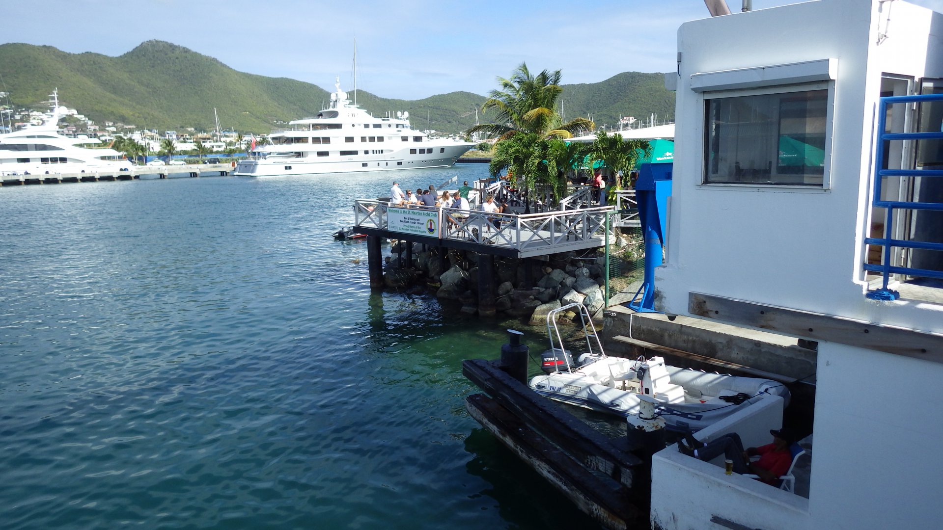
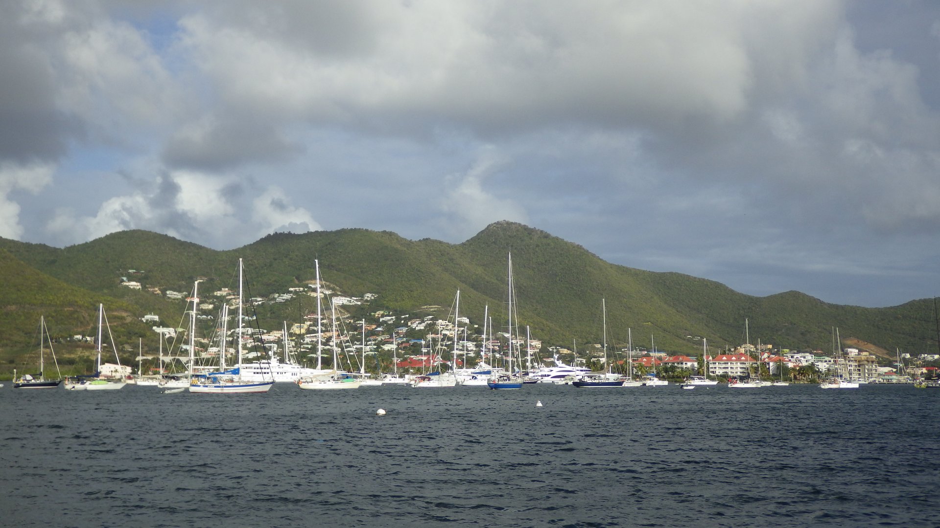
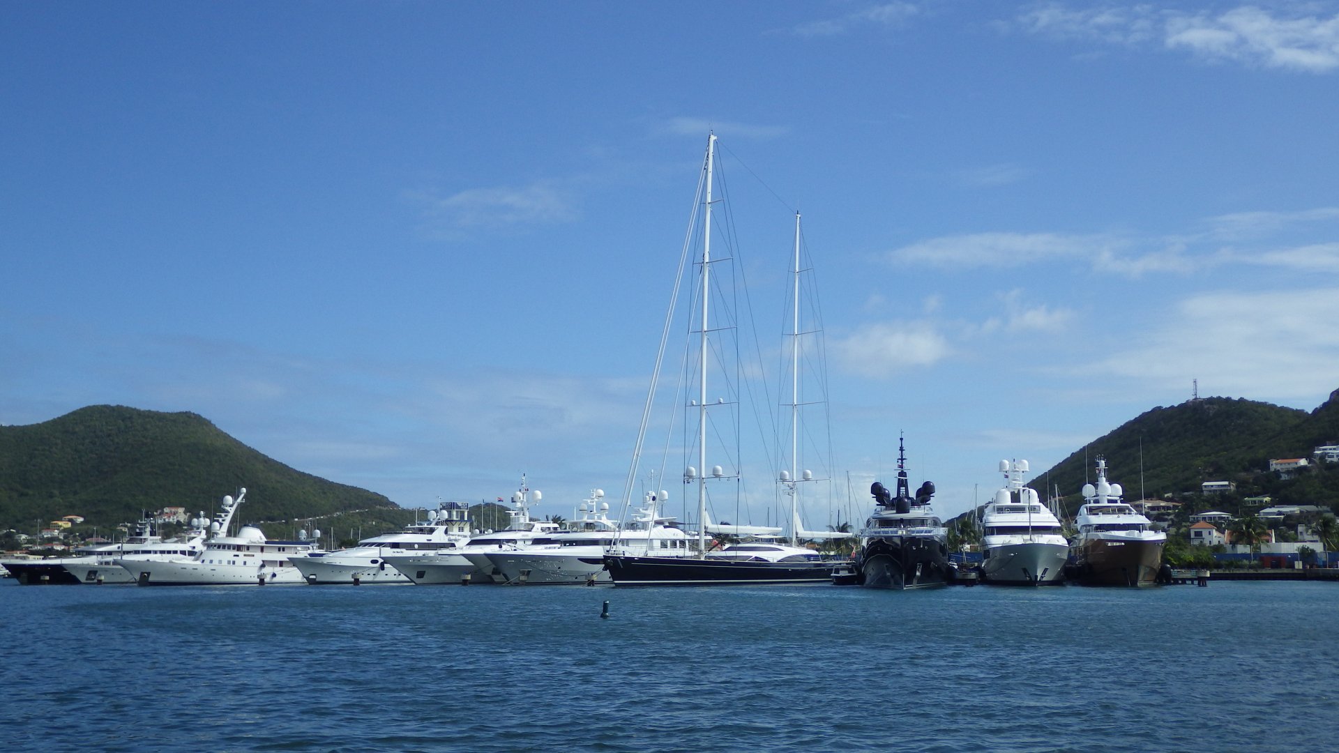
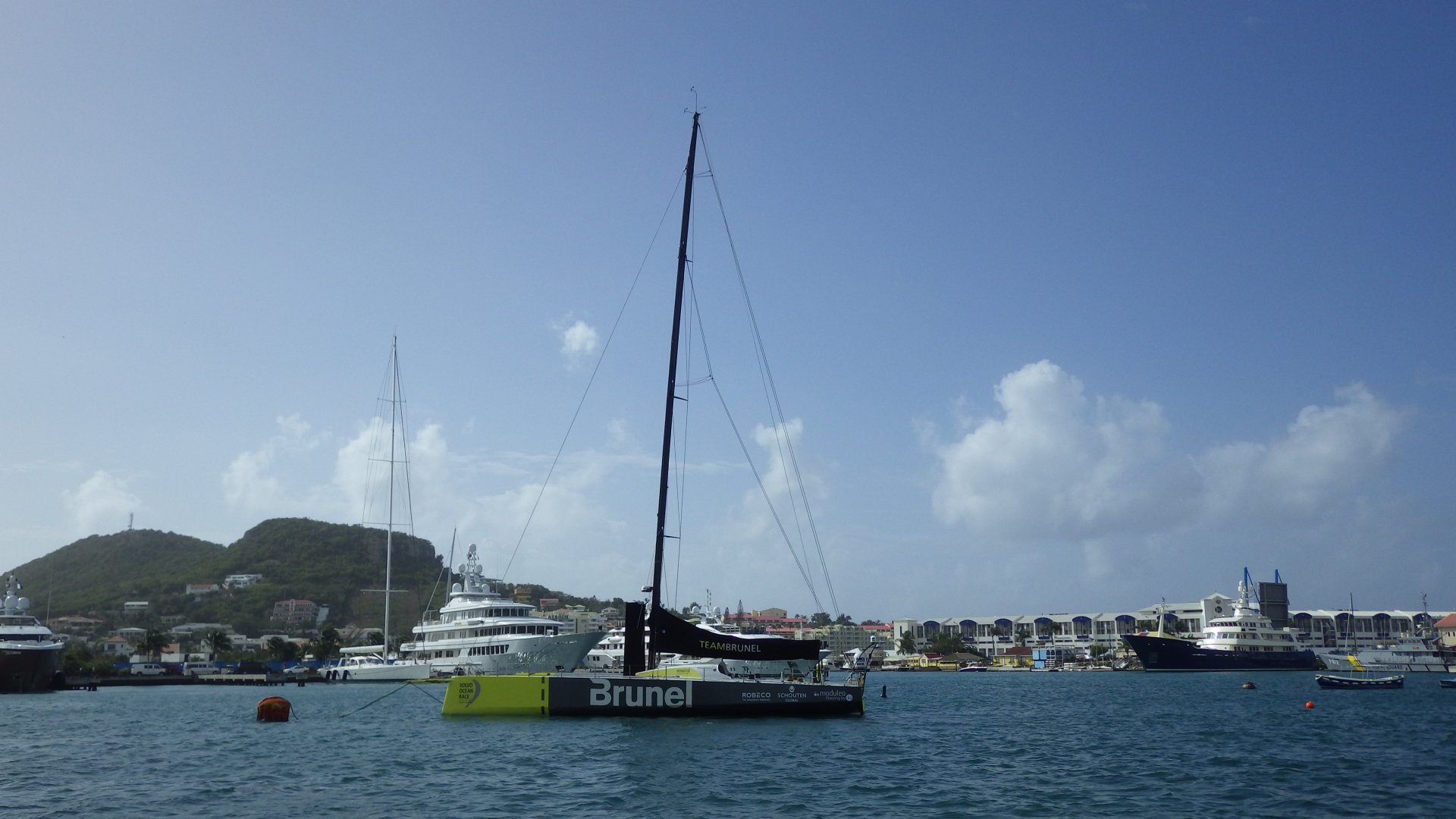
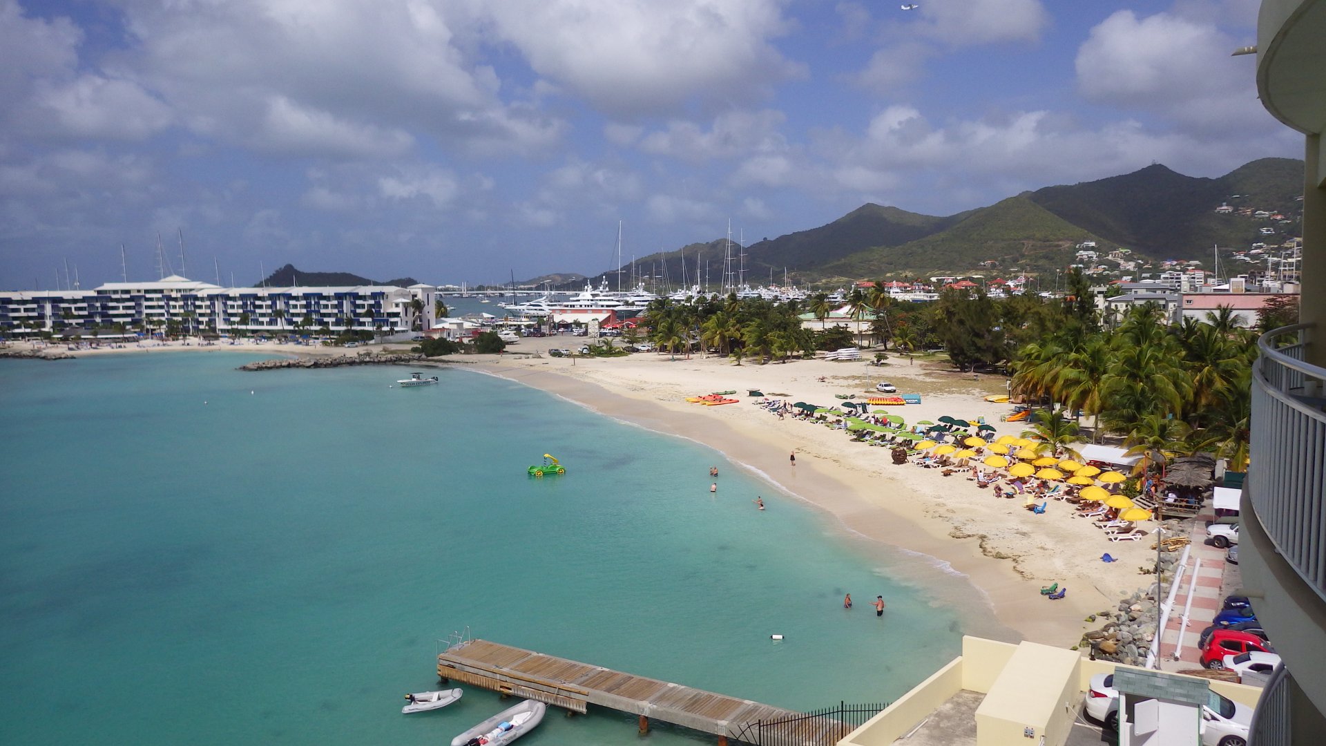
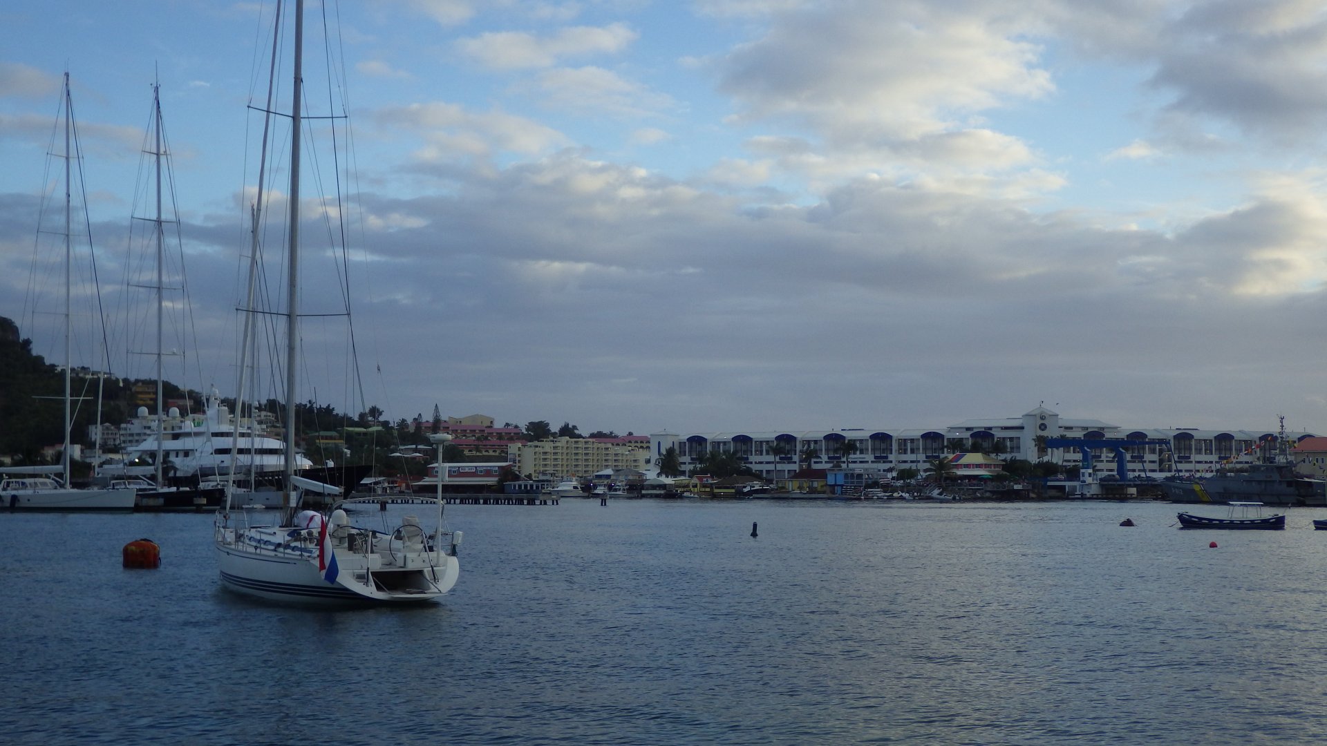
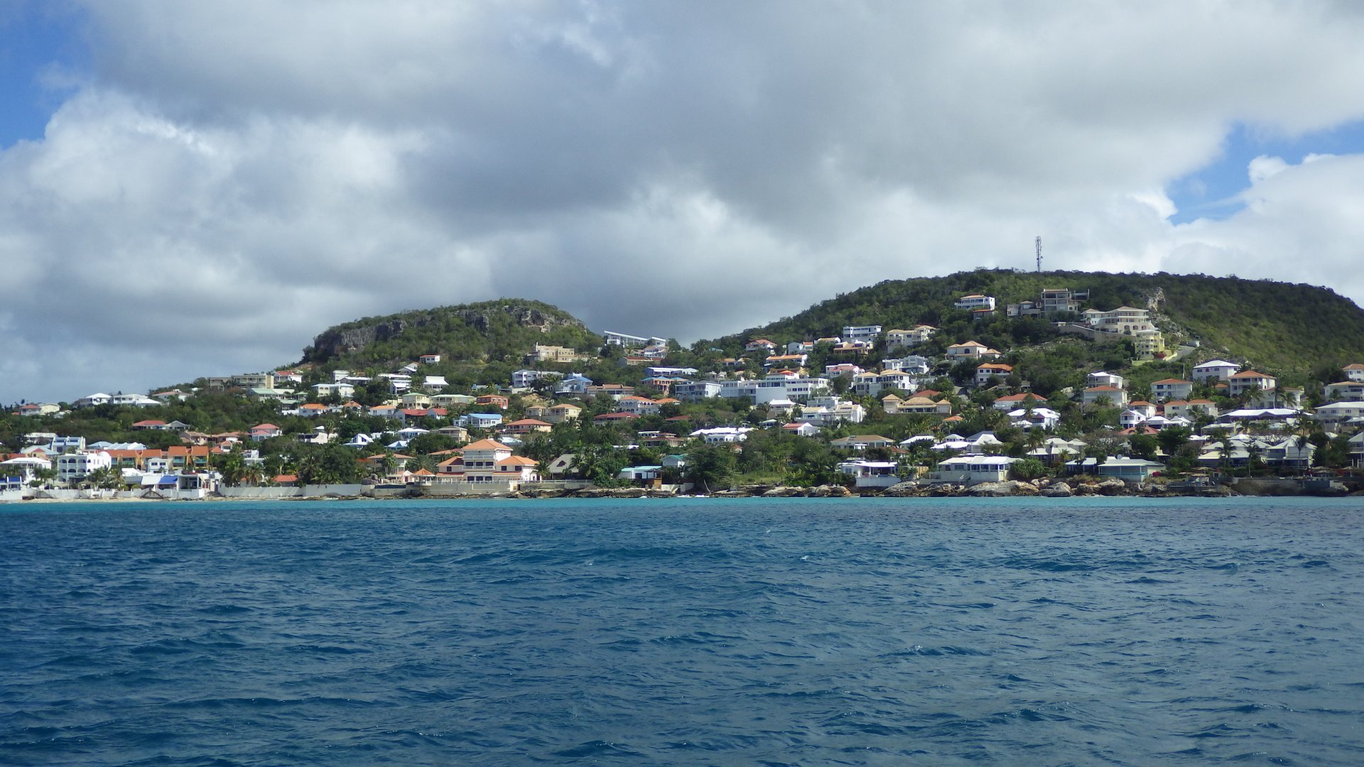
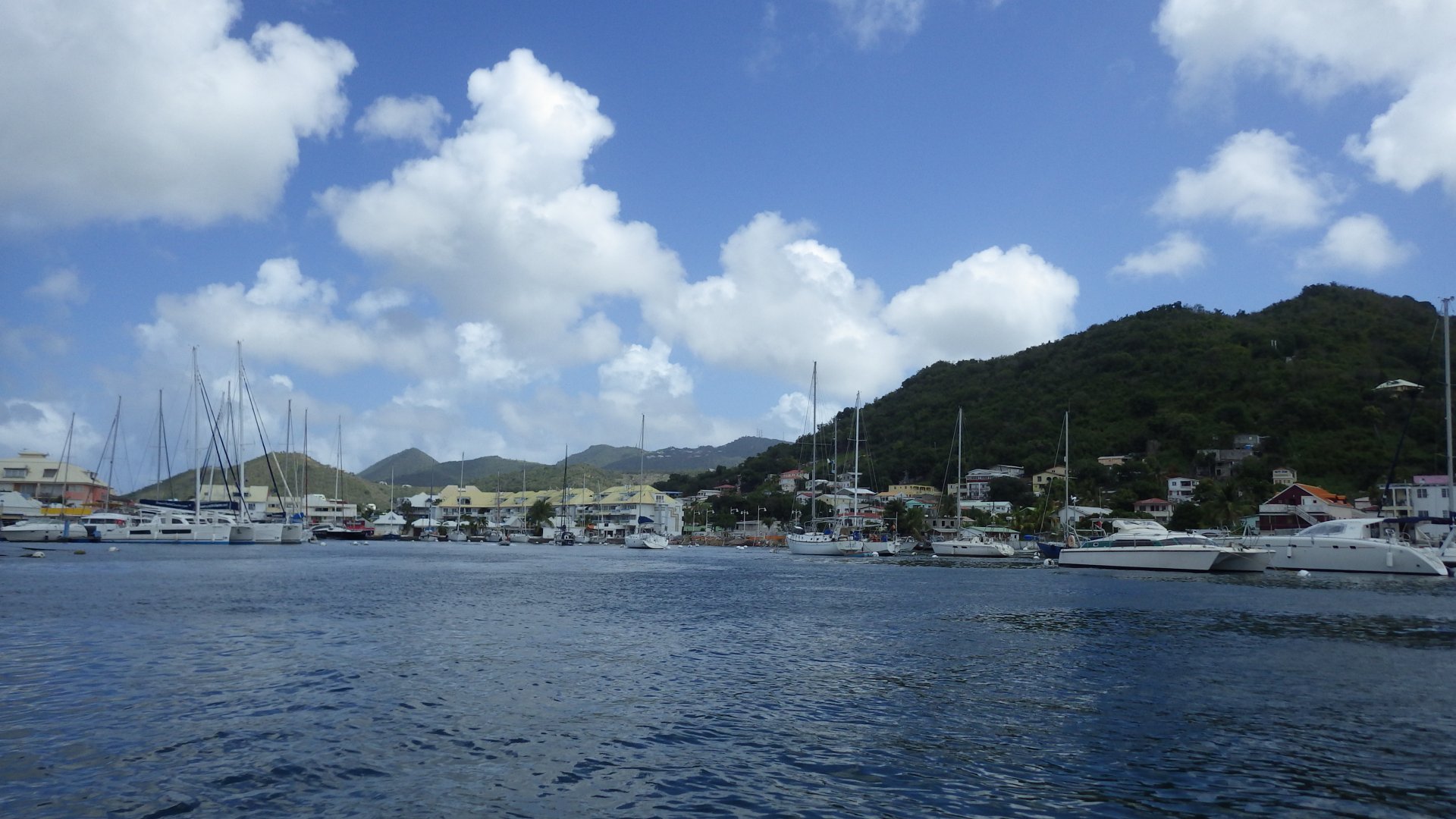
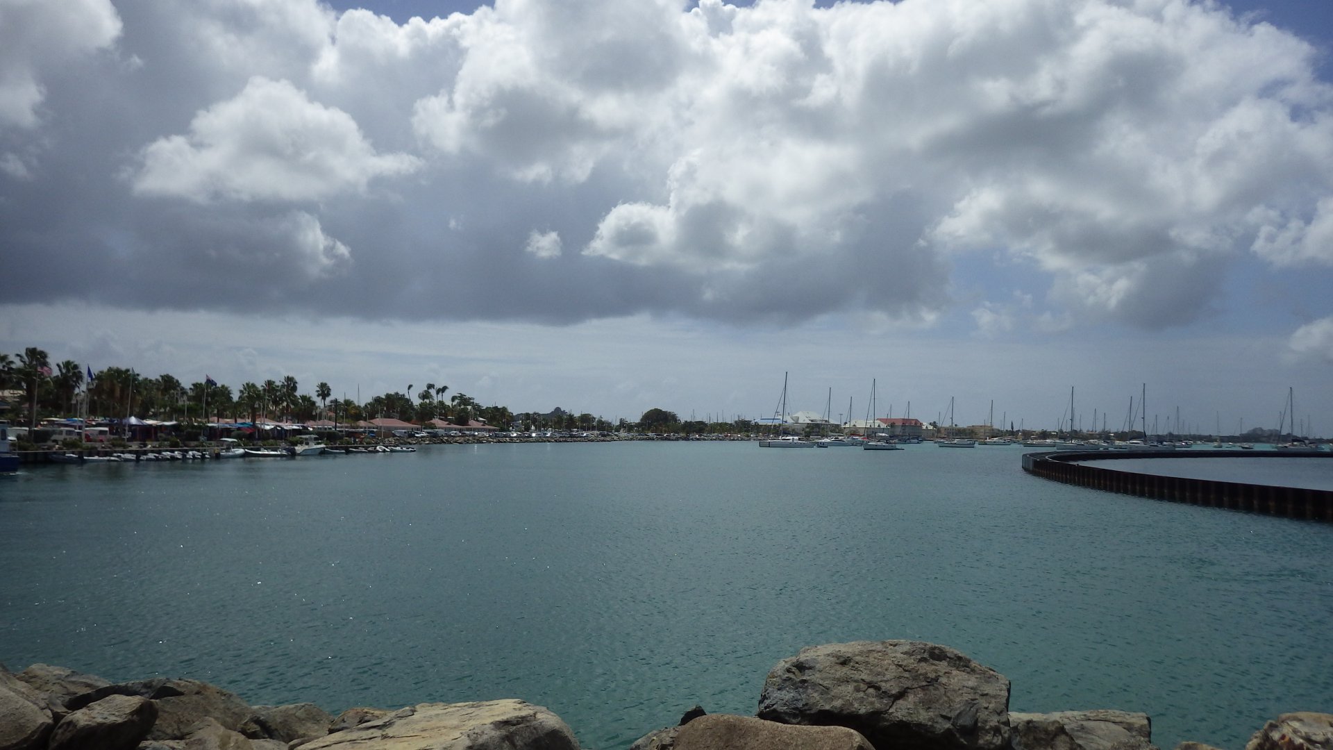
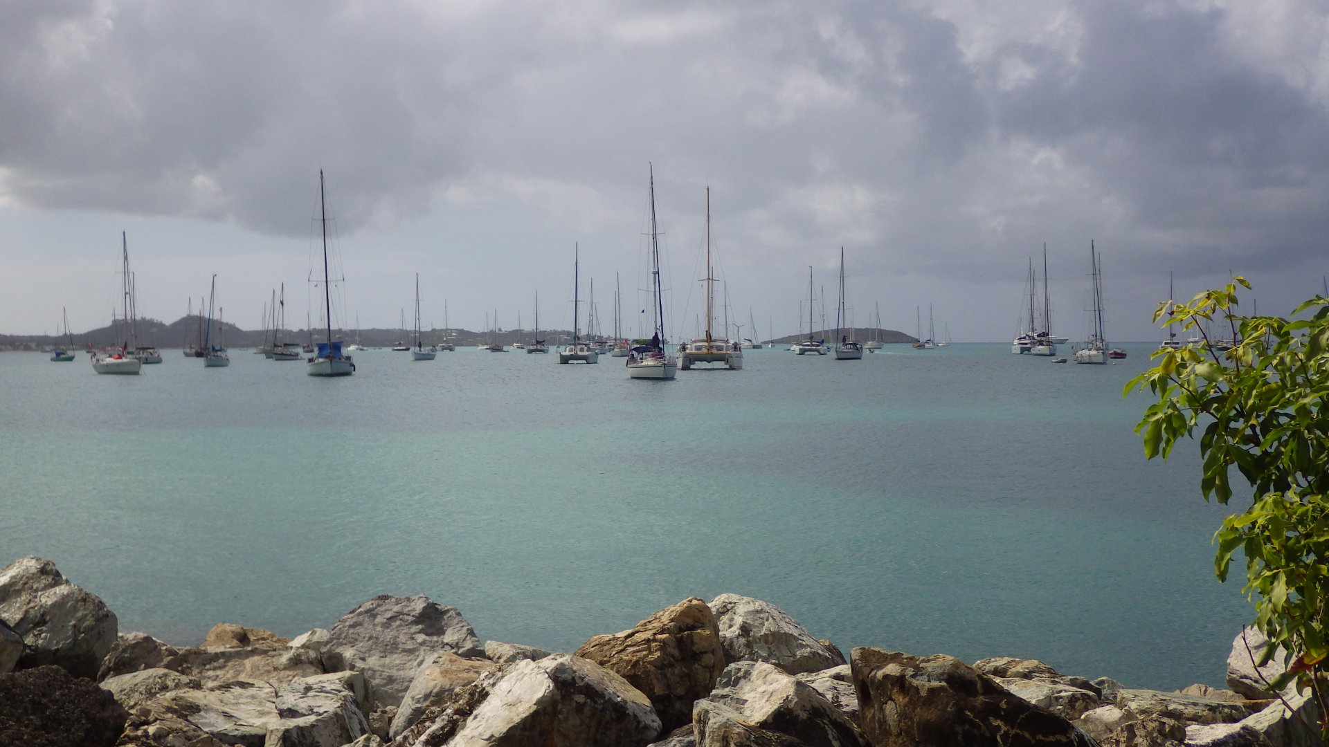
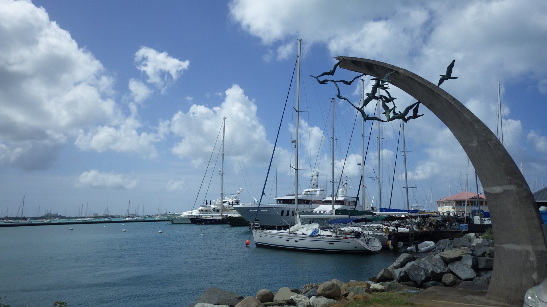
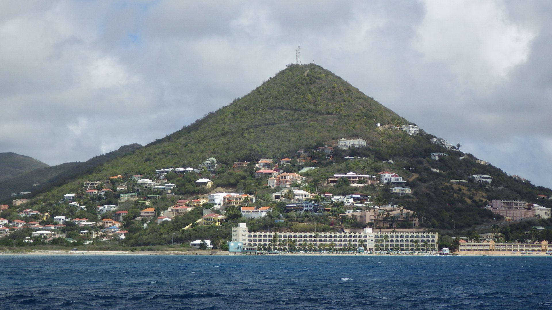
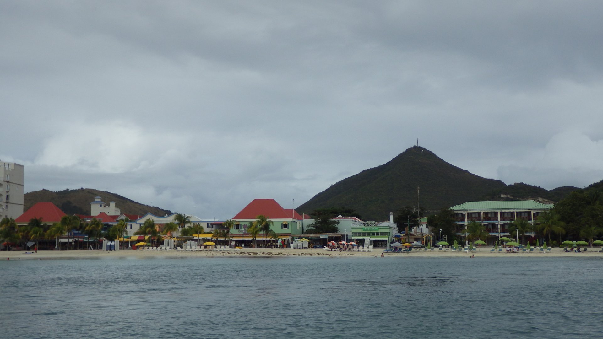
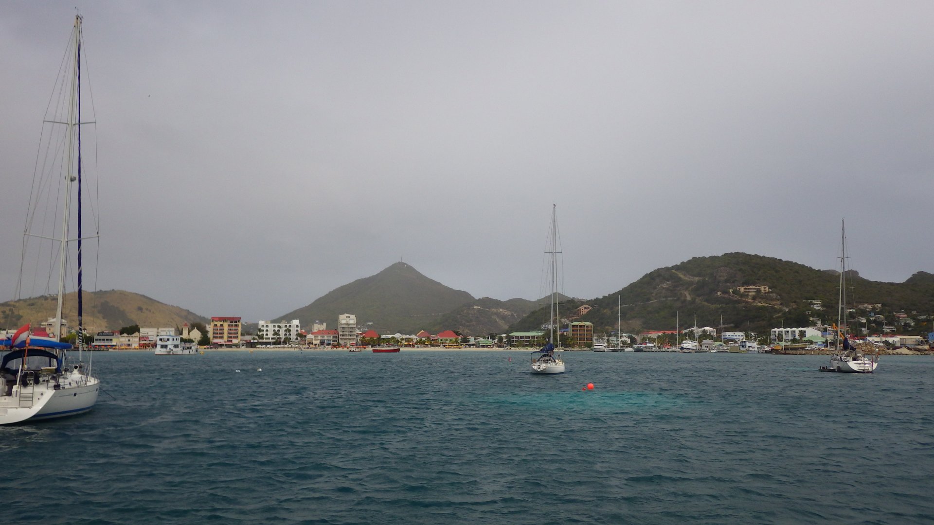
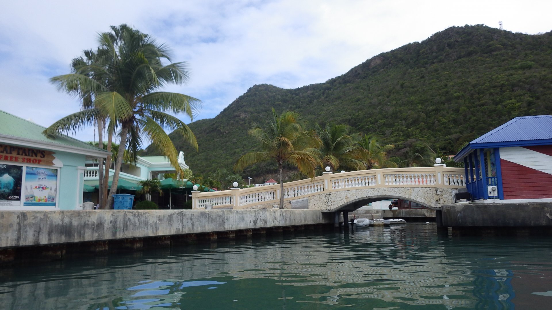
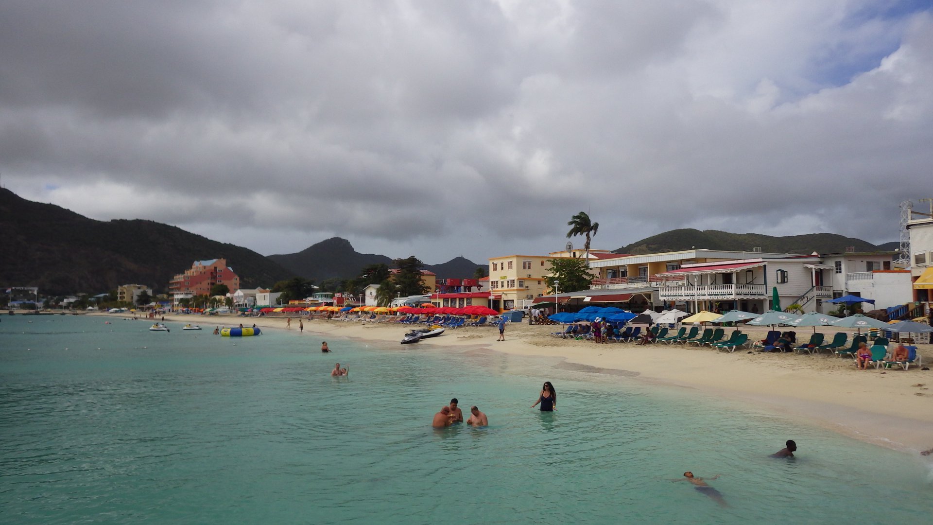
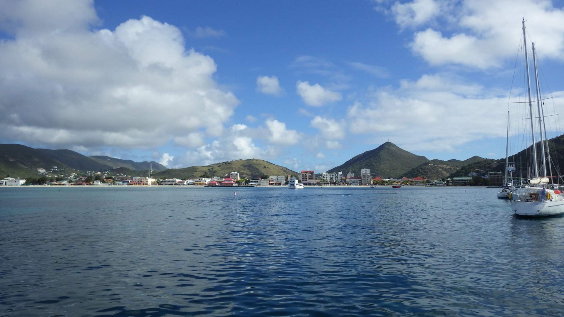
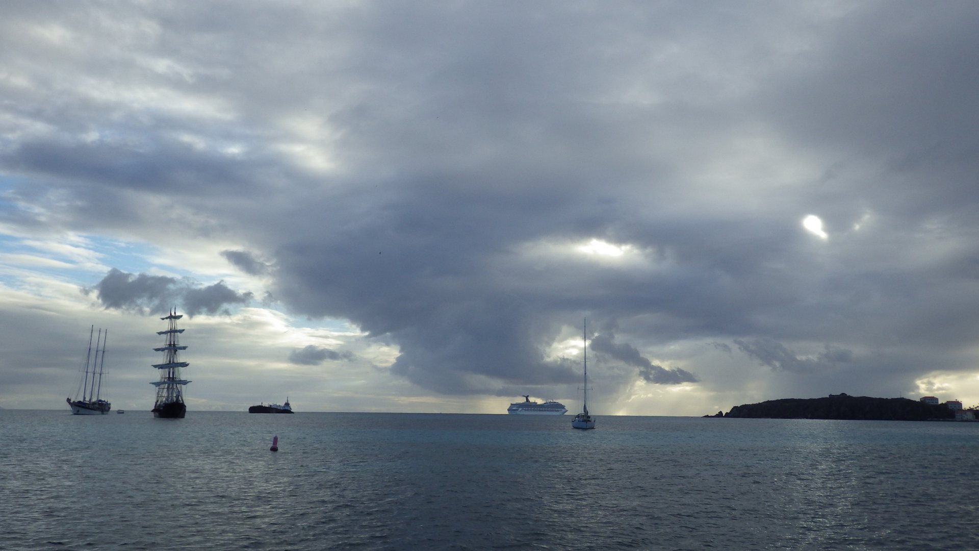
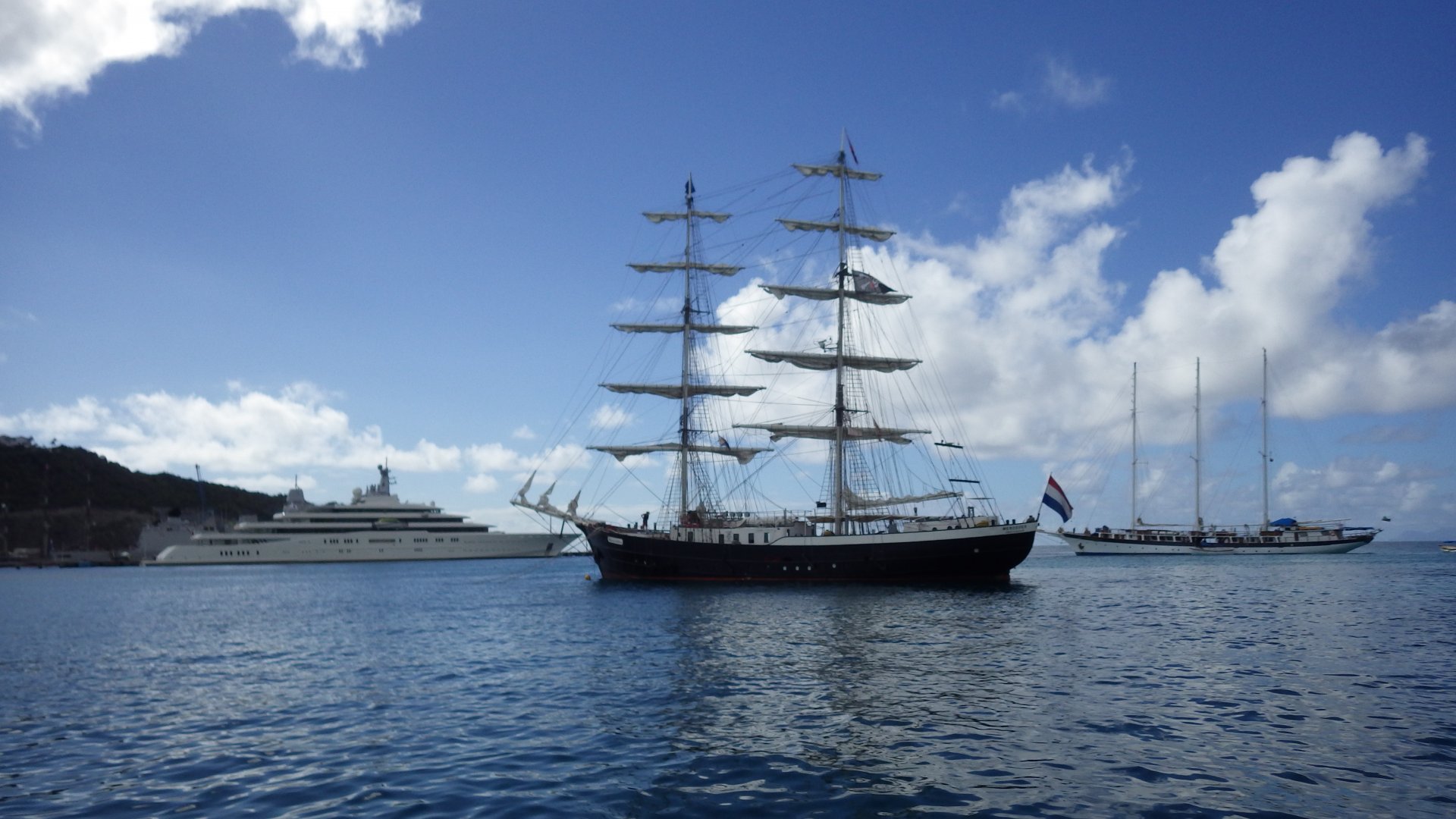
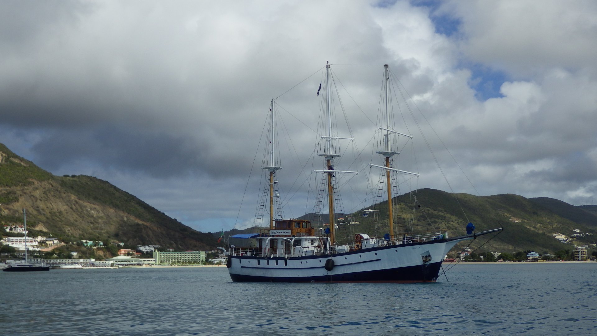
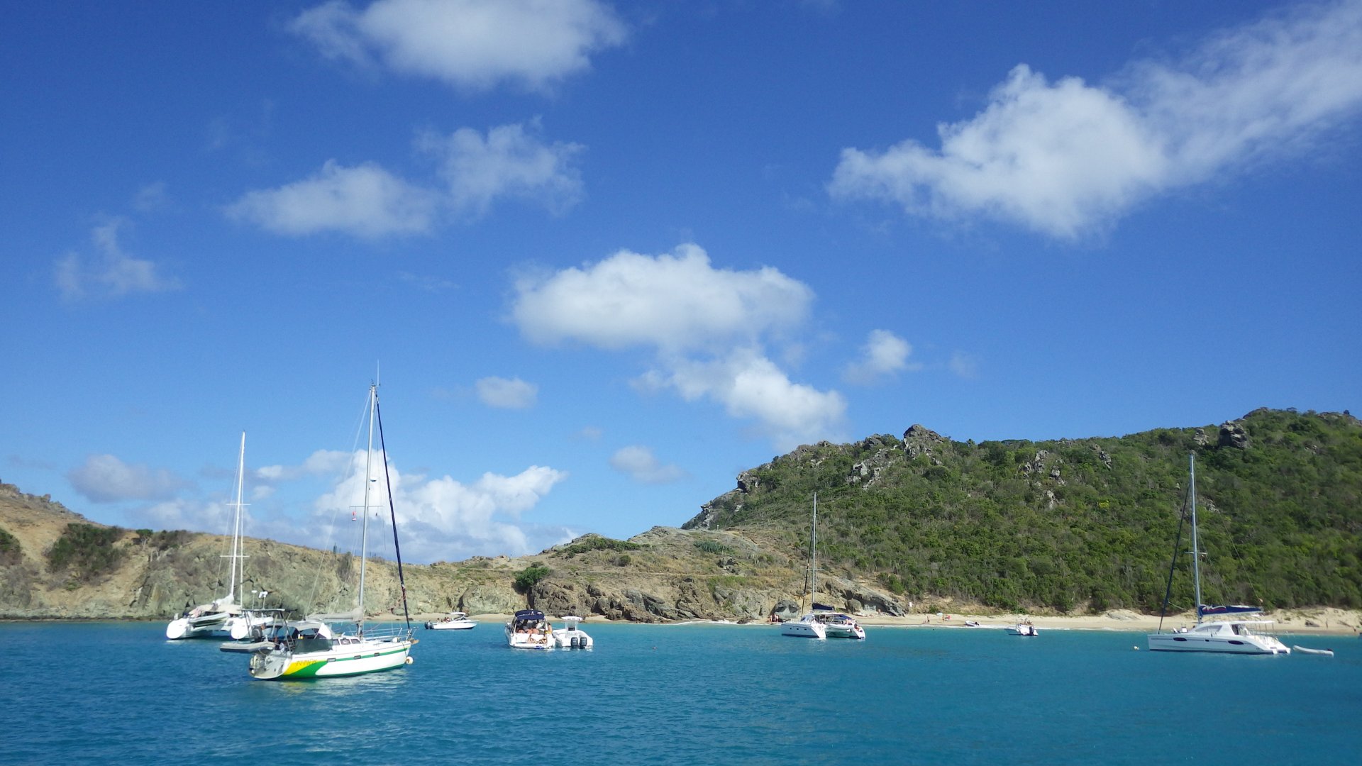
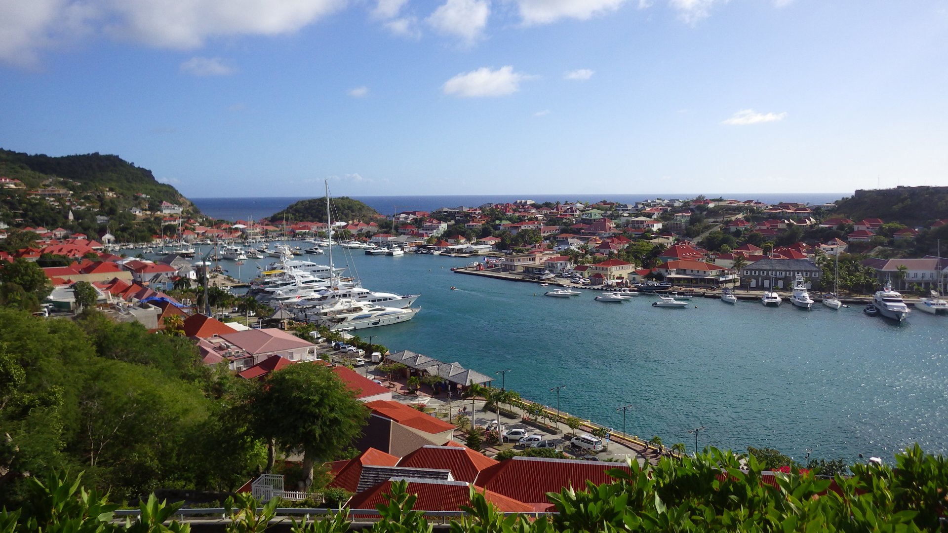
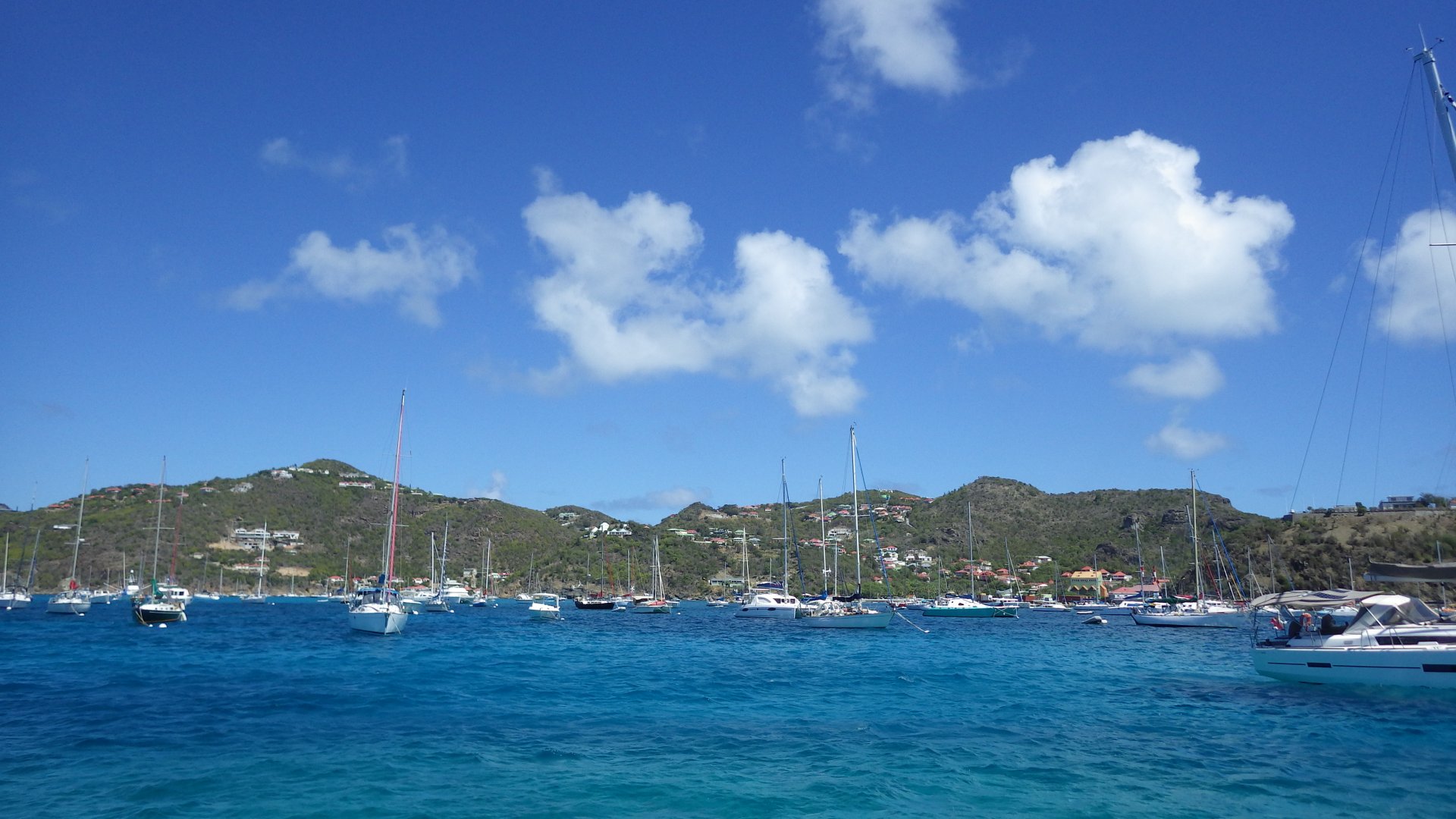
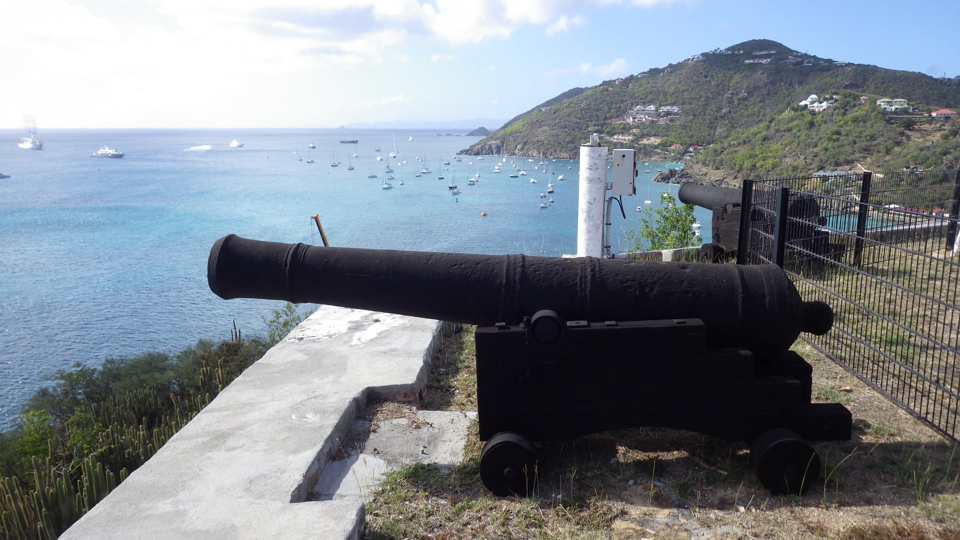
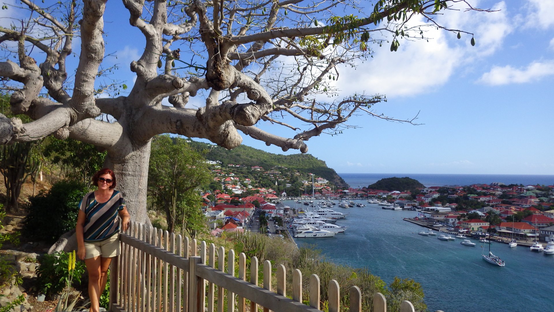
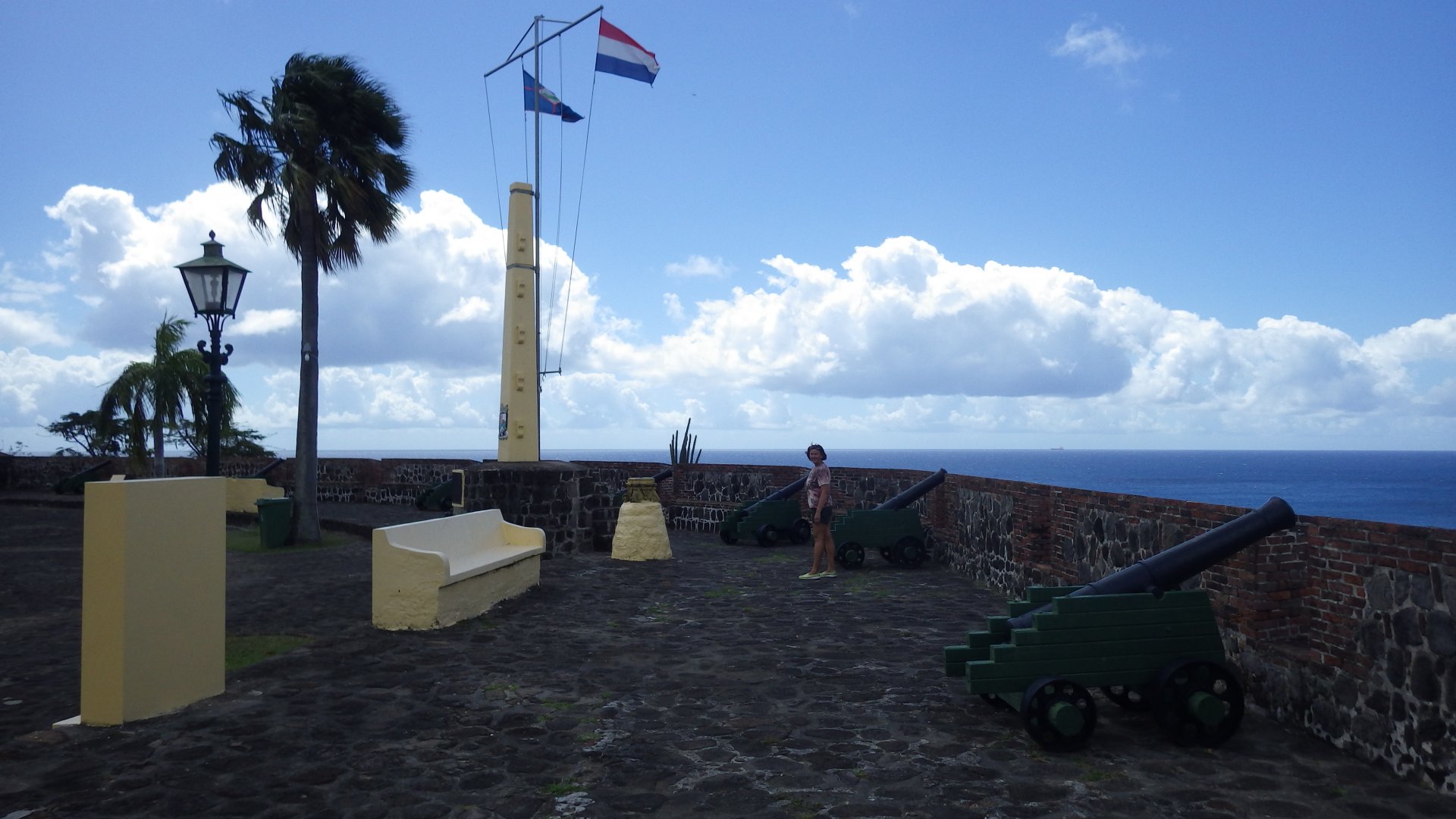
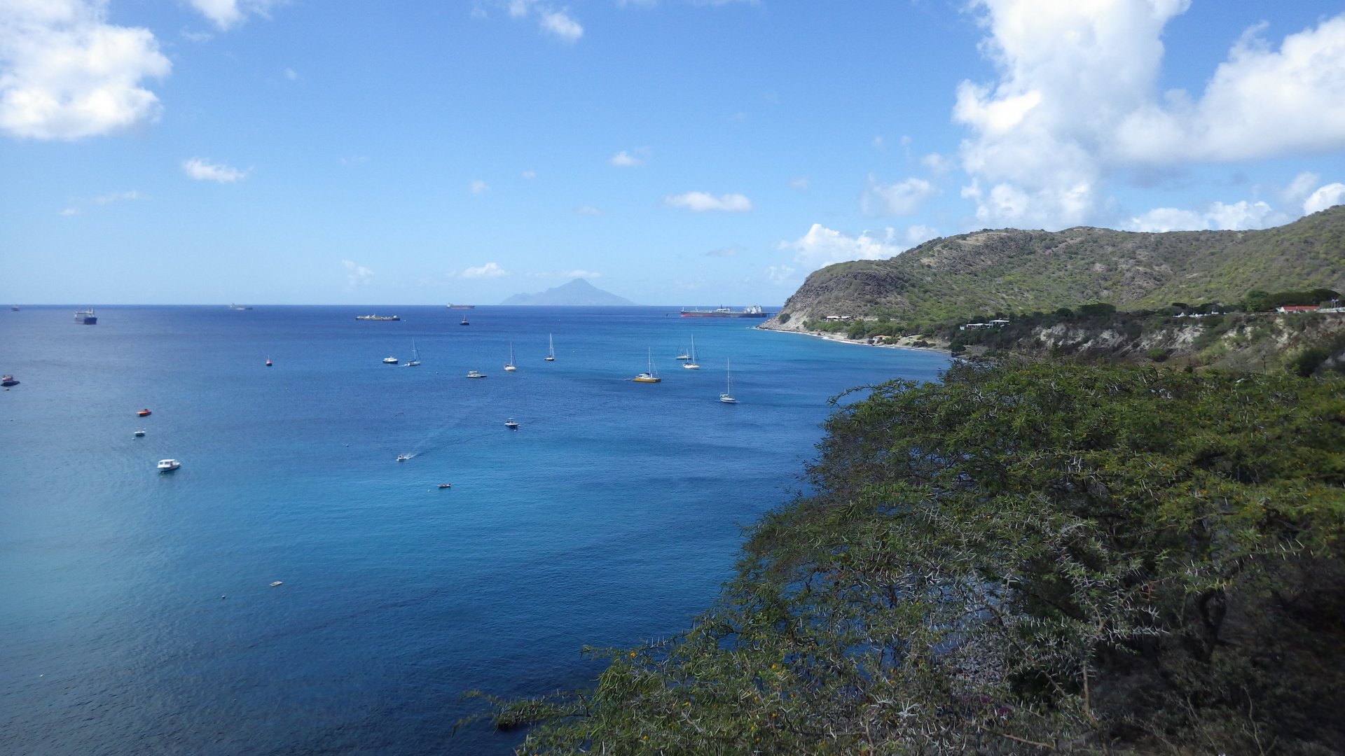
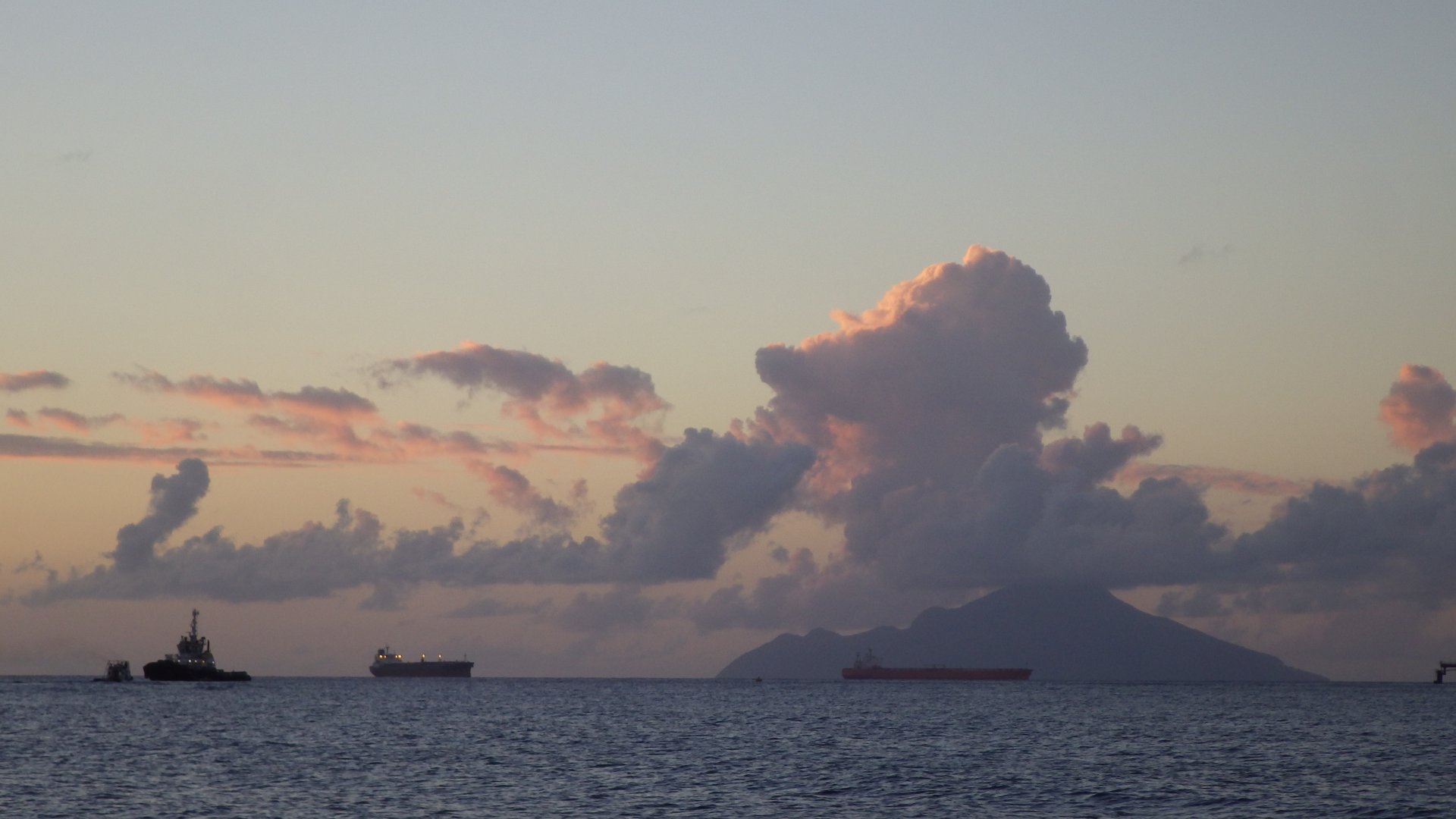
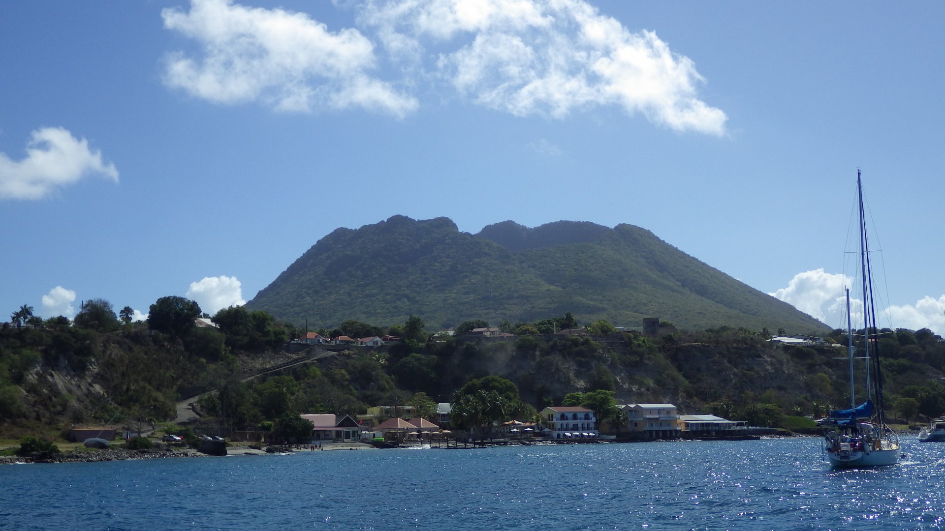
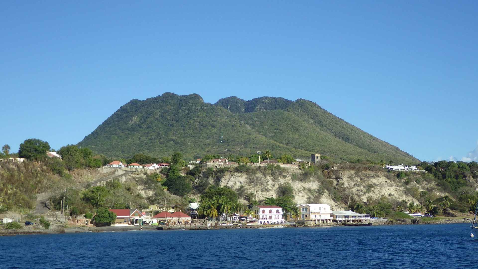
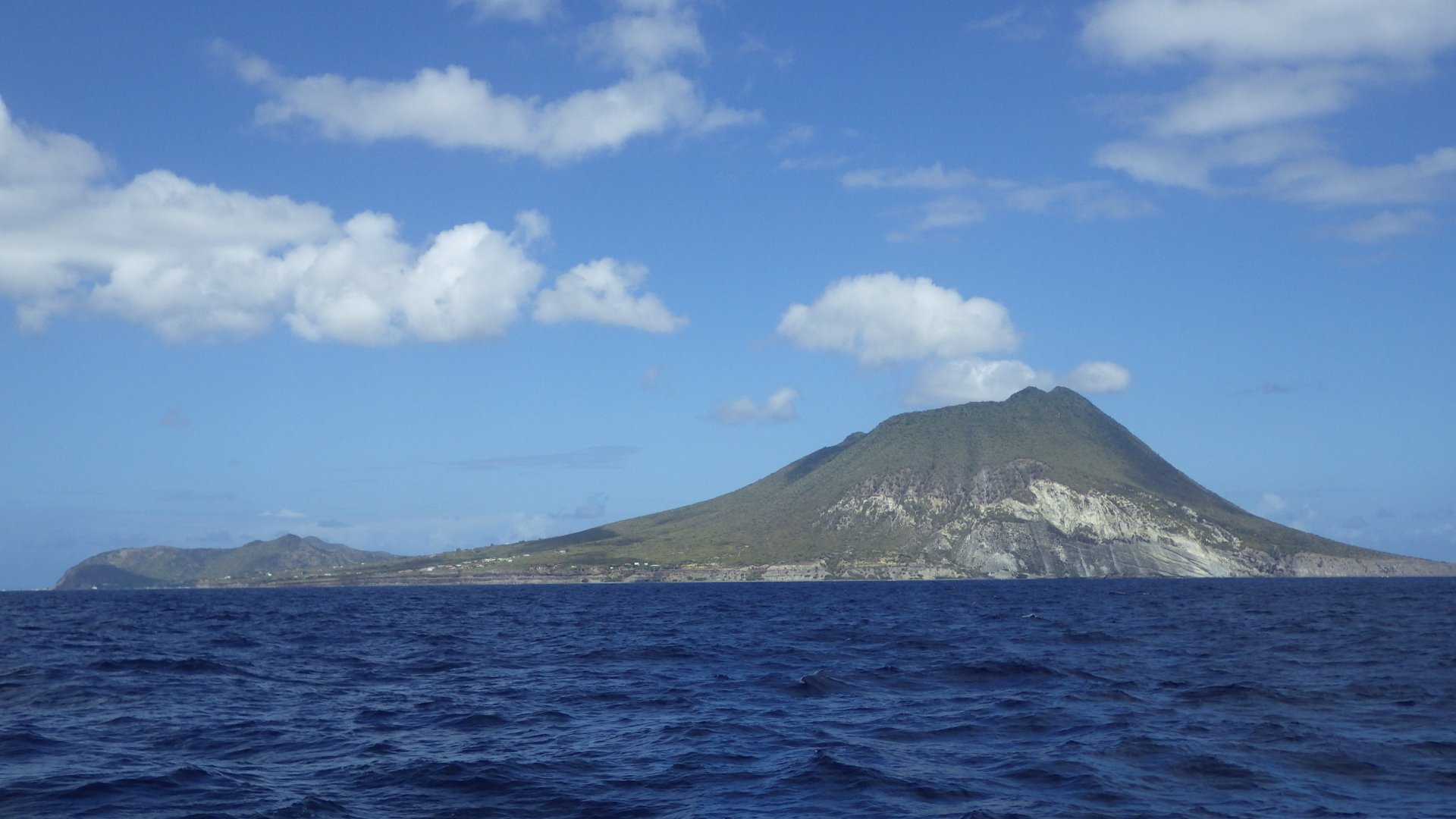
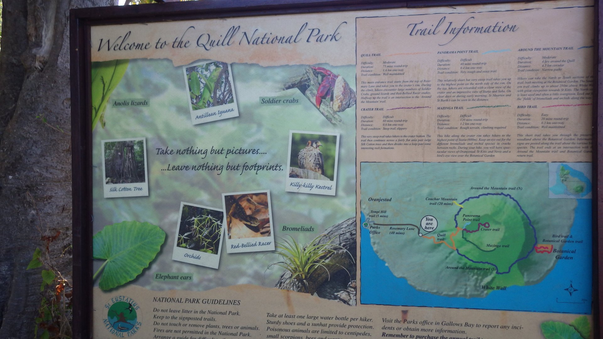
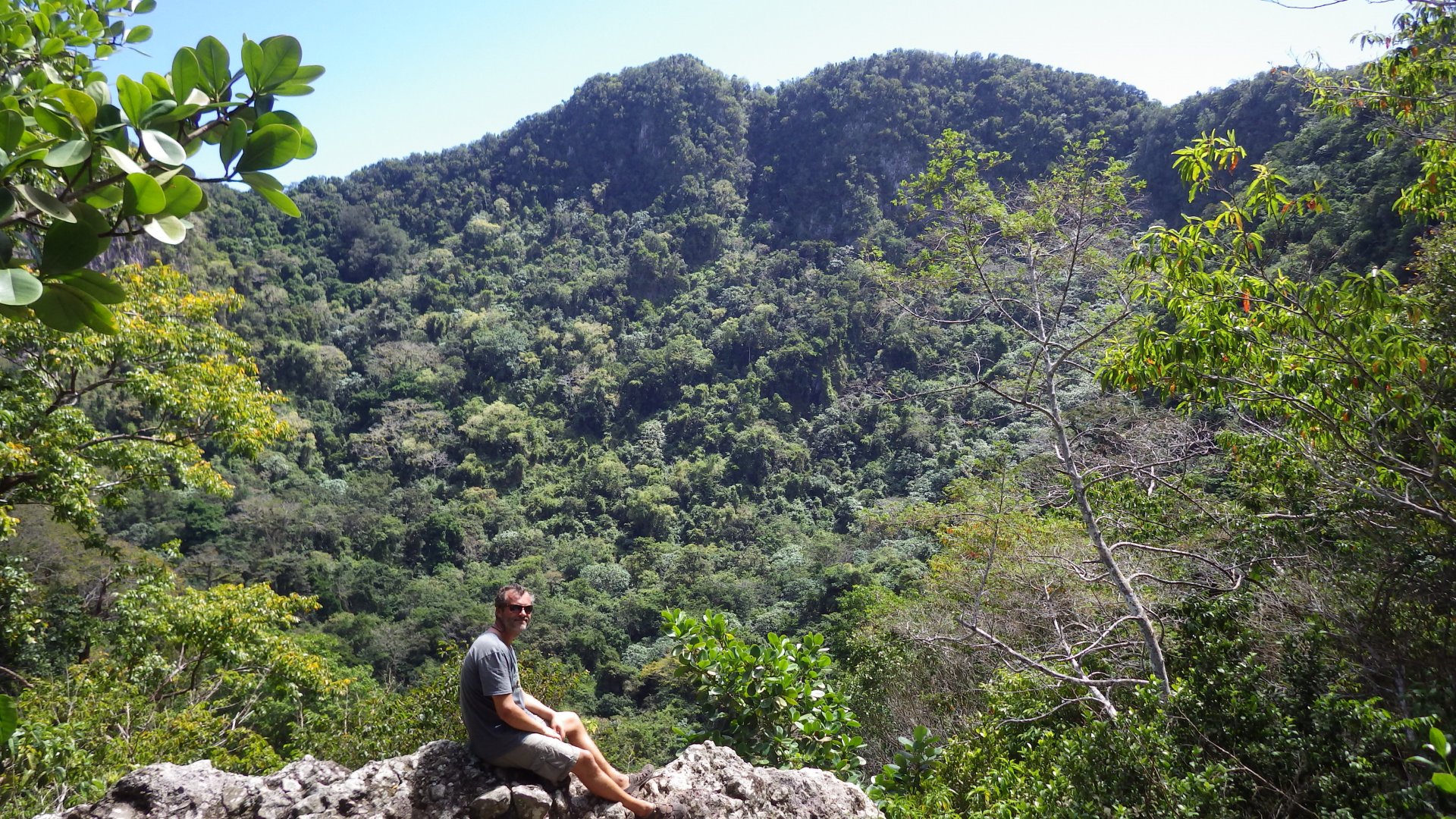
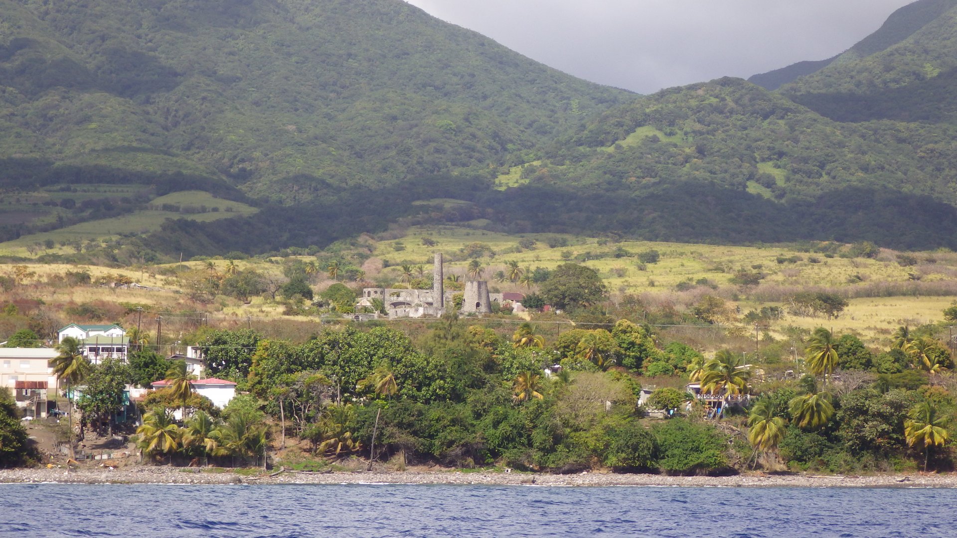
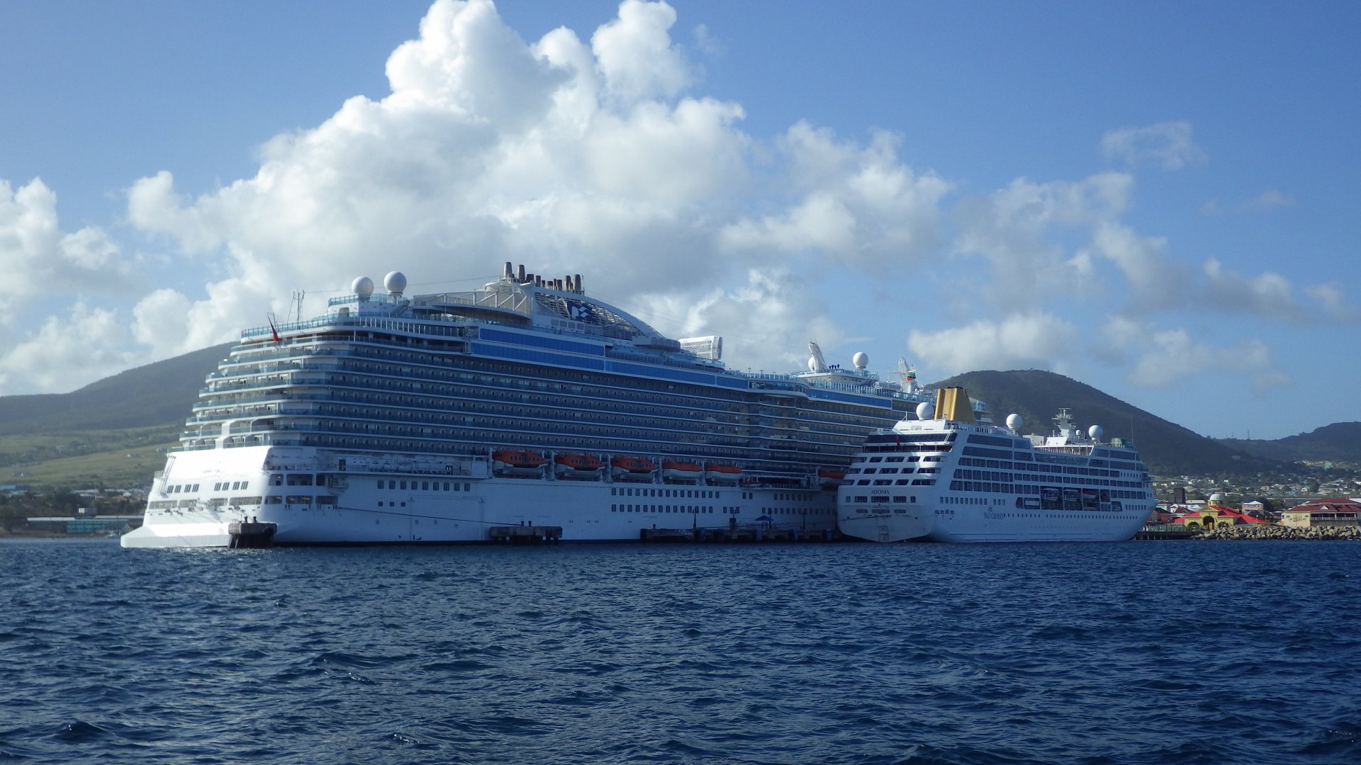
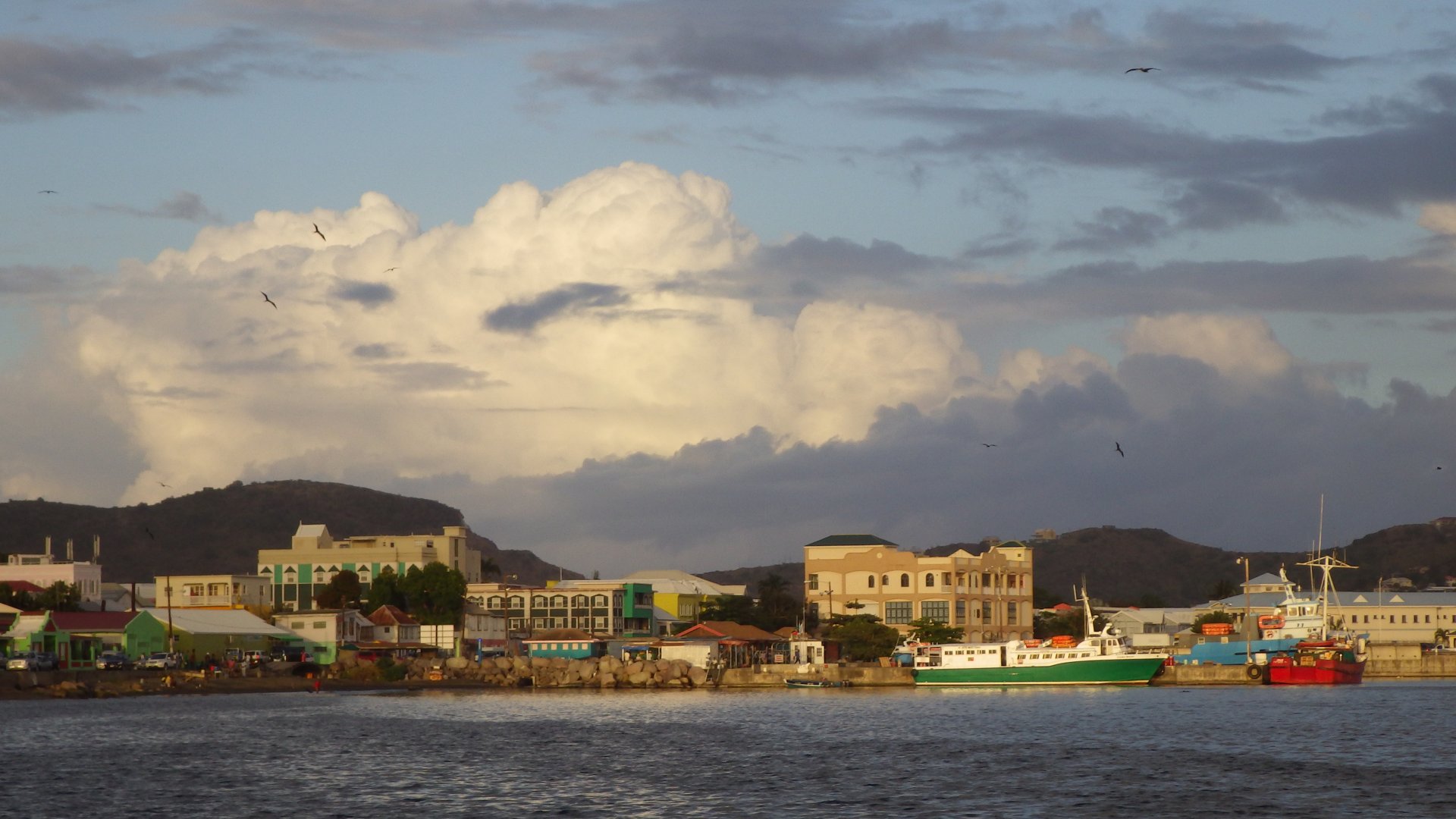
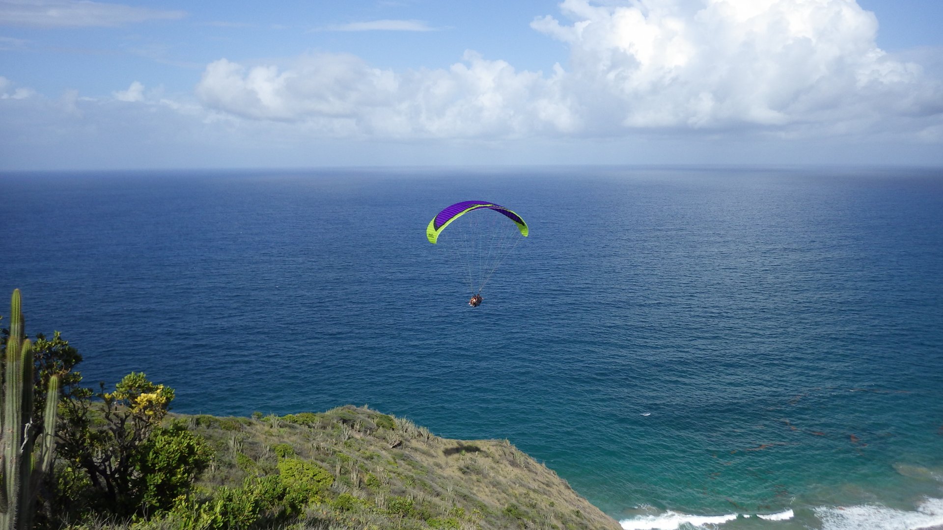
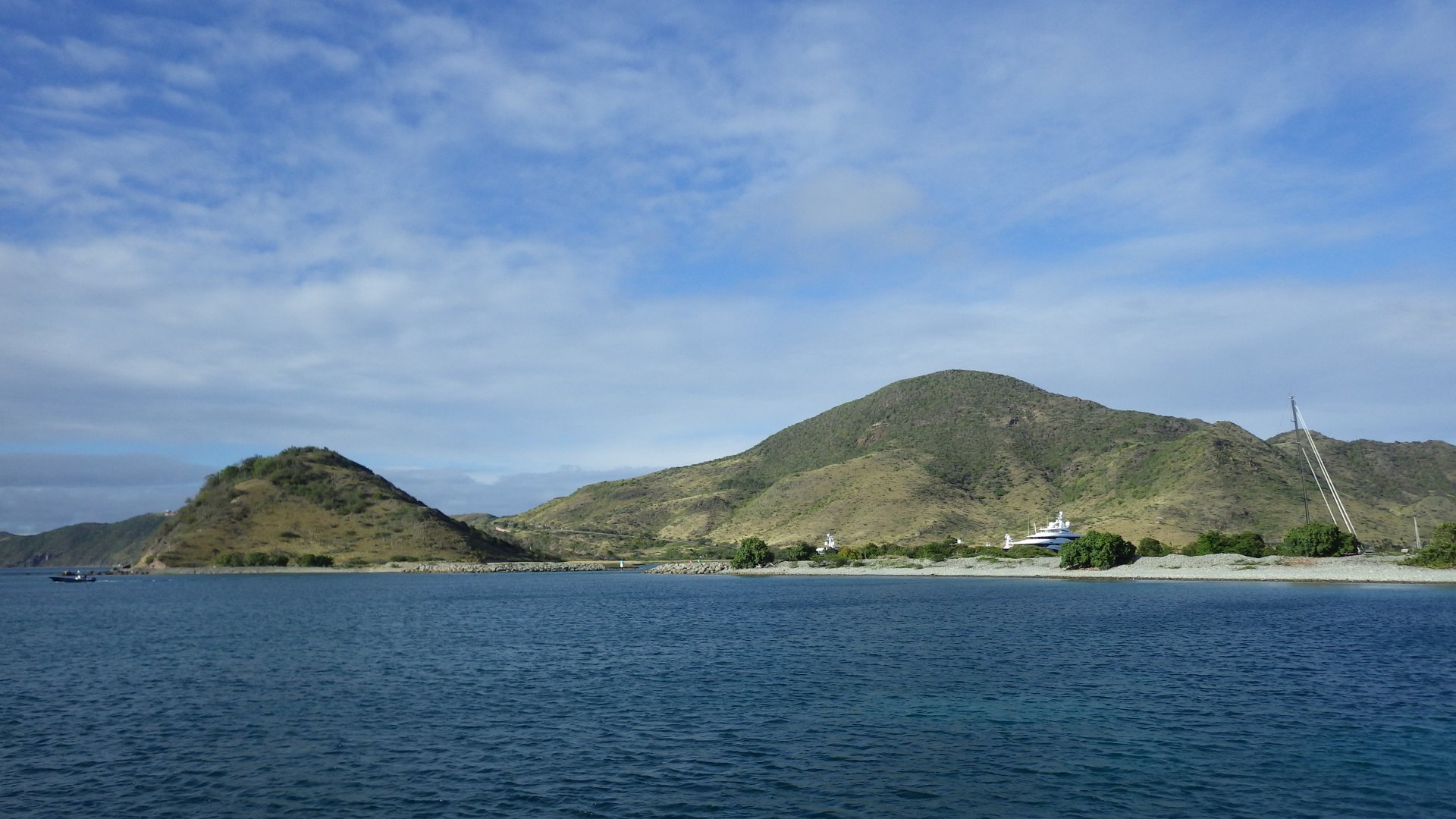
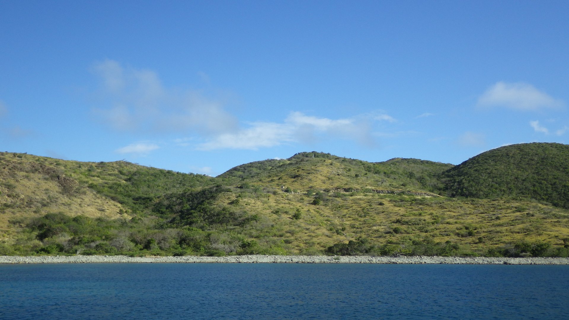
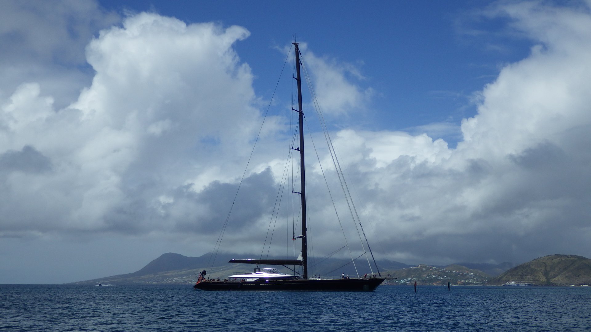
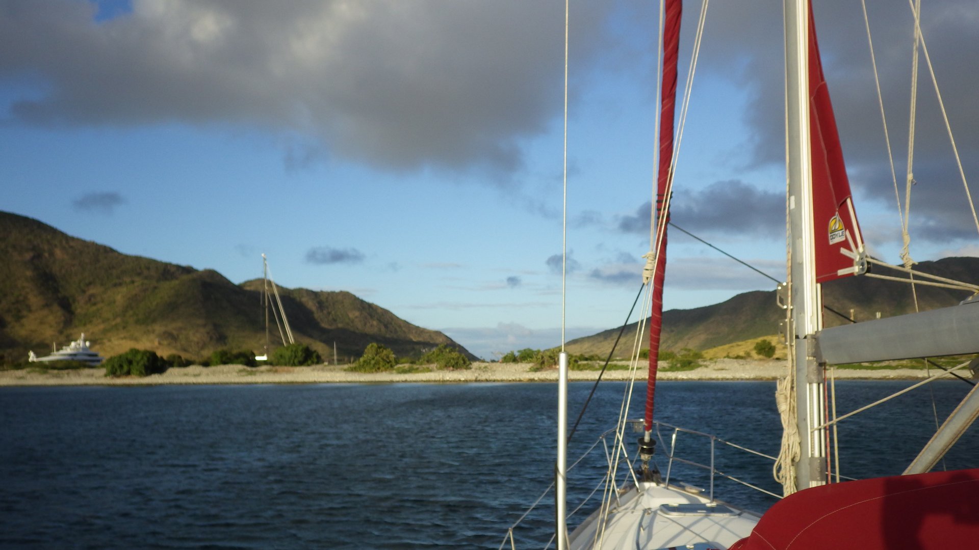
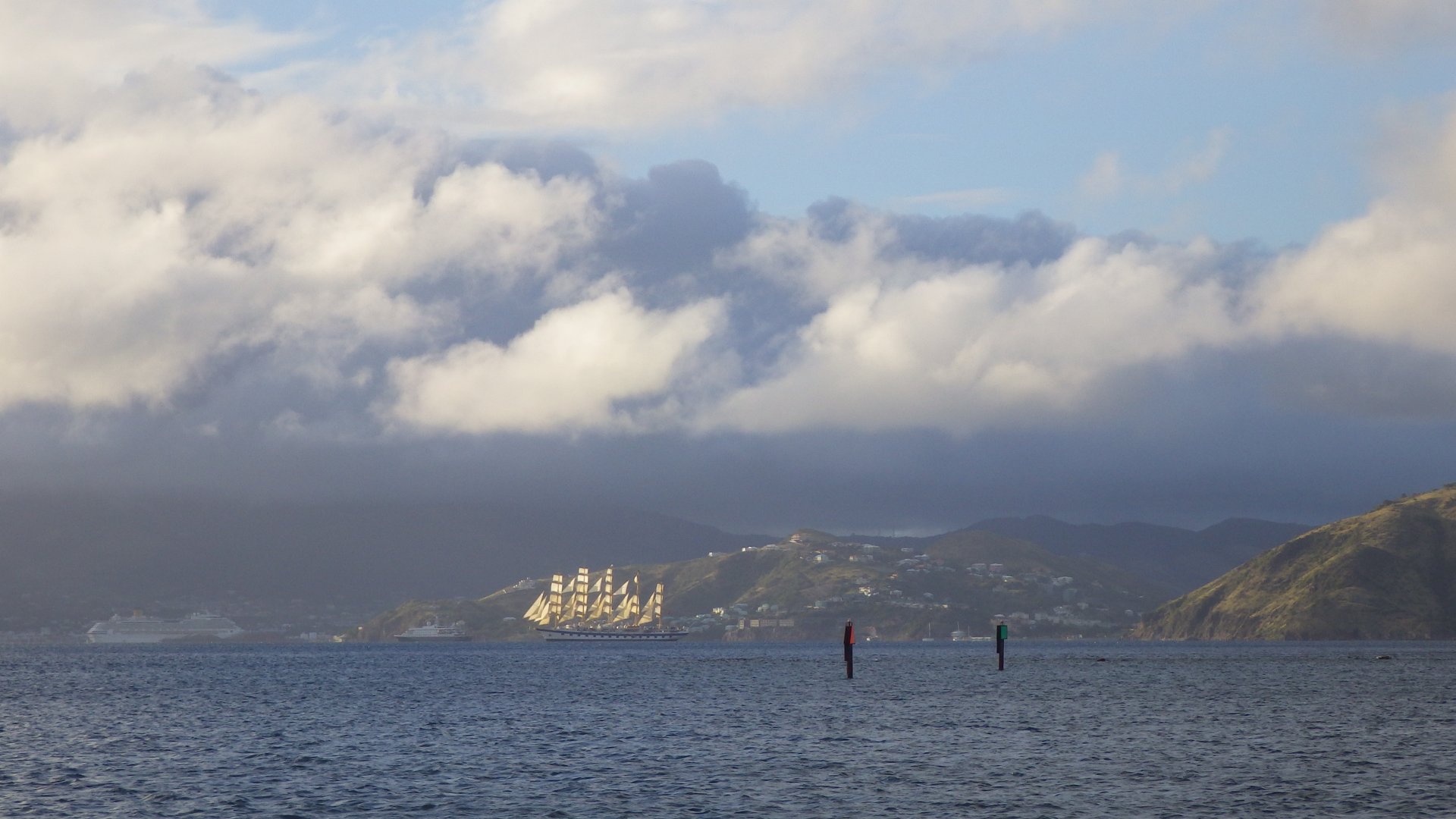
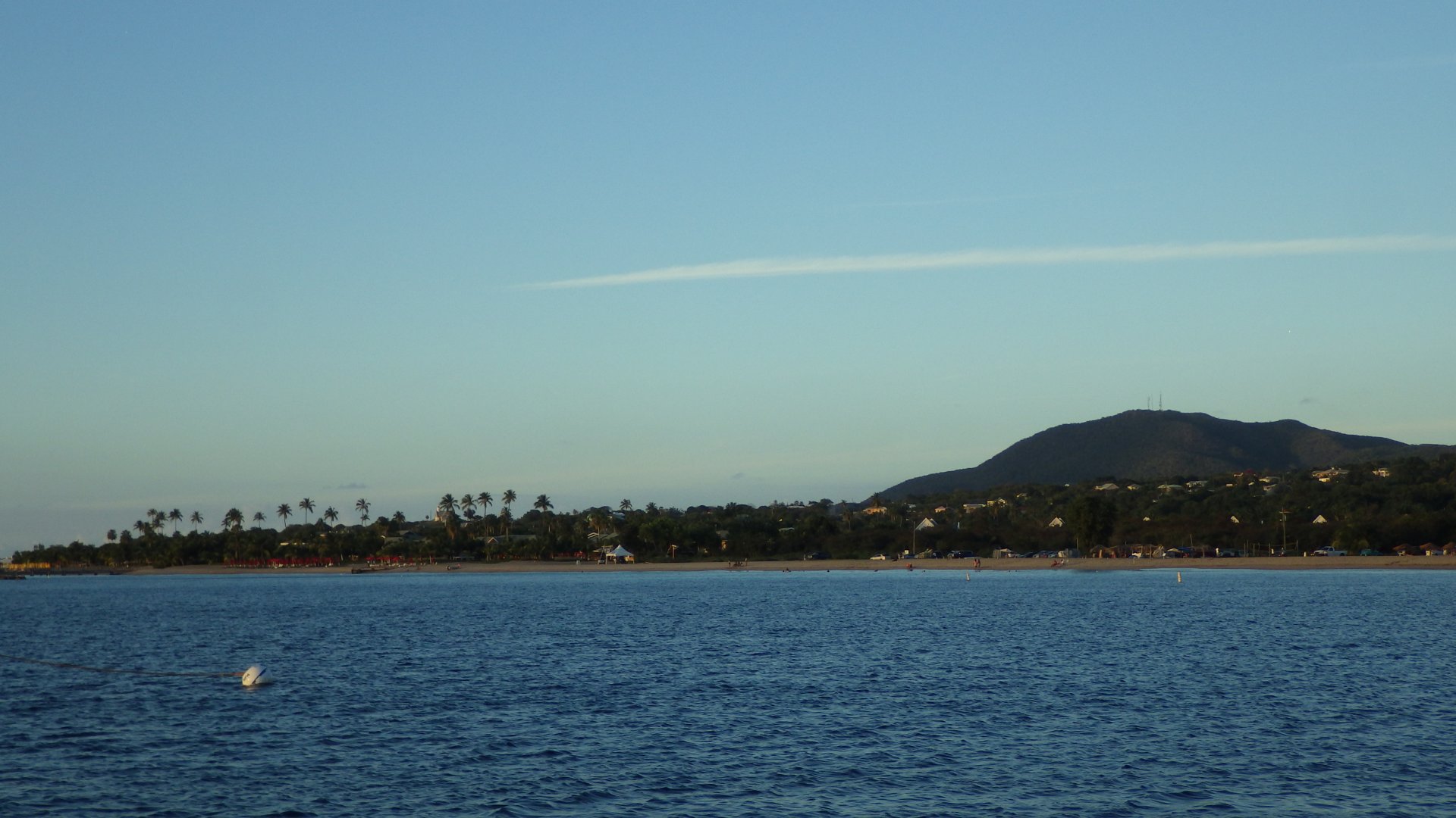
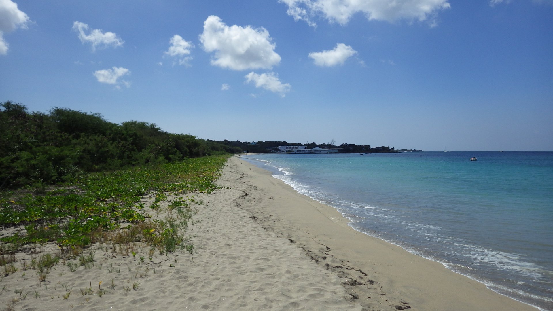
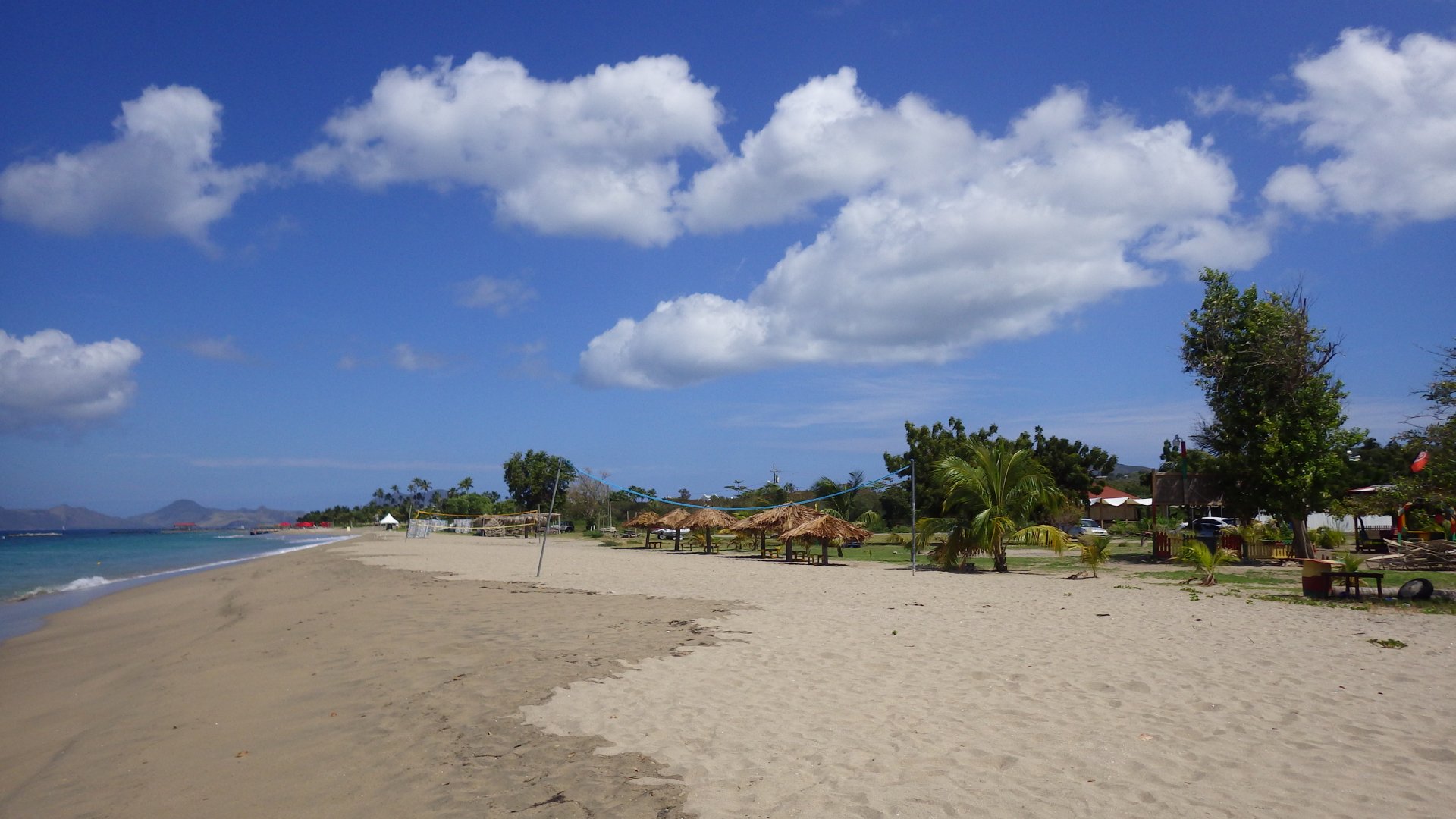
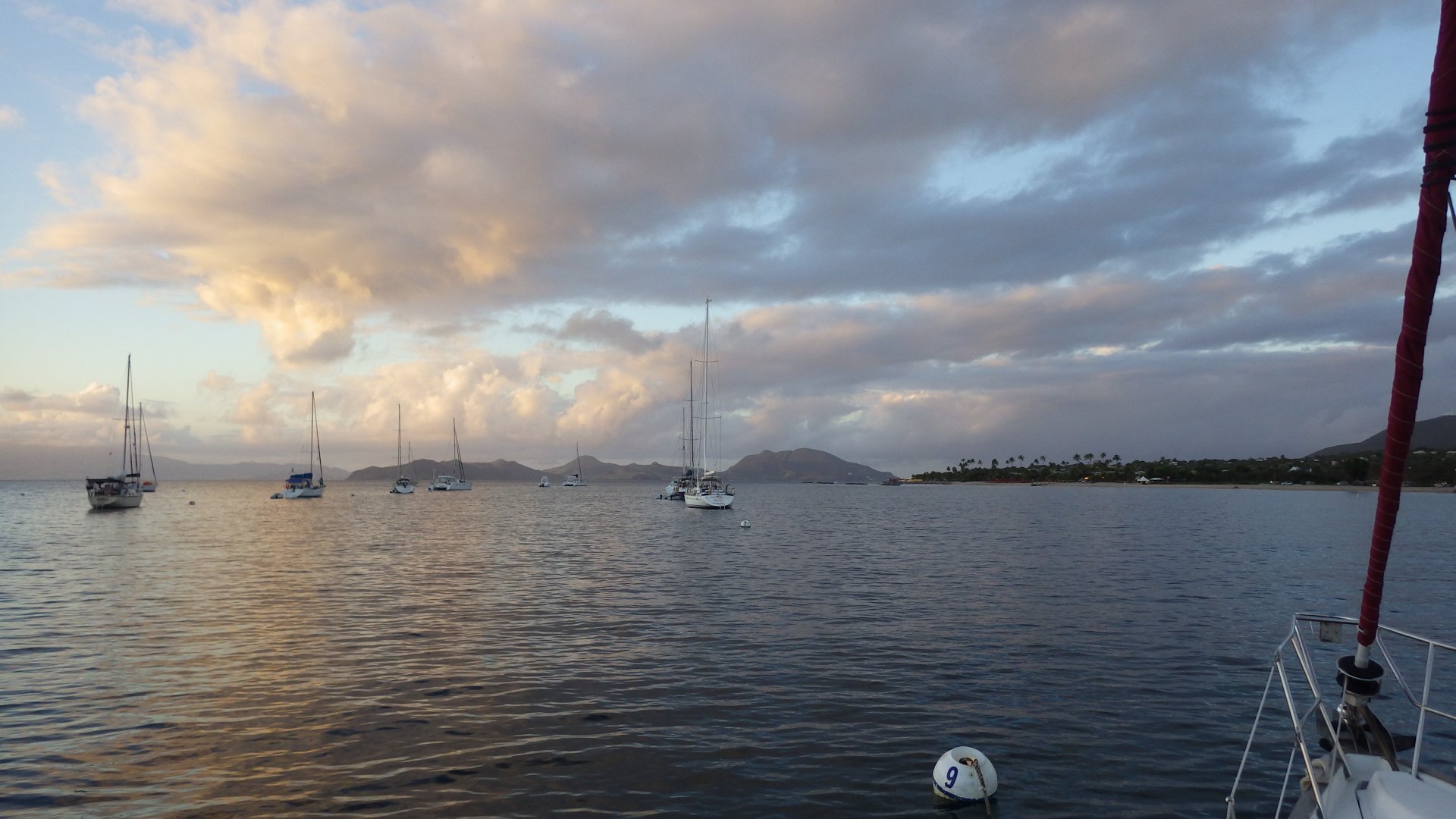
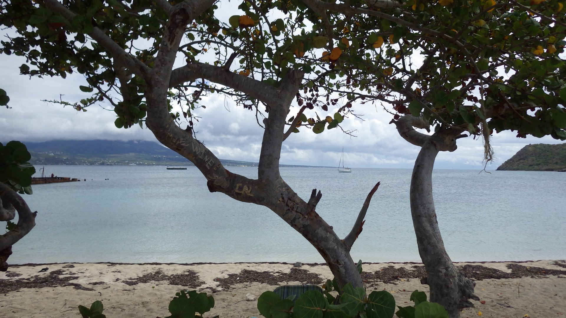
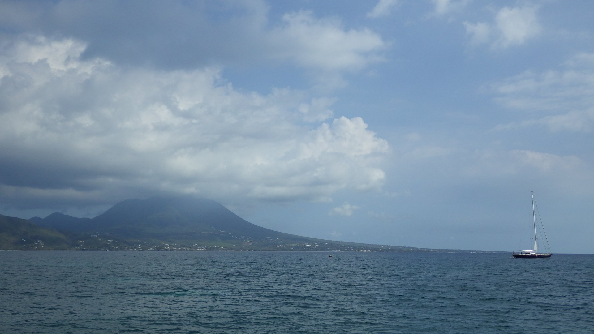
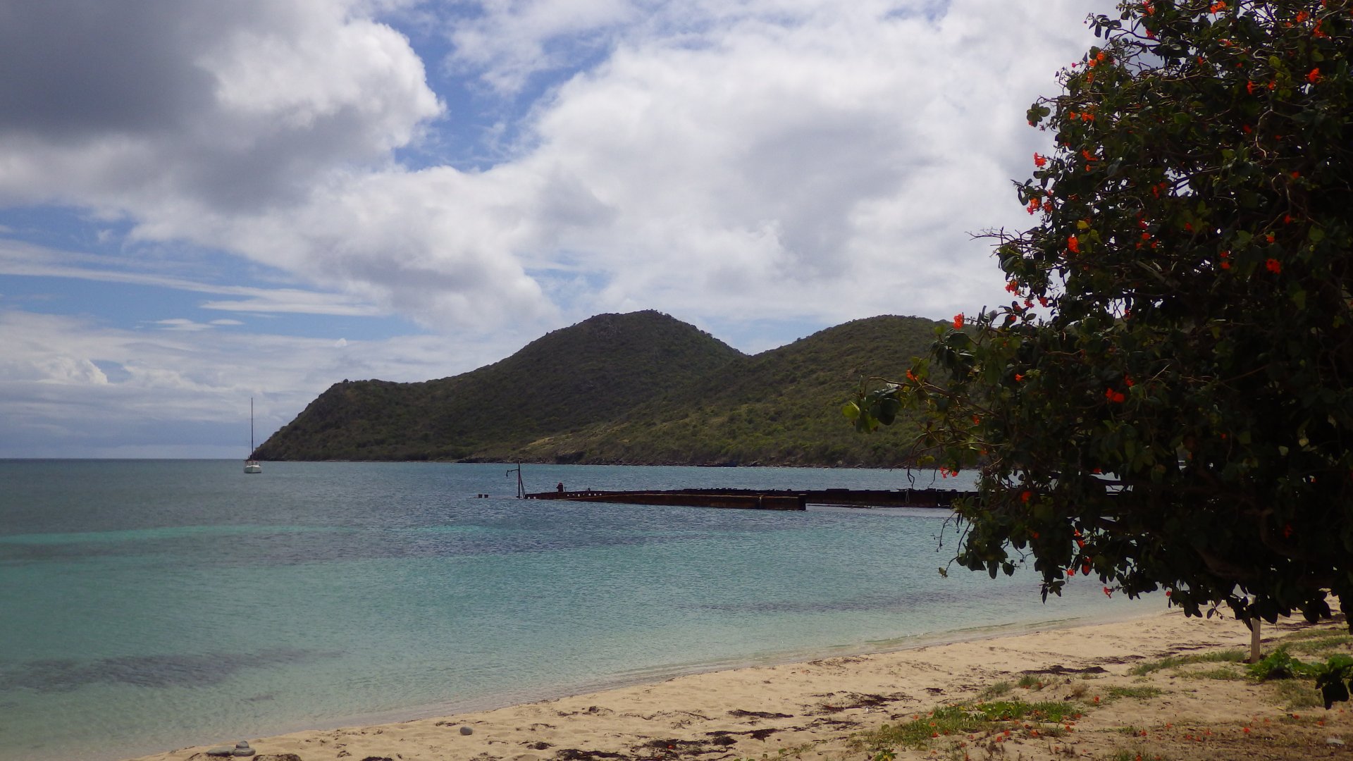
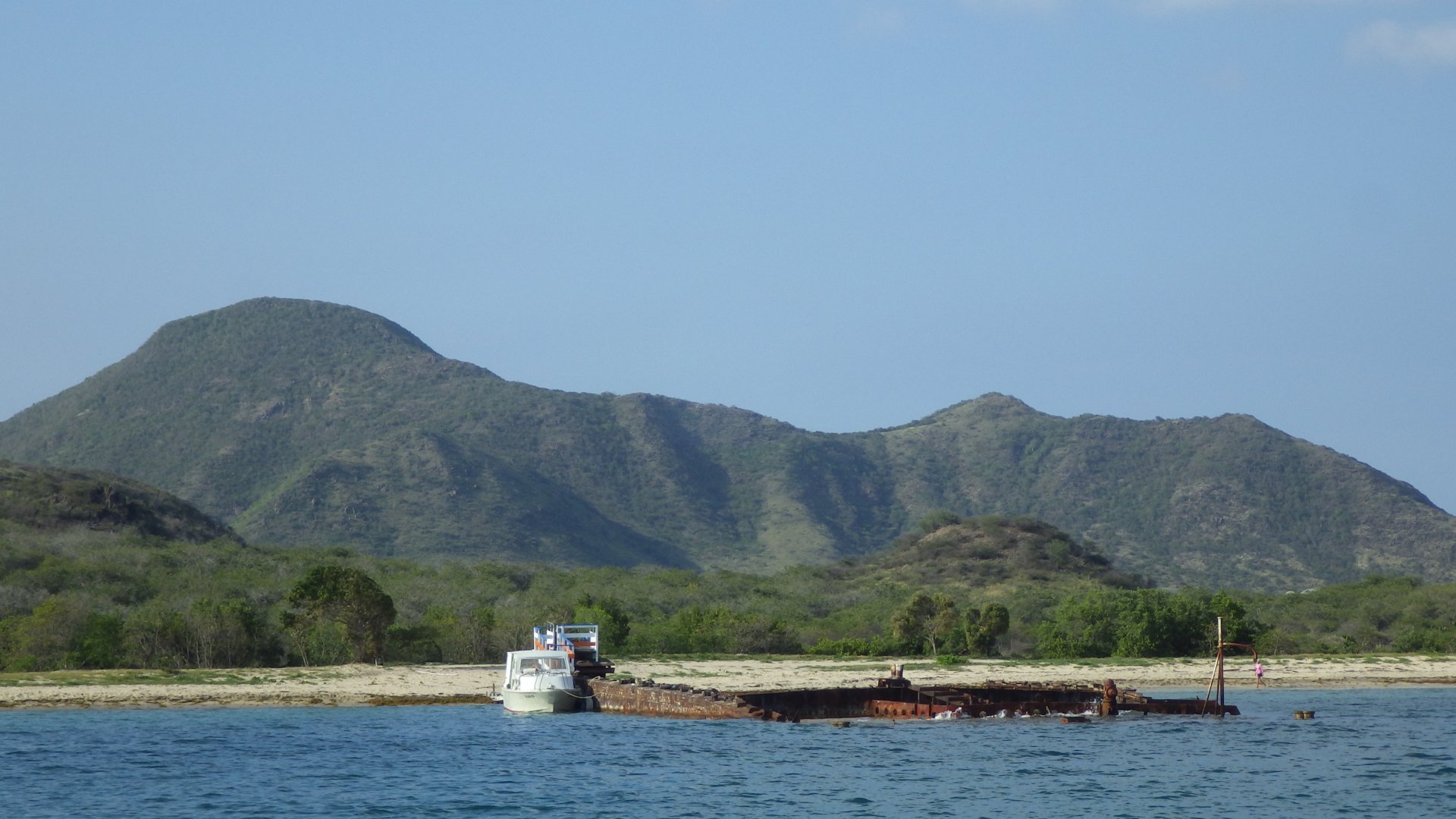
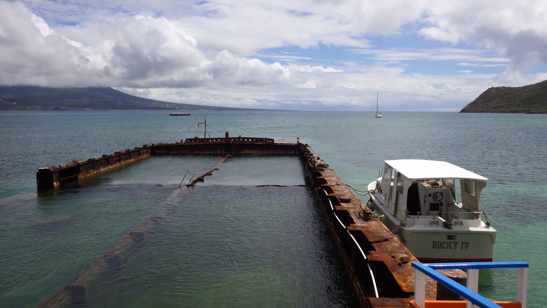
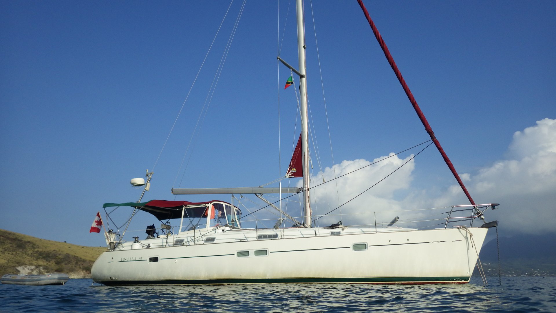
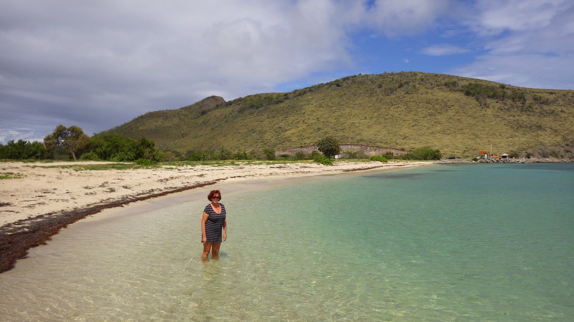
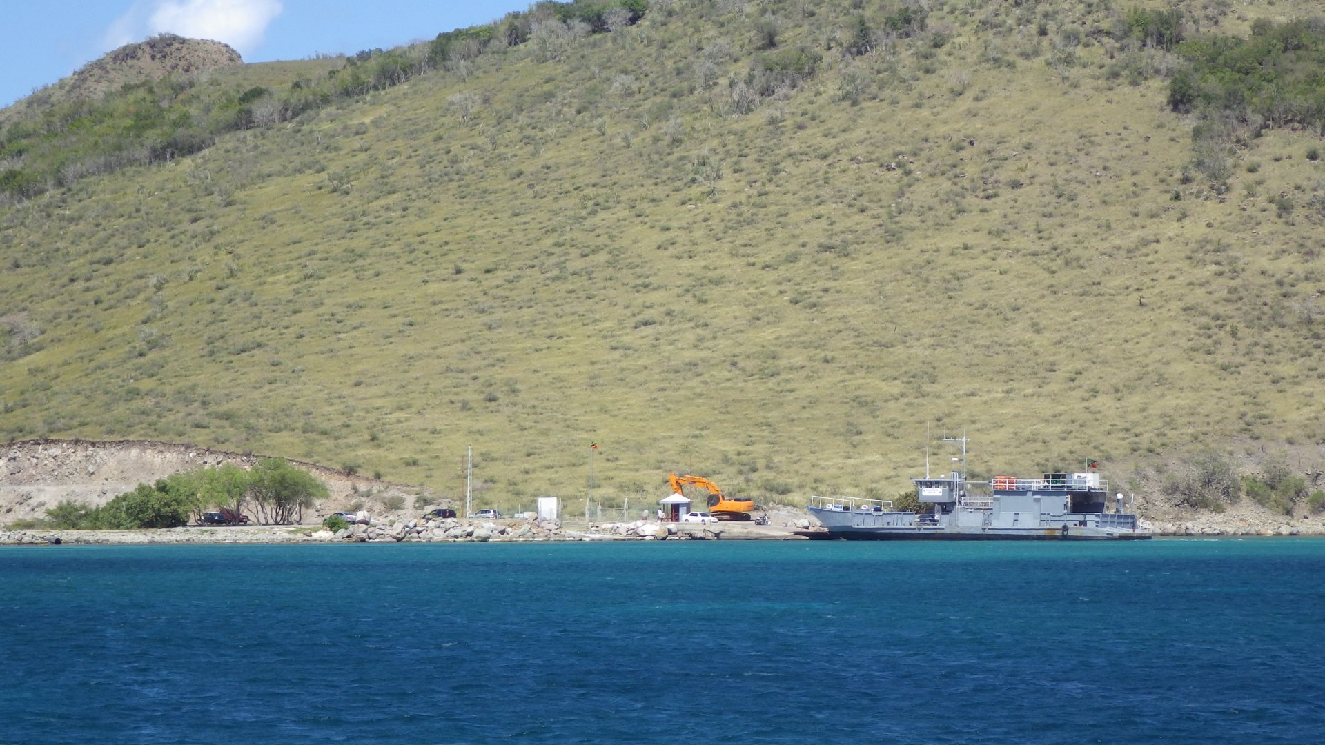
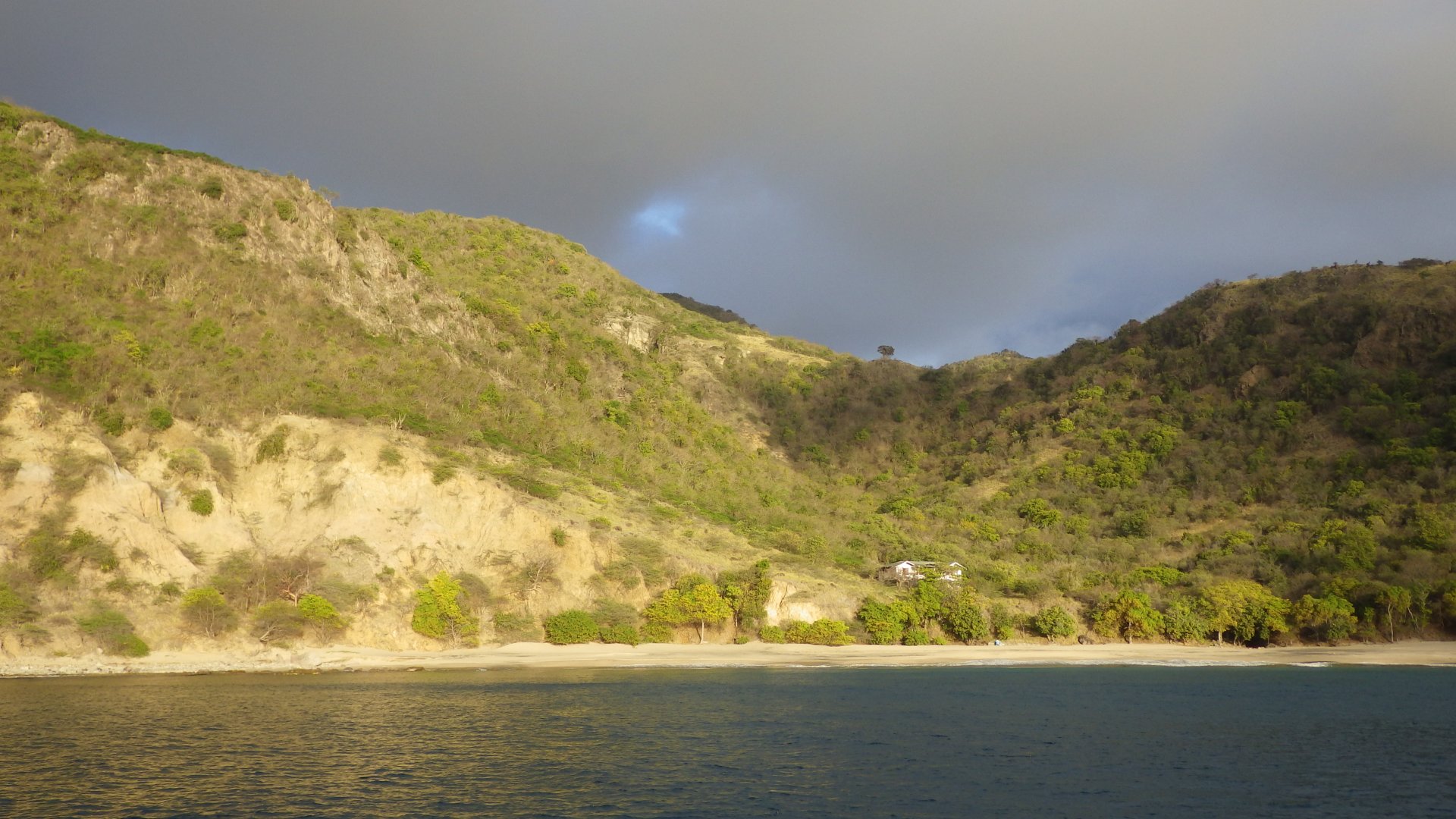
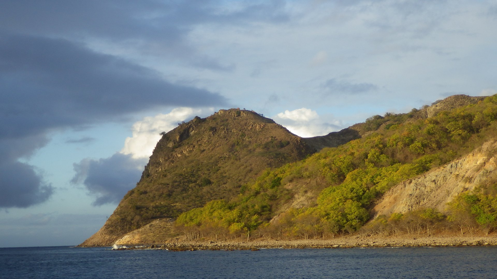
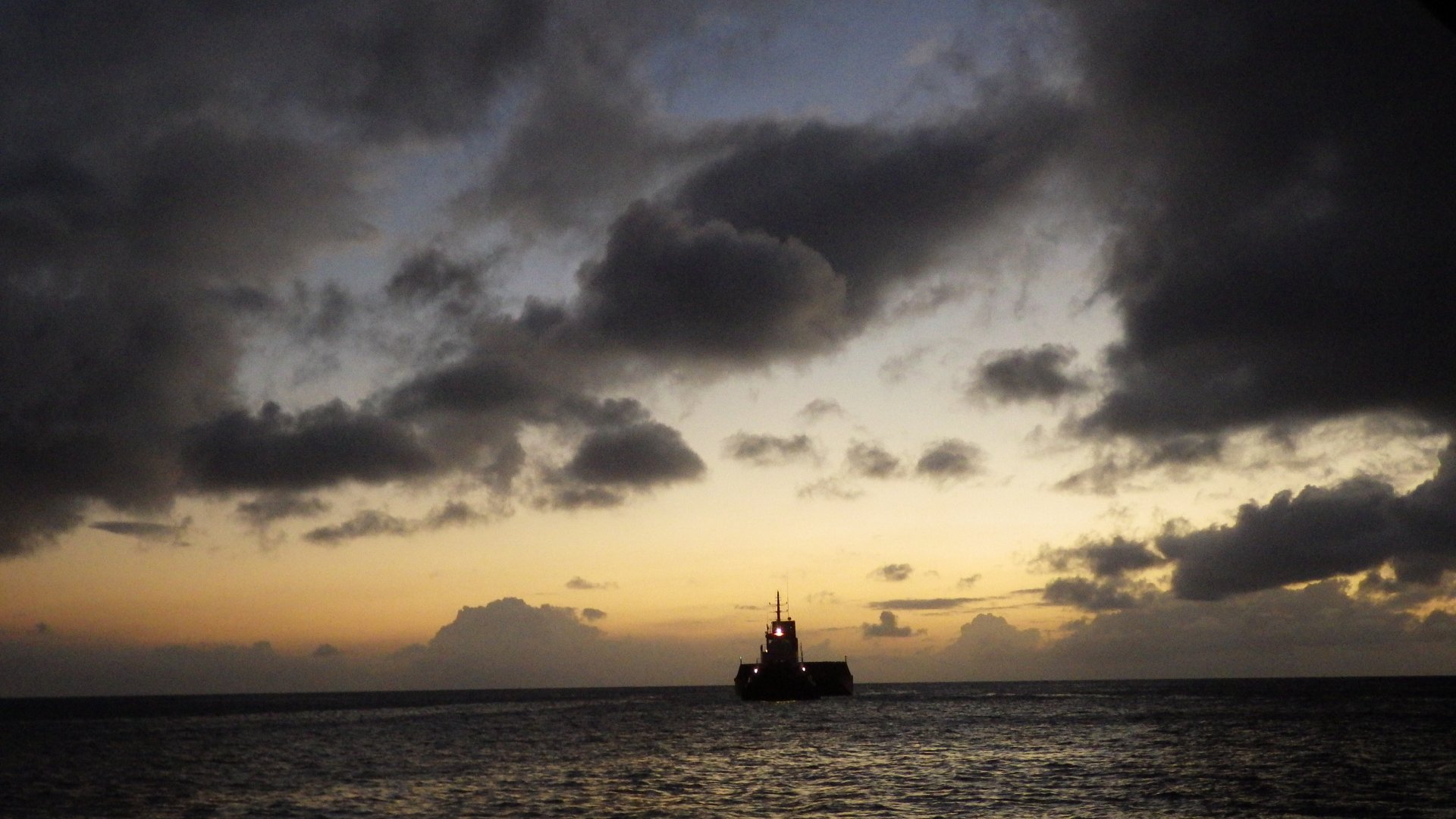
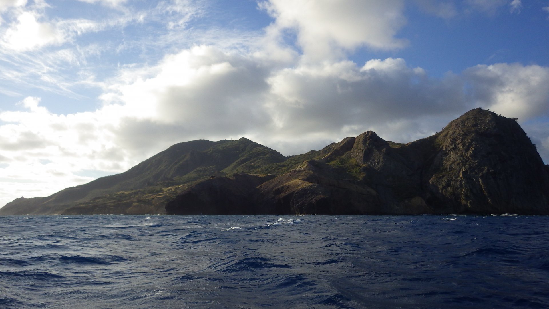
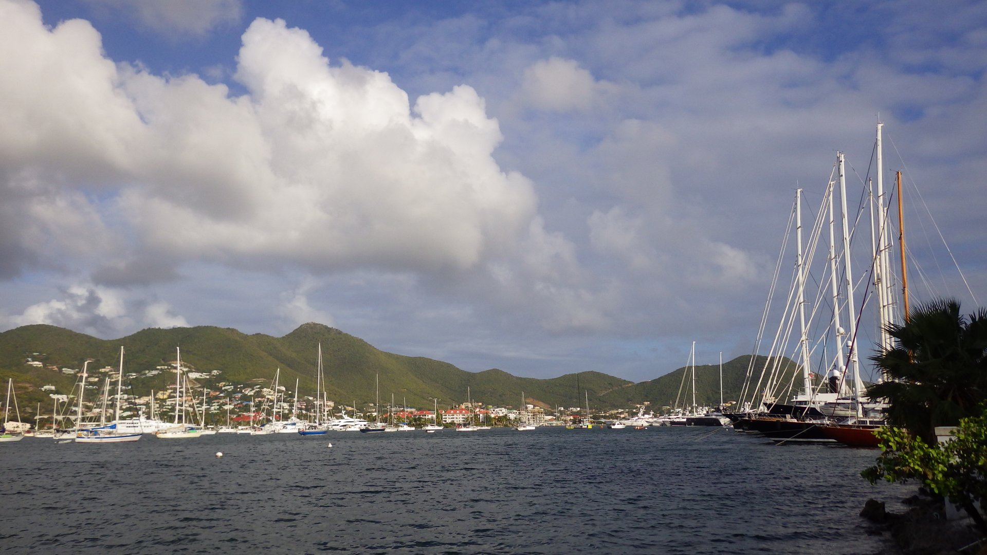
Simpson Bay Lagoon, Sint Maarten

Log#: 169
LatLon: 18°02.323'N, 063°05.547'W

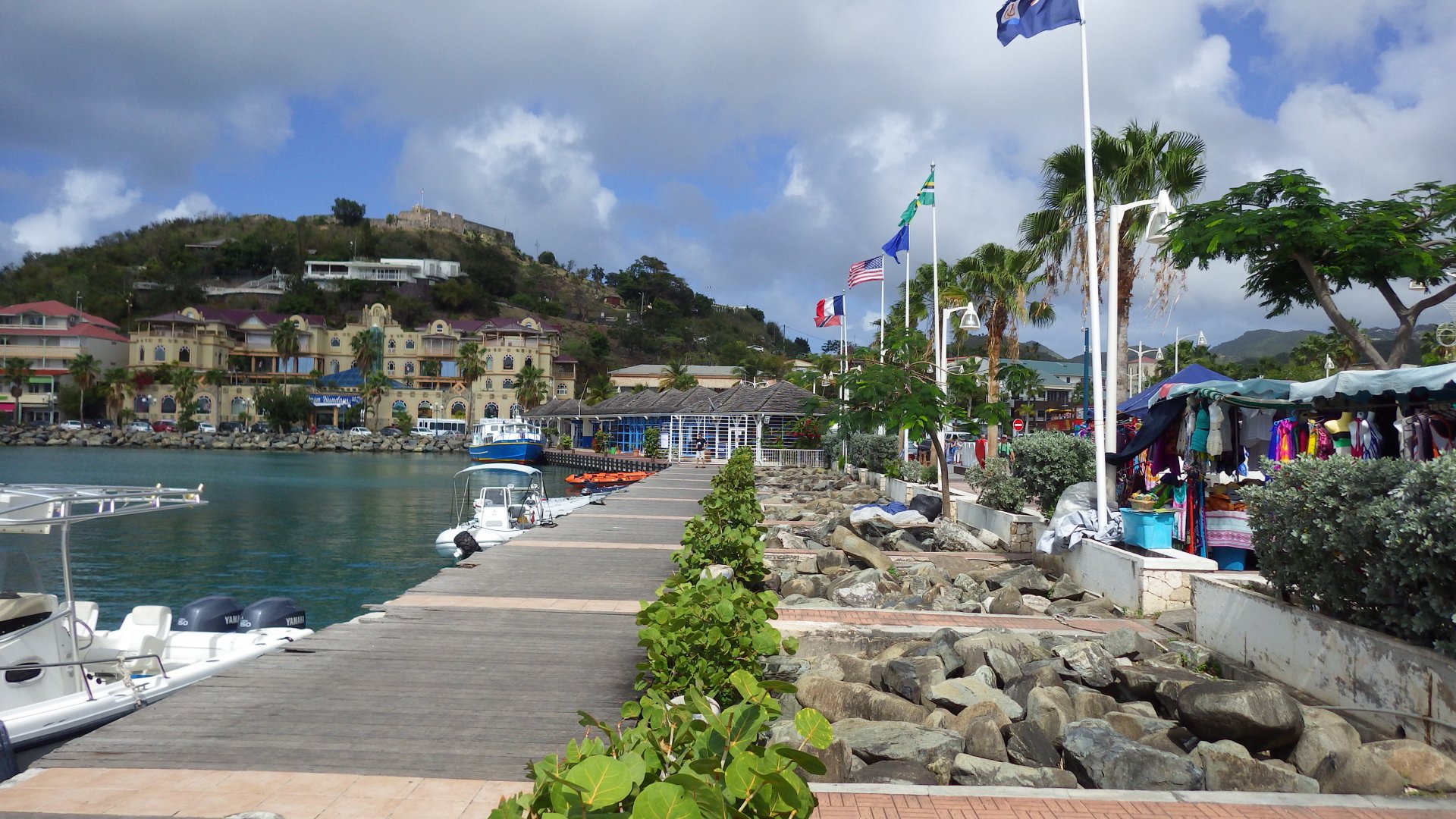
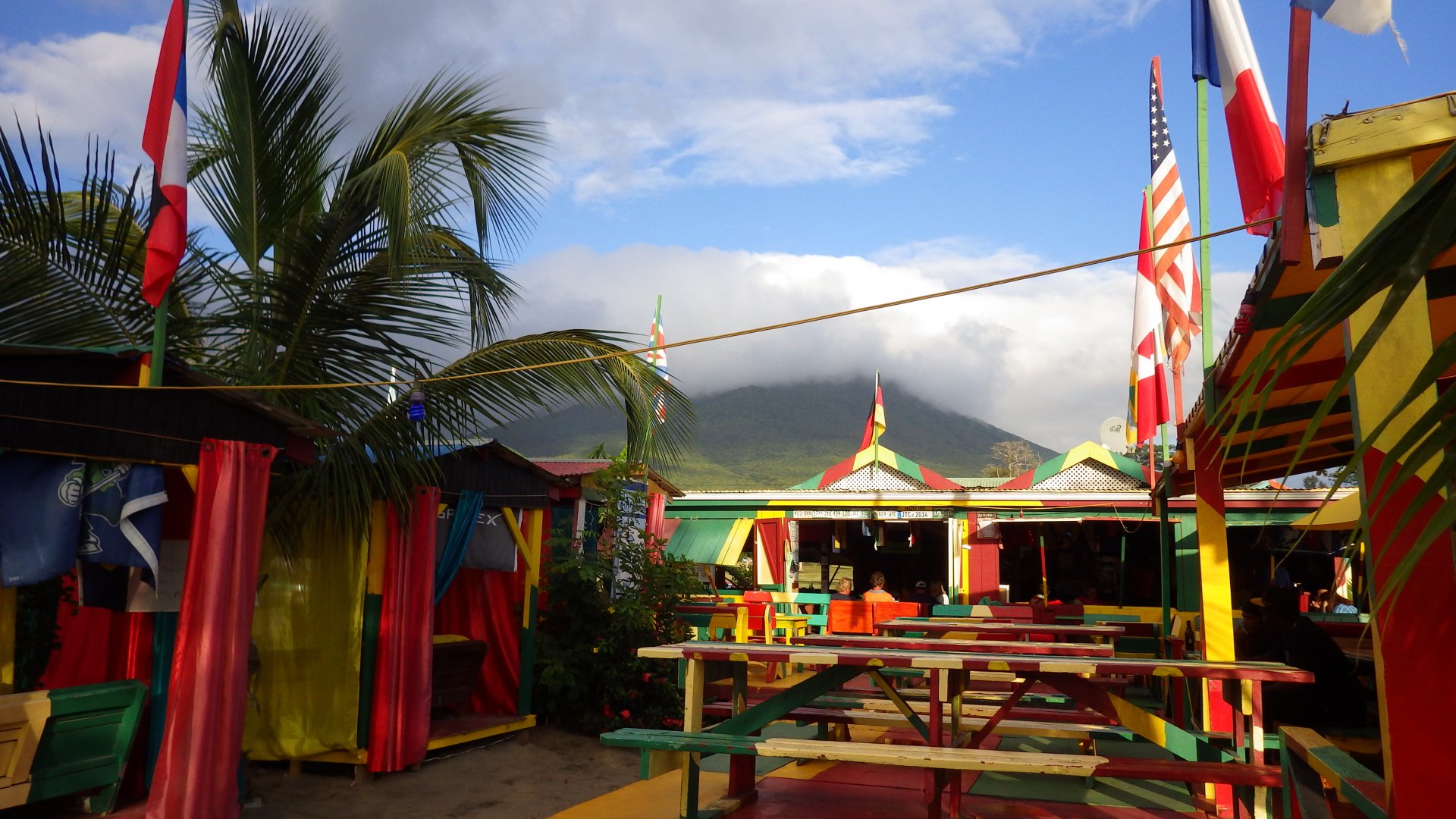
One of the unique features of this island is that it is divided between two nations: the Dutch side - Sint Maarten, and the French side - Saint Martin. Once cleared in with customs on either side, you can freely travel between two parts of the island.

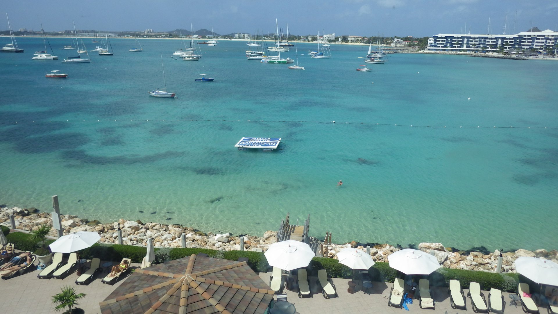
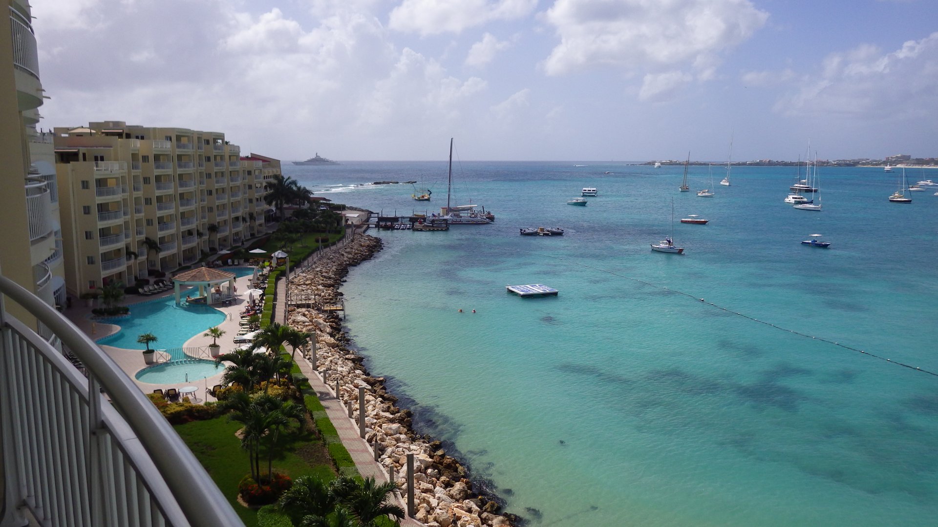
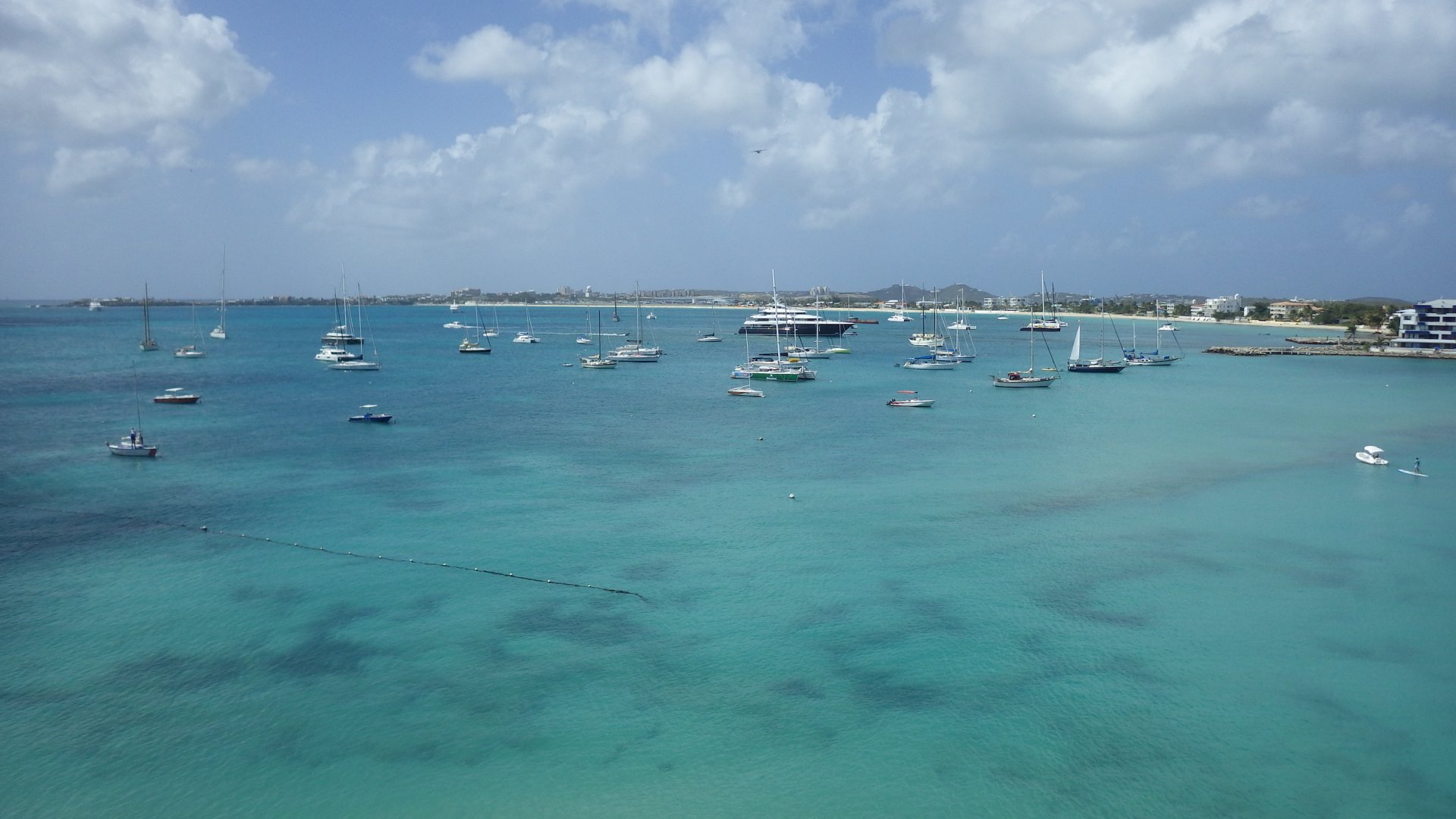
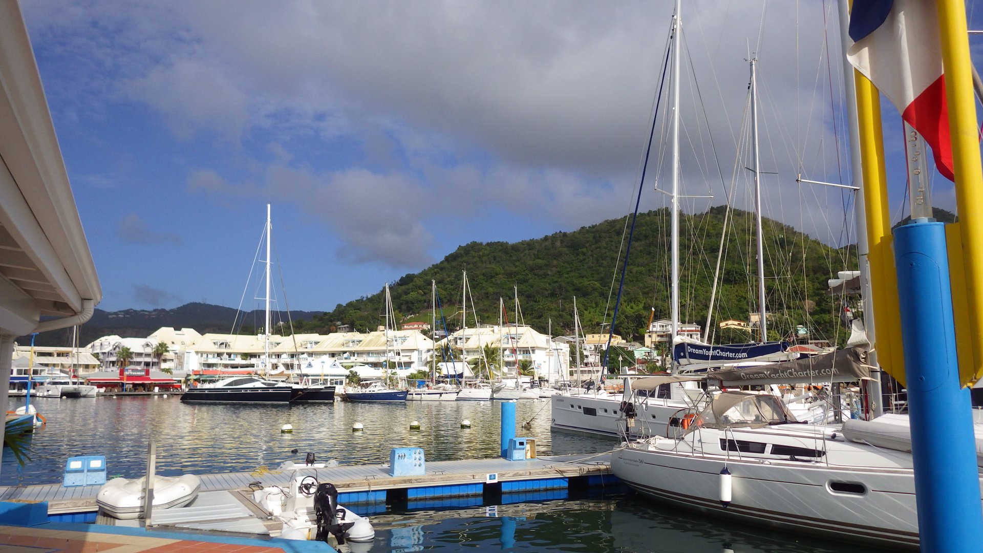
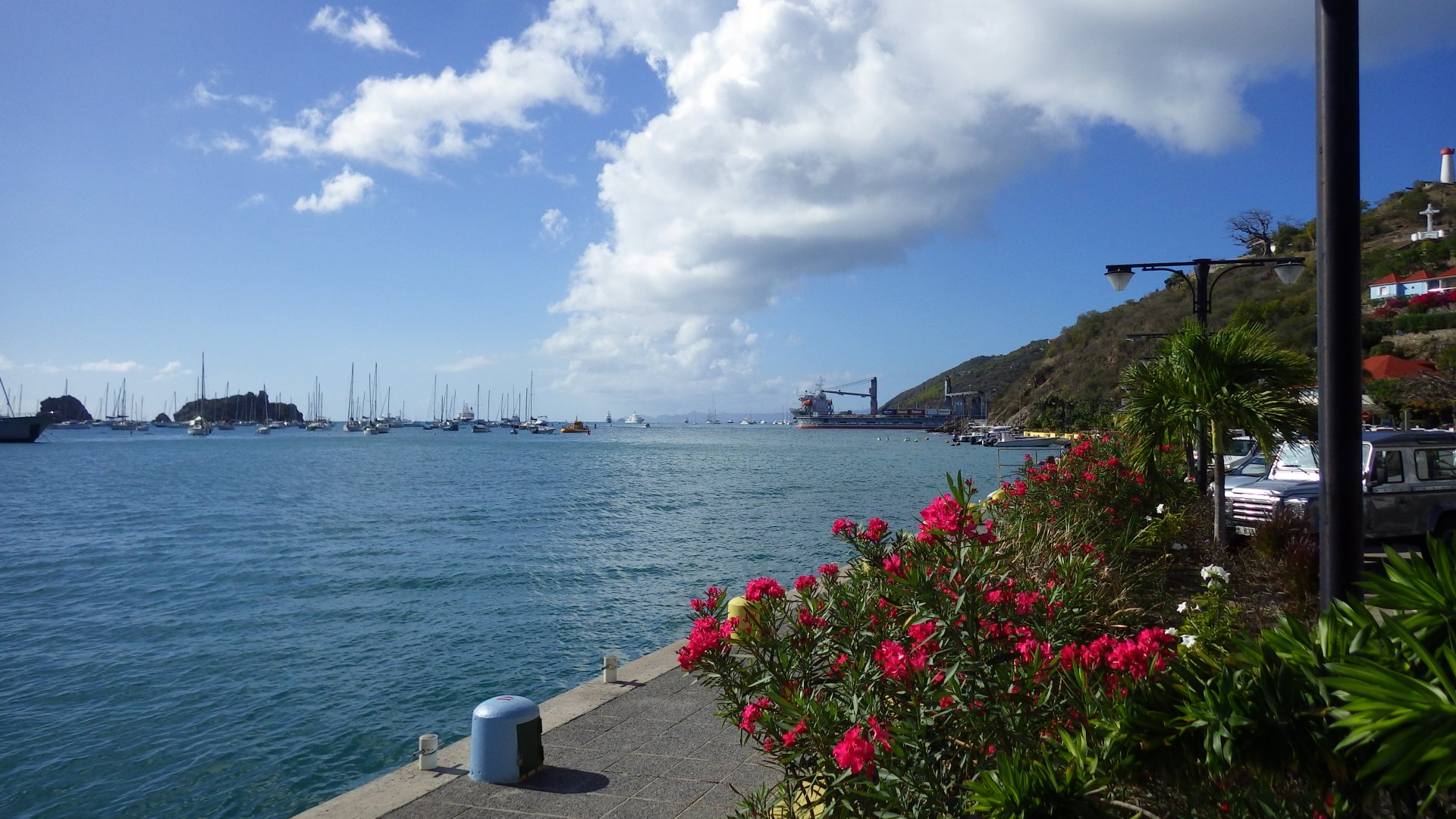
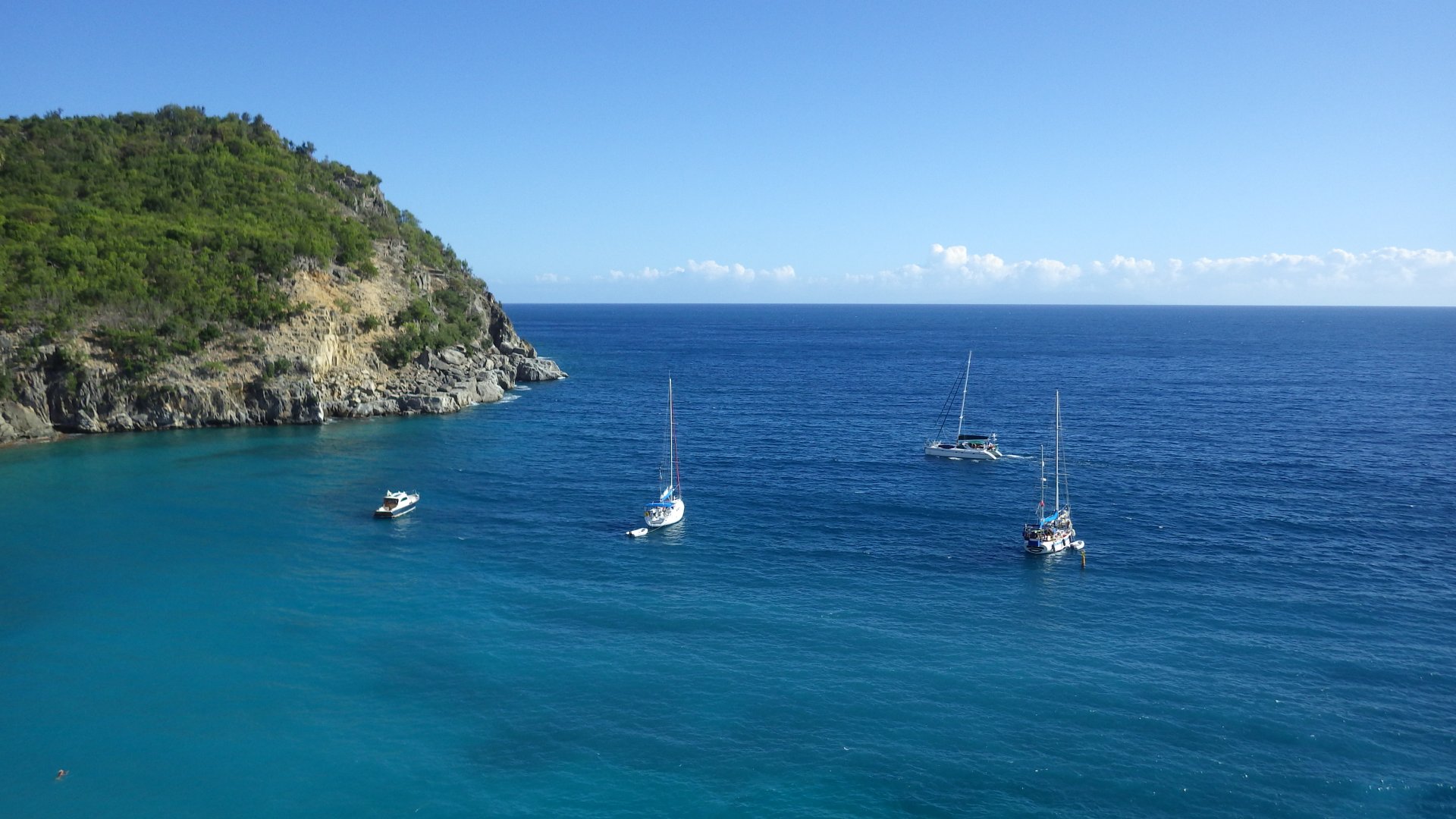
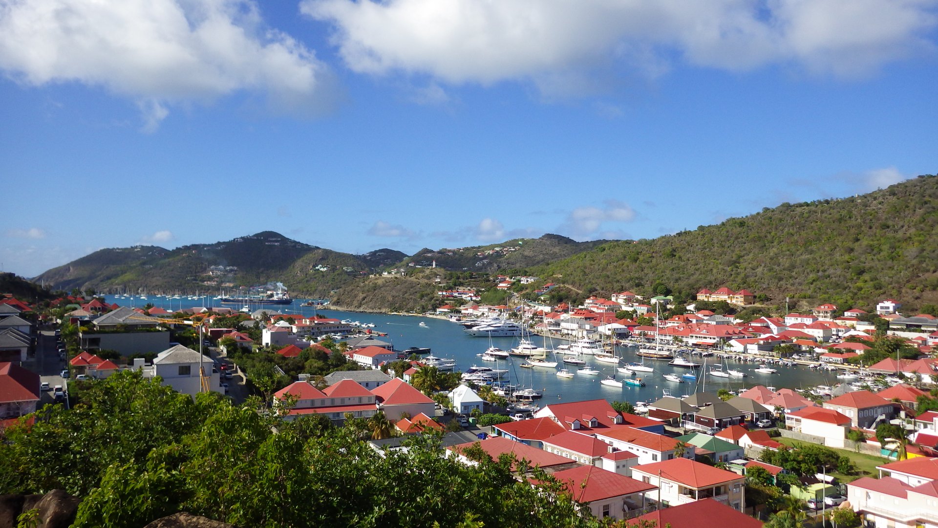
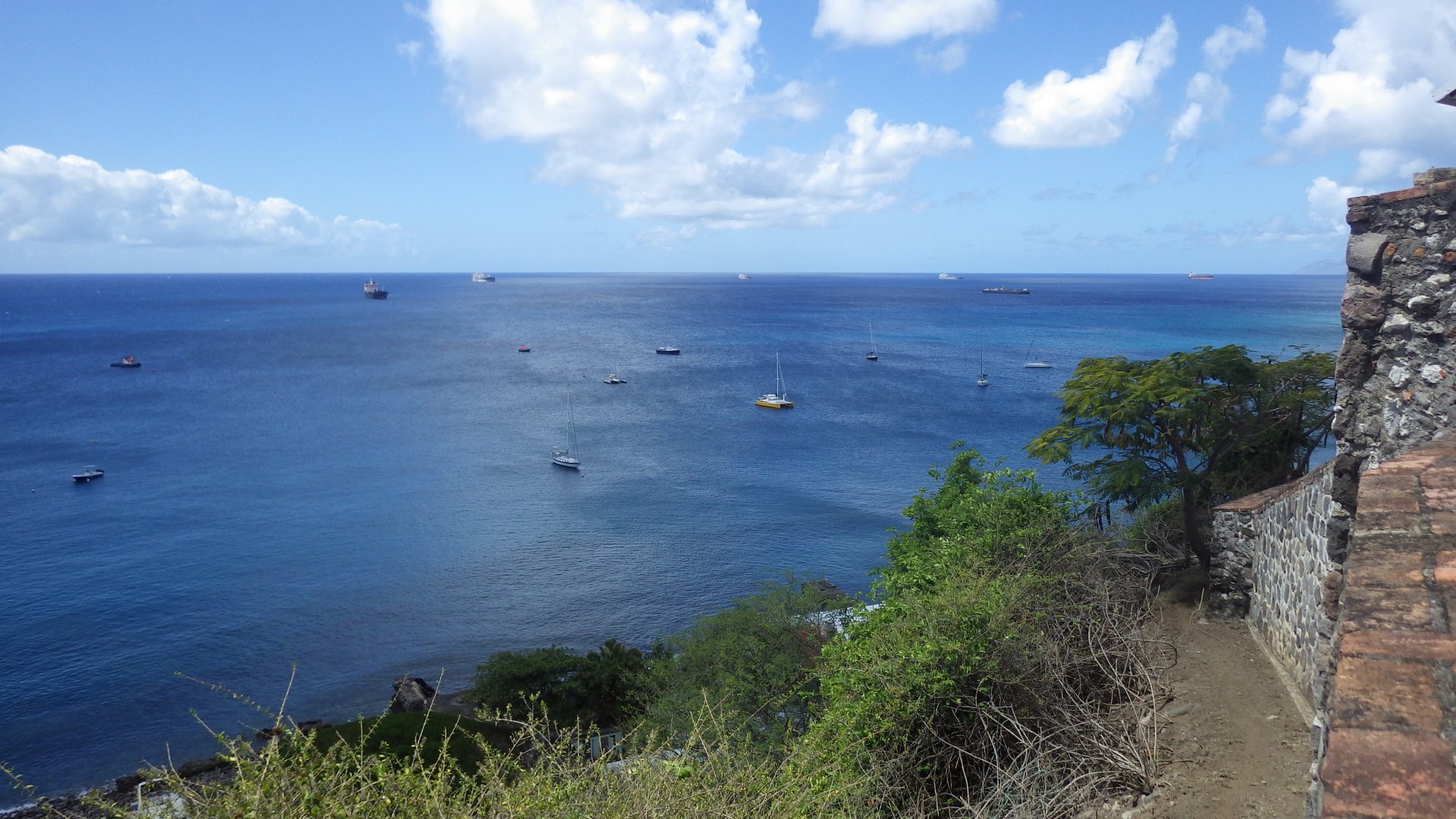
Another feature of the island is that it has a large well protected lagoon inside, also belonging to both nations.

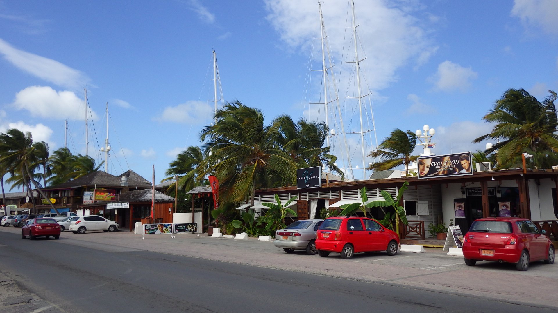
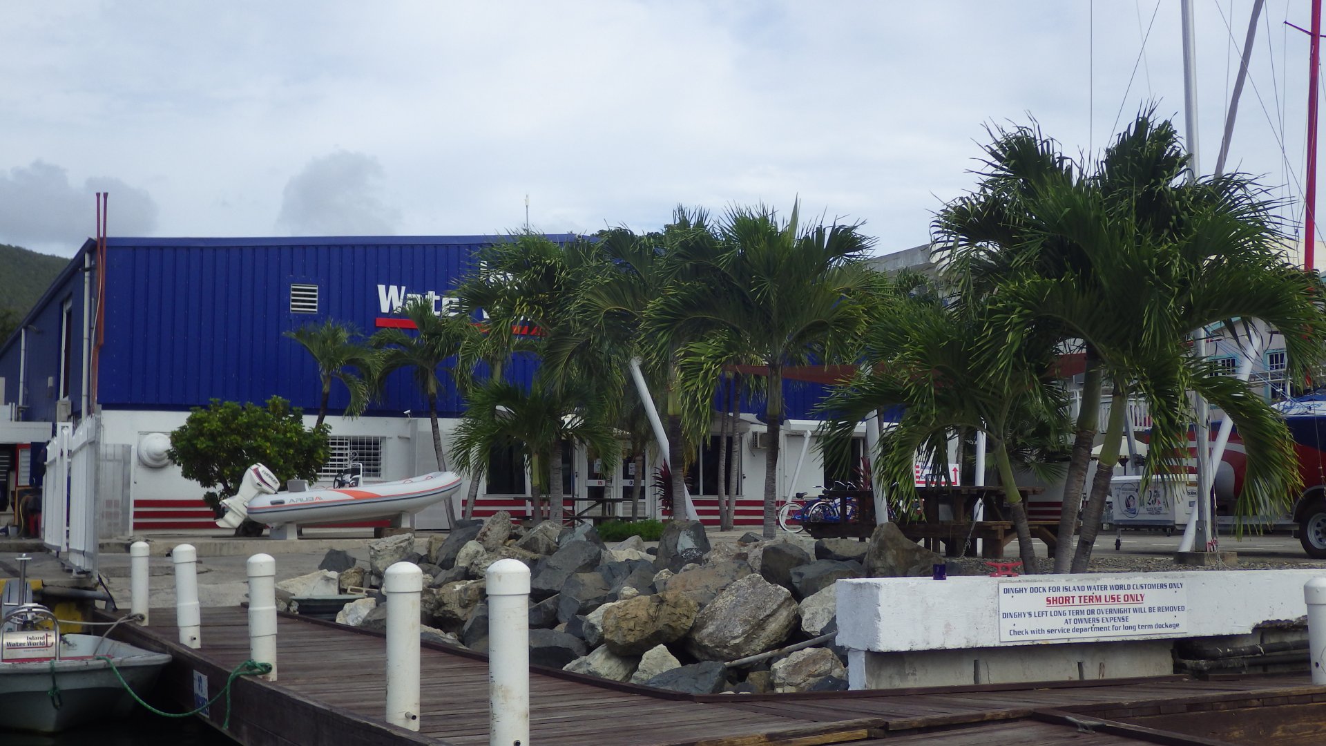
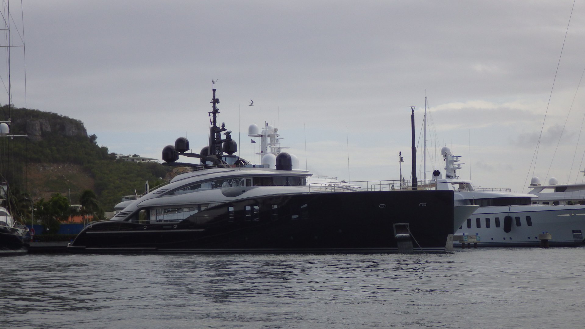
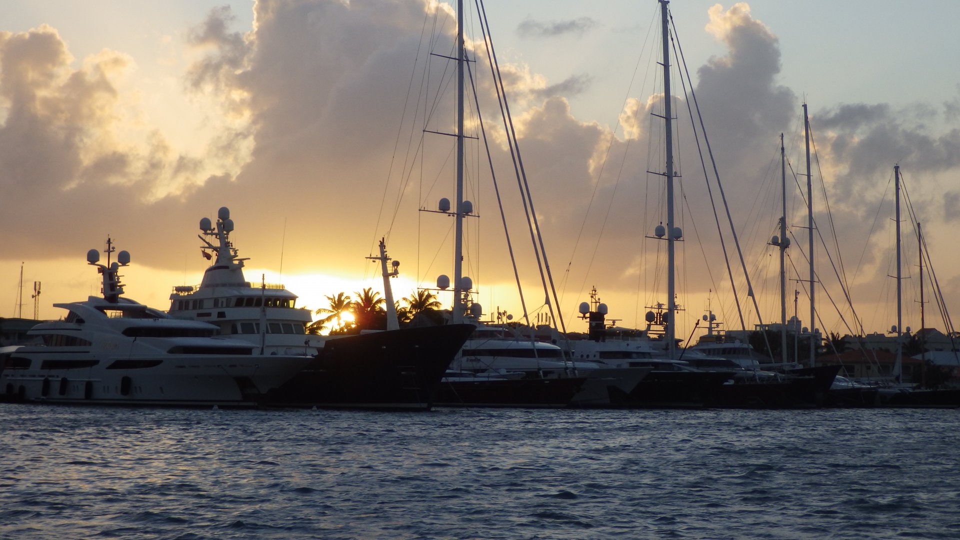
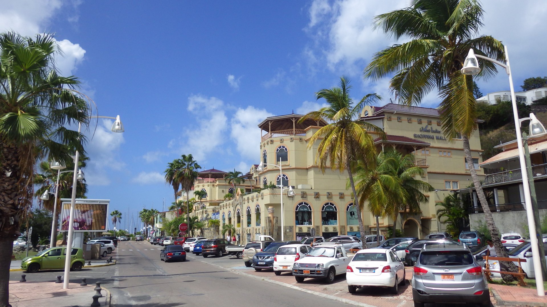
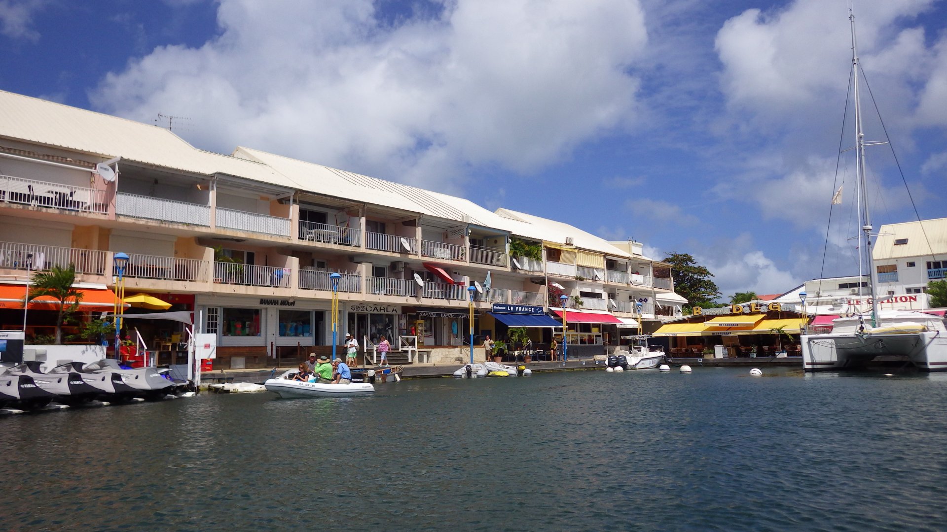
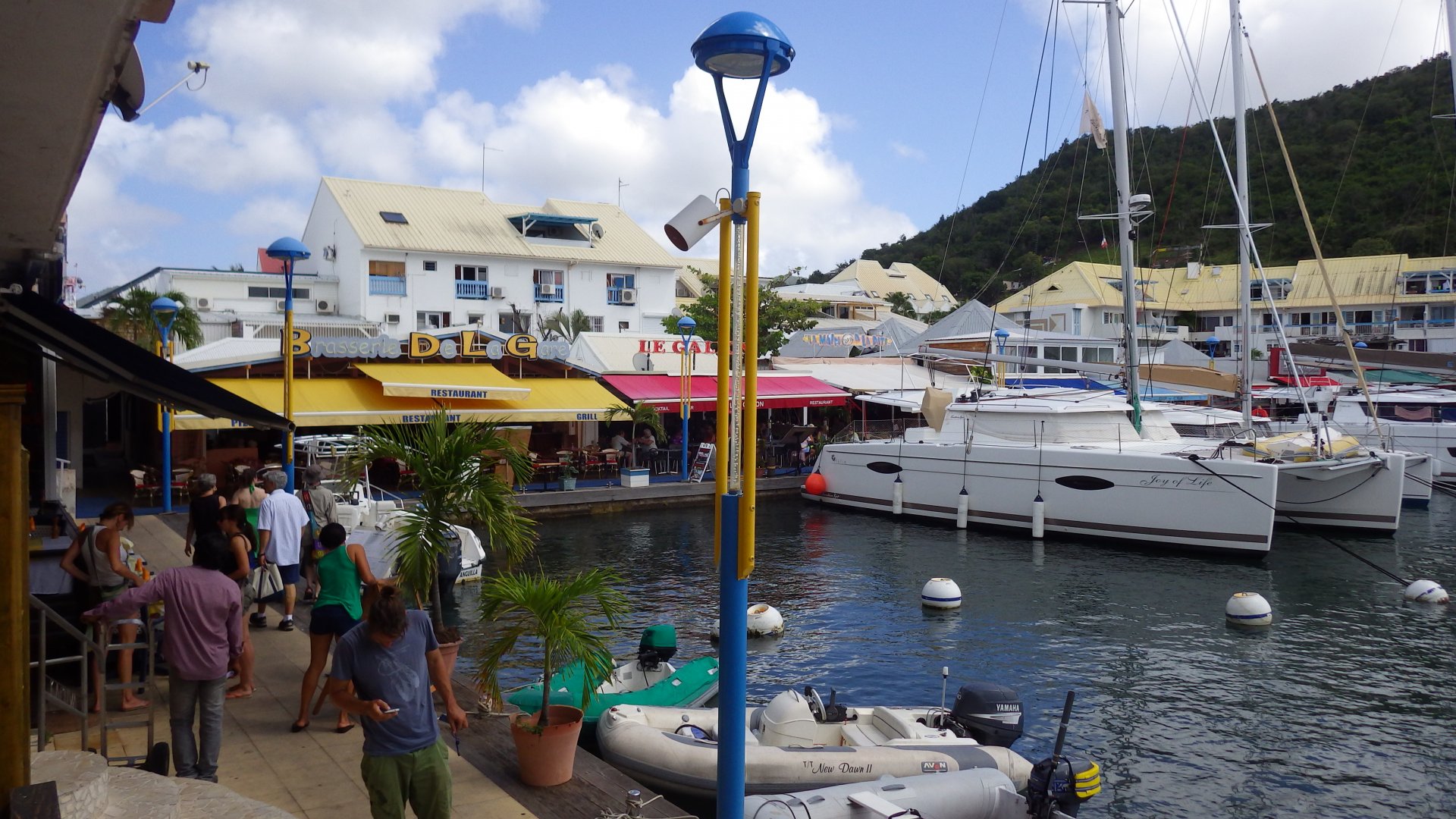
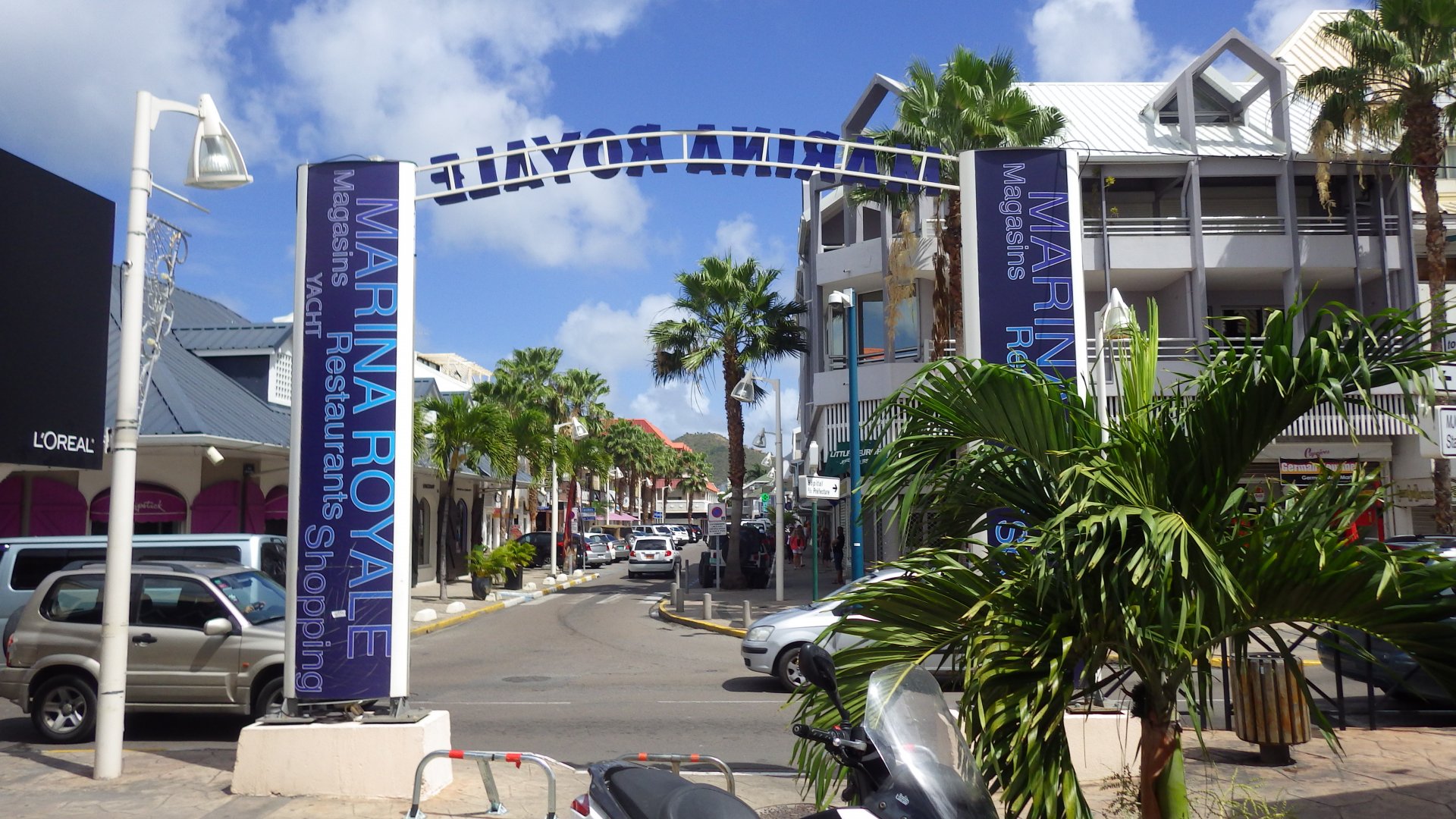
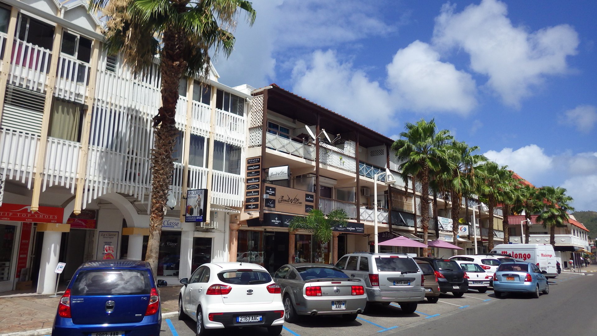
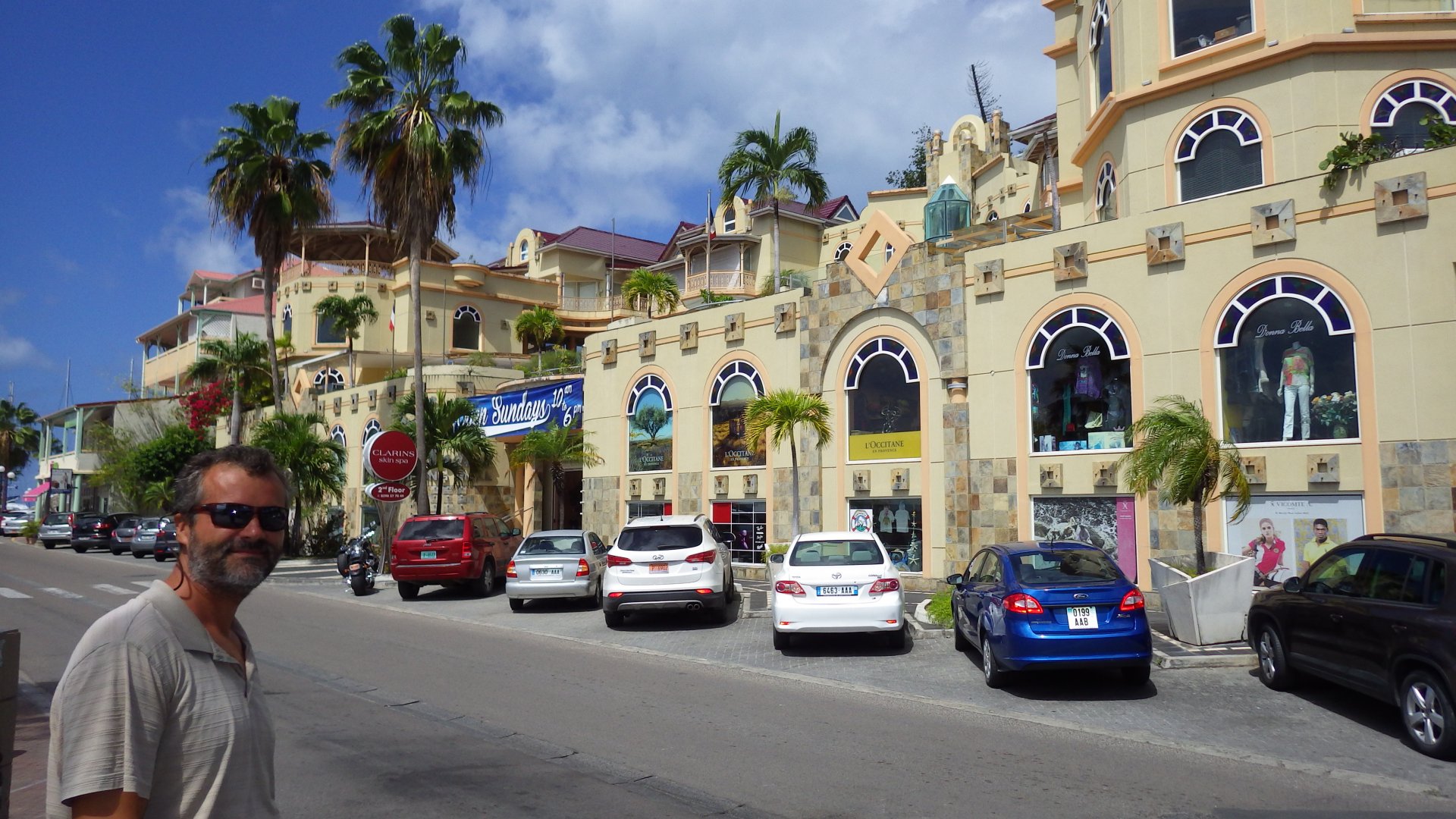
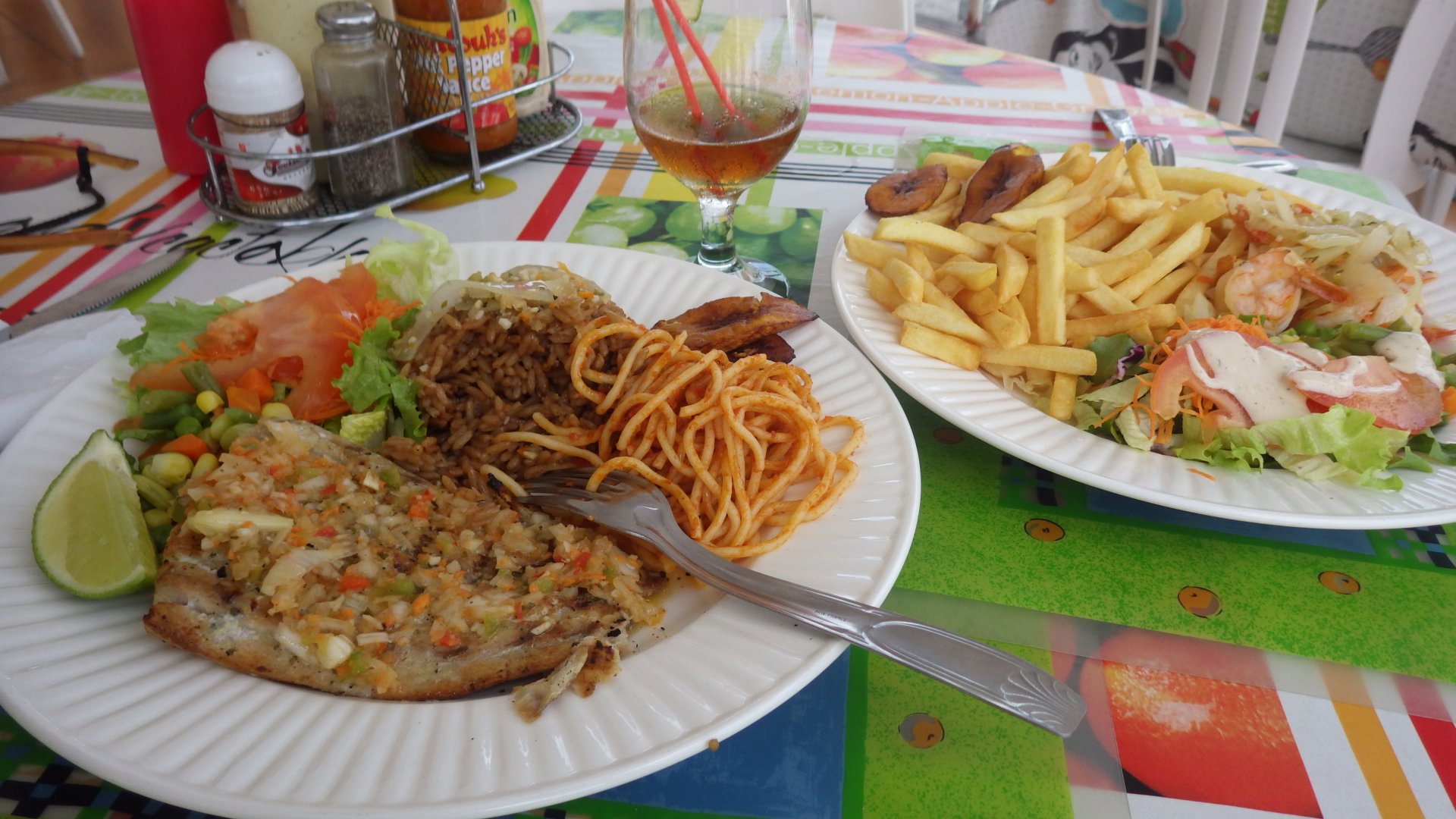
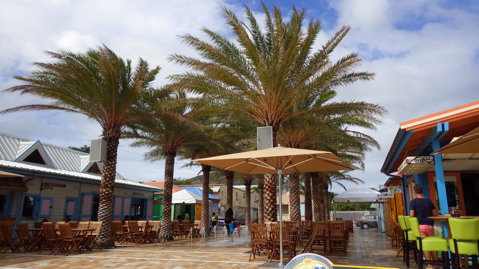
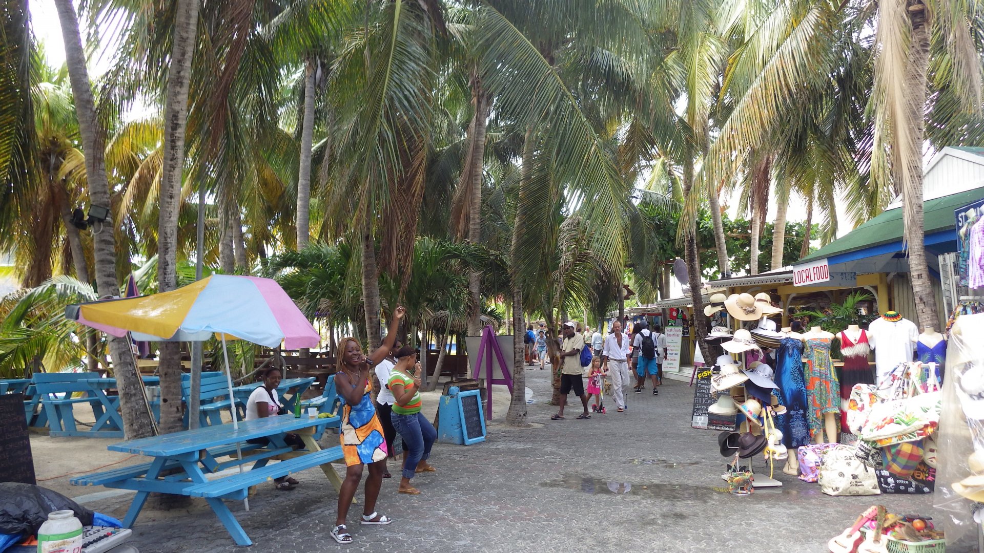
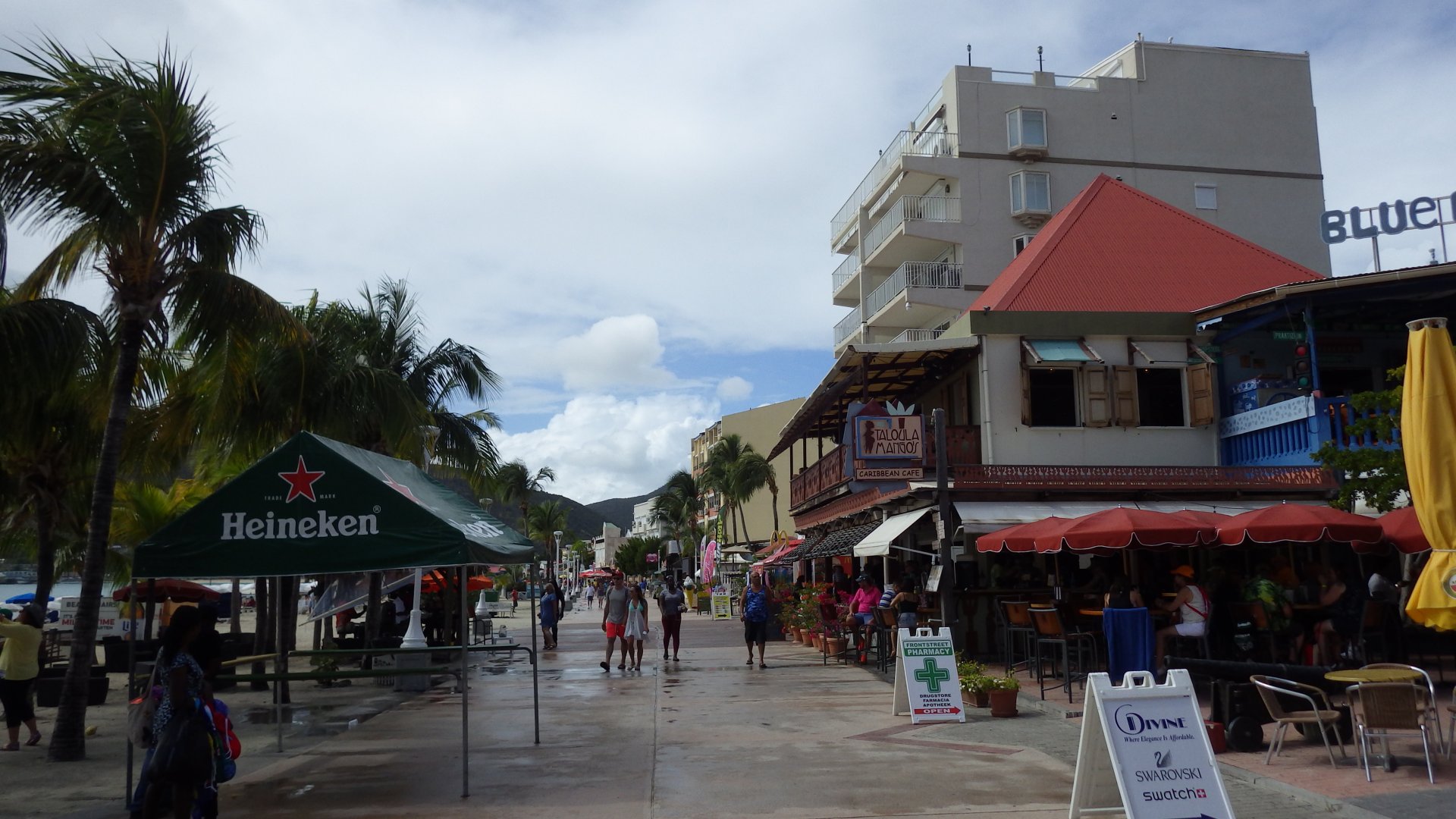
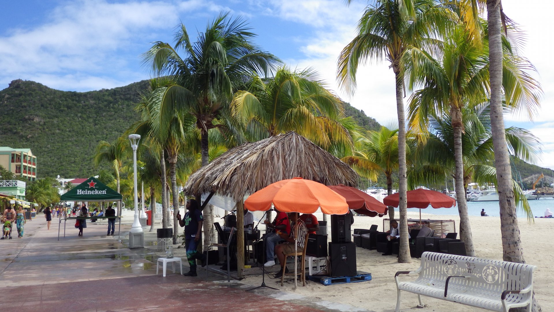
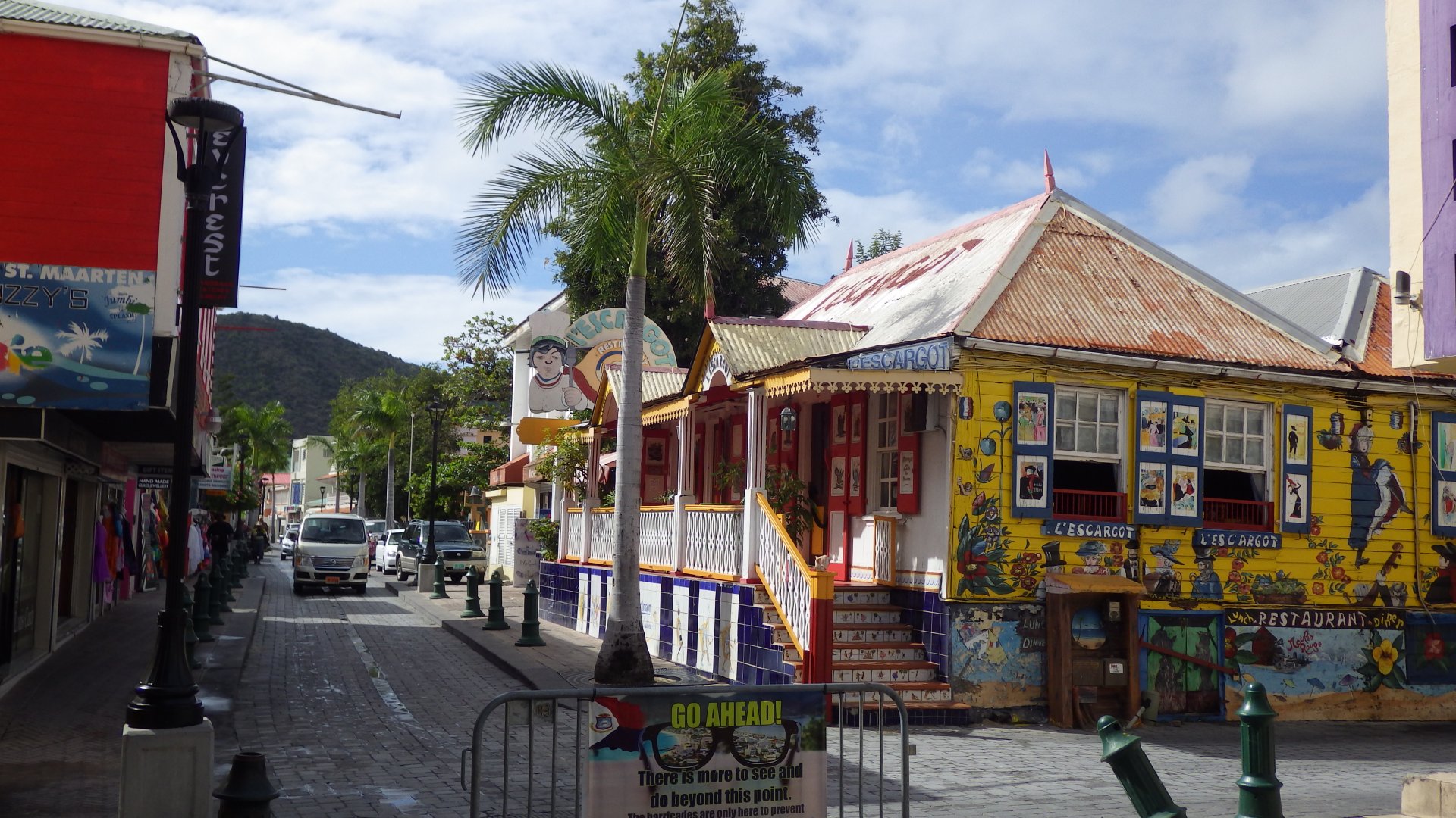
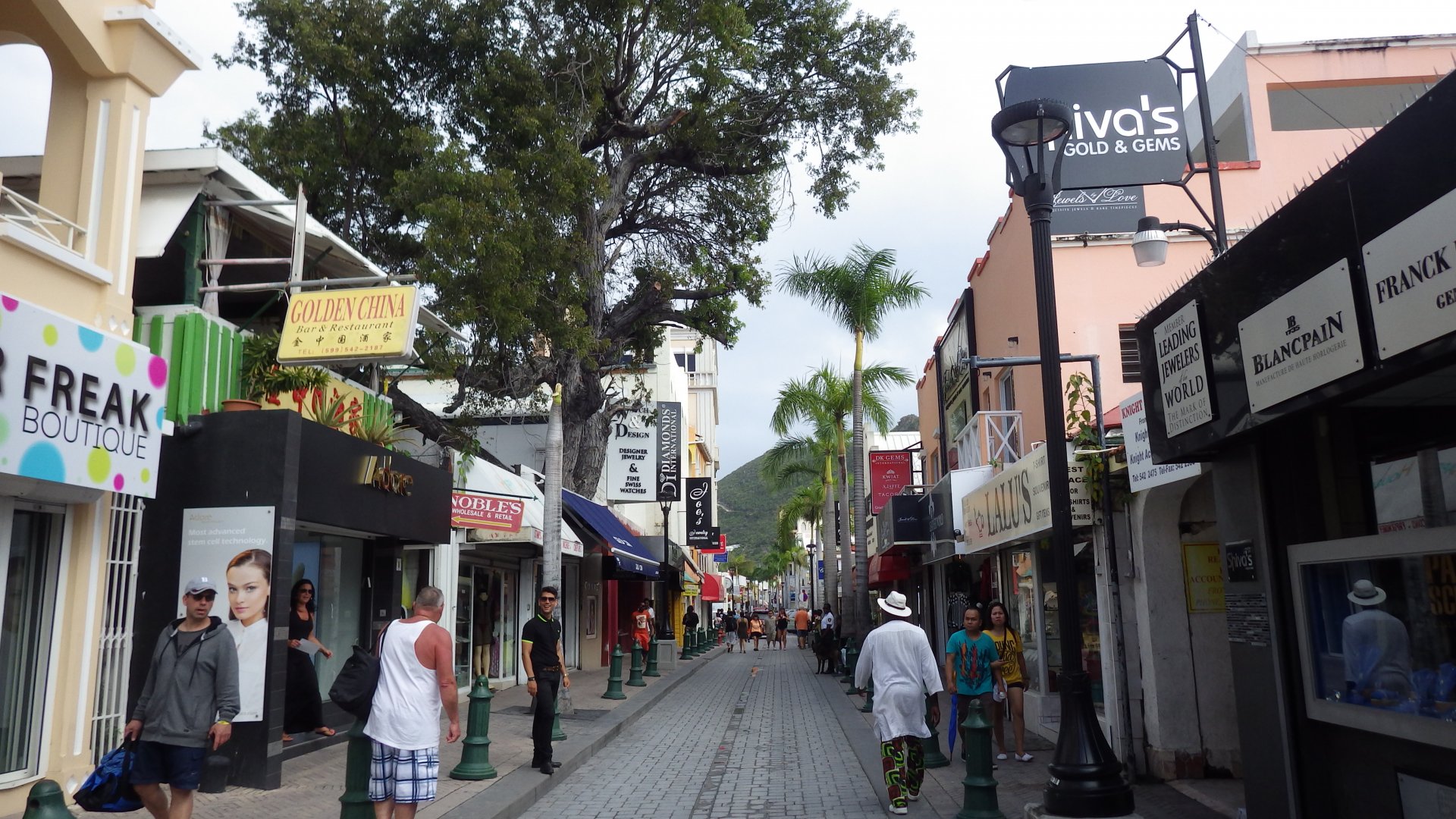
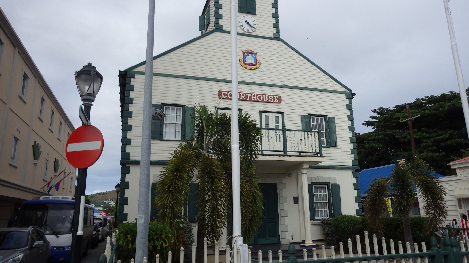
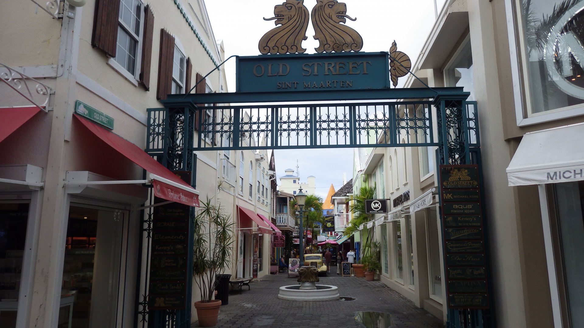
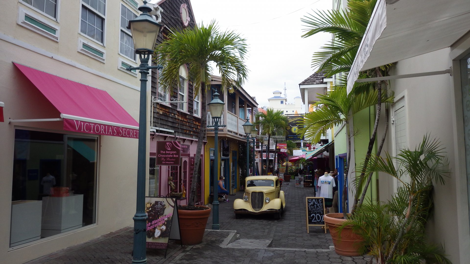
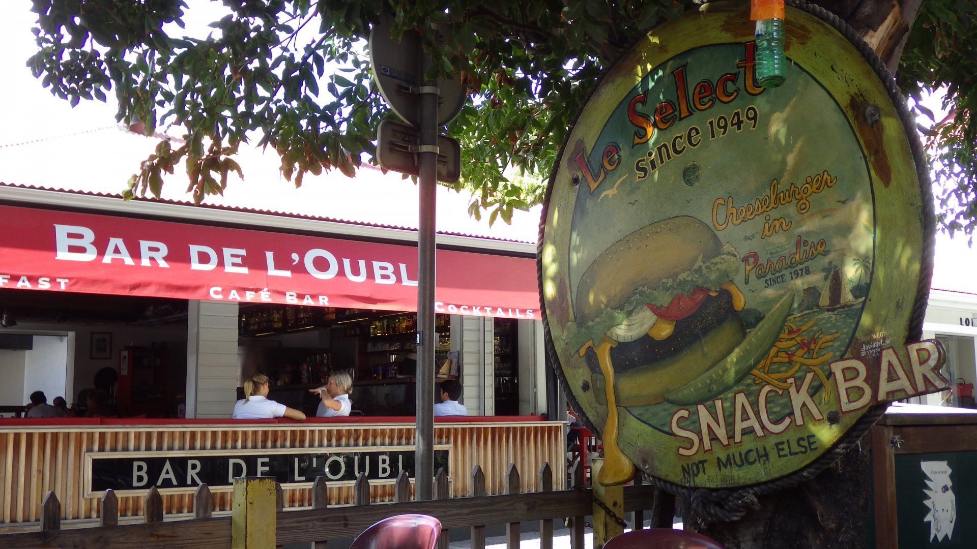
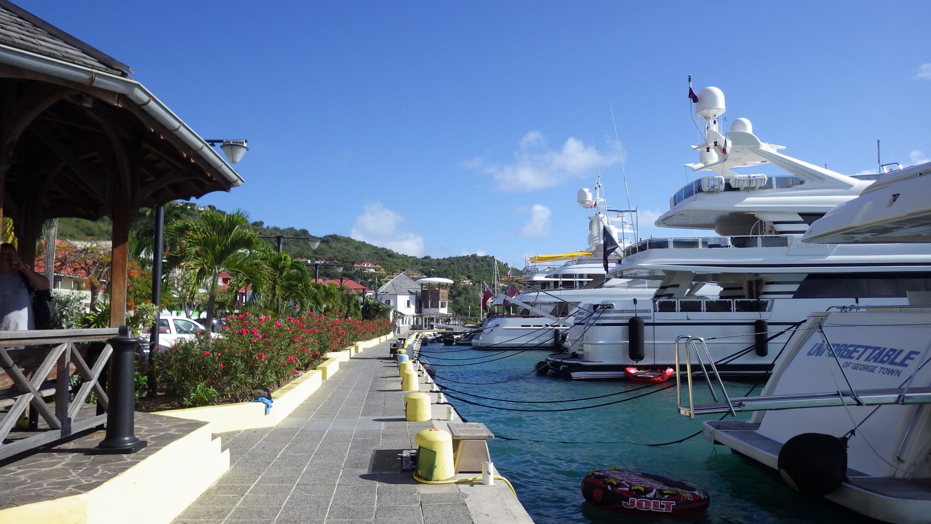
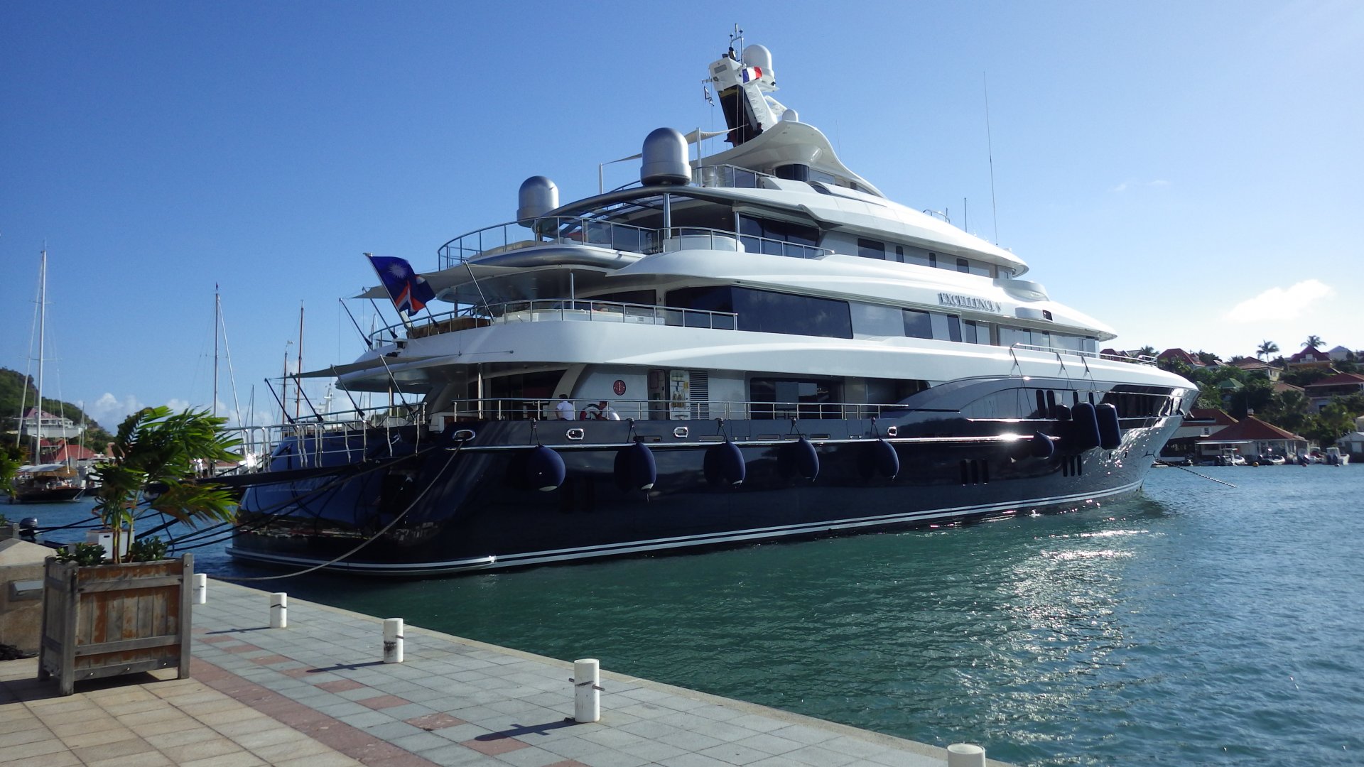
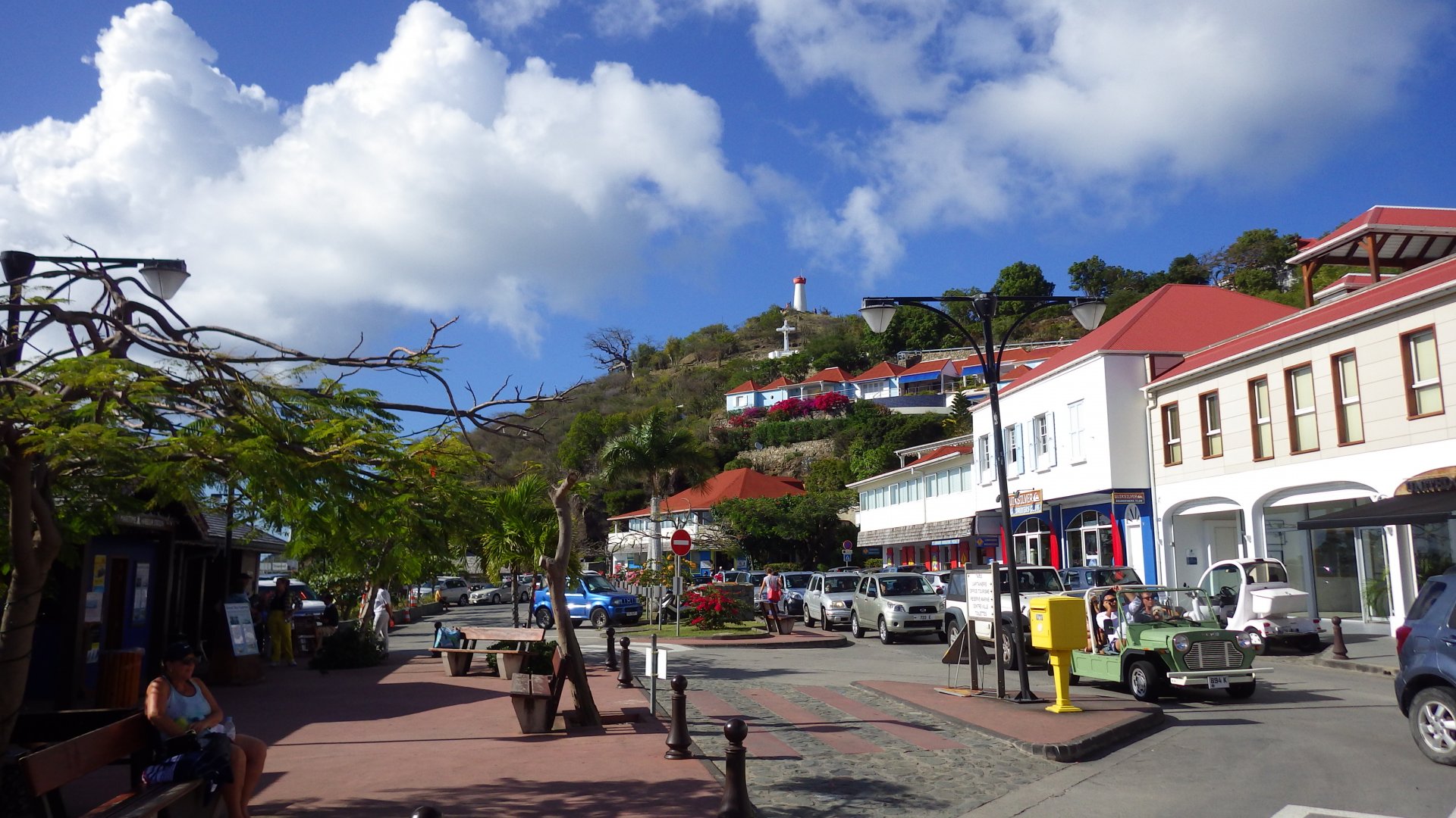
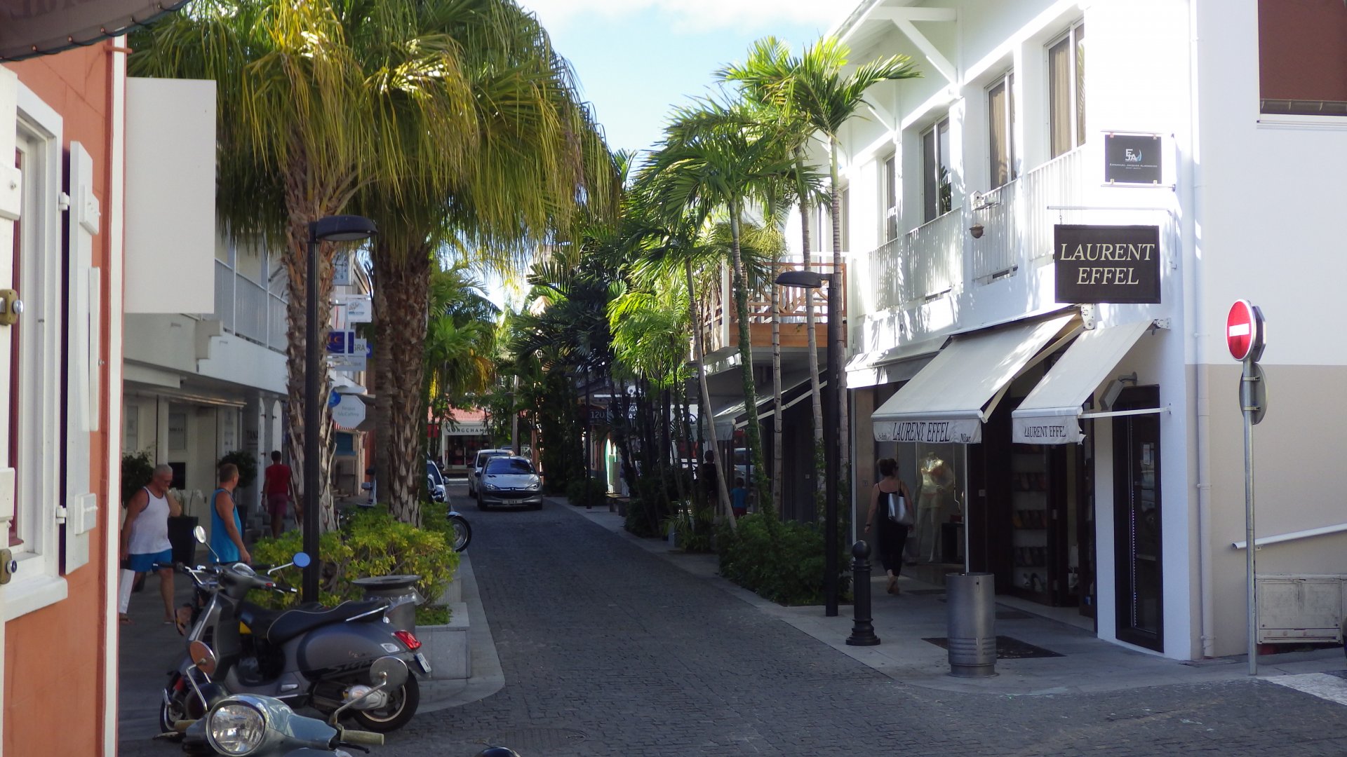
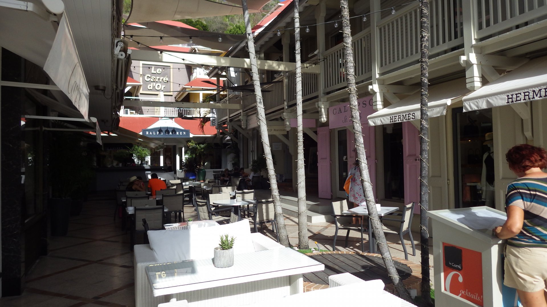
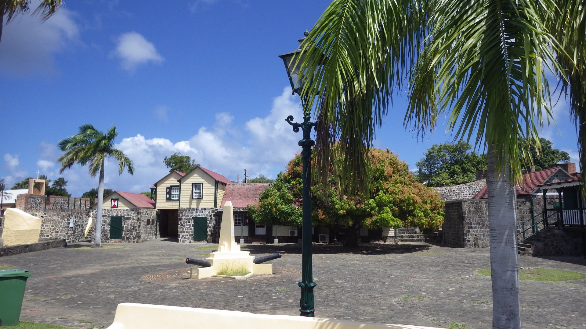
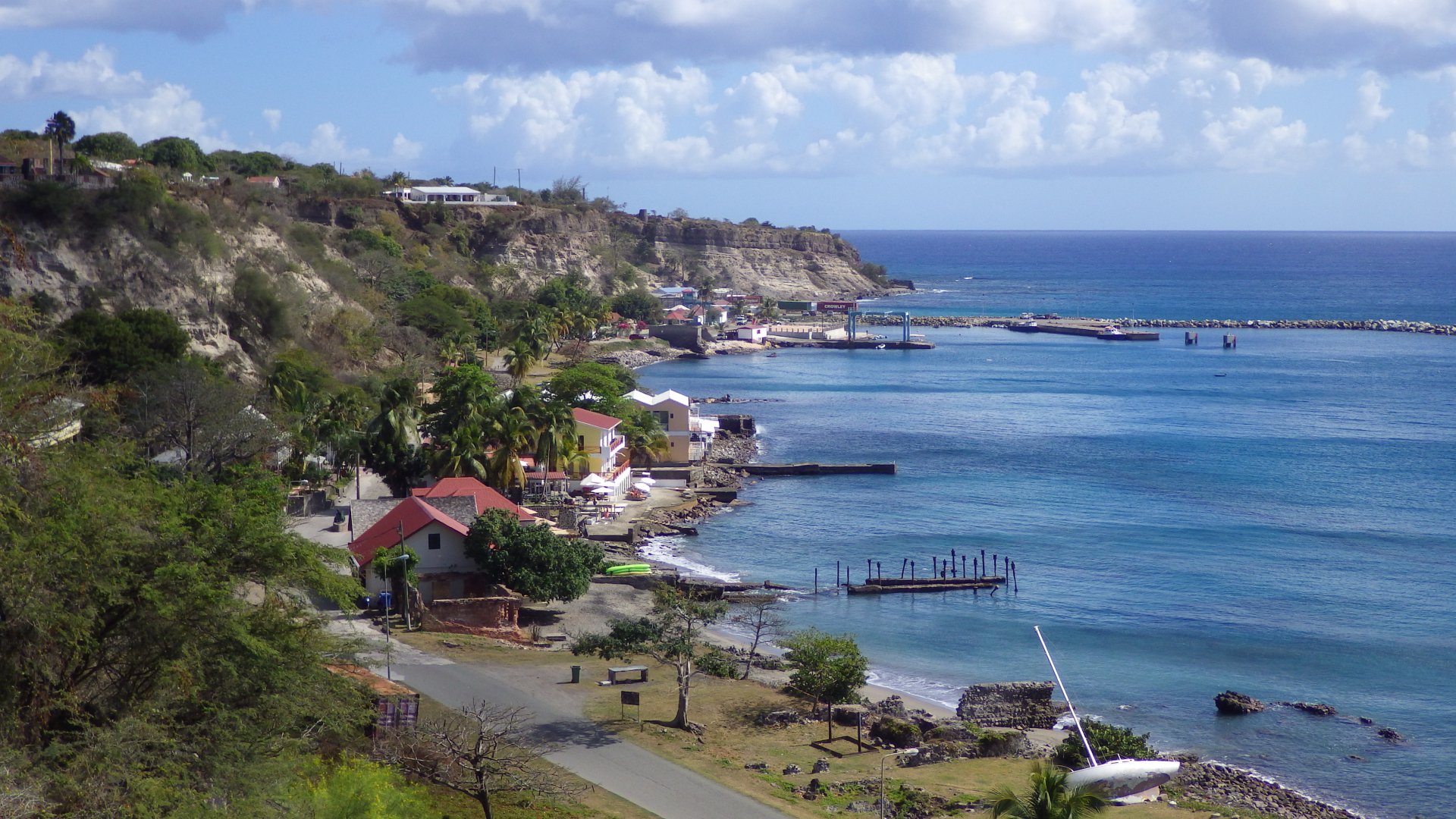
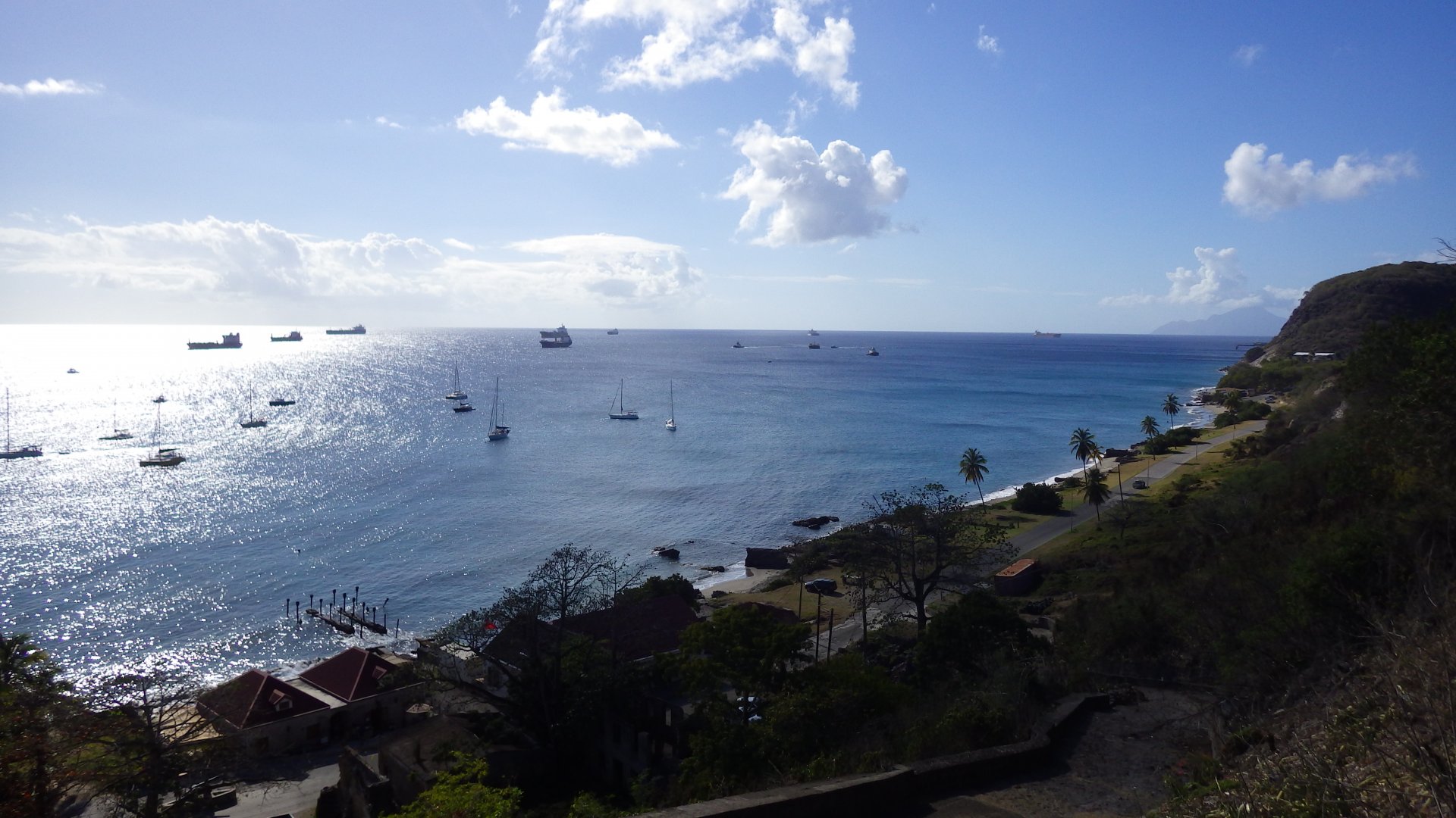
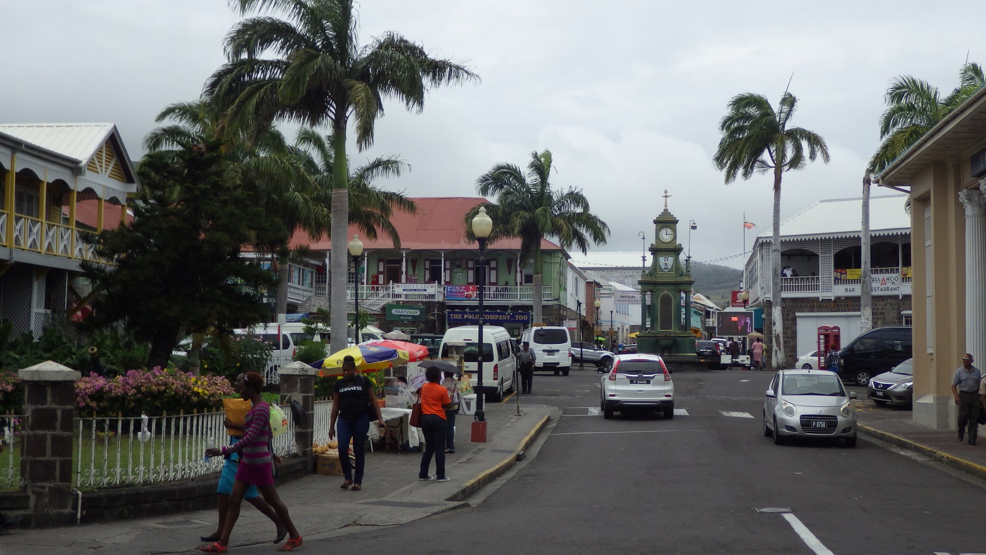
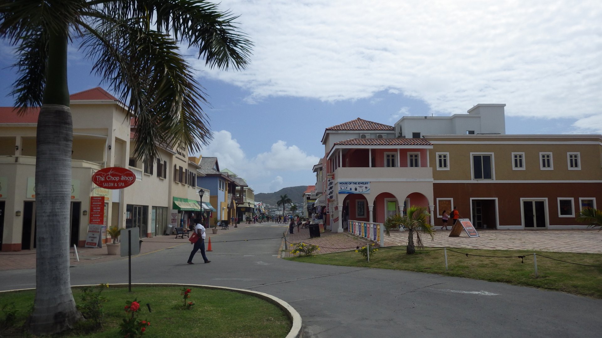
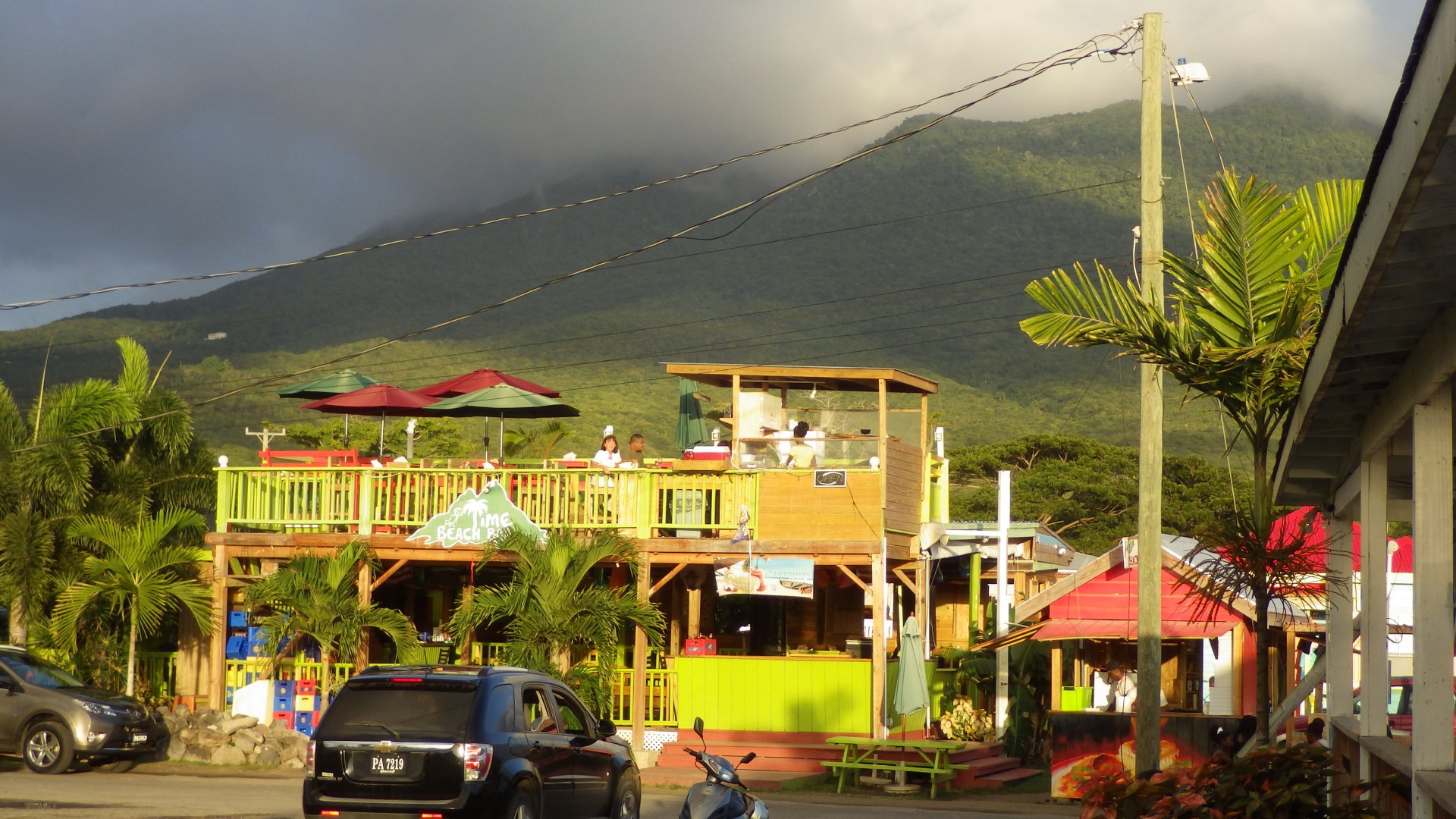
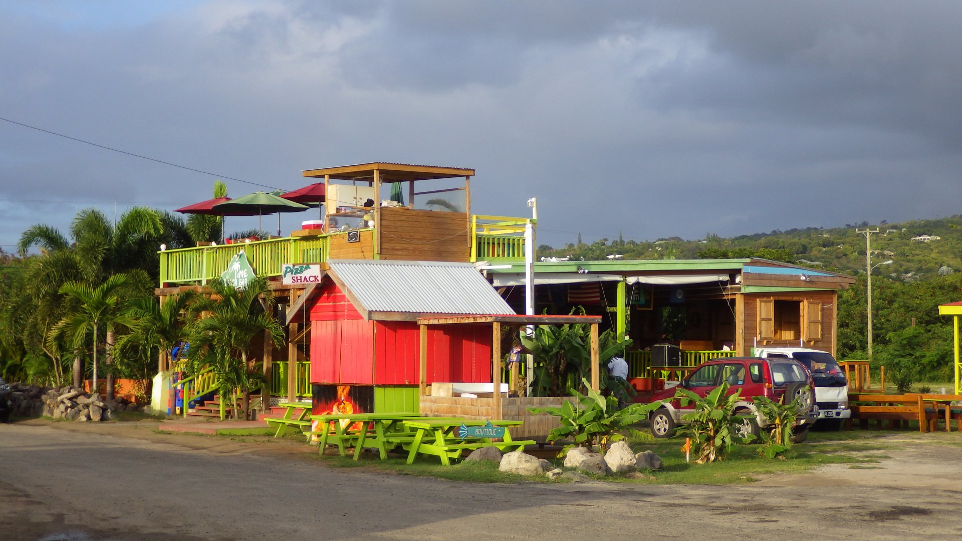
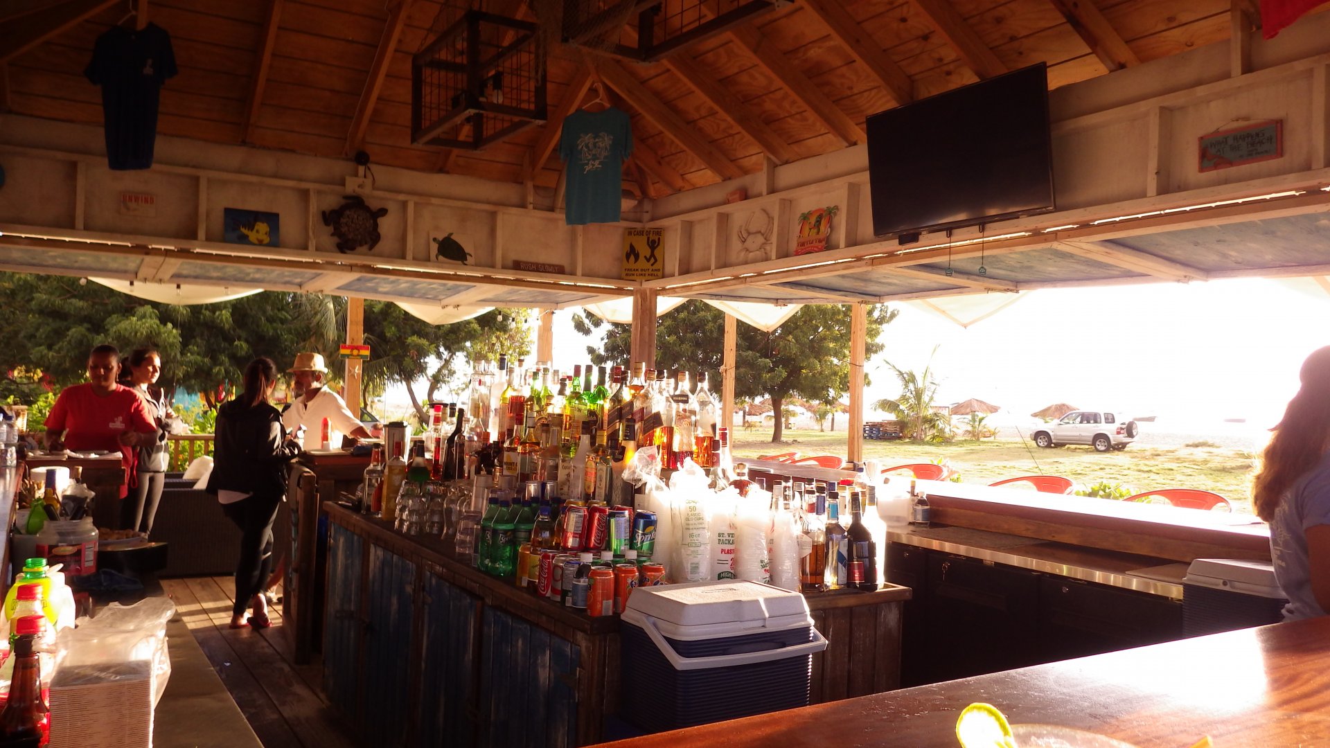
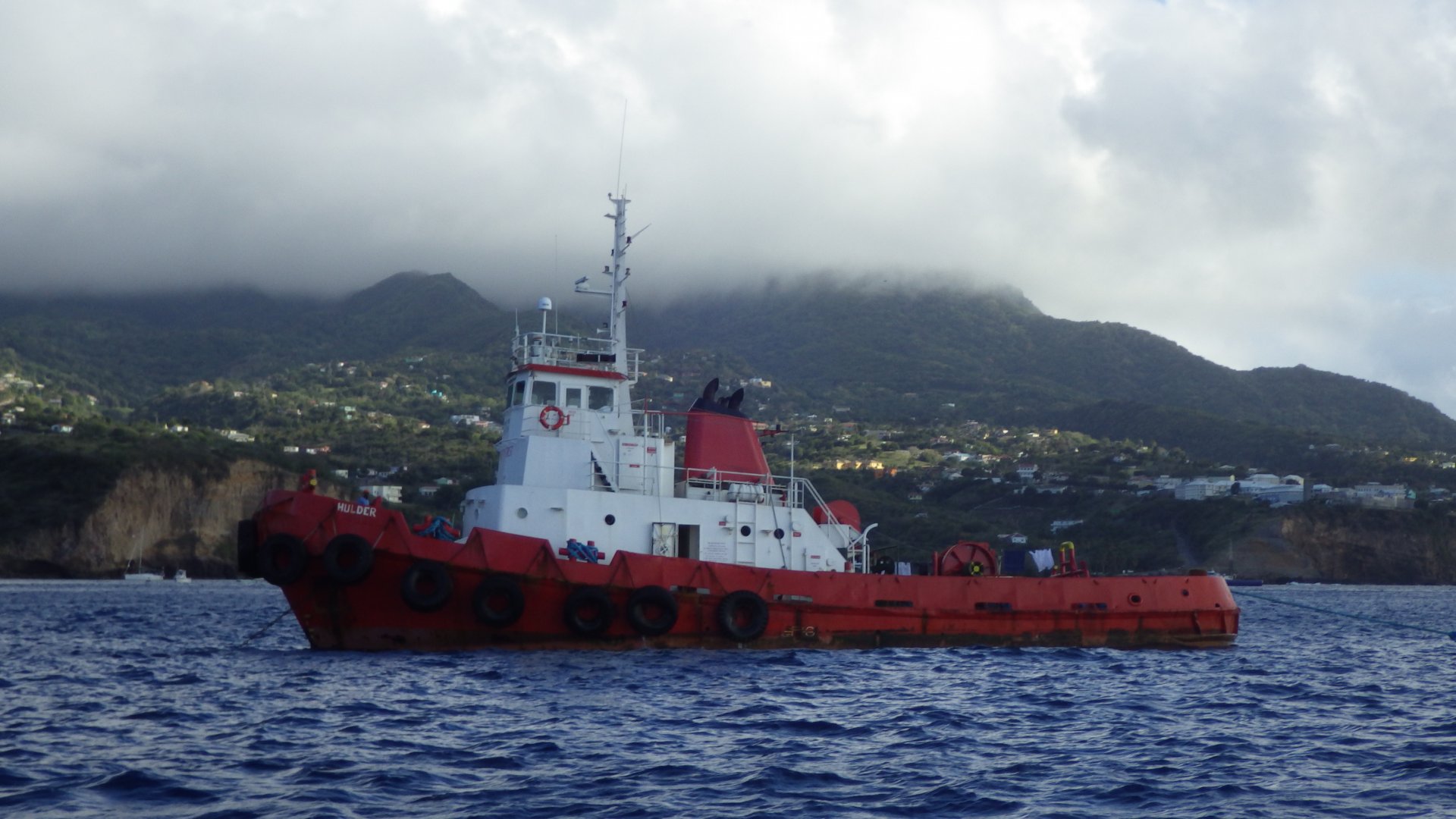
The island has the best marine services in the Caribbean. There are many stores and prices are quite reasonable for the region. Plenty of restaurants and shops.

On the down side, you have to pay for using the opening bridges and weekly lagoon fee.

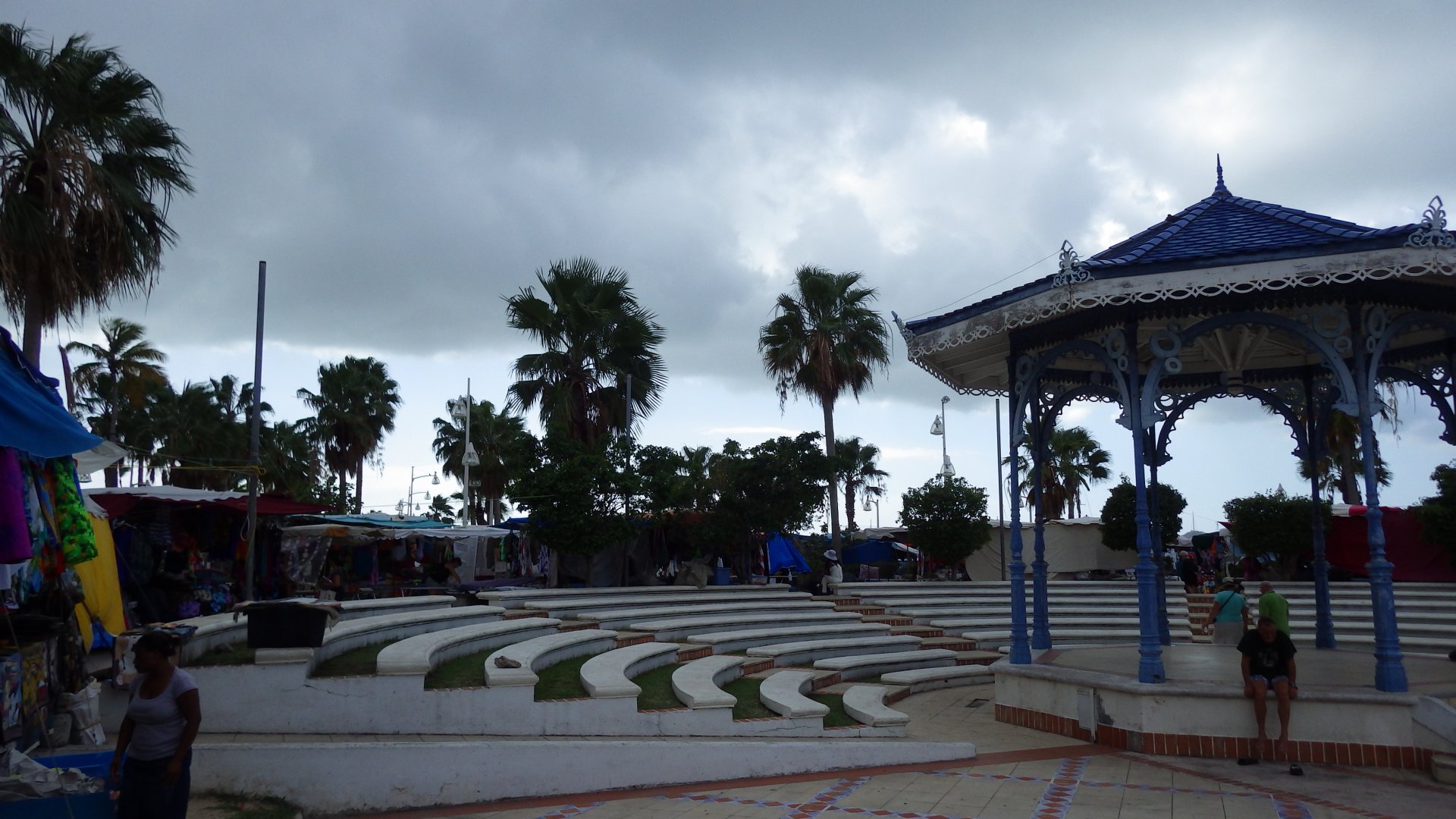
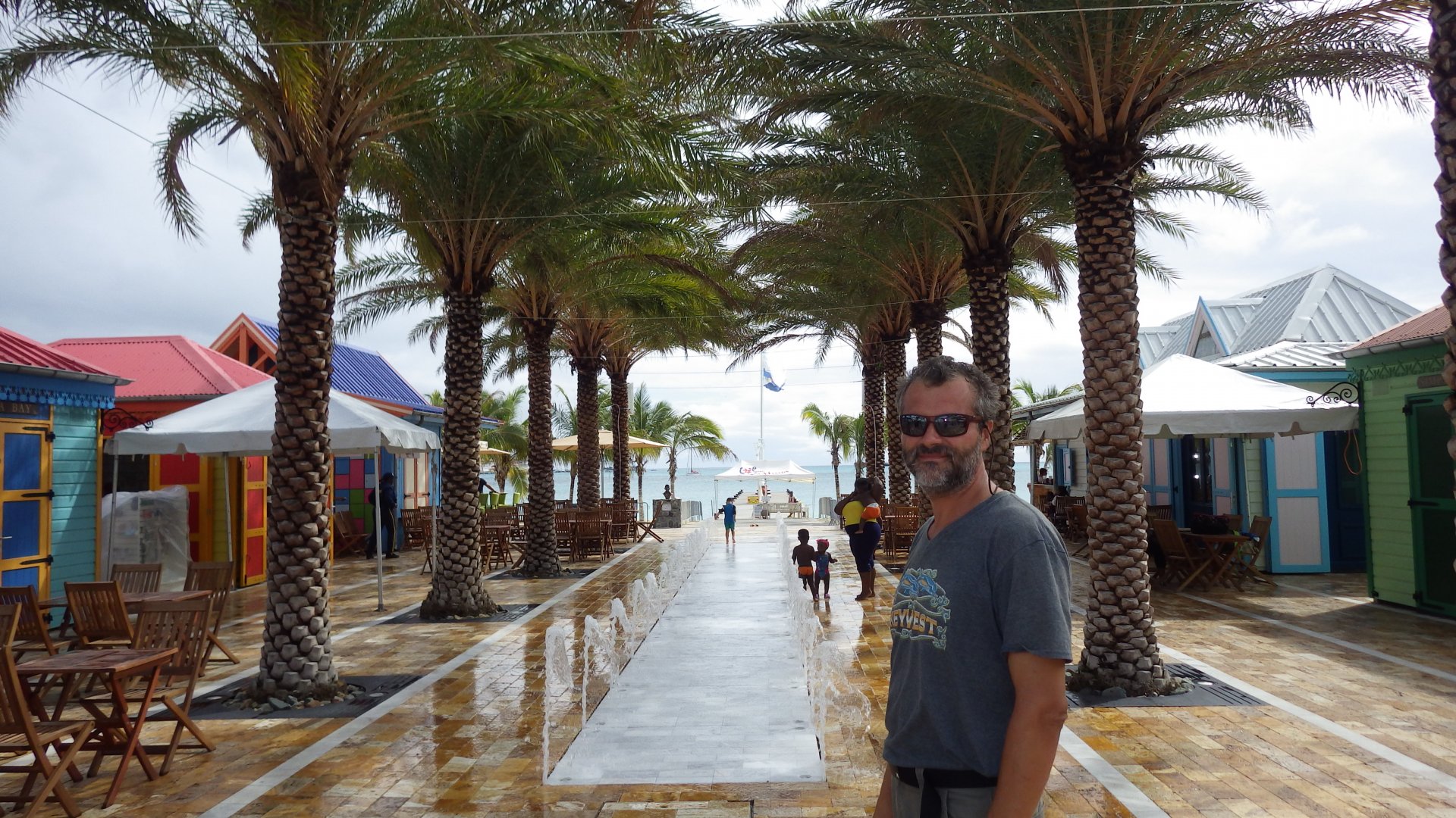
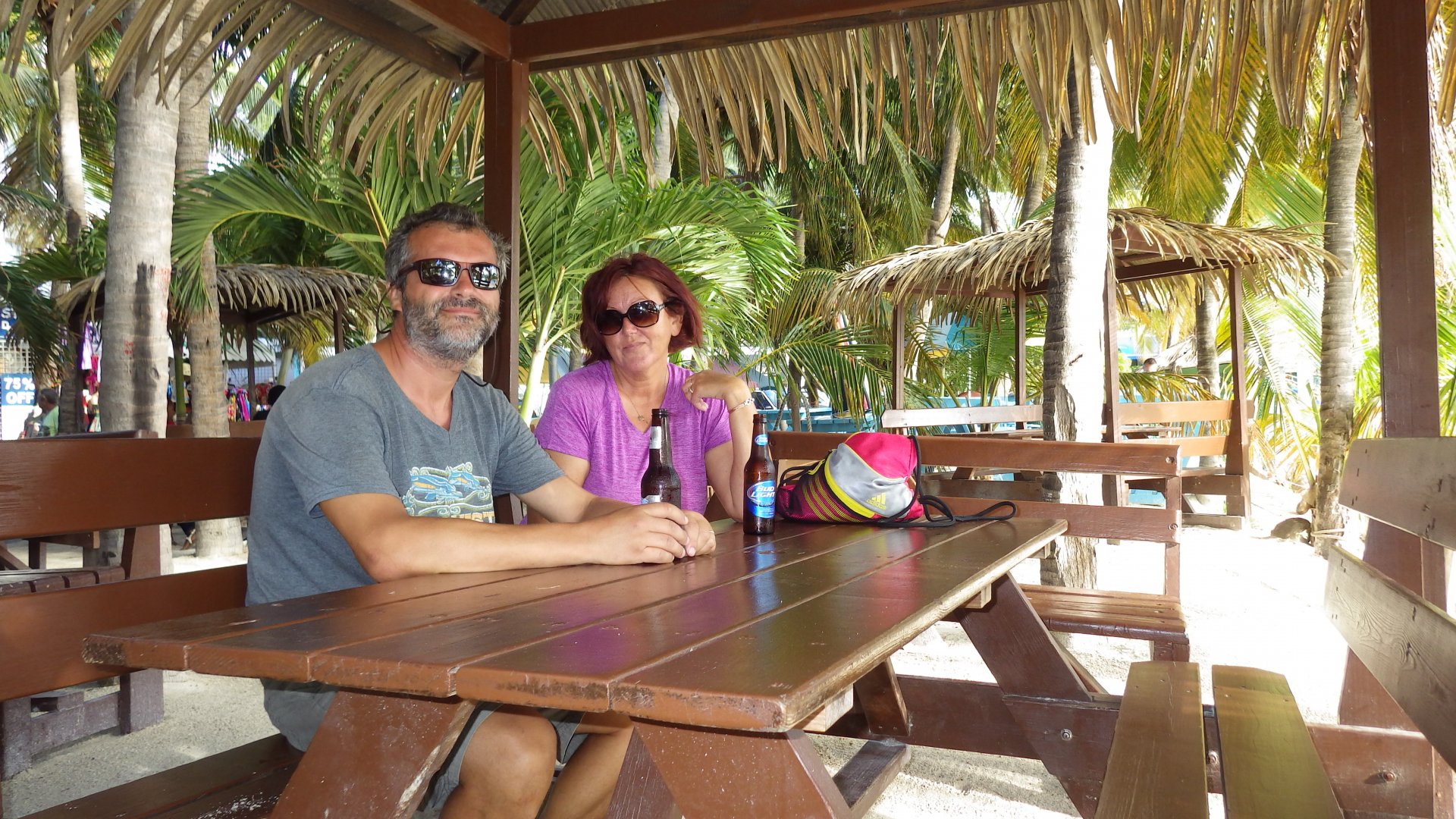
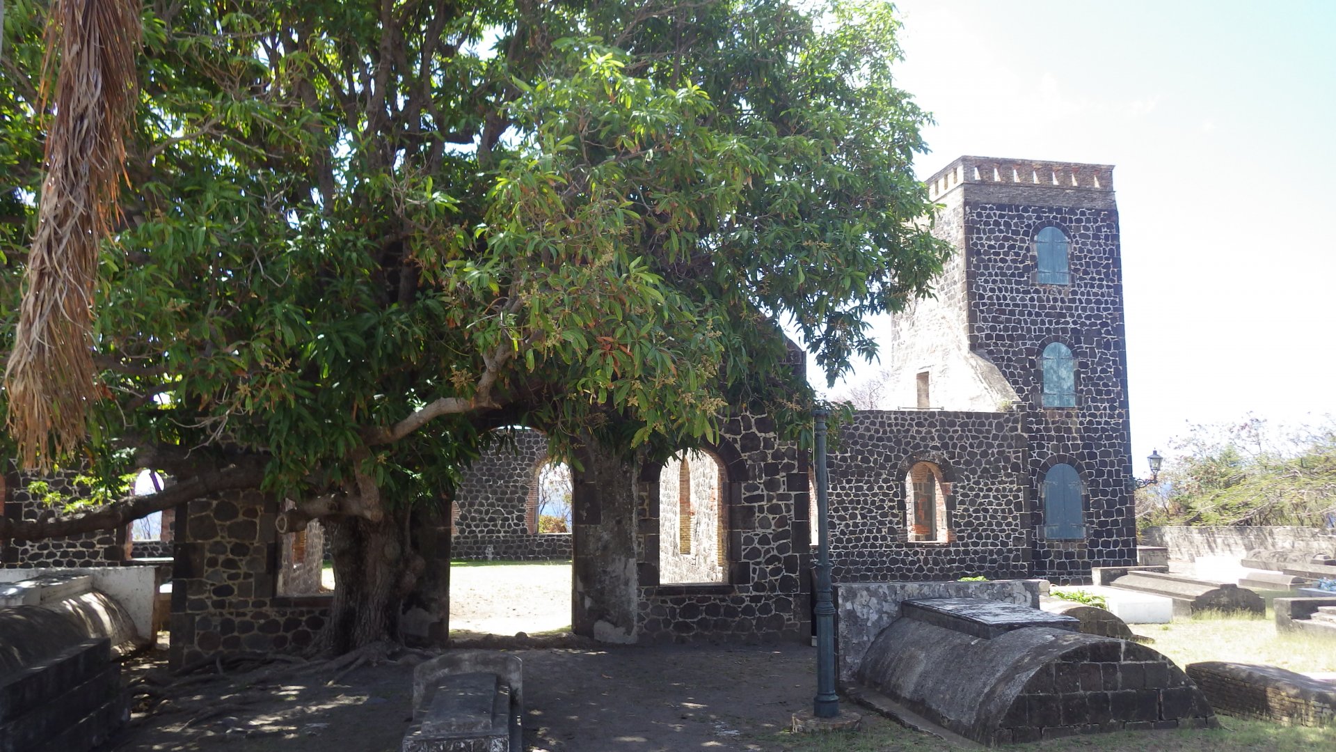
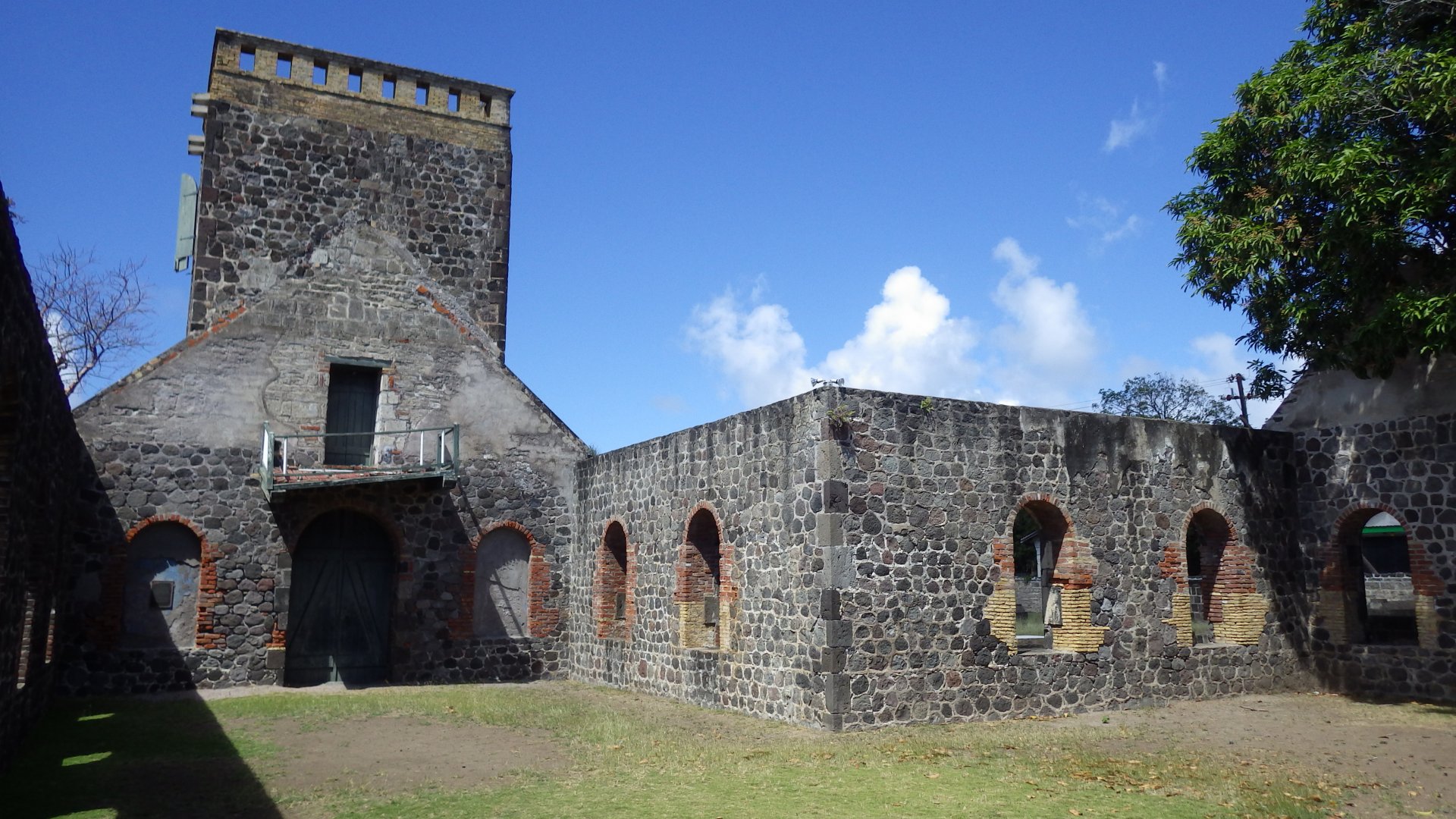
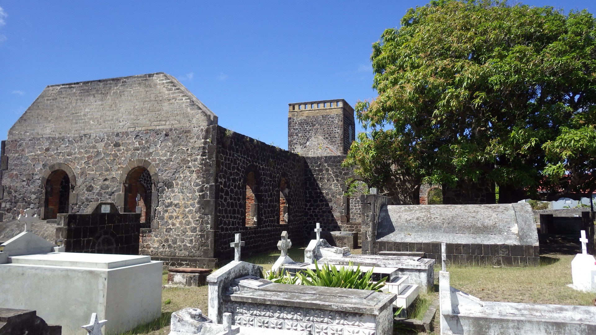
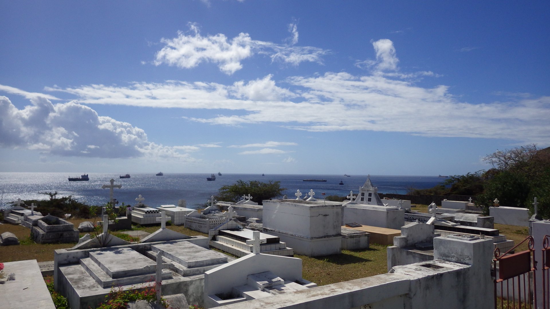
We stayed here for a week. Although the place does not have much character, we liked it.

Got Fish on the Way to St Maarten Approaching Sint Maarten in the Morning Sailing Super Yacht Anchored in Simpson Bay Sint Maarten Going Through Simpson Bay Bridge View of Simpson Bay Lagoon SuperYachts at Dock in Simpson Bay Lagoon Brunel Team Racing Sailboat Historical Simpson Bay Market At Simpson Bay Beach Simpson Bay Beach Virew of Simpson Bay View of Simpson Bay from Resort Boats at Simpson Bay House in Simpson Bay Simpson Bay Street View from Simpson Bay Lagoon Island Waterworld Mairne Store at Simpson Bay Lagoon East Simpson Bay Shore Great Looking SuperYacht at Simpson Bay Lagoon SuperYachts in Simpson Bay at Sunset
Marigot Saint Martin

Trip to the French Side - Marigot, Saint Martin

Log#: 170
LatLon: 18°03.899'N, 063°05.225'W

While staying on the St. Maarten Island, we took a dinghy trip across the Lagoon to the town of Marigot on the French side.

It was a pleasant trip. The town has a definite French character and reminded me of Paris. French architecture and language, small boutique stores, inviting restaurants at the shore, vendor markets, etc.
Stores have European items not normally found in North America.

Aproaching Marigot from Lagoon Marigot at the Lagoon Shore Marigot Boardwalk at the Lagoon Shore Marigot Street Marigot Street At Marigot Sculpture at Marigot Mall I Think I Know Her Lunch at Marigot Marigot Bay Marigot Bay Marina at Marigot Bay Marigot Bay Shore Small Show Place at Marigot Top Floor Restaurant at Mrigot Yachts at Marigot Lagoon Side
Philipsburg Sint Maarten

Philibsburg, Sint Maarten

Log#: 171
LatLon: 18°01.076'N, 063°02.847'W

We anchored for a day at Philipsburg, the capital of the Dutch Sint Maarten Island.

The town has a cruiseship dock and its services are geared toward their one-day tourist crowd. Pleasant walkway at the shore, live music, streets with lots of tourist type shops.
Although we didn't have a chance to visit other parts of the town.

Philipsburg Outskirts on the Hill Philipsburg Beach View from Harbour Great Harbour at Philibsburg Small Canal in Philipsburg Dancing on Philipsburg Beachwalk Philipsburg Beachwalk Live Entertainment at Philipsburg Beachwalk Philipsburg Beach At Philipsburg Sint Maarten Colorful House on Philipsburg Street Philipsburg Street Philipsburg Court House Philipsburg Church Philipsburg old Street Old Philipsburg Street At Old Street Philipsburg Anchor and Cannon at Philipsburg Hotel at Philipsburg Bar Gazebos at the Beach At Beach ar Gazebo Dinner Aboard Great Harbour Philipsburg Rainy Clowds Over Harbour Tallships at Philipsburg Tallship at Philipsburg Tallships at Night at Philibsburg
Ile Fourchue

Ile Fourchue, St. Barths

Log#: 172
LatLon: 17°57.383'N, 062°54.215'W

This was a short stopover for lunch on our way from Sint Maarten to St. Barths Island.
The small hilly island Ile Fourchue was once inhabited by goats. Introduced to the island and left along, they multiplied without control and eventually ate all vegetation, leaving bare mountains. Consequently, the goat population collapsed. After relocating few remaining goats from the island the greenery starts to come back now.

Peak on Ile Fourchue Small Dark Sand Beach on Ile Fourchue Hills of Ile Fourchue
Sunset at Anse de Colombier St Barths

Anse de Colombier, St. Barths

Log#: 173
LatLon: 17°55.486'N, 062°52.207'W

Overnight we stayed at Anse de Colombier, a picturesque bay on the northwest coast of St Barths Island.
It is a very popular spot for day trippers - too much for our taste.
The northerly swell was wrapping around the cape and made our stay here not very comfortable.

Boats Moored at Anse de Colombier St Barths
Gustavia St Barths

Gustavia, St. Barths

Log#: 174
LatLon: 17°53.851'N, 062°51.404'W

Part of the French overseas territories, Gustavia and the Island of St. Barthelemy (St. Barths) are very pretty looking, with European and French character.

It has been said, celebrities hang out here. We haven't seen any during our stay, but the class of the place surely reflects this assumption.
It is also said that this is the most expensive island in the Caribbean. Sure I can attest to that. Nice high end / high price stores, restaurants and services. Best looking superyachts. And you are being charged per day just to anchor outside the harbour.
On our last morning here, we have been boarded by the French Coastguard for a routine check. Security is obviously important on the island.

We spent several pleasurable days here - visiting historic forts on the high hills, wondering streets, looking for inexpensive places to eat.
Although the outside anchorage is far and quite rough in strong easterly winds.

Welcome to Gustavia St Barths Busy Anchorage at Gustavia St Barths Gustavia St Barths Street Big Anchor Boats Lined at the Dock in Gustavia St Barths Cafe on Streets of Gustavia Cheeseburger in Paradise Gustavia St Barths Gustavia Harboour View With Flowers SuperYachts at the Gustavia Dock Nice Super Yacht Docked in Gustavia St Barths Gustavia Shore Steet On the Bench at Gustavia On Streets Of Gustavia Small Yard Garden in Gustavia Siting on the Bench Gusatavia Harbour At Gustavia Harbour Pier View of Gustavia Shell Beach Anchored Boats Near Shell Beach Nice View of Gustavia from Fort Karl View From Fort Karl Art Piece from PC Parts Tree Over Harbour View of Gustavia From Fort Gustav Gustavia Anchorage View From Fort Gustav Overloking Gustavia St Barths Old Cannons Ft Gustav Fort Gustav Cannons and Lighthouse Fort Gustav Lighthouse St Barts Overlooking Gustavia Under Tree Roadside Garden in Gustavia At Gustavia Shops and Cafe Sunset at Gustavia Anchorage
Quiet Statia Courtyard

Orangestad, St. Eustatius (Statia)

Log#: 175
LatLon: 17°28.971'N, 062°59.458'W

Statia (St. Eustatius) is a small island with lots of history. It has a quiet charm. Unspoiled by the tourists, it sleeps under the dormant volcano crater.

Many streets of the main town Oranjestad are stone paved, tightly lined up with colorful gingerbread houses. The historic Fort Oranje is nicely restored.

There are basic stores and services, noting for yachties though.
The main harbour, Oranje Baai, is fairly open for wild weather to roam, the shores are eroded with time.

Approaching Statia Afternoon St Estatius Statia from SouthWest Statia Northwest Shore The Quill Seting Up Anchor Bridle Tanker at Statia Oil Pier and View of Saba Conches at Dive Shop Excavated Old Warehouse Lower Town Street Lower Town Store At Lower Town Place Lower Town Place Shore View Root Over Ruins Shore Ruins Bay Road Old Slave Road Up Old Waterway Oranjestad Street Houses on Oranjestad Street Oranjestad Square and Church Under the Tree At Fort Oranje Entrance Fort Oranje Cannon at Fort Oranje Cannons at Fort Oranje Fort Oranje Bay View from Fort Oranje Street Restaurnat Restaurant Bay View From Restaurant Musicians Church Ruins and Cemetery Church Ruins Church Ruins Church Ruins and Cemetery Oranje Baai View from Upper Town Pretty Small House Goats in Front Yard Kids at Local School Abandoned Corner House Cemetery Overlooking Bay Oranje Baai View from Upper Town View of Anchored Boats and Tankers Museum Cannon At Museum Lower Town Ruins at the Shore Lower Town Anchored Tankers at Sunset View of Tankers and Saba After Sunset View of Oranjestad and The Quill
The Quill

The Quill, St. Eustatius (Statia)

Log#: 176
LatLon: 17°28.864'N, 062°57.832'W

One day we took a day-long rewarding hike to The Quill, a 1970 ft dormant volcano towering over the St. Estatius island. It was part uphill hike and part climb over the rocks in the jungle forest.

The panoramic views of Statia, surrounding islands and crater bottom from the rim are gorgeous.

The Quill Statia View The Quill Naional Park Info Hiking Trail up the Hill Snake Hanging Plant Trail Sign Jungle Along the Trail View of the Town Rooster Along the Trail Feeding Rooster At The Quill Vulcano Crater Lush Crater View The Quill Crater View Tree Roots Along the Trail Jungle Trail Town View From The Quill Crater Rim Statia Island View From The Quill Crater Rim At The Quill Crater Rim
Basseterre Circus

Basseterre, St. Kitts (St. Christopher)

Log#: 177
LatLon: 17°17.539'N, 062°43.797'W

We stayed couple days in Basseterre.
Its tourist's section, Port Zante, is basically a big shopping mall for the cruiseship crowd just at the pier. Step outside, and you are in a low key, somewhat run down town where locals live their lives.
There are few historical places which are interesting.

Approaching St Kitts St Kitts Shore St Kitts Valley Old Sugar Estate Ruins Cruiseships at Basseterre Port Zante St Kitts Basseterre Urban Shoreline at Night Port Zante Street Port Zante Mall Port Zante Mall Port Zante Gate Monkeys Basseterre Street Basseterre Skyline West Basseterre Rolling Tourists Independence Square Independence Square Church Church Hall Gallety Cafe Circus Monkey Monkey on a Back At the Museum Basseterre Rundown Street Basseterre Shore Simple House House Shore Garbage Resort At Basseerre West Memorial Bay View Form Memorial Basseterre Bay View Anchored Boats and Old Shipwreck
Wingfield Estate Ruins

St. Kitts Excursion

Log#: 178
LatLon: 17°17.408'N, 062°41.294'W

One day we took an excursion around the island. There are lots of old sugar mill ruins - some turned into hotels or estates, some restored into historical sites, and some just left there. Small unassuming villages dot the road. The lush tropical forest in the mountains with large trees is impressive.
One of our stops was at the high peak near Frigate Bay. The views from there were quite something you don't see every day. There seem to be lot of new luxury developments in that area.

Hills of St Kitts Old Sugar Mill Ruins Along the Road Small Houses Along the Road Hut Findfield Estate Ruins Distillery Ruins Old Estate Distillery Goats at Estate Ruins Stone Bridge in the Jungle Stone Road in the Jungle Among Jungle Trees View Botanical Gargden Flowers at Botancal Garden In Gazebo Houses Along the Road Locals Dwellings Road Stop View of South St Kitts Developments at Frigate Bay Flying Over Frigate Bay Ocean Beach View Beach Resort Beach at Resort At Beach Resort Rrestaurant at Beach Resort
Ballast Bay

Ballast Bay, St. Kitts

Log#: 179
LatLon: 17°14.420'N, 062°39.507'W

After seeing relatively crowded parts of St. Kitts, we've decided to move into a quieter and secluded place. Ballast Bay, on the island's southwest shore, seemed like such a place.

Rocky Beach at Ballast bay Pretty Yacht Entering Christophe Harbour Marina Anchored at Ballast Bay View of St.Kitts Sunset Soon Tallship Sailing St Kitts Cruiseships Old and New Sunset in Ballast Bay
Pinneys Beach Bar

Pinney's Beach, Nevis

Log#: 180
LatLon: 17°08.969'N, 062°37.896'W

St. Kitts and Nevis are one of those islands which "Brush the Clouds" - high and steep volcanic mountains, surrounded by deep water.

After seeing a bit of St. Kitts, we have sailed to the nearby island of Nevis. We picked up a mooring buoy at the Pinney's Beach, near Charlestown Harbour.

The Pinney's beach is lively, with several colourful restaurants and not too far dinghy ride to the Charlestown.
During the weekend, however, the beach turns into a VERY loud party where locals blast music through the entire night, from sunset to sunrise. Could not sleep at all.

Pinneys Beach Boats Moored Pinneys Beach Under Nevis Peak Boats Moored at Pnneys Beach Pinneys Beach View Nevis Beach Bar at Pinneys Beach Colorful Local Pinneys Beach Bar Pinneys Beach Bar At the Pinneys Beach Bar Piney's Beach View at Night Pnneys Beach Hats at Pnneys Beach Resort at Pinneys Beach Nevis Resort Hat at Pinneys Beach Nevis Peak View from Pinney's Beach Pineys Beach Sand Pinneys Beach Boats Moored Afternoon Dinner at Pinneys Beach Sunset at Pinneys Beach
Charlestown Square

Charlestown, Nevis

Log#: 181
LatLon: 17°08.276'N, 062°38.071'W

The town of Charlestown in Nevis is small, unassuming, relatively unspoiled by tourism, with friendly locals.

We picked up some groceries at reasonably well stocked supermarkets. The fresh food market had a good variety of produce.
Walked around, made Skype calls via wi-fi, Larysa got her haircut.

Nevis Shore and Peak Greeting Sign at Charlestown Harbourfront Historic Charlestown Map Charlestown Harbourfront Fishing Boats ath Charlestown Dock Busy Charlestown Square Friday Evening Street BBQ Charlestown Alley Charlestown Shore Canons at Charlestown Harbourfront Cannons at Charlestown Shore Charlestown Church Charlestown Stteet Colorful House Charlestown Nevis Harbourfront Business Buildings Clouds Over Nevis Peak Feeding Marmoras Tallship Sailing Away Flying St Kitts and Nevis Courtesy Flag
Majors Bay St Kitts

Majors Bay, St. Kitts

Log#: 182
LatLon: 17°13.466'N, 062°38.945'W

The cold front with strong northerly winds and waves was approaching, so we have sailed to the nearby Majors Bay on the southern coast of St. Kits for a suitable protection.

Provisioned, tucked in and anchor set well, we waited out the harsh weather. I had plenty of time to catch up on some boat projects, reading and planning future voyages.

View of Nevis from Majors Bay Anchored in Majors Bay Shipwreck at Majors Bay Beach Shipwreck at Majors Bay Beach Our Yacht Anchored at Majors Bay At Majors Bay Beach Sea Ferry Sea Ferry Terminal Salt Pond At Majors Bay Sunset at Majors Bay
Montserrat Sourieire Vulcano Still Smoking

Montserrat

Log#: 183
LatLon: 16°48.555'N, 062°12.423'W

We stayed only one night at Montserrat, on our 2-day passage to Guadeloupe. Did not go ashore.

The volcanic eruption some years back had devastated the island, covering in ash its southern part and island's main town. Most of the island is how an exclusion zone and visiting is prohibited.

Small Island of Redonda Aproaching Montserrat Little Bay Montserrat View Rendezvous Bay Rendezvous Bay North Shore Do You See Faces Tugboat Anchored Nearby Sunset at Montserrat Leaving Montserrat
<< Older Entries     Logs Archive     Newer Entries >>

Copyright© 2000-2024 www.slow-cruise.com