Slow Cruise

Sailing Adventures of s/v Alpine Zephyr
"Be kind, fighting everyone you meet is a hard battle" -- Plato
<< Older Entries     Logs Archive     Newer Entries >>

Sailing Log: British Virgin Islands

Proclaimed as the word's sailing paradise, British Virgin Islands is a great place for cruising - beautiful island scenery, protected bays and nice weather. However, it is packed with charter boats and all best anchorages are filled with paid mooring balls.

Sopers Hole Dock

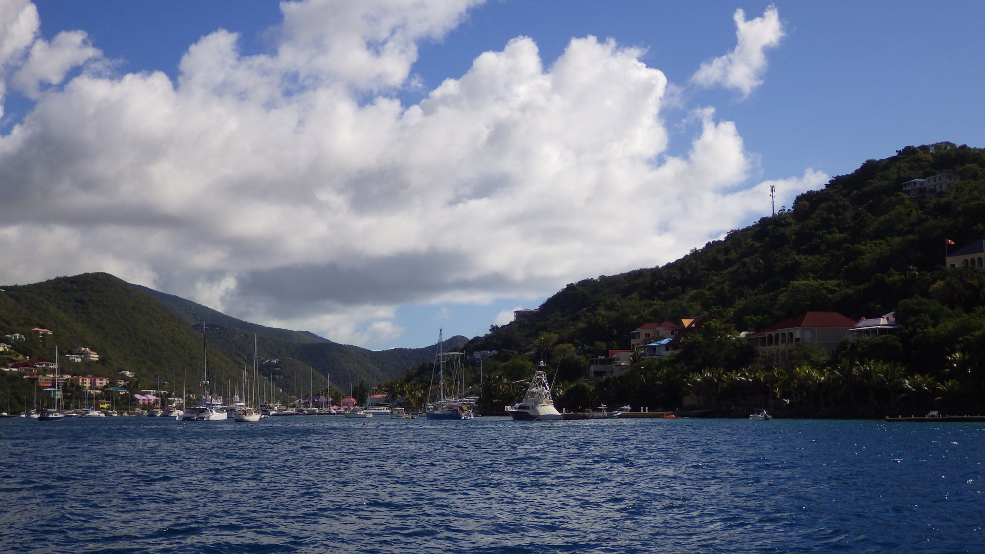
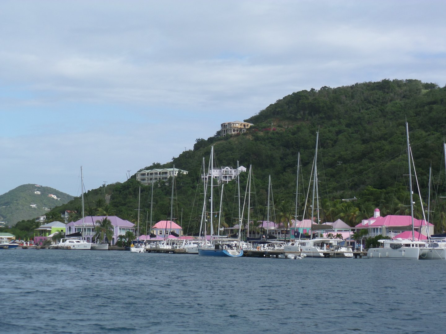
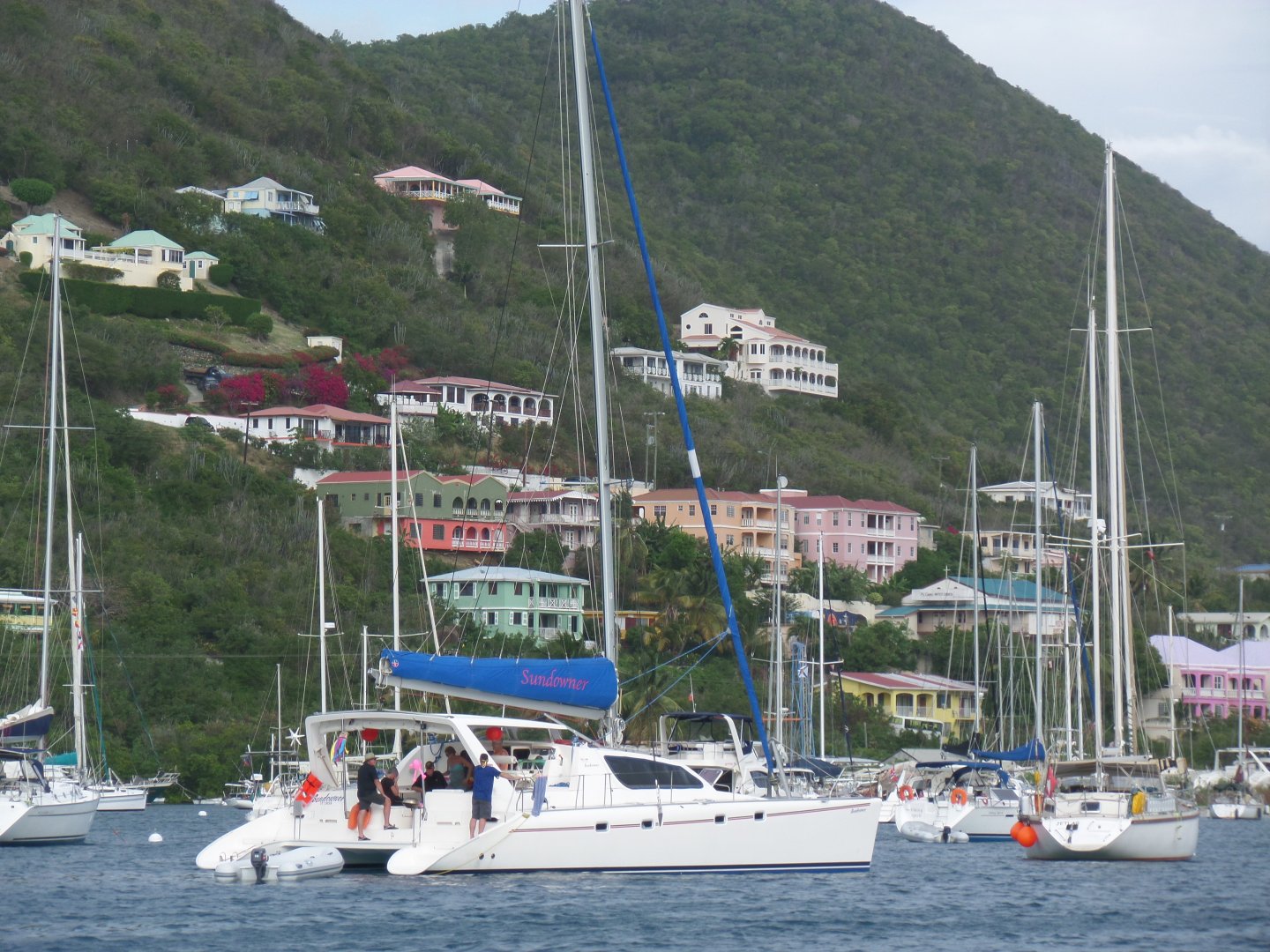
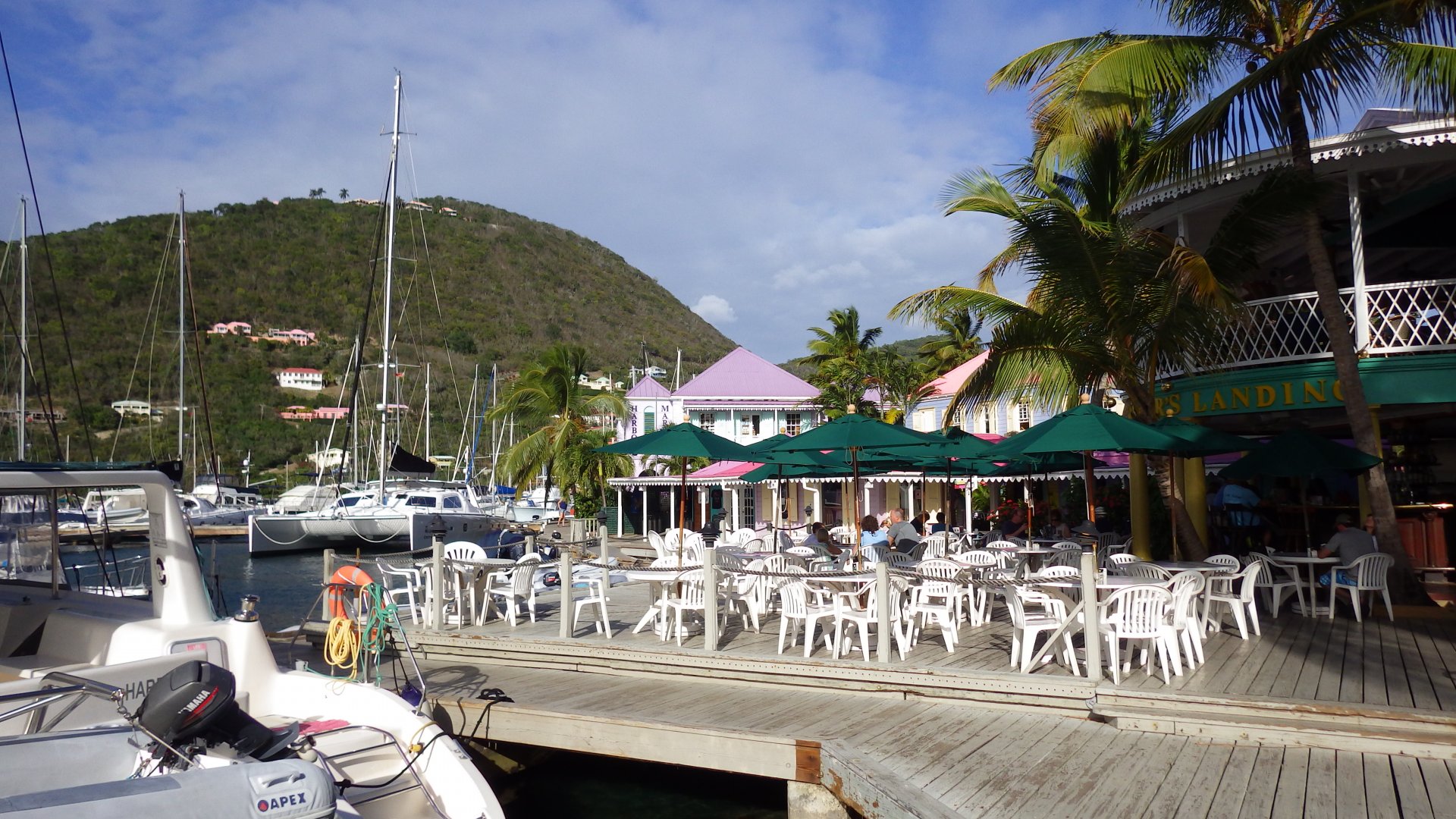
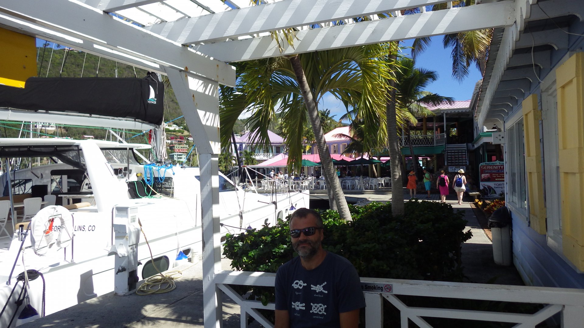
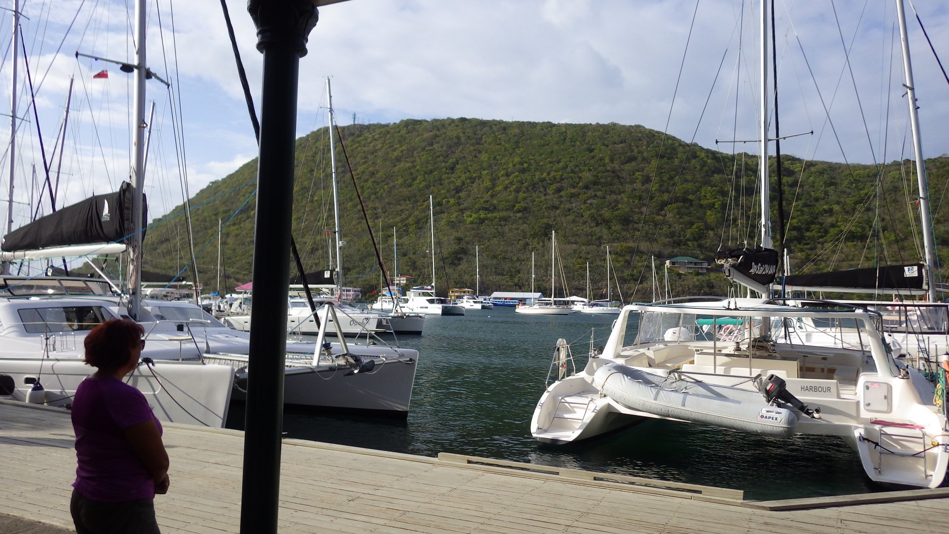
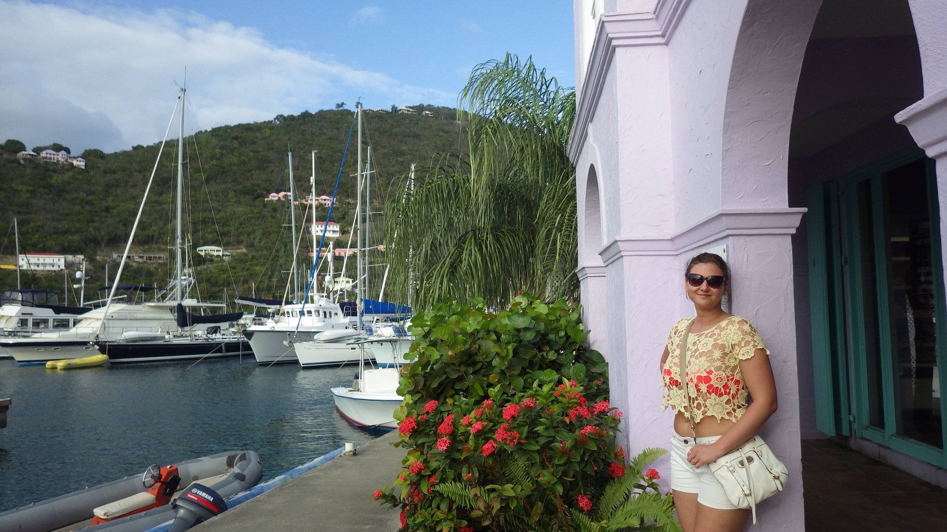
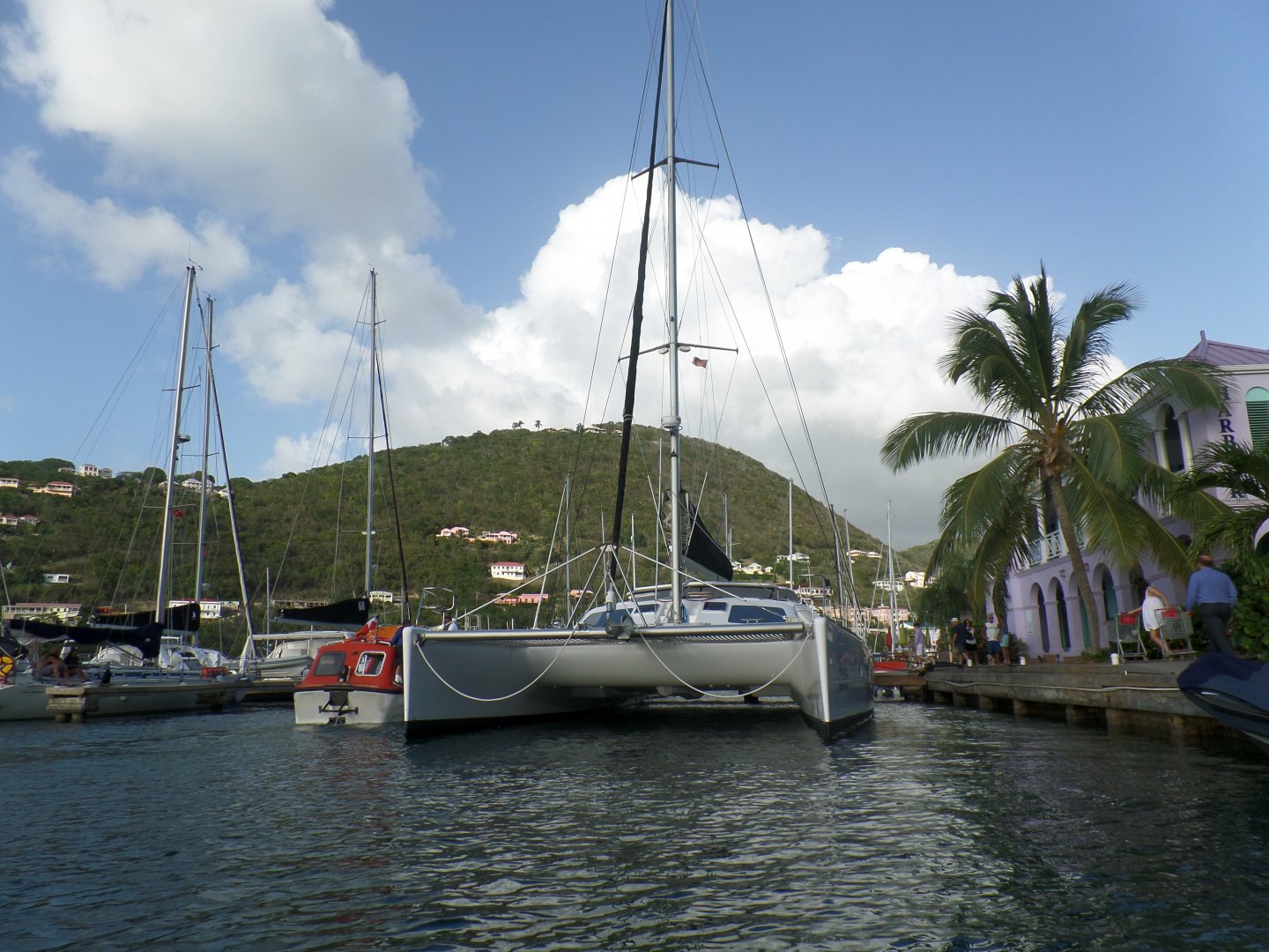
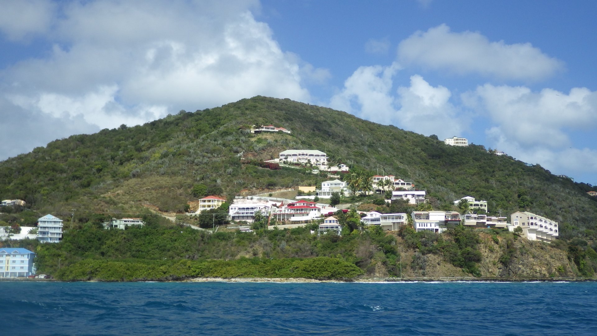
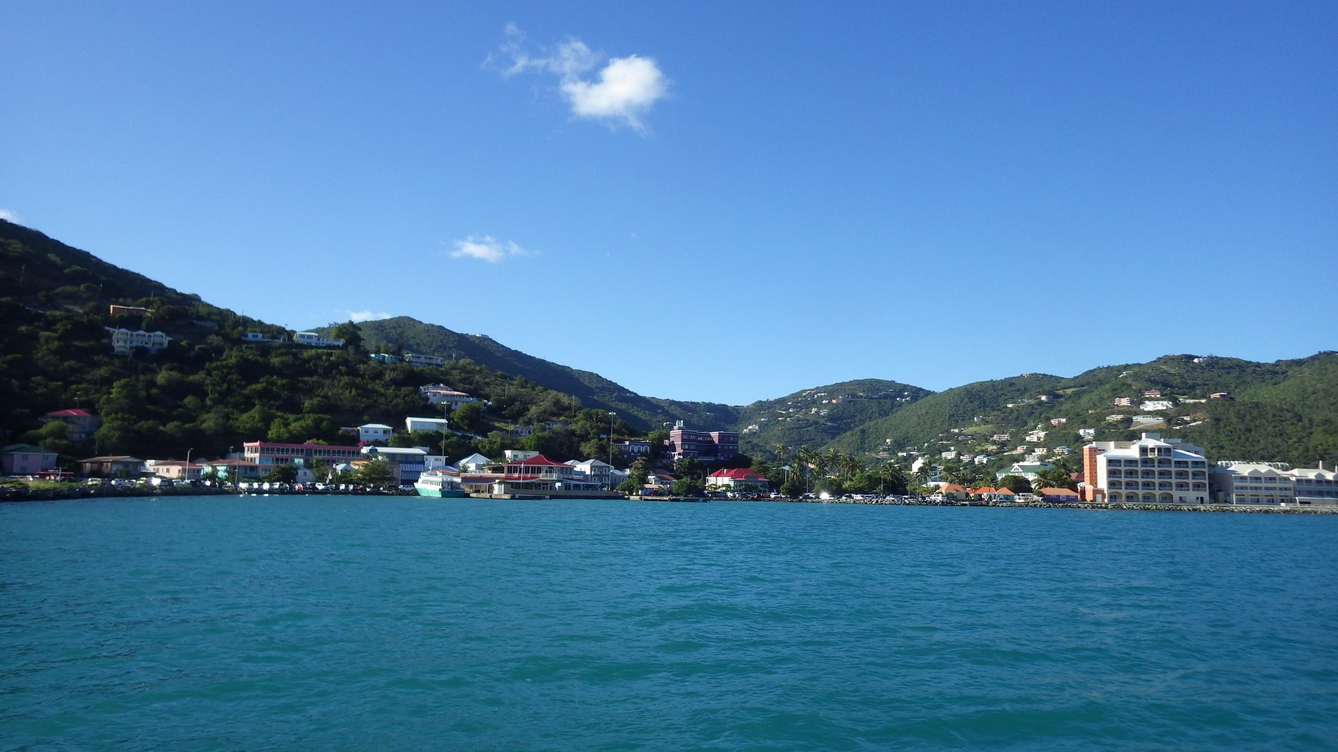
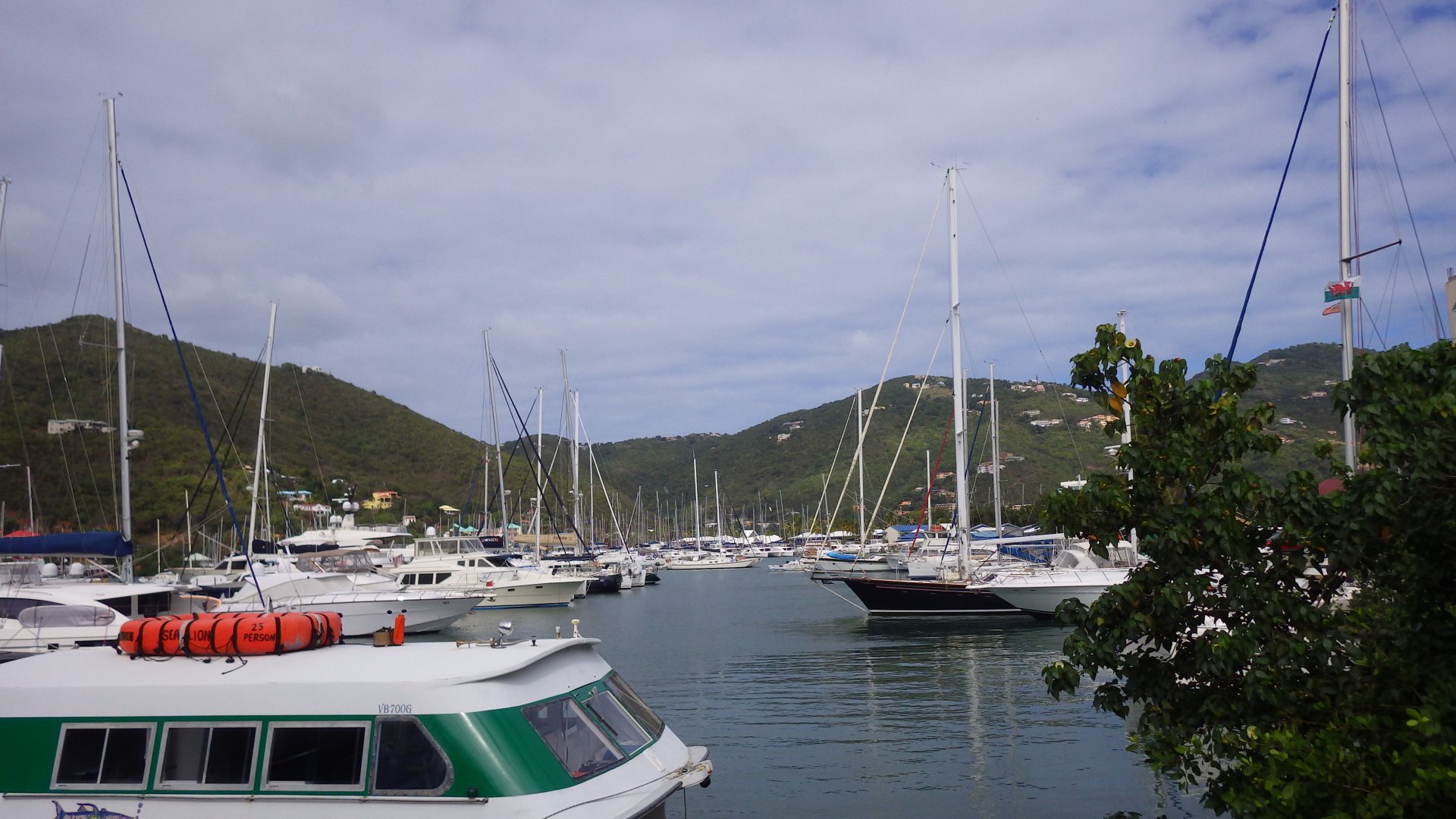
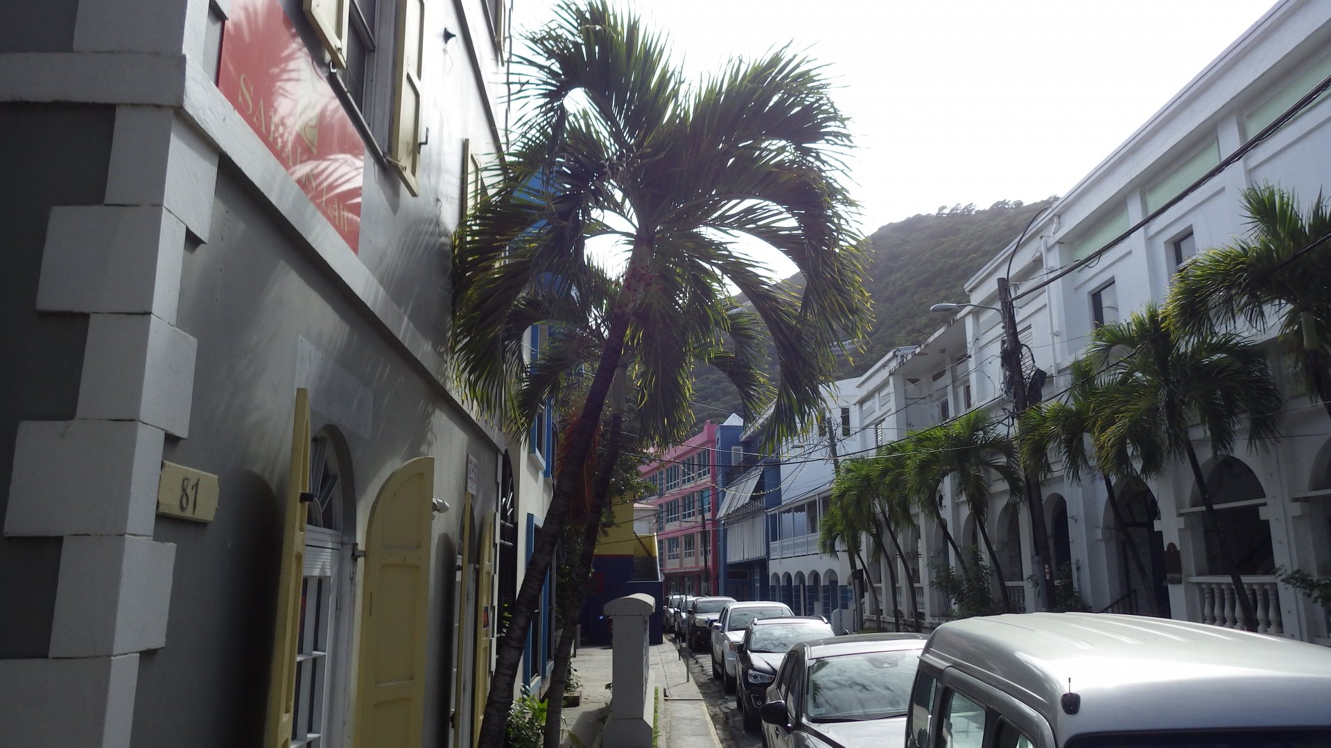
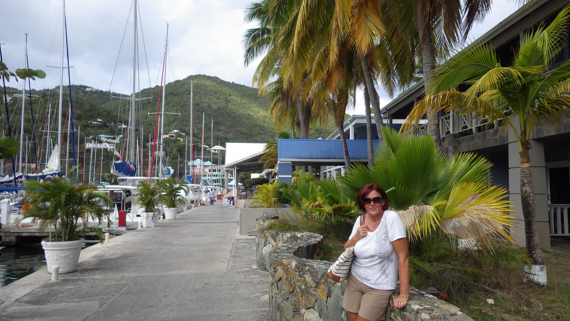
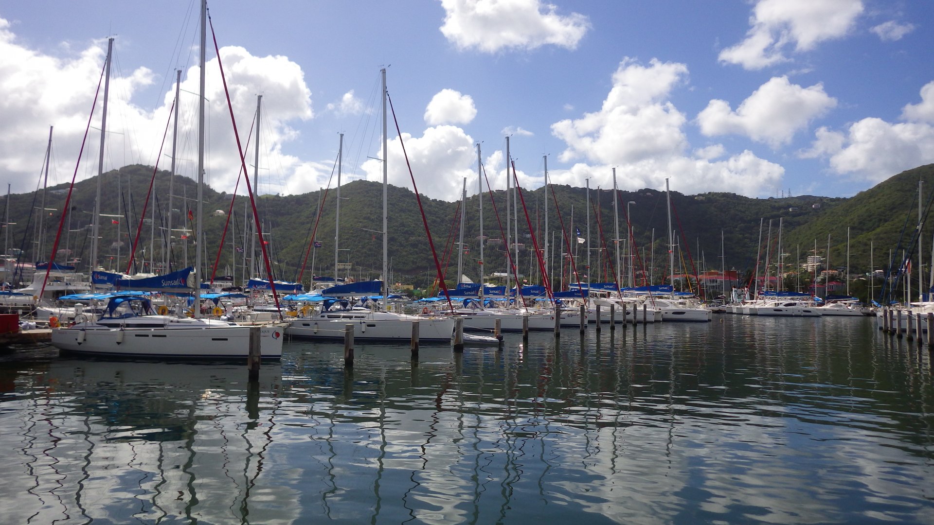
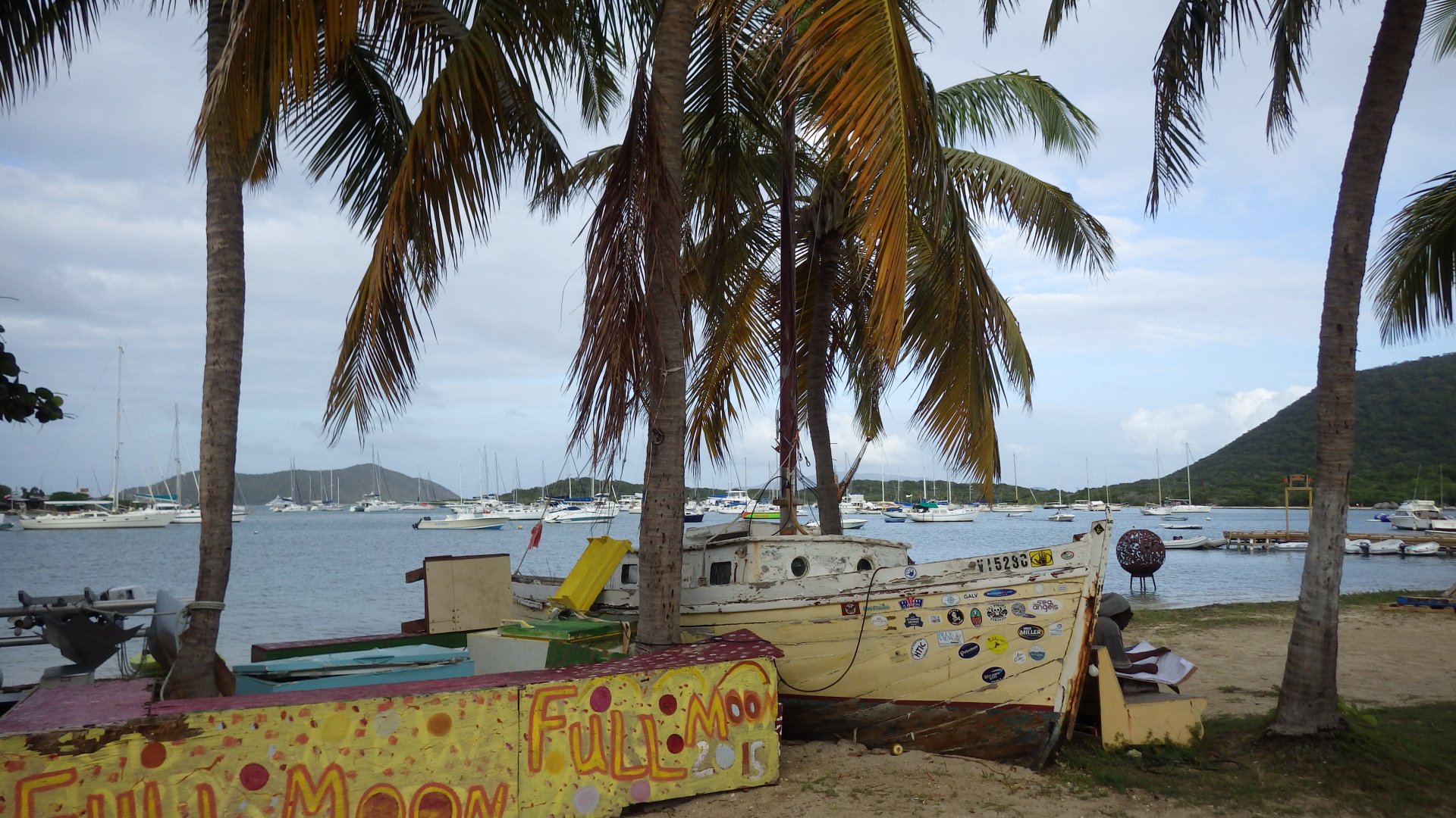
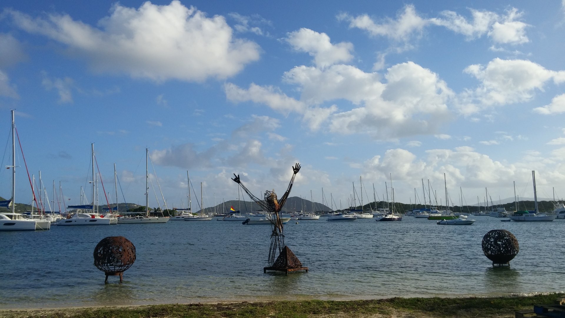
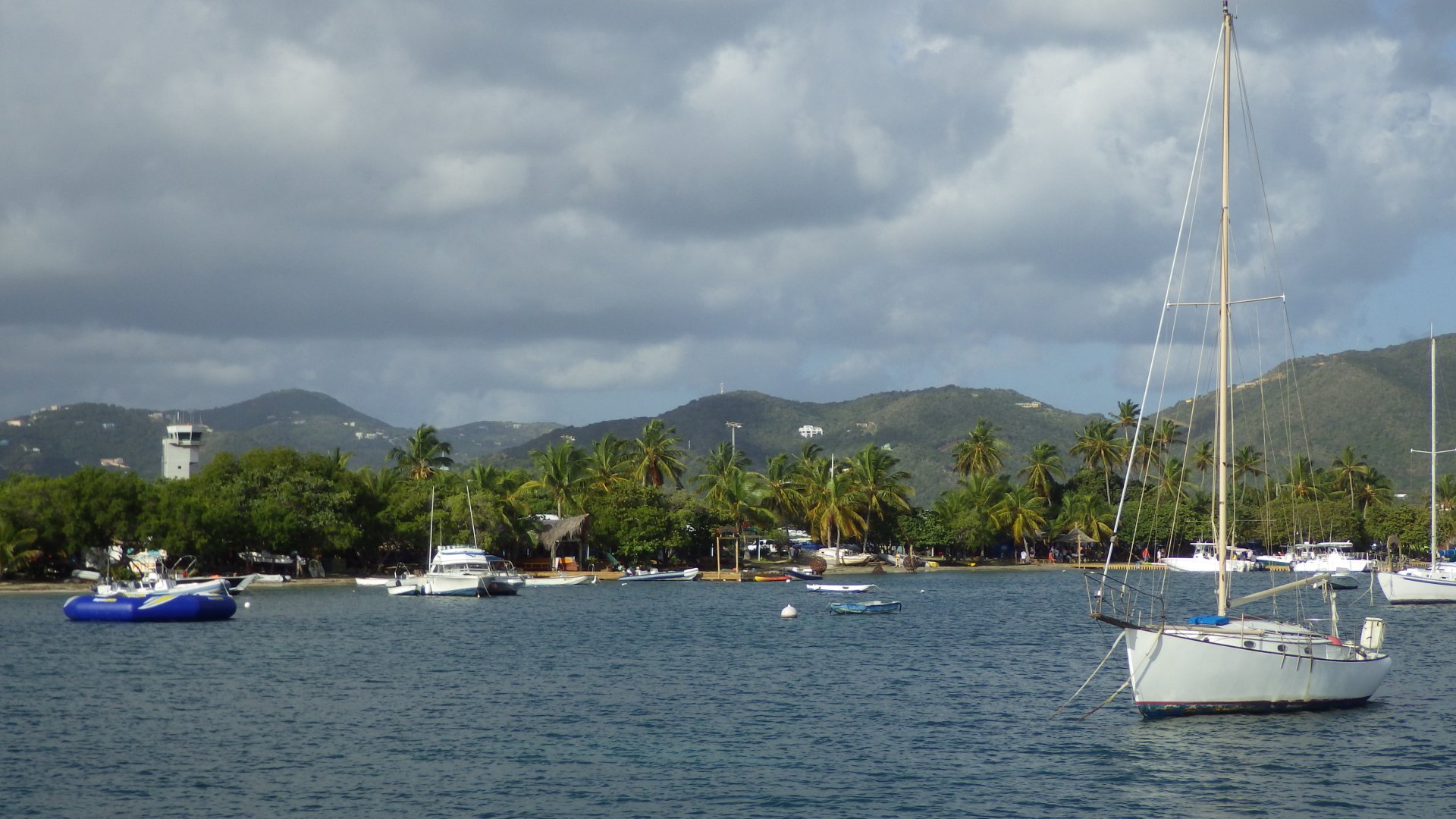
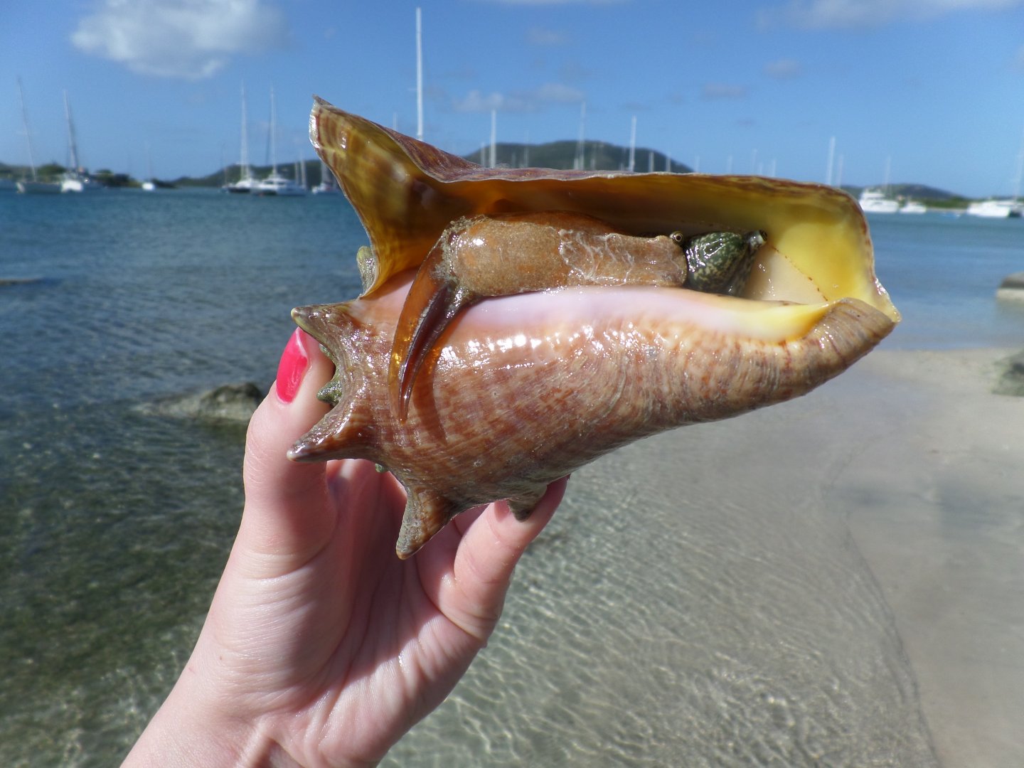
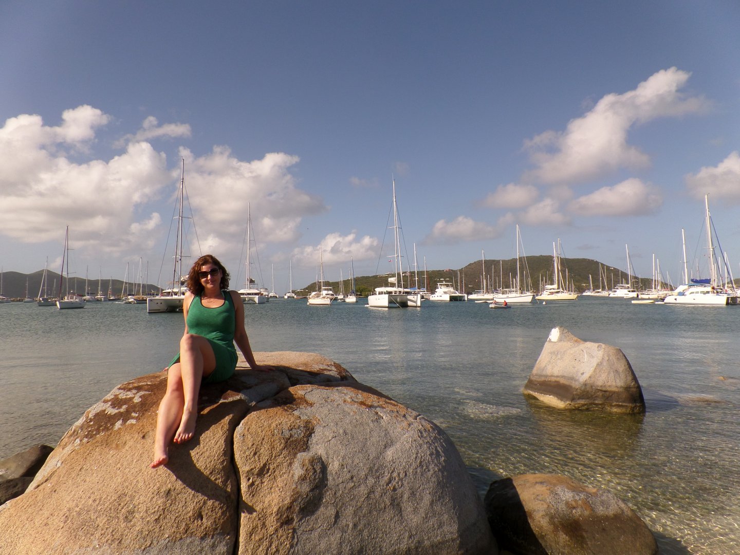
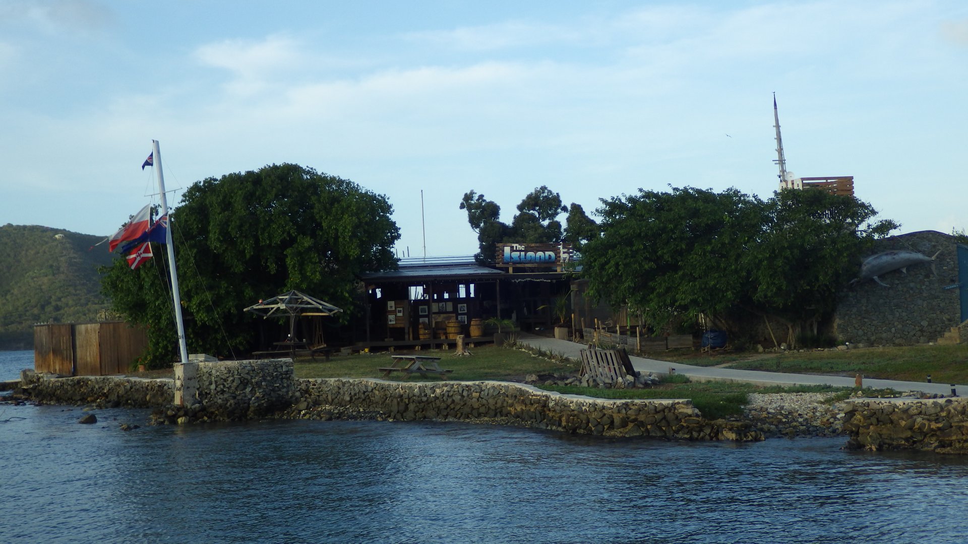
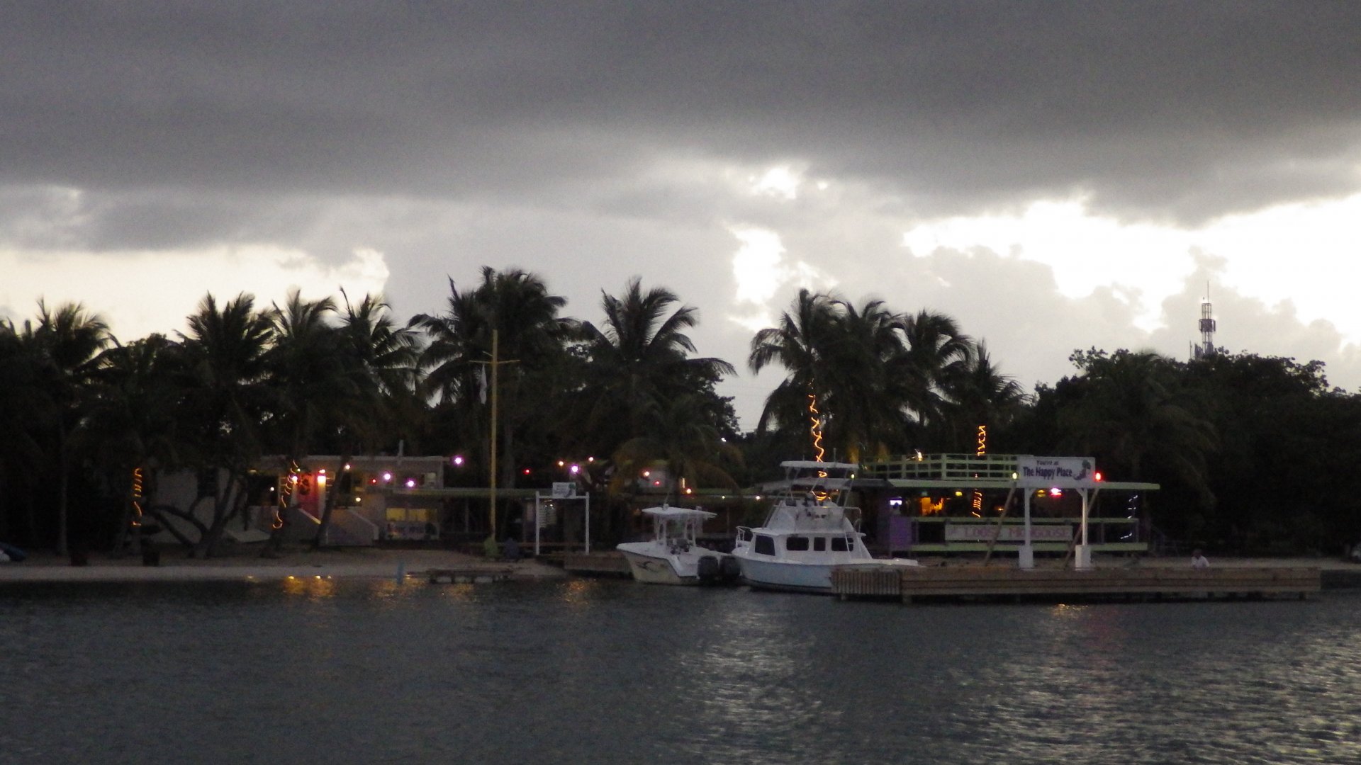
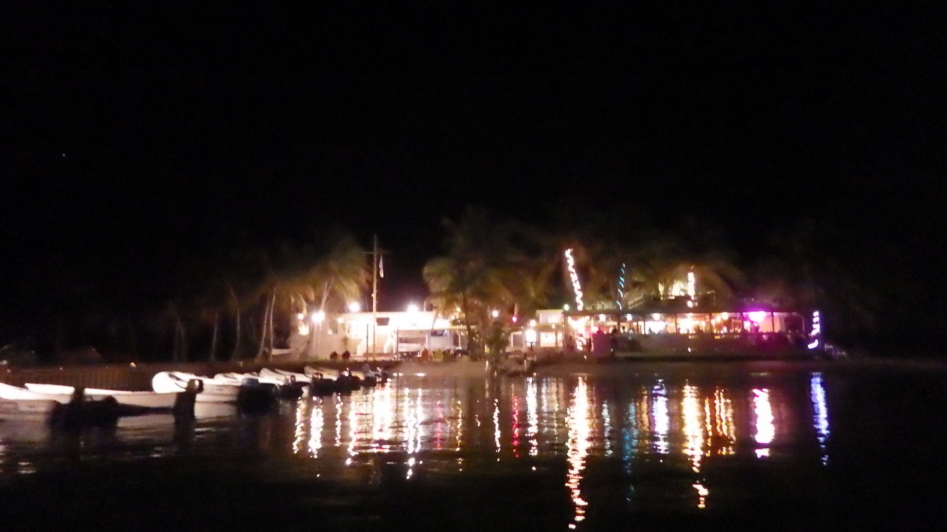
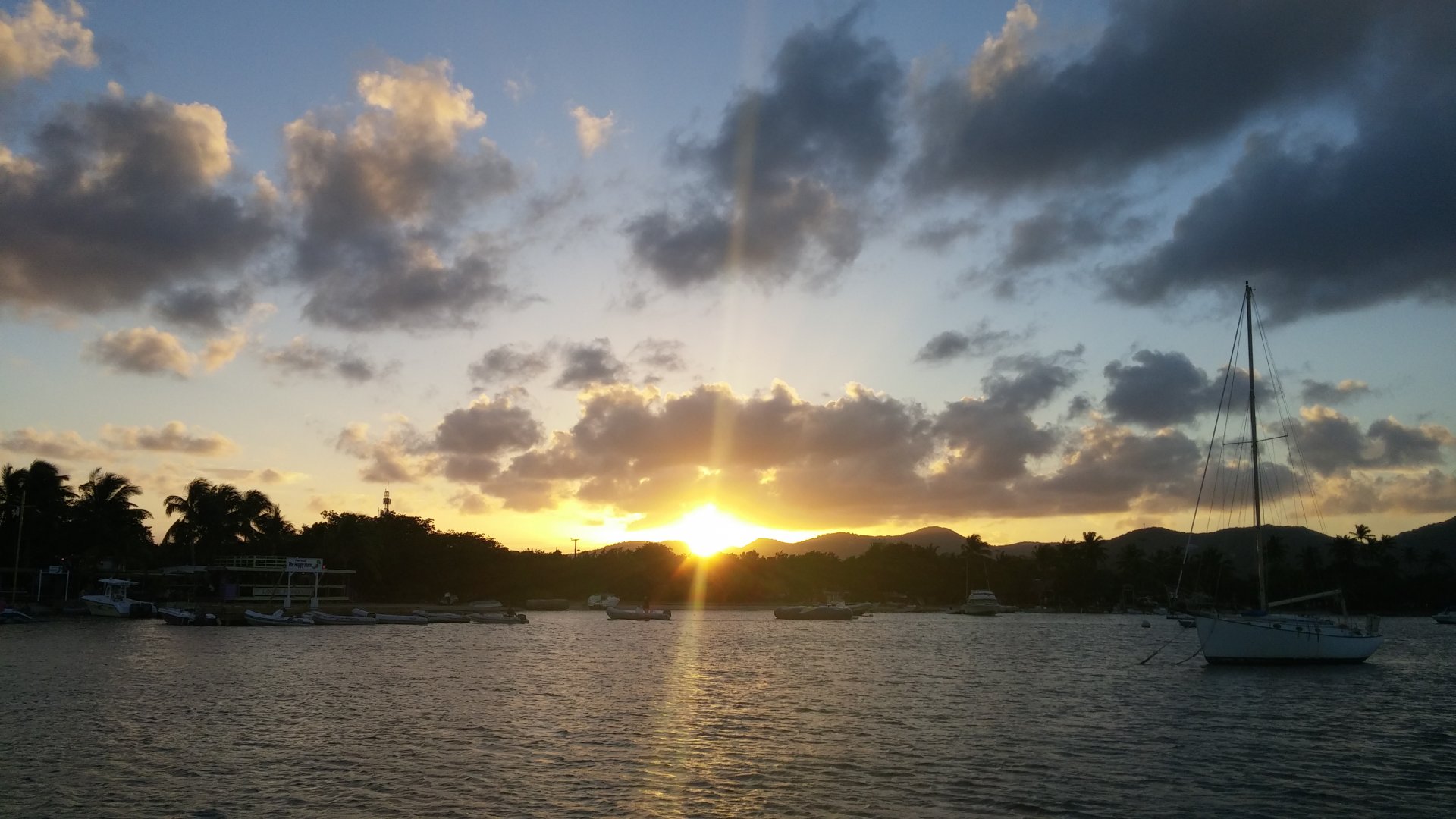
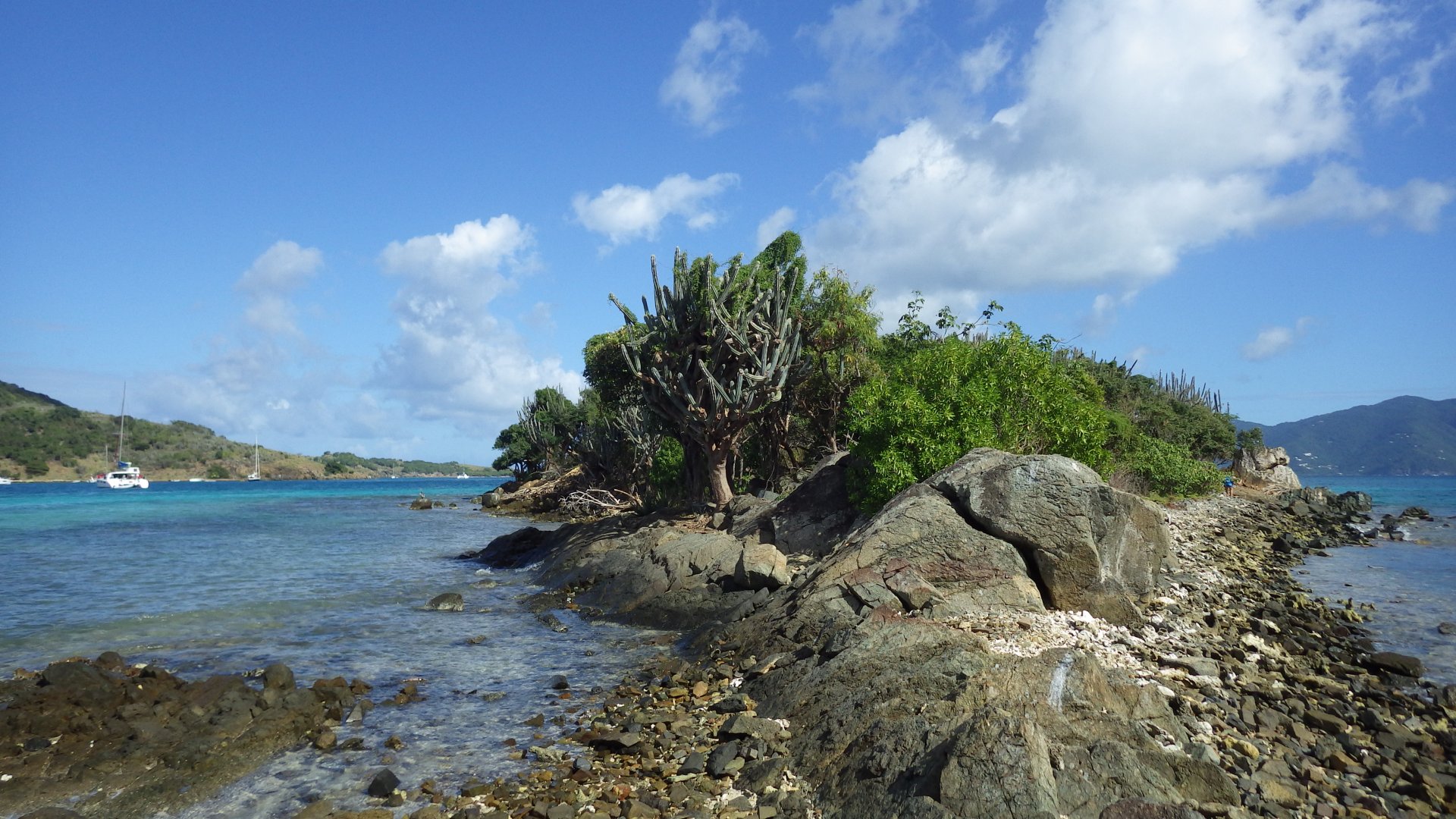
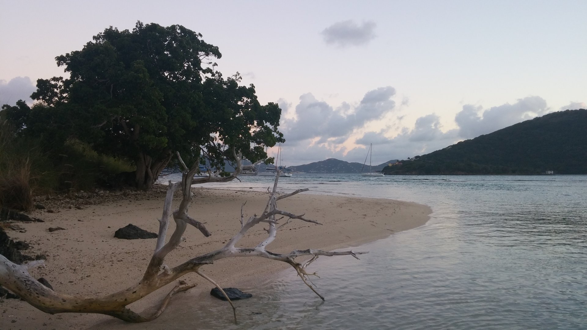
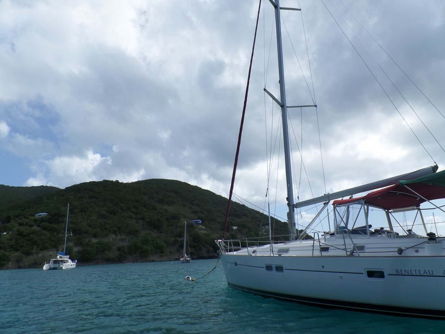
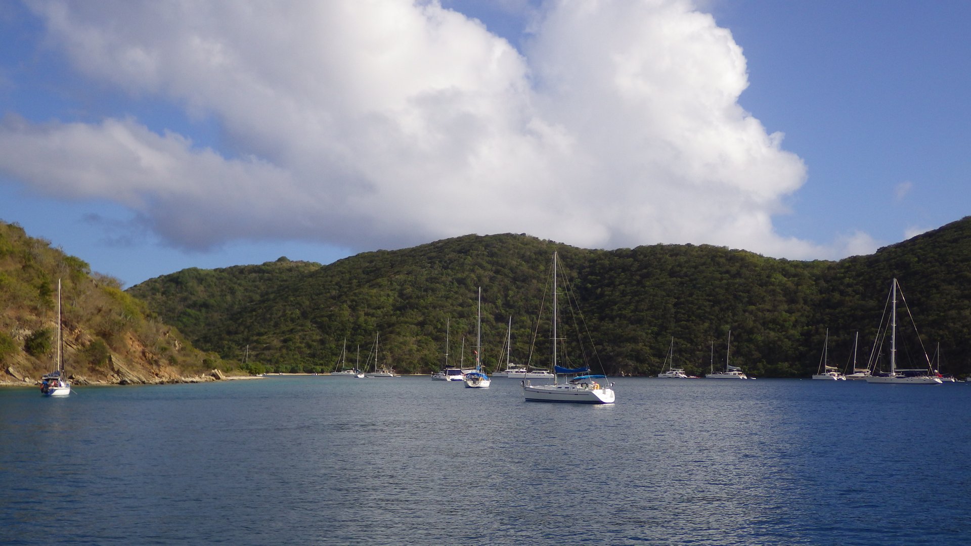
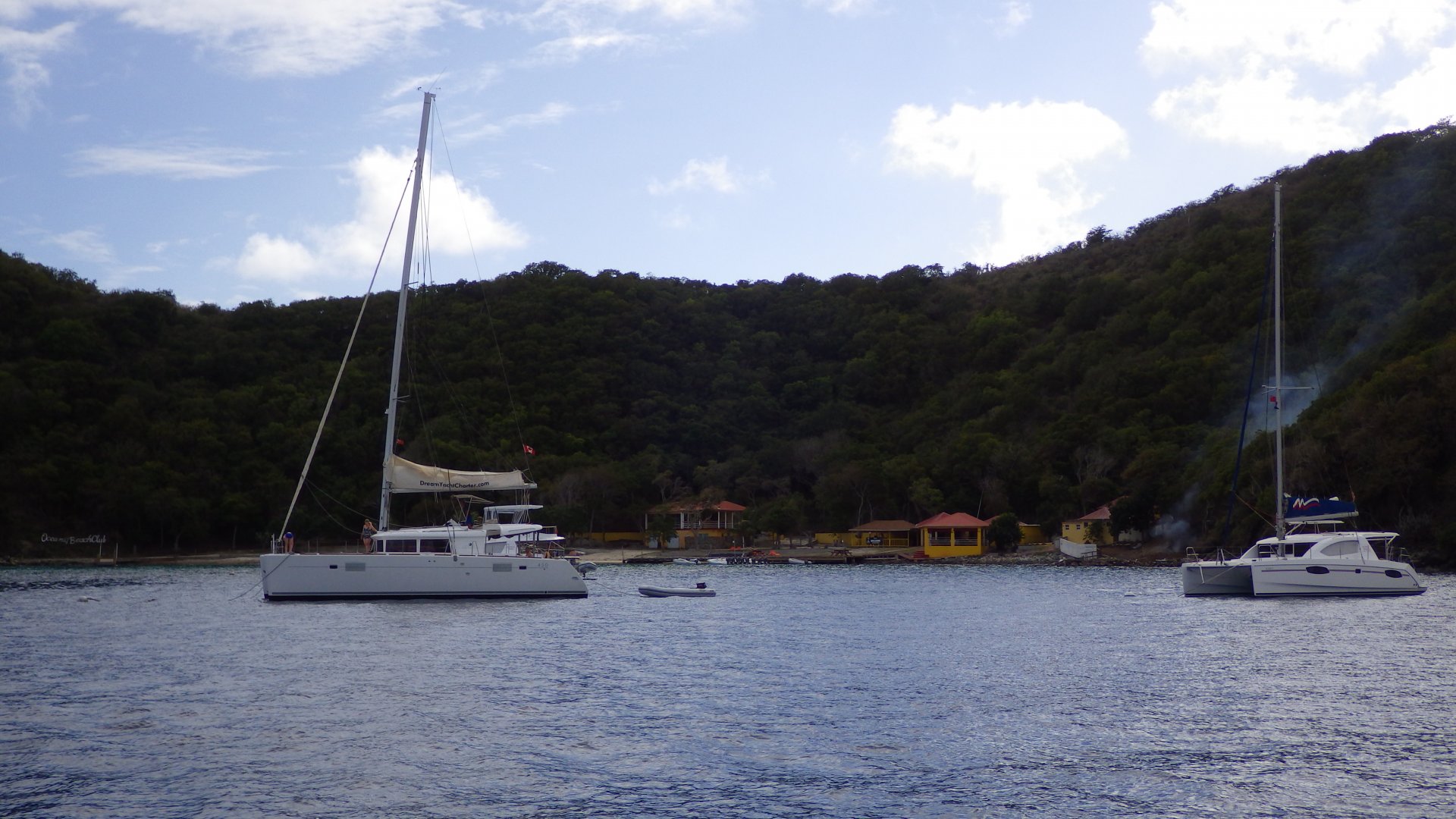
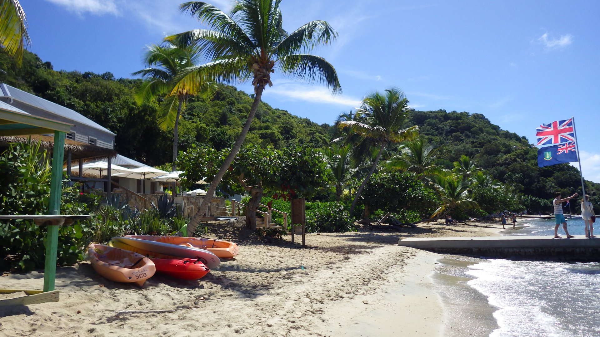
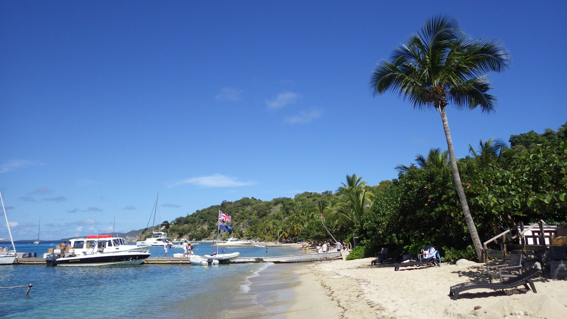
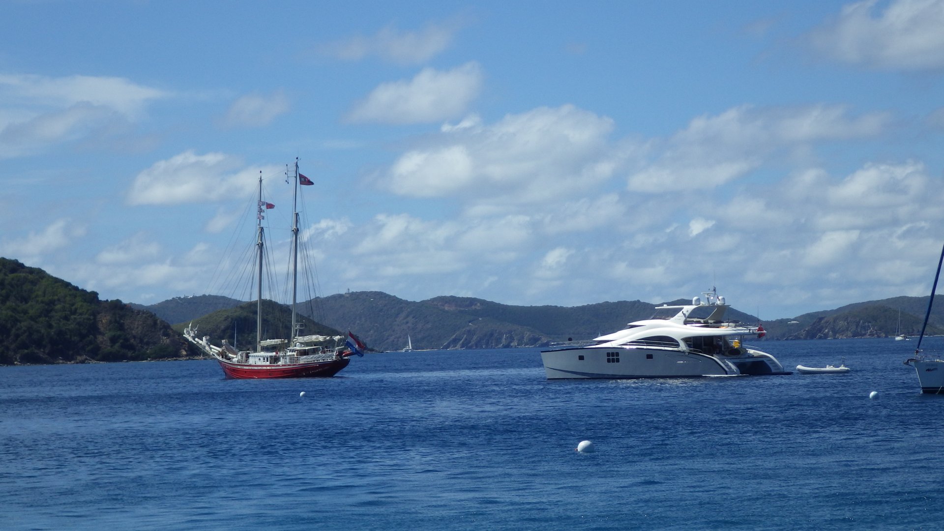
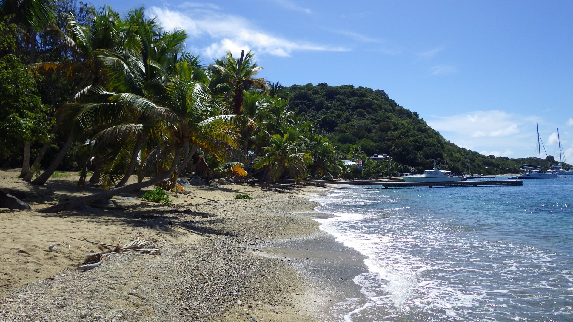
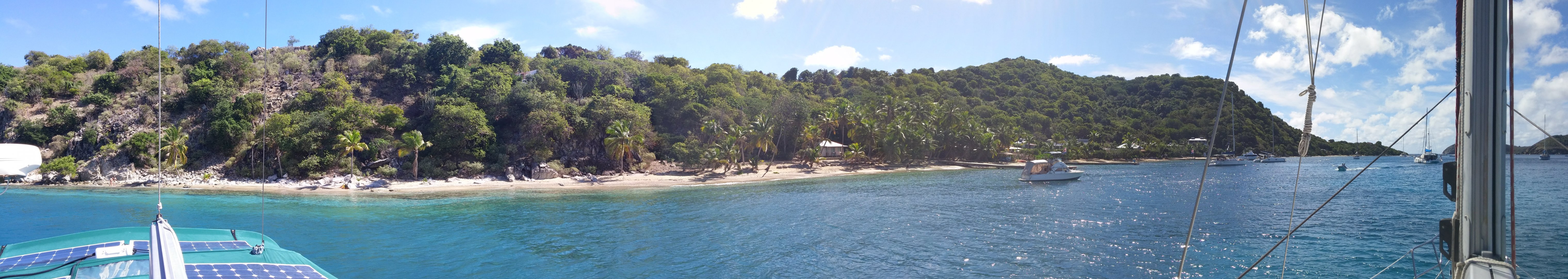
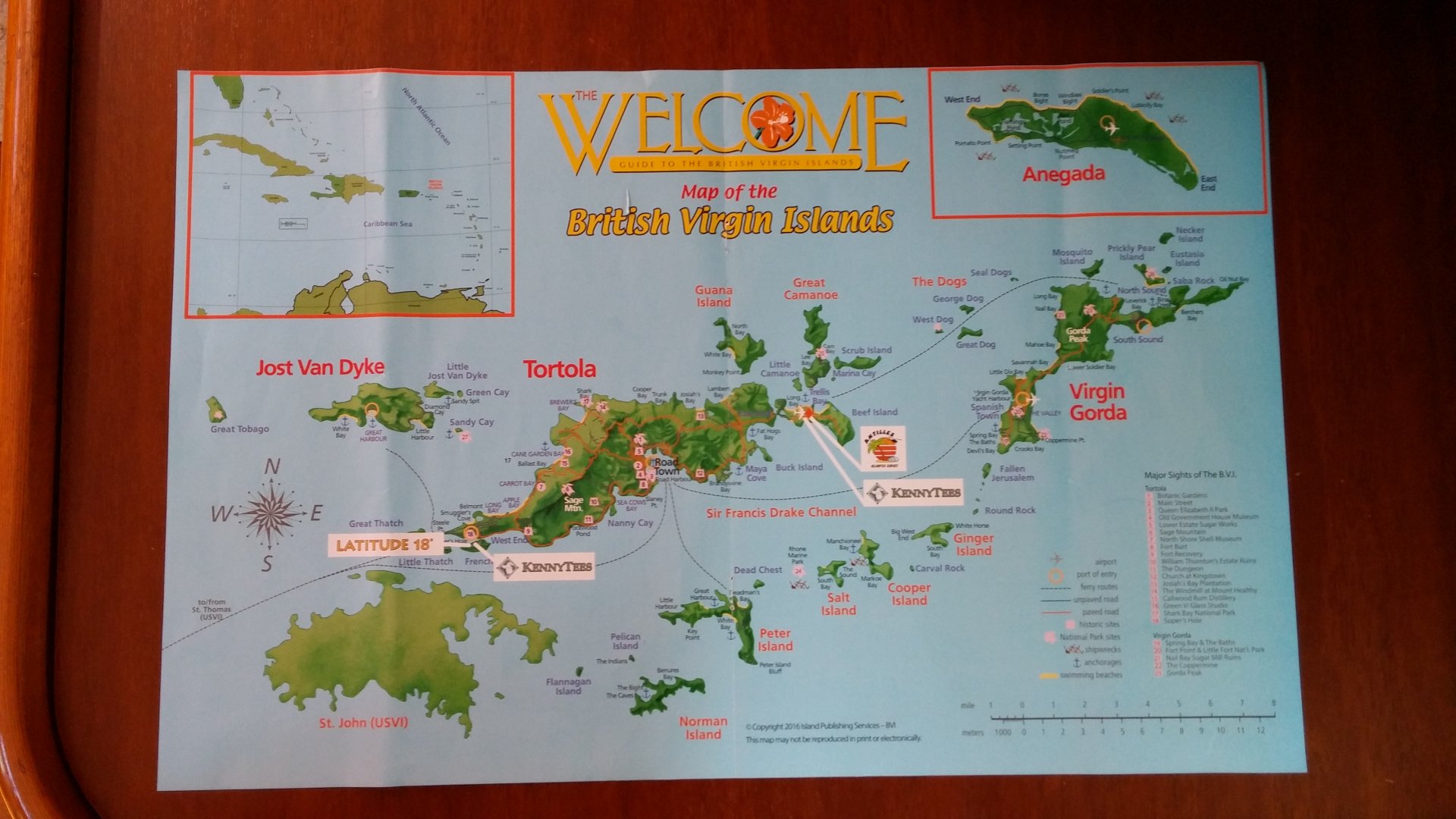
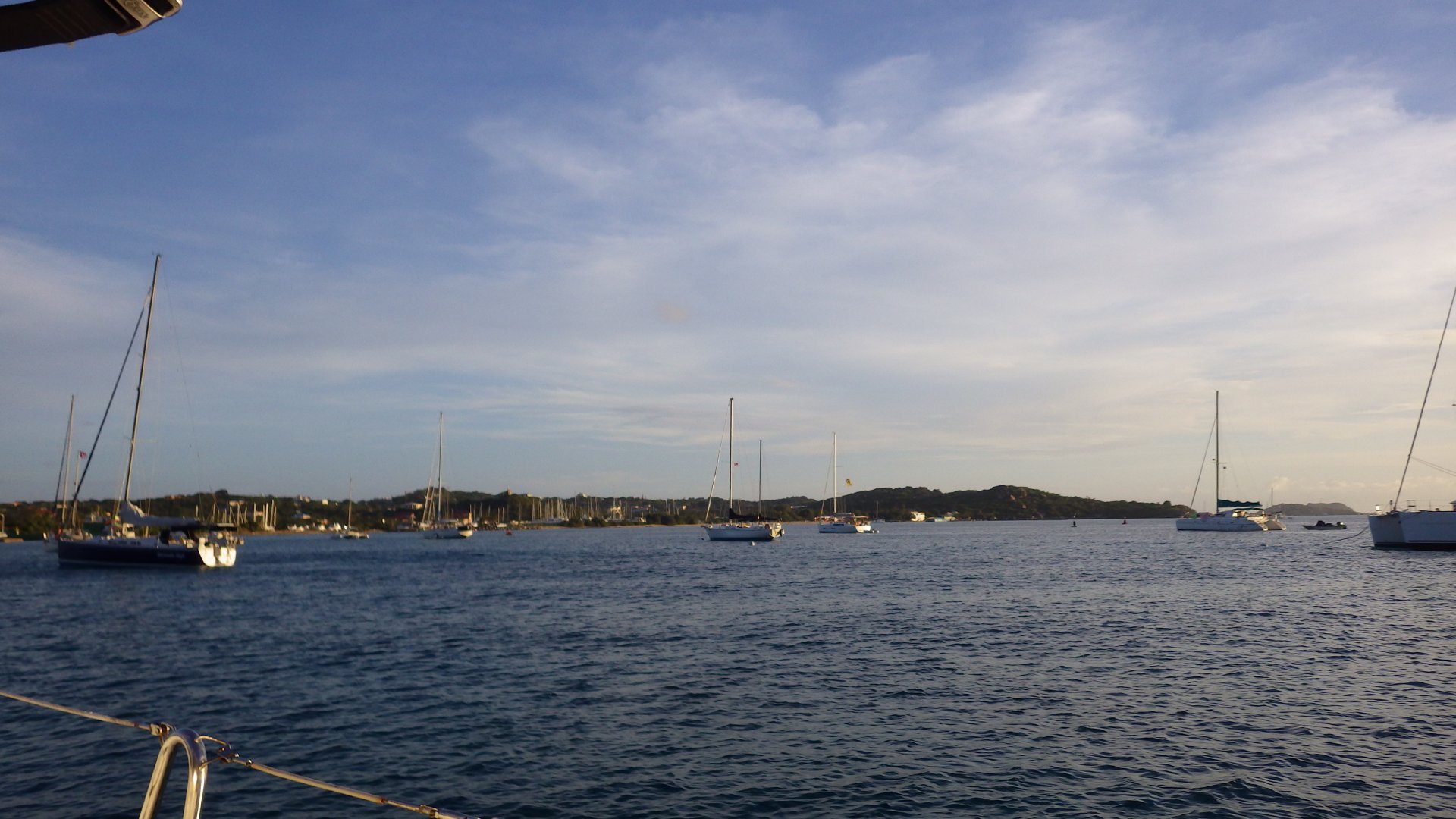
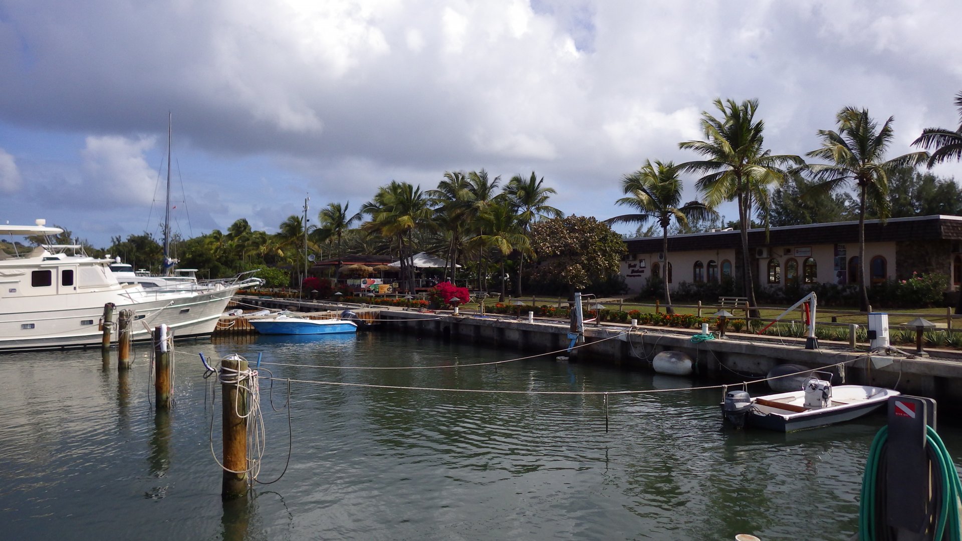
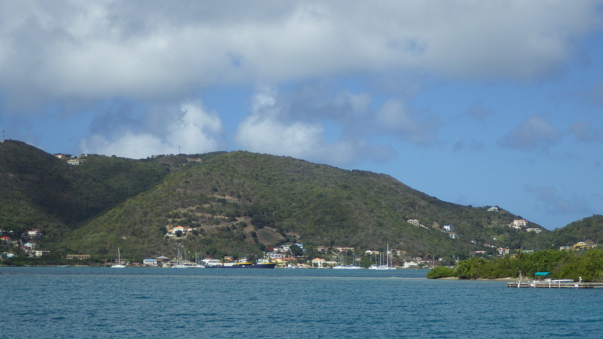
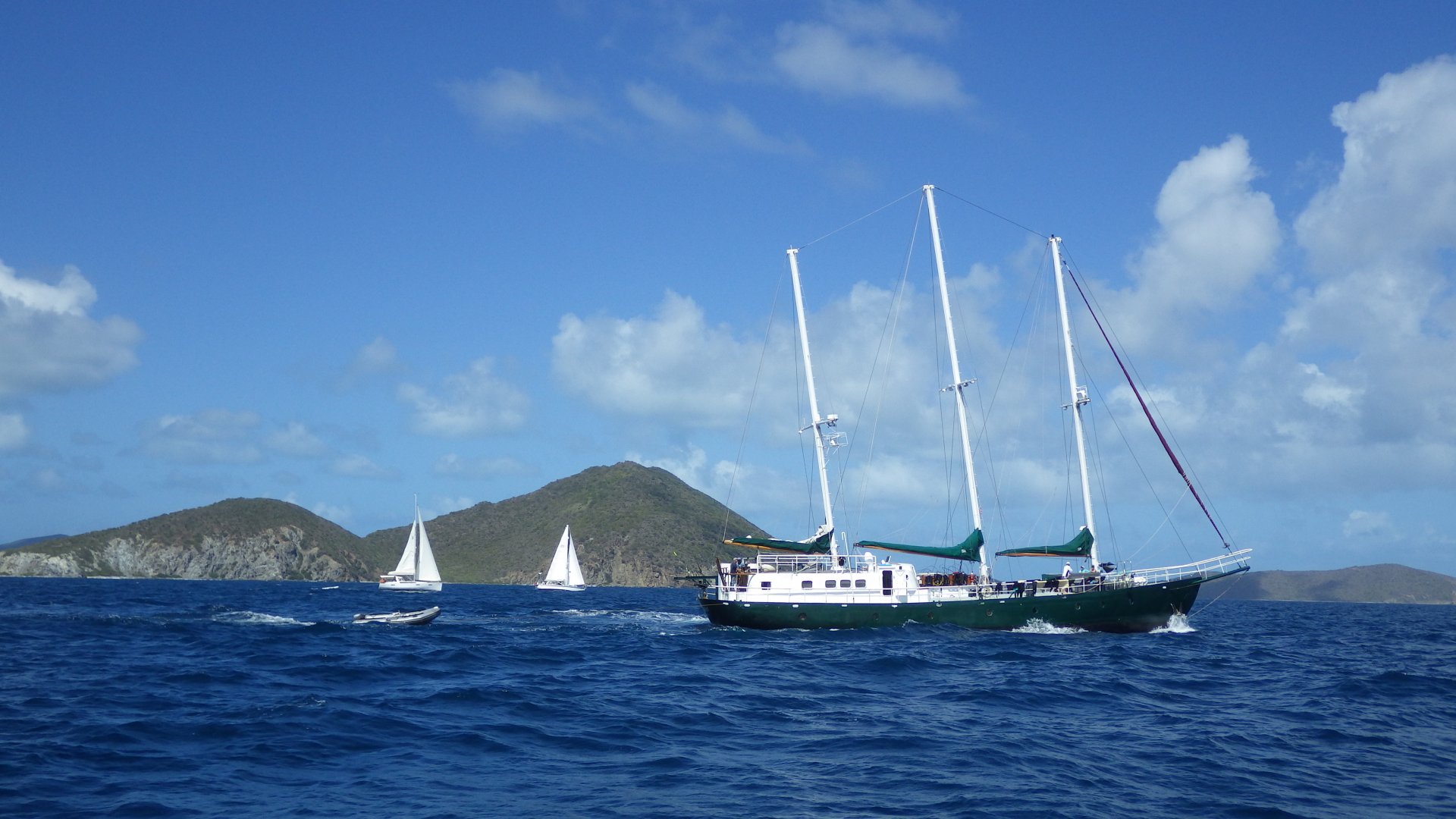
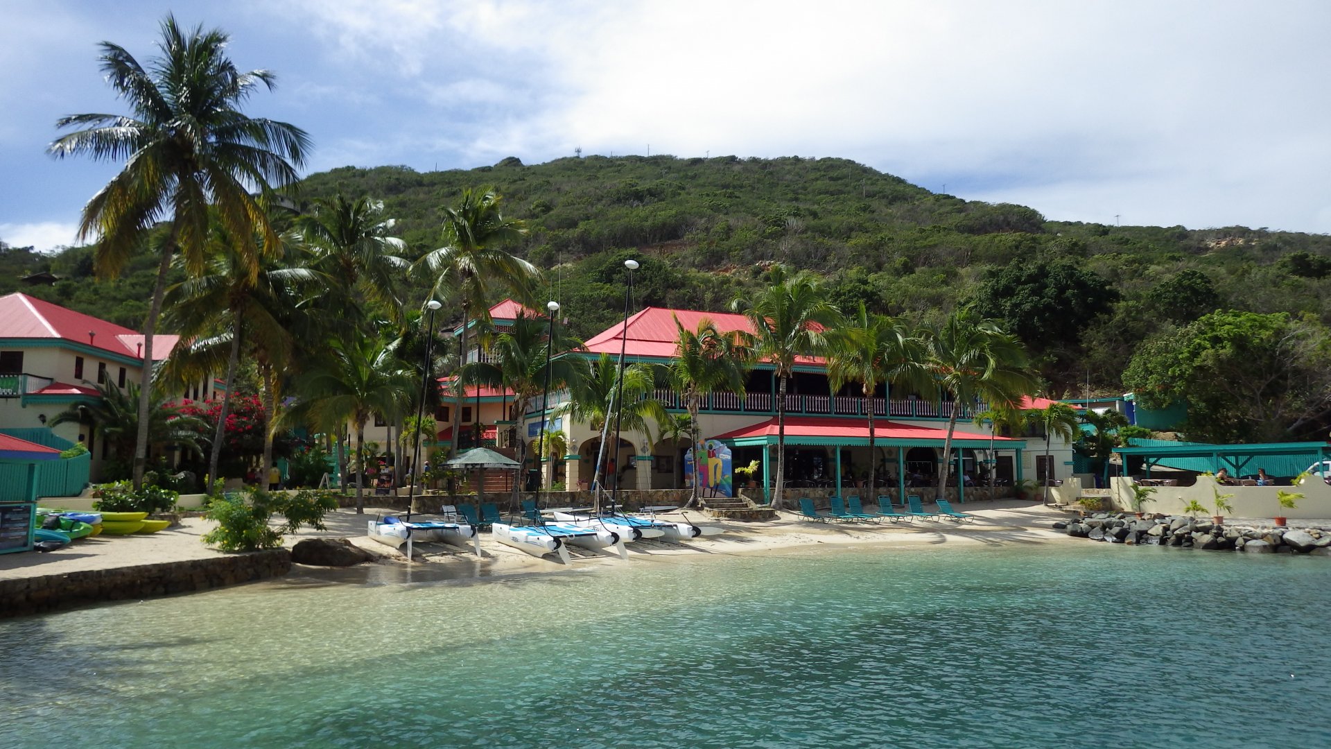
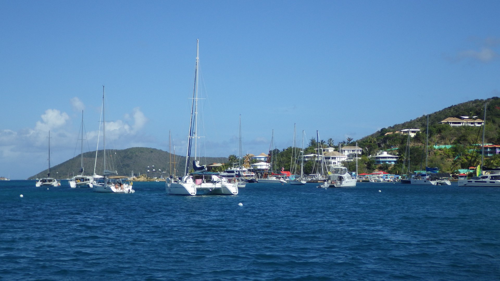
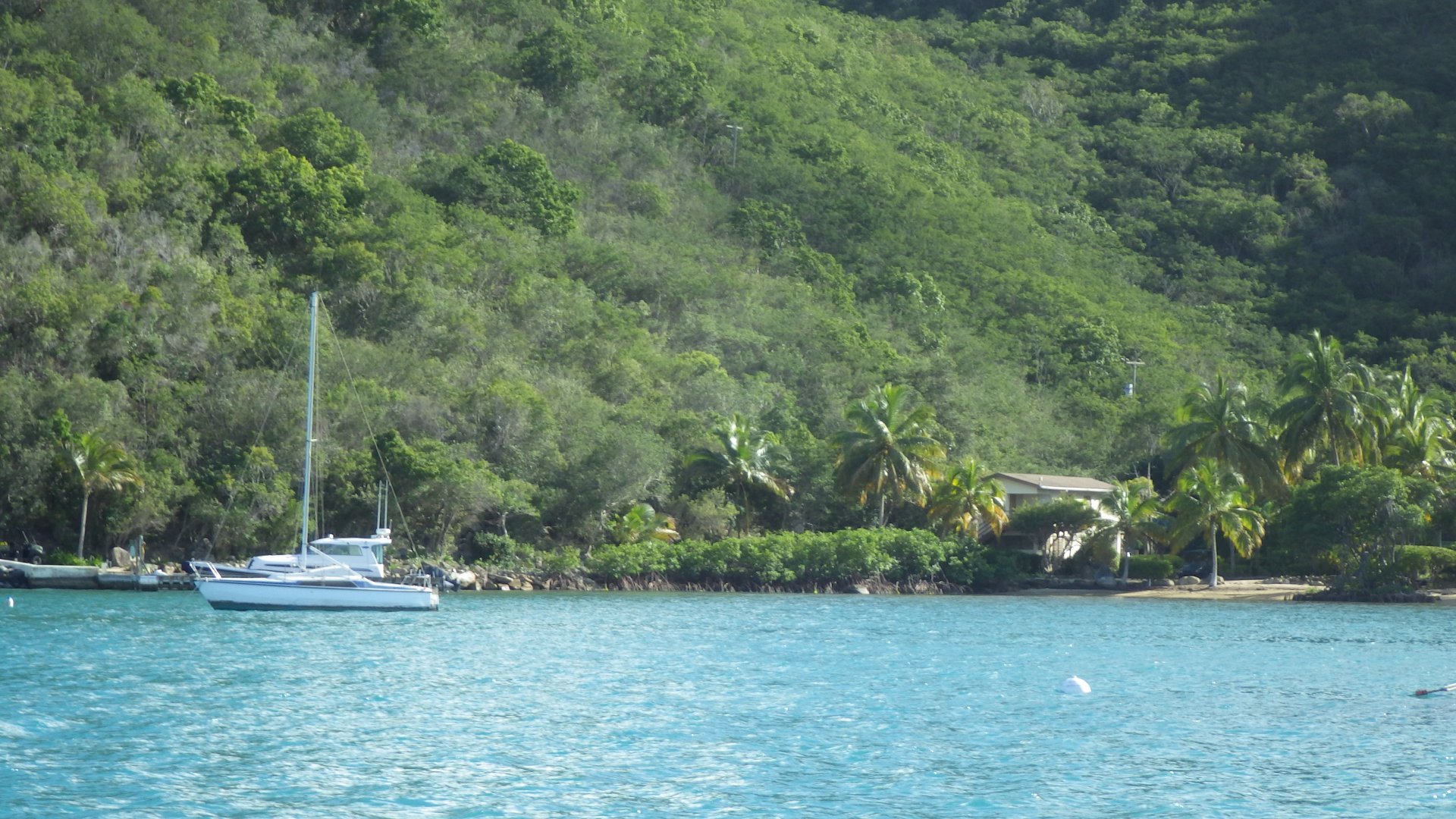
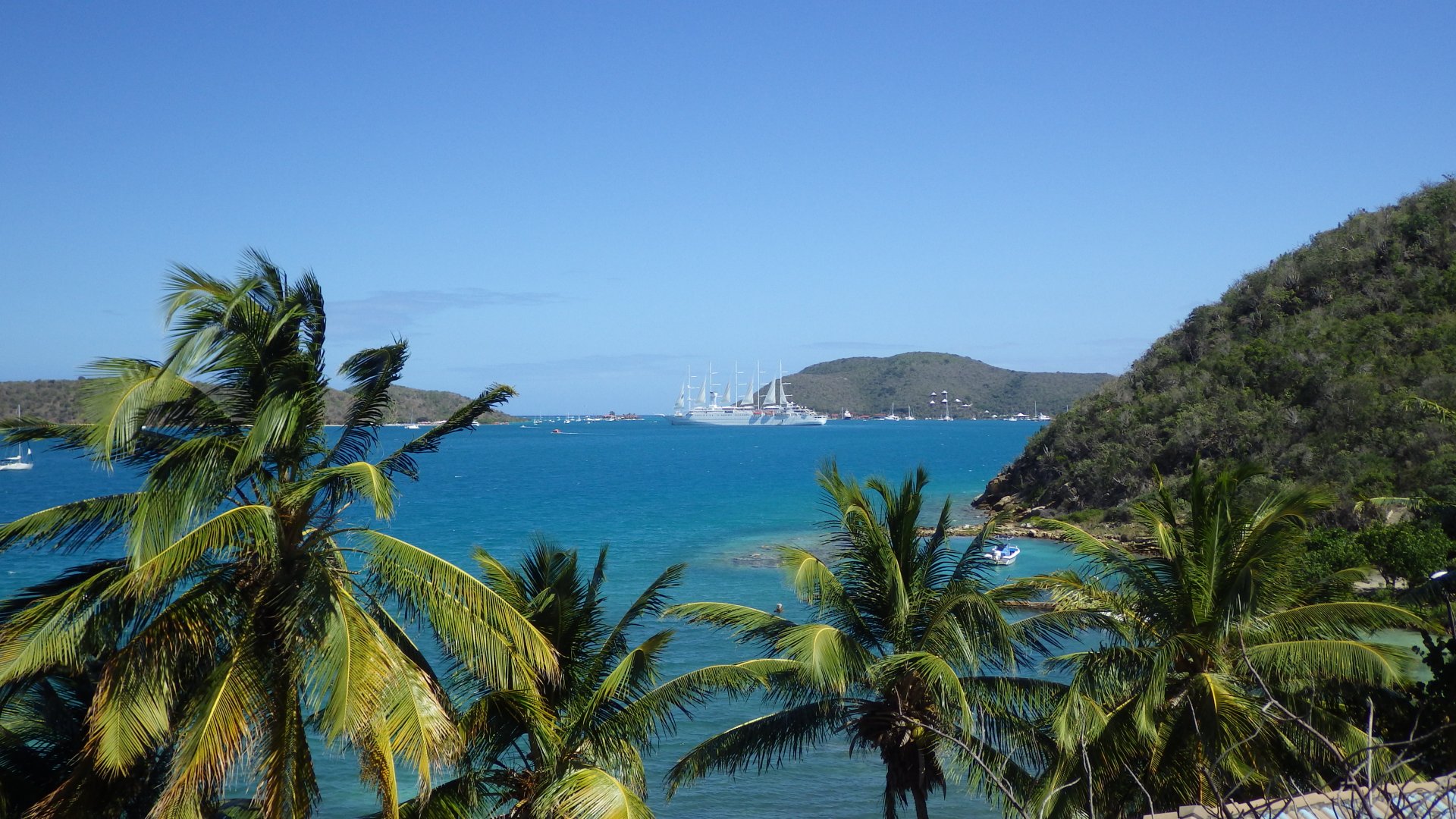
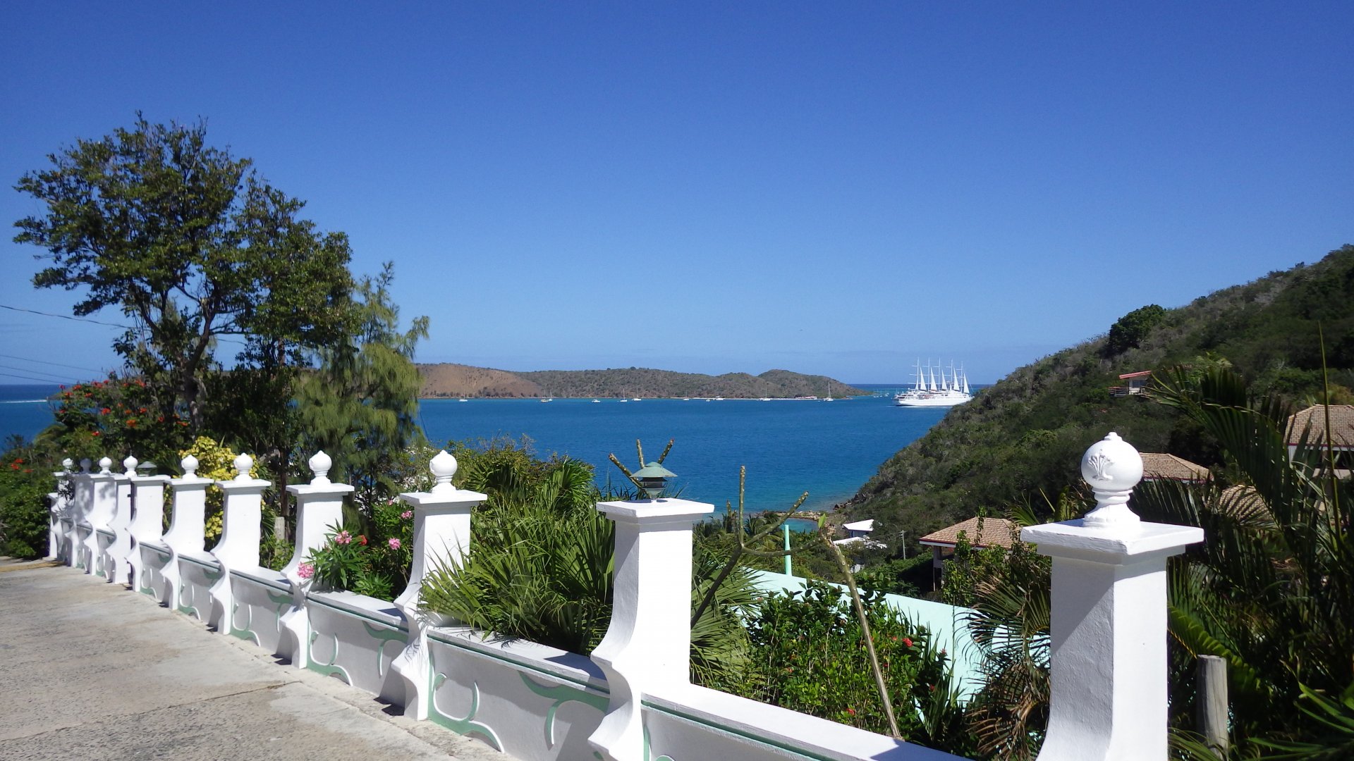
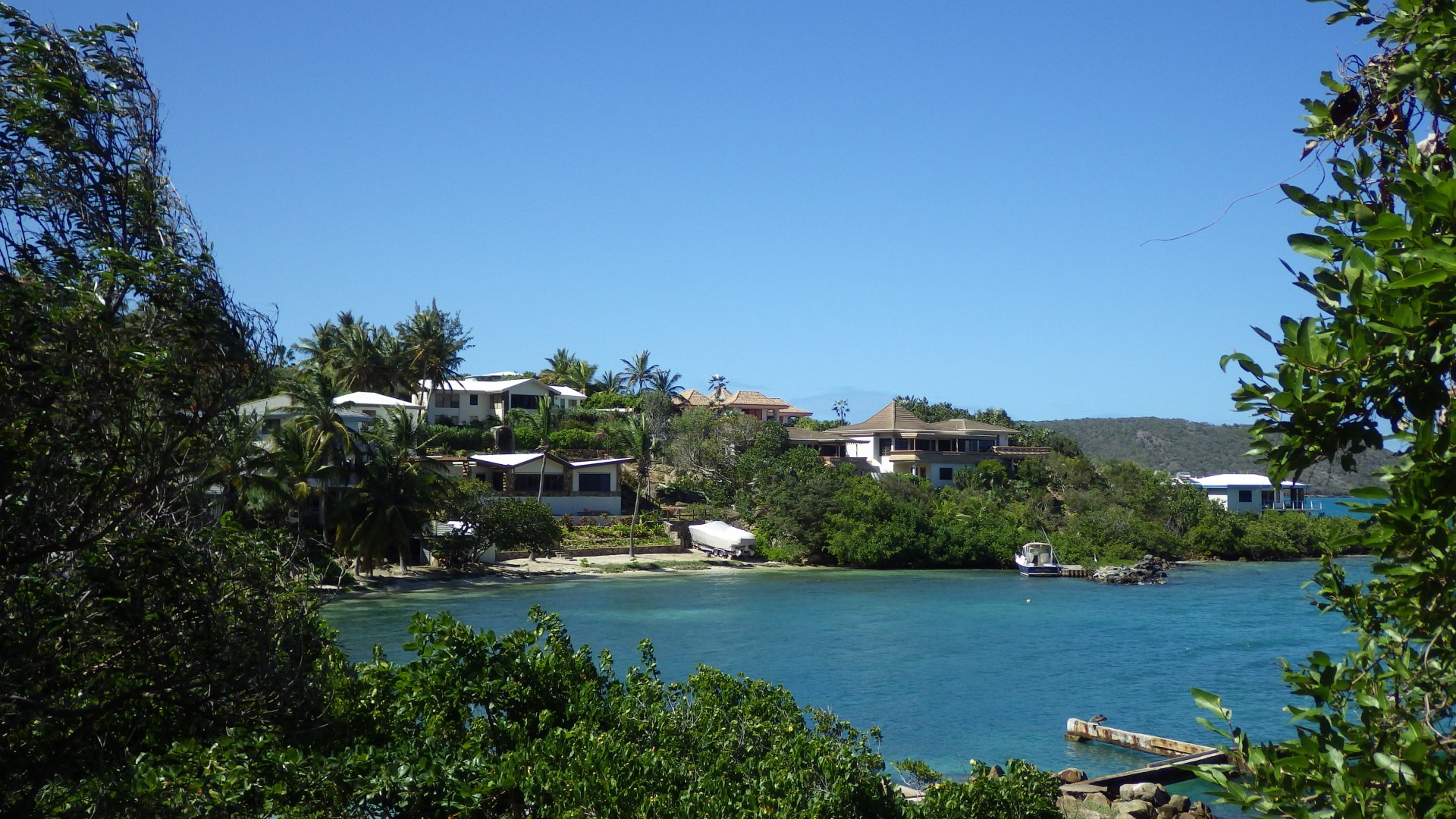
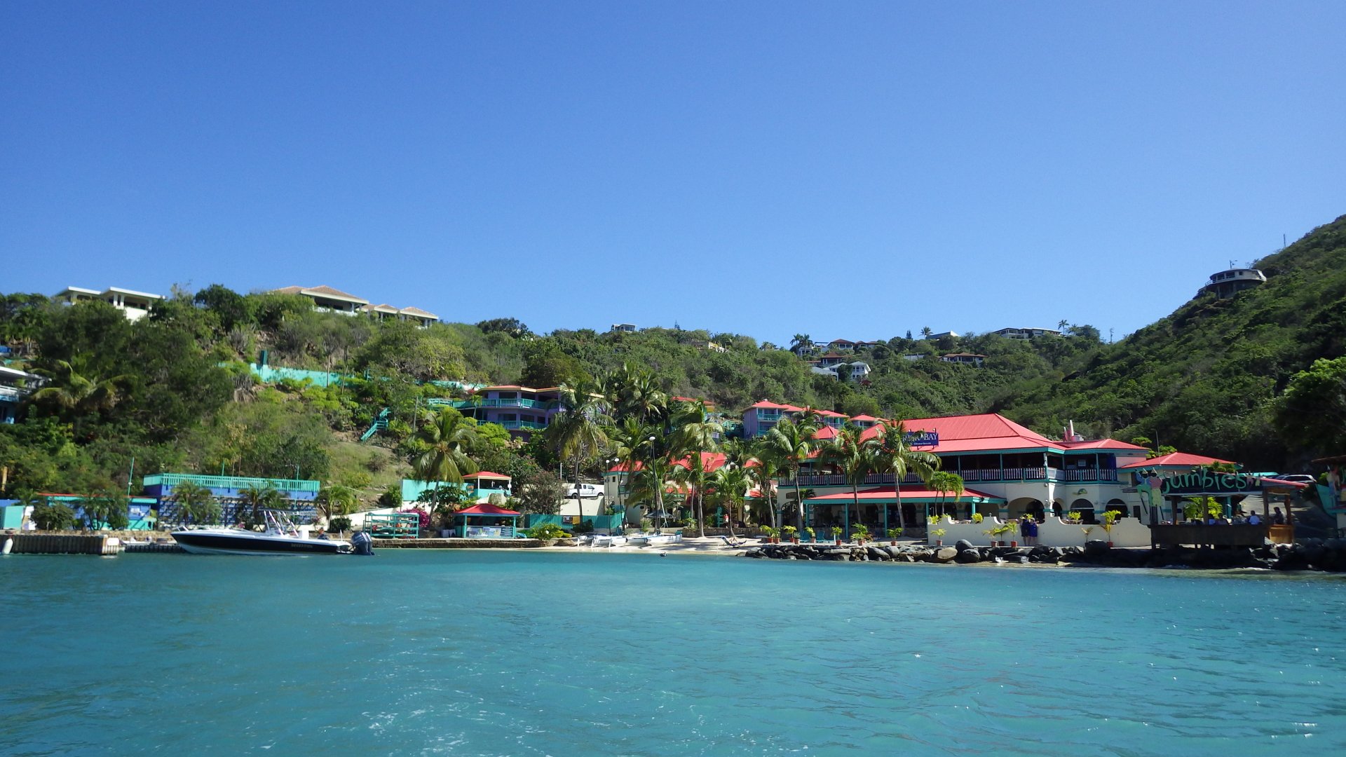
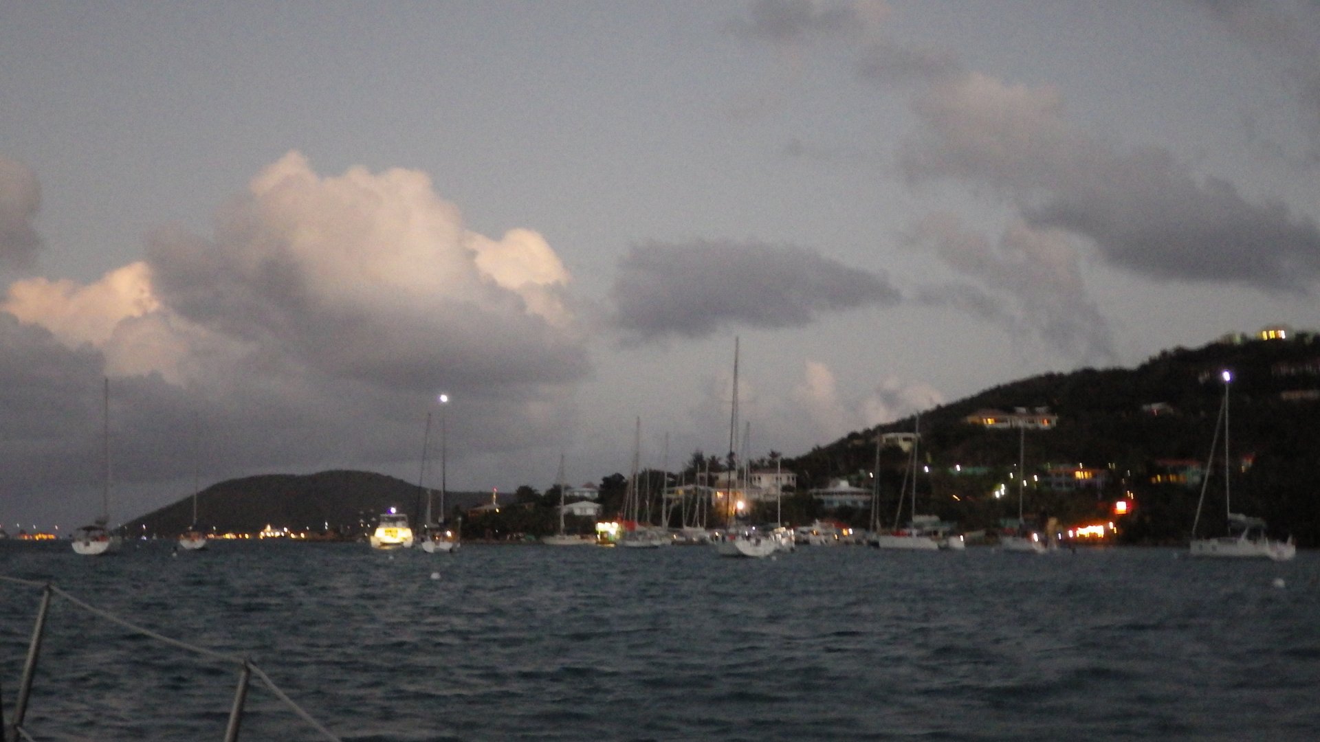
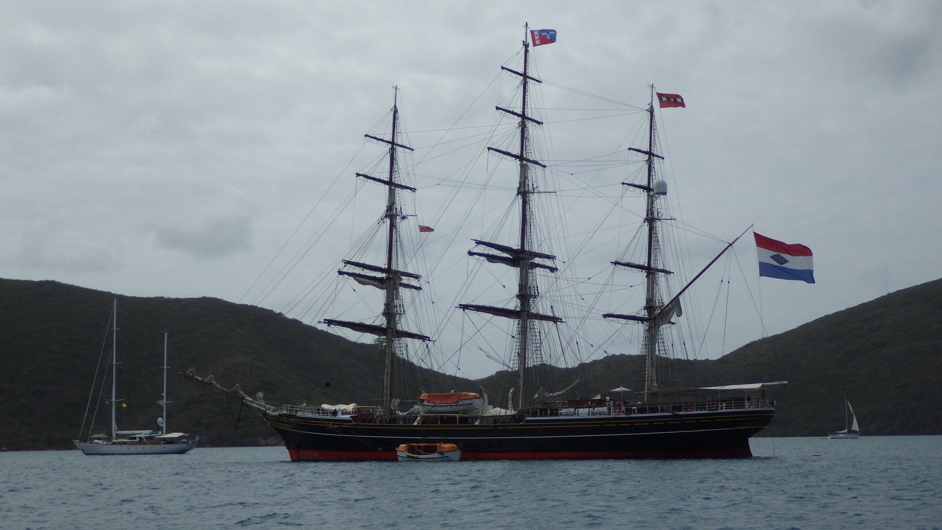
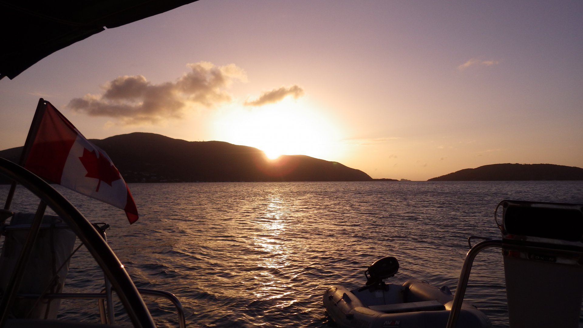
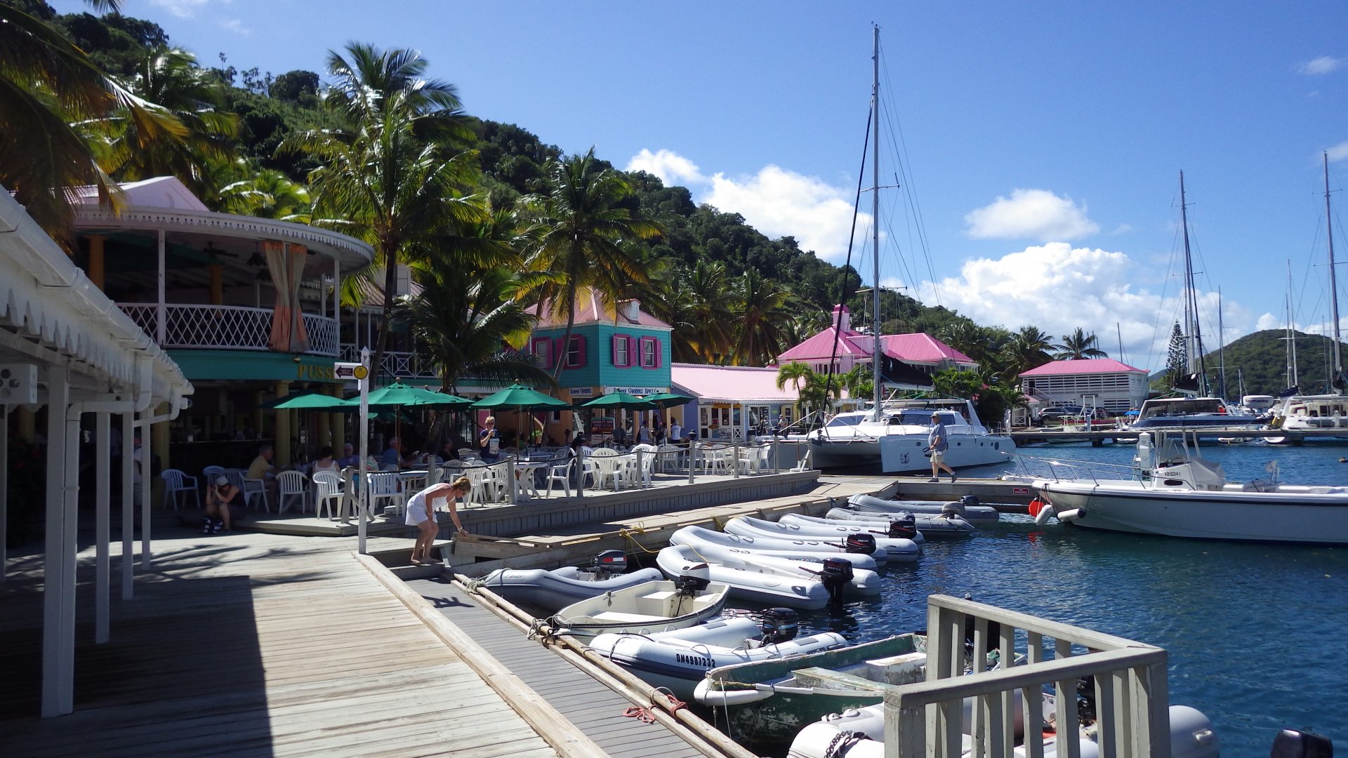
Sopers Hole, West End, Tortola

Log#: 154
LatLon: 18°23.194'N, 064°42.196'W

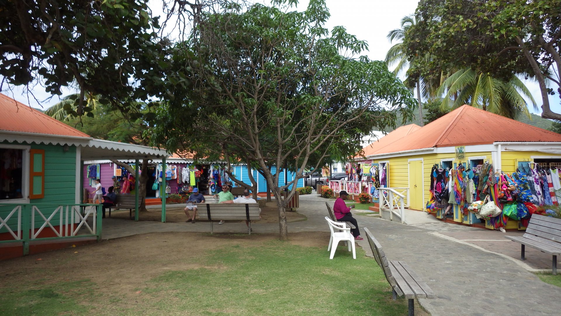
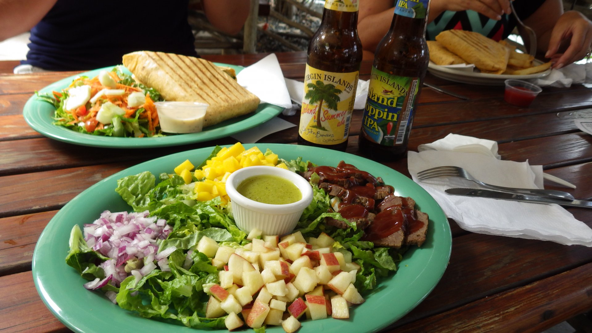
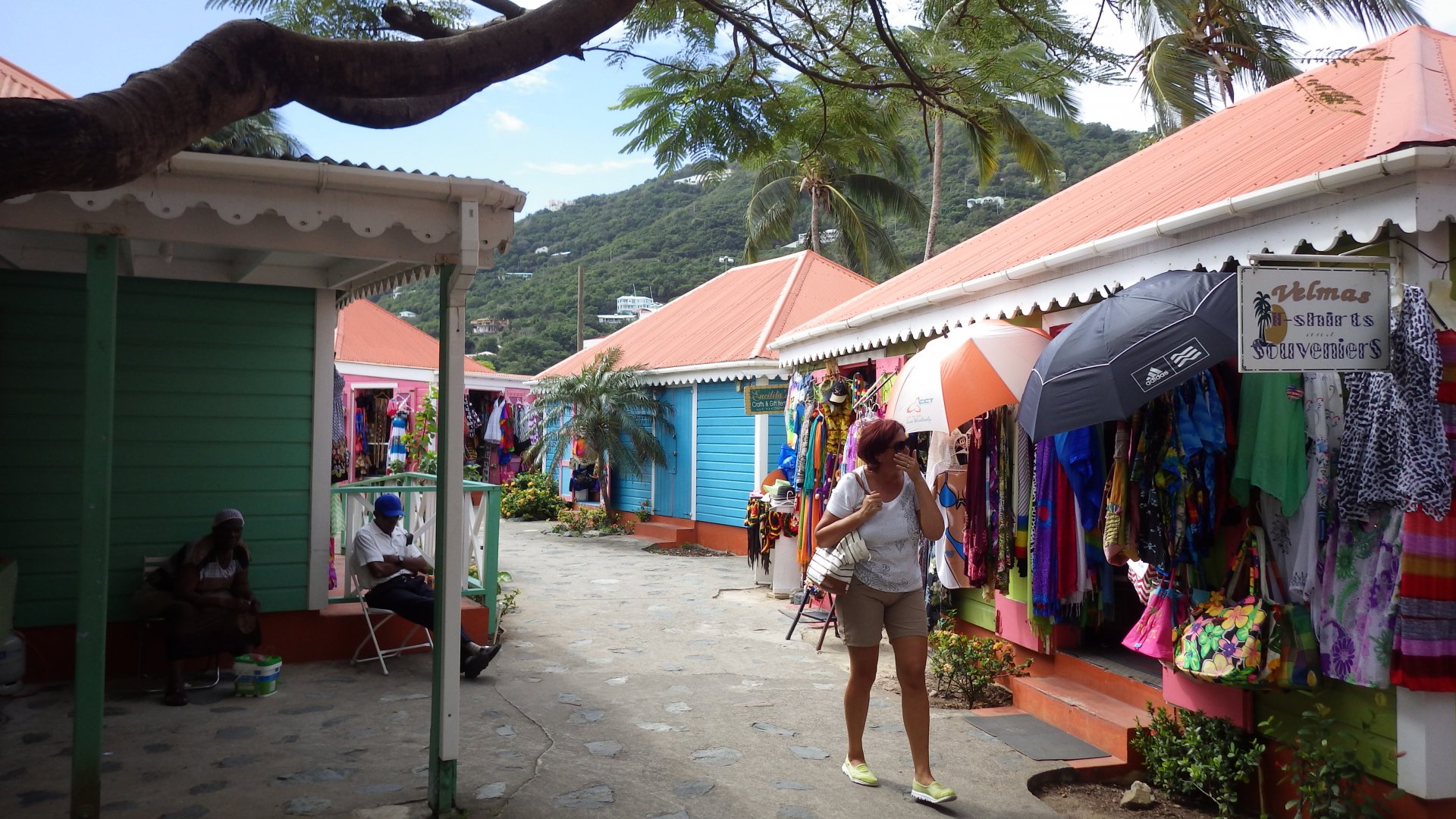
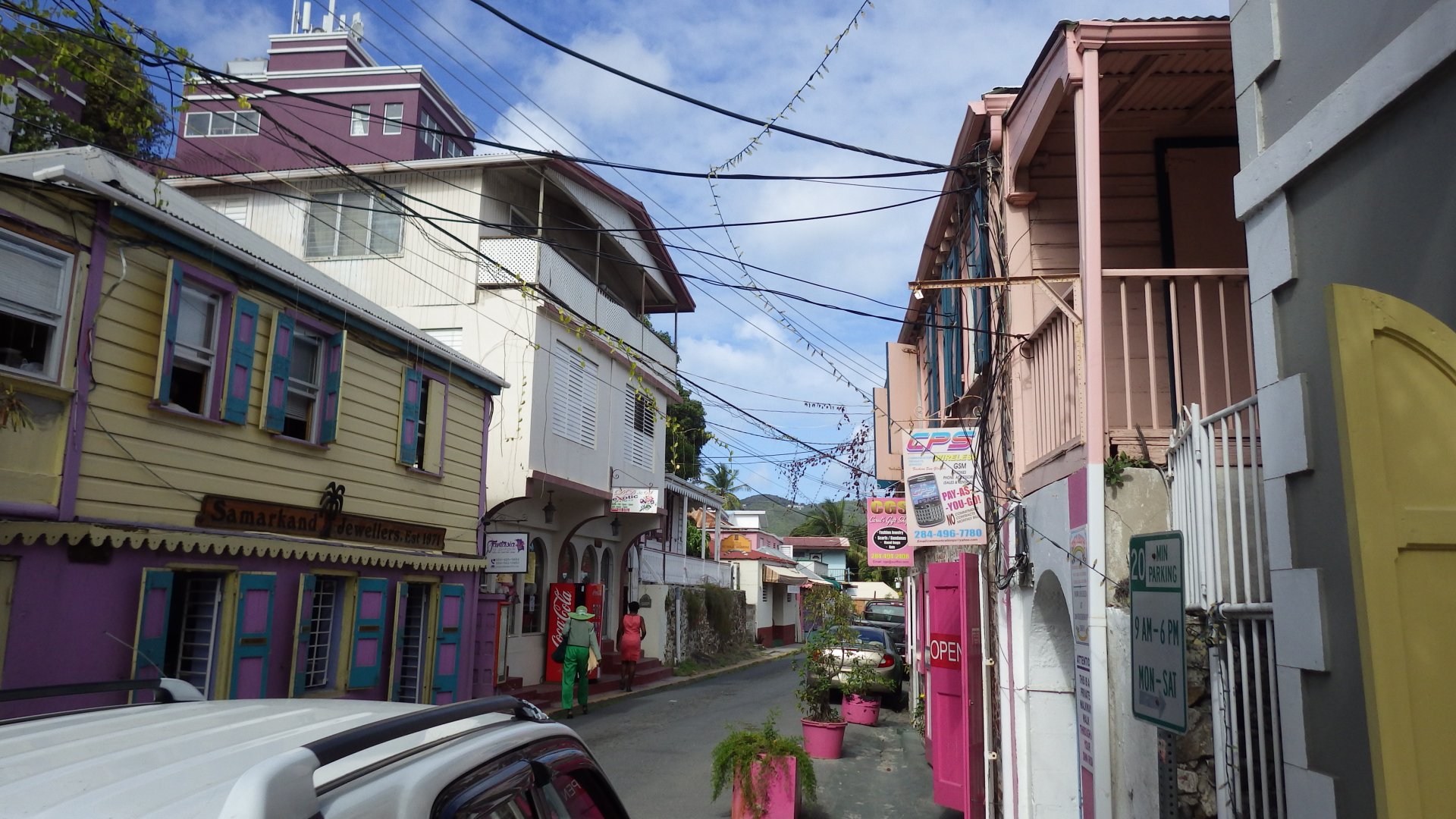
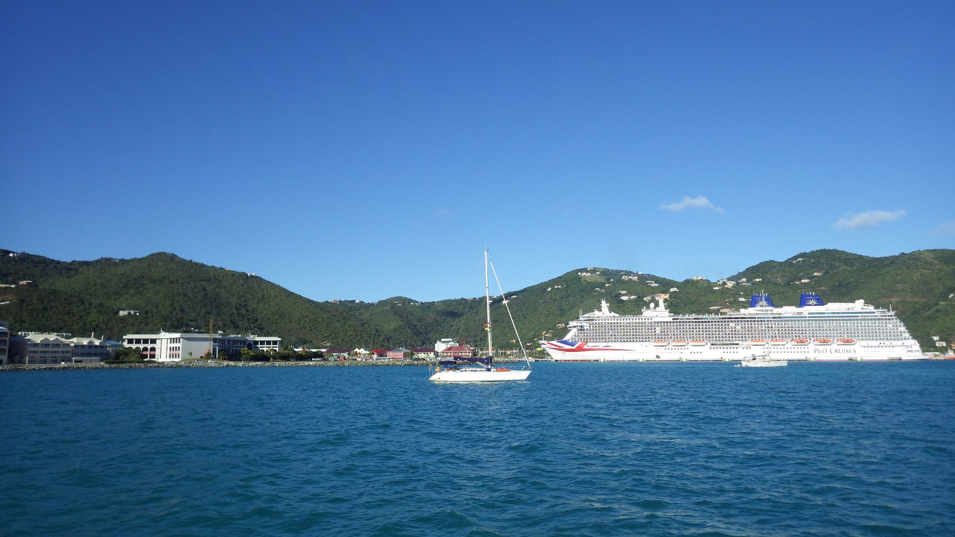
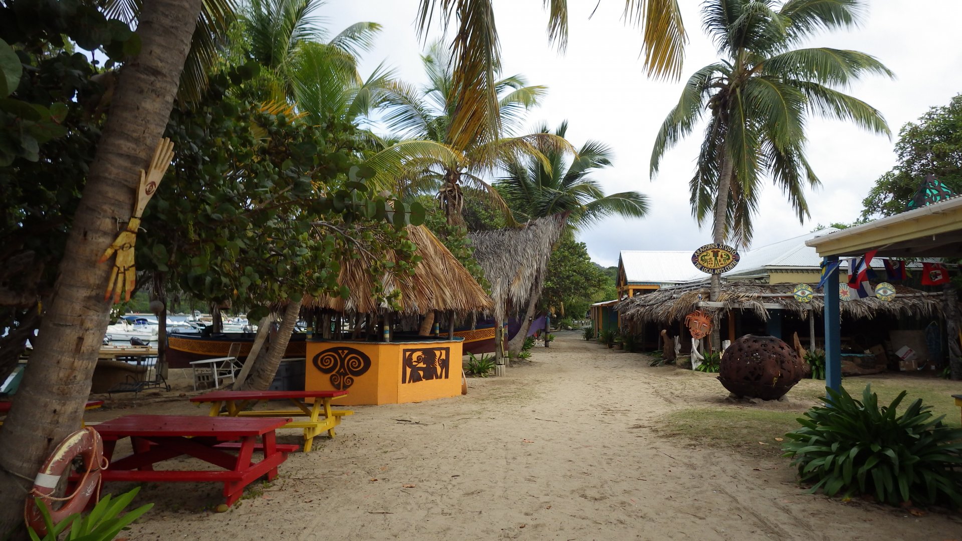
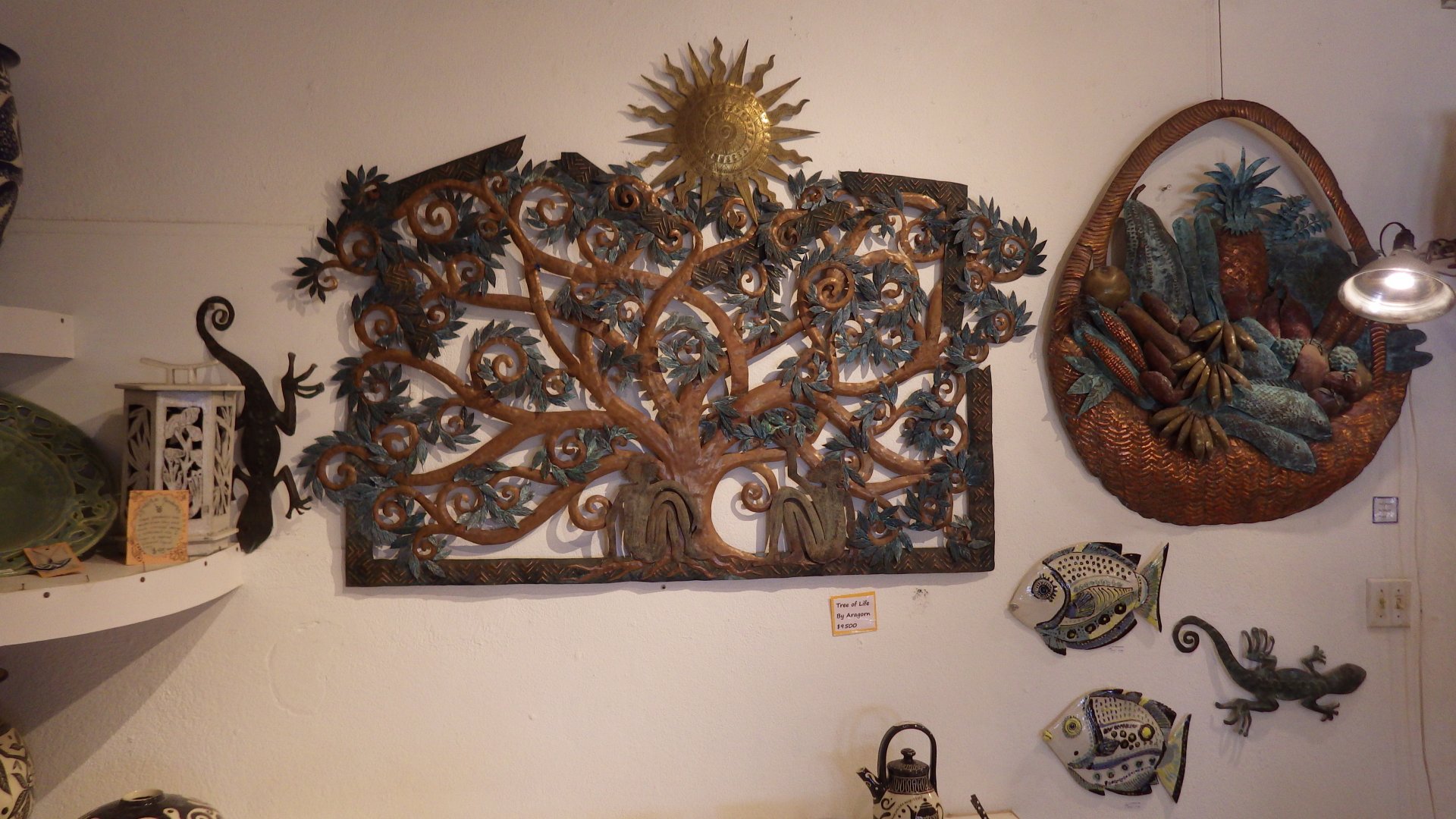
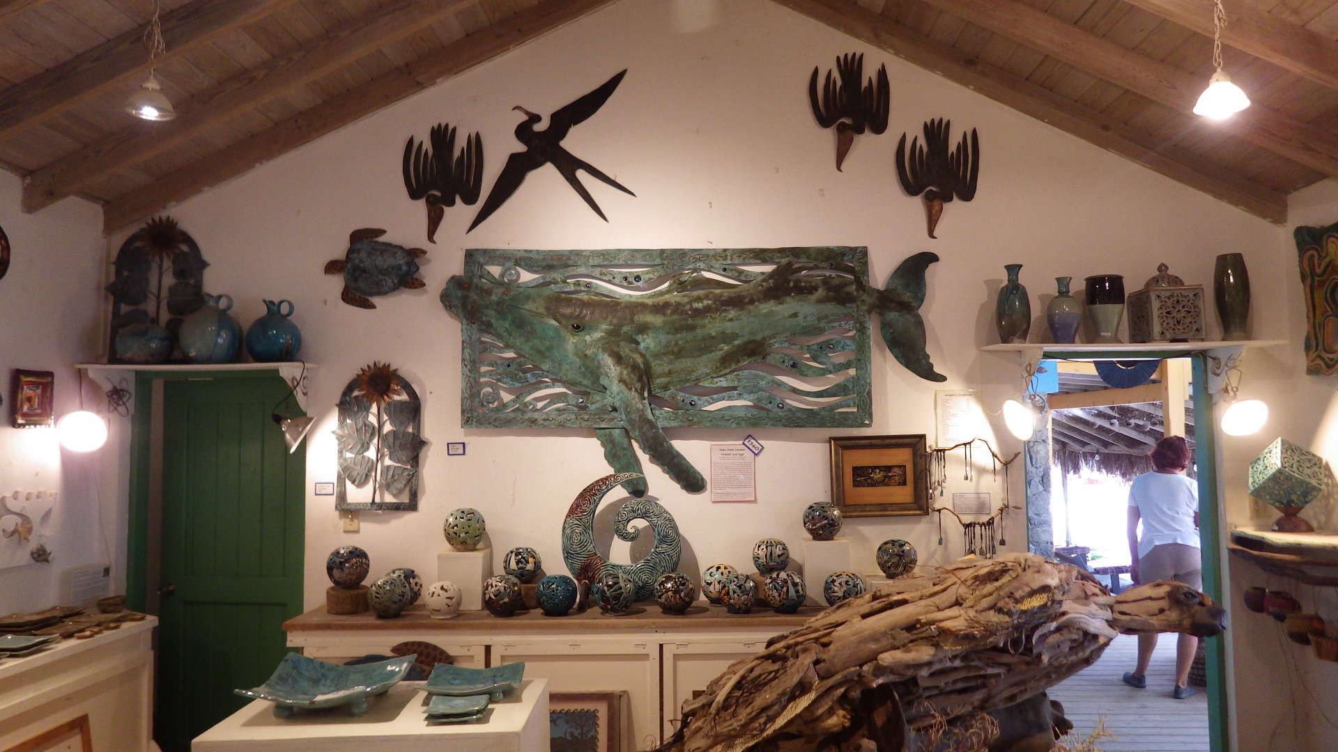
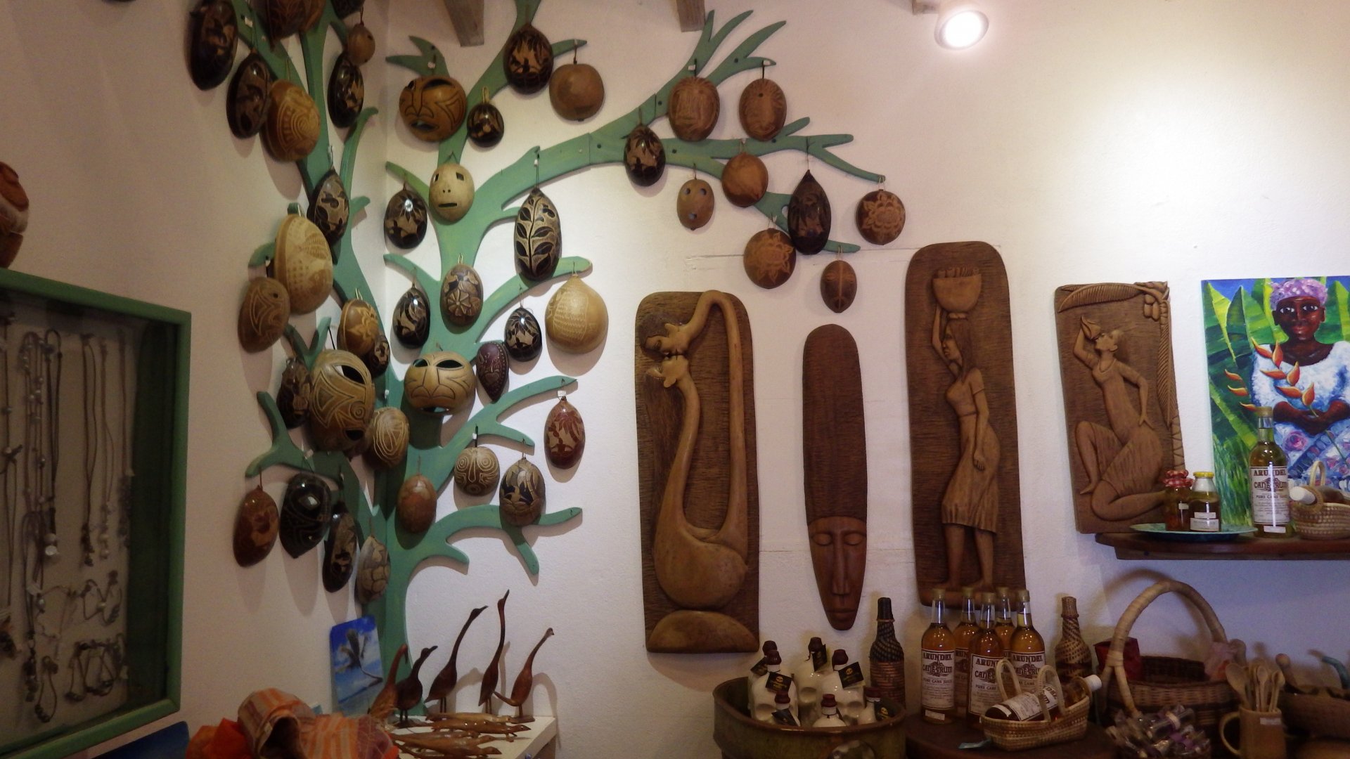
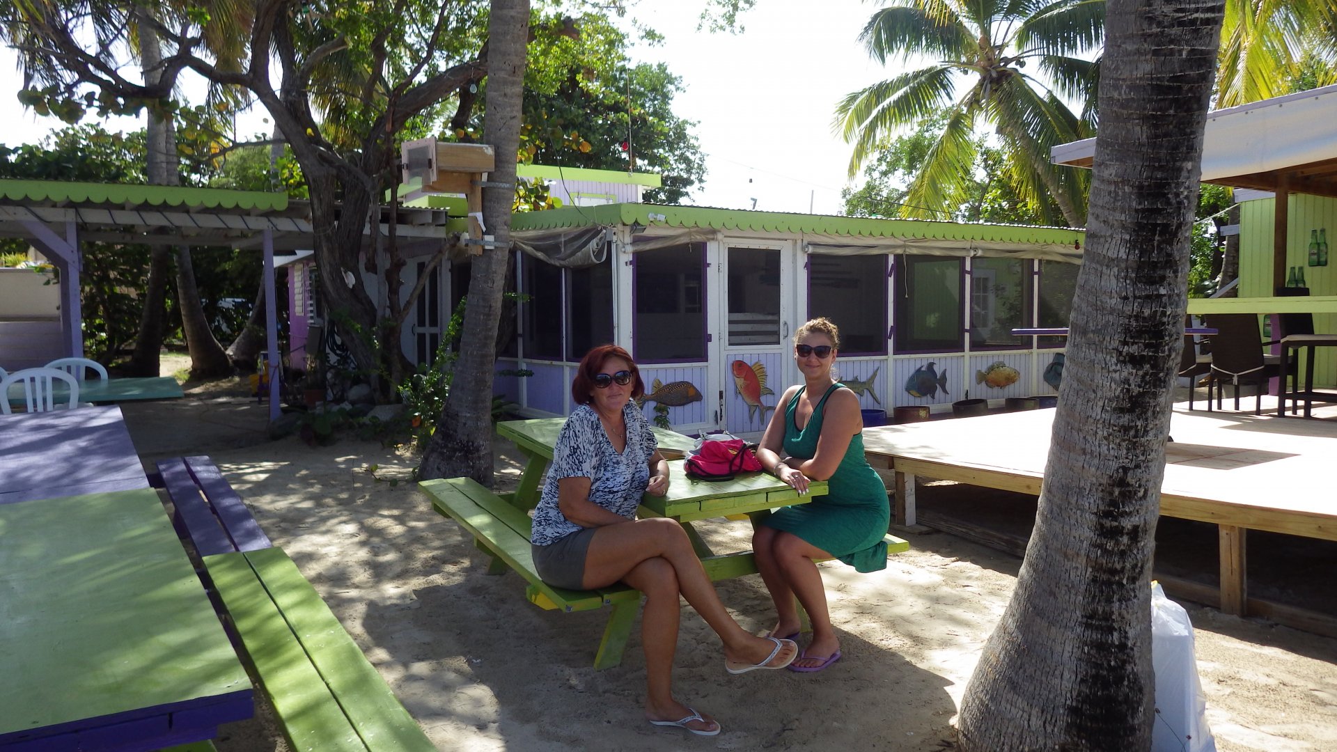
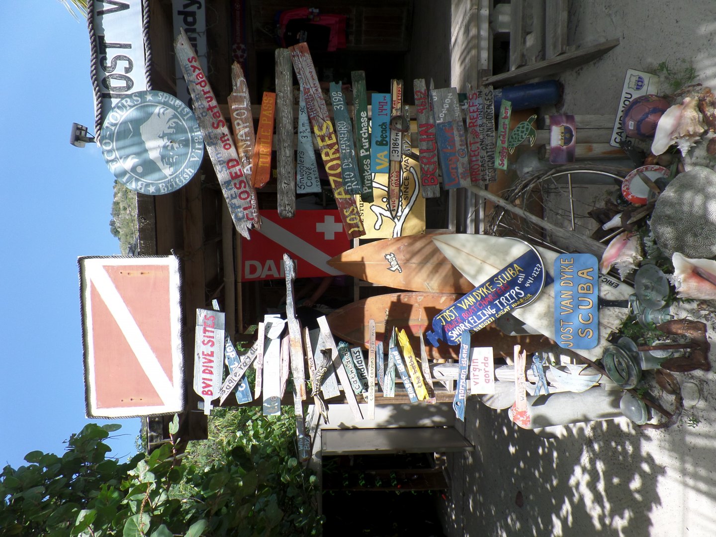
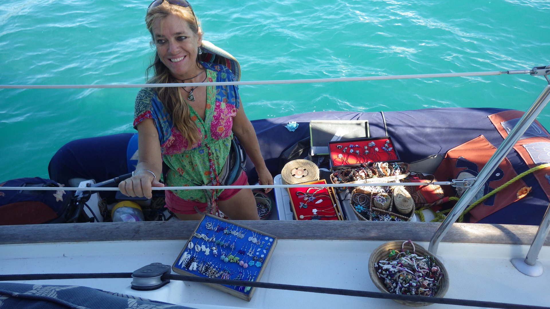
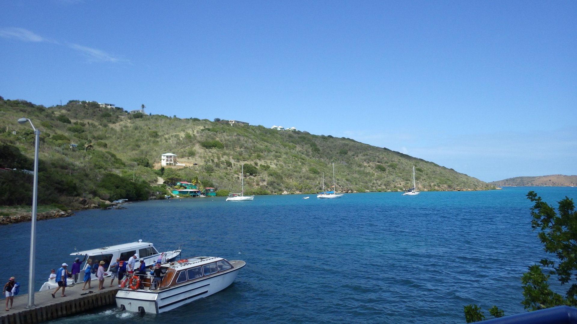
We first arrived at Sopers Hole / West End to clear into British Virgin Islands. That day we had a stroll around the bay, visiting local souvenir shops and grocery store. There was an electricity outage in town so we couldn't get any wi-fi connection.

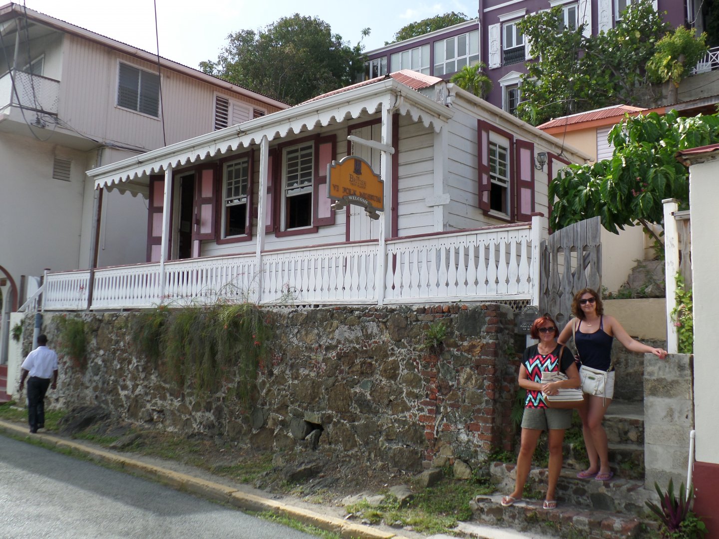
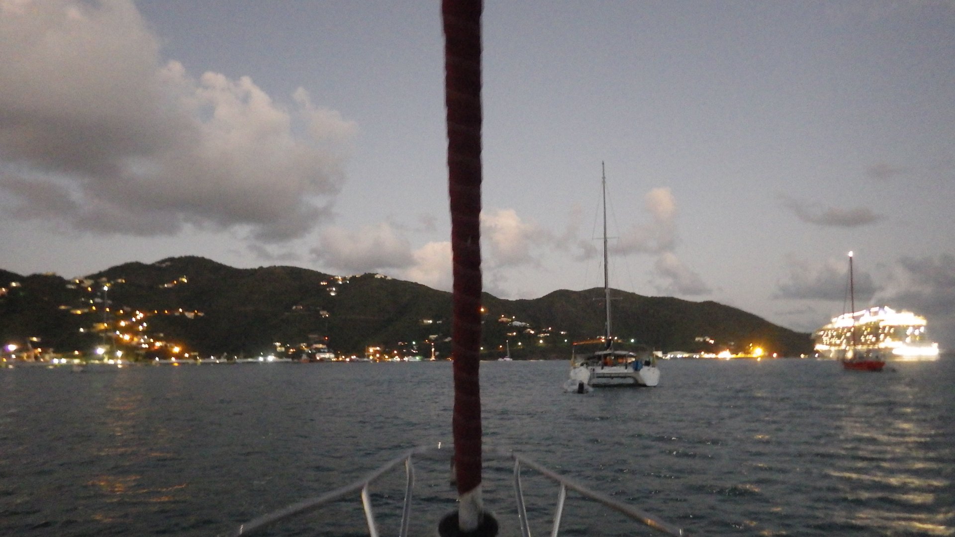
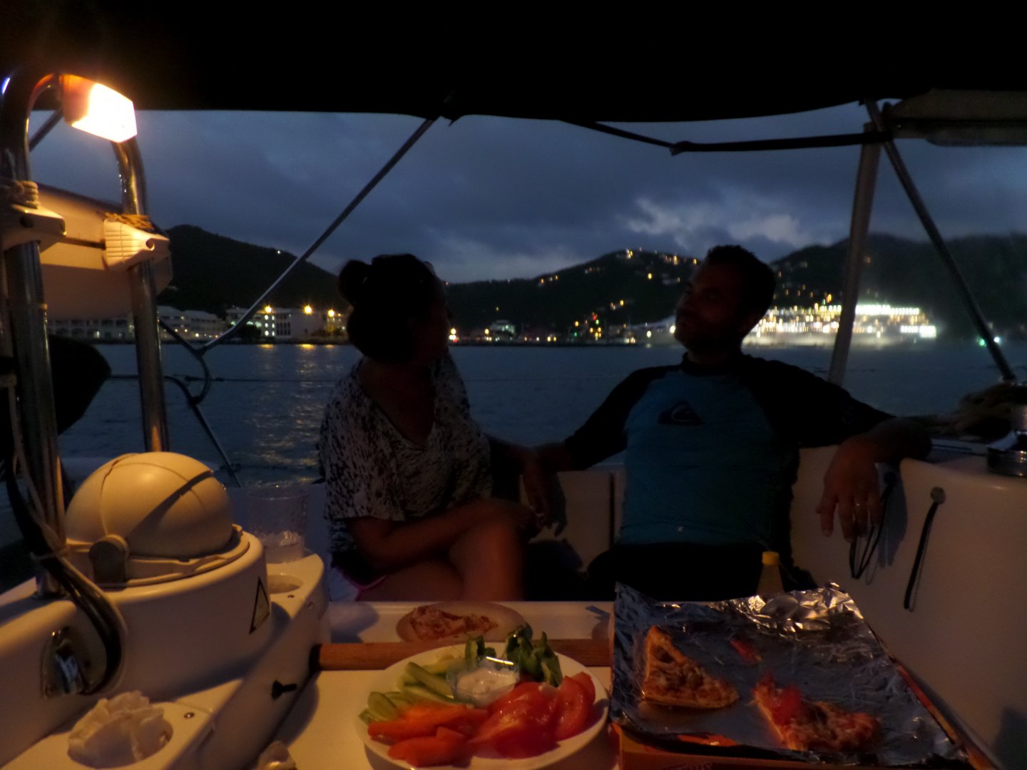
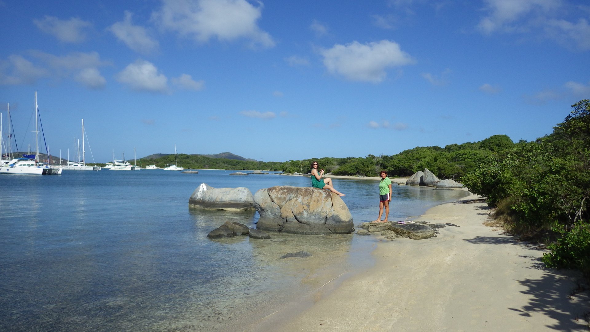
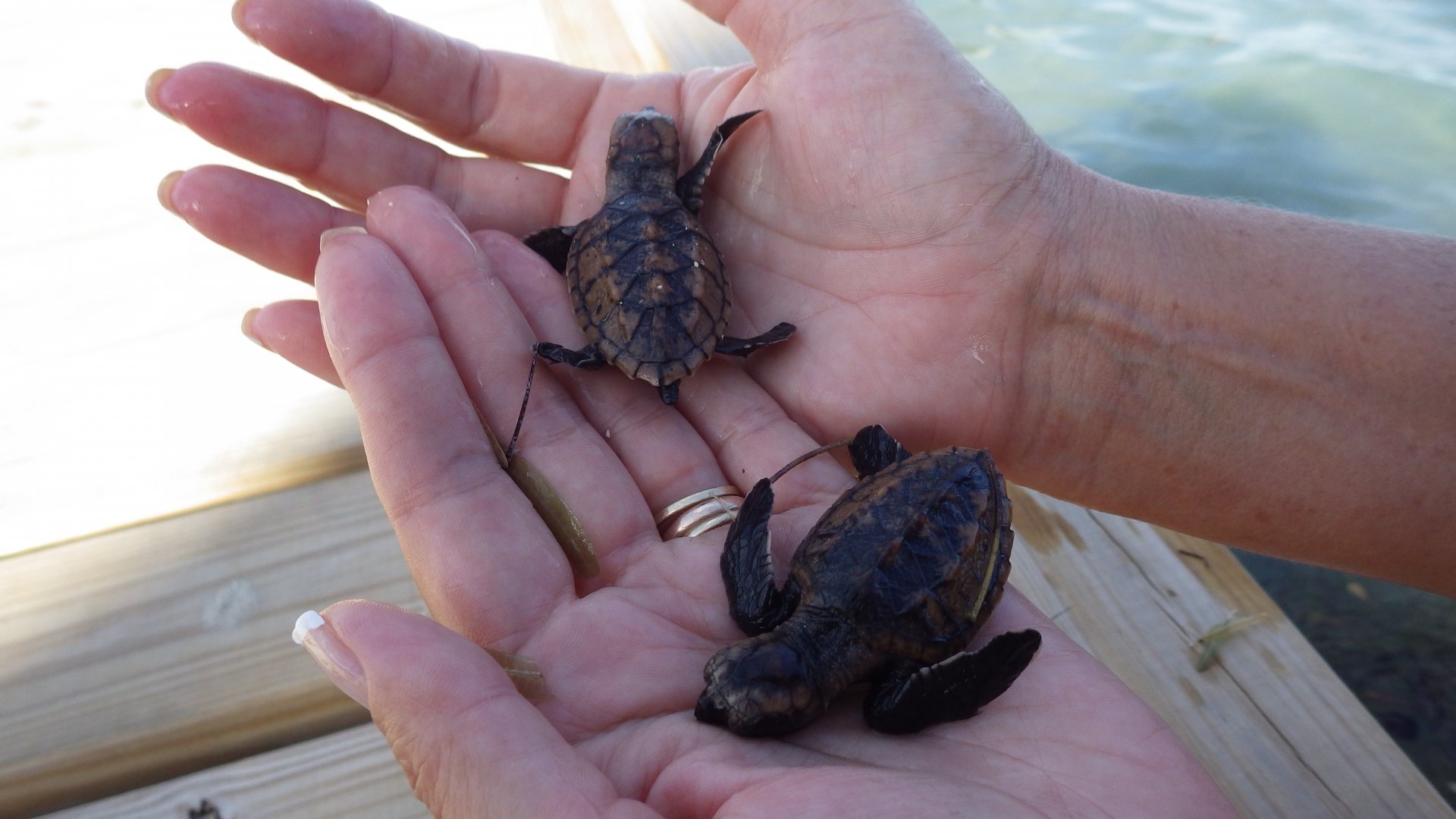
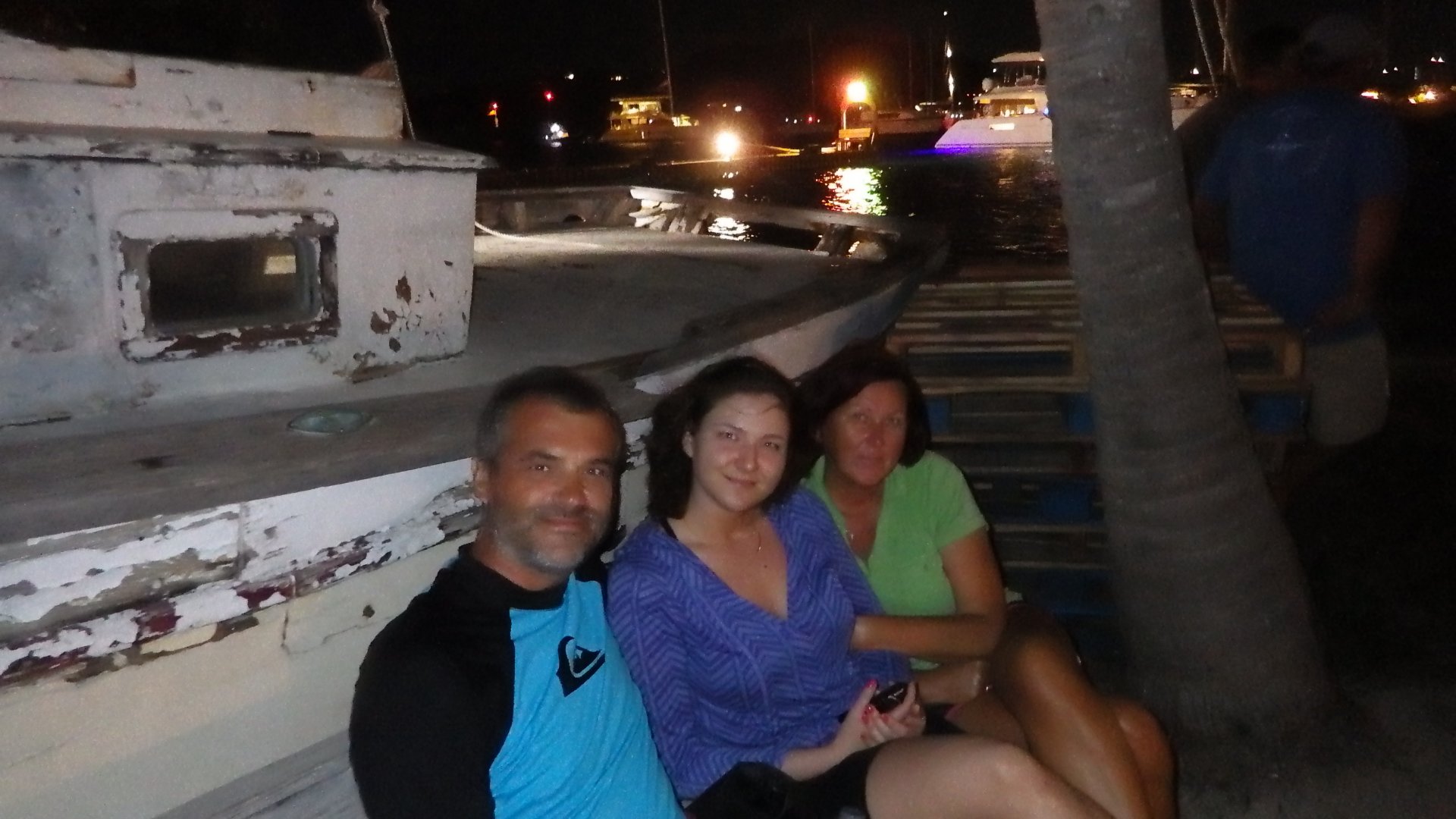
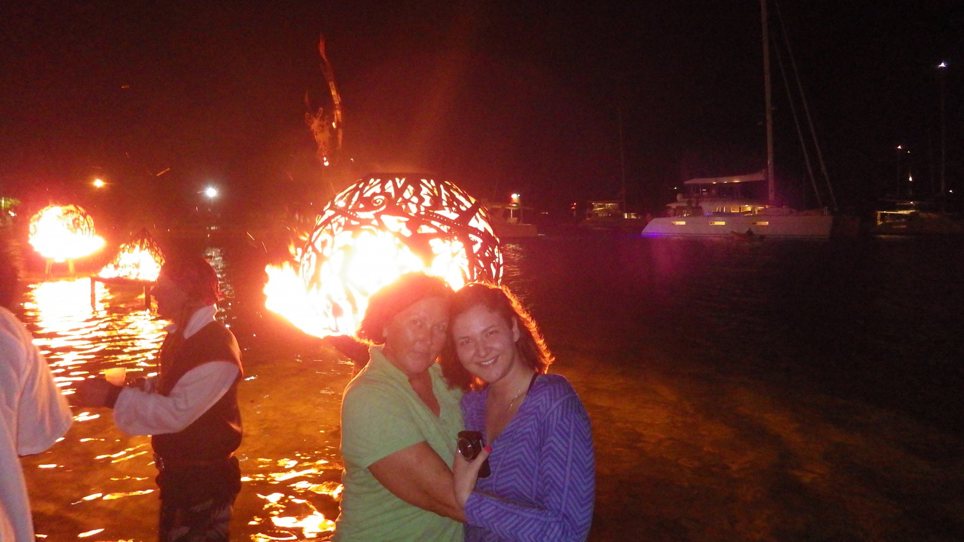
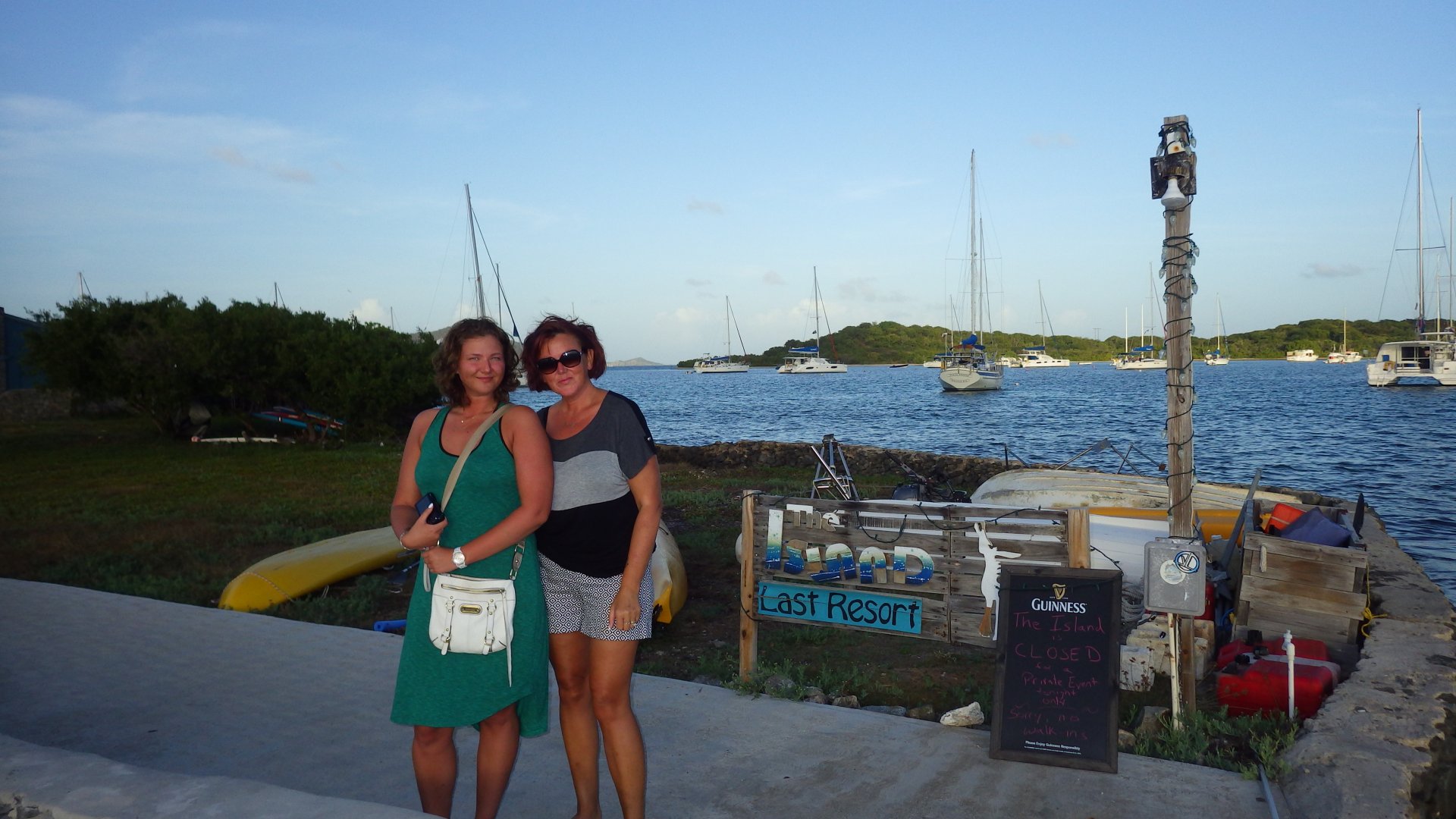
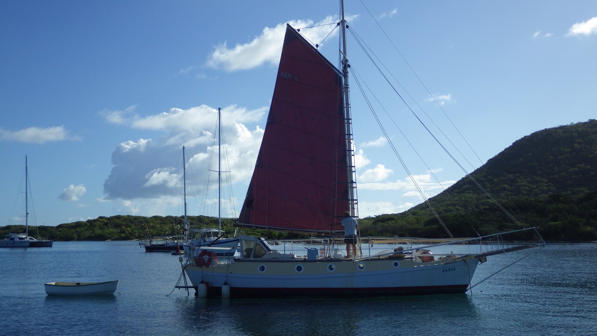
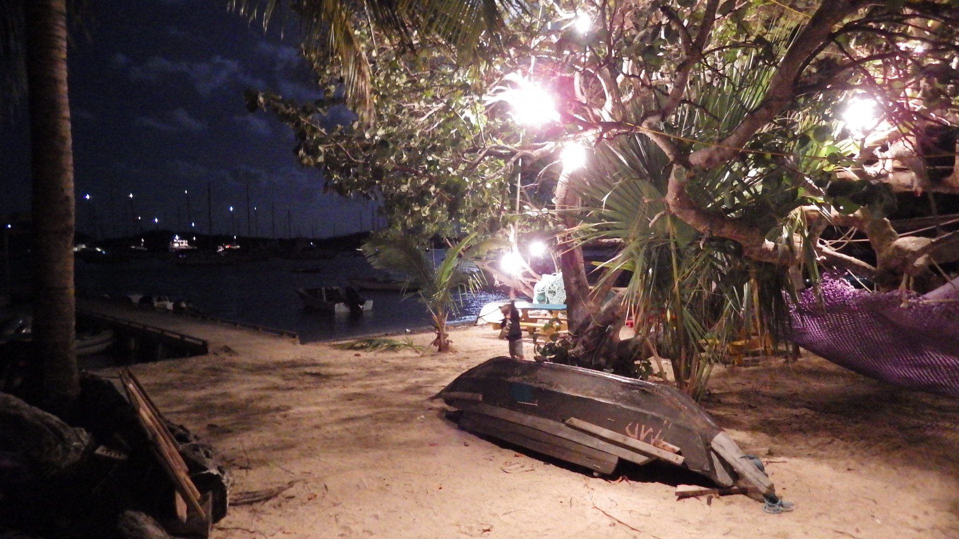
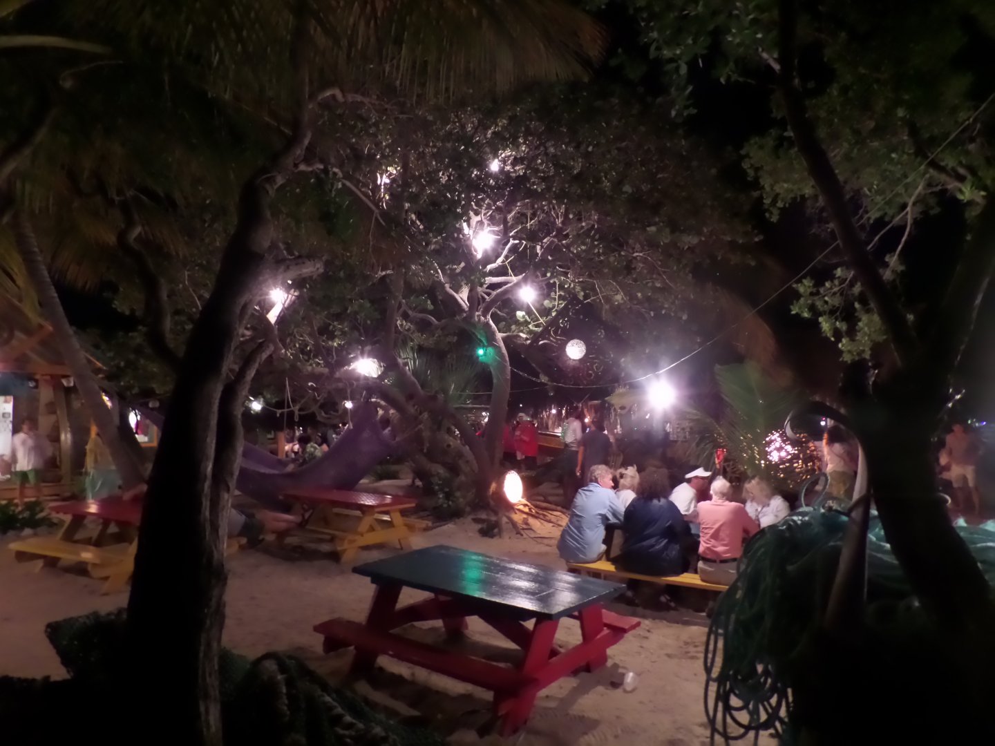
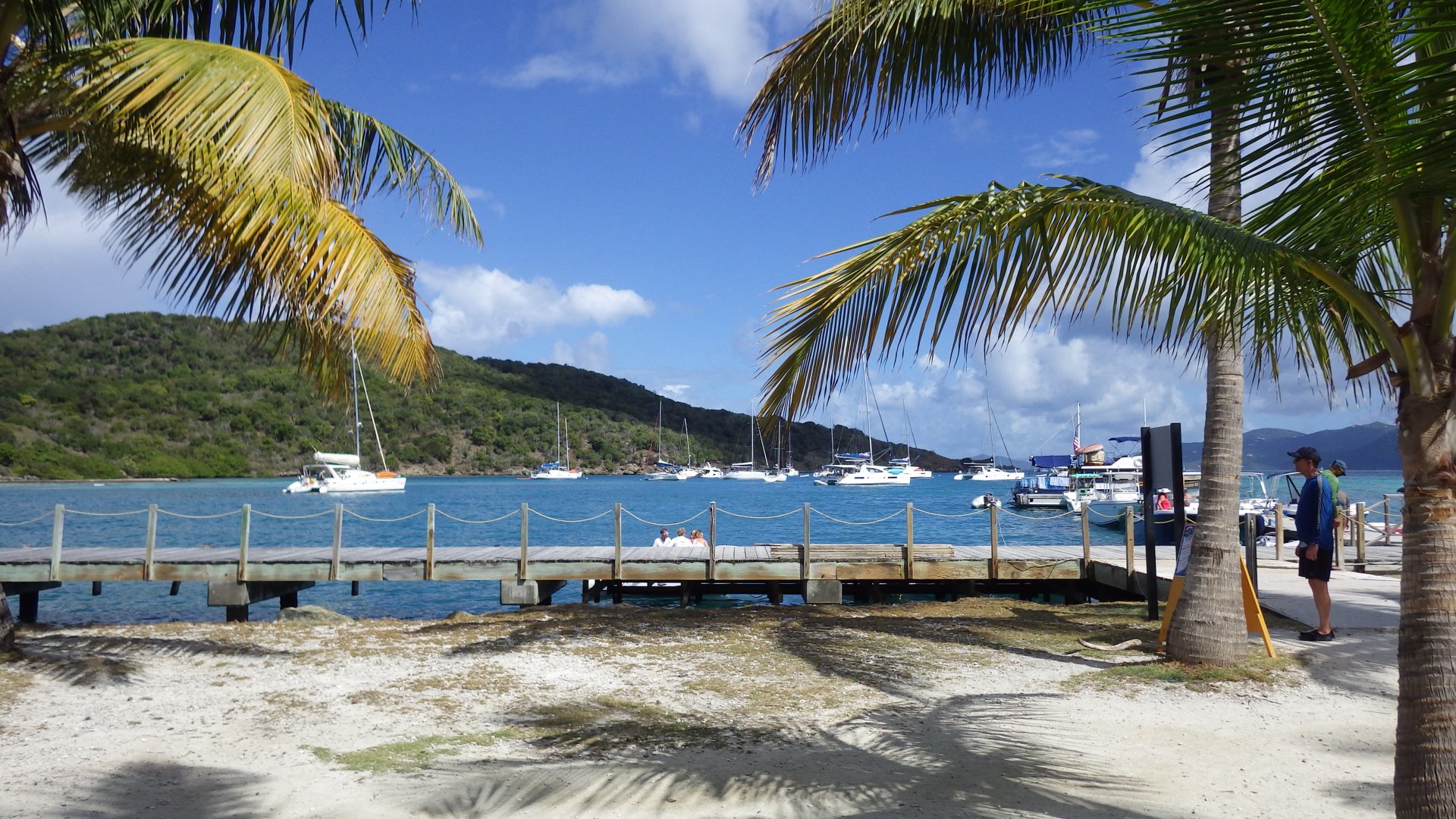
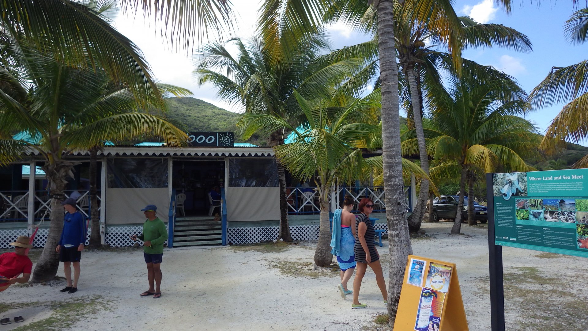
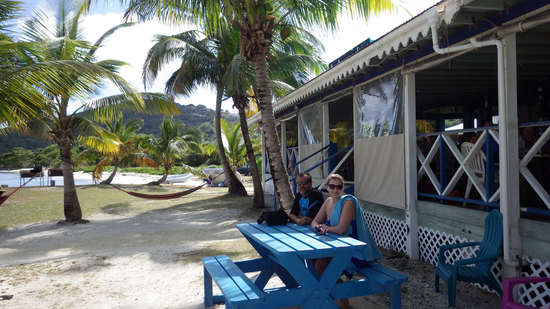
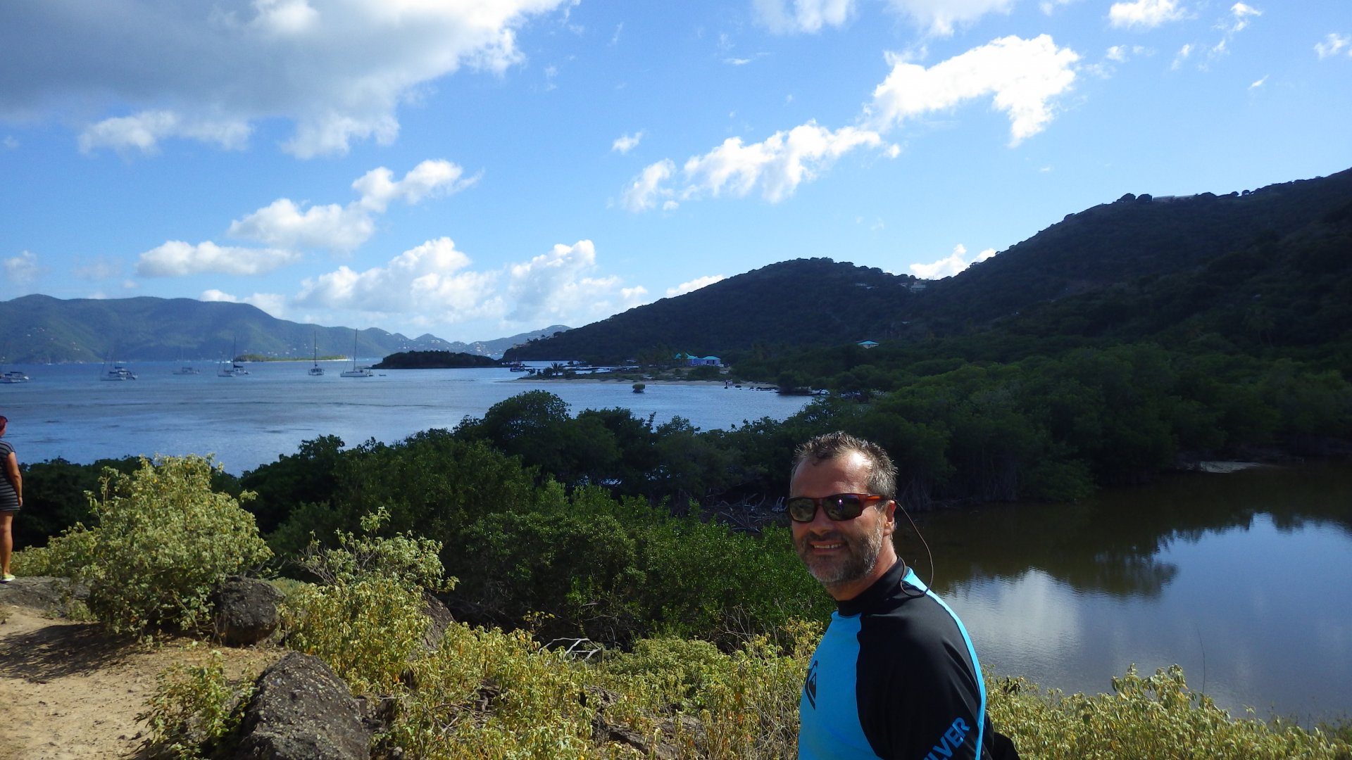
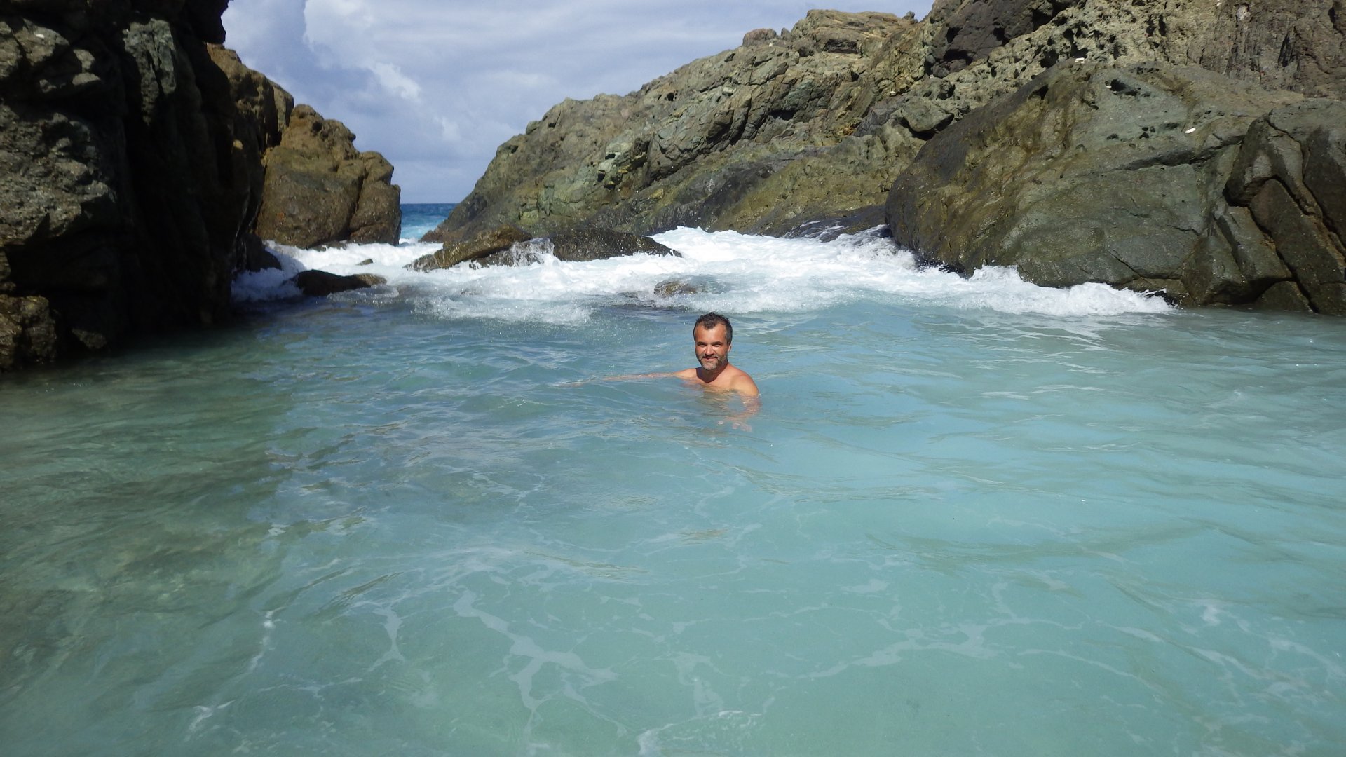
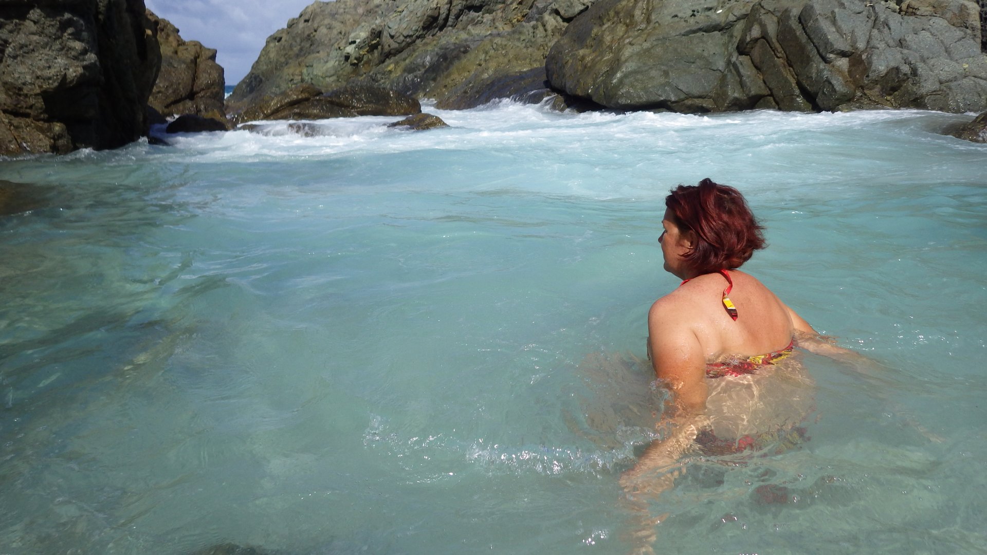
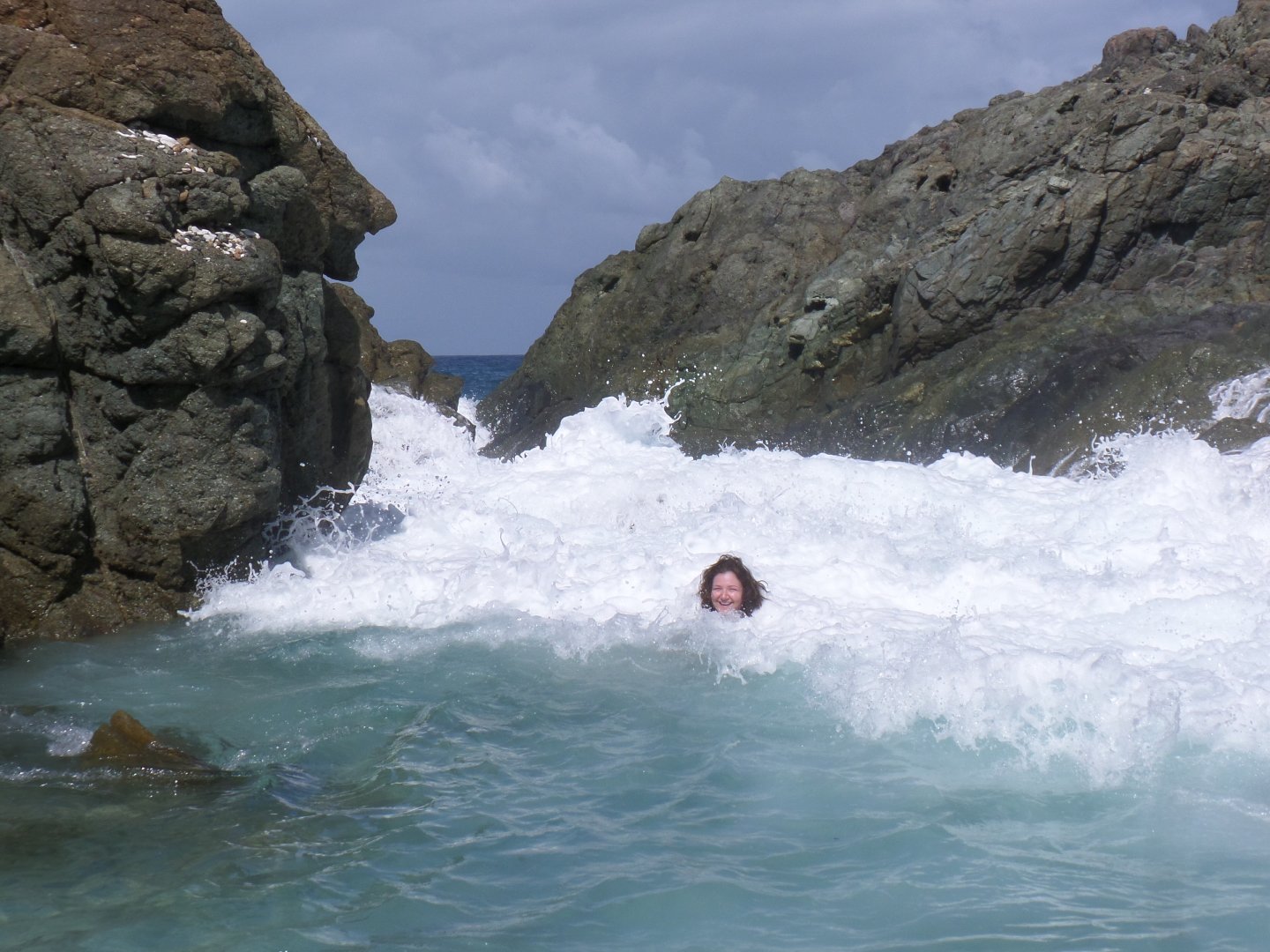
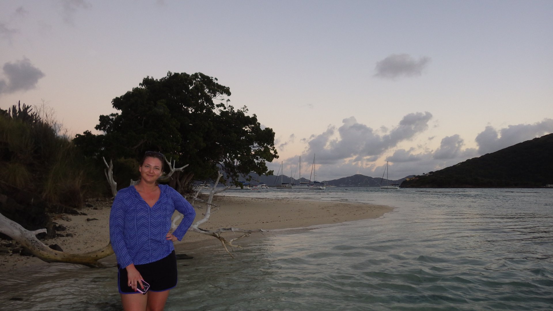
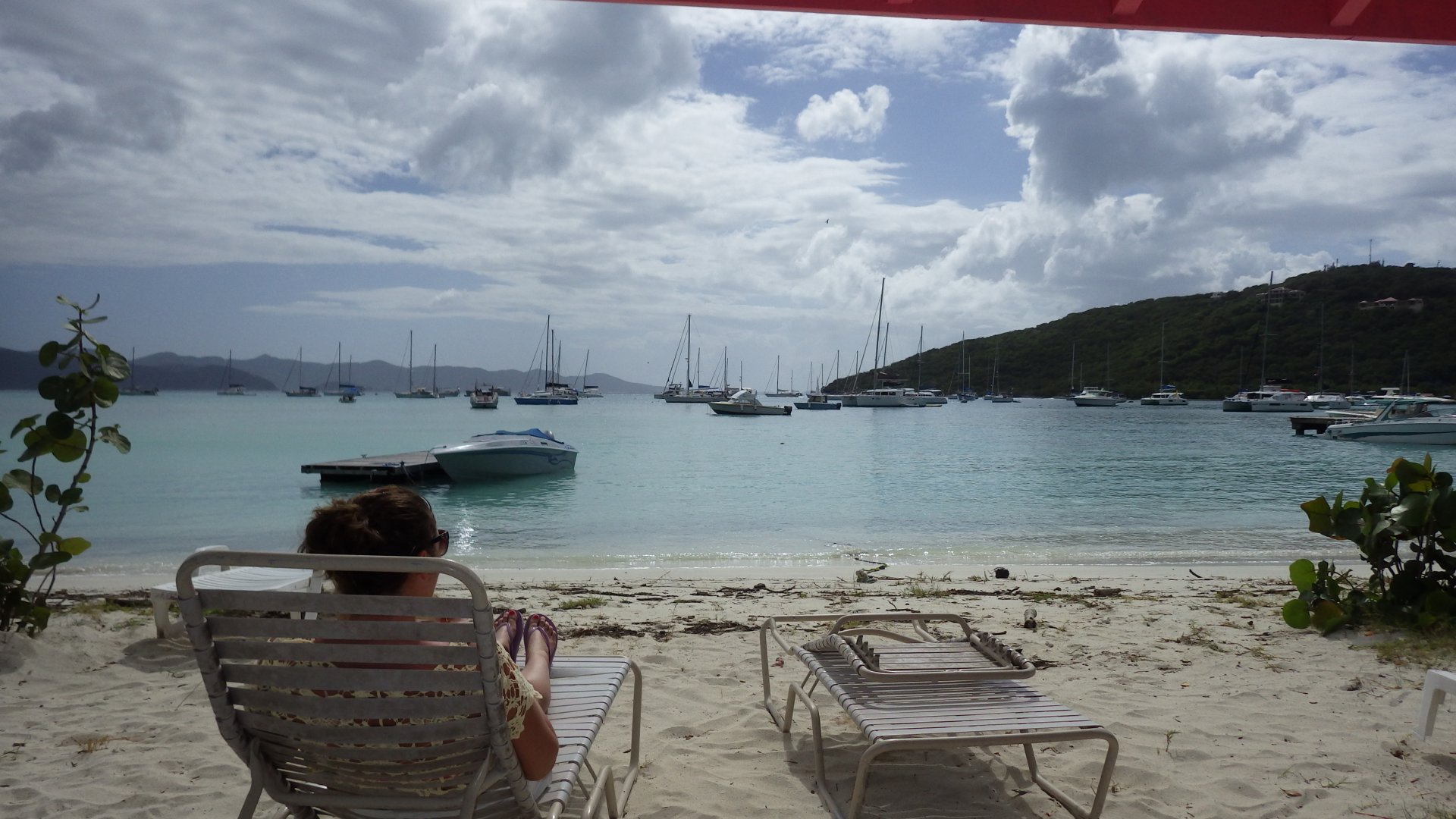
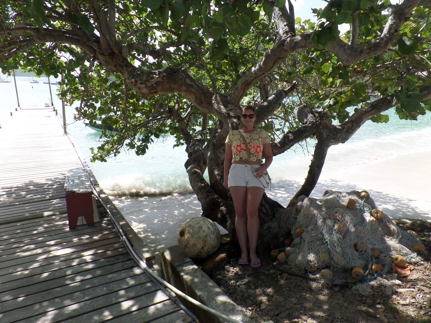
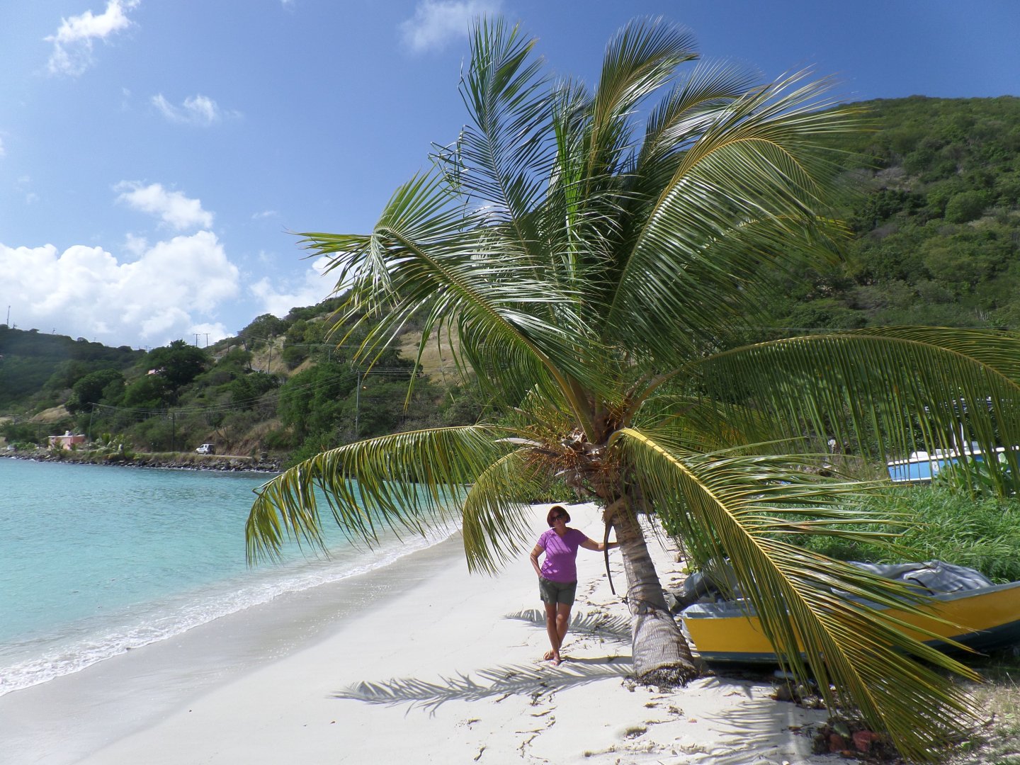
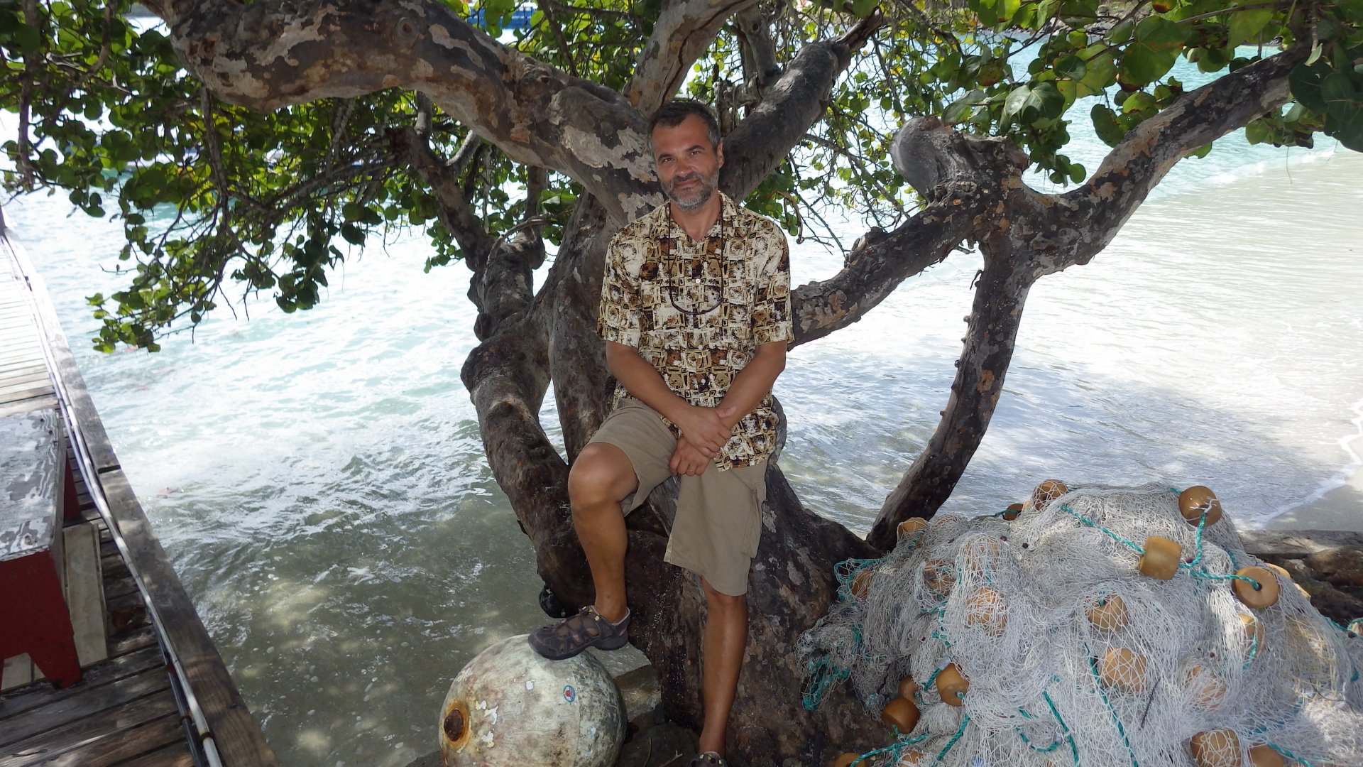
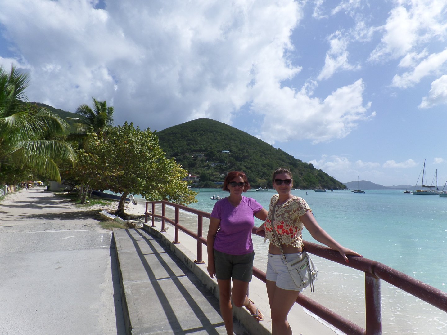
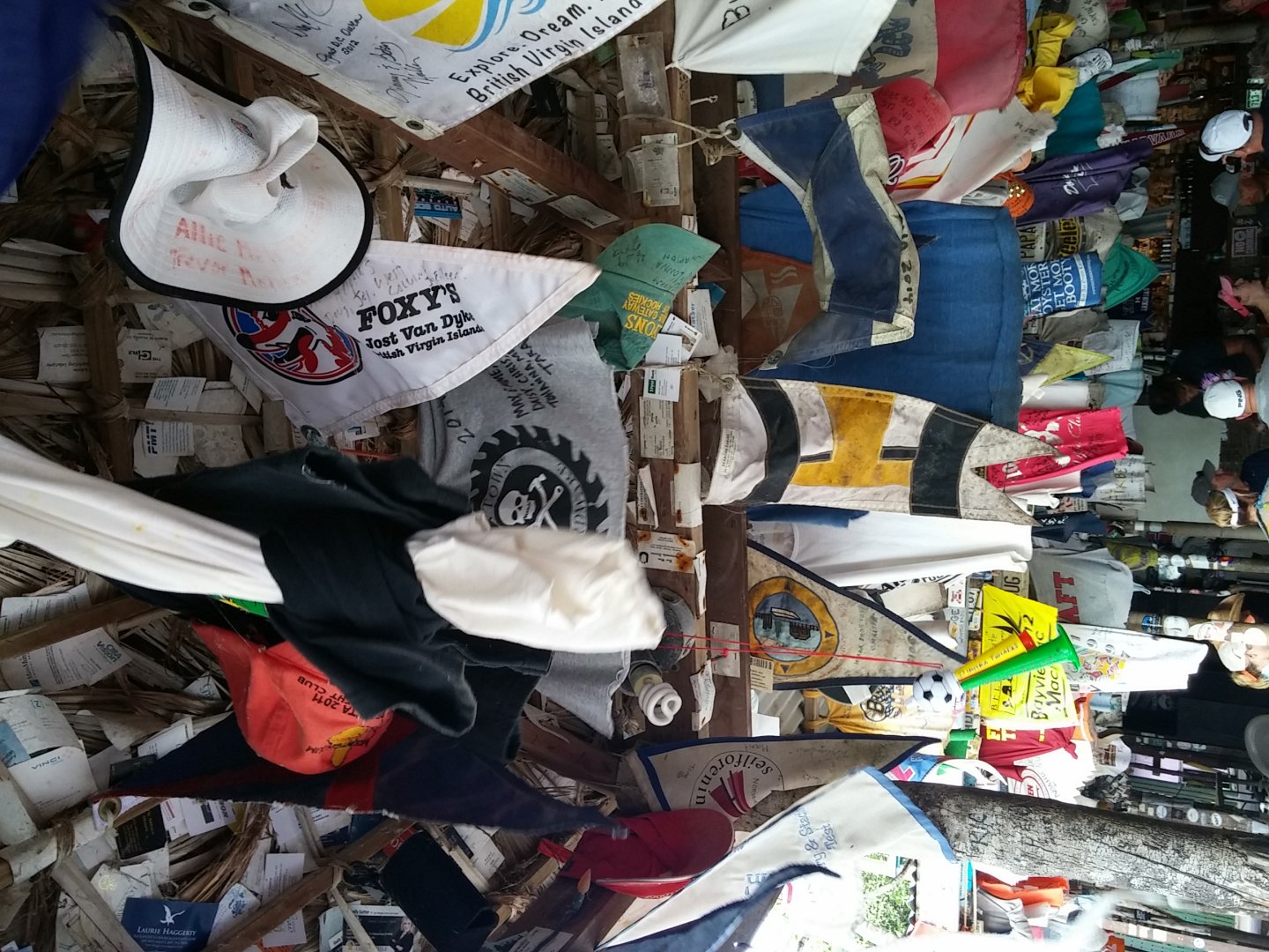
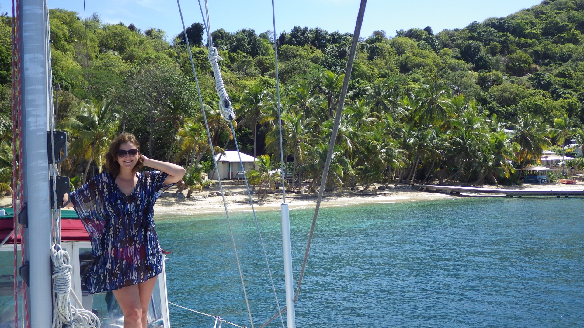
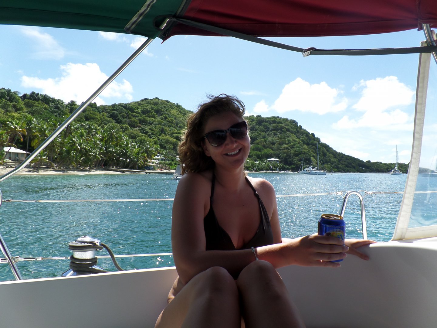
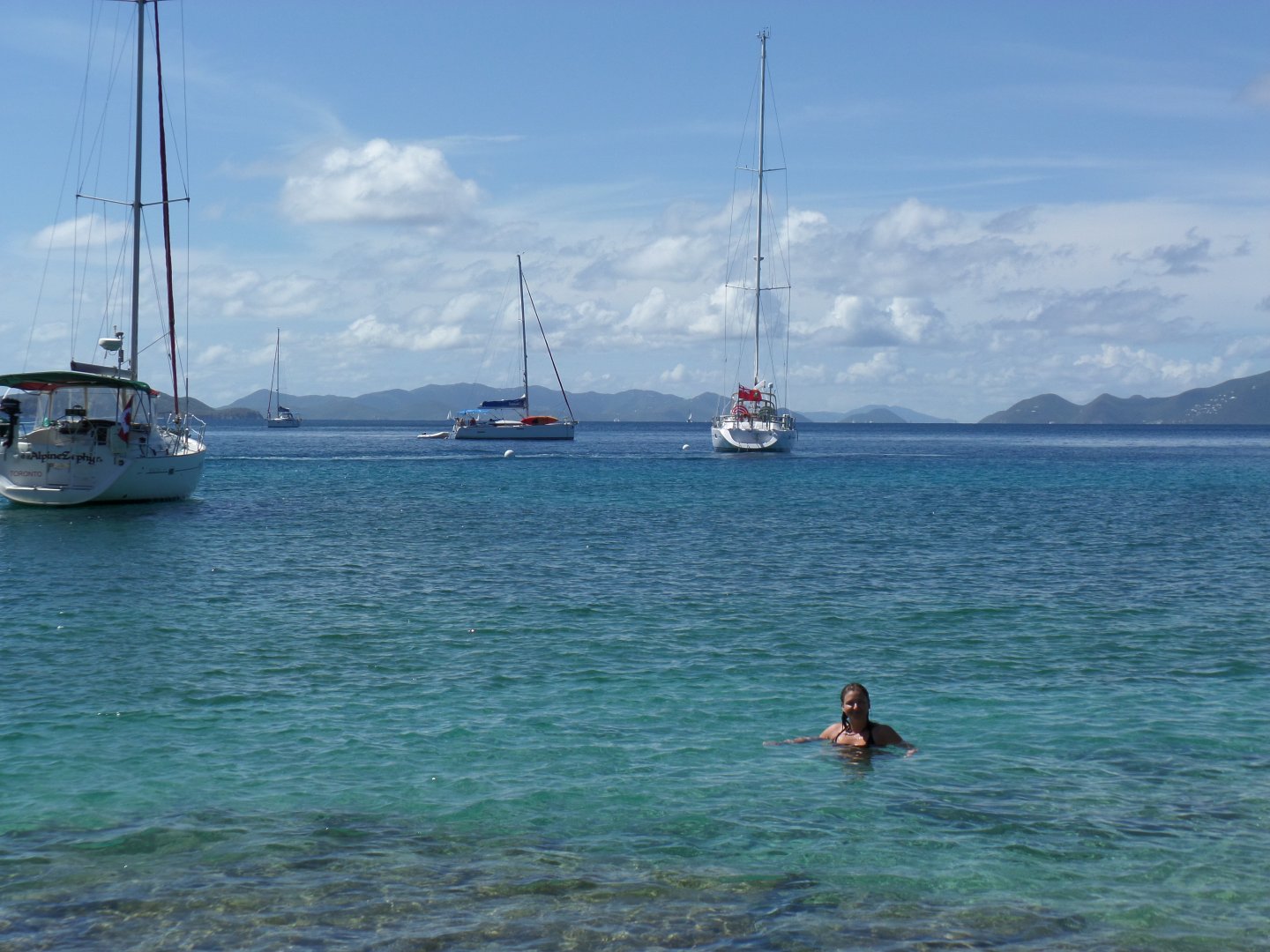
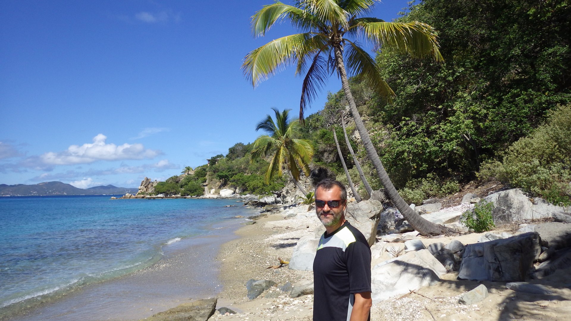
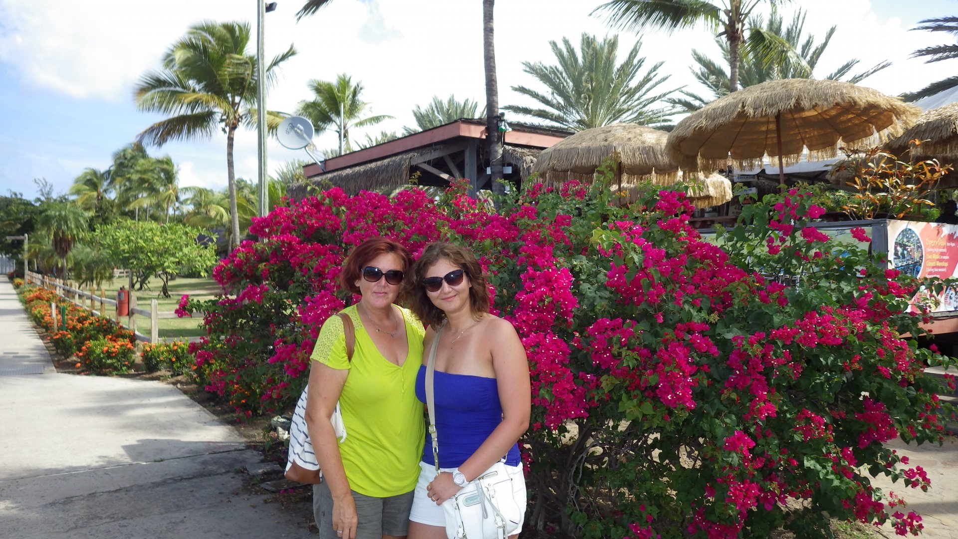
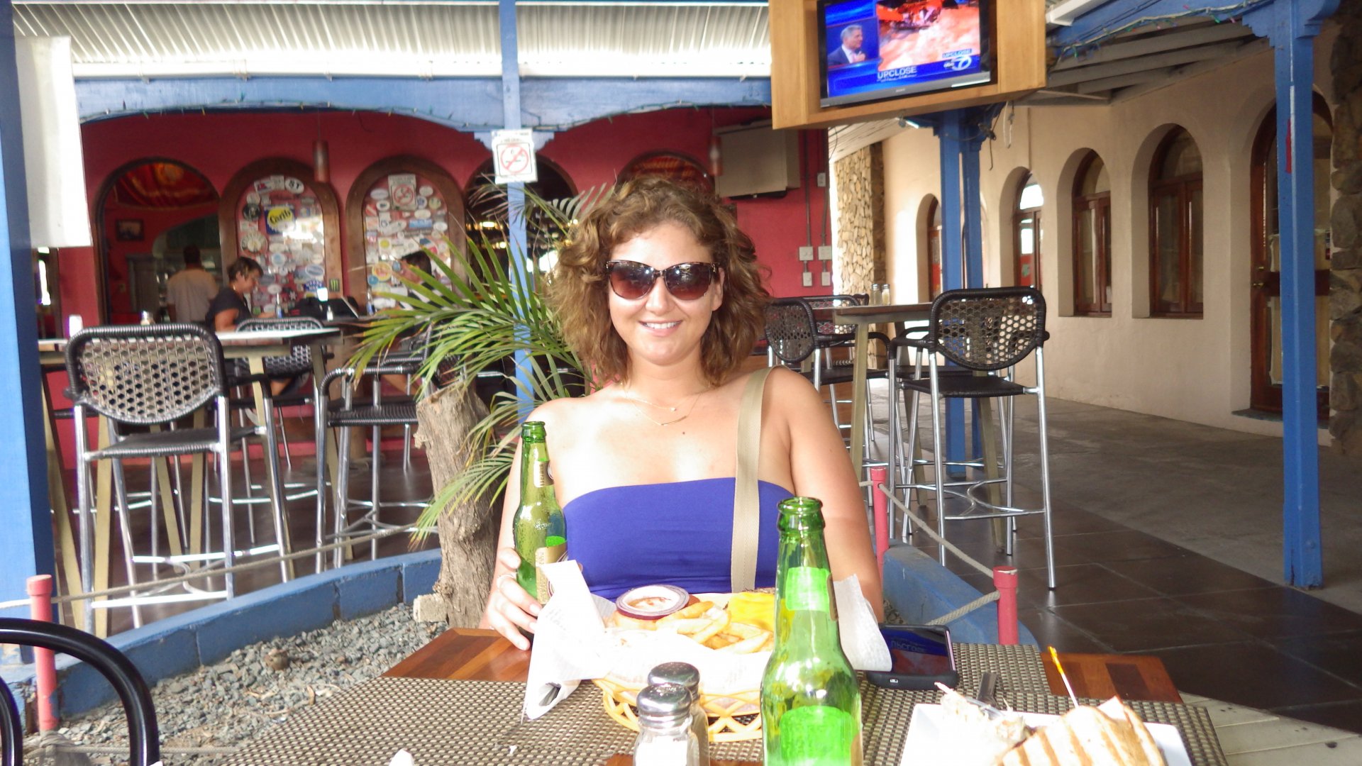
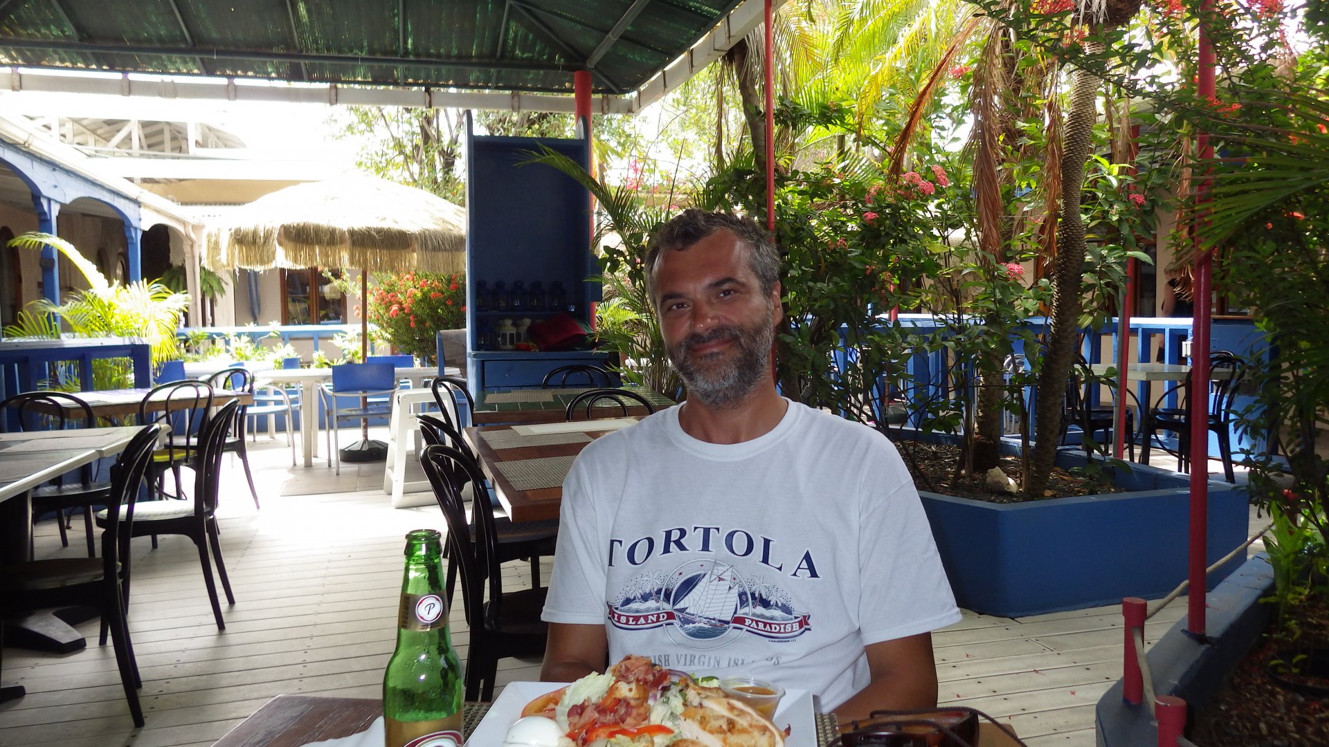
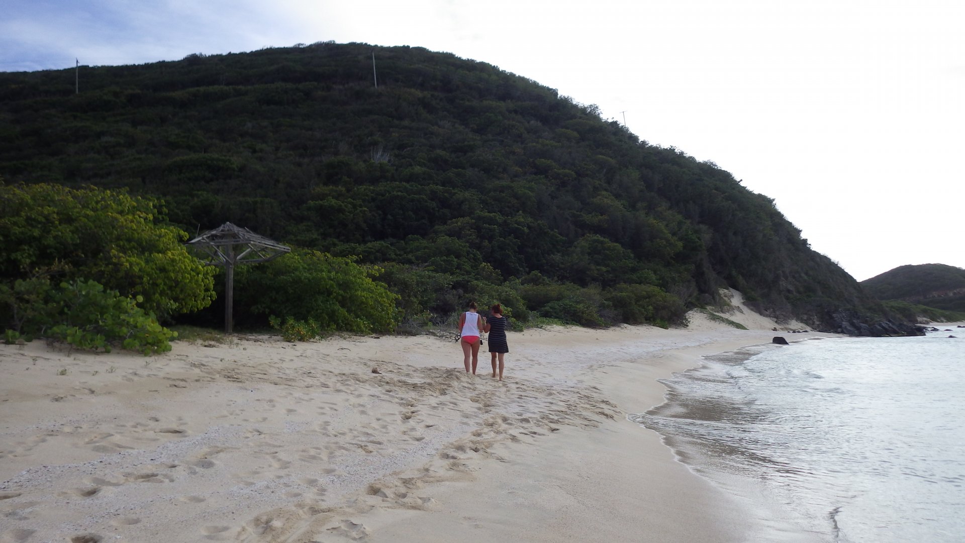
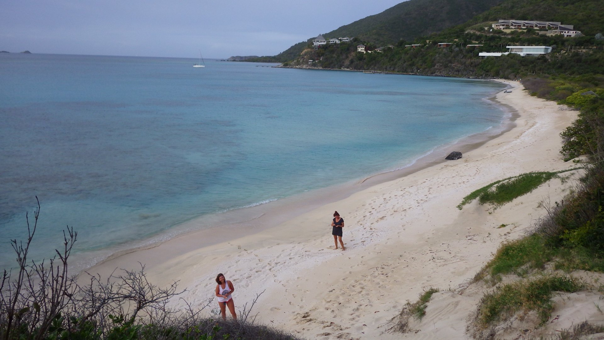
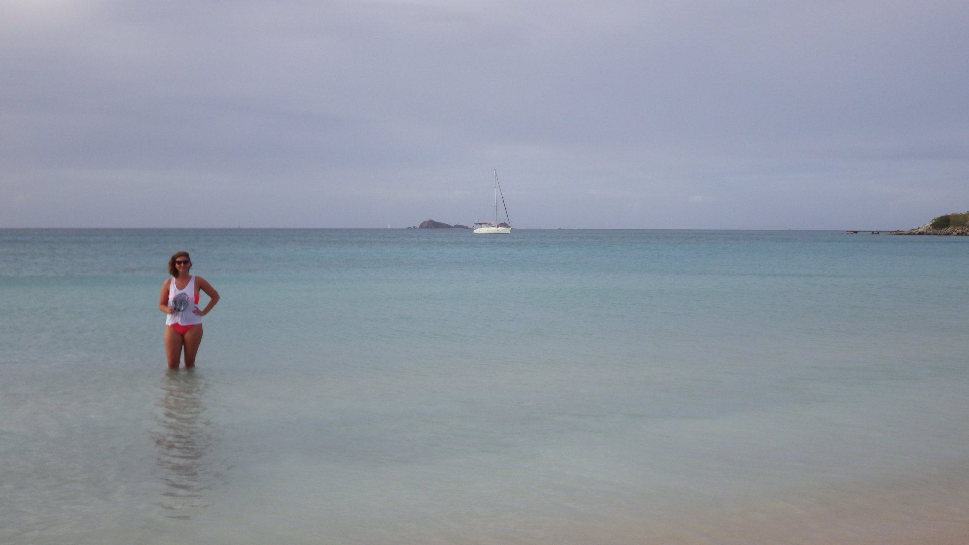
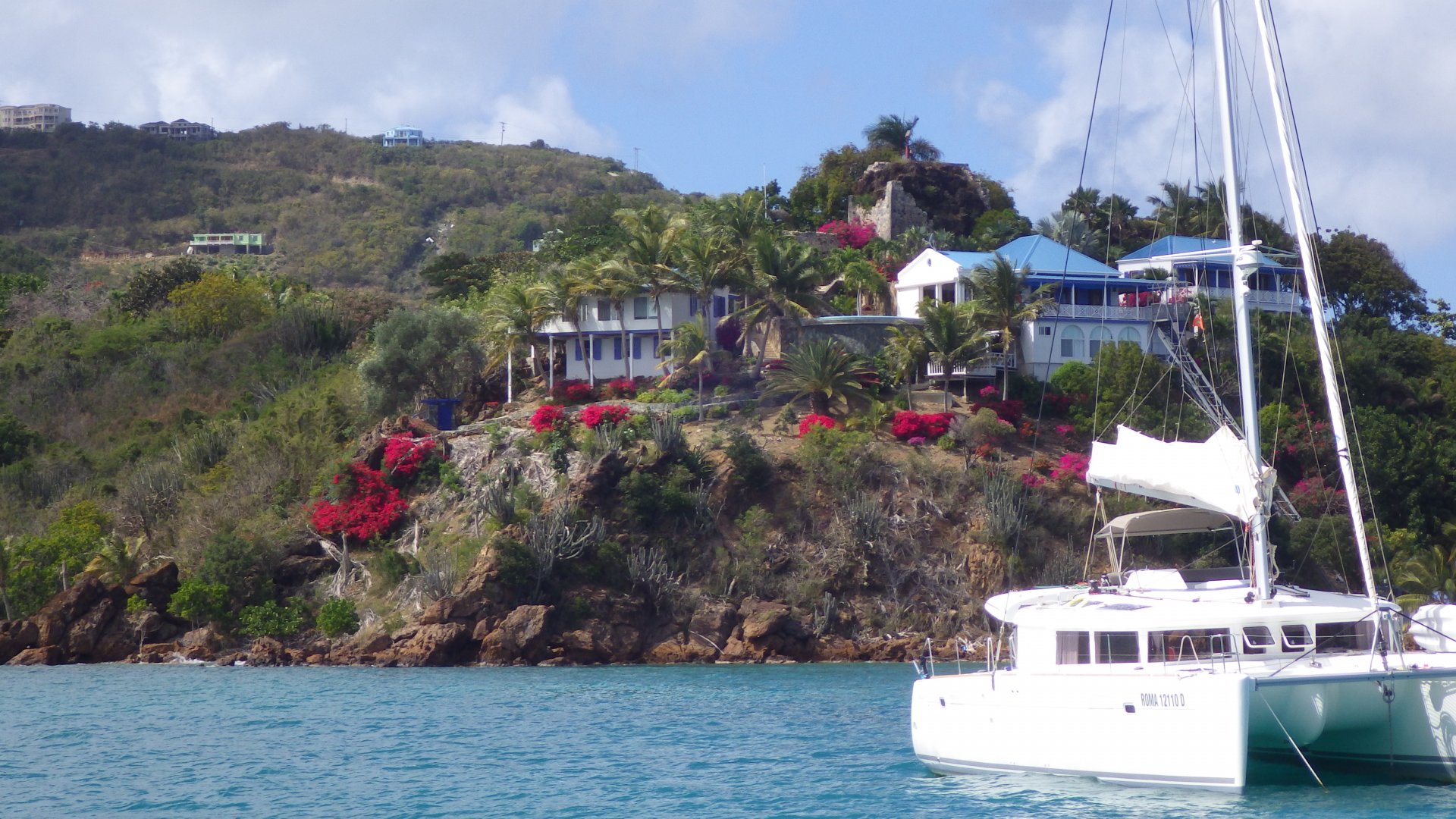
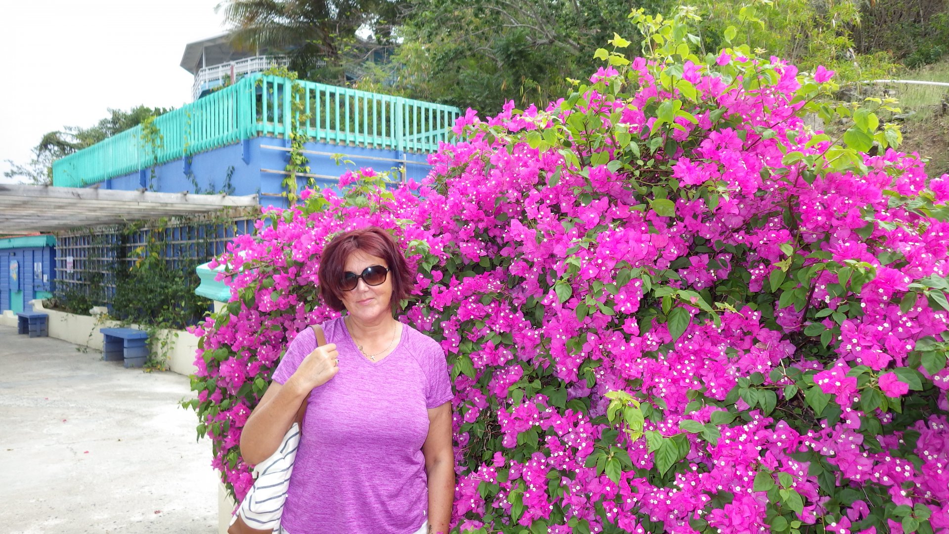
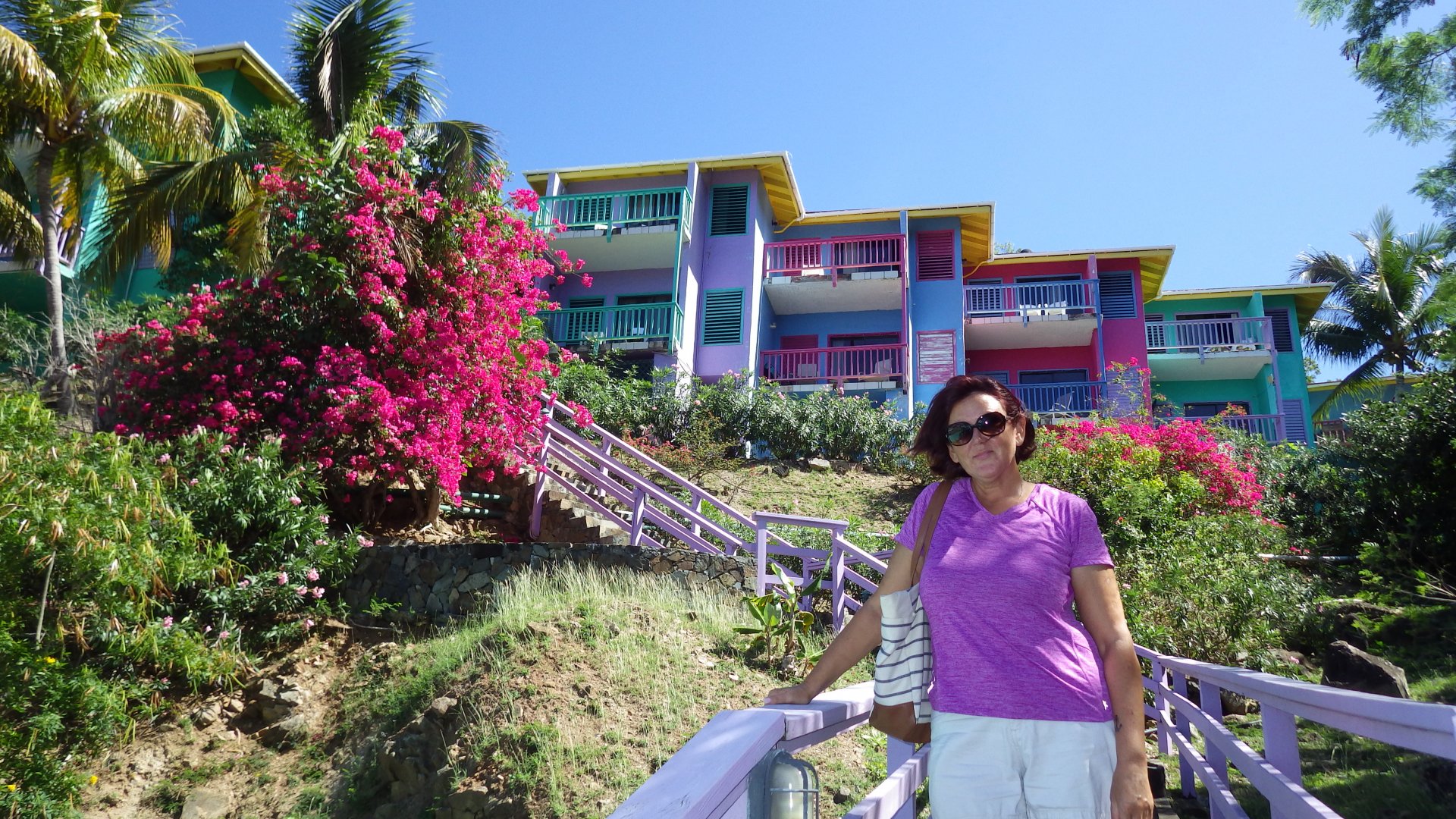
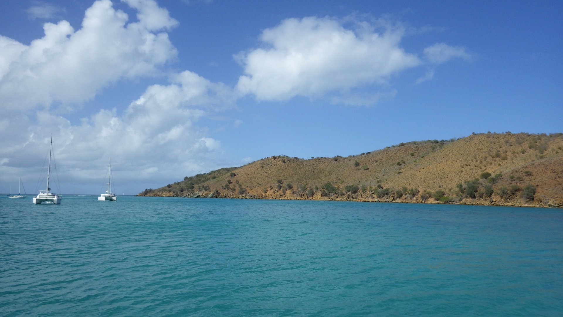
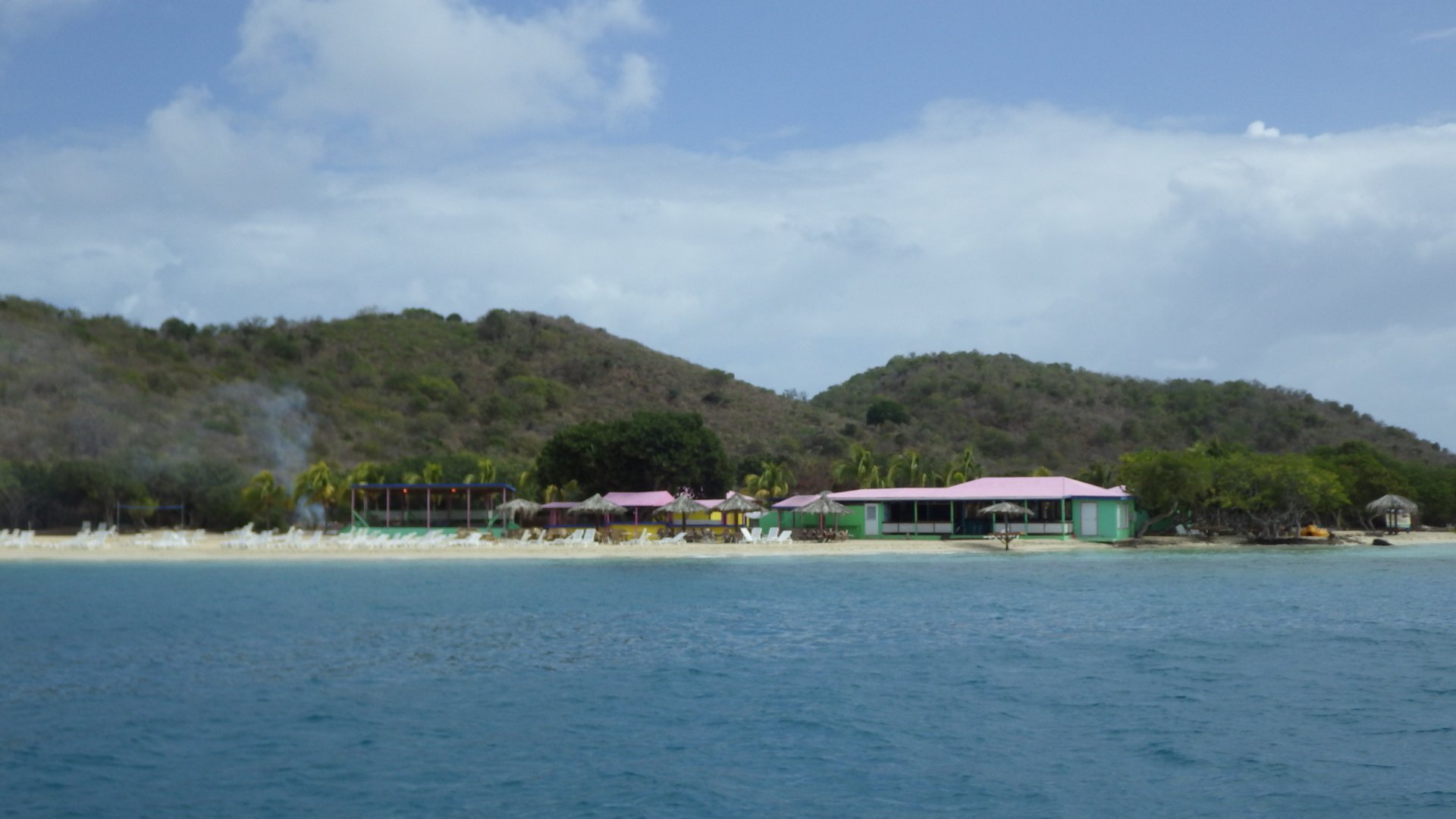
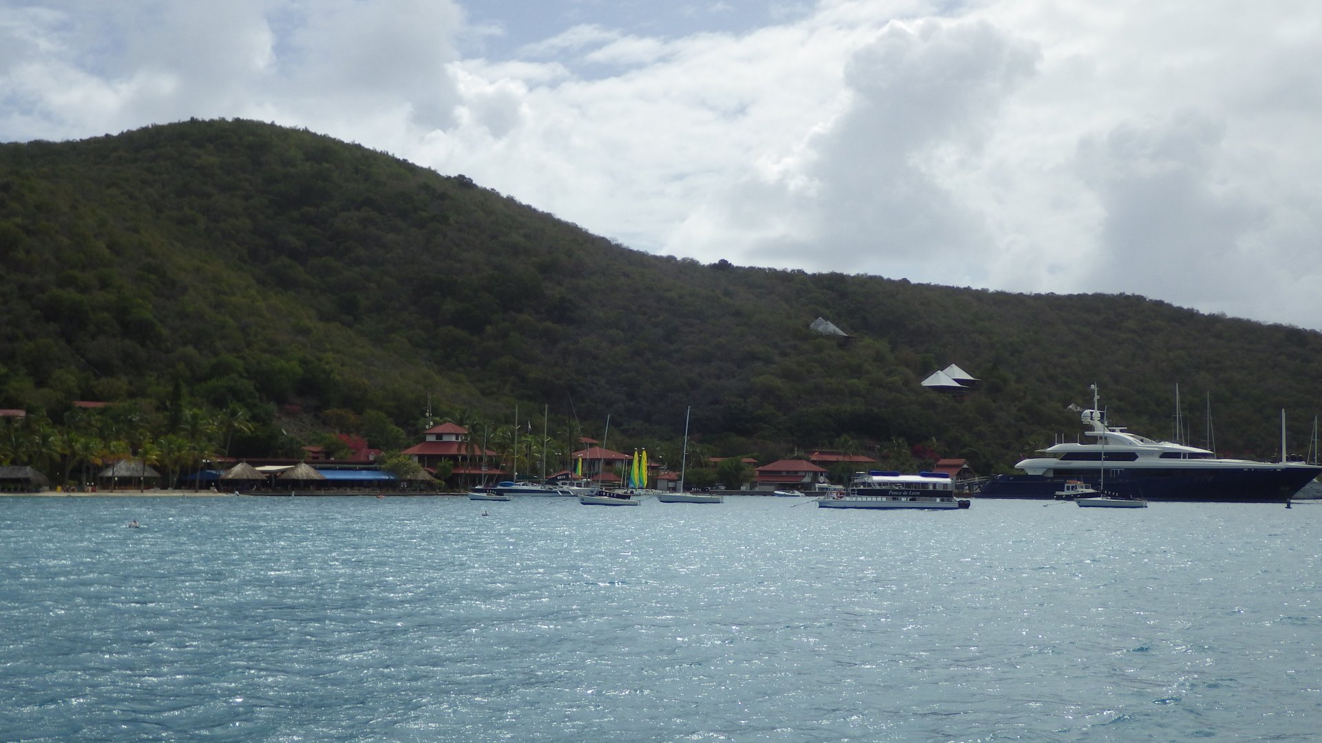
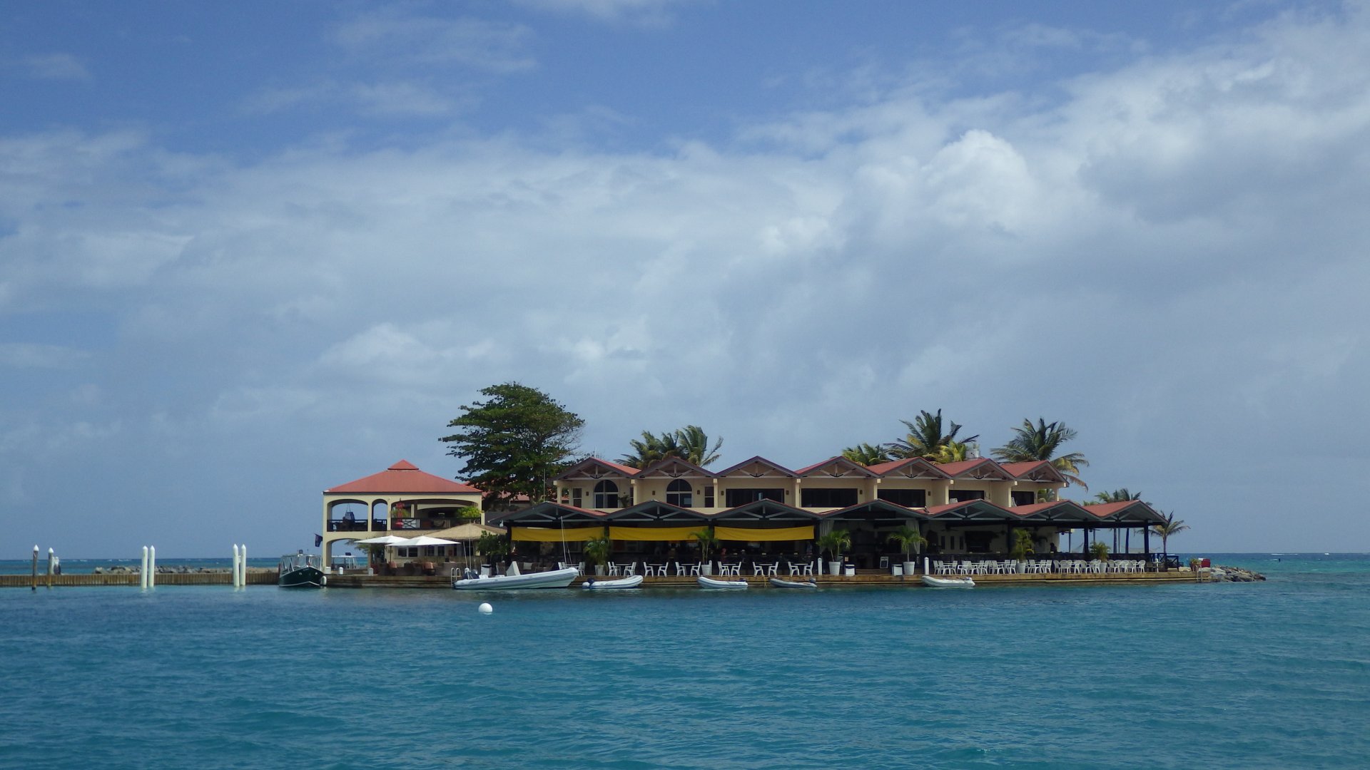
Then we visited this place with our daughter on our way from Jost Van Dyke island.

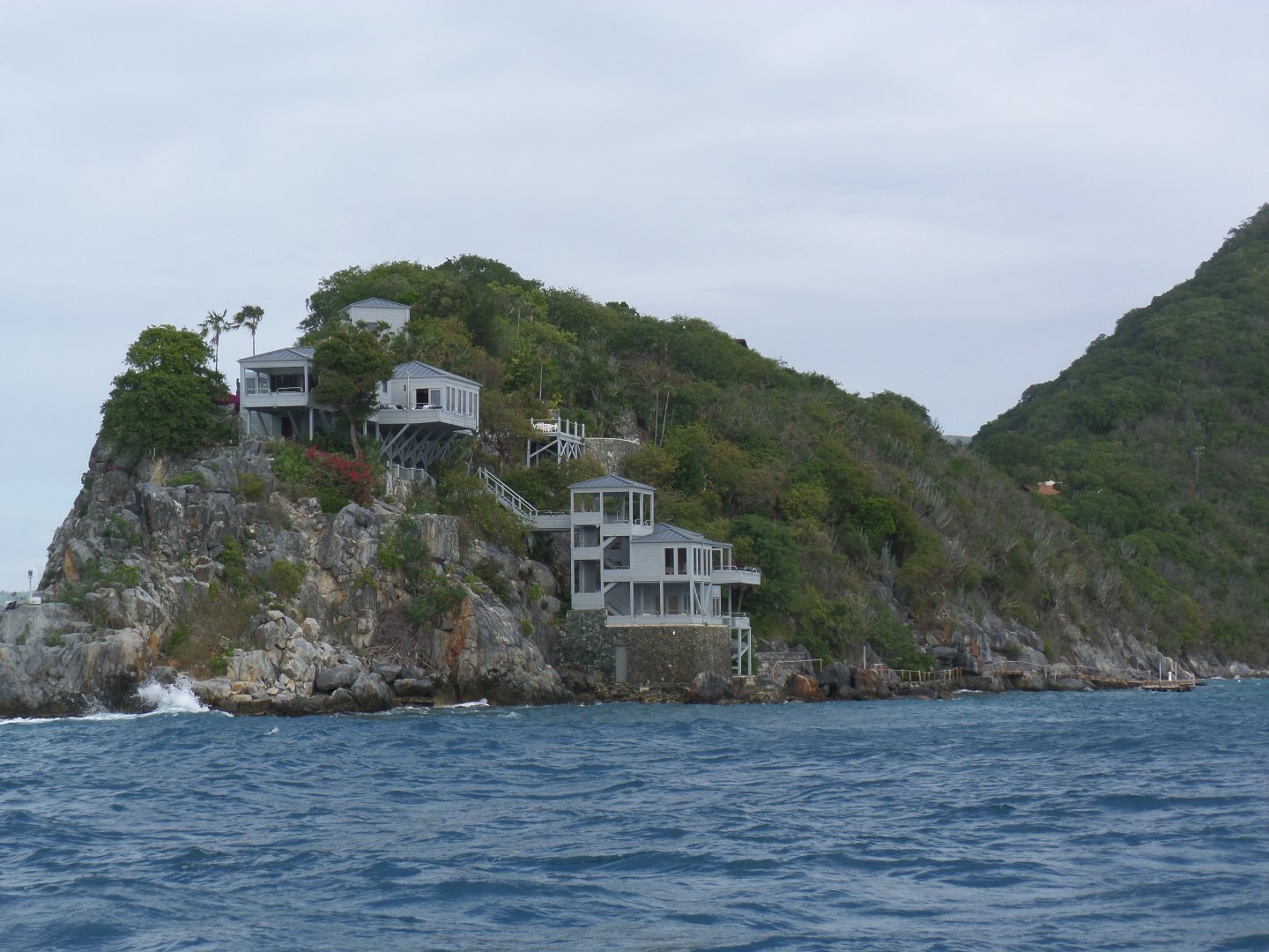
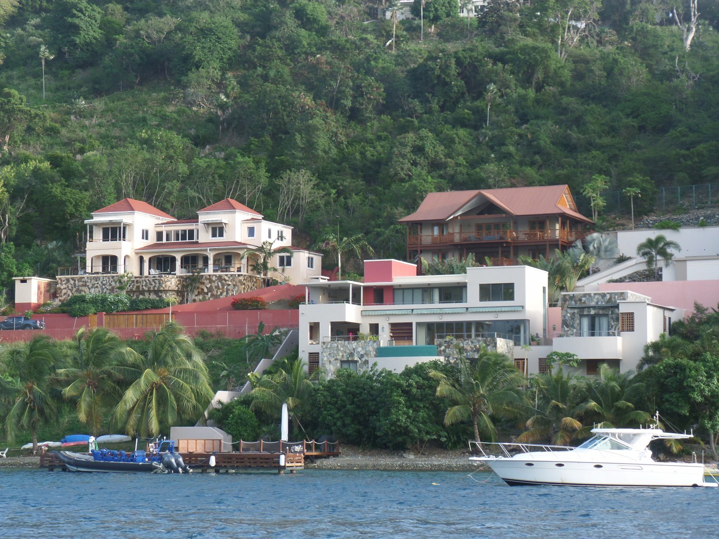
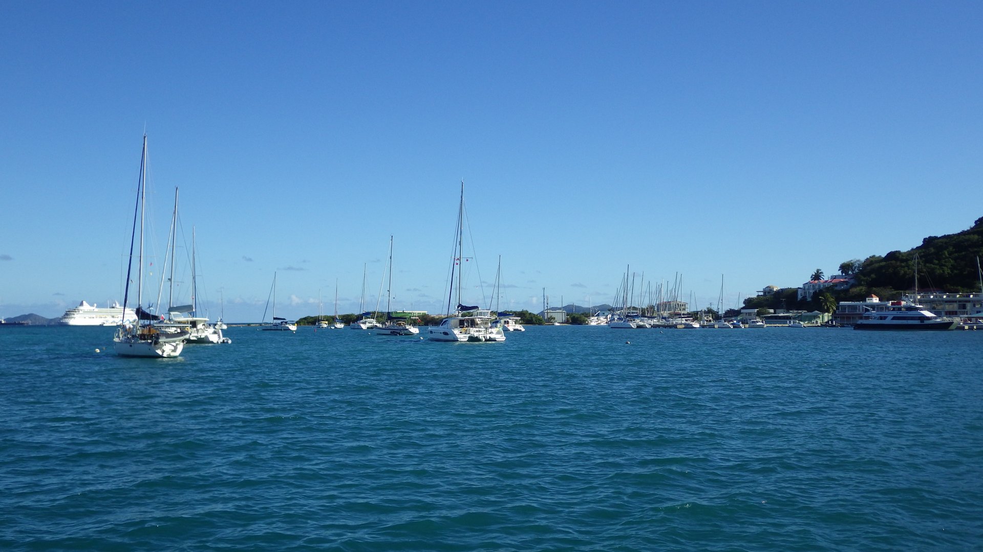
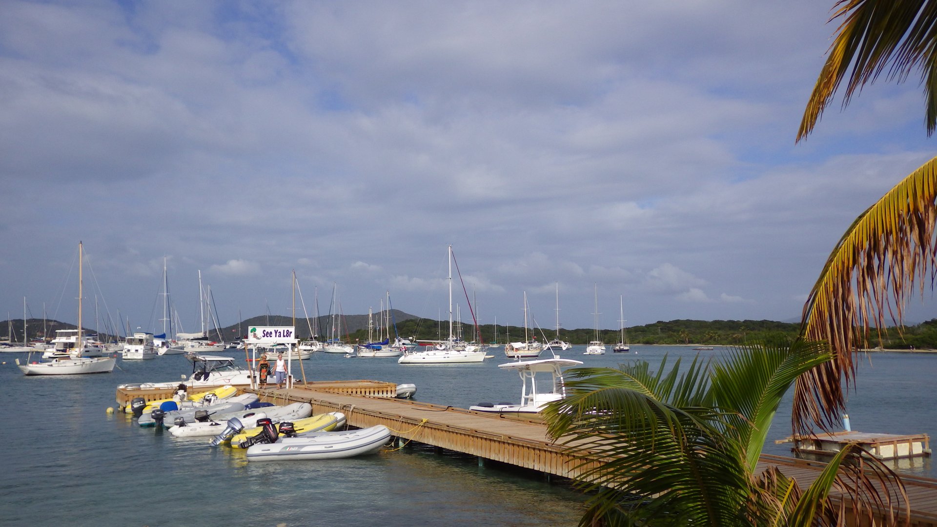
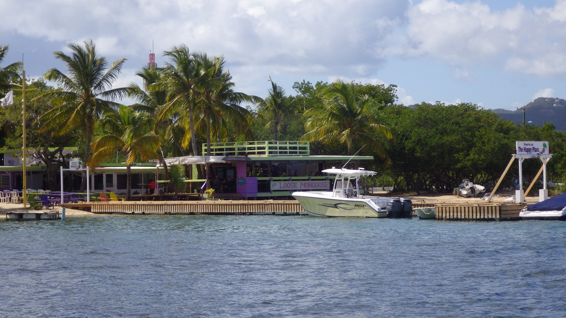
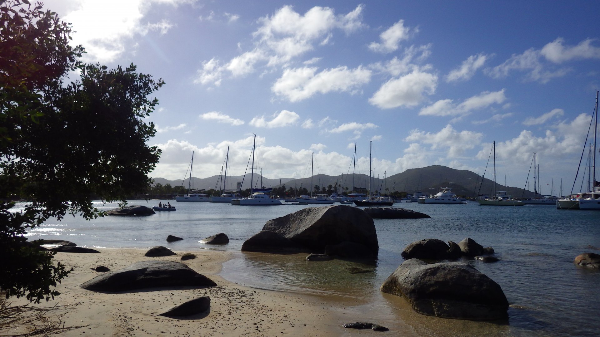
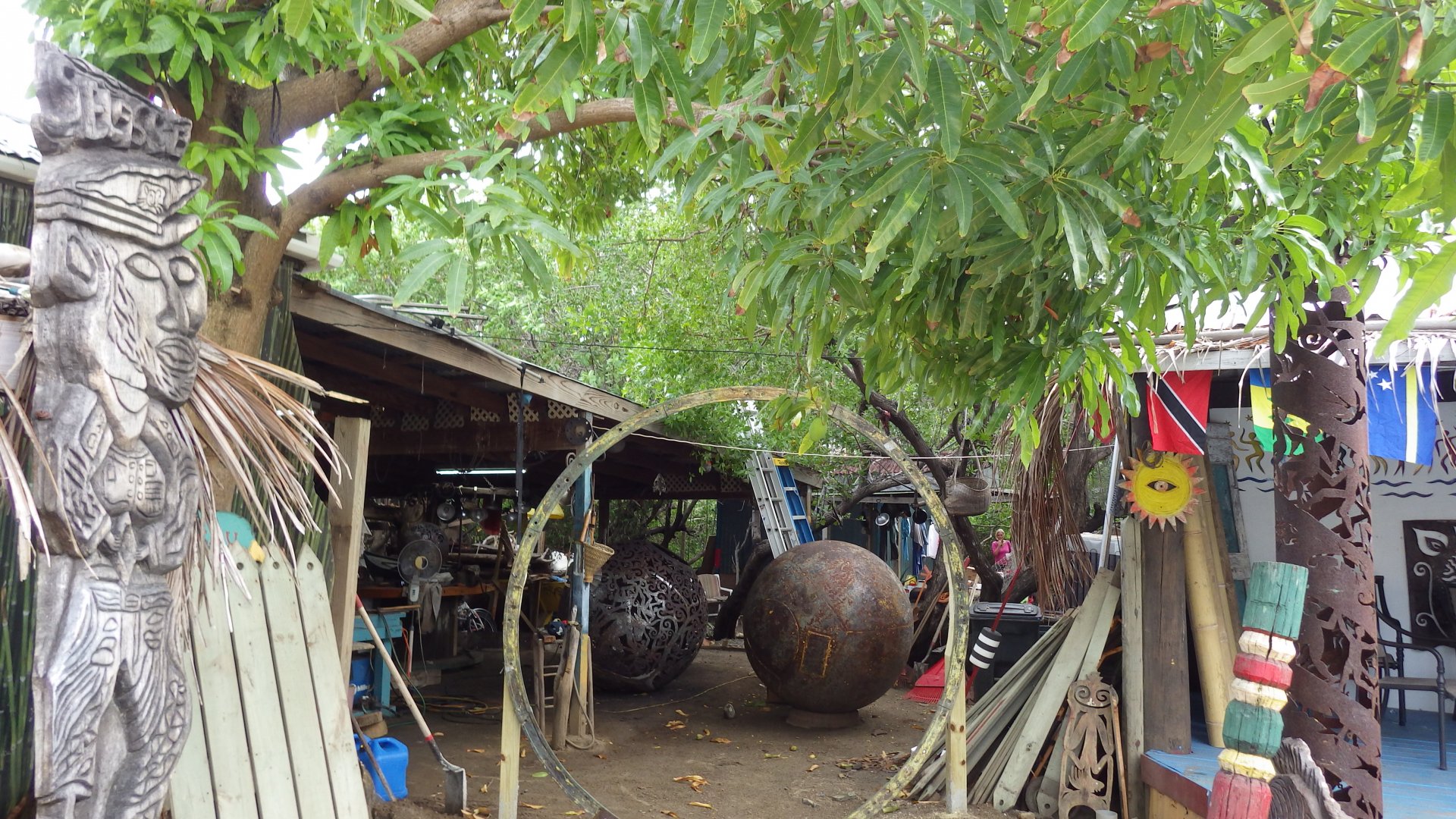
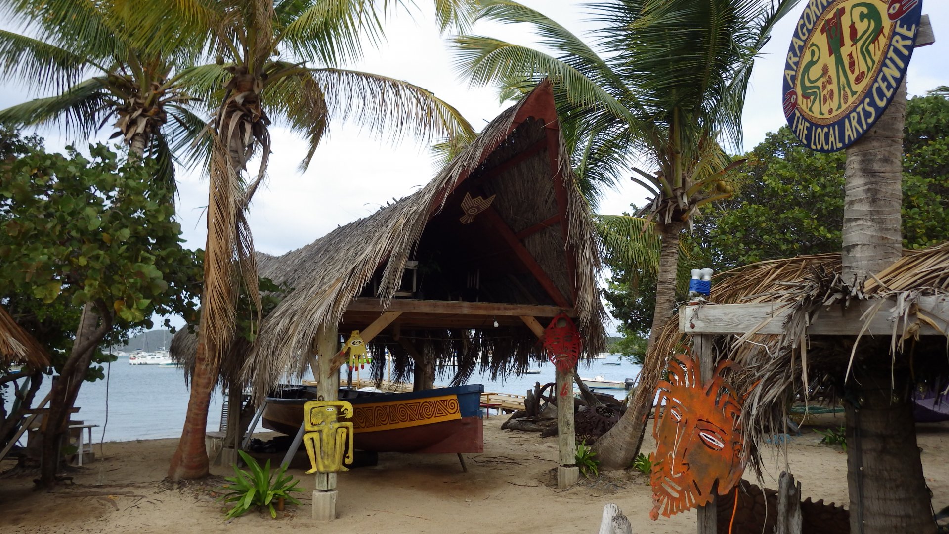
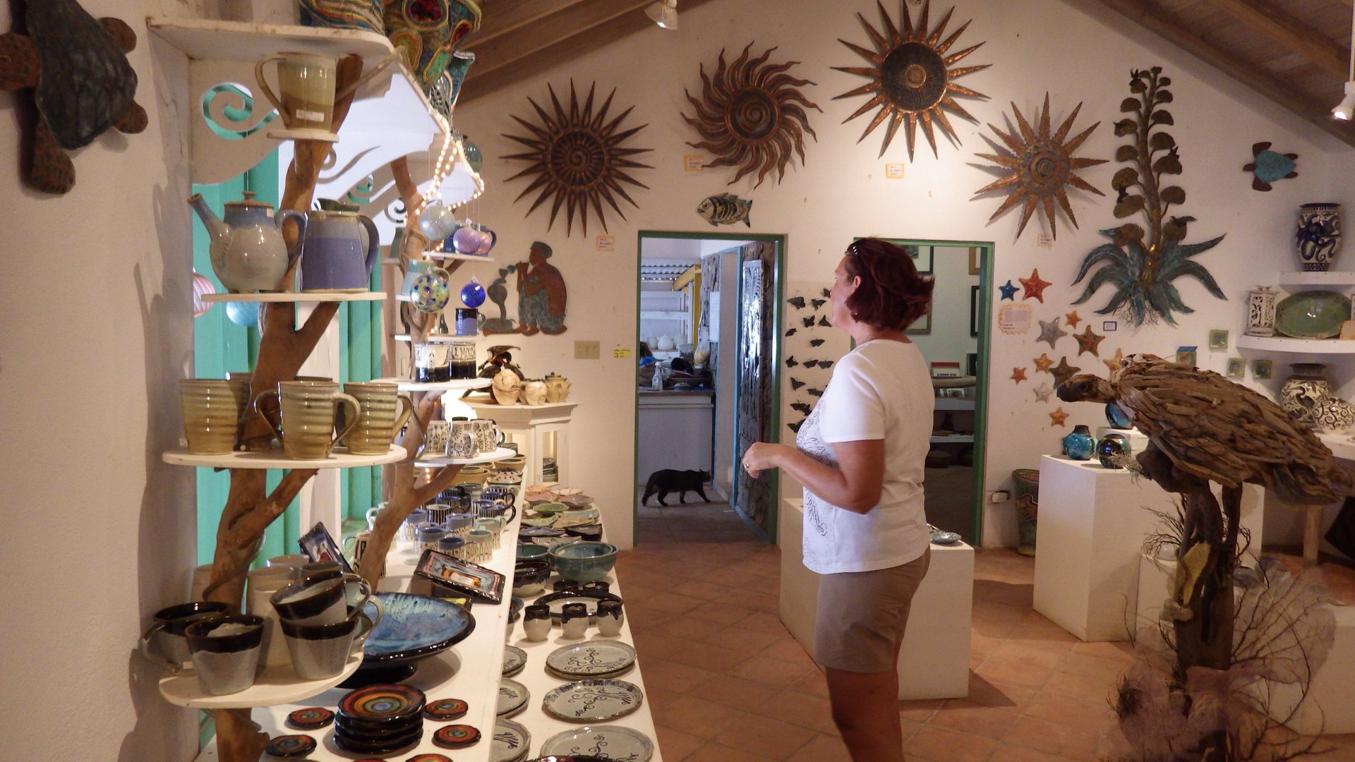
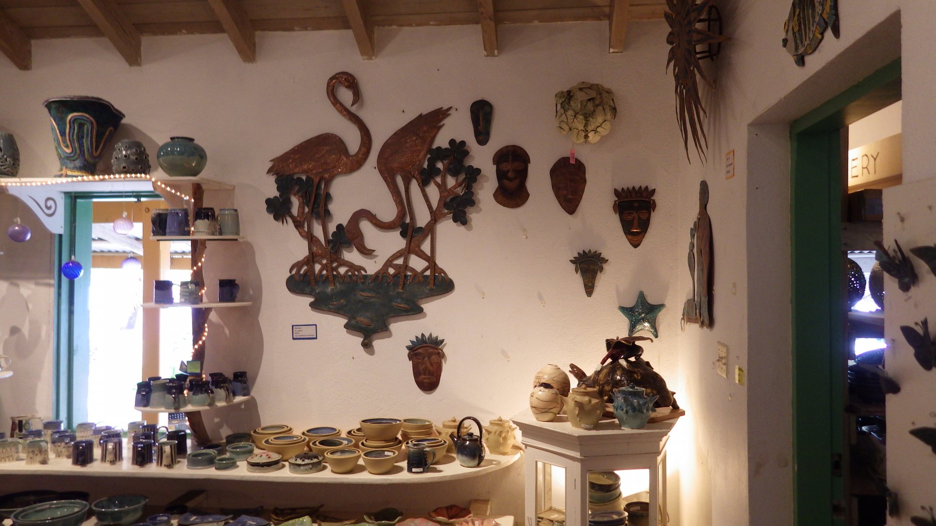
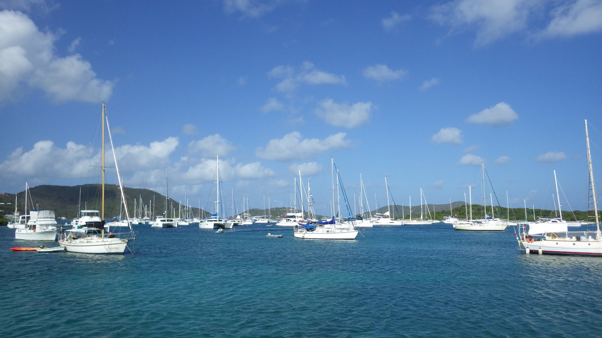
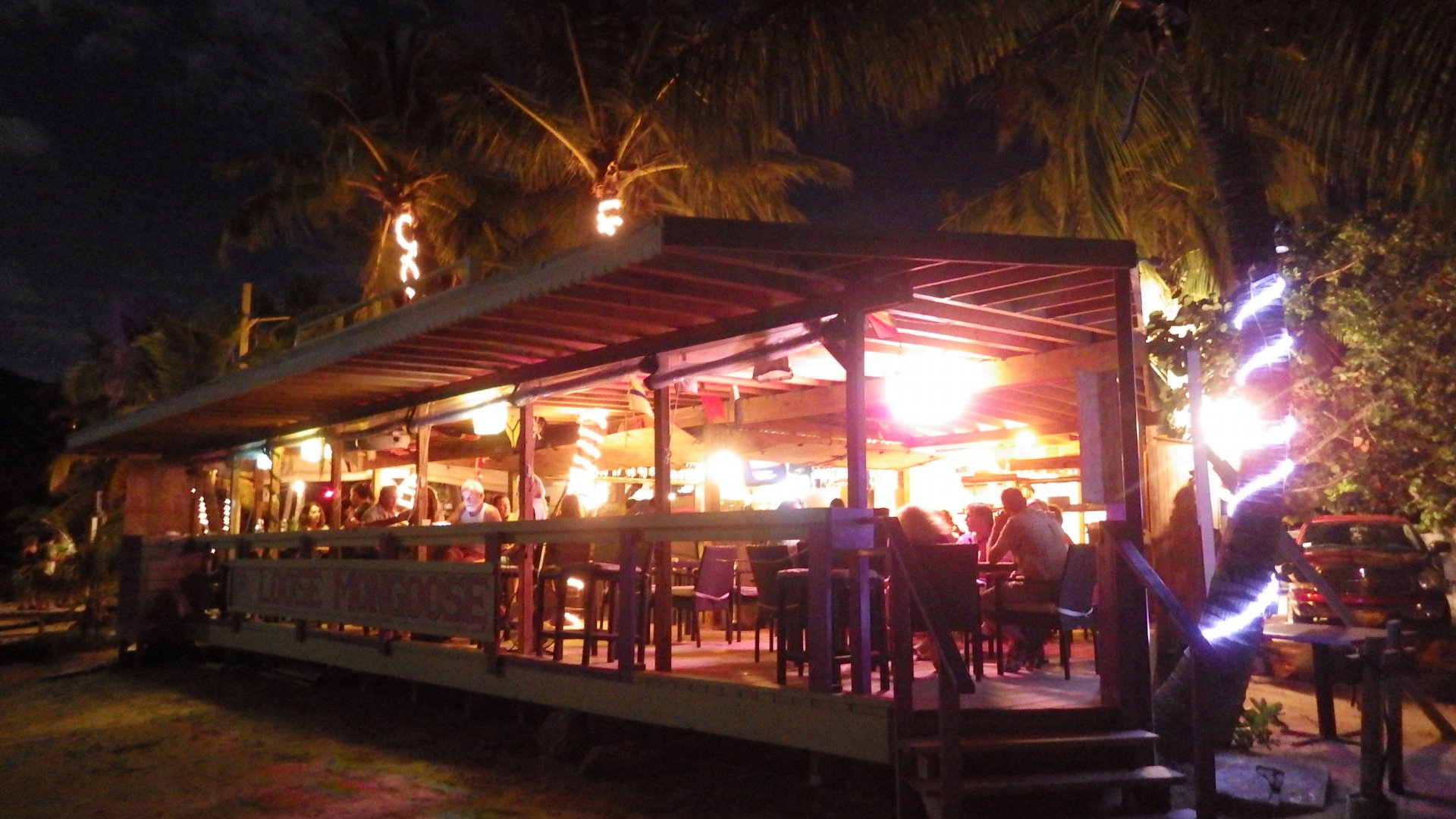
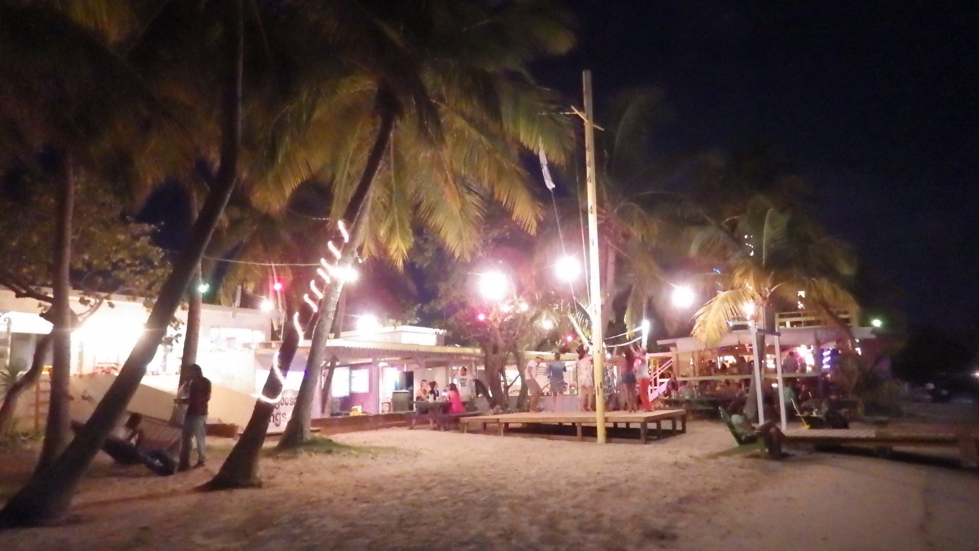
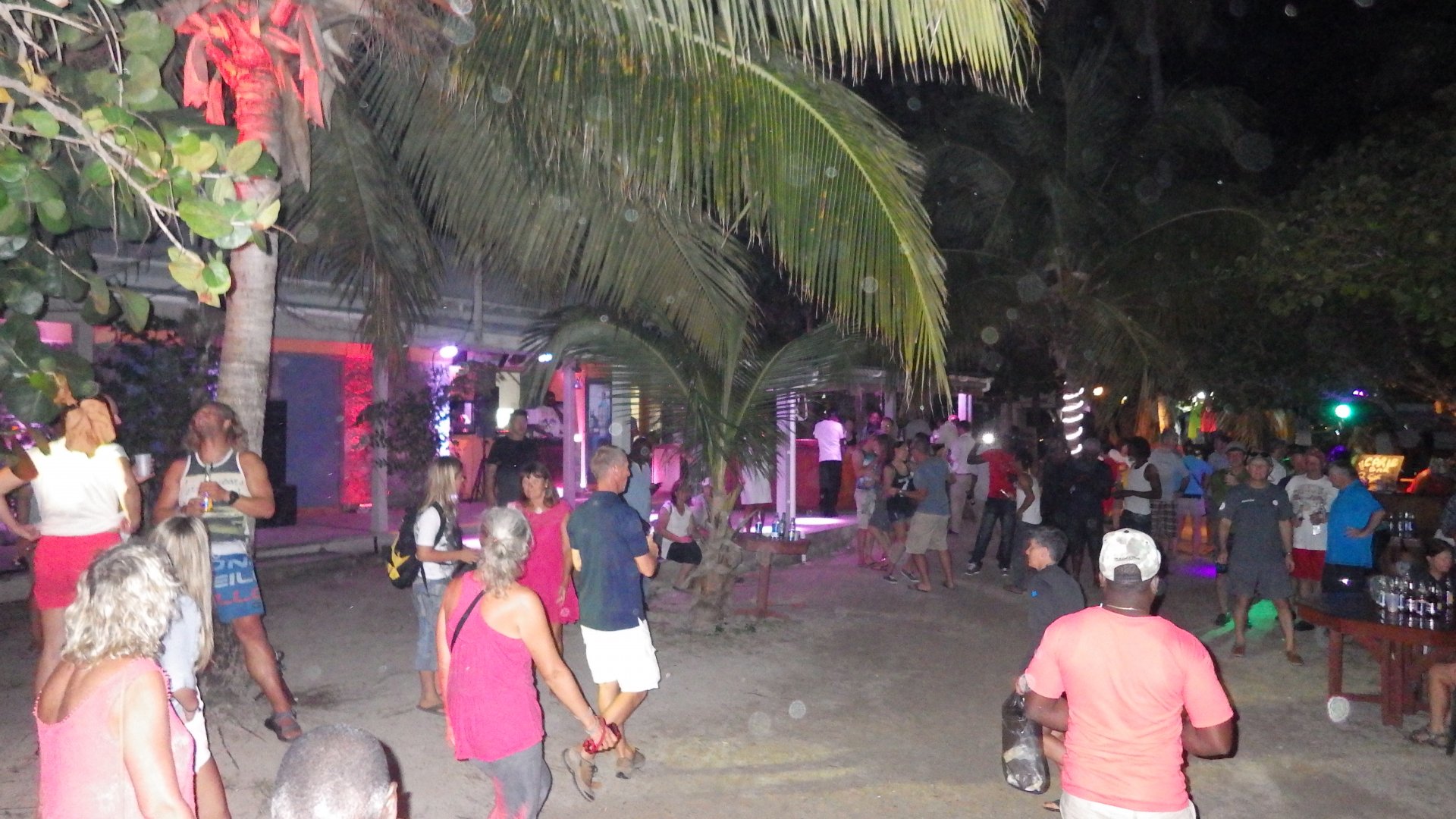
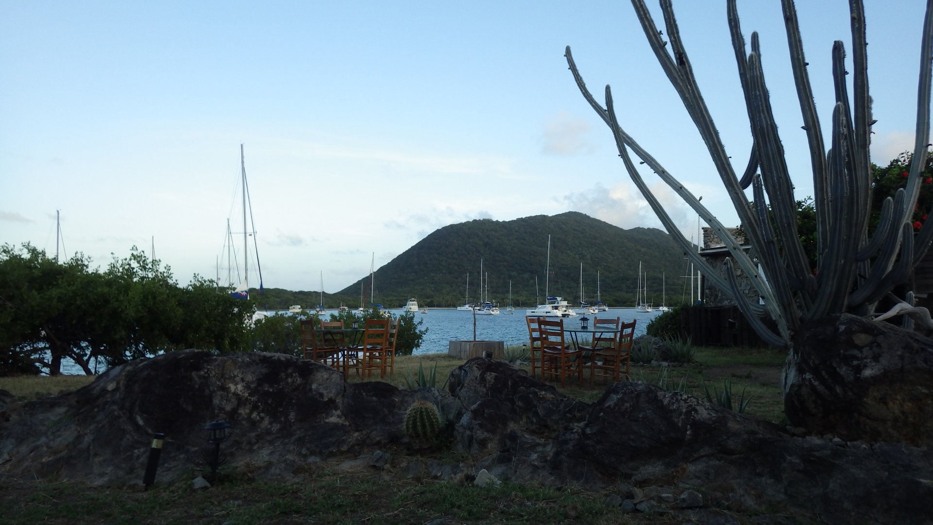
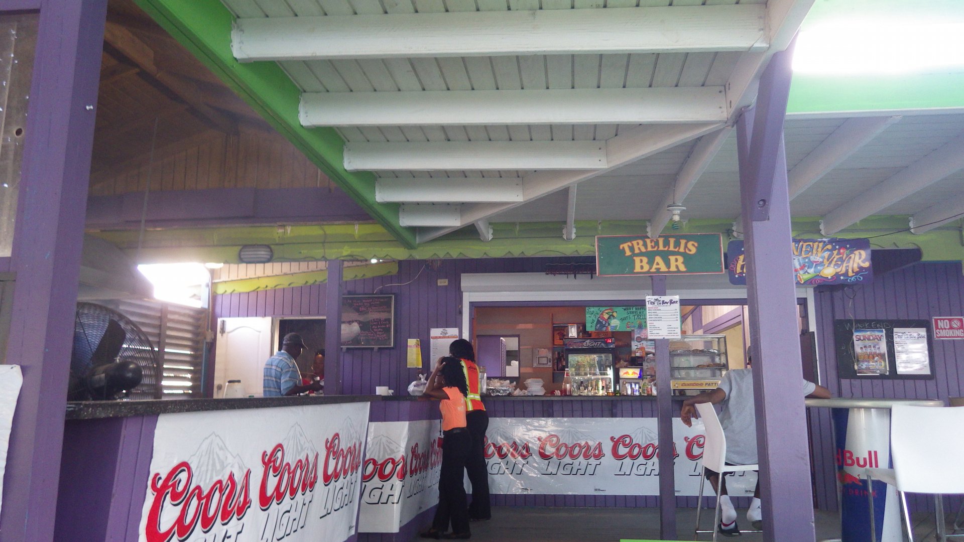
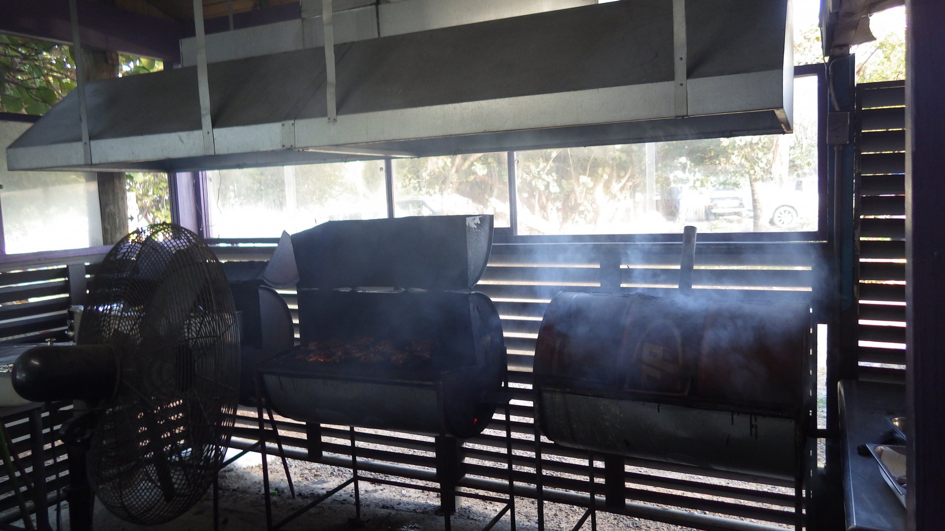
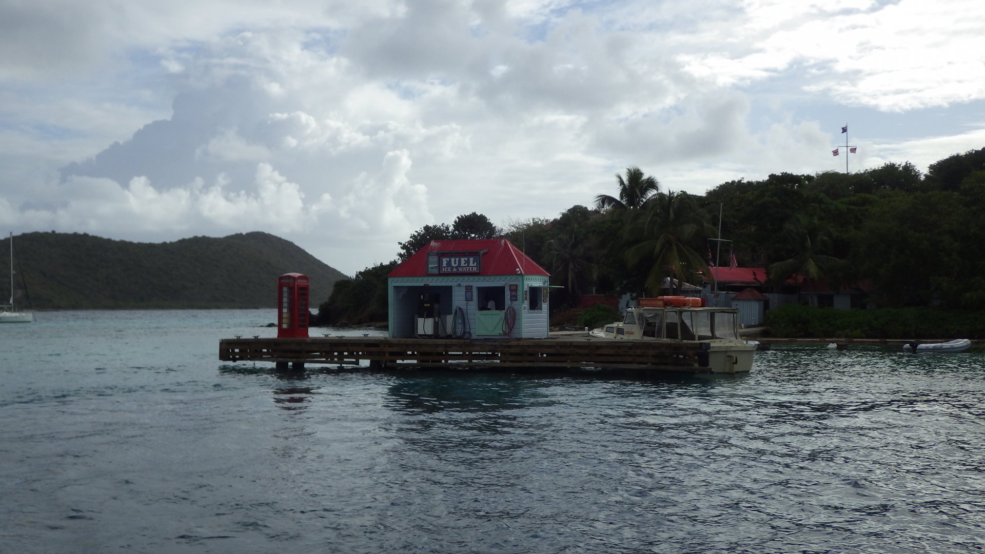
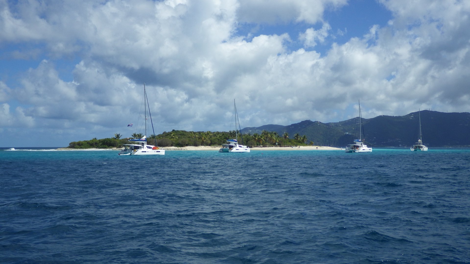
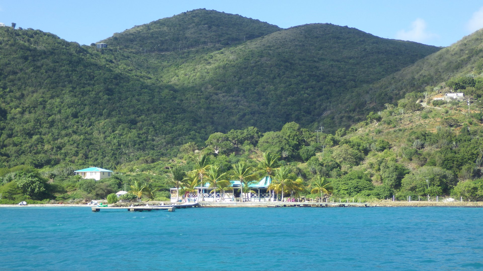
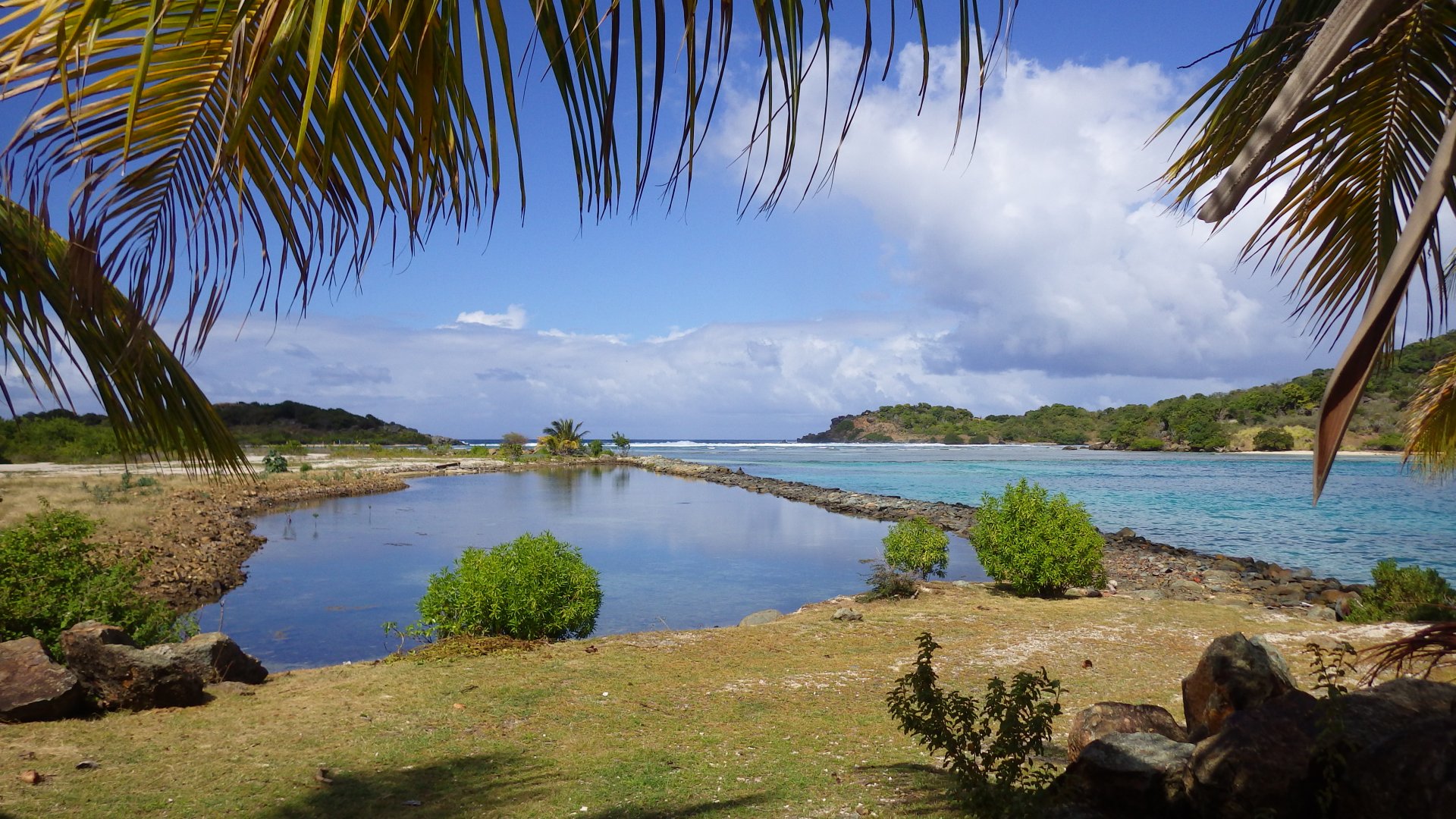
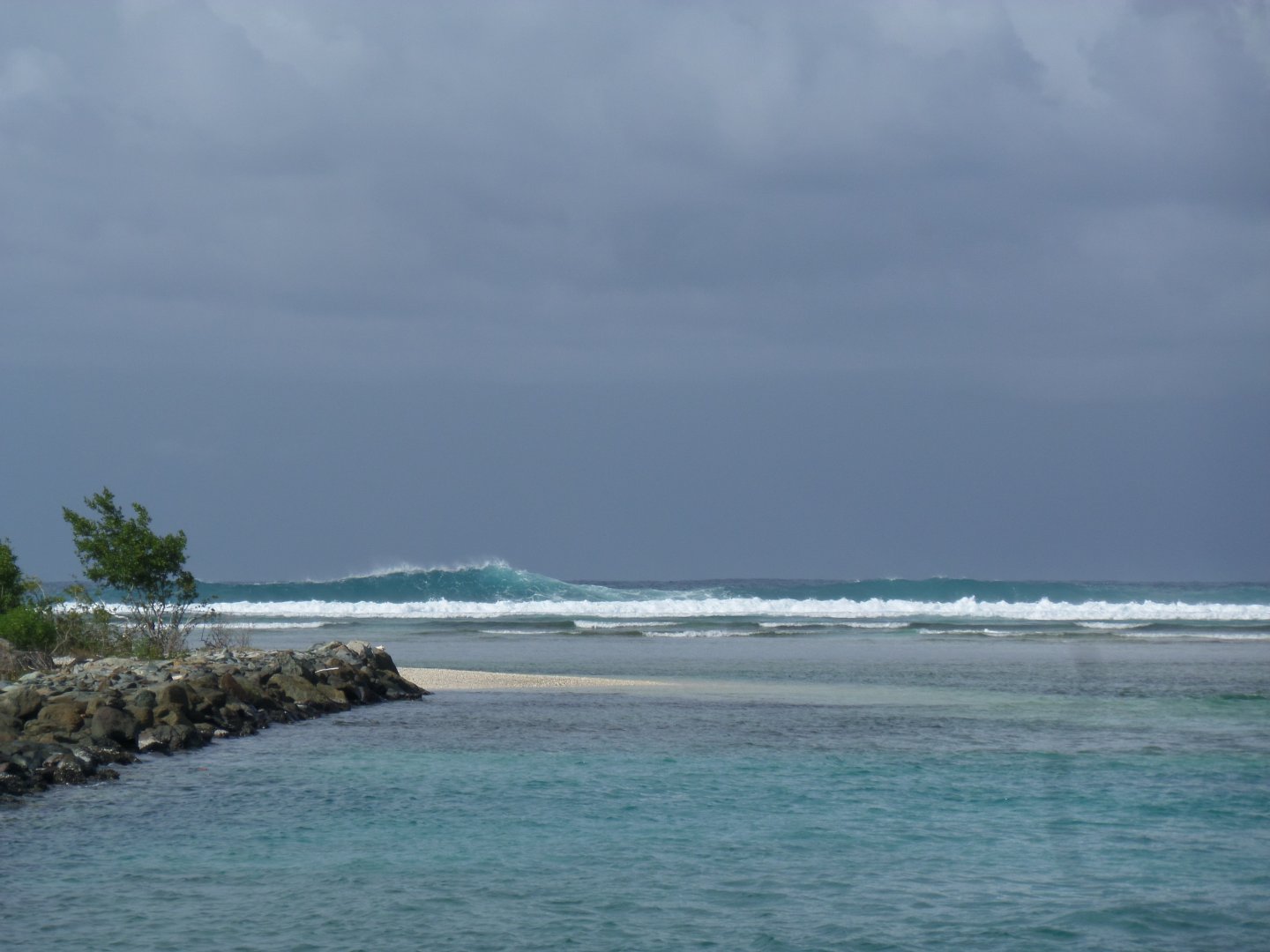
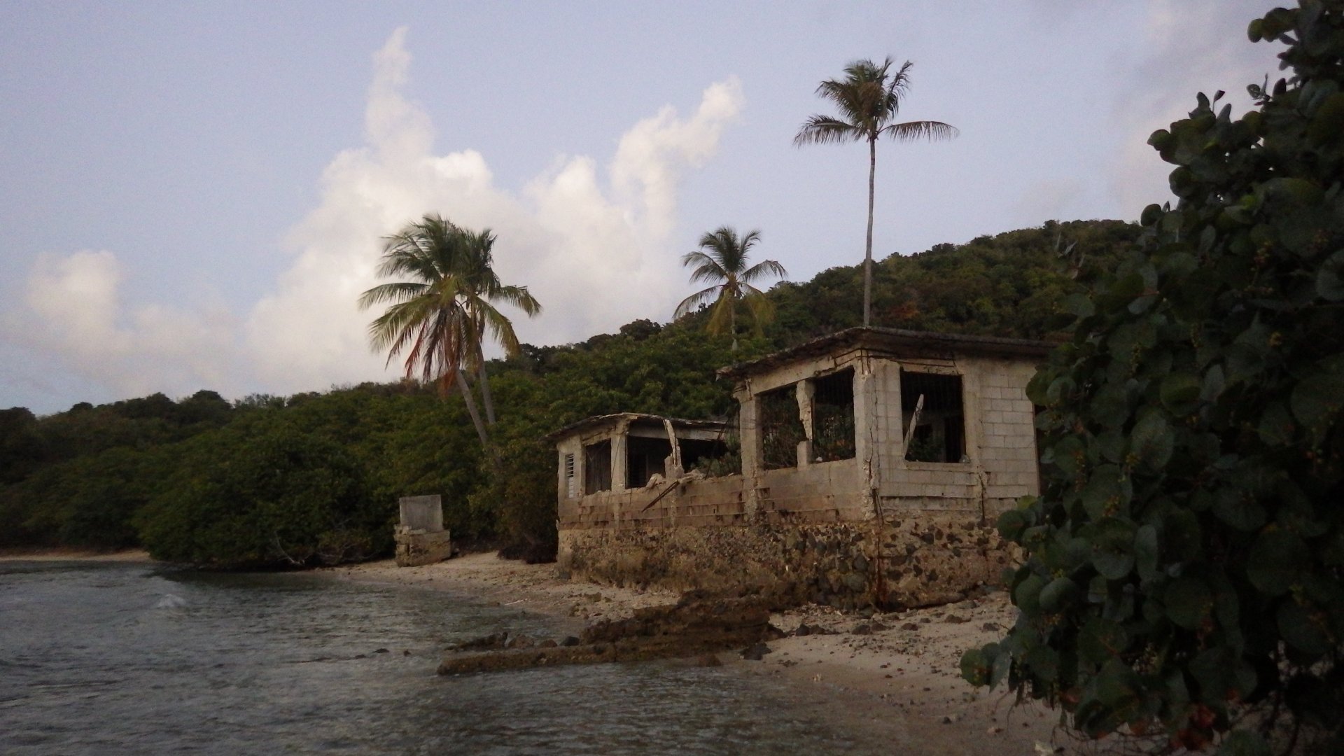
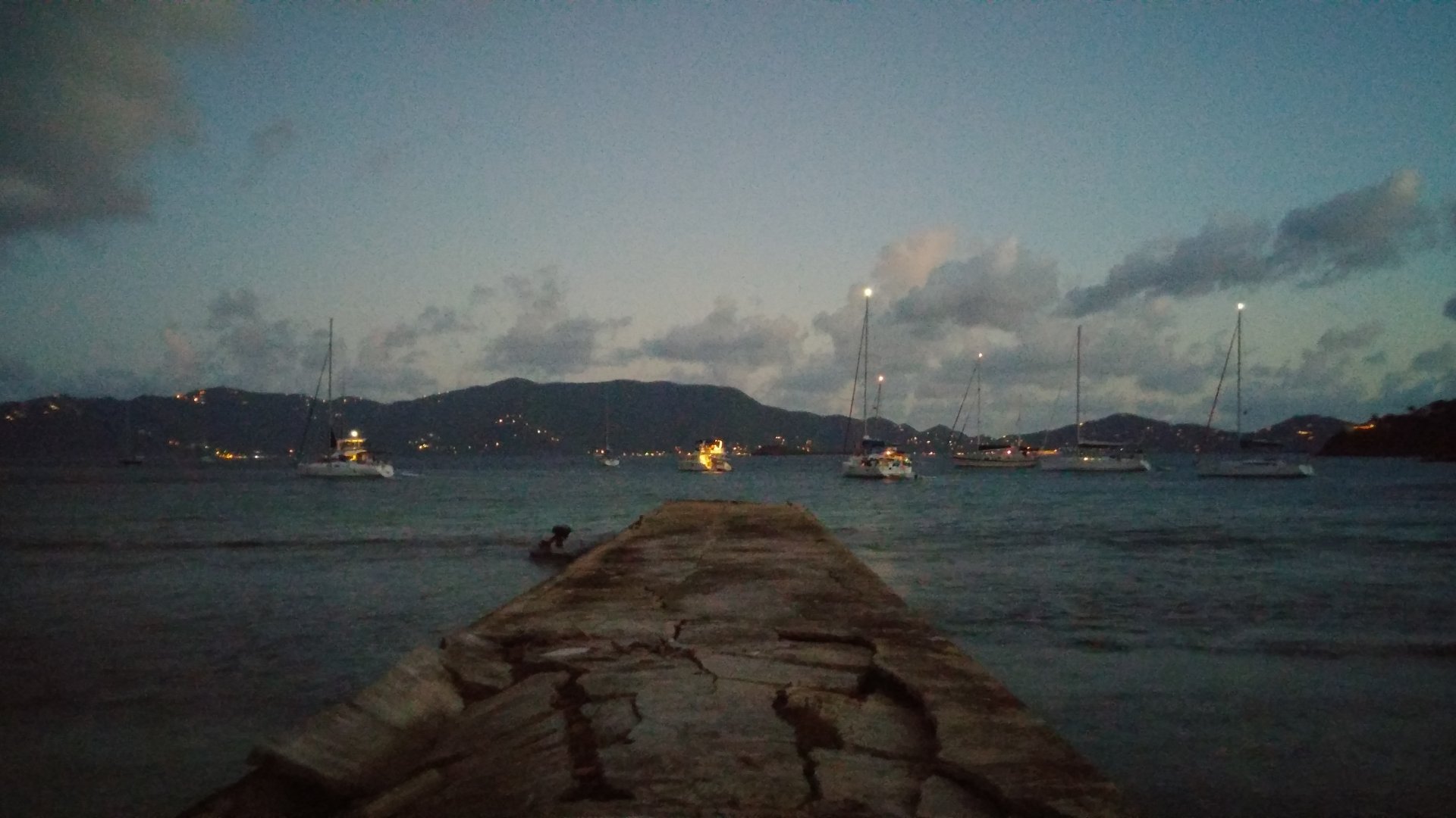
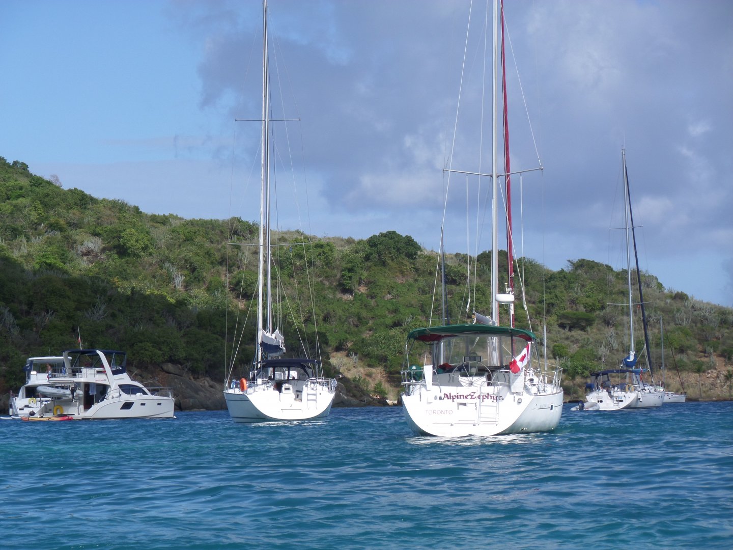
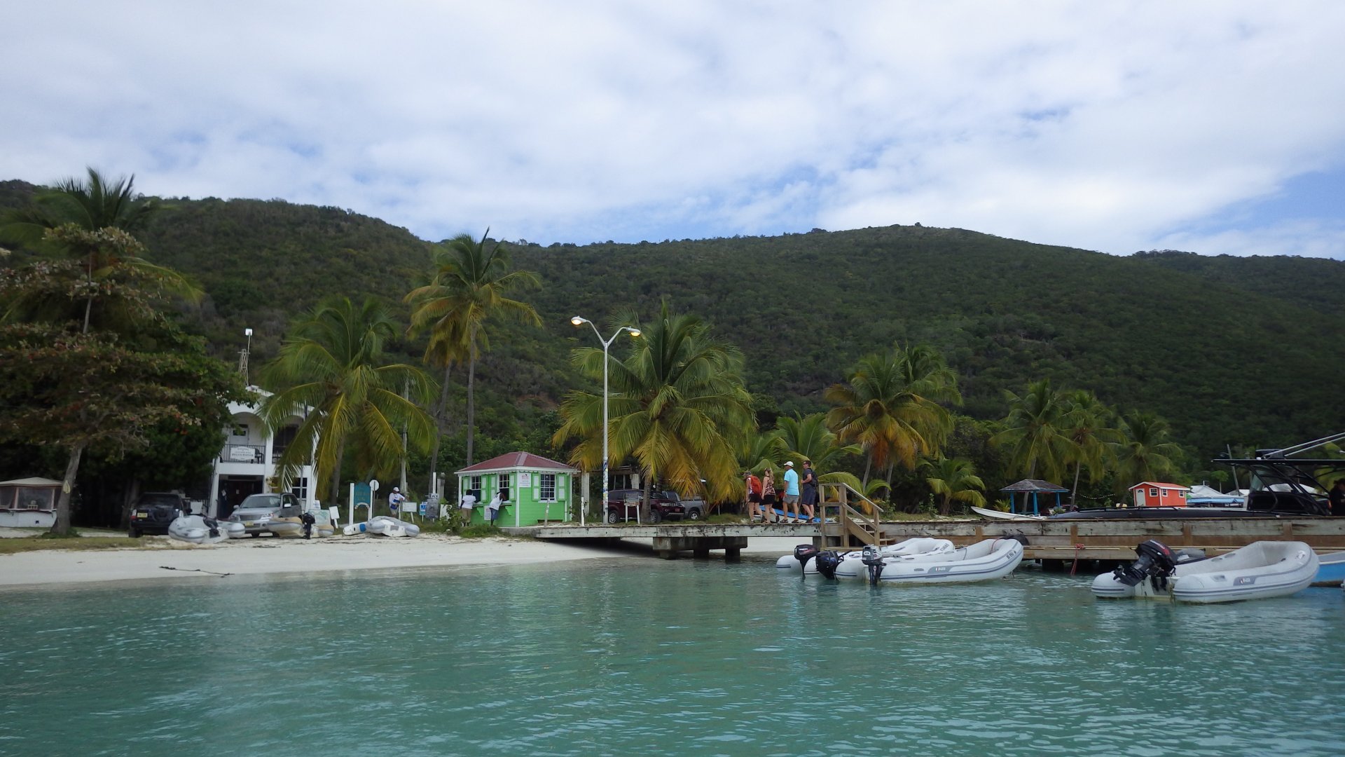
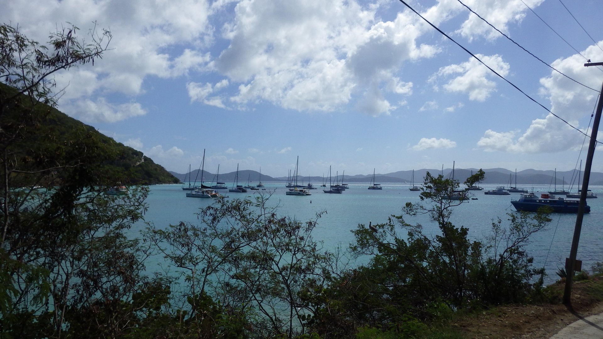
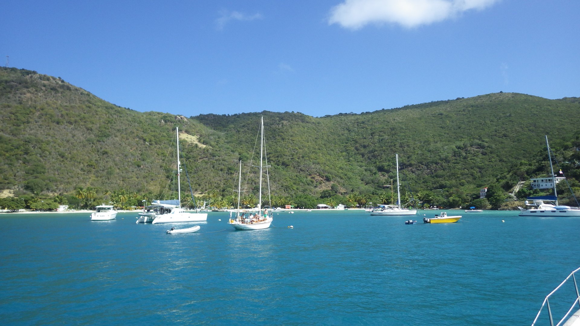
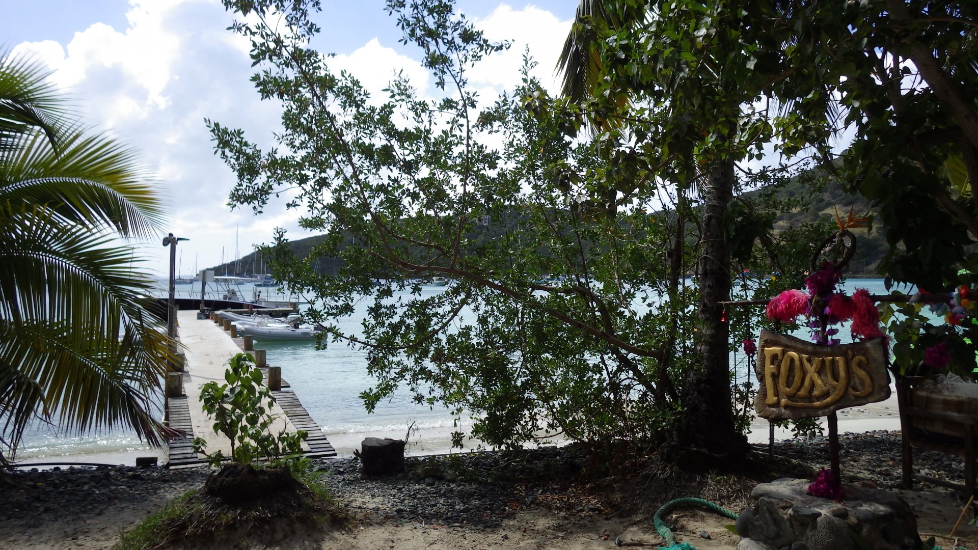
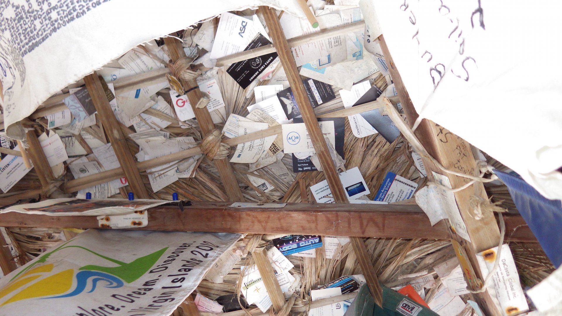
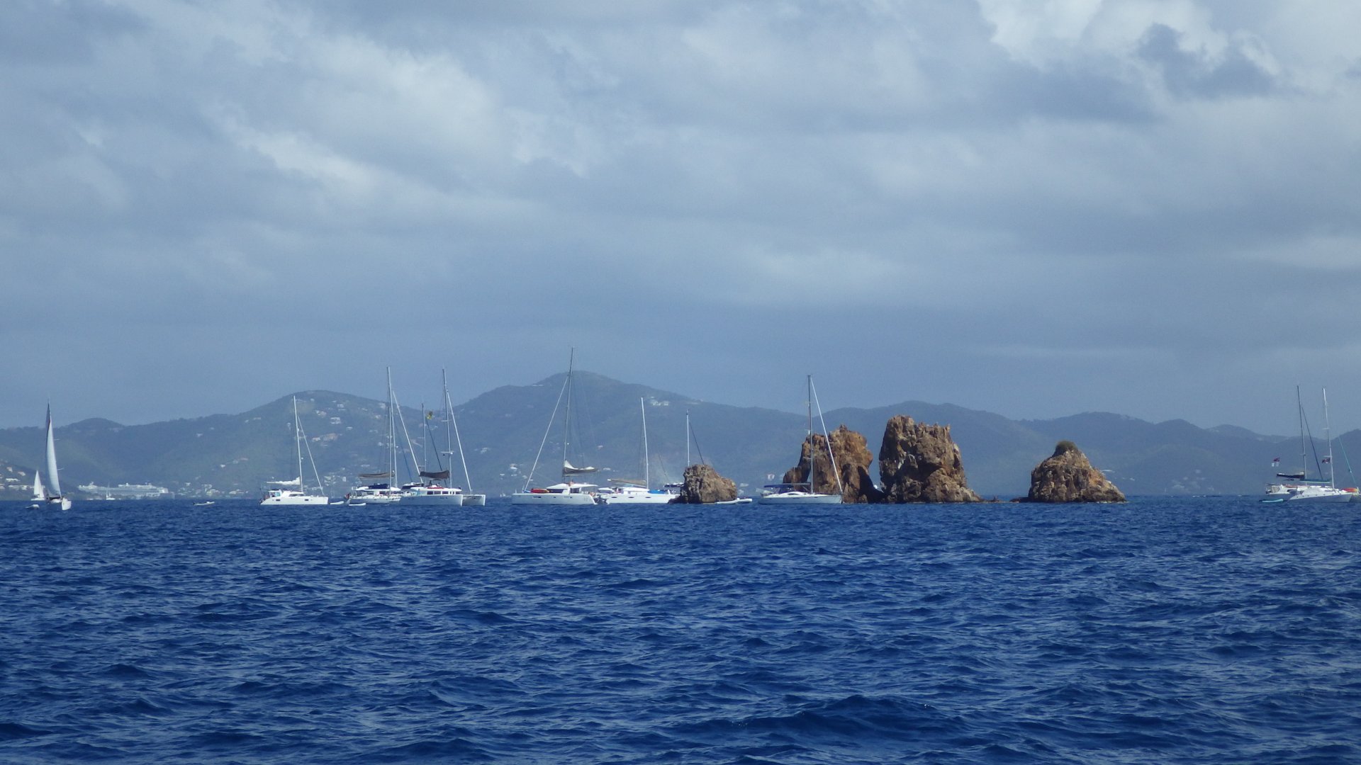
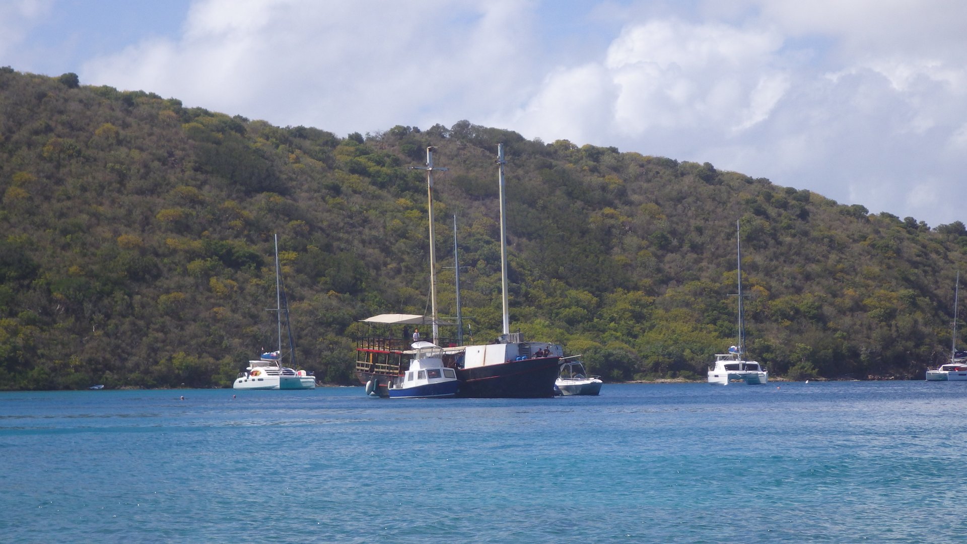
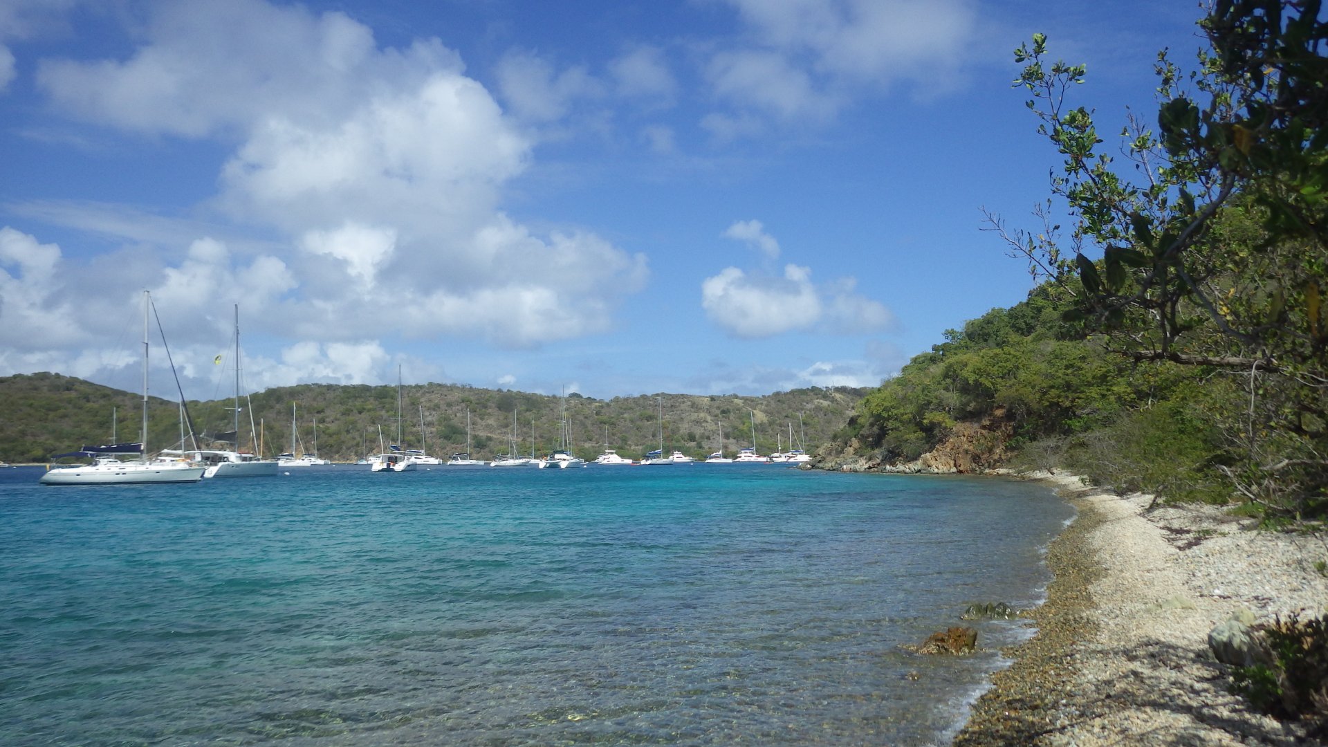
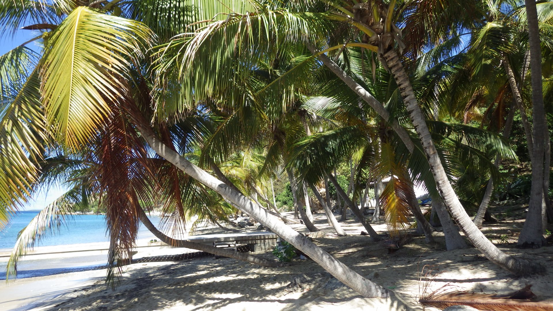
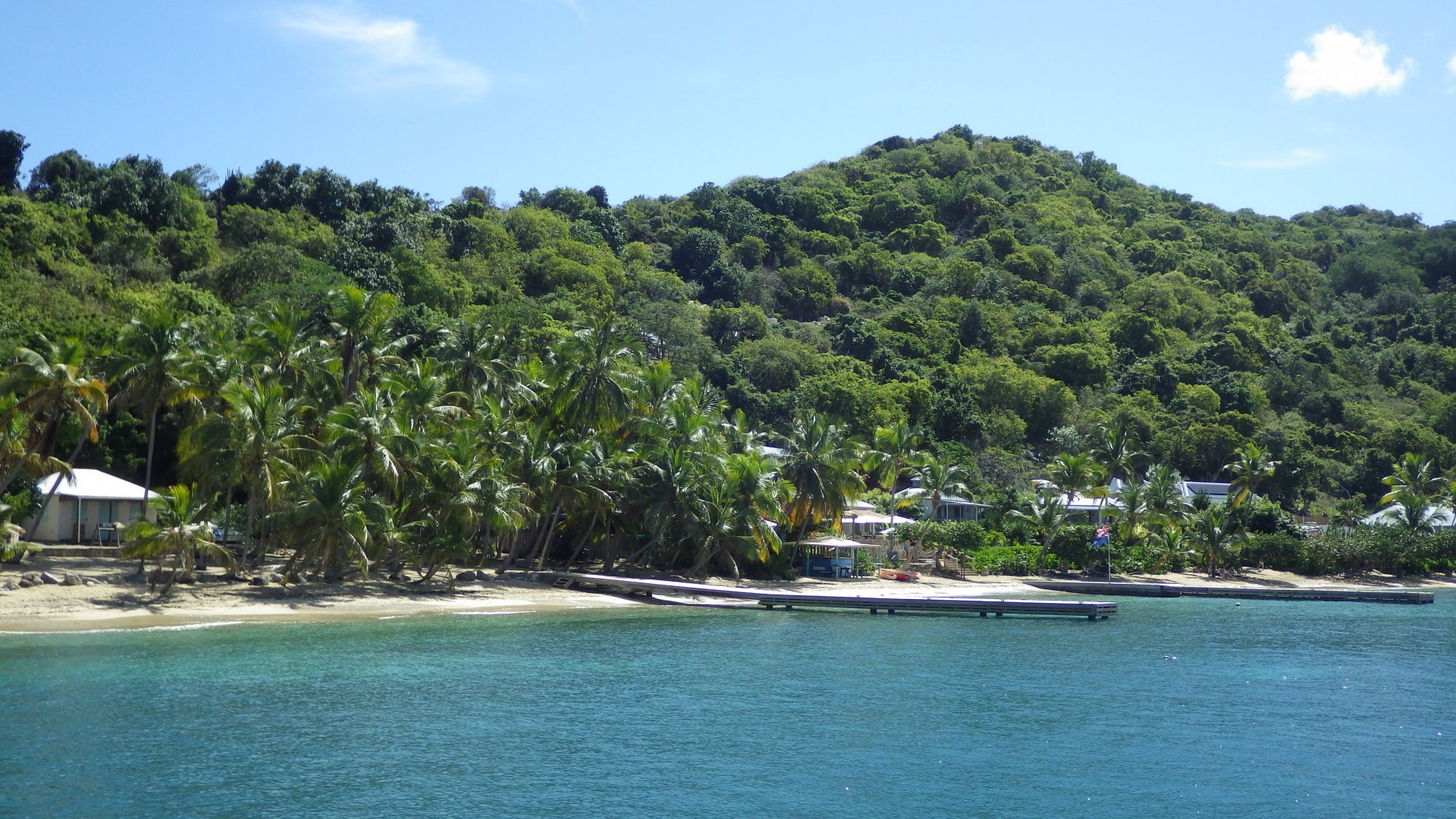
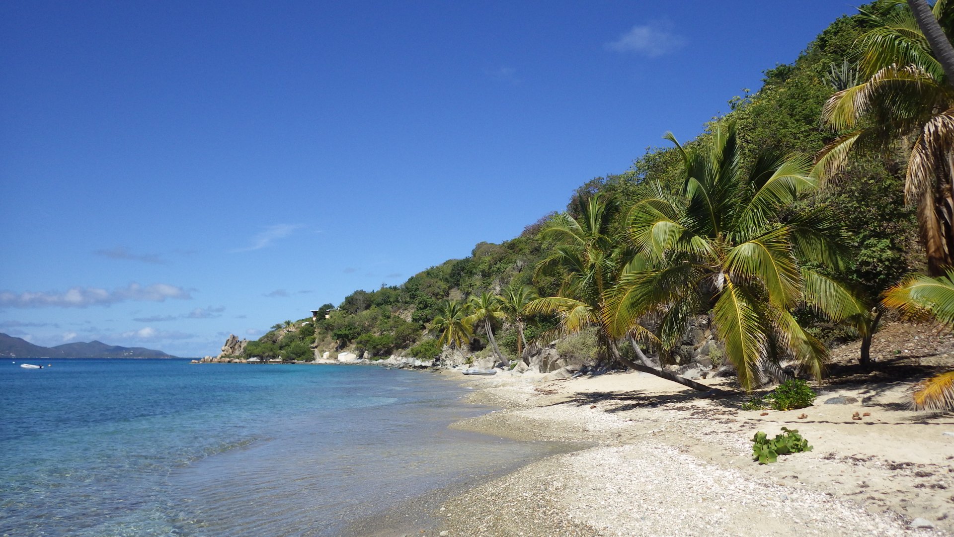
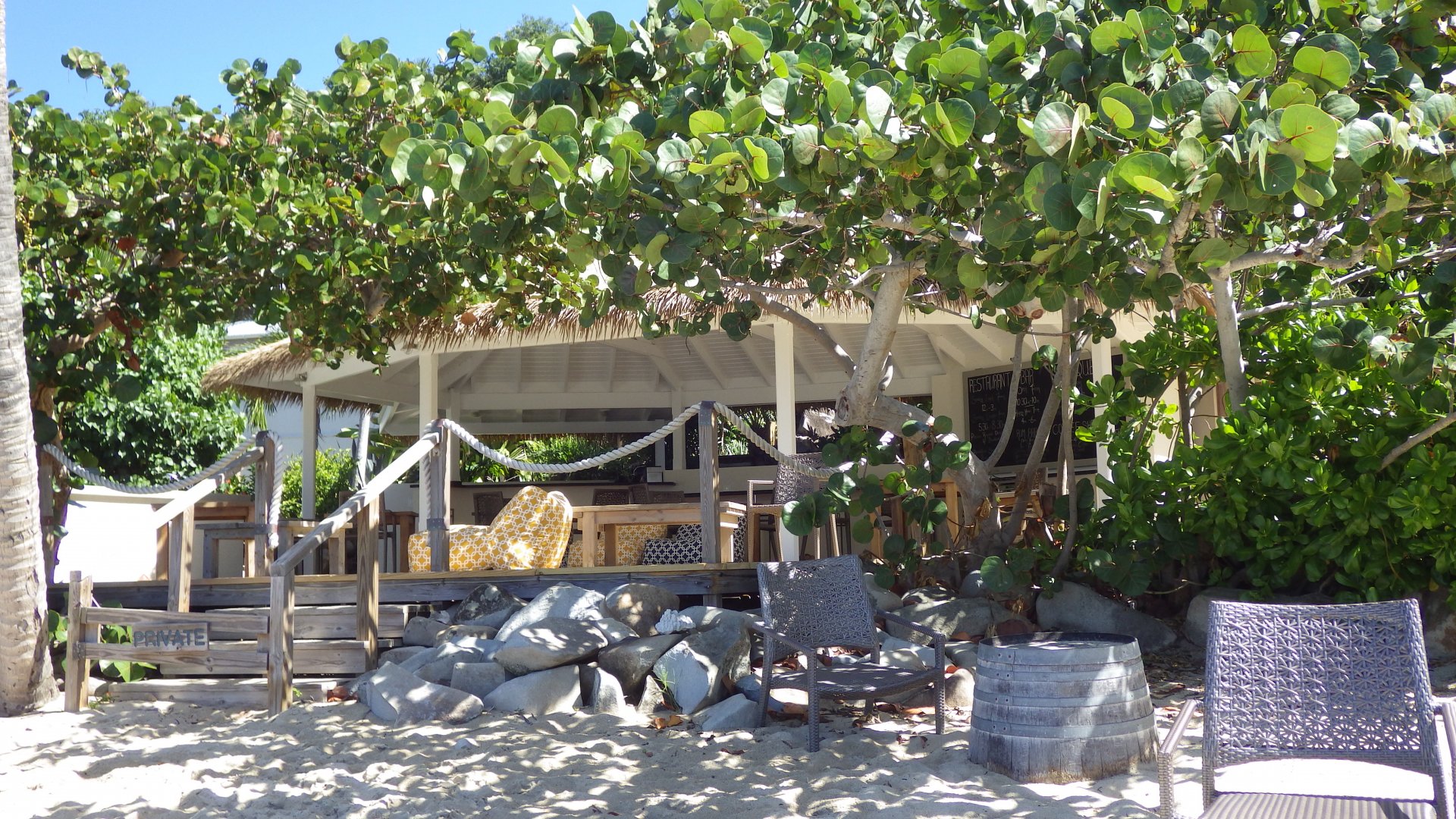
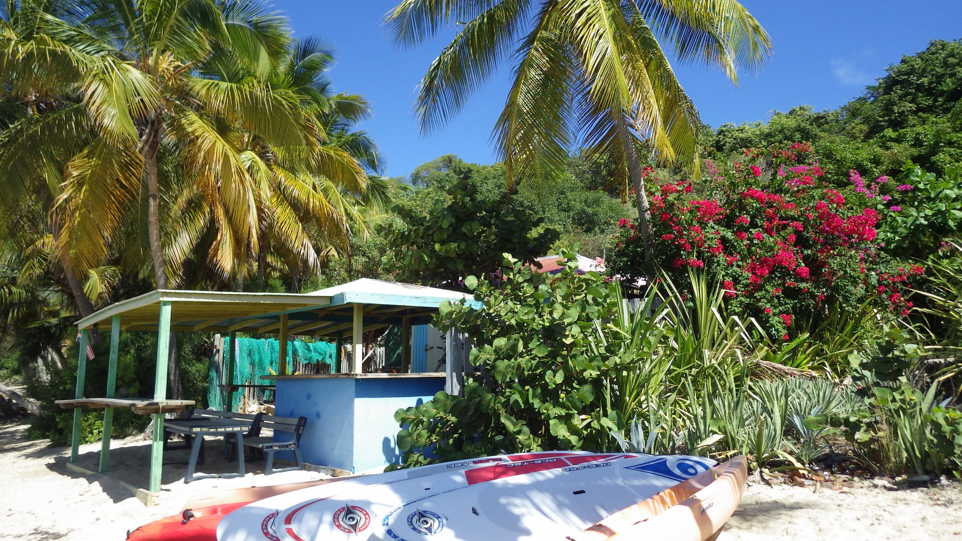
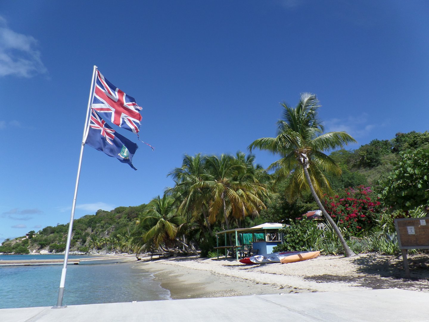
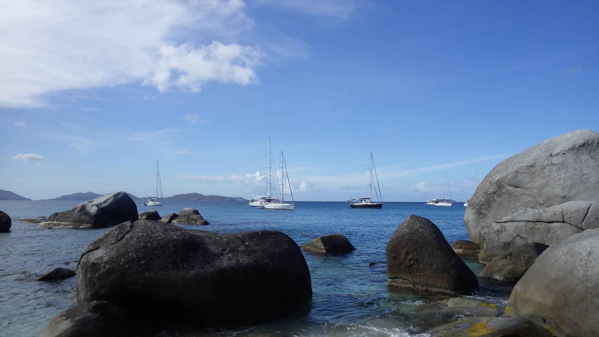
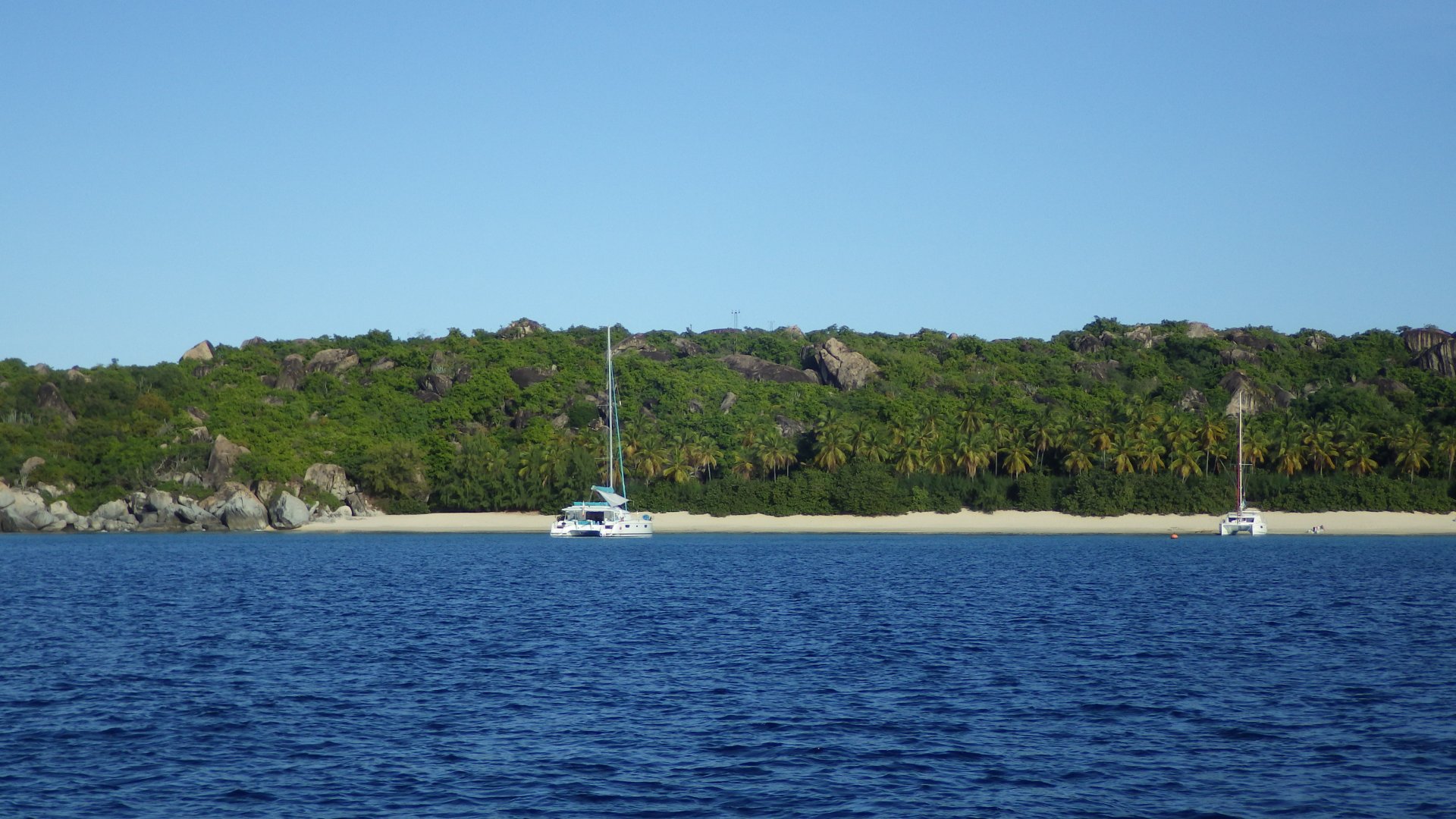
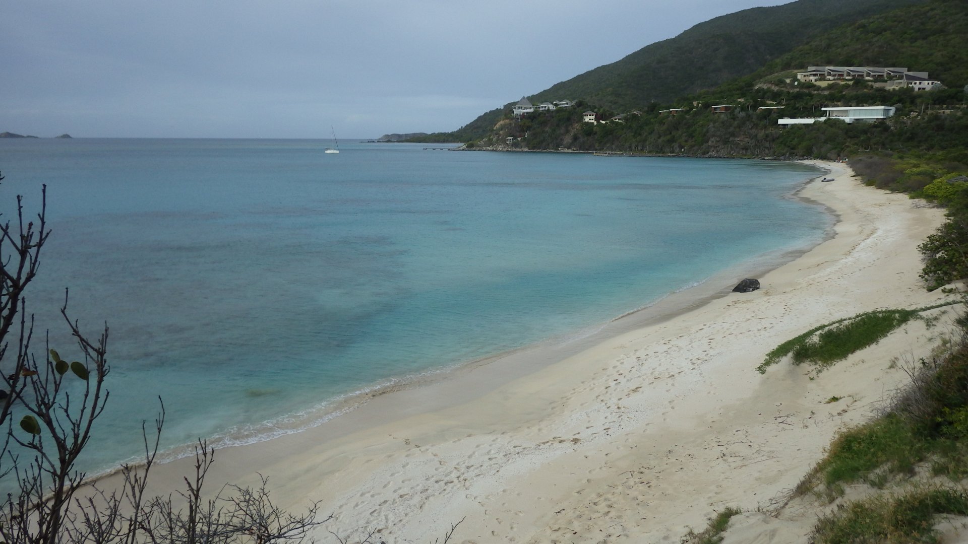
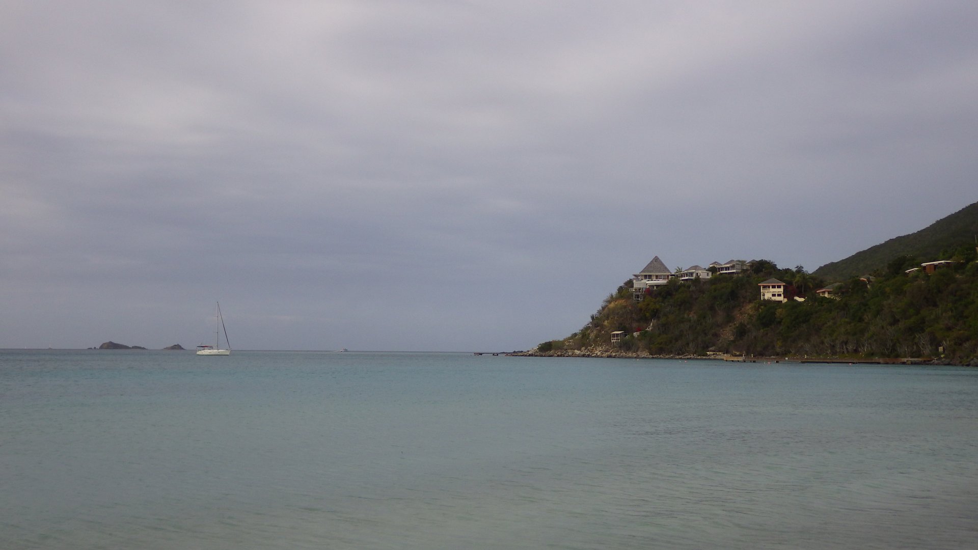
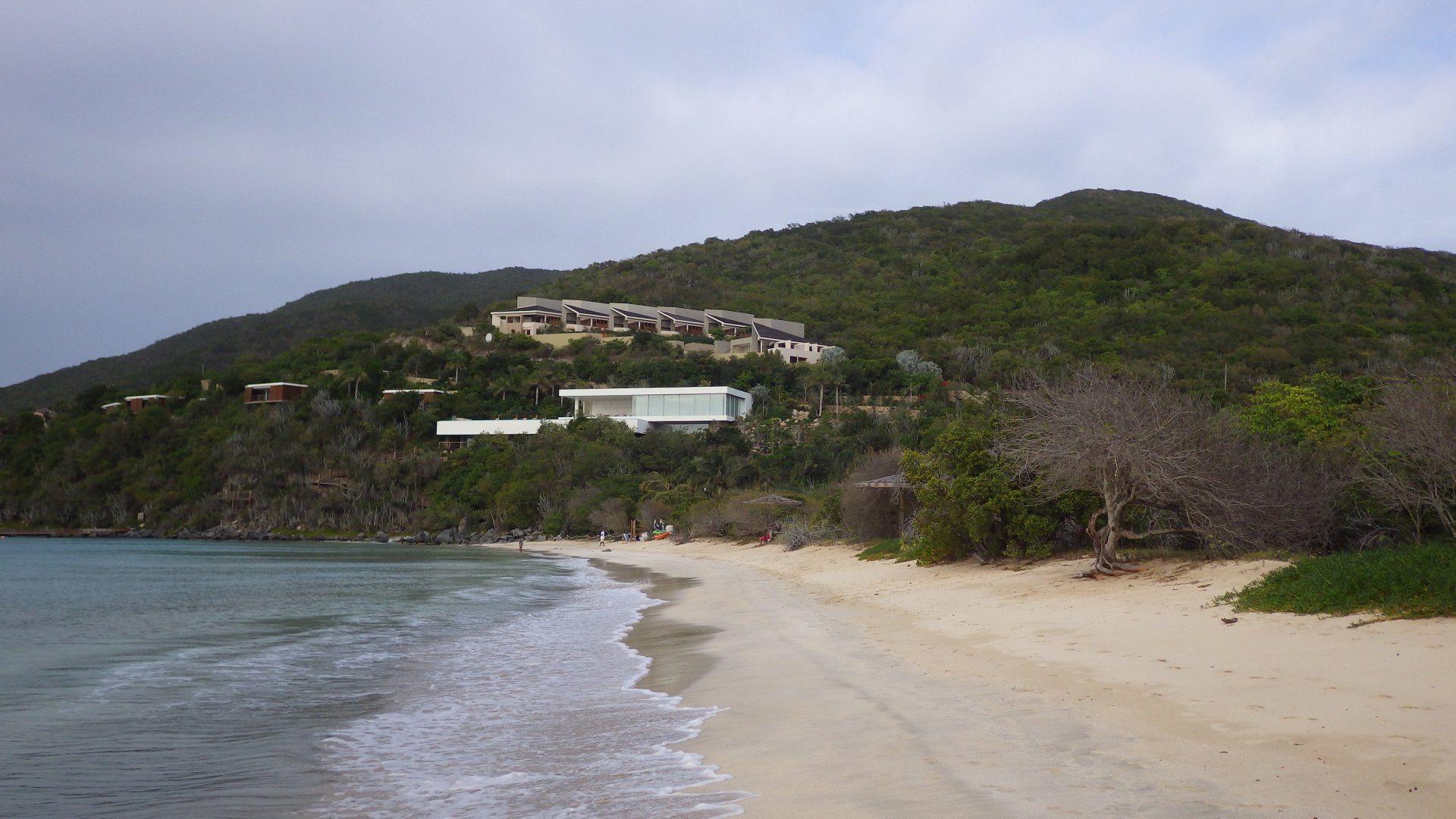
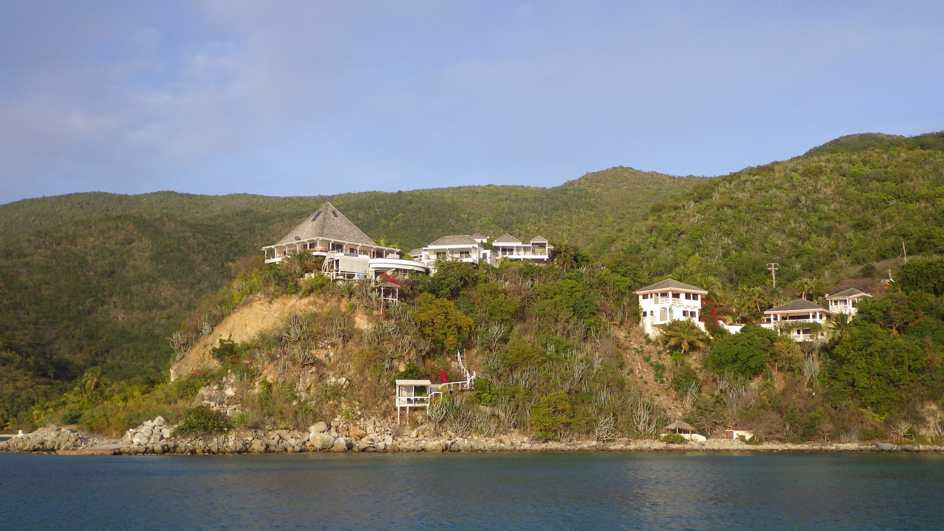
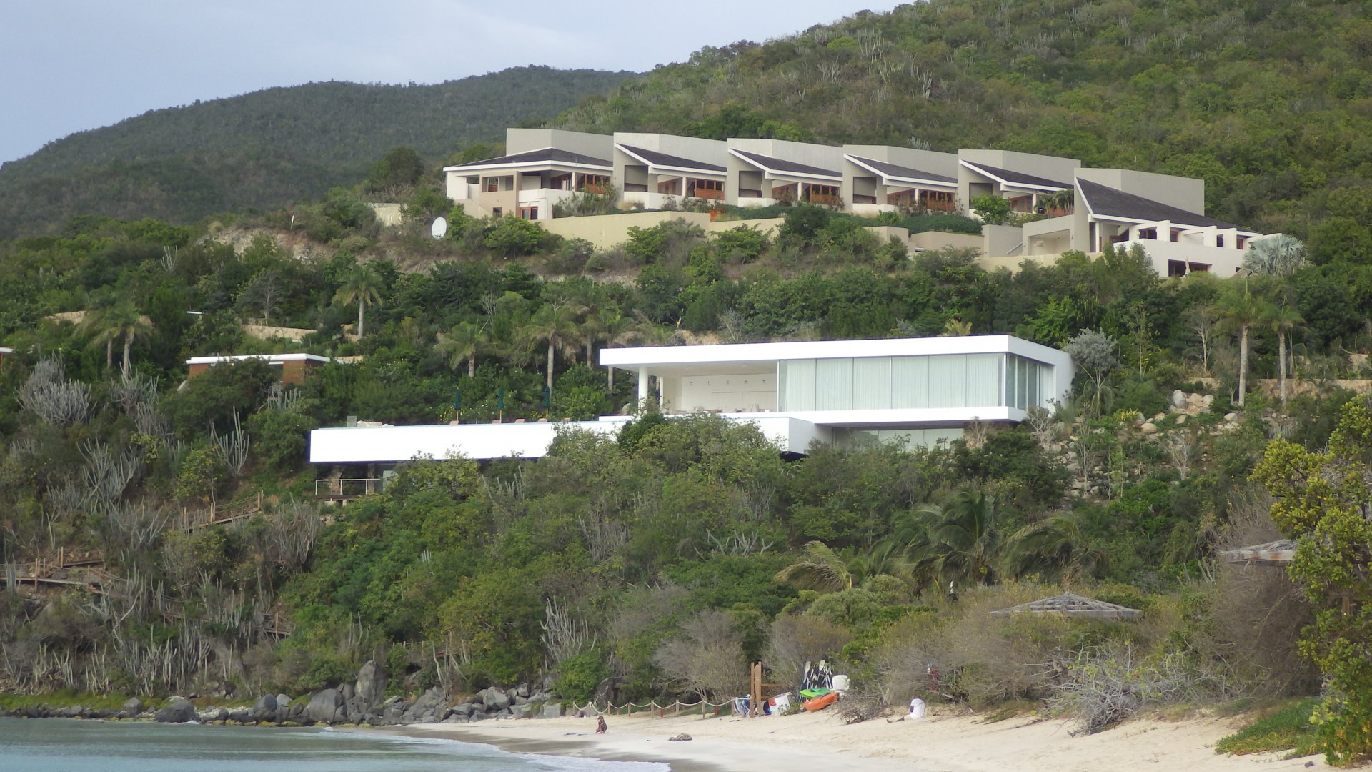
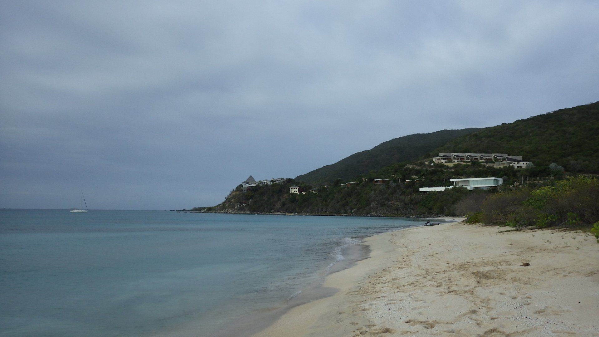
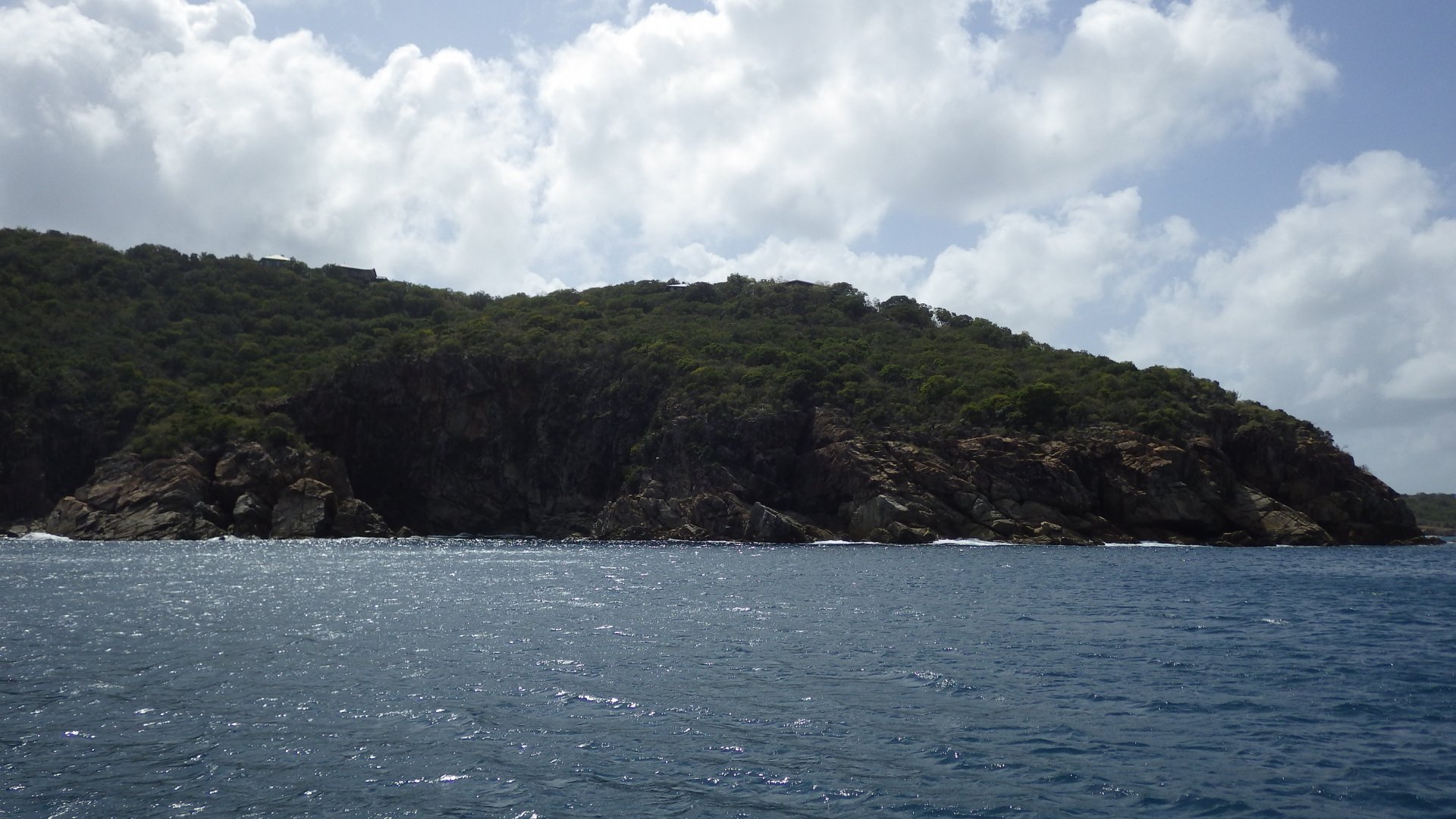
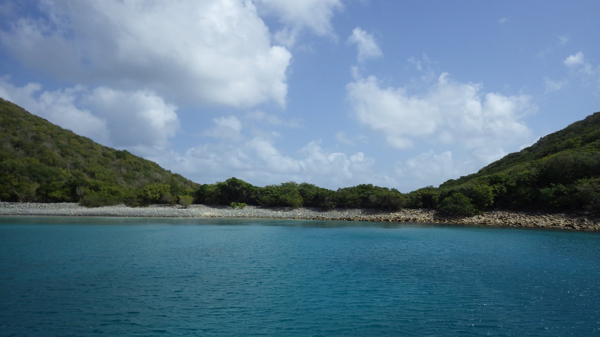
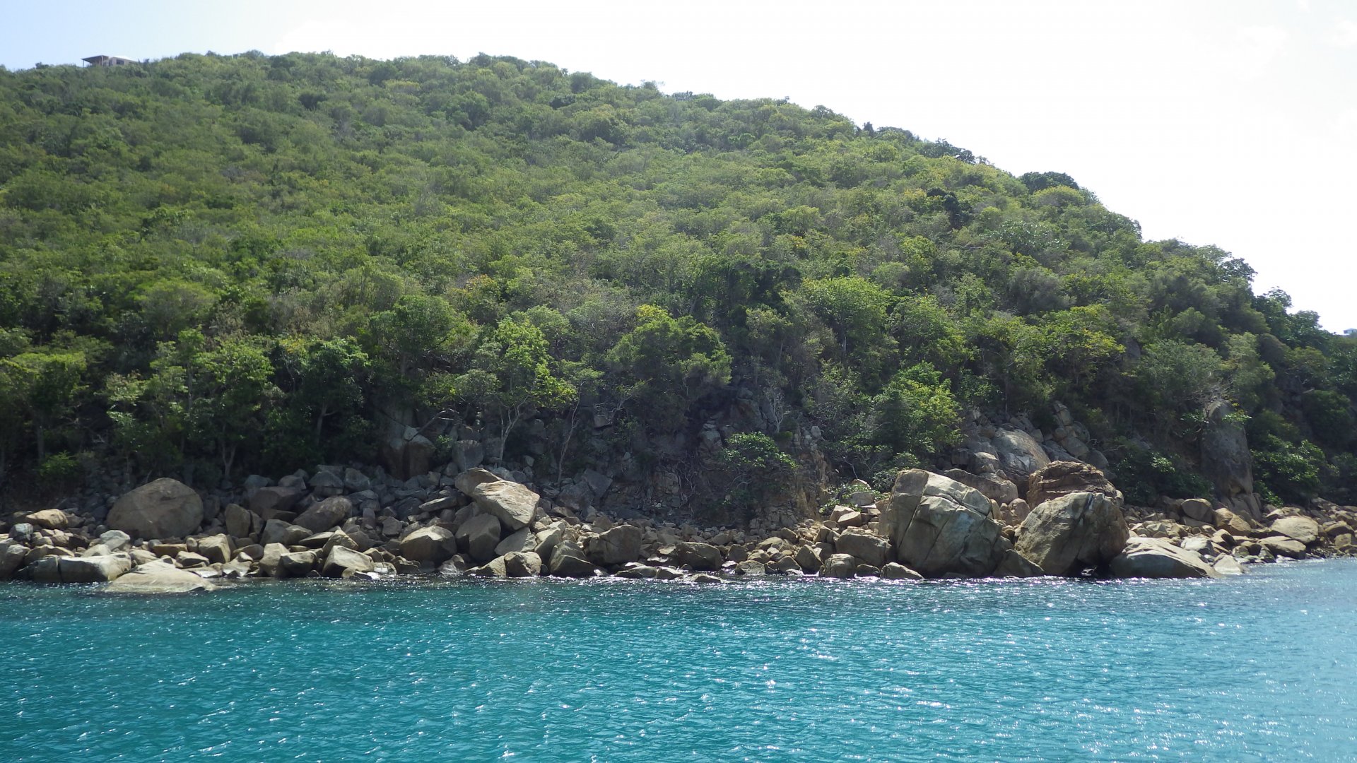
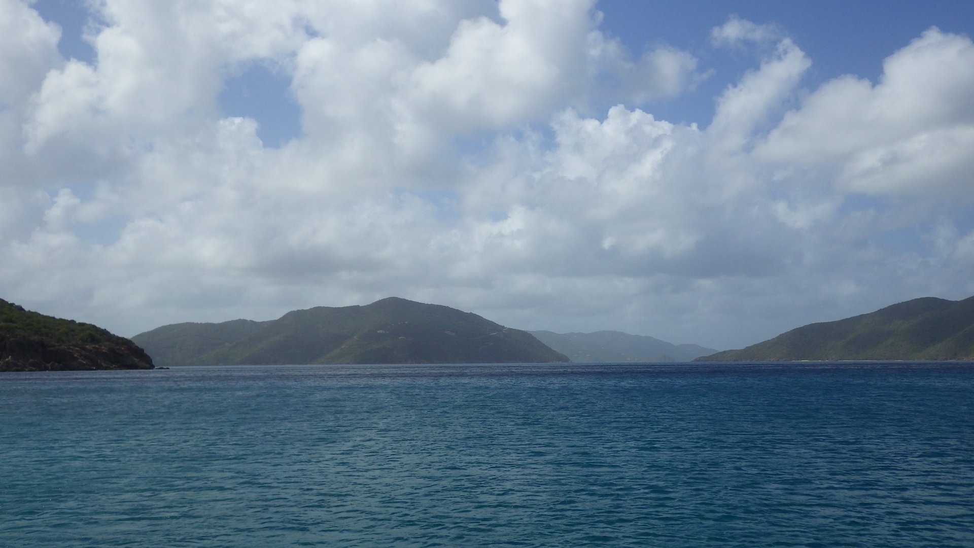
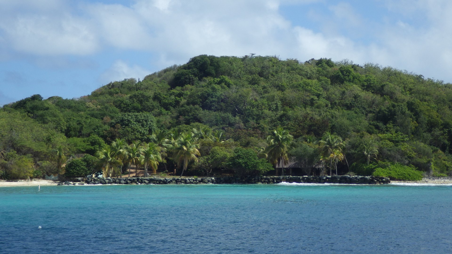
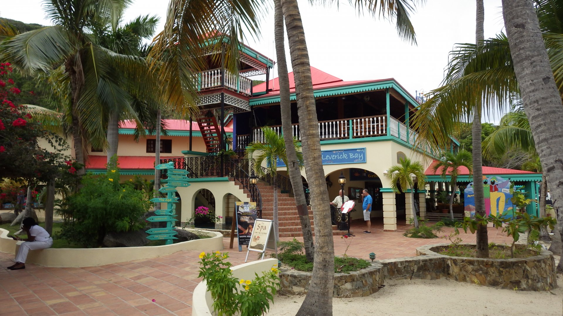
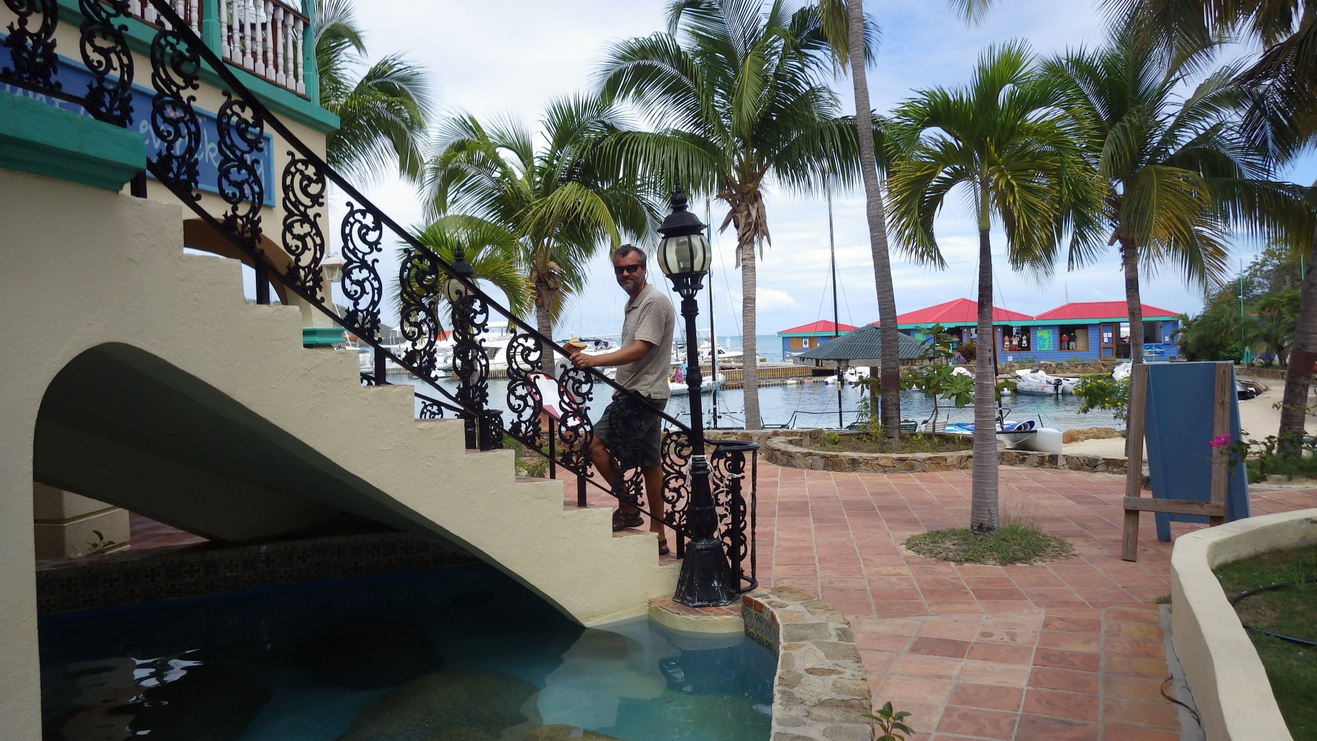
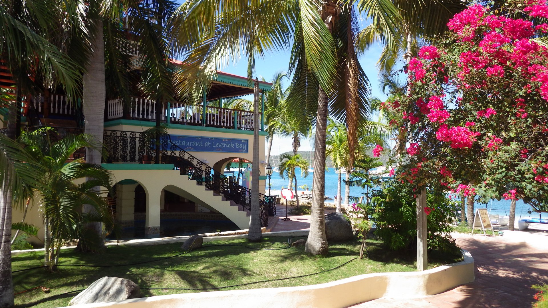
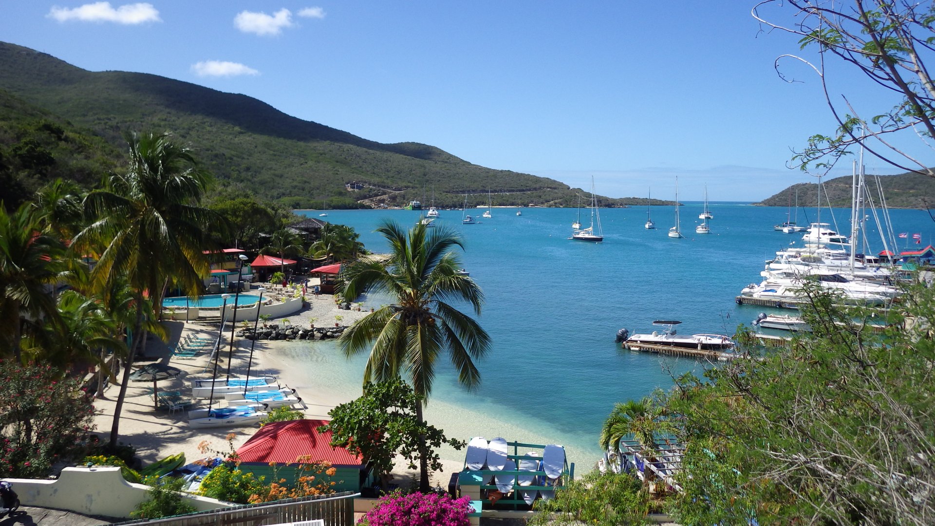
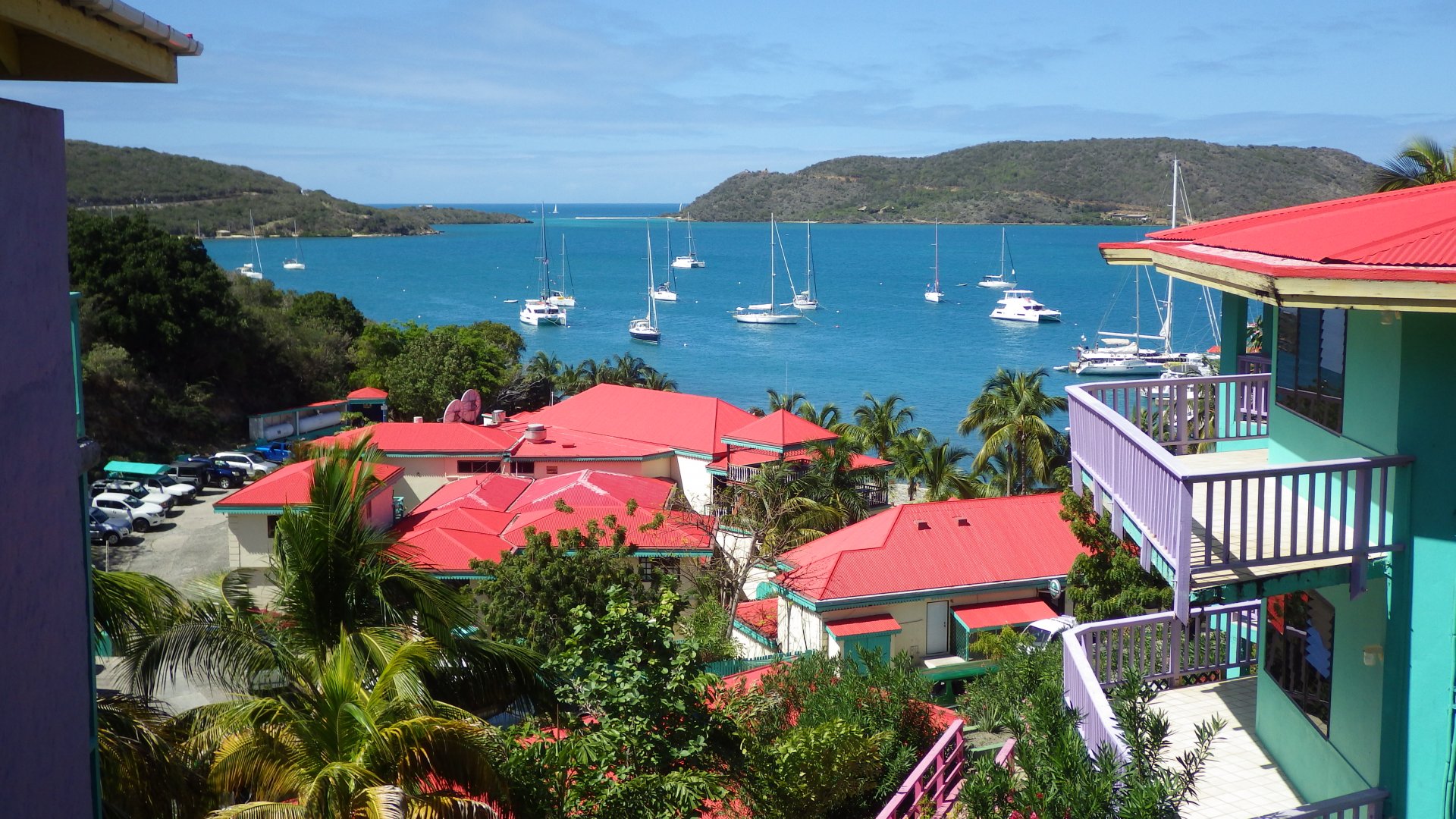
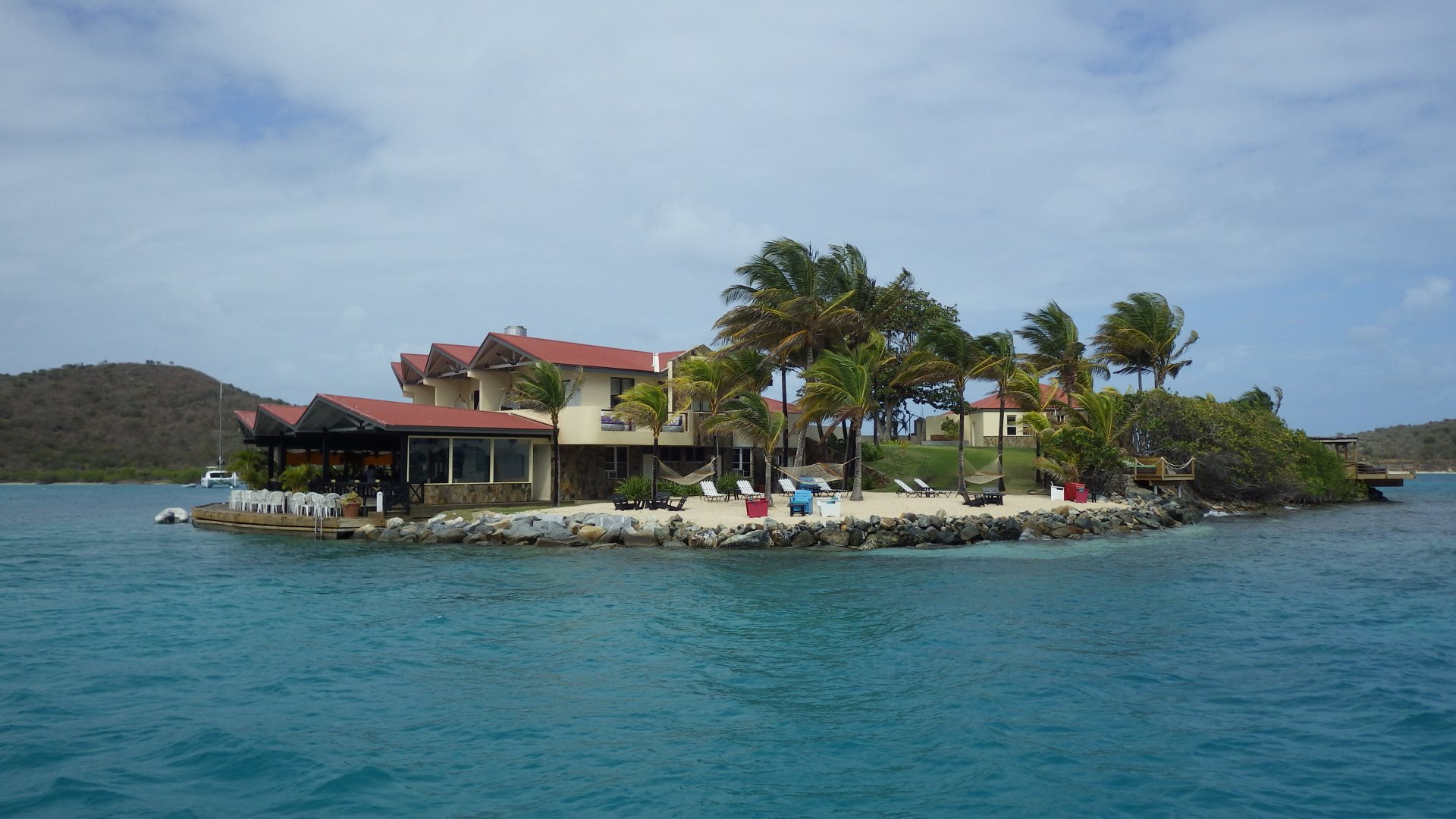
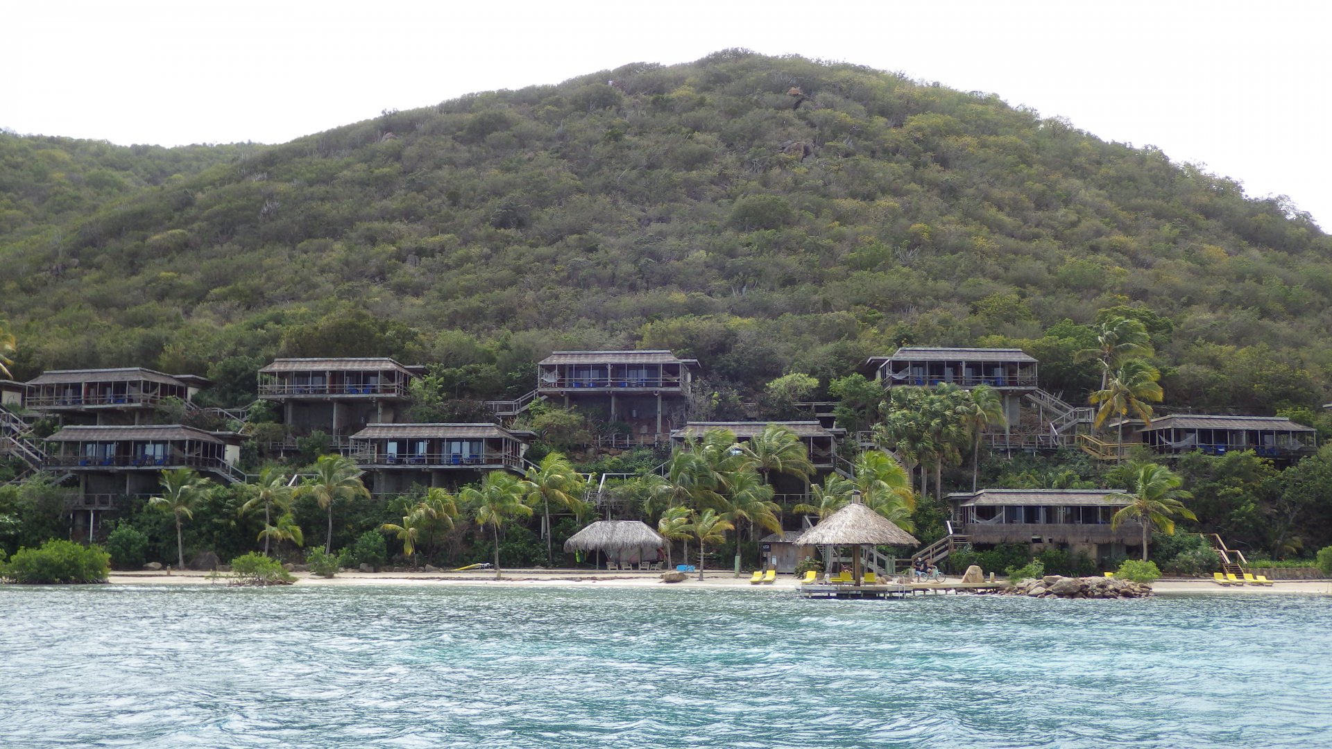
Not much here except customs office, marina, shops and restaurant for tourists, but the setting is pleasant.
Mooring balls are free for the short day stop and paid to stay overnight.

Houses on Cliffs Sopers Hole Wes End View Boats at Sopers Hole Boats Moored at Sopers Hole Pussers Restaurant At Sopers Hole At Sopers Hole Marina At Sopers Hole market Big Cat at Sopers Hole Houses on Hills Barge Carrying Concrete Trucks Sail Cruiseship
Road Town Shore and Govt Dock

Road Town, Tortola

Log#: 155
LatLon: 18°25.032'N, 064°36.967'W

We stayed on several occasions at Road Town, BVI' capital. Just exploring the place, wondering streets, eating out, browsing souvenir shops, picking up supplies and doing some chores. We also picked up our new mainsail here.

Unfortunately, there is no good place to anchor in the harbour, the anchorage is quite open and there is no proper public dinghy dock.

Houses on Hill near Road Town Road Town Boats at Road Town Harbour Souvenir Maket Road Town Inner Harbour Lunch with Local Beer At Souvenir Market Road Town Main Street Road Town Street Knots Art At Road Town Museum At Moorings Marina Sunsail Charter Base Cruiseship Docked at Road Town Harbour Cruiseship Leaving Road Town at Night Enjoing Dinner Anchored at Road Town Harbour
Trelis Bay BVI

Trelis Bay, Beef Island

Log#: 156
LatLon: 18°26.706'N, 064°31.944'W

Trelis Bay is located just minutes walk from BVI' main airport and that's where we expected our daughter to arrive from Canada for a week of BVI cruising with us.

The bay is inviting, picturesque and well protected from all directions. Larysa finally had good night sleeps here after rolly nights at earlier anchorages.
The bay is also a popular stop of charter boats, and finding a place for boat could be difficult.

We timed our stay here for the Fool Moon Party, for which Trelis Bay is known. Although we are not really party goers, we had a real fun.

This is also were we celebrated by BD and our anniversary, at the Last Resort restaurant on the small Bellamy Cay island in the middle of the bay.

There are few restaurants, an art gallery and a grocery store ashore, not much else.
Swimming, beach combing, tanning, reading, little working, eating out, partying, liming...
I loved this place.

Our Yacht at Trelis Bay Da Loose Mongoose Restaurant Dock Boulders at Trelis Bay Beach Trelis Bay Shore Art Trelis Bay Beach Nets at Trelis Bay Beach At Trelis Bay Beach Metal Art Shop at Trelis Bay Beach Hut at Trelis Bay Beach At Art Gallery Shop At Trelis Bay Art Gallery Shop At Trelis Bay Art Gallery Shop At Trelis Bay Art Gallery Shop At Trelis Bay Art Gallery Shop At Trelis Bay Boats at Trelis Bay Many Boats at Trels Bay View At Tables Trels Bay Beach At Trels Bay Beach Conch Saving Turtles Sea Urchin At Trelis bay Beach Tree House at Trelis Bay Beach Swing at Trelis Bay Beach Da Loose Mongoose at Night Party Starts Early Fire Art Fire Ball Art Party Starting Full Moon Party At Full Moon Party Full Moon Party Full Moon Party At Full Moon Party Fireball Full Moon Party Trelis Bay At Full Moon Party At Full Moon Party Fire Art At Full Moon Party Fire at Full Moon Party At Full Moon Party Night After Party Last Resort Restaurant at Bellamy Cay at Last Resort Restaurant Last Resort Restaurant On Bench with Cat Trelis Bar BBQ Grills at Trellis Bar Our Neighbour Fuel and Water Source at Marina Cay Nearby Da Loose Mongoose at Dawn Da Loose Mongoose at Night Trelis Bay Shore at Night Trelis Bay Shore at Night Sunset at Trelis Bay
Dock and Anchorge at Diamond Cay

Diamond Cay and Bubbly Pool, Jost Van Dyke Island

Log#: 157
LatLon: 18°27.024'N, 064°43.477'W

Out next sail downwind was to Jost Van Dyke Island, at the Daimond Cay.
We hiked to nearby "Bubbly Pool" - a natural pool surrounded by large rocks on the ocean's edge, where waves tumble trough a hole in the rocks creating a bubbling salt water pool.

At evening we visited abandoned bar/motel on Little Jost Van Dyke. Wondering what caused its demise.

Passing Sandy Cay Nearby Ship Anchored at Sandy Cay Sandy Cay View Taboo Restaurant at Diamond Cay At Taboo Shalow Pond at Diamond Cay Shalow Waters at Diamond Cay Shallow Waters Near Diamond Cay Walking on the Beach at Diamond Cay Shalow Pass Between Islands Waves Building Over Shalow Pass Overlooking Diamond Cay Jost Van Dyke BVI Path to Bubbly Pool Bubby Pool At Bubby Pool At Bubby Pool In Bubby Pool Enge of Diamond Cay View Through Cactuses from Diamond Cay Edge Cactus at Diamond Cay Large Plant at Diamond Cay Beach at Little Jost Van Dyke Abandoned Strucutre at Little Jost Van Dyke Evening View From Little Jost Van Dyke Evening View From Gated Window Evening At Little Jost Van Dyke Beach Delapitating Dock at Little Jost Van Dyke Where Land and Sea Meet Sign Our Yacht Anchored at Diamond Cay
Relaxing at the Beach Jost Van Dyke

Great Harbour, Jost Van Dyke Island

Log#: 158
LatLon: 18°26.521'N, 064°45.084'W

The next morning we sailed to the Great Harbour on the southern shore of Jost Van Dyke Island.
It is a small touristy place, with several souvenir shops, dive operations and restaurants. The most famous one is Foxy's where we had our lunch.
Later we strolled along the shore streets, peeked into local shops and relaxed on the beach a little.

Weloome to Jost Van Dyke Sign Dinghy Dock at Jost Van Dyke Great Harbour Jost Van Dyke Boats at Great Harbour Jost Van Dyke Quiet Streets of Jost Van Dyke Great Harbour Shore Quiet Street of Jost Van Dyke Local Estabalishement Sign at Dive Shop At Jost Van Dyke Dock At Jost Van Dyke Beach At Jost Van Dyke At Jost Van Dyke Foxys Bar at Jost Van Dyke at Jost Van Dyke At Foxys Jost Van Dyke Celing Flags At Foxys Cards at Foxys At Foxys Our Yacht Moored at Jost Van Dyke At Mooring Jost Van Dyke Panoramic View of Great Harbour Jost Van Dyke BVI Leaving Jost van Dyke Island
The Bight

The Bight, Norman Island

Log#: 159
LatLon: 18°18.985'N, 064°36.974'W

The Bight on Norman Island is a pretty and protected bay, very popular with charter boats.
Unfortunately, we found it to be crowded, only with a pricy restaurant and extensive mooring field taking all available anchorage space in the bay.
We stayed only a little here.

Passing by The Indians Schoner Restaurant at The Bight Pebble Beach at The Bight Pebble Beach at The Bight Slippers at Pebble Beach The Bight
Great Harbour Peter Island

Great Harbour, Peter Island

Log#: 160
LatLon: 18°21.633'N, 064°35.059'W

The Great Harbour at Peter Island was similar to the one at Norman Island we visited just before - a little disappointing.
Next time we will stay little off the beaten track in this area.

Rain Over Tortola Mountains off Peter Island Catamarans at Peter Island Windering Small Pebble Beach on Peter Island Wild Goats on Peter Island Sinset at Peter Island
Machioneel Bay Cooper Island Beach

Machioneel Bay, Cooper Island

Log#: 161
LatLon: 18°23.196'N, 064°30.800'W

This was the postcard picture perfect little bay. Coconut palms overhanging the sandy beach, pretty gazebos, and the weather was perfect.
We walked along the pleasant shore, had a cooling swim and relaxed.

Machioneel Bay Cooper Island Machioneel Bay Beach Cooper Island Resort Gazebo at Machioneel Bay Cooper Island Small Place At Machioneel Bay Cooper Island Flags at Machioneel Bay Cooper Island Sea Coral Anna at Machioneel Bay Cooper Island Machioneel Bay Cooper Island Shore Machioneel Bay Cooper Island Shore Fun At Machioneel Bay Cooper Island Swiming Neat Our Yacht at Machioneel Bay Old And New Machioneel Bay Beach Cooper Island At Machioneel Bay Cooper Island Machioneel Bay Cooper Island Panoramic View of Machioneel Bay Cooper Island Map of the BVI
The Baths Virgin Gorda BVI

The Baths, Virgin Gorda

Log#: 162
LatLon: 18°25.909'N, 064°26.712'W

The Baths on the southwest tip of Virgin Gorda was a highlight of our BVI visit. It is an unusual formation of large boulders at the water's edge, with paths and caves between them.

We were here only one afternoon and had to leave to an overnight anchorage nearby. Wish we stayed a bit longer.

Fallen Jerusalem Island Nearby Boats Moored at The Baths Sign at The Baths Paths Boulders Water Cave Large Rocks Boulders At the Cave in The Baths At the Baths Large Rocks Shore Boulders at The Baths Girls at The Baths Beach at The Baths At The Baths Rock Surface At The baths Rocks Formation At The Baths View from he Baths In Water at The Baths Path At The Baths The Baths View Rock In Trees
At Virgin Gorda Yacht Harbour

Yacht Harbour, Spanish Town, Virgin Gorda

Log#: 163
LatLon: 18°27.358'N, 064°26.450'W

We had a lunch stop at Virgin Gorda Yacht Harbour in Spanish Town.
Apparently, there is no actual "town", with main street, etc. It's just a nice marina, a boat yard, few stores and streets with simple houses.
Got wi-fi at the restaurant to sync-up with the world.

Nice Anchorage Nearby Anchored Near Yacht Harbour Collected Sea Shells At Restaurnat At Virgin Gorda Yacht Harbour At Restaurnat Sunser at Yacht Harbour
Pond Bay Beach

Savanna Bay and Pond Bay, Virgin Gorda

We stayed one night at these pretty bays, with beautiful white sandy beaches. The water was calm and inviting.
Unexpectedly, during the night, a northerly swell came in and our boat started to roll. None of us slept well that night. We took off at first light, back to Trelis Bay.

Savanna Bay Savanna Bay Beach Anchored at Pond Bay Pond Bay Beach Houses at Pond Bay Houes at Pond bay Walking on the Beach At Pond Bay In the Waer at Pond bay Pond Bay Beach View Sunset A Savanna Bay Sky After Sunset
Rock Face at Lee Bay Great Camanoe Island

Lee bay, Great Gamanoe Island

Log#: 165
LatLon: 18°28.235'N, 064°32.062'W

This was just a one night stay - we wanted to get away from the crowds to a quieter spot.

Coming to Lee Bay Lee Bay Rocky Beach Rocky Shore Lee Bay View from Lee Bay Canoe Paddlers at Lee Bay Sunset at Lee Bay Great Camanoe View from Cockpit at Sunset
Private Beach at Buck Island

Buck Island Anchorage, South of Tortola

Log#: 166
LatLon: 18°25.567'N, 064°33.711'W

After we picked up our new mainsail at Road Town in Tortola, we tried it and sailed in the Sir Francis Drake Channel. Good sail, good sailing.

We then spent a night at Buck Island anchorage nearby, south of Tortola.
The wind and waves came to the anchorage at an angle, so I put the anchoring bridle - it proved to be a wise decision and we had a nice, not rolly night.

View of Tortola from Buck Island Nice House on Tortola Hill Buck Island Anchorage Sunset at Buck Island View of Tortola Passing Boats Next Day
Pussers Outpost at Leverick Bay

Leverick Bay, North Sound, Virgin Gorda

Log#: 167
LatLon: 18°29.958'N, 064°23.394'W

Leverick Bay is a lovely spot on Virgin Gorda Island.
We peeked at local shops, did laundry, picked up some groceries and had a nice lunch at the beachfront restaurant.
We also hiked a little up, to see some nice hilltop houses and enjoy the views.
Before leaving, we filled our water tanks.

Leverick Bay Moorings Virgin Gorda Shore to South With Flowers at Leverick Bay Shops at Leverick Bay At Leverick bay Restaurant at Leverick Bay Jewlery Seller Boat Stairs To Some Hotel Leverick Bay View View of Leverick Bay North Sound View Through Palms North Sound View Small Bay Leverick Bay Shore View Leverick Bay at Night
TallShip in North Sound

Prickly Pear Island

Log#: 168
LatLon: 18°30.317'N, 064°22.279'W

Our visa in British Virgin Islands was about to expire. We didn't plan to extend it and were looking for a weather window to head further east and south, to the Leeward Islands.

We check out BVI' customs at Gun Creek and moved to a "Cruisers Anchorage" at Prickly Pear Island, west of Saba Rock, staging our next day's departure to St. Maarten.

Anchored at Gun Creek Prickly Pear Island Sunset in North Sound Prickly Pear Beach Bitter End Yacht Club Saba Rock 1 Saba Rock 2 Reosort Houses at Bitter End
<< Older Entries     Logs Archive     Newer Entries >>

Copyright© 2000-2024 www.slow-cruise.com