Slow Cruise

Sailing Adventures of s/v Alpine Zephyr
"With a sailboat, the beauty of retirement is that if the grass starts to look greener somewhere else, all you need to do is pull up anchor or cast off dock lines and go check it out." -- Sailing Forum post
<< Older Entries     Logs Archive     Newer Entries >>

Sailing Log: US Virgin Islands

There are three main islands in the US Virgins. Each has a different history and has developed in a different way. St. Thomas is modern and touristy, St. John is still in an almost untouched natural state and a large part of it is a Natural Park, St. Croix is still living in its colonial past.

Plane Landing

Brewers Bay, St. Thomas

Log#: 139
LatLon: 18°20.530'N, 064°58.771'W

This was our first landing in US Virgin Islands, on the South West side of St. Thomas. Majestic hills hanging over the bay, lively fish and some pelicans.

It is a calm and welcoming bay... behind an airport runway. There was a bit if noise from the planes taking off and landing, but strangely it didn't bother us much, rather entertained.
The bay has a nice beach and a short walk to the inexpensive $1 Safari ride to the town and around the island.

Sailing Past Sail Rock Approaching St Thomas Houses Up the Hill UVI Campus Overlooking Brewers Bay High Hills Over Brewers Bay Boats Anchored in Brewers Bay View West Plane on Approach Pelican Sunset at Brewers Bay Quiet Evening at Brewers Bay Beach
Honeymoon Bay

Honeymoon Bay (Druif Bay), Water Island

Log#: 140
LatLon: 18°19.085'N, 064°57.616'W

Pretty beach, fun place, but very crowded at times. Excursion boats bring tourist to the beach all day, water traffic, and quite rolly.
View of cruiseships leaving at night.

Tourist Boat Kon Tiki Tourist Boat Busy Beach at Honeymoon Bay Busy Beach Beach At the Beach Beach and Anchorage Floating Bar Table At the Floating Bar Table Anchorage View From Floating Bar Table Buritos for Dinner Cockpit Cruiseship at St Thomas Cruiseship Passing By Into the Sunset Bay At Sunset Bay At Sunset Another Cruiseship Passing By Cruiseship Leaving
Boutique Alley of Charlotte Amalie

Charlotte Amalie, St. Thomas Harbor

Log#: 141
LatLon: 18°20.309'N, 064°55.865'W

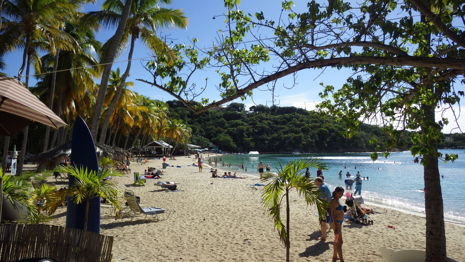
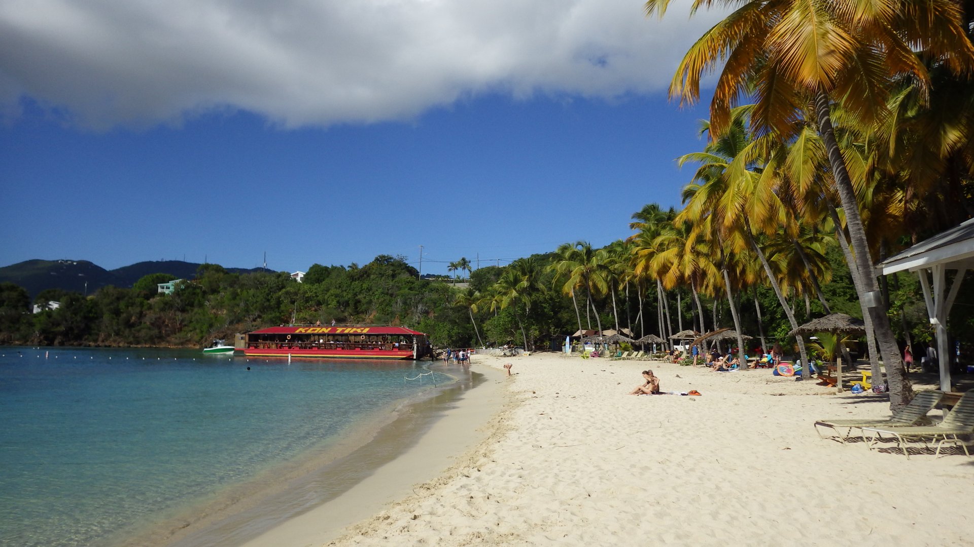
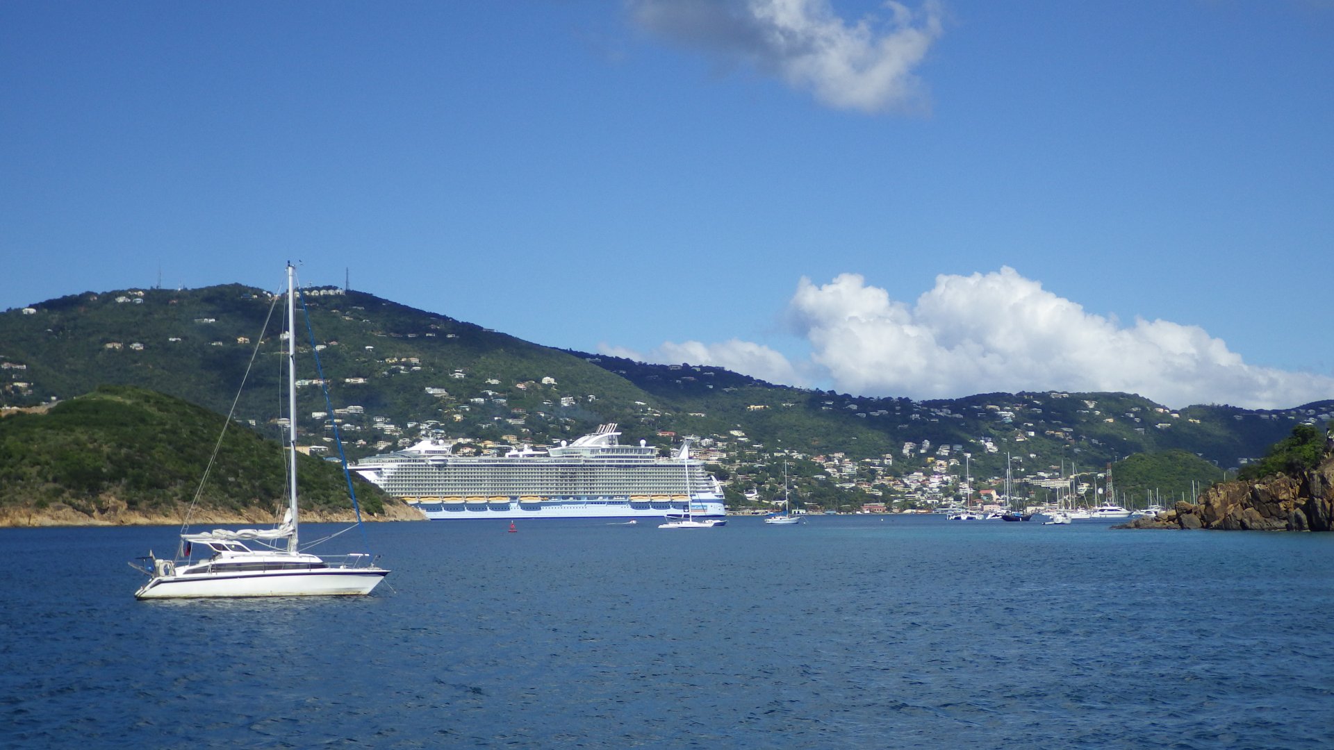
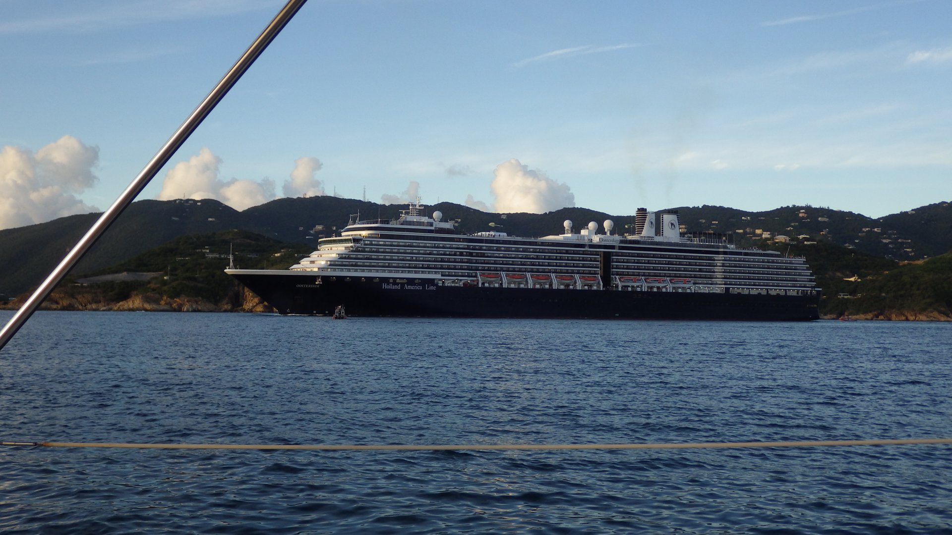
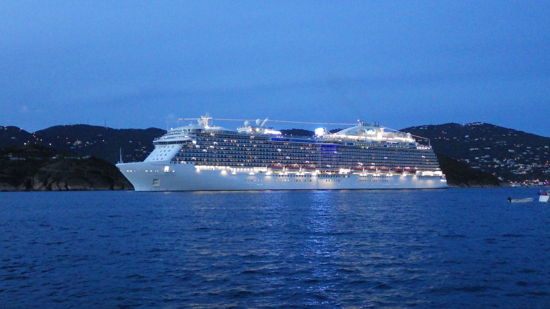
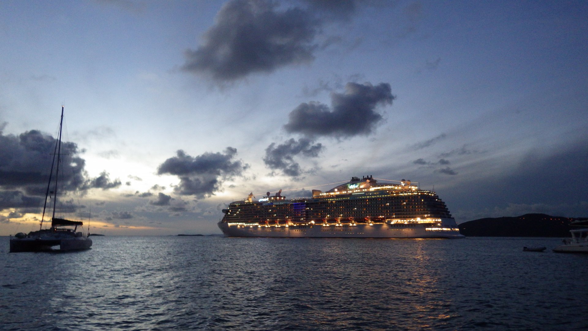
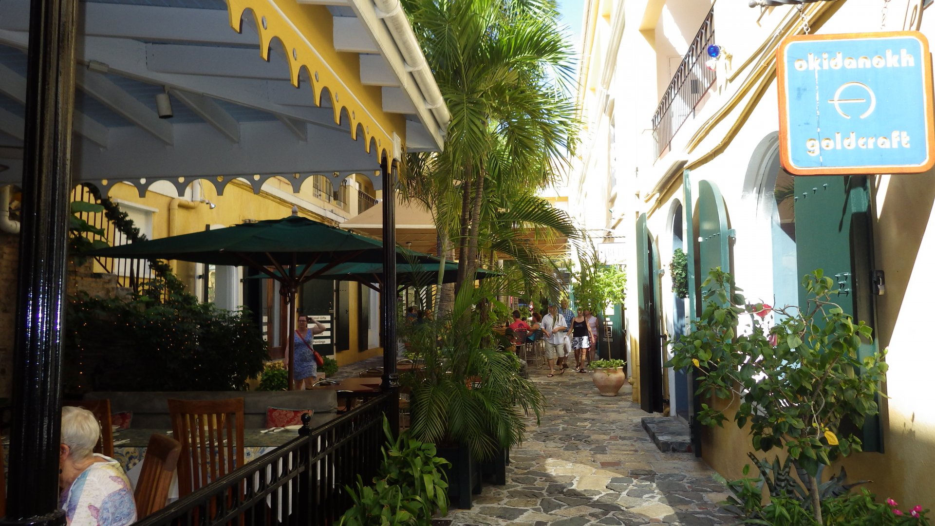
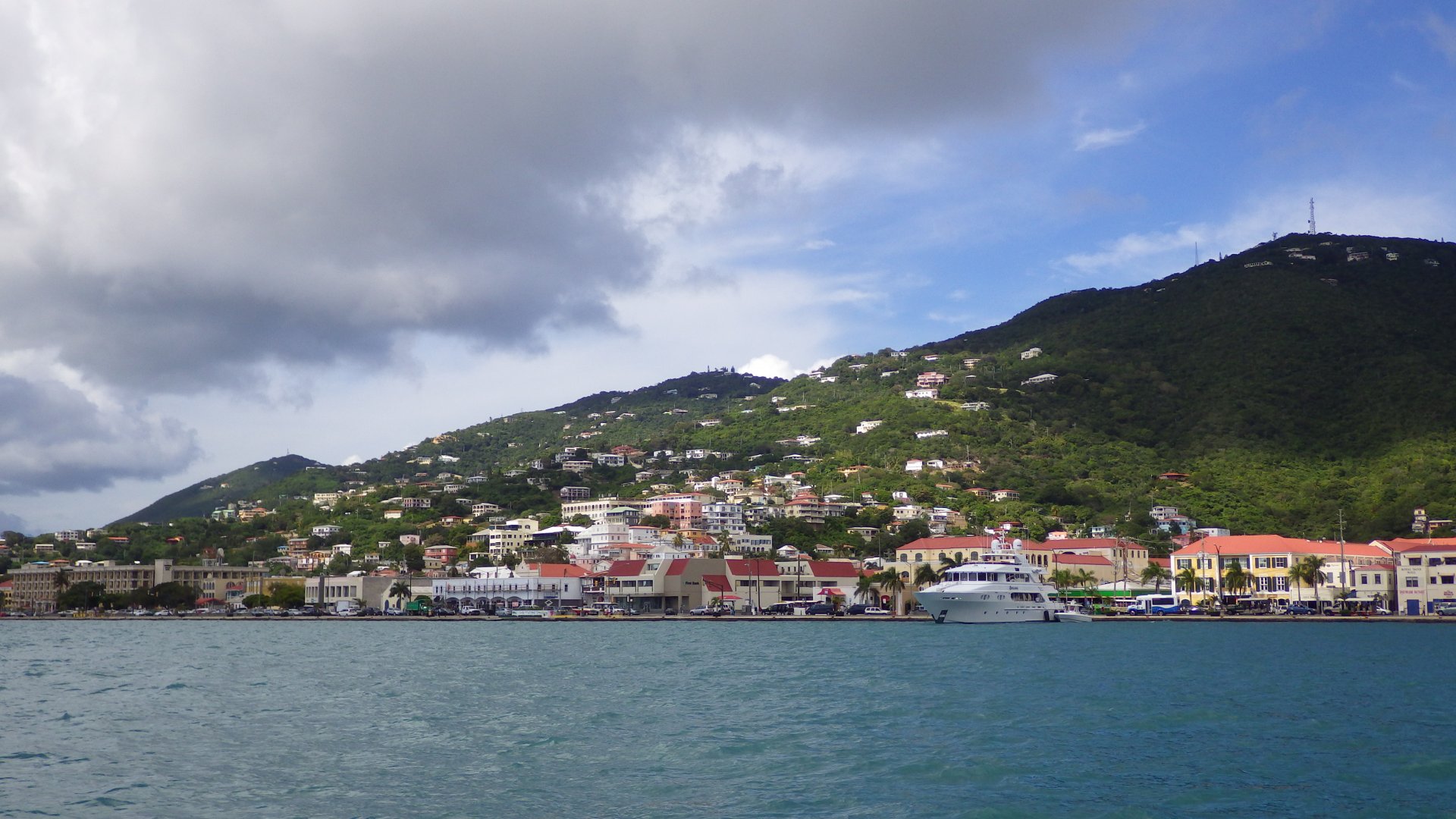
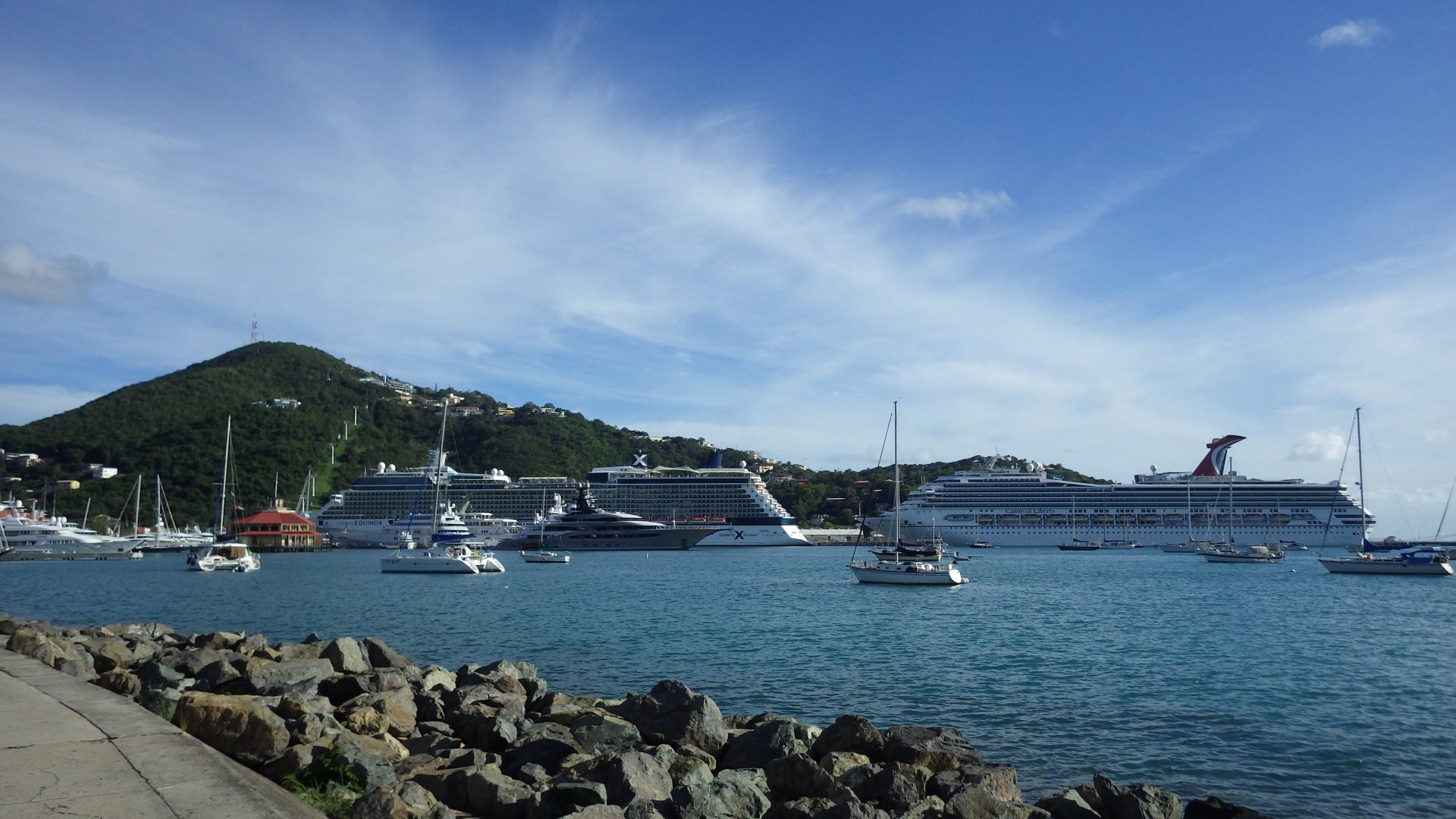
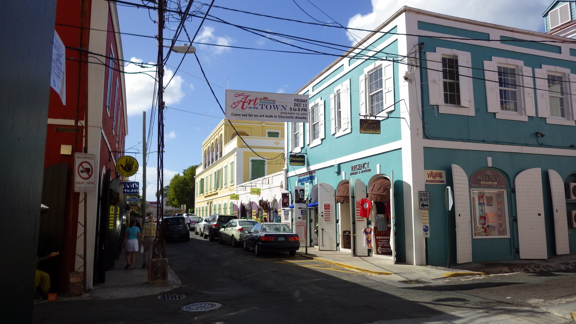
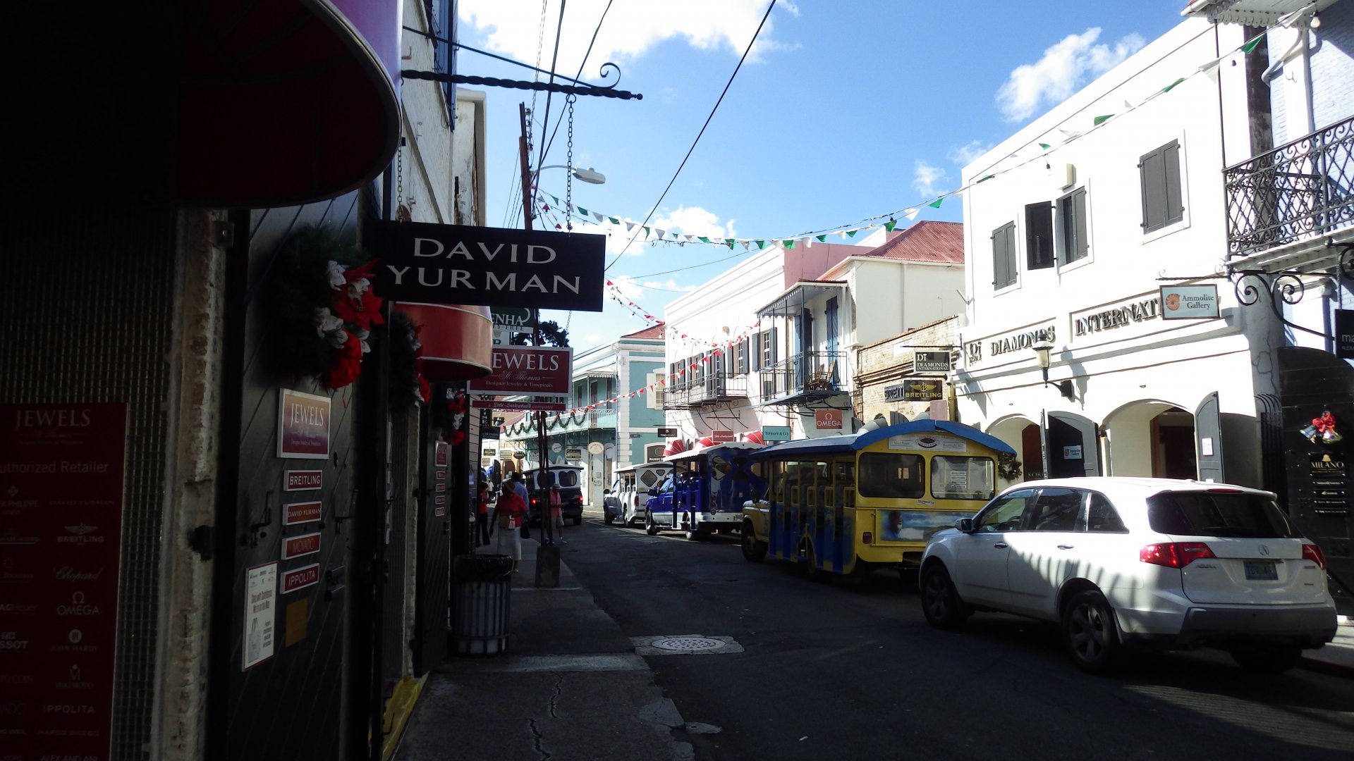
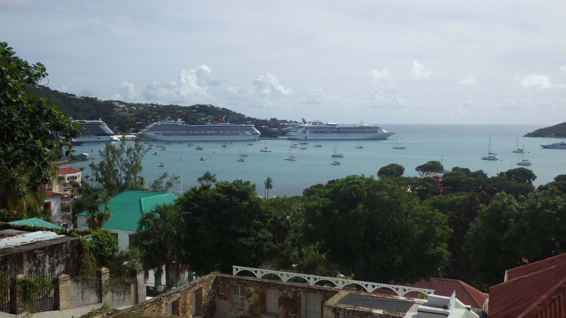
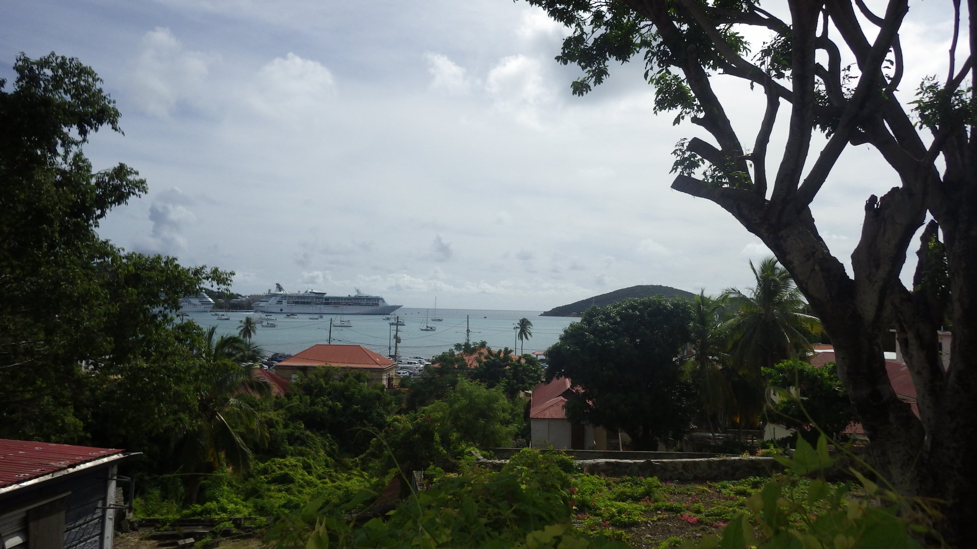
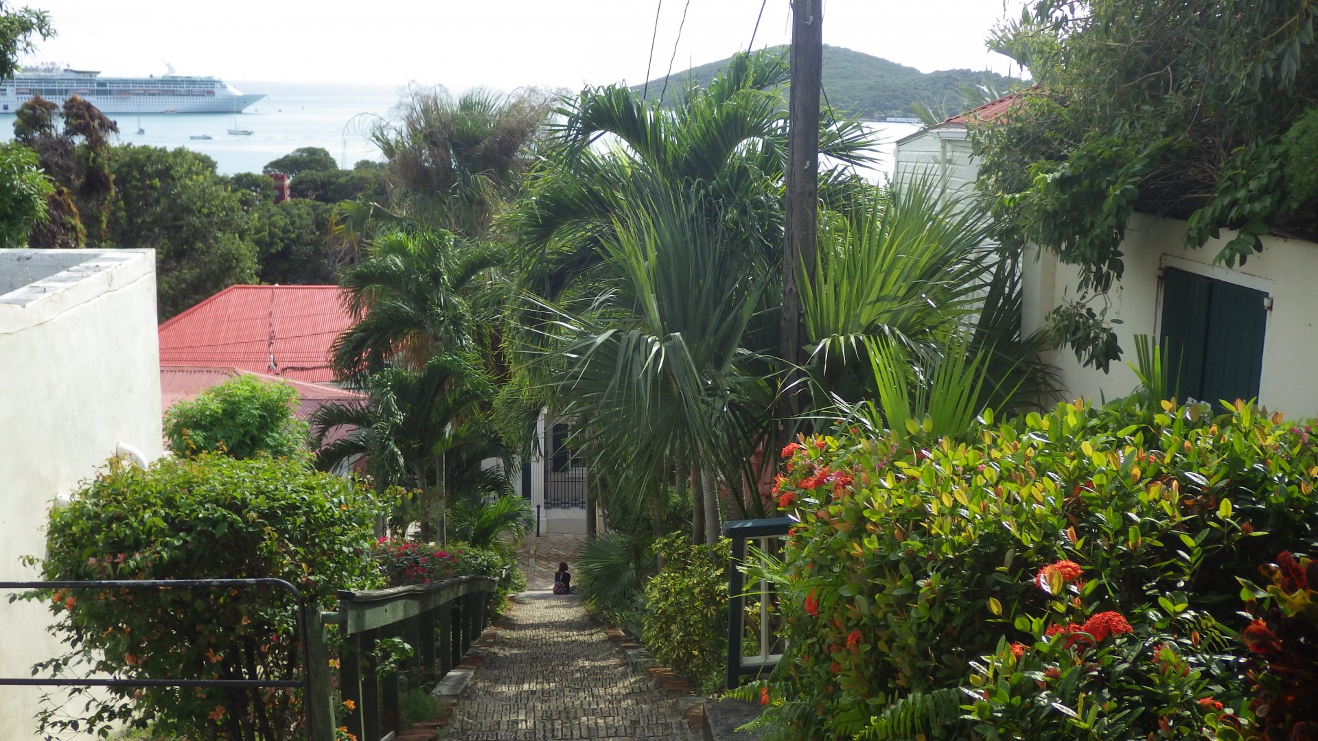
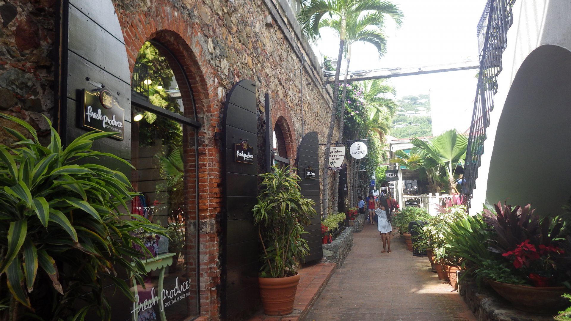
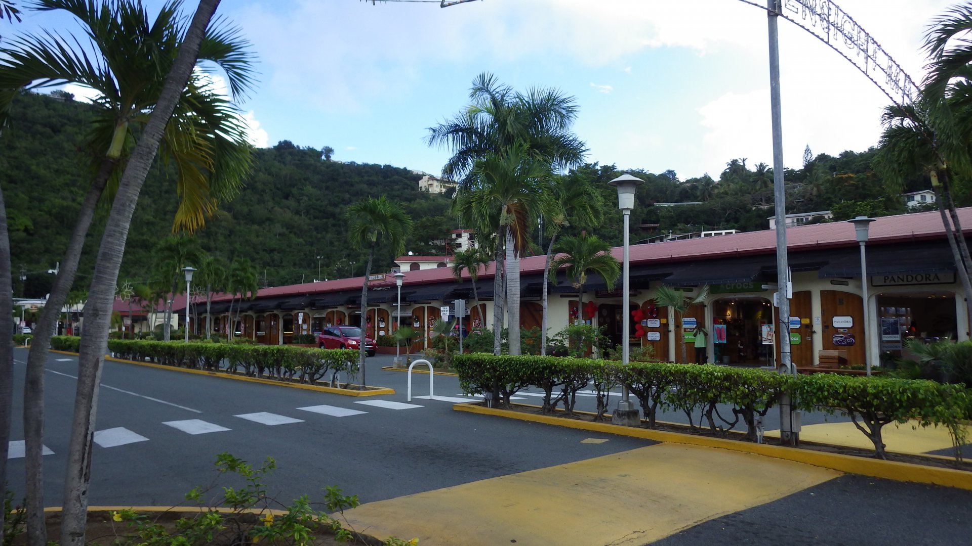
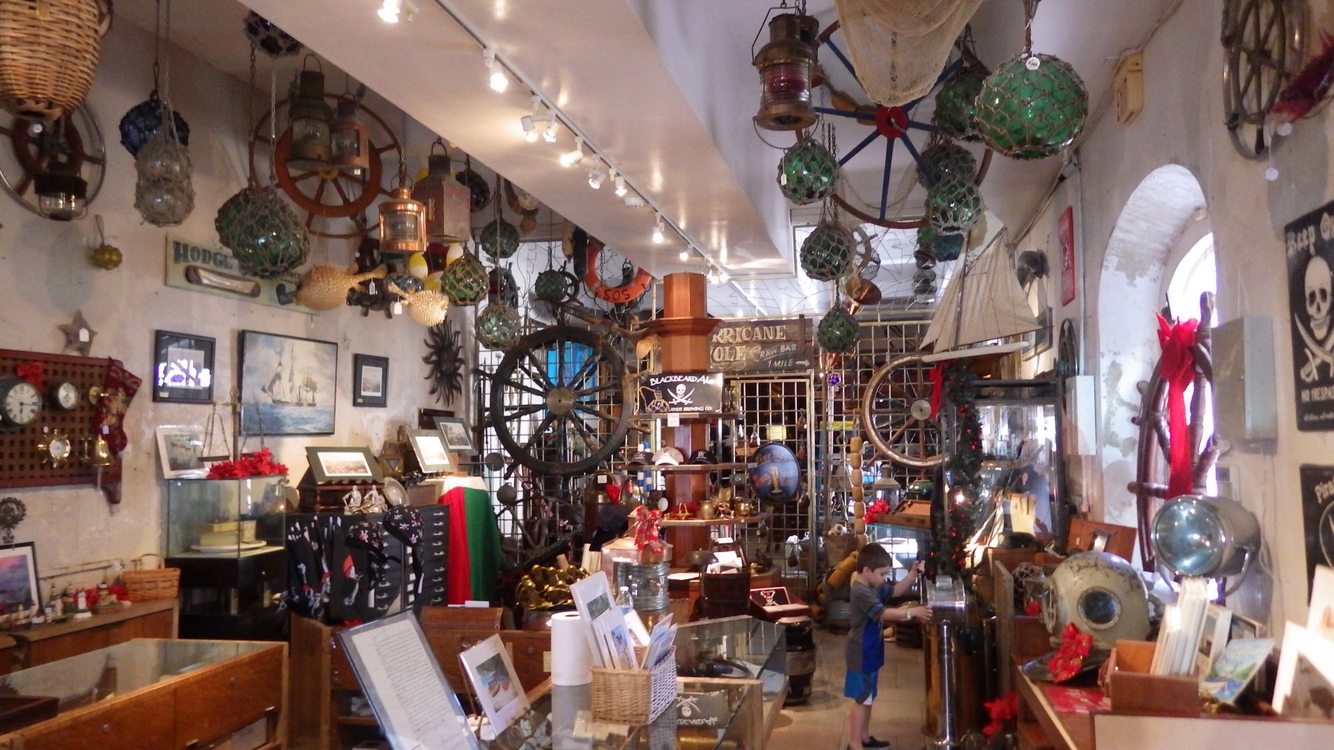
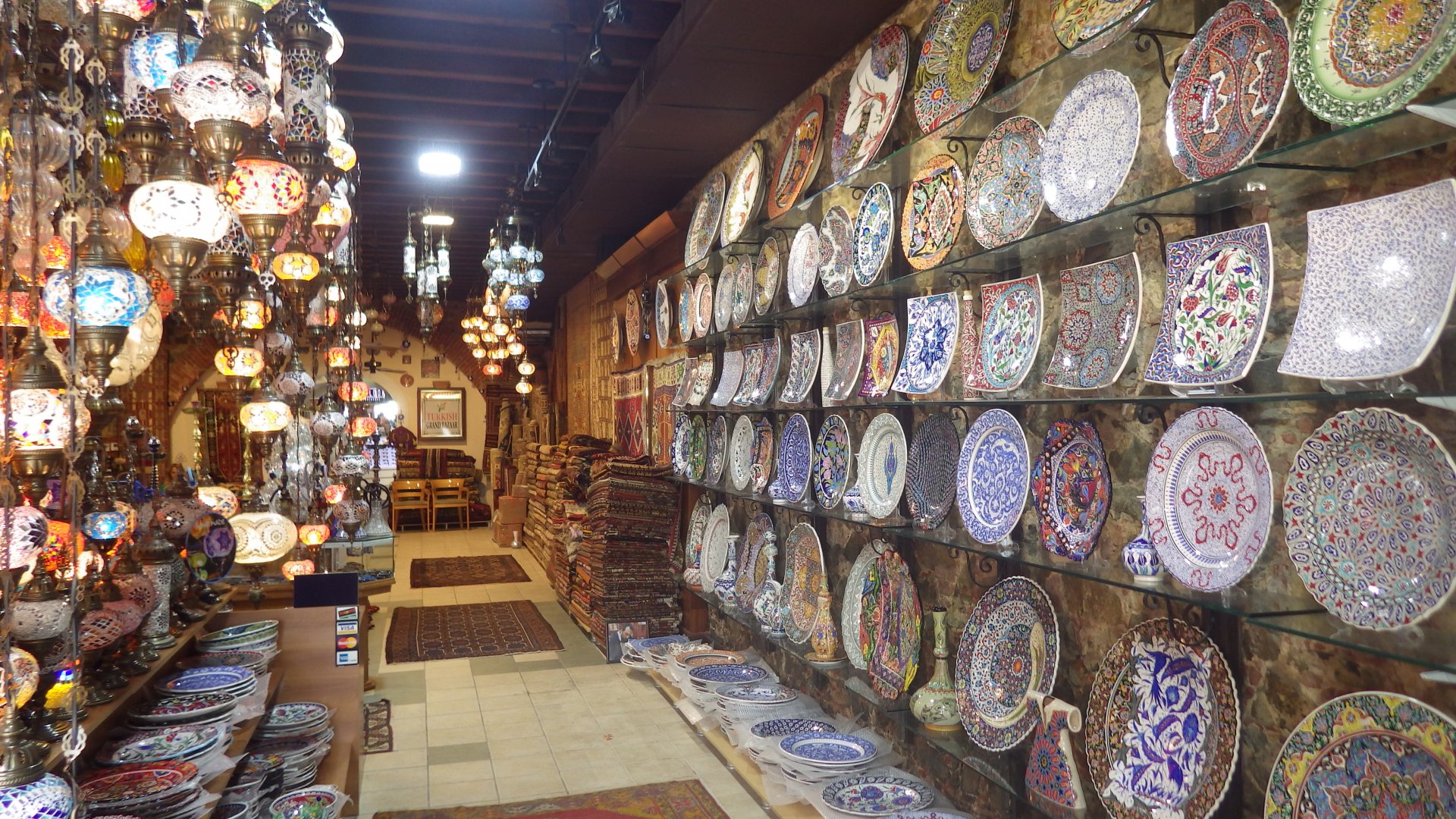
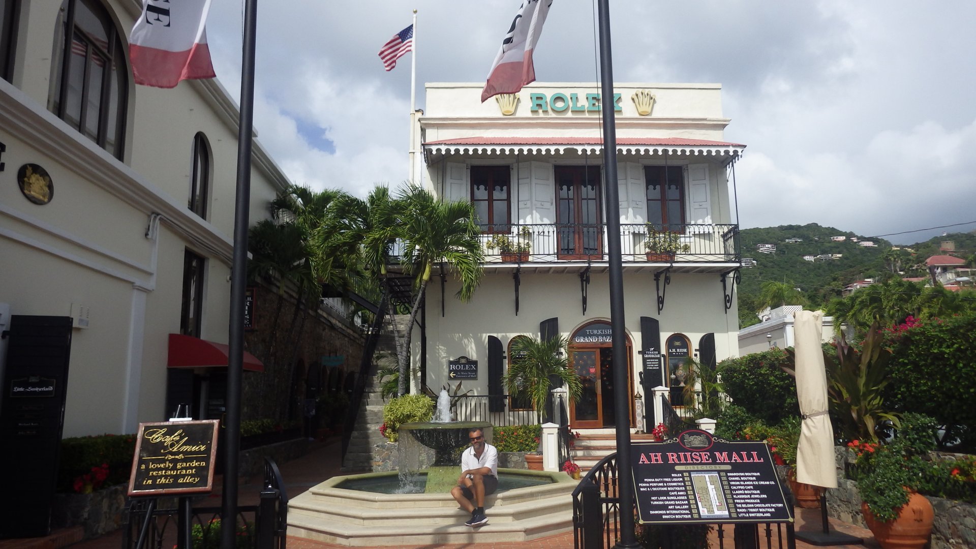
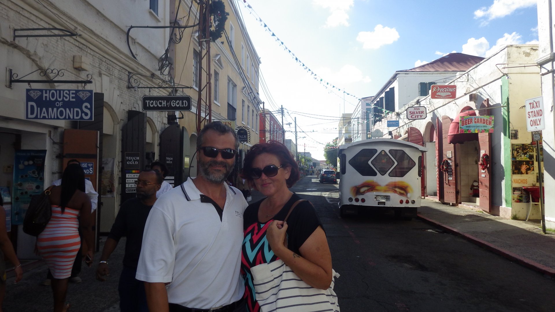
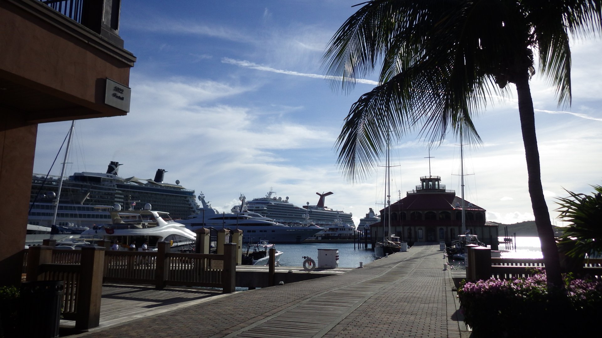
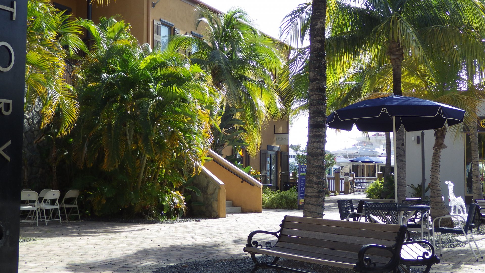
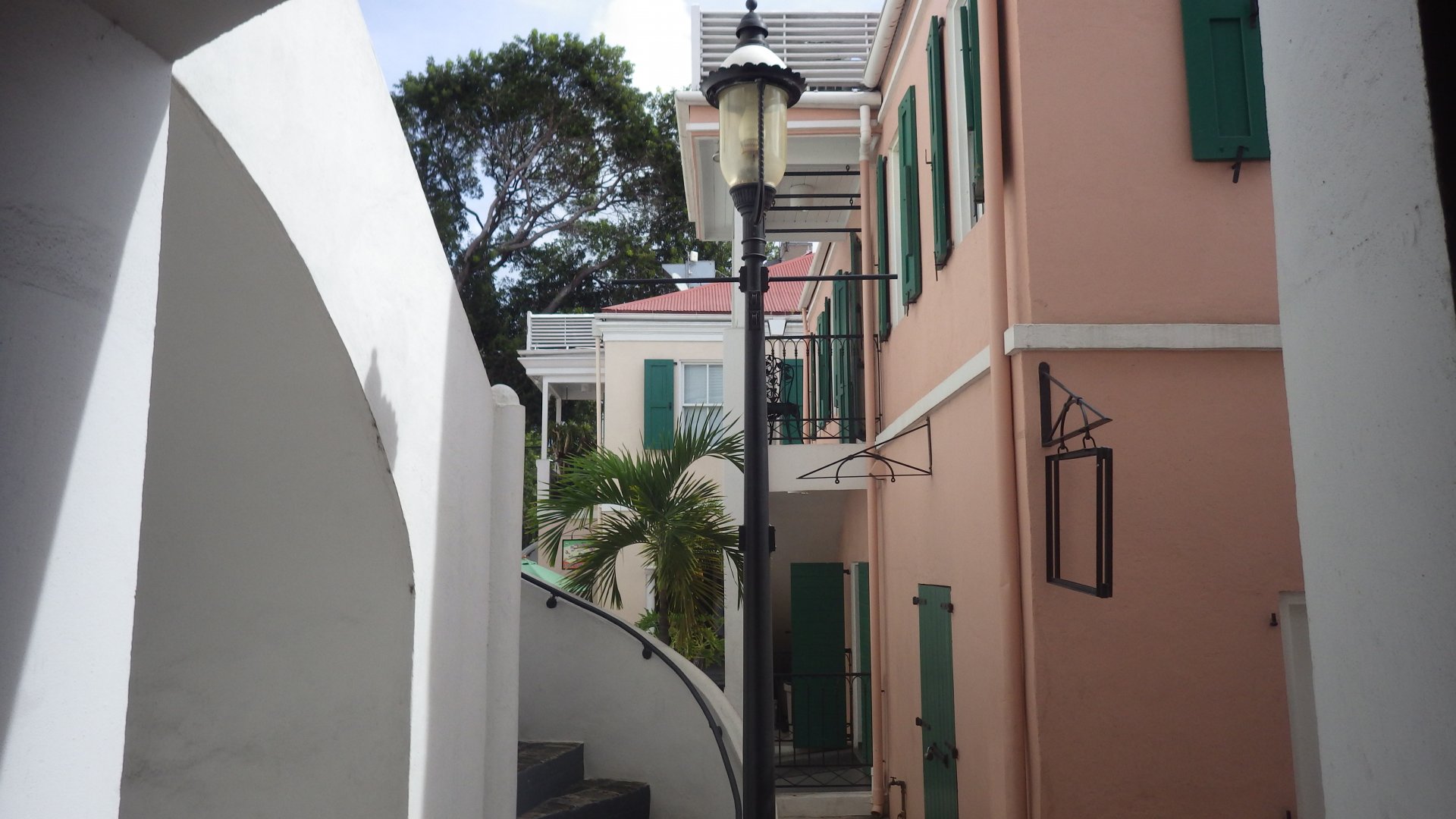
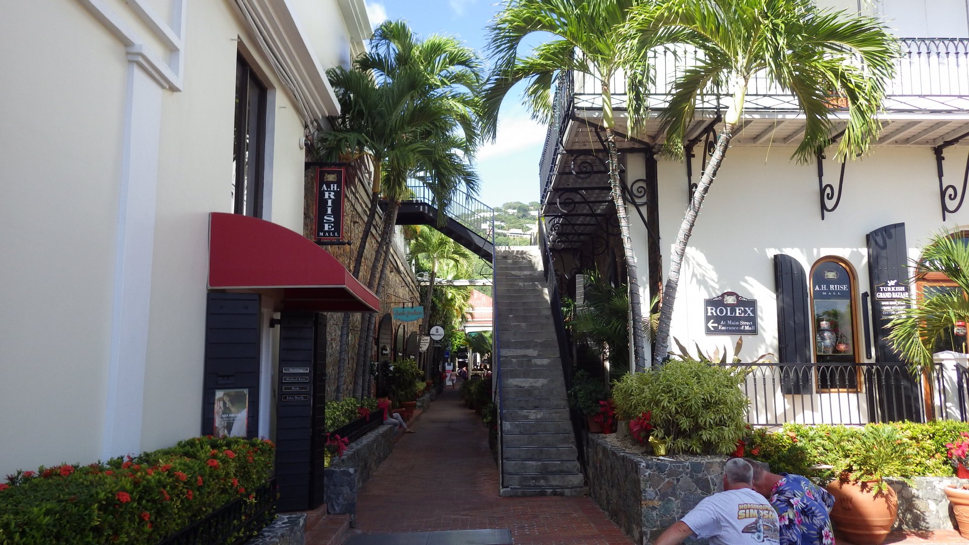
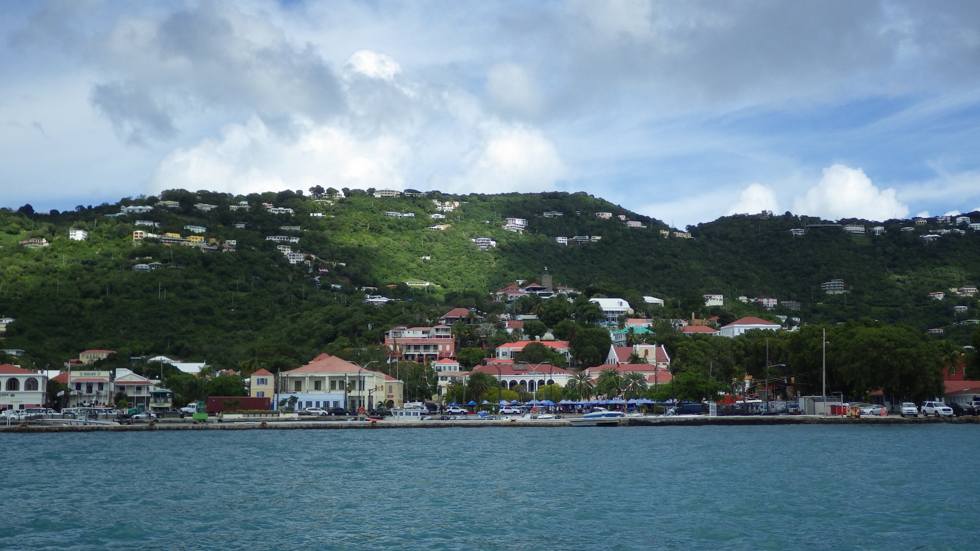
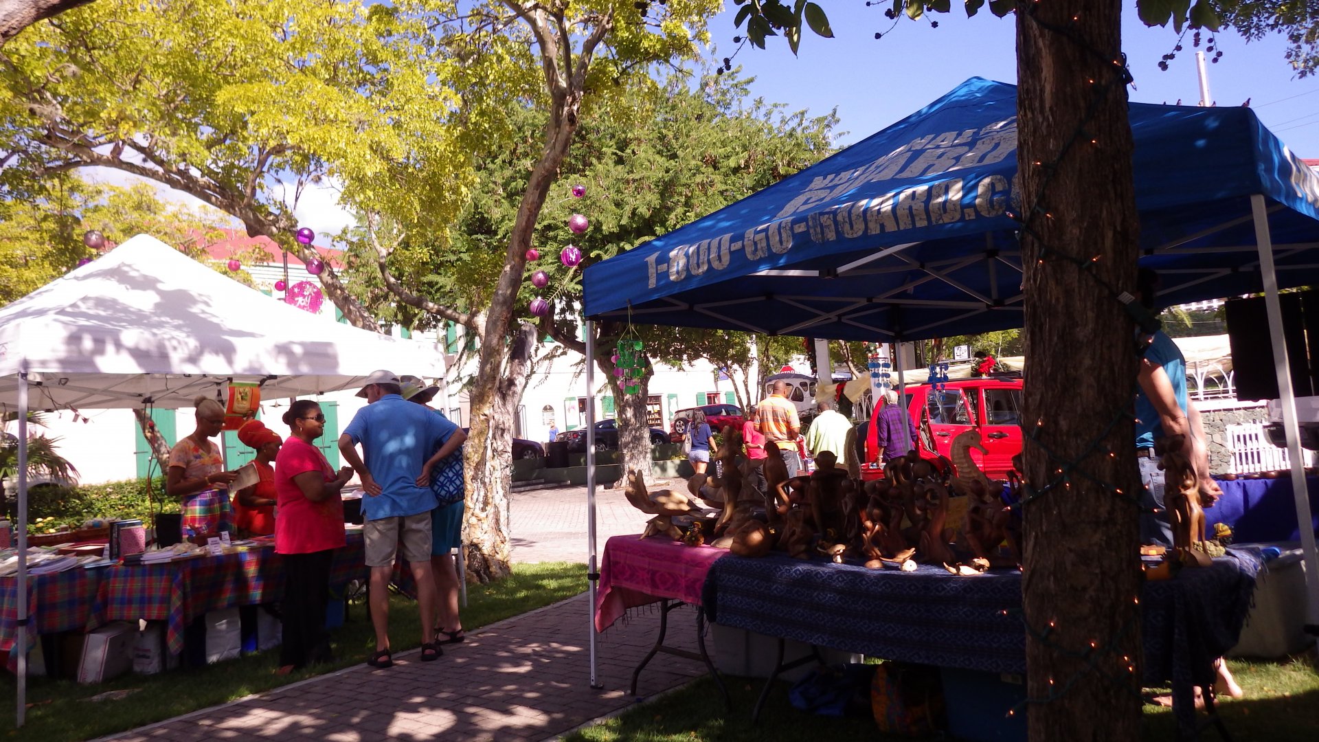
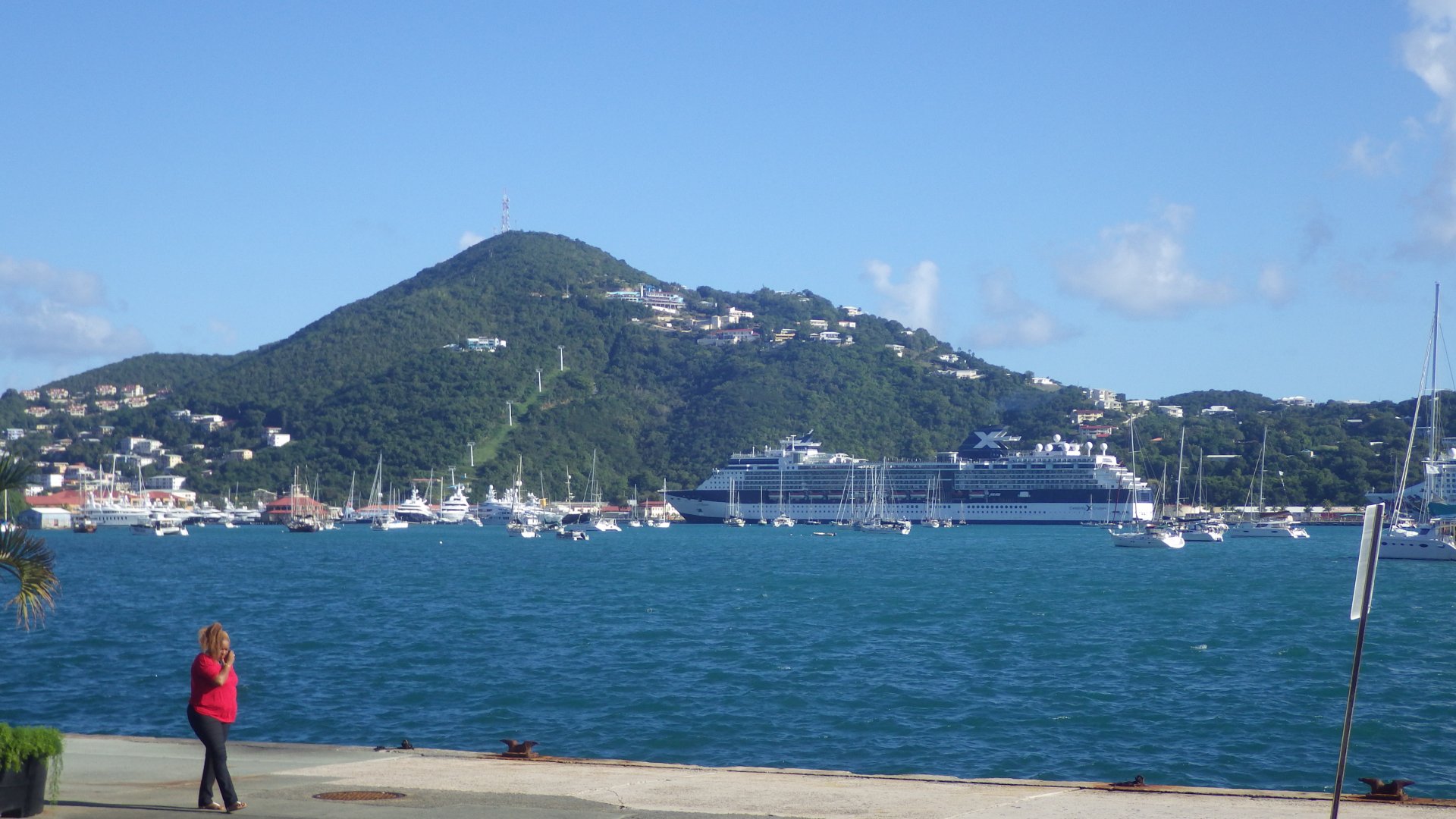
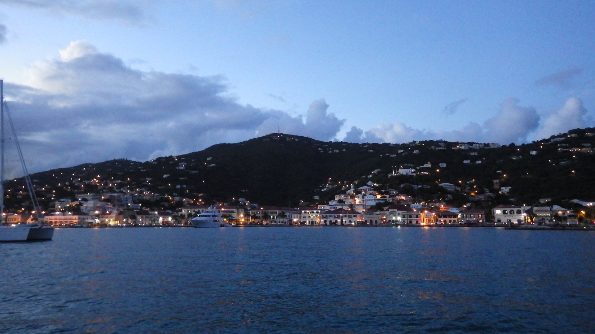
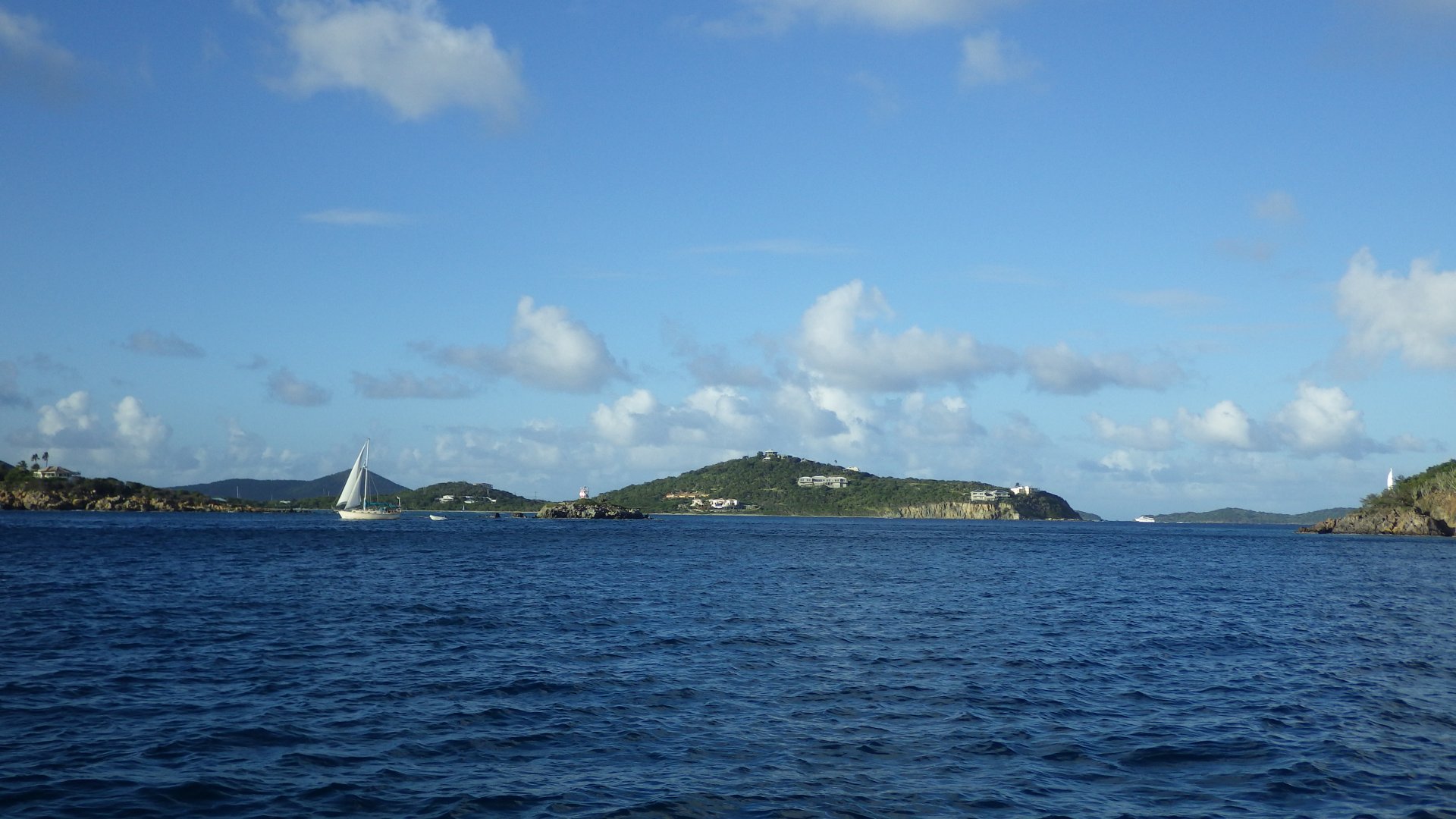
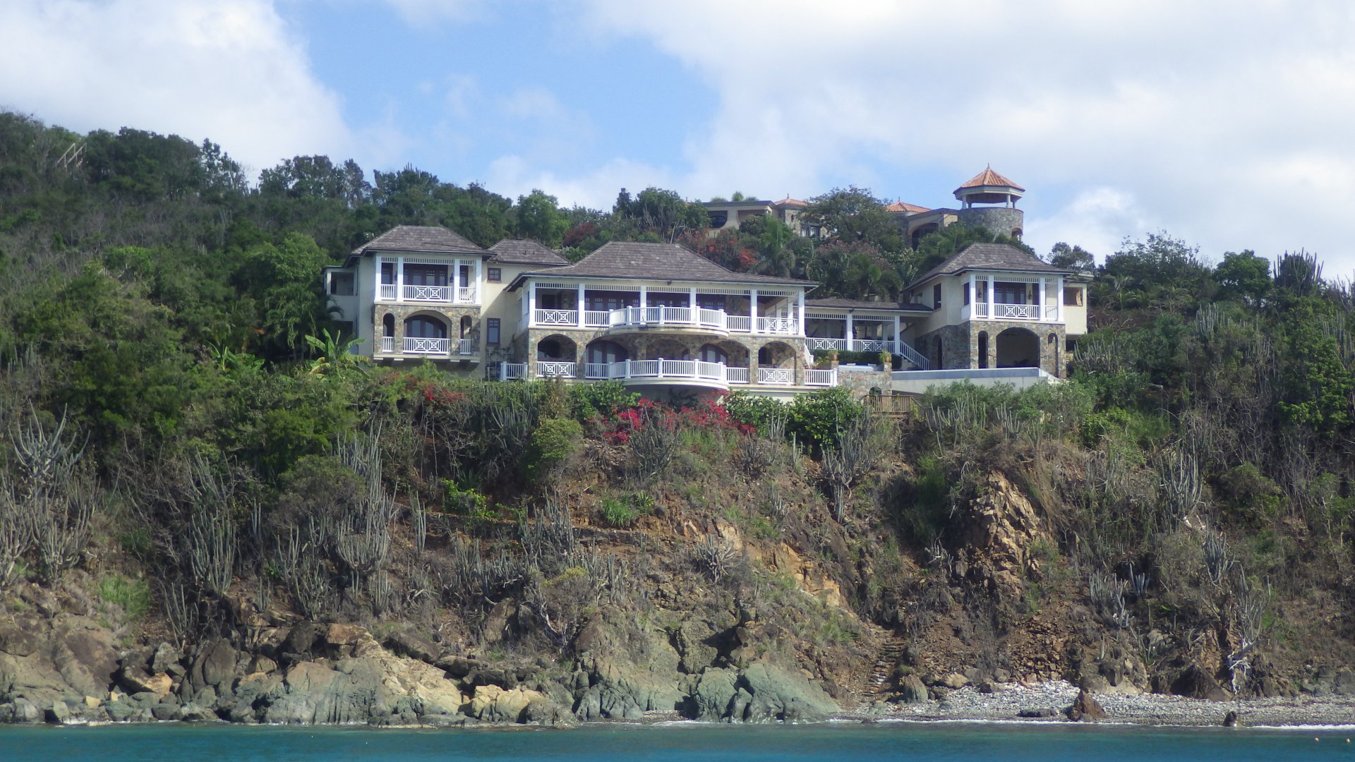
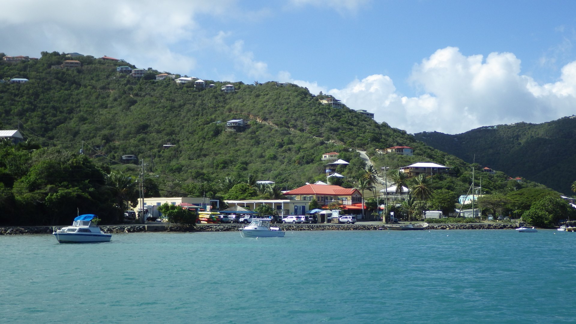
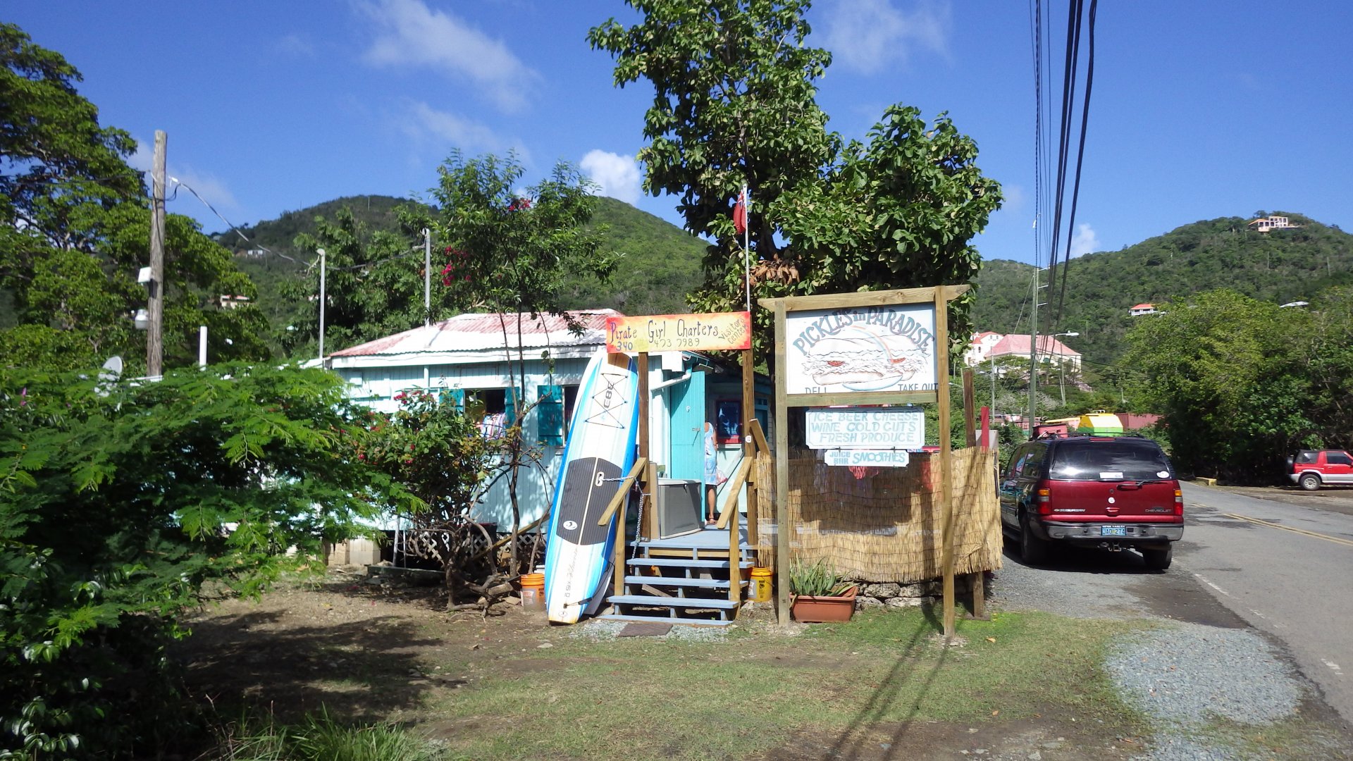
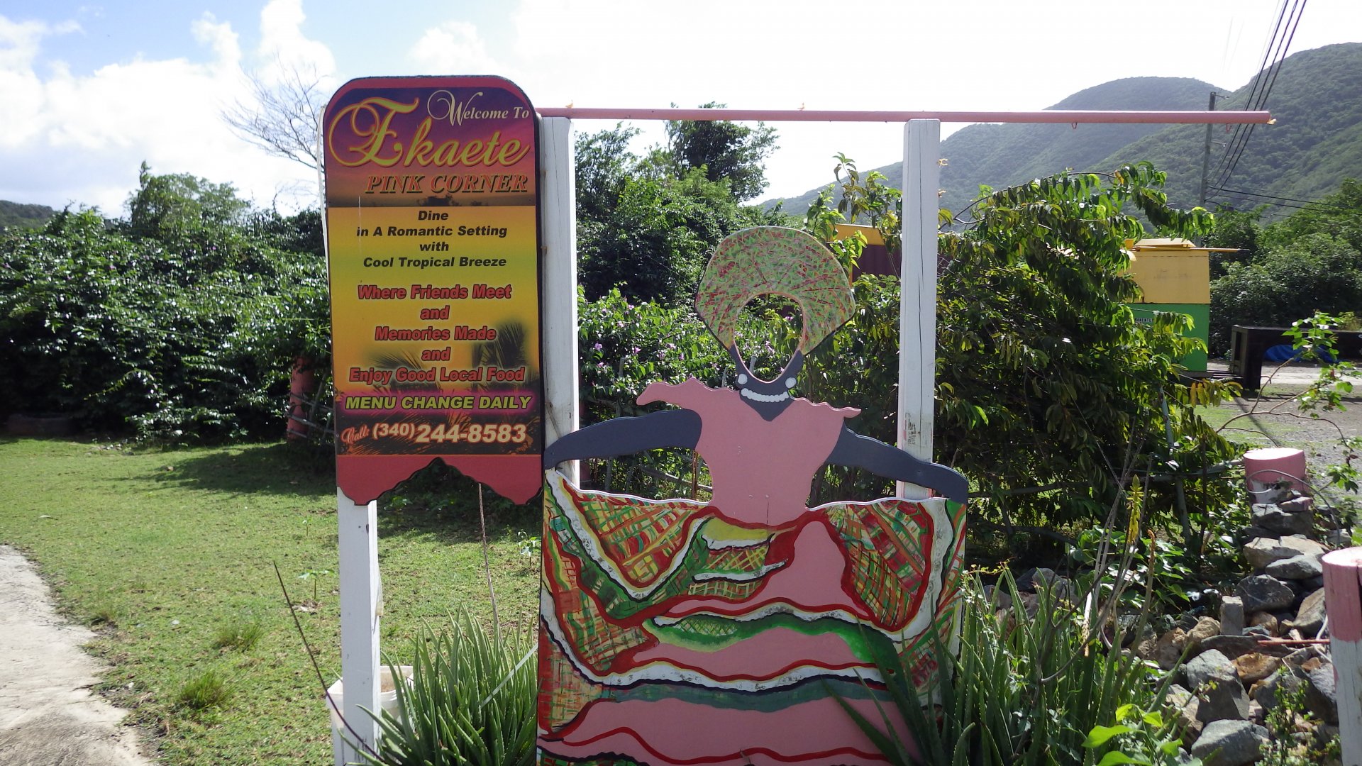
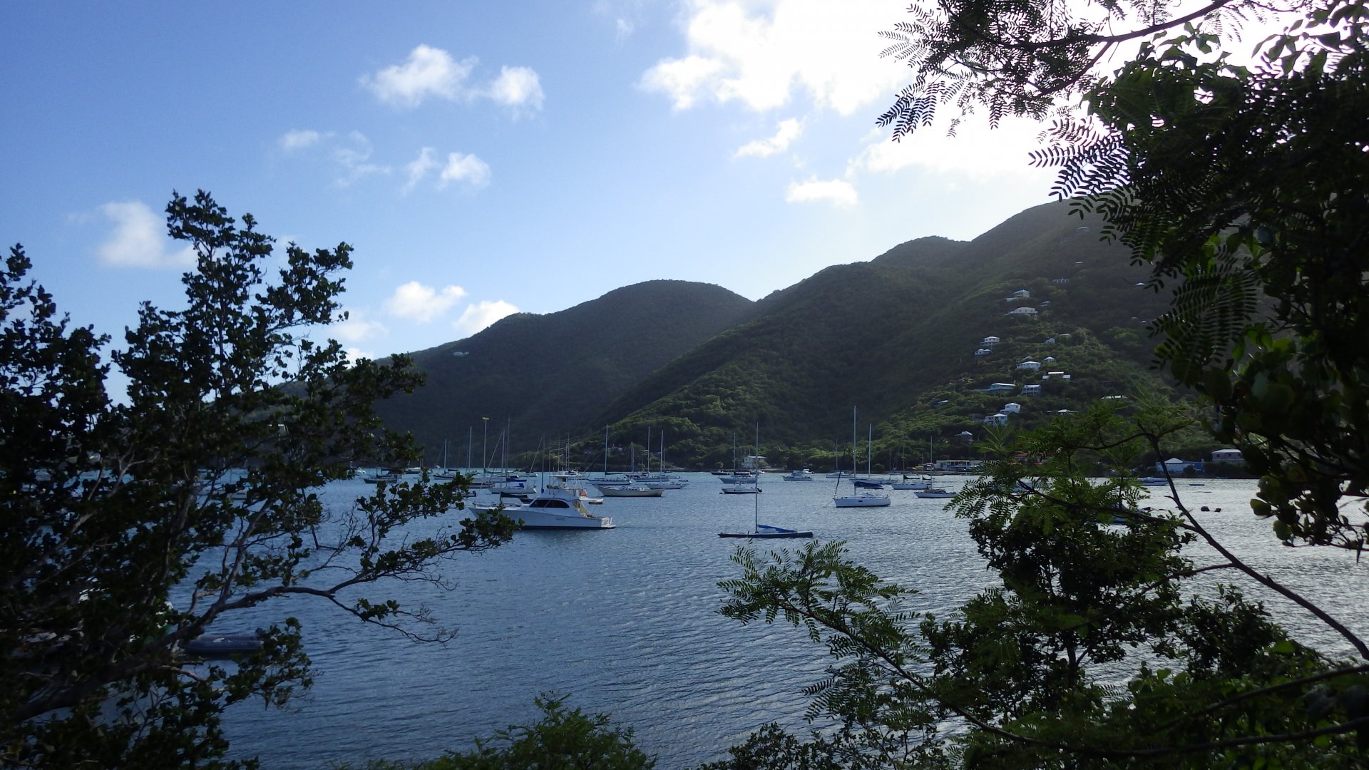
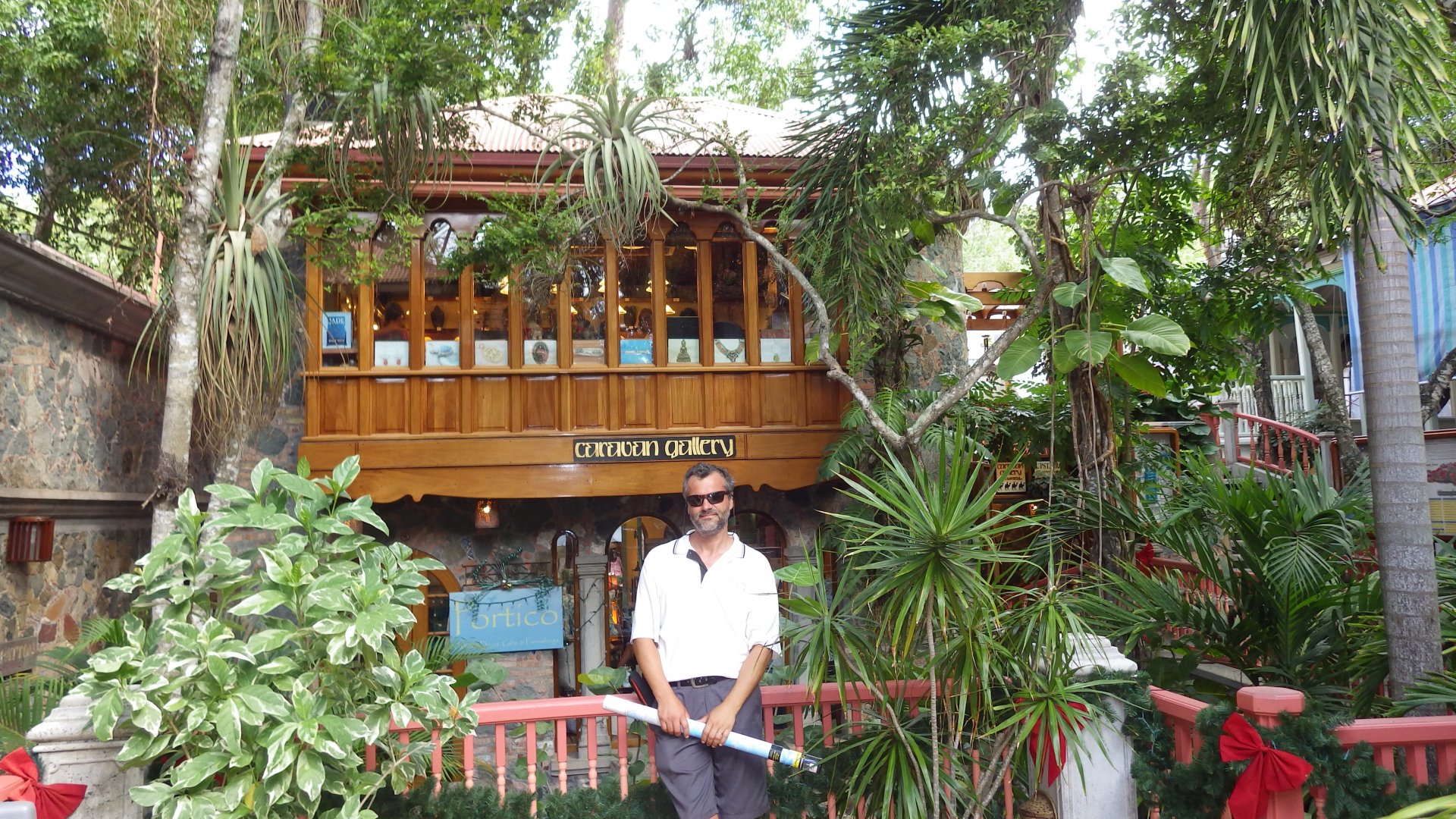
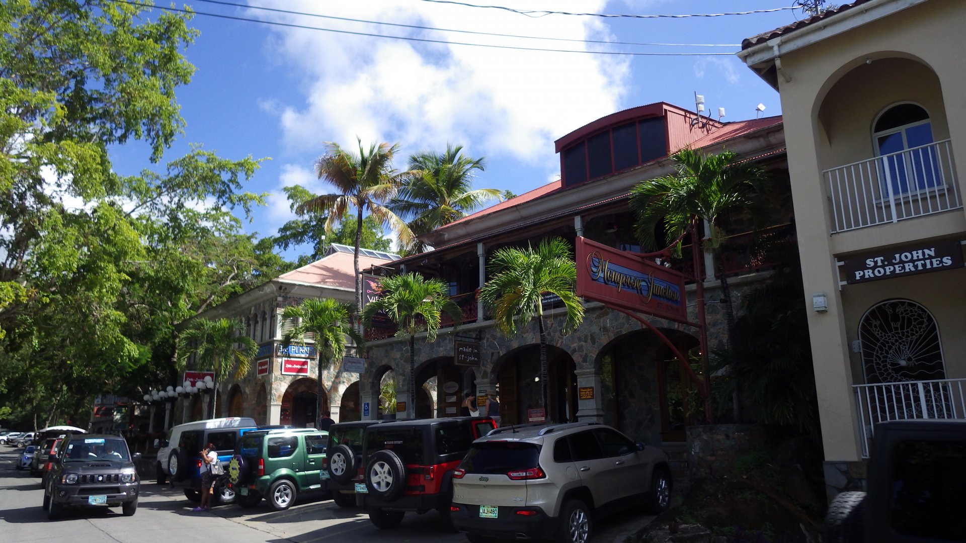
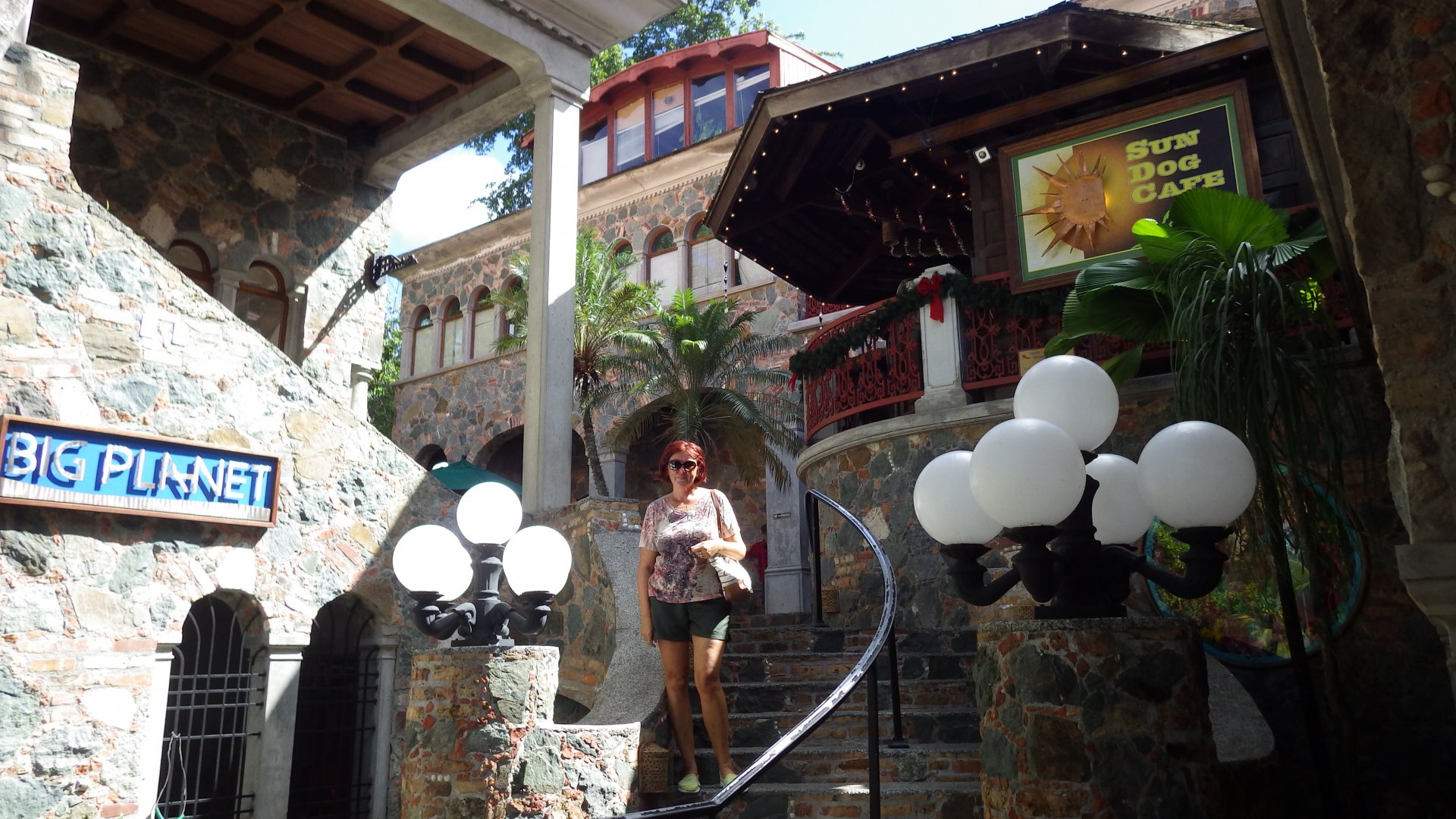
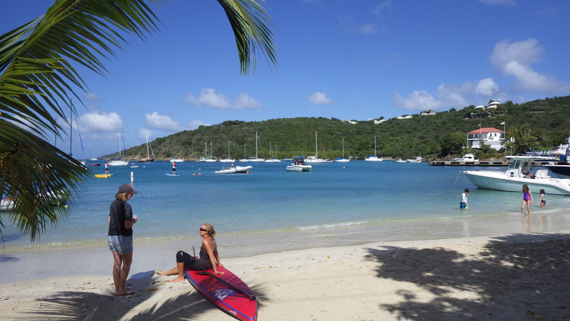
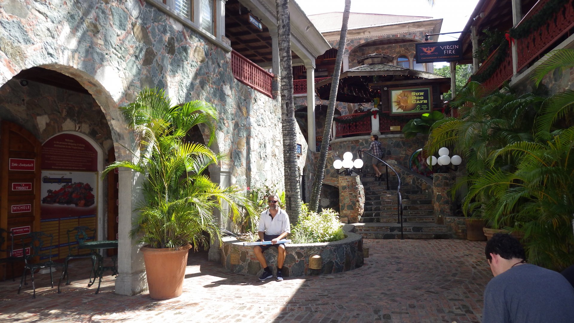
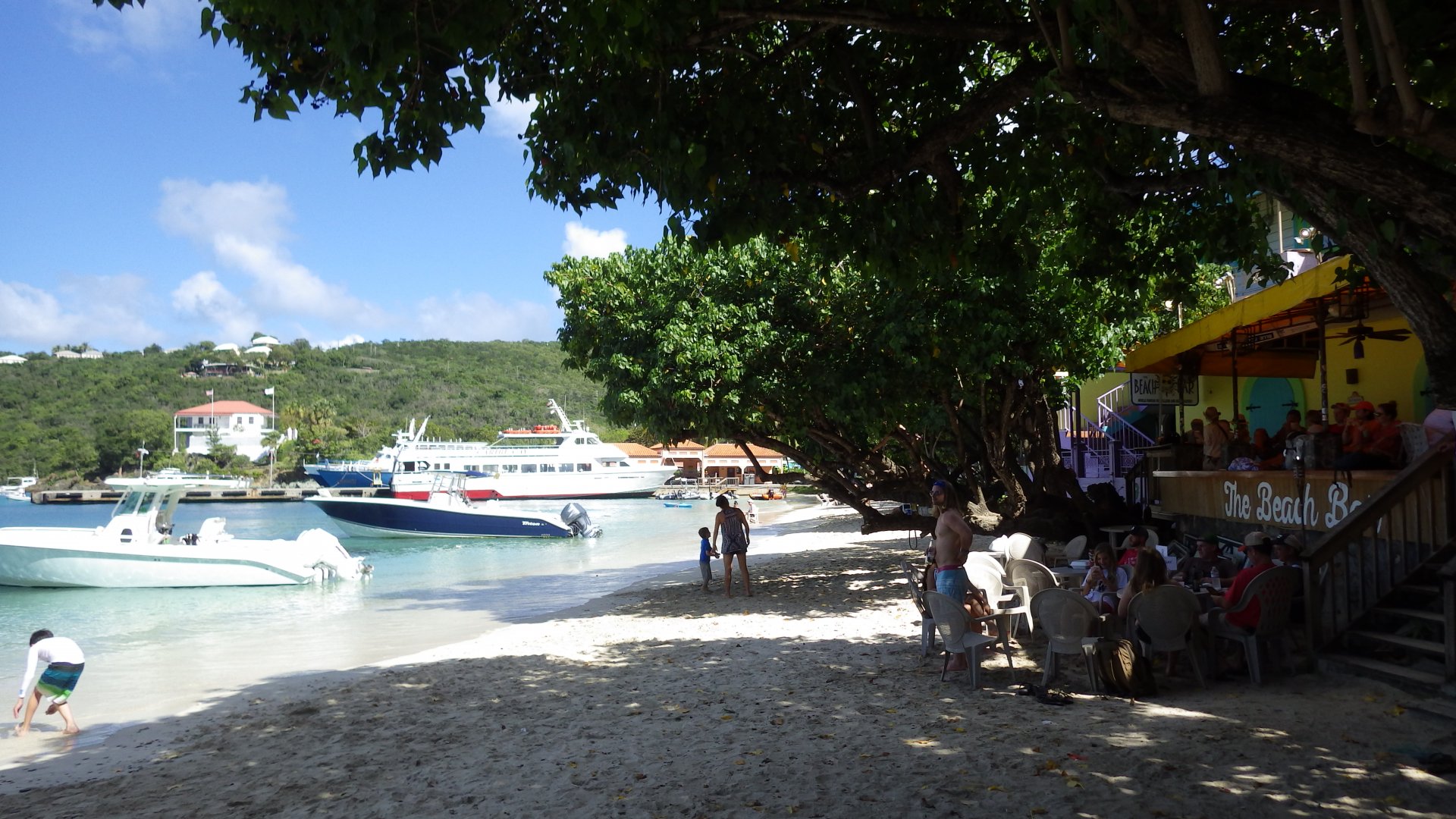
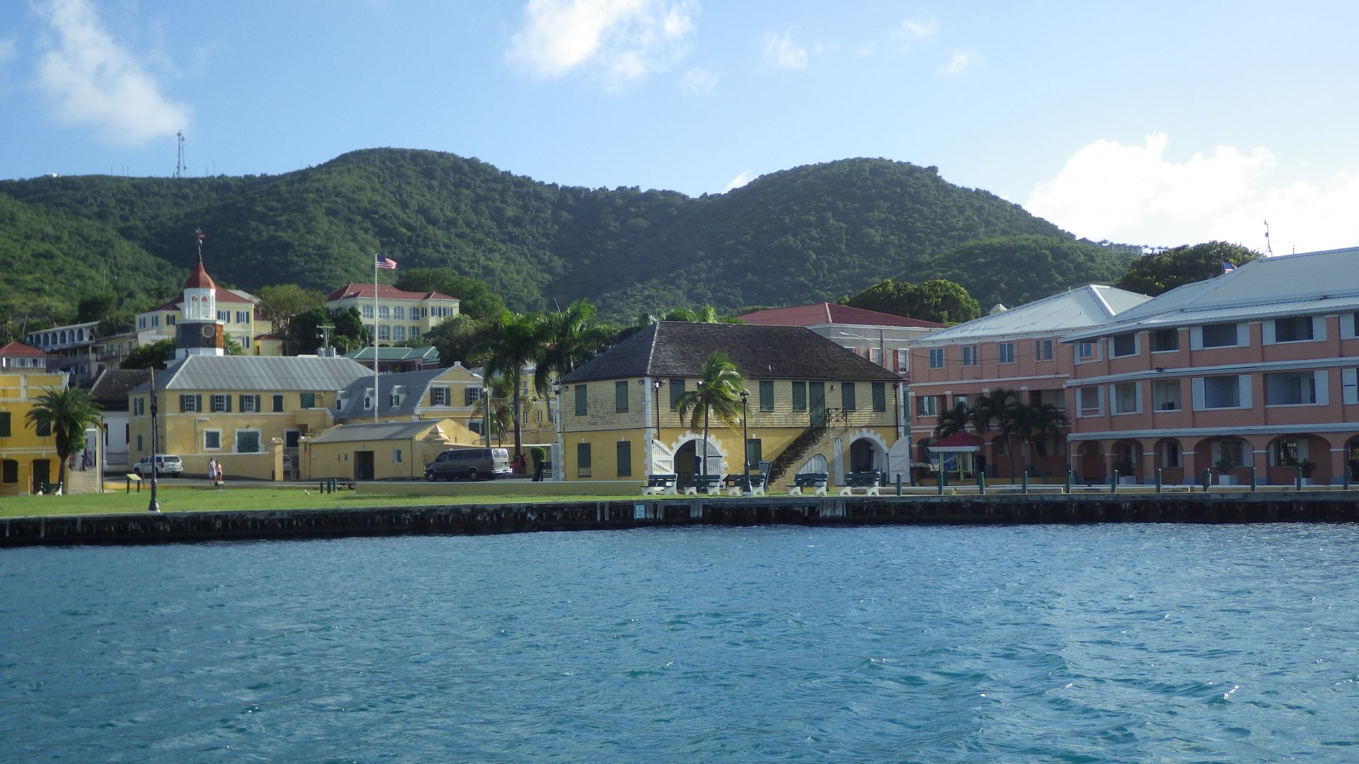
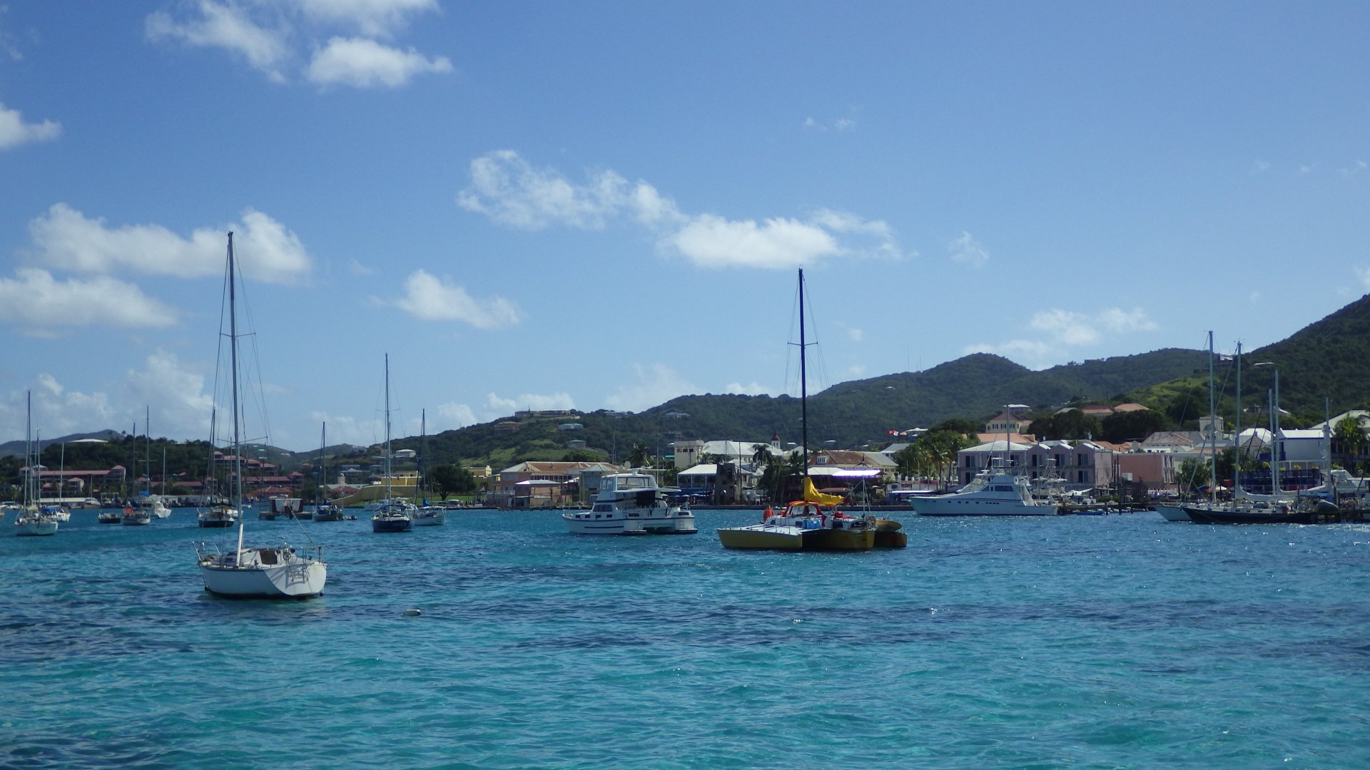
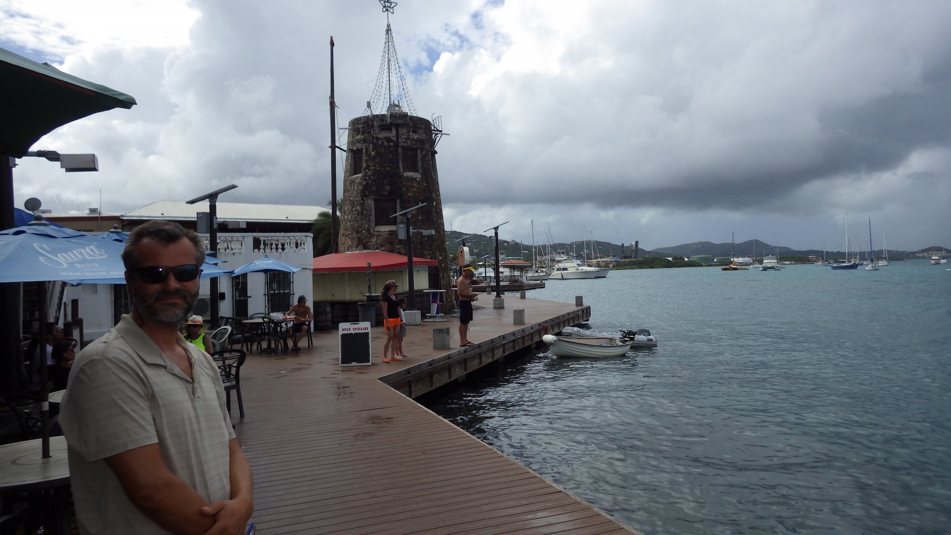
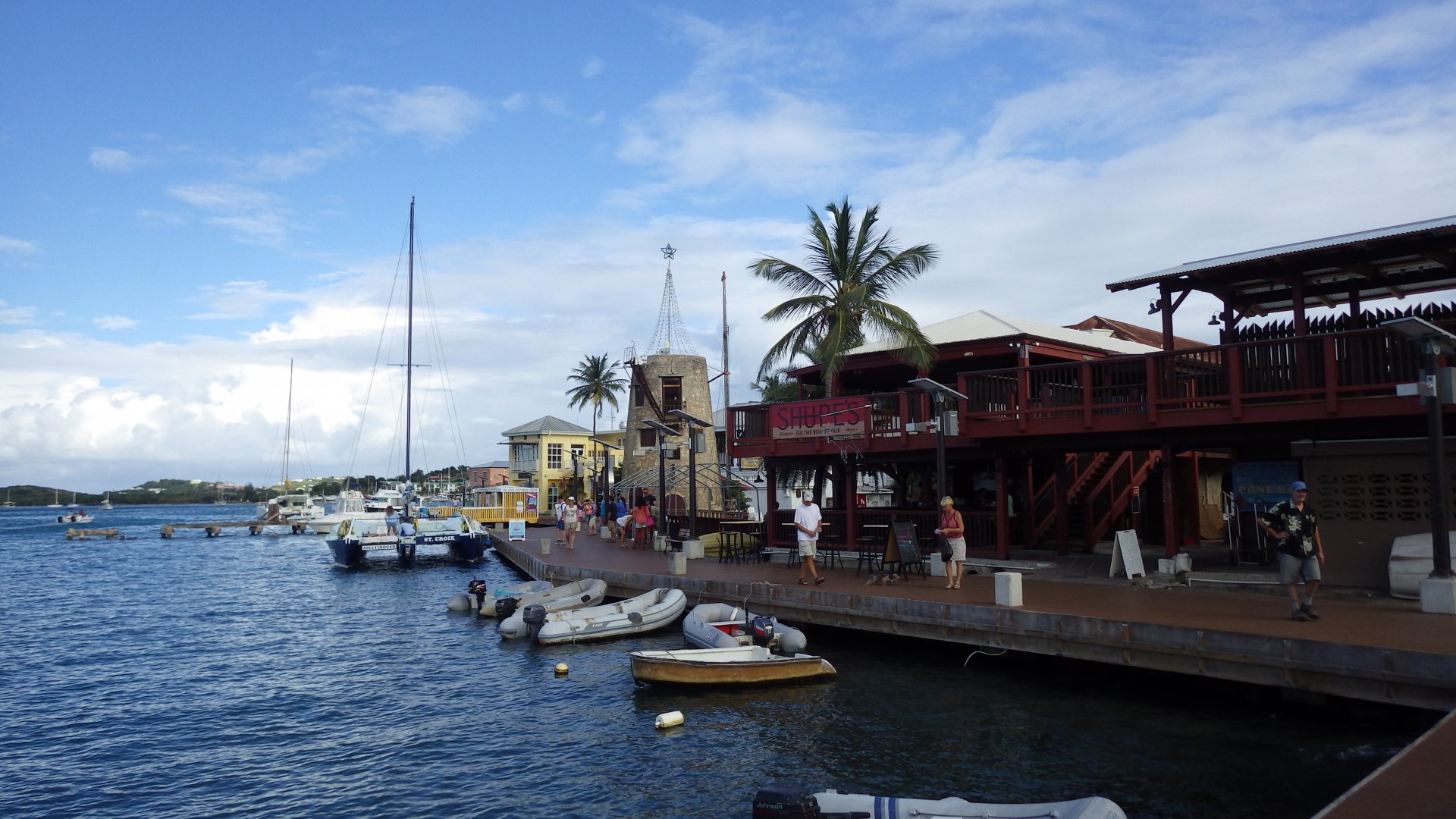
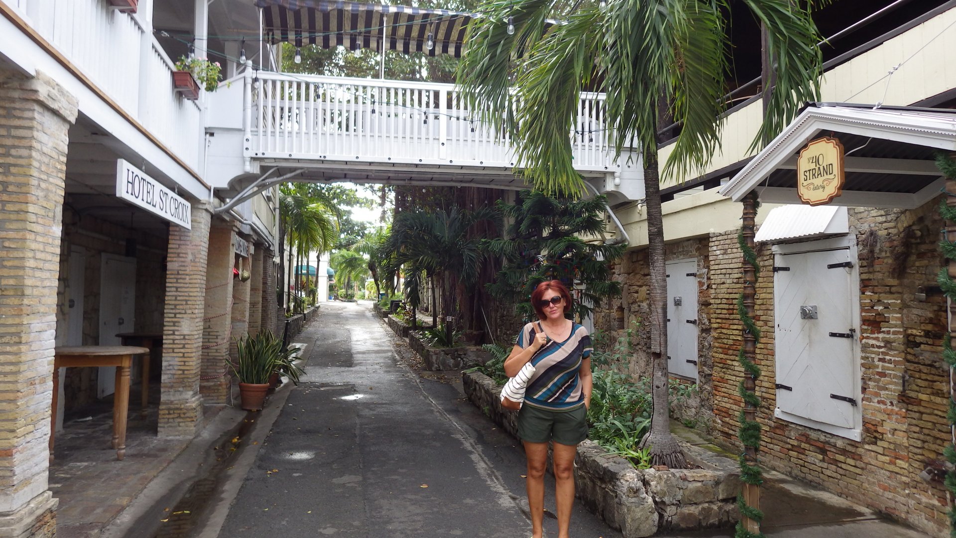
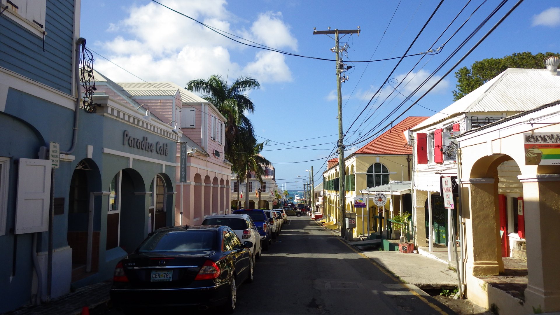
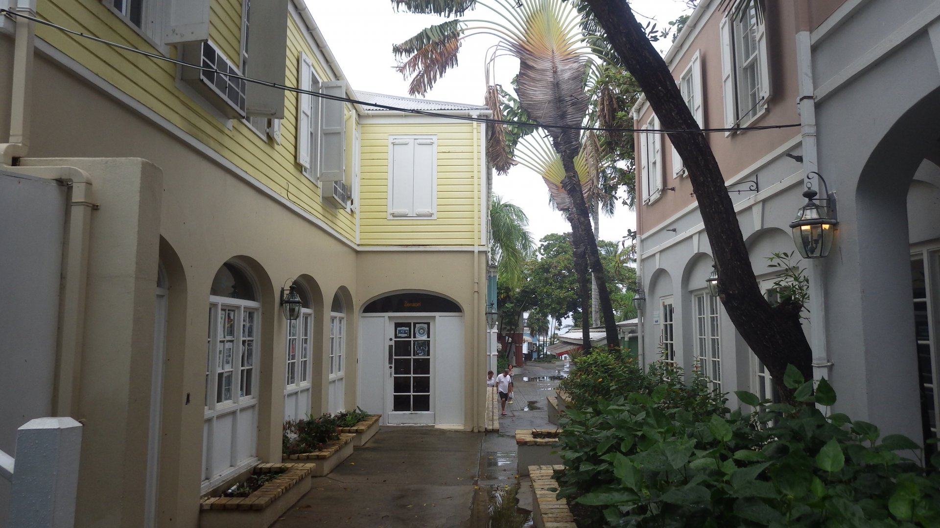
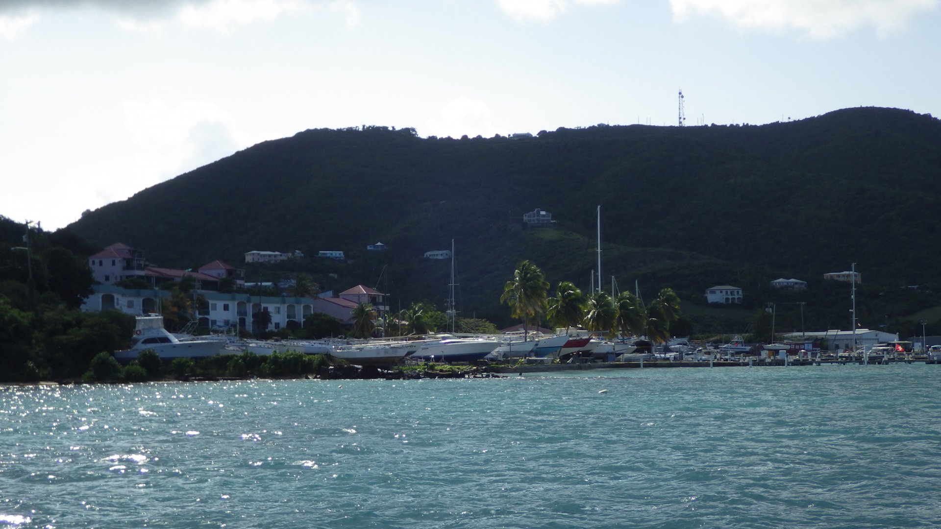
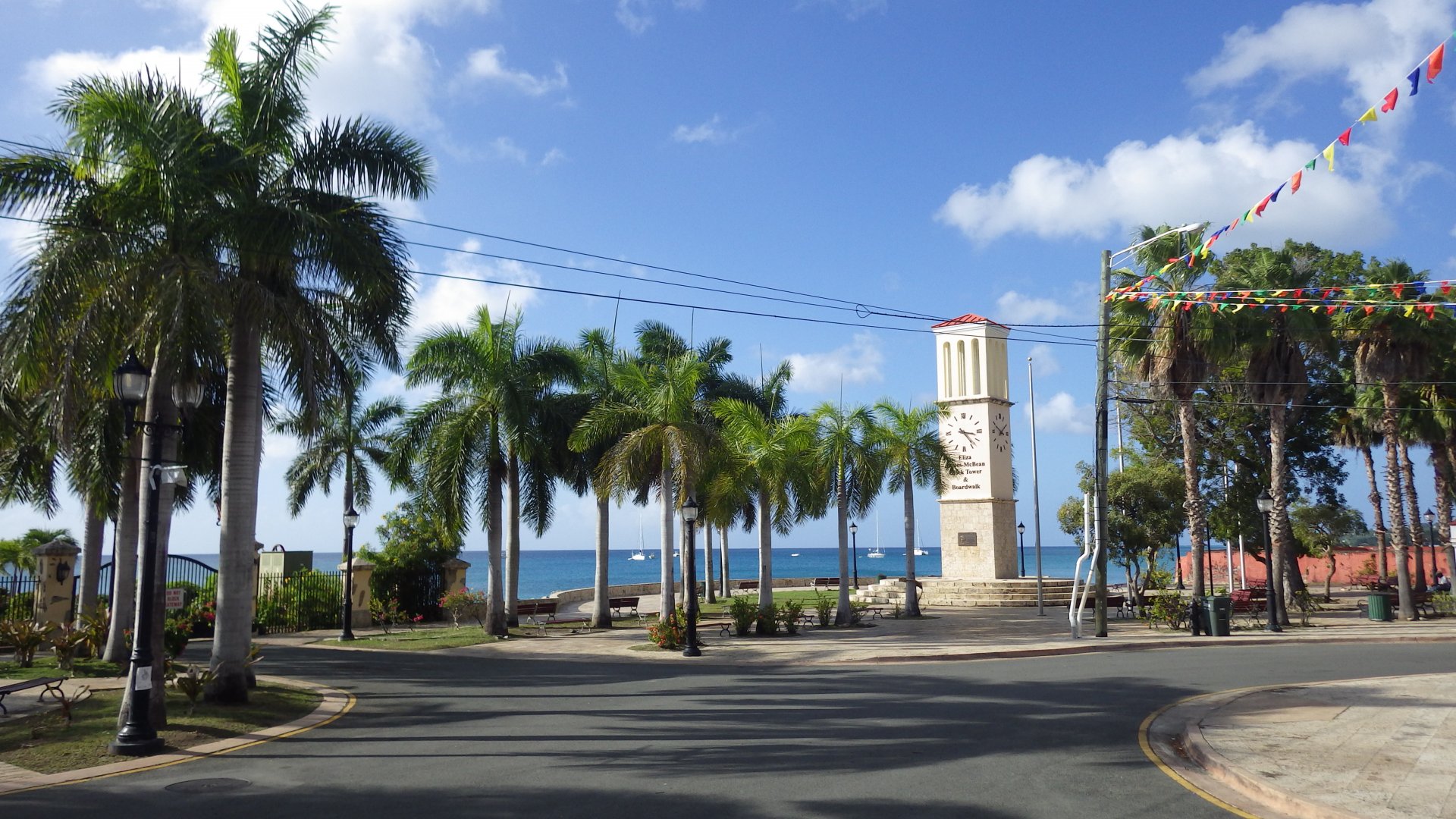
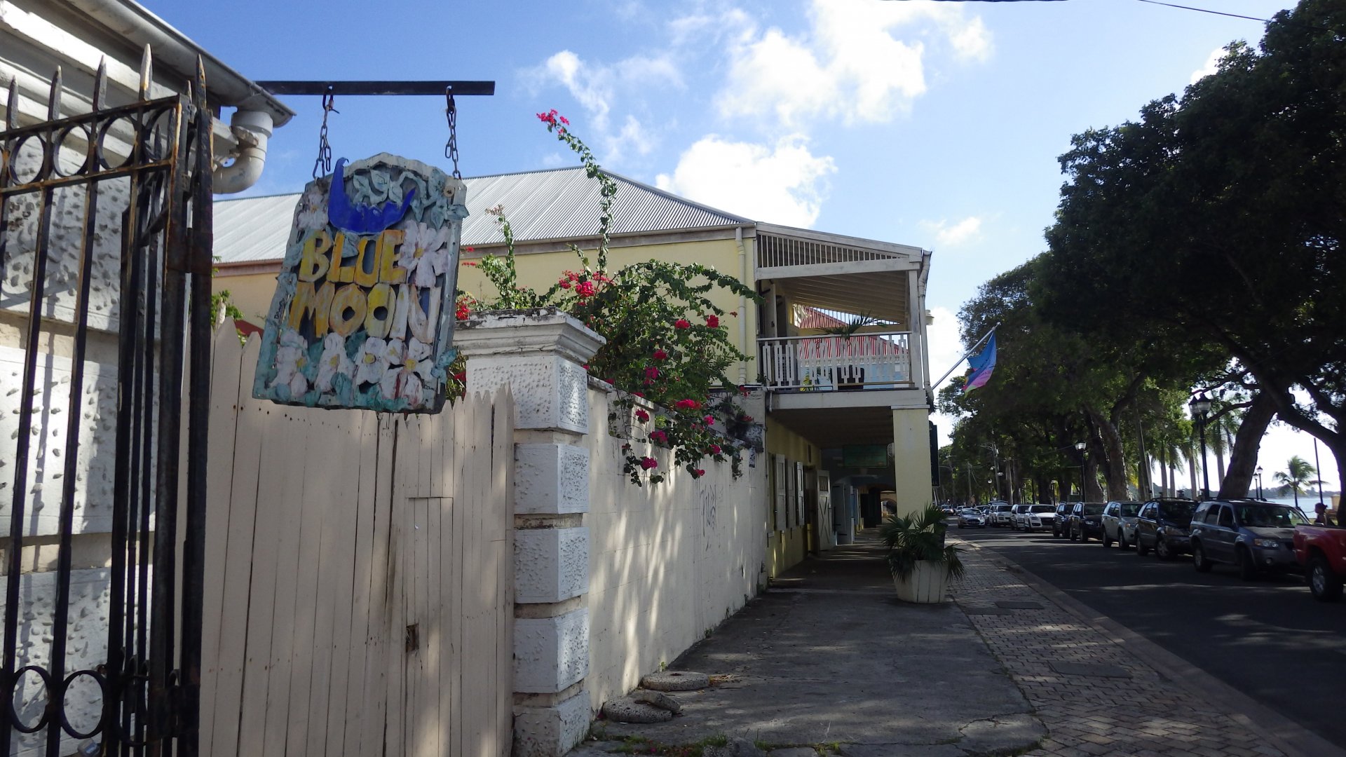
A modern, very touristy and busy. Huge cruiseships bring waves of tourists to separate them from their money at numerous attractions, restaurants, jewelry and boutique shopes.

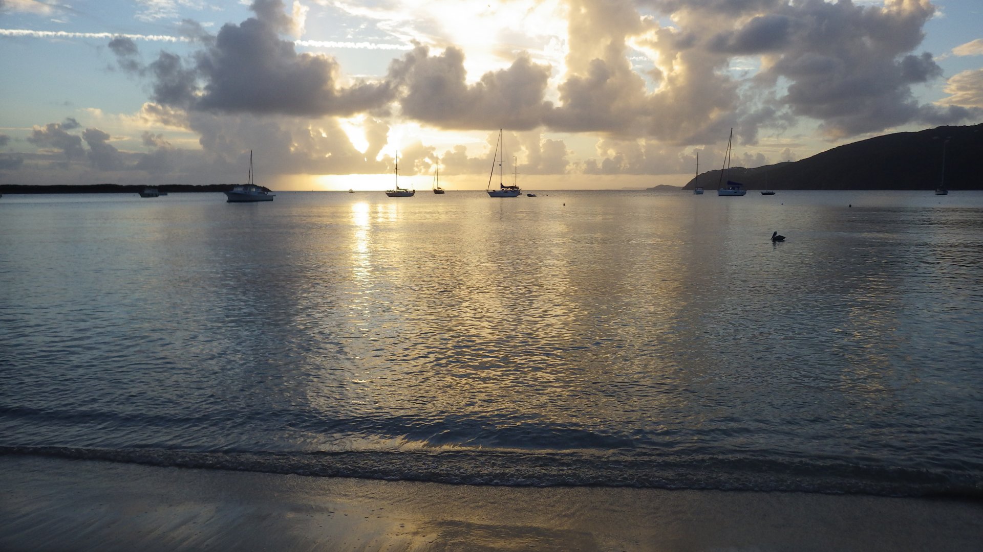
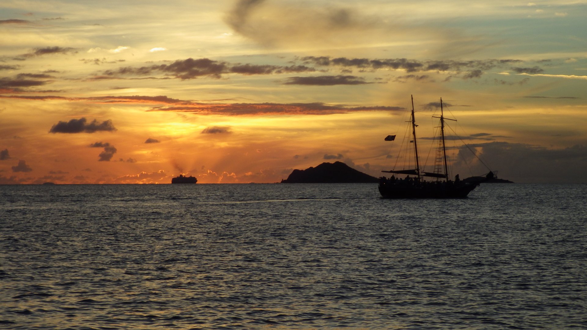
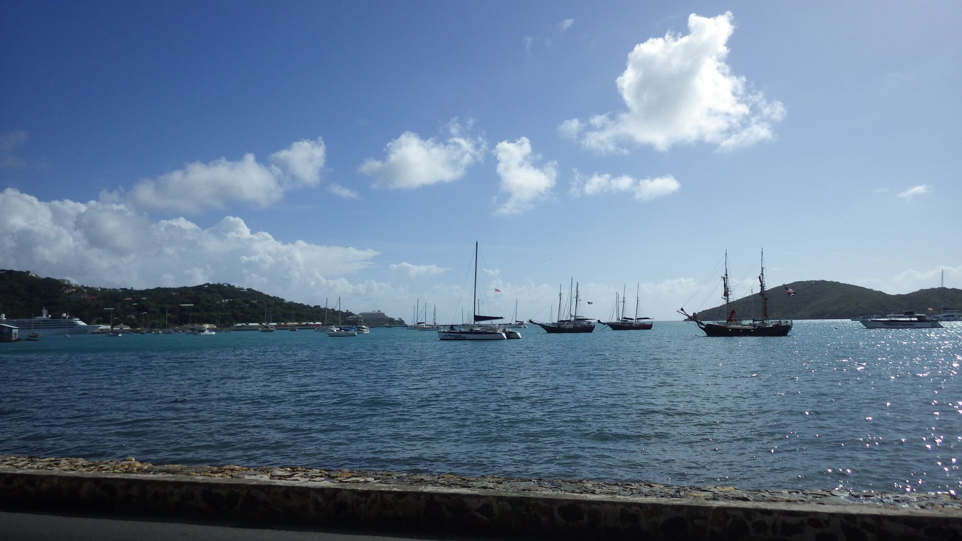
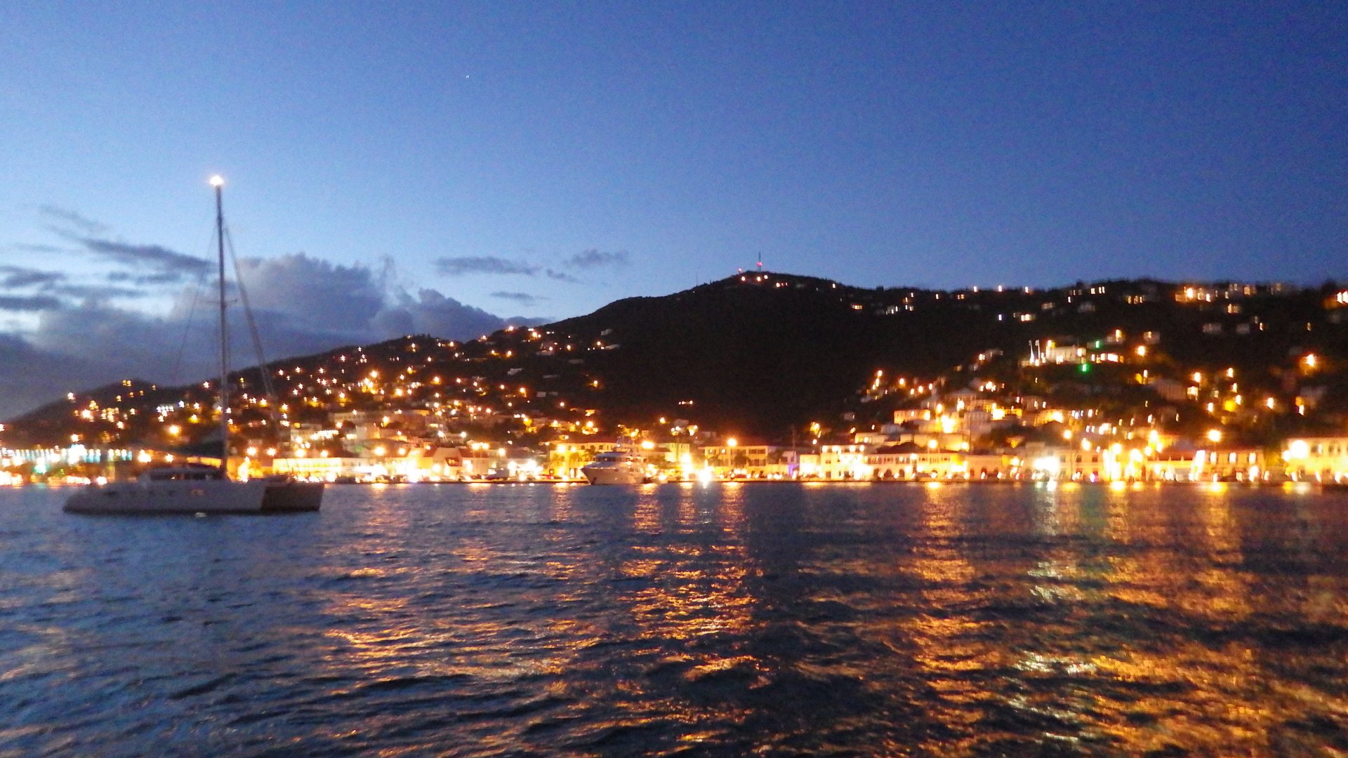
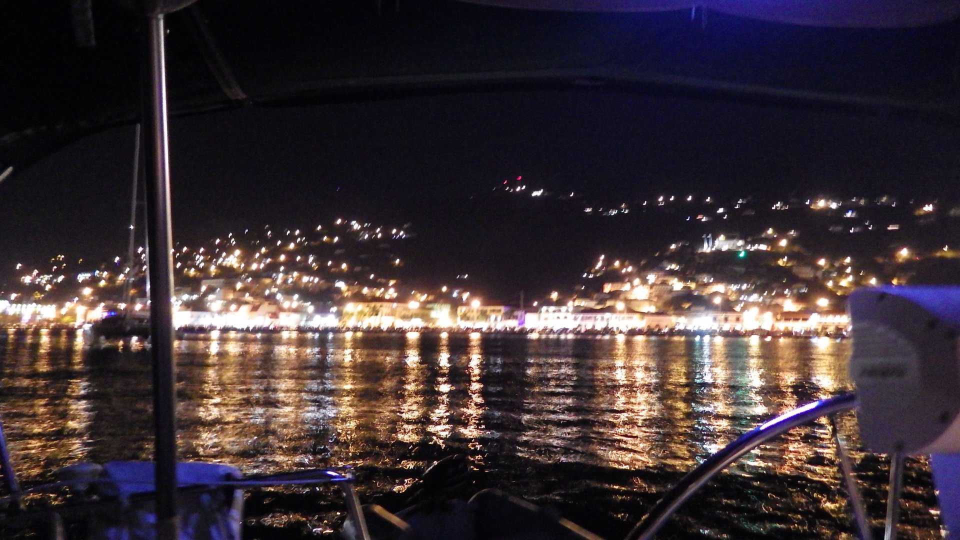
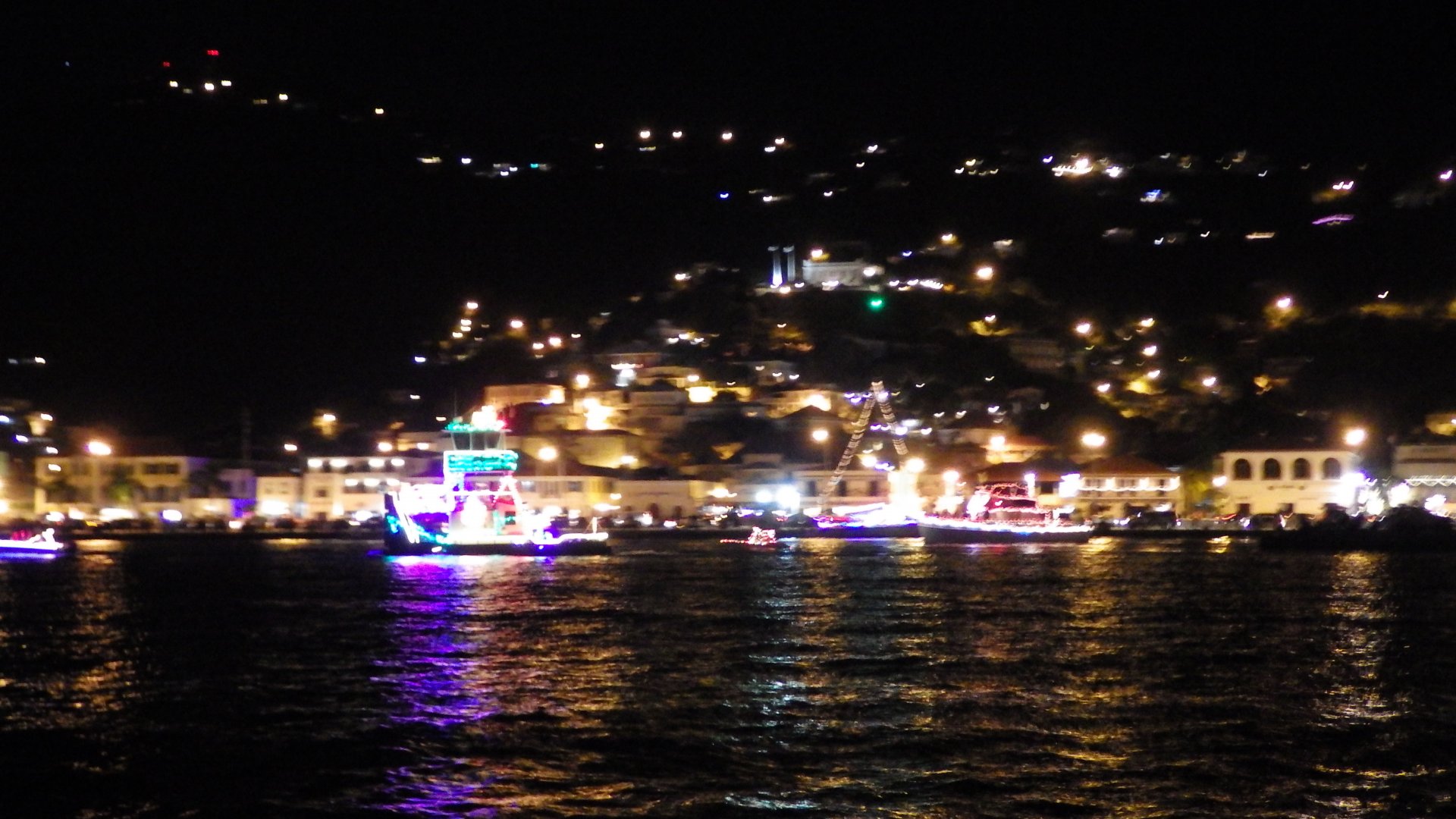
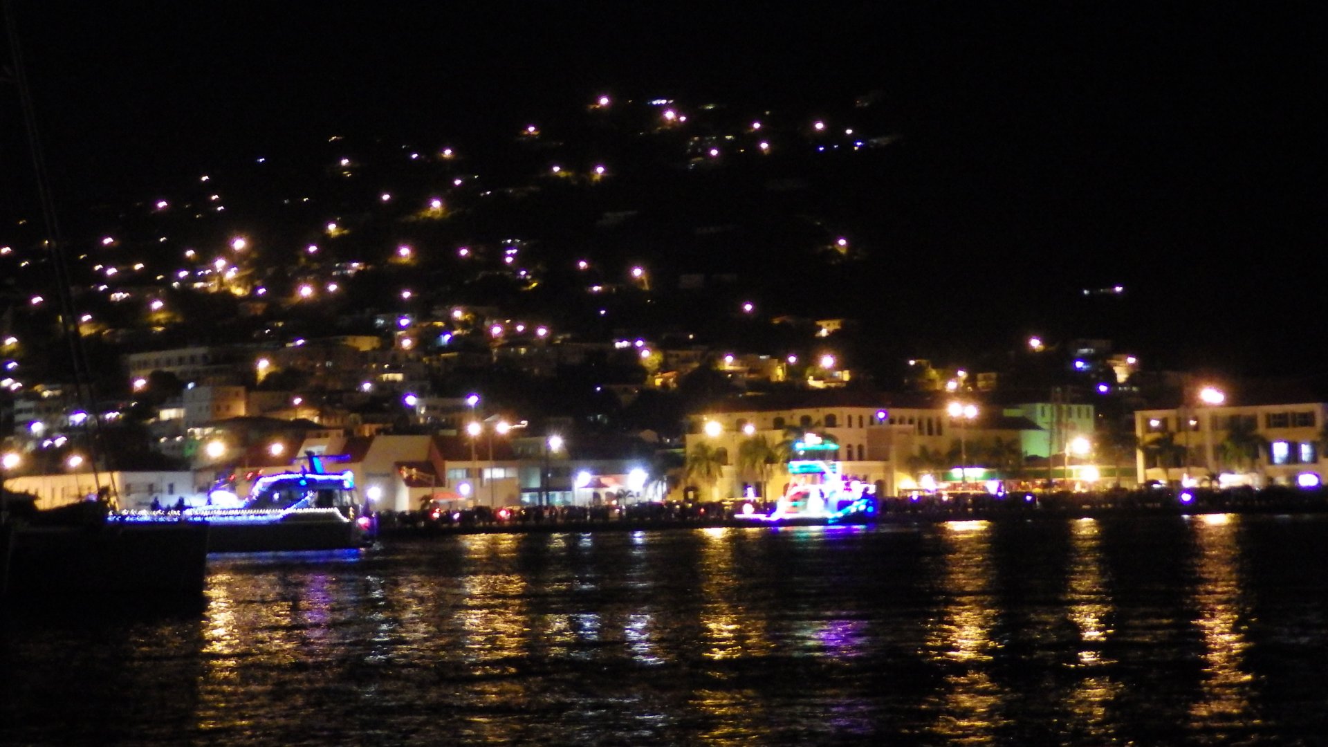
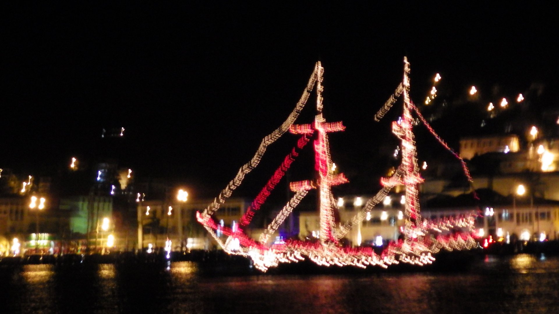
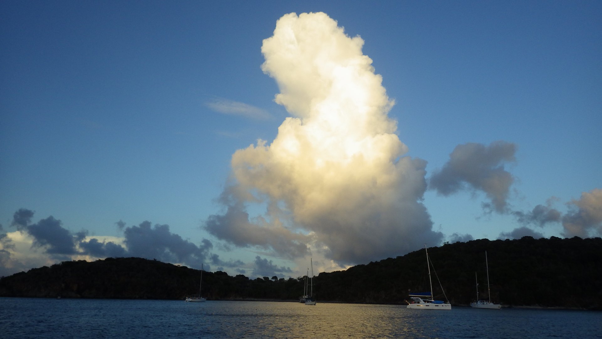
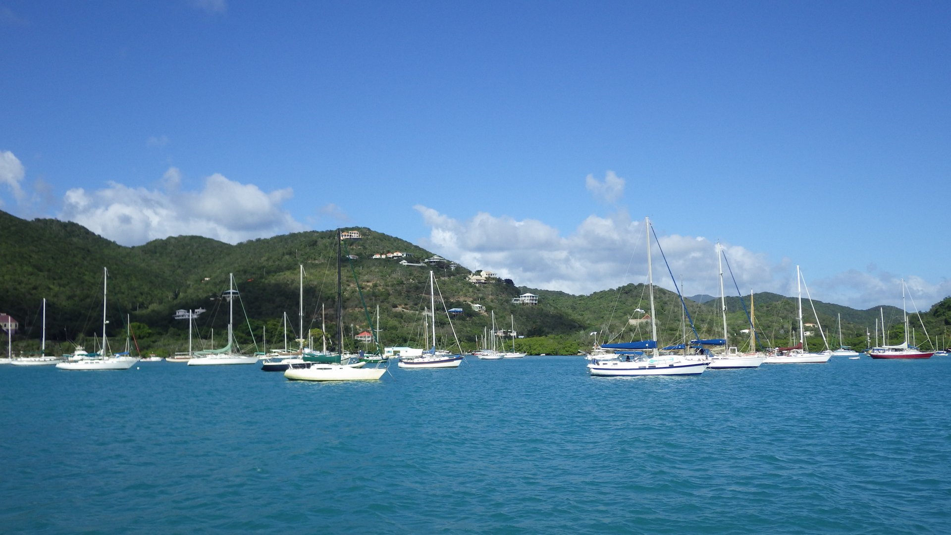
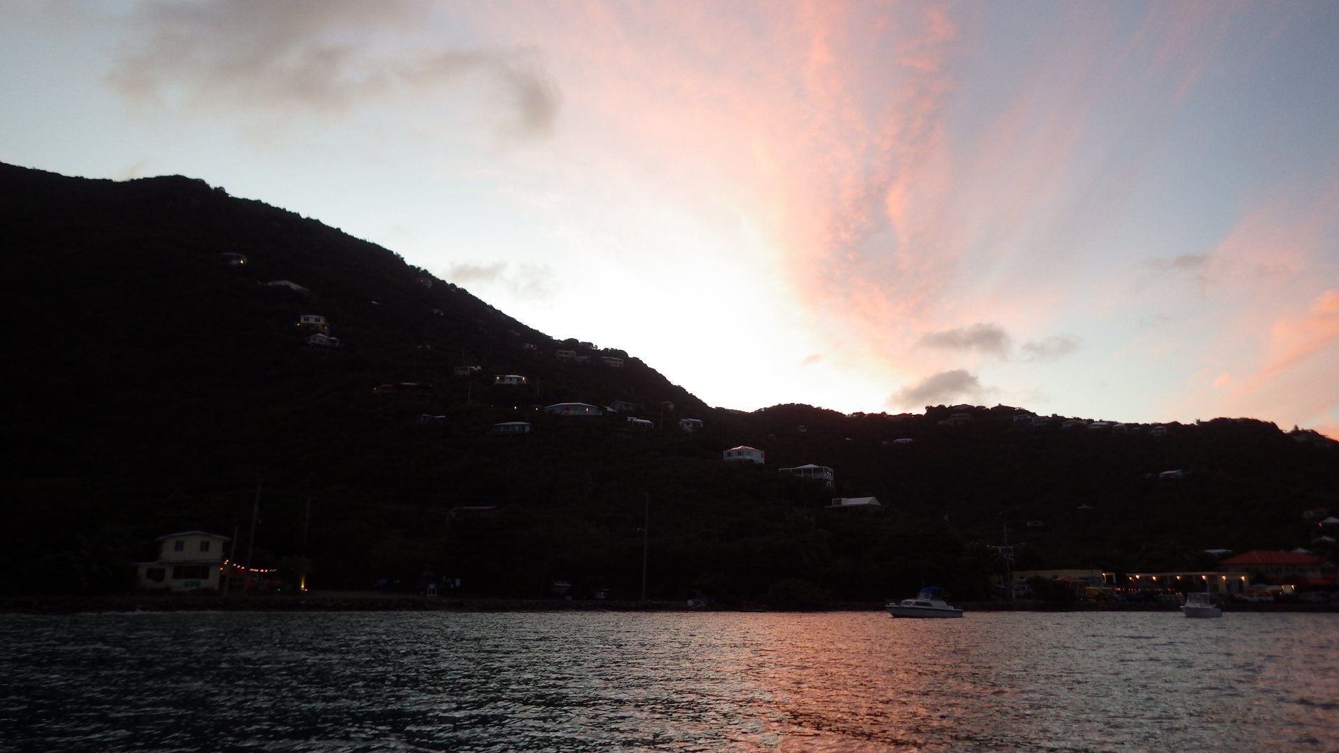
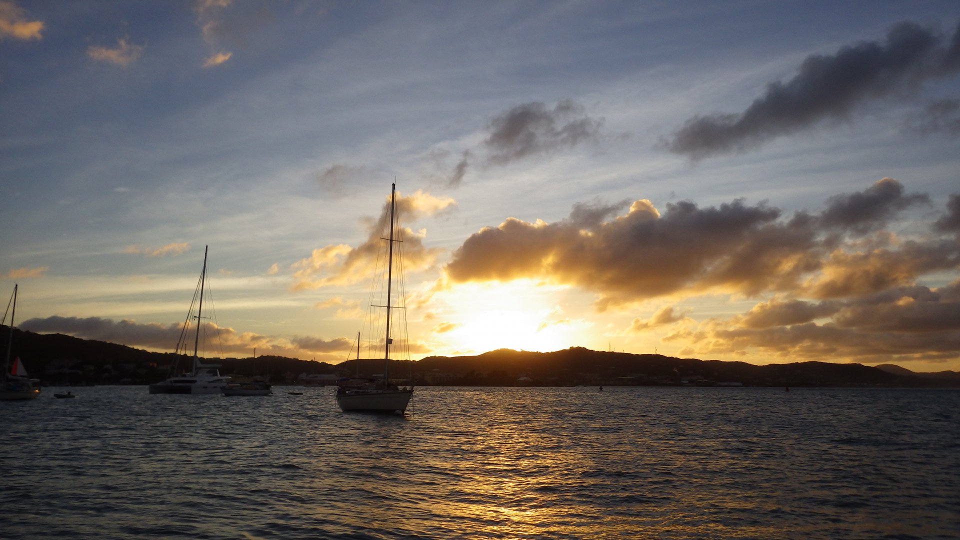
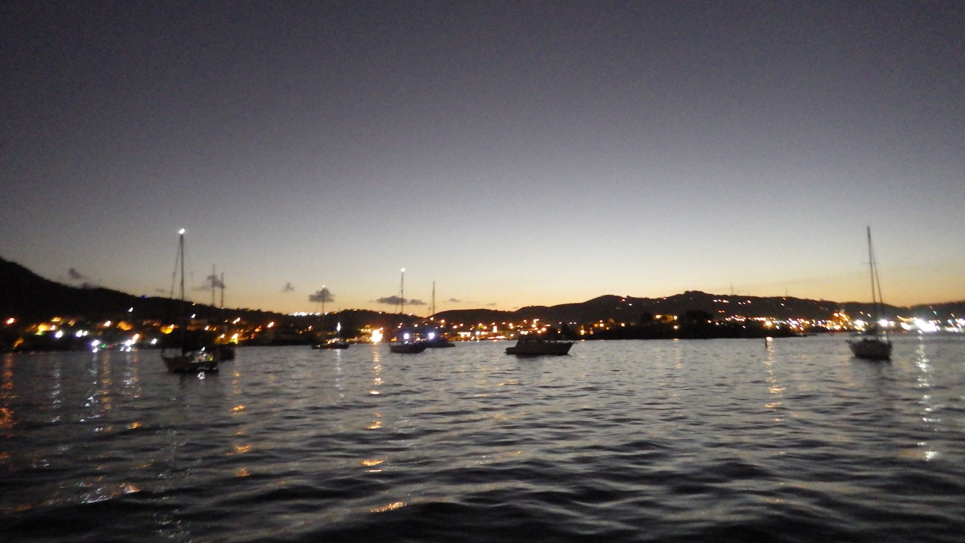
We have planned our stay here to be around an annual Christmas time Miracle on Main Street nautical parade. Enjoyed the event from the cockpit of our yacht anchored at the shorefront - quite beautiful and festive.

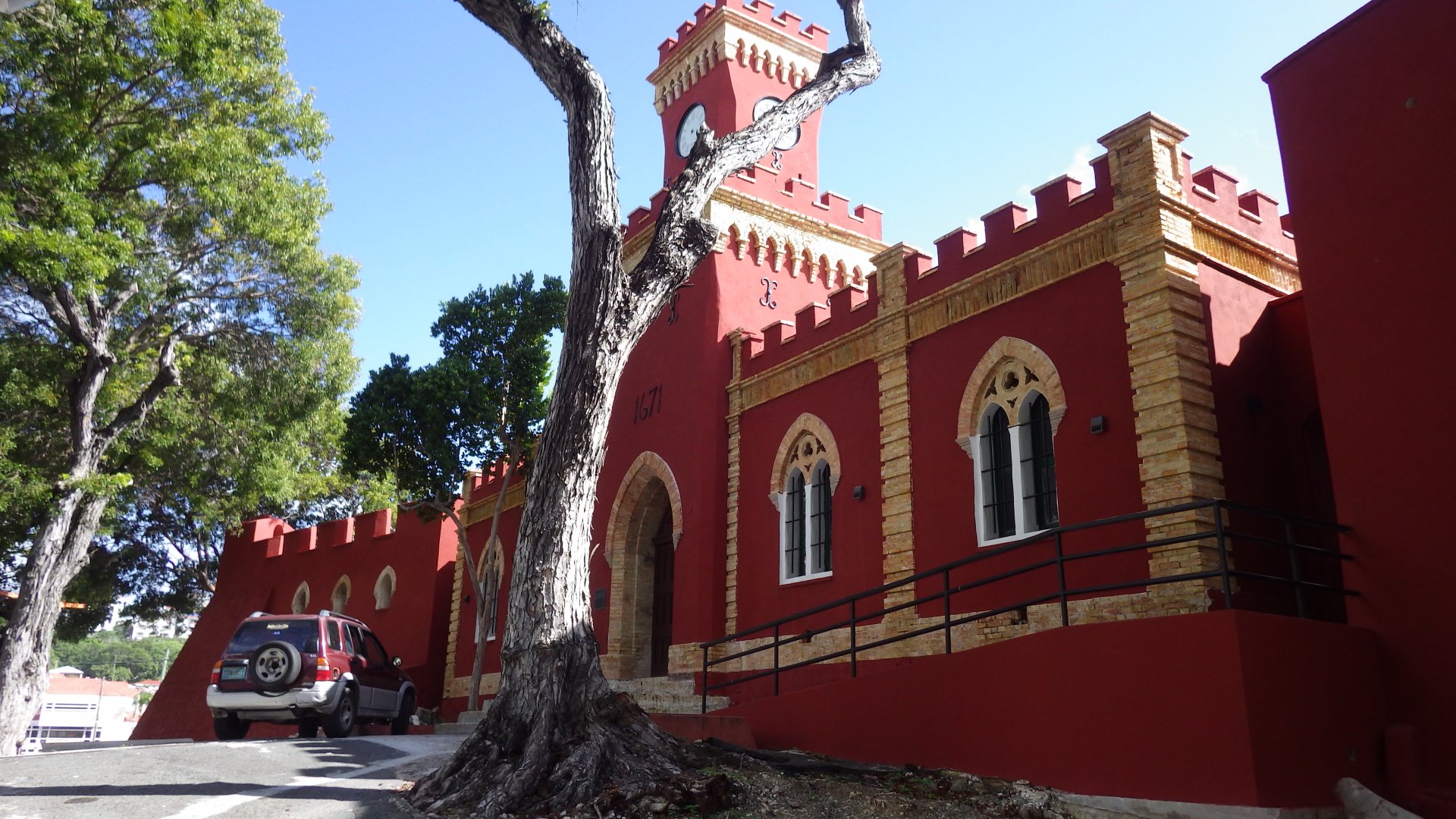
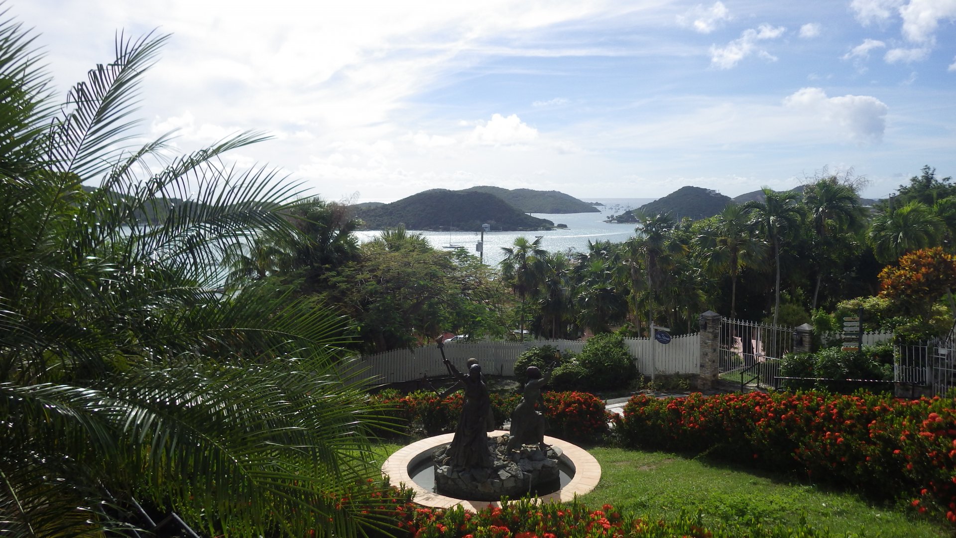
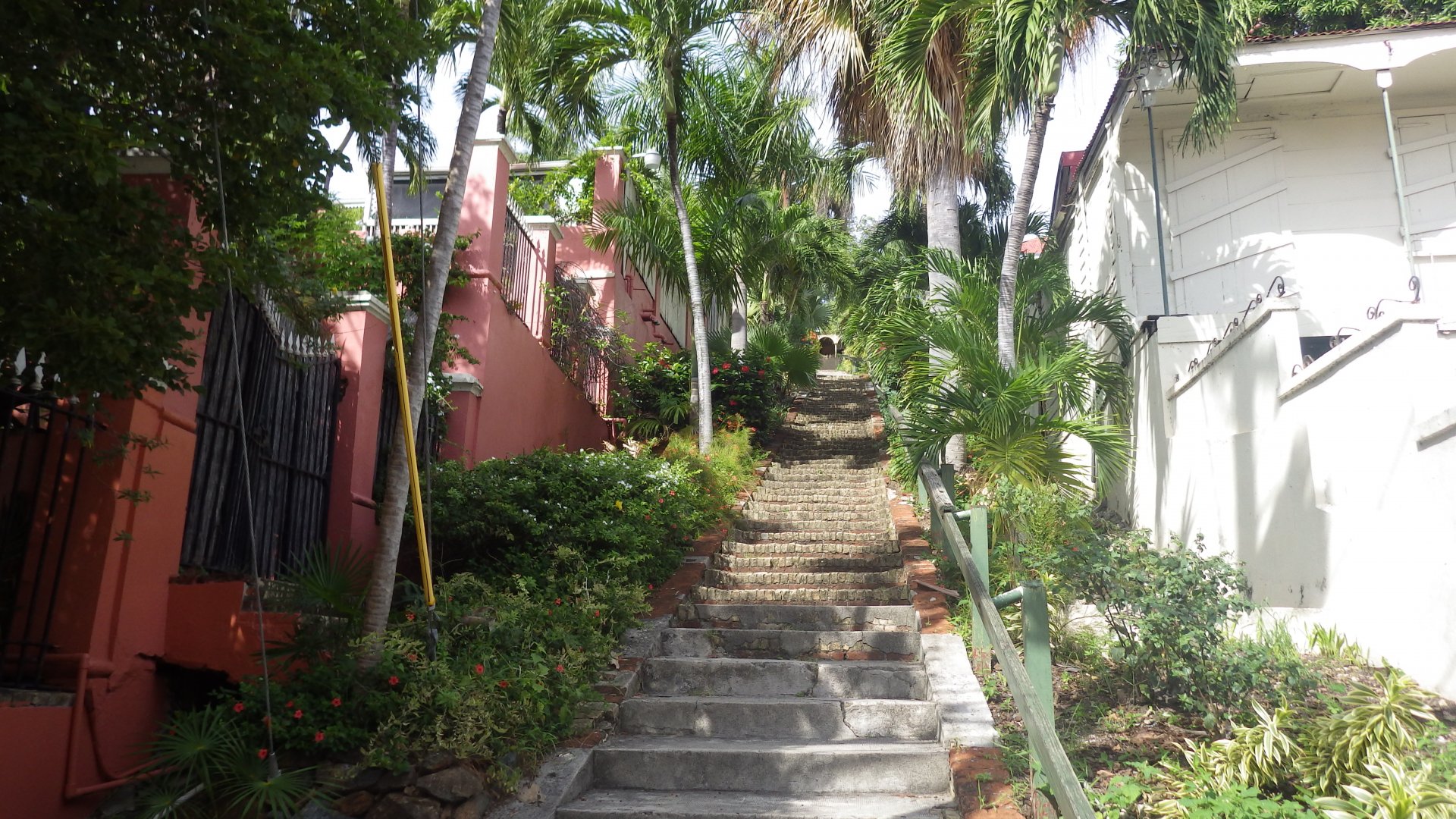
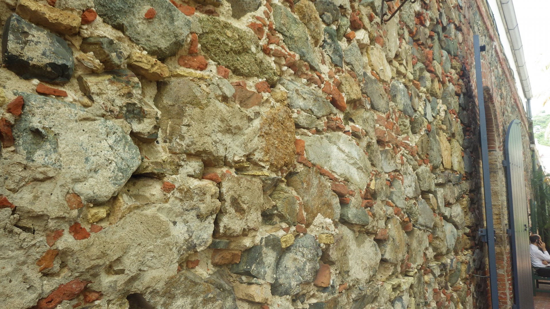
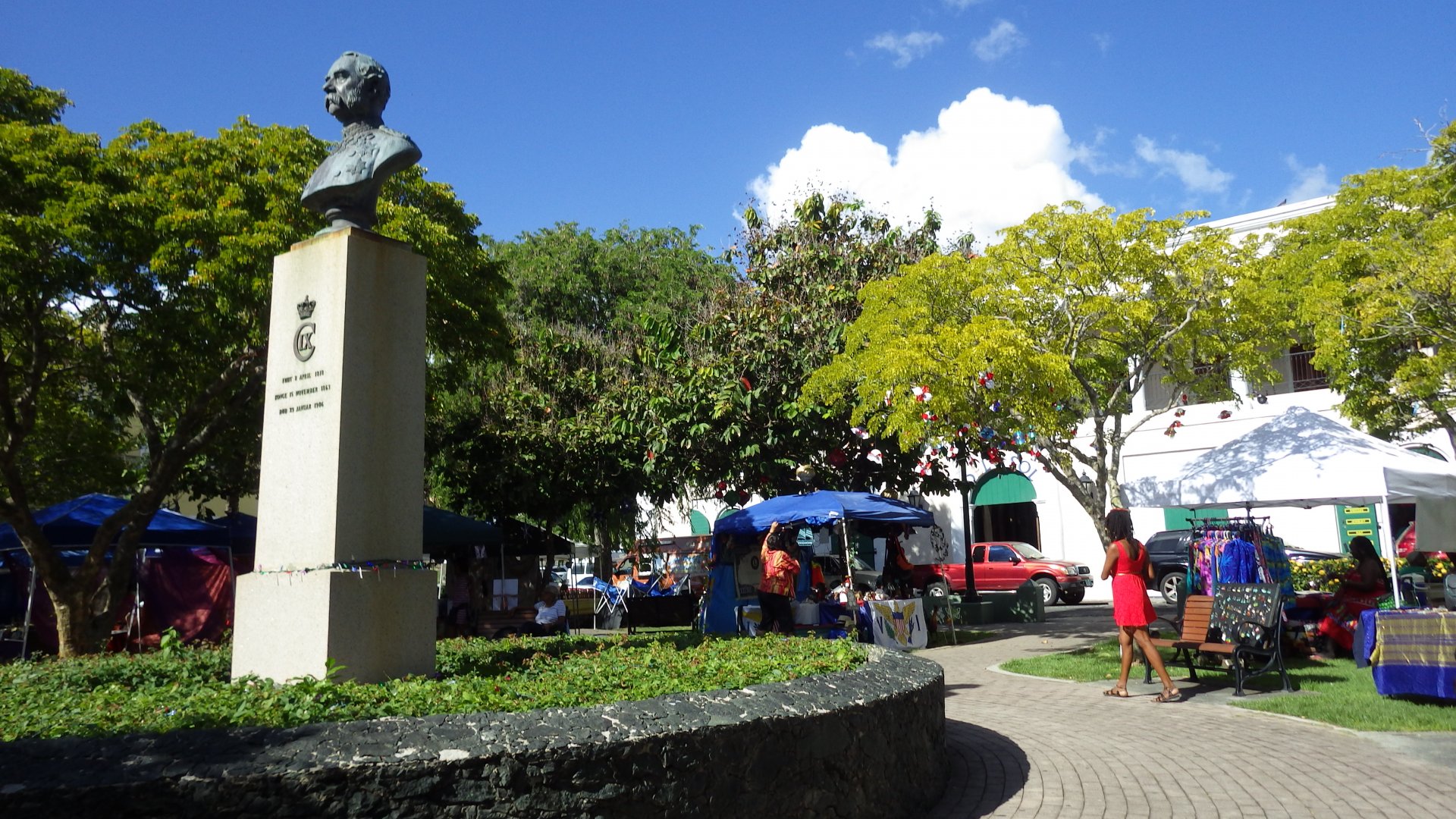
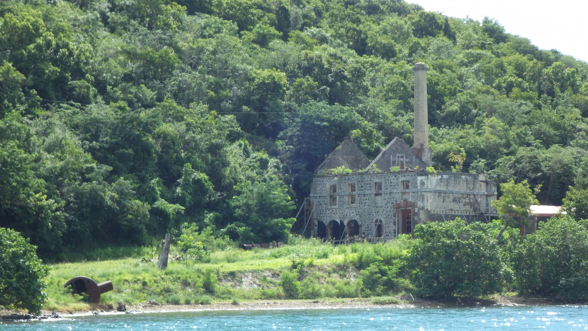
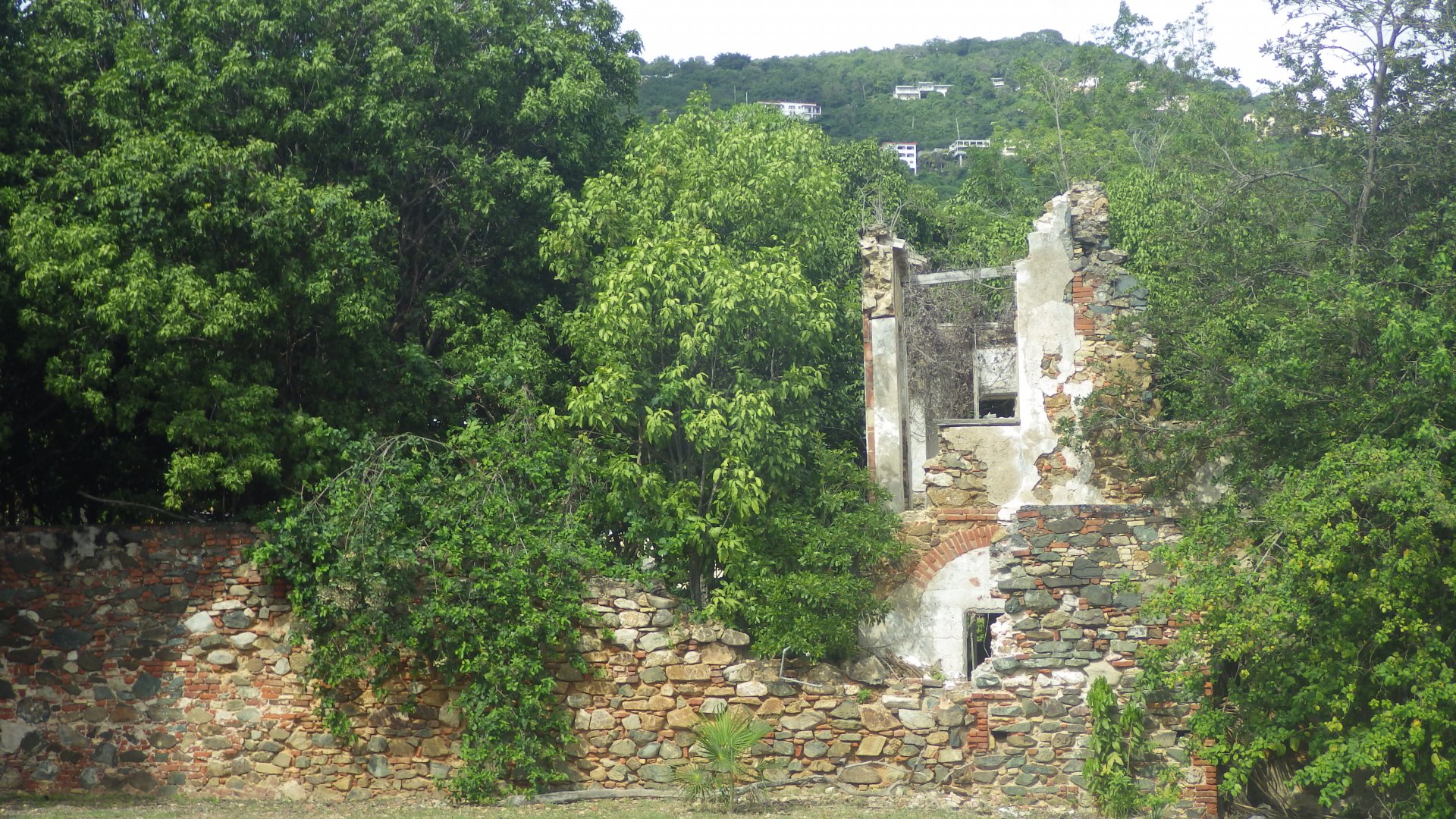
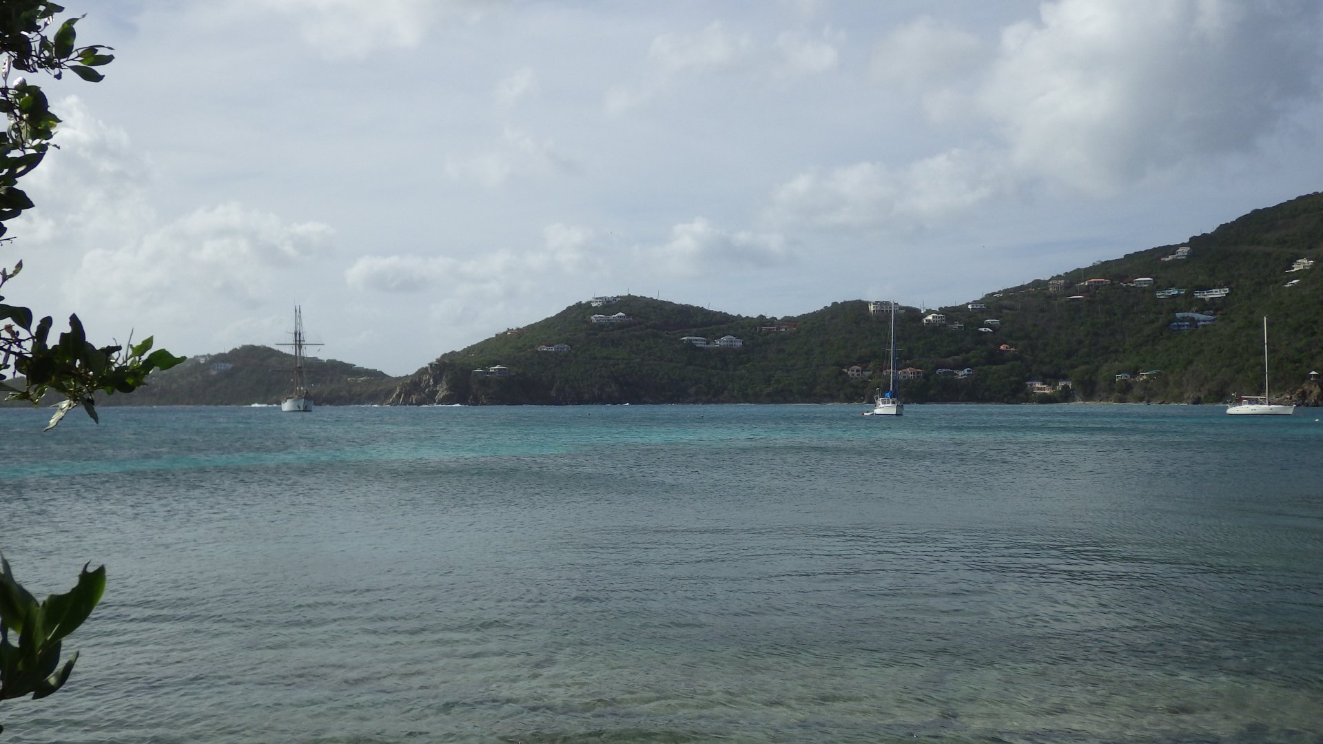
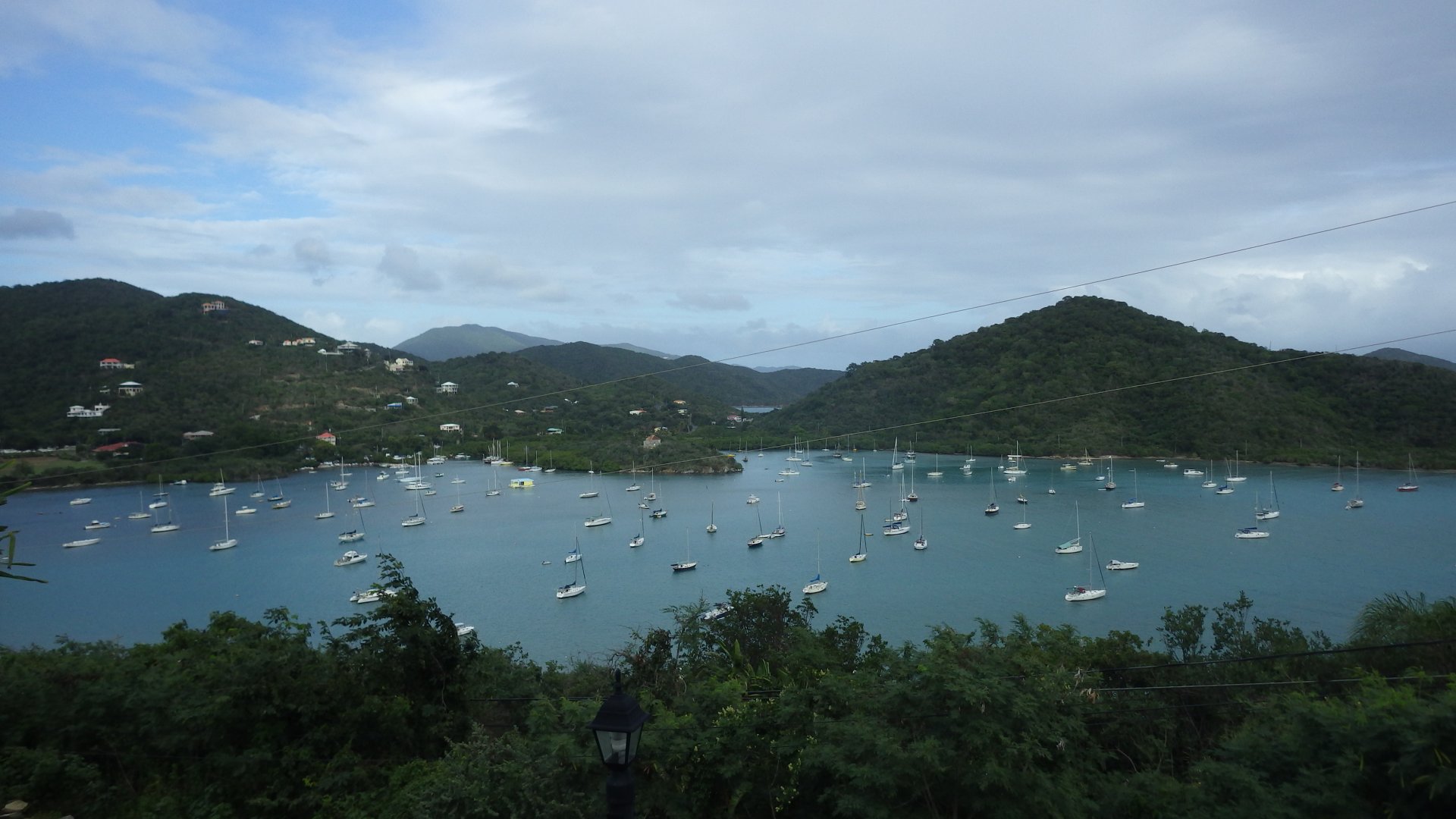
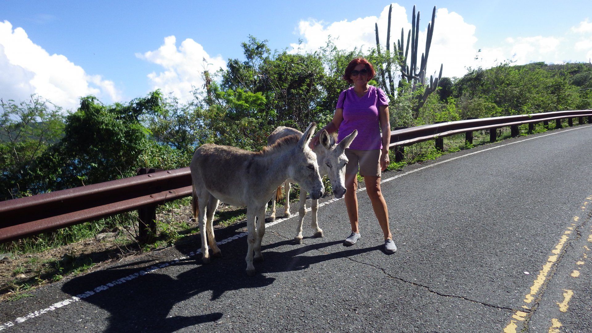
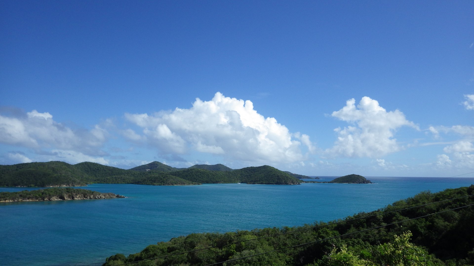
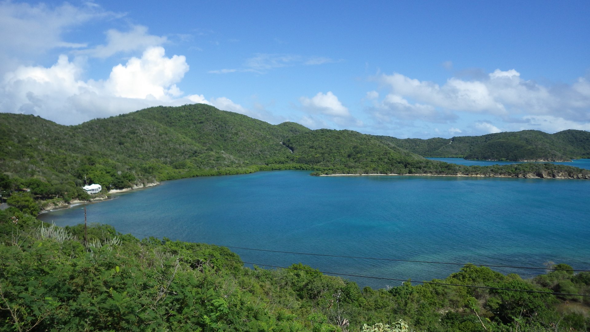
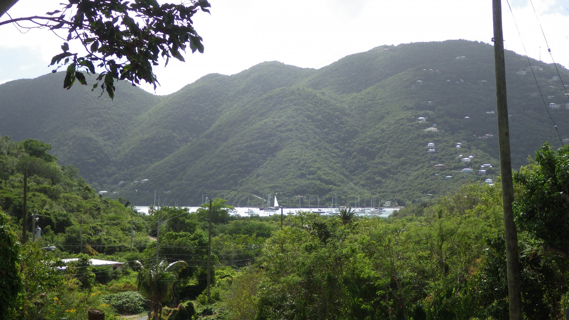
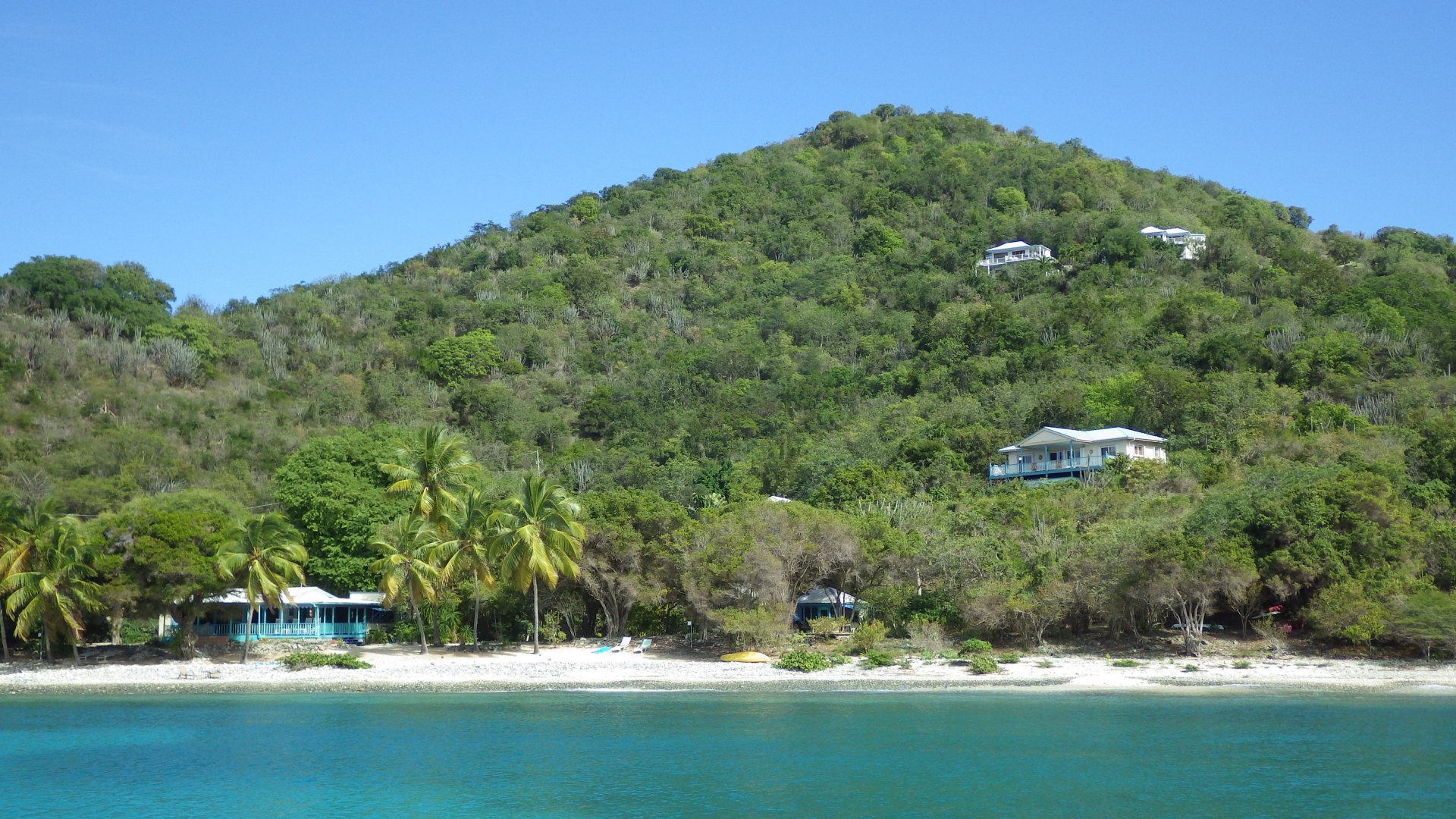
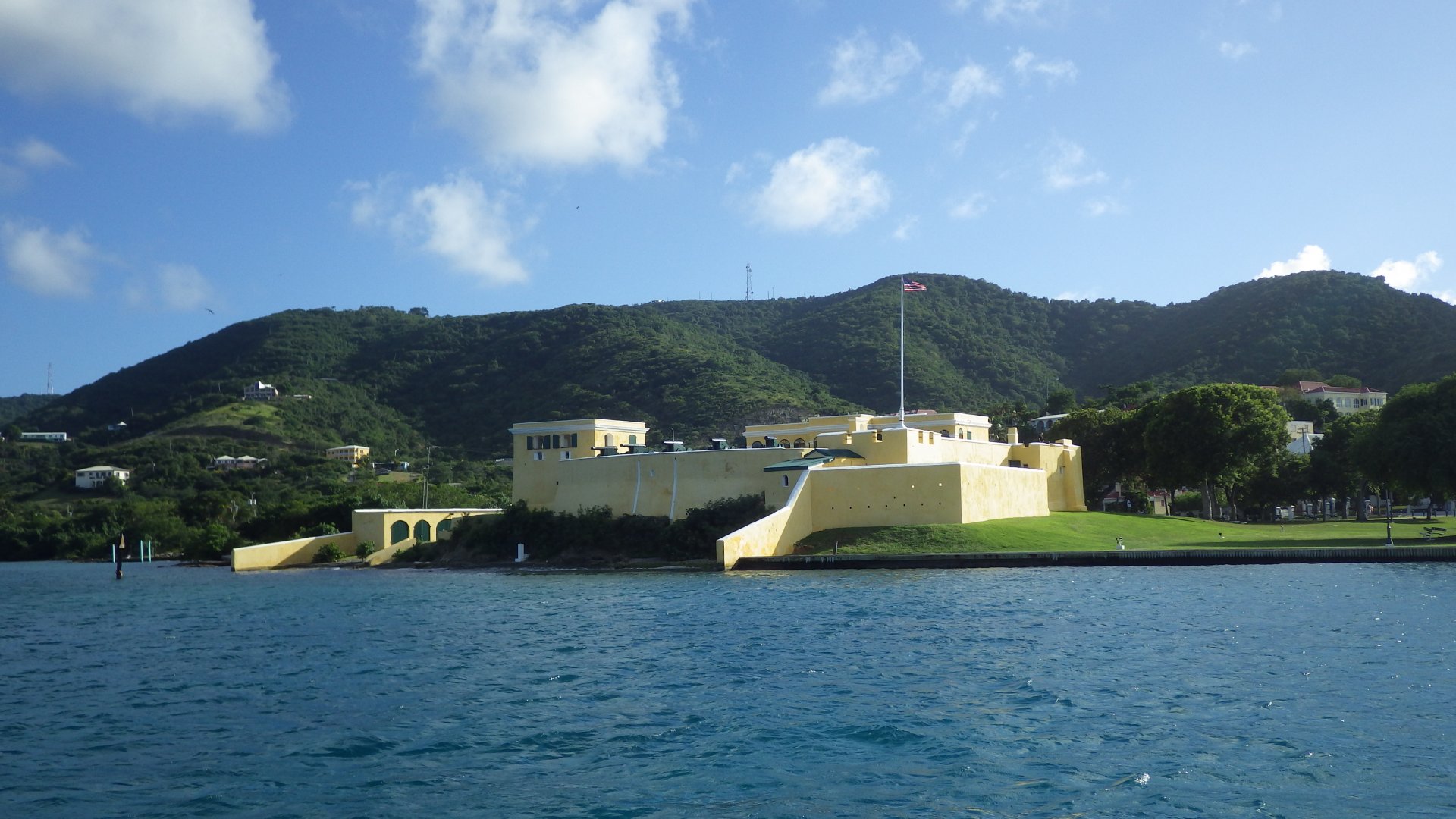
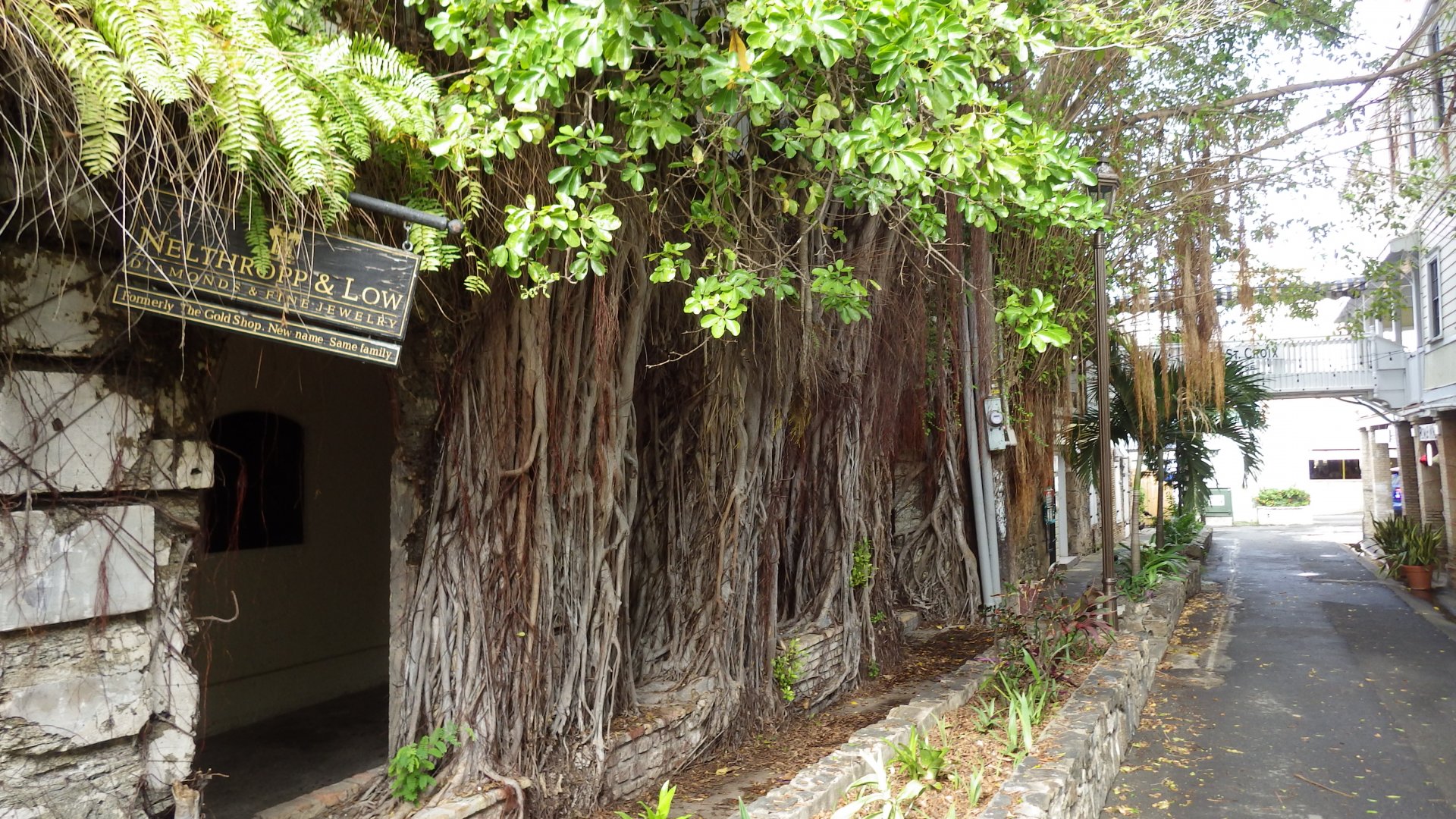
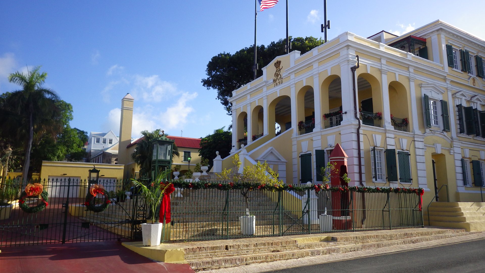
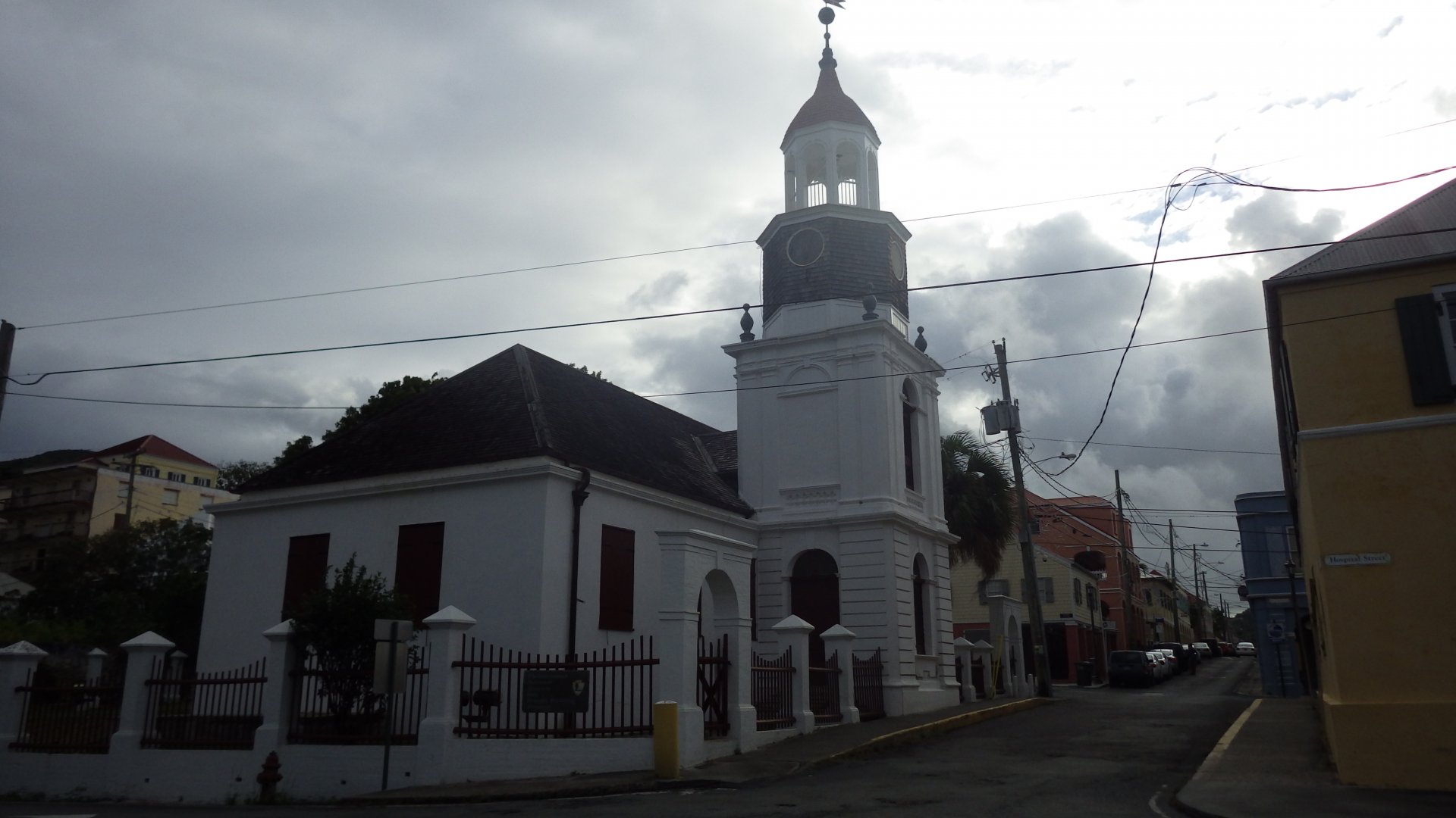
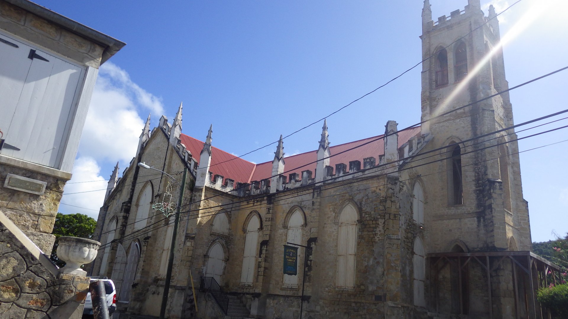
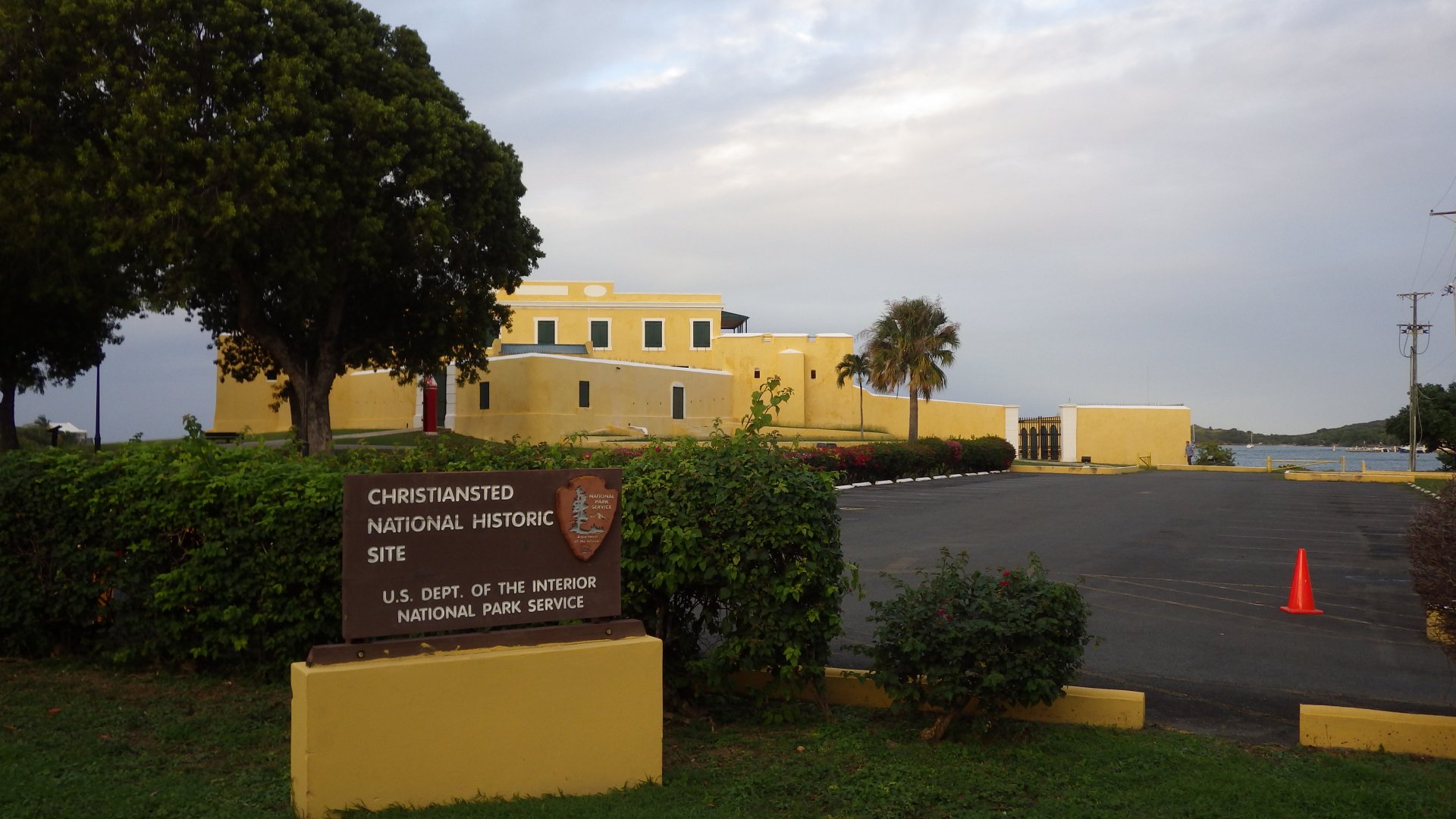
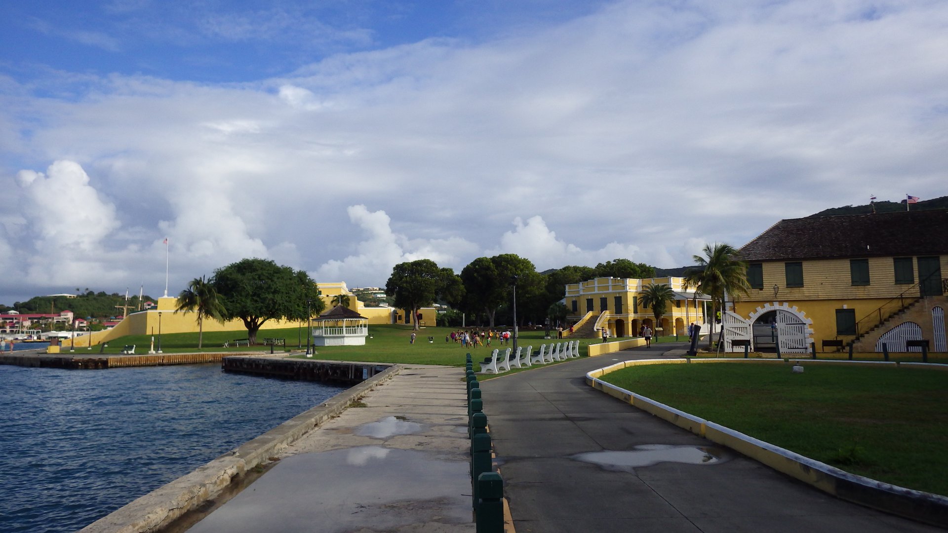
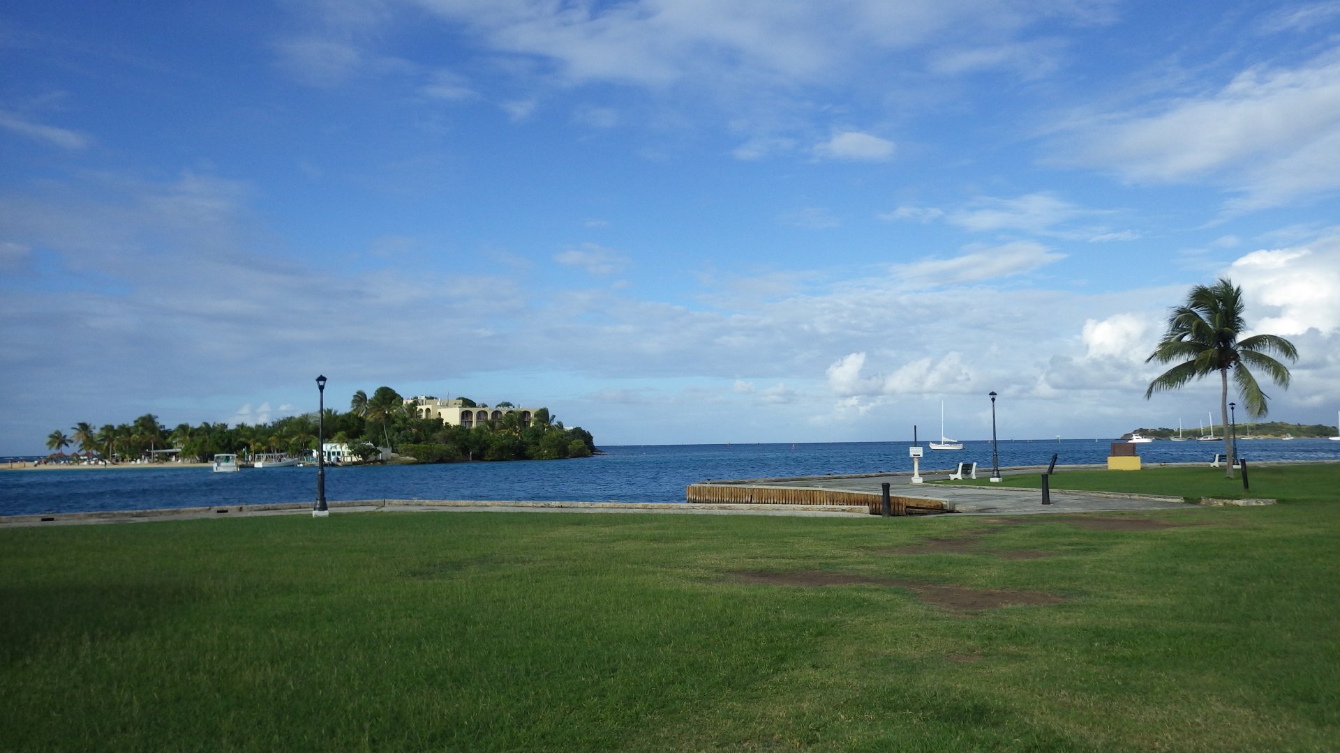
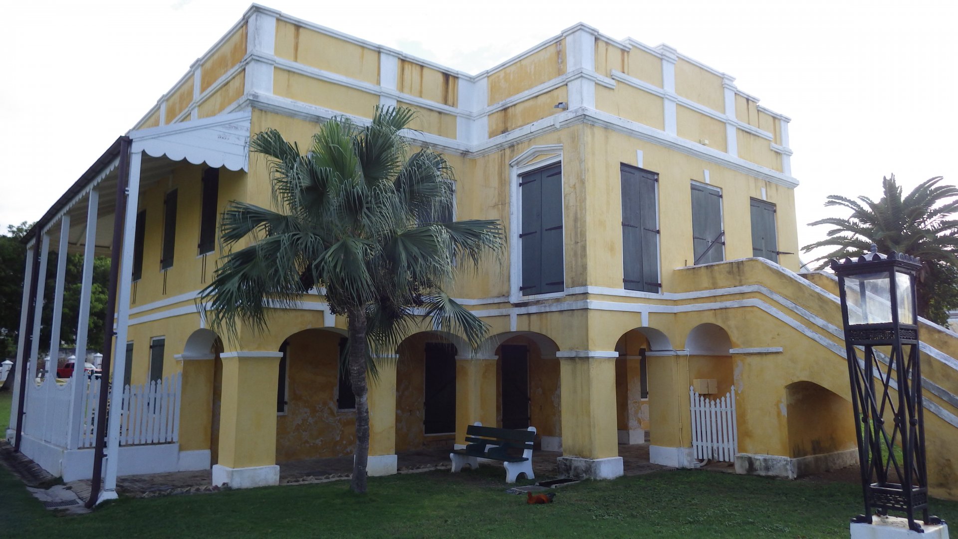
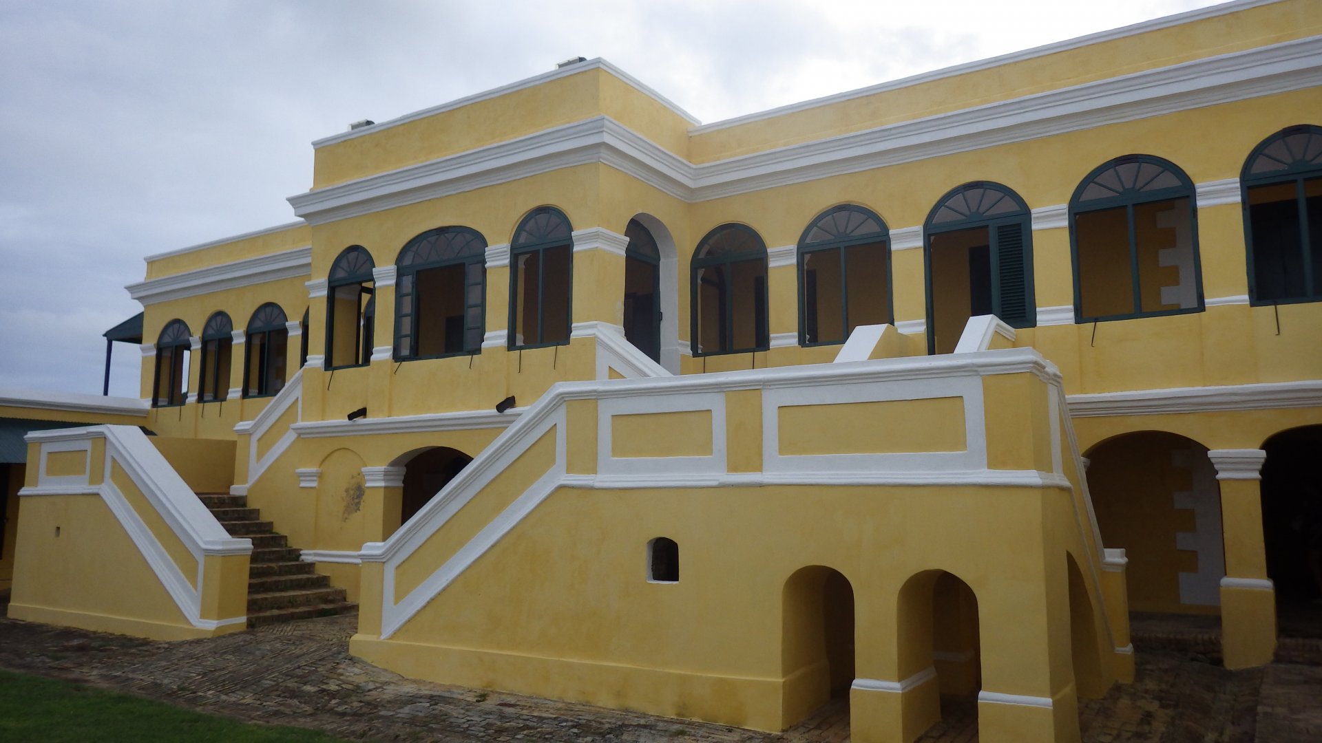
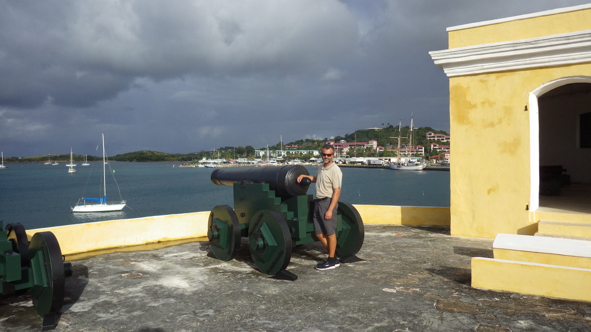
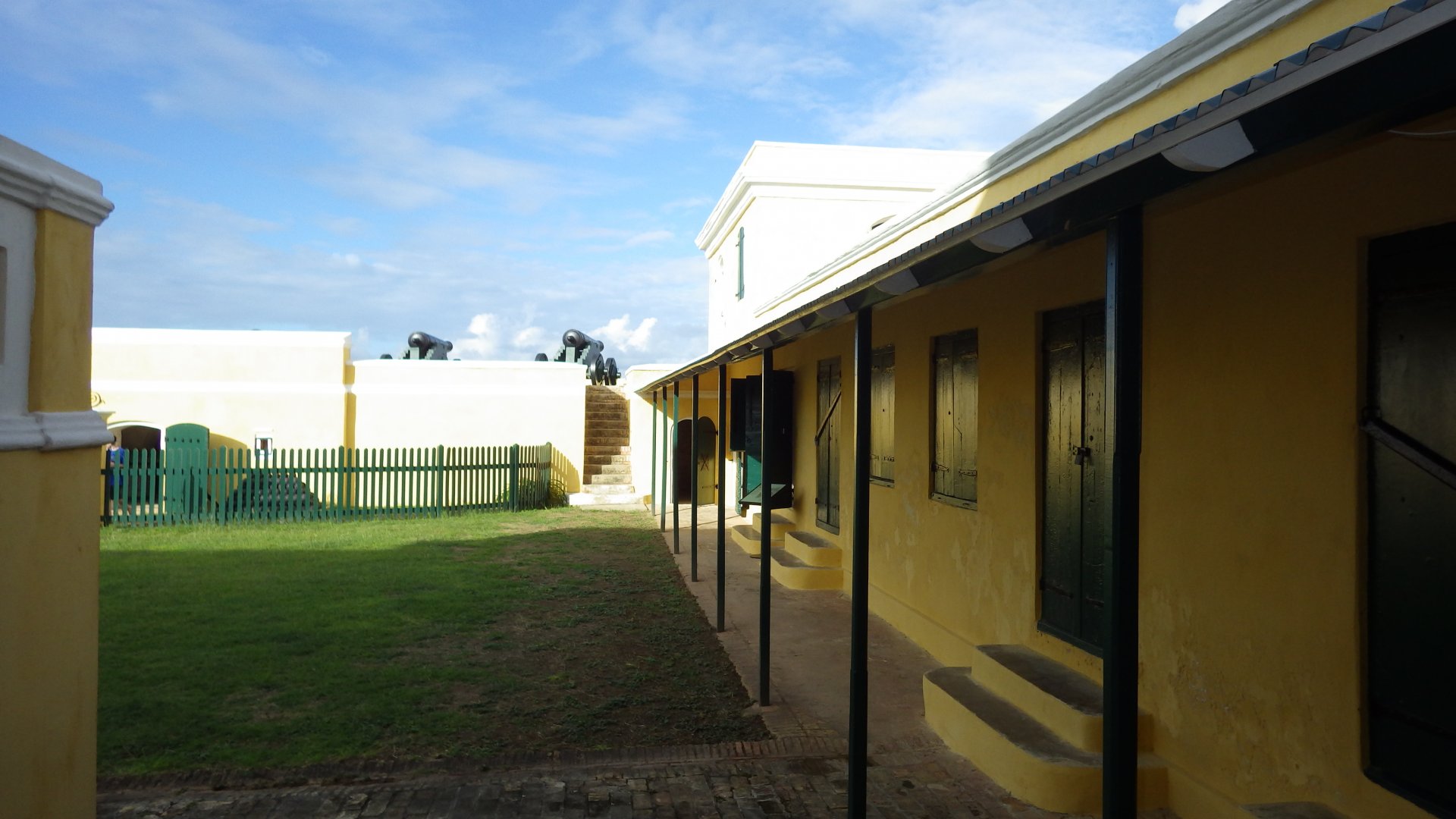
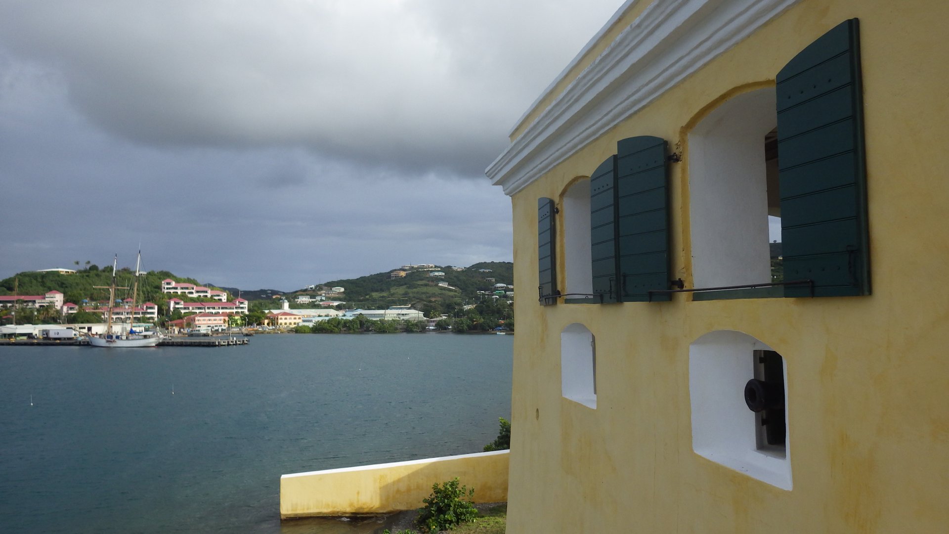
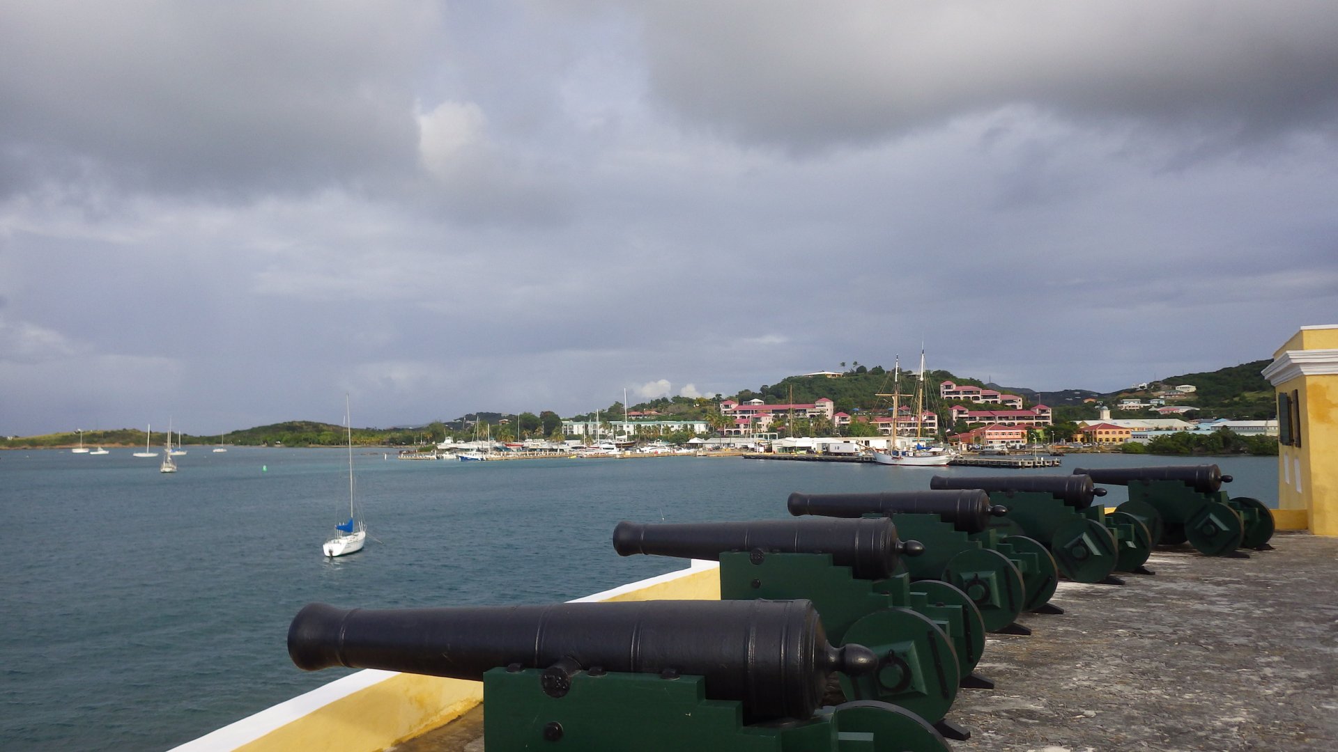
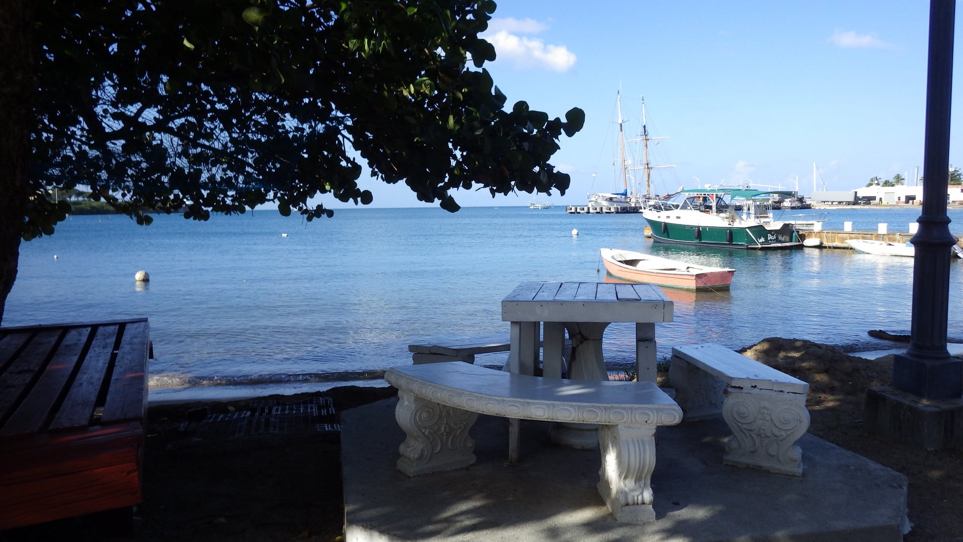
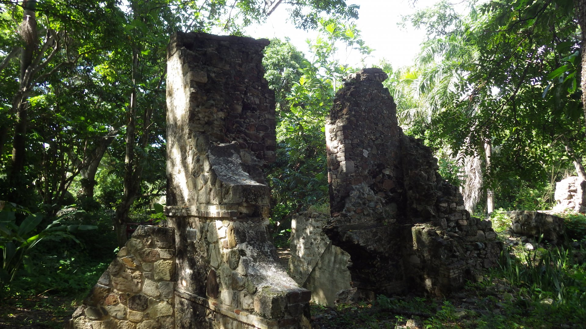
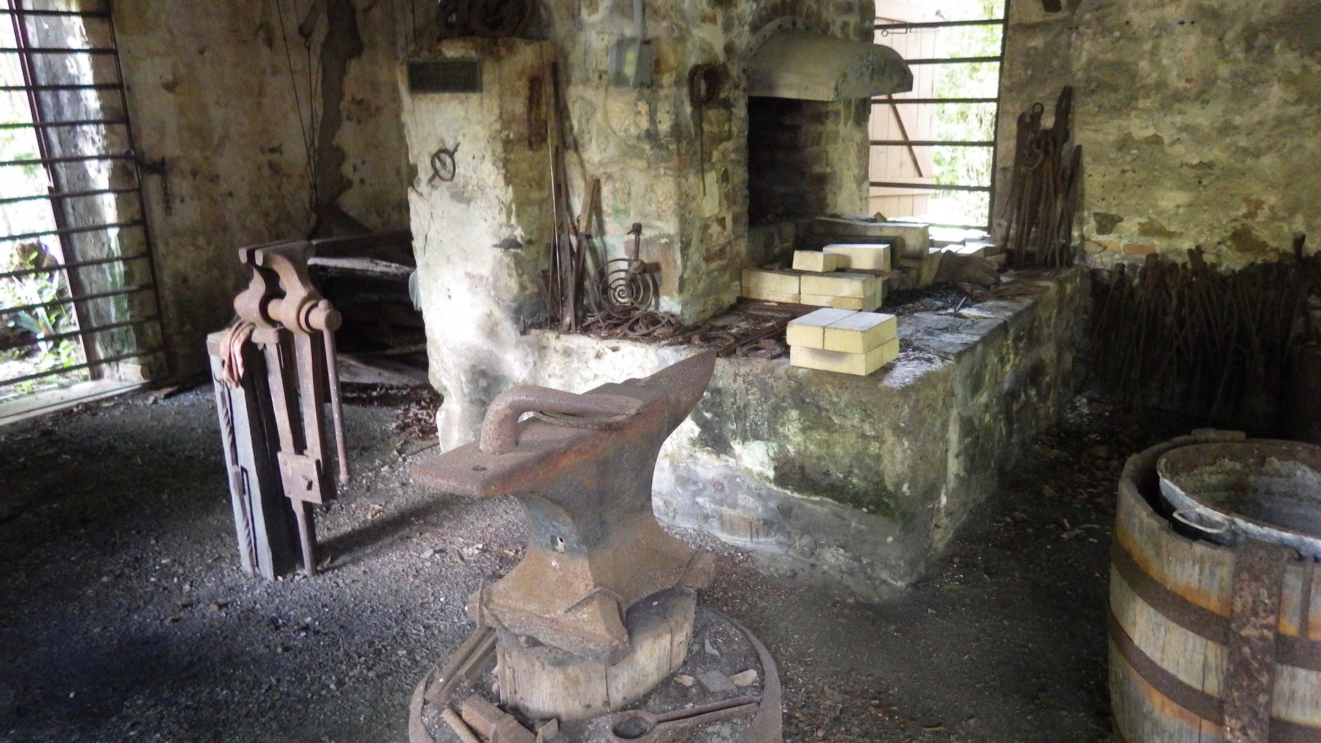
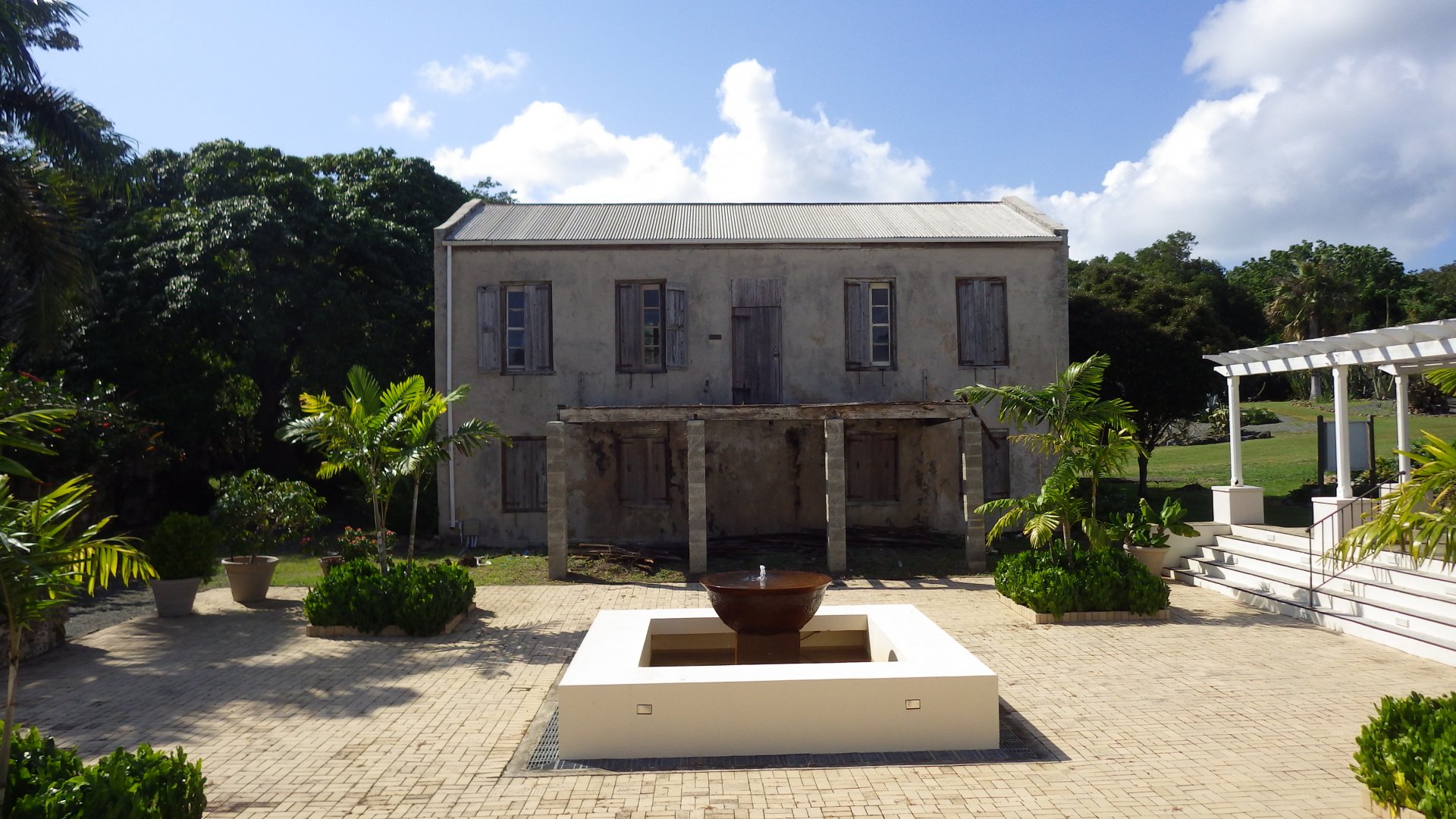
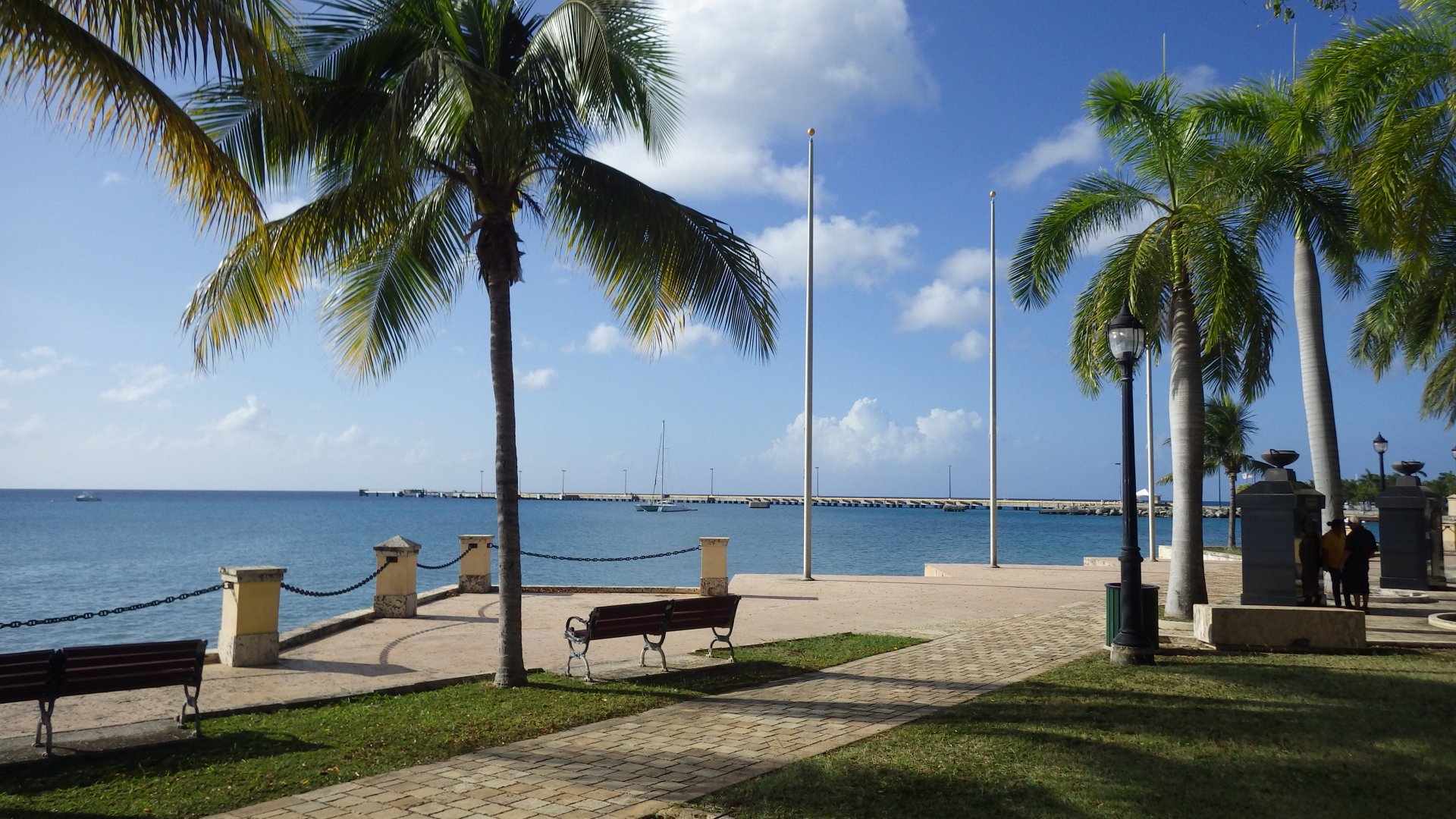
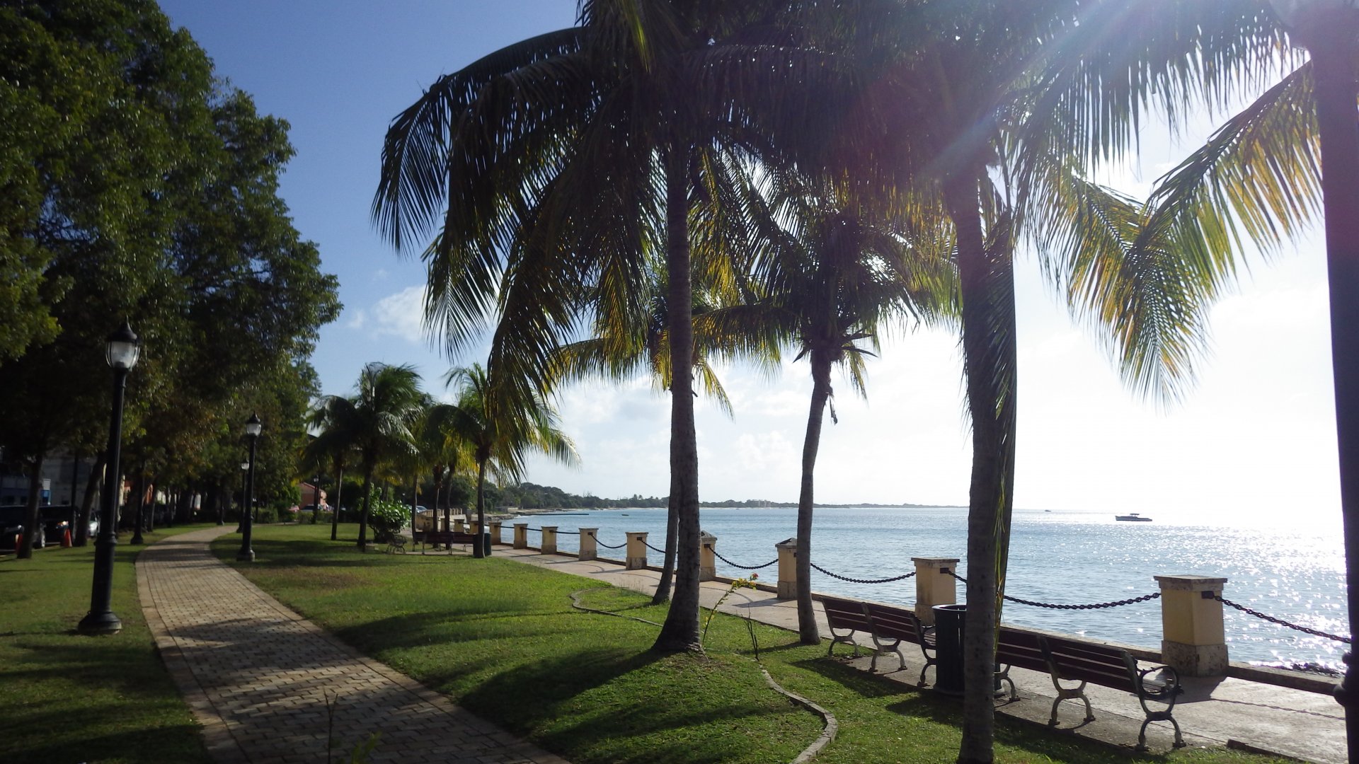
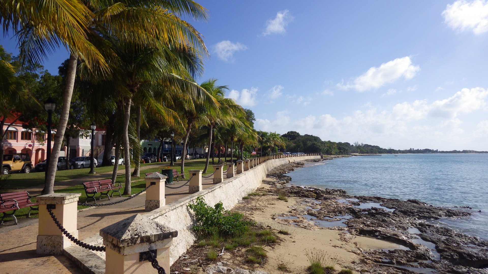
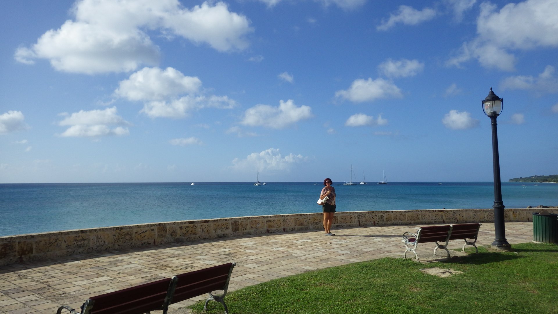
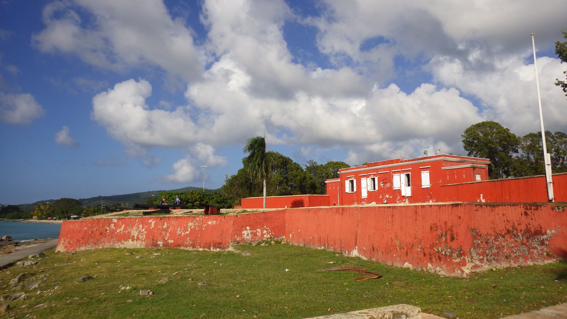
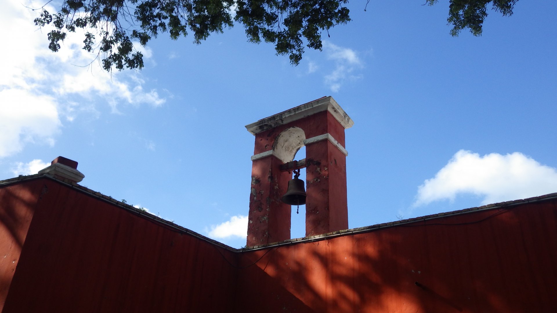
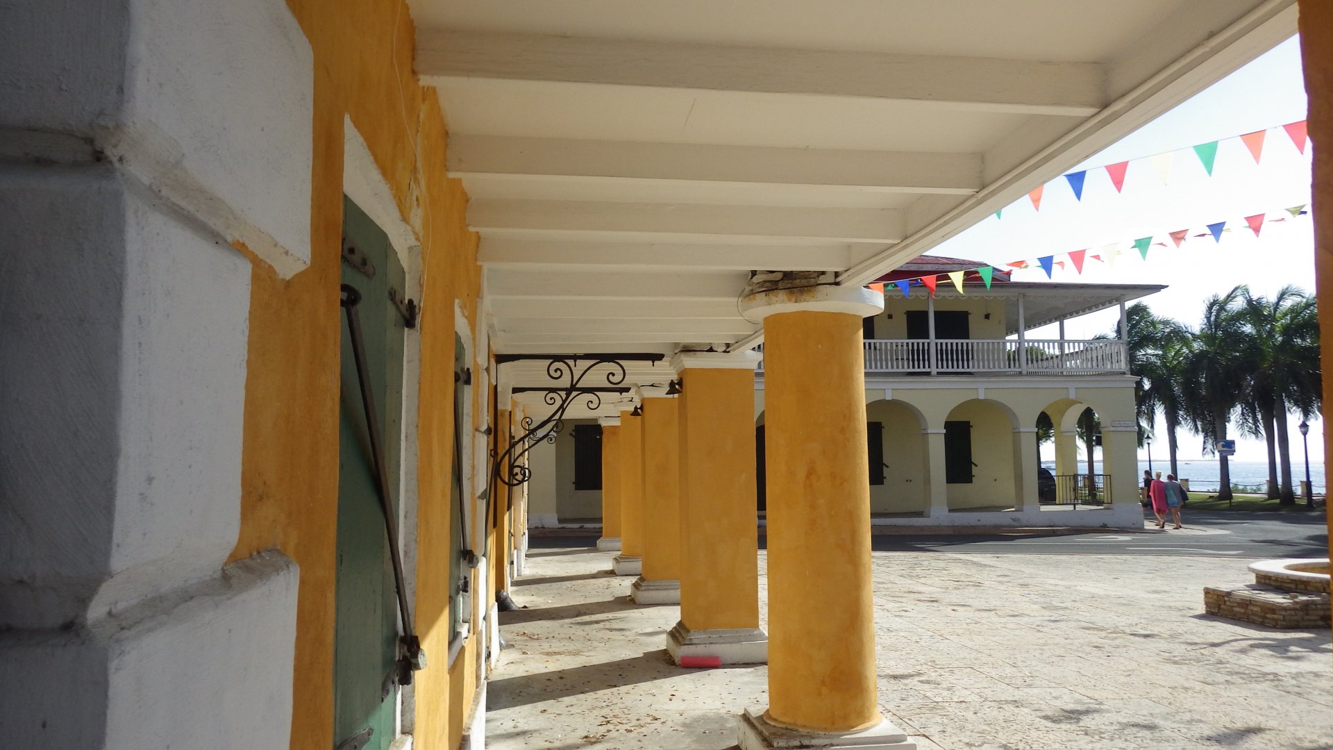
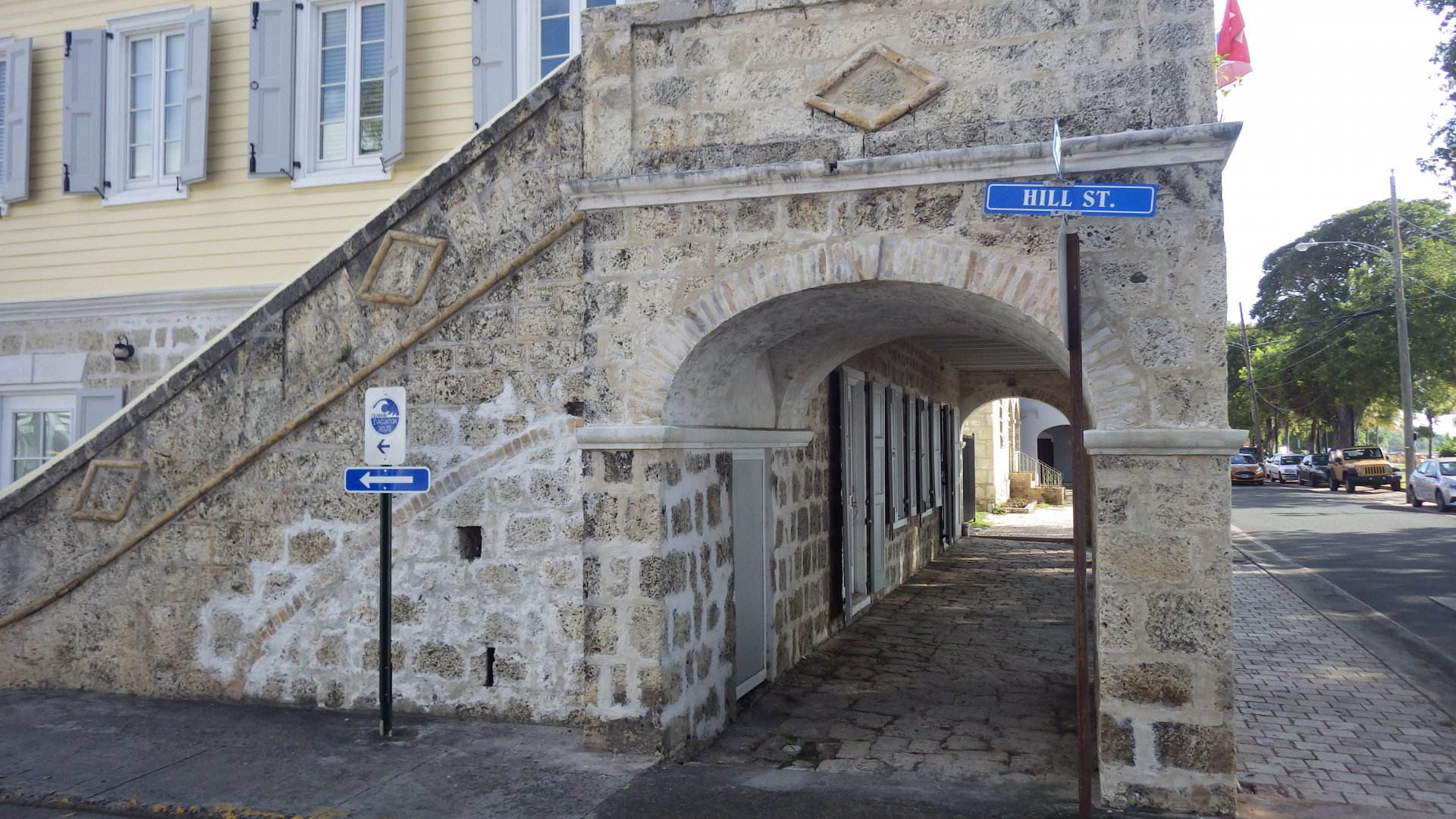
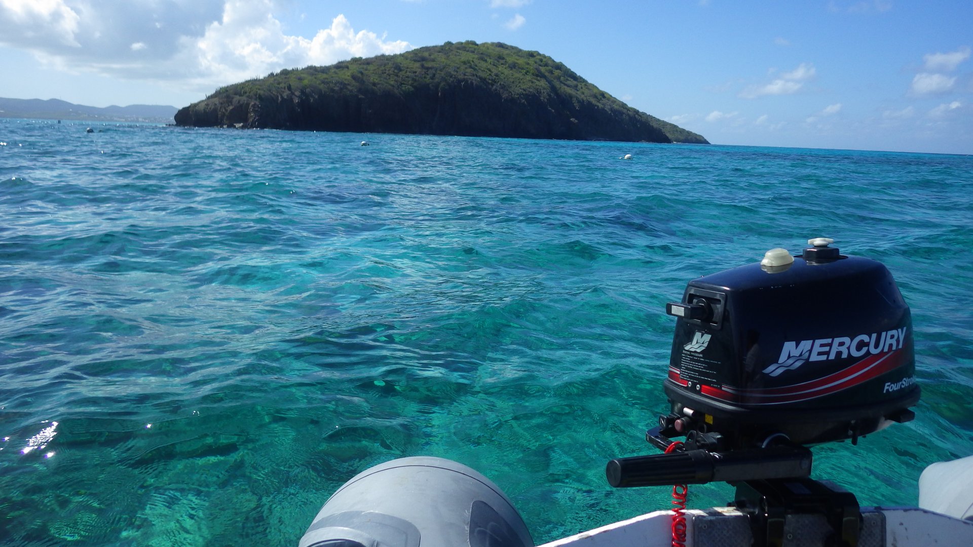
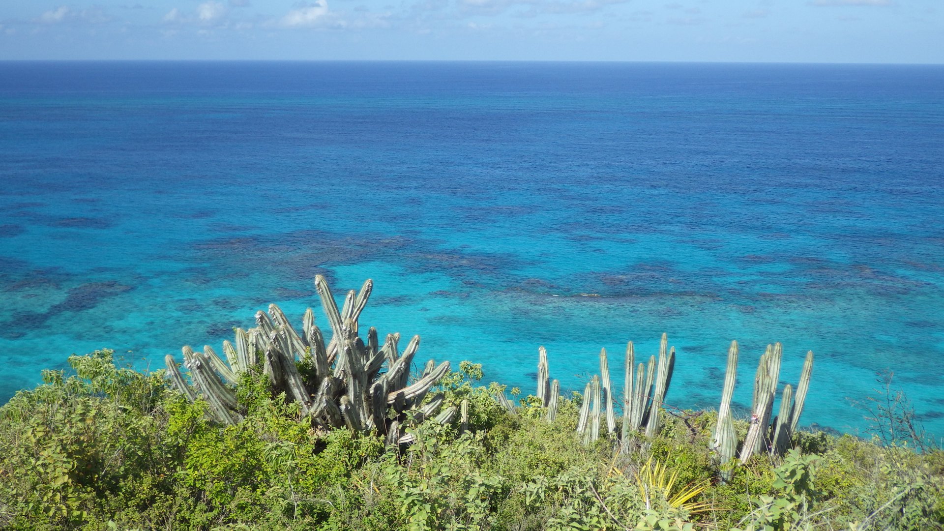
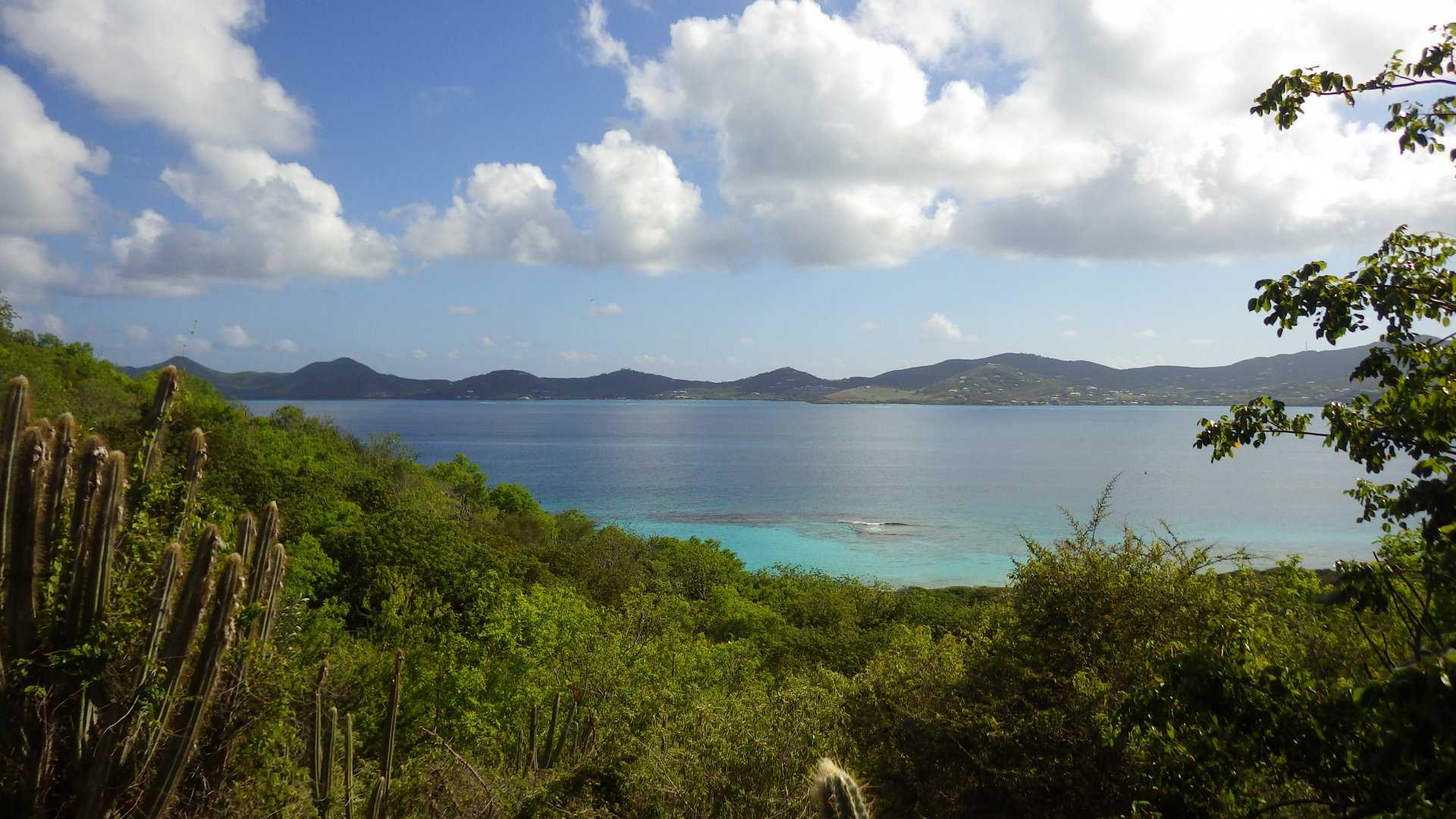
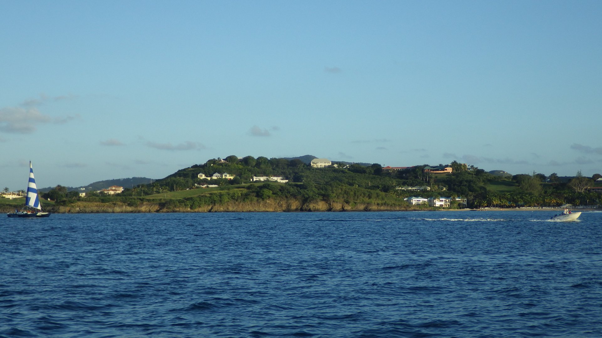
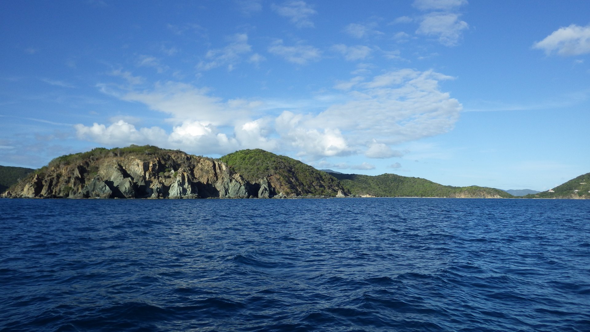
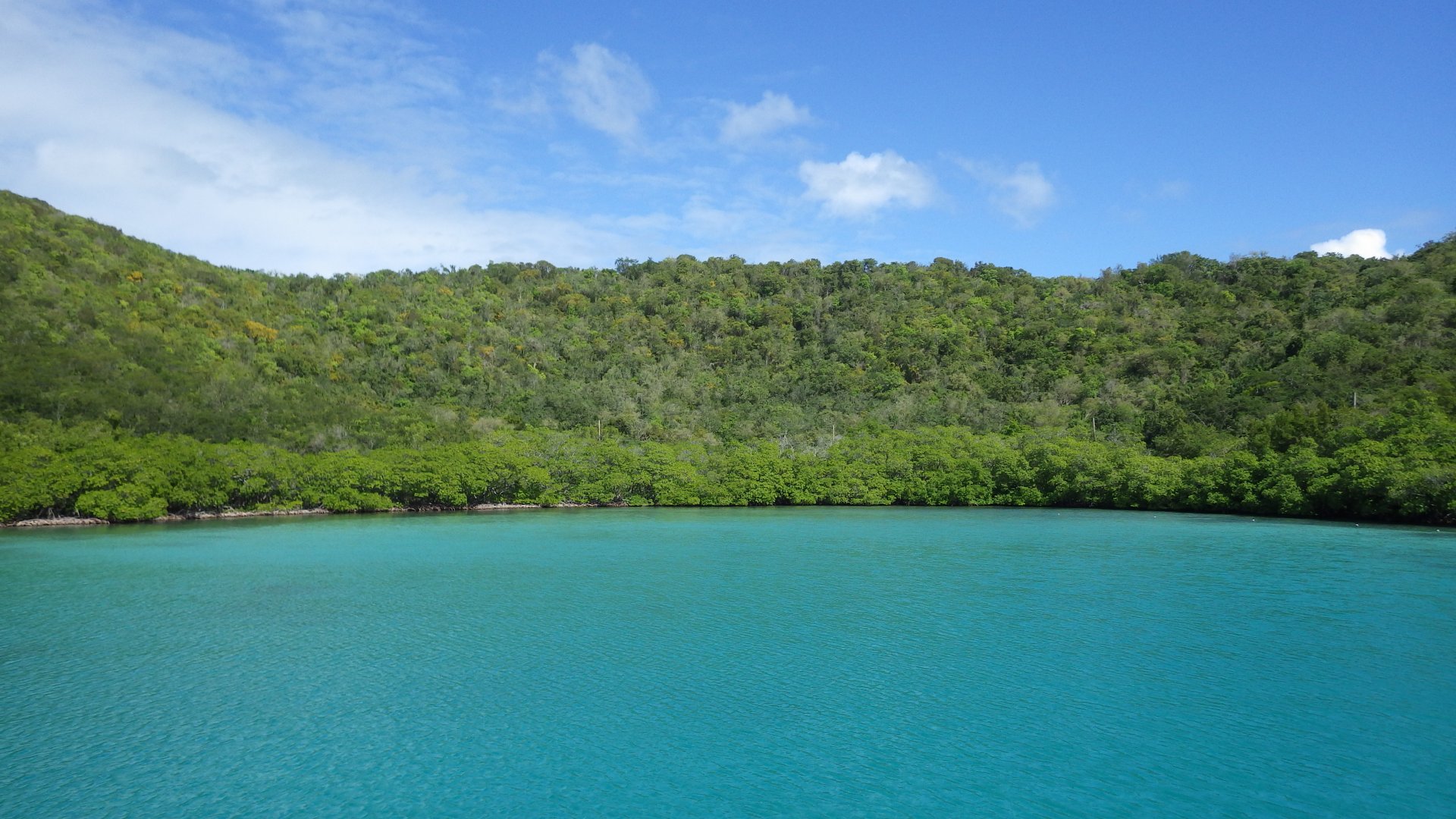
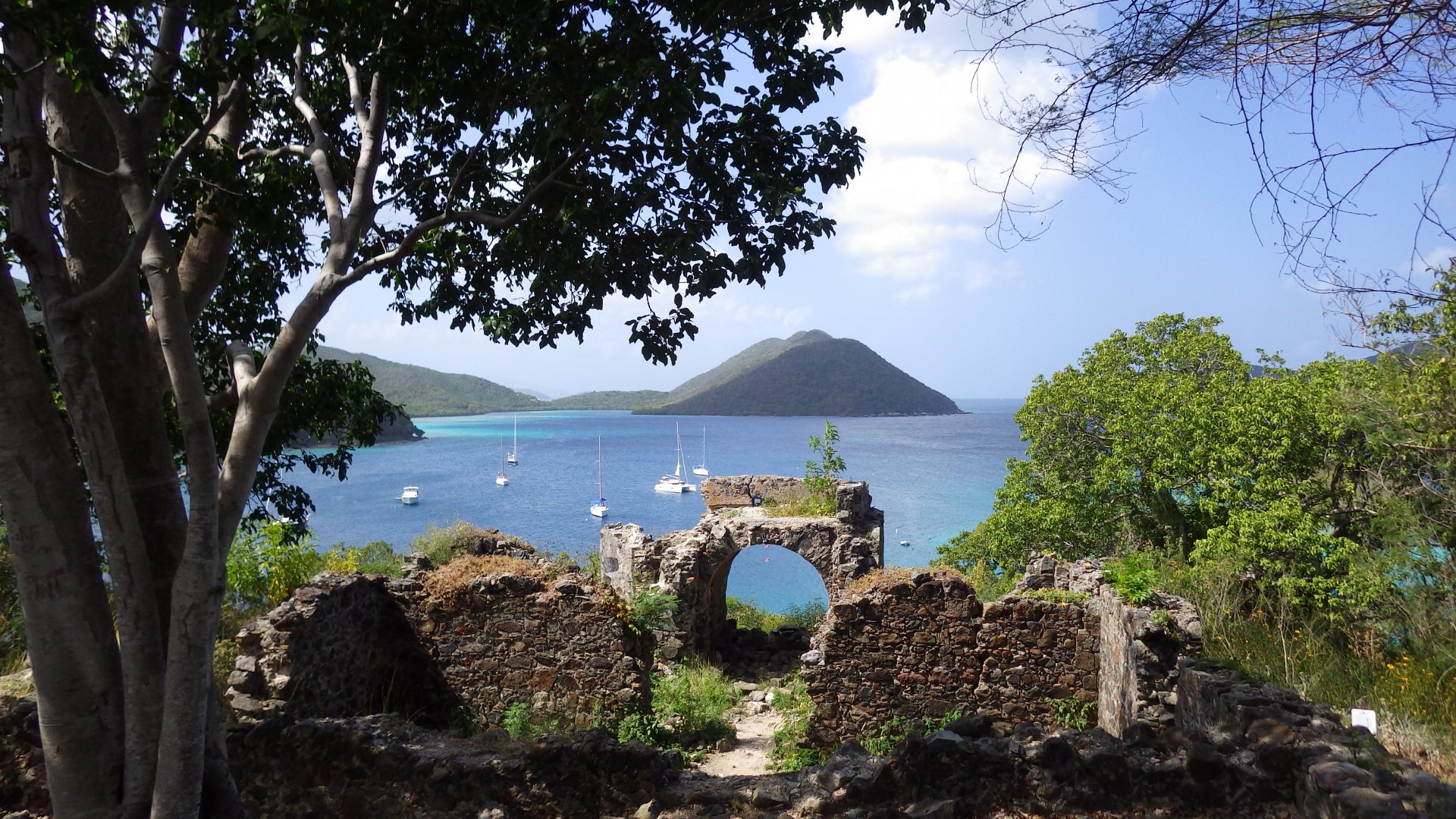
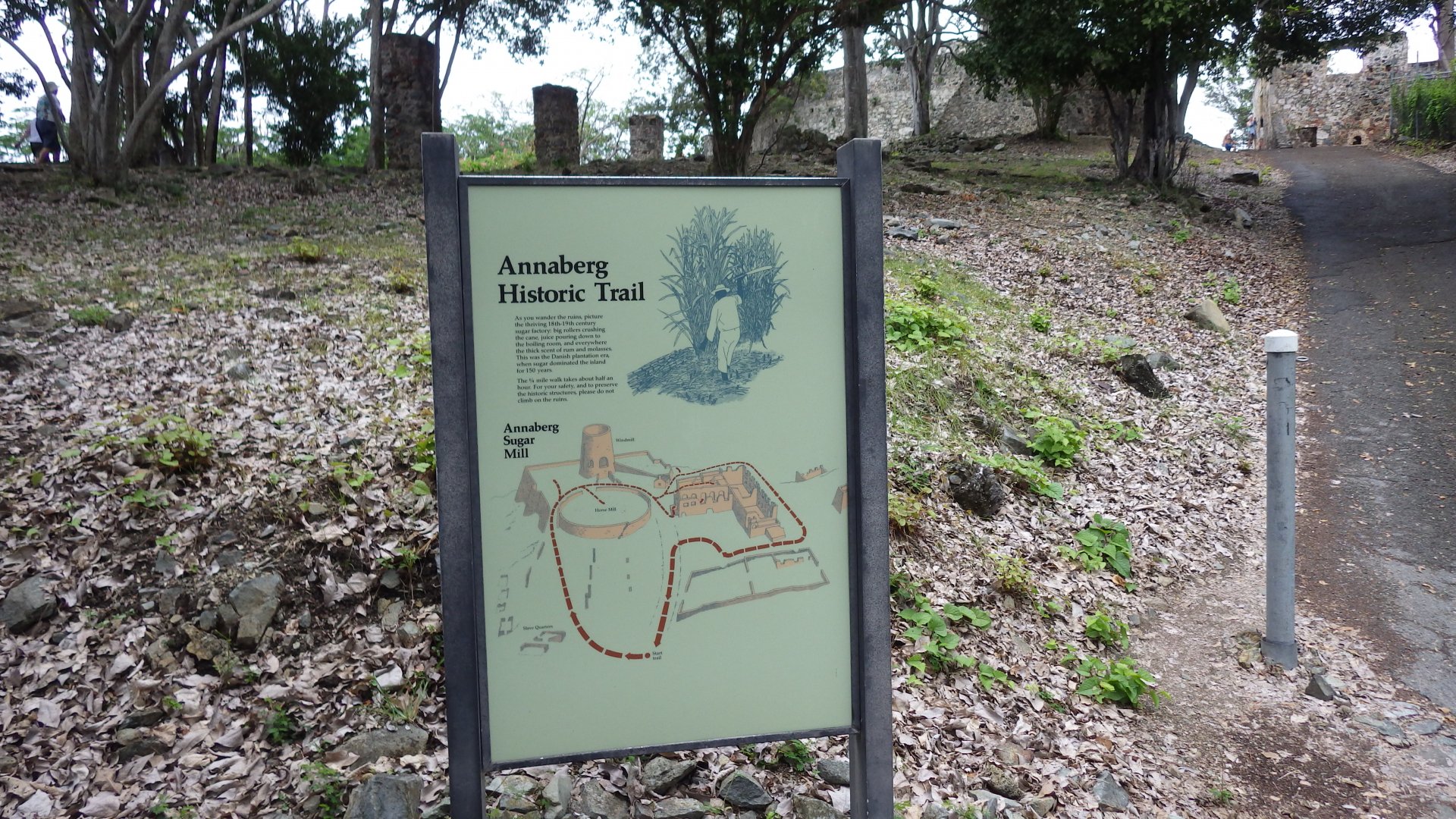
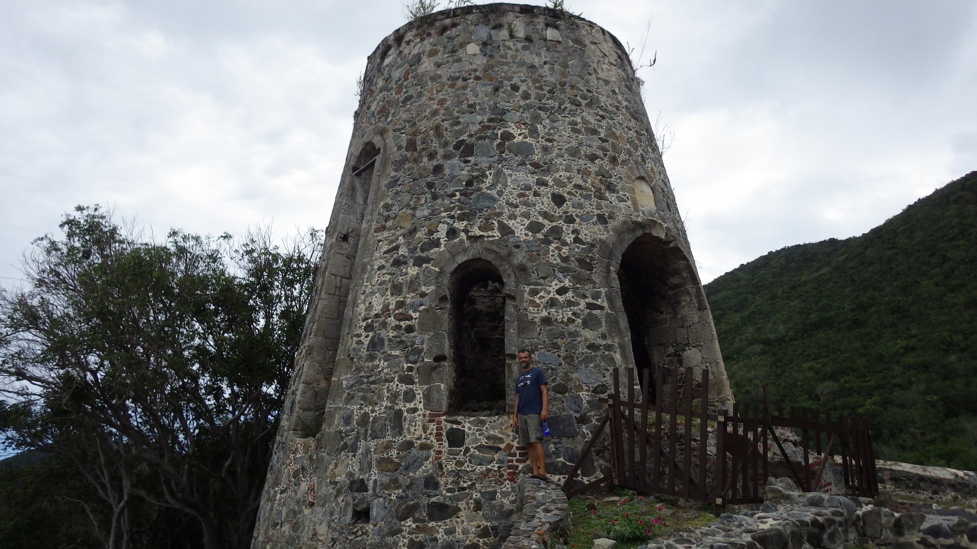
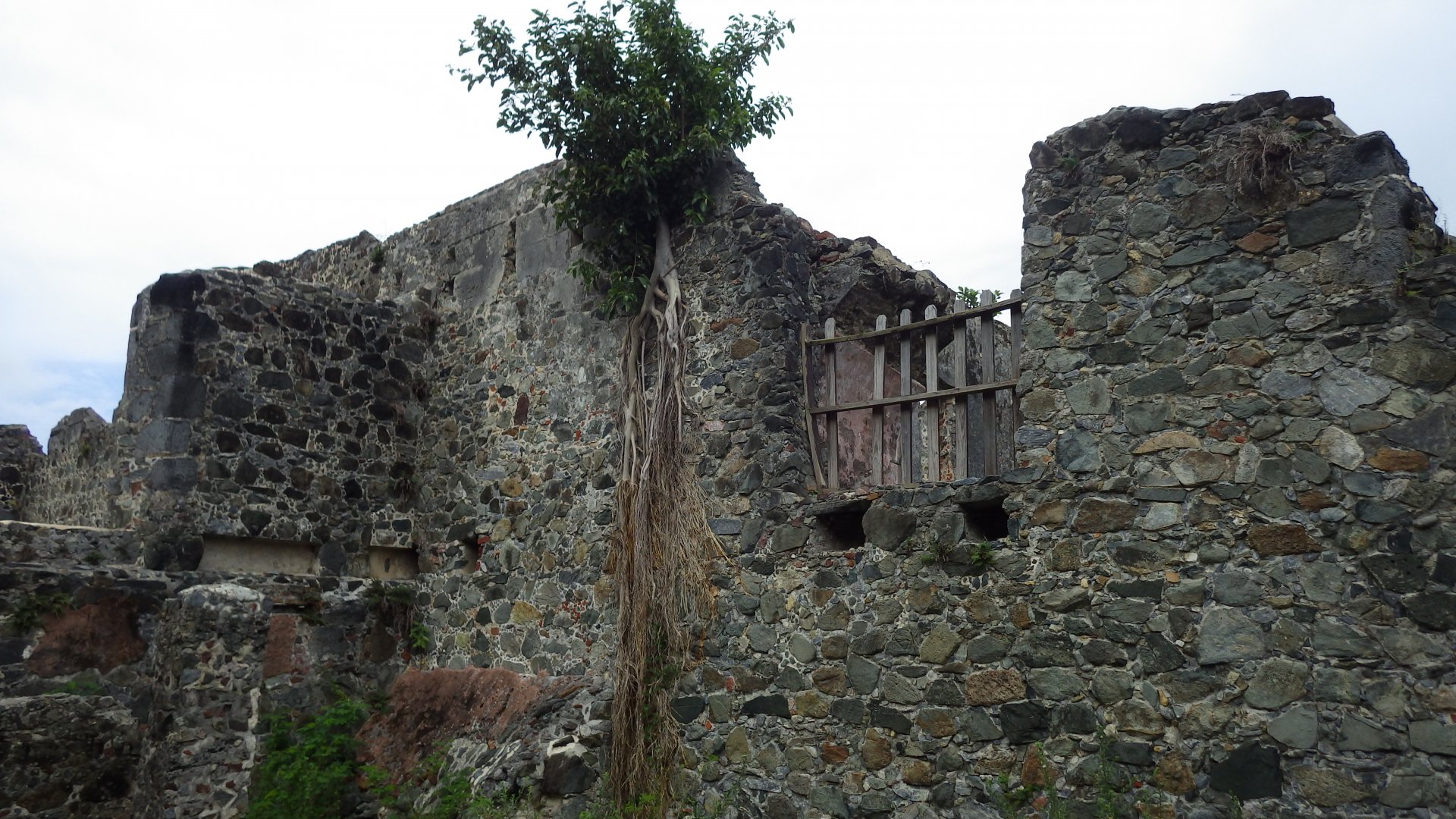
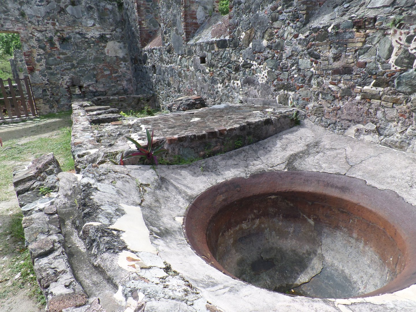
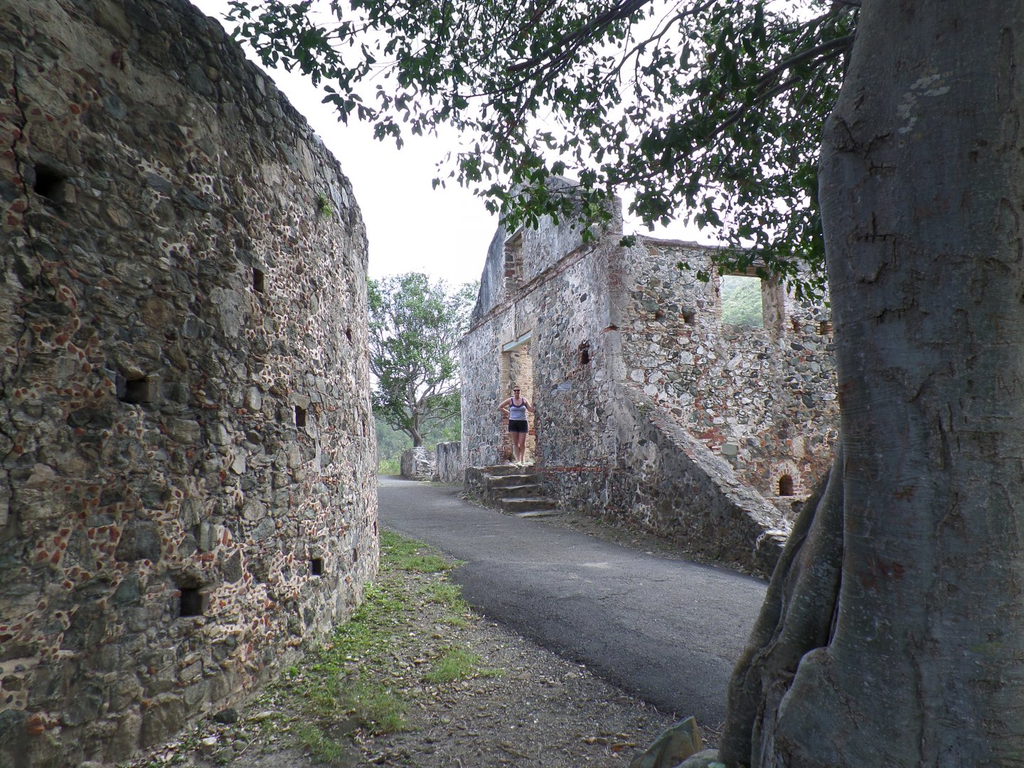
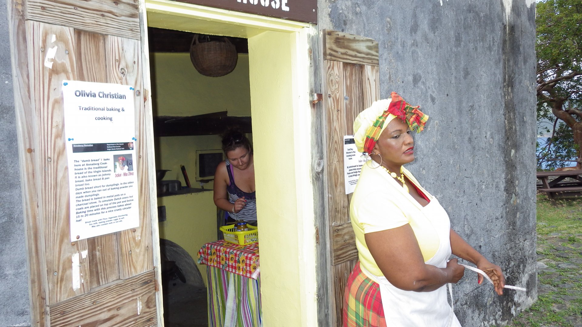
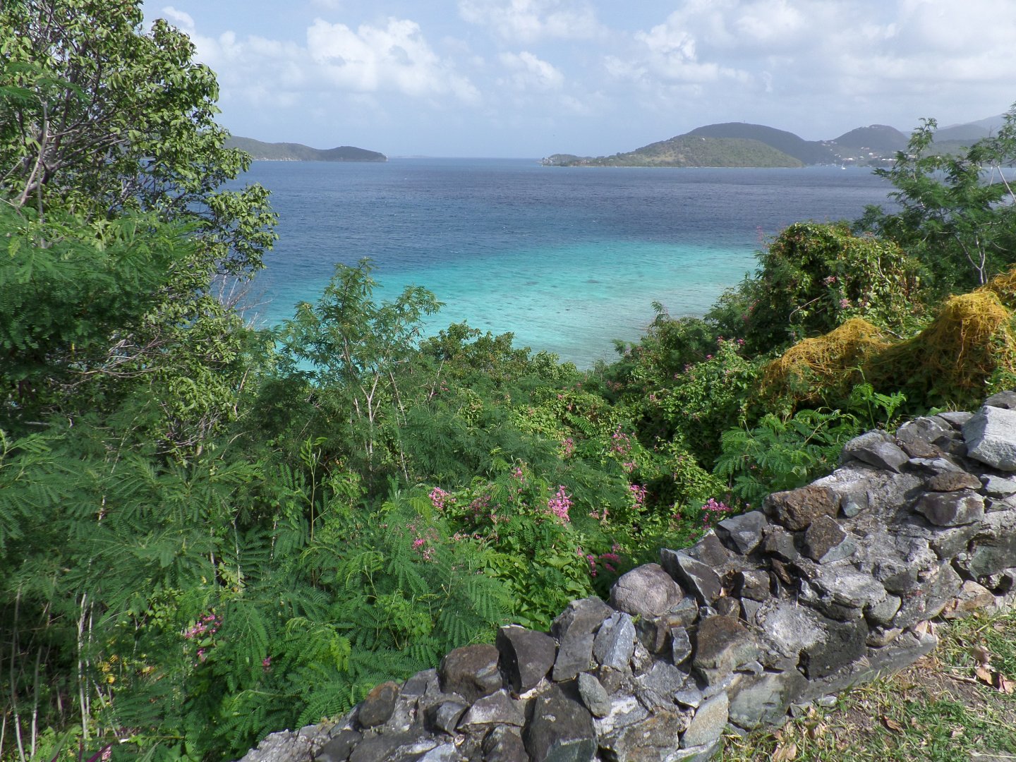
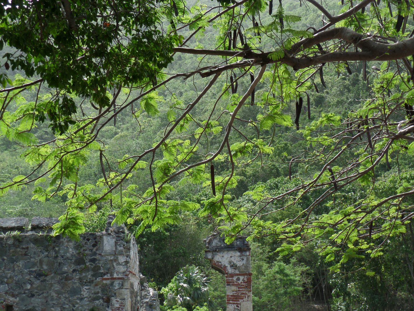
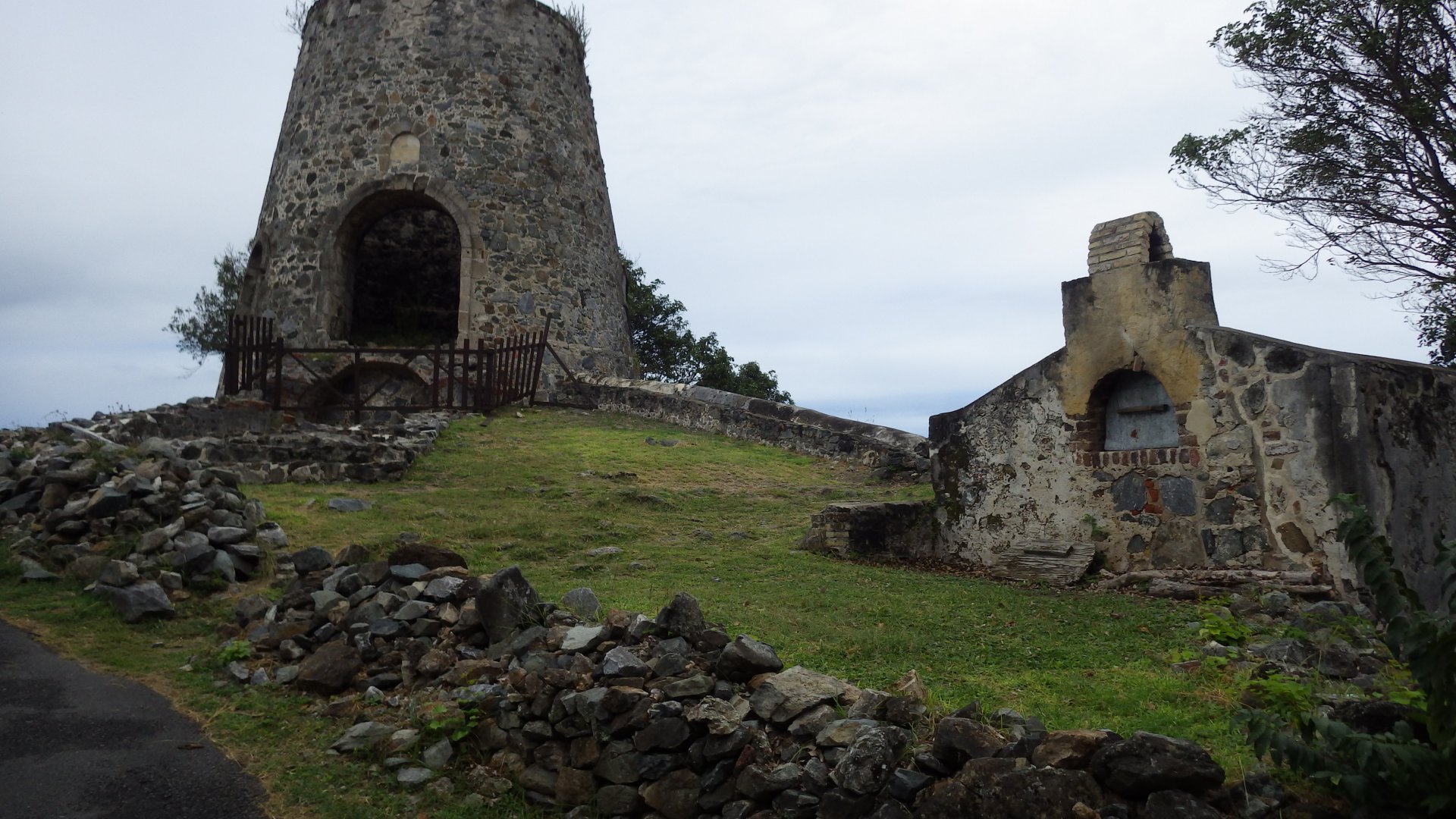
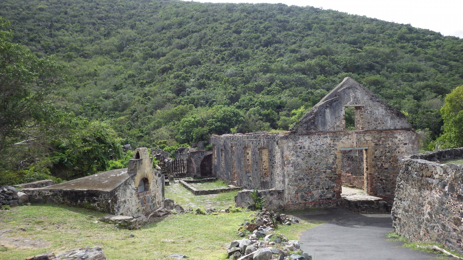
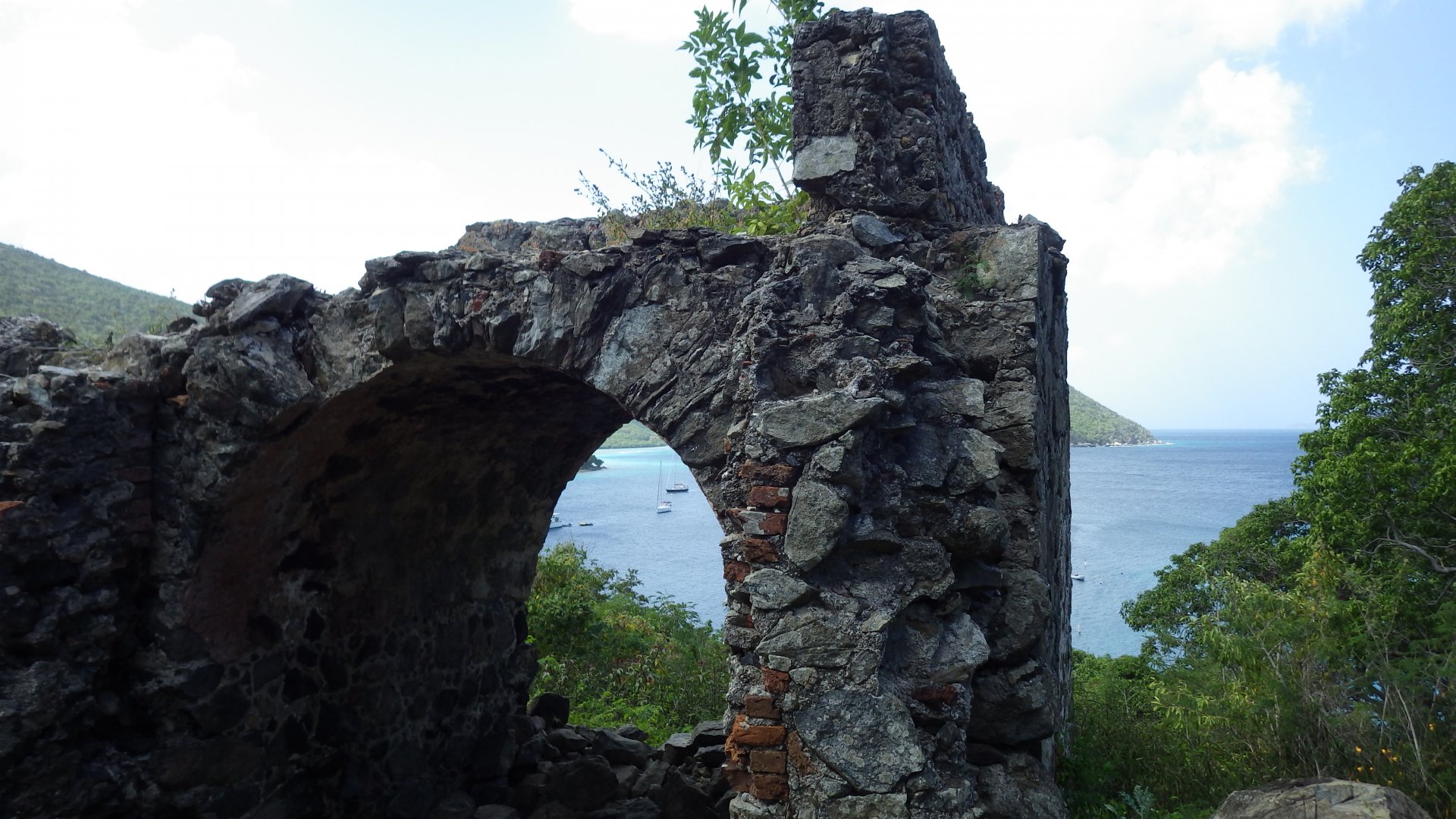
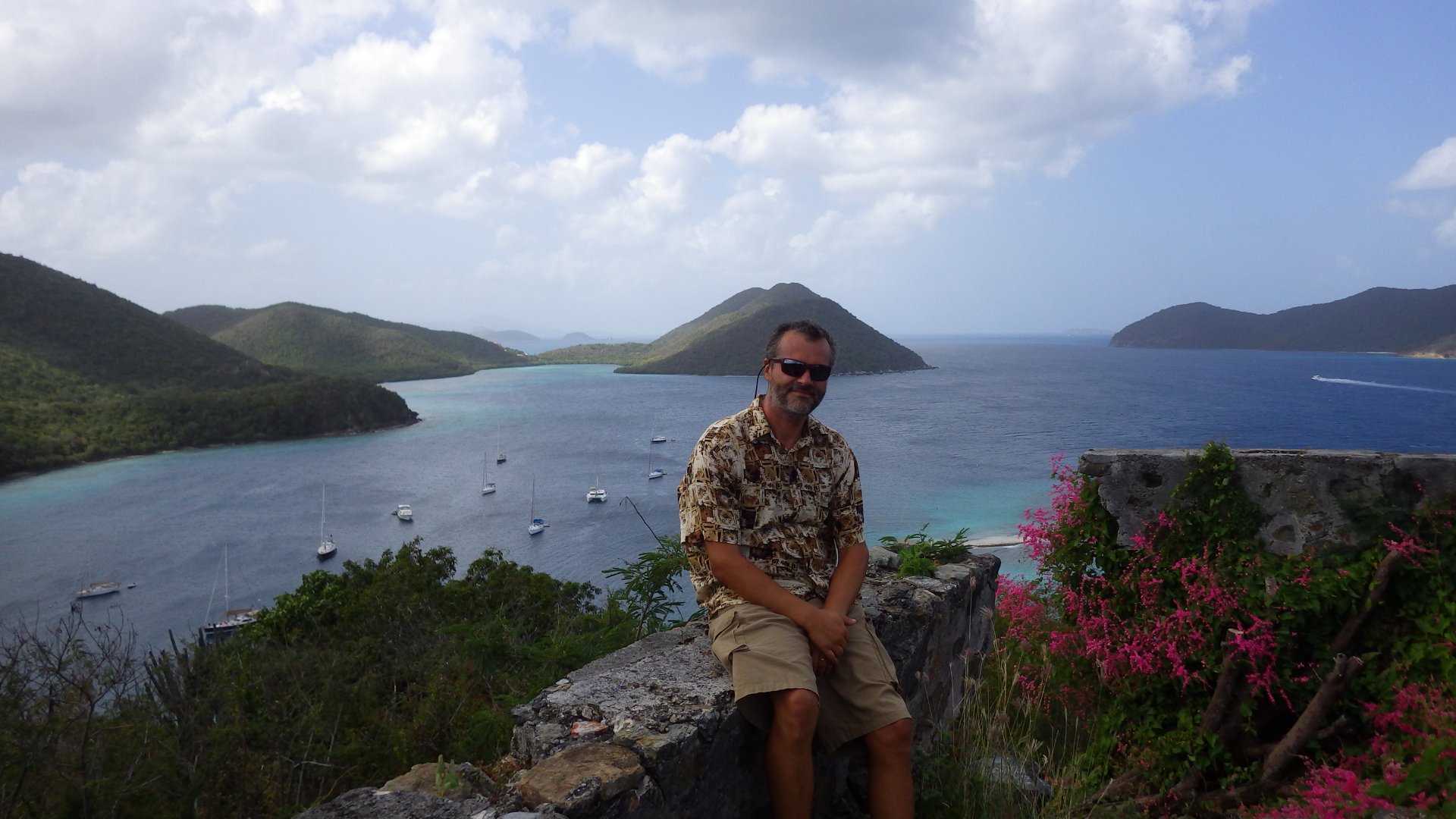
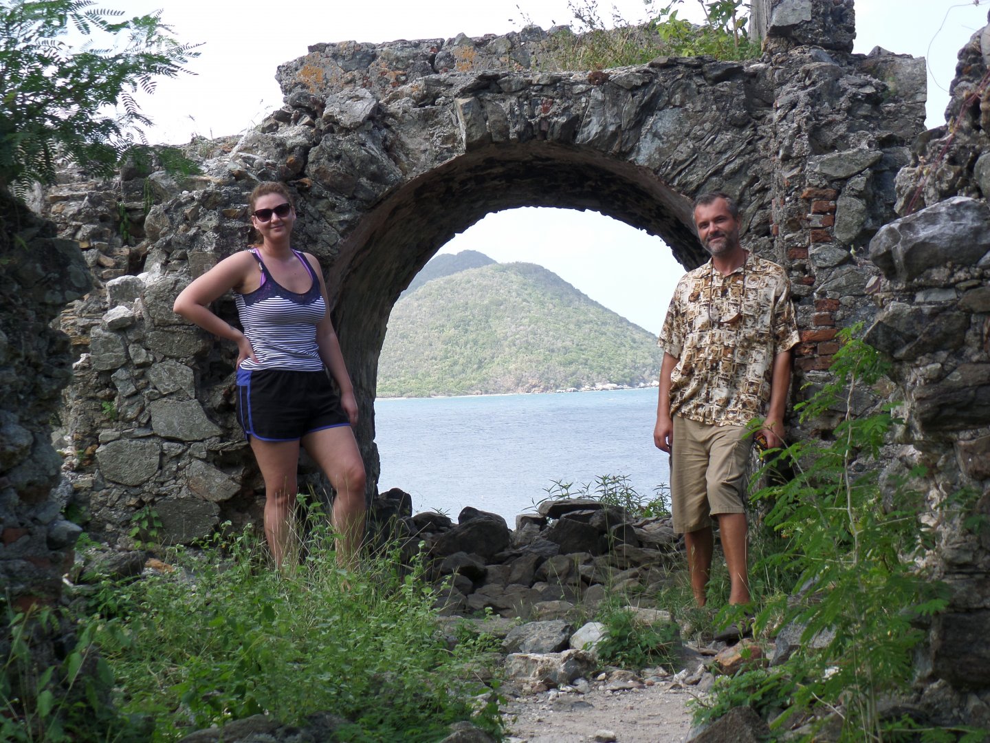
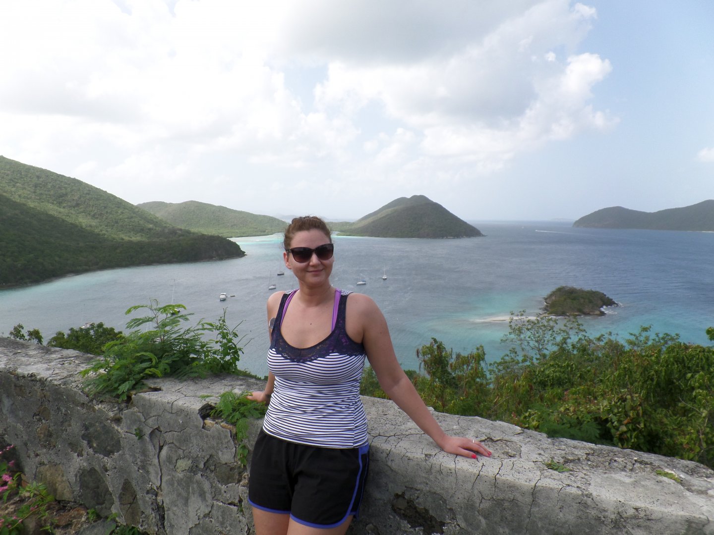
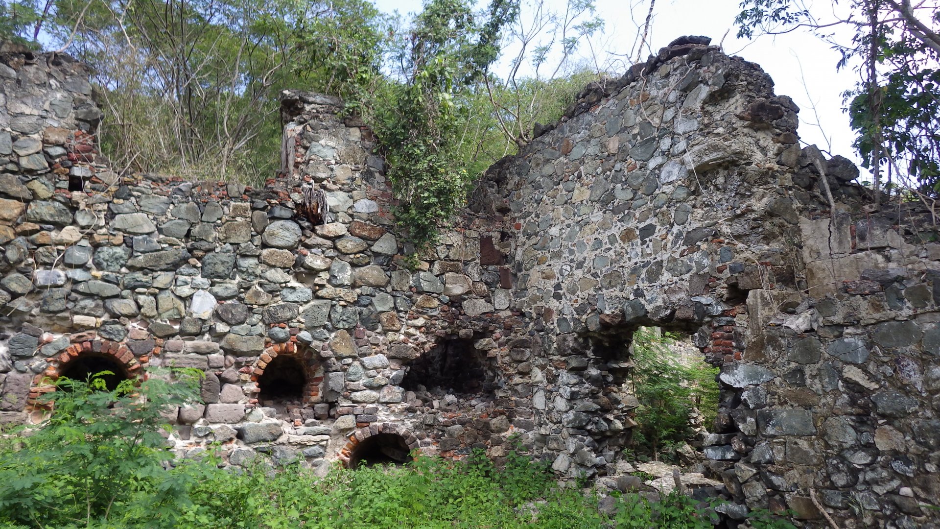
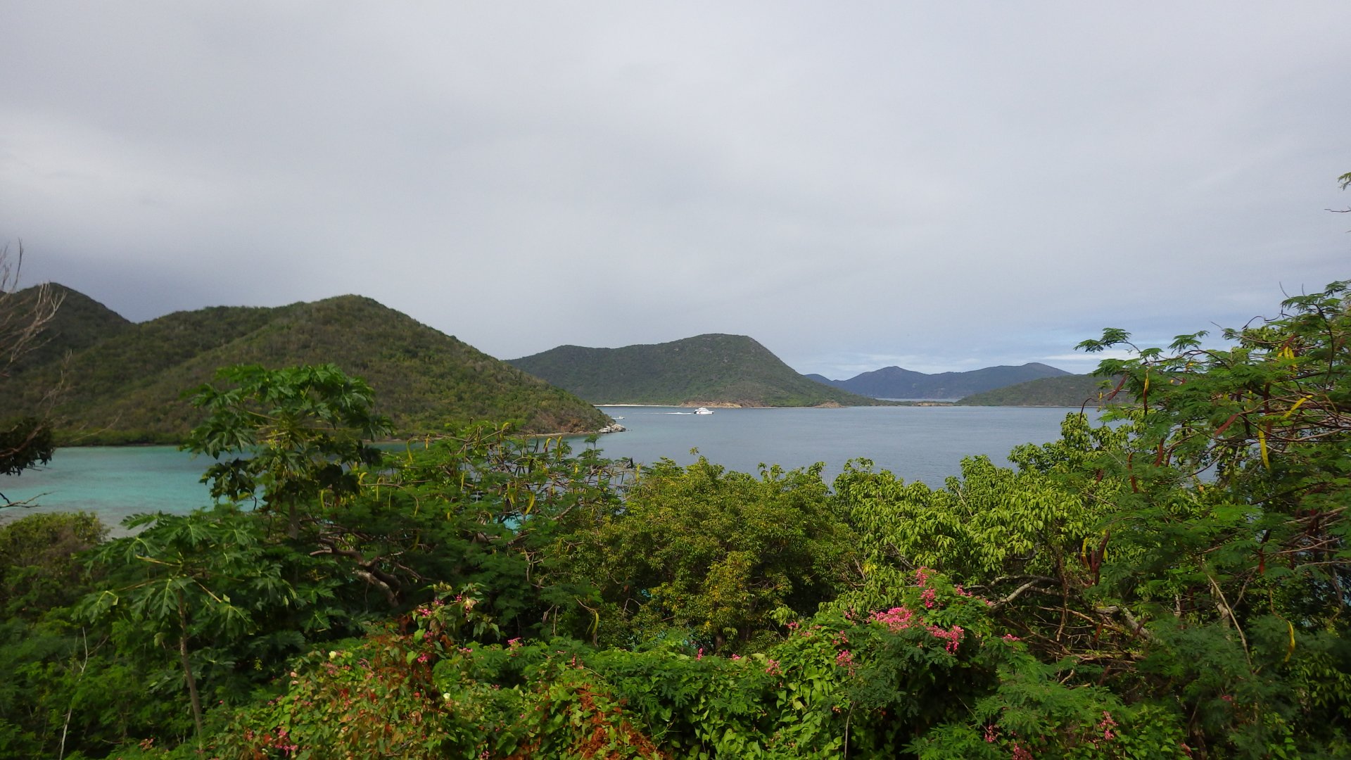
Lots of history (pirate free port in the past), nice parks, good stores, etc.
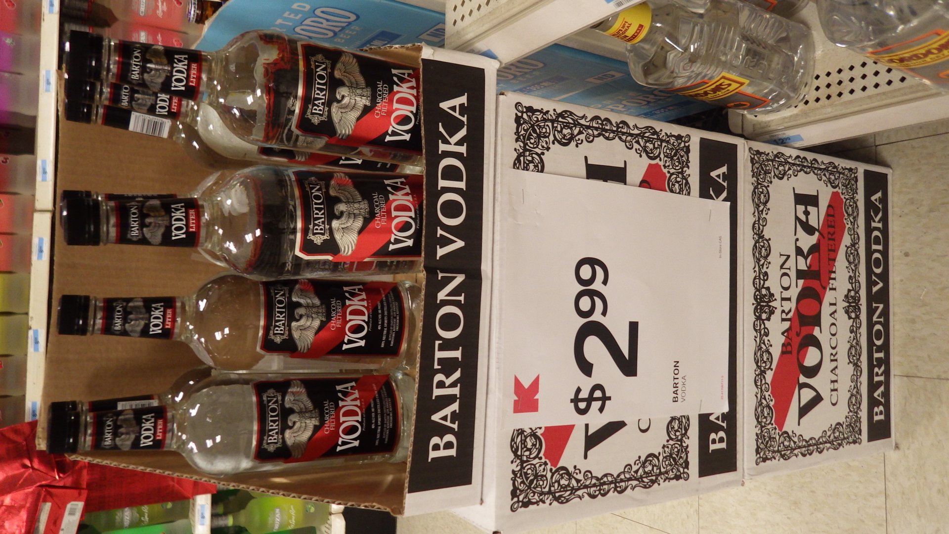
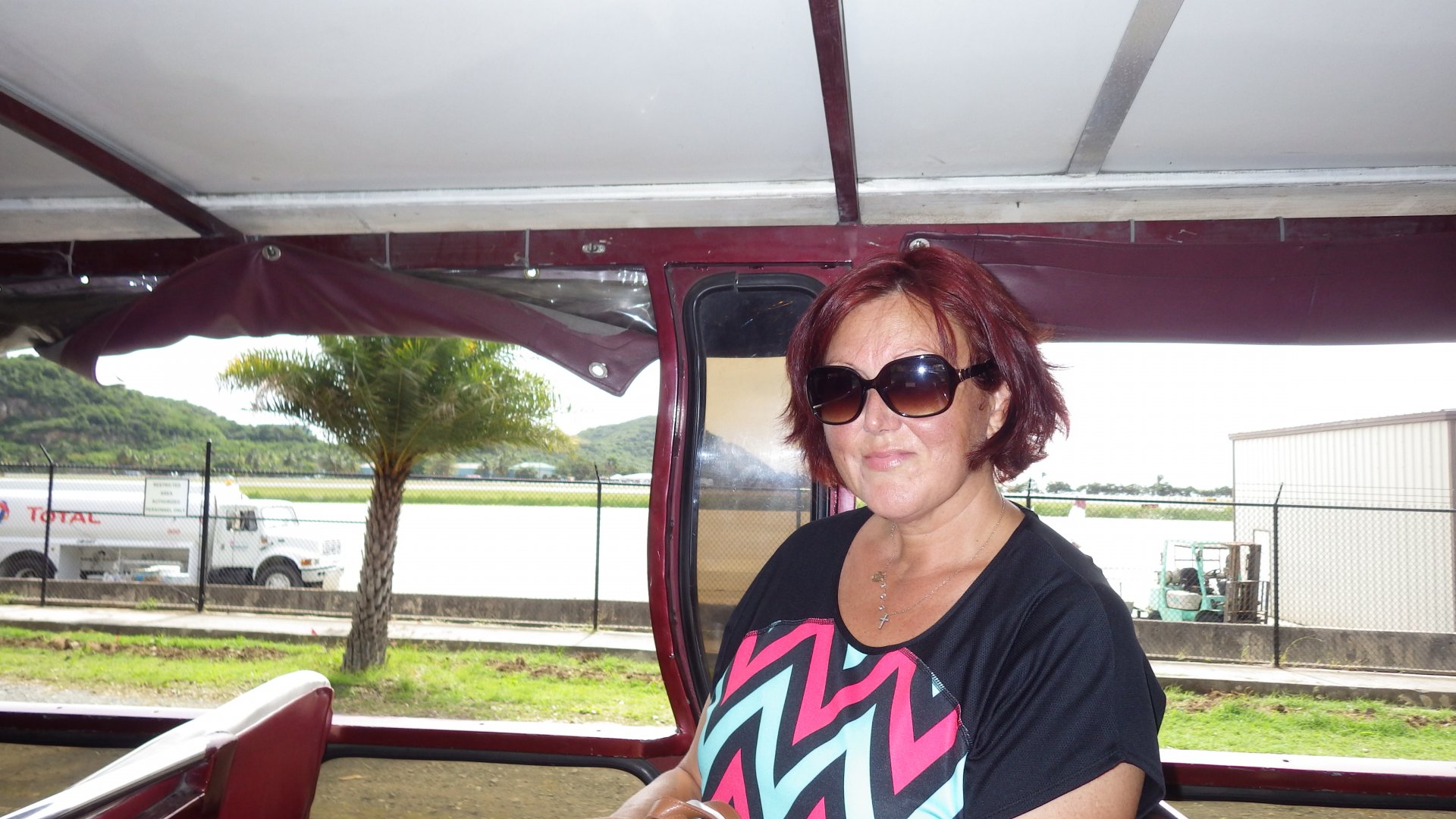
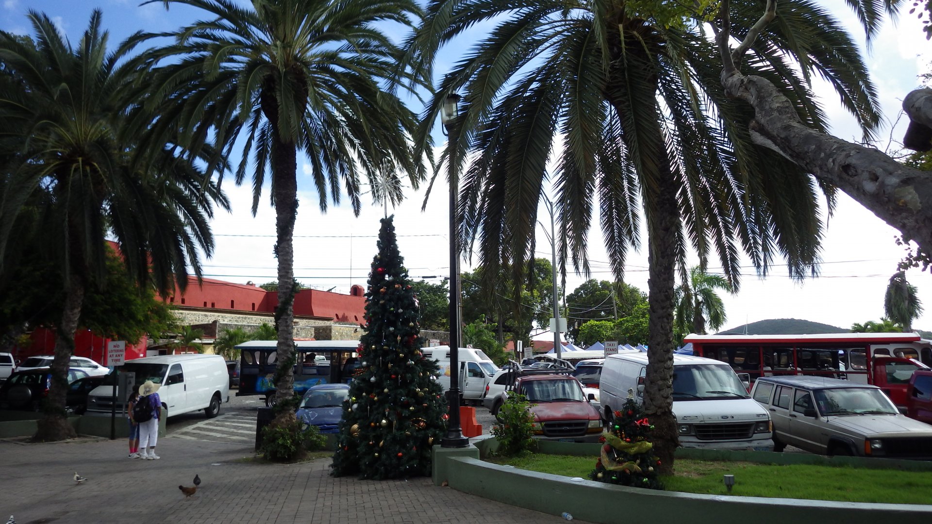
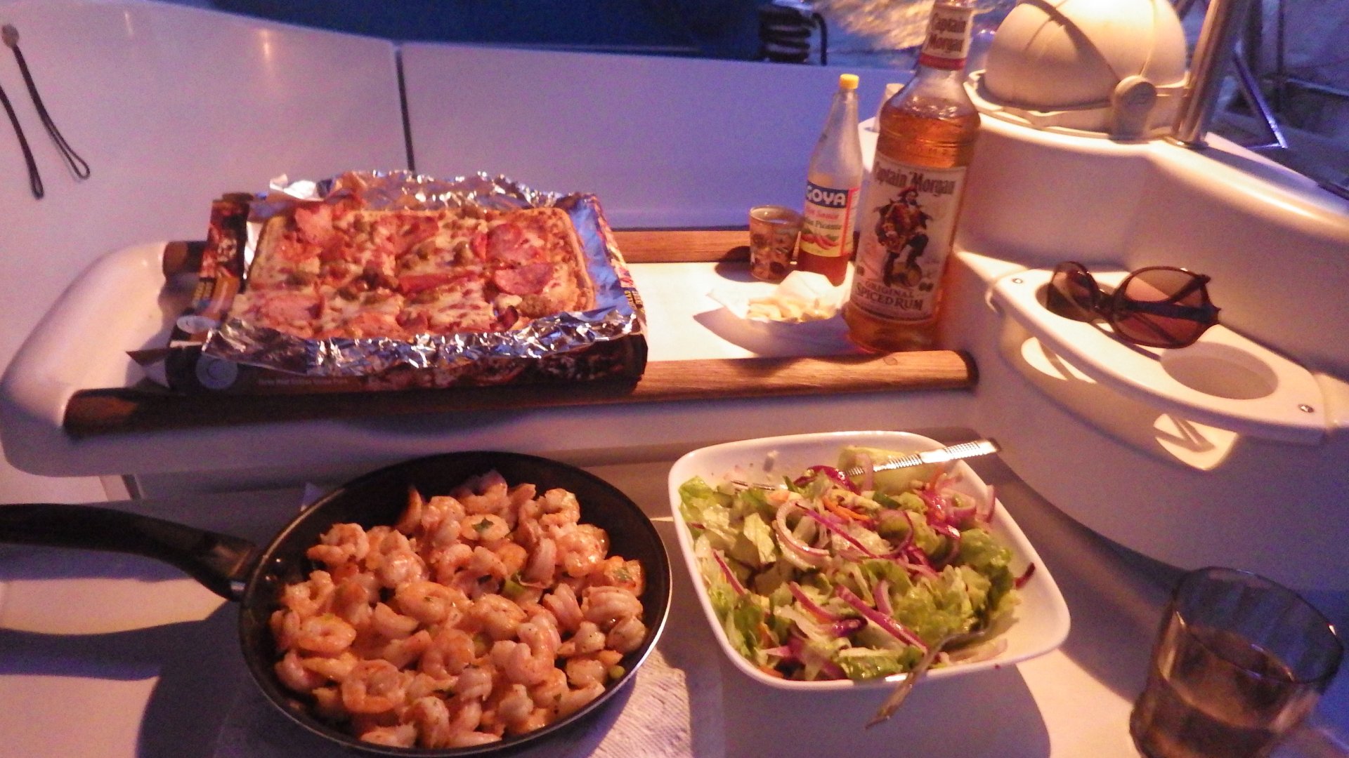
A $1-2 Safari bus can take you all around the island. Alcohol is cheapest we have ever seen (for example, a bottle of vodka is USD $3, comparing to $20+ at home in Ontario).

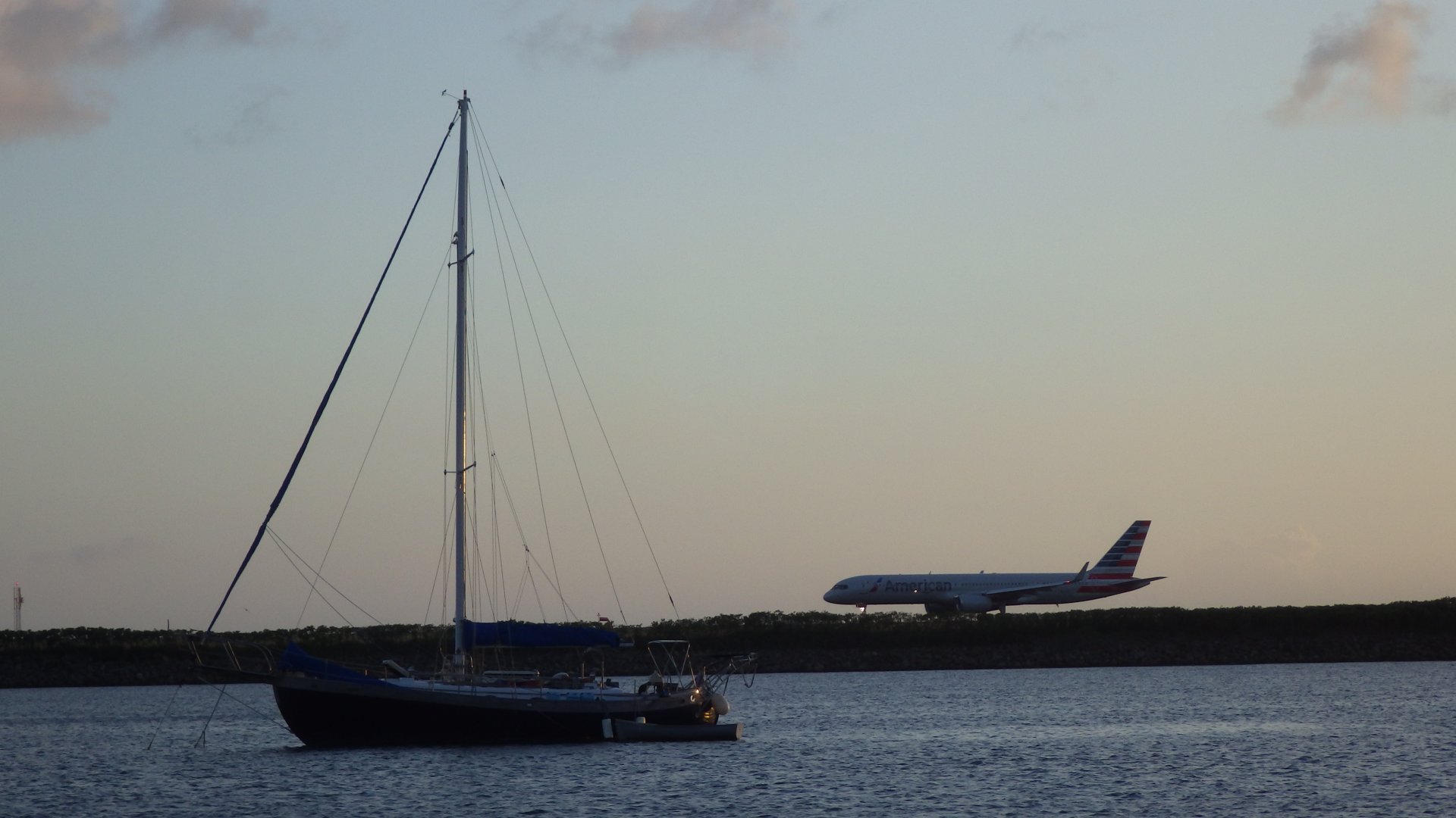
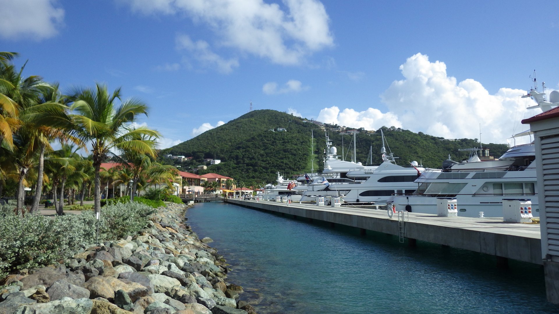
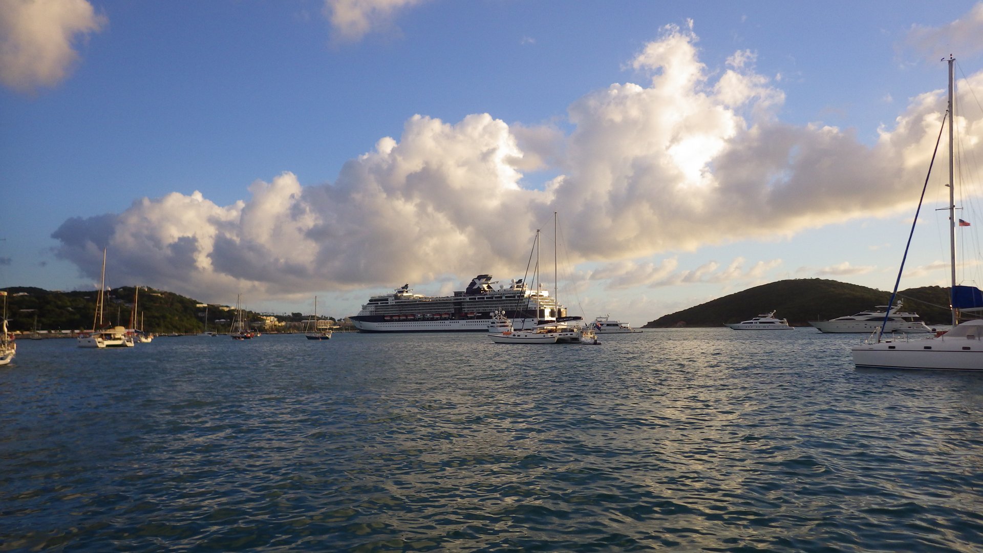
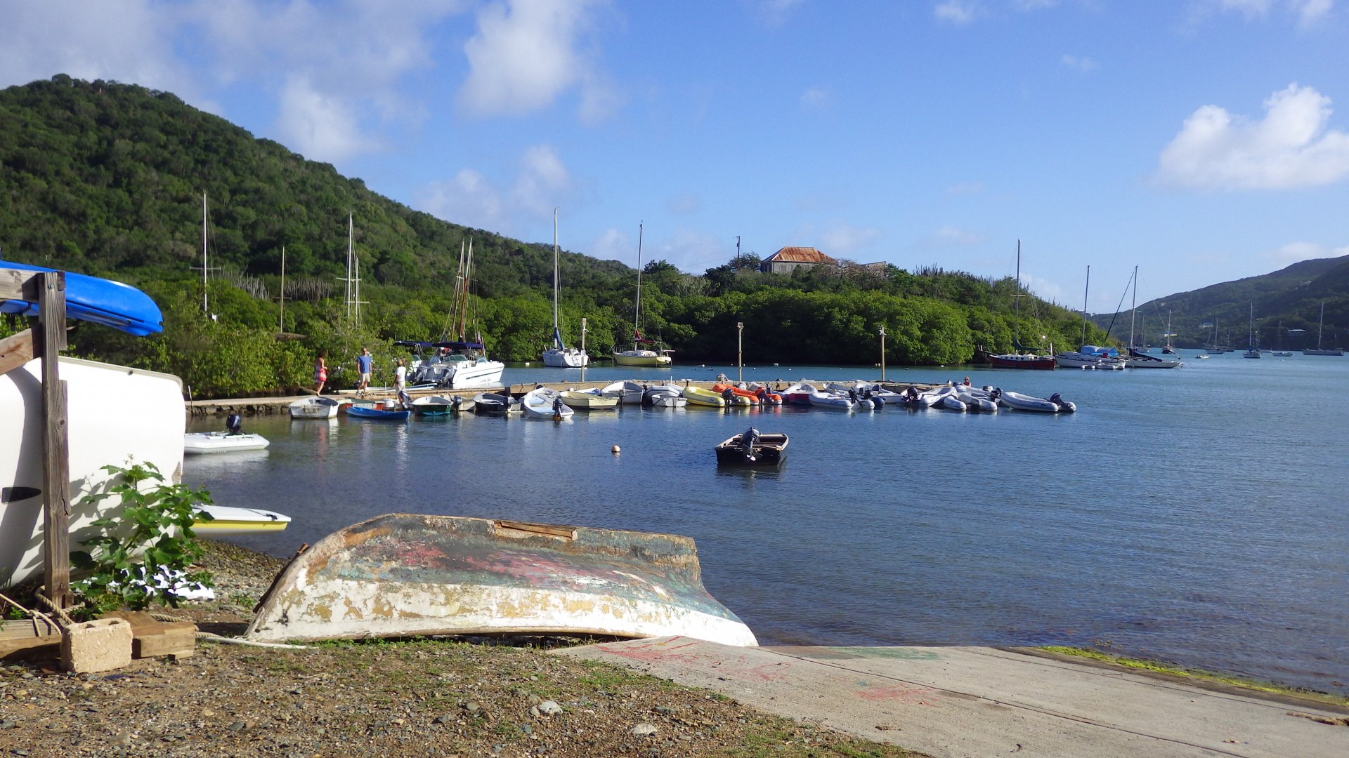
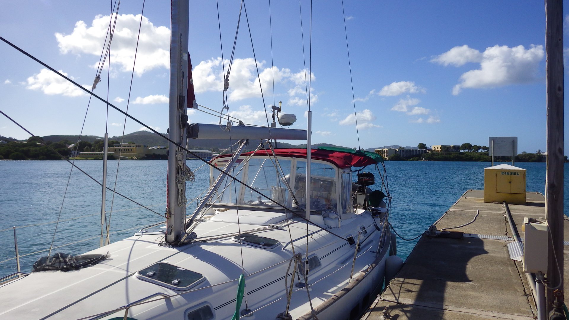
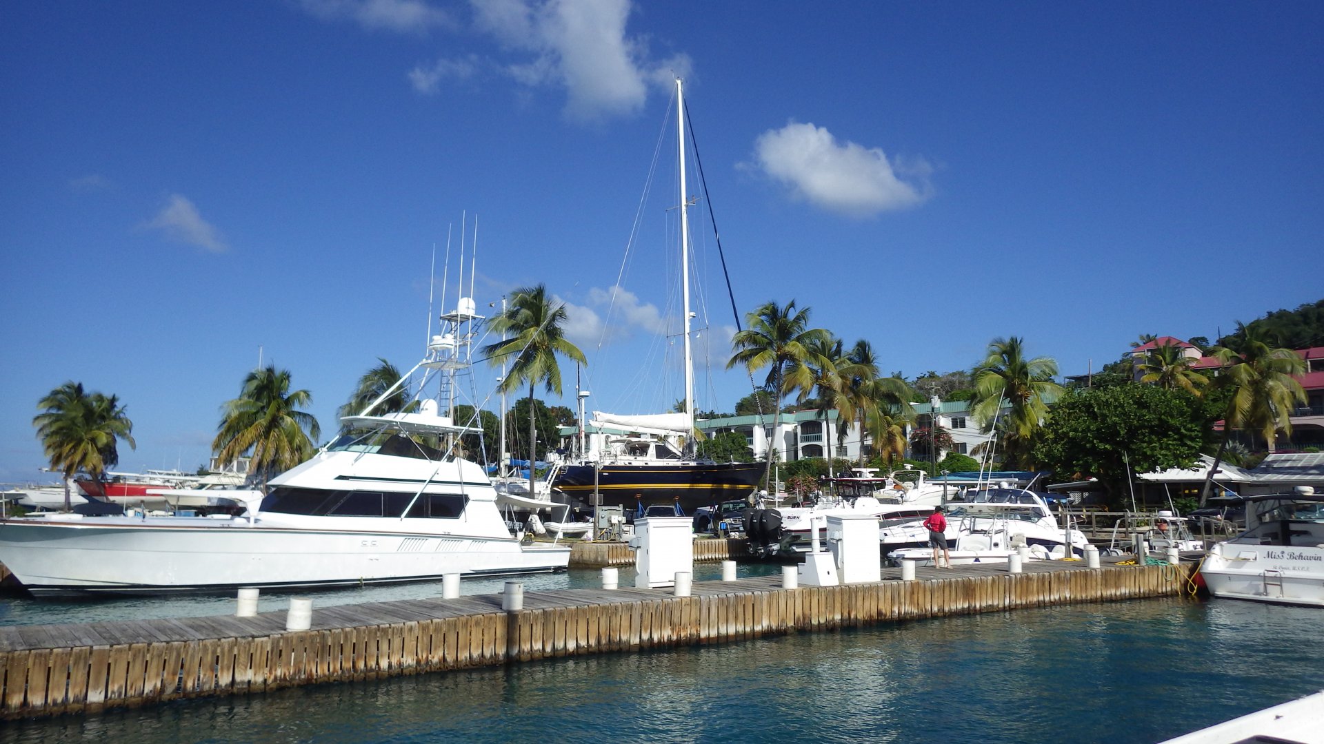
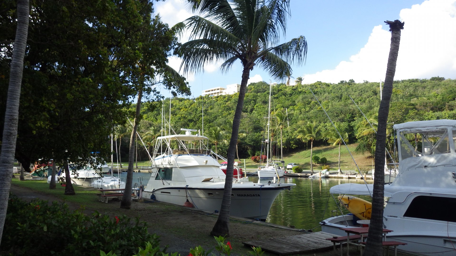
When leaving, we needed to fill our fresh water tanks, and had to wait couple hours in line at the front of the marina entrance.
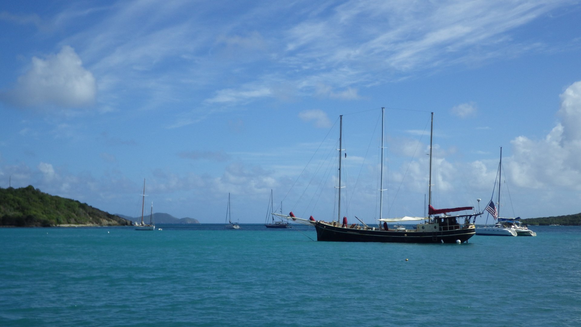
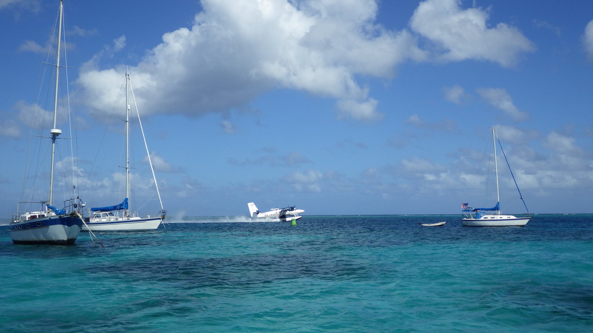
Since beginning of our cruising, we have filled water ranging from $0.00 to $0.50 per gallon, but it's a real chore to go around and hunt for it. Being on a sailboat (not much fuel use), well stocked (except fresh produce) and have sufficient solar electricity, we are pretty much self sufficient - except for the fresh water. Our tanks can hold up to 2 weeks supply and then we have to fill up. I am starting to really envy cruisers who have installed watermakers/desalinators onboard.

St Thomas Harbor Shorefront Cruiseship Dock Boats Anchored in St Thomas Harbor Historic Fort Christian Stores at Main Street Main Street Hilltop View of St Thomas Harbor View of St Thomas Harbor View of St Thomas Harbor 99 Stairs 99 Stairs Boutique Alley Shops at the Cruiseship Dock Antique Store Boutique Store Old Stone Wall At Shorefront Store Row At the Main Street At Yacht Heaven Grande At Yacht Heaven Grande At Yacht Heaven Grande Grounds Quiet Aley of Charlotte Amalie Another Boutique Alley of Charlotte Amalie Unbelievable Price Riding Safari Bus Charlotte Amalie View Park Christmas Tree At the Tropical Park Souvenir Stands at the Park Old Ruins on Water Island Old Building Remains Cruiseship at the St Thomas Harbor Plane taking off in St Thomas Harbor Busy Harbor Sunset at St Thomas Harbor Evening at the Shorefront Evening Shorefront View Evening Shorefront View Night Lights Nautical Parade Night Nautical Parade Lightenet Tallship
Chairs on Pebble Beach

Christmas Cove, Great St. James

Log#: 142
LatLon: 18°19.004'N, 064°46.072'W

This is a popular stop for boats traveling between St Thomas and St. John islands, with traffic passing nearby - charter boats, ferries, excursions. Fairly busy. There is a floating pizza boat in the cove, but we didn't try it.
Walked on a small pebble beach, swim, worked on some boat projects.

Christmas Cove St.Thomas View Pebbles Hermit Crabs Squal on the Horizon Rocky Beach Funny Coral Pizza Boat At the Christmas Cove Beach Large Cloud Hidden Pond Day Is Ending Quiet Sunset
Tallship in Rendezvous Bay

Rendezvous Bay, St. John

Log#: 143
LatLon: 18°19.004'N, 064°46.072'W

When visiting St. John Island, I decided to explore its South shore instead of more popular North shore. Among other reasons, we wanted to be ready to sail off South to St. Croix Island as soon as a suitable weather window arrives.

St. John's Rendezvous Bay is an off-the-beaten track place on the South coast of St. John. It was suitable to ride out strong easterly winds and squalls we had during that time.

It is a fairly quiet place. There are few small beaches and nice houses on the hills overlooking the bay. We shared the bay with few other boats, including a beautiful tallship.

Houses on the Hill Houses Overlooking Rendezvous Bay Bay View Impressive House Anchor Set Snubber Holding Anchor Chain On the Rocky Beach Tallship in the Bay Anchored in the Rendezvous Bay On the Rocks Rainbow After Rain Boats Anhored in the Bay Tallship in Sunset at Rendezvous Bay
Coral Harbor

Christmas Holidays in Coral Harbor, St. John

Log#: 144
LatLon: 18°20.525'N, 064°42.788'W

It is an "eclectic" place - a mix of locals, expats, tourists and liveaboards. Not much in terms of services, but I guess that is the charm of this place, which seems to be stuck in time.
There are several restaurants and basic (expensive) stores. Many day tourists in rental Jeeps are passing by.

The anchorage is quite crowded - it was fairly difficult to find a spot to drop the hook.

And we had a good Christmas Holidays here - humble, quiet, without snow, just two of us.

Still having problems with the dinghy's outboard engine - repairs, repairs... I am becoming a mechanic, but that is the part of the deal - "cruising is fixing boats in exotic places".

The weather remains quite windy to sail out comfortably - they call it "Christmas Winds" - so we are staying in the area for some short term. And we are not complaining - it is a slow cruise after all. We hiked the steep mountain streets, looked at the interesting homes and enjoyed great views of the bay.

Boats Anchored in Coral Harbor Busy Coral Harbor Anchorage Establishements to the West Pickes Deli in Coral harbor Street Market Sign Bench along the Street Quiet Mangroved Creek Snacks n Drinks At Shoreside Bar In the Palms Humble Christmas Dinner Coal Harbor View from Shore Dinghy Dock Small Boats at the Shore Mountains over Coaral Haror Anchorage Delapitated Neighboring Boat Goats on the Street Goats in the Field With Donkeys Fixing Outboard Engine Fixing Outboard View of Coral Bay Big Plant Hat in Bushes Coral Bay Hurricane Hole View Hurricane Hole View Coral Harbor View from Uphull Road Boat Upside Doun Coral Harbor Shore at Night
At Mongoose Junction Cruz Bay St John USVI

Road Trip to Cruz Bay, St. John

Log#: 145
LatLon: 18°19.864'N, 064°47.695'W

We had a day trip to Cruz Bay on the western side of St. John island.
Visiting the place by boat would be difficult - the bay is small and filled with local moorings. We would have to anchor couple miles away and dinghy to visit the town - not a feasible option with our tender.
So a road trip from Coral Bay while waiting for the weather was a good opportunity, especially when the decent local bus service across the island costs USD $1 per person.

Cruz Bay is US VI’ port of entry and another tourist trap. One day was just enough here.

Cruz Bay Beach Cruz Bay Street At Mongoose Junction Cruz Bay Cruz Bay Beach View At Cruz Bay Beach National Parks Building At Cruz Bay Cruz Bay Shore Coral Bay View From Bus
In Princess Bay

New Year in Princess Bay, St. John

Log#: 146
LatLon: 18°21.284'N, 064°41.576'W

Princess Bay is a part of a larger Coral Bay / Hurricane Hole area of St. John Island, and a National Park. No development here, just lush hills and several mooring balls. The wind swirls oddly at times coming from and between the hills, occasionally moving boat in unexpected directions.

We have spent a New Year Eve here. Mostly relaxing, watching movies, playing games, swimming, shelling on a small beach. I also snorkeled a little - seen lots of pretty fish, but forgot to take my camera.

Except for a short visit by a small boat, we had this bay to ourselves.
Nice and quiet.

Day in Princess Bay Visit to Small Beach On a Quiet Day View of Coral Bay On Mooring Ball in Princess Bay Sunset in Princes Bay
Round Bay Cottages

Round Bay Bay, St. John

Log#: 147
LatLon: 18°20.239'N, 064°40.520'W

This was just a one night stop staging our early departure to St. Croix Island. The winds finally started to come down, presenting suitable sailing conditions for the day long passage.

This small bay has pretty cottages at the shore and on the hills, few people on the beach.

Larysa have caught 2 fish, so we had a nice seafood dinner.

Small Cat Anchored in Round Bay My Swim to the Beach Boats Anchored in Round Bay Beach Cottage Day Coming to End Sunset in Round Bay
Torn Sail

Passage from St. John to St. Croix

Log#: 148
LatLon: 17°54.520'N, 064°41.075'W

We had a brisk beam reach sailing from St. John to St. Croix, in winds 17-25 knots and seas 5-8 ft.
At the start, my old mainsail was torn while I was pulling it out from the in-mast furling. It is the original sail (?), more than decade old and was definitely out of shape - i.e., the material in the middle stretched with time so much that it would jam the in-mast furling every time it was used. I was postponing getting new sails as much as possible, but now there is no choice, as reparing it would be a waste. This is going to make a tear in my cruising budget.
Nevertheless, we have managed to maintain speed up to 7.5 knots on one sail.

While sailing we have encountered a high-end tender boat floating adrift with no one on board. We have reported the sighting to the Coast Guard over the VHF radio.

We also caught a beautiful mahi-mahi on this passage. So it was an eventful day sail.

Tender Boat Drifting at Sea Mahi Mahi on Hook
Christiansted Tourist Waterfront

Christiansted, St. Croix

The town of Chrisiansted, St Croix is fairly pretty - in the tourist area. Restored old Dutch colonial architecture, inviting boardwalk, many historical places, including Fort Christiansvaern. Although the town is a bit rough on the outskirts.

We anchored in the main harbour, close to where all the action is. The anchorage is quite crowded, and noise from frequent seaplane take off and landing was bothering at times.

We stayed quite some time here - enjoying the waterfront, exploring, occasional eating out, visiting the Fort, replenishing our supplies, worked on boat (sealing toe rail), etc.

Also rented a car for a road trip around St. Croix Island, and Day sailed to Buck Island.

Filling Water Tanks at St Croix Marine Boats Docketd at St Croix Mrine Protestant Cay Fort Christiansvaern Christiansted Buildings Christiansted Harbour Anchorage At Christiansted Boardwalk Christiansted Tourist Boardalk At Christiansted Alley Overgrown Alley Christiansted Street Historic  Building Kings Alley Church Old Church Fort Christiansvaern Hsitoric Site Walkway to Fort Christiansvaern Fort Christiansvaern Field Historical Building Fort Christiansvaern At Fort Christiansvaern Fort Christiansvaern Courtyard Fort Christiansvaern View Fort Christiansvaern Cannons At Fort Christiansvaern Gallows Bay Shore Clothes Rapair at Local Shop Seaplane Taking Off Near Anchorage Flower and Geko St Croix Marine BoatYard Sea Street Sign Gallows Bay View Sunset at Gallows Bay
St Croix Road Trip

St. Croix Island Road Trip

While staying in Christinasted, we rented a car and took a day road trip around St. Croix Island.

Drove in a loop, from east end to west. Stopped at many interesting places, including Cramer Park Beach, Point Udall, St. George Botanical Gardens, quaint town of Frederiksted, Cane Bay Beach and Salt River. Driving along the narrow road thought the jungle portion was quite unusual.
Also had time to visit local Kmart and fill our propane tank.

BTW, driving in US Virgin Islands is in the left side.

Small Dock North Shore VI Baseline Array Telescope North Shore Road At Point Udall Buck Island View from Point Udall Cramer Park Cramer Park Beach Ruins at St George Botanical Garden In Botanical Garden Cannon Ball Tree Big Beany Fruits Ironsmith at St Georges Botanical Garden Waterfall at Botanical Garden At Botanical Garden Old Water Canal Plantation Mamagers House Frederiksted Frederiksted Pier View from Waterfront Frederiksted Waterfront Frederiksted Waterfront At Frederiksted Waterfront Old Fort Frederik Fort Frederik Bell Towet Frederiksted Colonial Architecture Along Strand Street Stone Arch Building in Frederiksted Old House Along Jungle Road Cane Bay Beach Salt River Maarina
Buck Island

Buck Island Reef National Monument

Log#: 151
LatLon: 17°47.114'N, 064°37.710'W

Also while staying in Christinasted we had a day of very quiet weather and decided to visit Buck Island, St. Croix's special attraction.

The reef life there supposedly one of the best - "magnificent array of corals, sponges, see fans and fish". The area declared as a Reef National Monument after all, so I decided to check it out and snorkel it.
We took a dinghy to another side of the island where there is a Marine Garden and a unique marked underwater trail. Unfortunately, I have found mostly dead coral and fish is not plenty either. The reef life now is definitely not as it used to be.
Came across a school of barracudas waiting for their prey.

Then we had a hike up the hill, through bushy interior to the top of the island. The observation deck there provides spectacular views of surrounding waters, coral formations and St. Croix - well worth the hot weather hike.

Before leaving the island we had a cooling swim at its beach. It is rated among the Caribbean's top 10. We found it crowded, noisy (it was weekend) and not that impressing.

We finished the day by a really nice sail into the sunset with a dinner.

Buck Island Reef National Monument Sign Buck Island Beach Motorboat at Beach Buck Island Beach Beach Dinghied to Underwater Reef Trail Buck Island Unredwater Trail Entrance Graveyard of Dead Corals Dead Corals Dead Corals Undewater Fish Sign Fish Fish 1 Fish 2 Fish 2 Best View St.Croix from Buck Island Buck Island Hiking Trail View from Buck Island Hiking Trail Cactus Alpng the Hiking Trail Buck Island Hiking Another View View from Buck Island Observation Deck View Wes from Buck Island Observation Deck View South from Buck Island Observation Deck At the Buck Island Observation Platform Hermit Crab View from Buck Island On the Way Back Sinset Sail Christiansted Anchorage at Night
Francis Bay

Francis Bay, St. John

Log#: 152
LatLon: 18°21.925'N, 064°44.939'W

From Cr. Croix, we sailed back to St. John Island.

A replacement for our old ripped mailsail was ordered and due to arrive in several weeks in British Virgin Islands, so we sailed out of St. Croix on one sail. As always in cruising, timing is crucial - picking the right weather window with winds just right from the direction you want is the game.

Had quick stops in earlier visited places - first at Princess Bay / Hurricane Hole to have clean water swim, and then in Coral Harbour town to get some internet/phone access and pickup groceries.
It's interesting to come back to places visited before - almost like getting back home.

Our next stop was Francis Bay on the north shore of St. John.
I have read about it as the best bay on the island. It is pretty, no doubt - beautiful and protected bay surrounded by tall lush mountains, calm blue water, and lovely beach - although quite crowded.

As with all places in St. John Natural Park, no anchoring allowed for the protection of seabed - you have to pick up and pay for a mooring ball. So much for the "free" park as it was originally established by Rockefeller... Right at the entry, we met with a fairly aggressive self-appointed "volunteer" telling us all about rules etc.

Stayed here one night - swimming at the beach, hiking some trails... - but for some reason the place it didn't feel right. So next morning we left.

Cliffs at Coral Bay Princess Bay Shore Night at Princess Bay Coral Bay View from Princess Bay Sailing Between USVI and BVI Cliffs at the Enrtance of Francis Bay Schooner at Francis Bay Hills over Francis bay Boats at Francis Bay Francis Bay Beach Busy Francis Bay Beach Francis Bay View from Beach Hiking Trail Interestng Cruiseship Sunset at Francis Bay
Ruins at Leinster Bay USVI

Leinster Bay, St. John

Log#: 153
LatLon: 18°21.857'N, 064°43.347'W

While motoring against winds, waves and current to our next stop, I noticed a black smoke coming out of the exhaust pipe. As soon as we arrived at Leinster Bay, I opened my toolbox, engine manuals and books looking for the problem. It turned out that engine's water pump impeller was broken and engine was overheating. It is not uncommon occurrence and prudent cruiser always caries as spare impeller, as I did. Replacing it fixed the problem.

We stayed couple days in the Leinster Bay - swimming on the beach, snorkeling at the Waterlemon Cay and visiting nearby sugar plantation ruins.

We also visited this place second time couple weeks later when our daughter had joined us.

Engine Water Pump Impeller Quiet Day at Leinster Bay Leinster Bay View Leinster Bay View Leinster Bay View from Beach Path to Ruins We are on path Stair Path in the Forest Annaberg Historic Site Poster At the Annaberg Sugar Mill Ruins Treed on Ruins Sugar Boiler Tropical Tree At Annaberg Ruins Ruins Window Bakery at the Ruins Leinster Bay View from Annaberg Ruins in Tropics Annaberg Sugar Mill Ruins Coral Stone Wall Annaberg Ruins Ruins at the top Plantation Ruins Ruins at the Top Cactus on the Path At the Top View At Top Ruins From Top View Plantation Ruins in Jungle Hermit Crab Waterlemon Cay Fins Ready to Snorkel Sea Urchins Coral Fish Coral Fish Corals Coral Fish Corals Happy Snorkeling Leinster bay View At Waterlemon Cay Protect Coral Reefs Quiet Day at the Beach Leinster ay View from Annaberg
<< Older Entries     Logs Archive     Newer Entries >>

Copyright© 2000-2024 www.slow-cruise.com