Slow Cruise

Sailing Adventures of s/v Alpine Zephyr
"Man cannot discover new oceans unless he has the courage to lose sight of the shore." -- Andre Gide
<< Older Entries     Logs Archive     Newer Entries >>

Sailing Log: Spanish Virgin Islands

Spanish Virgin Islands are considered pert of Puerto Rico territory. They consist of two major islands - Vieques and Culebra – as well as many smaller islets.

Green Beach Vieques SVI

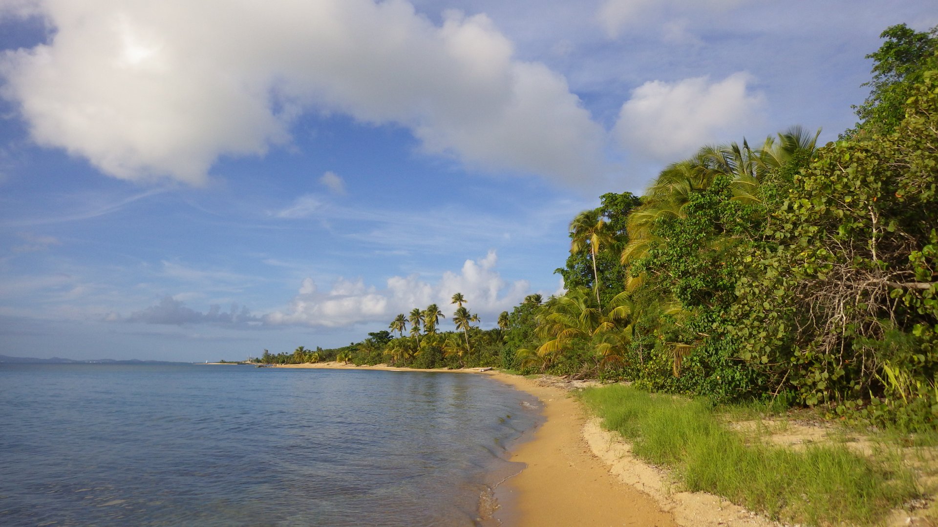
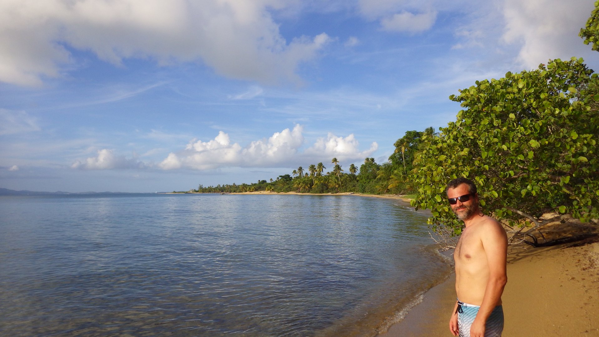
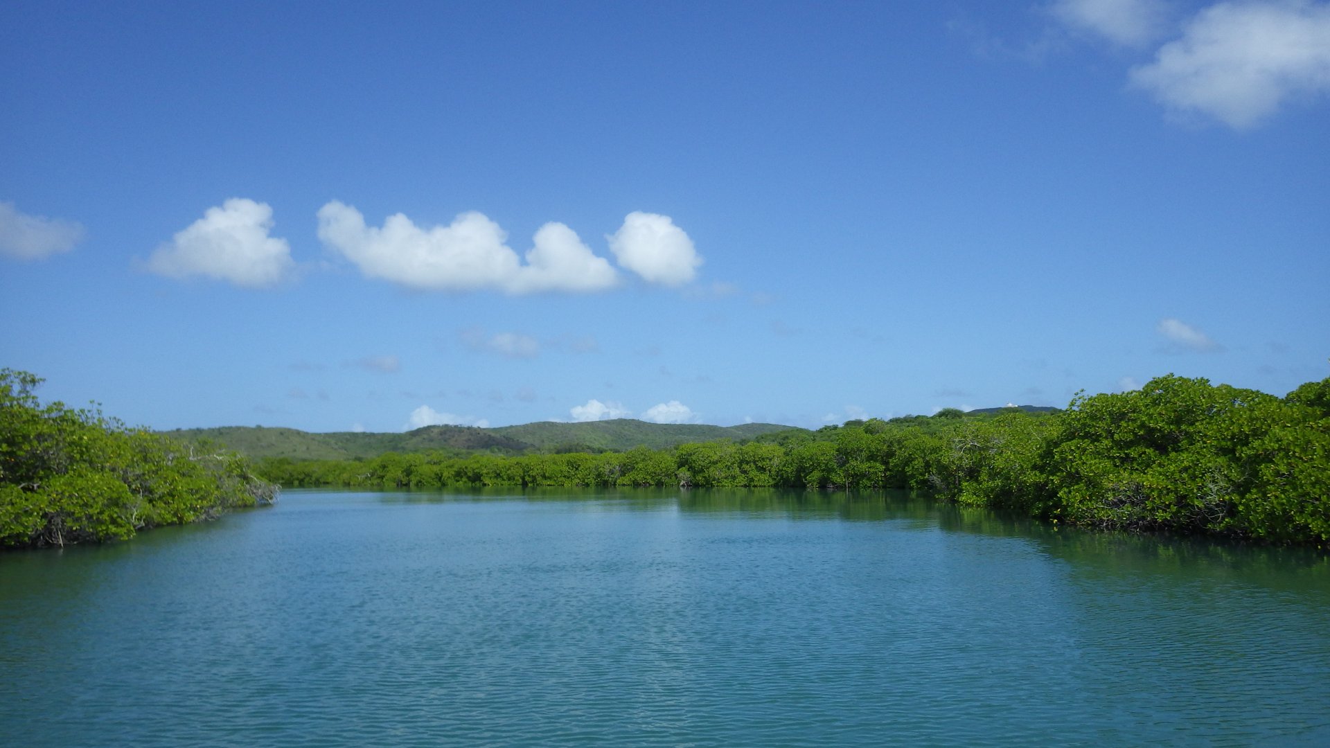
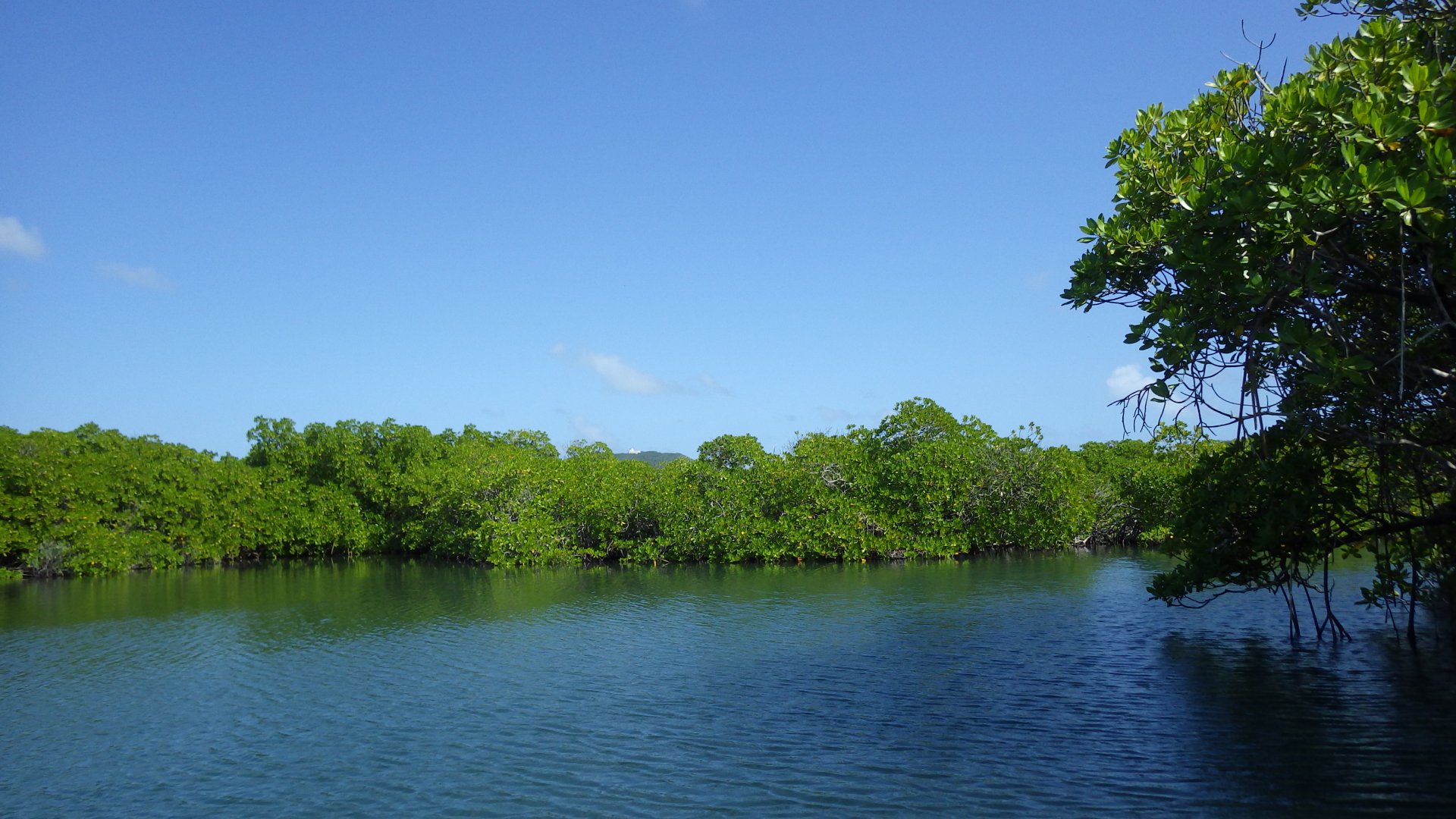
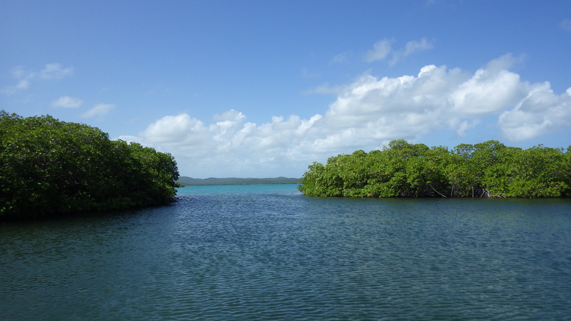
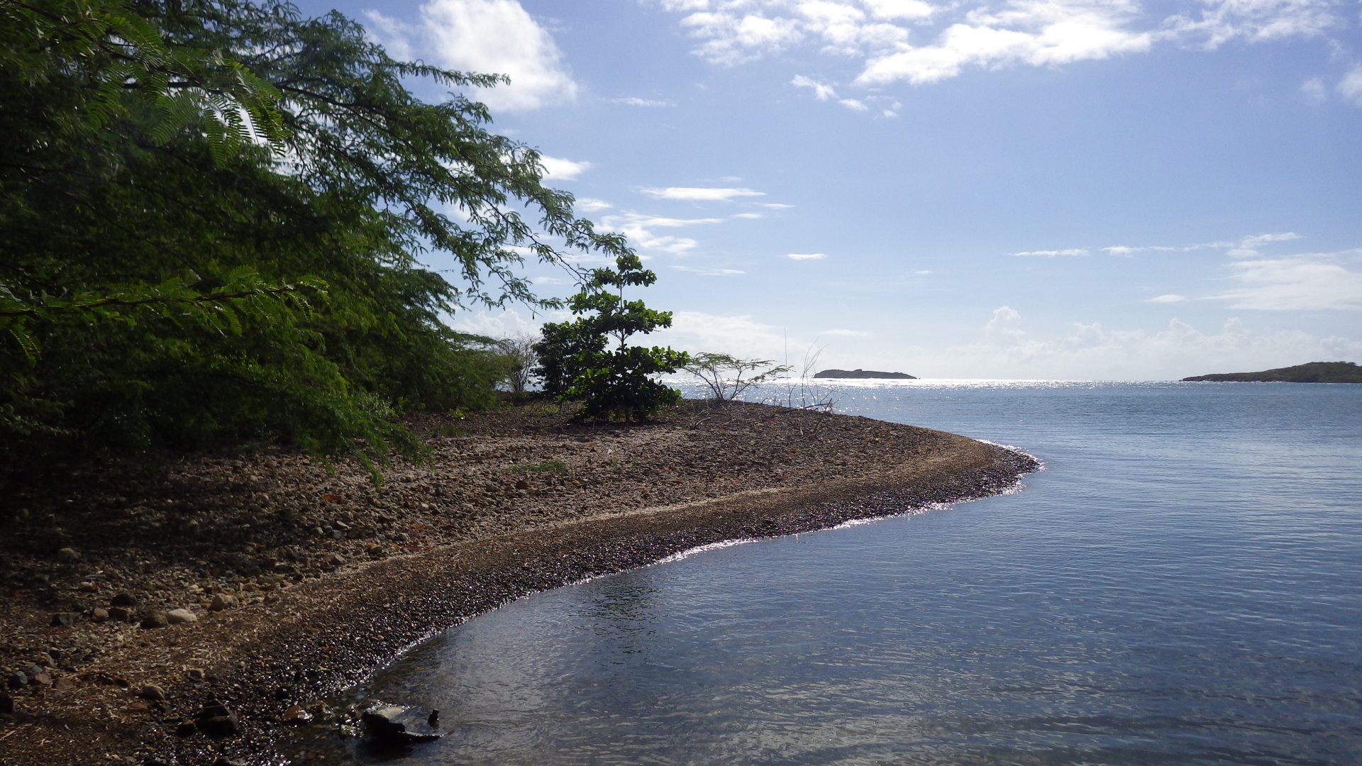
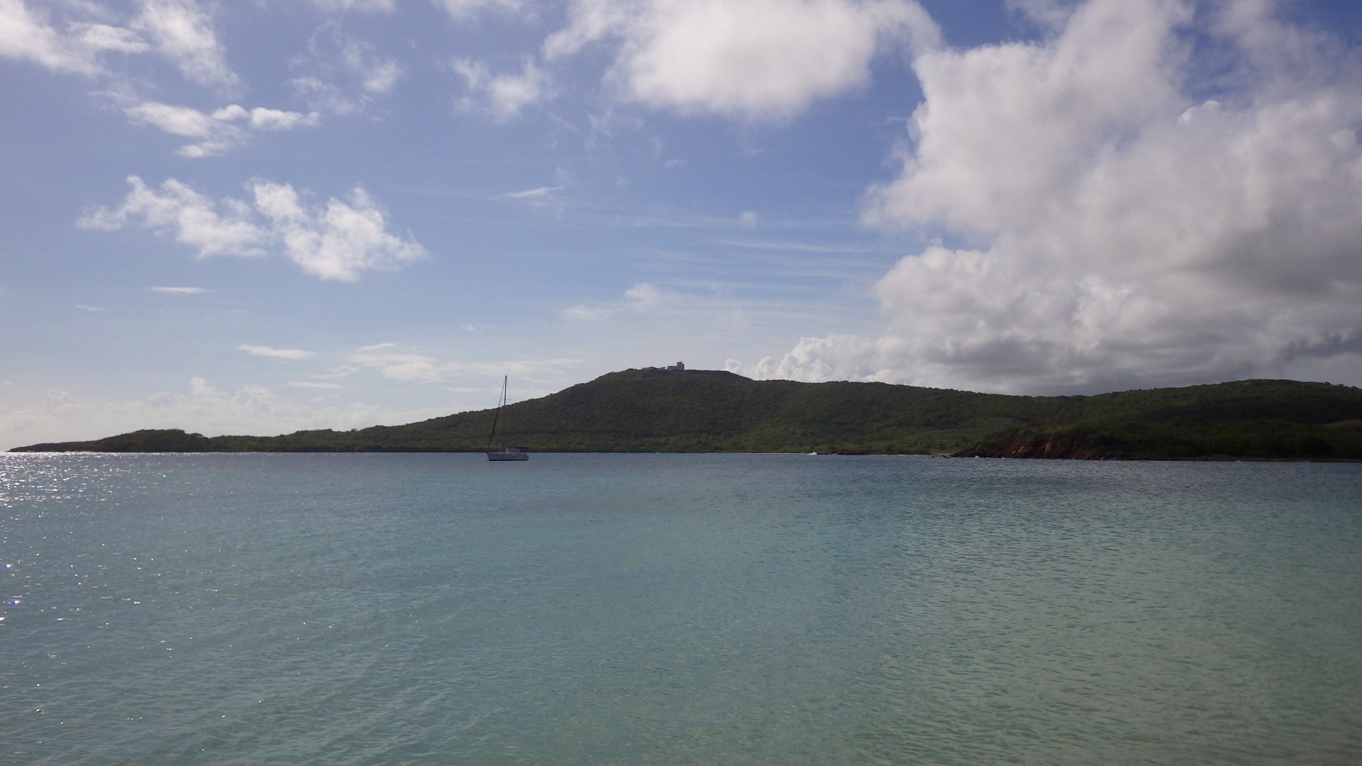
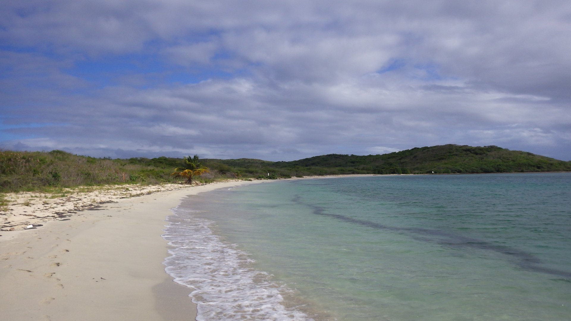
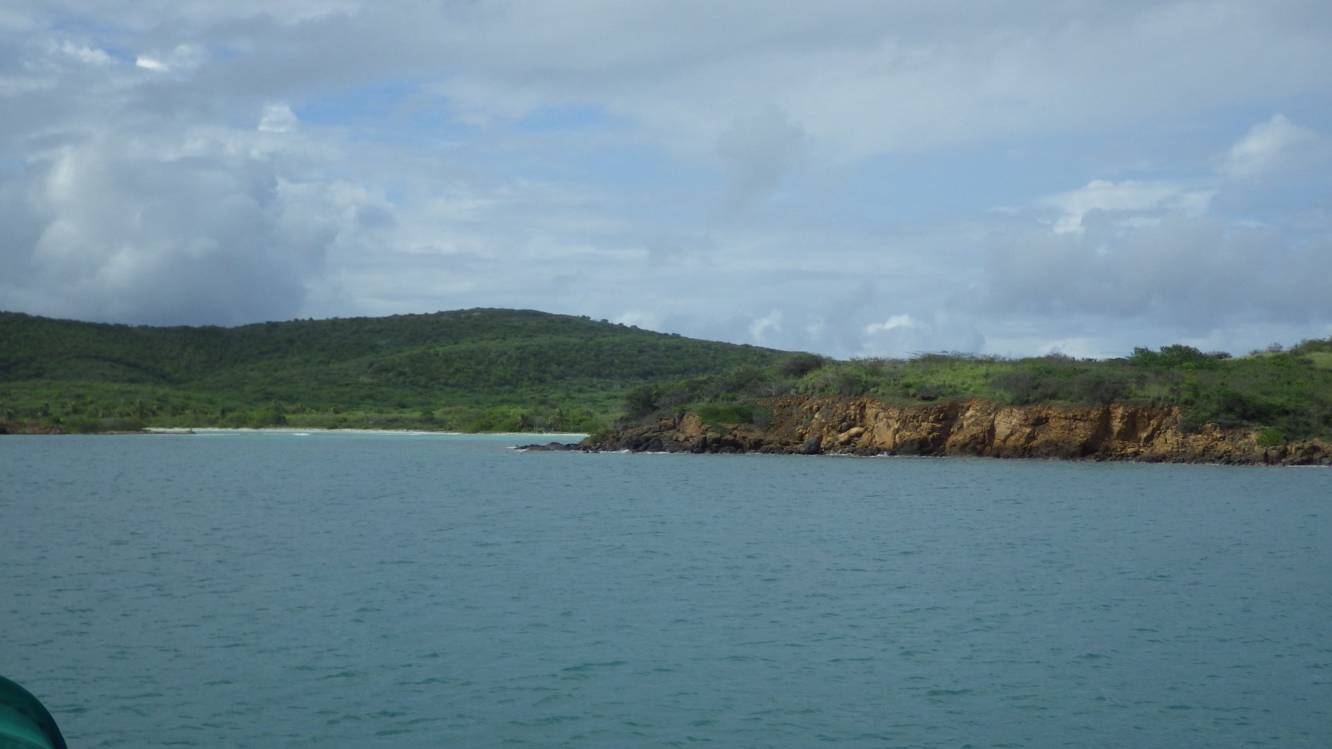
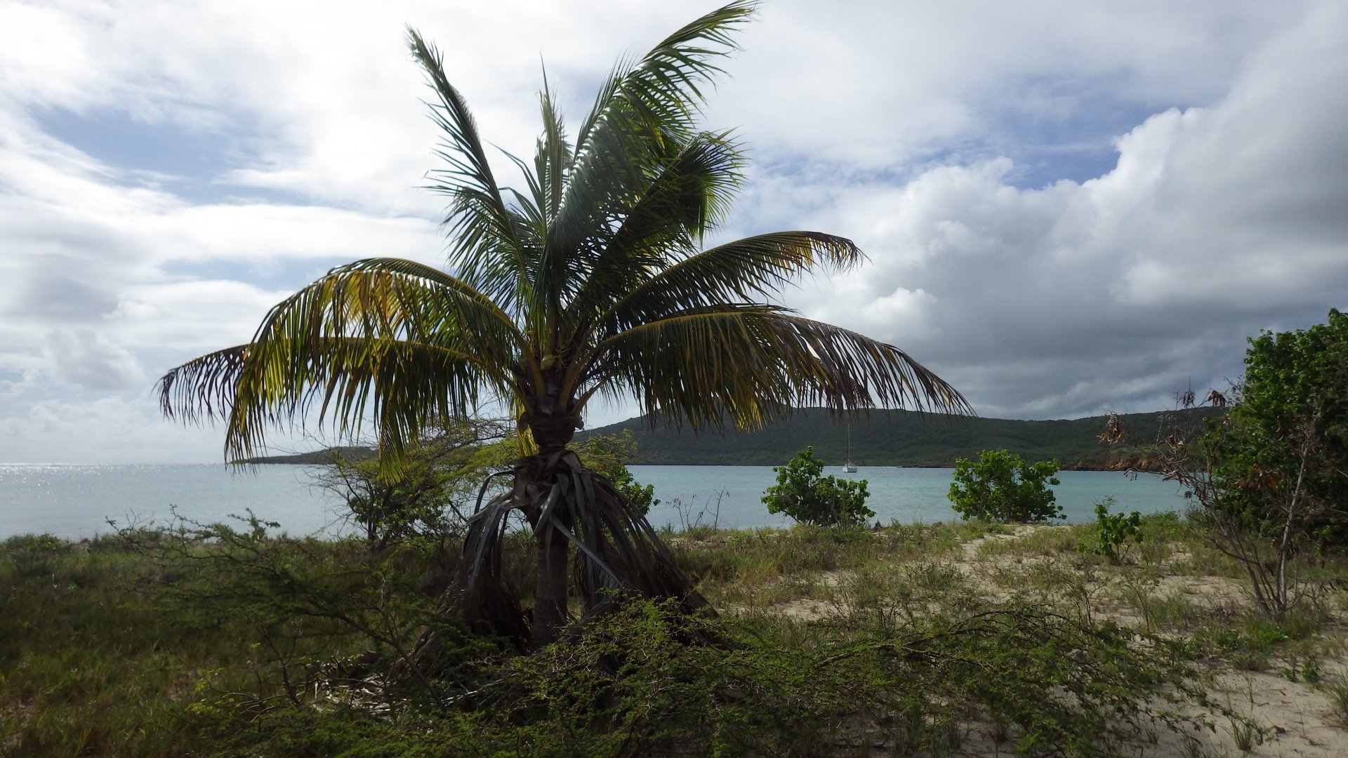
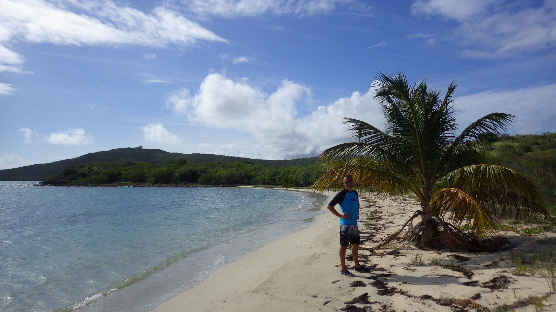
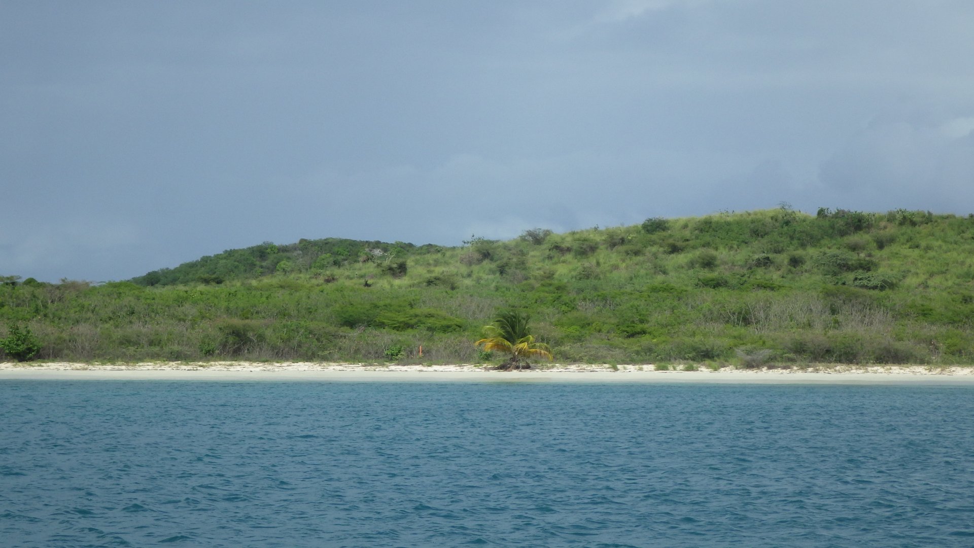
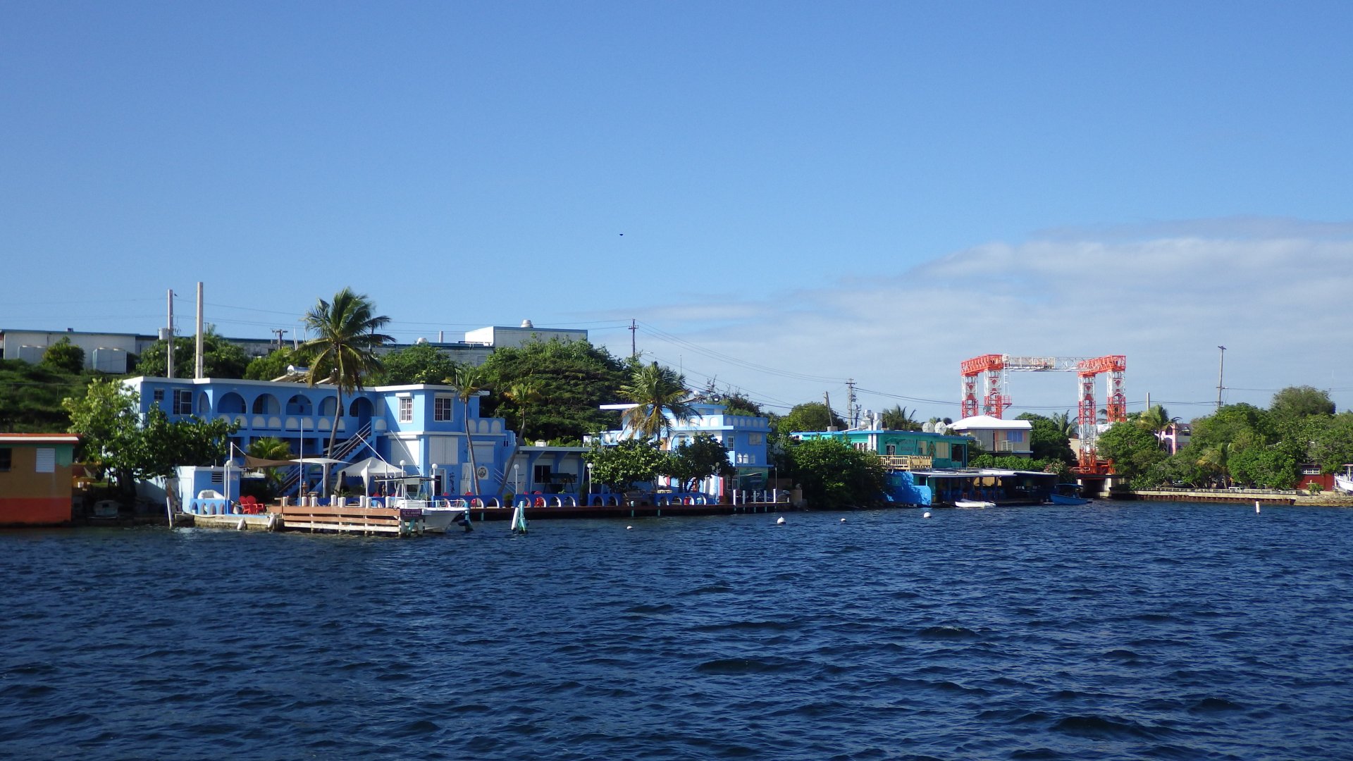
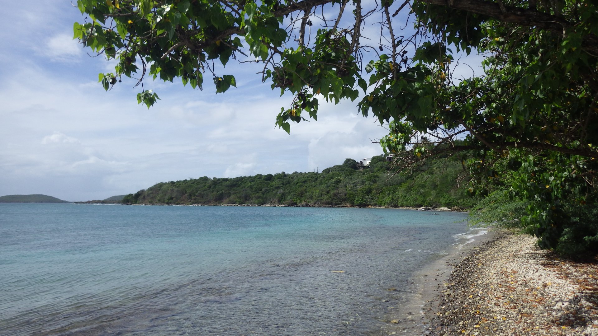
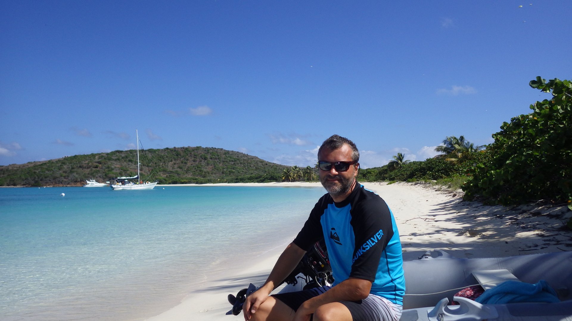
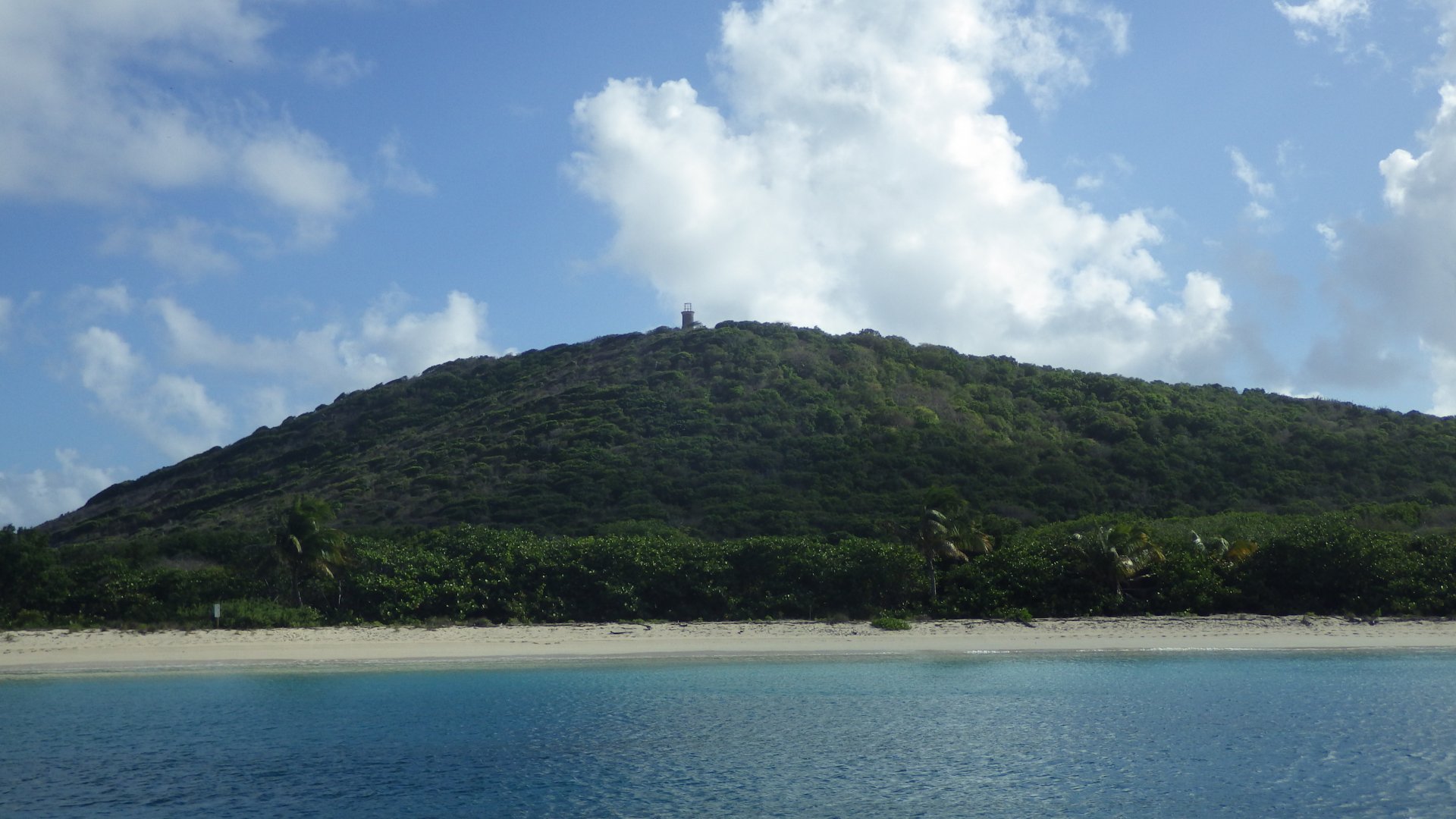
Green Beach, Vieques Island

Log#: 131
LatLon: 18°06.603'N, 065°34.589'W

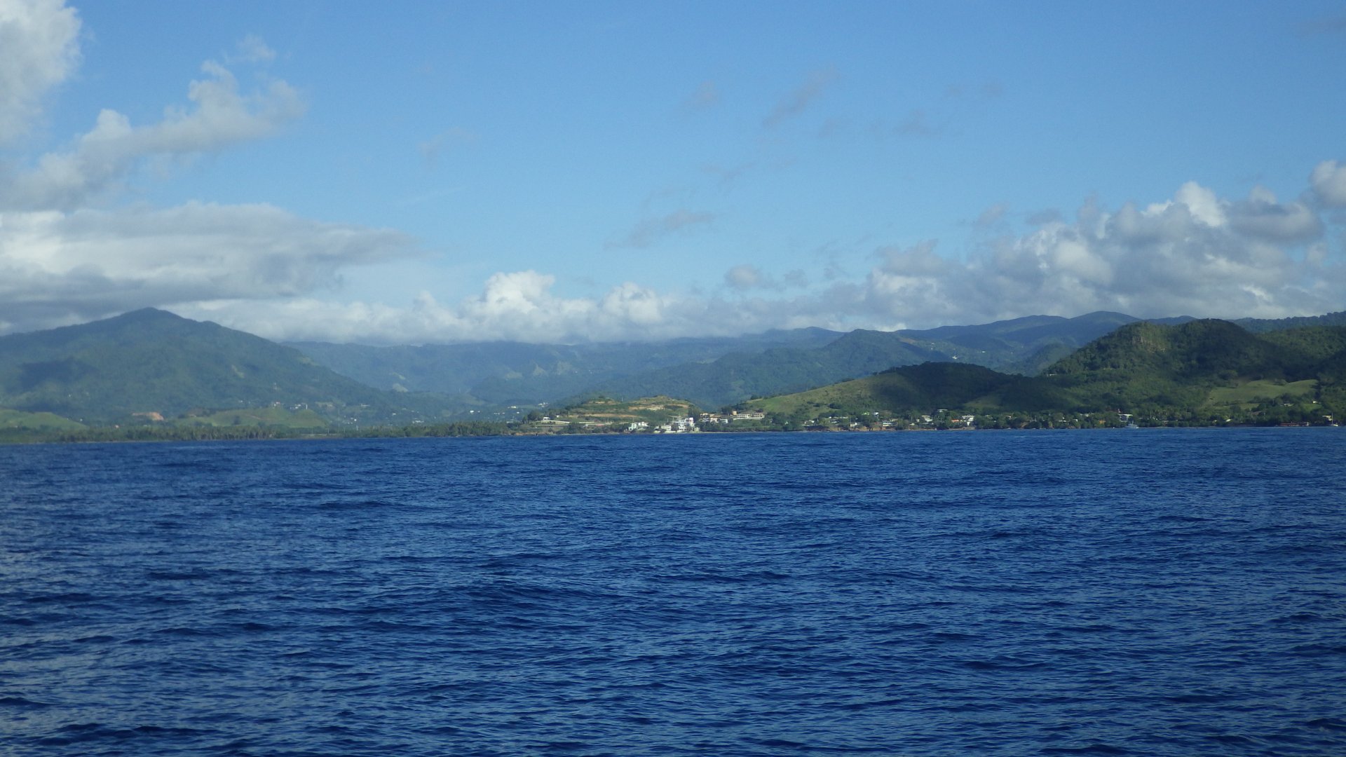
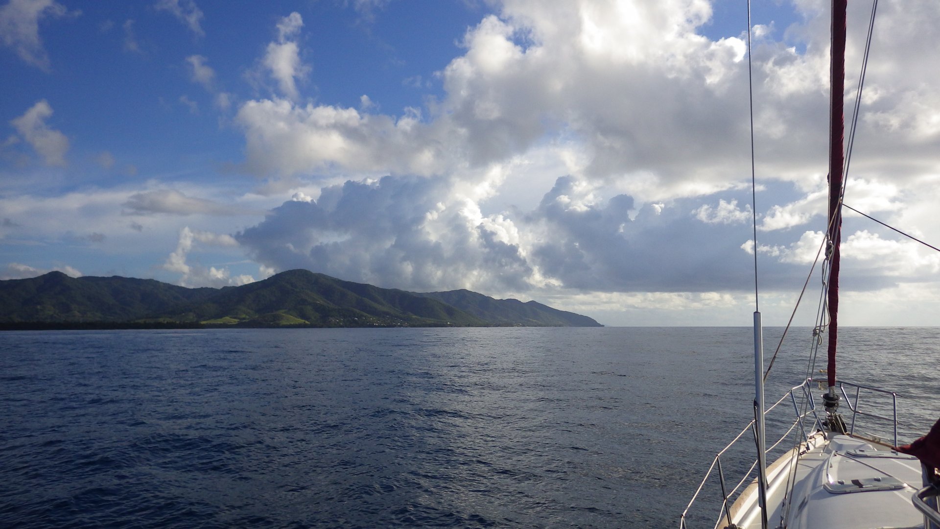
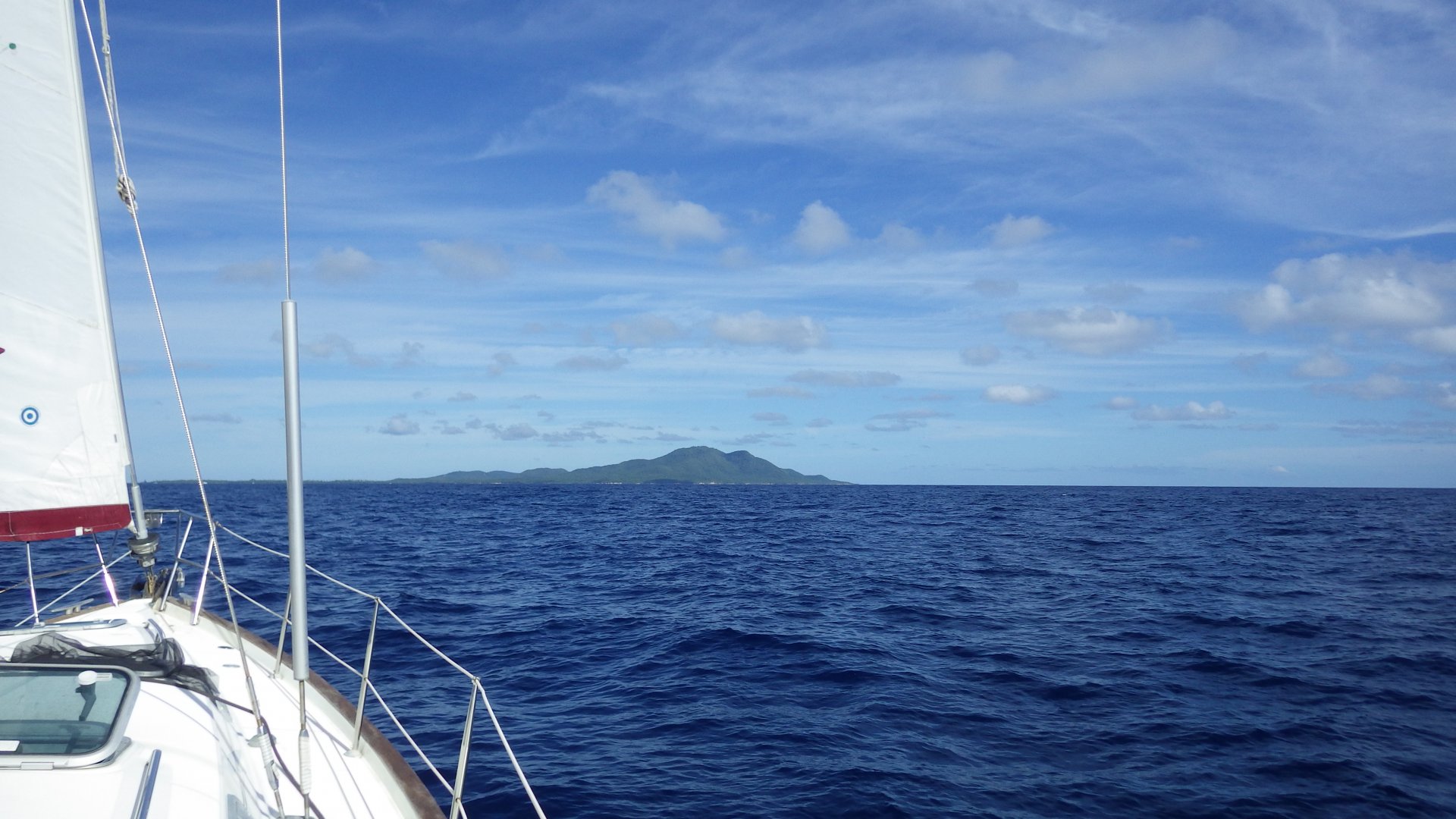
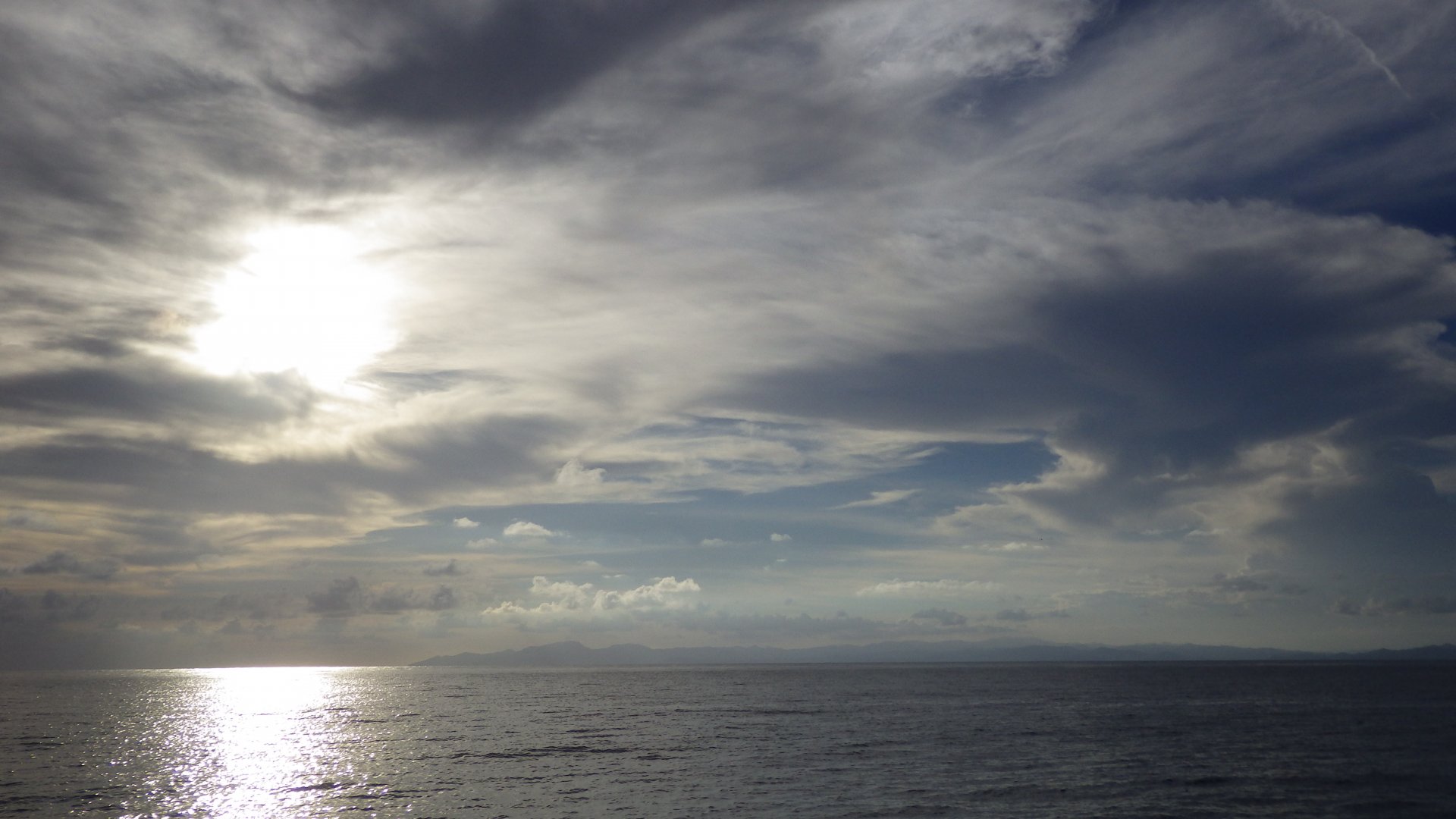
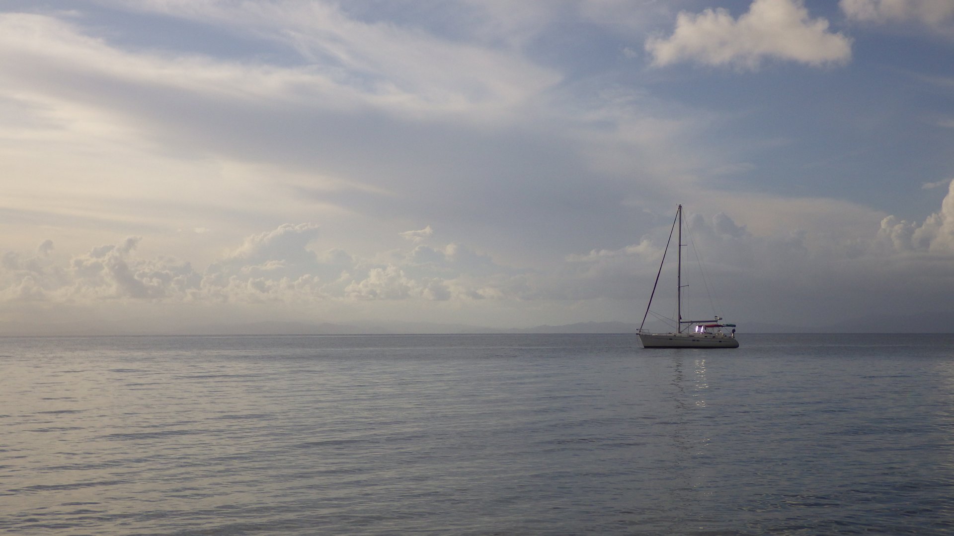
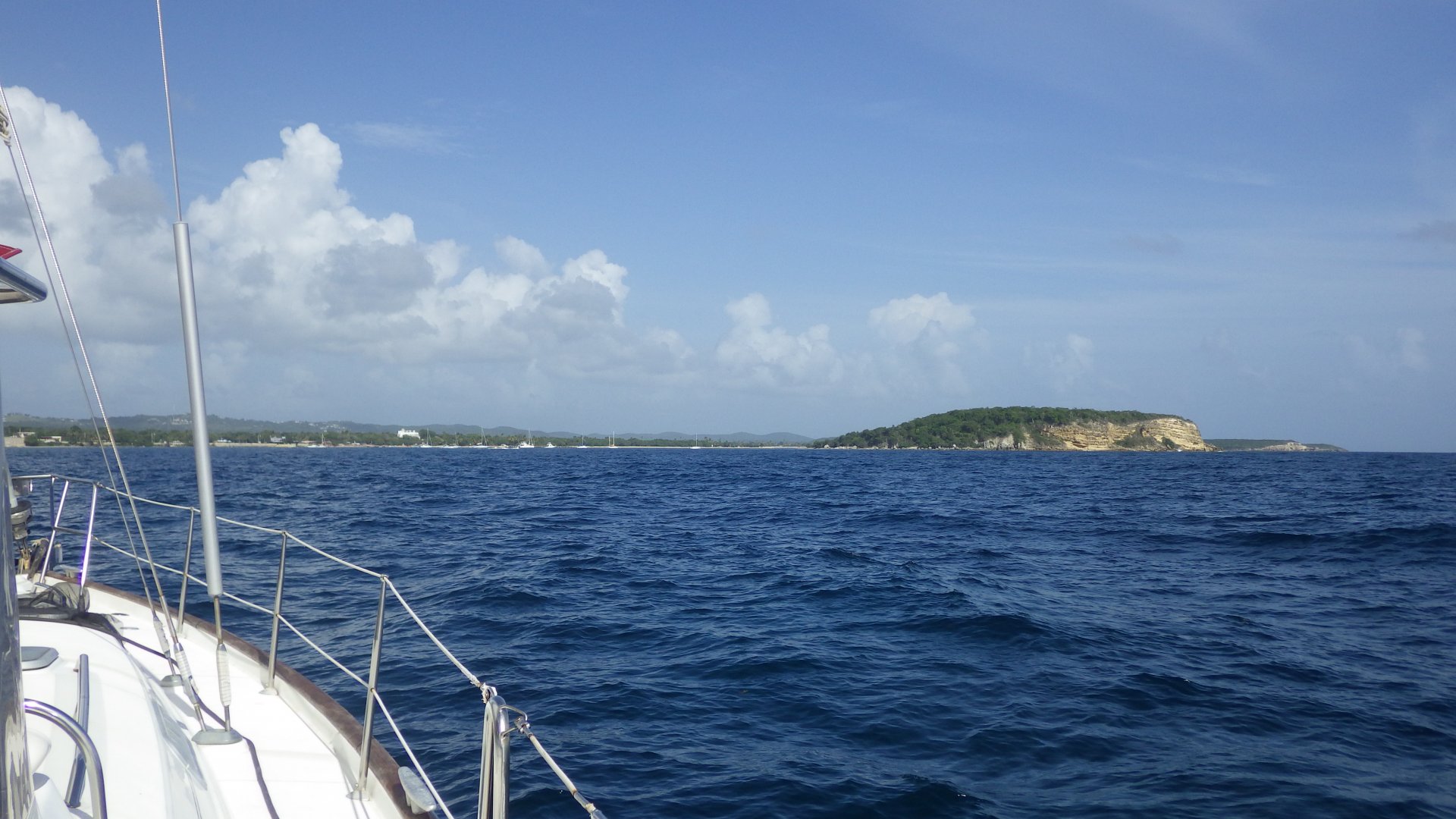
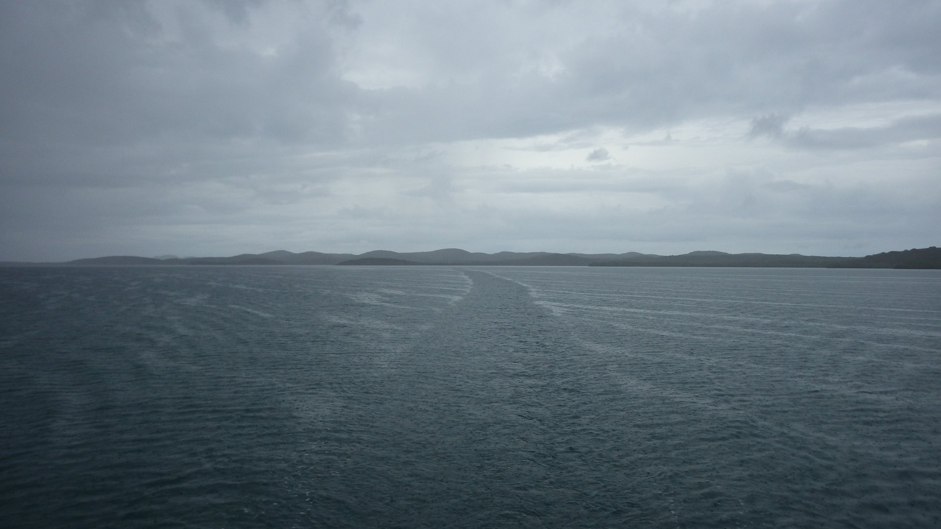
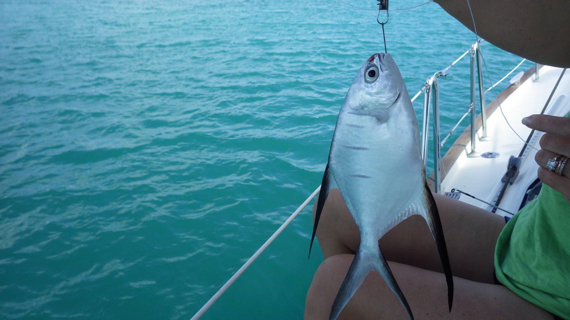
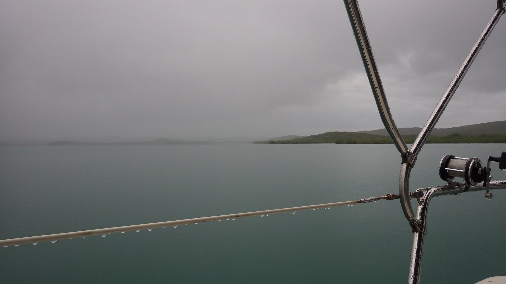
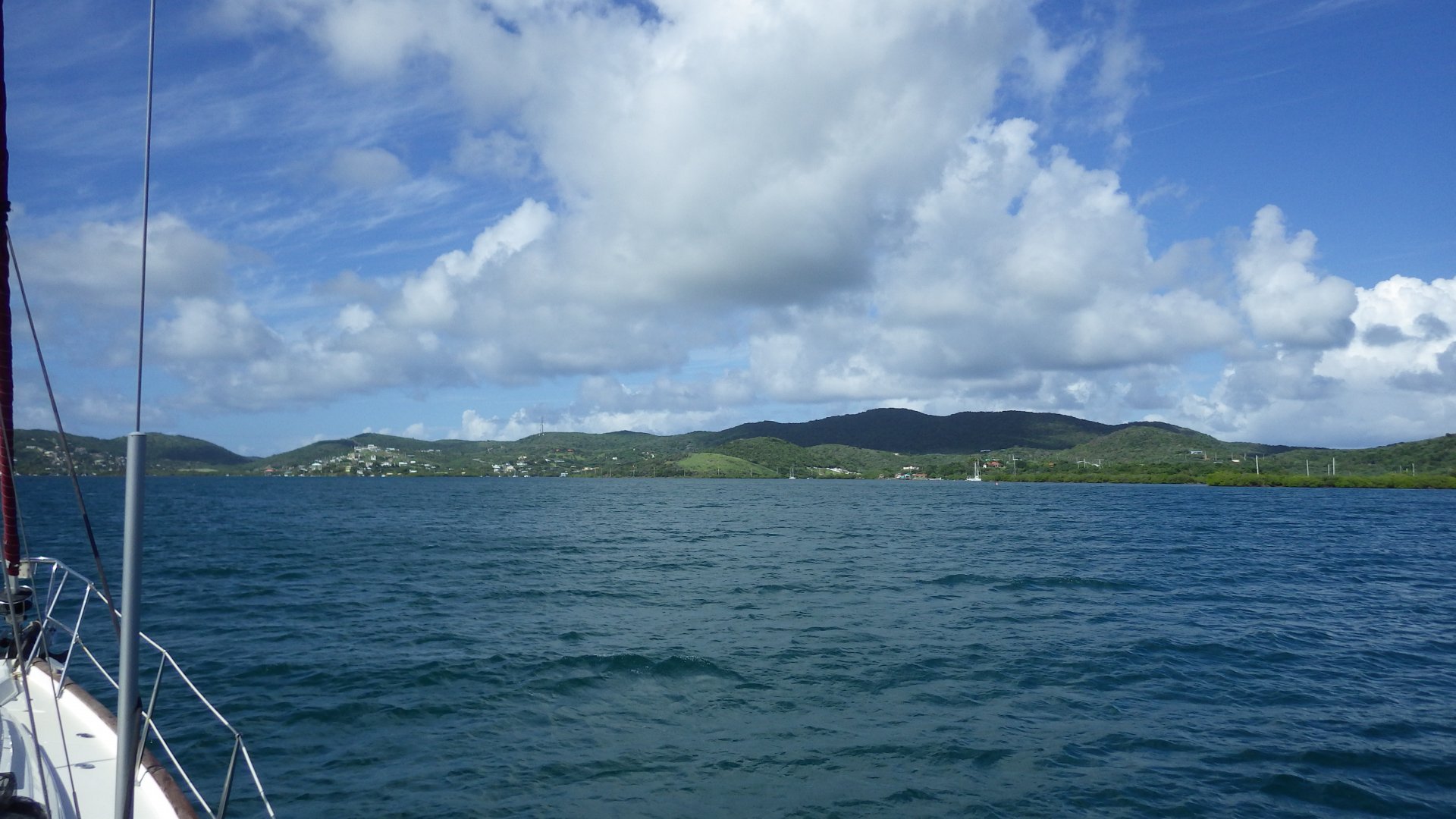
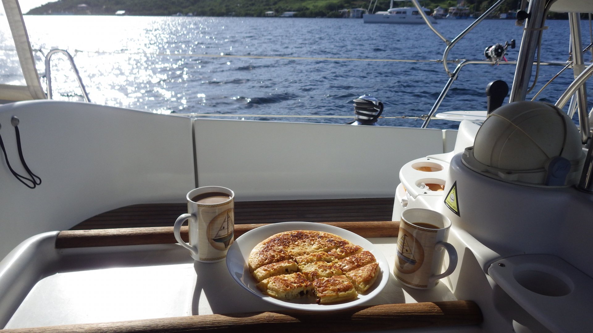
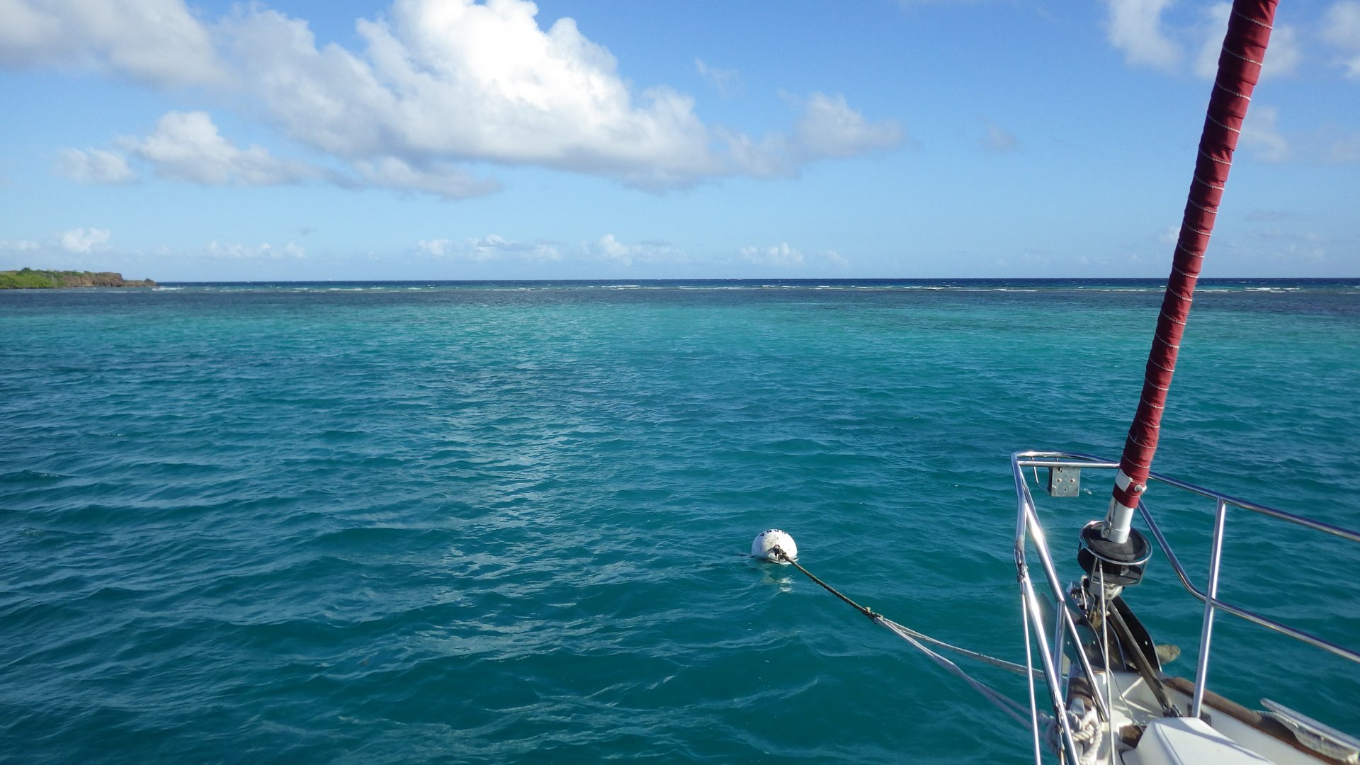
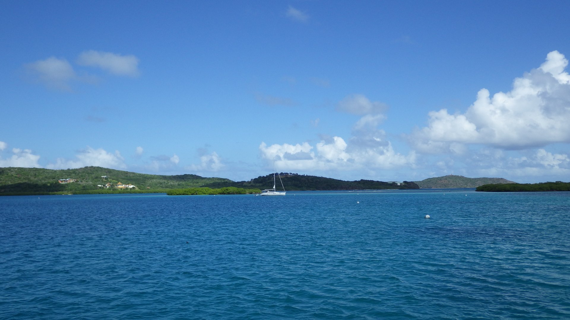
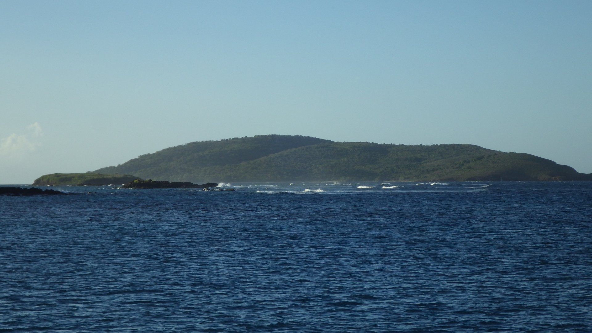
Sailing to Vieques Island at 4 knots, we had nice weather, with soft ESE winds and calm seas.
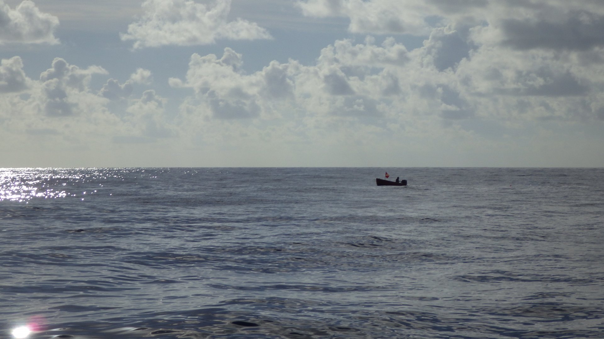
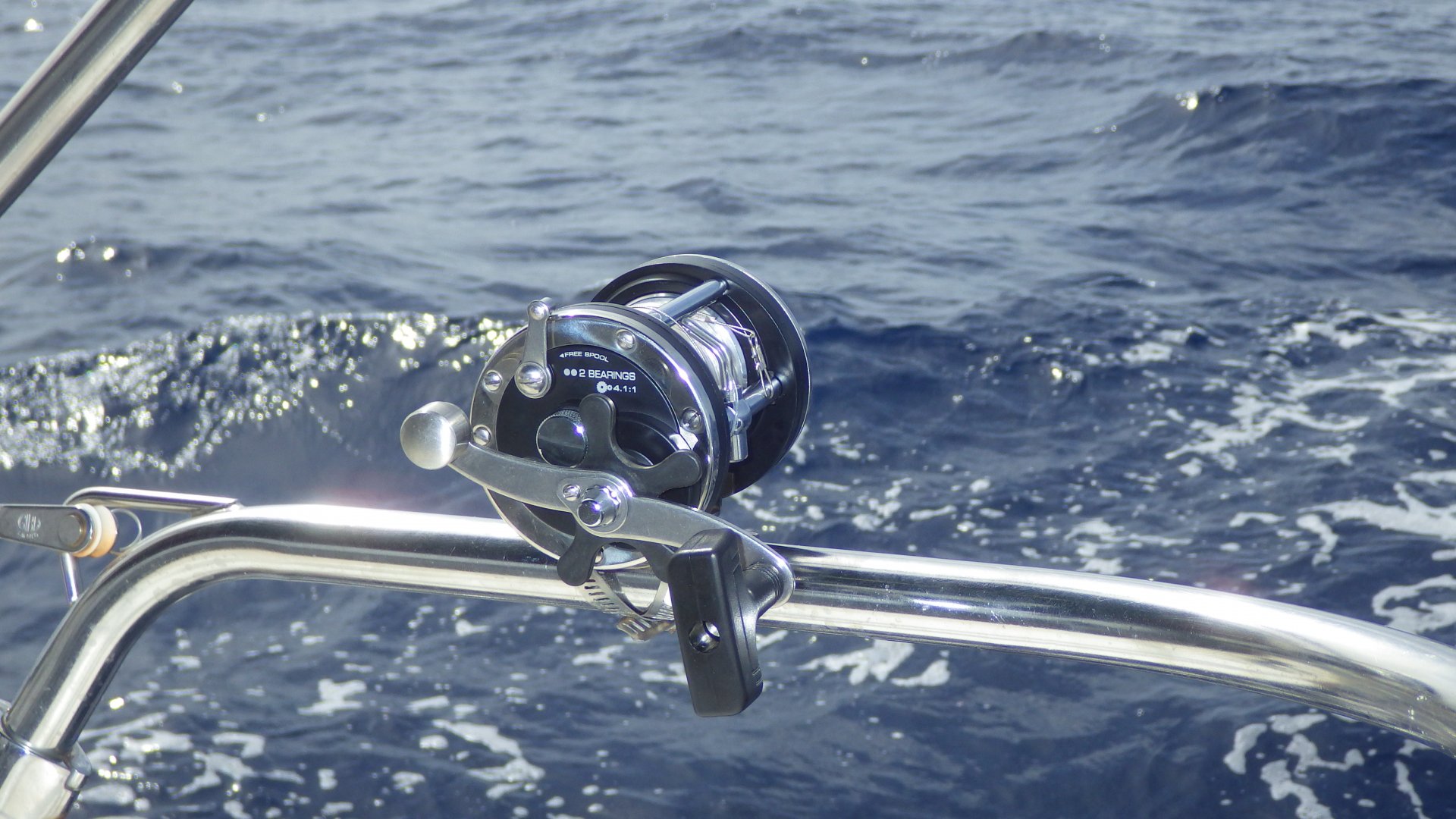
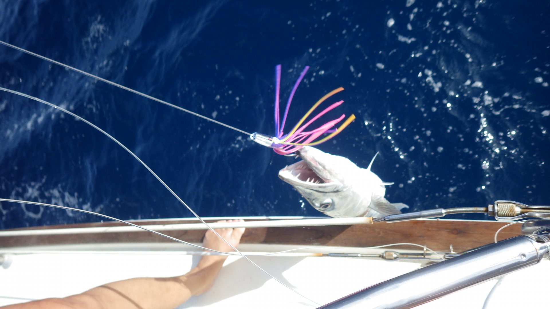
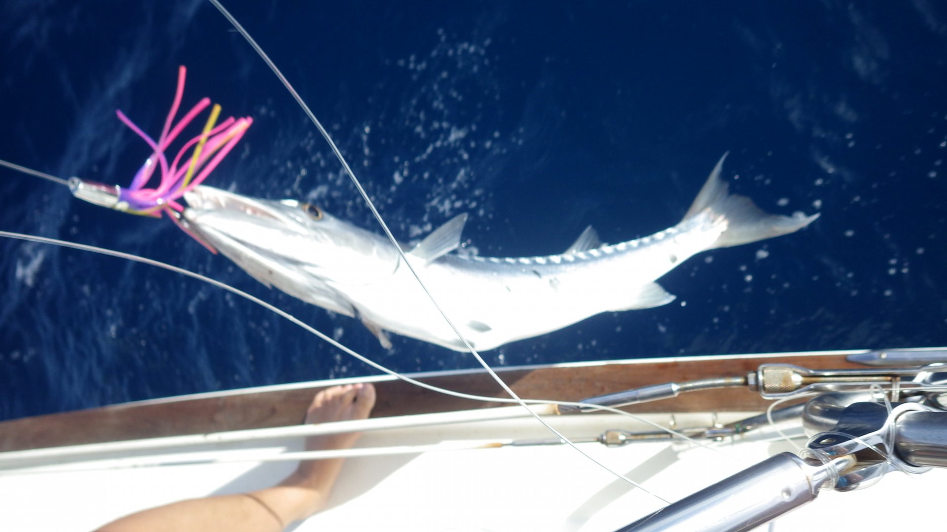
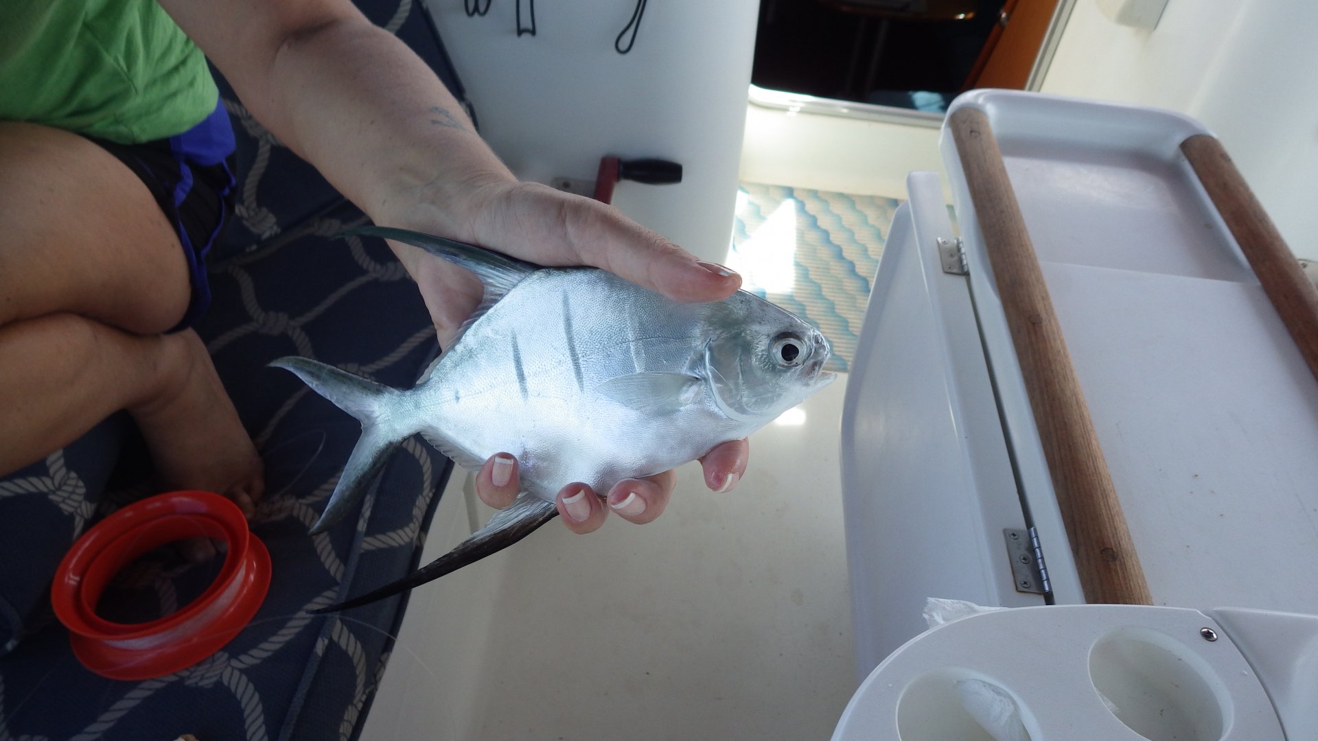
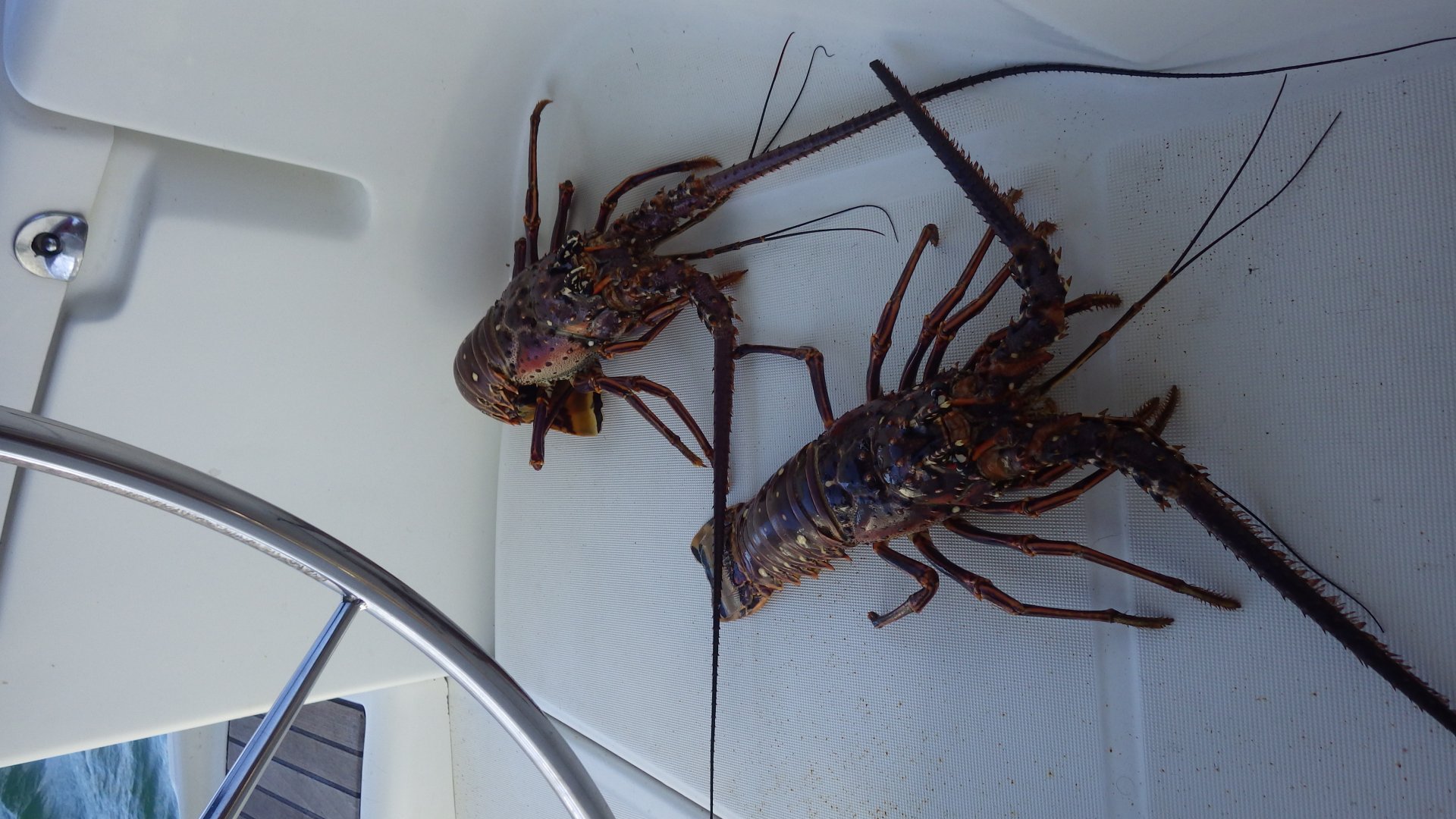
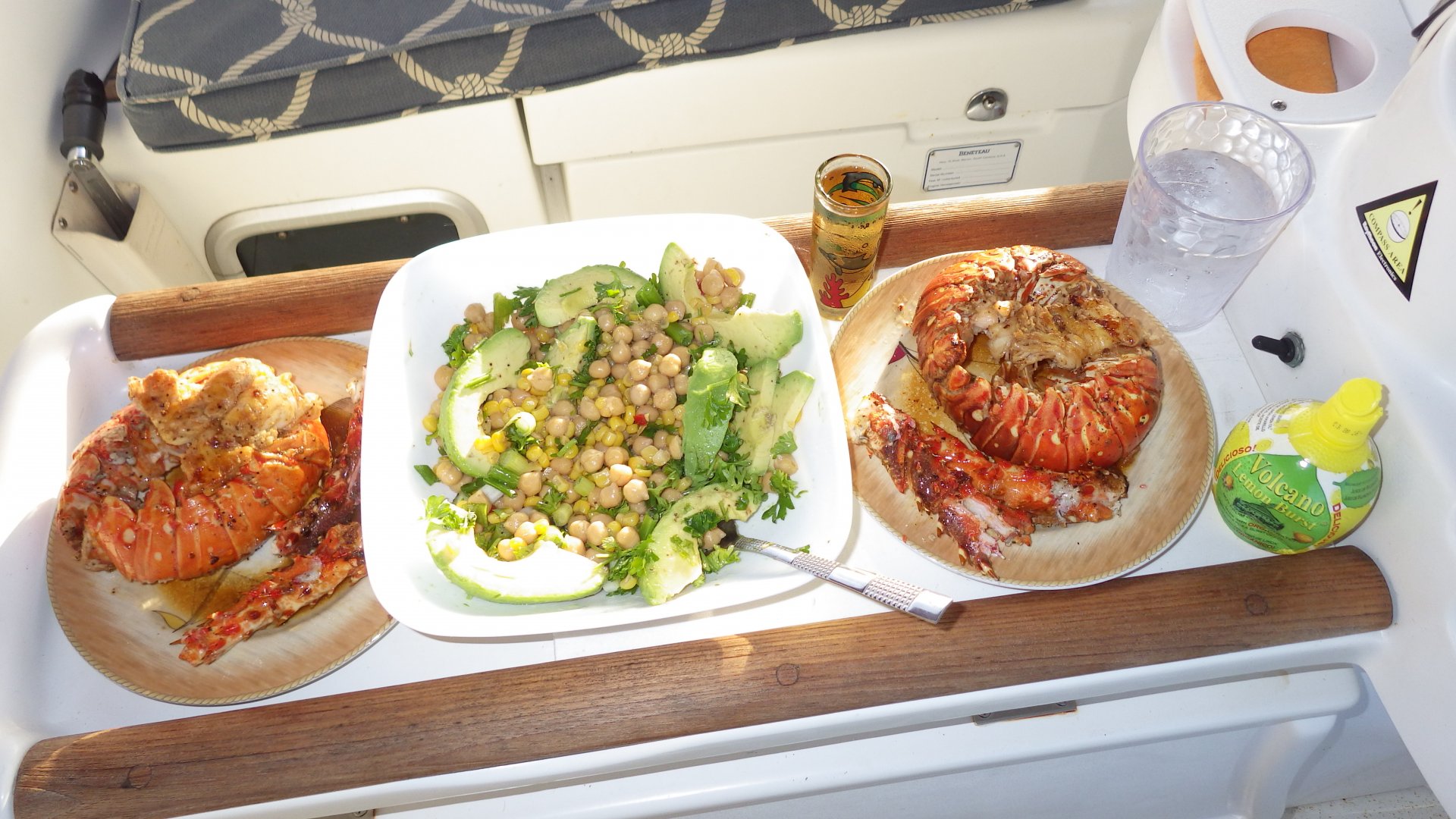
Our fishing on the way wasn't too bad either - twice we caught barracuda, but decided to release them.

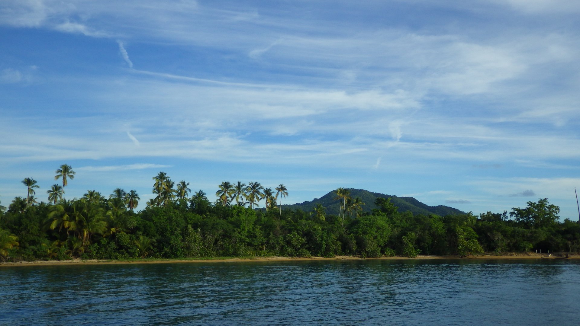
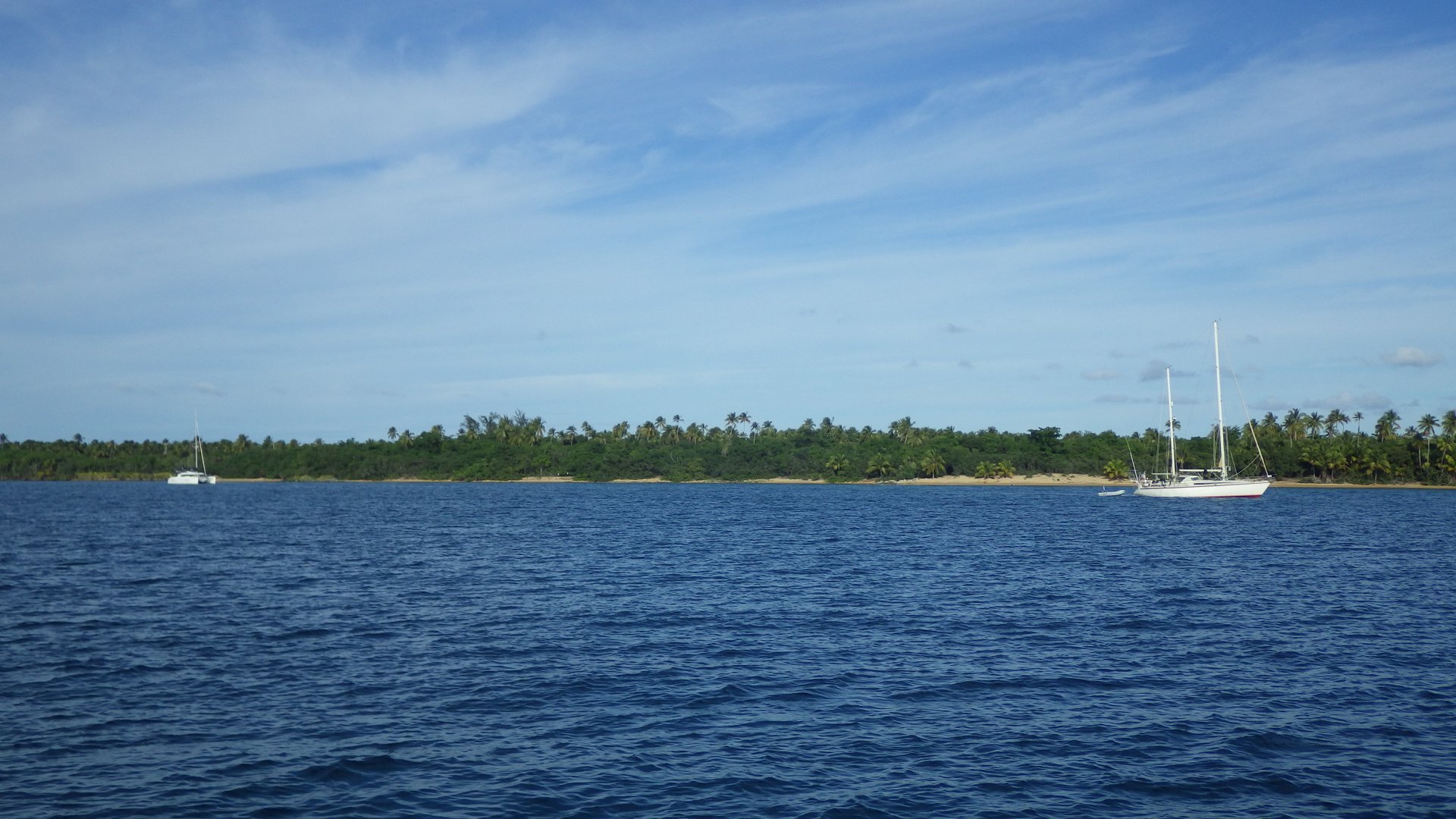
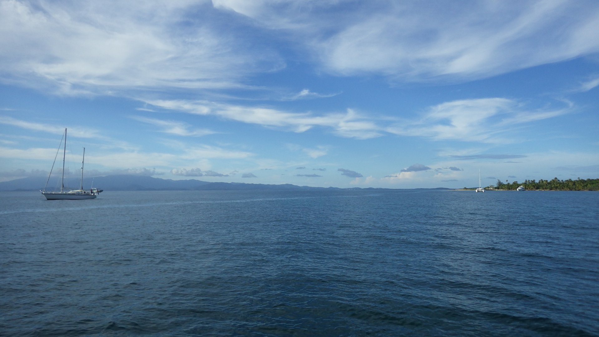
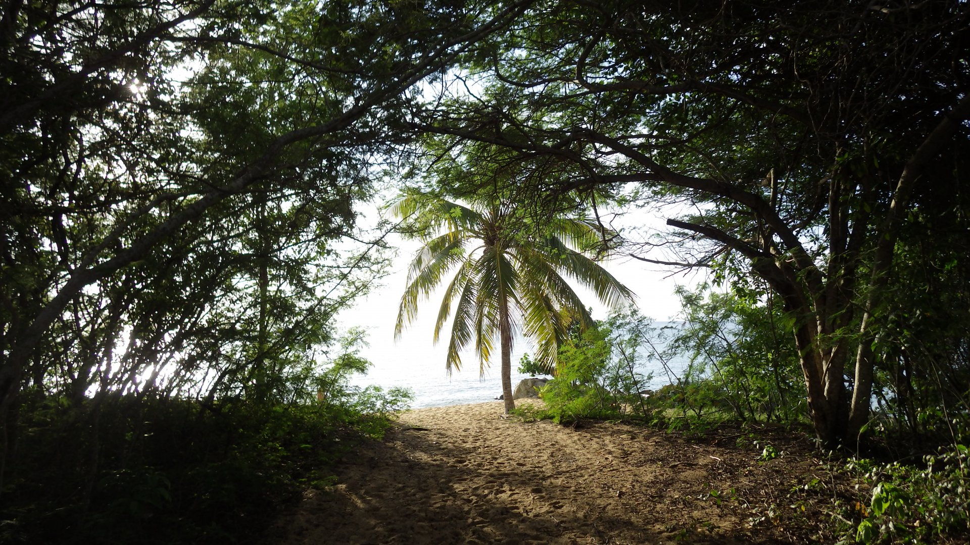
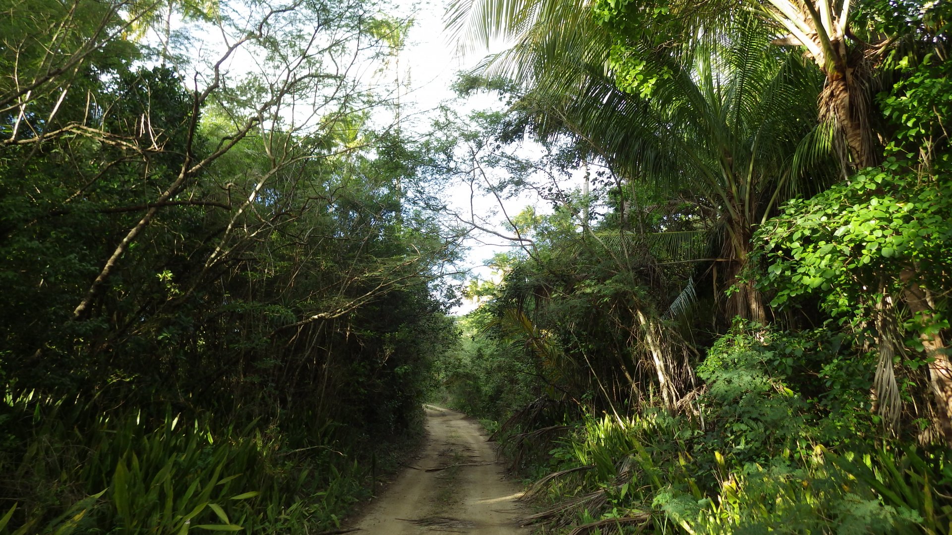
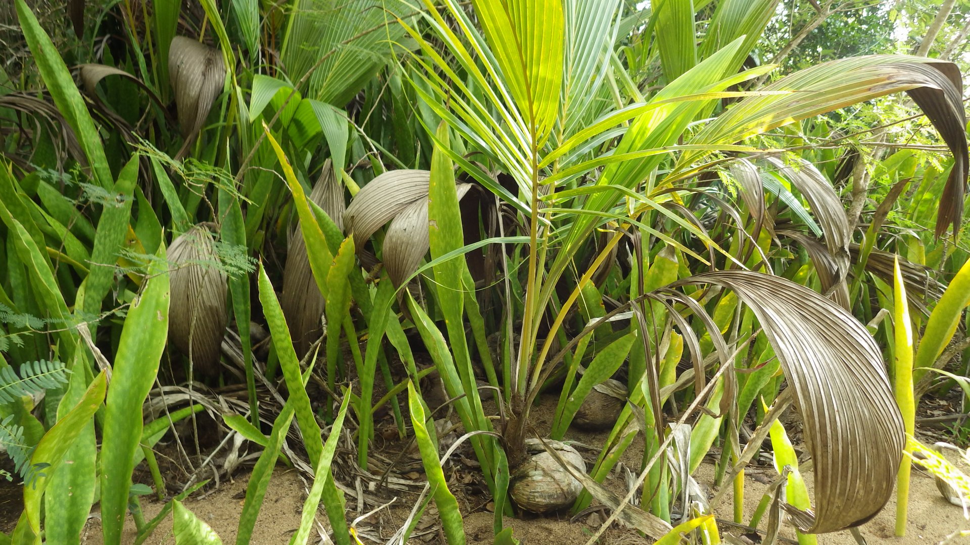
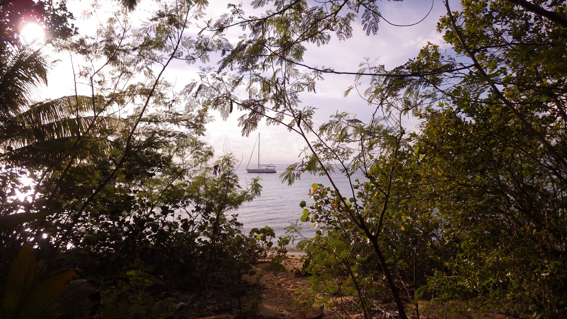
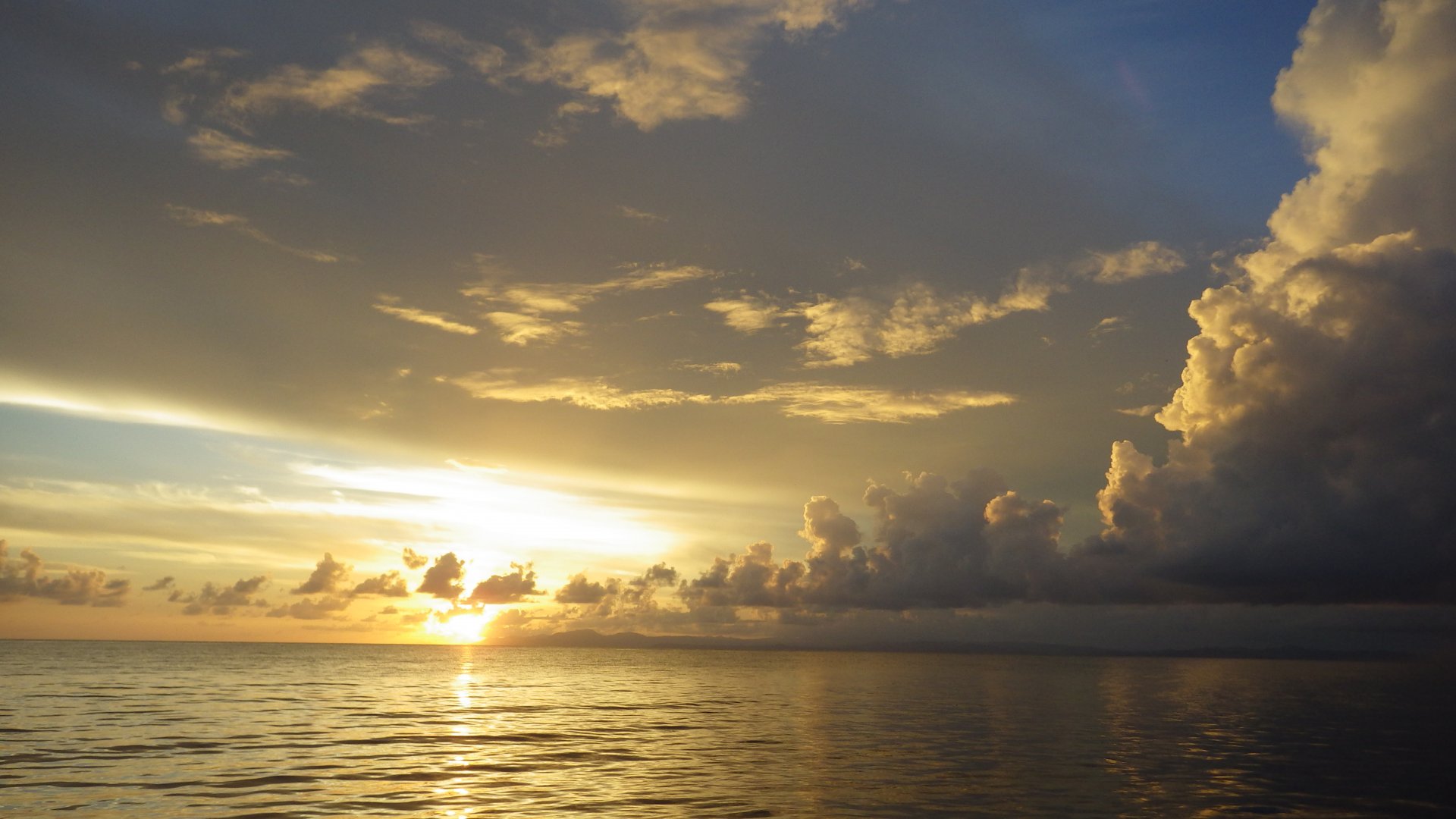
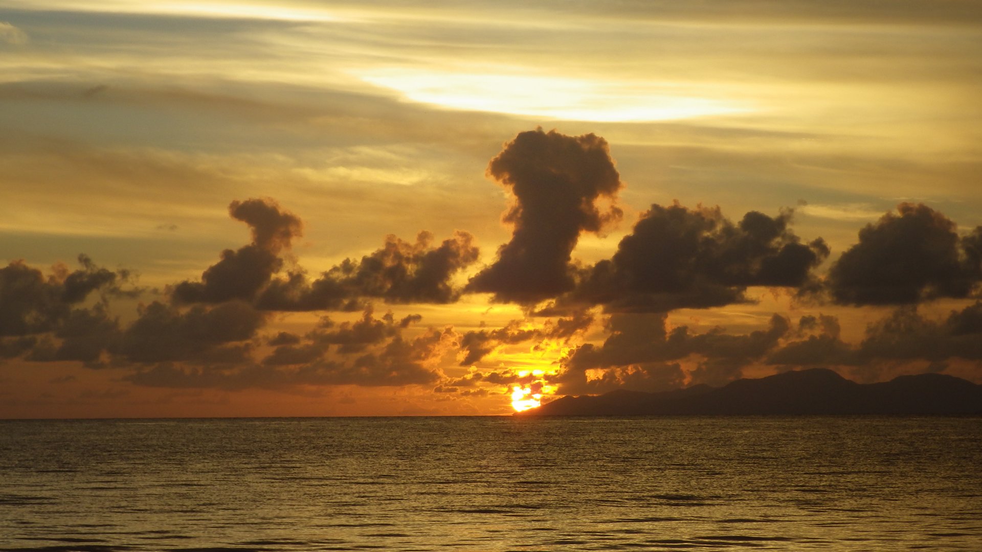
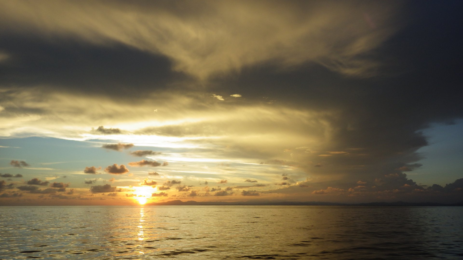
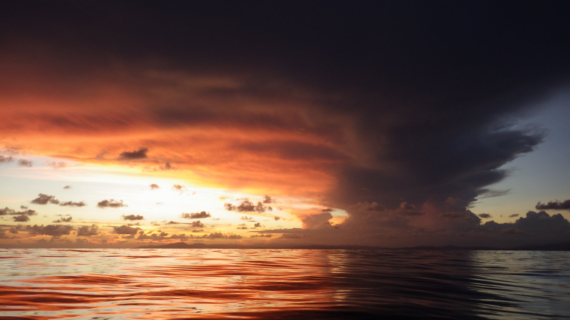
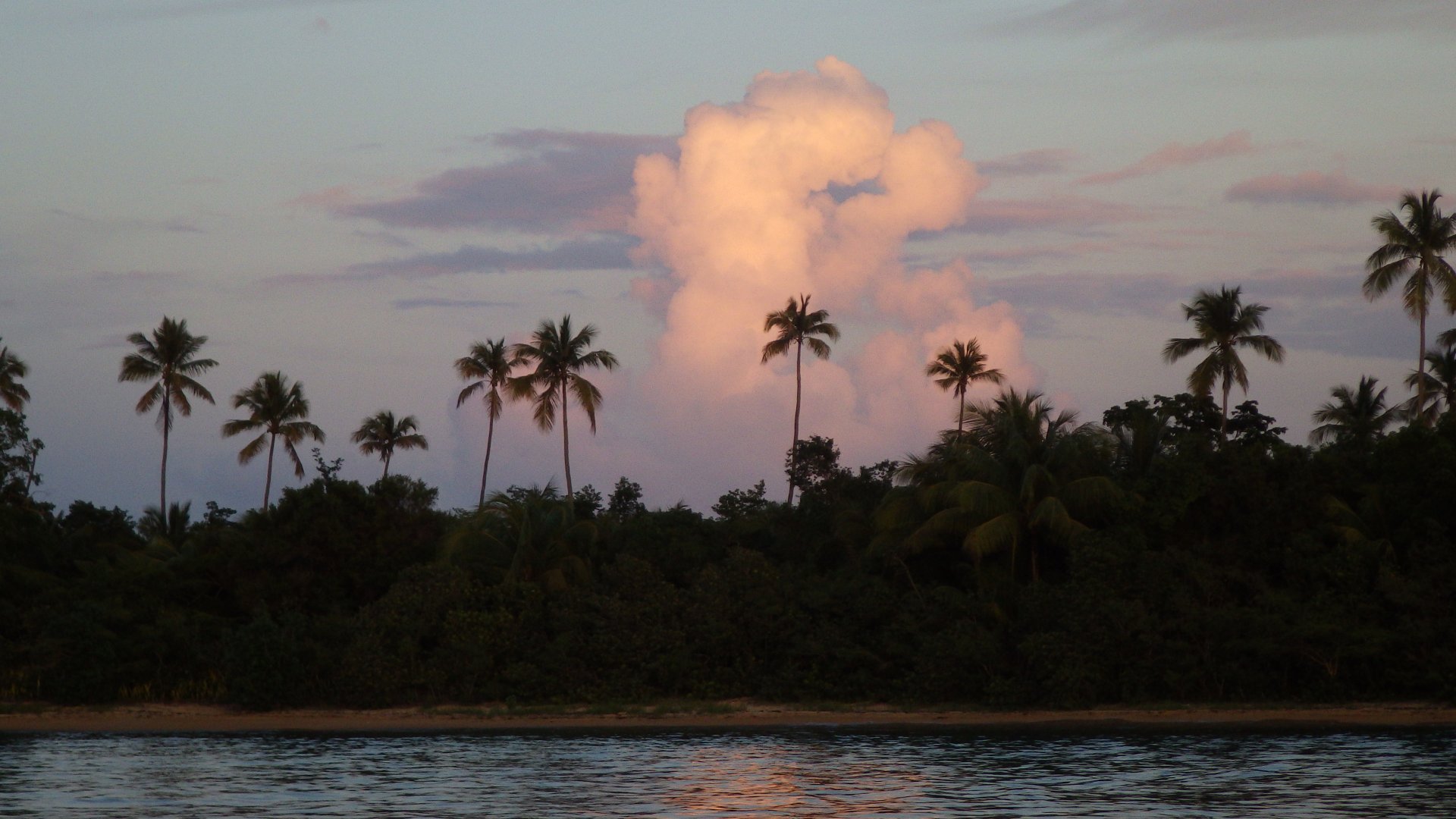
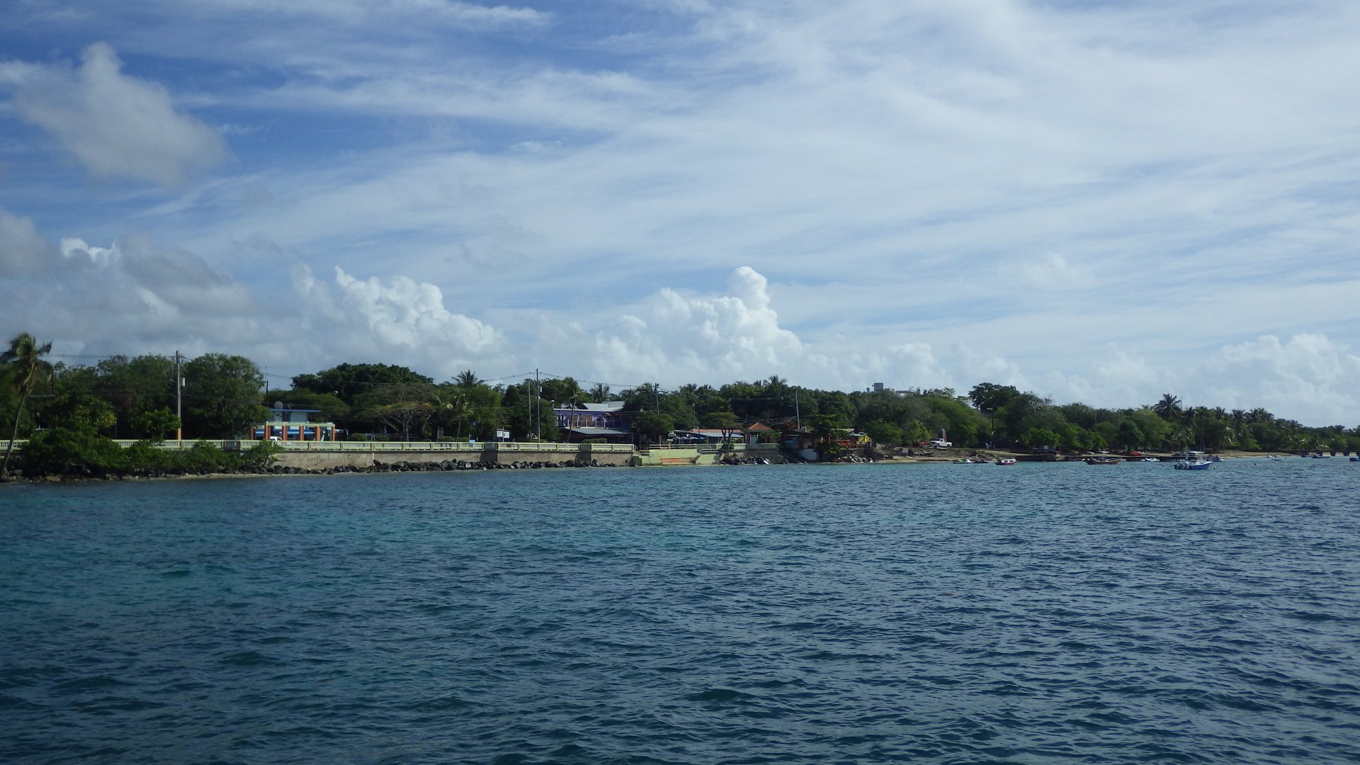
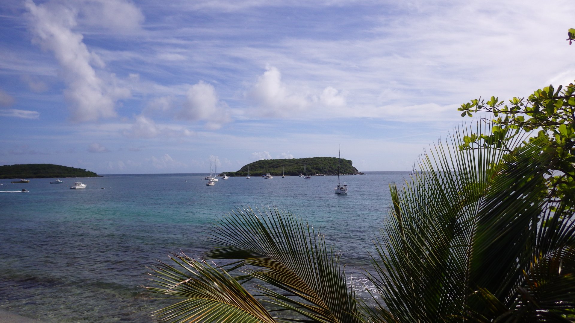
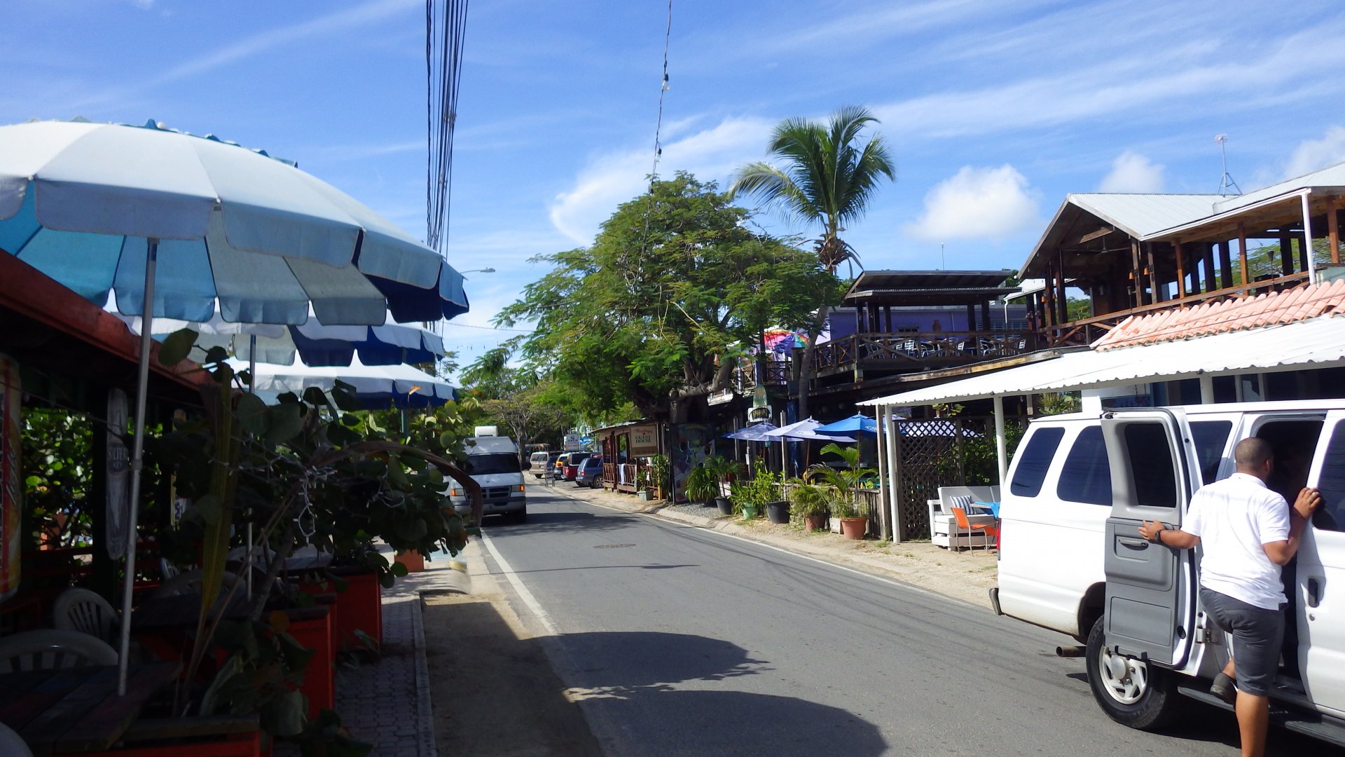
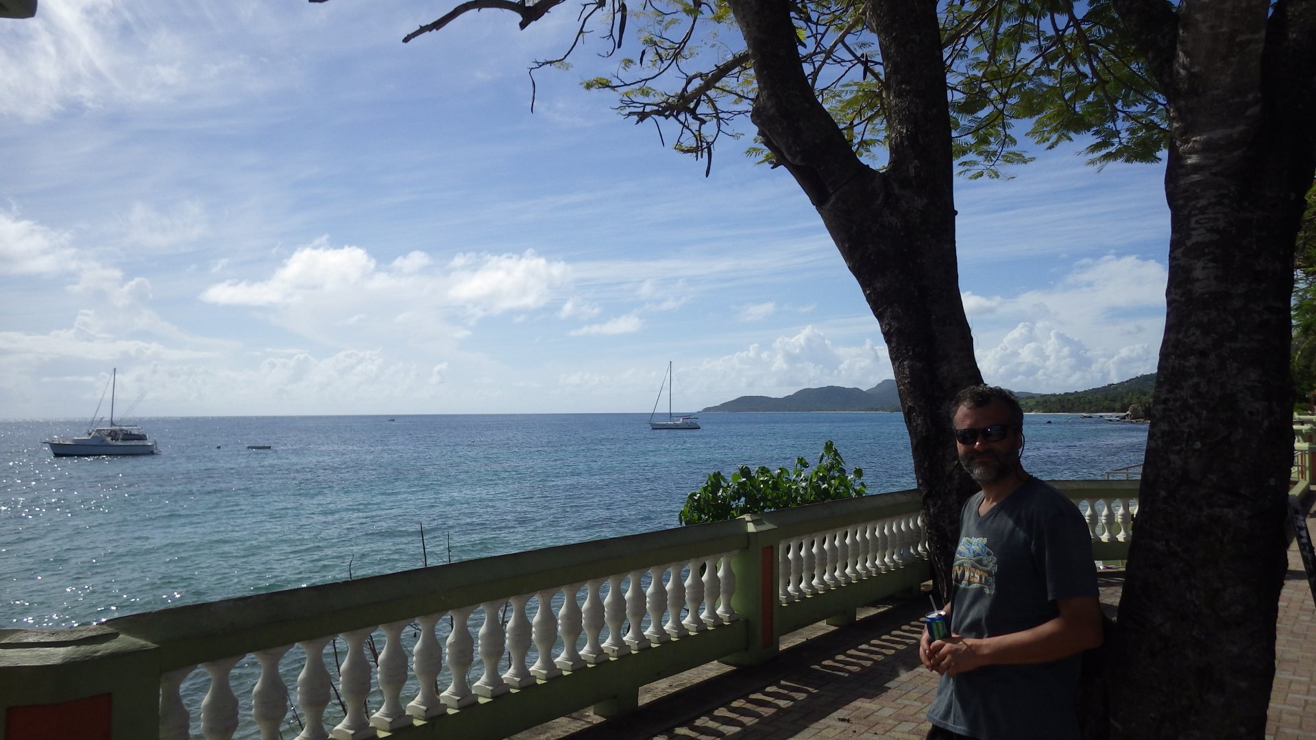
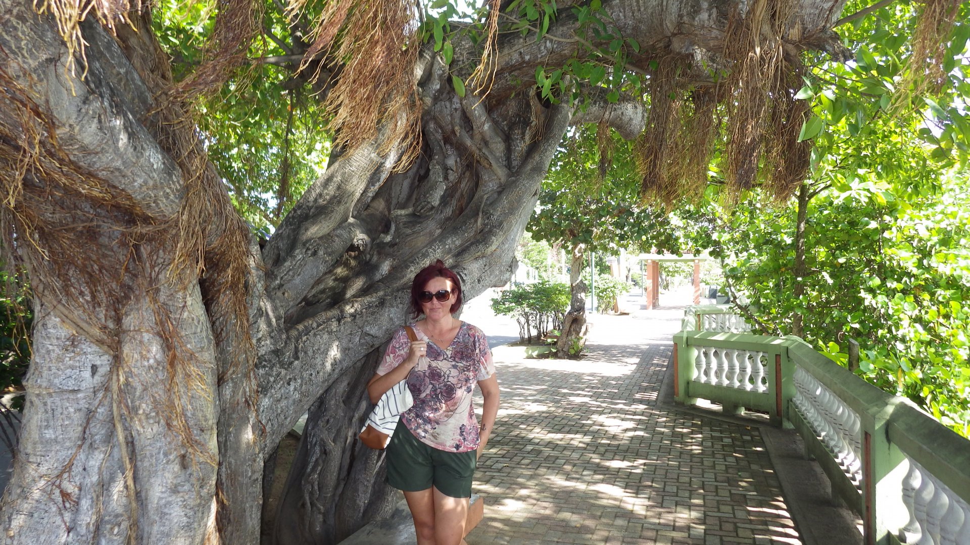
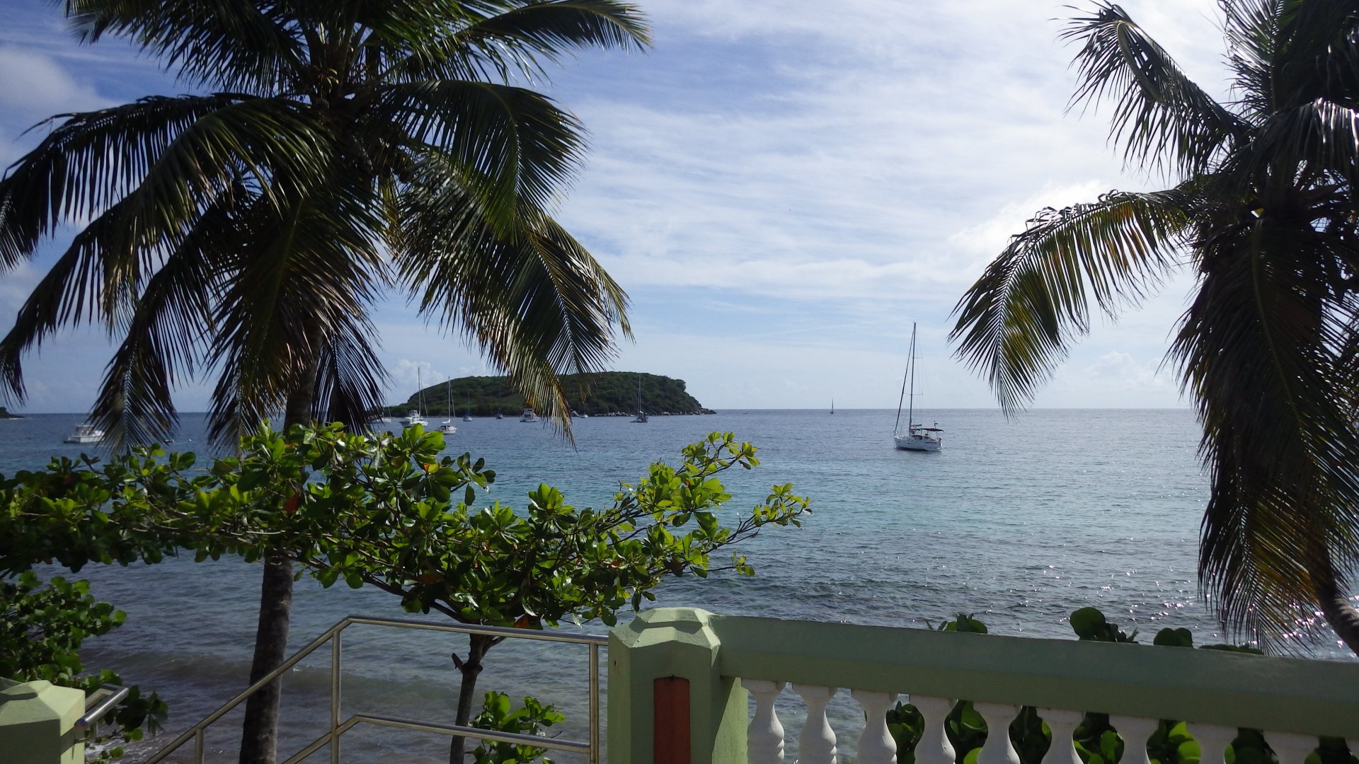
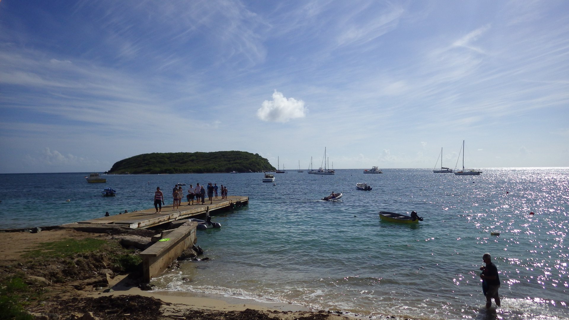
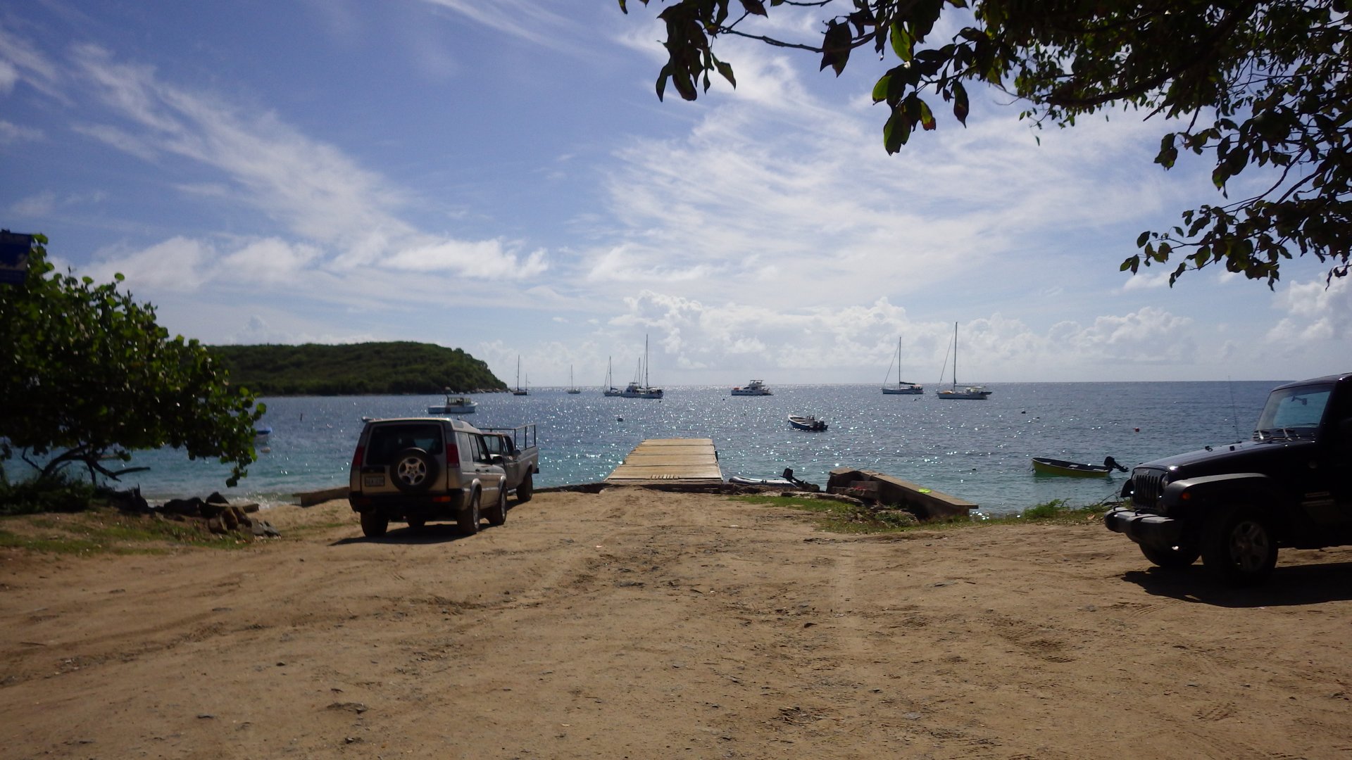
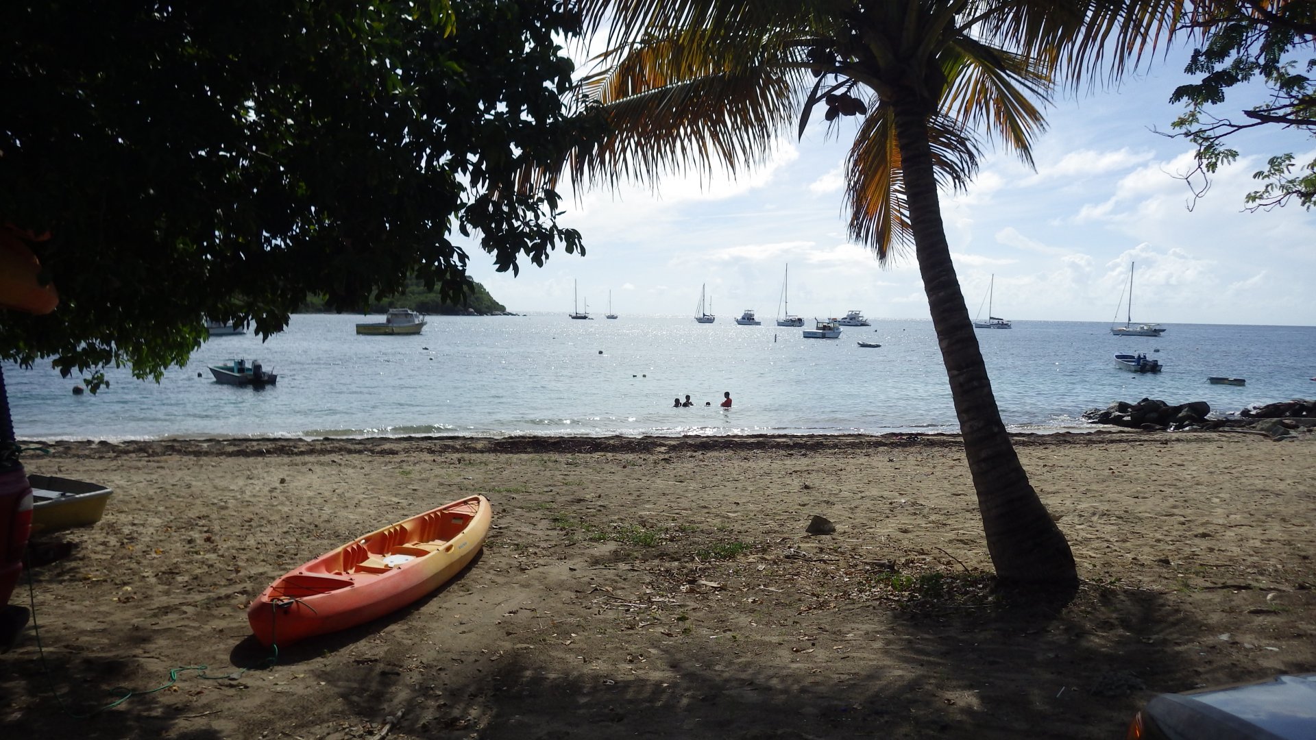
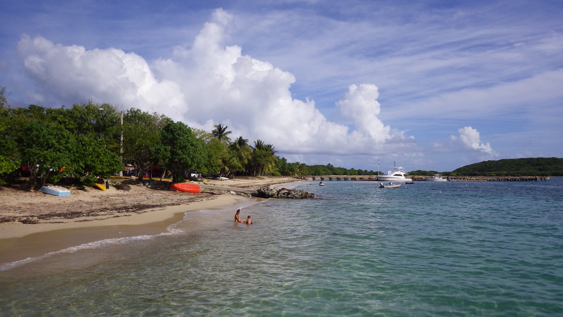
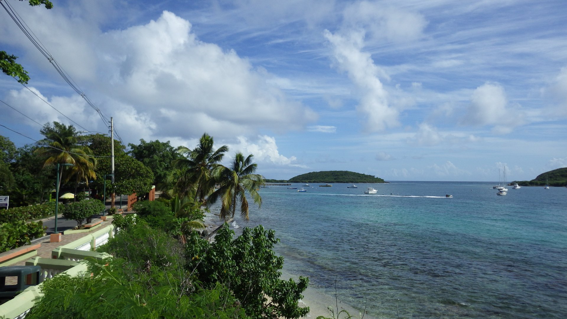
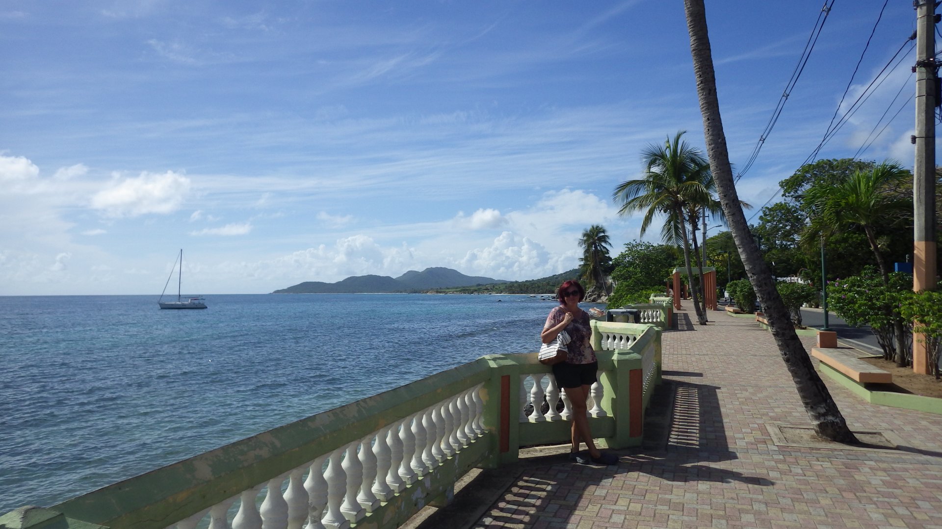
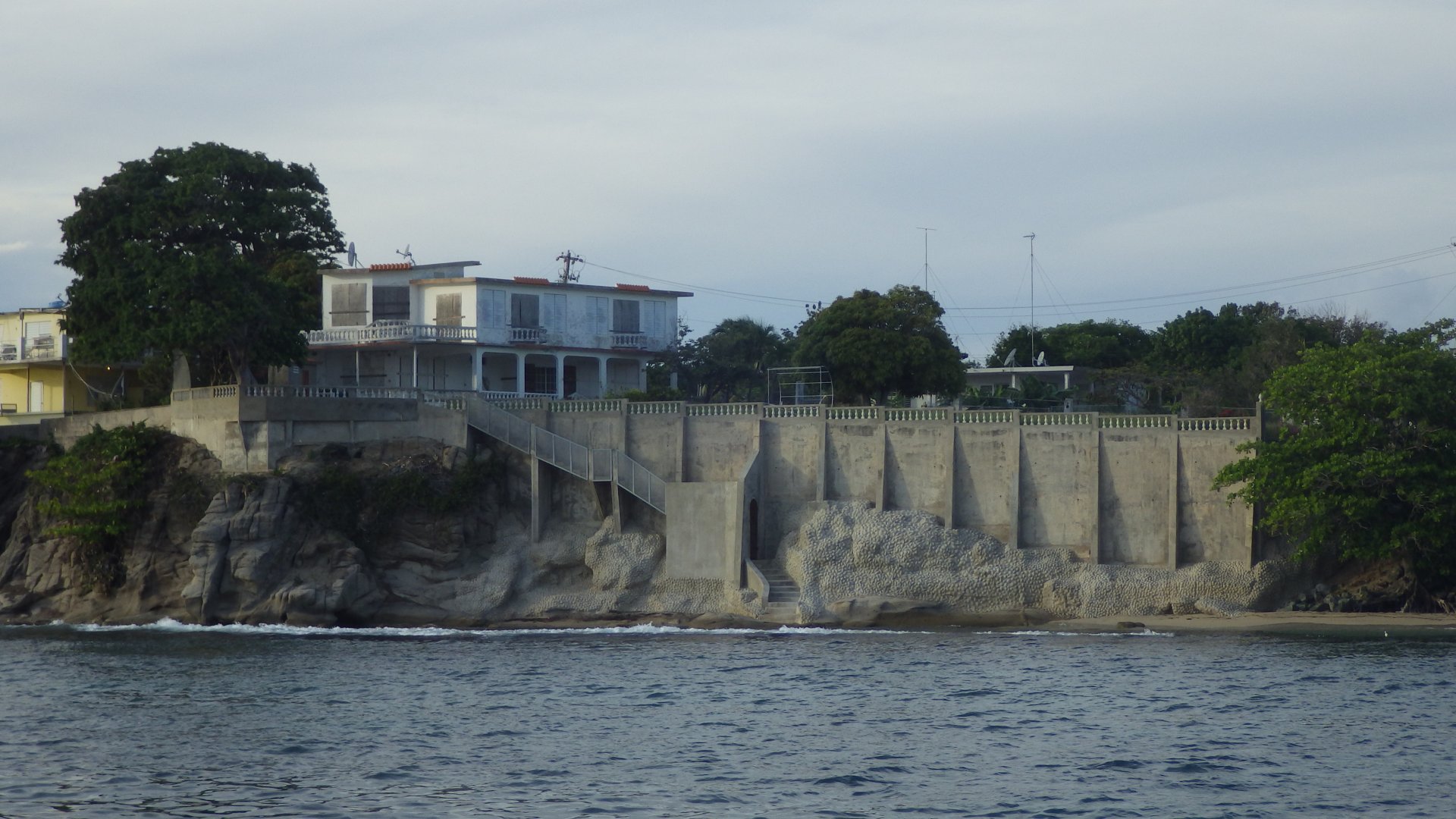
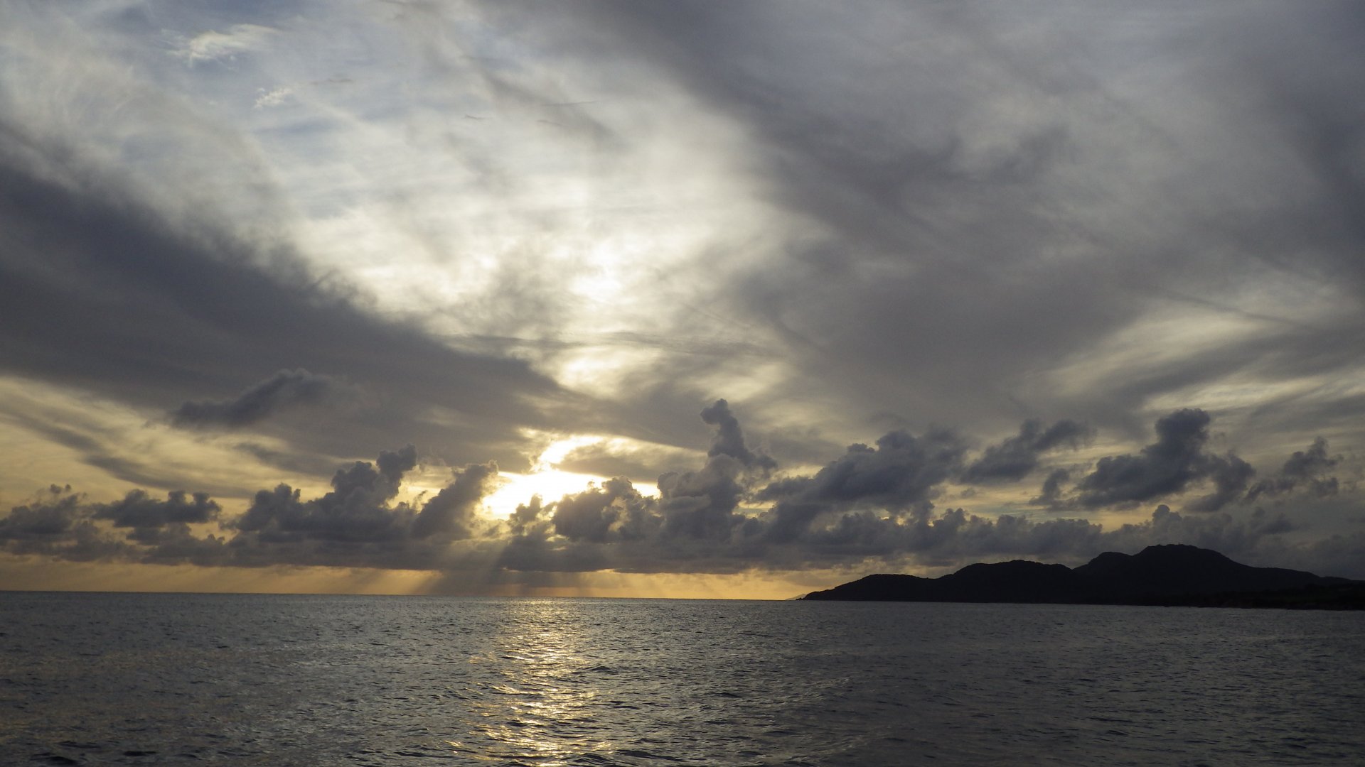
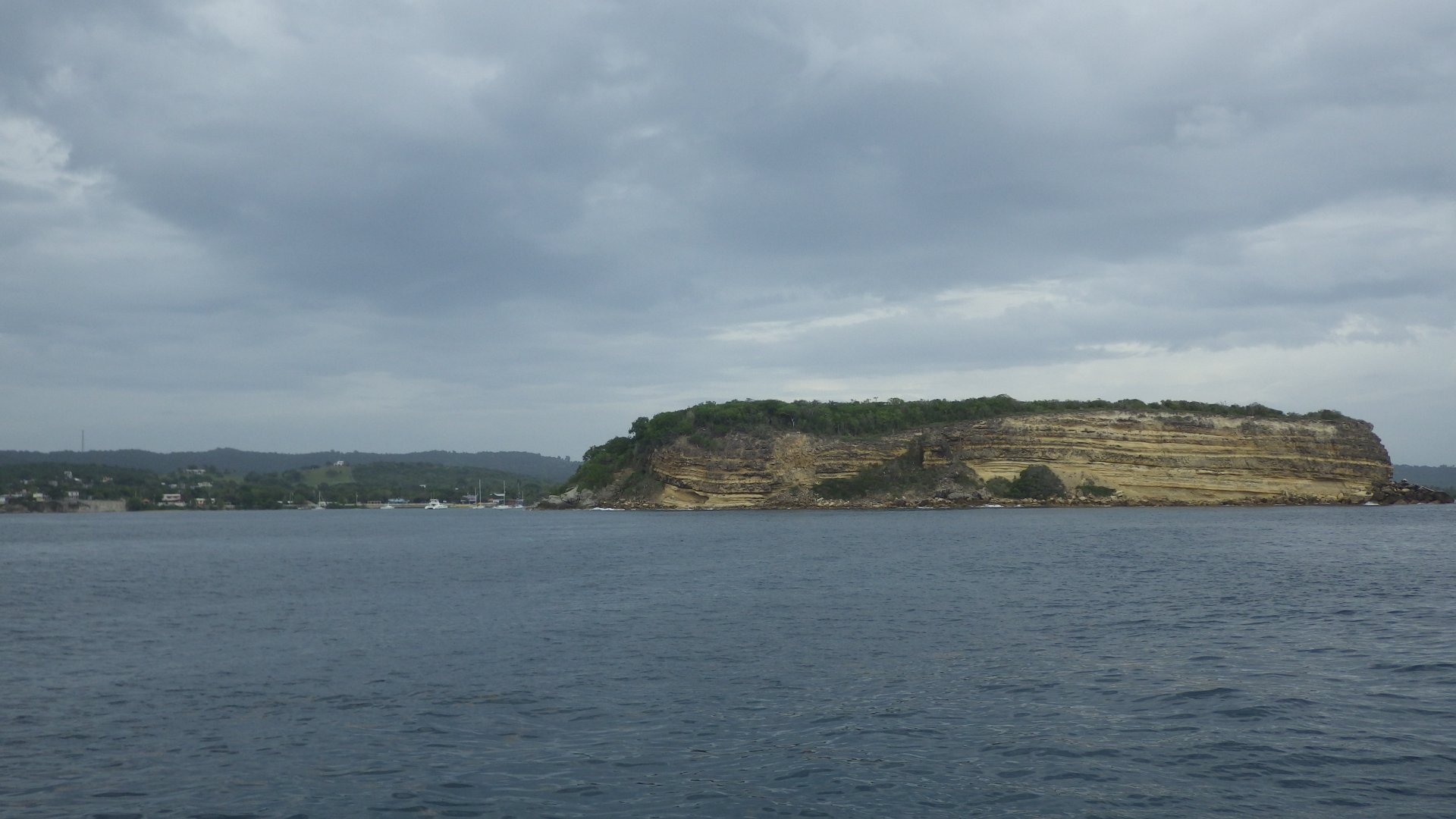
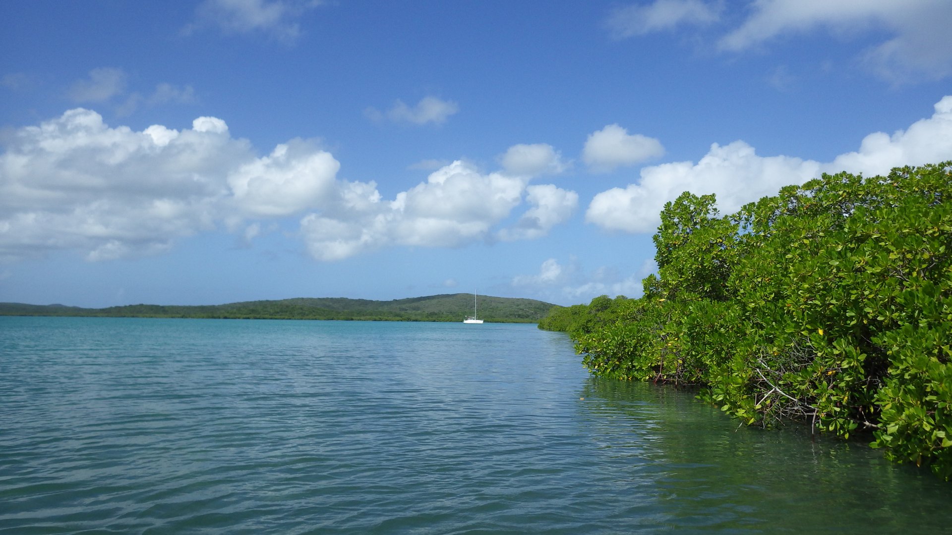
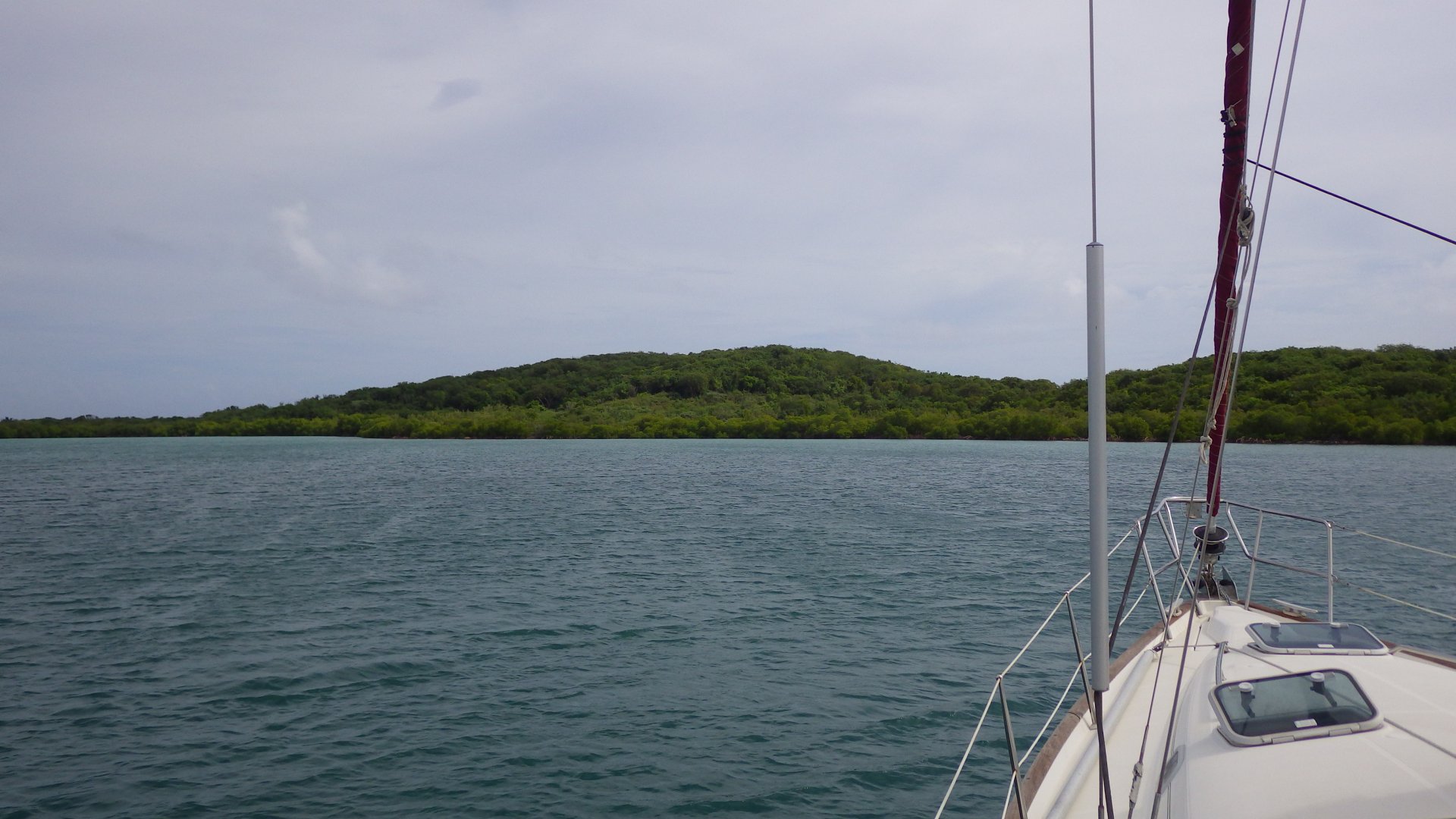
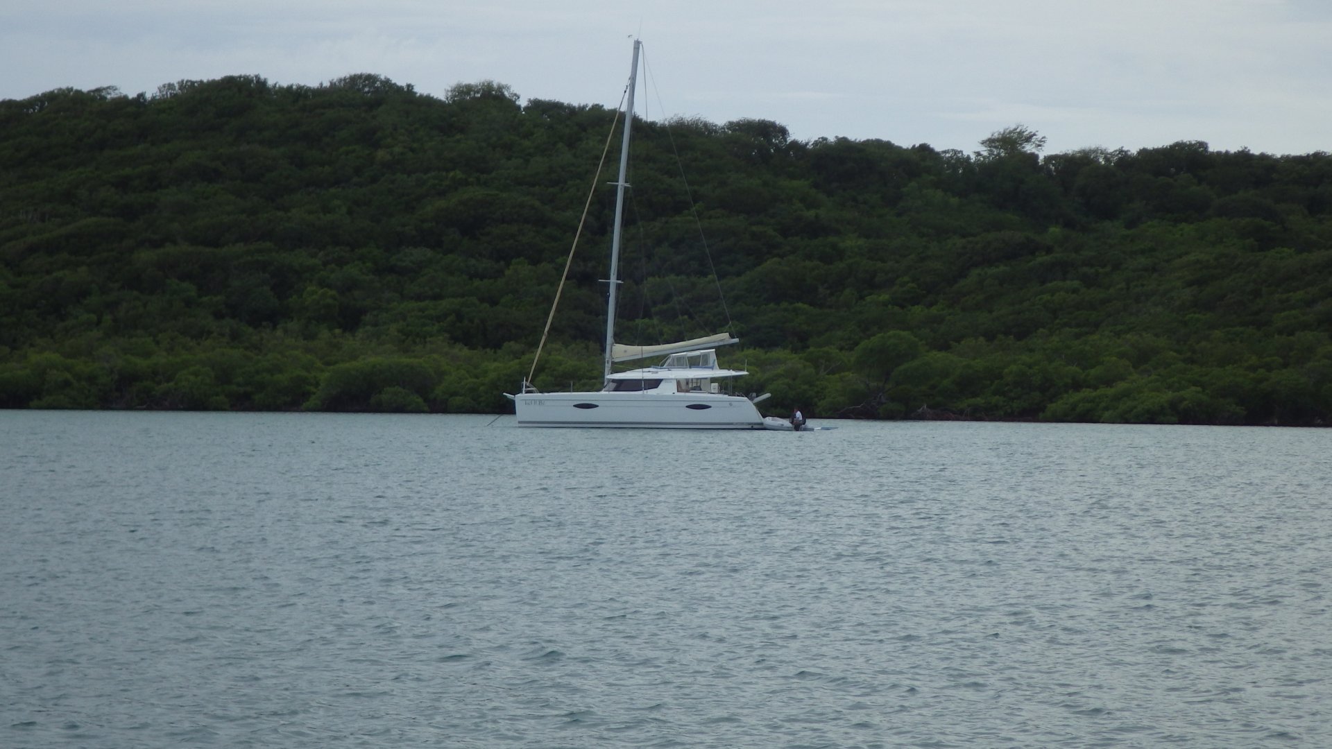
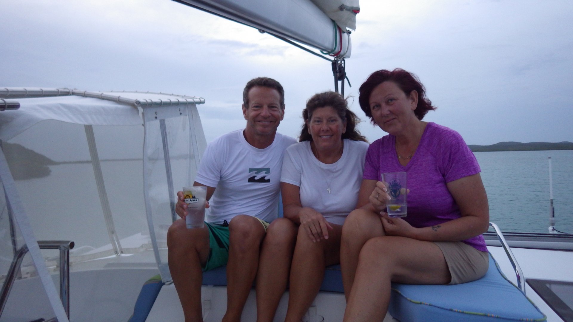
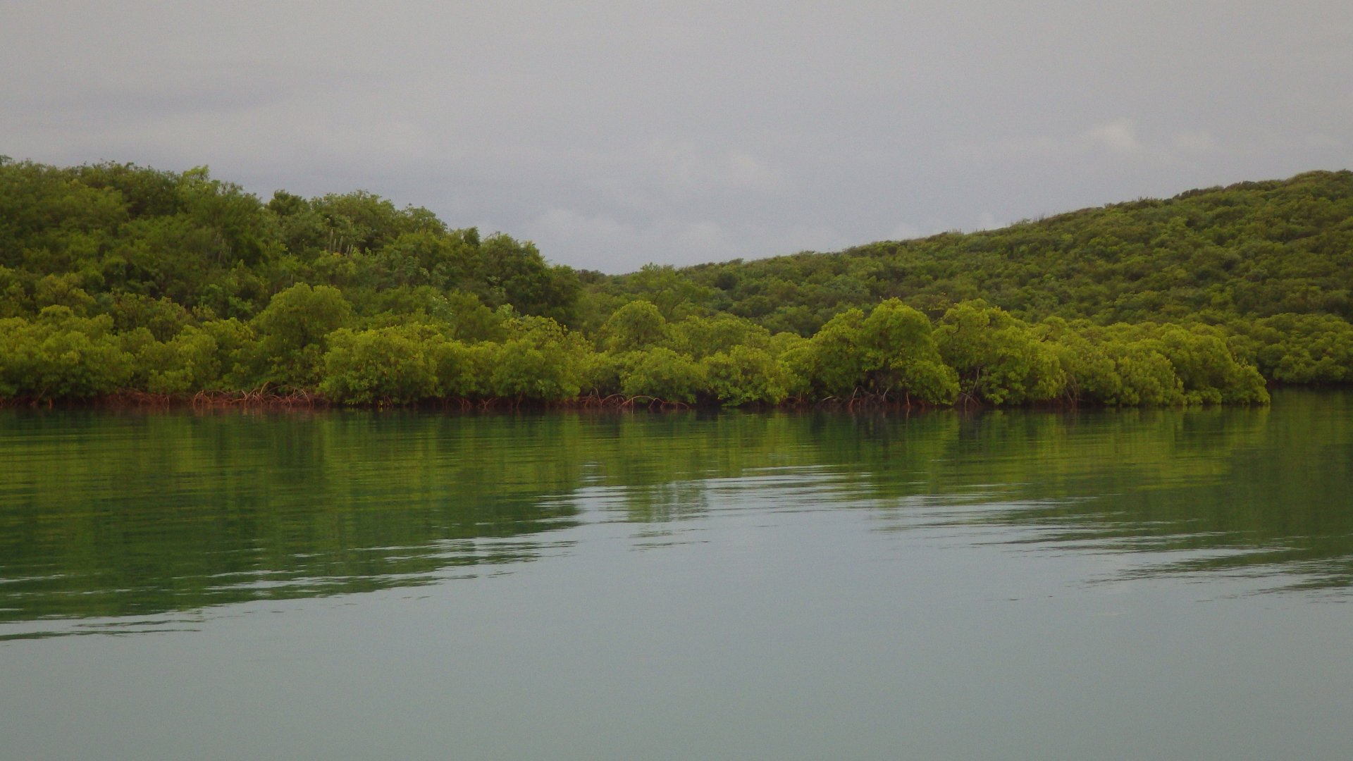
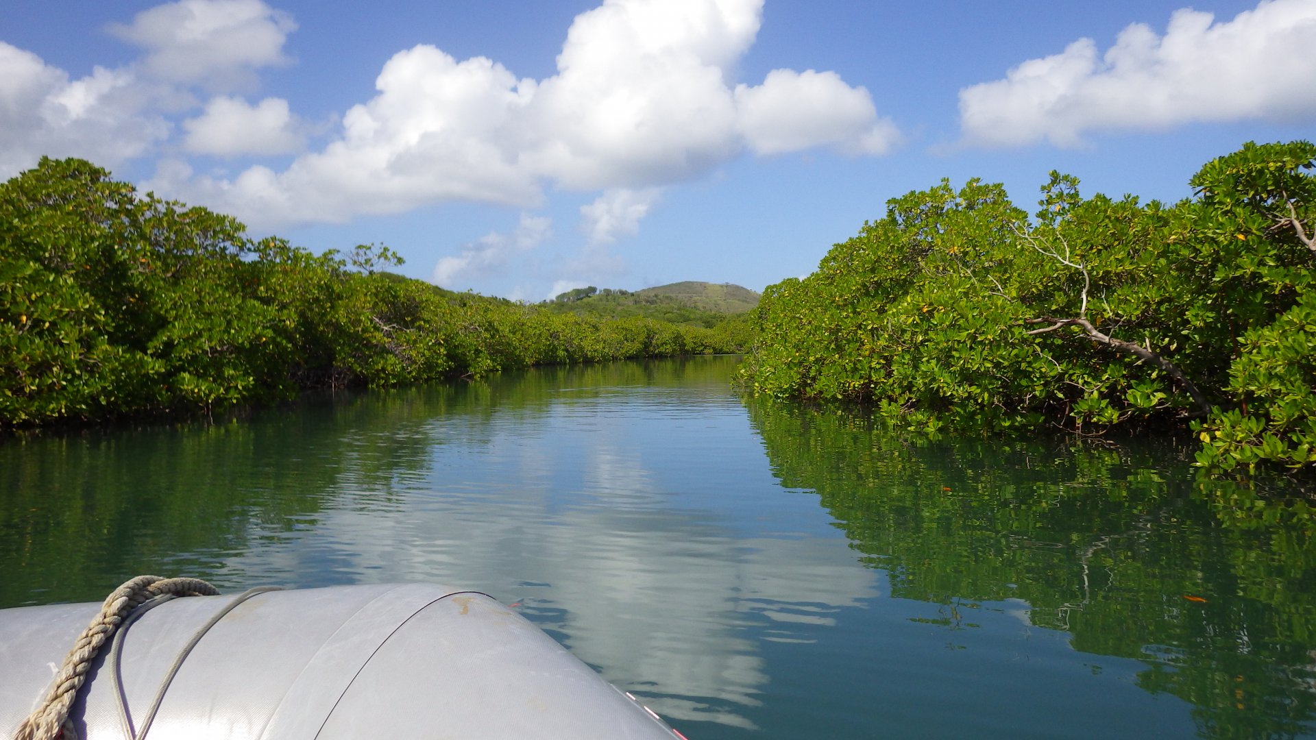
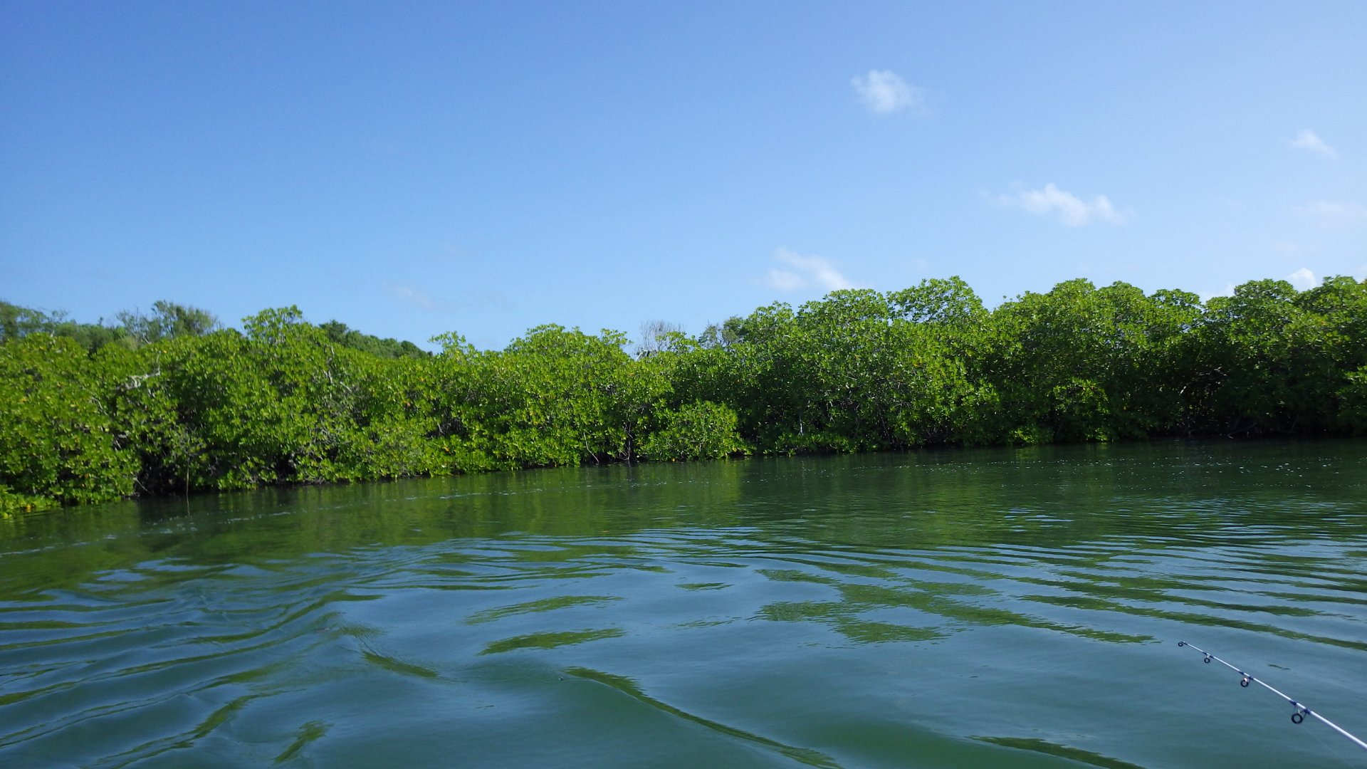
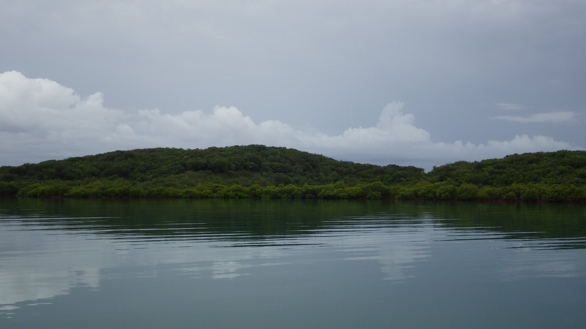
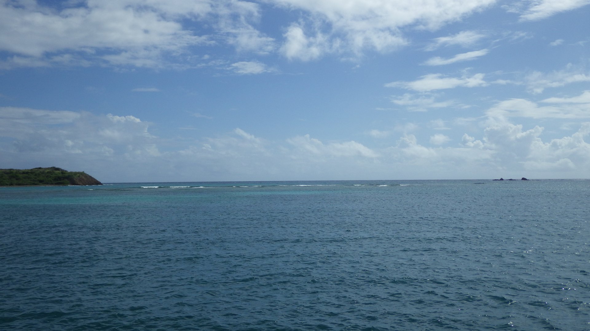
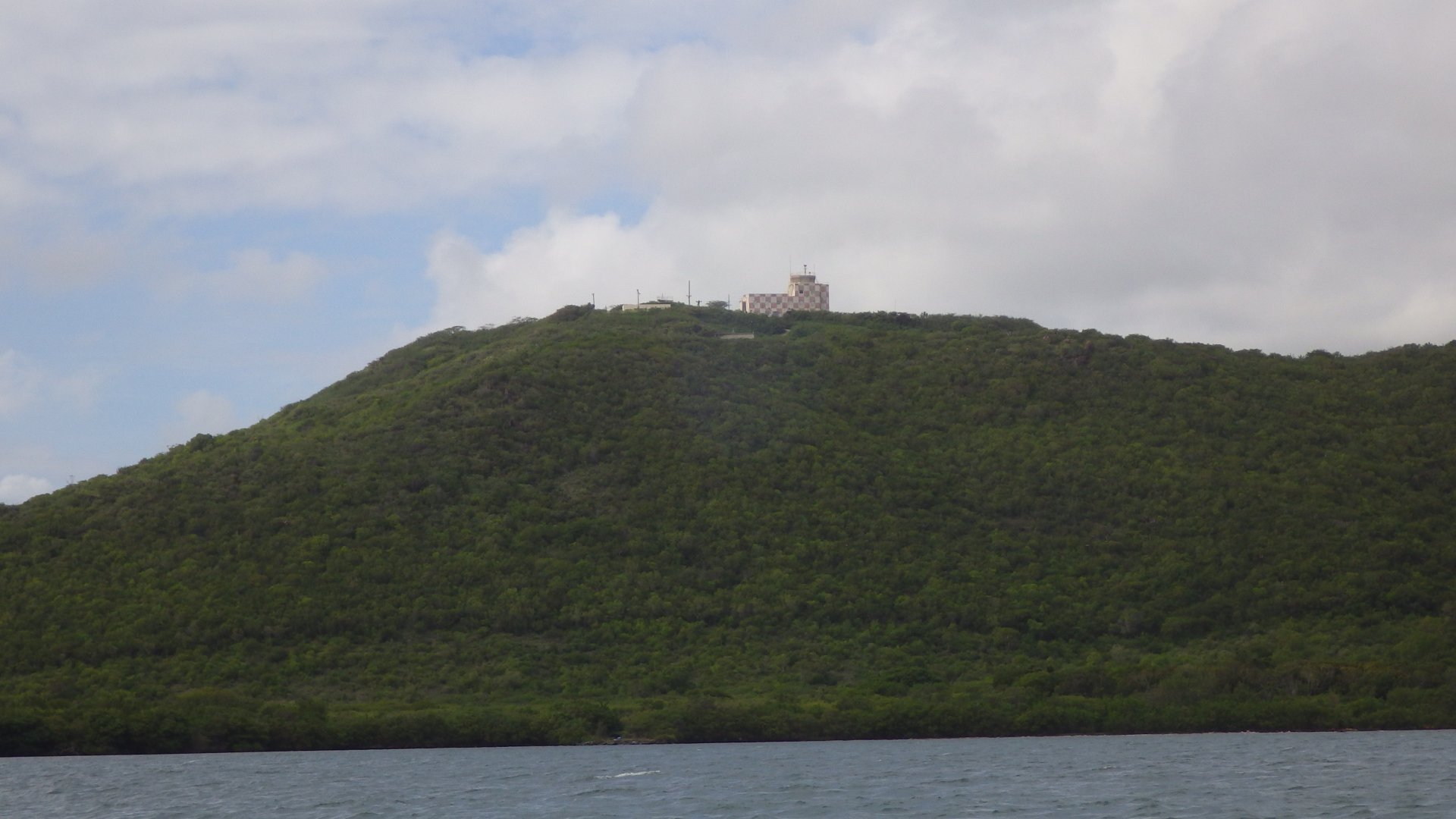
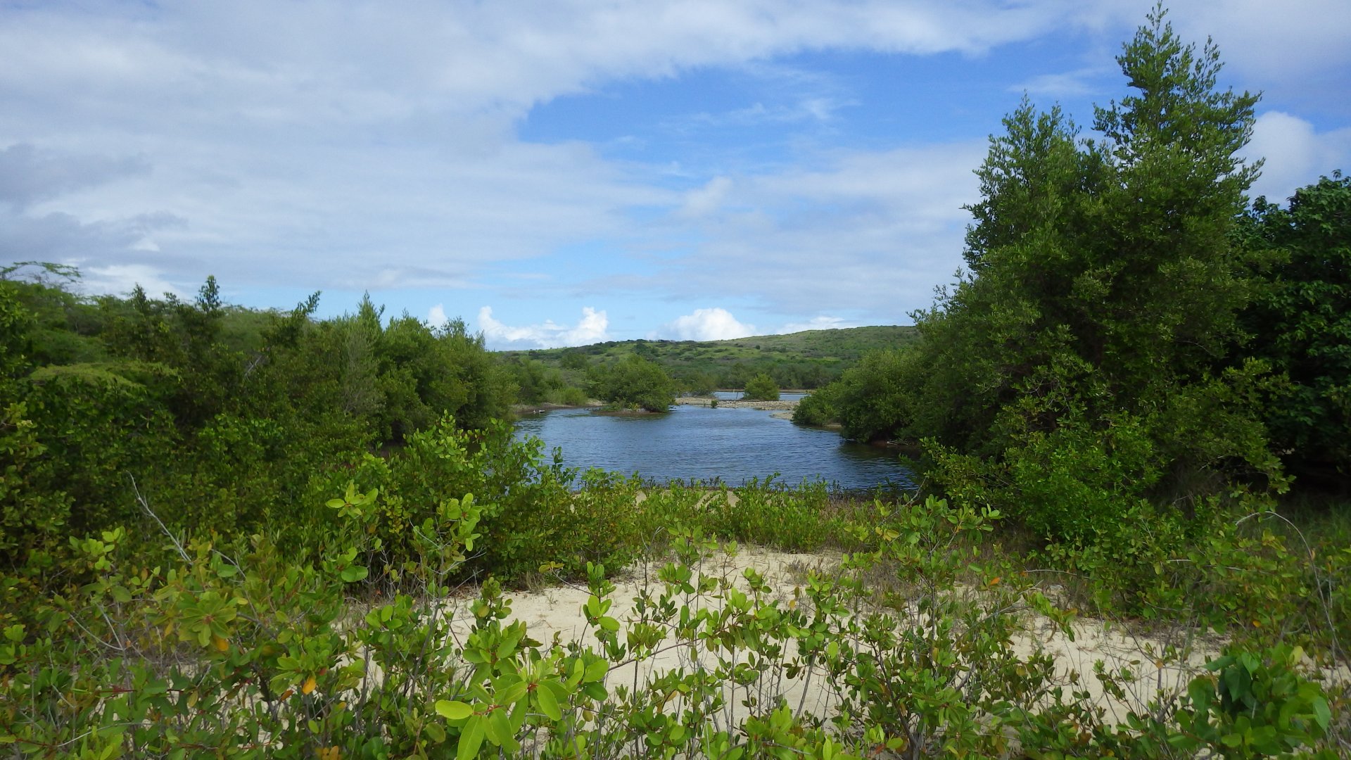
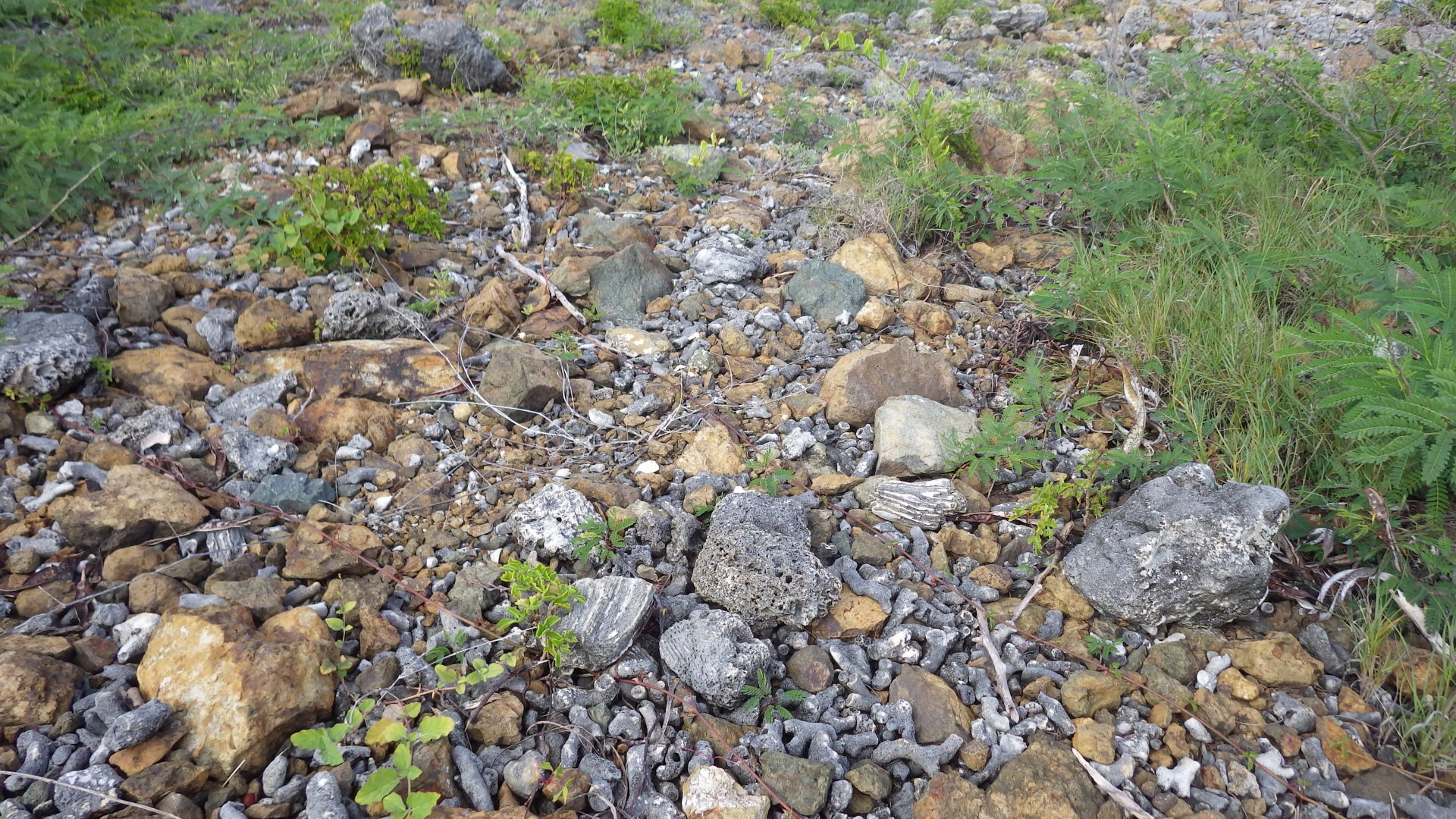
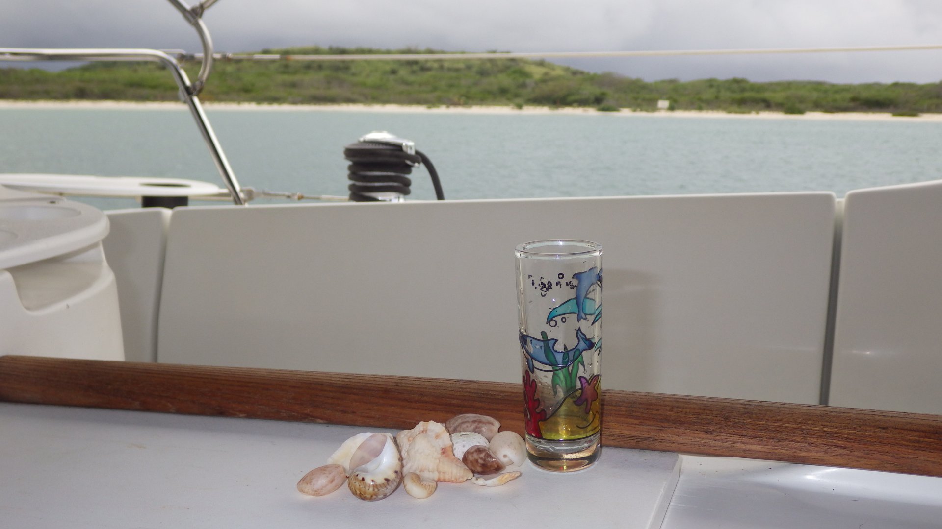
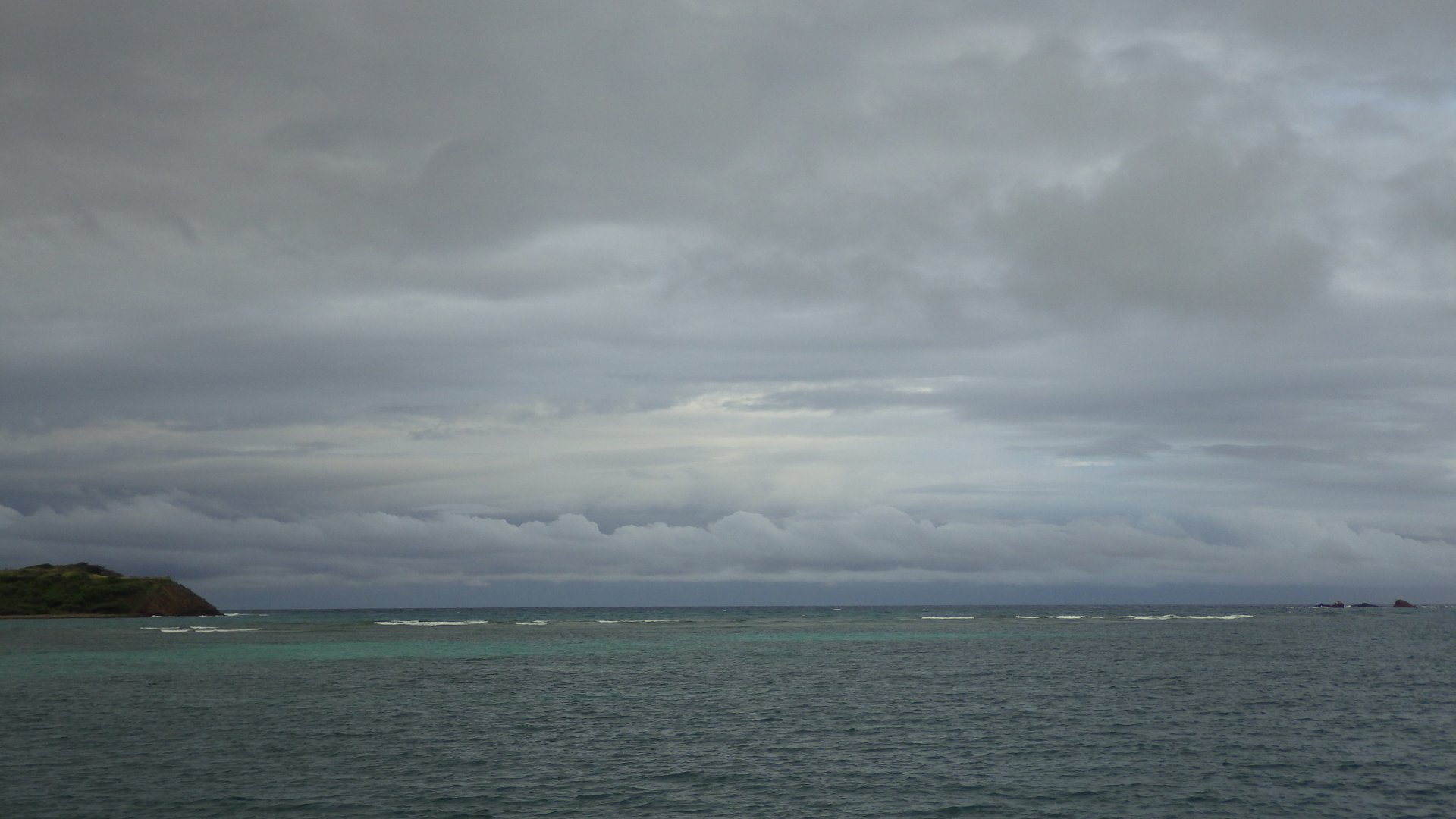
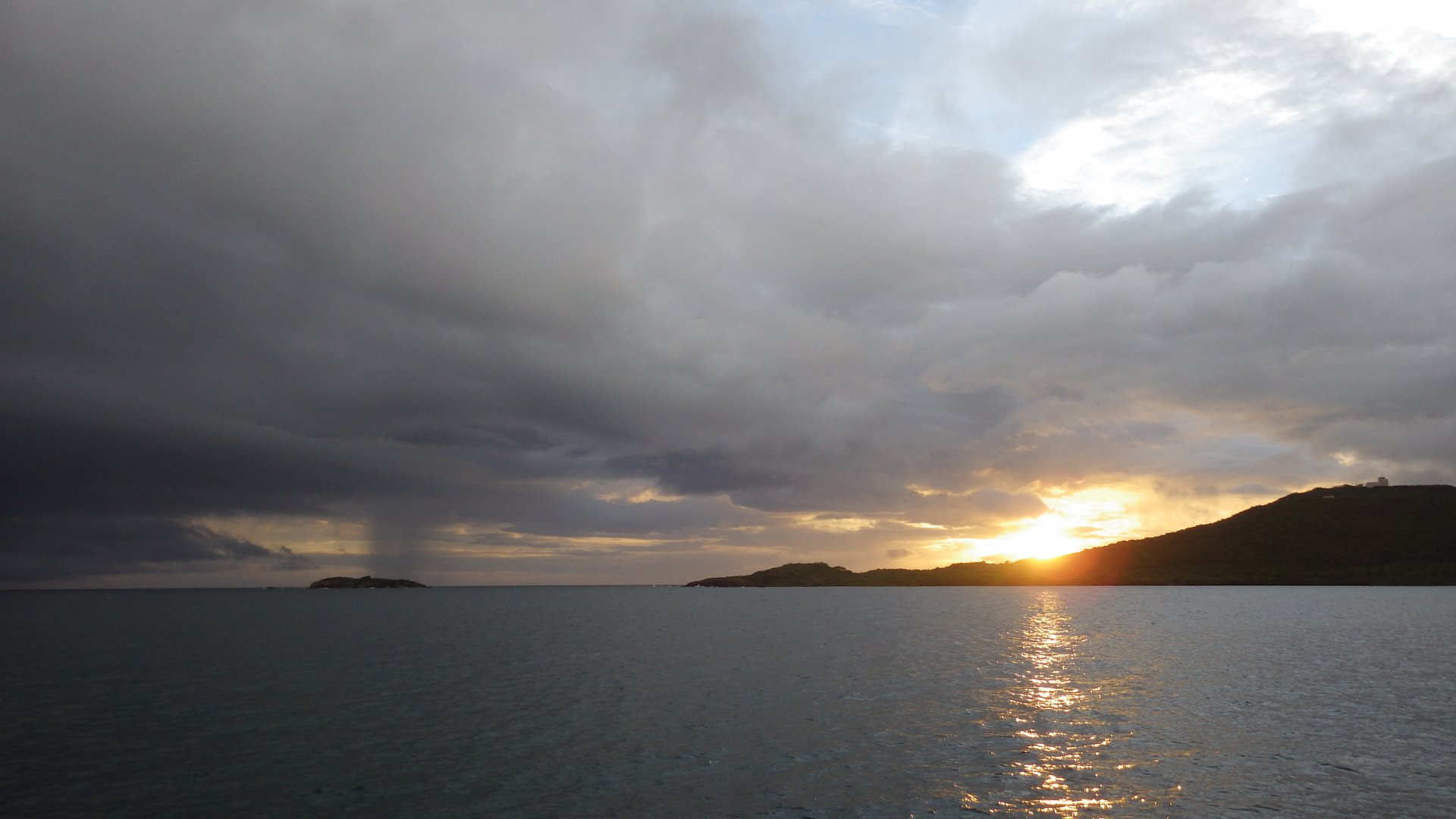
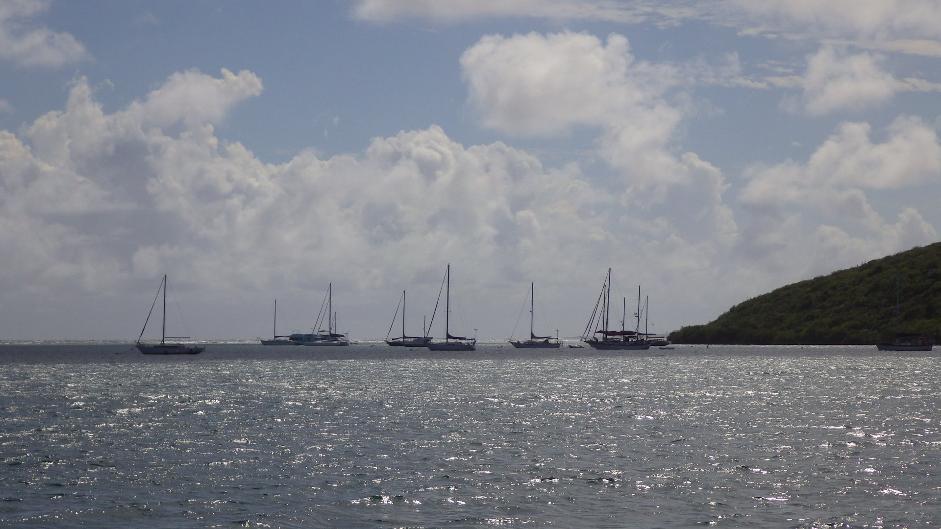
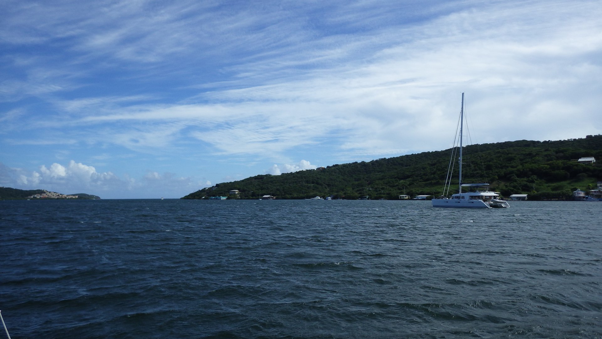
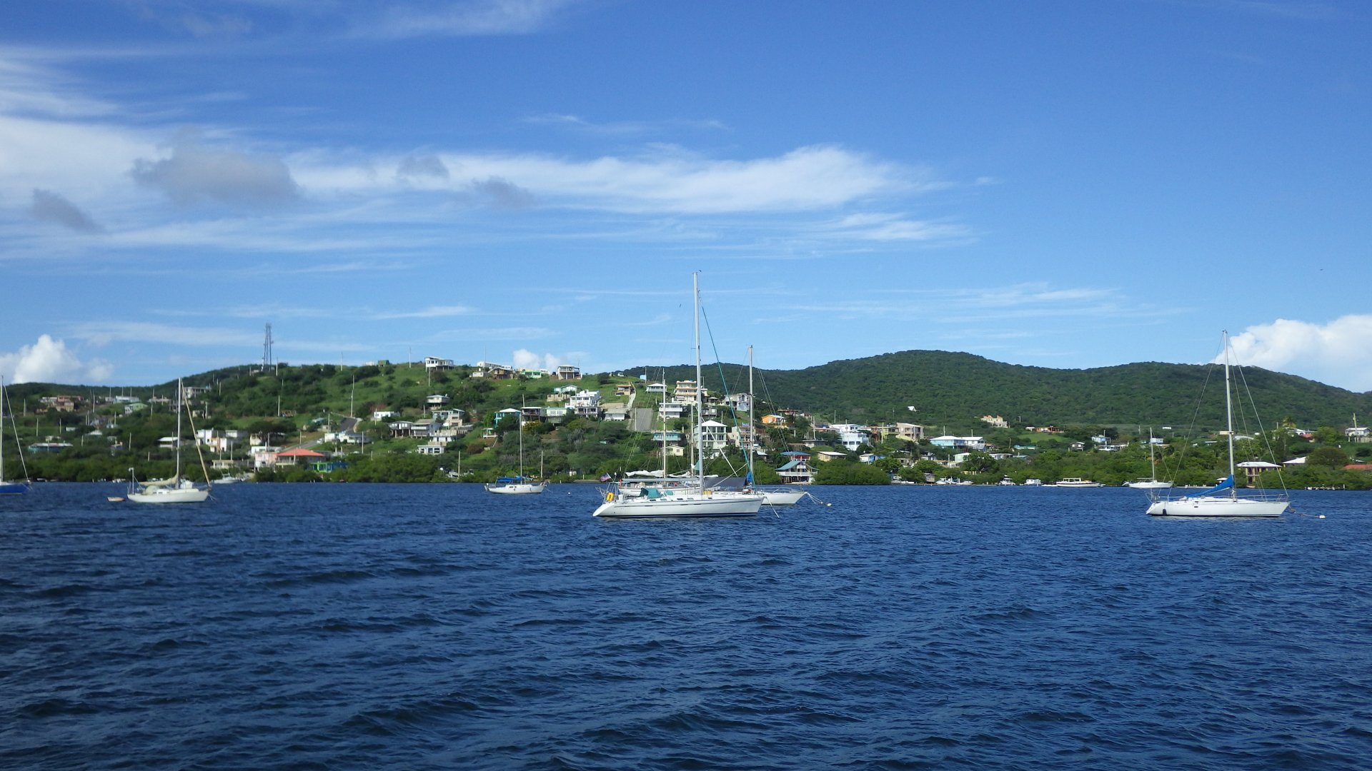
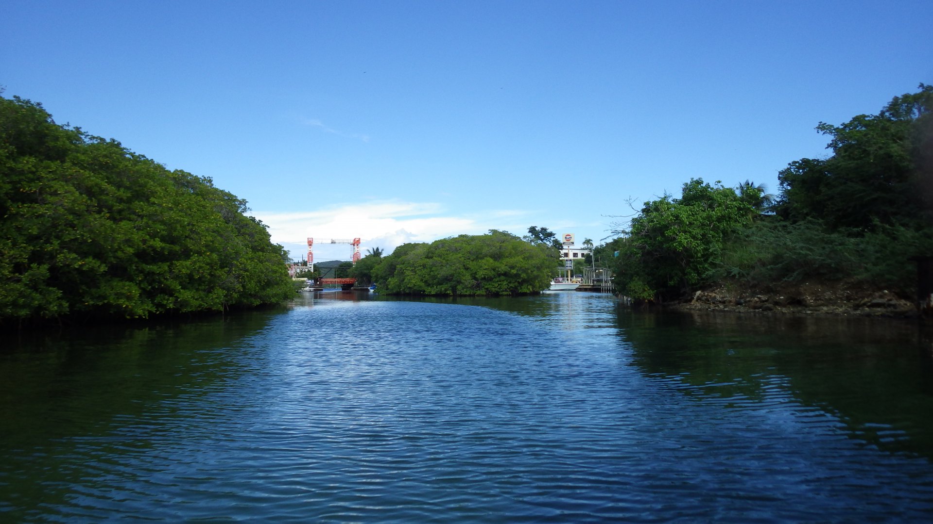
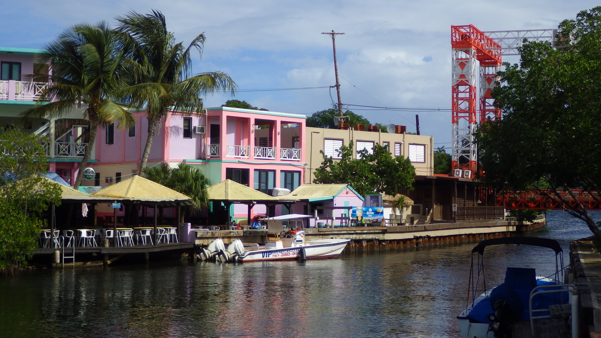
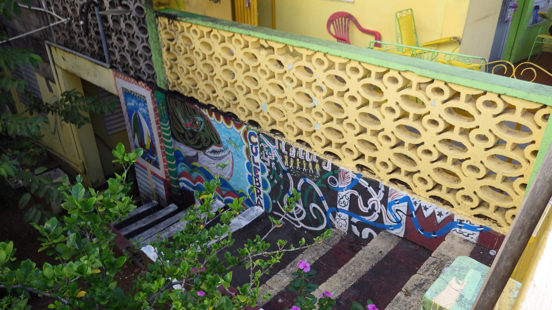
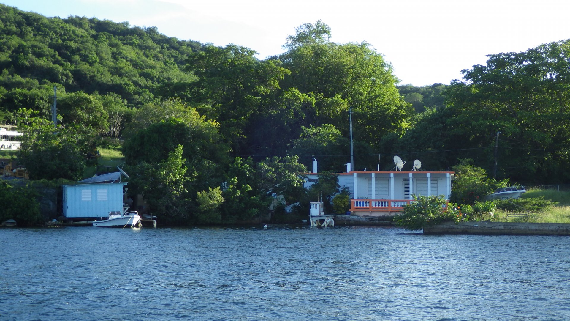
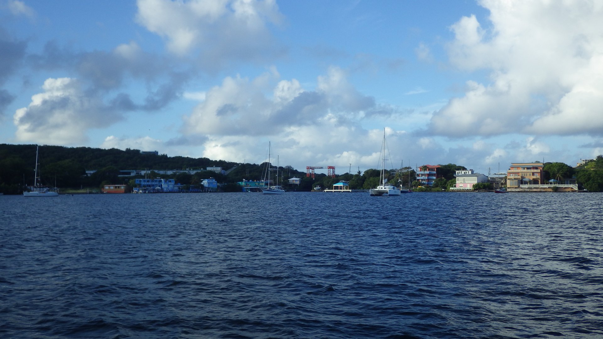
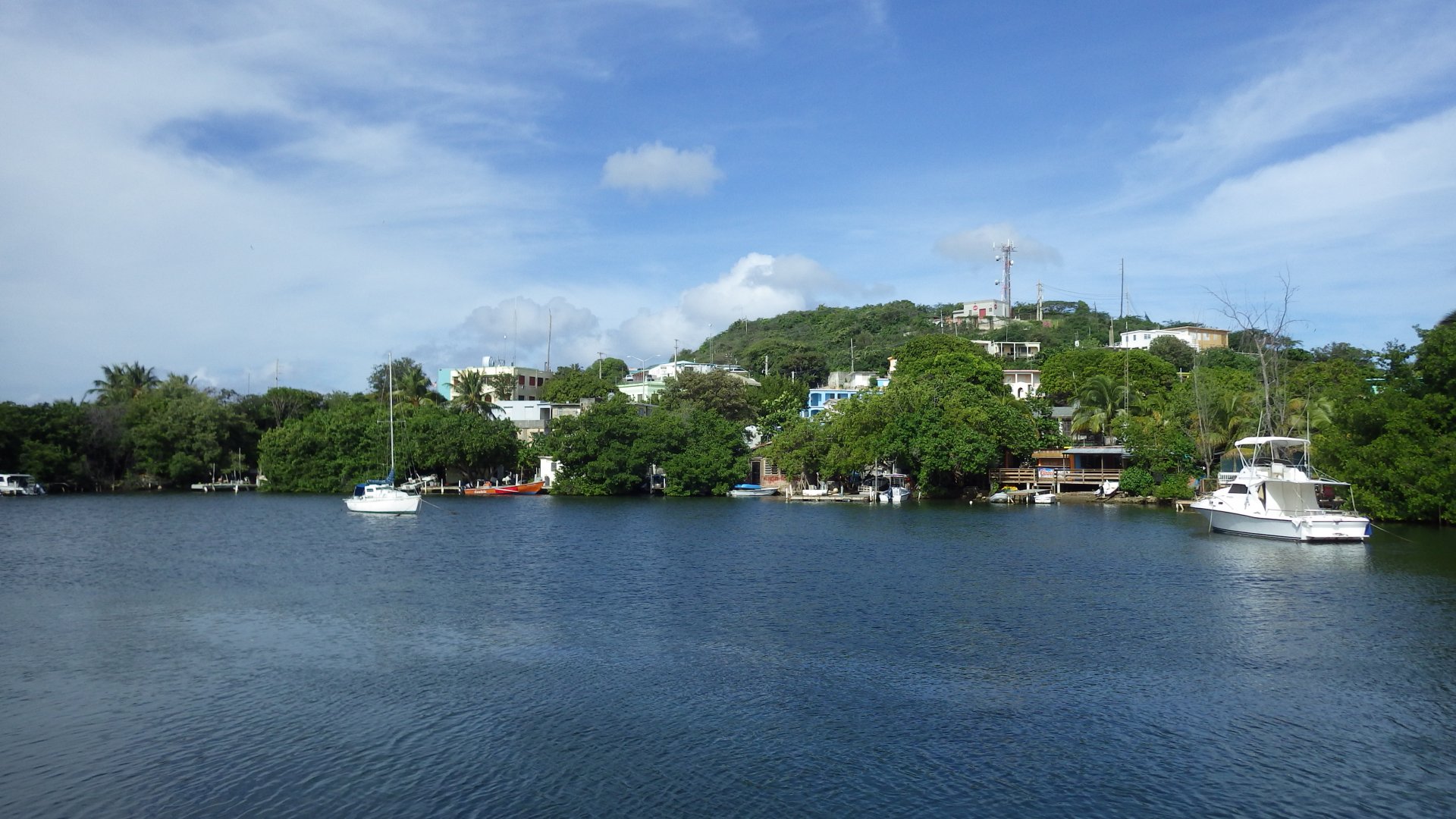
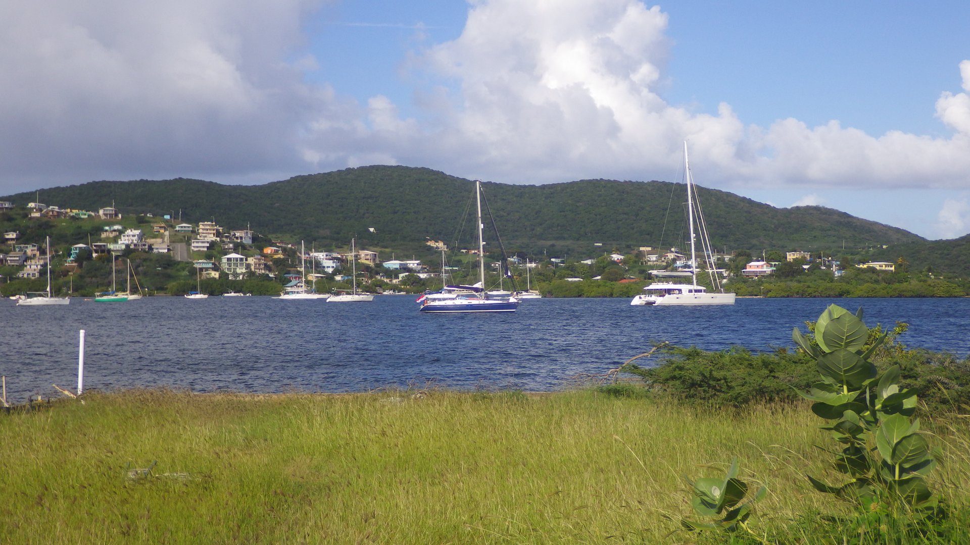
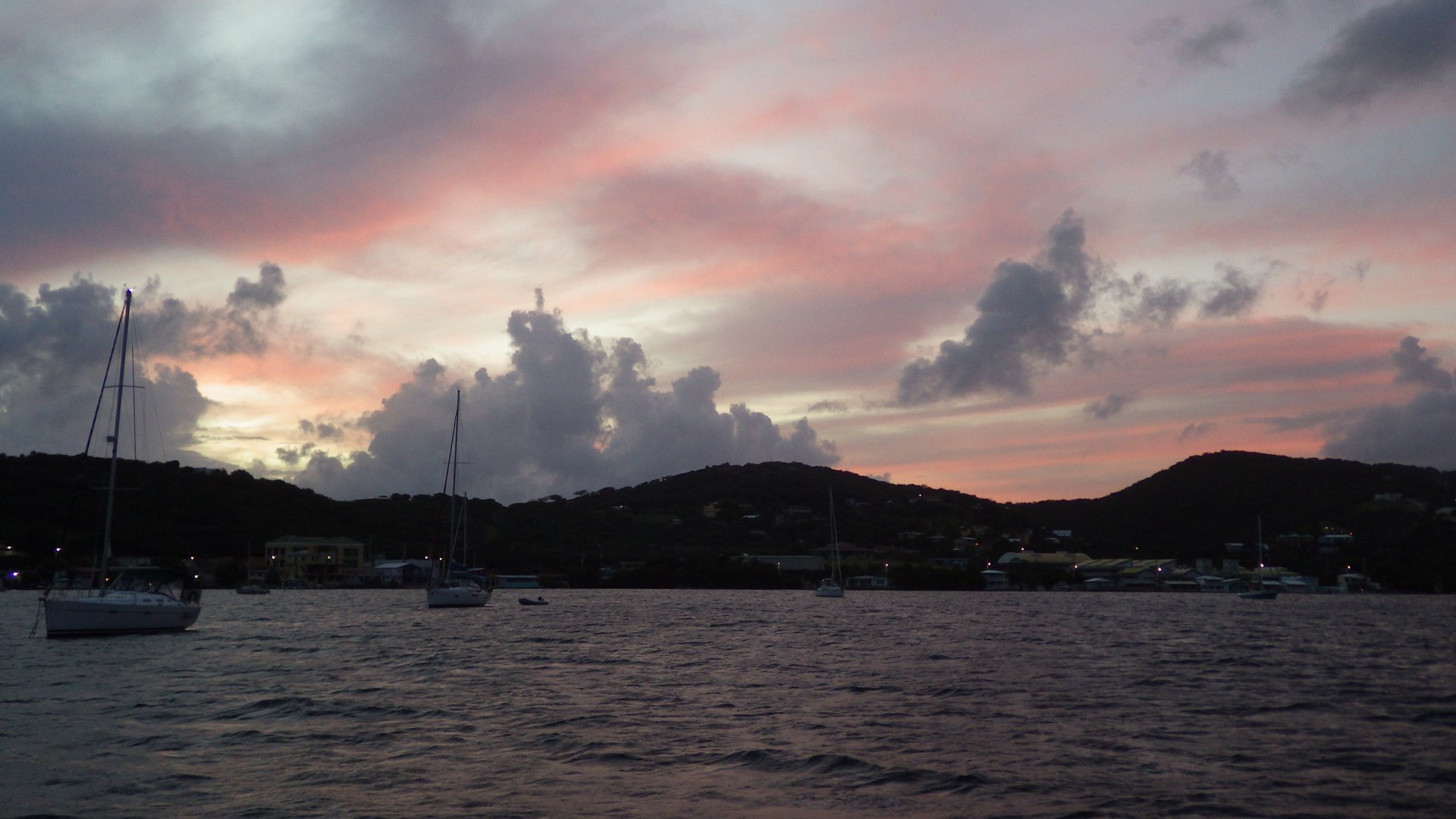
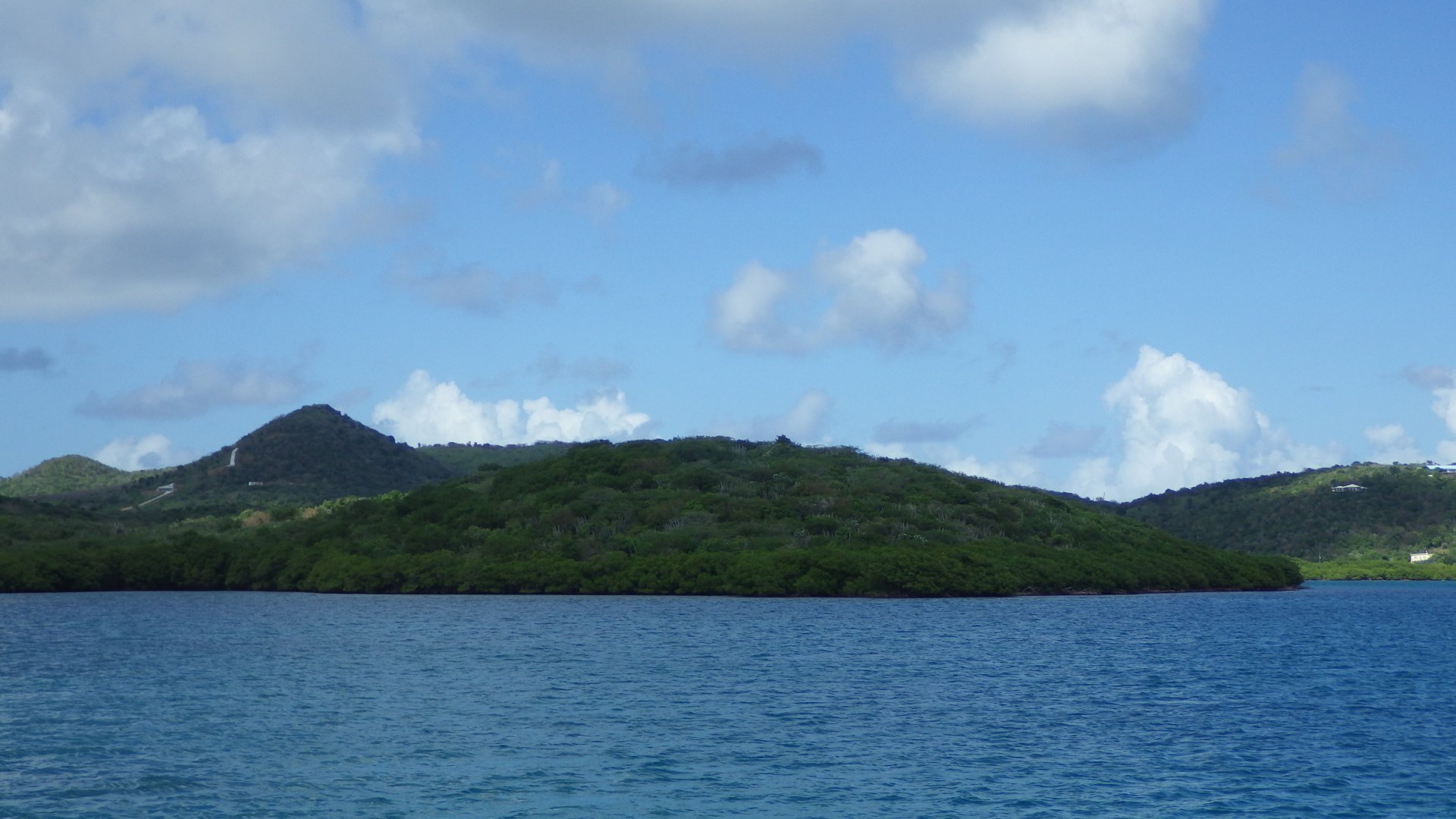
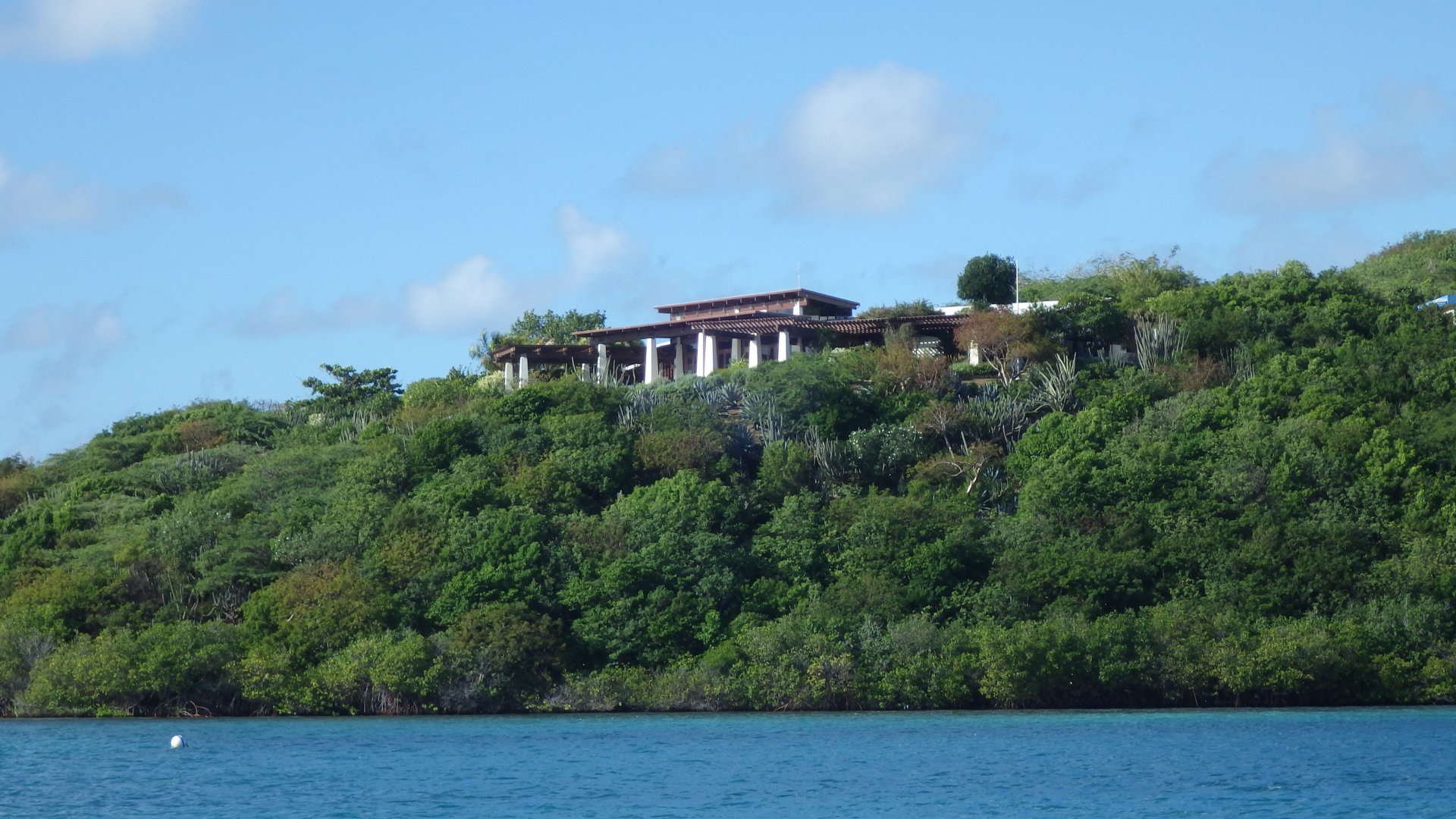
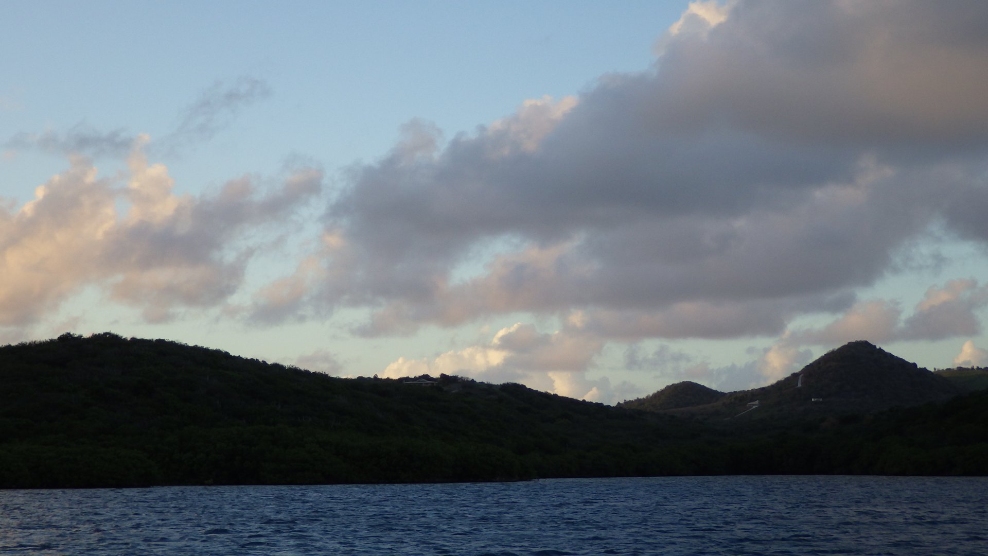
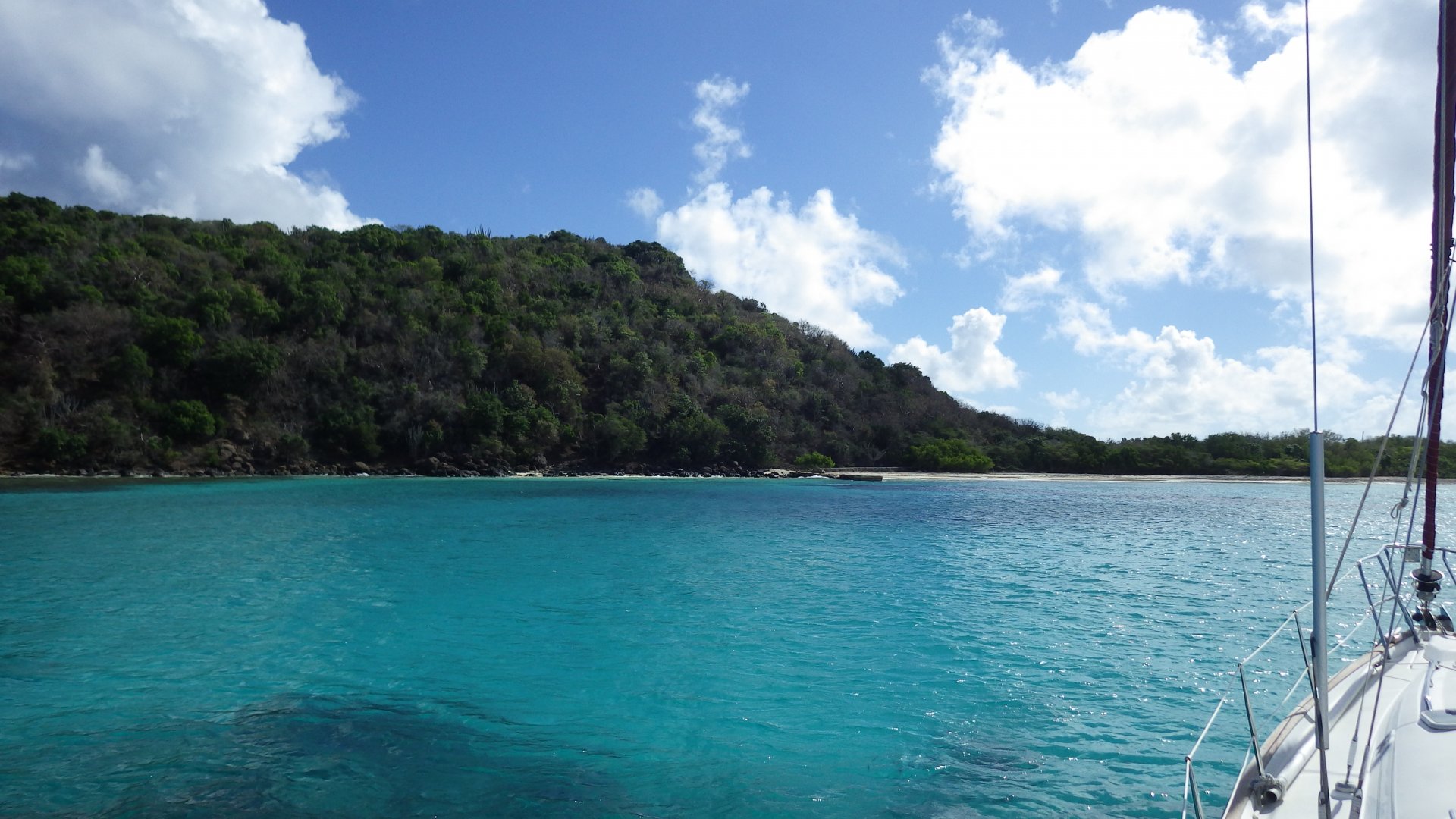
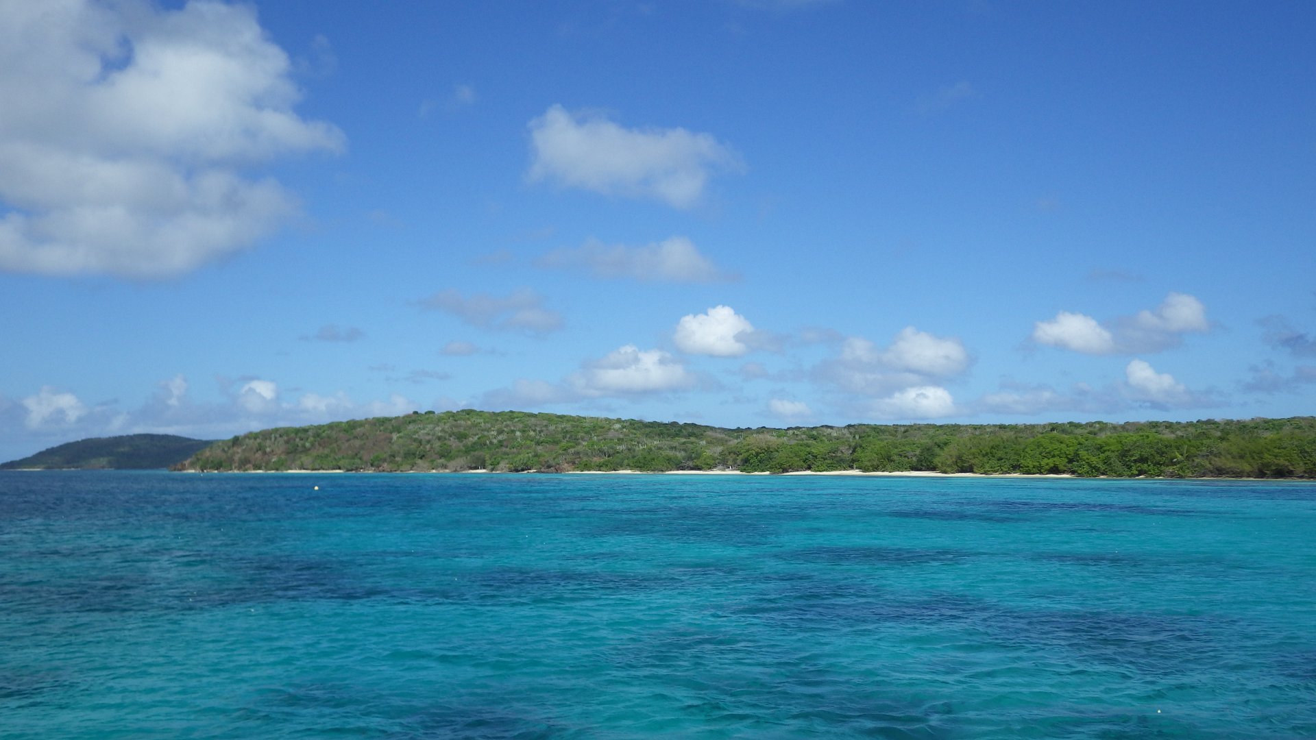
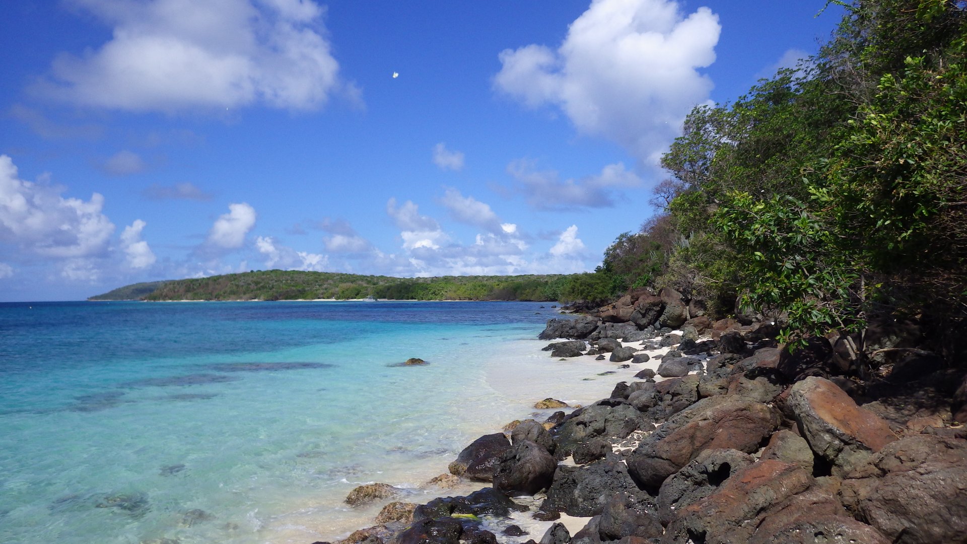
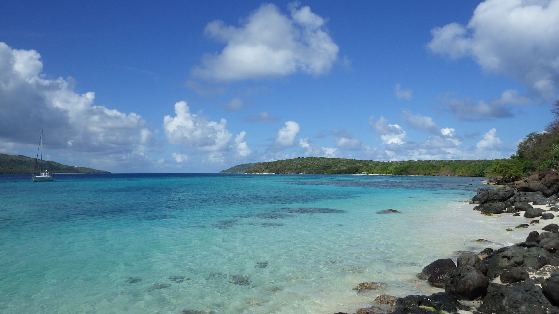
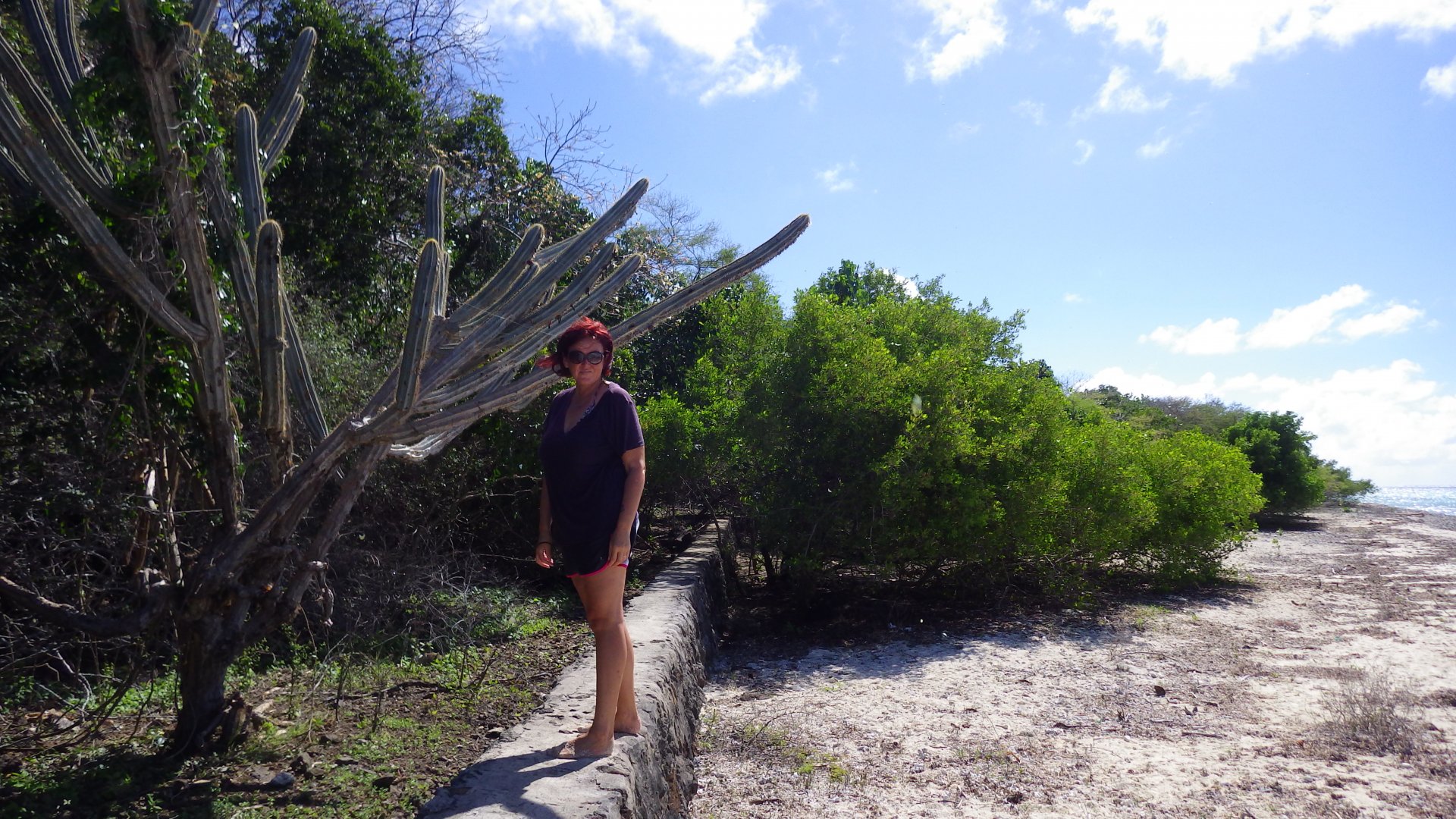
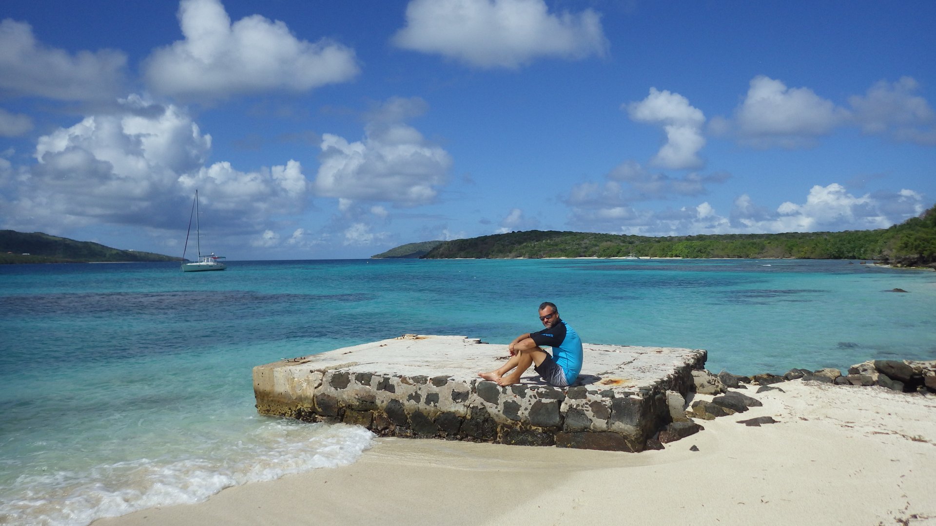
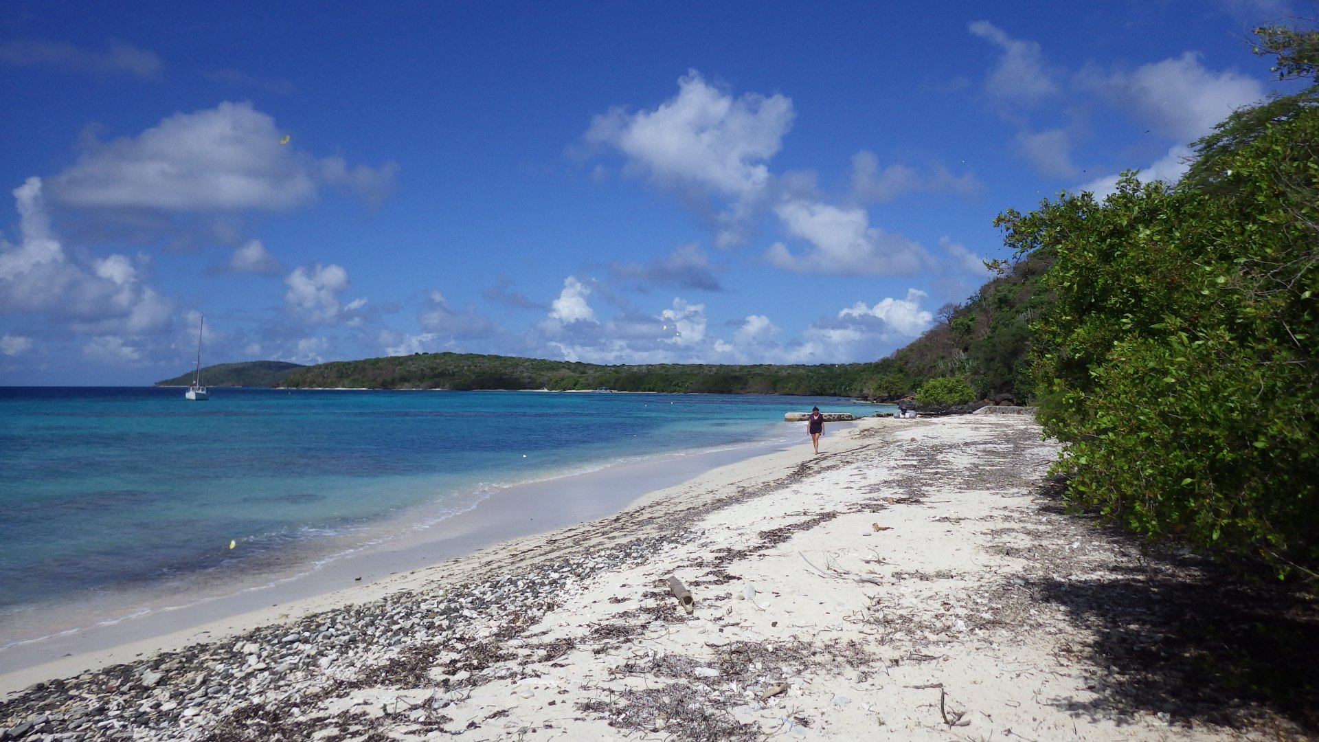
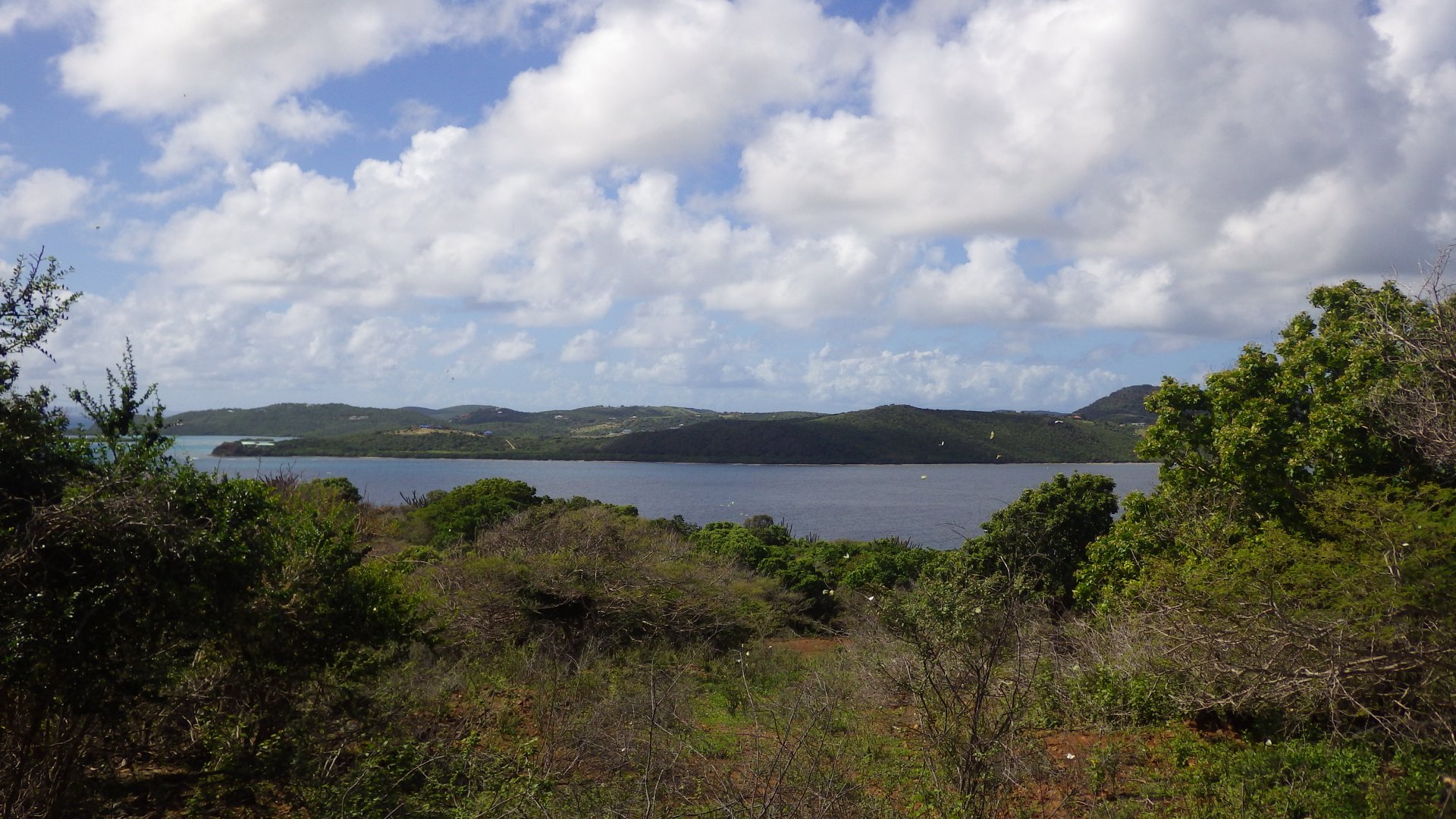
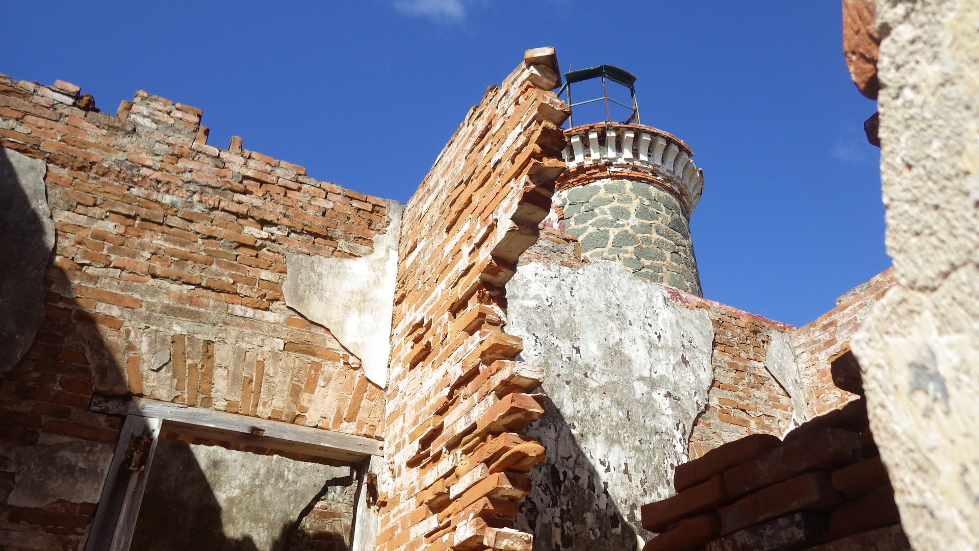
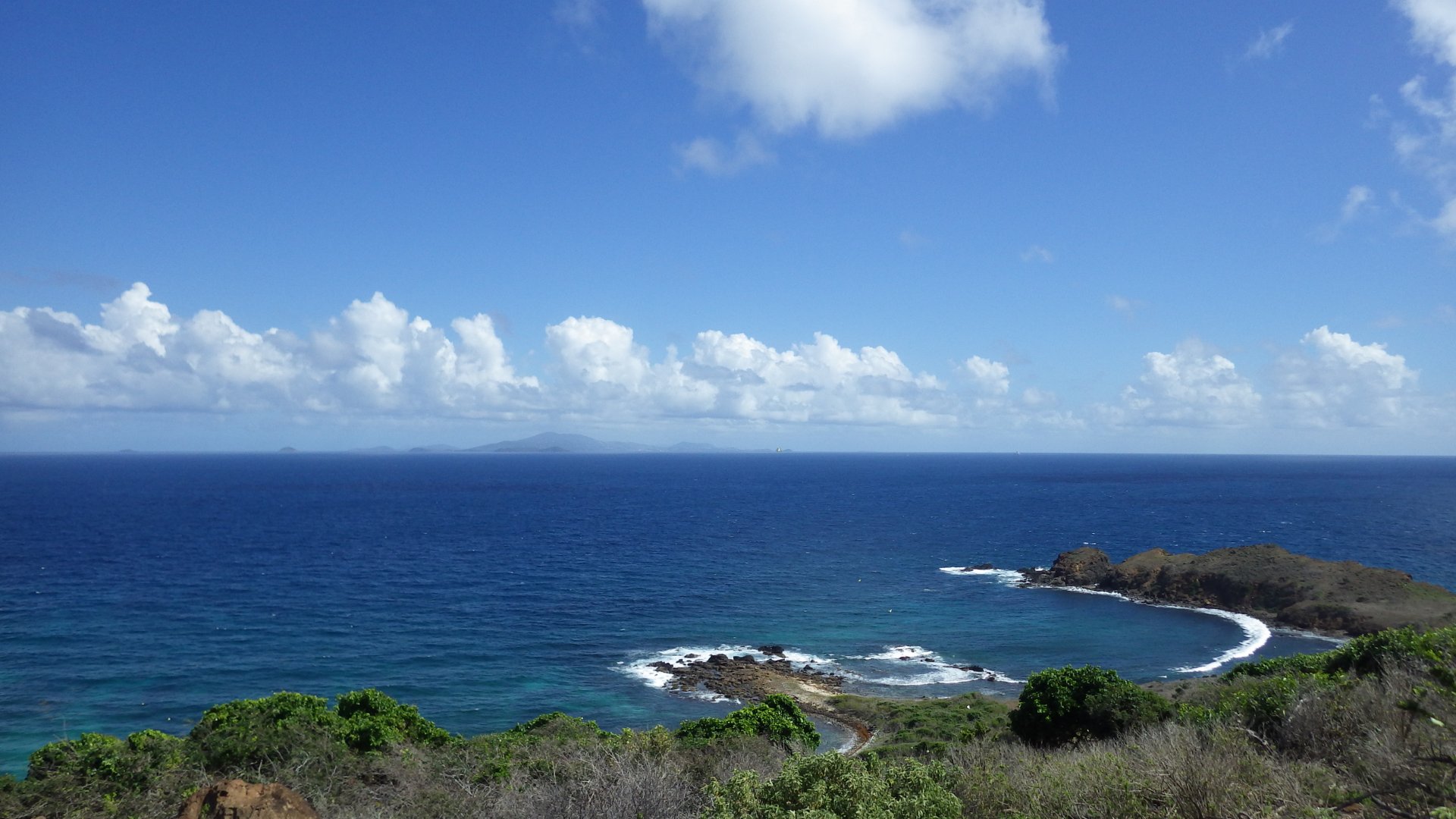
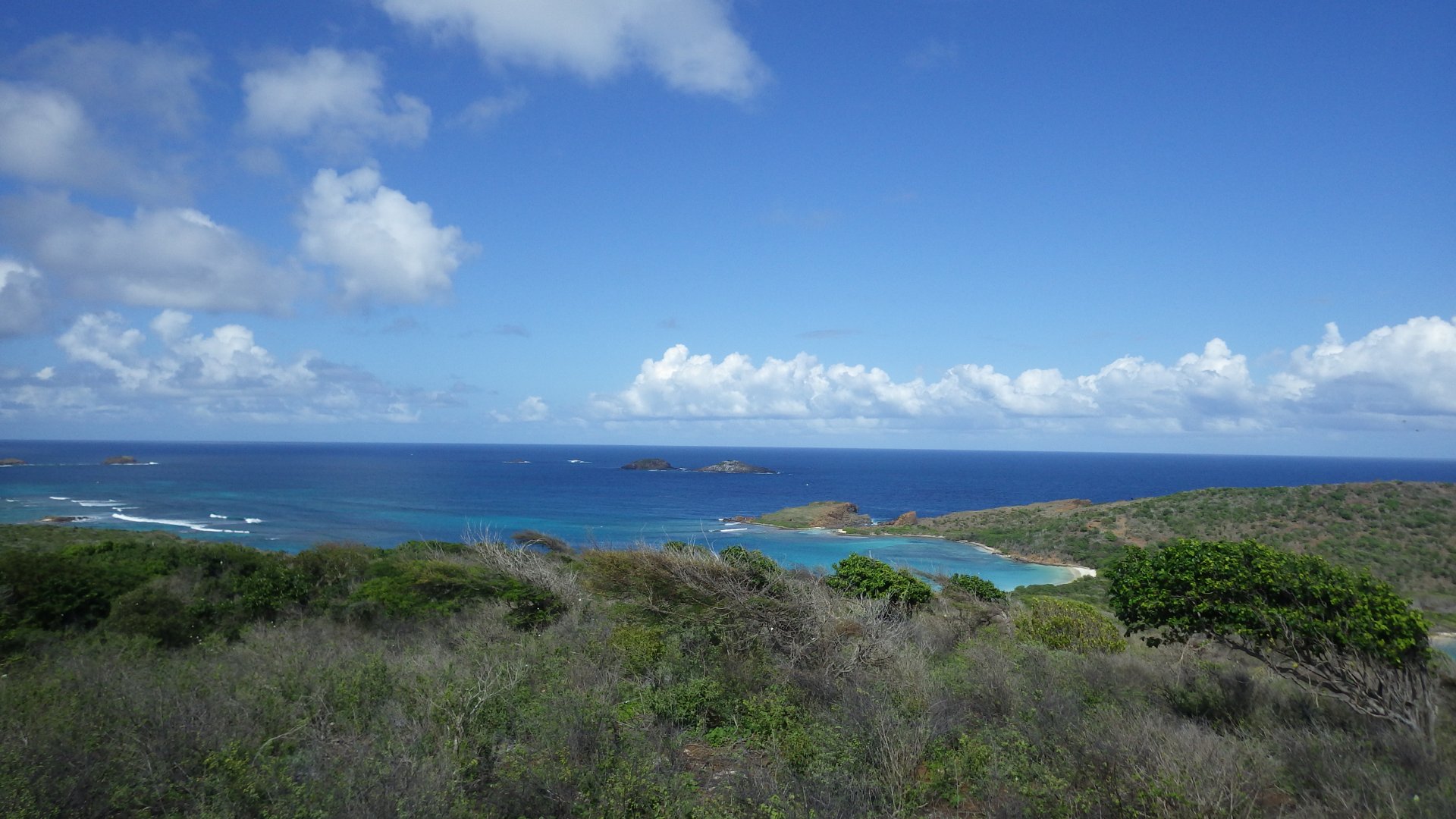
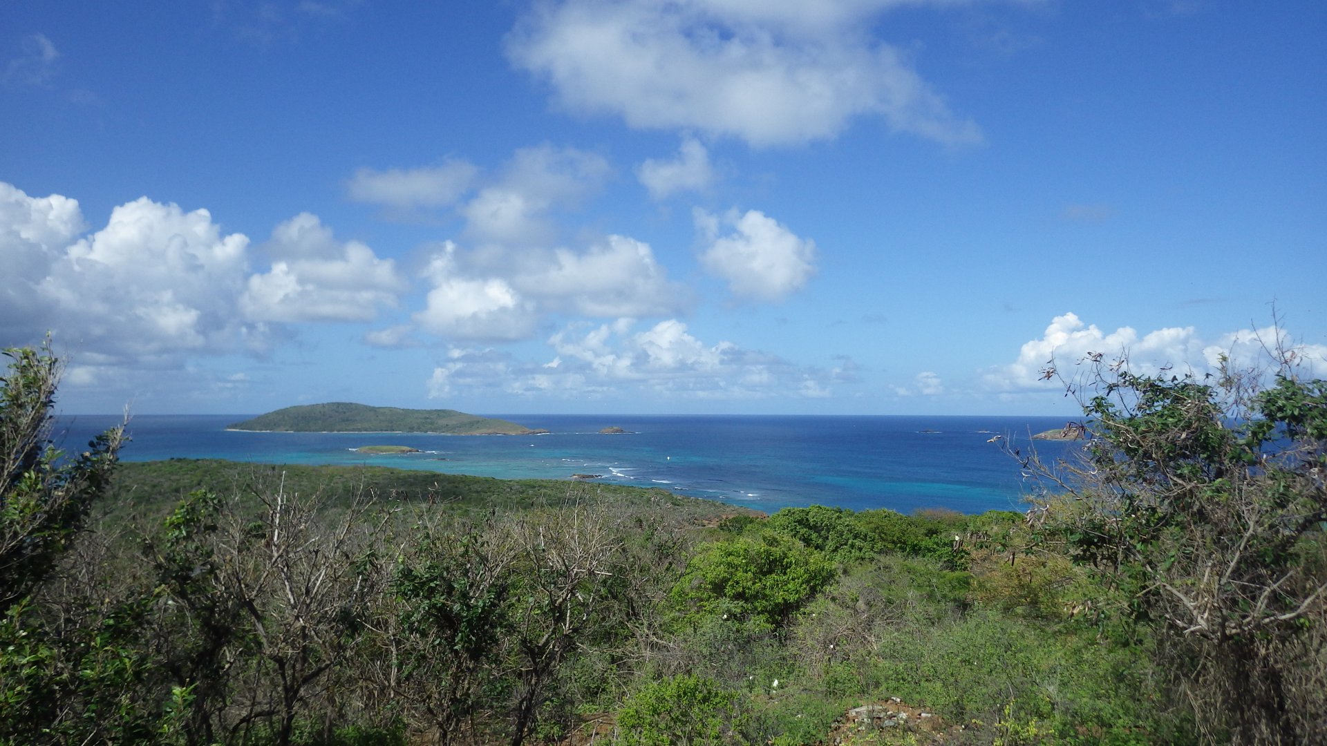
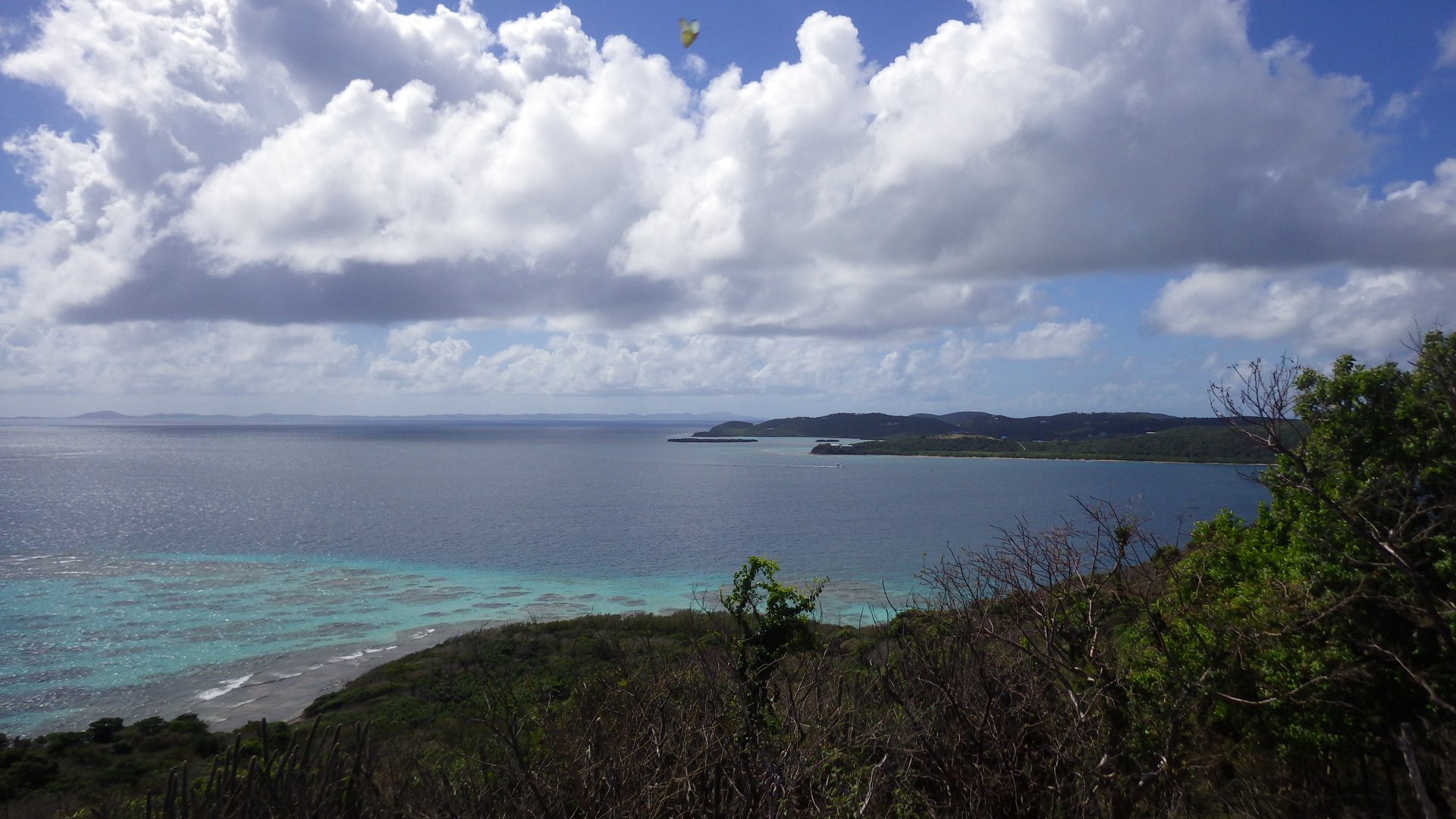
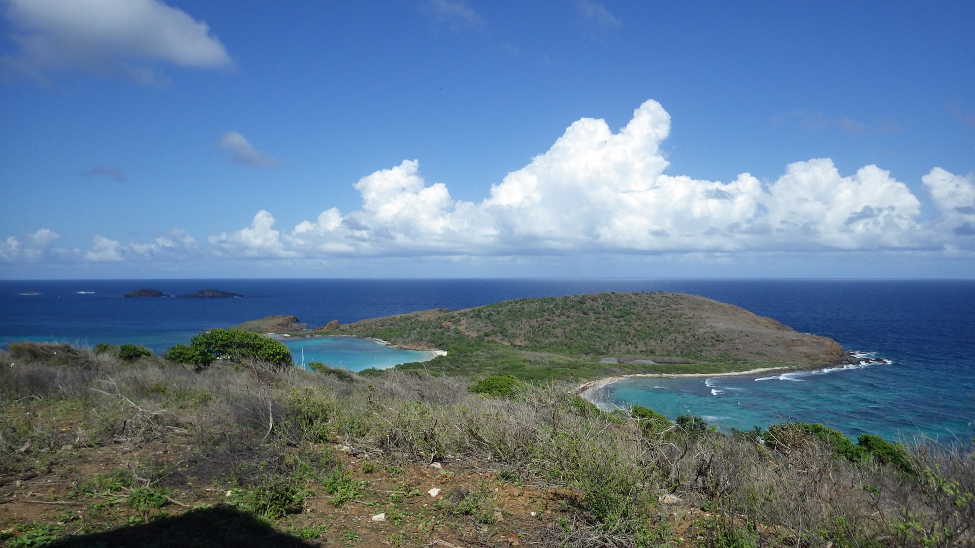
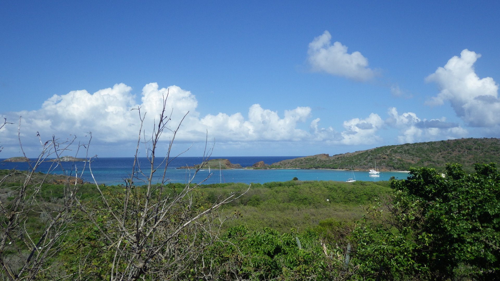
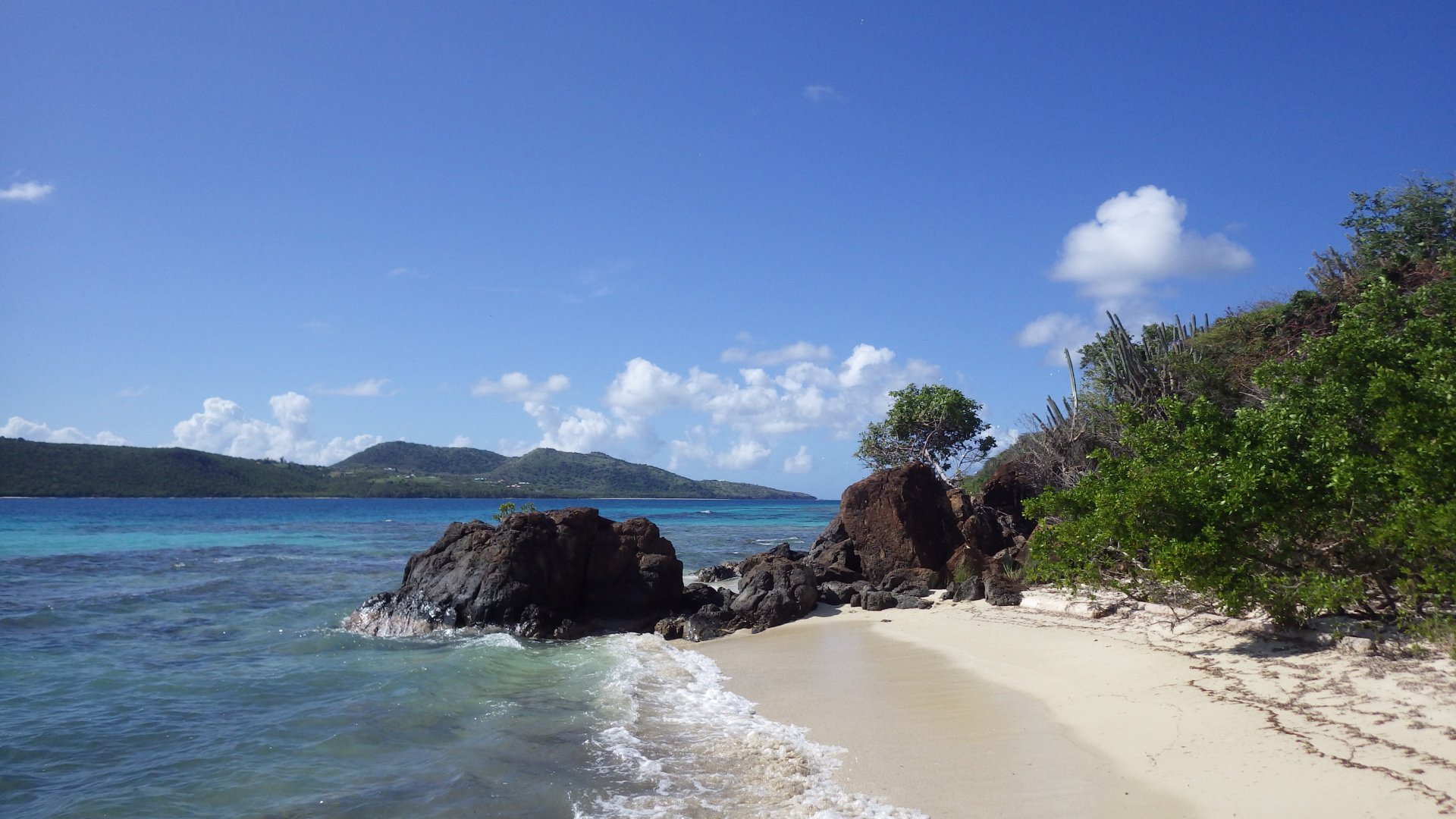
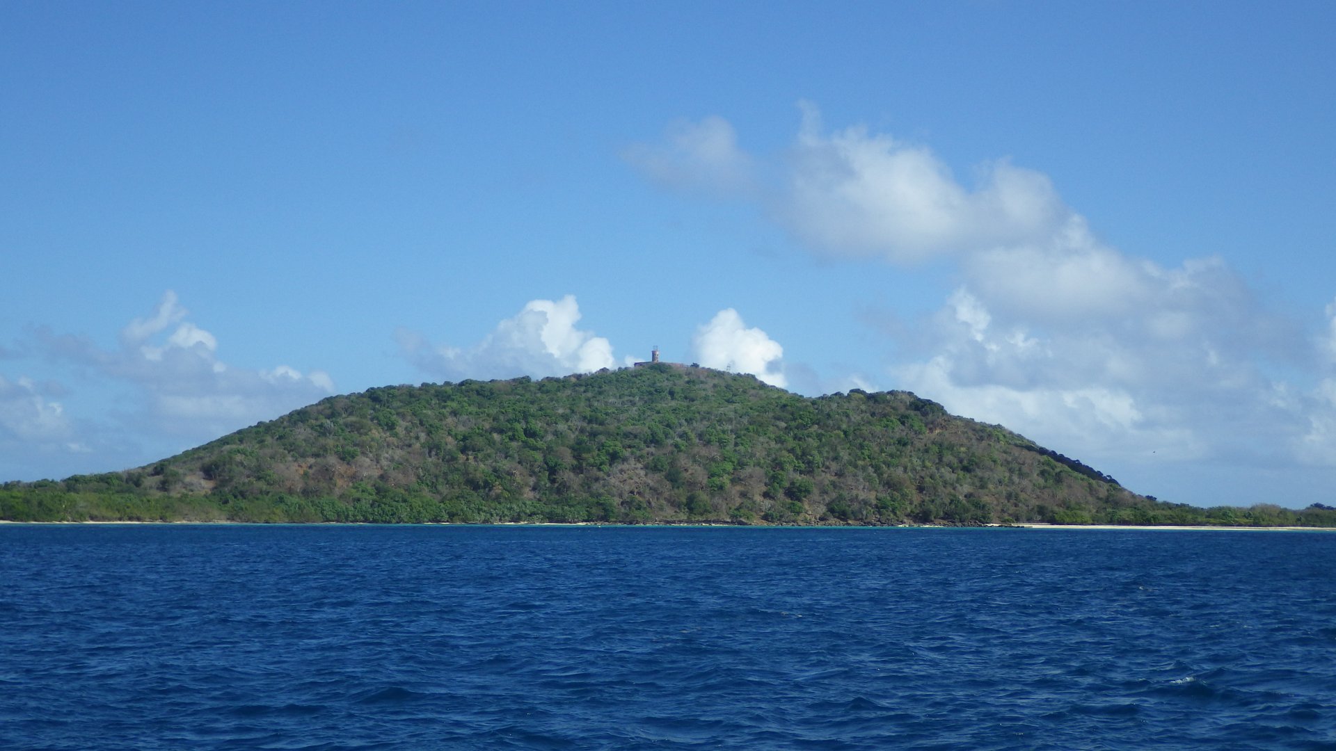
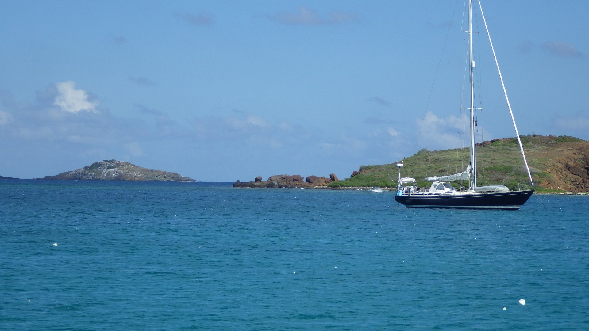
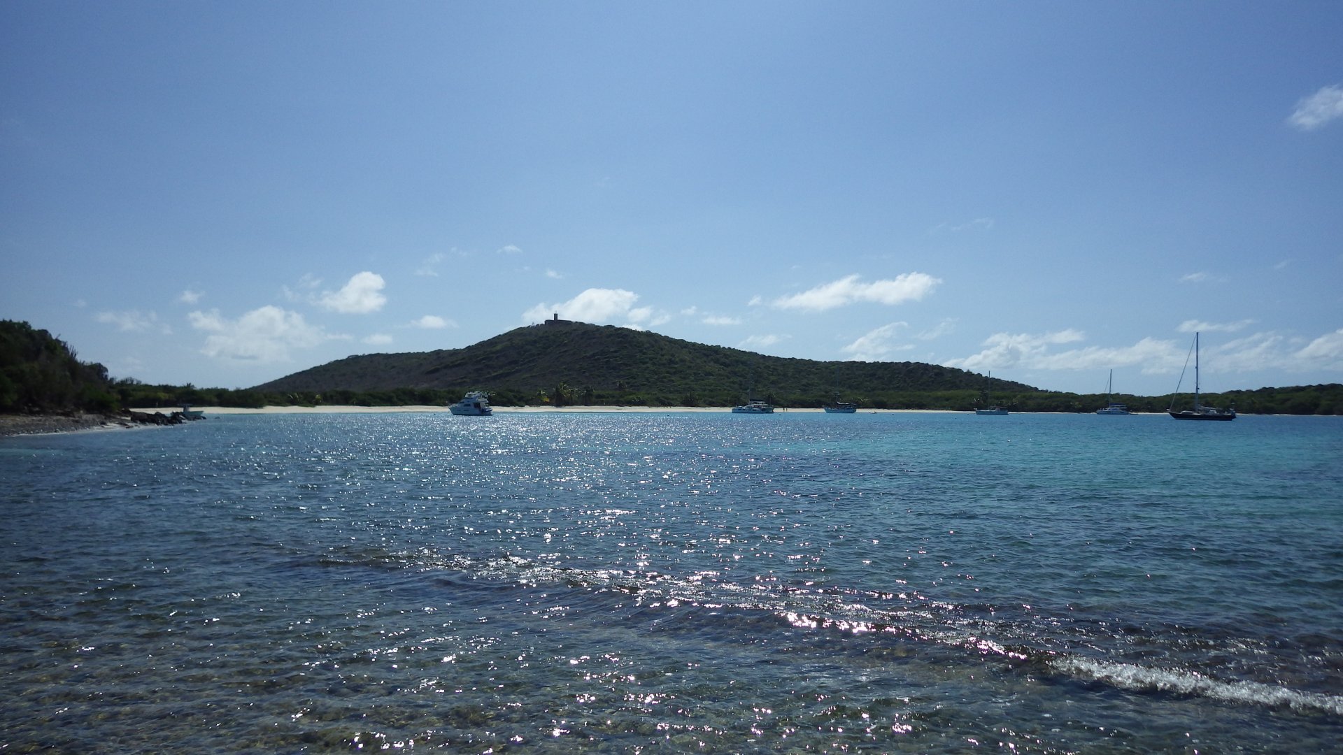
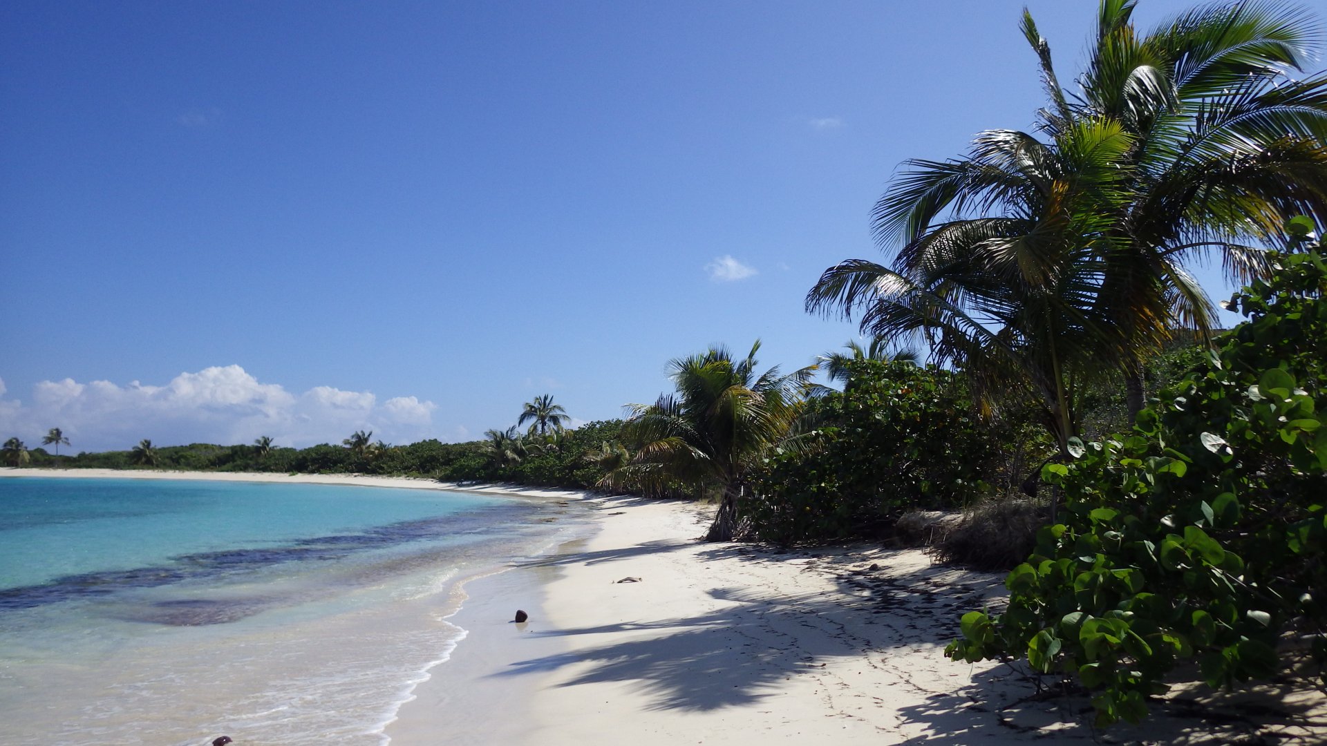
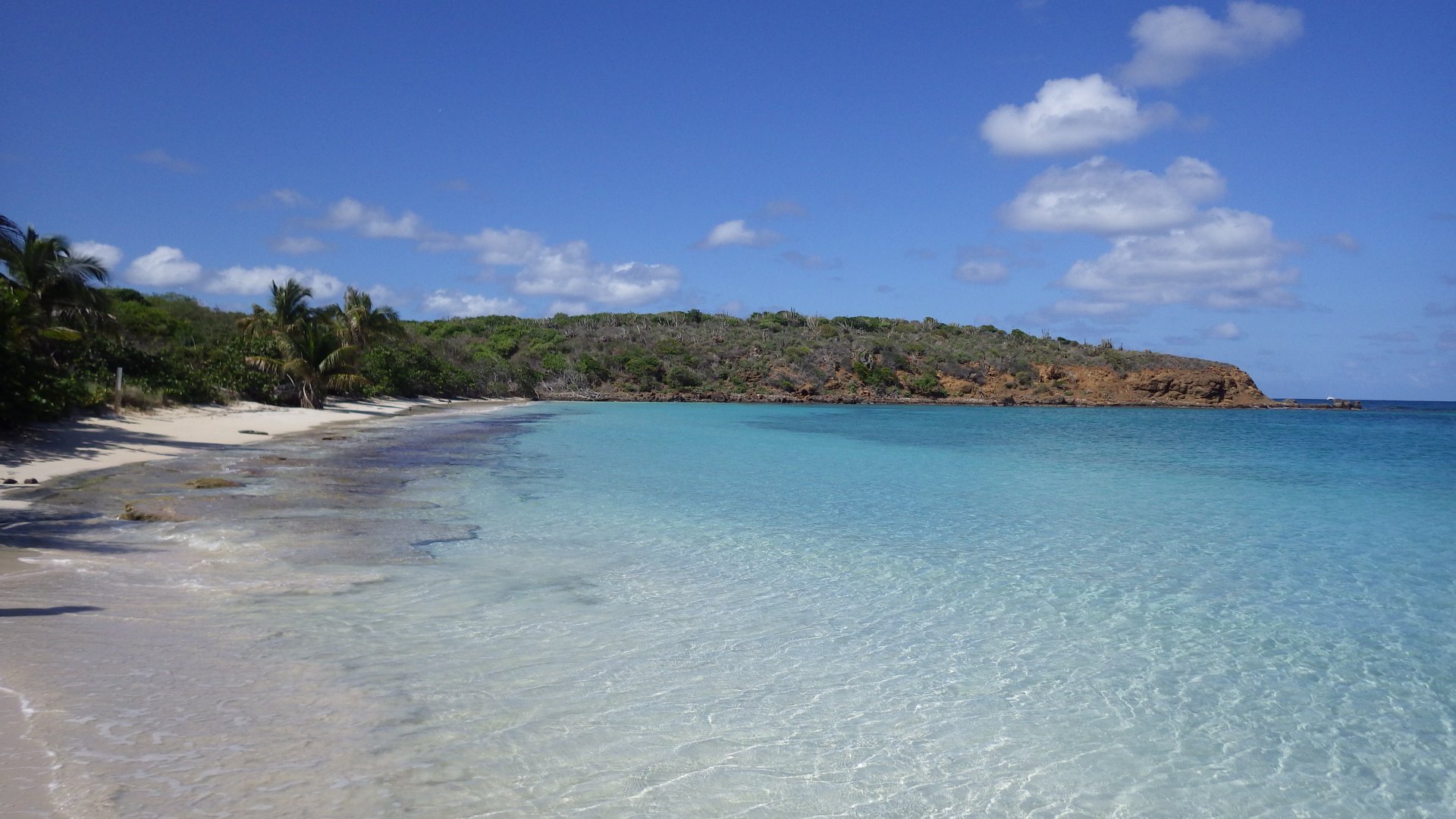
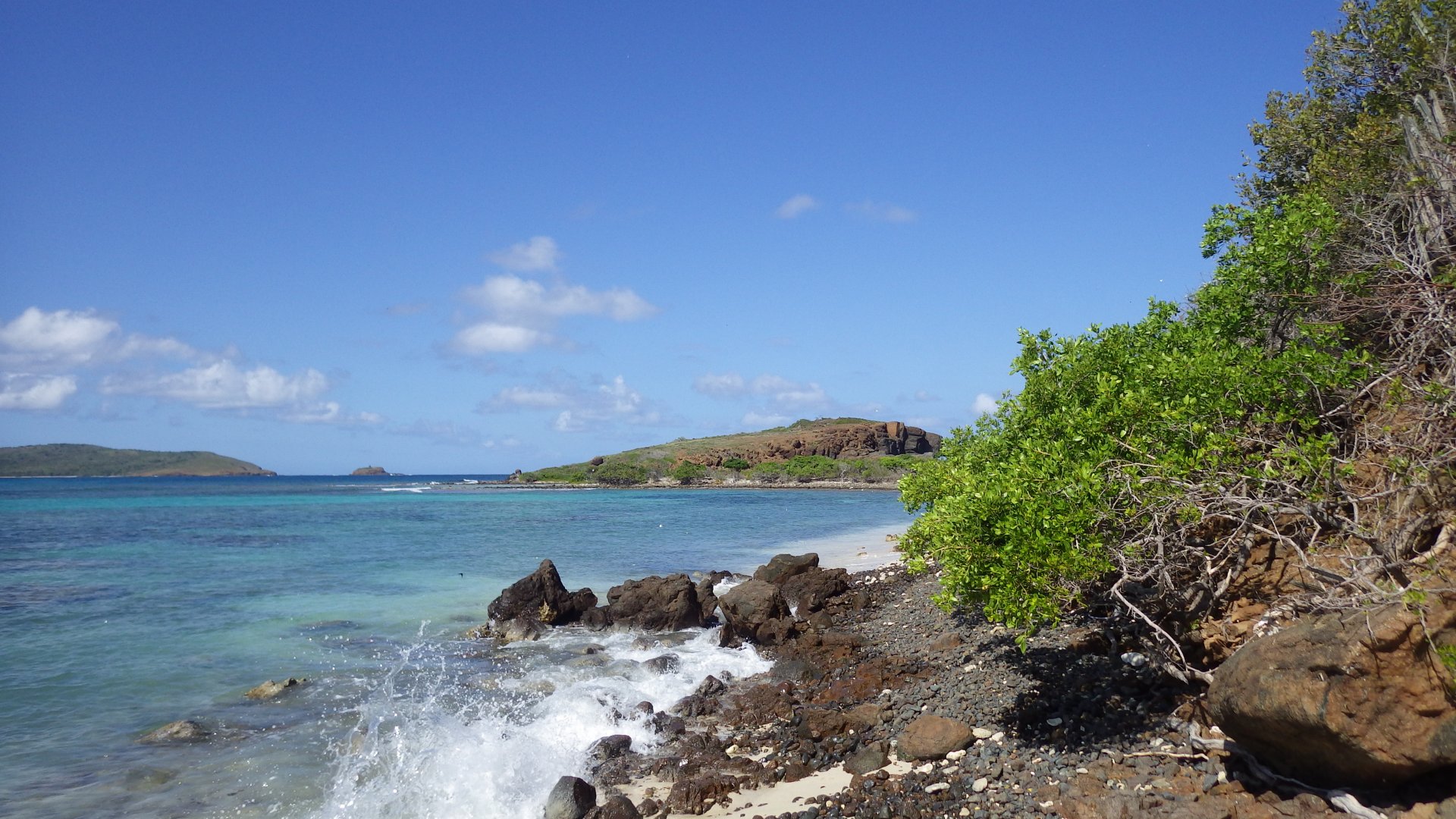
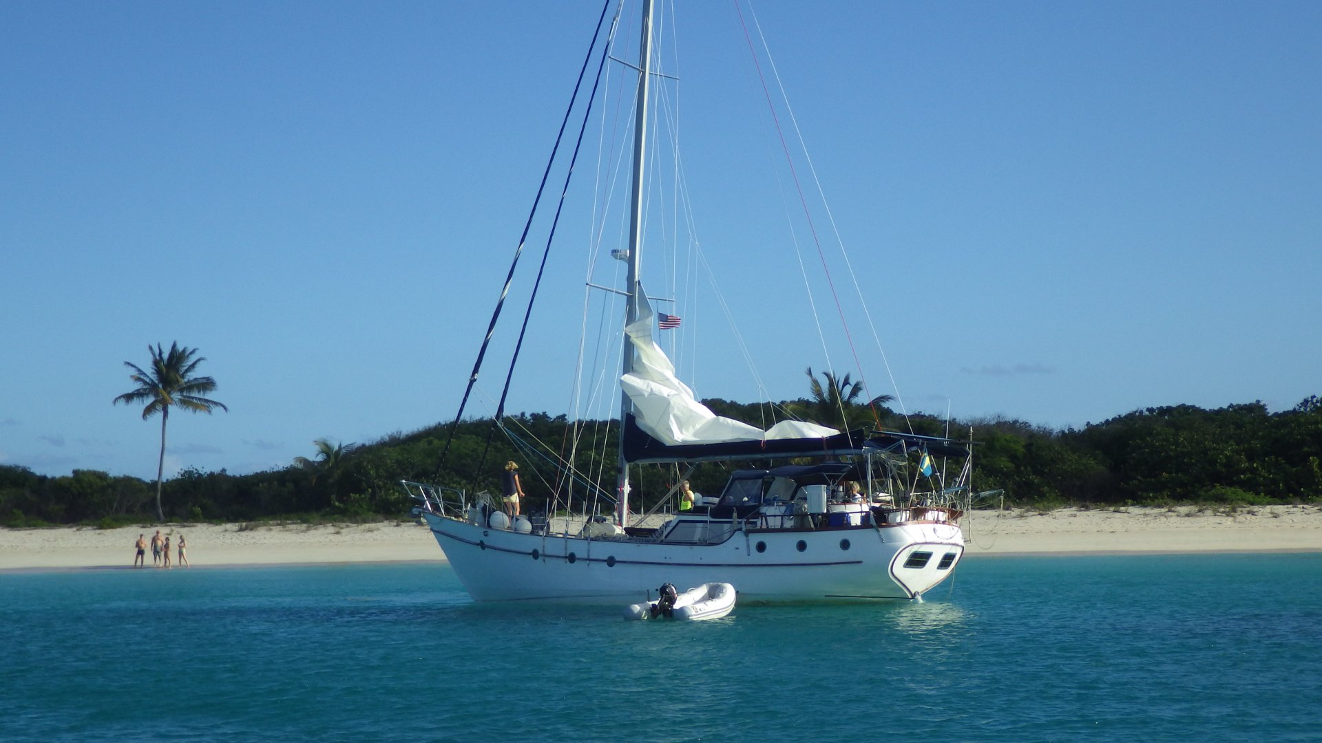
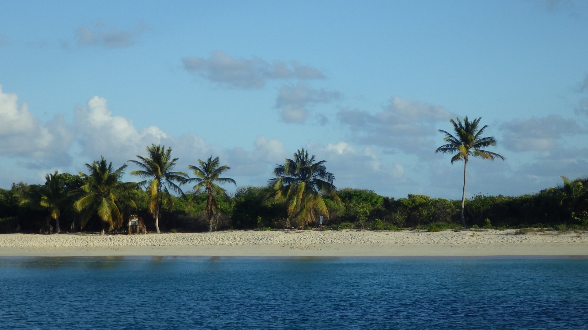
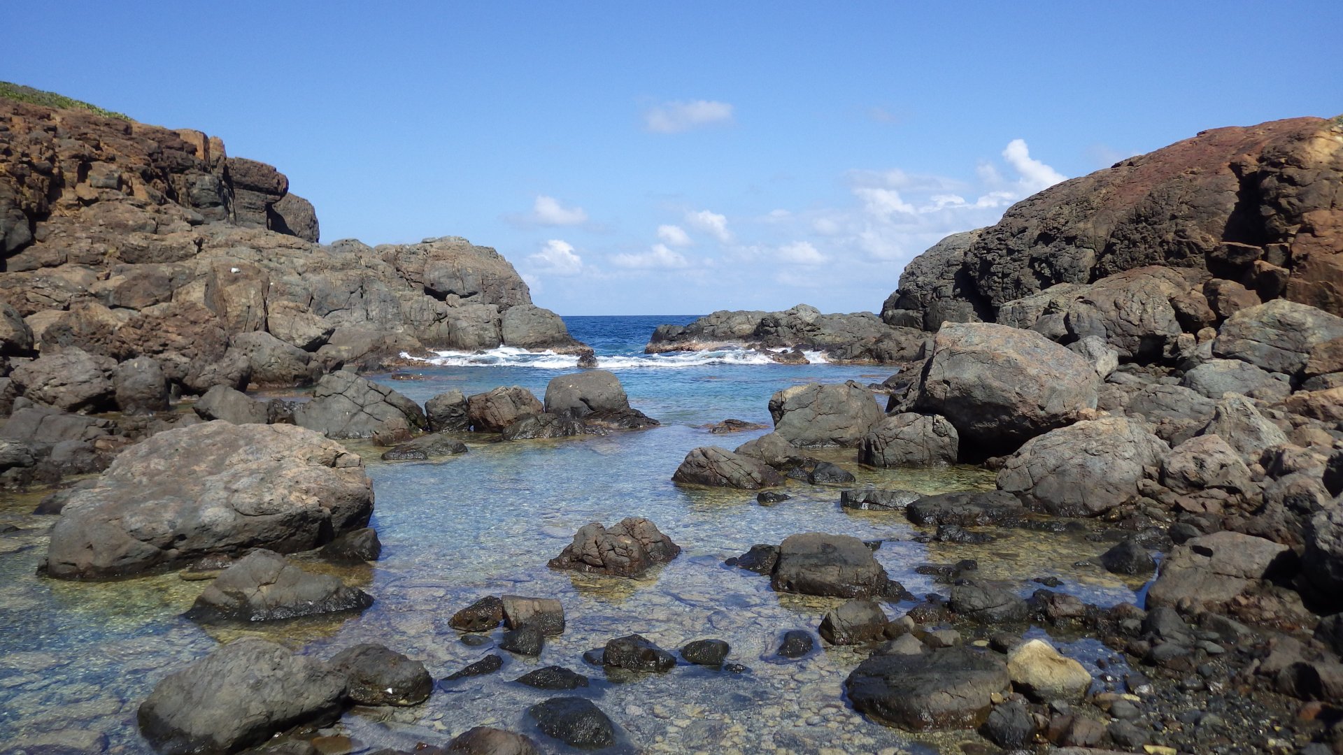
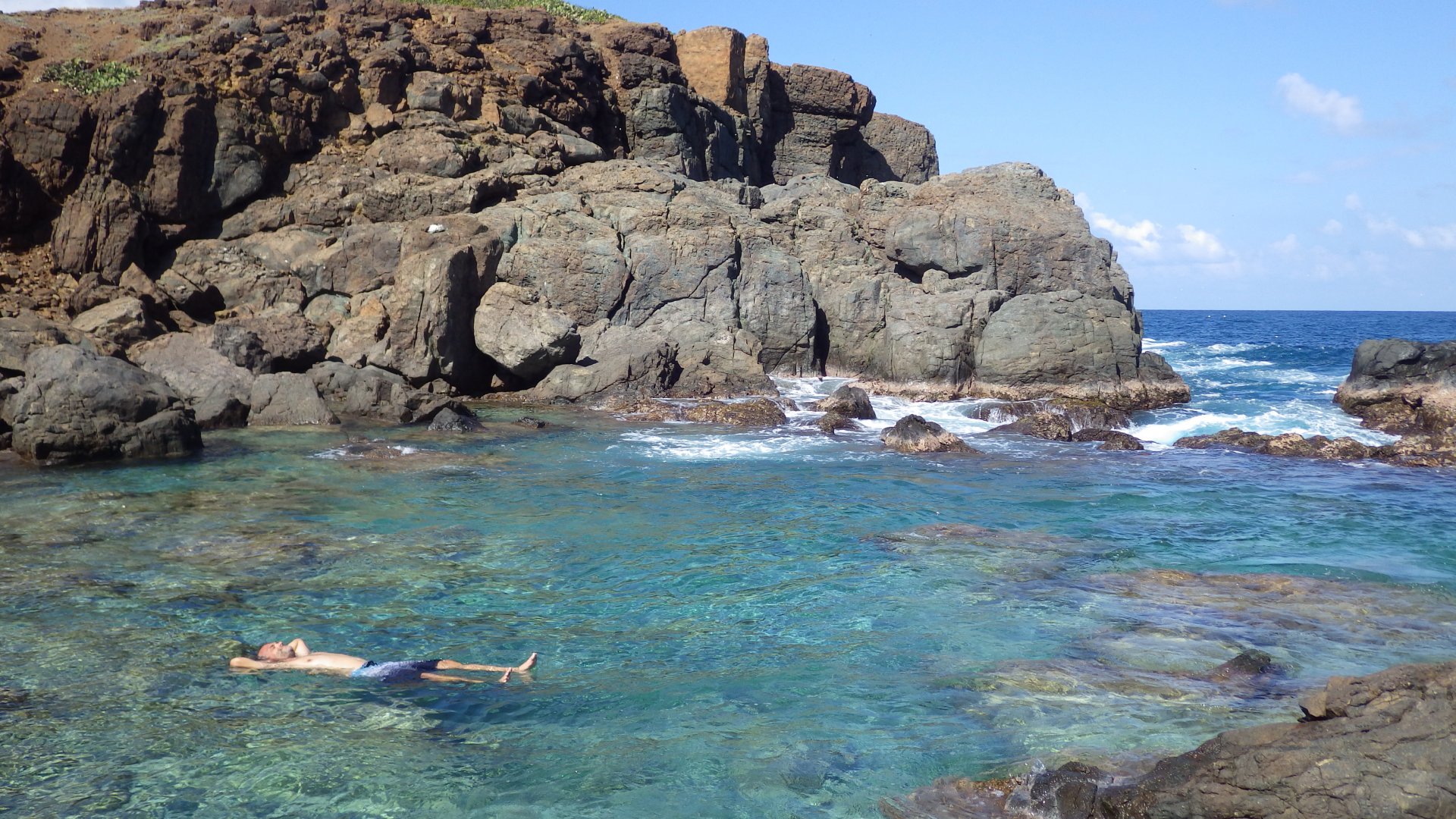
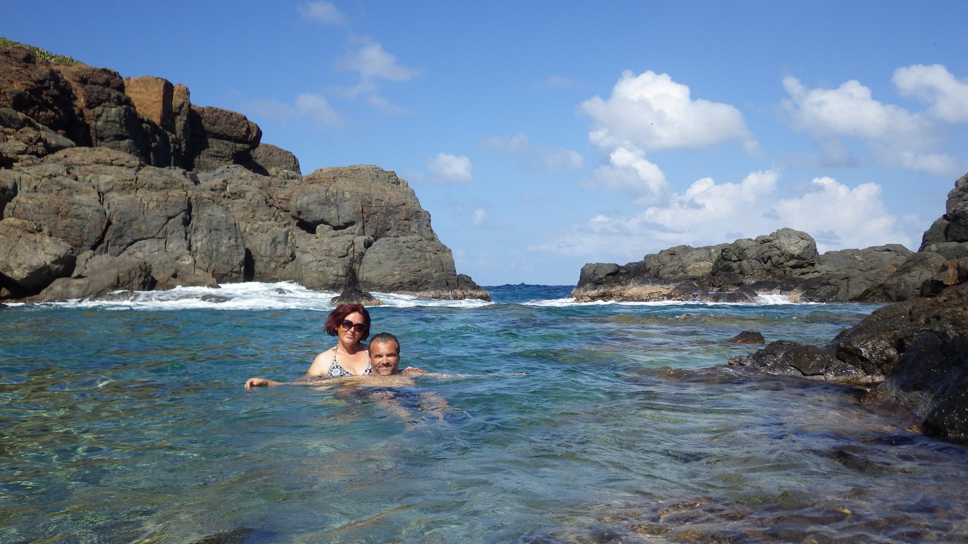
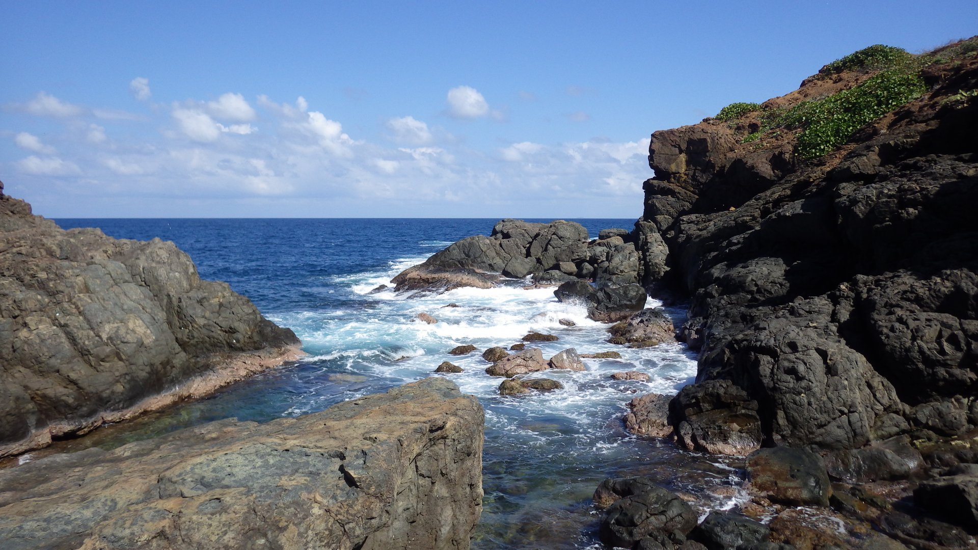
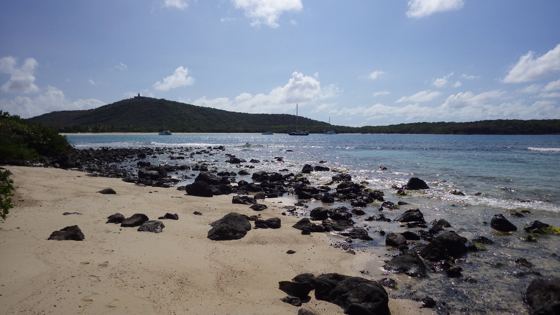
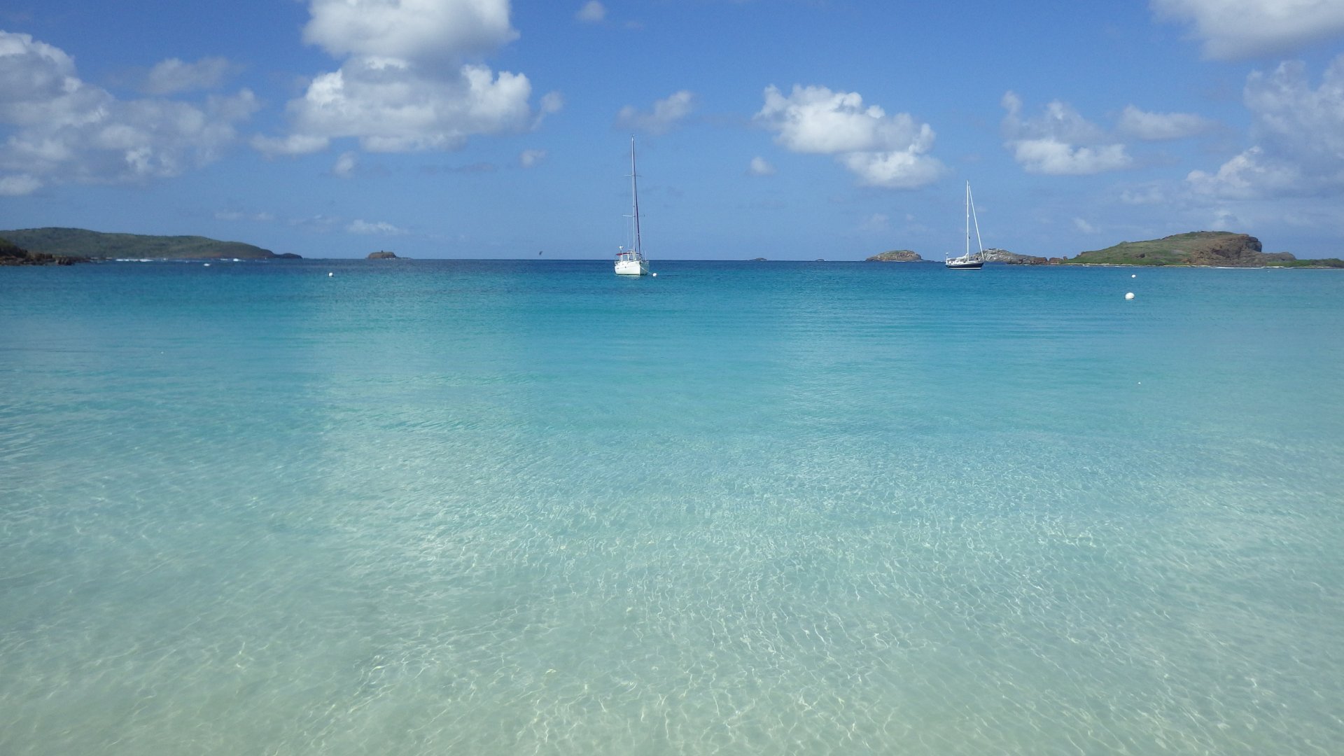
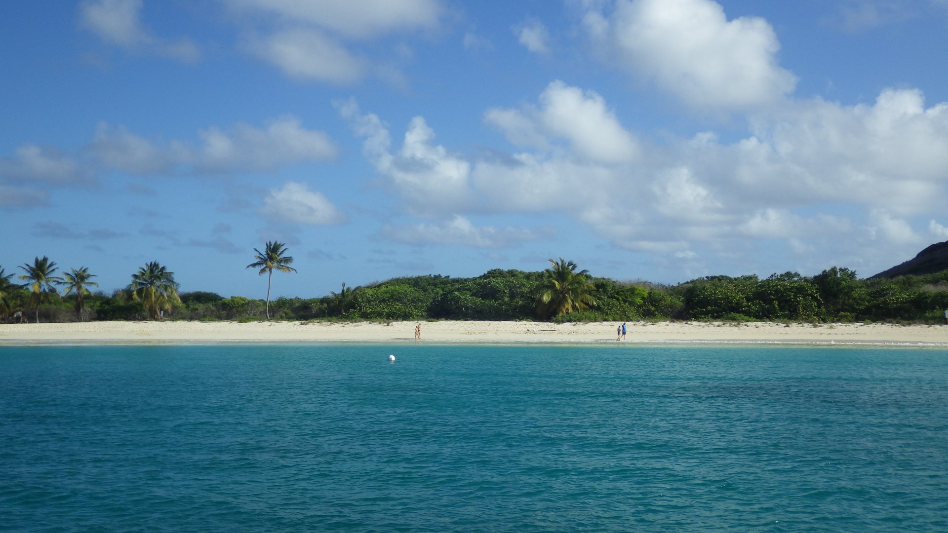
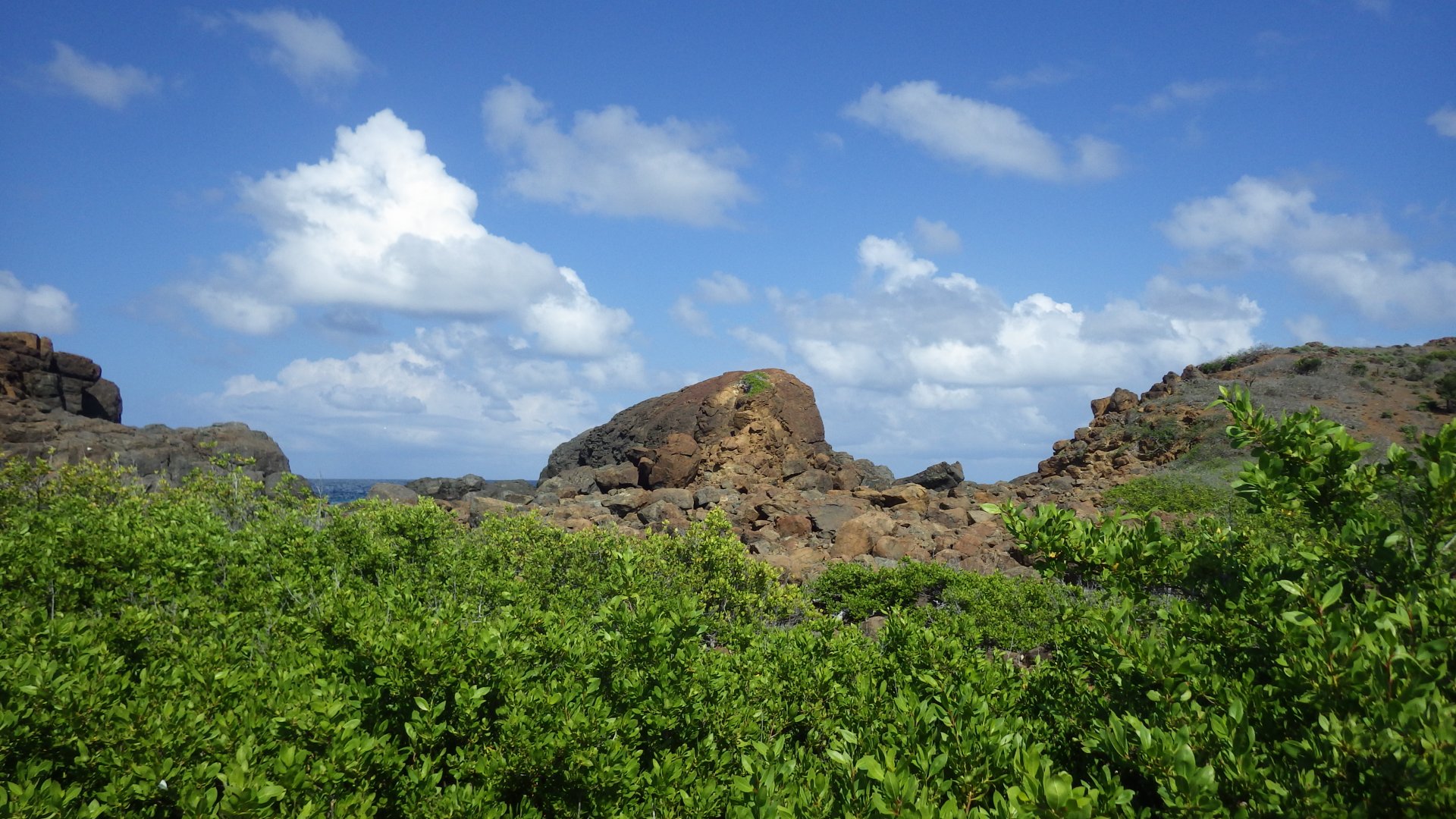
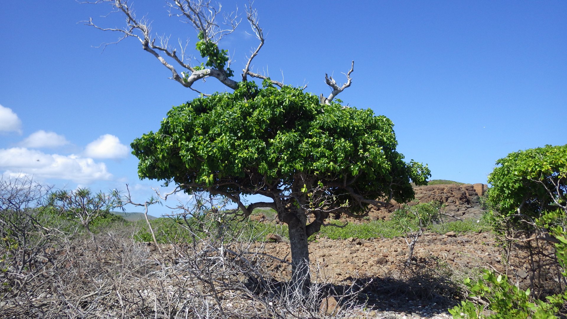
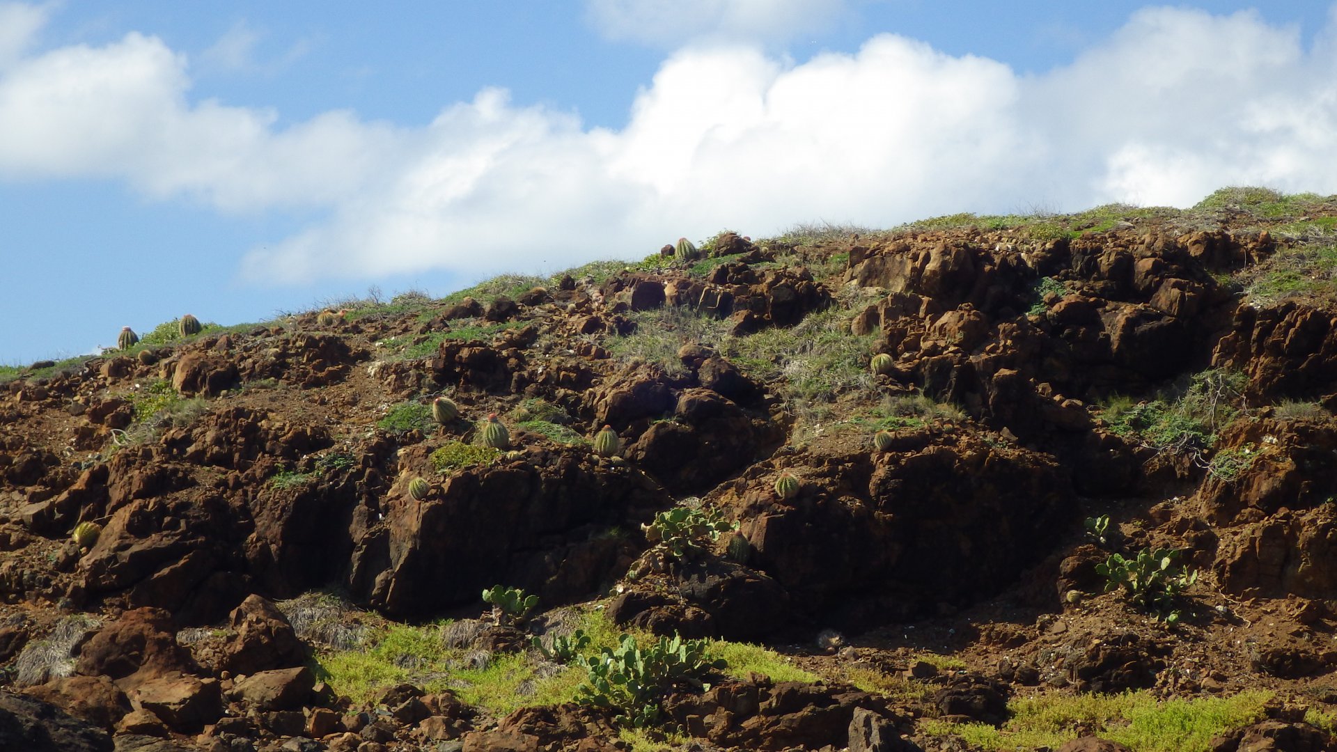
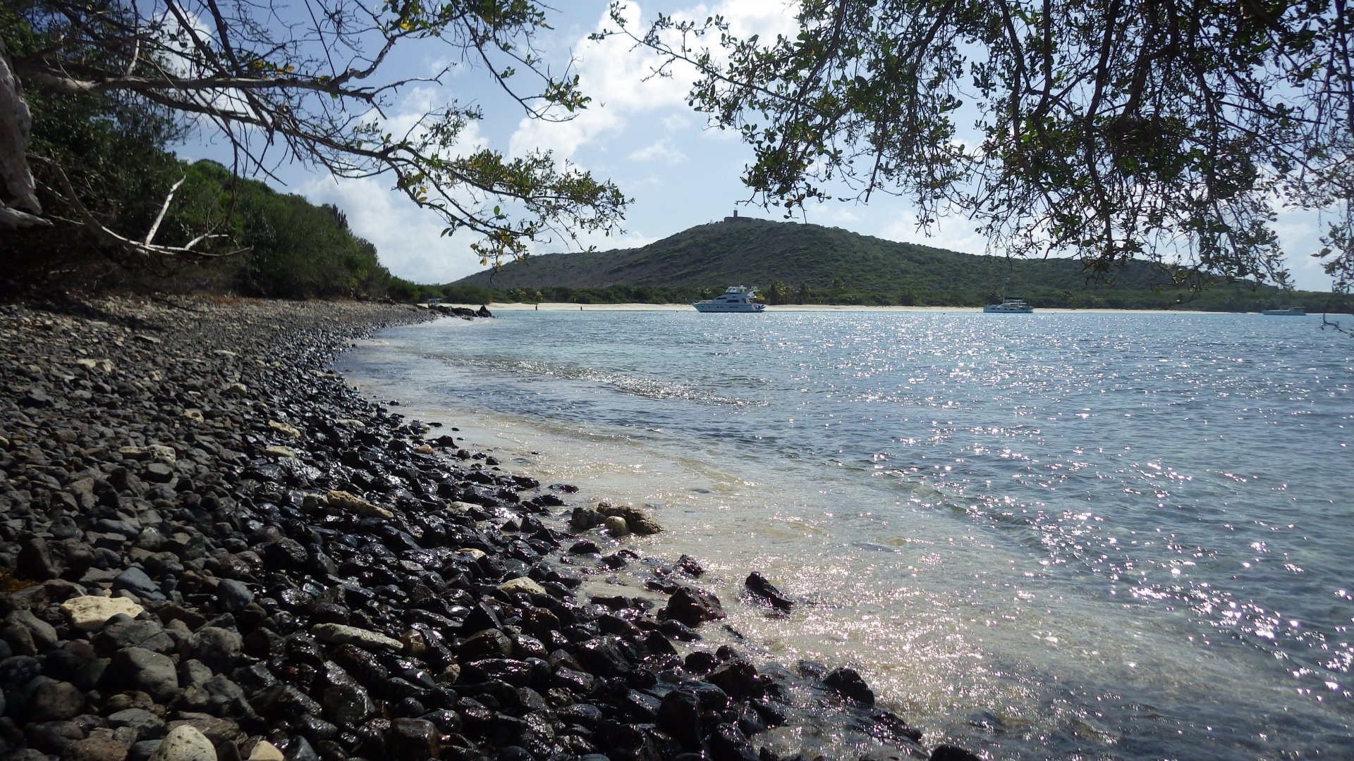
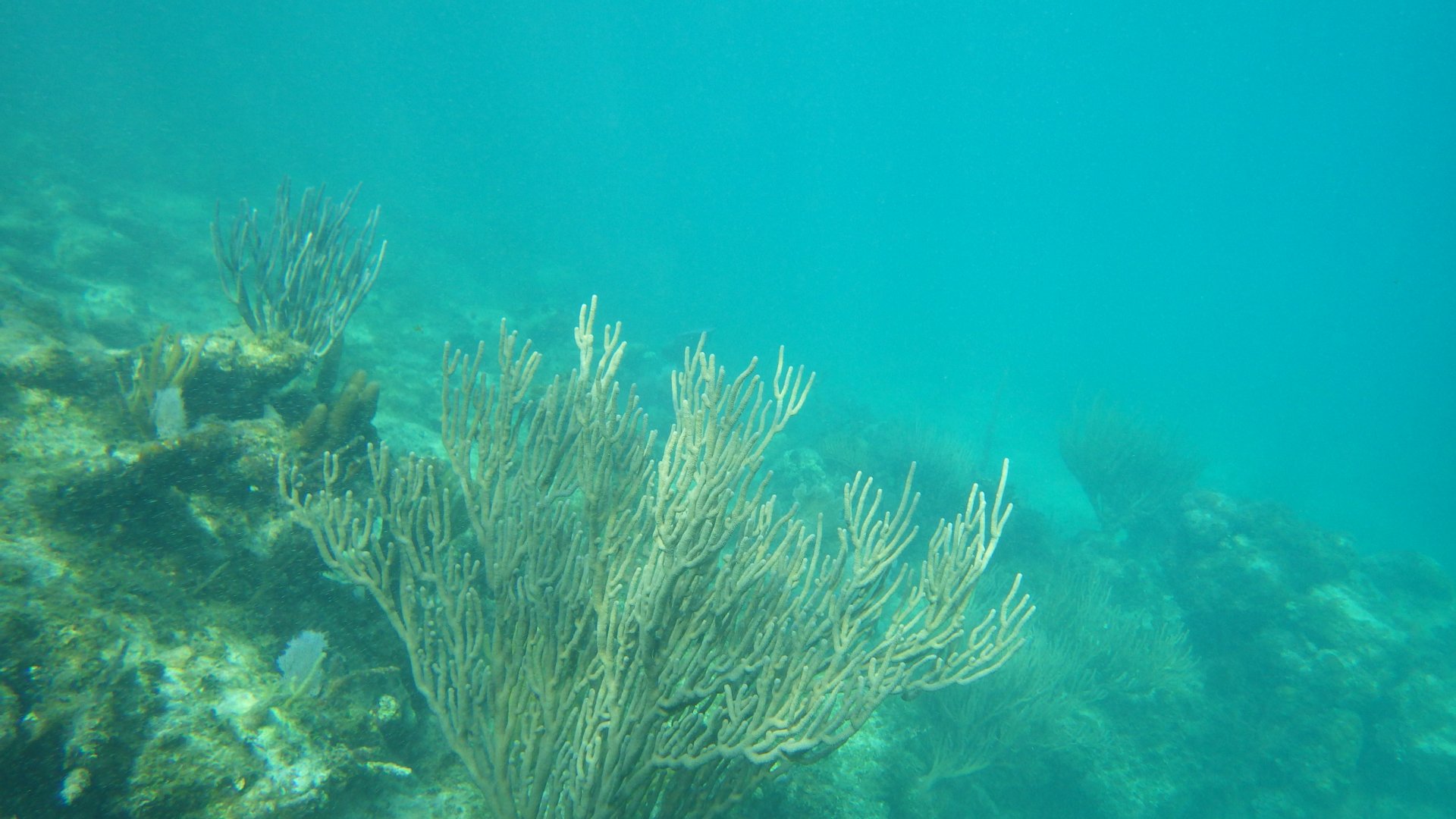
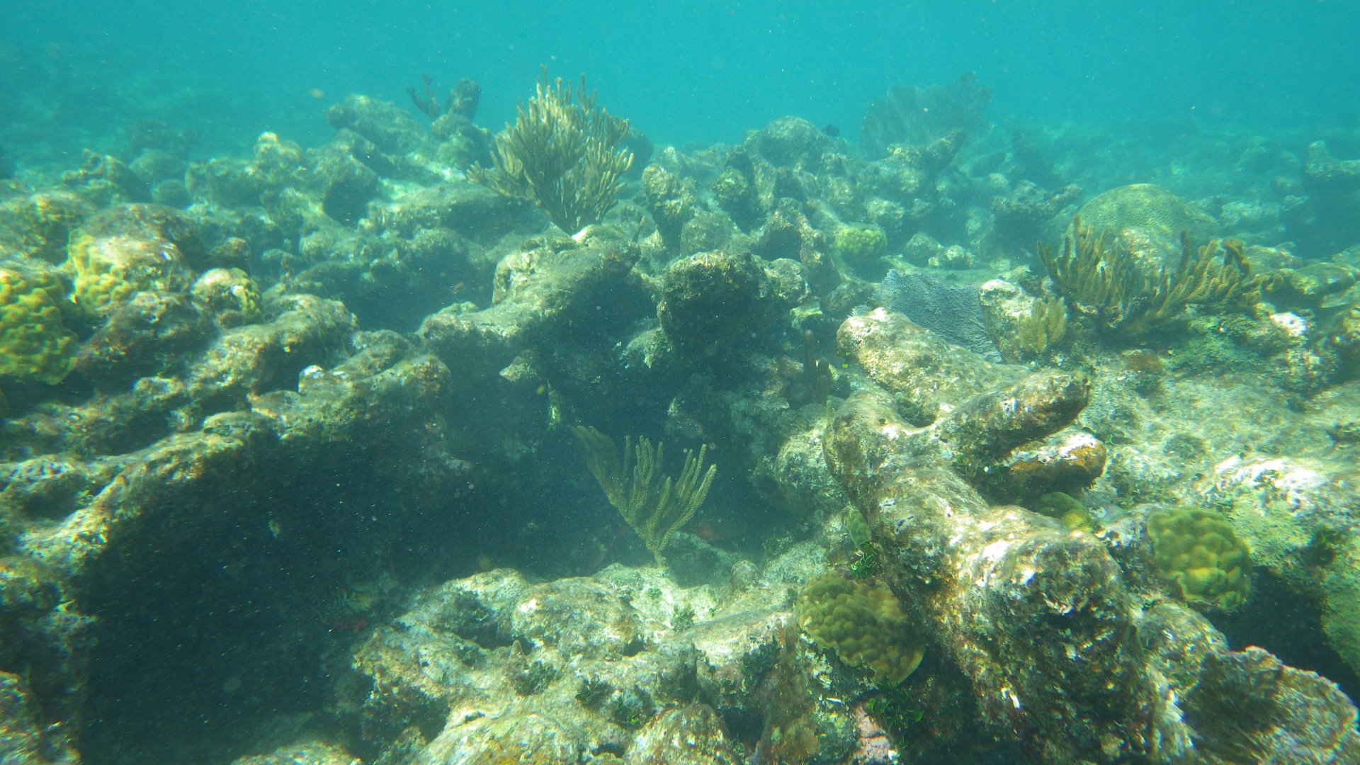
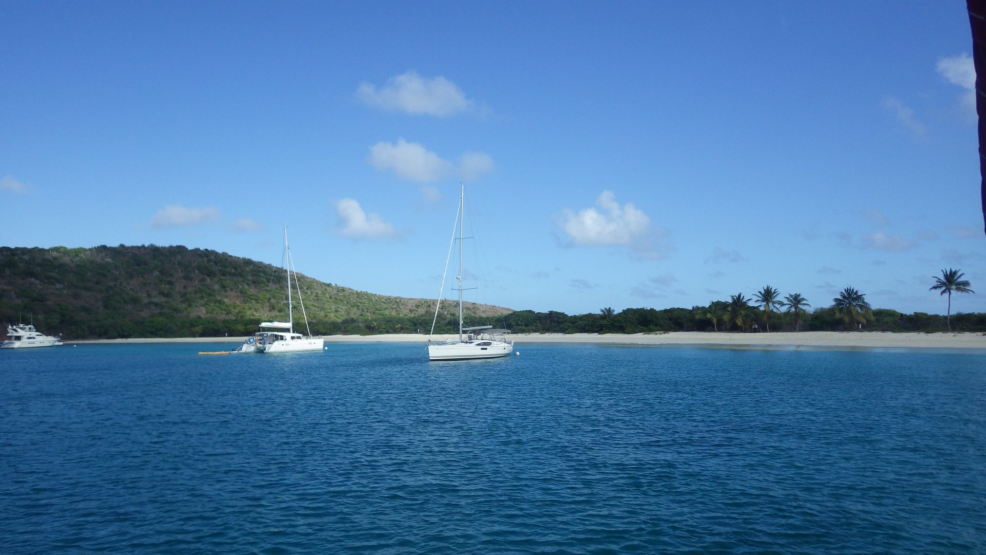
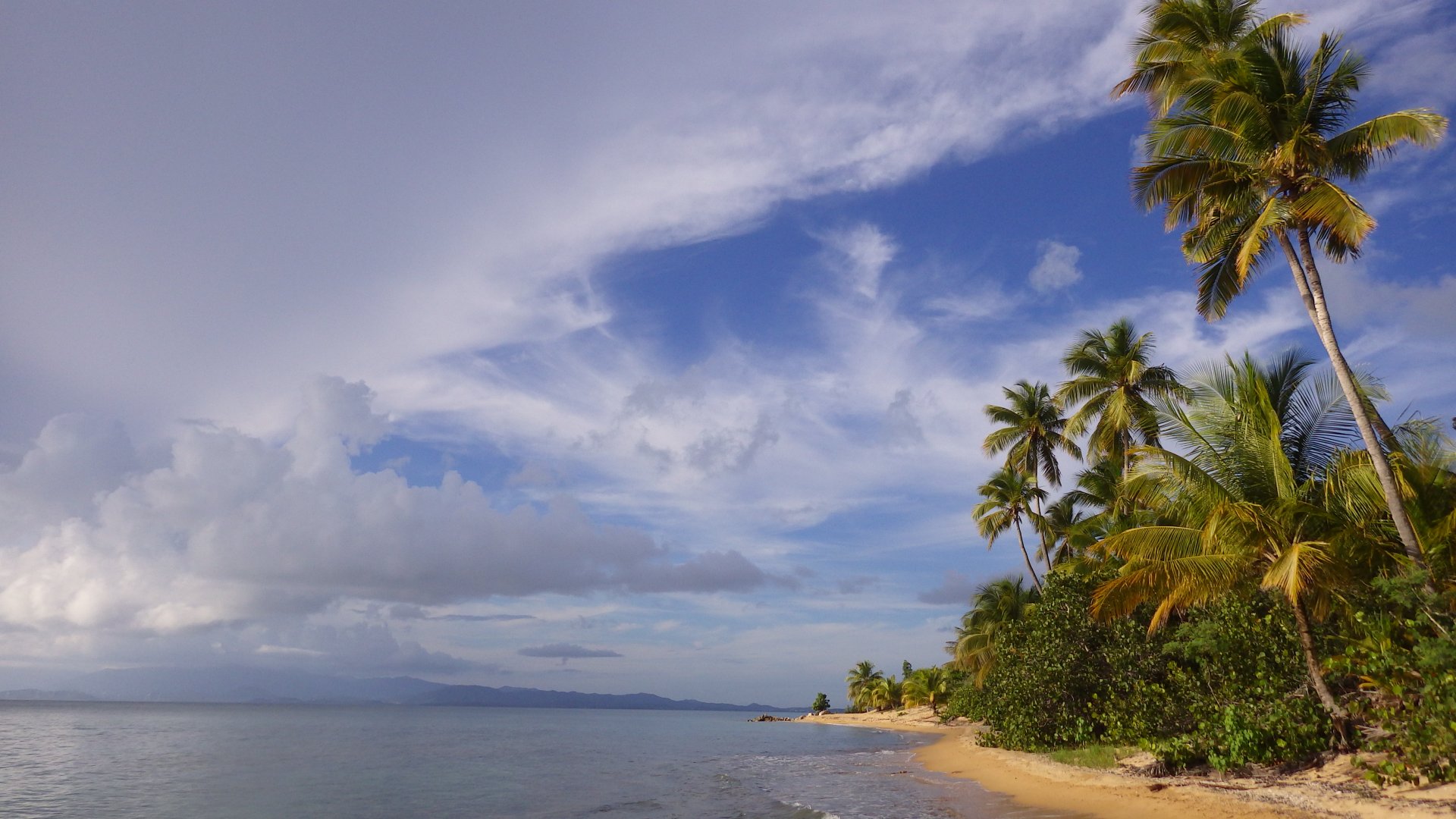
Our first stop at SVI was at the west end of Vieques Island. The Green Beach is a picturesque place, popular with weekenders - beautiful palm treed beach on one side, and gorgeous sunsets overlooking main Puerto Rico island on the other.

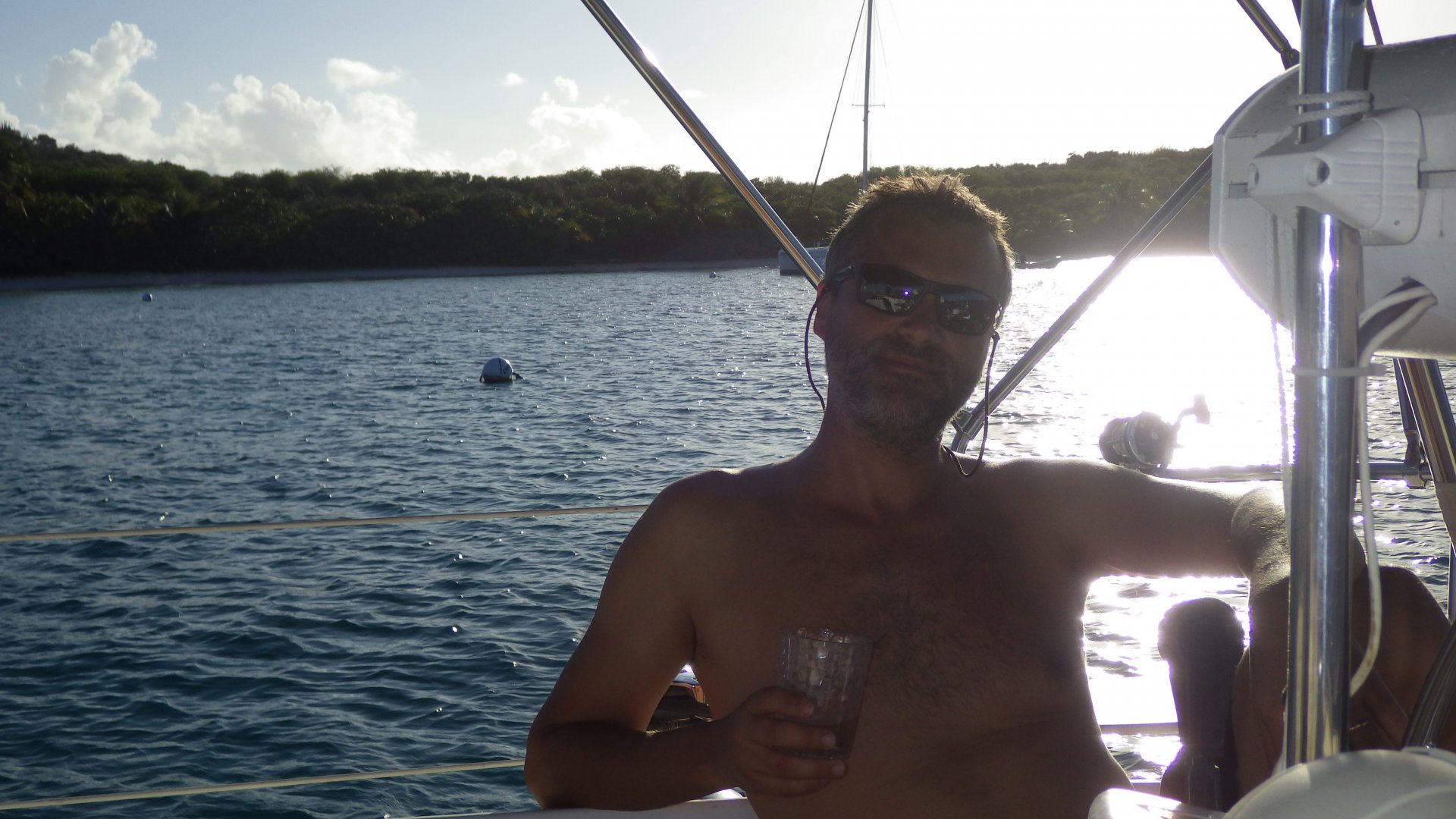
Stayed here for couple days.
Unfortunately, bugs (no-see-ems) at the shore were quite persistent - we interrupted our planned beach picnic and paddled quickly back to the yacht.

Sailing East Coast Puerto Rico East Coast Puerto Rico Lonely Diving Boat My New Shiny Fishing Reel Barracuda Catch 1 Barracuda Catch 2 Heading to Vieques SVI Green Beach Vieques Green Beach Boats Anchored at Green Beach View of Green Beach and Puerto Rico Main Island Calm Water and Sky PR View View from Jungle Jungle Road Coconut Palm Beginning Yacht View From Jungle At the Green Beach Vieques SVI Our Yacht in Calm Water Light Sunset Sunset Sunset Epic Sunset Sky Kissing Clouds
Esparanza at Night

Esperanza, Vieques Island

Log#: 132
LatLon: 18°05.674'N, 065°28.529'W

Esperanza is a small "fun town" - restaurants/bars, tourist's gift shops and services like tours and rentals, and VERY LOUD music at night until 1am (we were here during Thanksgiving holidays).

We have found that our outboard engine for the dinghy was not working well after several months of storage. My tinkering with it helped a little, but it was unreliable and ultimately we had to find mechanic to look at it. Fortunately, we were able to find one and our motor was serviced within a day, at a good price.

The anchorage here is open to swell from the South and it was quite uncomfortably rolly even in relatively calm water. After spending two nights here we decided to move on.

We didn't have a chance to take the Bio Bay Tour (night trip to the biofluorescent bay) - it will be on our to-do list next time we're in the area.

Approaching Esperanza Esperanza View From Anchorage Esperanza Anchorage and Moorings Esperanza Street During Day At Esperanza Waterfront Boat Wreck At Shore Under Large Tree Esperanza Bay View Esperanza Dock On Shore 1 On Shore 2 Horses on Street View from Waterfront Esperanza Beach Esperanza Waterfront At the Waterfront Old Ruins Shoreline House Street Restaurant at Night Just Before Sunset Leaving Espeanza
Anchored in Ensenada Honda

Ensenada Honda, Vieques

Log#: 133
LatLon: 18°07.134'N, 065°20.653'W

Ensenada Honda is a wonderfully tranquil and secluded mangrove anchorage. We spent two days here.

First day, I did some boat projects and later we met with a nice cruising couple for cocktails who was also anchored here in the bay on their catamaran.

Second day we had the entire bay to ourselves - explored mangrove coves by dinghy, fished, I got haircut, and just relaxed.

Motoring Into Ensenada Honda Anchored at Ensenada Honda Catamaran at the Bay Evening Drinks with Cruises Mangroves of Ensenada Honda Exploring Mangroves Fishin in the Mangroves Ensenada Honda Mangrove River Mangrove River Mangrove Pond Some Fishing Fish Caught Rain Our Dinner Anchored in Ensenada Honda Quieet Waters of Ensenada Honda
Rugged Beach

Bahia Salinas del Sur, Vieques

Log#: 134
LatLon: 18°08.022'N, 065°18.028'W

This is a one-day stop at the small bay on the South East end of the Vieques Island, staging our passage to Culebra. The bay is pretty and fairly protected from waves.

This part of the island was used by US military in the past as a firing range. No wondering around is allowed due to unexploded ordnances.

Anchored at Bahia Salias del Sur Bahia Salinas del Sur Beach Reef Protecting Bay West Side of Bay Palm View from Beach At the Beach Lonley Palm Tree Firing Range Tower No Go Unkown Tree at the Beach Small Pond Beach Rocks Small Shells Clouds Over Reef Sunset at Bahia Salinas del Sur
Culebra Dewey Shore Establishments

Culebra Island, Dewey Town

Log#: 135
LatLon: 18°18.327'N, 065°17.827'W

Culebra is a picturesque tropical island, with beaches and snorkeling reefs around it. Dewey is its main town along the shores of a large protected inner basin. The town has a laid back atmosphere, with all the necessities - grocery stores, fresh food market, taco, pizza, cafes, interesting restaurants, bank, hospital, hardware and boutique stores, airport, ferry to the PR main island, etc.

We stayed here several days, getting into the slow uneventful grove, taking time and enjoying the place.
Had a chance to buy fresh lobsters from the local fisherman - delicious.

The only thing I wasn't enjoying, there is no dock where to fill the yacht’s water tanks, so if you stay long enough (and do not have a desalinator/watermaker) you have to get water by jugs in a dingy, at $0.25 per gallon.

Approaching Dewey Culebra Culebra Dewey Anchorage Ensanada Entrance View Culebra Dewey Anchorage During Day Town Dock Towns Map Town Square Sitting at Town Square Town Bridge View of Anchorage from Bridge Canal in Sun Canal in Mangroves Establishements along the Canal Small Hotel and House Along the Bay Hector Protector Stairway Morning Coffe with Pancacke Lobsters Before Lobsters After Fine House Carrying Water Jags by Dinghy At the Dinghy Dock Restaurant At the Dinghy Dock Restaurant Gas Station on the Canal Talking to Home Public Library where we get Internet Simple Houses Along the Shore Shore House Shore Posts Taco Place Taco Place inside Taco Place Bar Iguana on Tree Happy Dinghy Rider Small Boat and Big Boat Anchored Ensanada Bay Anchored Boas View of the Anchorage View from West Shore Broken Coral Beach Sunset at Ancorage
Moored at Bahia de Almodovar

Bahia de Almodovar, Culebra

Log#: 136
LatLon: 18°17.772'N, 065°15.276'W

I have read about this anchorage in cruising guides as one of the finest. It is special indeed.

On one side, you see lush mountains with some houses sprinkled on. On the other side, the breaker reef shields the place from the waves and swell, hiding behind a pool of calm water with cooling trade winds blowing over the reef out of a clear horizon. Sort of like the infinity pool effect.

We stayed here for one day, swimming and walking along the shallow reef.

Bahia de Almodovar Moorings and Anchorage Hills Around Houses Overlooking Bahia de Almodovar Swimming off Platform Sunset
Culebrita Lighthouse

Culebrita Island Lighthouse

Log#: 137
LatLon: 18°18.801'N, 065°13.909'W

We anchored here on the South West side of the Culebrita Island hoping to stay overnight. Had a refreshing hike uphill to see the remains of the oldest Spanish-built lighthouse in this hemisphere. Wild goats roam the island, lots of mosquitoes, and hermit crabs provided entertainment along the path.

The old lighthouse still has the feeling as it's seen a lot in its time - hurricanes, sailing ships, battles, and beautiful all around views. From the top, you can see Puerto Rico, Vieques and Culebra islands to the West, and St. Thomas US Virgin Islands to the East.

Unfortunately, there was a southern swell coming into the anchorage, making it a rolly and uncomfortable place. So we picked up the anchor and moved around the island to our next resting spot.

Anchorage SW Culebrita Anchrage View to North Rocky Beach Our Yacht Anchored On Stone Wall at the Beach Me Taking Time Walking Along the Beach View along the Path with Butterflies Wild Goats Large Cactus Tree Along the Path Culebrita Lighthouse Culebrita Lighthouse Tower Culebrita Lighthouse Courtyard Culebrita Lighthouse Spiral Stairway Culebrita Lighthouse Lighthouse Ruins View from the Top East St Thomas View South View North View Westward View NorthEast Path Downhill Tortuga Beach Hidden Rocky Beach View of the Lighthouse
At Tortuga Beach

Tortuga Beach, Culebrita Island

Log#: 138
LatLon: 18°19.136'N, 065°13.717'W

This is one of the prettiest beaches we have visited on our journey so far - white sand shore surrounded by coconut palm trees and mountains, calm and warm gin clear water, turtles swimming around the boat, wild goats seen on distant hills, and millions of white butterflies flying around like fluffy snow. Quintessential Caribbean.

We stayed here couple days - swimming on the beach, snorkeling nearby reef, hiked along the shore around the cape to relax in "jacuzzis". These are small coves on the windward side of the island where waves rush in creating pools of bubbly water, with small tropical fish around you.

The Culebita Island is a natural reserve area, so there is no development here.
It is a fairly popular place, especially on the weekends. People come and go. Also little buggy at sunset. However this didn't stop us from having a great time.

Waves over Reef Butterflies Flying over Bay Dinghied at Tortuga Beach Lighthouse View Over the Bay Tortuga Beach Beach West Shore Beach East Shore Interesting Sailboat Tortuga Beach On the Way to Jacuzzis Jacuzzi Relaxing in Jacuzzi Bathing in Jacuzzi Jacuzzi 2 View Rocky Side Calm Waters of Tortuga Bach Cooling Drinks Before Sunset Beachcombers on Tortuga Beah Rocks over Bush Tree on Rugged Shore Cactuses on Rocky Hill View from East Shore Colar Reef Underwater Coral Reef Corals Lighthouse View from Tortuga Beach Baots at Tortuga Beach
<< Older Entries     Logs Archive     Newer Entries >>

Copyright© 2000-2024 www.slow-cruise.com