Slow Cruise

Sailing Adventures of s/v Alpine Zephyr
"A good traveler has no fixed plans and is not intent on arriving." -- Lao Tzu
<< Older Entries     Logs Archive     Newer Entries >>

Sailing Log: Florida Cruising

Cruising Florida on a sailboat

Fort George Island Anchorage

Fort George Island Anchorage

Log#: 44
LatLon: 30°26.414'N, 081°26.095'W

An overnight stop. Uncharted shoal at the entrance - it was an interesting approach at low tide.
BTW, the tidal range in this area is up to 8 ft!

Ancchorate at low tide Ancchorate at hight tide Note tide differennce 8ft Fort George Island Anchorage old pirate ship ICW scape Cargo ship along the way wow house along ICW
Tolomato River Anchorage

Tolomato River Anchorage

Log#: 45
LatLon: 30°00.110'N, 081°20.232'W

A stop just before St Augustine (aiming to arrive there in the morning).
Pedaled a dinghy to the shore - mountains of oyster shells, lots of no-see-ems!

Tolomato River Anchorage Barge Tolomato River Anchorage sunset
St Augusine

St. Augustine (and Vilano Beach)

Log#: 46
LatLon: 29°53.704'N, 081°18.392'W

Pretty historical town, mainly tourists attractions, pleasant to walk. No cruisers' necessities nearby.
Anchored right near Castillo de San Marcos fort. Scenic place!
Had a modest restaurant lunch in town.
Dinghied across the harbor to a Vilano Beach dock - walked to the ocean beach, picked up groceries. Liked the Vilano beach - humble spot with near-by necessities.
Stayed one more day at St Augustine anchorage - cleaned the hull, did other things, drinks, dinner... Pleasant stay.

St Augusine anchorage at sunset St Augusine St Augusine St Augusine St Augusine St Augistine Back street St Augusine Cross Castillo de San Marcos Castillo de San Marcos Castillo de San Marcos Castillo de San Marcos Castillo de San Marcos Castillo de San Marcos Castillo de San Marcos Castillo de San Marcos Vilano Beach ICW Dock Vilano Beach St Augusine sunset St Augusine sunset Pirate Scene Leaving St Augusine
Daytona Beach

Daytona Beach

Log#: 47
LatLon: 29°14.059'N, 081°01.405'W

Anchored couple days at Daytona Beach, near the ICW bridge.
Walked around the beach area, visited quite few shops along the tourist strip, had pizza lunch. Attractive tourist place.
Also, a noisy place - loud night train, loud (bridge) traffic.
Lots of bikers around.

ICW on the way ICW on the way ICW on the way Daytona Condos 1 Daytona Condos 2 Daytona Condos 3 Daytona Beach Daytona Beach Daytona Beach Daytona Beach Daytona Beach Daytona Beach Daytona Beach strip Daytona Beach highrise hotel Anchored at Daytona Beach Daytona Beach main prop at Daytona Beach Daytona Beach Twin span bridge
Titusville park

Titusville

Log#: 48
LatLon: 28°37.038'N, 080°48.032'W

Small town - liked it. Walking distance to useful (read not-just-tourist-junk) shops - groceries (Save-a-lot), liqueur, convenience, fast-food, parks, etc.

Port Canaveral spaceship launch site is visible from the anchorage. Unfortunately, we've missed the rocket launch the day earlier.

Talked to few locals along the shore - good friendly folks.

Larysa had a good fishing evening - caught enough fish for the dinner!

Happen to be there on the Halloween night - local bar beside the bridge had a party. Enjoyed nice live music from the boat.

Florida scape Florida scape Florida scape Islands along mosquito lagoon Islands along mosquito lagoon Passed Bascule bridge opened for us Titusville Anchorage Cape Canaveral site Titusville bridge evening Titusville bridge a night Sheppard pie We Got Fish seafood dinner At titusville sity hall
Melbourne anchorage at night

Melbourne

Log#: 49
LatLon: 28°05.103'N, 080°34.977'W

It was a windy and cold passage on the way from Titusville to Melbourne. Hard to believe it's Florida in the fall - unusually cold. On the bright side - it was a rare chance to sail ICW (heavily reefed) and saved a bunch of diesel.

Fried chicken and vegetables for dinner was a good reward.

Decided not to venture out to the shore this time to see the city - weather was too unpleasant and dangerous to dinghy quite a bit of distance.

Moving on further South next morning.

Cold windy sailing Chicken and vegetables dinner Leaving Melbourne anchorage
Wabasso bridge

Wabasso

Log#: 50
LatLon: 27°45.580'N, 080°24.965'W

Just a quick overnight stop under the ICW bridge, trying to time our next morning arrival at Vero beach.

Wabasso anchorage Leaving Wabasso
Vero Beach Marrina at nihght

Vero Beacch

Log#: 51
LatLon: 27°39.318'N, 080°22.236'W

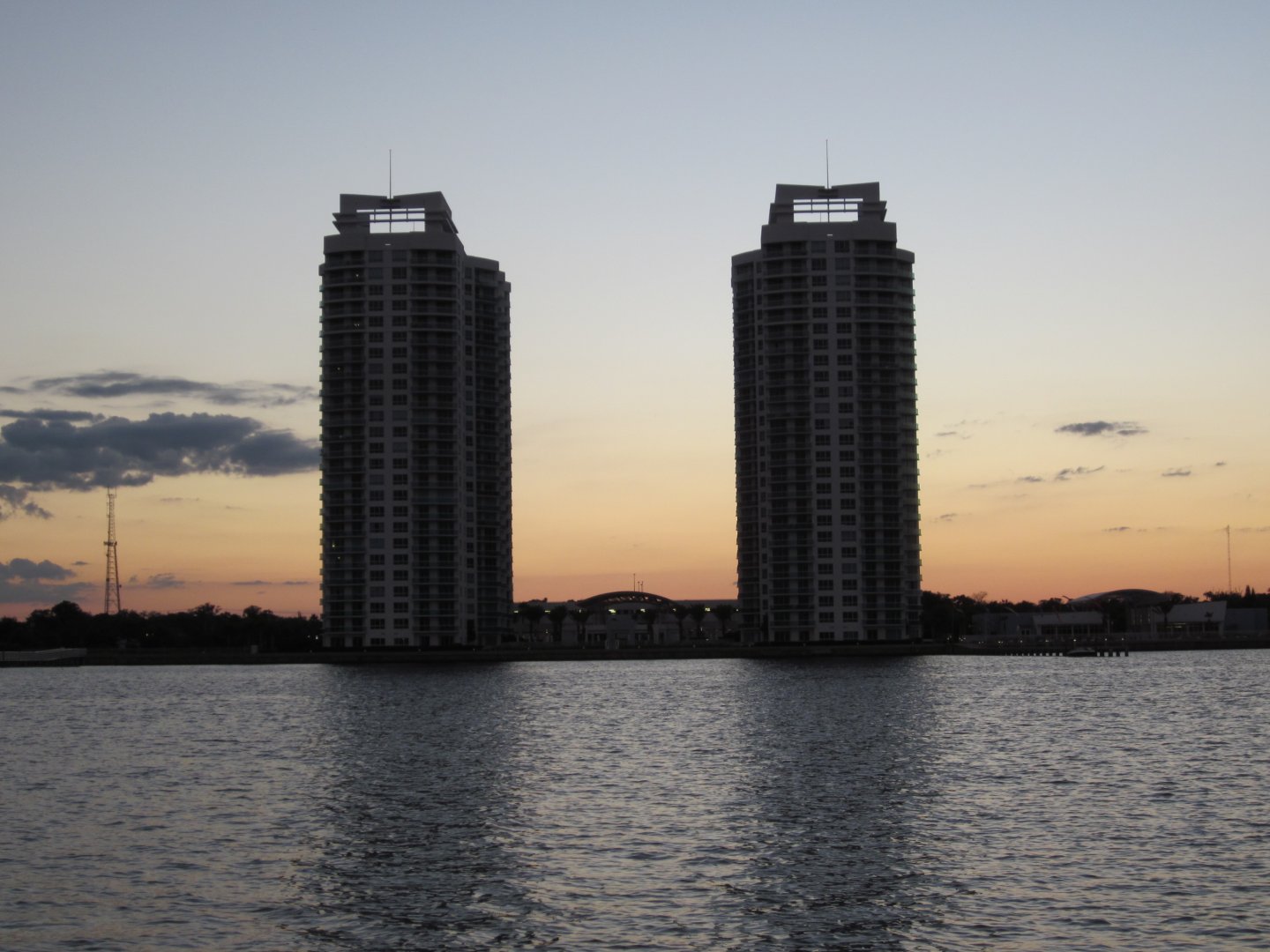
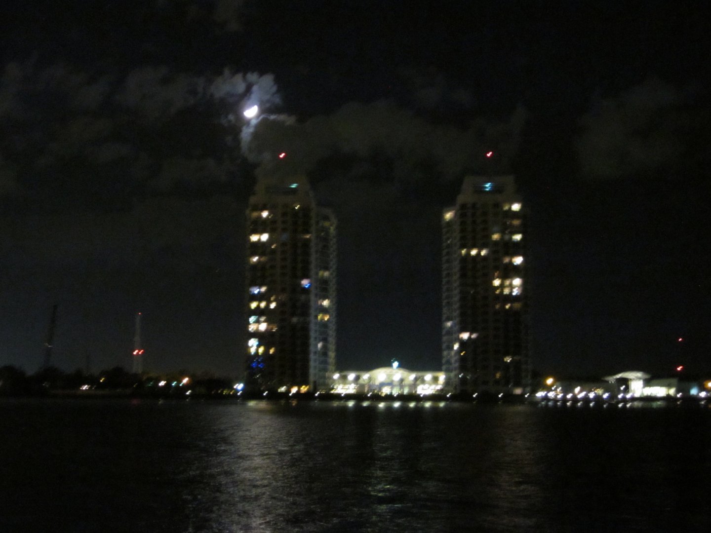
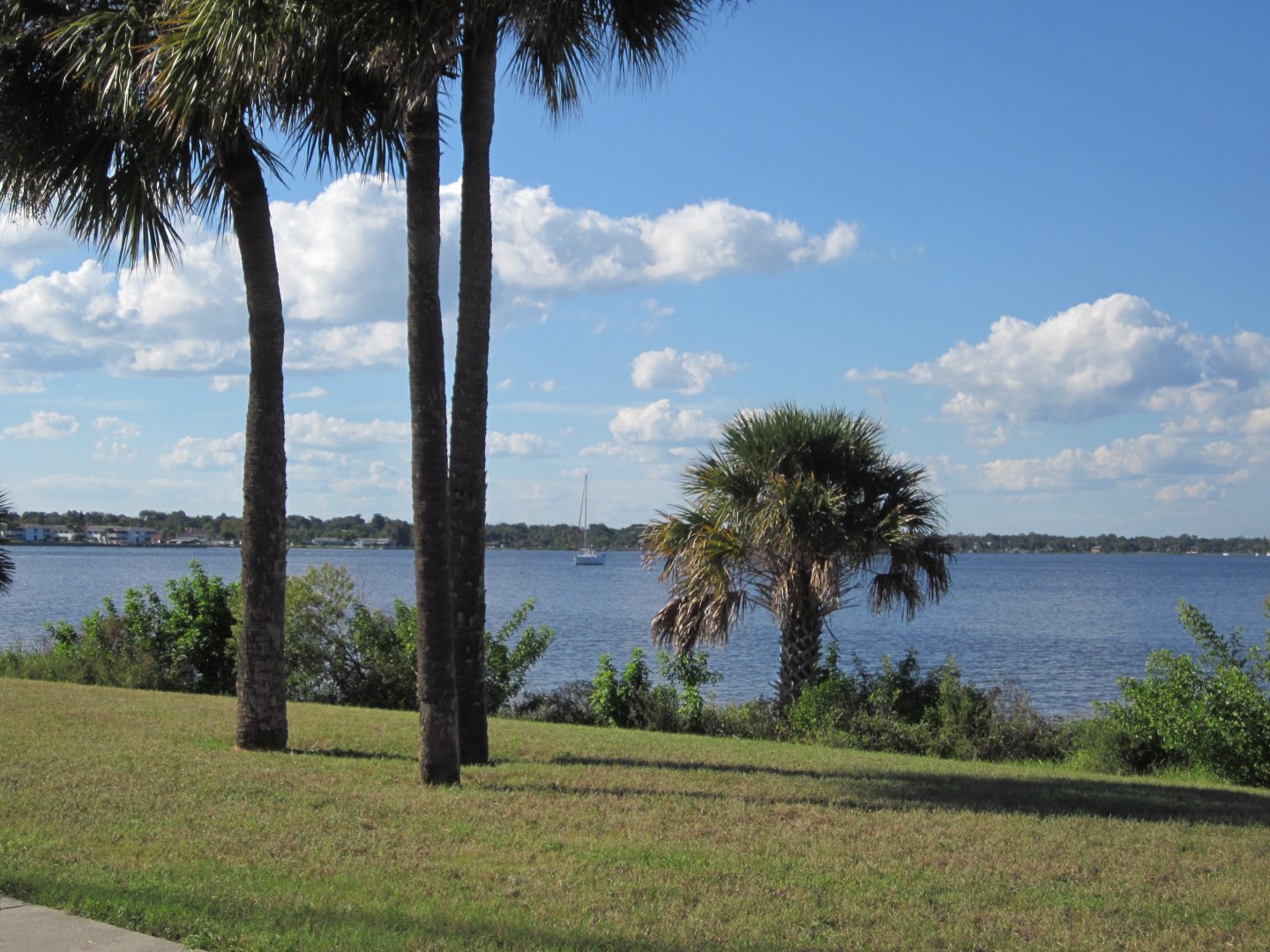
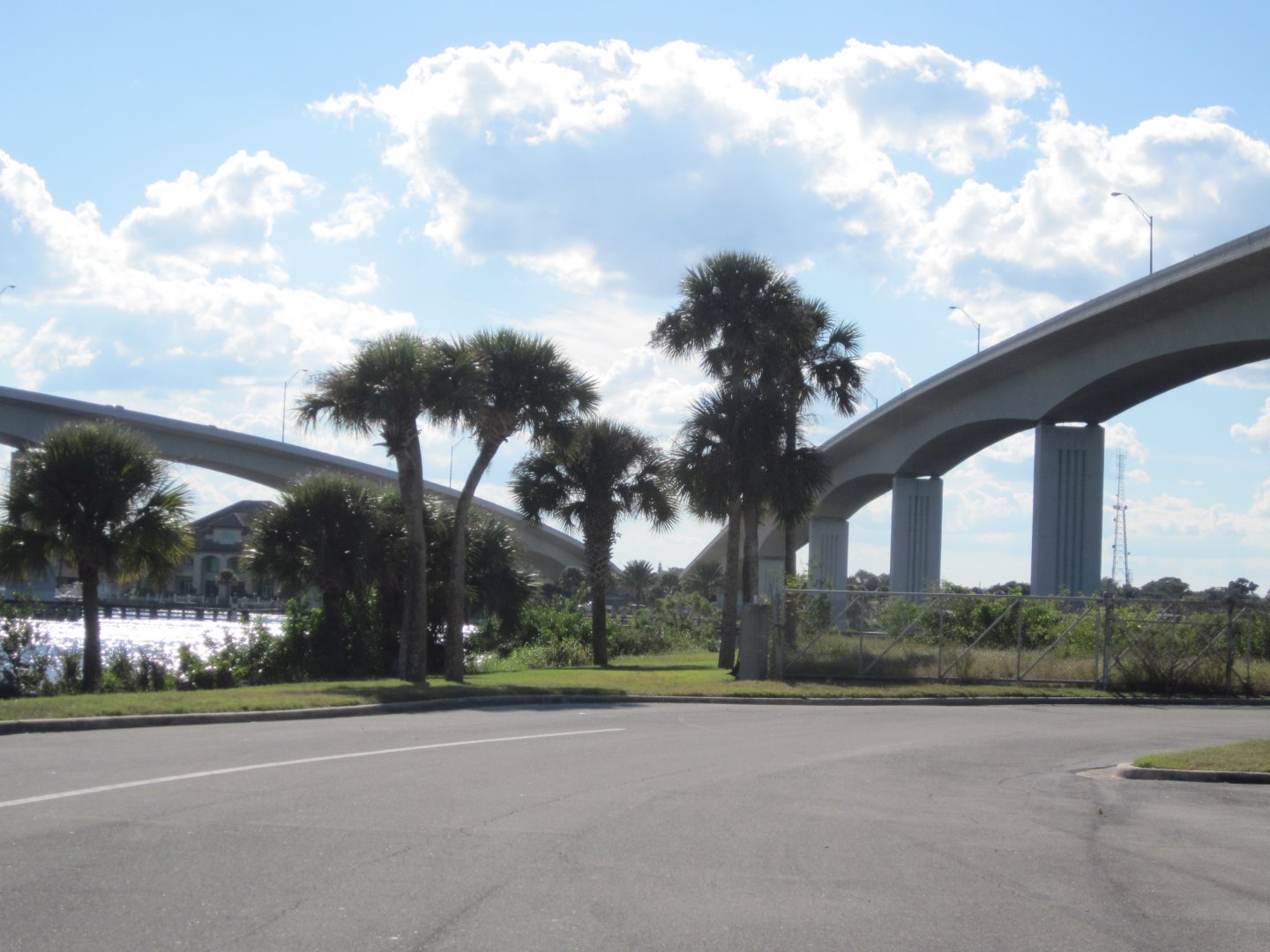
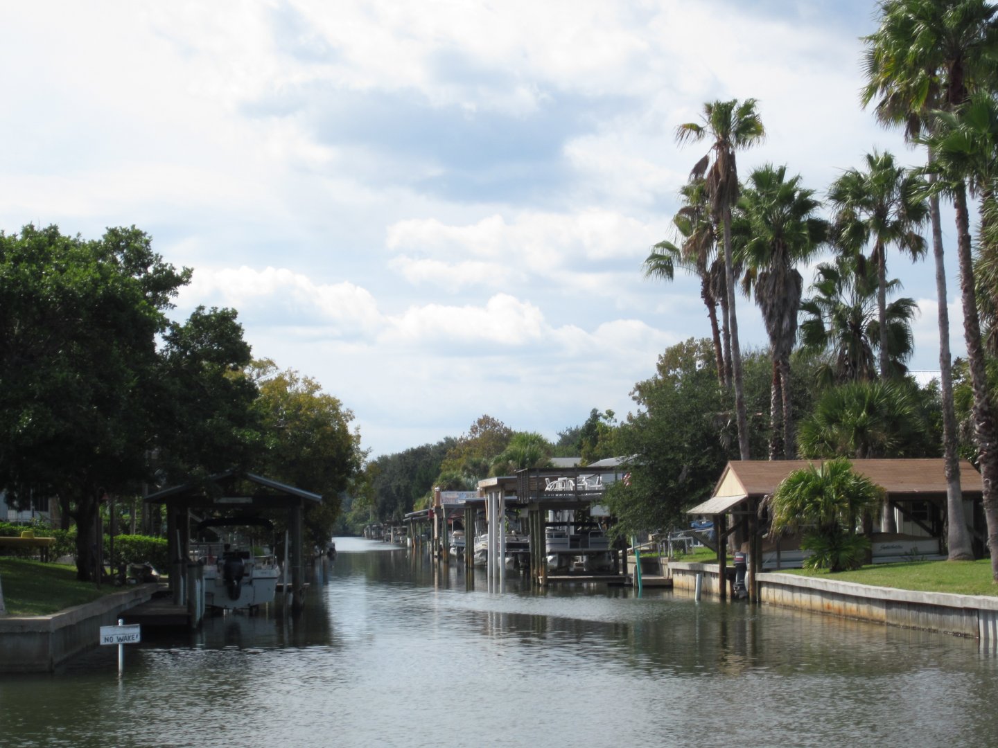
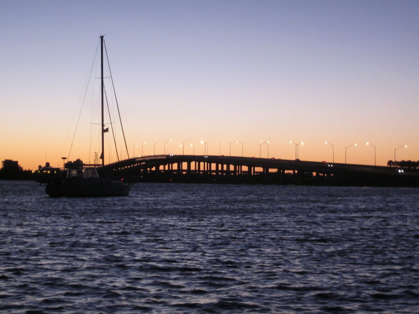
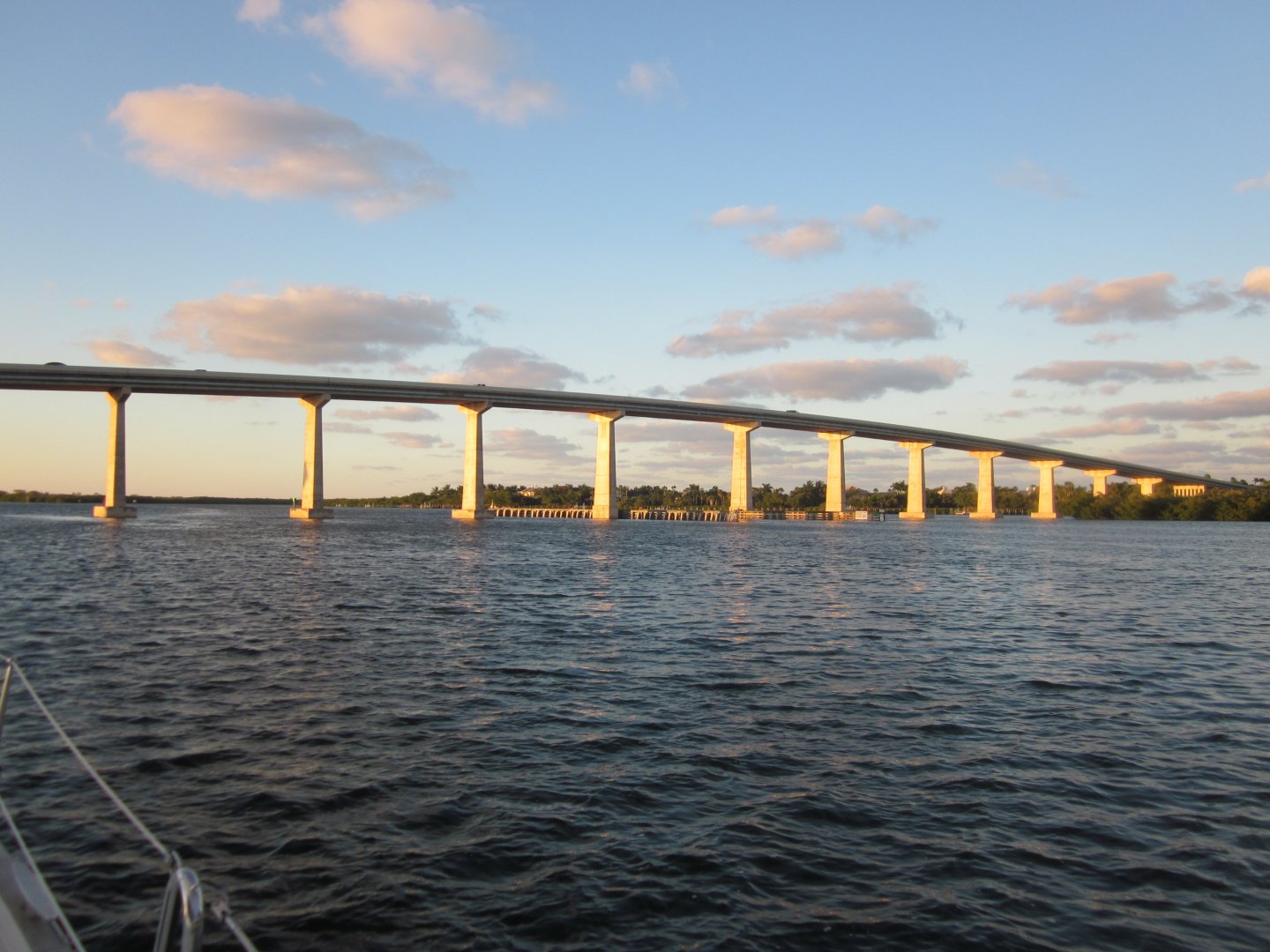
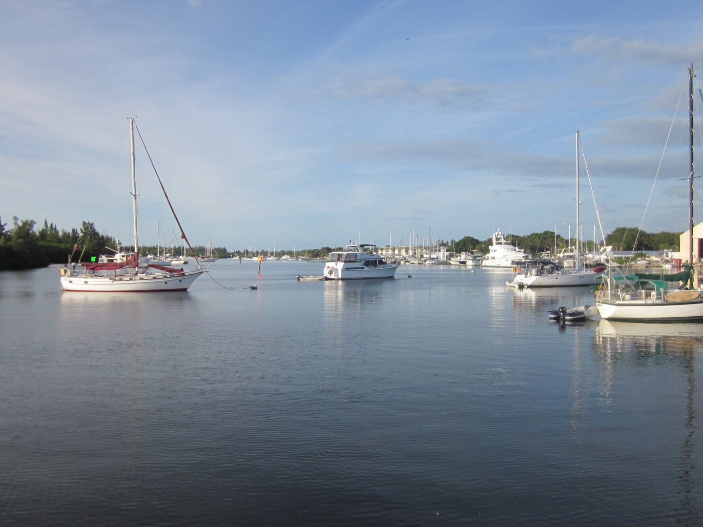
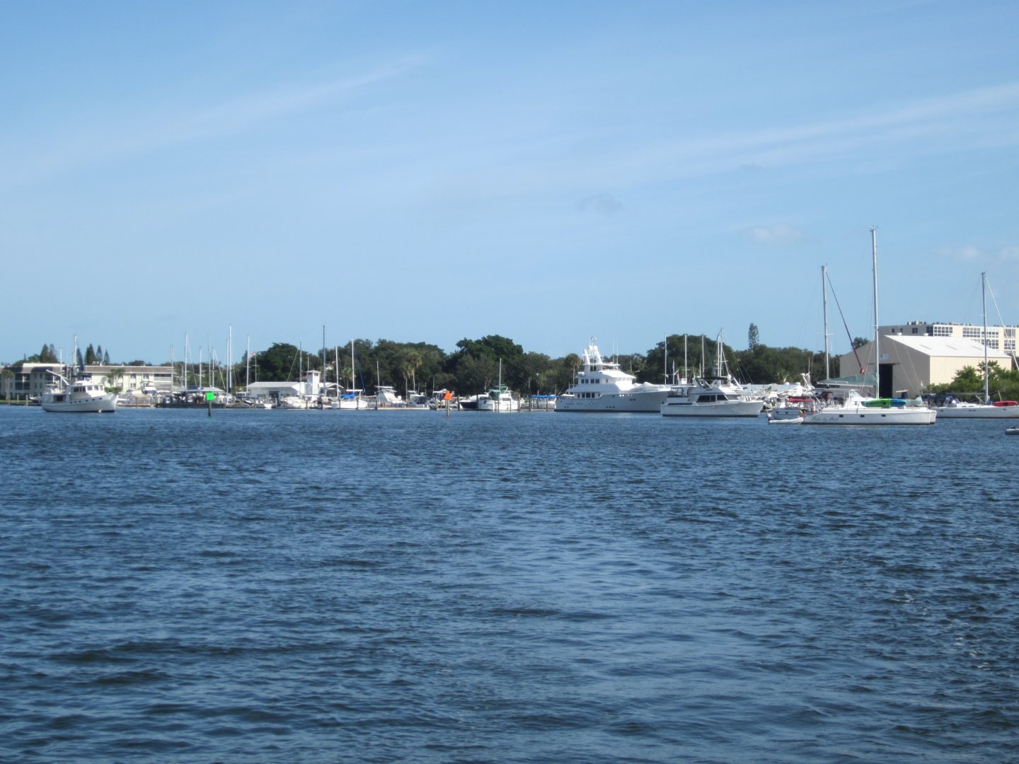
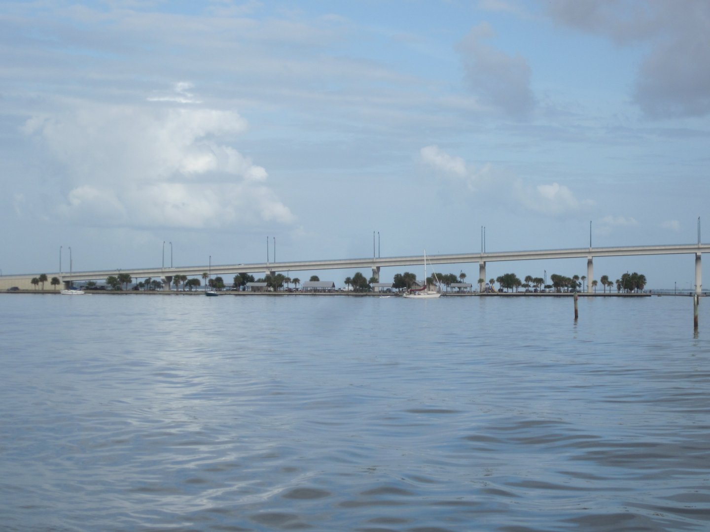
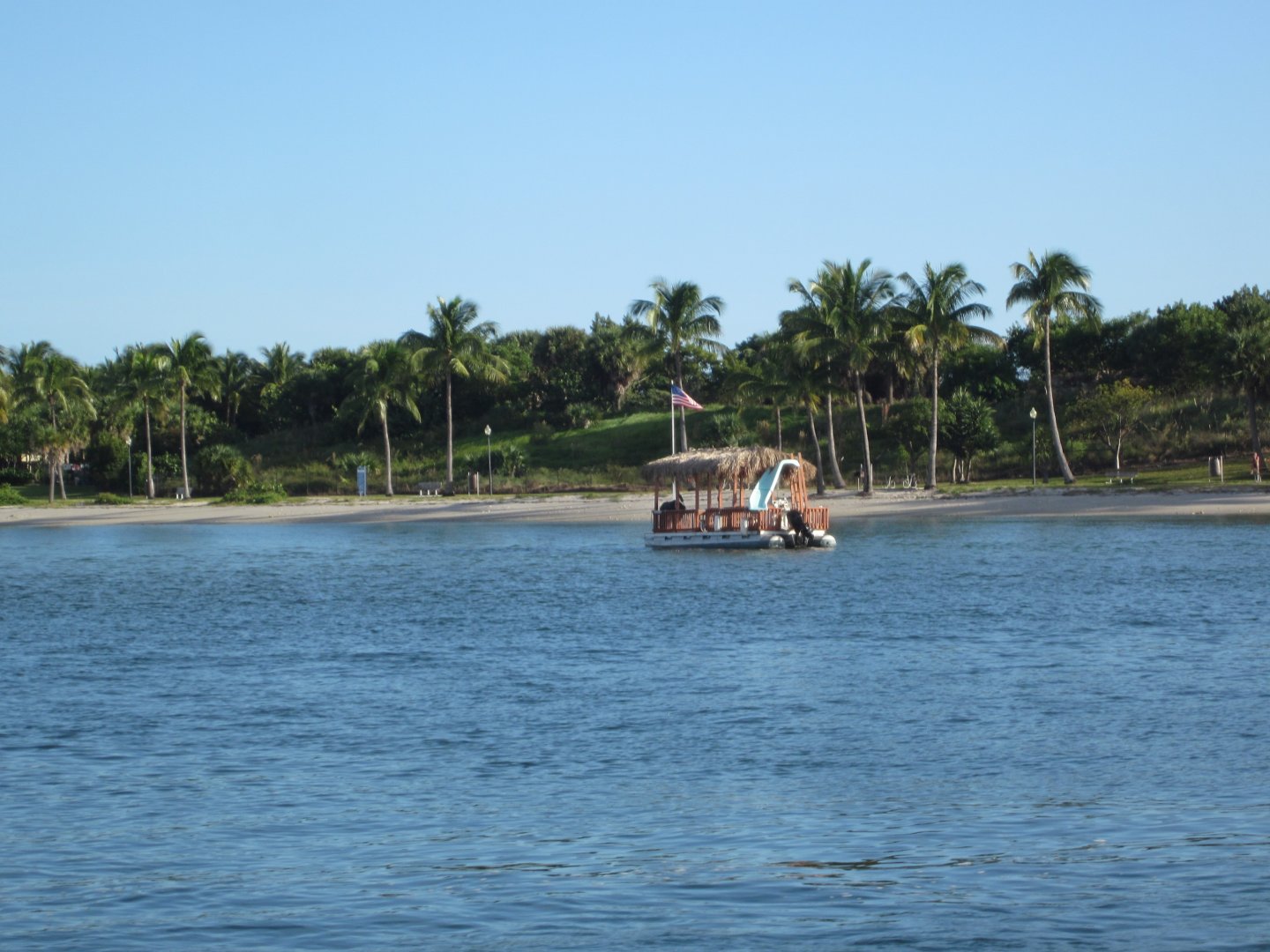
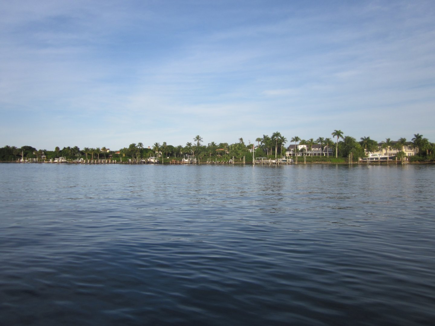
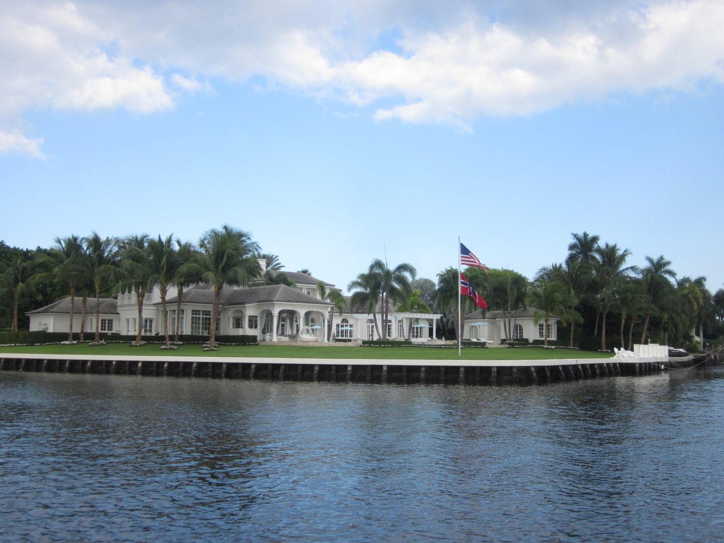
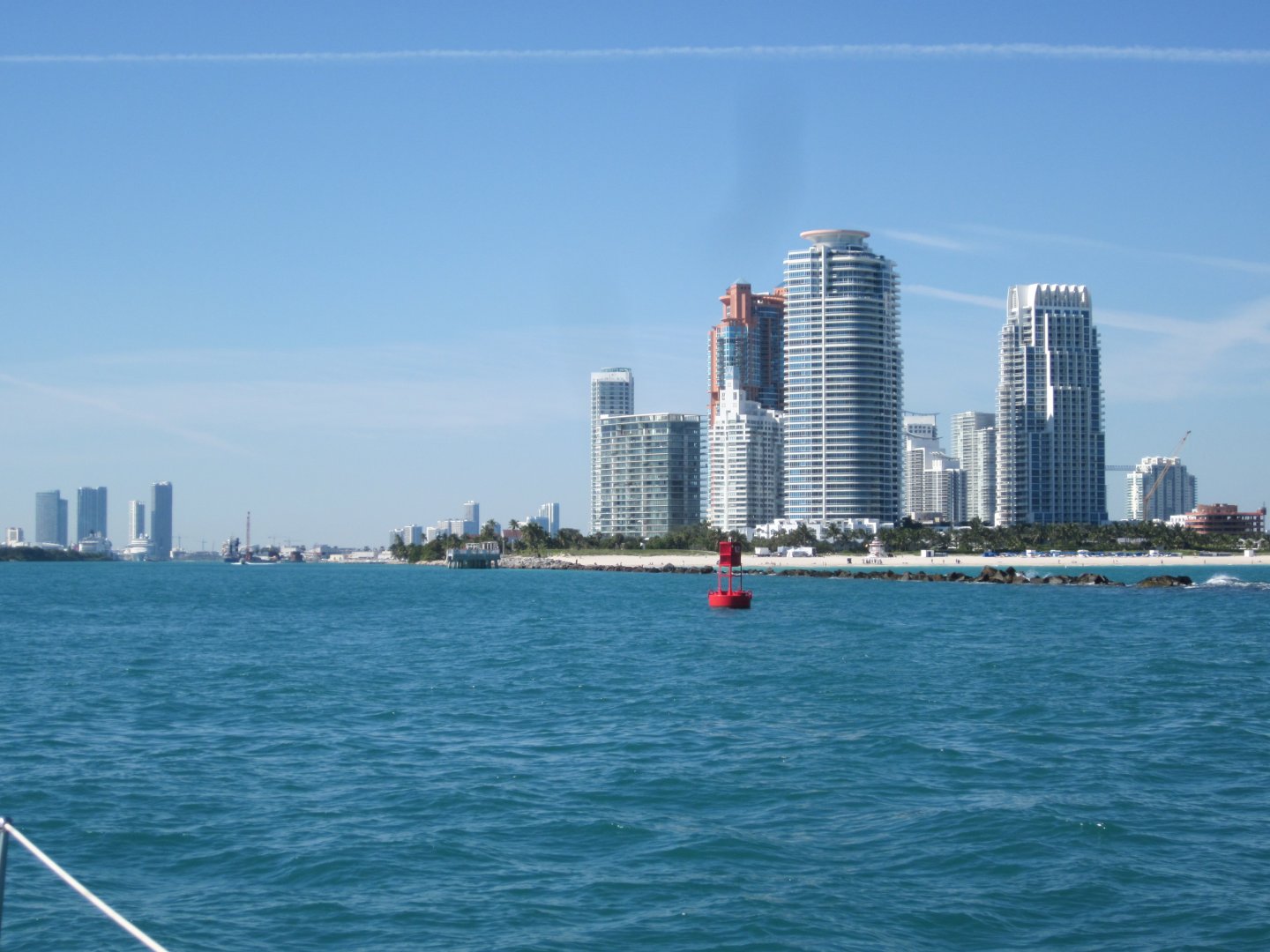
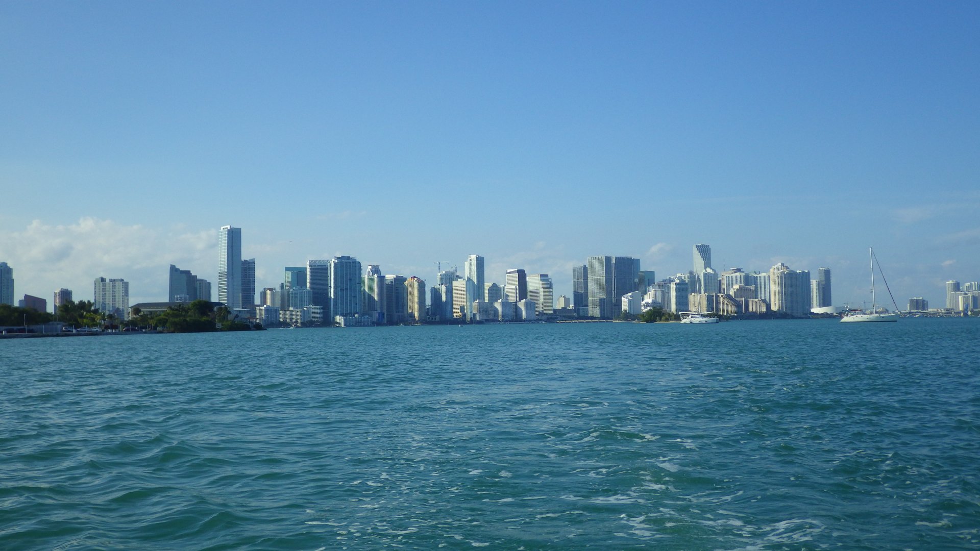
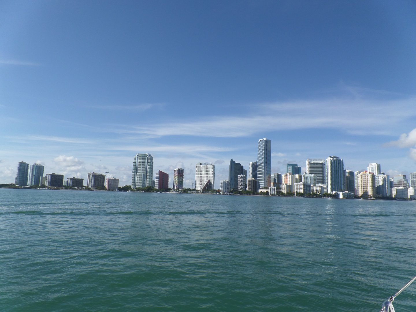
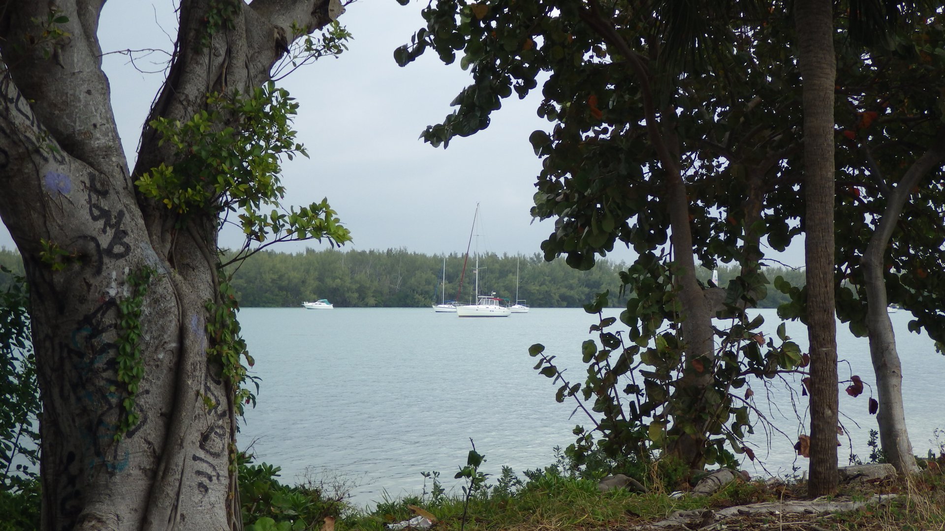
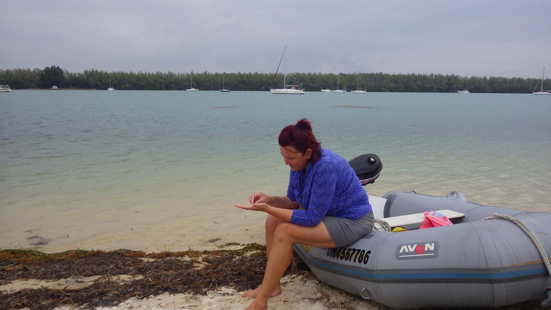
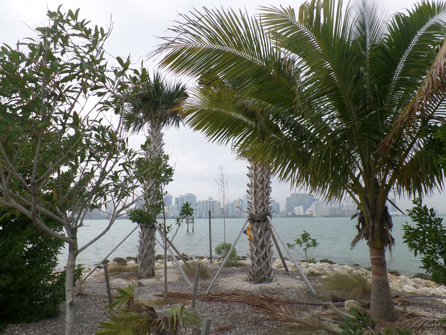
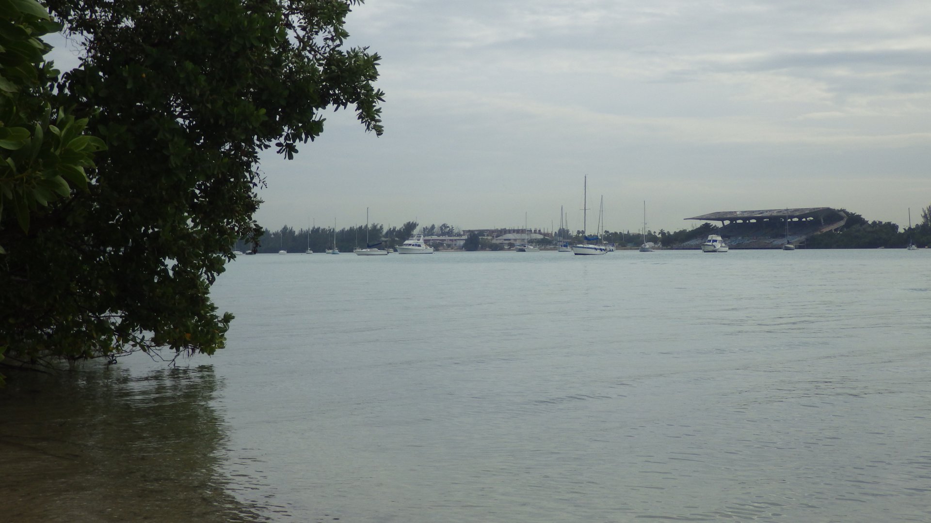
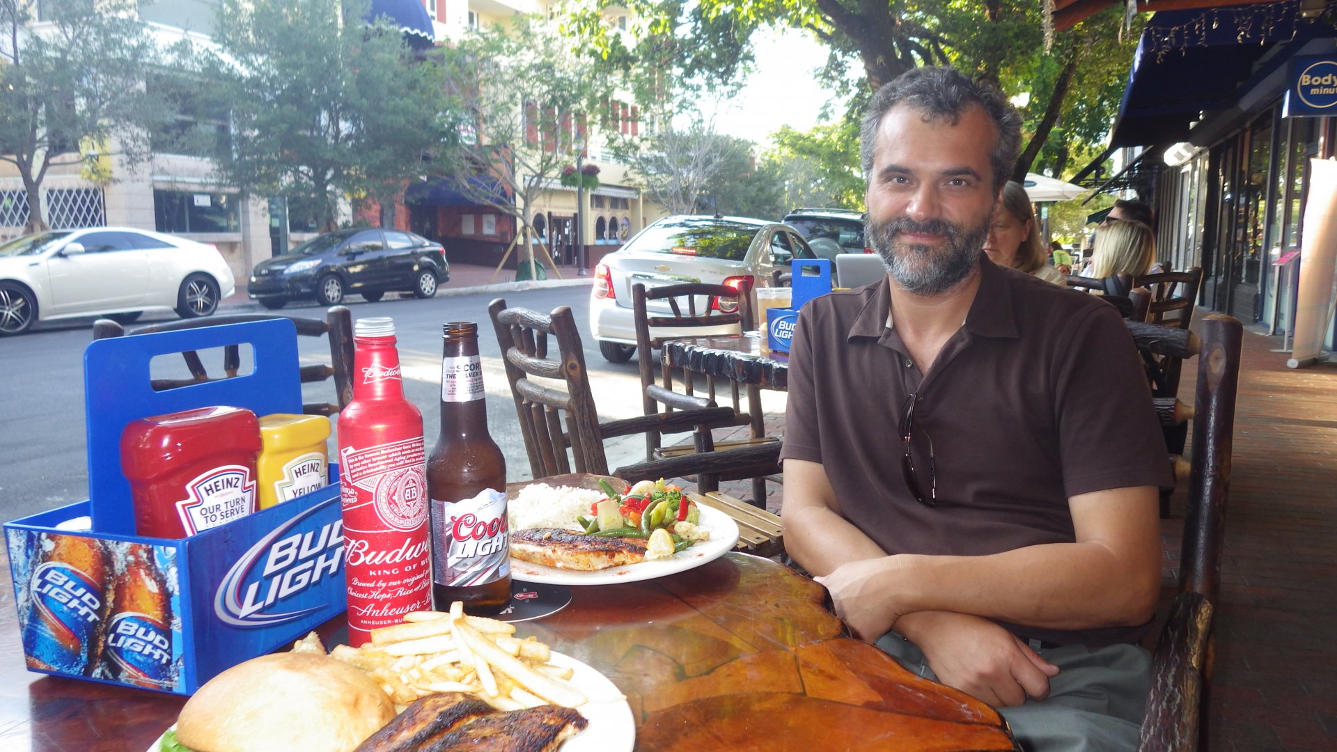
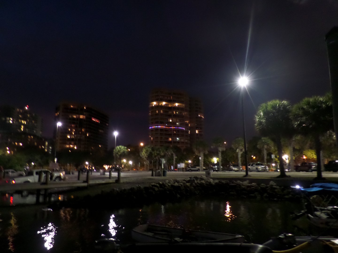
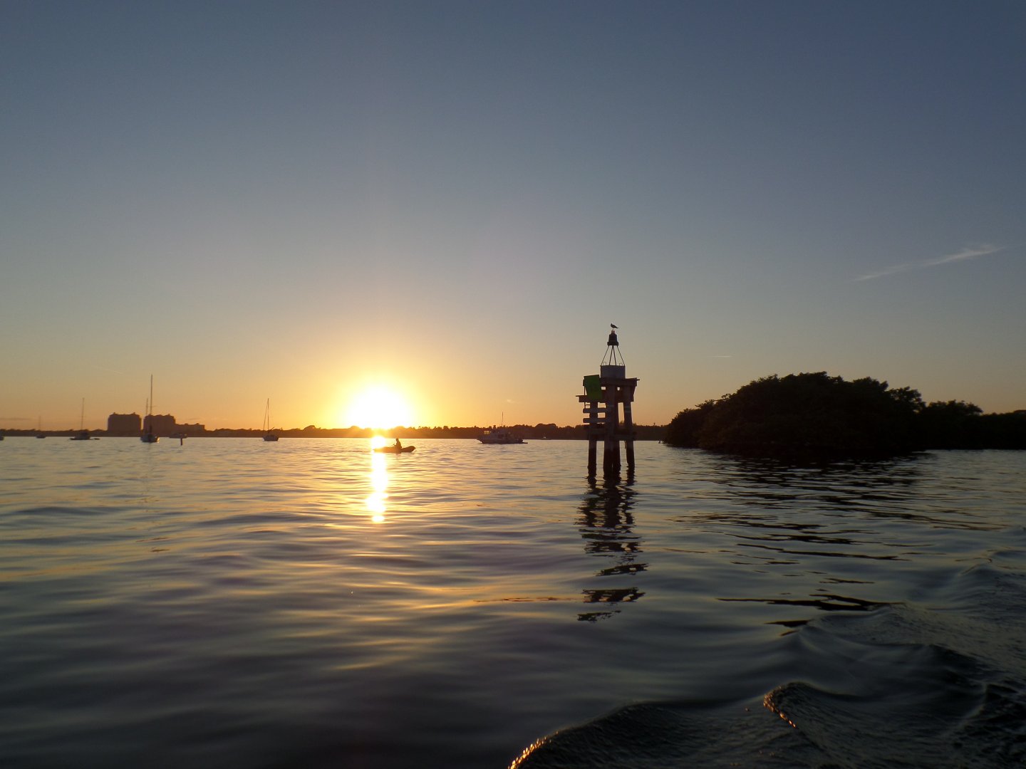
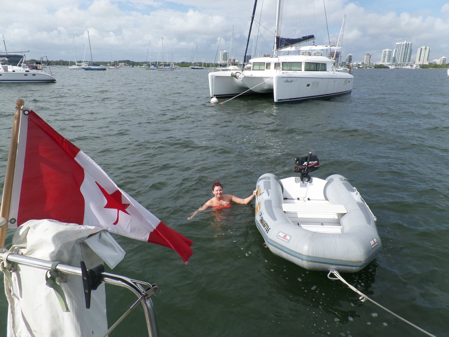
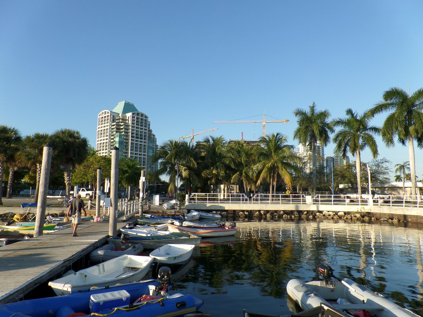
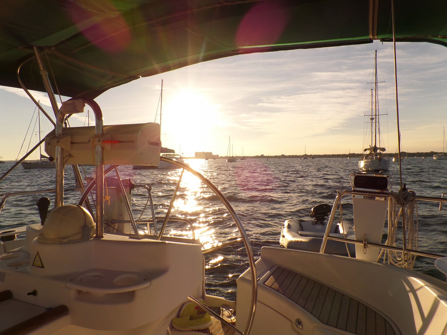
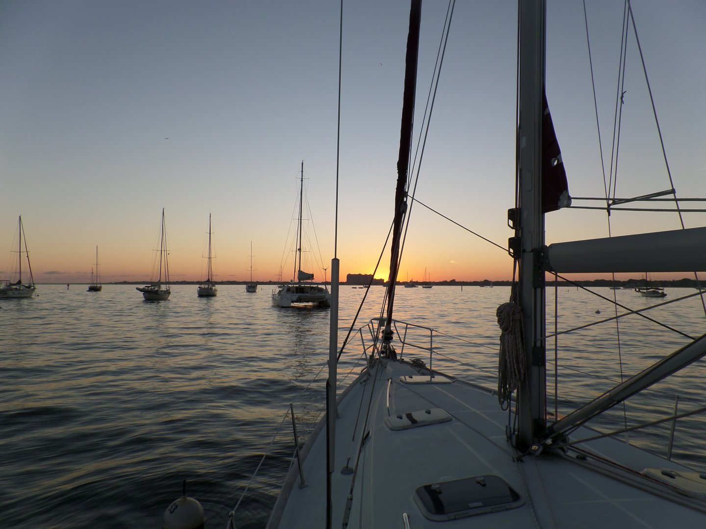
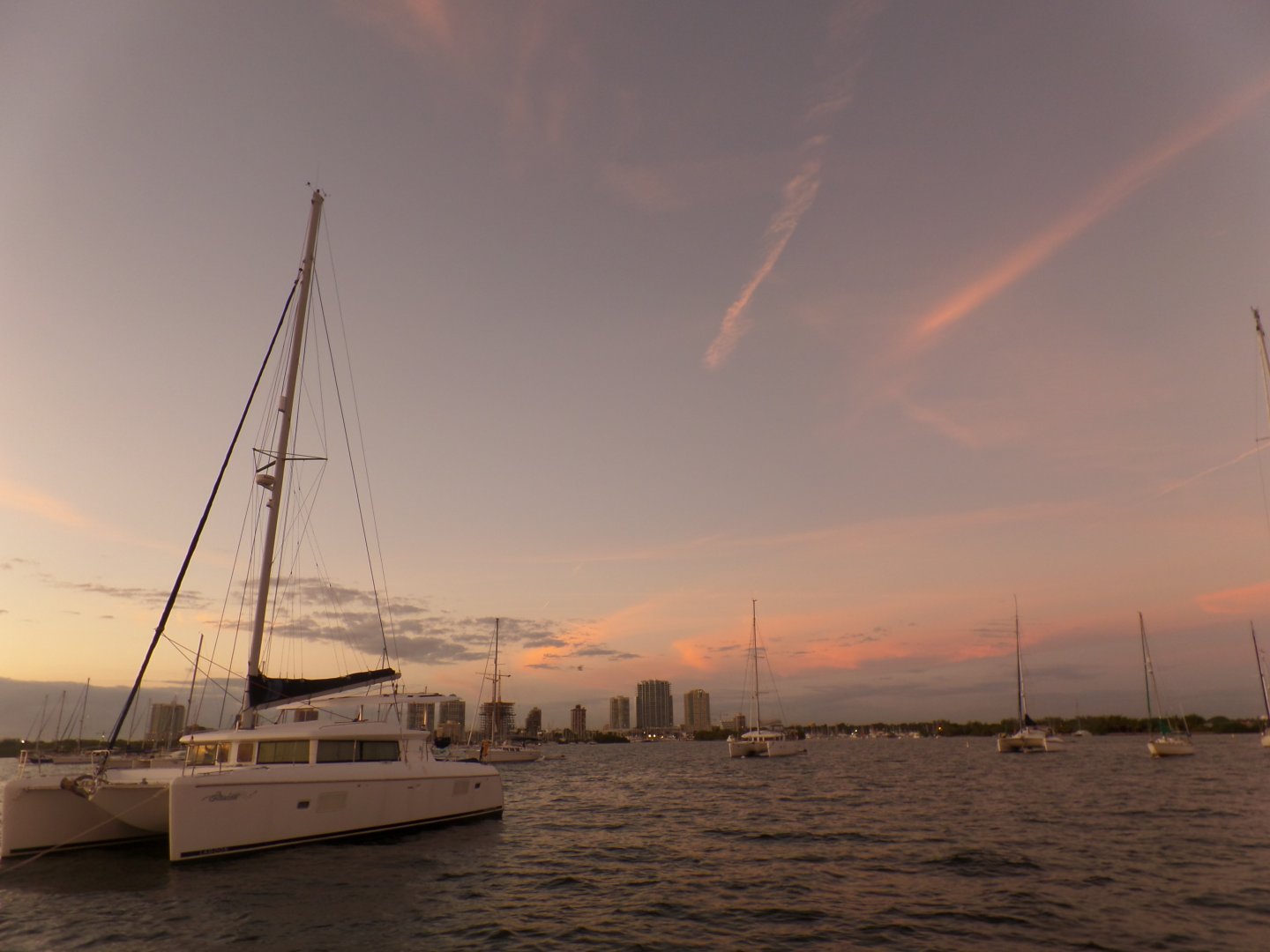
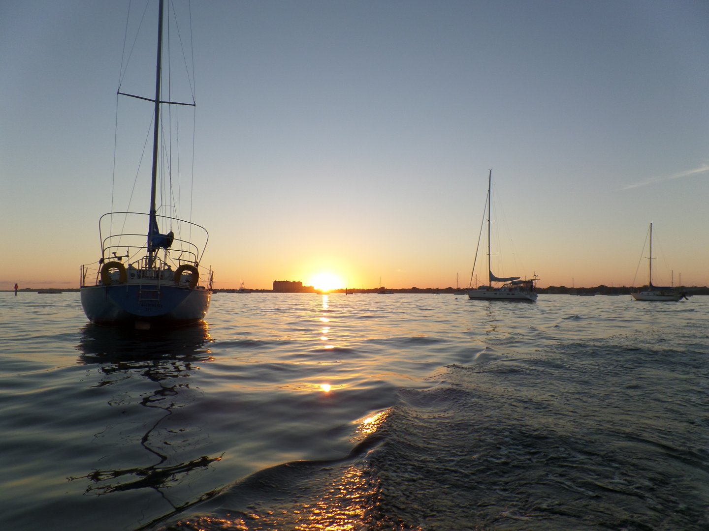
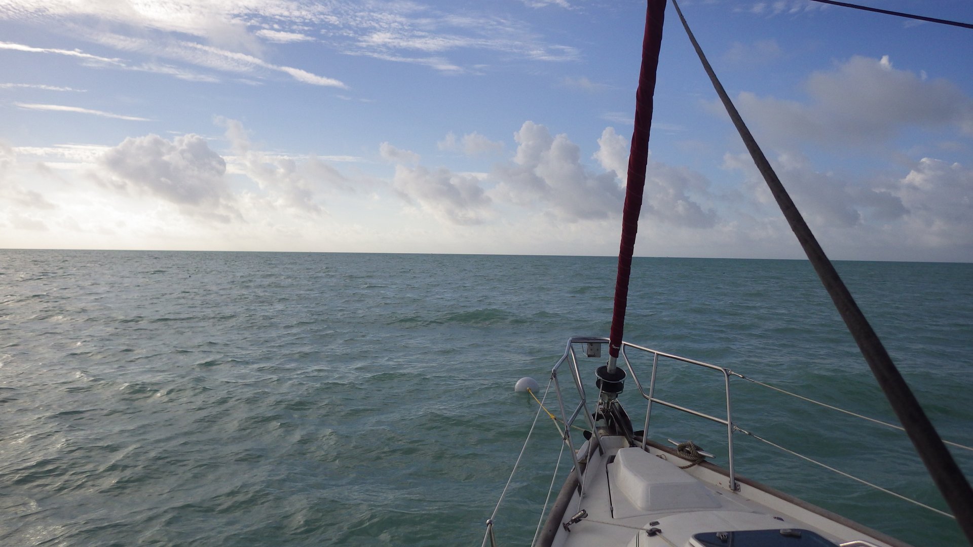
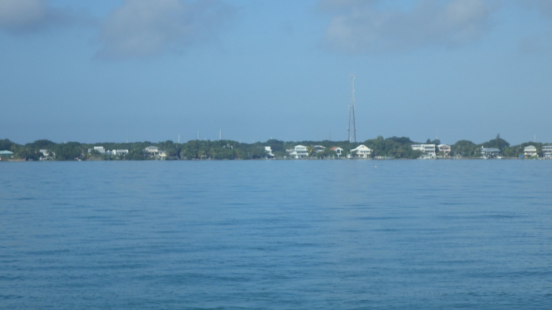
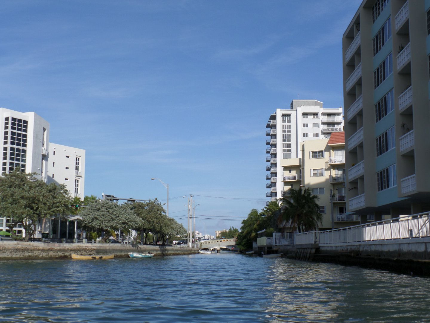
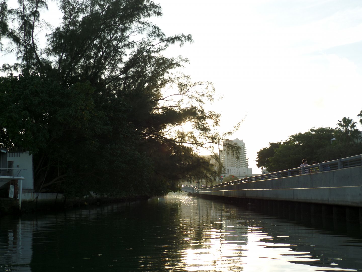
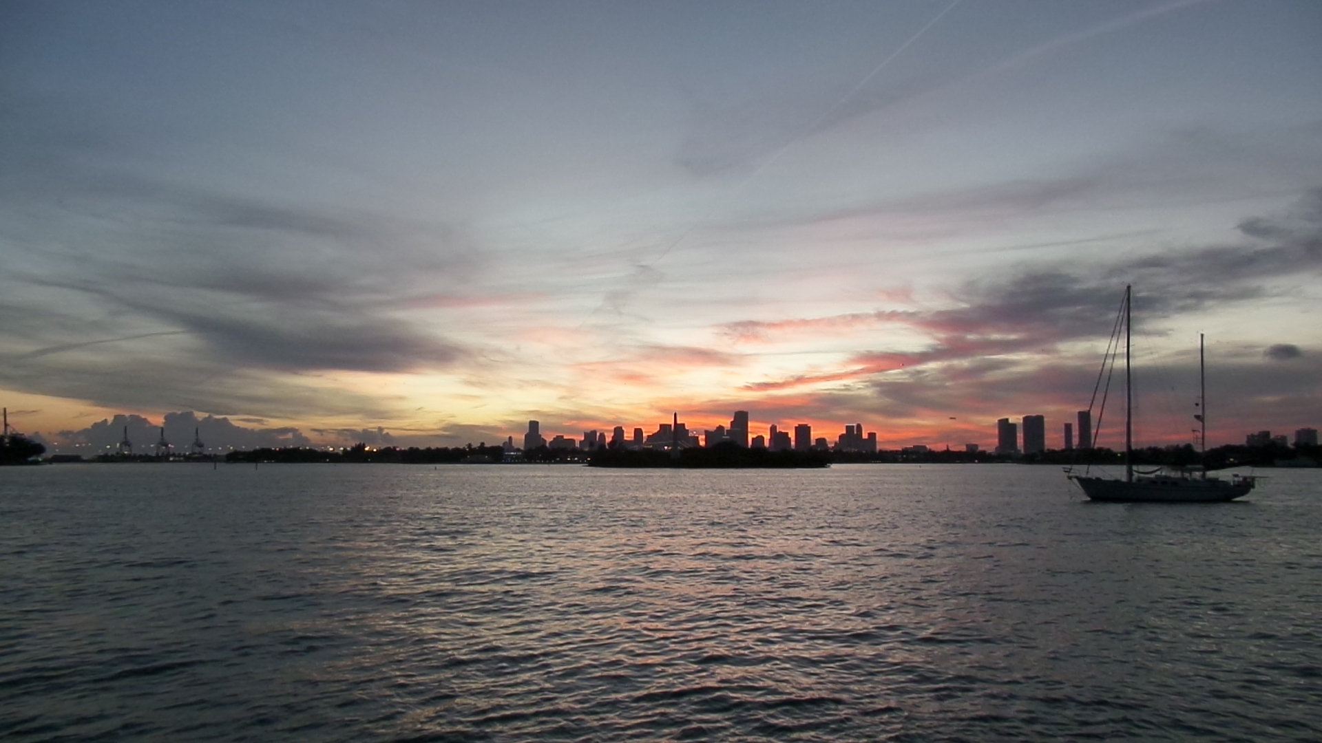
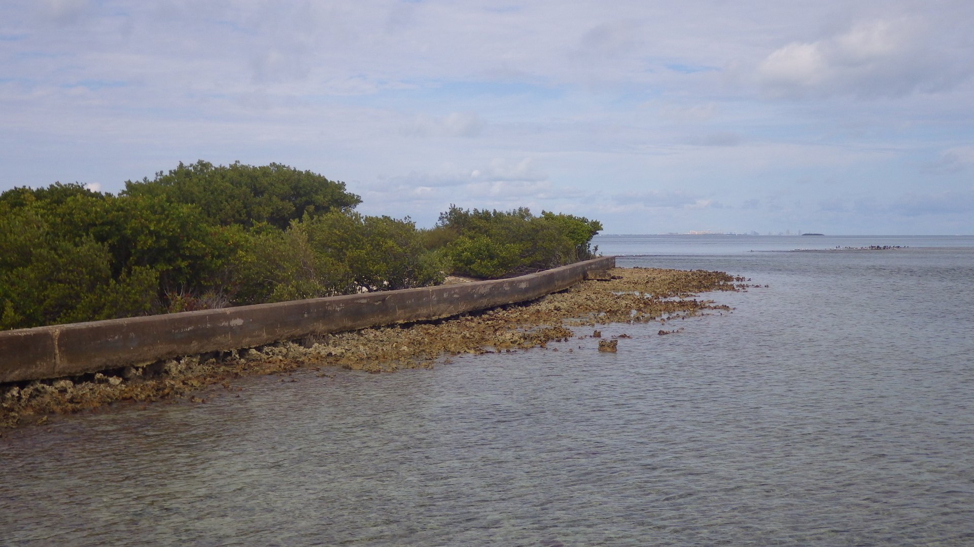
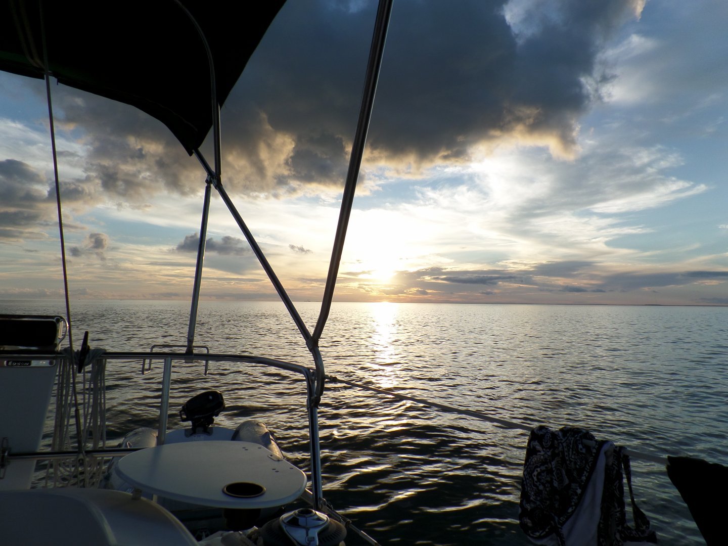
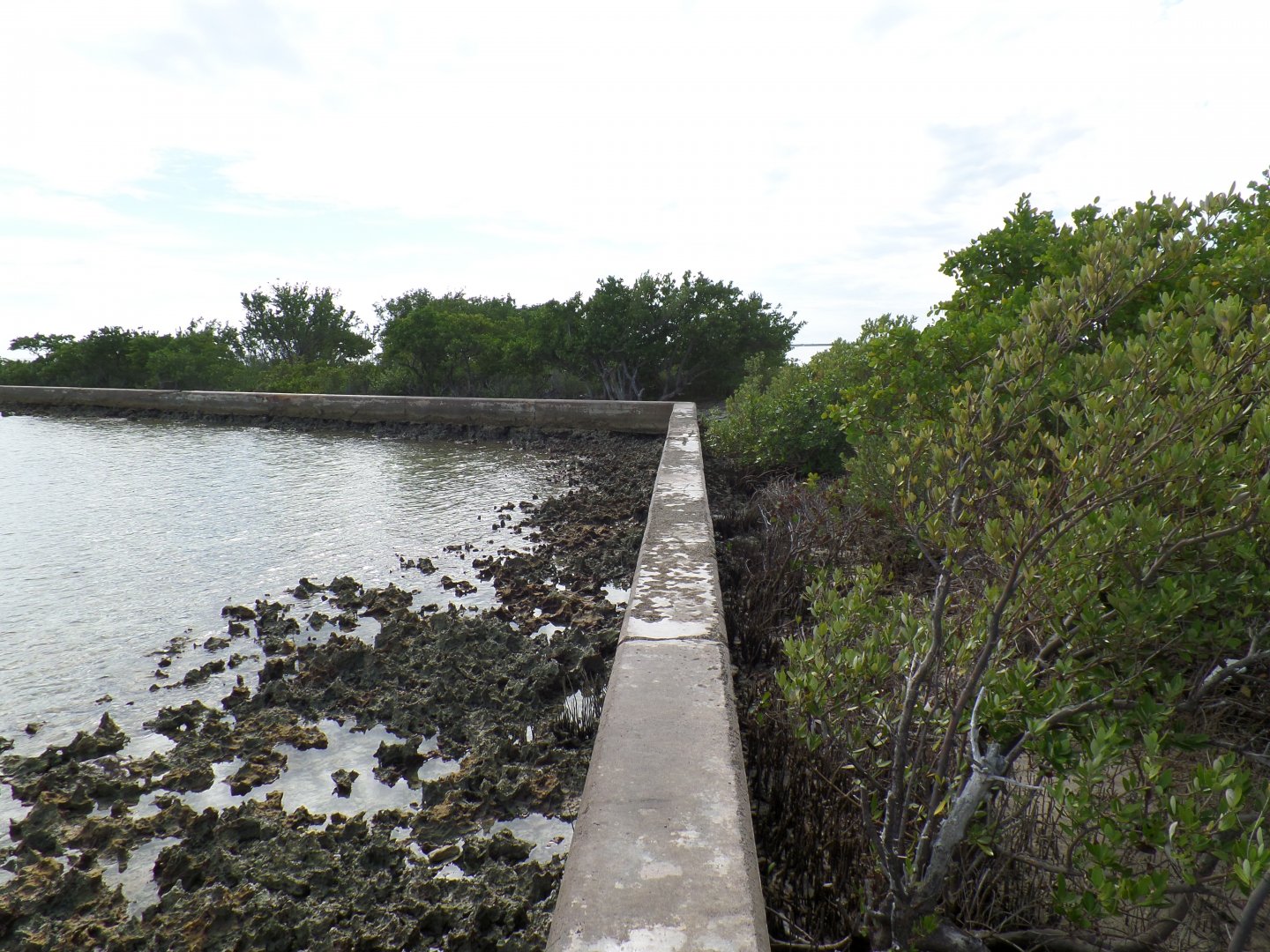
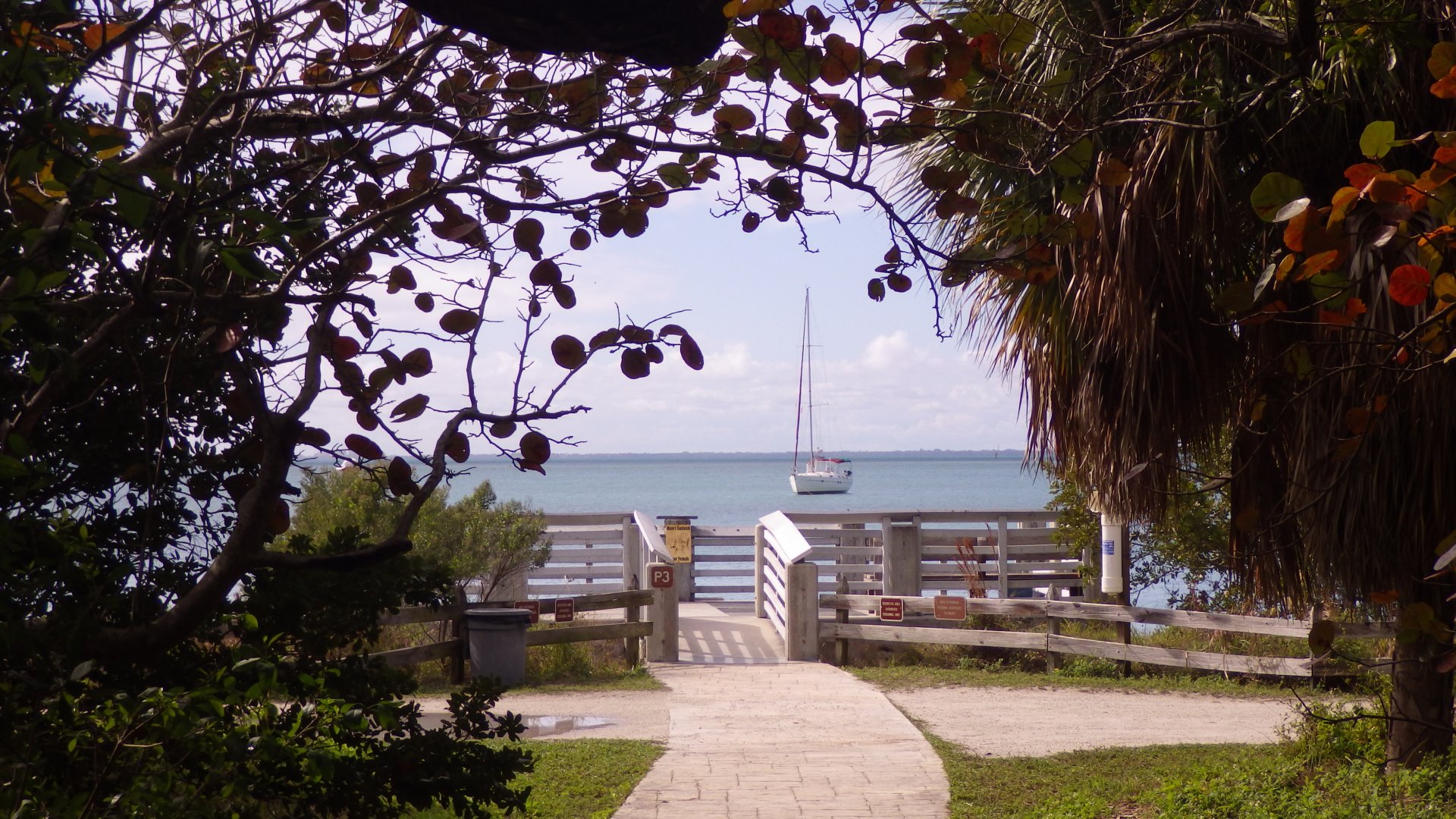
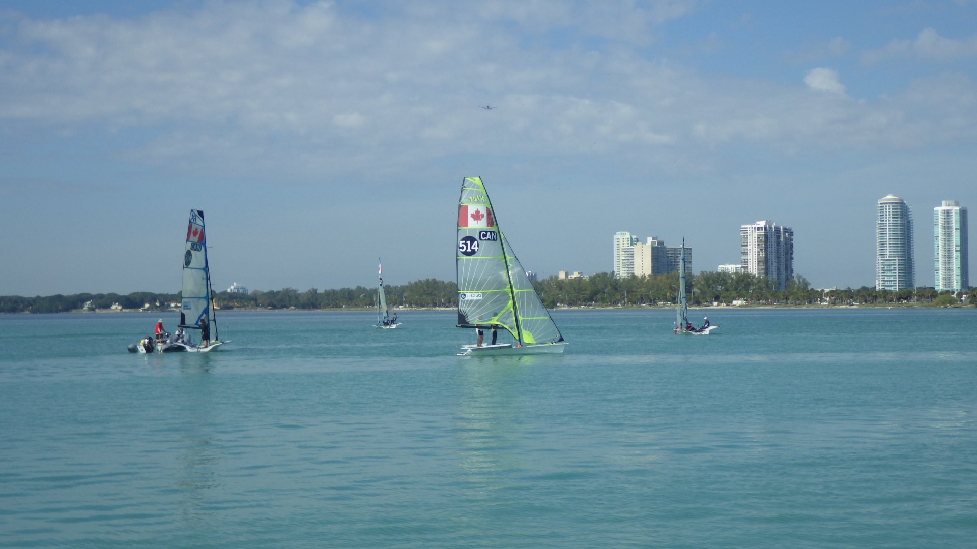
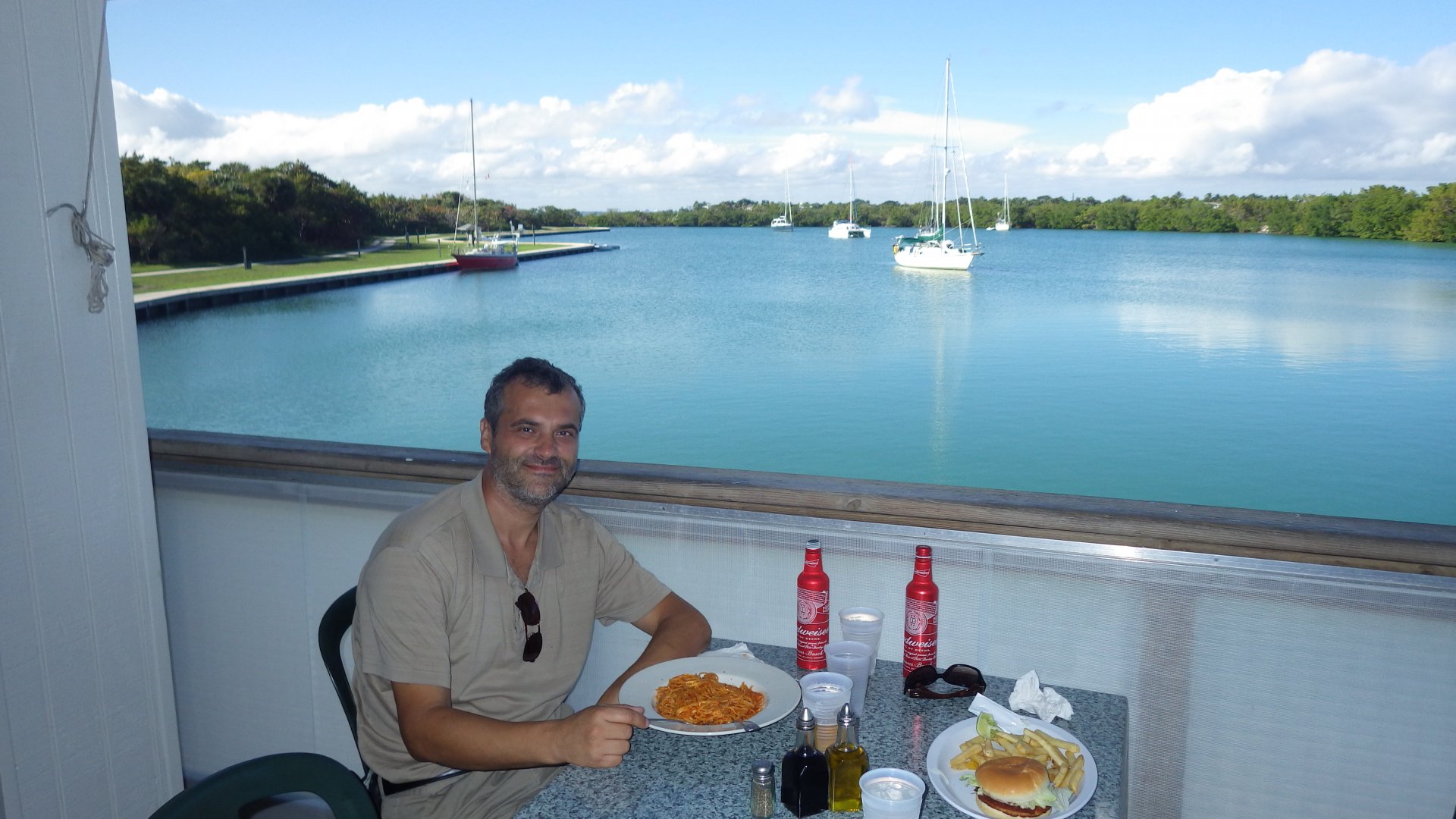
Two days in the popular cruising spot - Vero Beach. I see the reasons why it's popular.
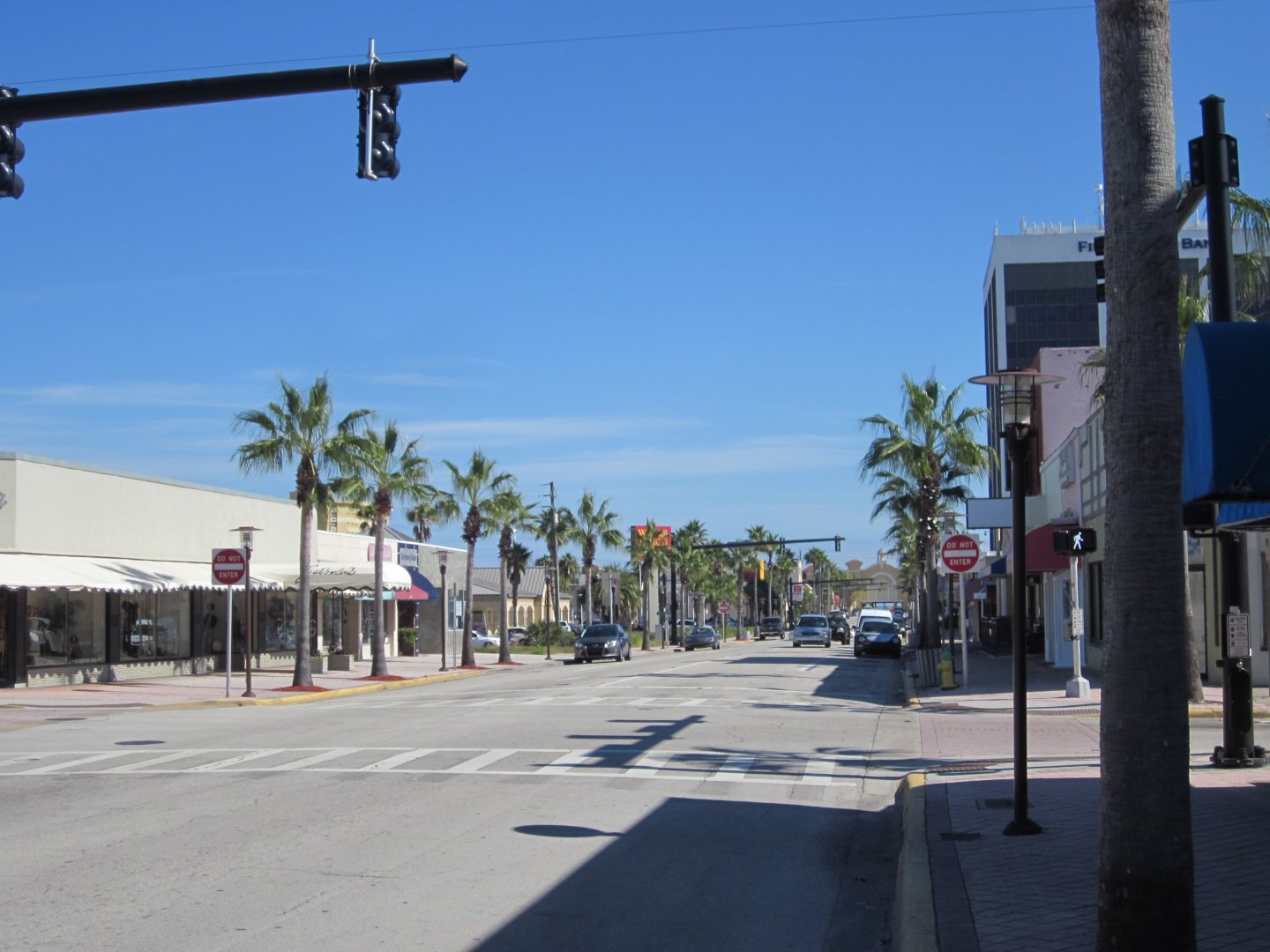
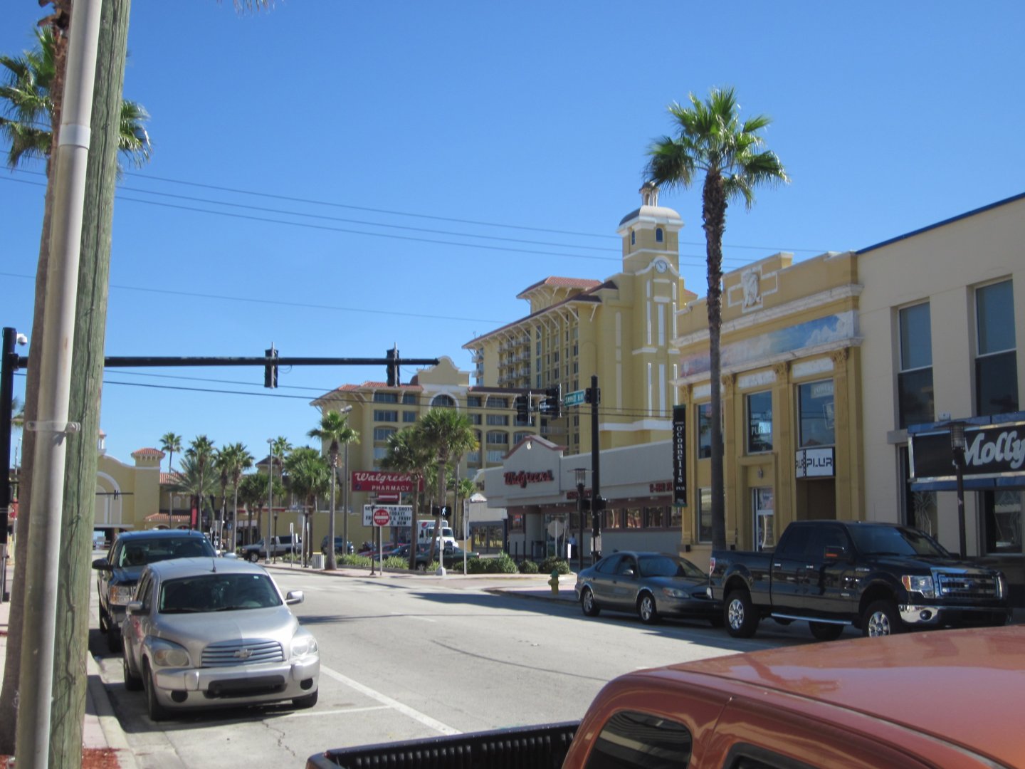
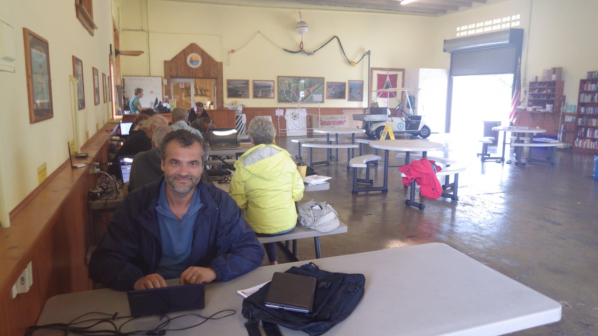
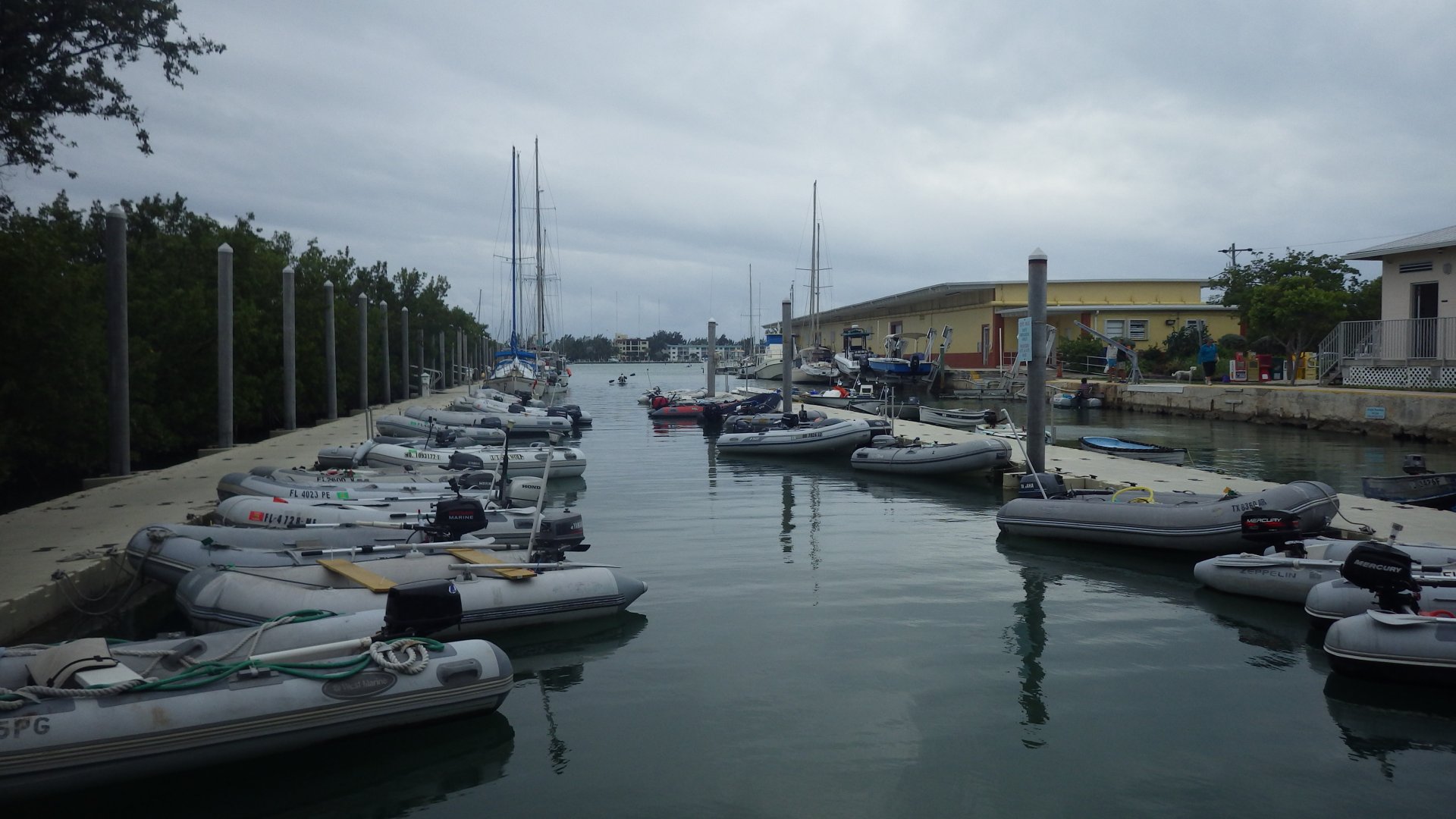
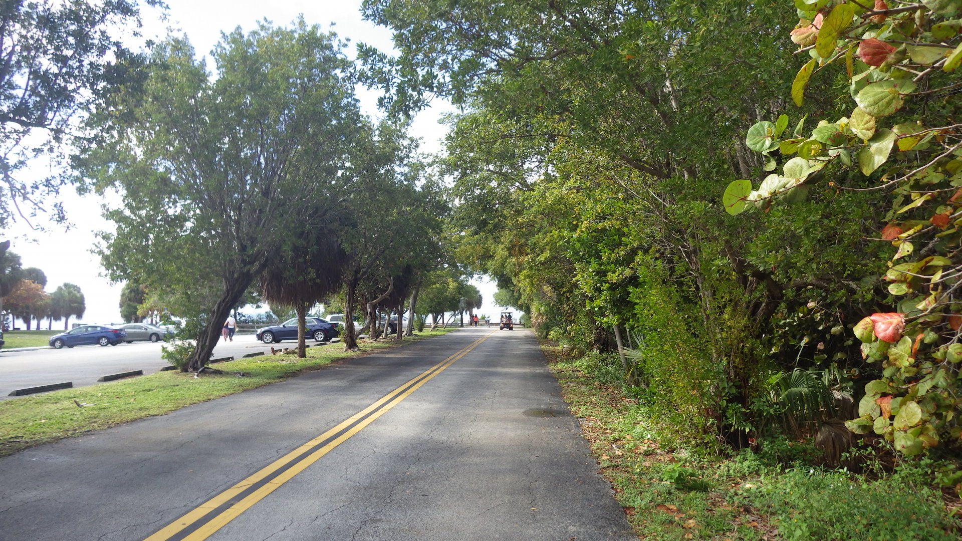
All you need (groceries, West Marine, fast food, liquor, banks, etc) are accessible - either by walks, free bus system, or by dinghy ride + reasonable walk. Few spots (ramps, parks) to land the dinghy.

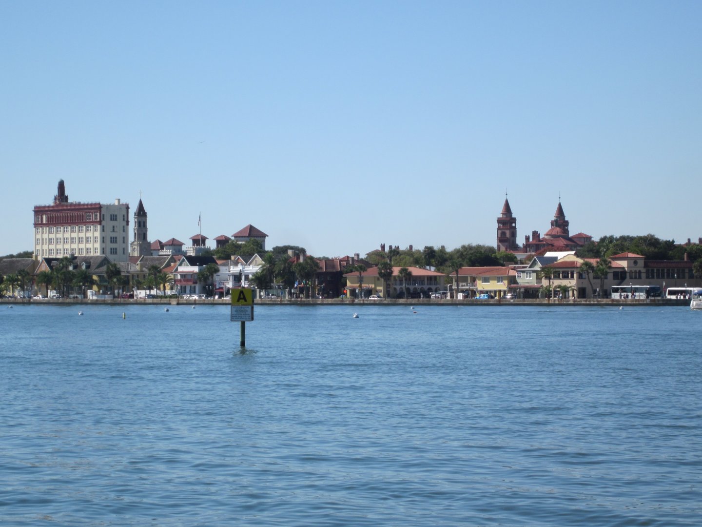
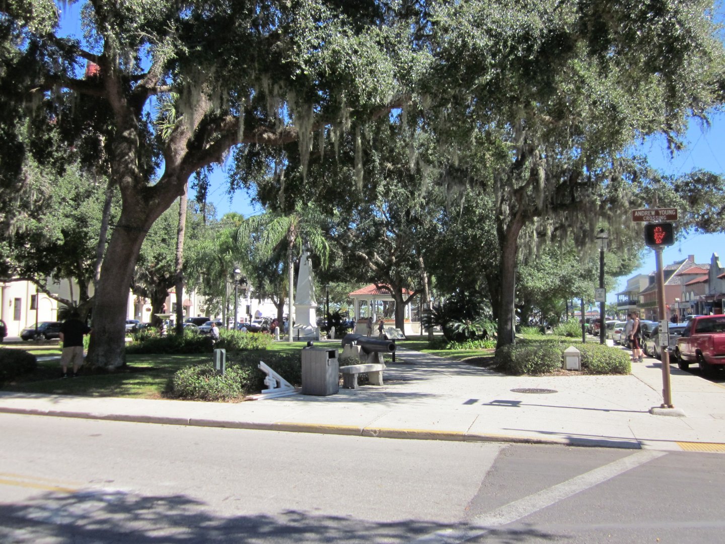
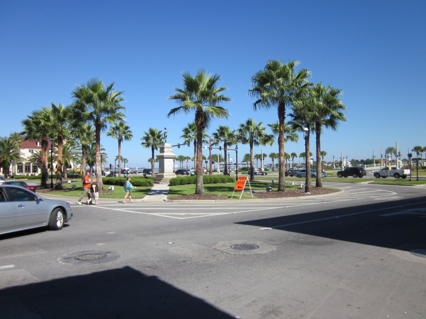
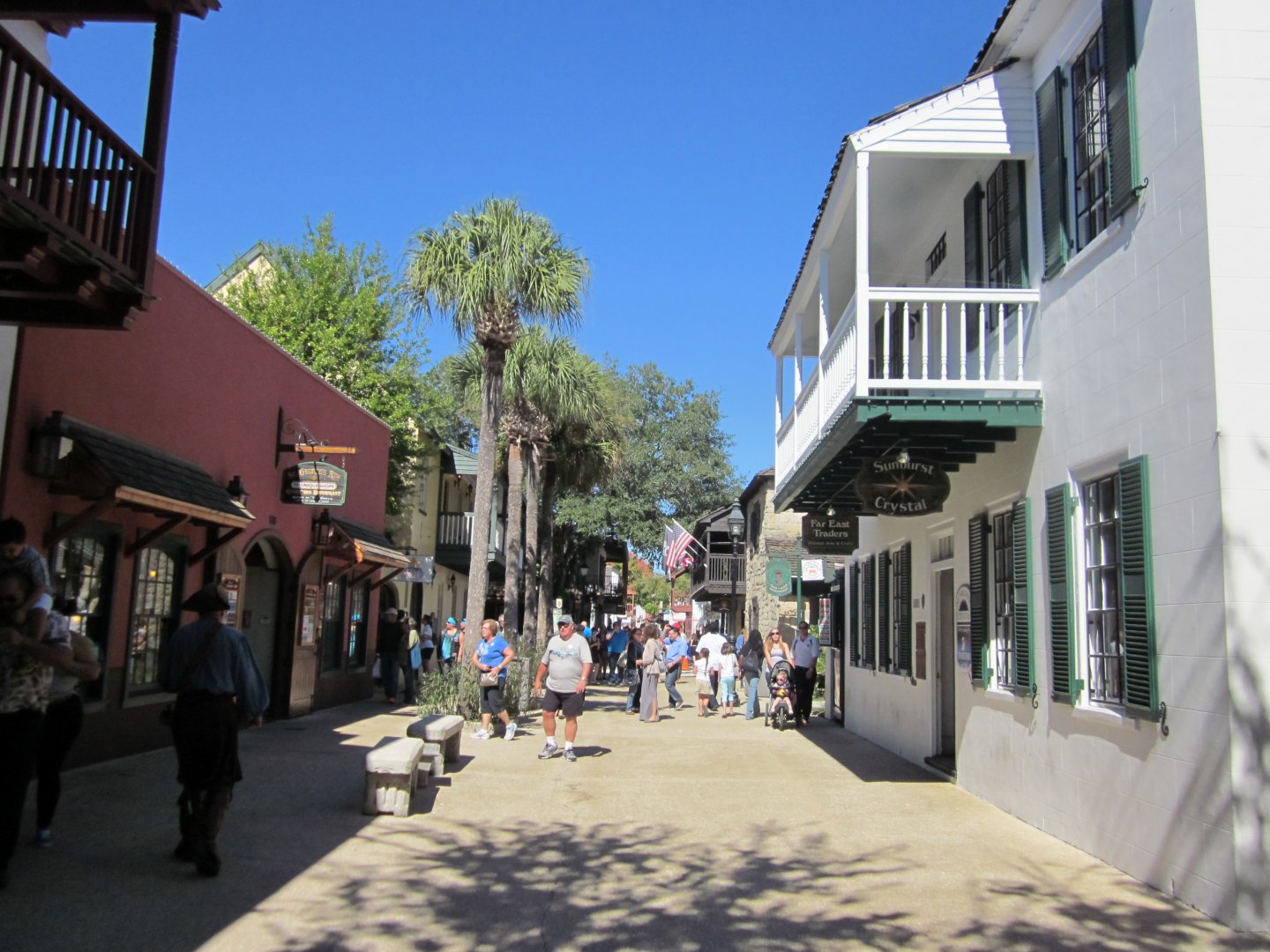
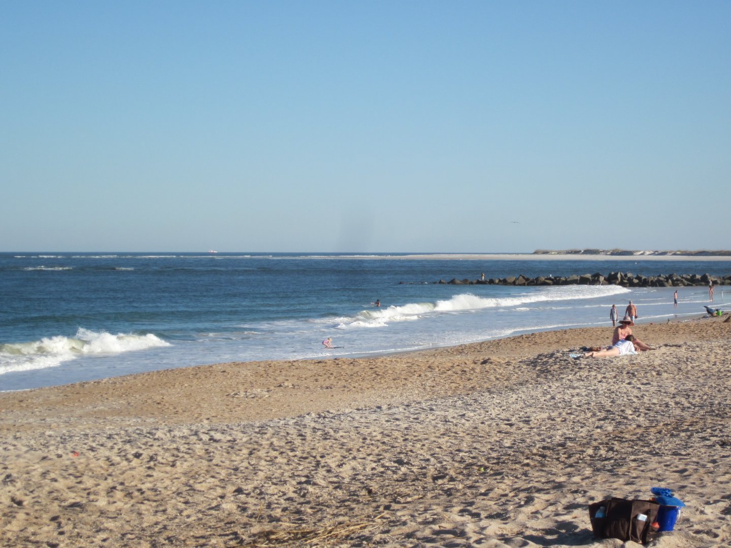
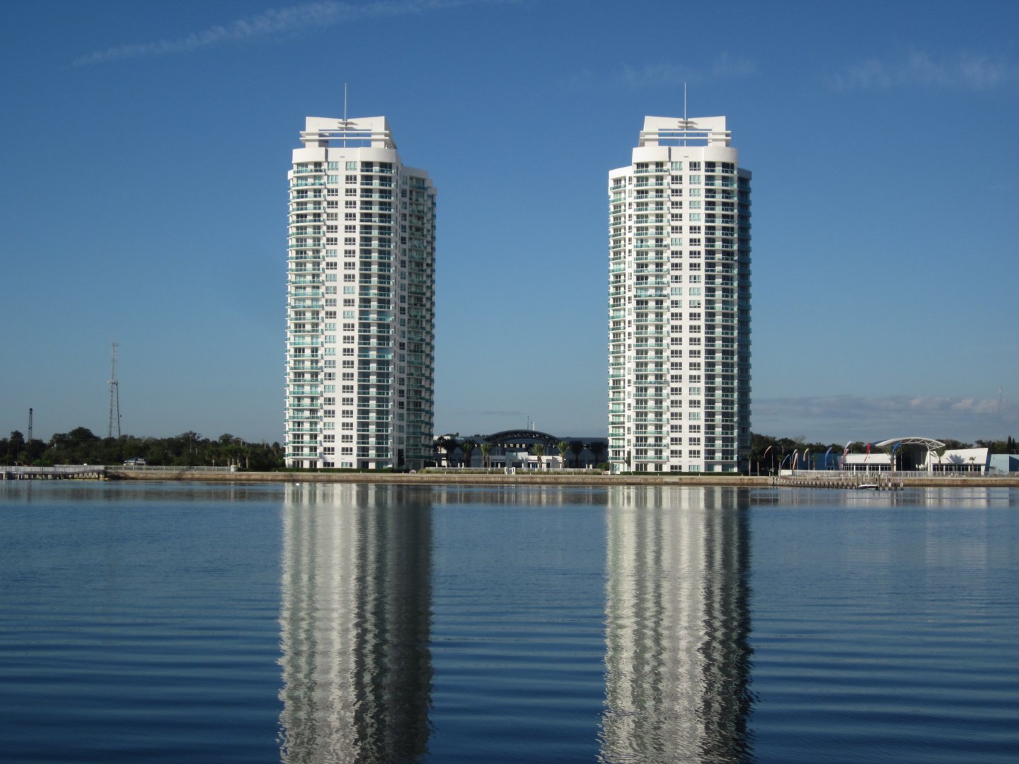
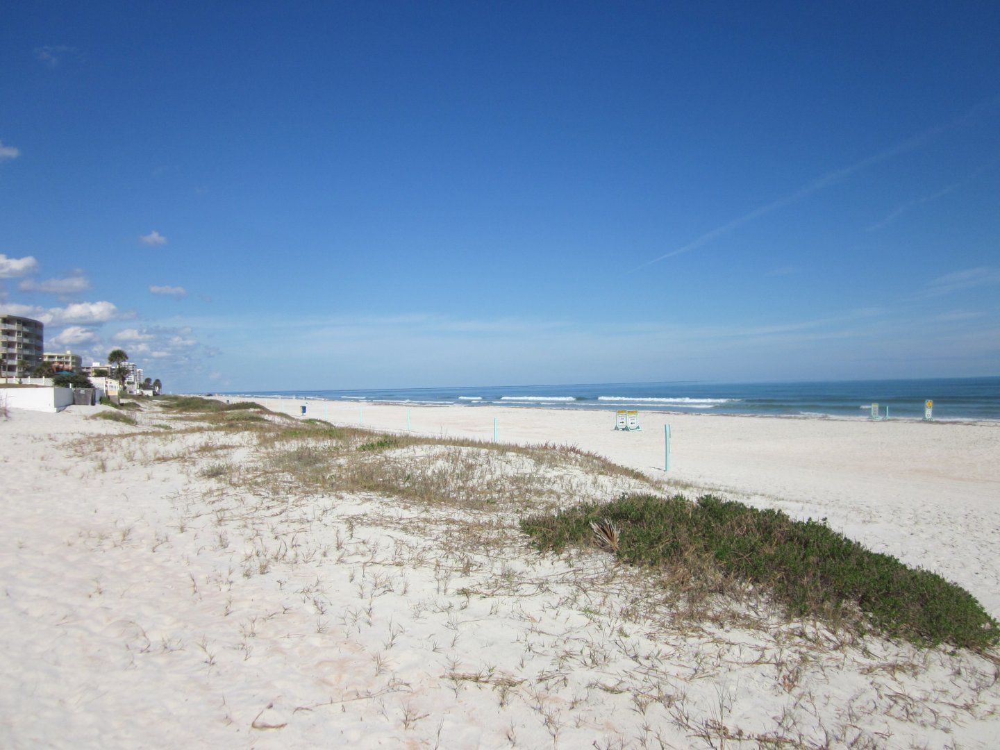
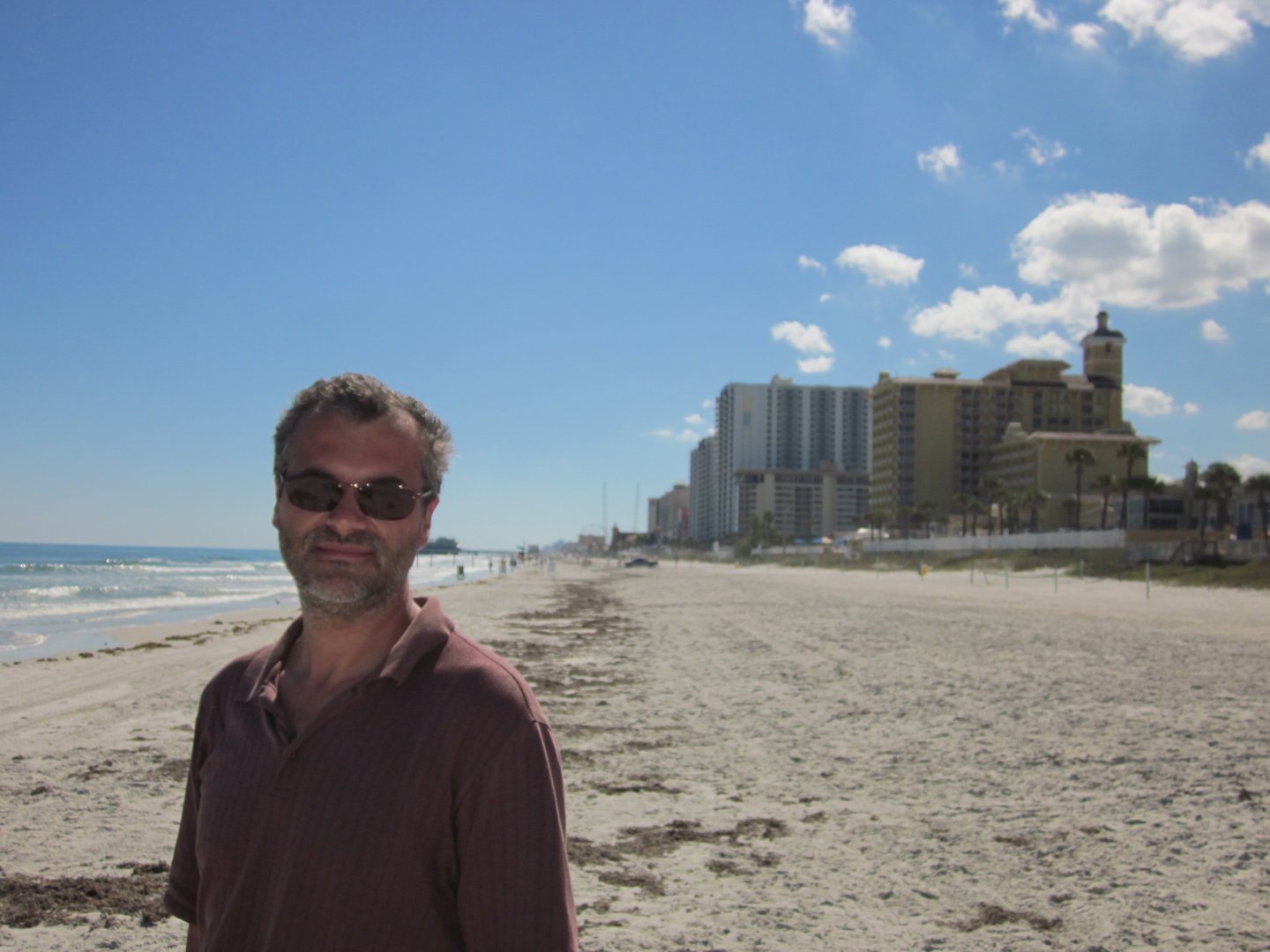
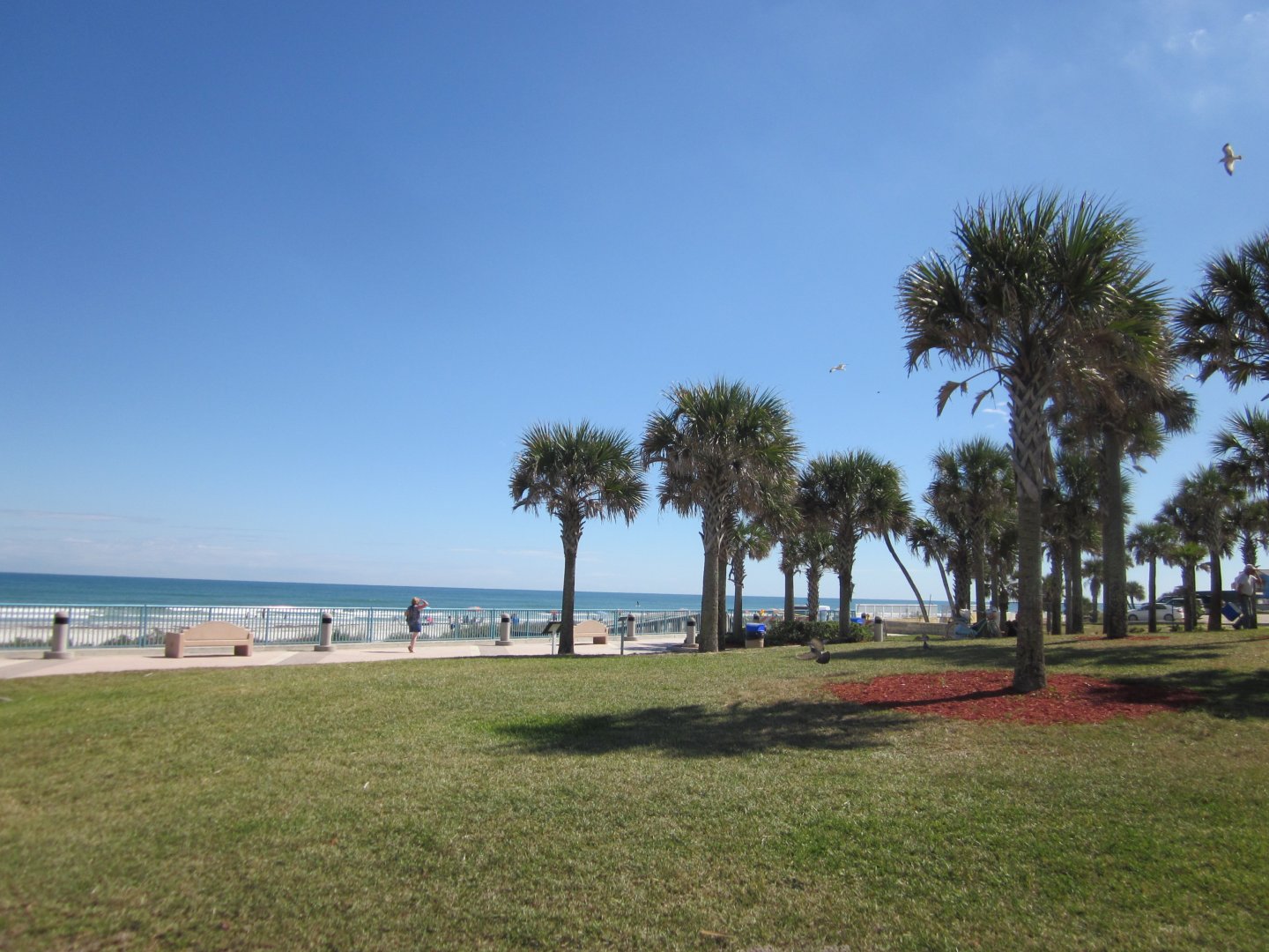
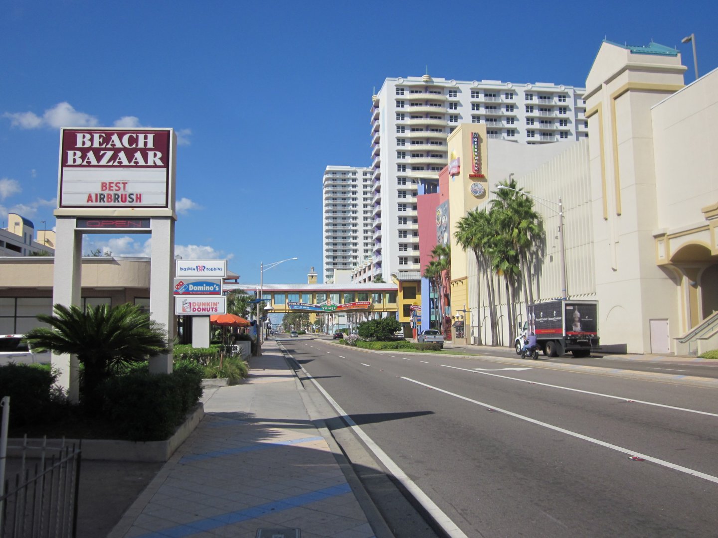
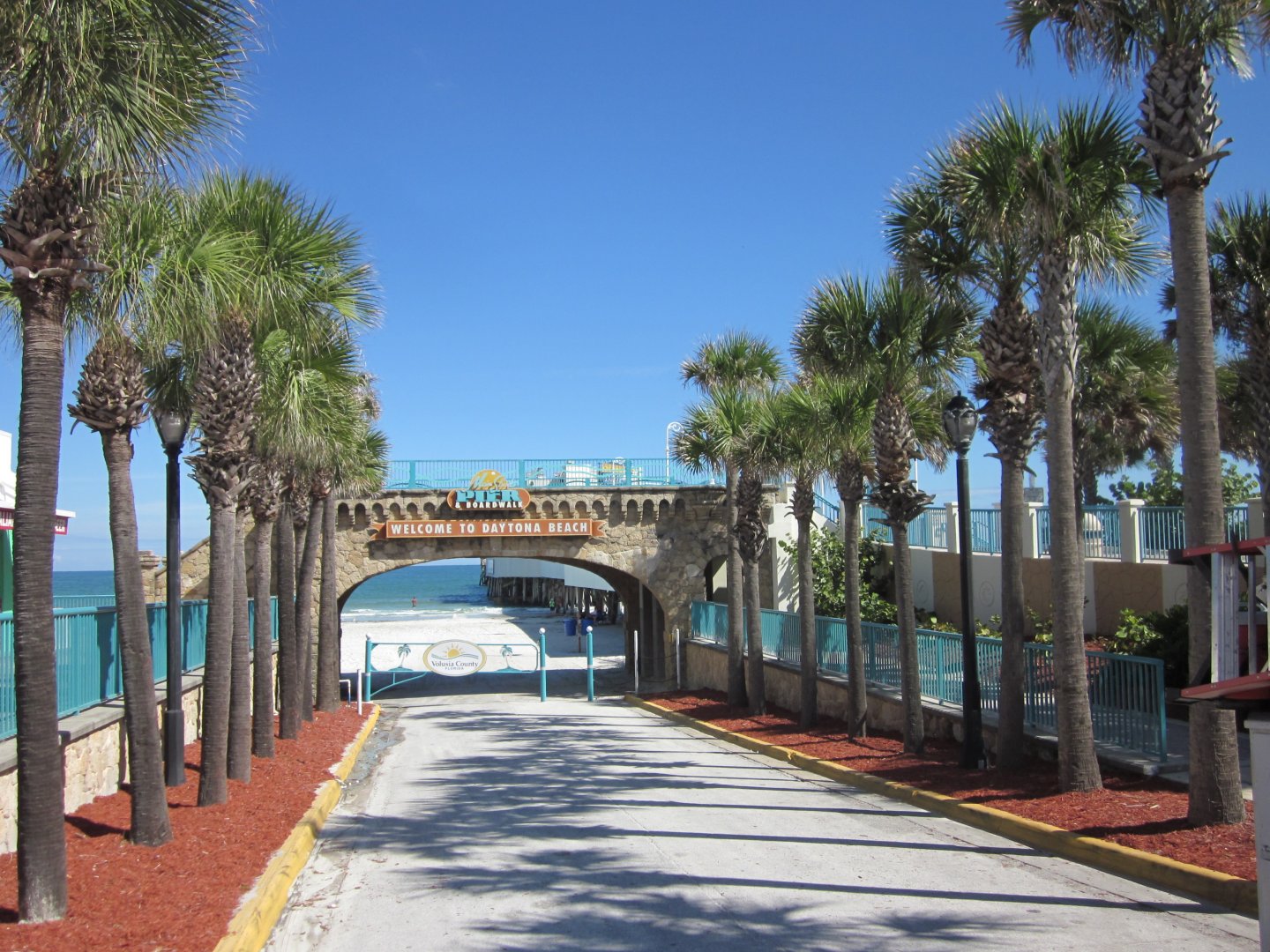
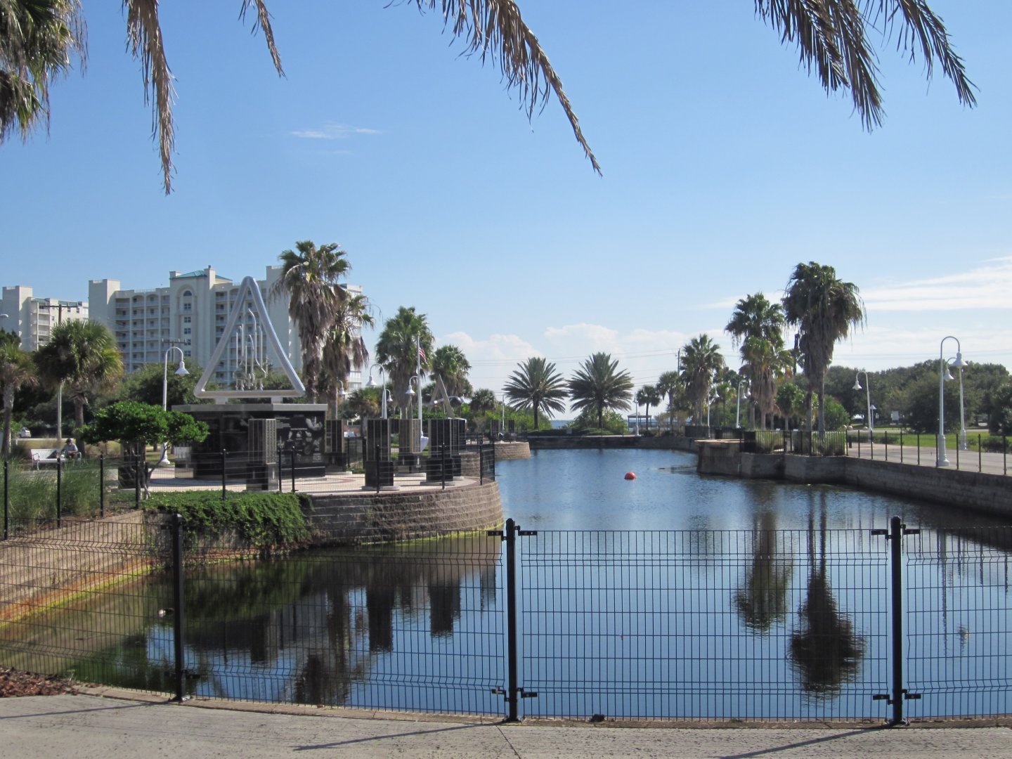
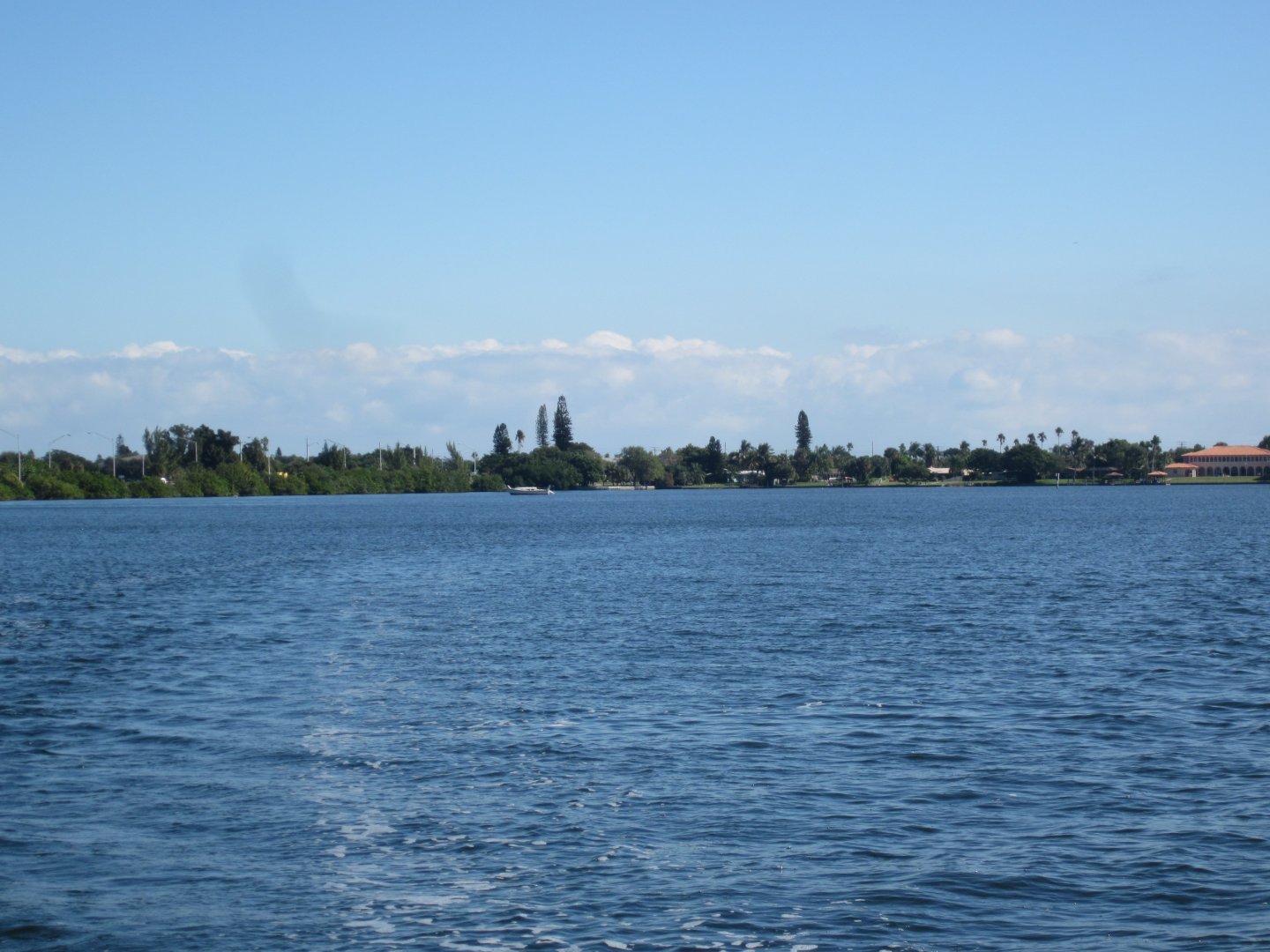
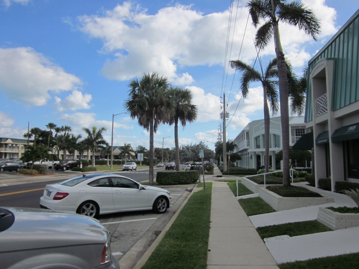
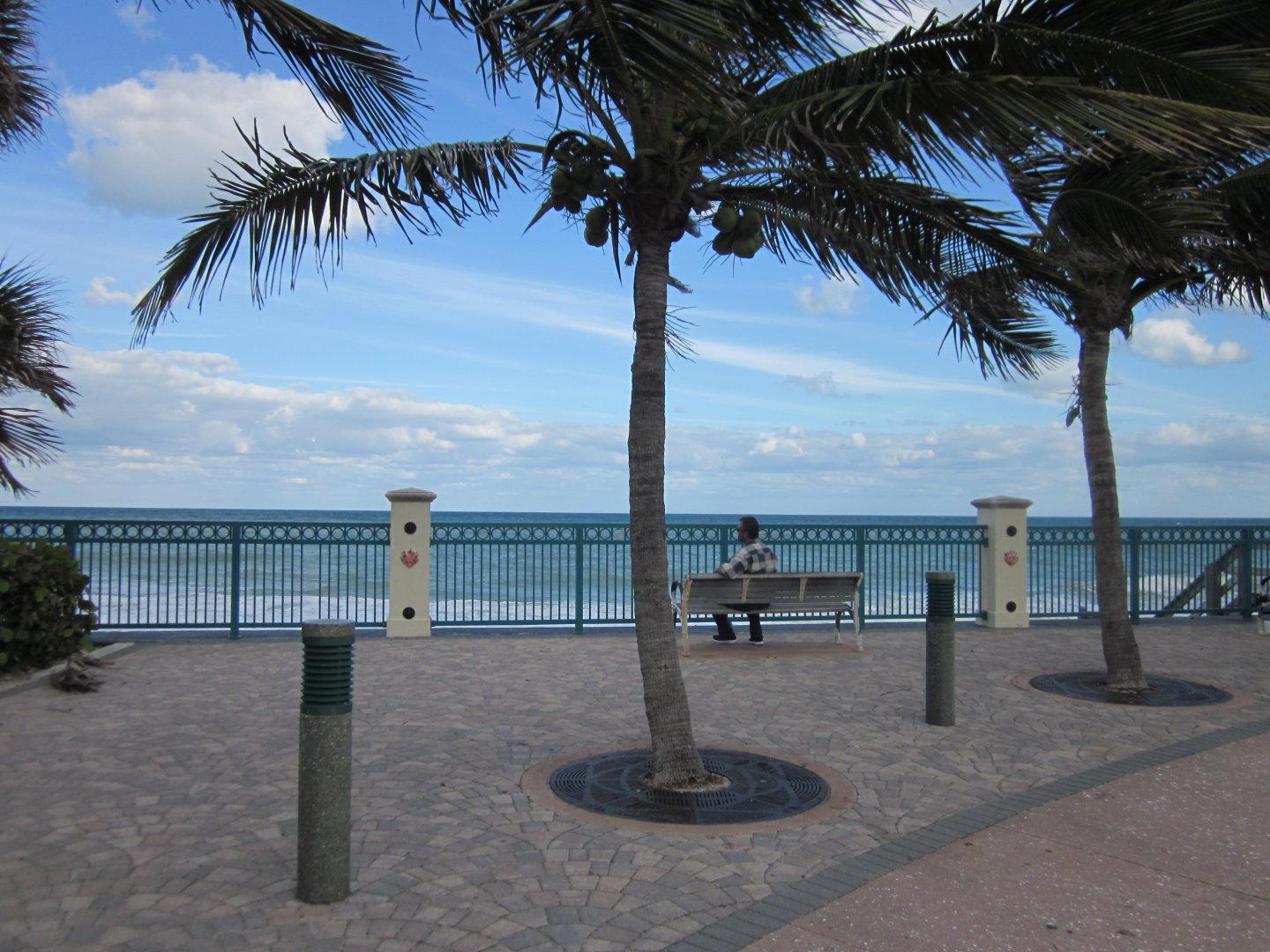
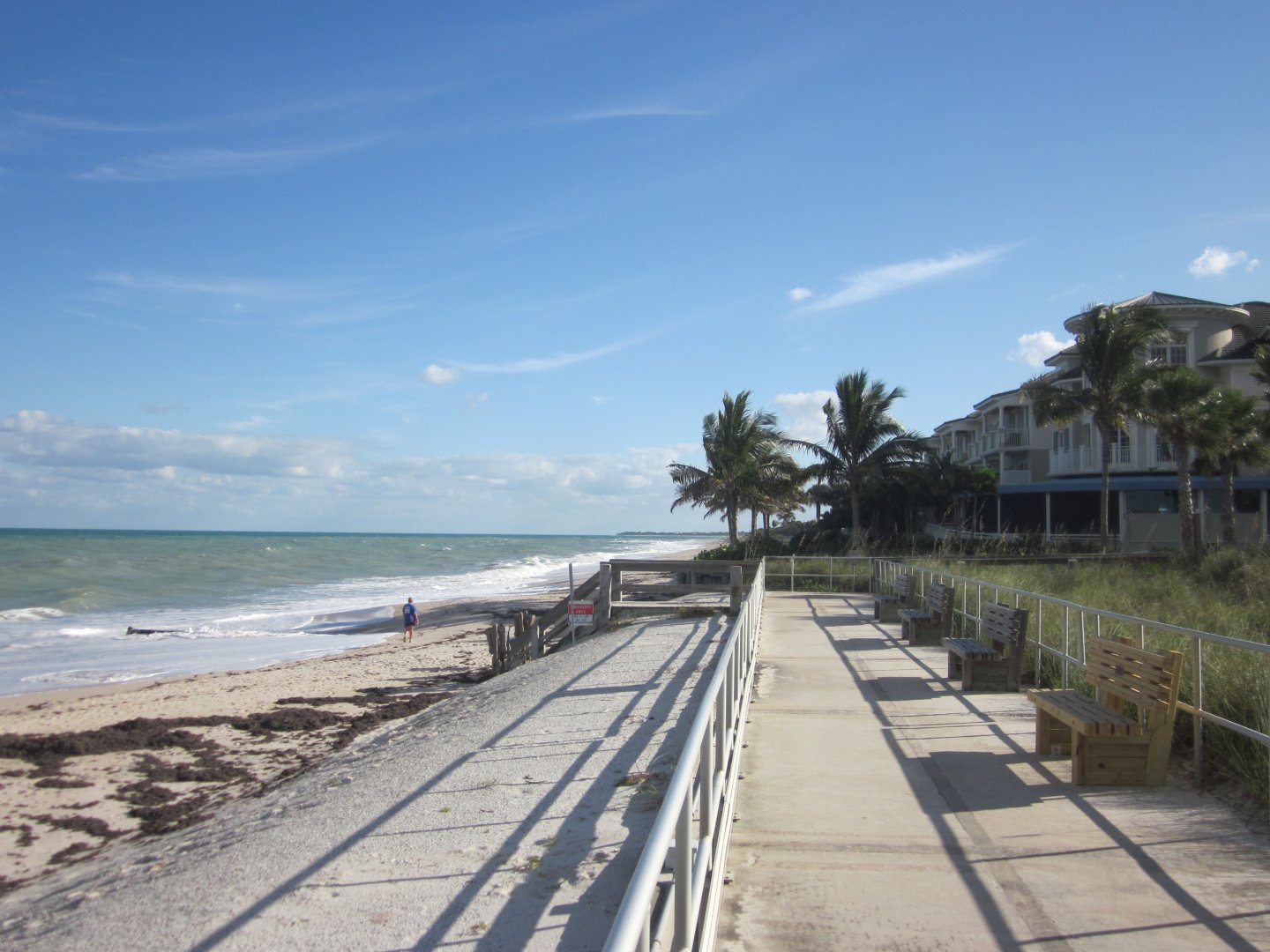
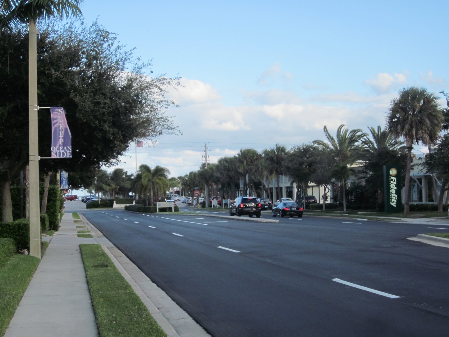
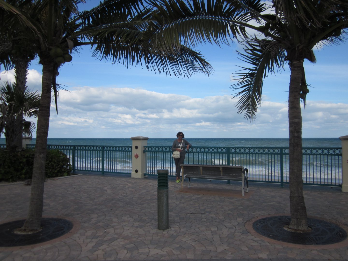
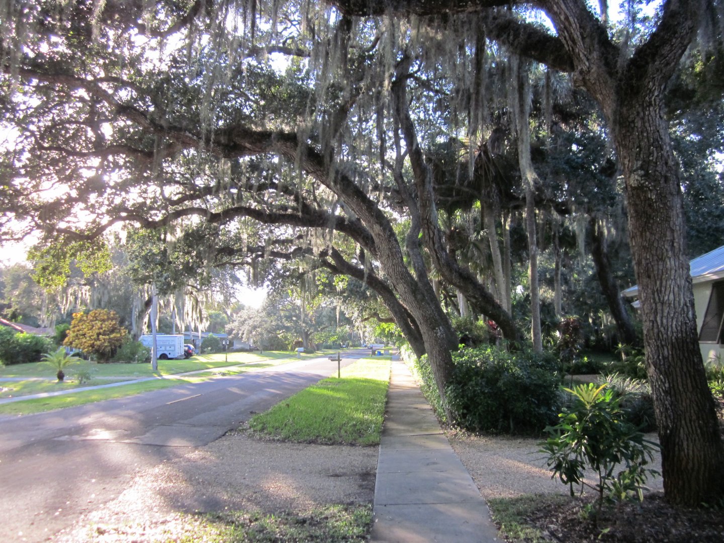
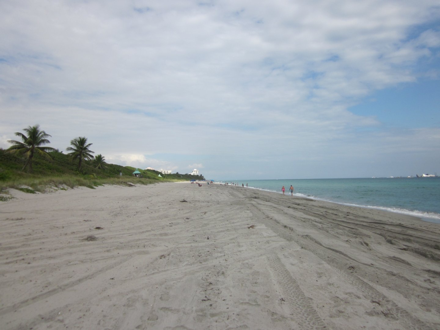
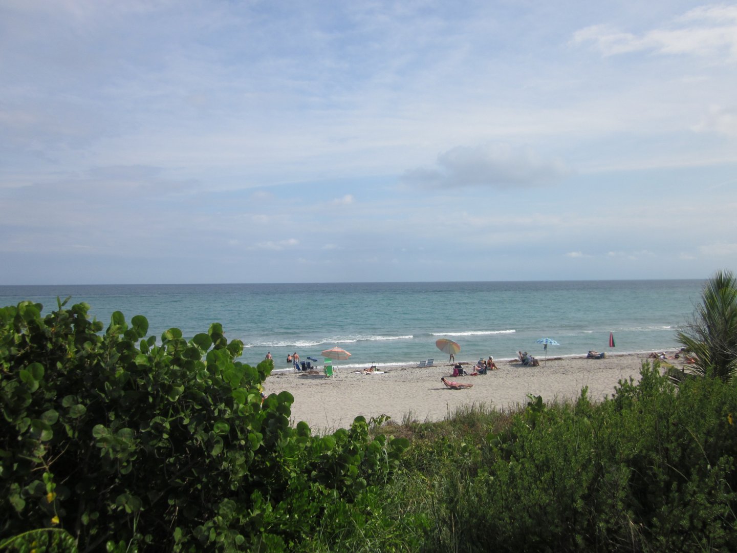
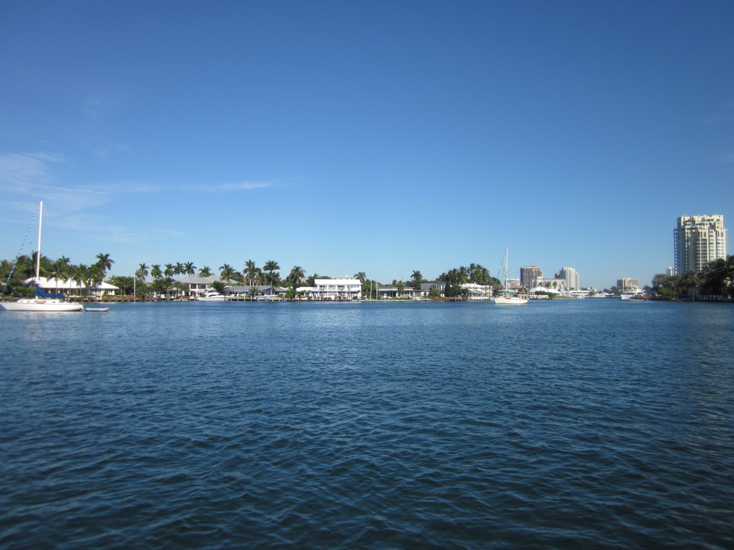
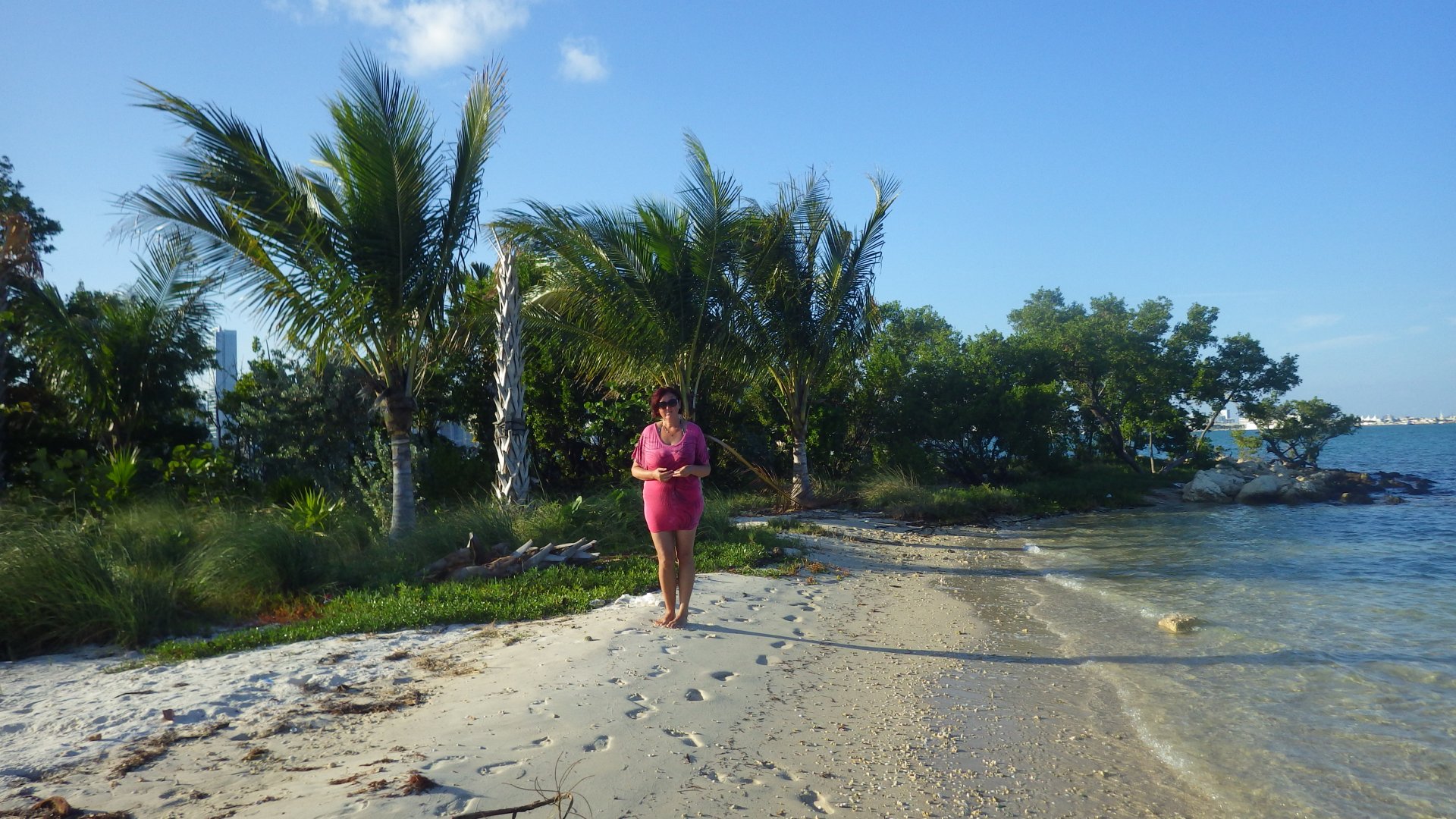
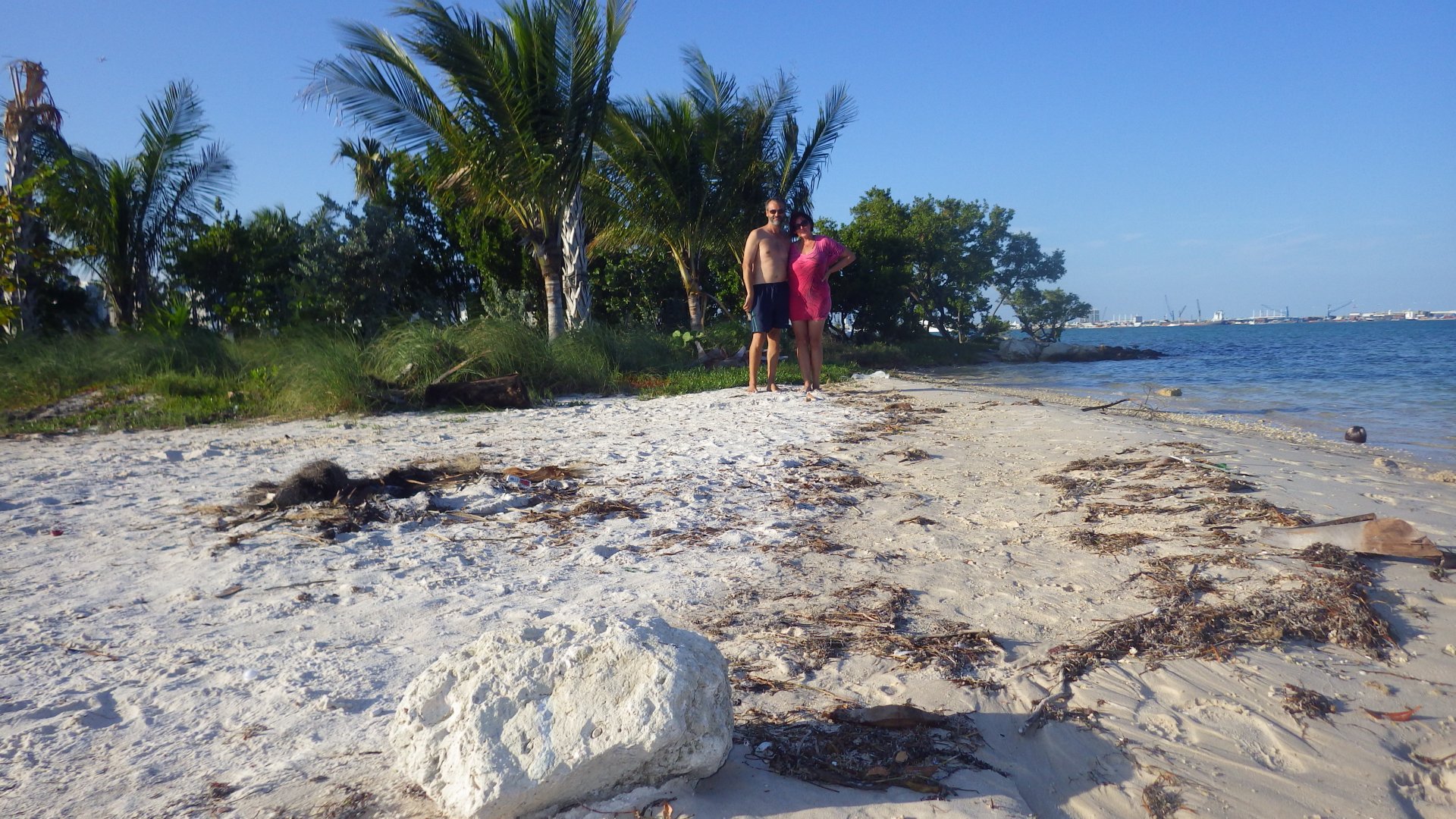
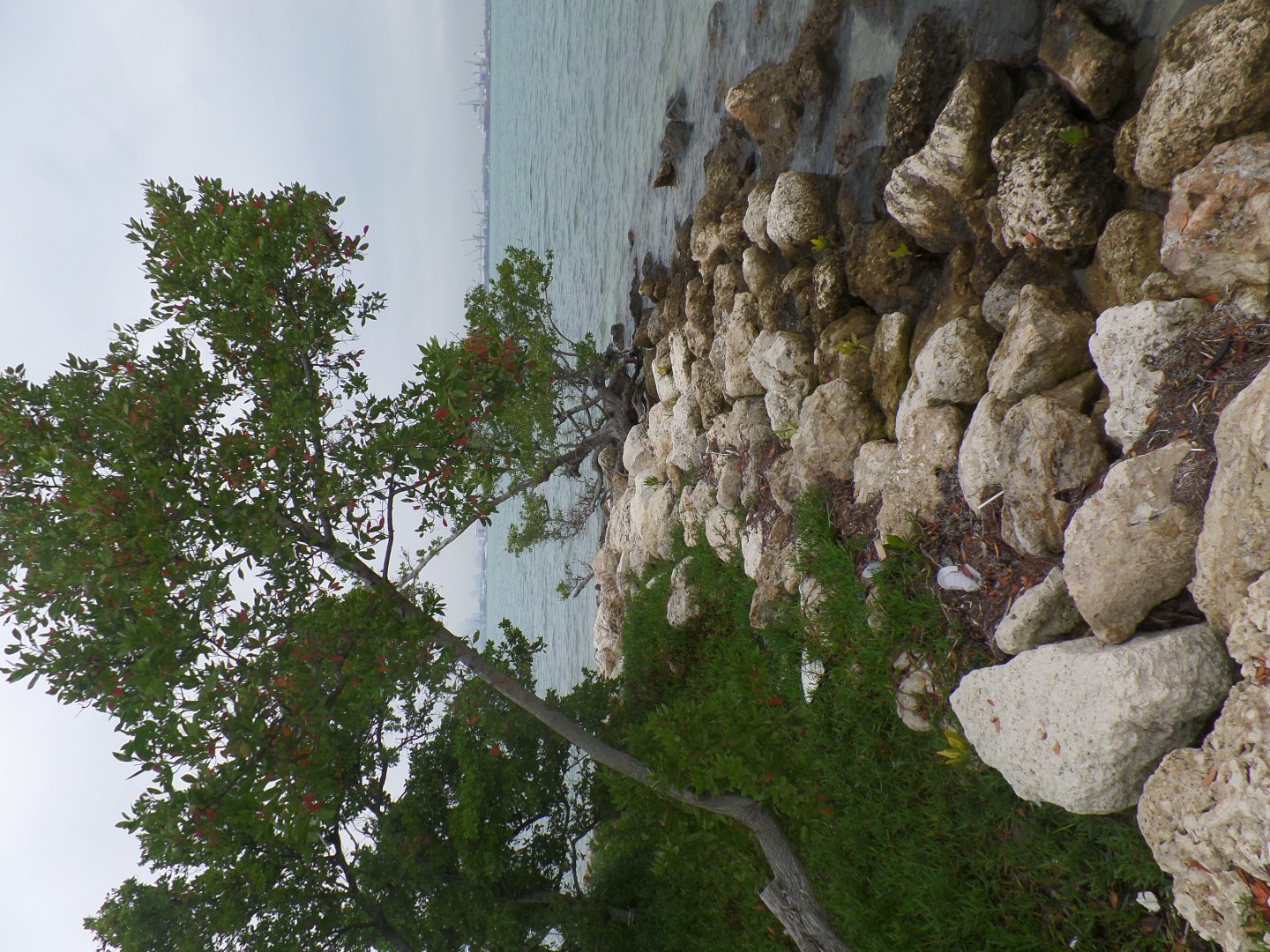
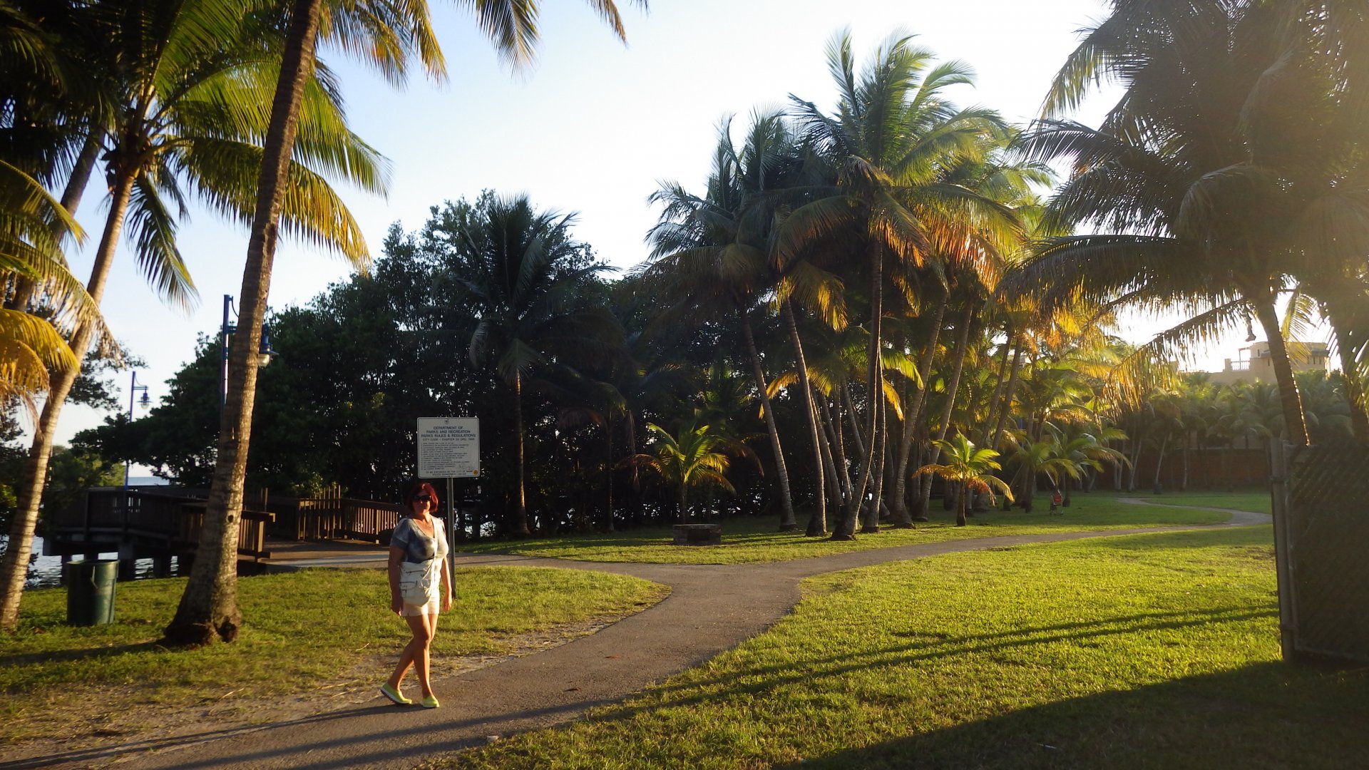
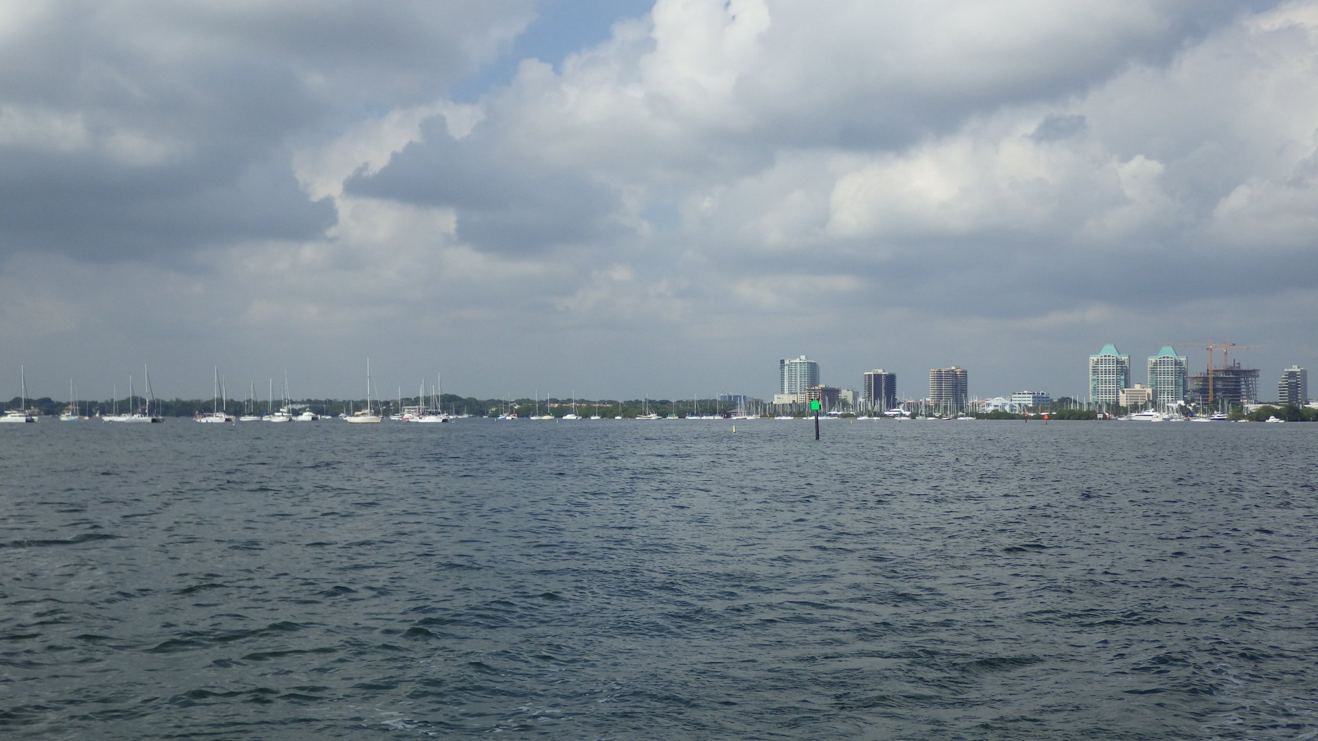
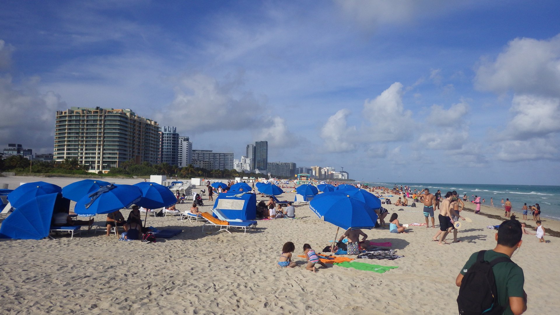
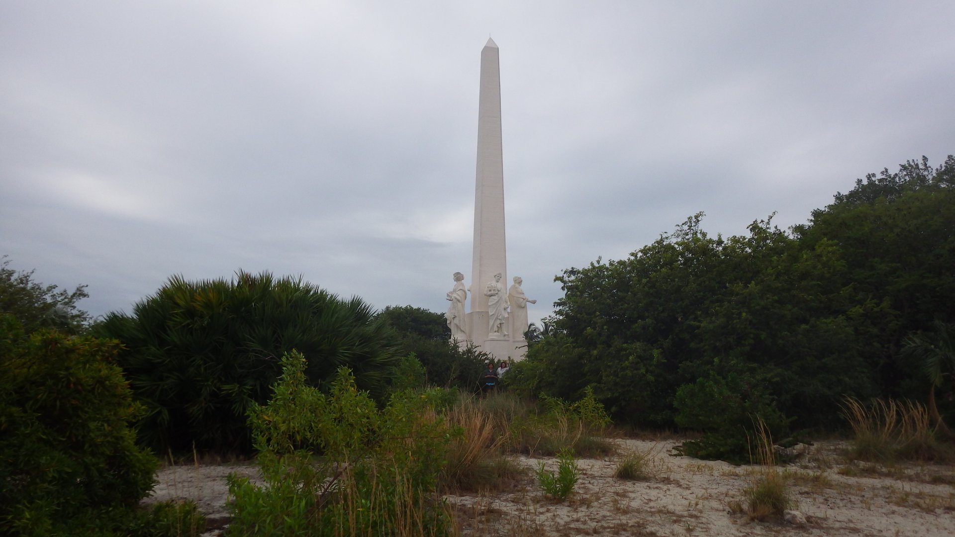
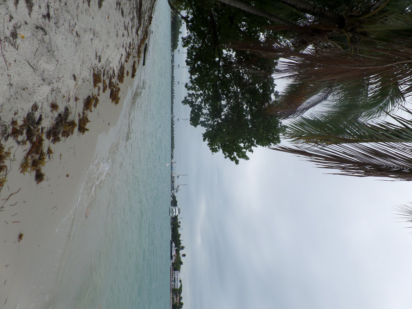
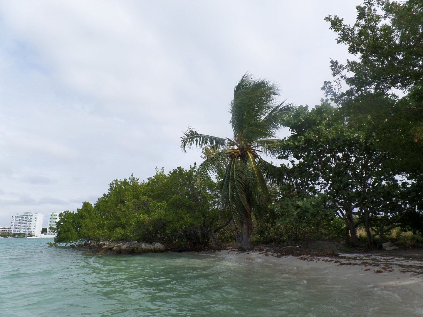
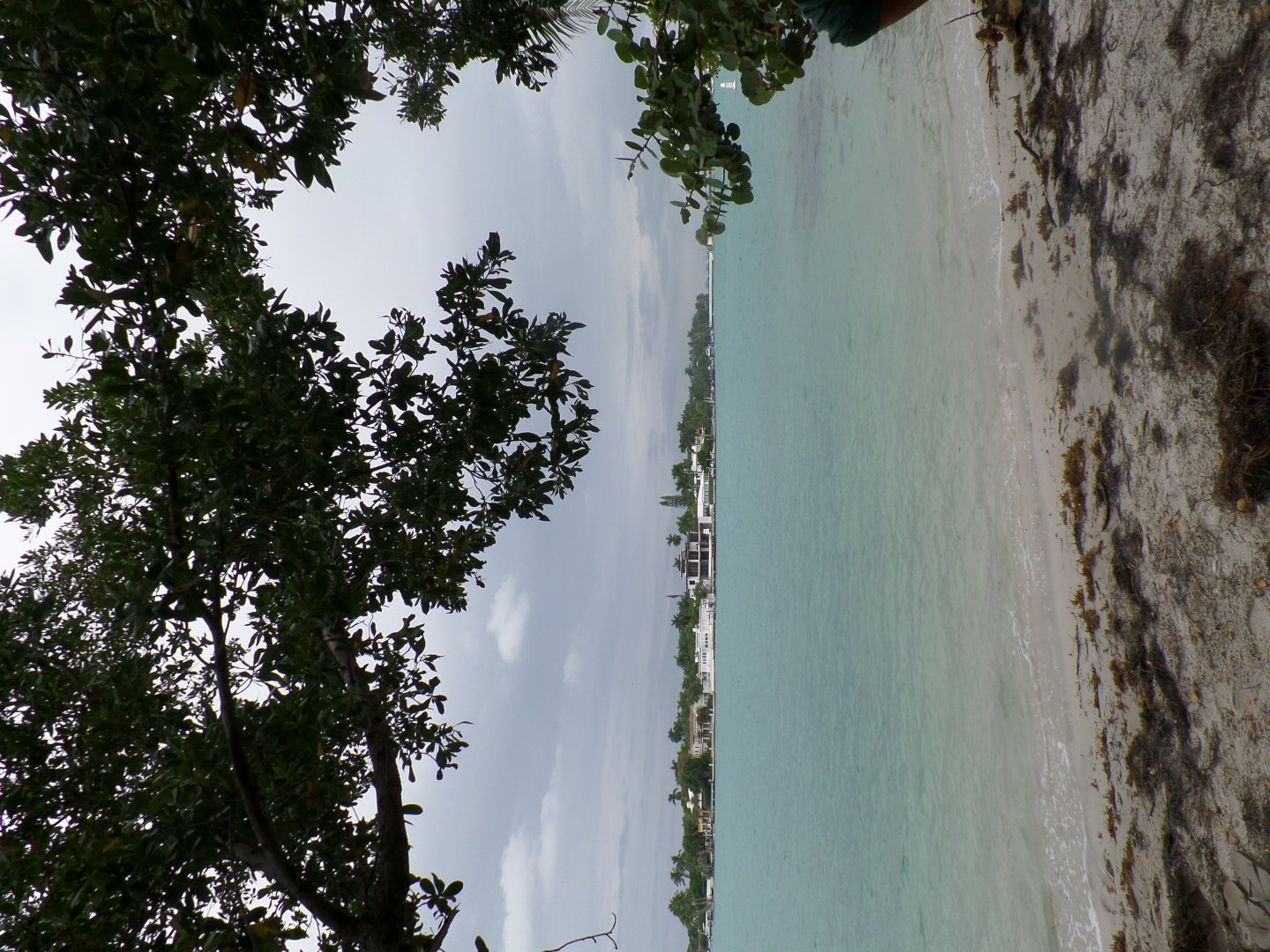
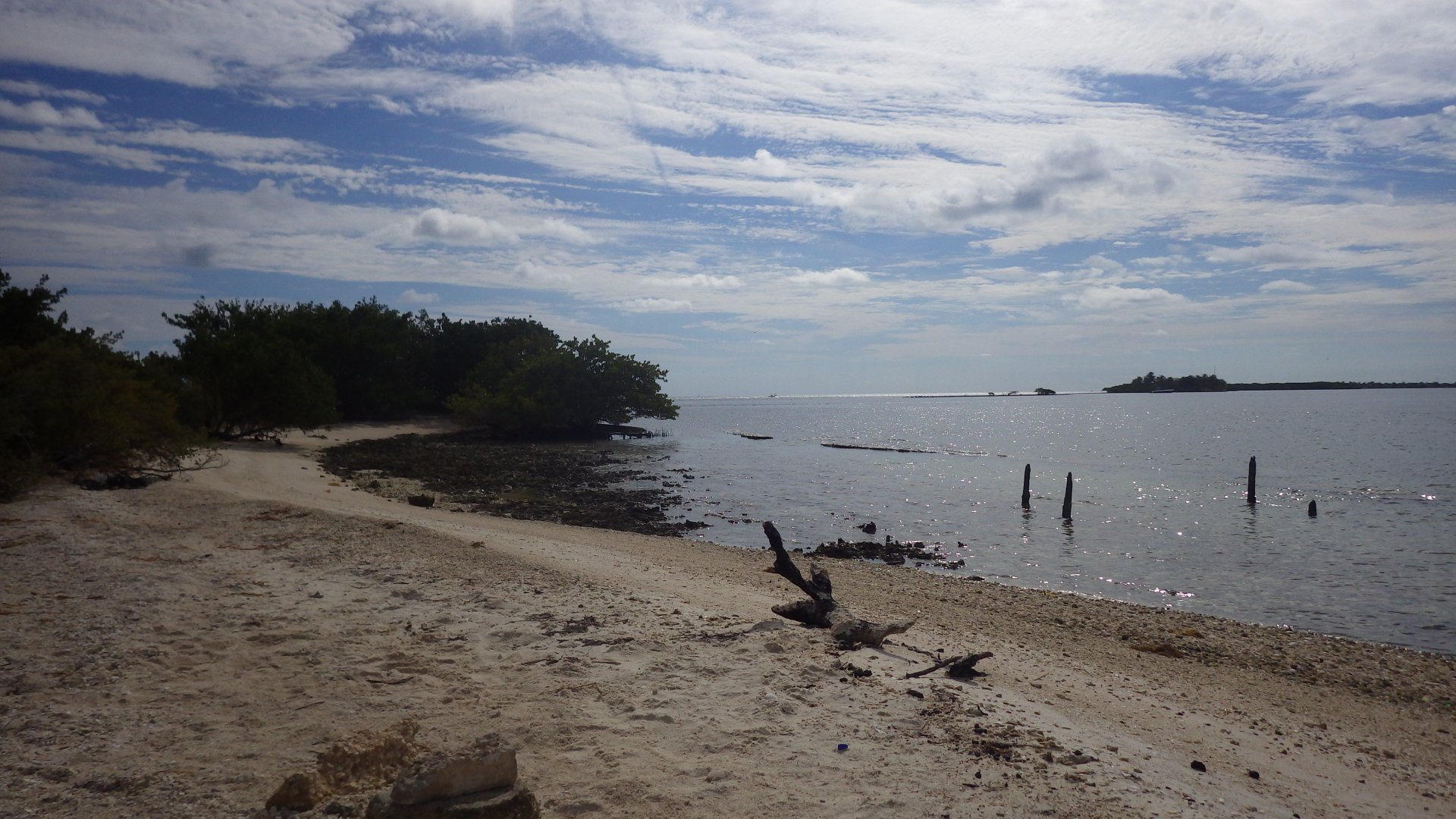
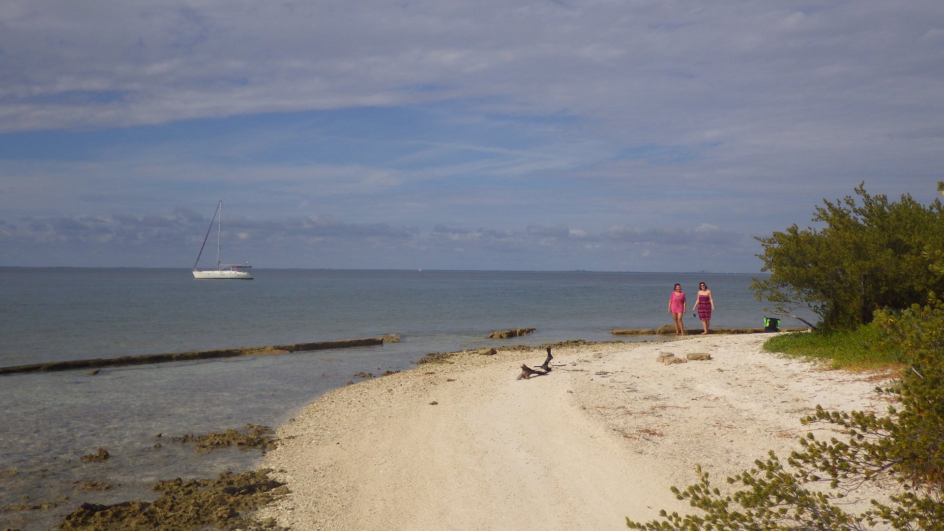
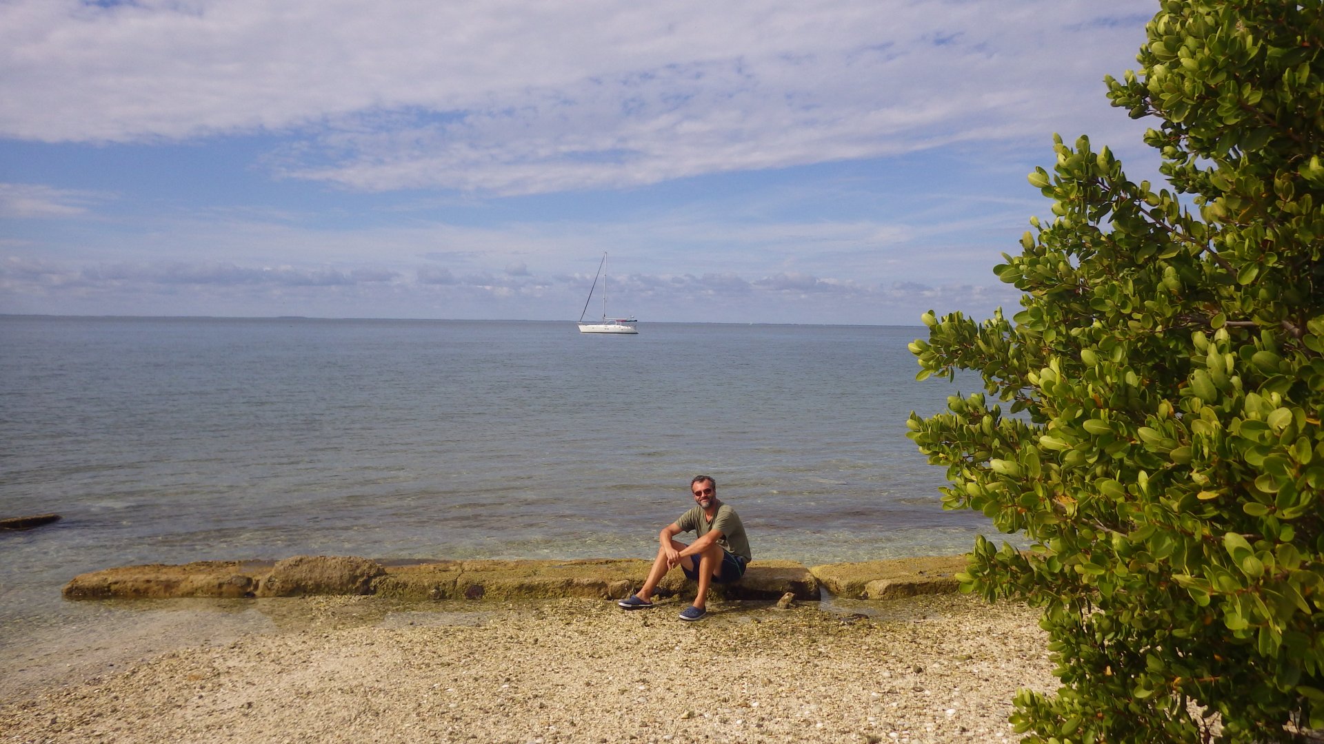
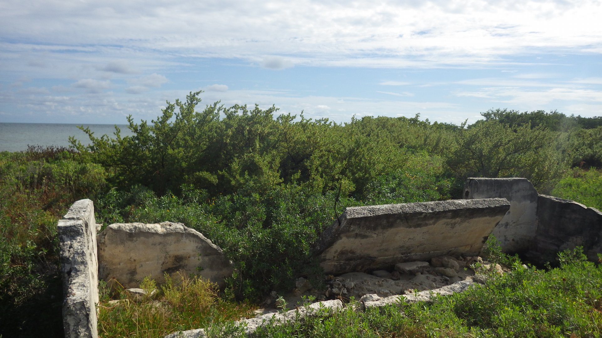
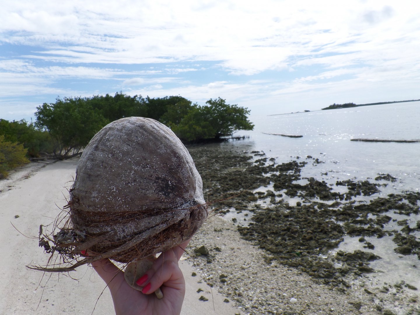
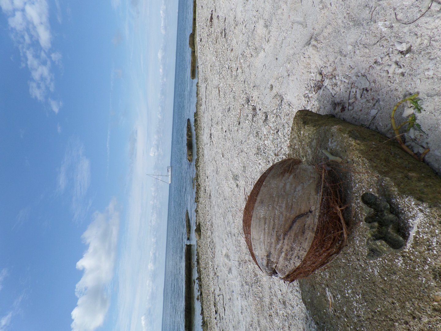
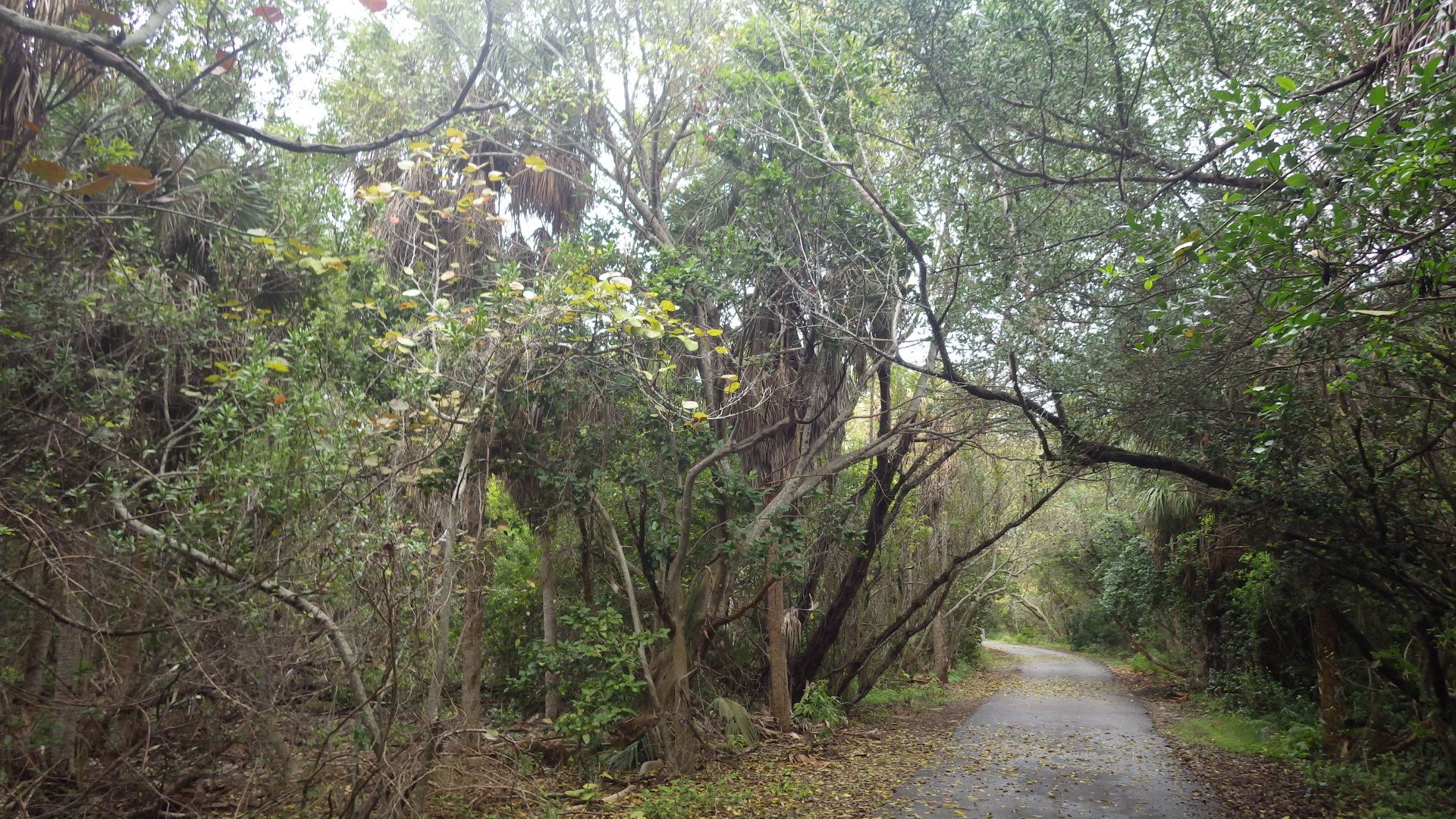
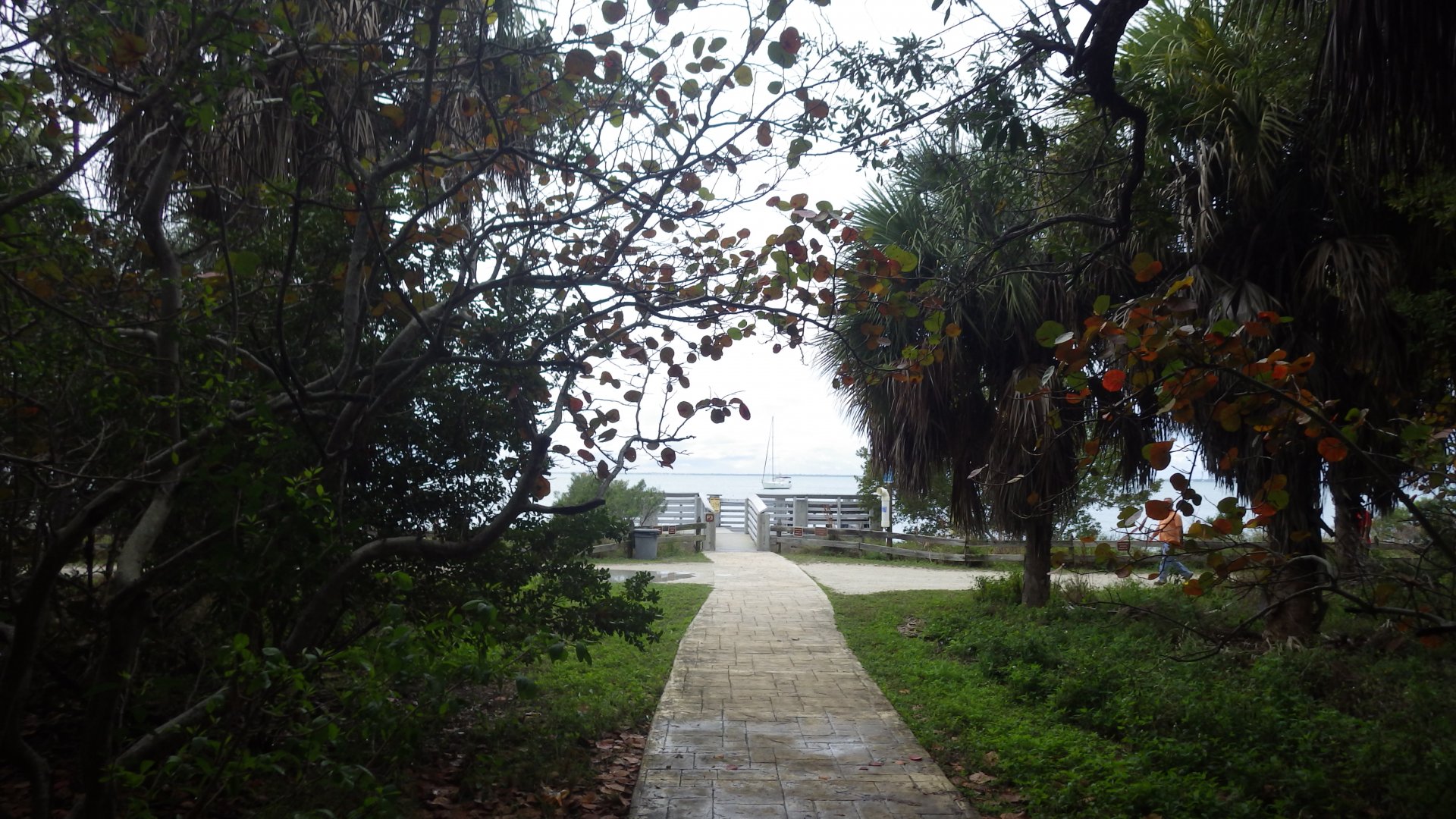
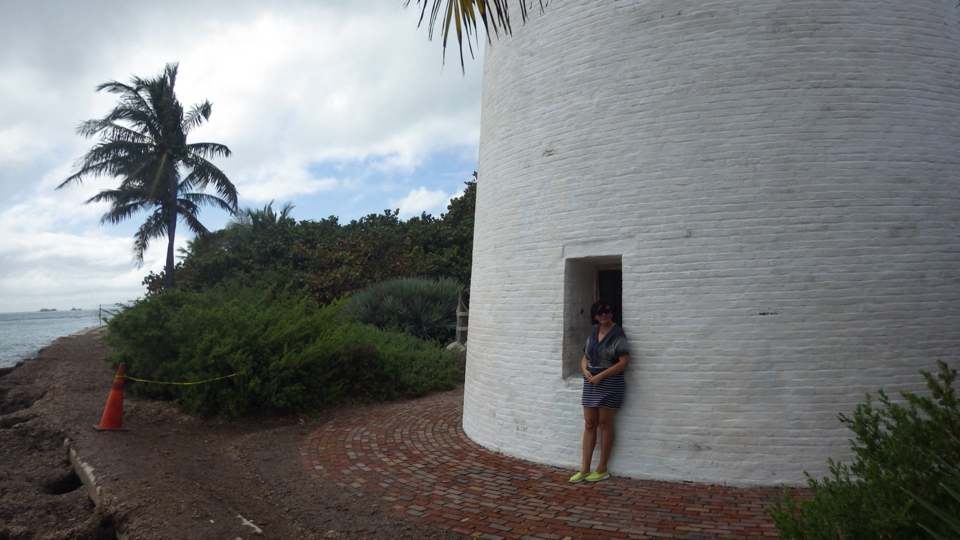
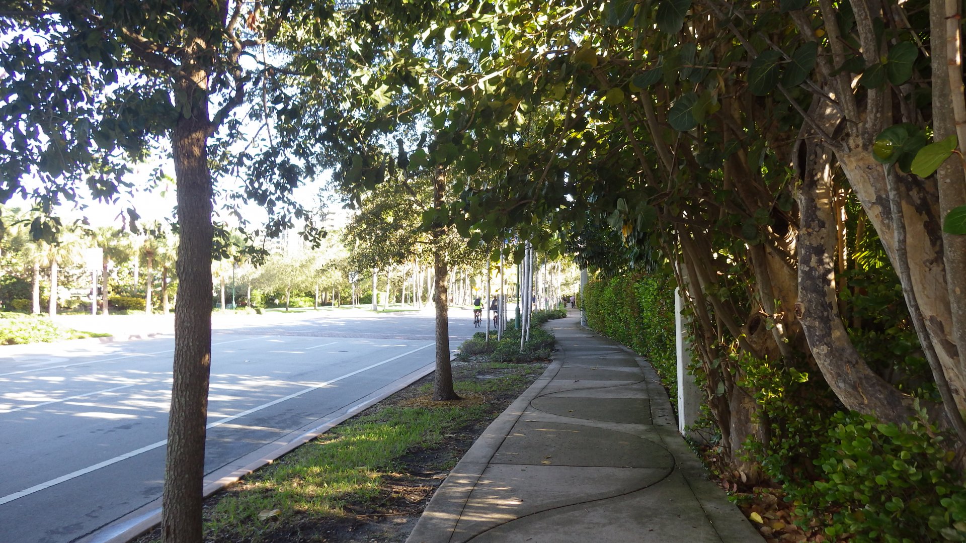
The place has the two areas - the beach side and the city side. Walked the beach side. Visited town side by bus, picked up some stuff.
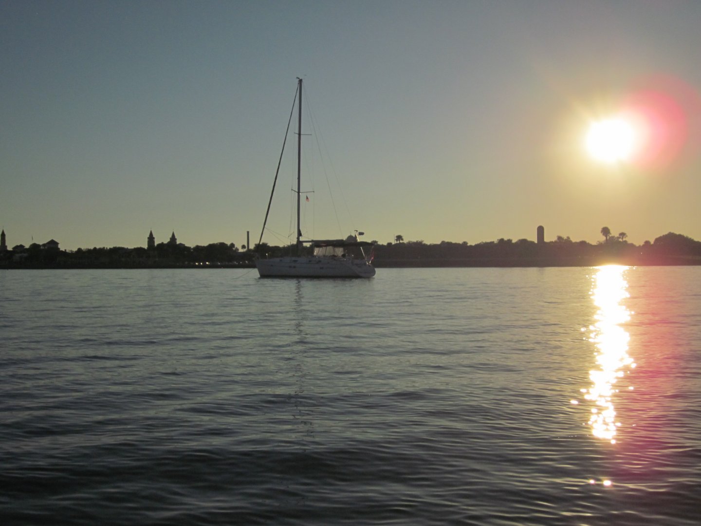
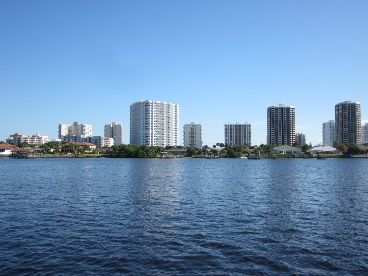
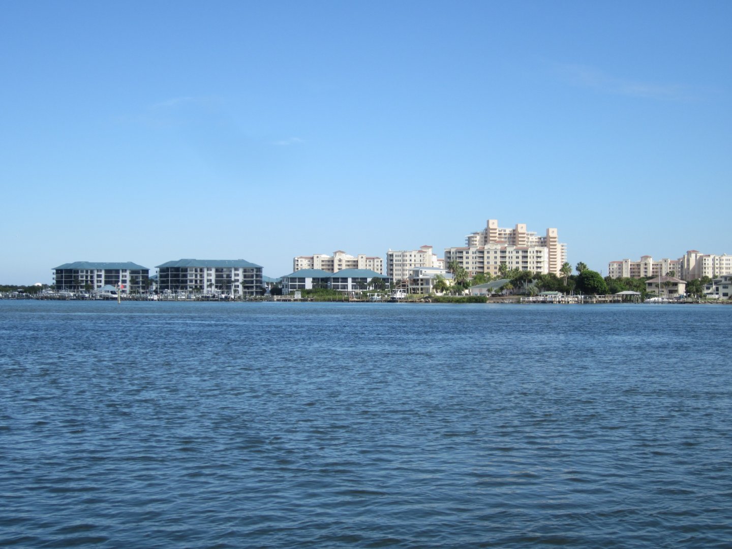
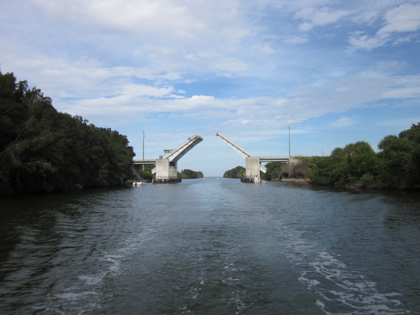
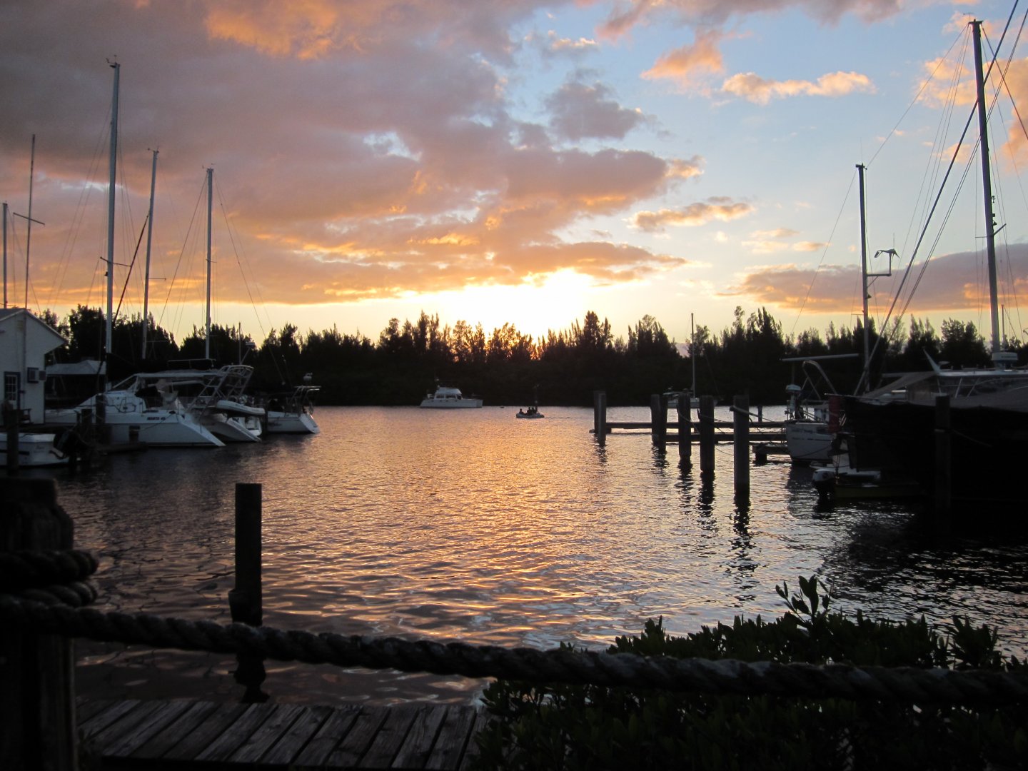
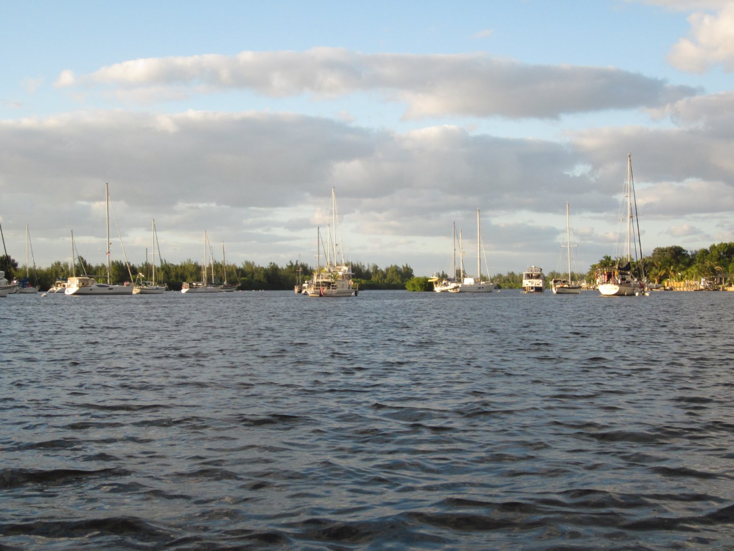
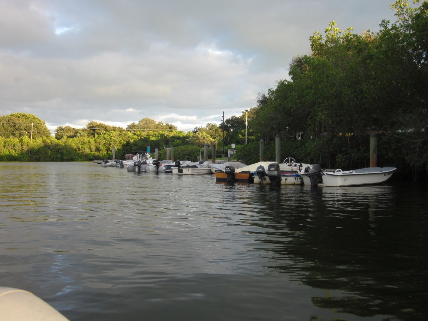
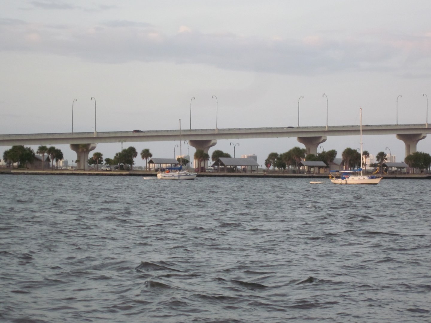
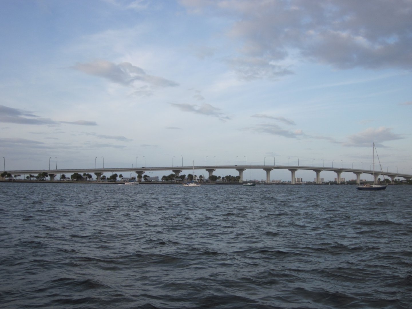
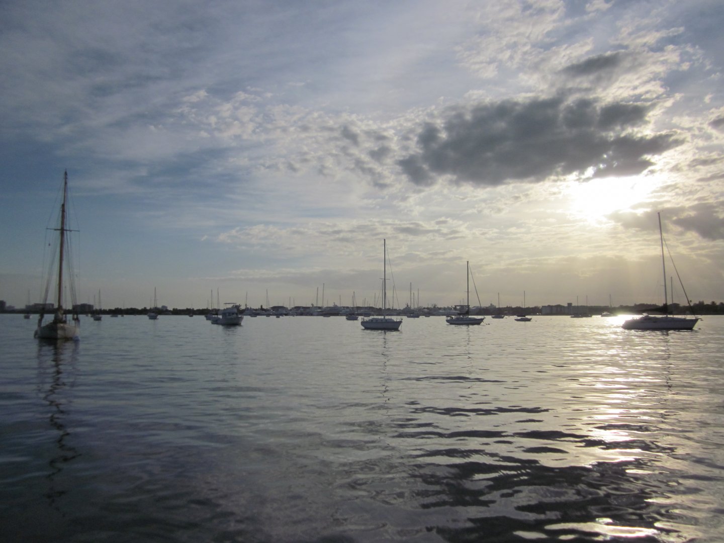
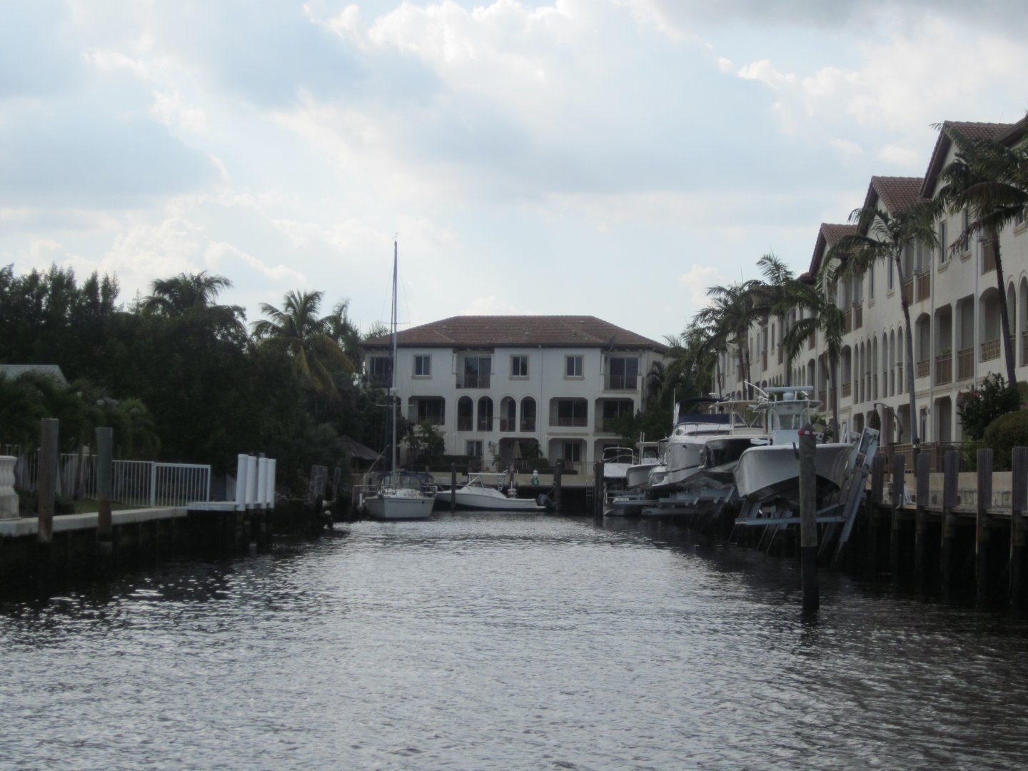
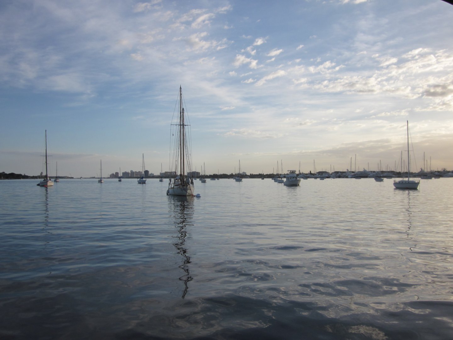
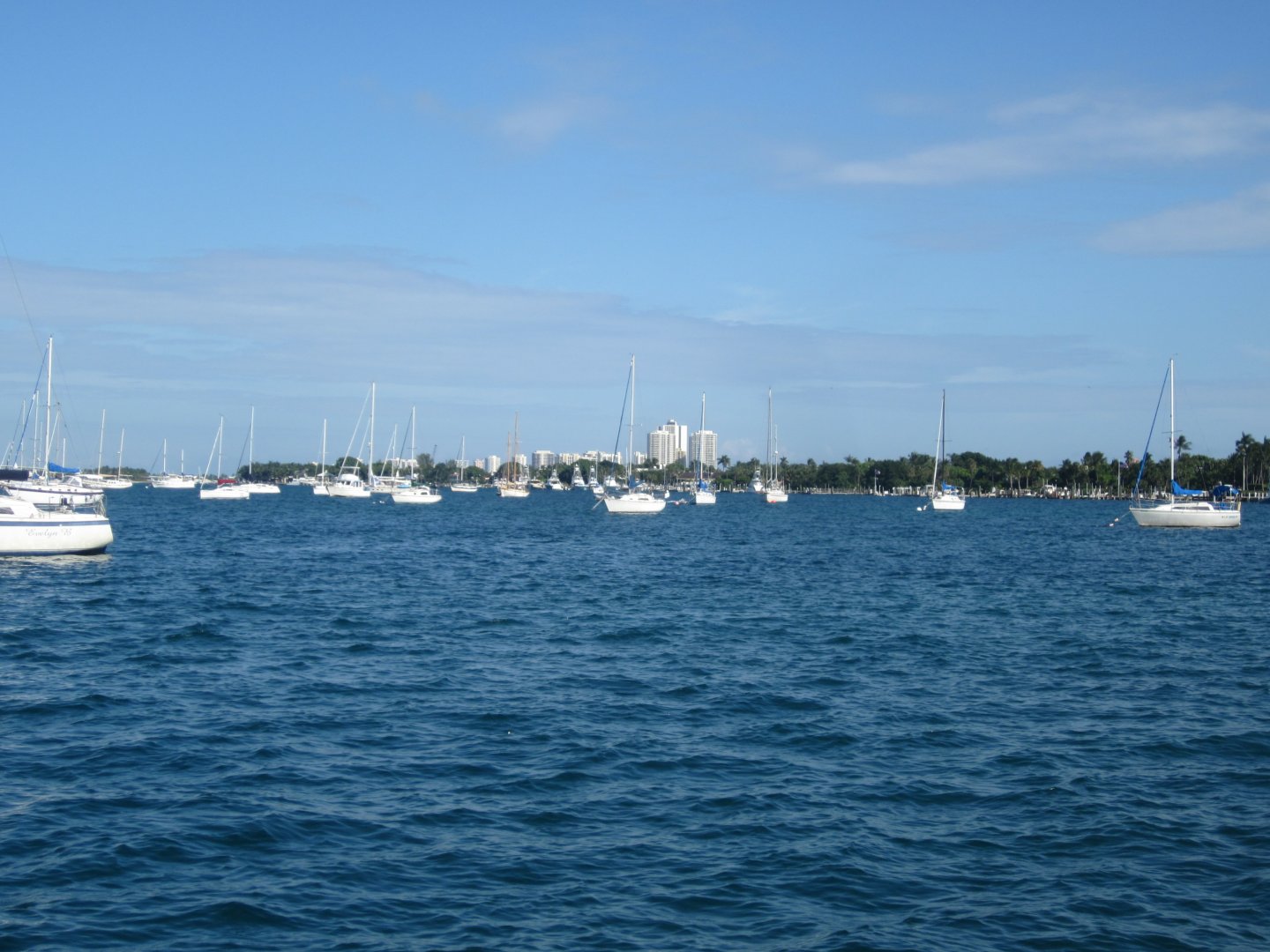
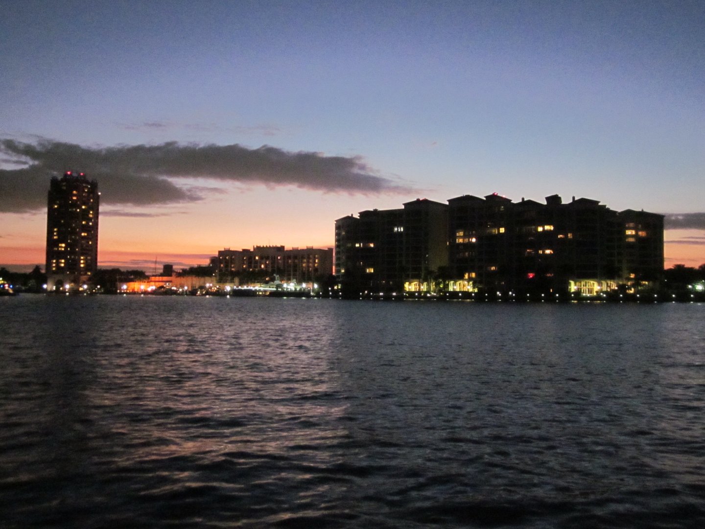
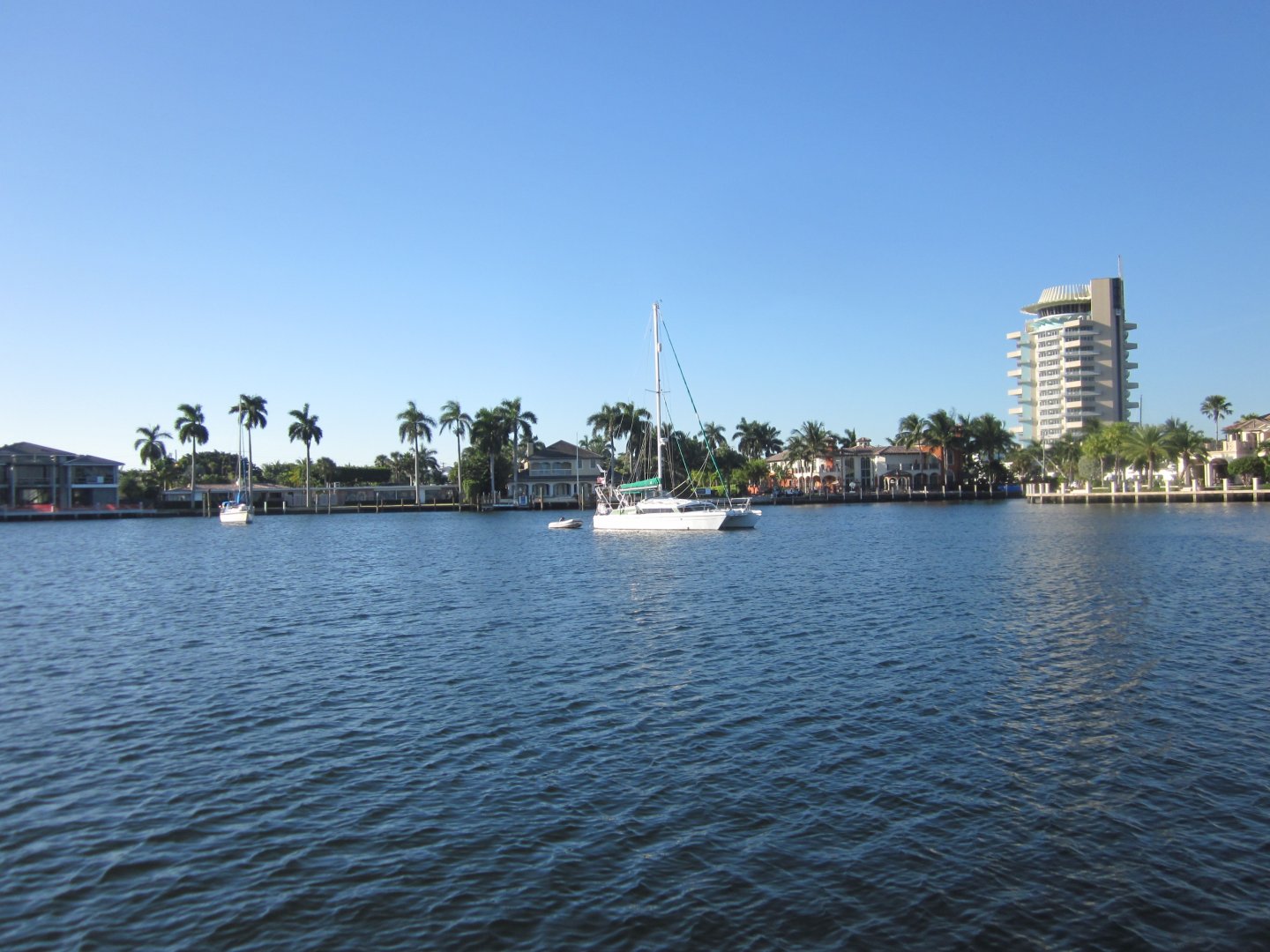
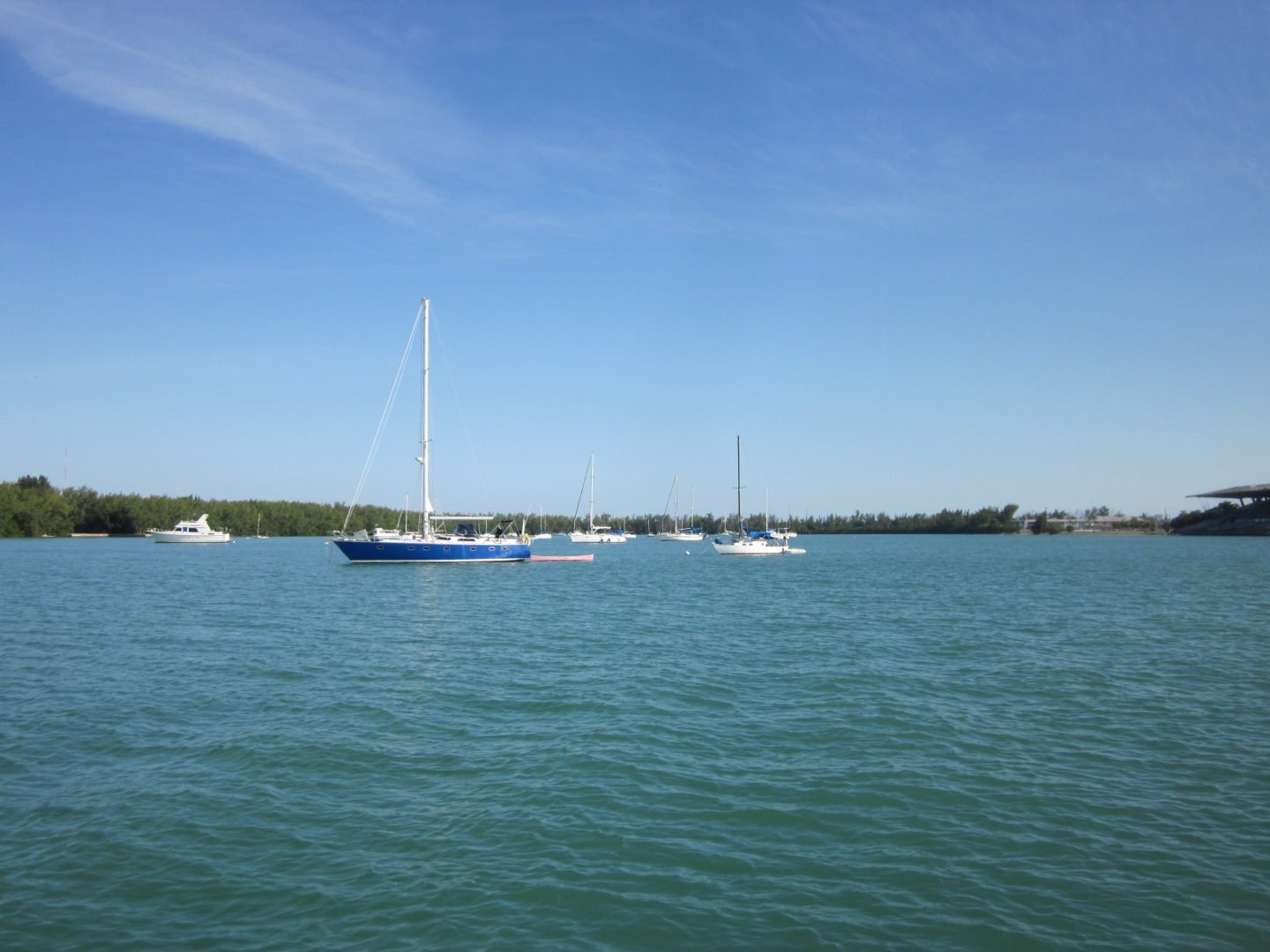
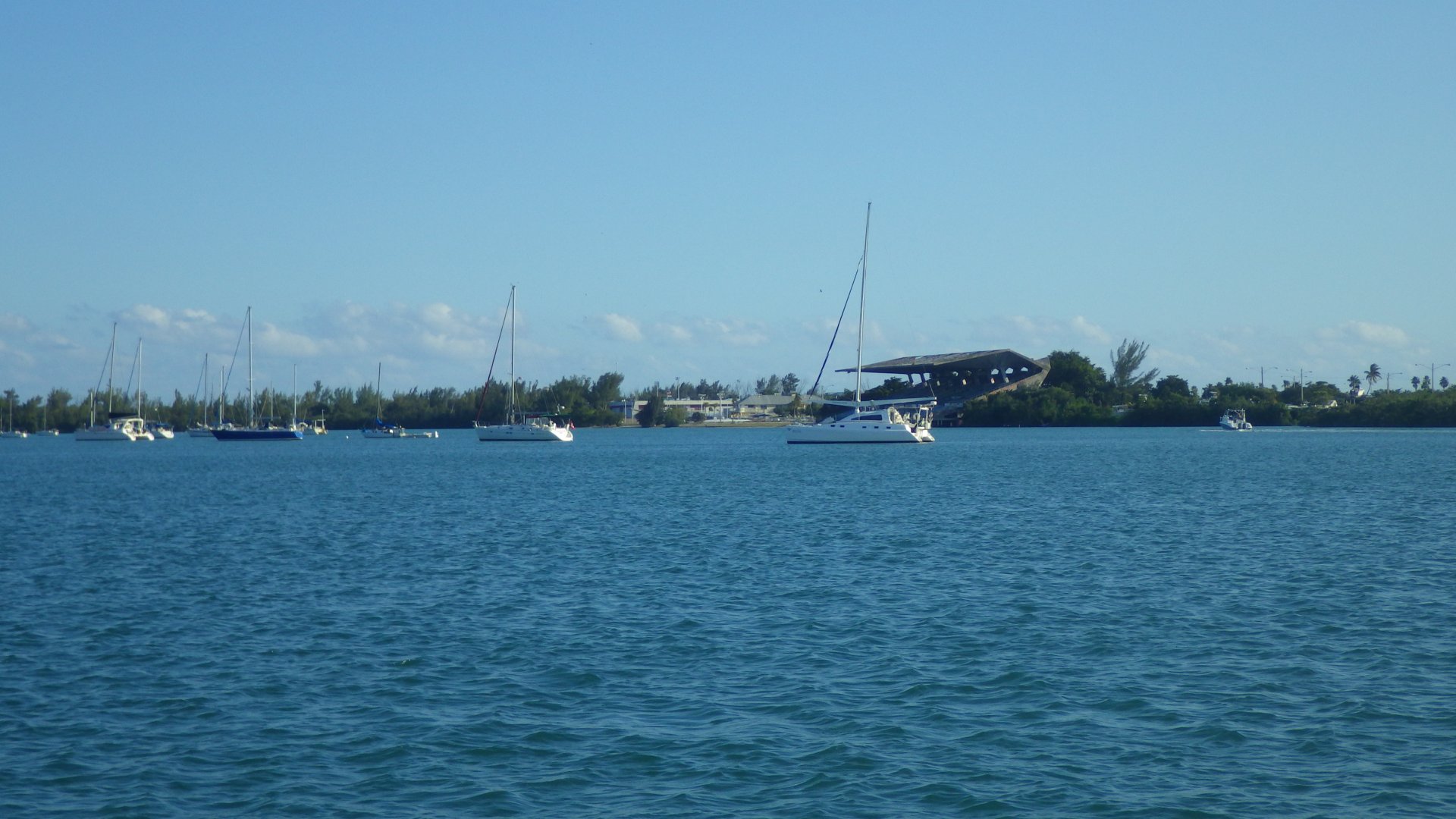
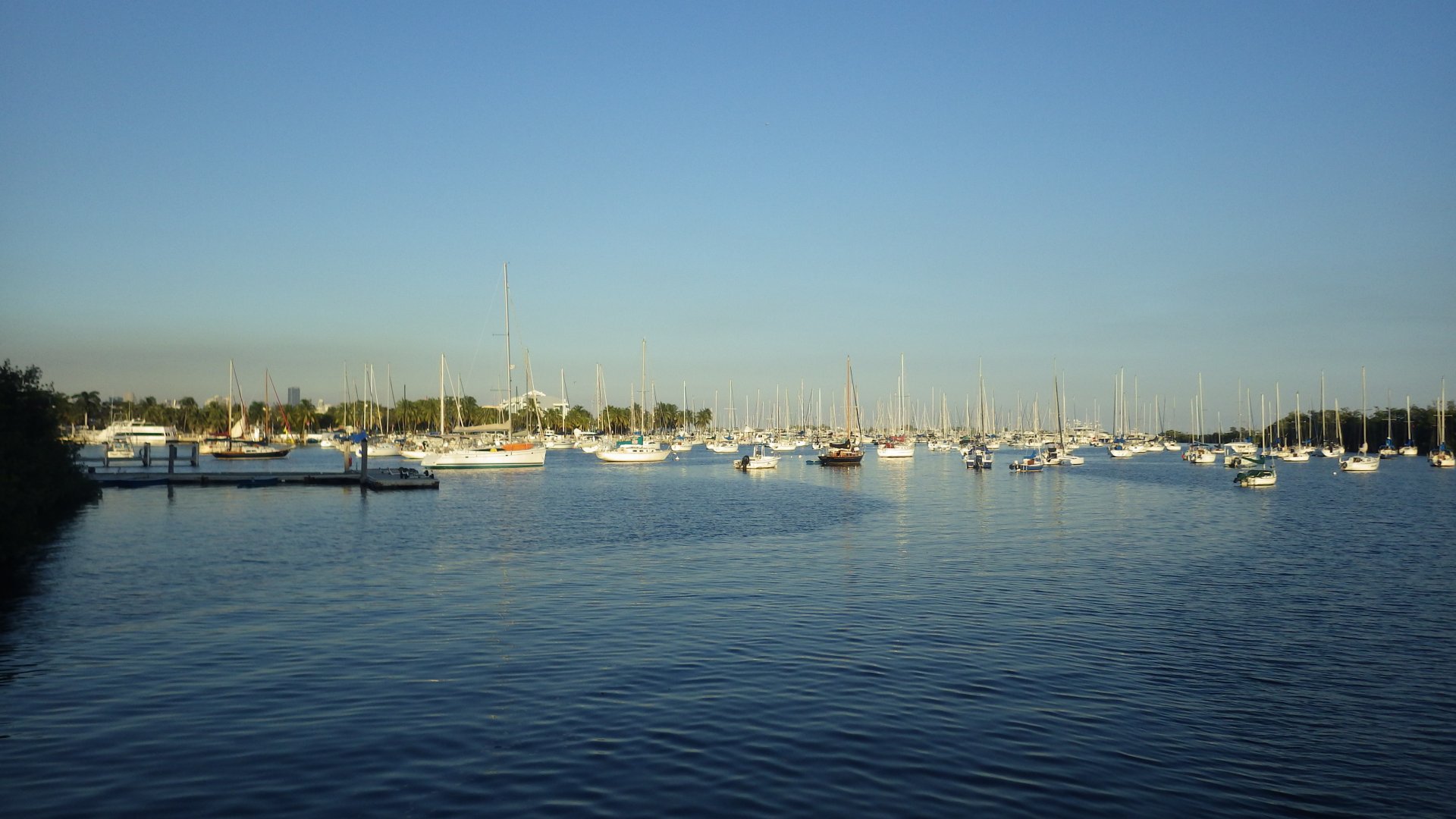
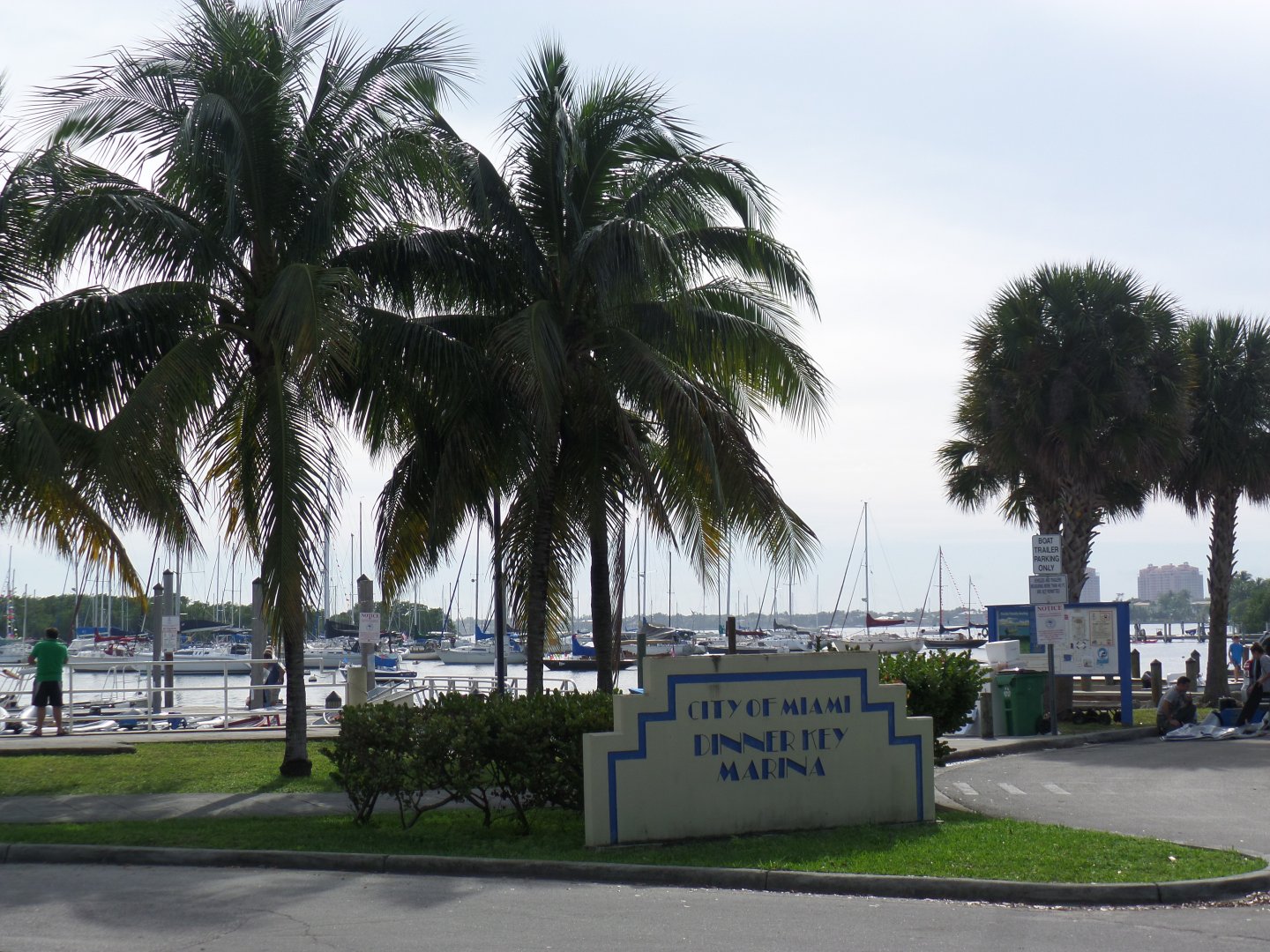
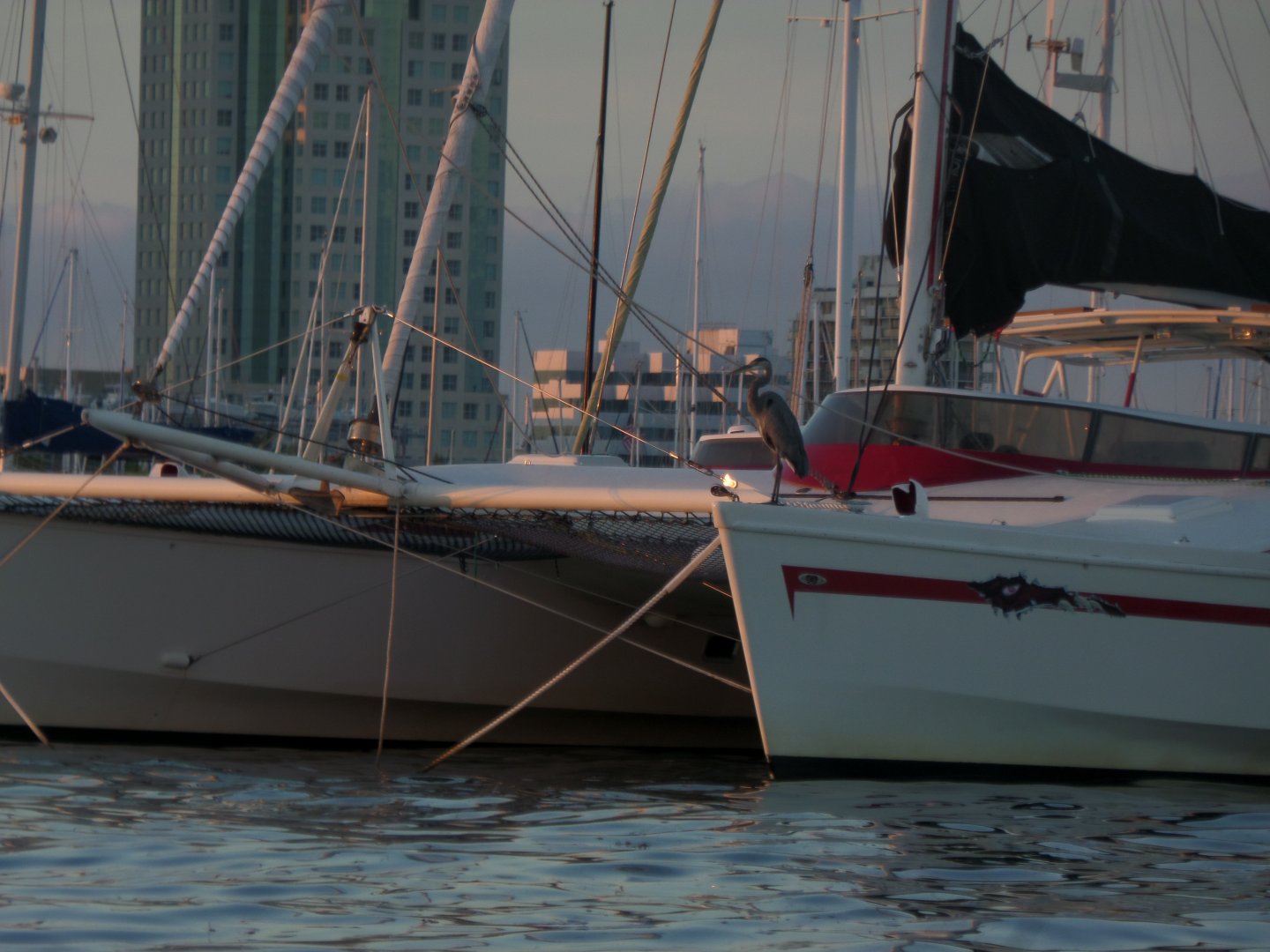
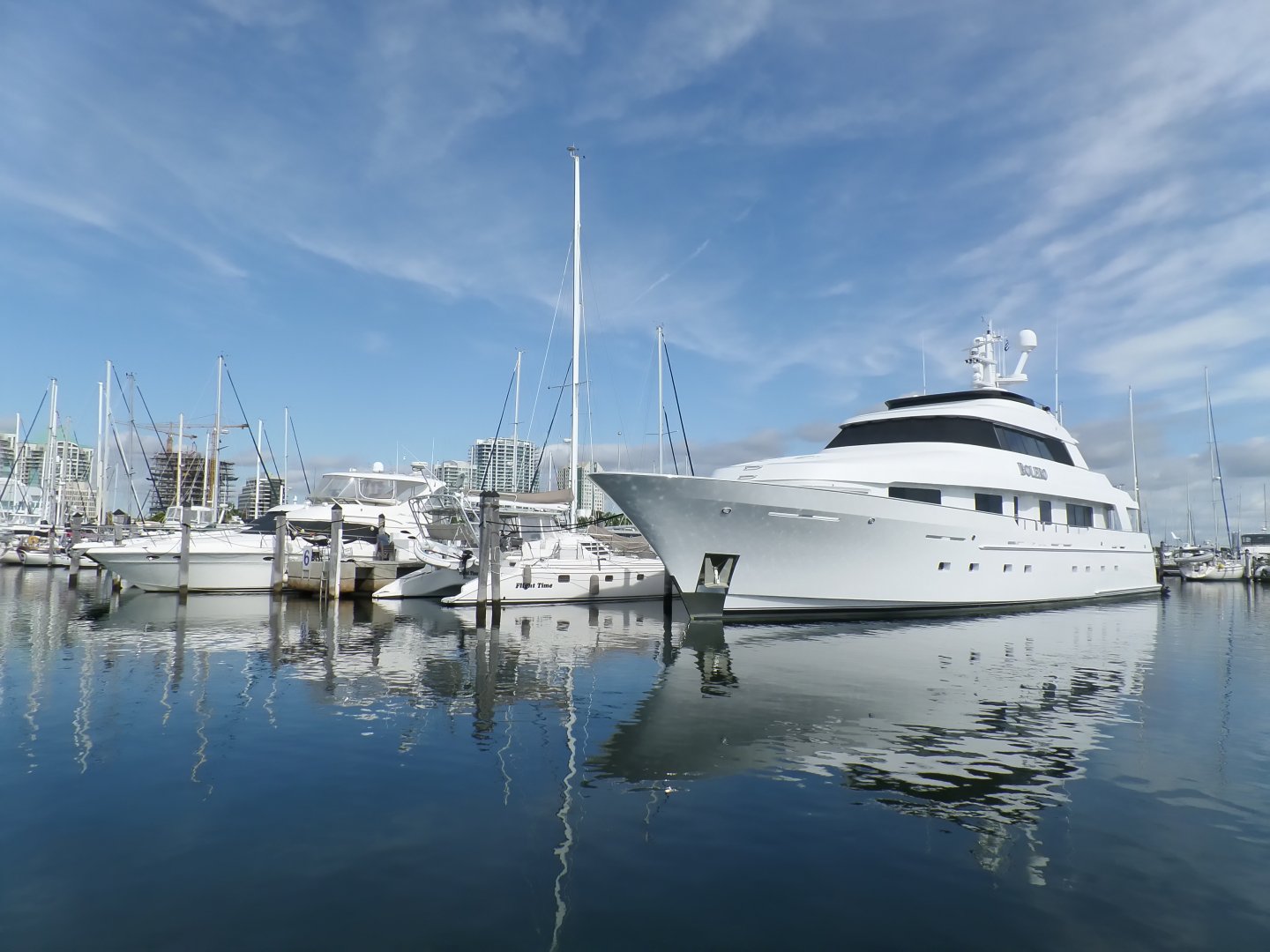
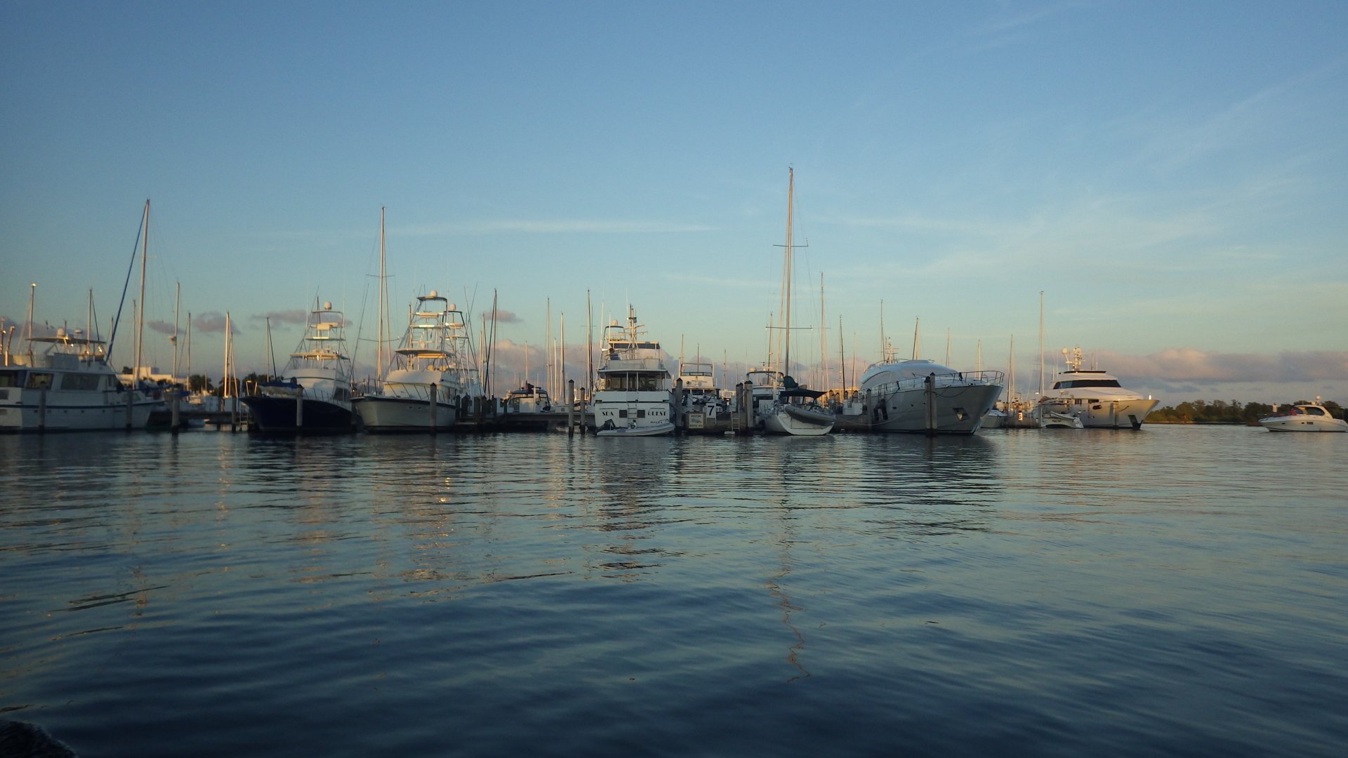
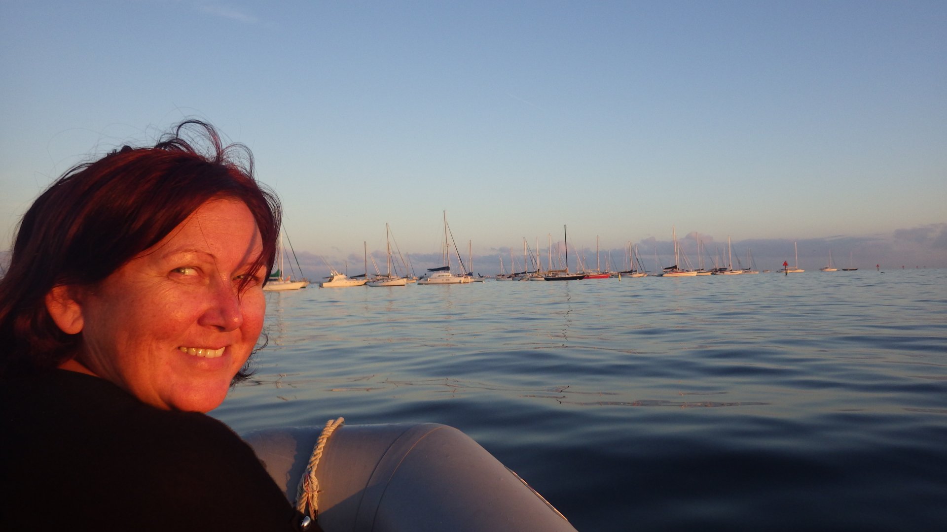
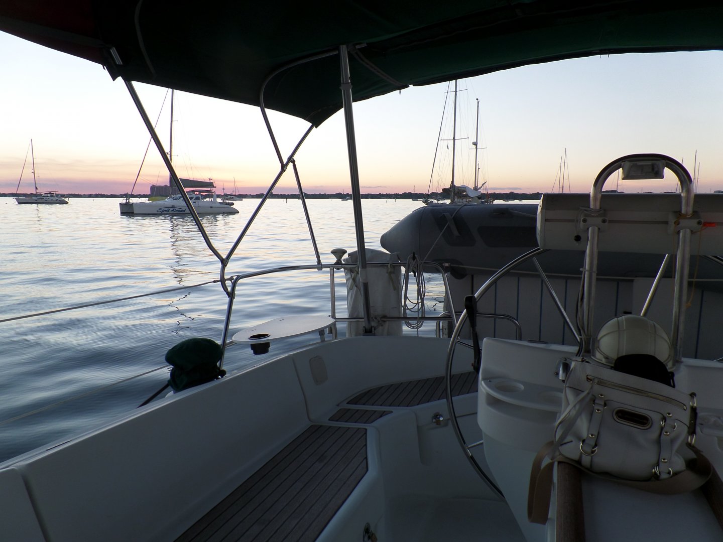
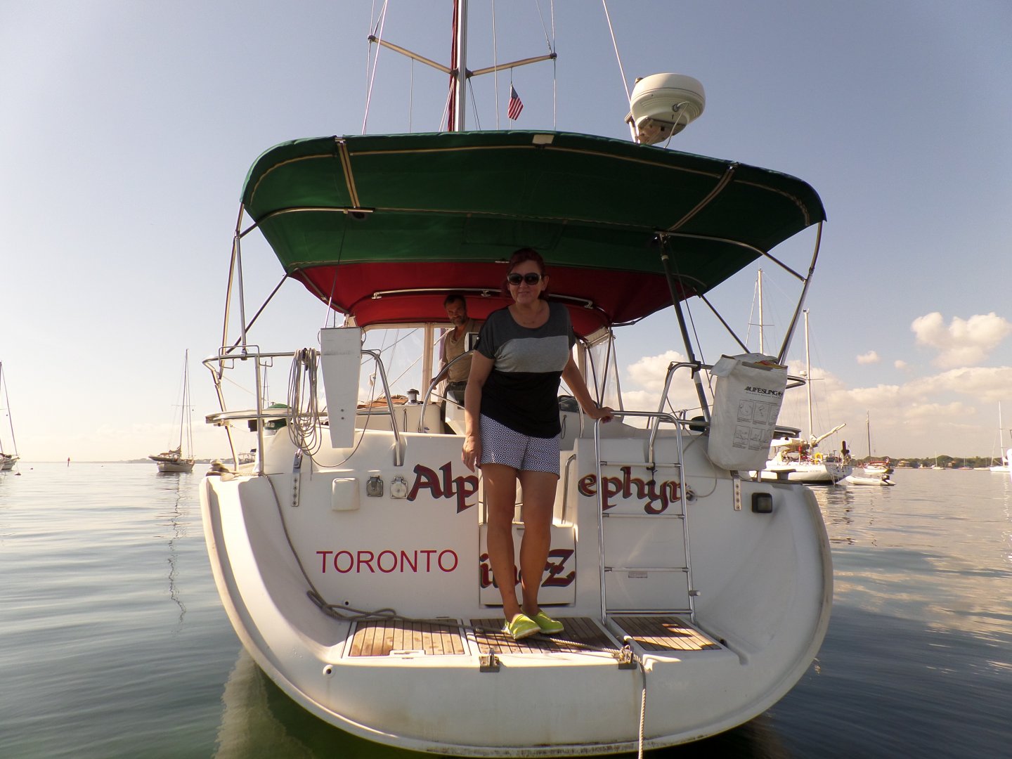
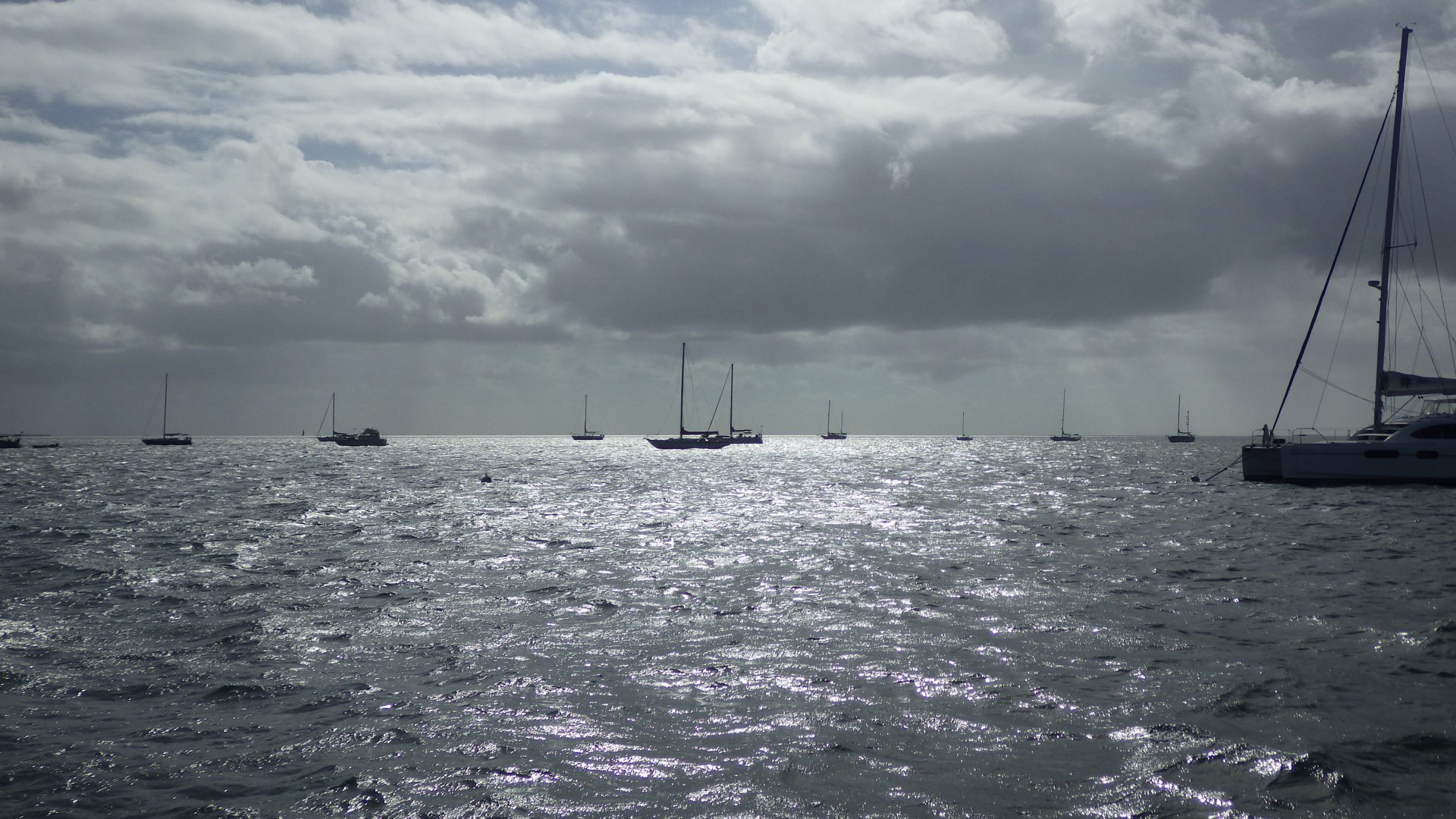
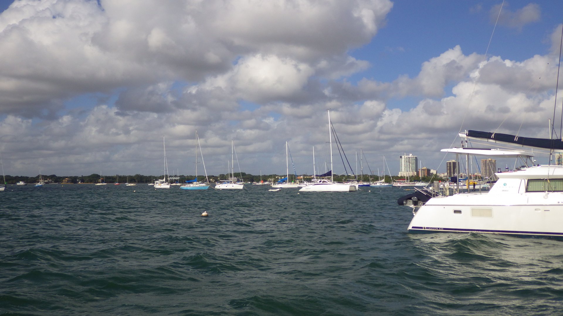
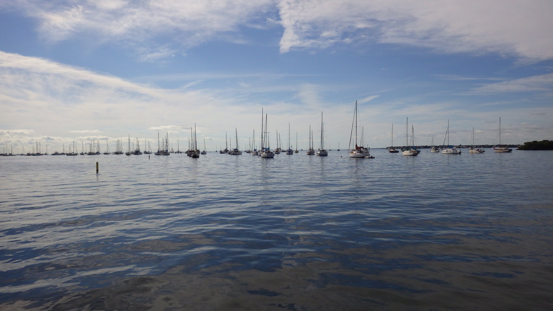
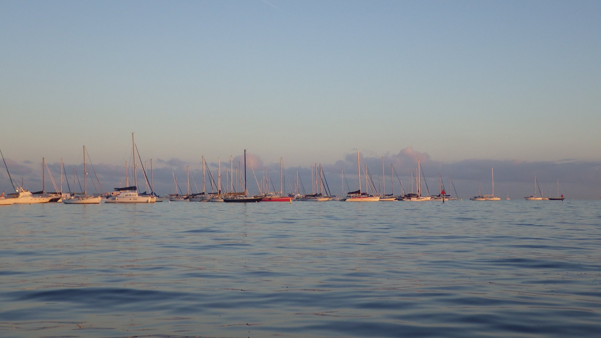
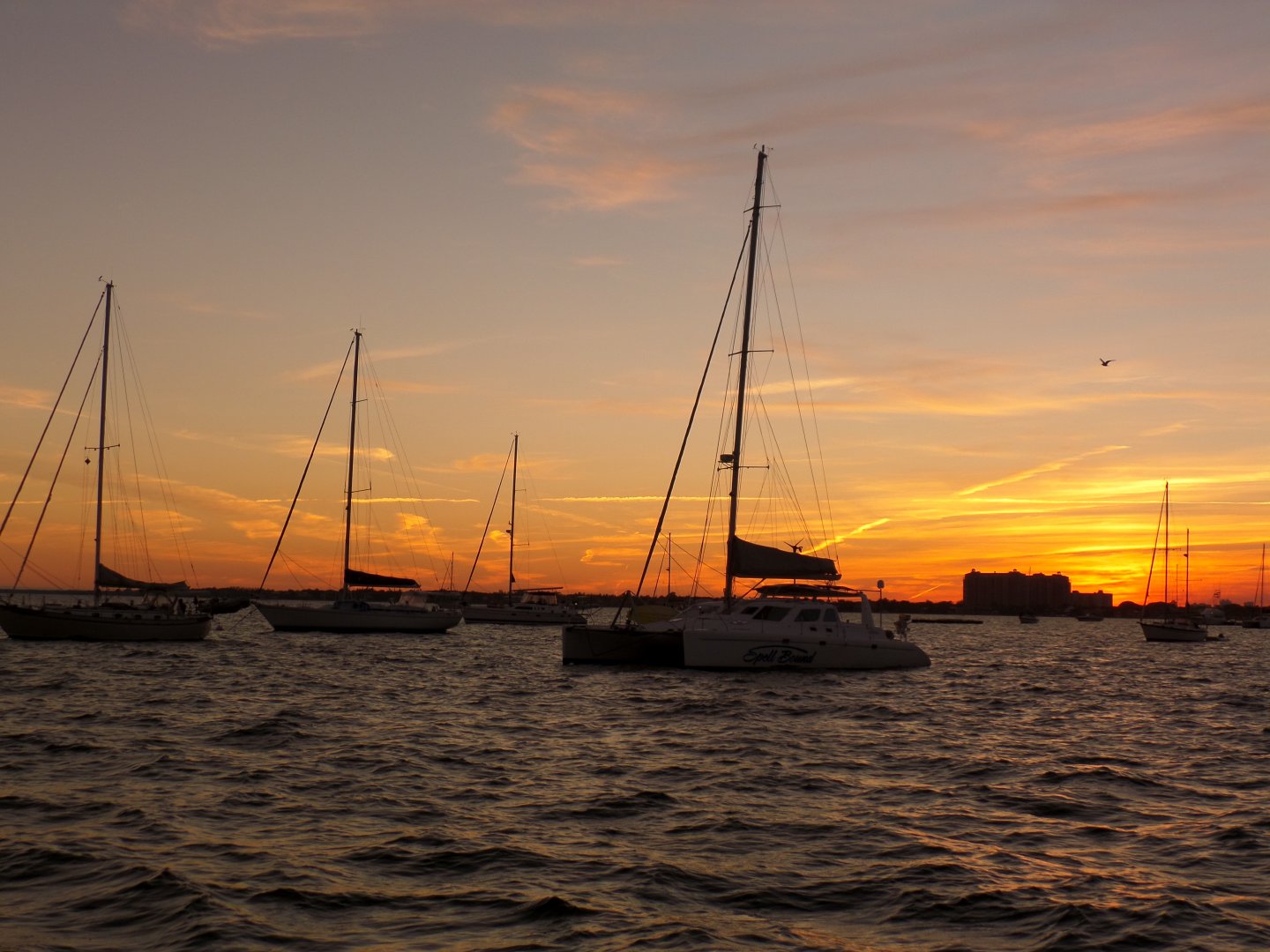
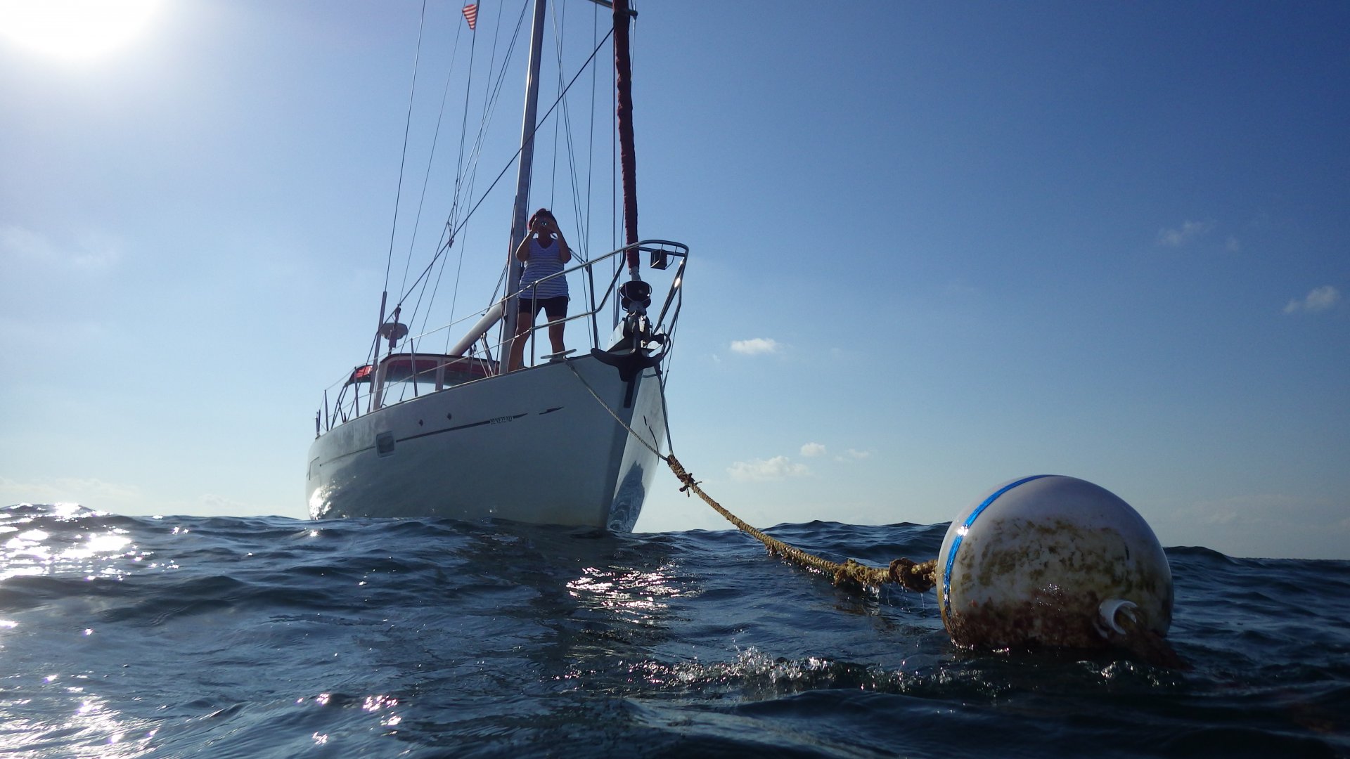
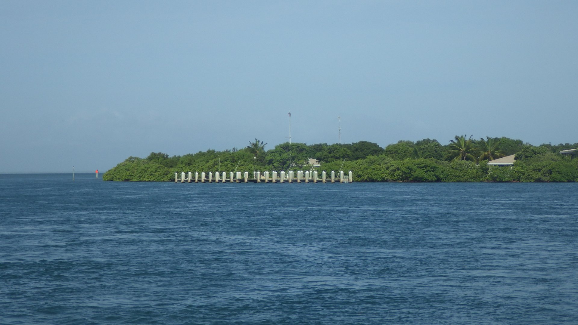
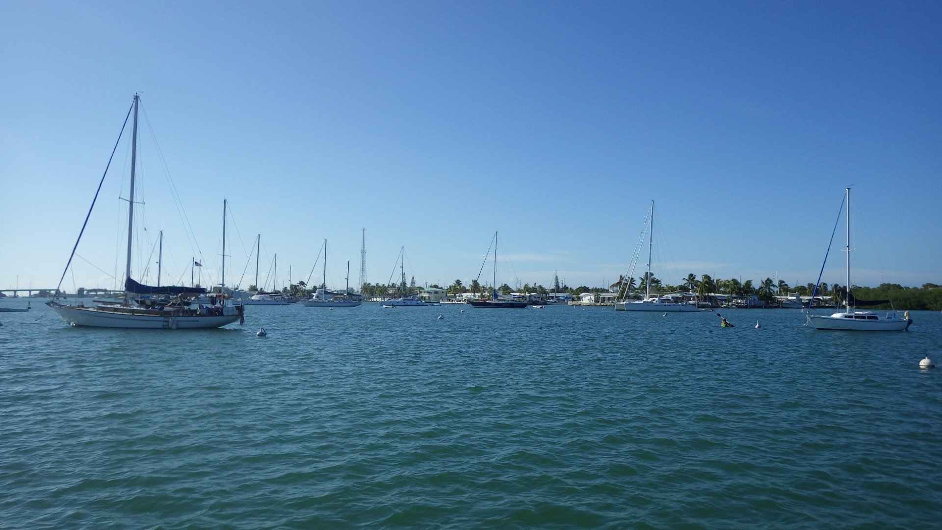
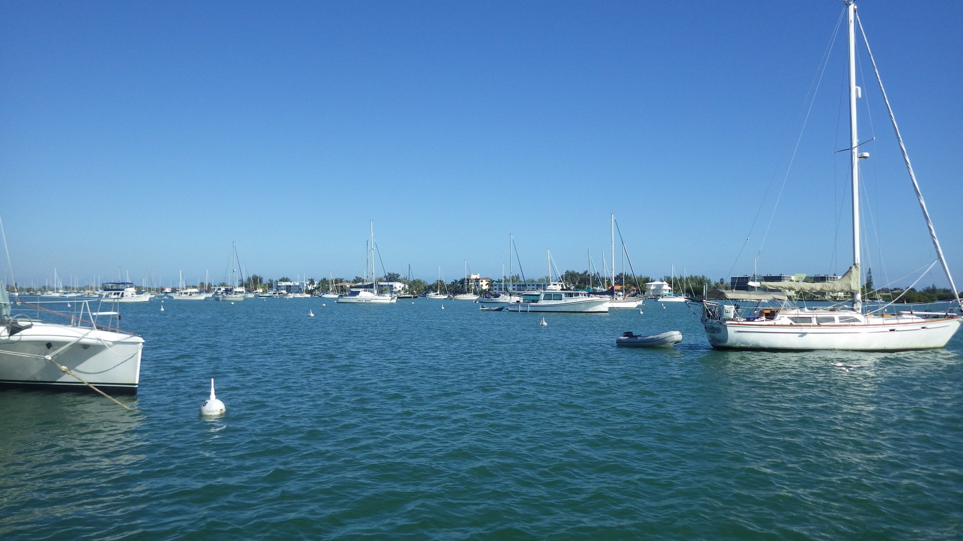
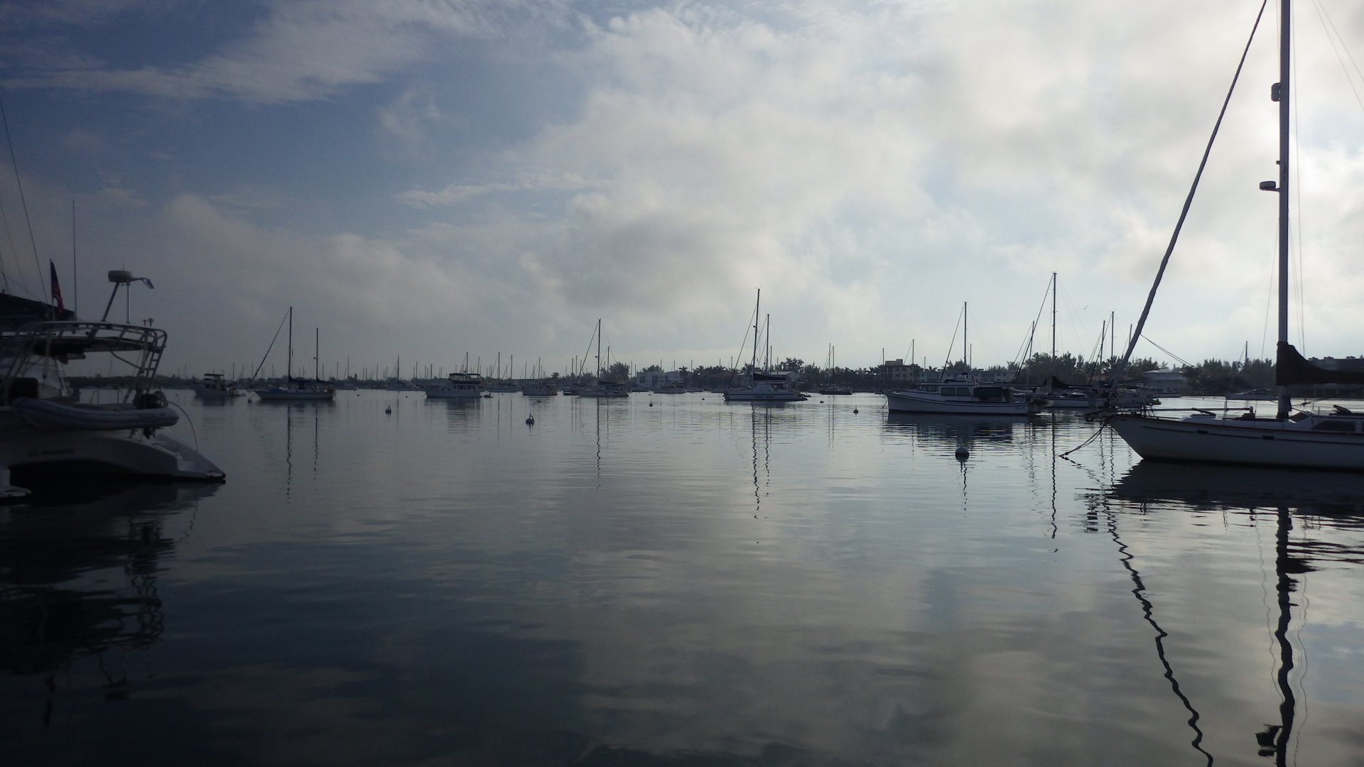
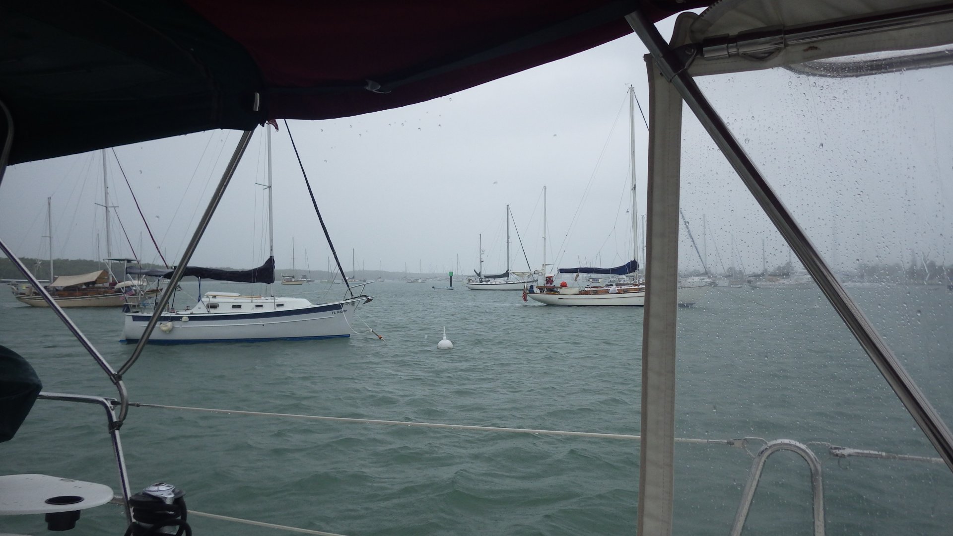
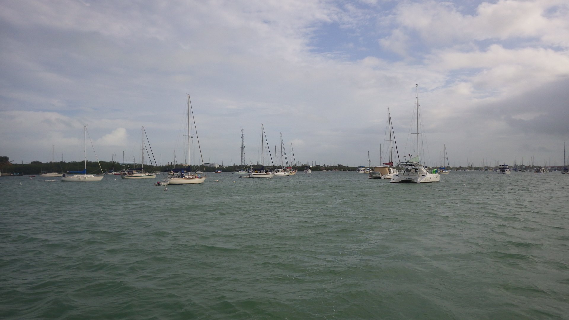
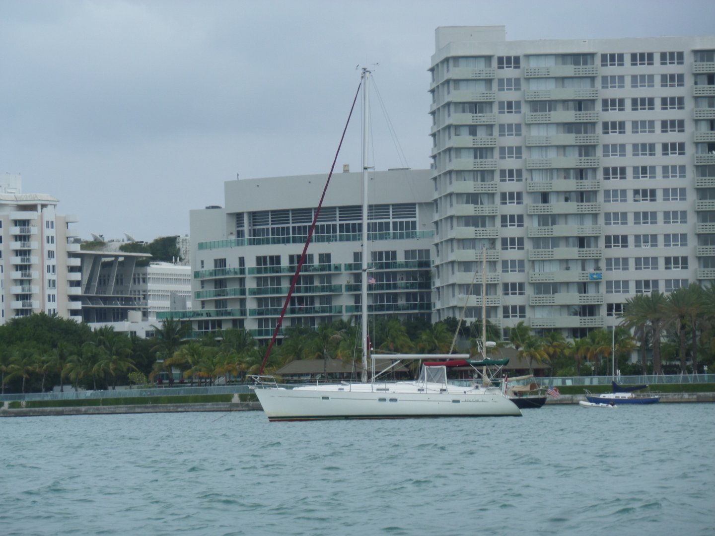
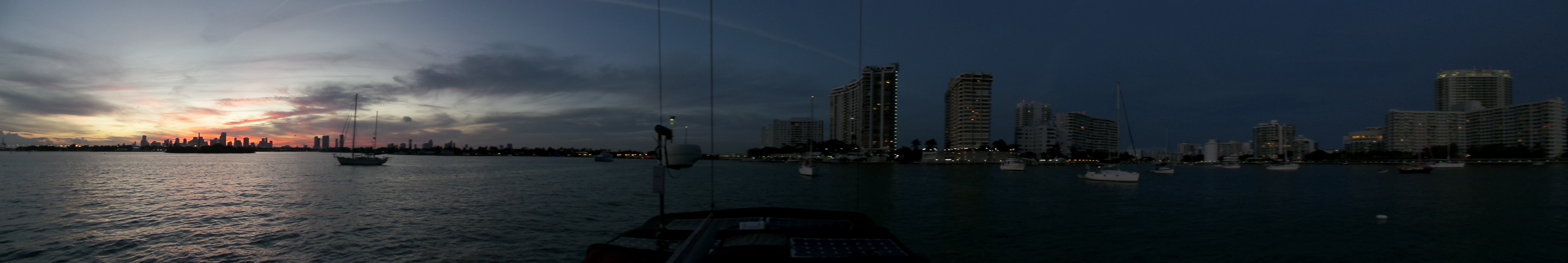
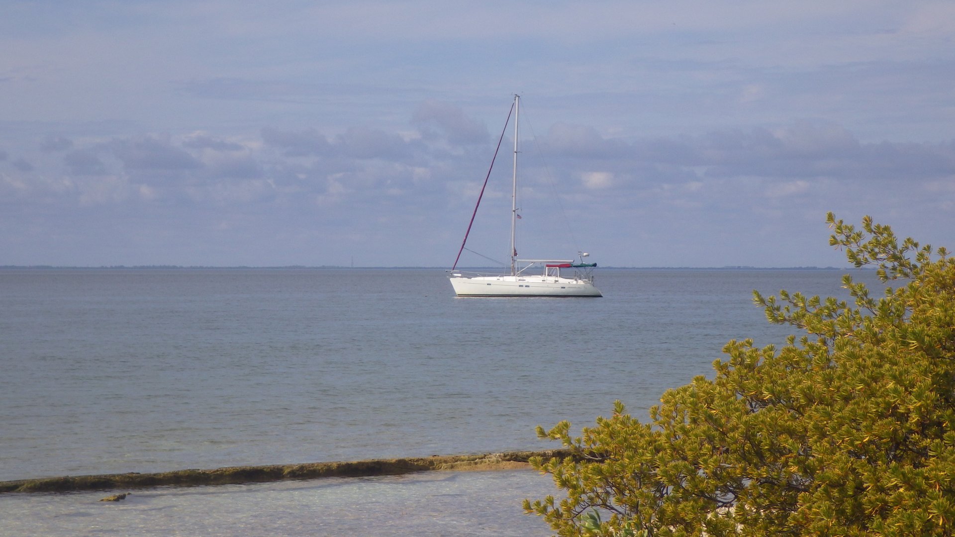
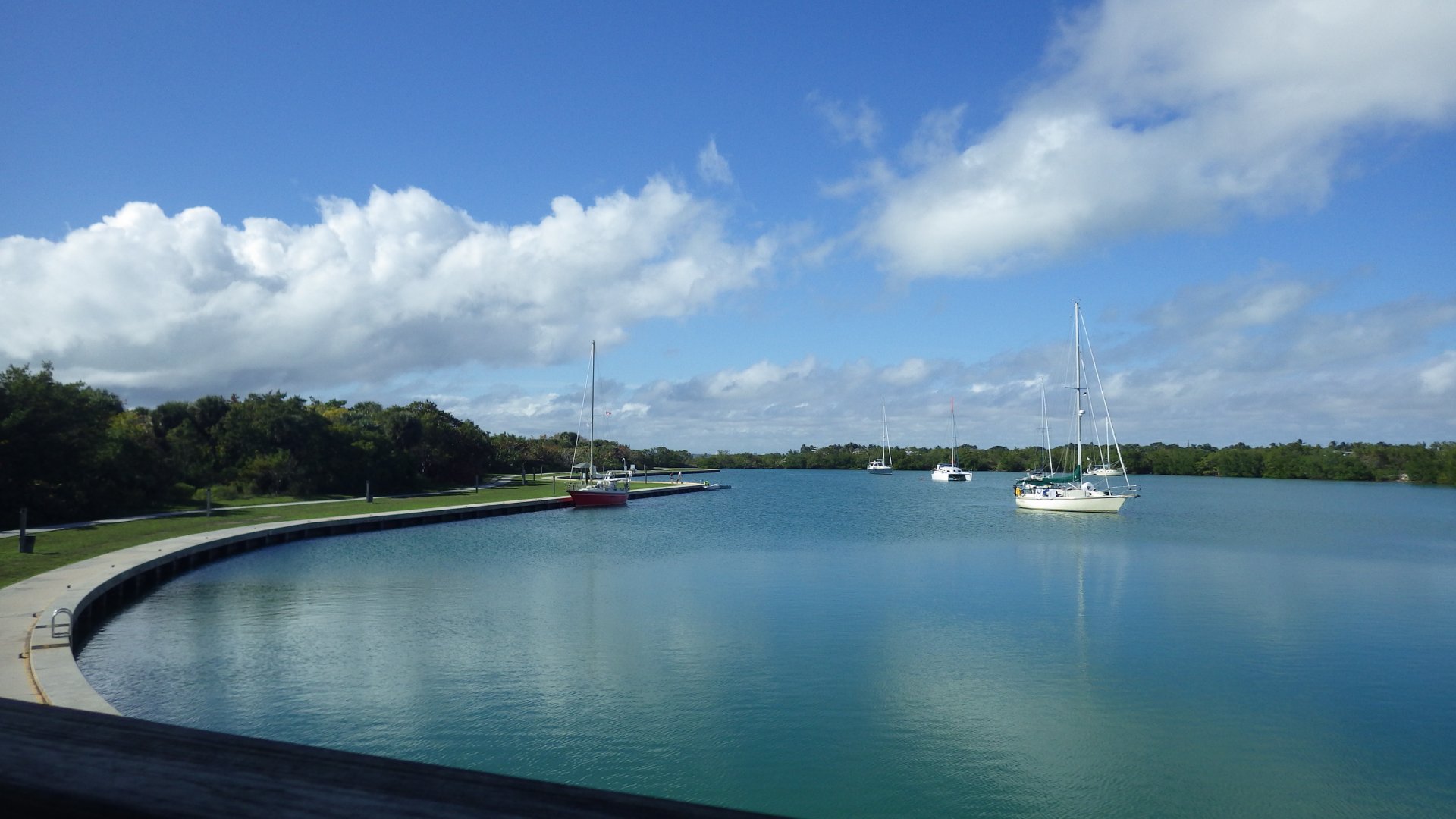
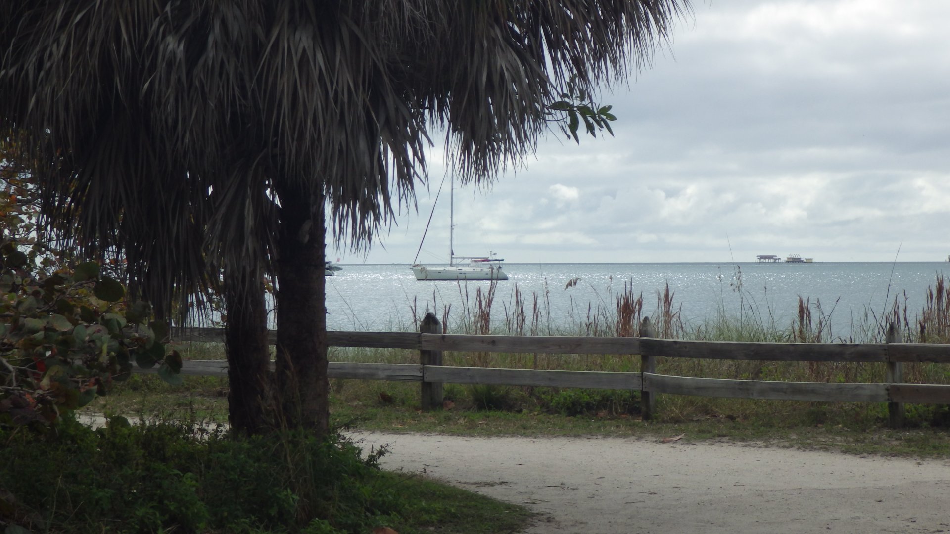
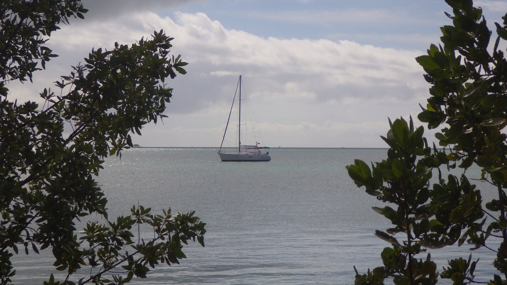
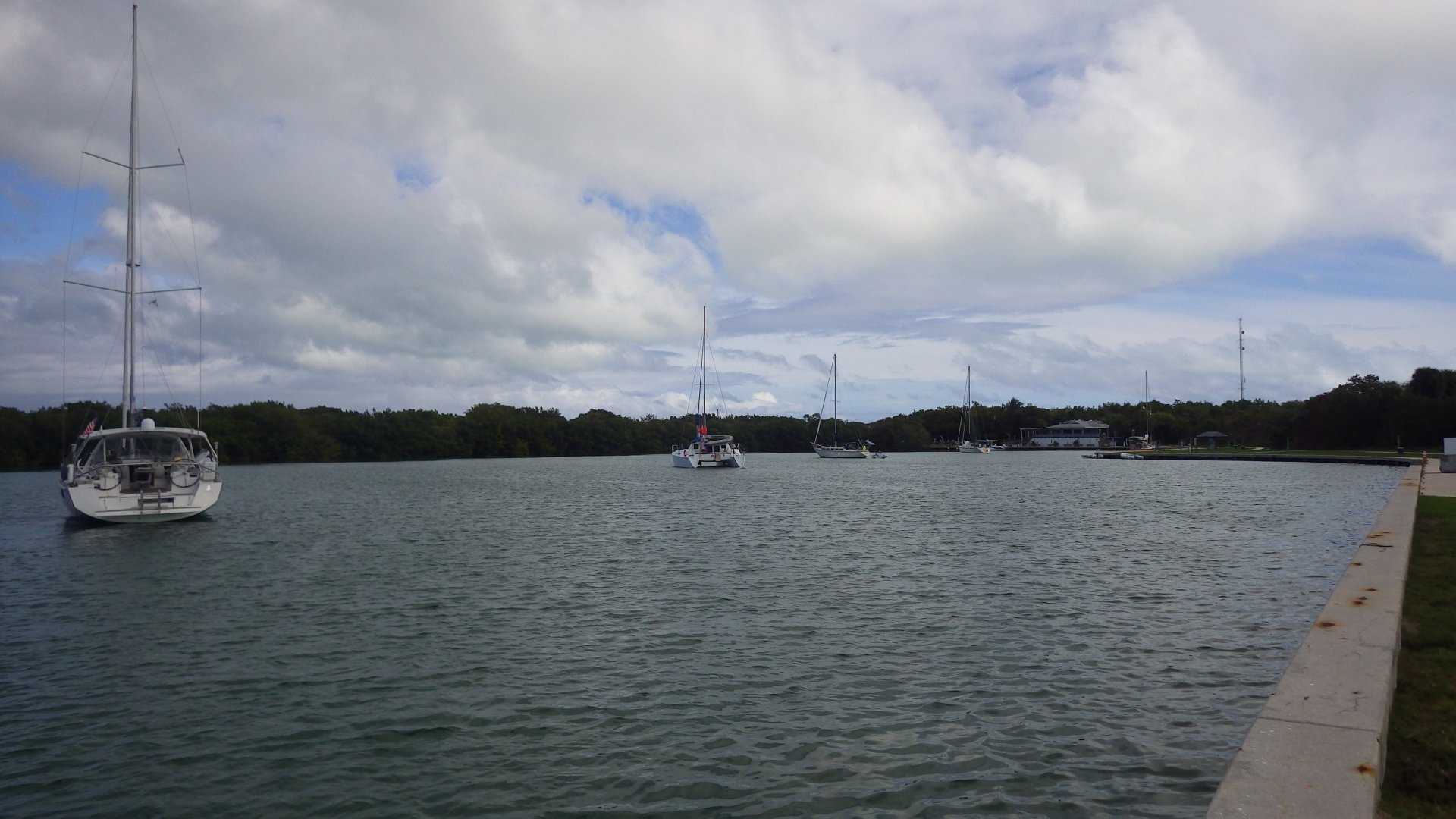
Mooring field at City Marina ($13/night) is supposedly the only way to stay here, but there are seem to be some anchorages available (didn't try).
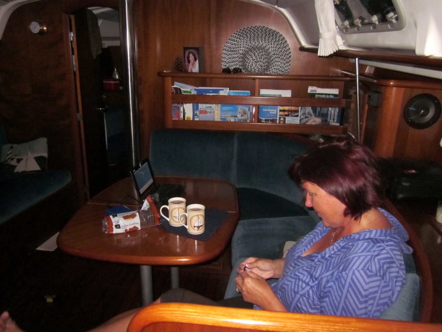
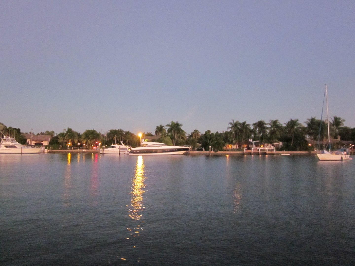
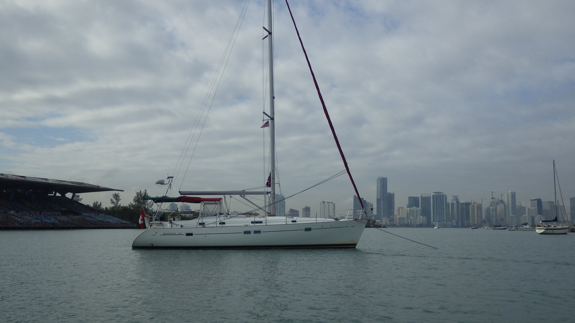
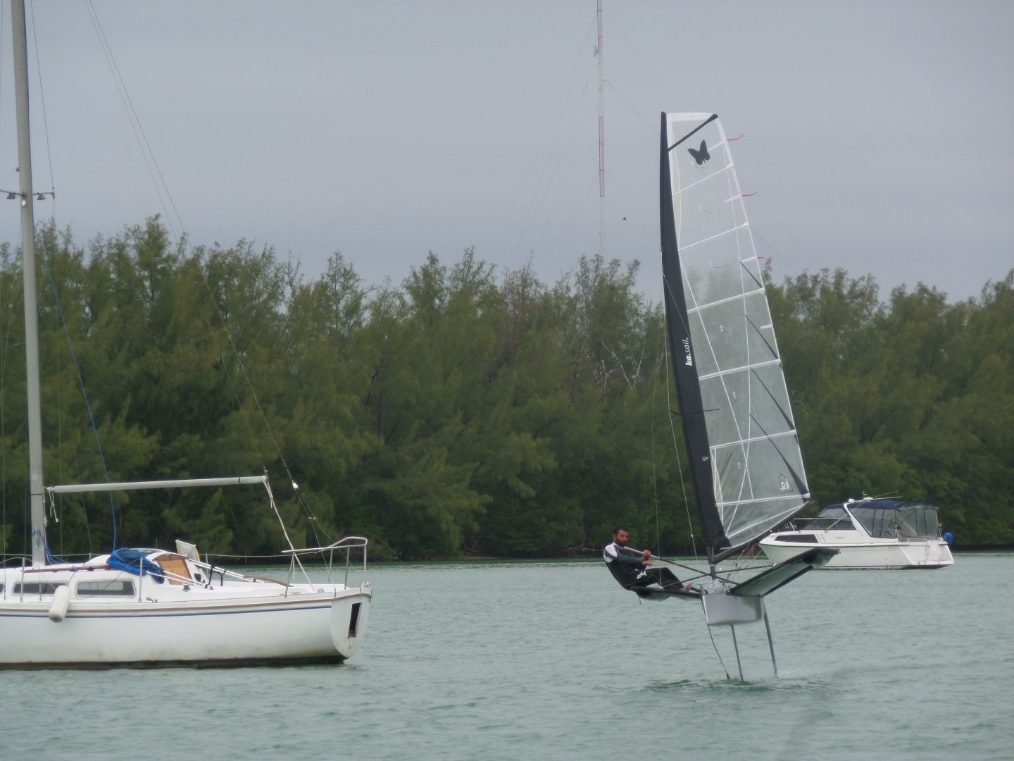
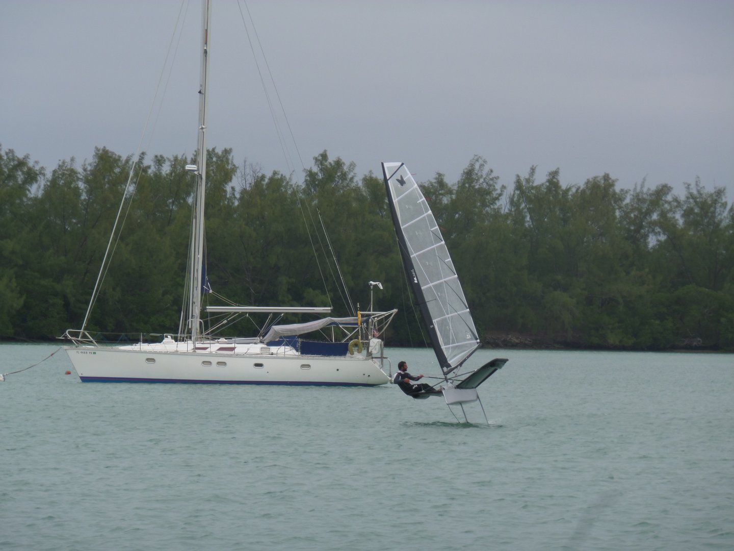
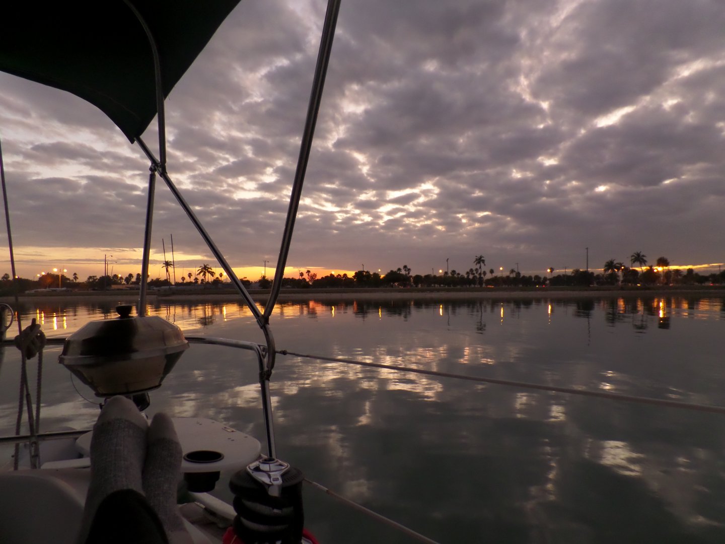
Moored at municipal marina. Usual services. Marina's Wi-fi (protected) is barely working (from mooring).

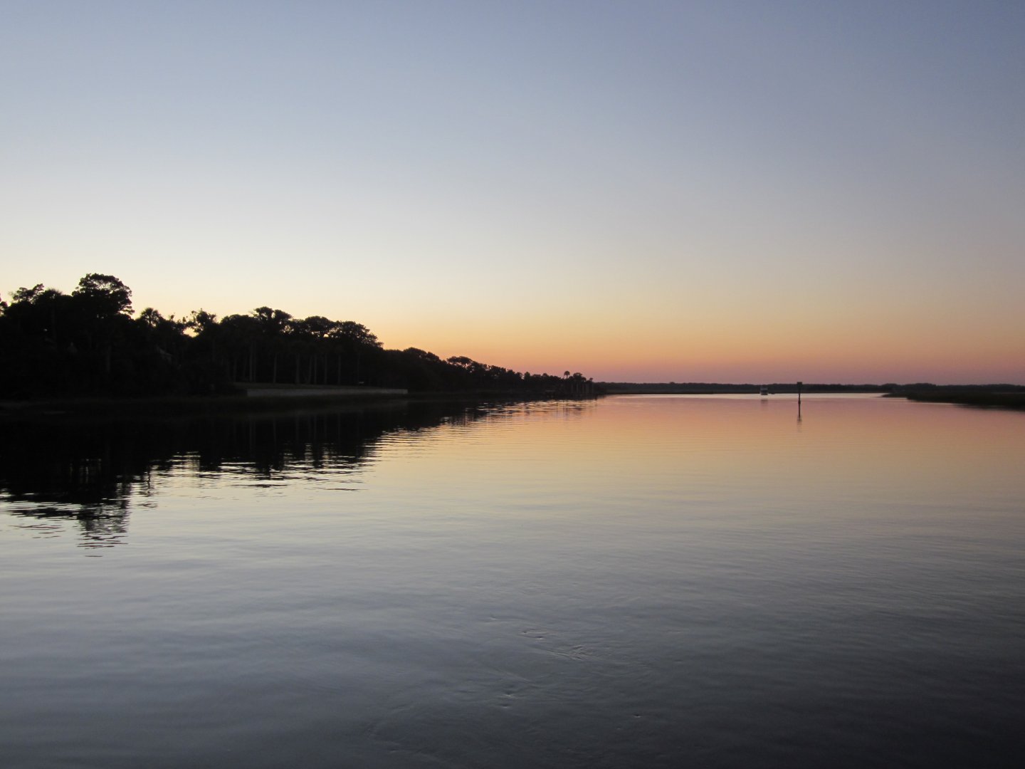
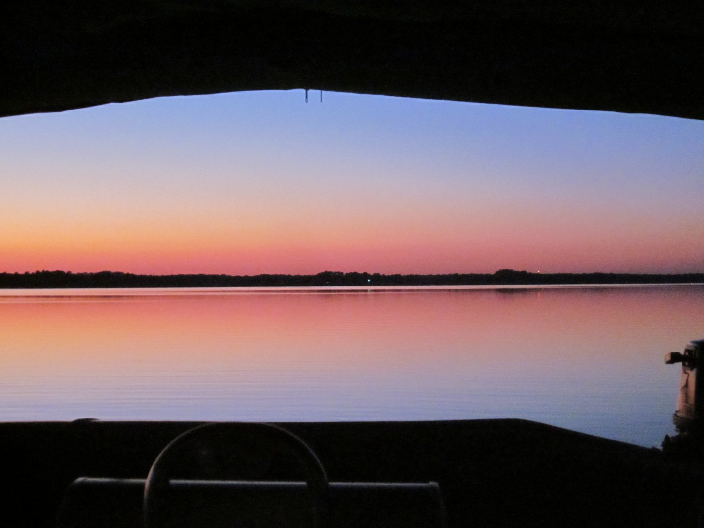
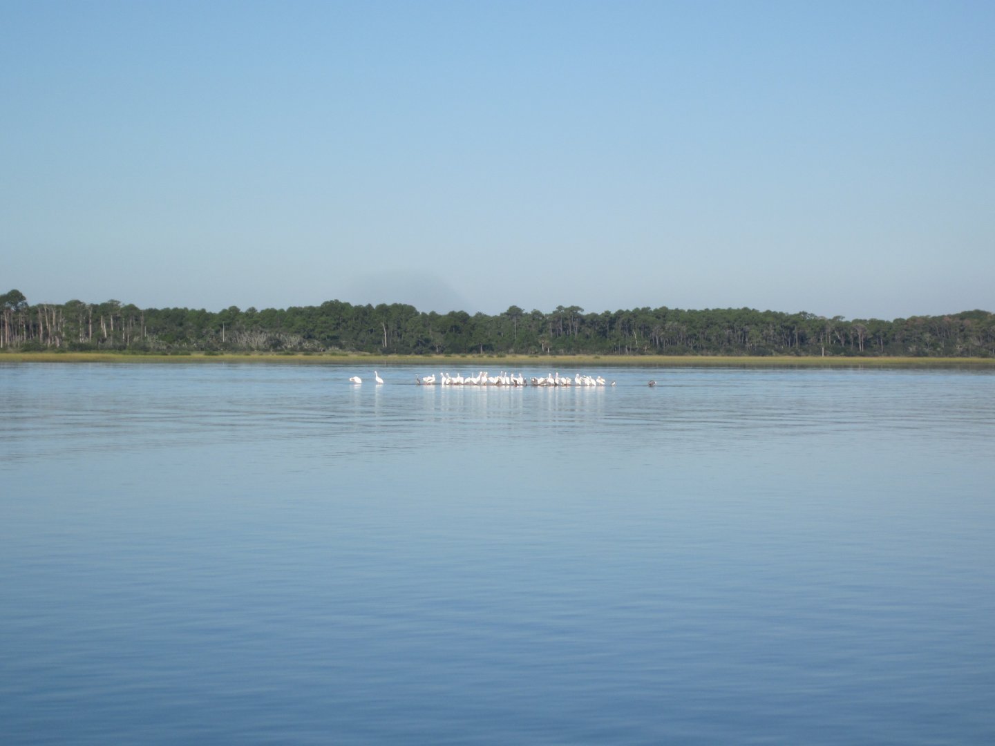
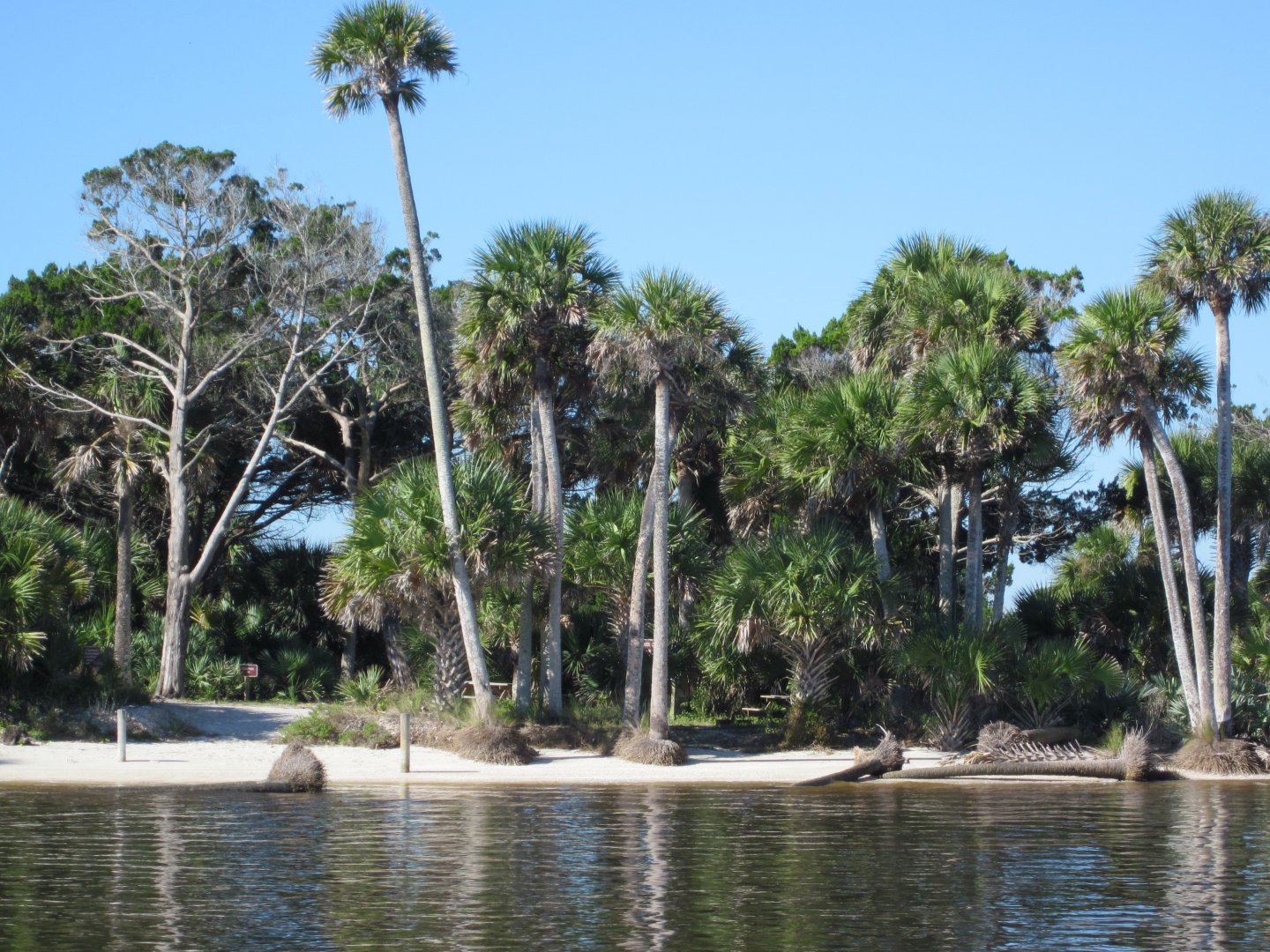
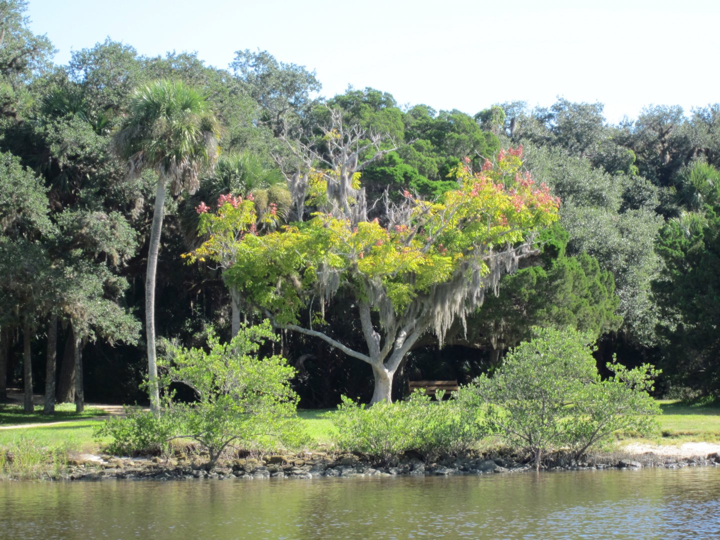
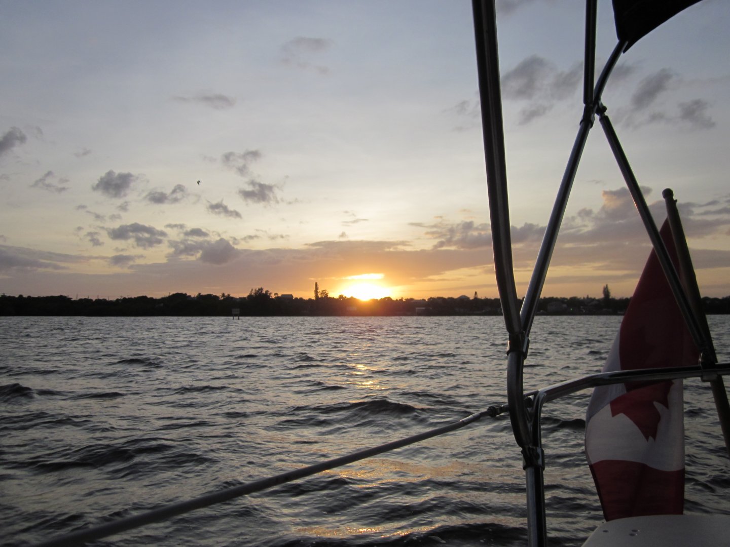
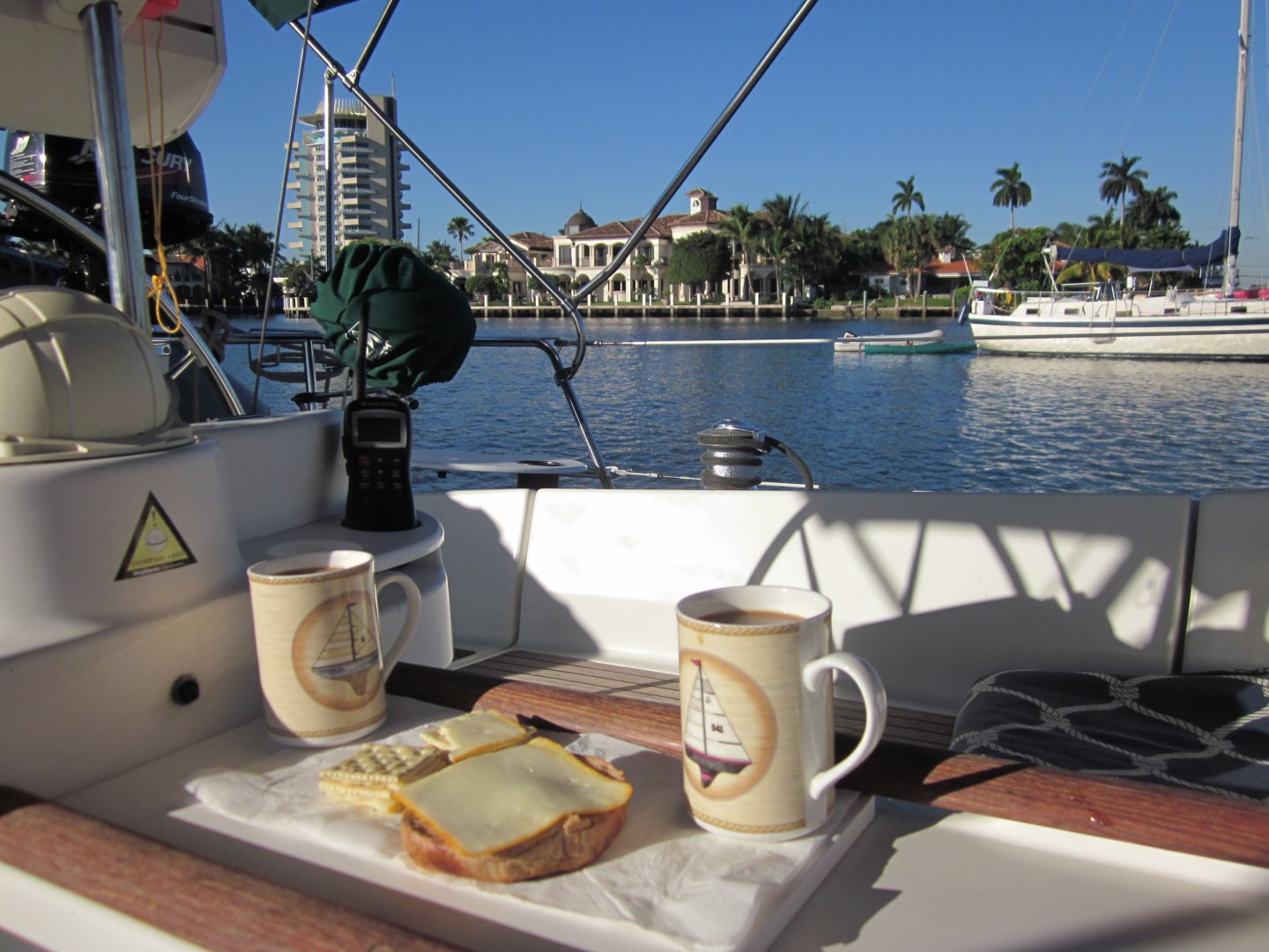
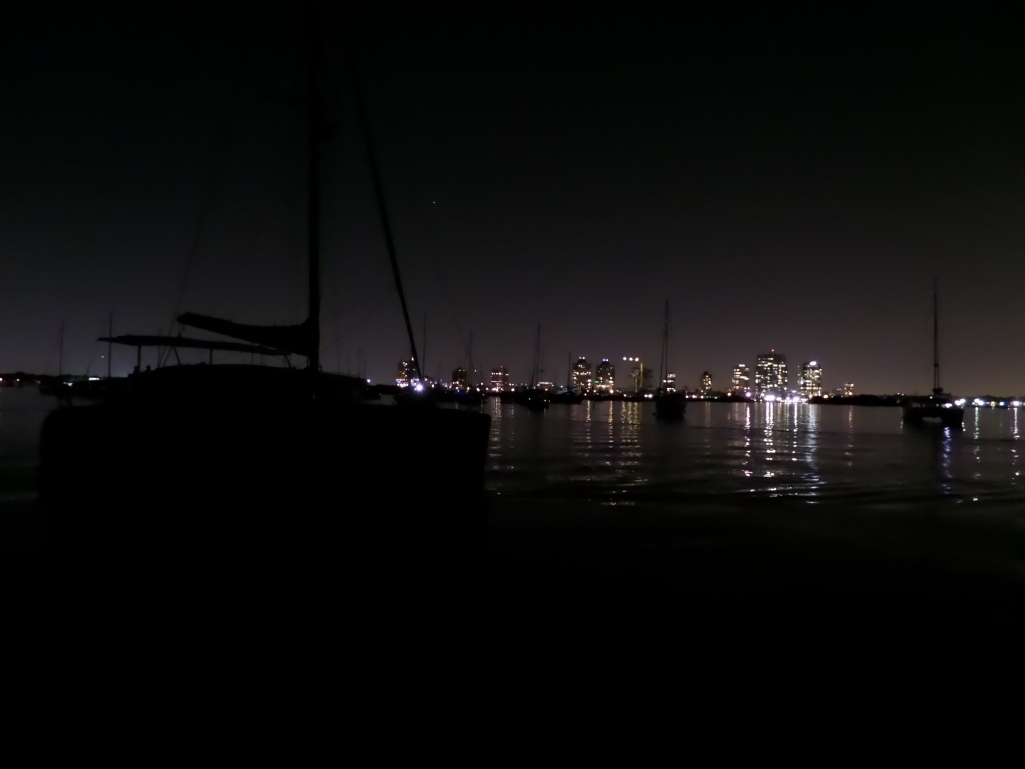
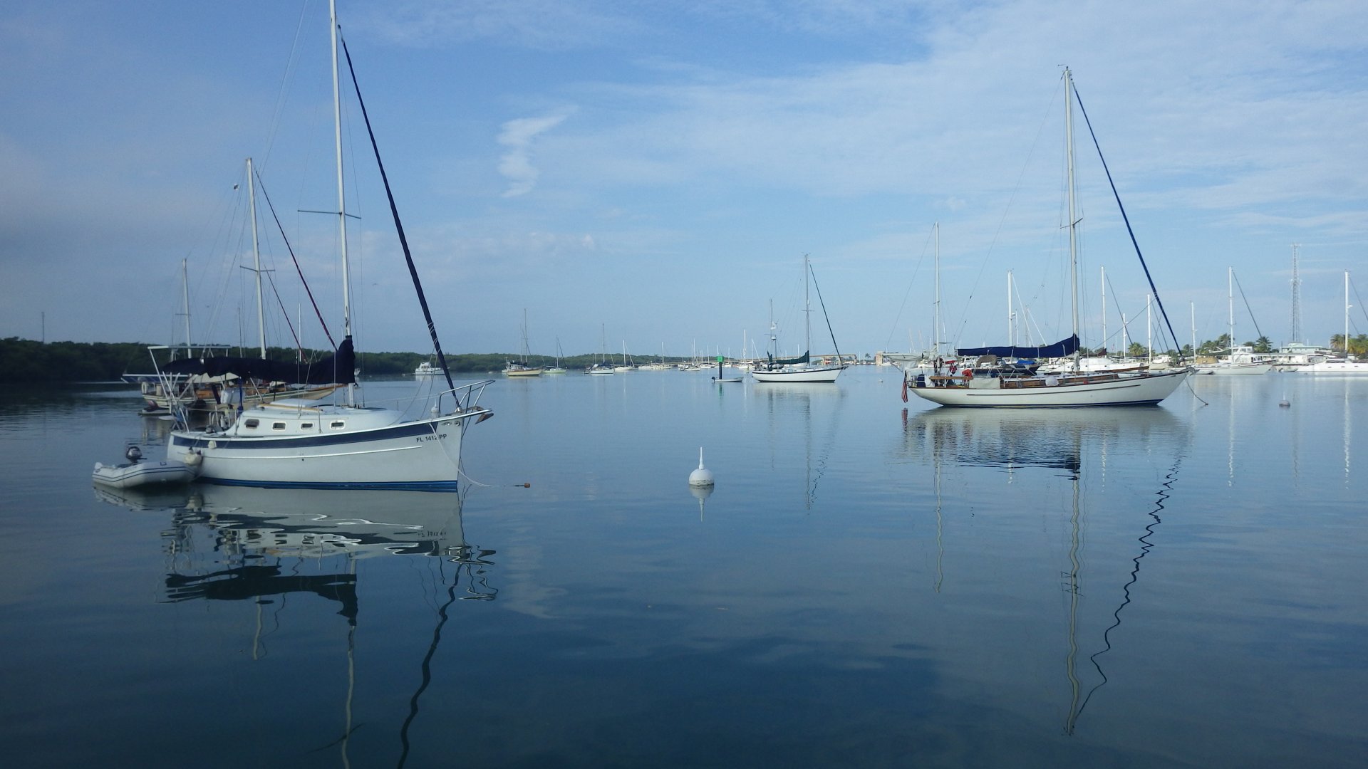
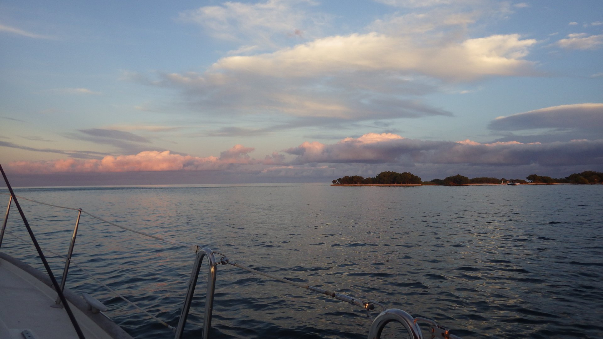
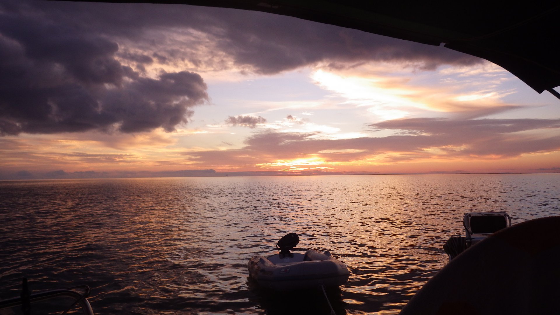
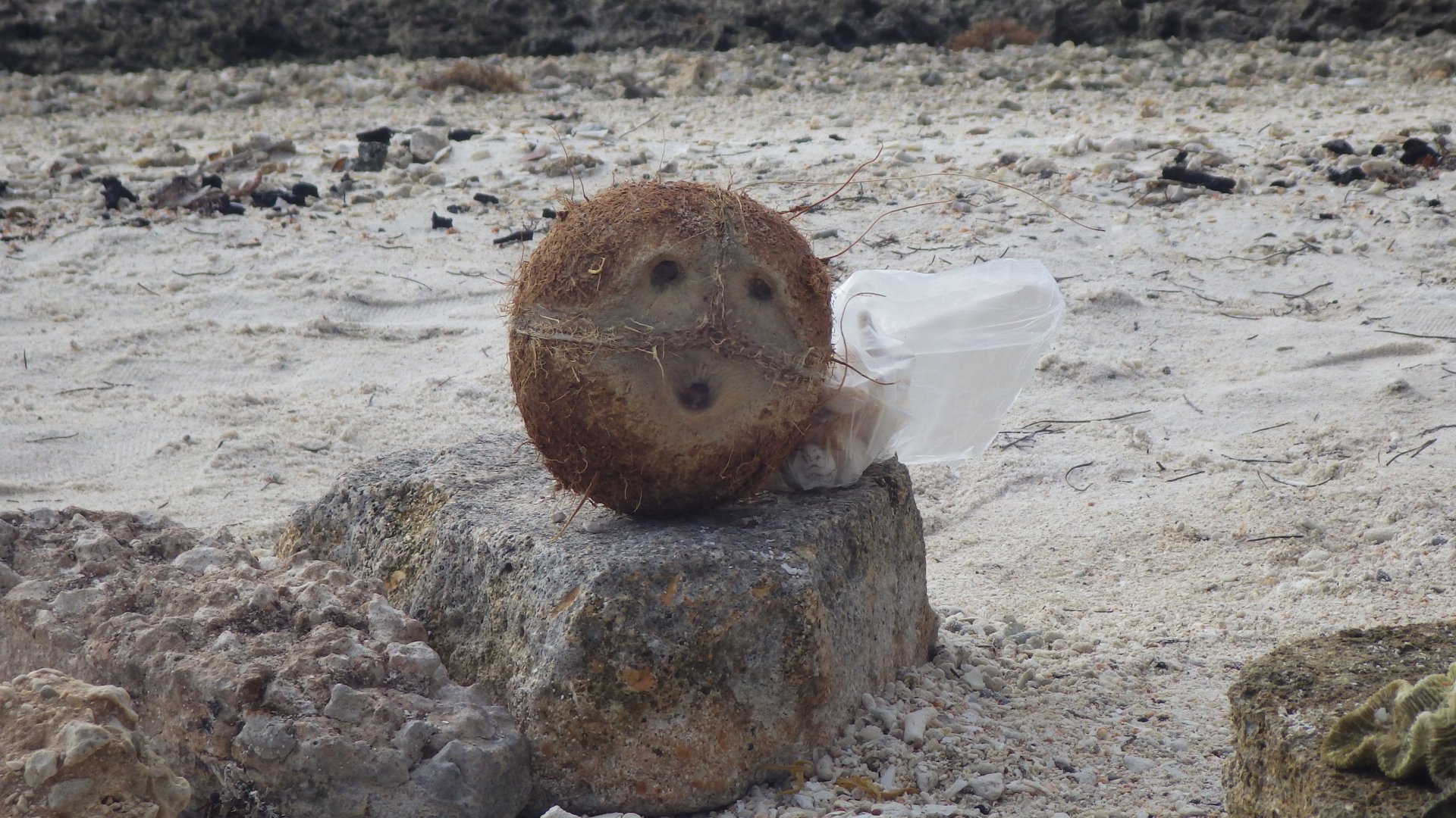
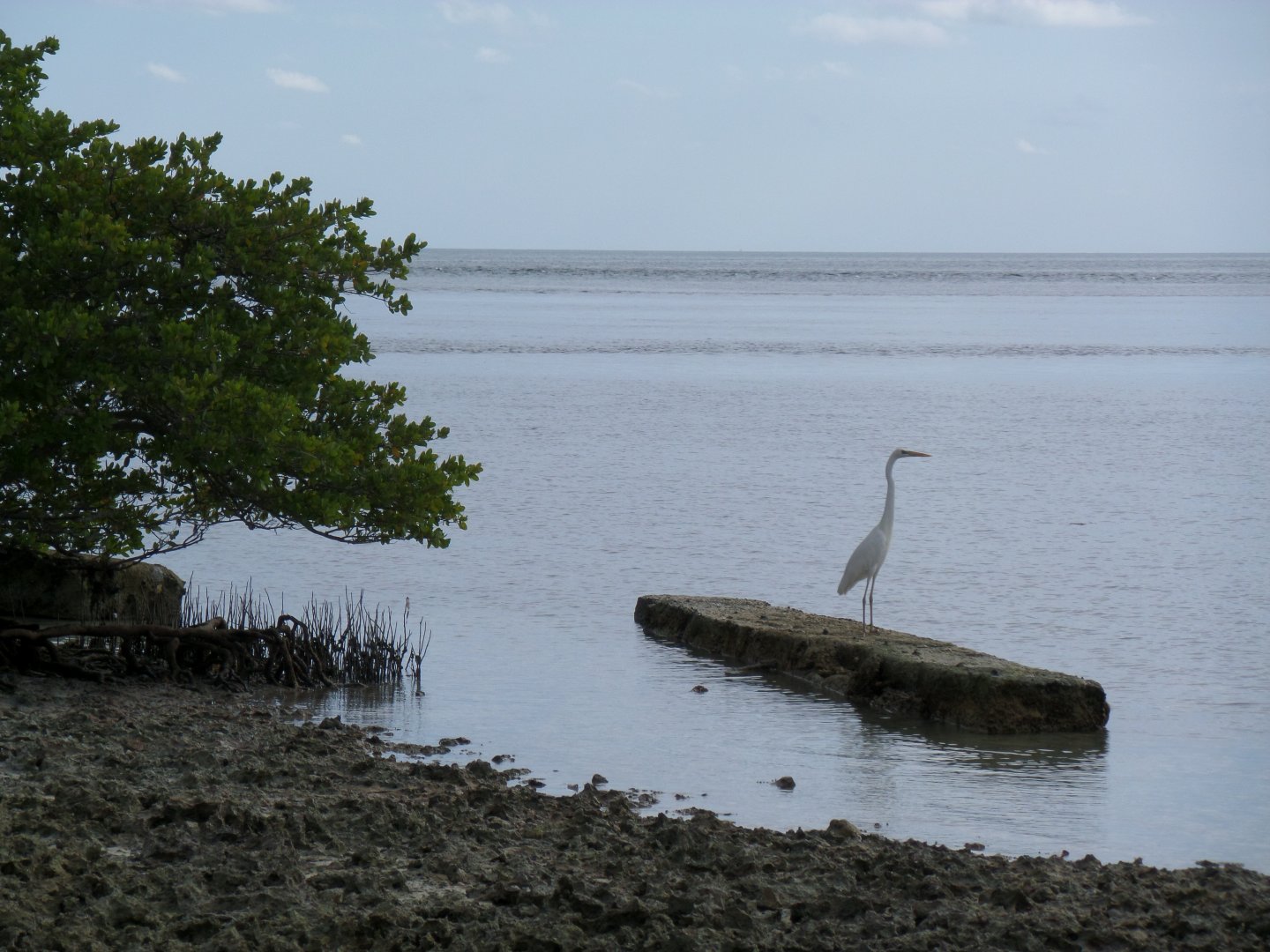
Liked the place - feels calm, comfortable.

Vero Beach side Vero Beach side at Vero Beach side Vero Beach side Vero Beach side Vero Beach side Vero Beach side Vero Beach Mooring Vero Beach Marina Dinghy dock Vero Beach Mooring Bird Bird white Leaving Vero Beach maria
Jensen Beach anchorage

Jensen Beach

Log#: 52
LatLon: 27°15.008'N, 080°13.351'W

Yet another one-night ICW anchorage under the bridge, on the way South.
Didn’t go ashore.
There seem to be some strange activity in the park...

Sailing to Jensen Beach Jensen Beach anchorage Jensen Beach anchorage at night Making Dinner Jensen Beach anchorage at night Jensen Beach anchorage at night Tea after dinner Jensen Beah at night Lieaving Jensen Beach
Lake Worth Anchorage

Lake Worth

Log#: 53
LatLon: 26°45.421'N, 080°02.618'W

Anchored for the night at the spot where many cruisers are staging their departure to Bahamas. See lots of boats waiting for the suitable weather window to run across the Gulf Stream.

Could take an off-shore route to Ft. Lauderdale - to avoid the “bridge hell”, but the weather forecast called for at least several days of not suitable weather, so decided to dredge the Bridge Hell instead of waiting - so leaving next morning.

Waterfront House in the way Waterfront House in the way Waterfront House in the way Waterfront House in the way Waterfront House in the way water hut Waiting for the bridge opening Lake Worth View Near Lake Worth ICW Near Lake Worth Lake Worth View Lake Worth ICW View Housing along ICW House along ICW Lake Worth Lake Worth Anchorge Lake Worth Anchorage at sunset ICW View Leaving Lake Worth Anchorage Passing by supers
Boca Raton Anchorage

Boca Raton

Log#: 54
LatLon: 26°20.771'N, 080°04.390'W

Had a quite an interesting run through the Bridge Hell section of ICW on the way to Boca Raton - lots of very pretty waterfront homes...

At first, seemed to be a very tight anchorage with lots of boats, difficult to find a spot to drop a hook. Turned out most were locals having fun is shallow water during the day.
It was very entertaining to see lots of people playing.

Spend couple nights in Boca - walked around the place, and had a very pleasant time at the beach.

ICW Watefront House ICW Watefront House ICW Watefront Houses Passing Delray Beach Bascule Bridge Anchorage Fun on the water Our dinghy docked at the ramp near bridge Boca Raton Street Palza Boca Raton Beach Boca Raton Beach Boca Raton Anchorage at night
lake Silvia anchorage

Ft. Lauderdale / Lake Silvia

Log#: 55
LatLon: 26°06.305'N, 080°06.688'W

Sent couple of days at the Lake Silvia anchorage in Ft. Lauderdale.
Since we have traveled to this city before, we didn't feel the need to explore much - just as stroll around neighborhood, got some marine supplies and groceries.

Then spent a day on the boat puttering around, fixing some stuff and just enjoying the nice weather day.

Also, didn’t want to miss a favorable weather window to make an outside passage to Miami - heading out next morning.

Breakfast City Anchorage Anchorage Lake Silvia Anchorage at night Ancorage at night Leaving Ft Lauderdale Halandale Beach
Marine Stadium

Miami / Marine Stadium

Log#: 56
LatLon: 25°44.662'N, 080°10.118'W

Anchored here on several occasions.
Interesting place - well protected from winds, amazing view of Miami skyline, and the abandoned Marine Stadium looks like from some post-apocalyptic movie.
Not much amenities at the shore.
Although the place is quite noisy, at night in particular.

Approaching Miami Approaching Miami Approaching Miami Approaching Miami Miami Skyline Miami Condos Miami Waterfront Properties Miami Waterfront Properties Island View Miami Skyline Miami Skyline Miami Skyline Miami Skyline Anchorage Anchoraage Miami skykine Marine Stadium Anchorage View View Anchorage just before sunset on approach Sail Marine Stadium Miami Skyline Marine Stadium Marine Stadium Marine Stadium Marine Stadium Marine Stadium Marine Stadium Marine Stadium Marine Stadium Marine Stadium Anchorage from Marine Stadium Gloomy Skyline Seagals Our yacht at anchorage Anchorage Island Anchorage Island Flying moth Sailing Moth View Miami Island View Stroll on the beach Beach View Shelling Evening view Evening view Evening view Waterpark Water park Water park path Park path Marina Nearby Bridge View Dinner s ready Shells collectd so far Marine Stadium anchorage view Miamy Skyline from anchorage at night Miami Night Skyline Night View View from cockpit at night Night Skyline View
Coco Walk

Coconut Grove

Log#: 57
LatLon: 25°43.375'N, 080°13.915'W

Stayed in Coconut Grove area of Miami (Dinner Key Marina) on few occasions, mooring and anchorage - both are very open.

Pleasant city area (Coco Walk), shops and services nearby, transit access to city of Miami and airport.

Left yacht at the mooring during our 2-week trip home to Whitby, ON in earlier December.

Our daughter came back with us to stay for a week during Christmas holidays. We had a good time, sailing Biscayne Bay and visiting Miami area.

Coconut Grove Mooring Coconut Groove Lunch Dinner Key City Marina Marina pier at night Marina at night Dinghy dock at night Dinghying at sunset Bird on bow Swimmoing Daughter and Mom Dinghy Dock Marina pier 5 Pier 5 Riding dinghy Back on mooring ball At the yacht Mooring Anchorage Biscane Bay Dinner Key Mooring Calm day at the mooring Calm  dusk at the mooring Mooring field Mooring at night Moorong from cockpit view Late sunset at mooring Made Companioway Mosquito Net Mooring view at dusk Mooring field at dusk Dinghy at Sunset Leaving Coconut Grove
Biscayne Corals

Biscayne National Park

Log#: 58
LatLon: 25°29.111'N, 080°08.908'W

Sailed to the Biscayne National (Water) Park. Picked up a charted mooring buoy in the middle of the sea, to explore coral reefs and underwater life. Snorkeled, and had some chance to try my underwater camera (need some practice and figure out best settings).

Moored in Biscayne park Biscayne Corals Jelley Fish Biscayne Corals Biscayne Corals Sailing aloing
Sailing Hawk Channel

Hawk Channel - Ceasar Creek, Indian Key, Tavernier Key

Log#: 59
LatLon: 24°52.615'N, 080°40.740'W

A few overnight anchorages along the Florida Keys, following the Hawk Channel, on the way to Boot Key Harbor / Marathon, FL and back to Miami.

In the way to Marathon:

Anchored in Caesar Creek for a night, and then picked up a free mooring ball at Indian Key. That one was really open and rolly - didn’t sleep well.
Unfortunately, the weather forecast called for strong northern front, so we had to move quickly to a safer harbor.
Mostly sailing.

On the way back to Miami:

Anchored in Tavernier Key and again in Caesar Key.
At Caesar Key, tried to anchor at another spot - run aground briefly, so anchored in the same spot as we anchored the previous time. The place have very nasty mosquitoes - had to put mosquito nets on all ports and rush inside at sunset.

Weather either too rough with wind and waves on the nose or calm with no wind - mostly motoring, with some rough sailing.

Caesar Creek Indian Key At Indian Key Mooring Ball Leaving Indian Key Sunset at Tavernier Key Anchorage Tavernier Key island Leaving Tavernier Key Leaving Caesar Creek Sailing Hawk Channel Sailing Hawk Channel with smile
Boot Key Mooring

Florida Keys - Boot Key Harbour / Marathon

Log#: 60
LatLon: 24°42.310'N, 081°05.731'W

Spent several days moored in a well protected Boot Key harbor along the Florida Keys, also known as Marathon - waiting for the strong northern front to pass. The pace is blanketed with moored boats - a popular winter destinations for many.

Taking some time to explore the town and area - in short, overrated. Expected to see one of the top spots for cruisers in the country... not impressed - mooring only (vey limited anchorages, if can find any), and the whole area is just a strip along the busy highway. Although there is a good choice of services, shops and establishments nearby, the walking distances between them are long (most bike).

There is a fairly active Cruisers Net (VHF 68 @ 09:00) and social events.

Had a chance to do some boat maintenance - re-bedded sanctions and sealed ports to fix water leaks, replaced the freezer thermostat.

Boot Key Mooring Boot Key Mooring at night Boot Key Mooring Boot Key Mooring Raining at Boot Key Harbour At city marina Dinghy dock at city marina Fuel dock along channel Leaving boot key Harbour
Miami Belle Isle anchorage

Back to Miami - Belle Isle

Log#: 61
LatLon: 25°47.203'N, 080°08.881'W

Returned back to Miami.
Anchored near Belle Isle. Stayed here on several occasions.
Unexpectedly, very rolly and uncomfortable place (due to passing bridge traffic). On the plus side, a very convenient access to tourist shopping area (Lincoln), some walk to Miami Beach, hardware store, restaurants, post office (dysfunctional!), and dinghy + walk across the street to the Publix's provisioning.
Arranged to replace boat's house batteries while here as well.

One night a big trawler anchored windward from us, without anyone on board, started to drag its anchor in the middle of the night towards us and other boats. We had to re-anchor further away at 5am! Owner showed up next day. We dinghied over to him for a discussion - he was quite apologetic, and later moved his boat to another anchorage nearby.

Miami anchorage Miami Skyscrapers Belle Isle anchorage Belle Isle anchorage Miami skyline gray Miami skyline at sunset Docked ferry Getting ready to climb the mast Going Aloft Alpine Zephyr at Anchor Lincoln shopping area At Lincoln Shopping At Lincoln Miami beach walk Miami Beach Miami beach walk Miami Beach area at dusk Miami beach walk Memorial Island View Memorial Island Alpine Zepghyr at Anchor At Memorial Island Rooty Tree Memorial Island Beach View from Memorial Island Collins Canal Collins Canal Collins Canal Dinghy at Collins Canal Anchorage nearby A house and A boat Belle Isle at Dusk Ready for Christmas Boats with Cristmas Decor Sunset Skyline Anchorage at sunset Anchorage at sunset Belle Island Anchoerage 360 View
At Rugged Keys

Rugged Keys

Log#: 63
LatLon: 25°35.450'N, 080°09.870'W

Stayed in the lee of Rugged Keys island for 2 days, during visit of our daughter. Small interesting island, with some ruins. Popular spot on a weekend.

Rugged Keys View Rugged Keys At Dusk Neighbouring Island Anchored at Rugged Keys Rugged Keys Beach Beach Wall Walking on the beach At the Beach Yacht View Beach Rocks Ruins Beach Corals Shells on the Hand Swiming with Dinghy View Before Sunset larysa at the Beach Shell Crab View of Yacht Motoring Dinghy Another view from anchorage Shore View Jelly Fish Beach Concrete Wall Sunset Shore Rocks Found Coco Coco on stone Our new found fried Coco Hello Coco Coco Coco on the beach Coco in the seat Coco Coconut Milc Octupus Bird on the beach Just efore Sunset Sunset Smudget Sunset
Cape Florida

Cape Florida / No Name Harbor

Log#: 64
LatLon: 25°40.483'N, 080°09.836'W

Making final preparations and waiting for a suitable weather window to cross the Gulf Stream to Bahamas. Stayed 2 nights at the Cape Florida near No Name Harbour - a convenient jump-off spot for the passage.

Did some laundry, walked around the park, visited Cape Florida Lighthouse, had a lunch in a local restaurant, picked up some last minute groceries, checked weather reports.

No Name Harbor Cape Florida Light At Cape Florida Light Sail Racing in the Bay Cape Florida Park At Cape Florida Park Anchored At Cape Florida Park At the Lighthouse Yacht View from Park Boats at No Name Harbor Capr Floida Park path At Boaterers Grill At Boaterers Grill.jpg Birds At Cape Florida Light Anhorage outside No name Harbor Our Dinner Boating throught the Bay My Nav Station Preparing for Crossing Another anchorage view Sinset at the Bay
<< Older Entries     Logs Archive     Newer Entries >>

Copyright© 2000-2024 www.slow-cruise.com