Slow Cruise

Sailing Adventures of s/v Alpine Zephyr
"Your dreams minus your doubts equals your net worth" --
<< Older Entries     Logs Archive     Newer Entries >>

Sailing Log: Cruising Bahamas - Exumas Island Chain

The place of pristine beaches and clear colorful water. Looking down on the islands from space (Google Earth), one can see an orb of brilliant colors - cobalt blue, turquoise, opalescent sand banks. The cays are like sparkling tiny gemstones, linked like precious jewelry, strung together and begging to be treasured.

Allan Cays View

Allans Cays

Log#: 71
LatLon: 24°44.949'N, 076°50.248'W

Allans Cays was our first stop in Exumas. This popular place is quite pretty, and is known for its iguanas.

Enjoyed few days here - swimming, visiting iguanas, playing with friendly birds, walking cay's beaches and exploring its small islands.

Allans Ca Anhorage Alpine Zephyr at Anchor Allans Cays Iguanas on Allans Cays Iguanas Iguanas Two Iguanas Iguana Friendly Bird Allans Cay Beach At Anchor Allan Cays Overlooking Allans Cays Allans Cays Eastern Side Beach Larysa on the beach Rugged Beach Beach Combing Allan Cays Rugged Beach 2 Cactus Love Anchored at Allan Cays On Beach Cliff View 1 View 2 Allan Cays Beach Sunset 1 Sunset 2 Windy Beah Still on Allans Cays Walking on Beach
Highborne Cay Beach

Highborne Cay

Log#: 72
LatLon: 24°42.726'N, 076°49.651'W

Highborne Cay is a private island - you can go to marina to get fuel and visit small store and restaurant, but the cruisers like us are not seem to be their target clientele.

Needless to say, we didn't feel welcome there. So we got some supplies of fresh (and expensive) produce at the store, had a mini-stroll around to stretch our legs, topped-up our water tanks (at $0.50/Gallon!) and left the cay after staying just one night.

Highborne Cay Pier Sharks waiting feed Windy Beach Beach wakway Path to maina Aka Bus Stop Highbourne Cays Anchorage Shore
Normans Cay Hidden Beach

Normans Cay

Log#: 73
LatLon: 24°35.576'N, 076°48.630'W

Normans Cay is a beautiful and interesting spot. We happen to be there at the time of my birthday and 25th anniversary of our marriage.

It turned out to be the best place and time we had so far during our cruising journey!
We suntanned, walked along beautiful beachside at low tide, explored island's jungle paths, found a breathtaking hidden beach and abandoned ruins, dived around the crashed airplane, and at the end of the day we had a nice dinner.
Pictures worth thousands words...

One Tree Cay At Anchor at Norman Cay Beakast at Norman Cay Cay View from Anchorage Under the palm Beach point Conches under water 1 Conches under water 2.jpg Under the palm tree Vew of anchorage Pretty Beach Shrub Palm in the sky Small Crabs Normans Cay Anchorage Enjoying beach Under the palm 2 Disant Beach At the hidden beach Normans Cay Beach Stony Beach Stony Beach 2 at Low Tide Beach Bathtub Dinghy at the cloudy beach Beach Stone Beach Low Tide Bahama Beach Bahama Beach at low tide At Beach Stone Finding Hidden Beach Sandy Beach Abandoned building Abandoned building Abandoned building Jungle path Jungle path 2 Walking Beach at Low Tide Hidden Gem Top View 3 Top View 1 Top View 2 Top View Top View 1 Top View 2 Crashed Plane Crashed plane under water 1 Crashed plane under water 2 Crashed plane under water 3 Crashed plane under water 4 Crashed plane under water 5 Crashed plane under water 6 Crashed plane Bahamas Seascape Shadows on the sand Sunset Navsation Birthday Dinner Sunset at Nomans Cay Anchorage Leaving Normans cay
Shroud Cay mangroves

Shroud Cay

Log#: 74
LatLon: 24°31.856'N, 076°47.333'W

I have been told about Shroud Cay as one of the most interesting places in the Exumas. What make it special are numerous shallow mangrove channels inside the island which can be explored by dinghy. Some channel branches lead to nowhere, some lead to a sudden enclosed lake, and some lead to an ocean beach on the other (Eastern) side of the island. It is a unique place - we enjoyed staying couple days here.

During our stay, there was a clear cold front passing just over us - clouds looked really intimidating.

Shroud Cay Shallow Water Shroud Cay Shallow Water 2 Mangroves in Shalow Waer Mangrove Roots Shroud Cay Canals Shroud Cay Canals Shroud Cay Canals Shroud Cay Canals Shroud Cay Canal Pond Shroud Cay East Beach Shroud Cay East Beach Coral Tree Shallow Beach East Beach at Shroud Cay East Beach at Shroud Cay East Beach at Shroud Cay East Beach Collection Under the Tree Sky Under the Tree Shroud Cay Shallow Waer Cold Front is Coming Storm Coming 1 Storm Coming 1 Pulling Dinghy Simple Dinner Our Sea Pets Sunset at Shroud Cay
Hawksbill Cay

Hawksbill Cay

Log#: 75
LatLon: 24°28.088'N, 076°46.237'W

The Hawksbill Cay is a short sail south from the Shroud Cay. We arrived earlier and had a full day to explore the island, walk its trails and climb atop of the hill to enjoy beautiful panoramic views.

Later we had a pleasant sunset picnic at the beach.
On the neighbouring beach (yes we had separate beaches), there was a party from the superyacht anchored nearby - in Bahamas, you don't need to be a millionaire to have your own secluded tropical beach to play and enjoy the same sunset views.

Hayksbill Cay Beach Cat at the beach Hawkbill Cay Anchorage View Esuma Cays Land ad Sea Park Sign Bahamas 201 Hawkbill Cay Hawkbill Cay Hawkbill Cay Hawkbill Cay Hawkbill Cay Hawkbill Cay Hawkbill Cay Ancorage Hawkbill Cay Beach Hawkbill Cay Beach Hawkbill Cay Hawkbill Cay Inner Hawkbill Cay Beach View At the top At the top From the top White Beach Rocks Shore Rock Stony Shore Rugged Shore Picknic Hawkbill Cay beach Beach Shrub Ready for Picknic at the Beach Beach Shore Windy Beach View on the Beach Superyacht Dusk at Hawkbill Cay View At the Beach t Dusk Alex At the Beach t Dusk Larysa Another Sunset
at Warderic Wells Park Office

Warderick Wells

Log#: 76
LatLon: 24°23.022'N, 076°37.816'W

Today, we sailed to Waderick Wells Cay.
He wind was on the nose most of the time, so we tacked few times, keeping closer to the islands for the protection from wind and waves.

The Exuma Sea and Land Park headquarters are located here on the Waderick Wells Cay.
It is an interesting island to explore, with trails, beaches and snorkeling reefs, but as with all of the park's islands, there are no amenities - no services, provisioning, water, even no public toilet. But there is protected nature - bare, rugged, mostly unspoiled and beautiful.

Also, had an opportunity to snorkel coral reefs not far from the pace we have anchored.

We happen to be stuck at the anchorage here during passage of the cold front, so we spent another two nights and a day riding waves in the boat - not pleasant.

Emerald Rock Park Headquarters Whale Skeleton Dinghy Dock at Pak Headquartets Views Trail Trail Trail View from the top Mangroves Trail Friendly Liszzard Friendly Liszzard View from Trail View from Trail View from Trail View from Trail Beach Beach View at the trail crossroad Checking out cave Rugged Beach Rugged Beach Rugged Beach Rugged Beach Rugged Beach View Trail View Mooring View Mooring BooBoo Beach BooBoo Hill BooBoo Hill Left Signed Shell at BooBoo Hill Snorkeling Corals Snorkeling Corals Snorkeling Corals Snorkeling Corals Snorkeling Corals Lonley Yacht Another Day Anorger Sunset getting windy Another Sunset
Cambridge Cay

Cambridge Cay (Bell Island Anchorage)

Log#: 77
LatLon: 24°18.578'N, 076°32.970'W

Taking it slowly, one island at a time... Next stop - Cambridge Cay.

Chosen this Cay instead of a more popular Compass Cay nearby, mainly because of shore access (Cambridge Cays is still part of the Exumas Land and Sea Park where one can roam around, Compass Cay is private and shore access is available for marina guests only).

Spent could days here, anchored by the nearby Bell Island. Nice hiking around the island, climbing rocky shoreline trails, beautiful views.
Larysa baked Rum Cake.


The Cay is known for good snorkeling sites nearby. Unfortunately, the weather was to rough for snorkel safe and pleasant.
It turns out it is unusually cold and windy this year in Bahamas.

at Cambridge Cay Anchorage At Cambridge Cay Anchorage Cambridge Cay Trail Cambridge Cay View Cambridge Cay View Cambridge Cay View at Cambridge Cay Cliff Cambridge Cay View Cambridge Cay View Cambridge Cay View Shrub Tree Cambridge Cay View Cambridge Cay View Cambridge Cay View Cambridge Cay View Cambridge Cay View Cambridge Cay View Cambridge Cay View Cambridge Cay Path Cambridge Cay View from Anchorage Cambridge Cay View Cambridge Cay Anchorage Sunset Cambridge Cay Mooring View Cactus Relaxing at the beach Just Bahamian Seascape Cambridge Cay Mooring Cambridge Cay Sunset
Staniel Cay Docks View

Staniel Cay

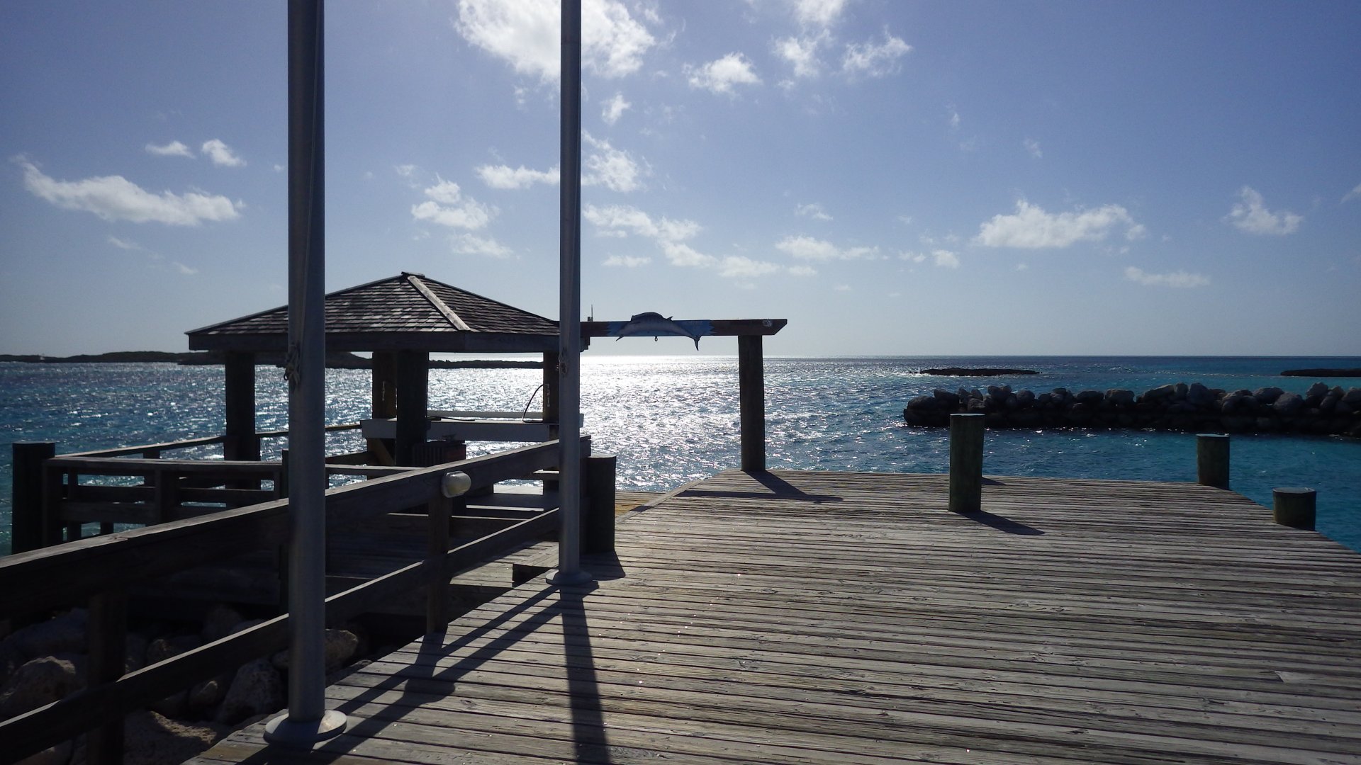
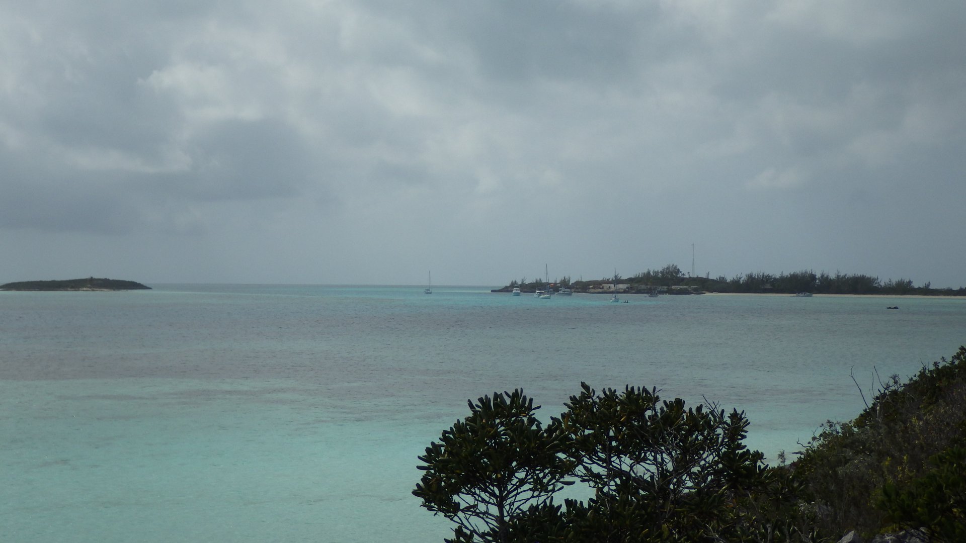
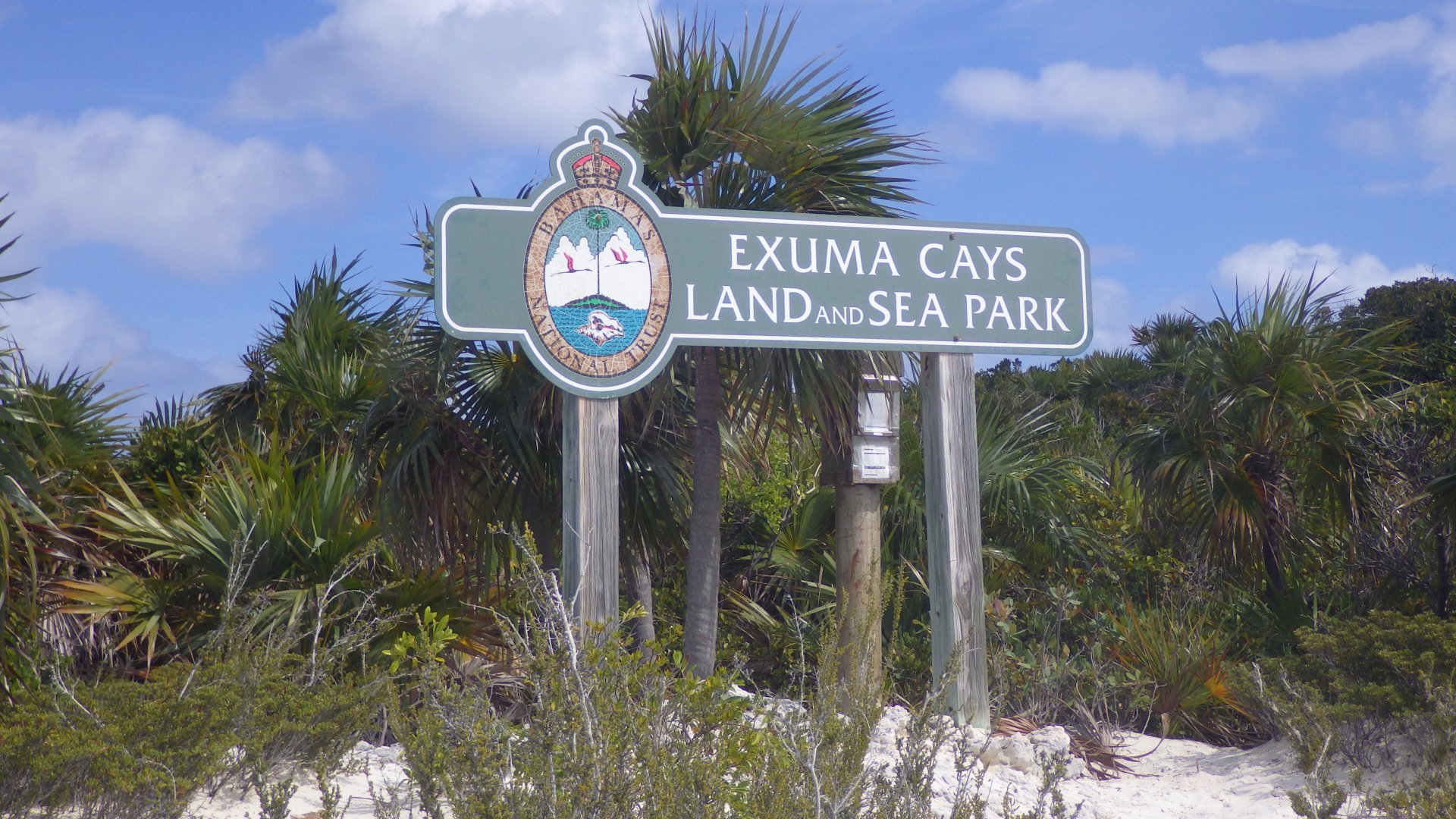
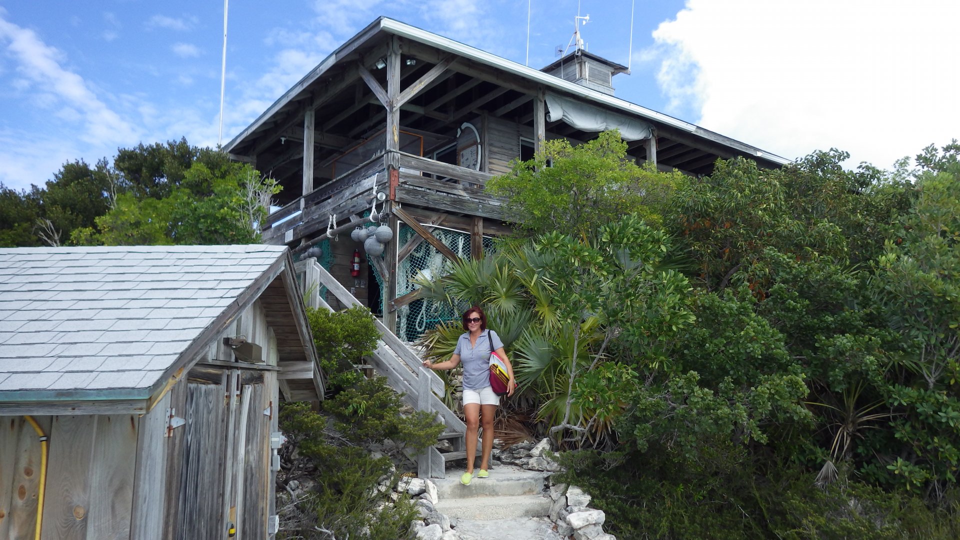
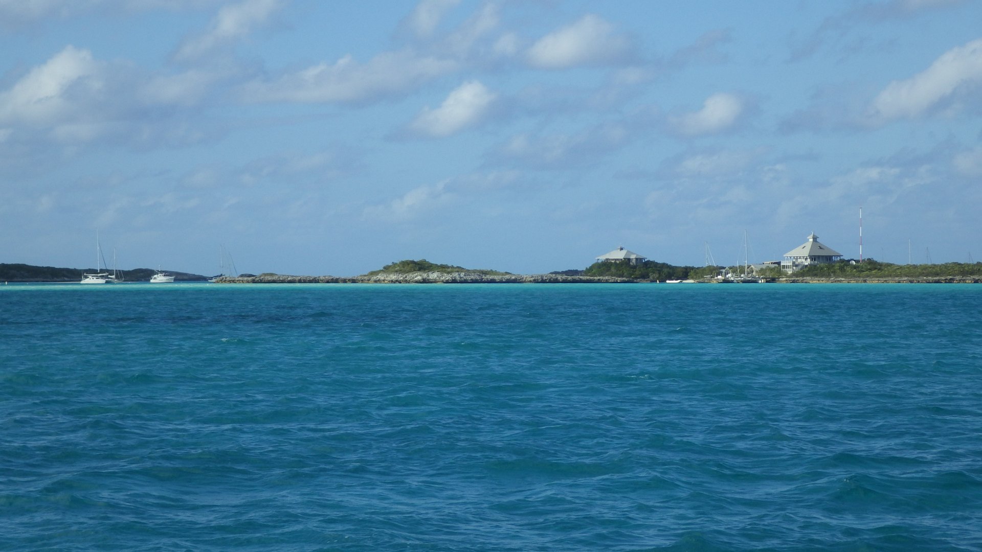
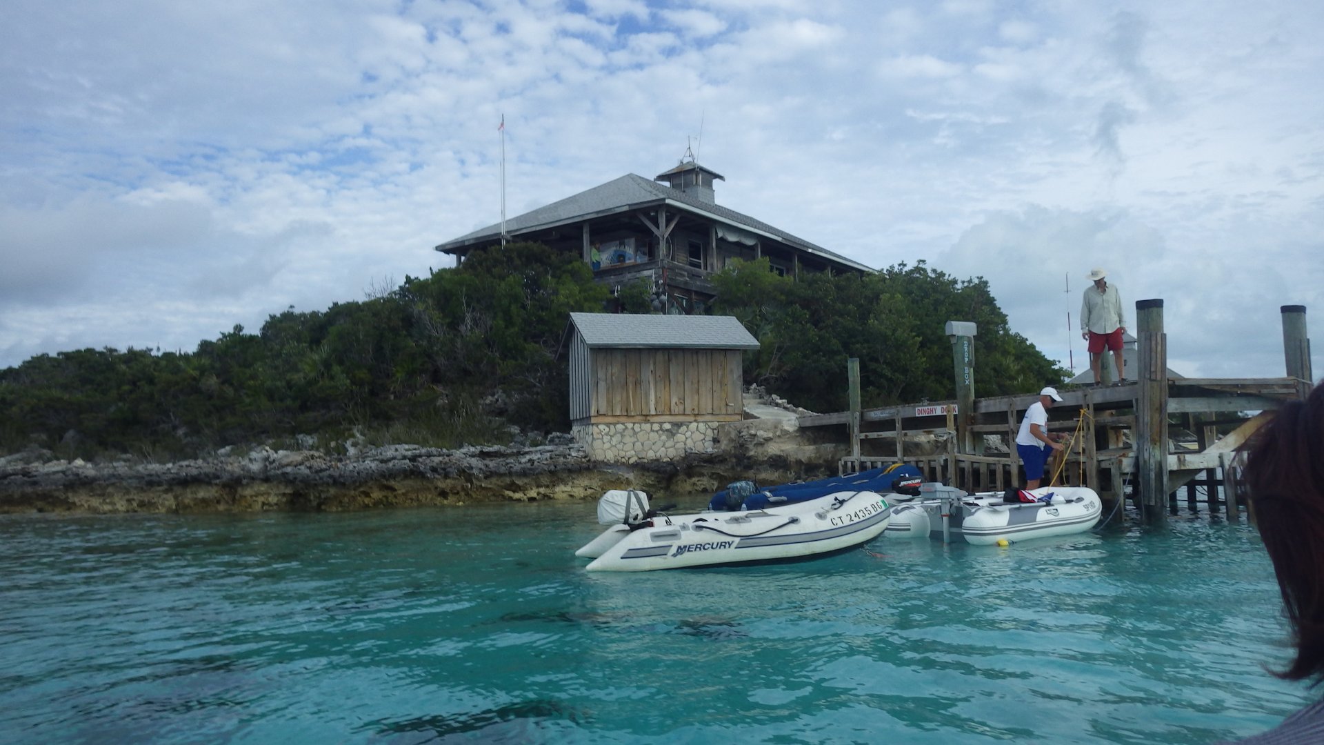
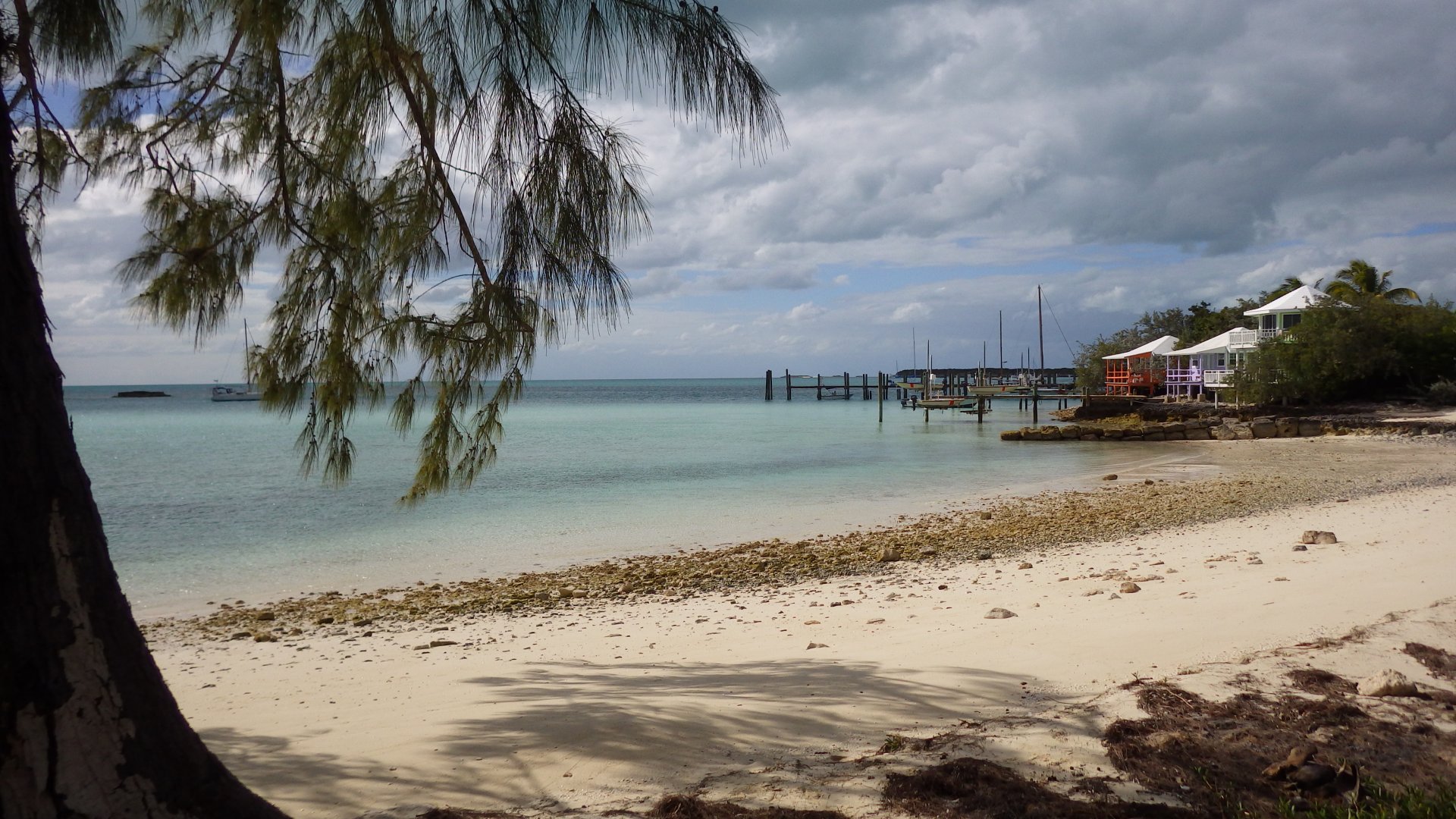
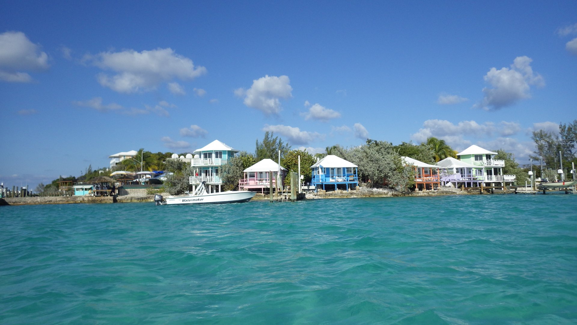
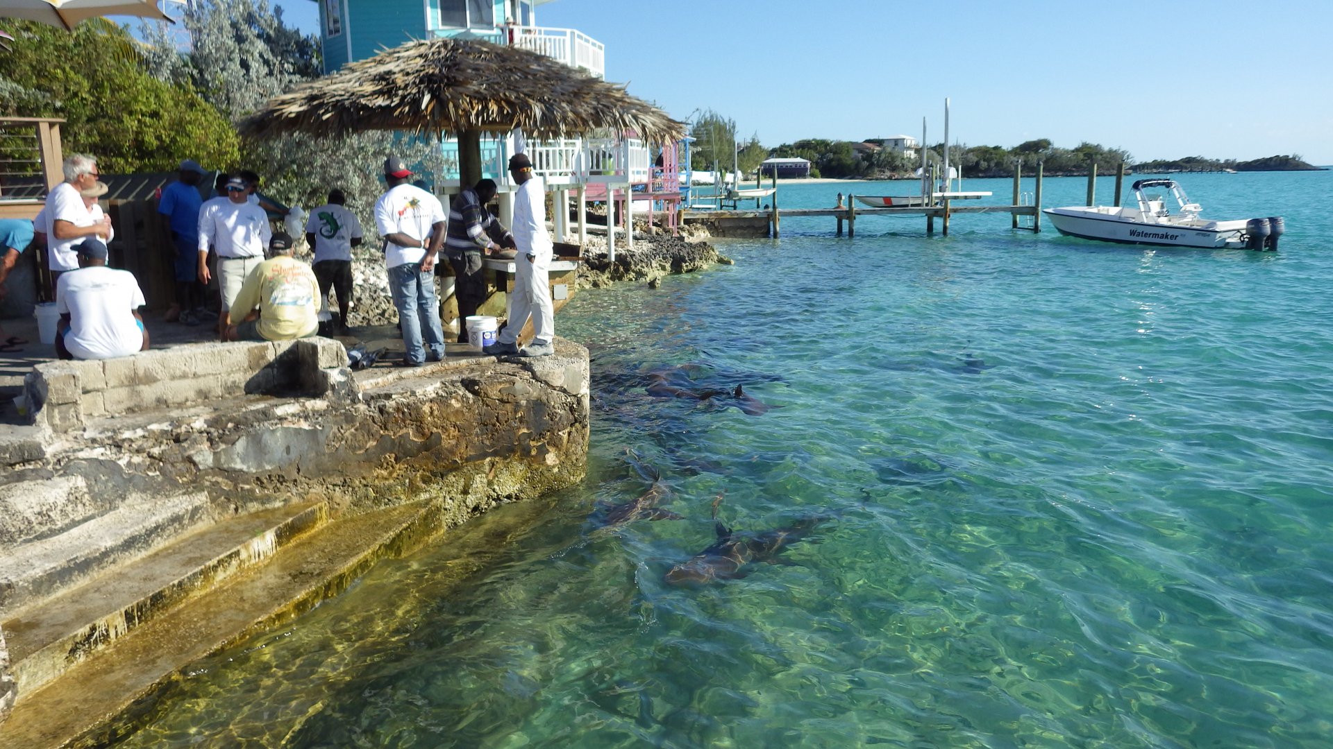
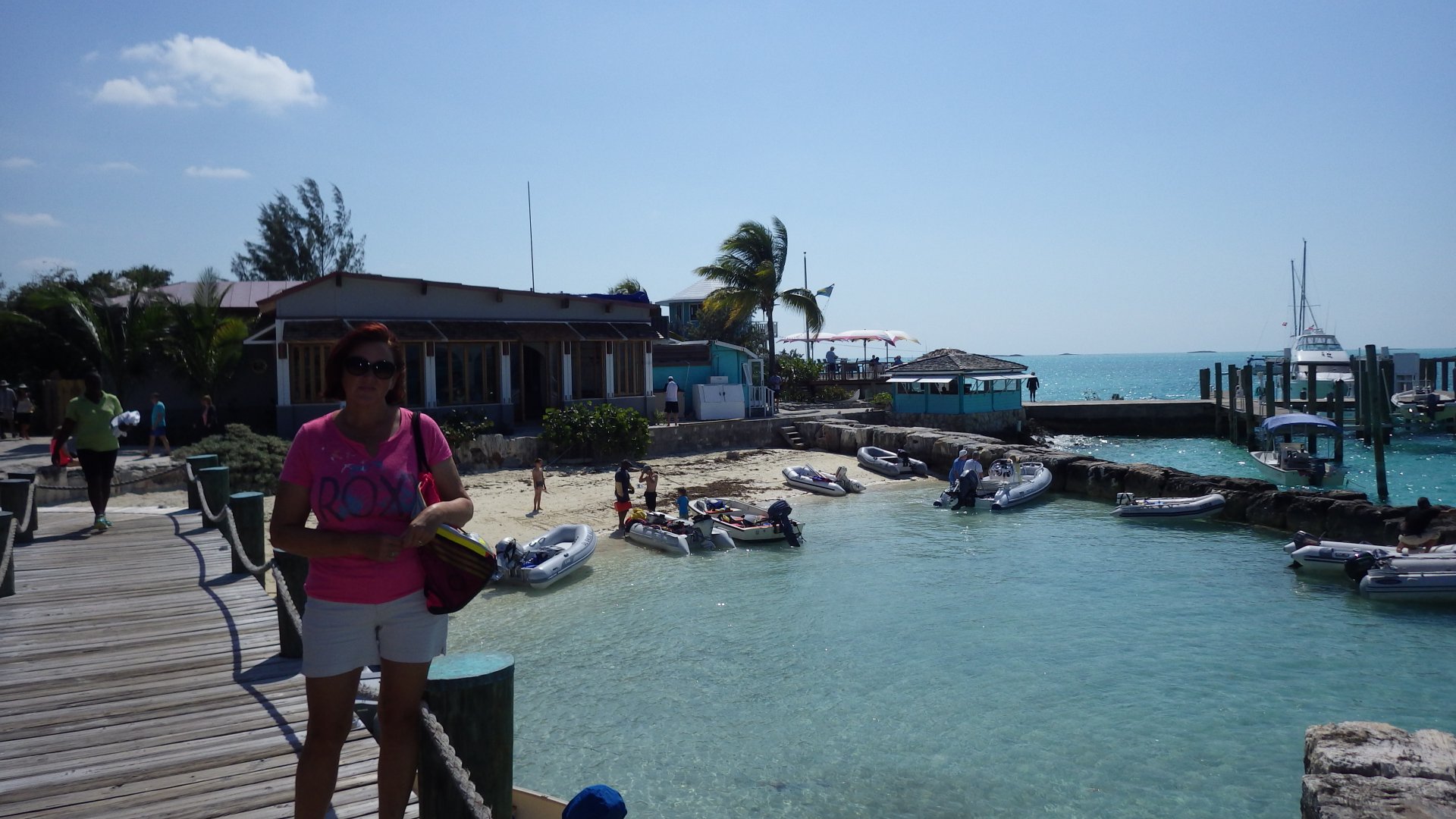
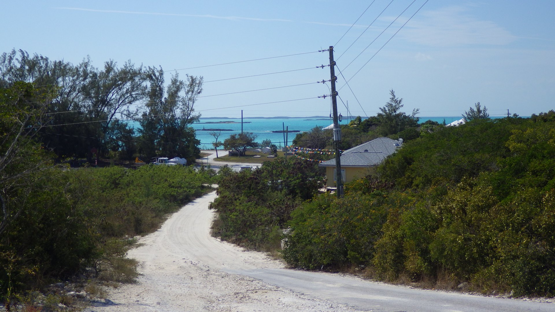
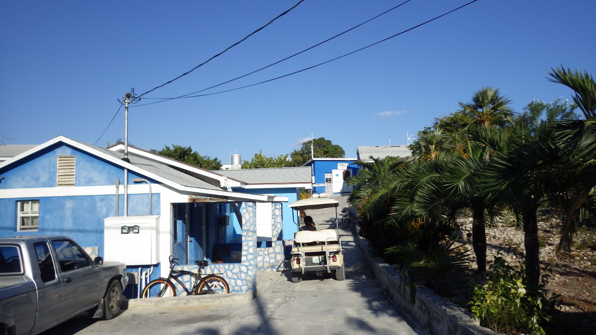
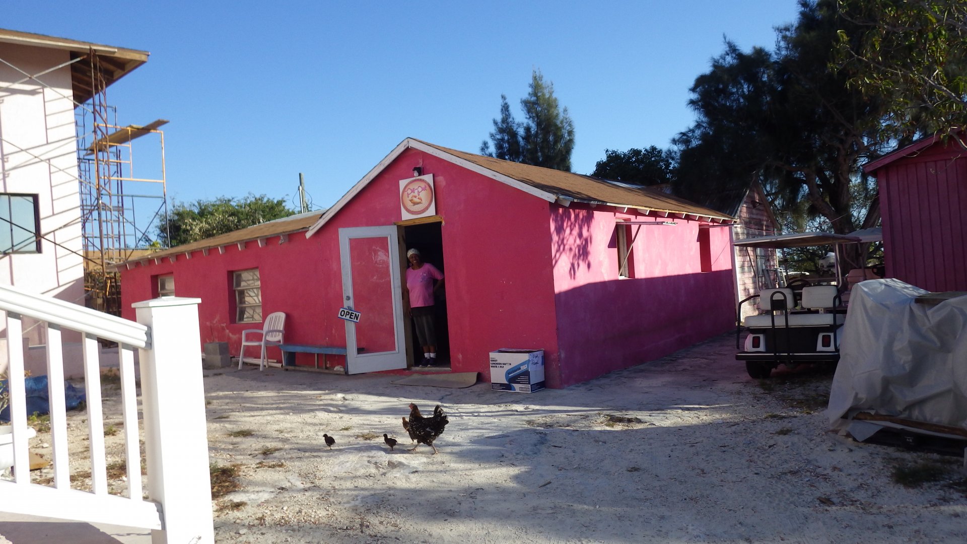
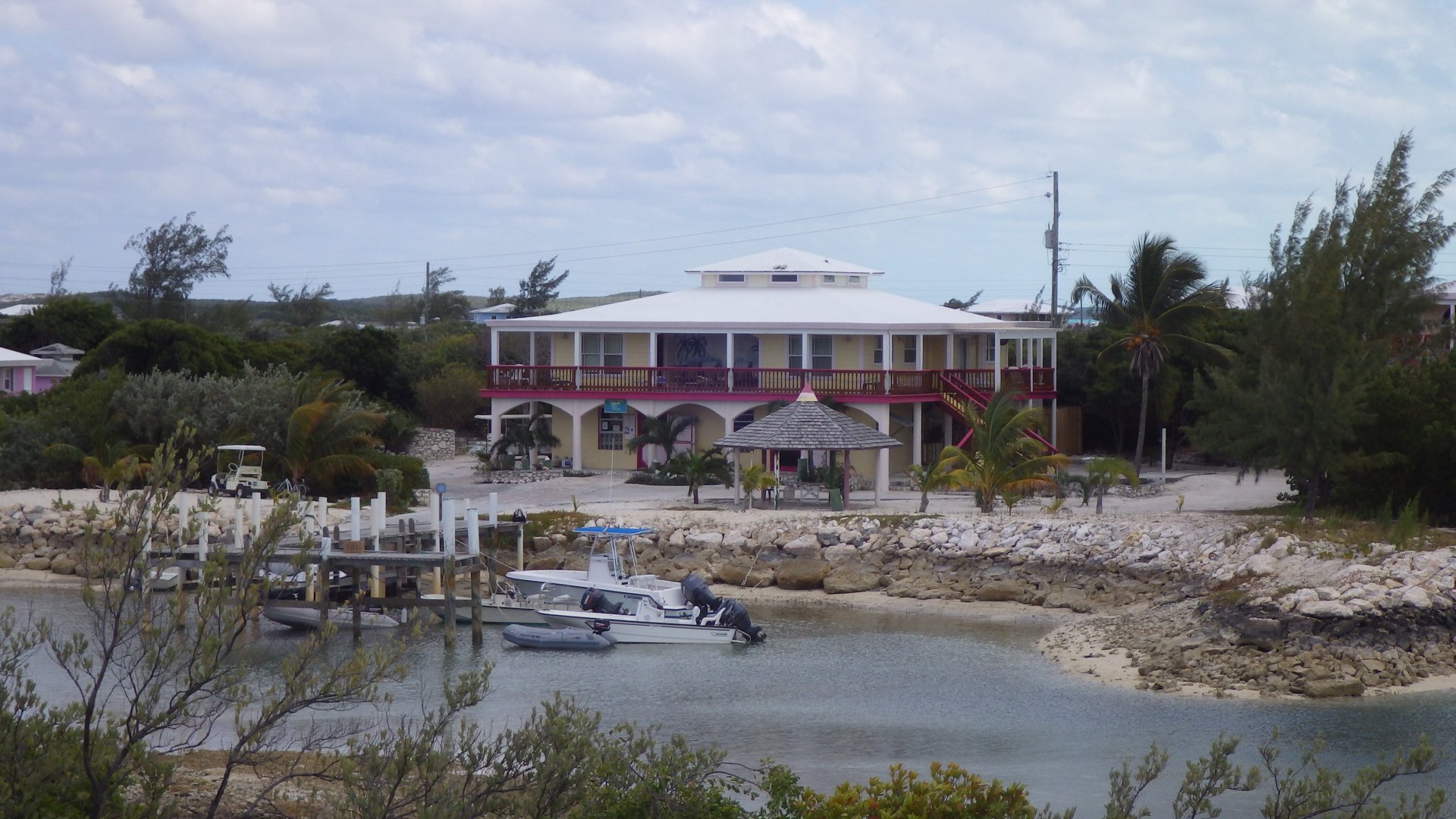
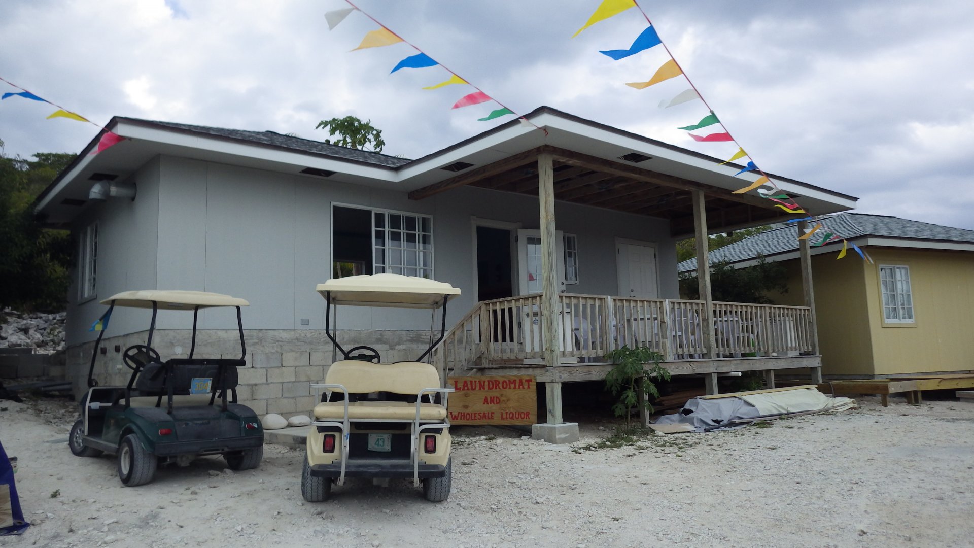
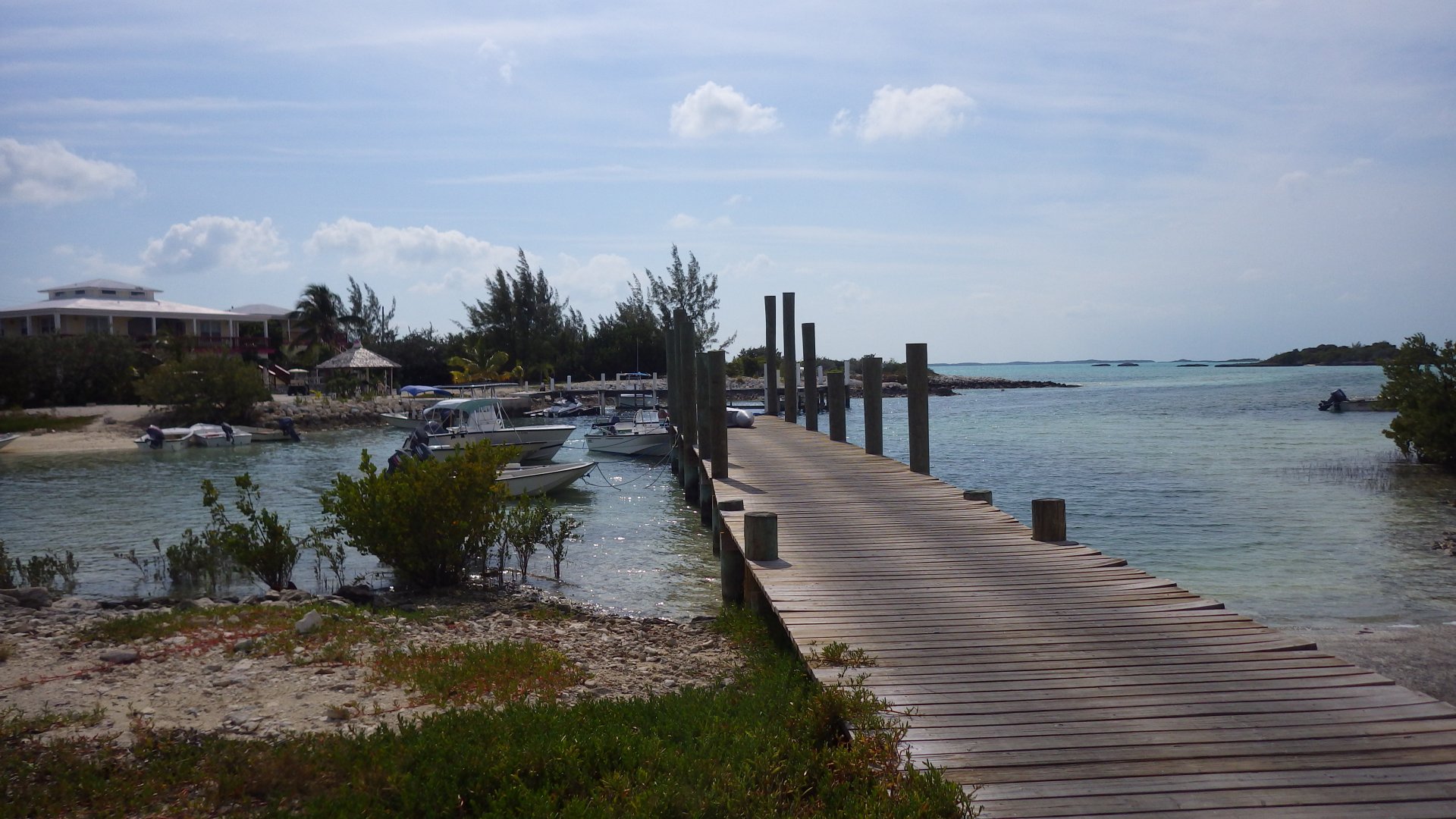
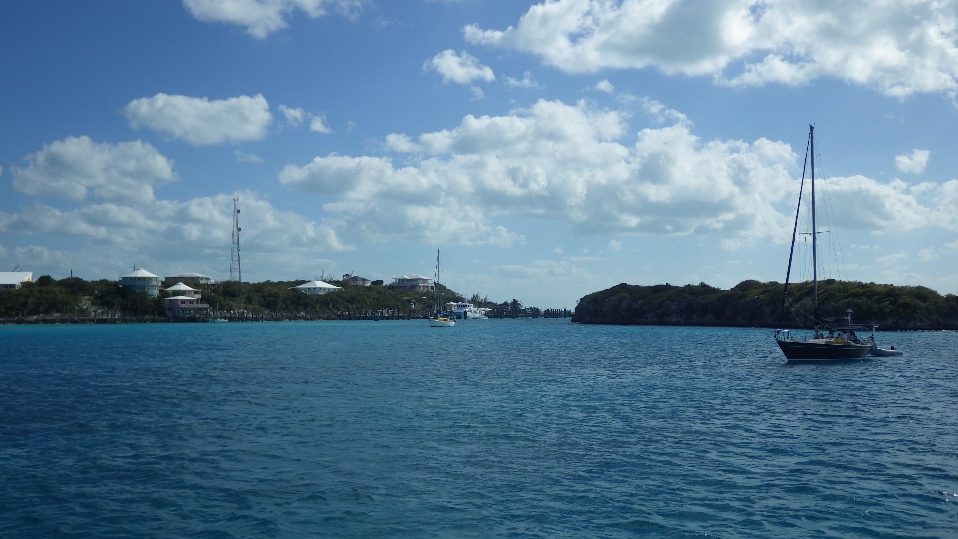
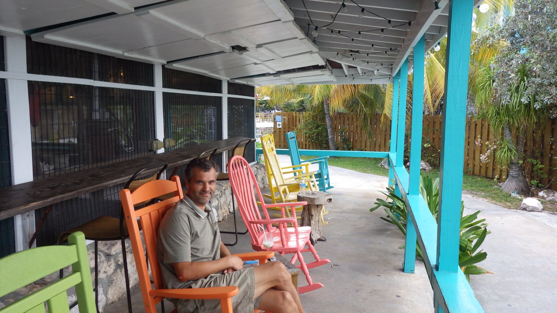
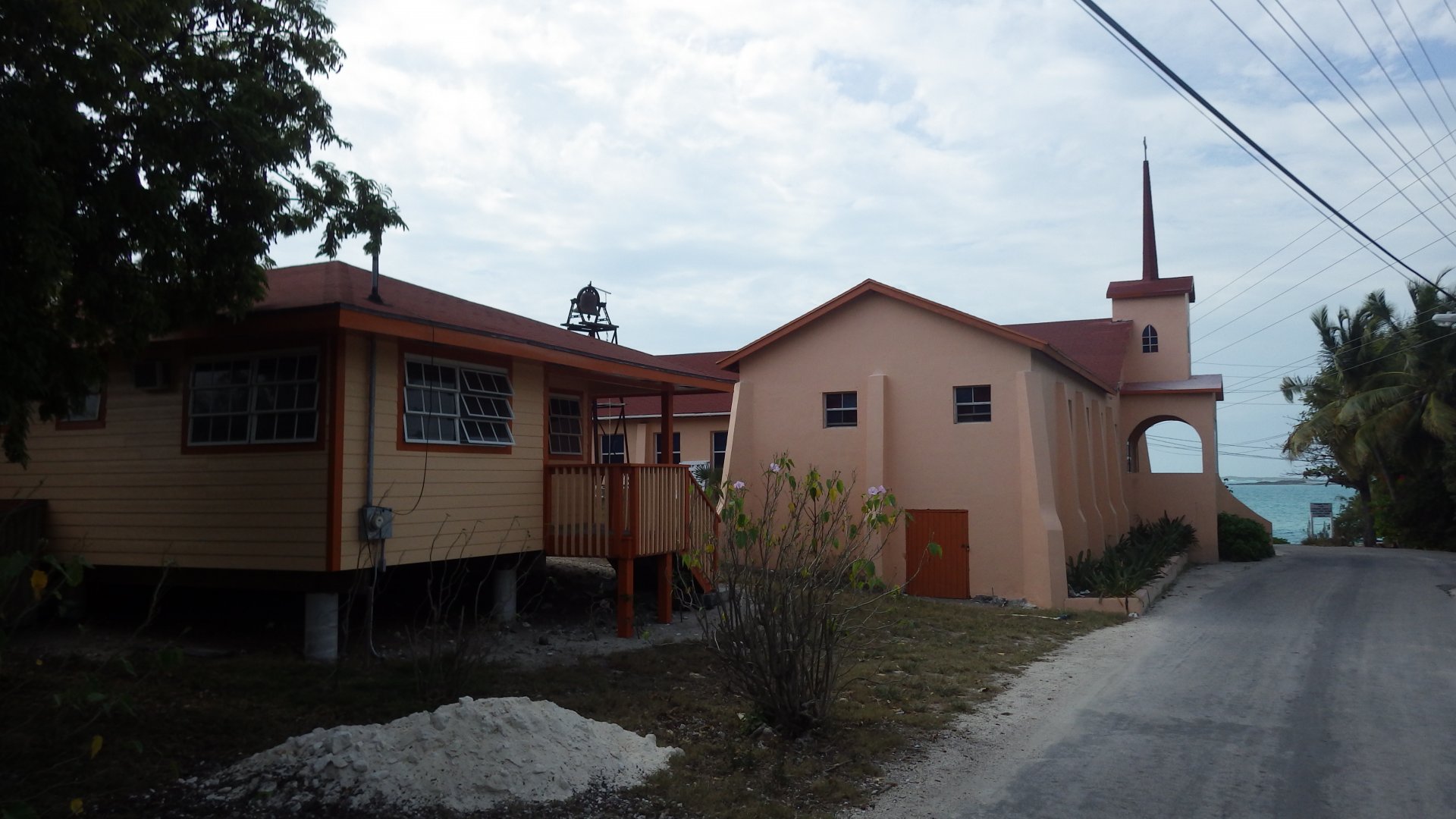
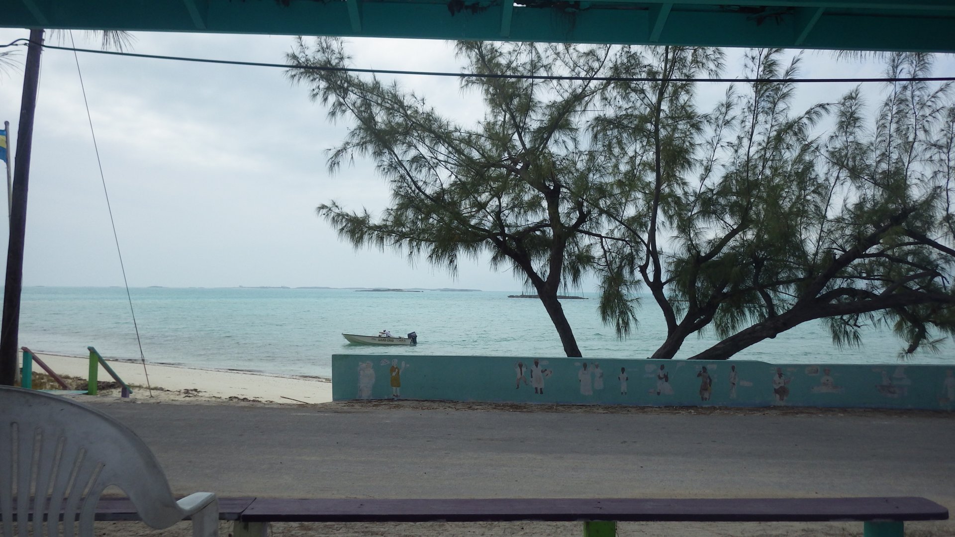
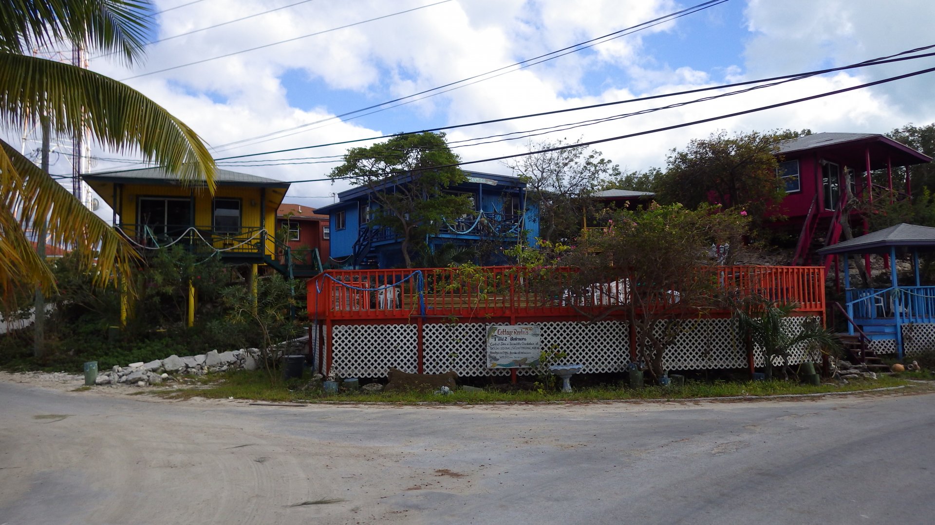
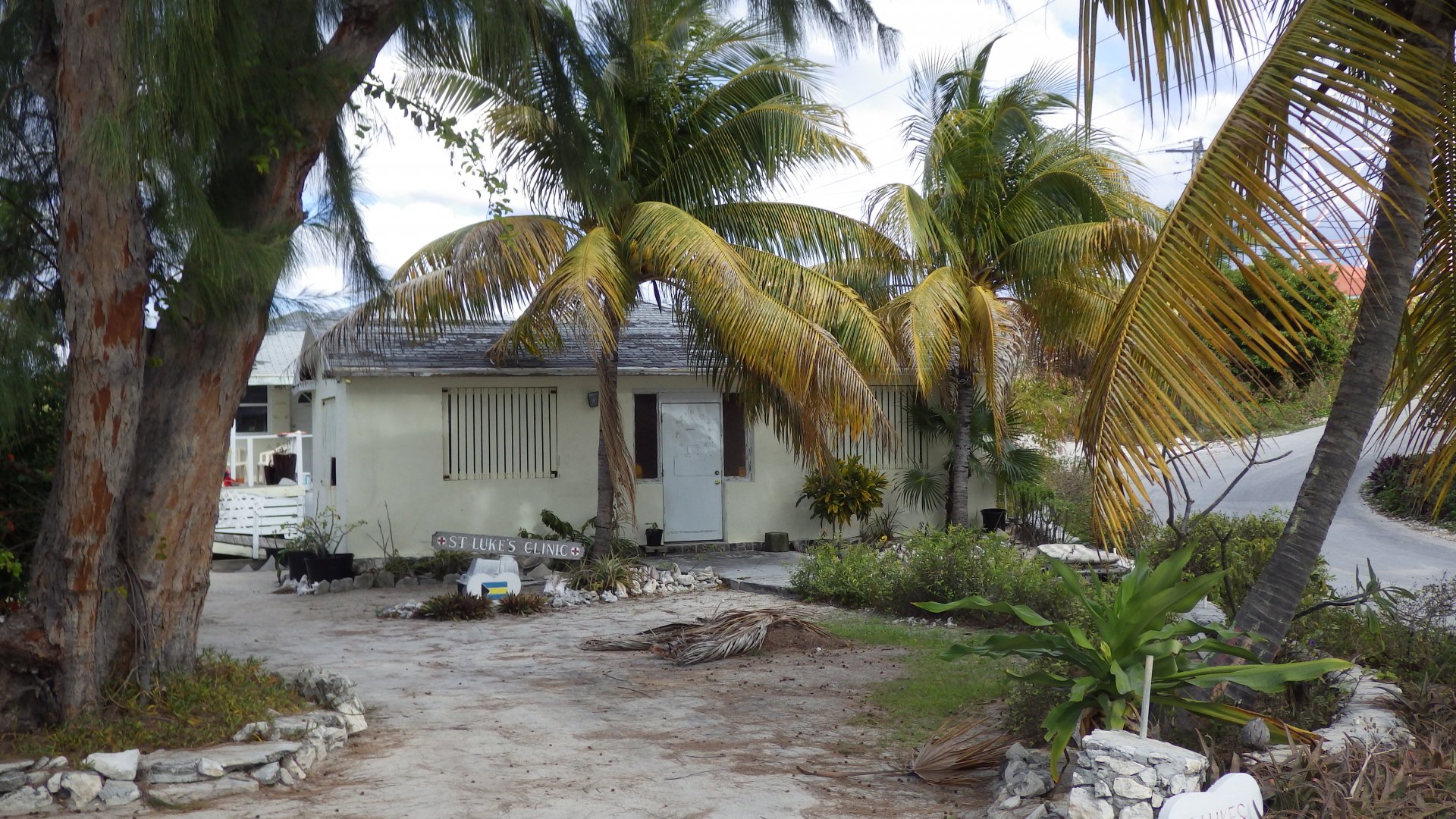
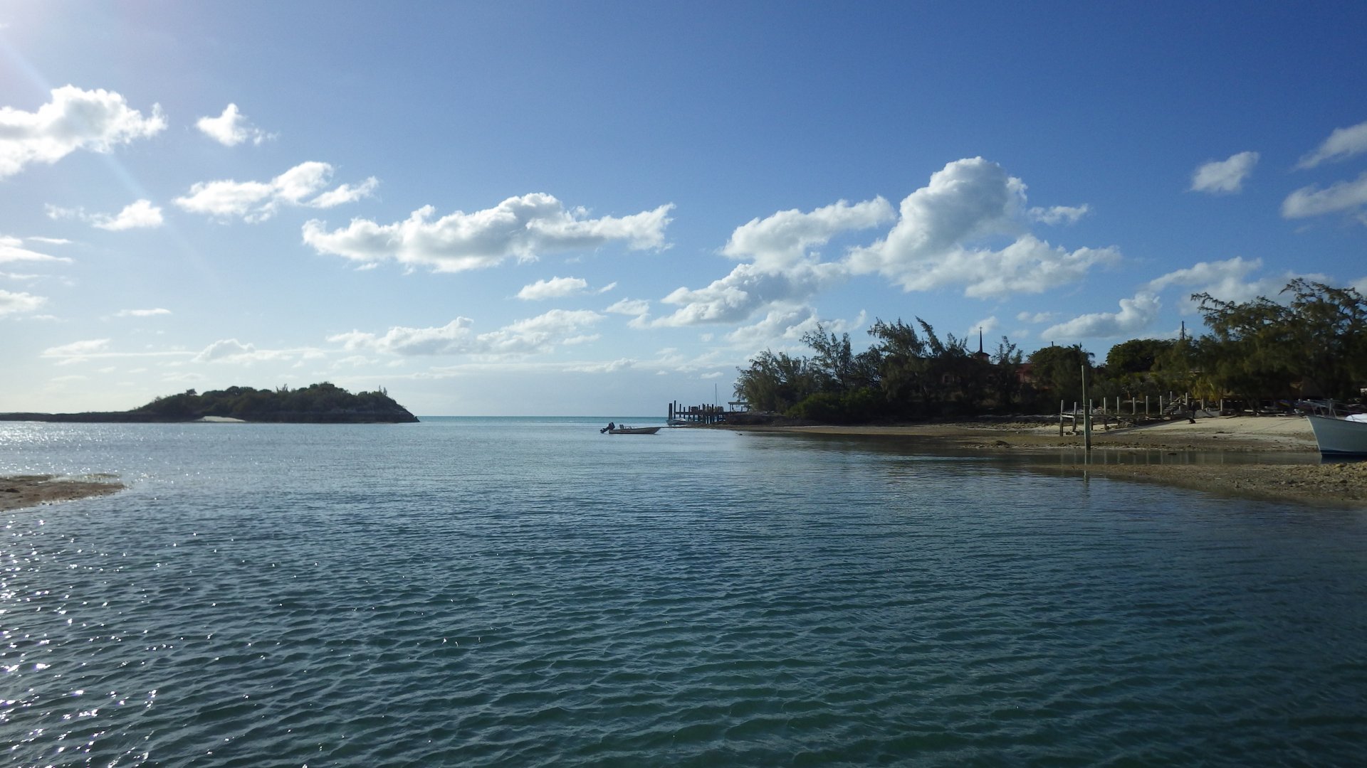
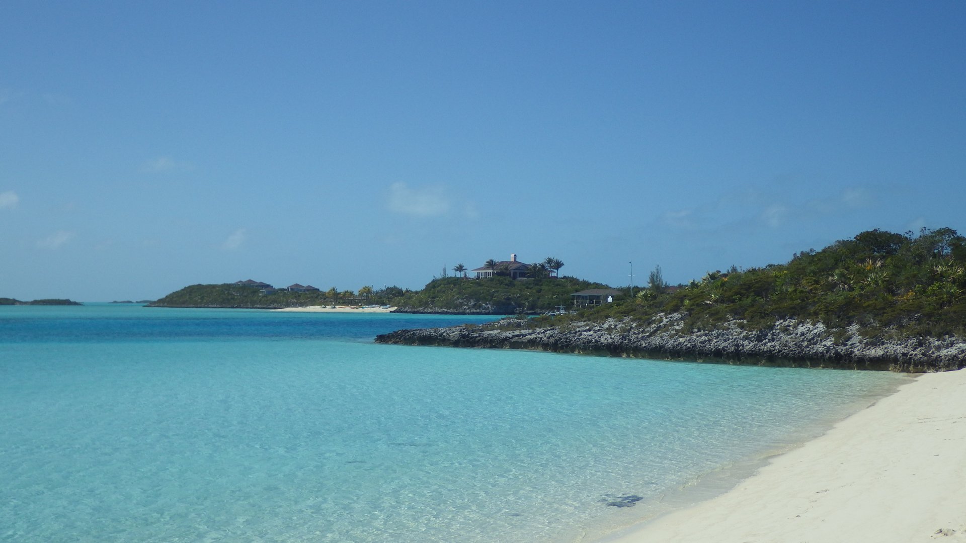
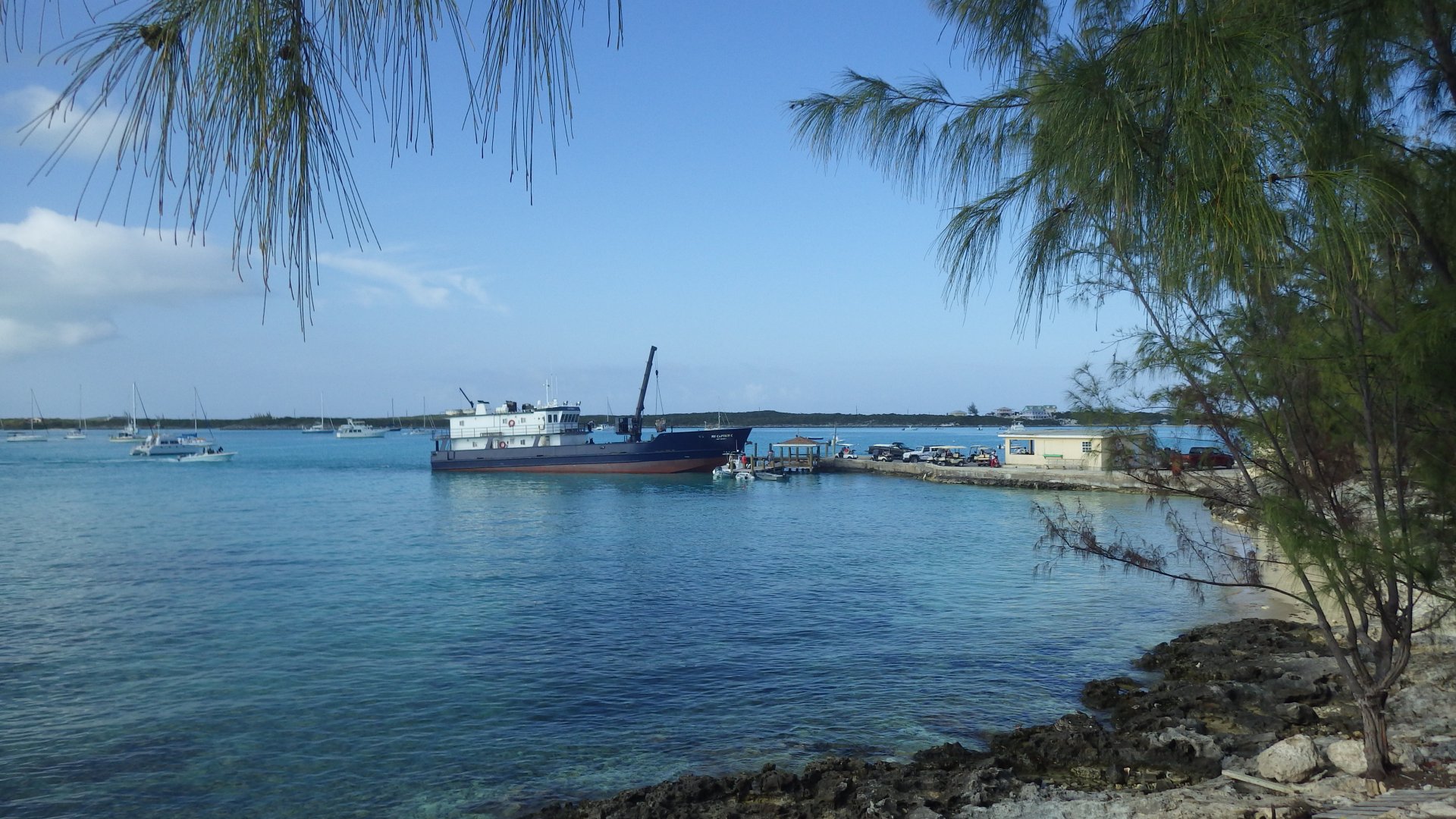
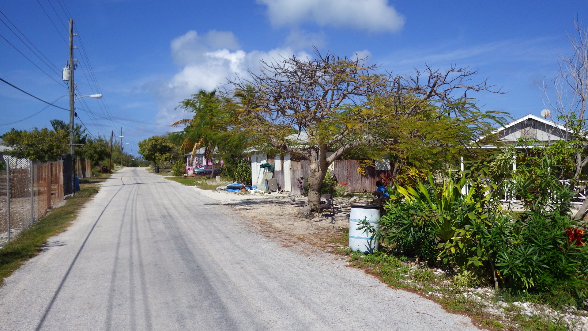
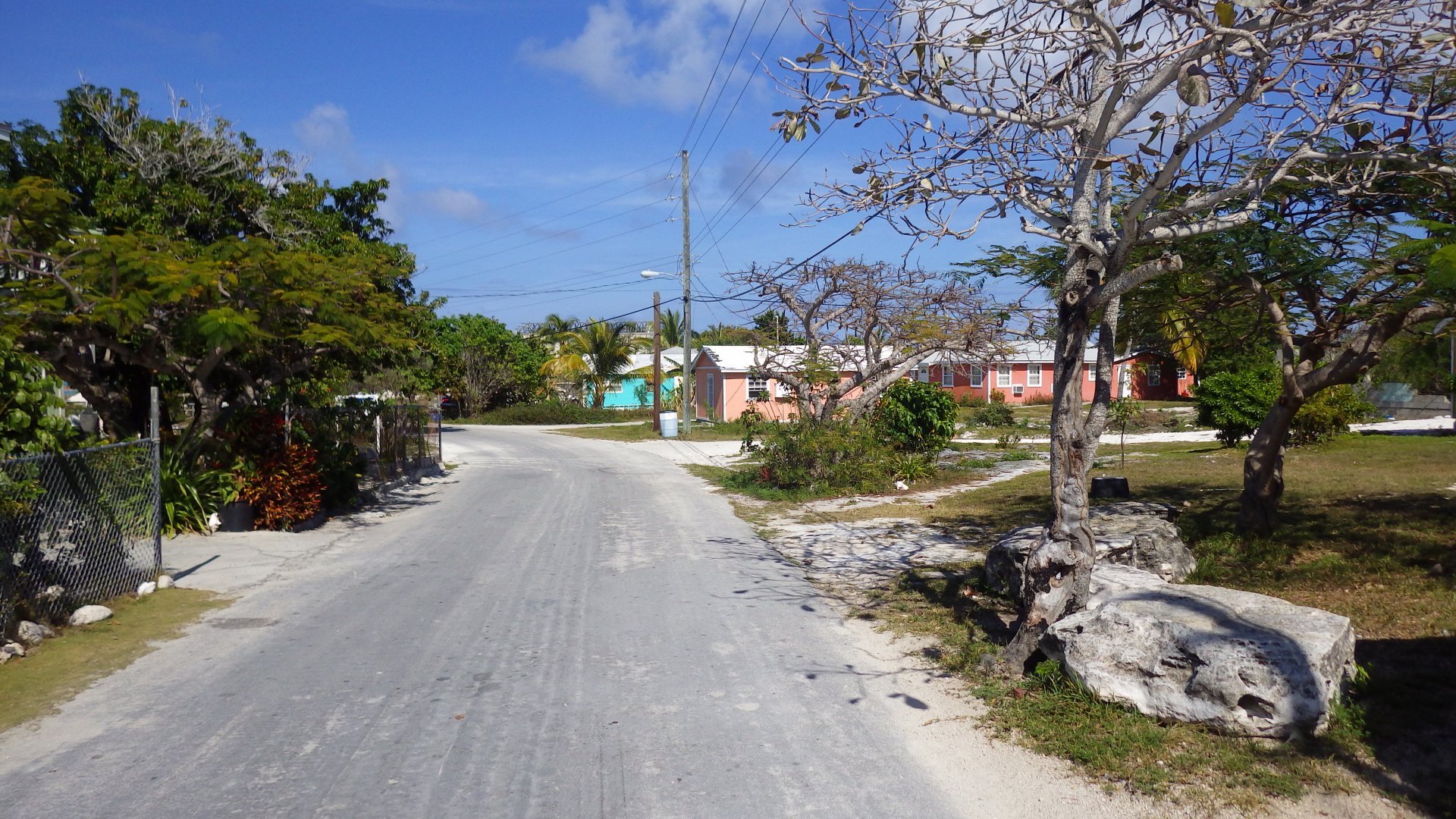
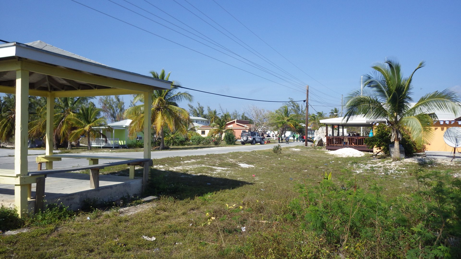
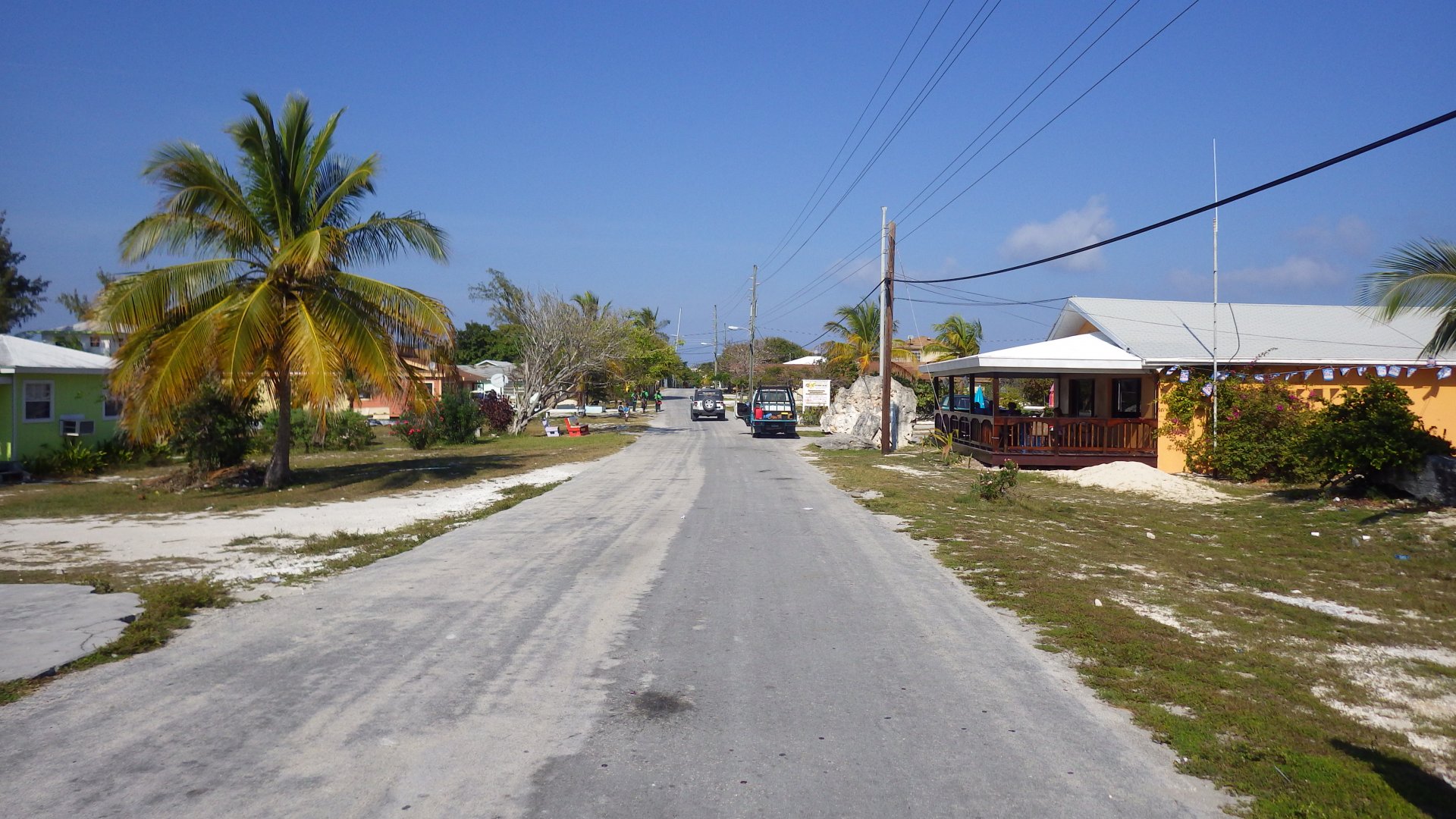
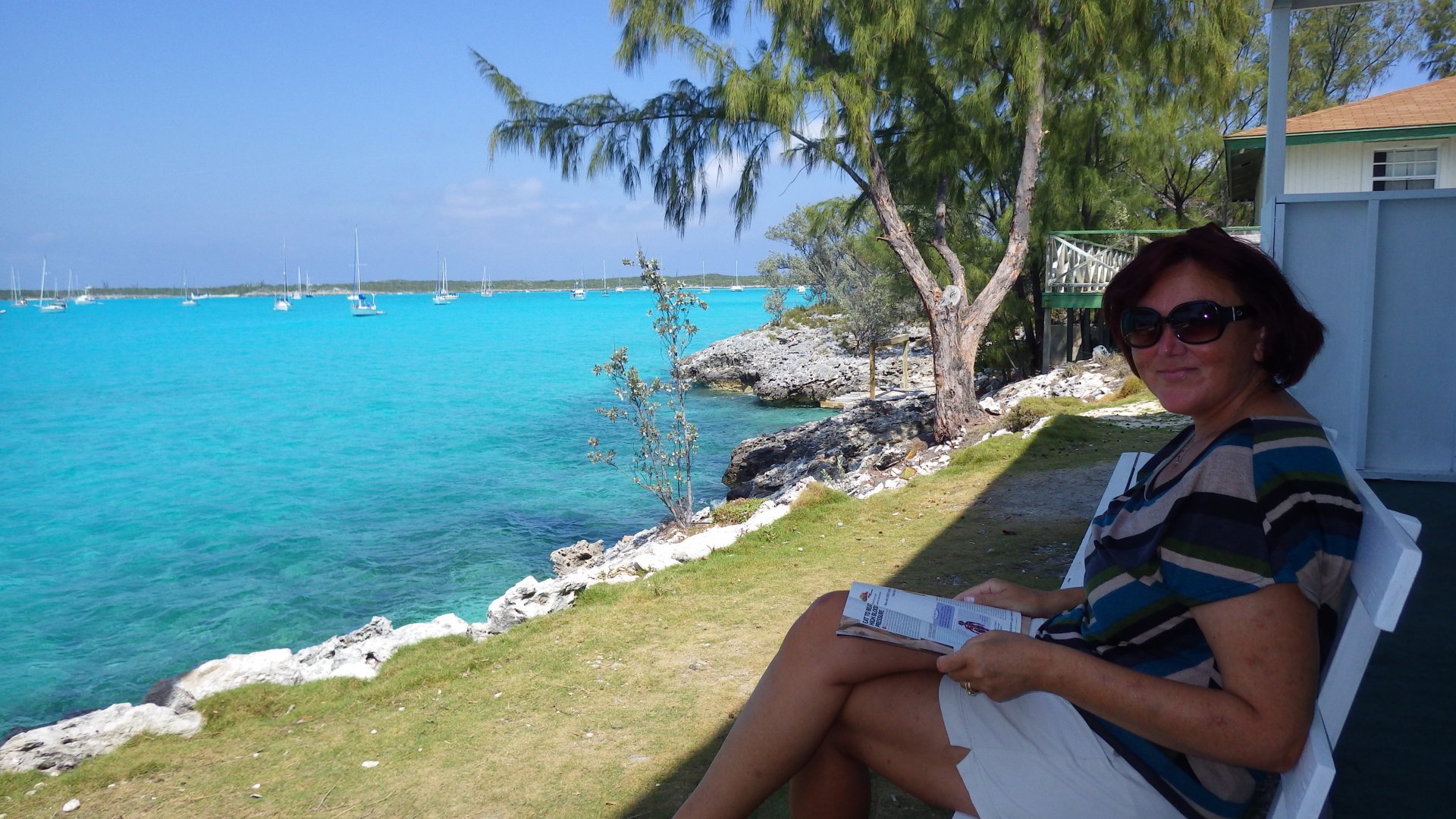
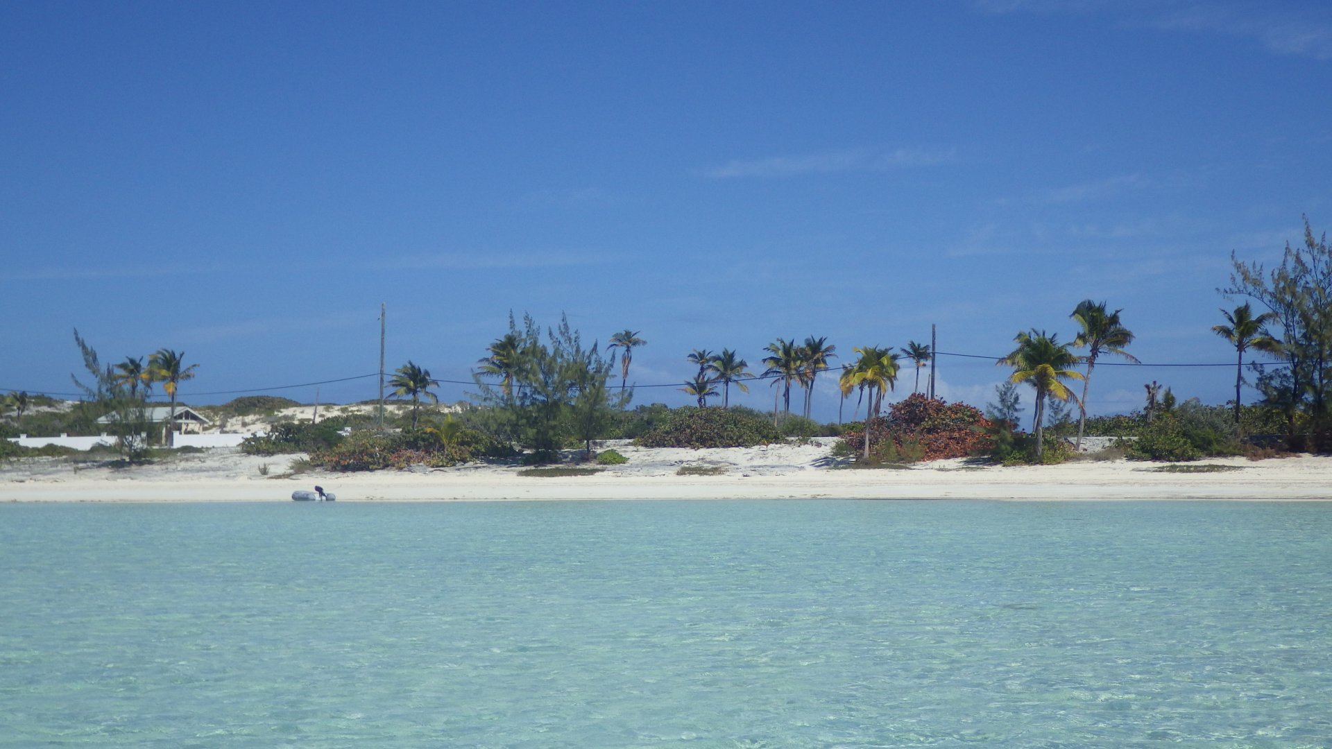
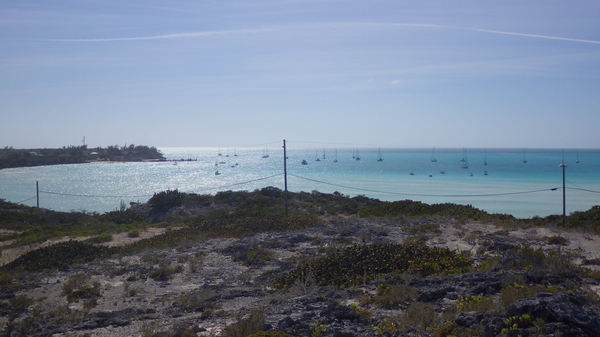
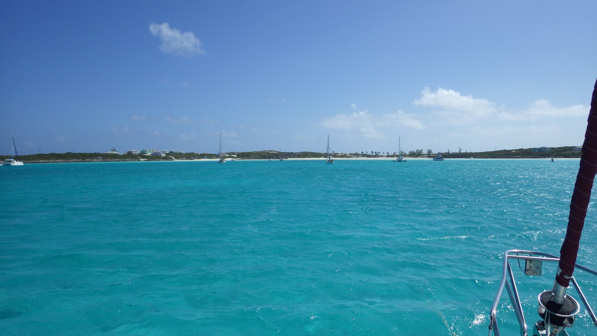
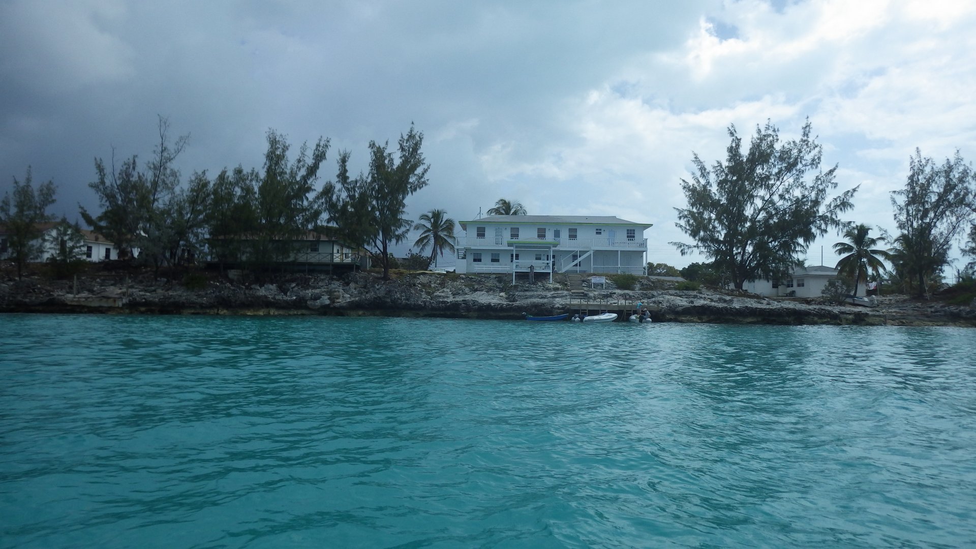
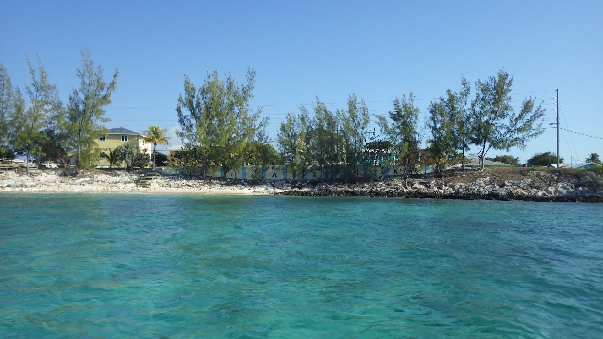
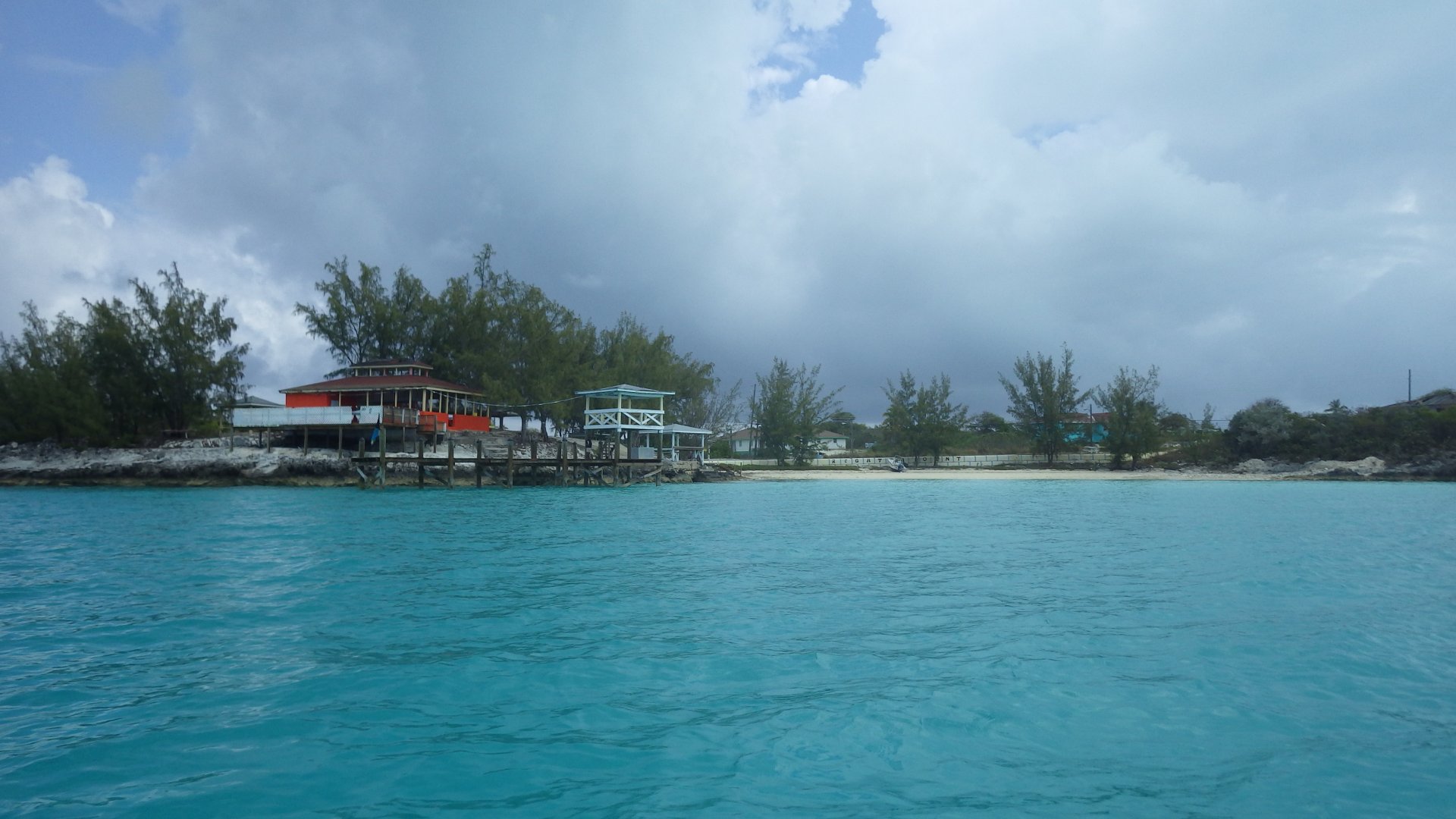
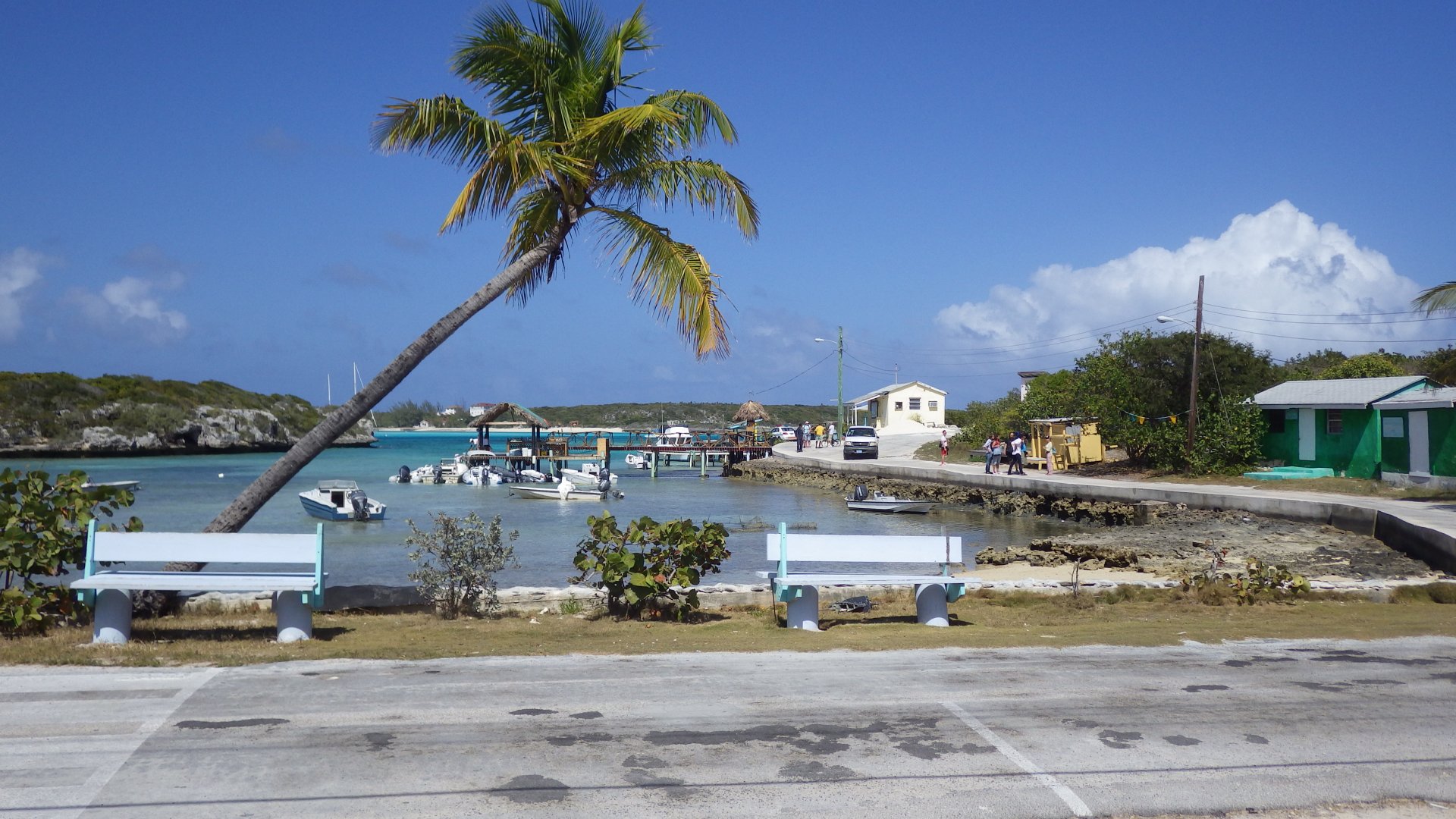
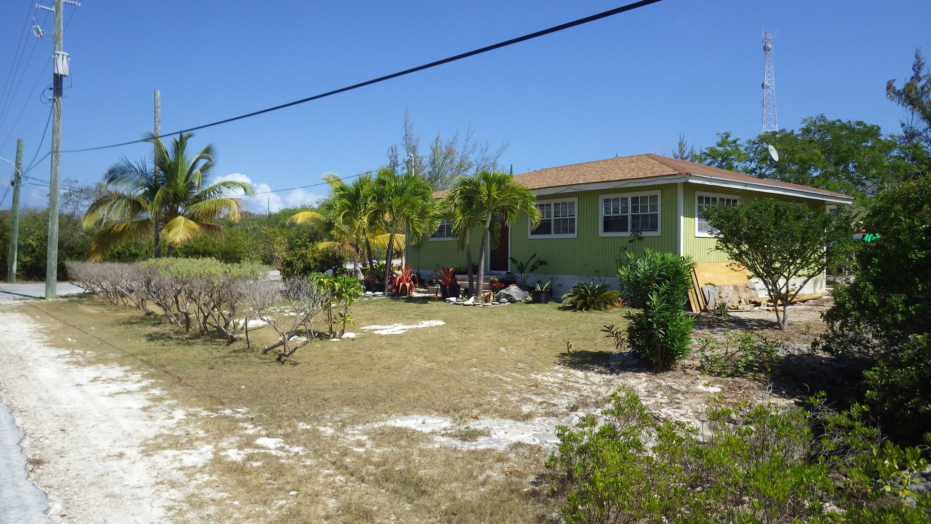
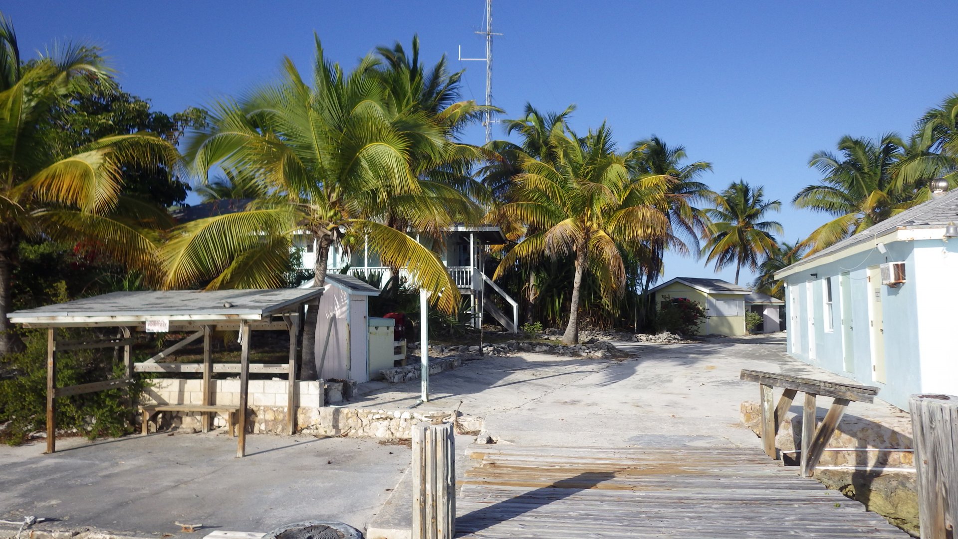
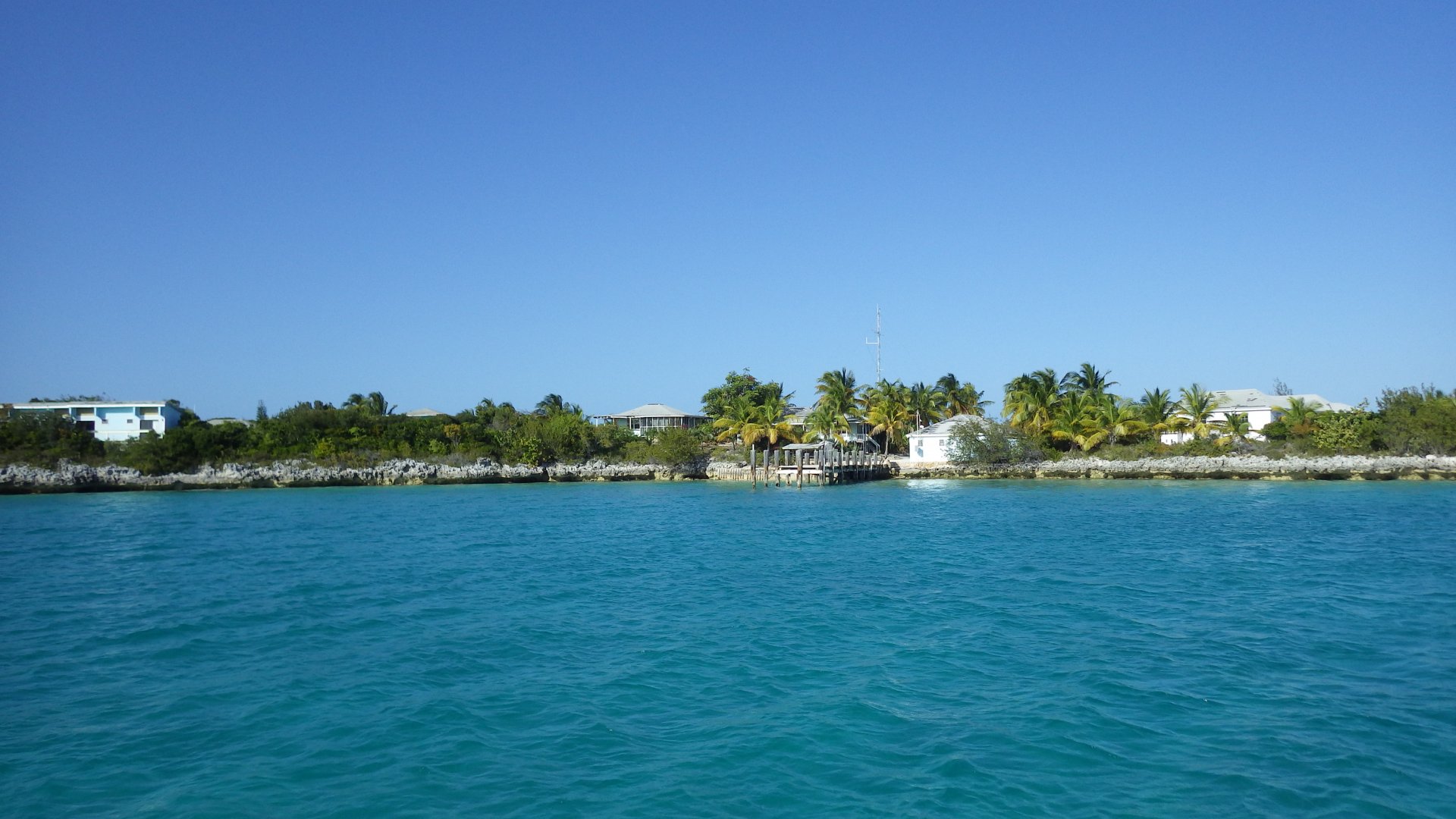
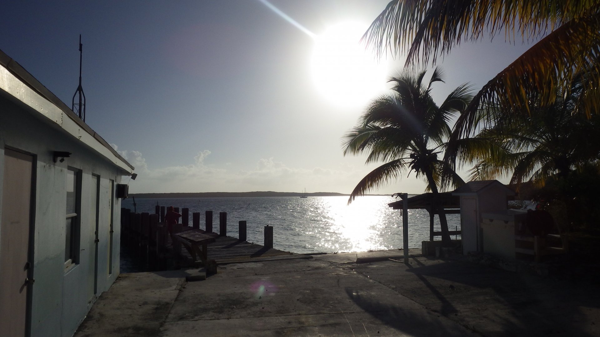
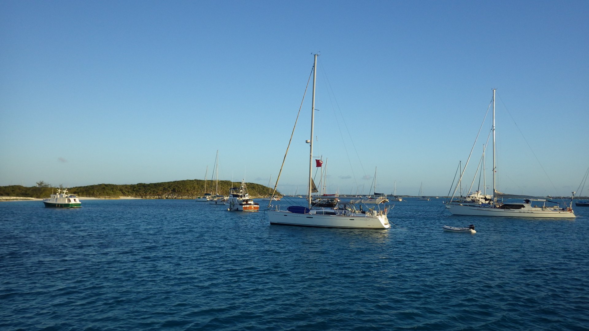
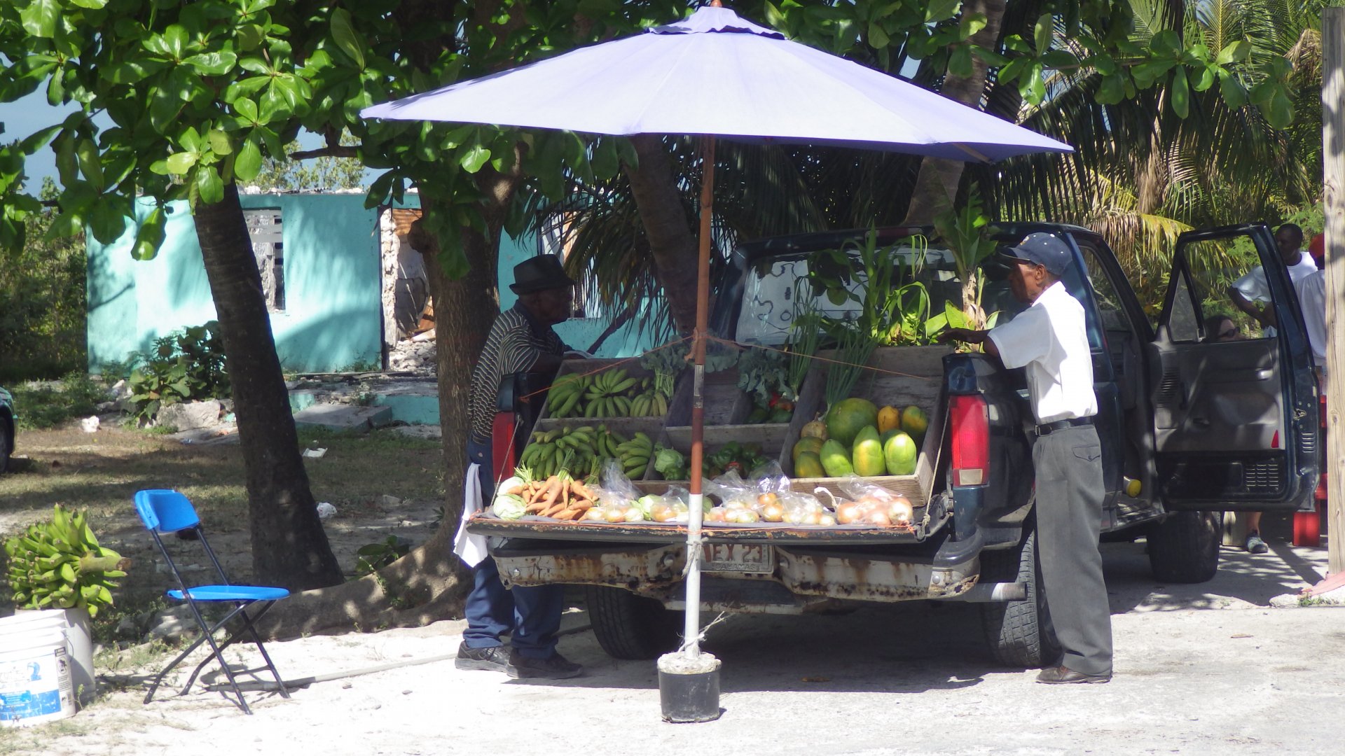
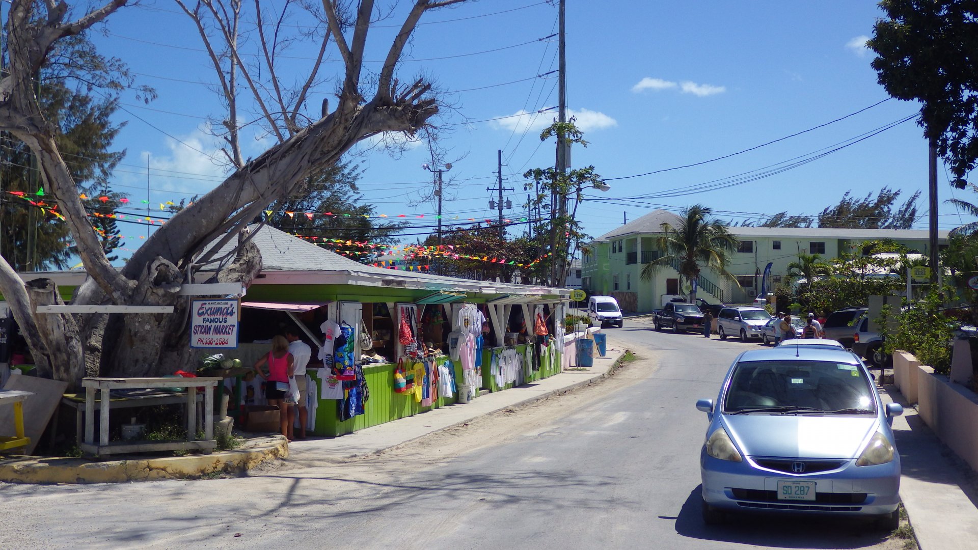
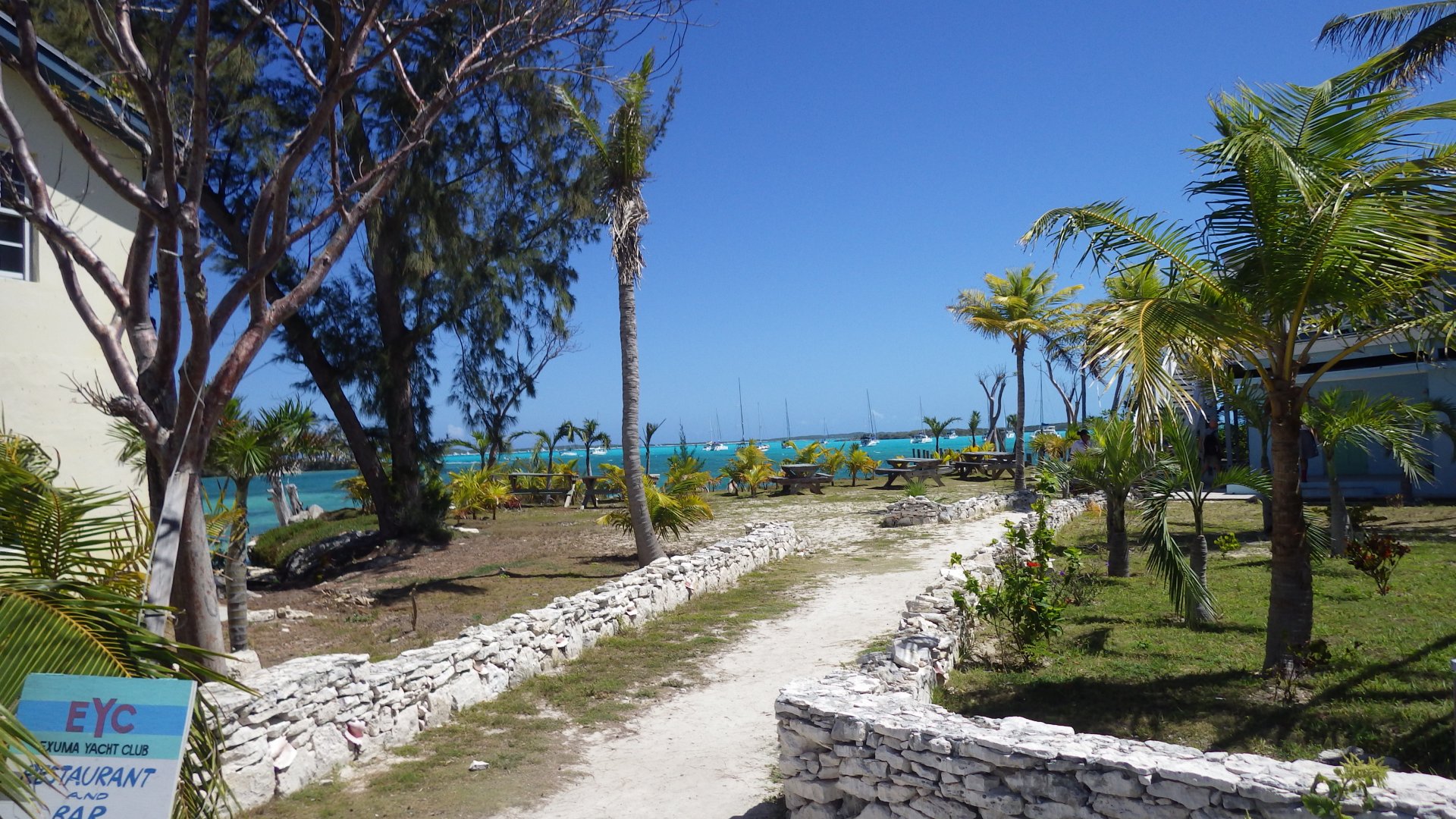
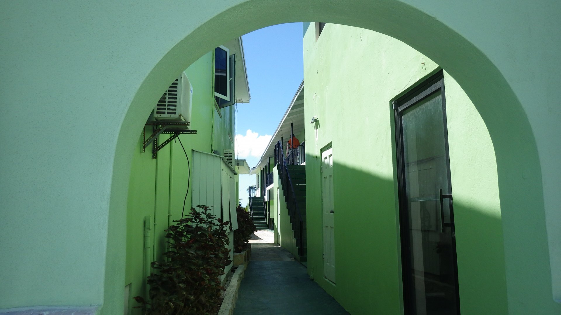
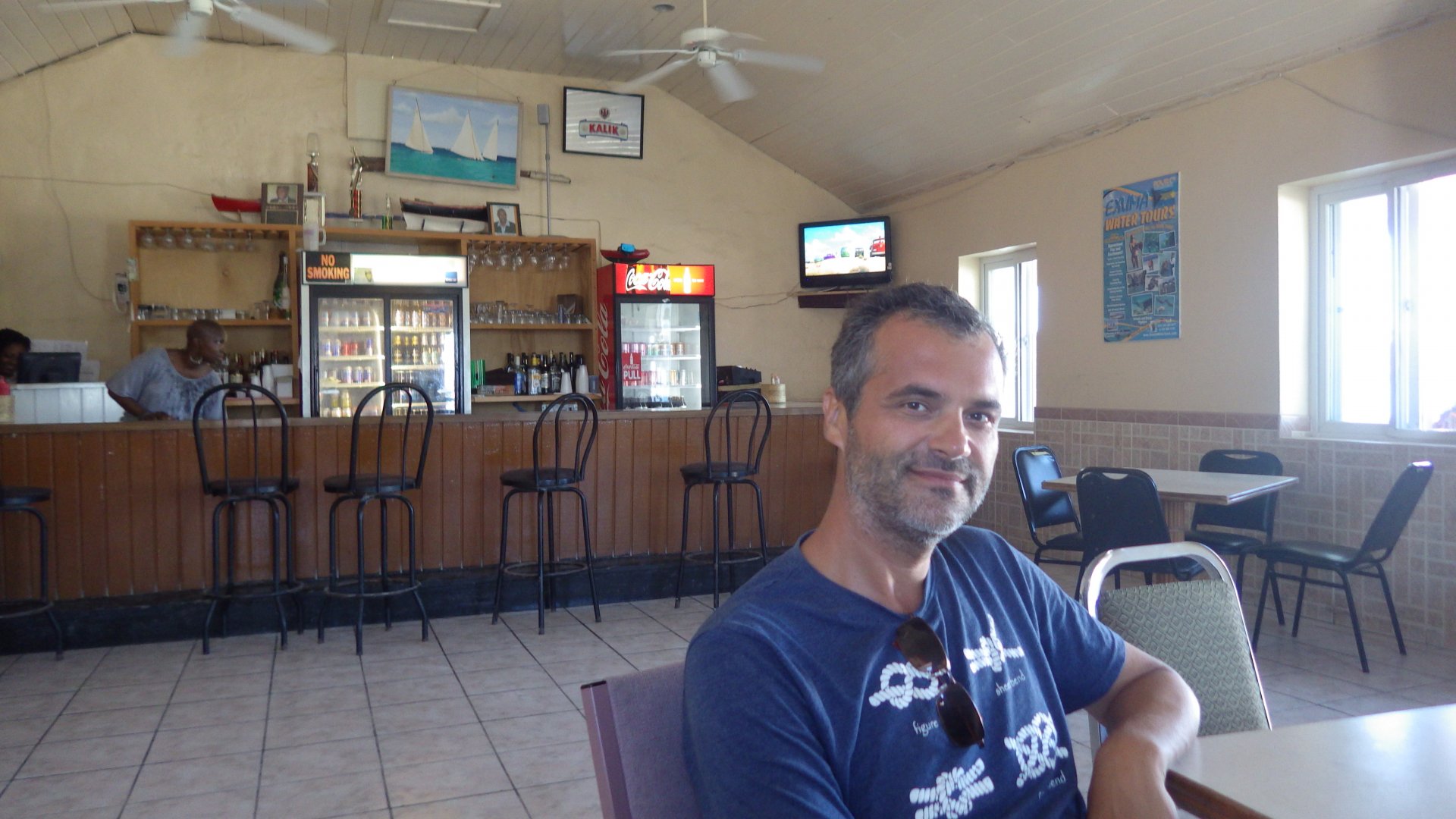
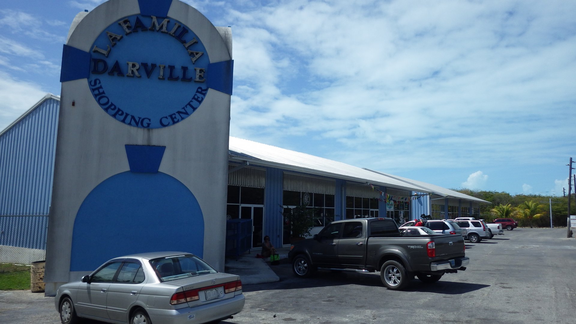
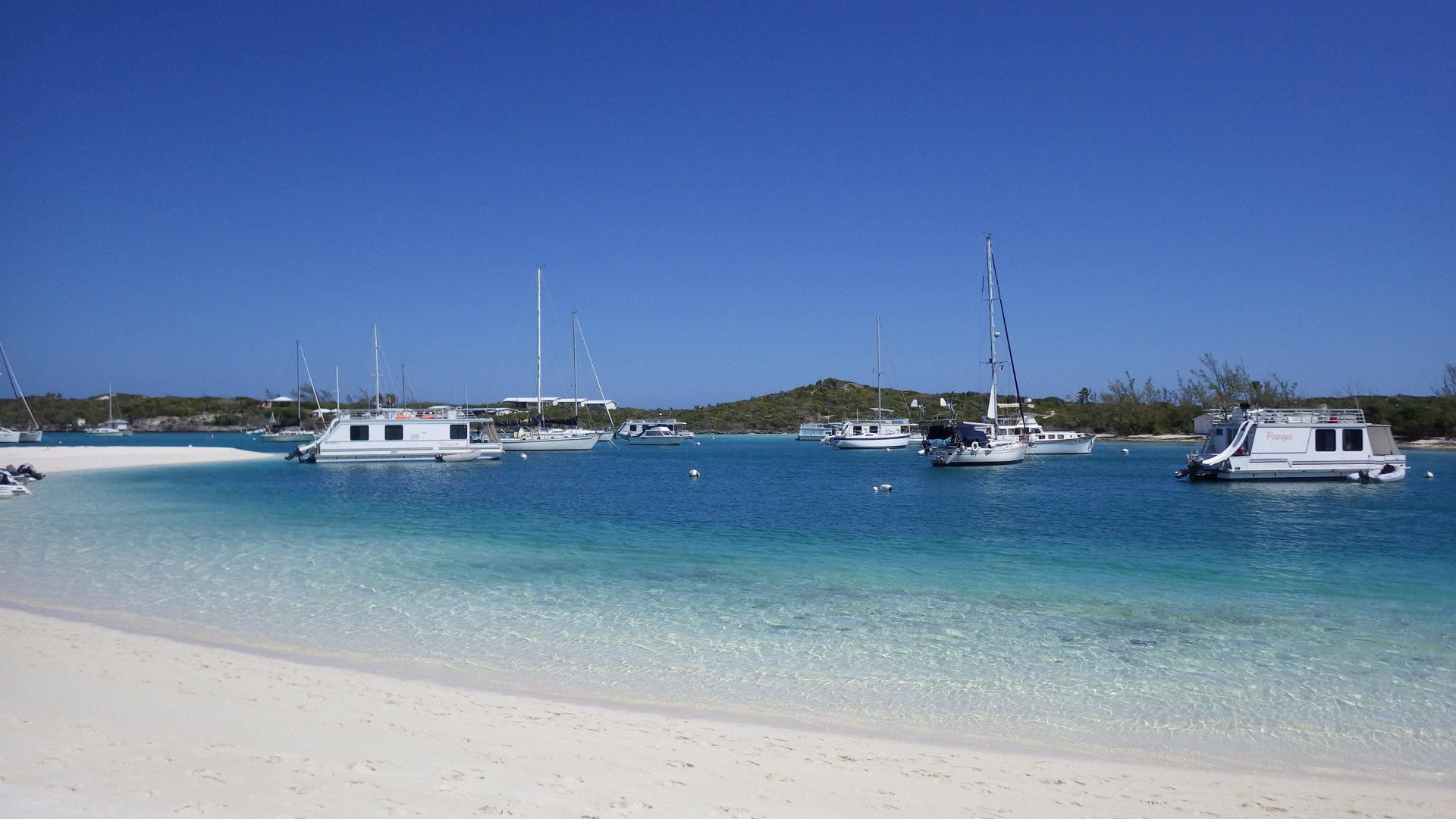
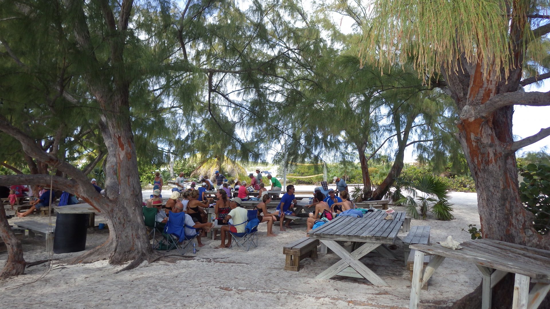
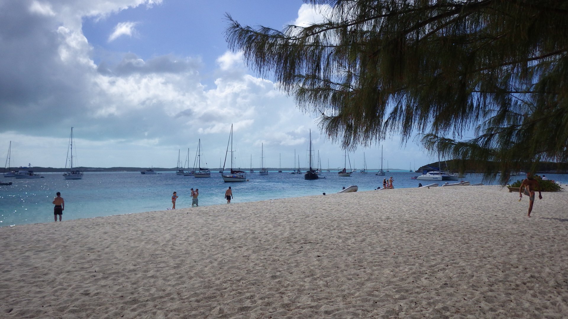
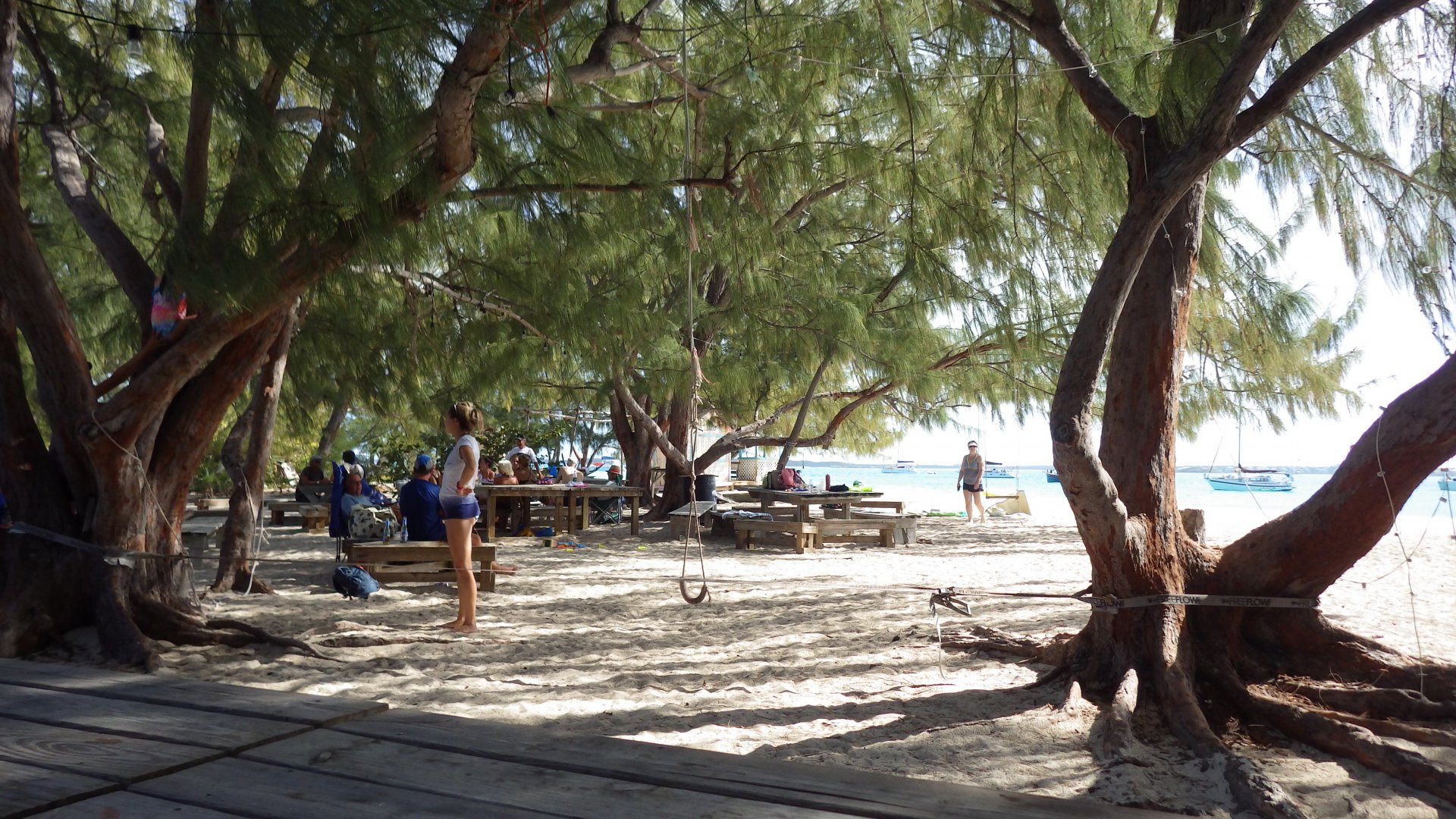
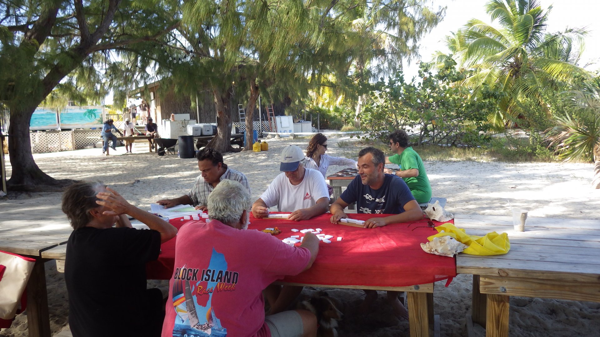
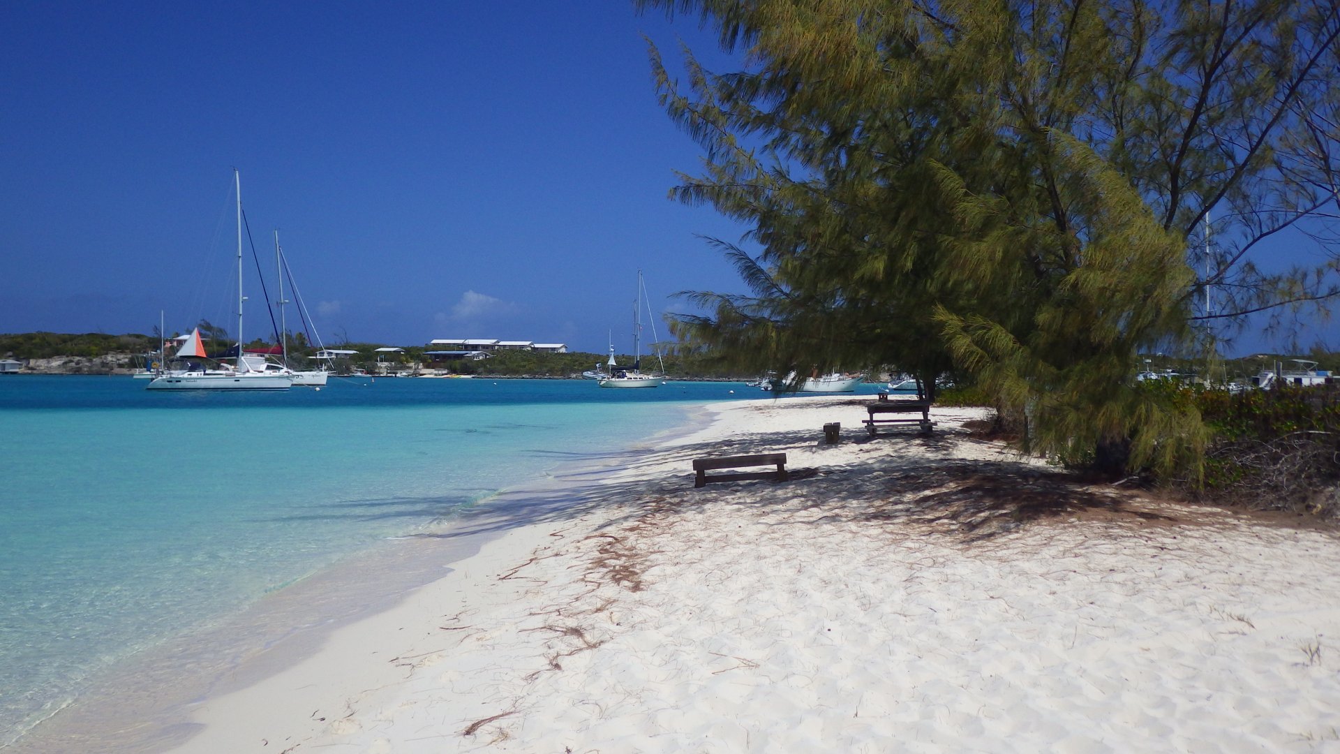
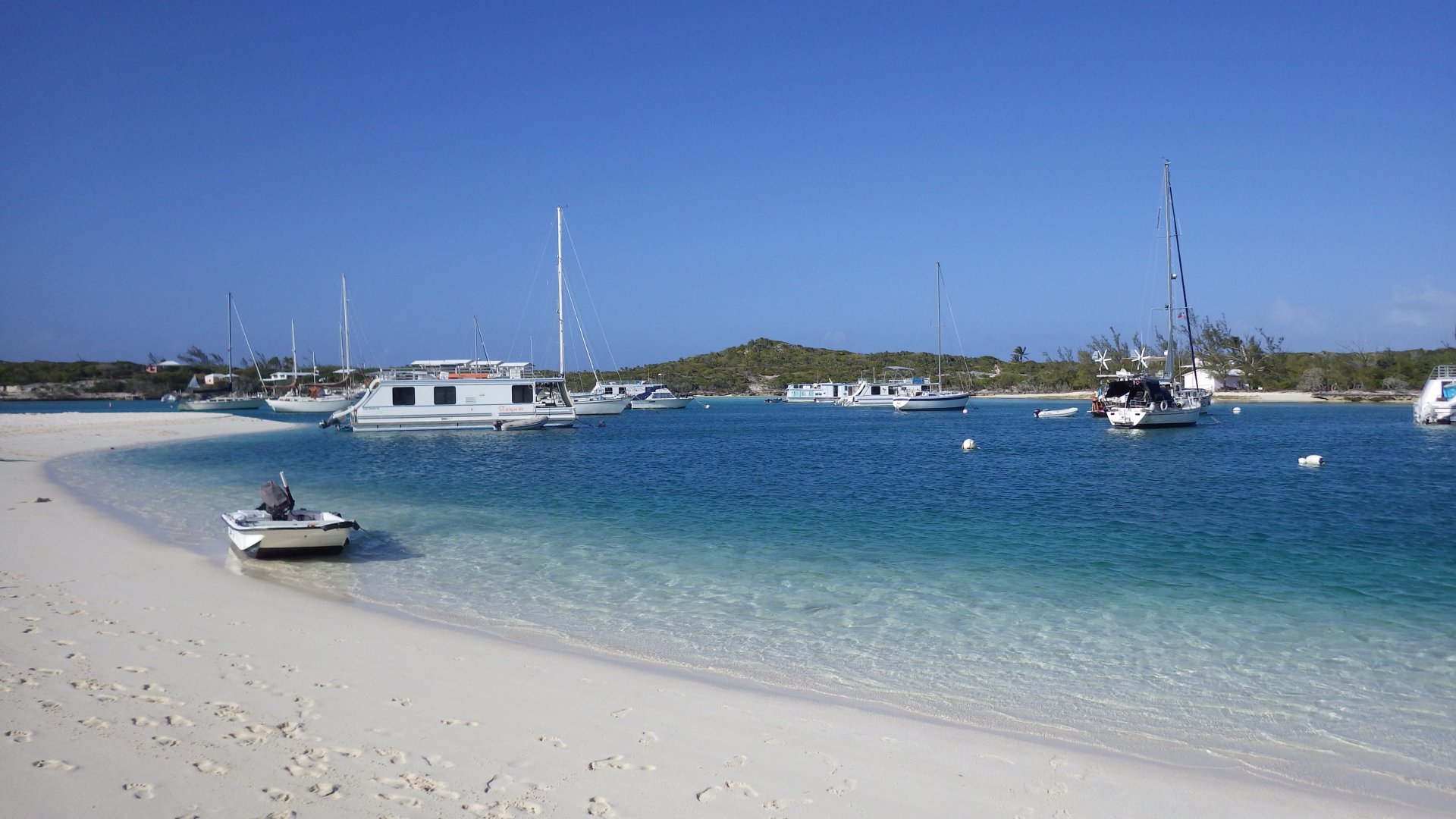
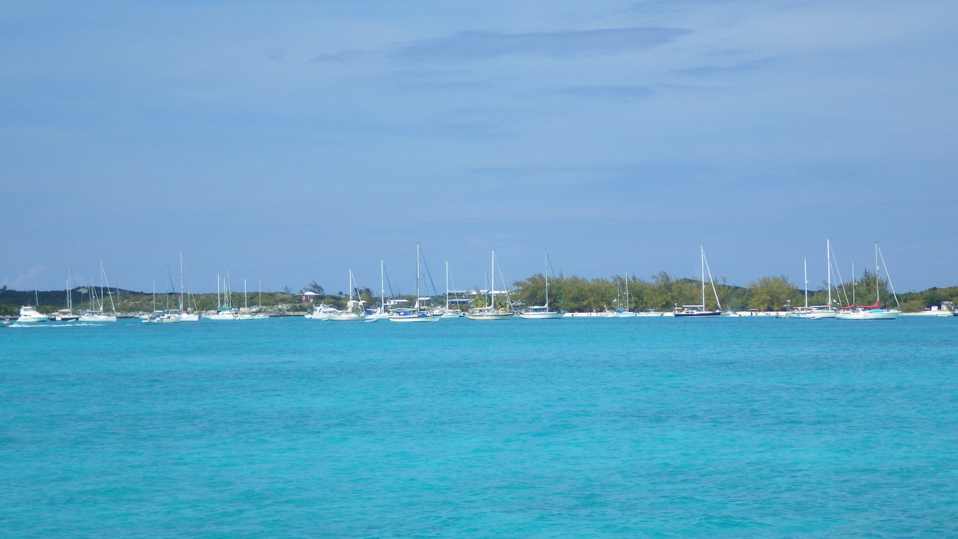
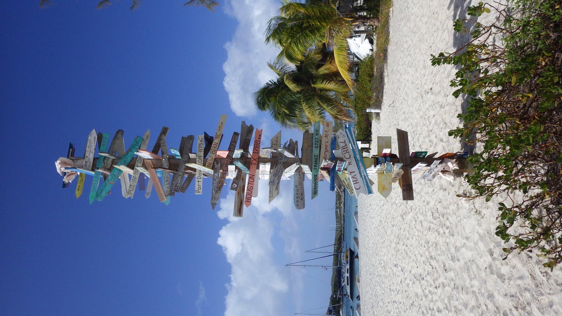
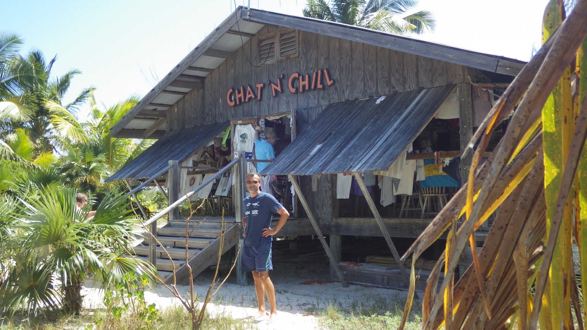
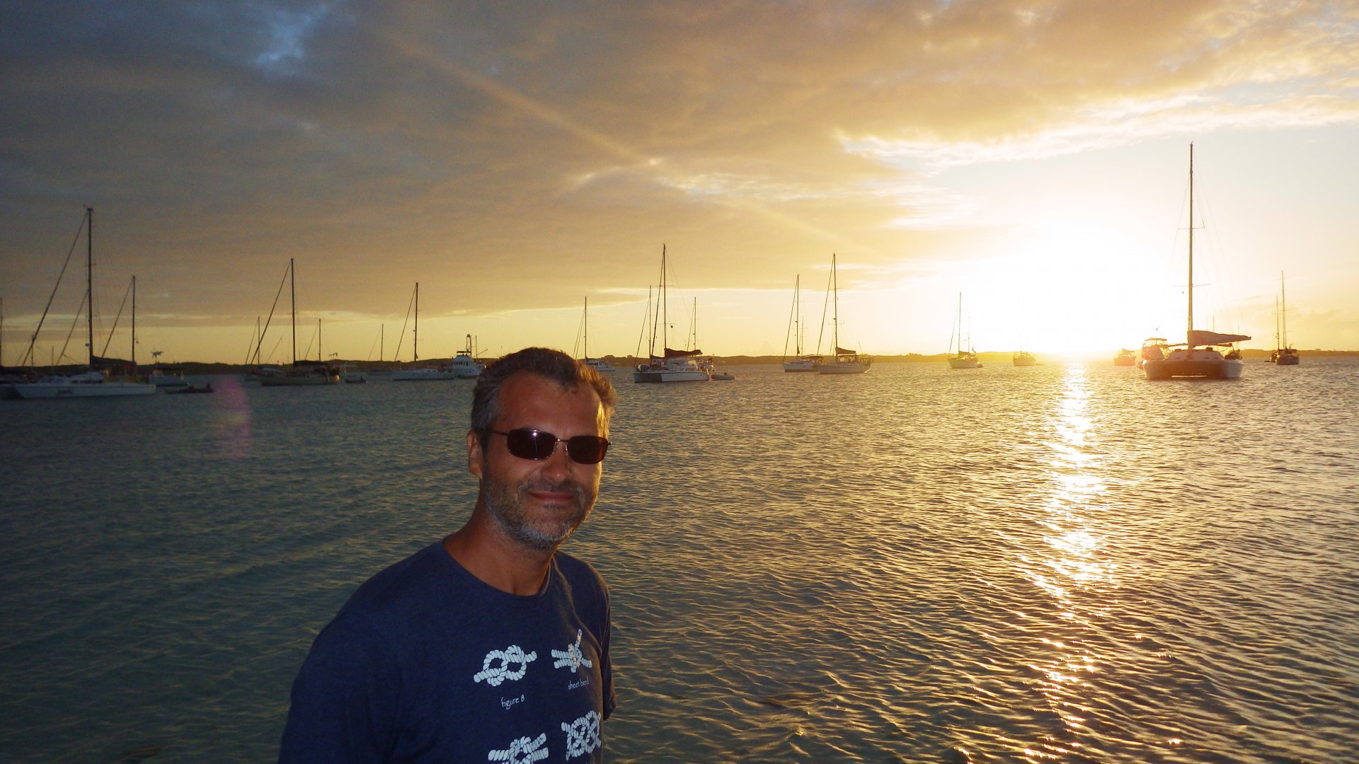
Staniel Cay is the first settlement we have encountered in the Exumas where there are some services available and cruisers like us are hanging around - it has a yacht club/marina, some provisioning (Blue, Pink and Isles stores), airport, restaurant, couple bars, laundromat, other basic facilities.
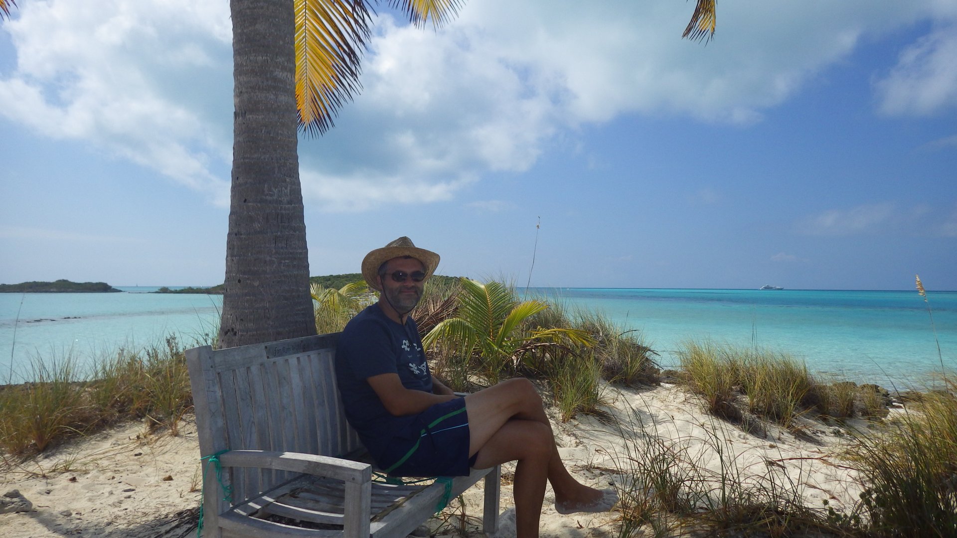
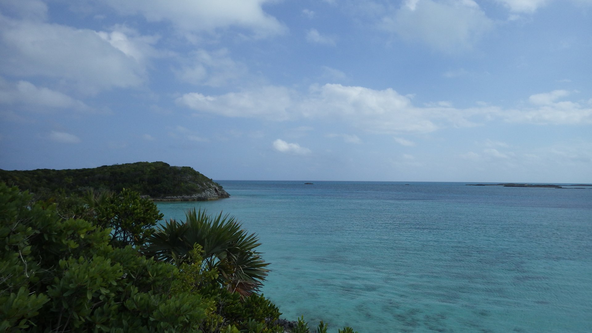
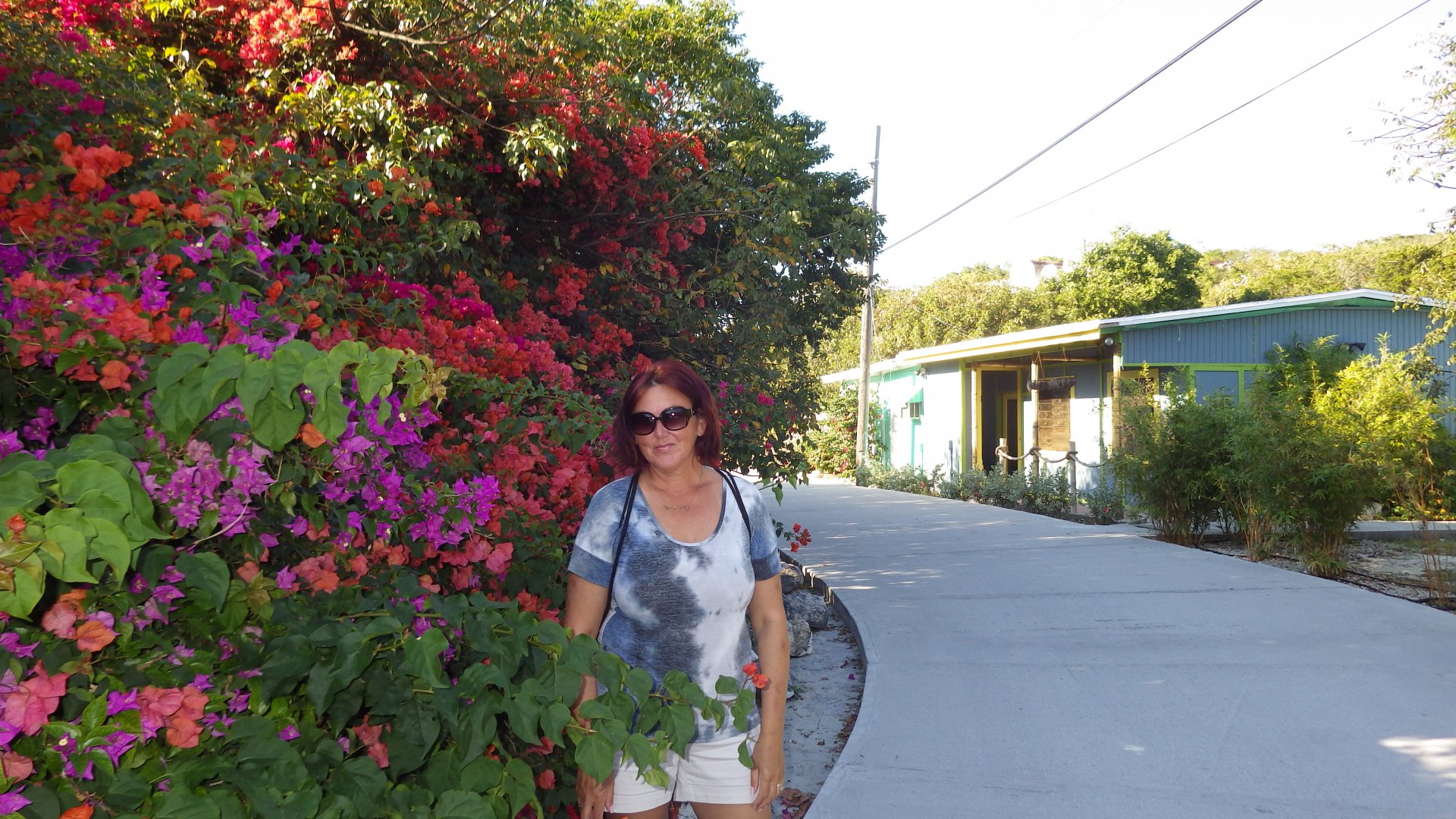
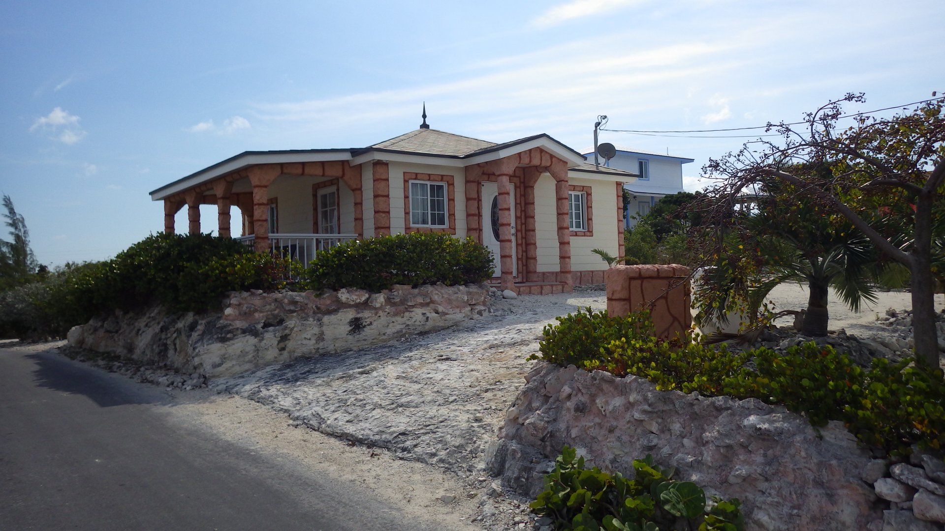
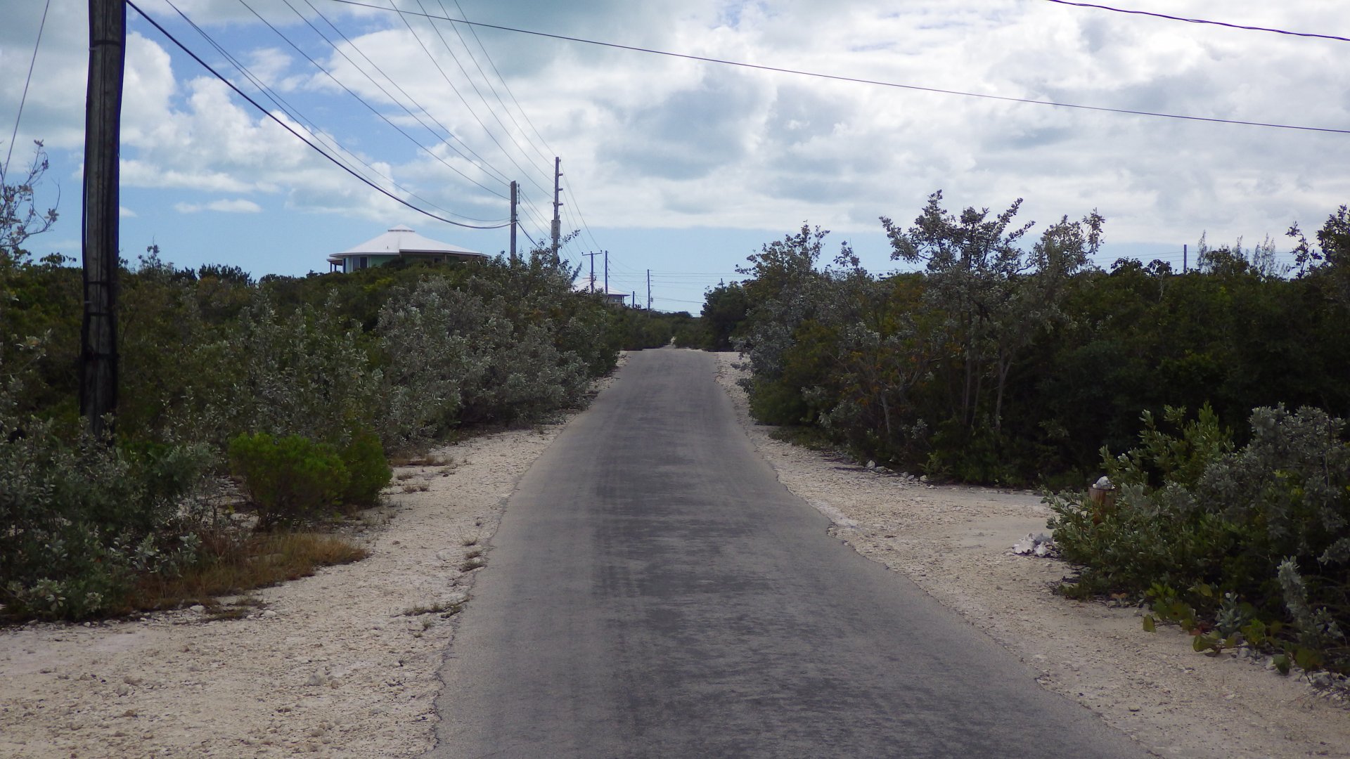
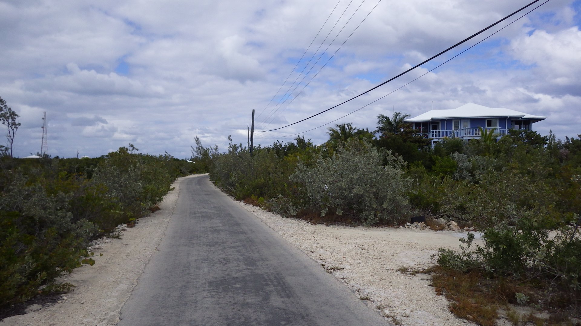
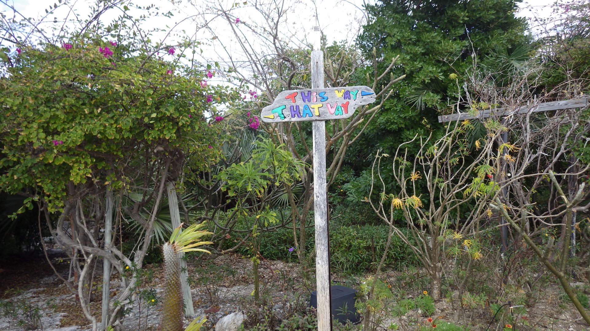
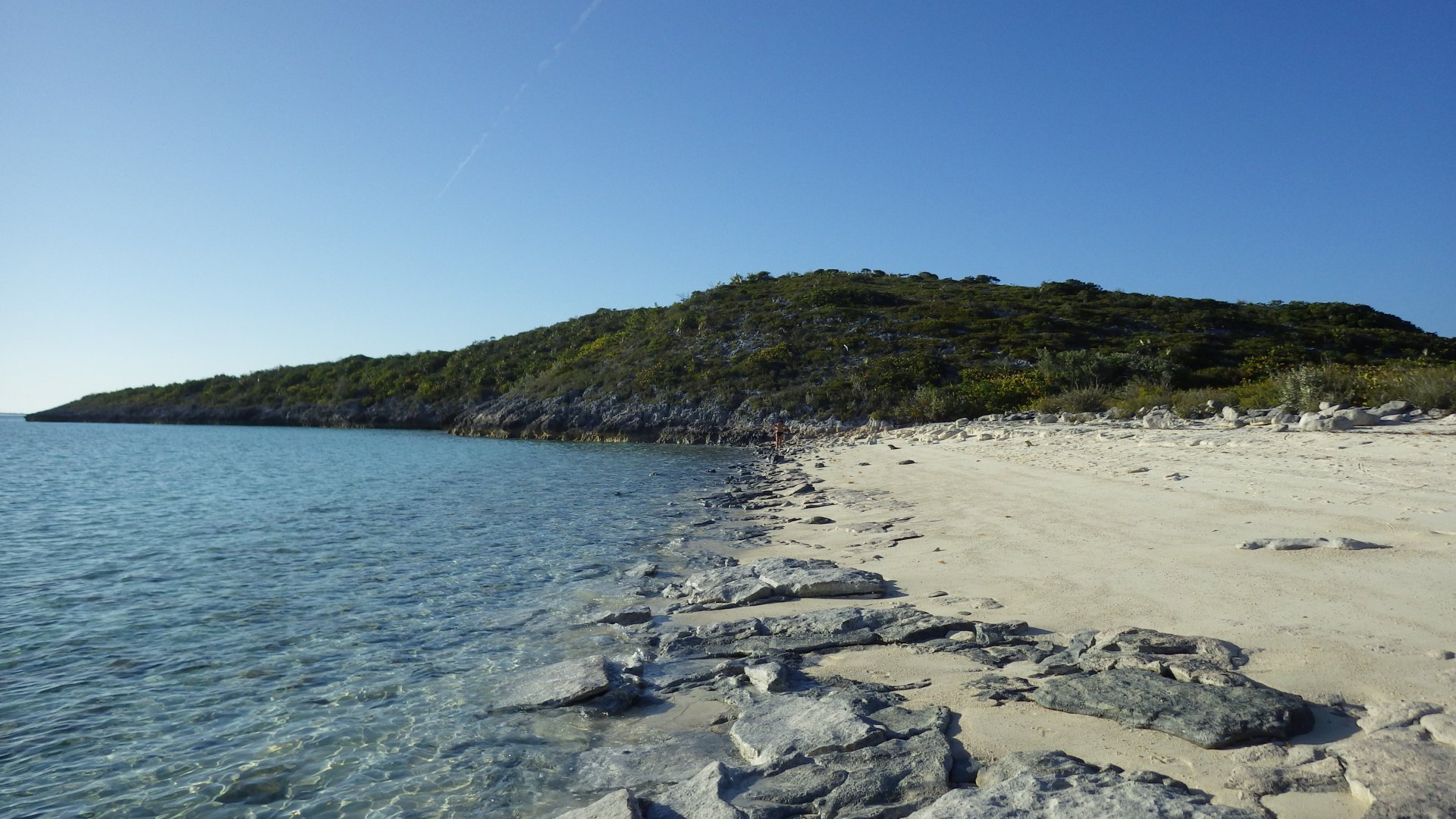
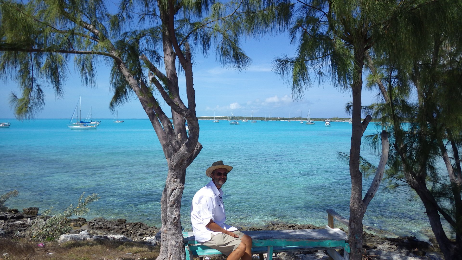
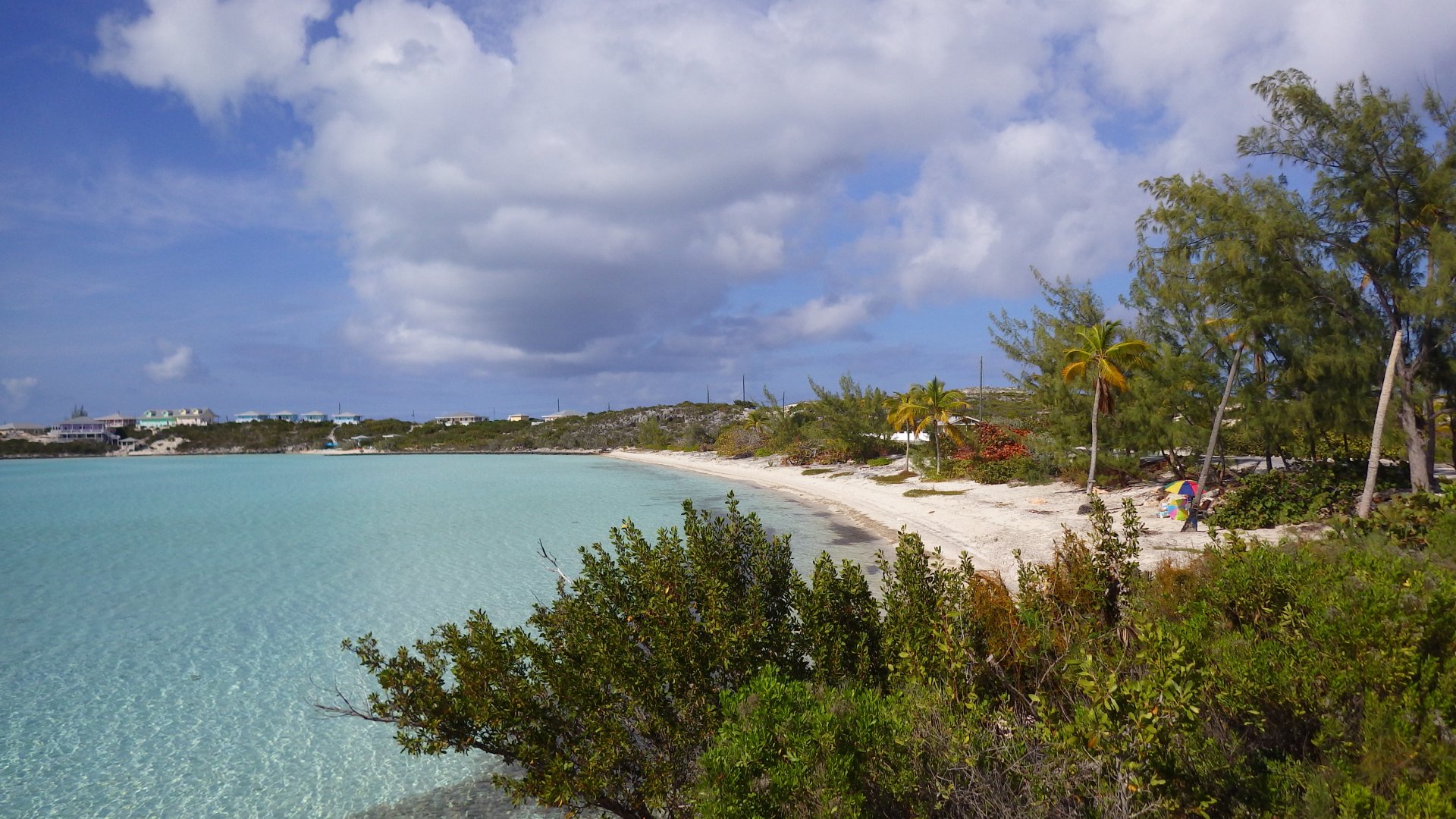
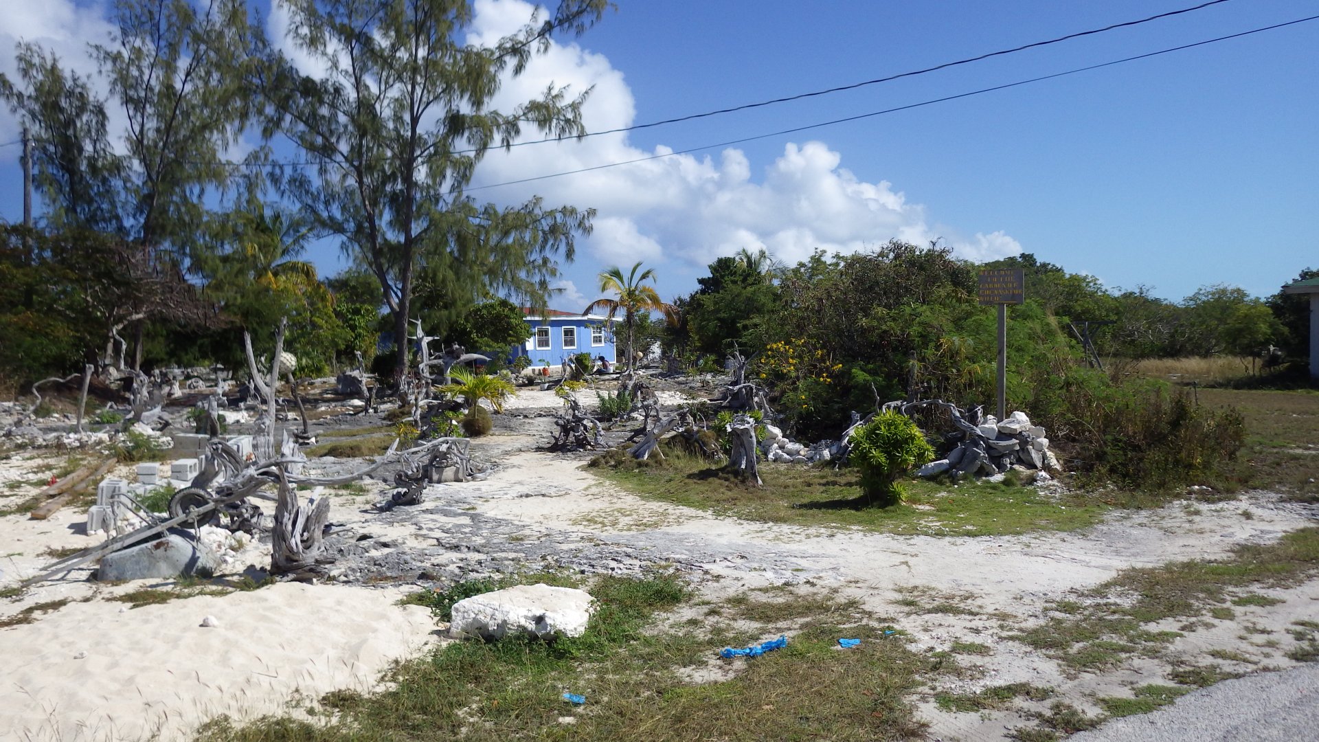
It's a nice small settlement.
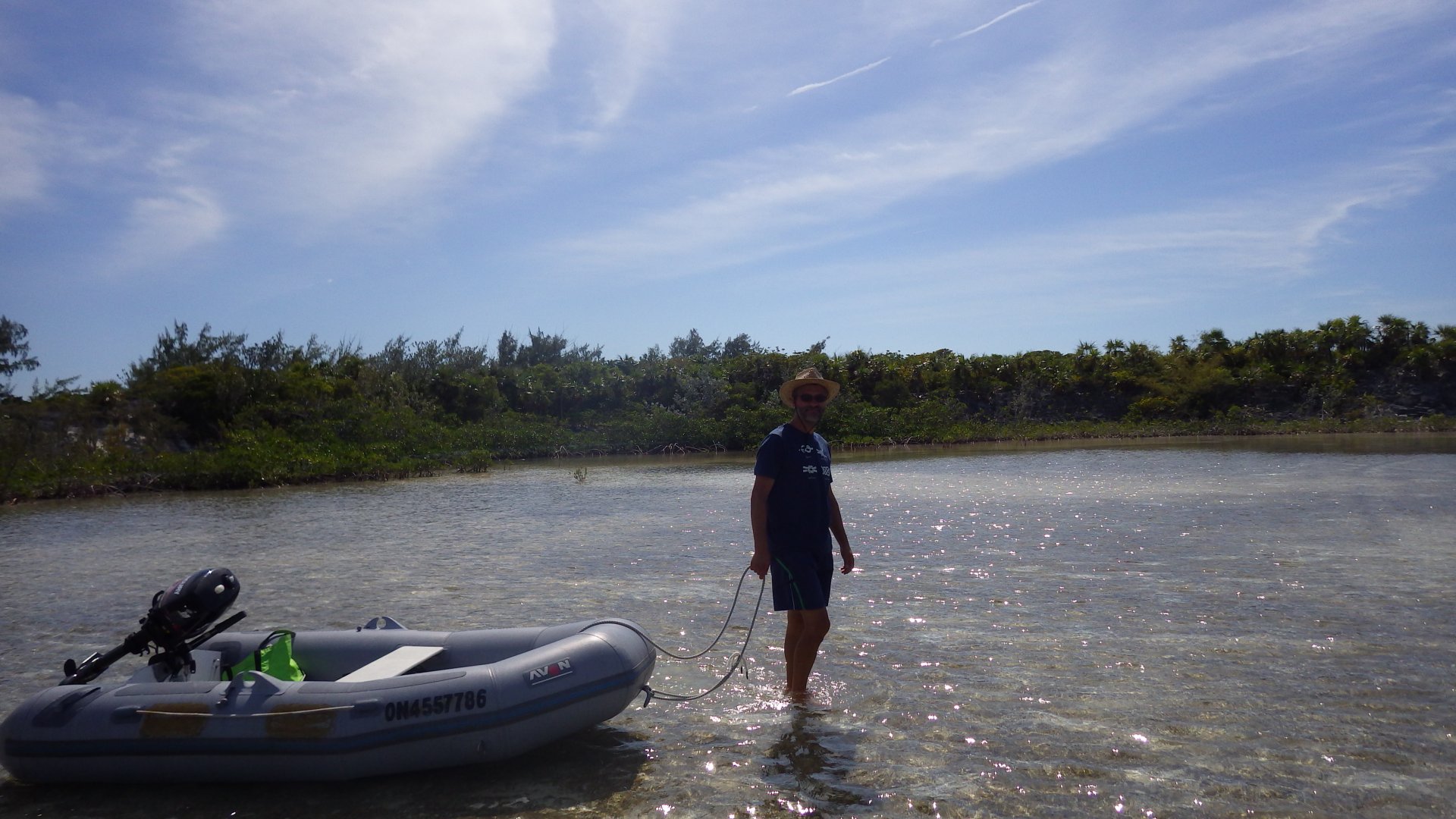
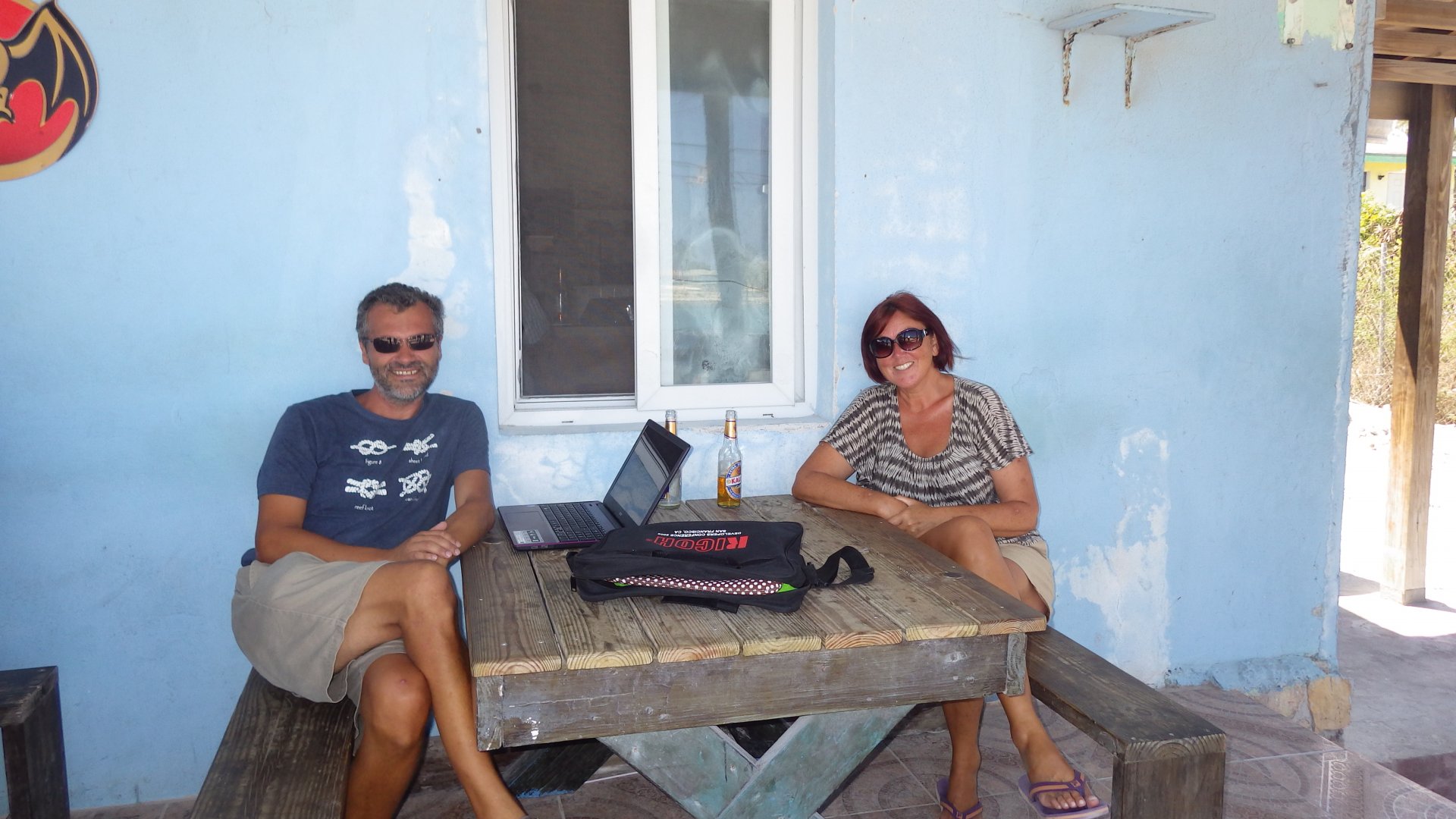
Met some cruising couple from Ontario - they spent winters in this area.

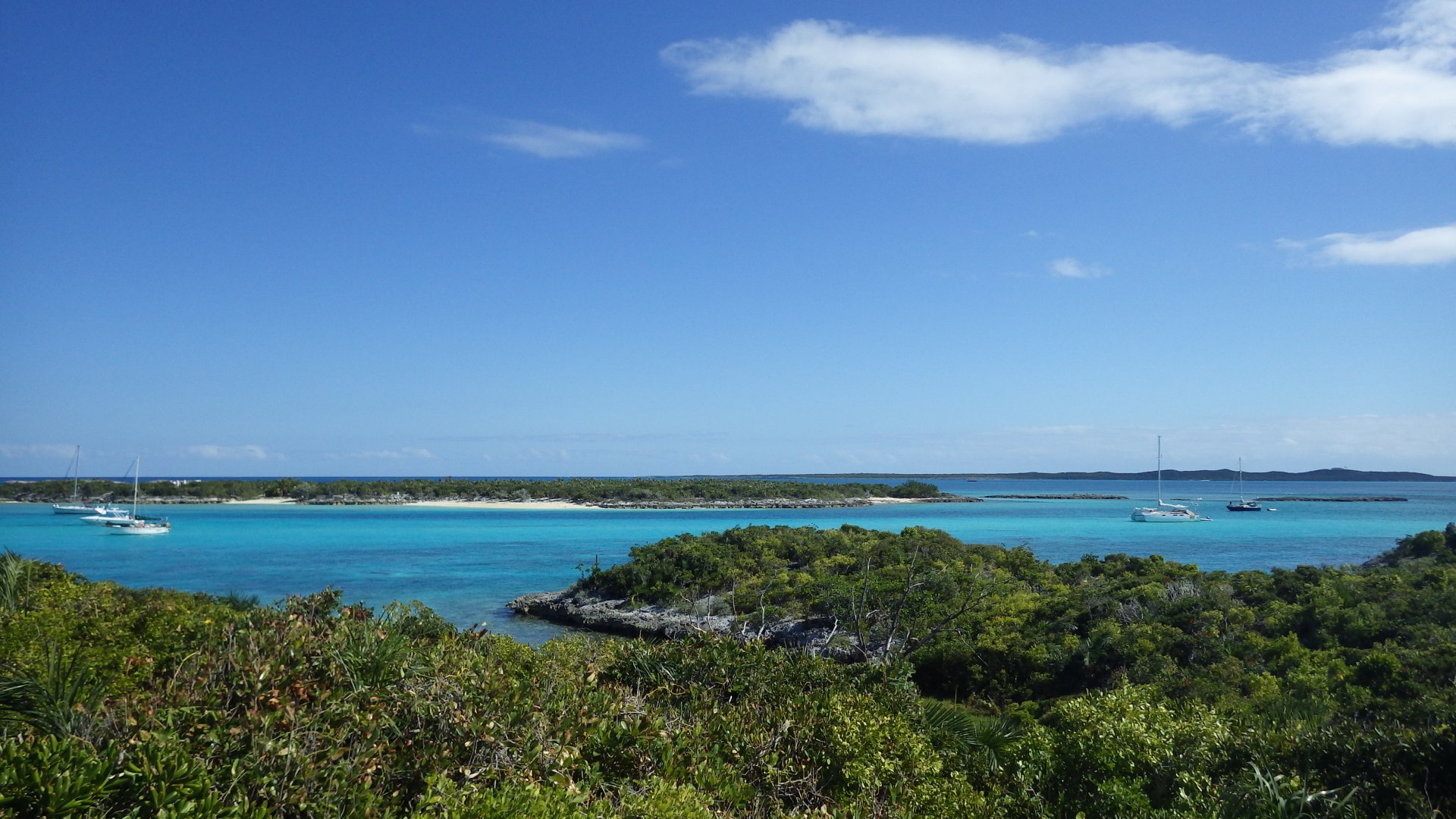
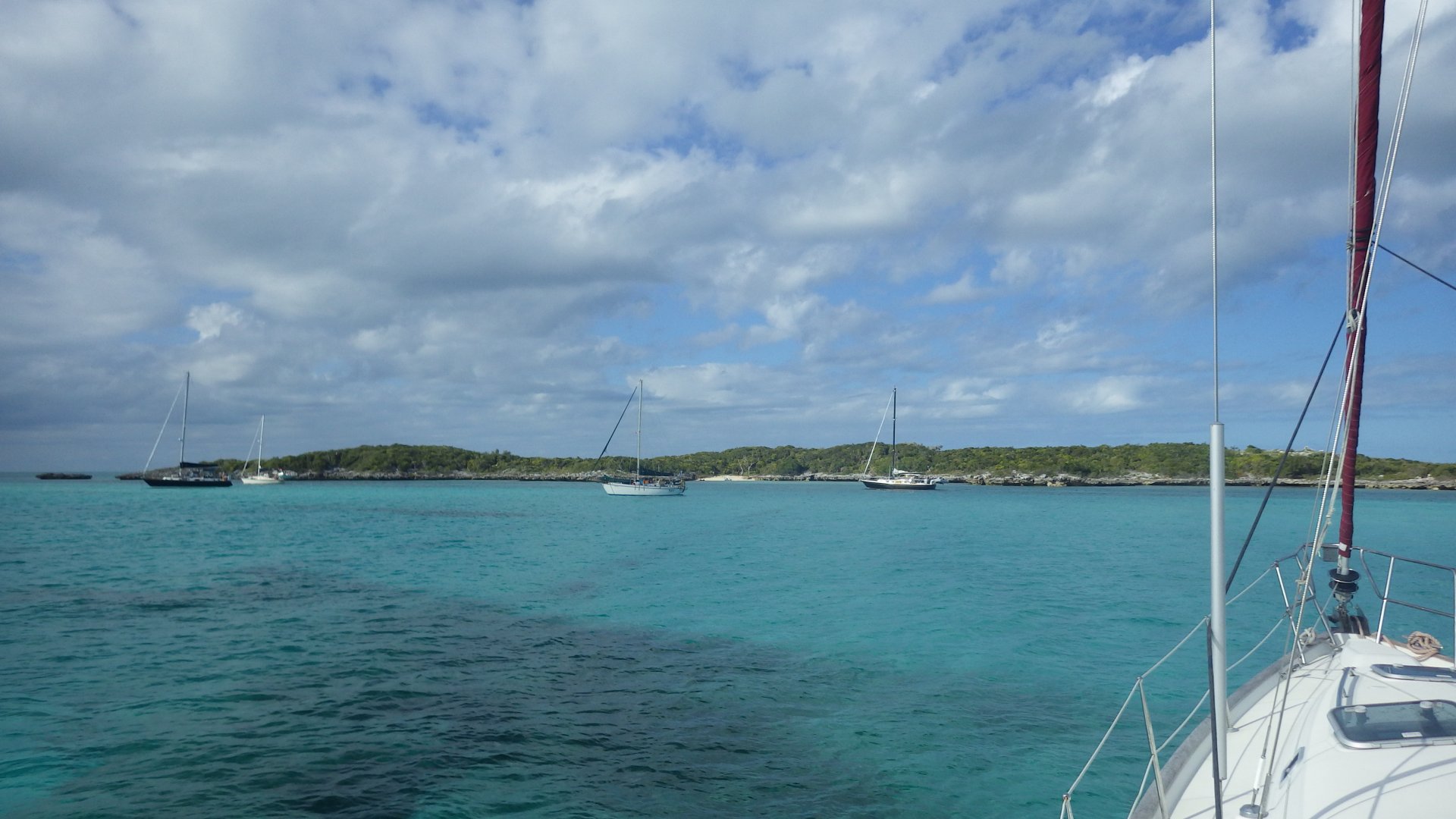
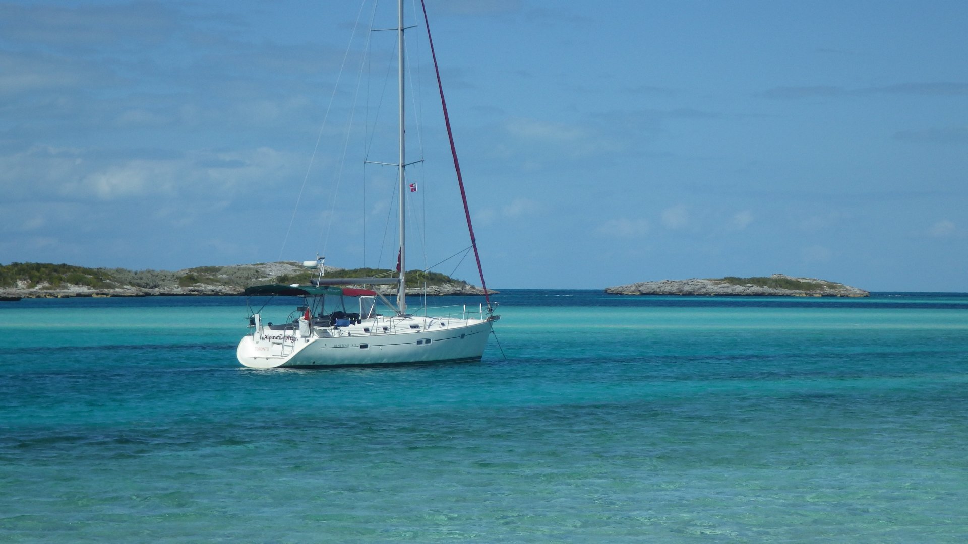
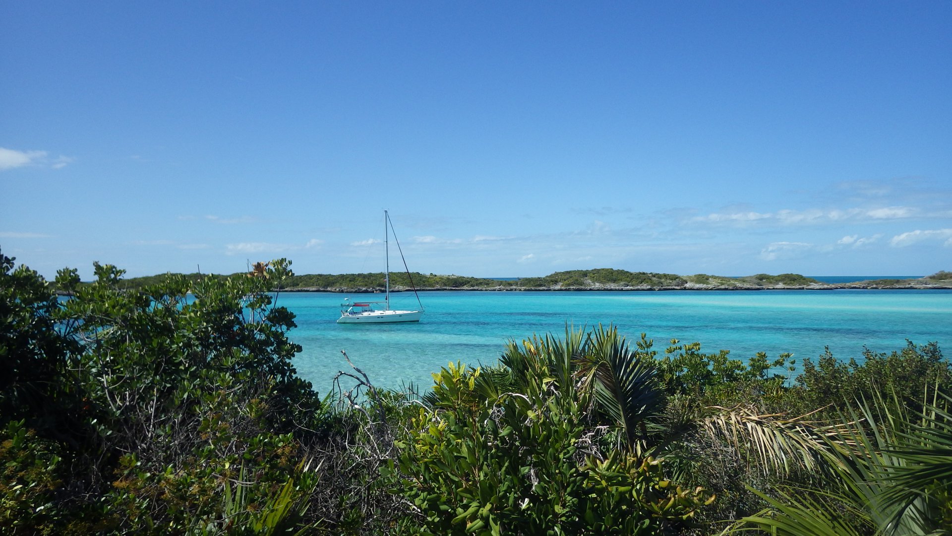
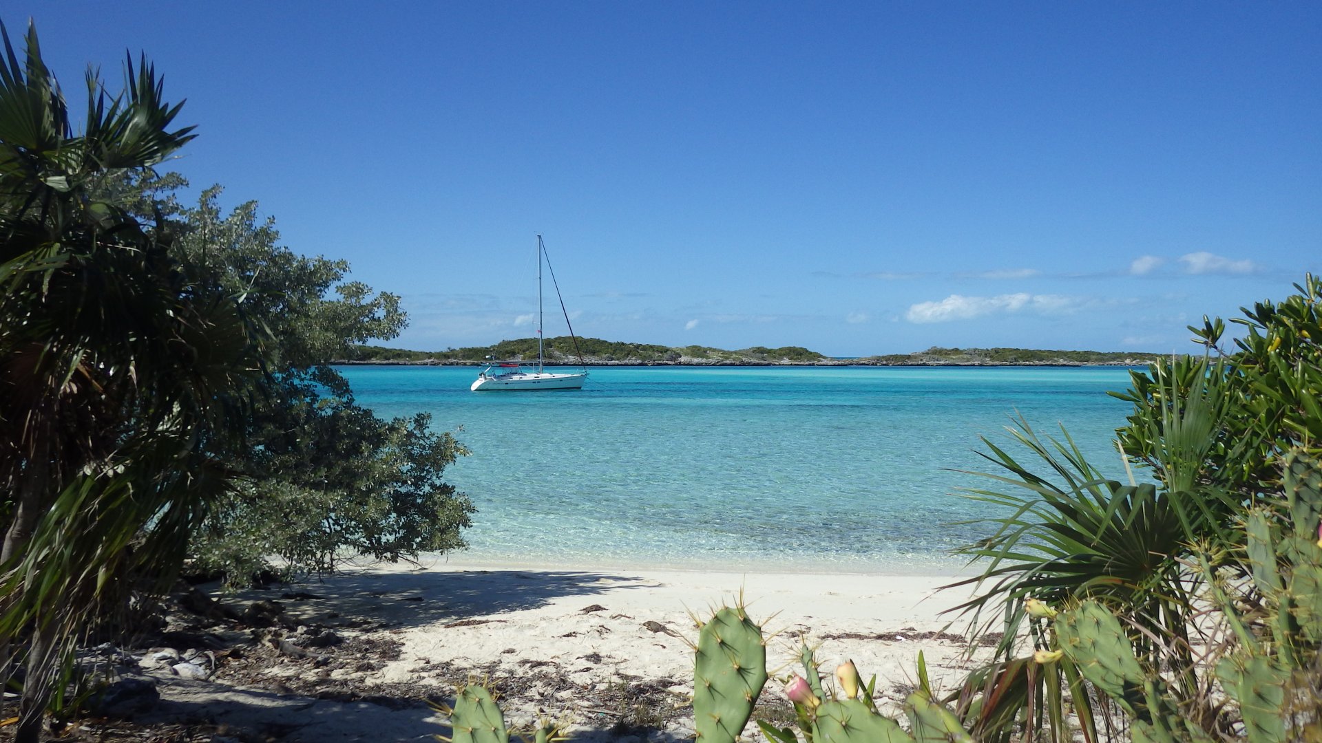
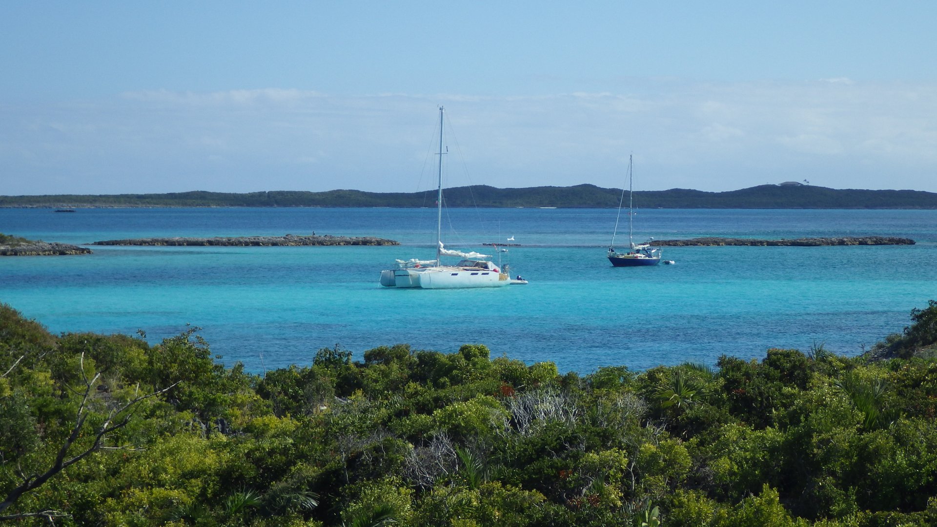
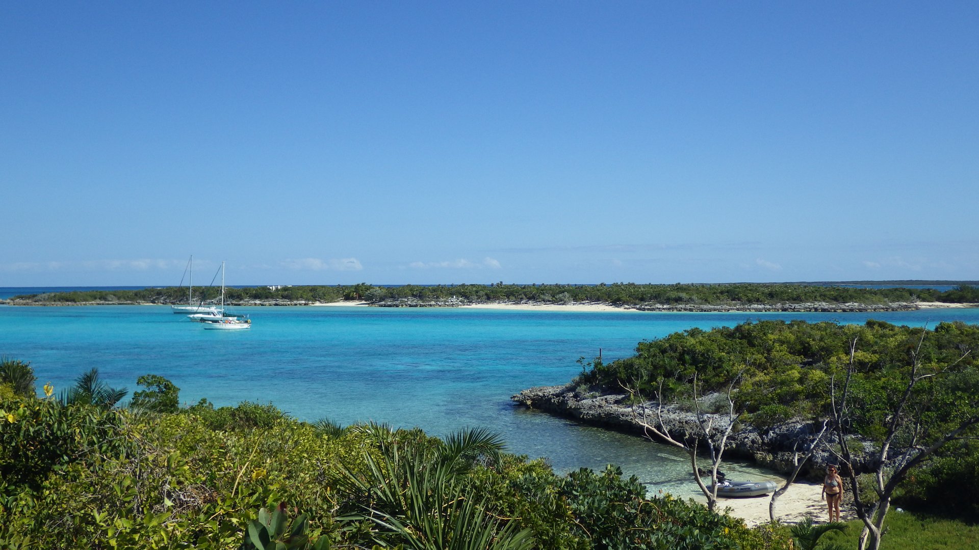
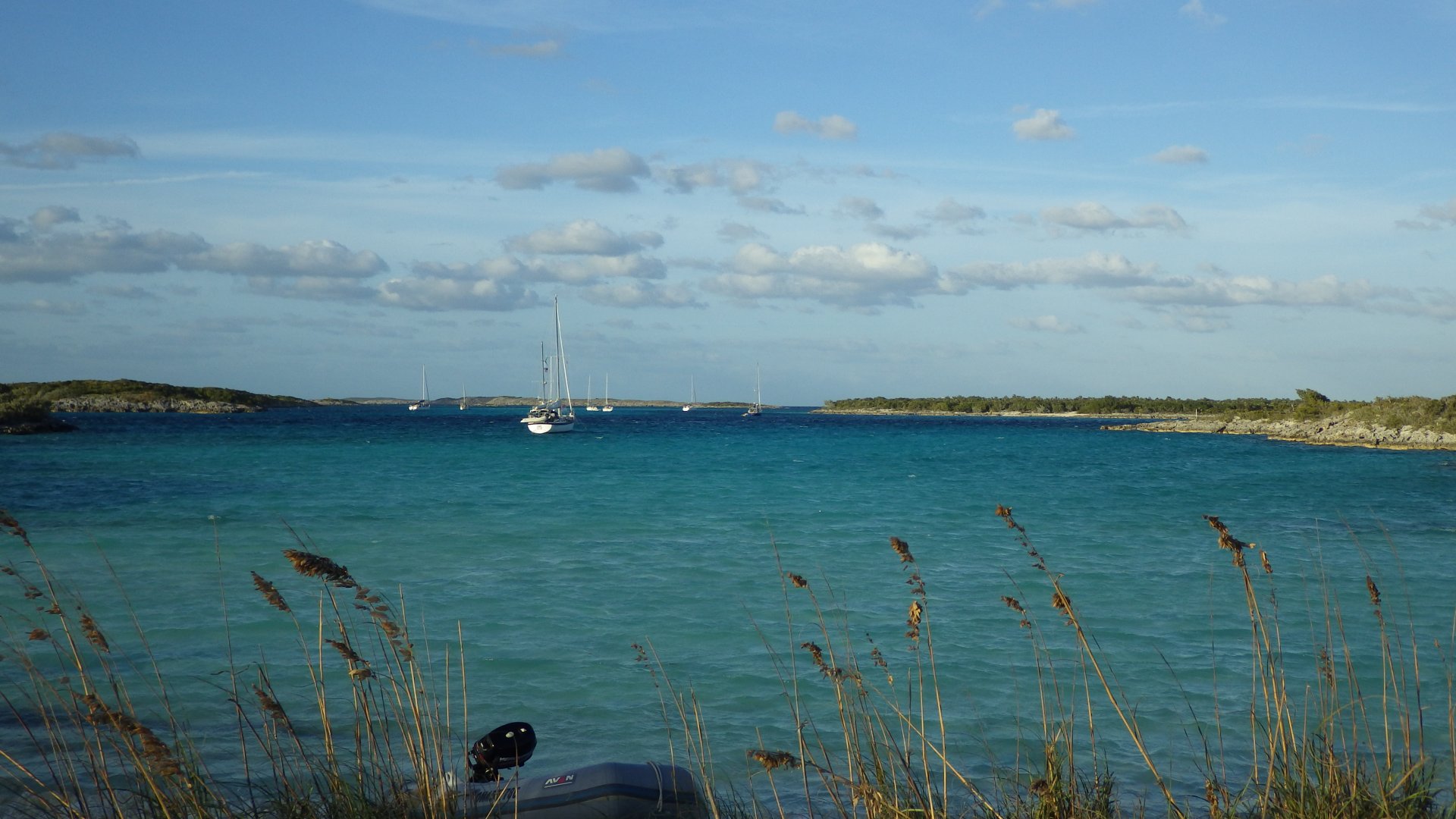
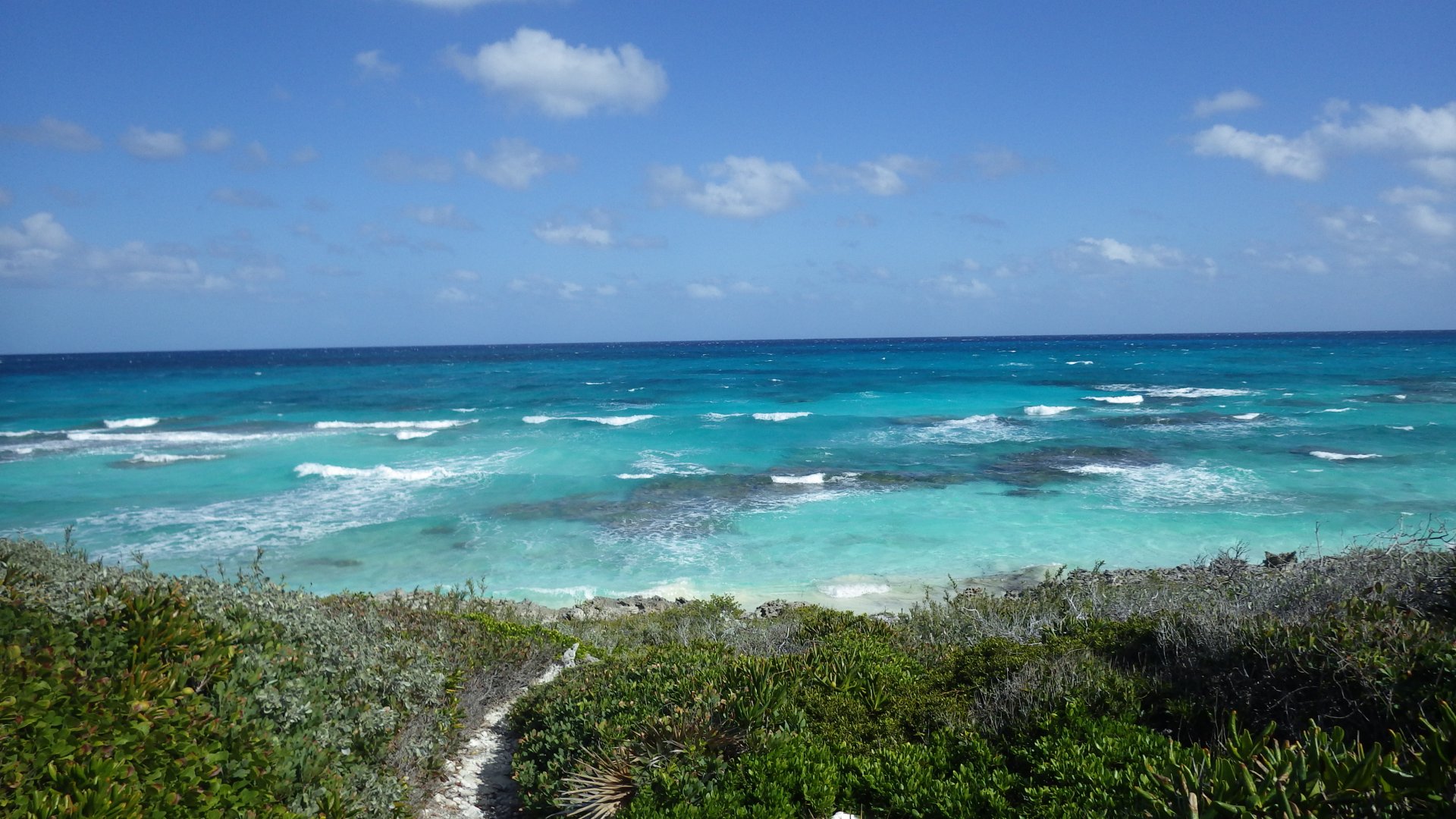
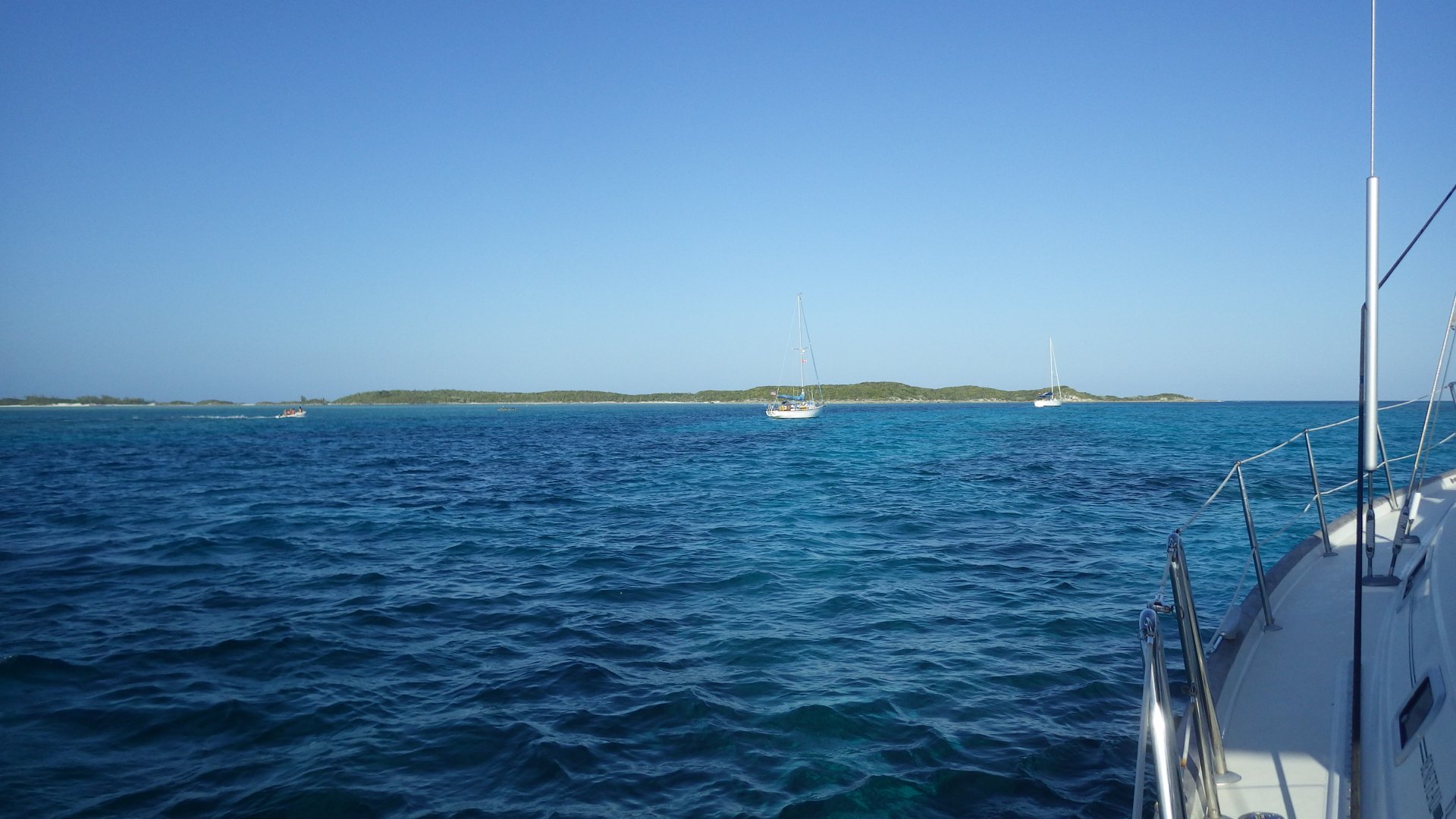
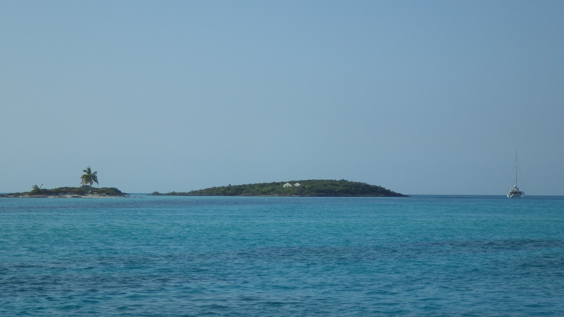
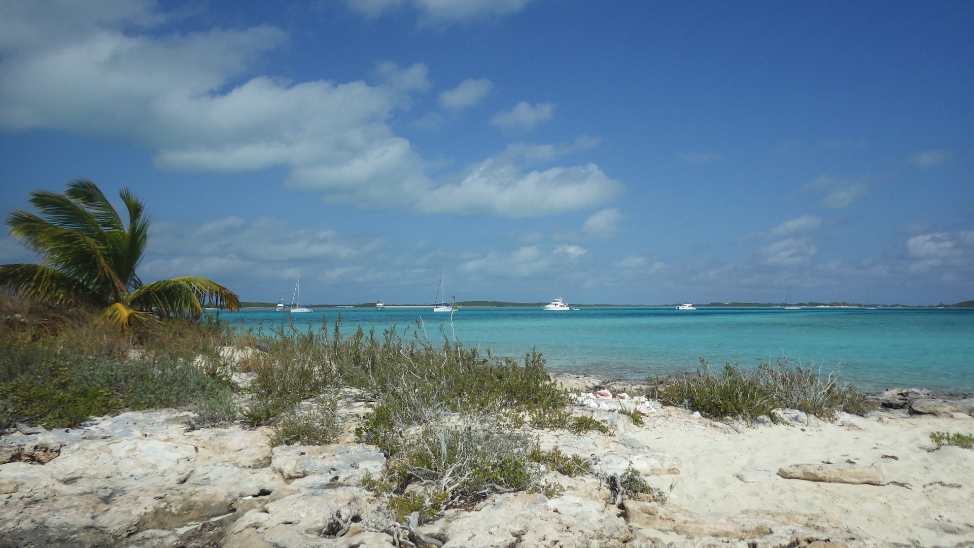
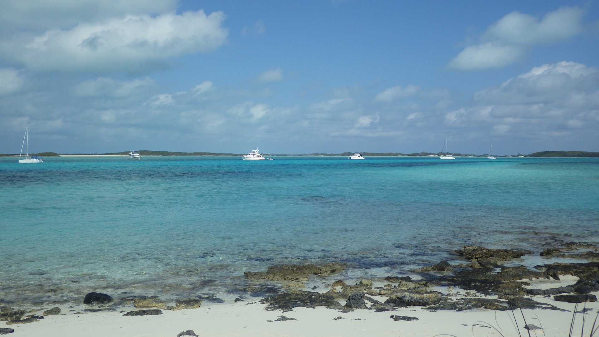
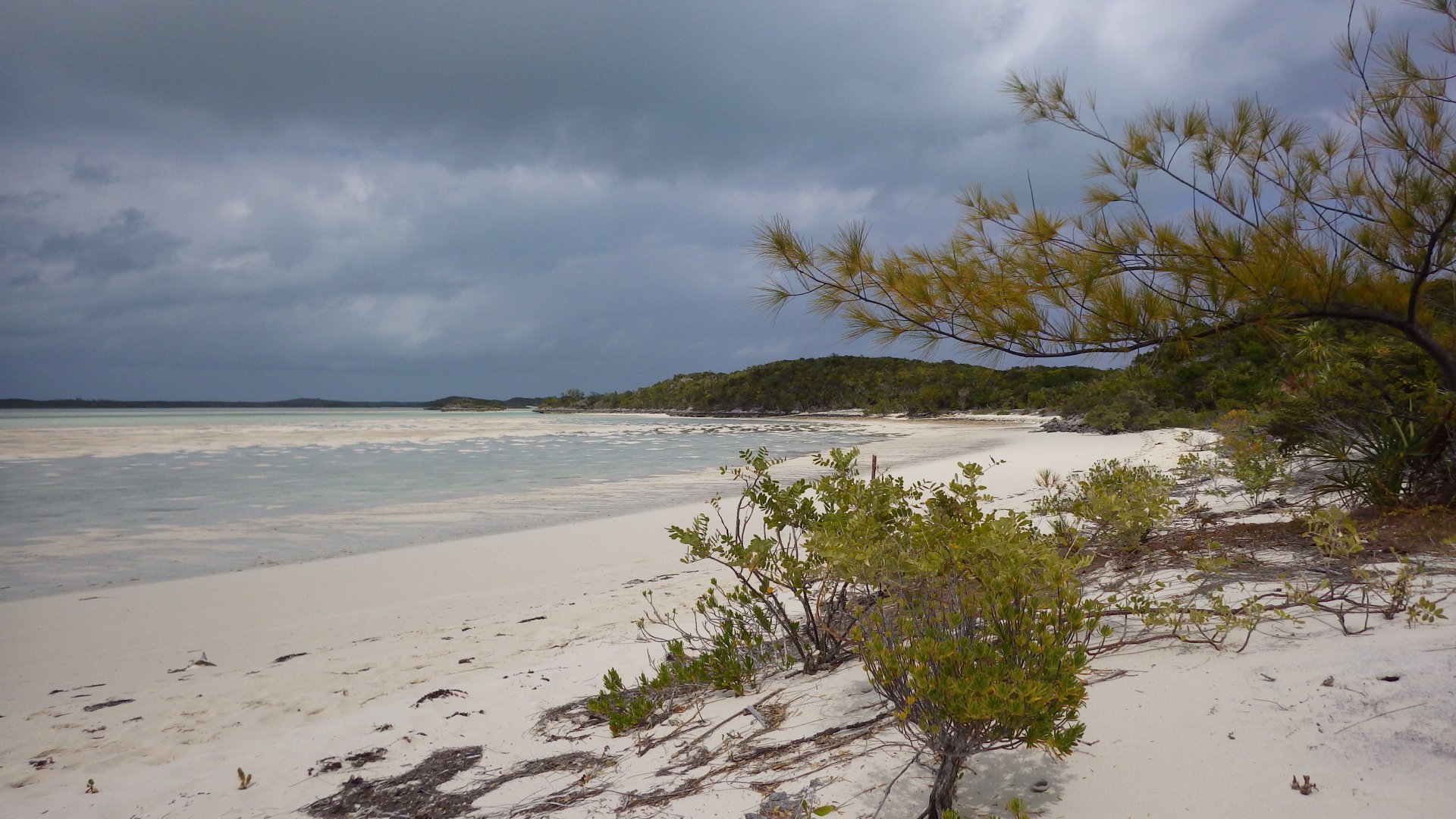
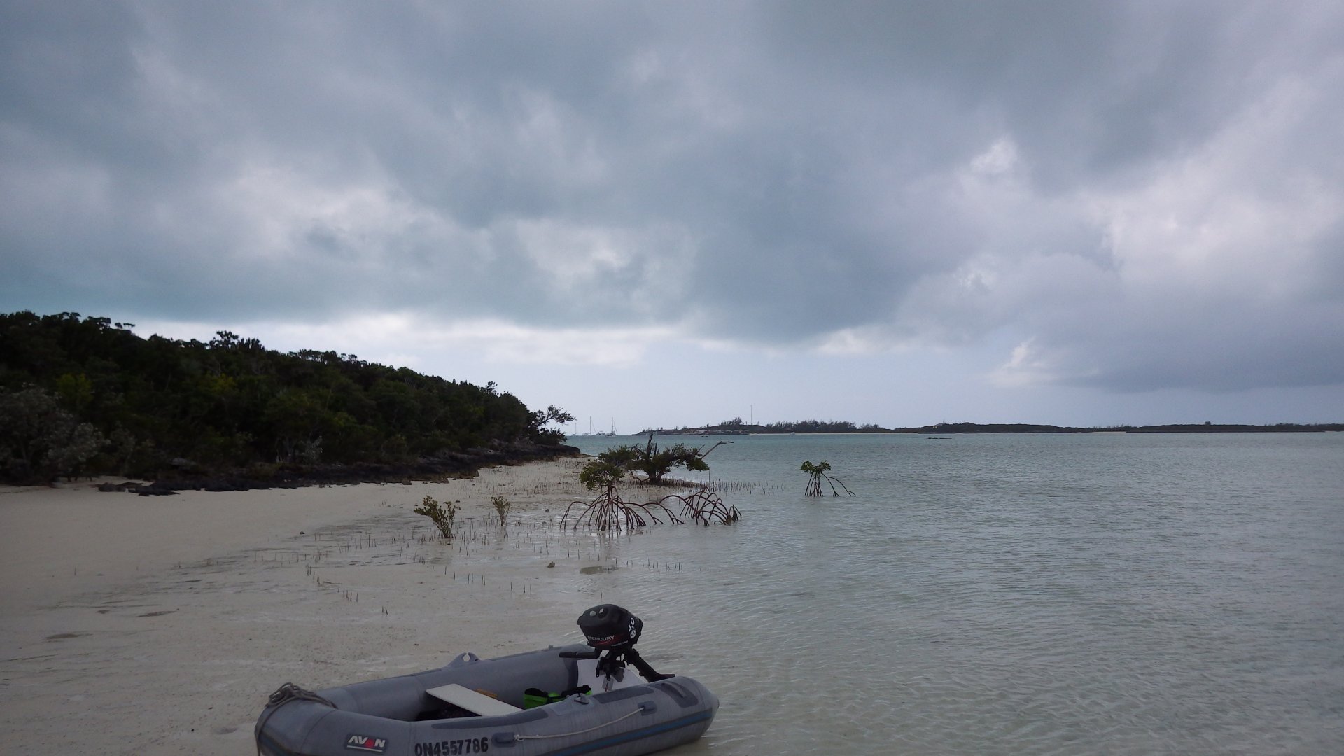
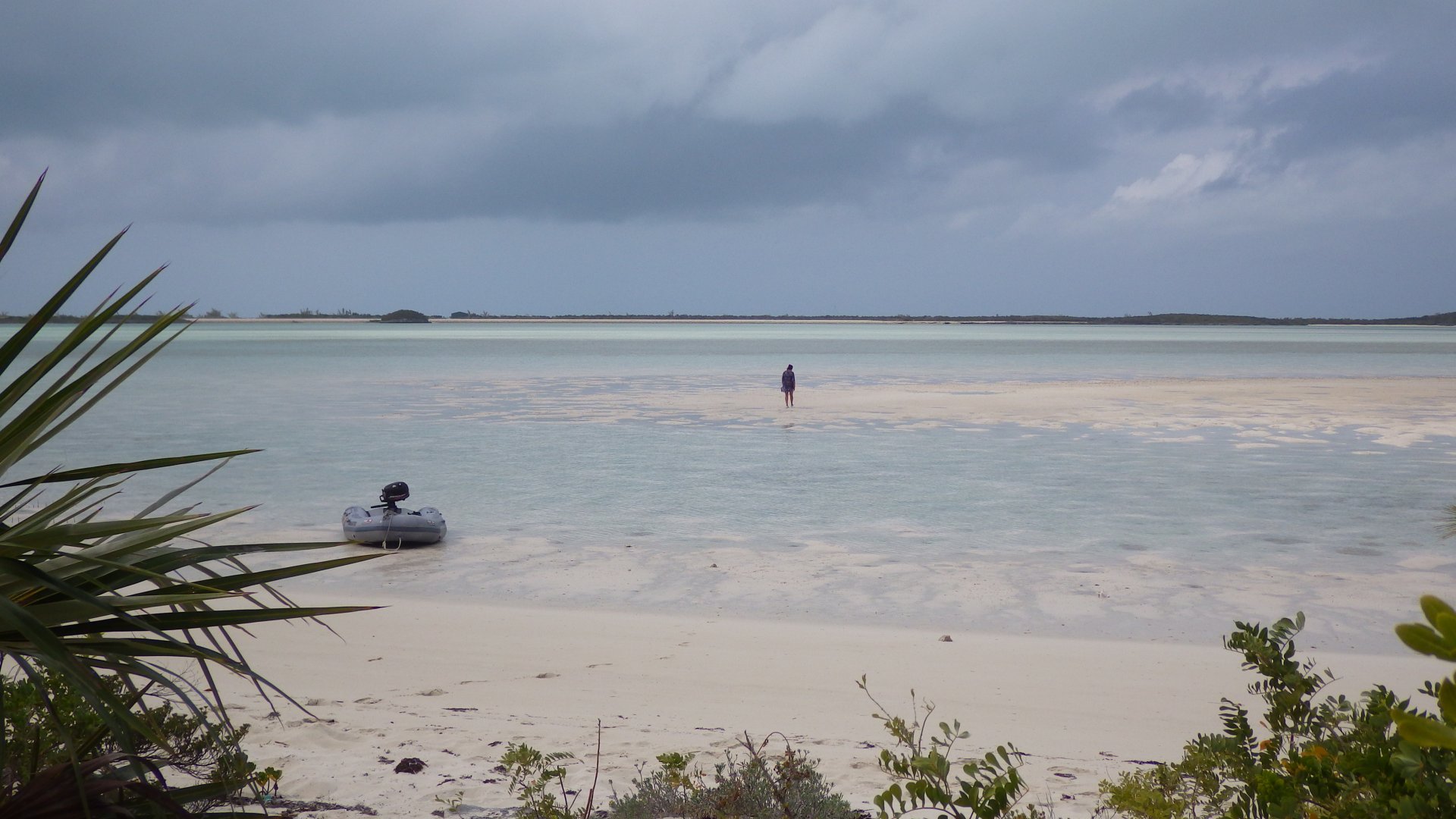
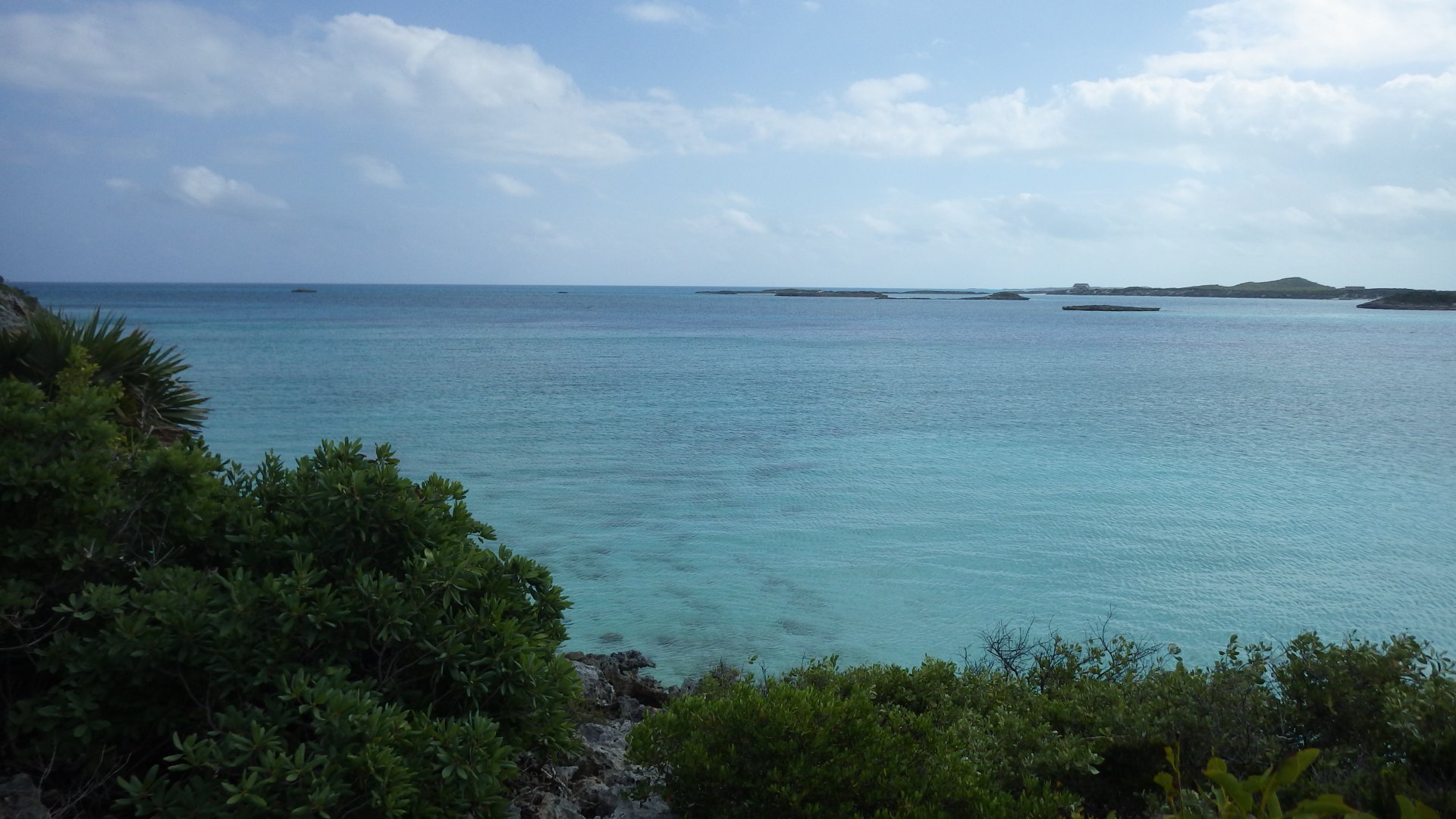
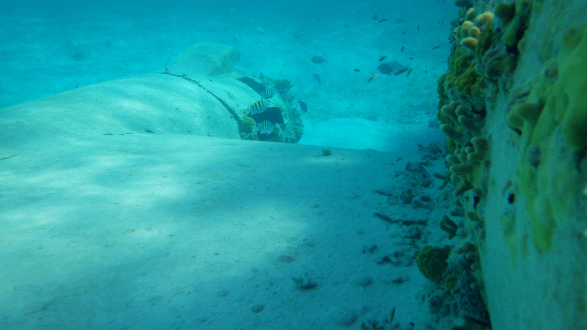
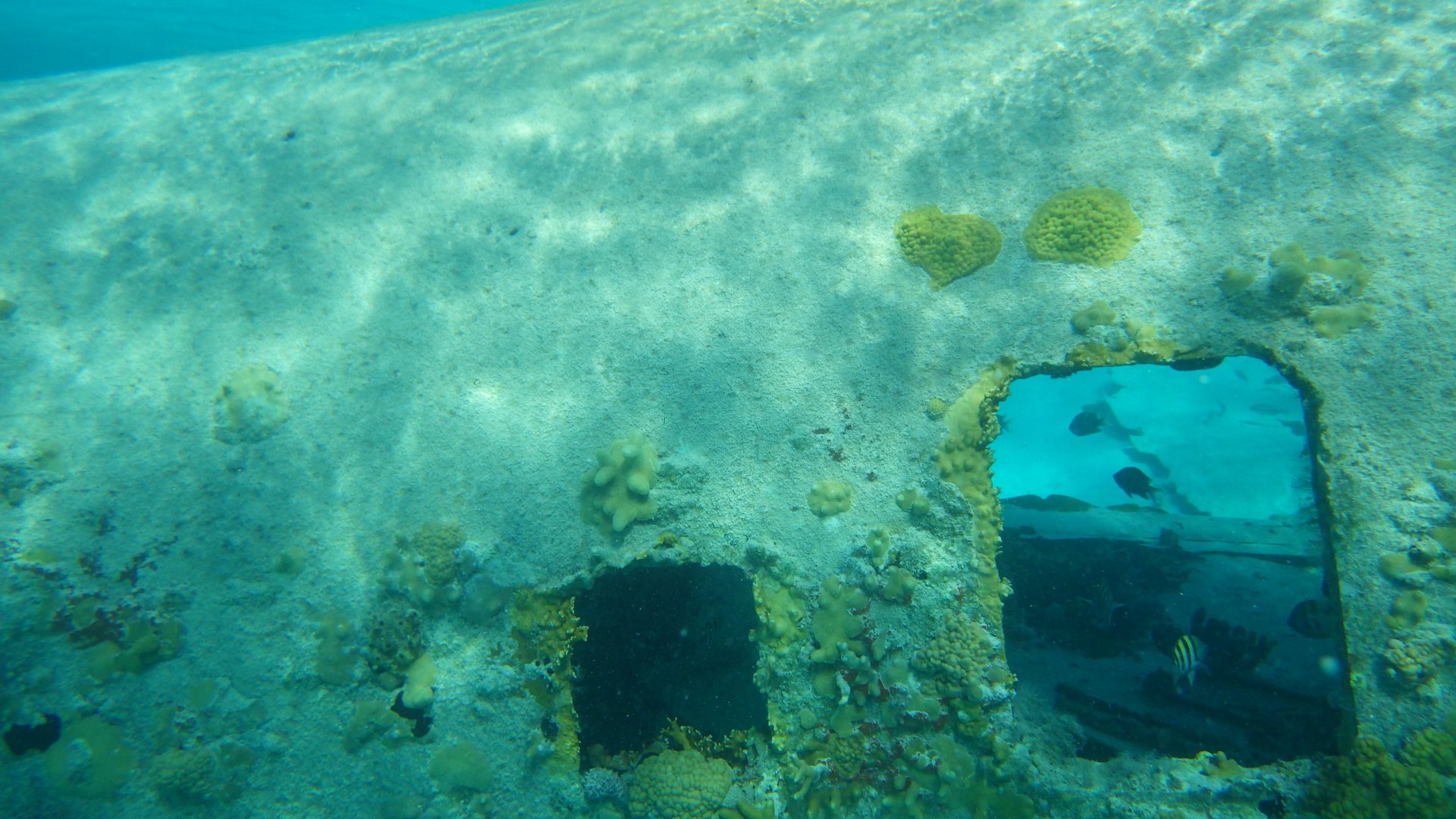
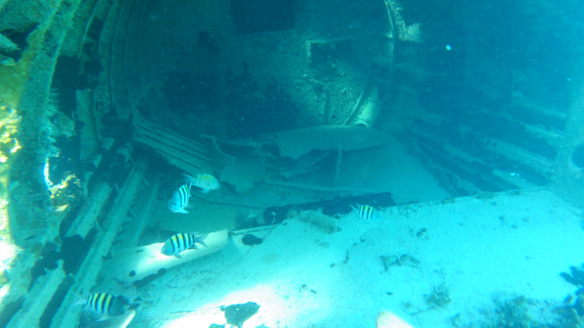
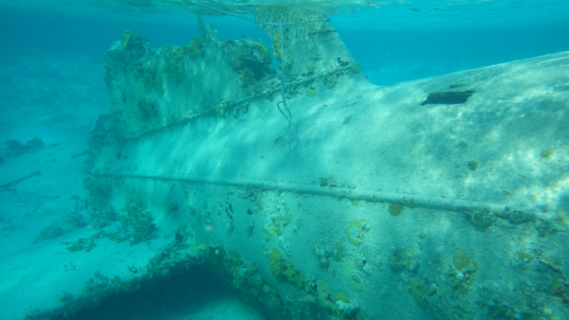
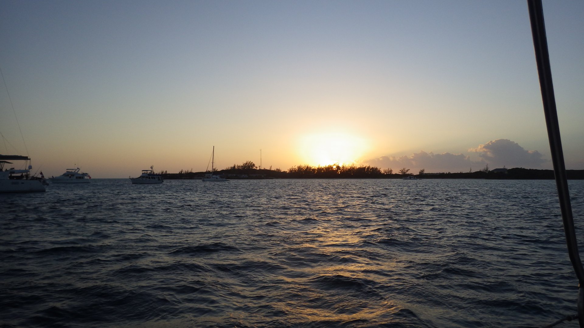
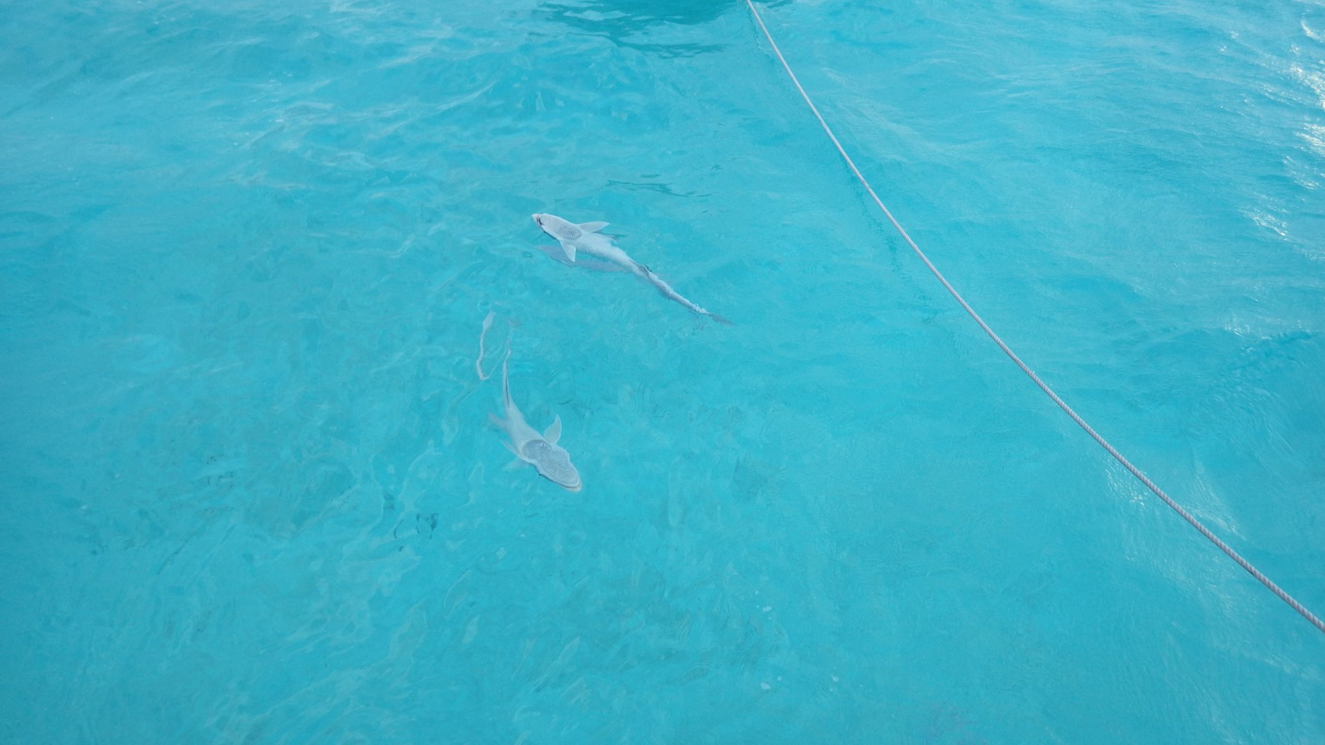
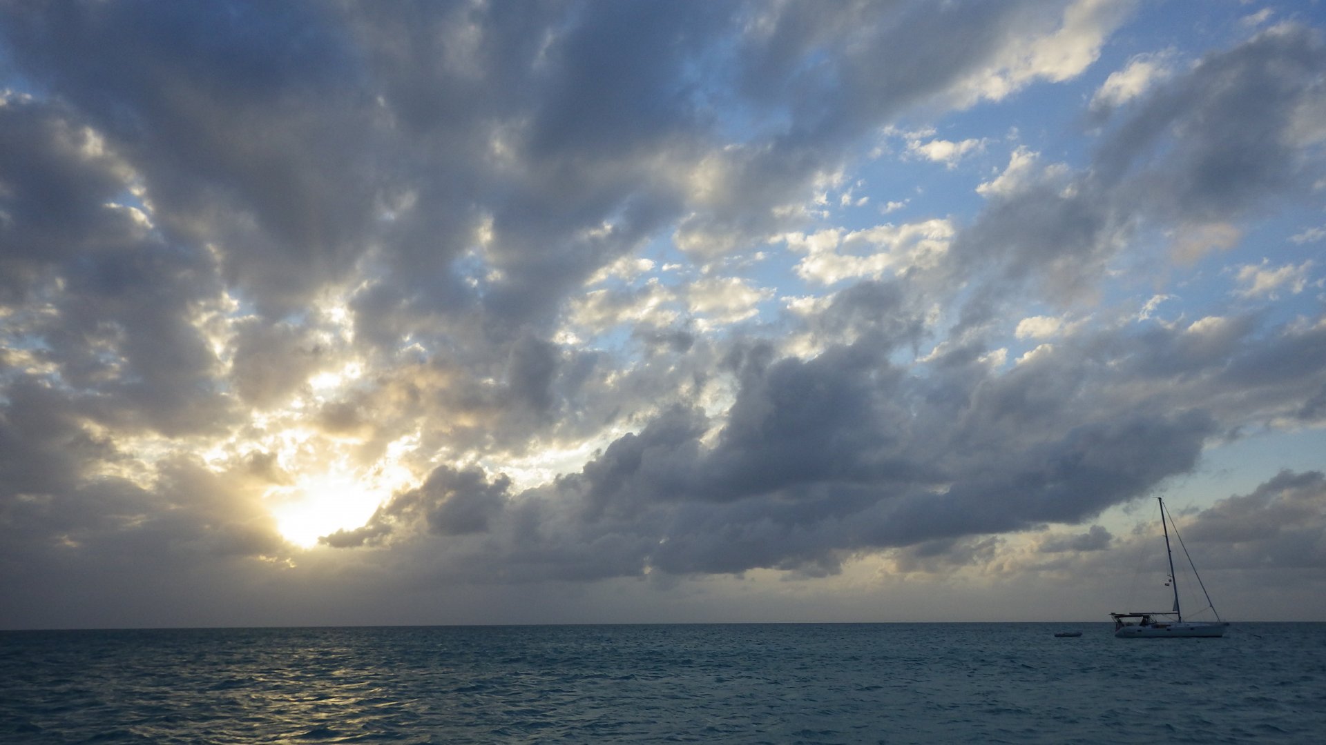
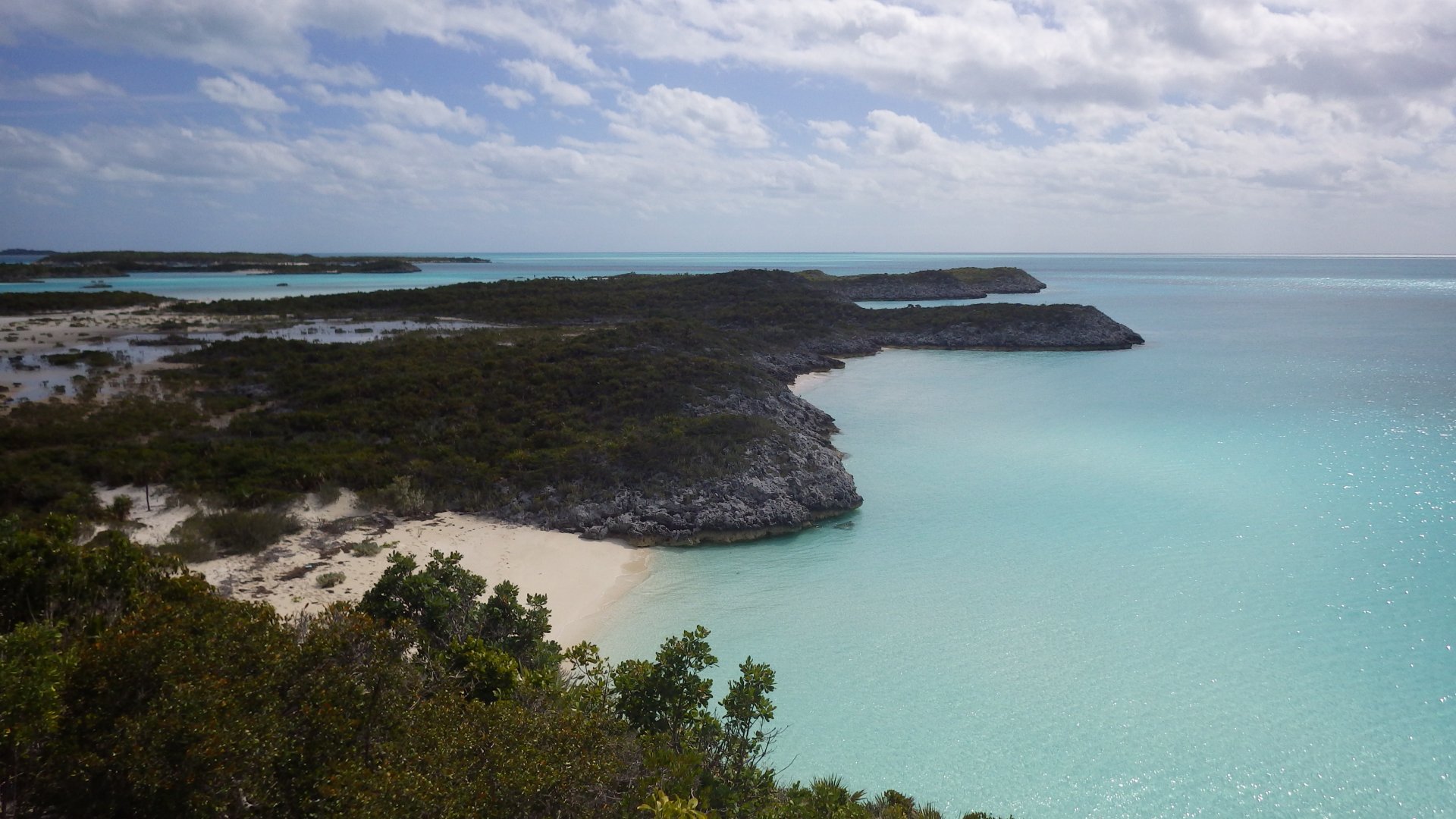
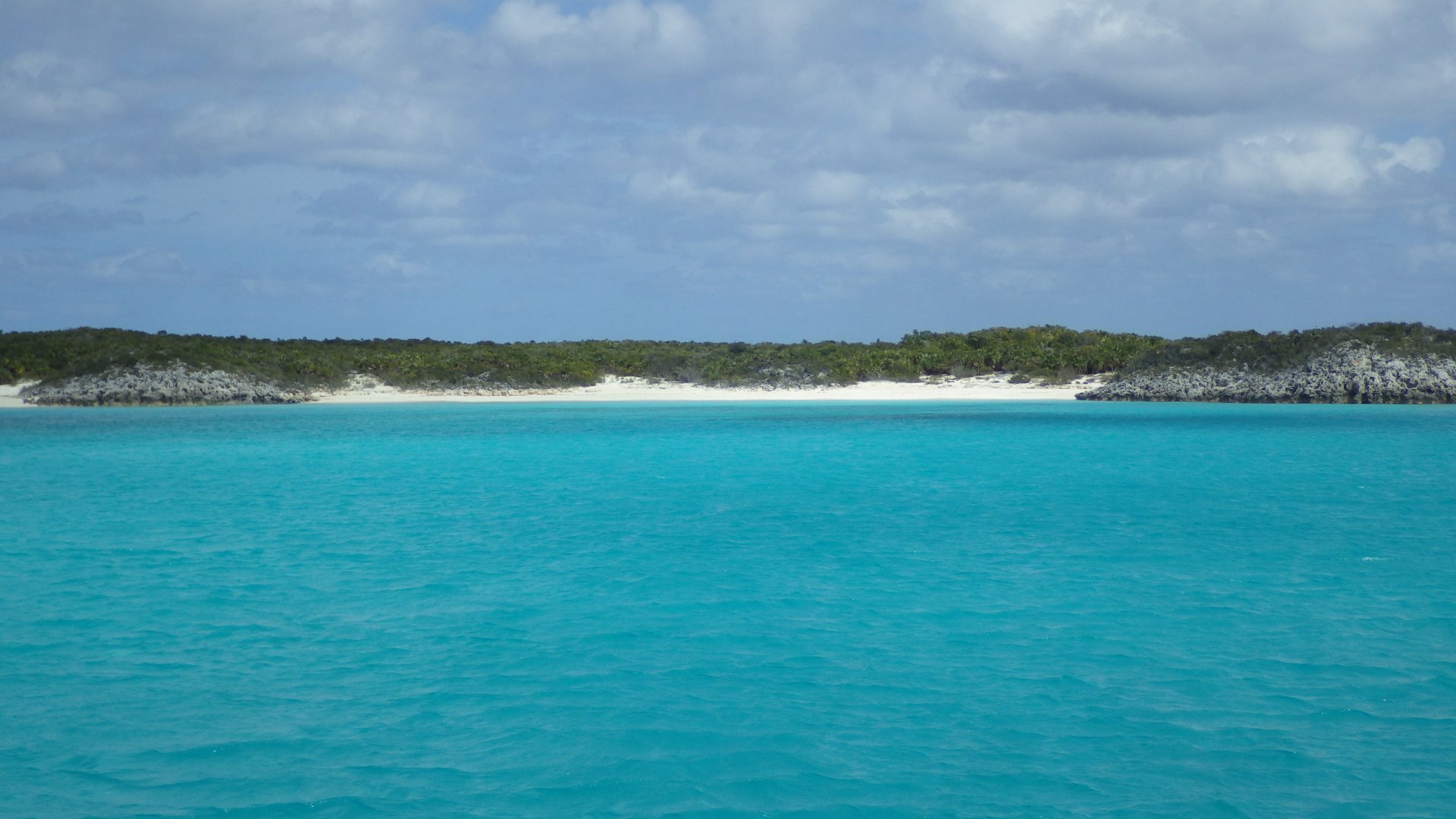
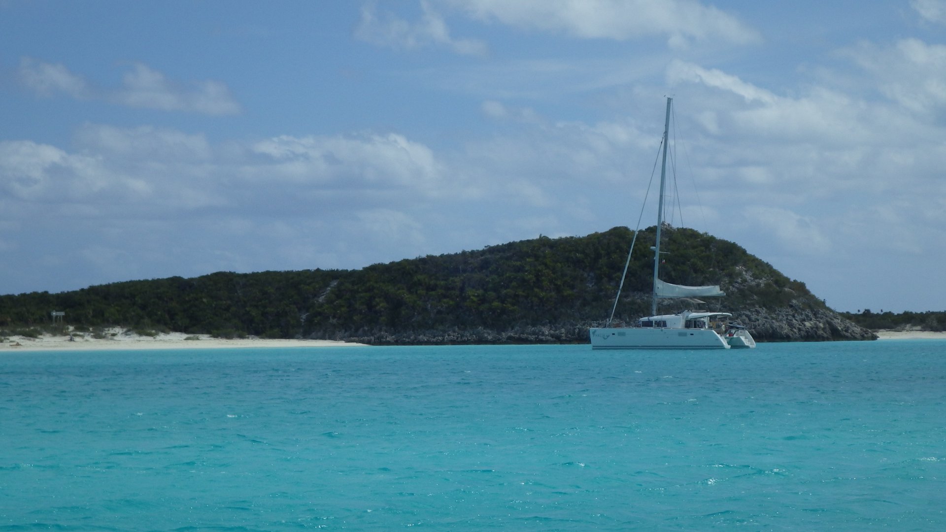
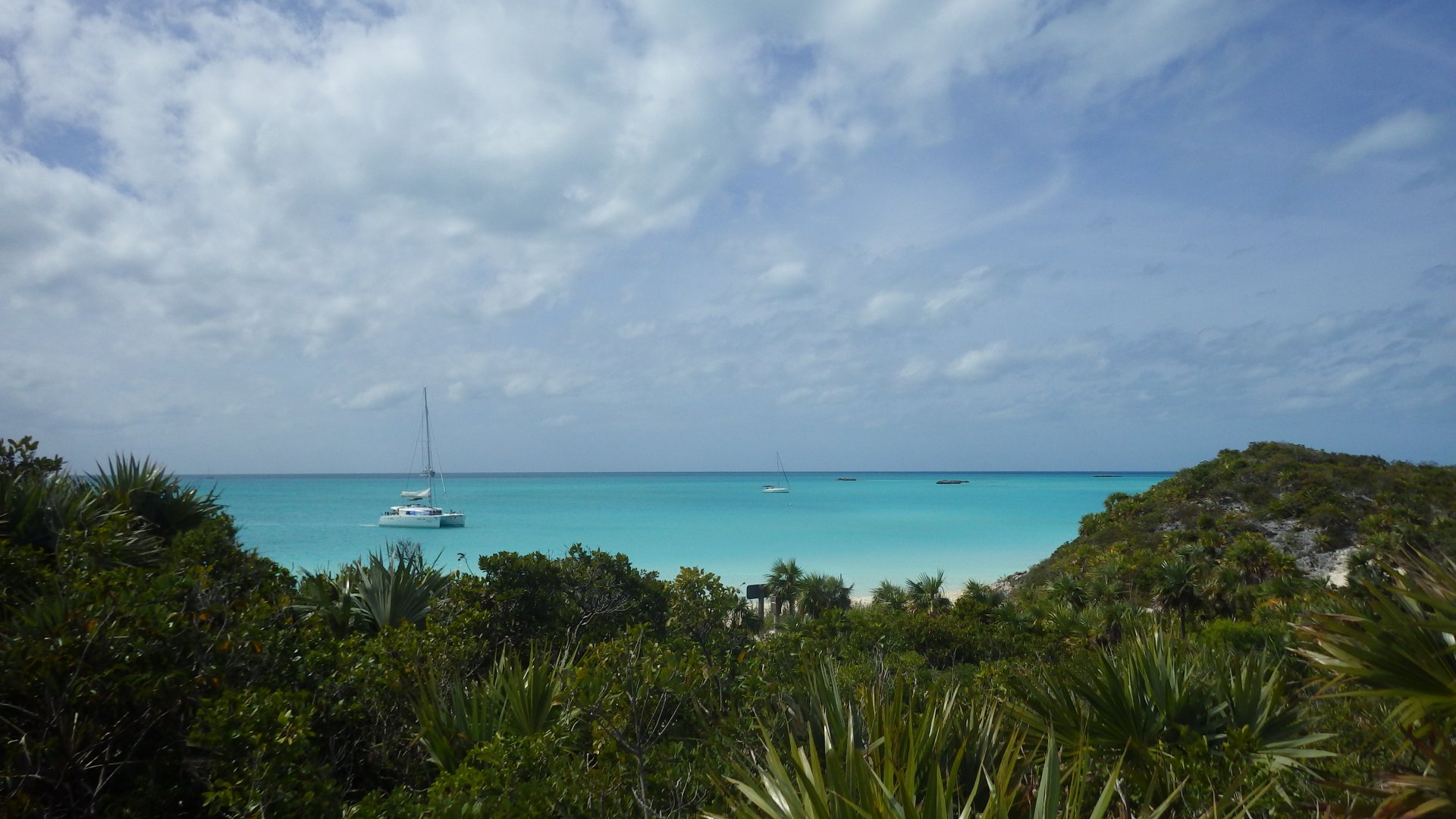
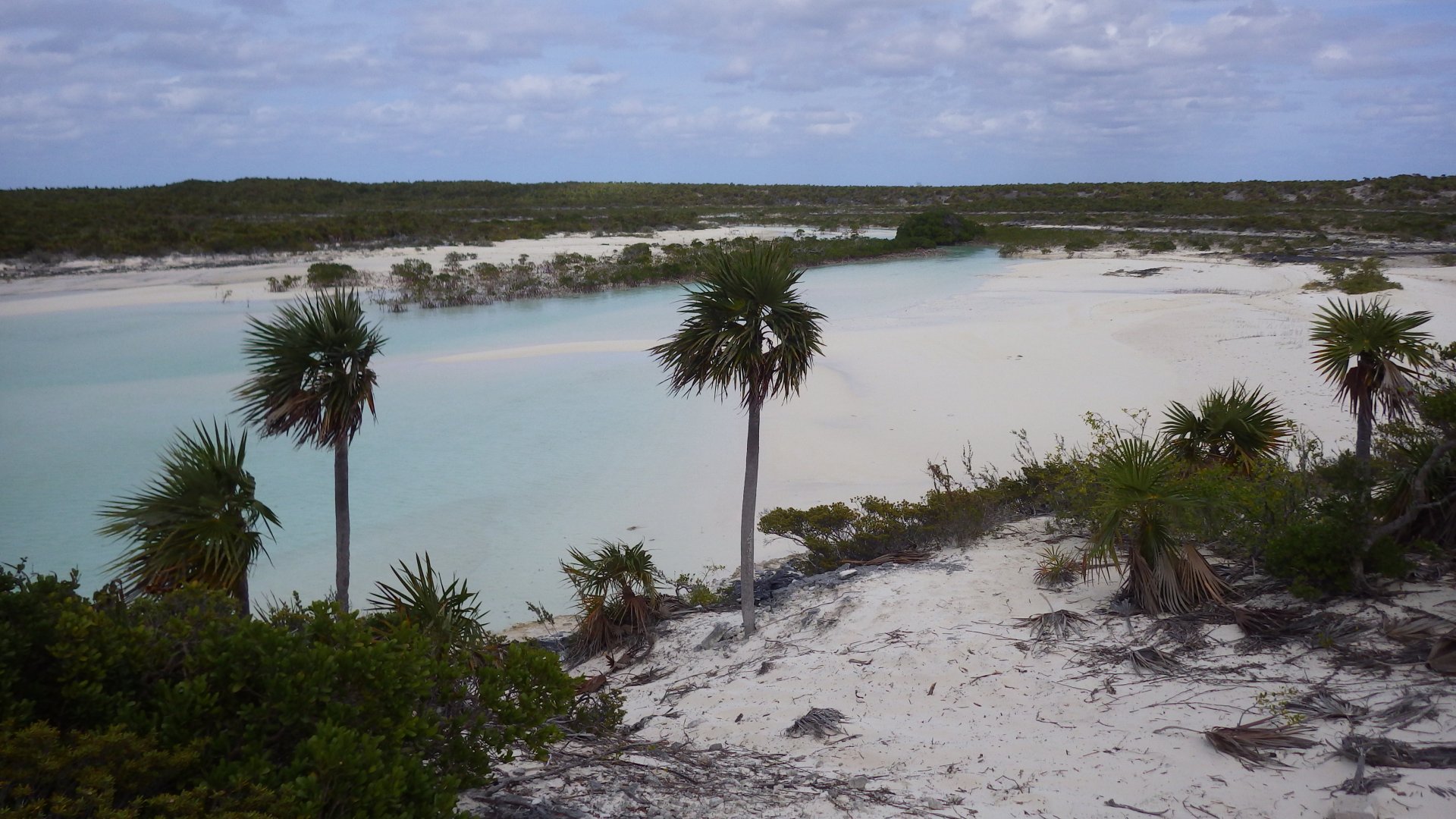
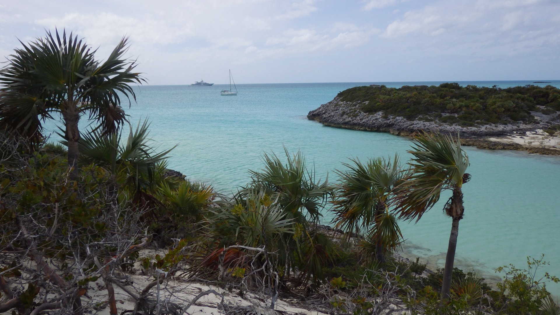
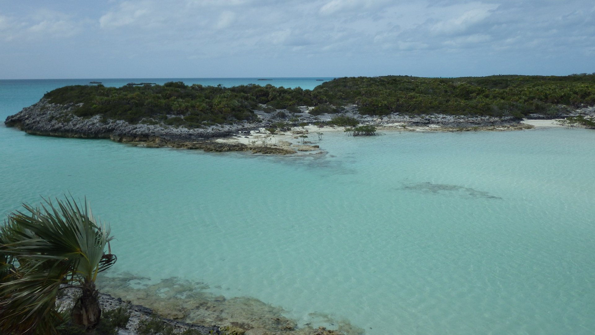
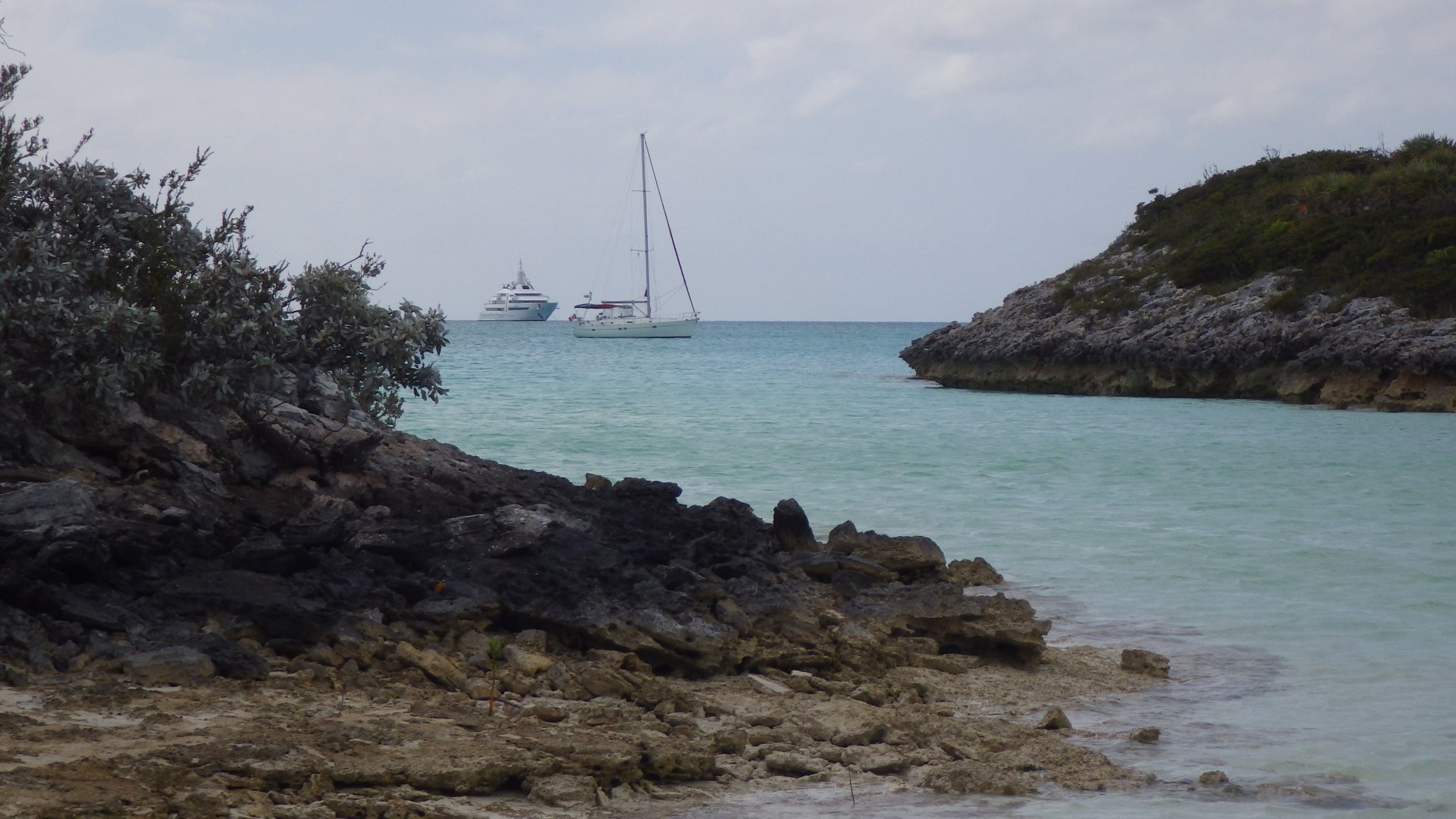
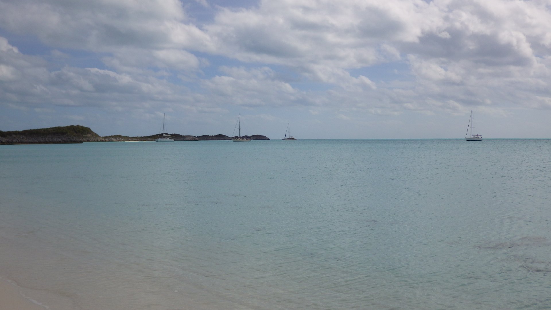
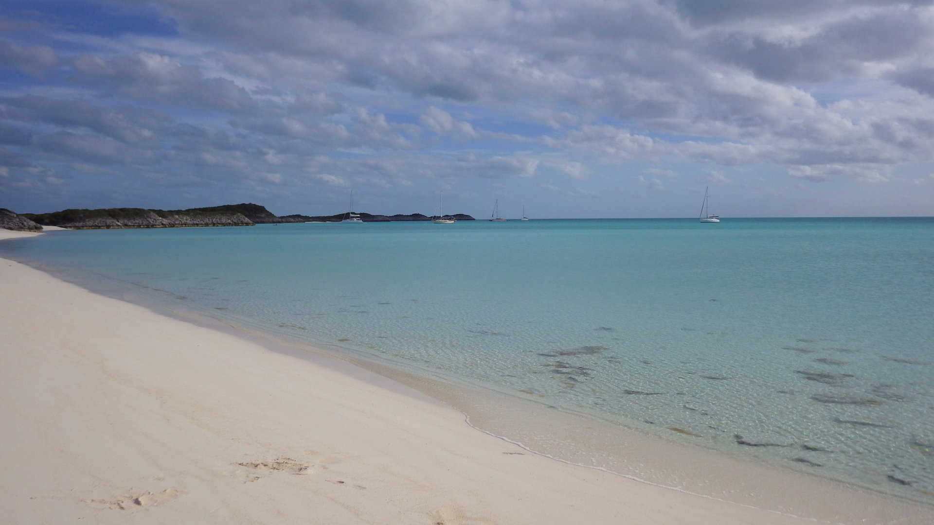
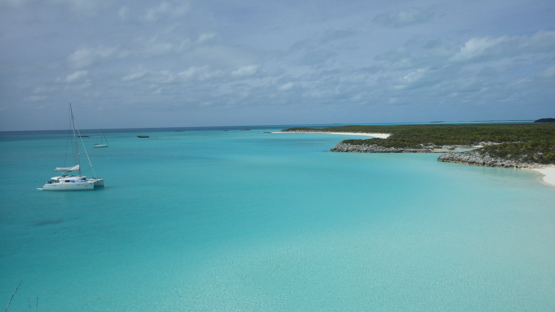
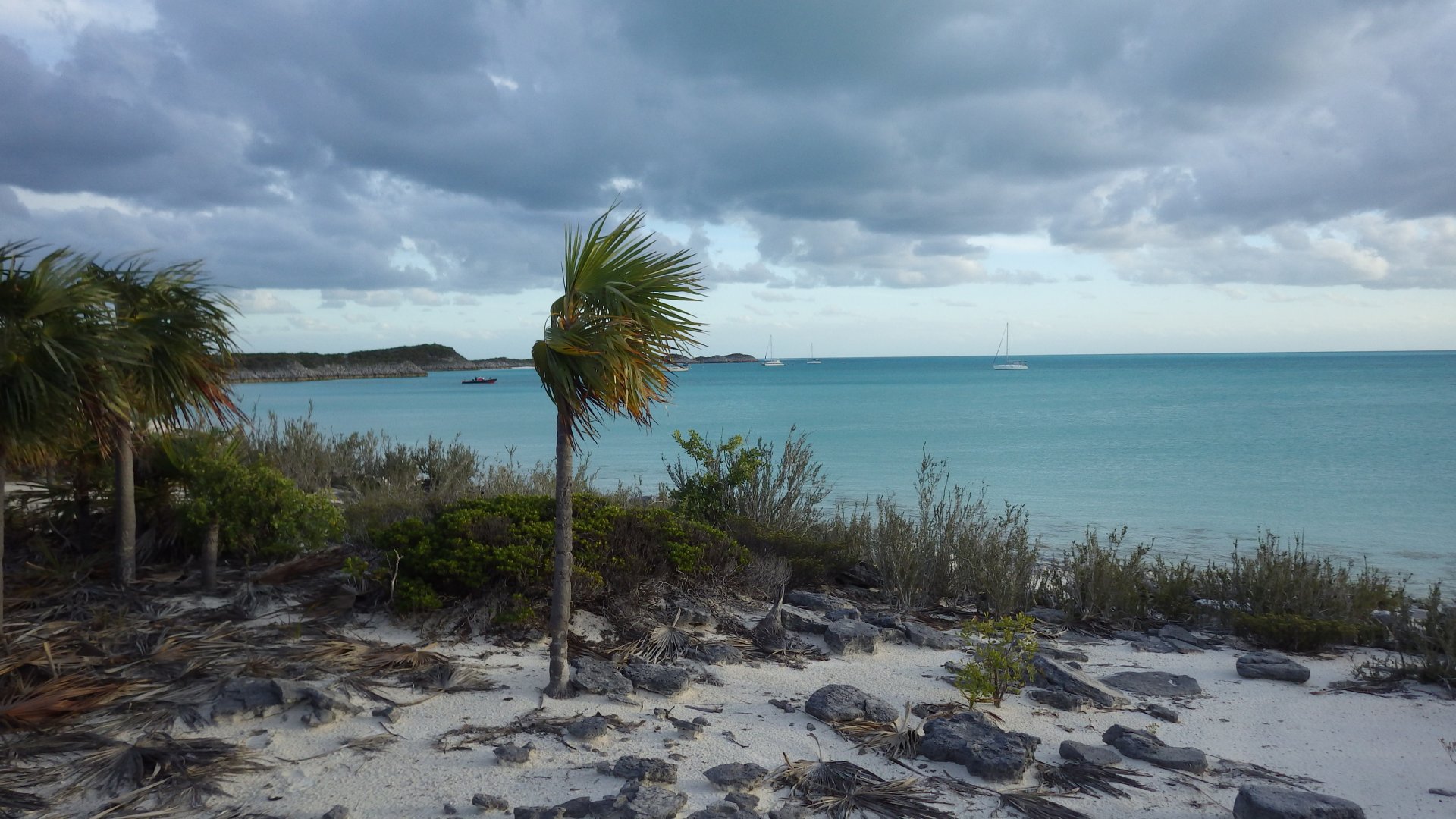
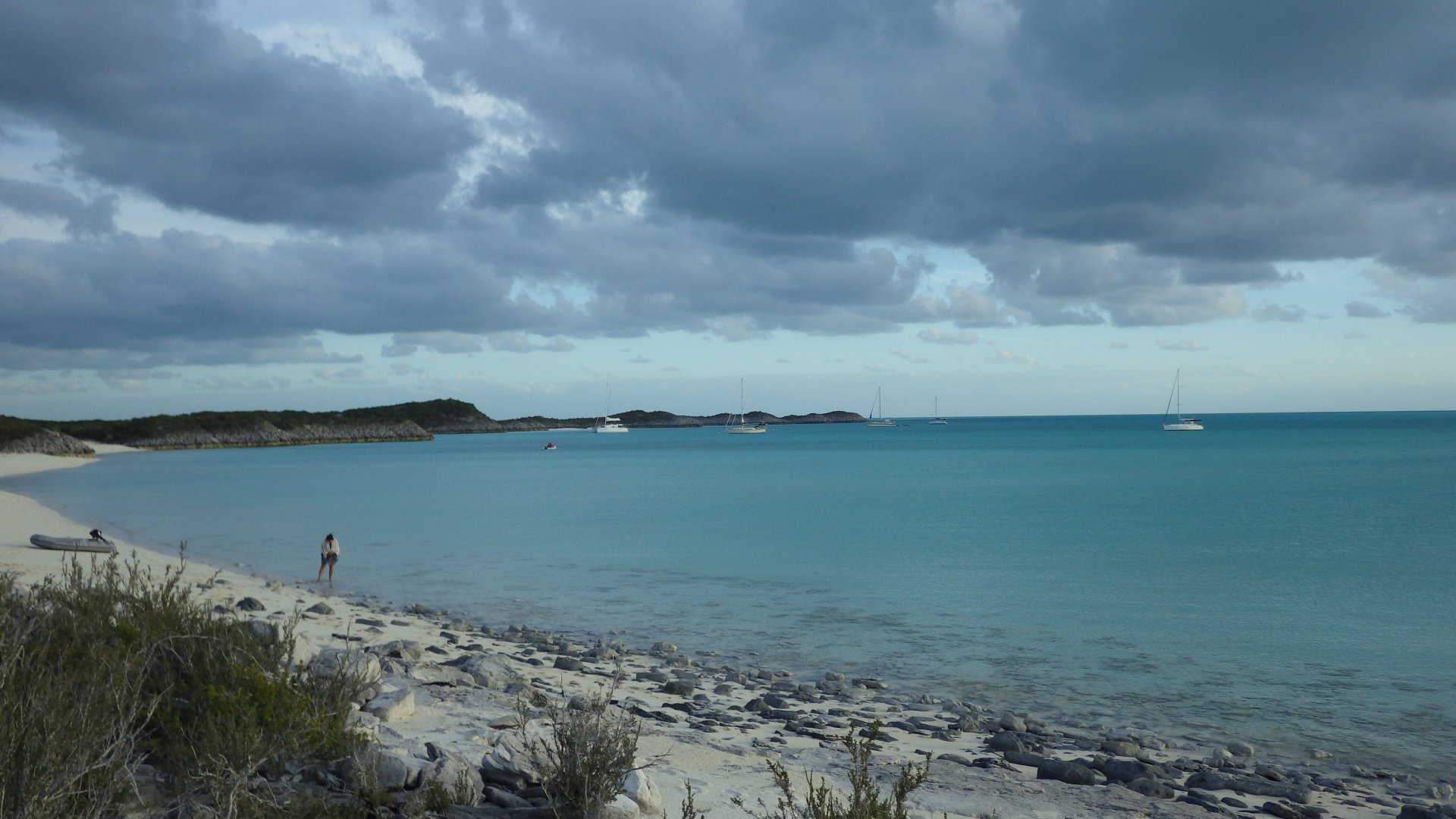
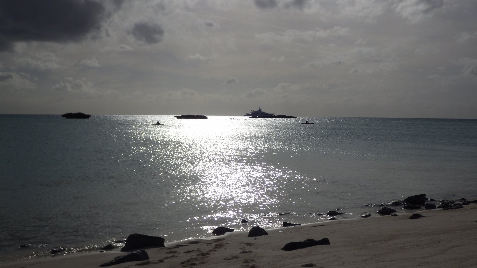
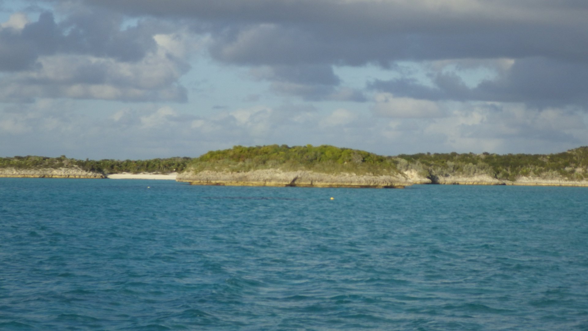
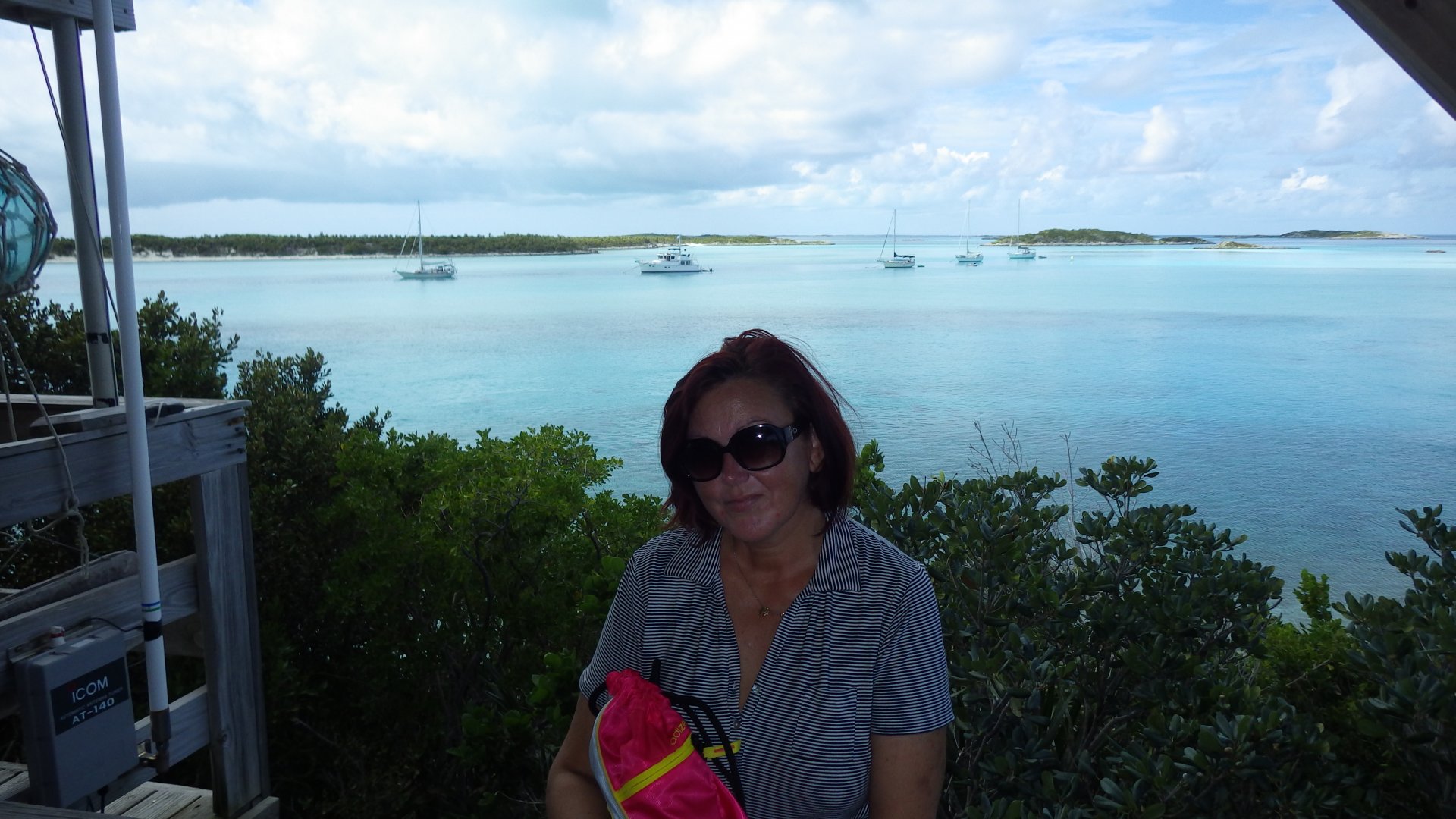
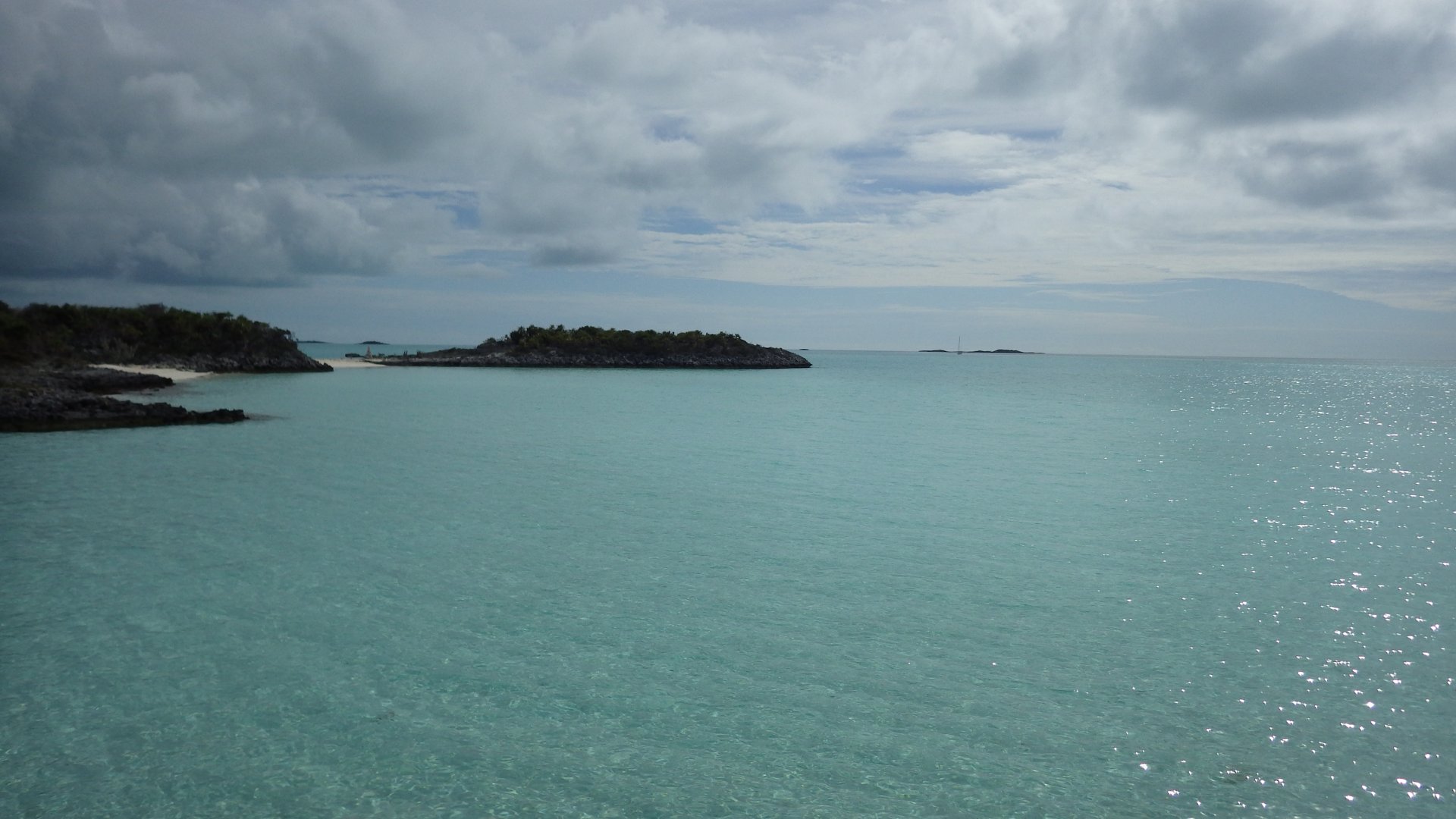
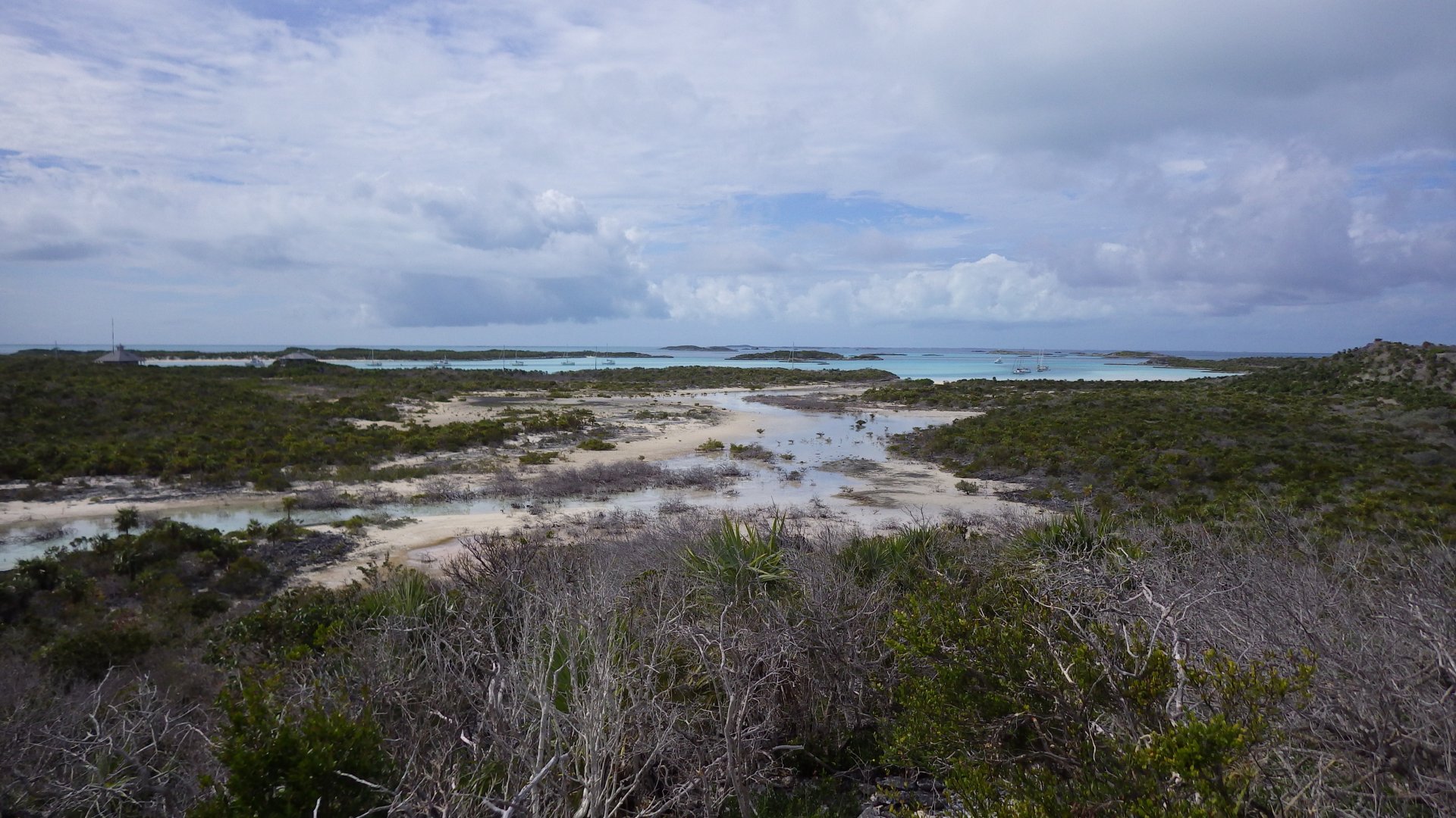
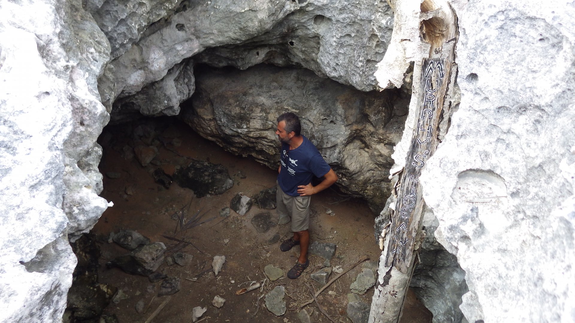
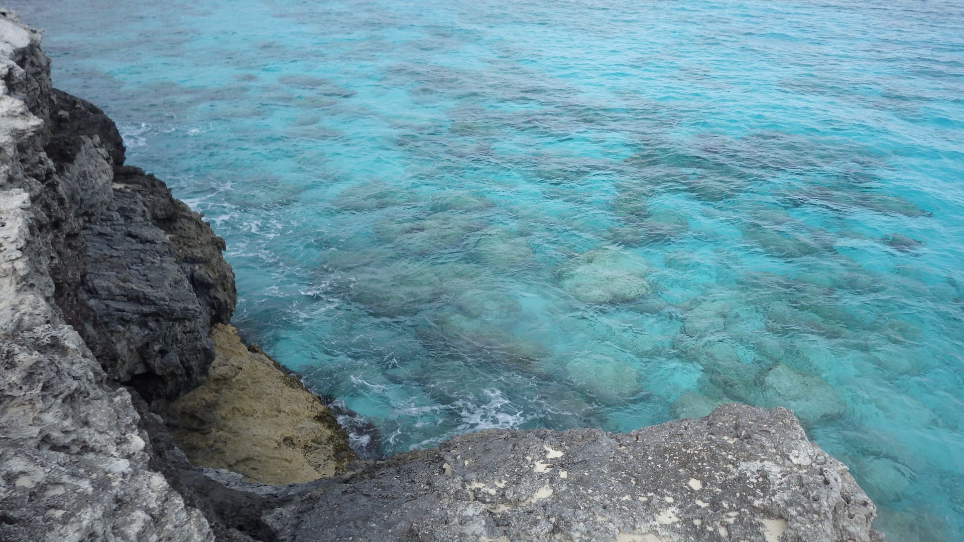
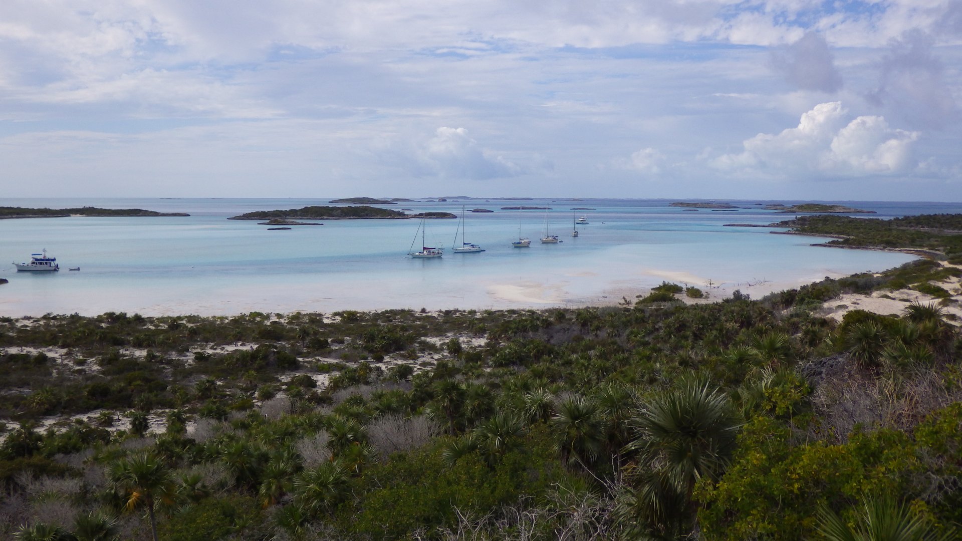
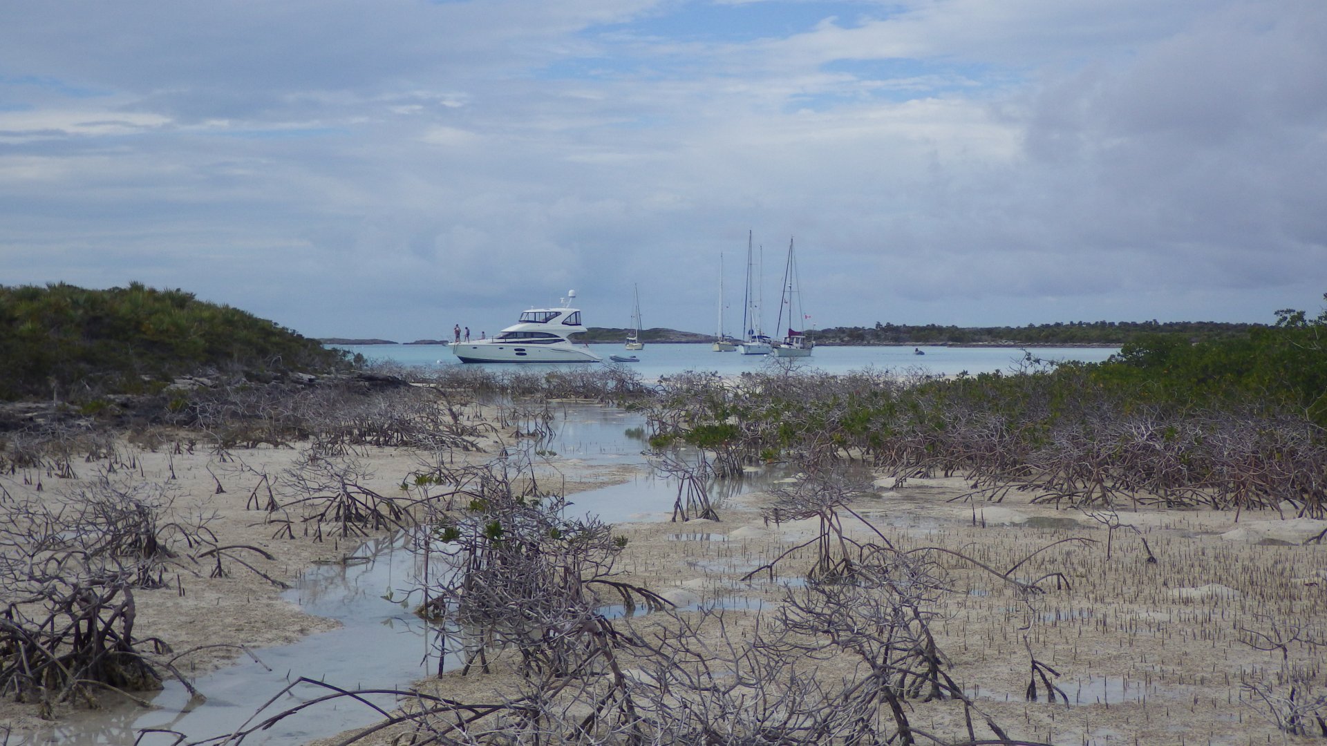
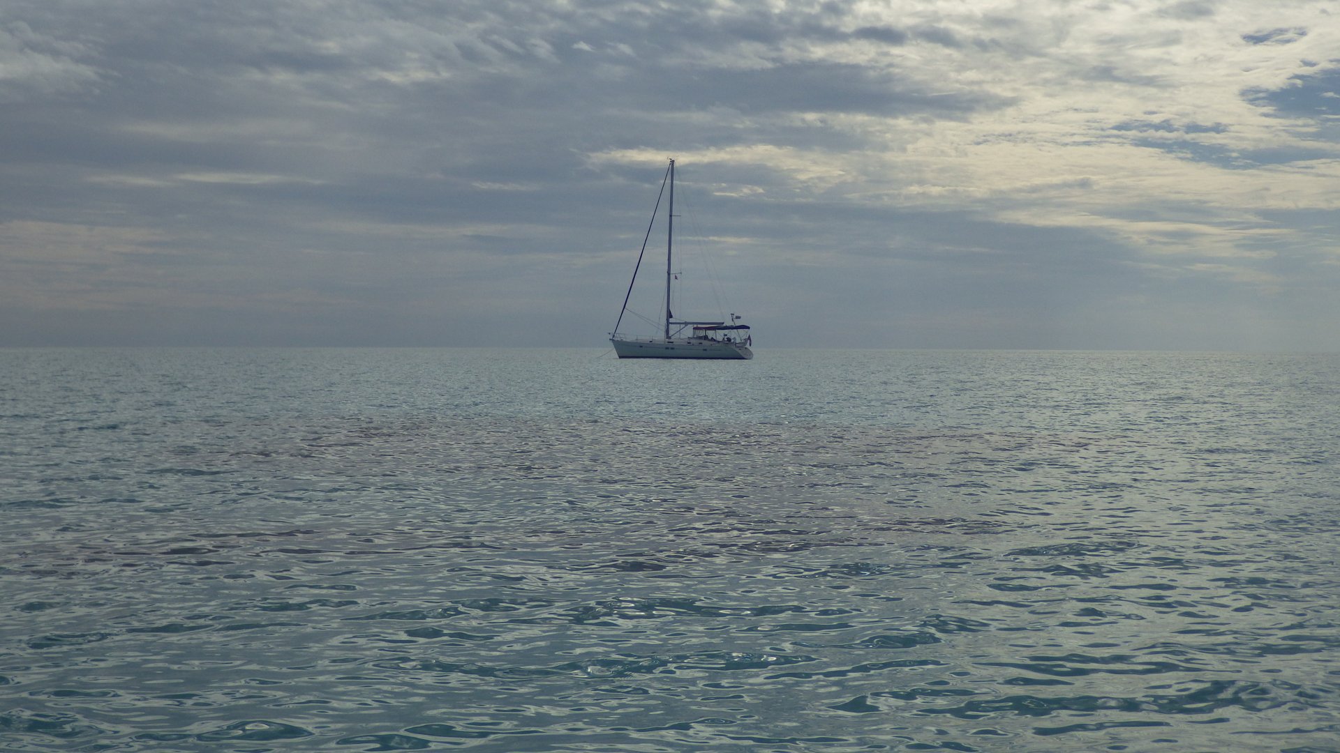
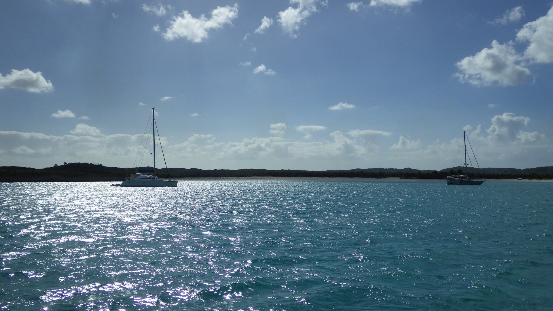
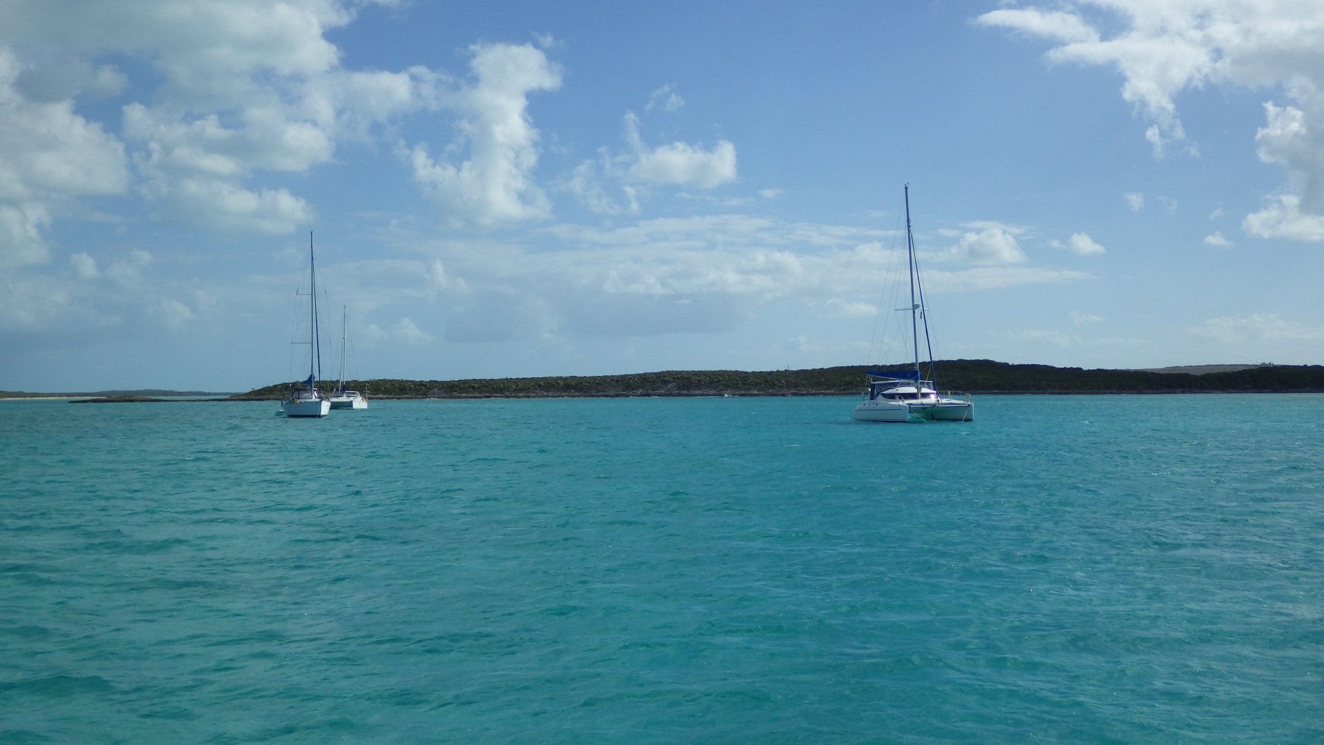
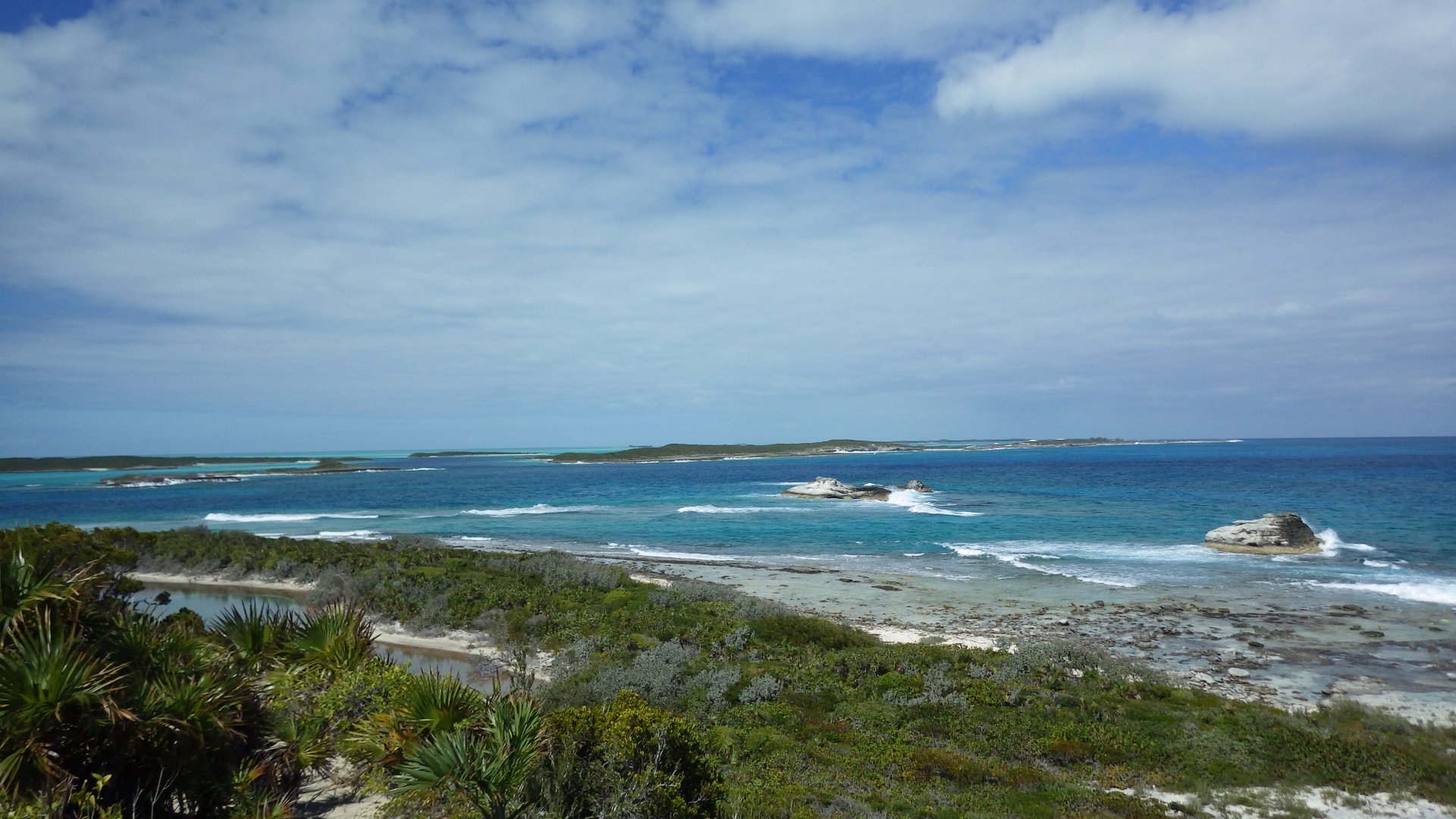
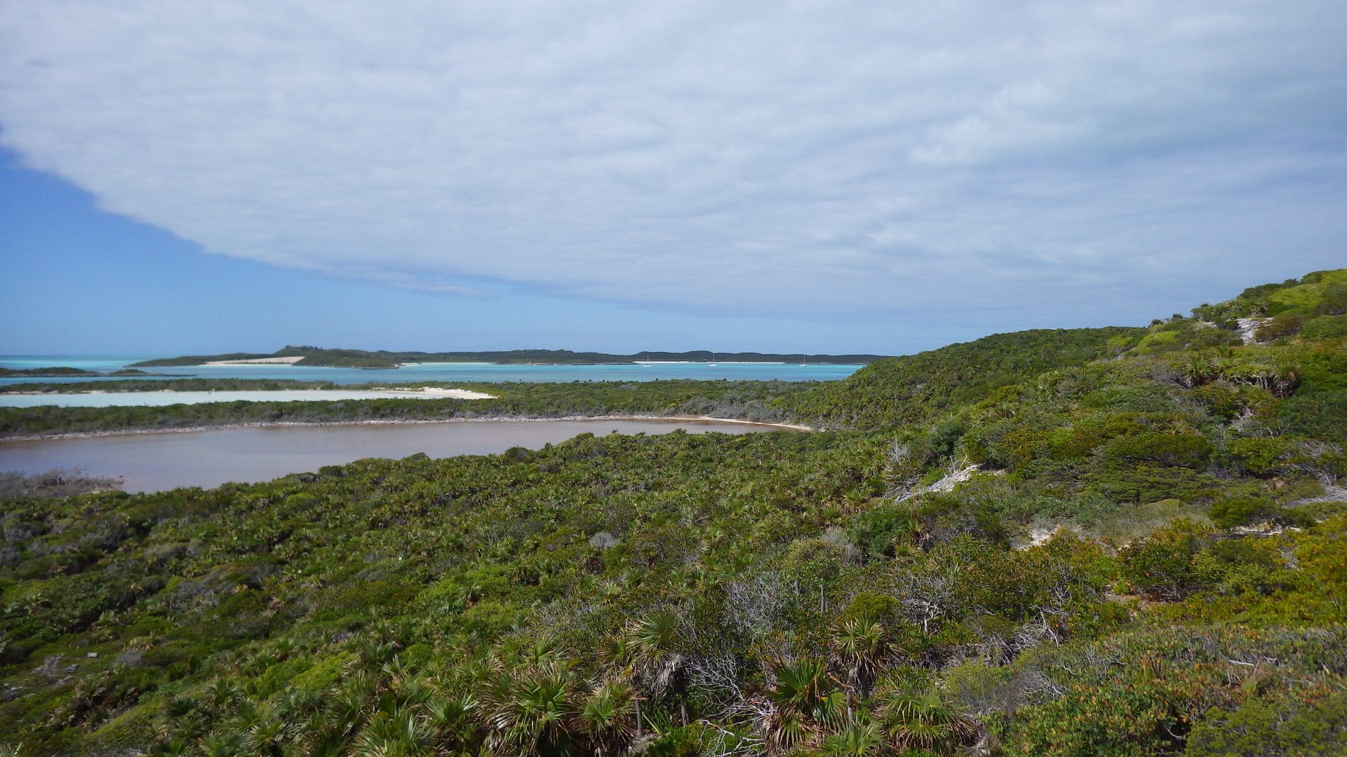
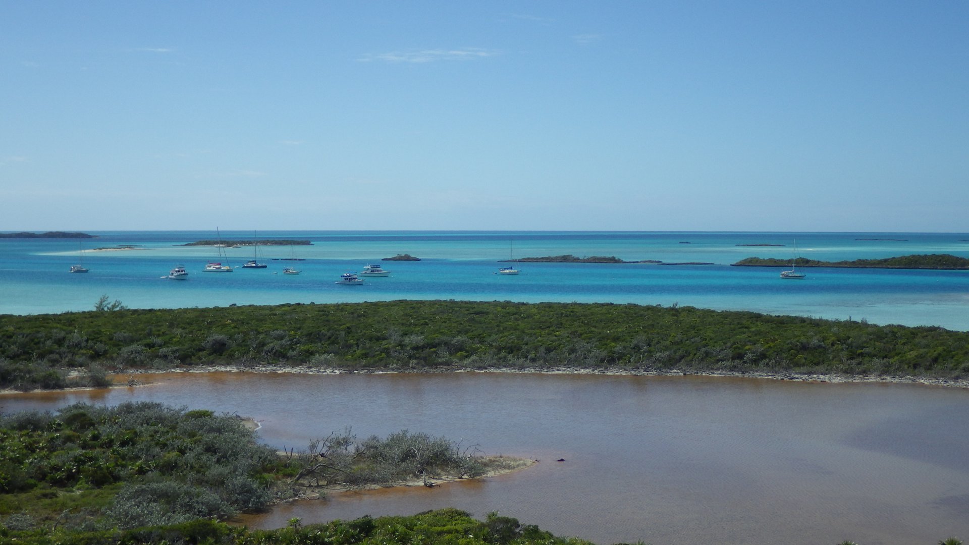
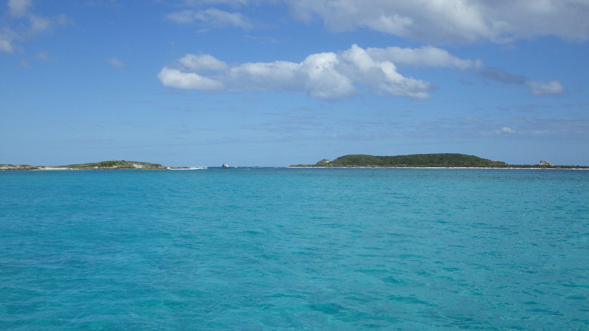
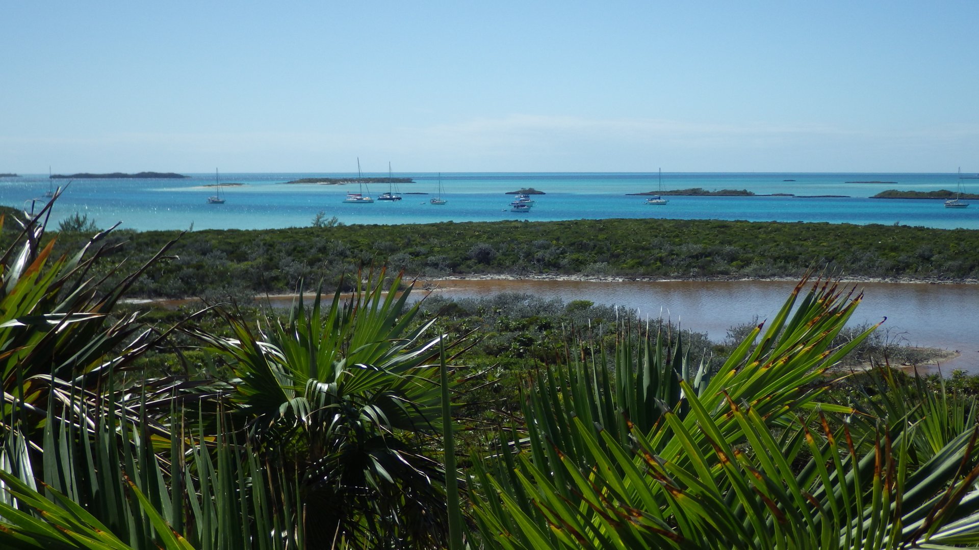
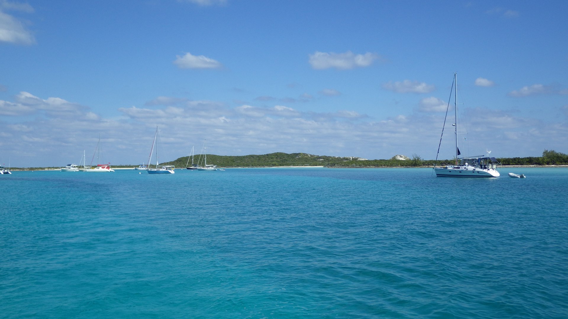
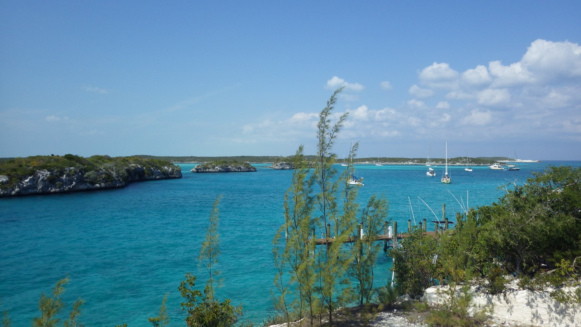
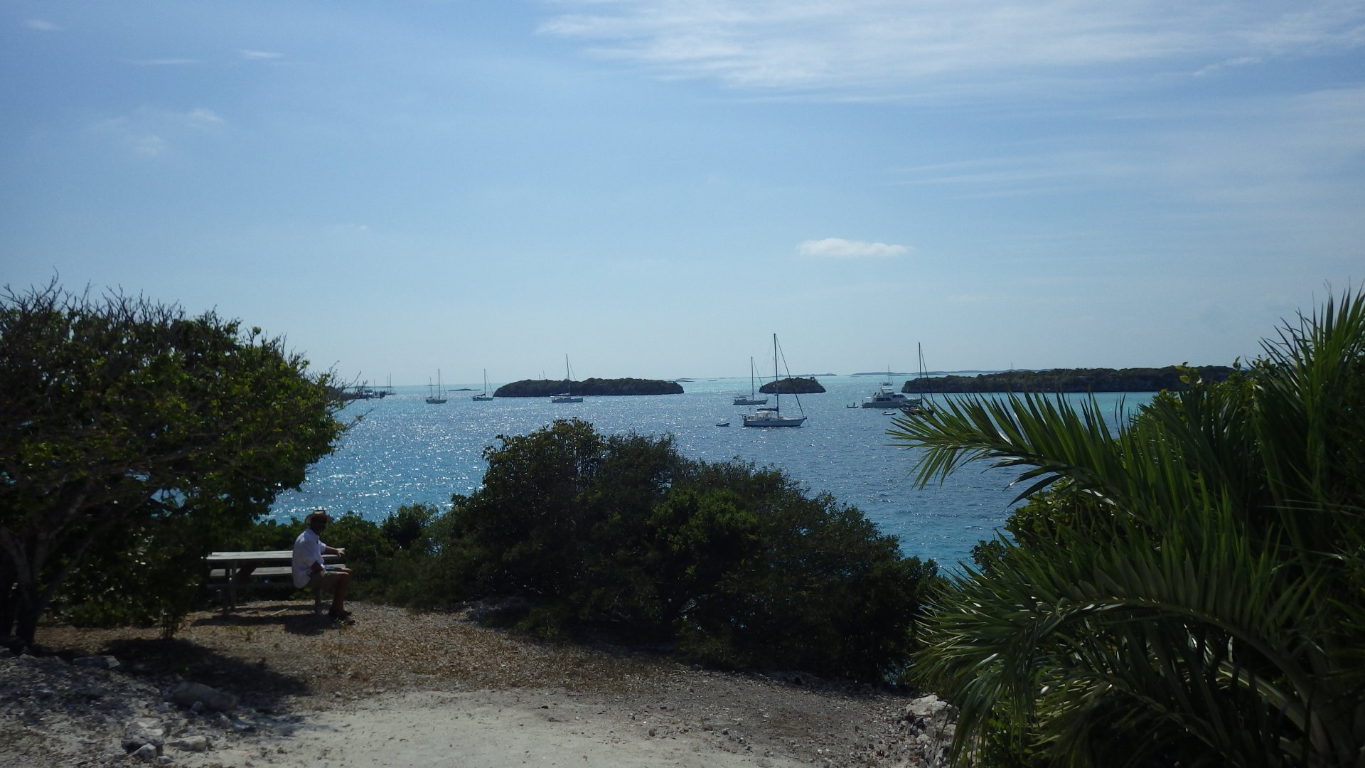
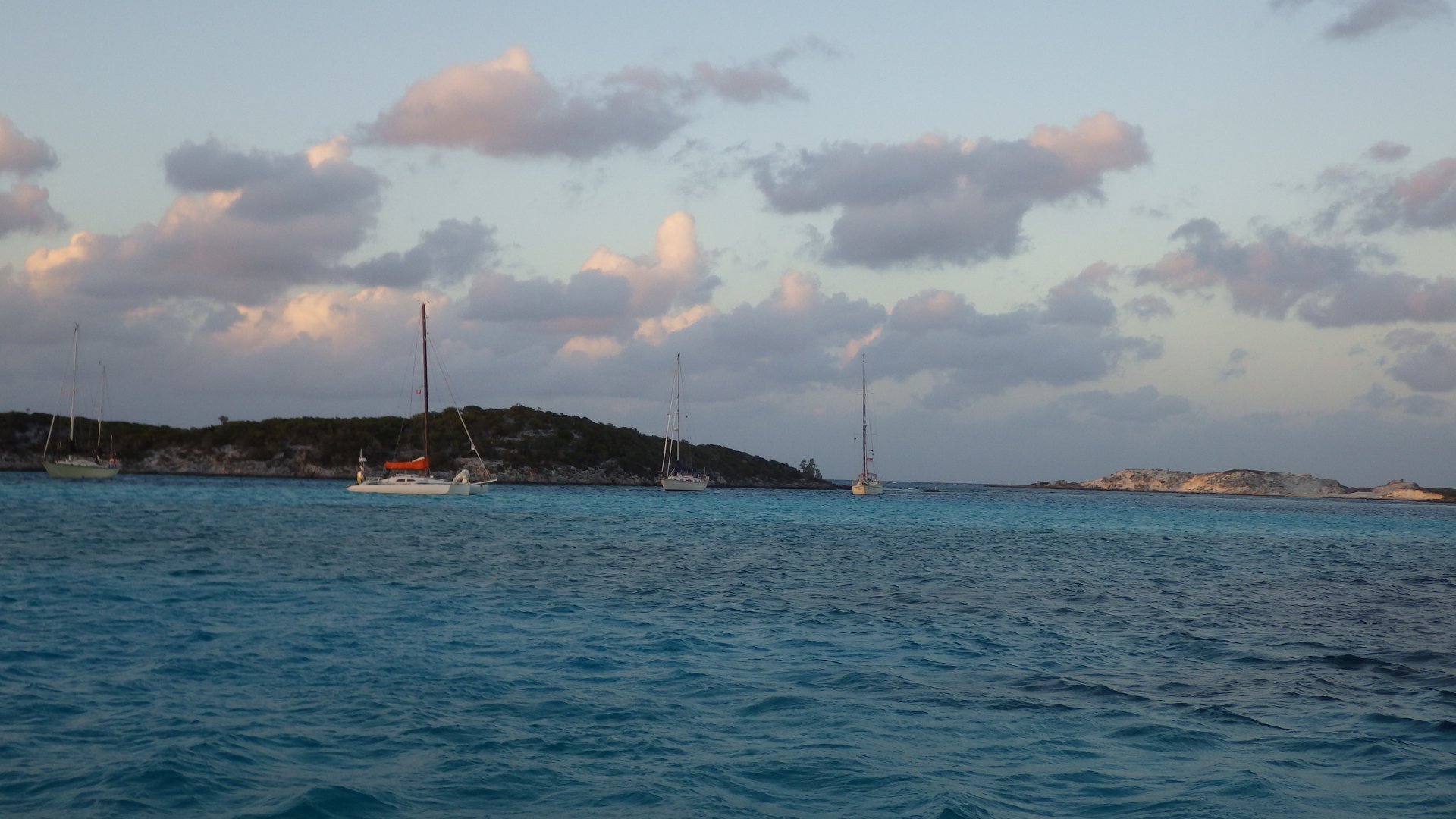
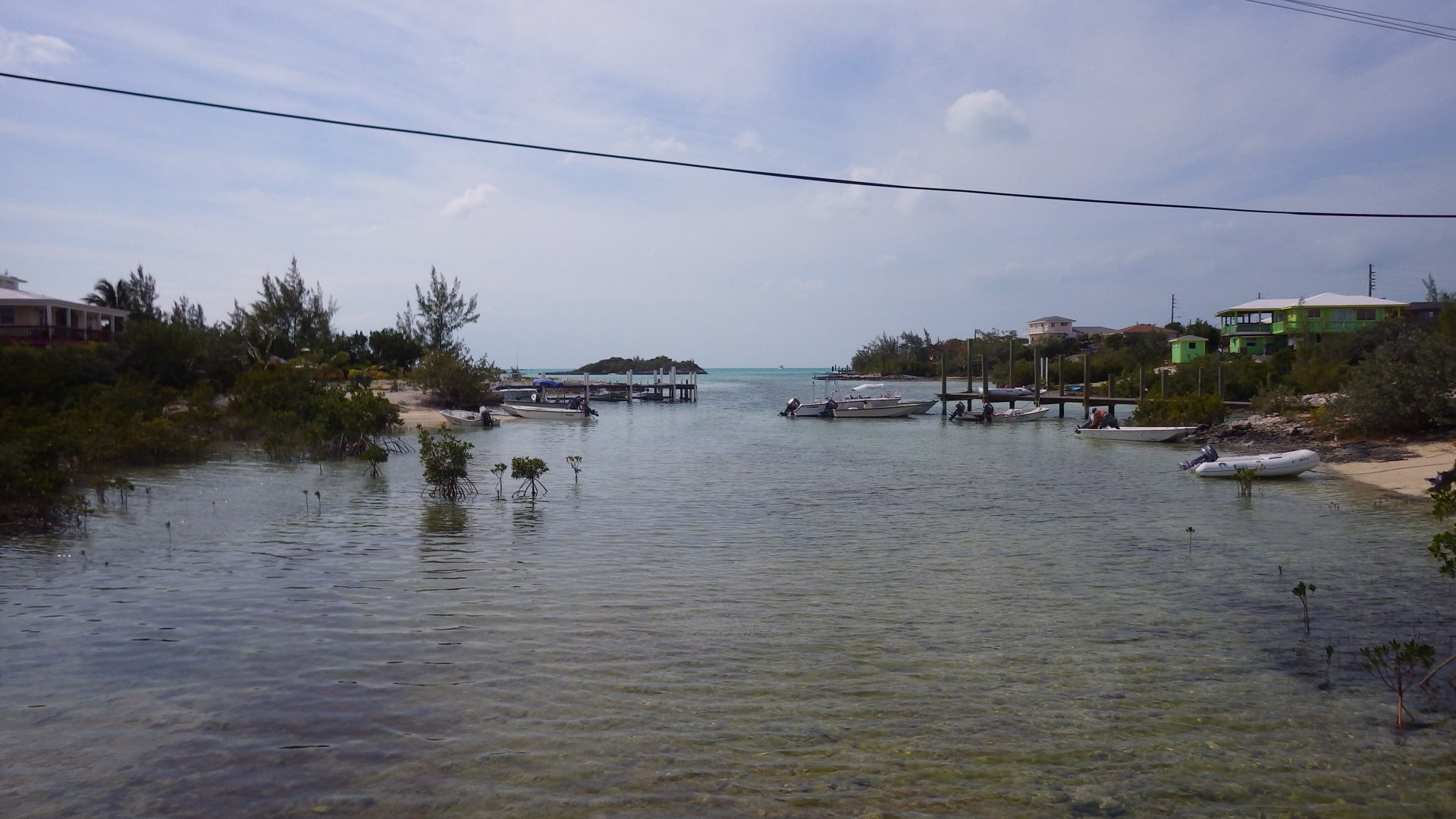
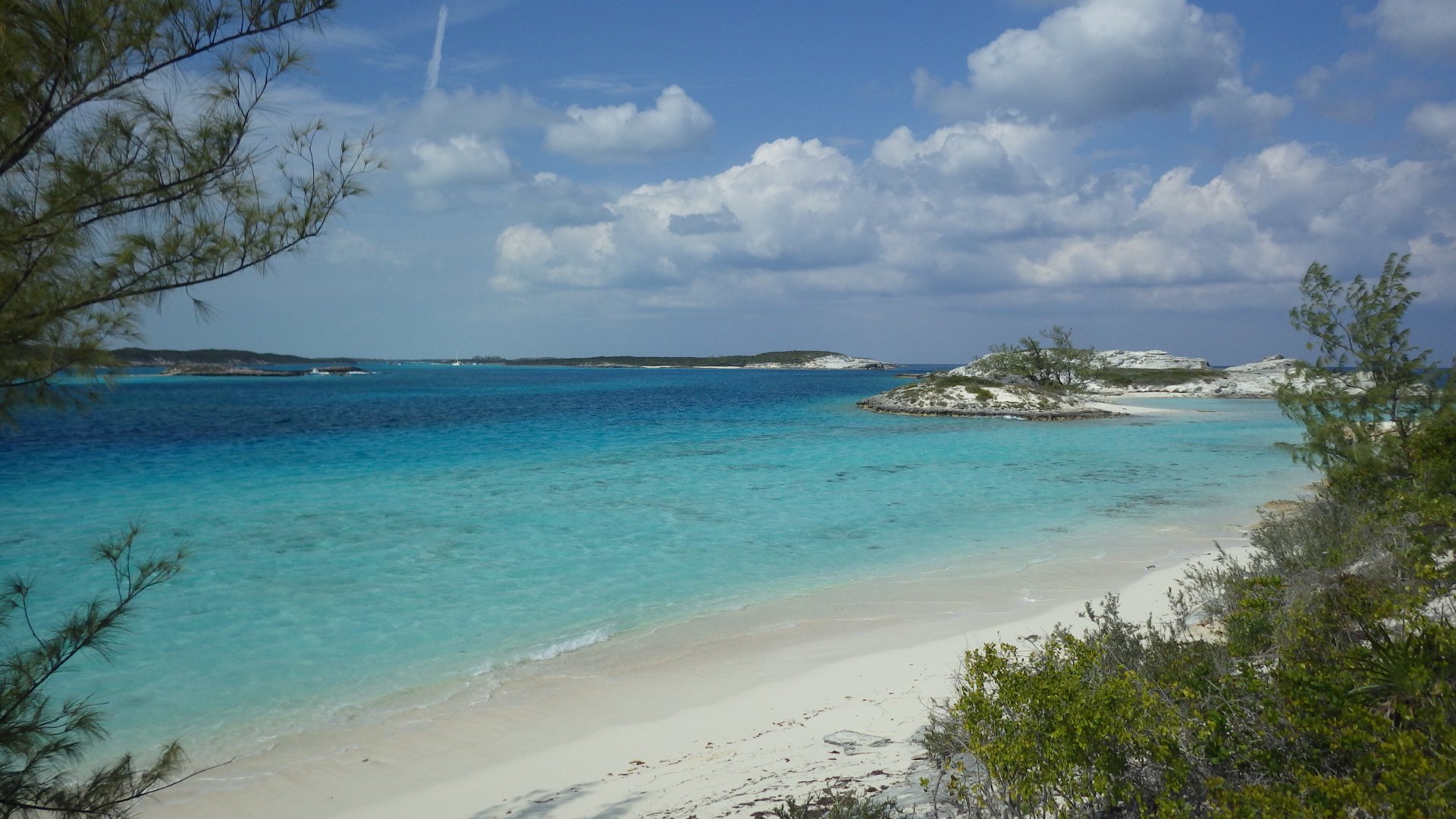
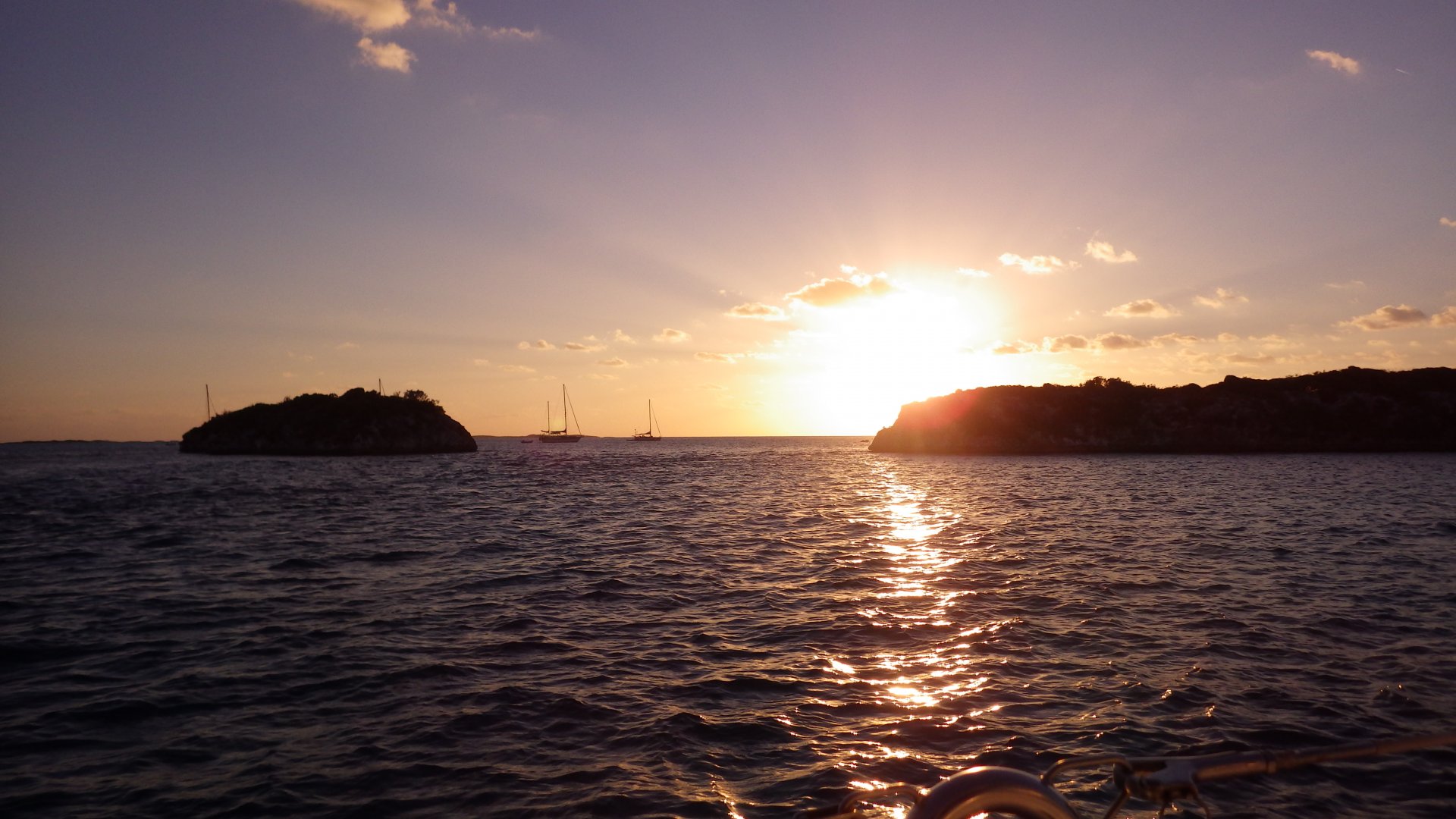
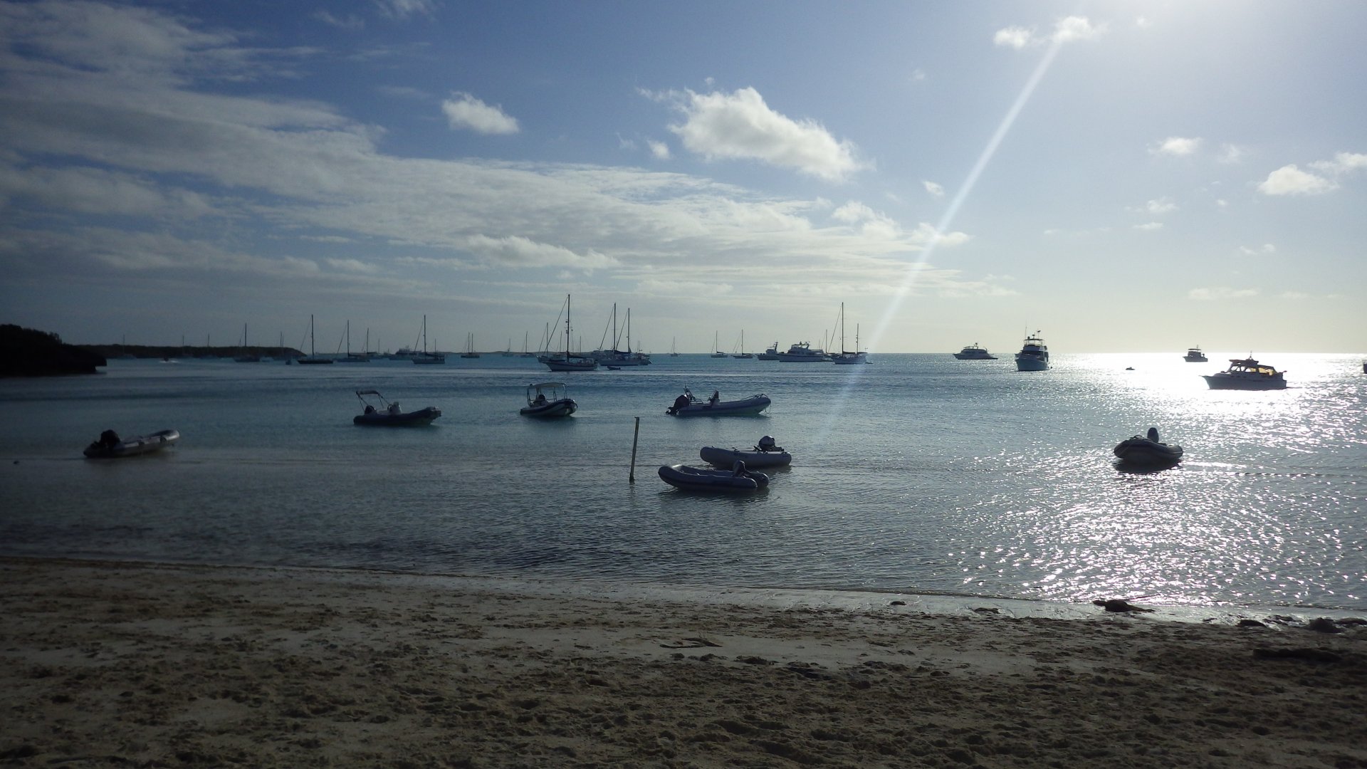
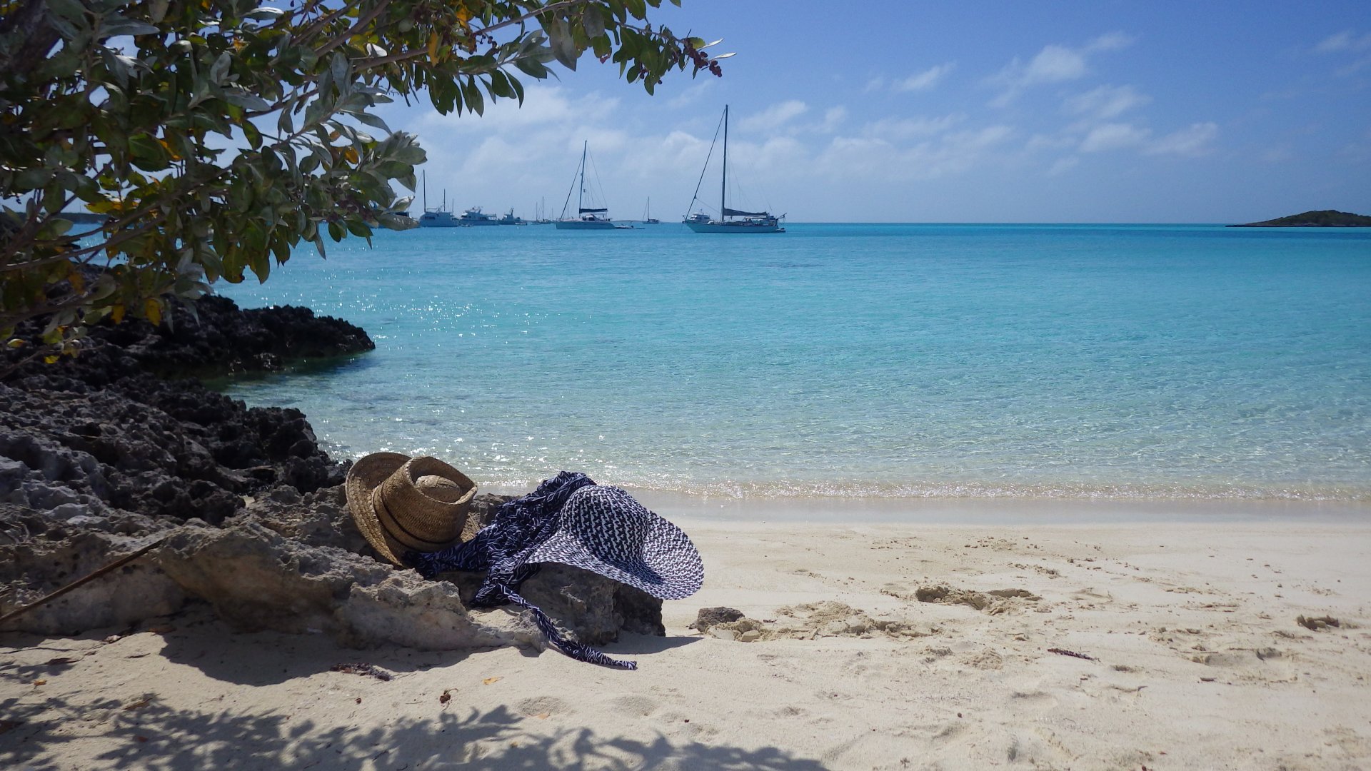
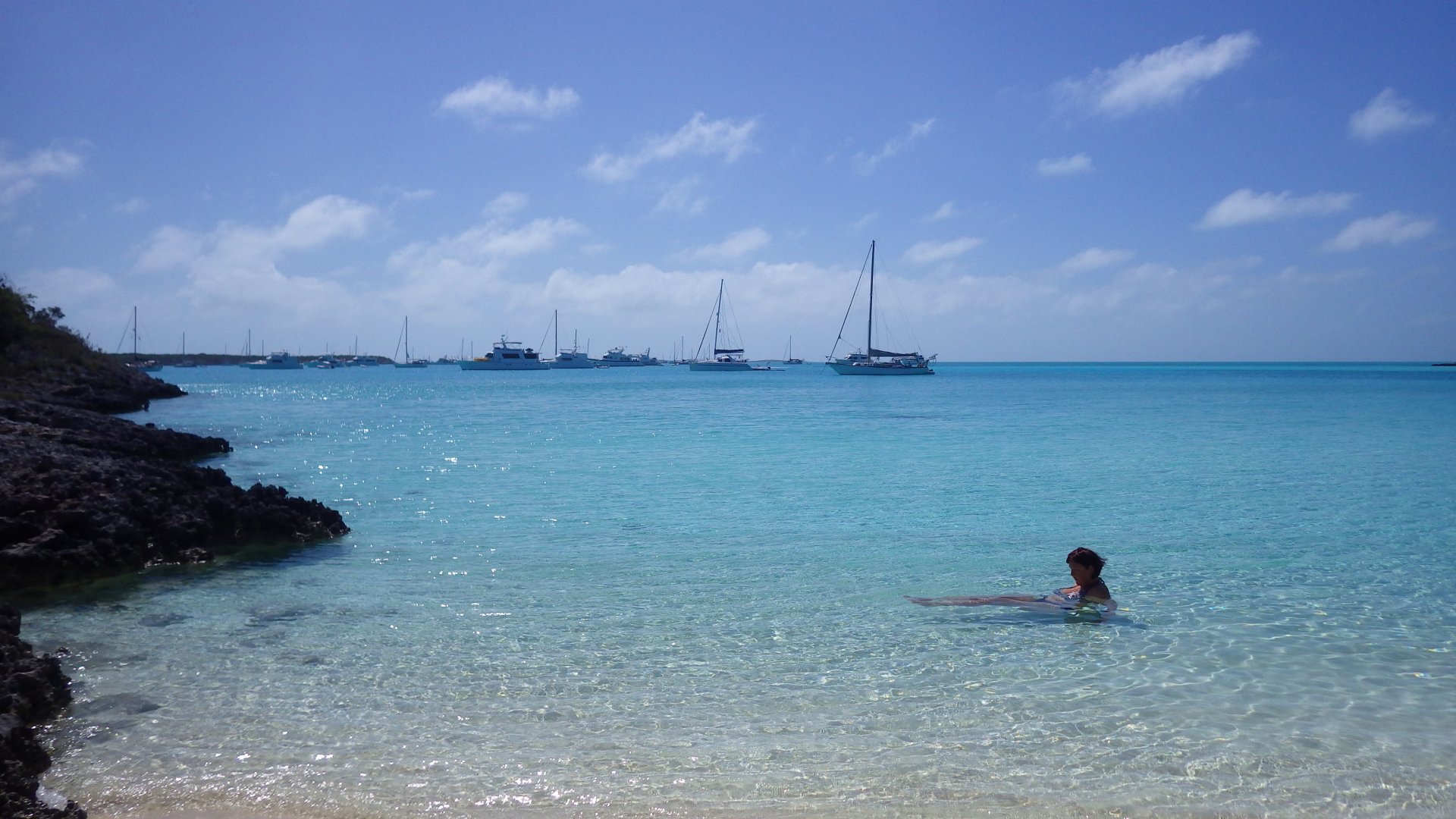
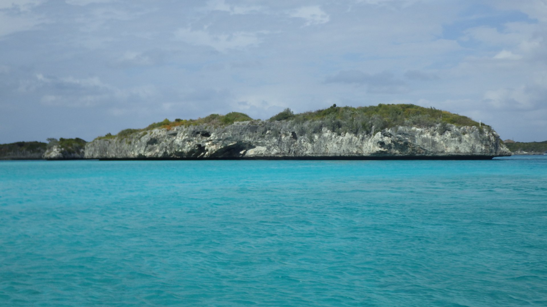
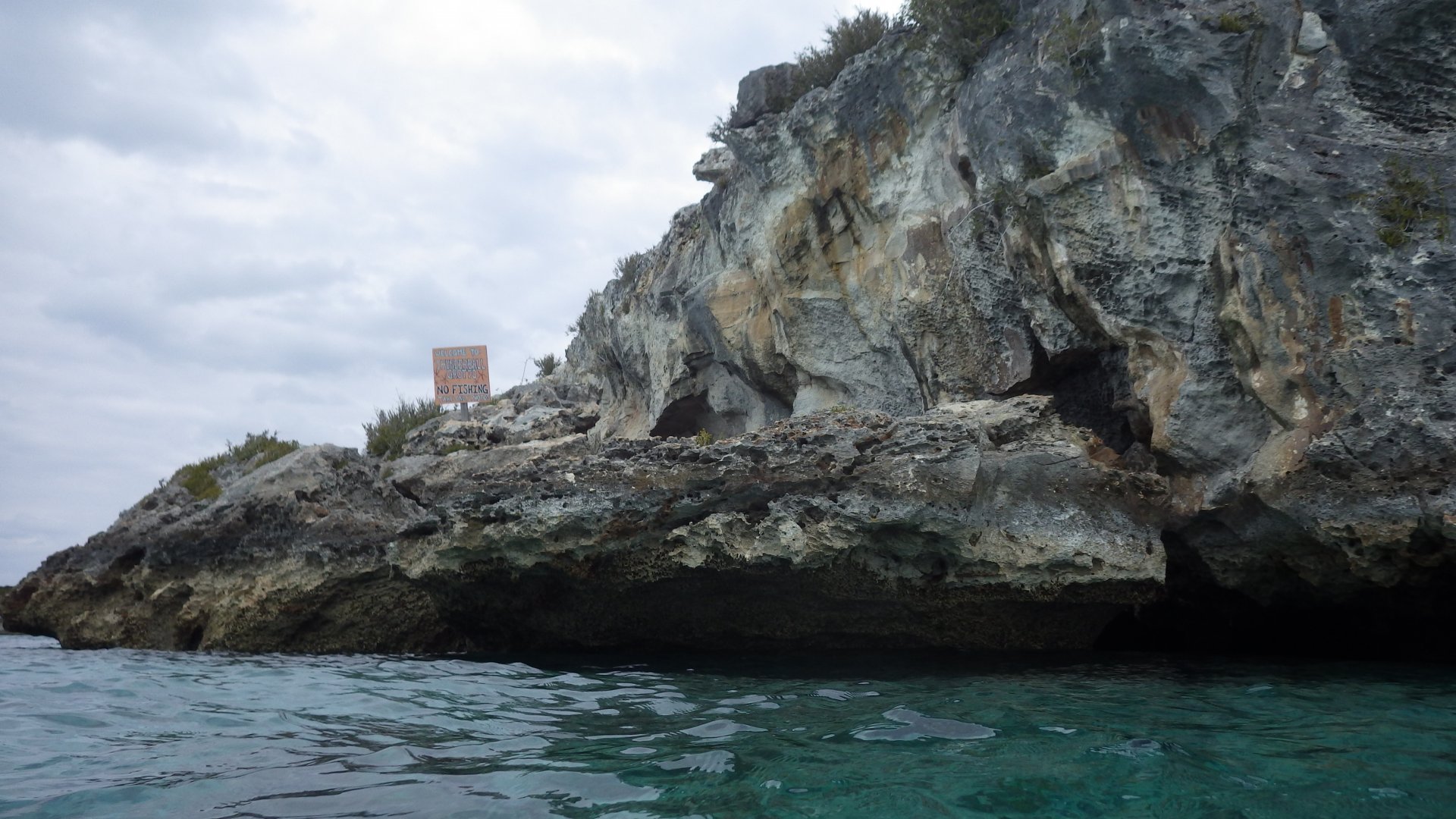
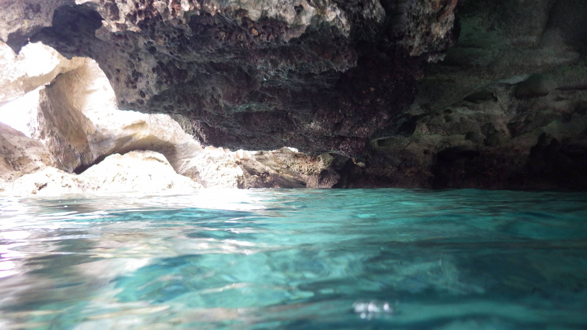
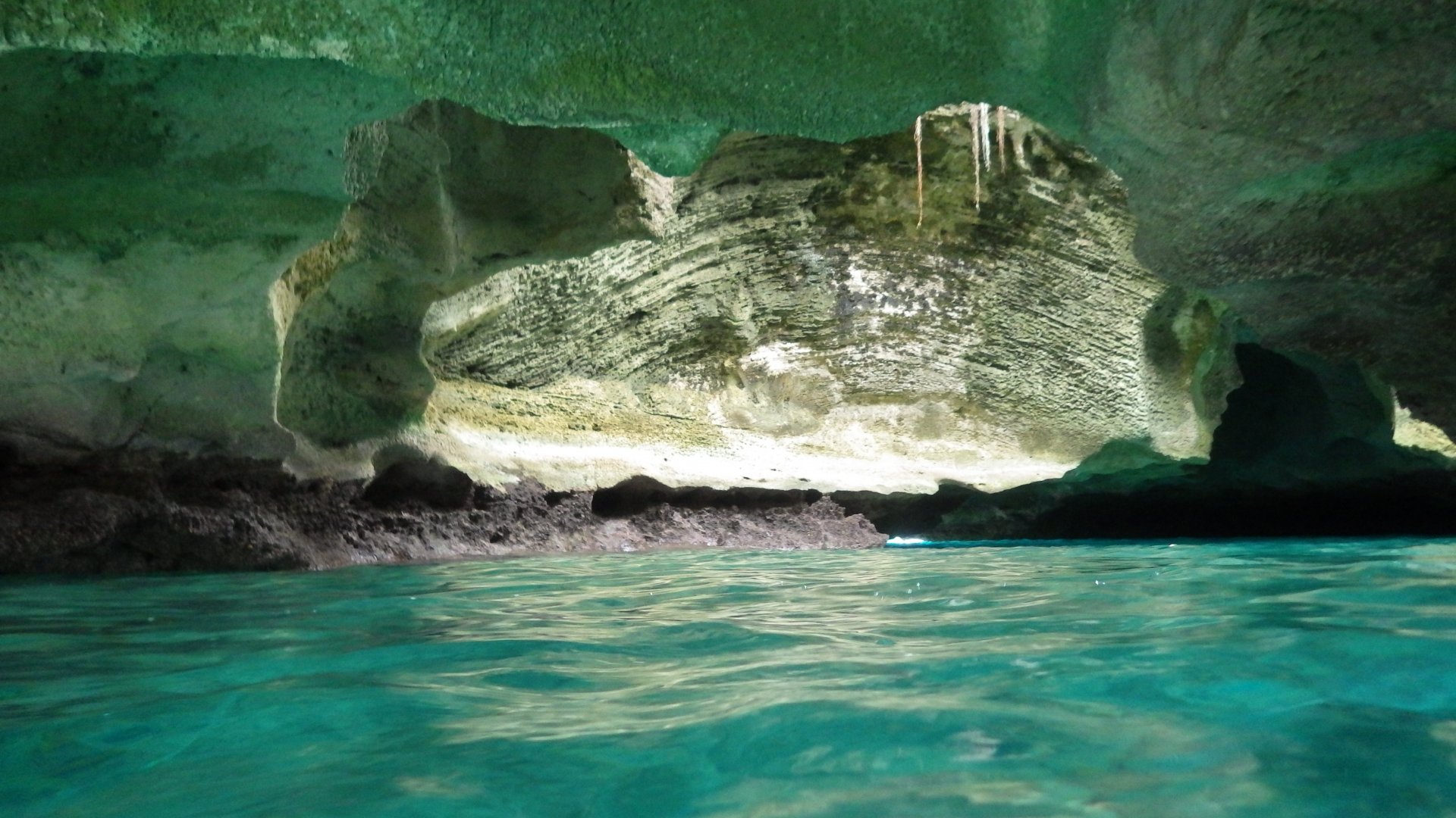
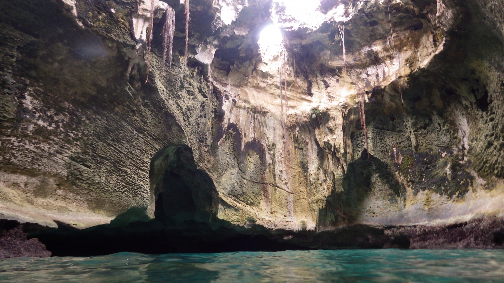
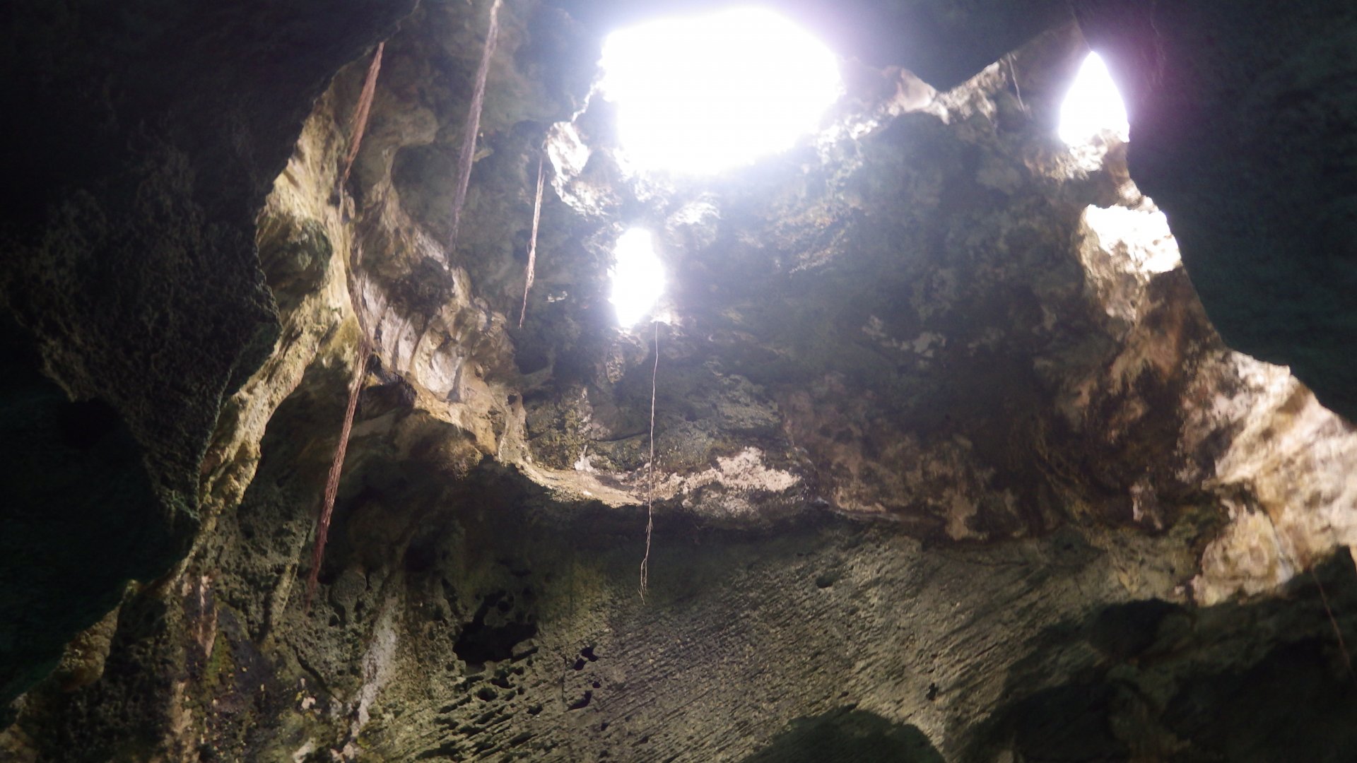
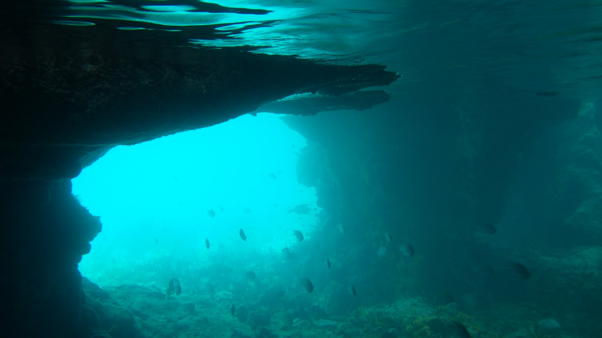
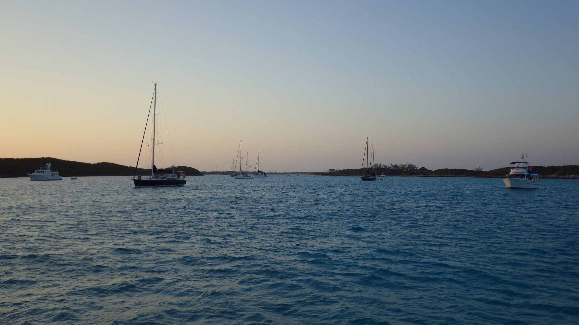
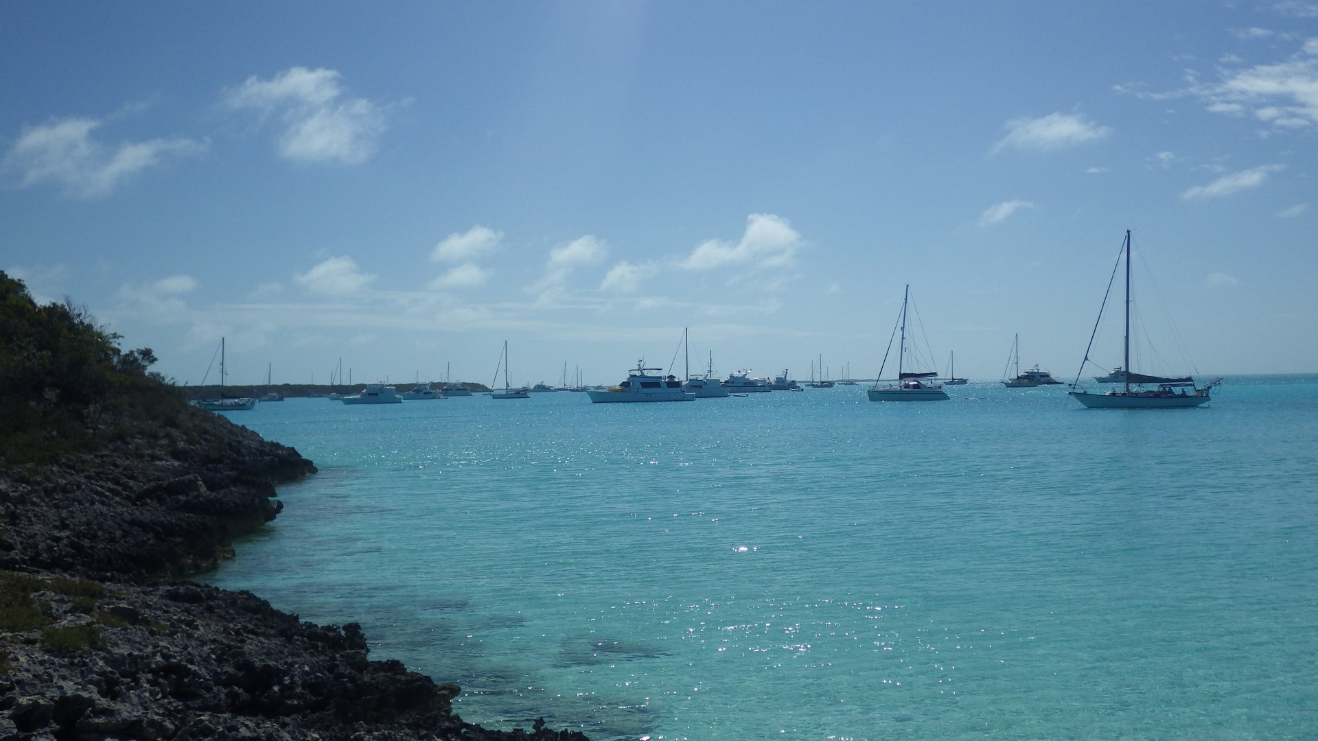
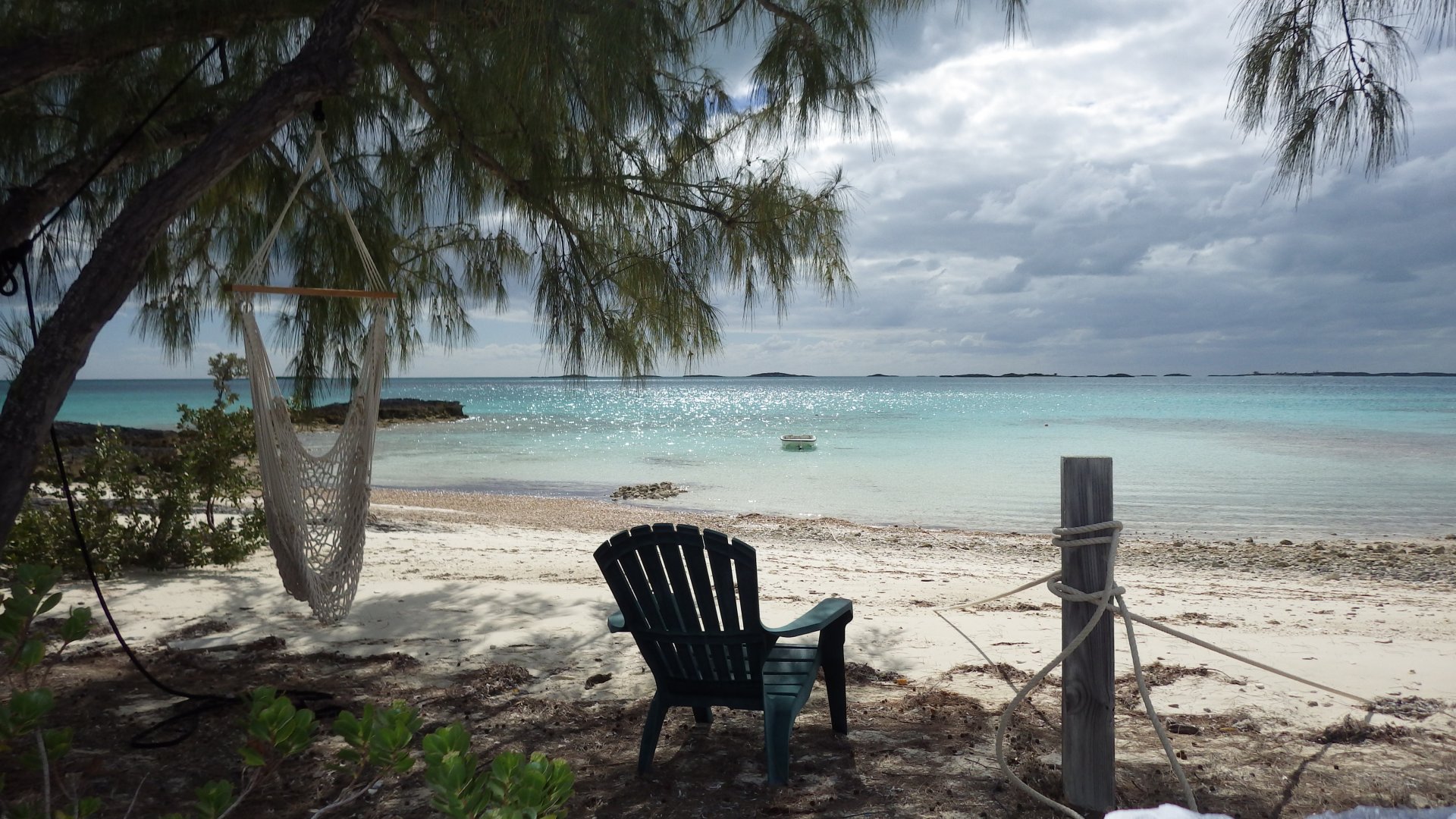
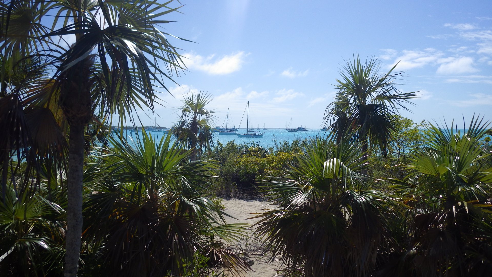
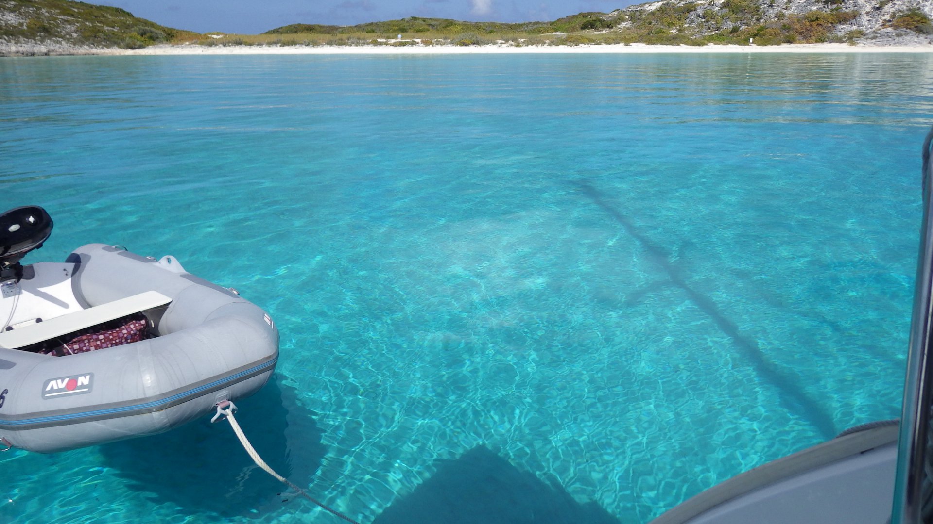
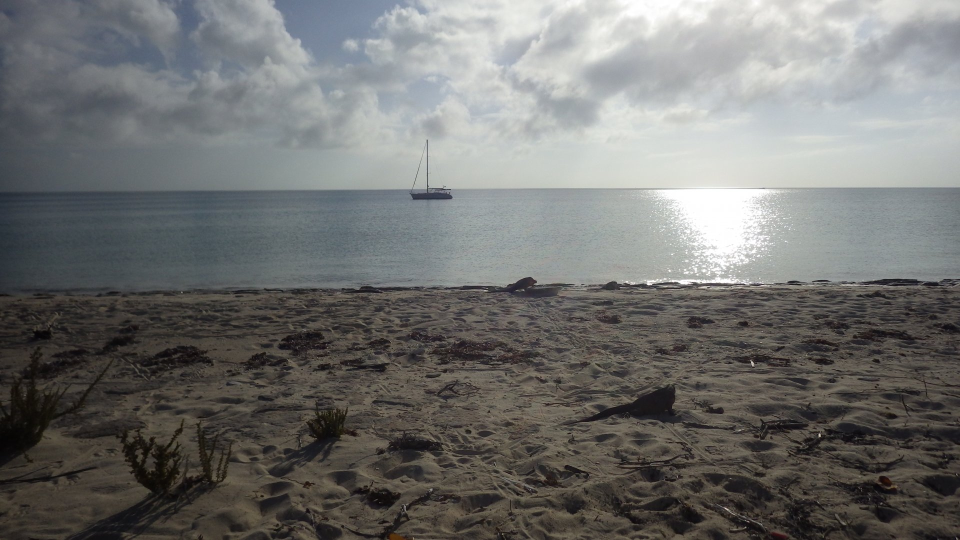
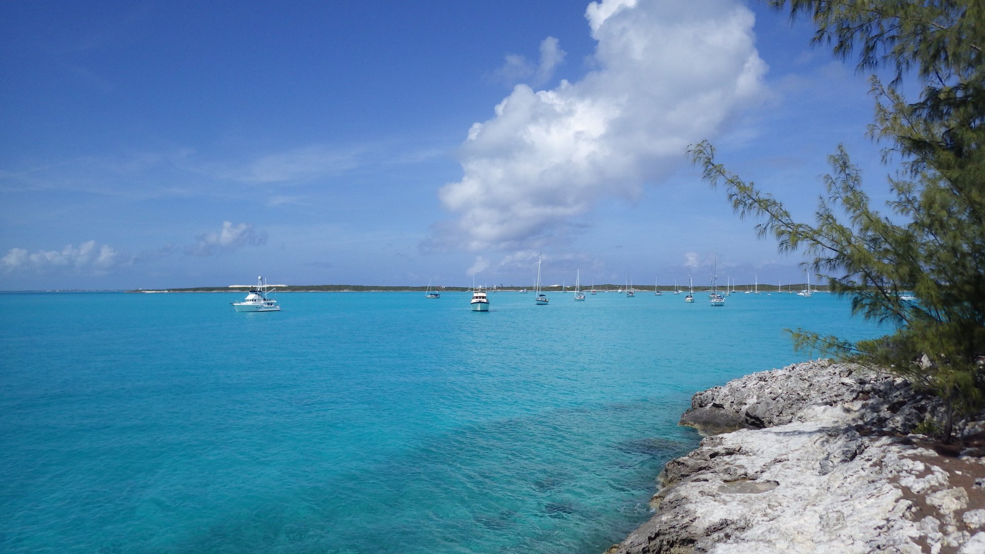
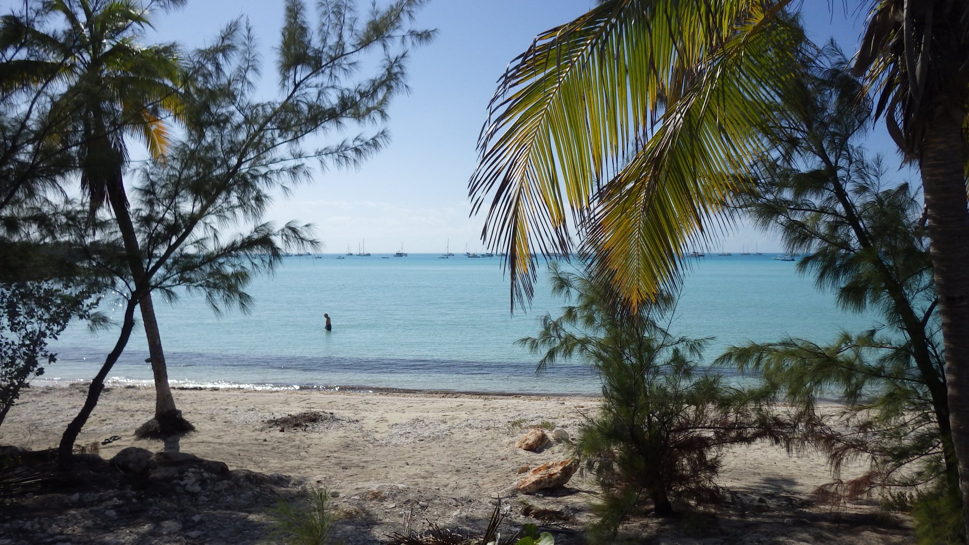
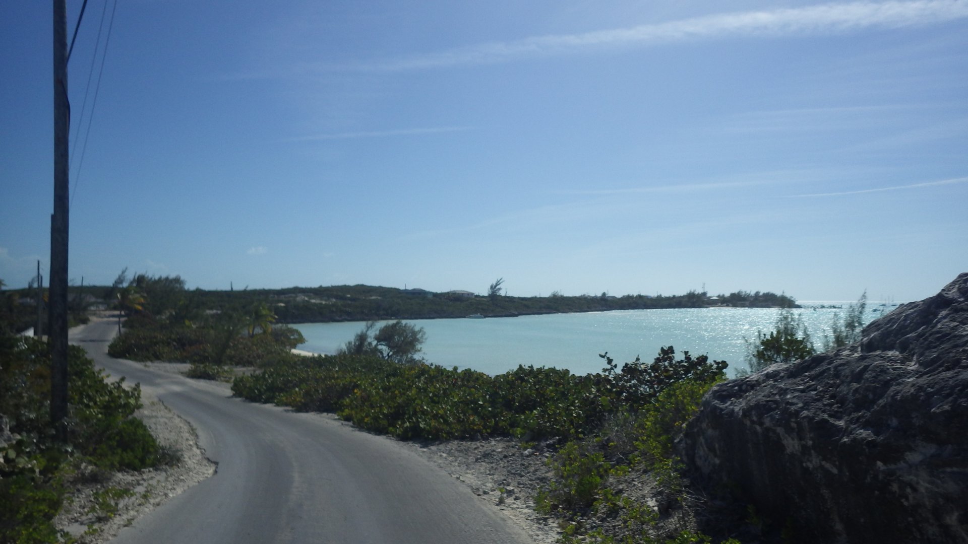
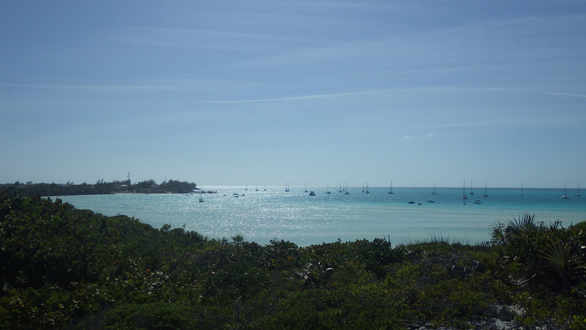
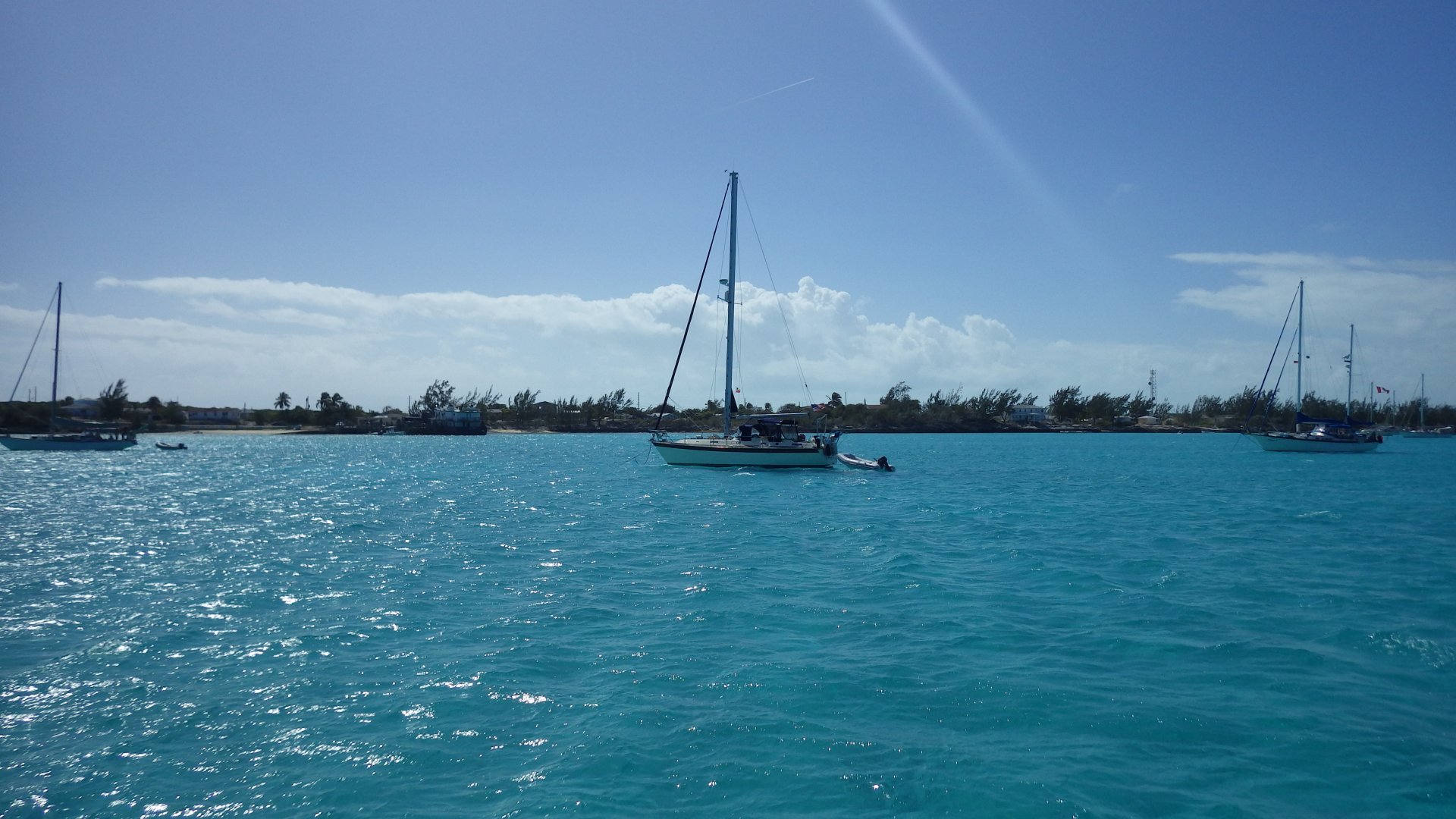
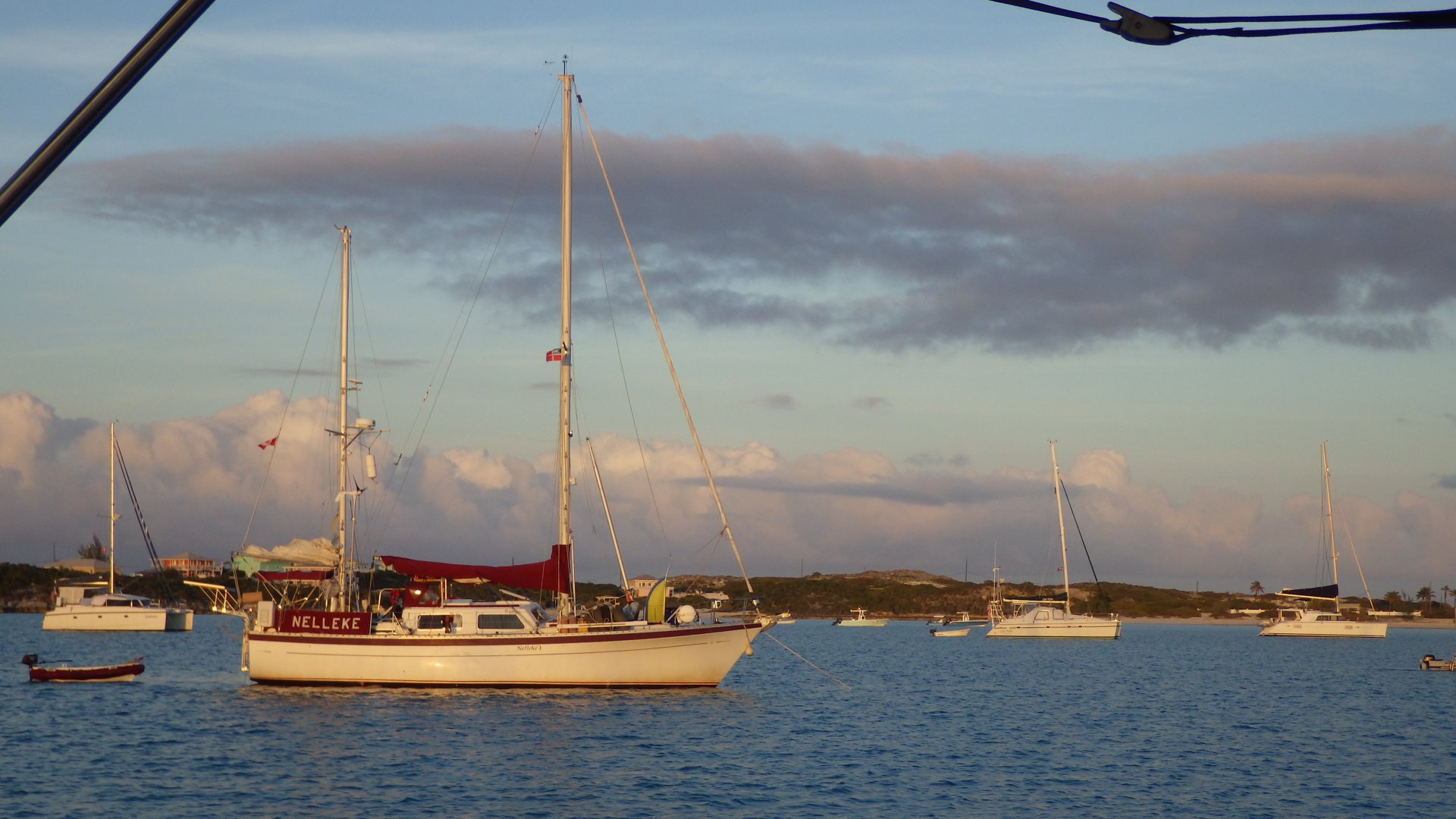
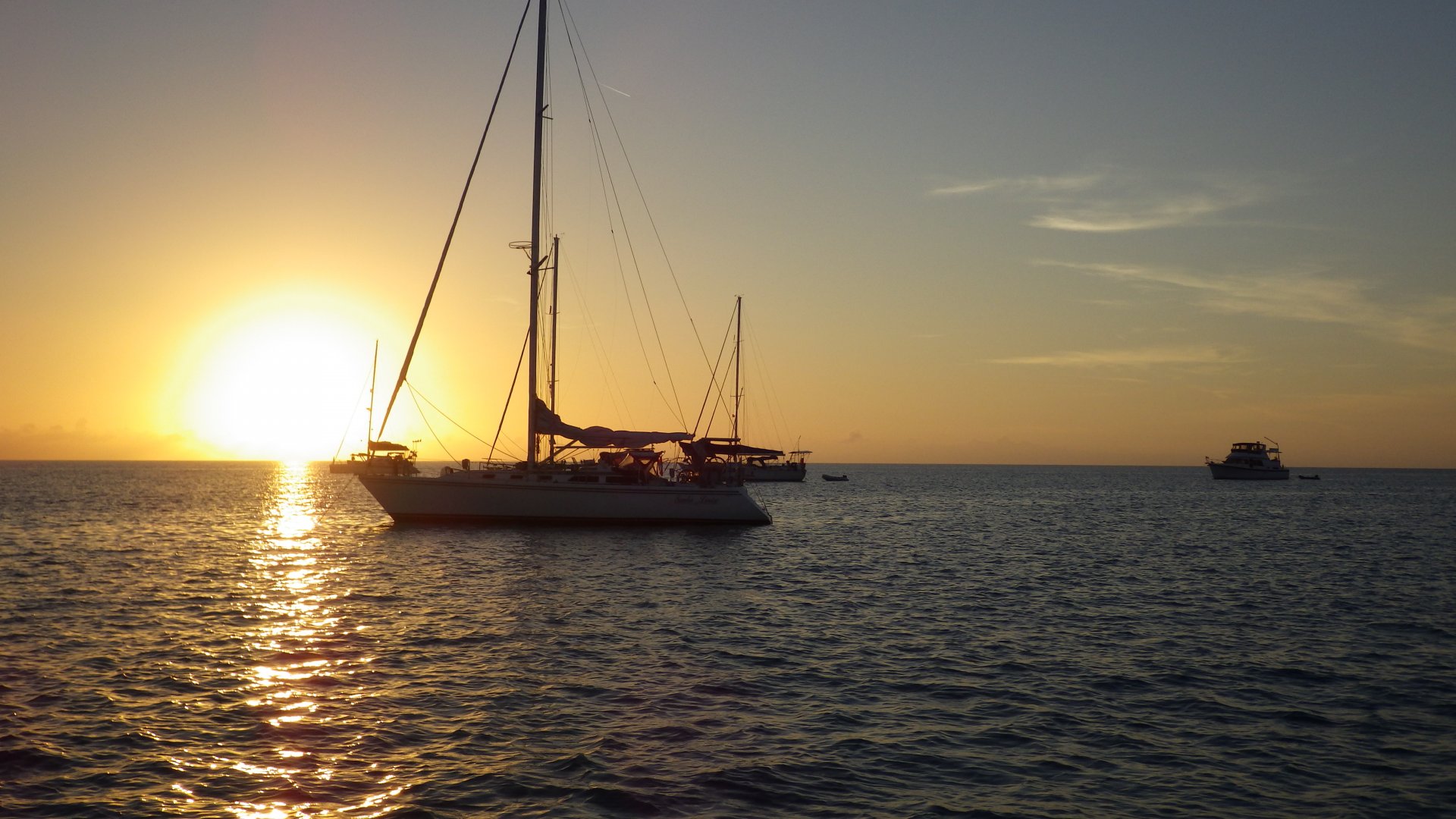
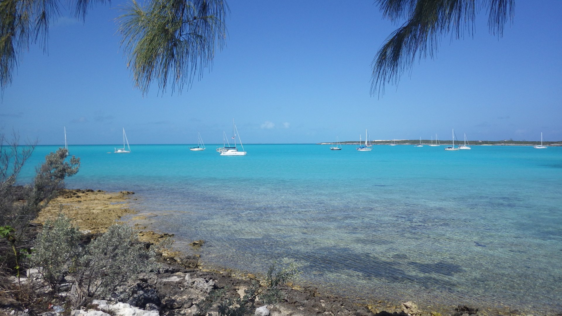
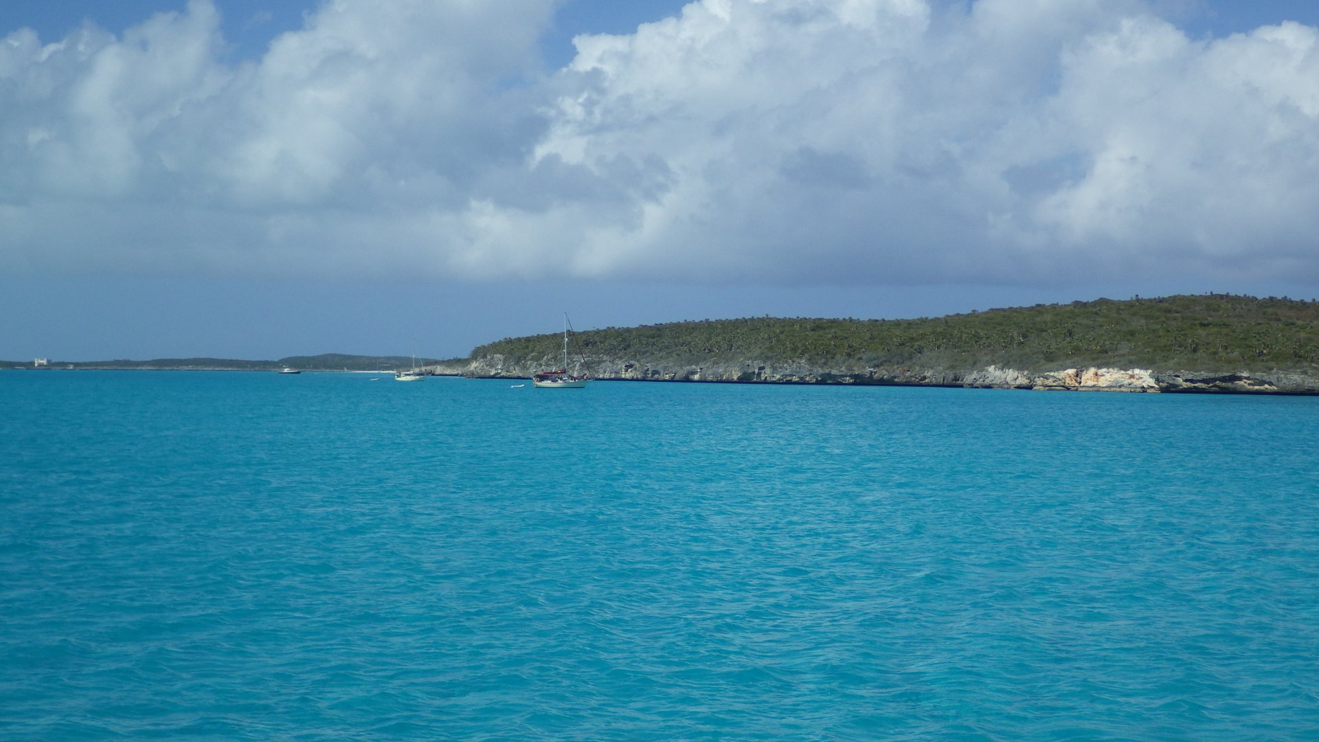
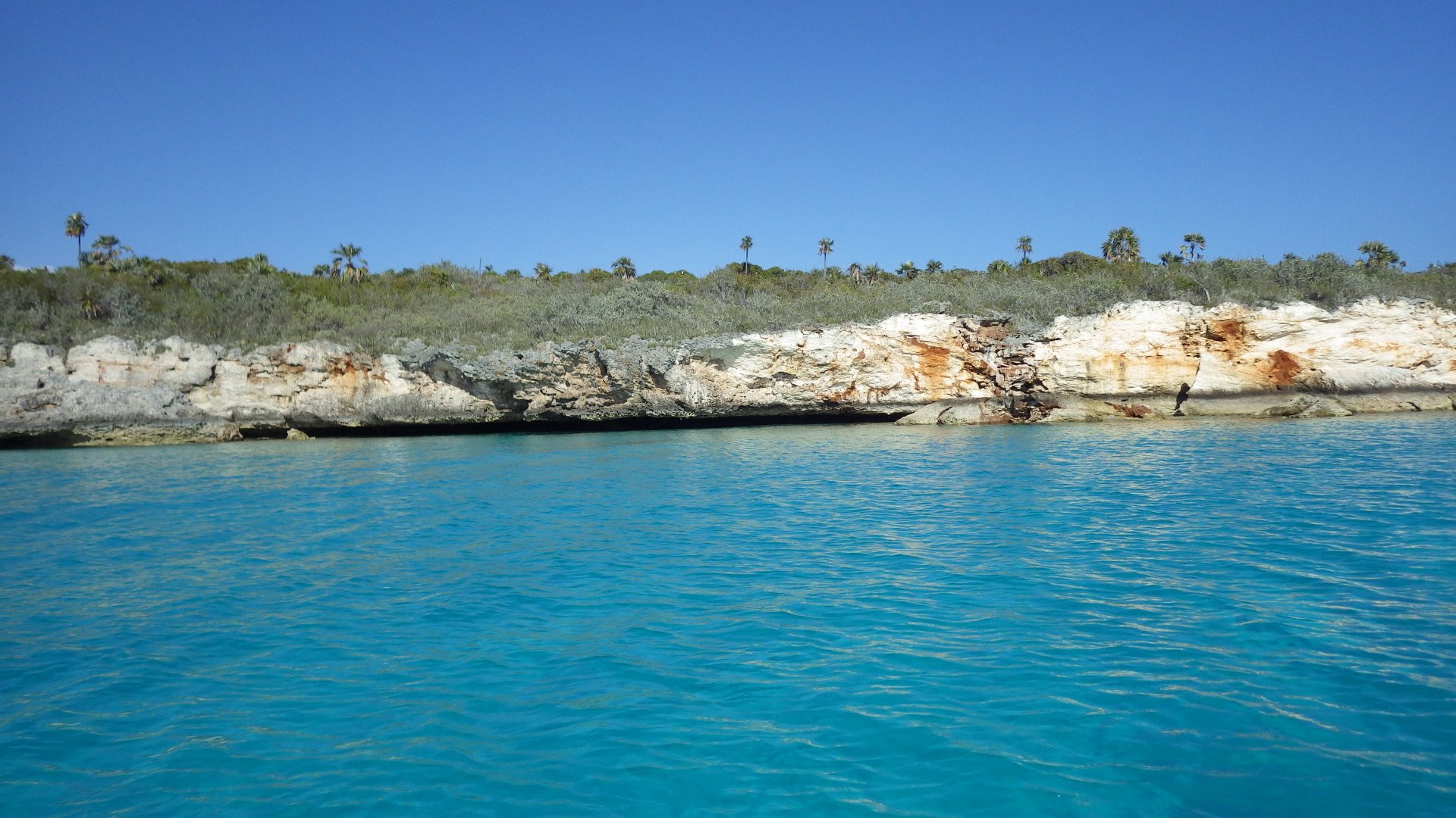
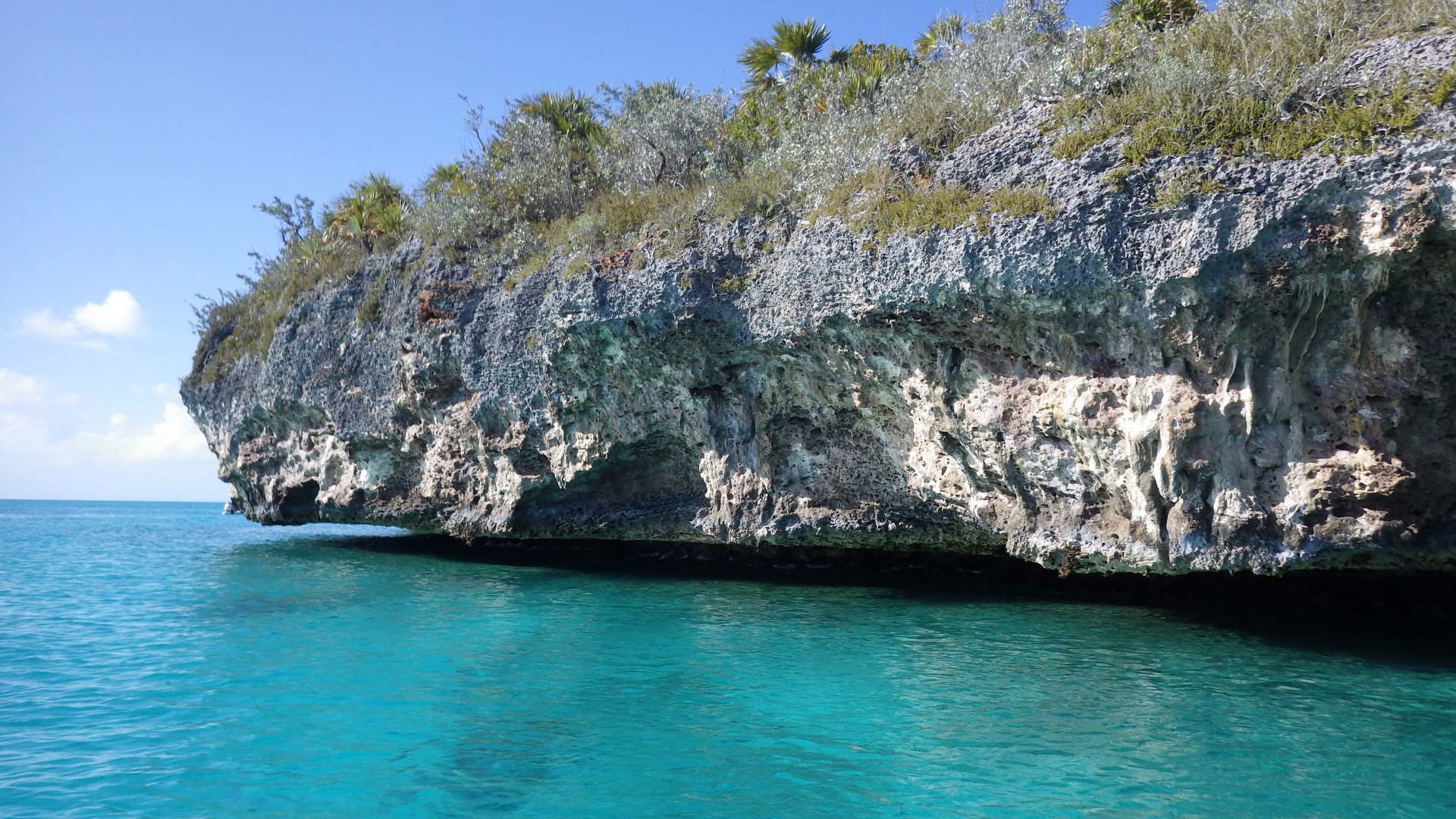
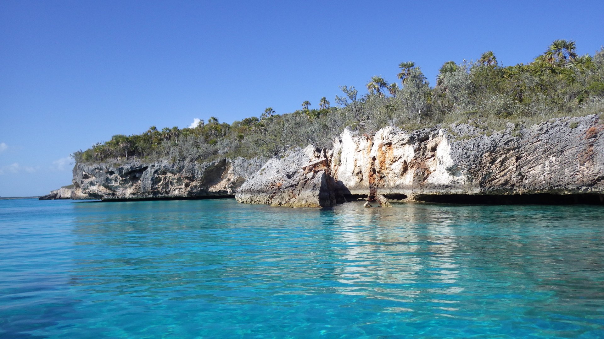
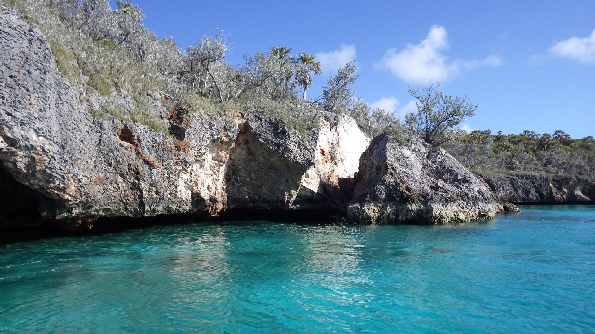
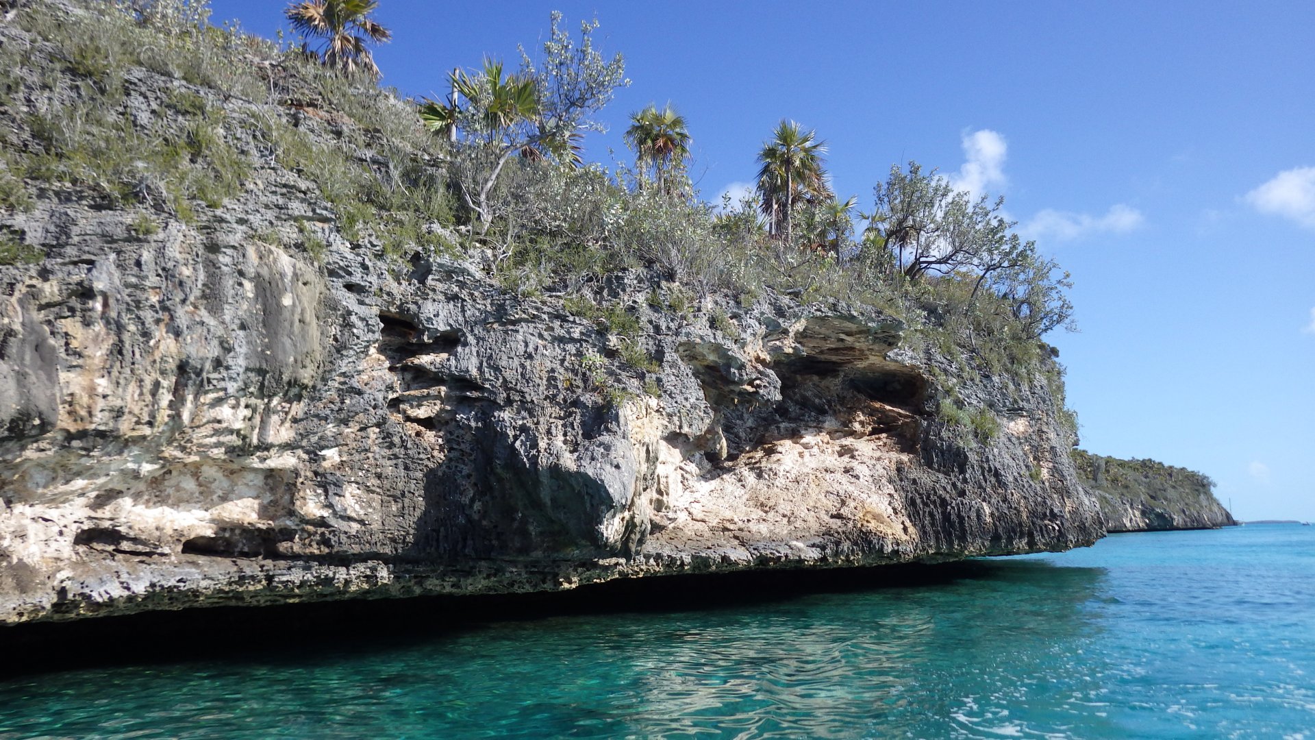
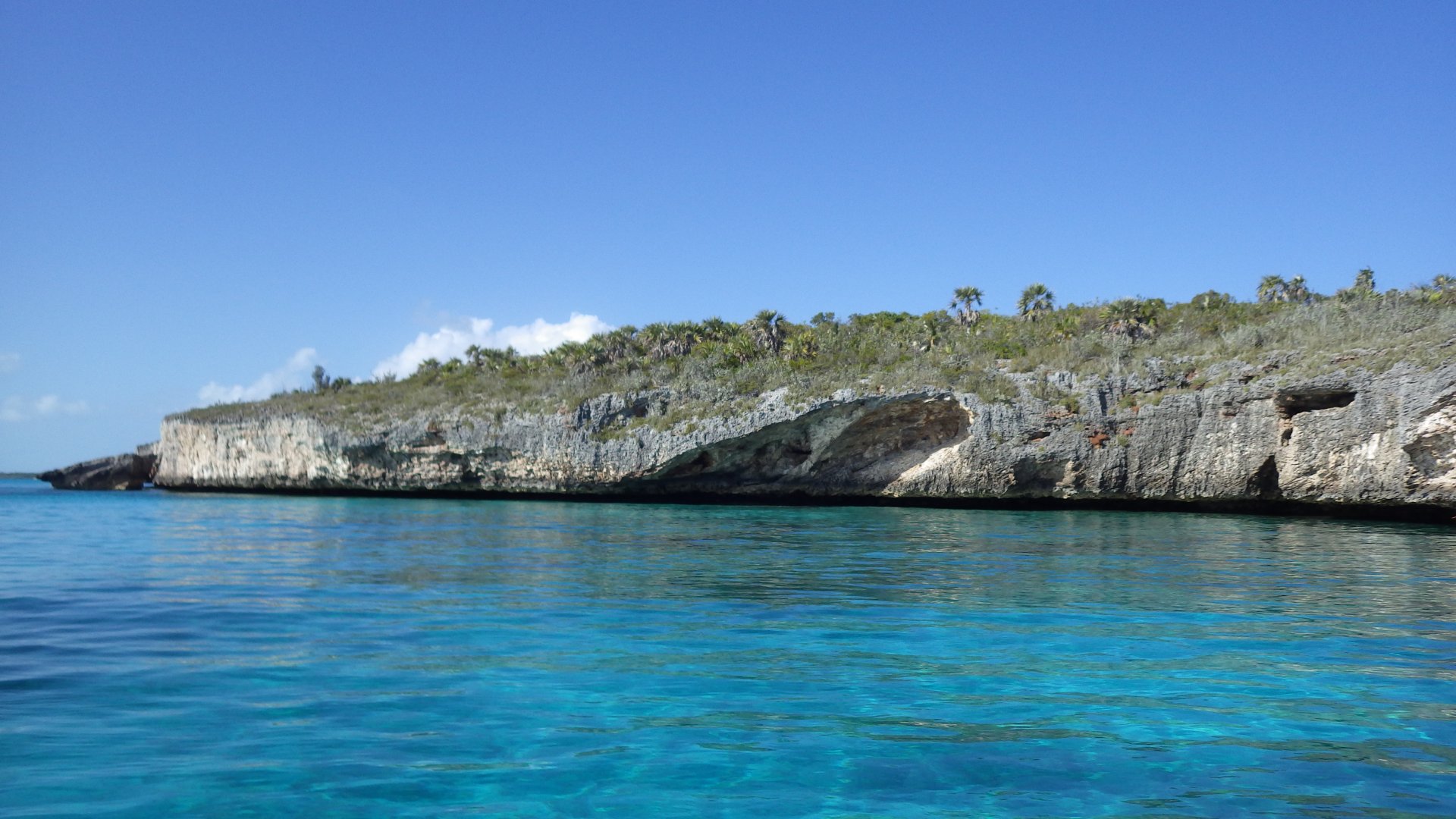
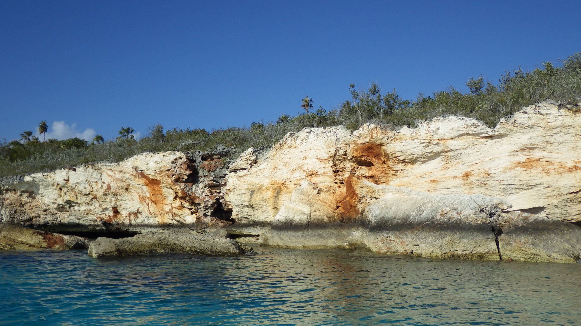
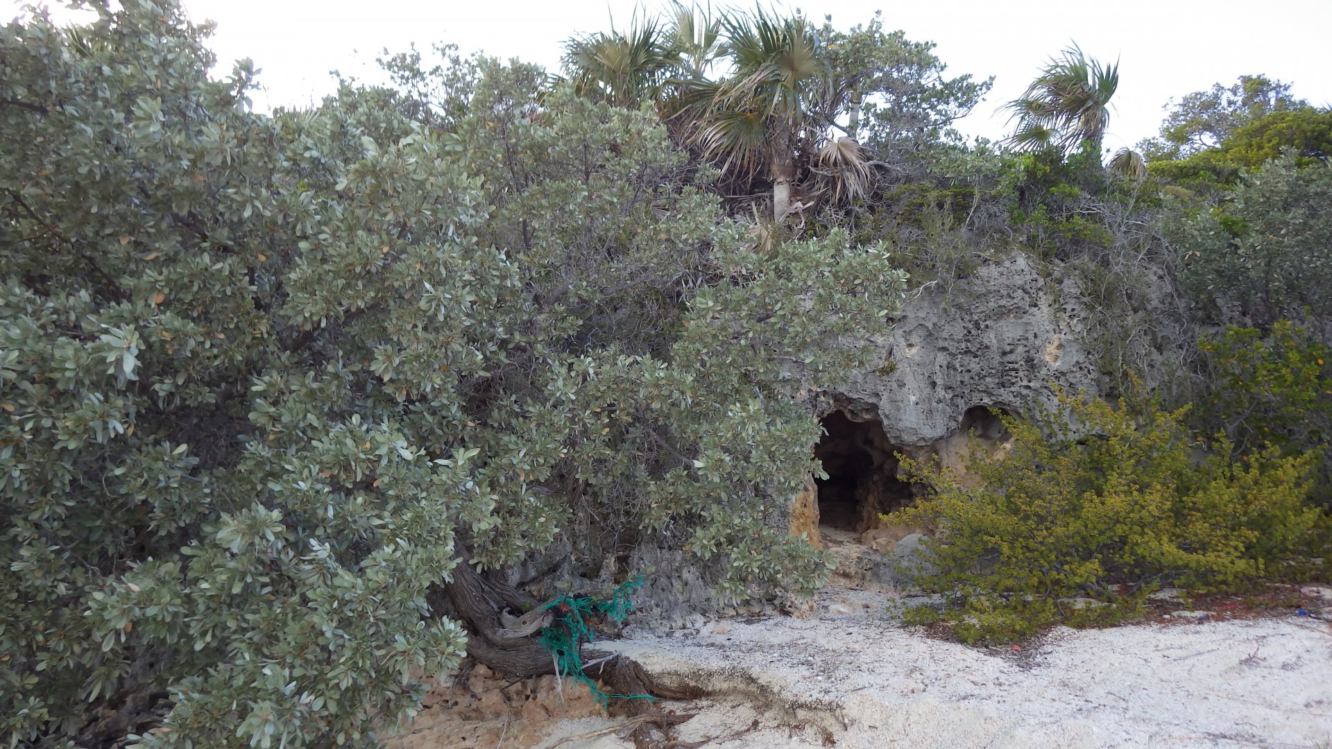
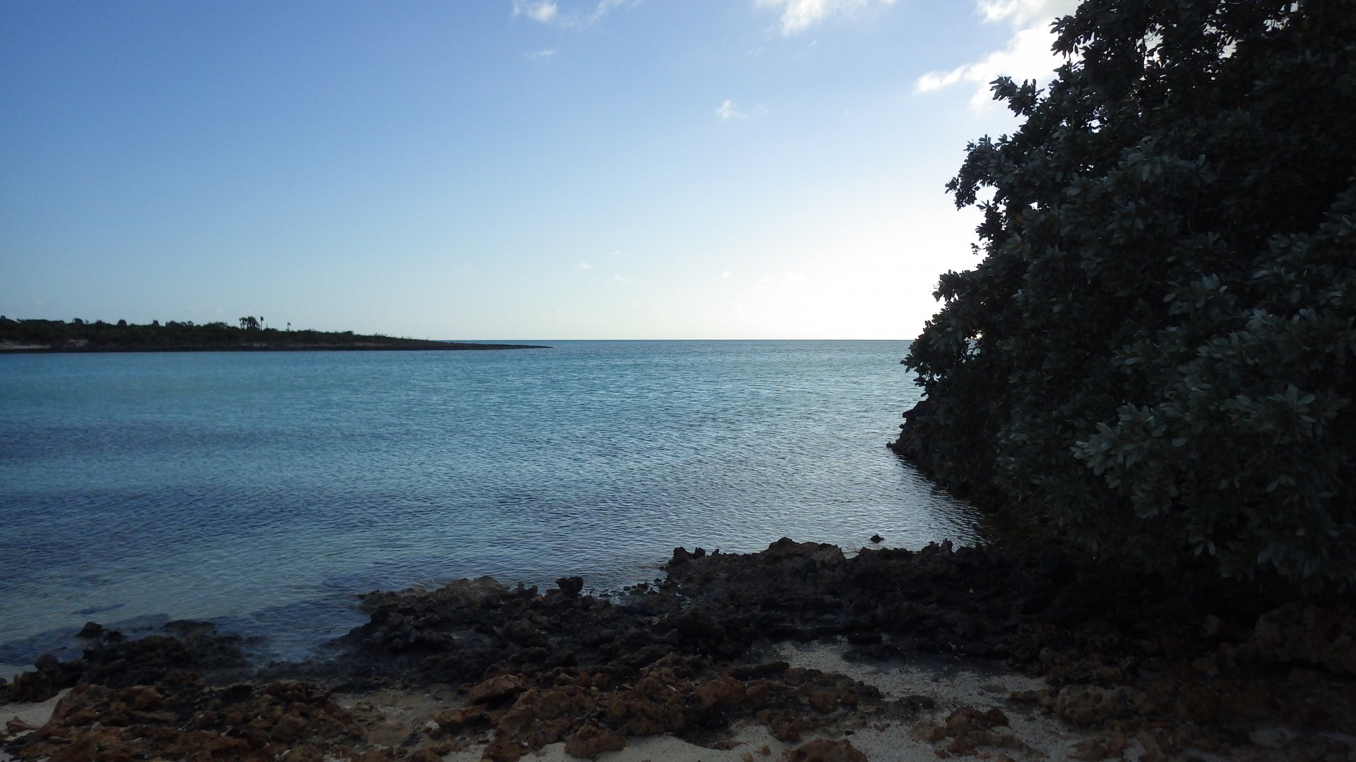
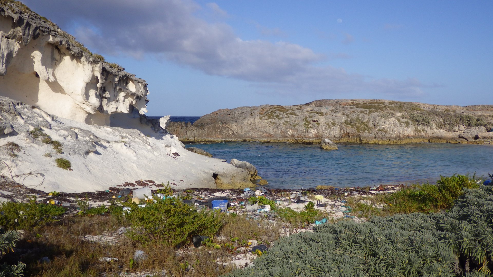
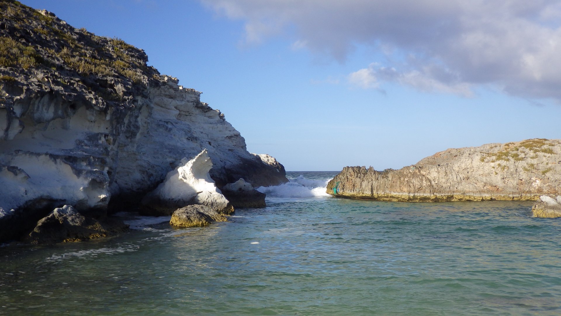
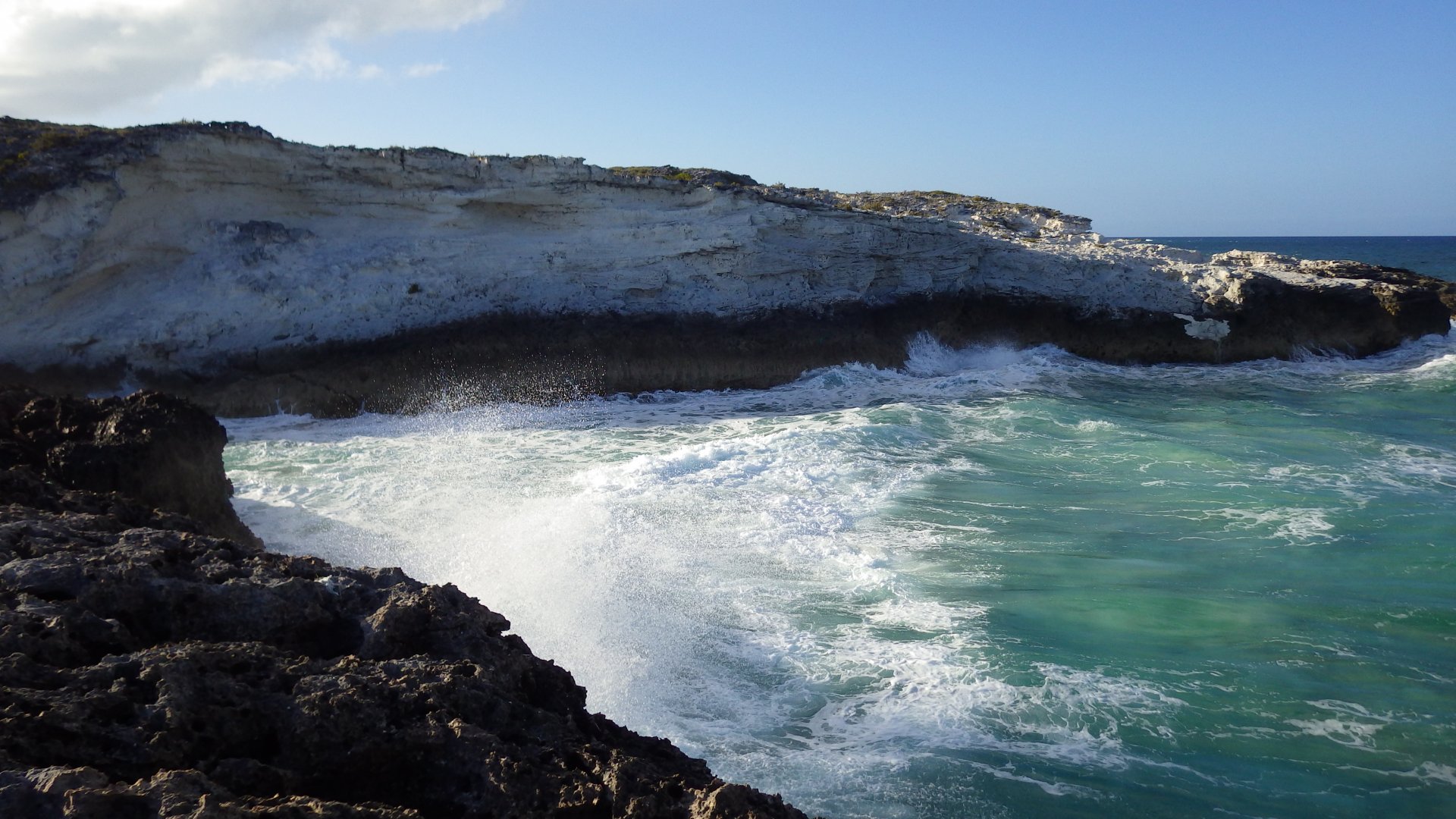
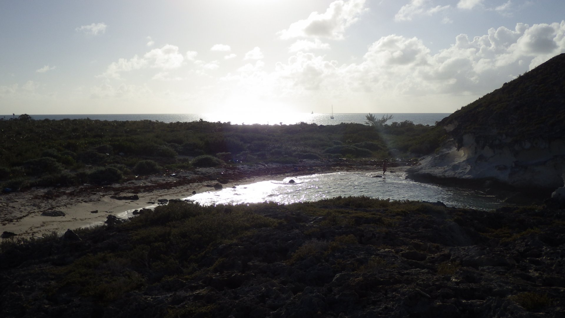
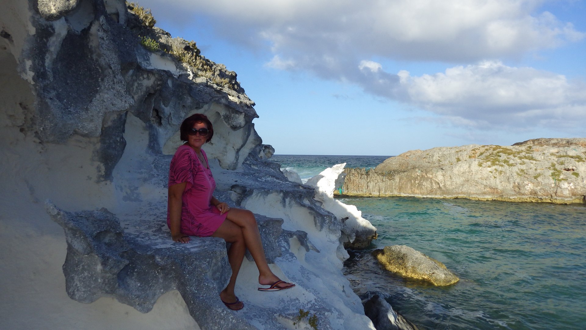
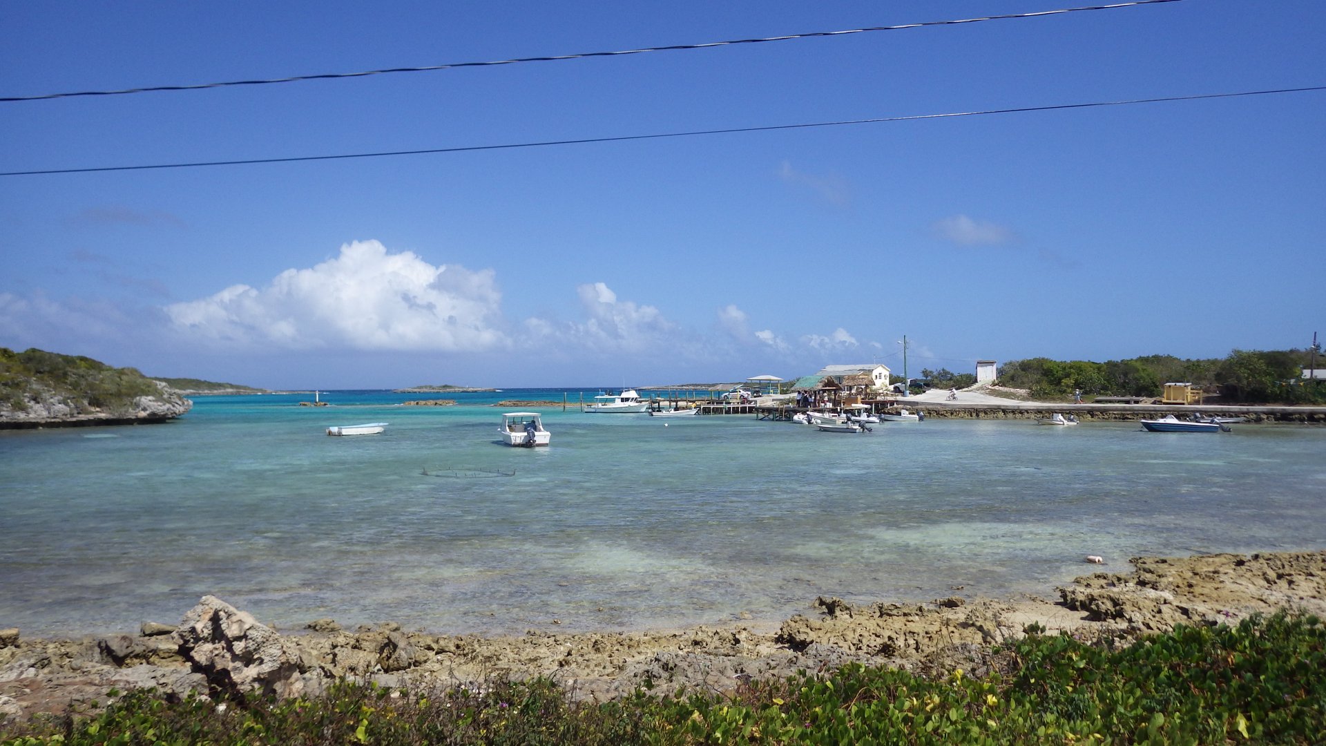
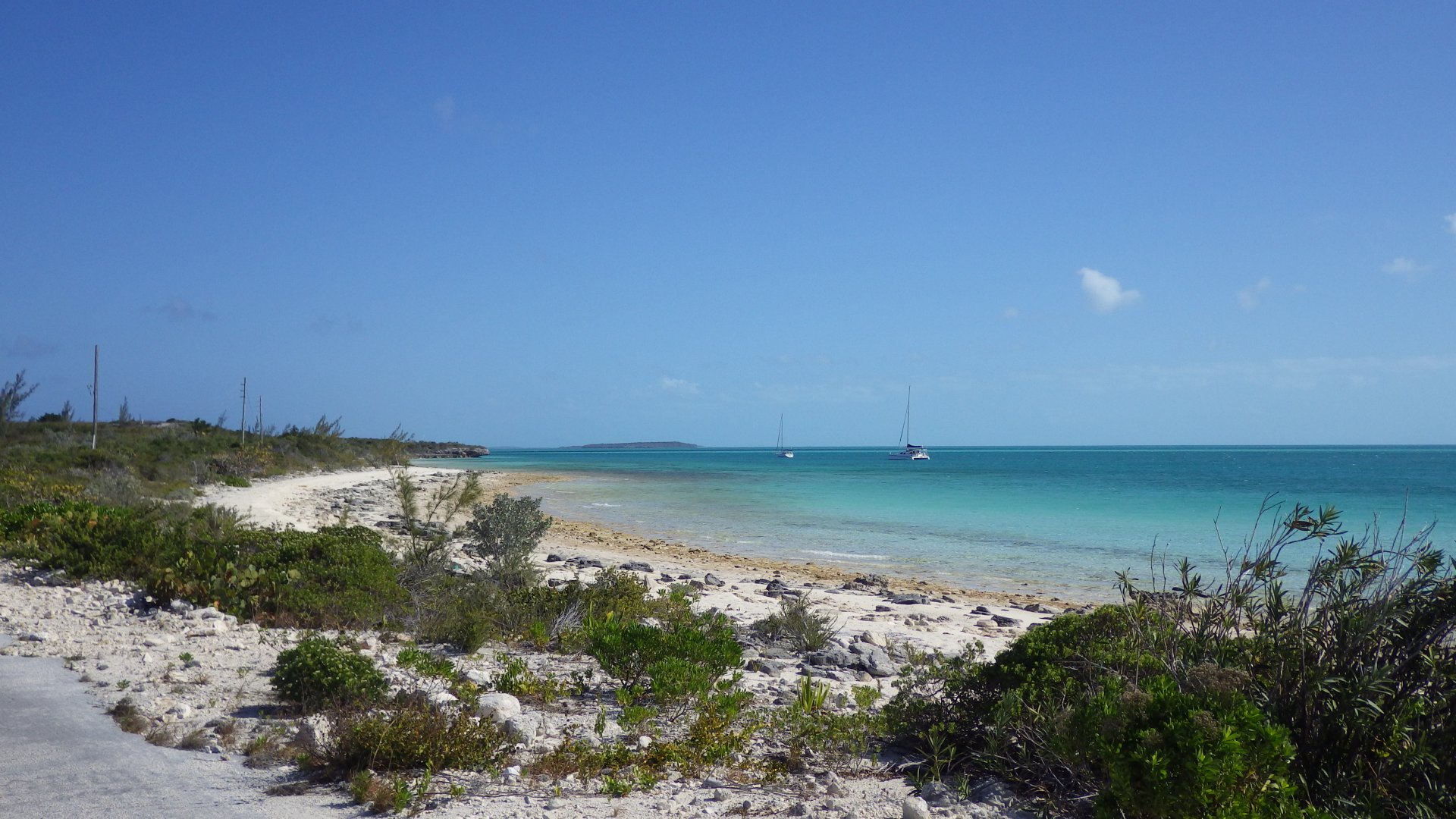
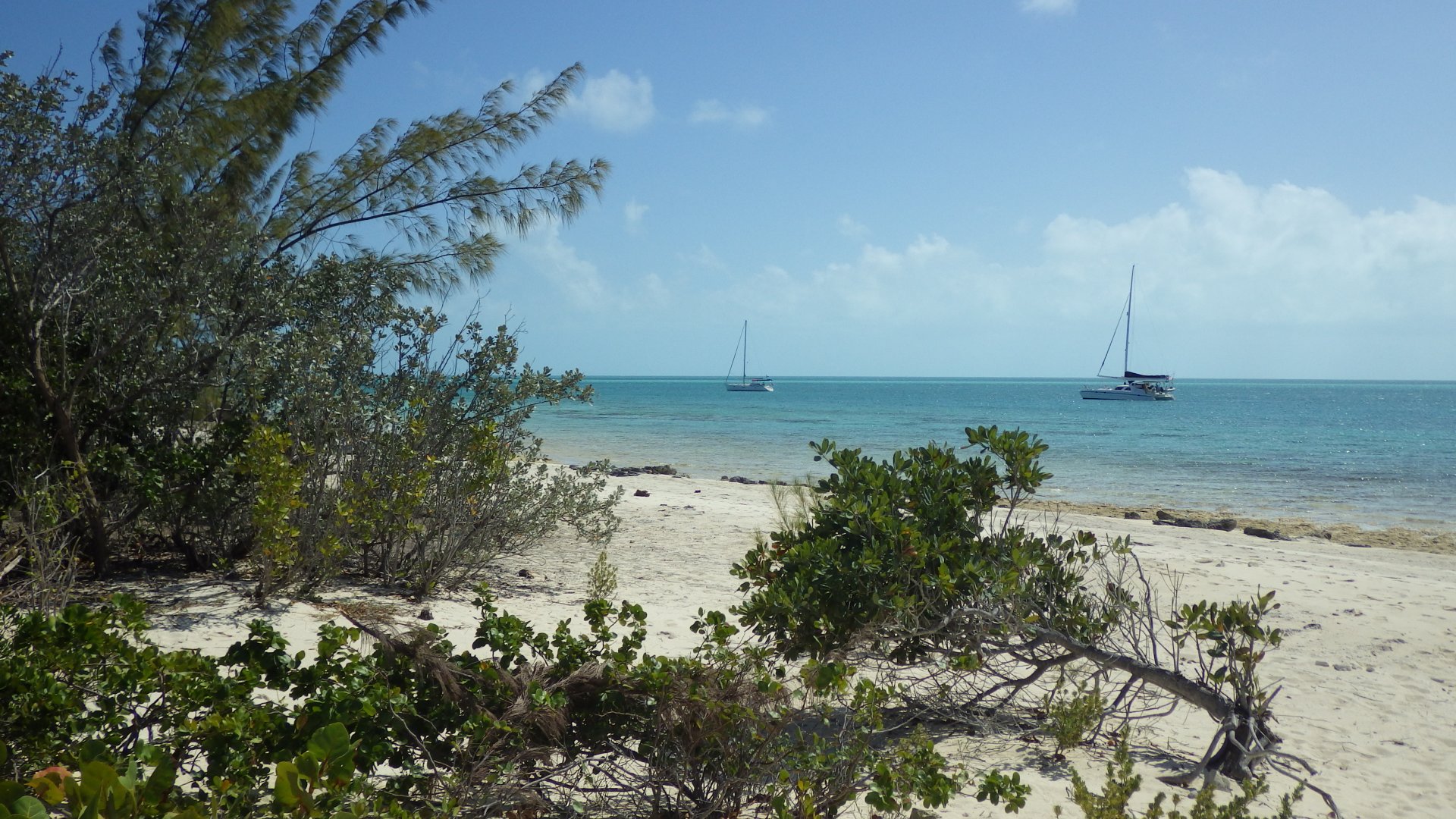
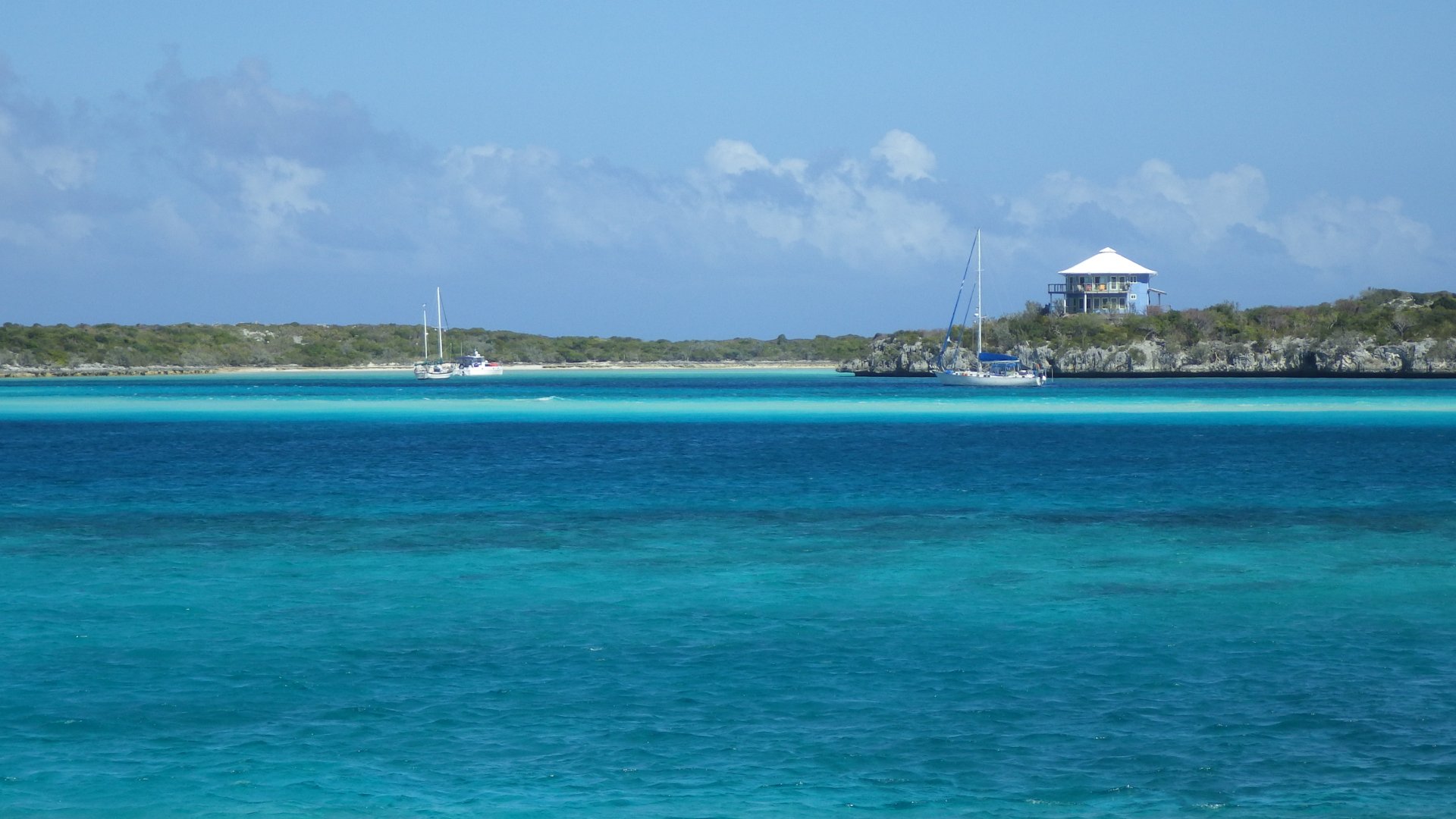
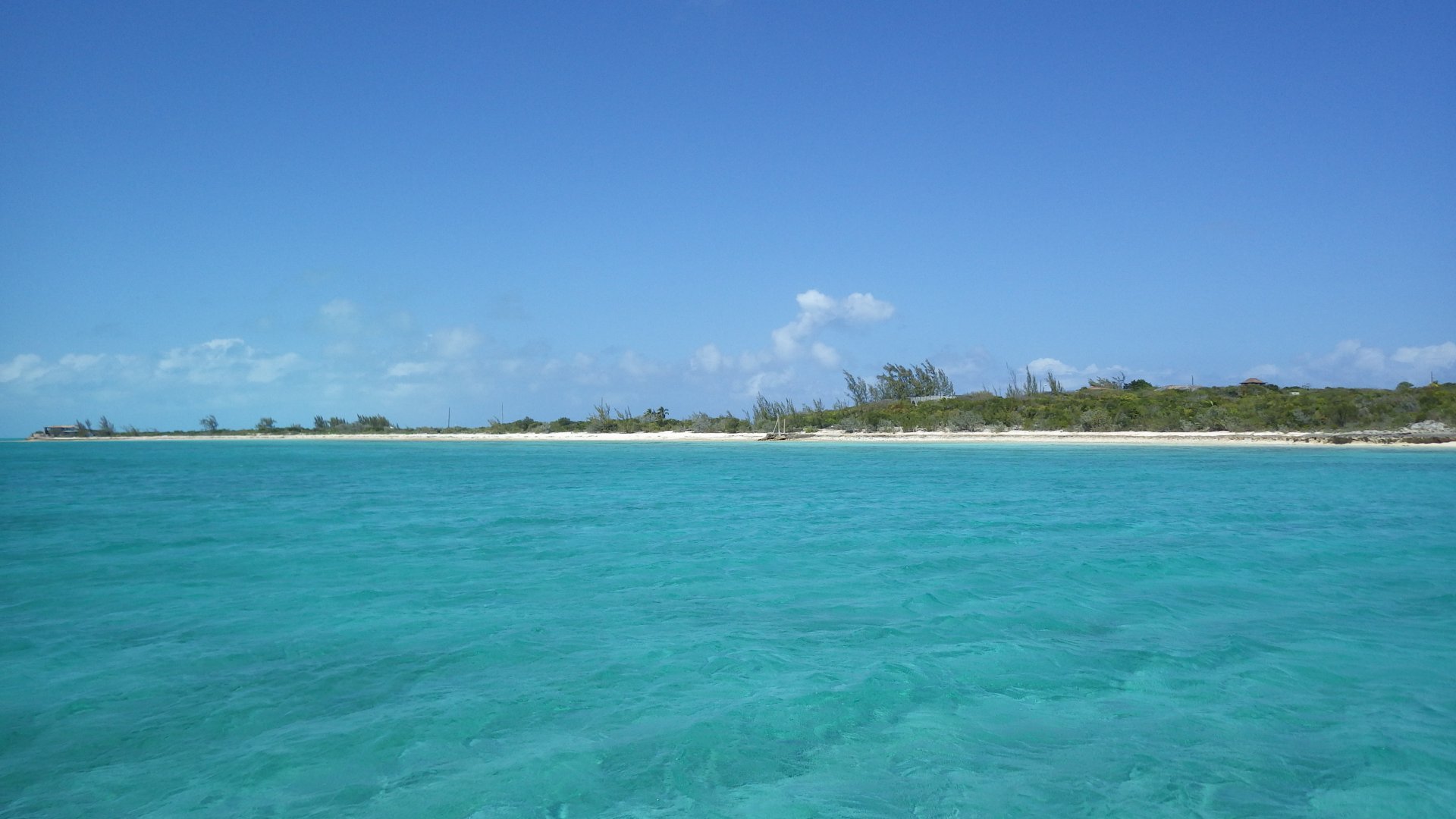
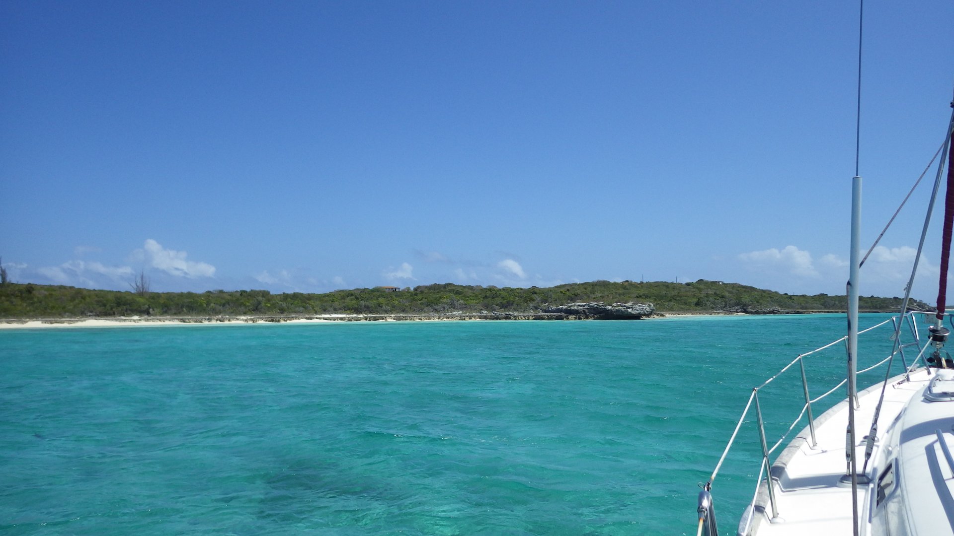
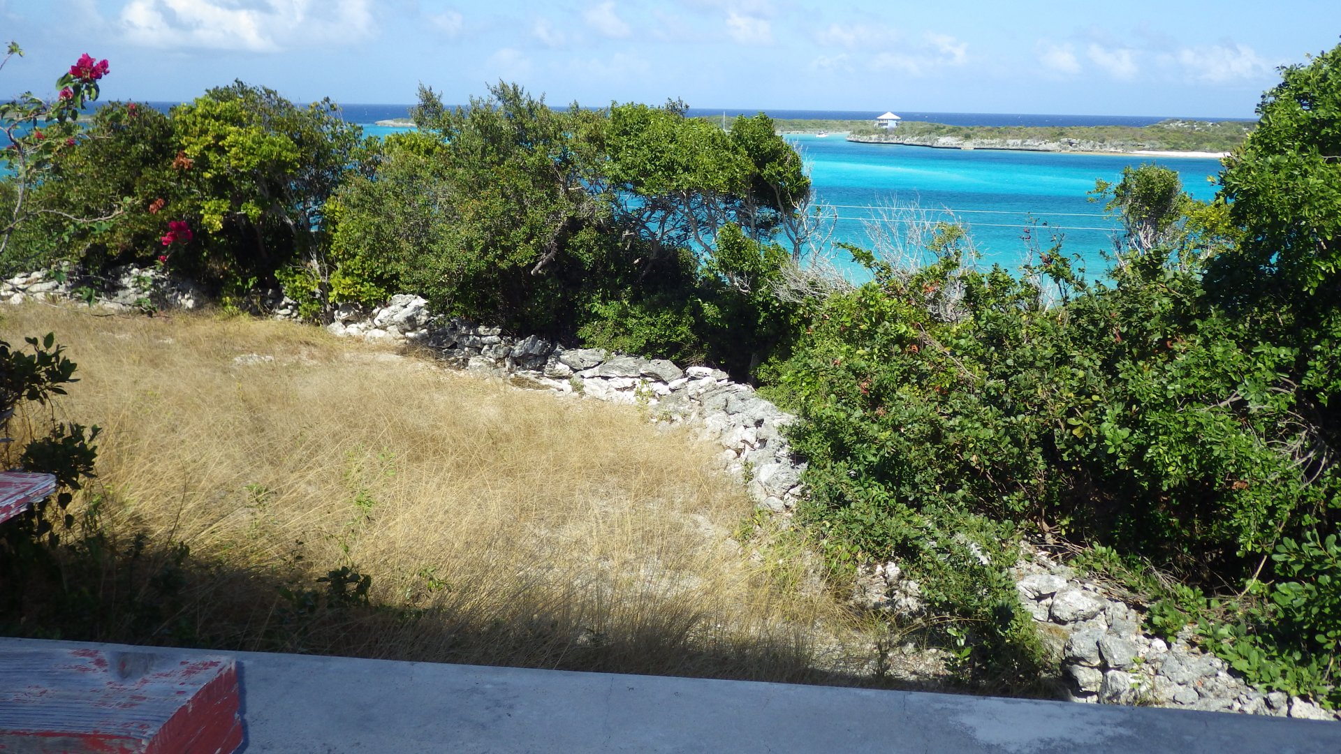
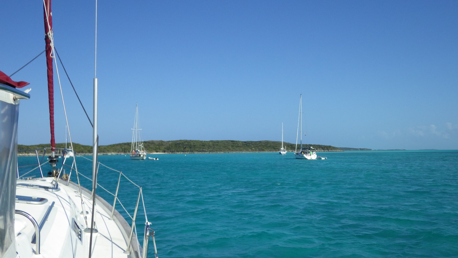
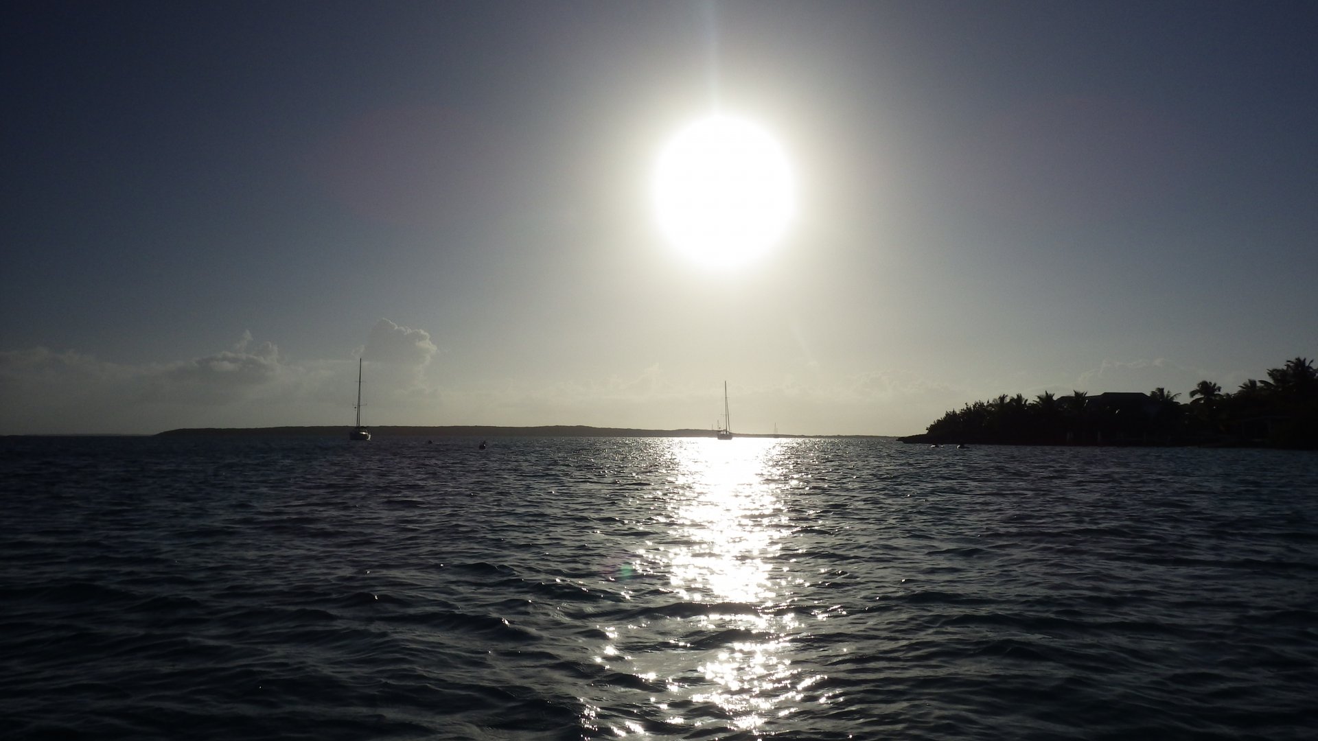
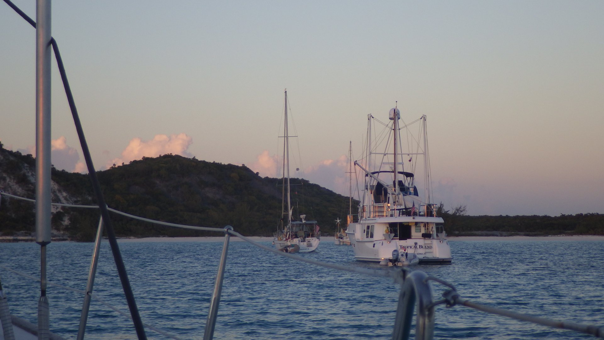
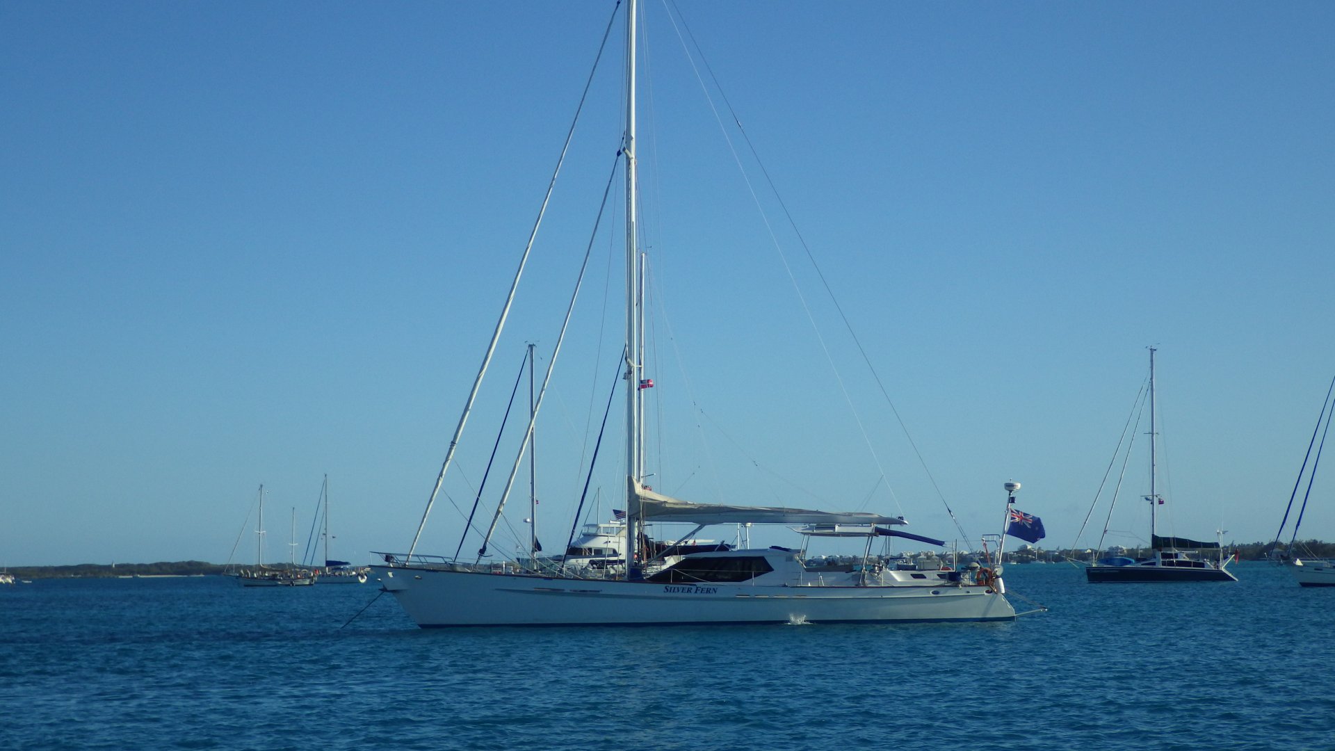
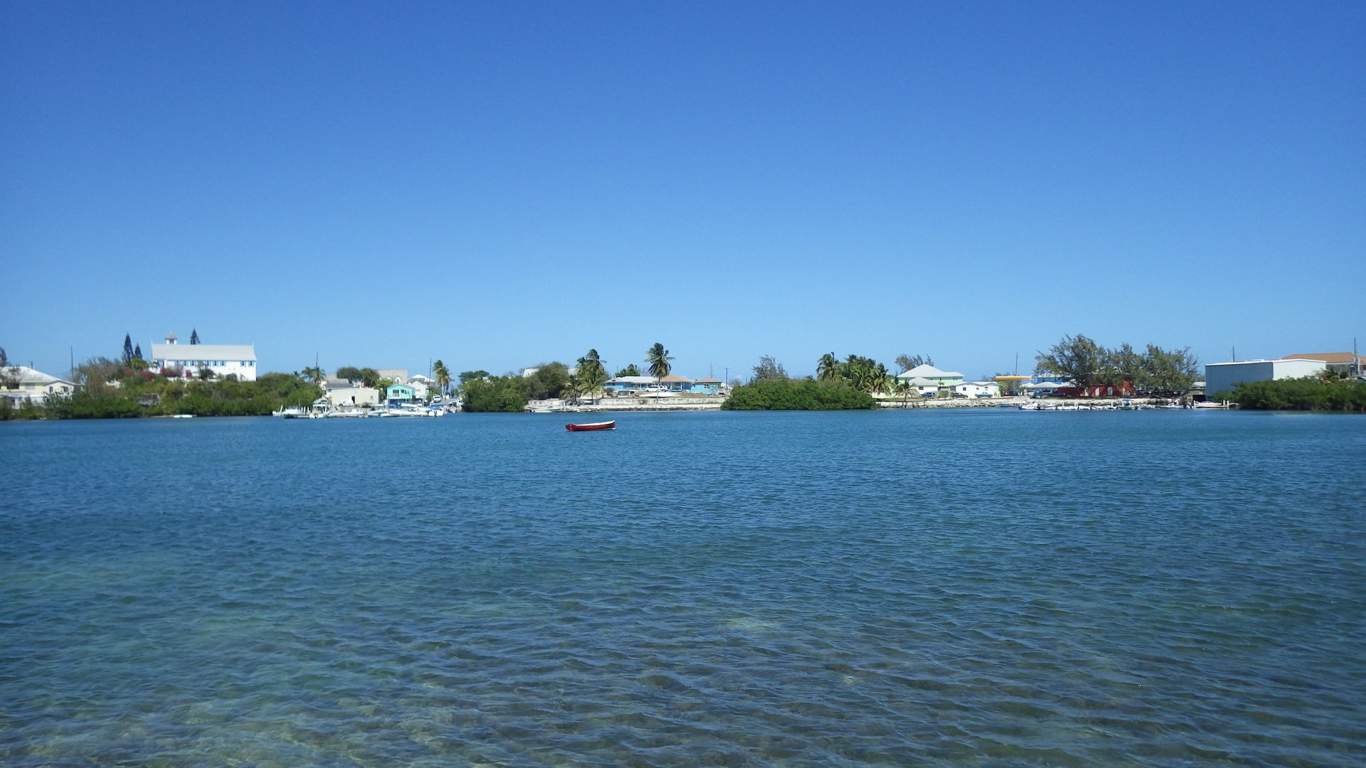
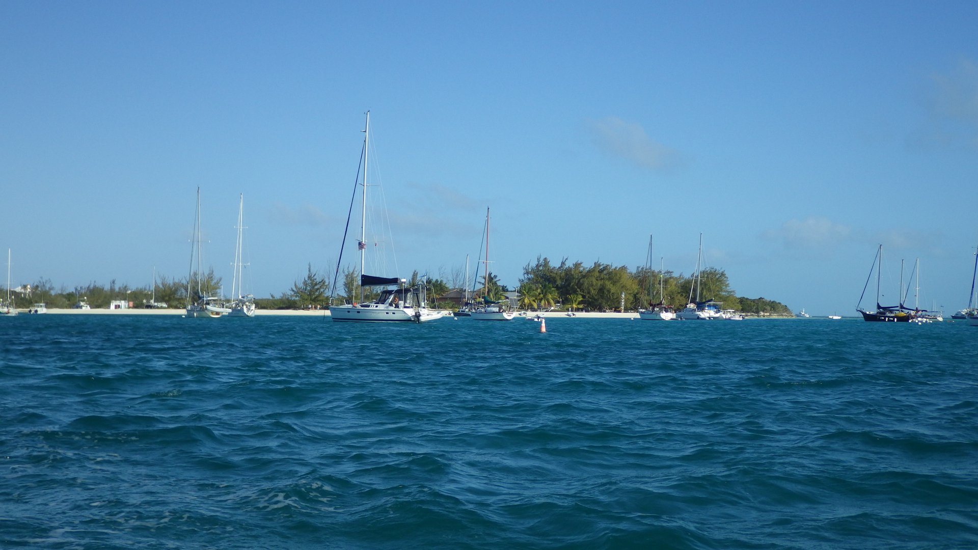
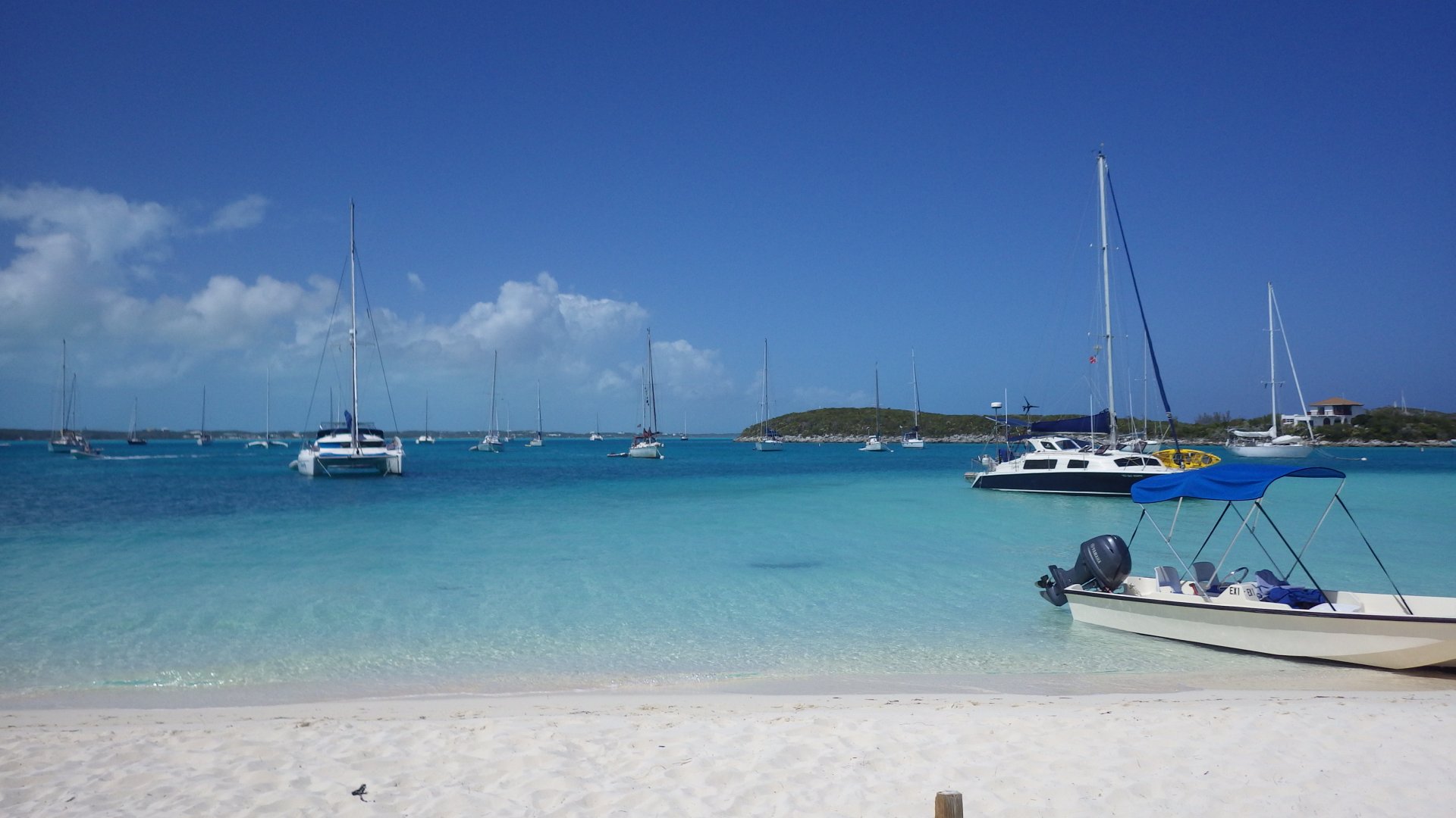
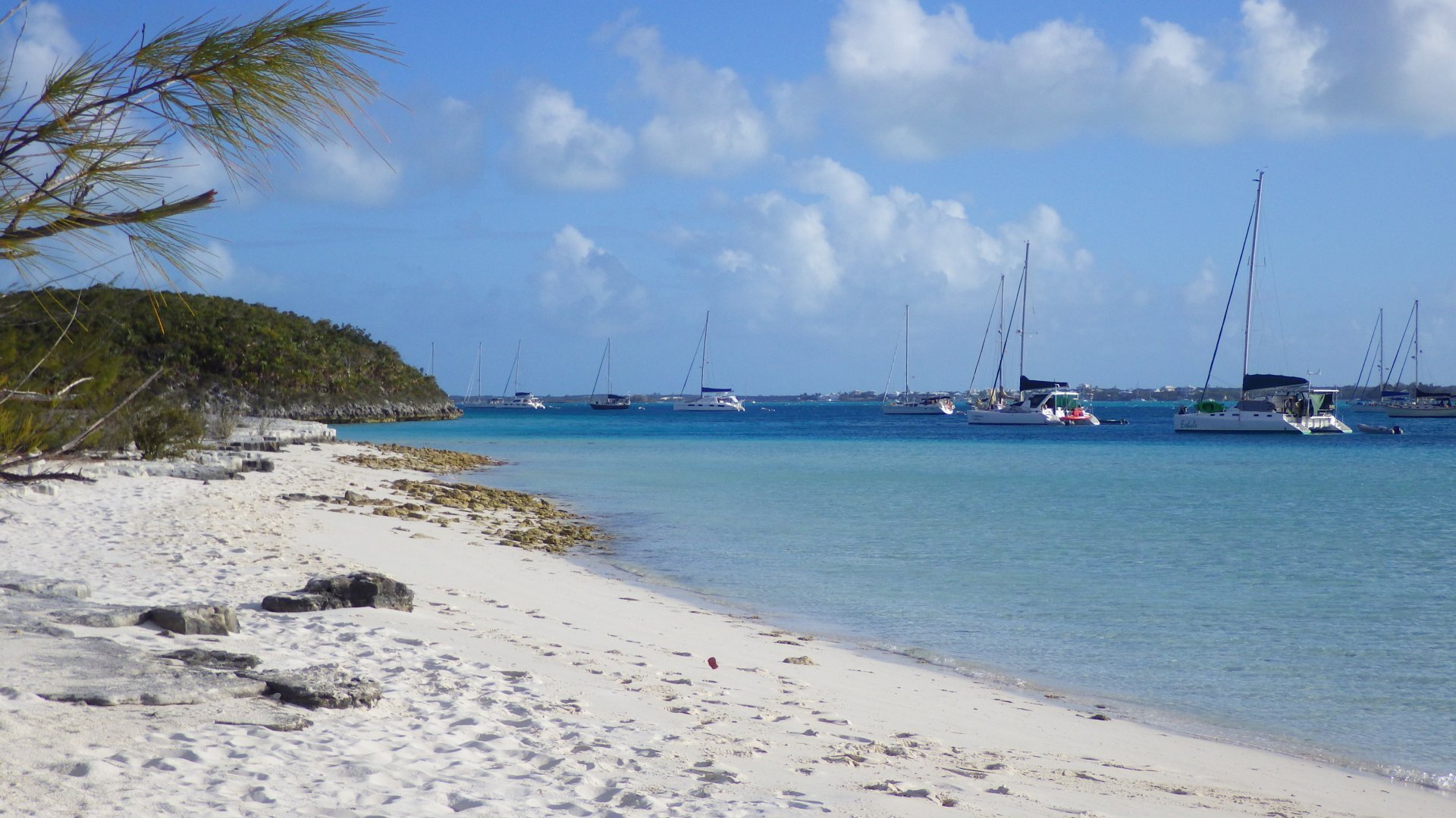
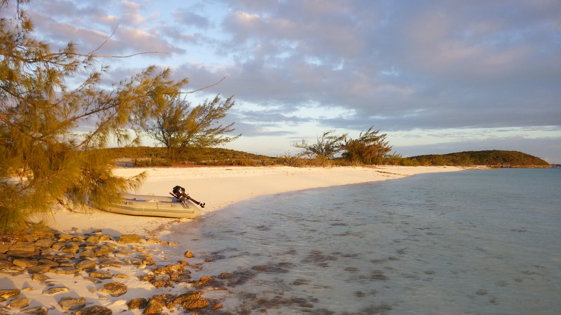
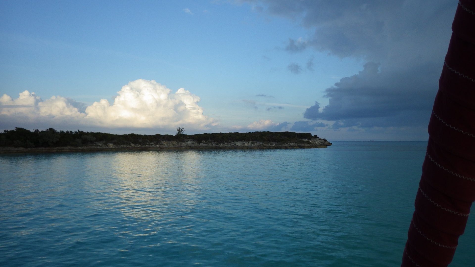
Anchored in 3 spots during the stay: near the famous Thunderball Grotto rocks (featured in James Bond movie with the same name), between the Majors (protected us from strong westerly winds during the cold front, but has strong current), and west of Big Majors Spot (crowded).

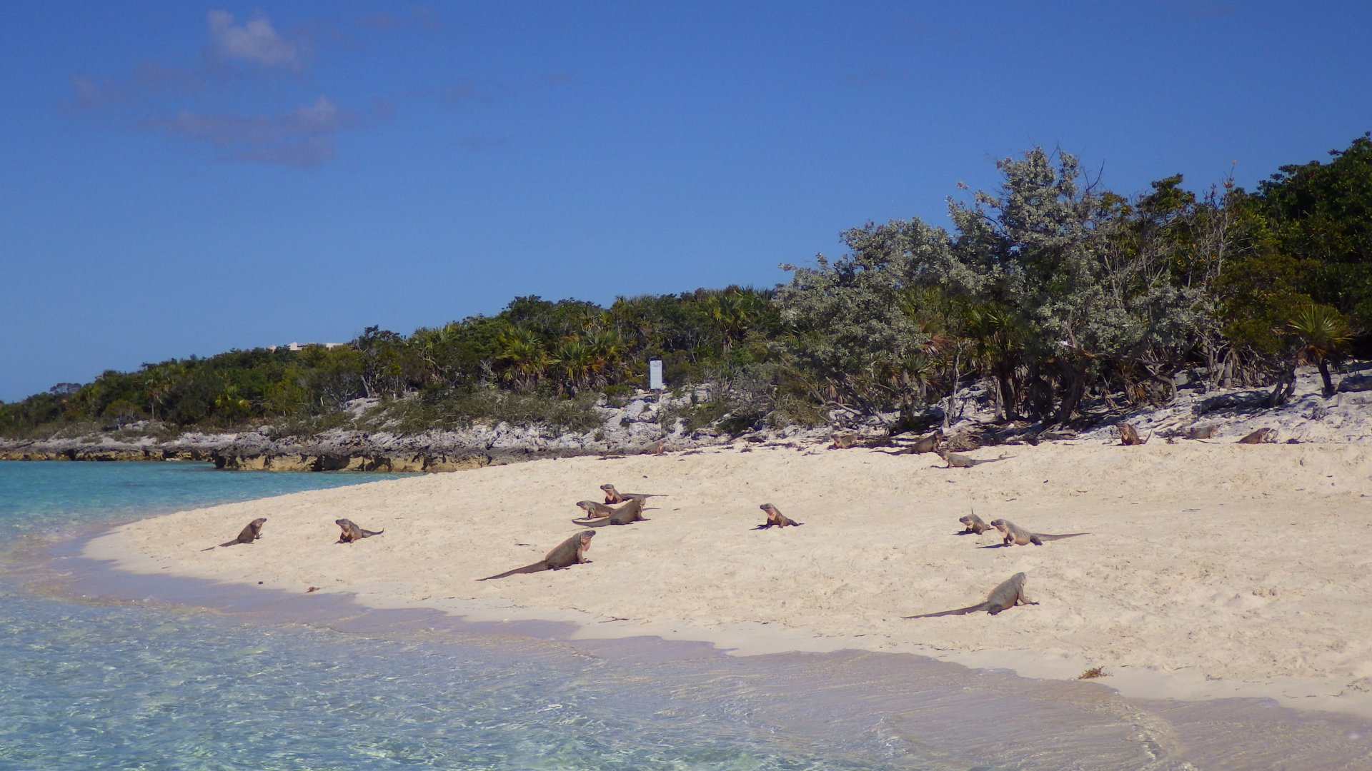
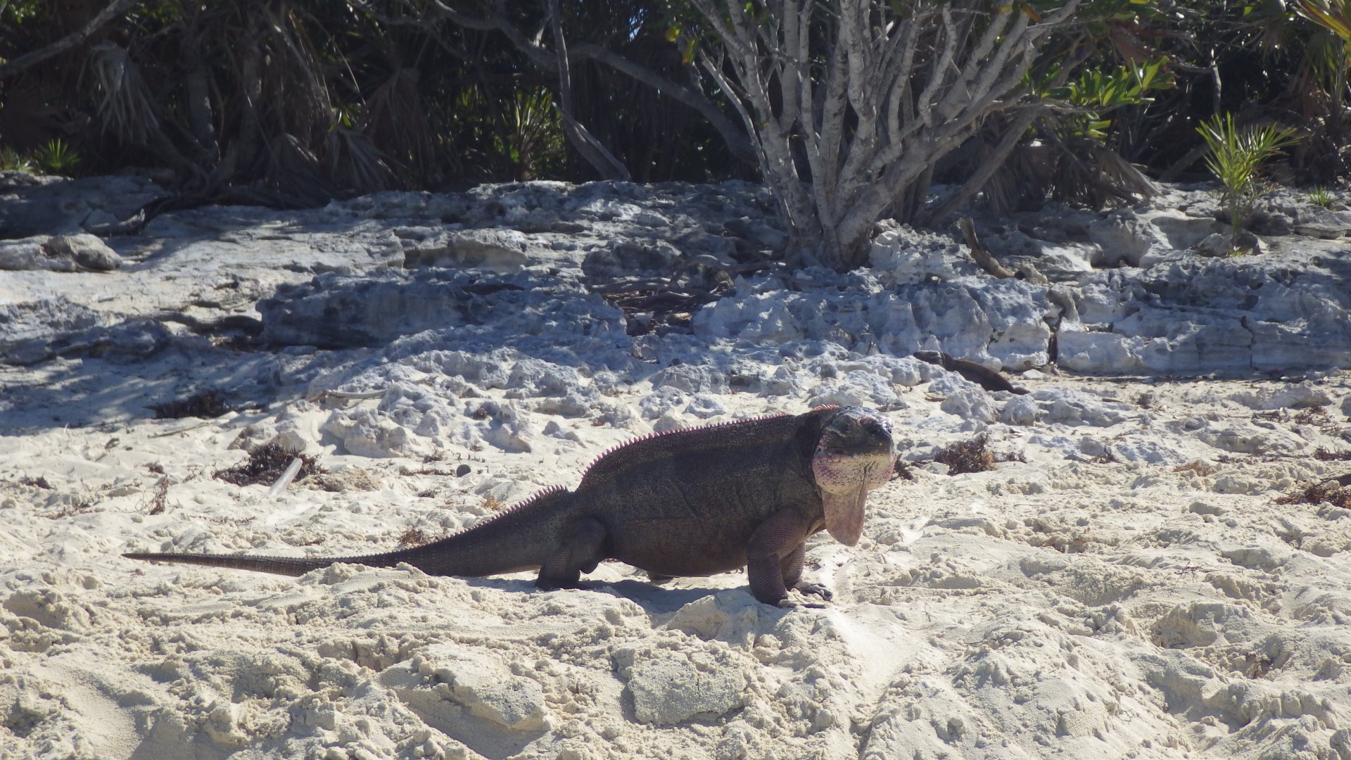
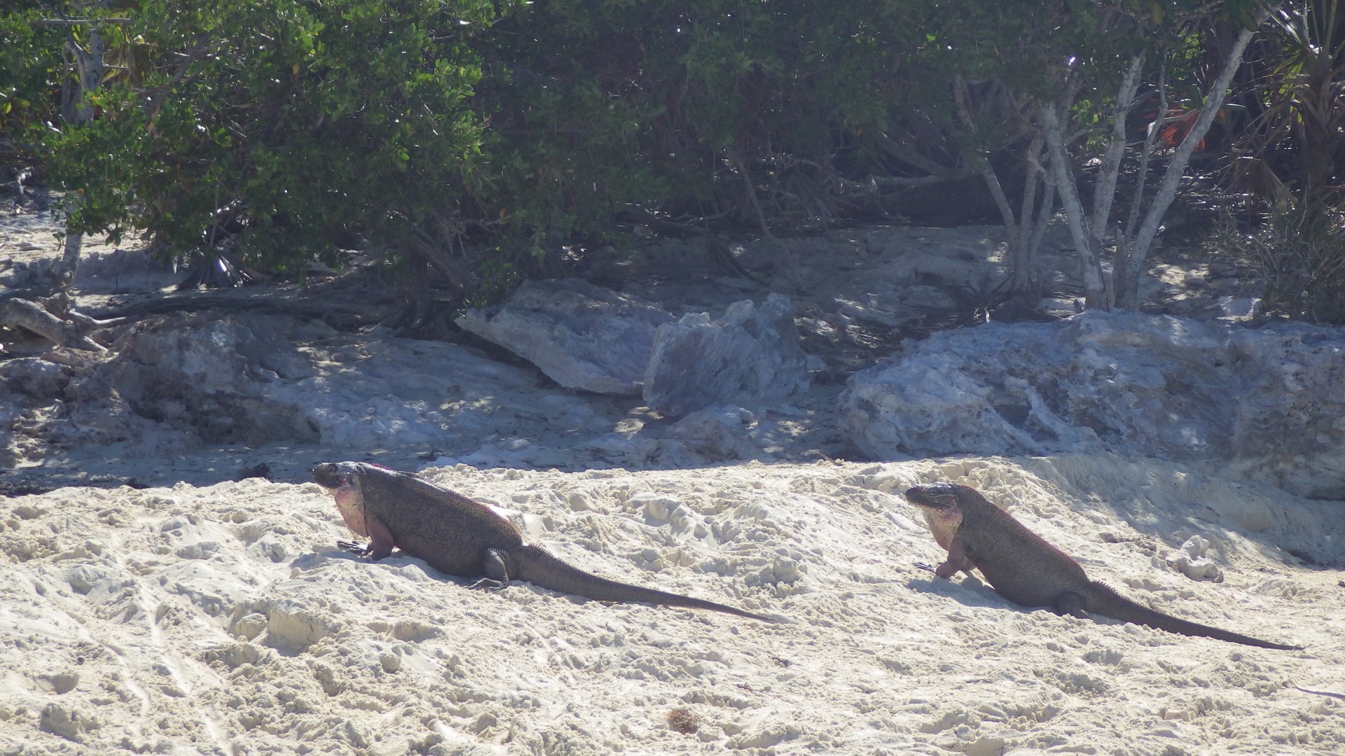
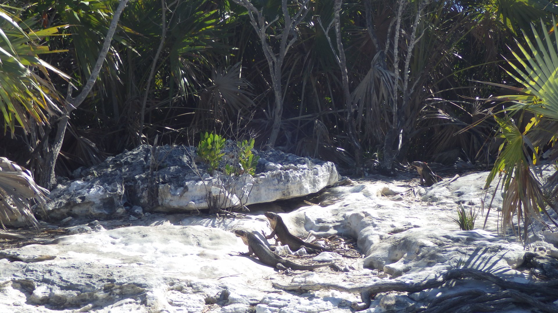
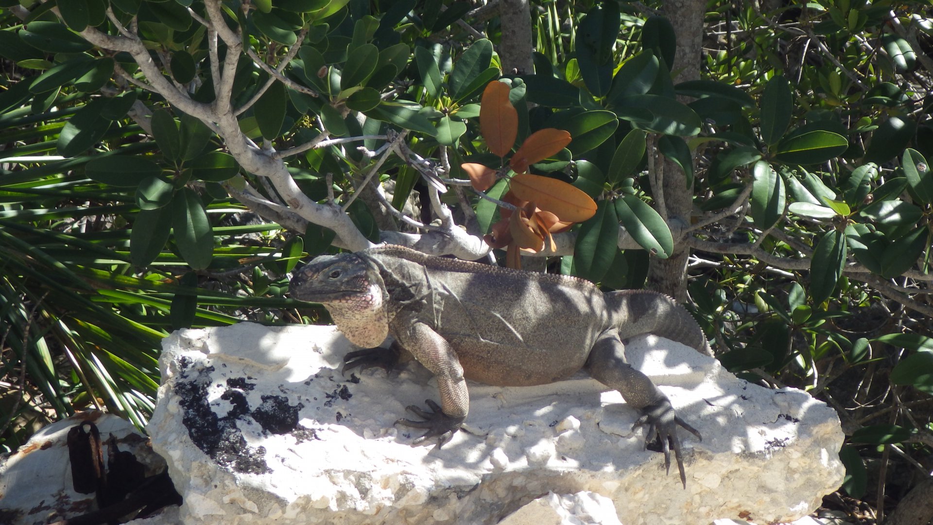
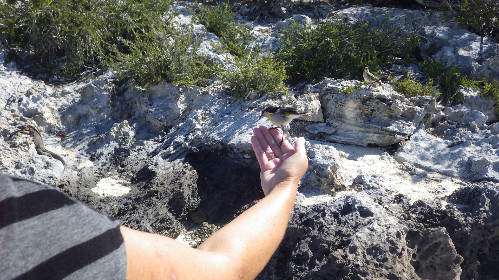
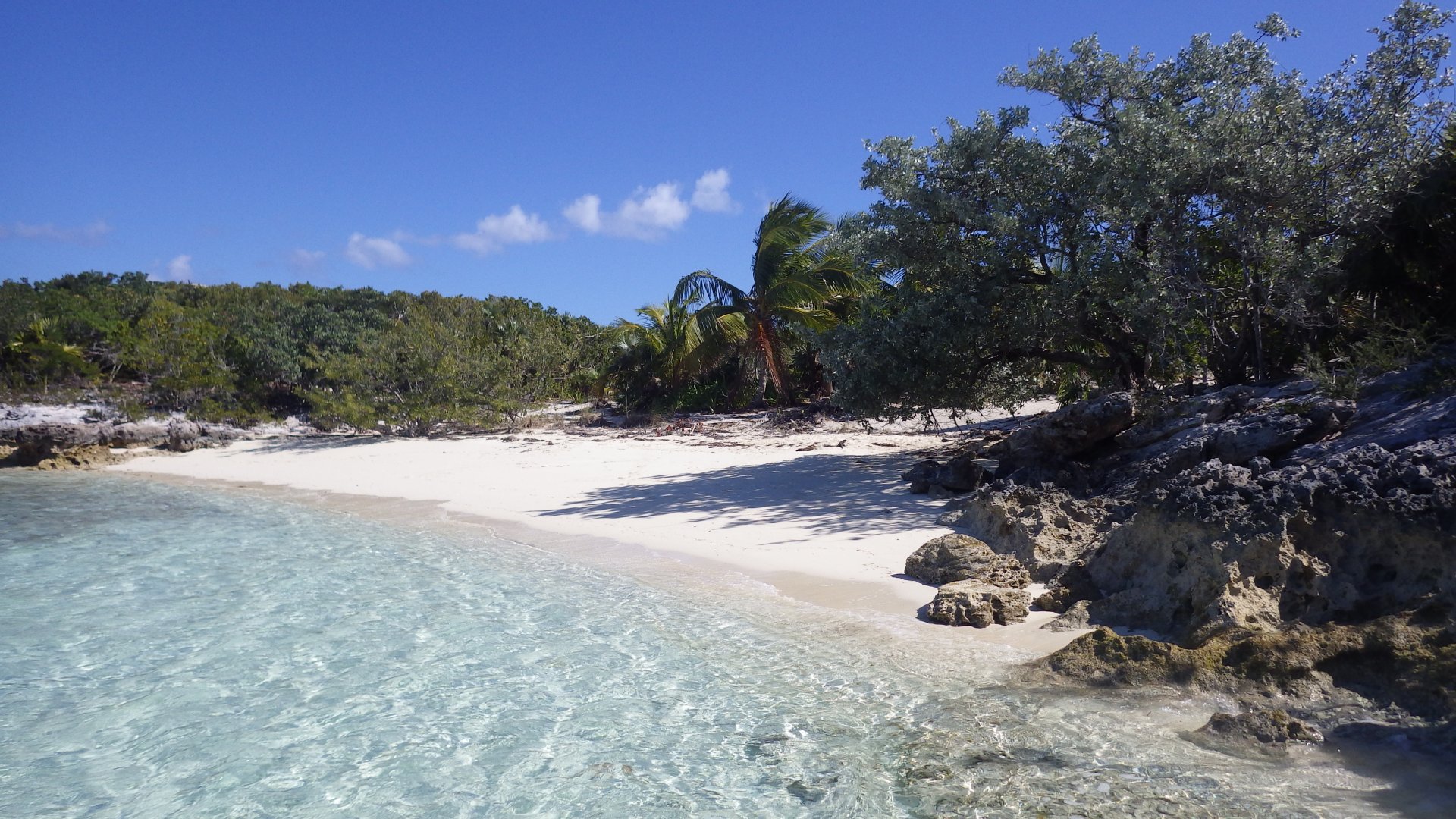
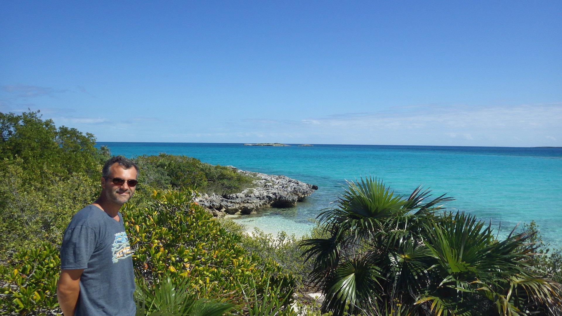
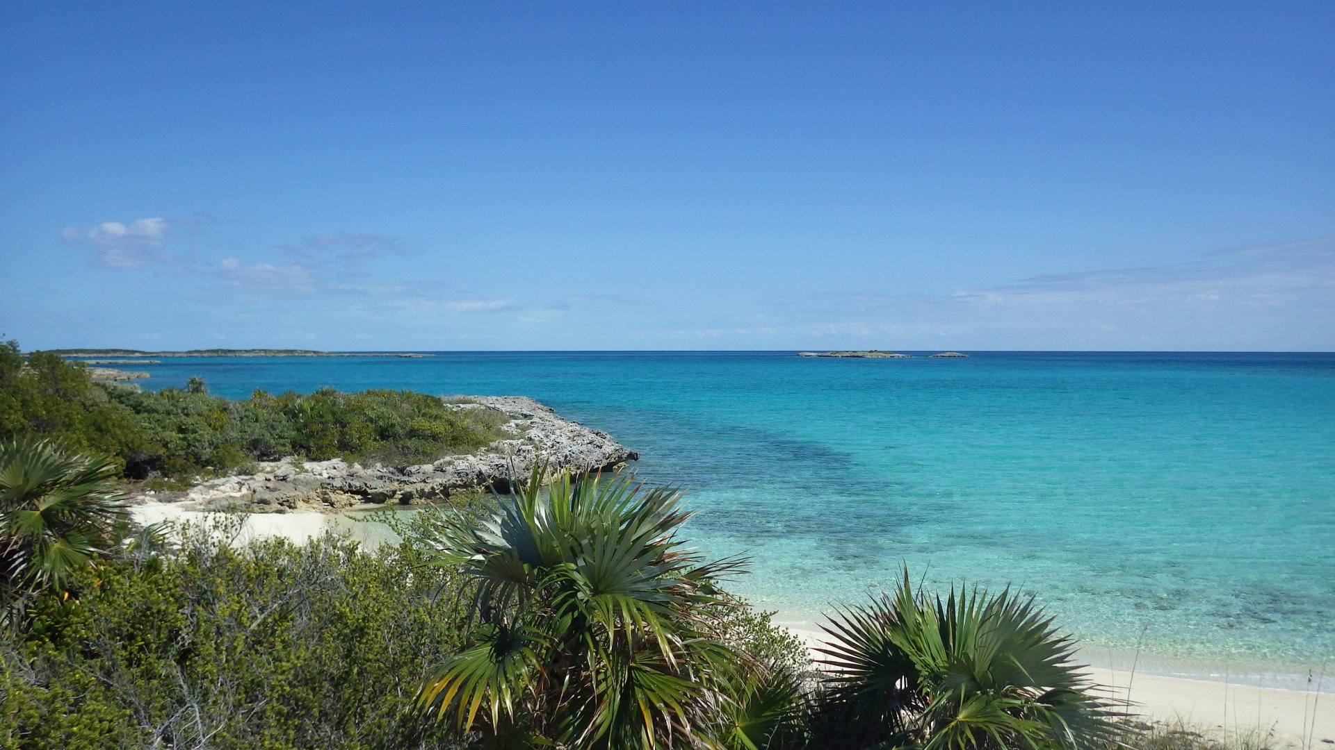
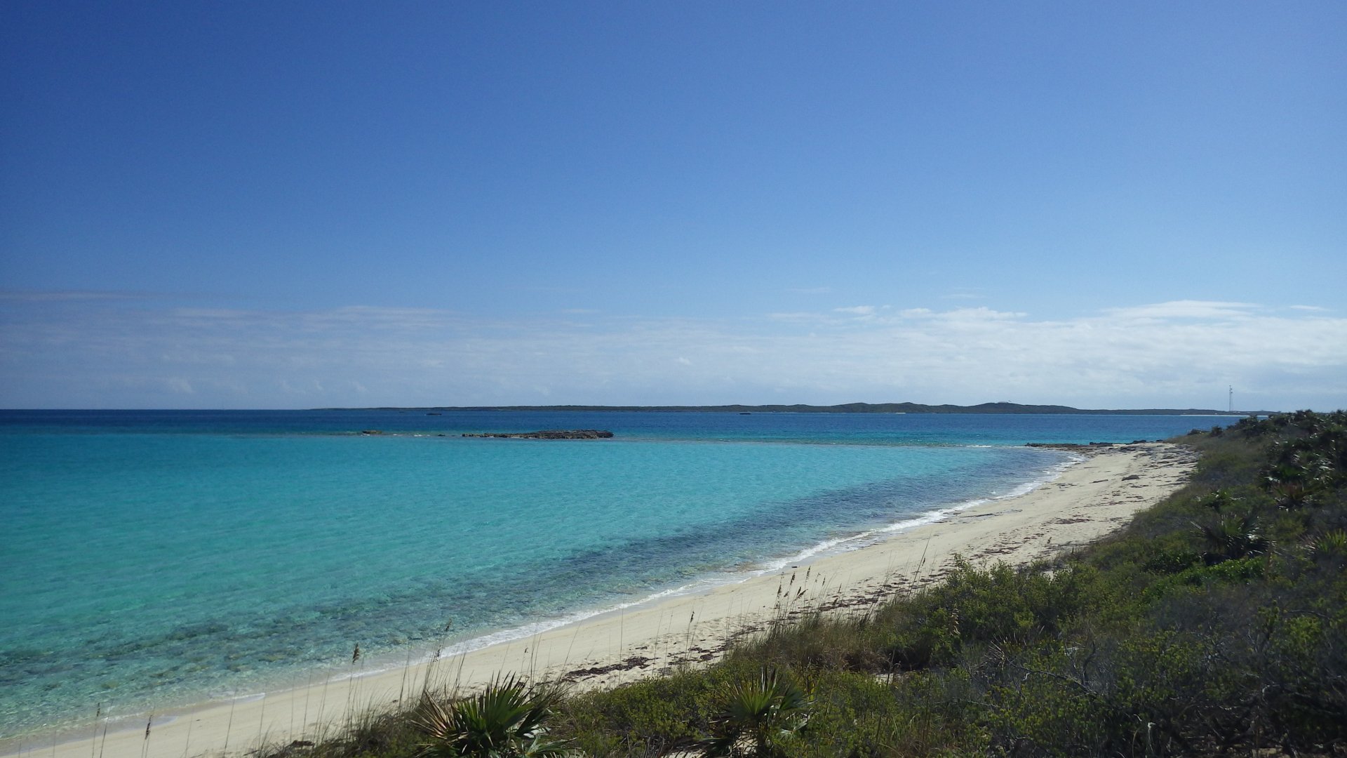
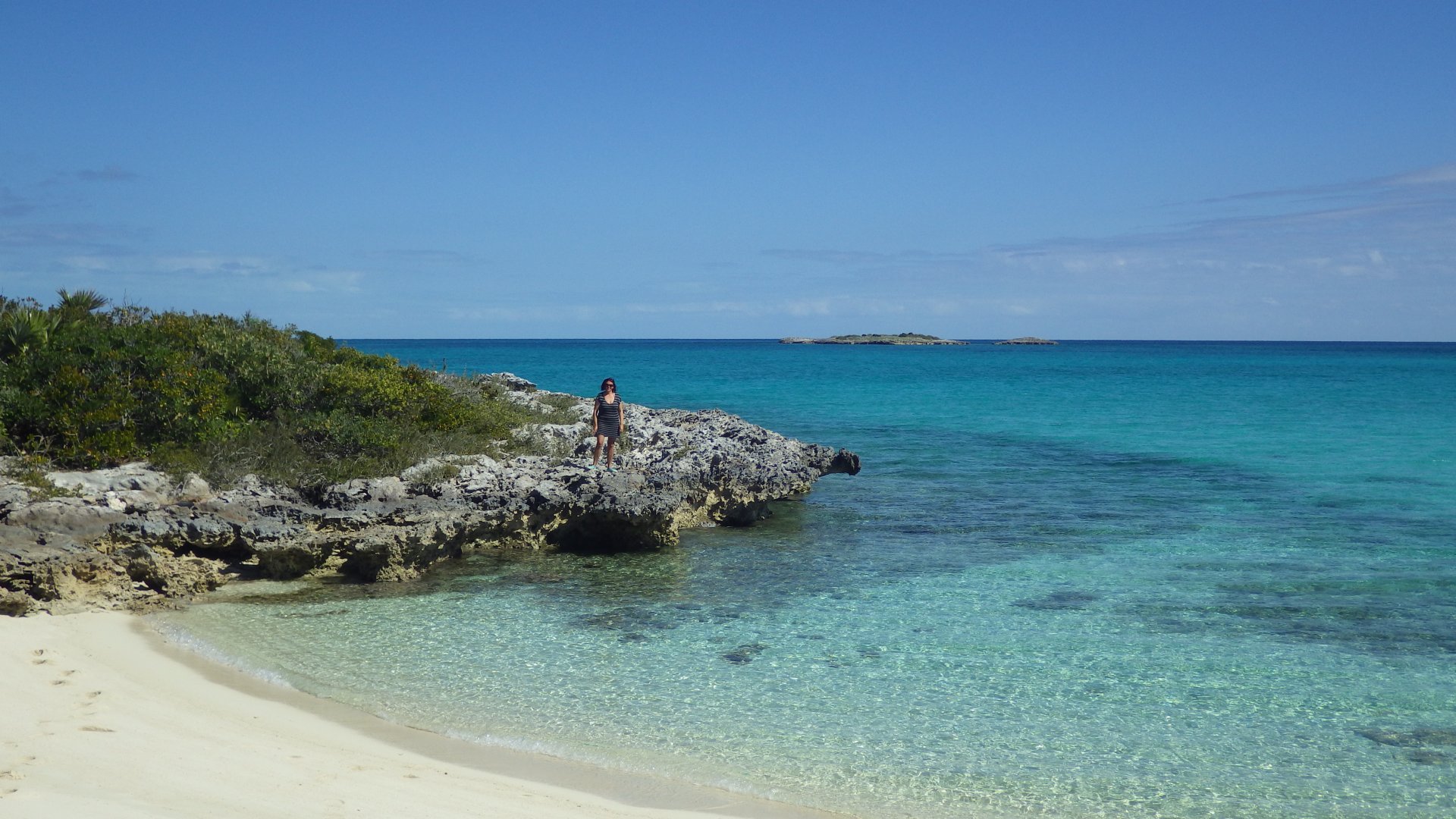
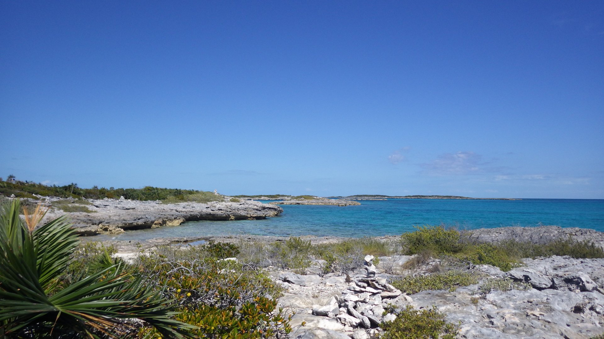
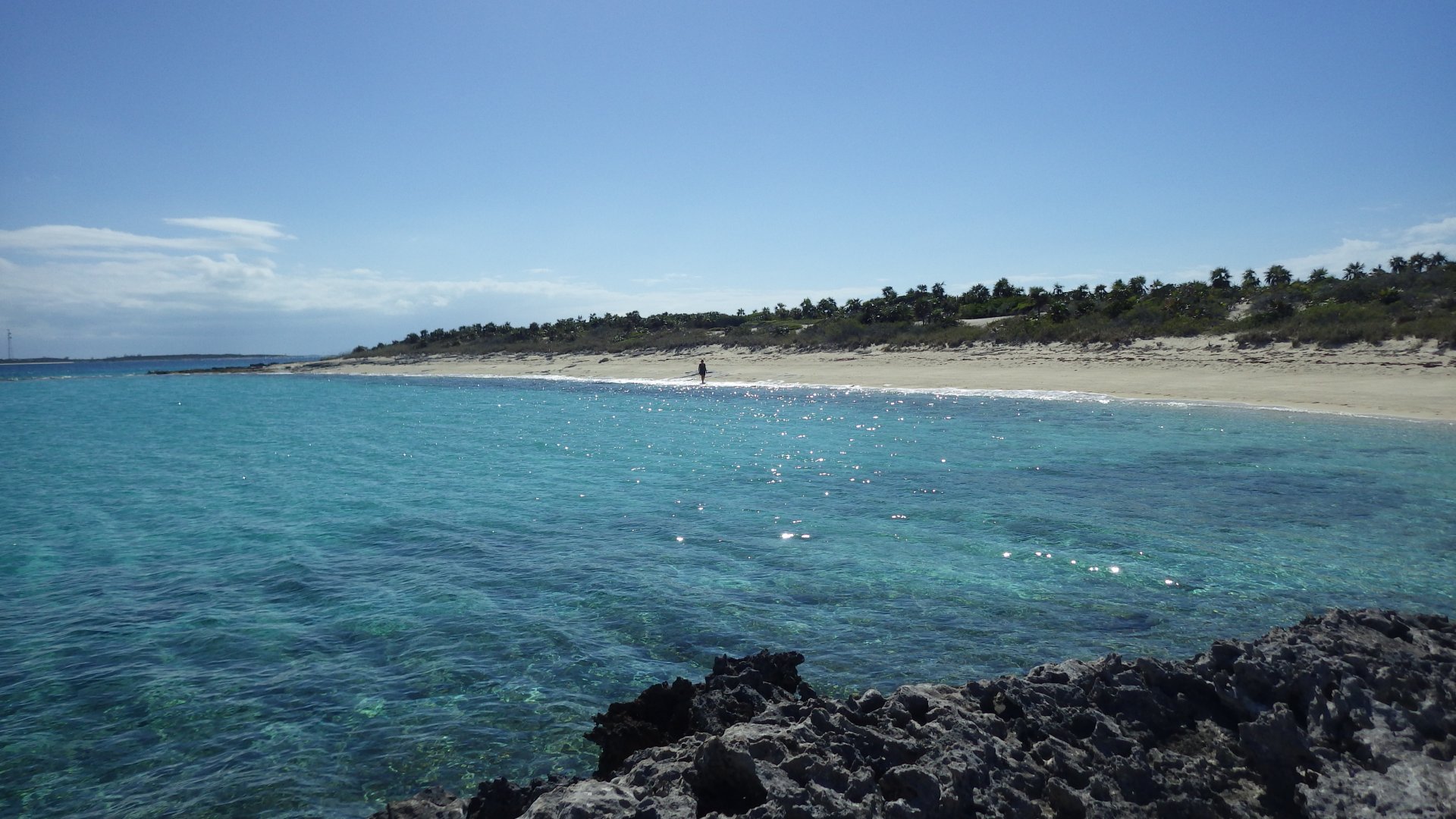
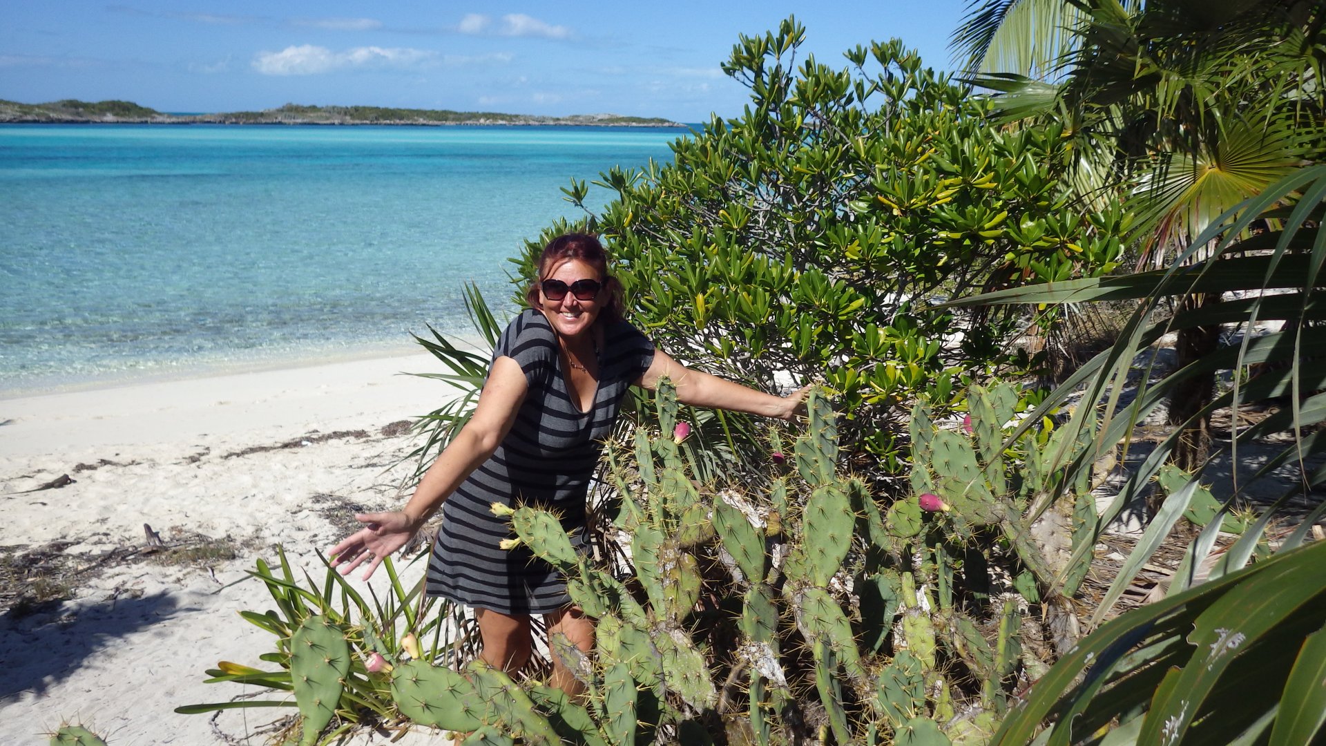
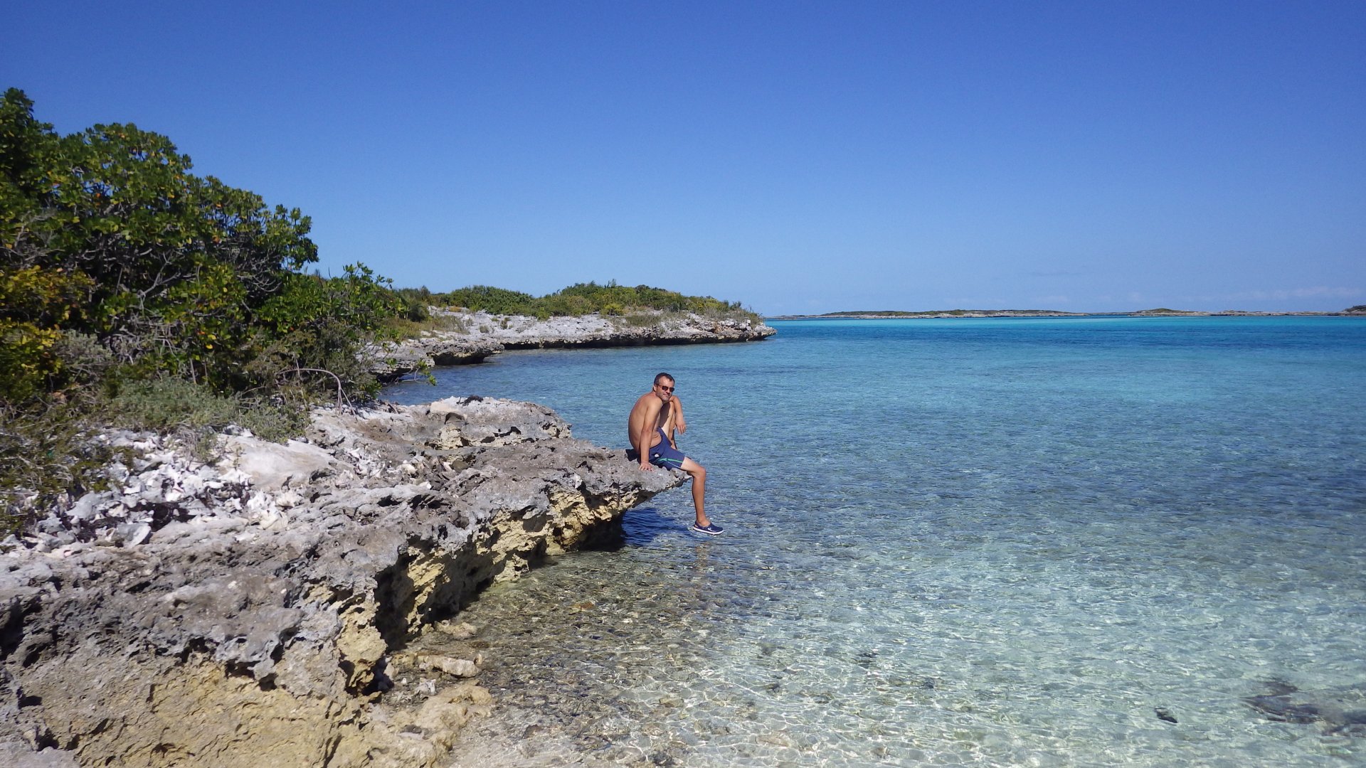
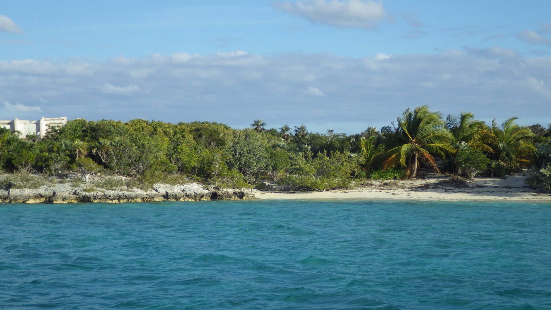
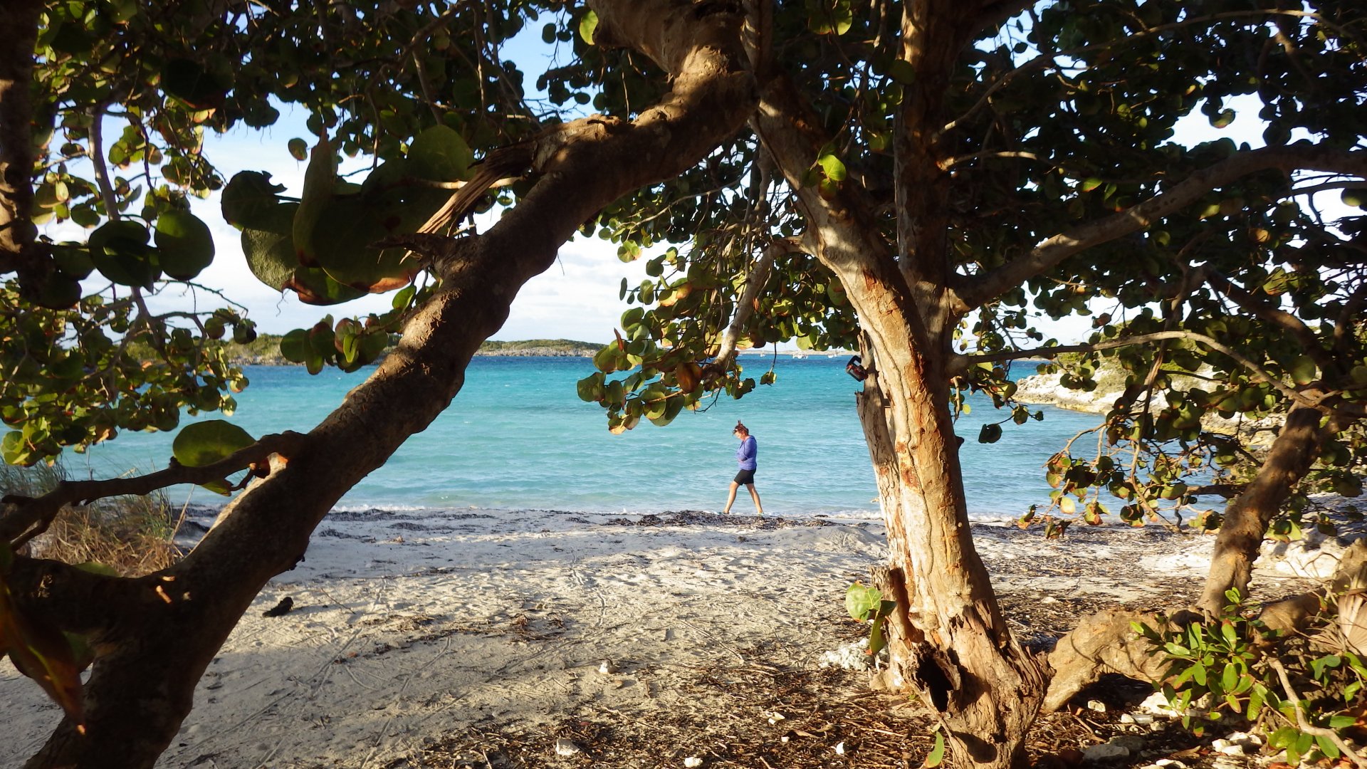
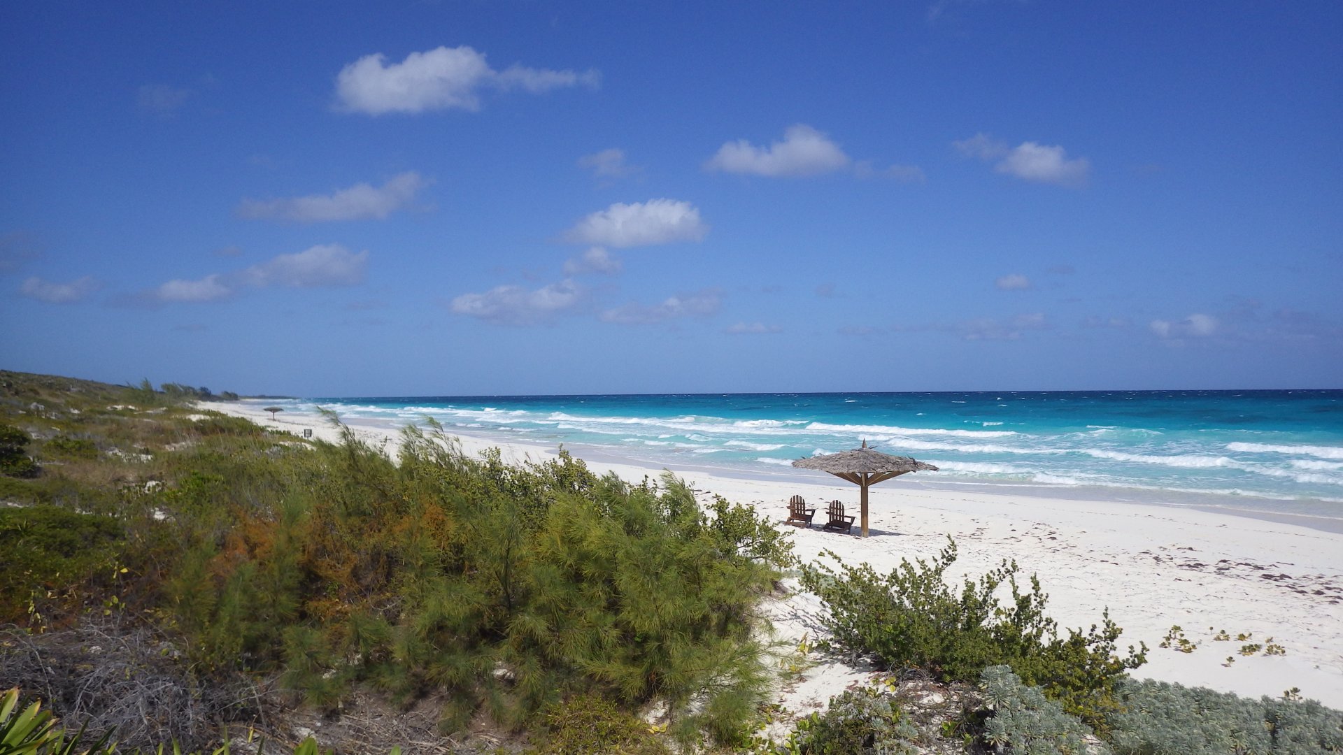
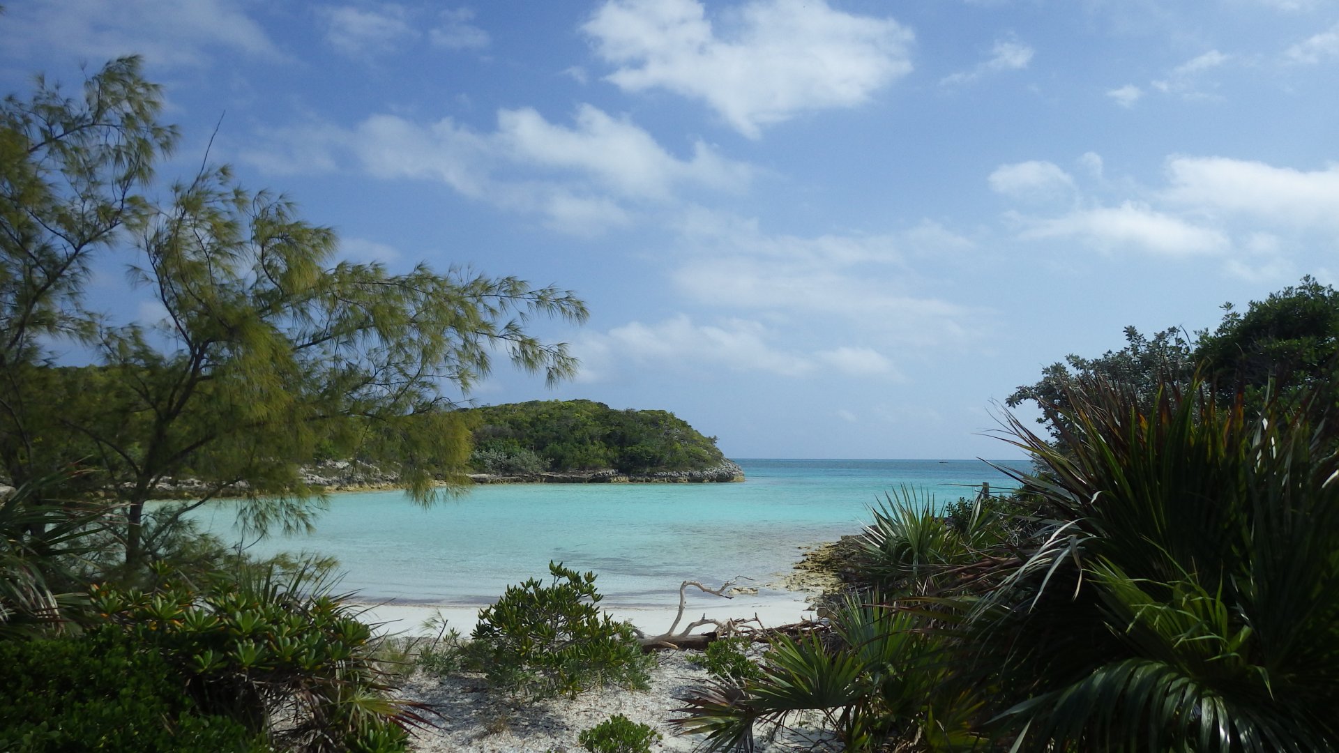
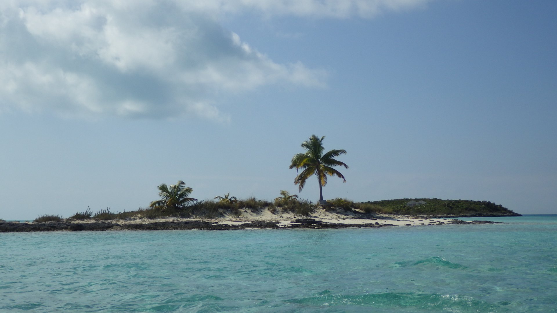
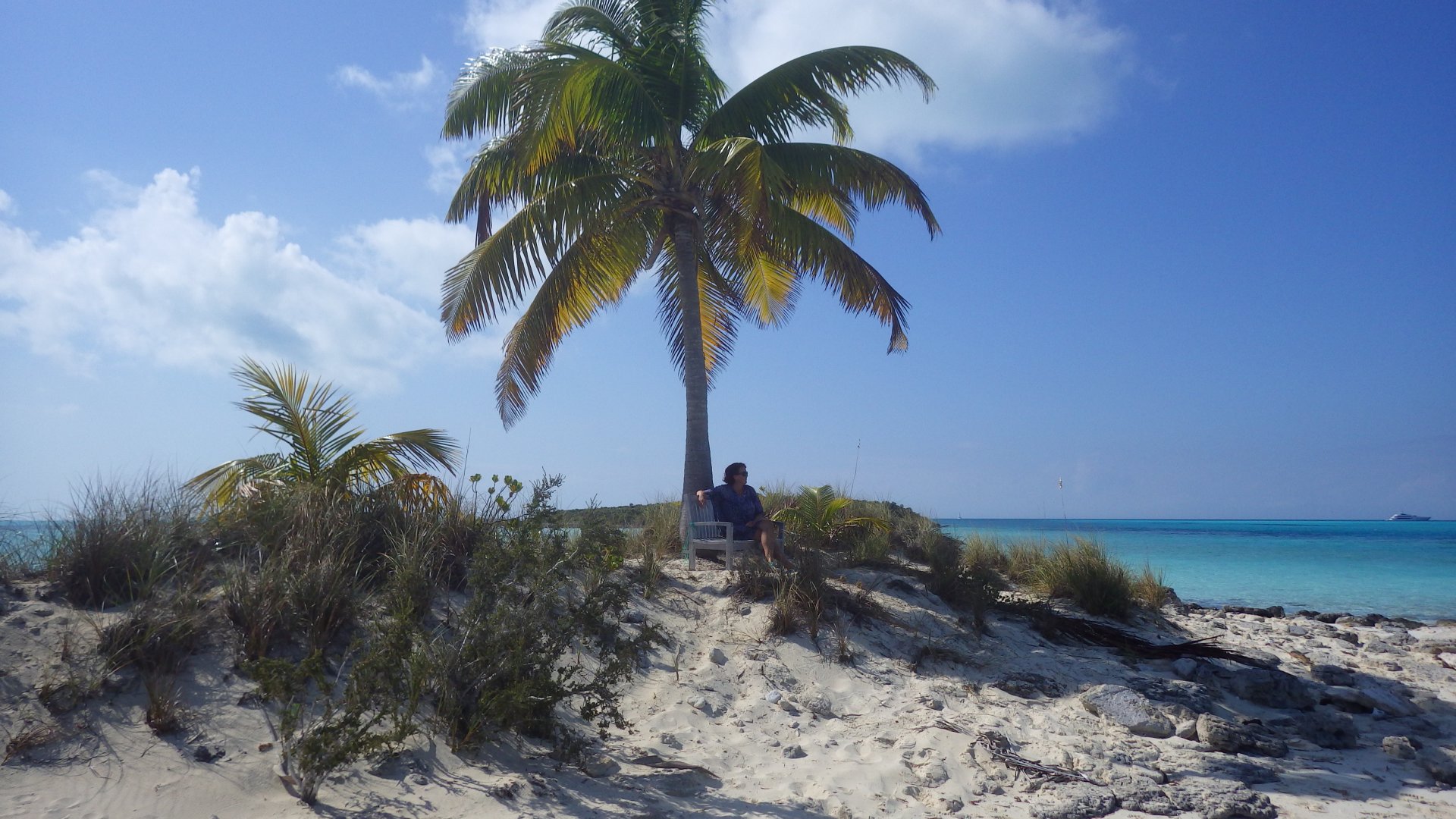
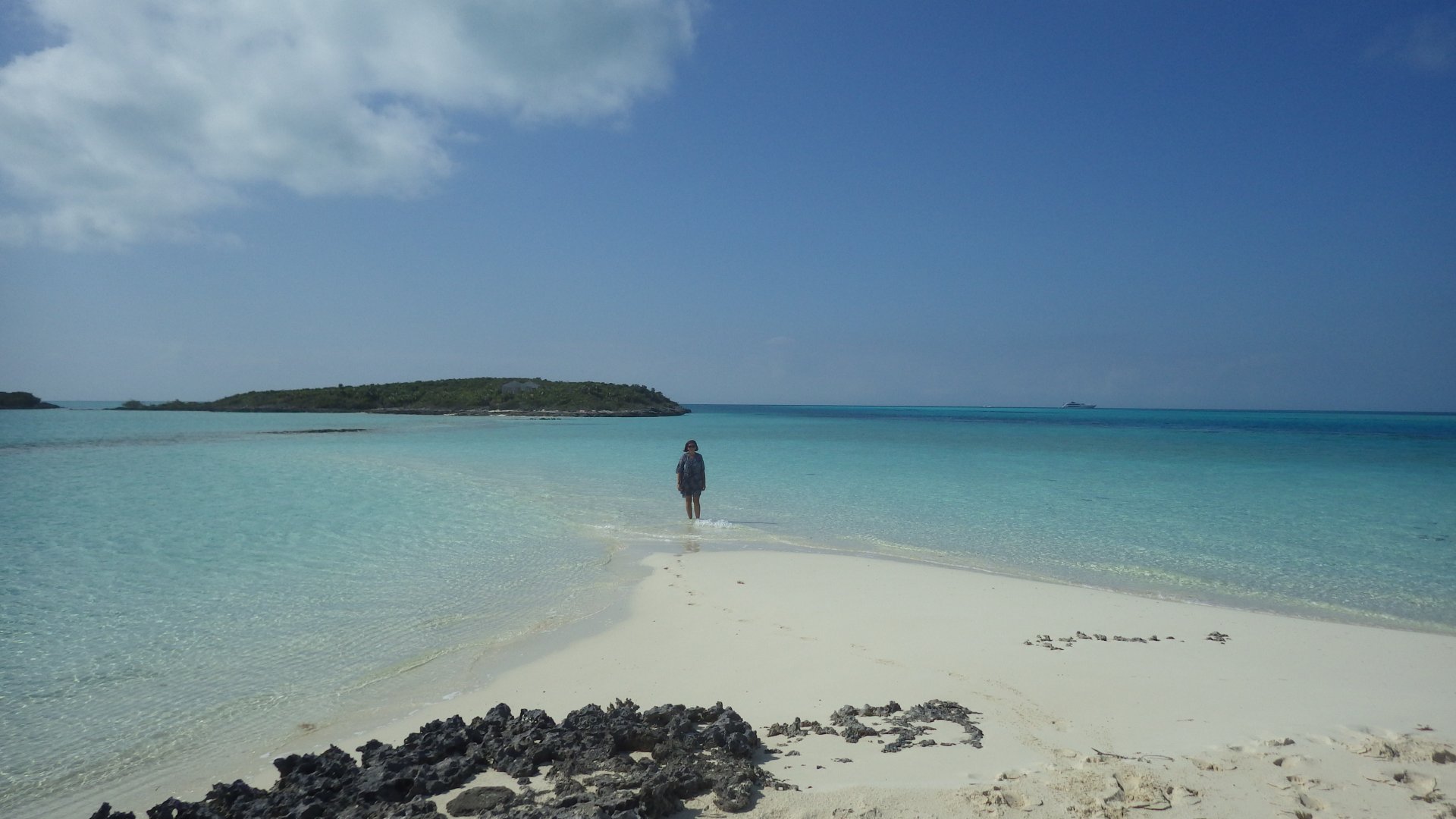
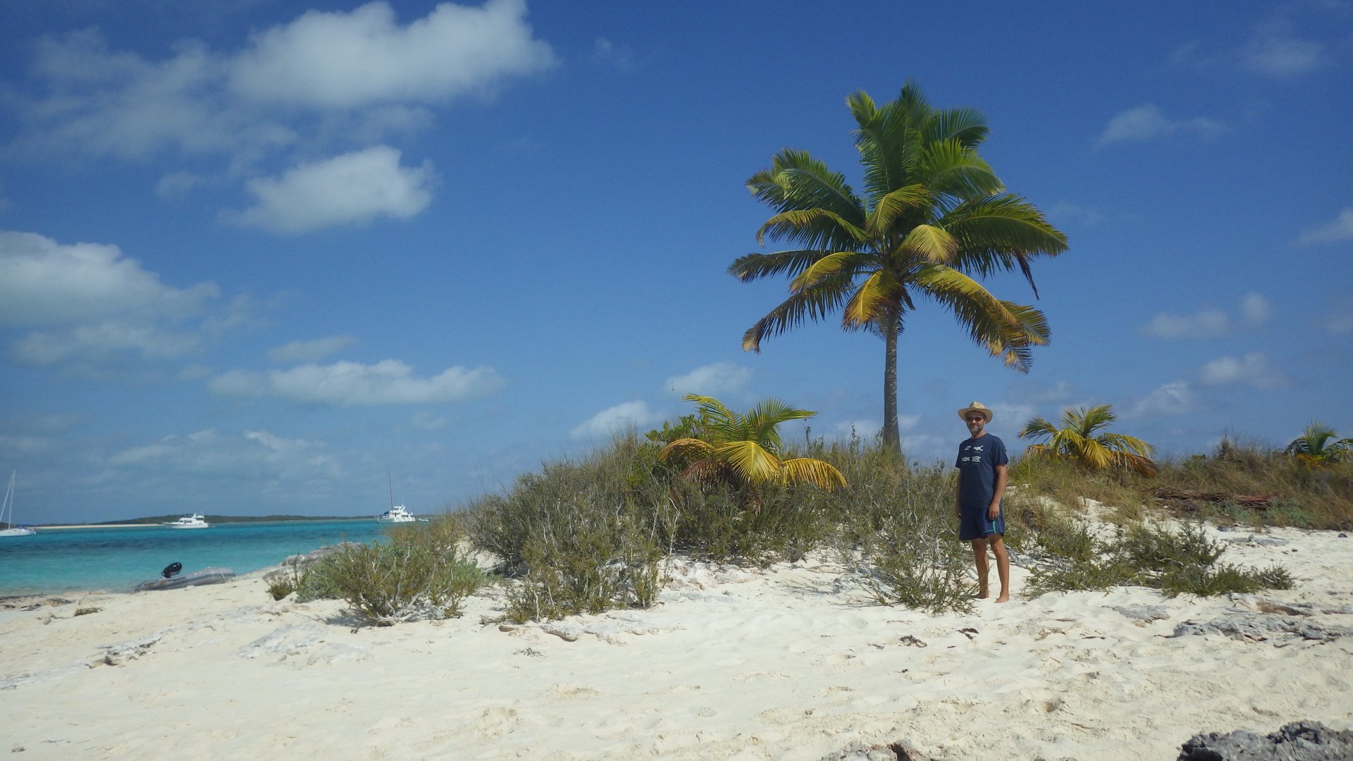
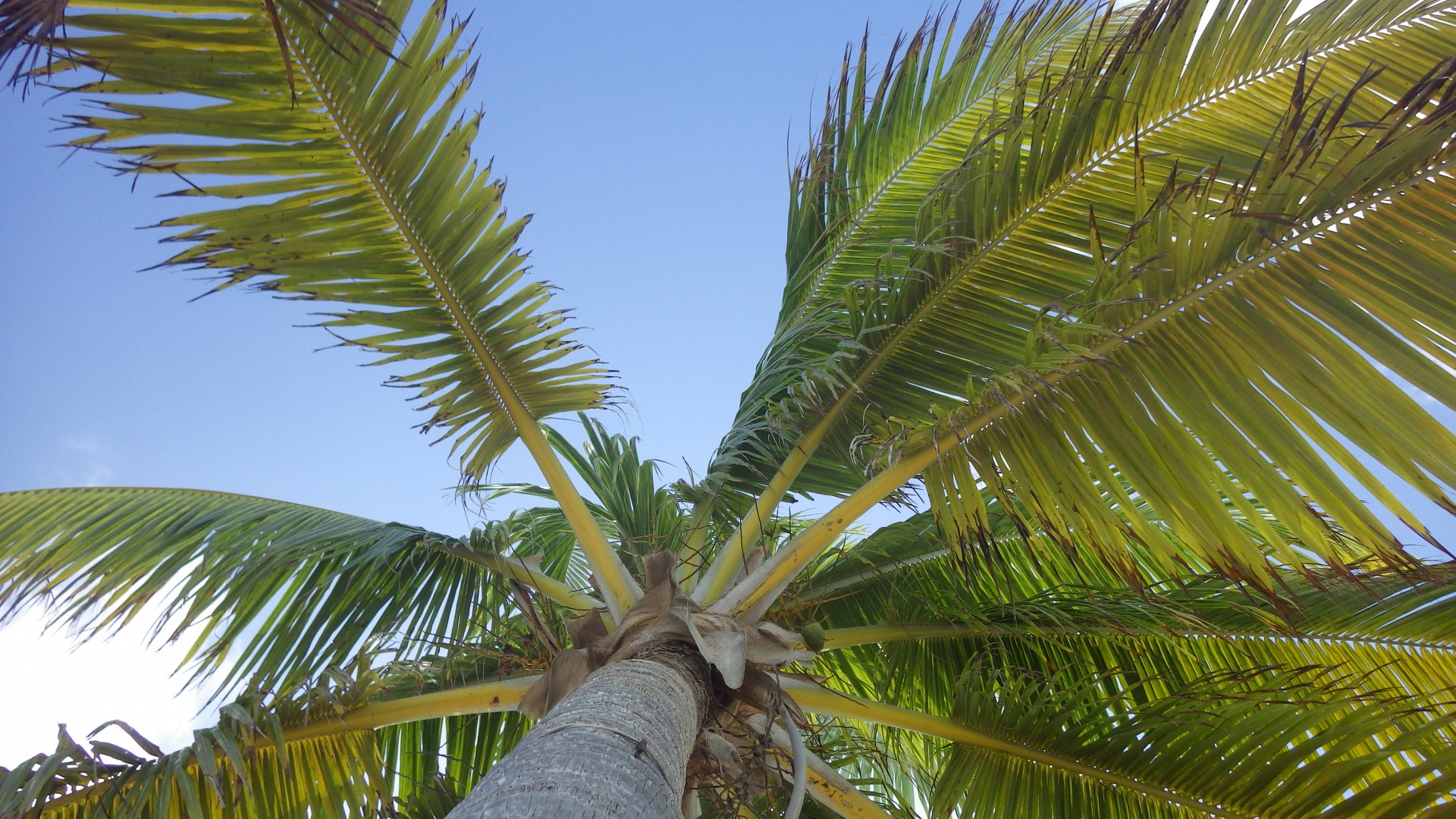
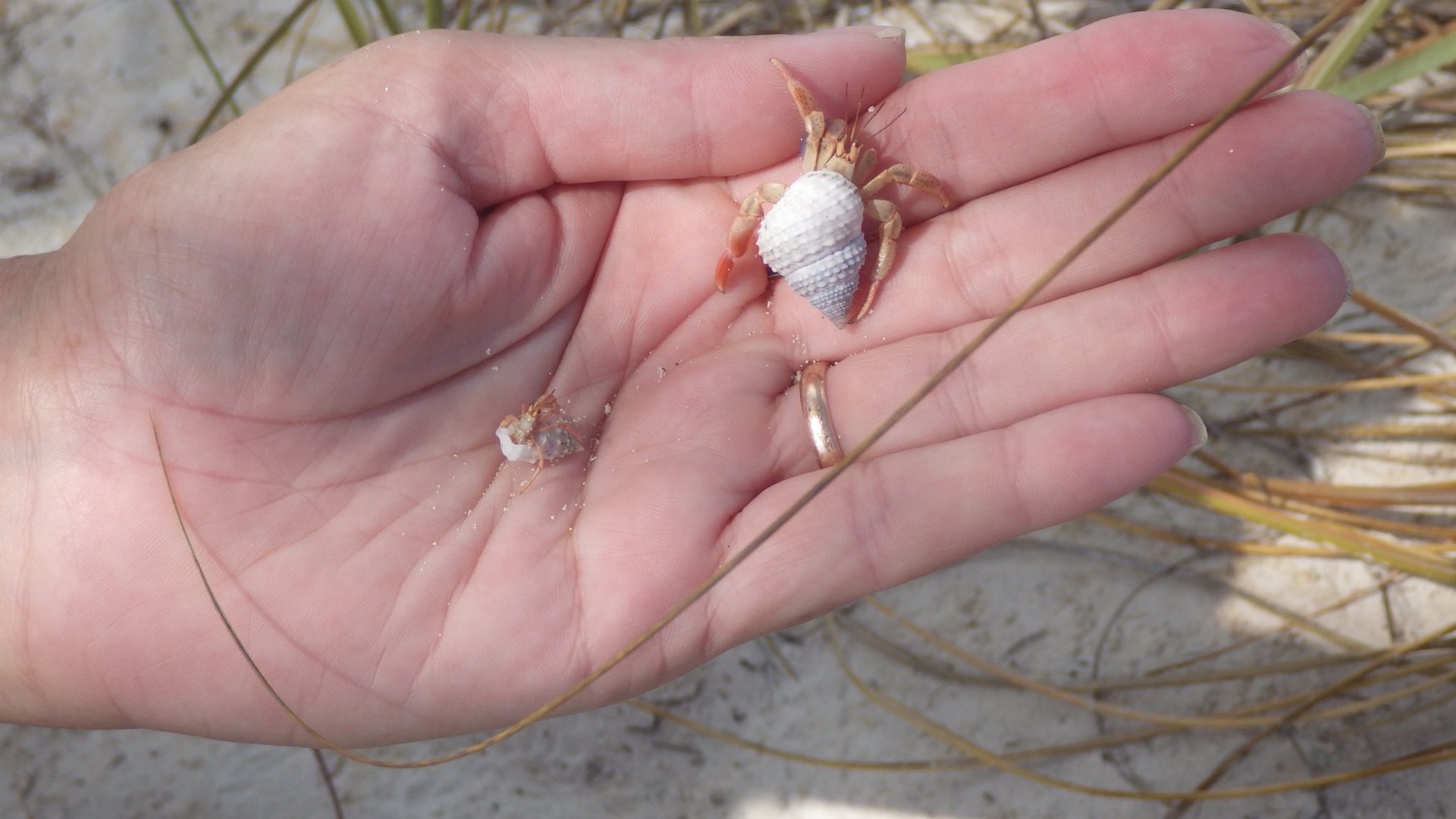
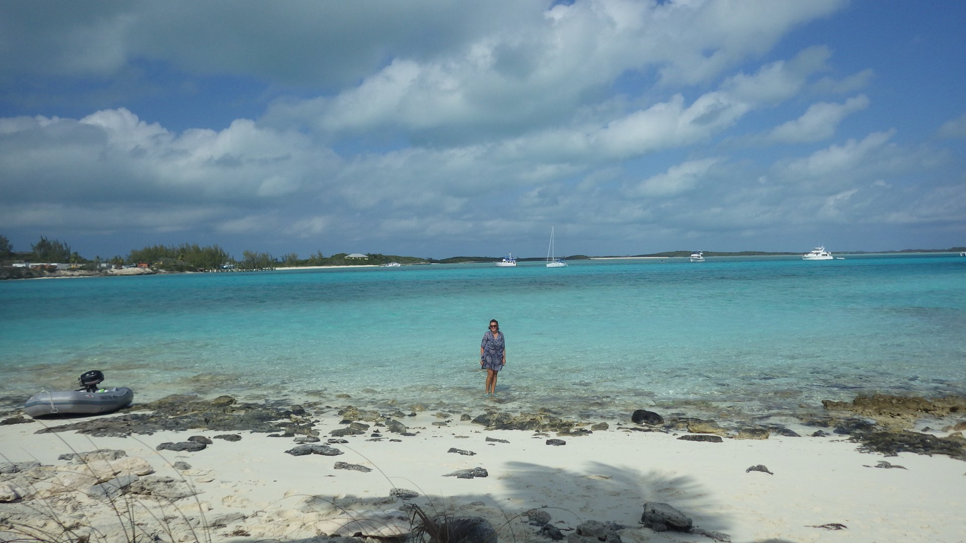
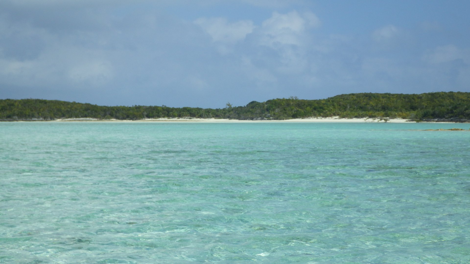
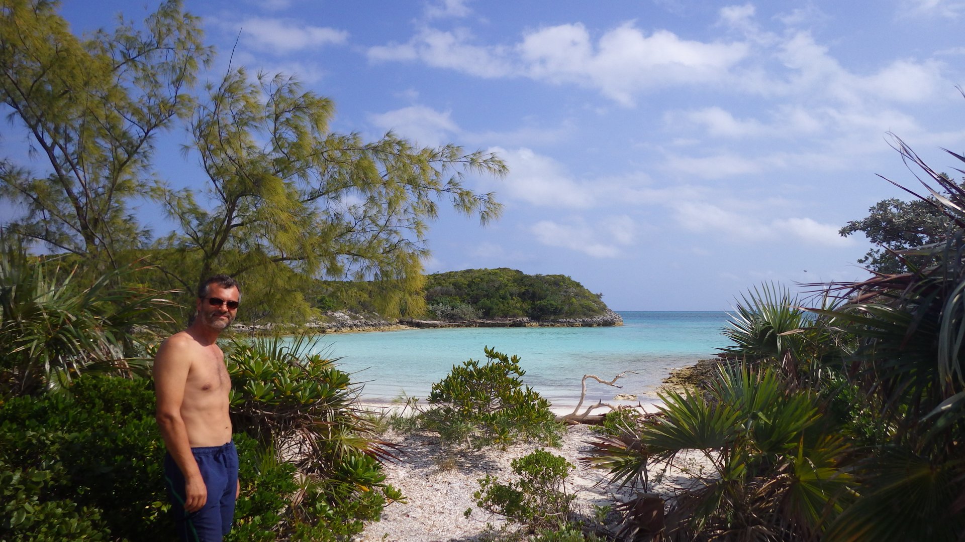
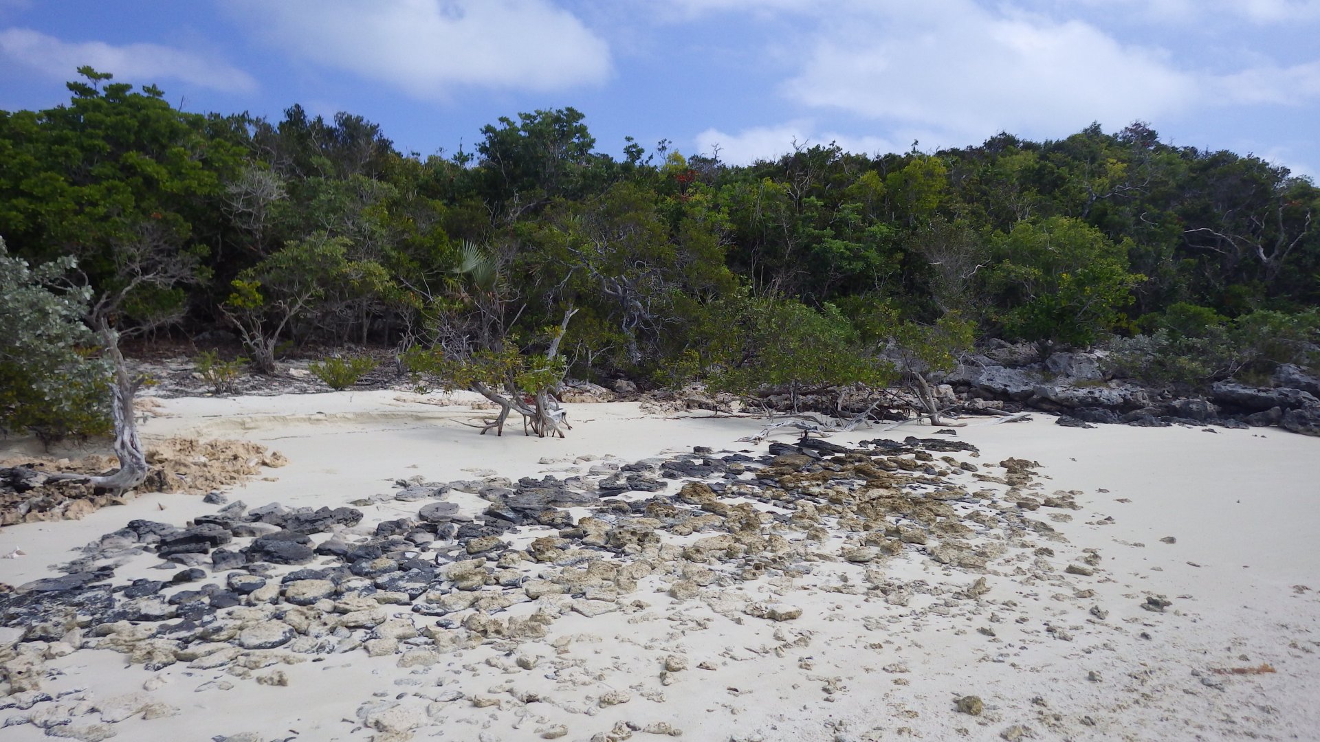
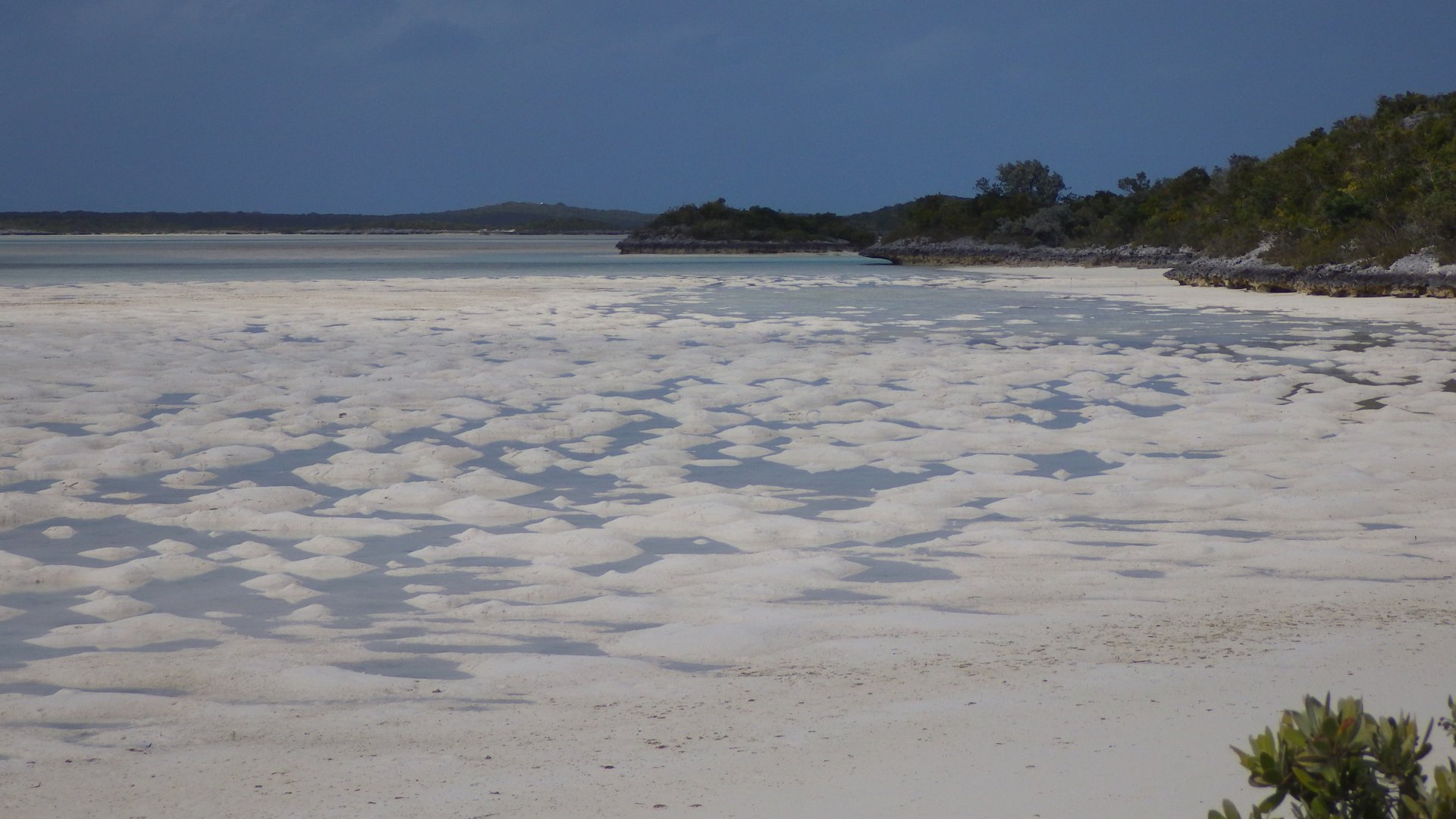
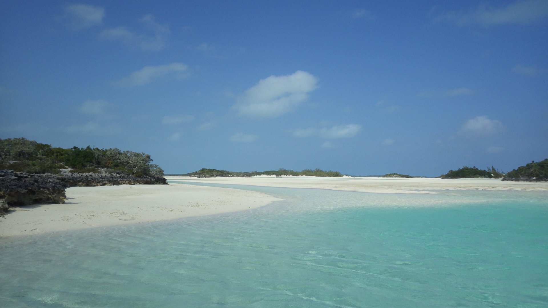
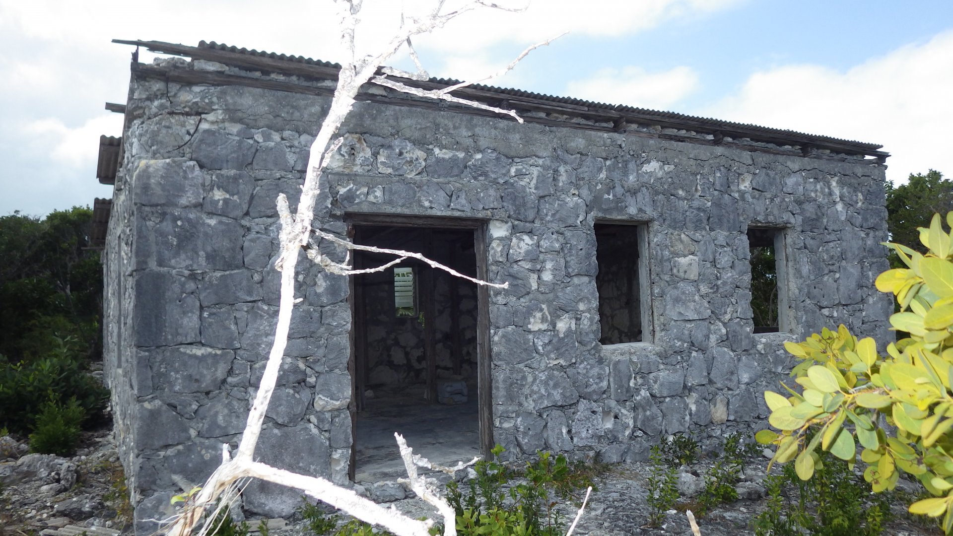
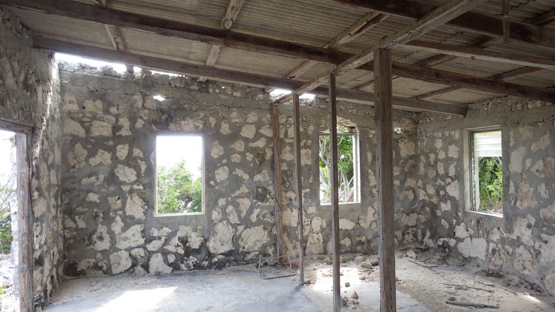
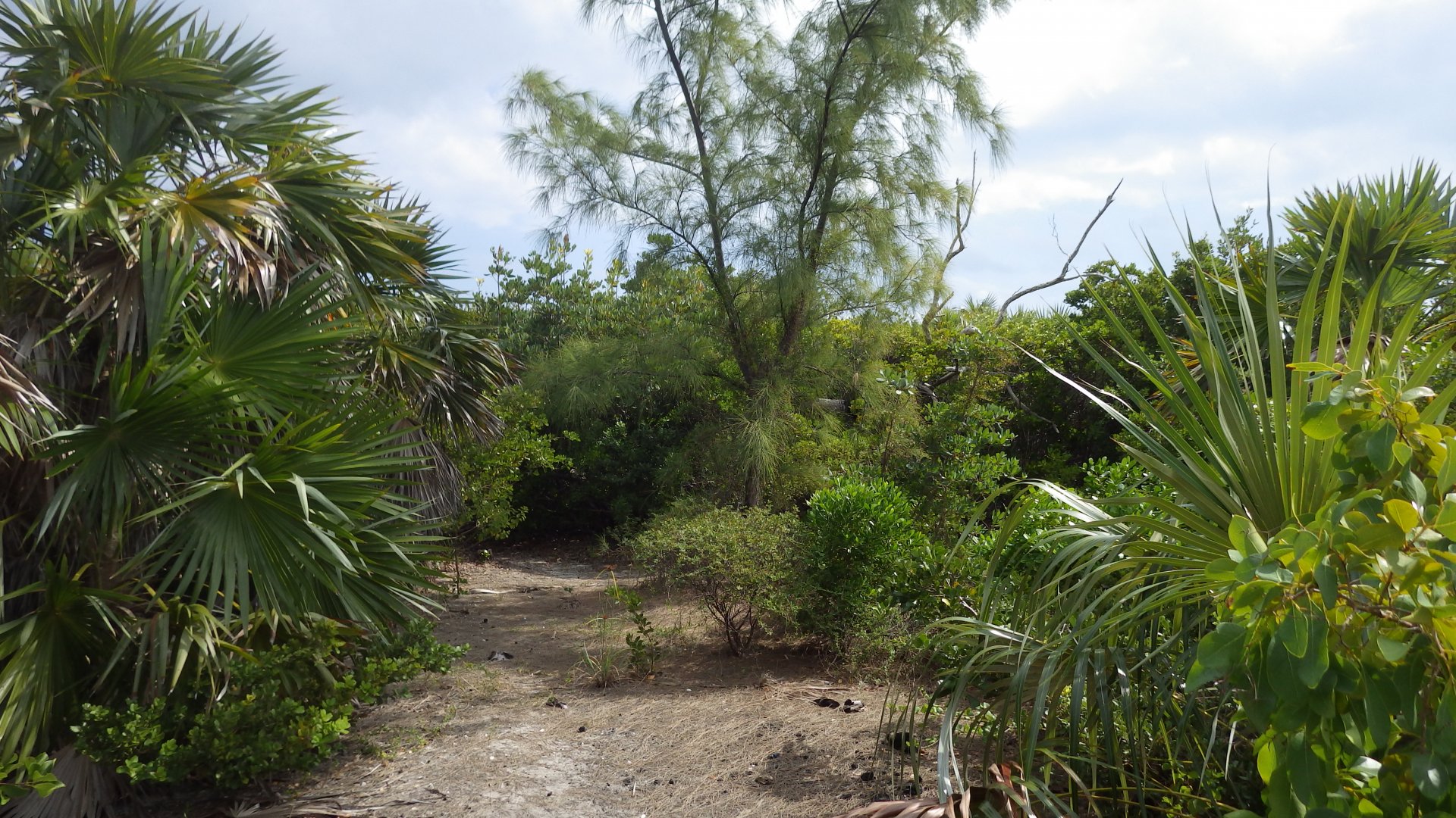
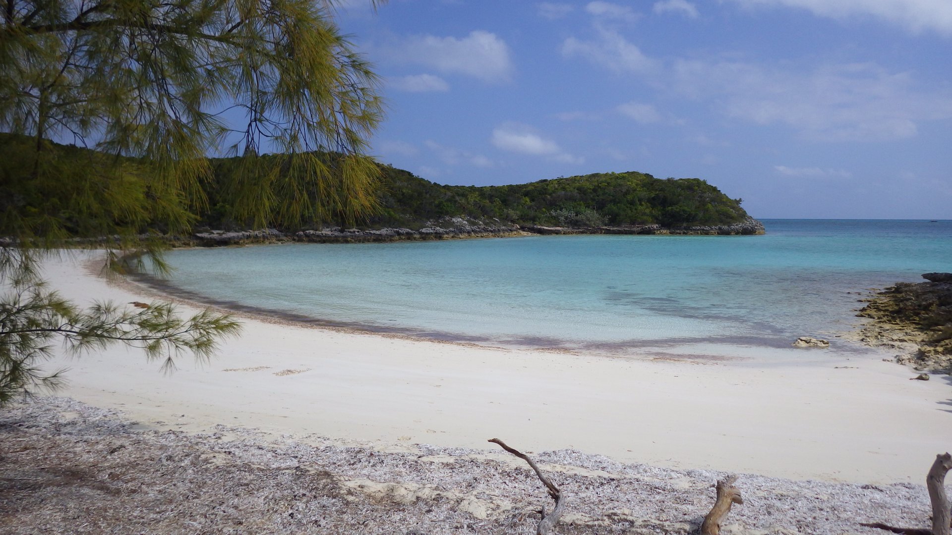
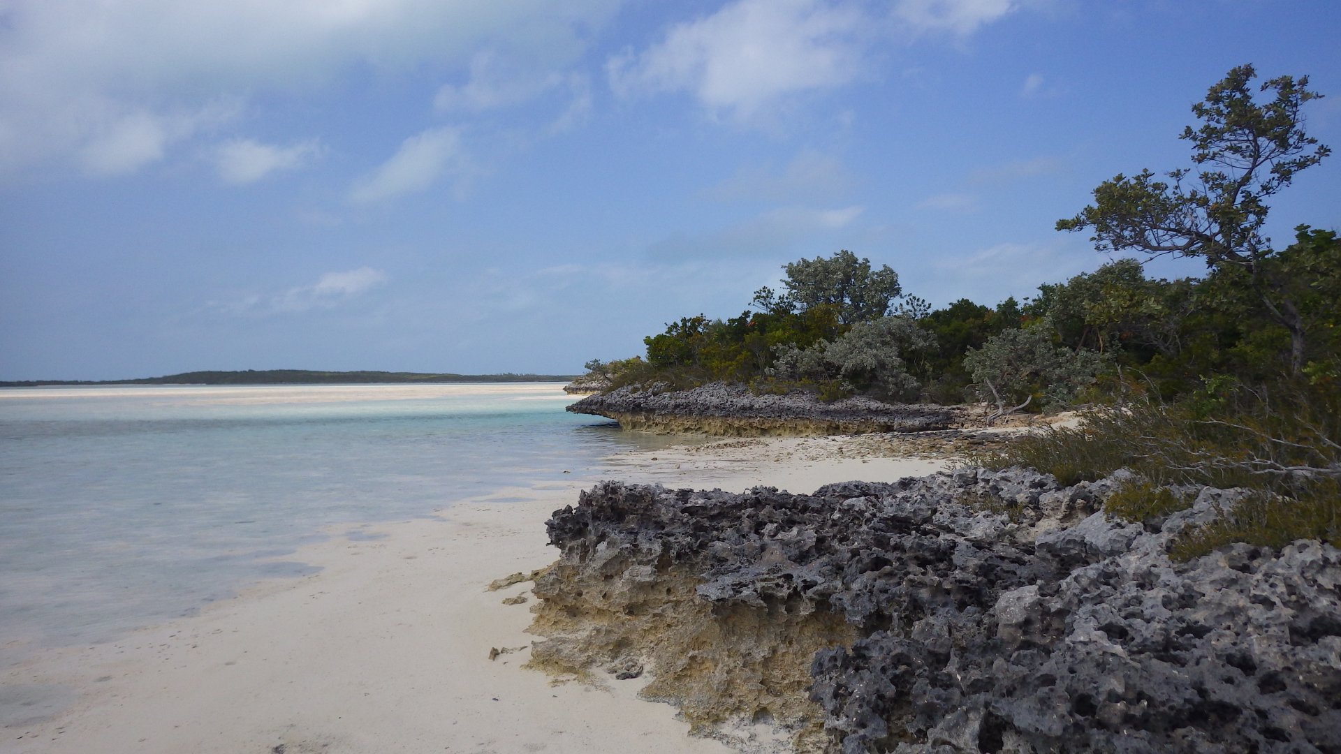
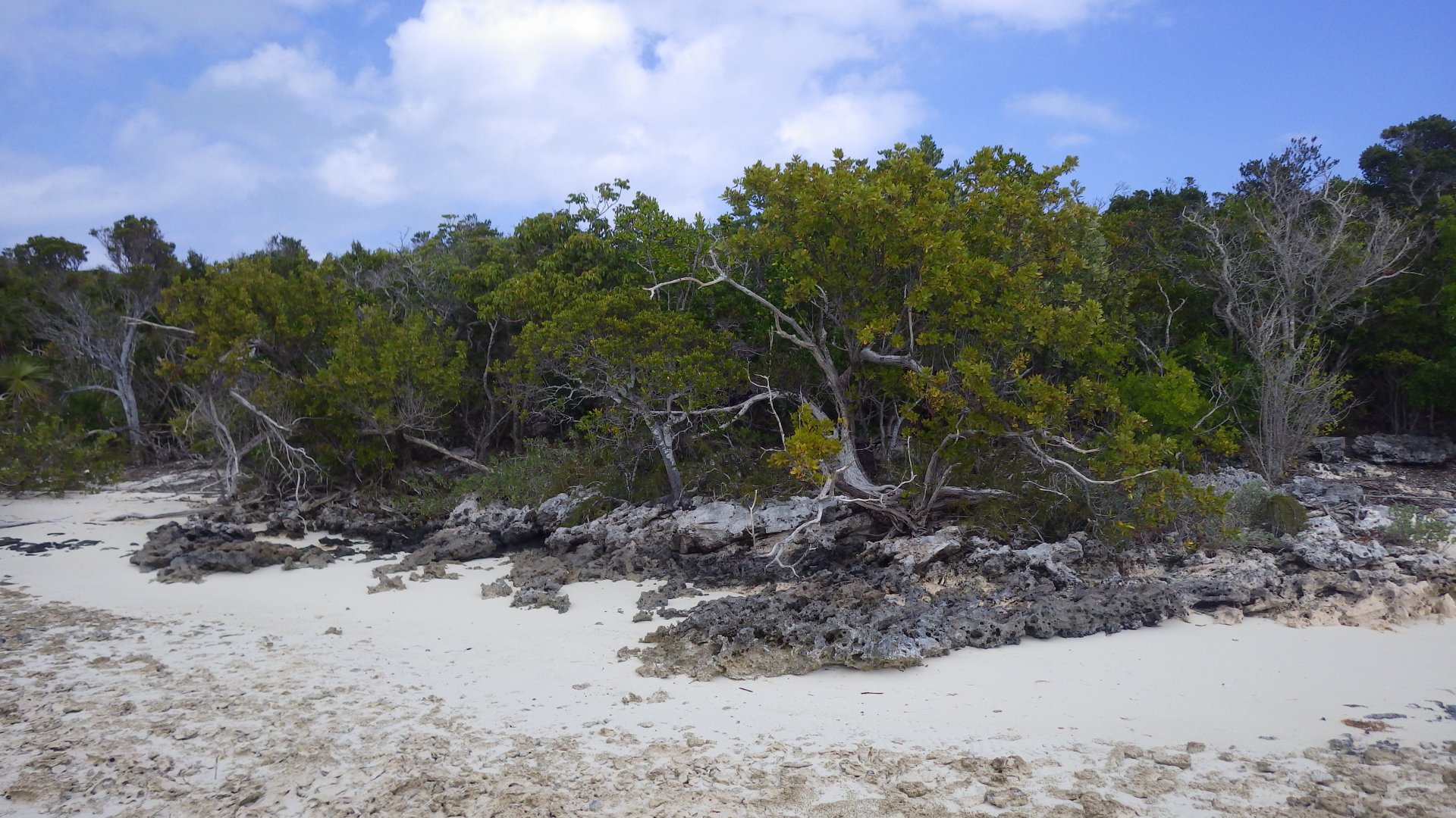
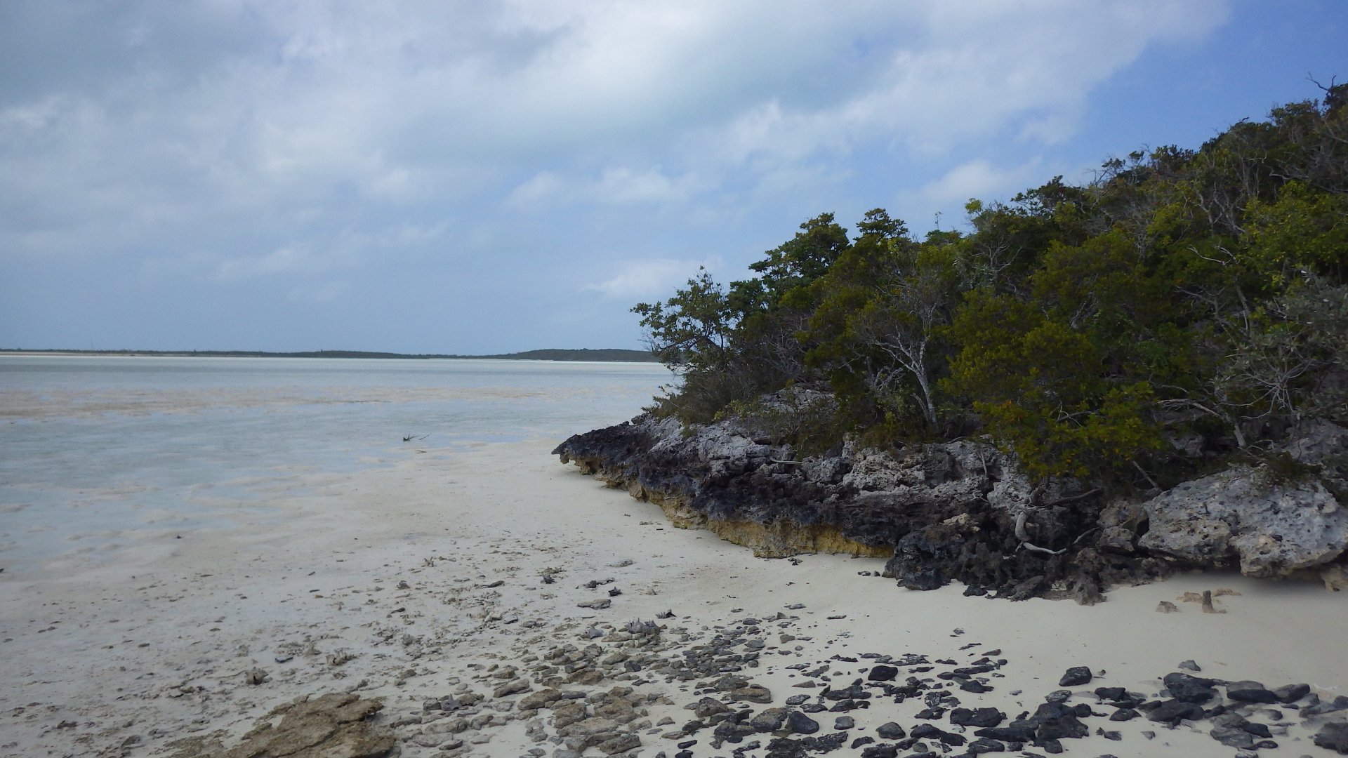
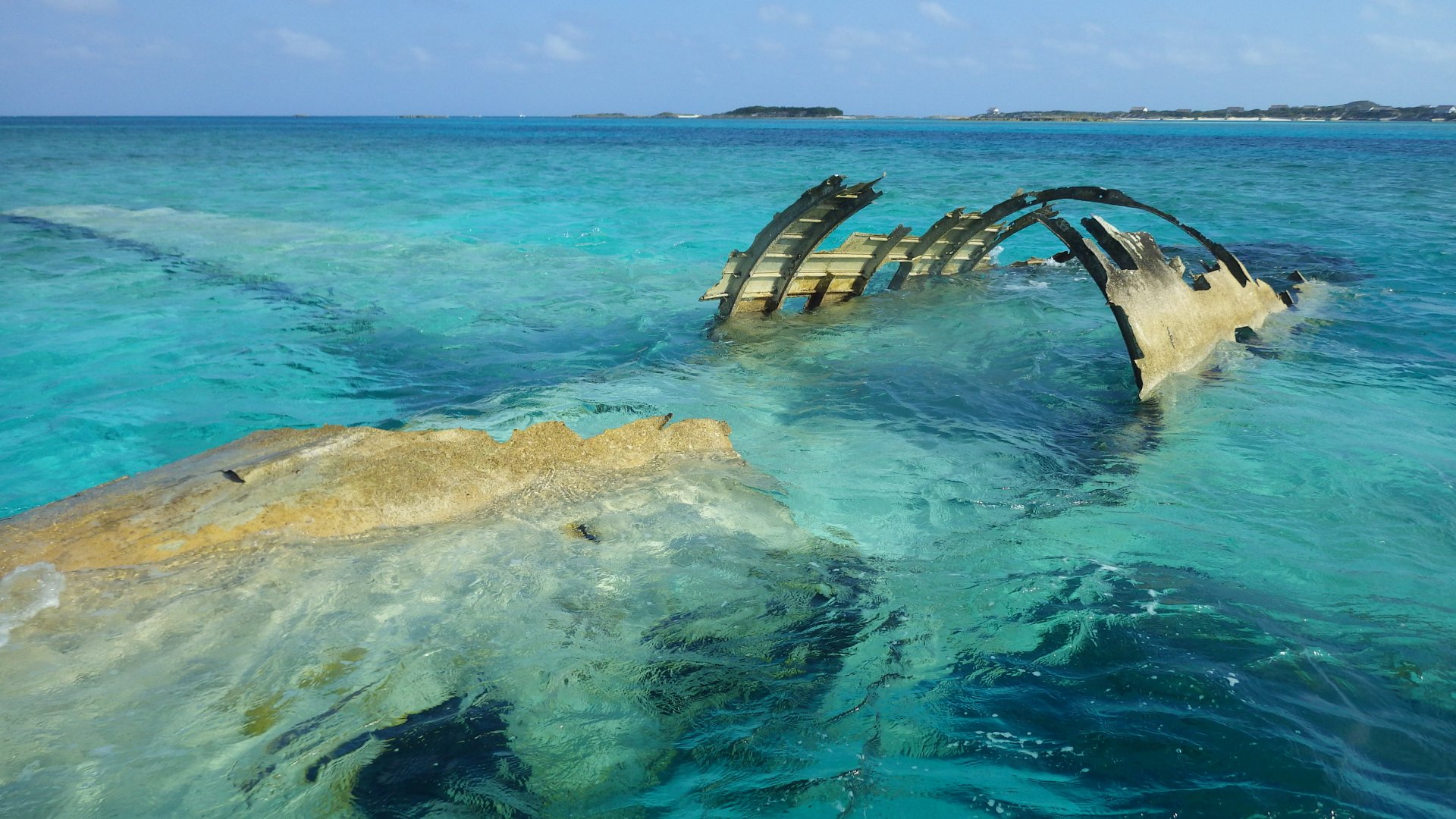
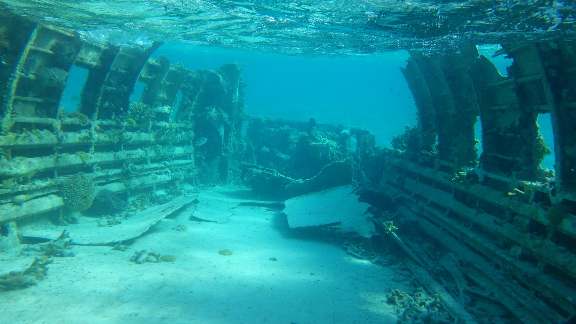
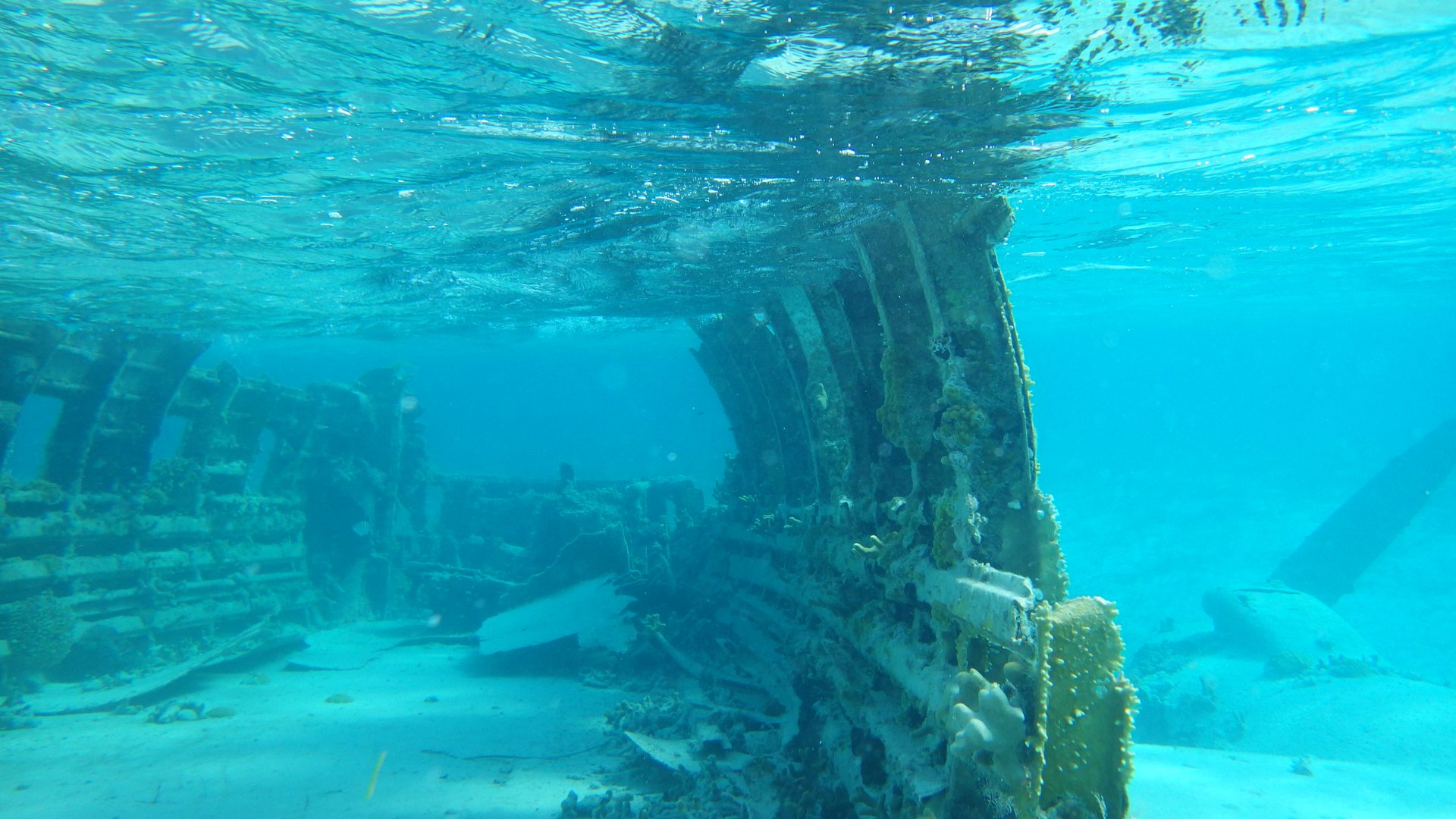
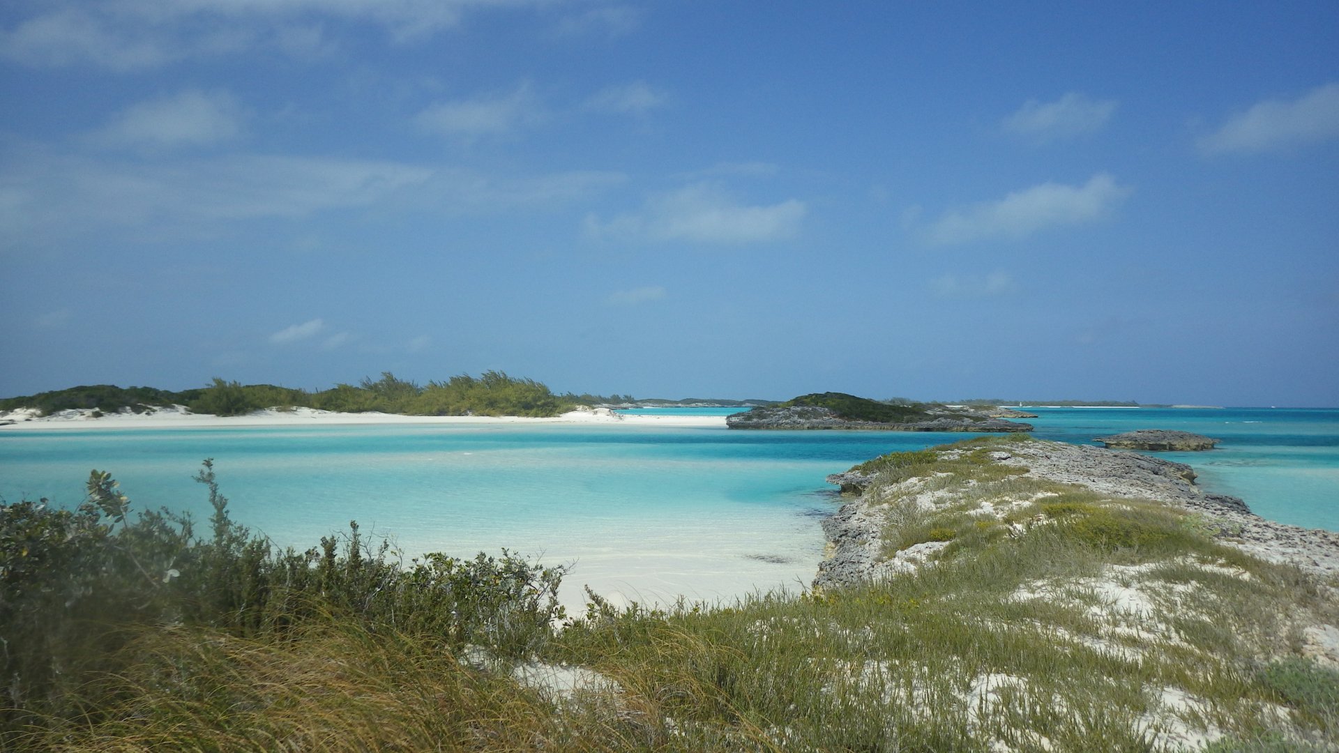
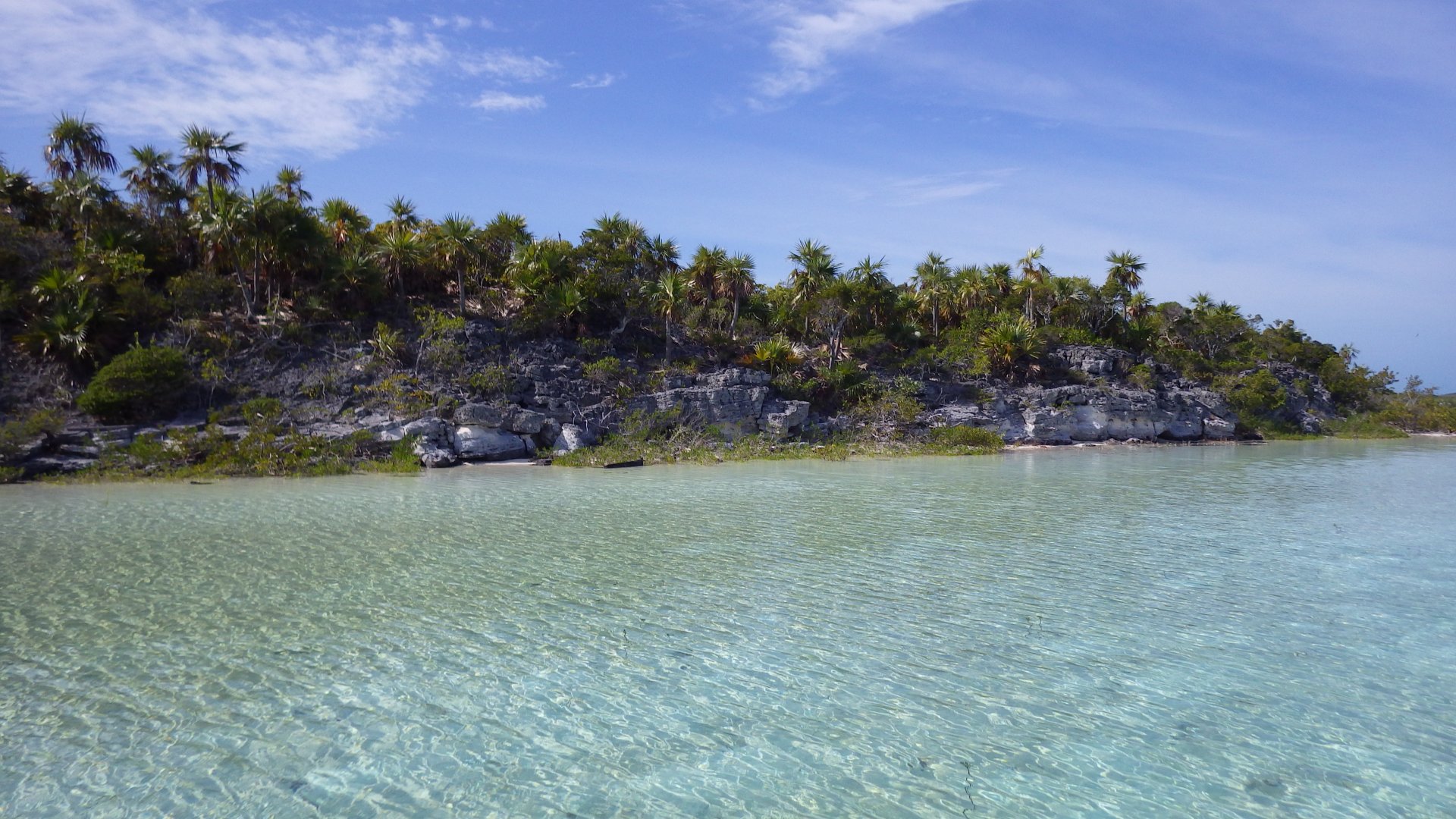
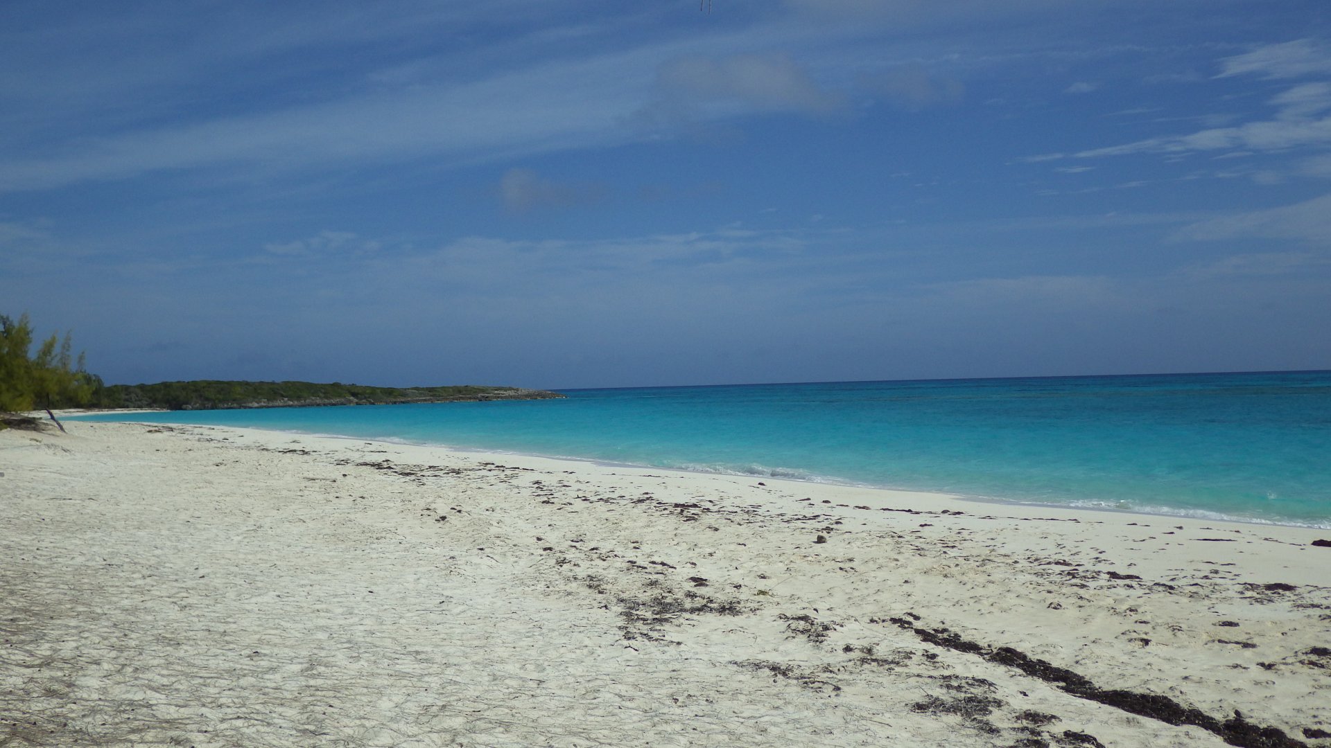
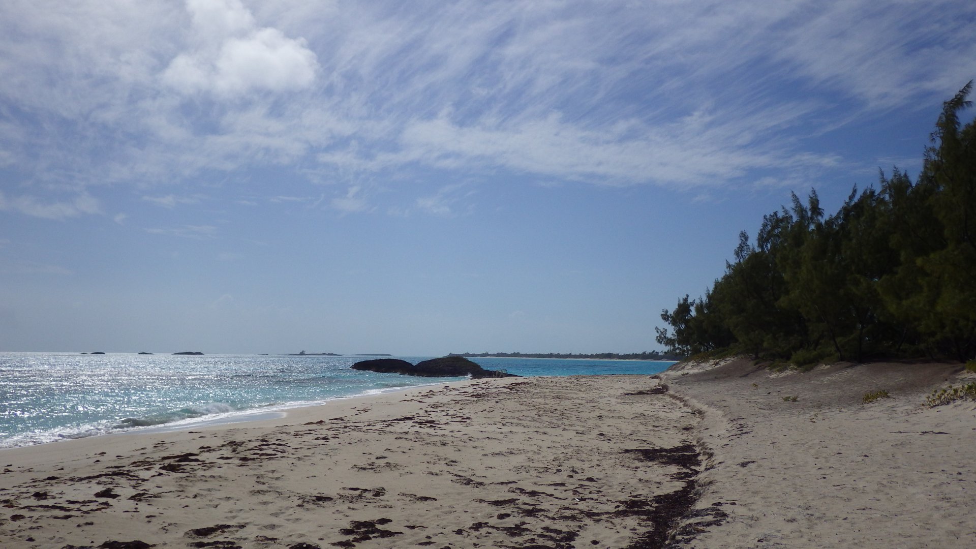
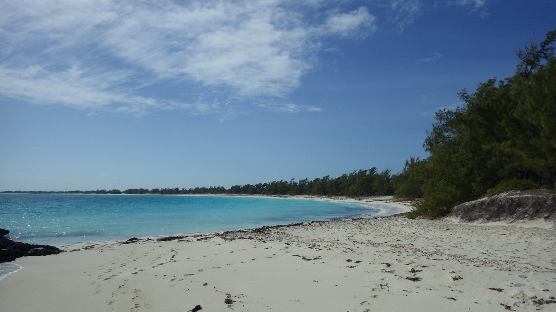
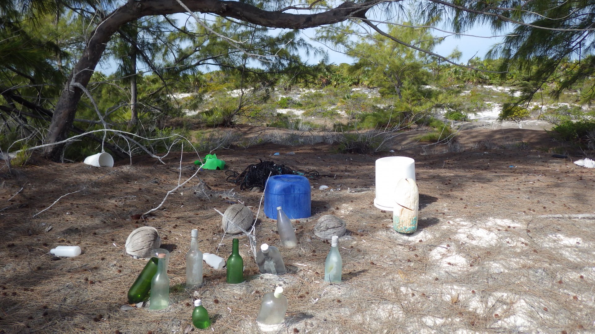
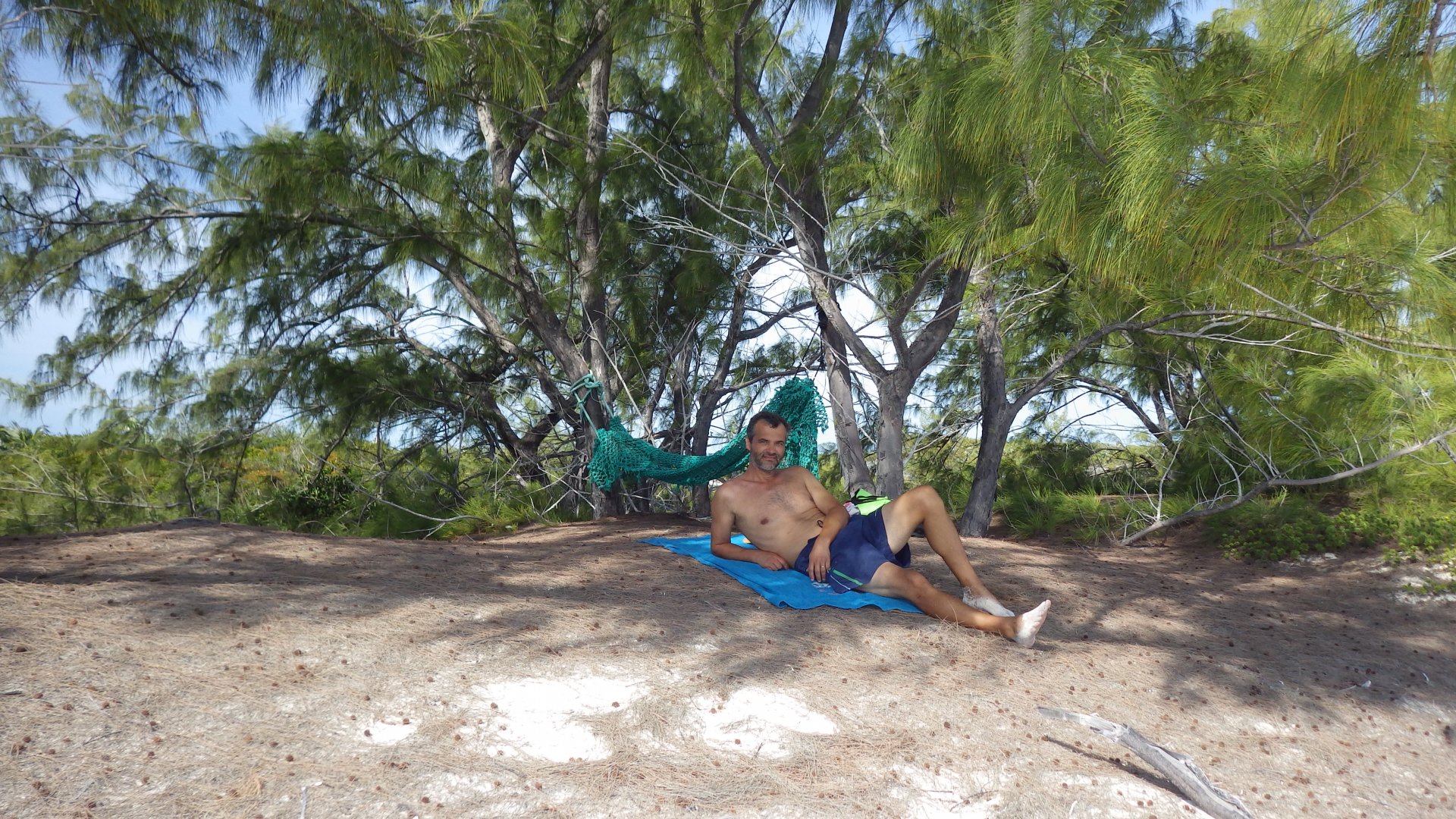
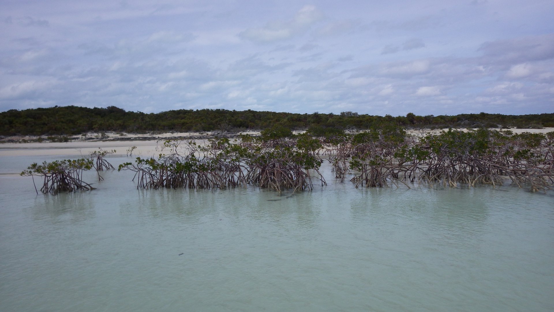
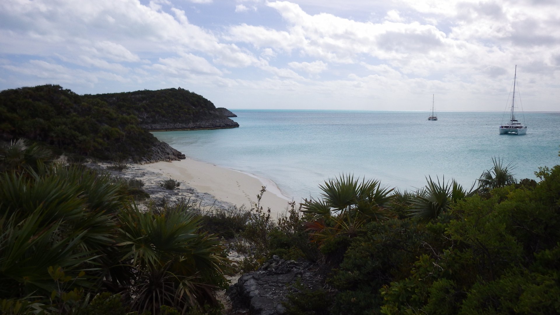
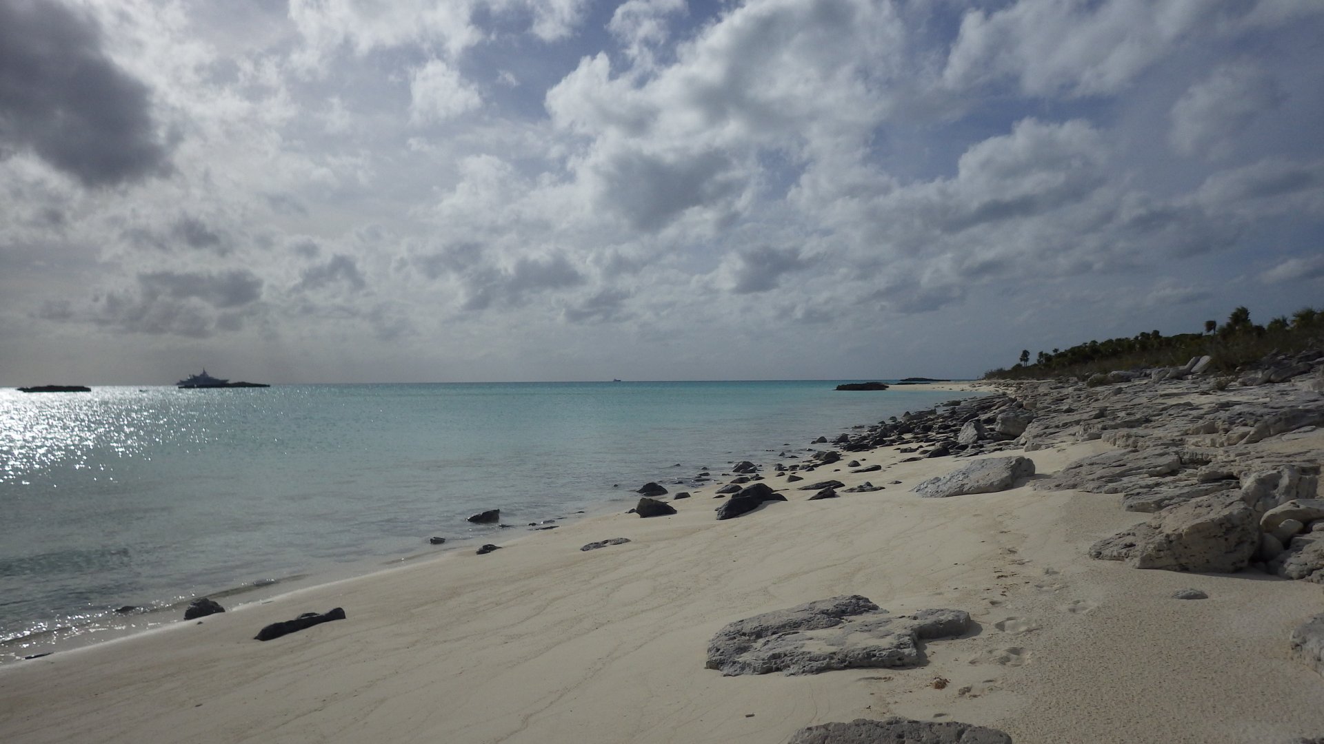
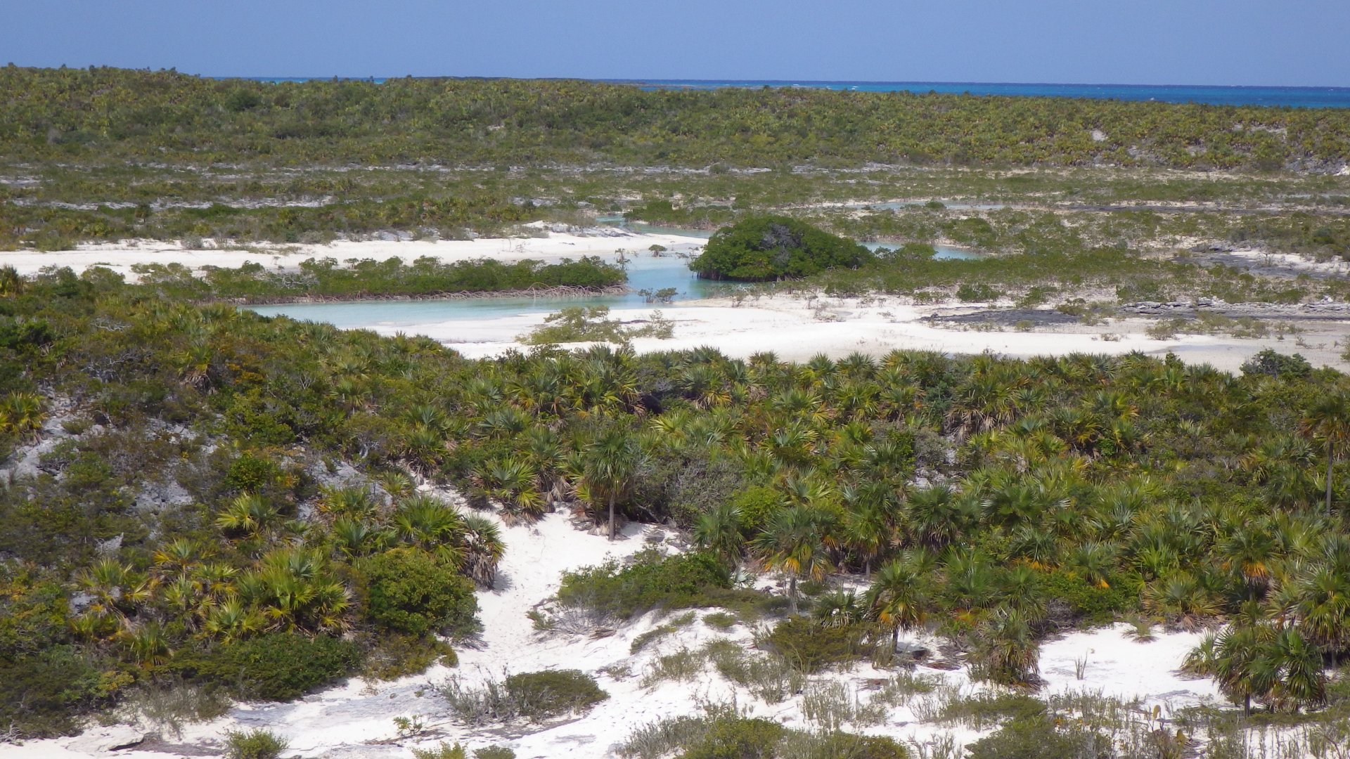
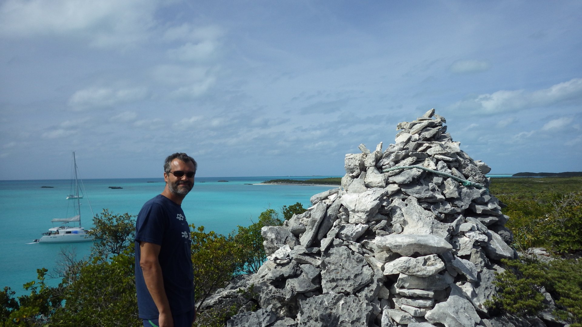
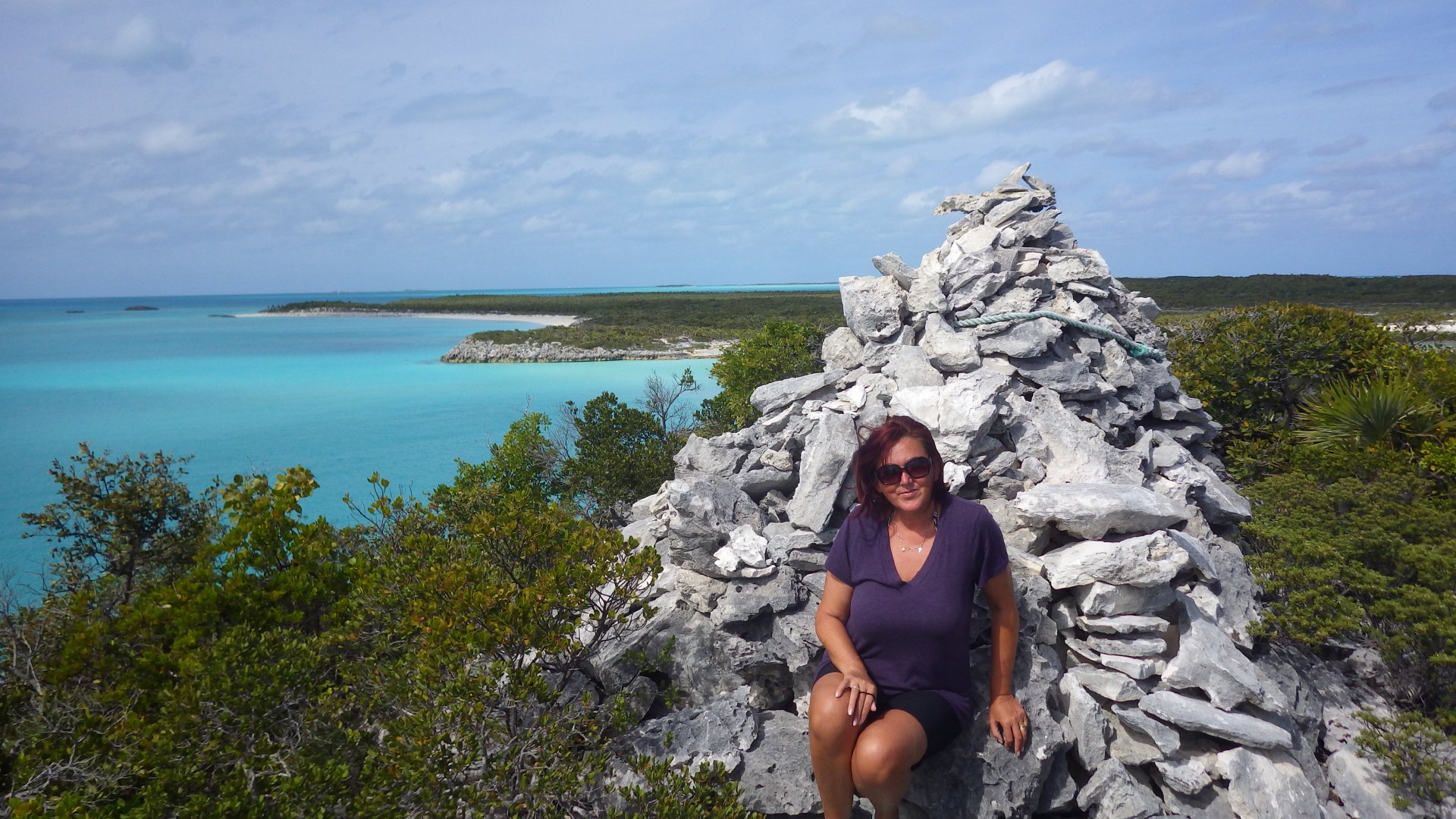
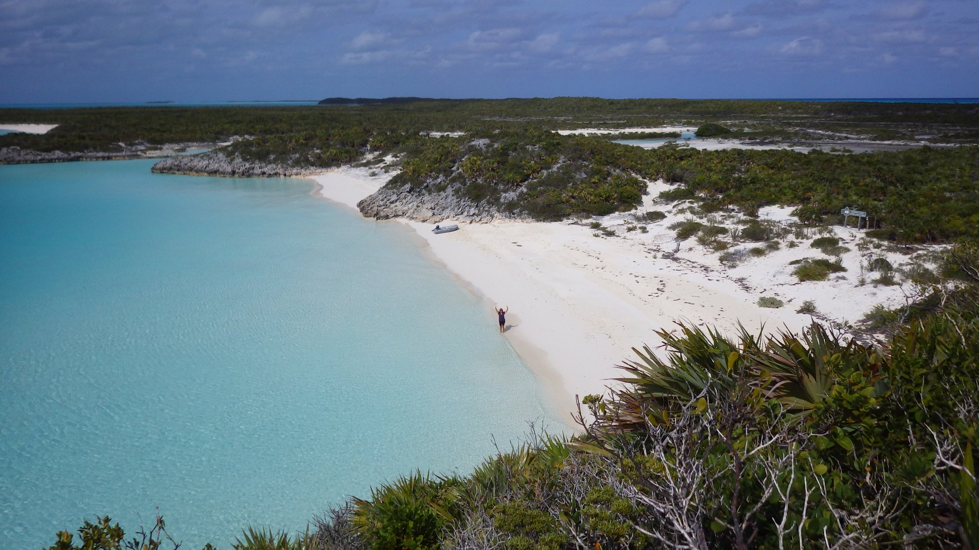
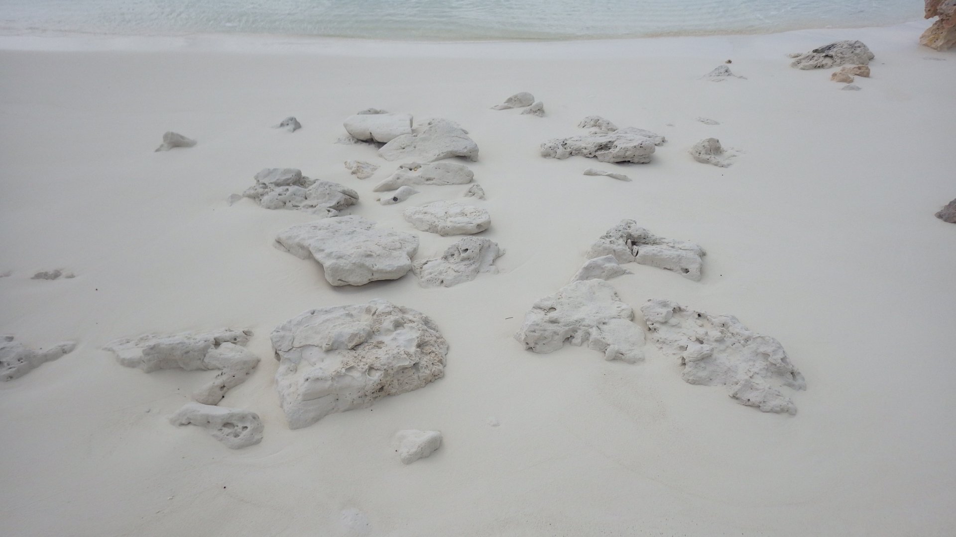
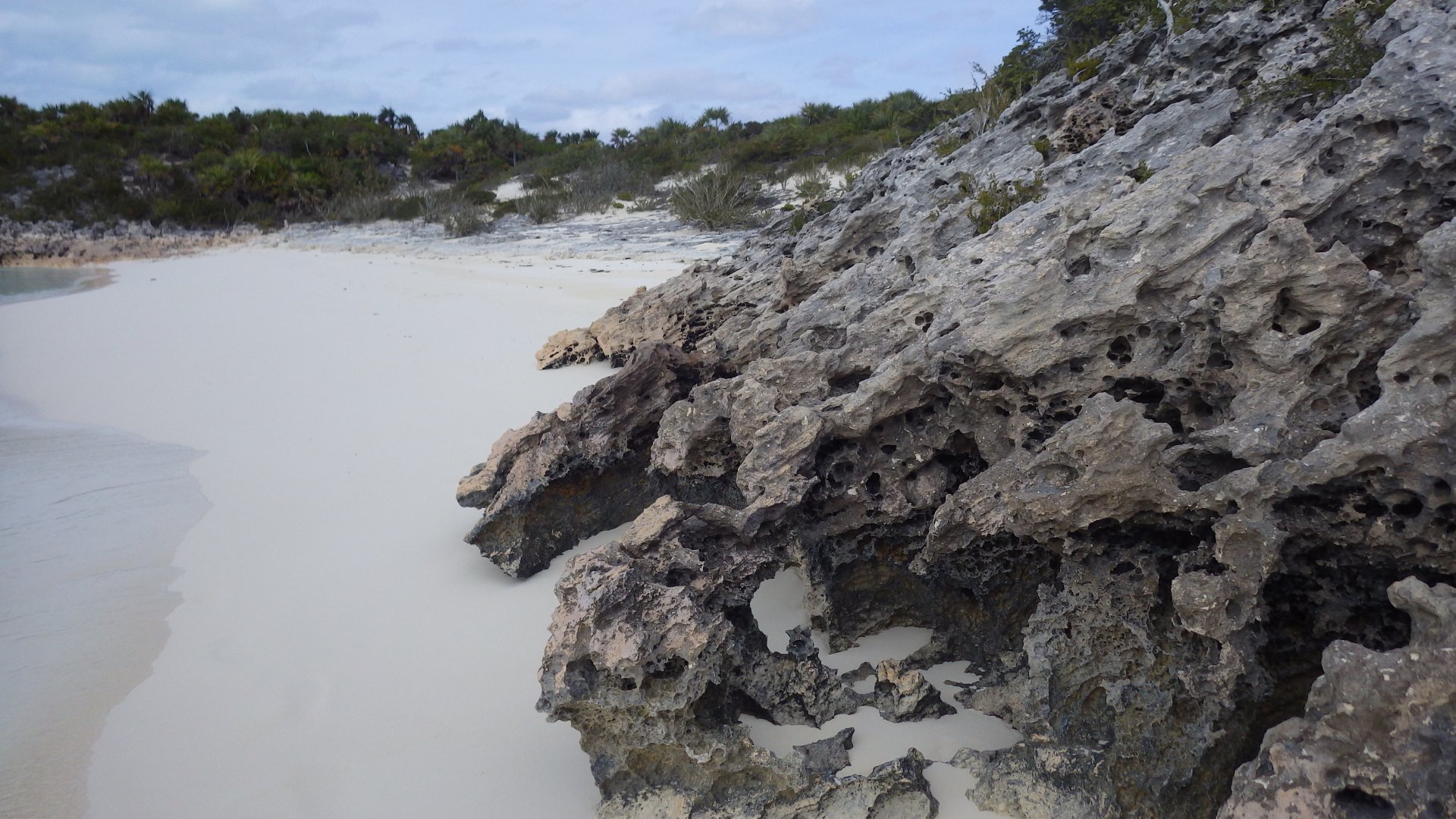
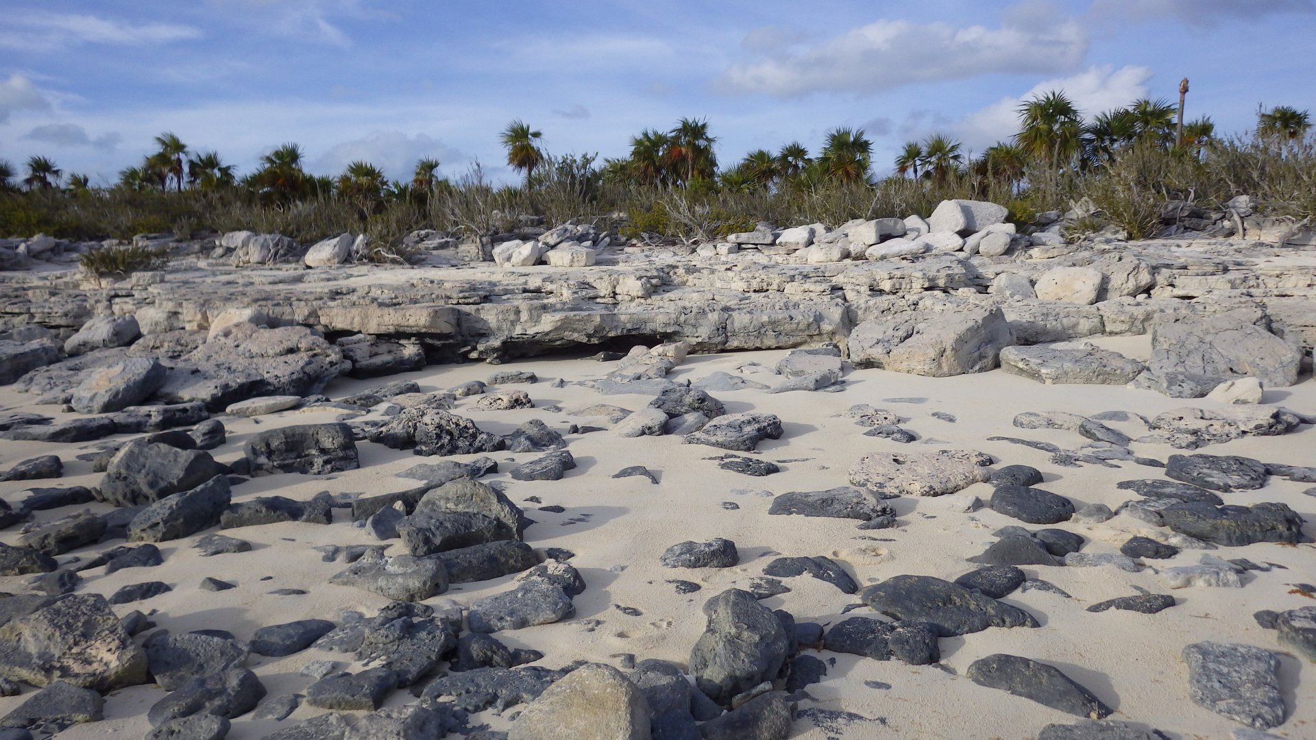
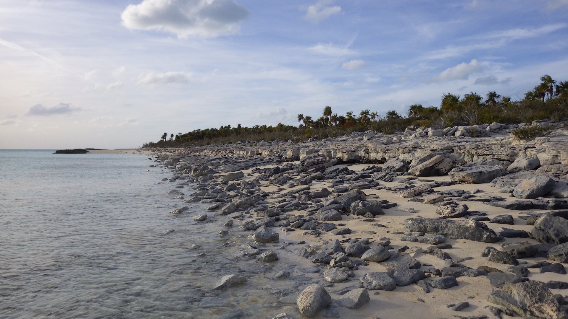
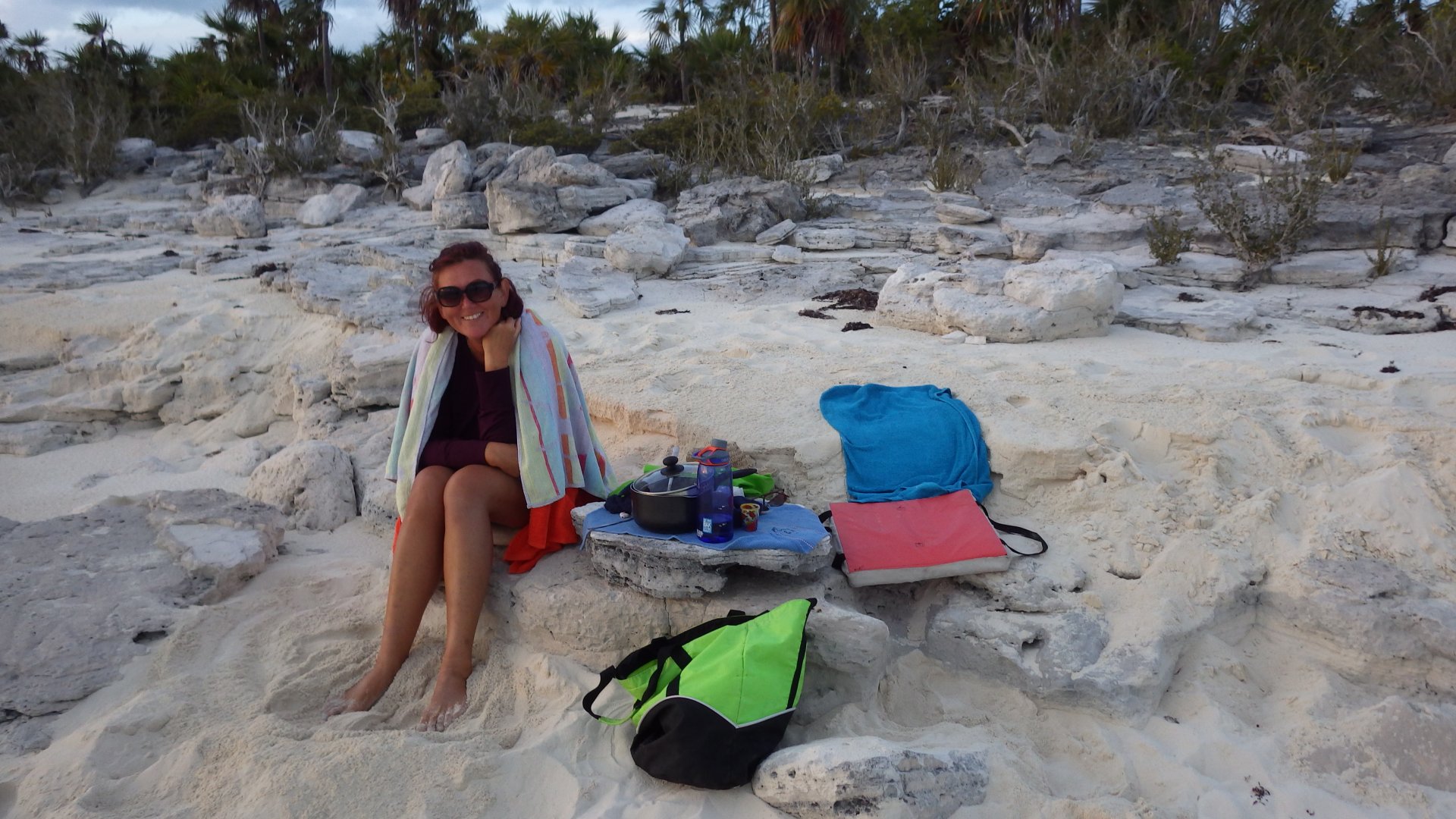
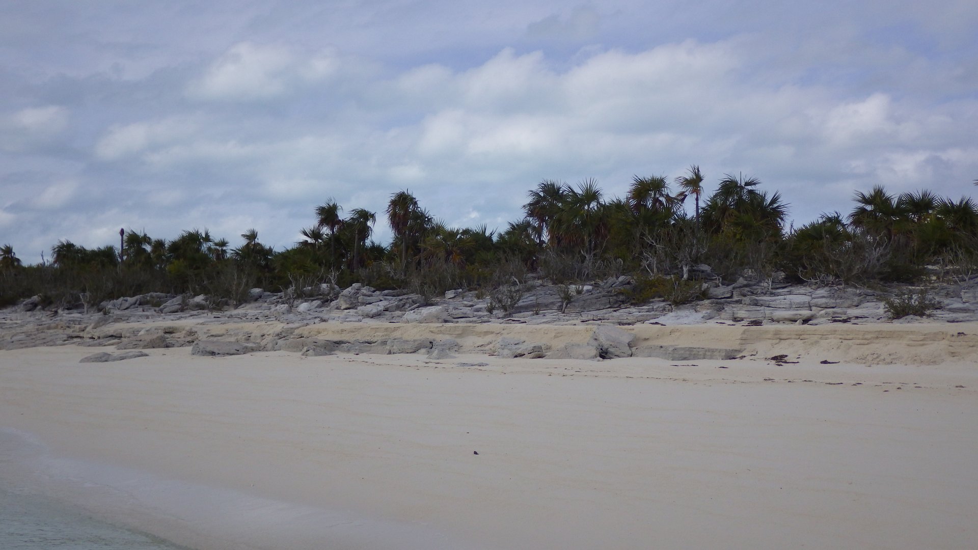
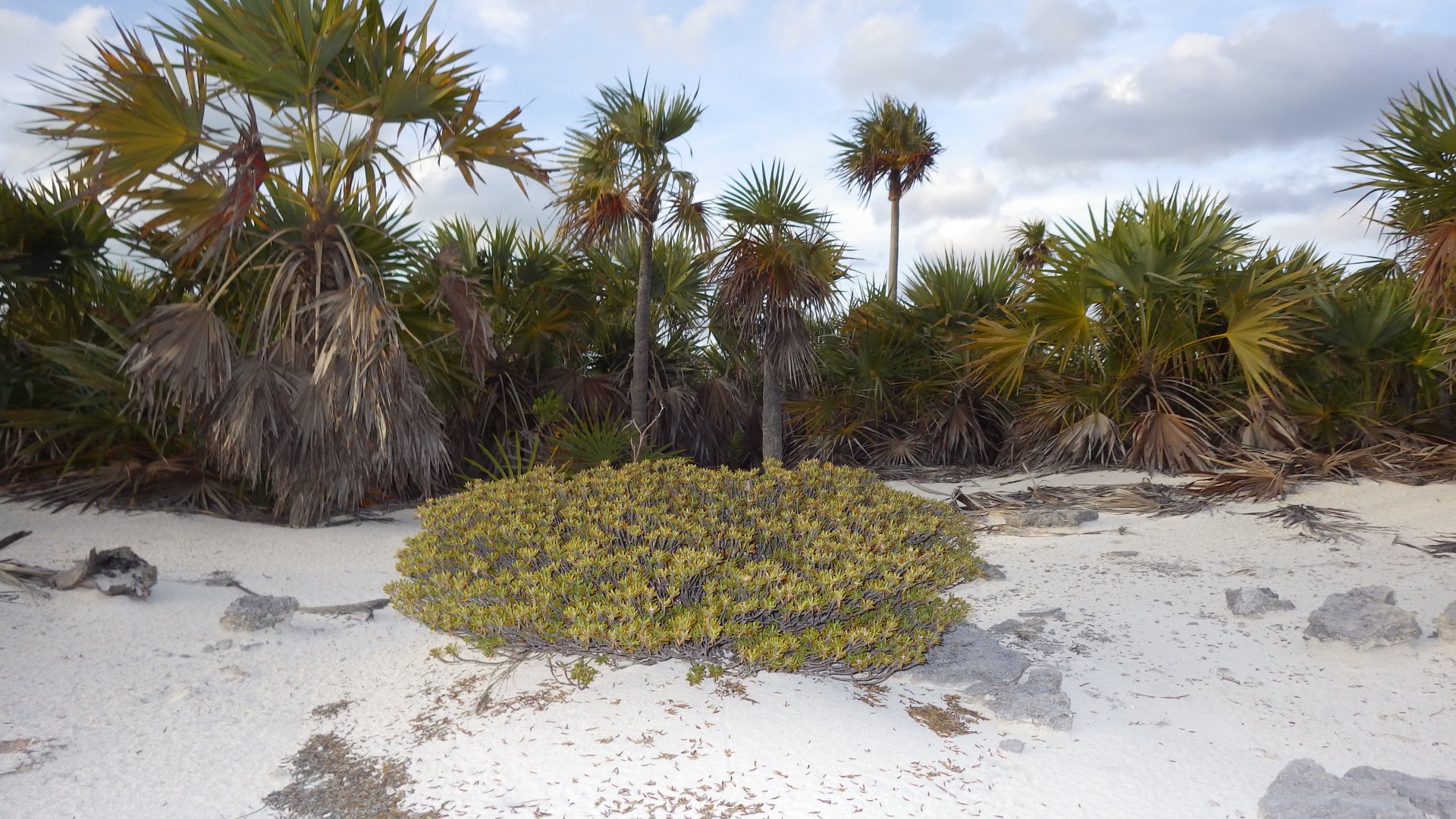
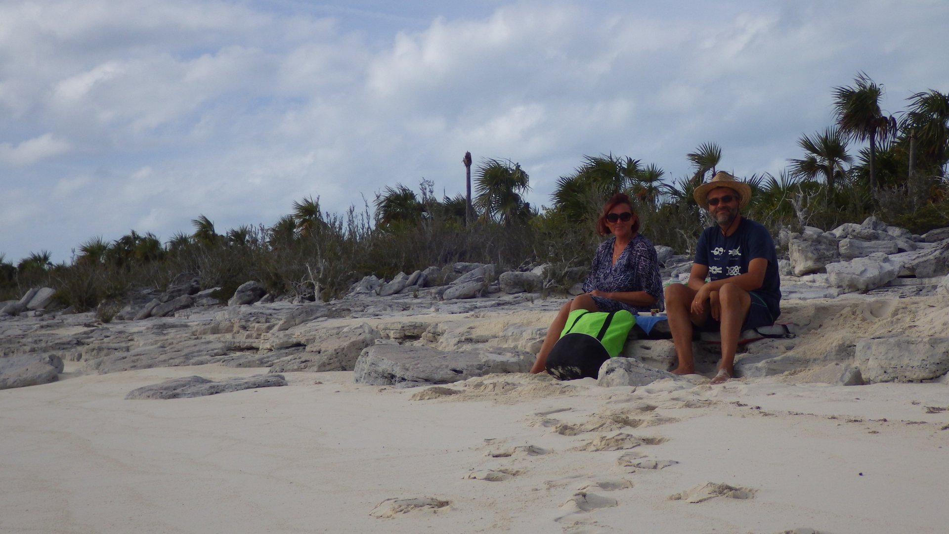
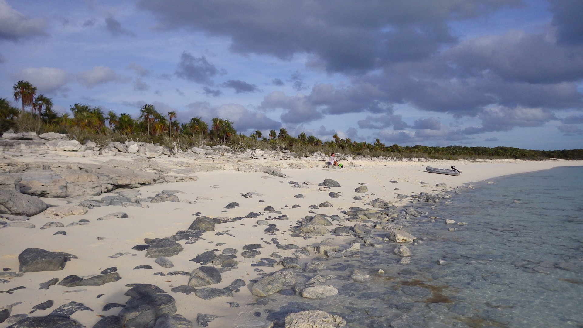
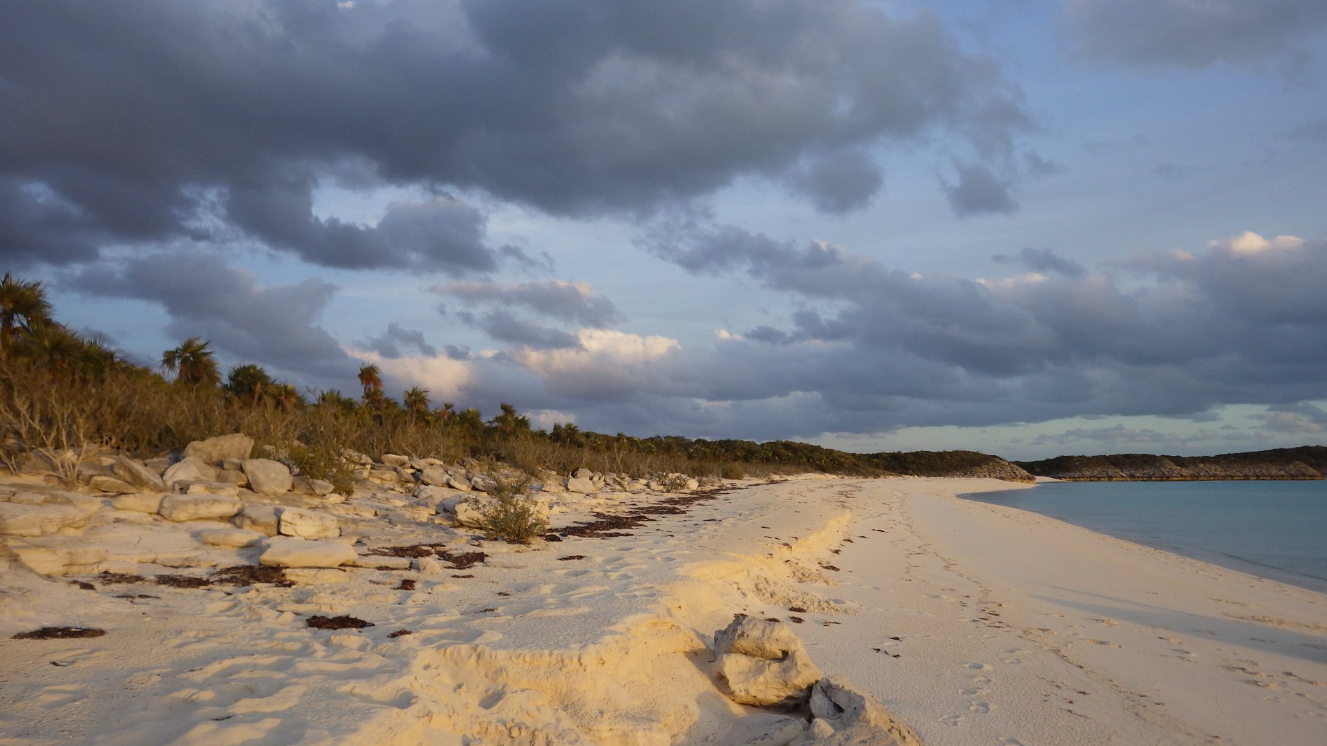
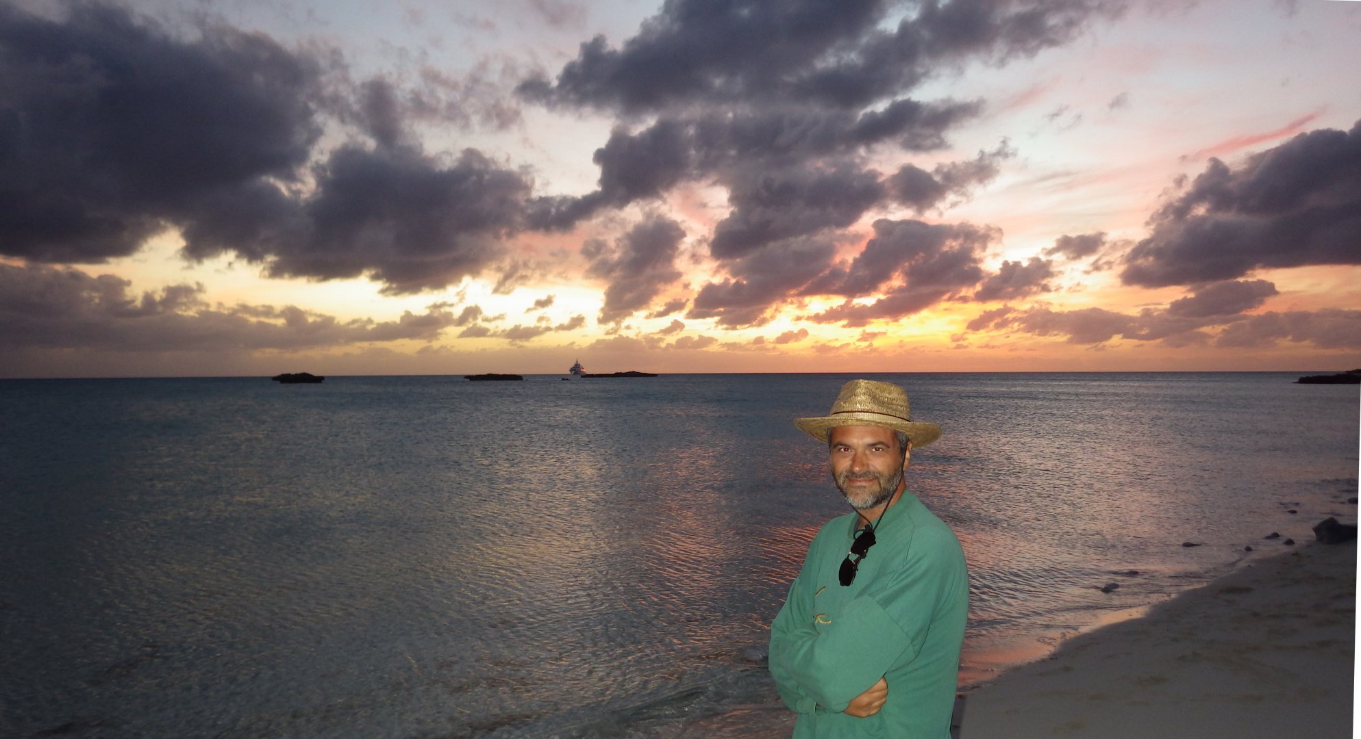
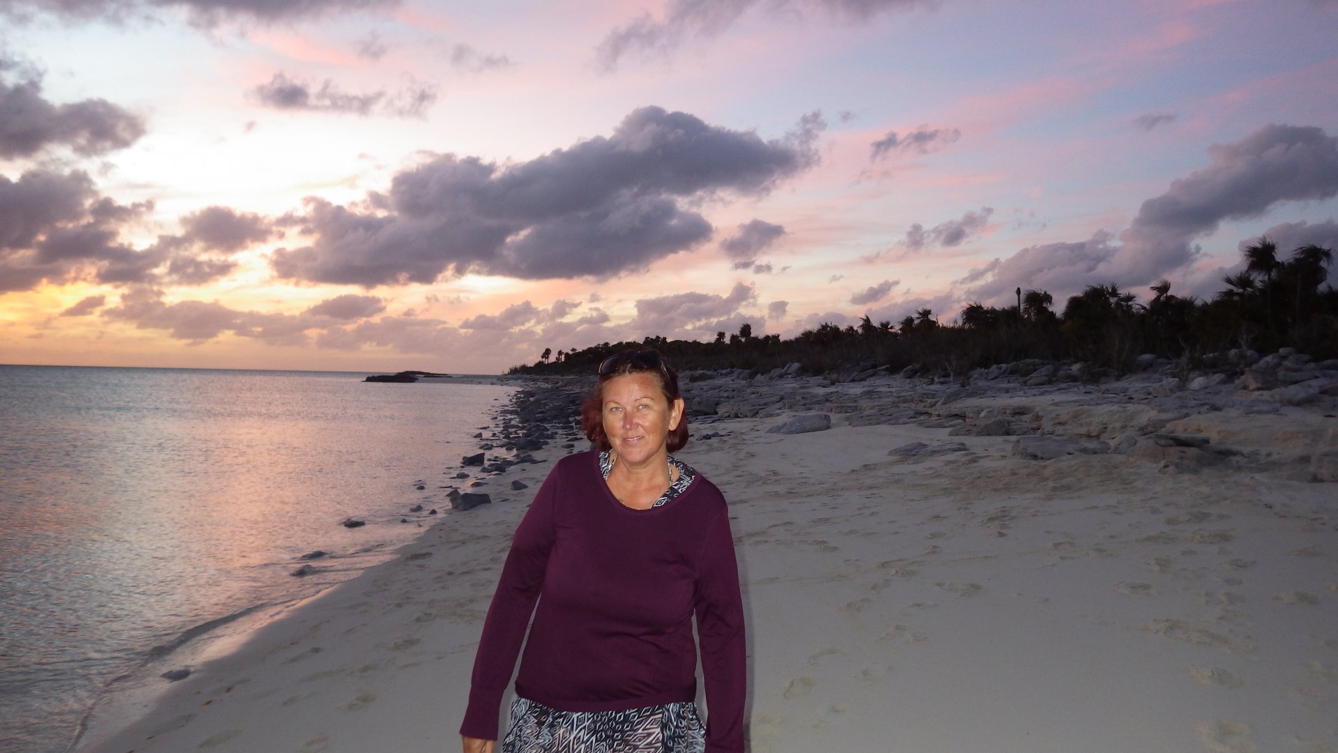
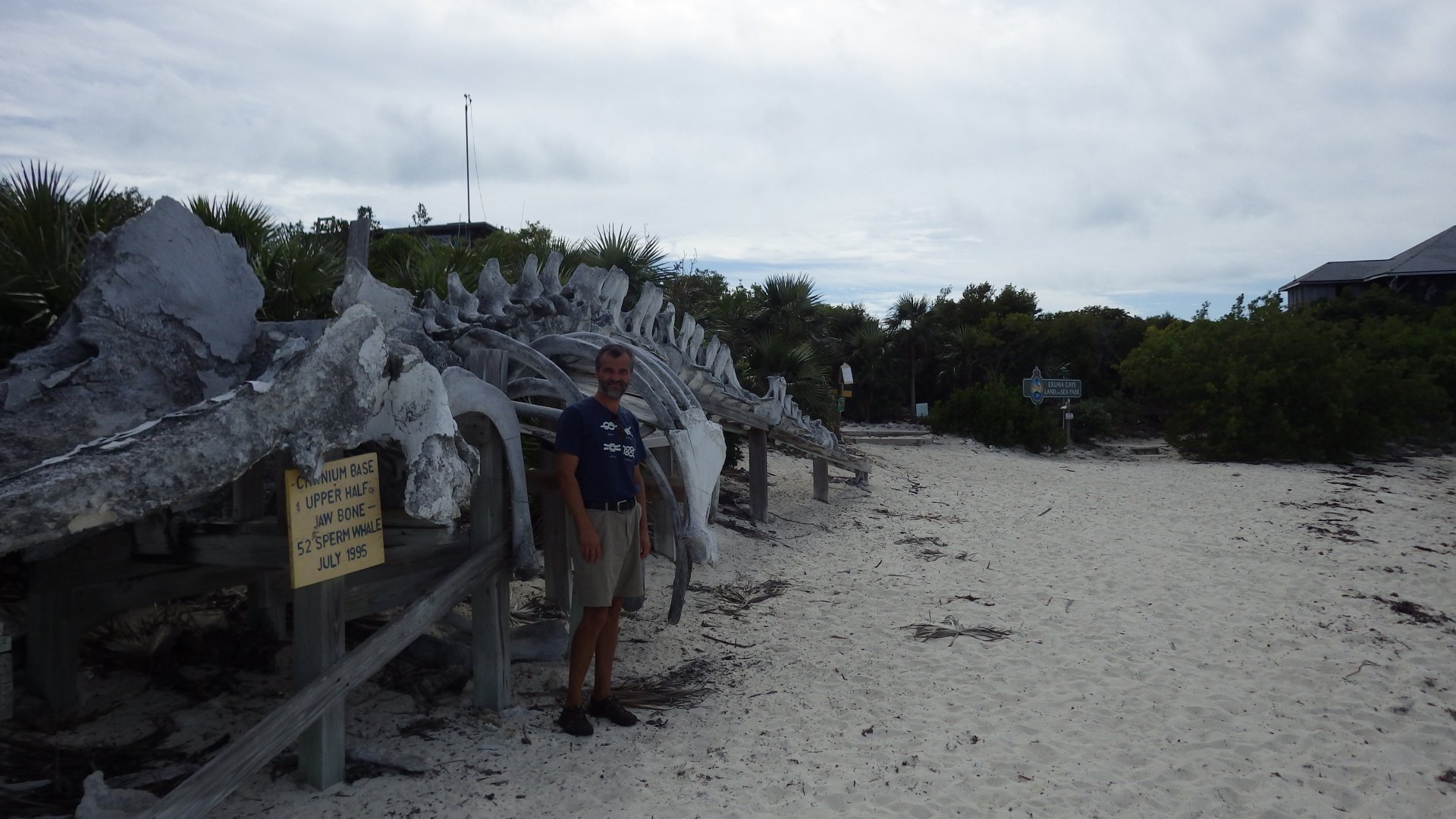
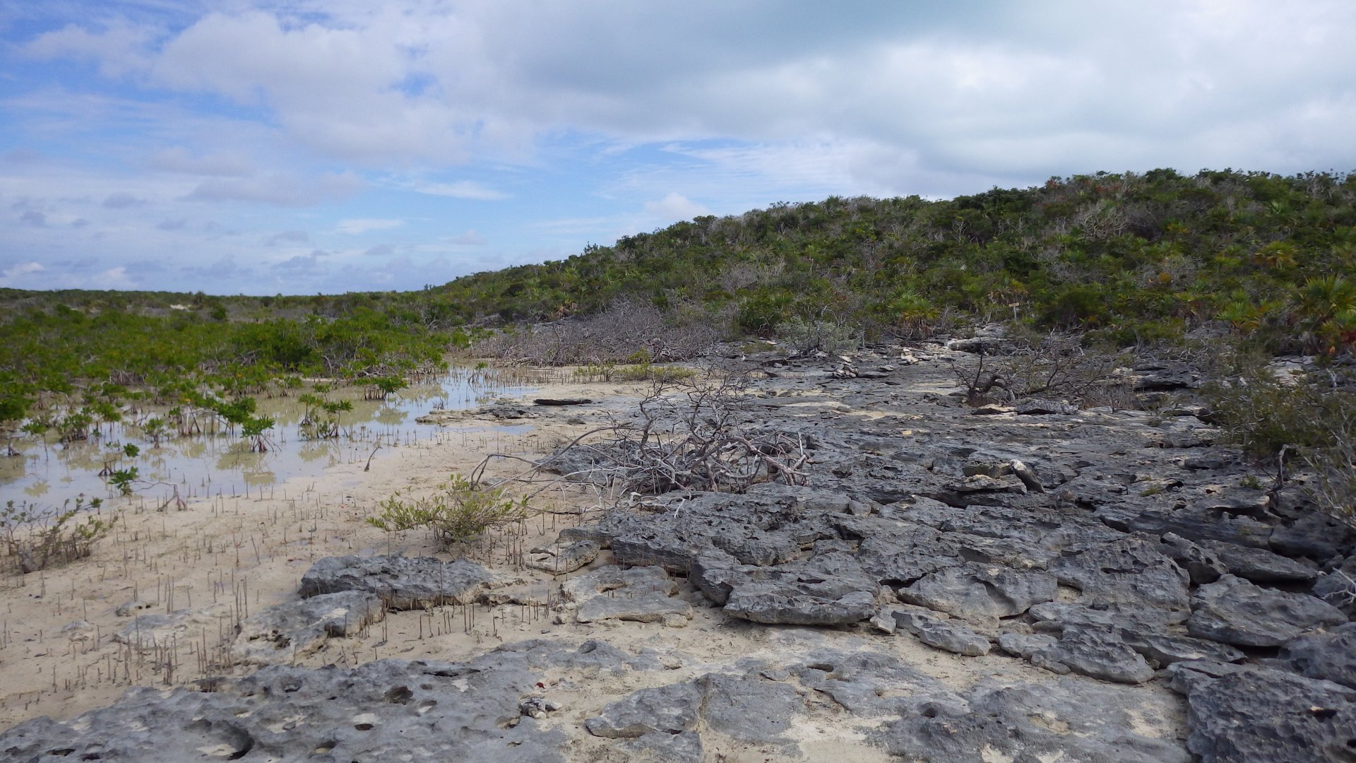
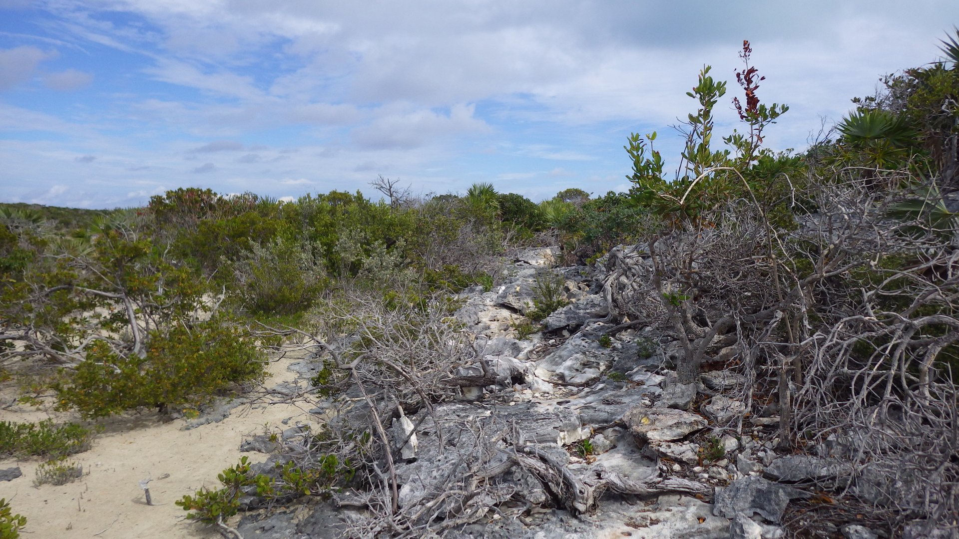
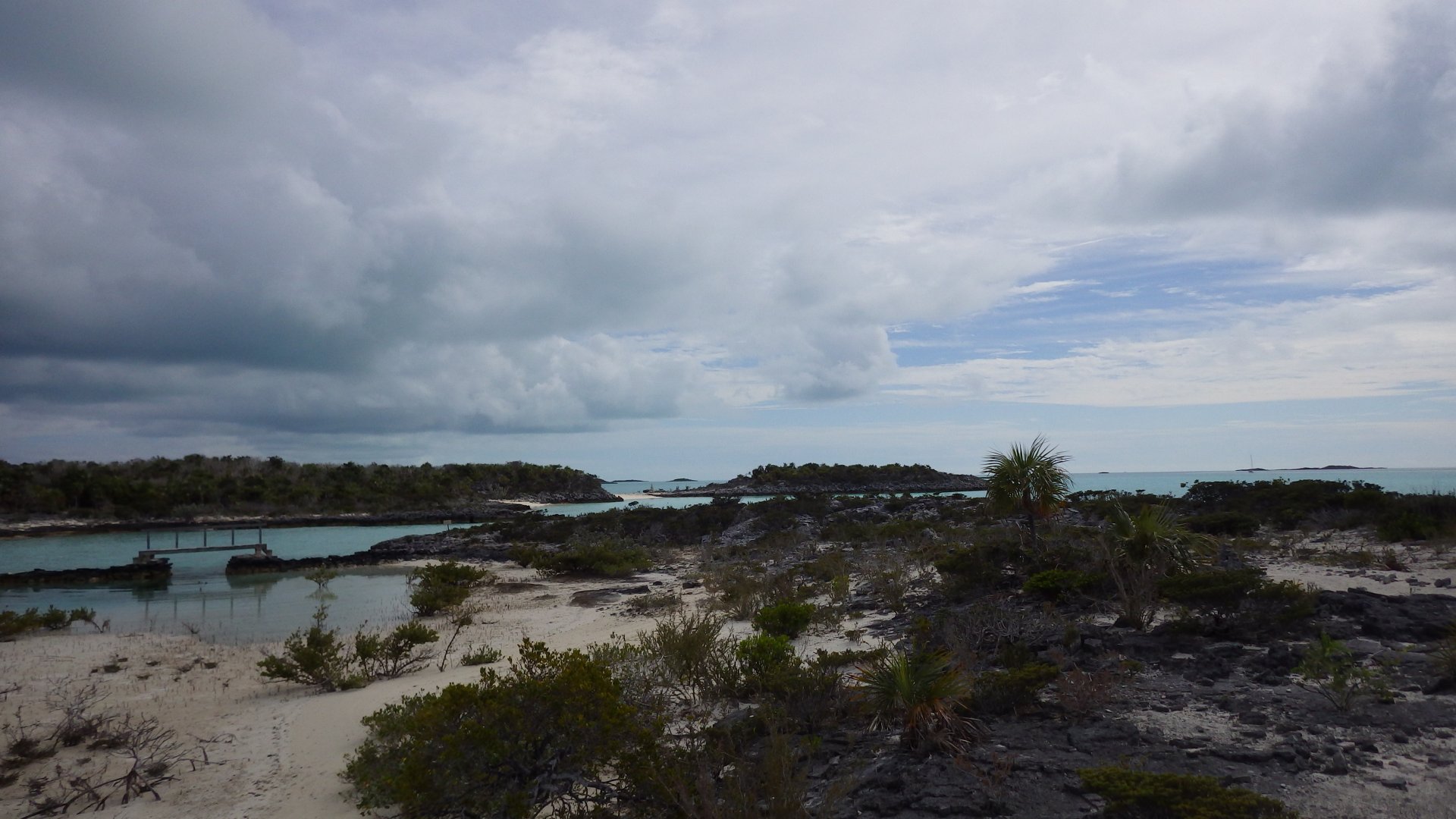
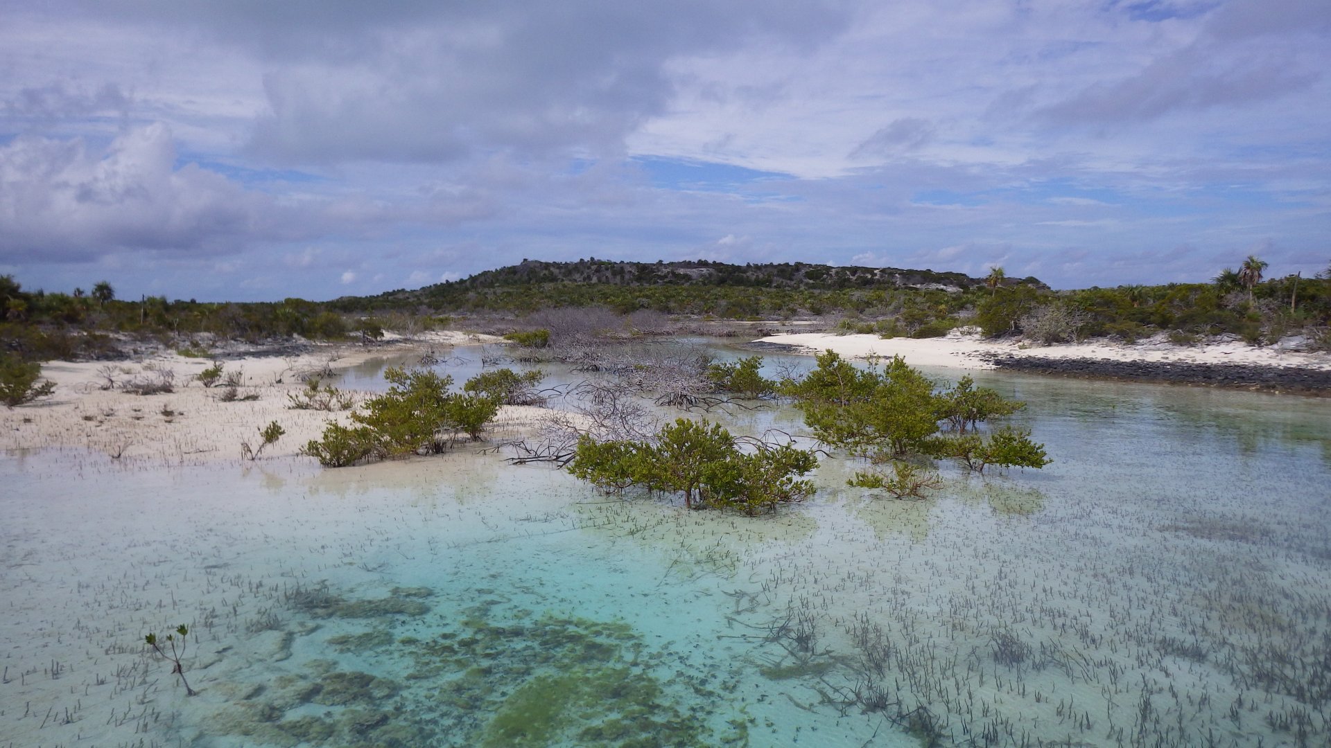
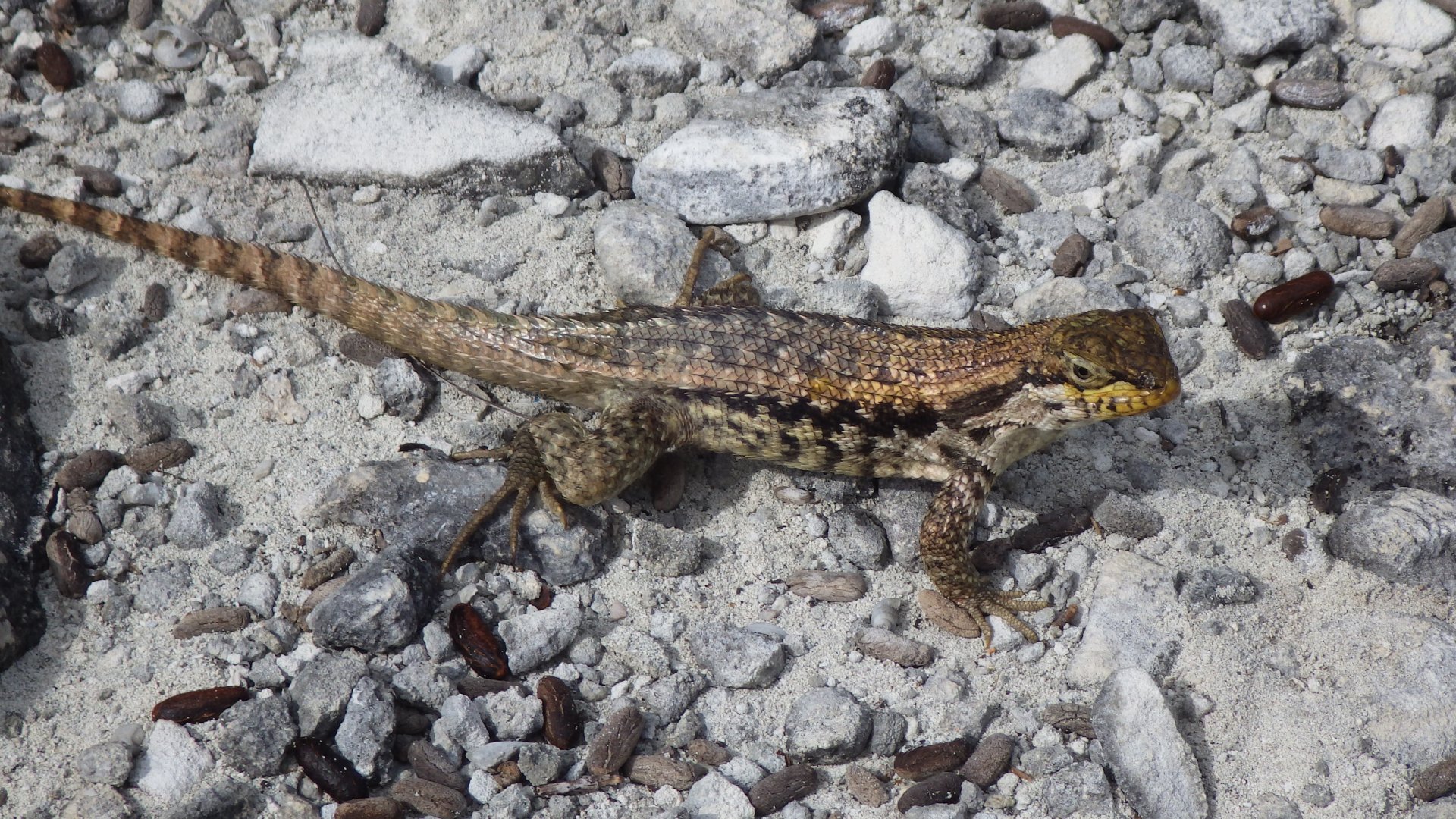
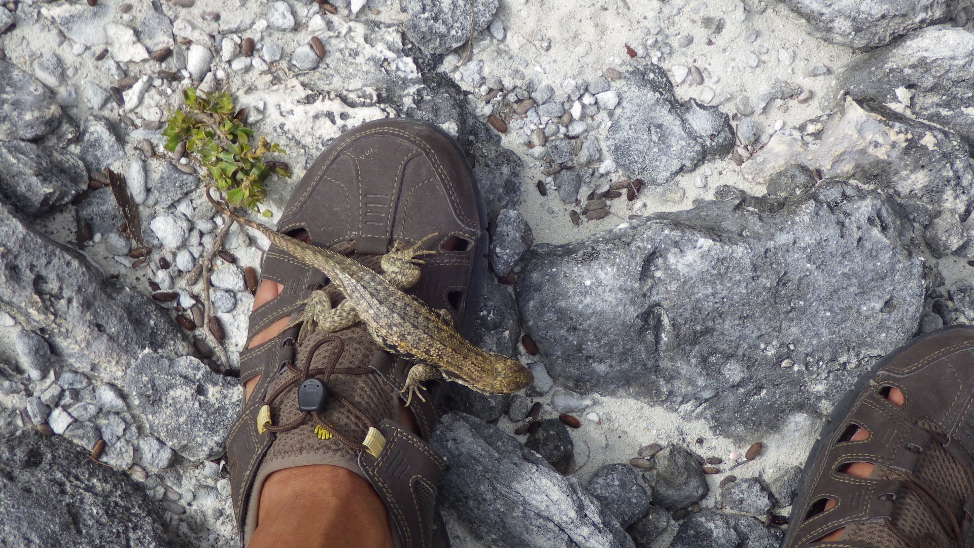
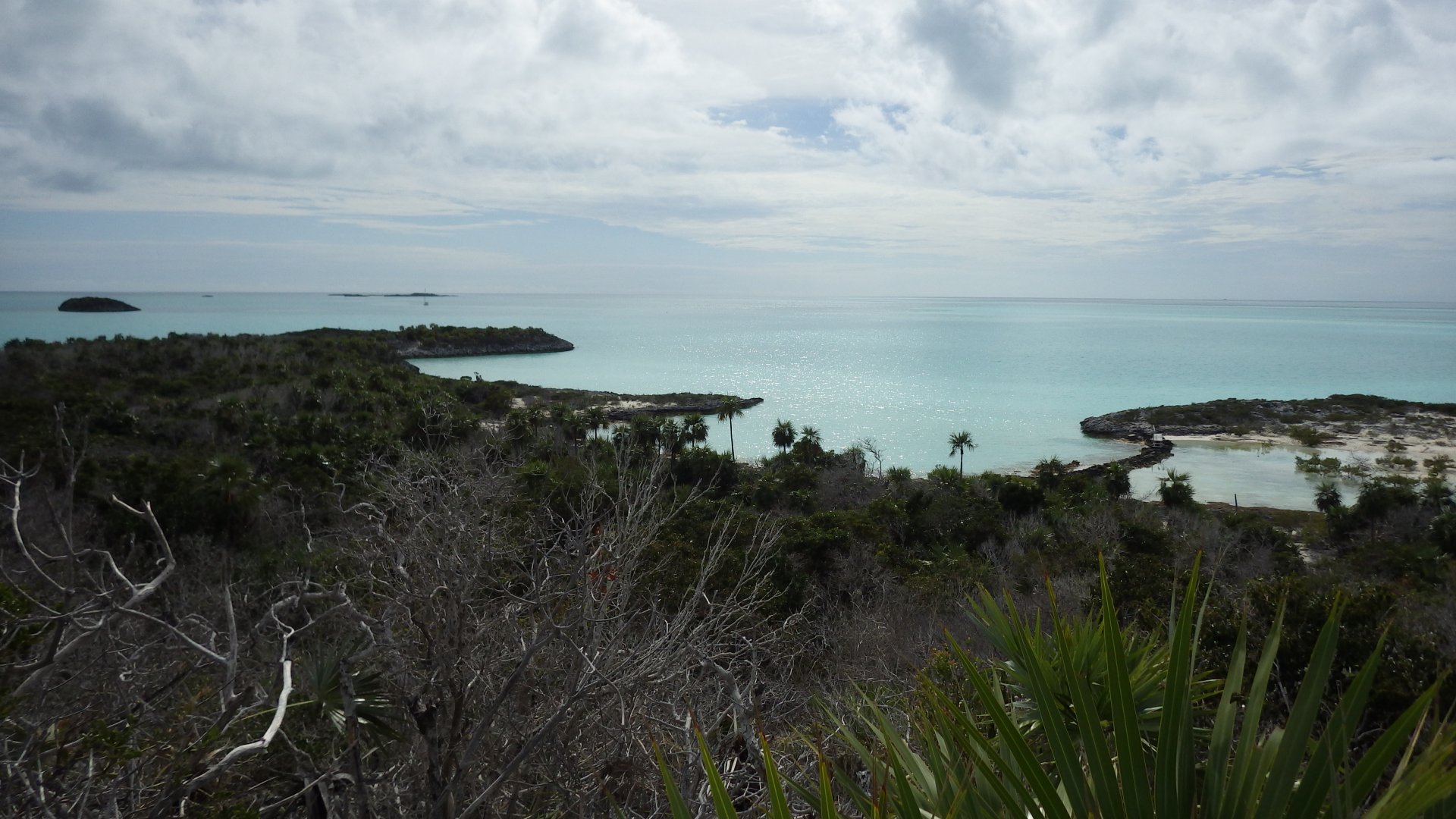
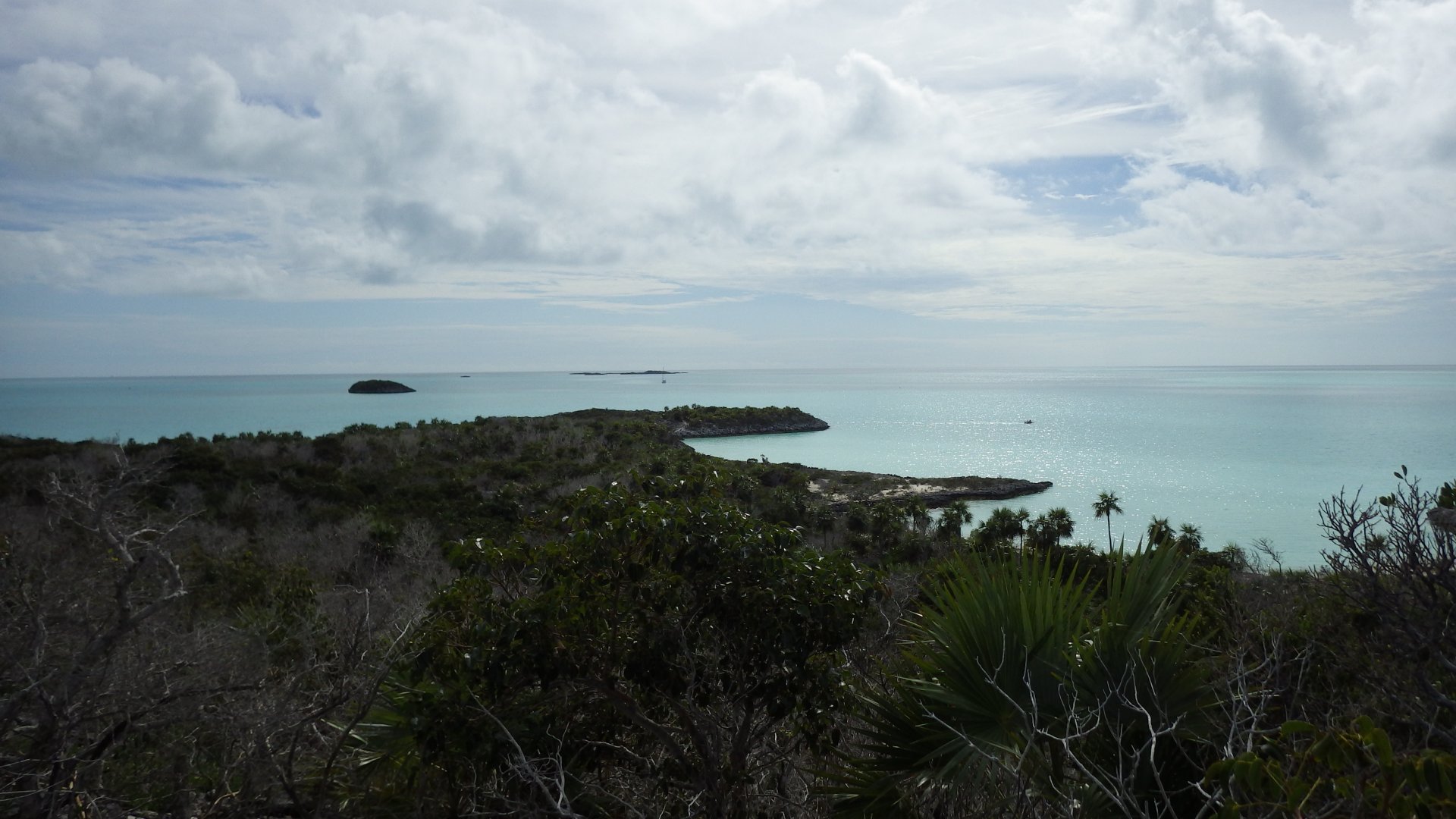
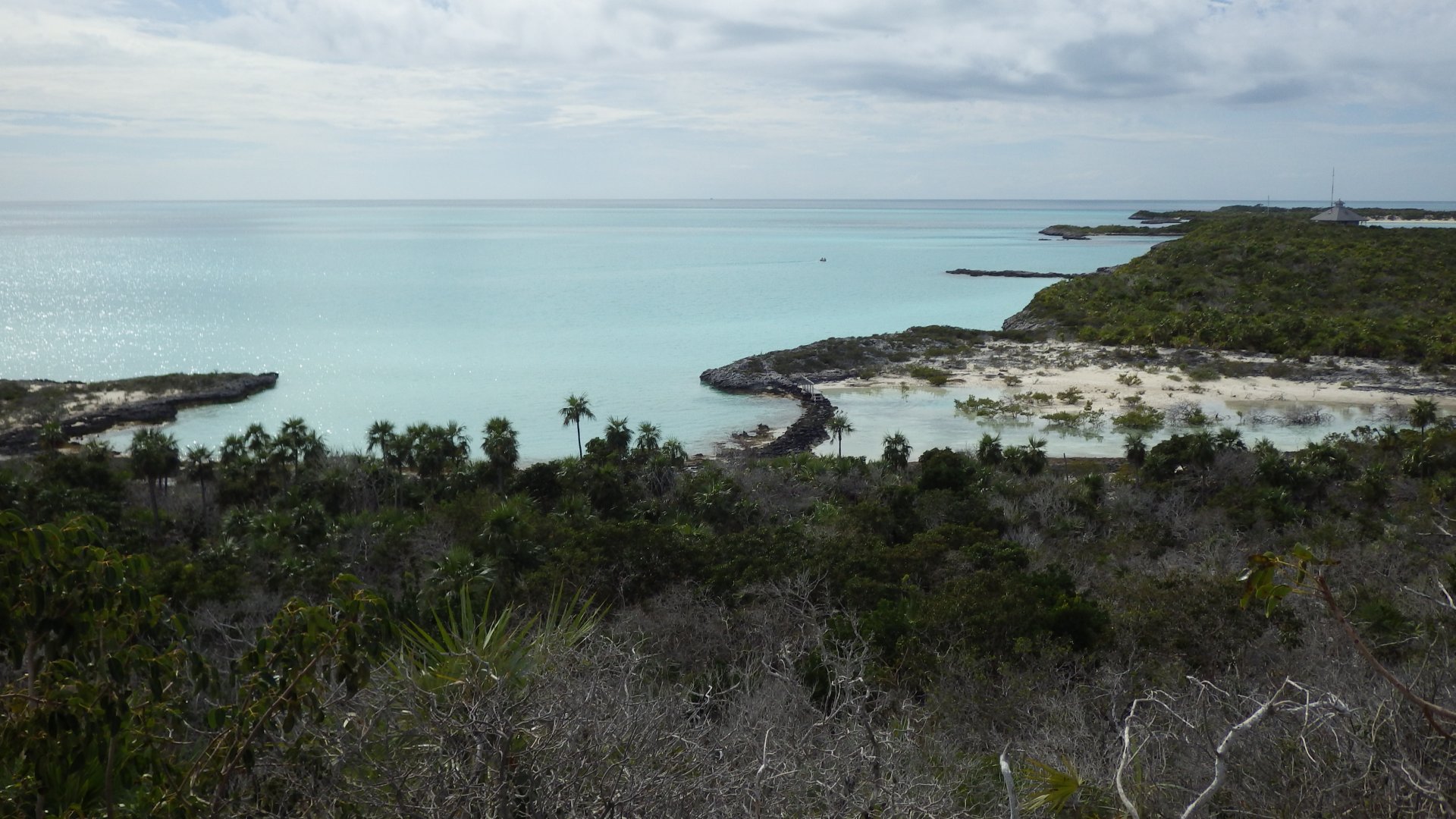
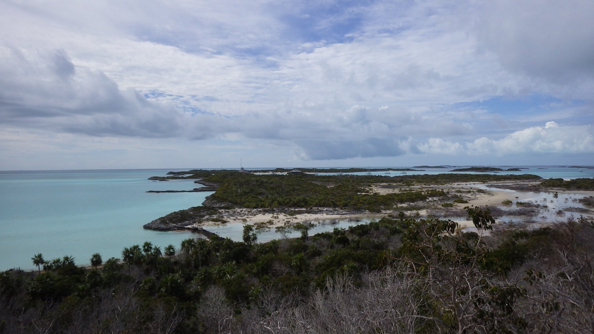
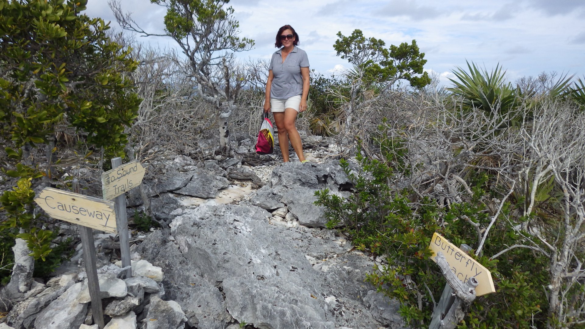
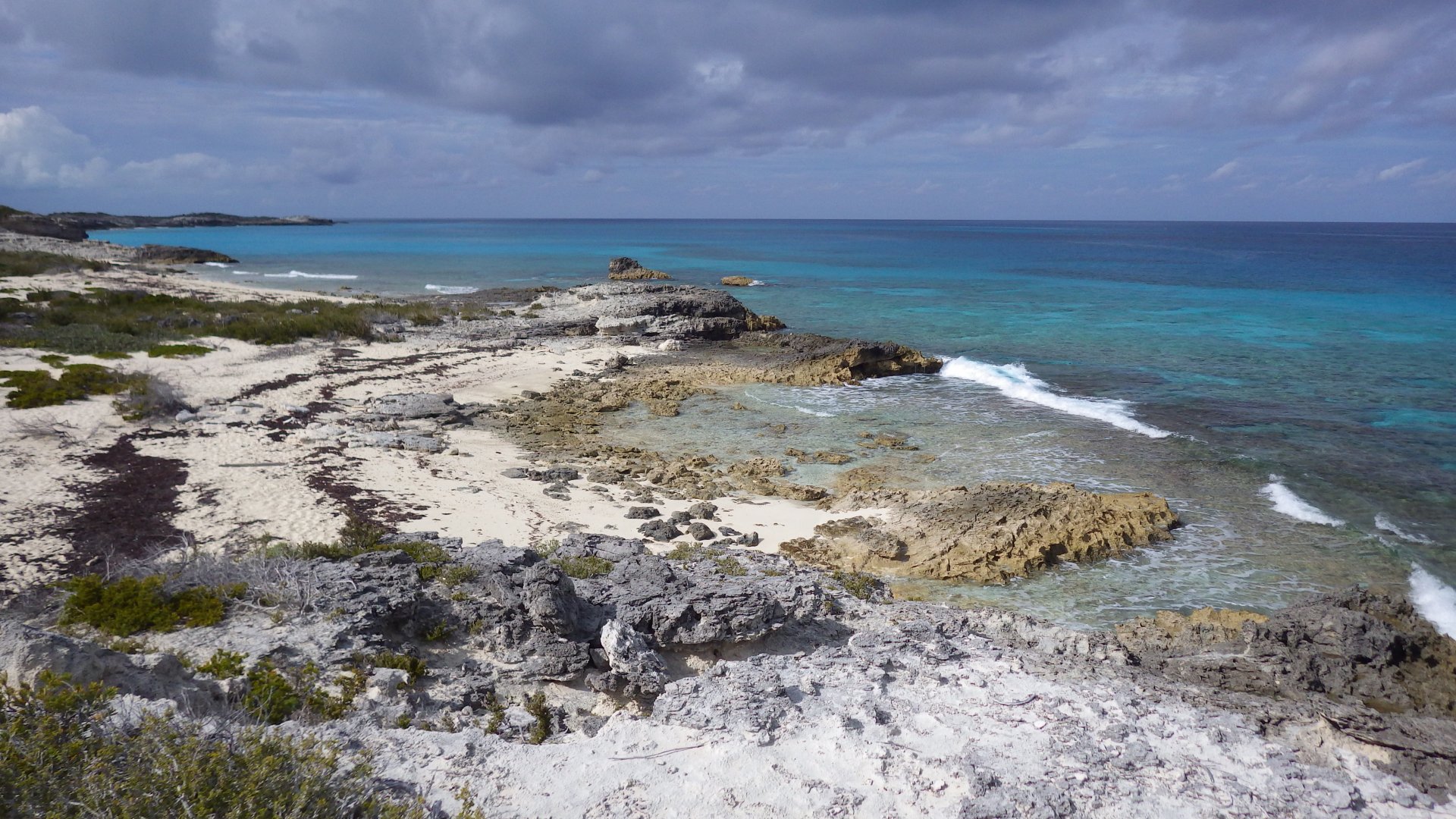
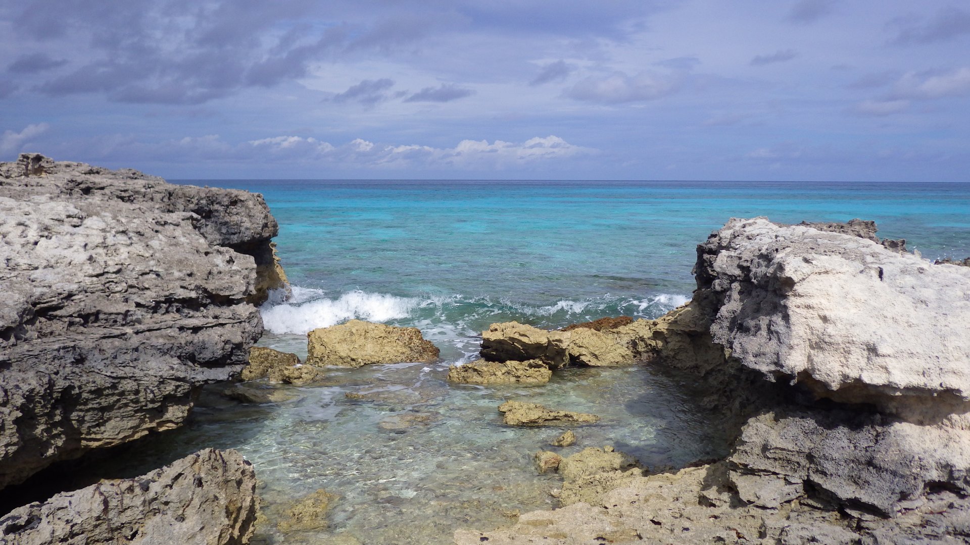
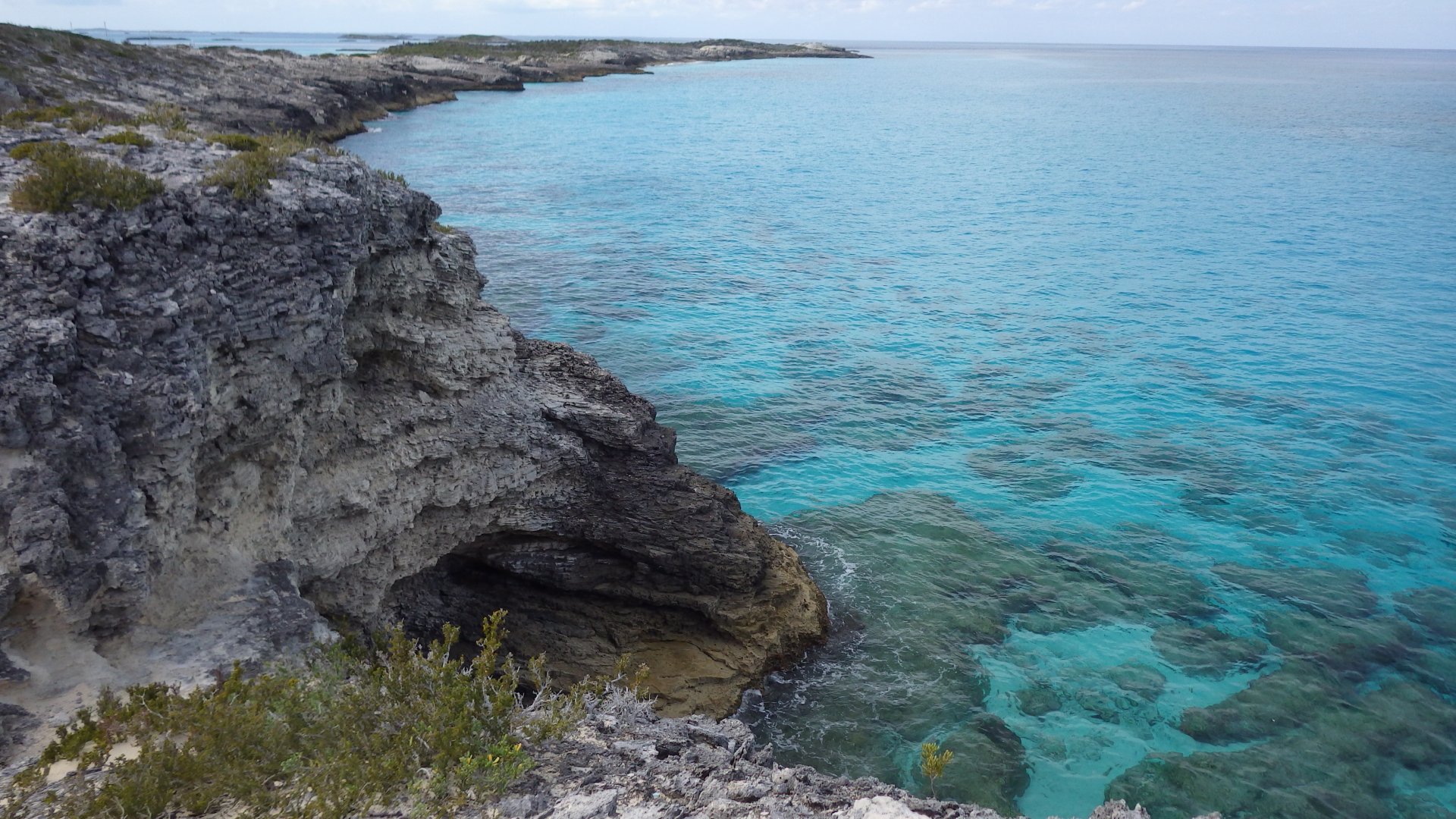
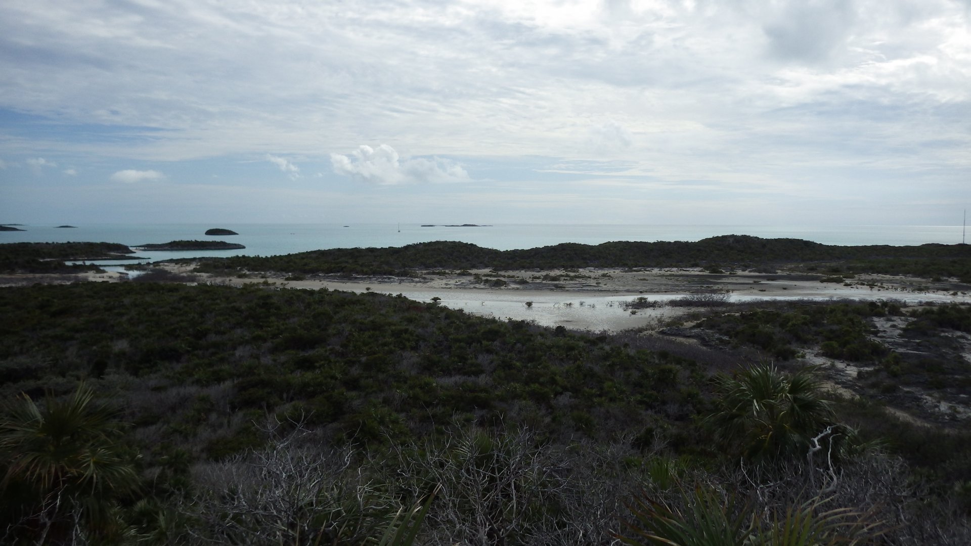
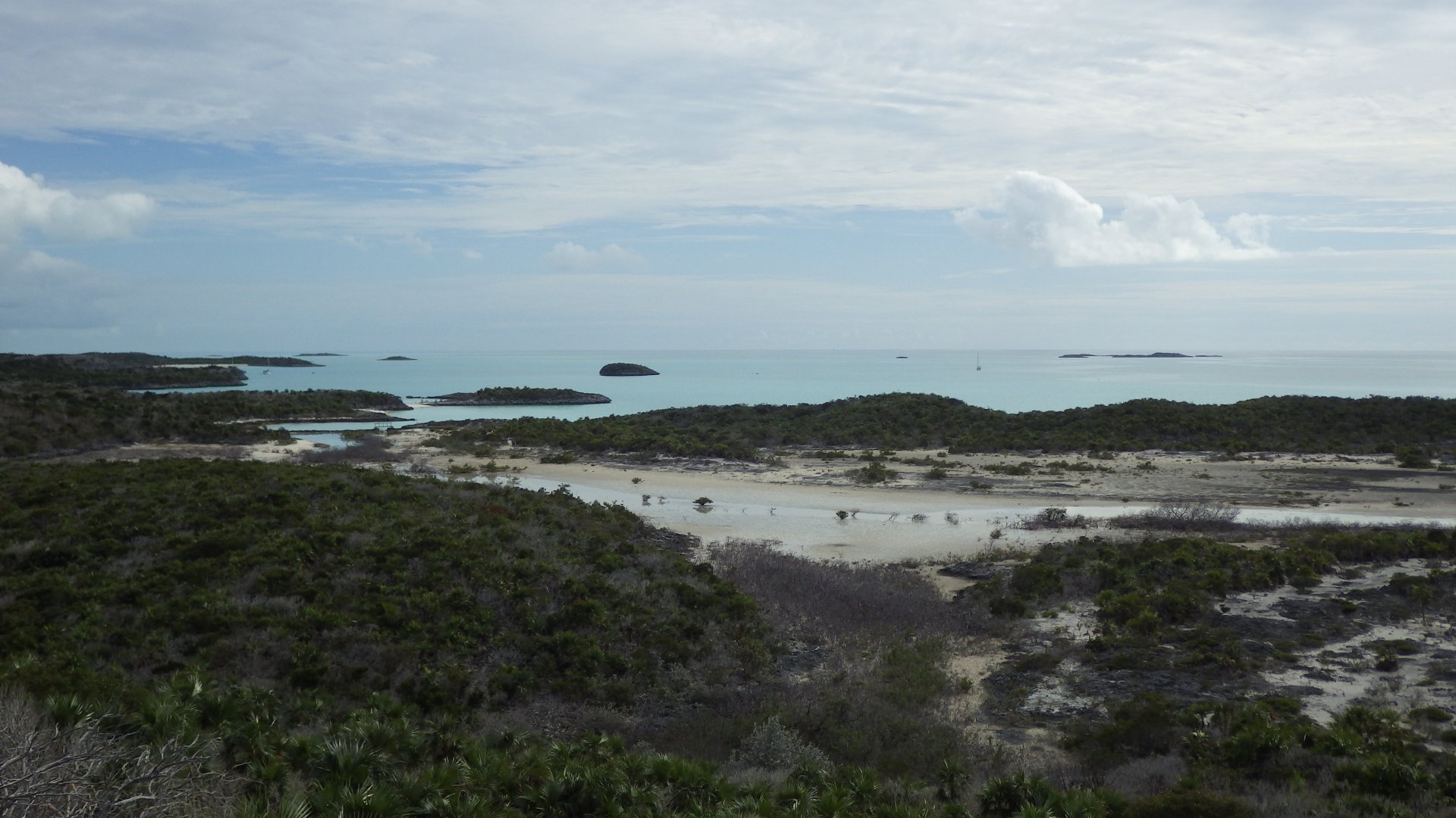
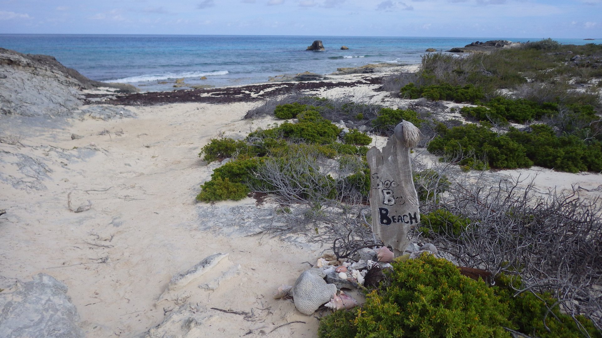
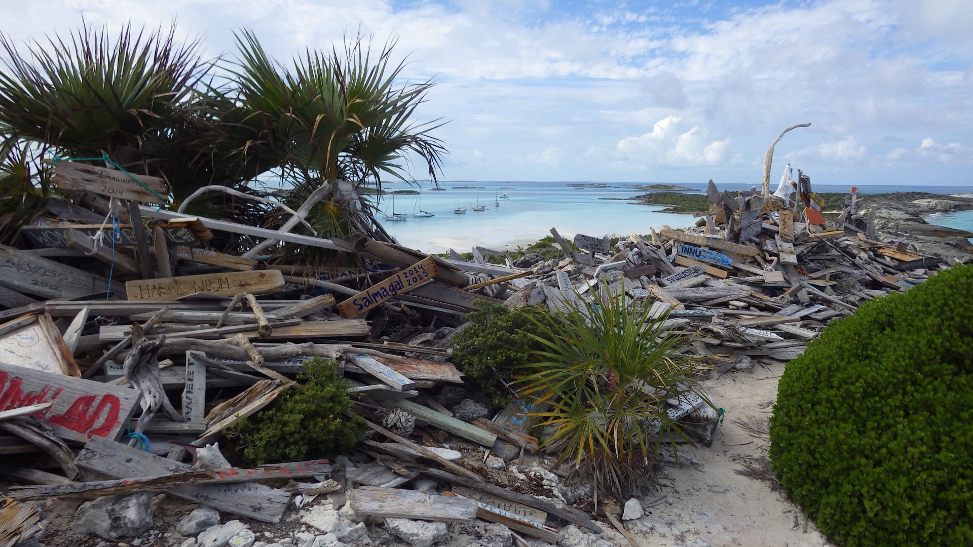
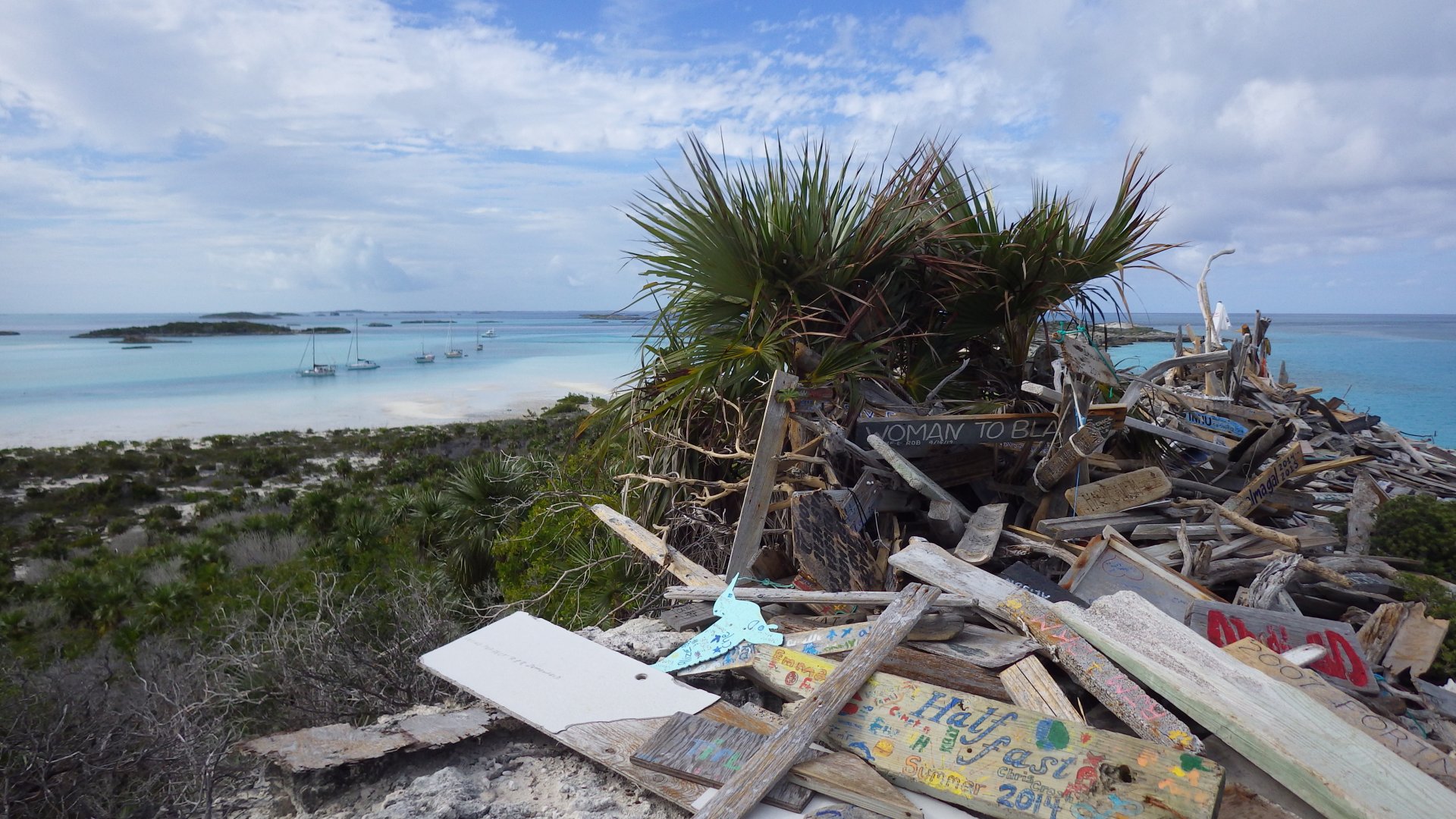
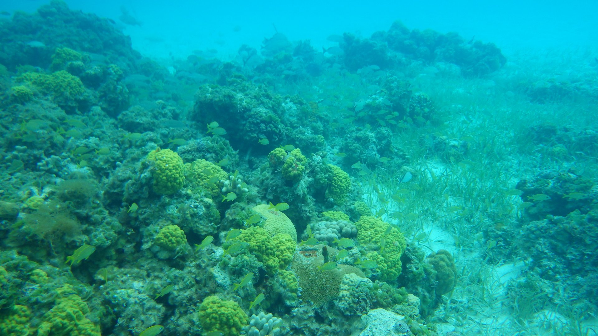
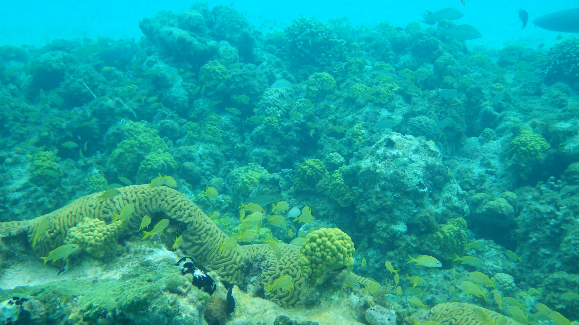
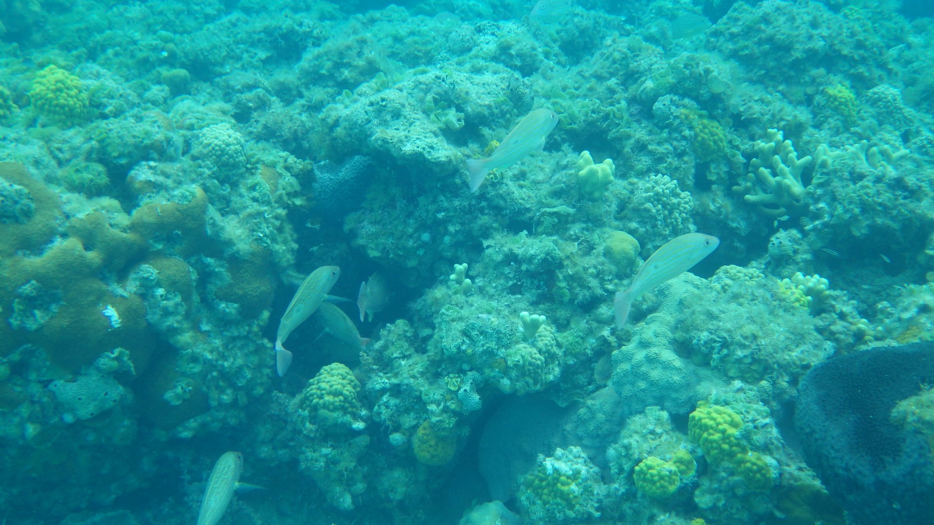
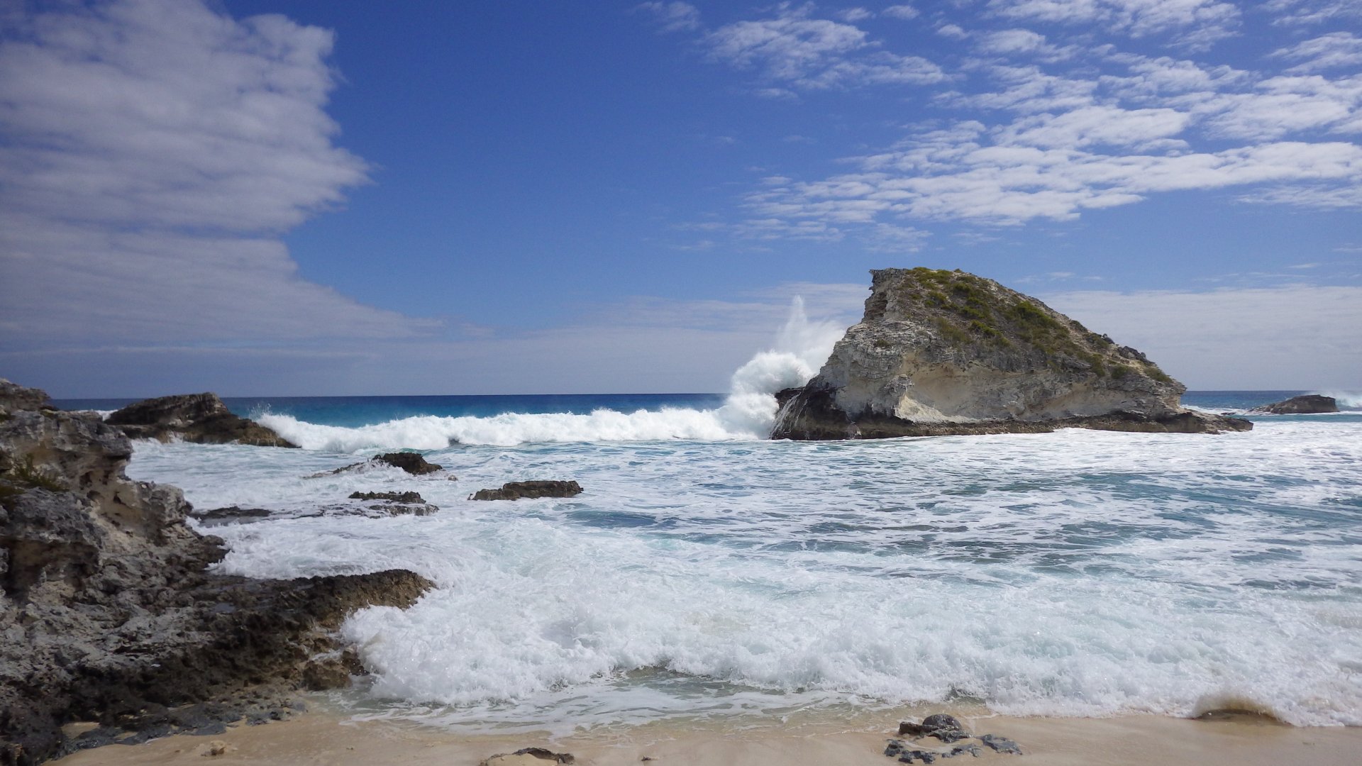
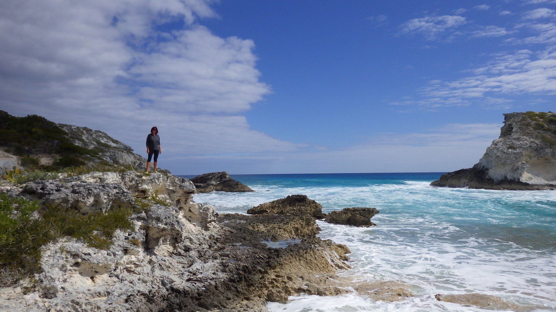
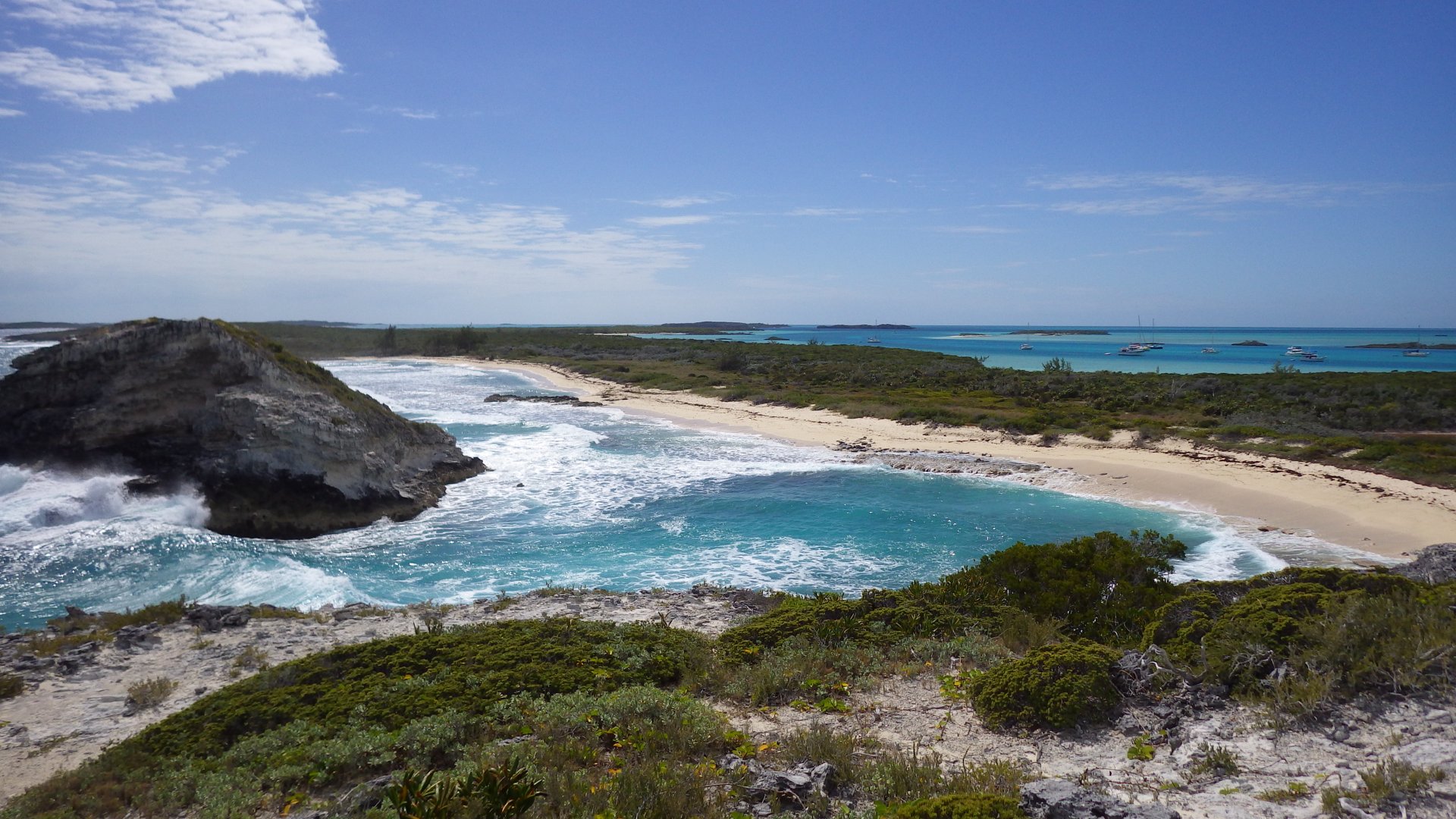
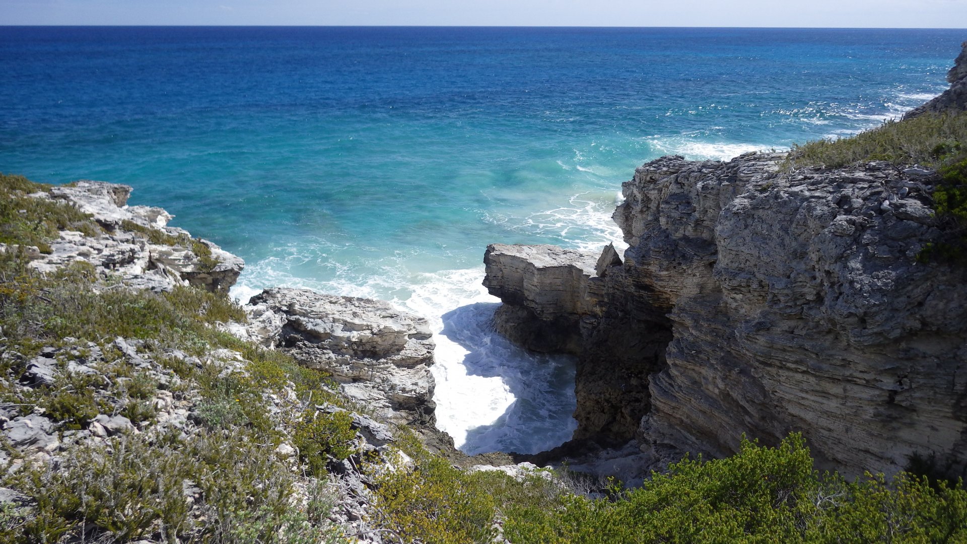
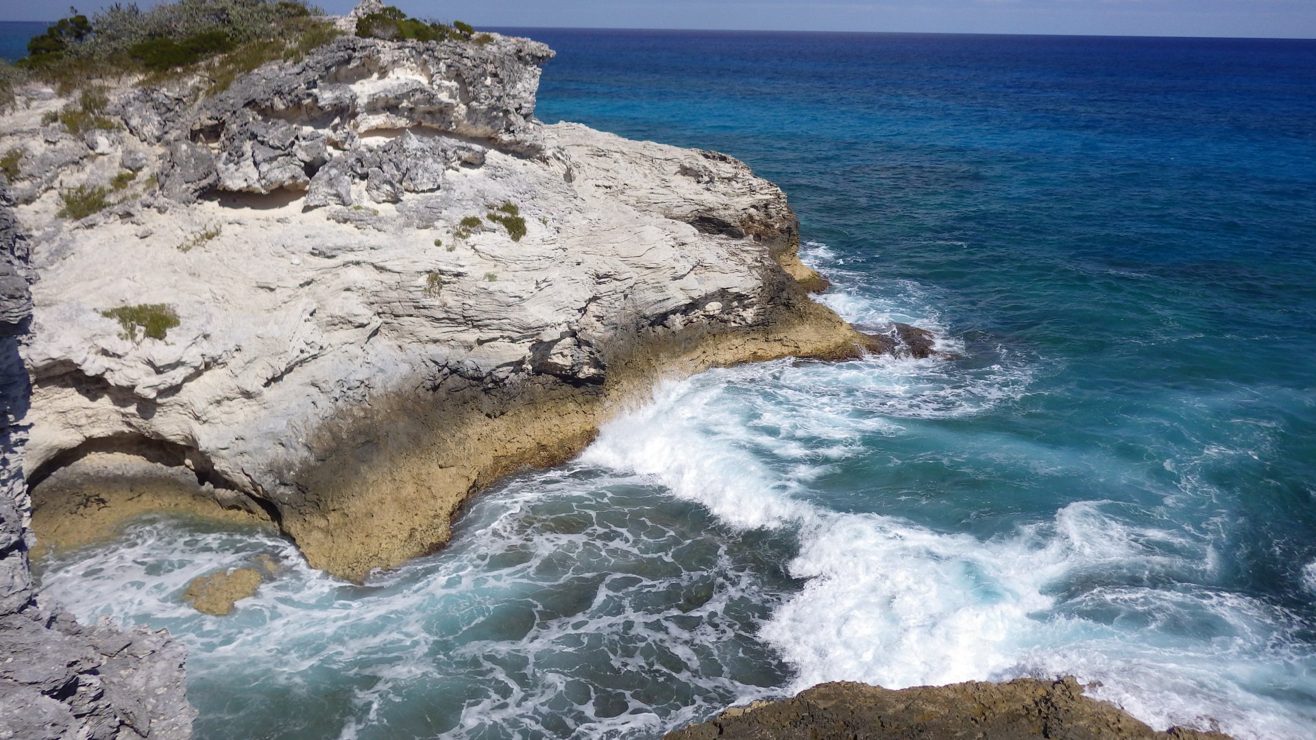
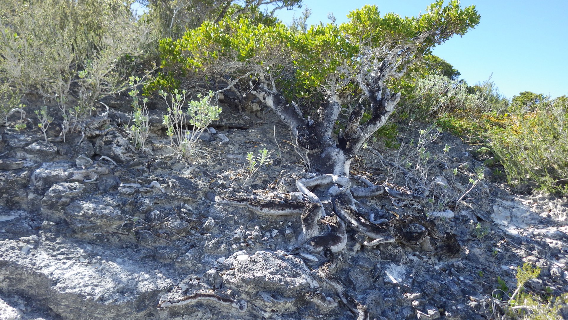
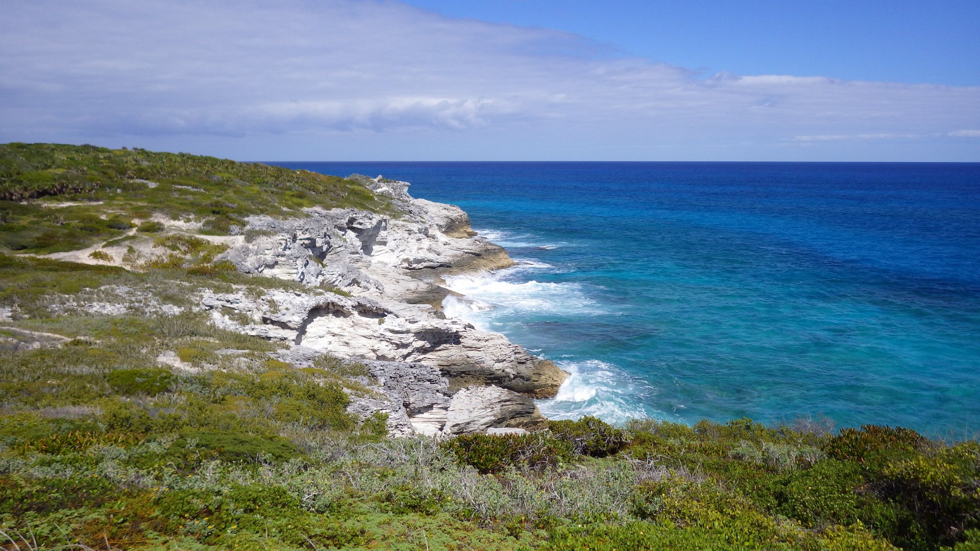
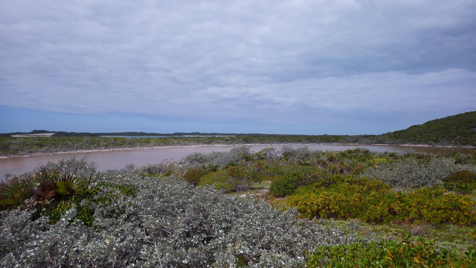
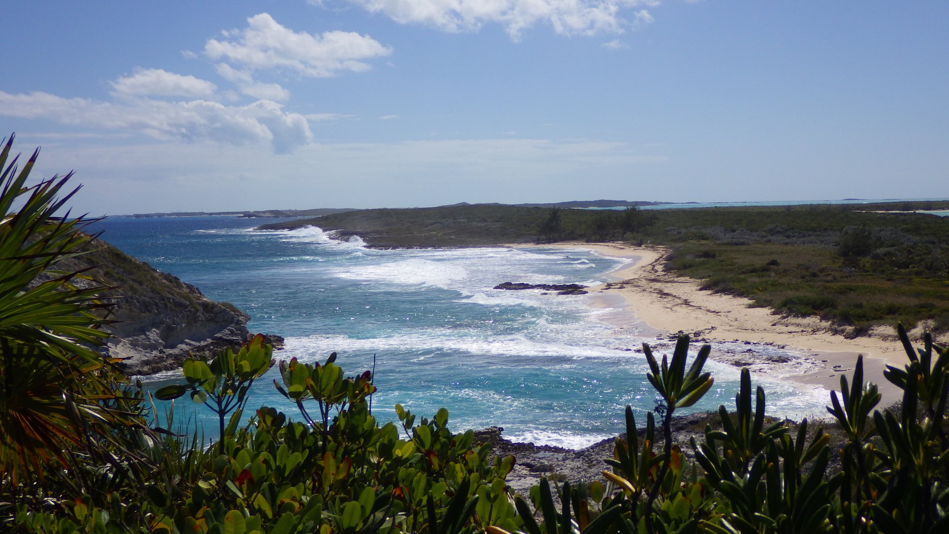
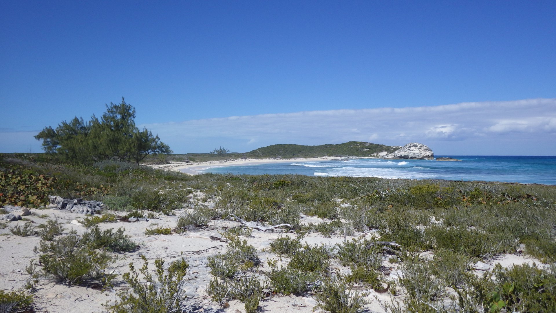
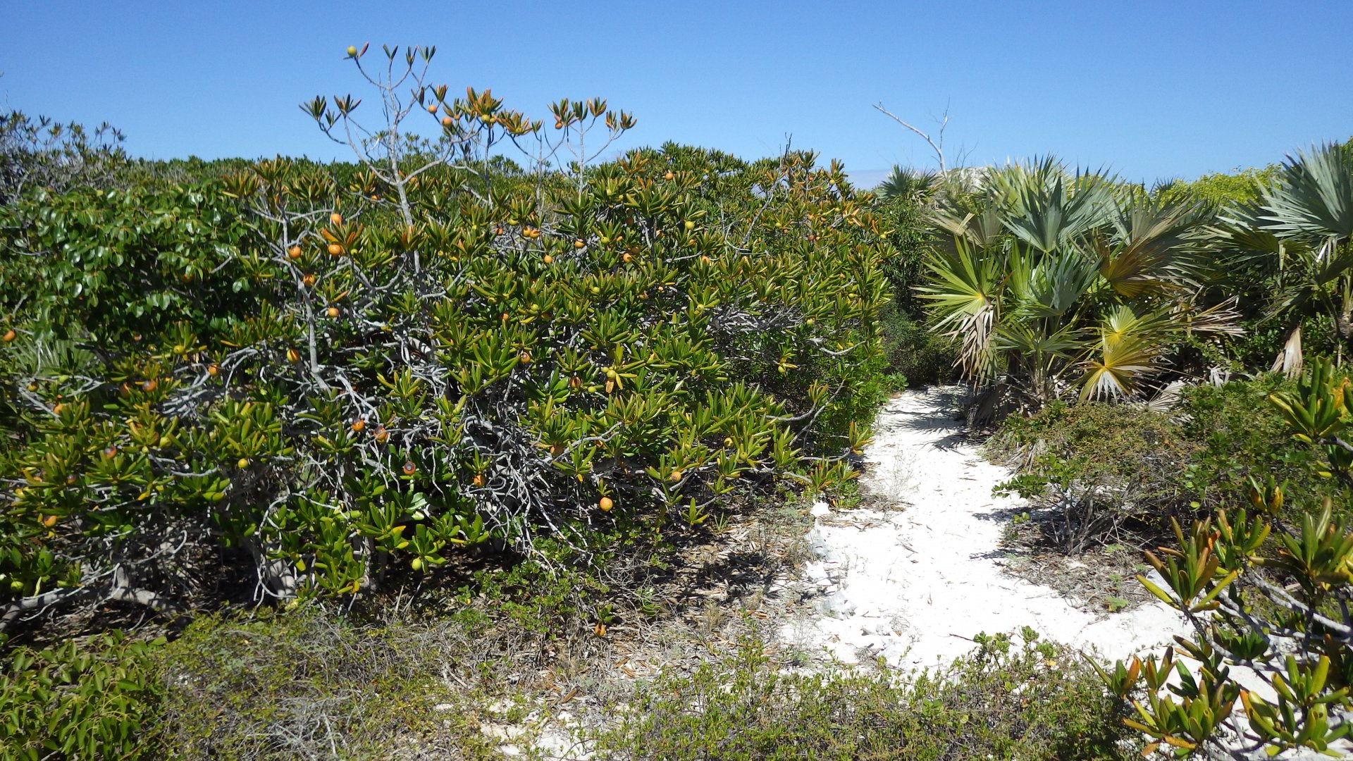
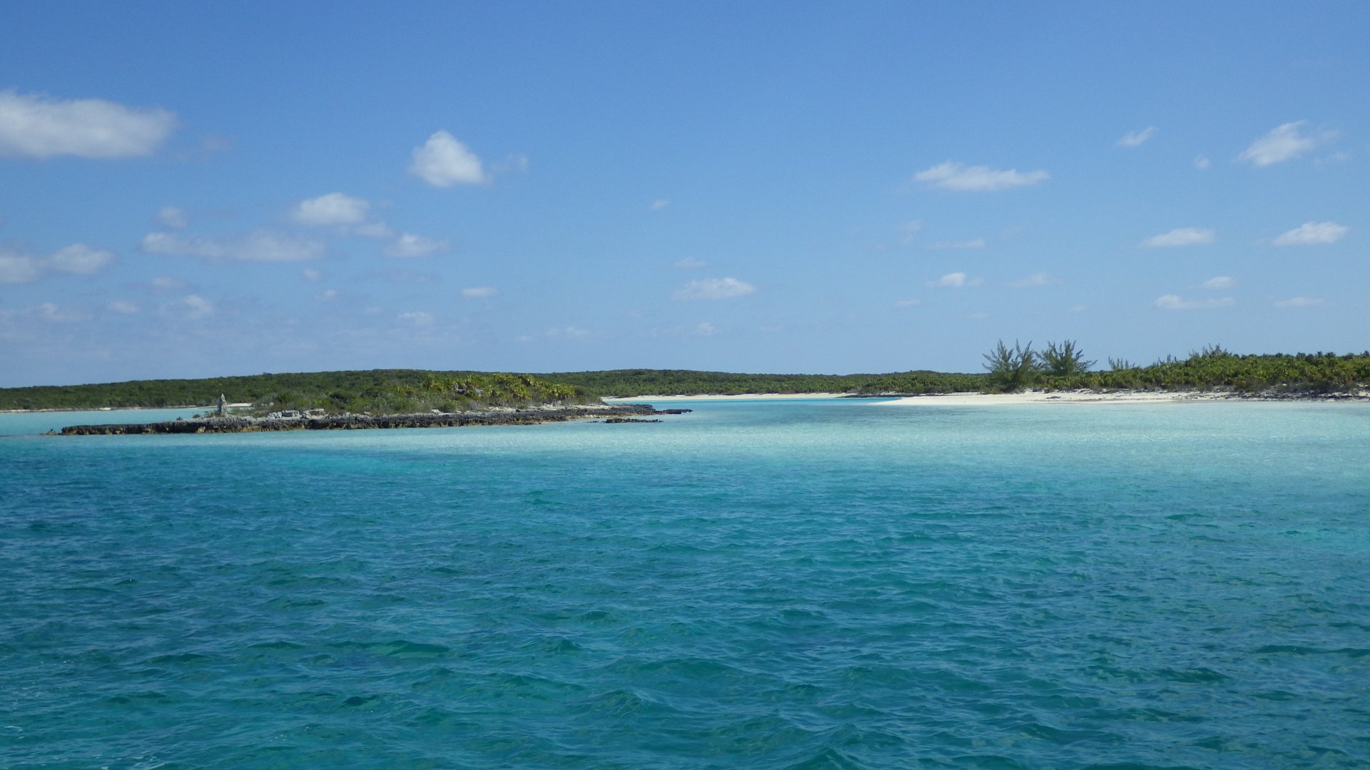
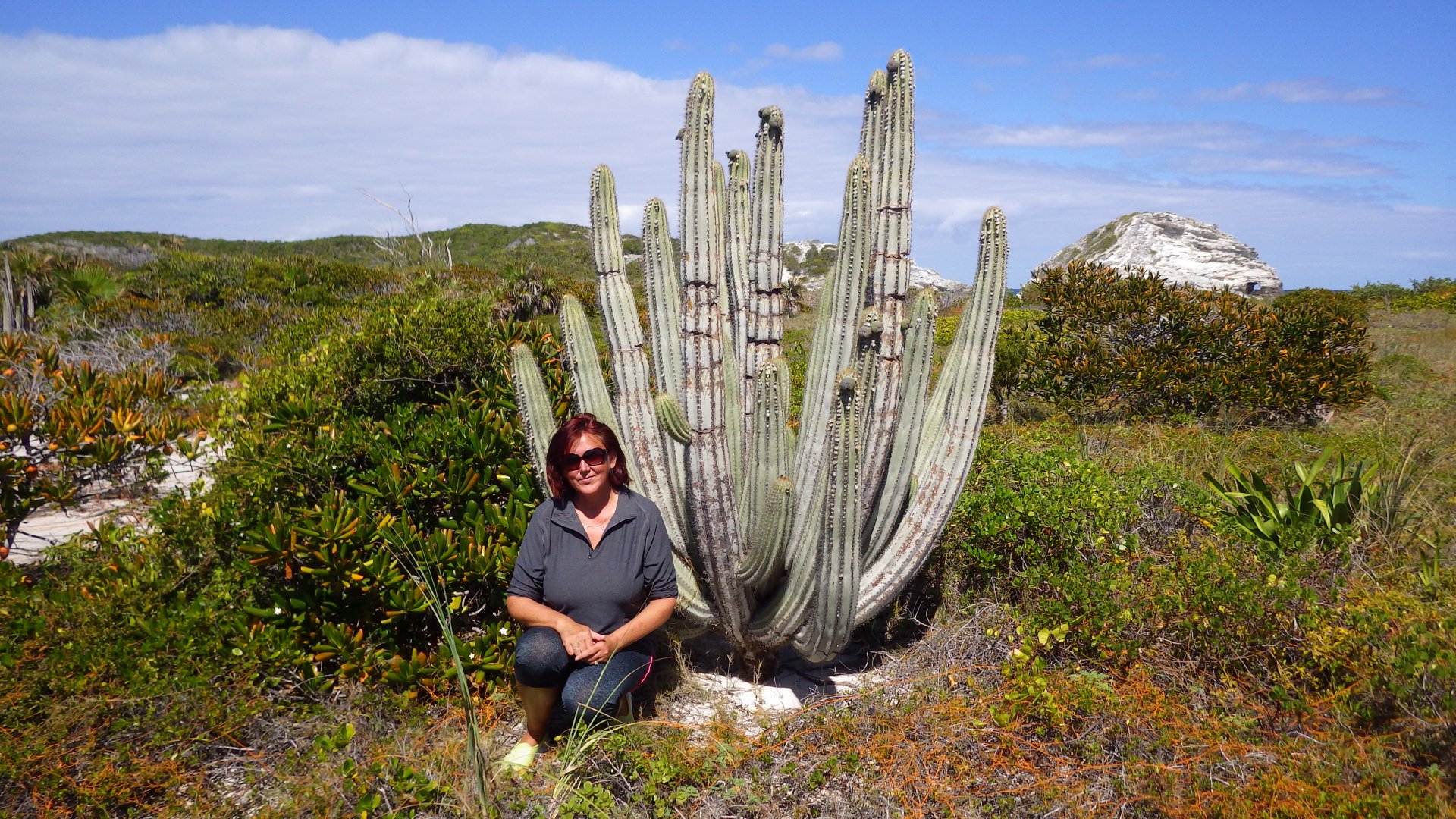
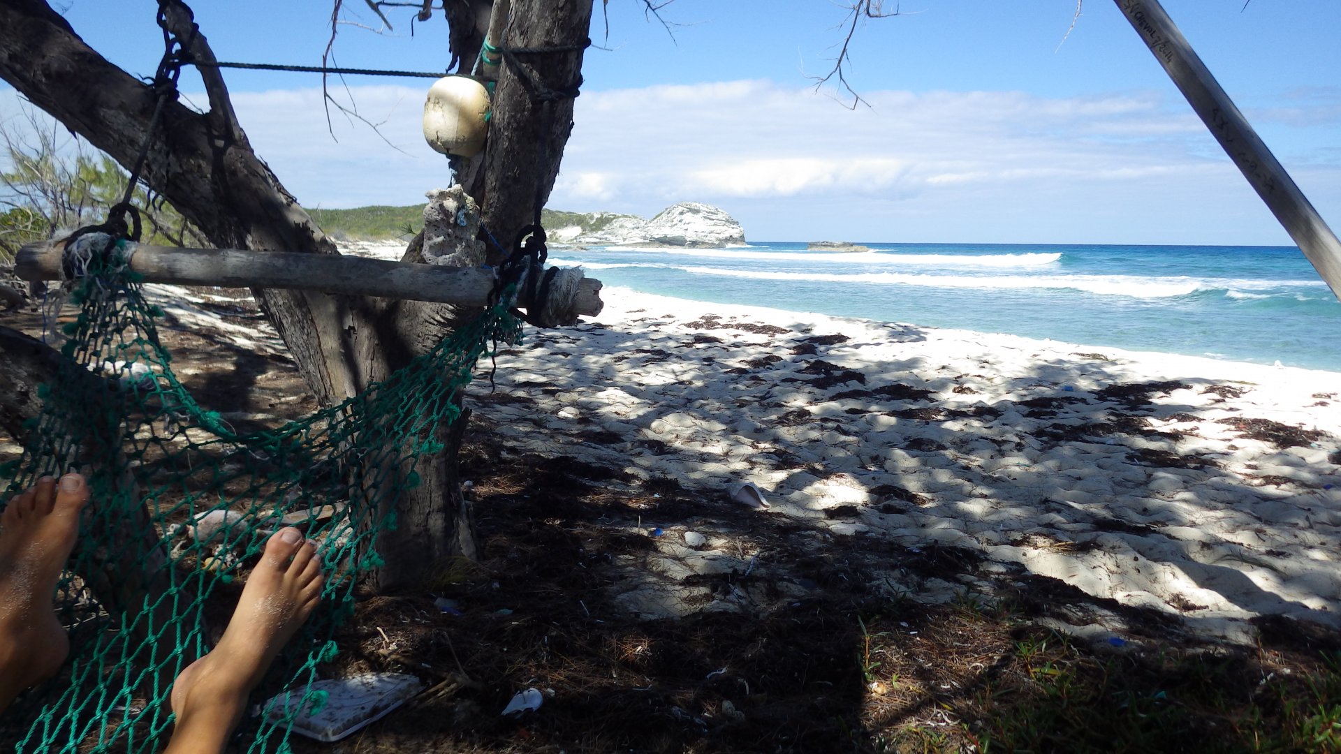
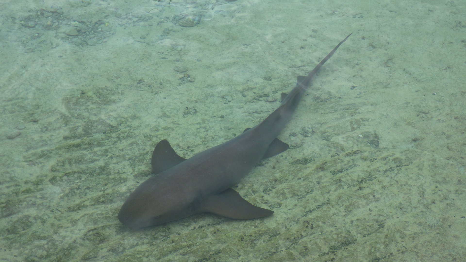
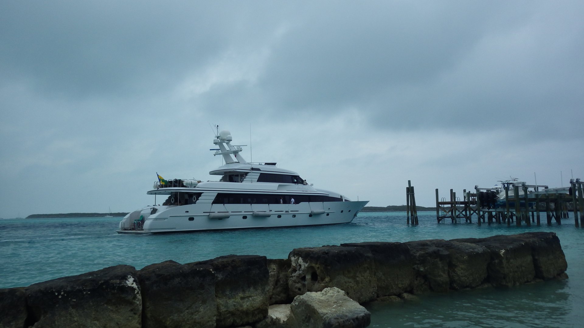
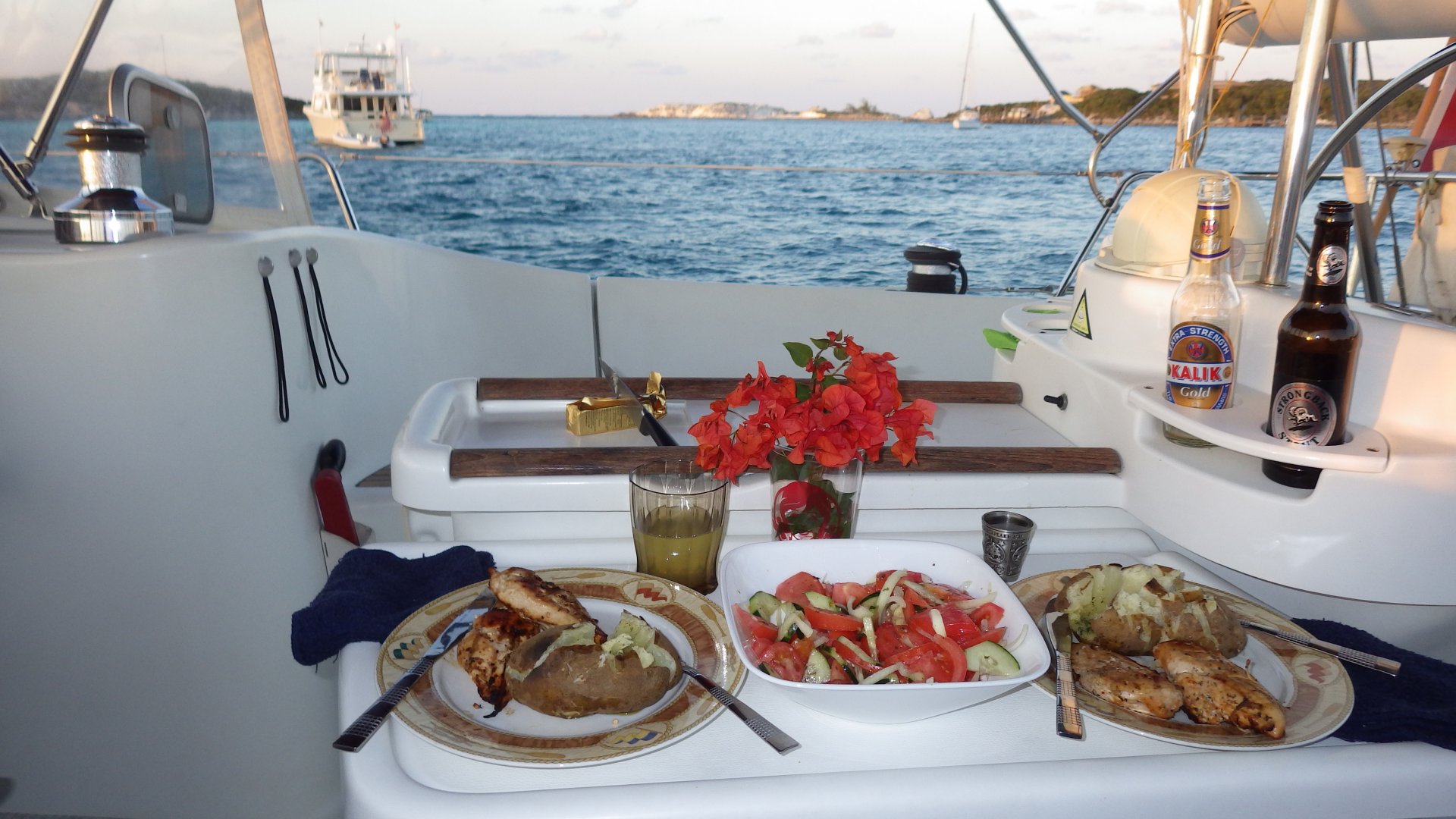
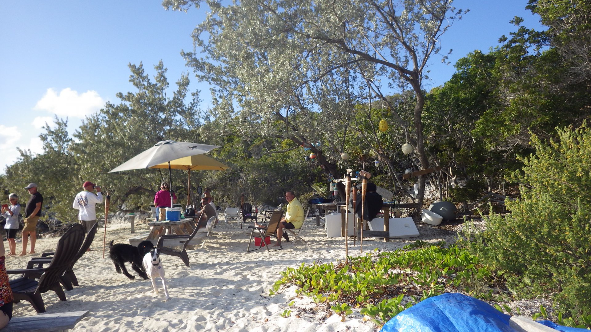
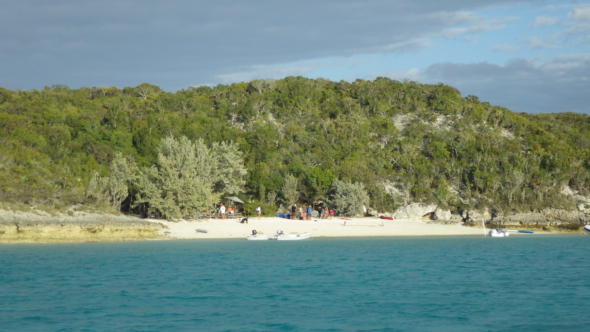
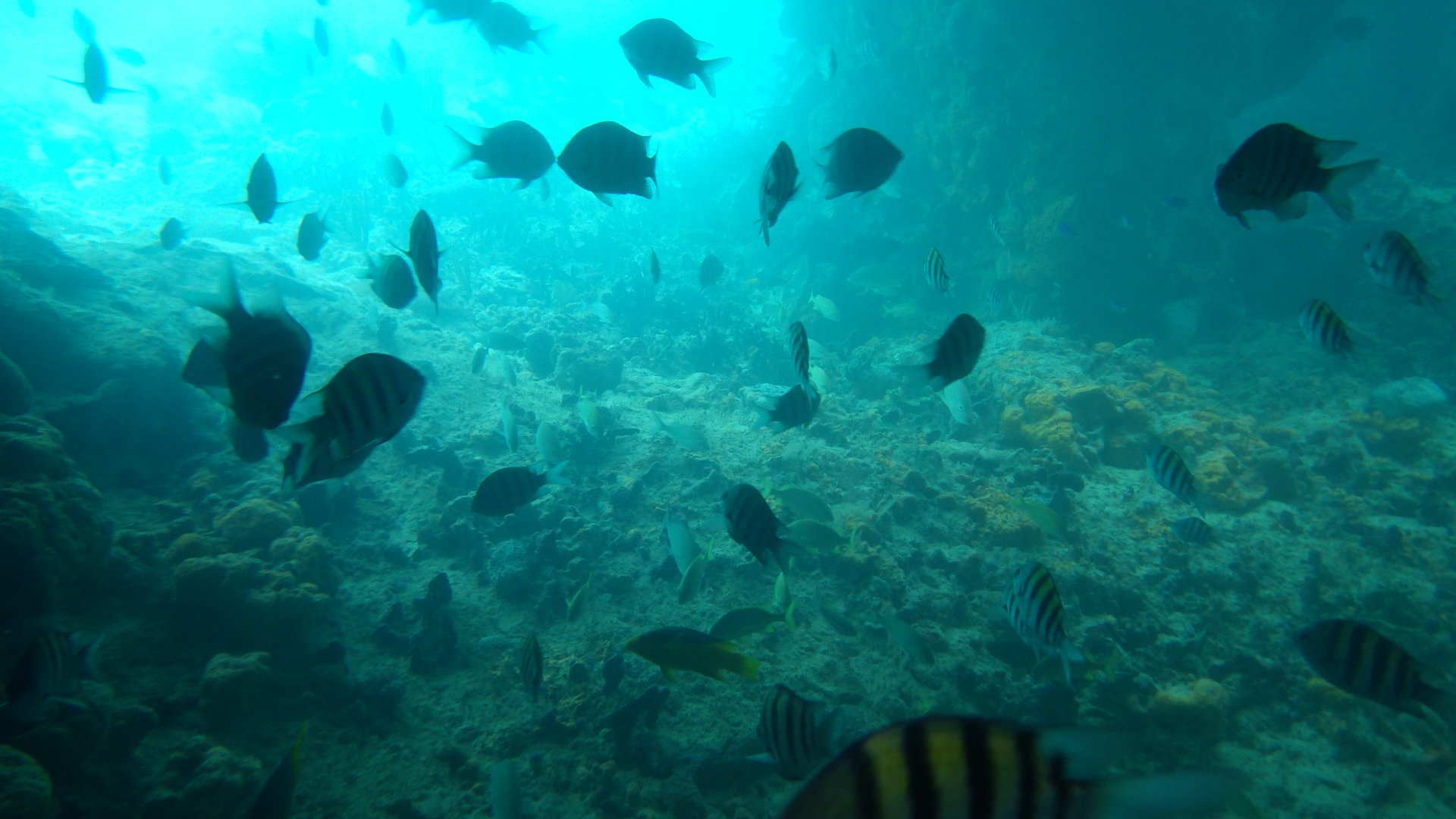
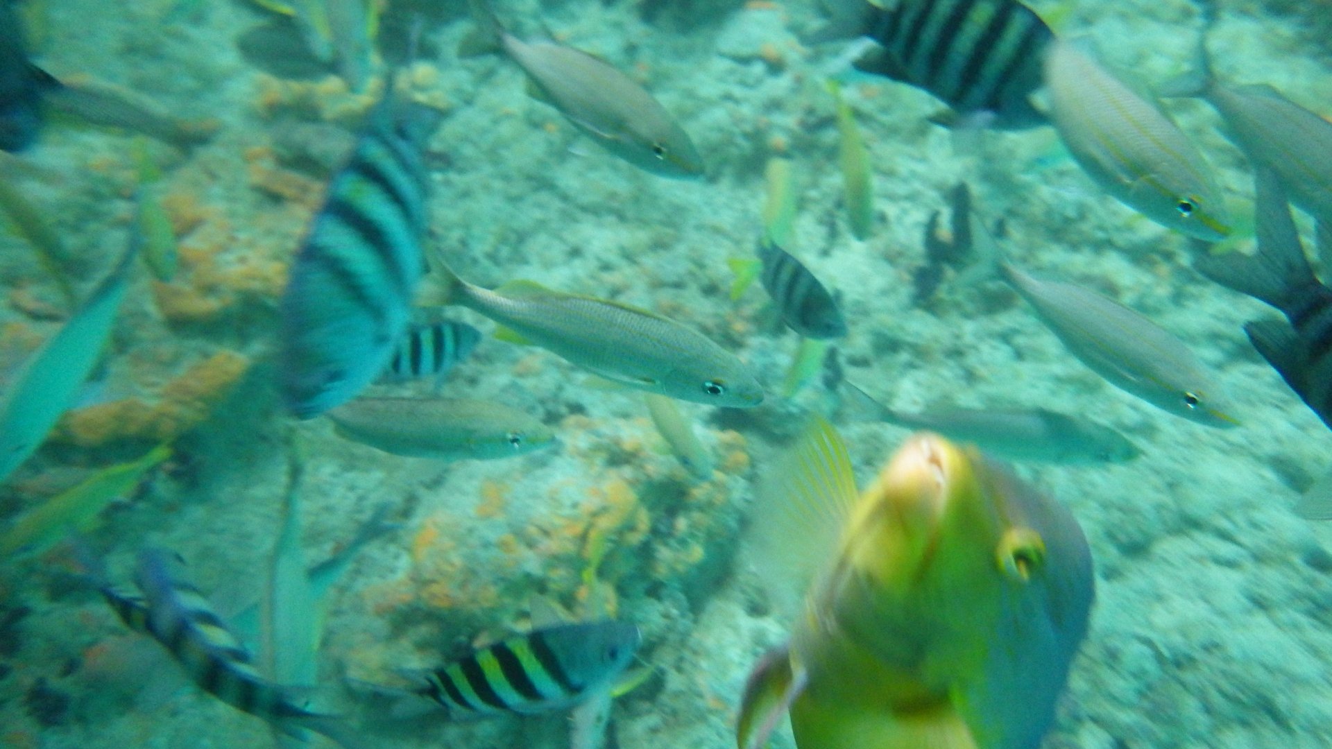
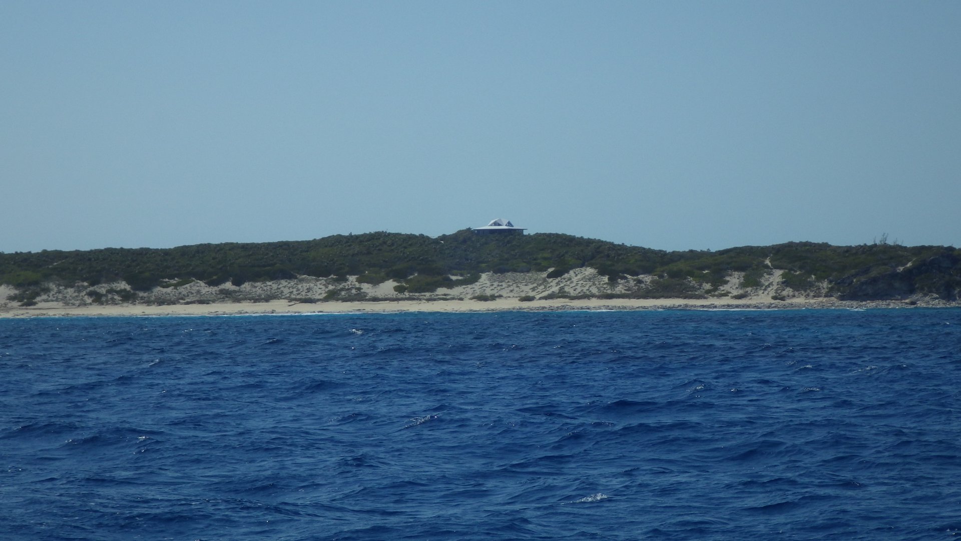
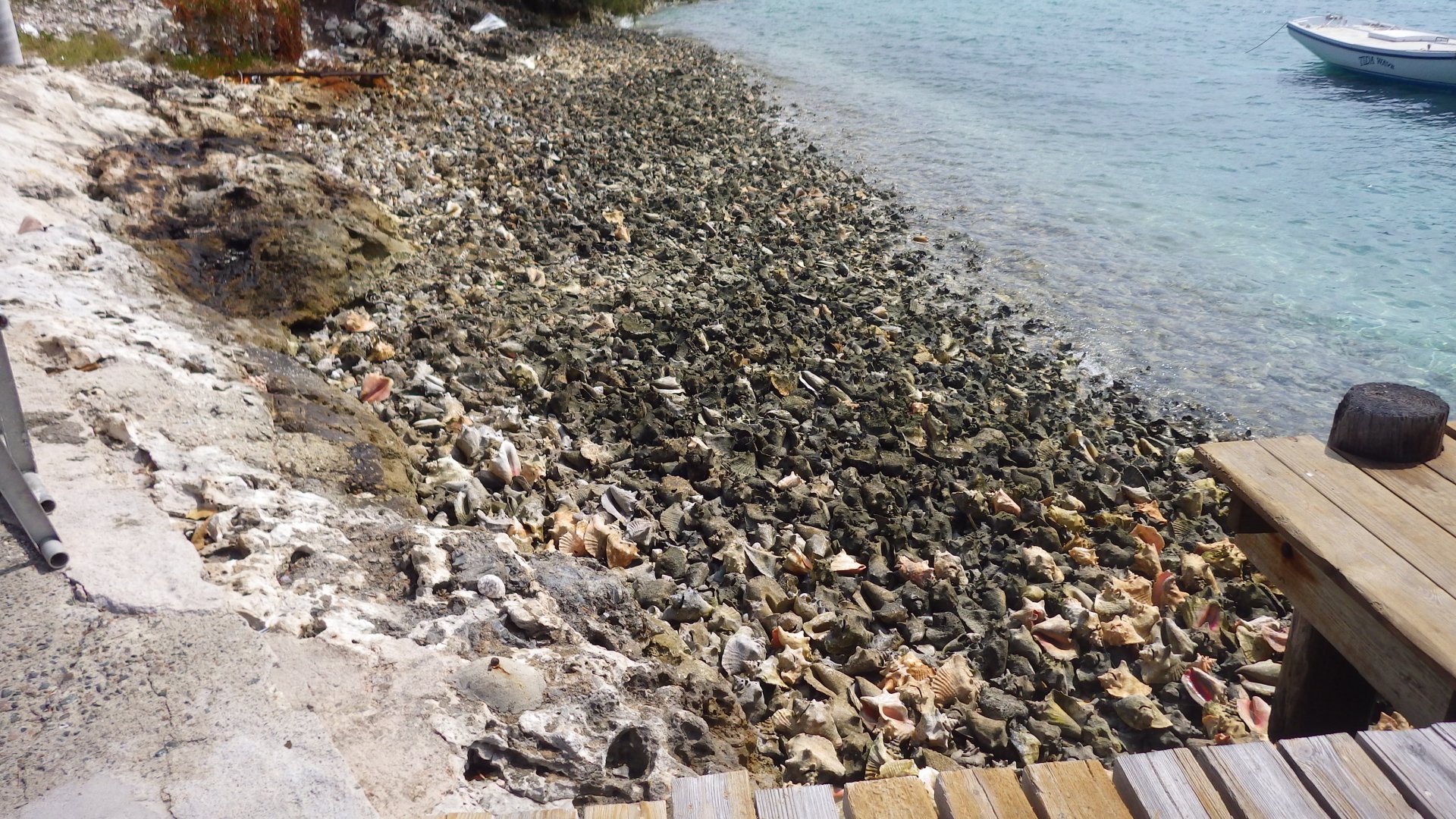
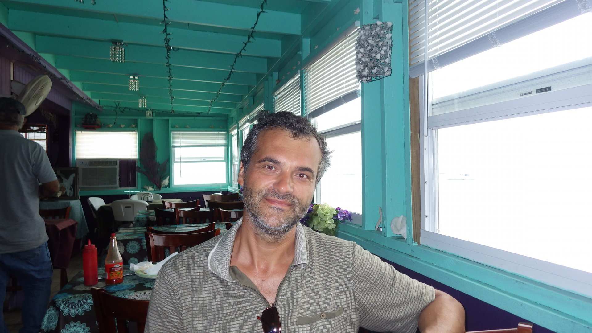
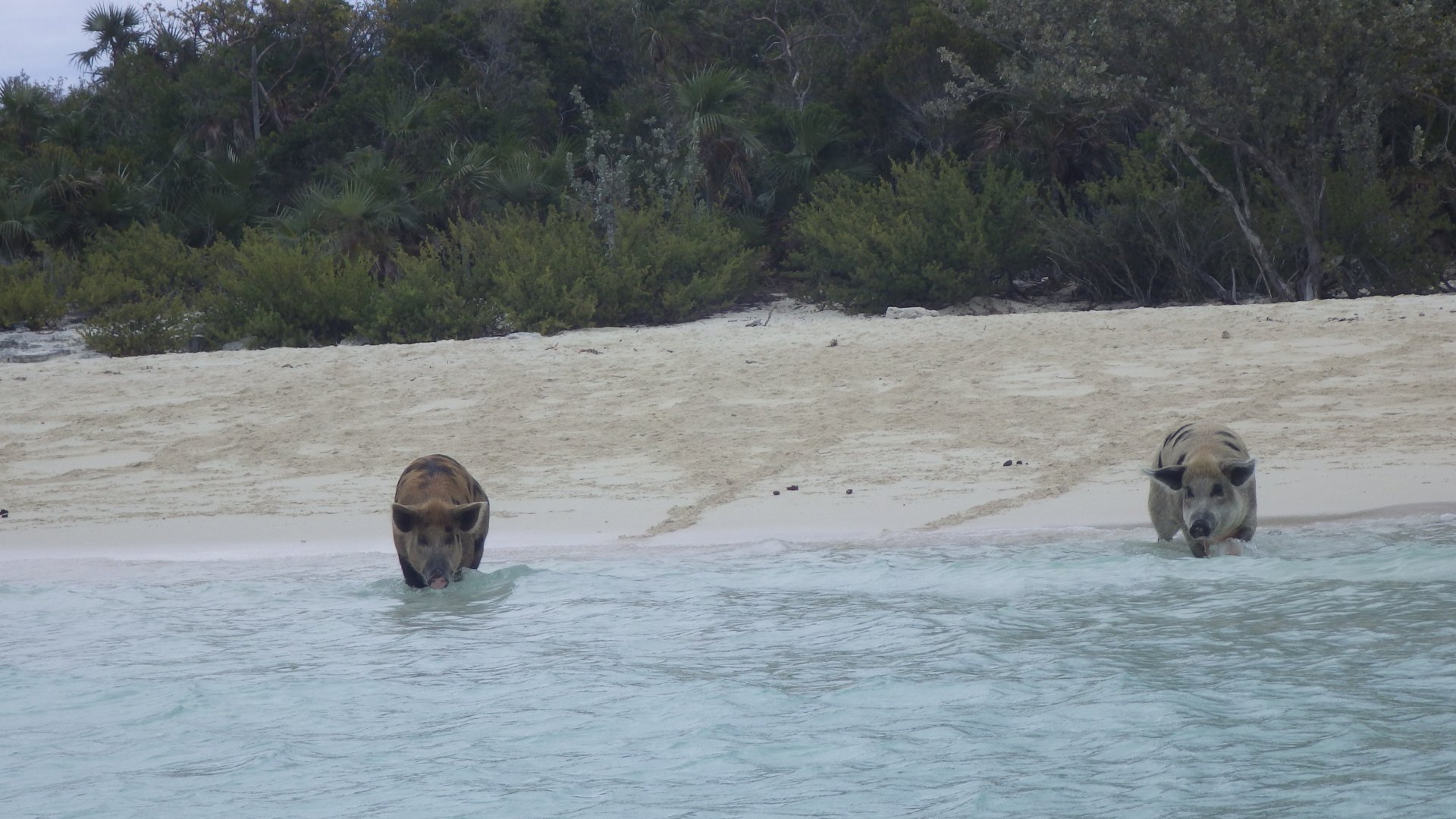
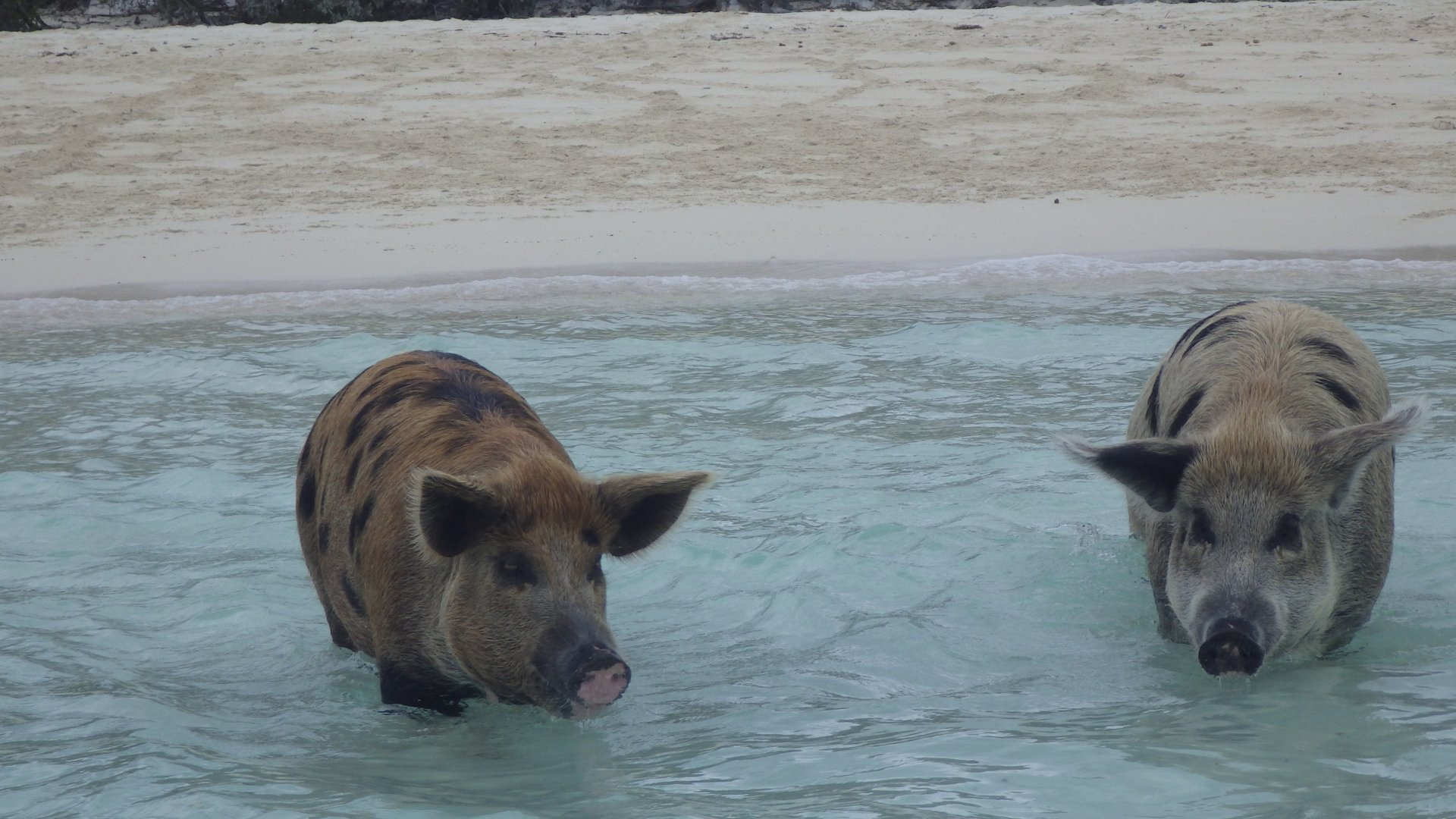
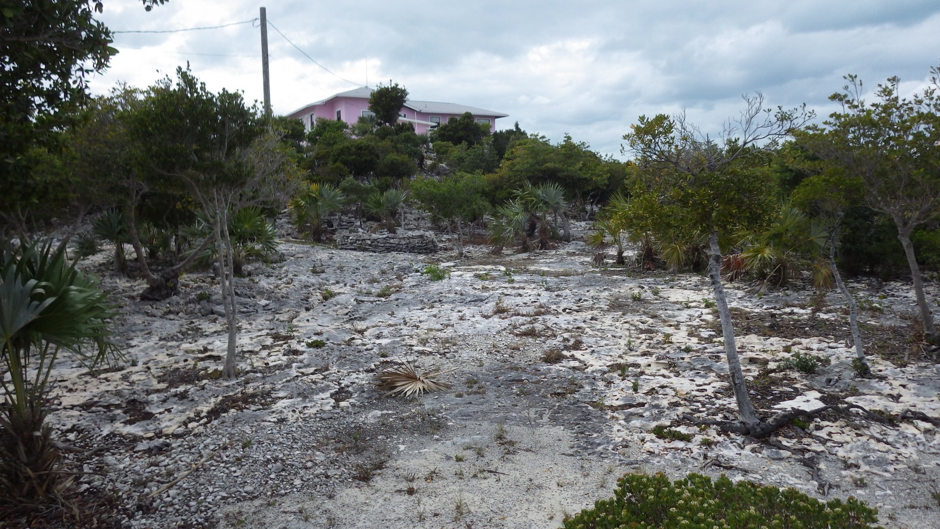
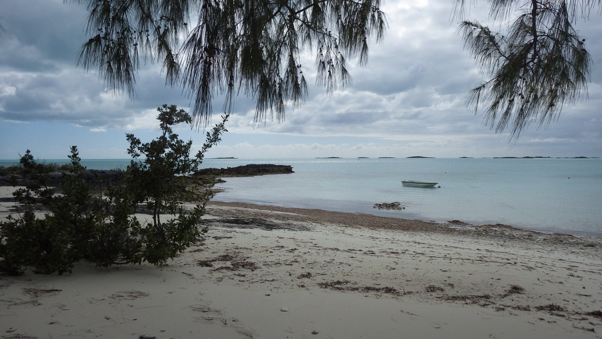
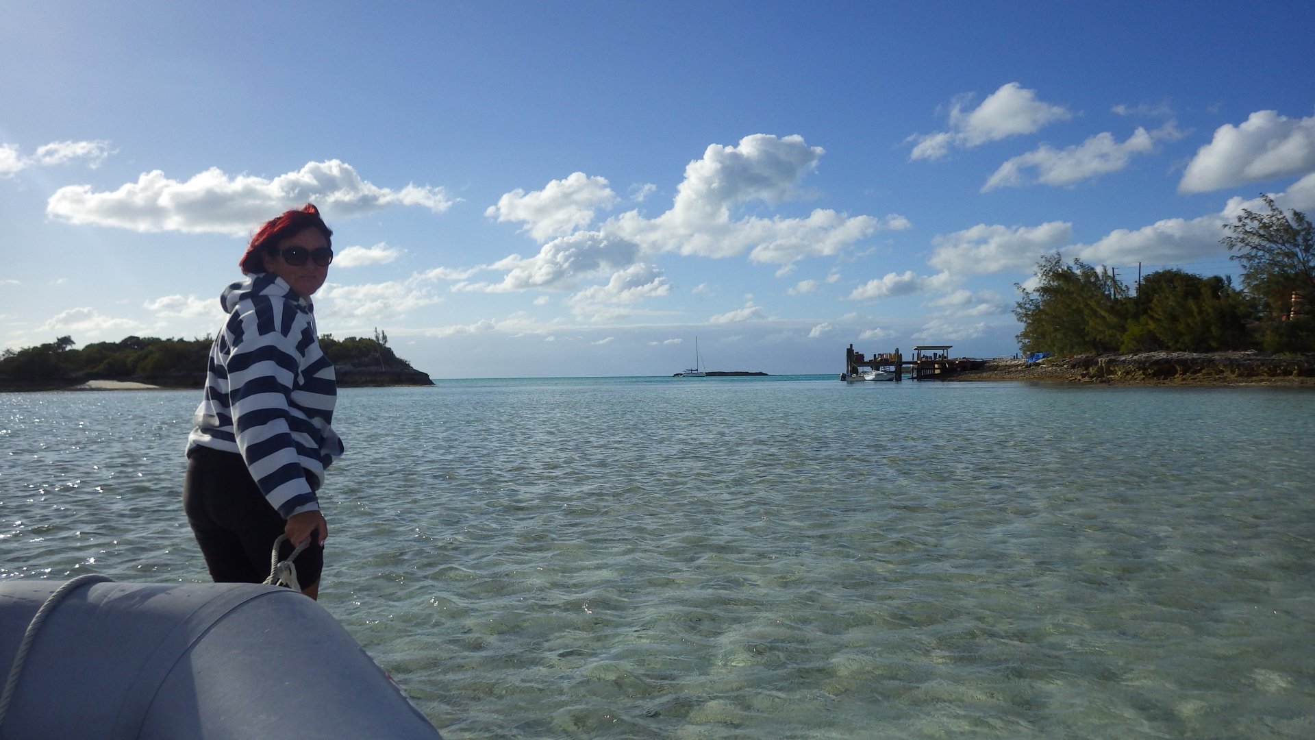
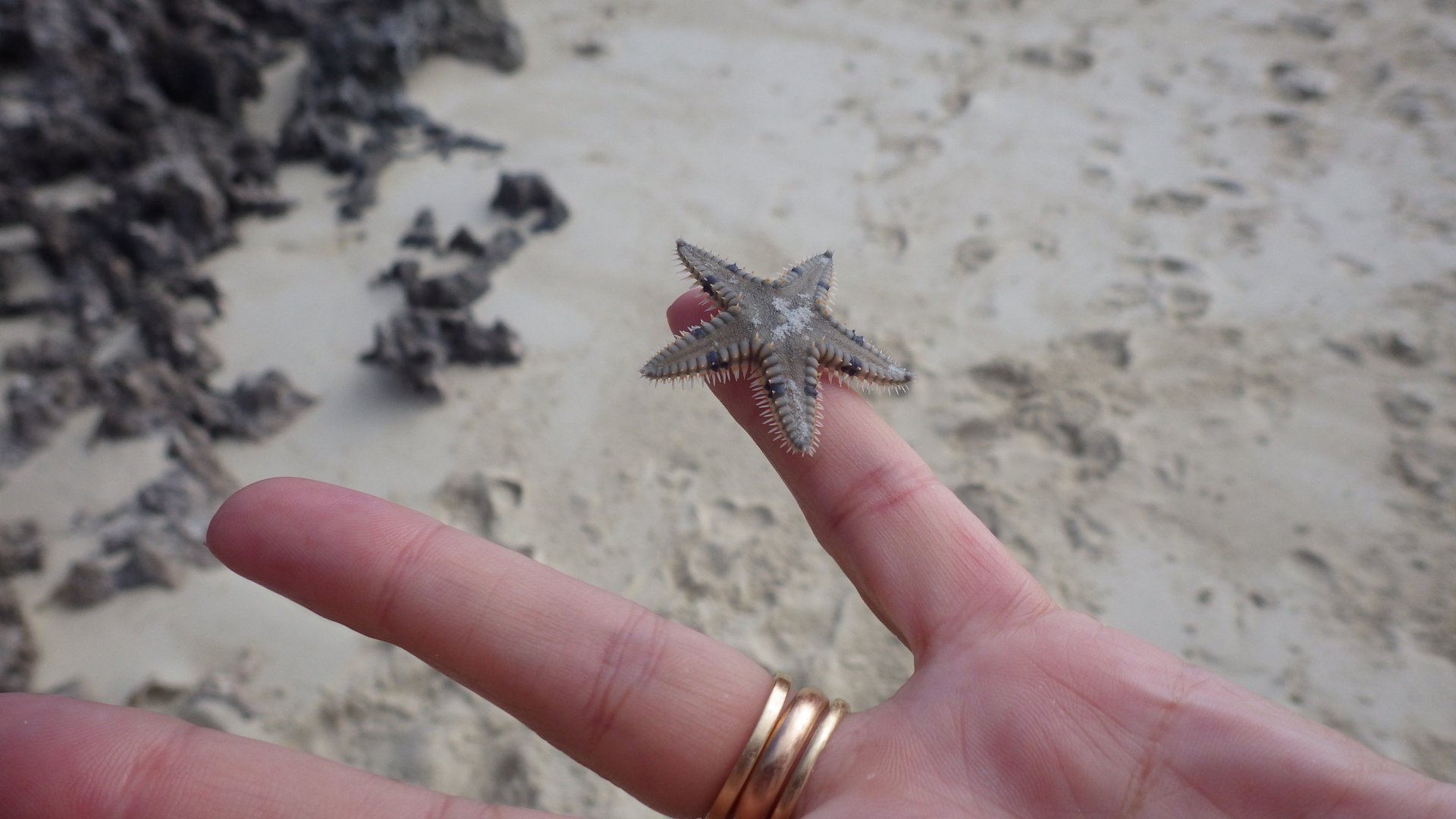
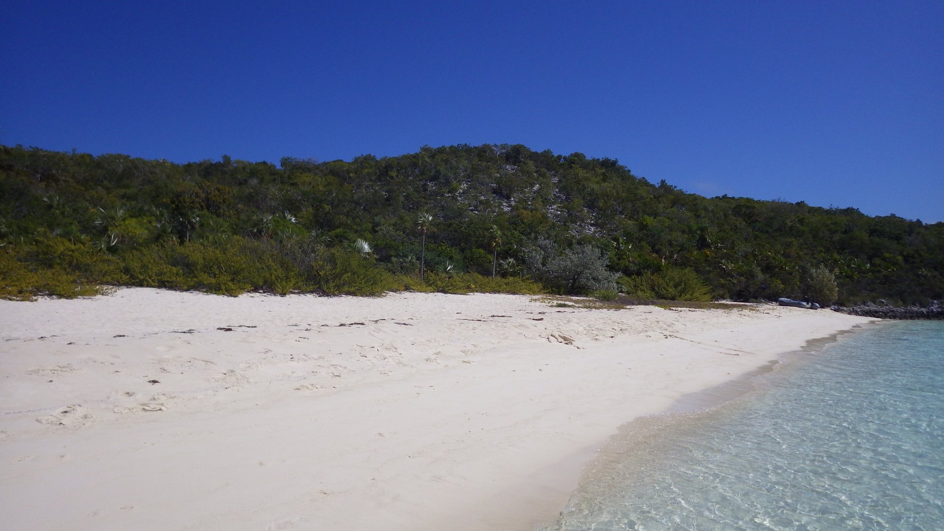
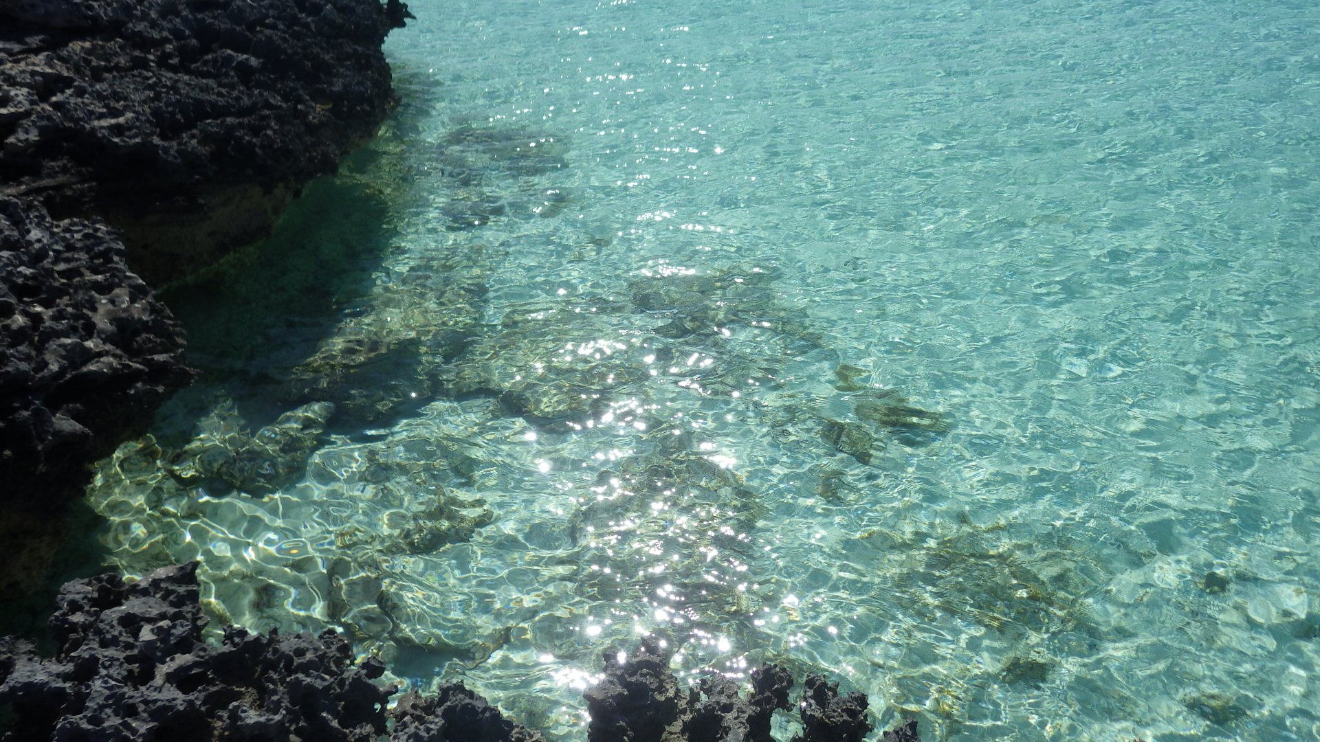
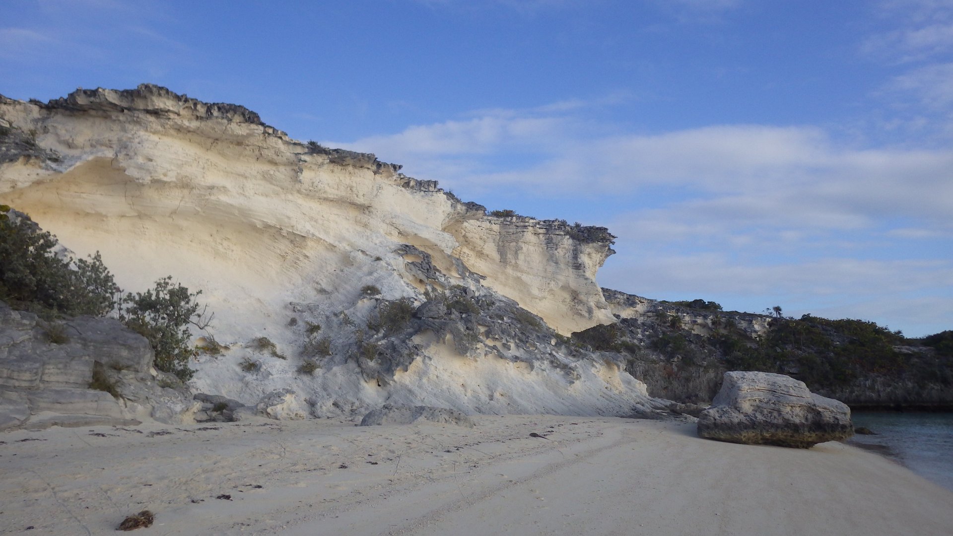
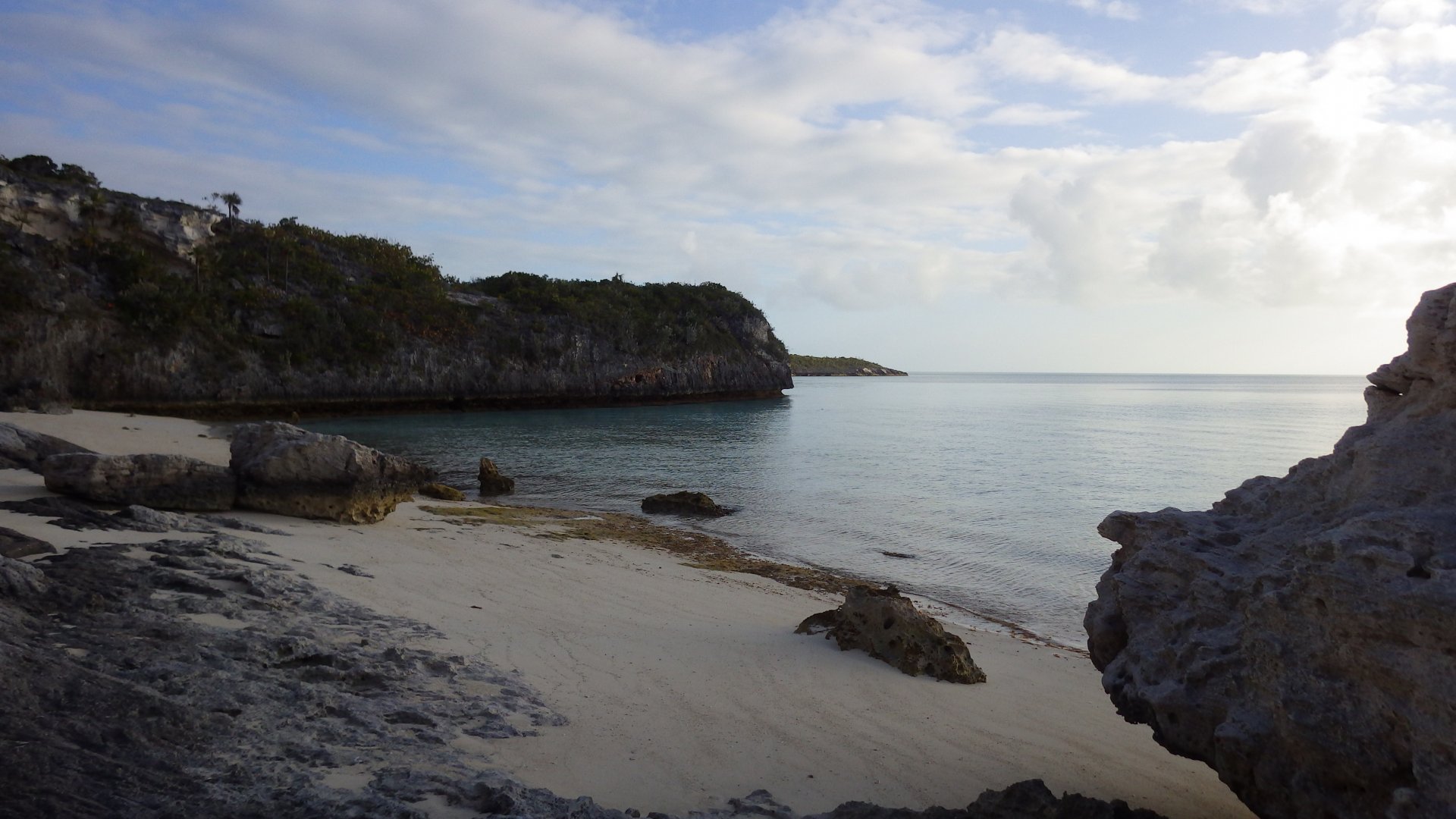
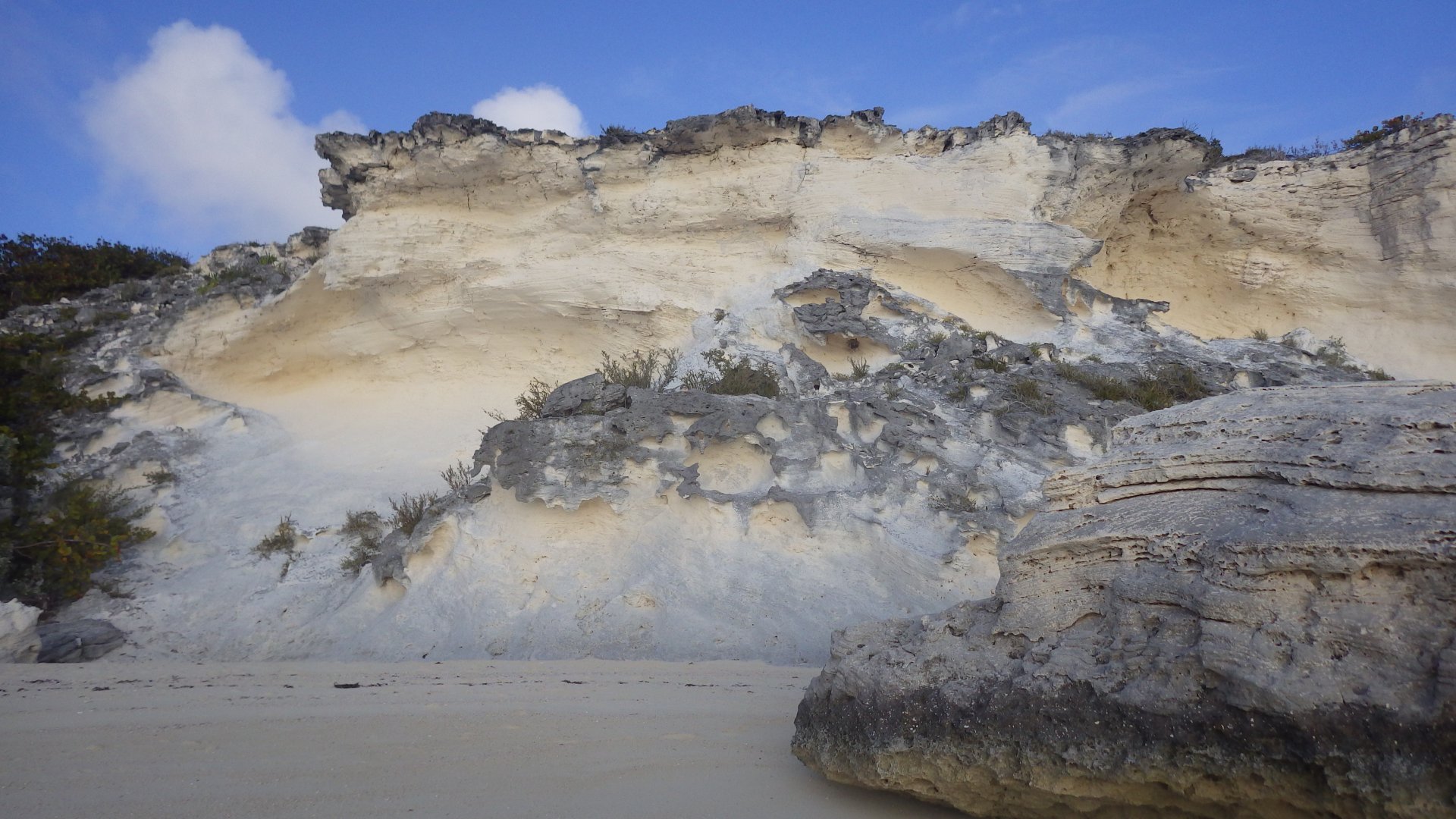
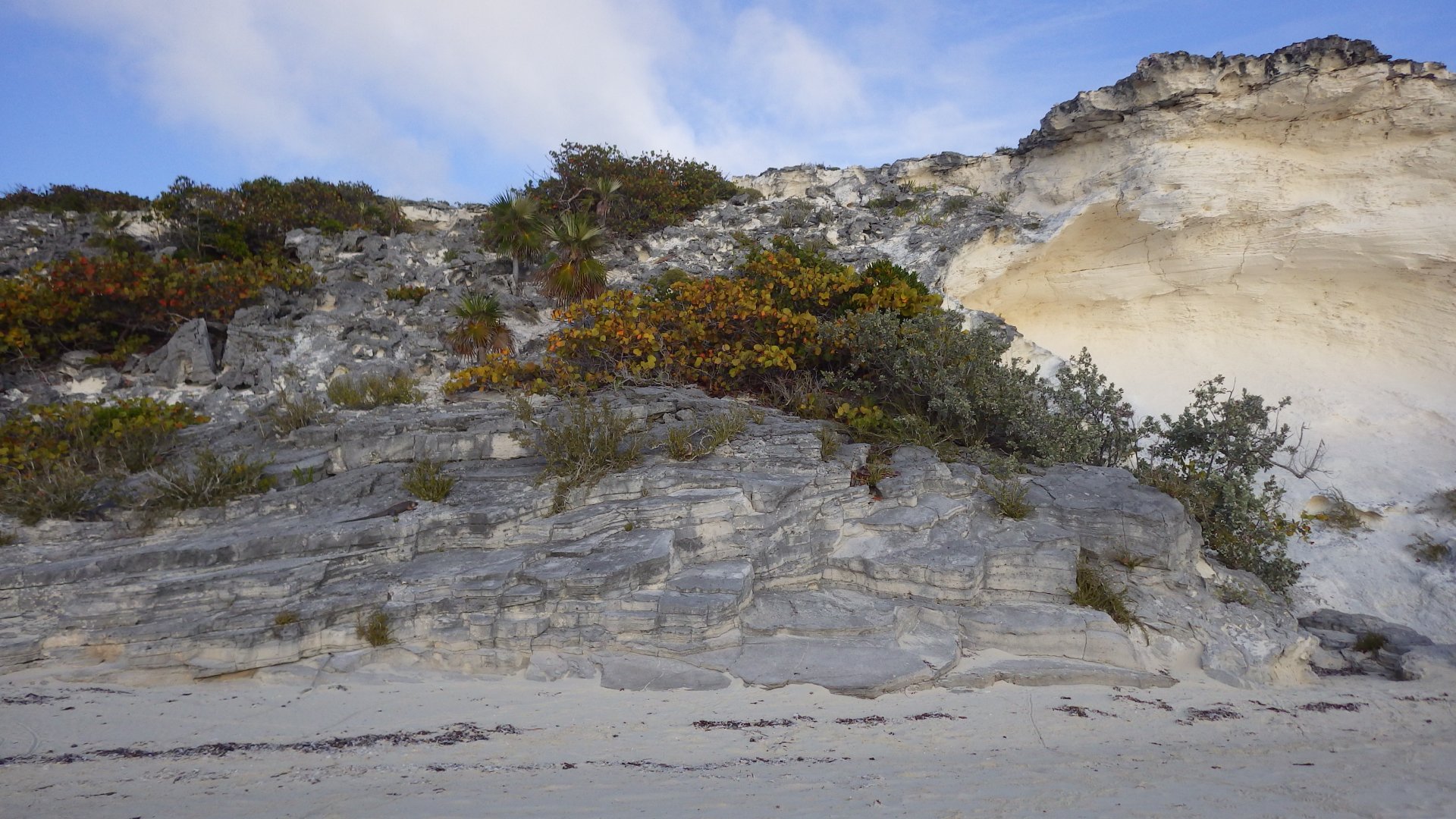
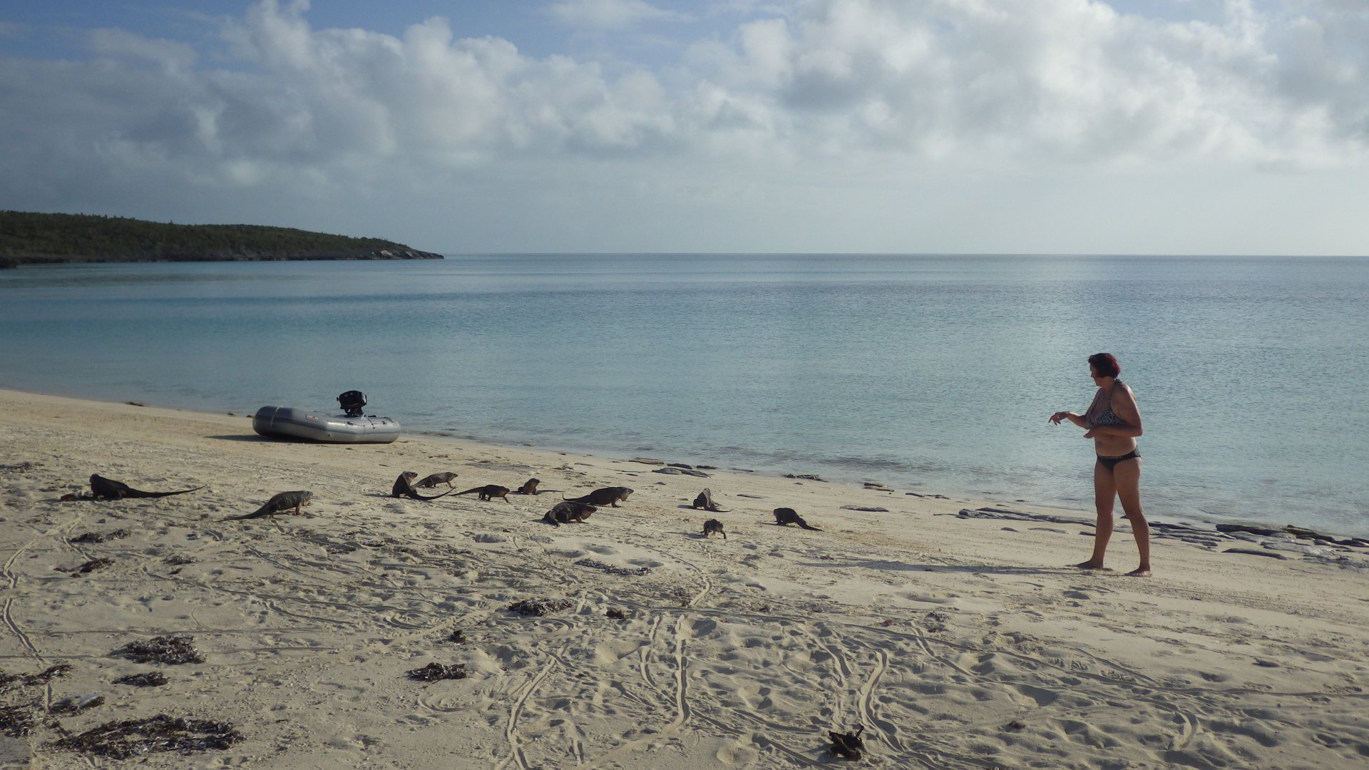
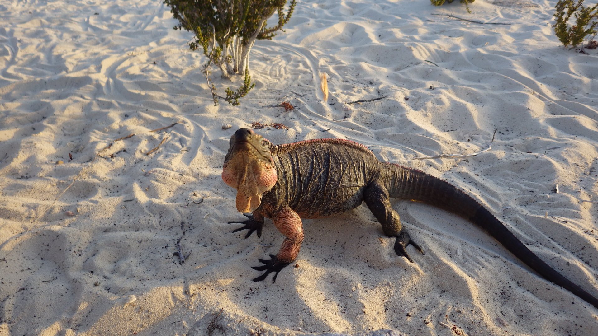
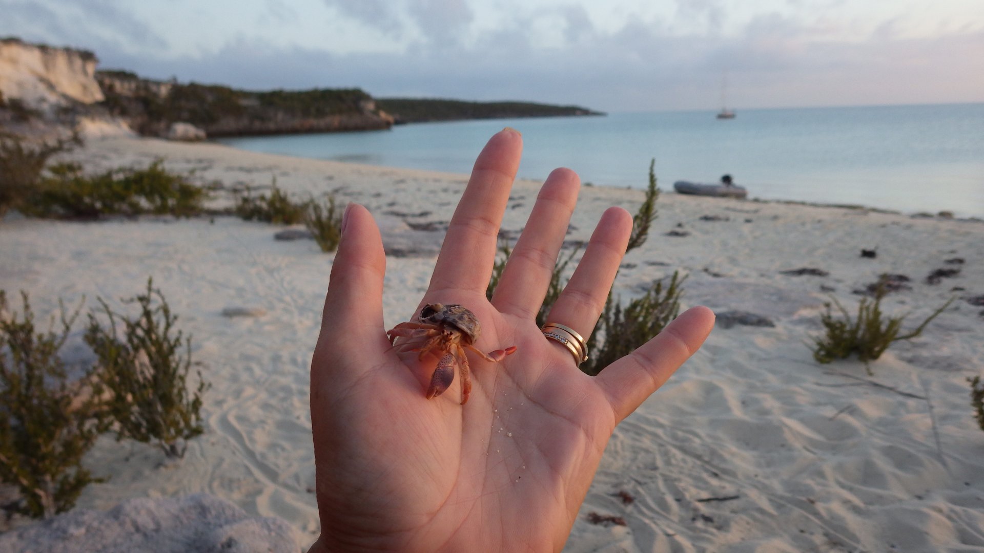
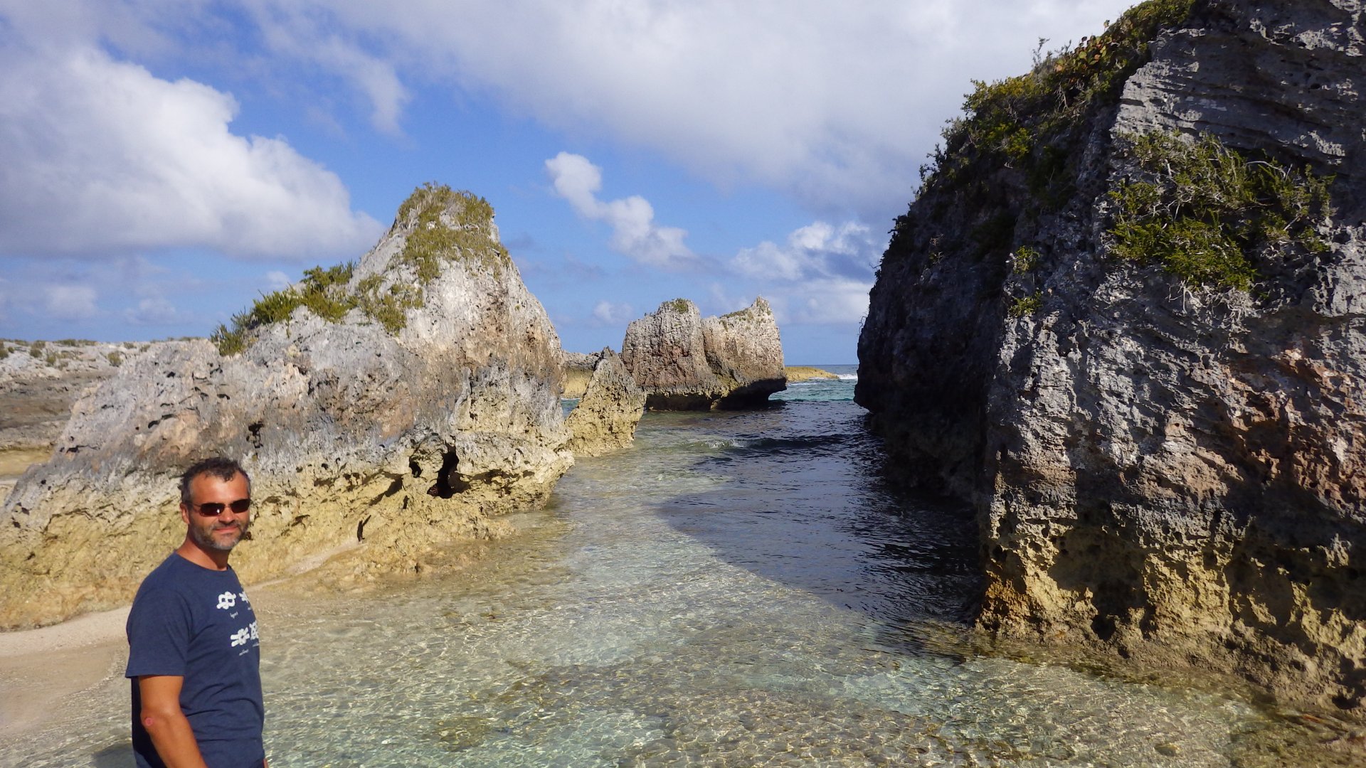
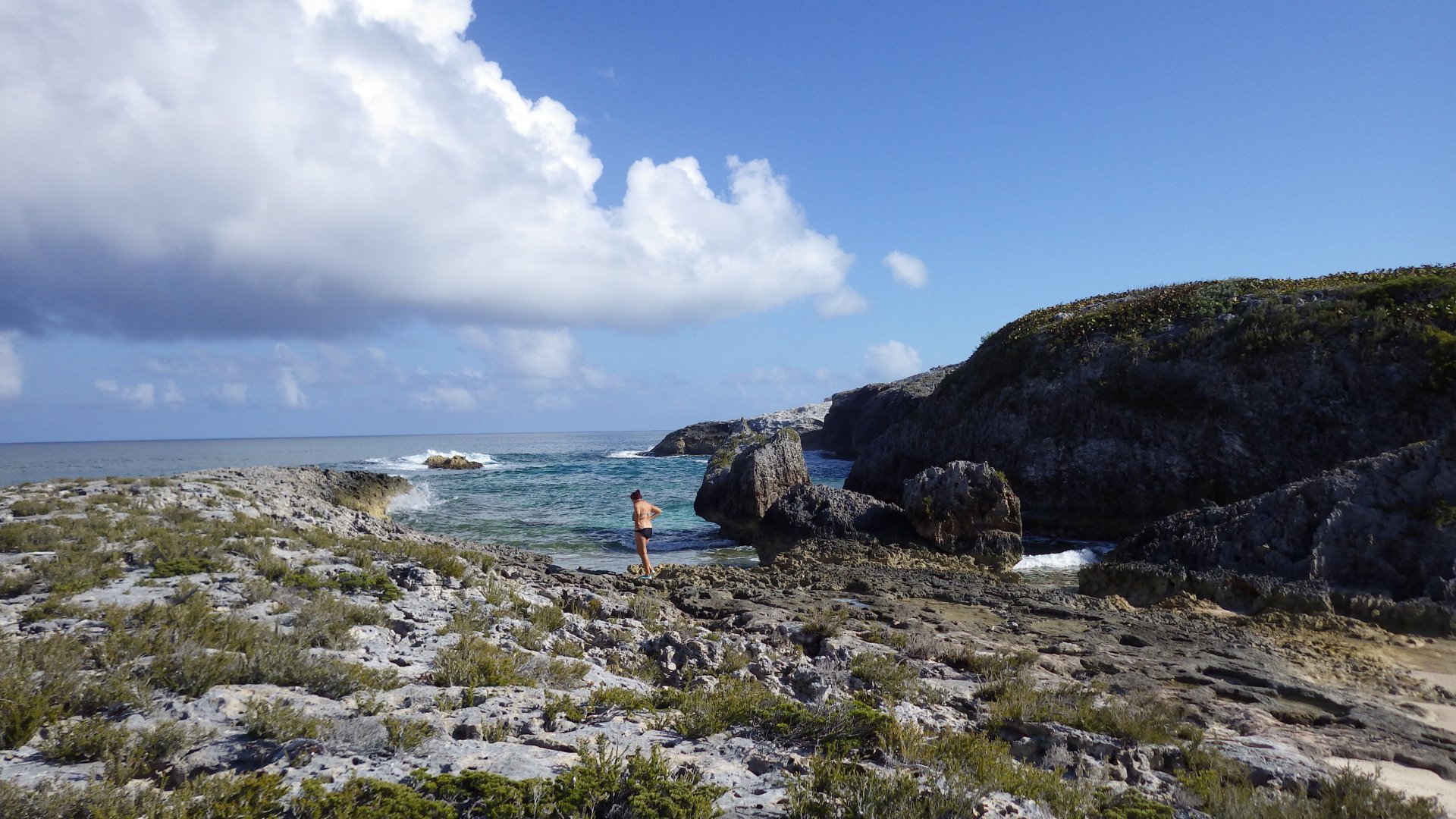
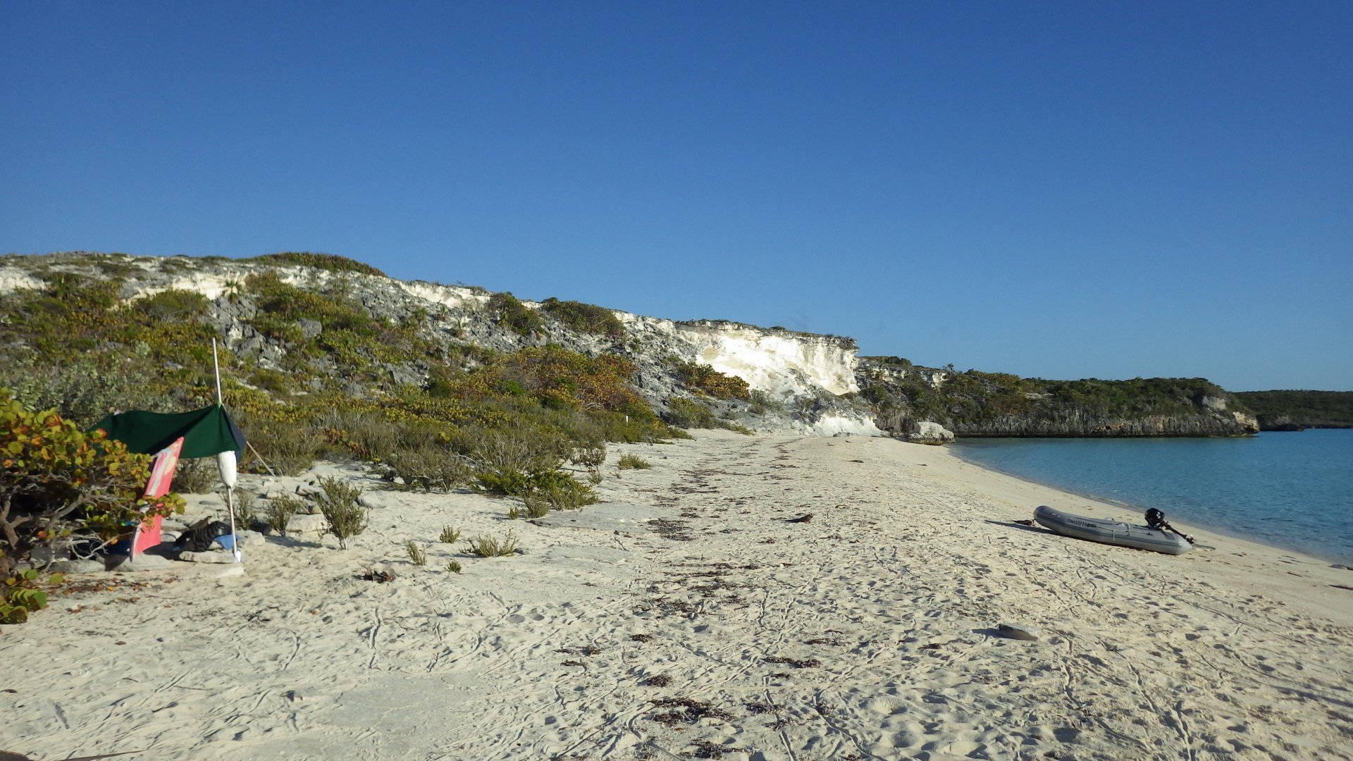
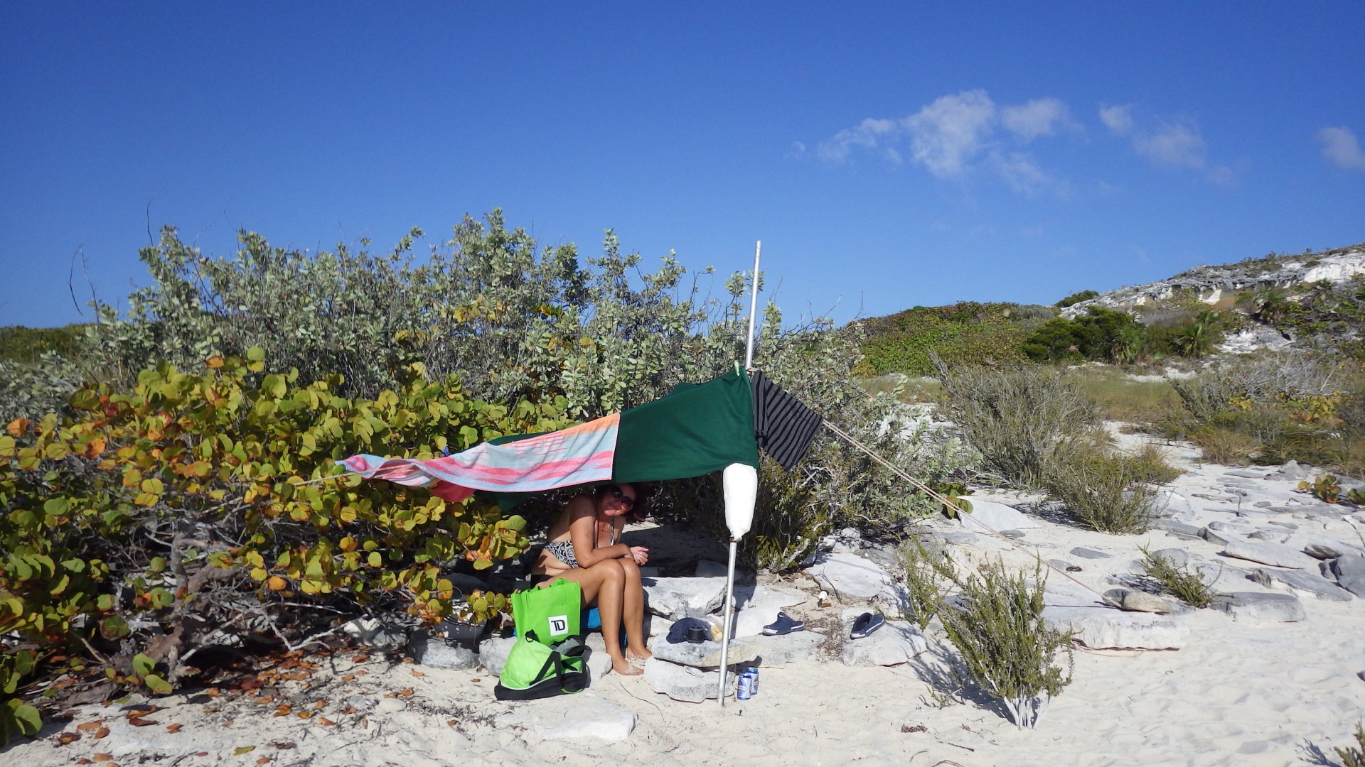
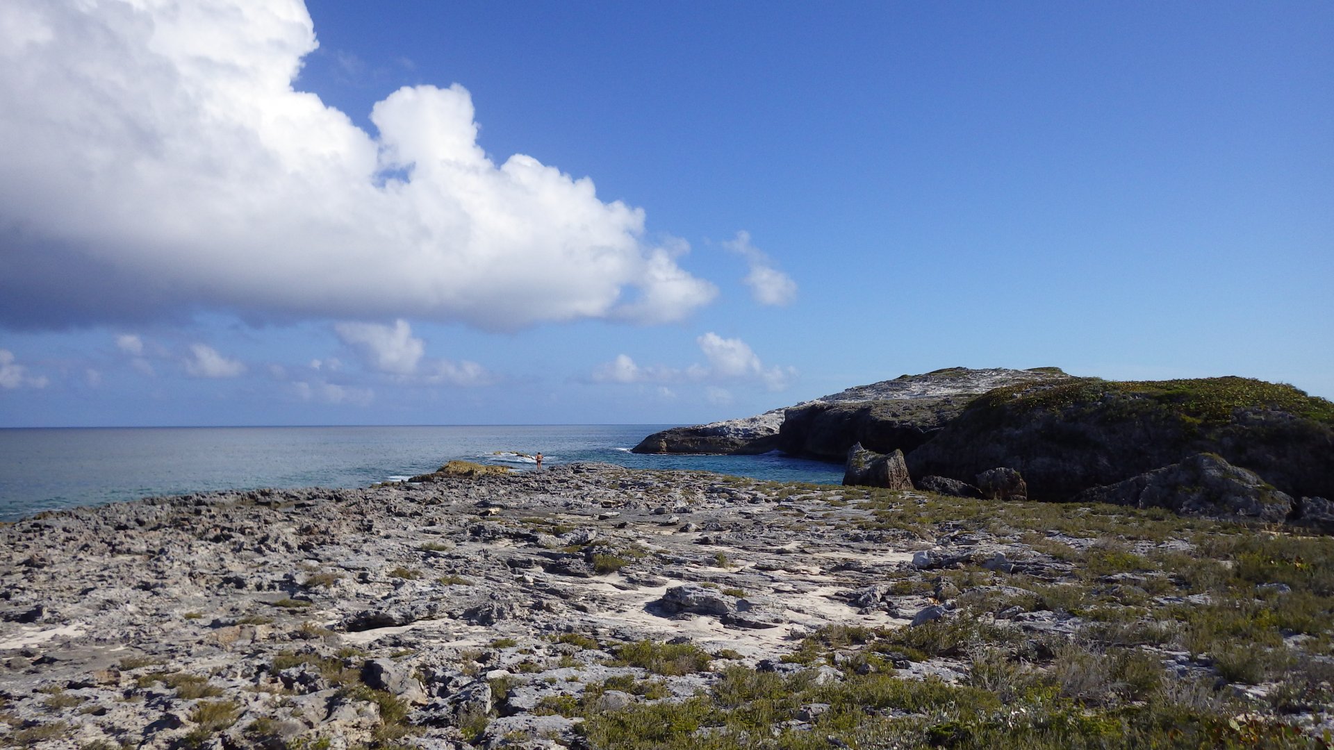
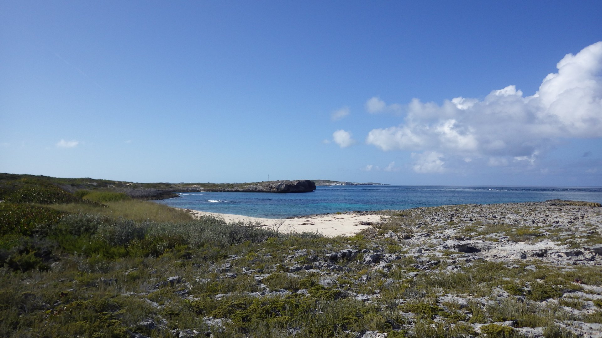
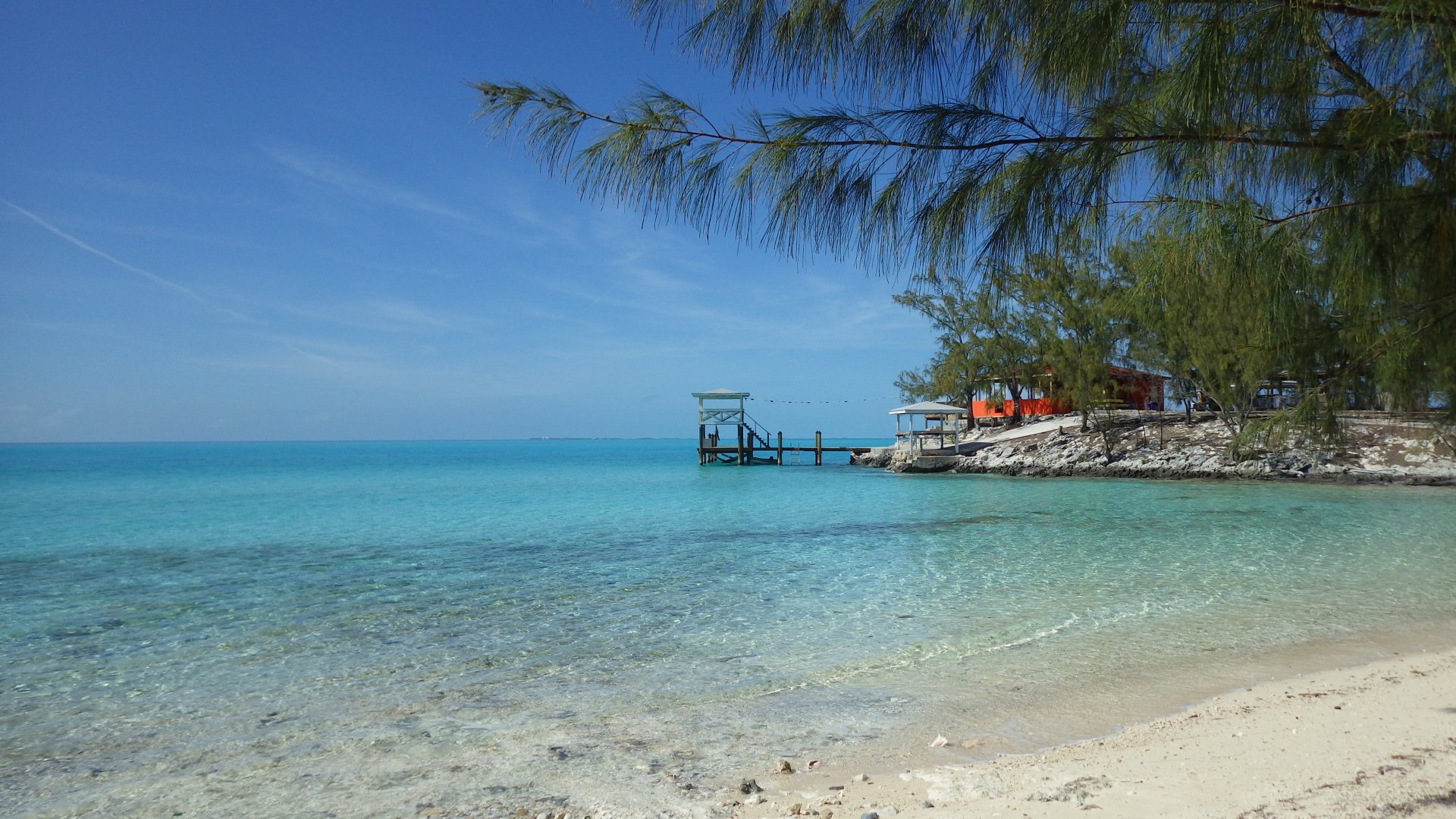
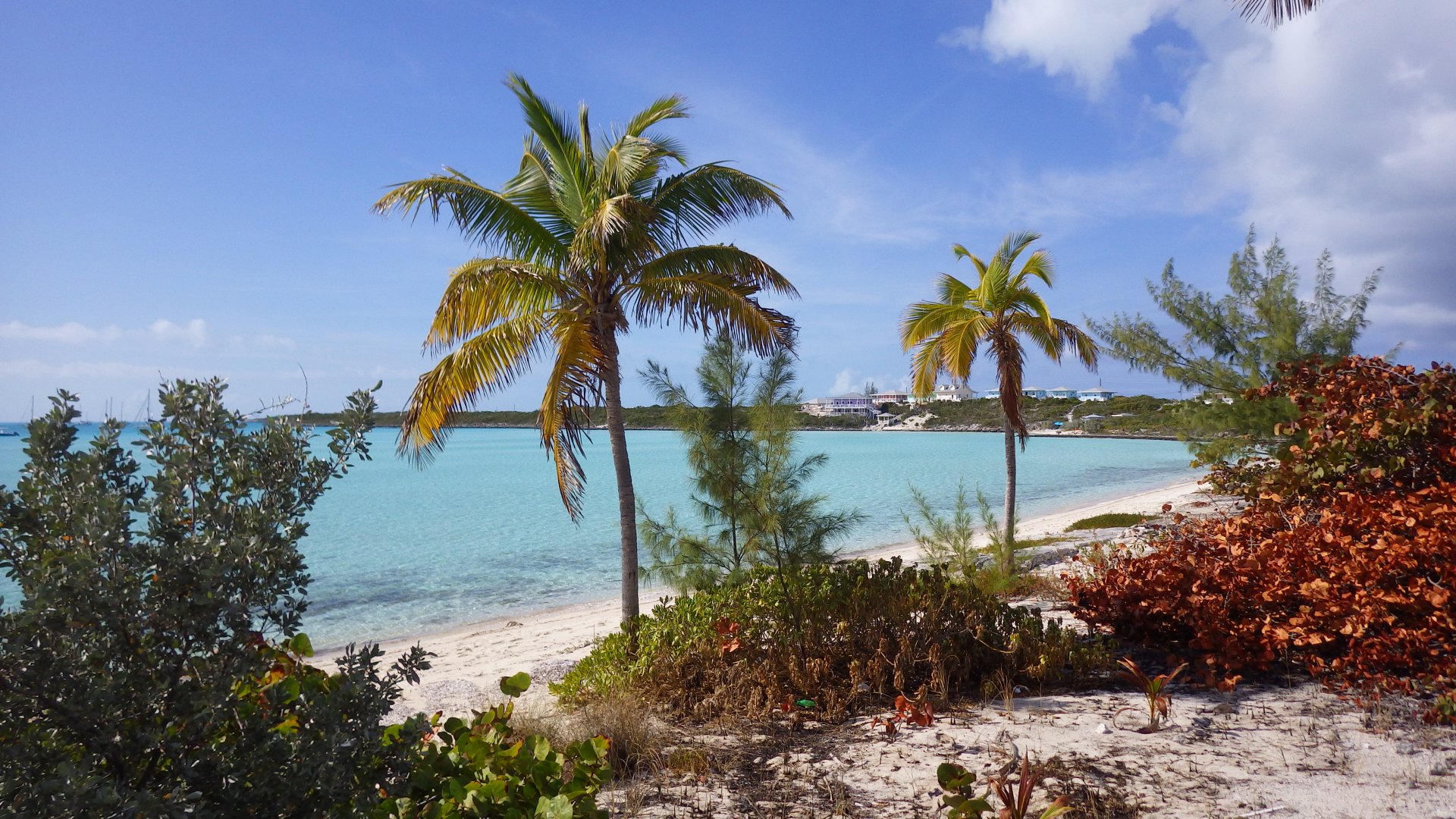
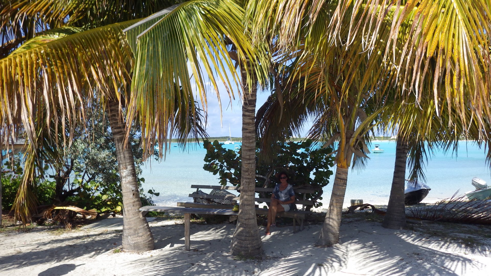
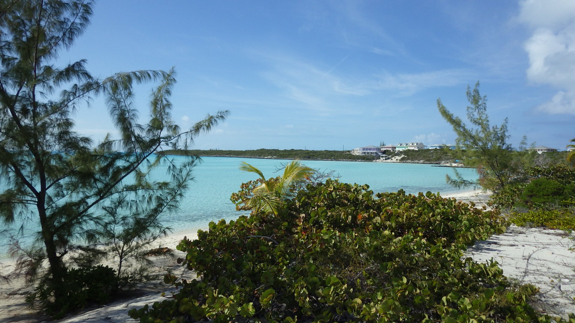
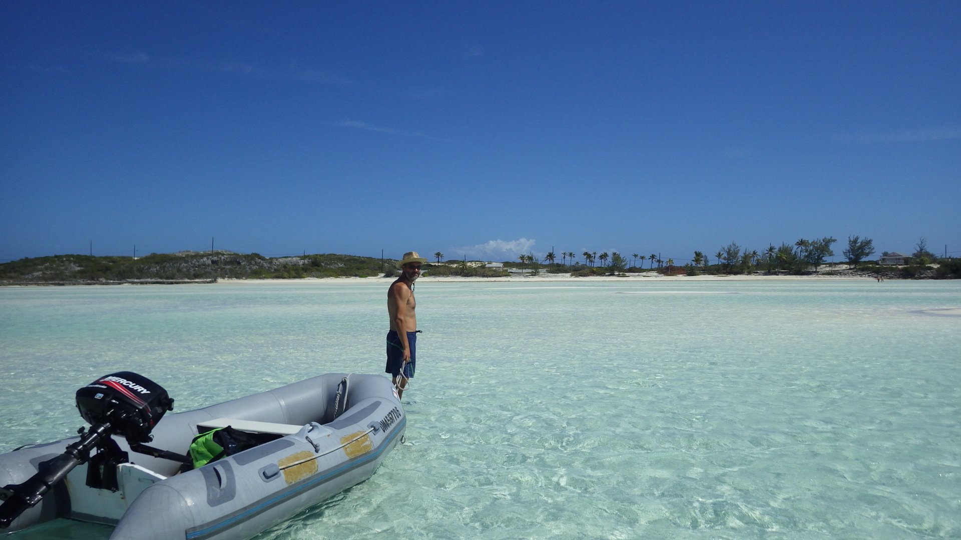
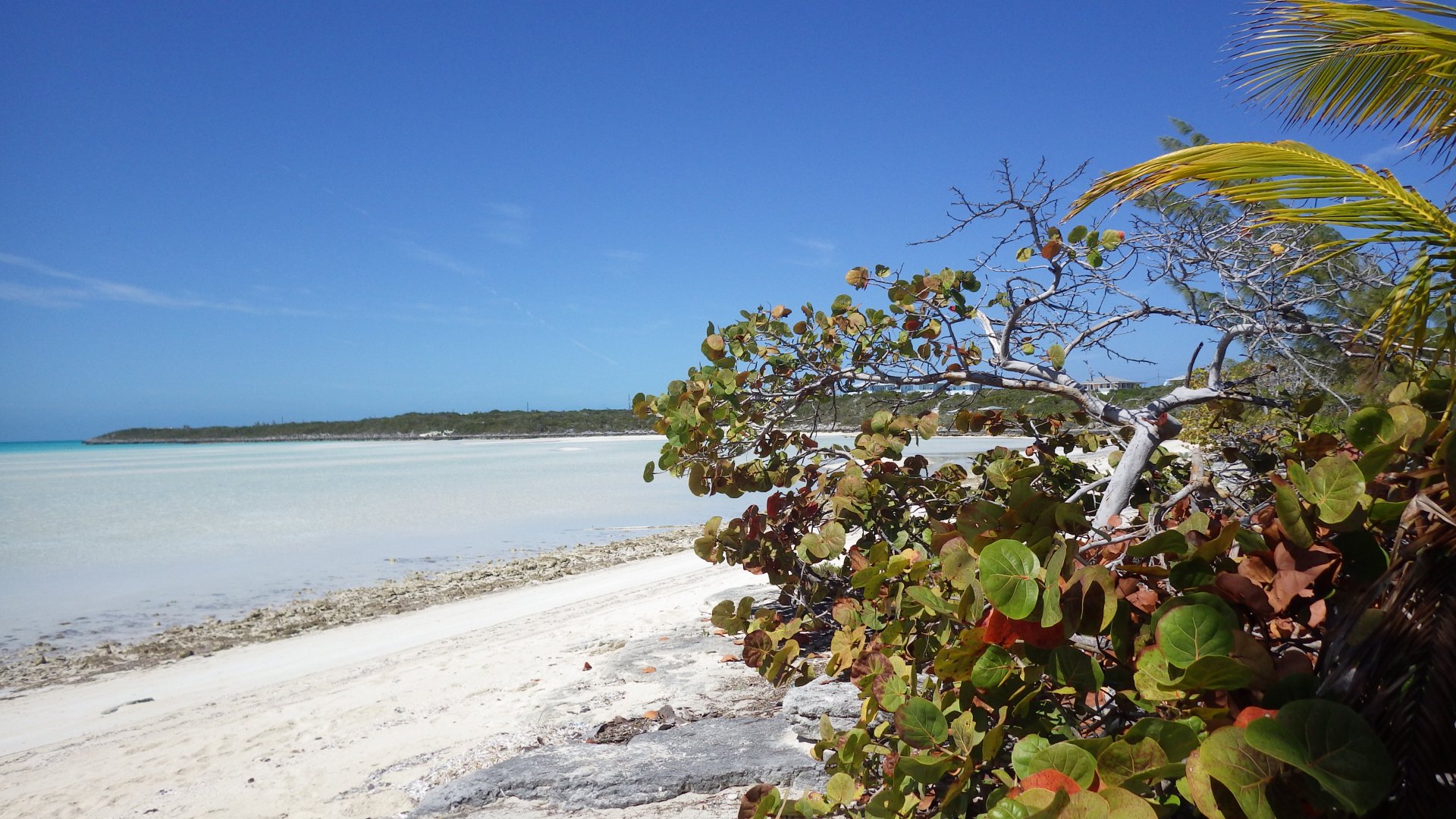
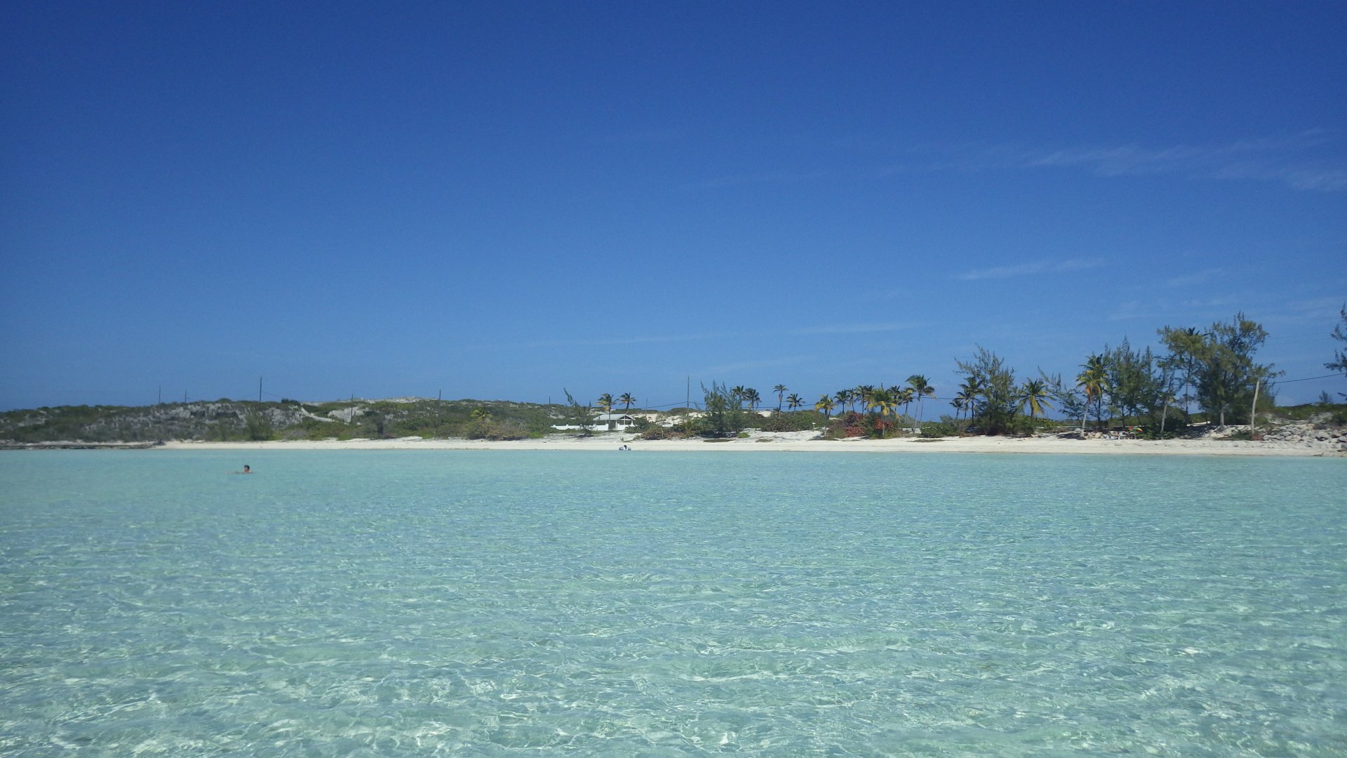
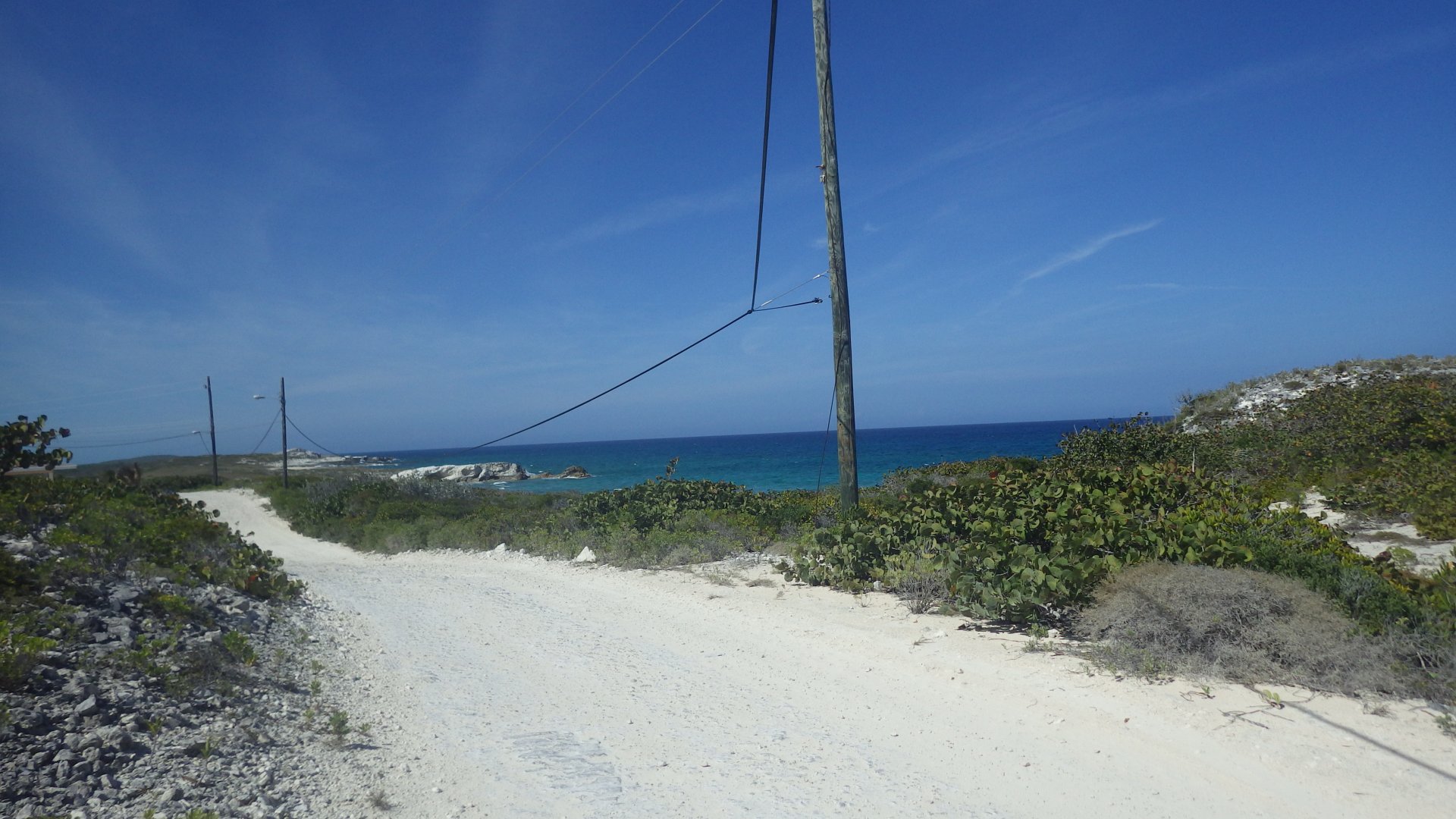
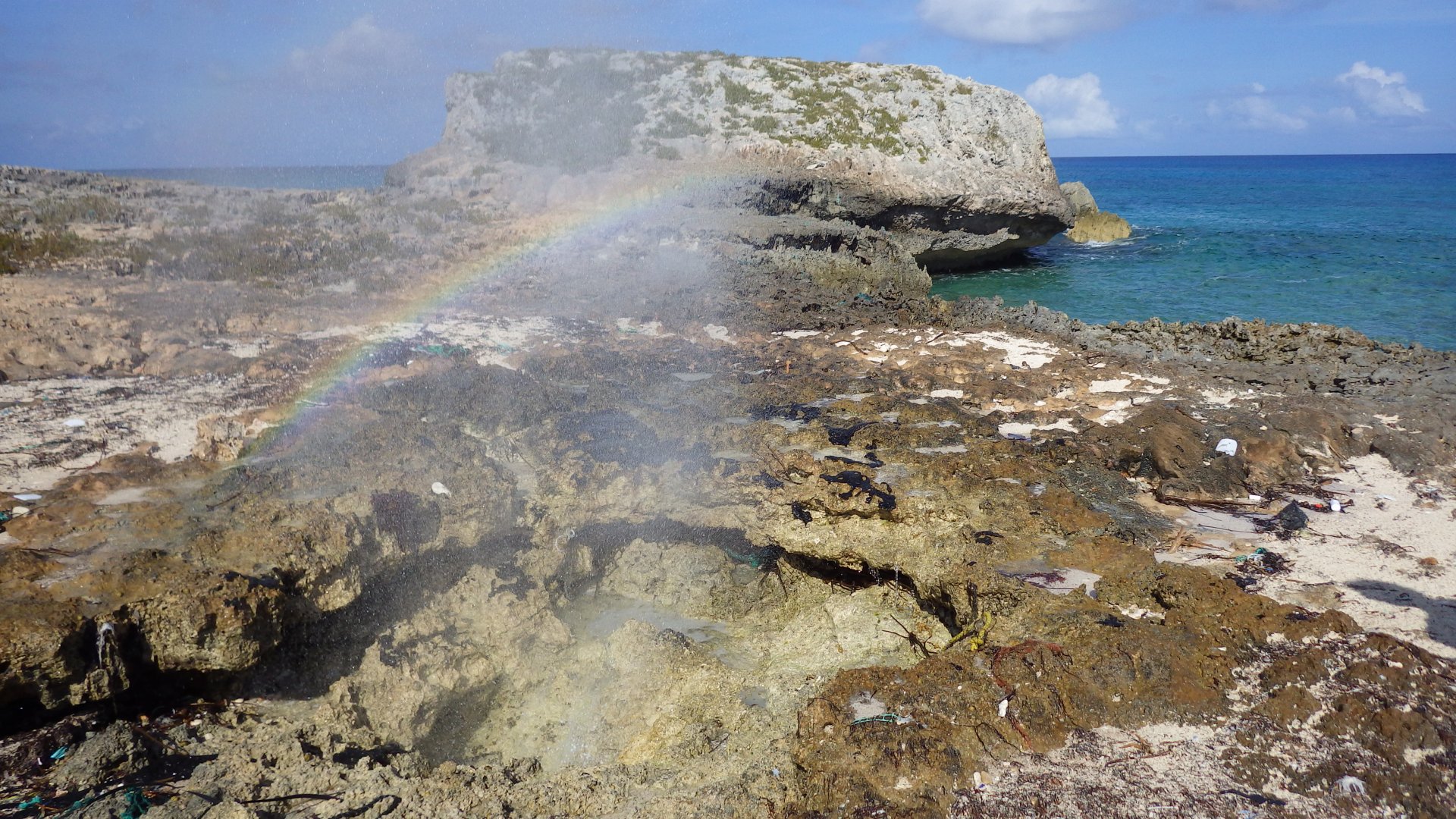
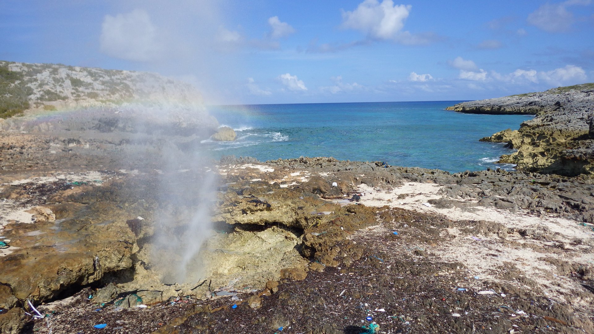
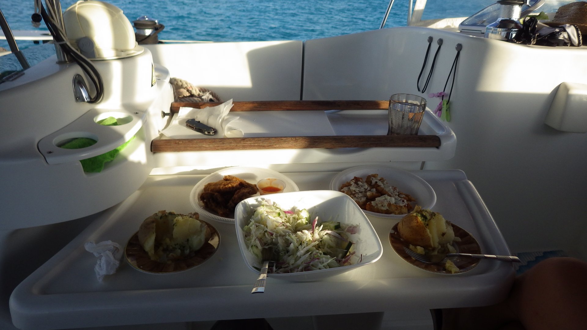
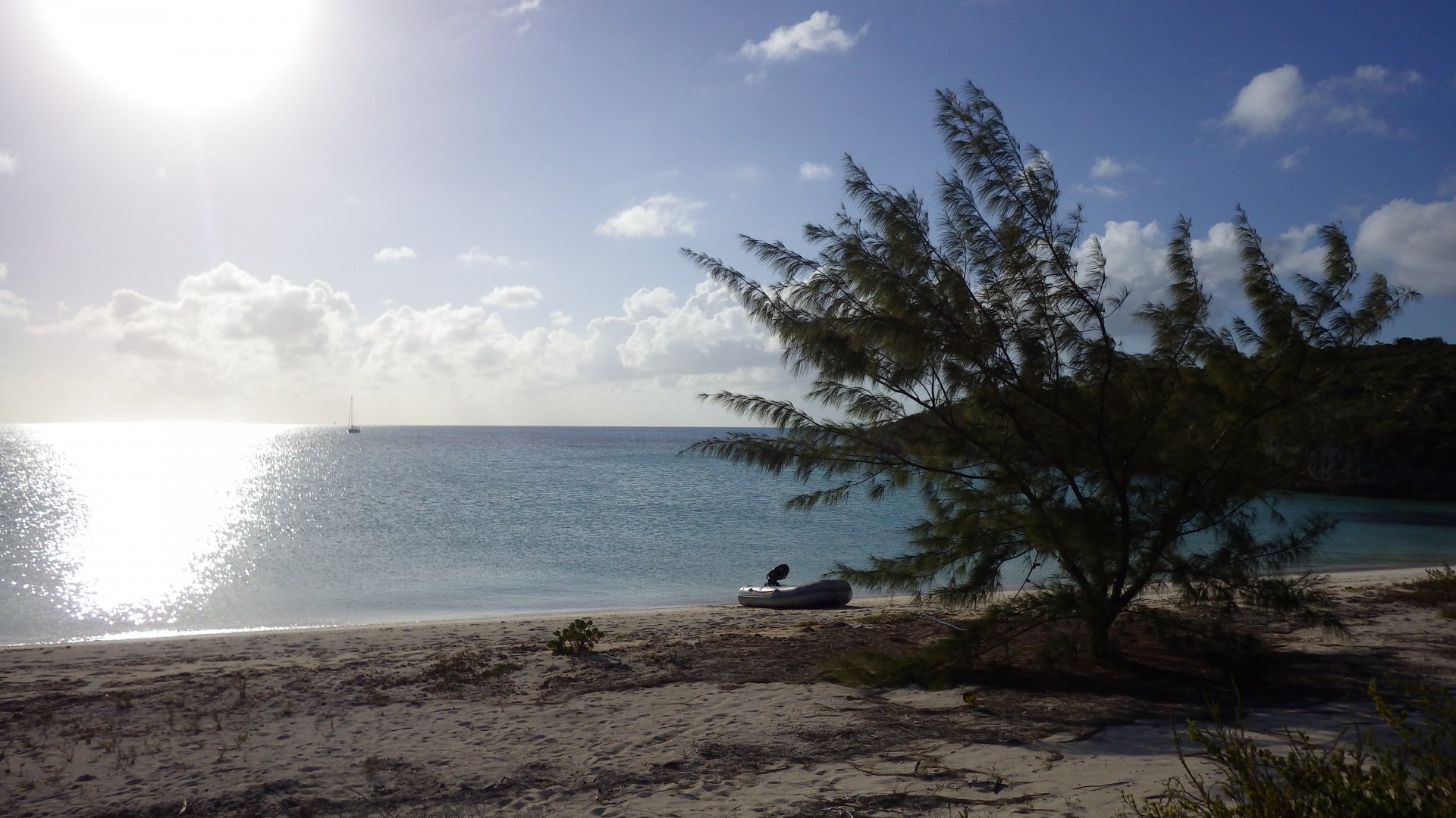
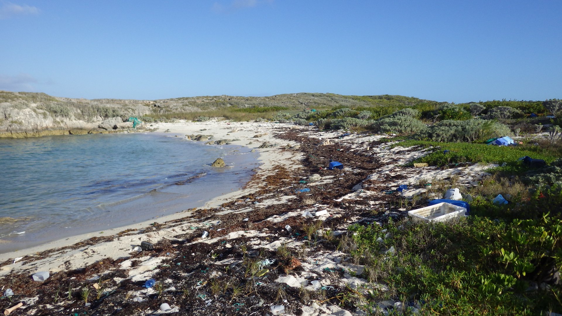
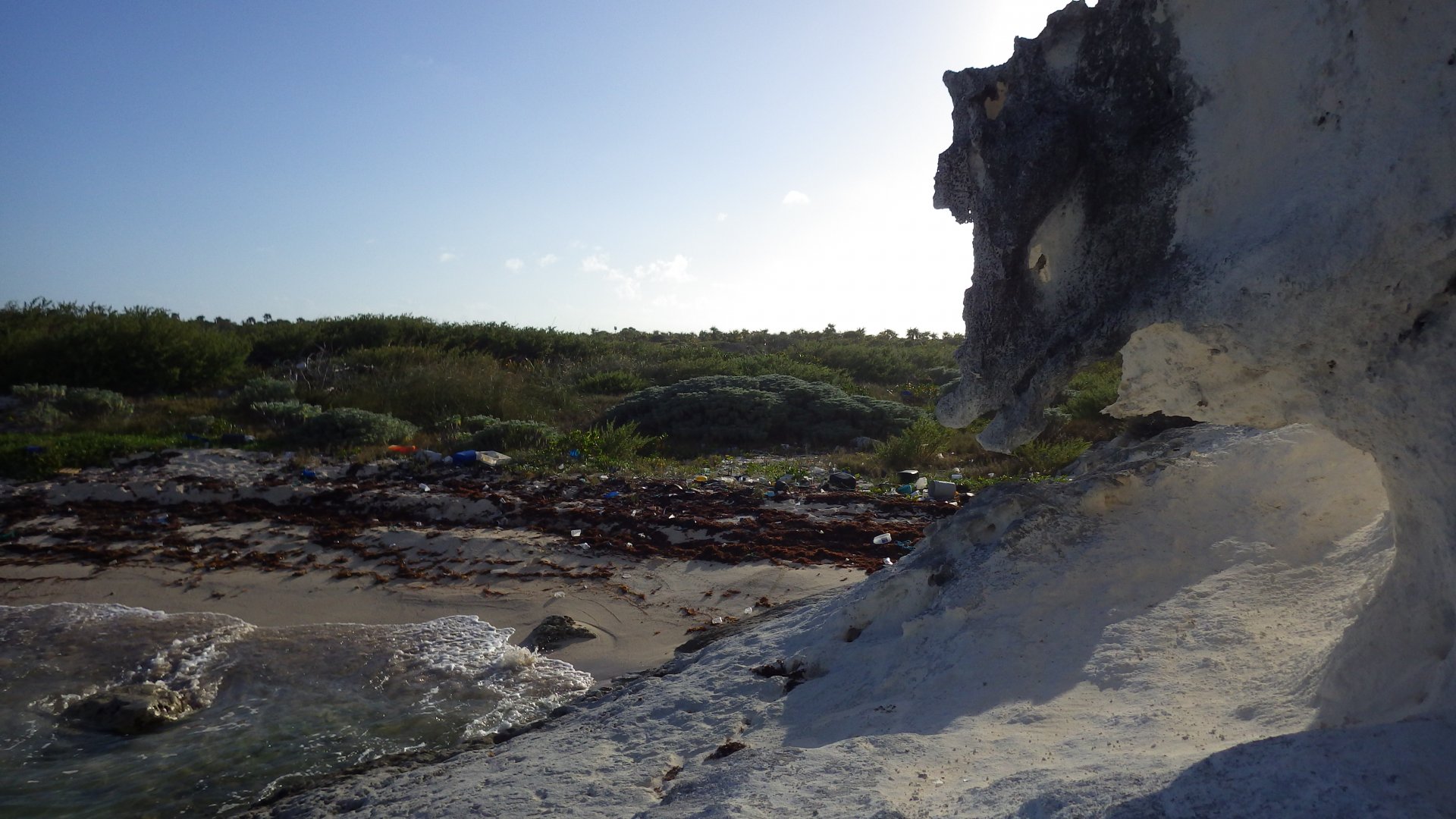
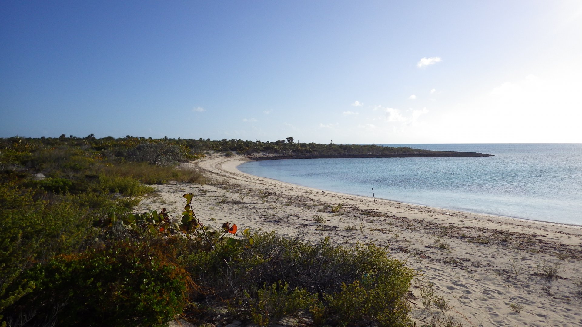
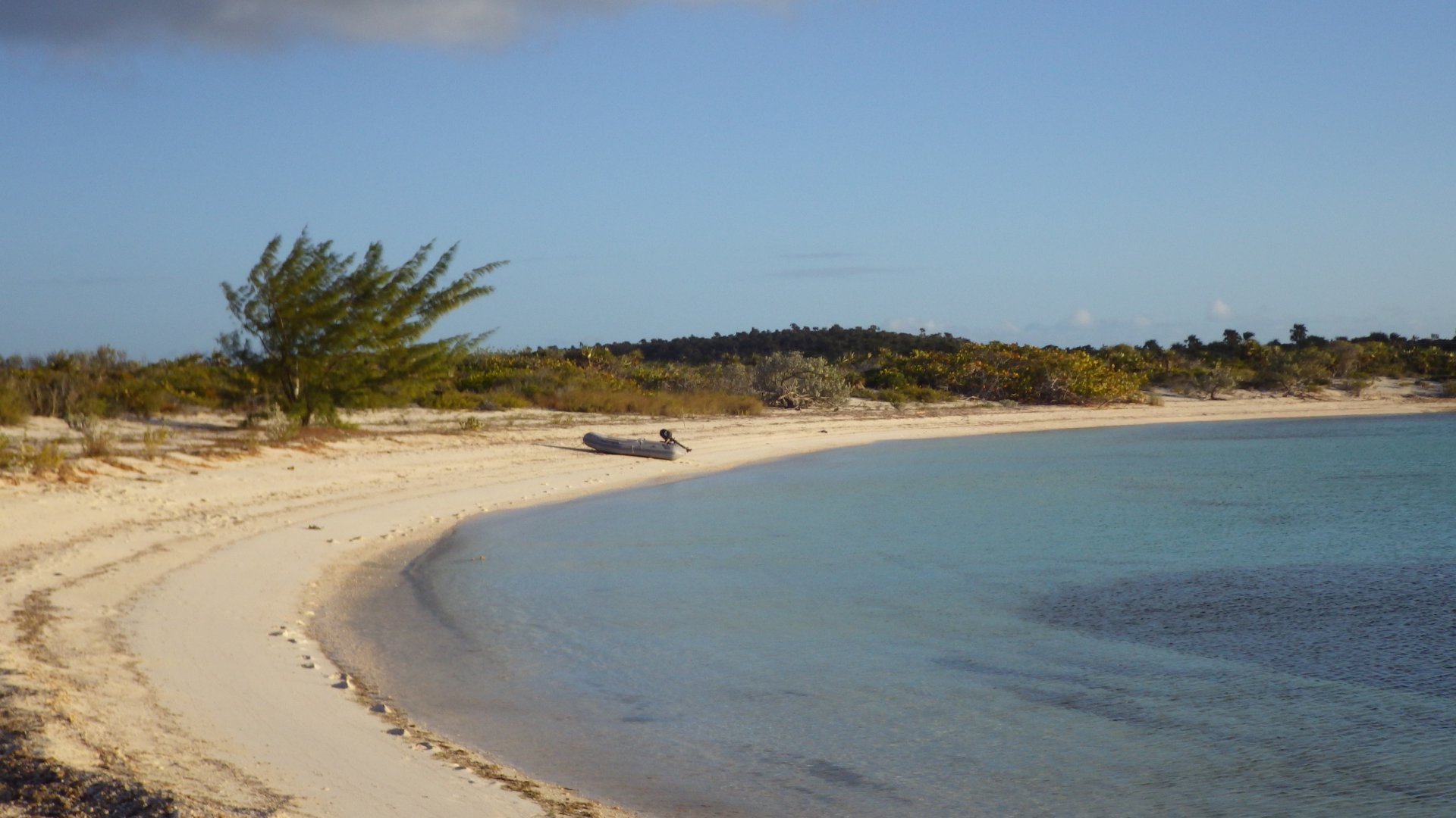
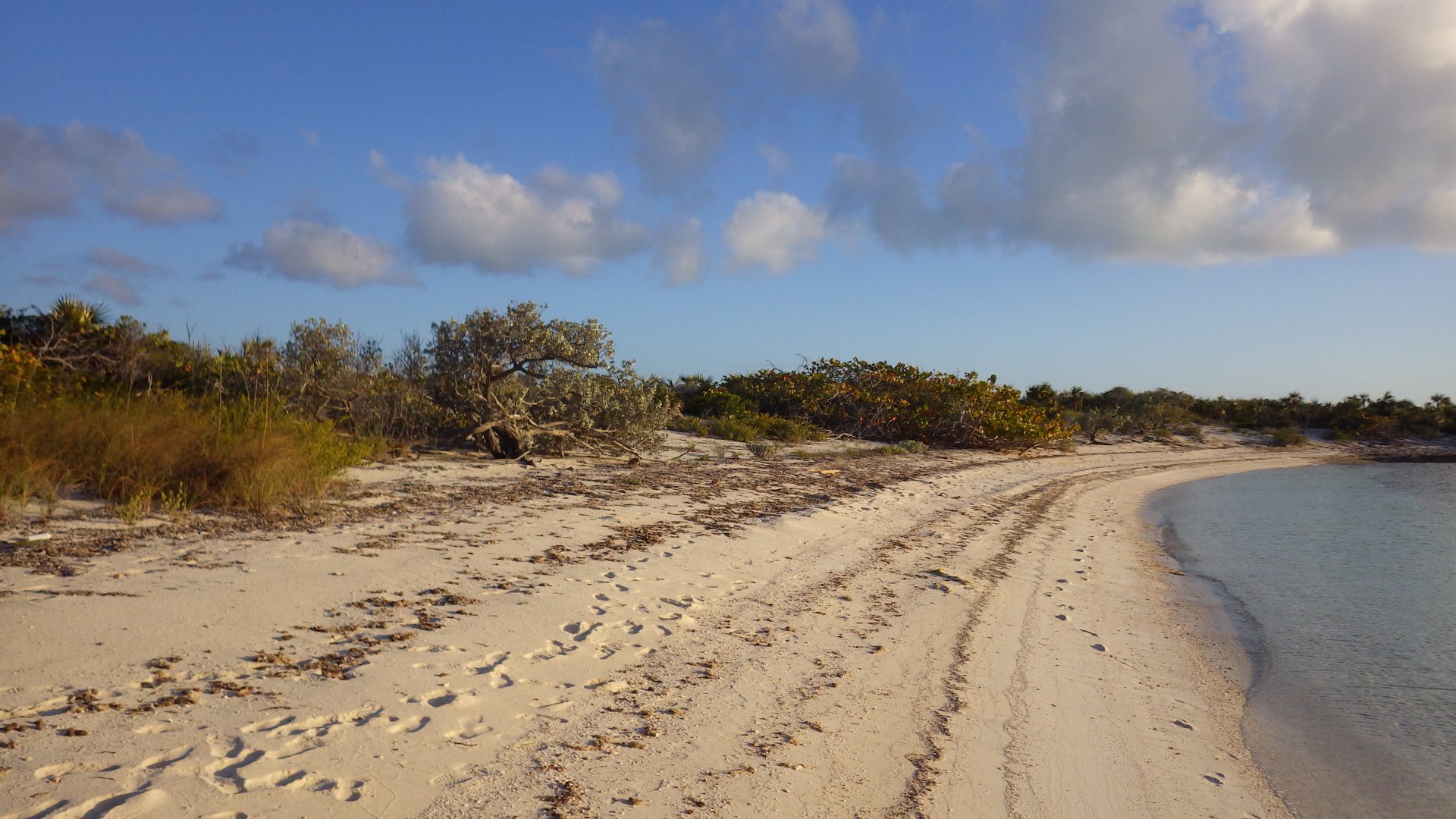
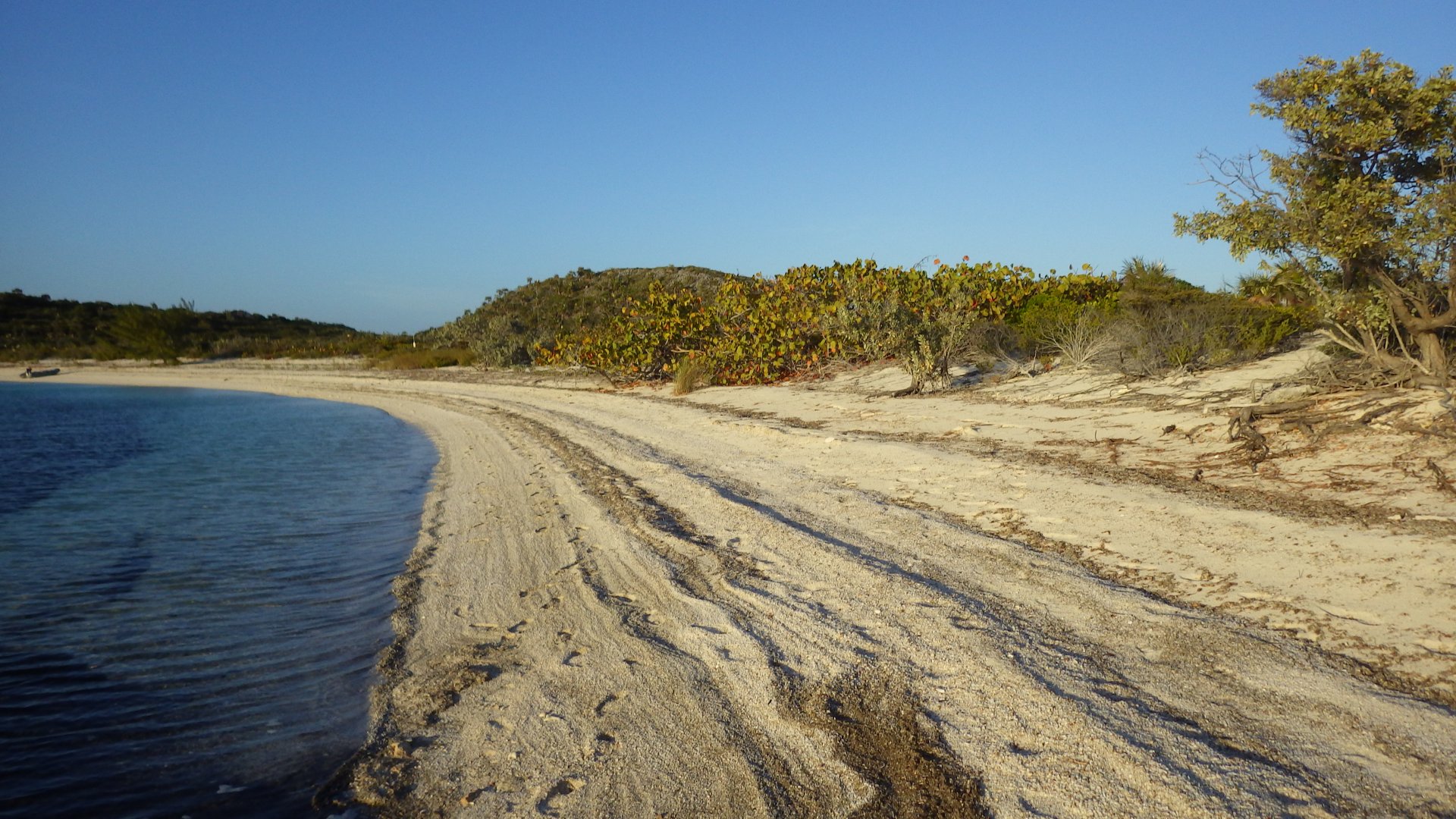
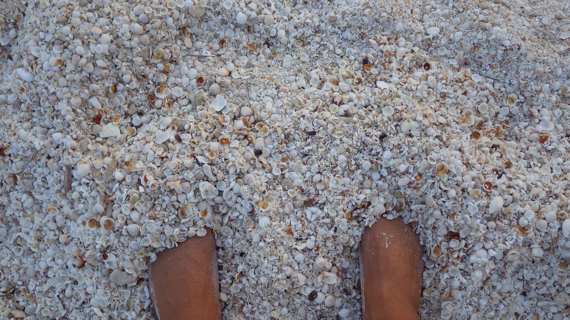
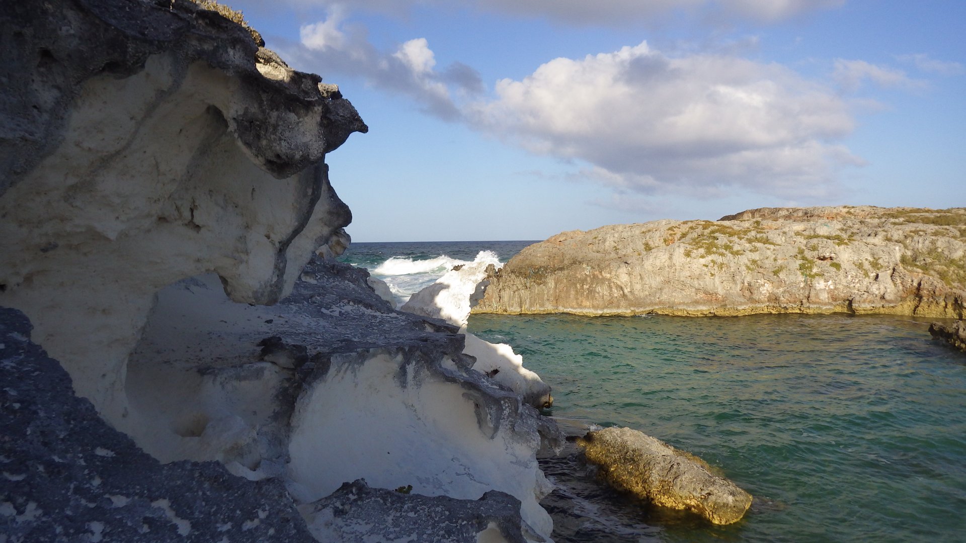
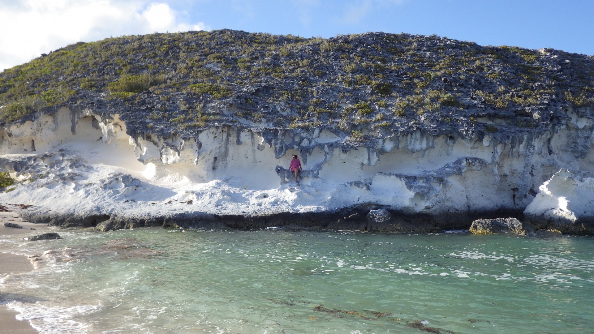
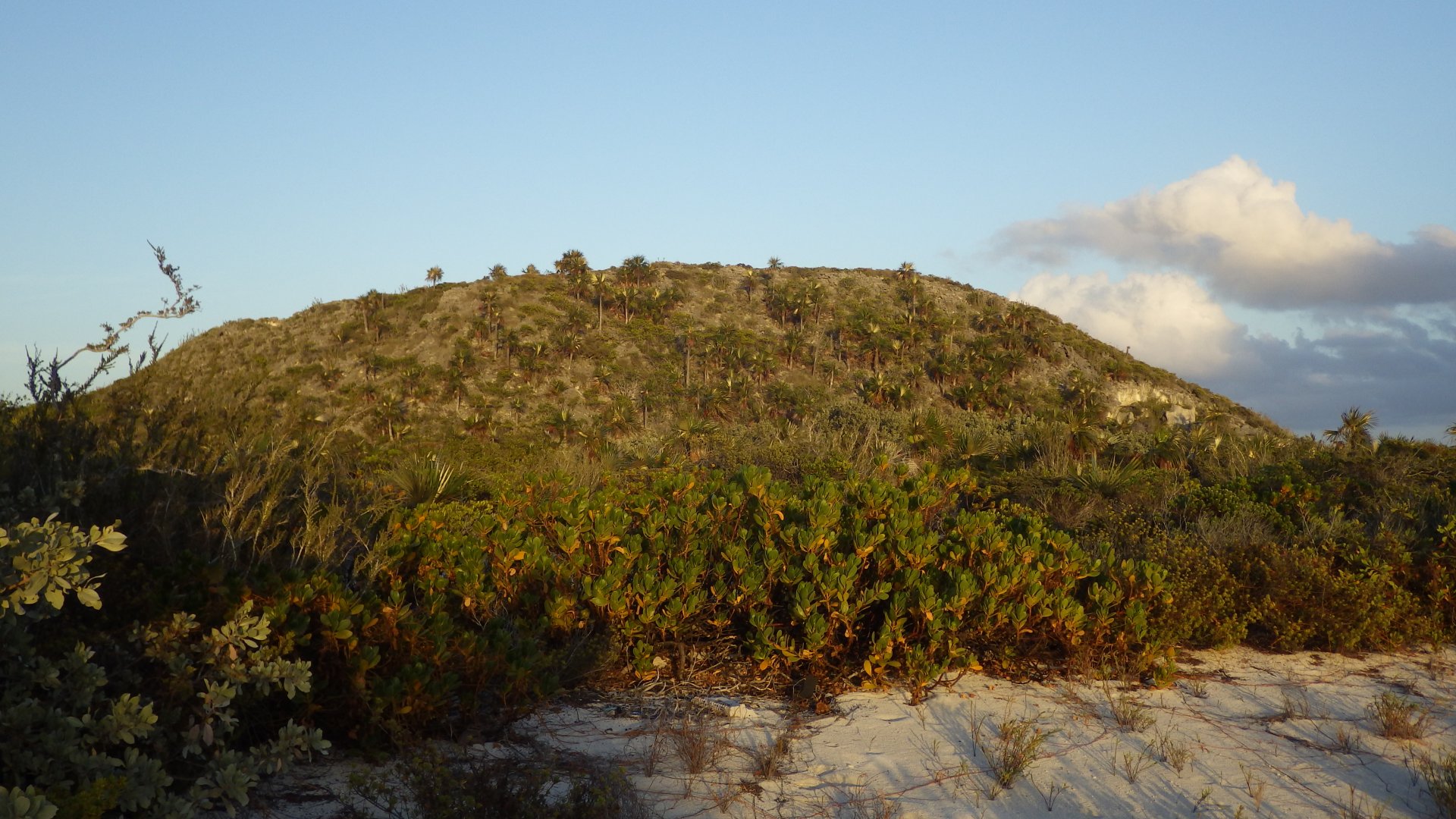
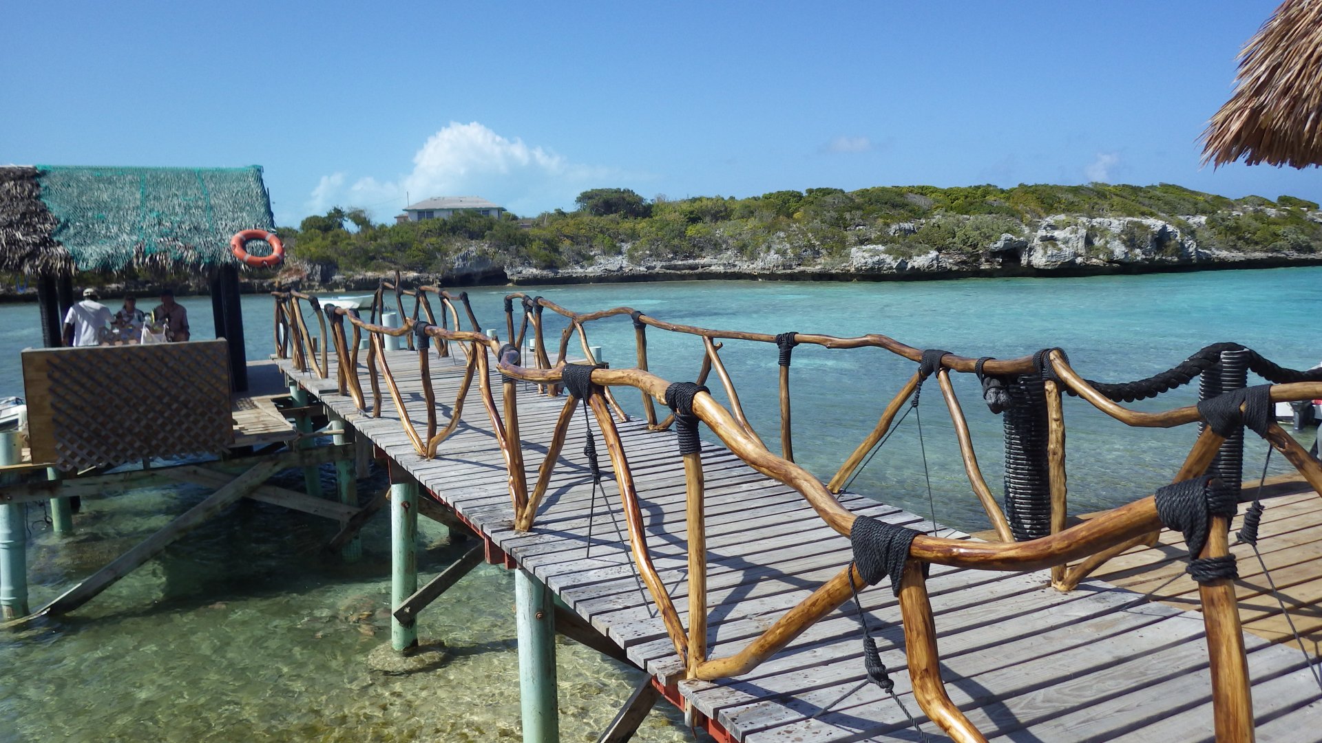
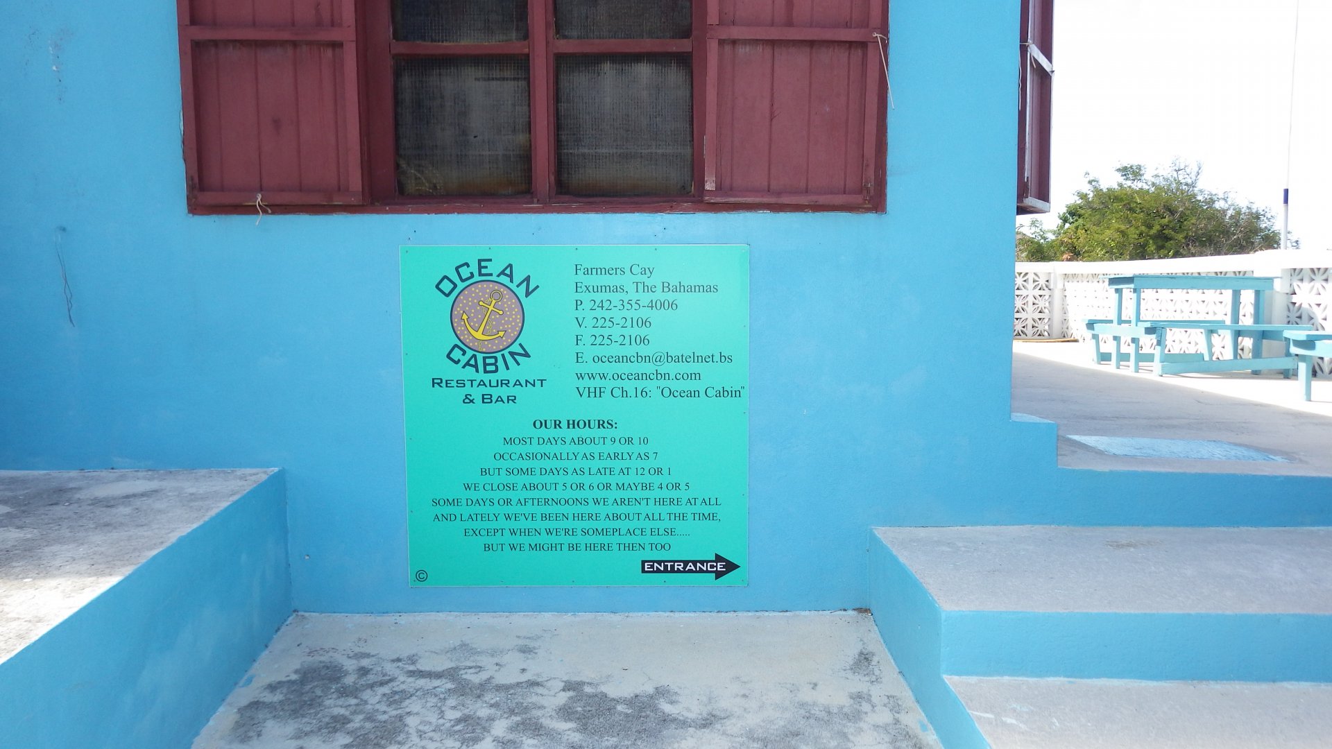
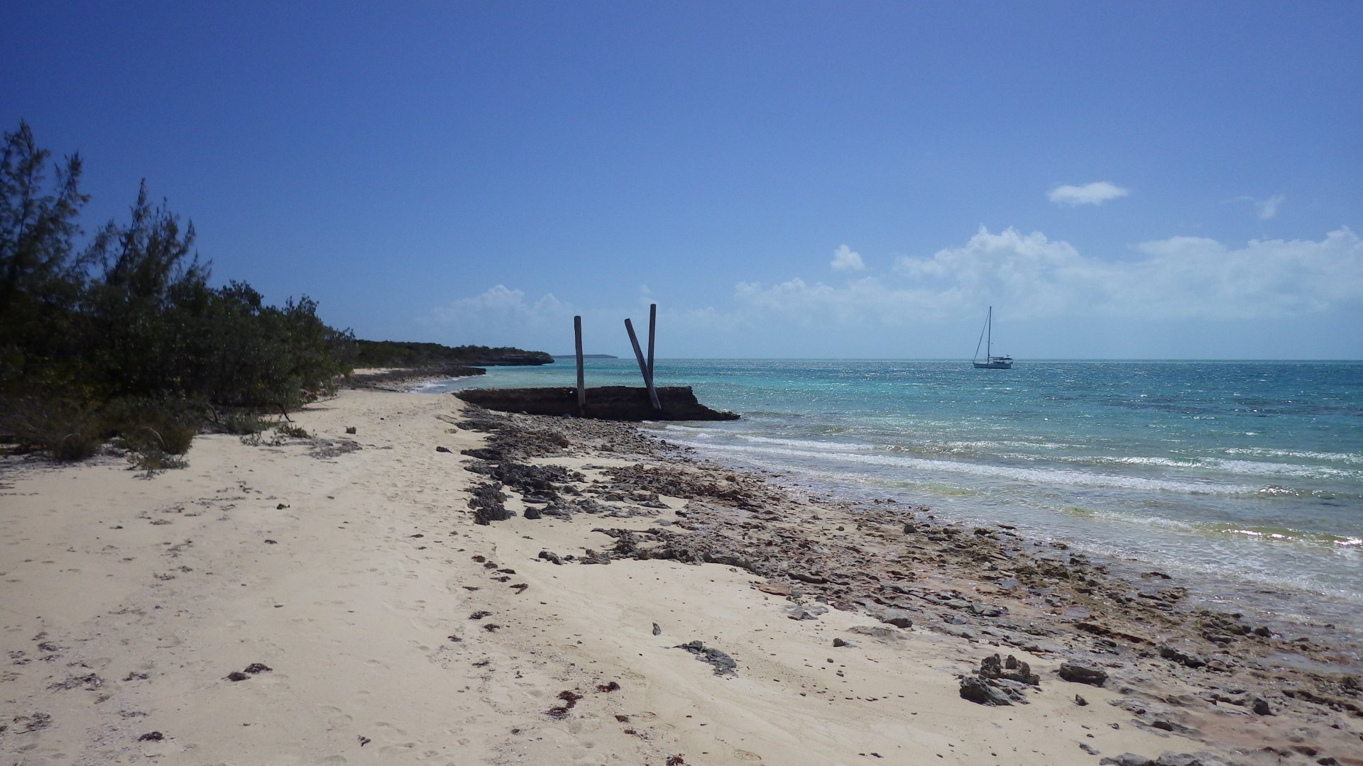
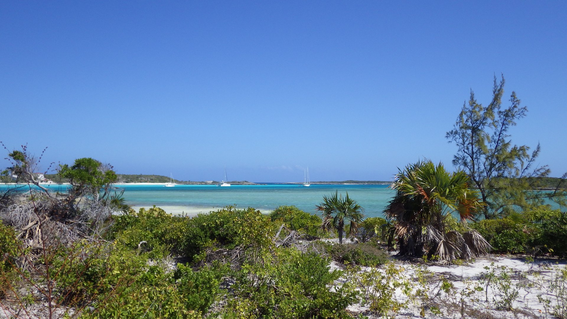
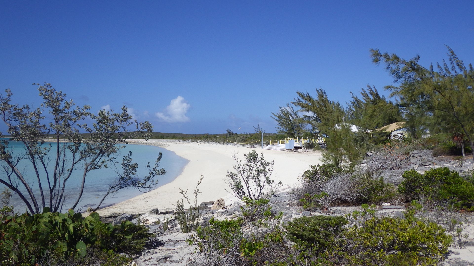
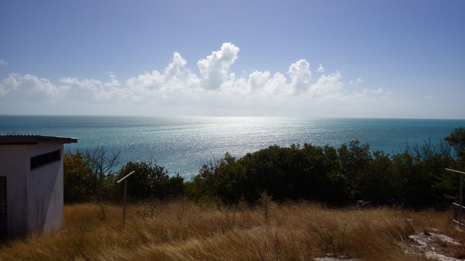
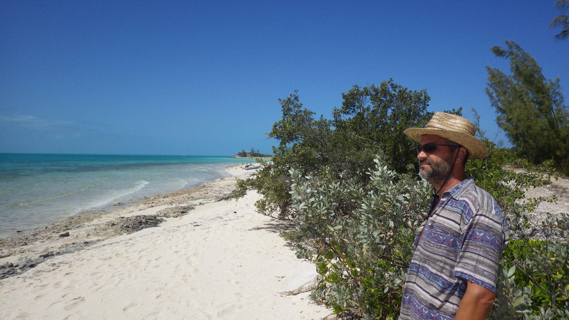
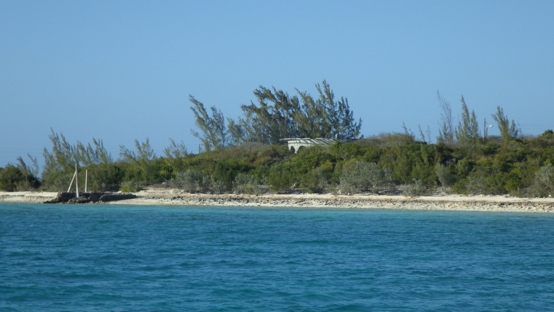
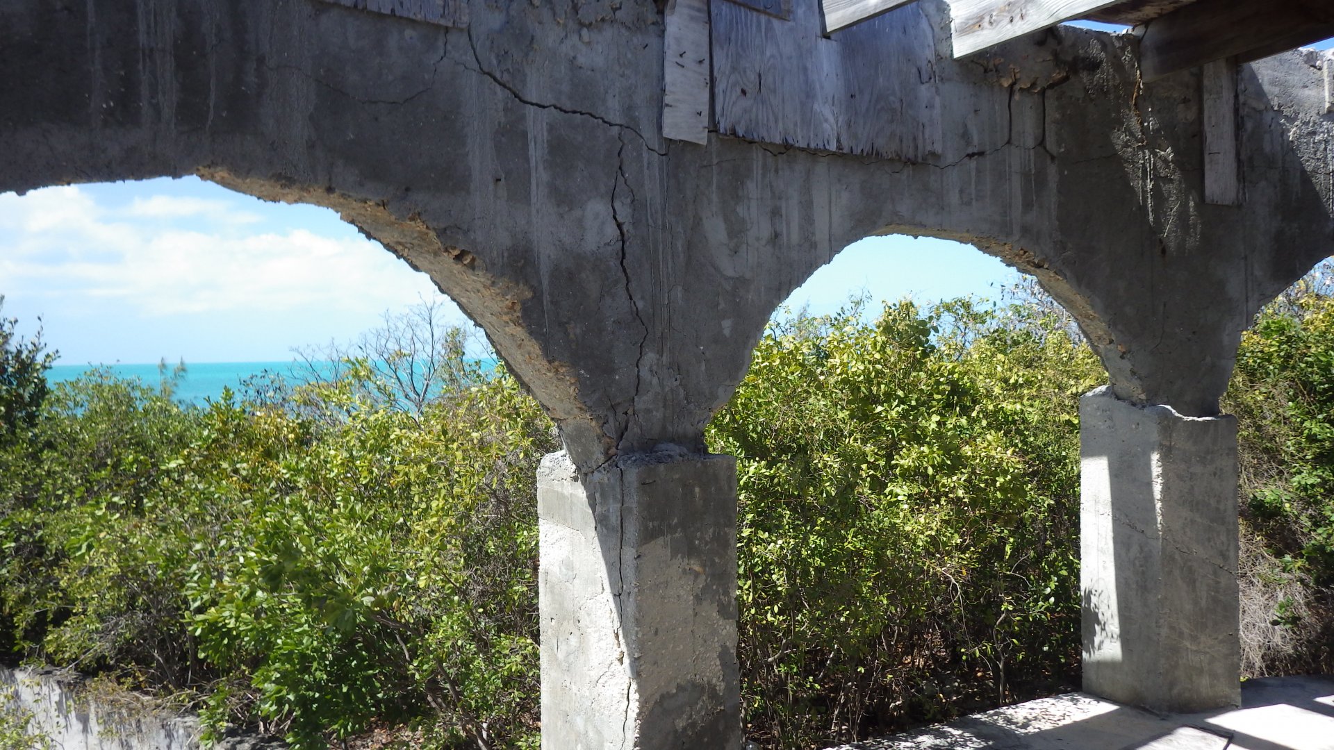
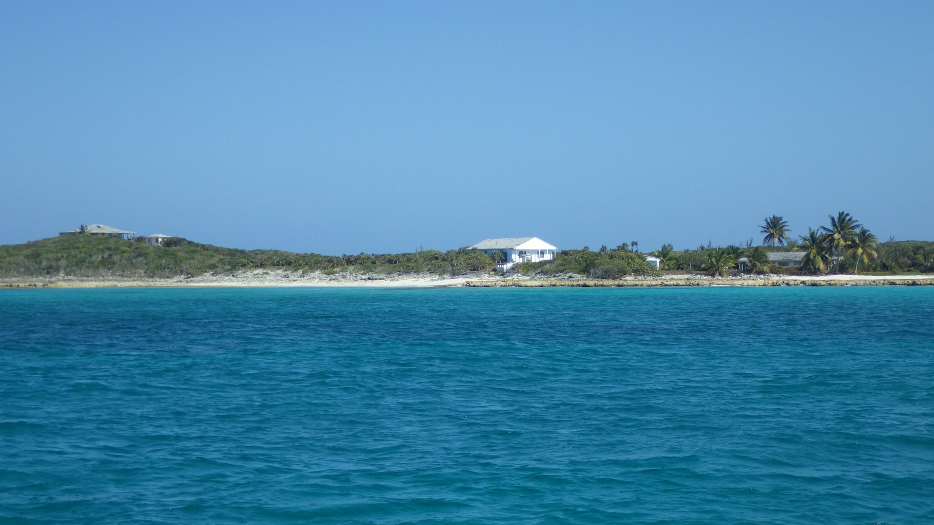
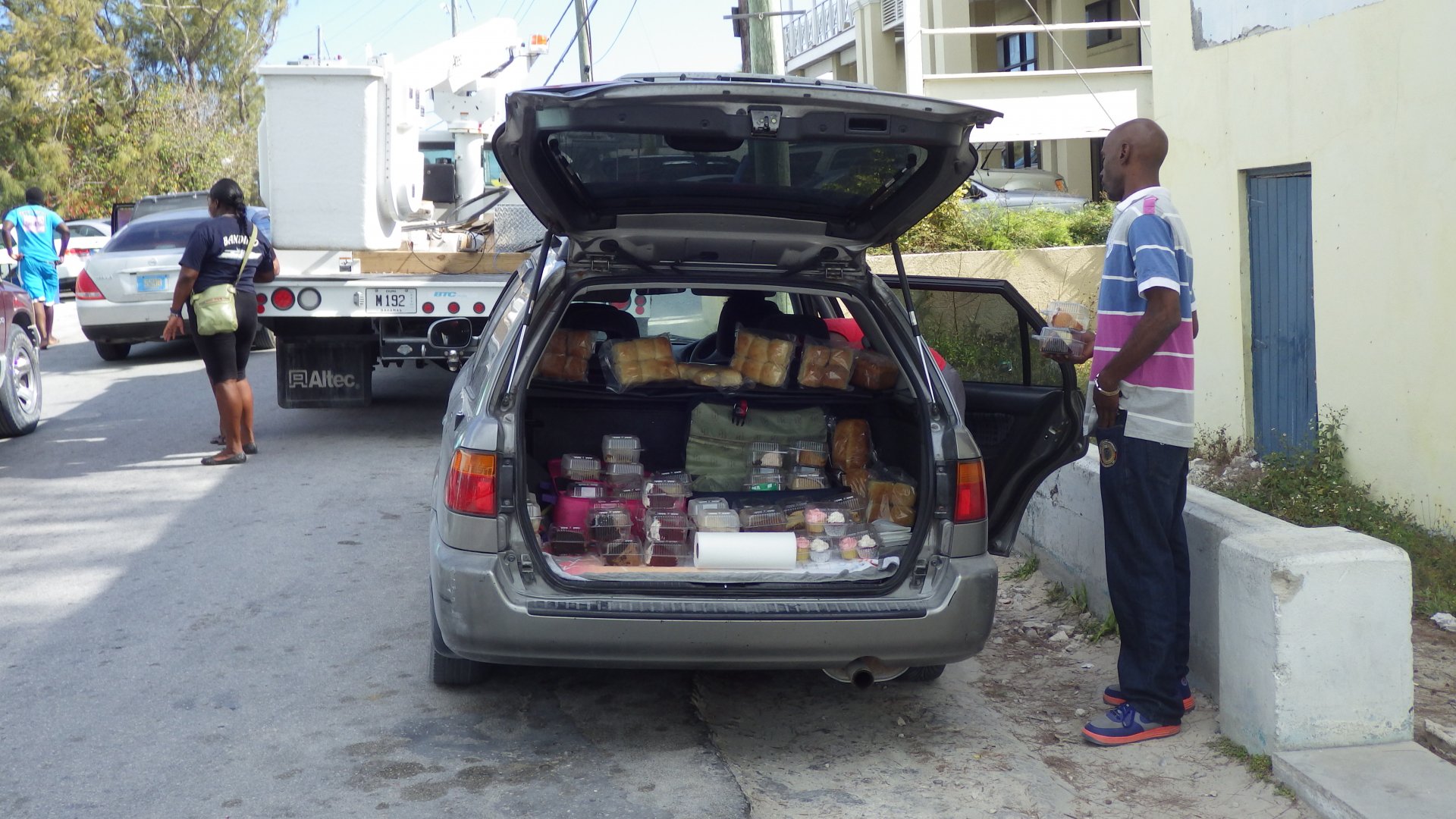
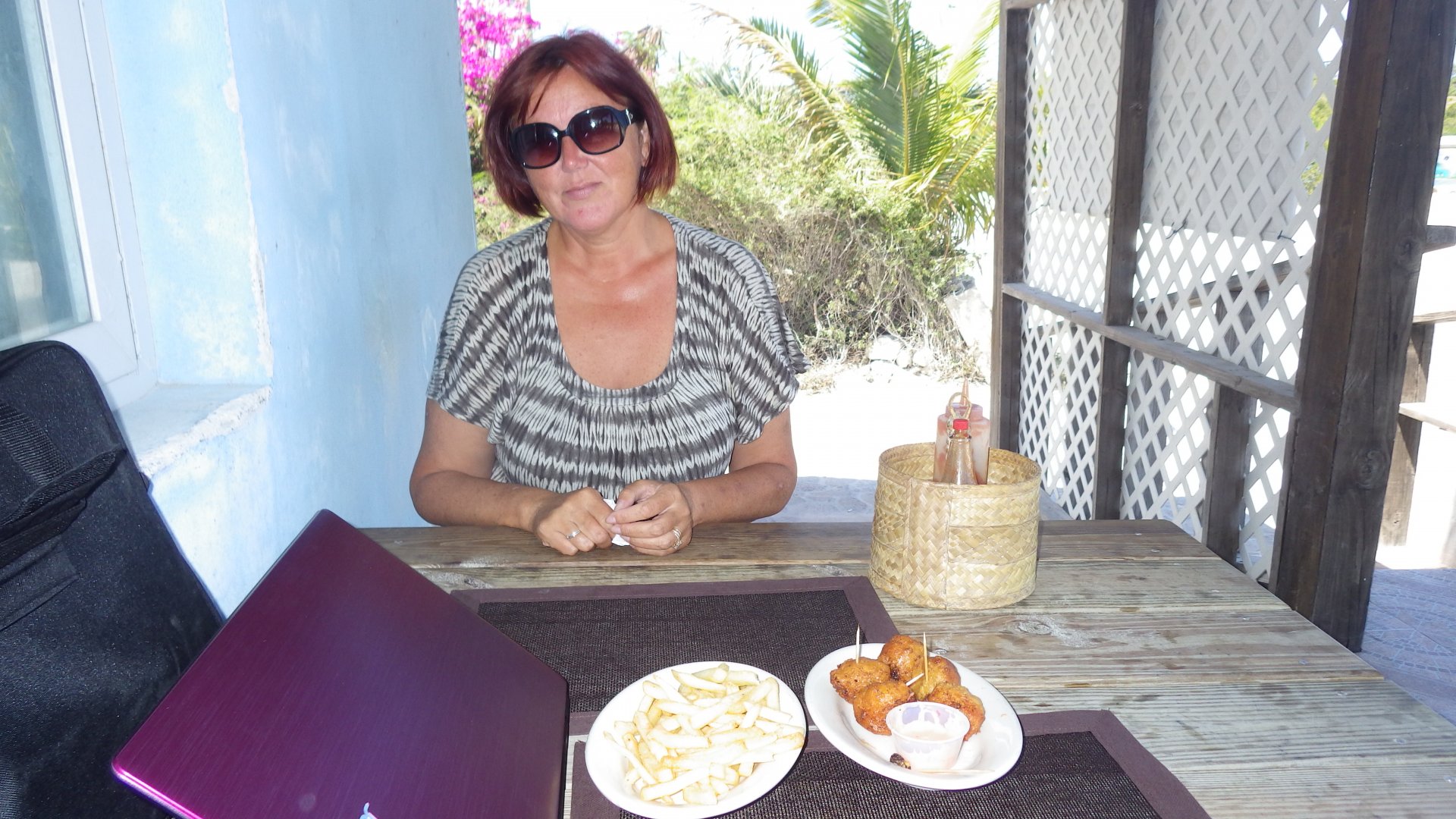
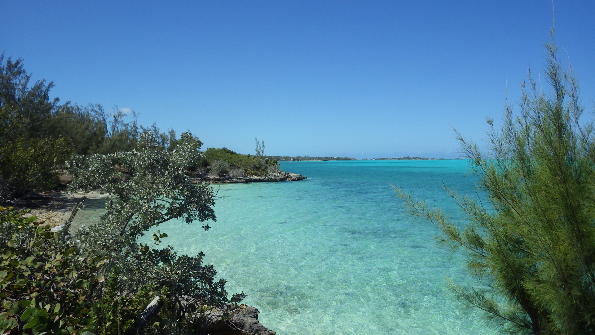
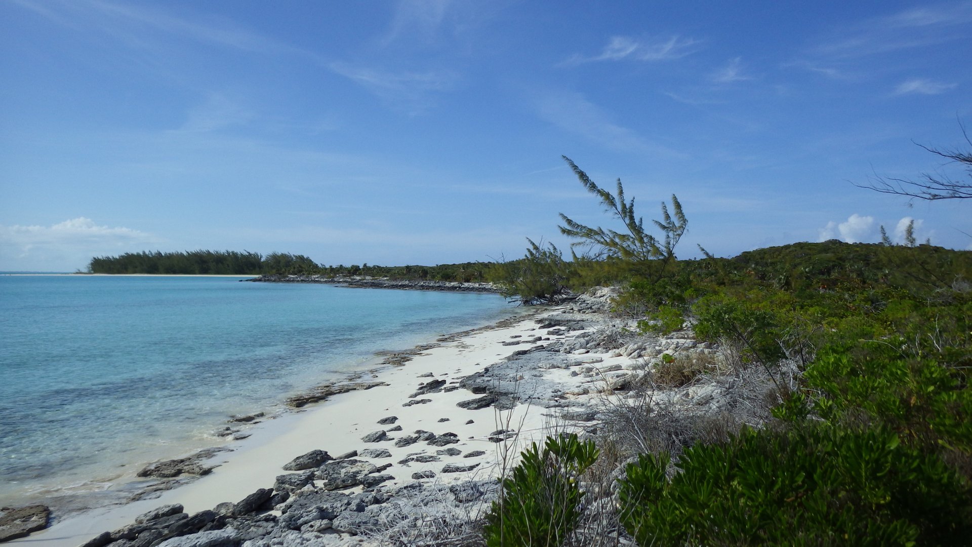
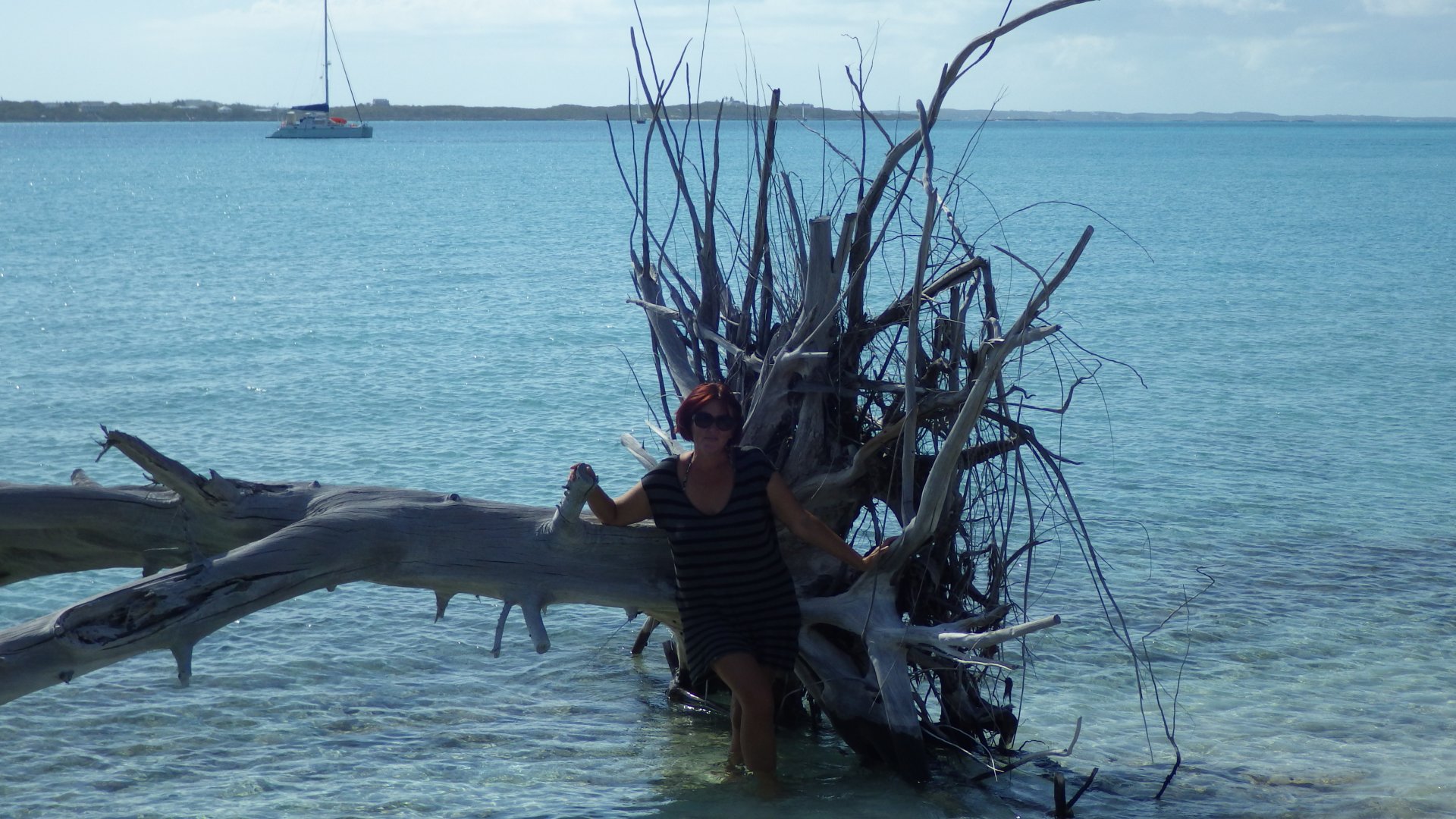
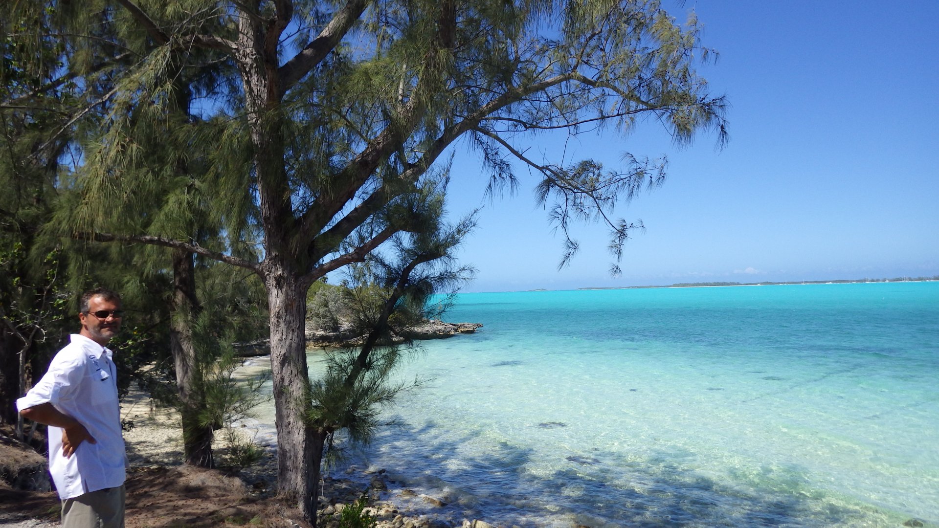
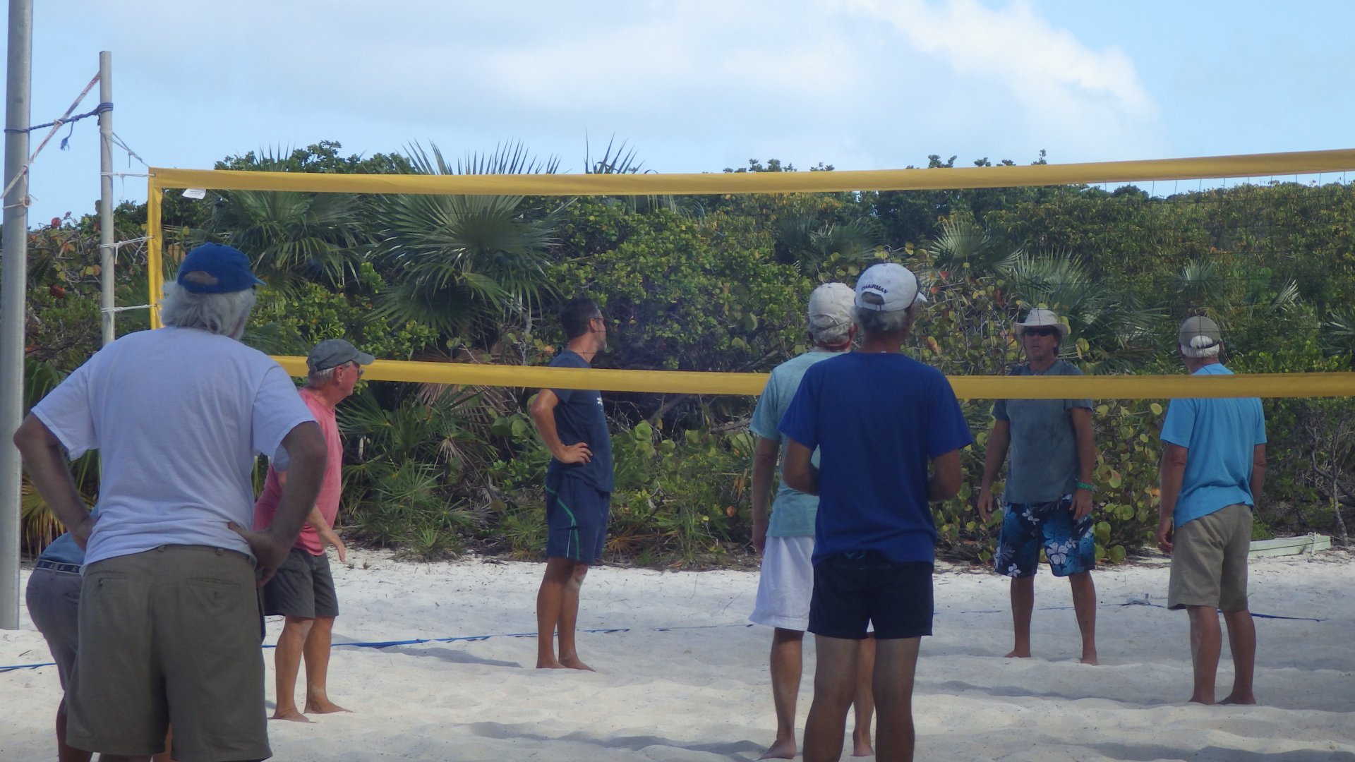
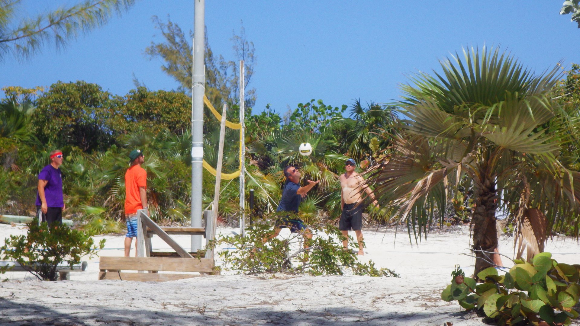
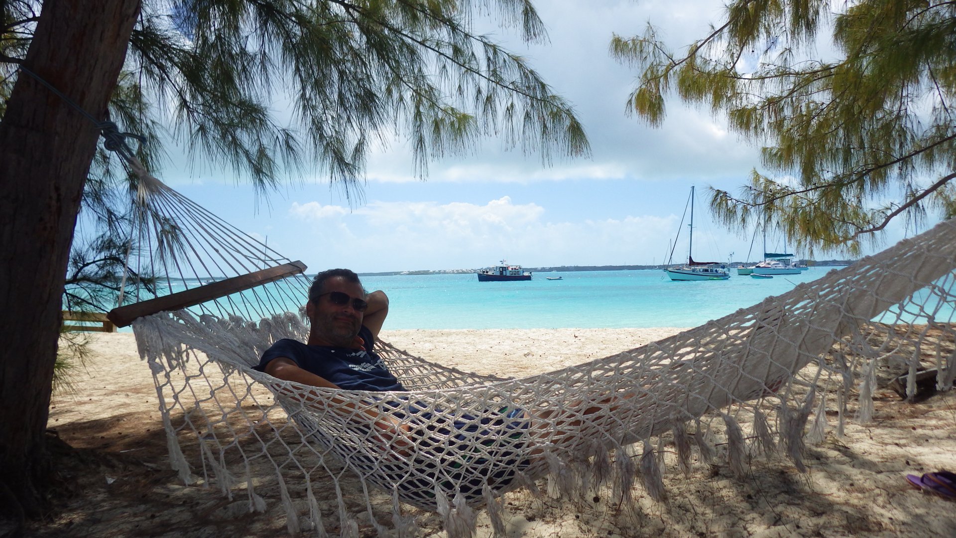
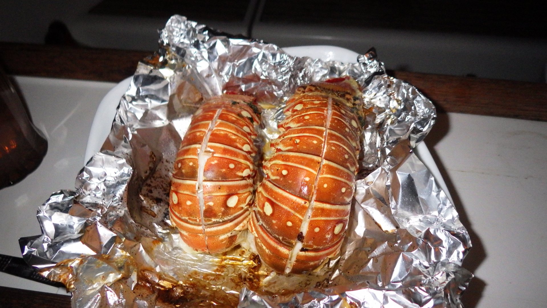
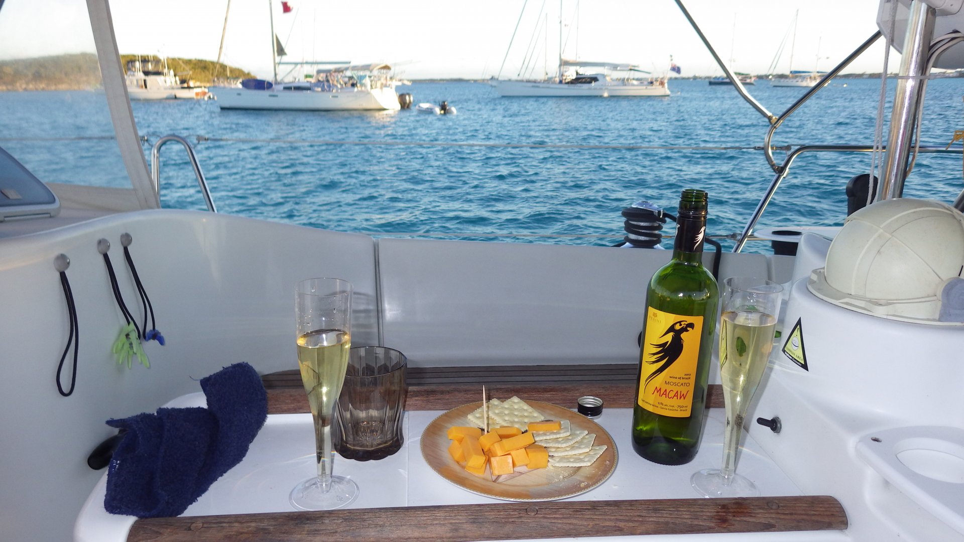
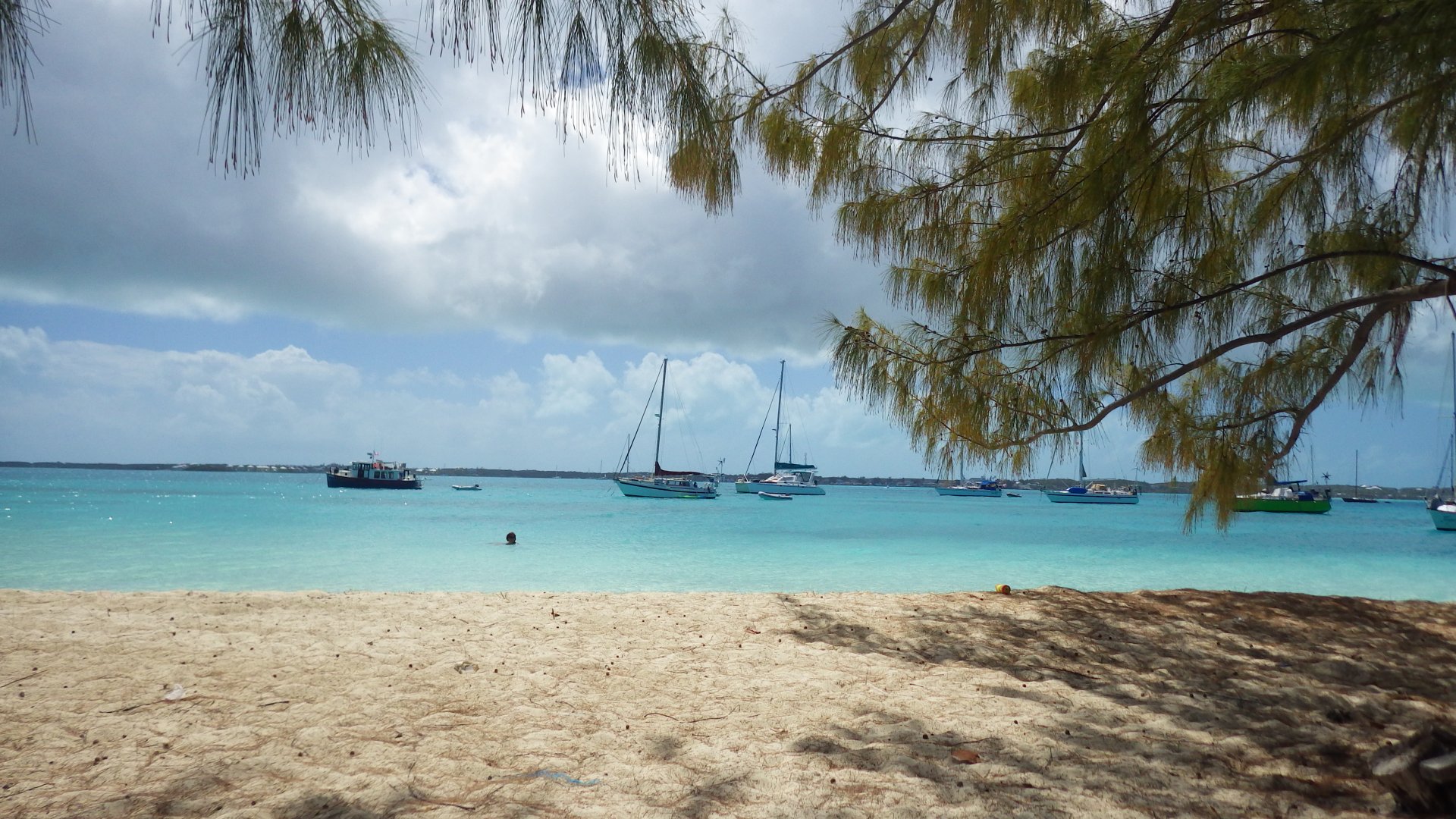
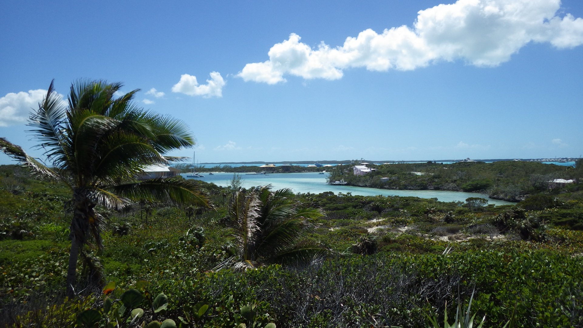
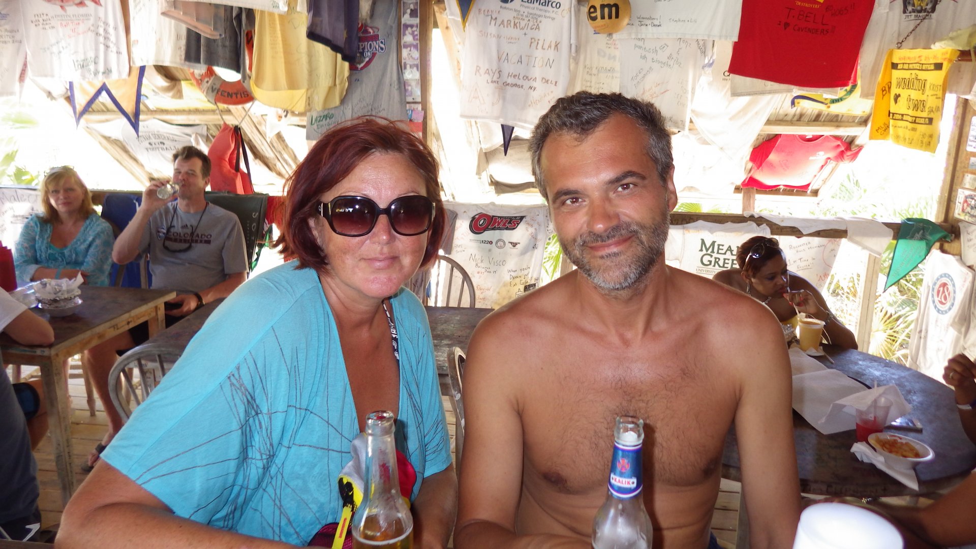
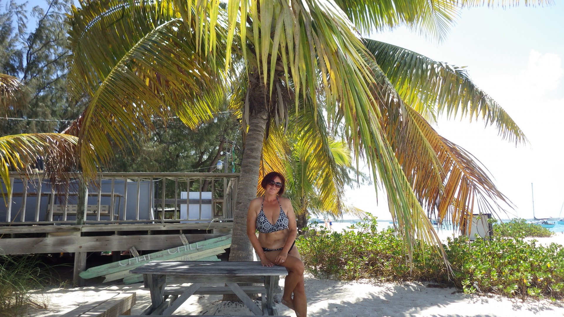
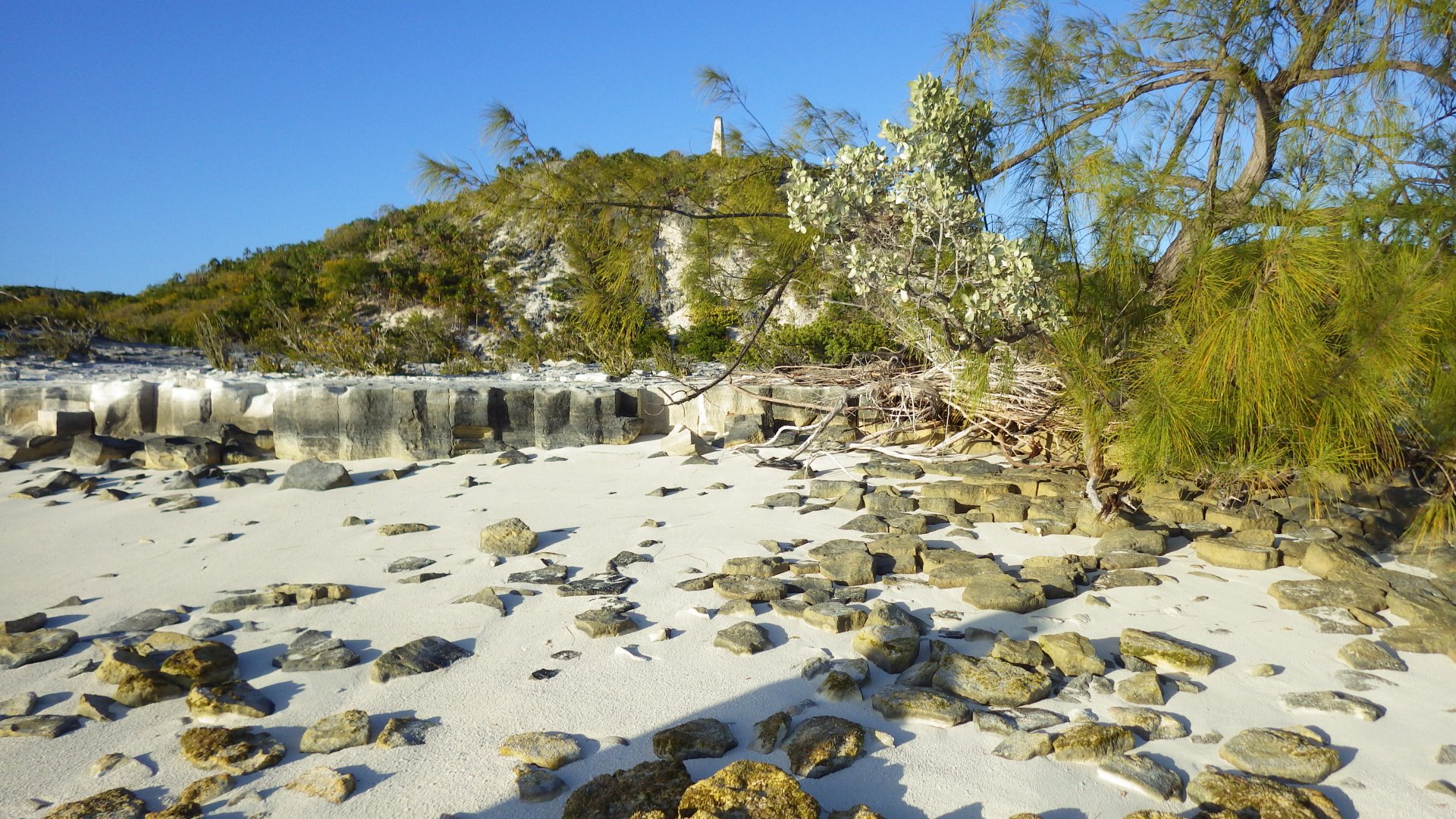
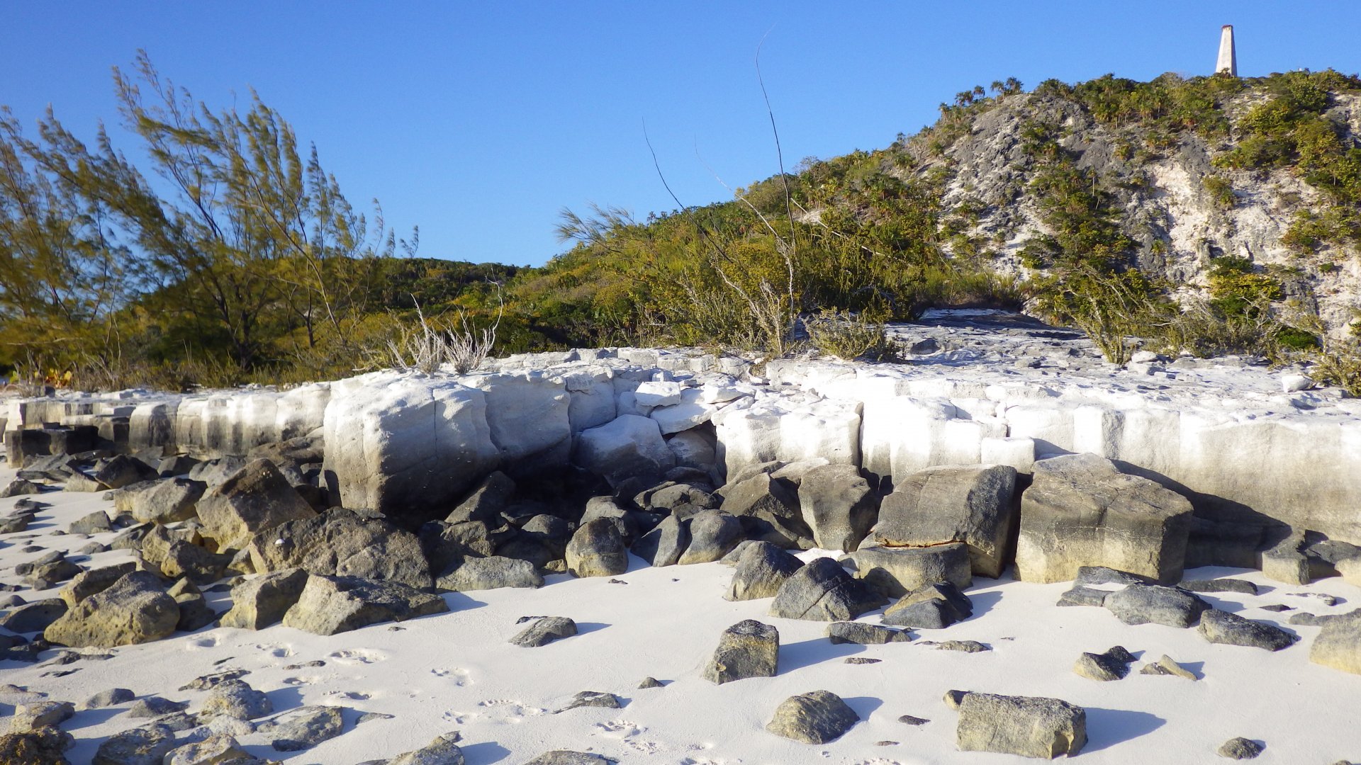
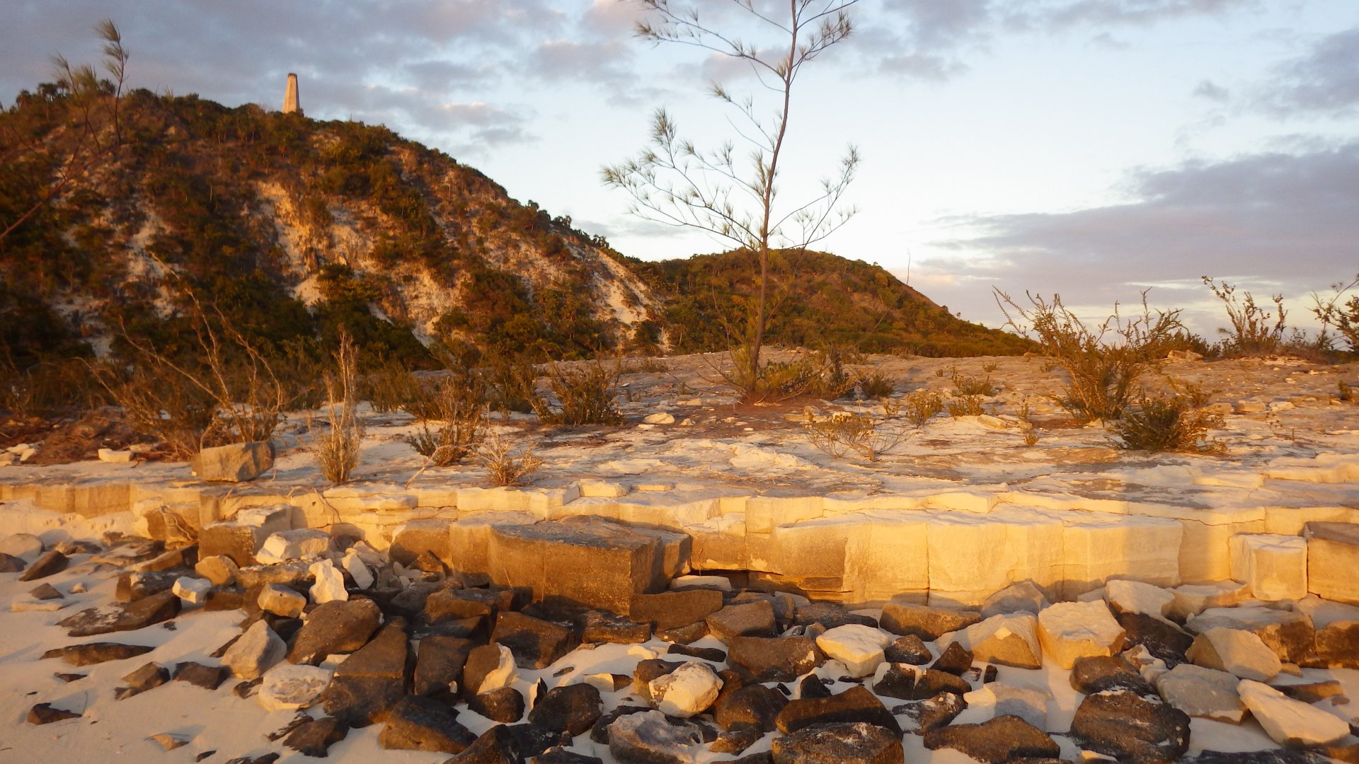
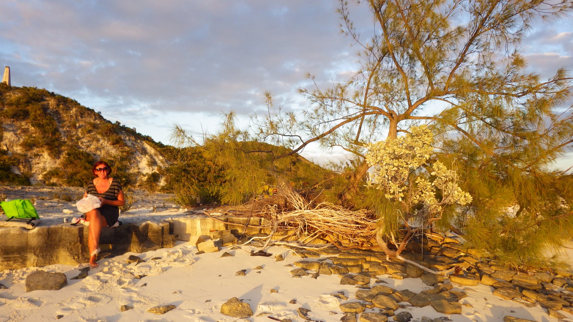
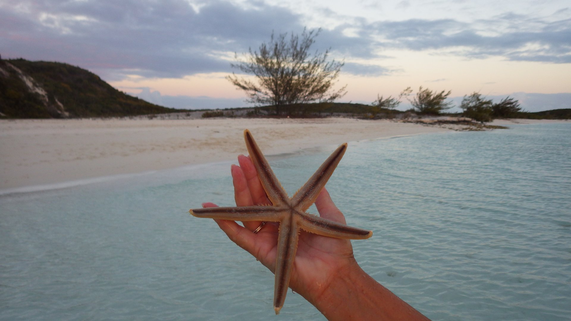
Hiked the island, visited beaches (one with semi-wild pigs), stayed at the bar, lunched at the cafe, did laundry, provisioned, snorkeled in the Thunderball Grotto cave, and just hang around.

Mega Yacht at Staniel Cay Anchorage Staniel Cay Cottages Staniel Cay Fish Cleaning Nurse Shark at the Pier In the Flowers At the Dinghy Dock in Staniel Cay Street with sea view Thunderball Grotto Anchorage View Another super yacht Thunderball Grotto Anchorage View 2 Grottos Anchorage Local Store Blue Local store Pink Local Store Isles Lanfromat Pretty House Shalow Dock Shalow Dock Pirate Trap Beach Valentine Dinner Staniel Cay View Sunset in the Grottos at the bar Pirate Beach Scene Pirate Beach at Big Majots Spot Dinghies at the Pirate Beach Hats at the beach Swimming in the shallows Thunderball Grotto Thunderball Grotto Entrance Thunderball Grotto Entrance 2 Thunderball Grotto Entance 3 Thunderball Grotto Cave Thunderball Grotto Cave Thunderball Grotto Under Water Thunderball Grotto Under Water 2 Thunderball Grotto Under Water 3 Hill Top Houe of someone we met Anchorage between Majors Big Majors Anchorage Church Conch Shell Beack Local Beach At the Cafe Pigs on the beach Pigs on the beac Street Street Bahamas Front Garden View of Banks View of Banks 2 Road sign Staniel Cay Rental Cottages Clinic Shallow banks Pulling dinghy Small Sea Star Reading Time Beach View Beach View Water Rocks Anchorage View at the beach Beach Sunset Leavig Saniel Cay
Iguanas at Bitter Guana Cay

Bitter Guana Cay

Log#: 79
LatLon: 24°08.580'N, 076°25.097'W

Anchored 2 nights at the Bitter Guana Cay. Beautiful spot, nice beach, iguanas. Good memories.

Bitrer Guana Cay Beach Bitter Guana Cay White Cliff Rocky Beach Rocky White Cliff Rocky White Cliff Roky Beach Feeding Iguanas Iguna Pet Another Iguana Beach Crab Dinghy in Clear Water Wavy Cove on the East Side Wavy Cove on the East Side On the Beach Beach Camp Beach Tent Beach Tent 2 Wavy Cove on the East Side. East Side Beach Iguanas on the Beach a Sunset Beach_and Sailboat Walking on the Beach Sunset Making Fire At The Beach Saiboats in Sunset Beach Camping at Night
Black Point Setlement Road Sign

Black Point Setlement

Log#: 80
LatLon: 24°06.063'N, 076°24.142'W

Black Point is another spot popular with cruisers. It is a low-key Bahamian settlement, with some government services, few stores and restaurants, free RO water sprout, few wi-fi spots, and a welcoming community with friendly locals.

The anchorage is fine en Easterly winds, however is very uncomfortable / rolly otherwise. The Westerly winds are a well known trouble here, and there are no hiding spots nearby. Also there is no fuel.

Anchored in the main harbour for a week - explored the island, spent time on the beach, did laundry, tasted local food, provisioned, and generally had a good time. Fishing (trolling lure behind the dinghy) was successful too.

Maioboat Arrived Overlooking the Anchorage Anchorage View Regata Point Beach View Beach View Under the Palms Walking in Shallow Water Some Beach View Black Point Street Black Point Street 2 Black Point Street 3 Black Point Street 4 Waiting for Laundry Pulling Dinghy Dinghy at the Shoal Beach View from the Beach Beach View Beach View 2 Road along the Beach Road along the Beach Anchorage View Anchorage View Boats at Bklack Point Anchorage Driftwood Garden of Eaden View from the Bow Blow Hole Blow Hole Rockside Laundry and Inn Dinner s Ready Black Point Shore Regatta Point Boats at Anchorage Boat at dusk Boats at Anchorage East Shore East Shore Black Poit Harbour Anchorage
Jacks Bay Cove

Jack's Bay Cove

Log#: 81
LatLon: 24°03.350'N, 076°22.736'W

A two-night anchoring in a small cove along the Great Guana Cay. Had a cove to ourselves.

Walked to another (Easterly) side of the island, found another cove where flotsam garbage gets collected on the beach thrown by wind and waves. So sad to look. Unfortunately, it's a common scene.

Had time to catch up with some work.
Tried fishing by trolling from the dinghy along the shore - no luck.

View from Anchorave View Aft from Deck Other Boats at Anchor Rocky Shore Rocky Shore Rocky Shore Rocky Shore Rocky Shore Rocky Shore Rocky Shore Float Gagbage Horse Head and Garbage Cove Beach Cave Cove View Cove Beach Cove Beach Cove Beach Shrub on Cove Beach Beach Shells East Shore Cliffs East Shore Cliffs East Shore Cliffs View Across the Island East Shore Head Larysa on the Cliff Palmed Hill Larysa on the Cliff Before Suset Yacht in Sunset Sunset
Little Farmers Cay

Little Farmers Cay

Log#: 82
LatLon: 23°57.213'N, 076°19.395'W

Little Farmers Cay looks like a pretty place - picturesque harbour, with dock and some shore shops and restaurants.
Unfortunately, the harbour is mostly shallow, not many places to anchor. Most (pretty much all) places on shore we’ve encountered were closed, (would open upon request...).
Surprisingly, not may cruisers encountered.

As with many Bahamian islands, there are ruins of neglected, abandoned, and not finished buildings around.

Anchored on opposite (West) side of the island. Stayed couple days here, exploring the island, talking to locals, visiting sores, and enjoying the beach.

Litle Farmers Cay Harbour View Local Sign Dock with Micro Bar Boat on the Beach Local Street On the Local Street In Harbour Gazebo House Simple House Hat in the Trees Sign at Local Restaurant Bench at the crossroads West Side Anchorage Anhored at West Beach Anhored at West Side View Along the Street View Along the Street View Along the Street View Along the Street View Along the Street View Along the Street Bridge to Yacht Club Houe across the Habour West Side Beach West Side Beach West Side Beach Restaurant Beach At the Top of Gaba Hill View Looking at the Sea Abandoned Roud House Abandoned Roud House Abandoned Roud House Sunset Sunset
Lee Stoking Island Abandoned NOOA Marine Research Station

Lee Stocking Island

Log#: 83
LatLon: 23°46.327'N, 076°06.462'W

A quick overnight stop on the way south to the George Town, while a suitable weather window lasts.
Sharing the bay with several other boats which follow the same (North->South) or opposite (South->North) route.

There used to be a NOOA marine research center on the island - now closed, place is abandoned and sold privately.
Wanted to explore the place, landed dinghy at the dock but encountered "Private Property - No Trespassing" signs, so had to come back.

Lee Stockig Island Anchorage Abandoned NOAA Station Pier Pier view into the sun Simple Dinner Anchorage on the setting sun Houses at the Cut Leaving on a cloudy day
At Stocking Island George Town Exumas

George Town, Great Exuma

George Town, Great Exuma is the terminal destination for many cruisers who come to Bahamas for the season. This is a friendly place with many activities and places to spend time for the cursing sailor. You can be as active or as humble as you want.
And of course, you've gotta chill out at Chat'n'Cill and play volleyball on the Volleyball Beach.

The place also has pretty much all the facilities cruiser needs - provisioning and supply stores, fuel, free wi-fi internet and R/O water, restaurants/bars, banks, international airport, some repair and other services.

By observation, there are approximately 50% American boats, 40% Canadian and remaining are from other parts of the world.

Anchored in couple places around Elizabeth harbour (Monument and at Regatta Point anchorages). It is a long and could be wet dinghy ride from Stocking Island to town.

We have a great time here - too much to mention, see the pics.

Elizabeth Harbor Top View Approaching Monument Anchorage Anchored Boats Boats at down Nice Sailboat Bakery Sweets from the Back Vegetable Stand Riding on the Back of Pickup Truck Straw Market Path in George Town Green Alley At Local Place Lake Victoria At Local Place At Local Place Local Shopping Center Beach View Stocking Island Beach Tree at Stocking Island Beach Aka Lost Bar at Stocking Island Beach Walking by the Beach Boats anchored in the Hole Volleyball Beach Volleyball Beach Volleyball Beach Playing Domino I Think People Drink Beer Here Beach Bench Boats Anchored at Volleyball Beach Playing Voleyball on Volleuball Beach Playing Volloeyball Boats in the Hole Volleyball Beach Anchorage Inviting Hammock In Hammock Sign on Stokig Island Chat n Chill Chat n Chill Lobster Tail Treat Appertif Boats anchored near the Volleybal Beach Hole at Chat n Chill Anchored Boats At Chat n Chill Monument Hill Monument Anchorage Monument Beach Rocks on Monument Beach Rocks on Monument Beach at Sunset Monument Beach At Sunset Moth at our Companionway Resting in beach at dawn Sunset Portrait Small Starfish Ocean Side Beach Ocean Side Beach Ocean Side Beach Ocean Side Beach Abandonend Barges Anchored Boats A Sunset Sunset at George Town
Fowl Cay

Fowl Cay

Log#: 85
LatLon: 23°29.681'N, 075°42.408'W

Just an overnight stop on our way to Salt Pond, Long Island, staging our early morning departure.
Had a nice snorkeling trip to the reef nearby in the evening. Took my home-made spear in hope to nail some fish, but it didn't happen, so no fish for the dinner.

Fowl Cay South Before Sunset Around Sunset at Fowl Cay
<< Older Entries     Logs Archive     Newer Entries >>

Copyright© 2000-2024 www.slow-cruise.com