Slow Cruise

Sailing Adventures of s/v Alpine Zephyr
"We went sailing not to escape from life but to keep life from escaping us" -- Betsy Holman
<< Older Entries     Logs Archive     Newer Entries >>

Sailing Log: Cruising Bahamas Out Islands

Cruising Bahamas remote Out Islands on a sailing yacht

Salt Pond

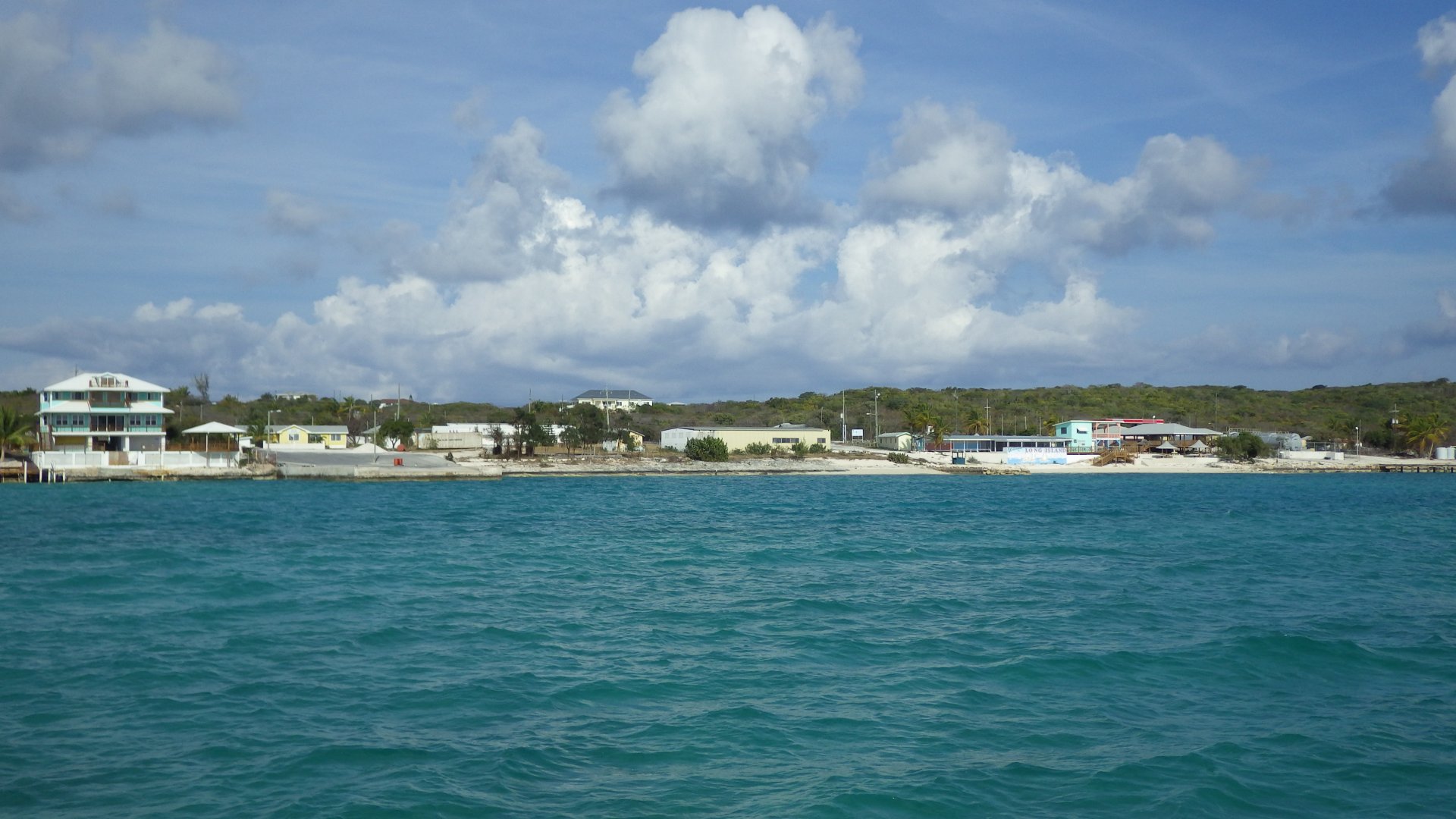
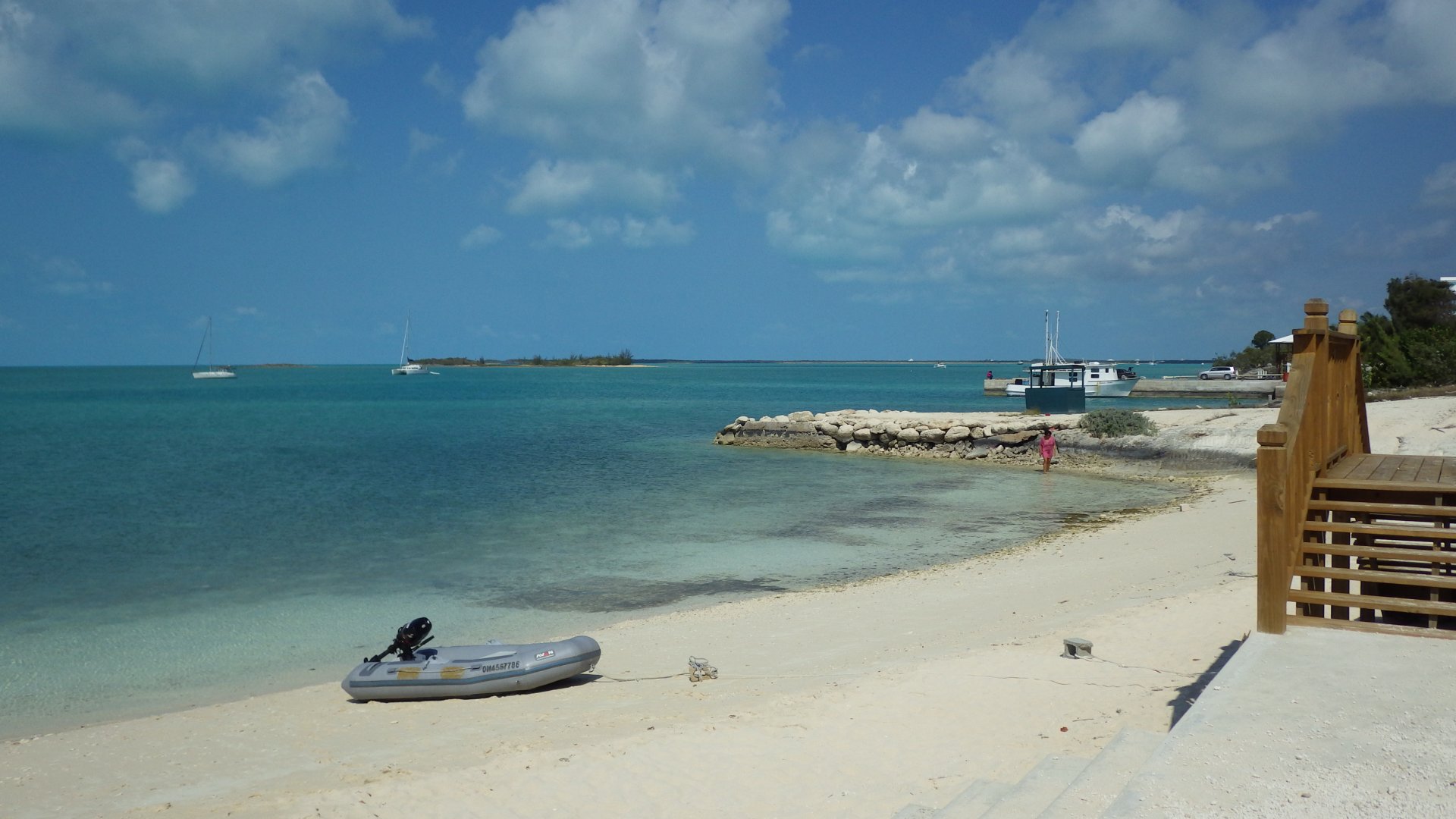
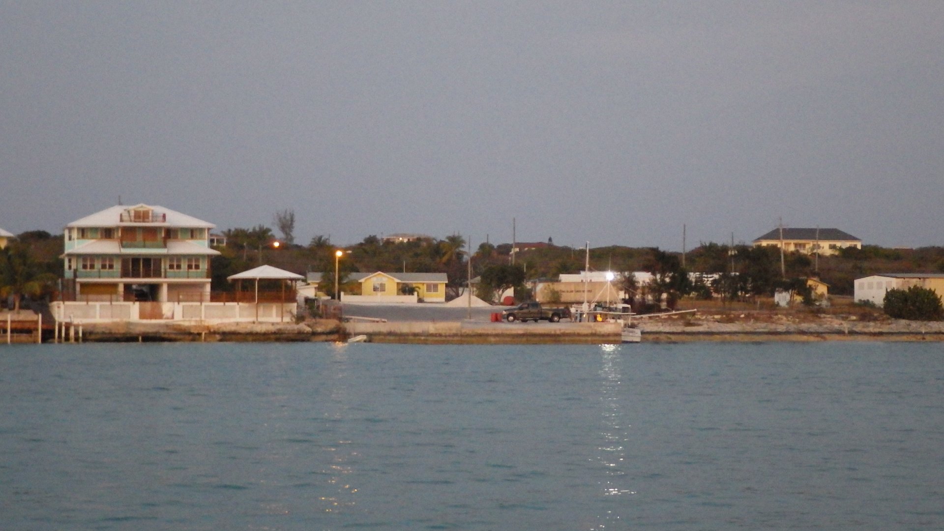
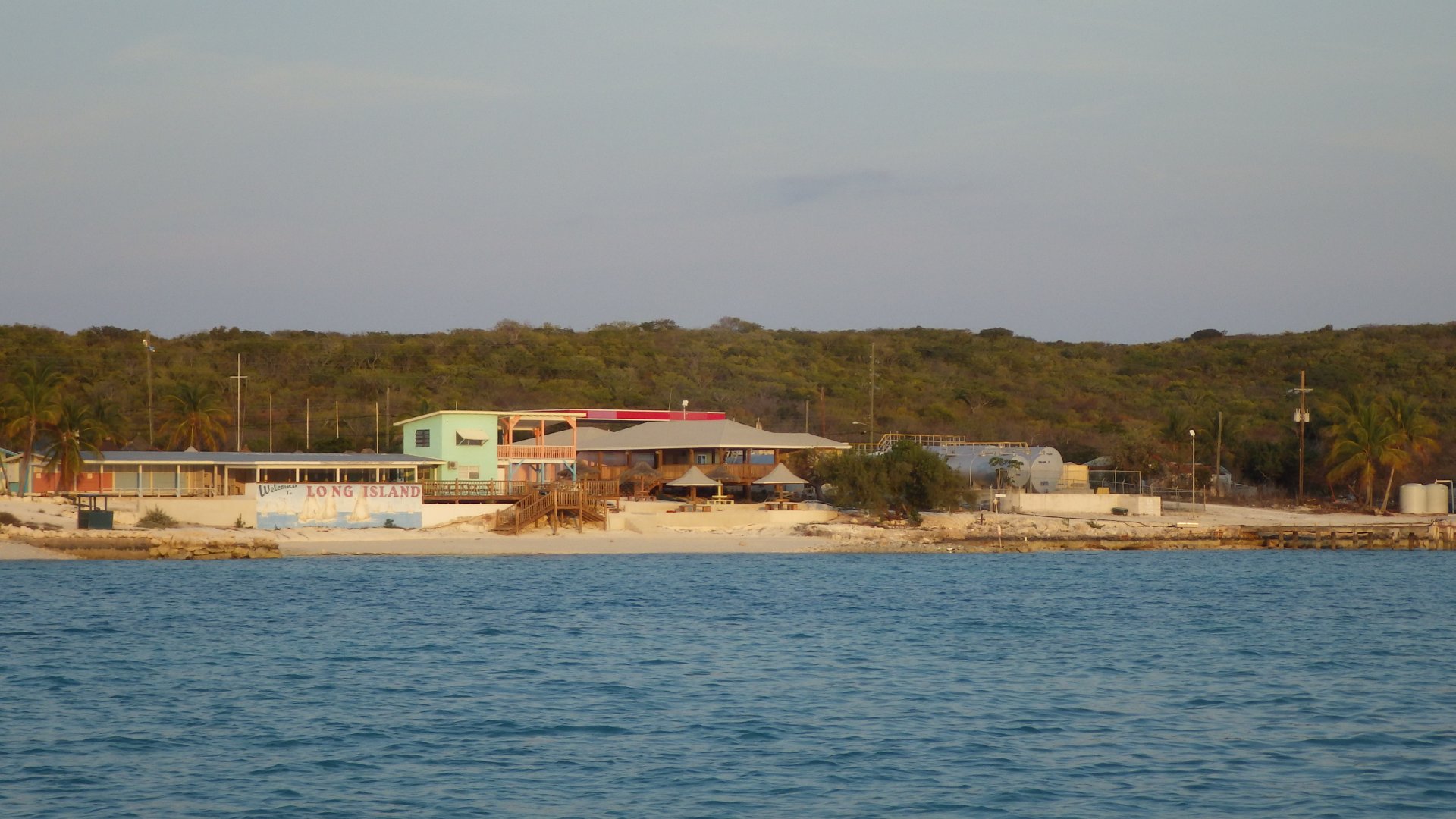
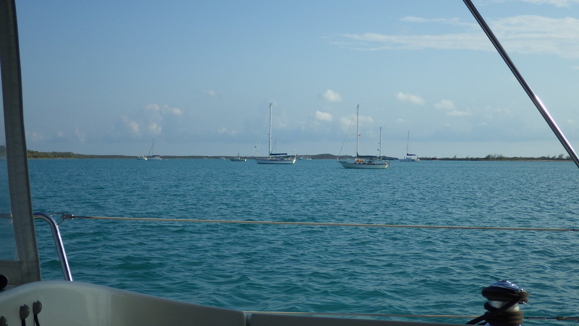
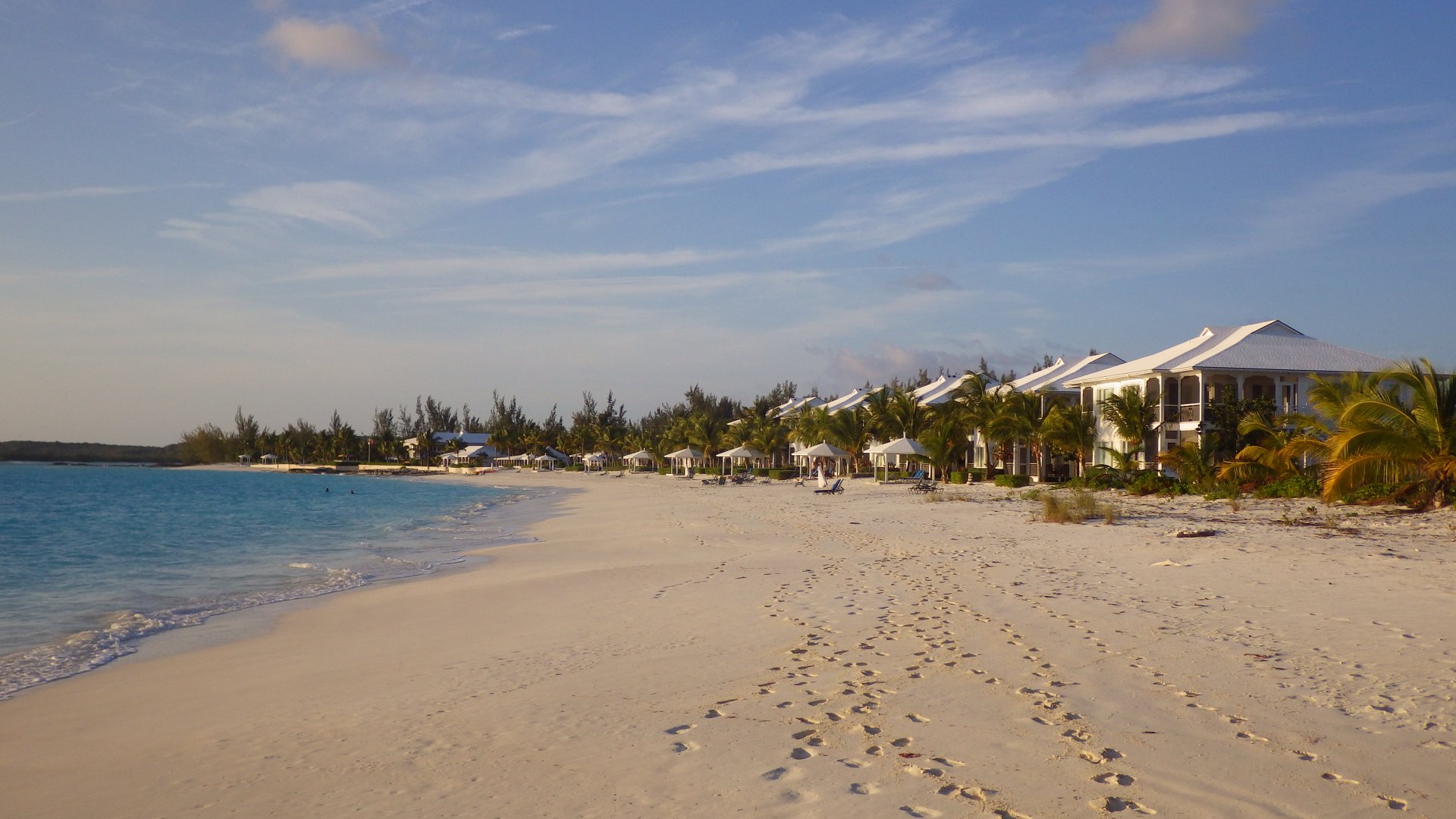
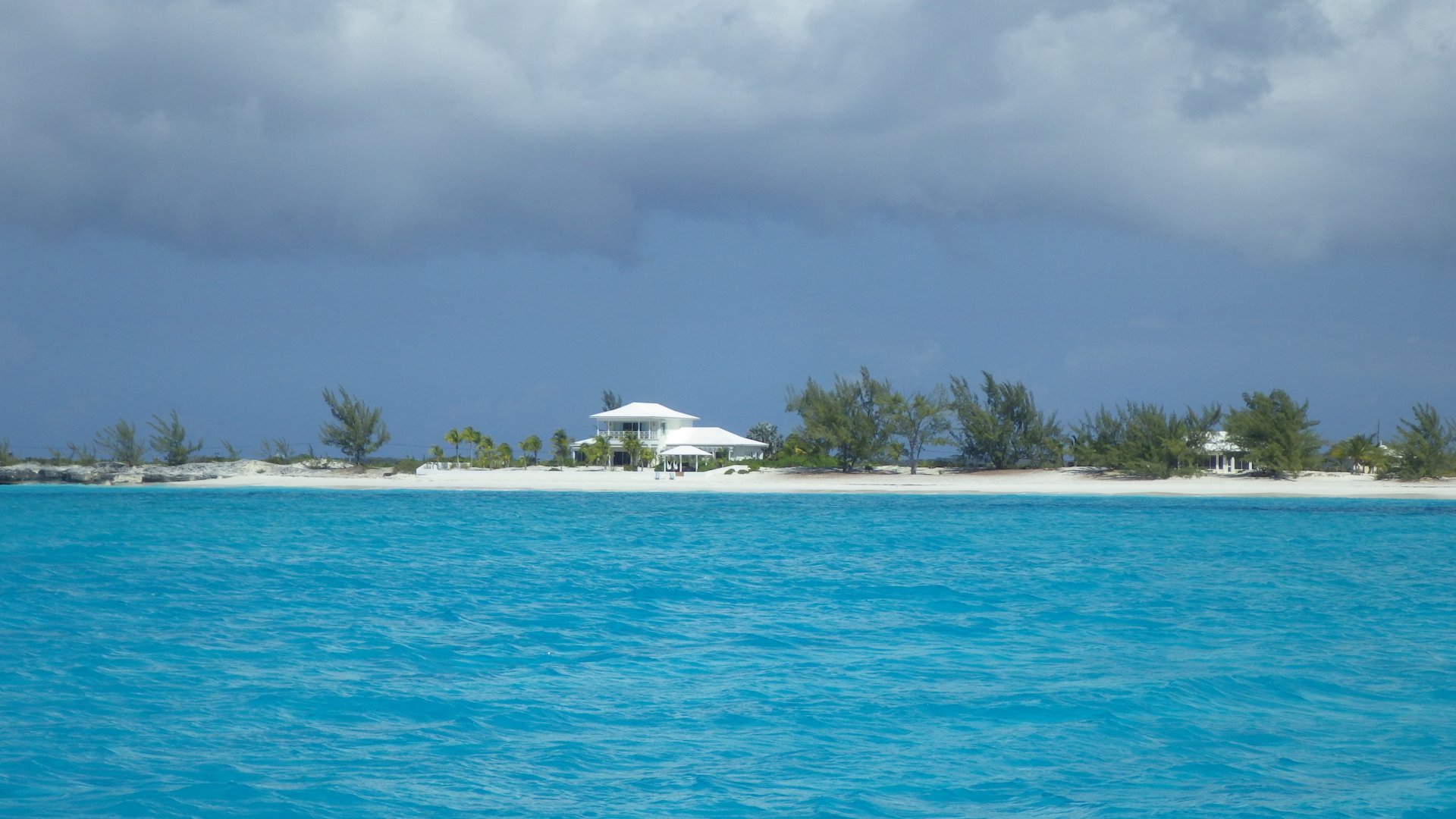
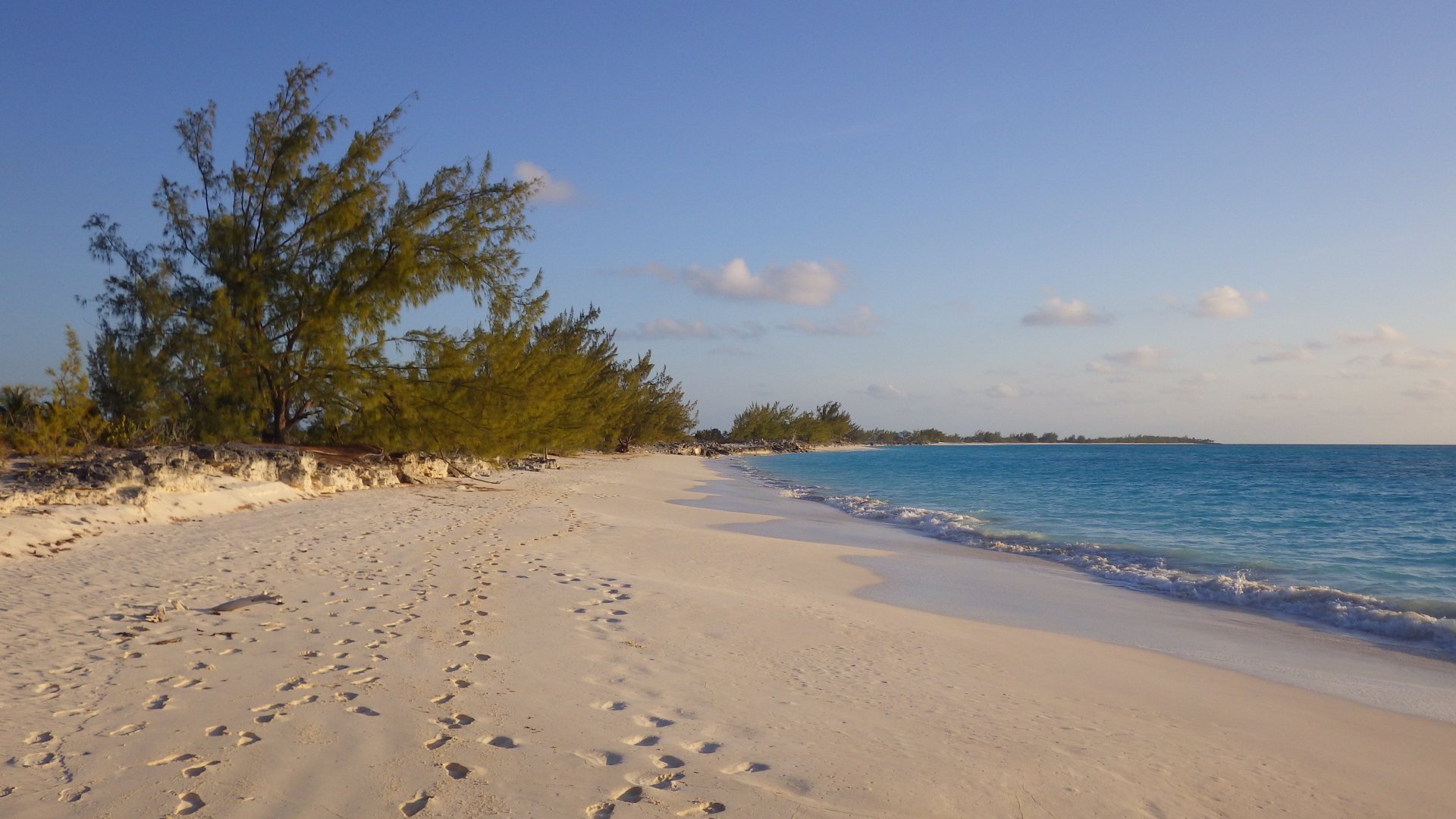
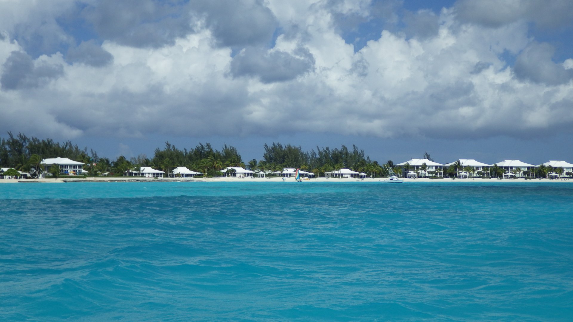
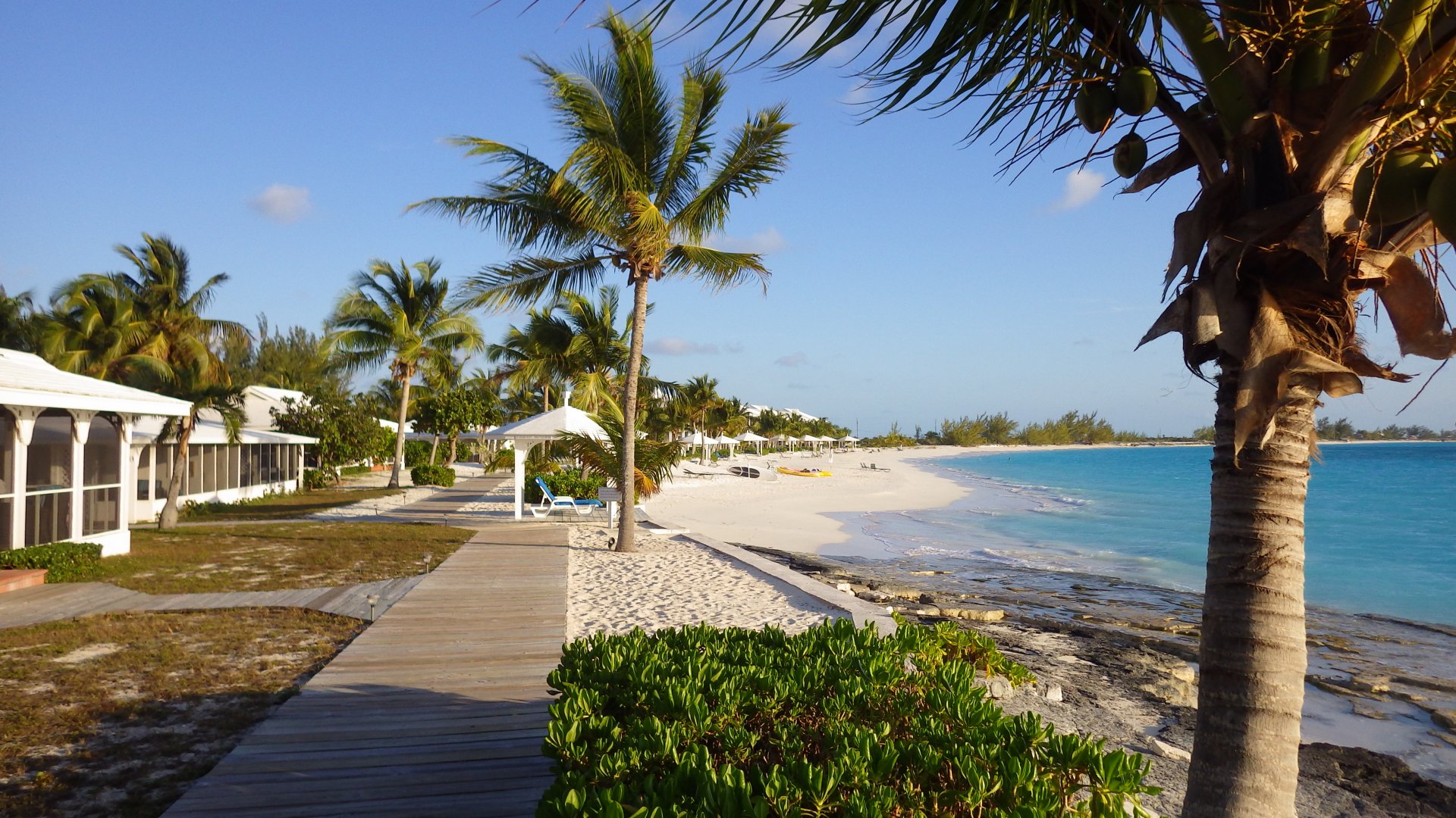
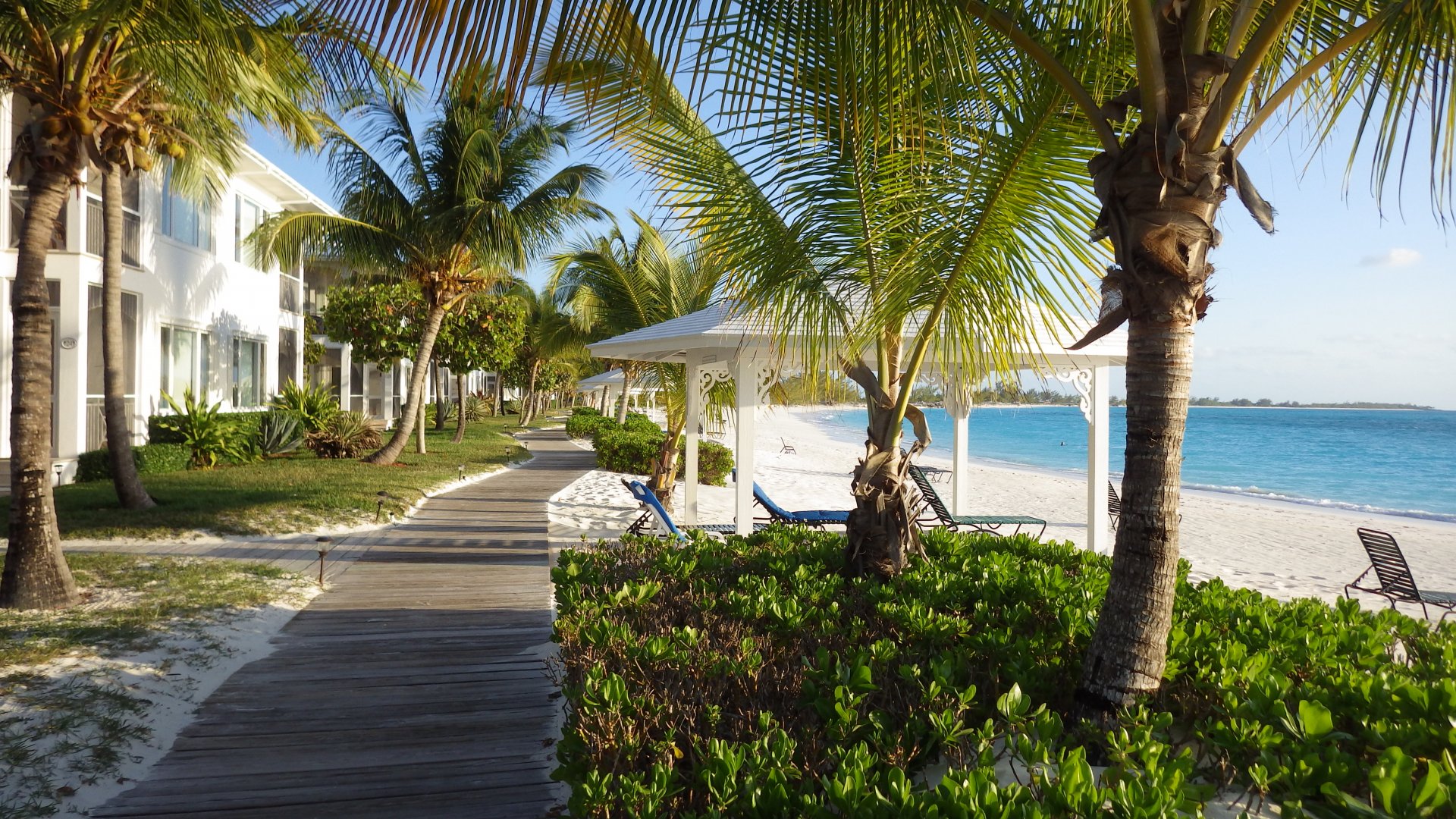
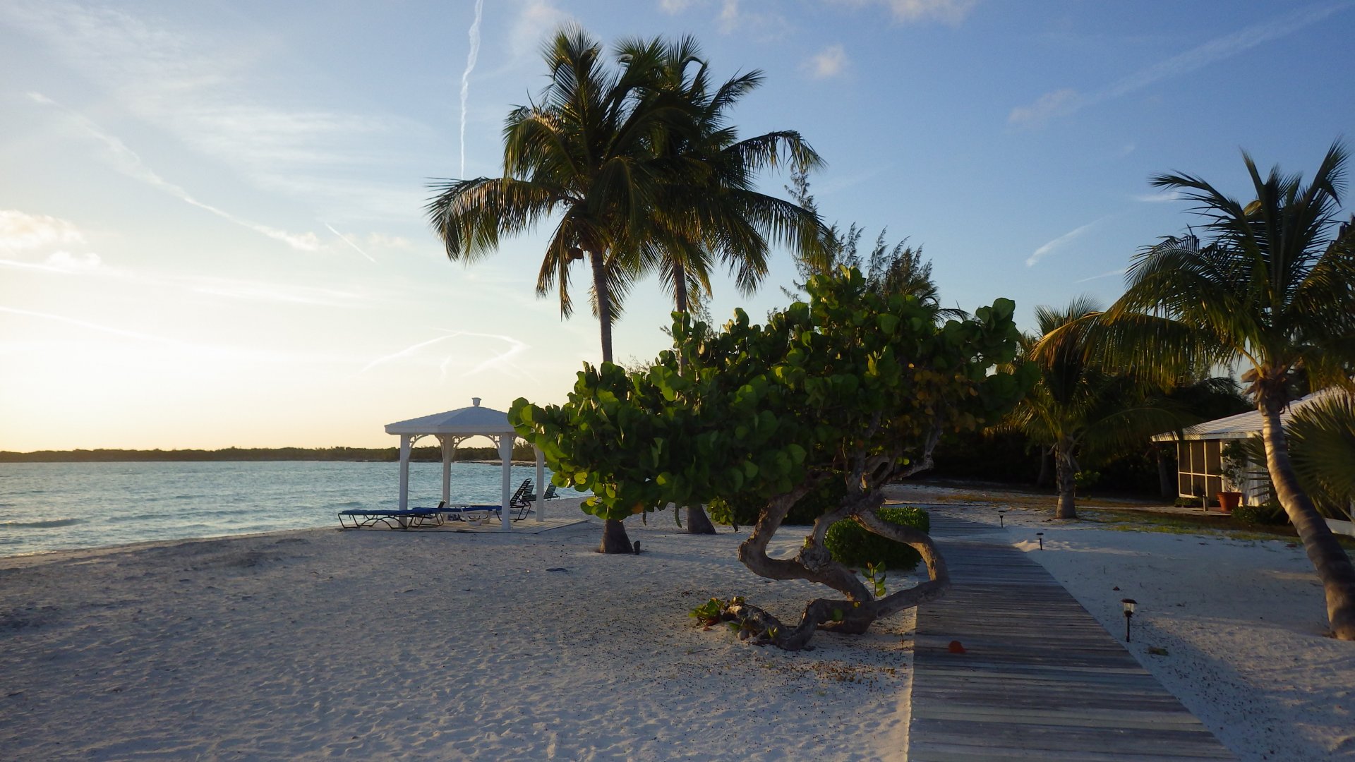
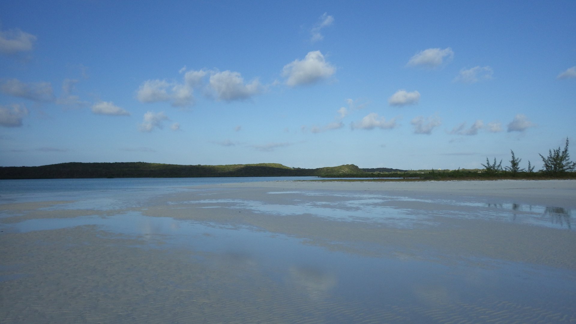
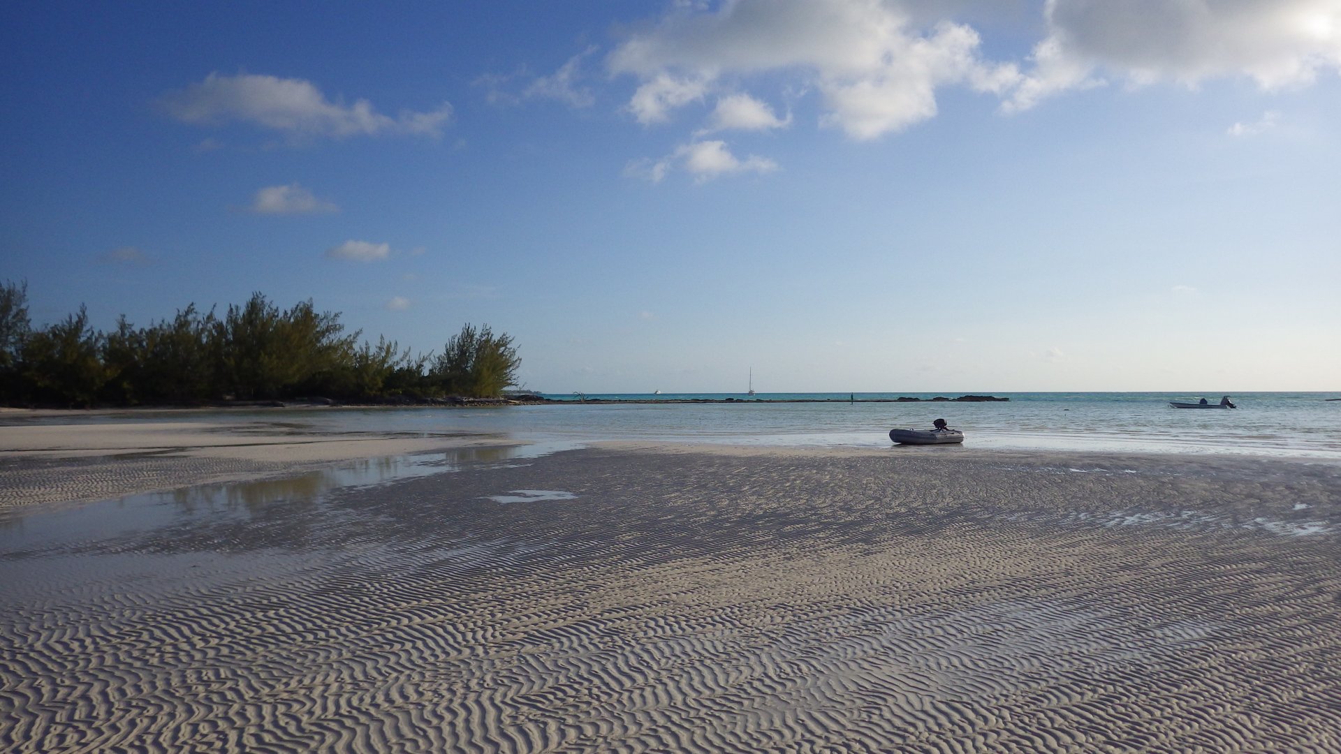
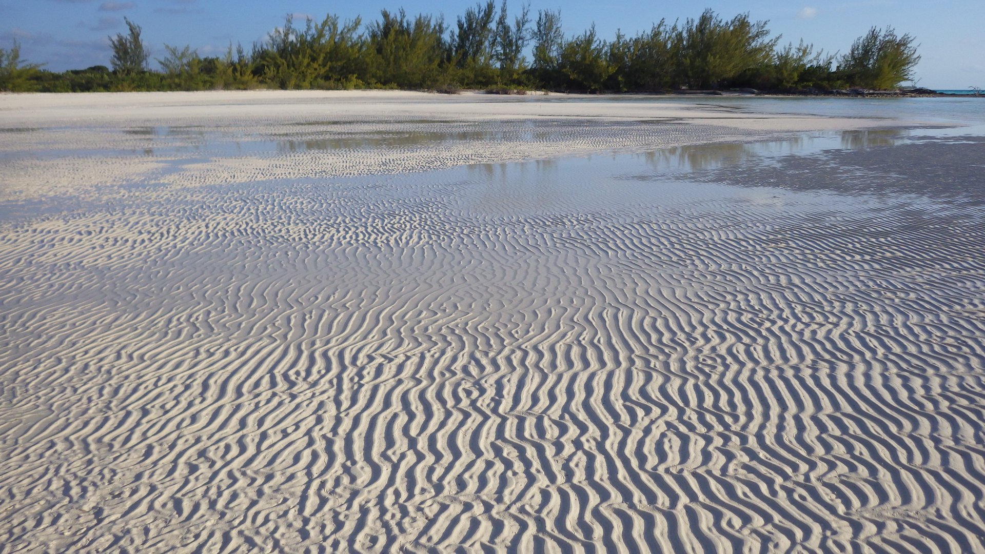
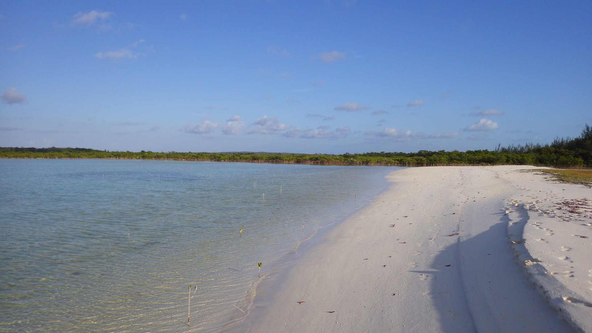
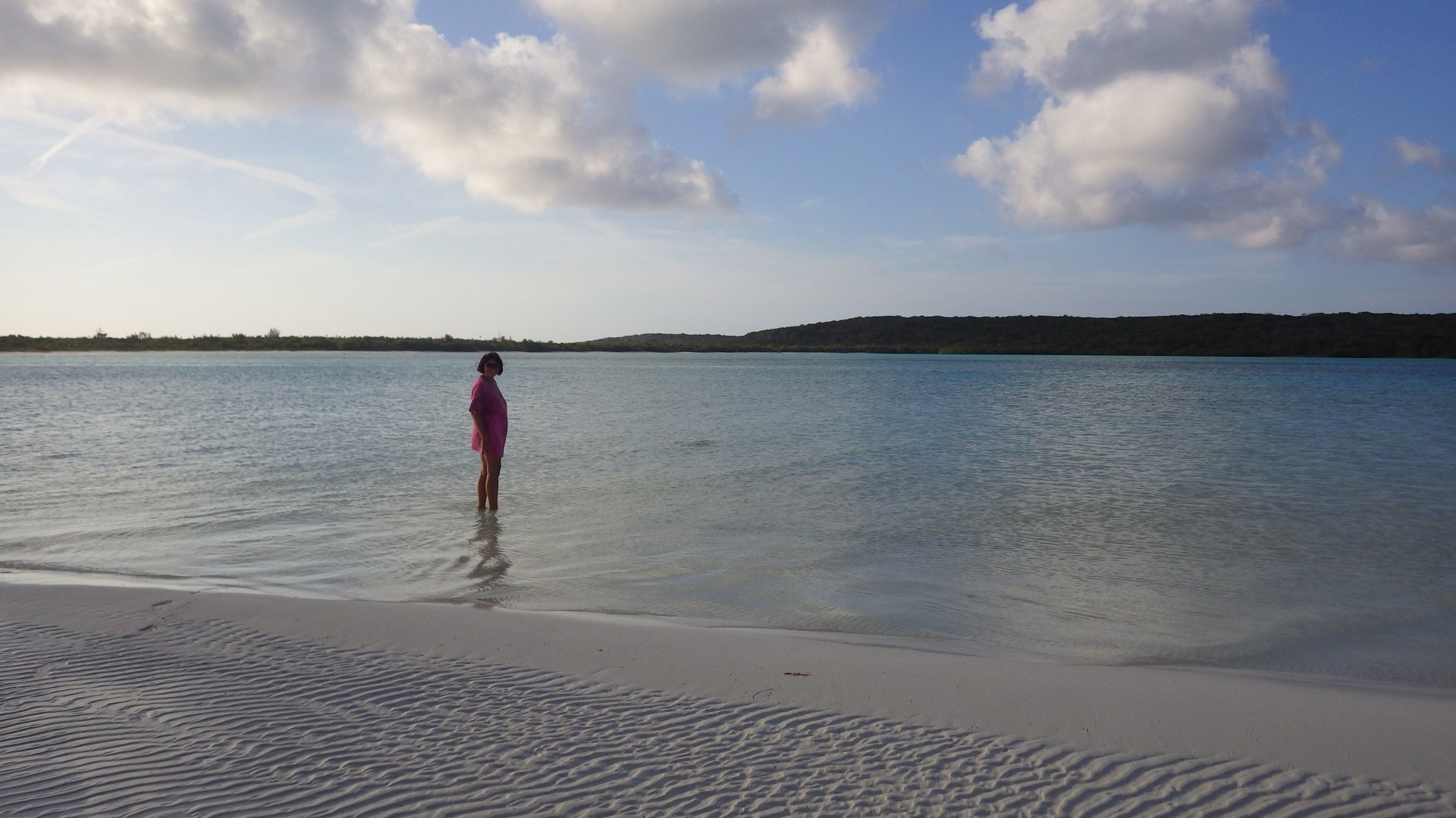
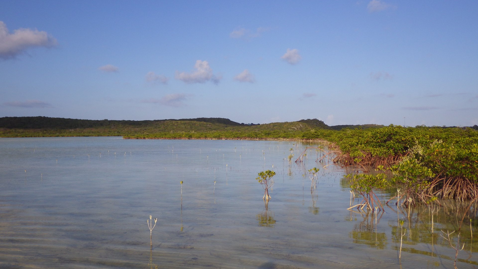
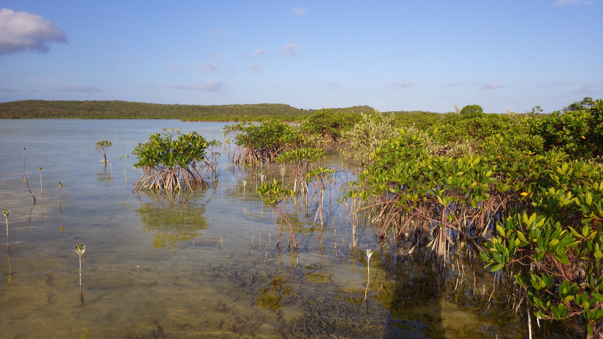
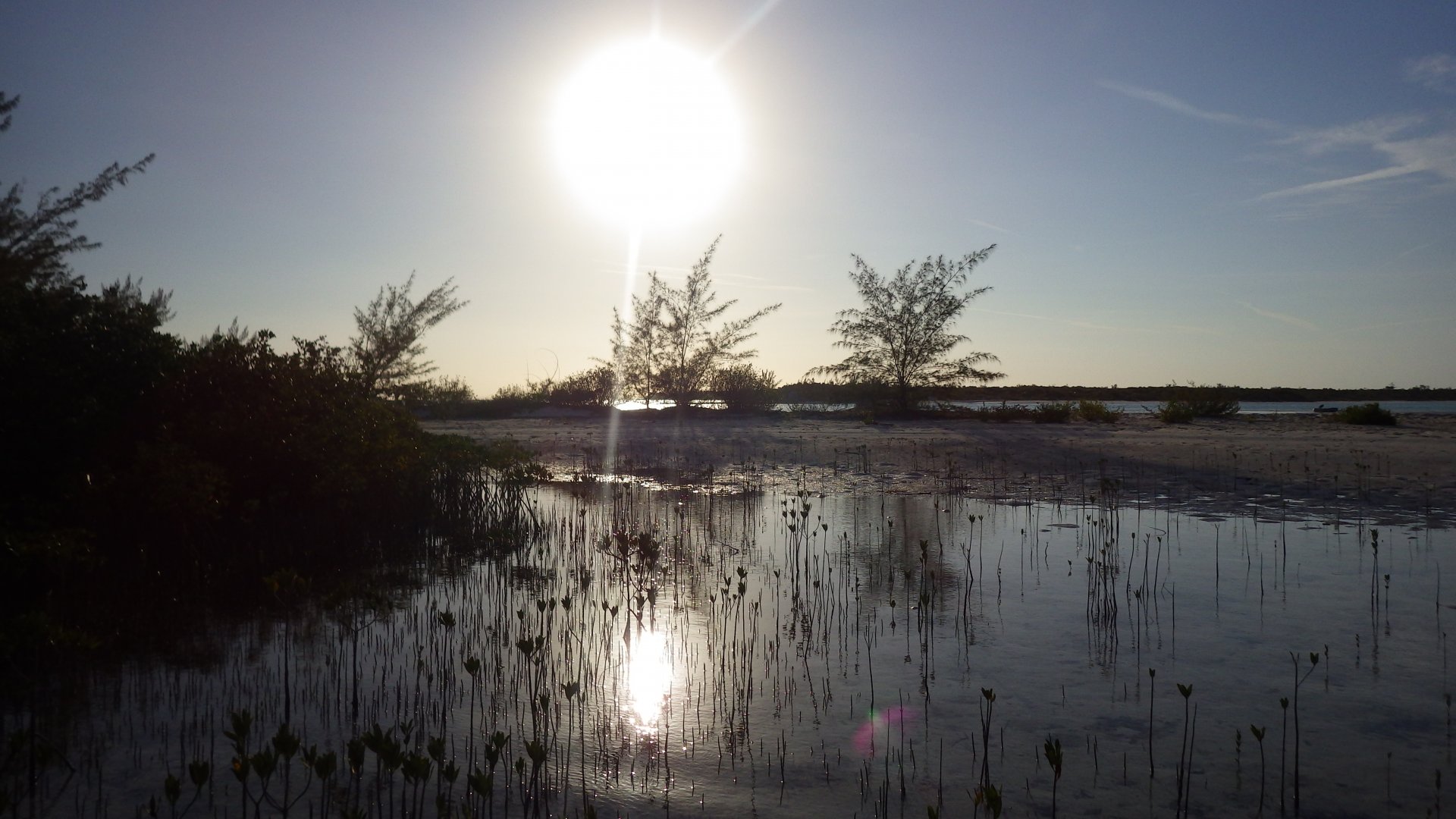
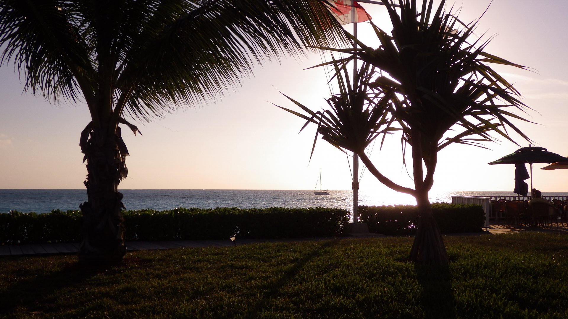
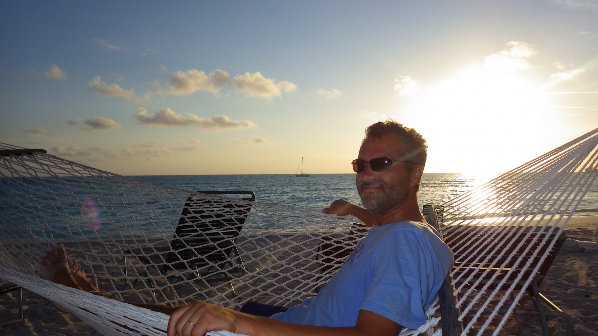
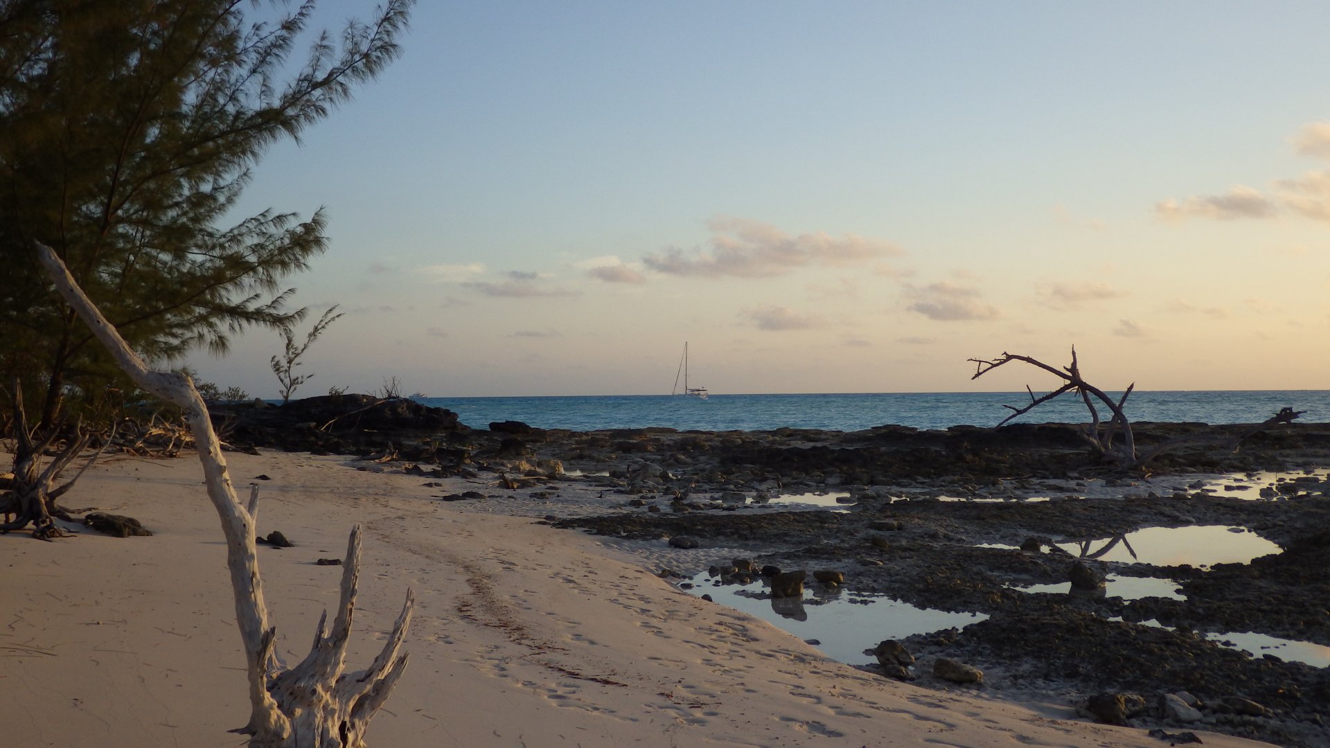
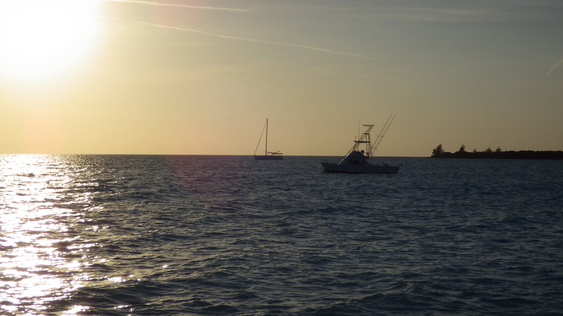
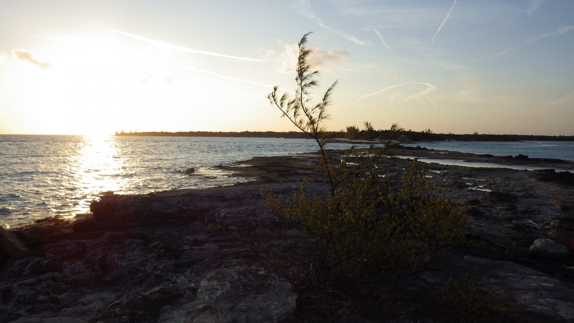
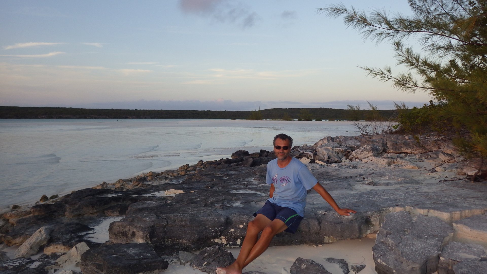
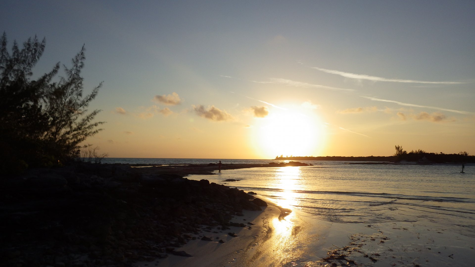
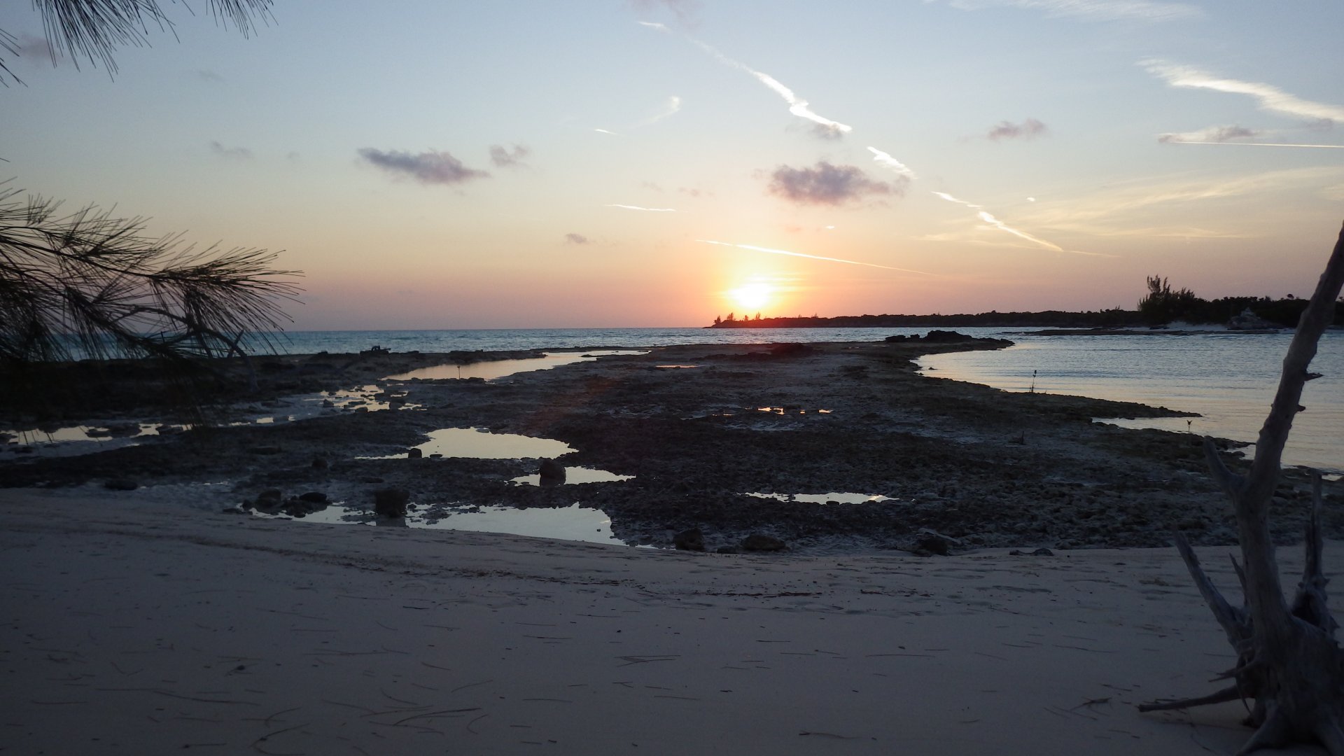
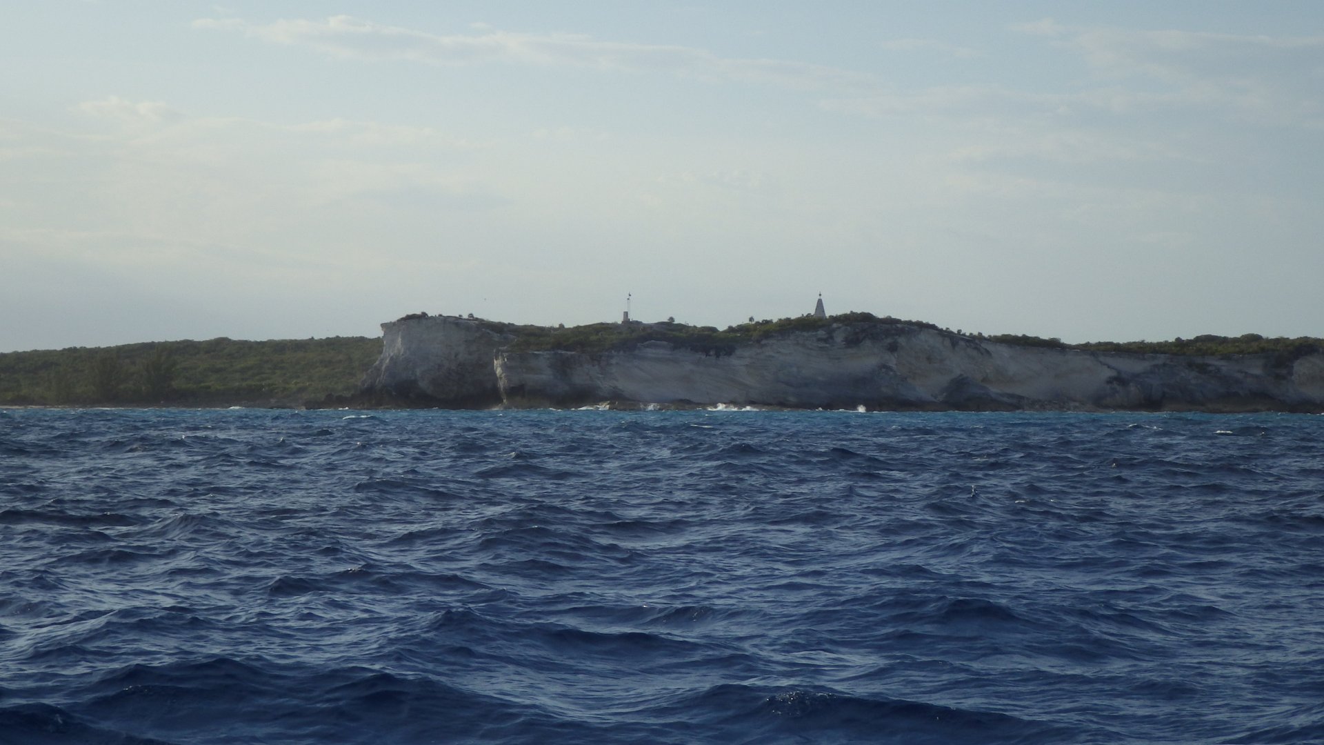
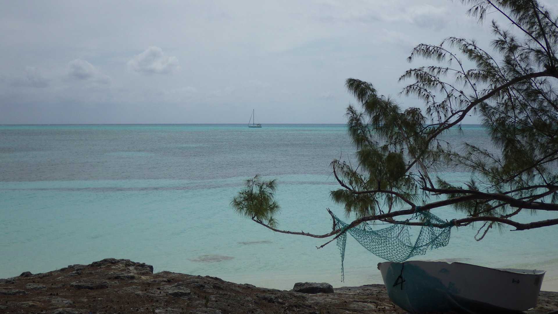
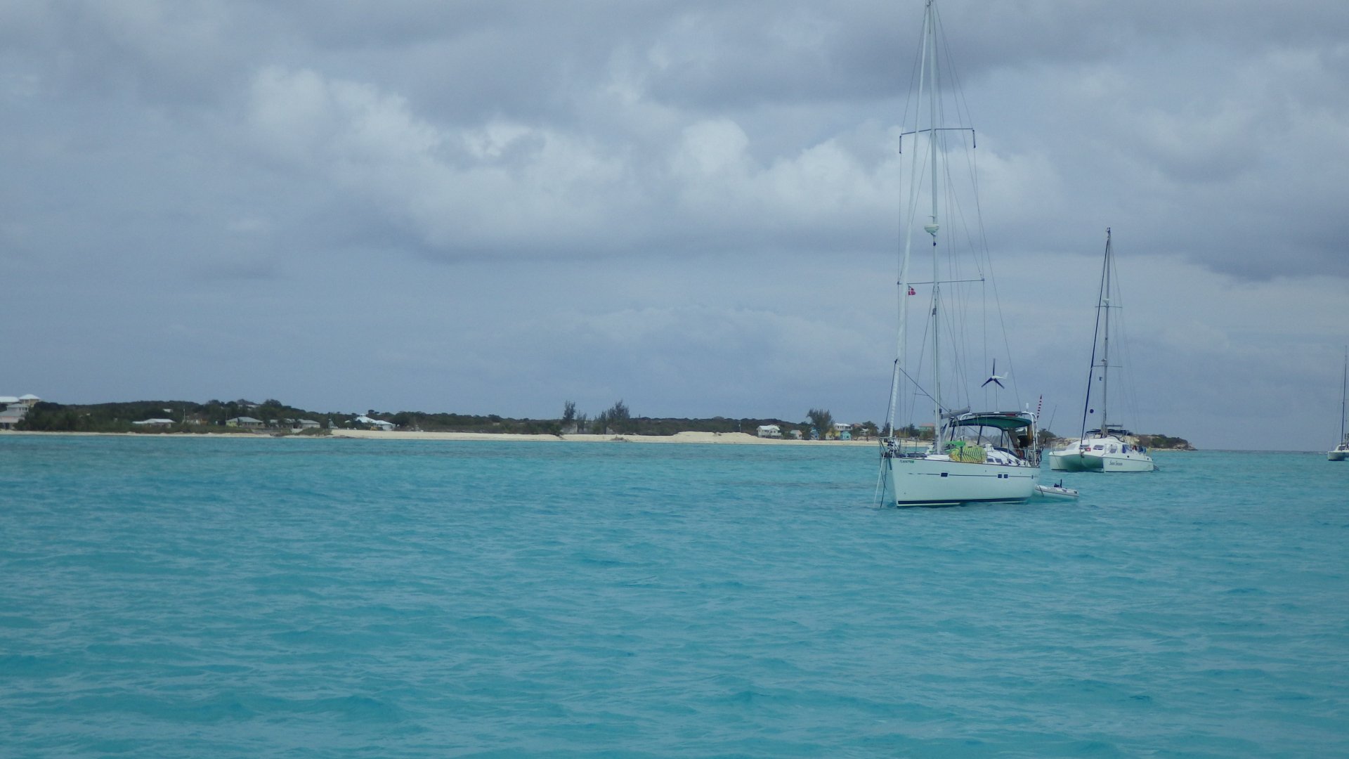
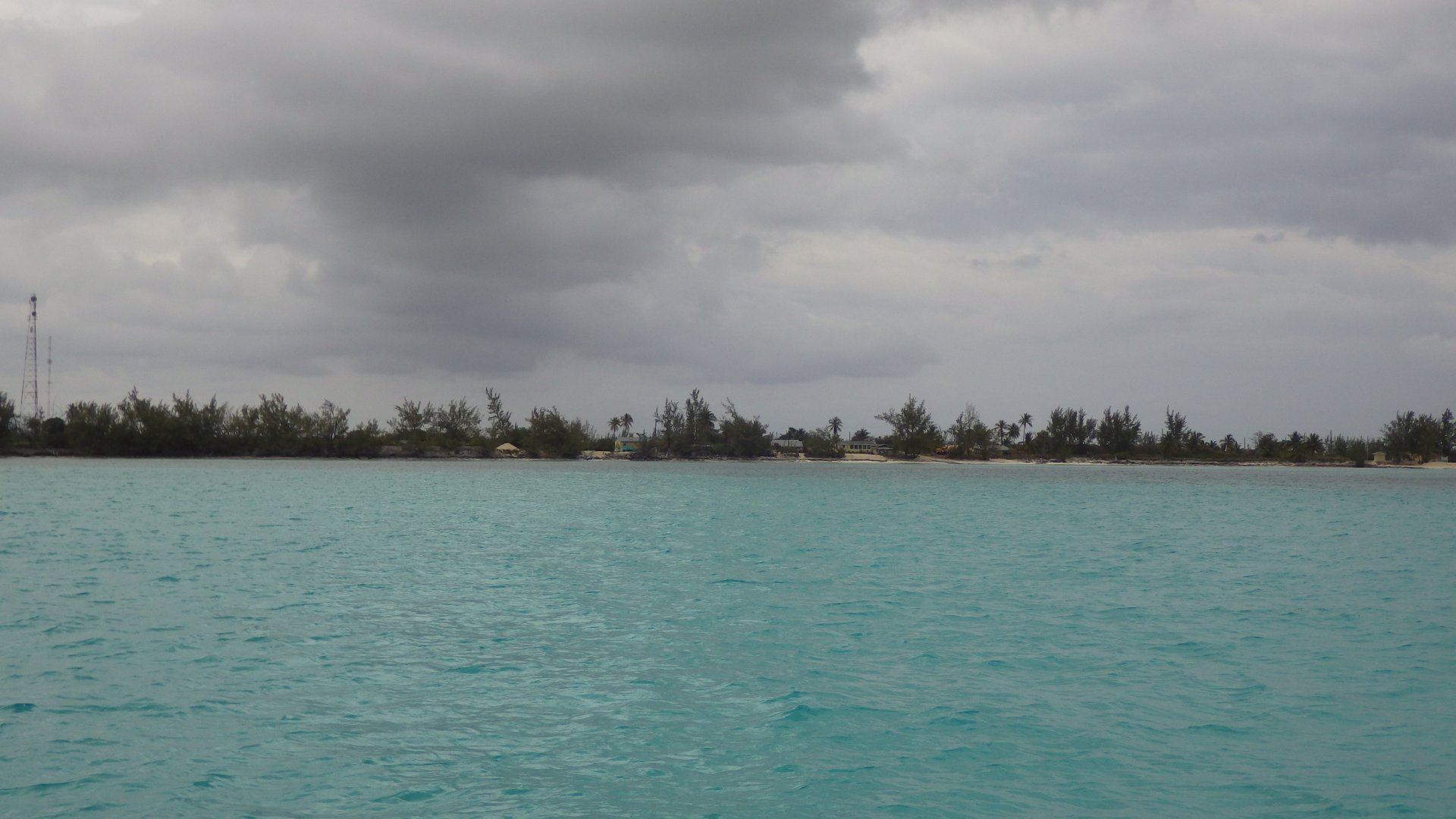
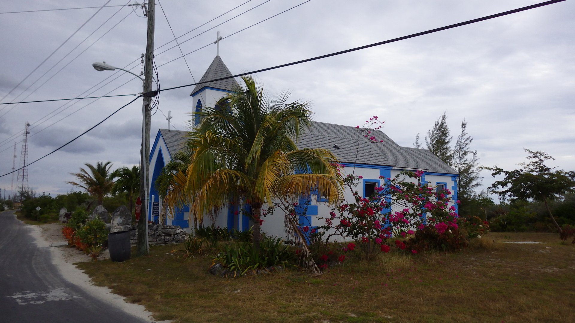
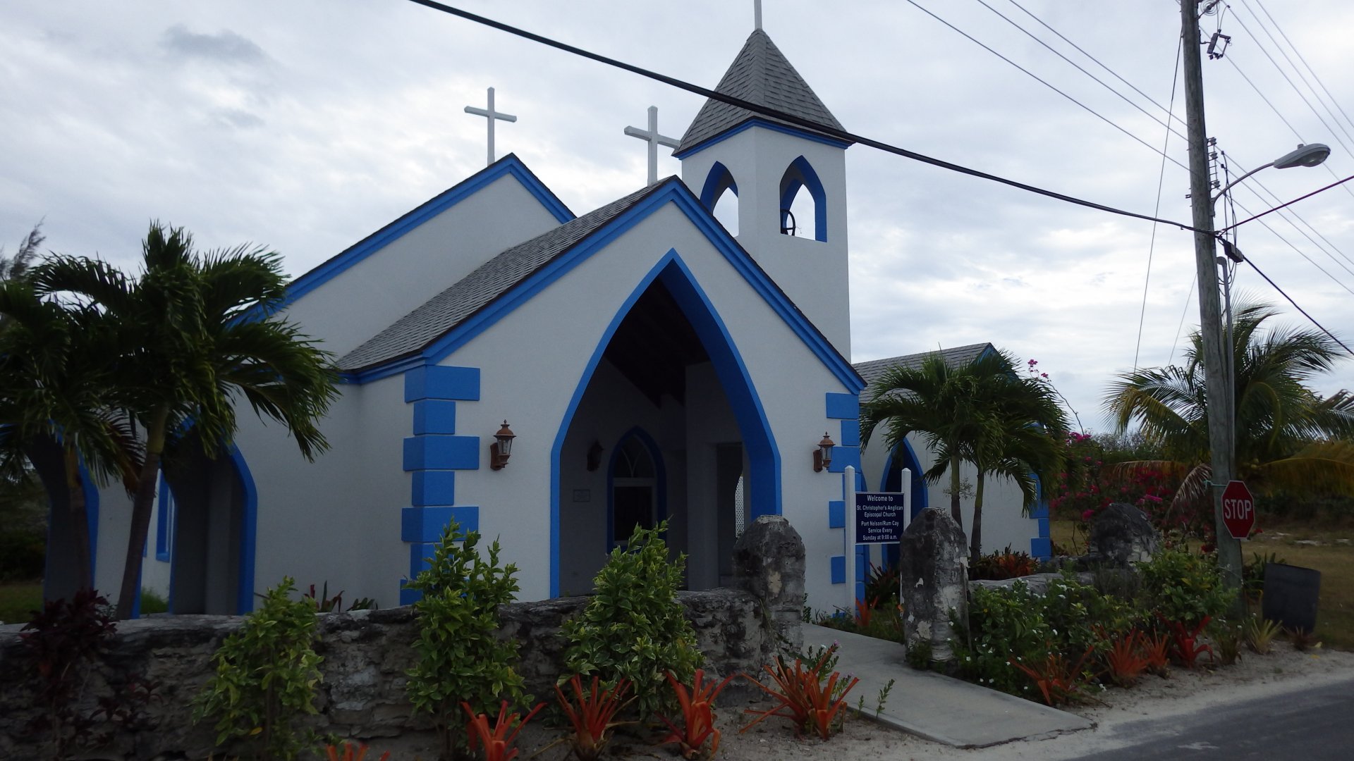
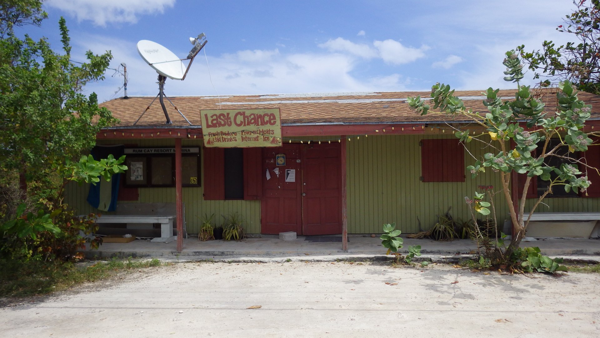
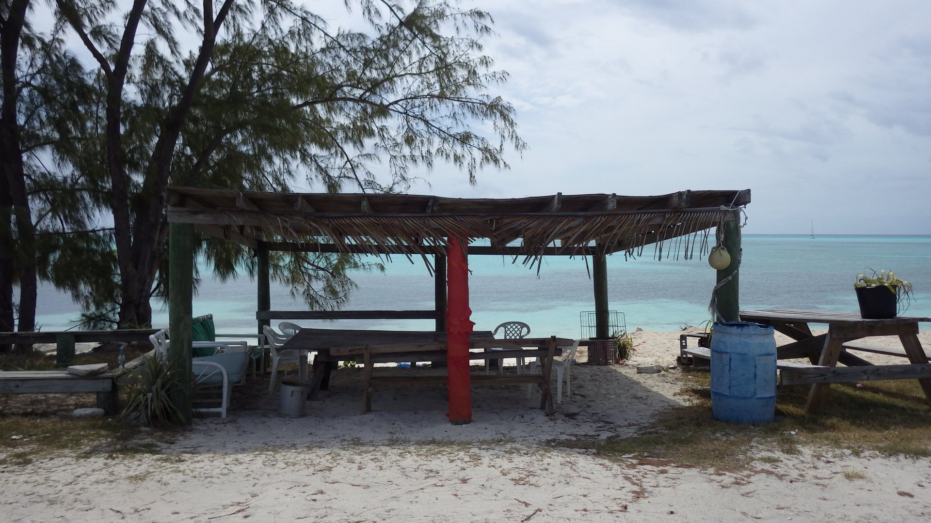
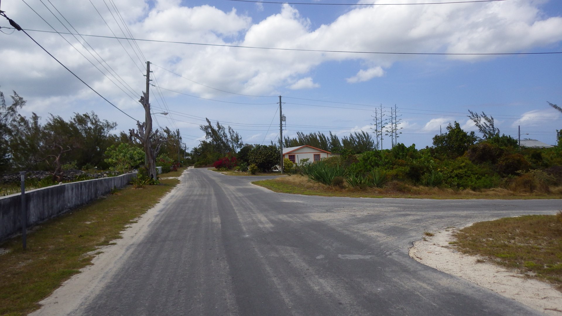
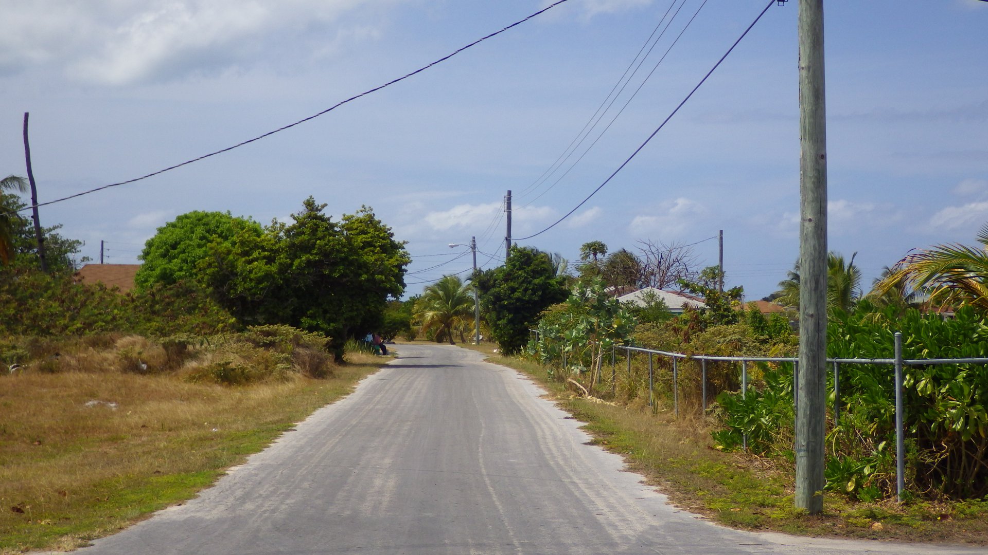
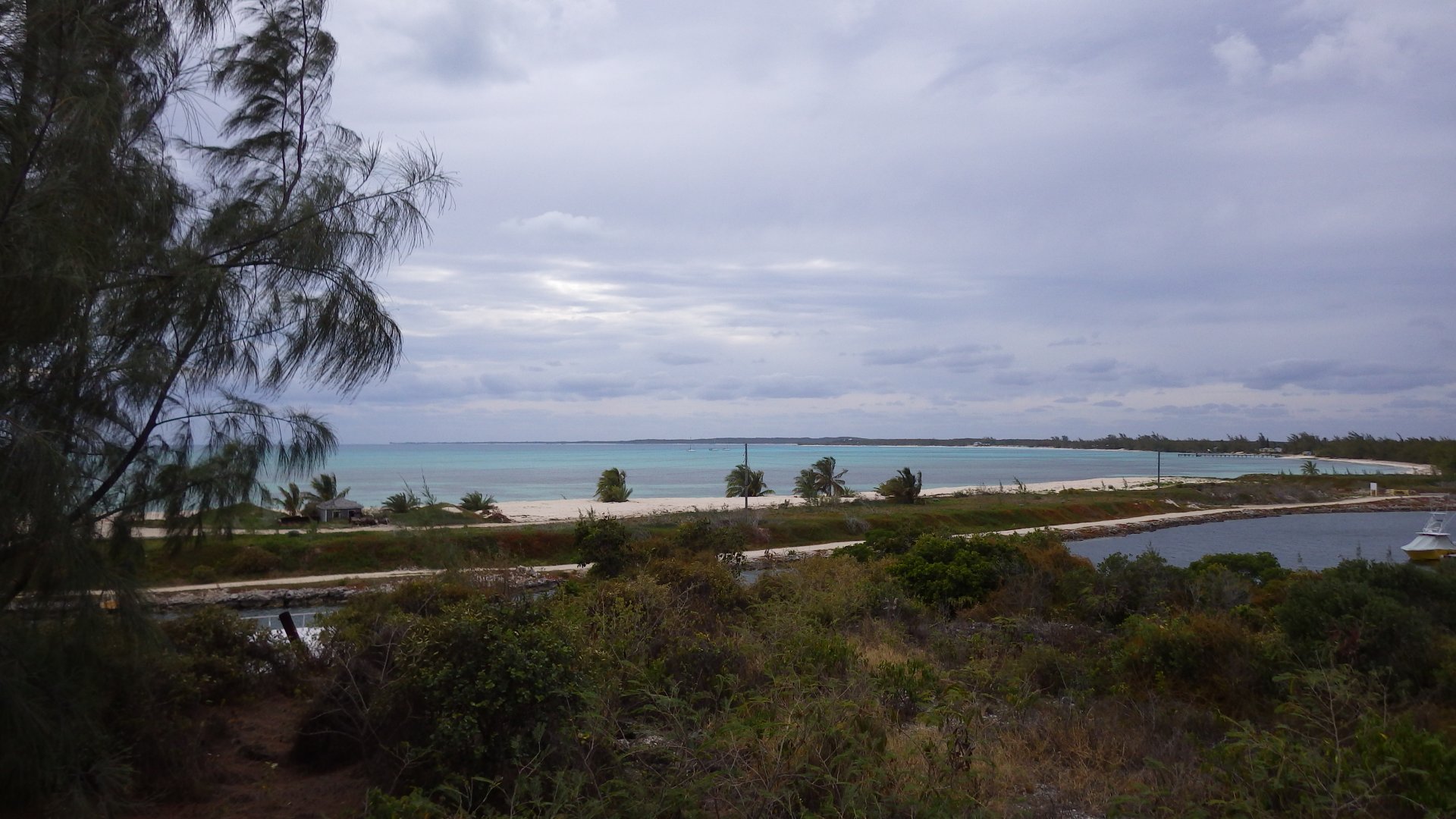
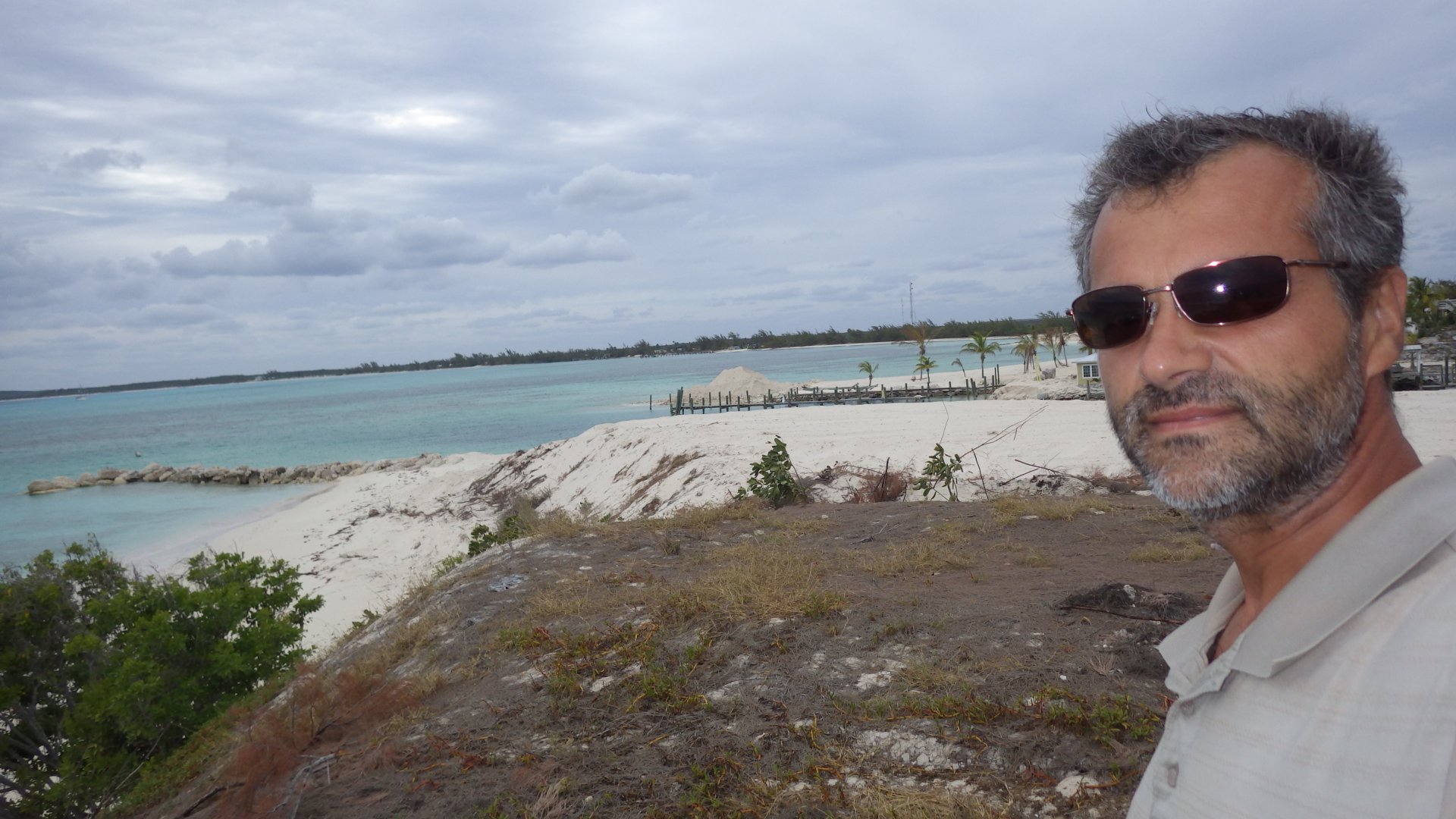
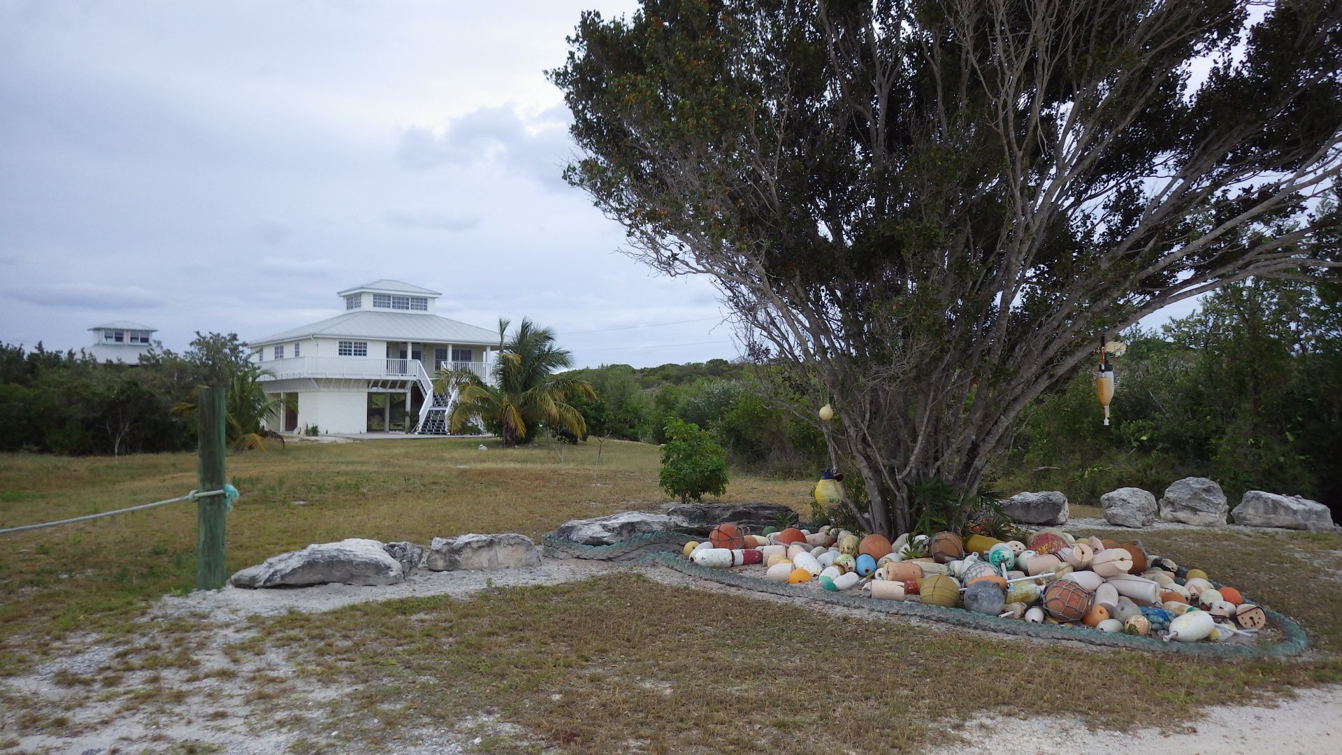
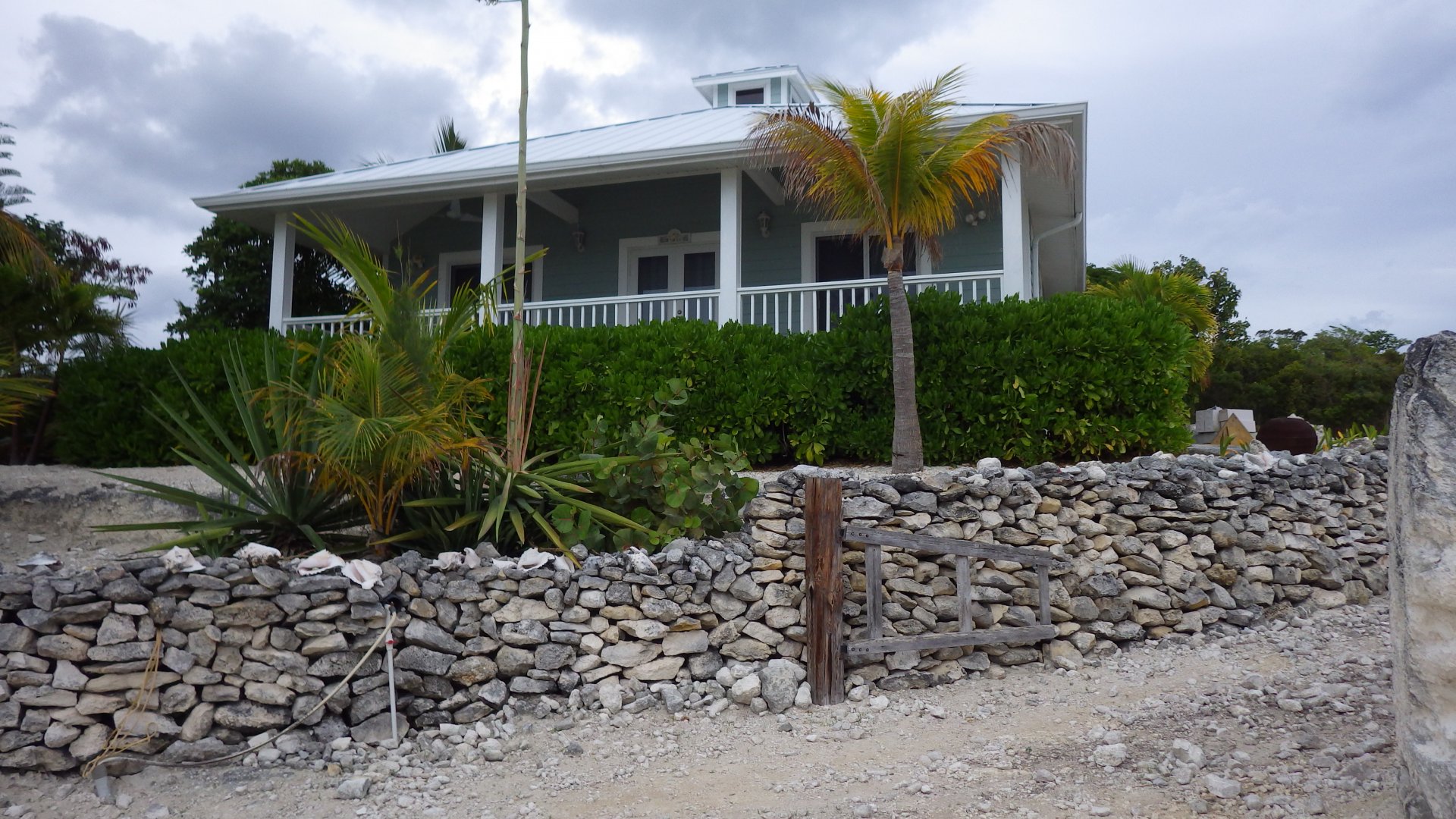
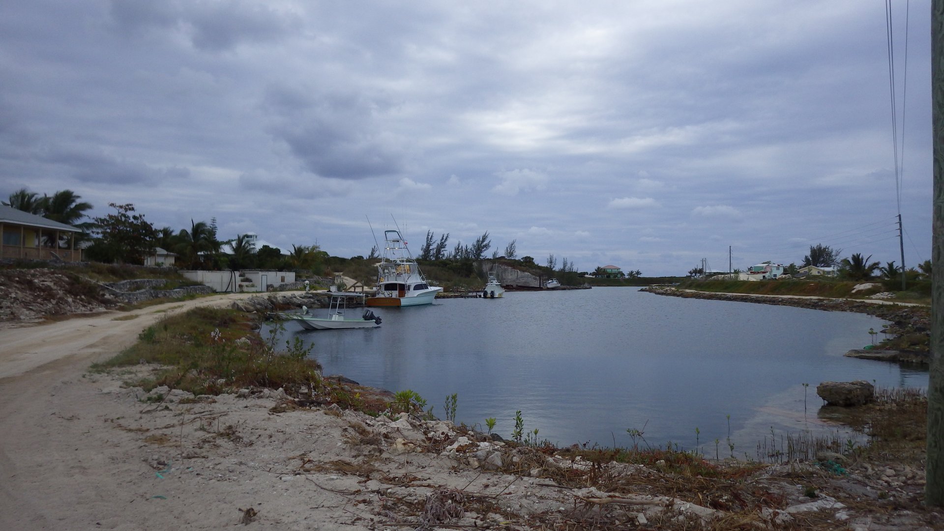
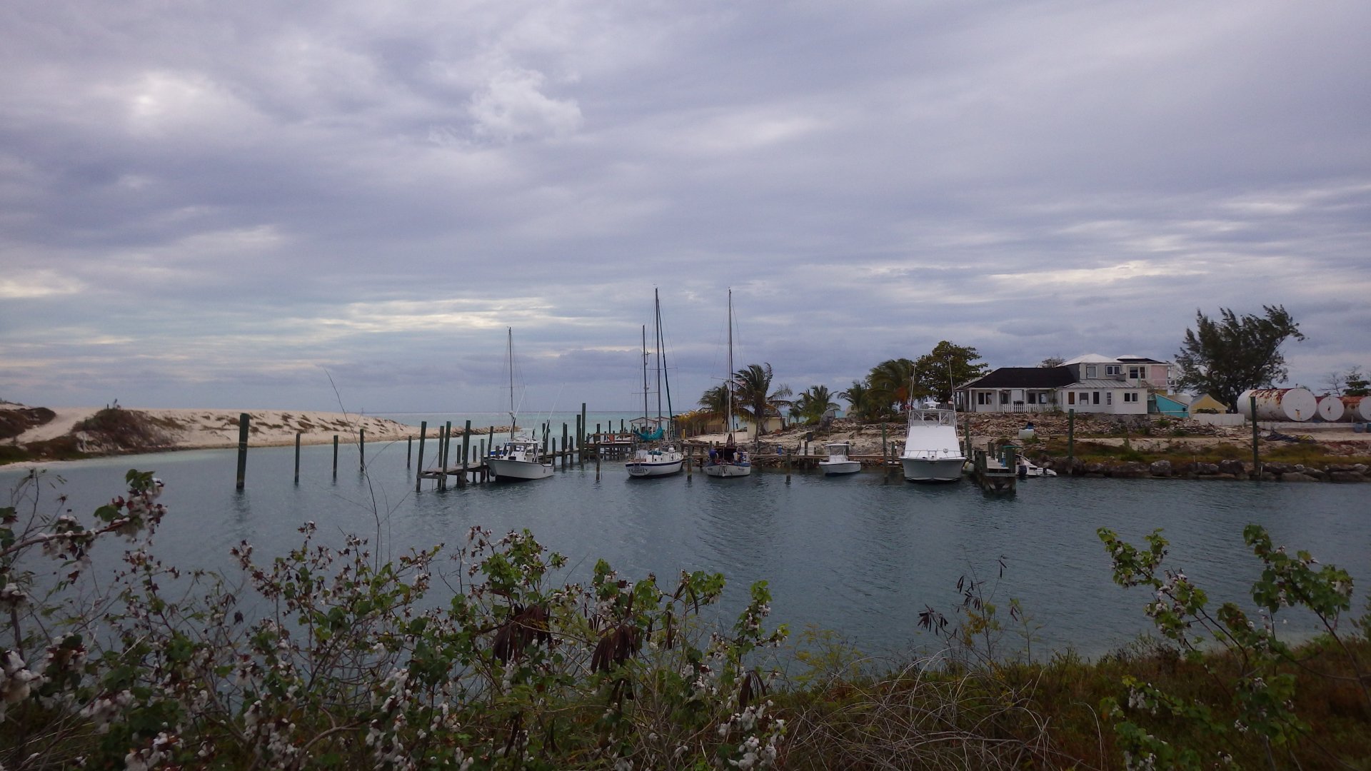
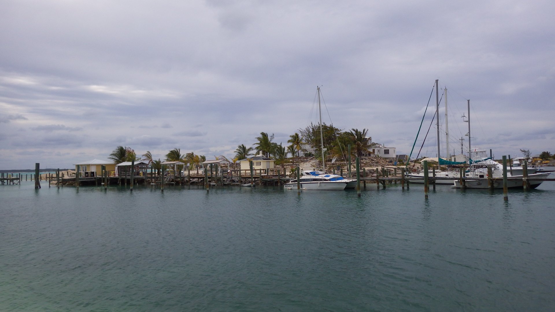
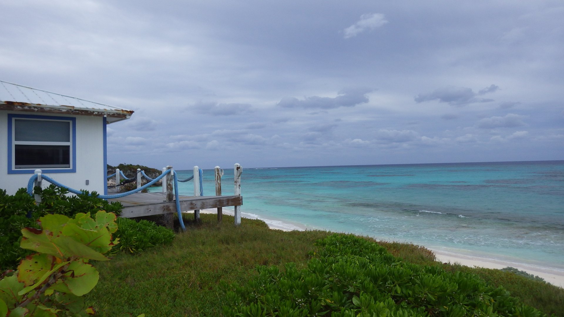
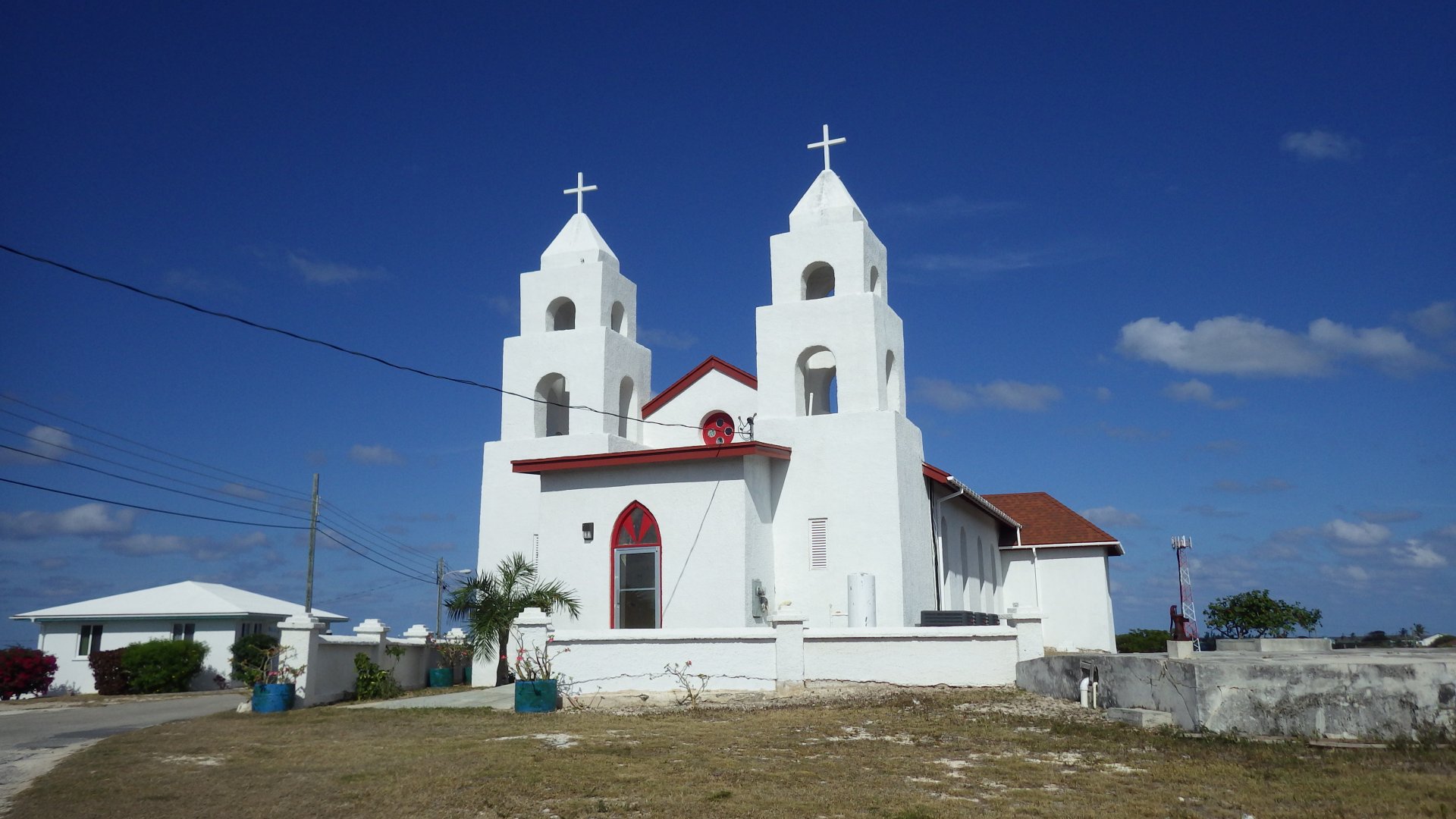
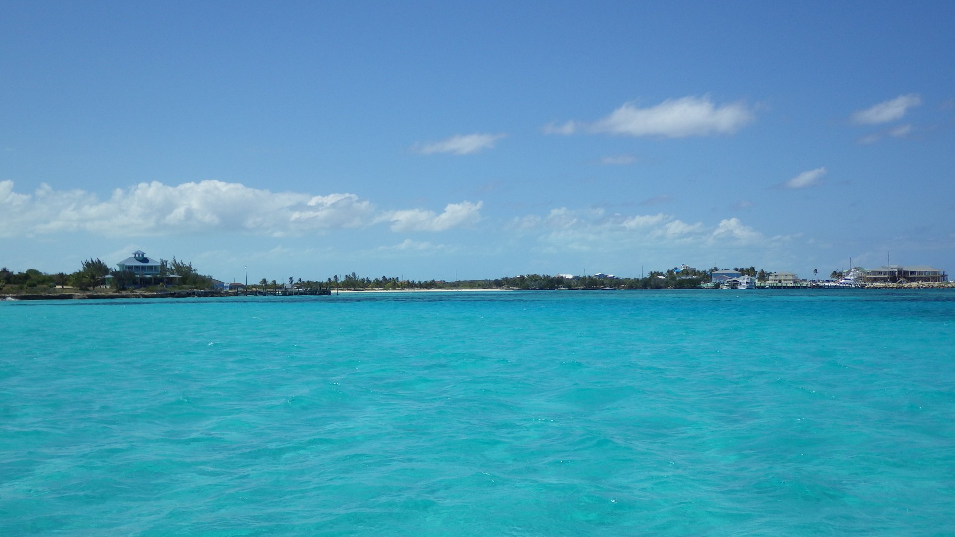
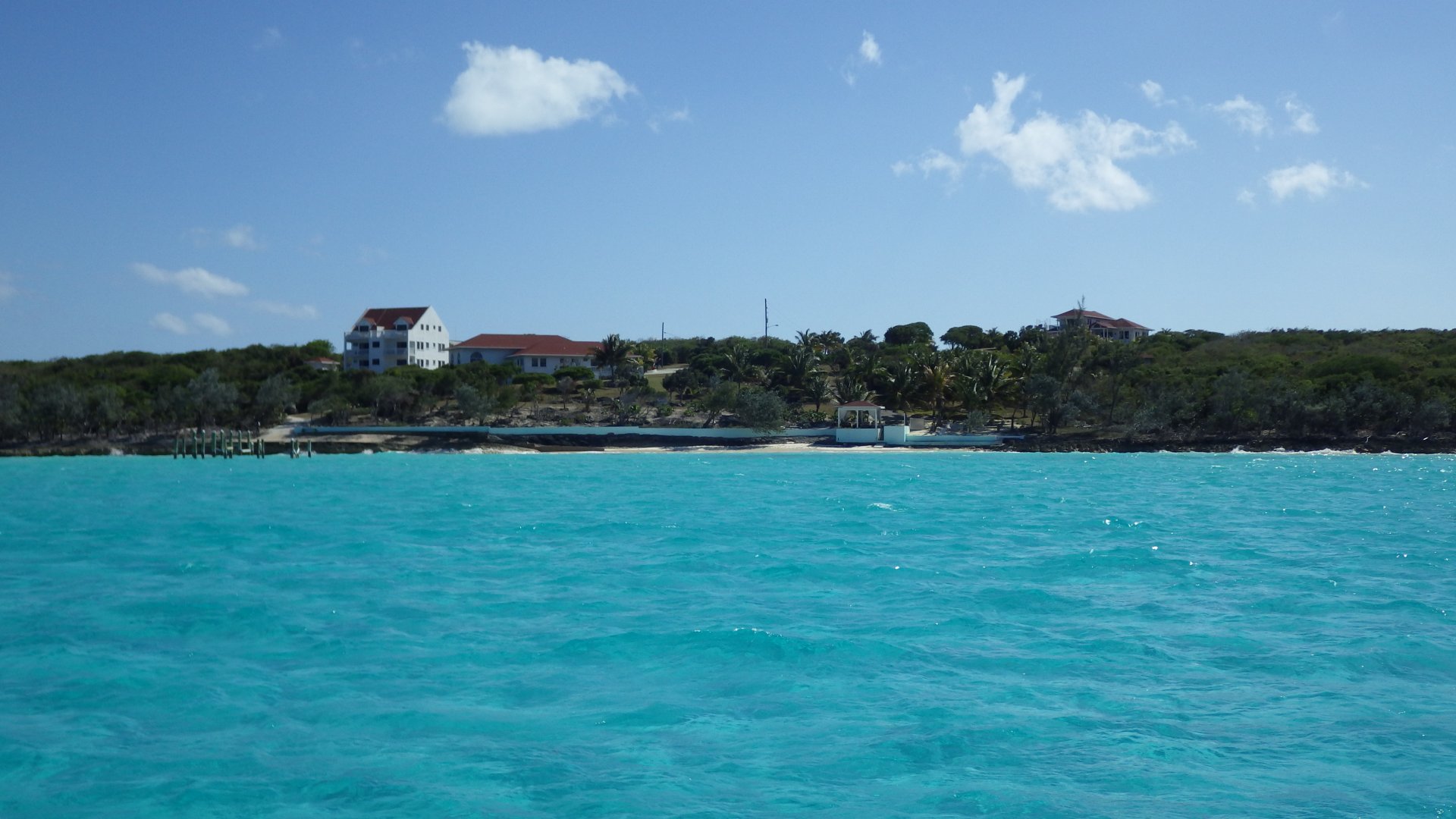
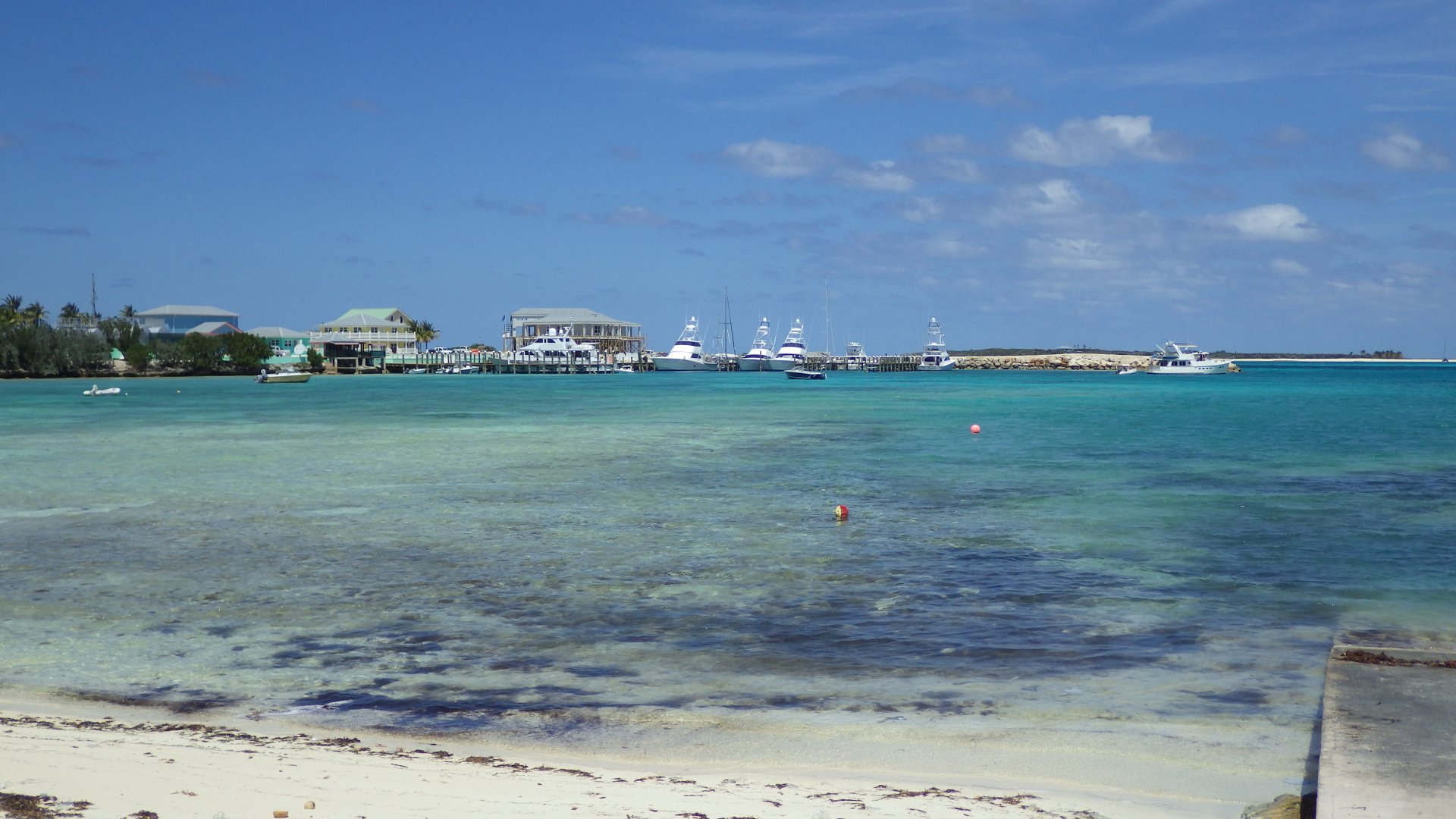
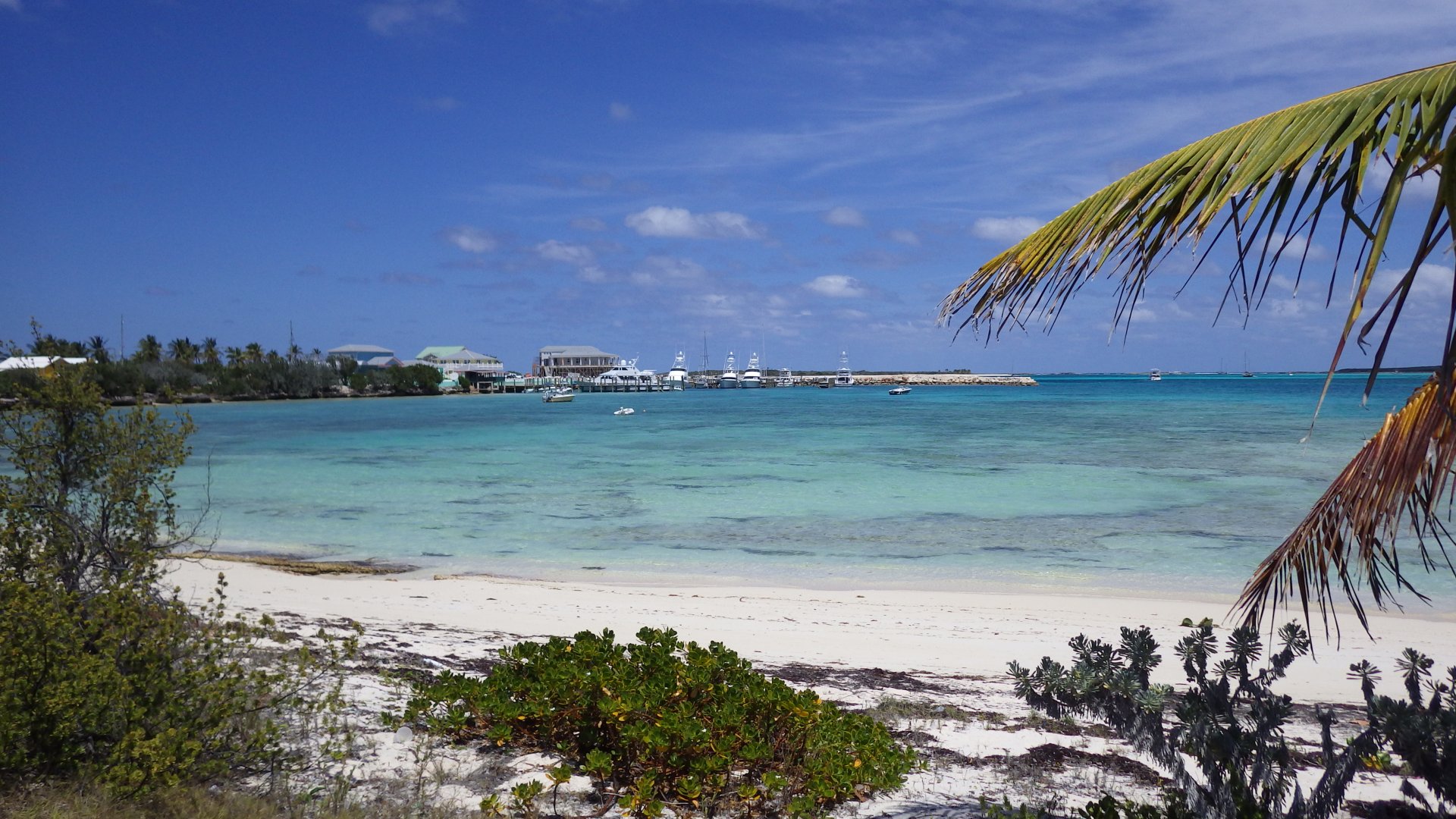
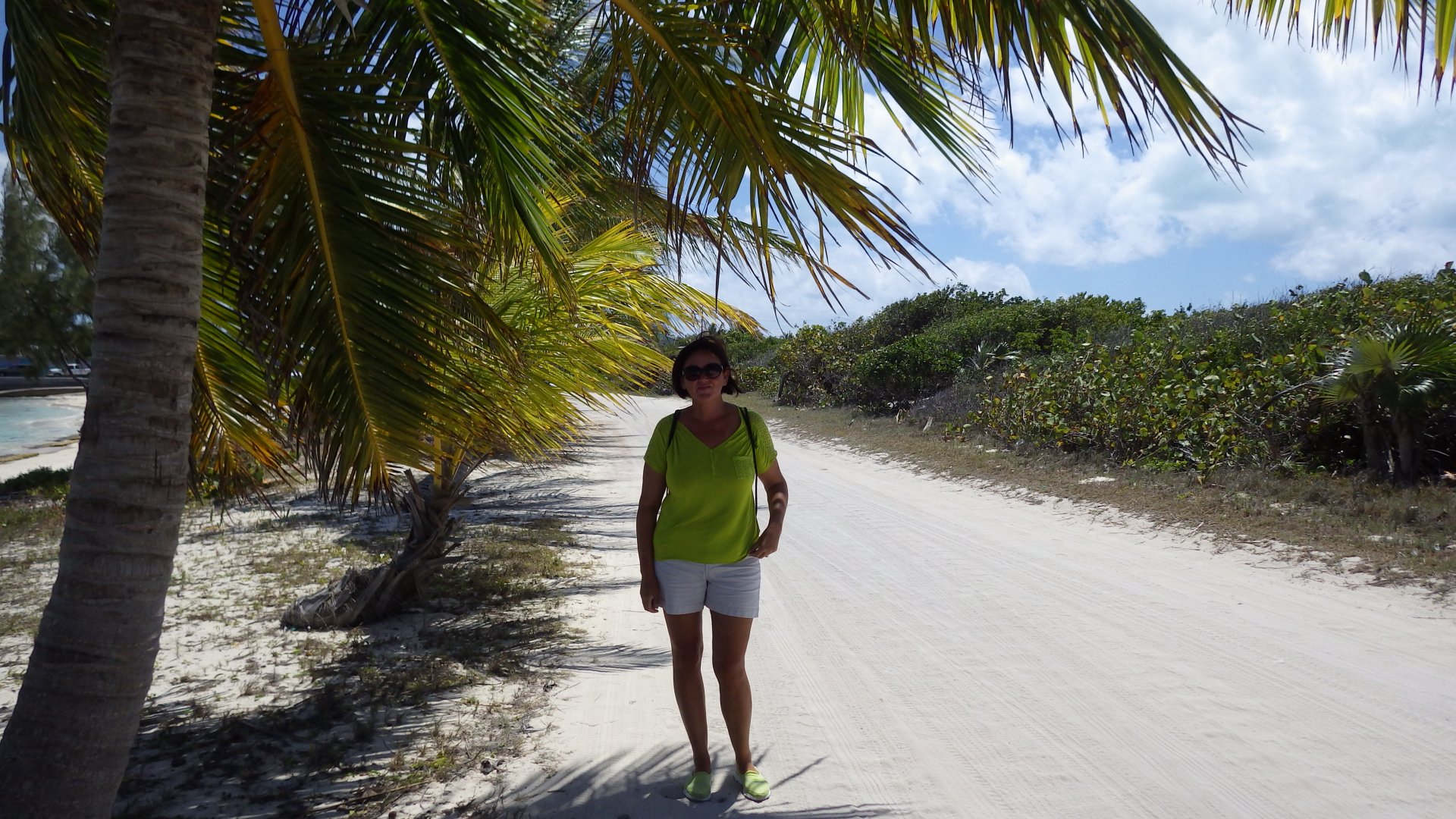
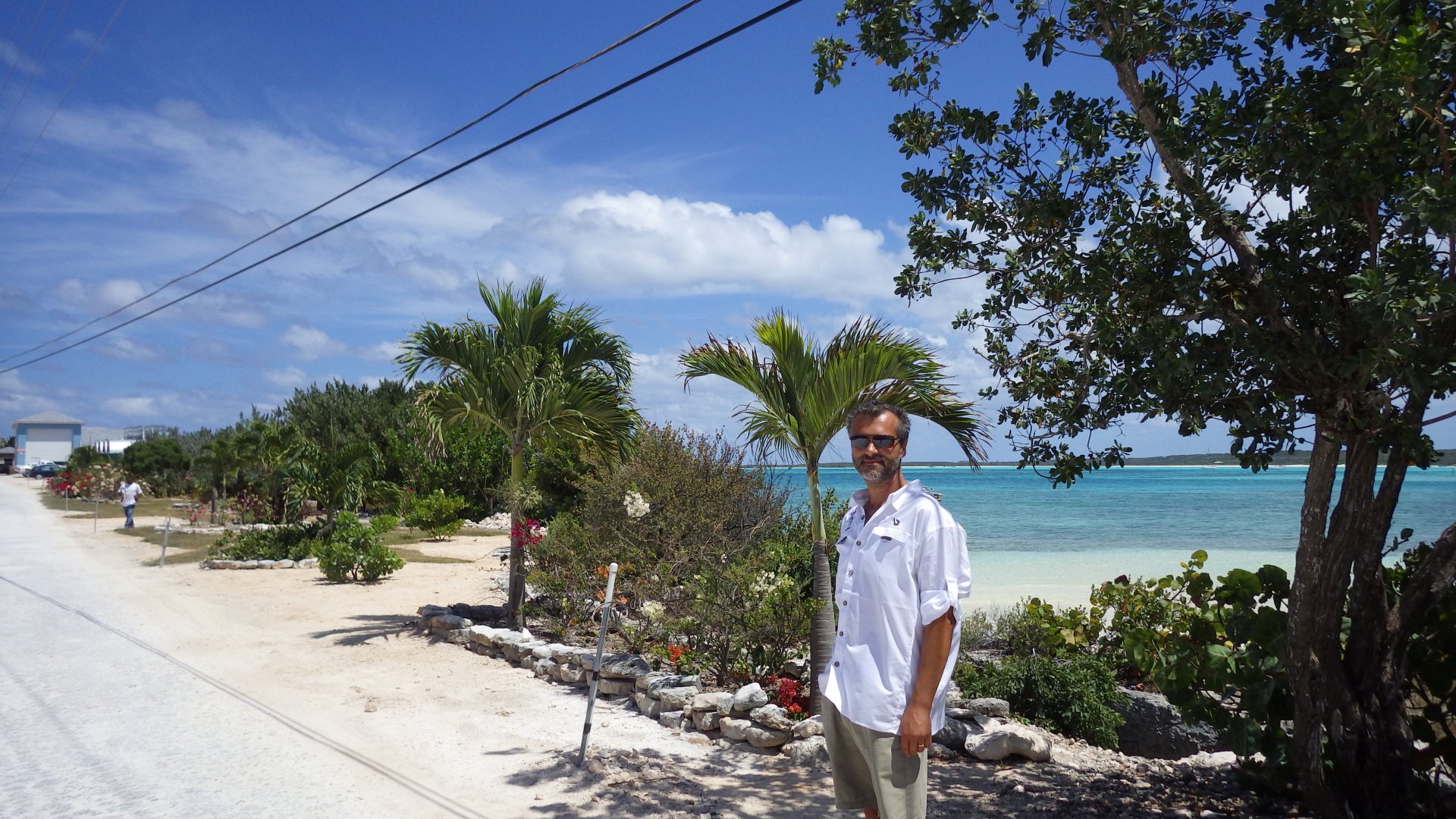
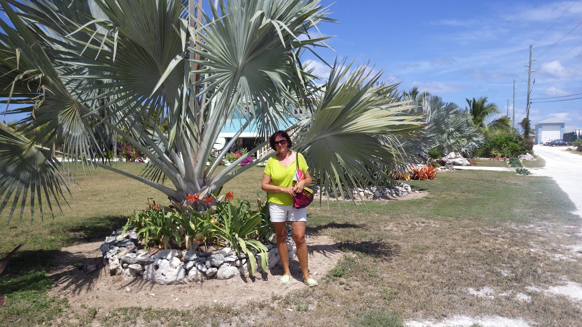
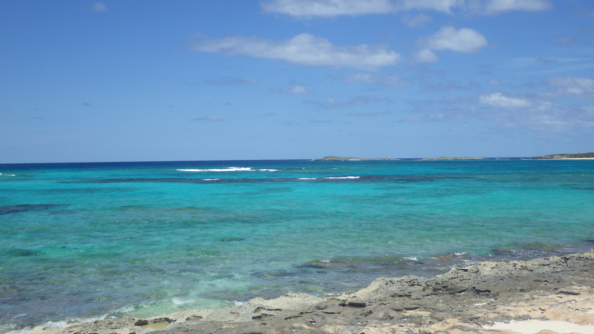
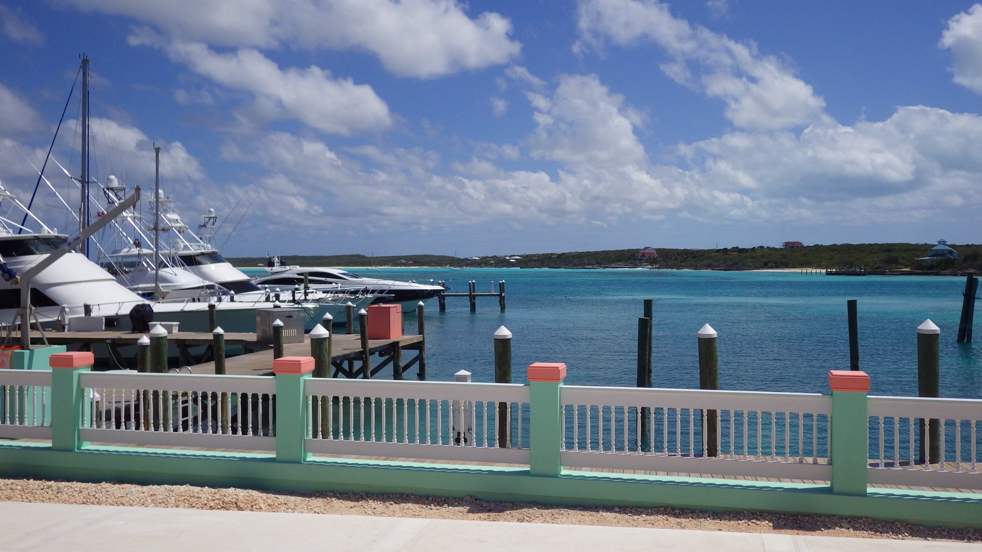
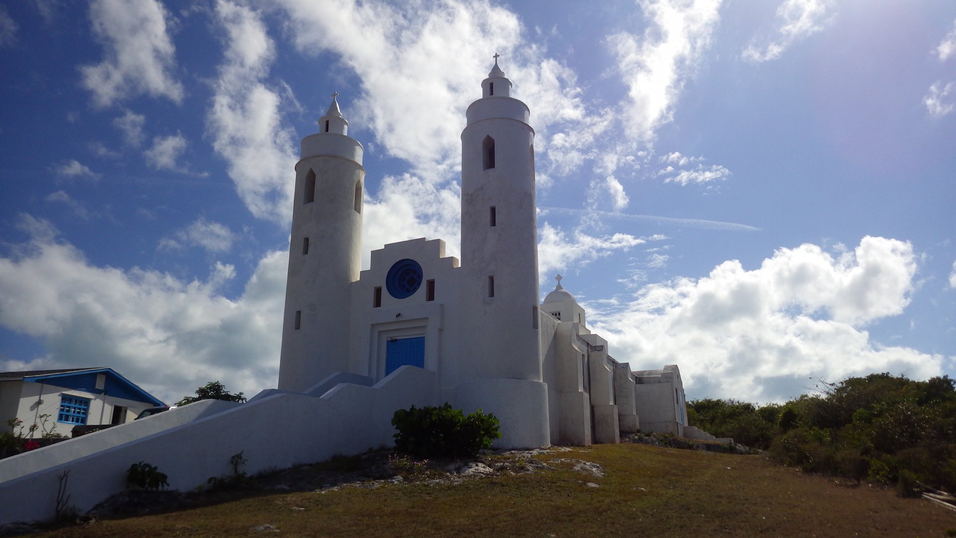
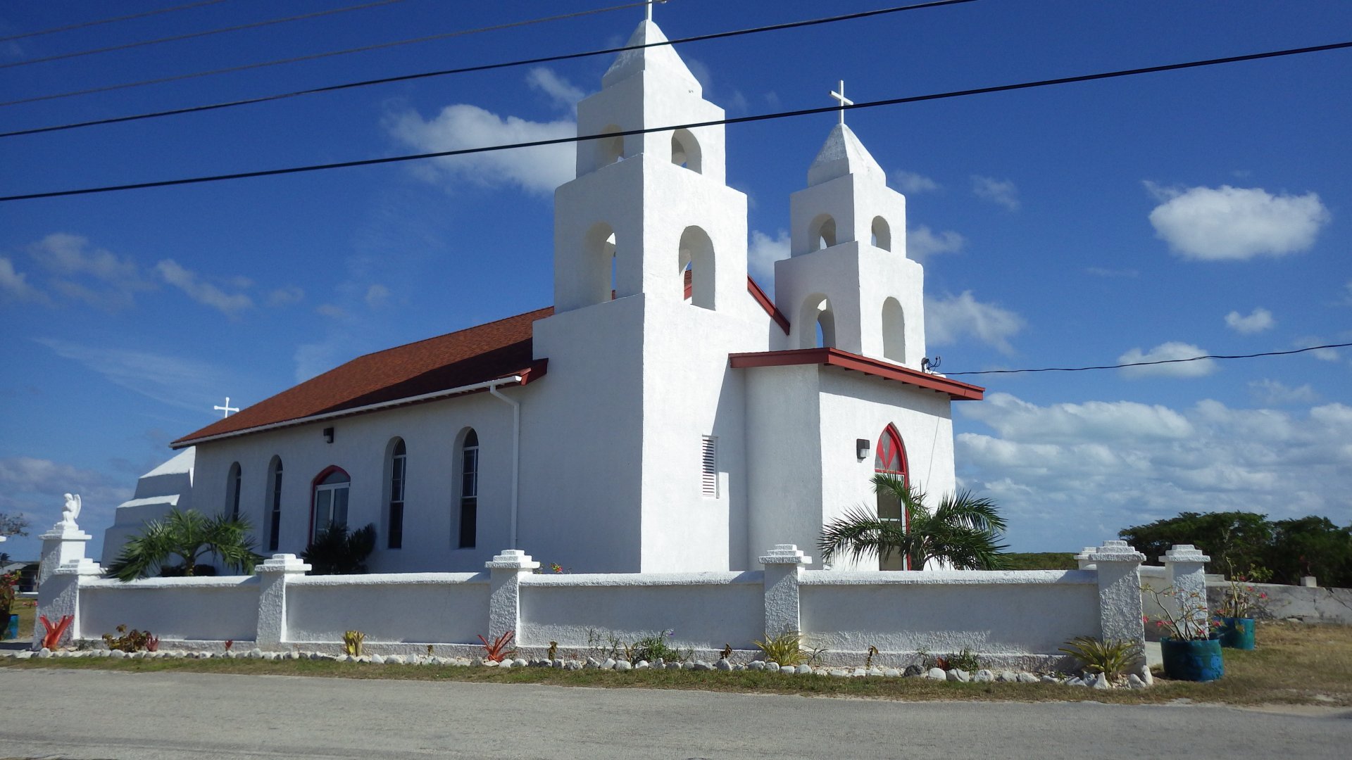
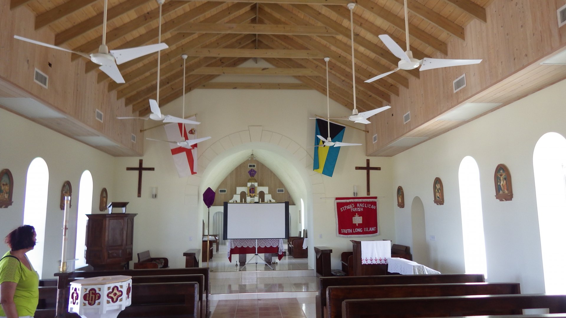
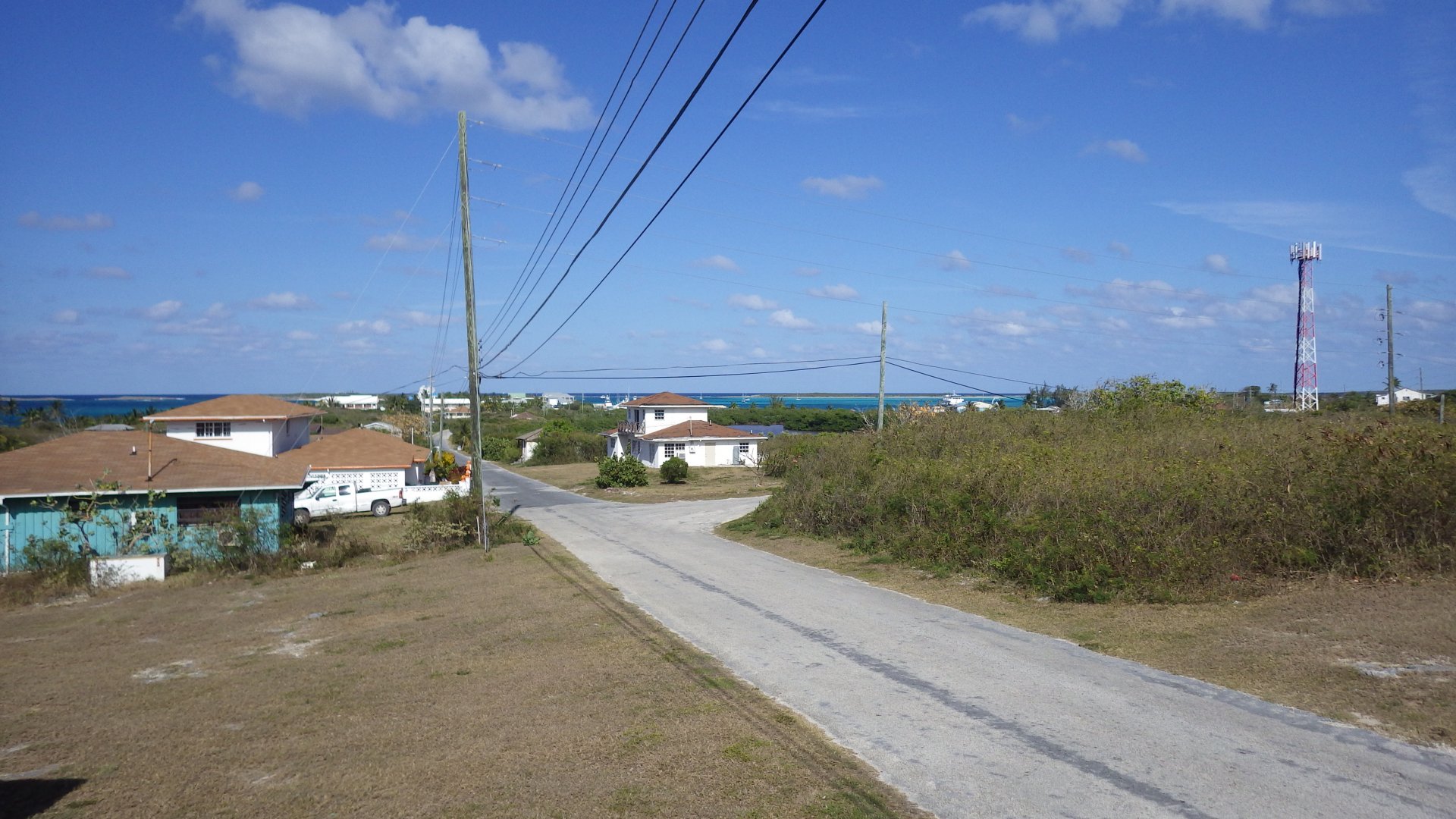
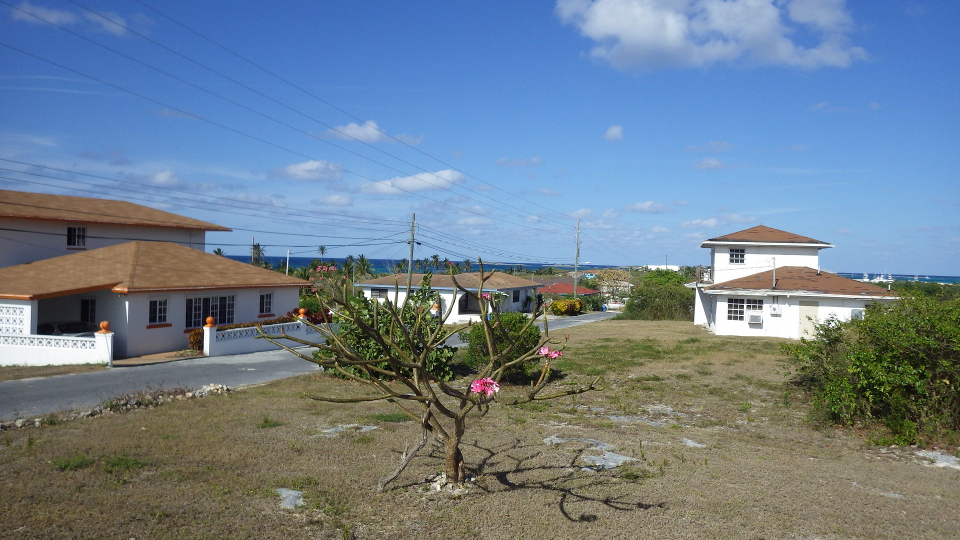
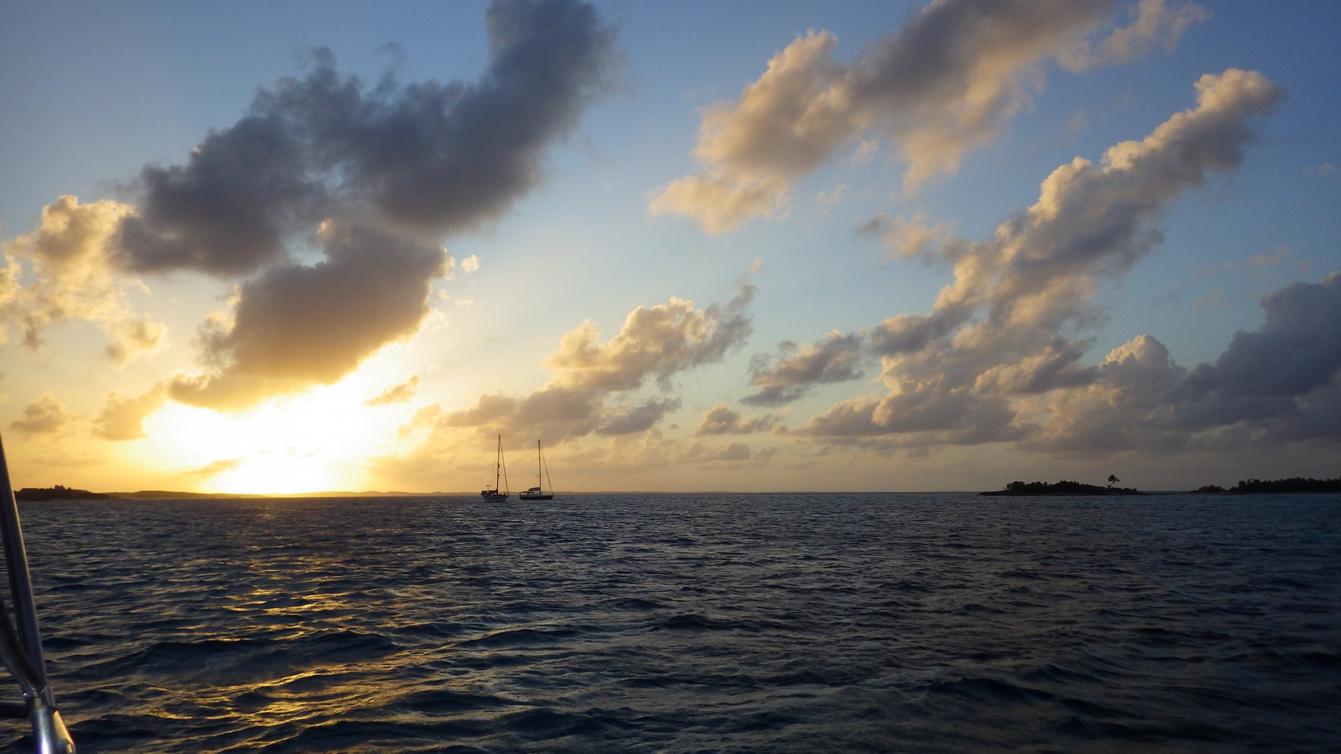
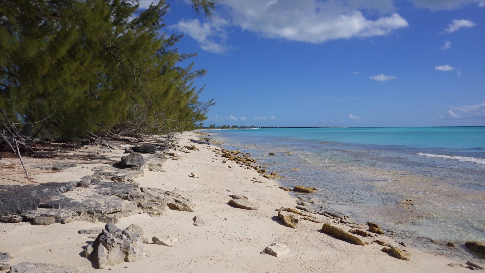
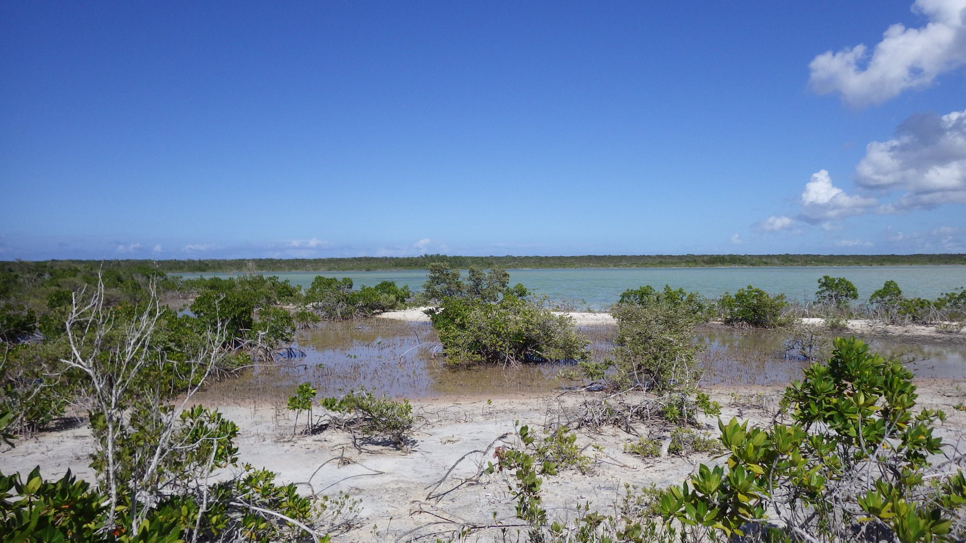
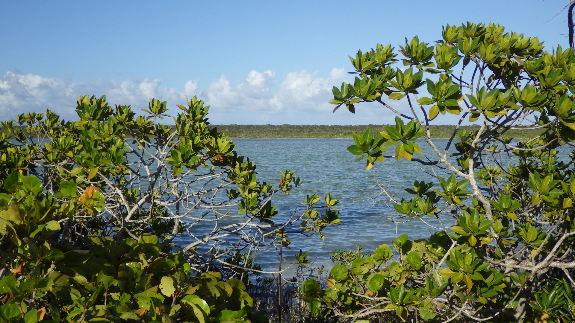
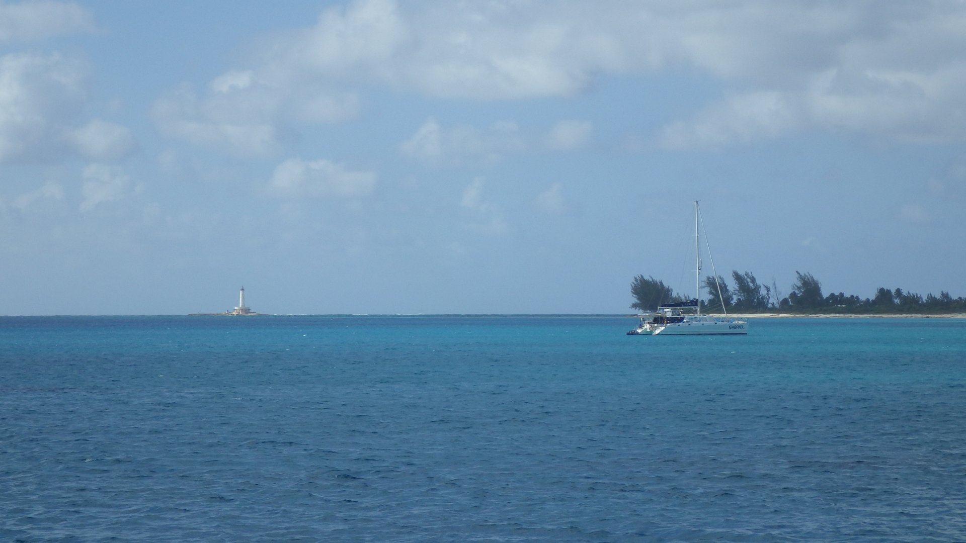
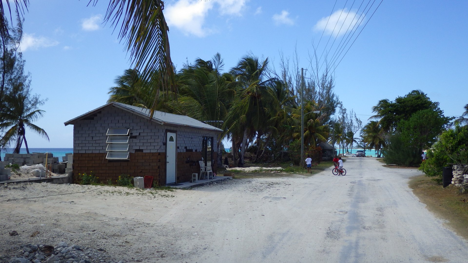
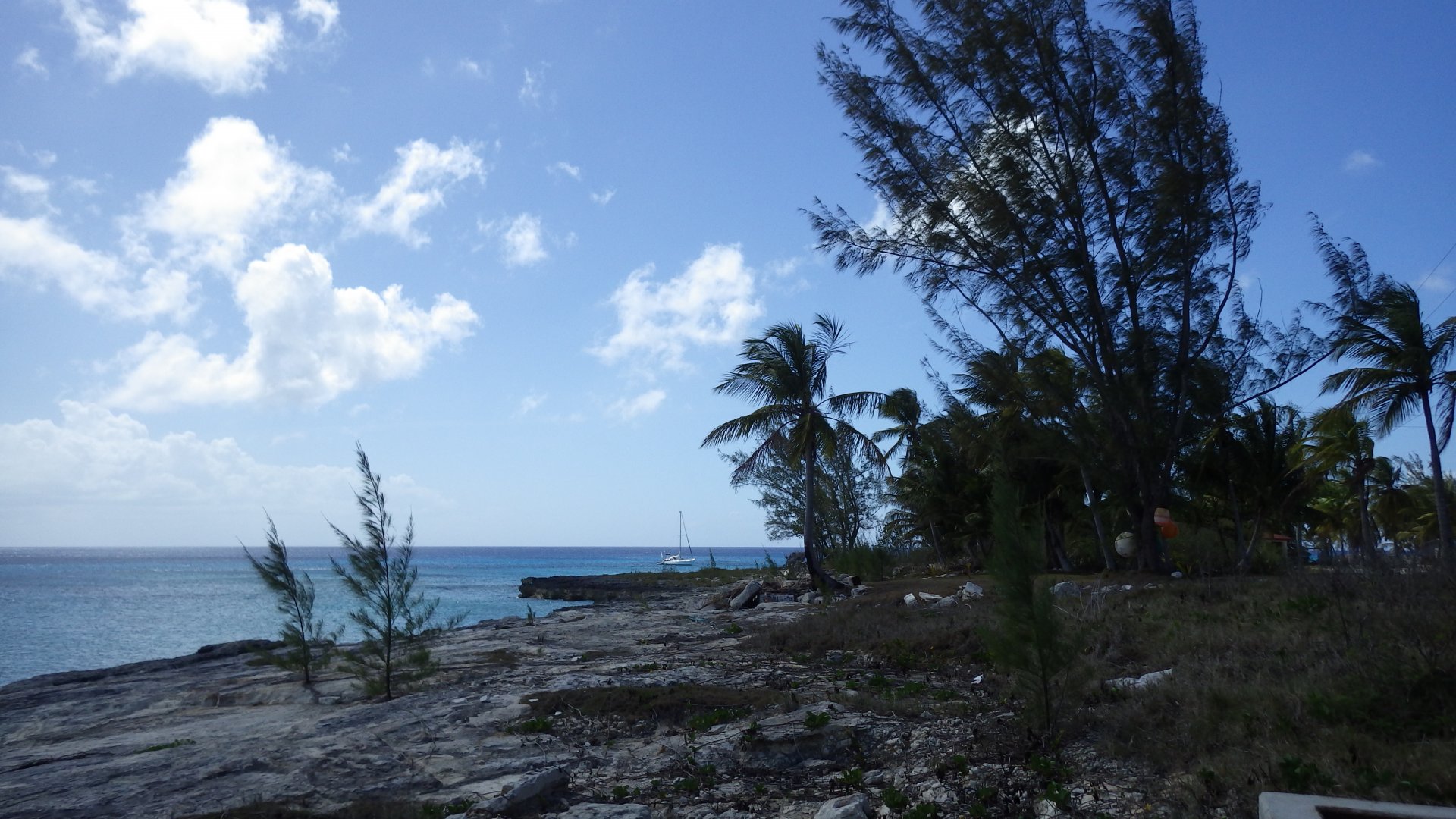
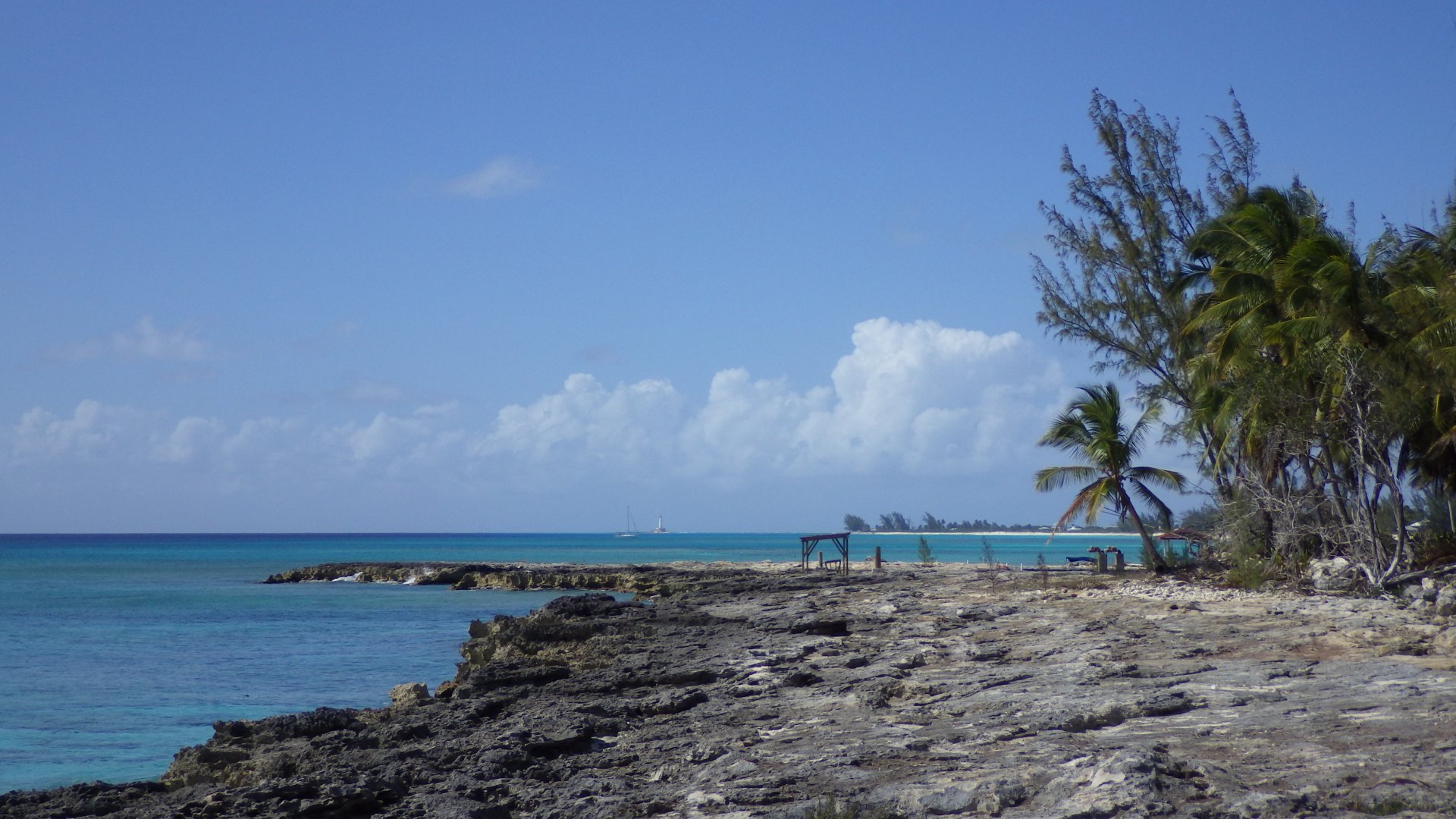
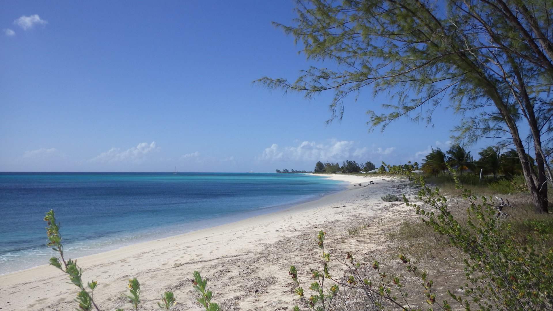
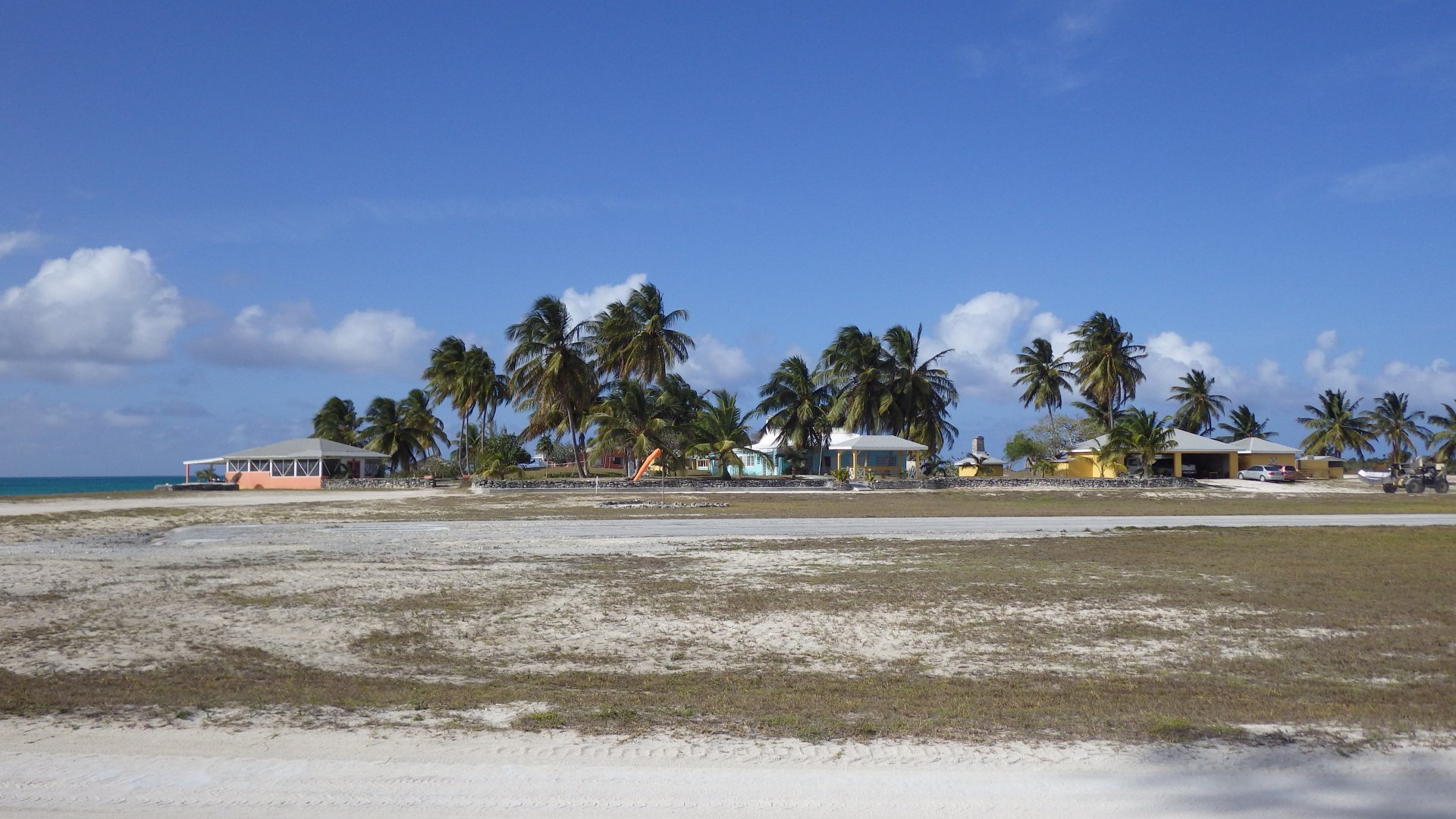
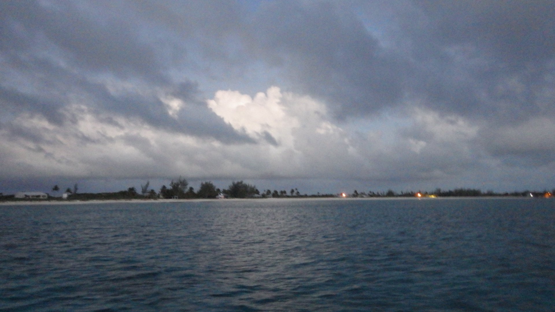
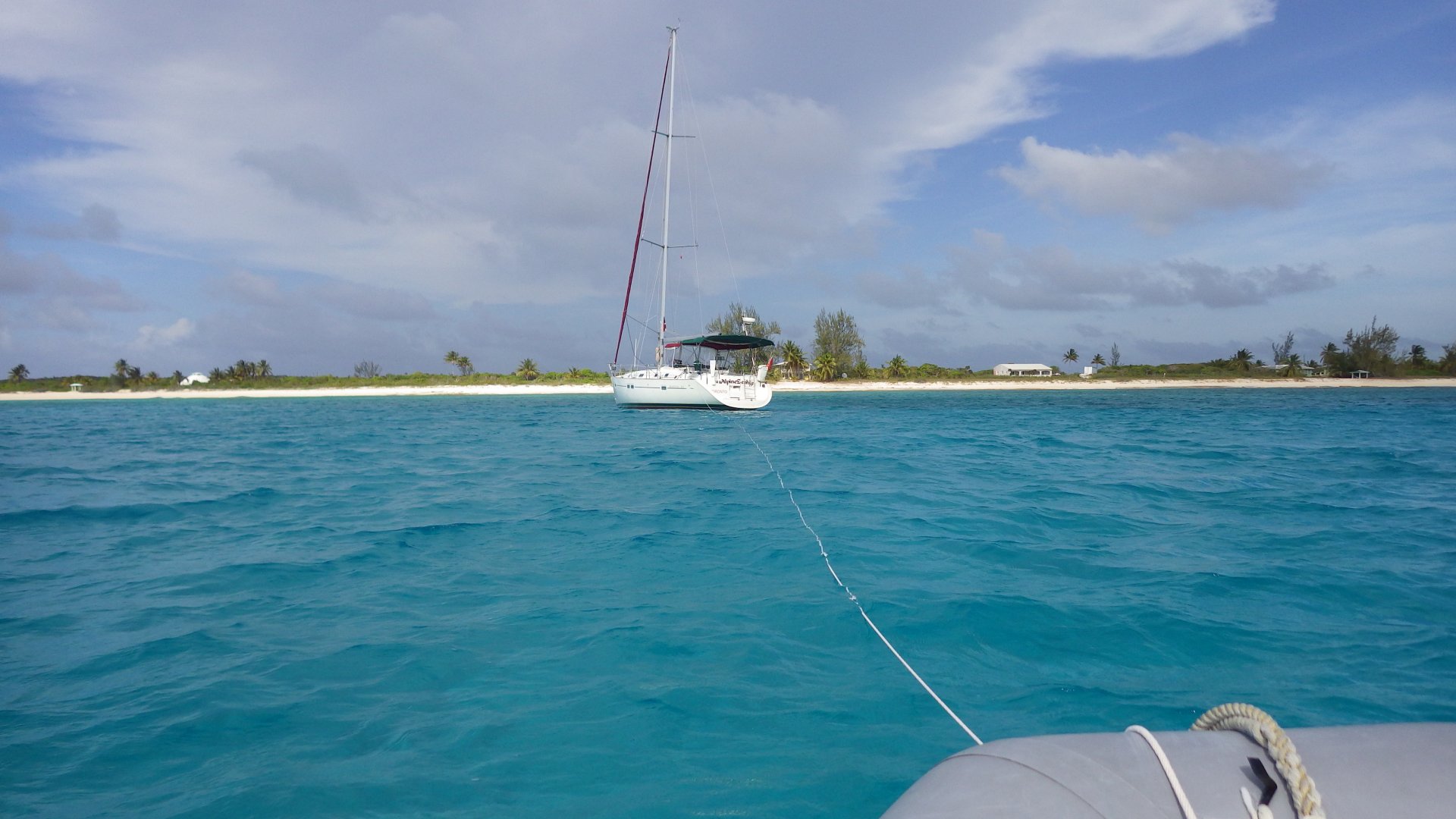
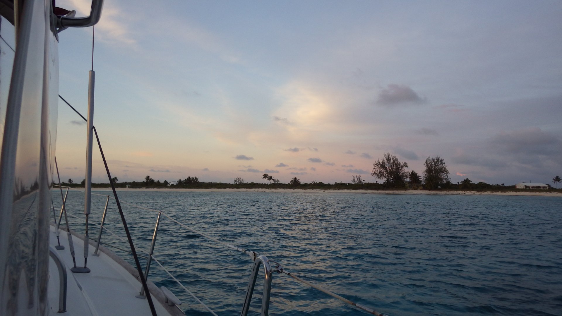
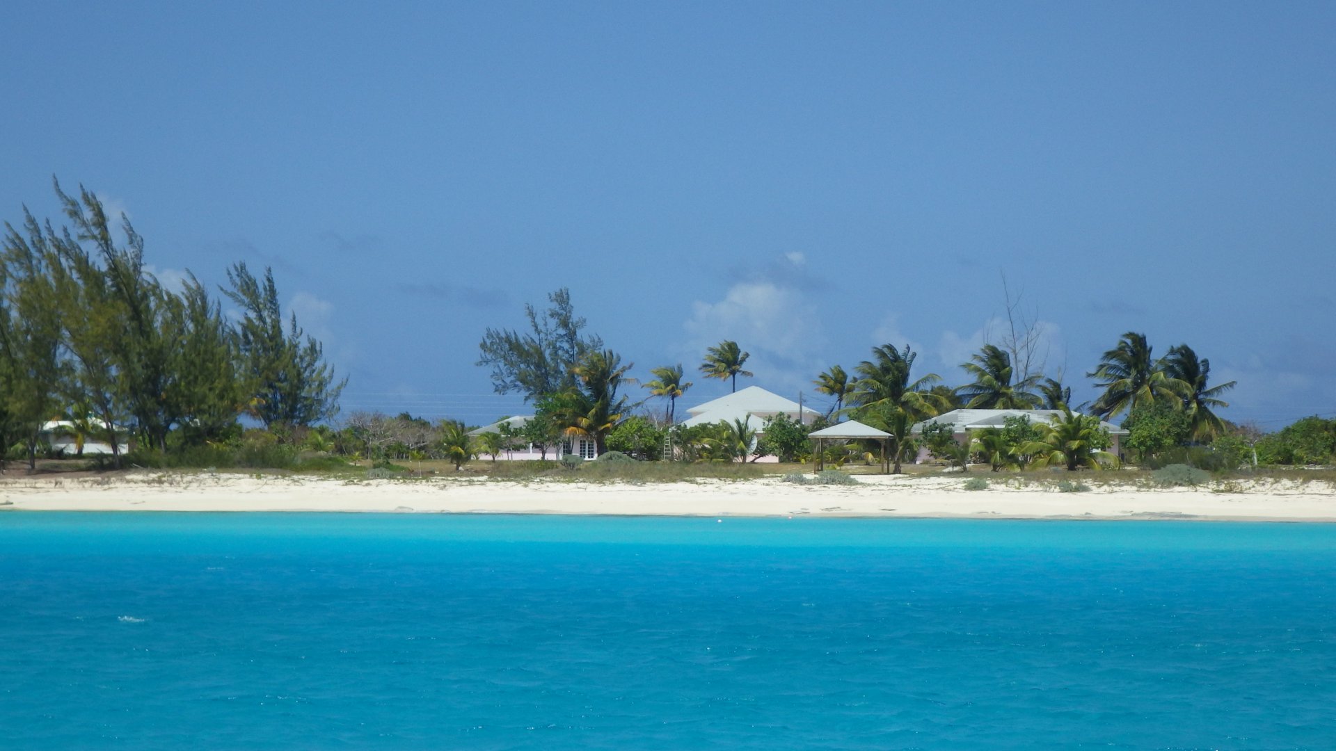
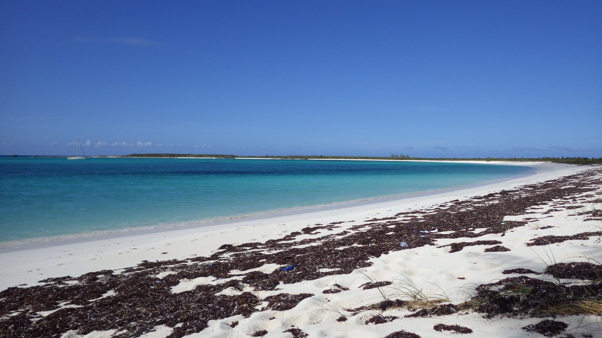
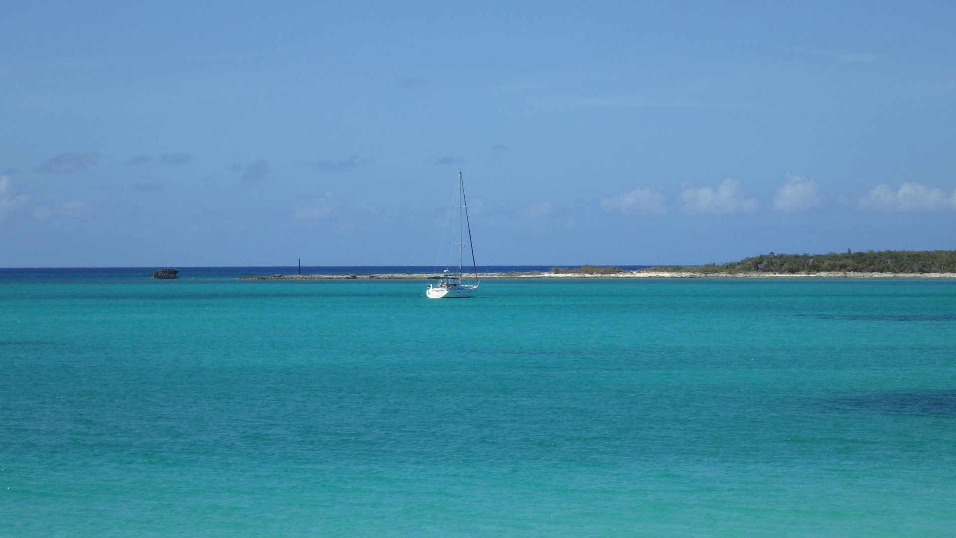
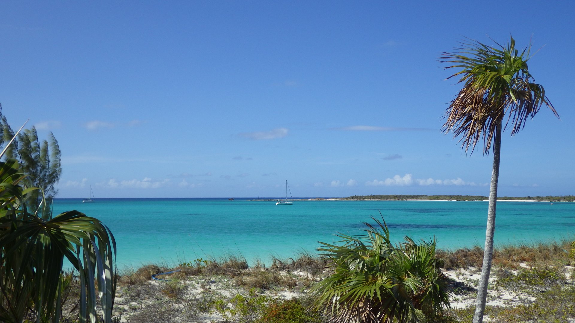
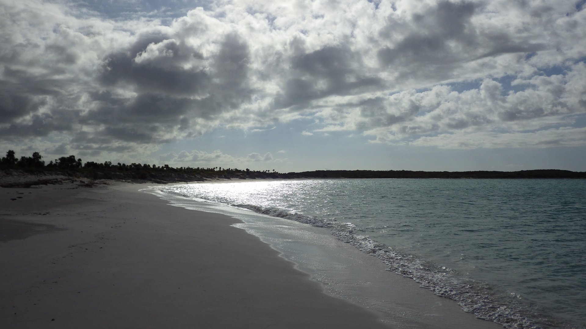
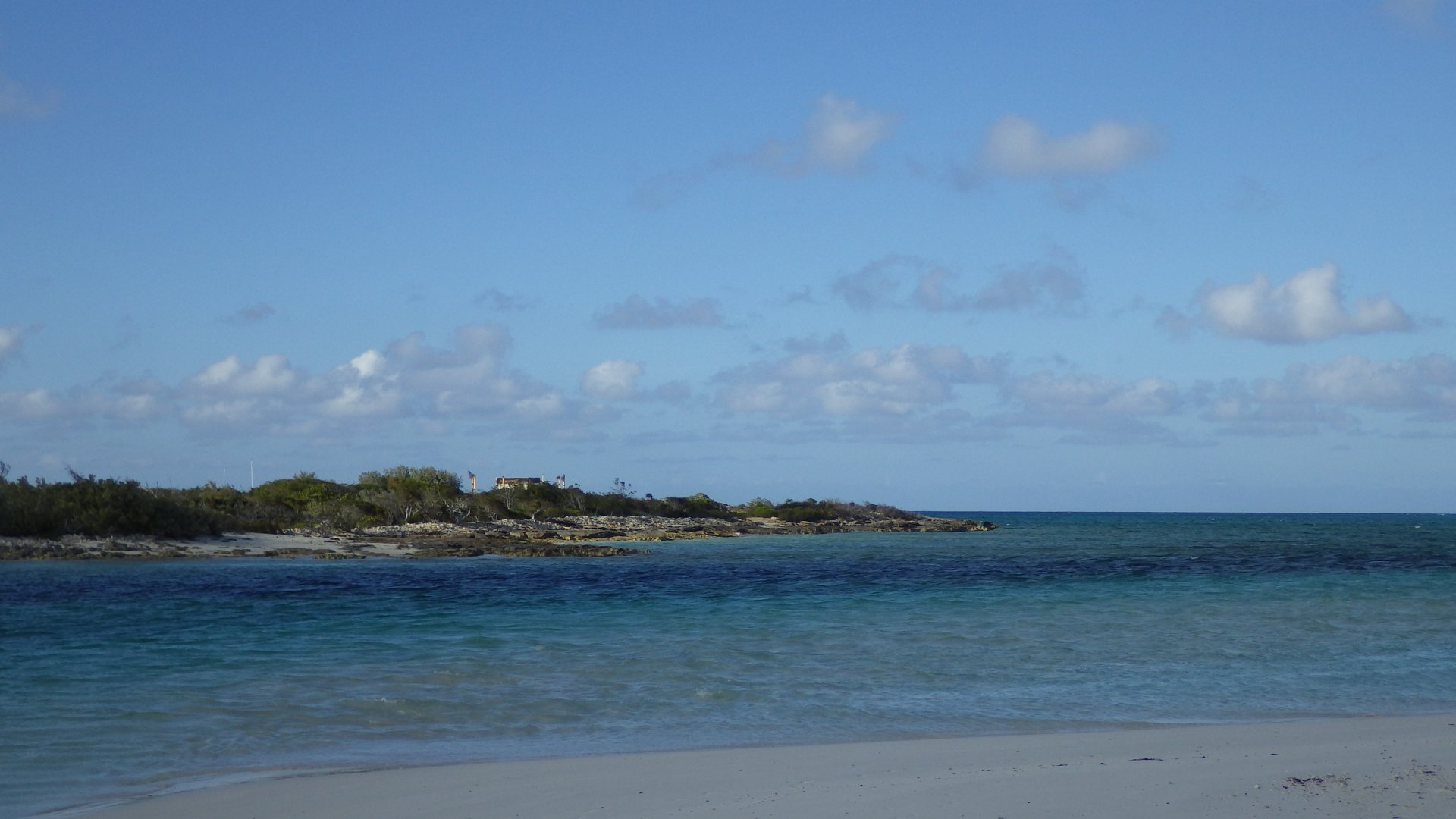
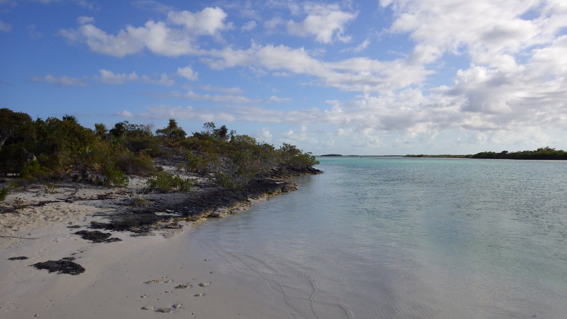
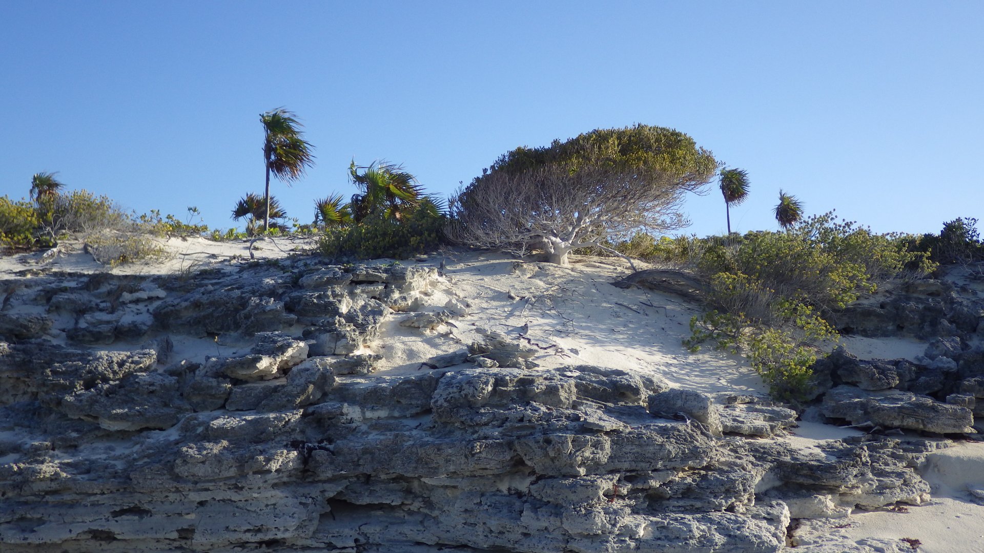
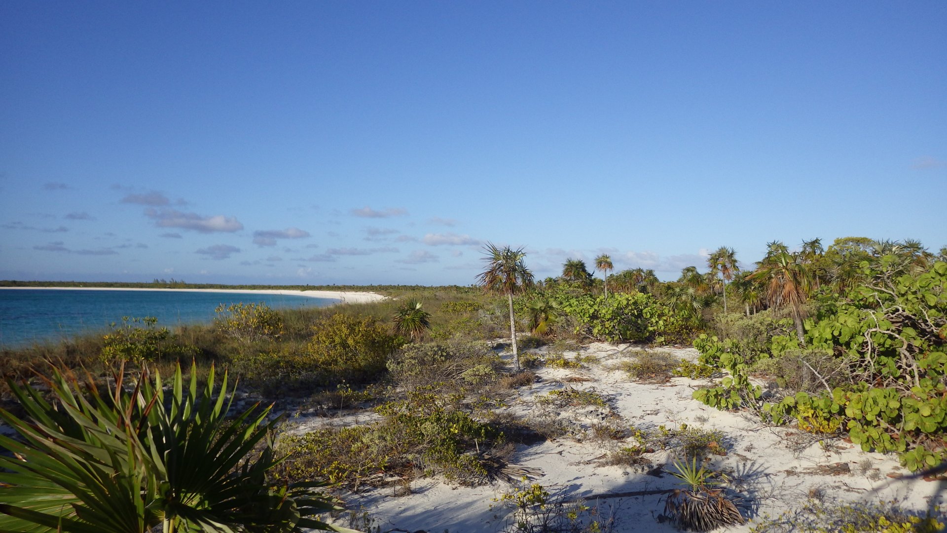
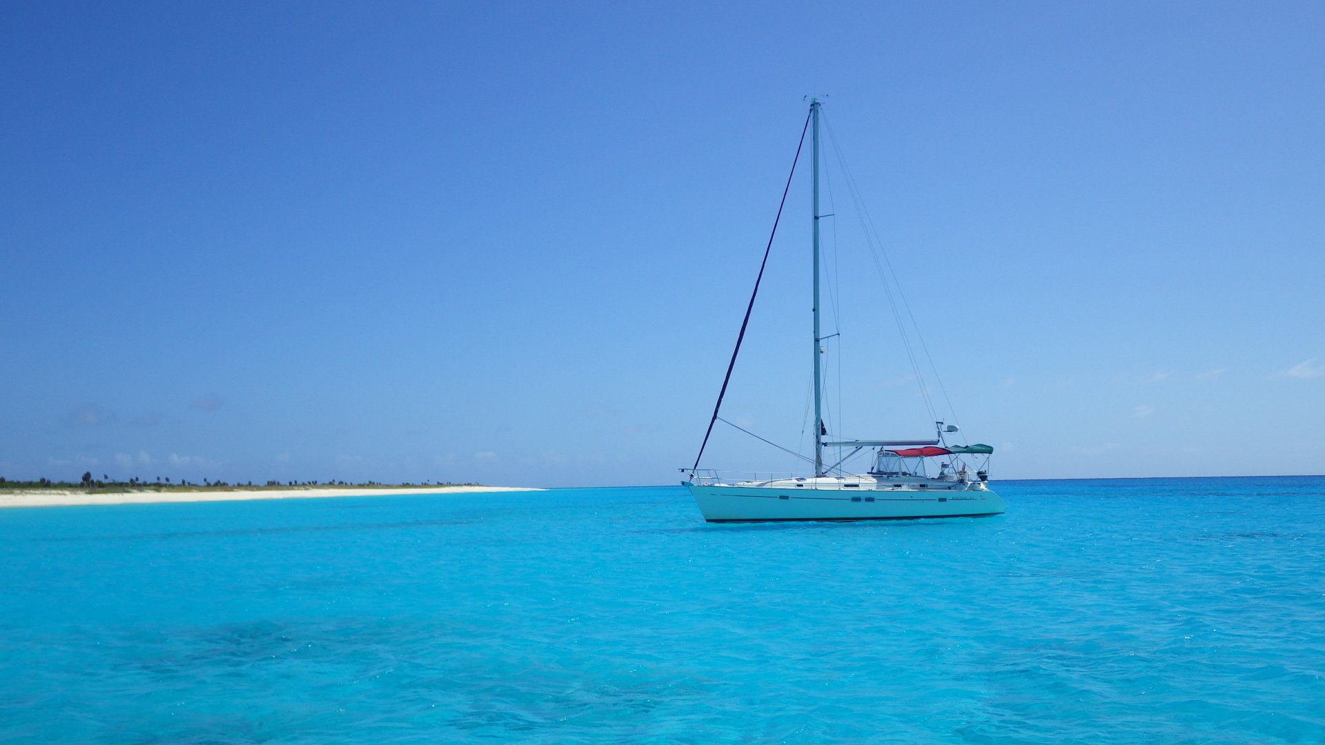
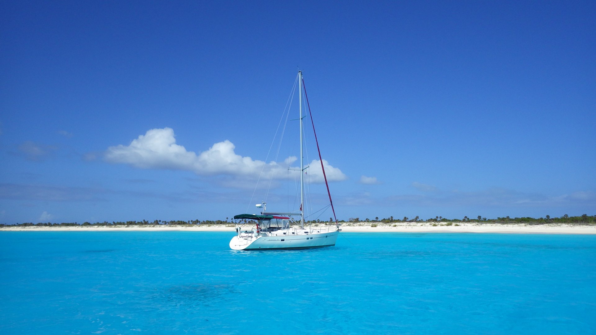
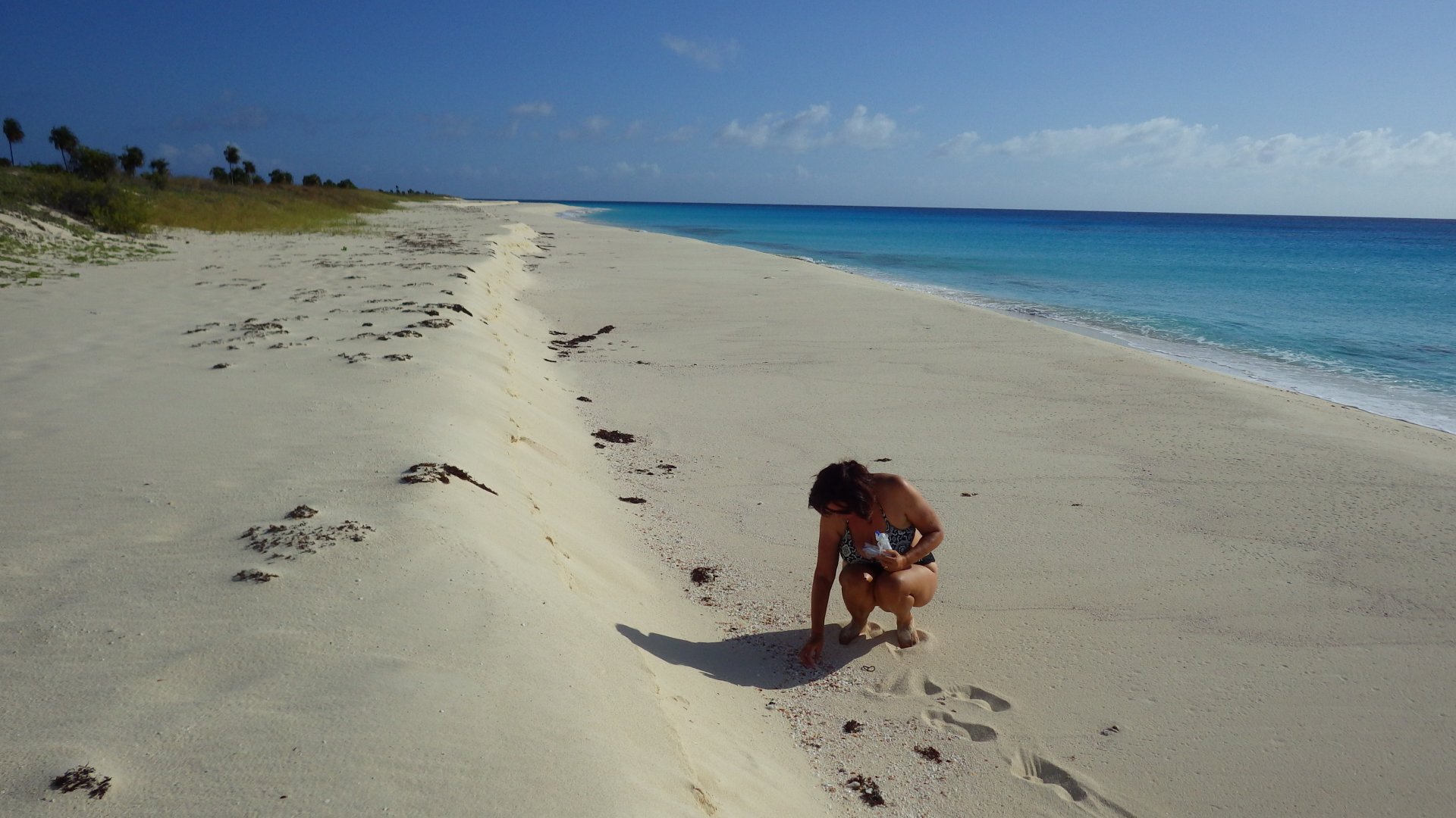
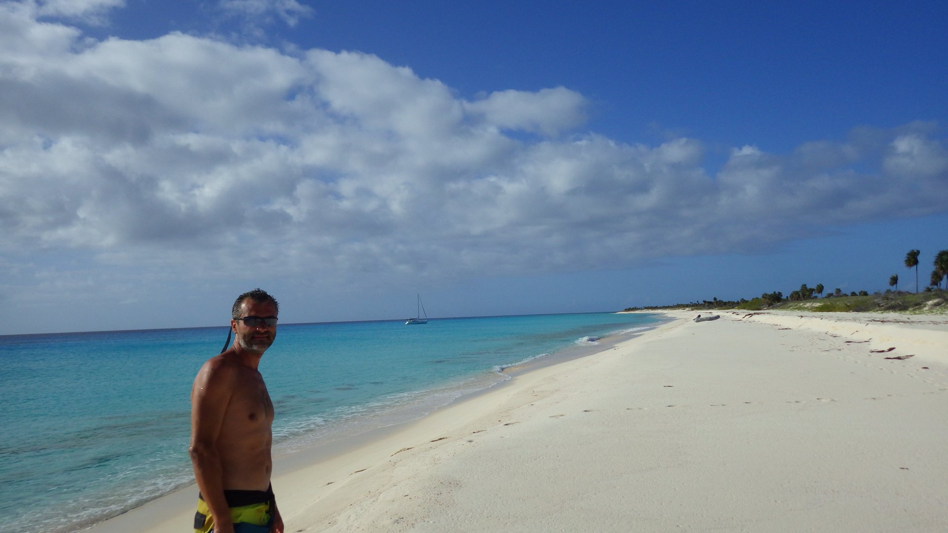
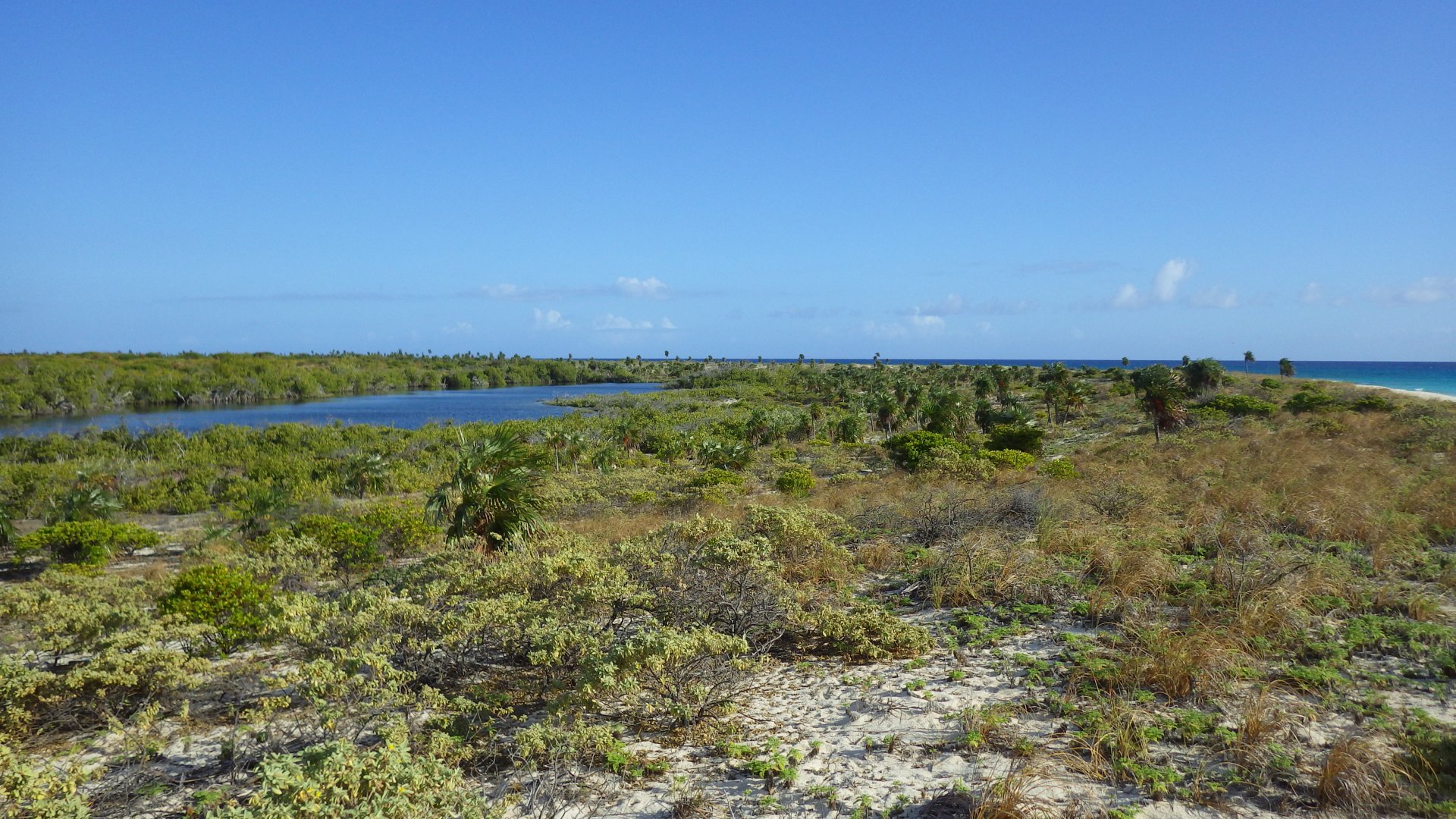
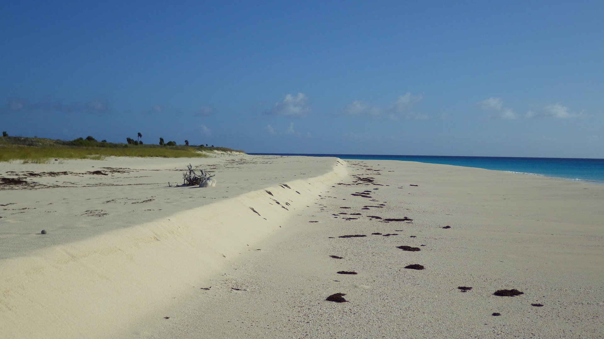
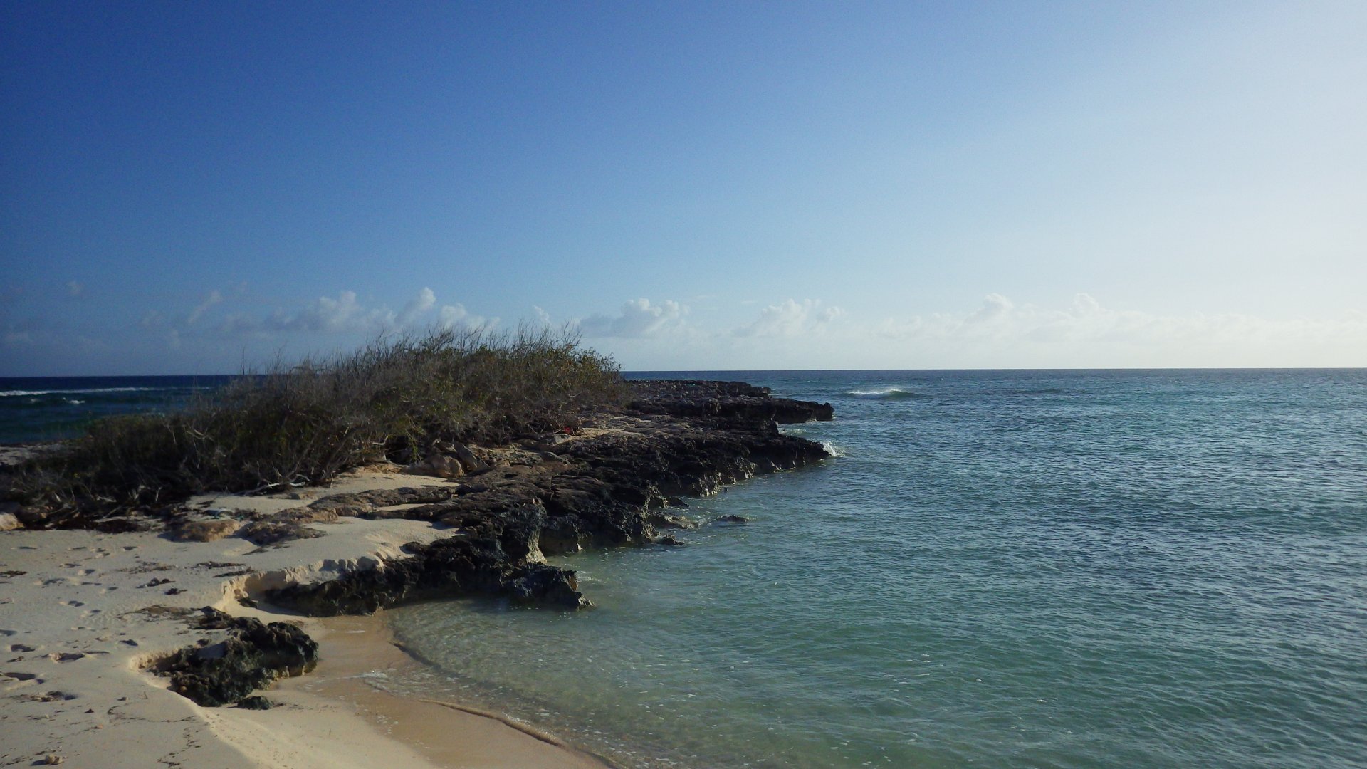
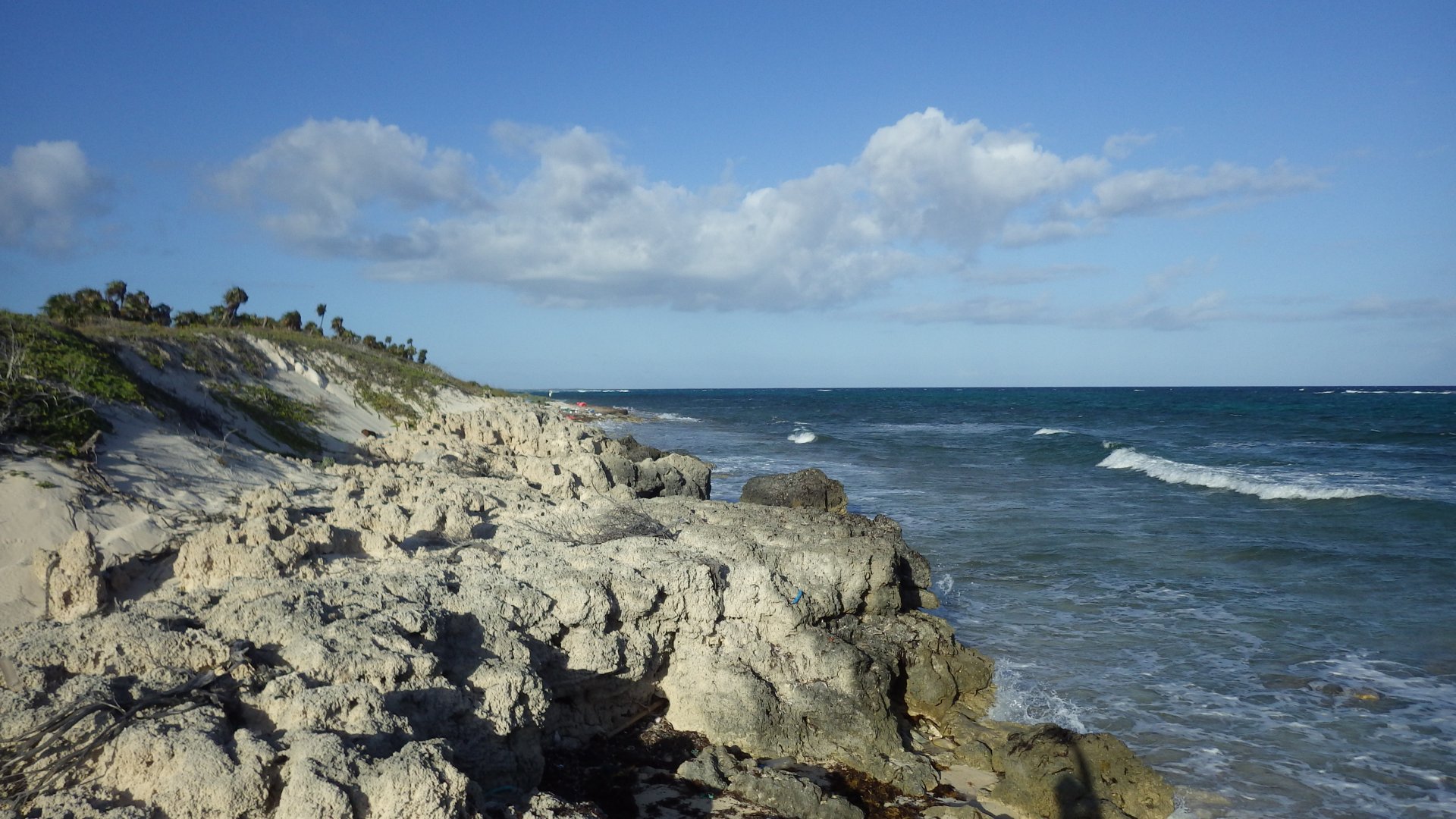
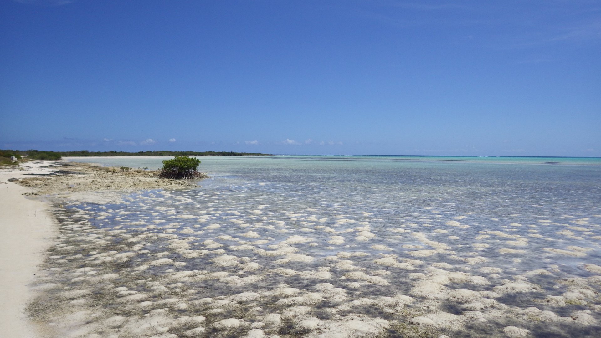
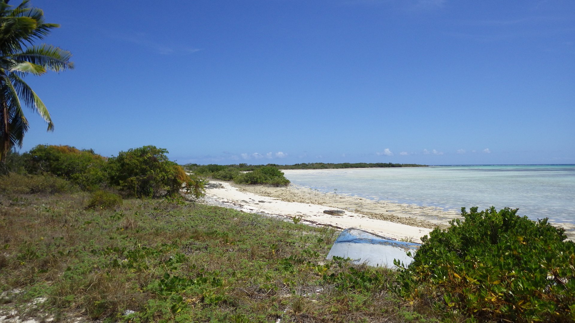
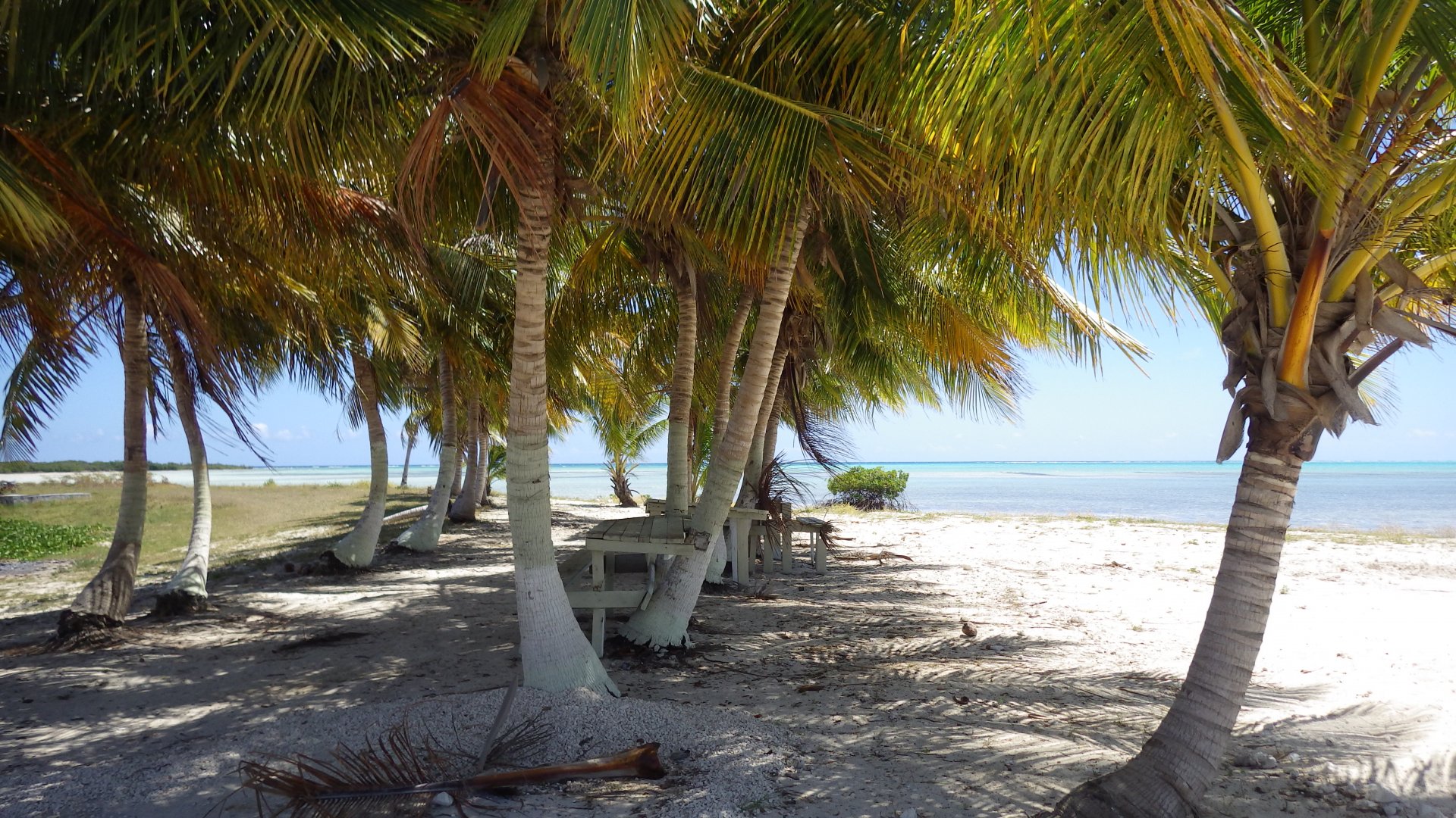
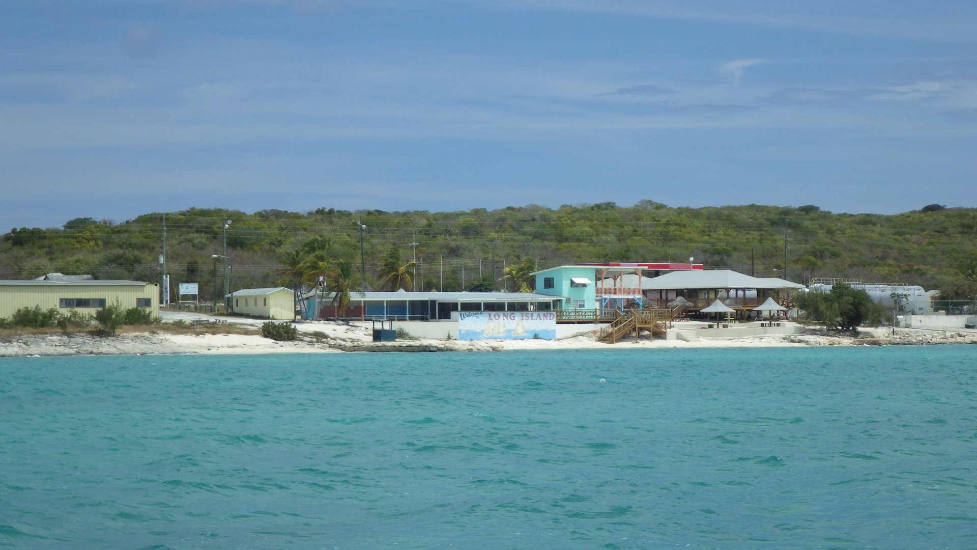
Salt Pond, Long Island

Log#: 86
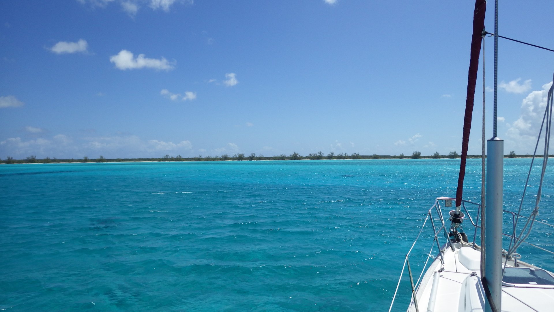
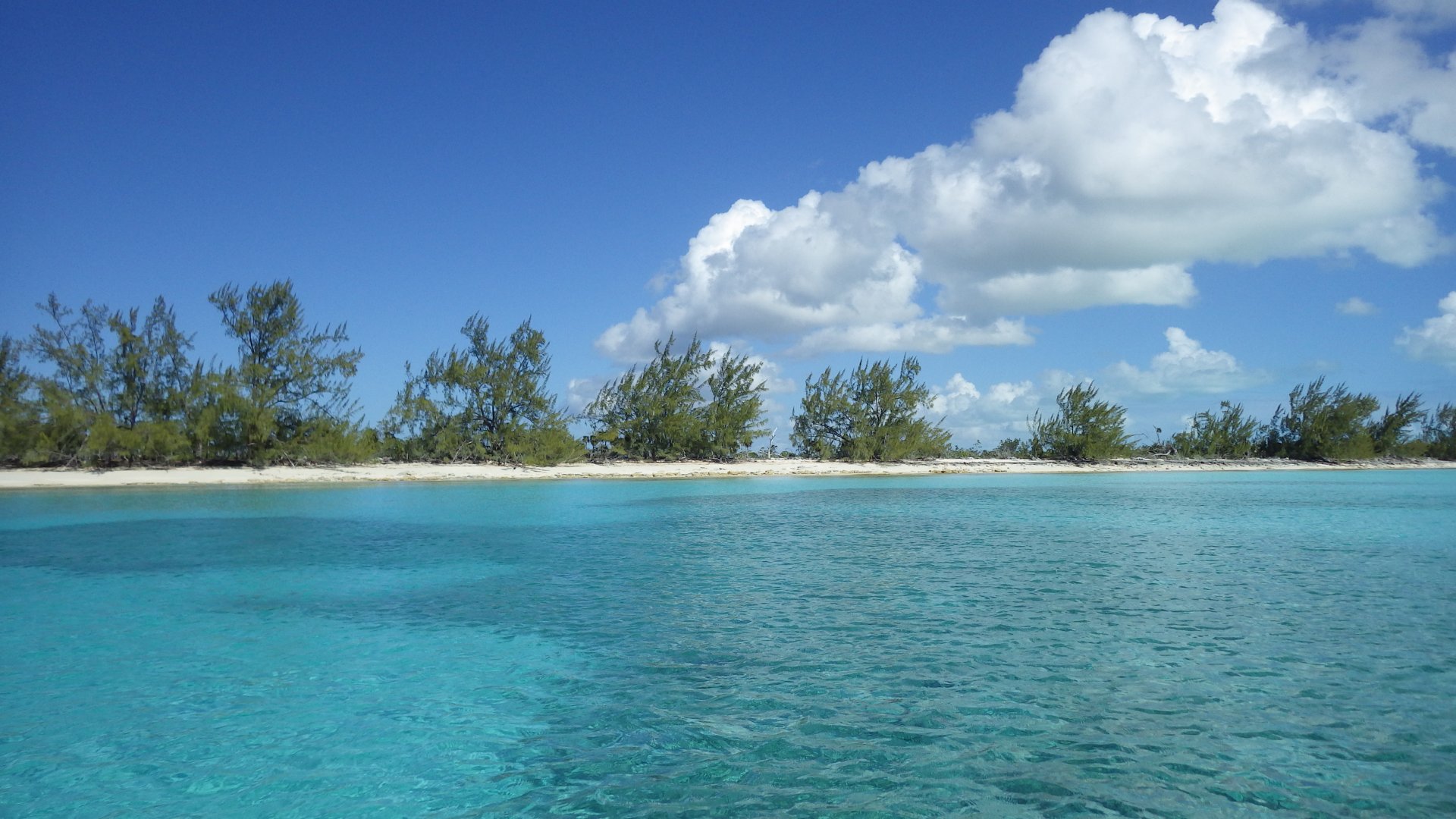
LatLon: 23°20.395'N, 075°07.493'W

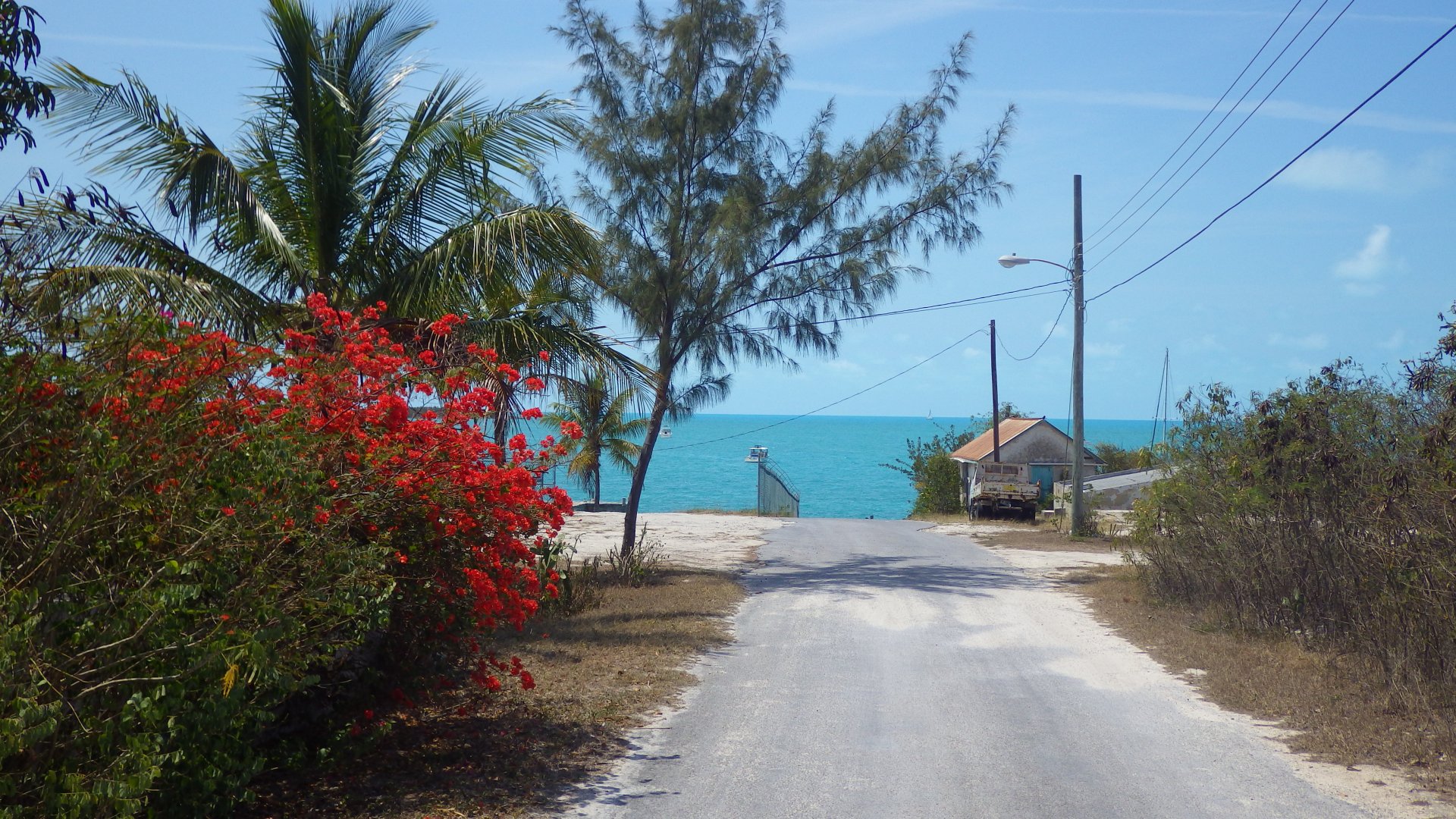
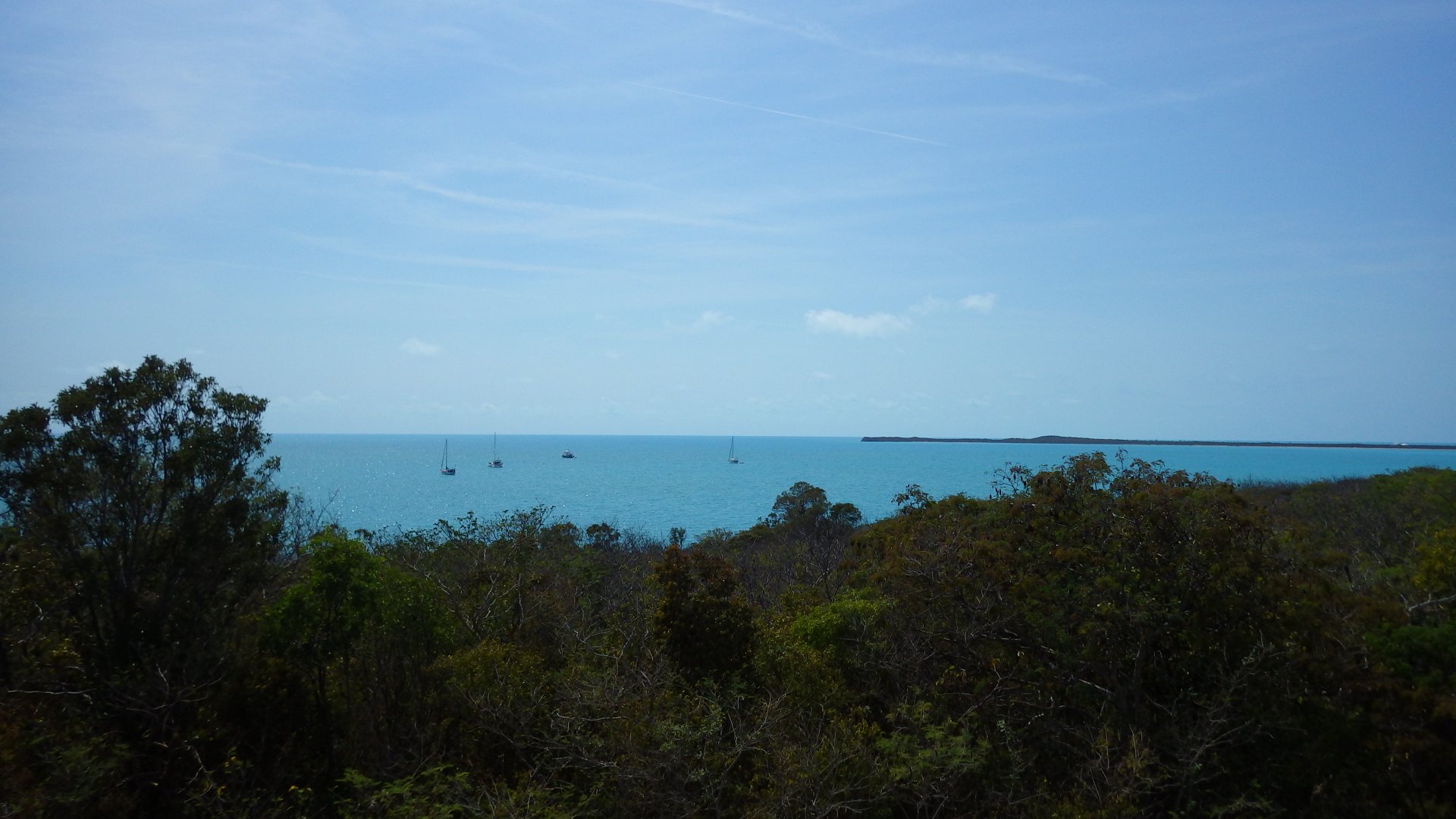
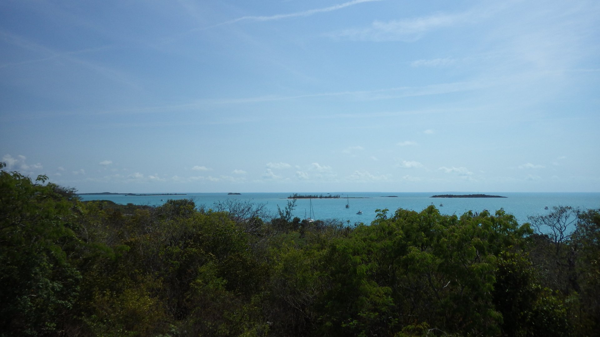
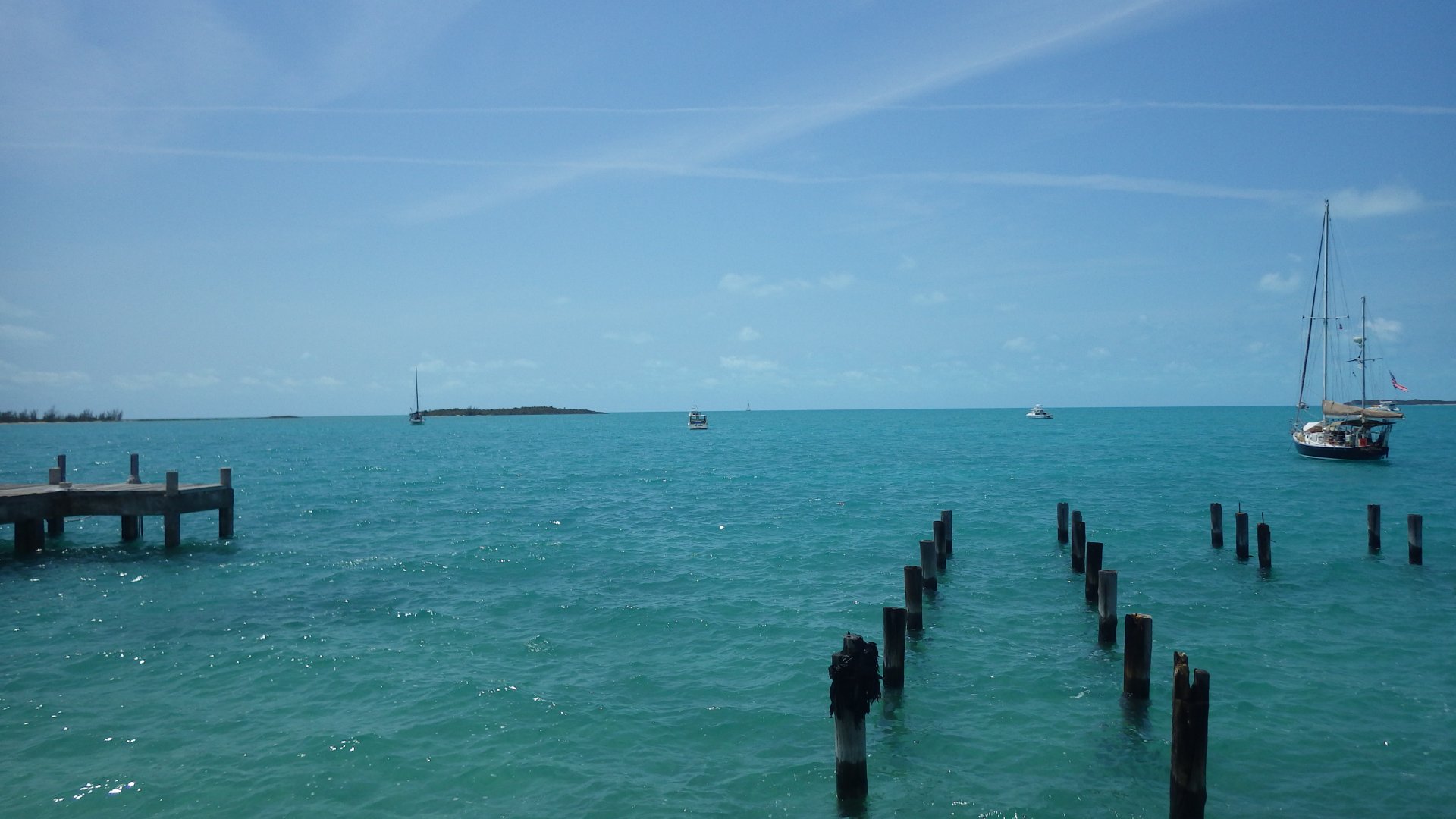
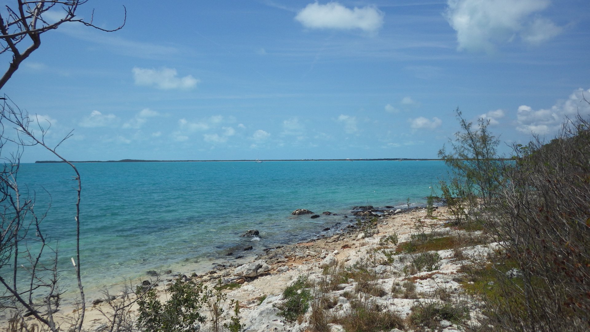
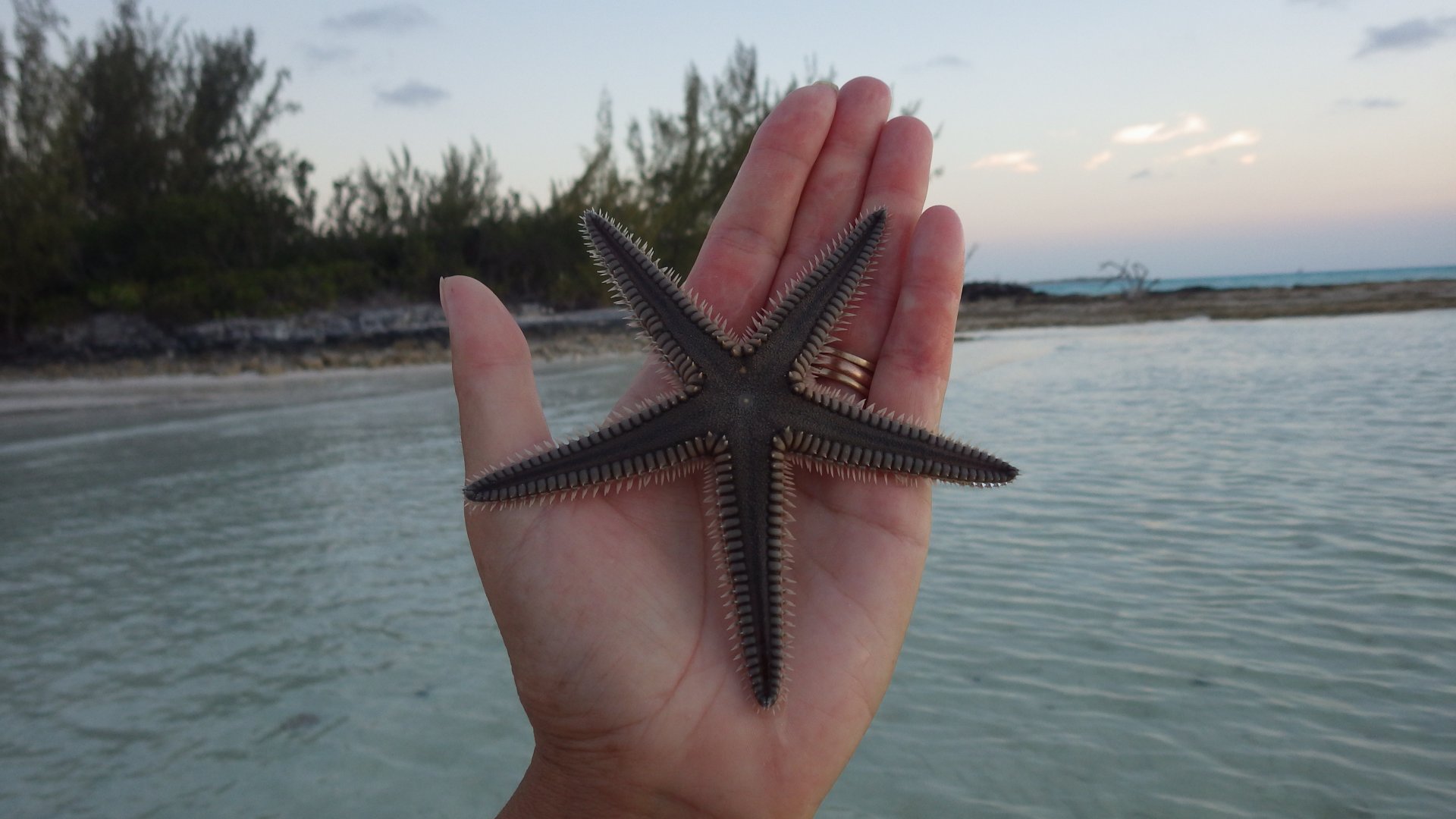
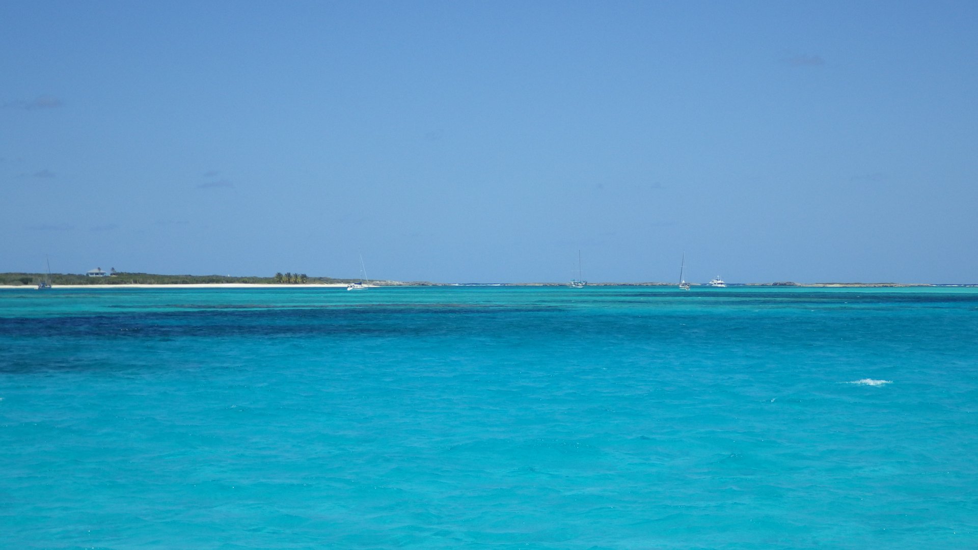
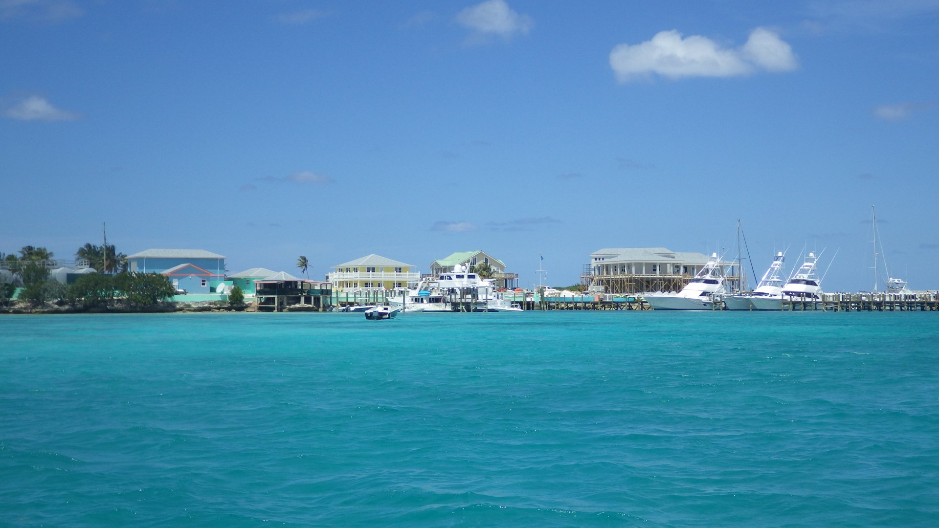
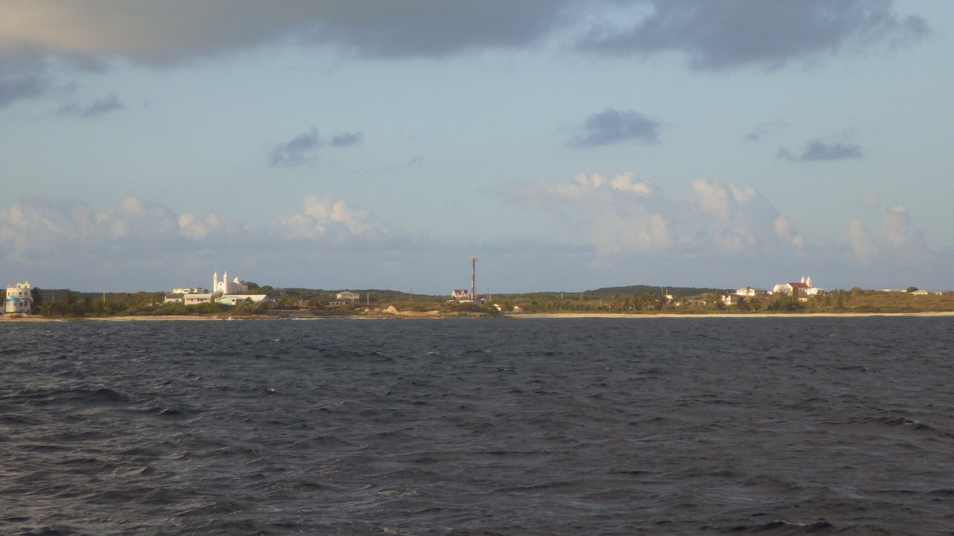
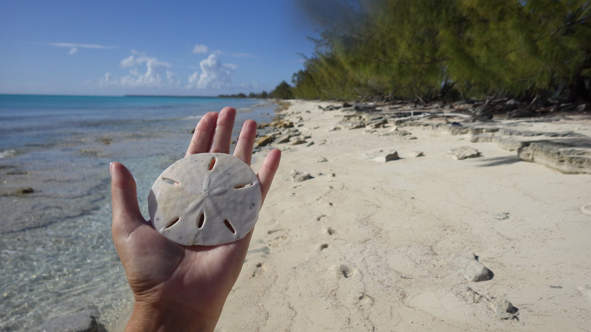
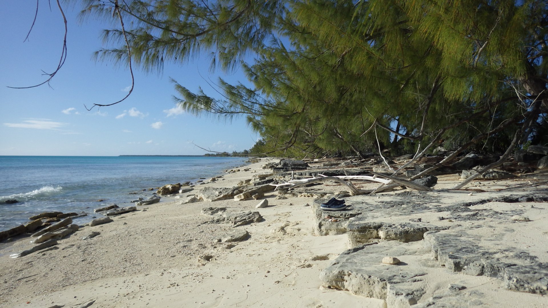
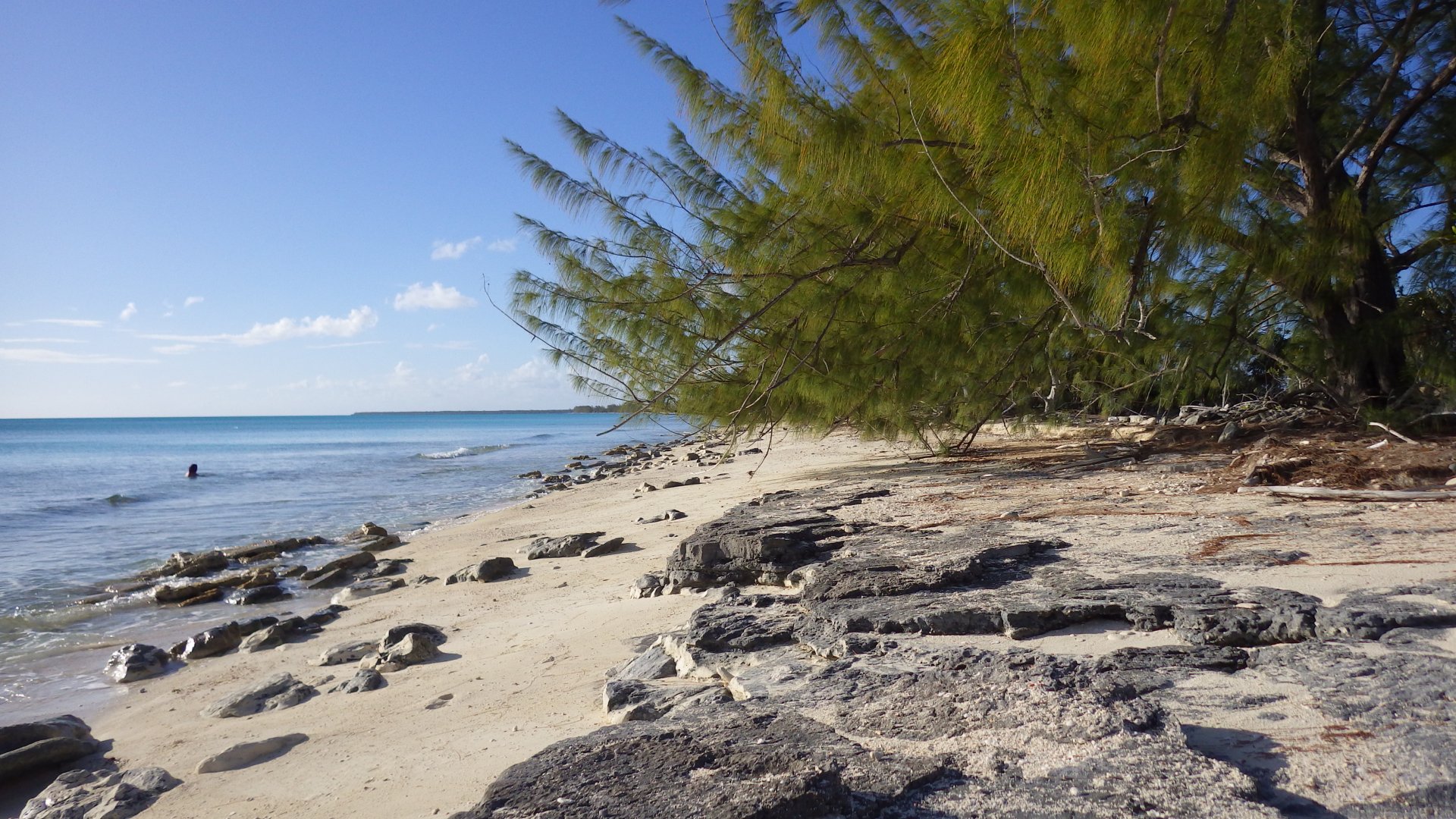
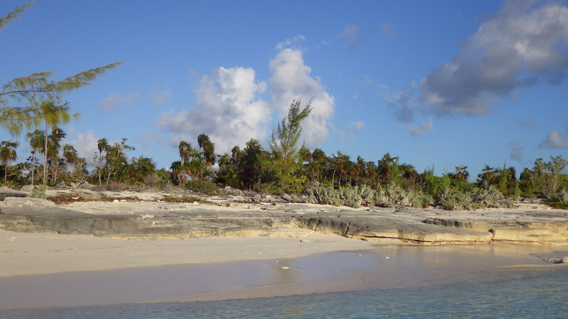
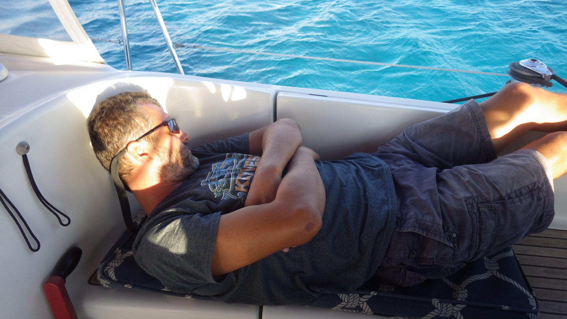
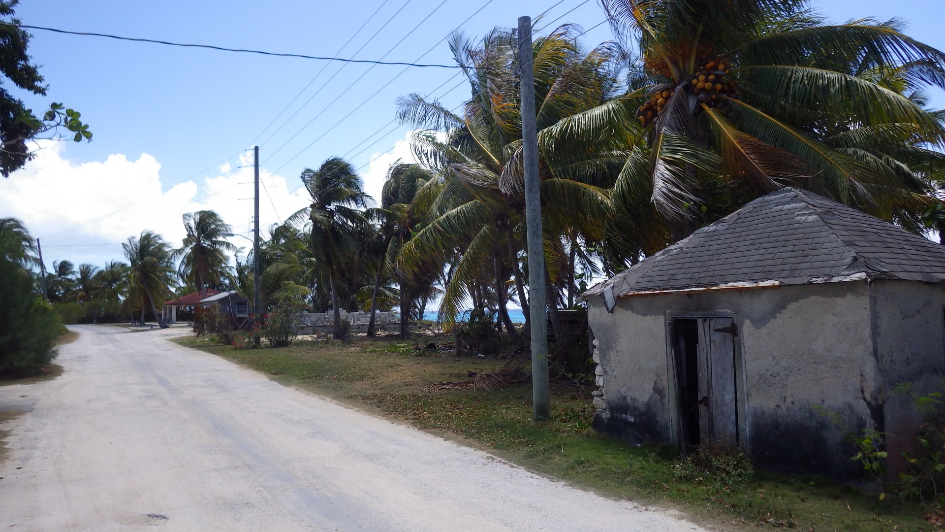
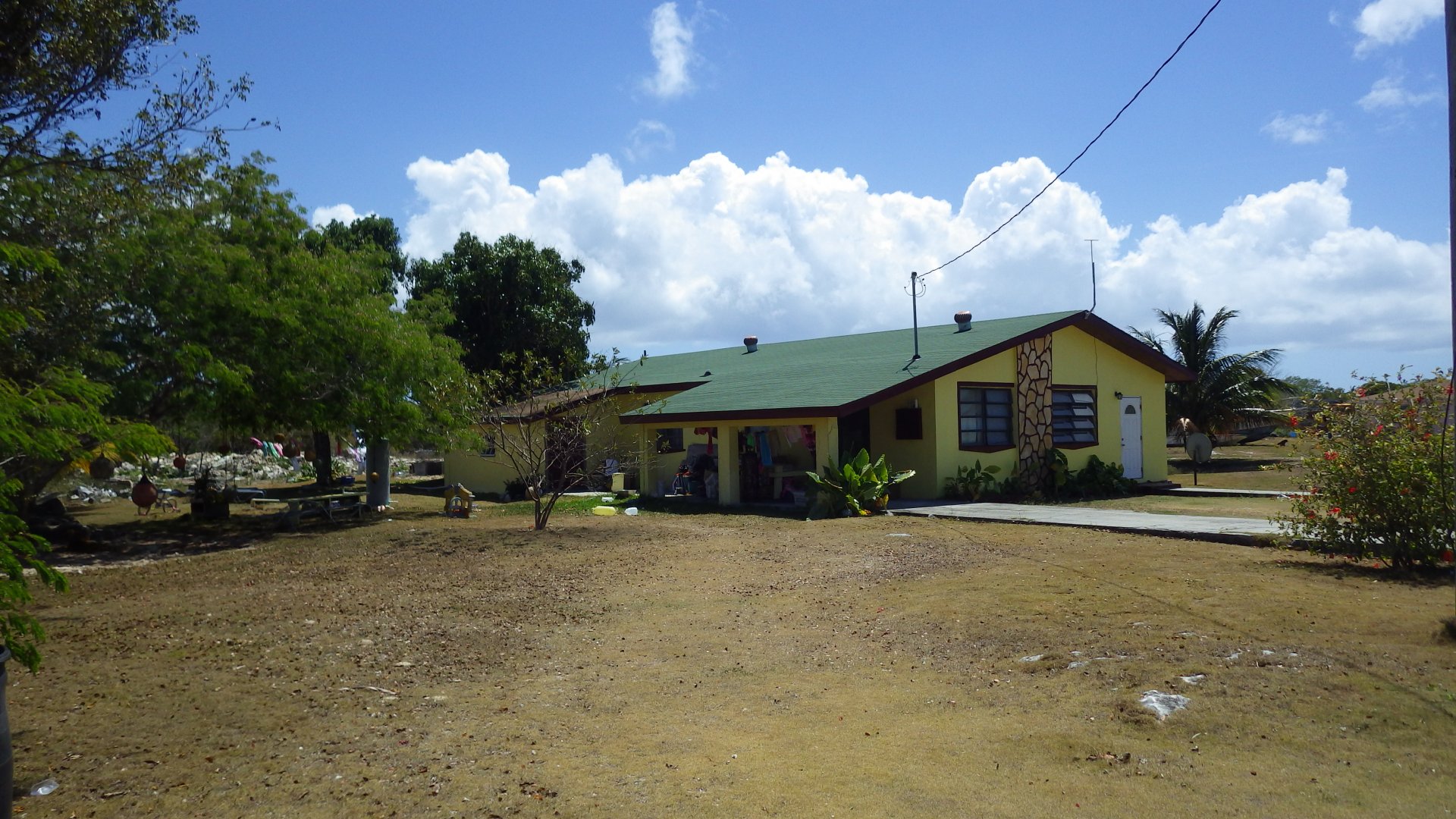
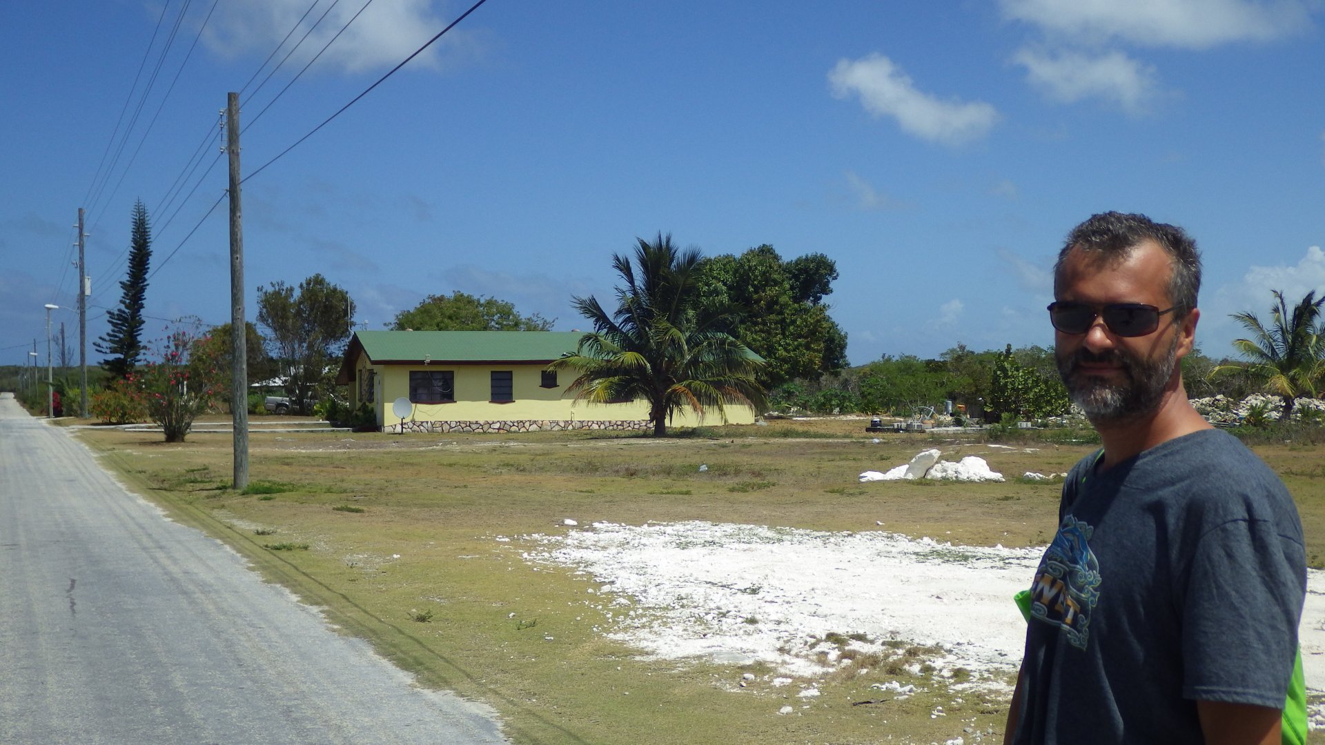
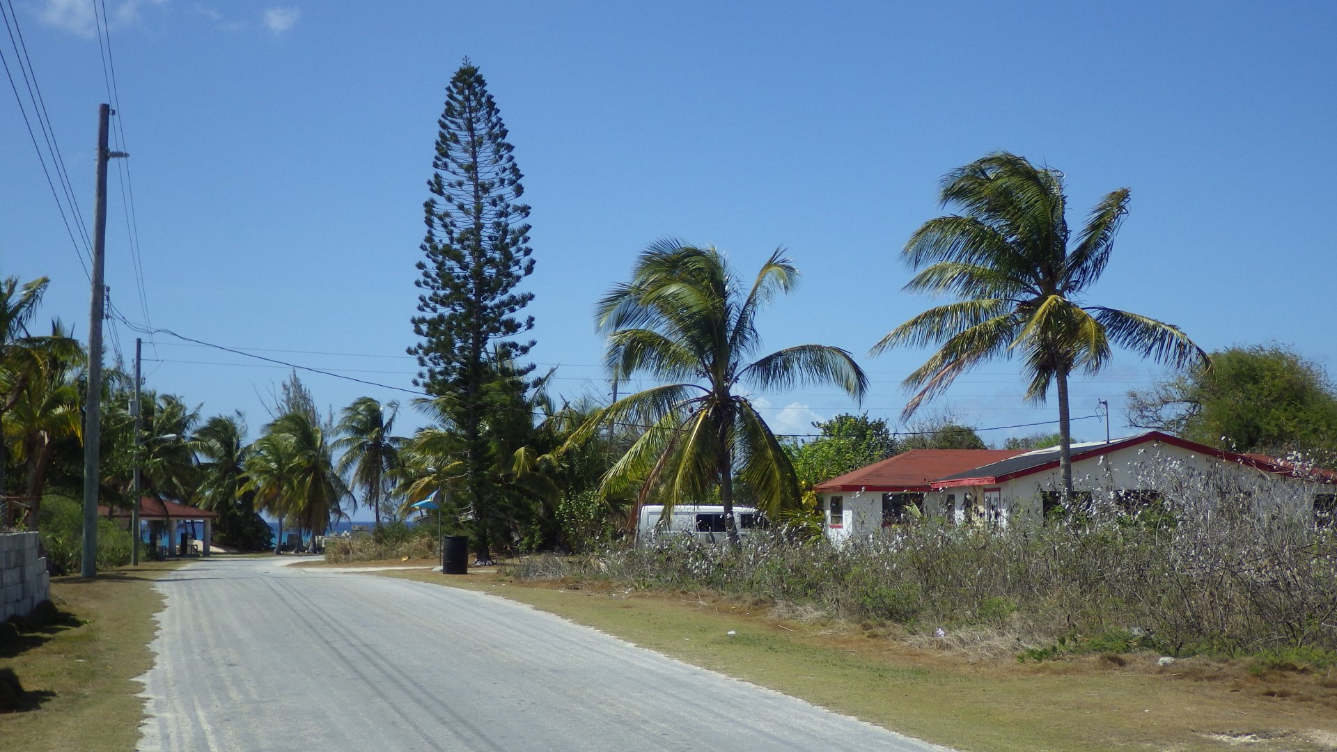
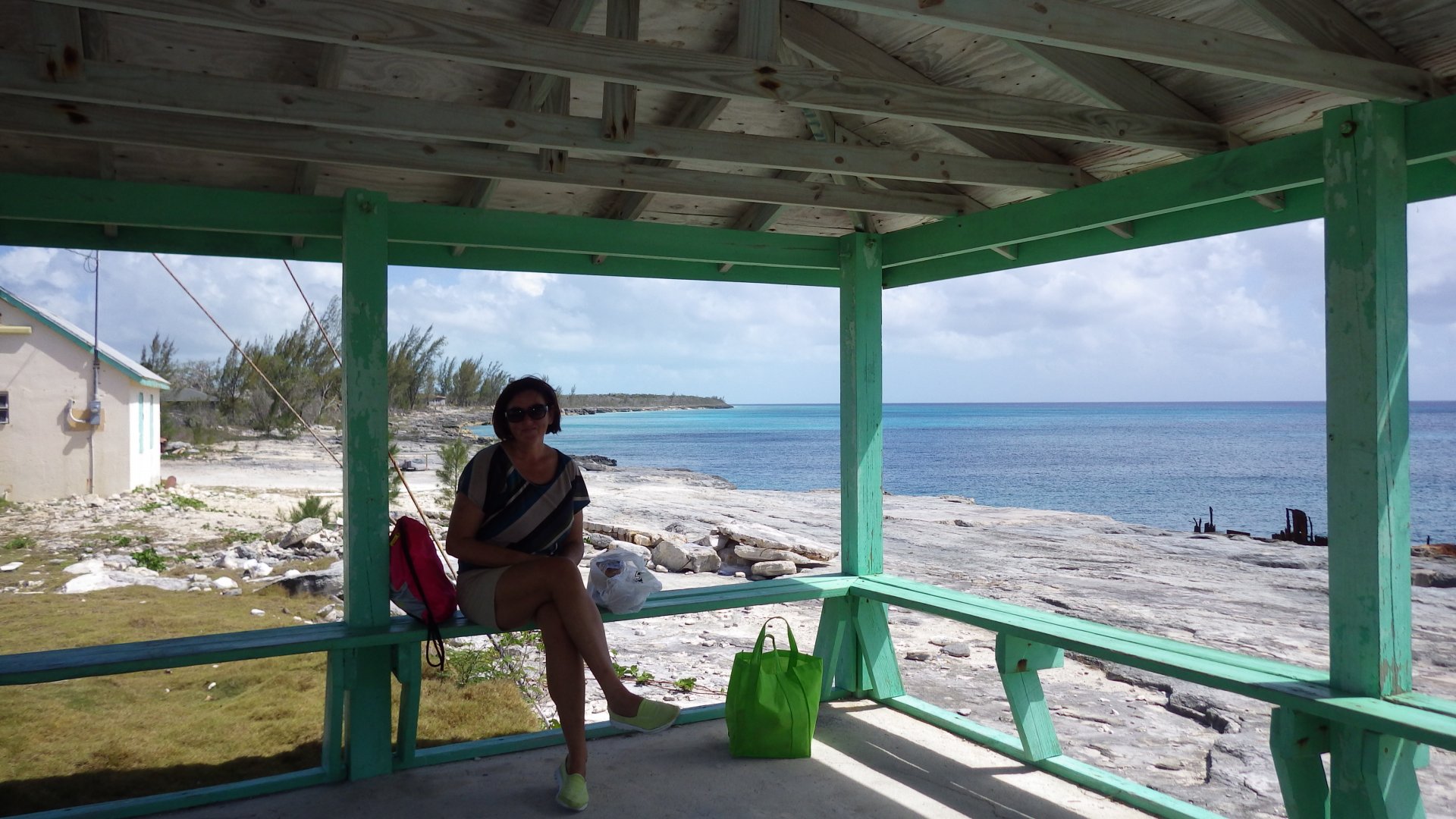
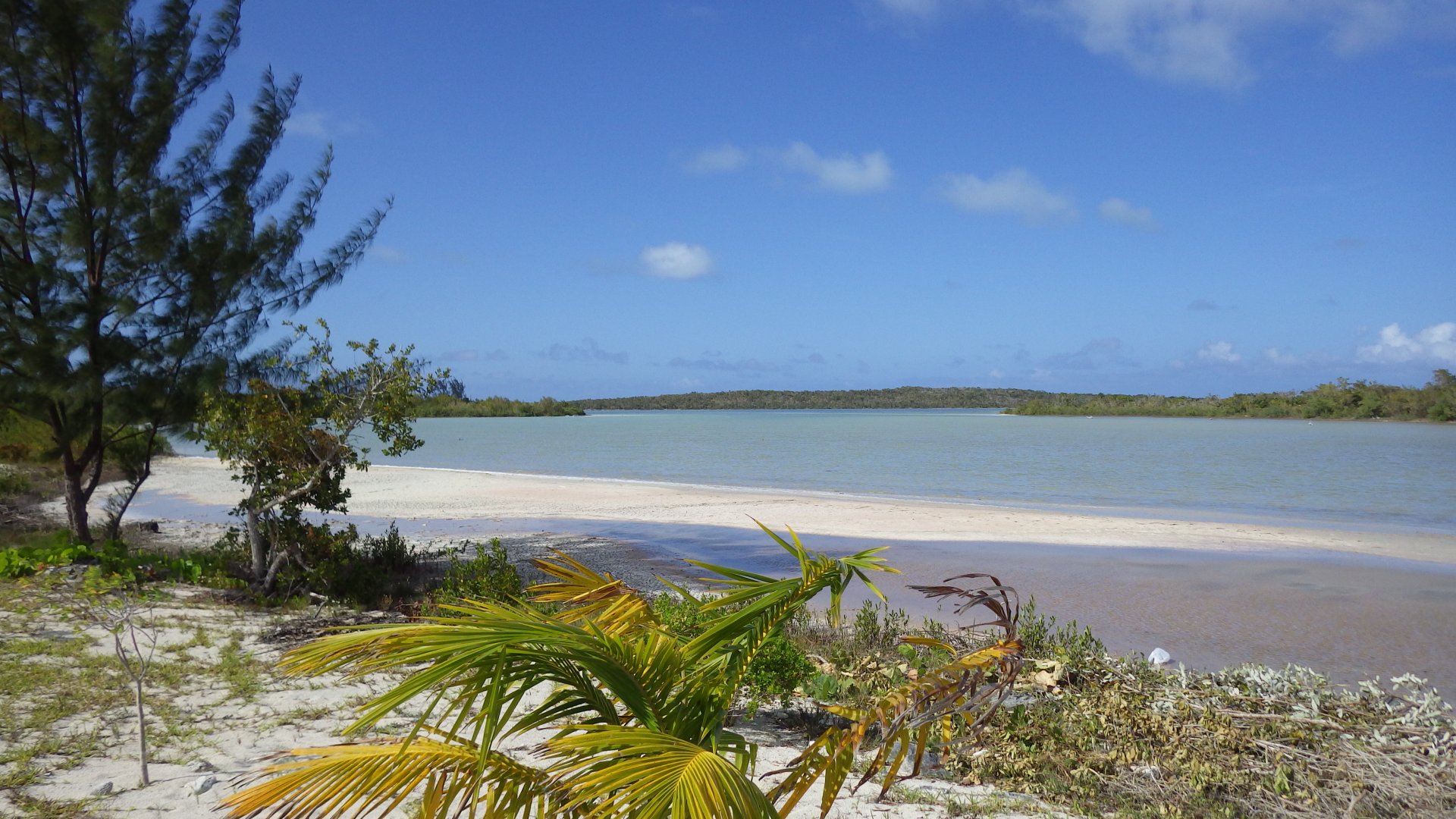
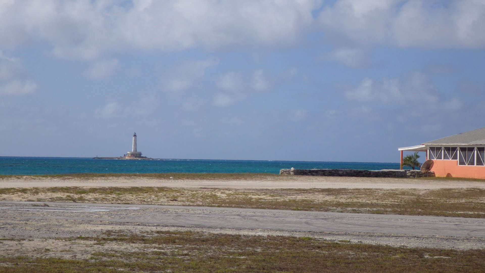
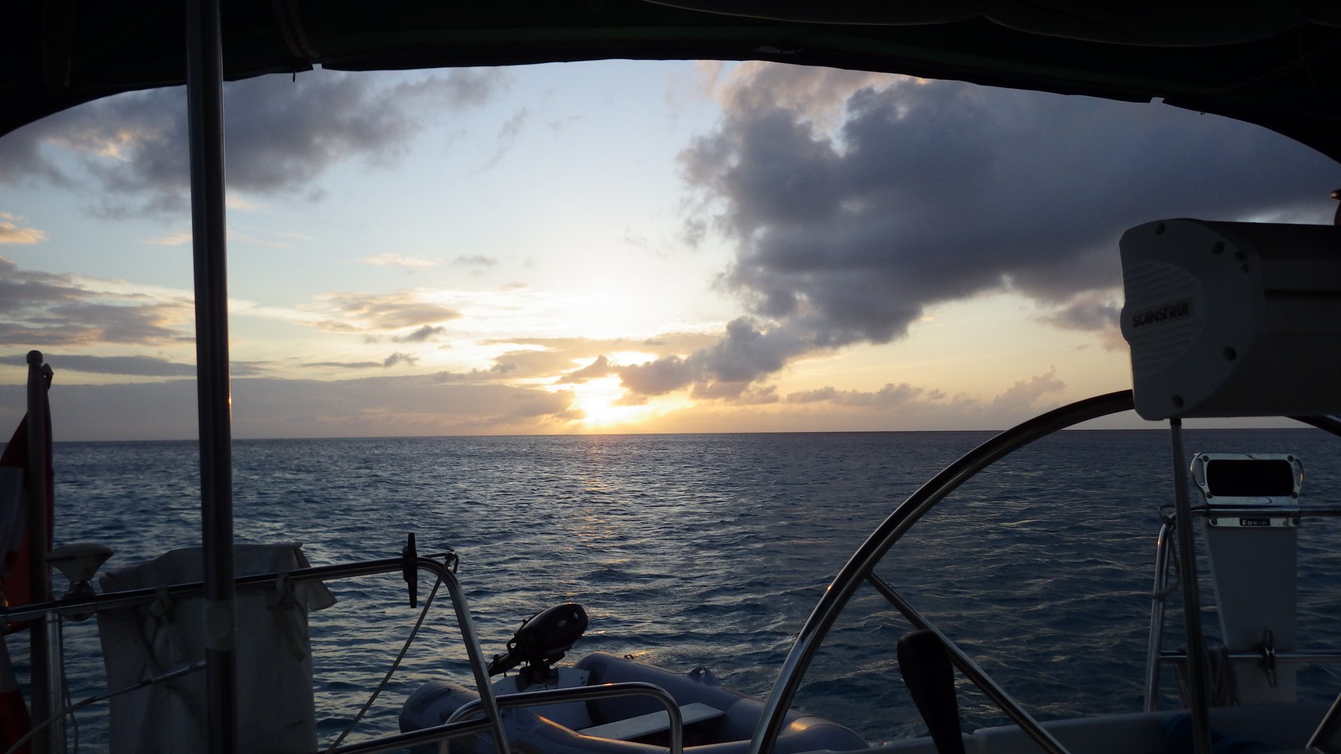
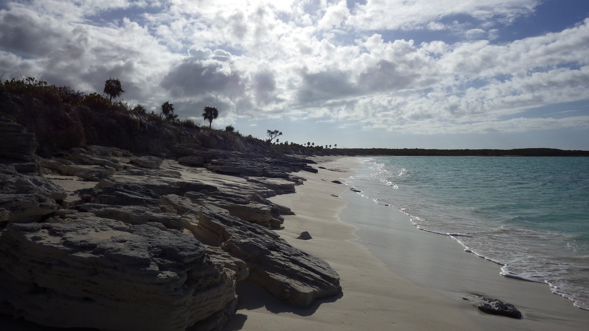
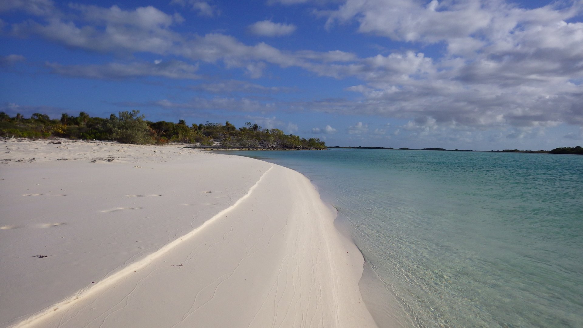
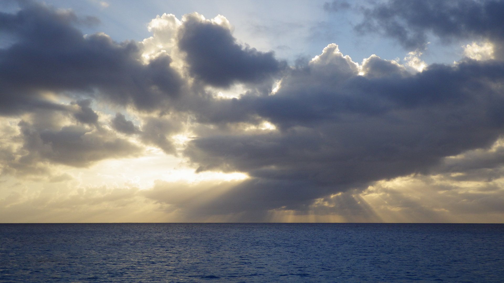
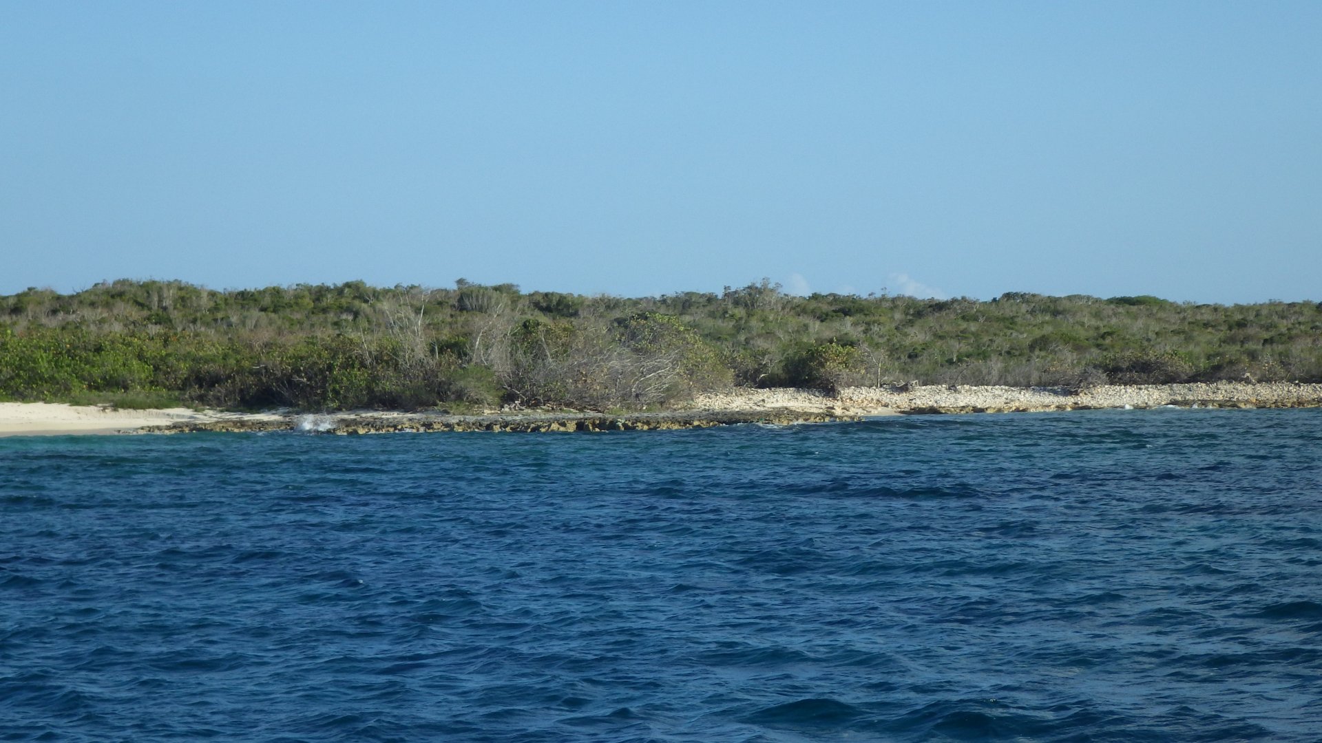
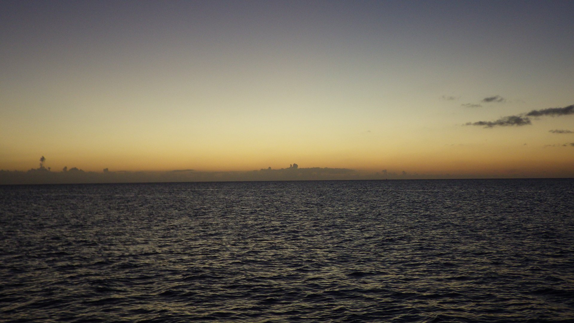
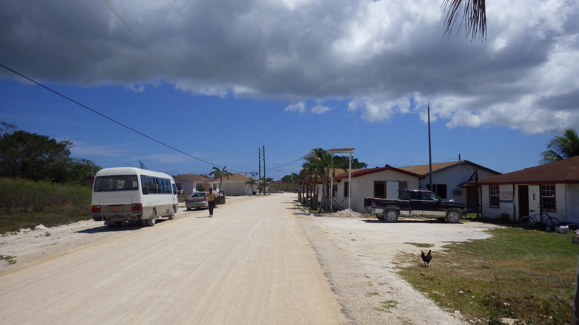
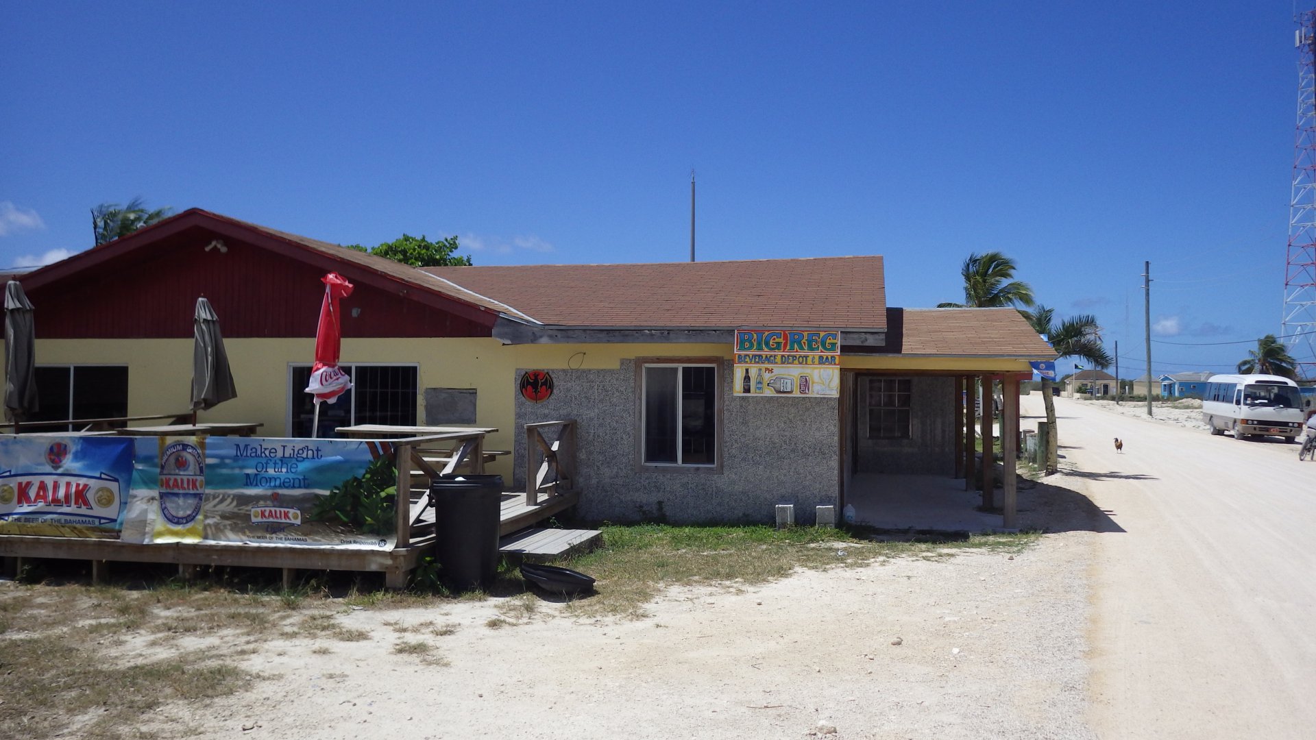
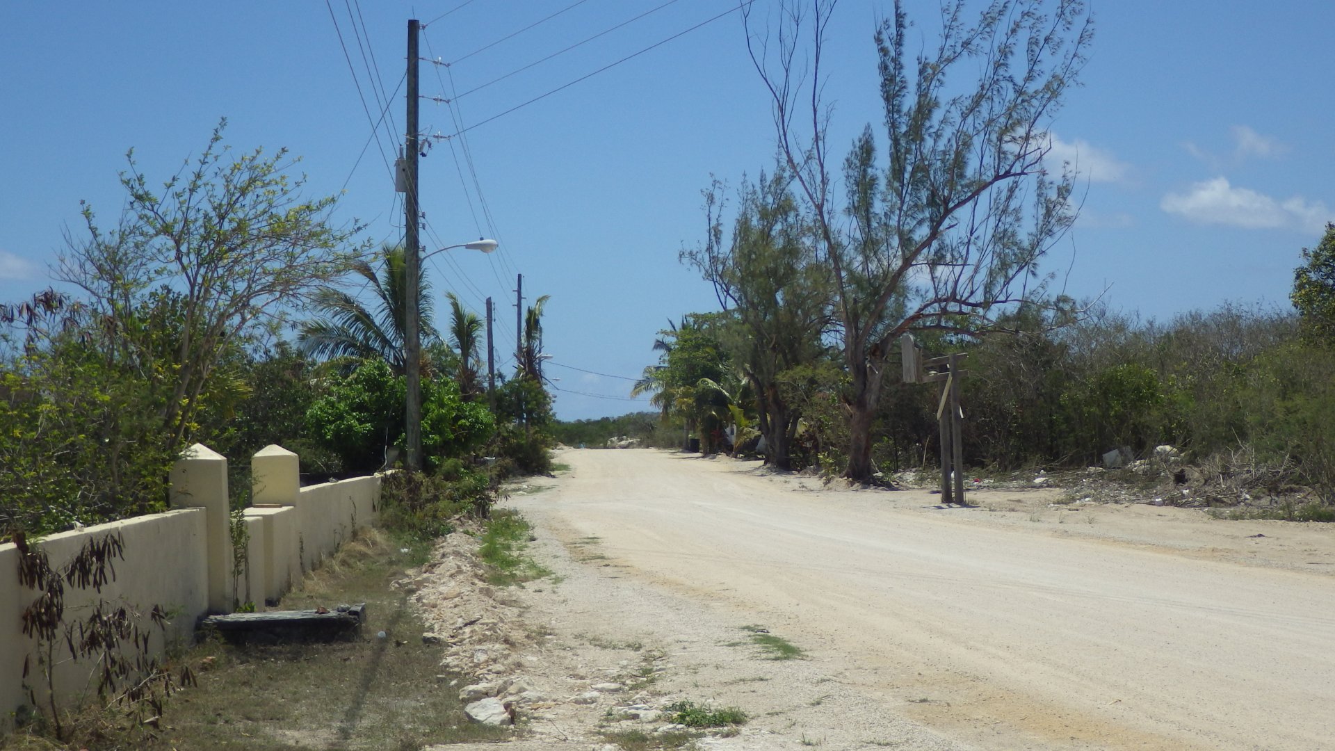
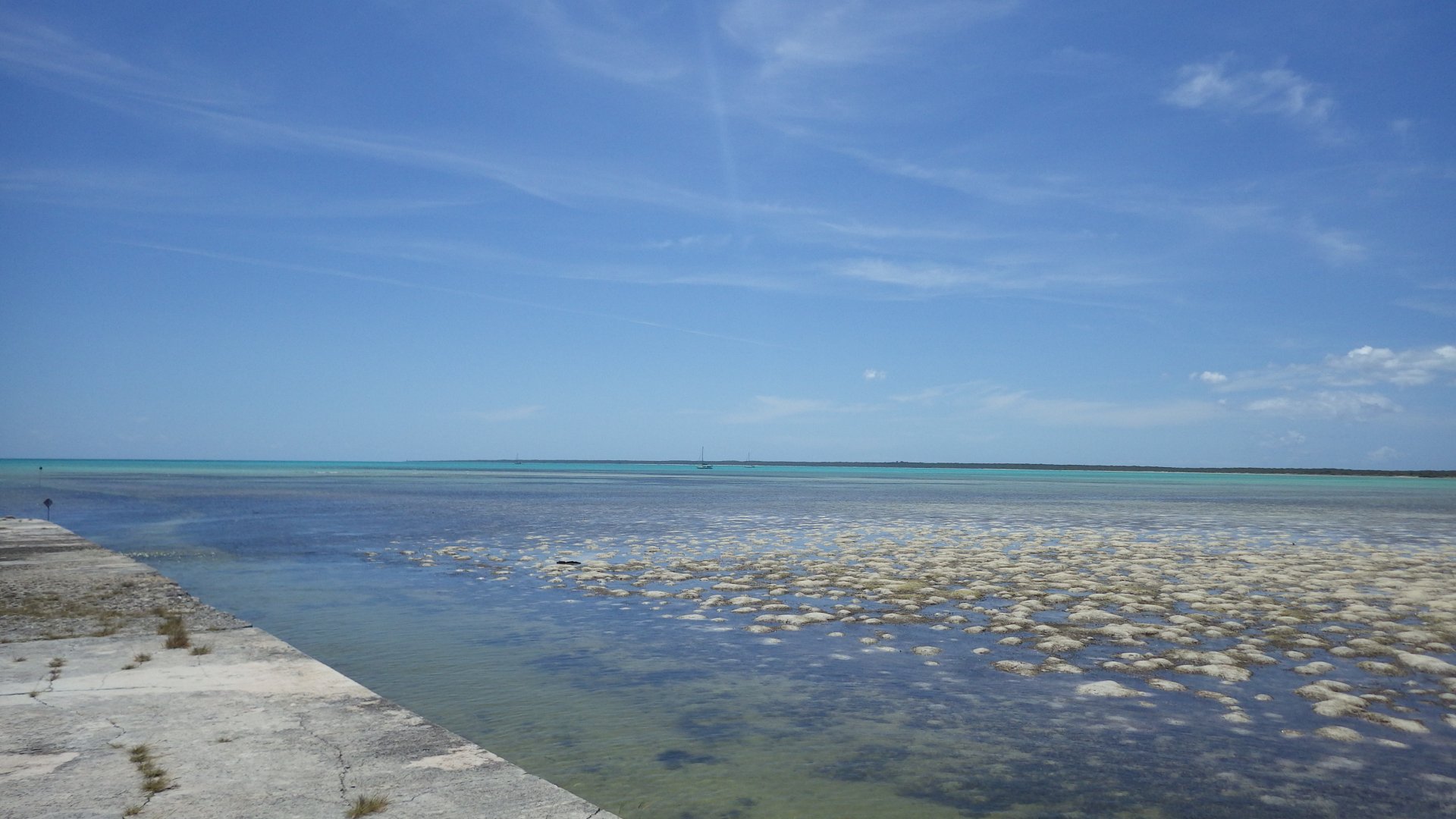
Spent several days in Salt Pond / Thompson Bay area at the Long Island.

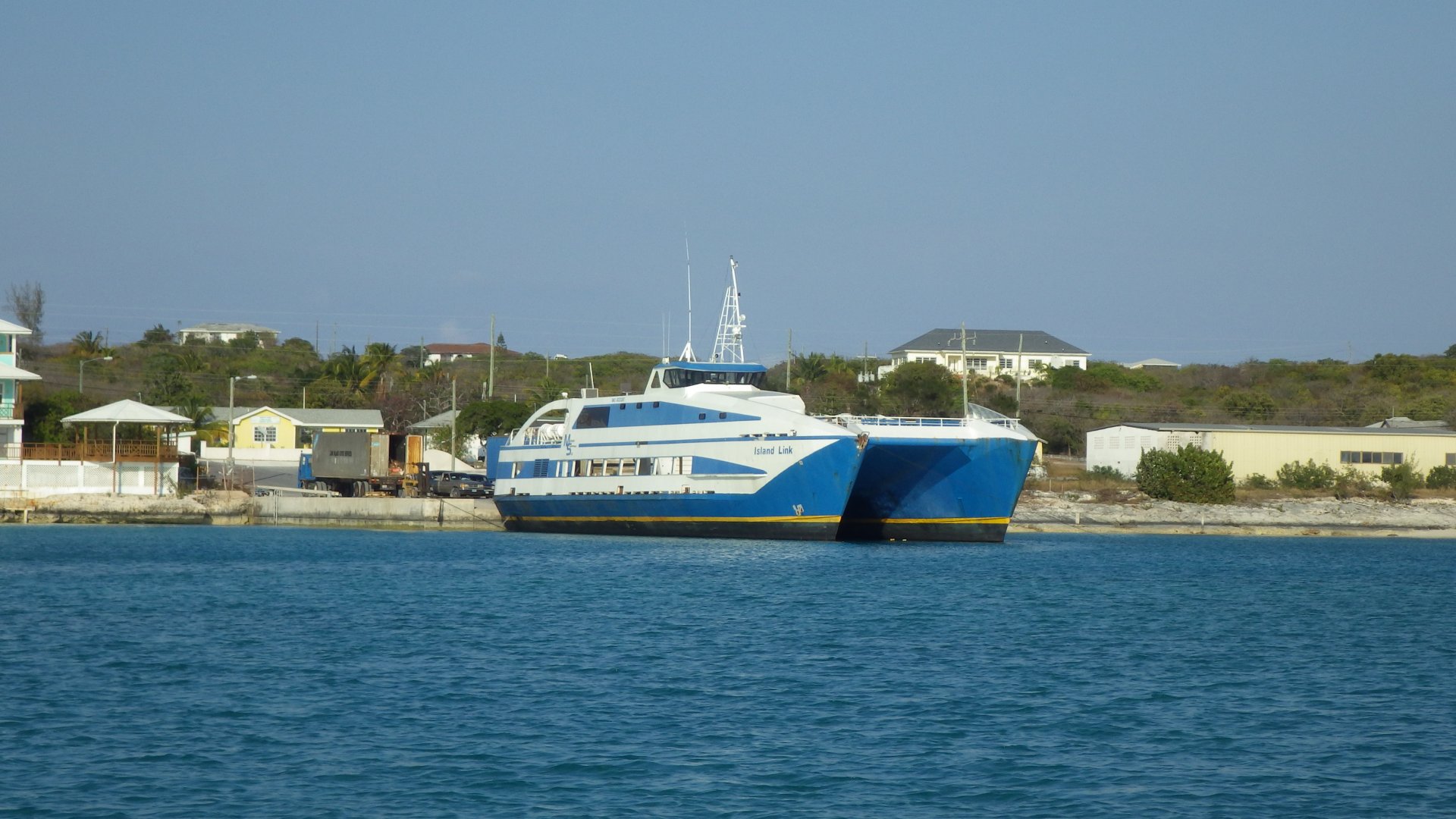
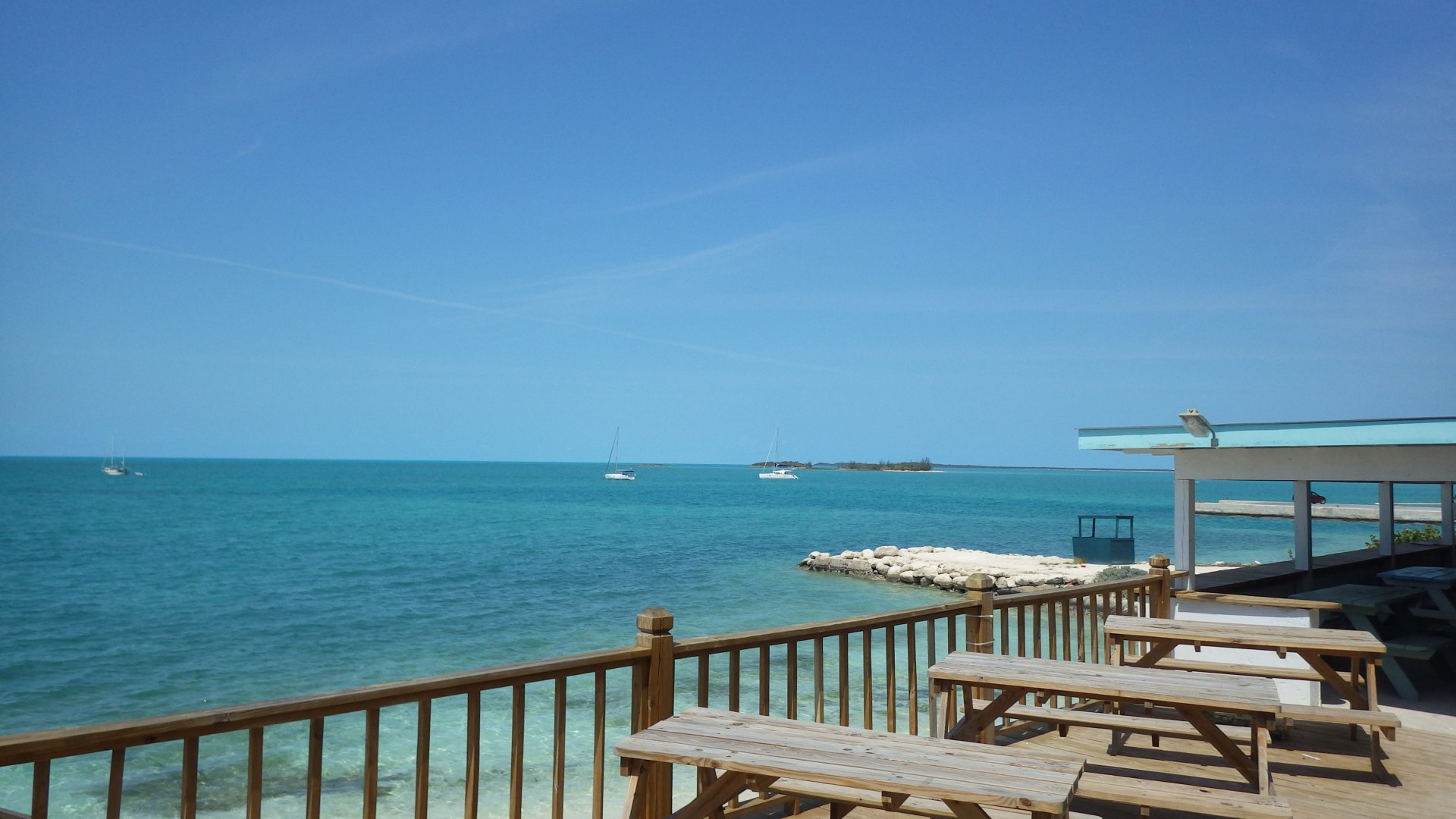
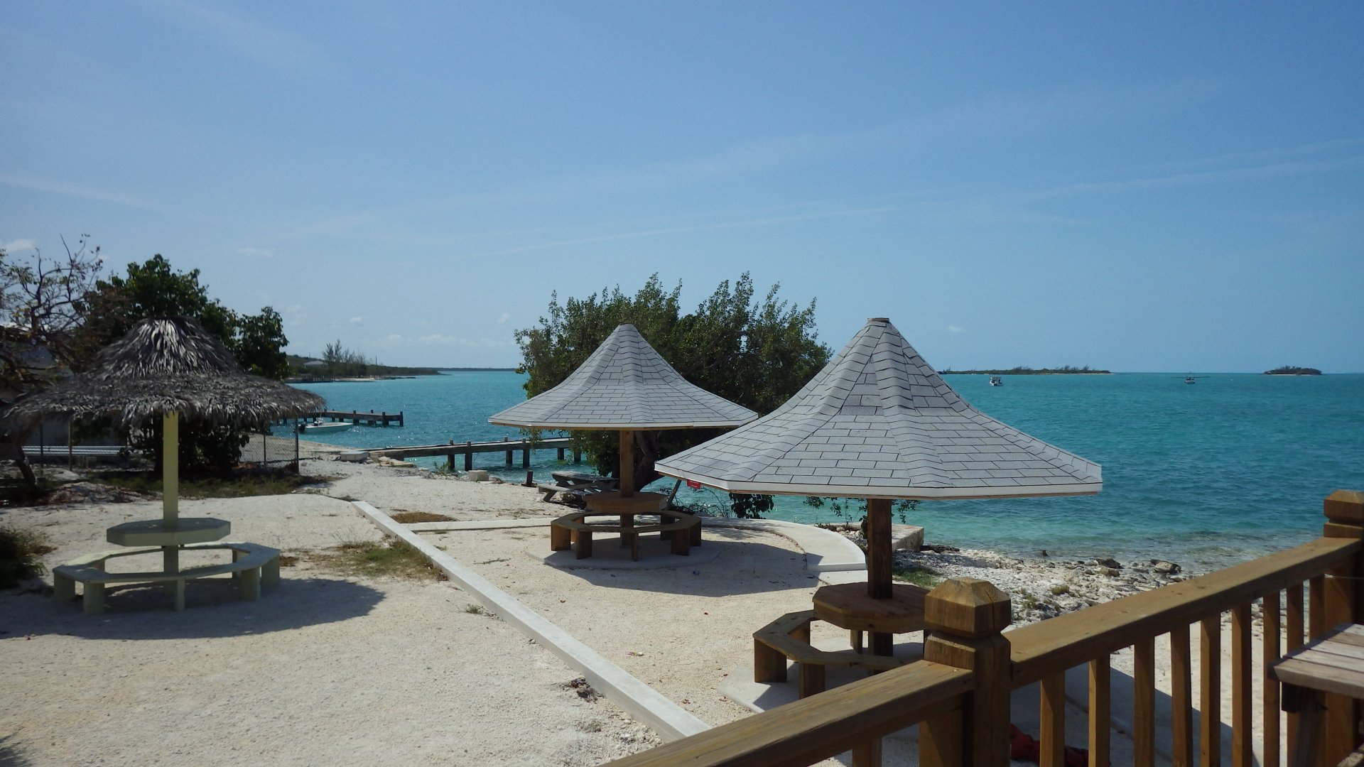
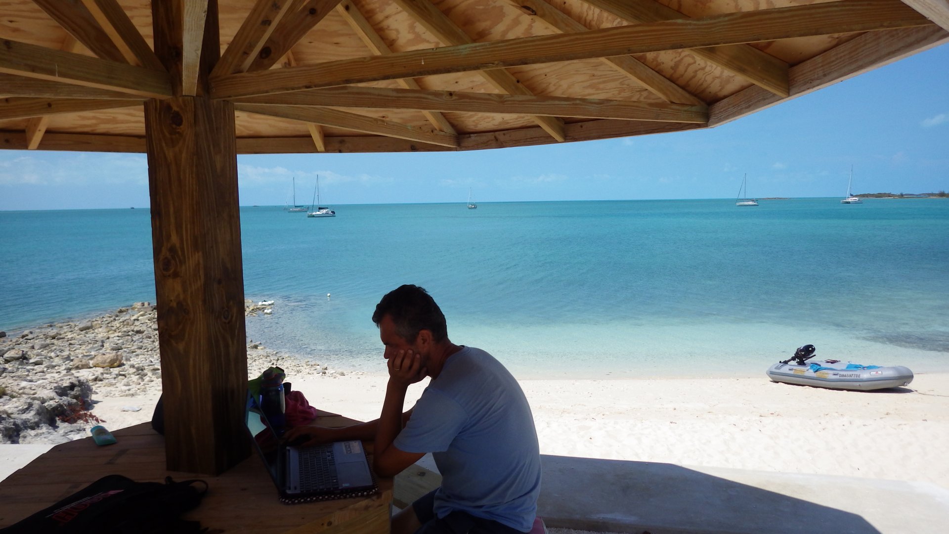
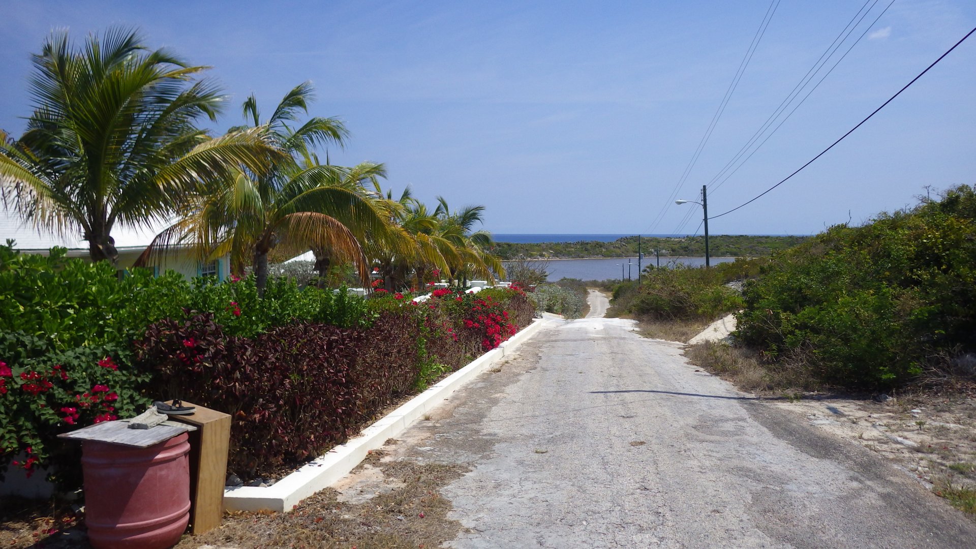
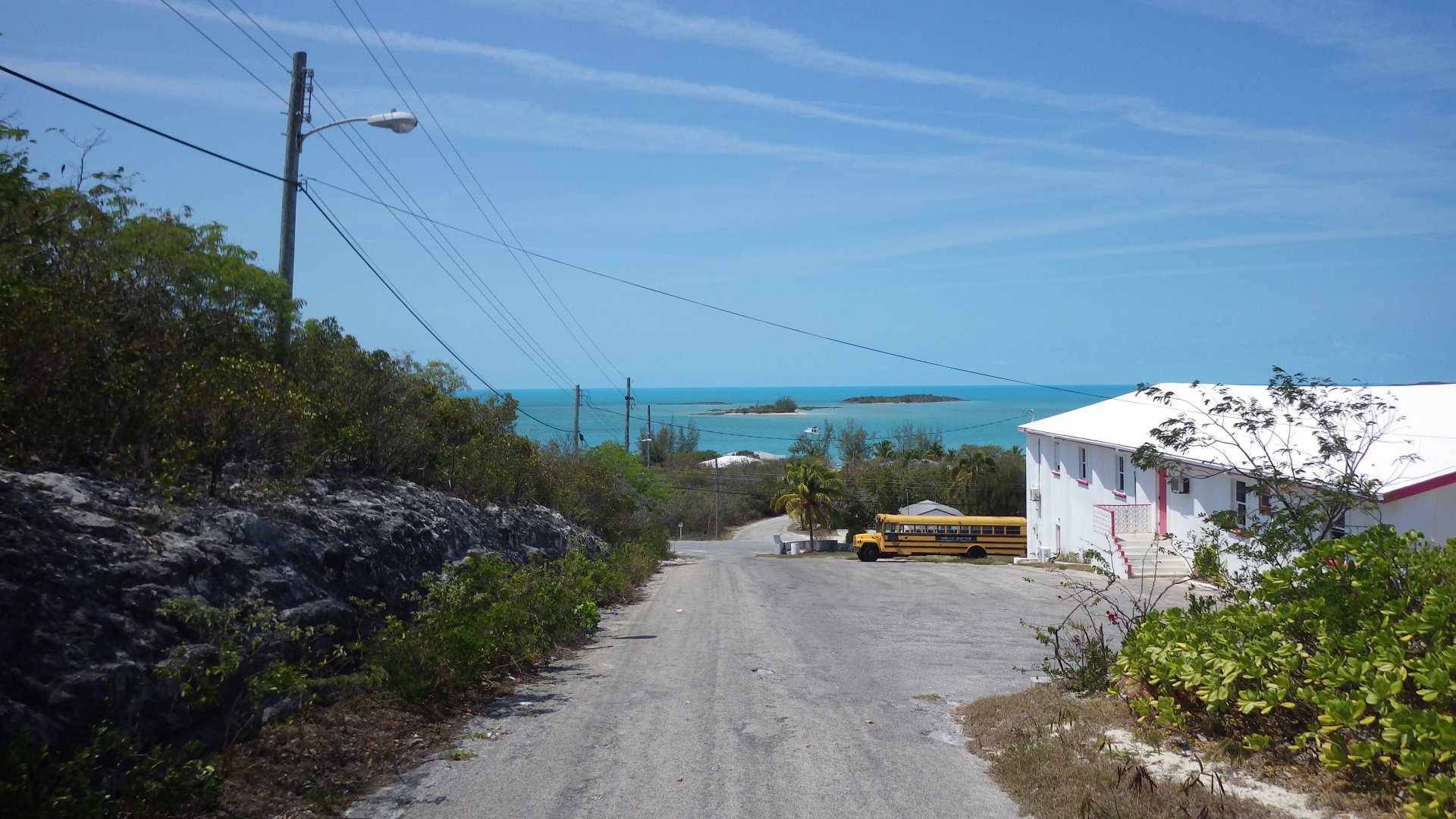
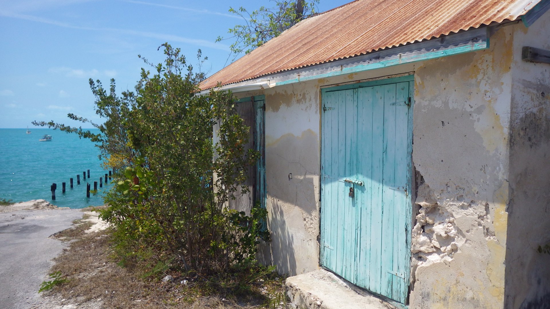
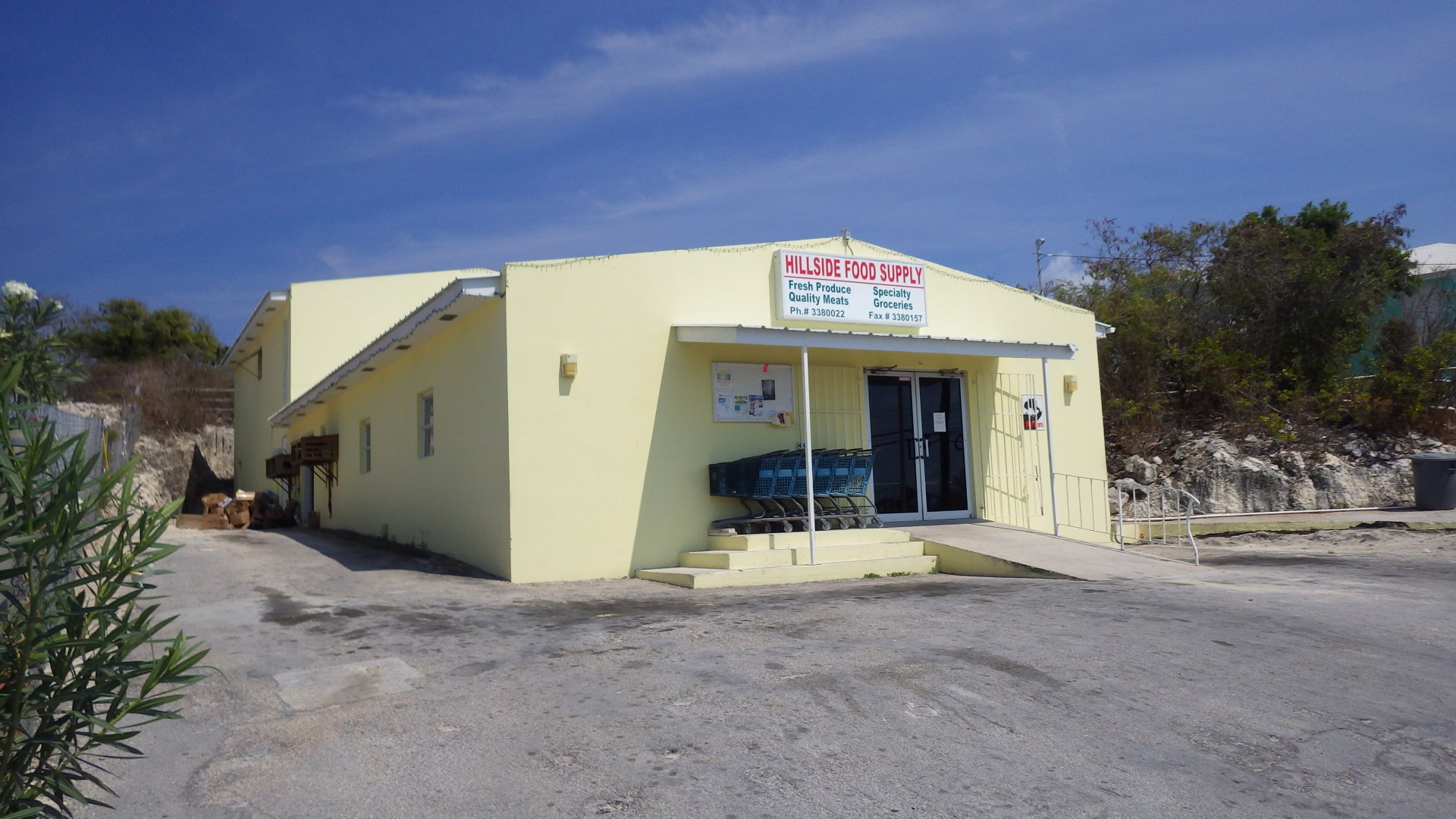
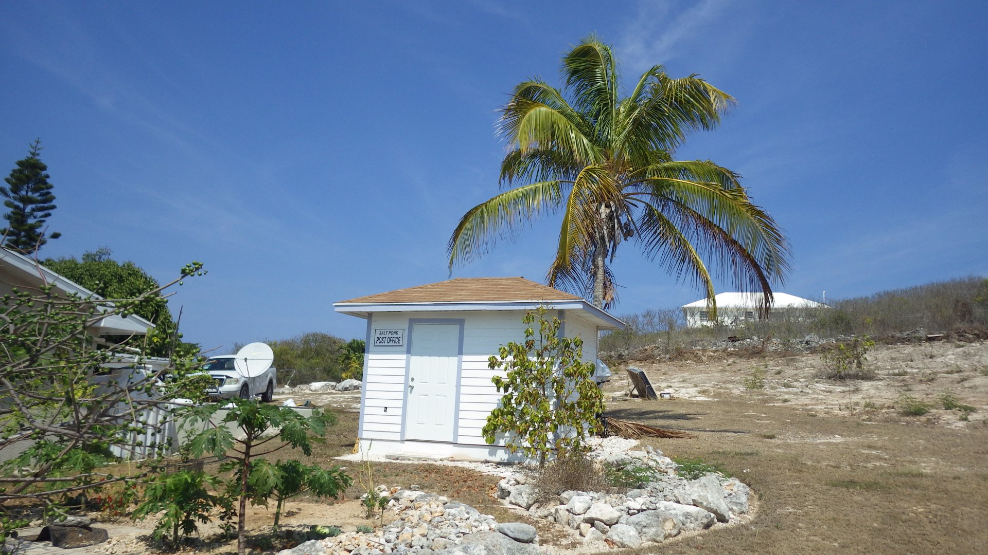
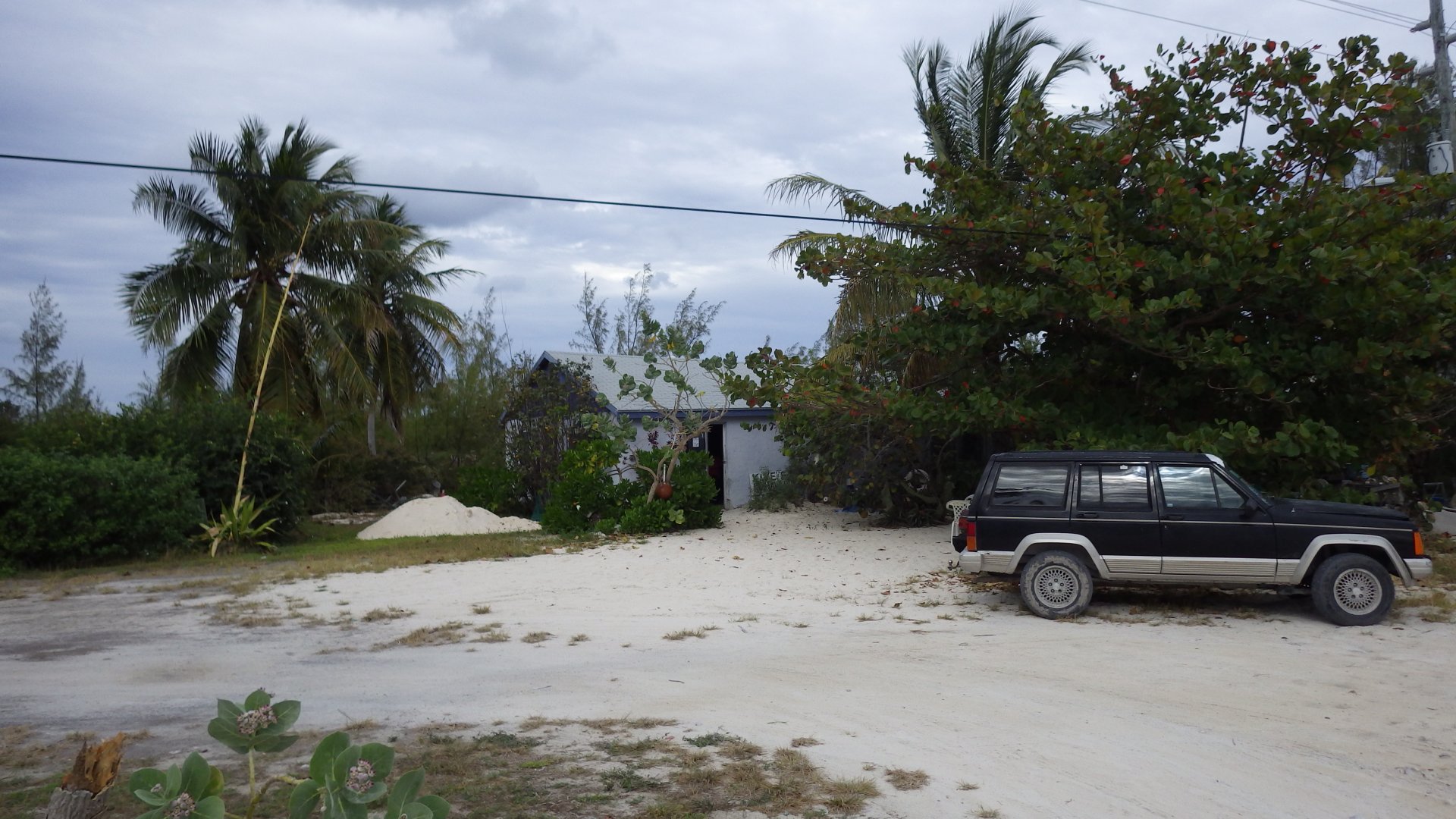
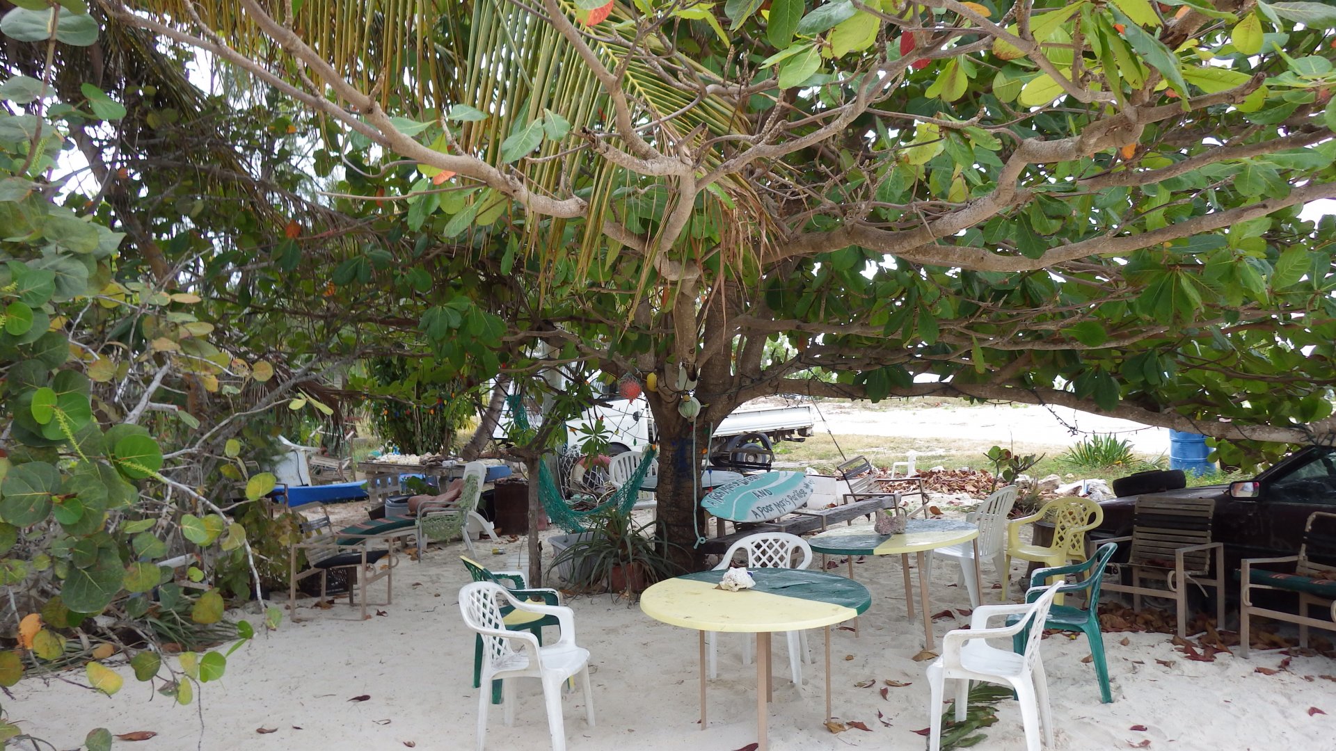
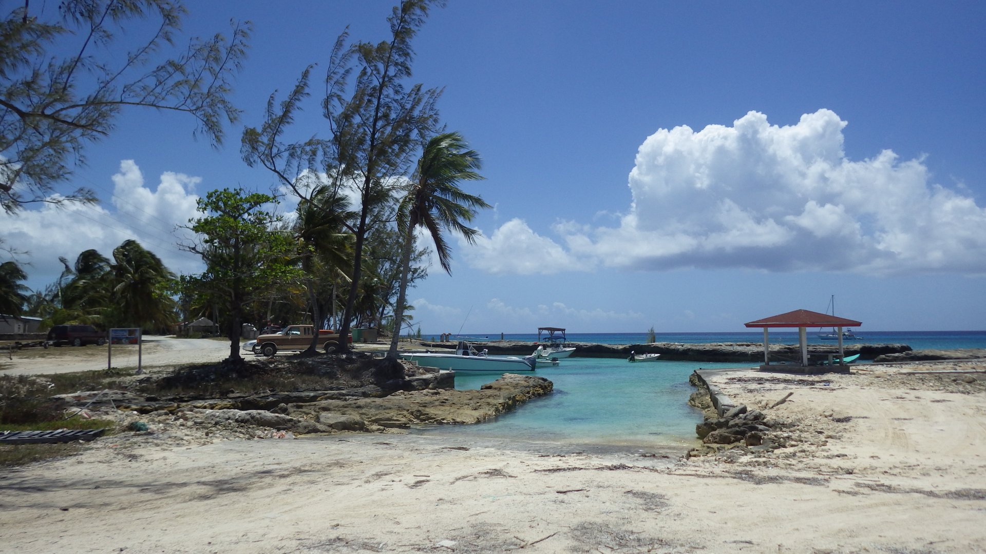
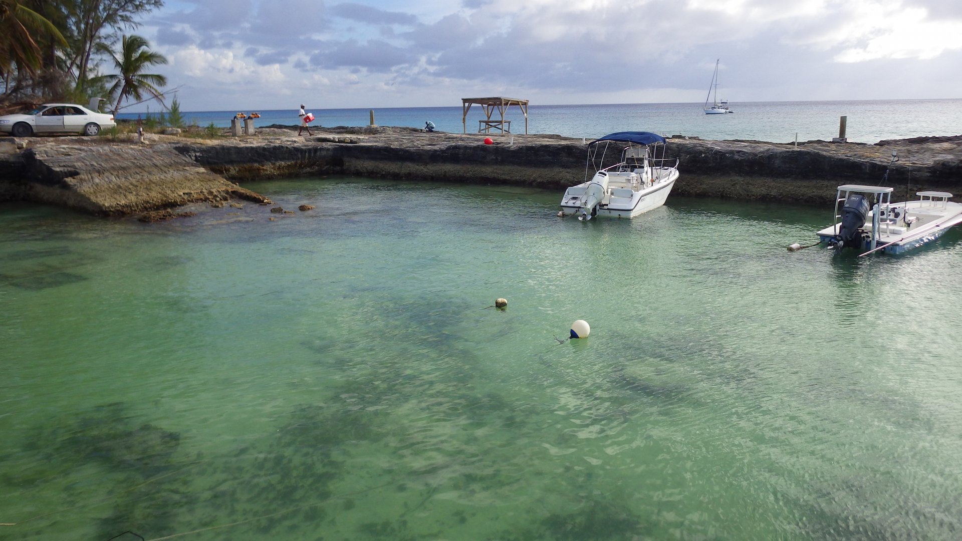
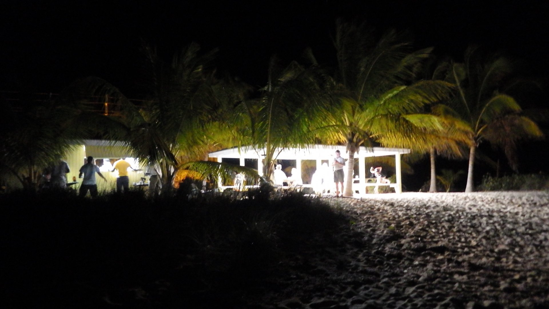
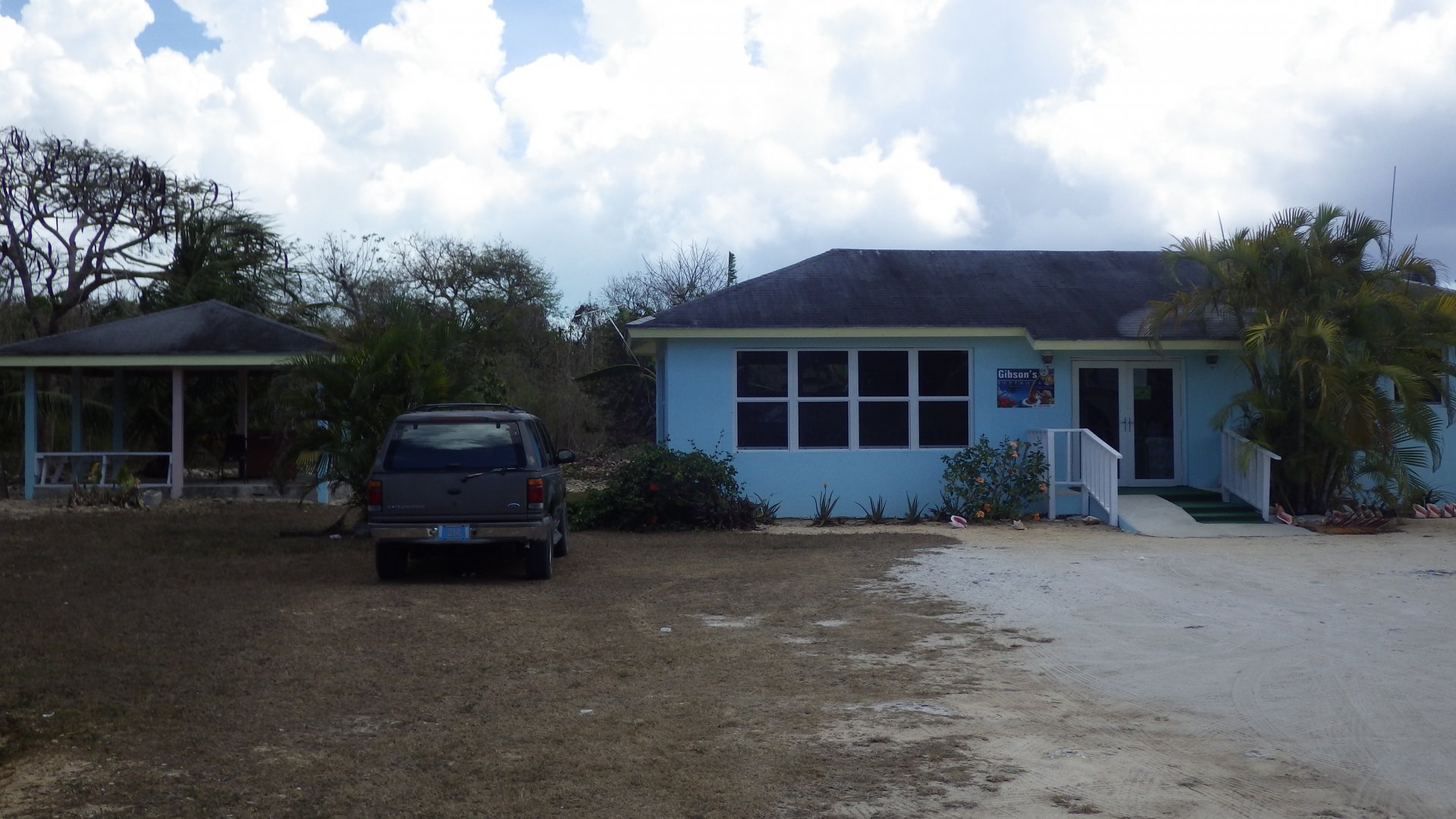
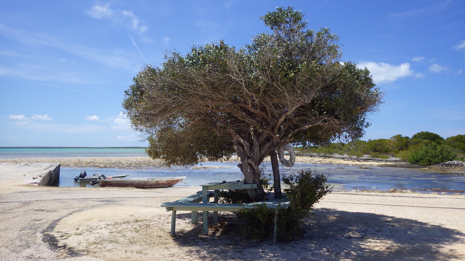
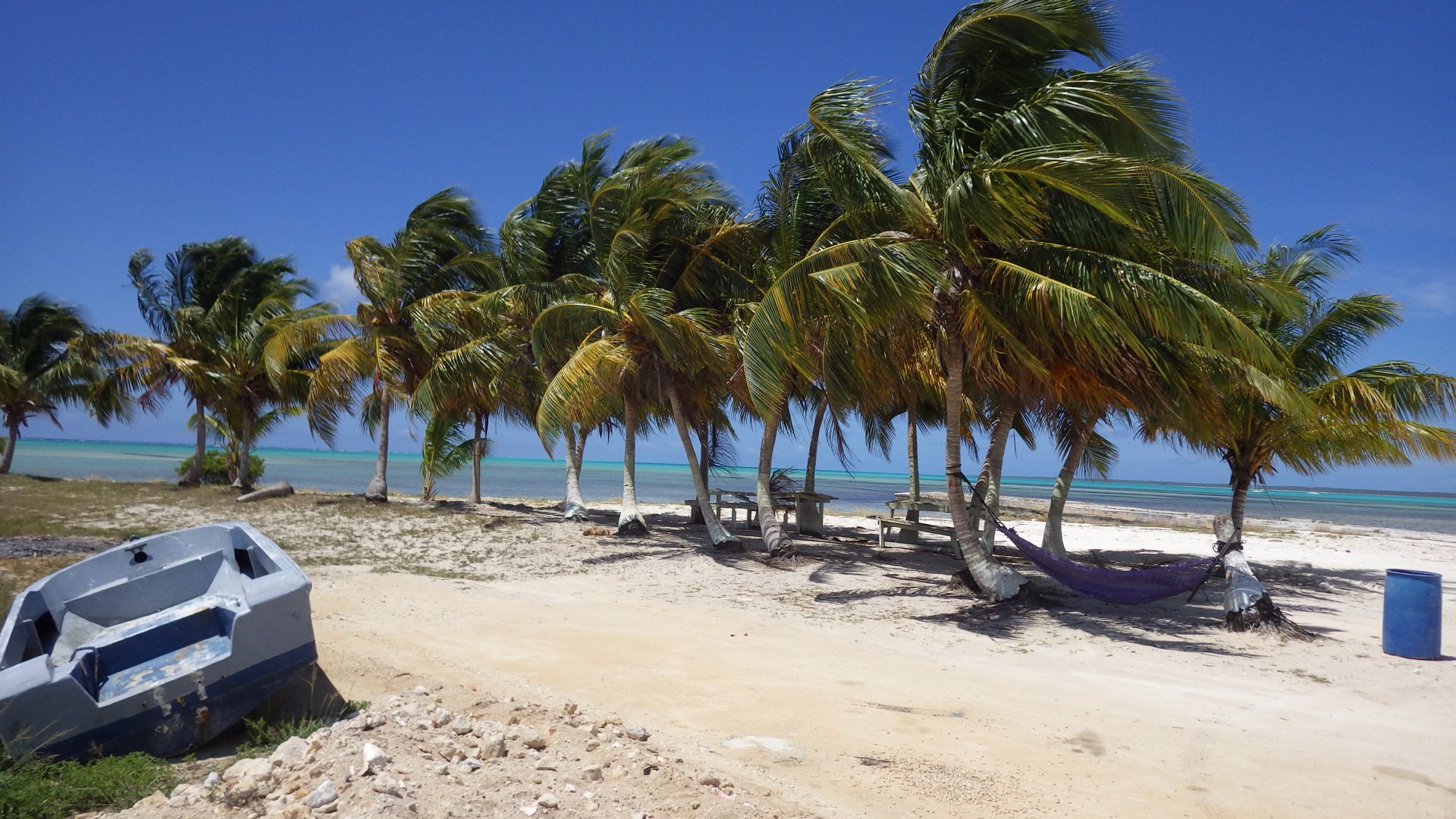
It is another cruiser friendly settlement, with some basic services - provisioning and marine supply stores, fuel station, auto shop, helpful tourism office. In particular, I liked the Yacht Club / Cultural Center area - it is a nice spot on the small beach to sit, relax, enjoy view of the harbour and free wi-fi.
Unfortunately, there are few closed down businesses as well.

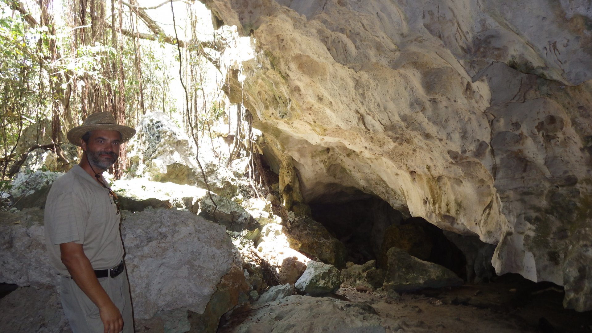
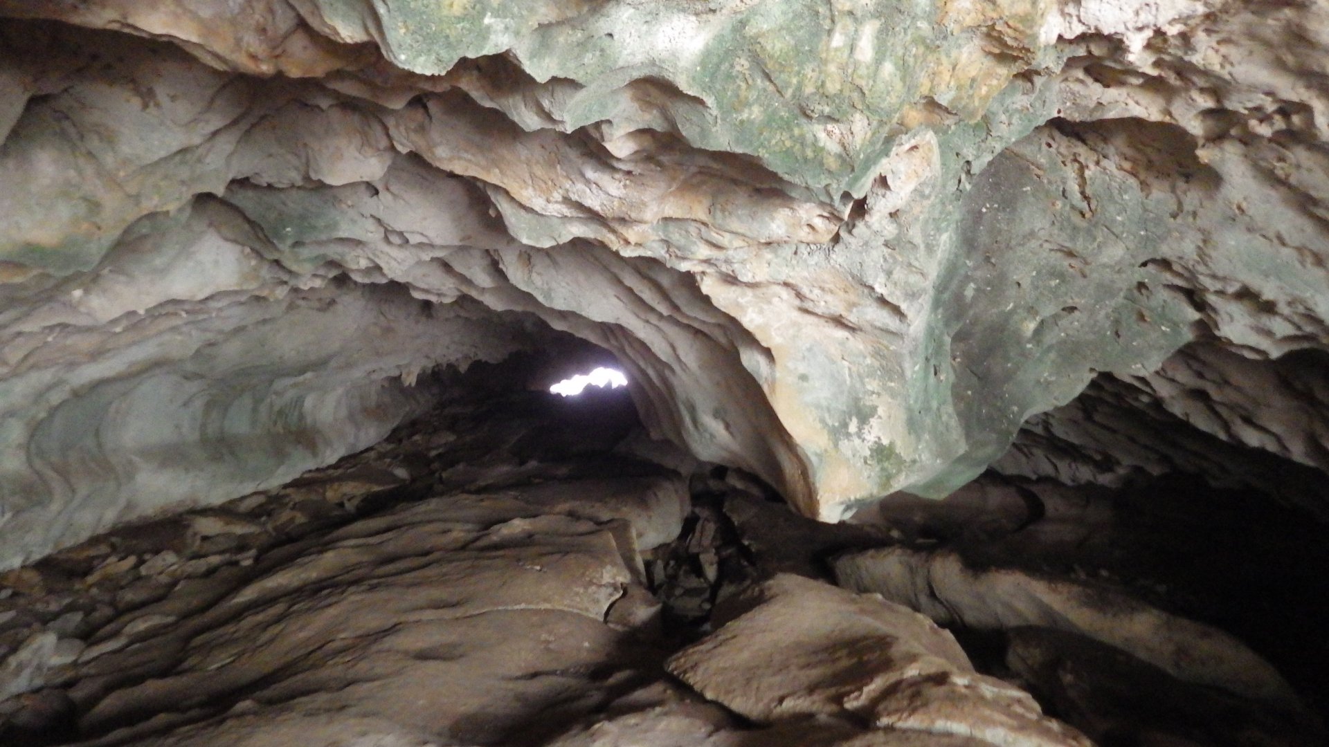
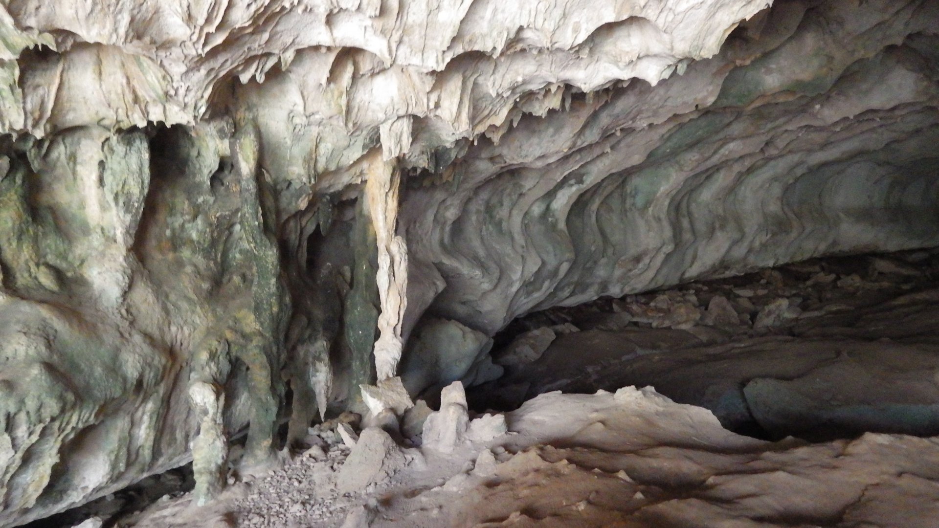
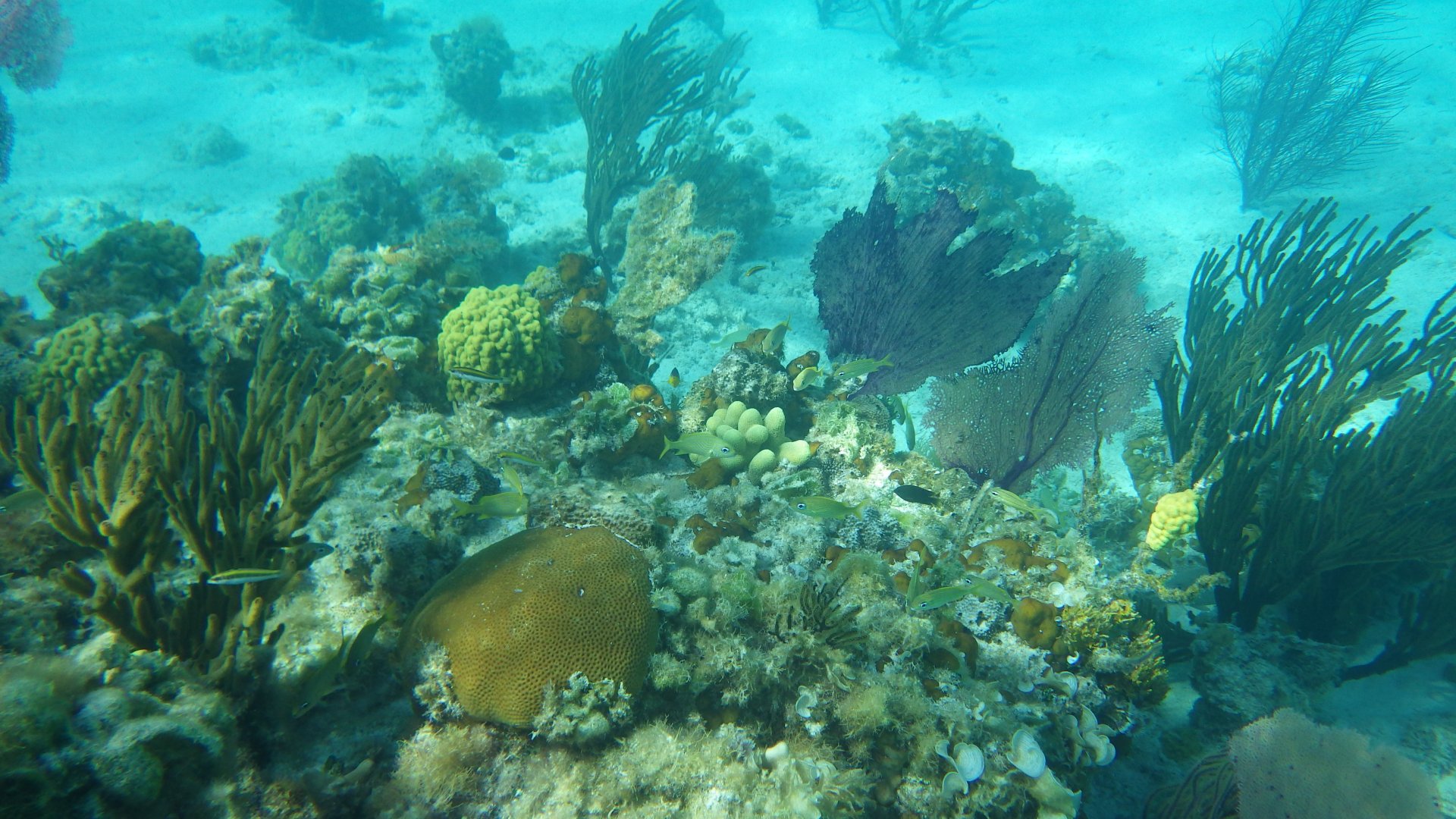
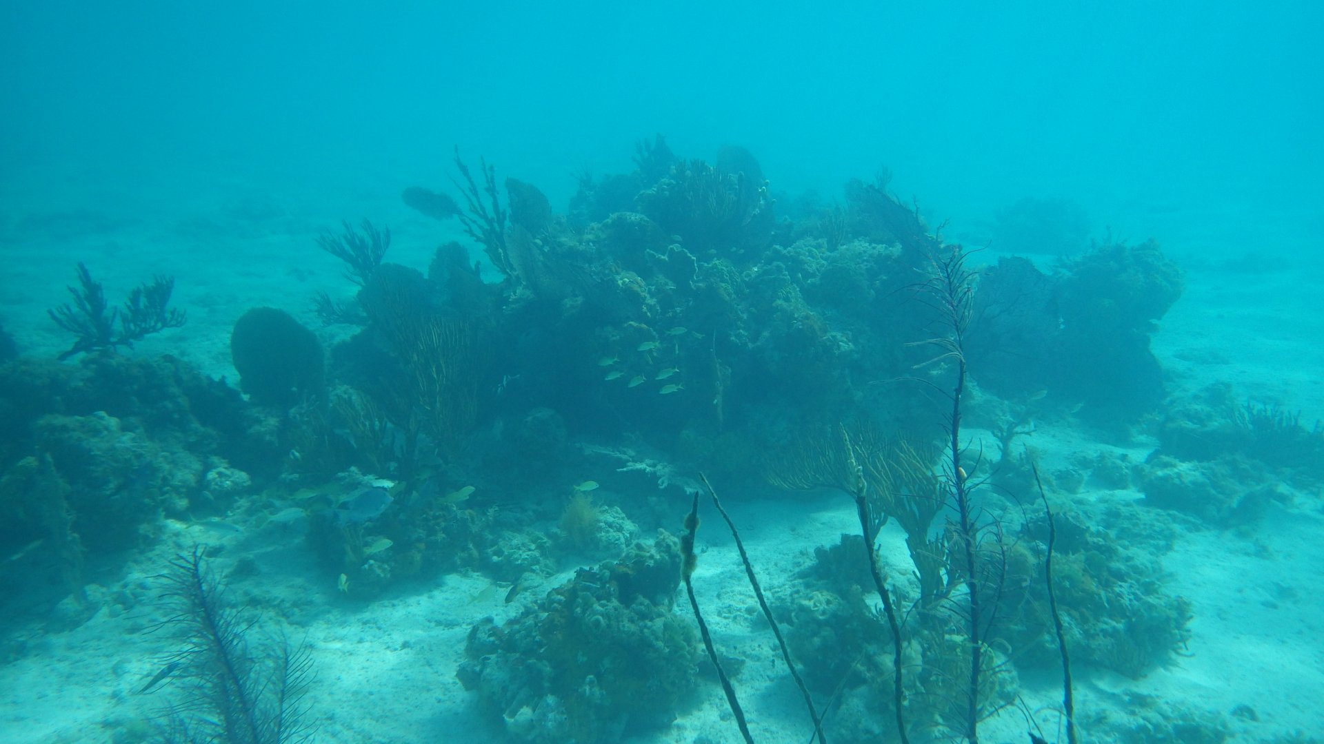
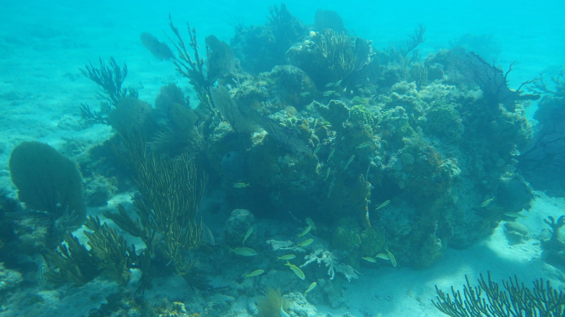
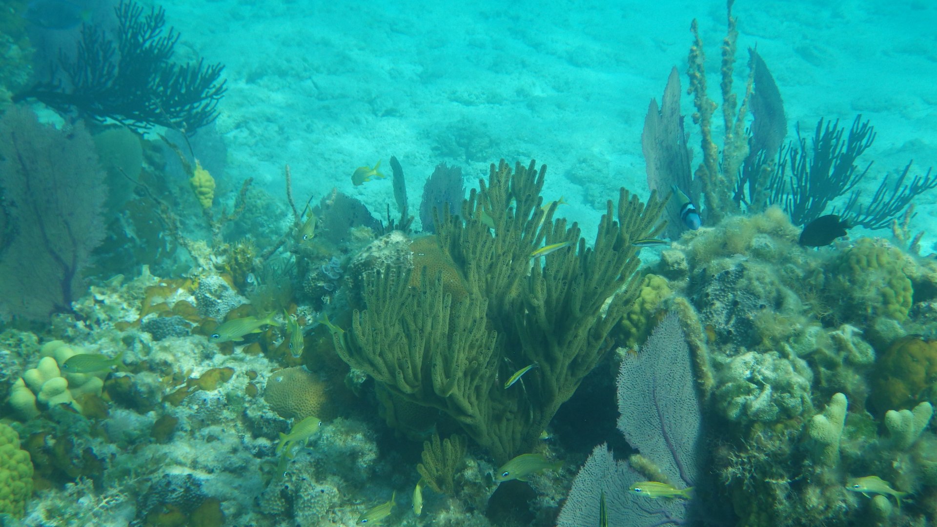
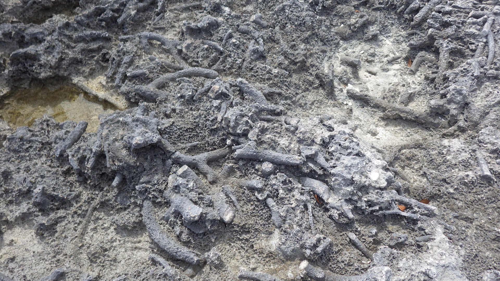
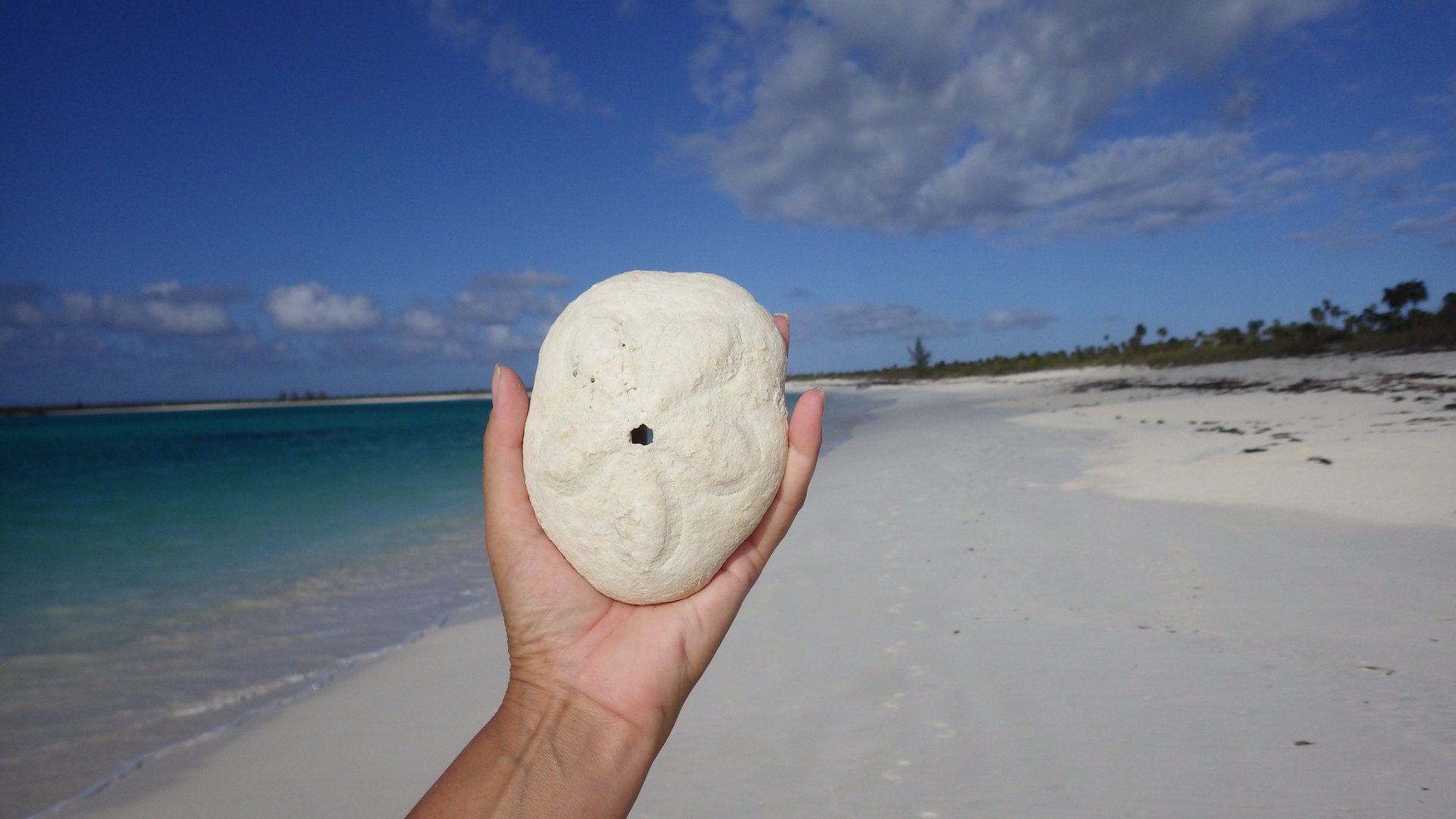
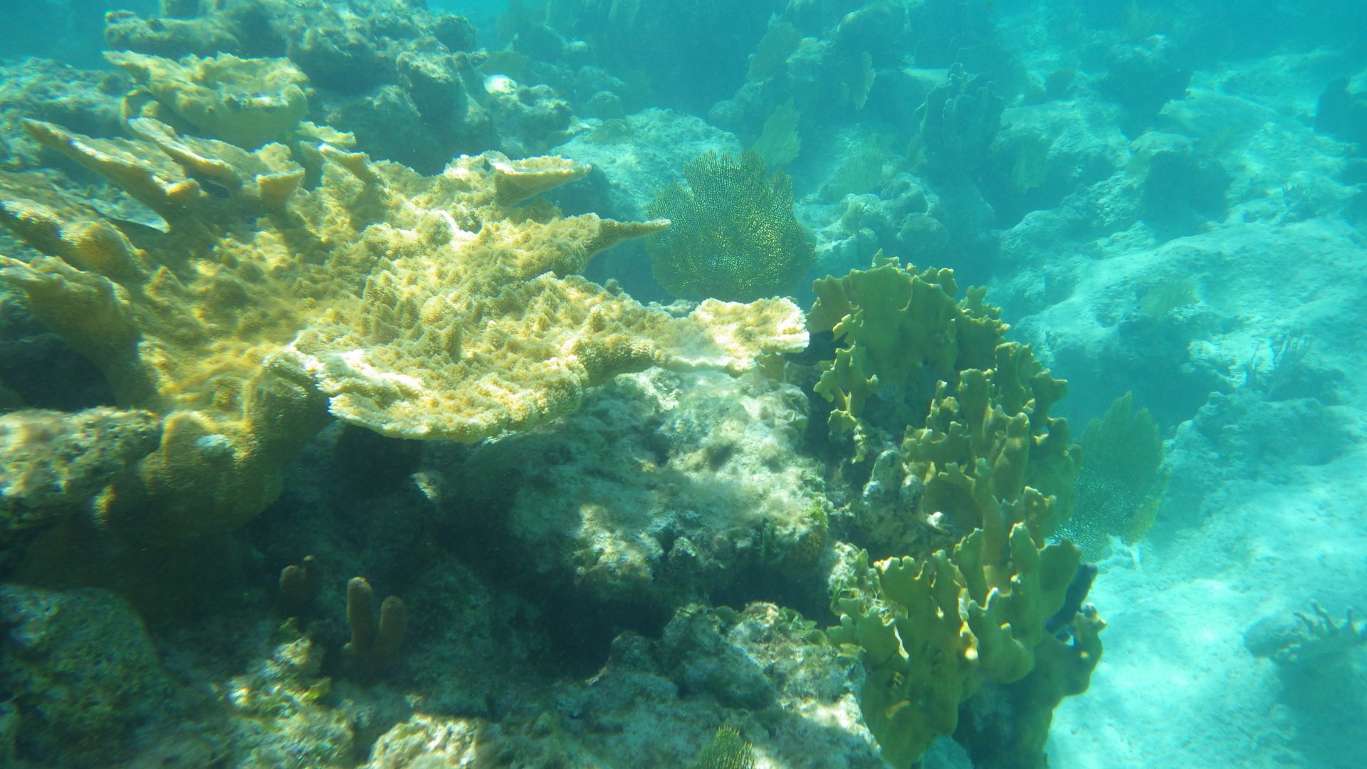
Visited an interesting cave on the island.

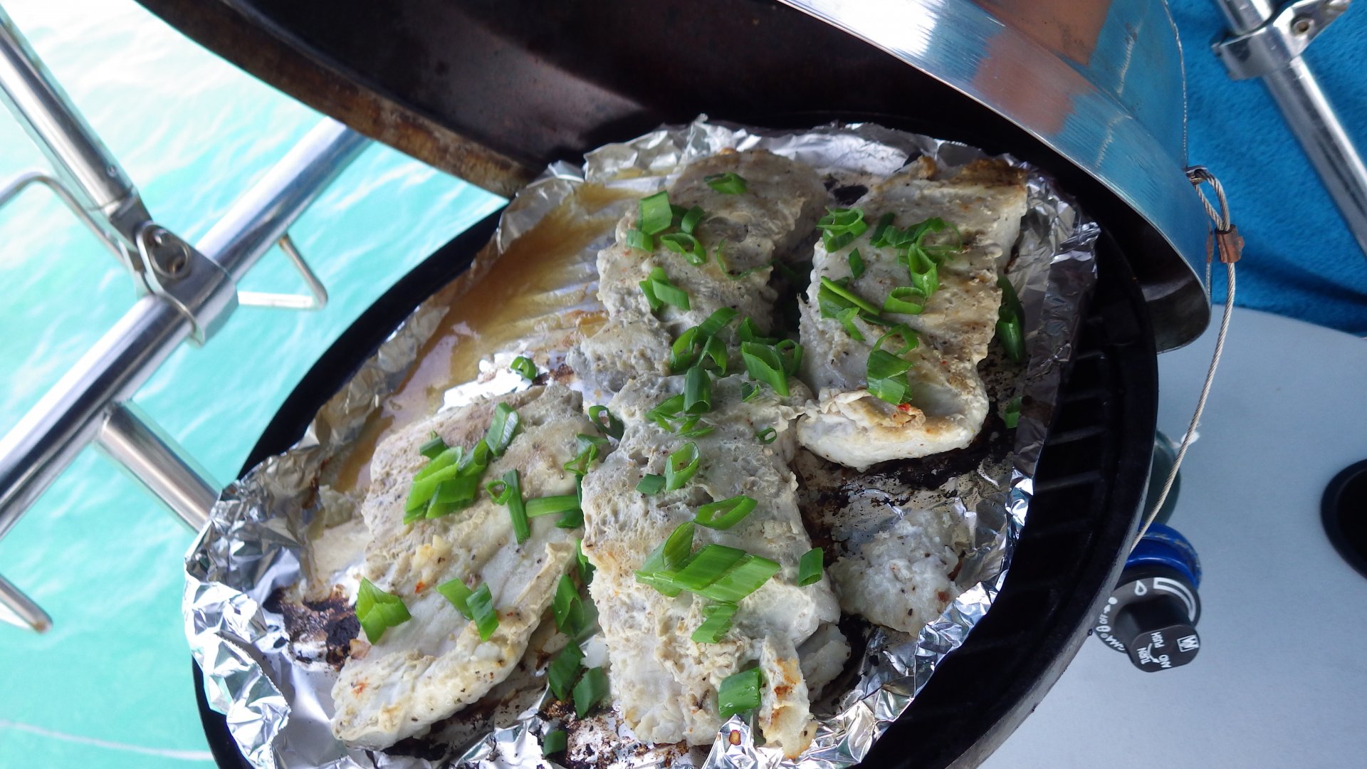
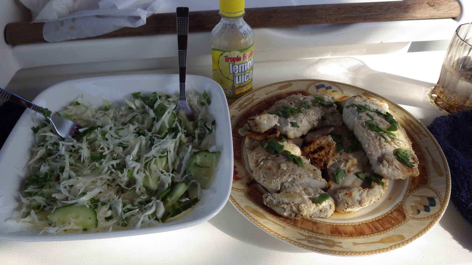
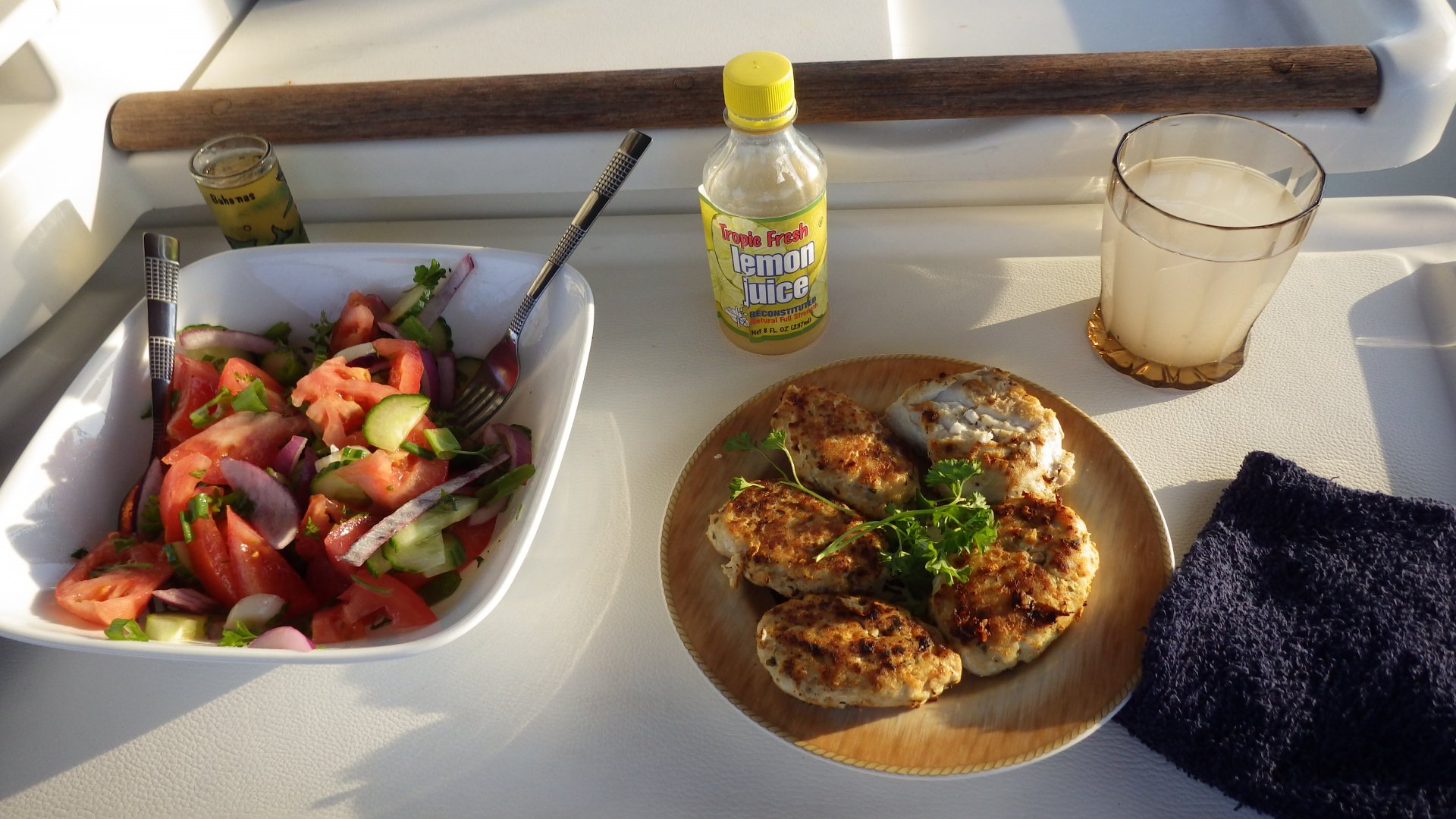
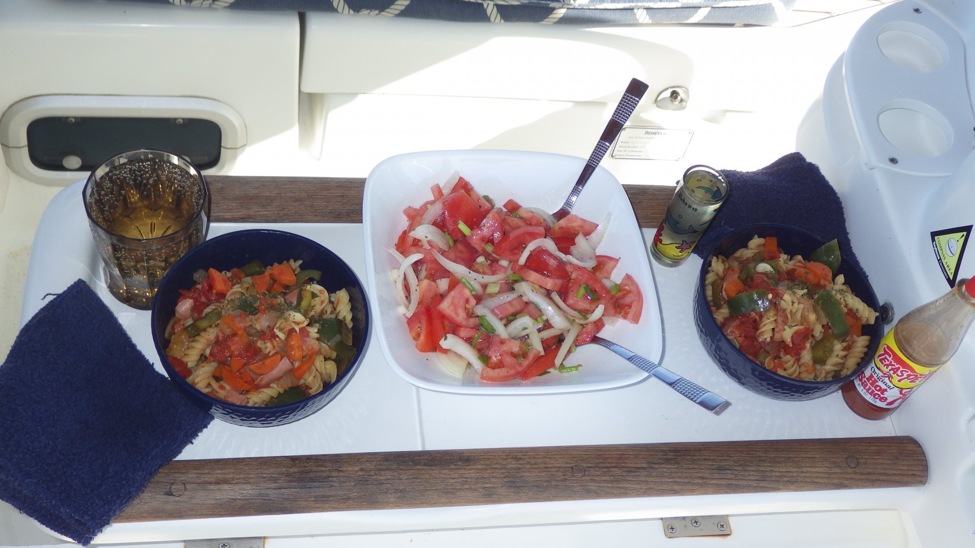
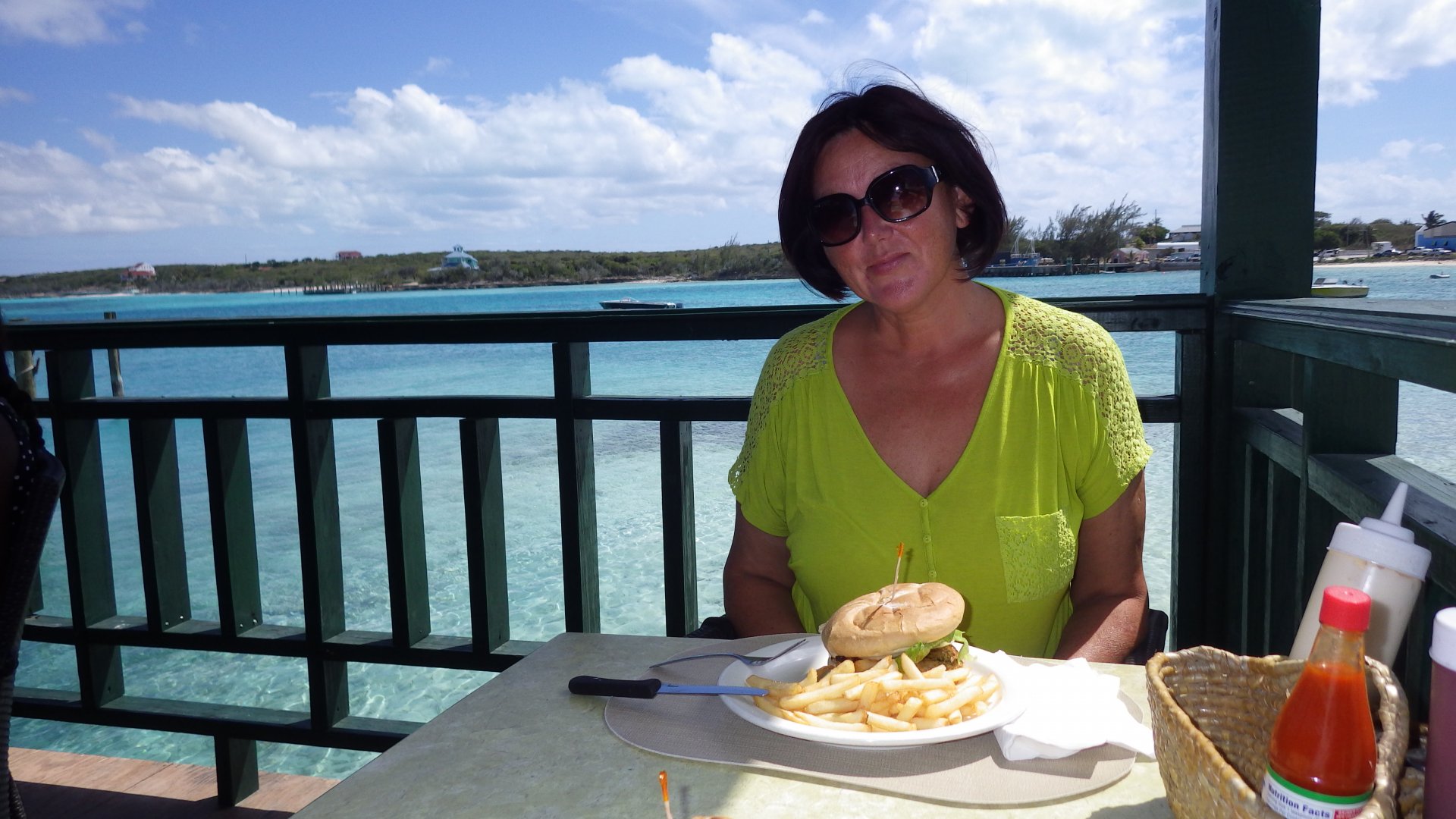
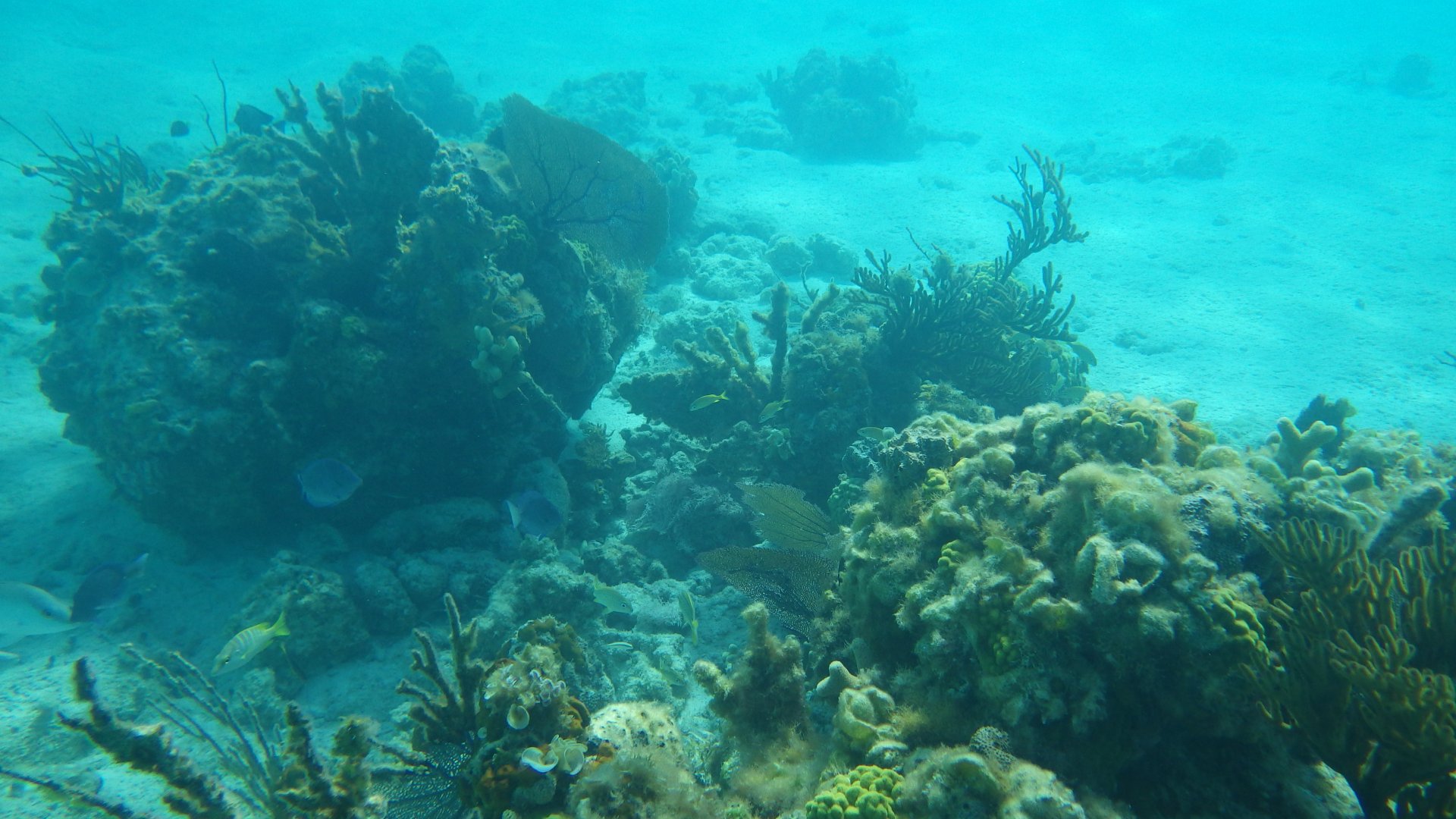
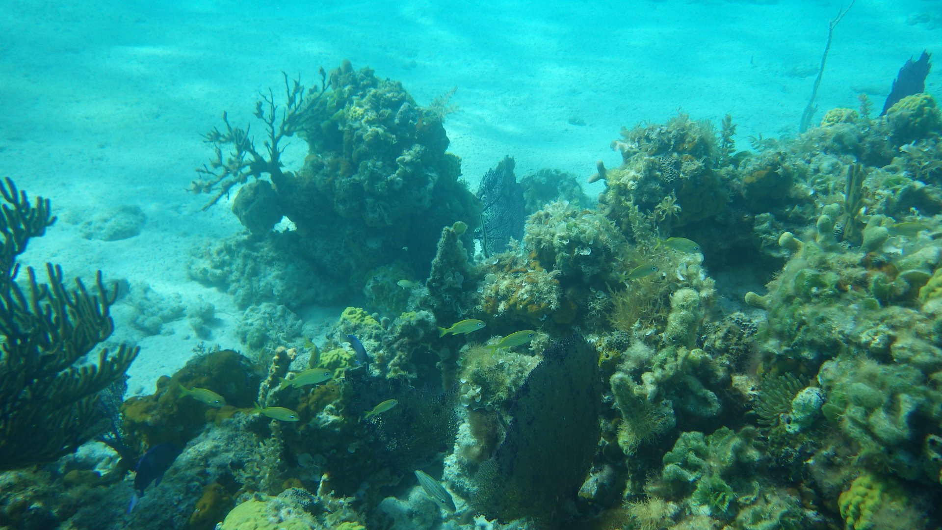
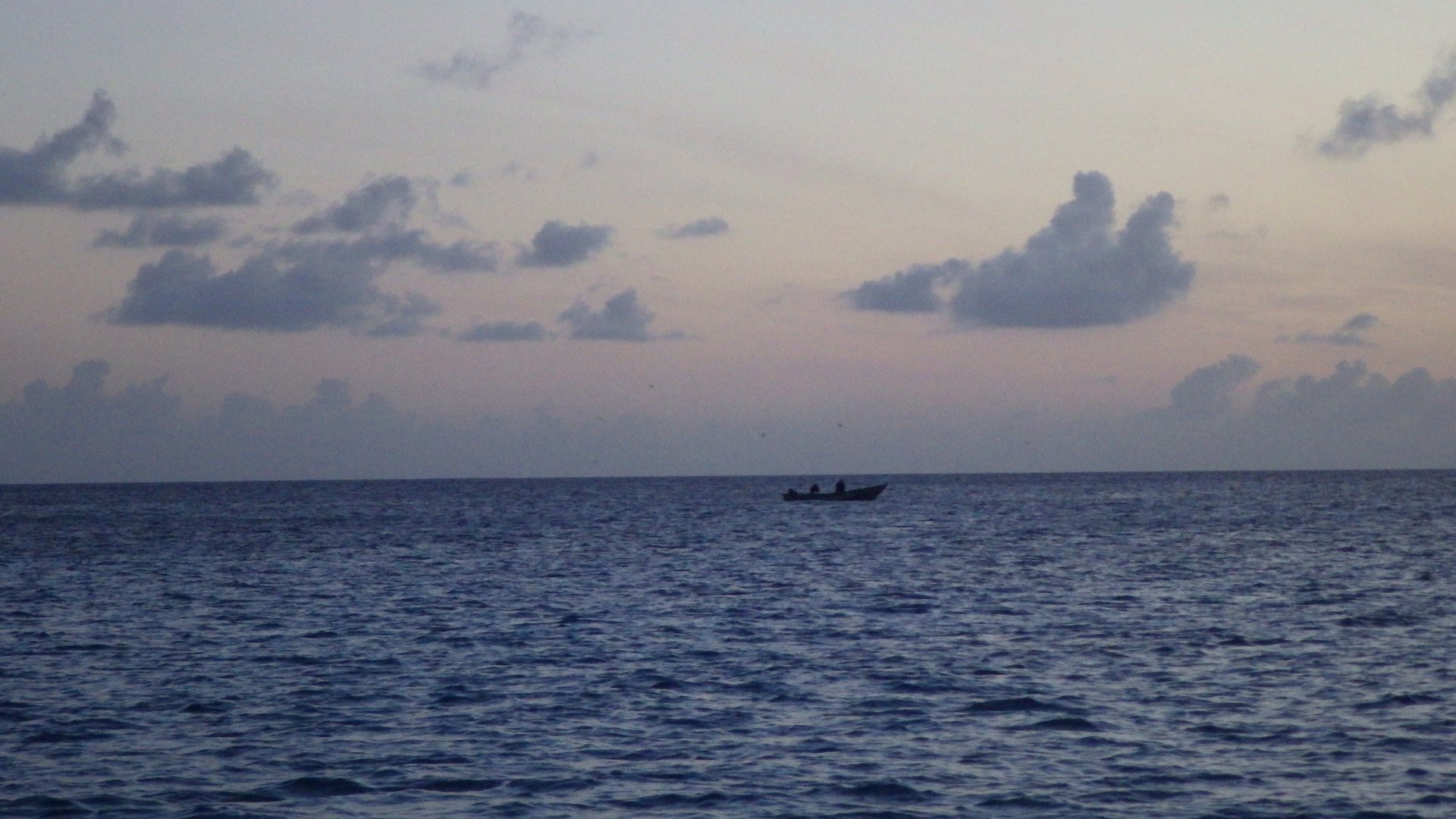
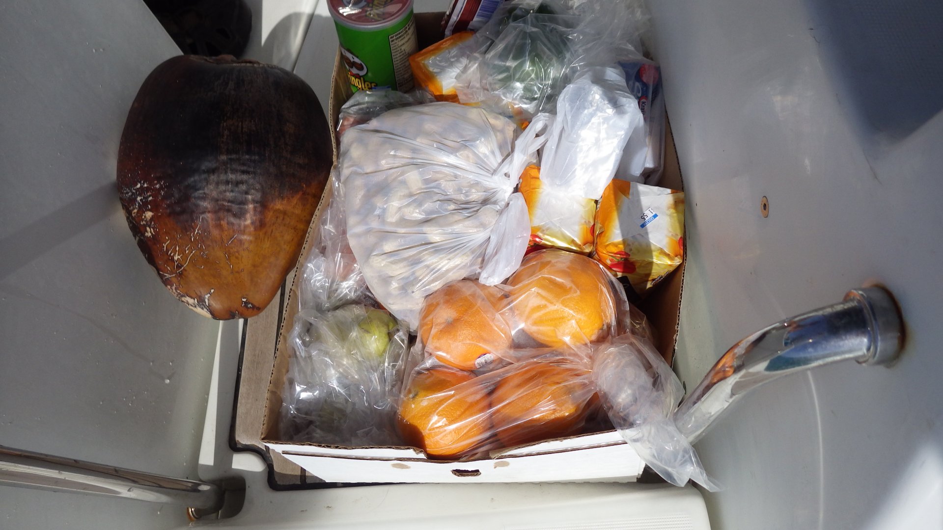
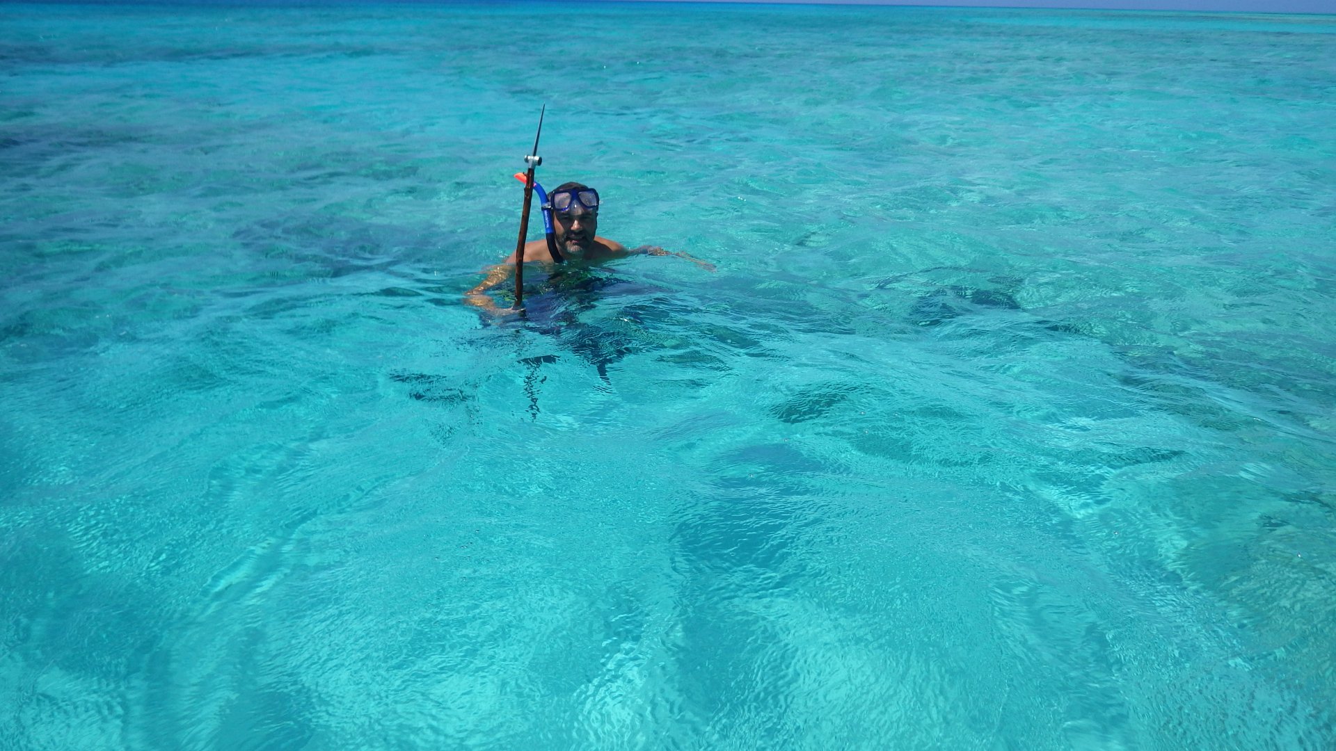
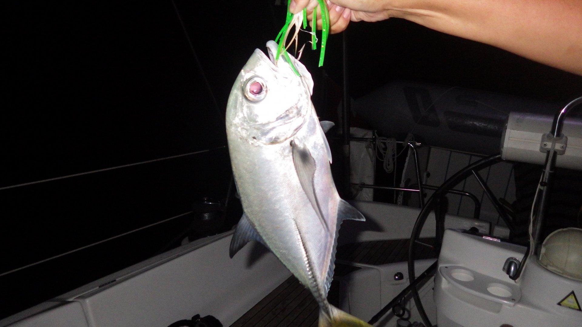
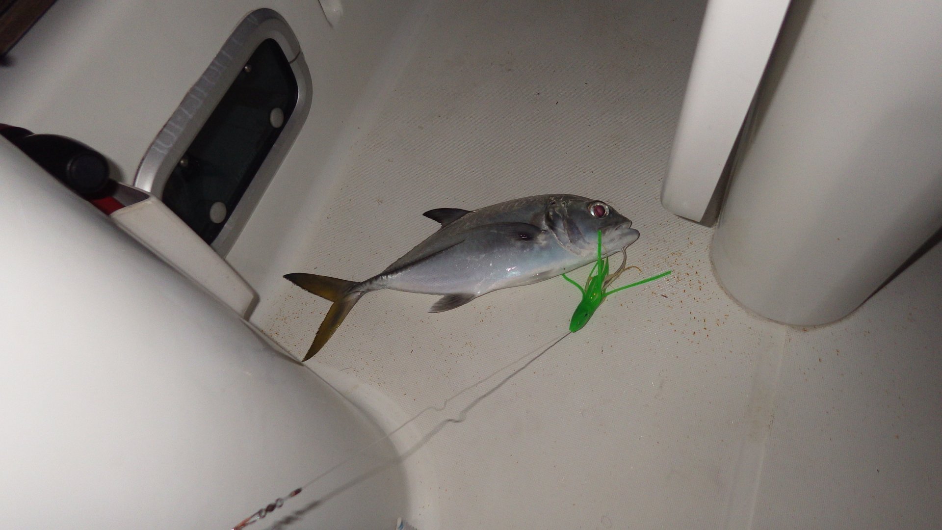
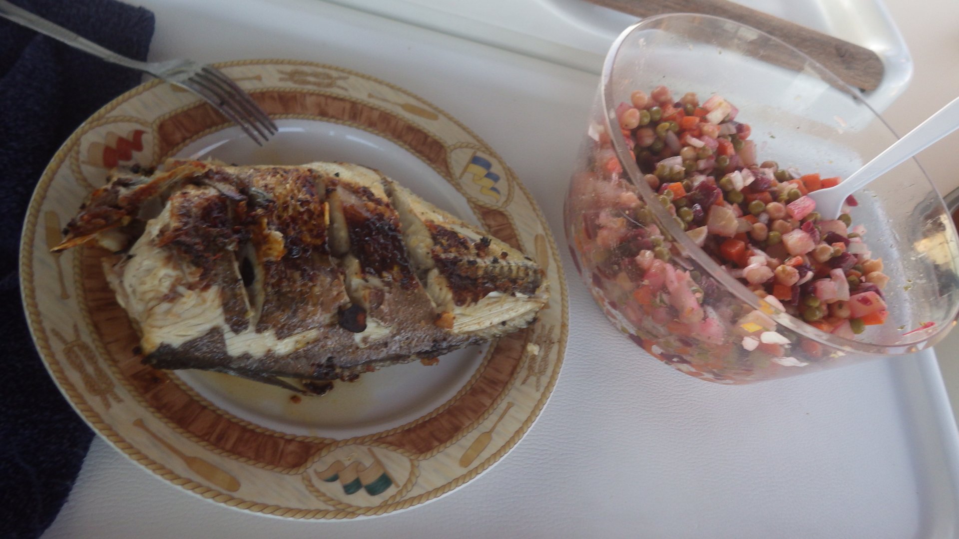
Also, caught some fish on the way to the island - had a yummy BBQ dinner first night there, and there was enough left over for the fish cutlets for the next couple days.

Salt Pont Government Dock Ferry aka Mail Boat BBQ Fish Fish Dinner Fish Cutlets Bay View Cultural Center Computing at Cultural Center At the Salt Pond Beach Bahamian Street Bahamian Street Abandoned Bahamian House Bahamian Street to Shore Rustic Bahamian Hut Grocery Provision Store Salt Pond Post Office High View High View 2 Dock Ruins Long Island hore Govt Dock At Night At the Cave Salt Pont At Dusk Cave Tunel Cave At Salt Pond Anchorage Sunset Coming Bow at Sunset Sunset After Sunset
Resort at Calabash Bay

Calabash Bay, Long Island

Log#: 87
LatLon: 23°39.354'N, 075°20.125'W

Had a delightful daysail north along the Long Island shore, catching the upcoming weather front.

Spent overnight at the Calabash Bay anchorage, just south of Cape Santa Maia.
Had a chance to walk around a luxury Cape Santa Maria Beach Resort - quite charming, feel the beauty of the area.
Also liked the adjacent Hoosie Harbor - a pleasant shallow spot with warm water and mangroves.

Houses at Calabash Bay Calabash Bay Beach Cape Santa Maria Resort Resort Walkway Resort Walkway Tree at Resort Hoosie Harbour Shalows of Hoosie Harbour Shalows of Hoosie Harbour Shalows of Hoosie Harbour At Hoosie Harbour Mangroves of Hoosie Harbour Mangroves of Hoosie Harbour Sunset at Hoosie Harbour Yacht at Calabash Bay Enjoying View Palm and Hammock Interesting Starfish Under the Tree Rugged Beach and yacht View Boats at Sunset in Calabas Bay Sunset at Hosie Harbour Enctrance Sitting on the Rocks Sunset at Hosie Harbour Sunset at Hosie Harbour Cape Santa Maria
Yacht at Rum Cay Anchorage

Rum Cay

Log#: 88
LatLon: 23°38.605'N, 074°50.628'W

Spent two days at the Rum Cay. It is said, this place is still like the old Bahamas. A quiet island, especially since the marina closure (cruising guides still mention it as open).

Had a stroll around the island, got the feeling of the place.
There are couple of tiny stores and restaurants/bars, church, government building, clinic and a small all-age school. That's about it. One of the bars is a "sand bar" - literally, with the sand floor inside. Charming. That's where cruisers congregate, so we had some drinks and met some cruisers there. Replenished our fresh produce supplies.

The anchorage is wide open to prevailing winds, but has a good protection against northerlies - that what we were expecting for the days of our stay. As the wind started to shift east, we left.

Government Pier View Government Pier Rocky Beach at the Pier At the Rum Cay Rum Cay Anchorage Cloudy day at Rum Cay Sandy bar Bar Tables At the Park Governemnt Building Ocean View Canal Church Church Small Store Restaurant Outdoor Patio Port Nielson Street Port Nielson Street View of the Bay Overlooking the Bay House at Rum Cay House at Rum Cay Small Lagoon Closed Marina Closed Marina Abandoned House Ocean View Sunset at Rum Cay Oficial Gamefish Chart of Bahamas
Clarence Town Church 2

Clarence Town, Long Island

Log#: 89
LatLon: 23°05.832'N, 074°57.421'W

Stayed at the Clarence Town on the East side on the Long Island.
The Flying Fish marina is nice and clean, and the area around is being developed more. Had a pleasant lunch at the waterfront grill bar there, walked around the town.

The town has two prominent churches. Pasturing goats around. Otherwise it's a typical Bahamian town with some basic local services.

The Long Island is big, but we didn't venture out further - we would need to hitch the ride or rent a car, but my driver license had expired while we're in Bahamas.

The anchorage in the harbour is somewhat protected from the prevailing winds, but is still quite rolly. Waiting or the suitable weather window to go further South. While here, had a haircut, filled water tanks, dived to clean the boat's bottom as much as could.

Broad Reaching on Big Gennaker on the way to Clarence Town Sunrise at the Anchorage View of Flying Fish Mrina from the Anchorage Some Houses Estates Big Anchorage Flying Fish Marina View Our Dinner at Clarence Town Anchorage Flying Fish Marina View View of the Harbour Mailboat Arrives to Town Mailboat at the Pier Walking on the Sandy Road On Town Street Under Big Palm Bush Clarence Town Harbour Entrance At Flying Fish Marina Docks At the Grill Bar Local Boats on the Shore Another Harbour View Church 1 Church 2 Inside Church 2 Town Street Houses on Town Street Our Boat Plant Listening to Weather Reports while Passage Planning Sunset at Clarence Town with Church View Filling Water Tanks Sunset at the Anchorage Leaving Clarence Town
Corals at the Crooked Island

Crooked Island, South-West Shore

Log#: 90
LatLon: 22°43.990'N, 074°17.597'W

It was a long passage to the Crooked Island, heading into the wind, arriving after the sunset.

As we approached the island, wind brought a strong smell of some spies or herbs. Later we learned it was likely to be the smell from the facility which exports bark from local trees.

Spend two nights anchored at this beautiful isolated place. Had a memorable day trip to the sandy beach - picnicking, snorkeling, swimming, etc.

When leaving, decided to check out another place a bit to the south - French Wells. It supposed to be a pretty and secure anchorage.
On approach, we had run aground, and spent some time getting off. Passing by local boaters helped us and guided to the deeper water. Few lessons learned.

On the Passage to Crooked Island Sunset on the Passage to Crooked Island Anchored at Crooked Island South West Shore Yacht Anchored at the Crooked Isand Trees at the Shore Shoreline View Salt Pond Marshes Salt Pond Mangroves Under Water 1 Under Water 2 Under Water Corals 3 Under Water Corals 4 Under Water Corals 5 Under Water Corals 6 Under Water Coral 7 Under Water Corals 8.jpg Under Water View.jpg Sand Dollar Shell Shore View Rocky Sandy Shore Uprooted Tree Shore View Stranded Sailboat at French Wells Guided to Deeper Water at French Wells
Landrail Point

Landrail Point Setlement, Crooked Island

Log#: 91
LatLon: 22°48.795'N, 074°20.707'W

A pleasant settlement on the North West end of the Crooked Island.
Locals are very friendly and make you feel welcome. Spent almost a week here. There are 3 stores, a restaurant, clinic, airport, very basic other services. People are making living here by fishing, mini-farming, some government jobs, but mainly by providing tourism services - hospitality, fishing and snorkeling trips, etc.

There are quite few cottages here where foreigners (mainly Americans) sent some portion of the year here.

One night, on Easter Holidays, we were invited to a beach party - music, local food and people gathering. We have met some locals, vacationers and cruisers here. Had a really good time.

When leaving the place, the weather turned out to be too rough as we turned the Bird Rock at the North West tip of the island, so we had to turn back and wait for the weather to settle. Leaving the following day.

Landrail Point from Anchorage Sleeping at work At the Anchorage Small Boat Harbour Small Boat Harbour Local Street House on the Local Street On the Local Street Local Street Kids on Local Sreet Town Shore Town Shore Town Beach Stonned Corals at the Shore At the Town Shore At the Town Shore Rainy Clowd Fishermen Salt Pond Pittstown Landing Bird Rock View Pittstown Landing Pittstown Landing Cottages from Anchorage at Night Beach Party at Night At the Beach Party Fishing from Dinghy Provisioned Local Restaurant Bahamian Rum Morning View From Anchorage OceanView Cottages At Anchor Sunset Bird Rock Lighthouse
Atwod Harbour

Atwood Harour, Acklins Island

Log#: 92
LatLon: 22°43.180'N, 073°52.898'W

A convenient and picturesque bay anchorage along the way.
We shared it with two more boats. Met a young couple from France who sank their boat earlier on nearby island - a sad story.

Stayed another day here - walked around the beach, had diner picnic there at night.

Umbrella Rock Atwood Harbour Ancorage Atwood Harour Shore Atwood Harour Shore Yacht at Anchorage Atwod Harbour View Wooded Area Shoreline Shell Found Rocky Shoelie Sandy Shore Sandy Shore West Shore View Shore View Shore Rock and Tree Woody Shore Sunset at Atwood Harbour
Driftwod at West Plana Cay Beach

West Plana Cay

Log#: 93
LatLon: 22°35.186'N, 073°37.642'W

Very pretty island and anchorage.
After a coffee with pancakes, we went fishing in the morning around the coral reefs on the dinghy. Tried snorkeling with the spear too. No fish caught this time, just sunburn instead.

After early dinner, we went on shore to walk along the beach. Collected some shells. Beautiful beach, just for us - actually the entire island - except for the herd of wild goats.

Then back home for a movie and tea with biscuits, and a game of Red Alert.

Later at night, we realized there is a lot if fish around the boat, so Larysa started fishing - and got the jack! Nice finally for the day.
We will have it for diner tomorrow.

Anchored at West Plana Cay West Plana Cay View South West Plana Cay View North West Plana Cay Water Colors Corals Water Corals Water Snorkeling Snorkeling Corals Corals Corals Corals Corals Under Water Yacht Colors Yacht Colors West Plana Cay Shore West Plana Cay Shore Wody Shore Collecting Shells Beach Shells At the Beach Pond View Sandy Shore Rocky South Point Rough West Windward Shore Fish on the Hook Threatning Cloud
Swell Briddle

Betsy Bay, Mayaguana

Log#: 94
LatLon: 22°23.365'N, 073°09.212'W

We had a long sailing day, beating and tacking into the 20+ knots winds.
Reached the West shore of Mayaguana Island just before the sunset, anchored overnight near Betsy Bay. It was the rolly anchorage, so I made the "swell bridle" to reduce the rolling and have a more pleasant night. It helped.
Didn't go ashore.
For the dinner, we had the fish we caught earlier at the West Plana Cays.
Leaving for Abrahams Bay tomorrow.

Betsy Bay Shore BEFORE Jack Fish AFTER Jack Fish Fried AFTER AFTER Jack Fish Gone Sunset at Betsy Bay
Abrahams Bay Dock

Abrahams Bay, Mayaguana

Log#: 95
LatLon: 22°21.814'N, 072°58.938'W

Mayaguana is the furthest of the Bahamas' Out Islands, at the South East end of archipelago.

We visited the main town of the island, Abrahams Bay. The bay is beautiful but shallow, with many areas drying out during low tide, so it was a challenge getting to the dock even on a dinghy.
Abrahams Bay town is an outpost type of settlement, with only a few basic services, but it was interesting to explore it a little.
We got some provisions, take-out chicken wings and fries, met other cruisers.

Next, after 3 months of cruising Bahamas, will be heading for Turks and Caicos. The Bahamian courtesy flag for sure have seen a lot of Bahamian winds during our time here.

Abrahams Bay Dock Palms Town Street Local Bar Empty Street Bay at Low Tide At Low Tide Bay View Under the Palms This Flag Seen Lot of Bahamian Wind
<< Older Entries     Logs Archive     Newer Entries >>

Copyright© 2000-2024 www.slow-cruise.com