Slow Cruise

Sailing Adventures of s/v Alpine Zephyr
"We went sailing not to escape from life but to keep life from escaping us" -- Betsy Holman
<< Older Entries     Logs Archive     Newer Entries >>

Sailing Log: Crusing Turks and Caicos Islands

Crusing Turks and Caicos Islands on a Sailboat

Crossing the Caicos Passage

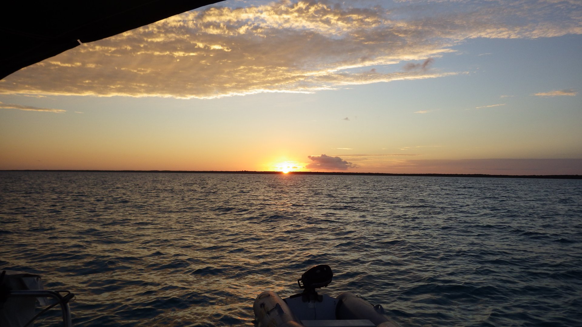
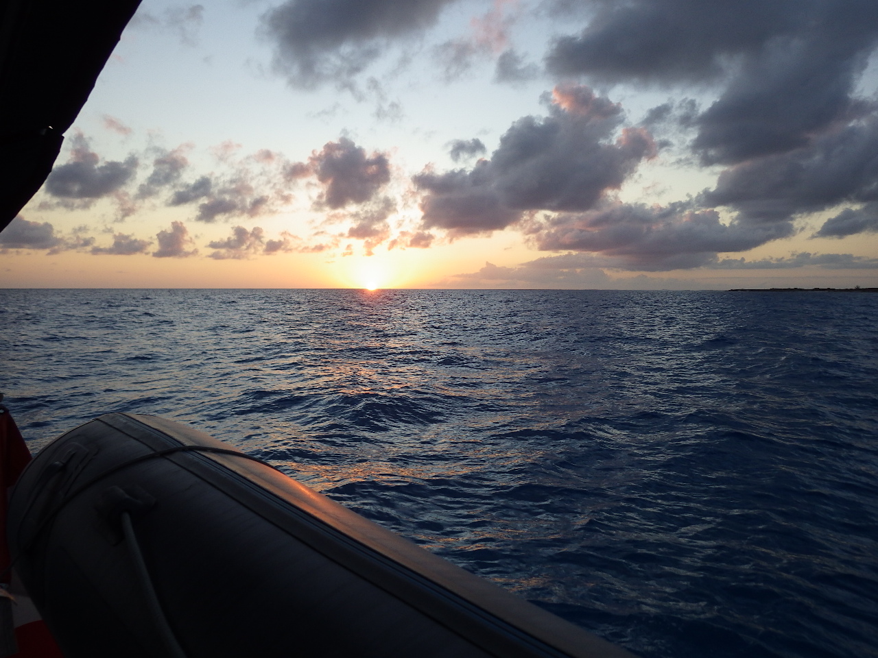
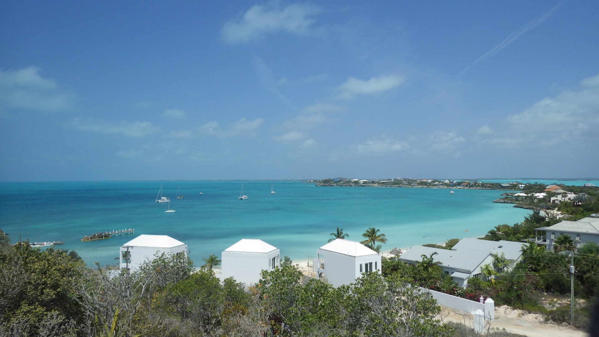
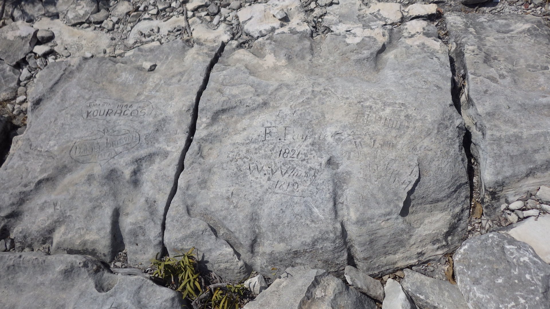
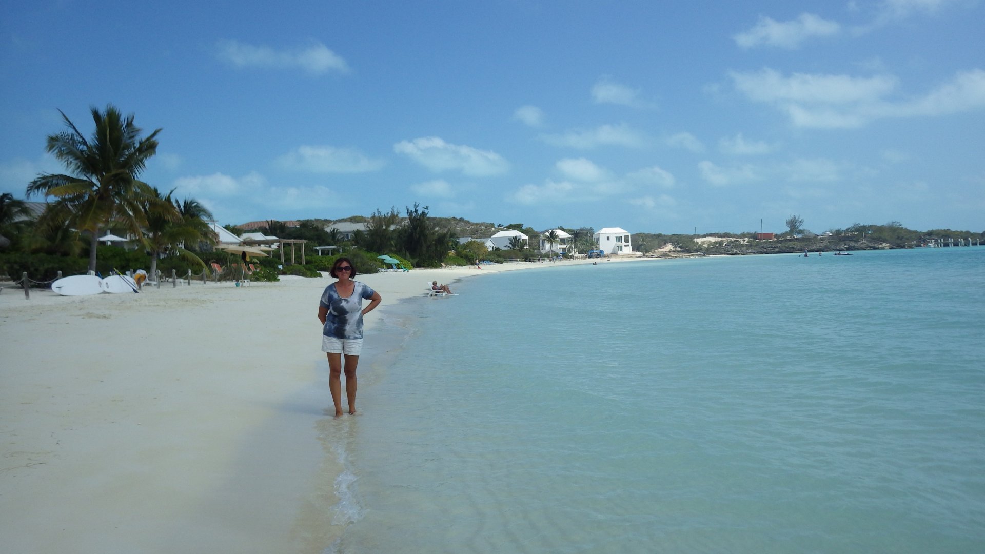
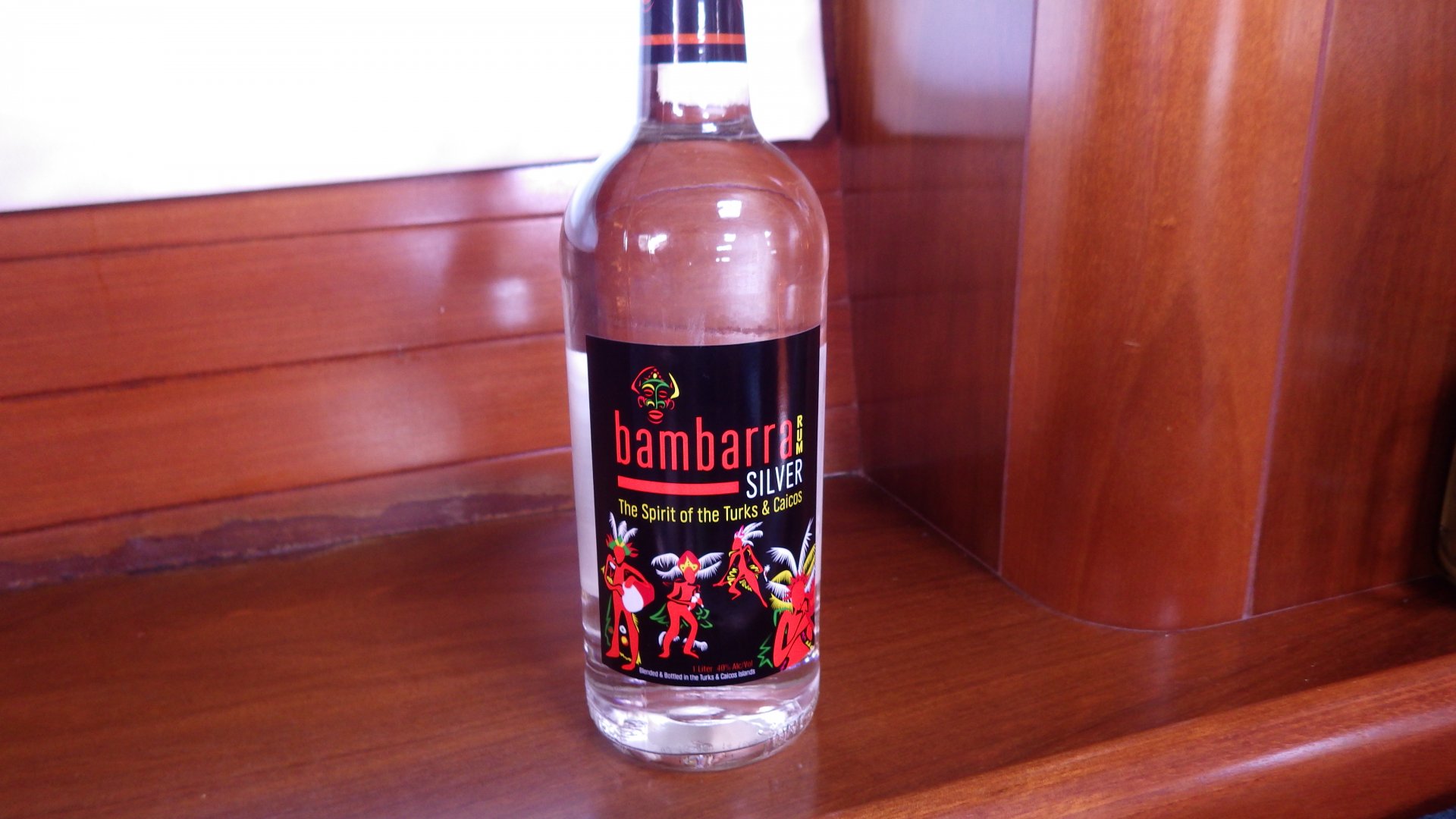
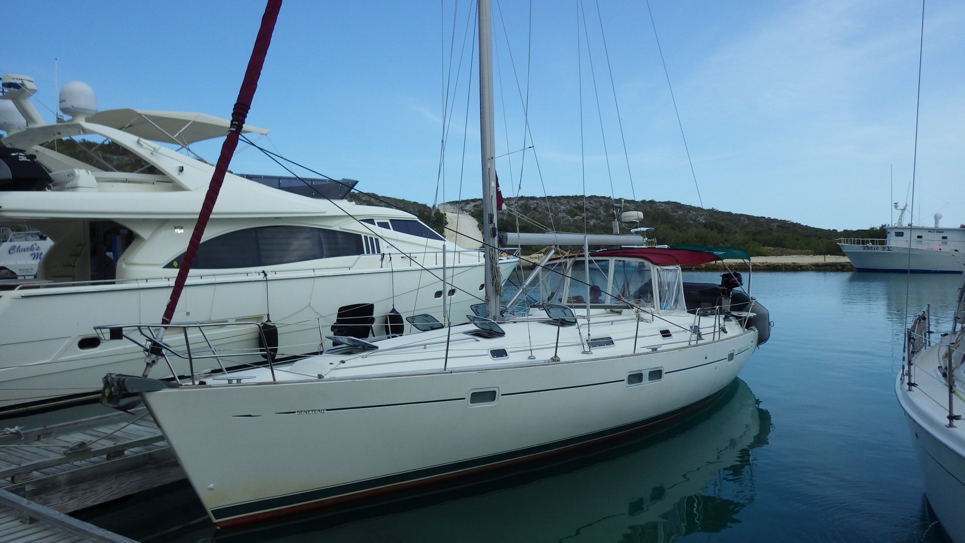
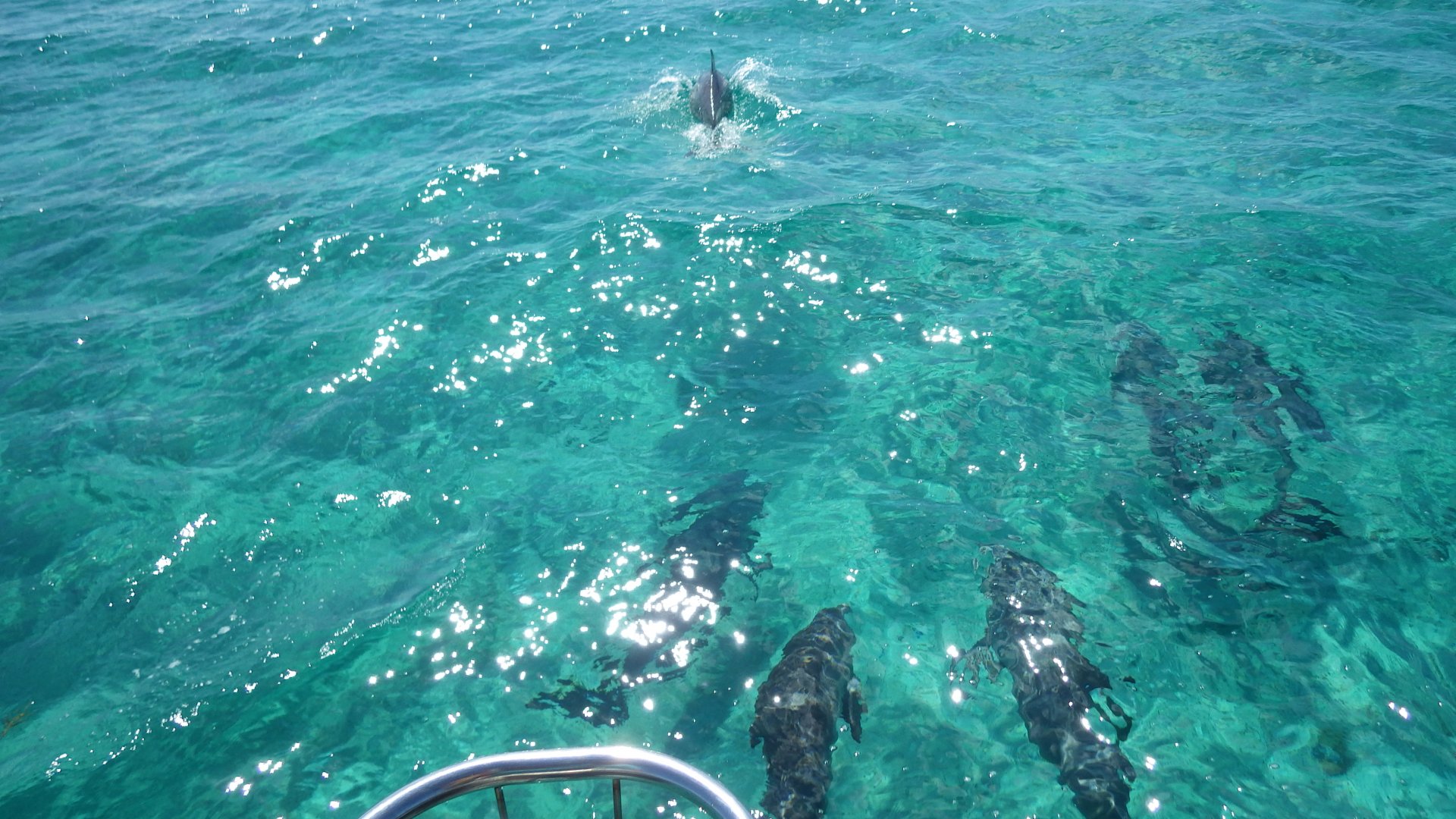
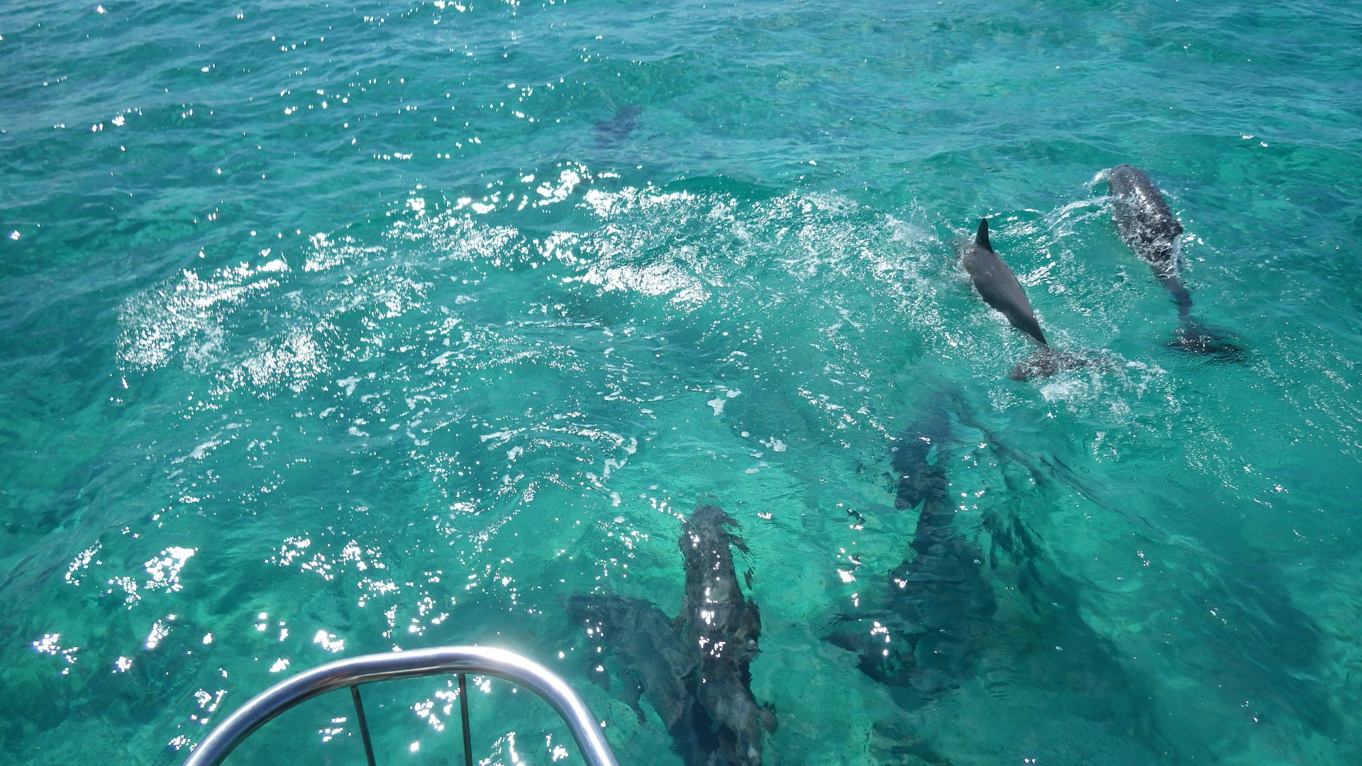
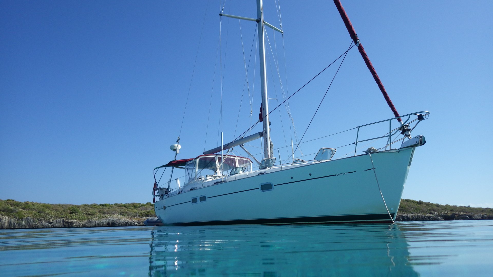
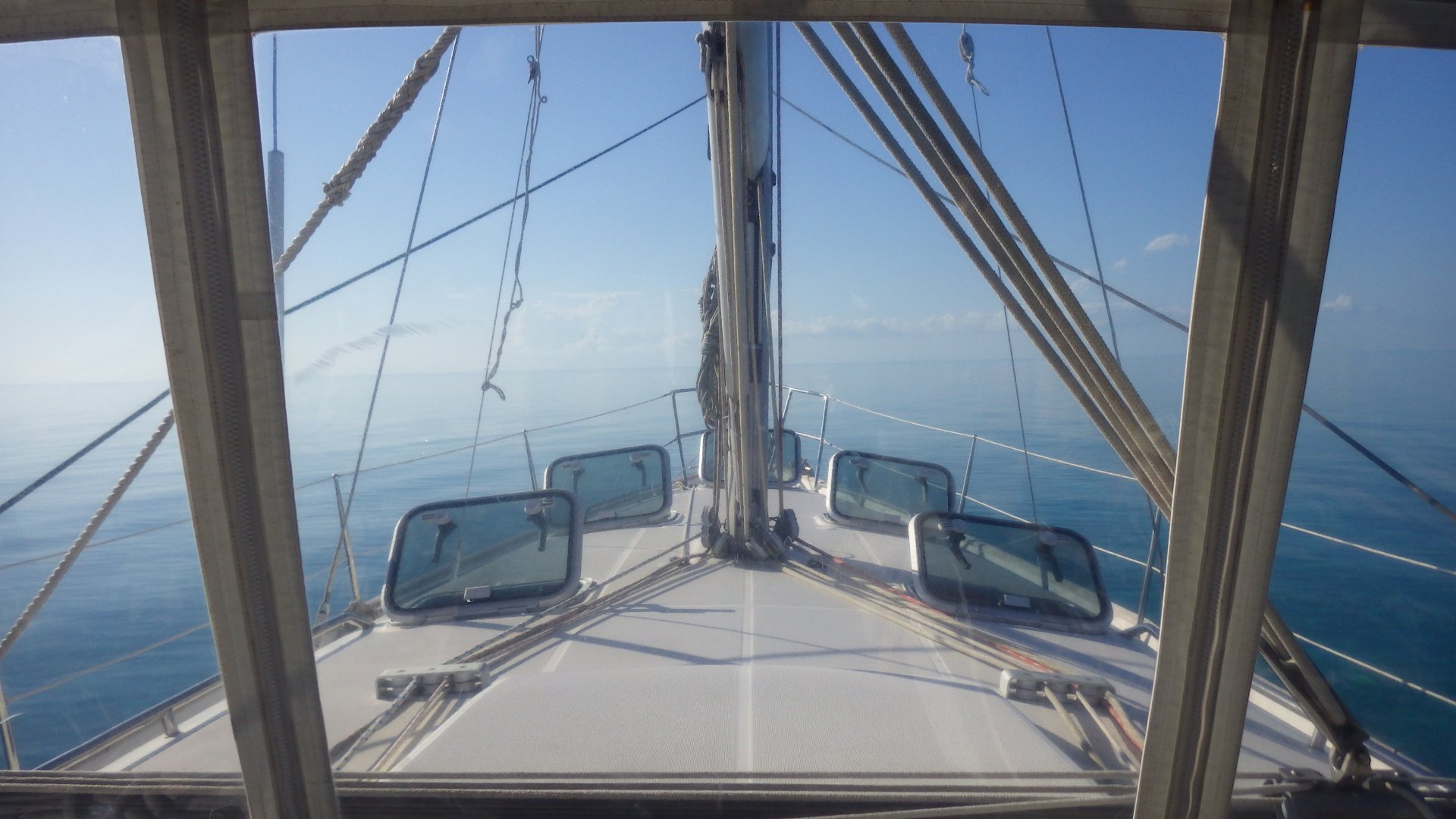
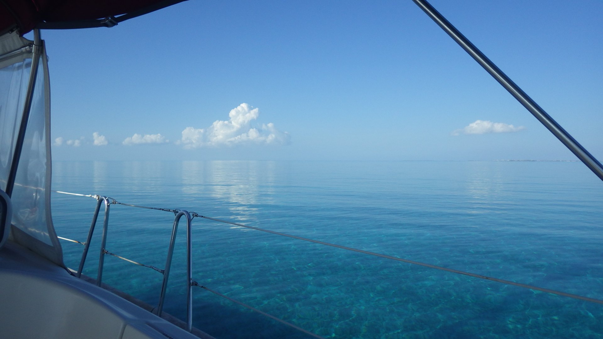
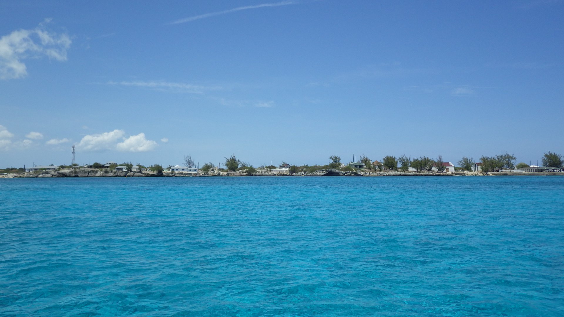
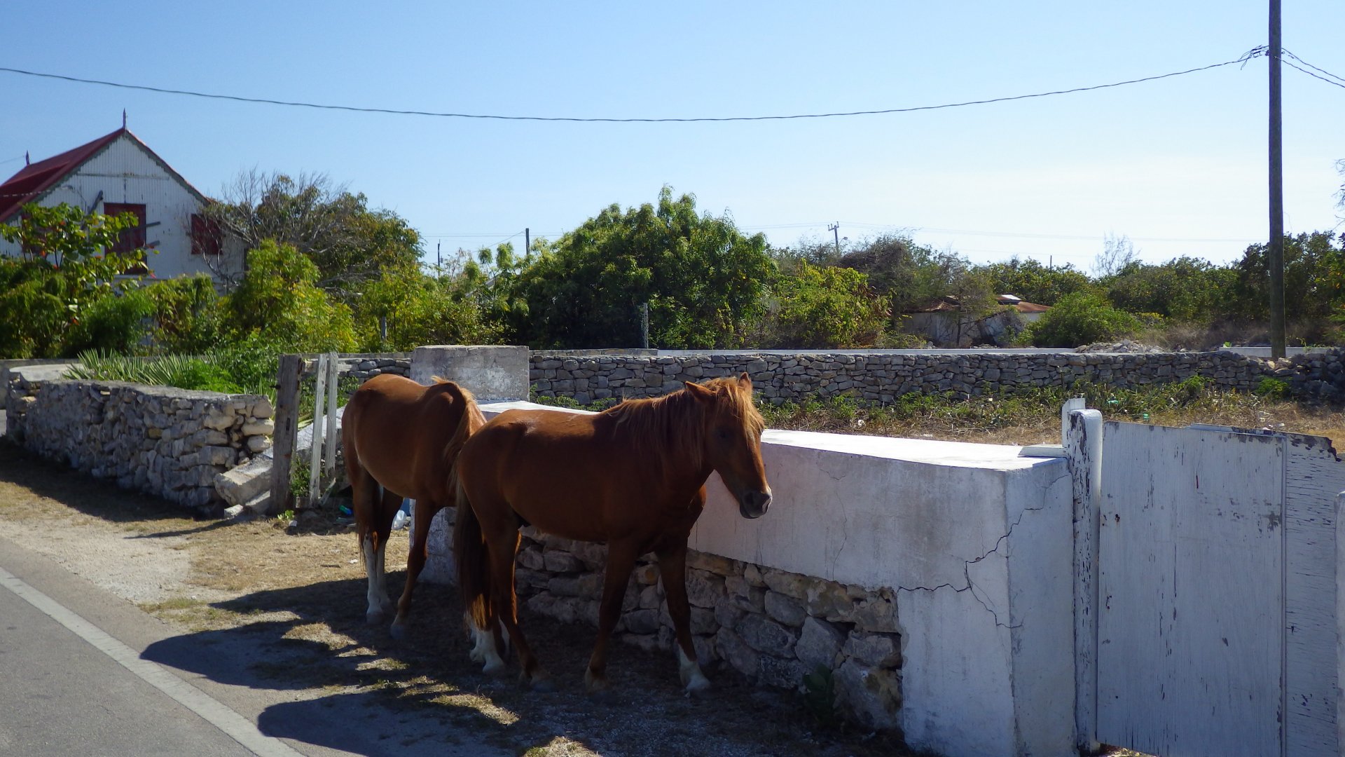
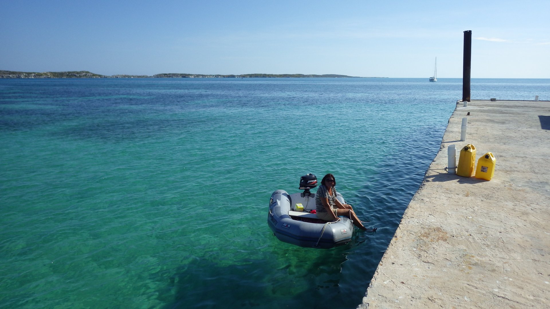
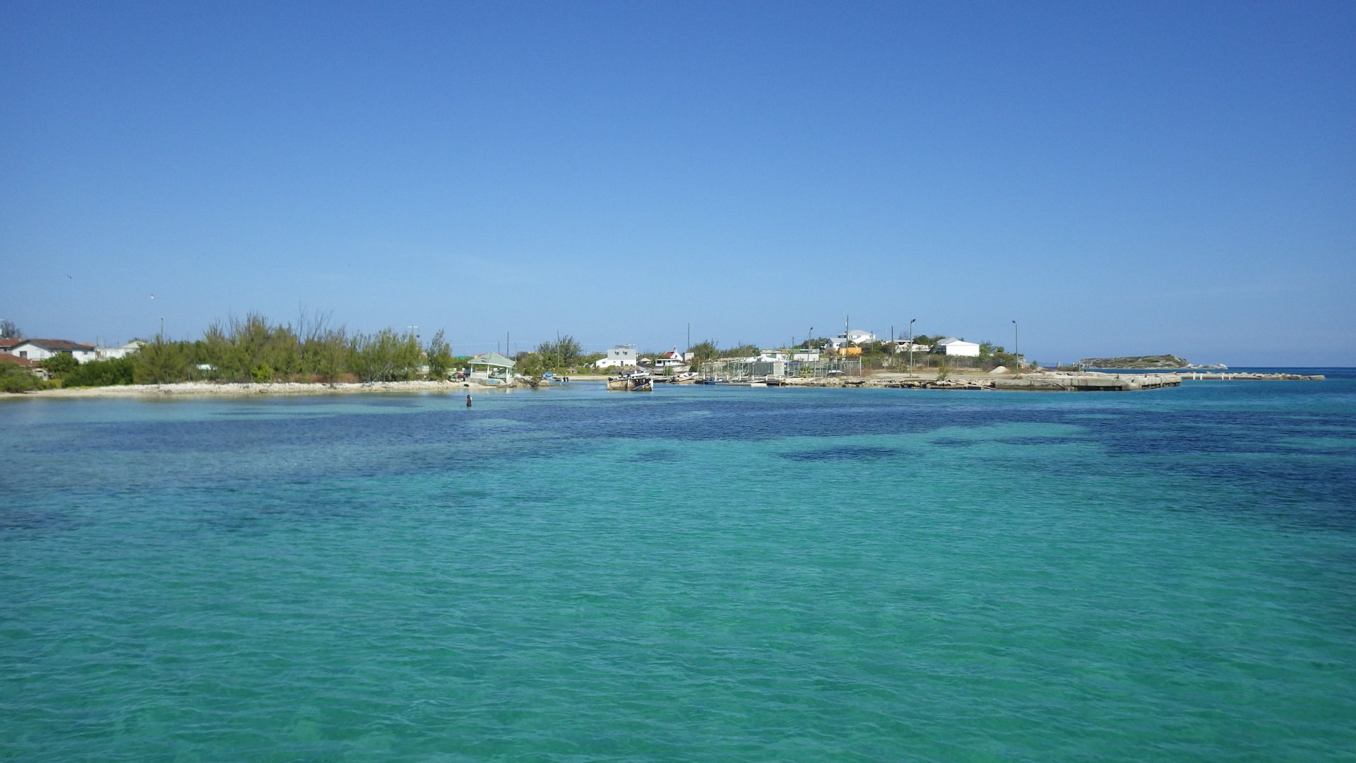
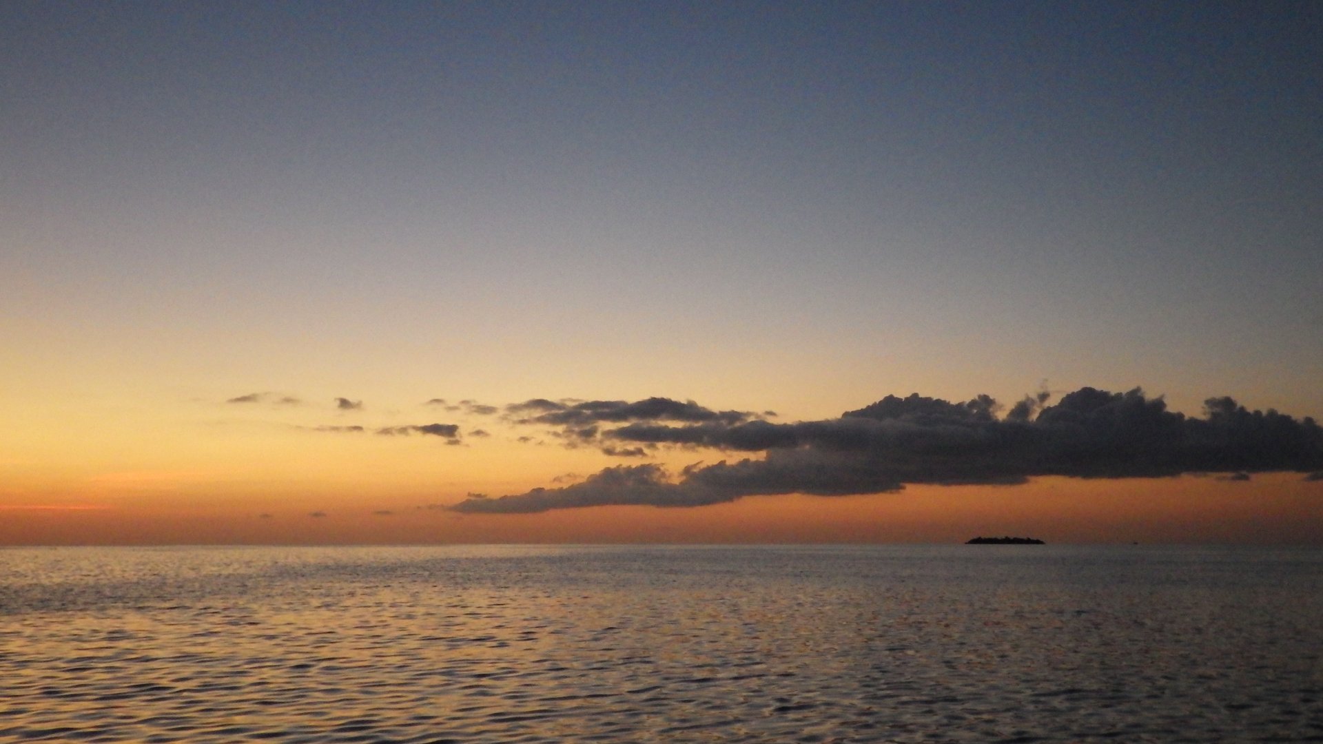
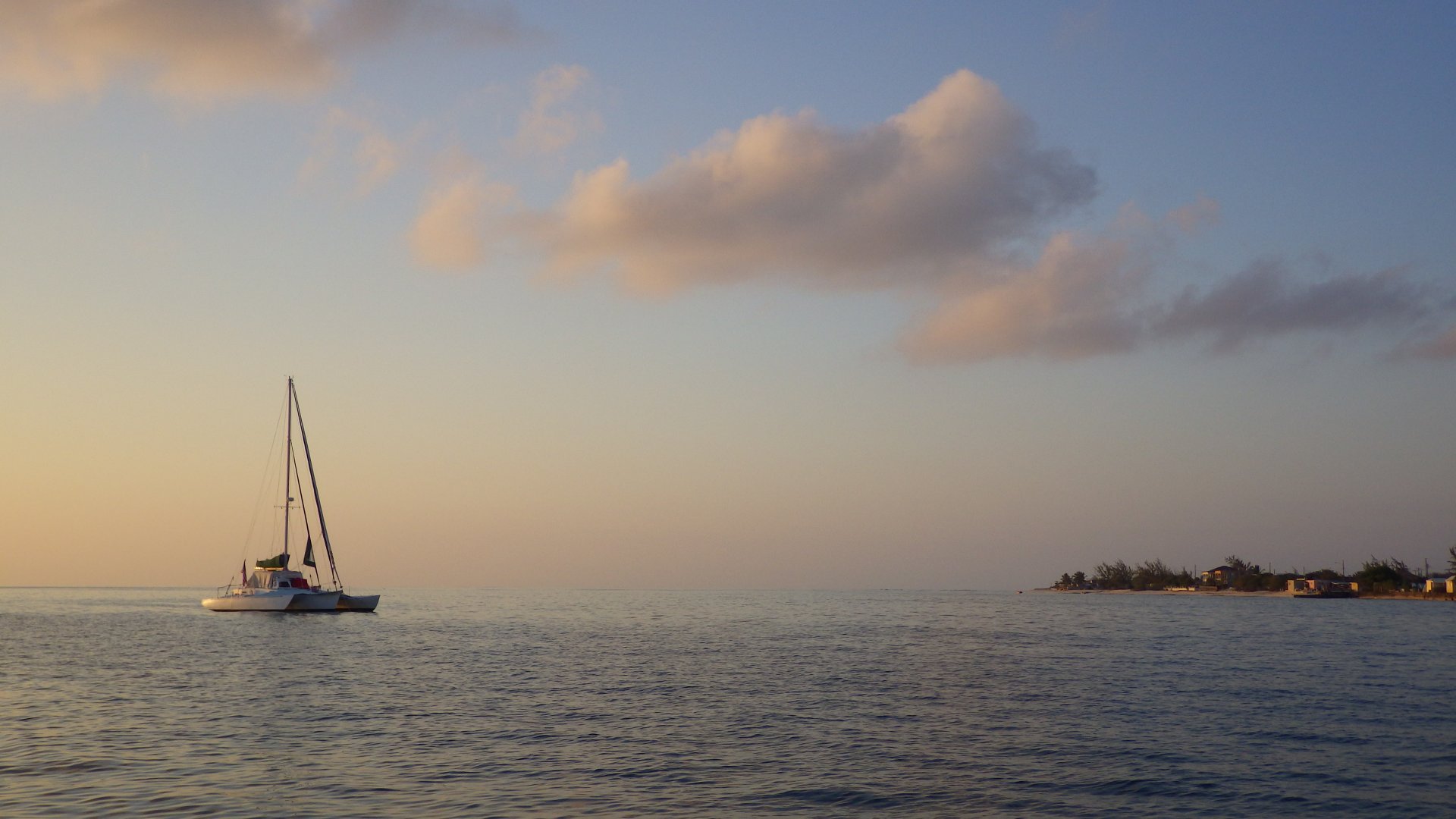
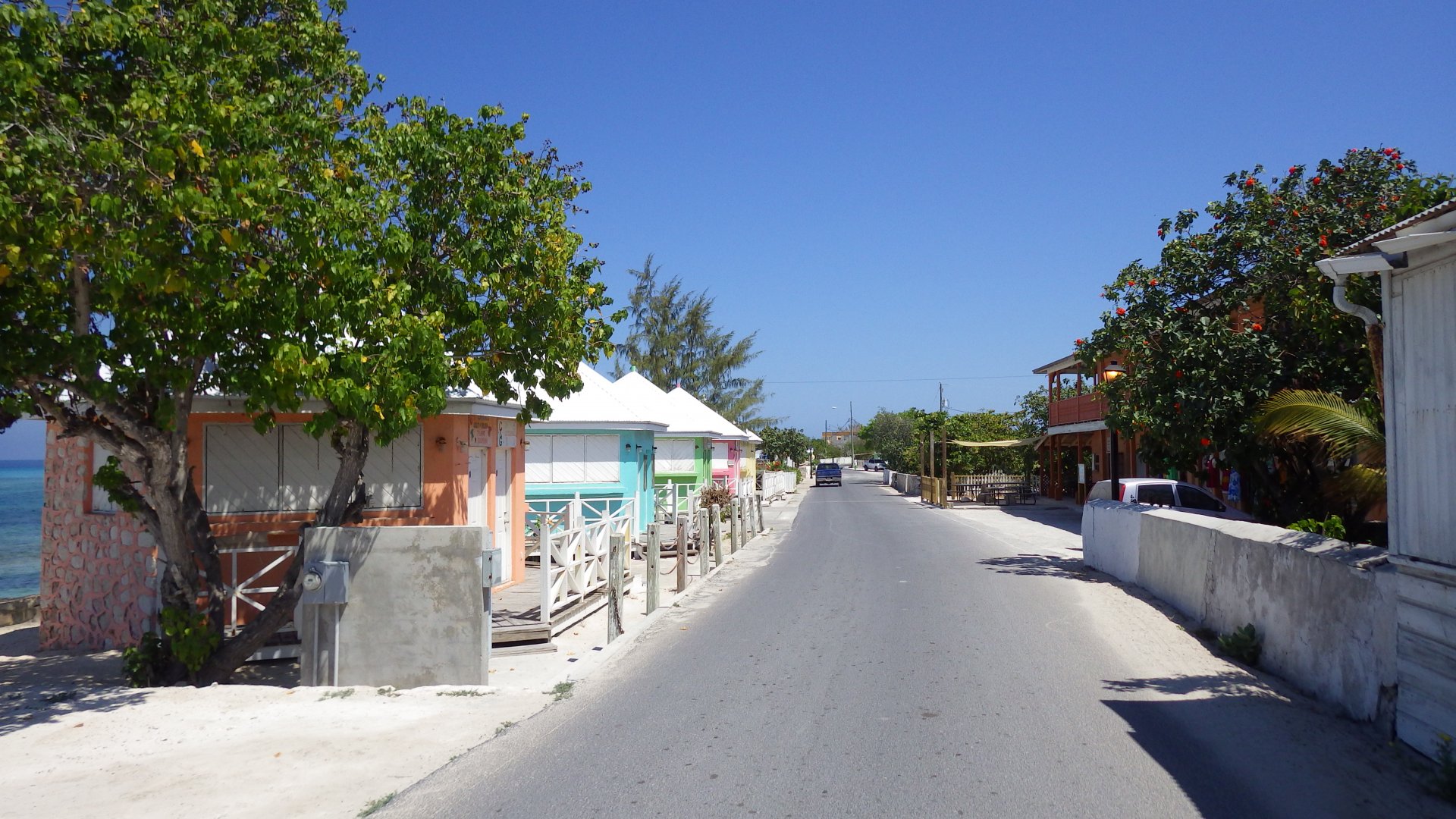
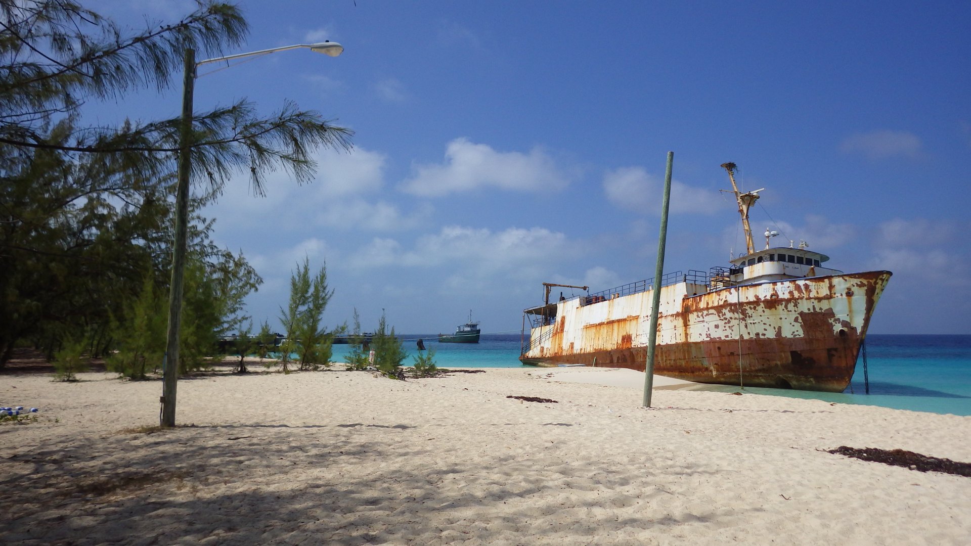
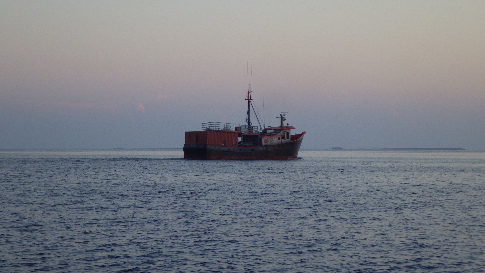
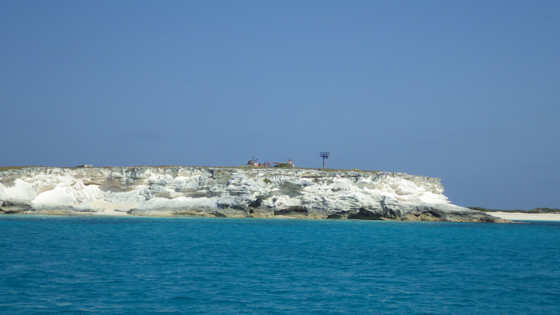
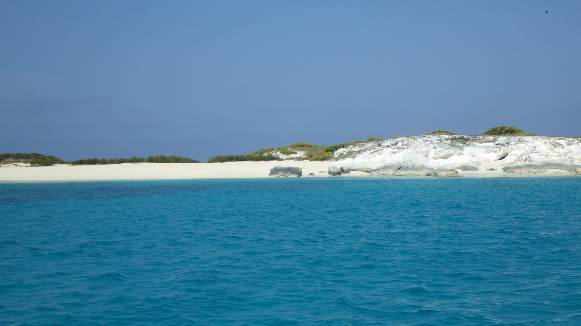
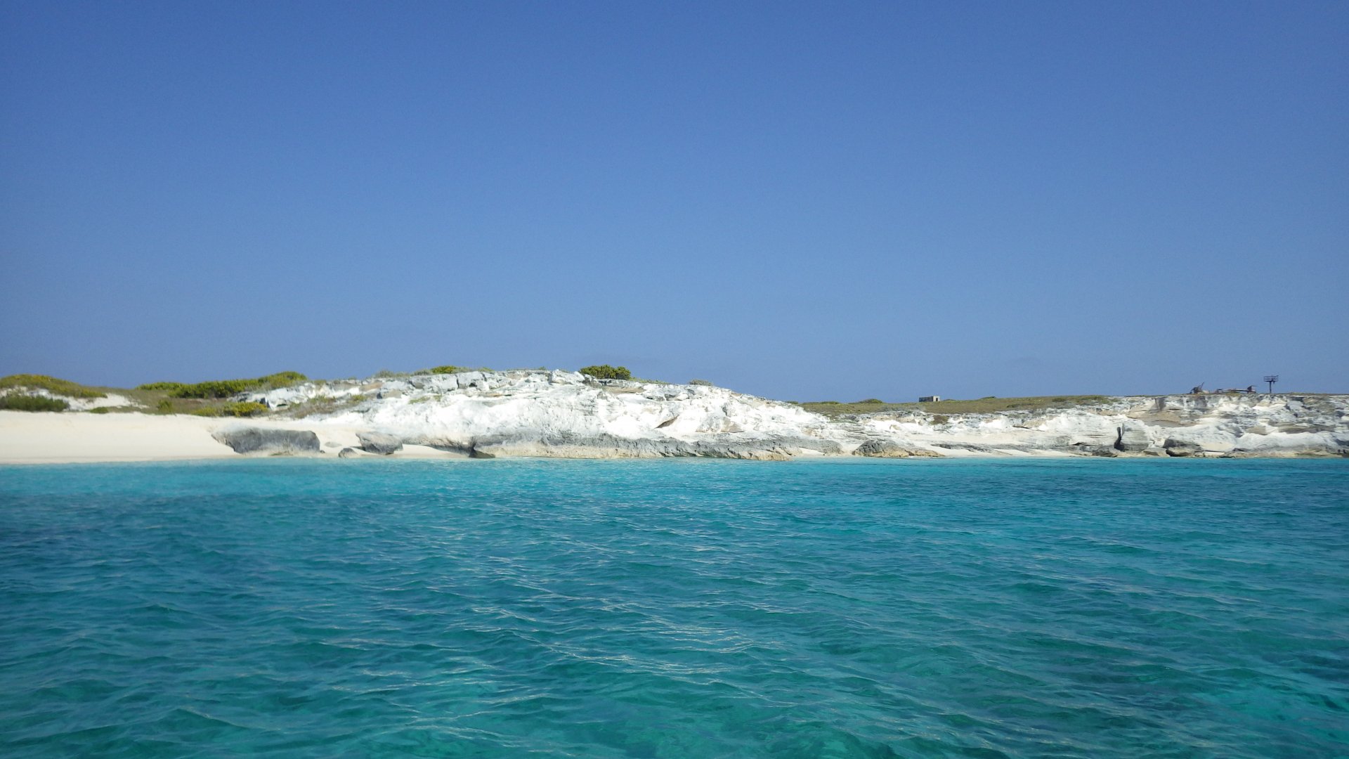
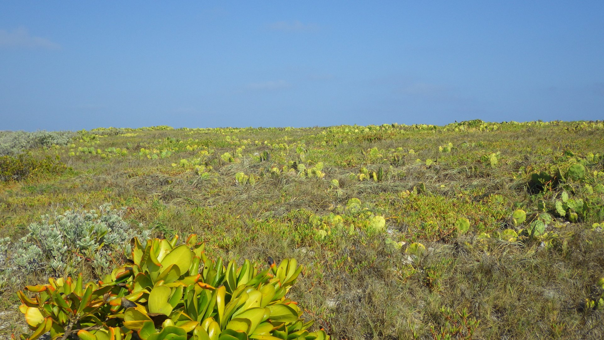
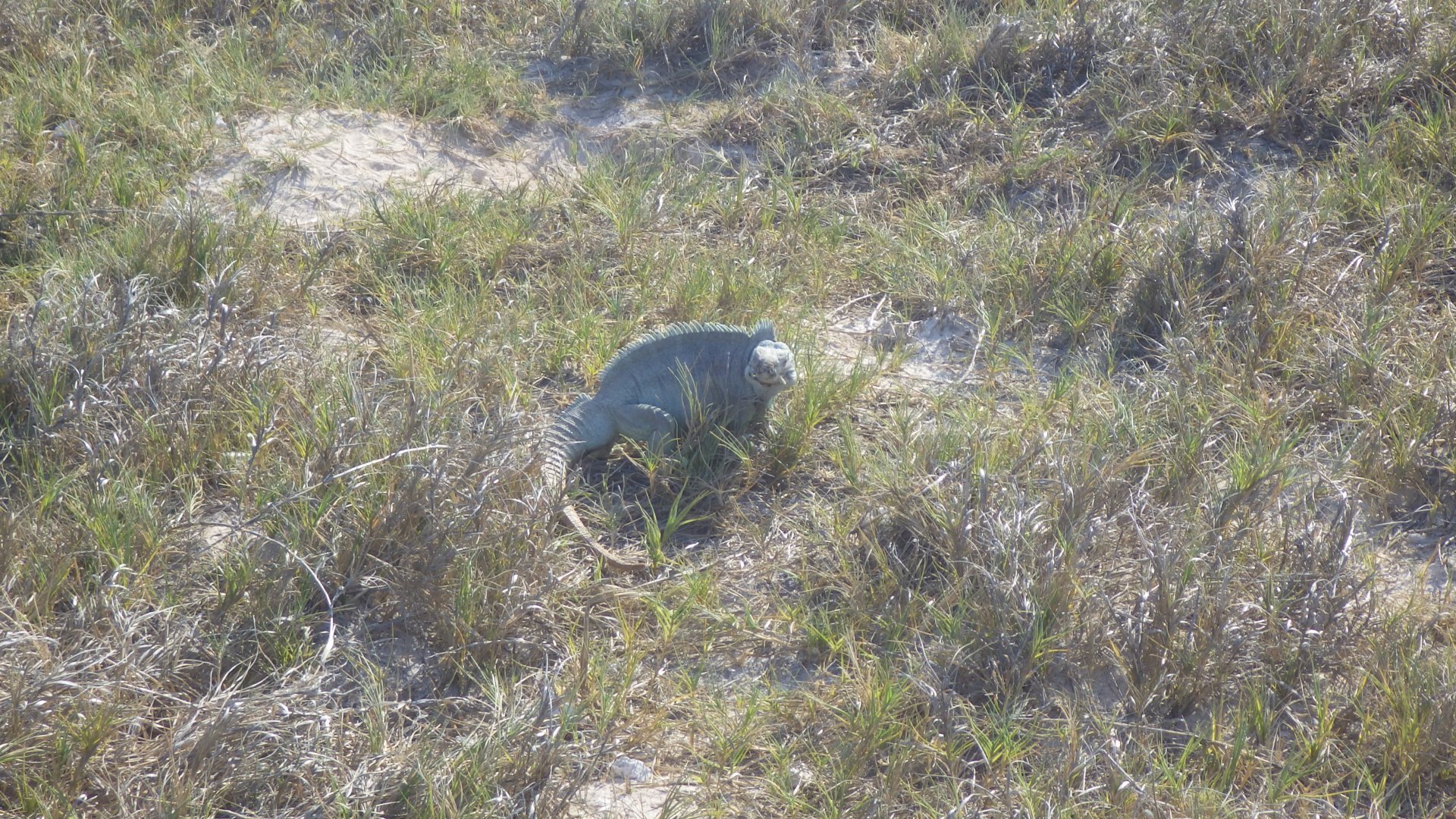
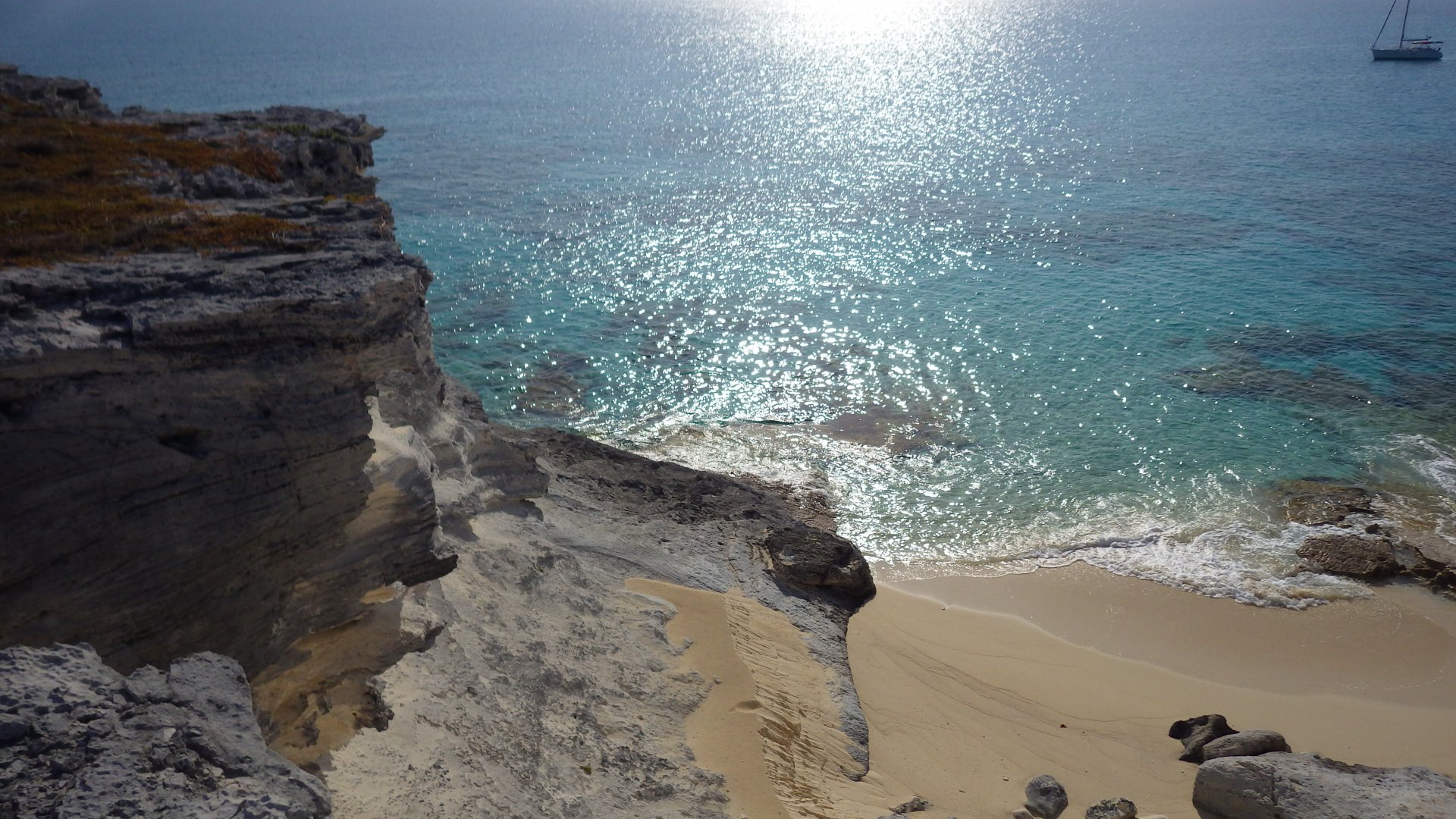
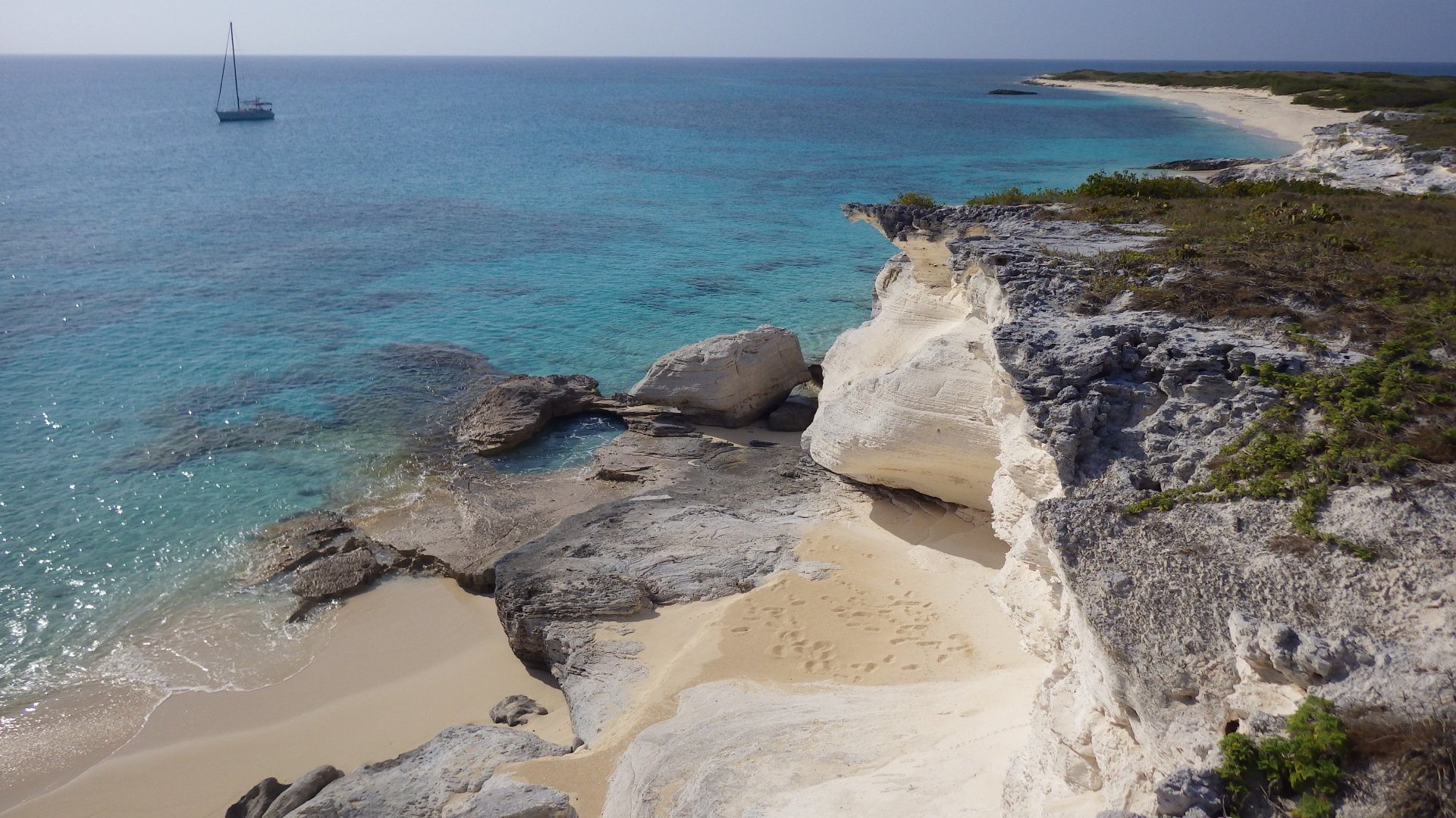
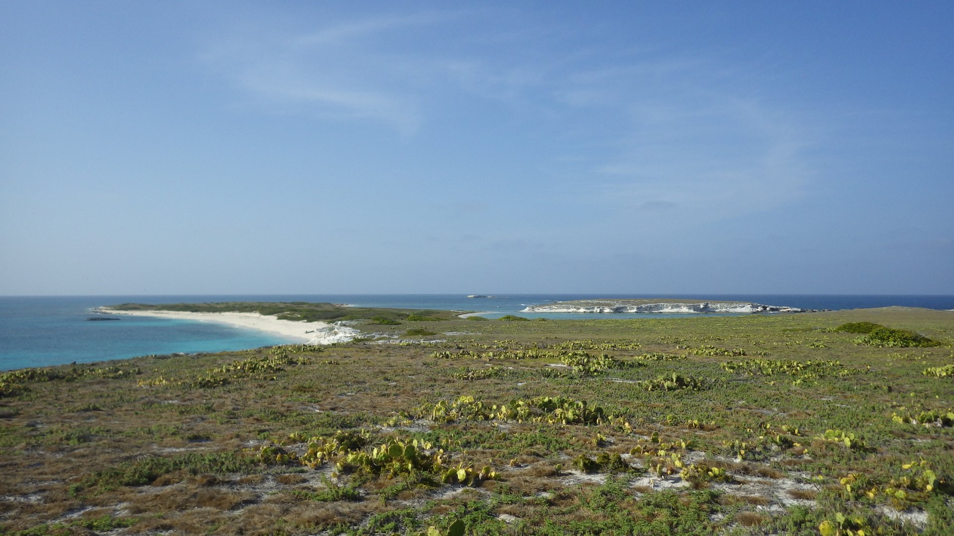
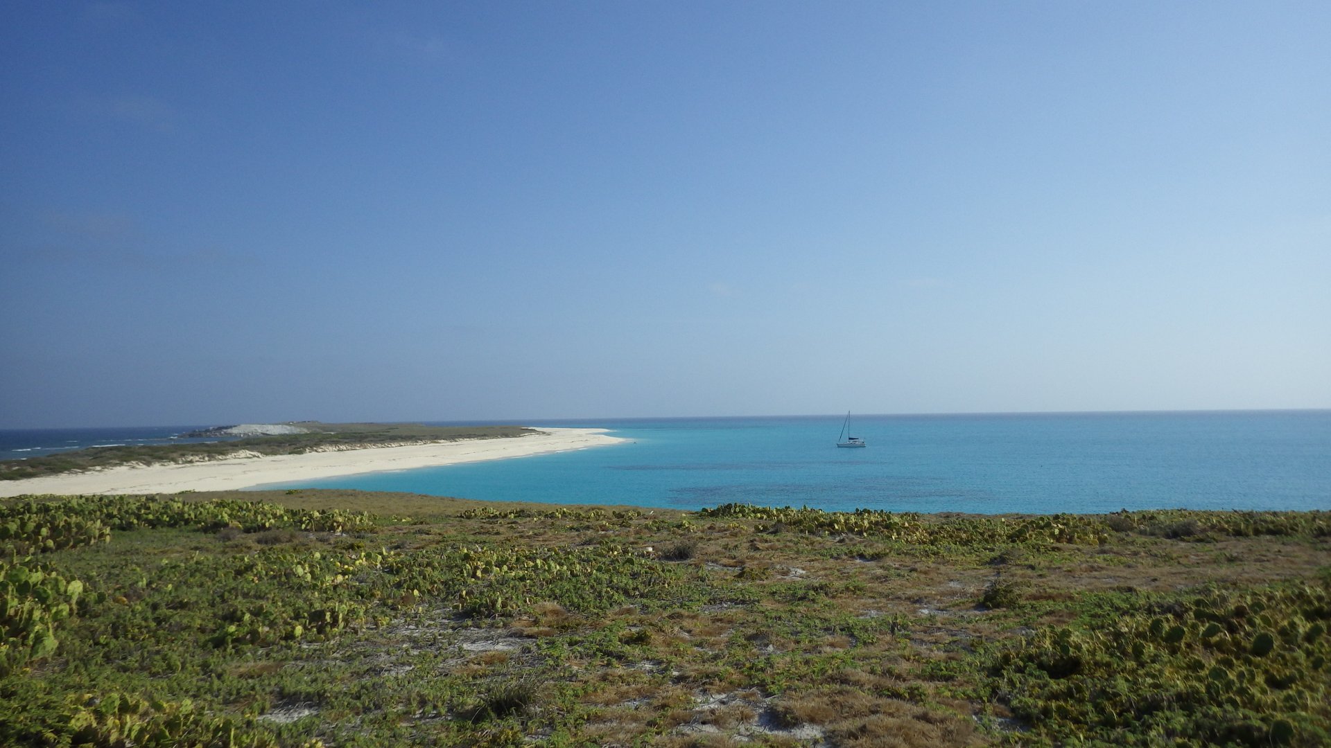
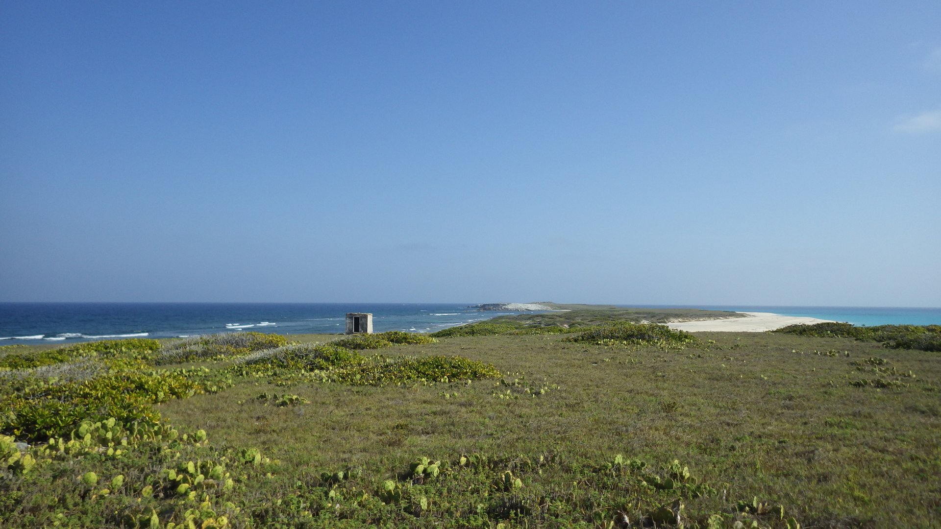
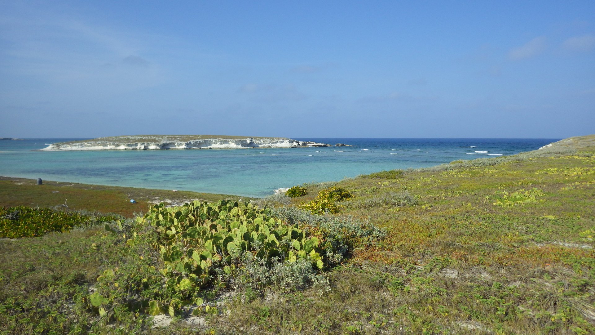
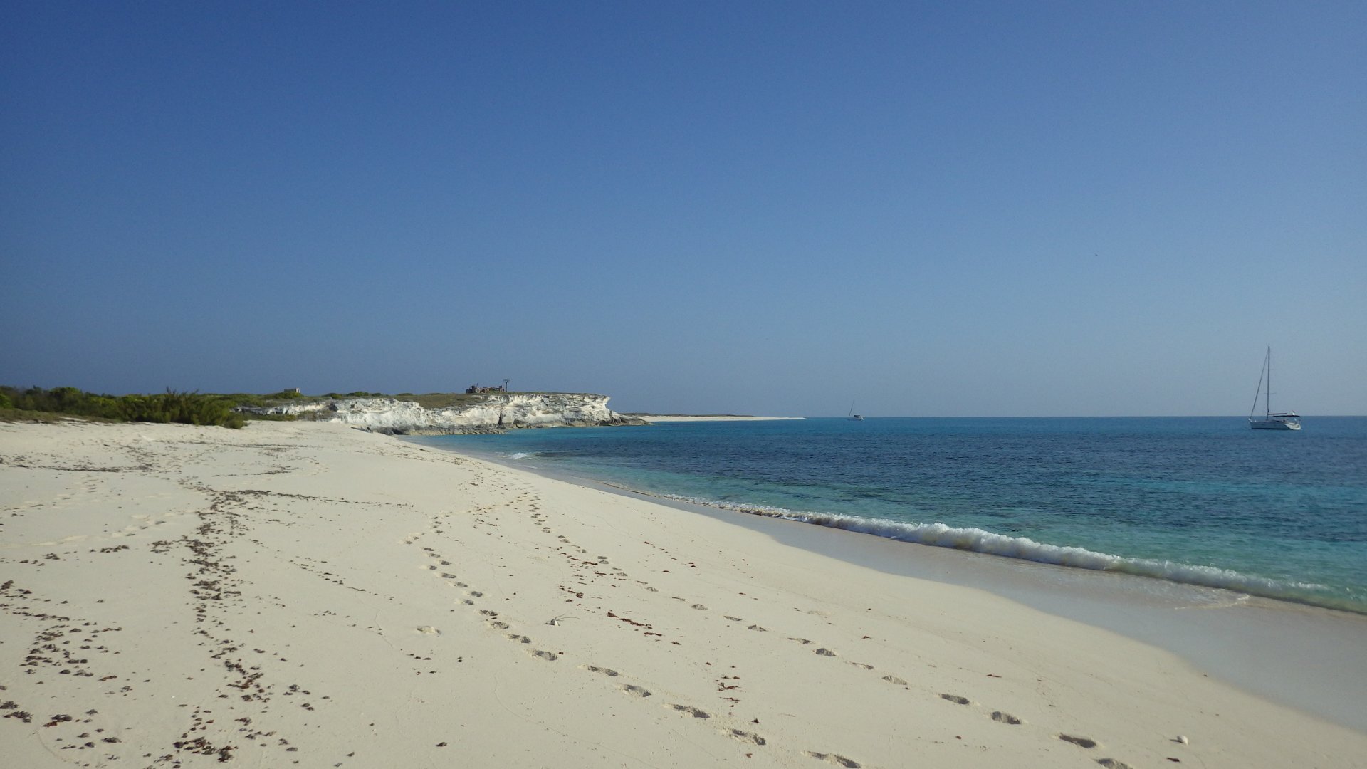
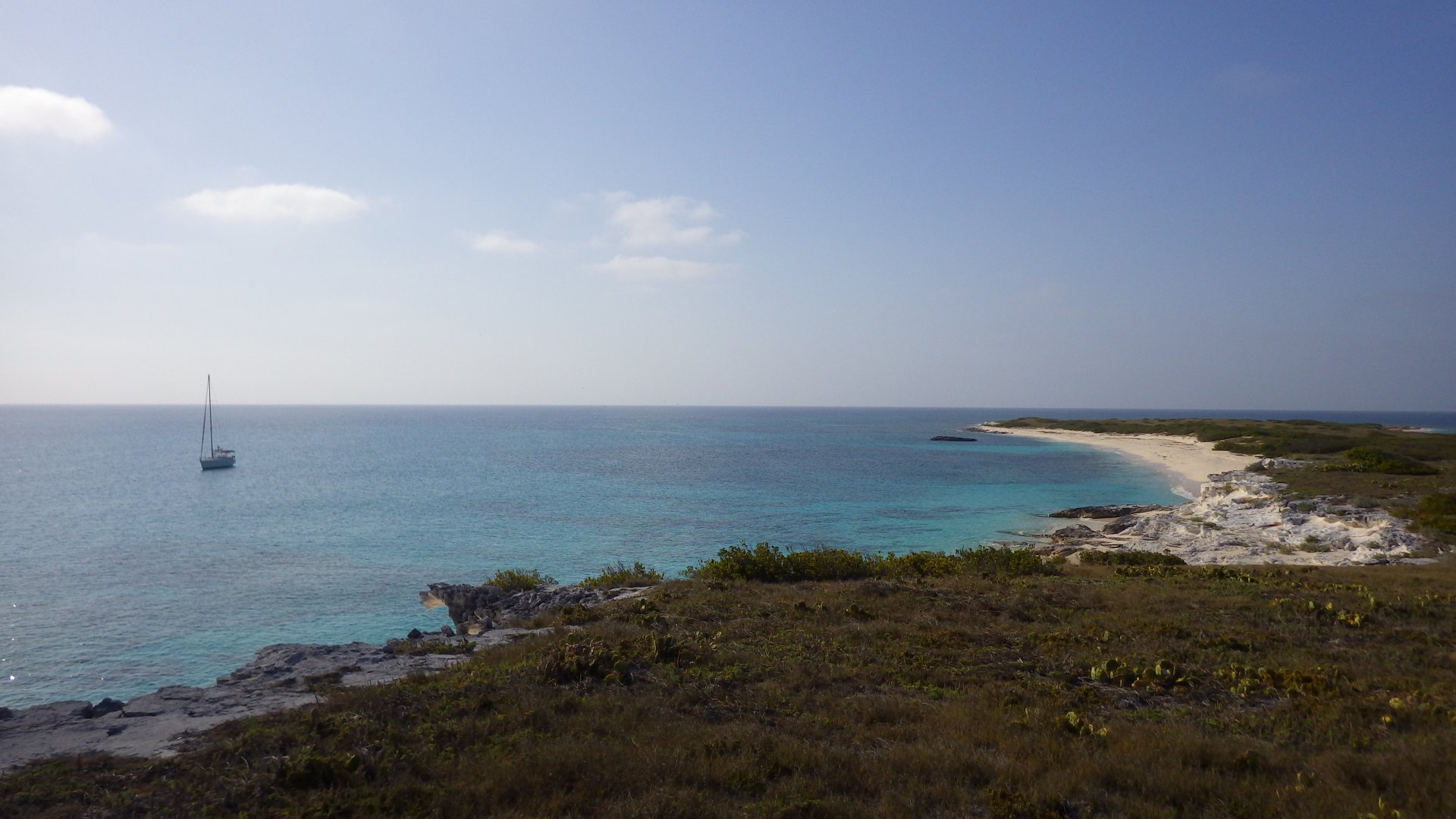
Crossing Caicos Passage

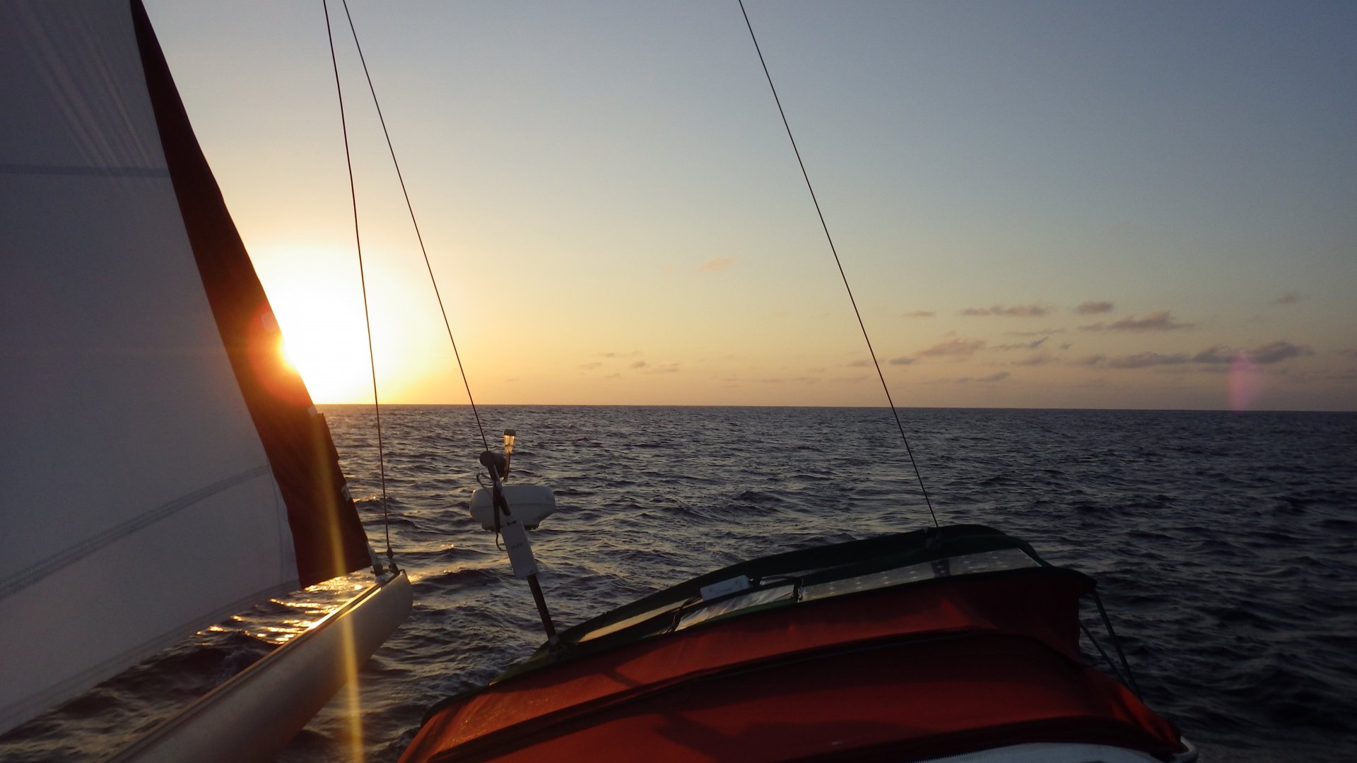
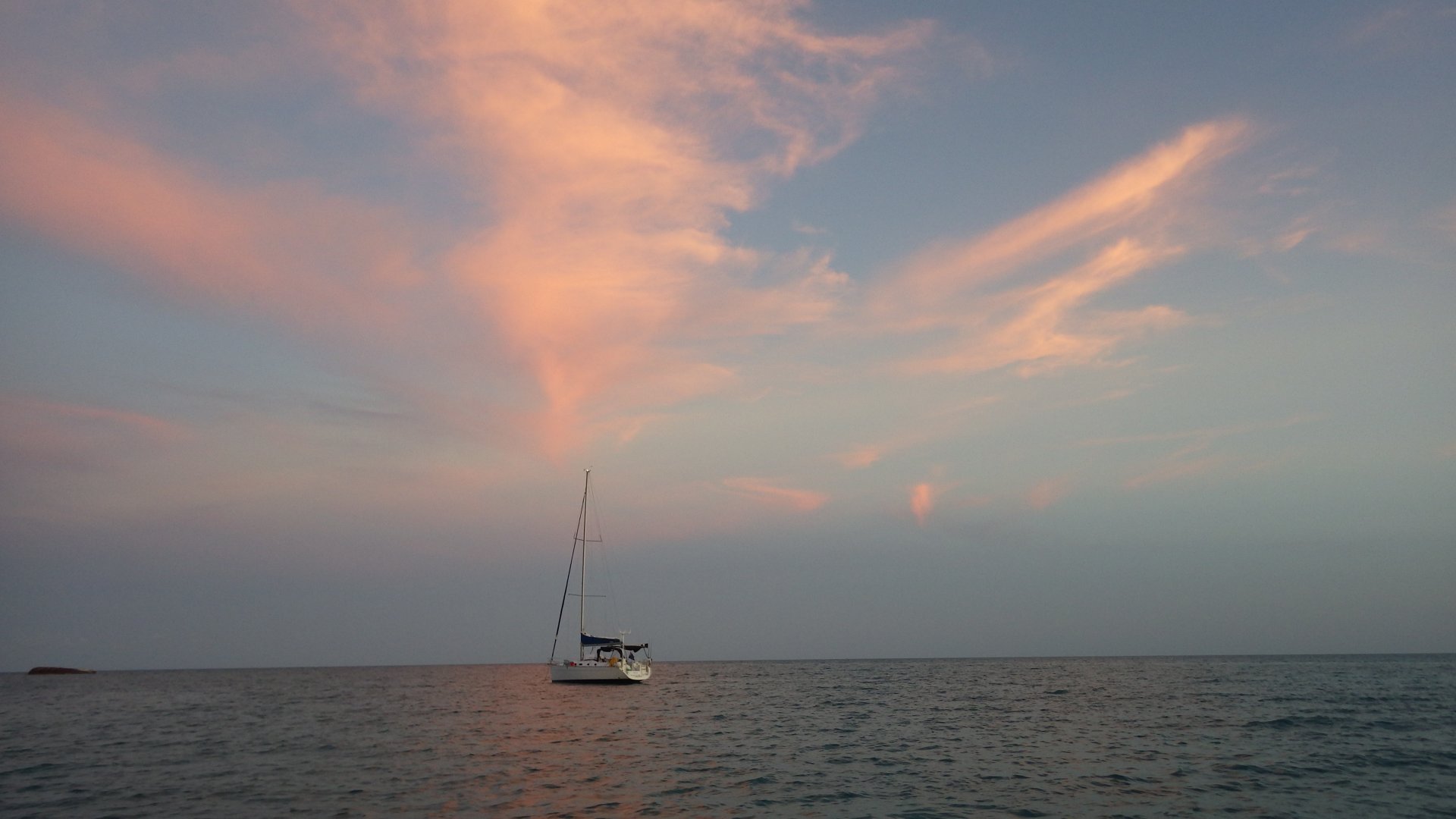
After an overnight staging of our passage at South East end of Mayaguana island, we left Bahamas for Turks and Caicos Islands, across the Caicos Passage.

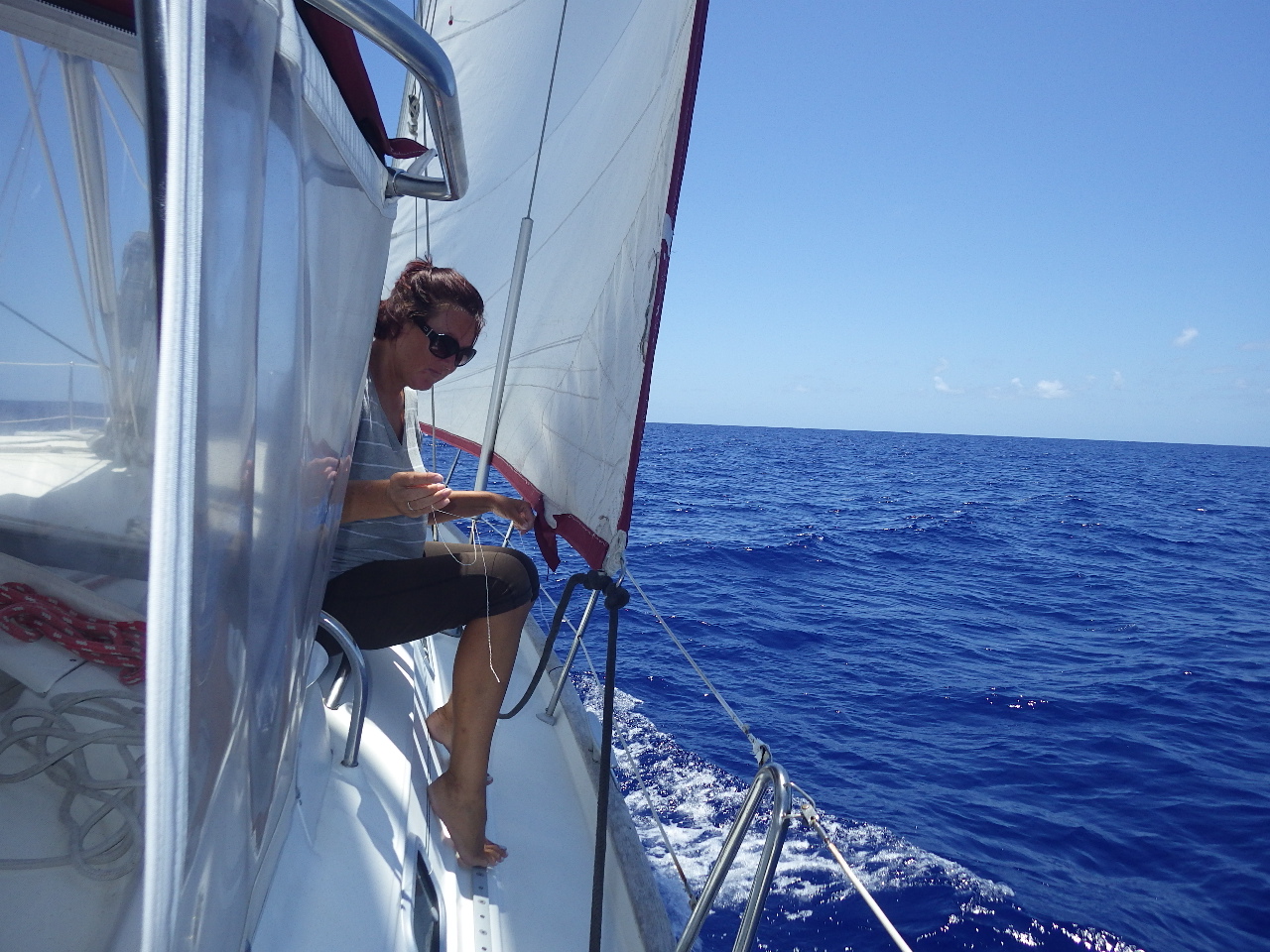
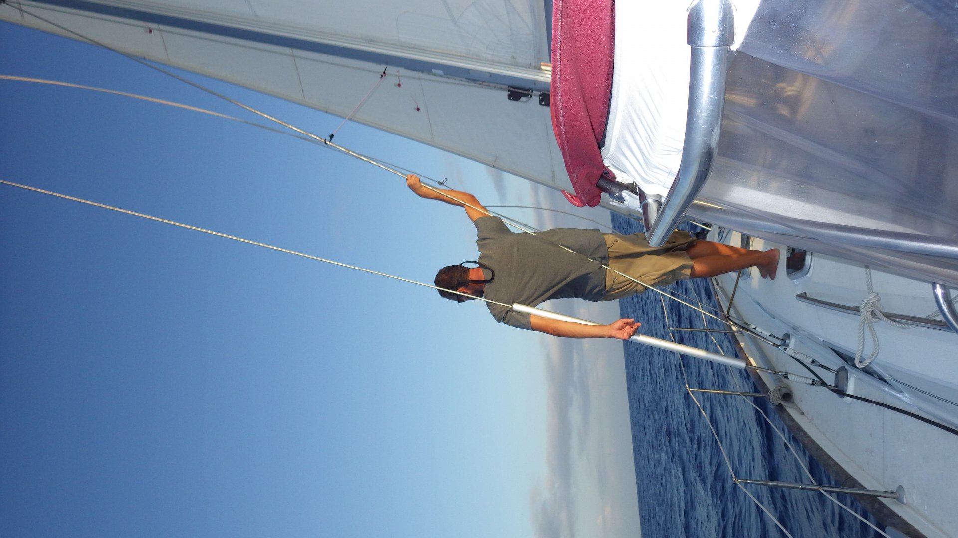
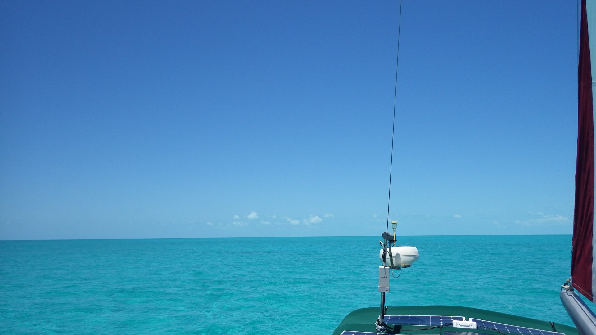
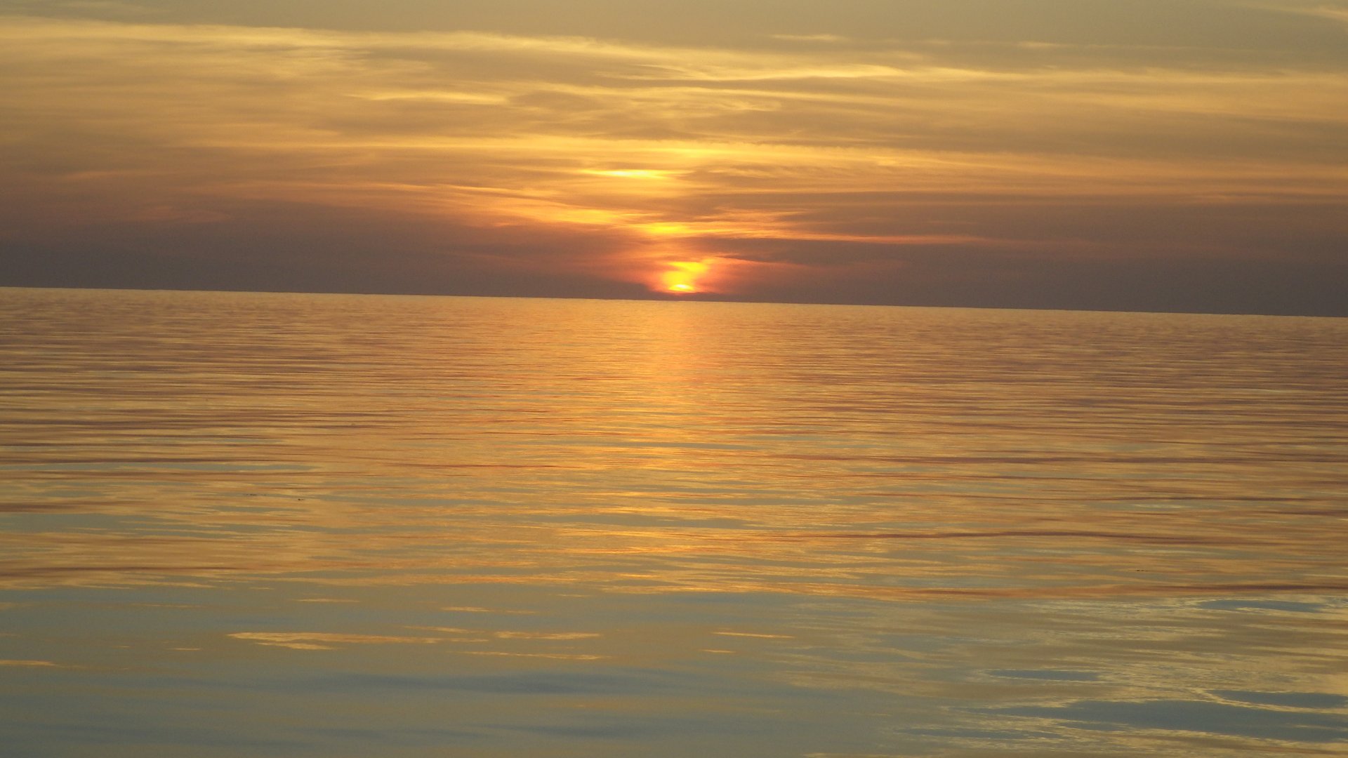
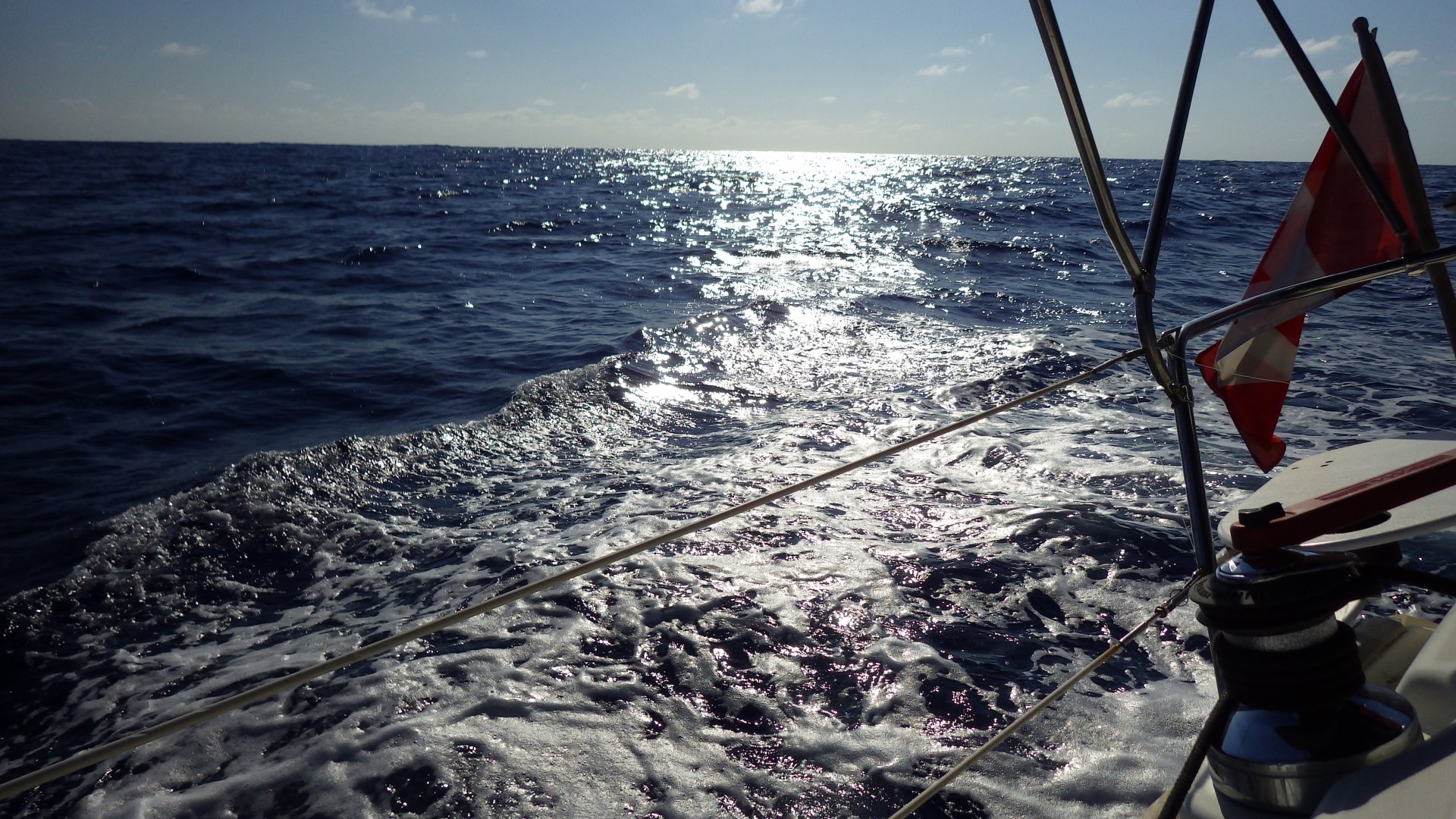
The wind was brisk at times and on the nose, so we had to do some tacking.

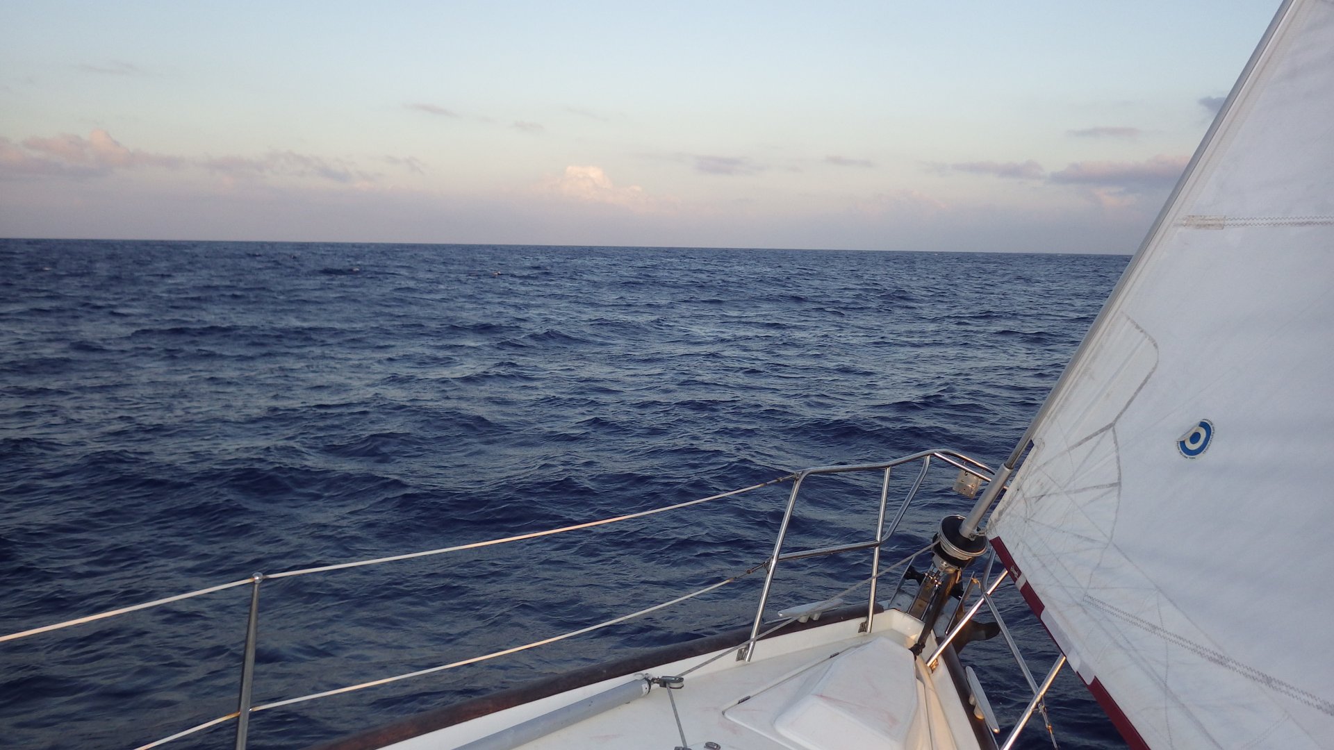
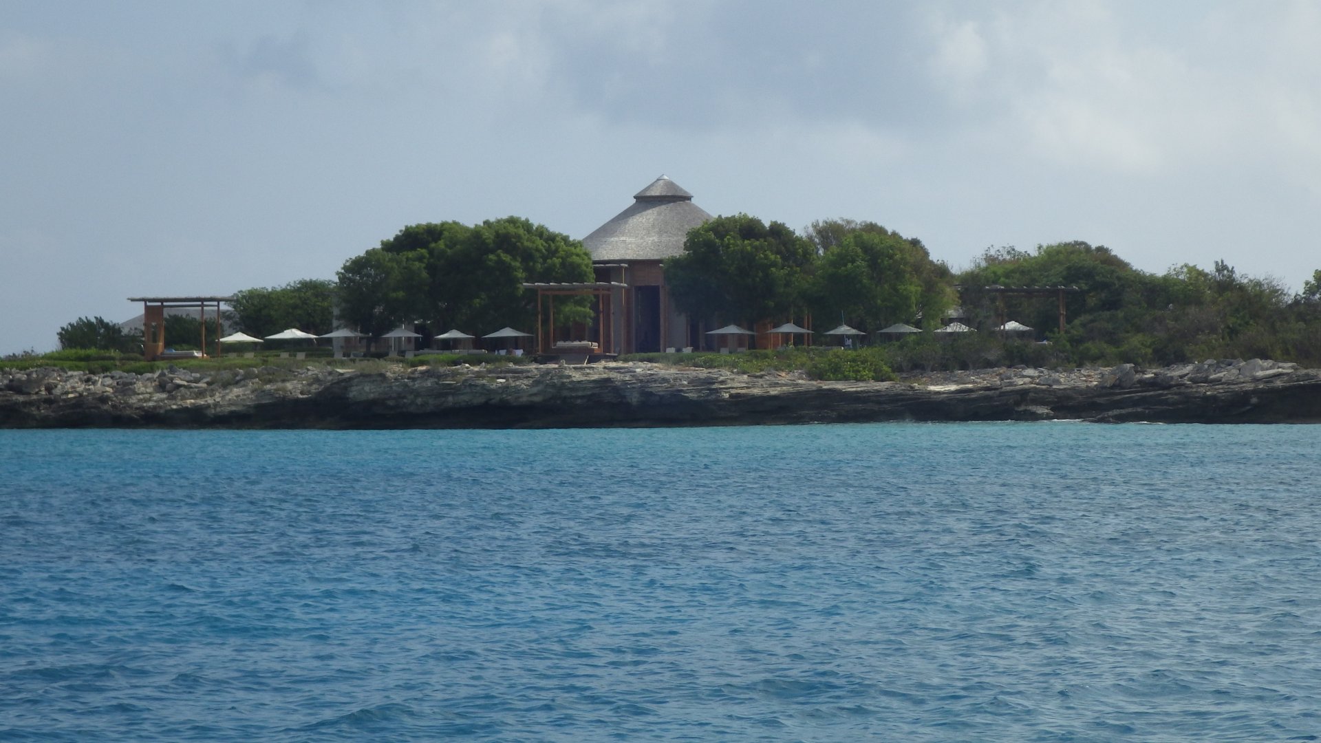
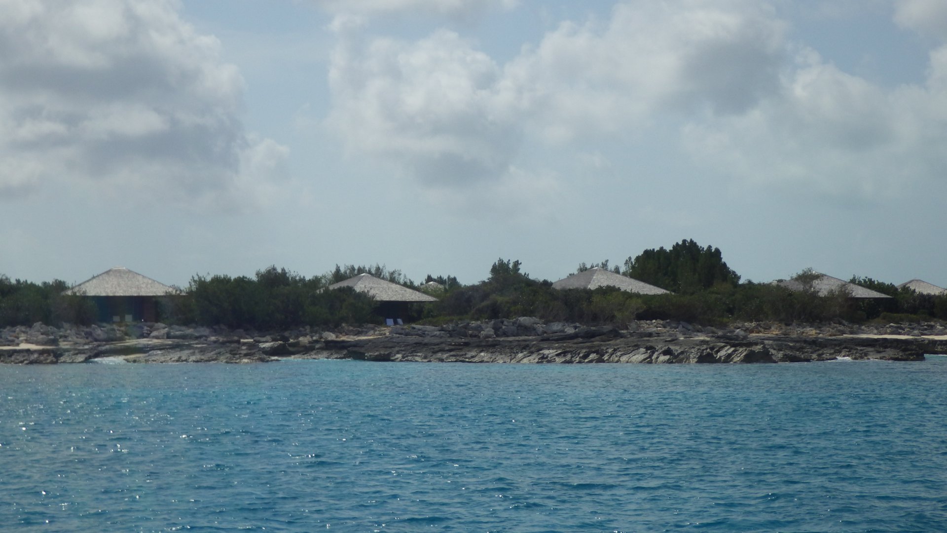
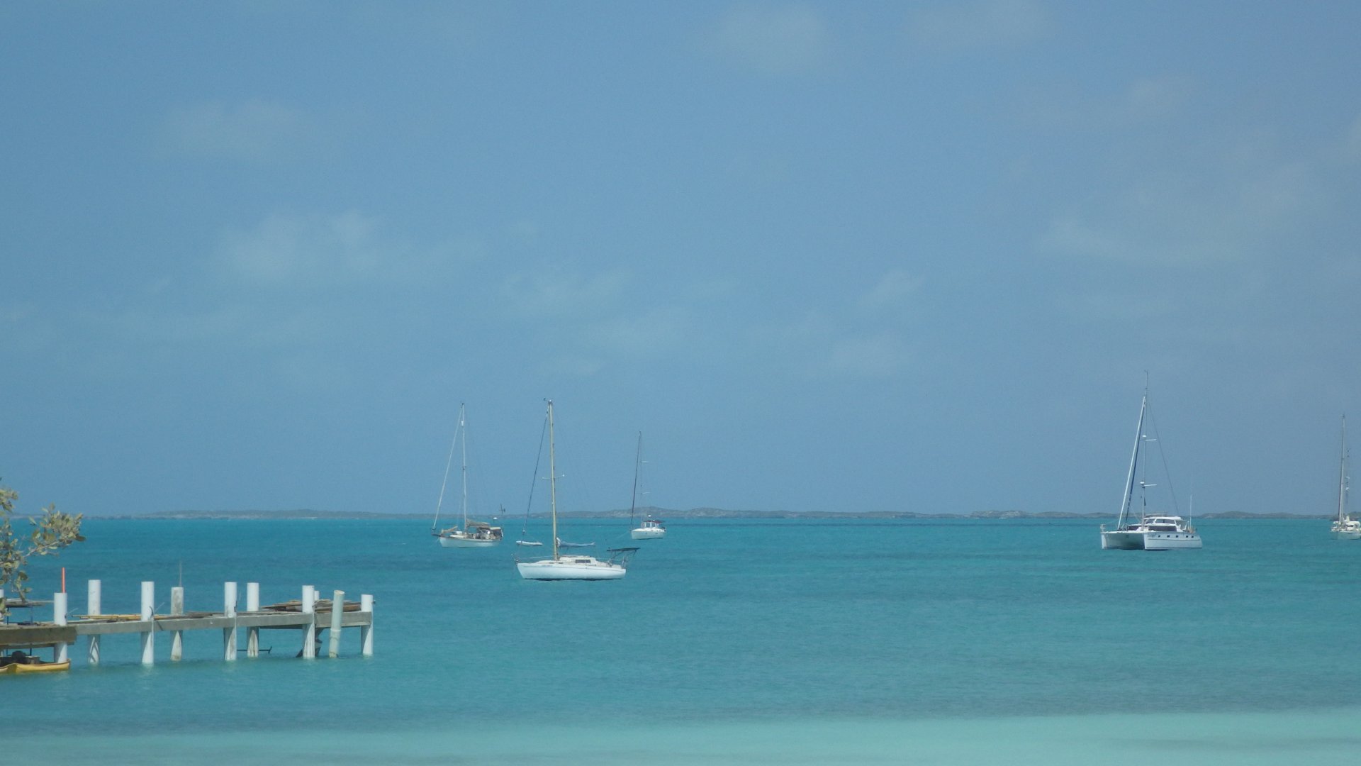
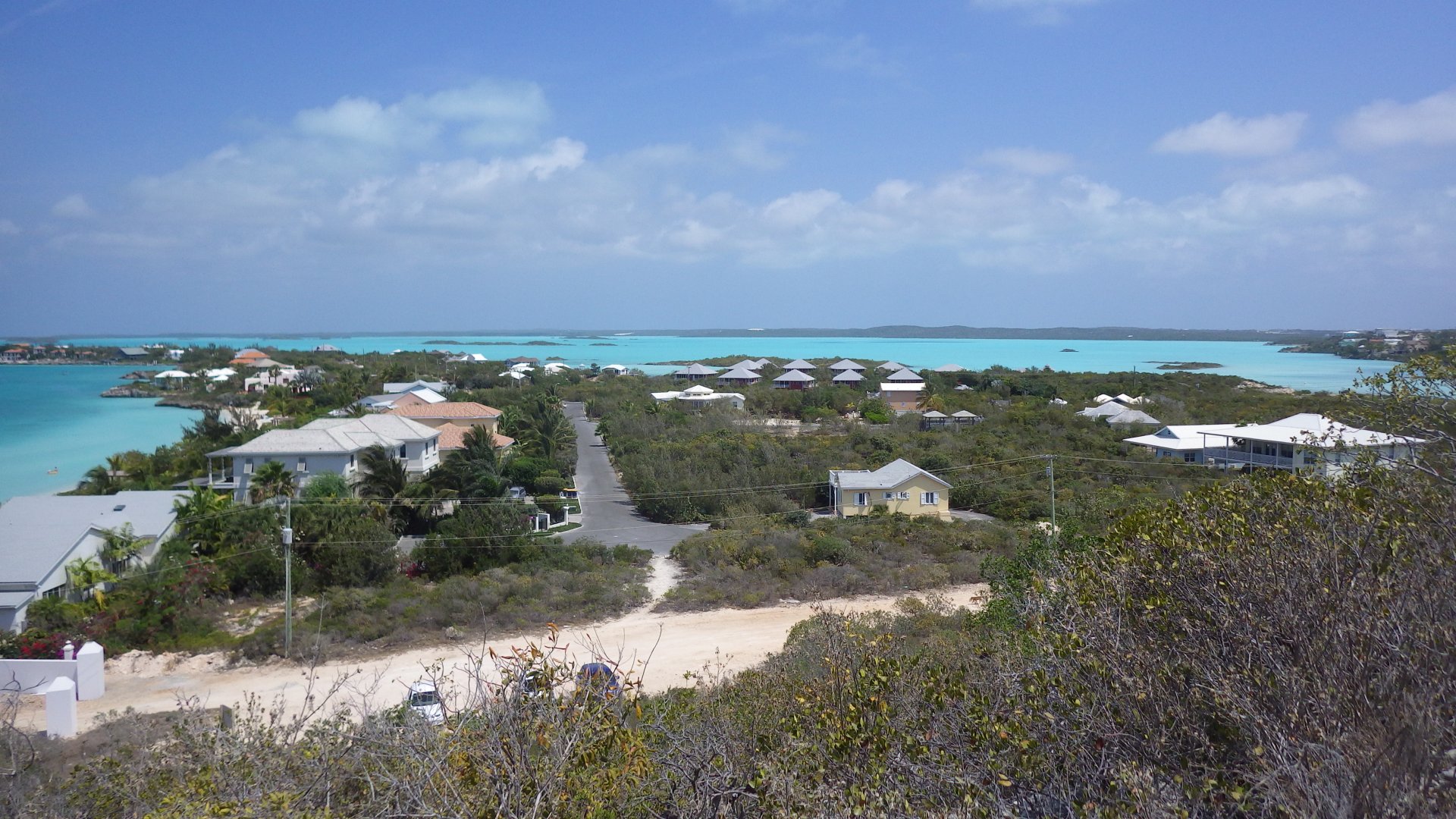
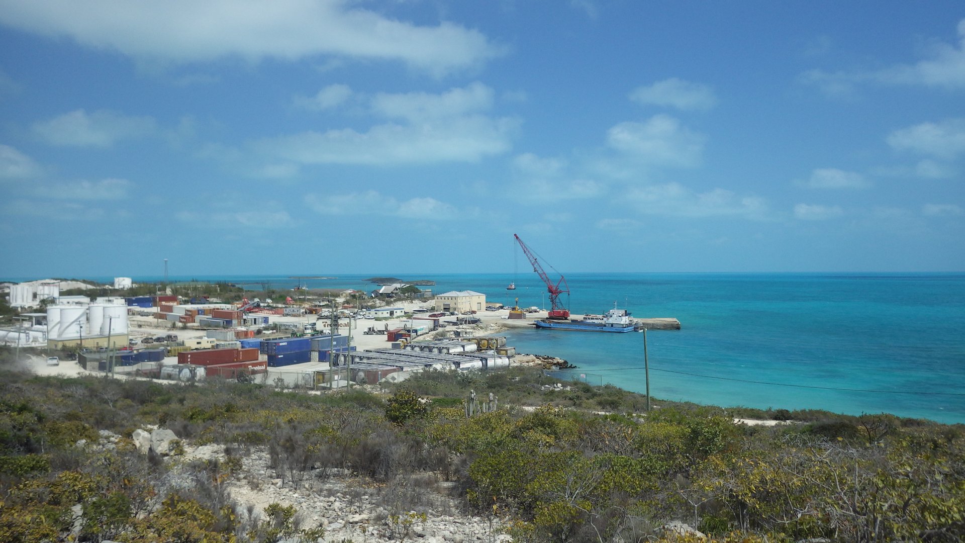
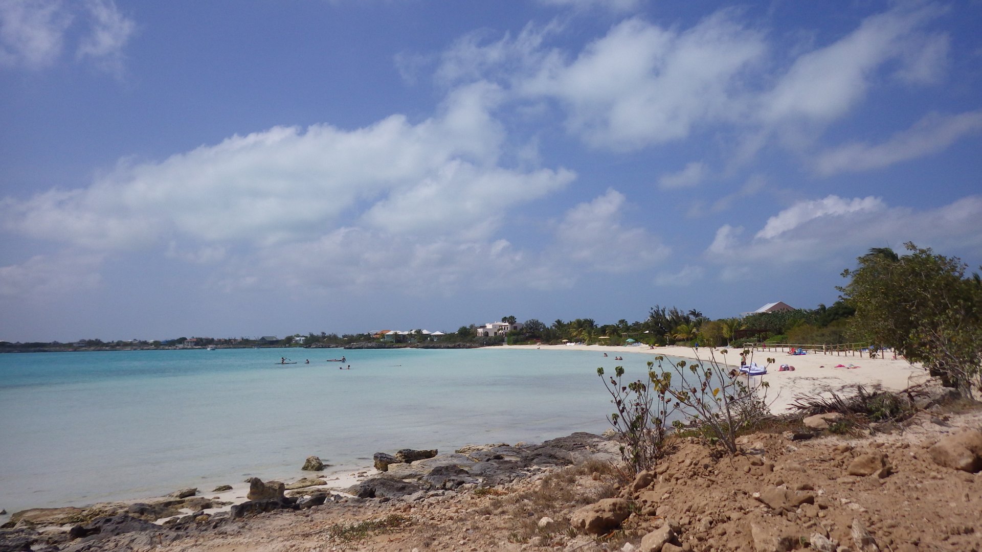
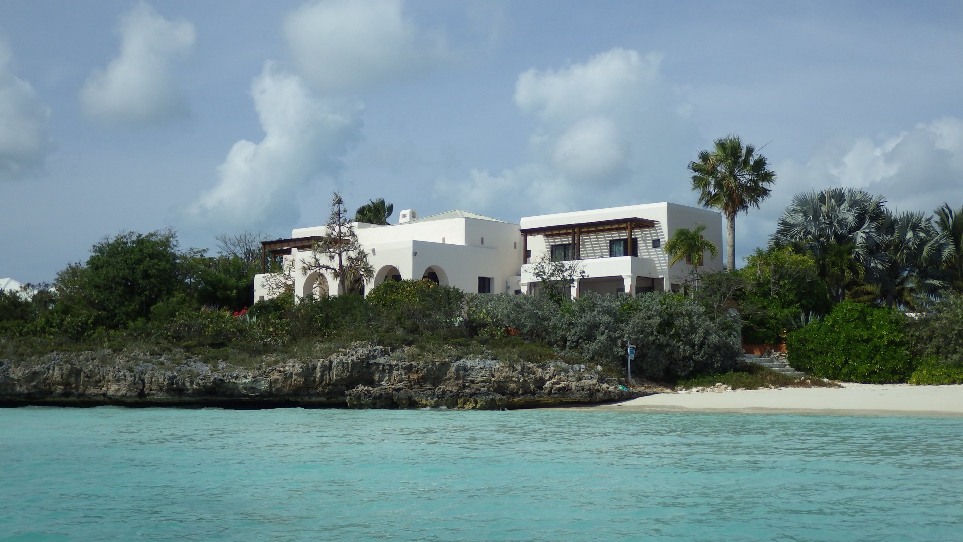
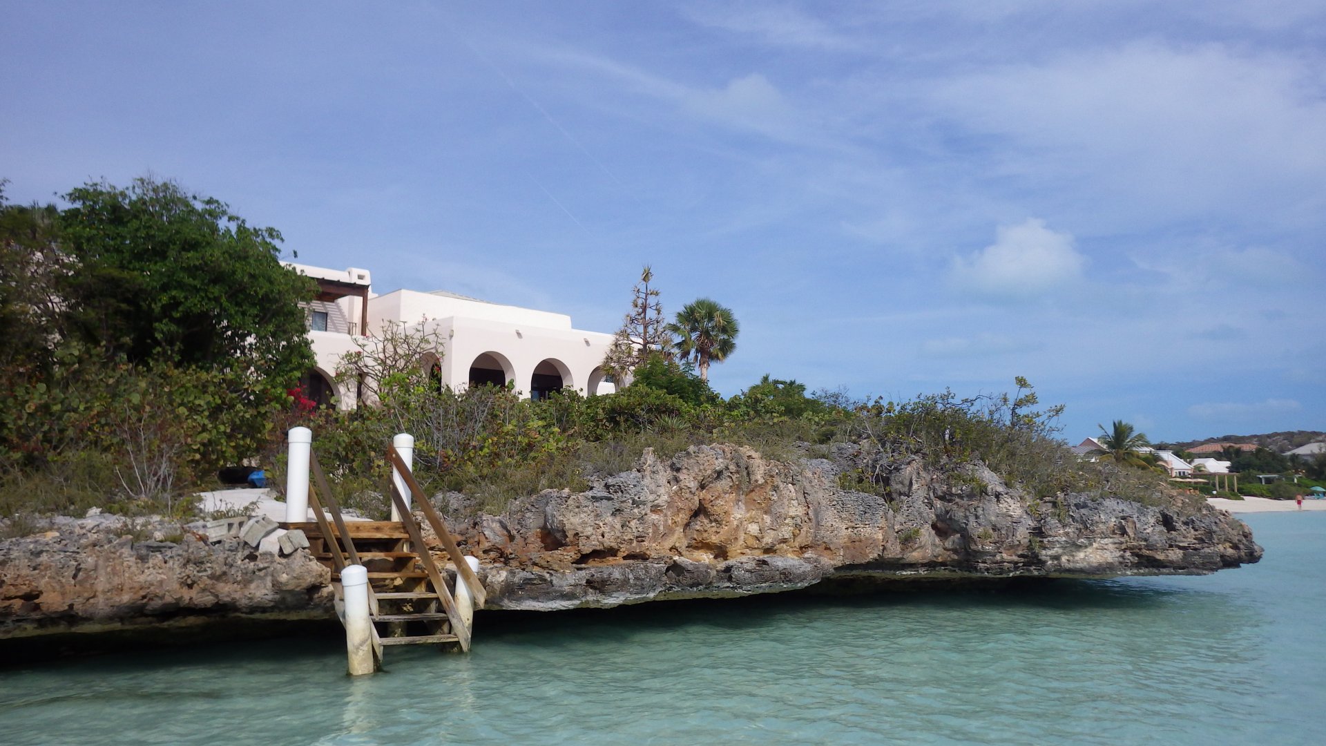
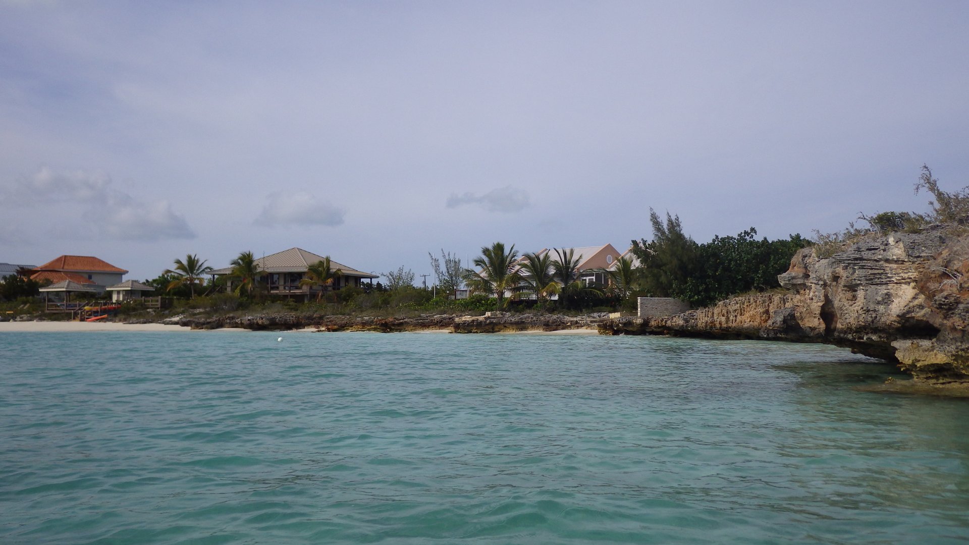
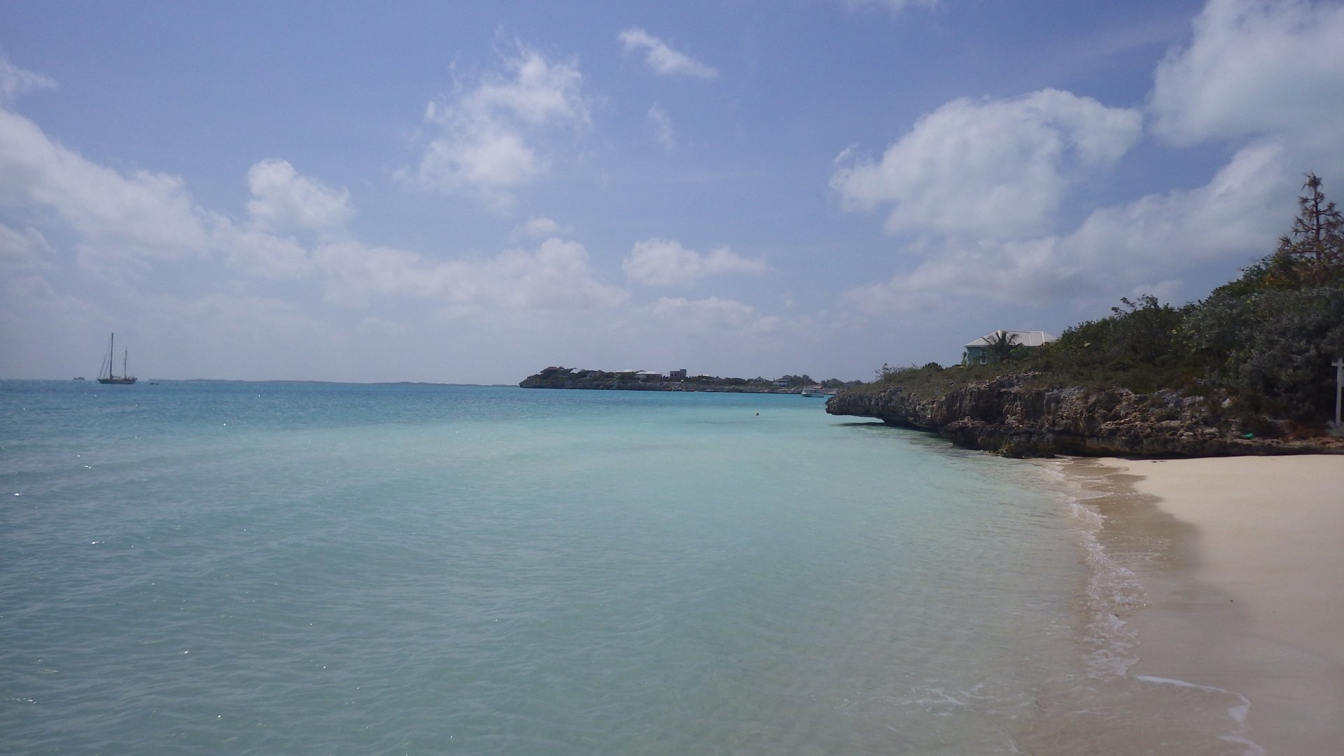
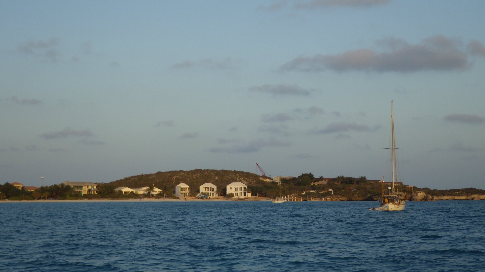
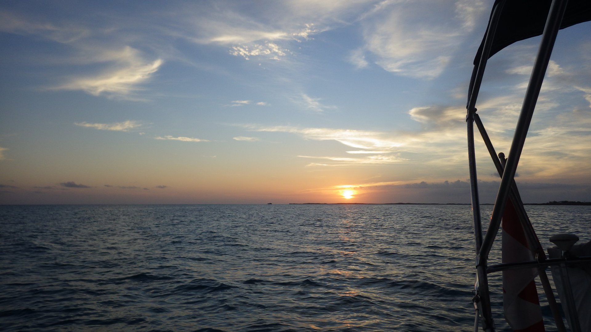
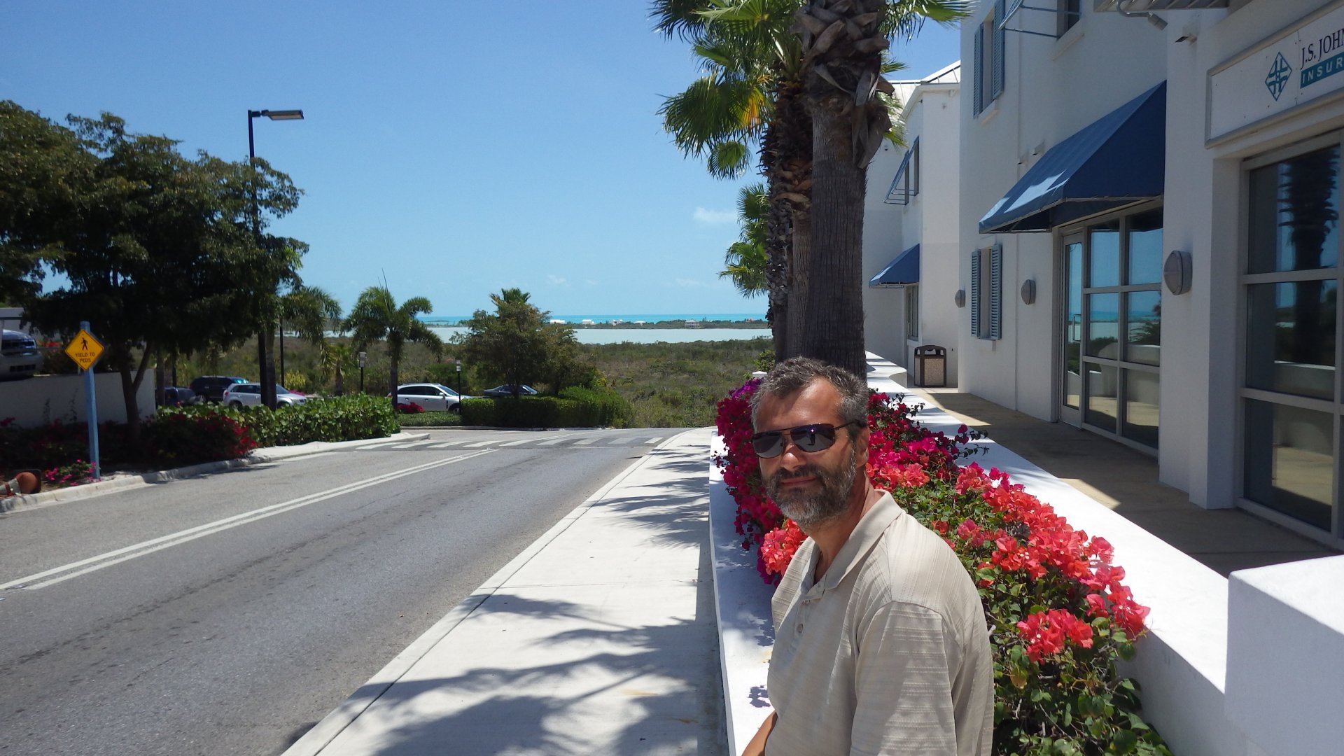
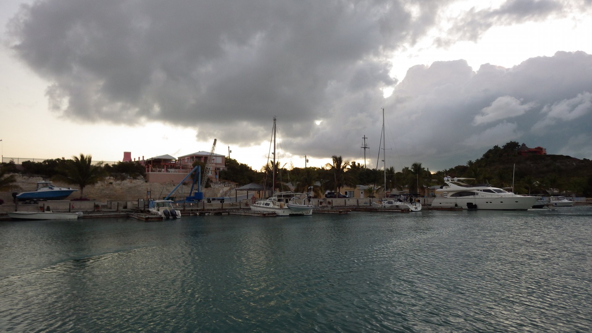
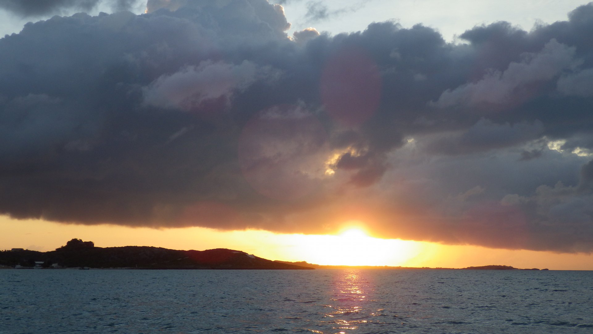
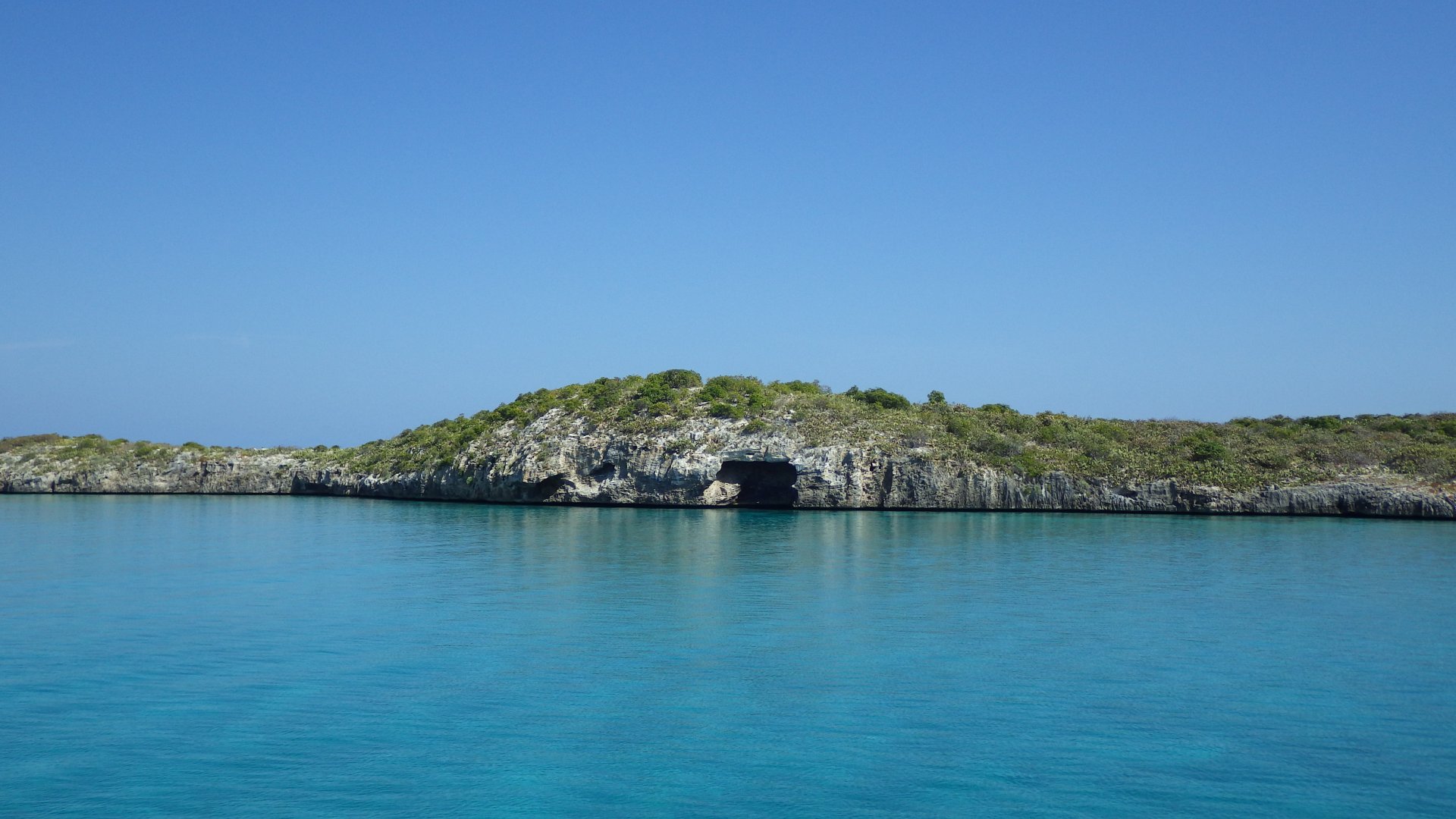
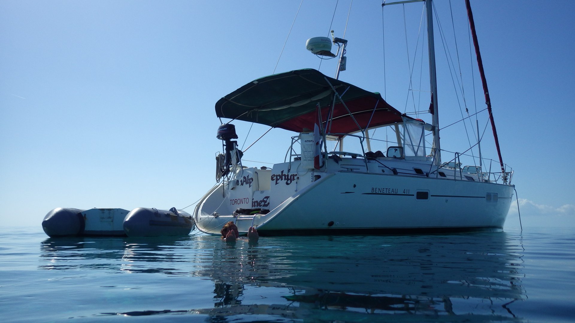
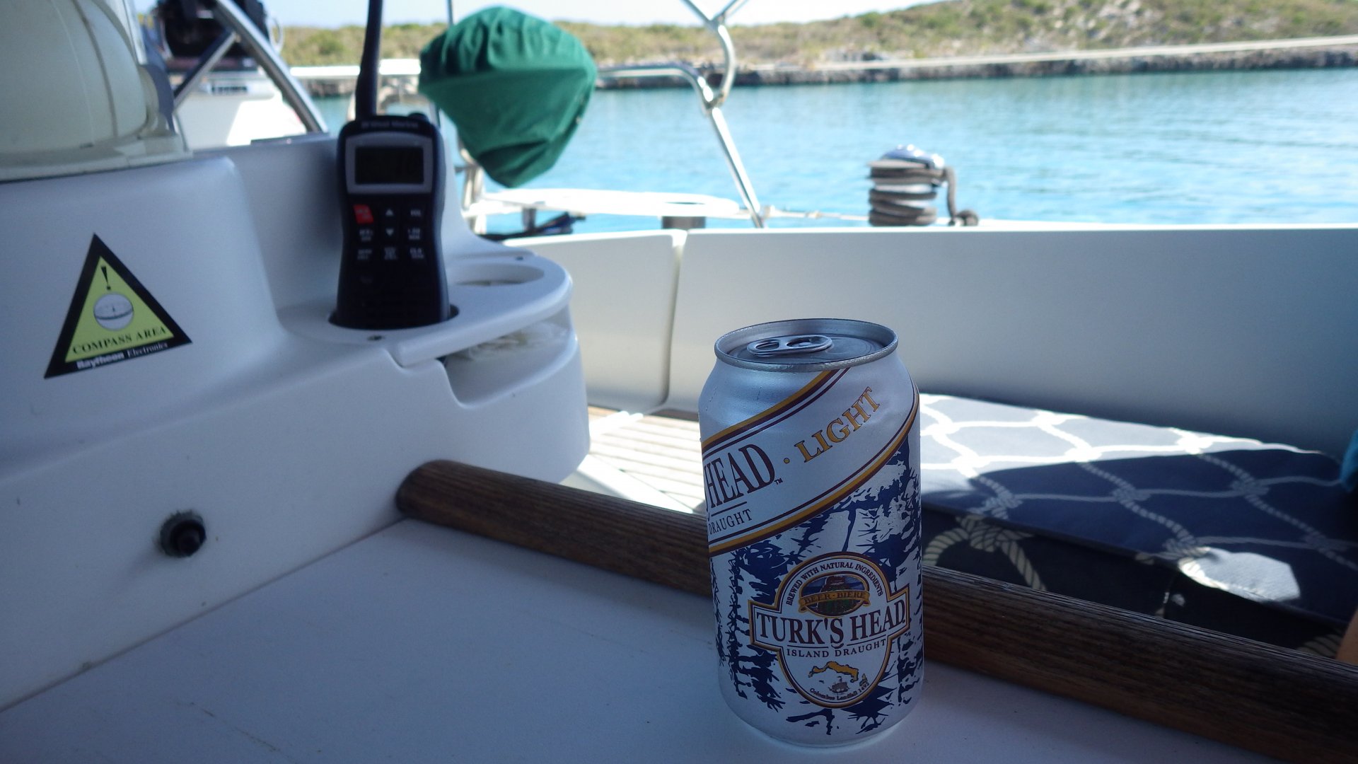
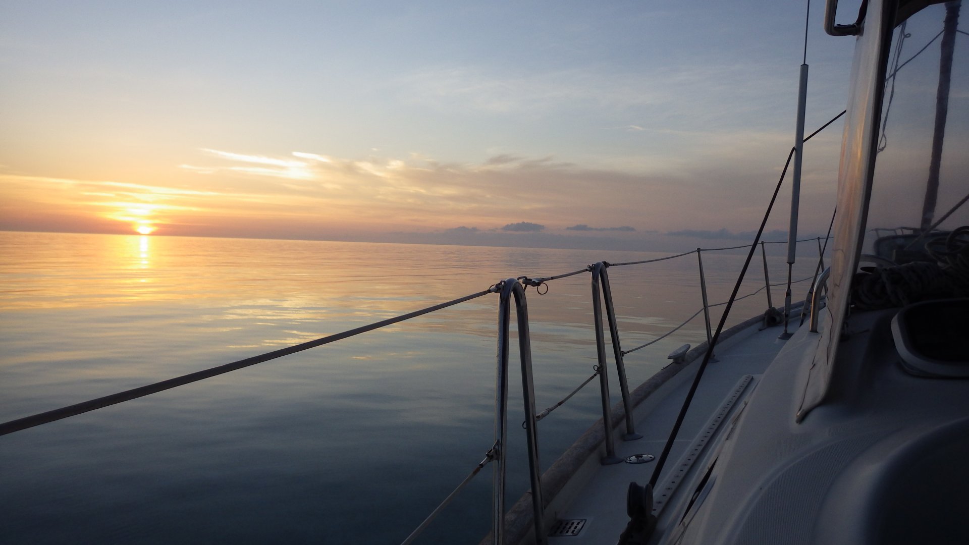
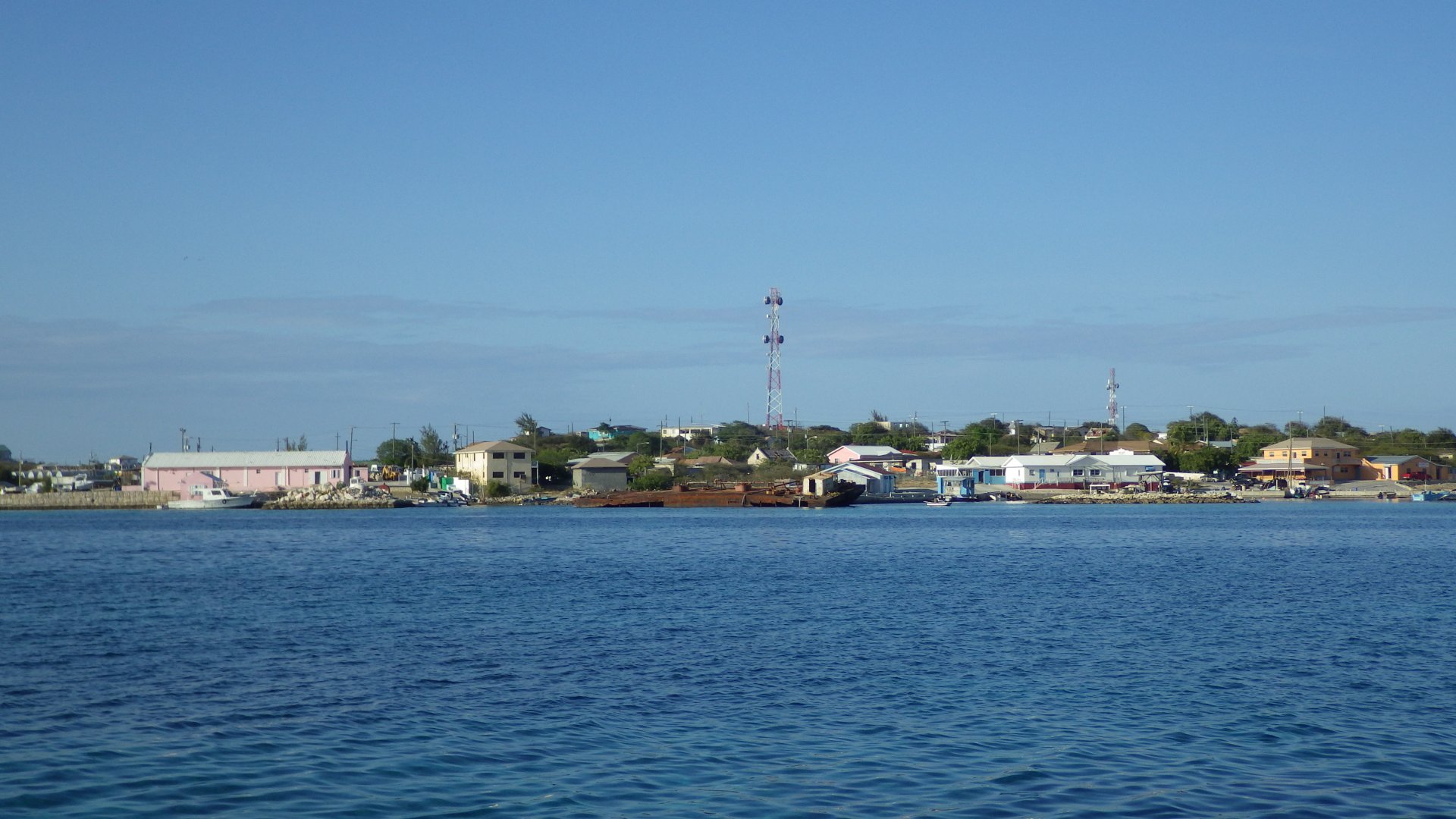
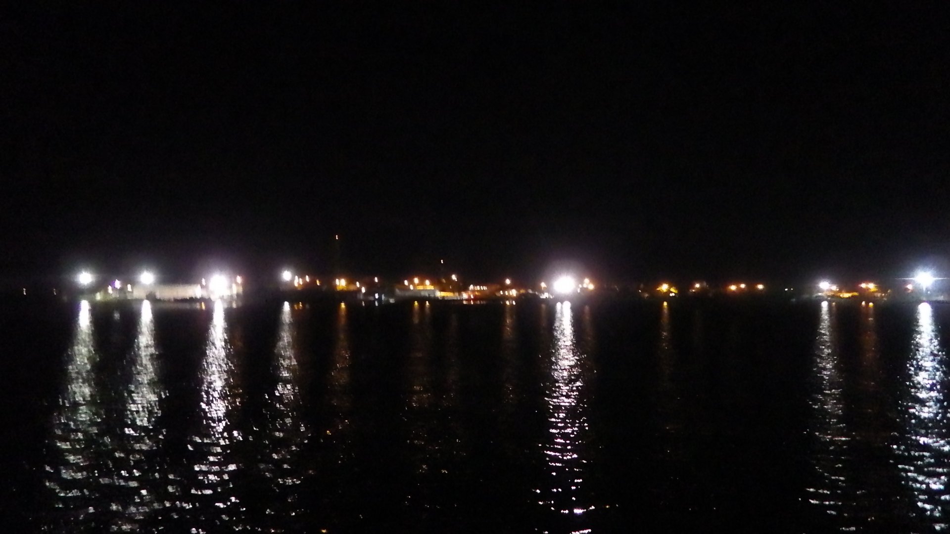
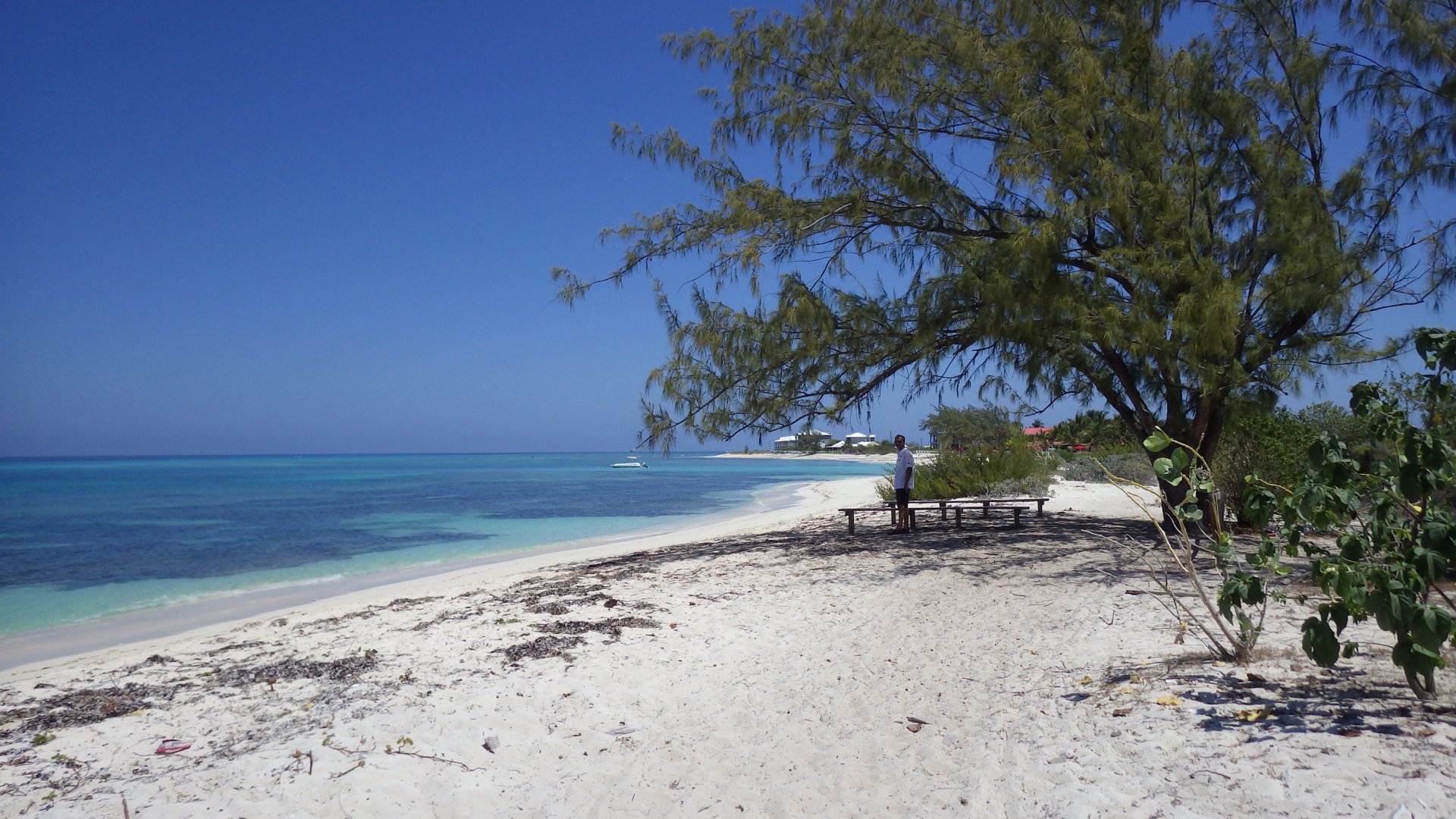
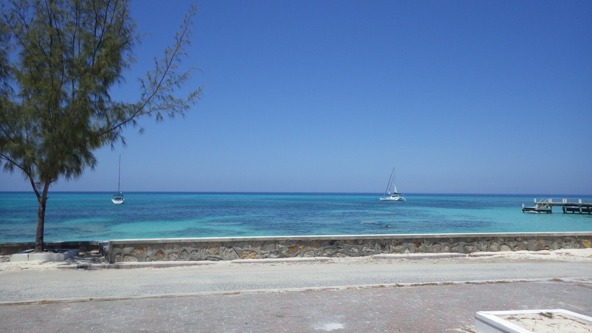
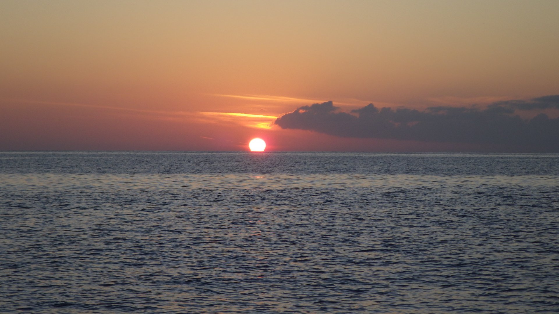
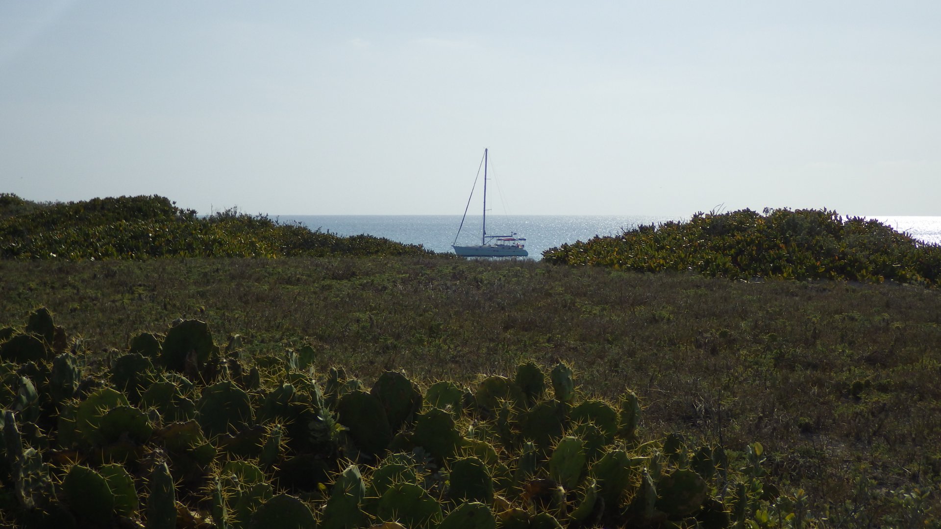
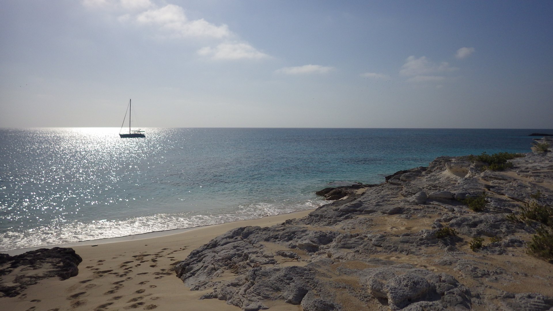
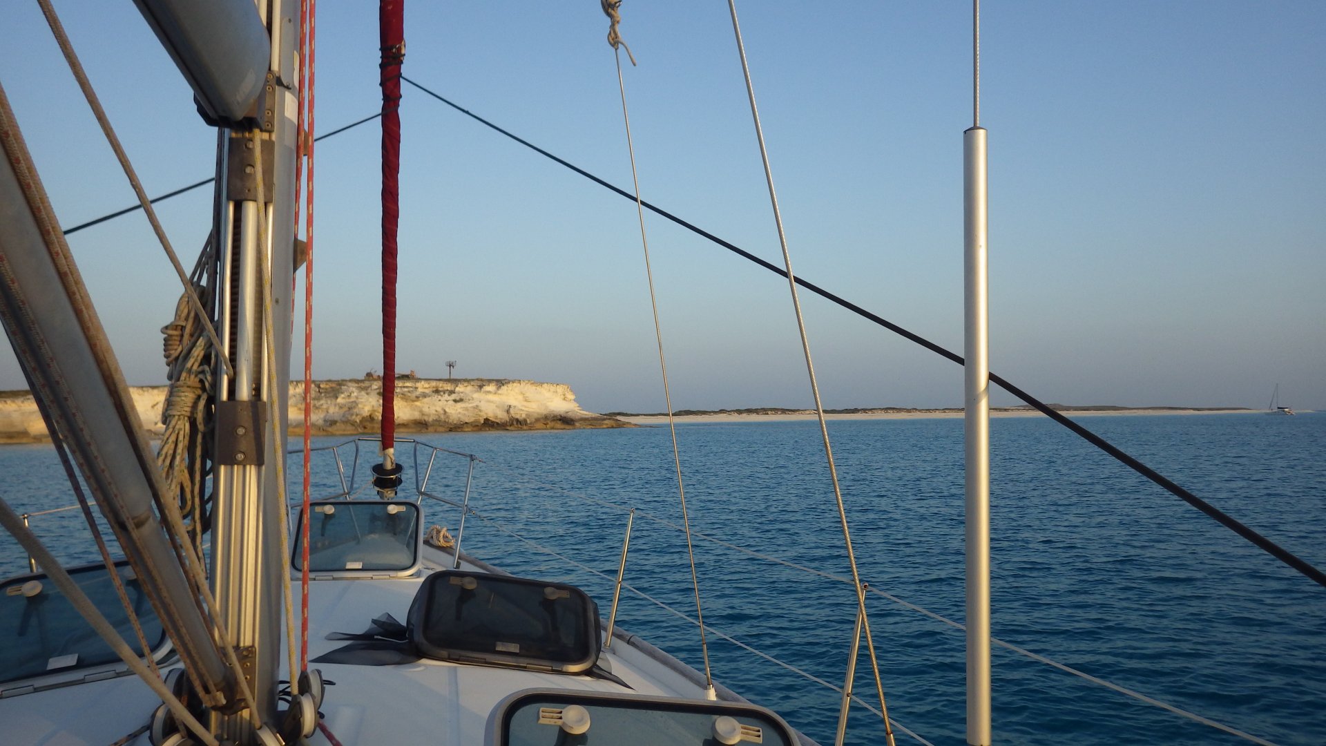
We arrived at Providenciales island after dark, anchoring overnight at the Malcolm Roadstead Anchorage, right across the high-end Amanyara Resort.

Leaving Bahamas Mayaguana at Sunrise Fixing Genoa Sail on the Way Looking out for Turks and Caicos Islands Healing 45 Degrees in Brisk Winds Sailing at Sunset Sailing at Sunset Amanyara Resort Amanyara Resort Villas
Sapodilla Bay Provo

Sapodilla Bay, Provo

Log#: 97
LatLon: 21°44.557'N, 072°17.347'W

On the way to Sapodilla Bay, we have caught a nice red snapper while sailing through the Sandbore Channel. It was a great dinner next evening.

Stayed at Sapodilla Bay anchorage 2 days. Cleared customs, visited 'downtown', walked around, had a lunch and provisioned there.
Also spent a great day at the bay's beach.

Caught Fish Fish Dinner Boats Anchored at Sapodialla Bay Sapoilla Hill Historic Site Stones on Sapodilla Hill View from Sapodilla Hill Industrial Docks Sapodilla Bay Beach Sapodilla Bay Beach At the Sapodilla Beach Villas at Sapodilla Bay Beach Villa at Sapodilla Bay Beach Villa at Sapodilla Bay Beach Villas Yard Villas at Sapodilla Bay Beach Sapodilla Bay Beach At the Sapodilla Beach At the Sapodilla Beach Pathway to the Beach Another Pathway to the Beach At the Beach Provo Downtown Mall Mothers Pizza Evening at Sapodilla Bay Anchorage Turks and Caicos Rum Out Yacht at Sunset at Sapodilla Bay Sunset at Sapodilla Bay
Docked at South Side Marina

South Side Marina, Provo

Log#: 98
LatLon: 21°45.631'N, 072°13.416'W

Went into the South Side Marina overnight, to fill water tanks, get propane, showers, do laundry.

Staff at the Marina is very helpful, prices a reasonable. Although the approach to the marina is shallow, so we have to be sure we enter and leave at mid or high tide. Dredging work to deepen the channel was under way.

Visited the shopping area nearby, courtesy of the free ride by the Bob, marina's owner.


Spent a delightful evening at the Bob's bar - no one else around, picked our own music.

Unfortunately, we didn't realize in time to cover ports that the area is full of mosquitoes - had a sleepless night.

South Side Marina Deformed Large Prop at the Marina Mast at the Marina Nearby Villa and Boat Dive Shop Door At the Dock Provo Shopping Area At the Provo Shopping Area At the Provo Shopping Area Evening at the Bobs Bar View of the Marina from the Bar Having a good Time at the Bobs Bar Leaving South Side Marina Leaving South Side Marina at Suntize
Six Hill Cays

Across the Caicos Bank

Log#: 99
LatLon: 21°27.694'N, 071°38.072'W

It was the rare long period of delightful calm weather, with no waves and no wind. The drawback - we couldn't sail without wind, so had to motor ~40 miles across the Caicos Bank to the Six Hill Cays.
A group of several dolphins playfully followed our boat for some time.

Six Hill Cays is the rarely visited place. Just two cays - a nature reserve / bird sanctuary. When we were arriving there, the water was clear and completely still like glass, and the sea bottom could be visible.
Seen few exotic birds, a group of large sting rays. Had a very peasant swimming in the evening at sunset.

We wished to stay more here, but our 1-week stay in the Turks and Caicos soon to expire and we wanted to see more places, so we have to move on next day.

Calm Waters of the Caicos Bank Dolphins Ahead Dolphins Ahead.jpg Working on the Cruising Log on the Way Aproaching Six Hill Cays Cave at Six Hill Cay Anhored in Calm Water at Six Hill Cay Anchor Rode Swimming in Calm Water Swimming at the Boat Under Water Clear Water Grasping for Fresh Air Tasting Local Beer Clear Water Blue Sky Sunset Anchored at Sunset
Fishermen Docks at South Caicos

South Caicos Island

Log#: 100
LatLon: 21°29.522'N, 071°32.298'W

The main settlement on South Caicos Island is mostly a fisherman's town.
Fish plant, tourism and Marine Field Studies School keep the place busy.

Walked around the town, met with locals, got some provisions and diesel.

Bought fresh fish from the local fisherman who was fishing in his boat nearby. Made a nice fried fish dinner.

Settlement at South Caicos Busy Fising Docks Local Street House at Local Street Ruins Near Shore At the Shore Kids Palying Local Kids Playing Abandoned Yard Settlement Shore Abandoned Warehouse New Dock Horses on the Street House at South Caicos Two Local Stores Waiting for Diesel Harbour View South Caicos Town View Fish in the Bucket Fried Fish Dinner Anchored at Harbour Sunset Harbour after Sunset South Caicos Town Lights at Nigh
Turks Head Anchorage

Cockburn Town, Grand Turk

Cockburn Town is not the largest city but is the capital of Turks and Caicos. Stayed for couple days here.
Visited some historical streets, wondered local back streets as well. Many services (museums, shore side shops) seem to open only during cruiseships' arrivals, which wasn't the case during our stay.
Second night moved a bit south, closer to the customs for clearing out of the country.

Cockburn Town View At Anchorage Simple BBQ Sausage Dinner Town Street Hat at Town Shore Street Retails Hats Shore Sight Shore View At the Shore House Local Back Street Store at Local Back Street View from Shore Historic Cannons Buildings at the Shore Local Street View from Shore House Sandbar At the Sandbar at the Sandbar Shore View Historic House Old Boat at the Shore Pond Street Pond Street Government Biulding Anchored near Dock Abandoned Cargo Ship Abandoned Cargo Ship South Docks View Old Ketch Excursion Catamarans Beach Enrance At the Beach Cargo Ship Leaving At Sunset Sunset in Cockburn Town
Big Sand Cay

Big Sand Cay

Log#: 102
LatLon: 21°11.875'N, 071°15.035'W

The Big Sand Cay is a convenient overnight stop at the edge of Turks and Caicos for staging a long passage to the Dominican Republic.
We went onshore, visited lighthouse structures destroyed by the hurricane.
Lots of prickly grass and cactuses, some blue iguanas, and many loud seagull like birds.

Big Sand Cay Beach Big Sand Cay Shore Cactuses and Prickly Grass Blue Iguana View from the Big Sand Cay Cliff Yacht View from the Big Sand Cay Cliff Big Sand Cay View Anchored Cactuses andyacht Anchored into the Sun Hirricane Destroyed Light Destroyed Structures Hill Tpo Structure East Shore View From the Hill Crab in Hand Beach View Scenic Anchorage Dinner at Big Sand Cay Before Sunset at Big Sand Cay
<< Older Entries     Logs Archive     Newer Entries >>

Copyright© 2000-2024 www.slow-cruise.com