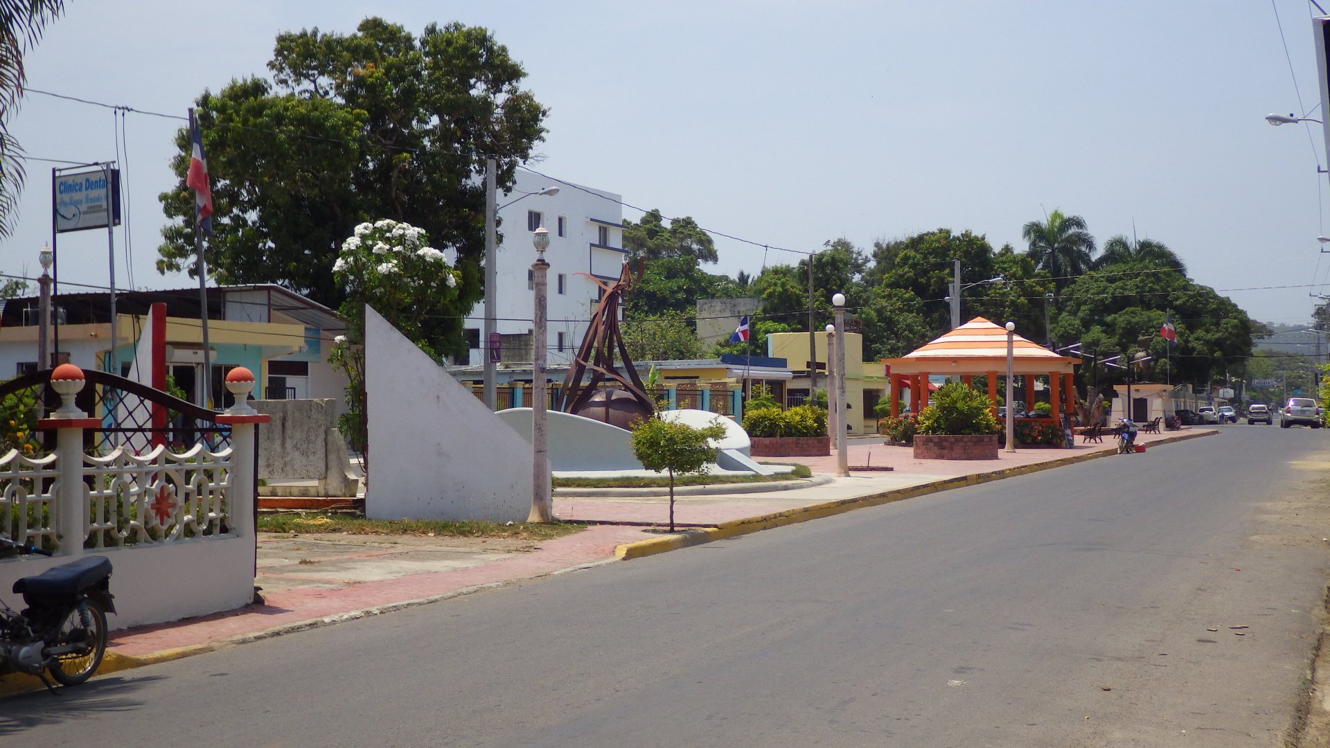
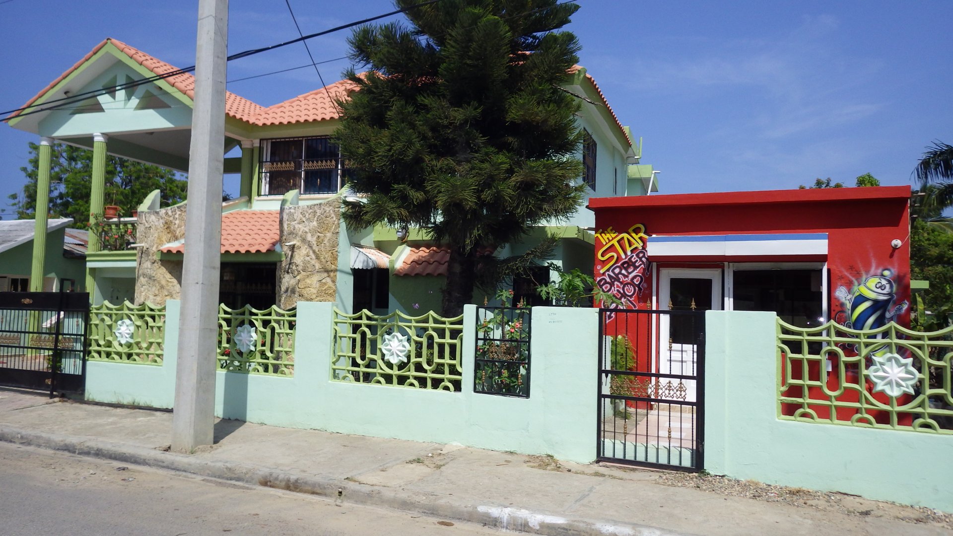
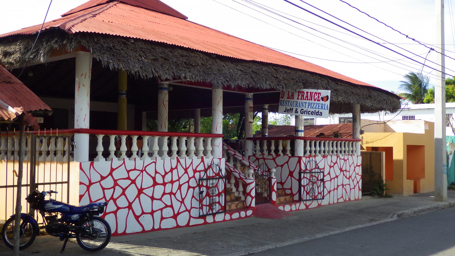
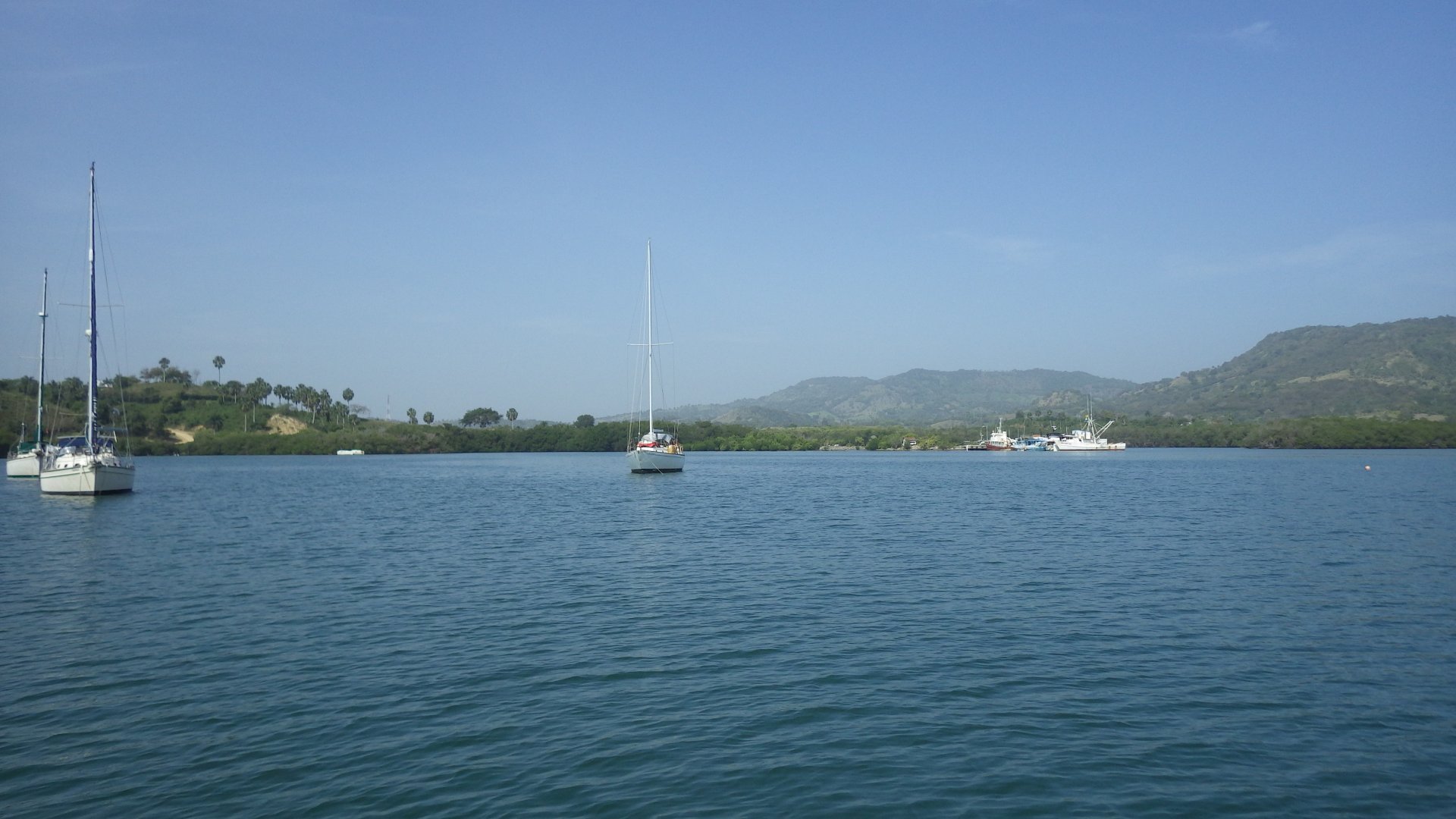
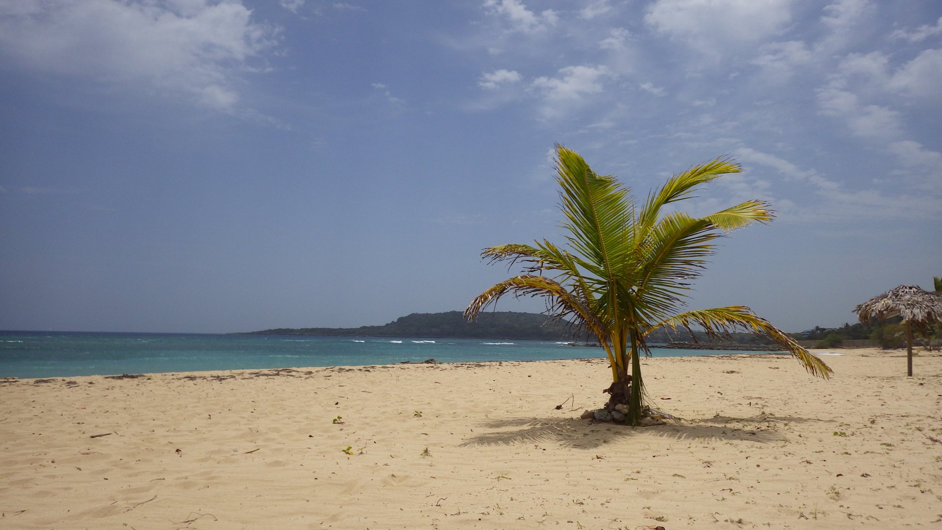
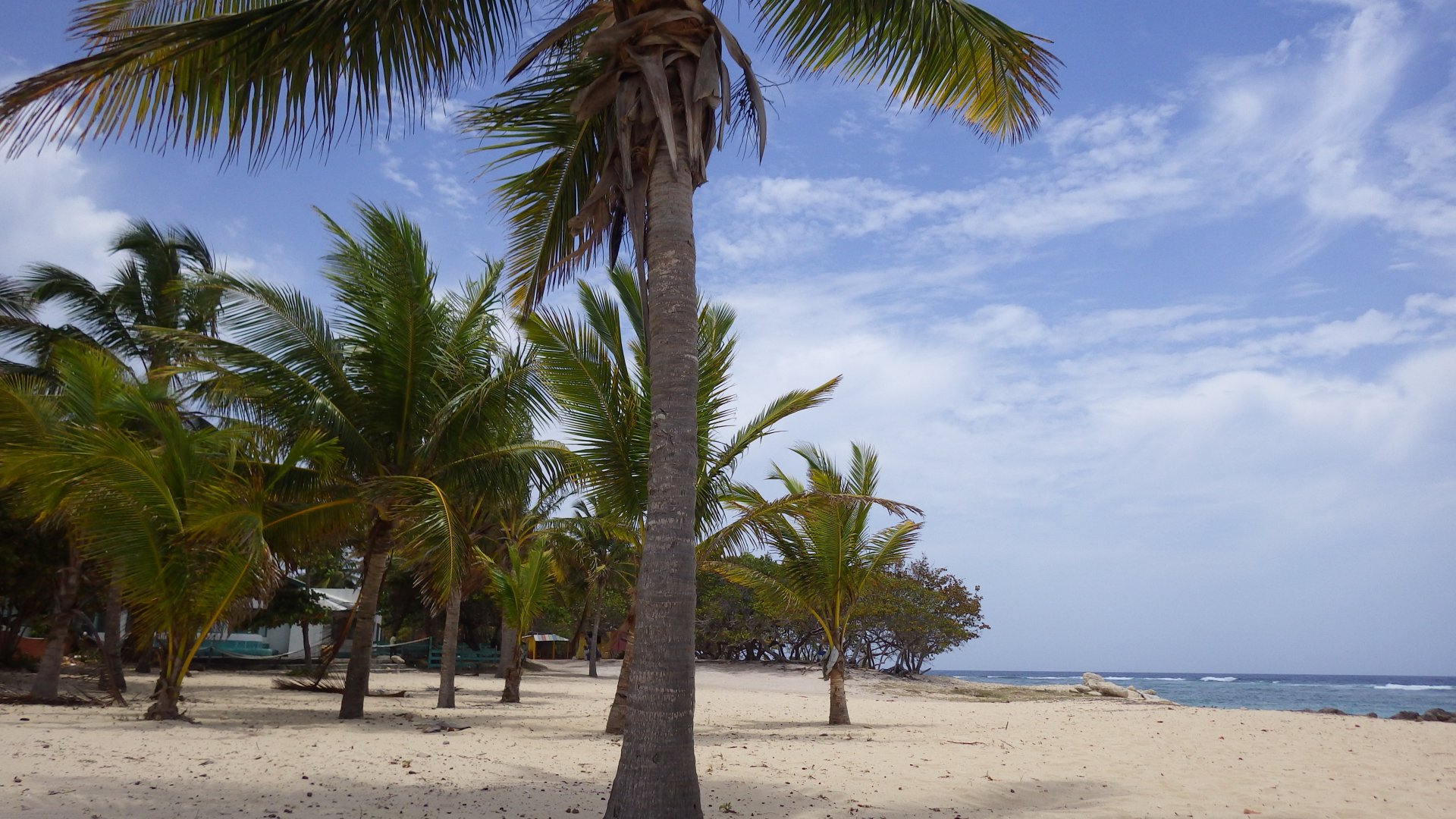
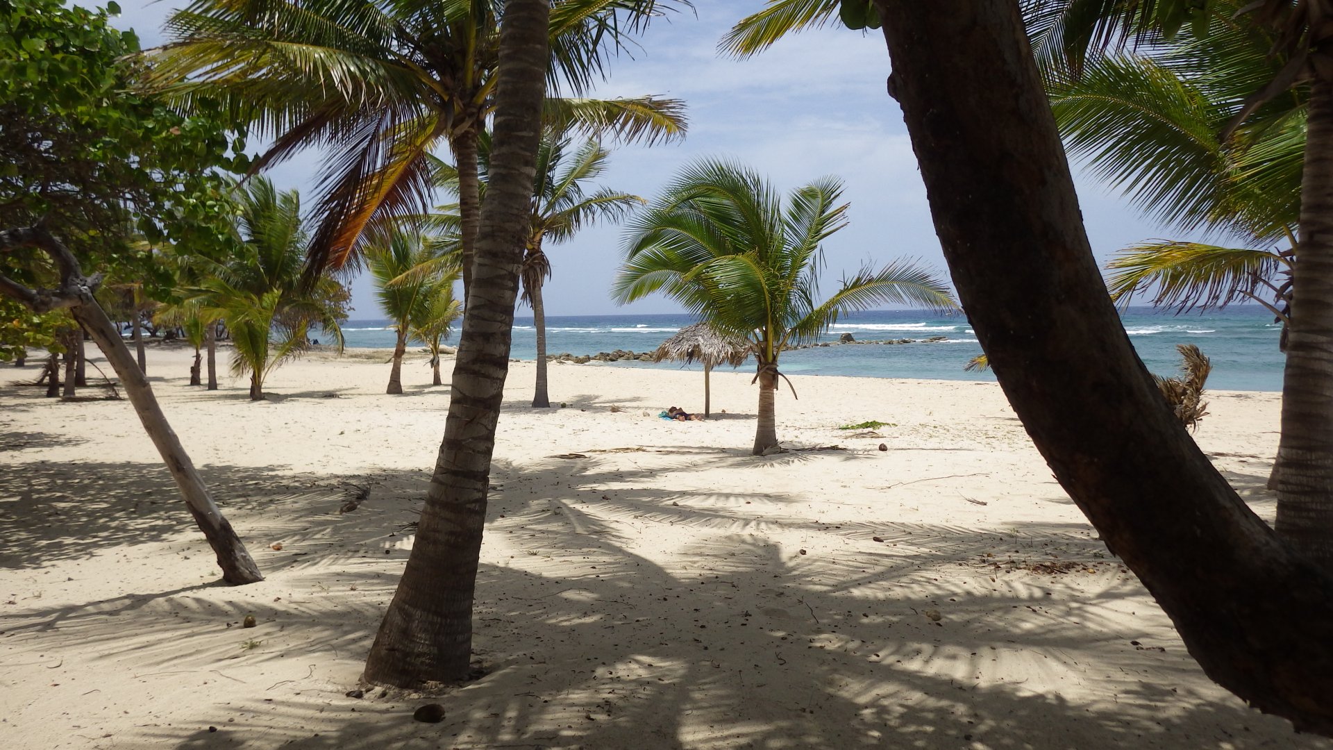
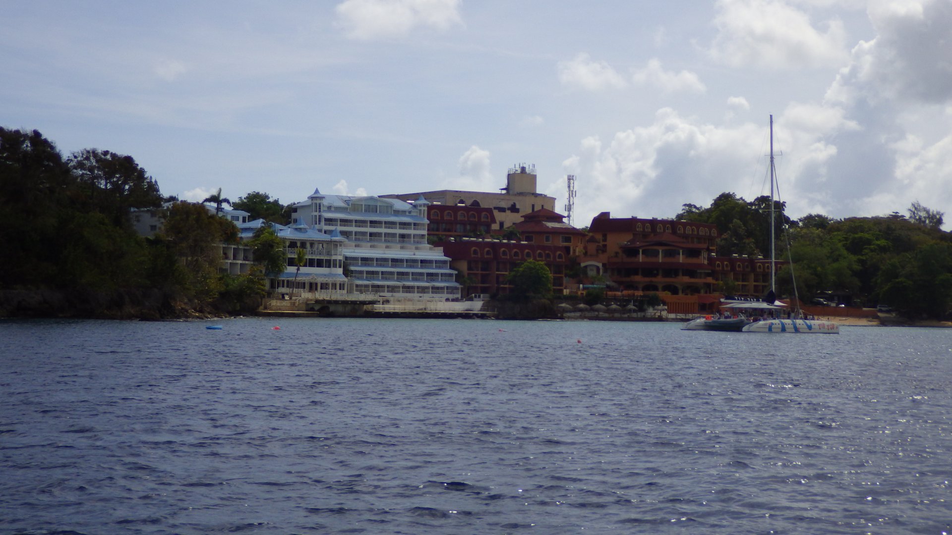
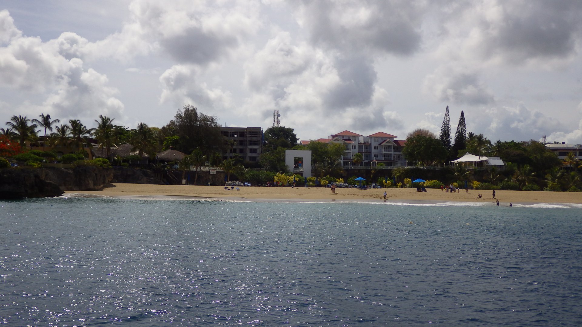
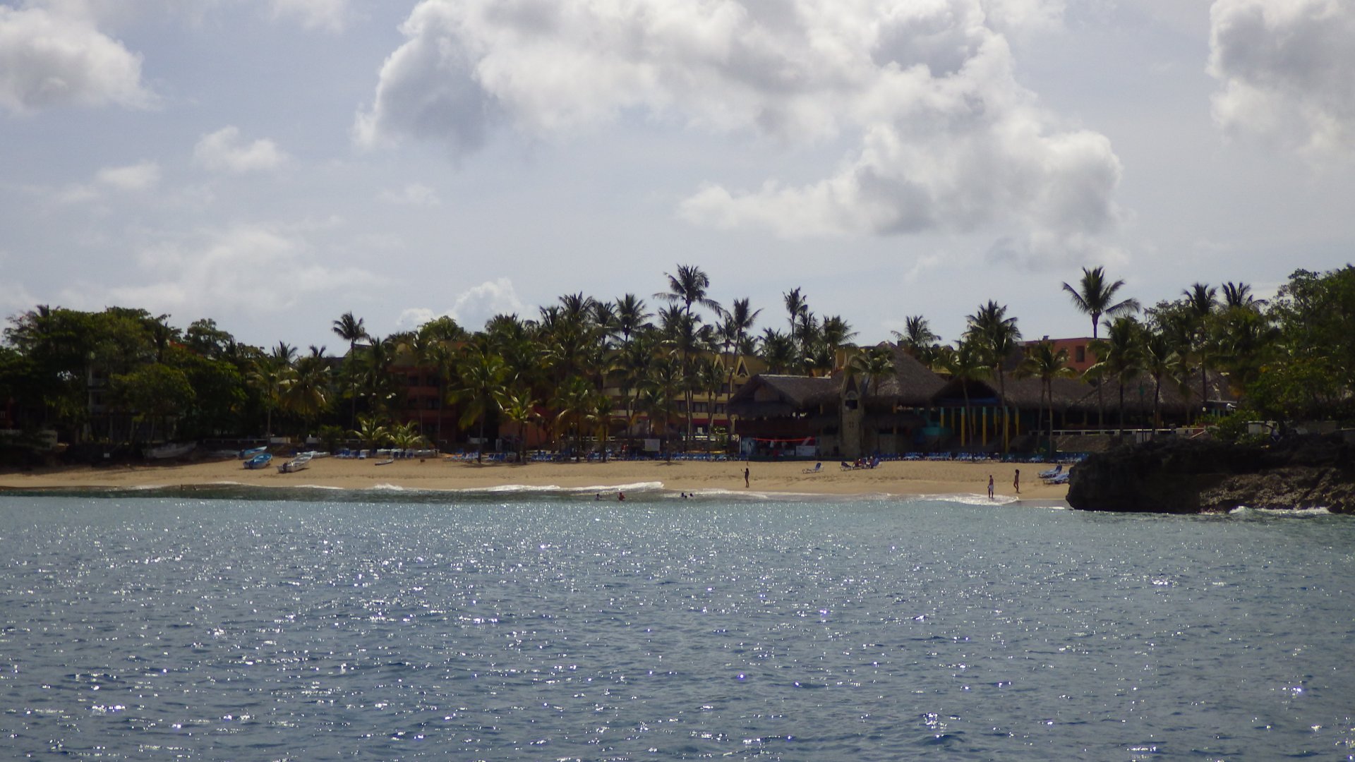
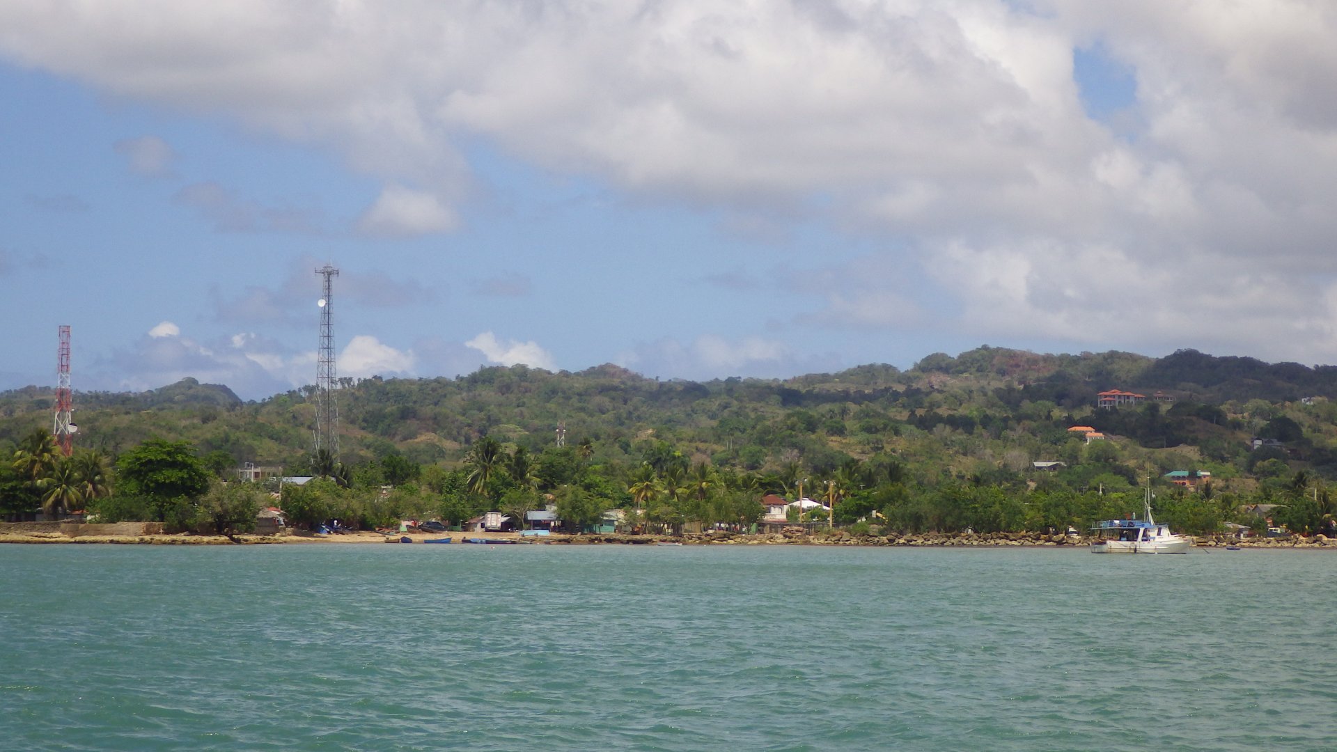
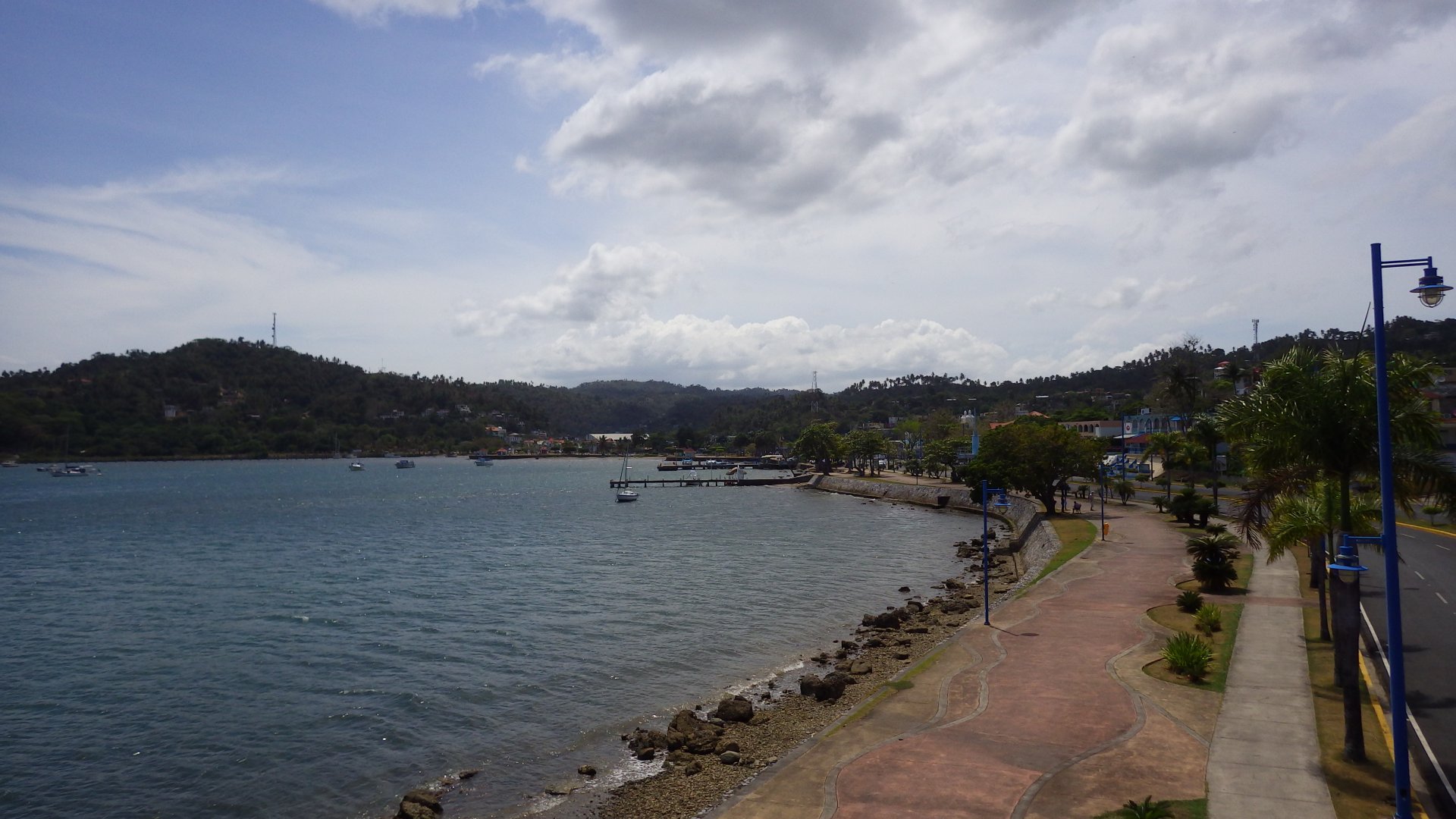
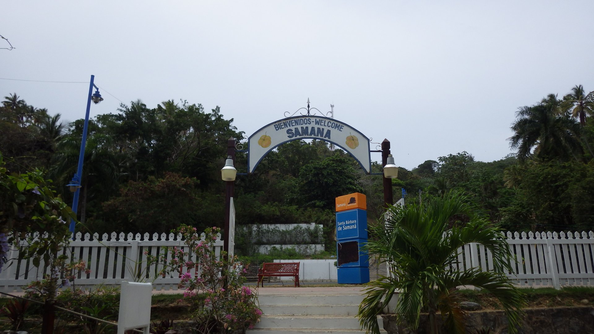
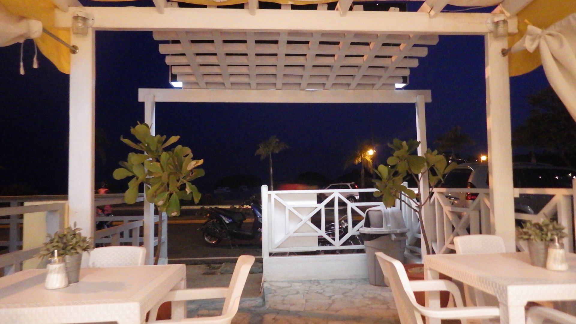
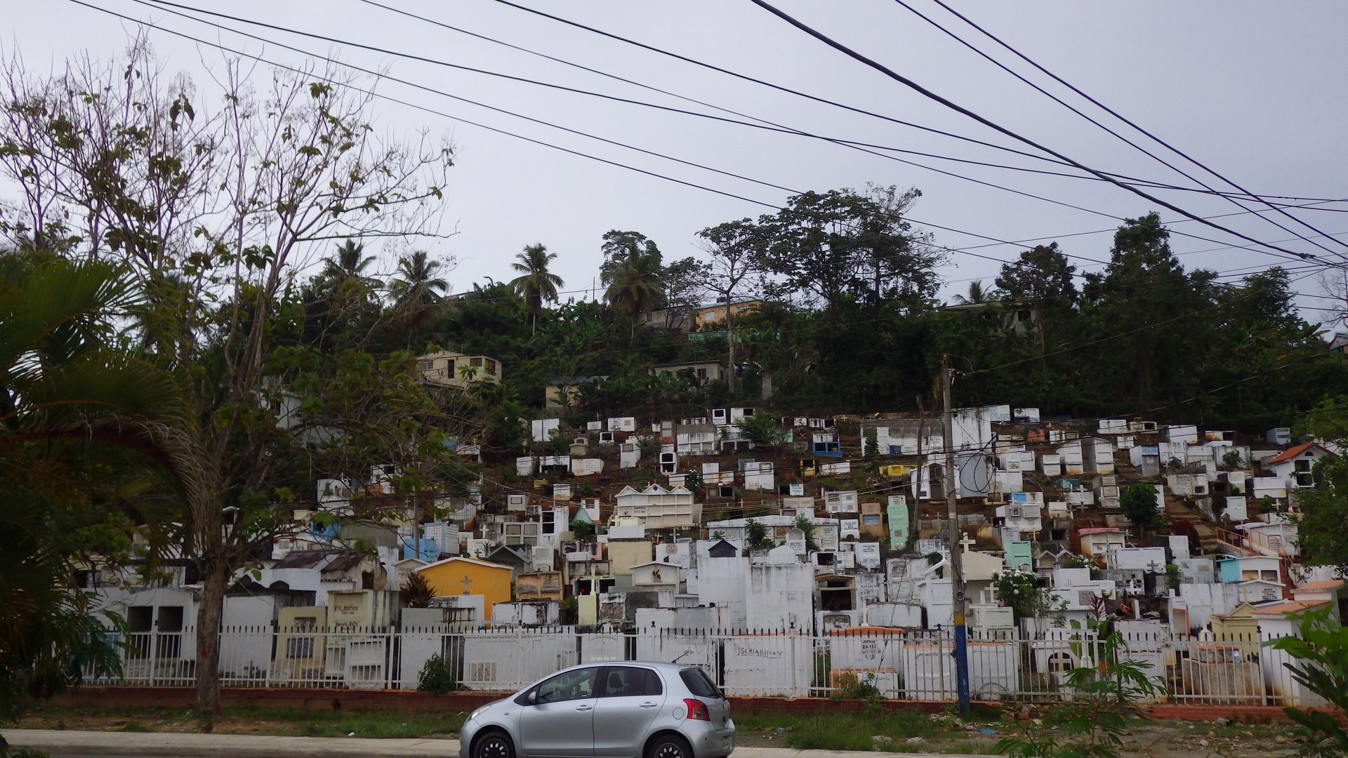
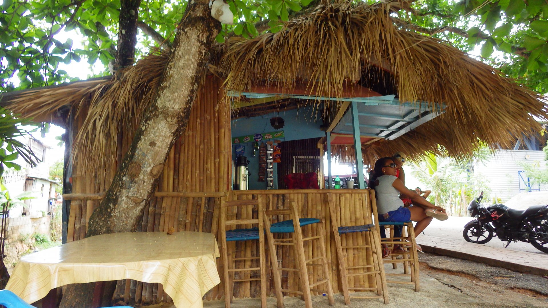
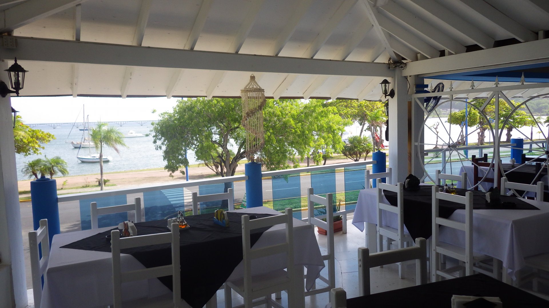
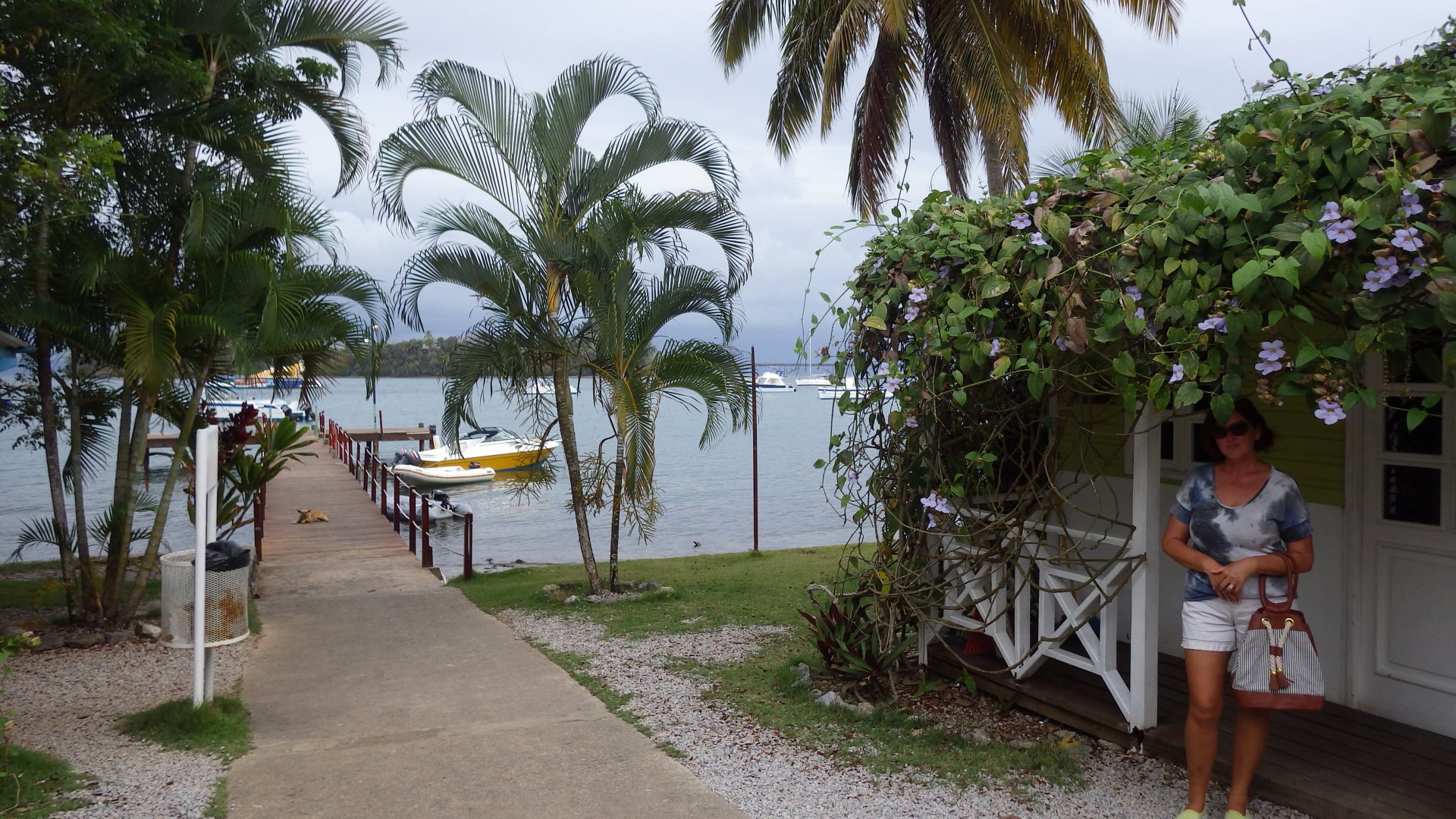
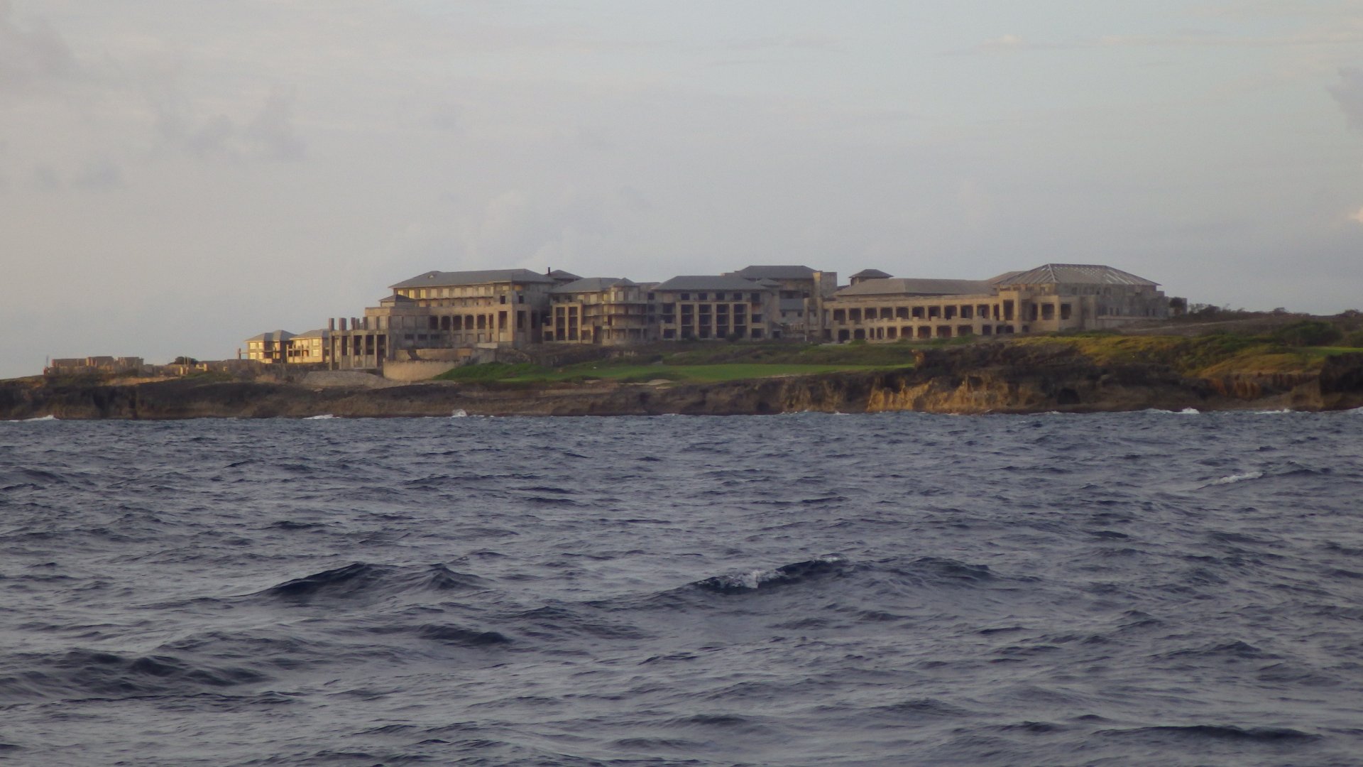
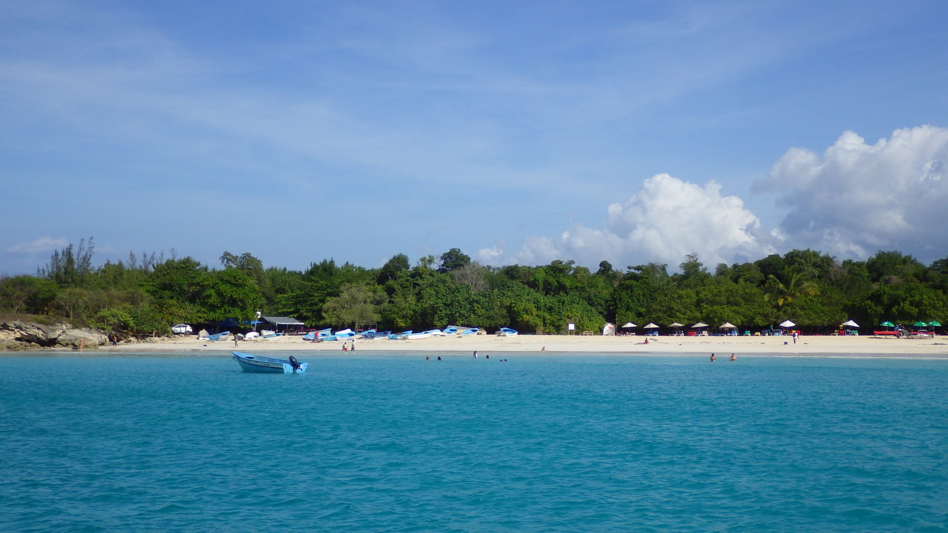
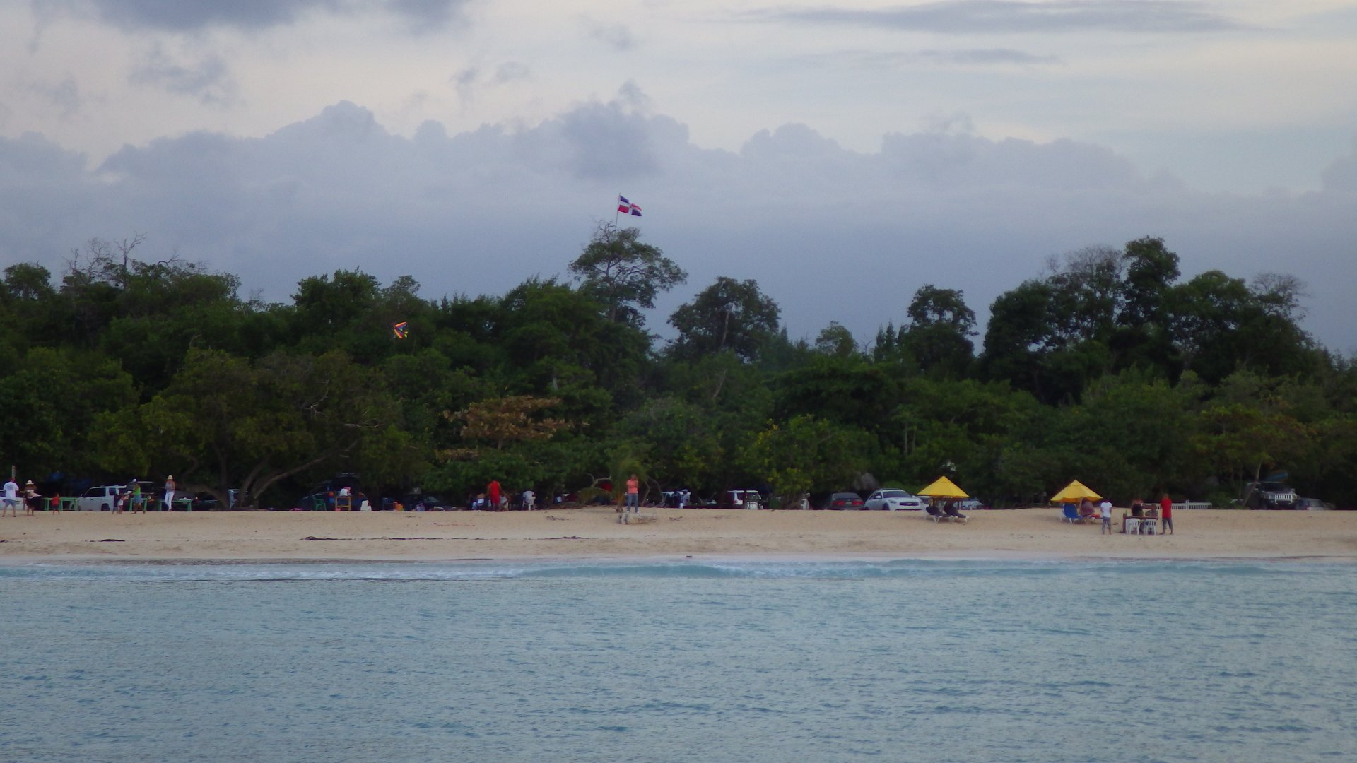
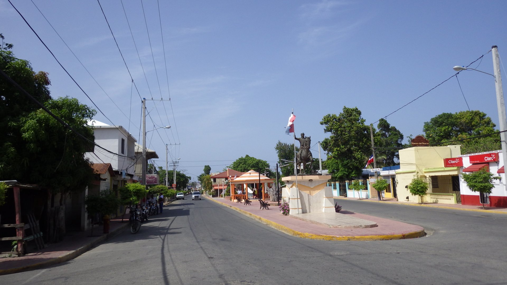
Slow Cruise

Sailing Adventures of s/v Alpine Zephyr
"Your dreams minus your doubts equals your net worth" --
<< Older Entries     Logs Archive     Newer Entries >>

Sailing Log: Crusing Dominican Republic

Crusing Dominican Republic. Interestig culture, great food.

Luperon Monument

Luperon, DR

Log#: 103
LatLon: 19°53.900'N, 070°57.183'W

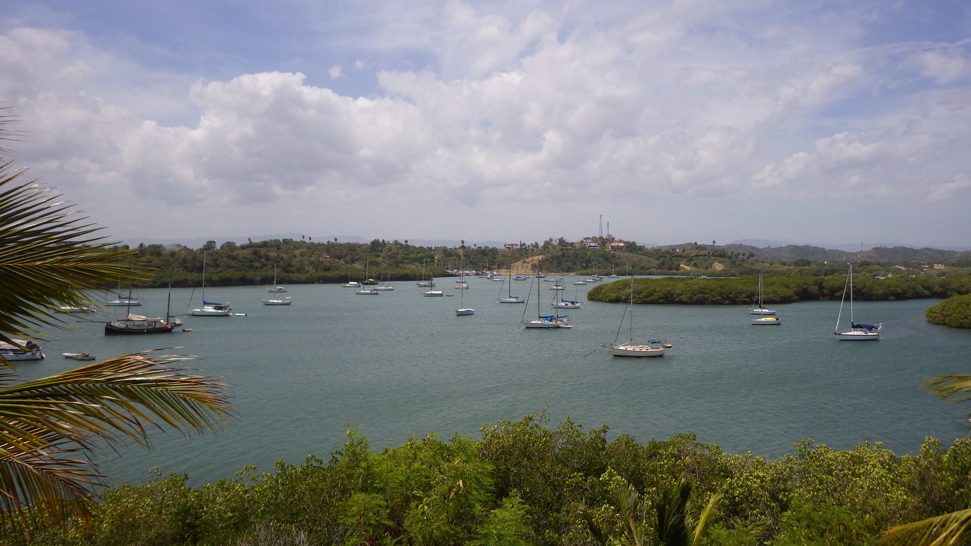
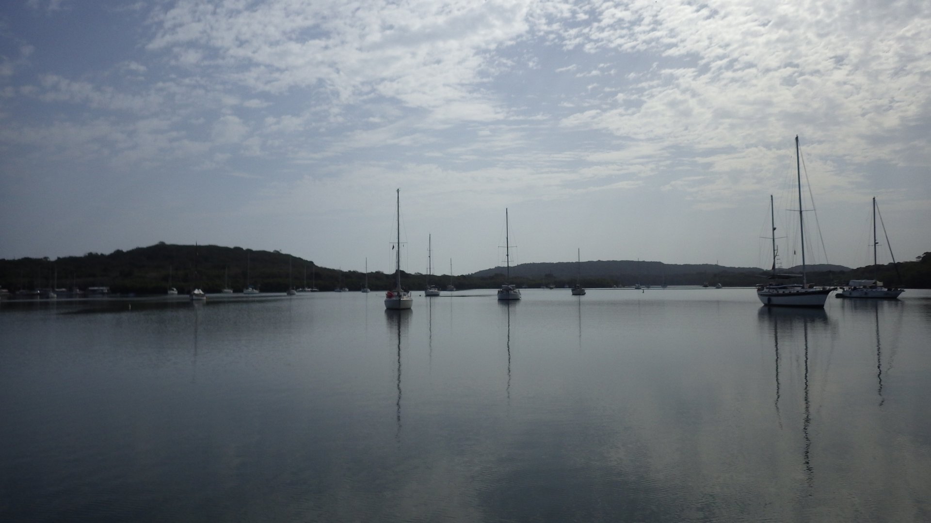
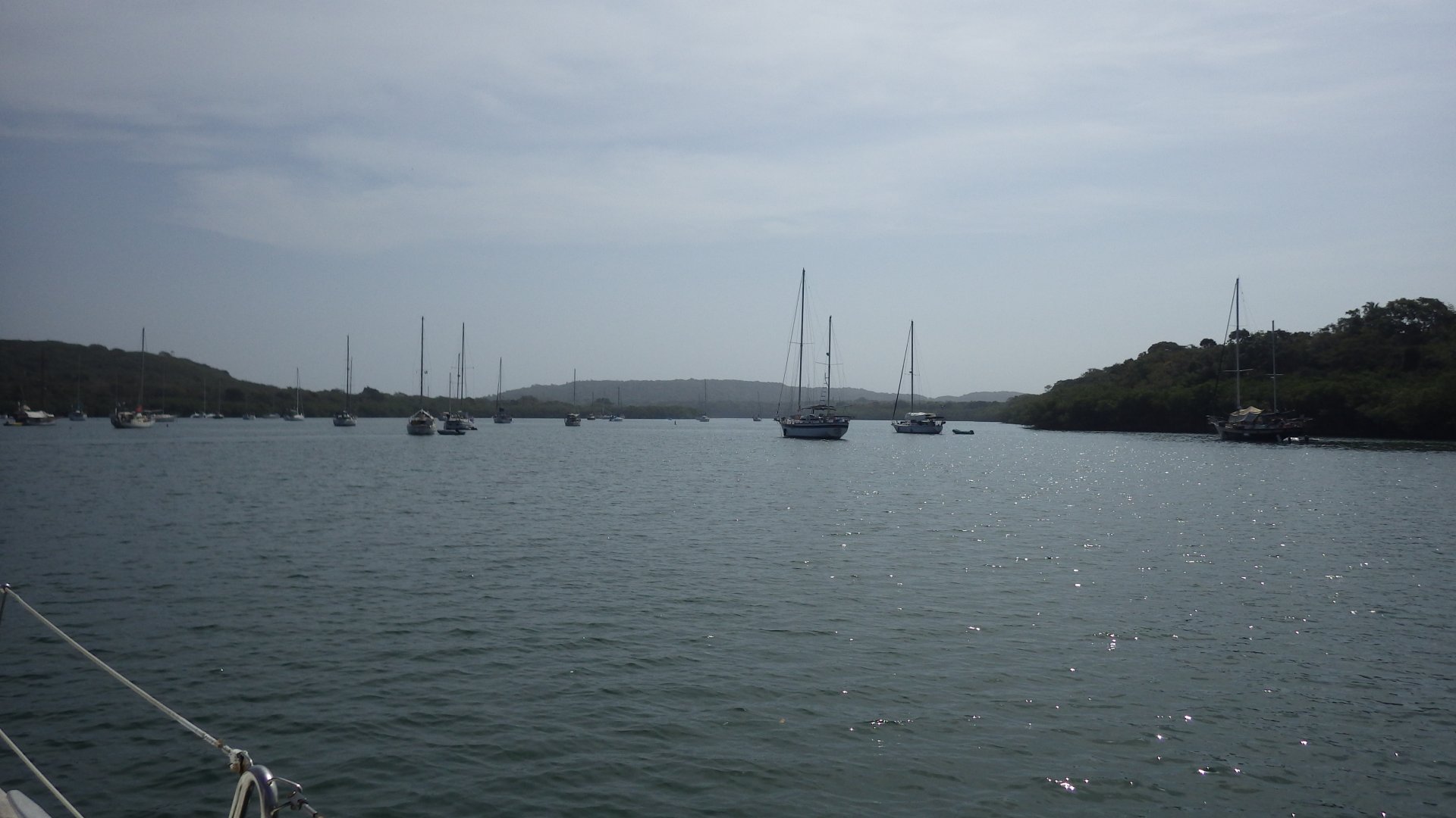
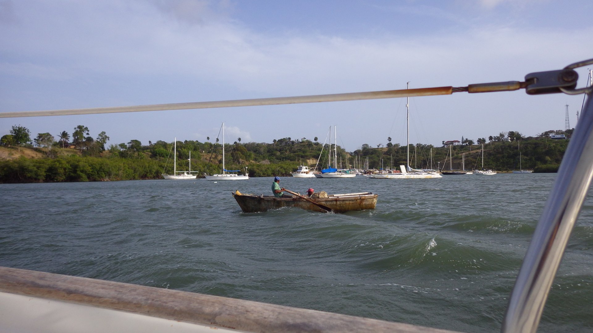
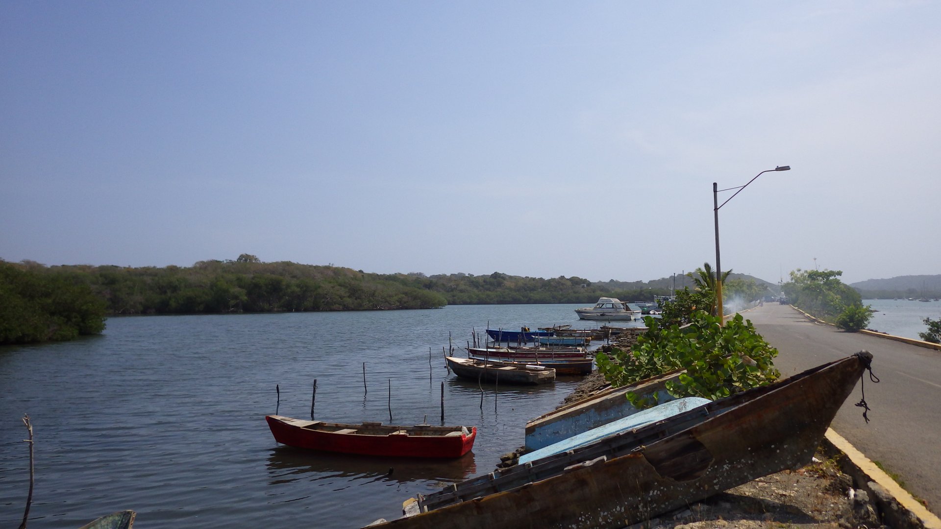
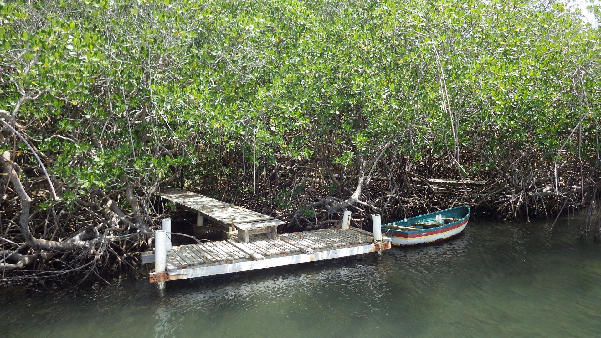
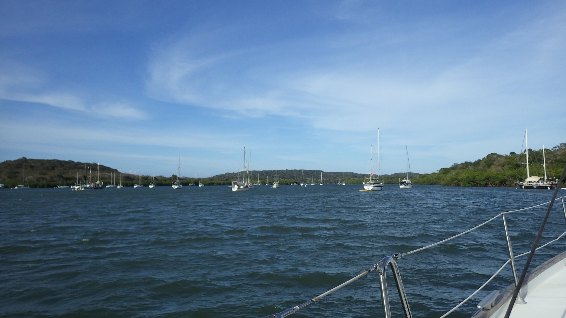
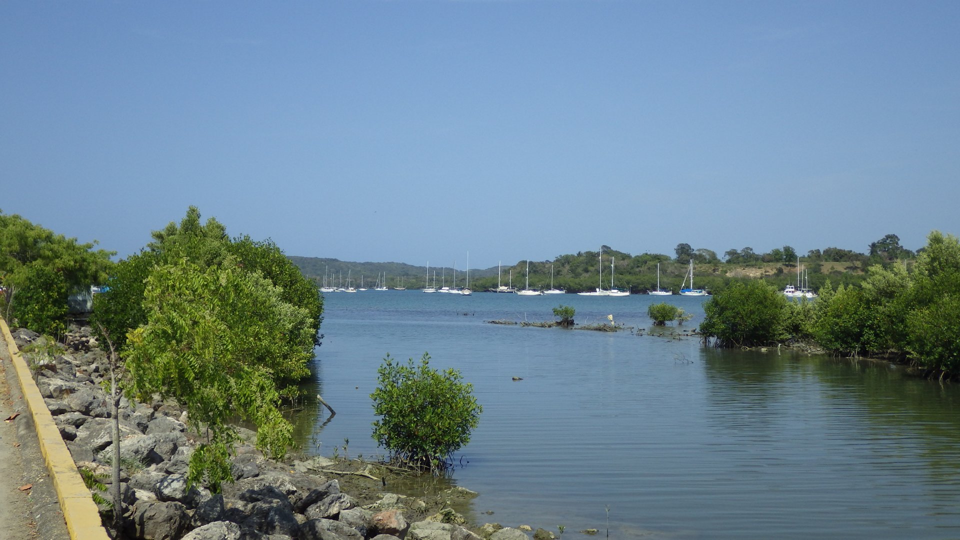
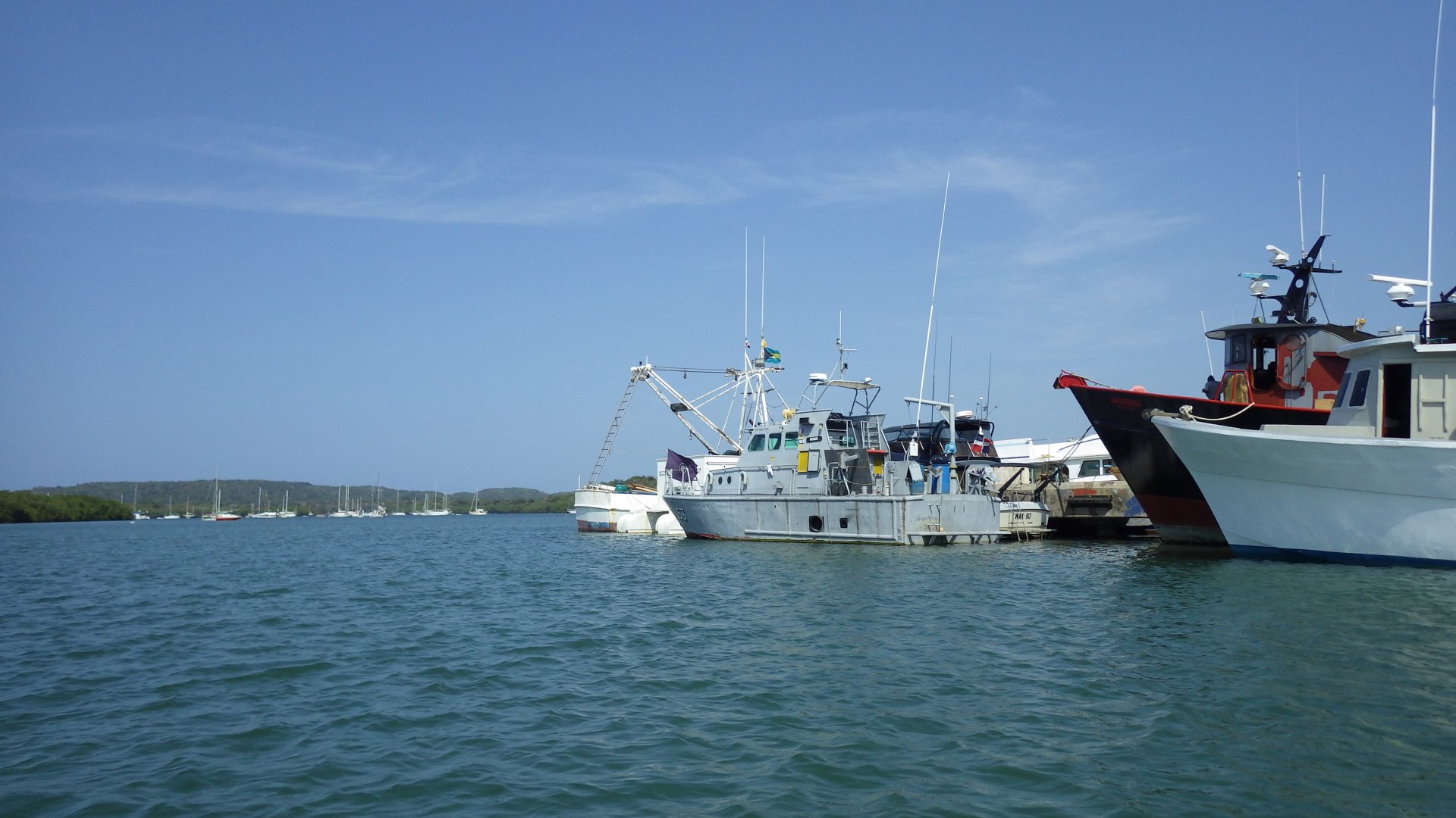
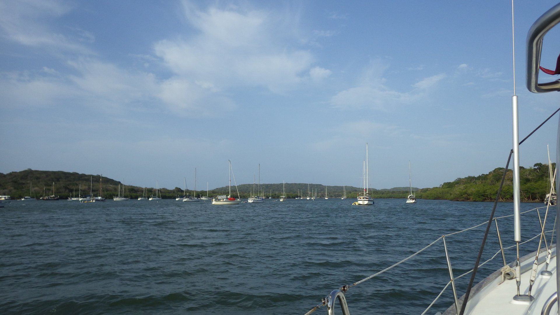
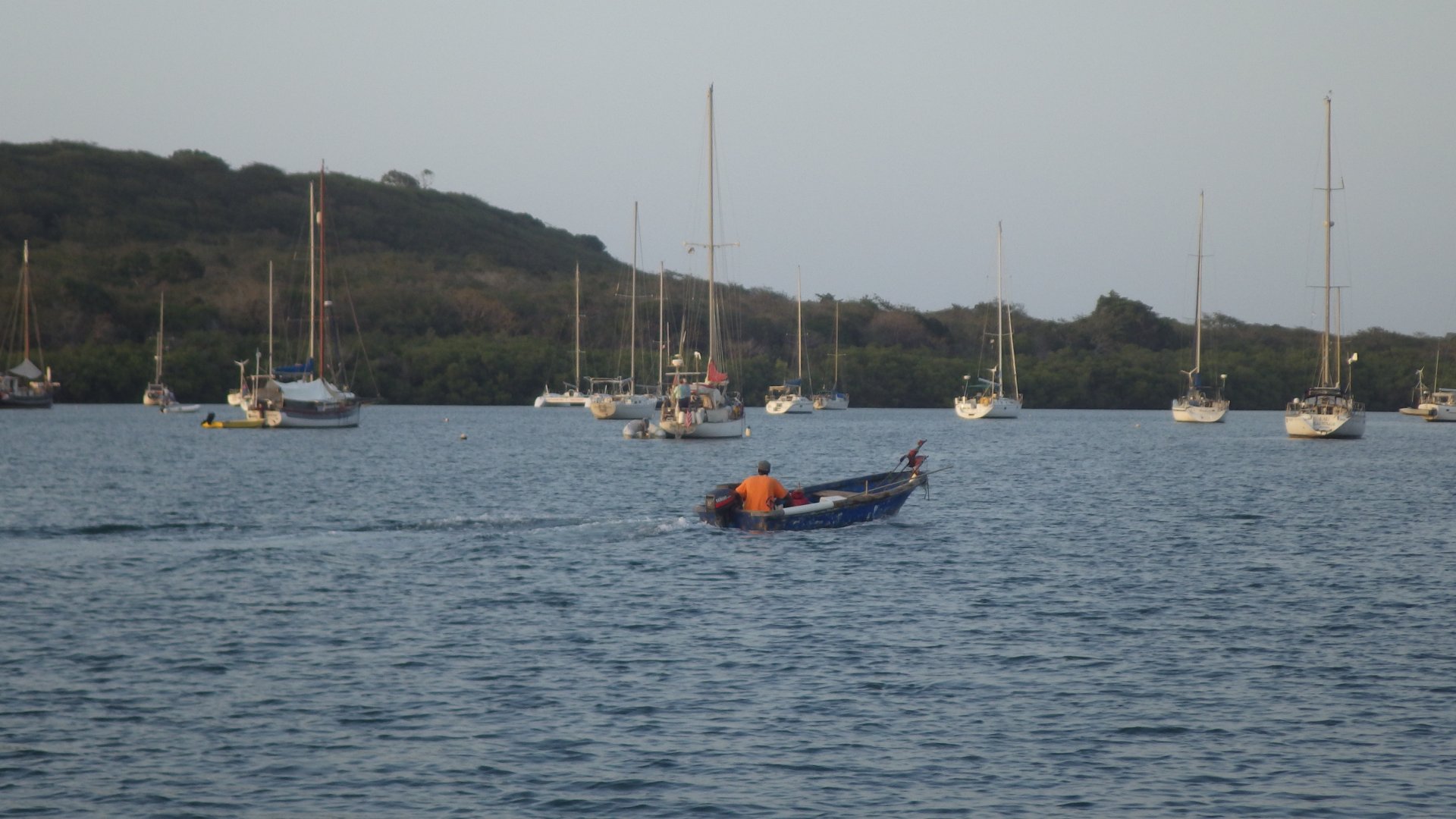
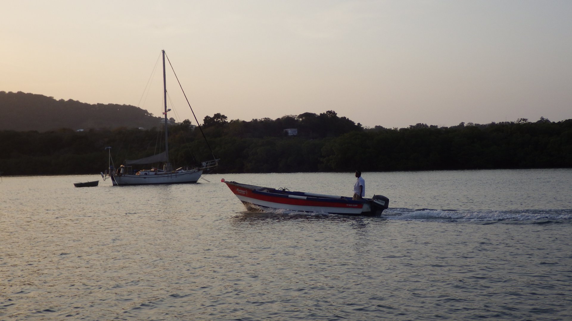
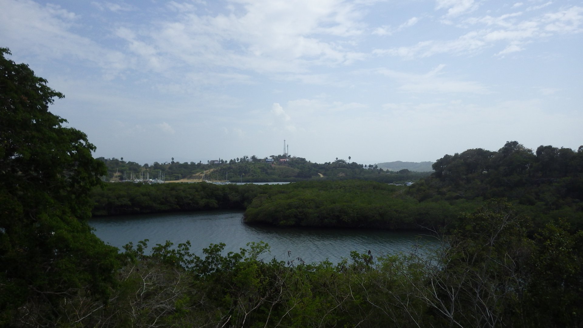
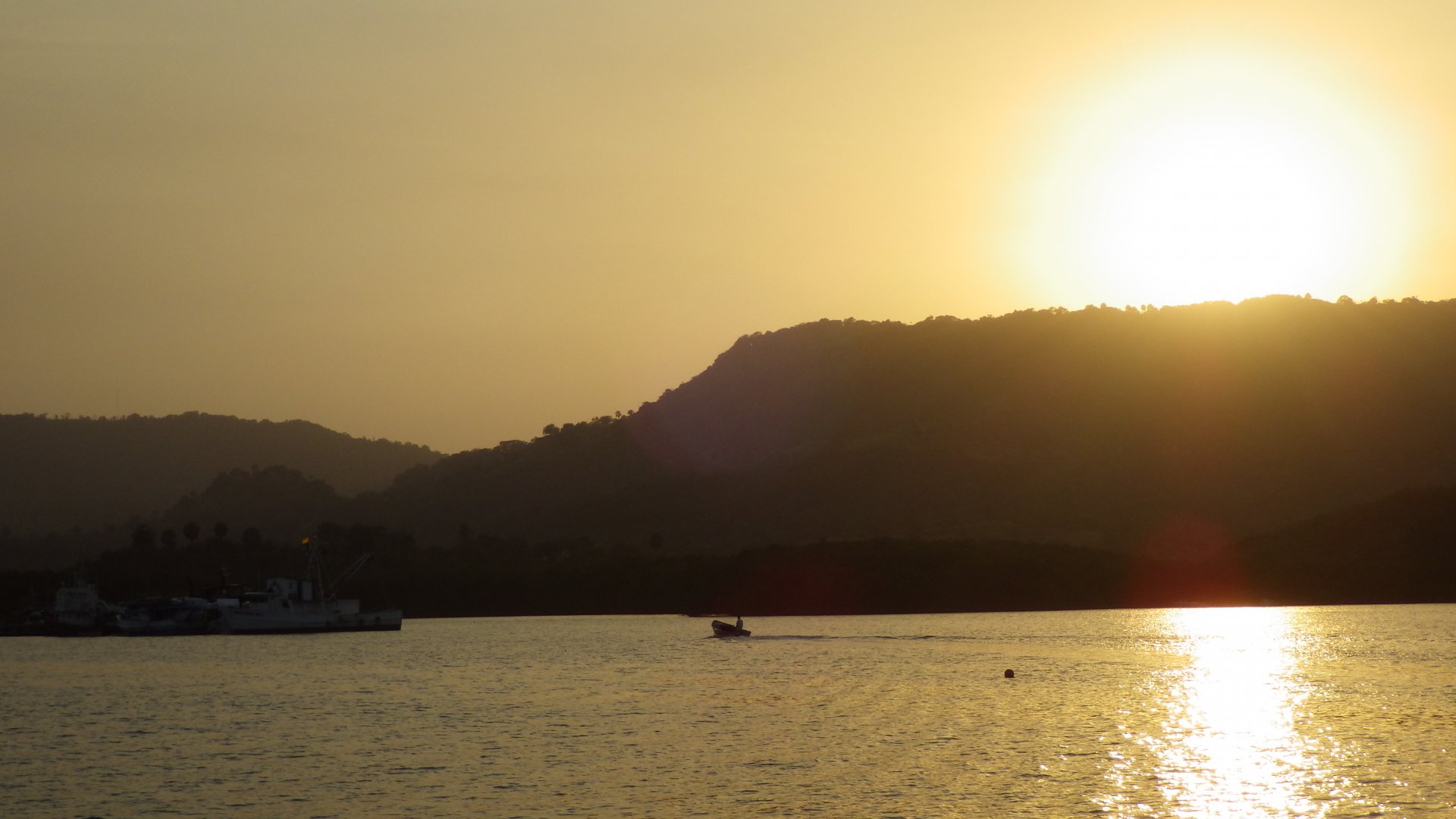
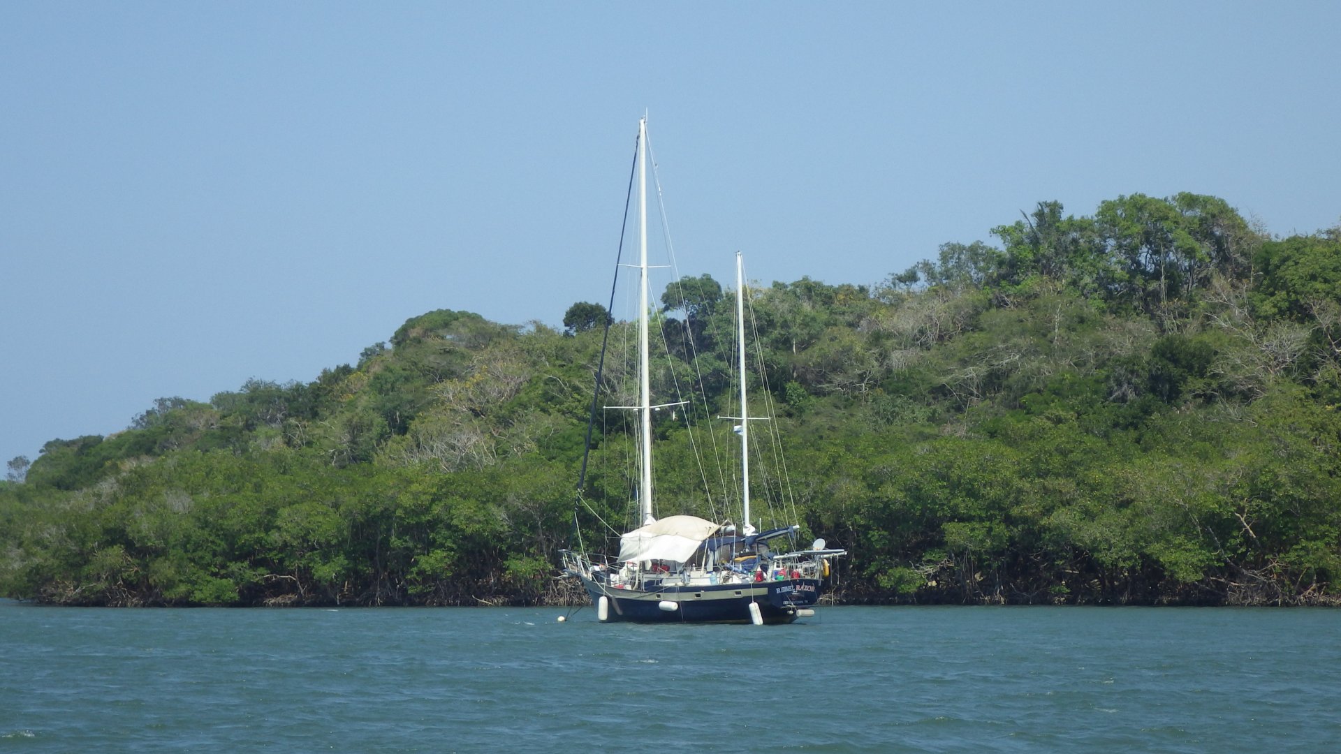
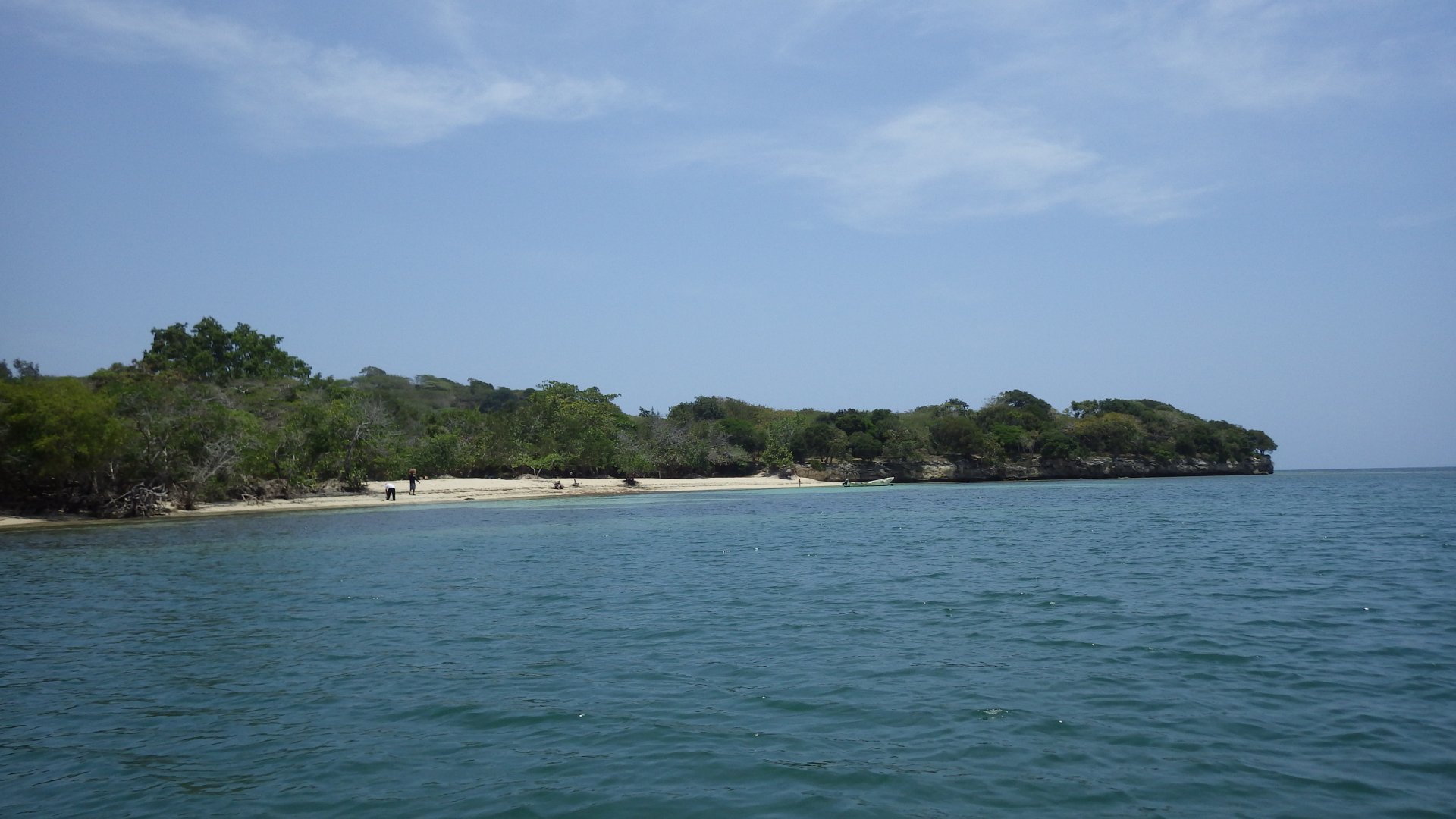
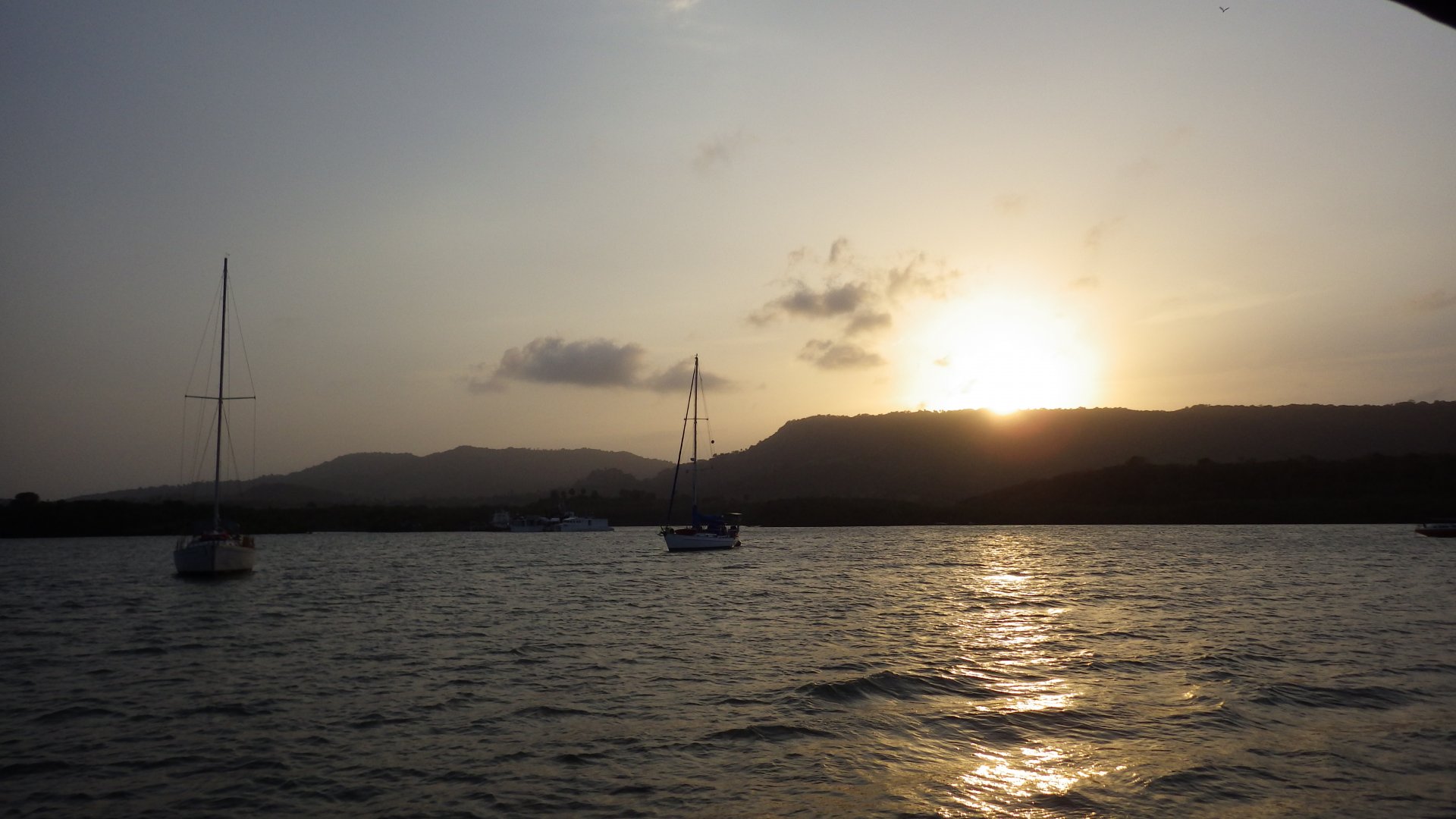
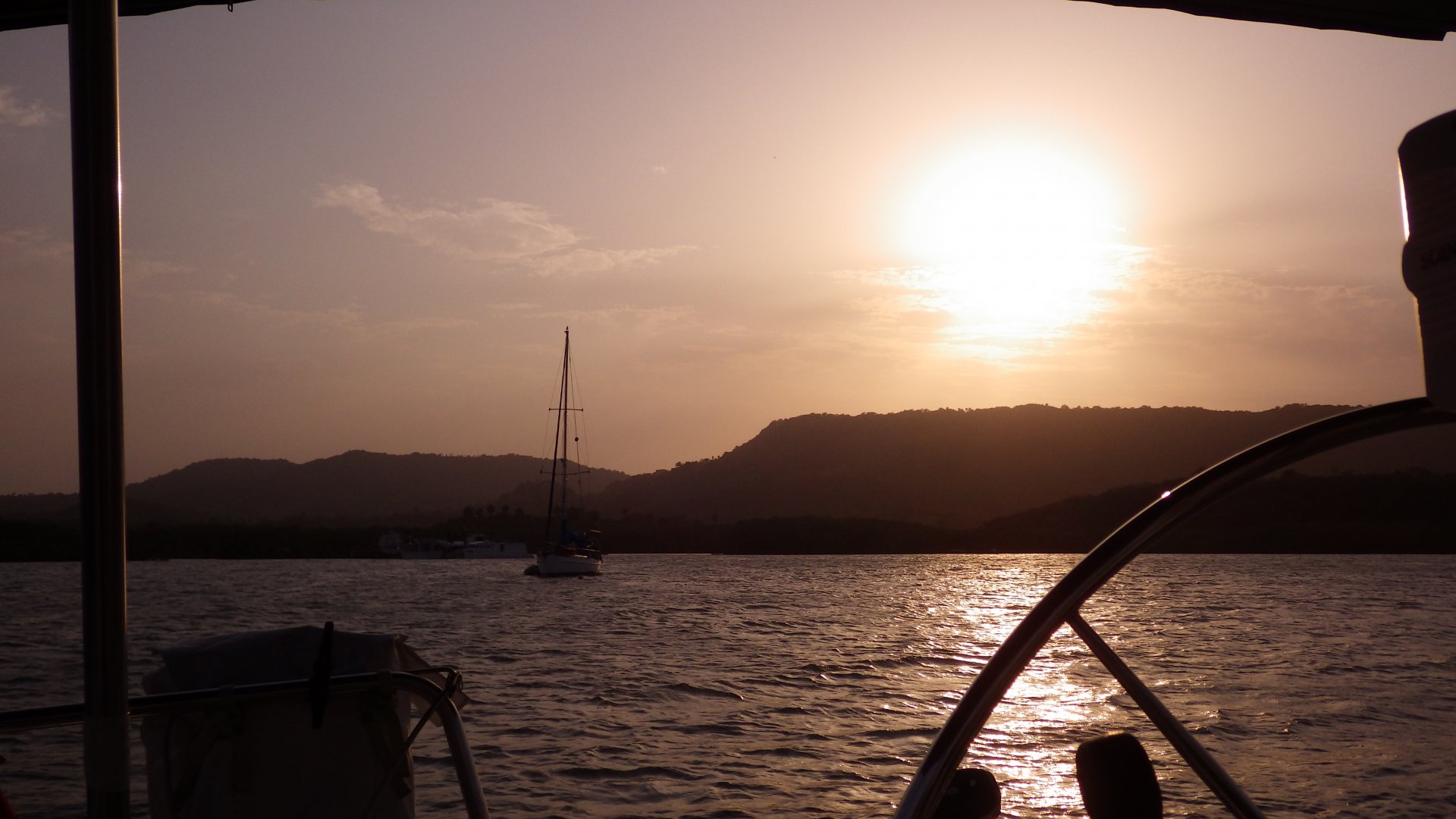
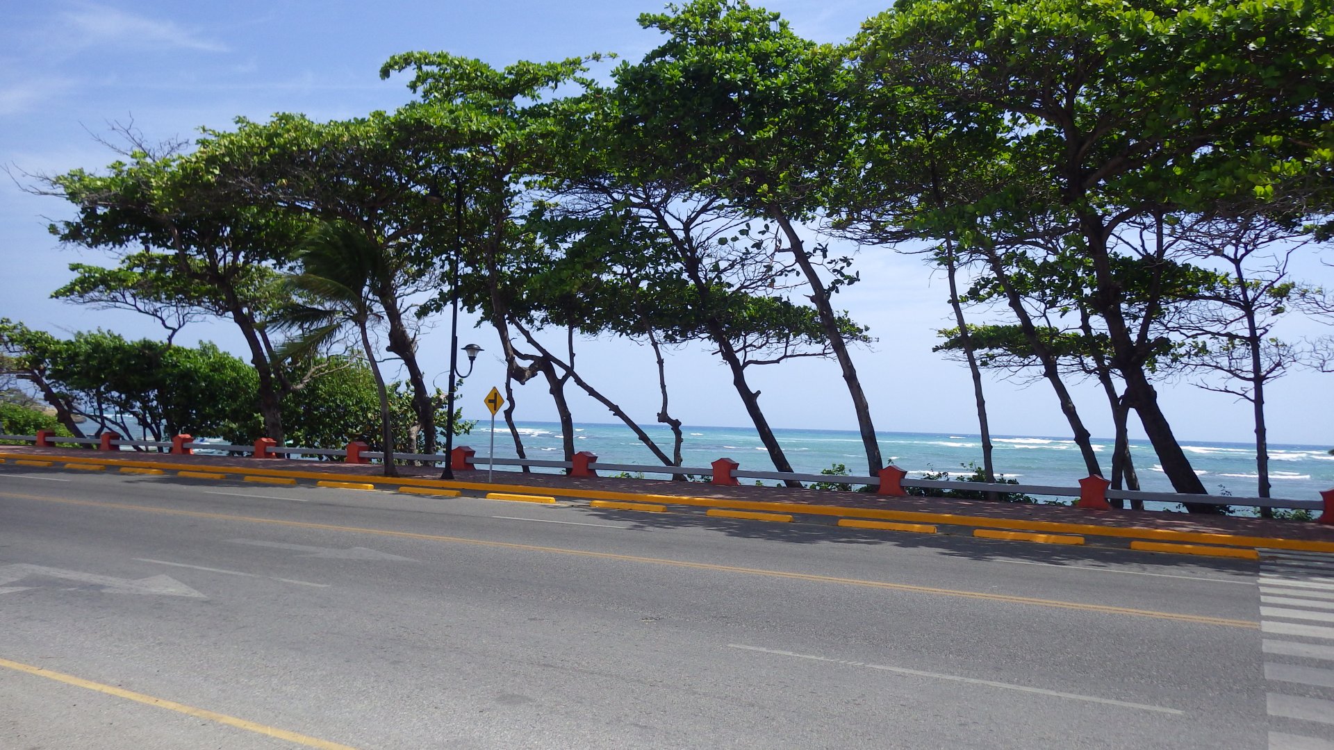
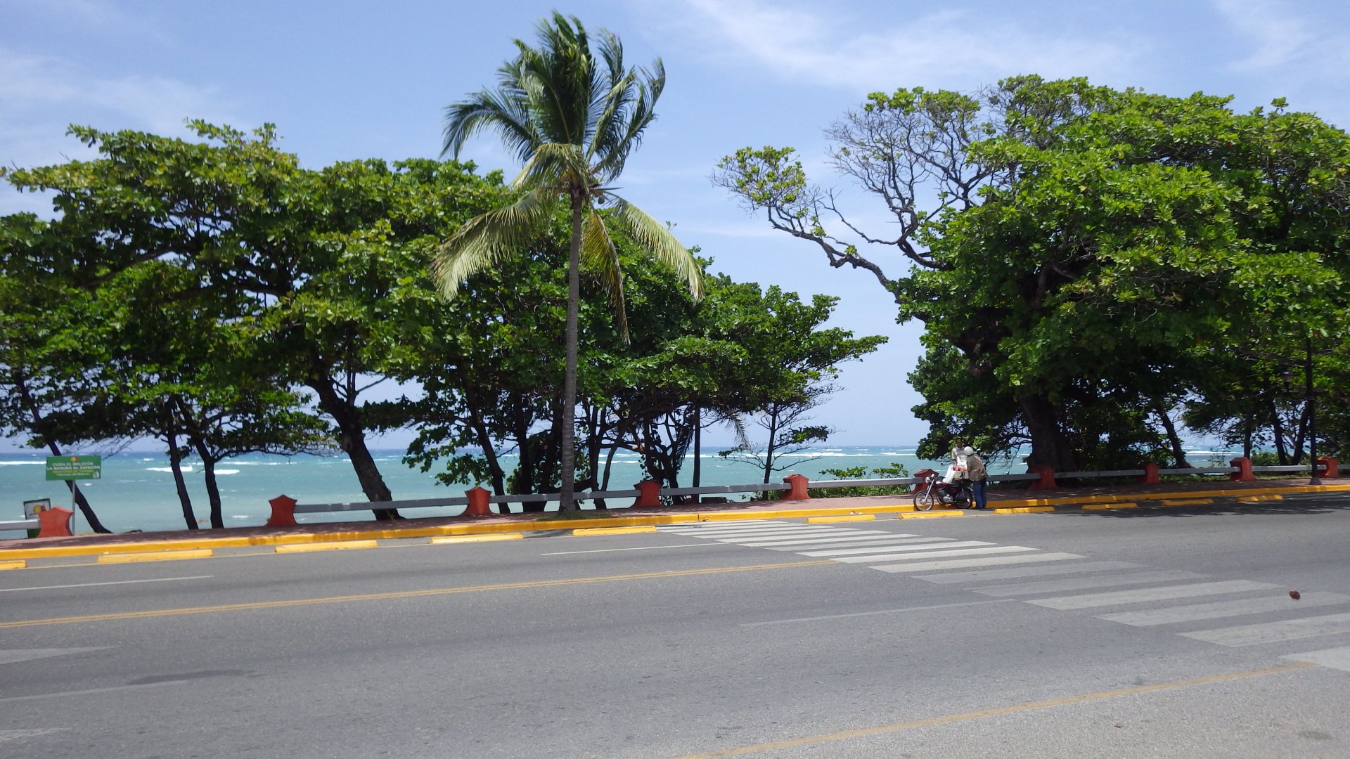
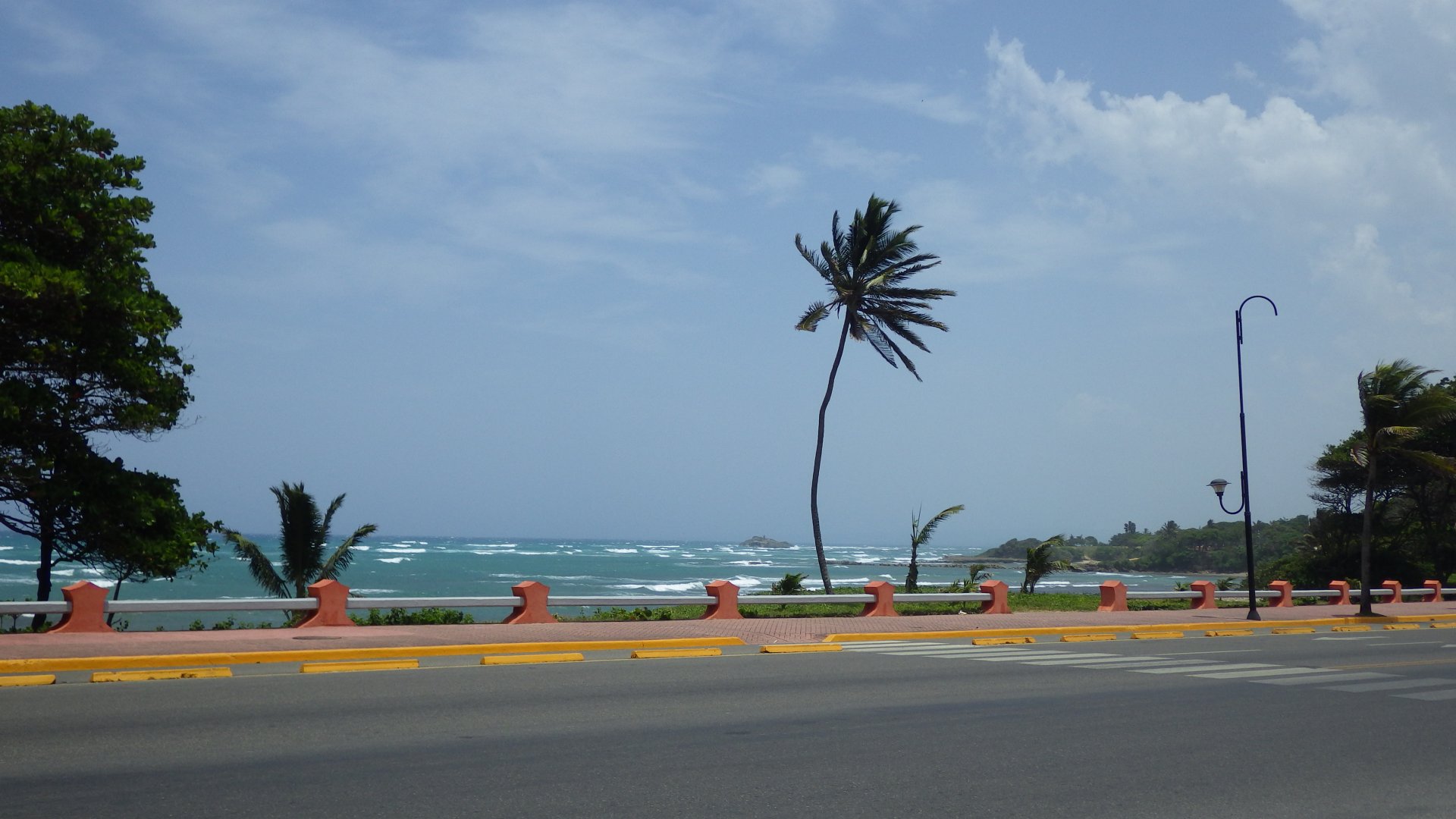
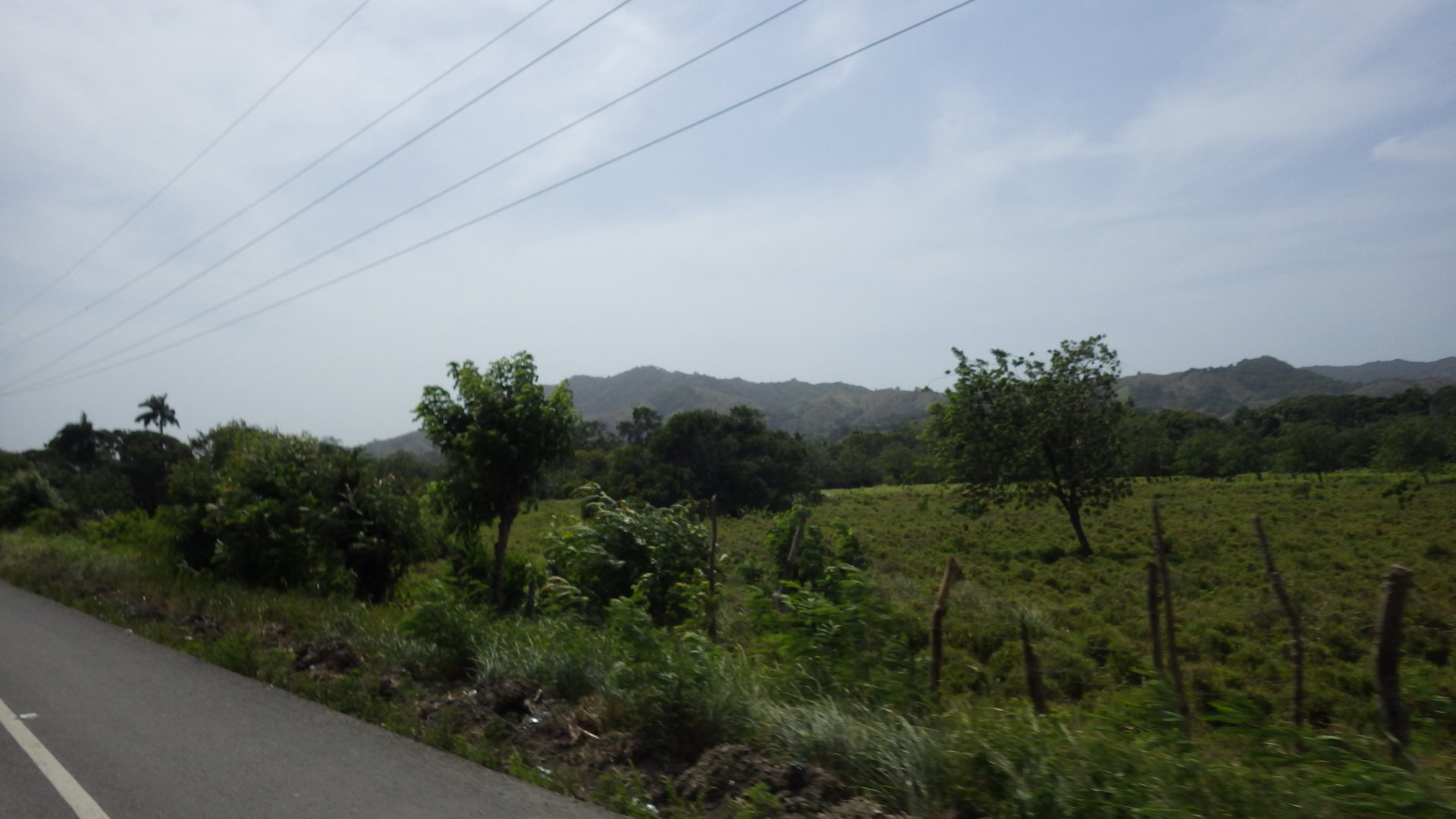
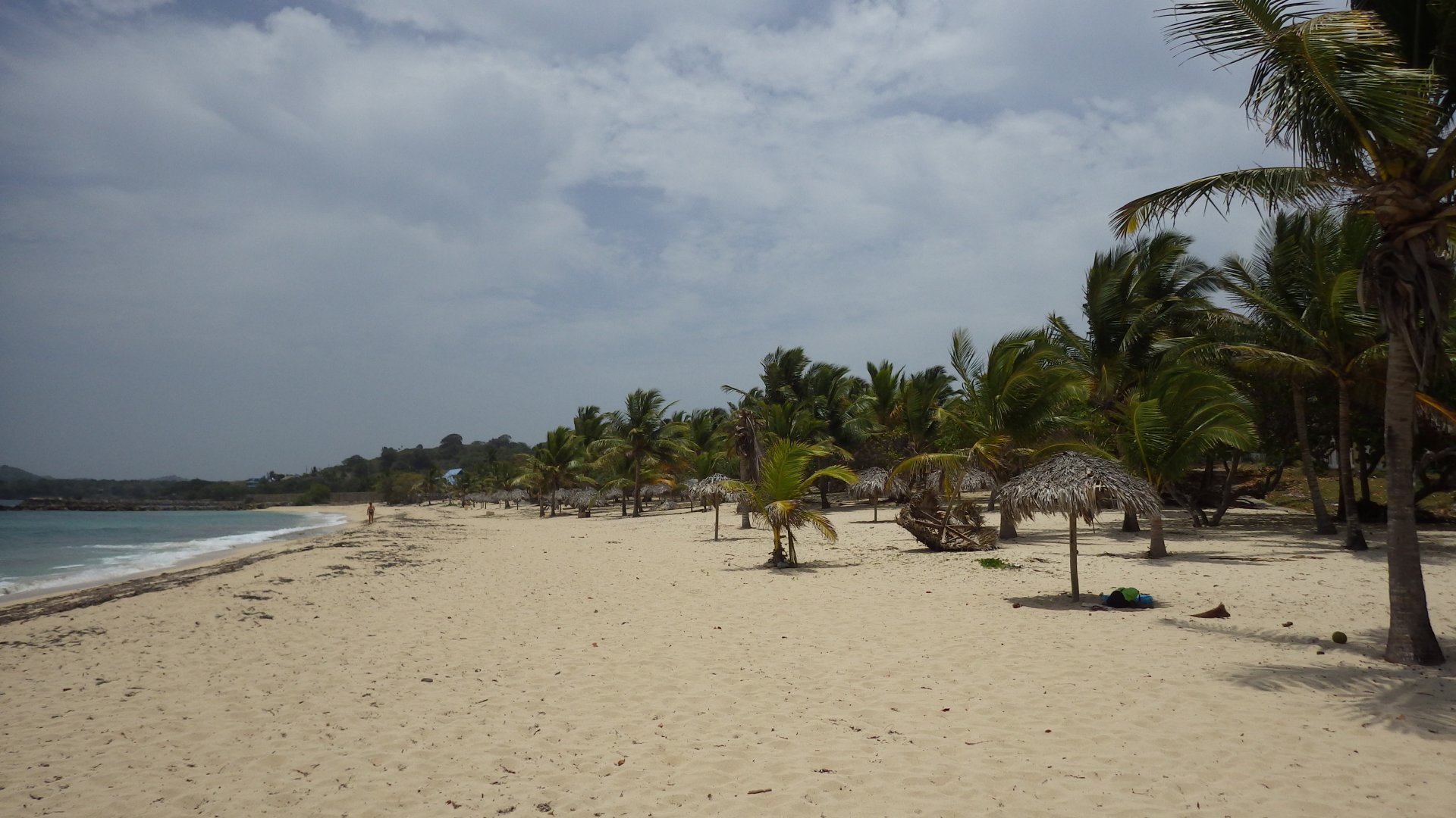
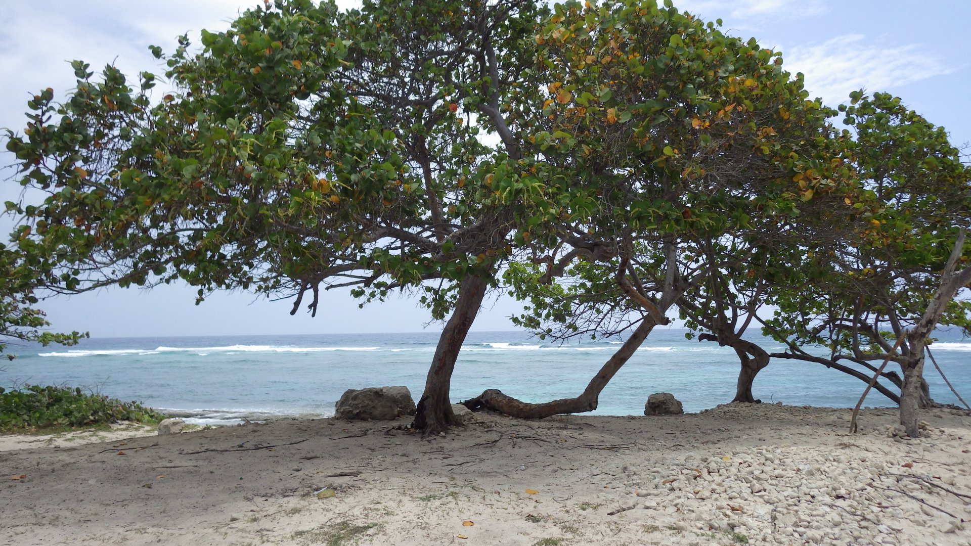
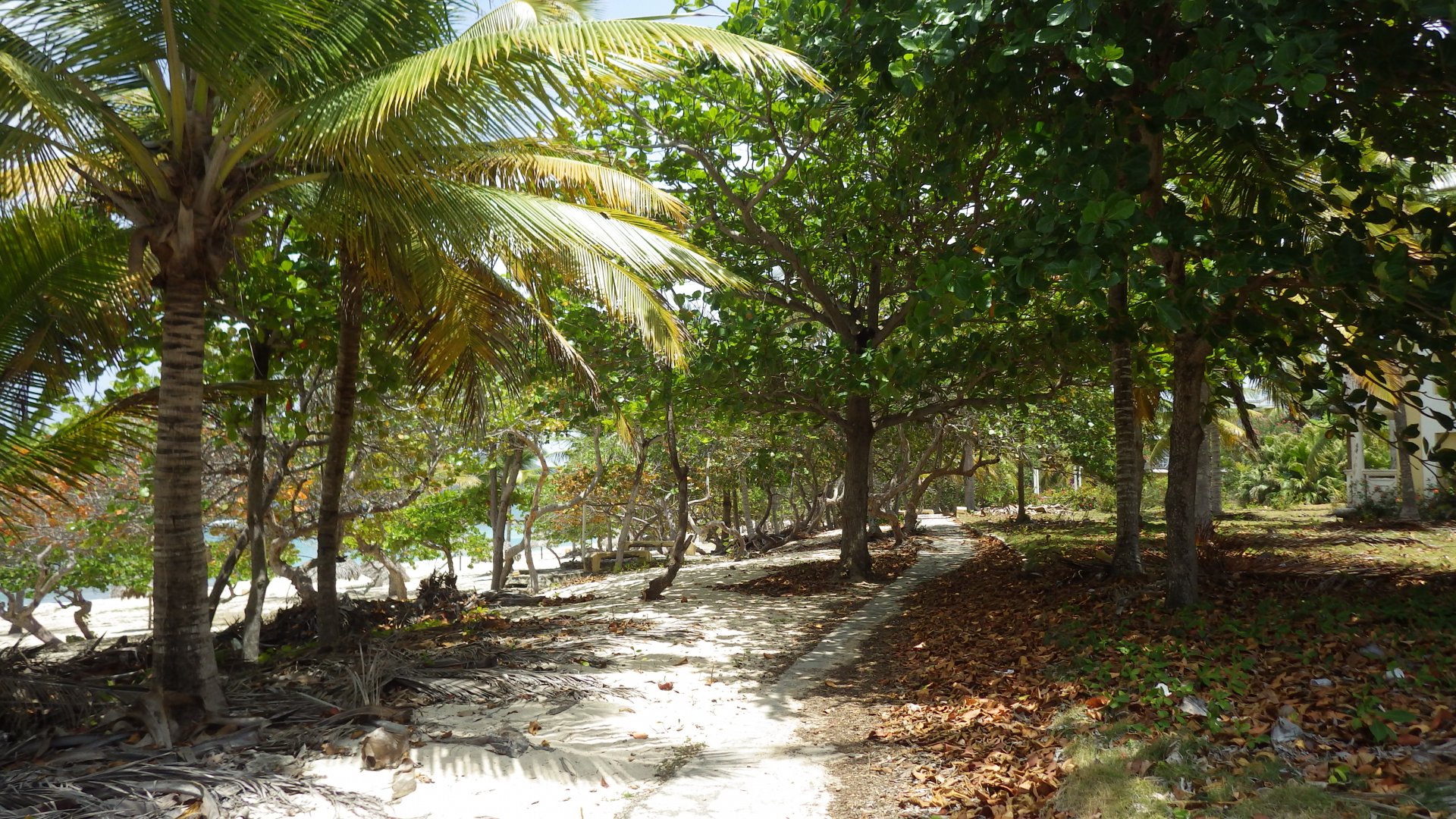
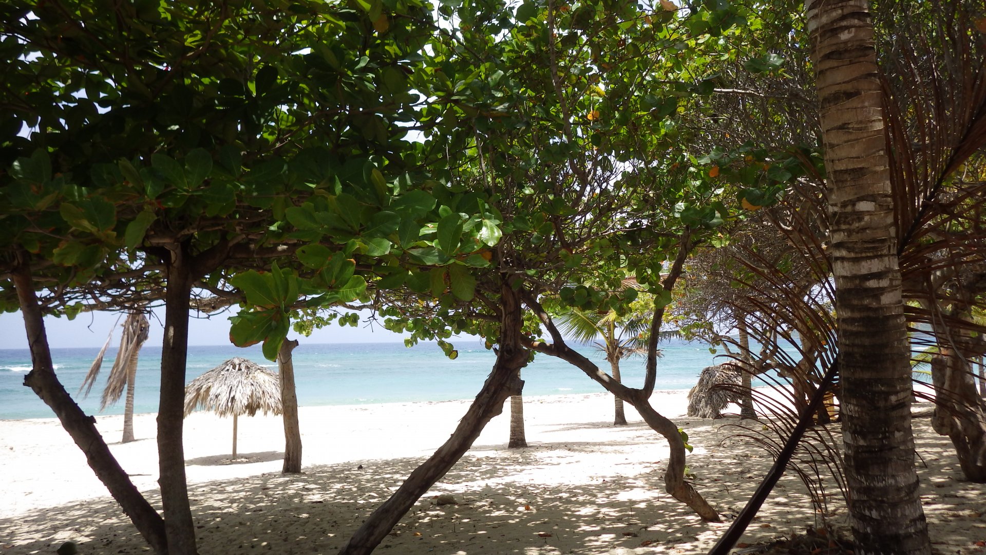
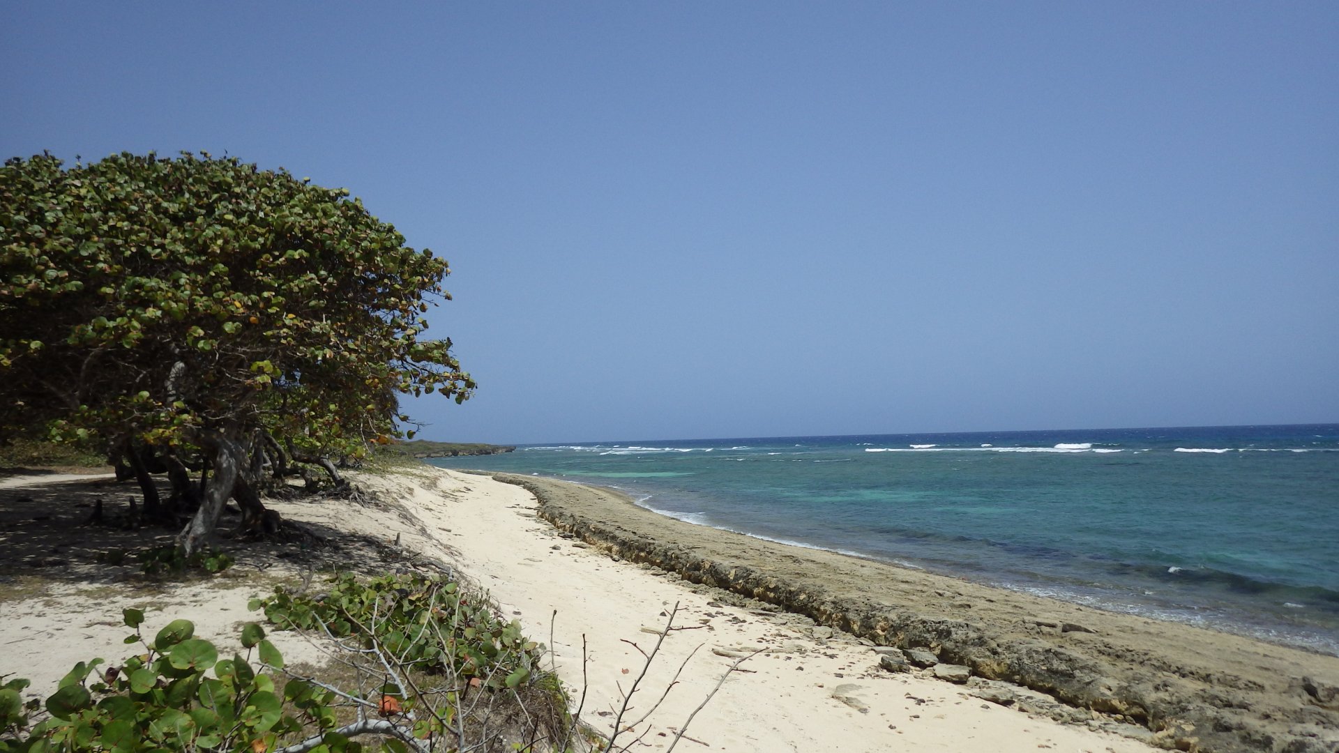
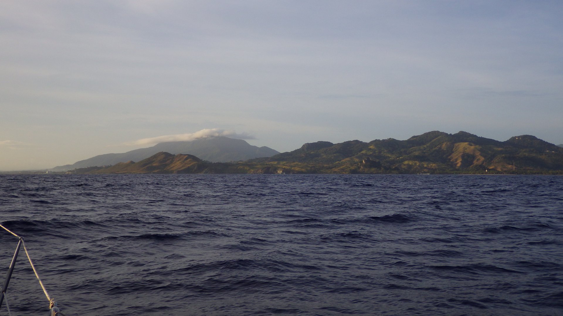
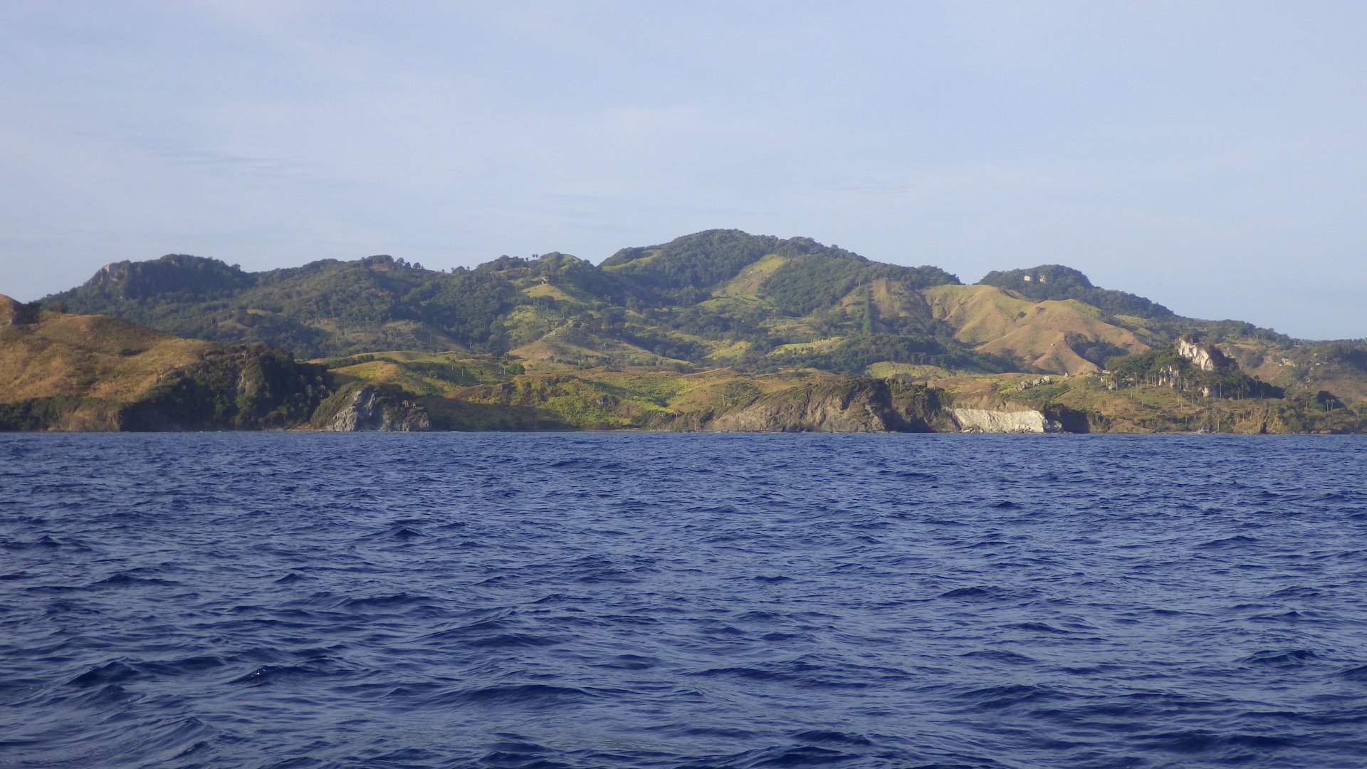
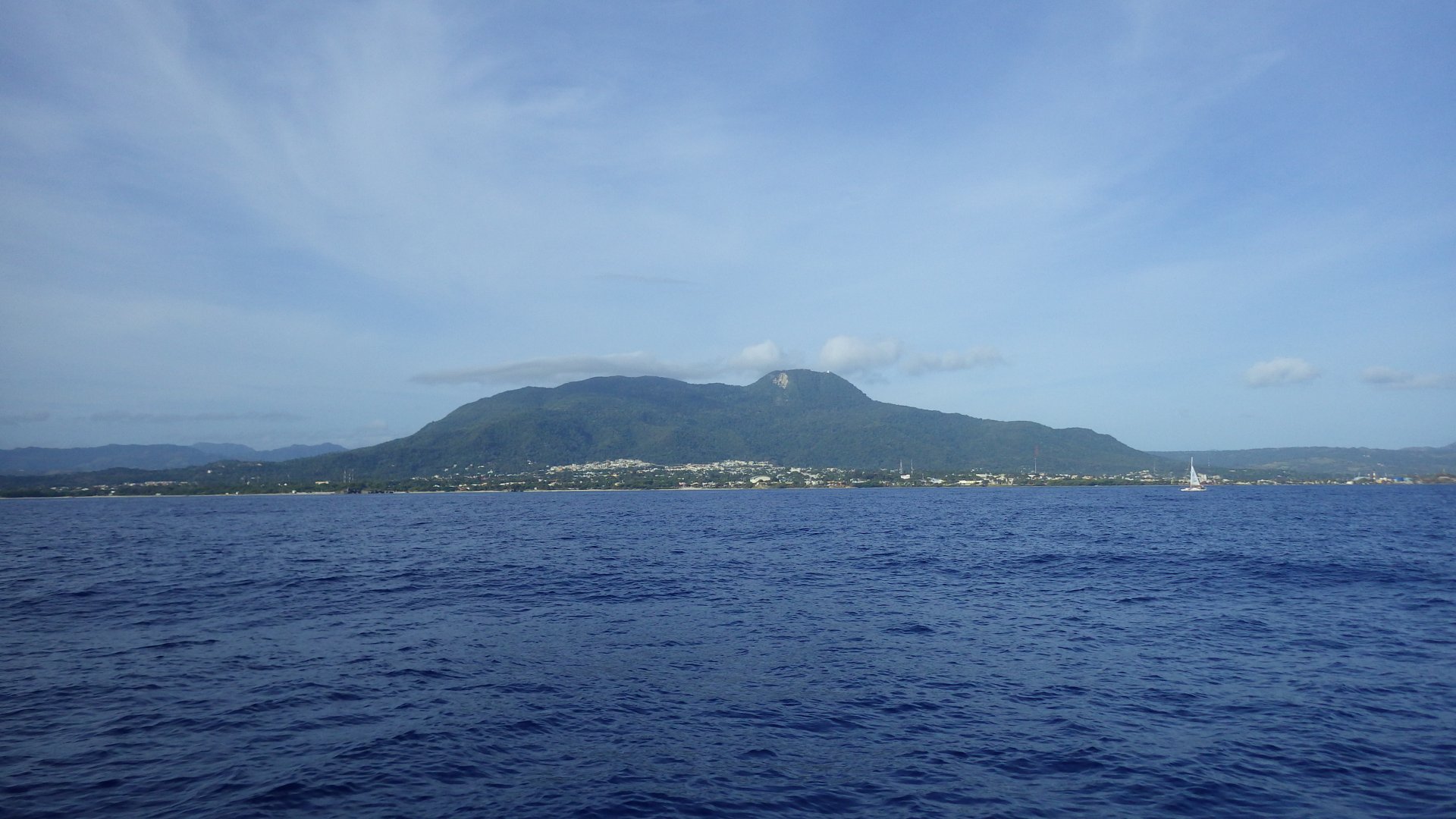
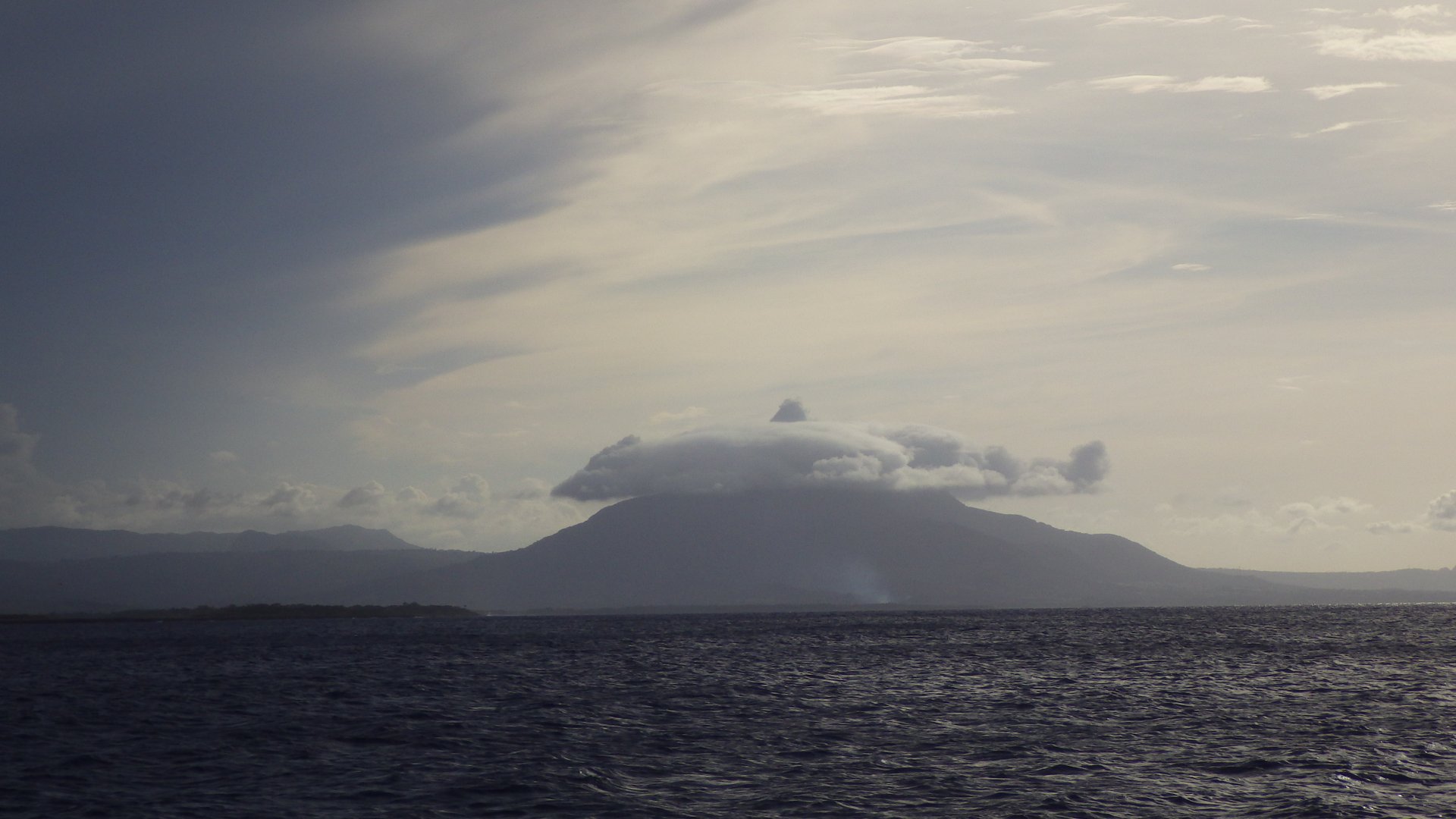
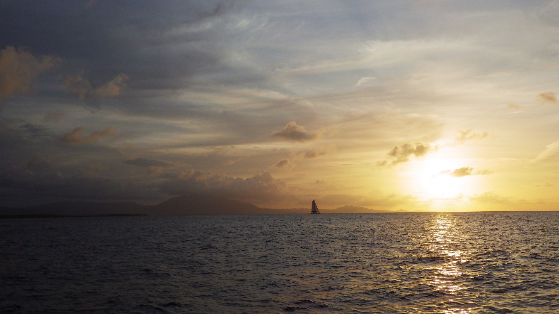
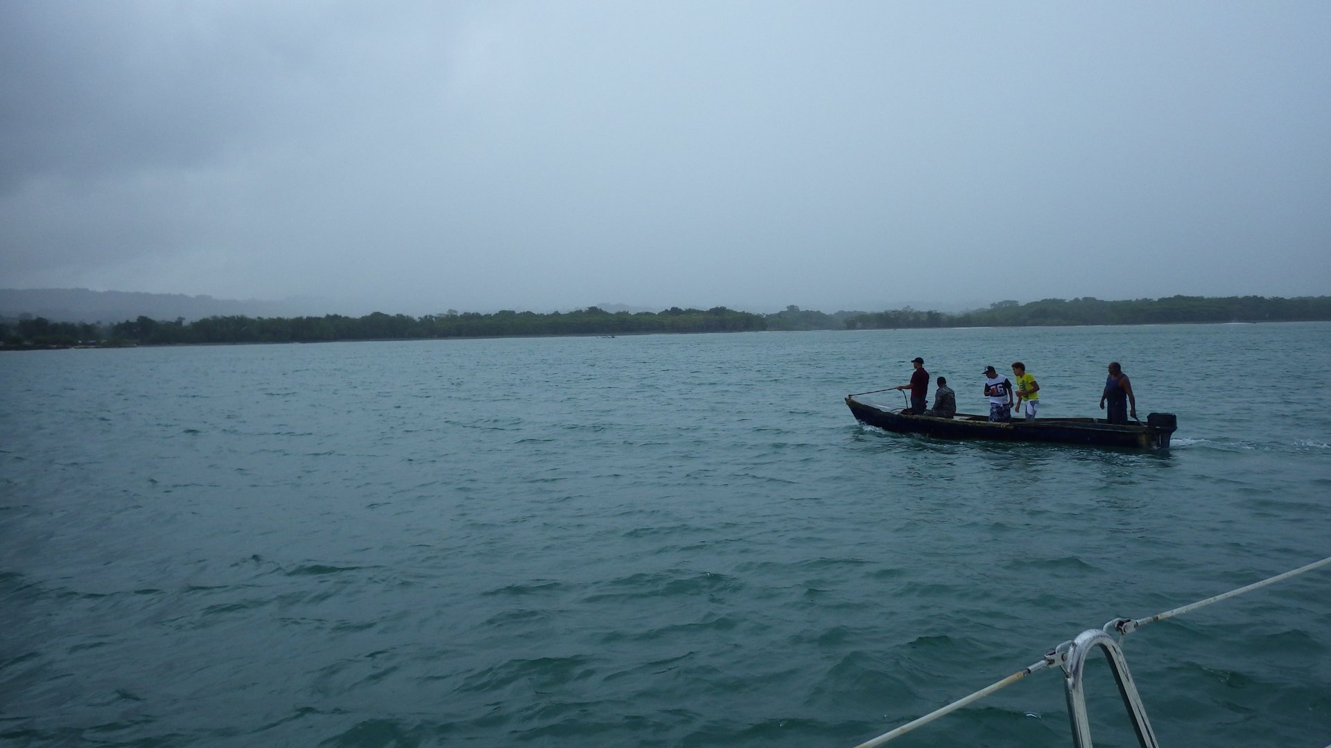
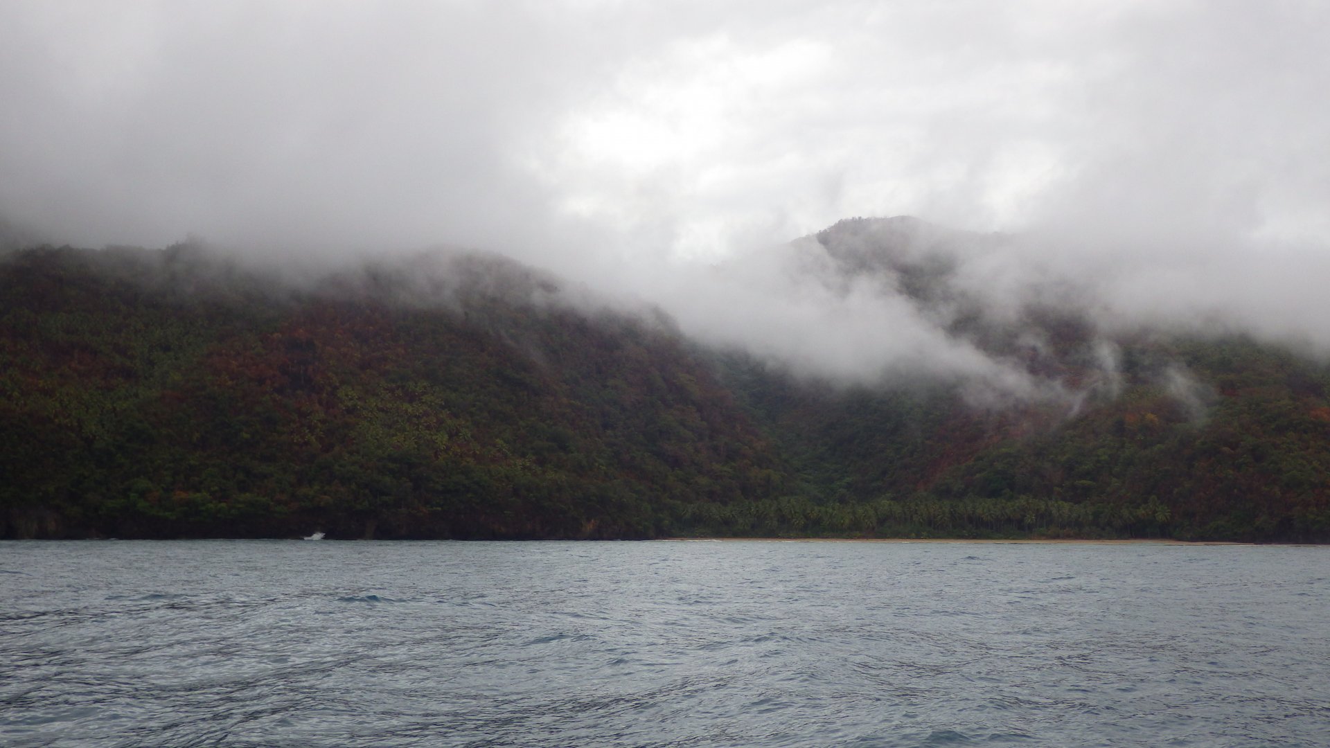
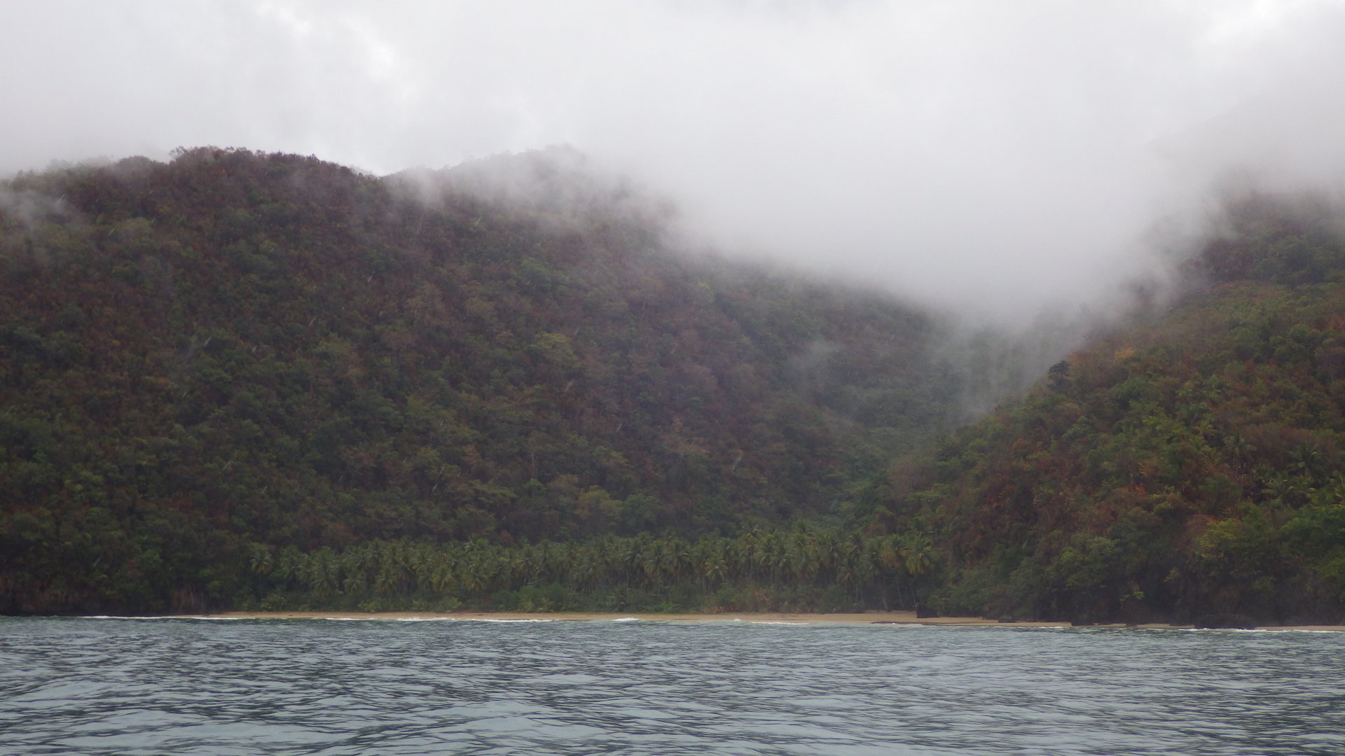
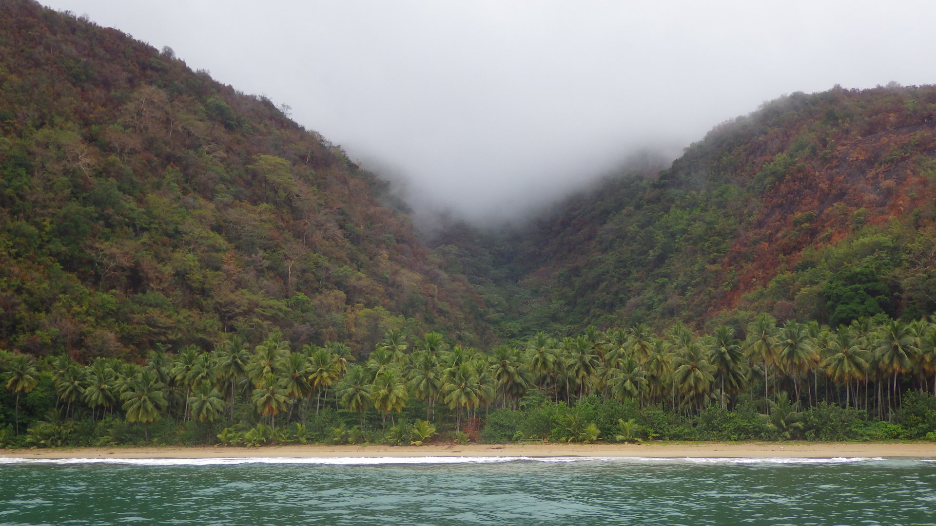
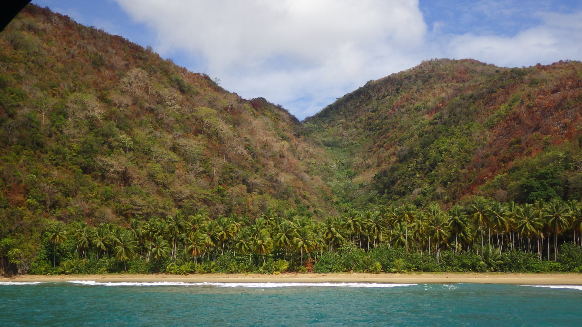
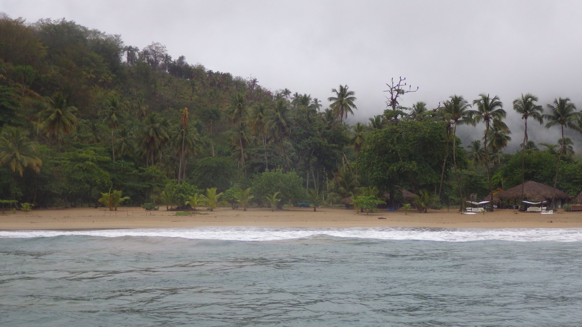
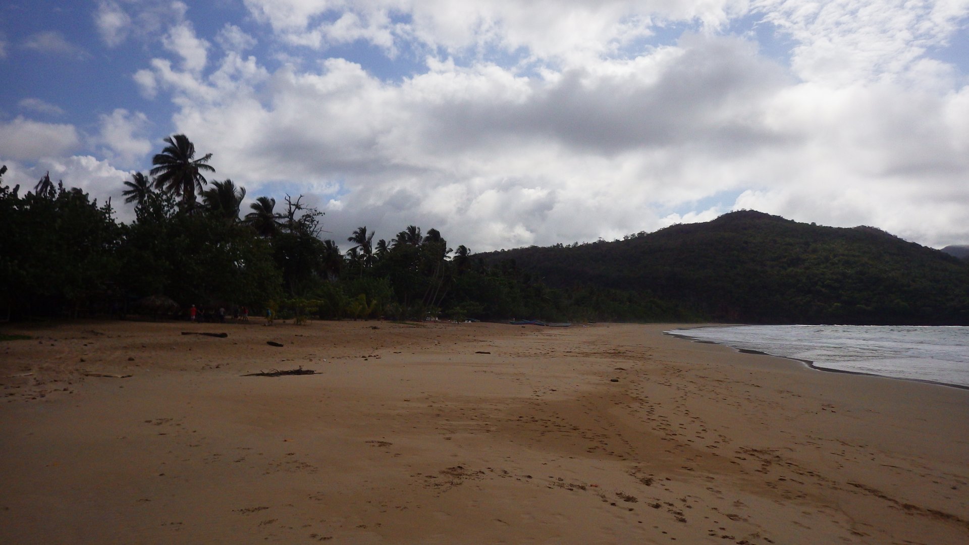
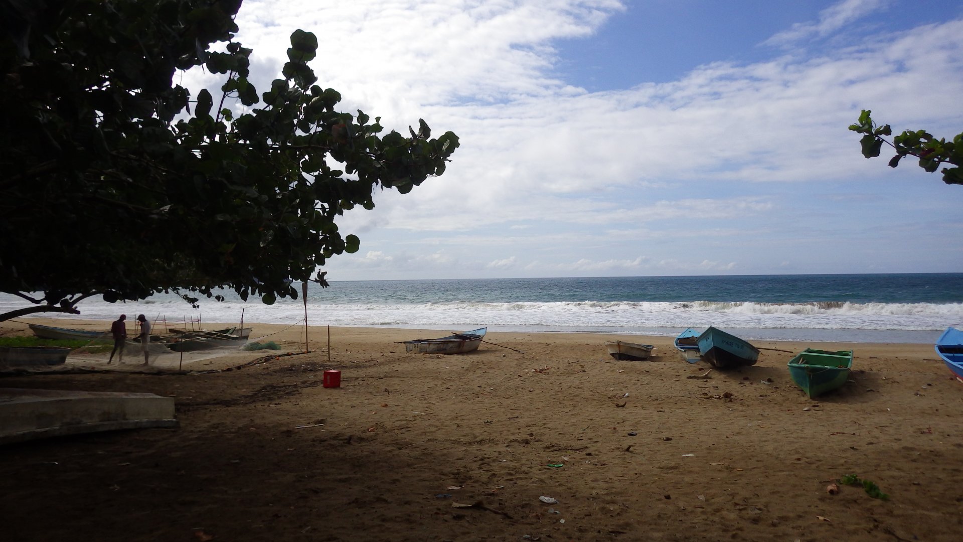
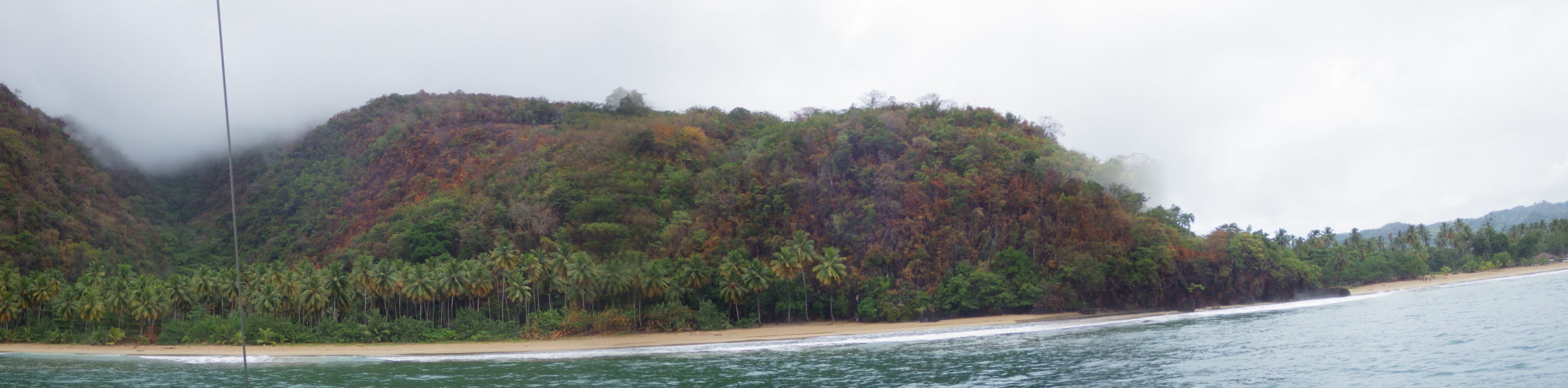
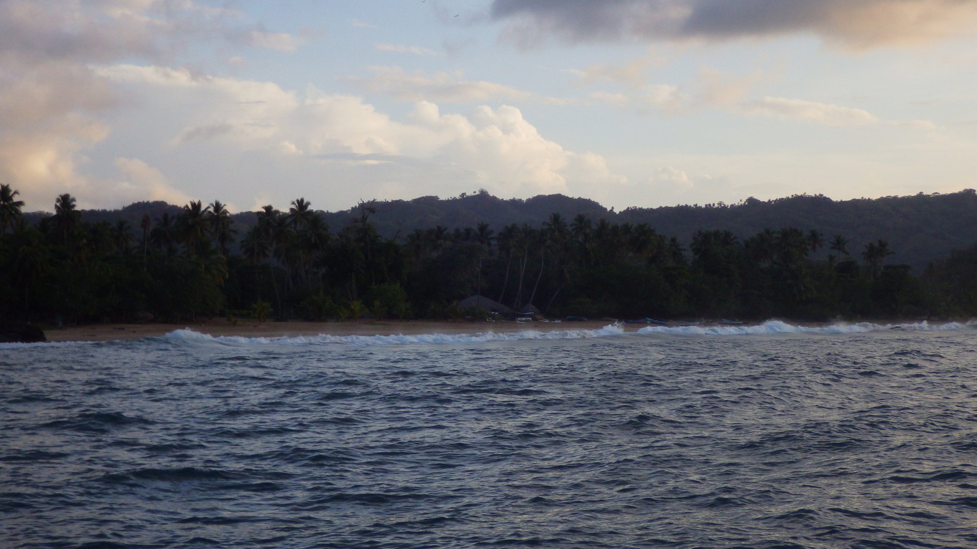
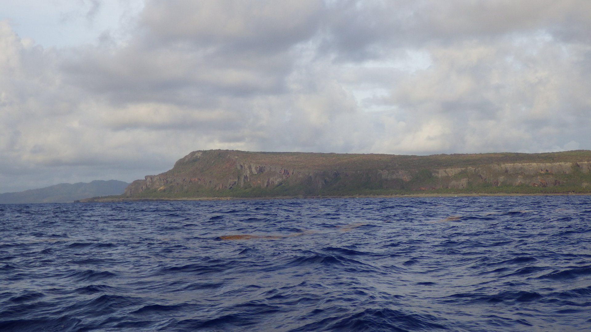
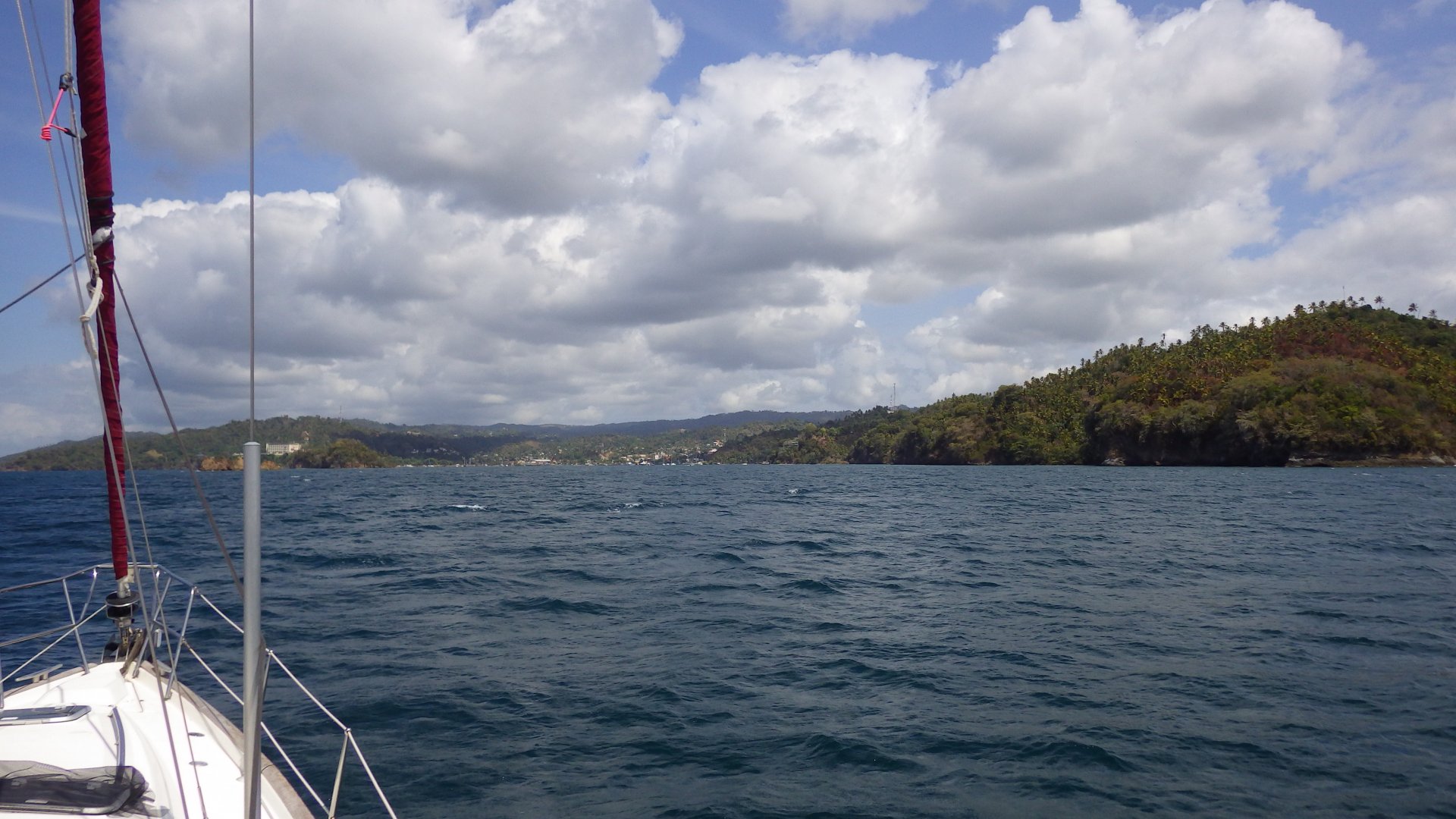
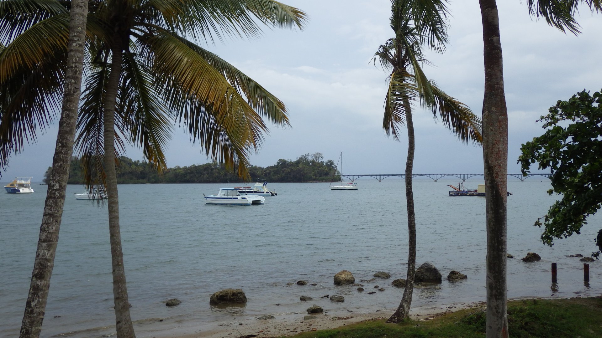
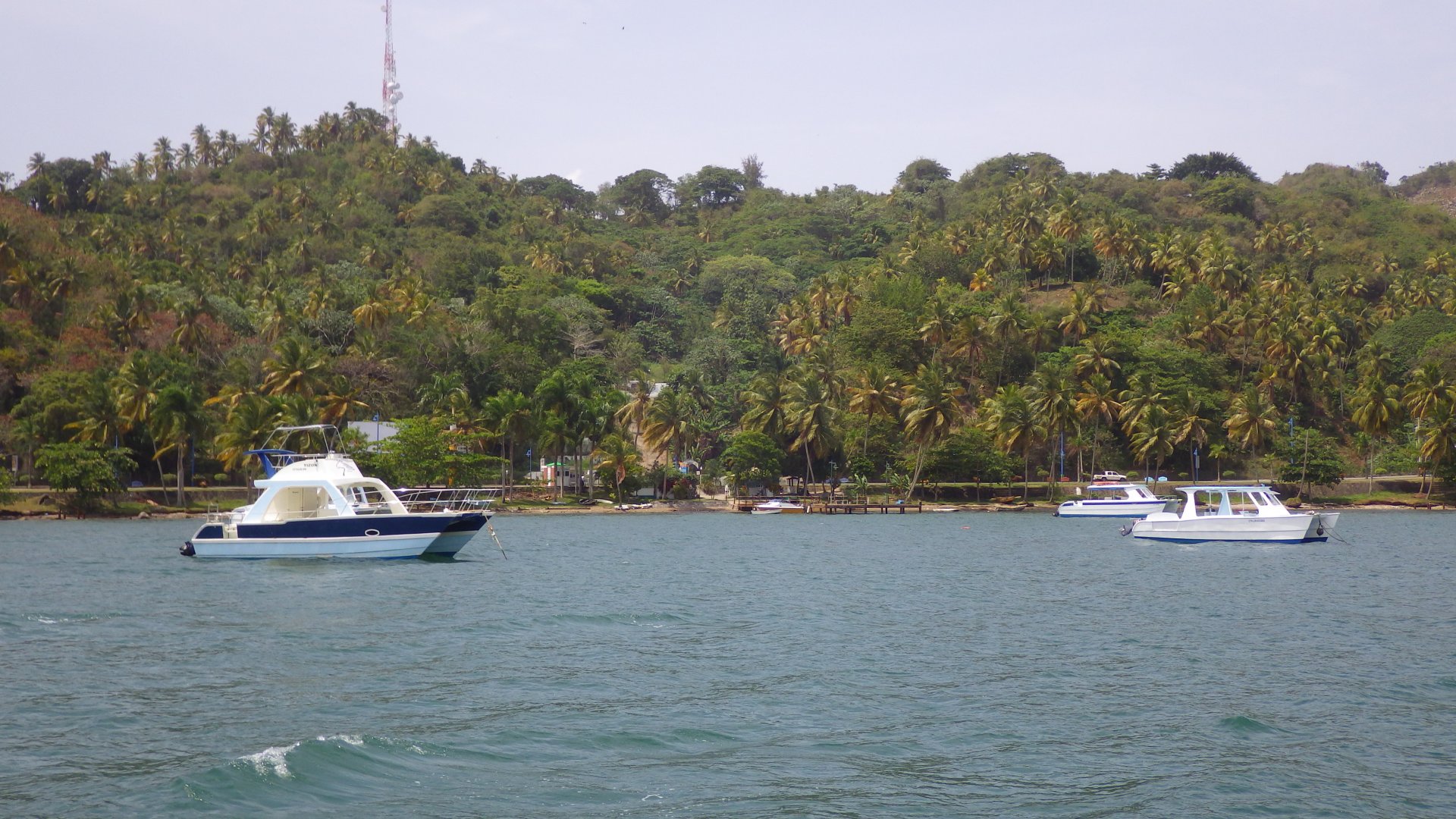
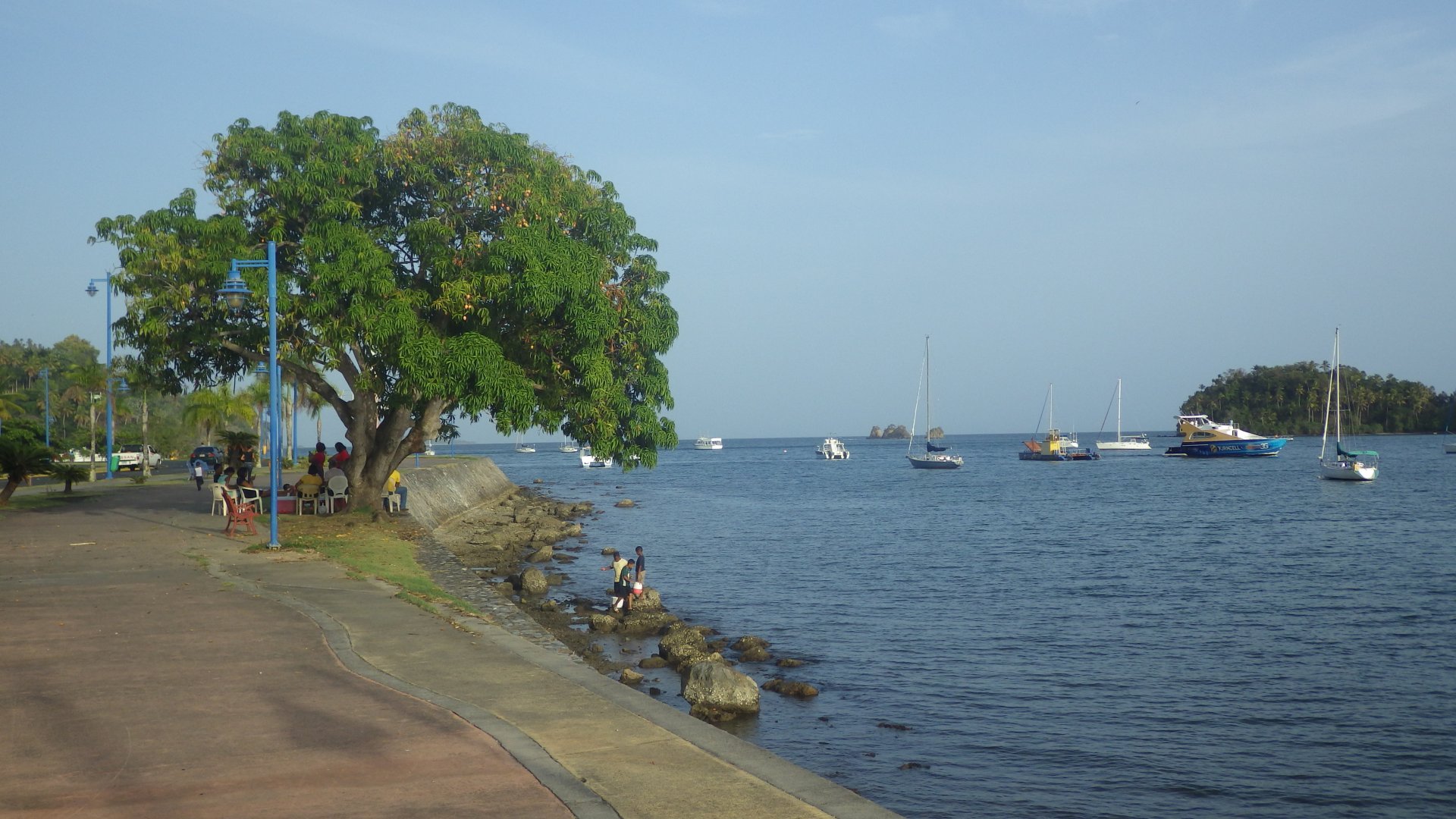
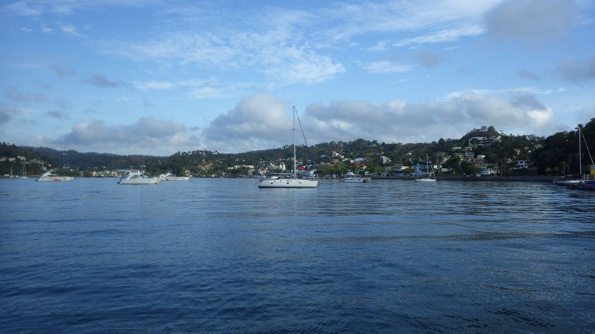
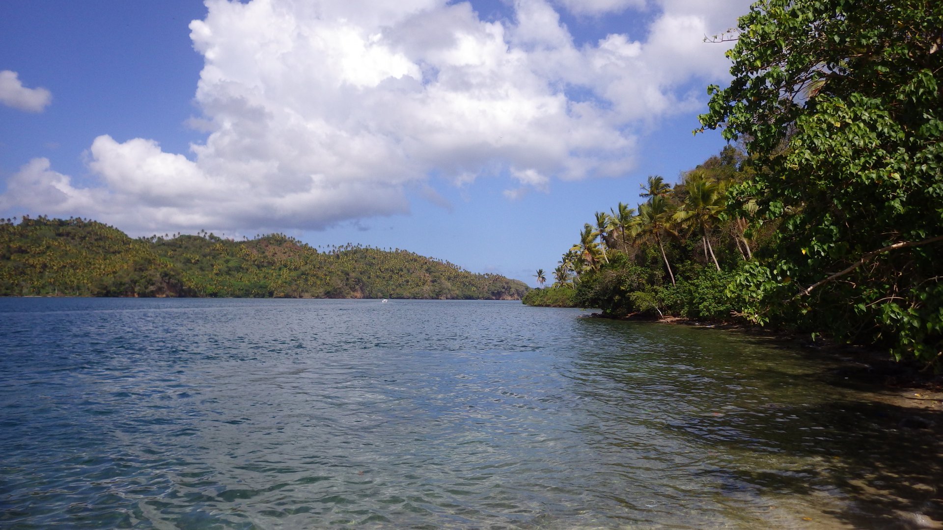
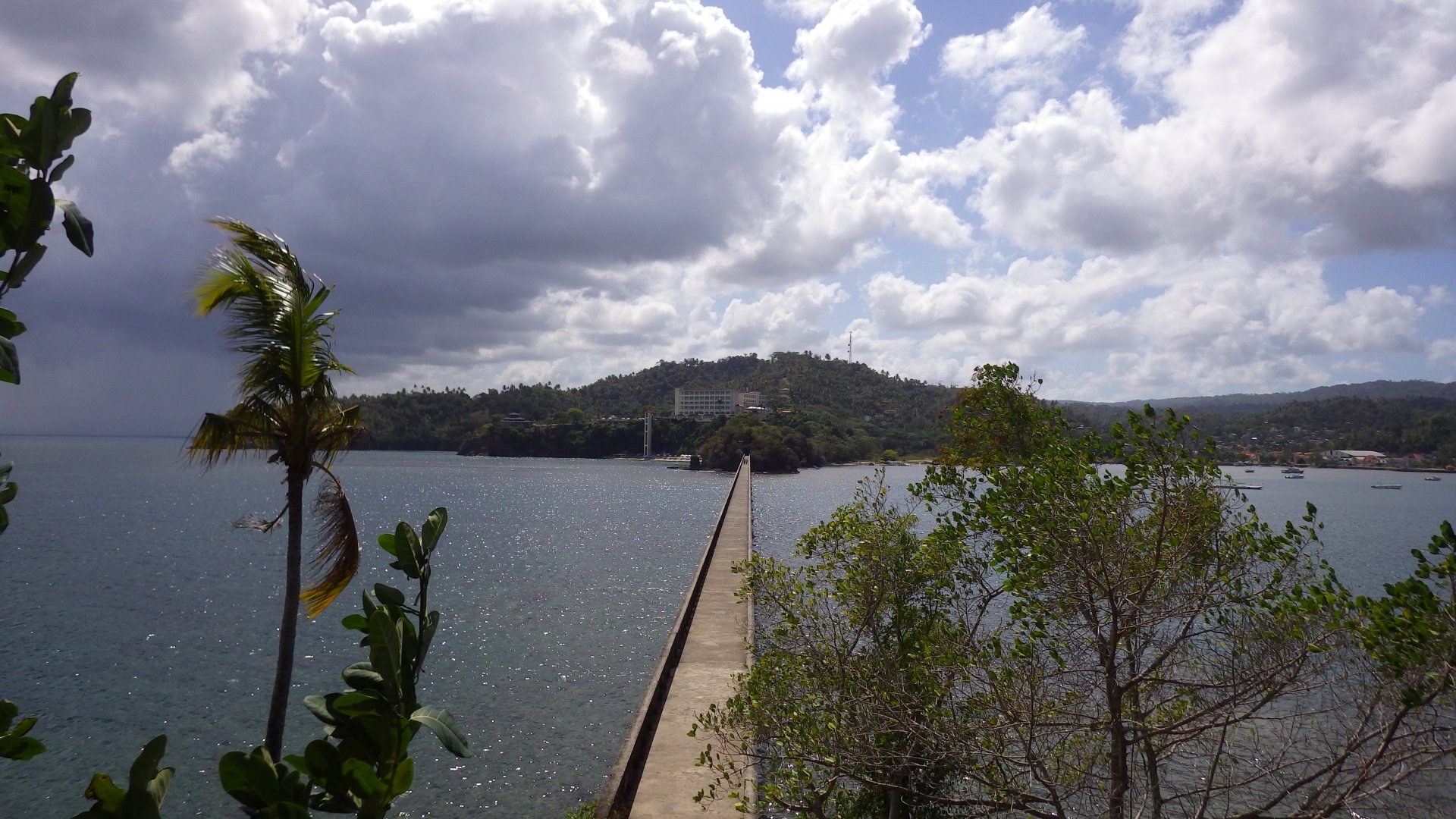
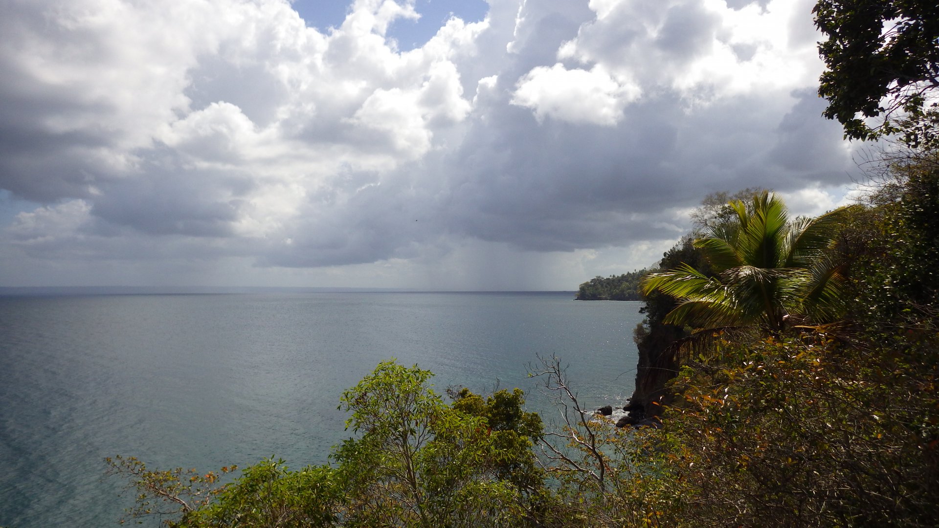
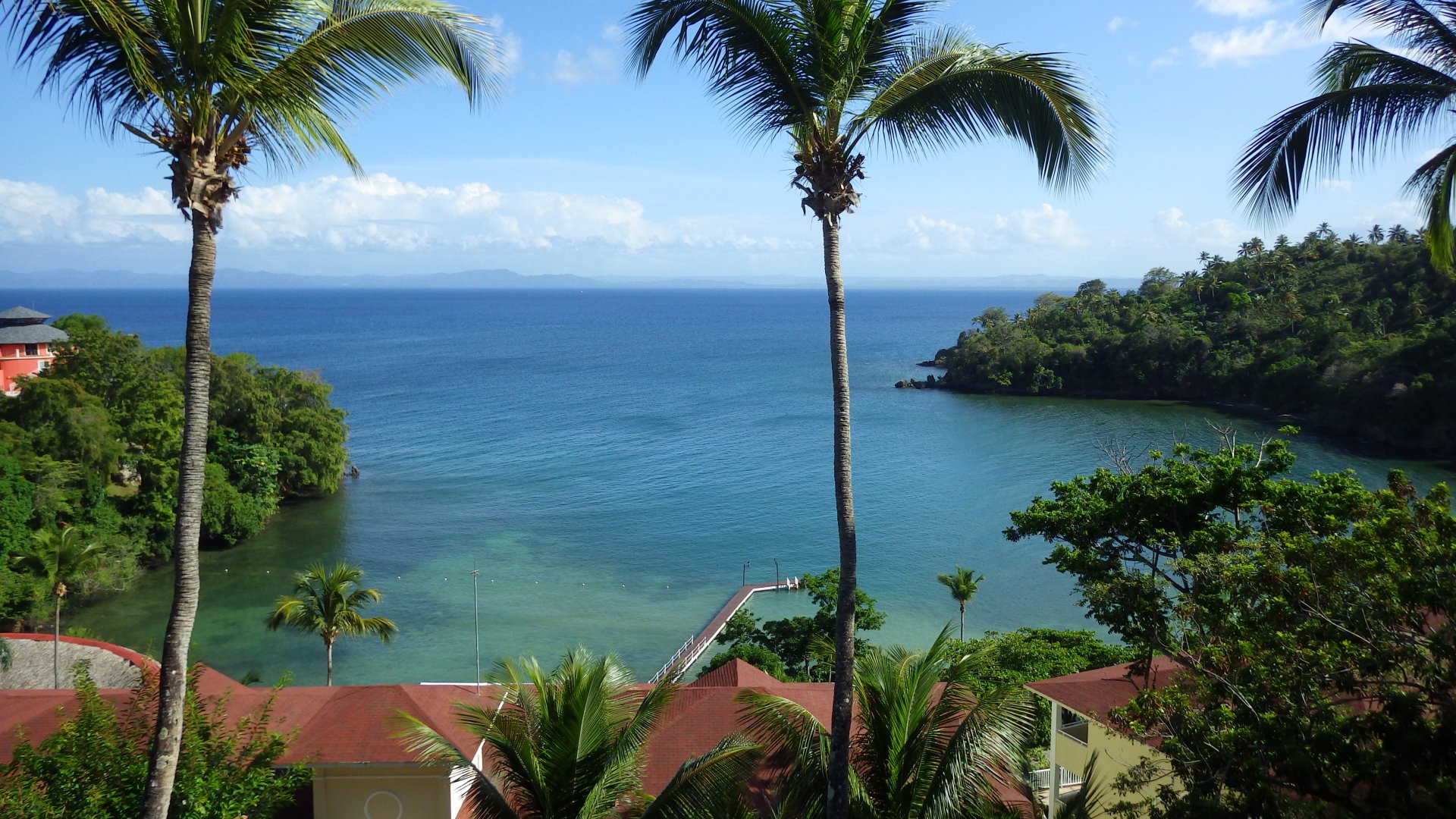
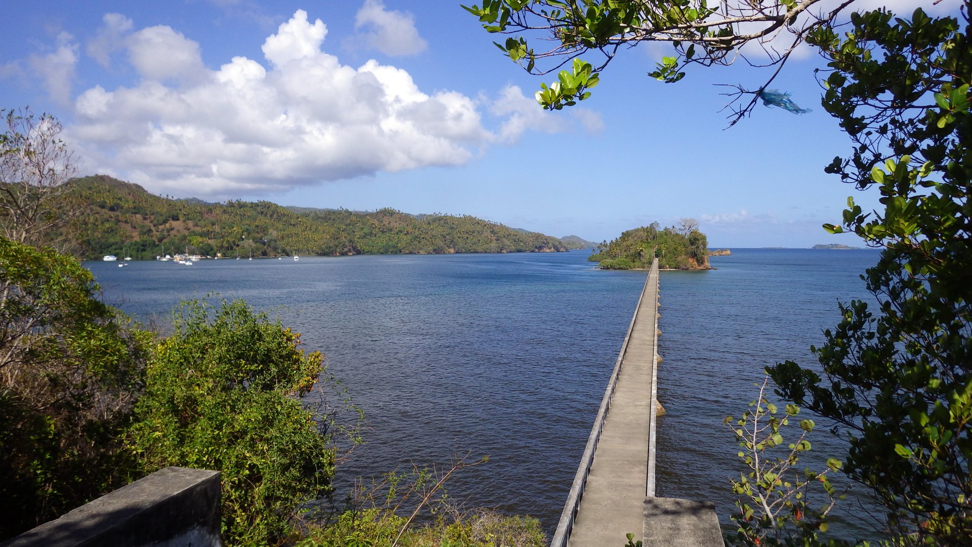
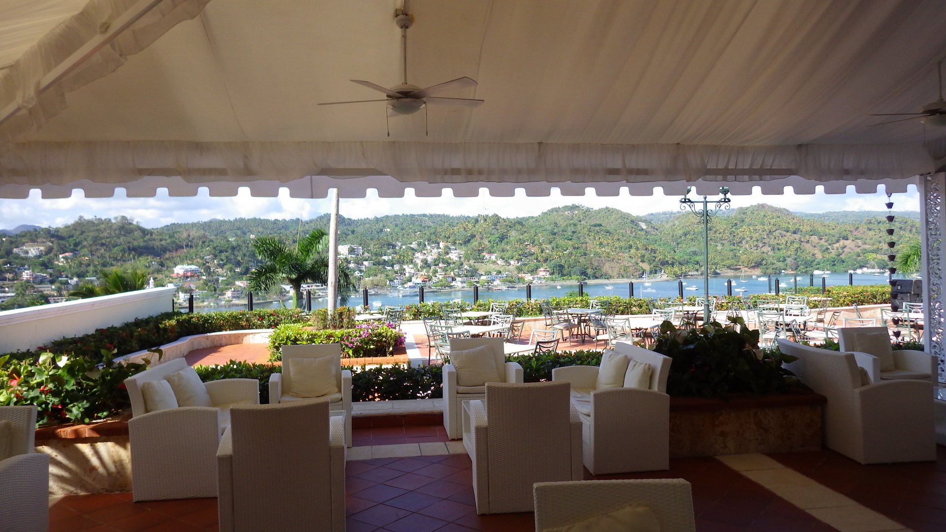
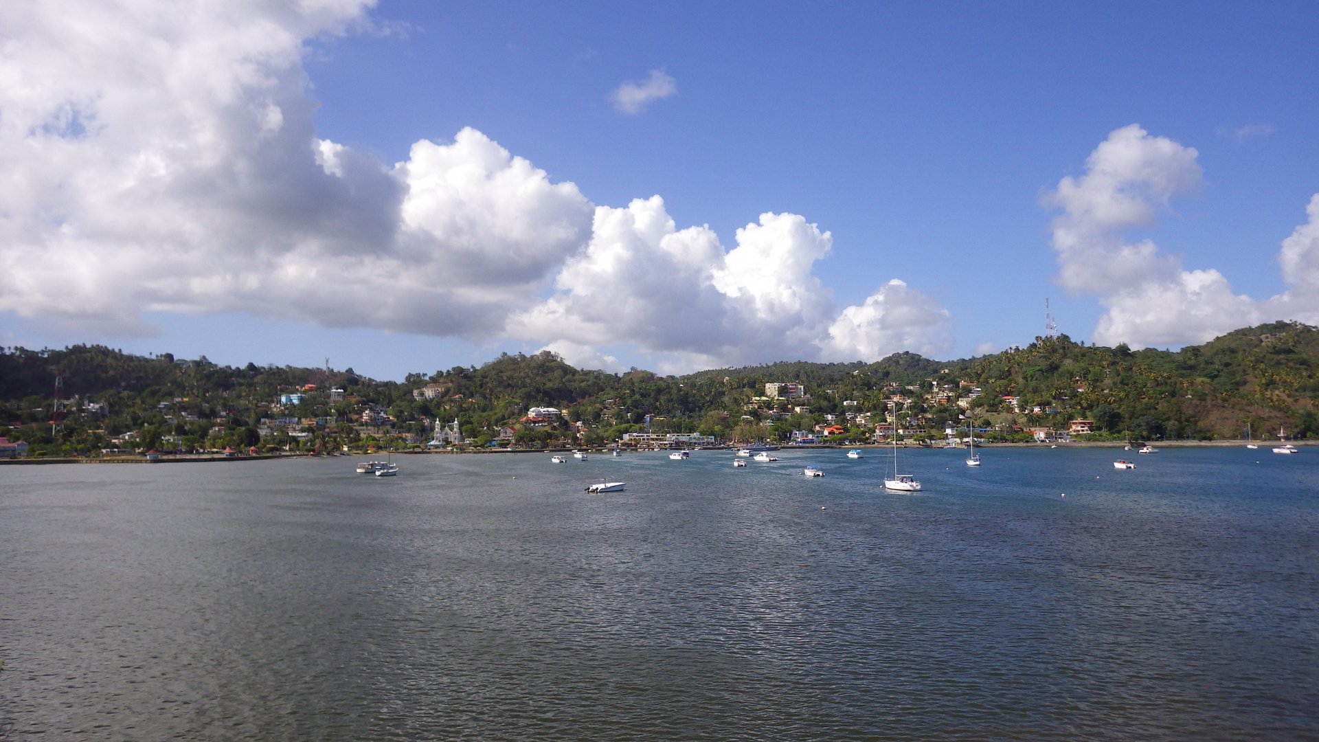
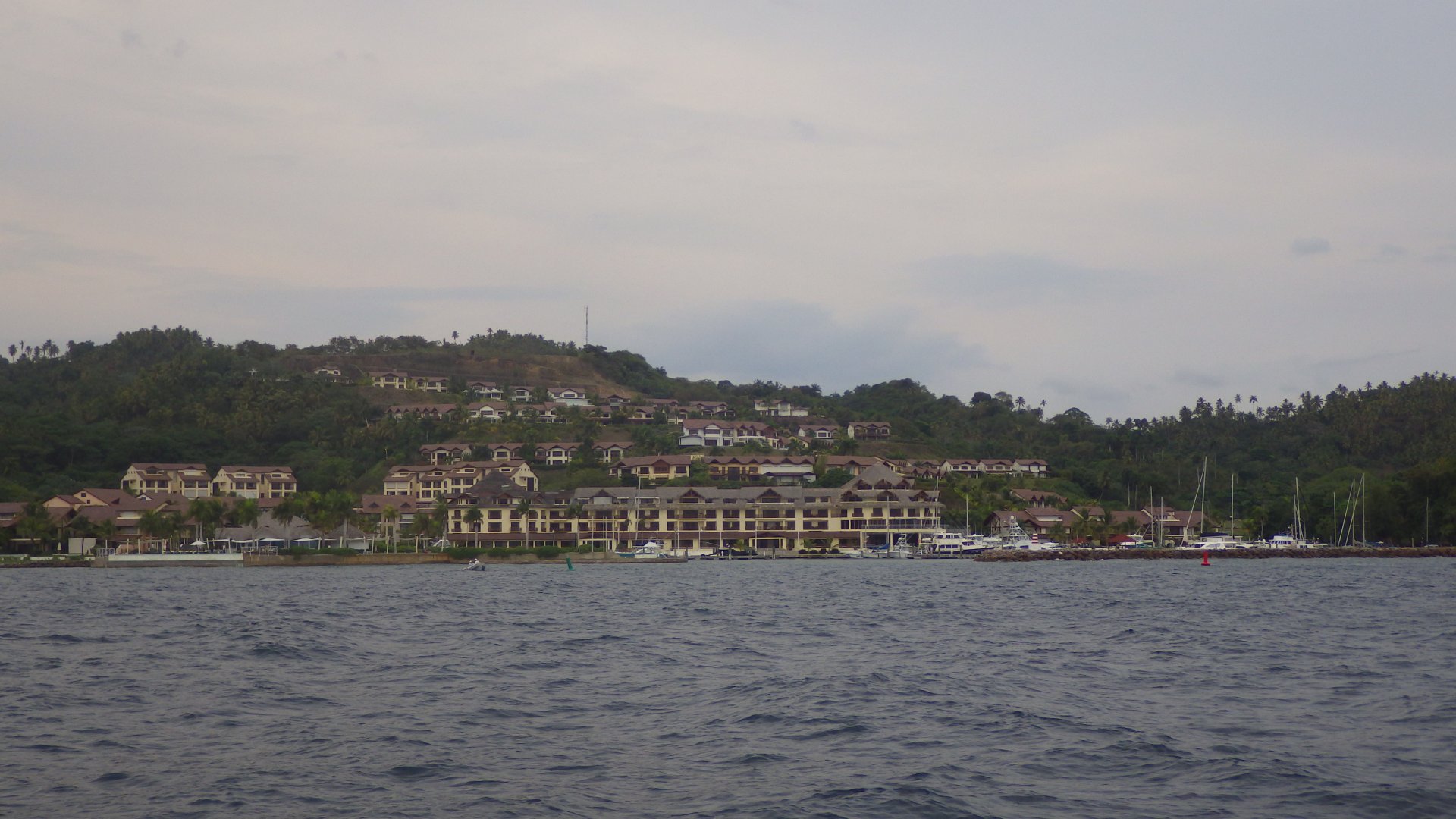
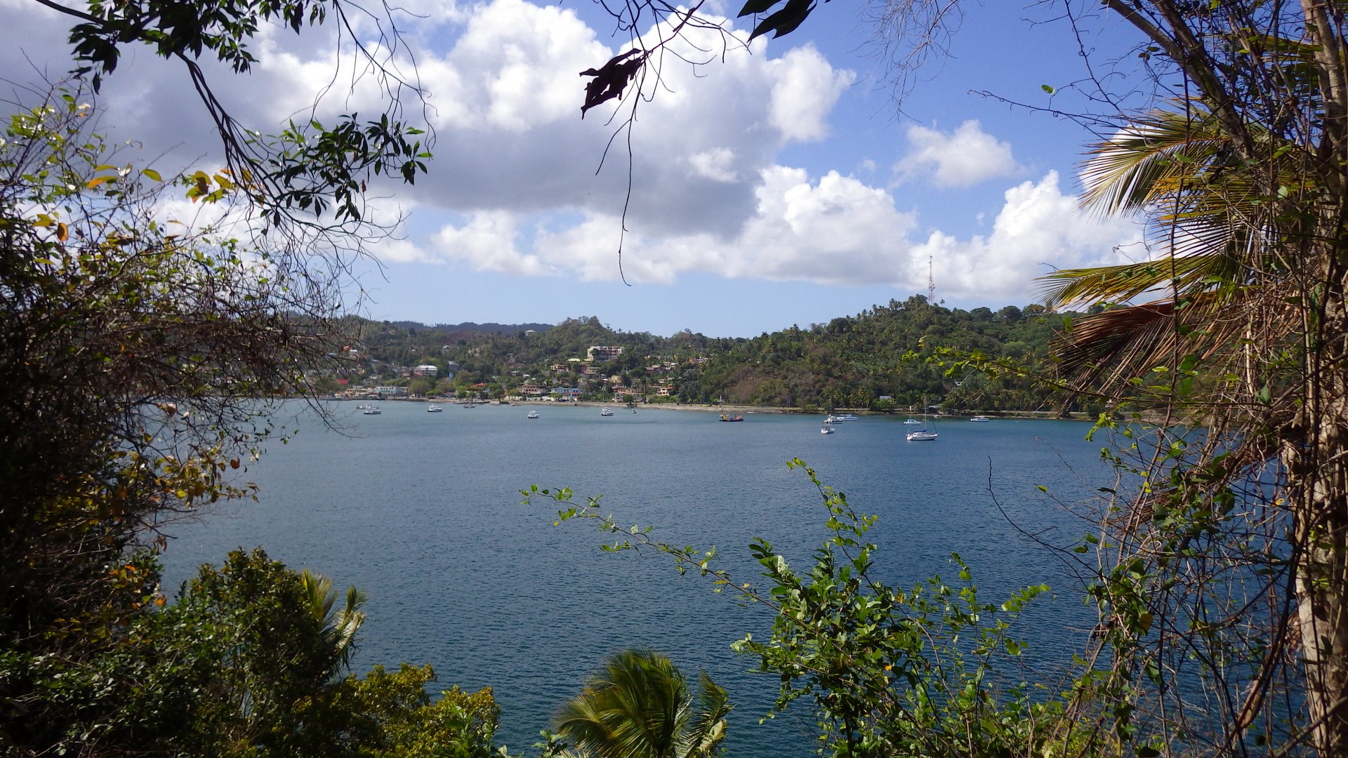
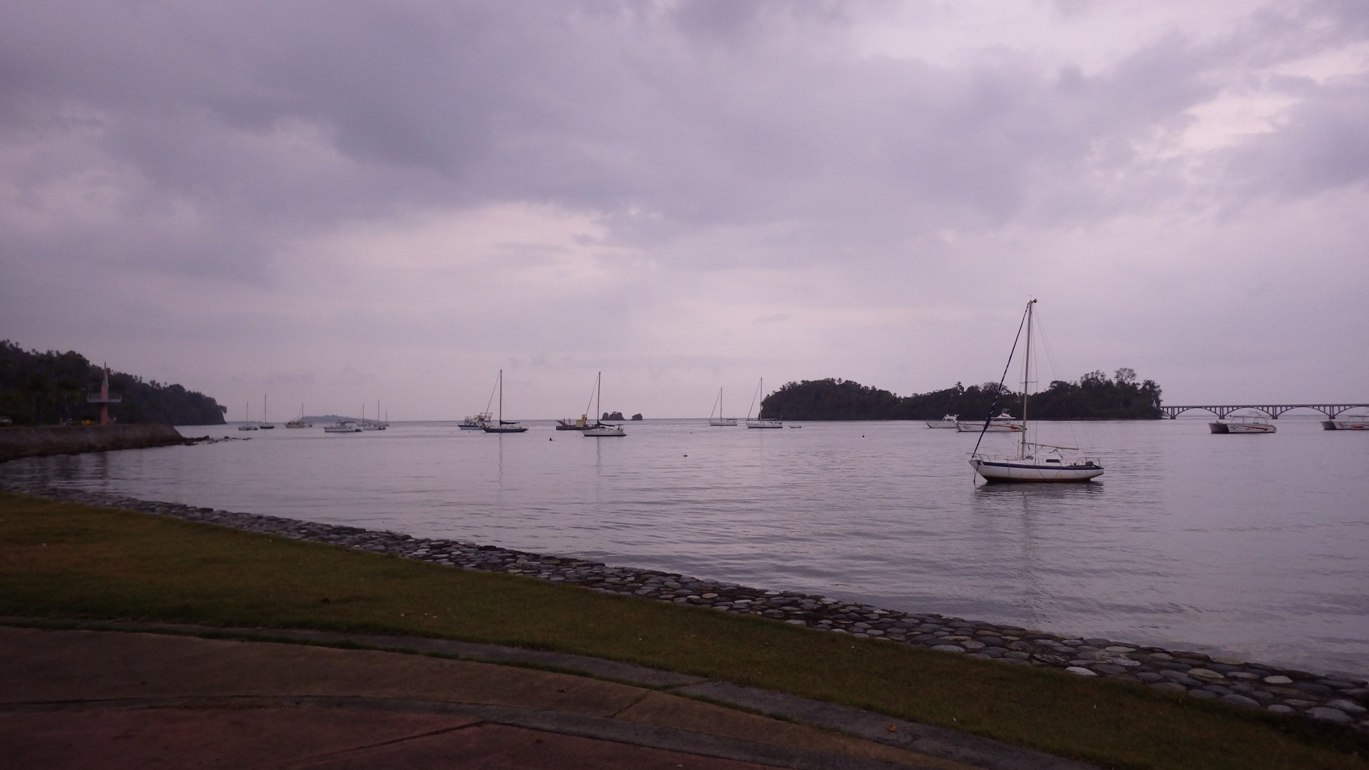
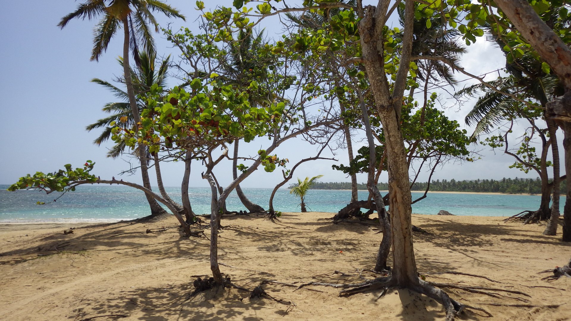
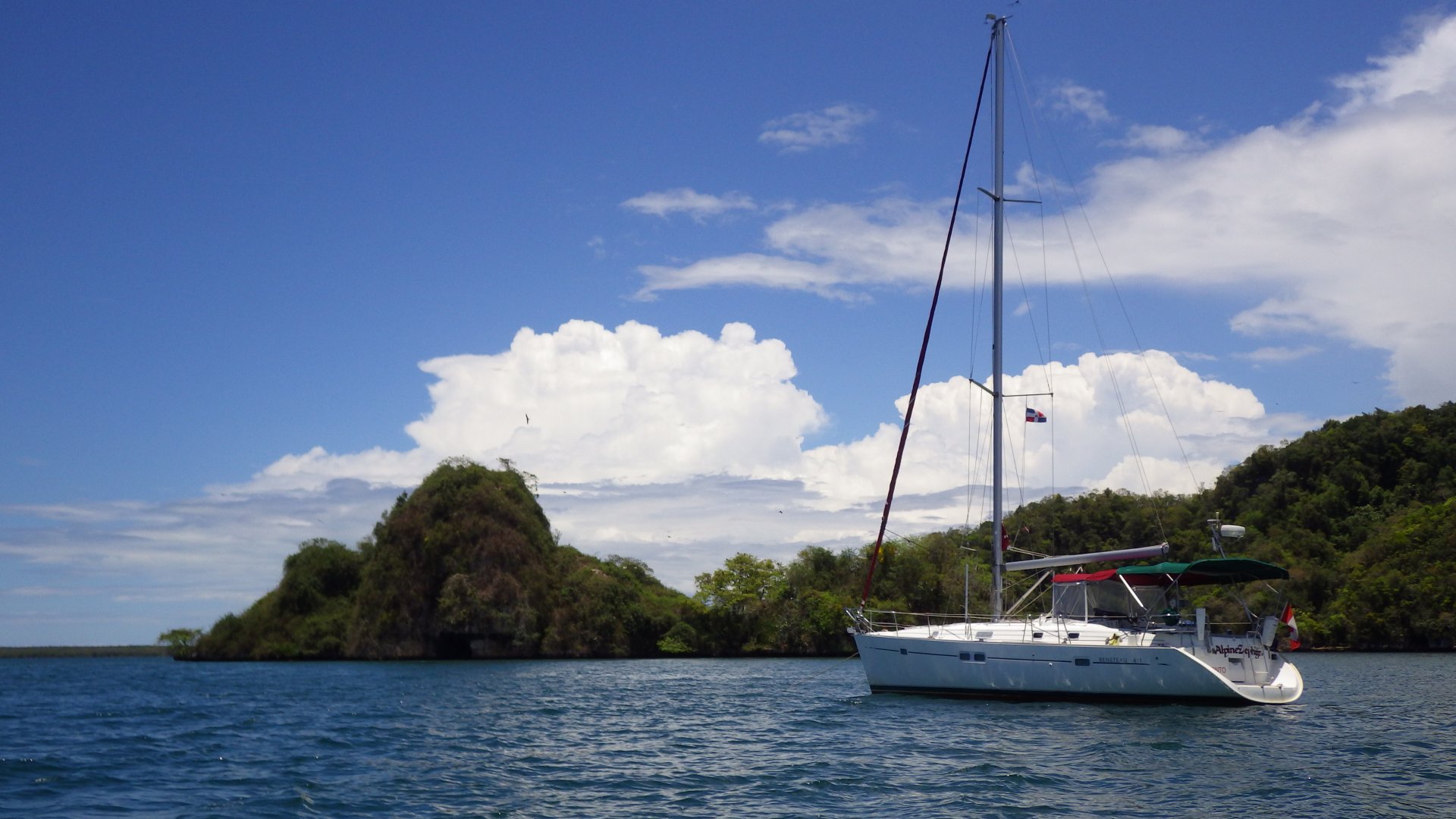
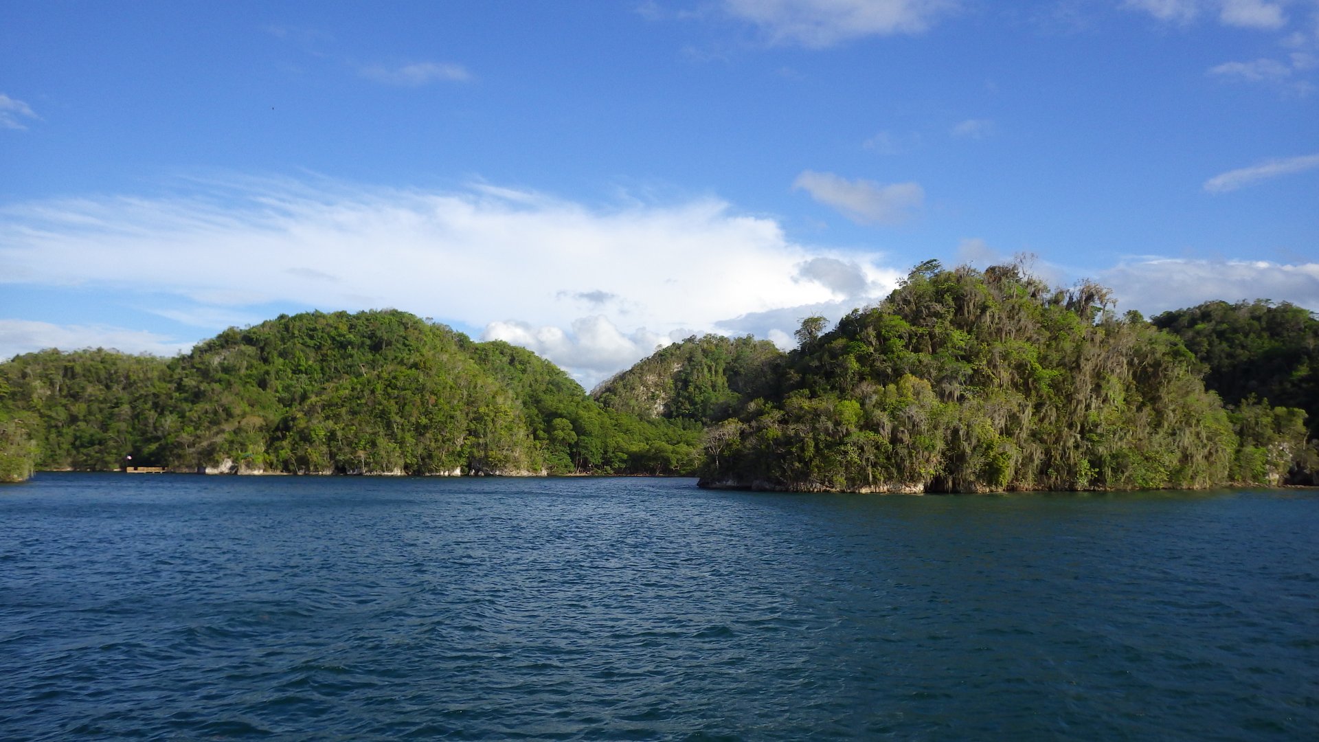
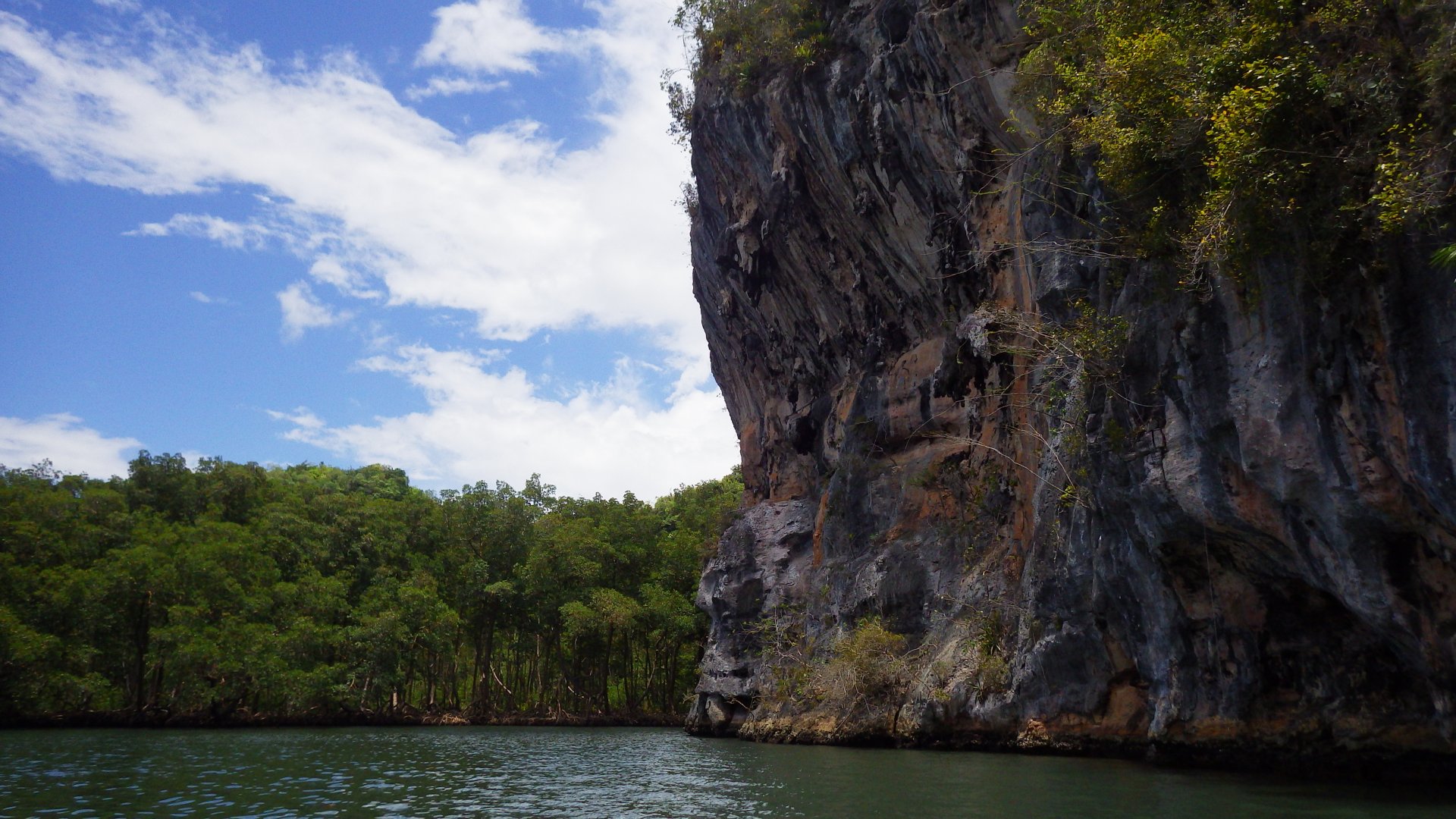
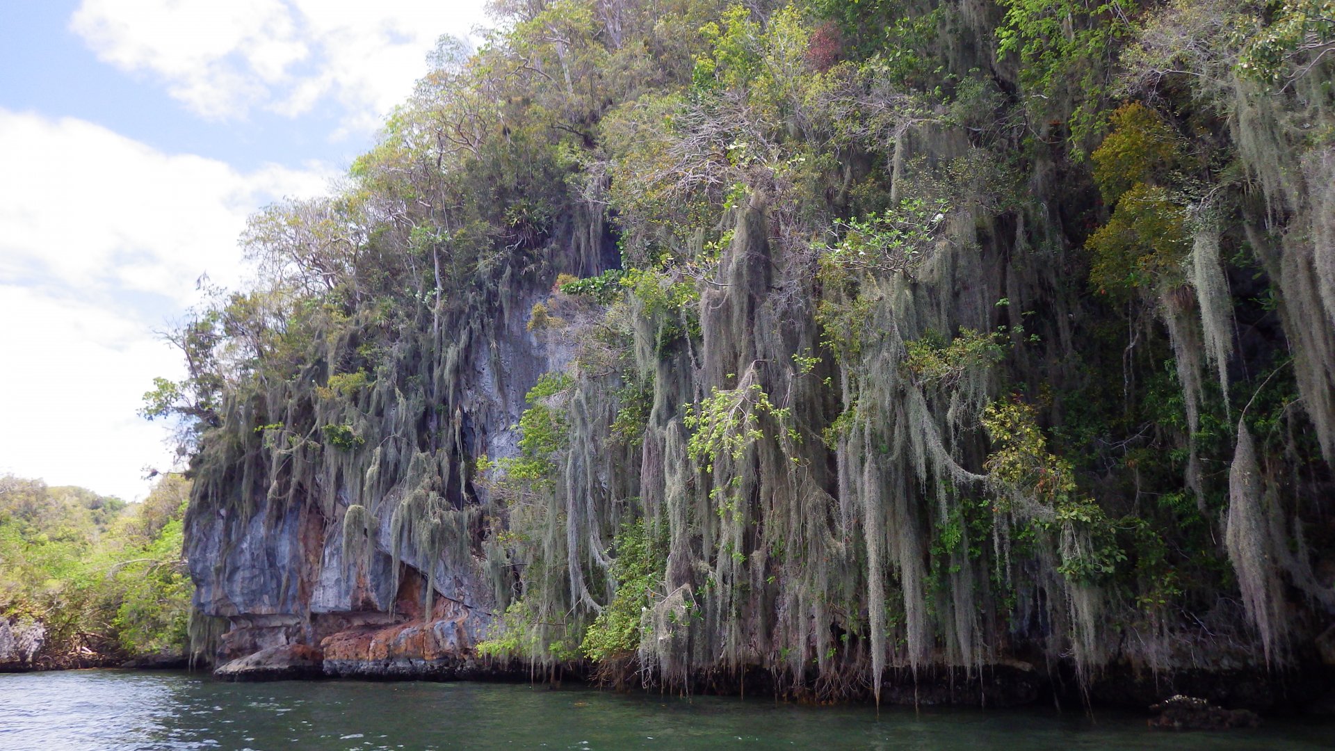
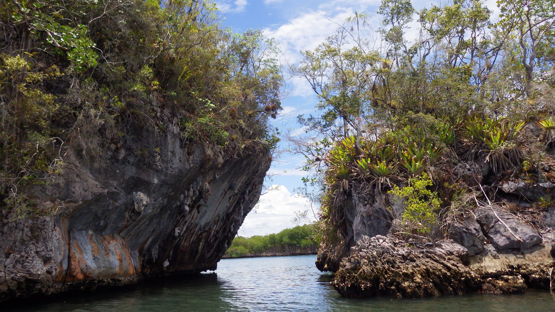
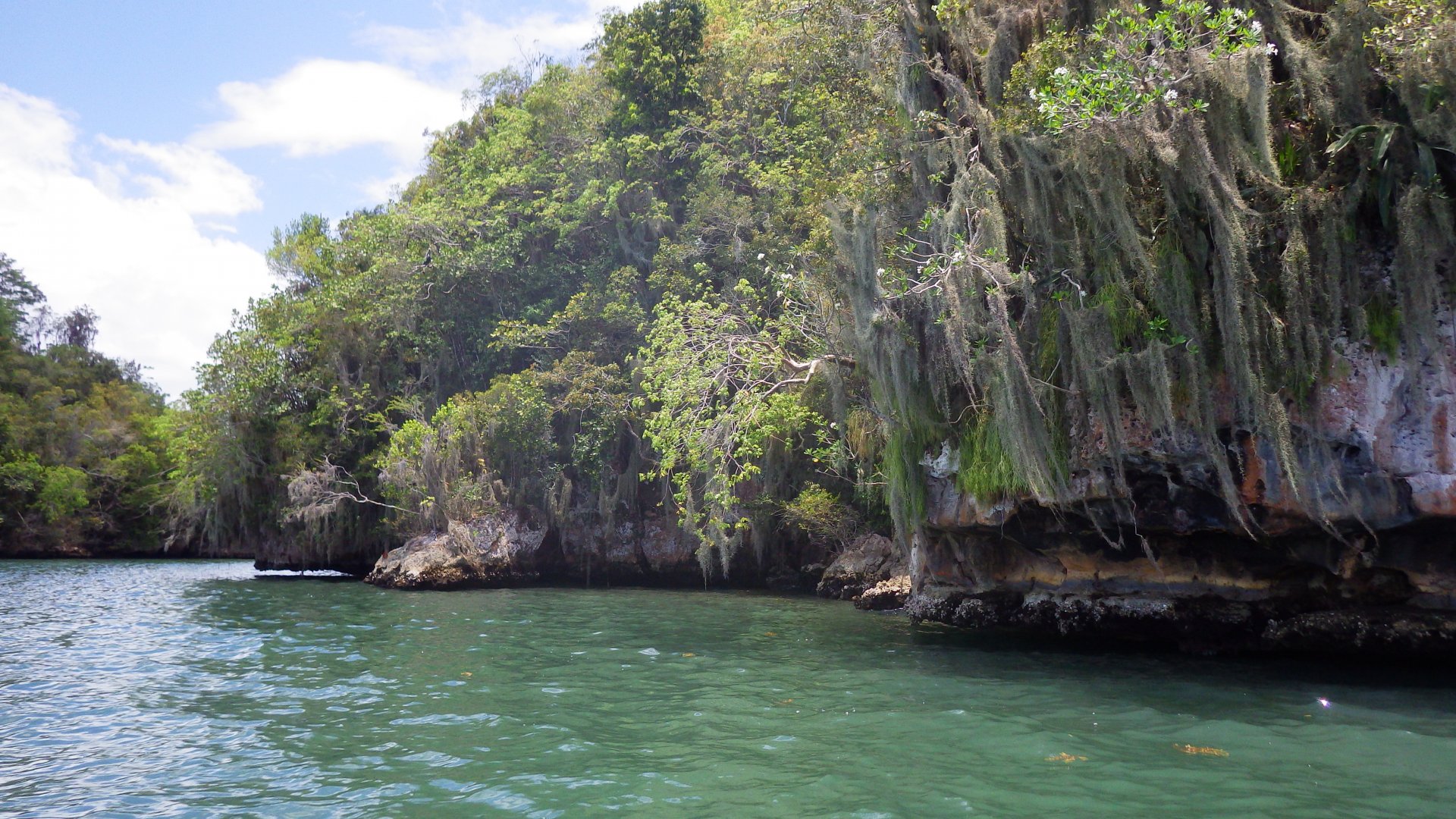
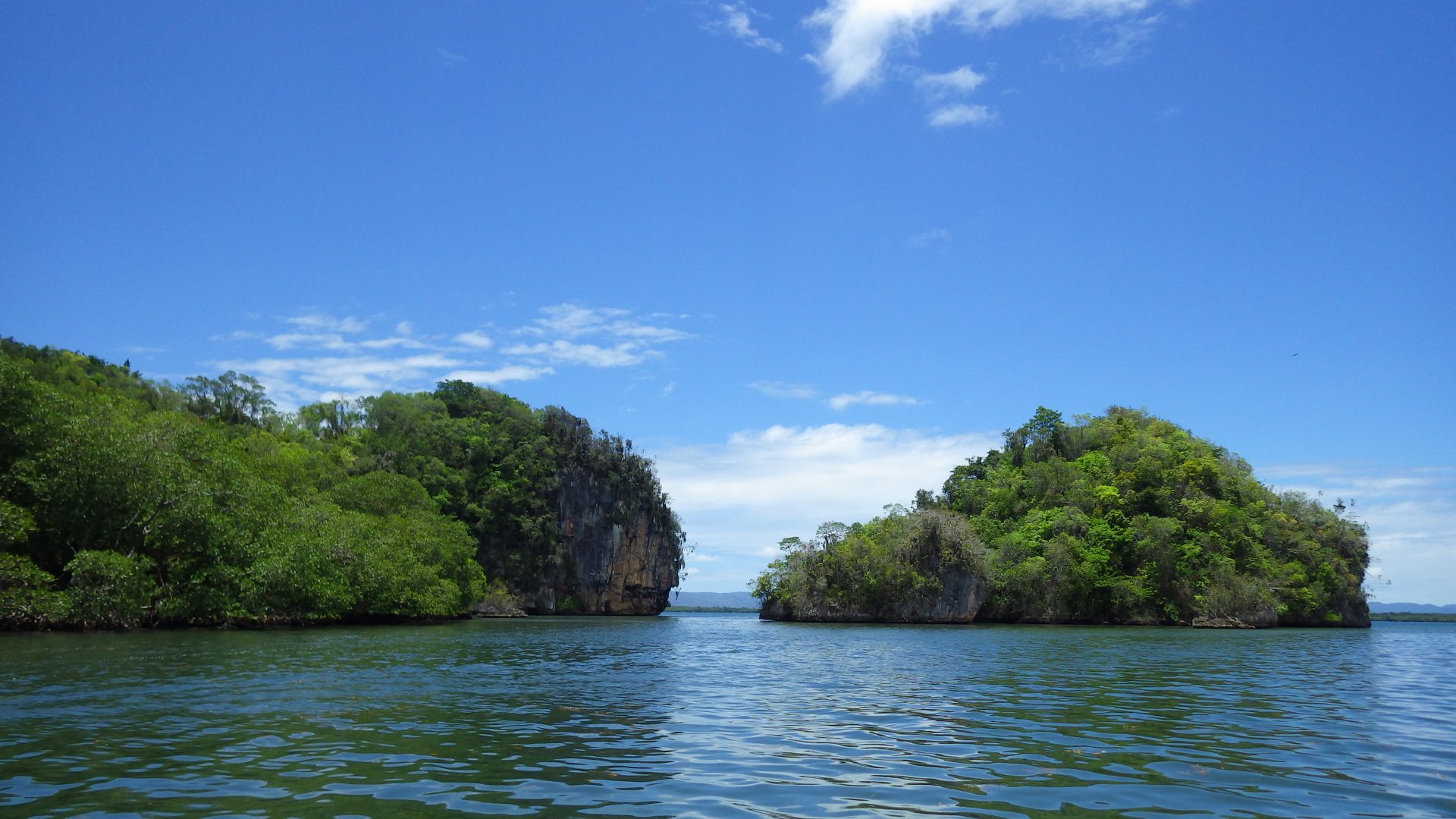
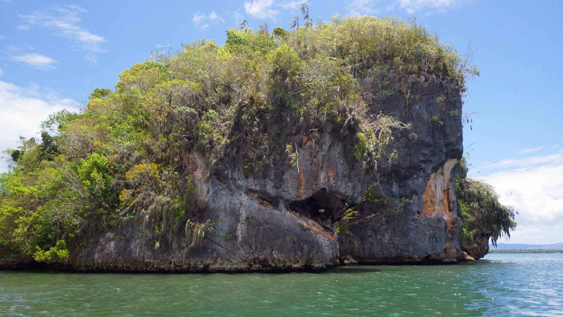
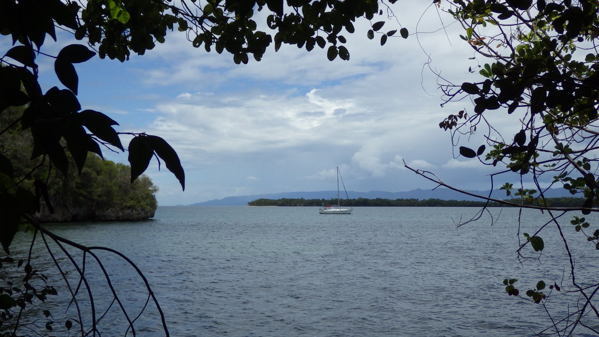
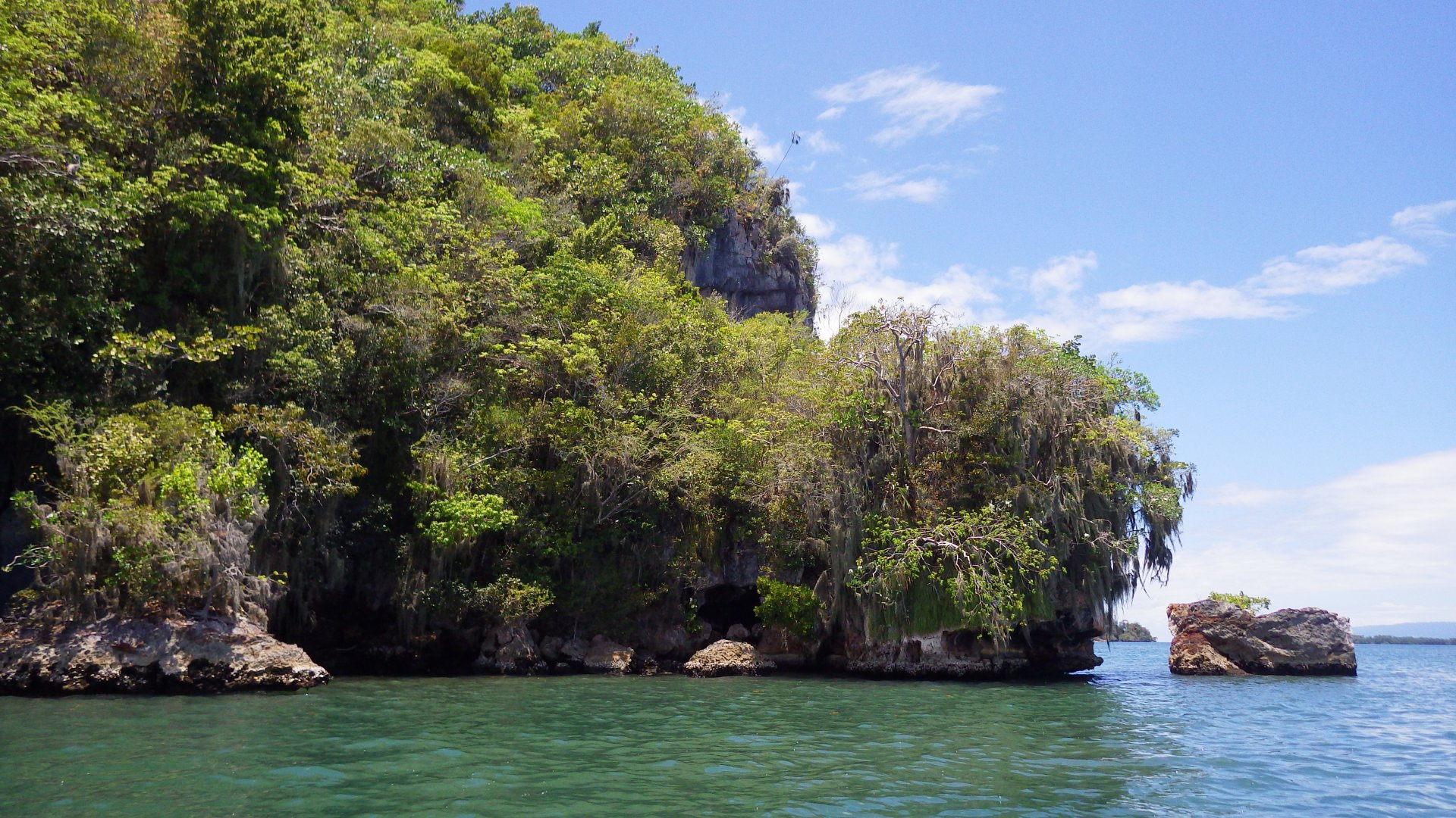
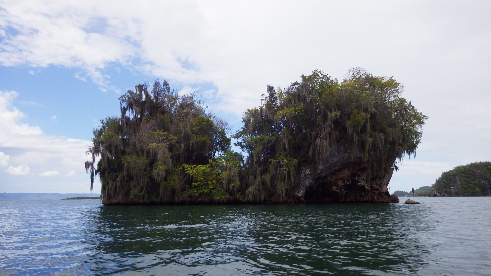
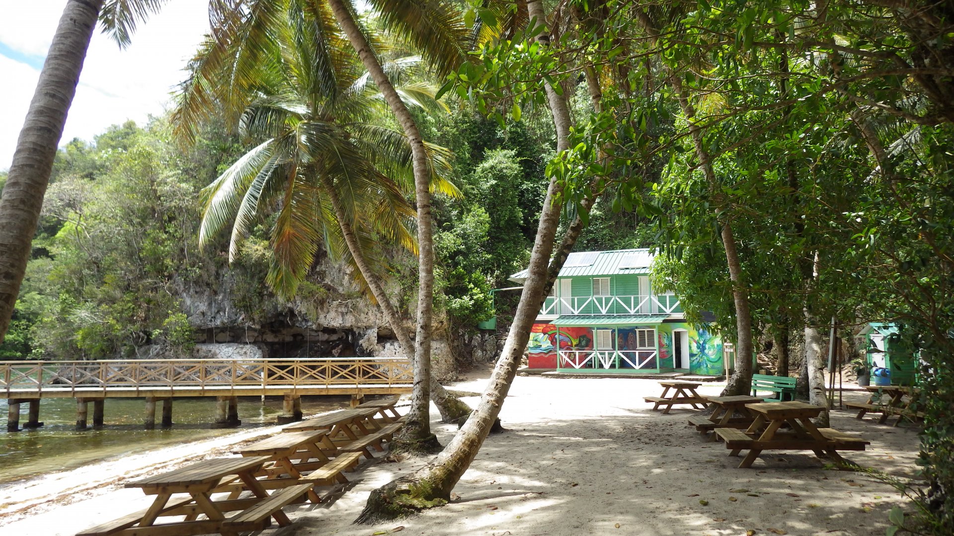
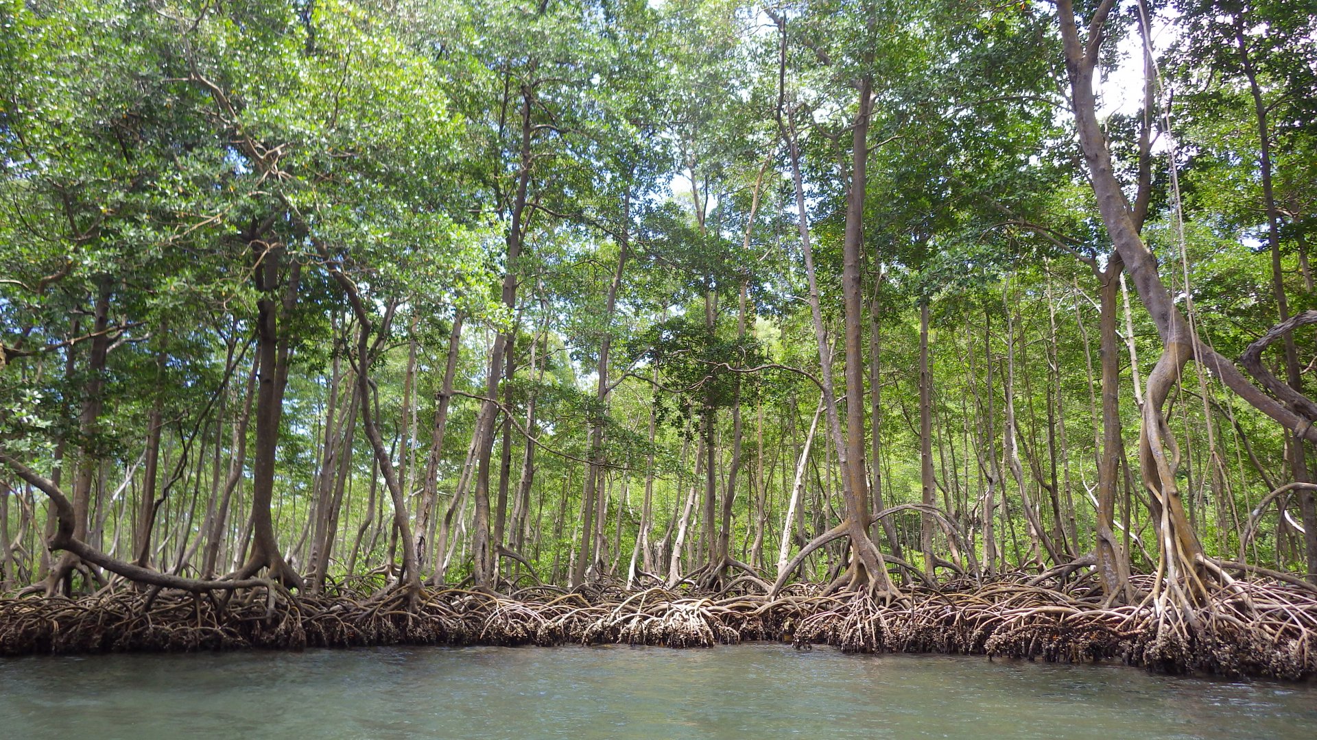
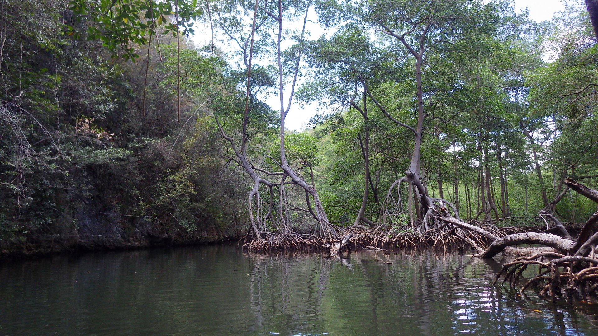
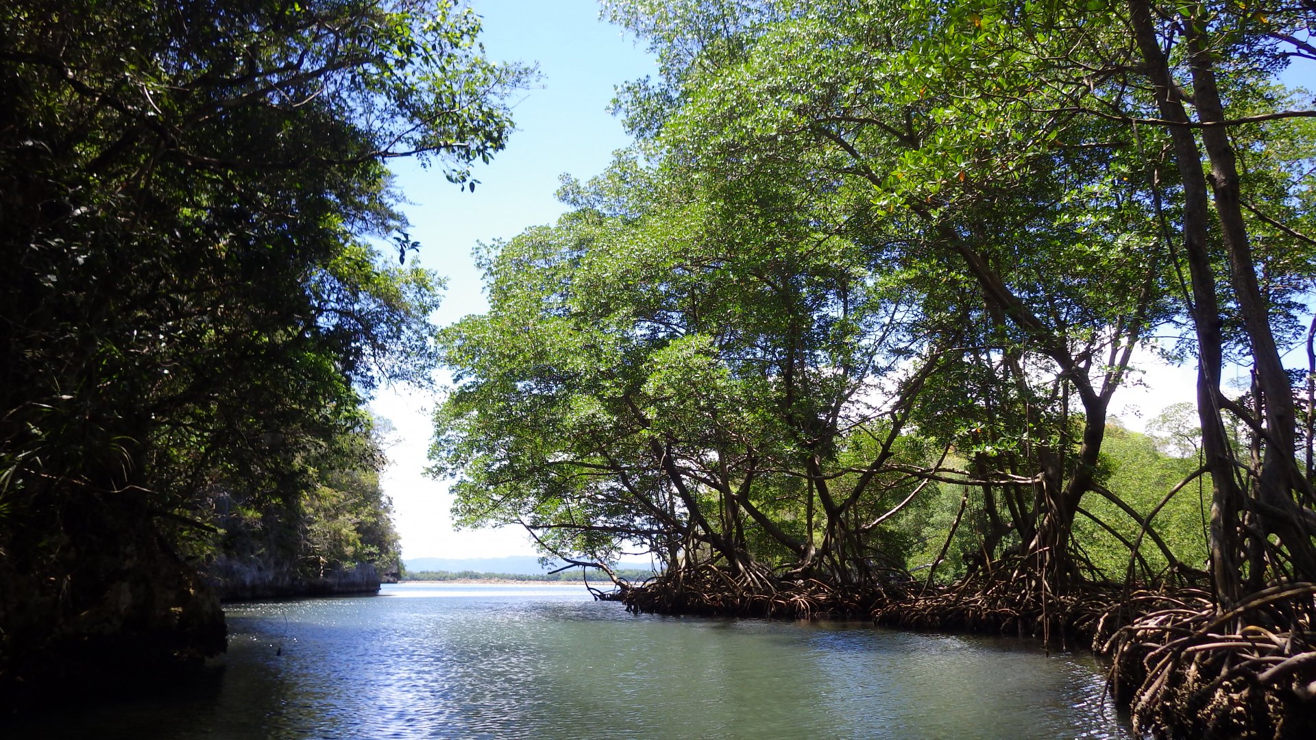
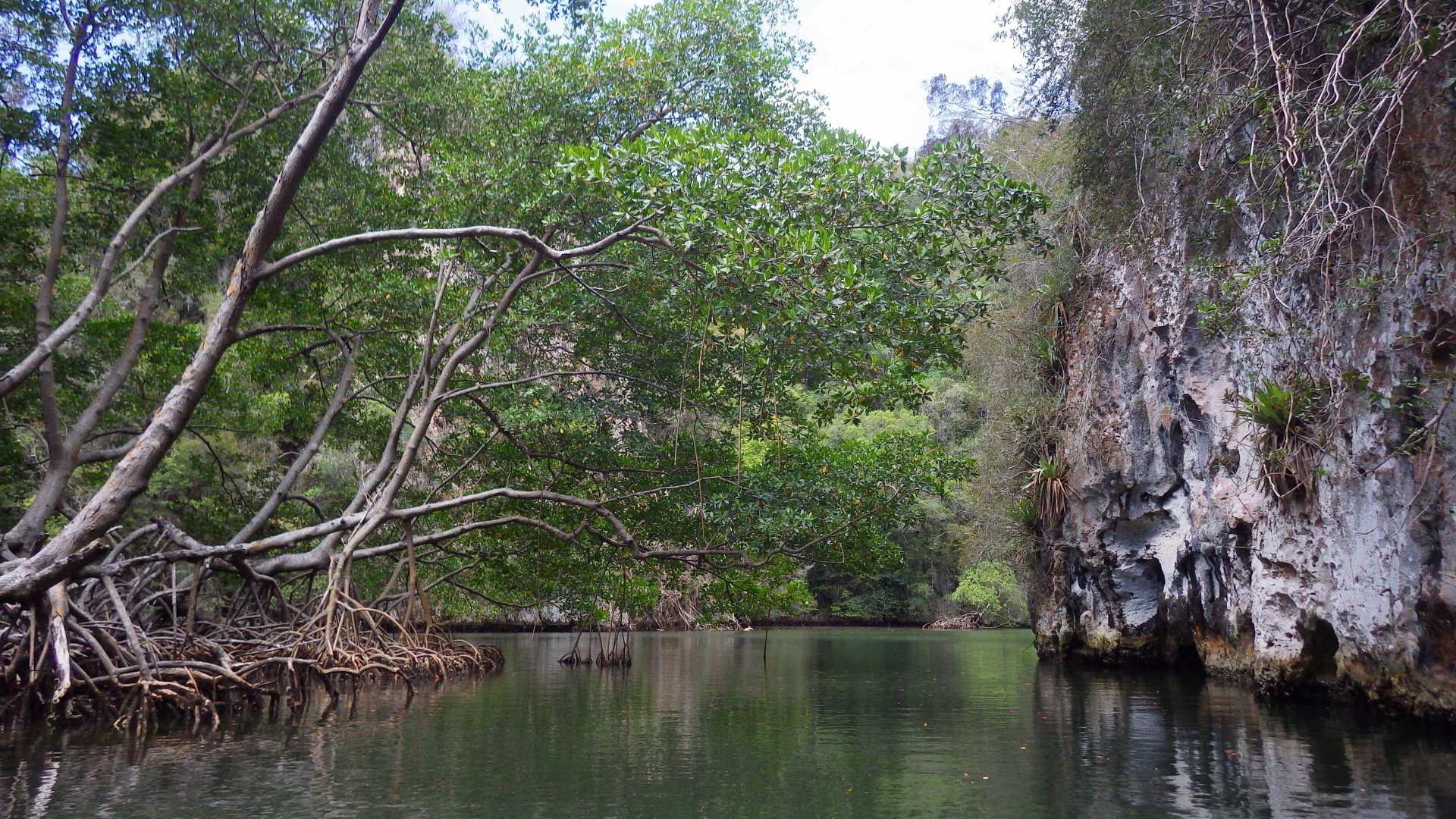
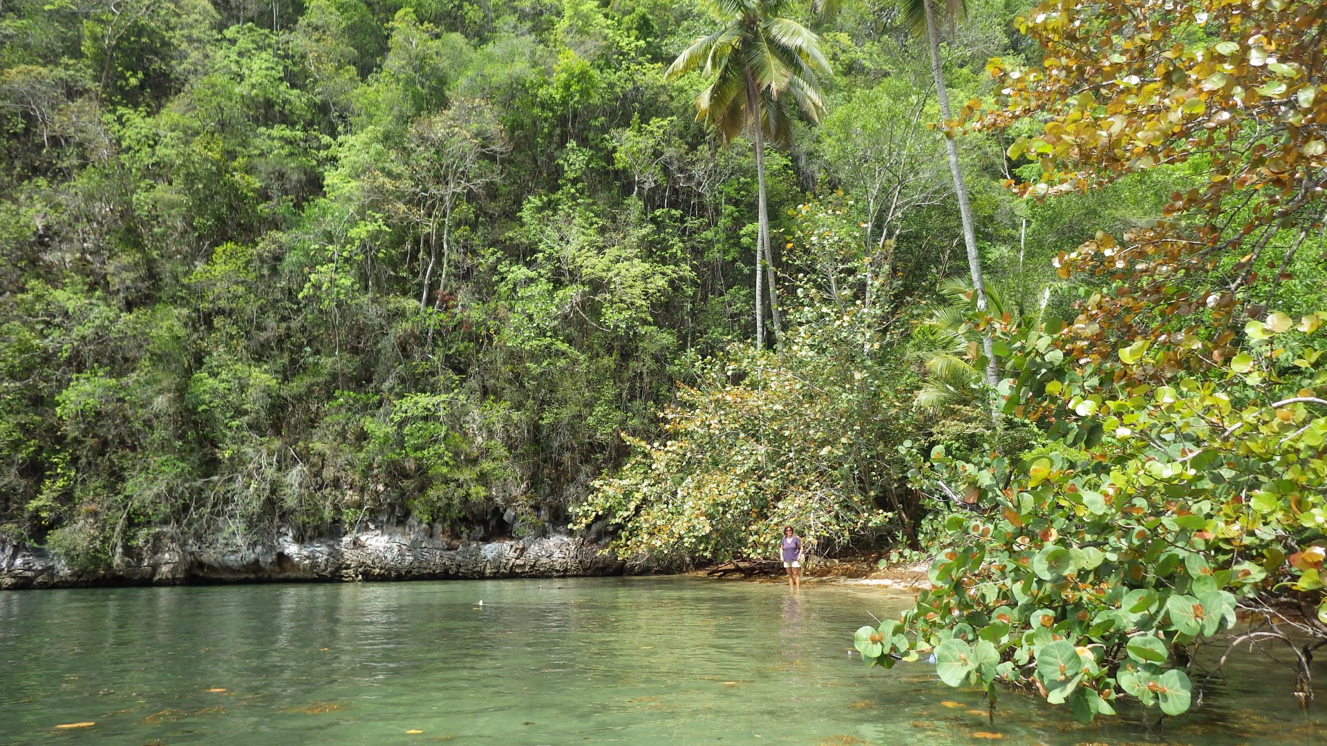
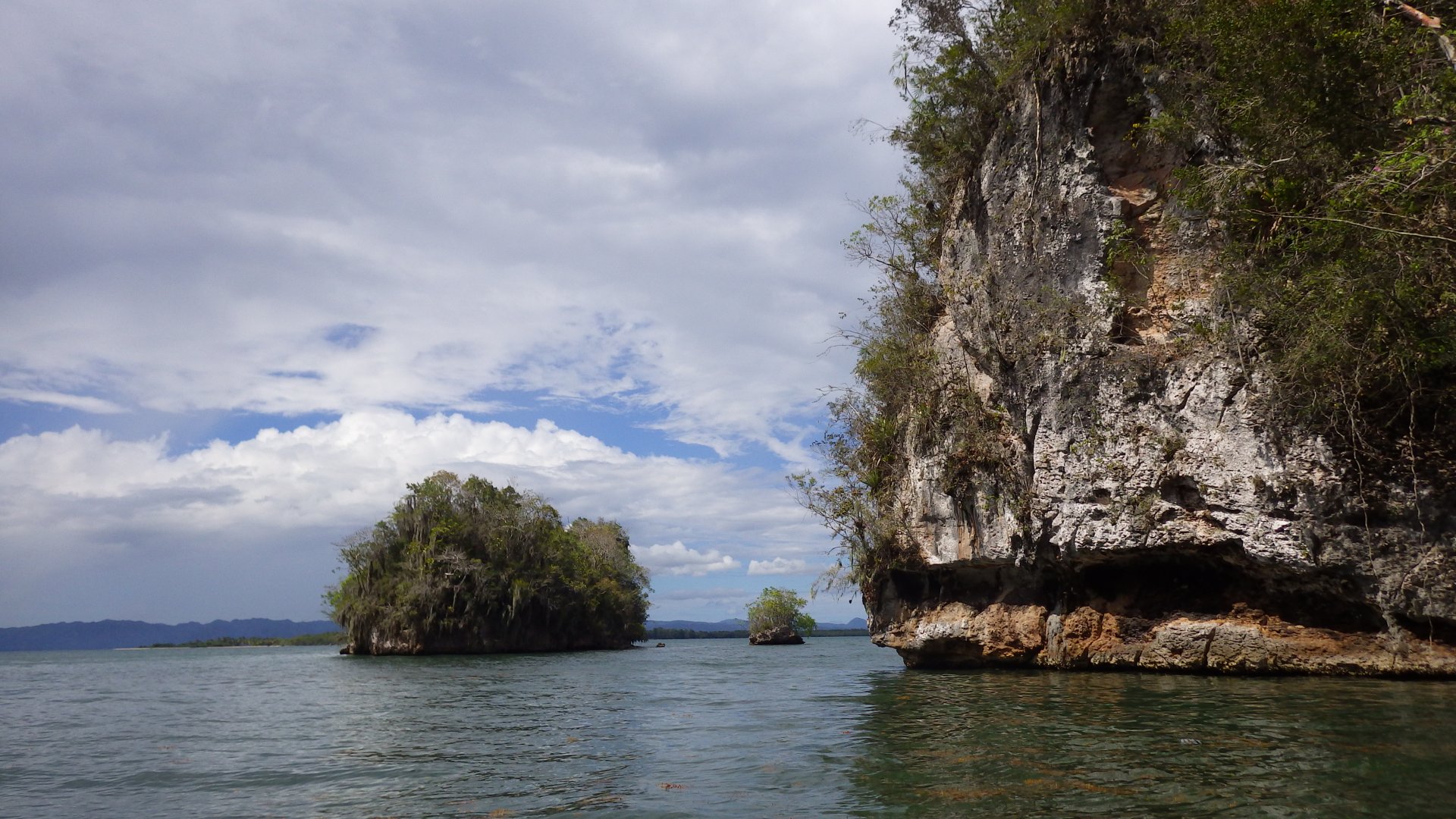
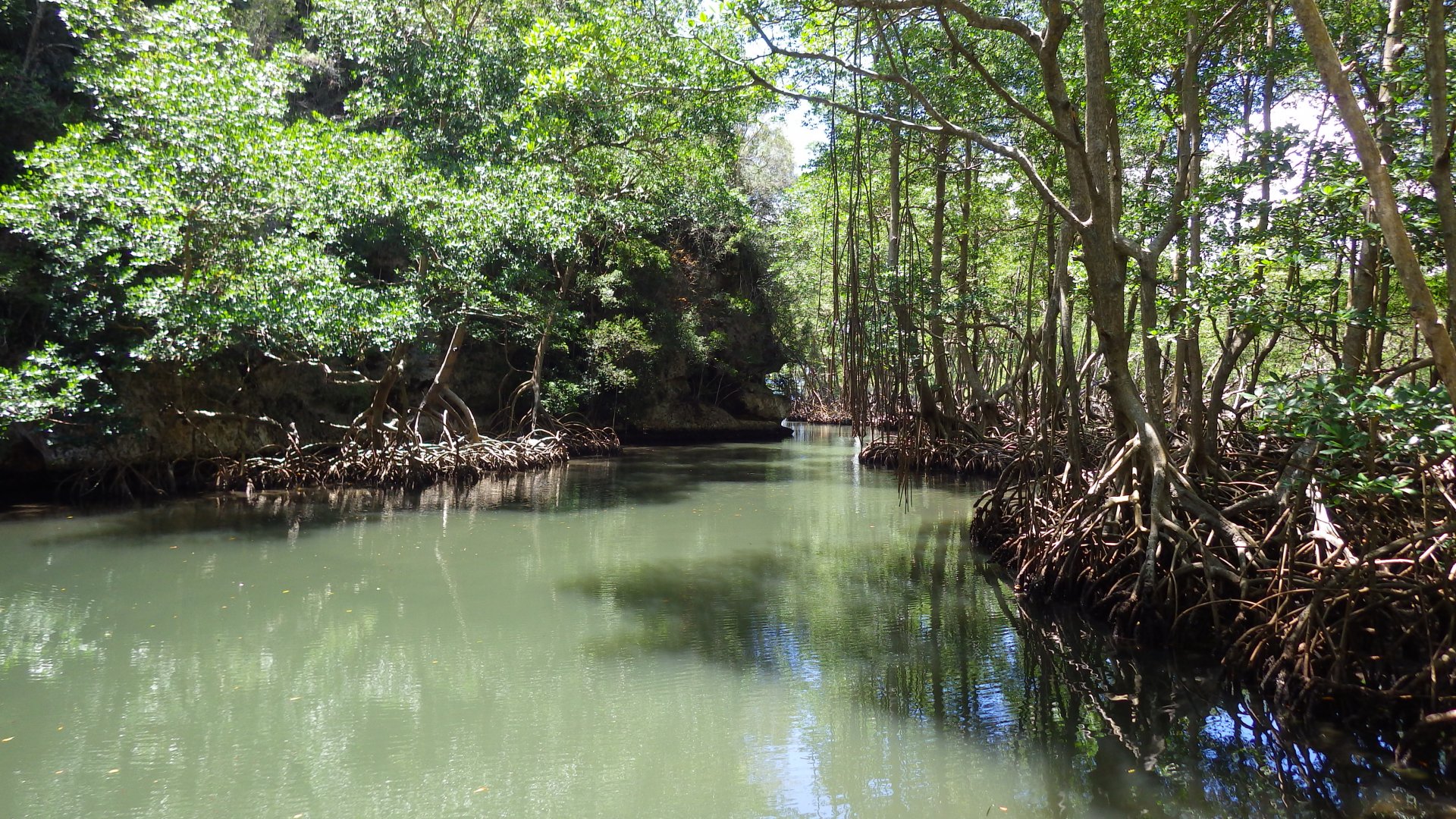
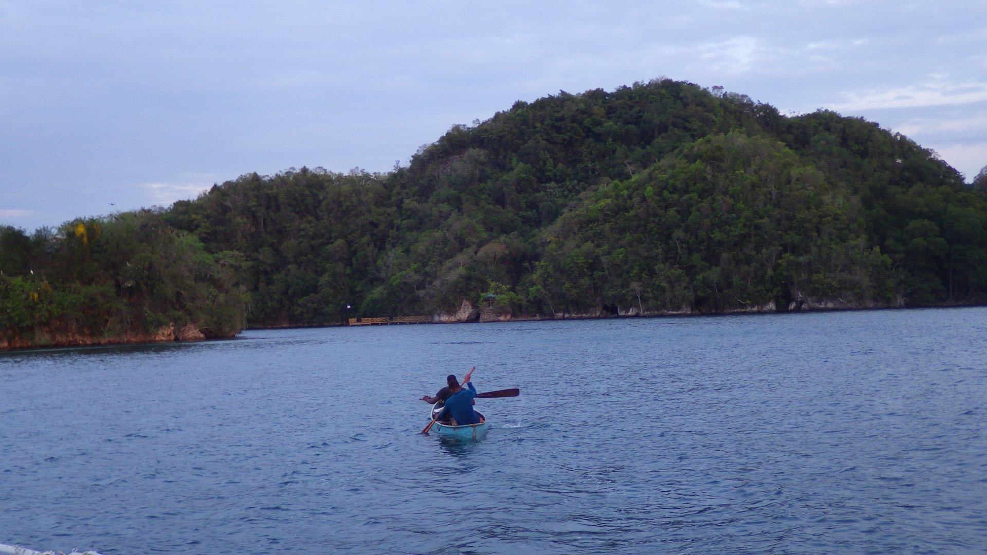
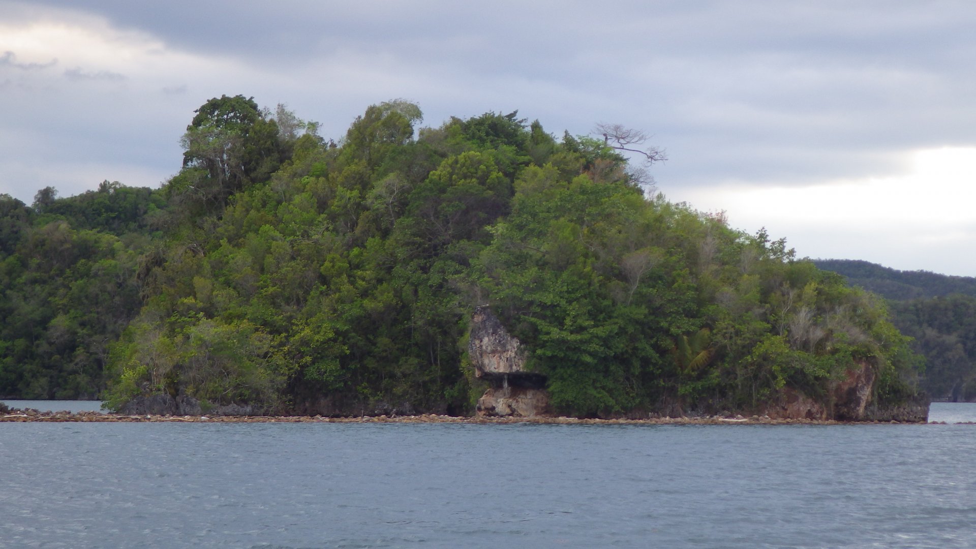
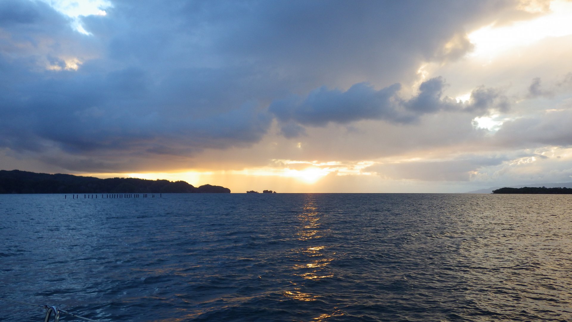
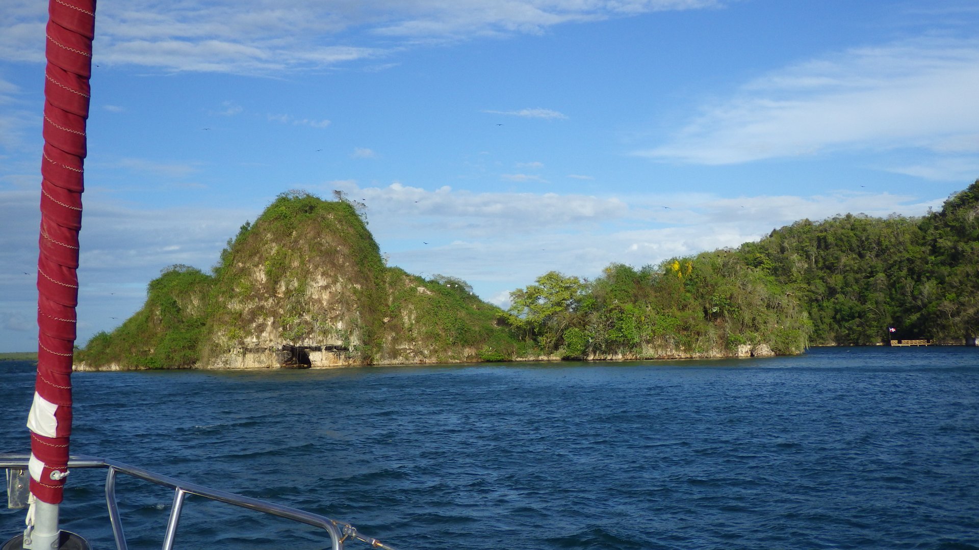
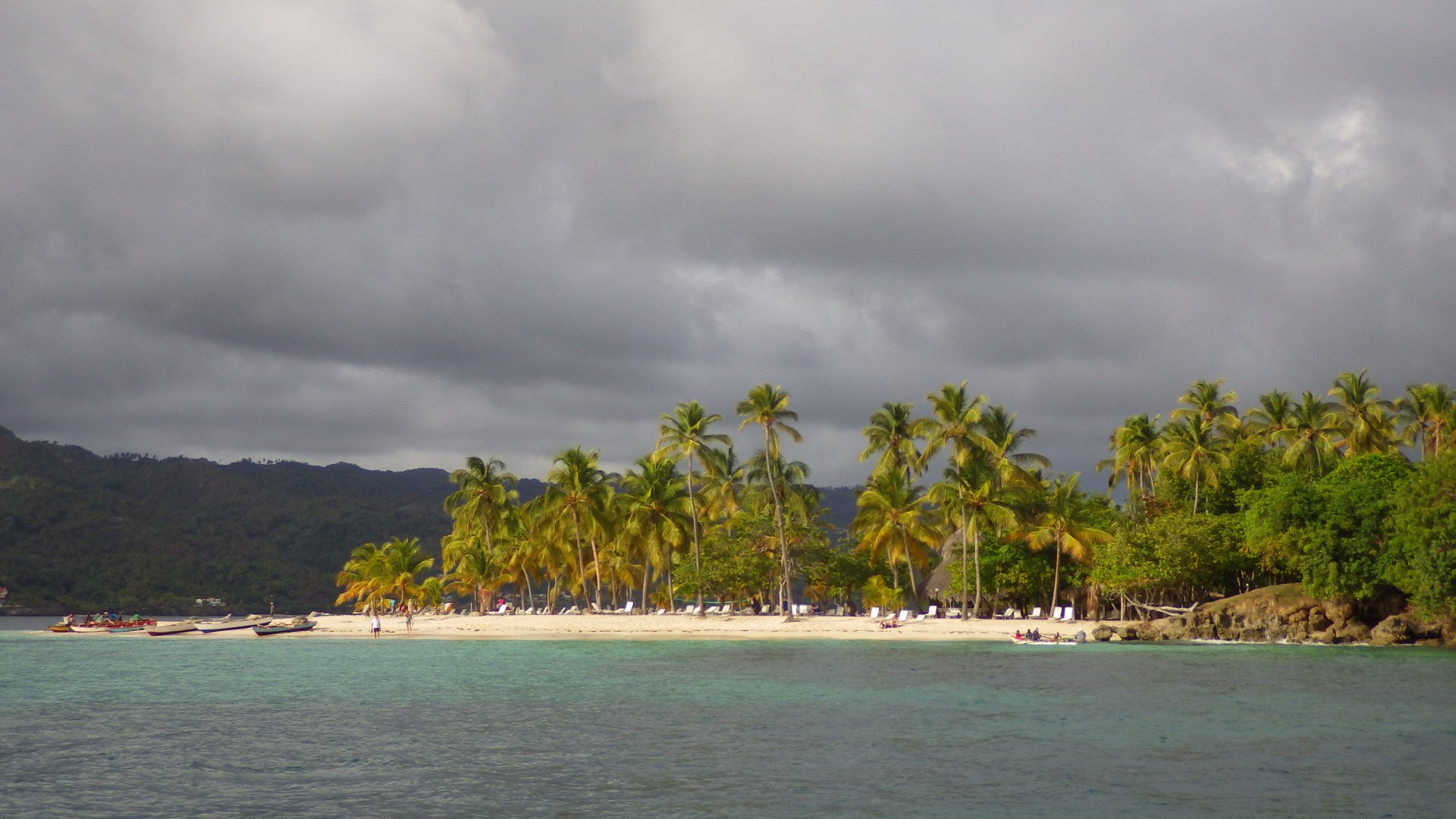
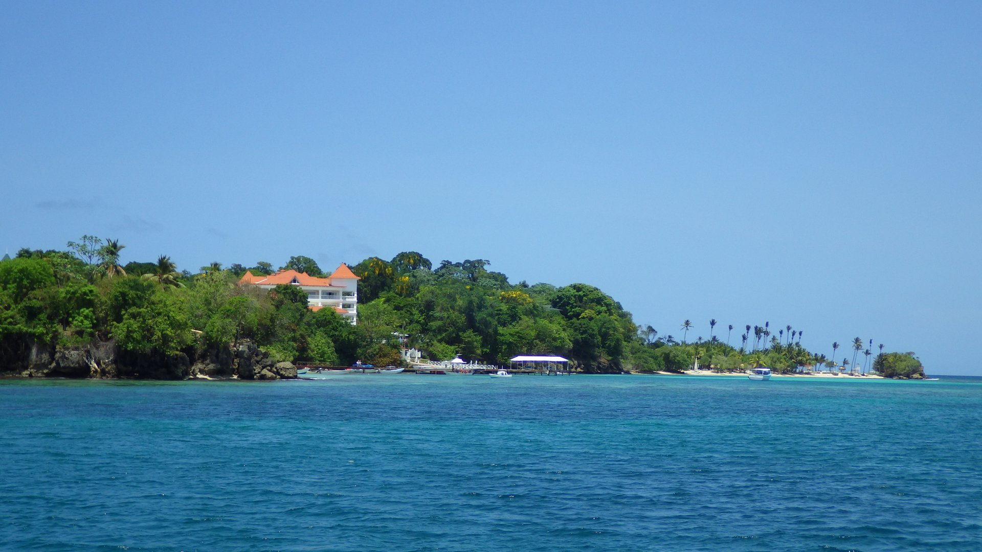
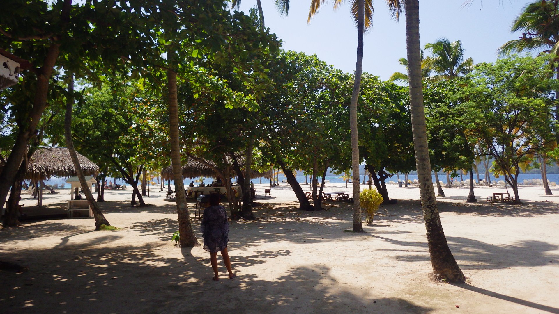
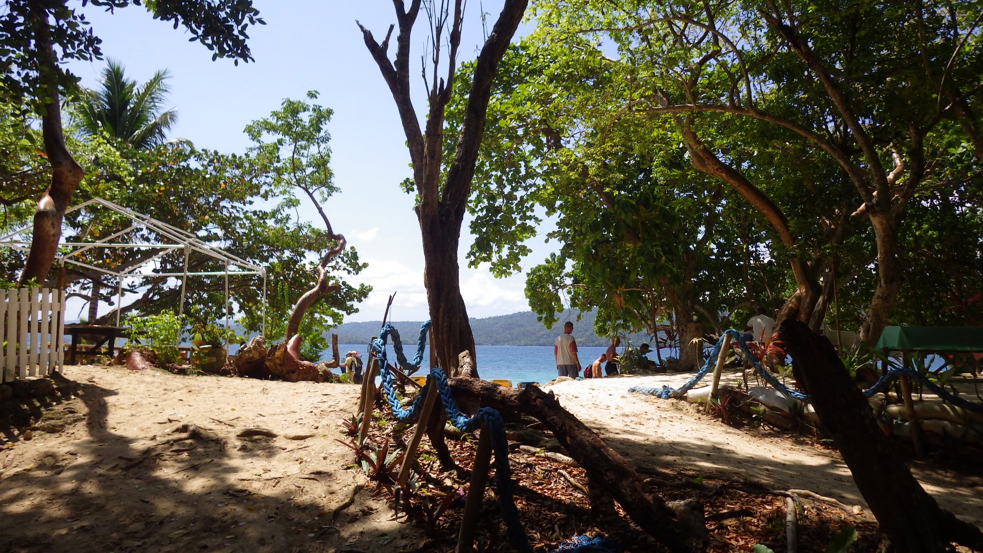
Luperon is known to be the best hurricane hole in the Caribbean. The harbour is well protected from all directions indeed.

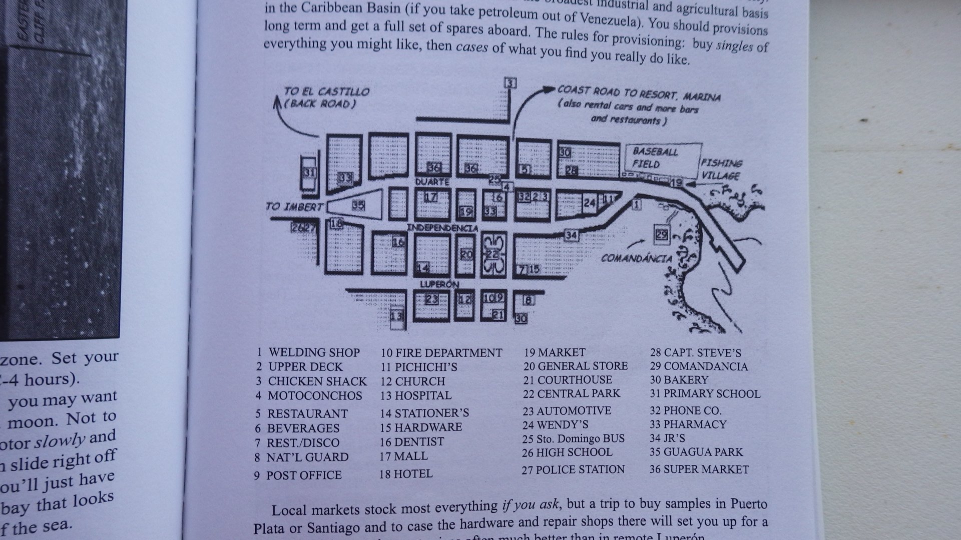
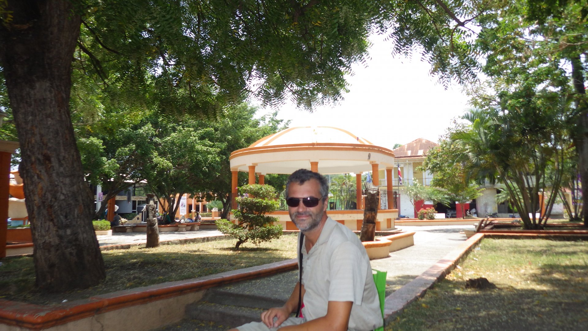
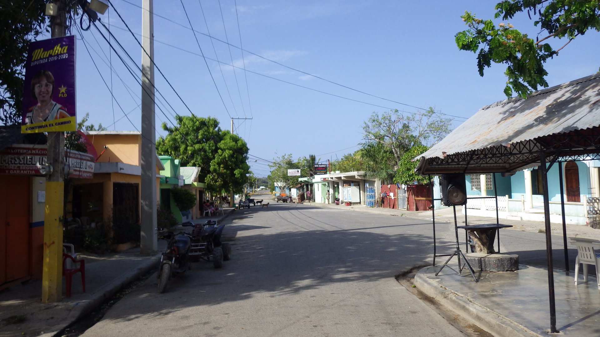
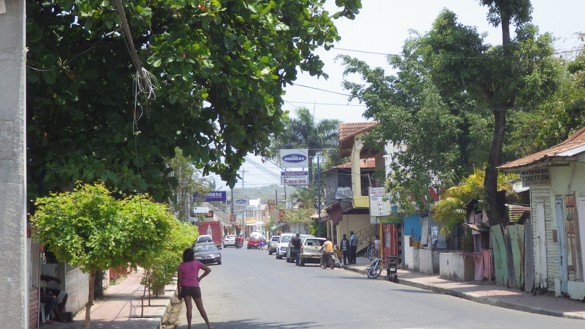
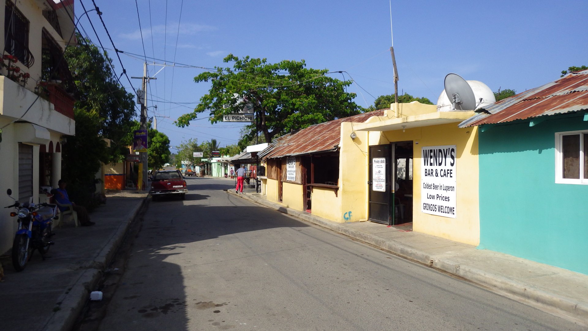
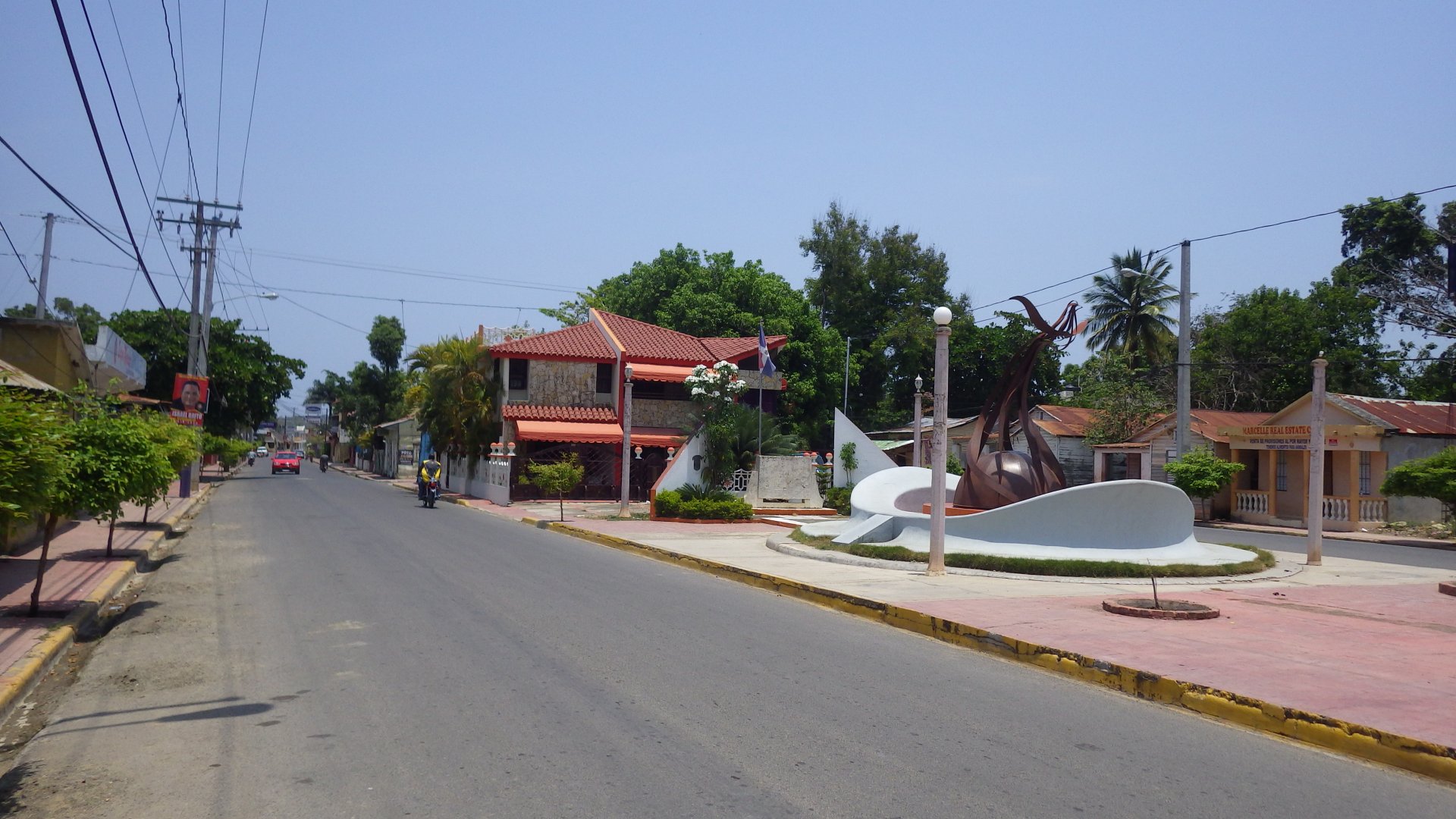
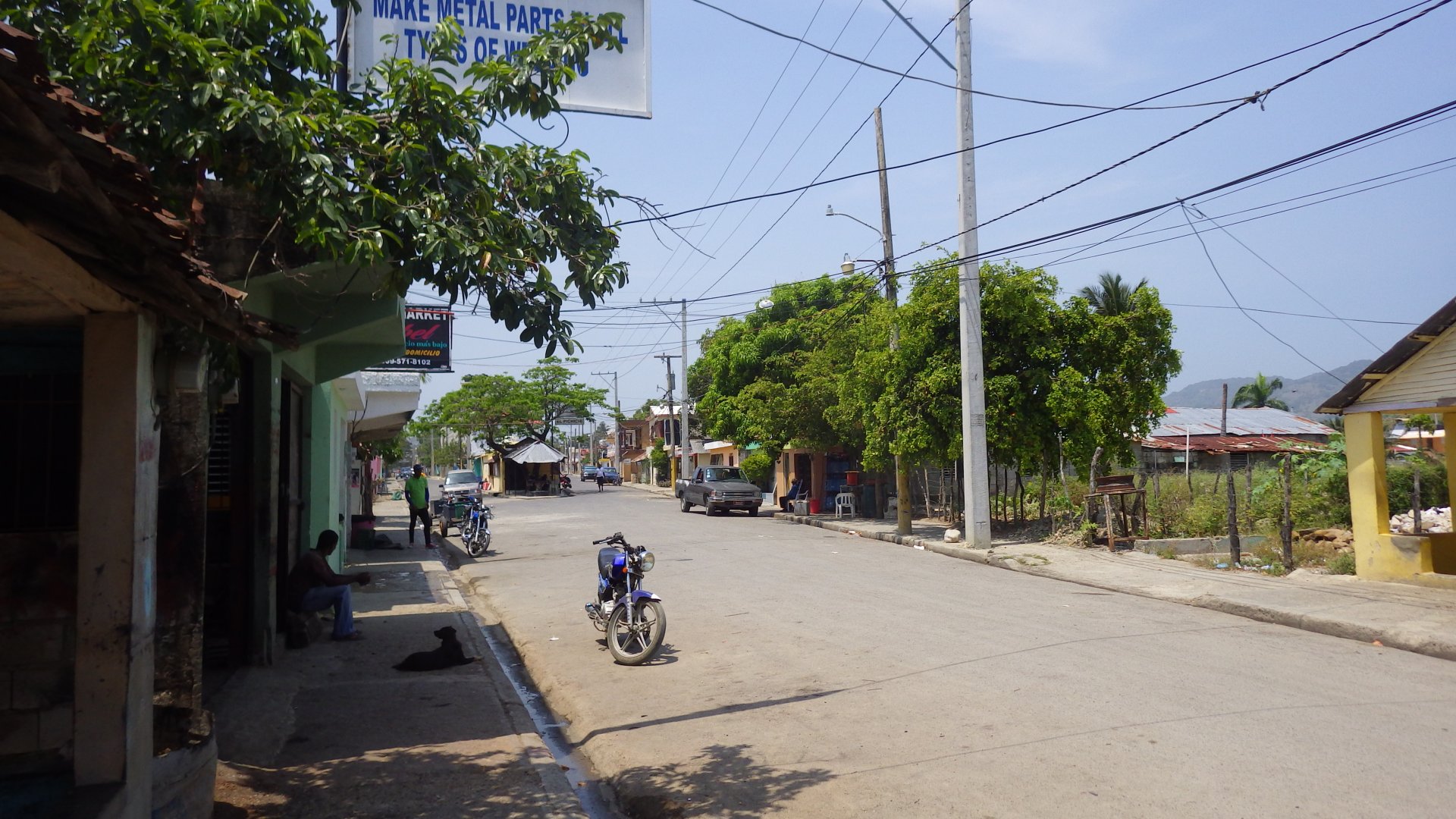
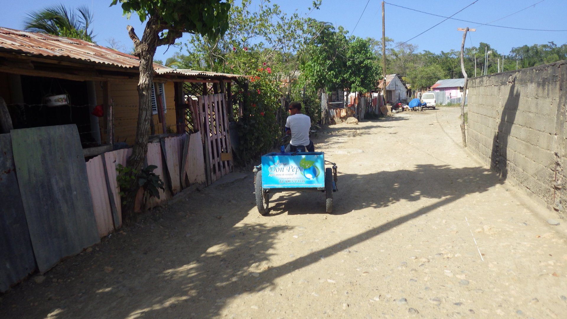
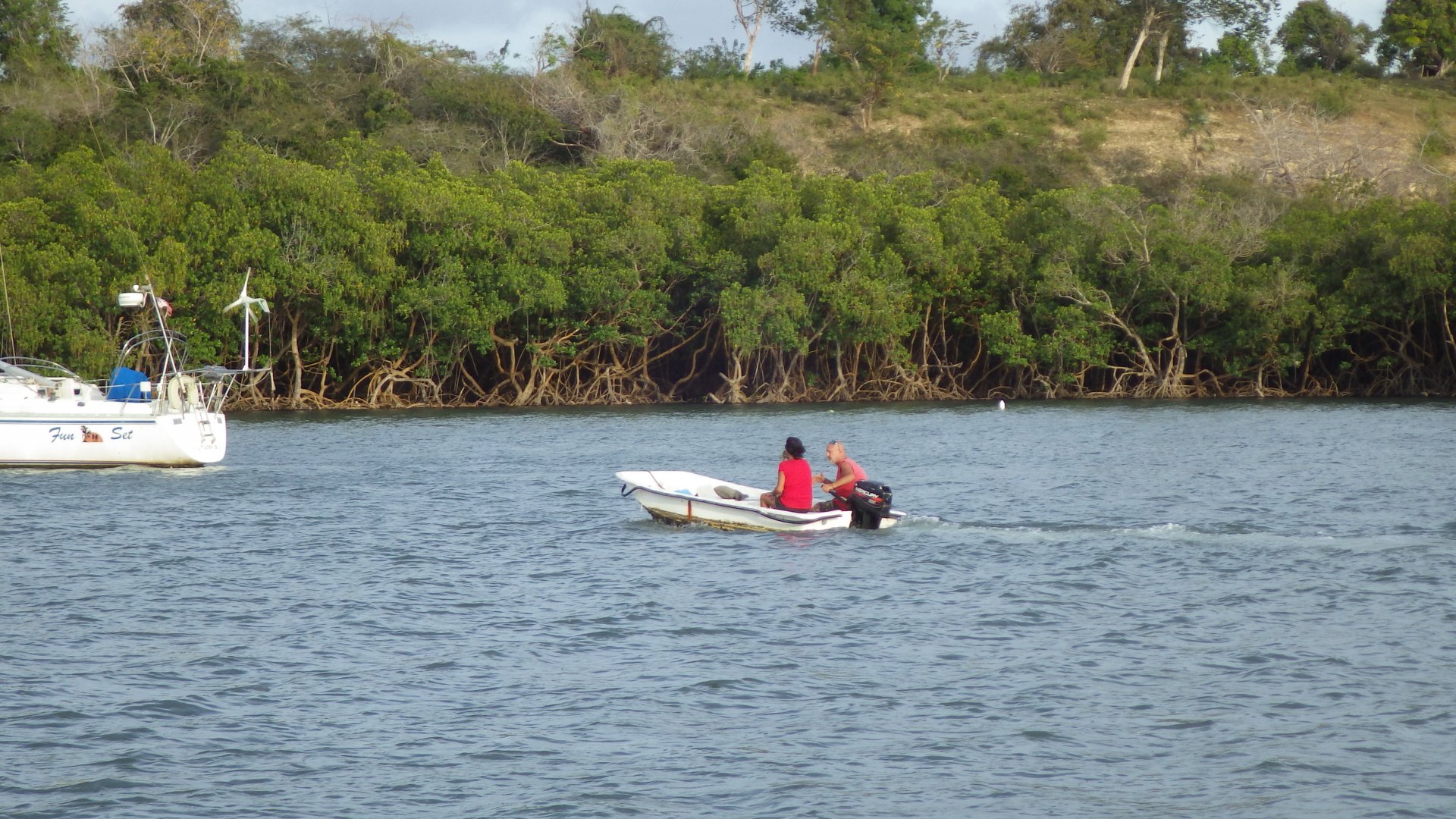
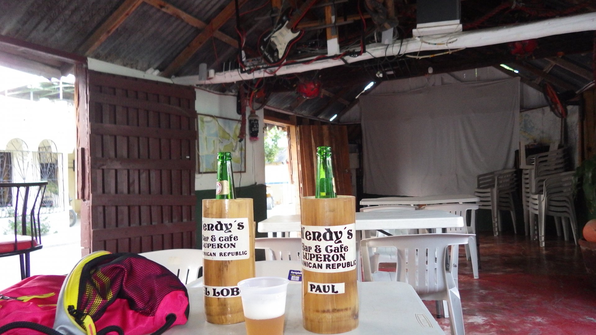
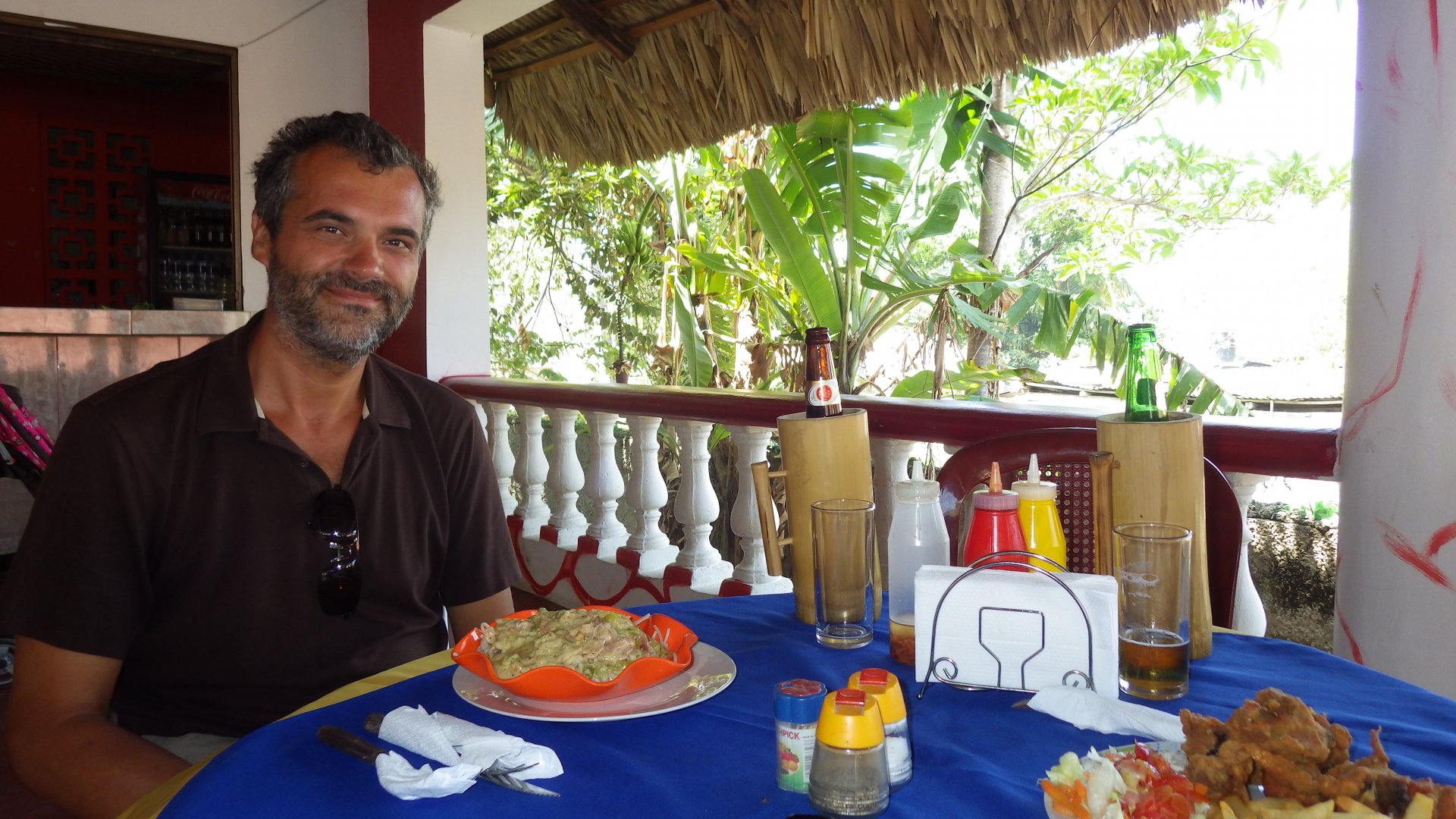
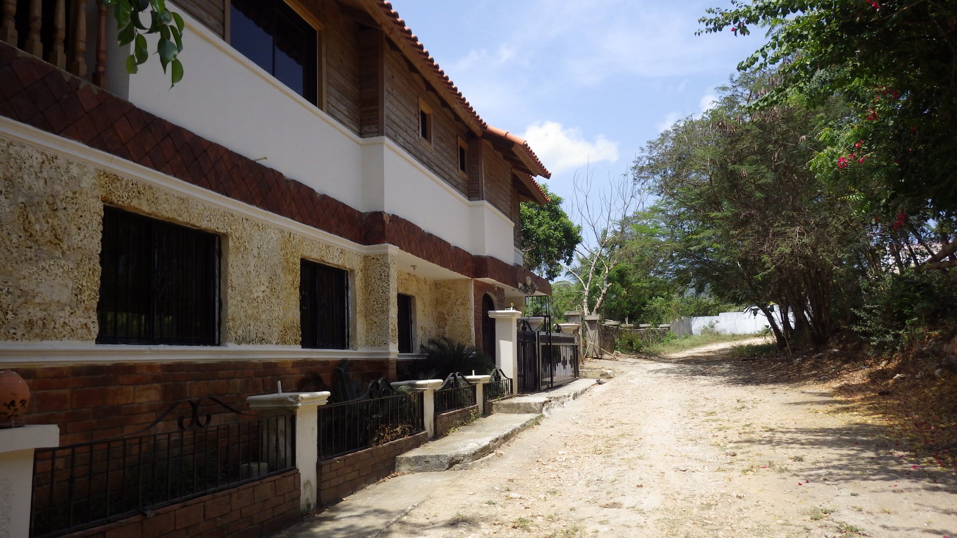
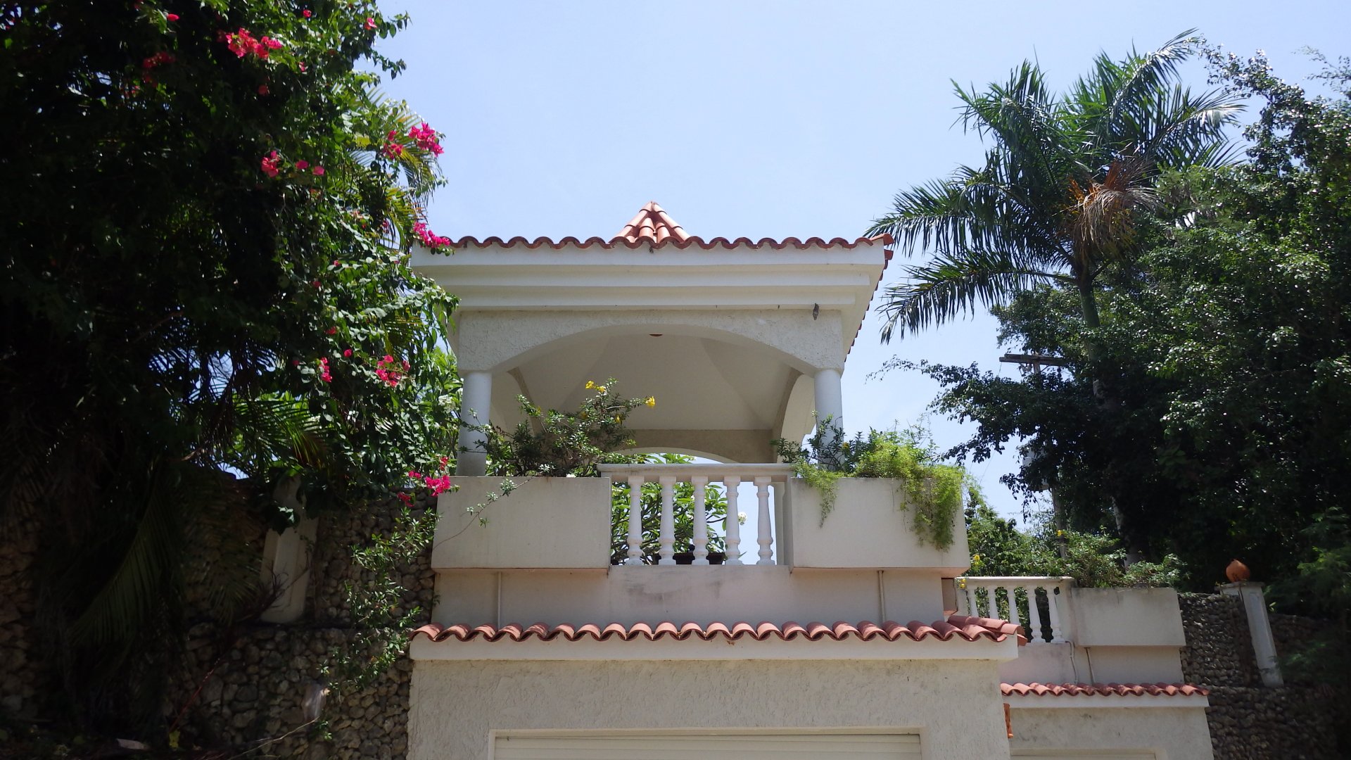
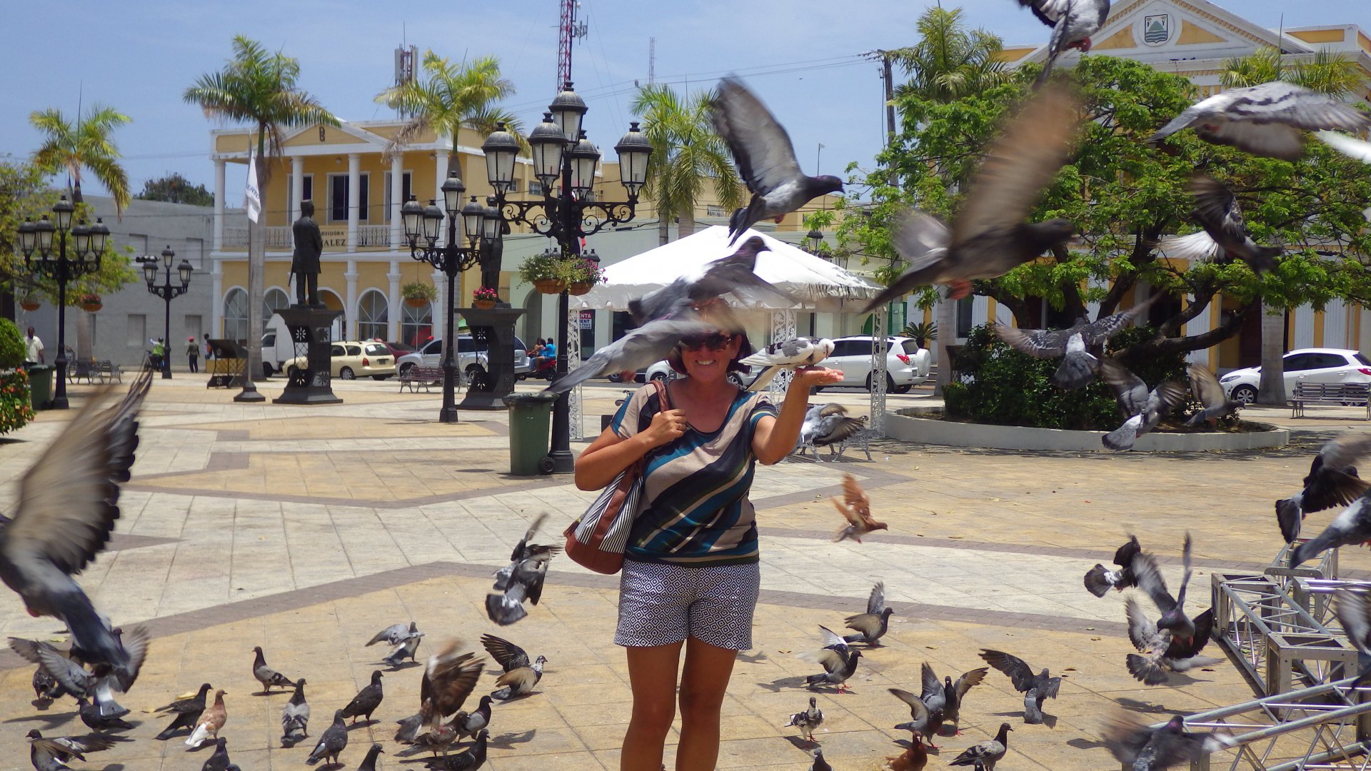
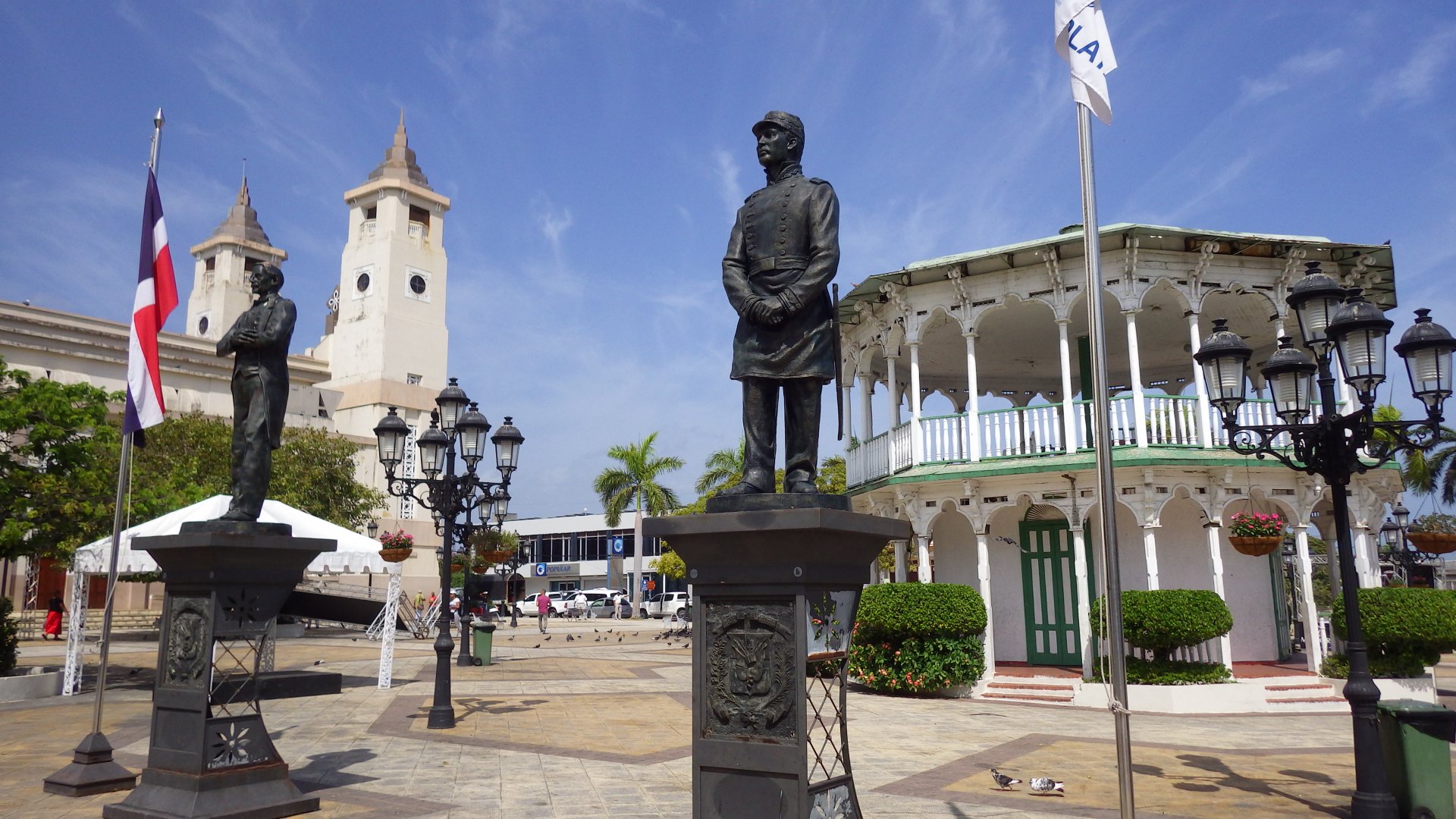
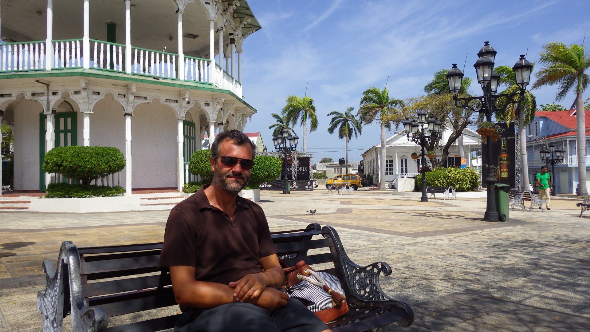
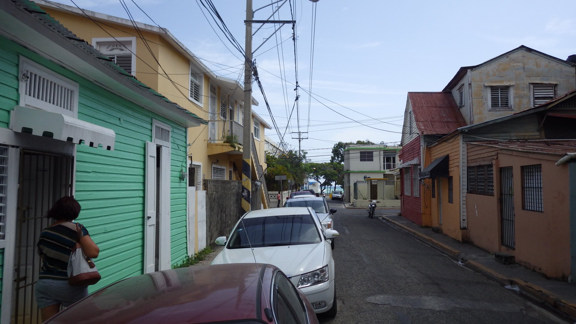
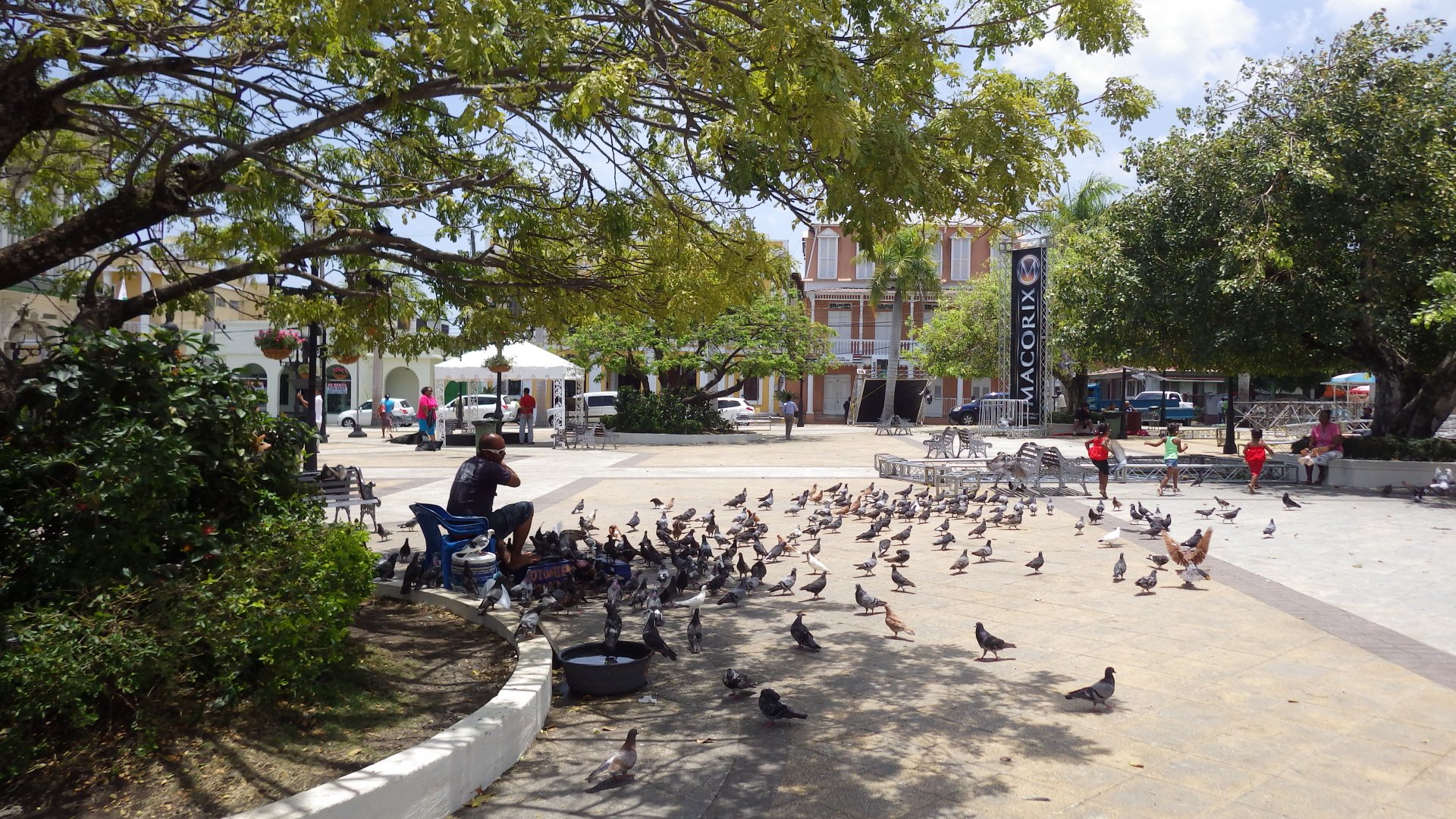
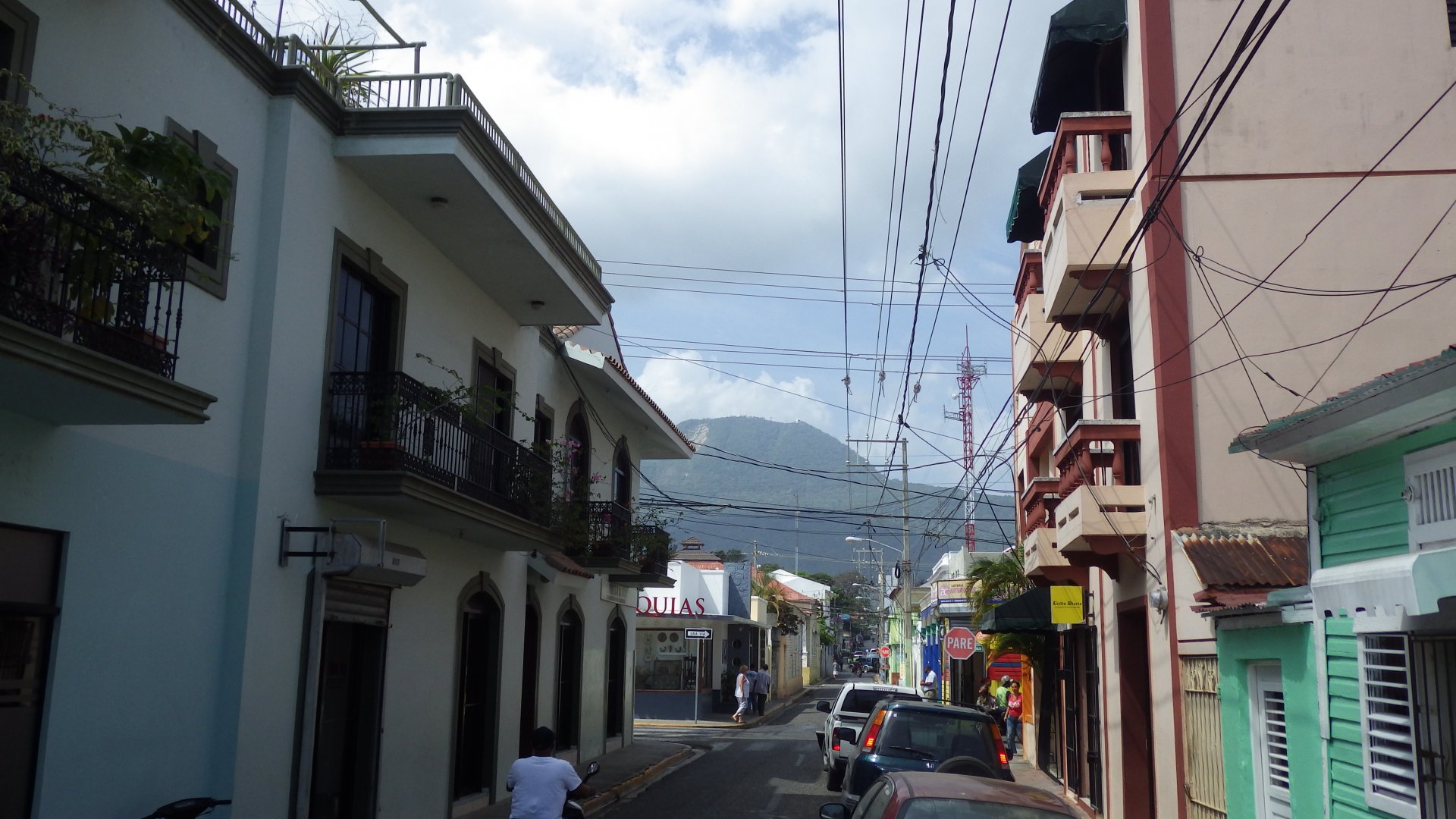
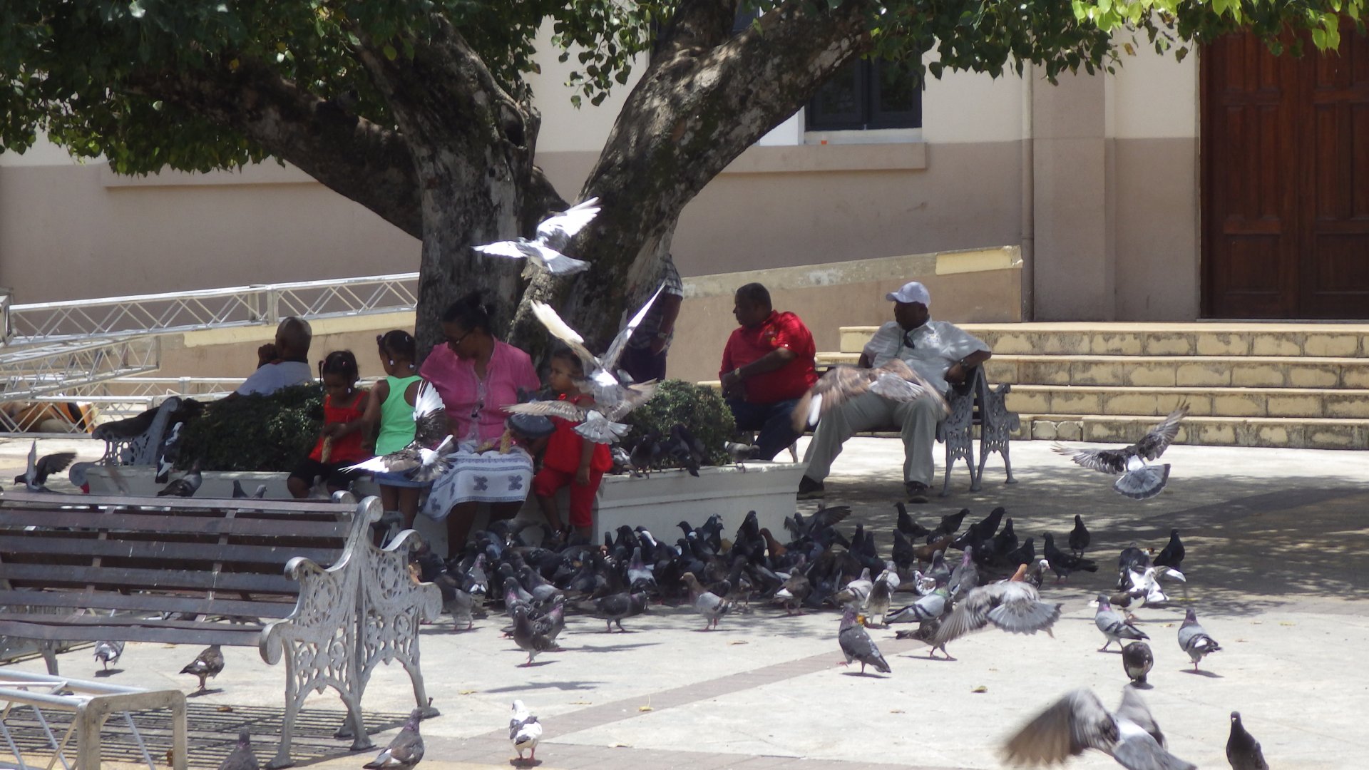
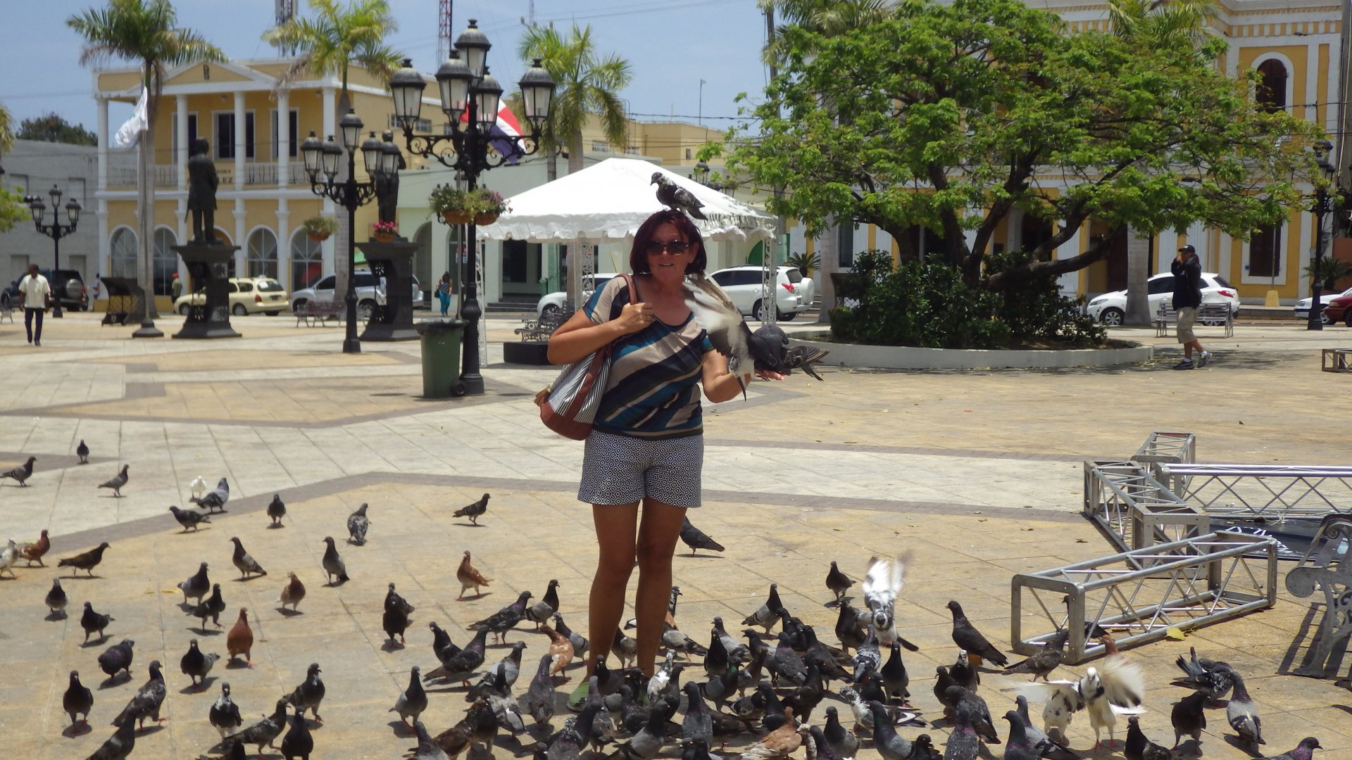
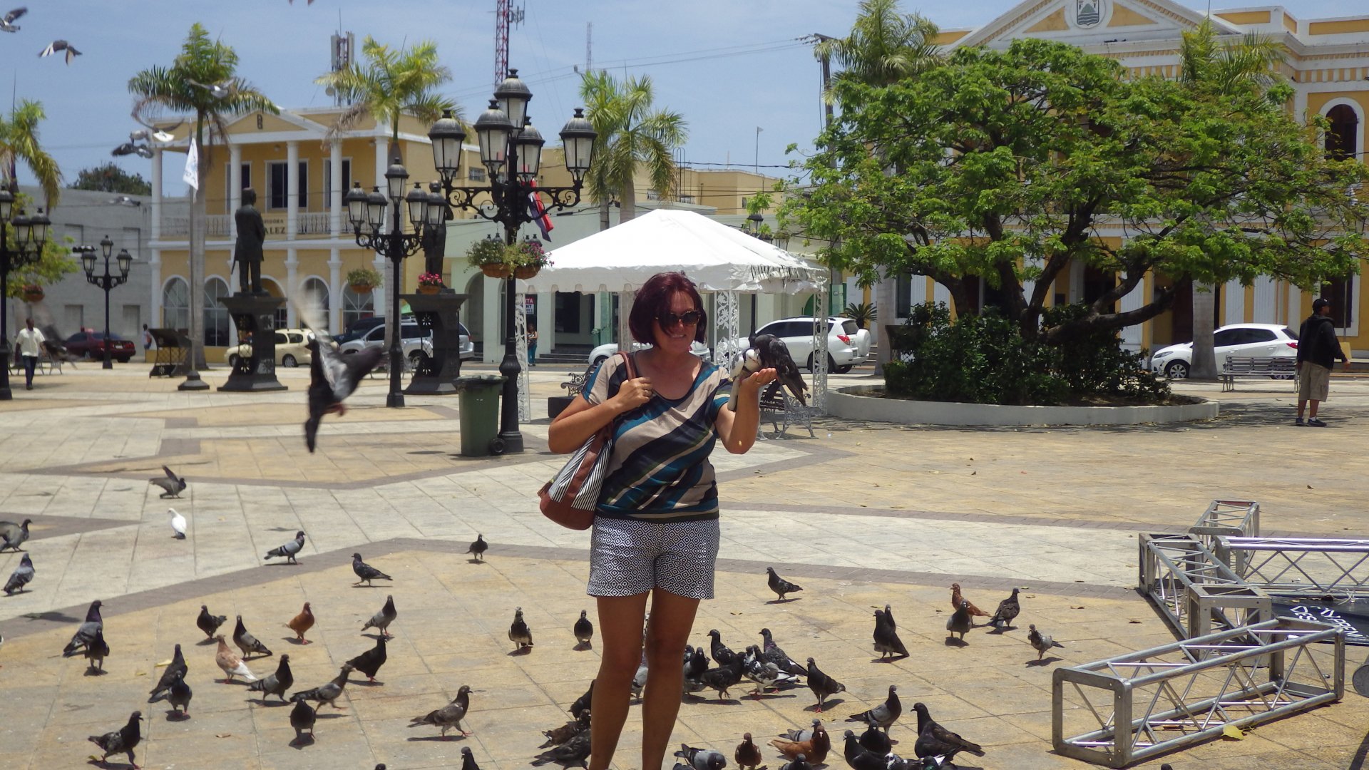
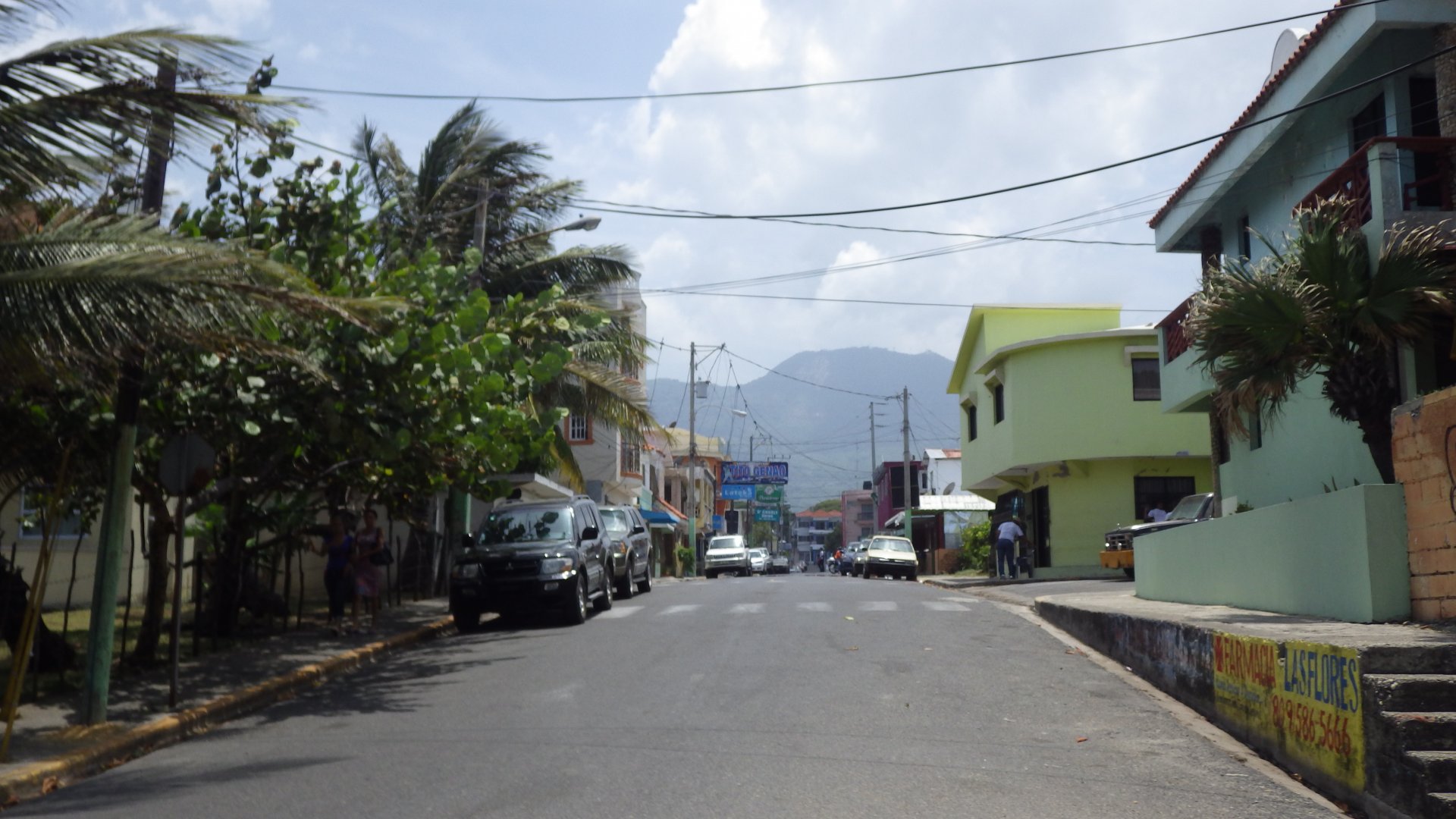
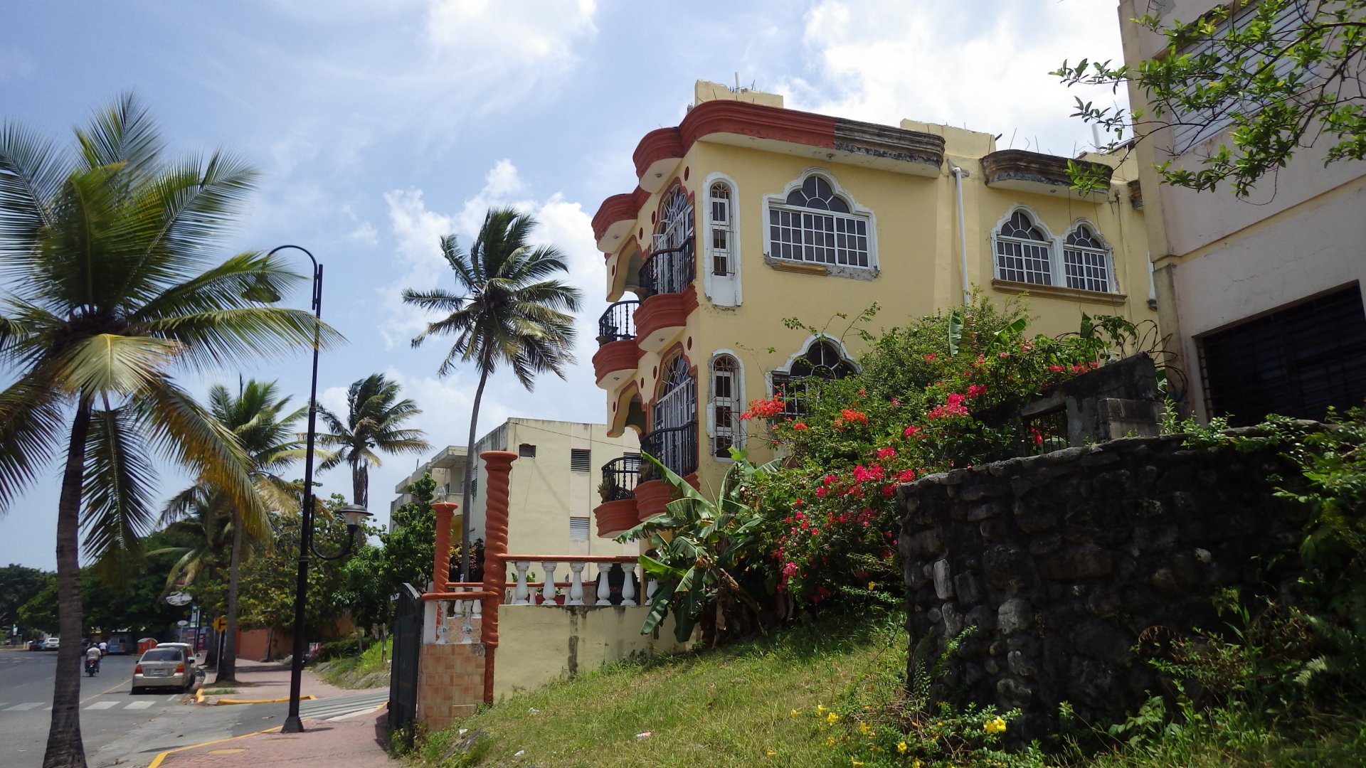
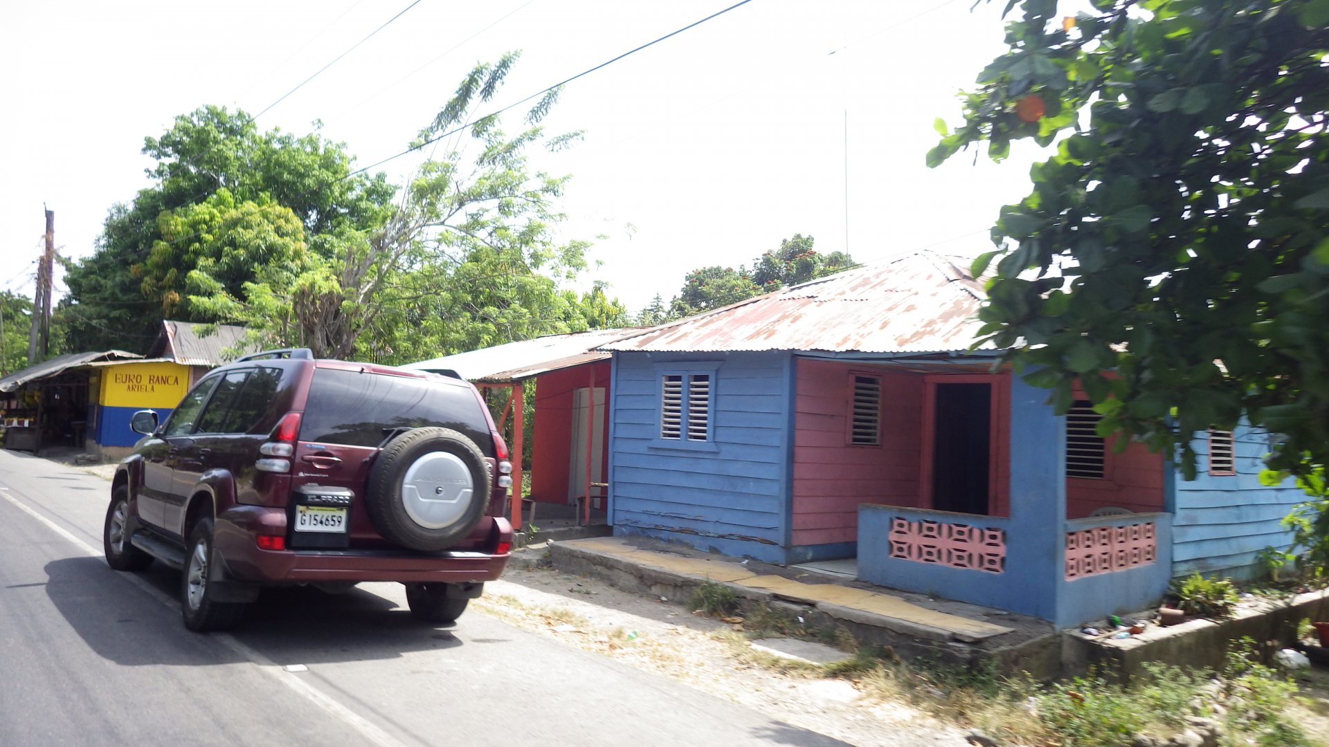
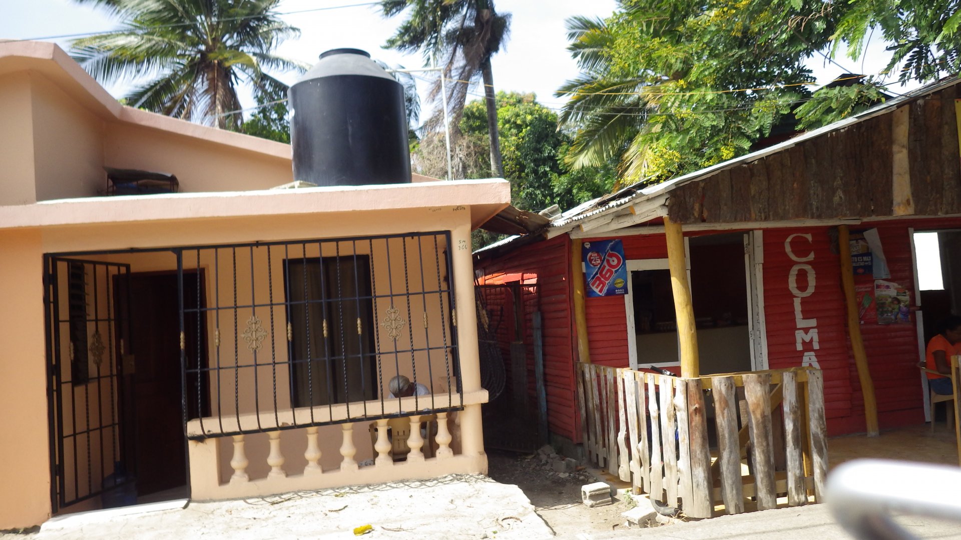
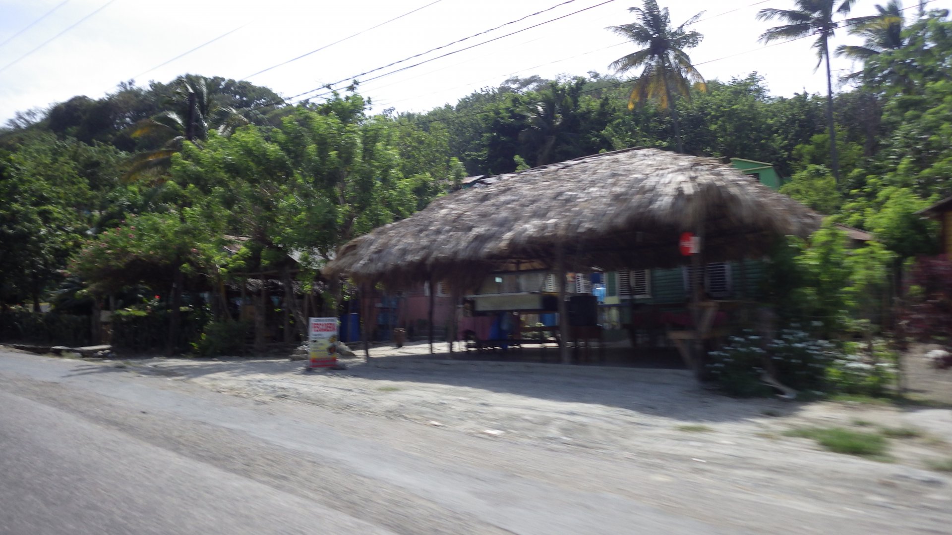
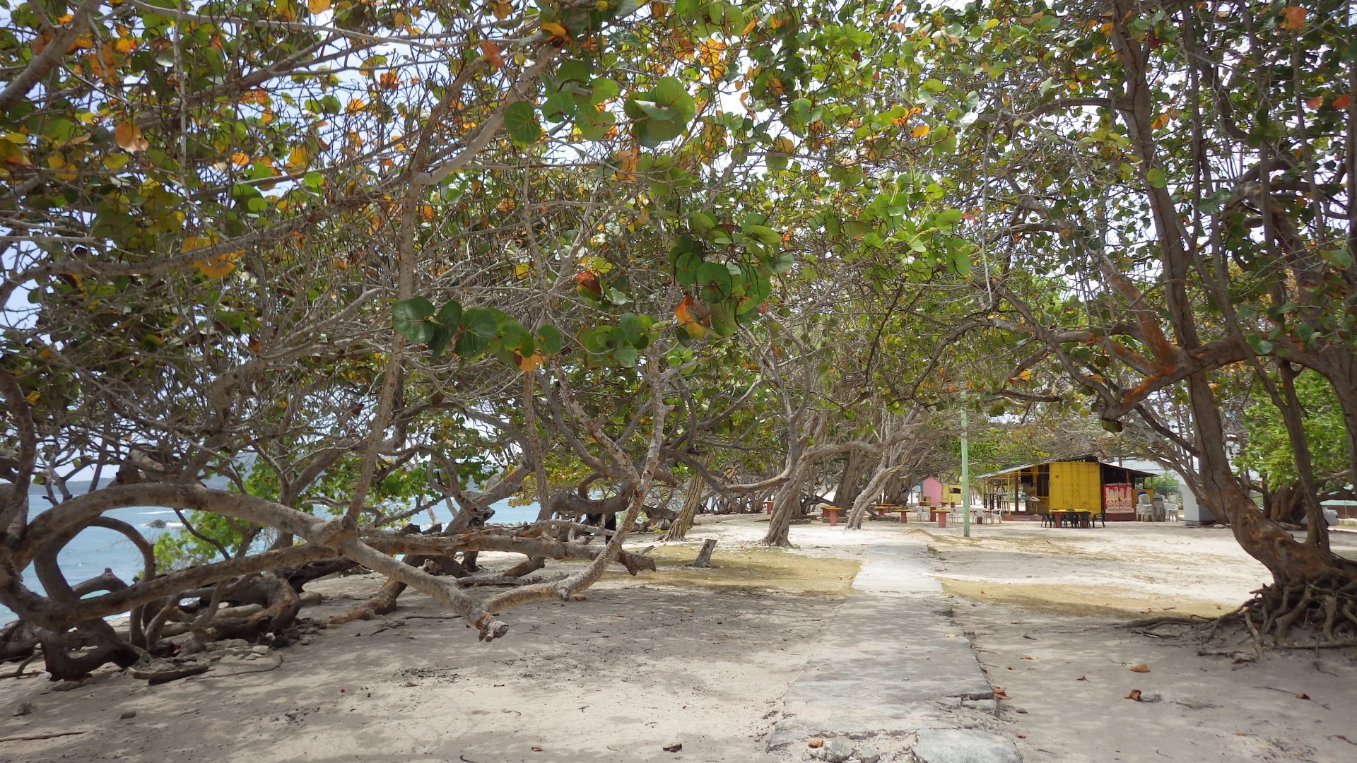
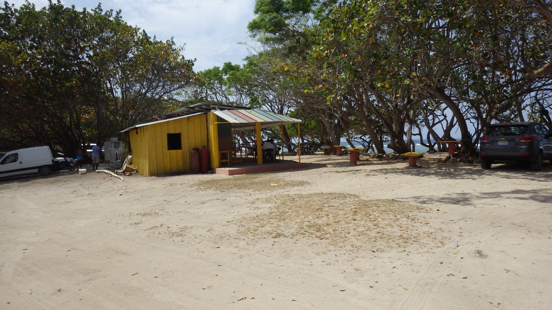
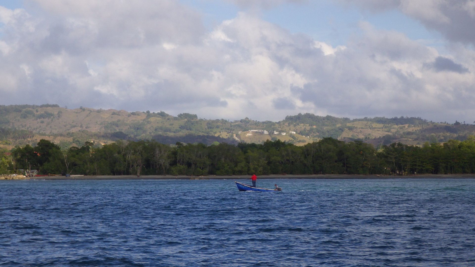
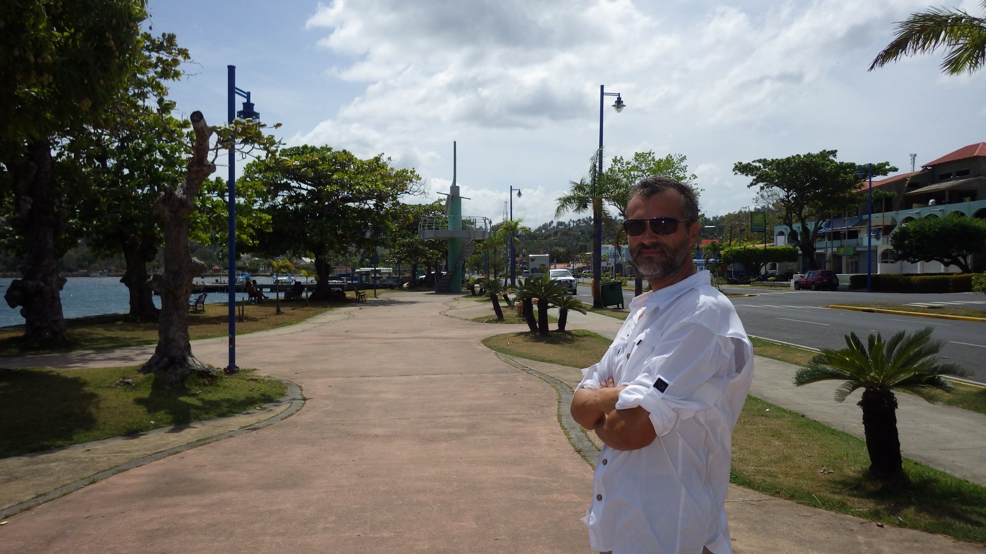
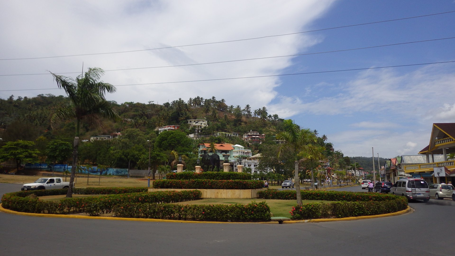
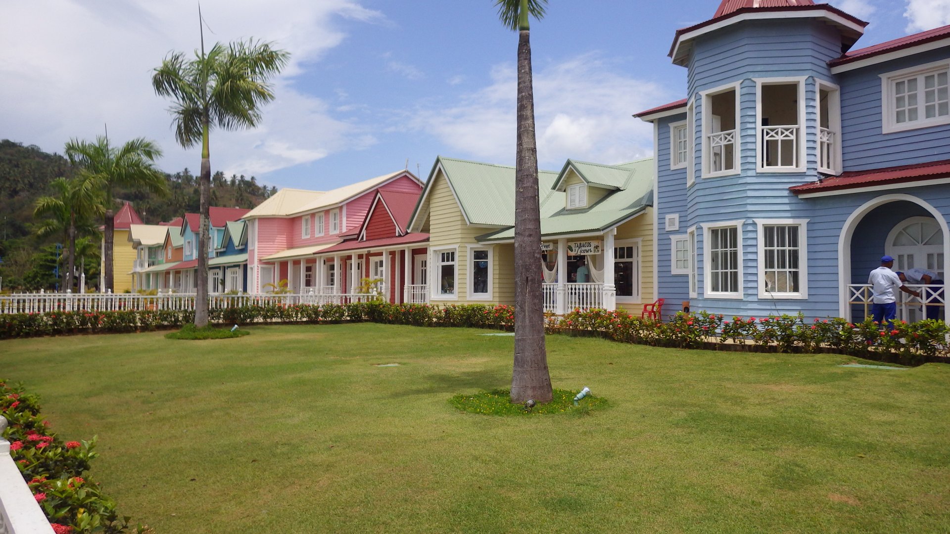
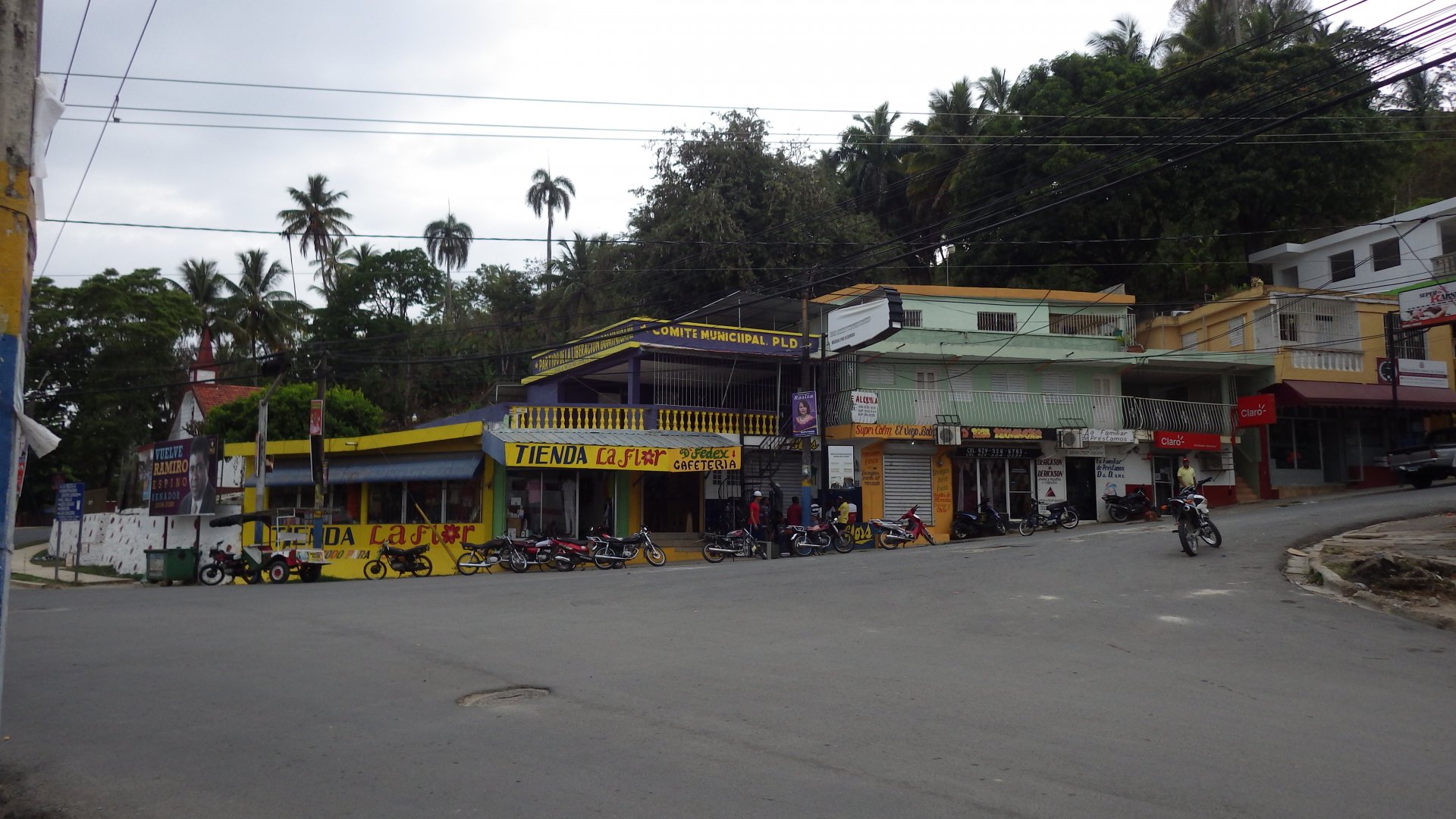
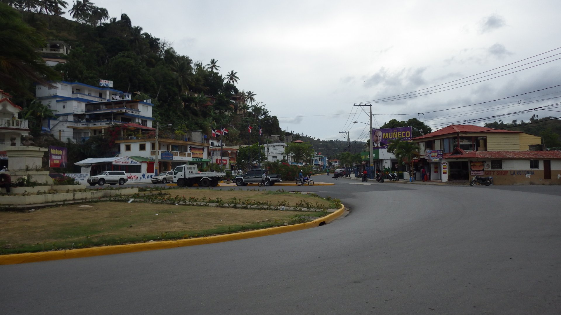
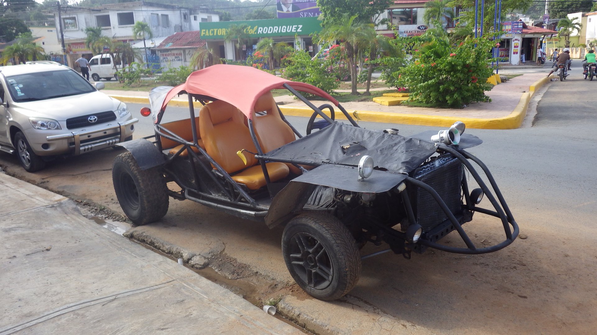
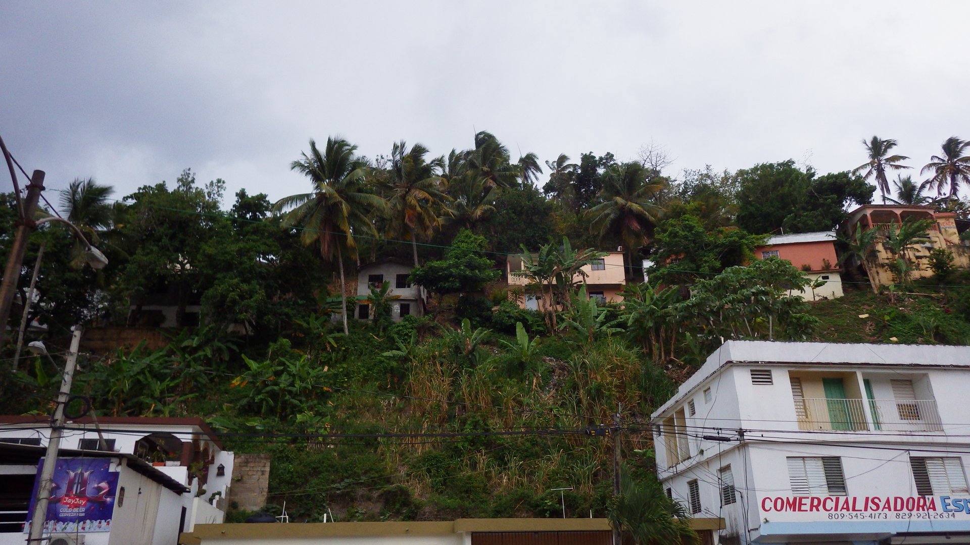
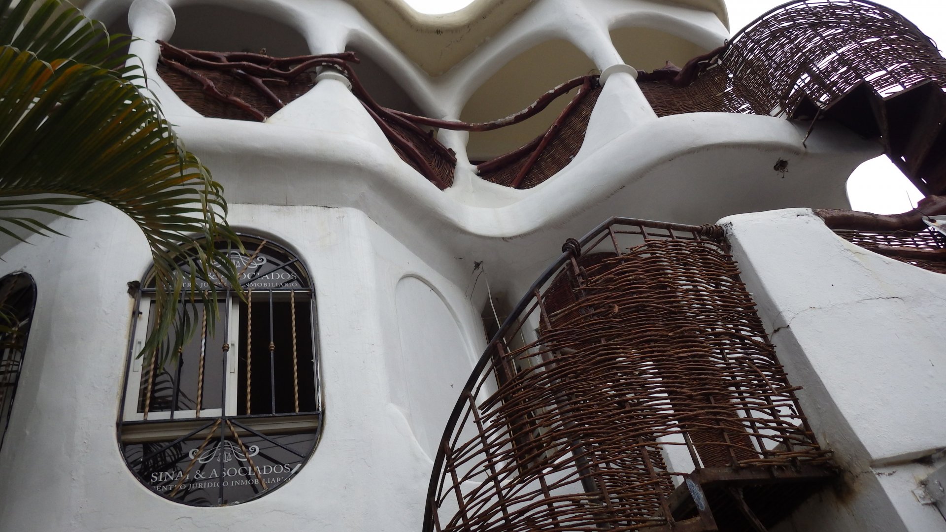
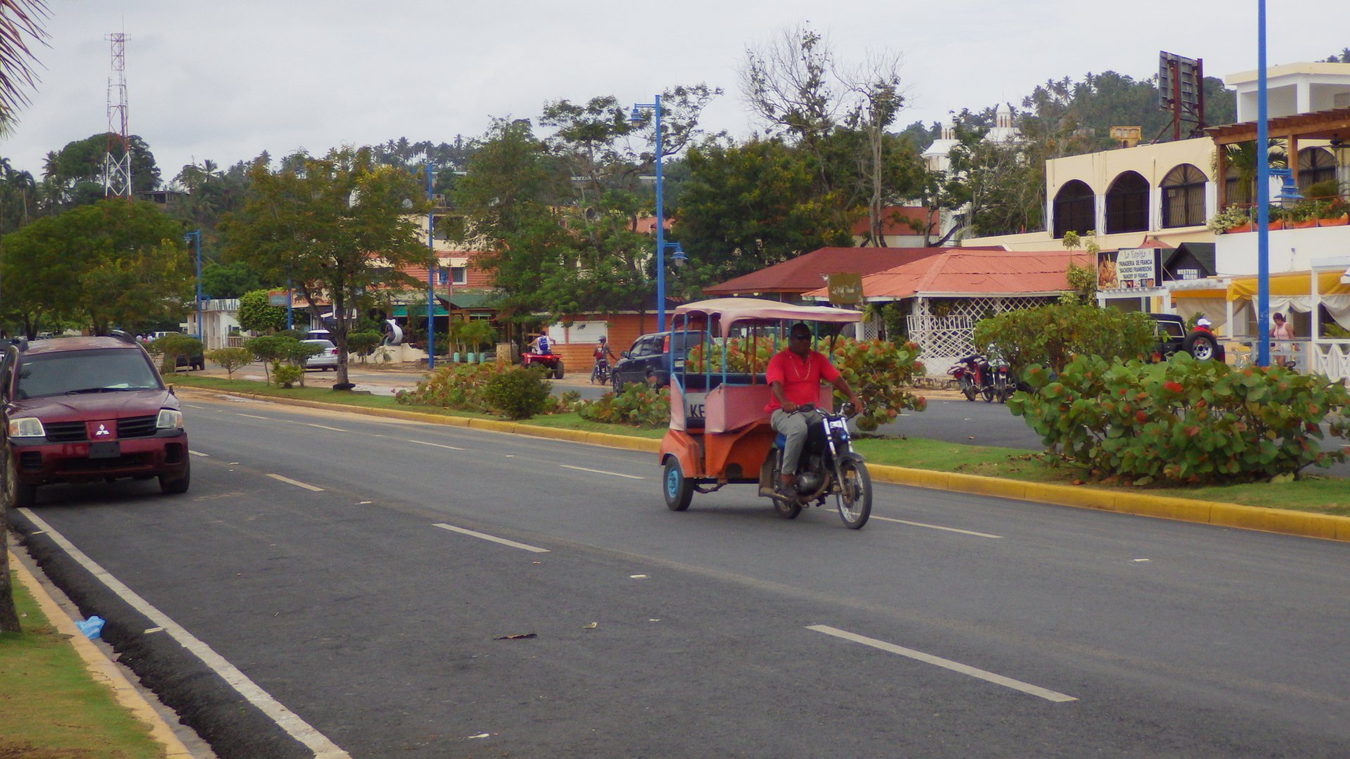
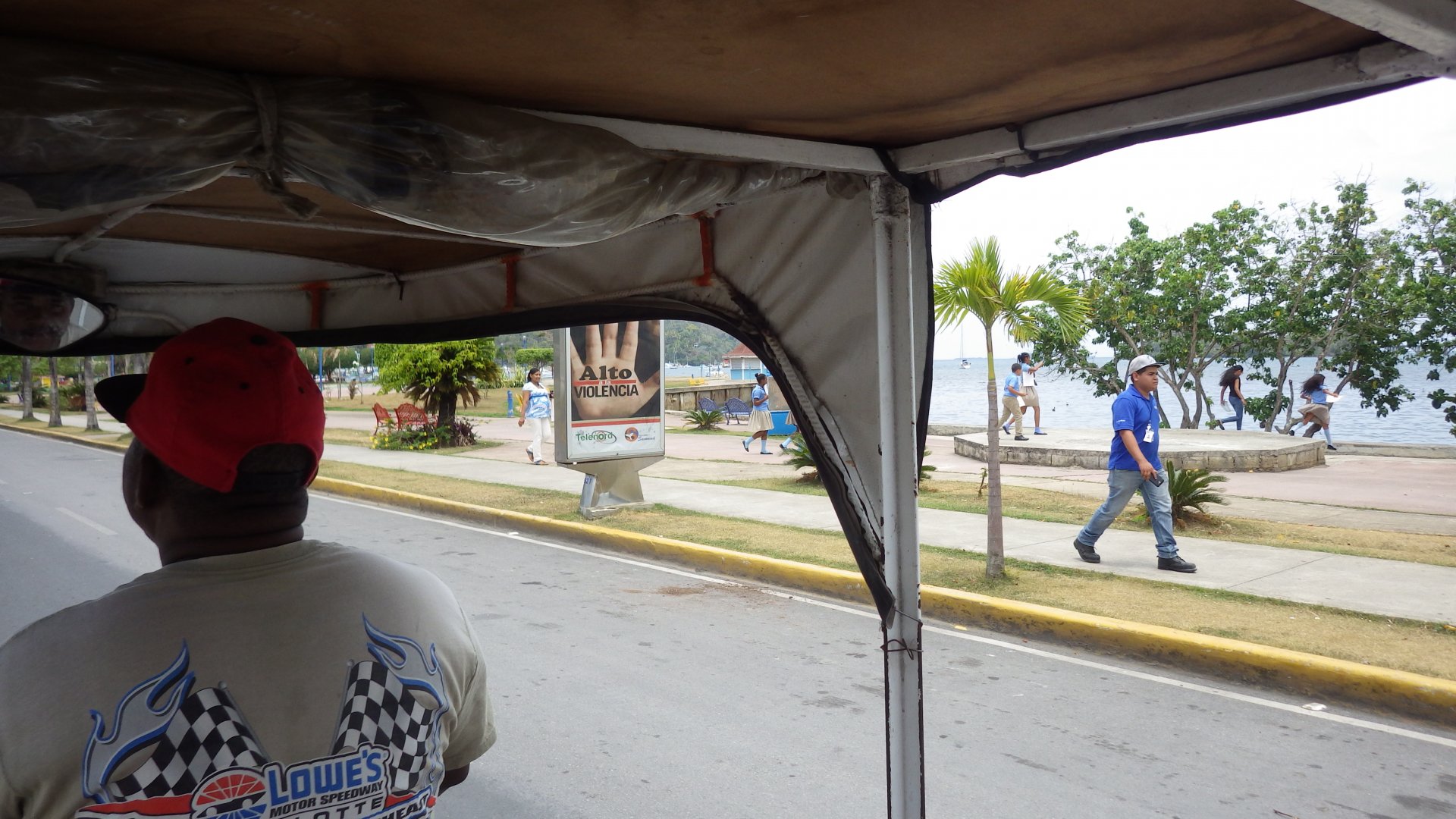
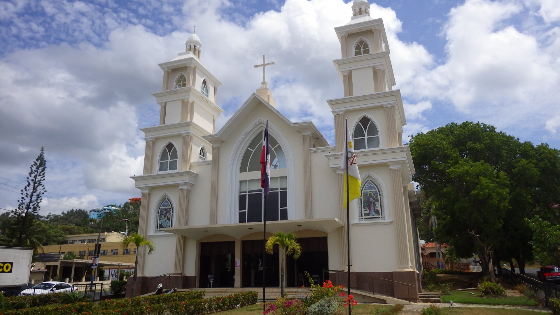
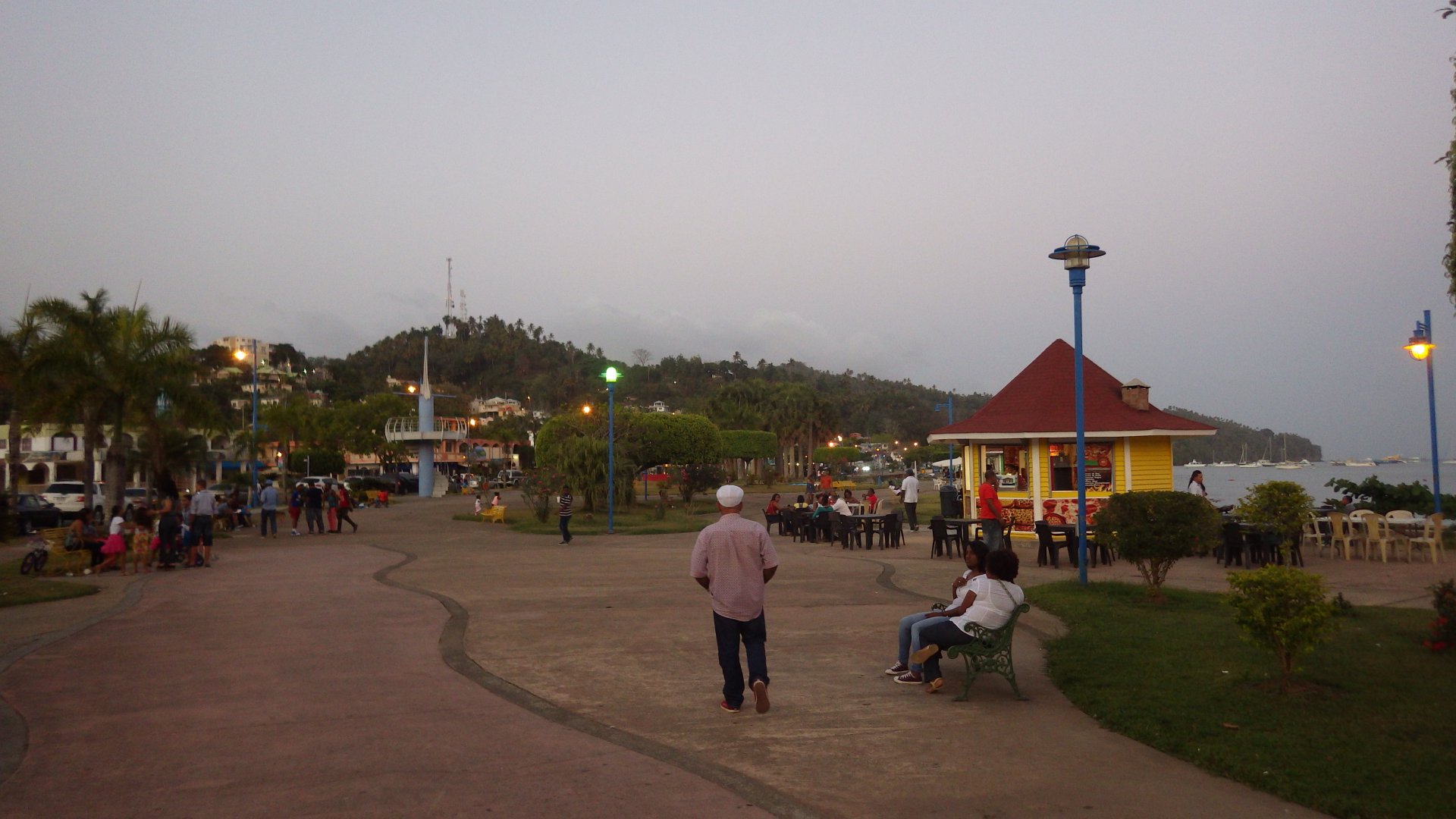
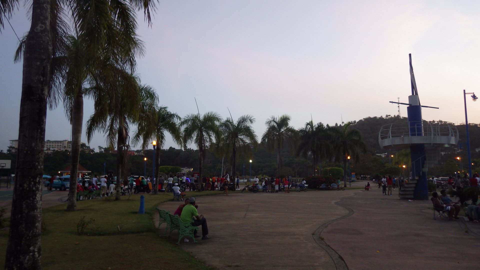
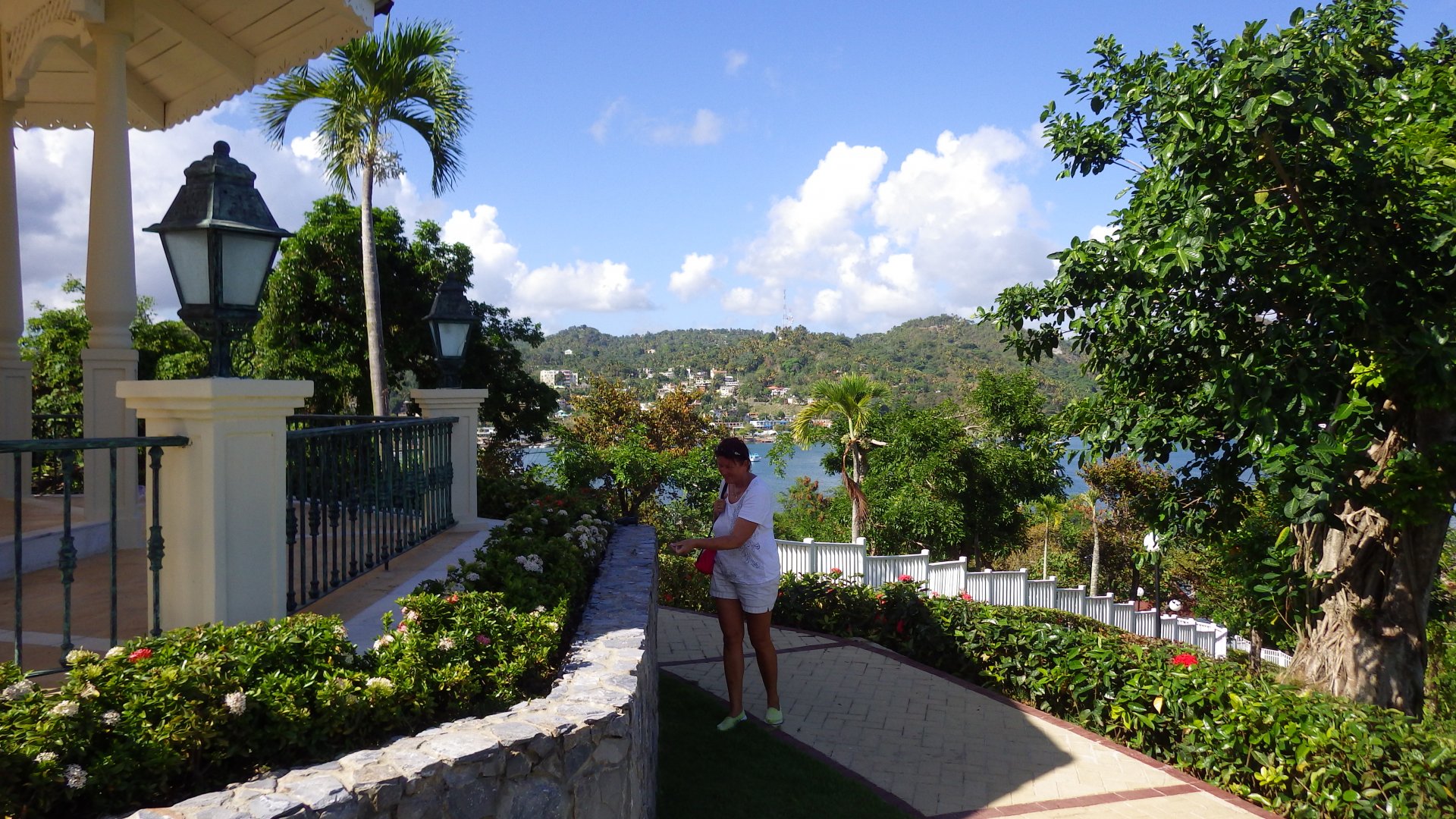
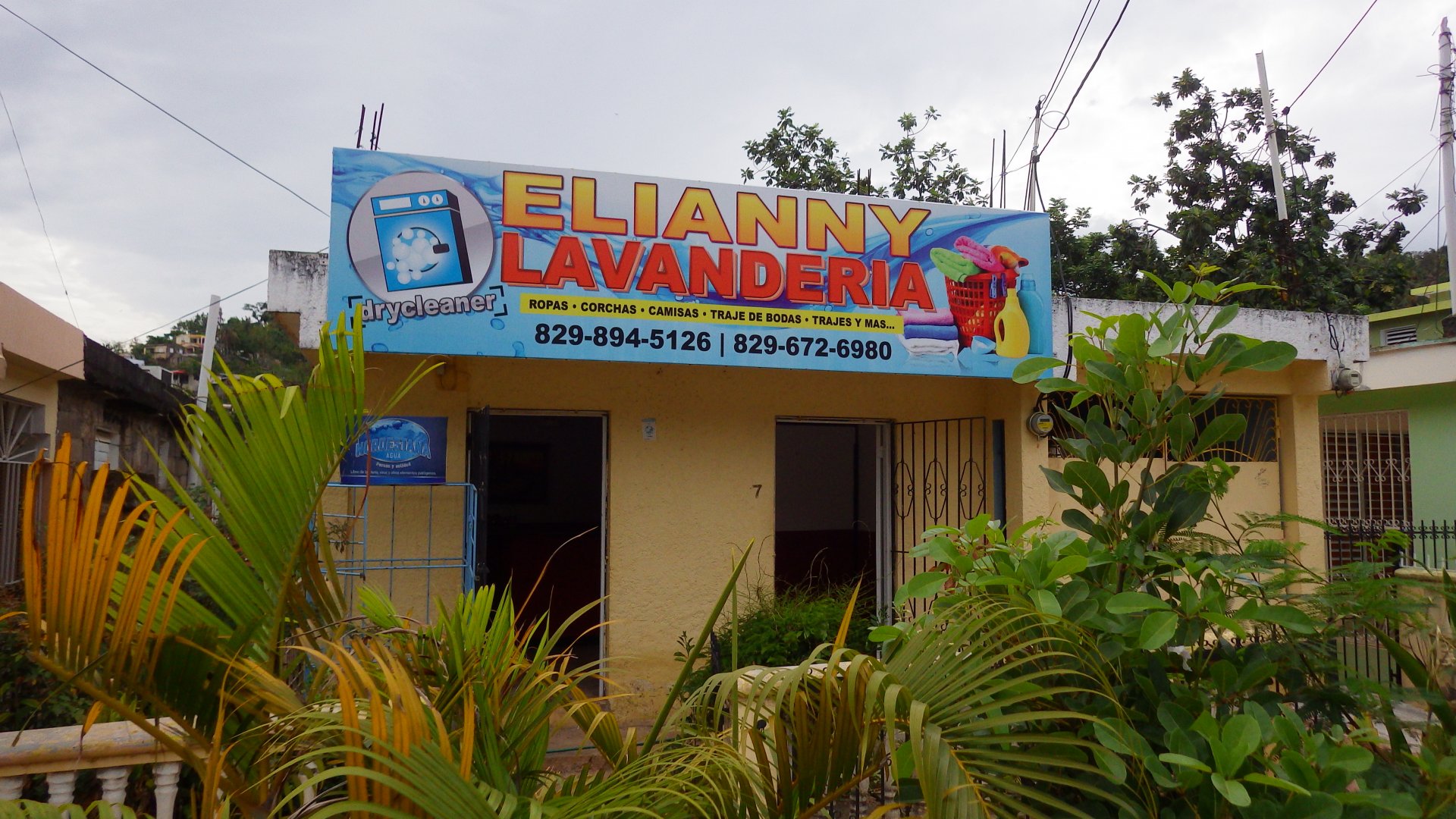
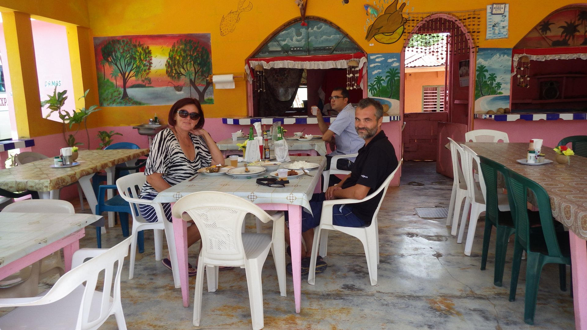
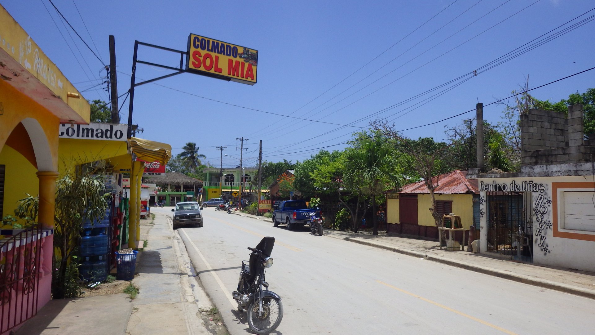
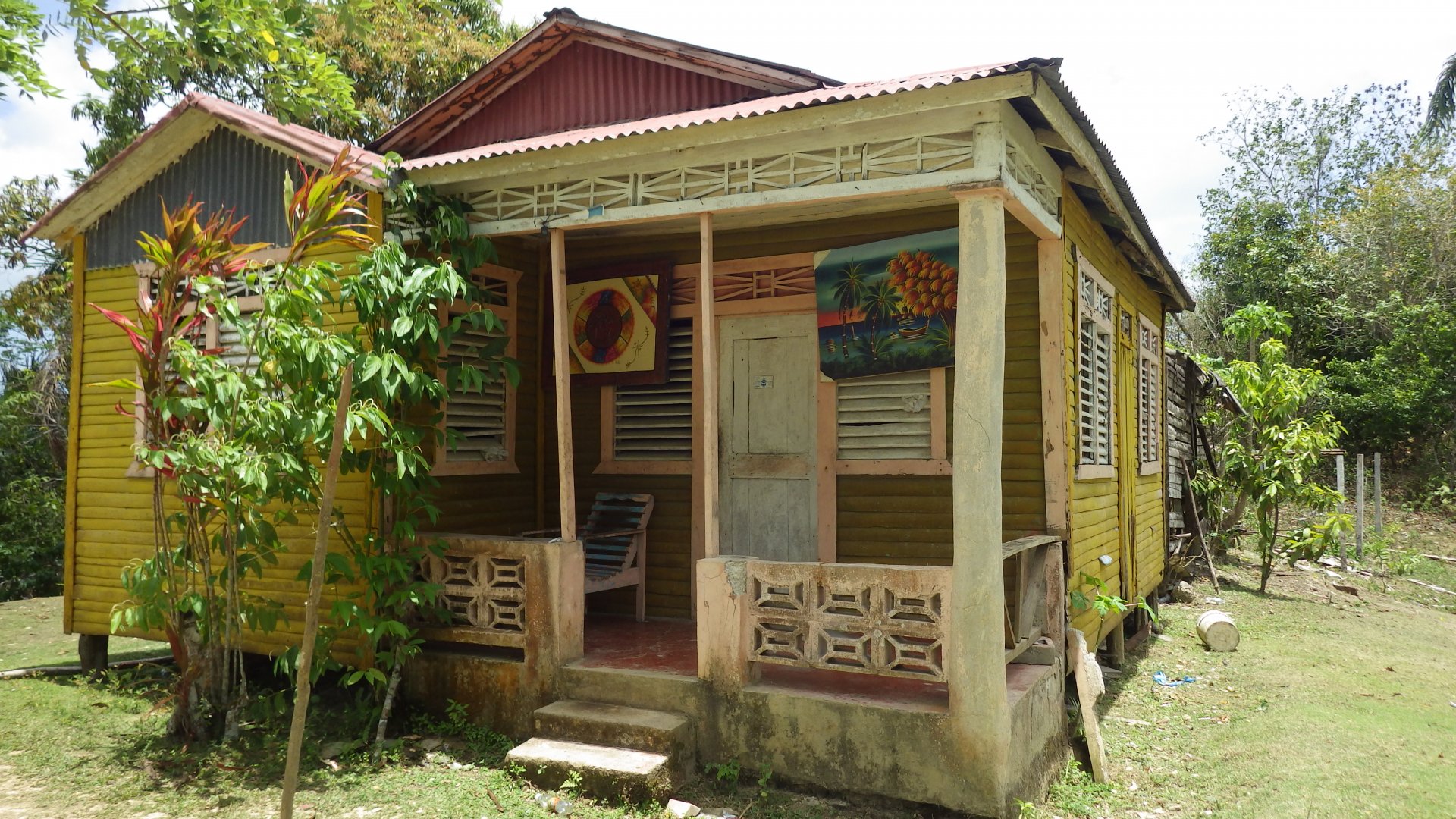
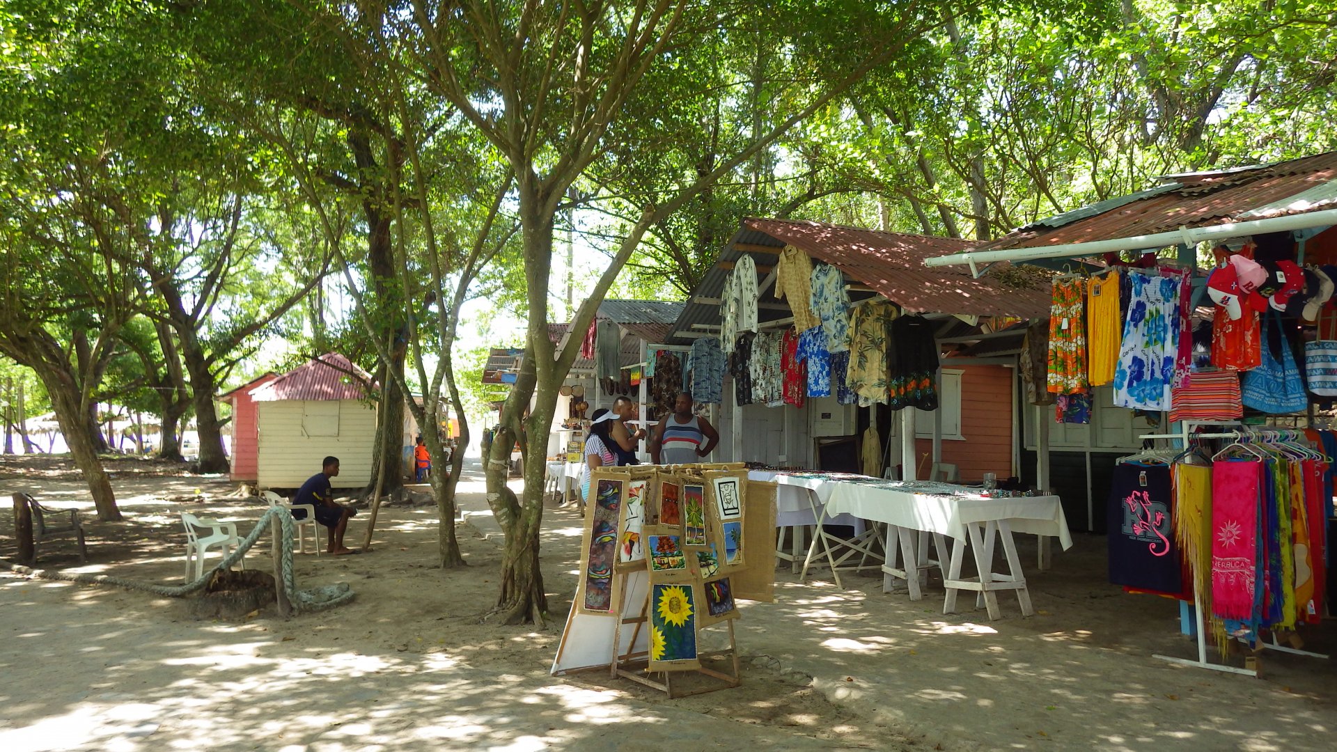
The town is not big, with local character. Few locals speak English, and knowing Spanish would definitely help on Dominican Republic.
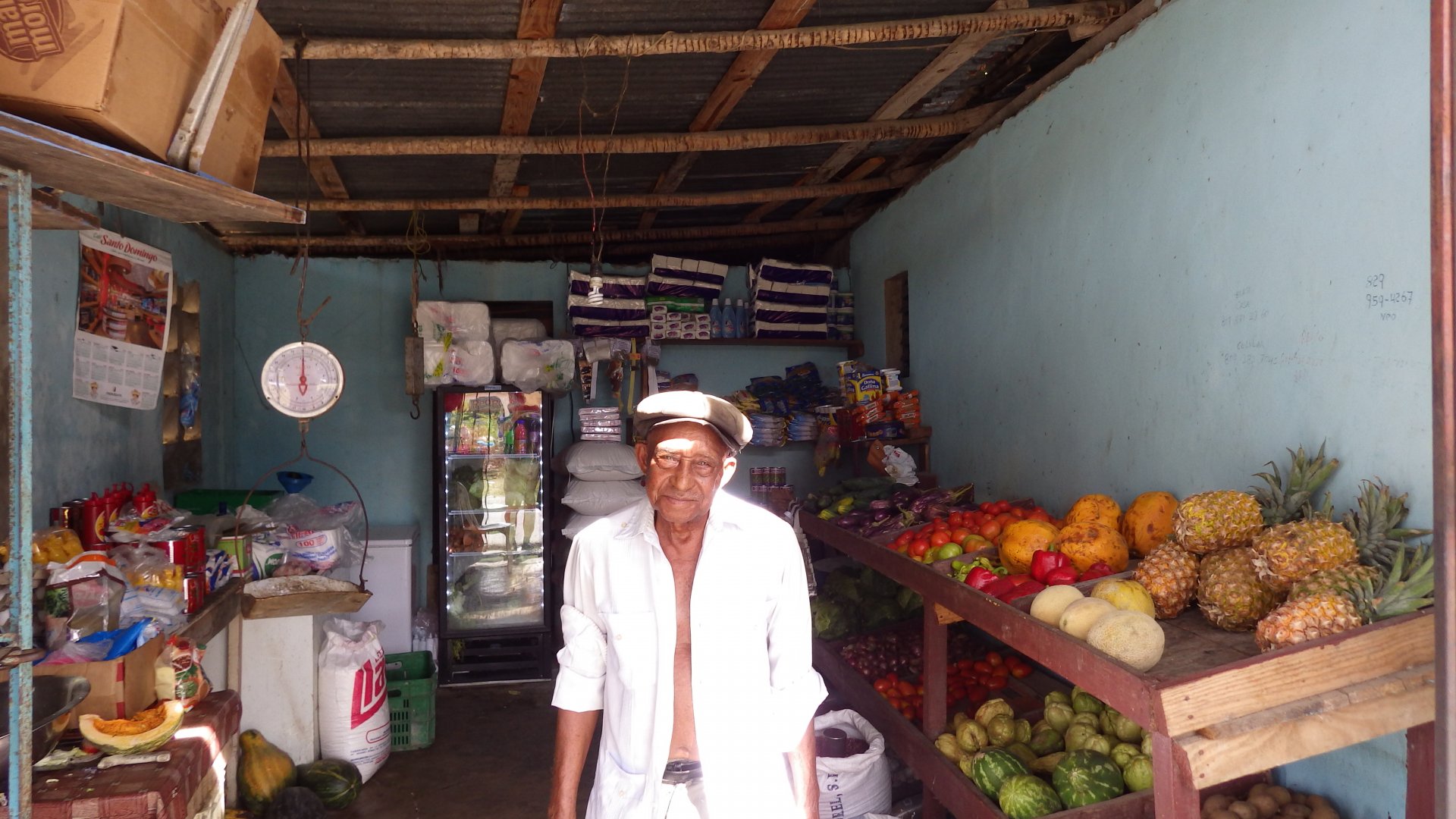
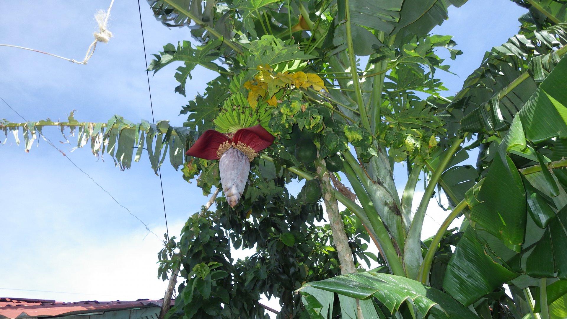
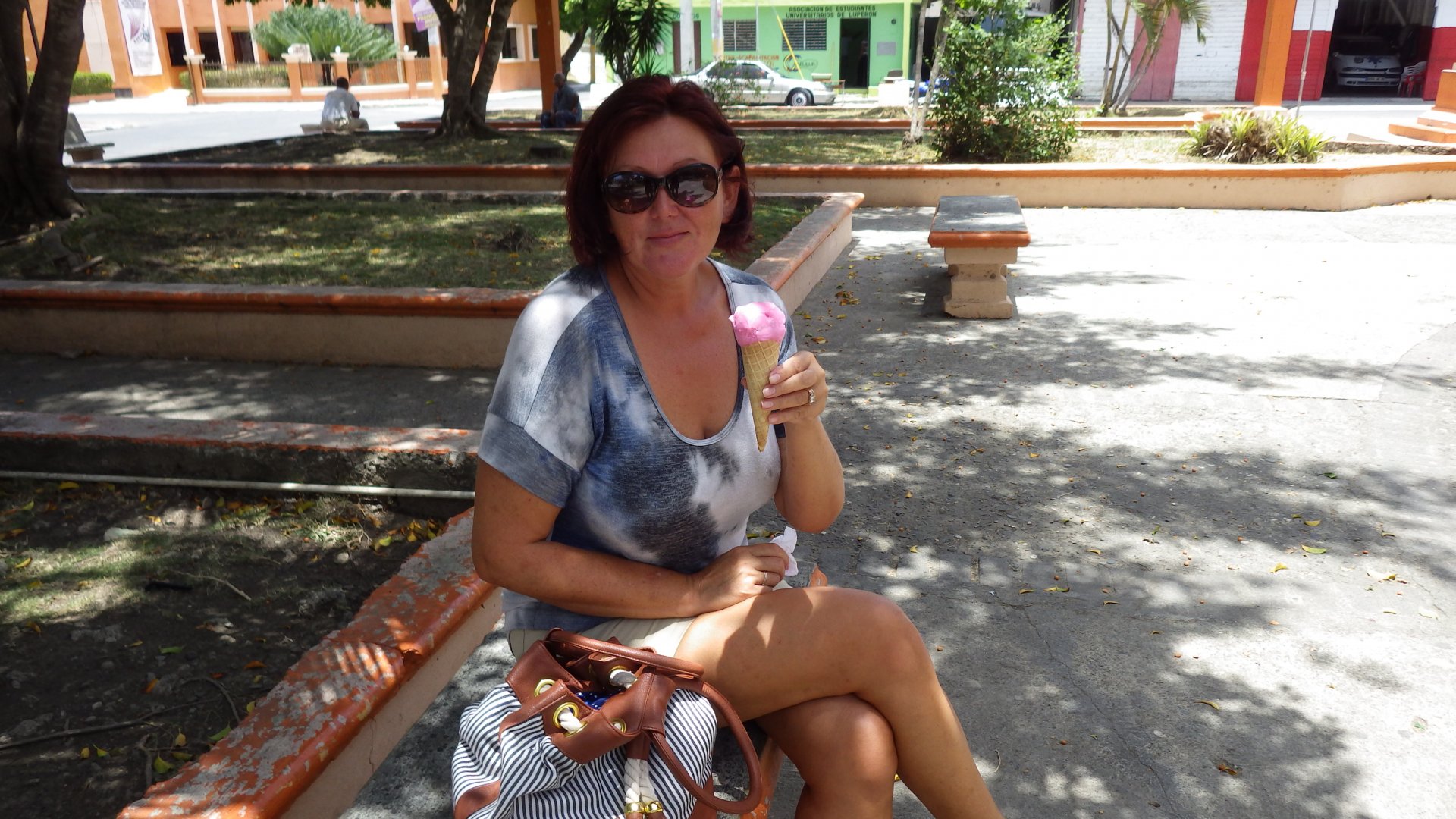
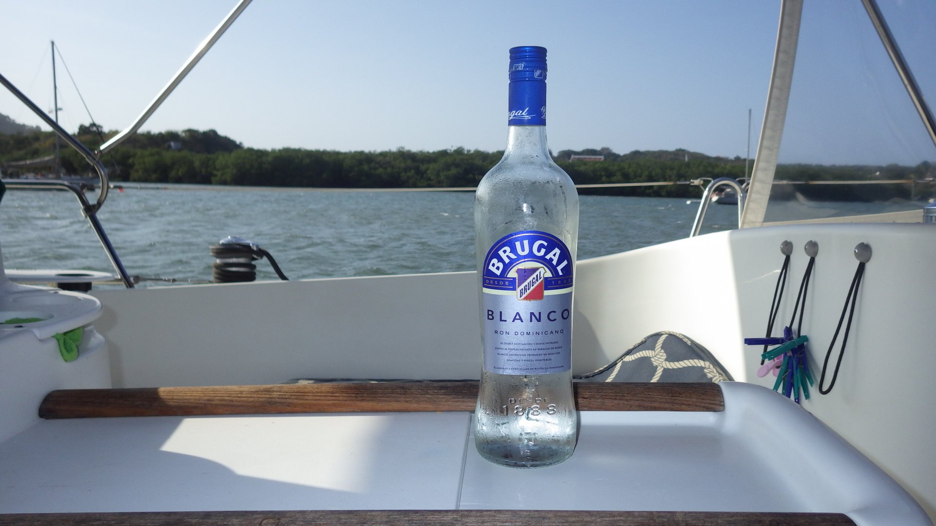
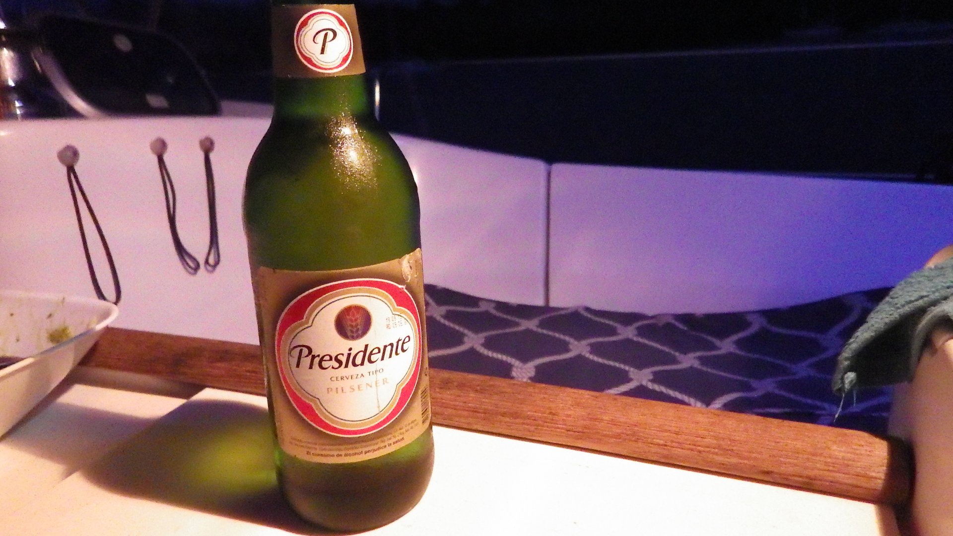
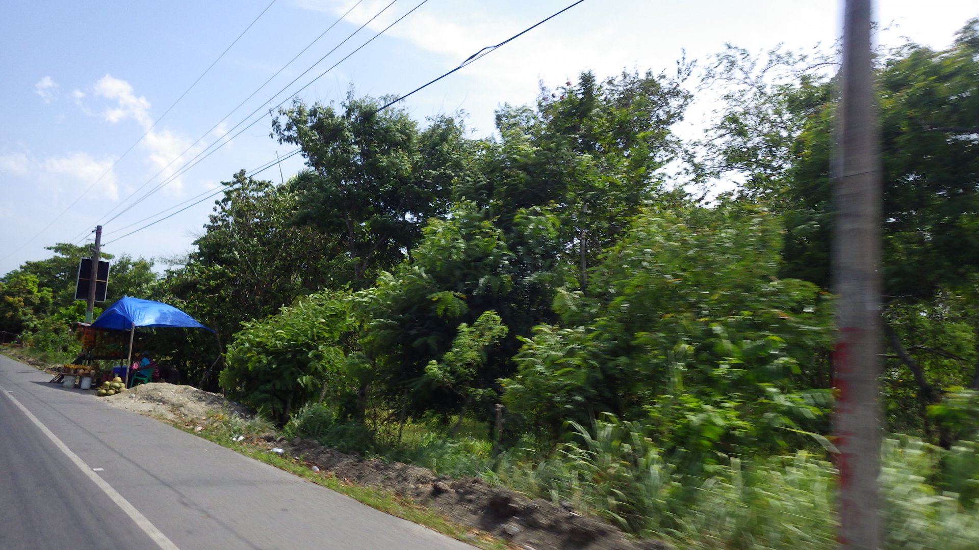
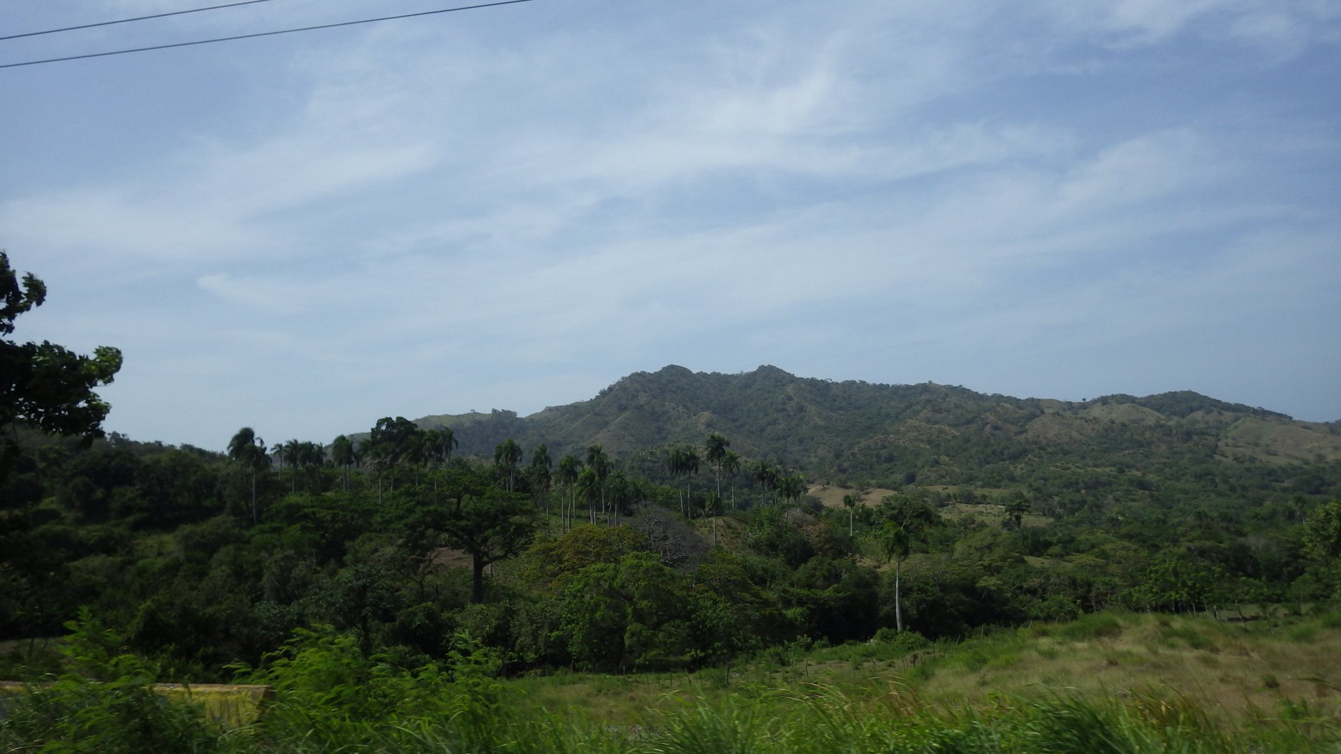
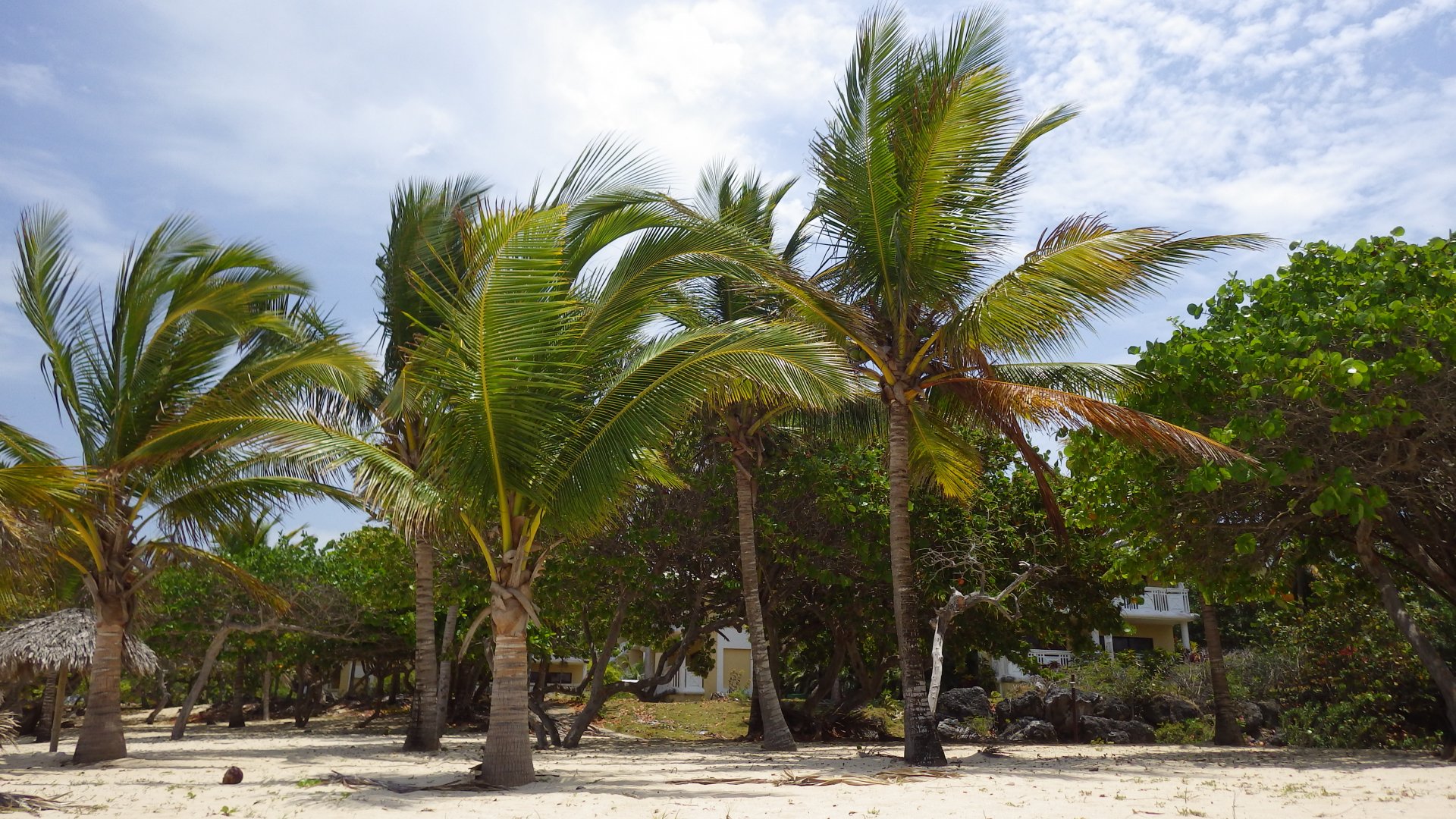
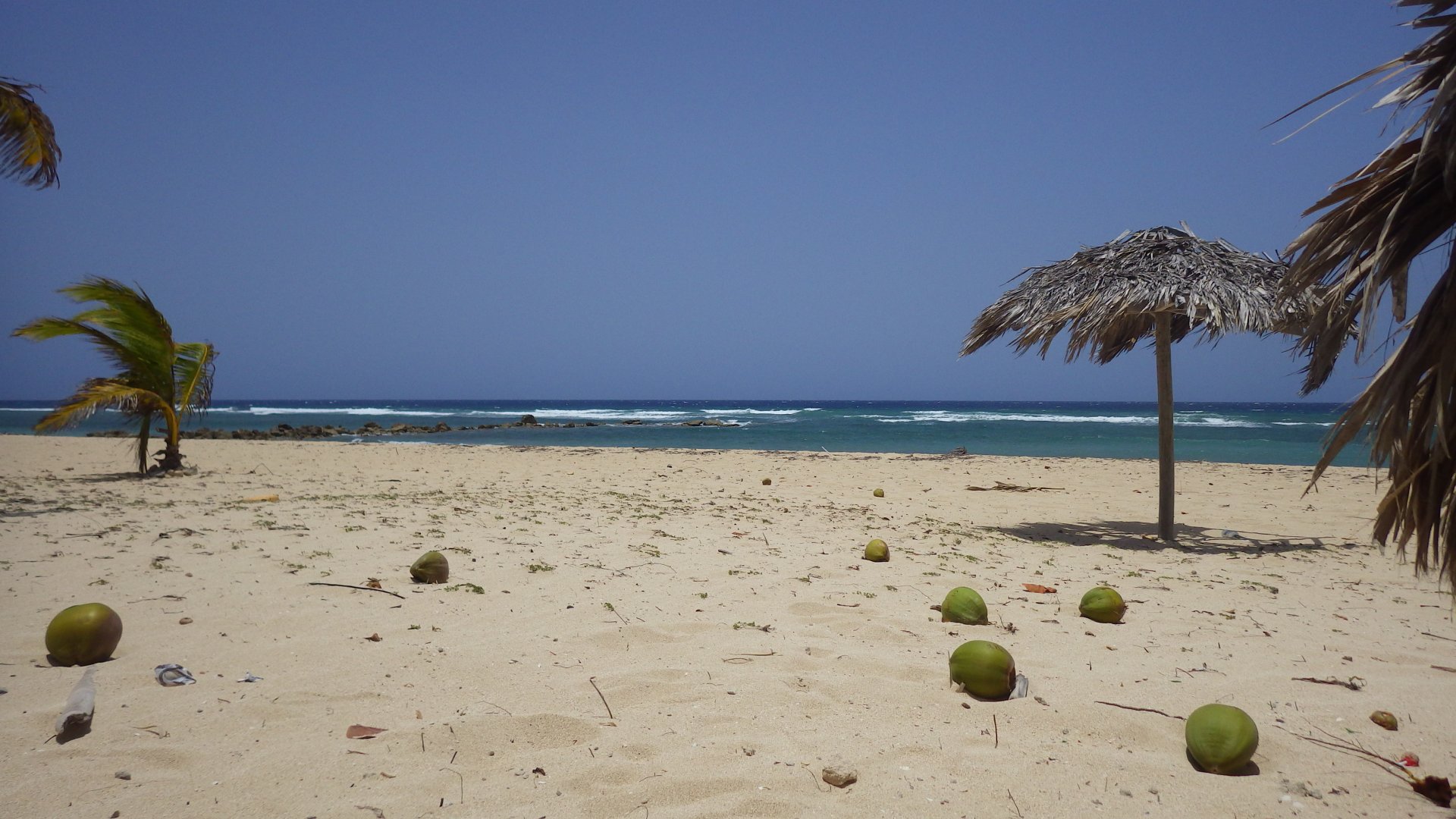
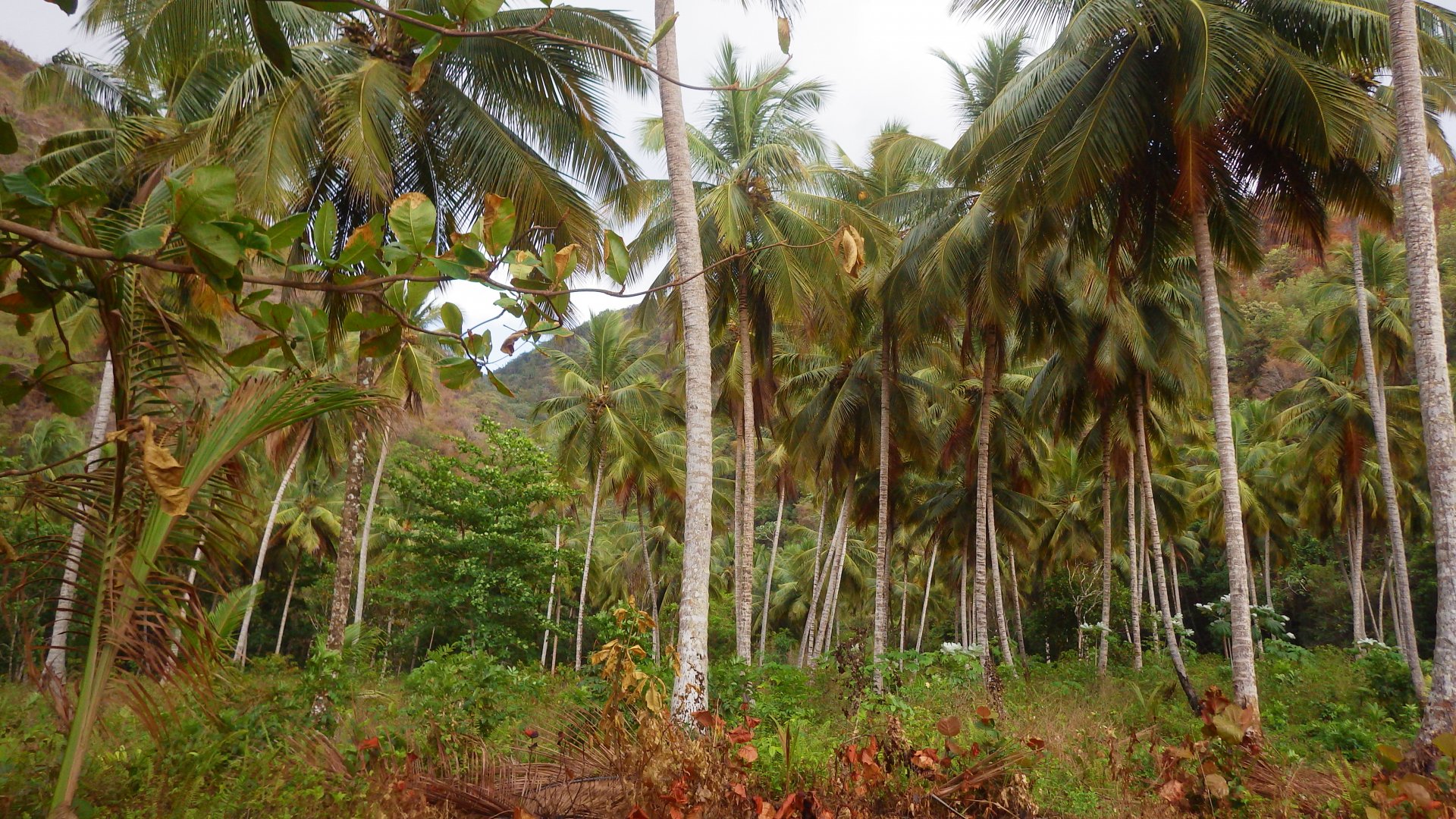
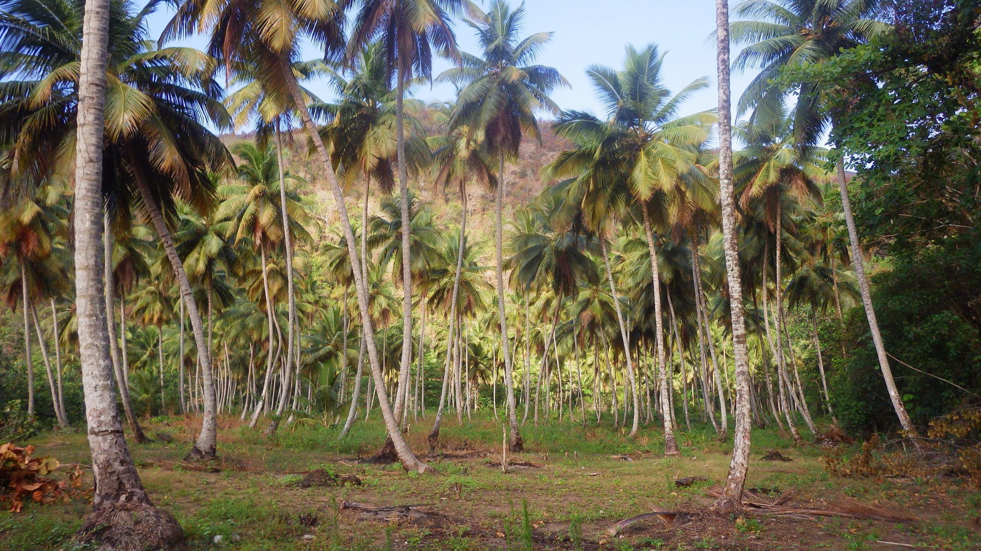
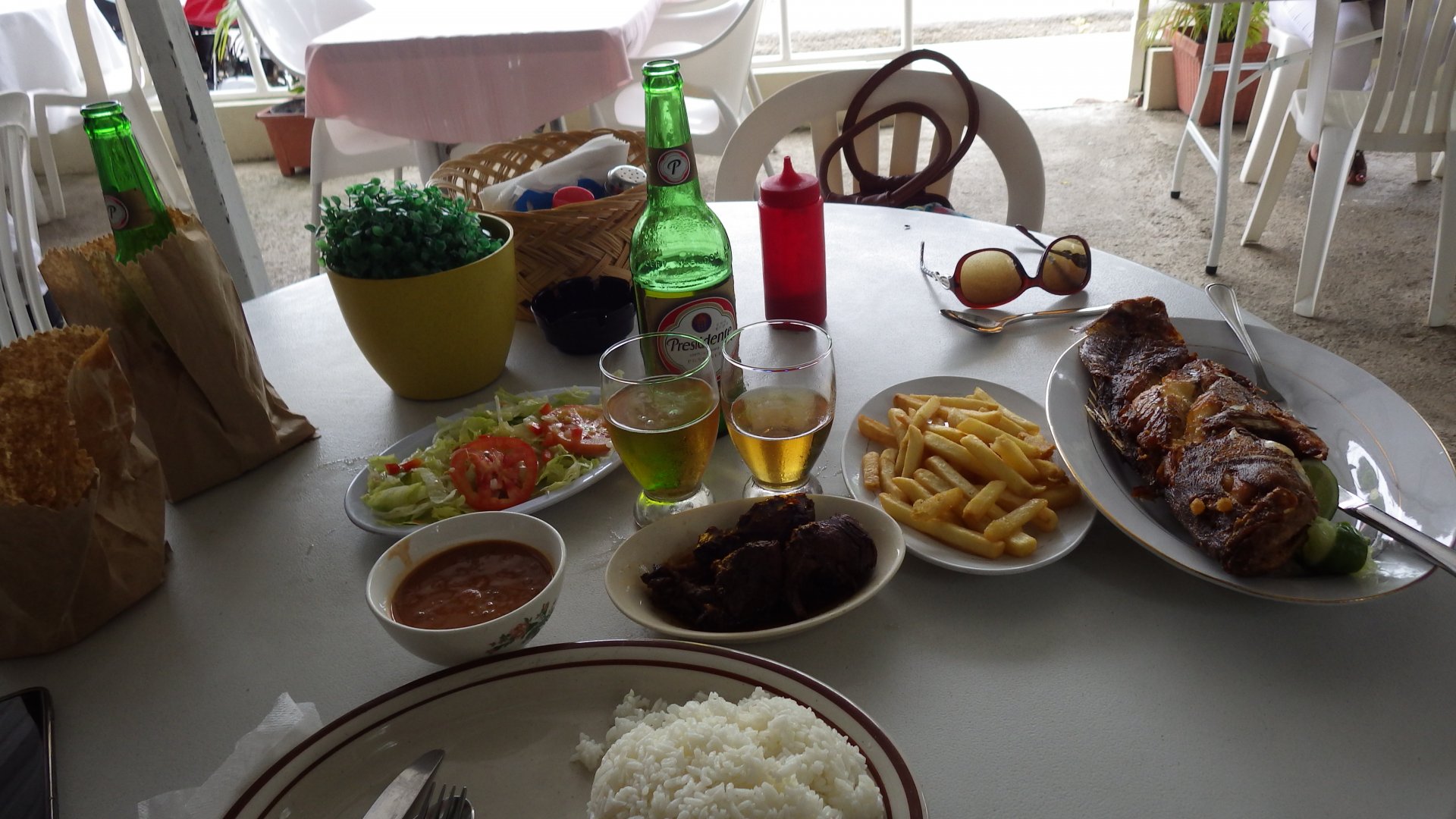
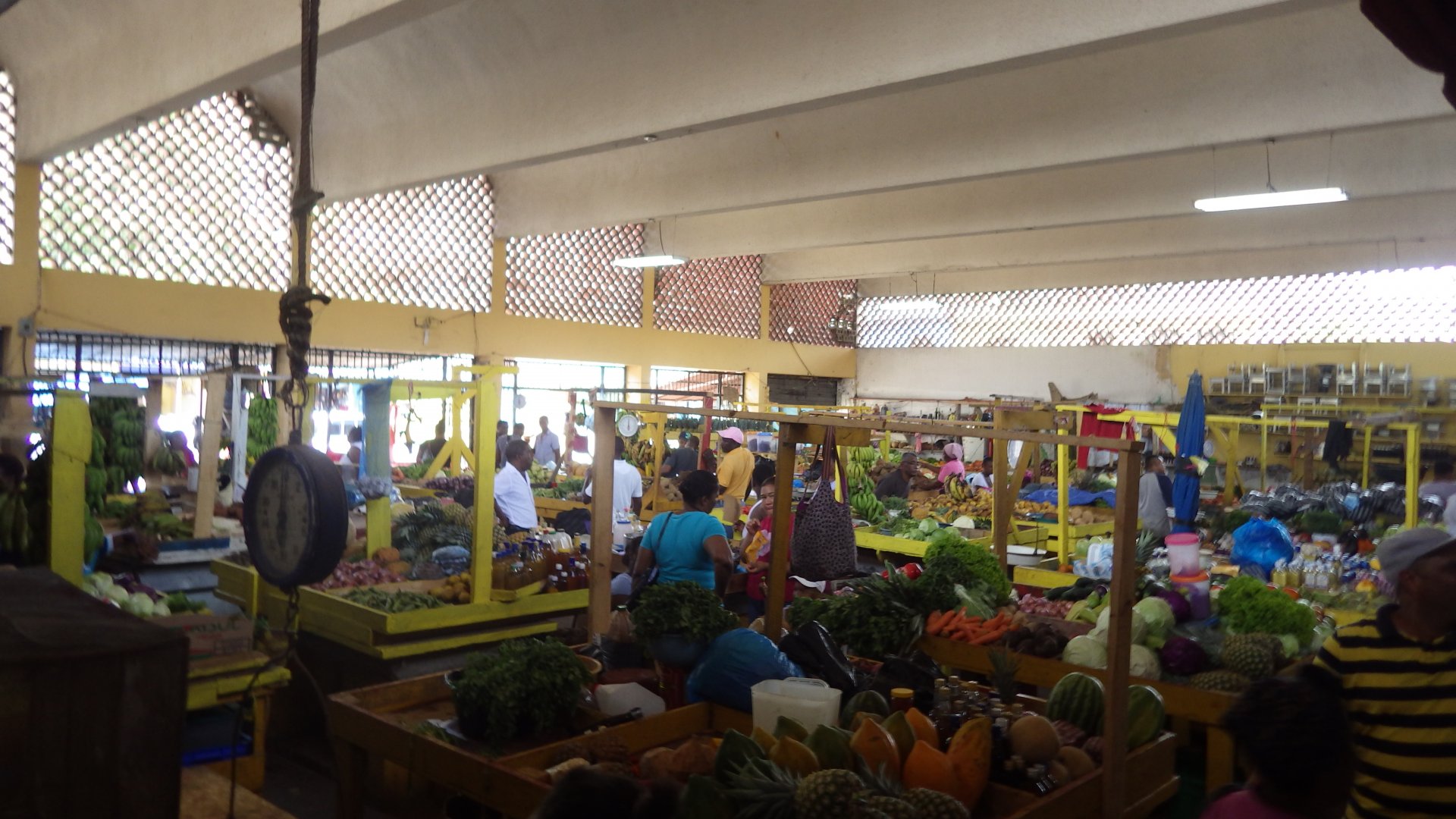
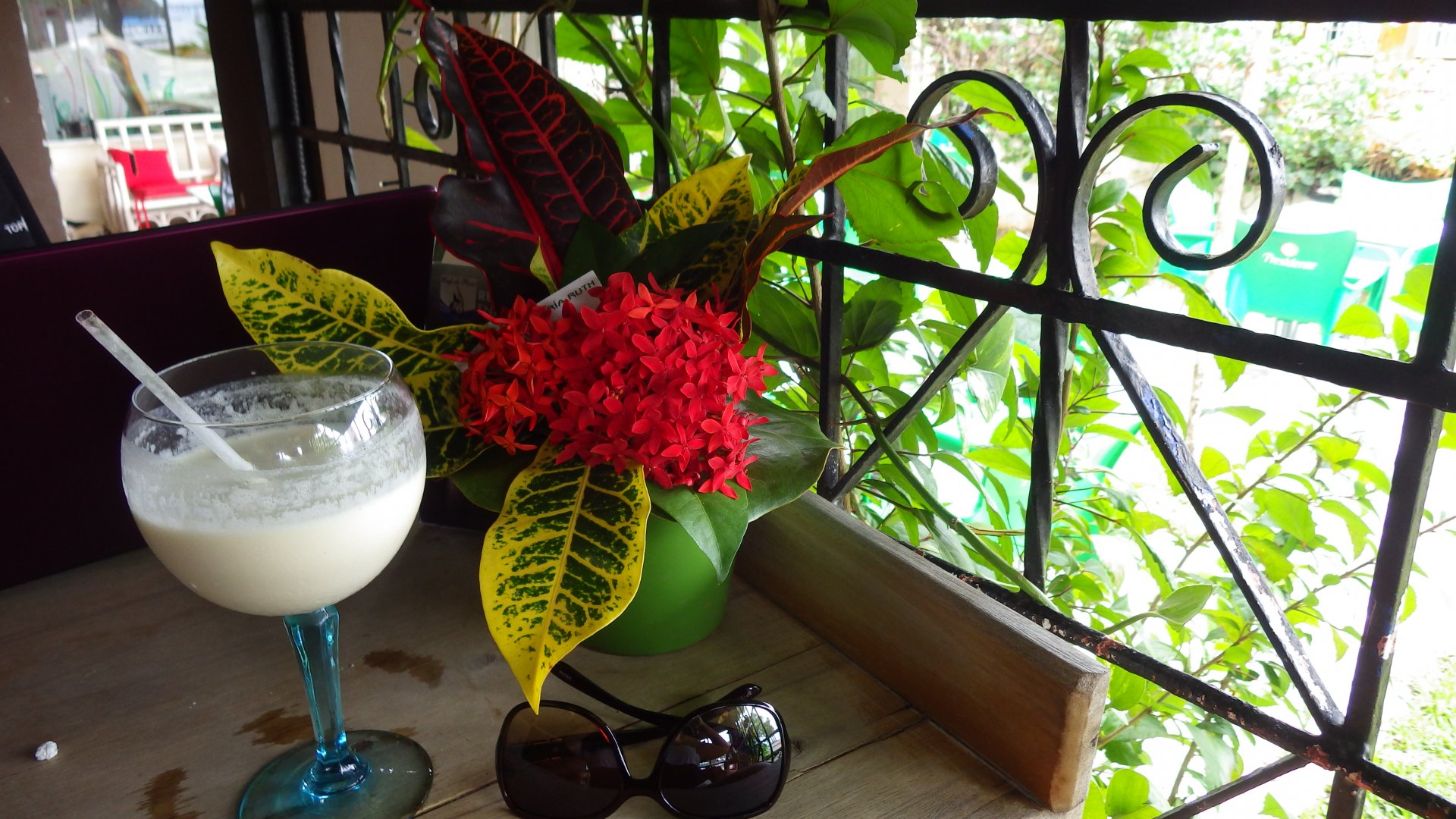
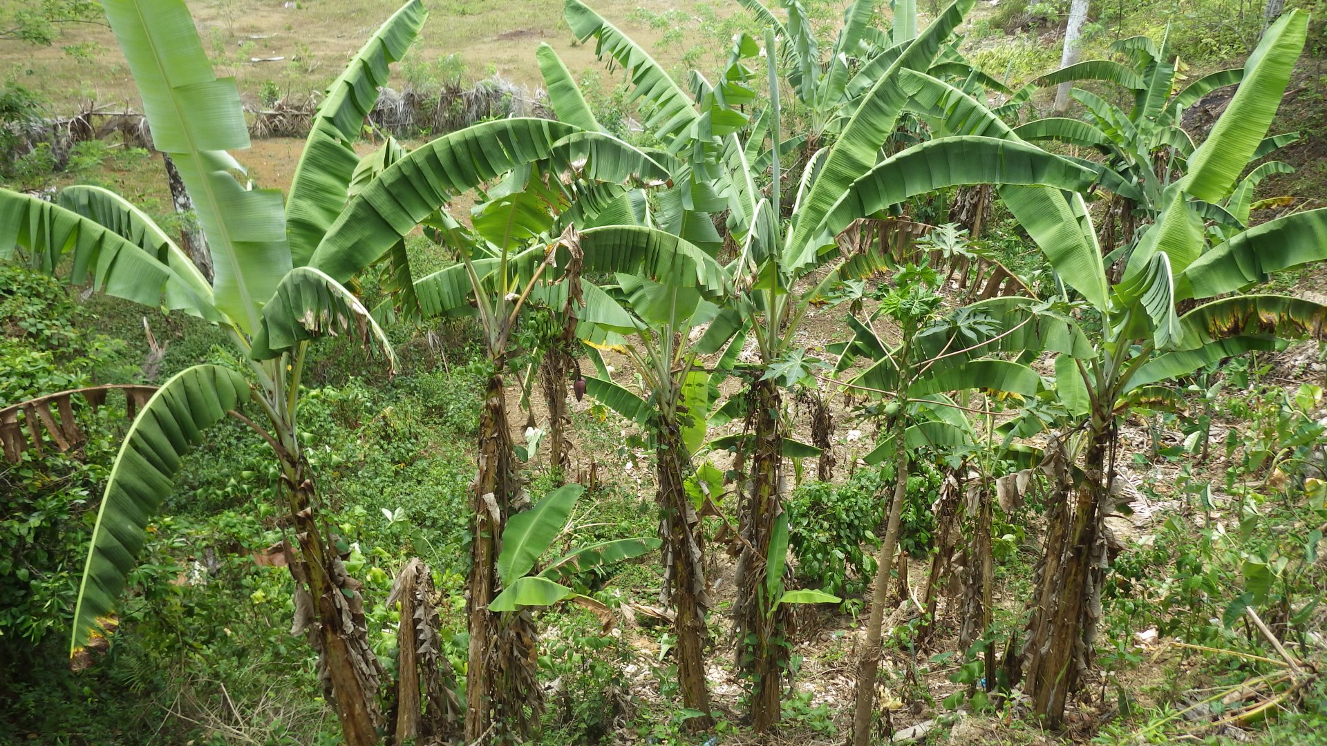
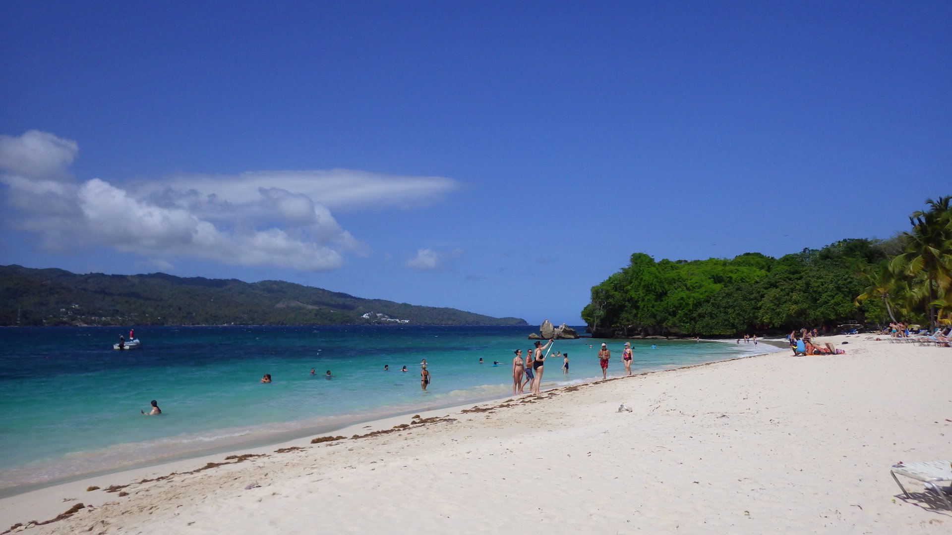
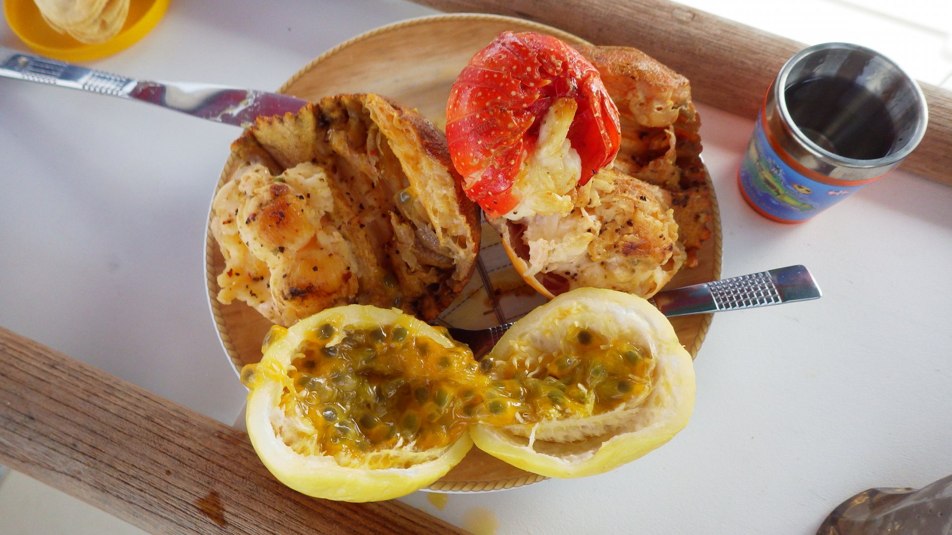
The locally grown fruits are amazingly tasteful, especially mangos.

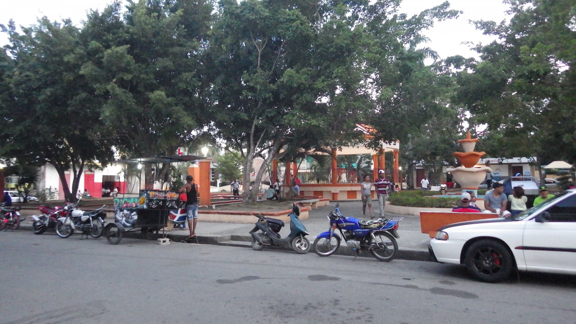
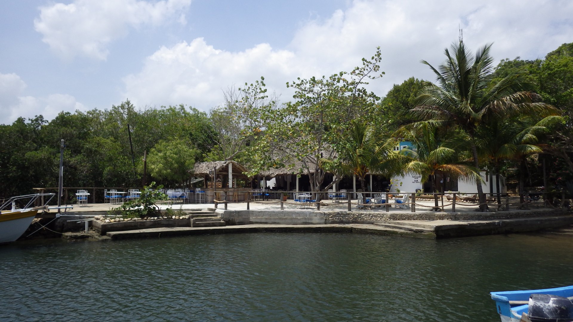
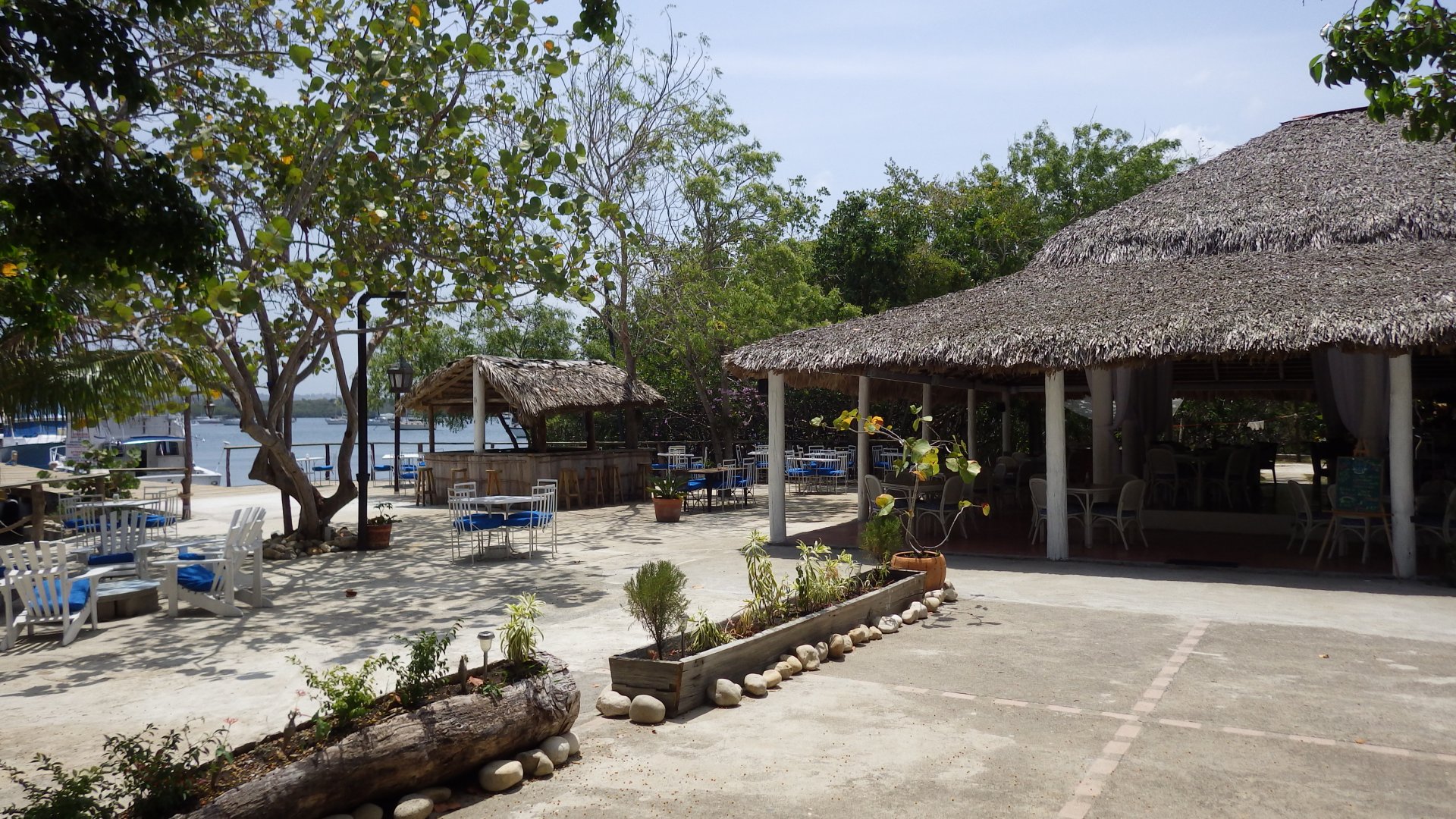
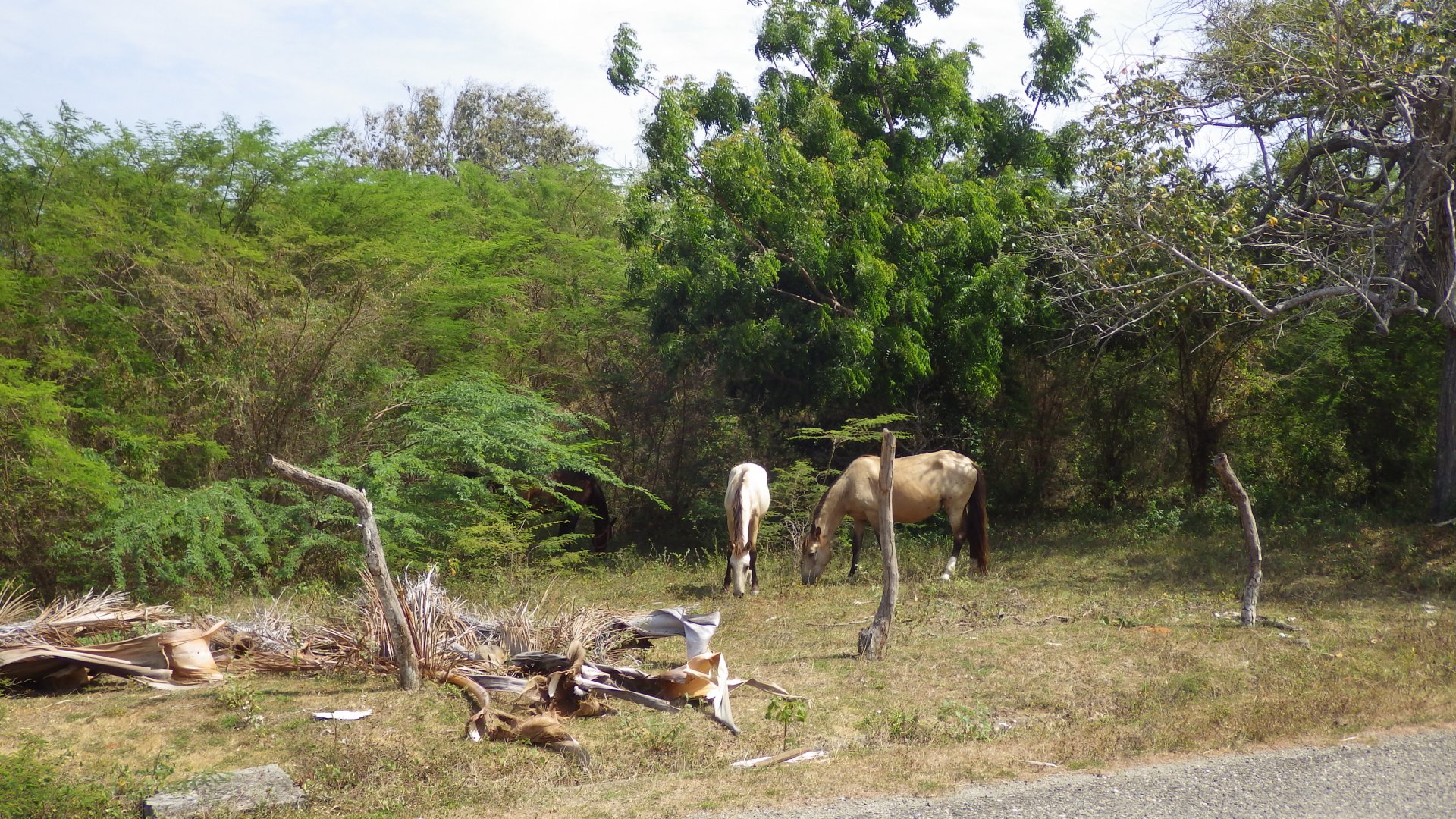
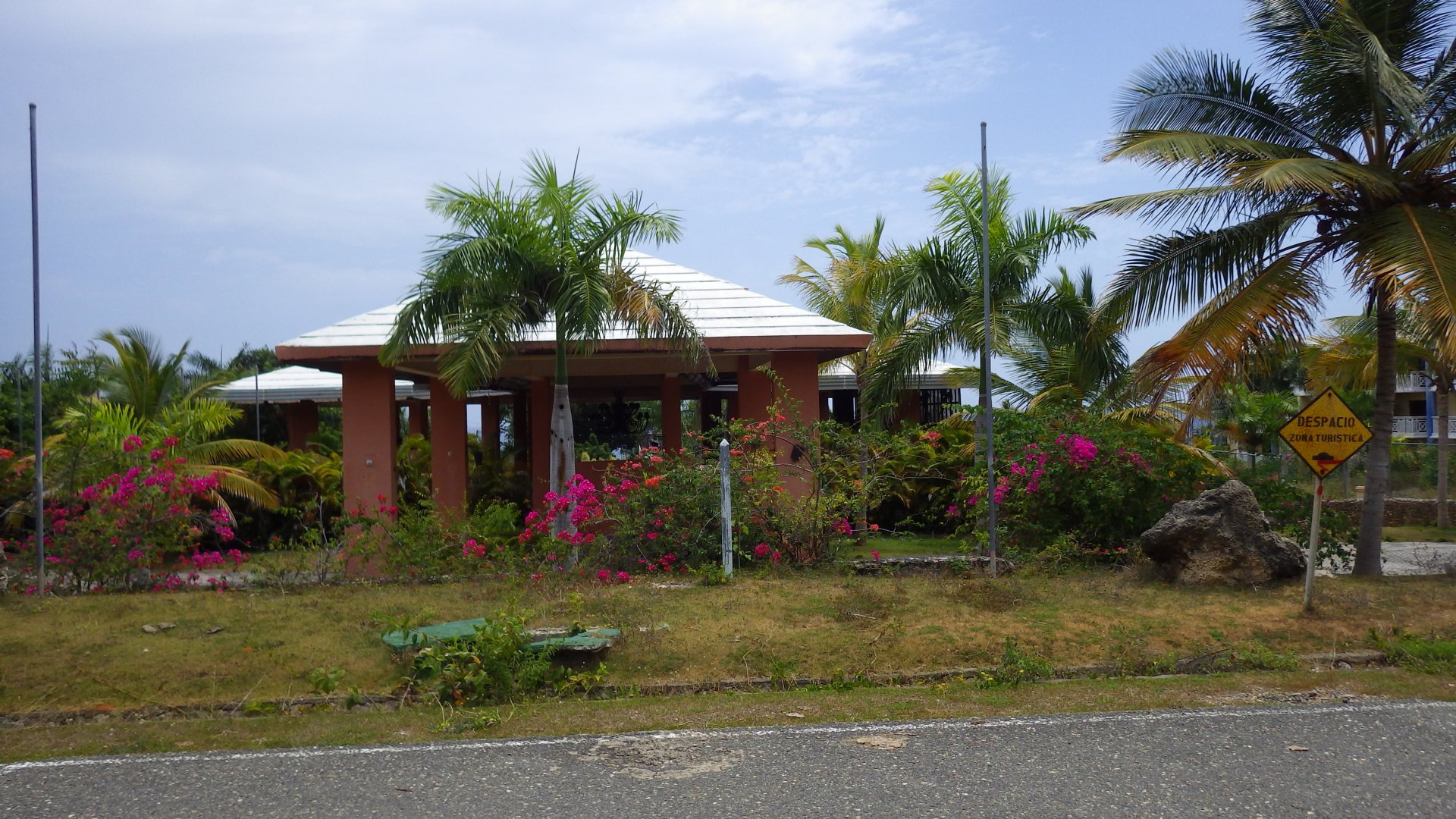
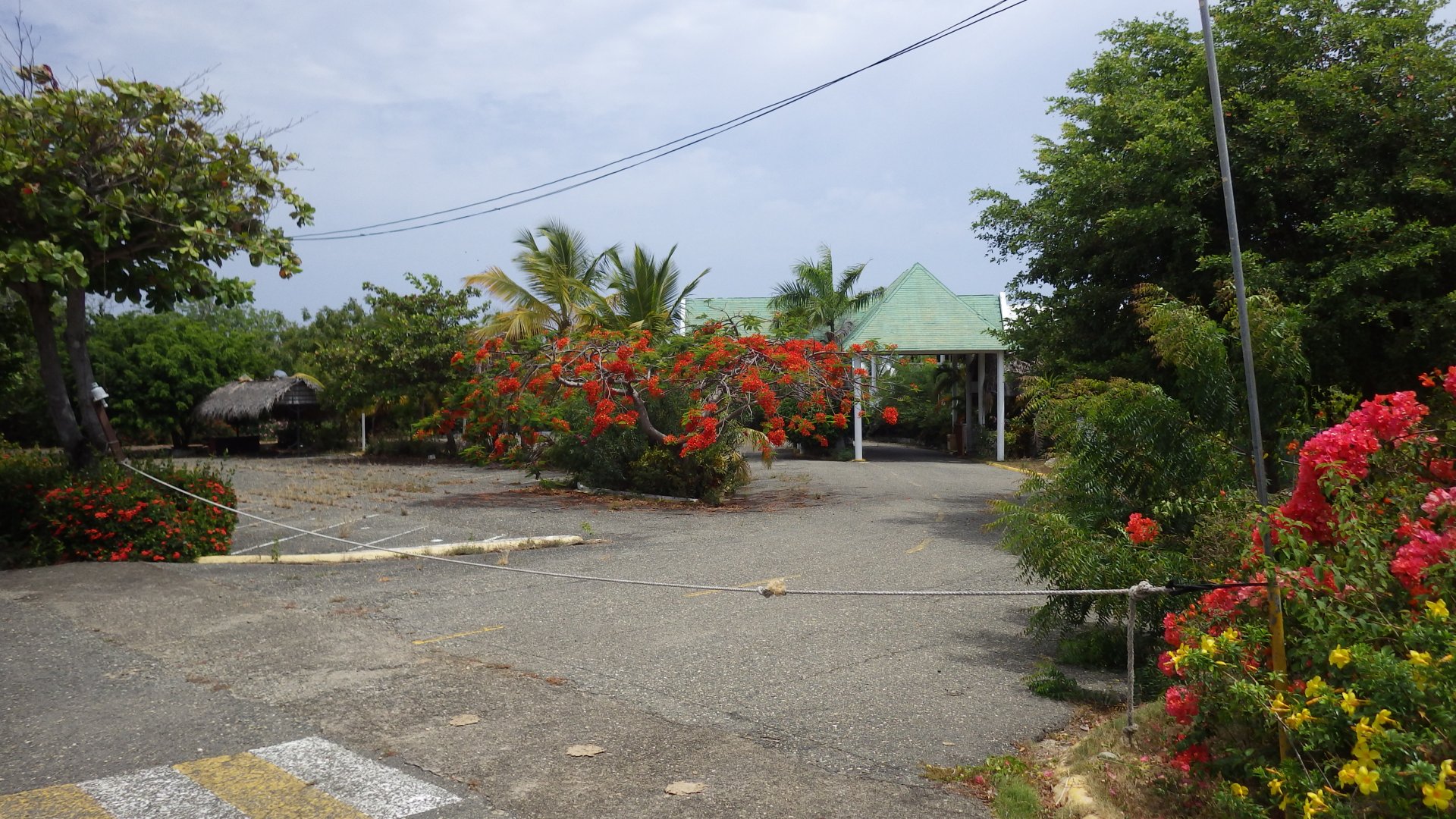
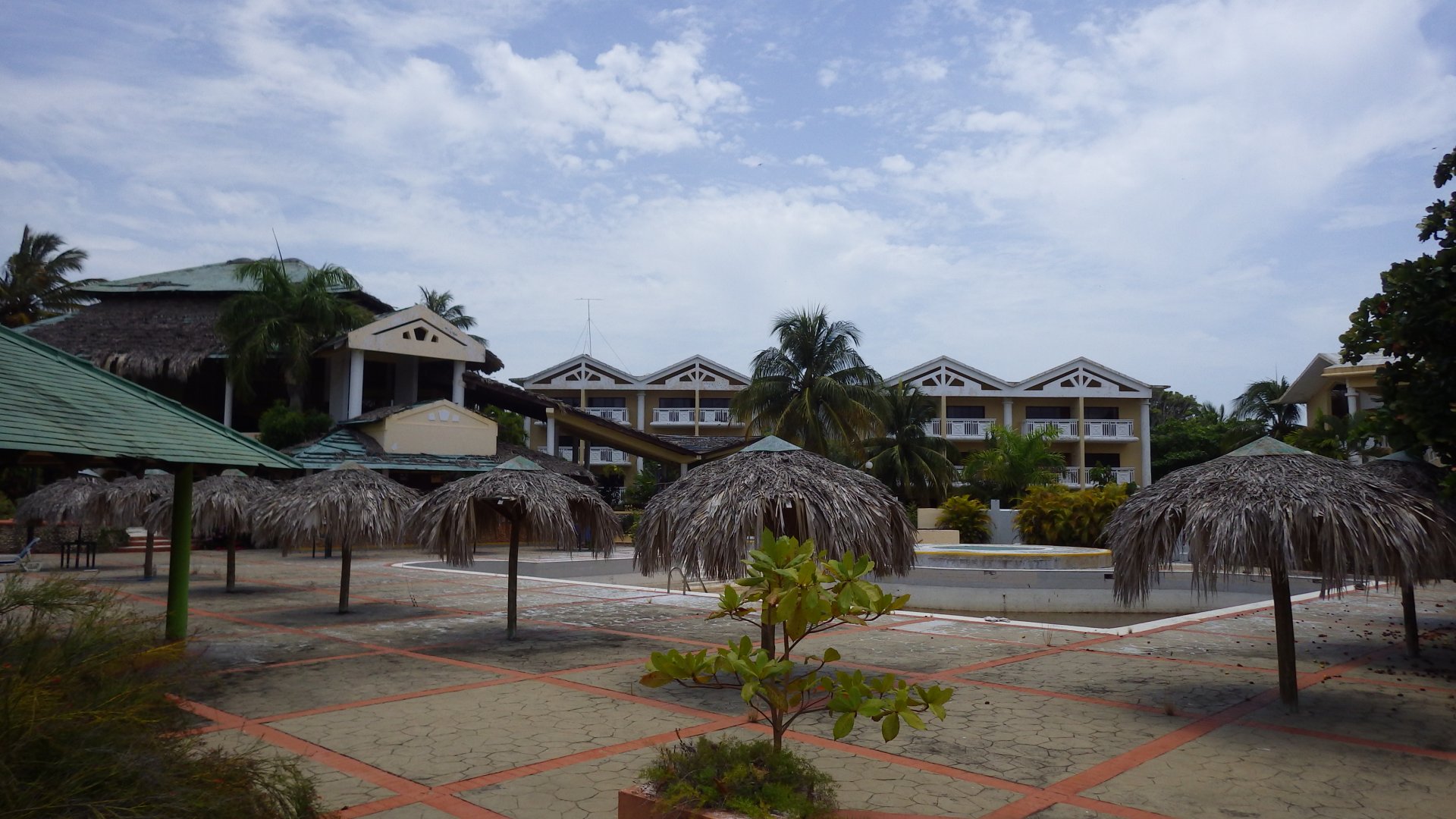
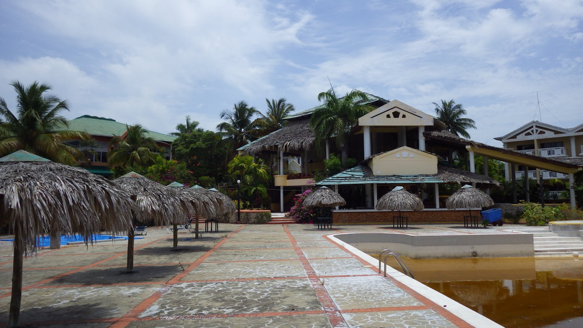
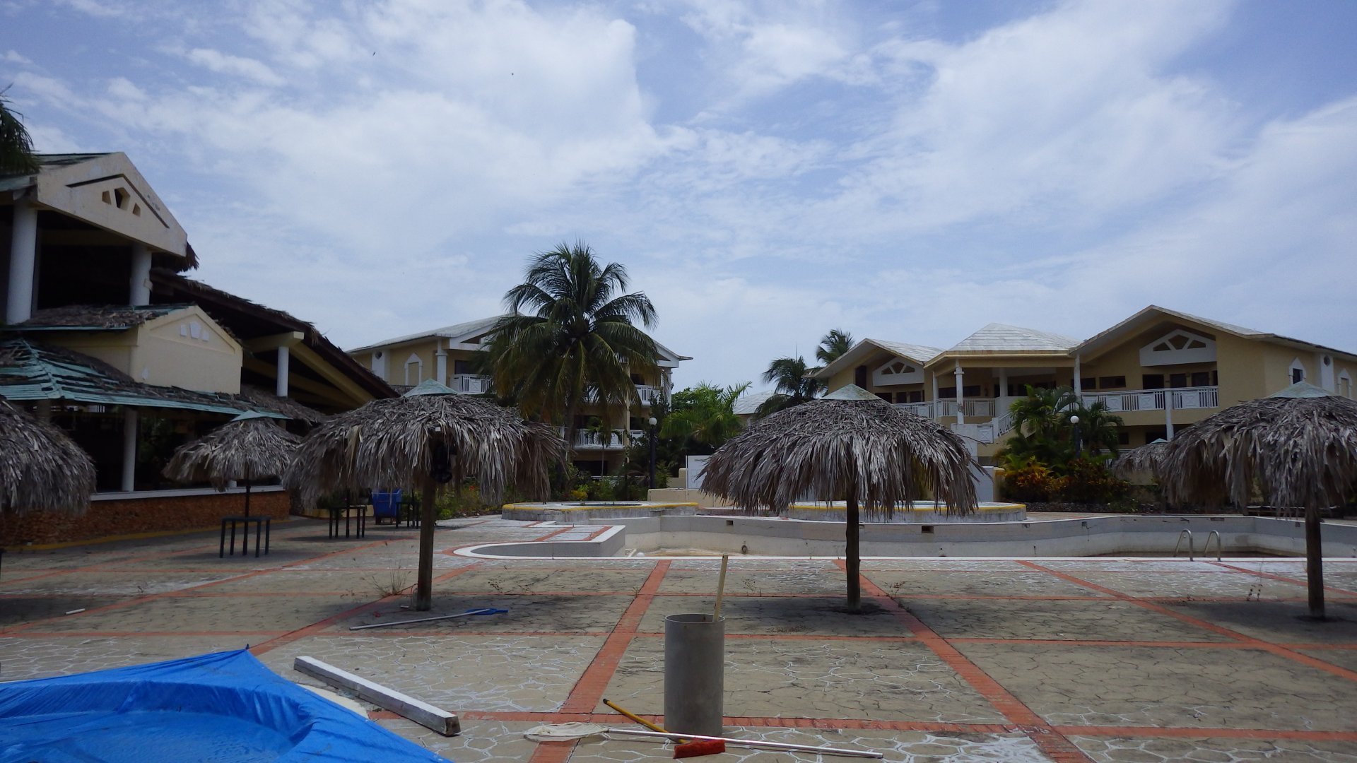
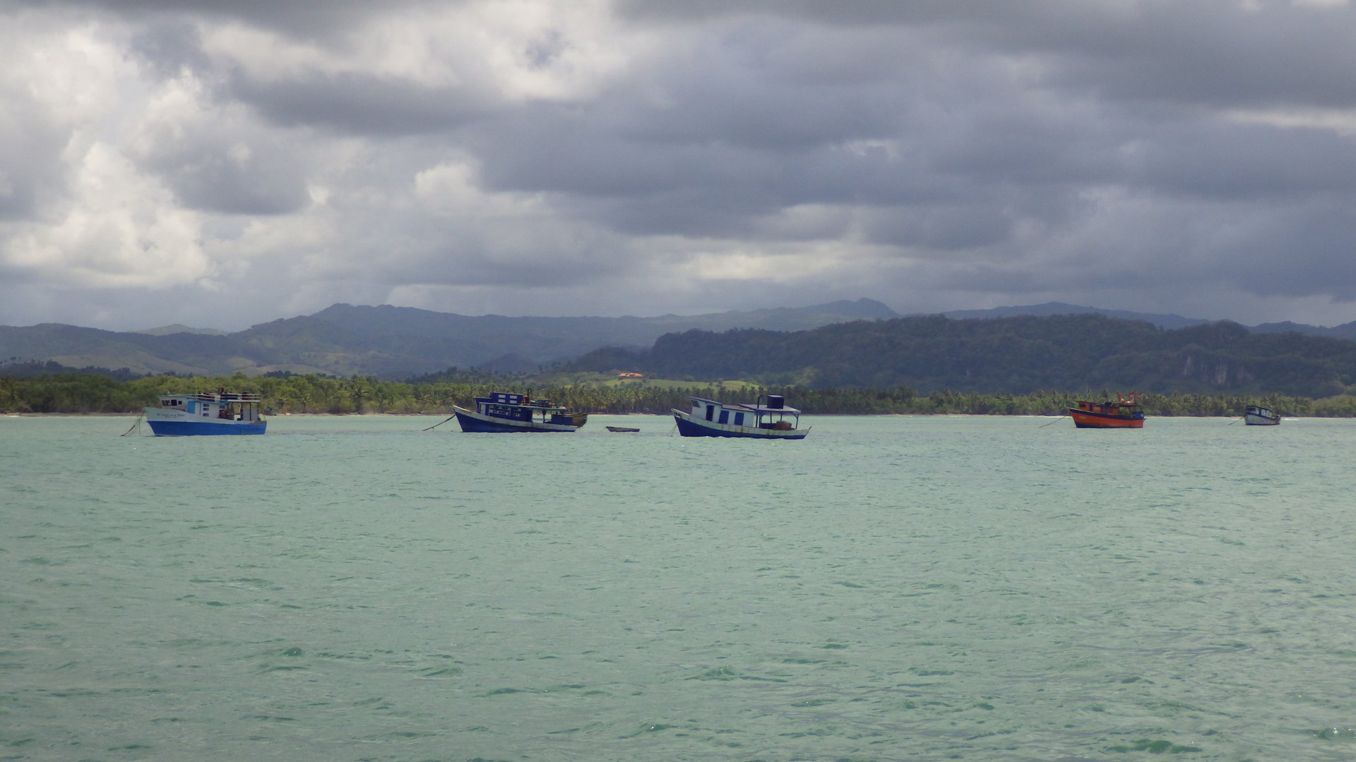
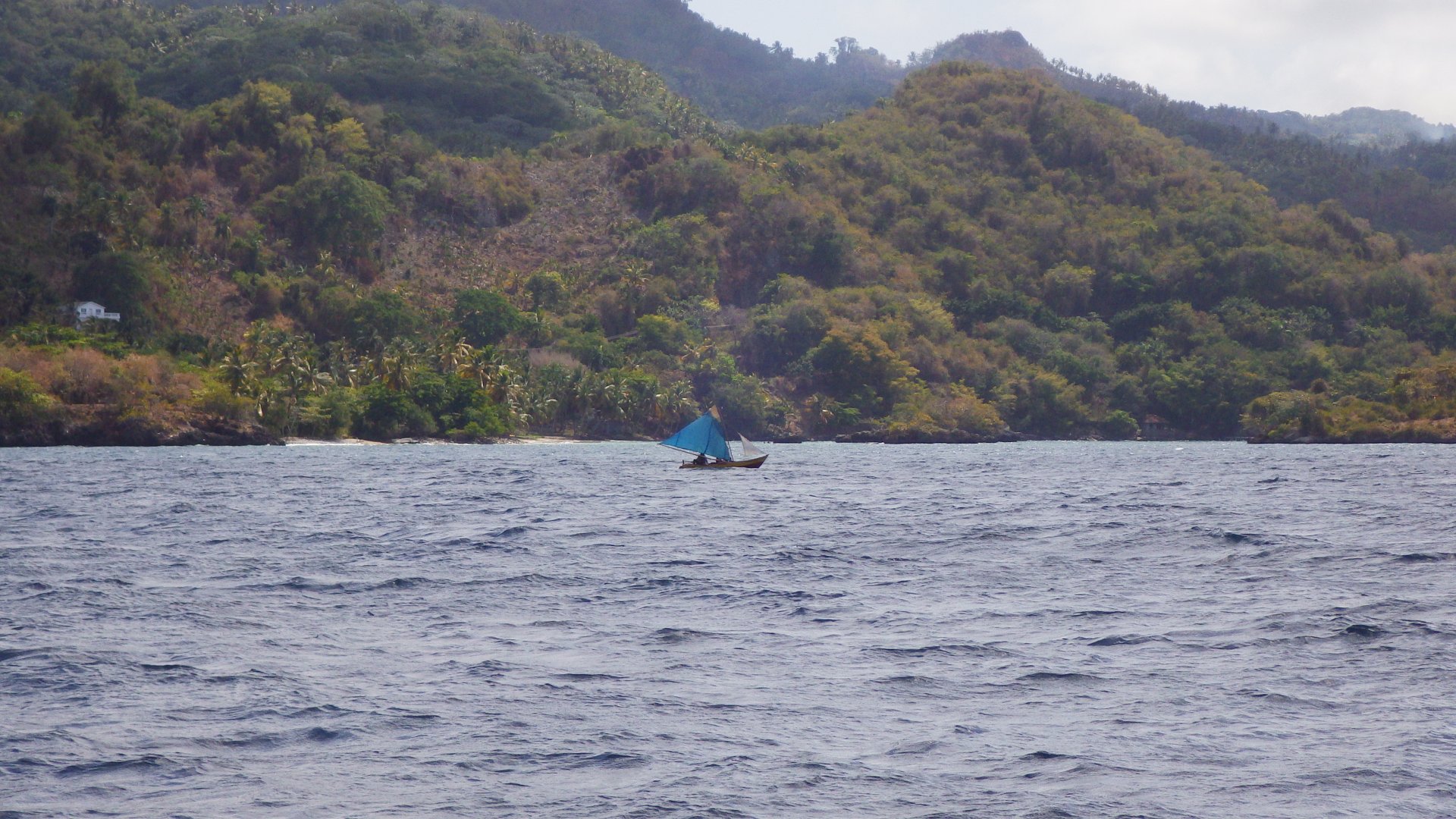
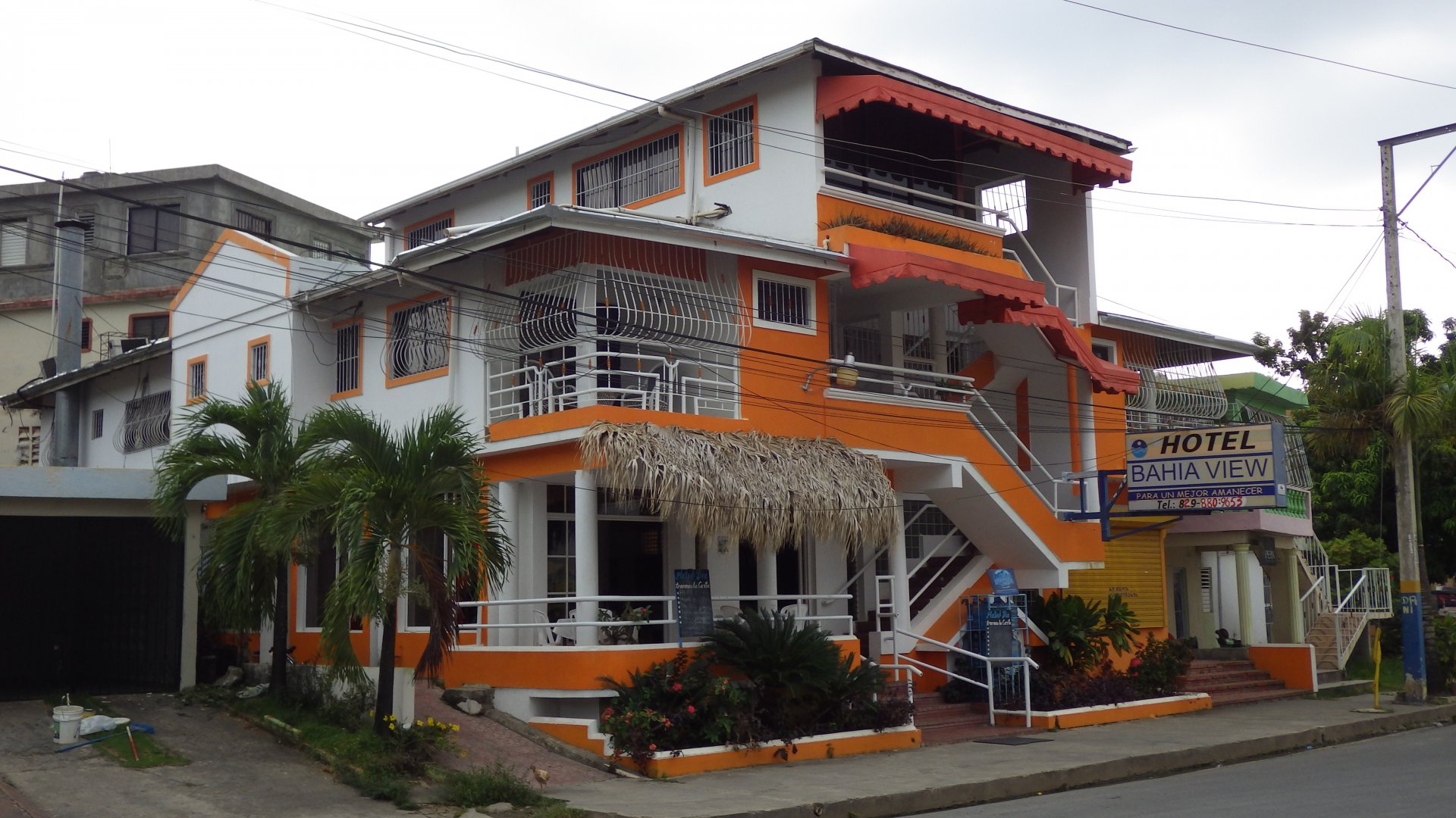
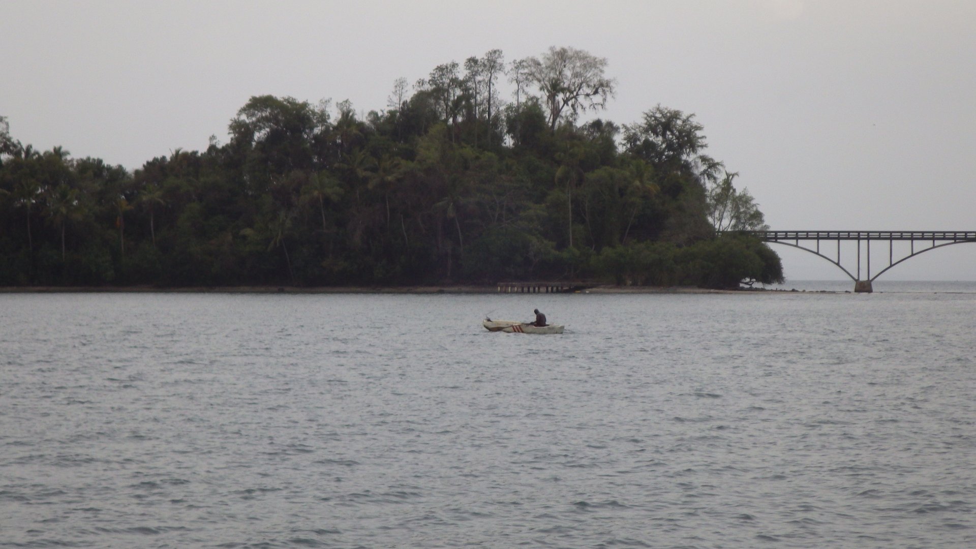
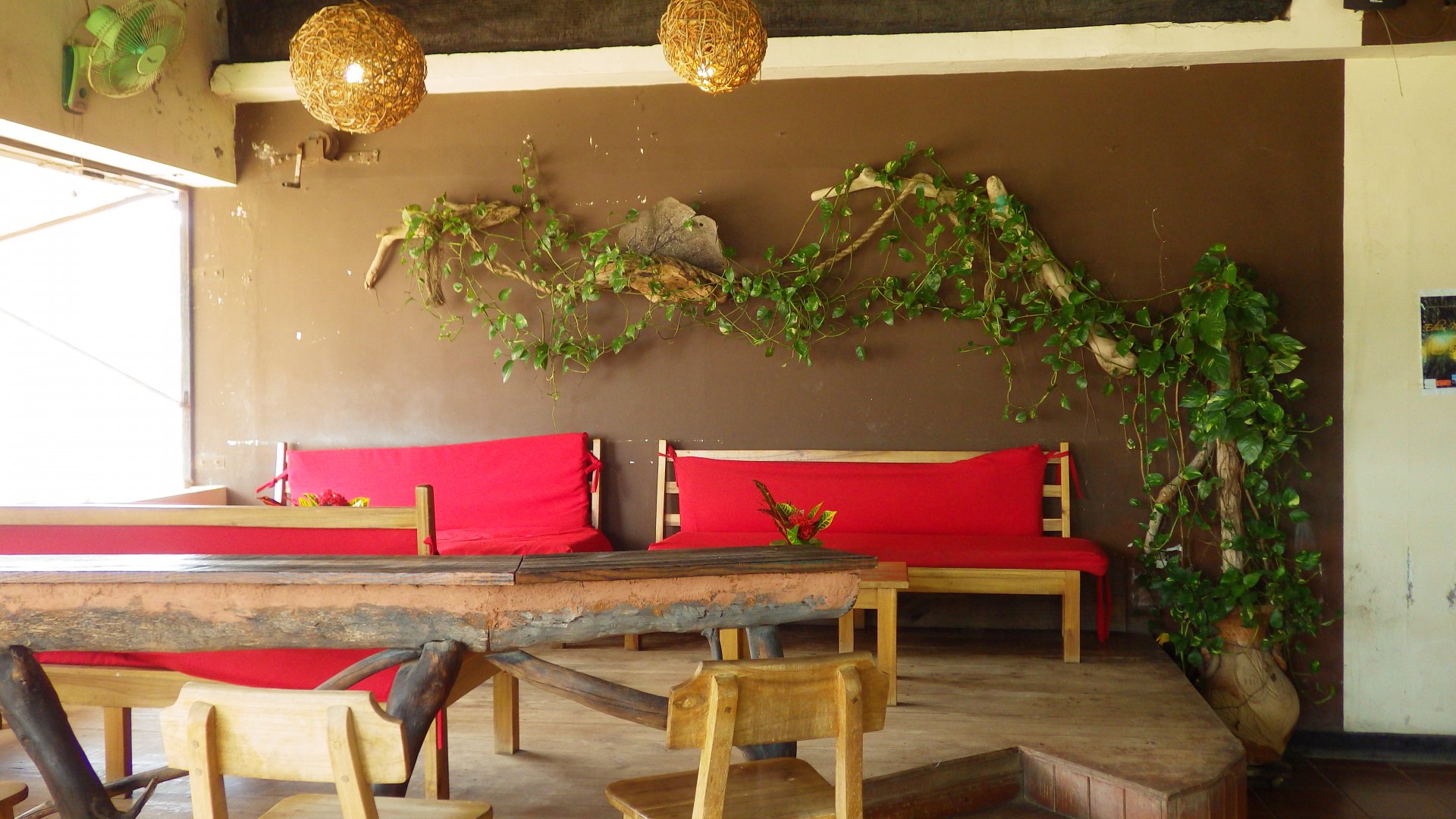
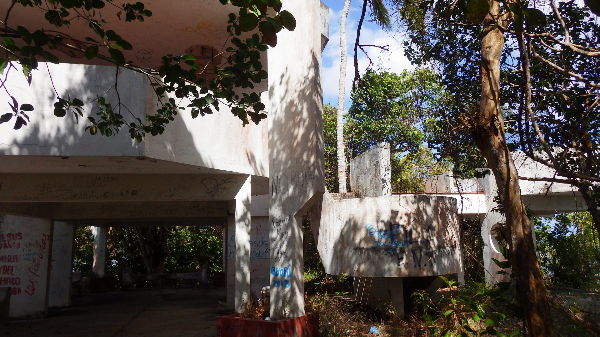
There seem to have more active cruising life here in the past, now it's faded. Quite few North American and European expats settled here.

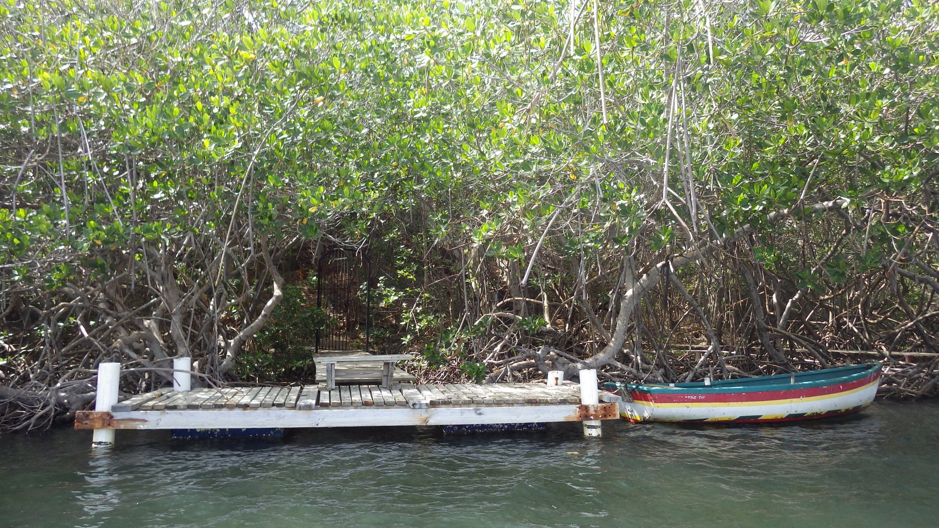
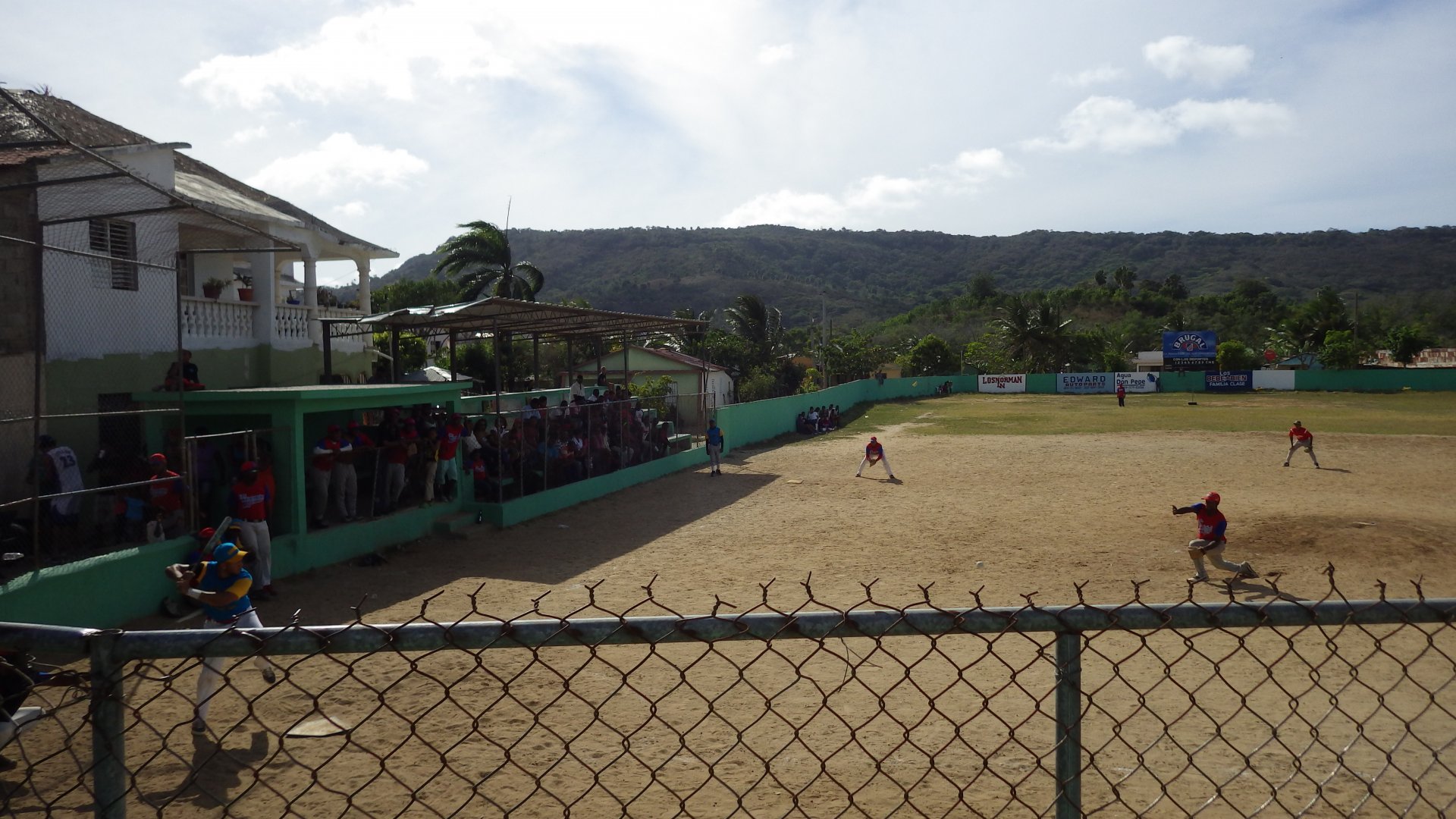
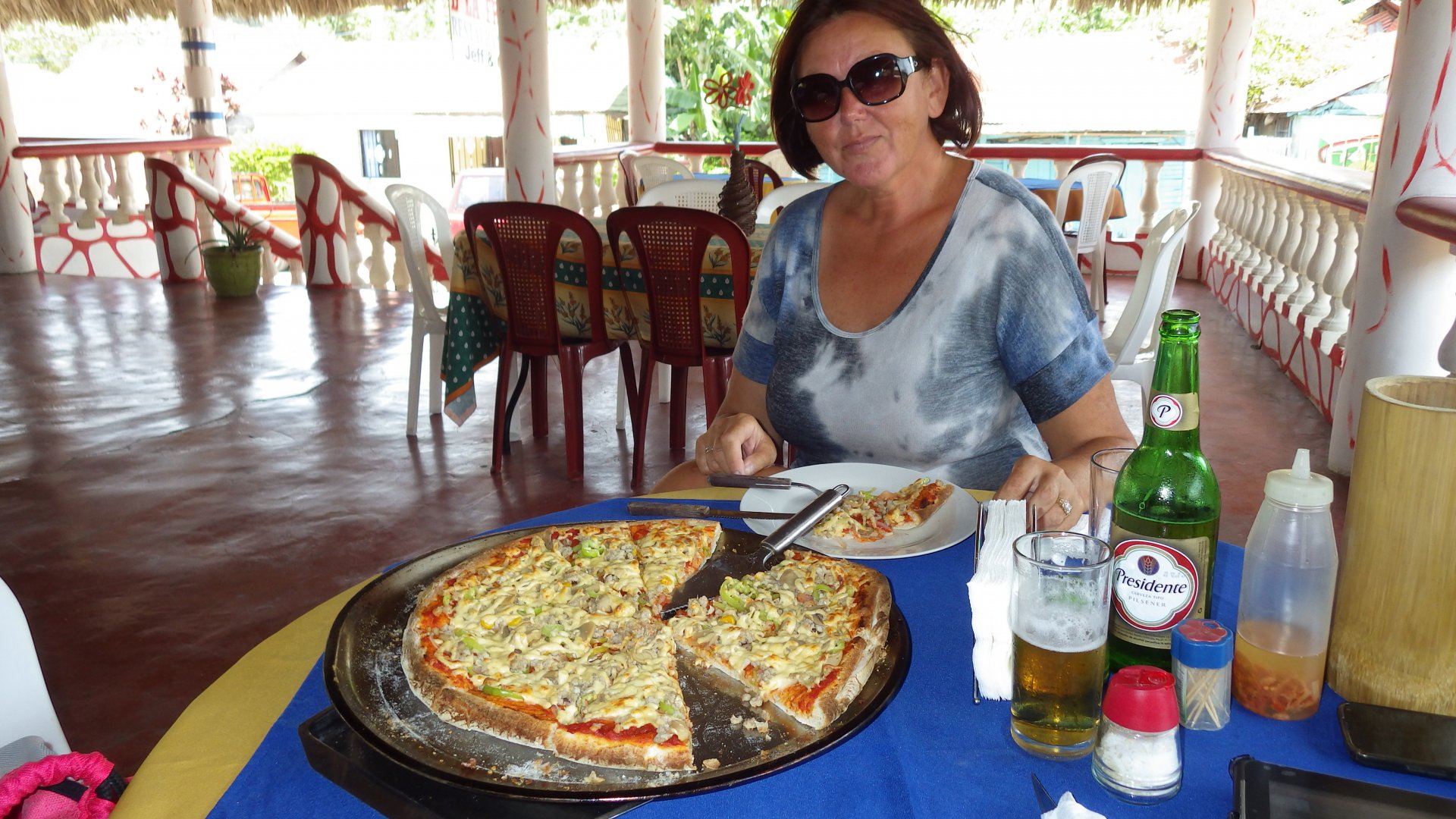
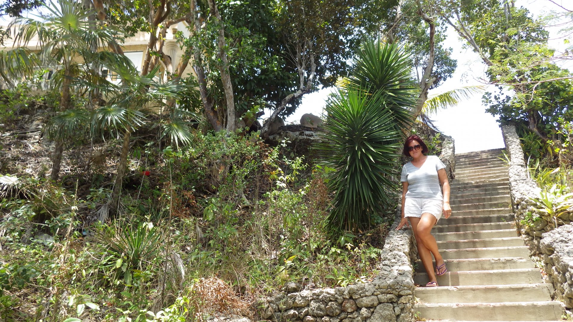
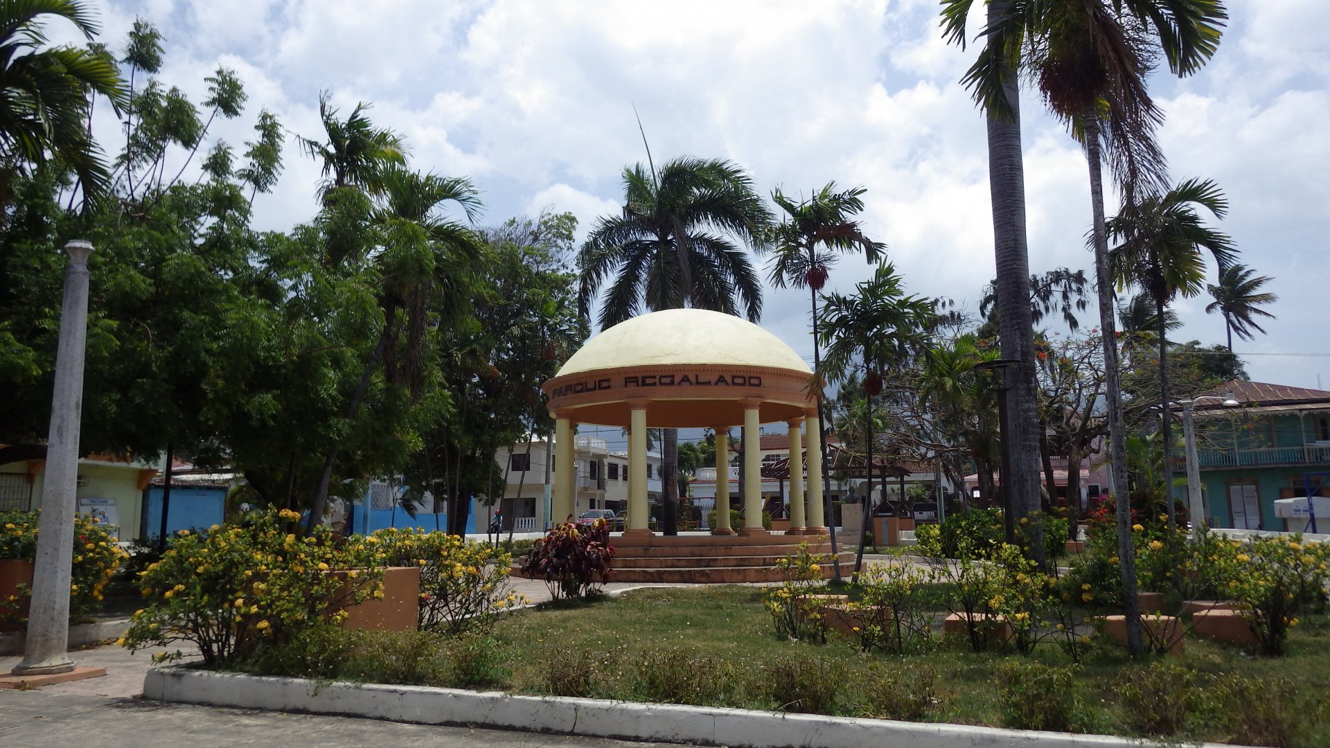
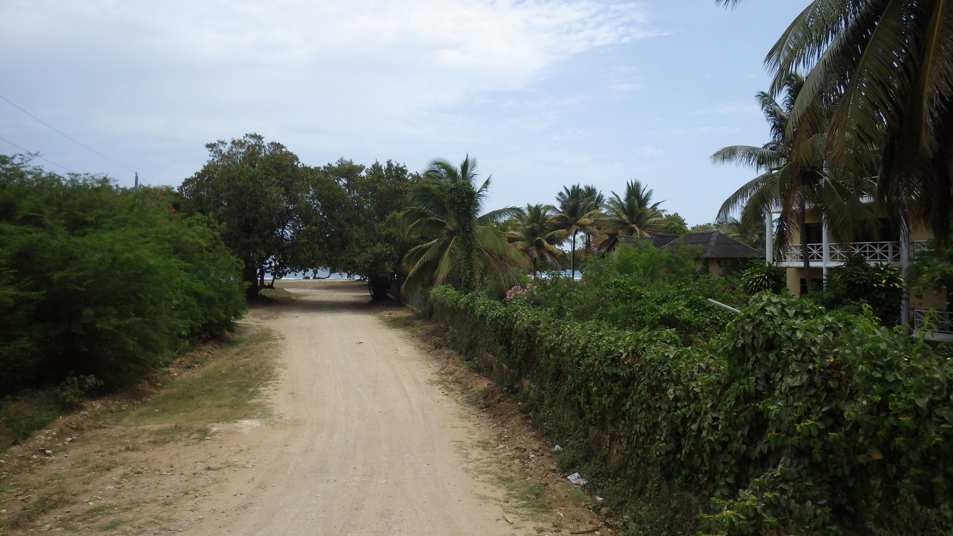
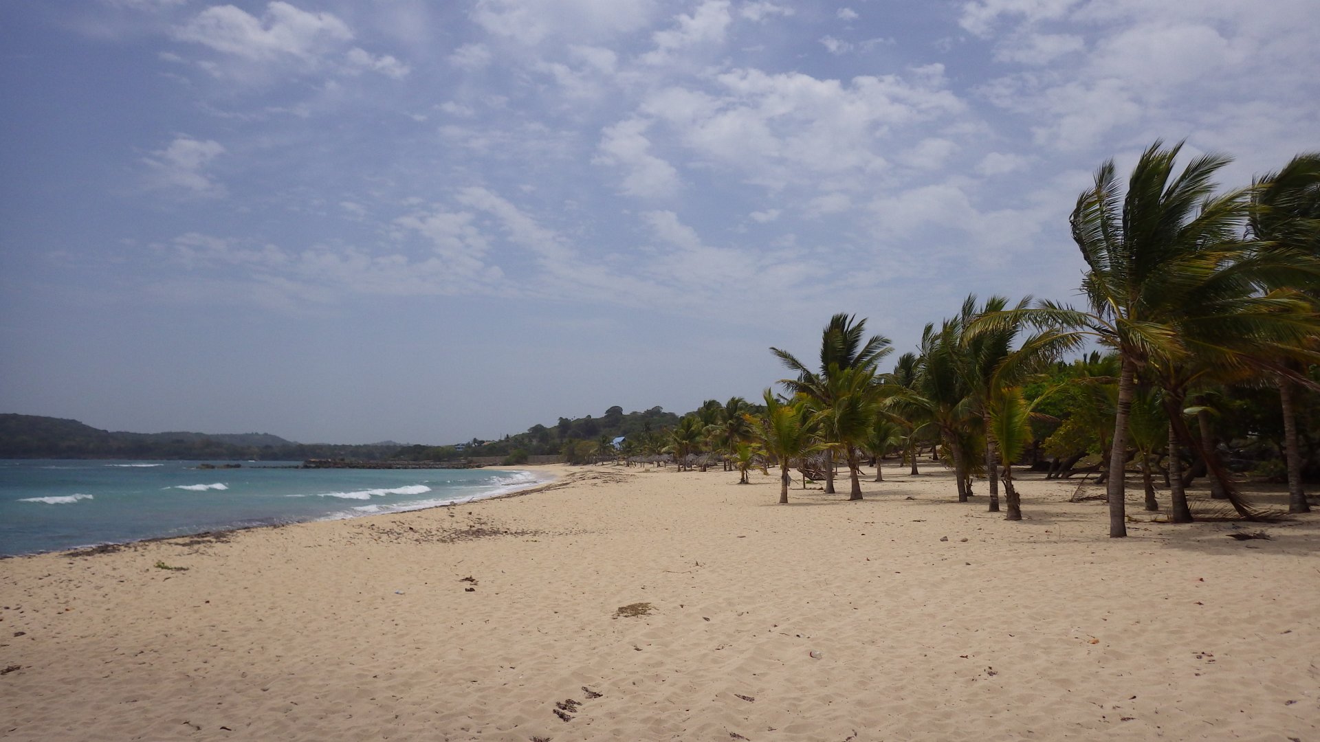
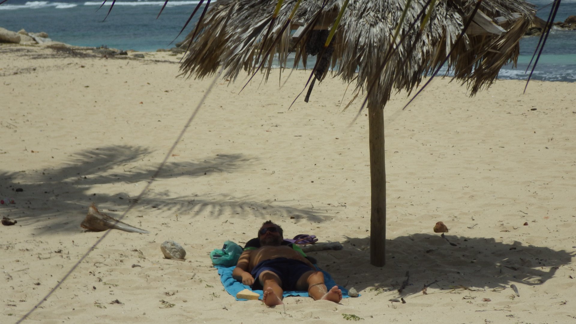
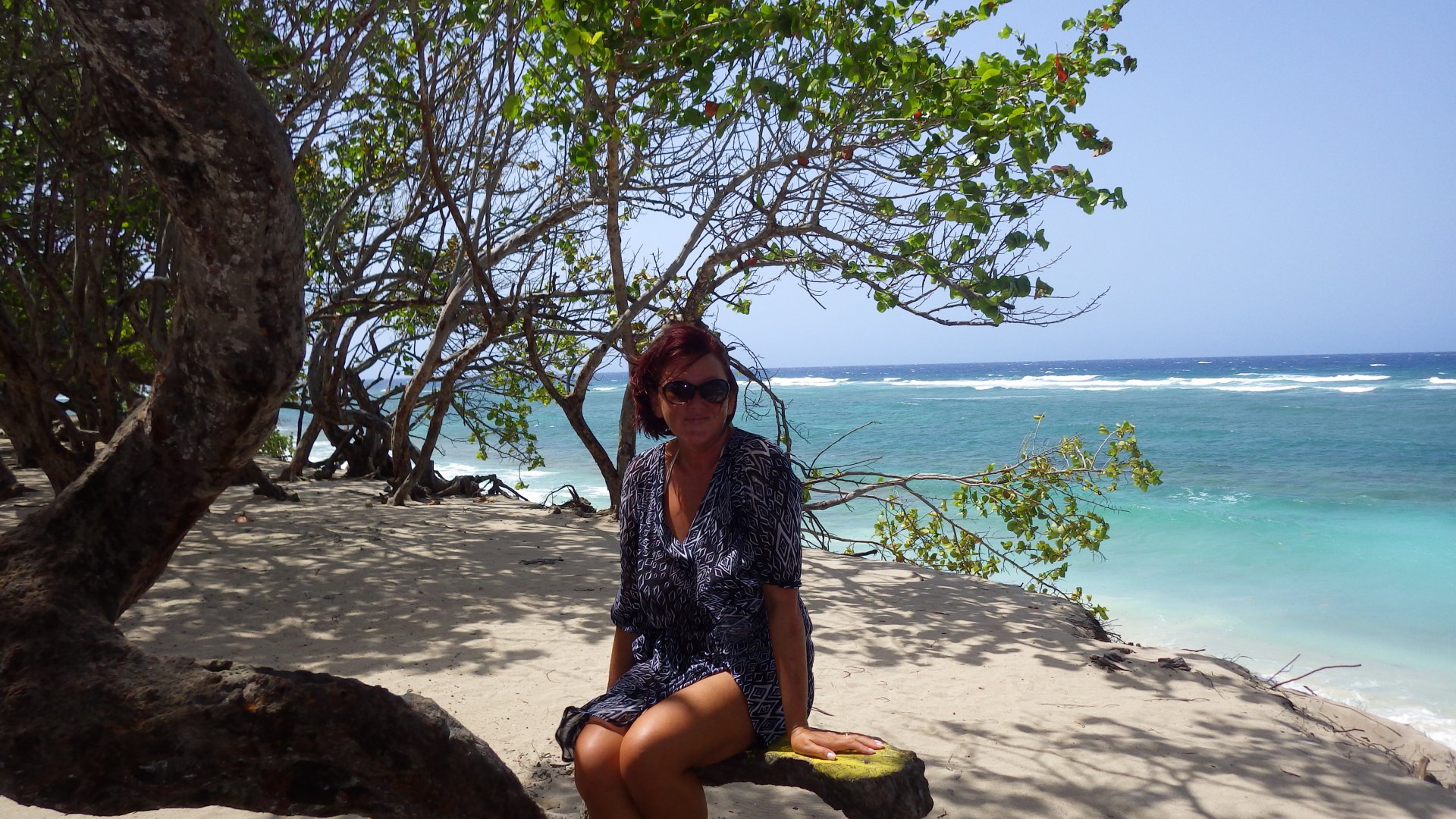
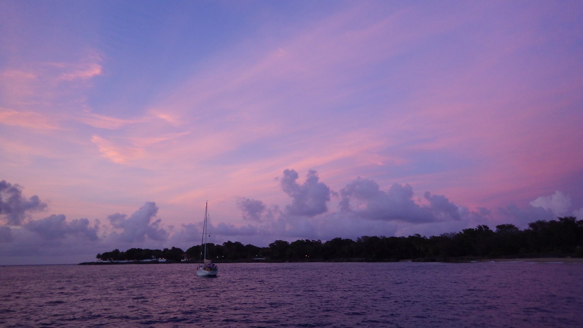
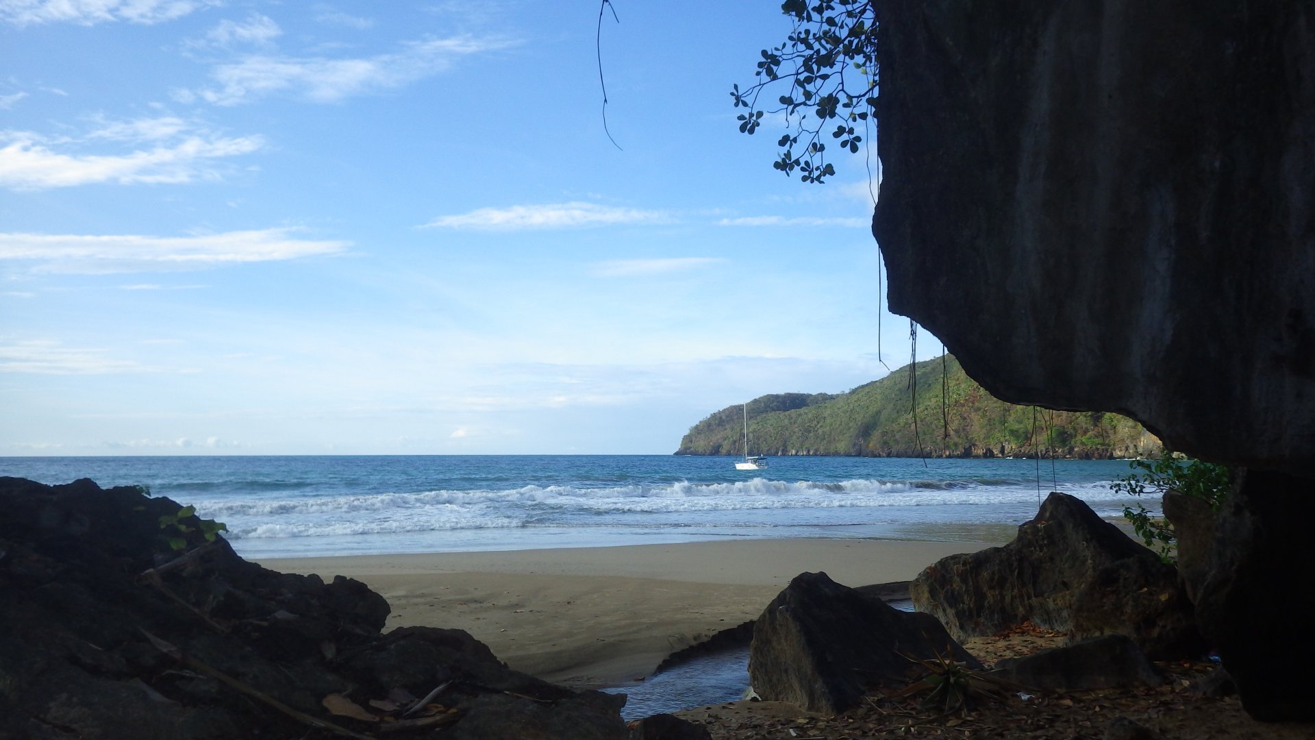
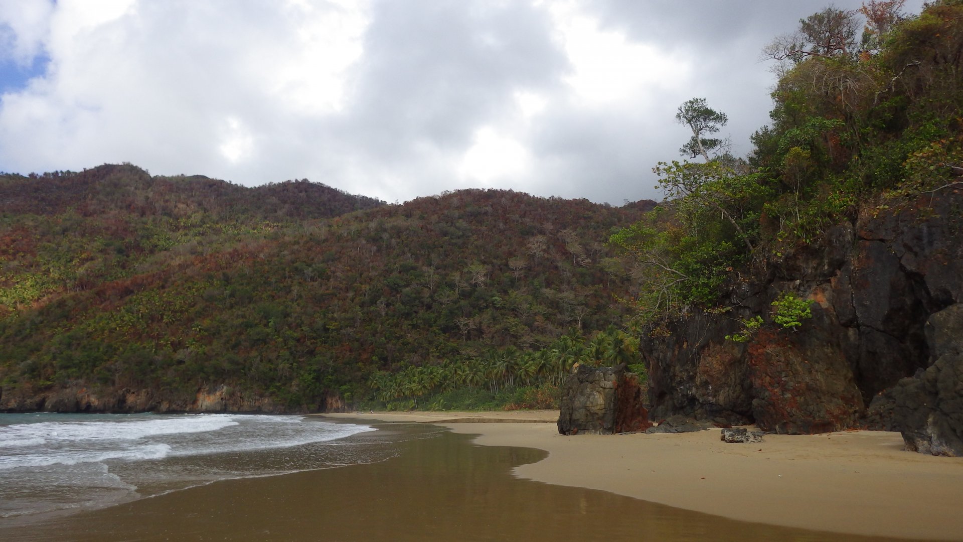
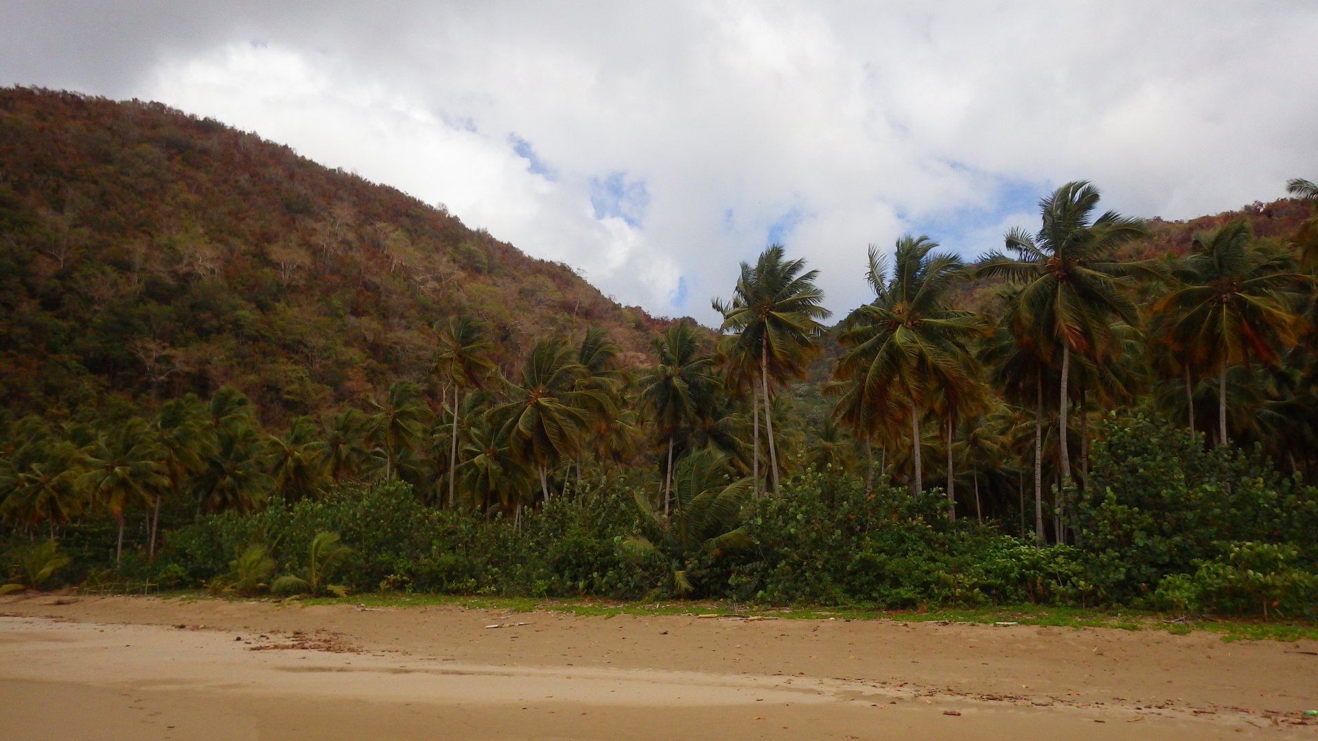
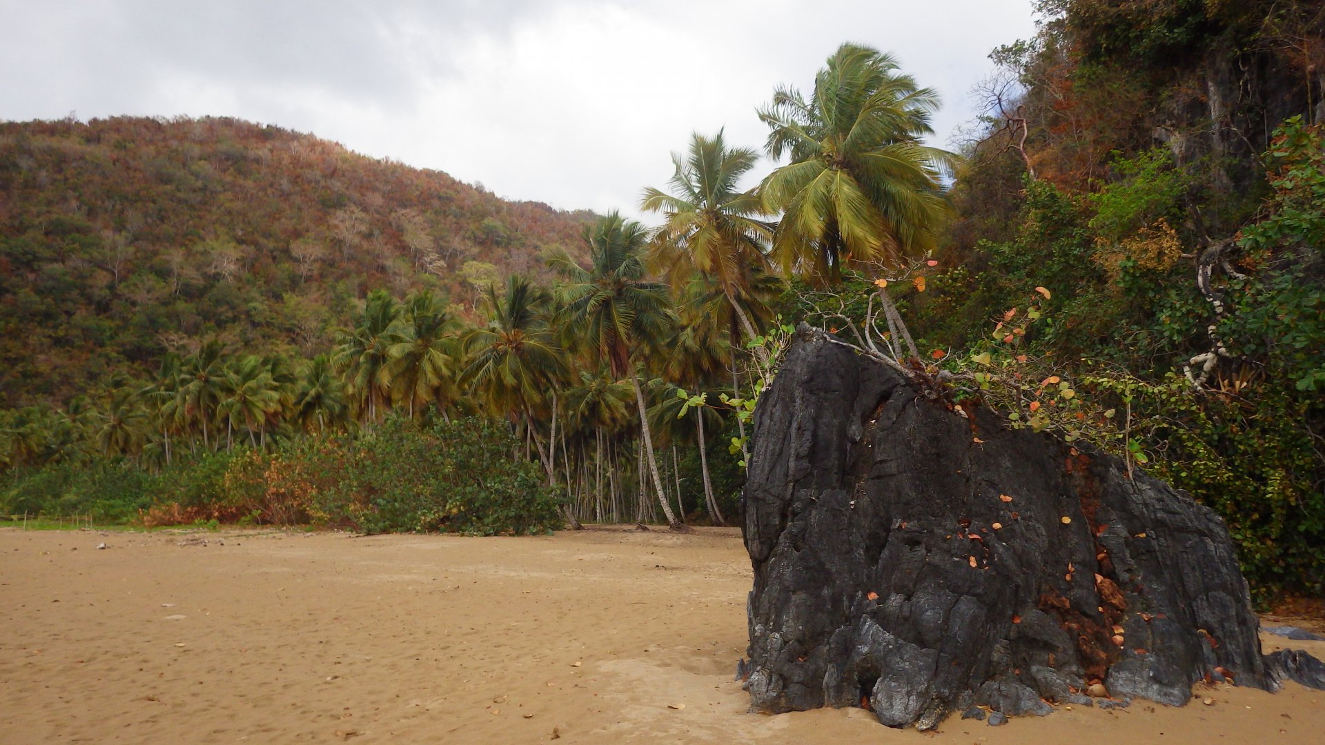
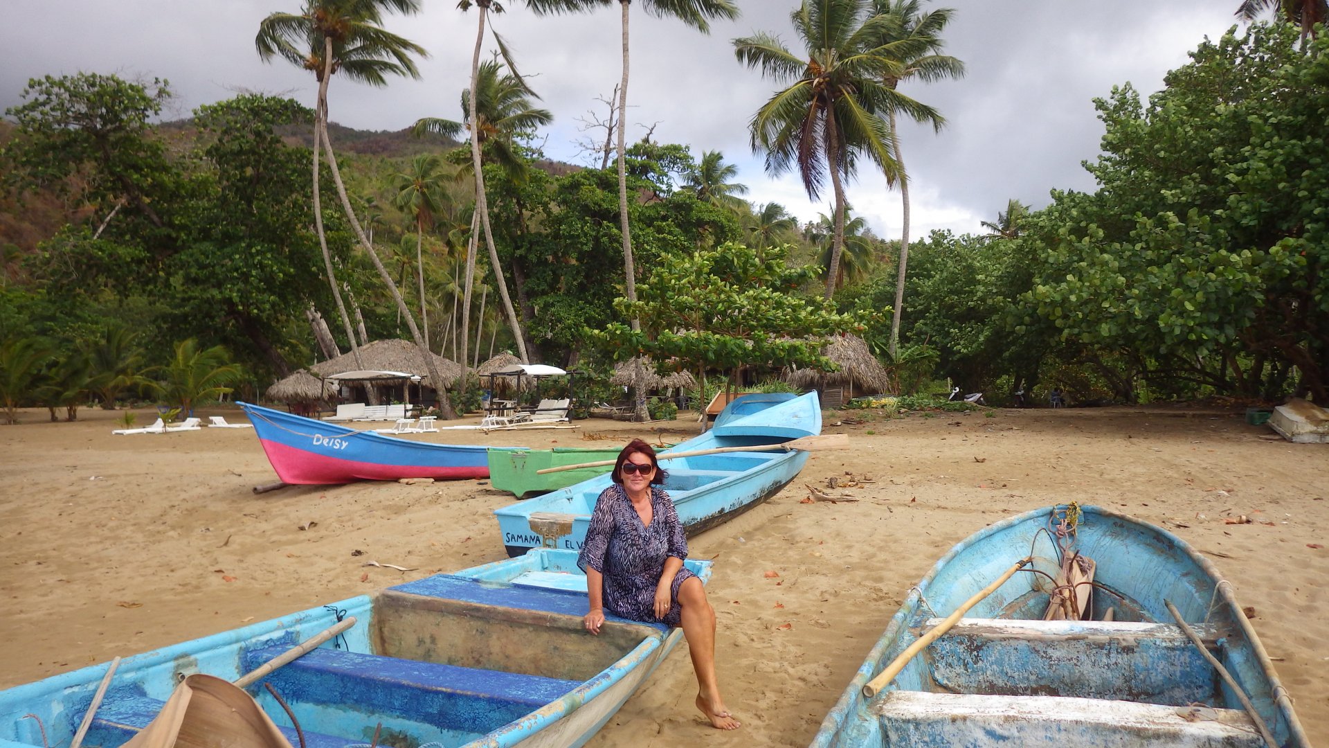
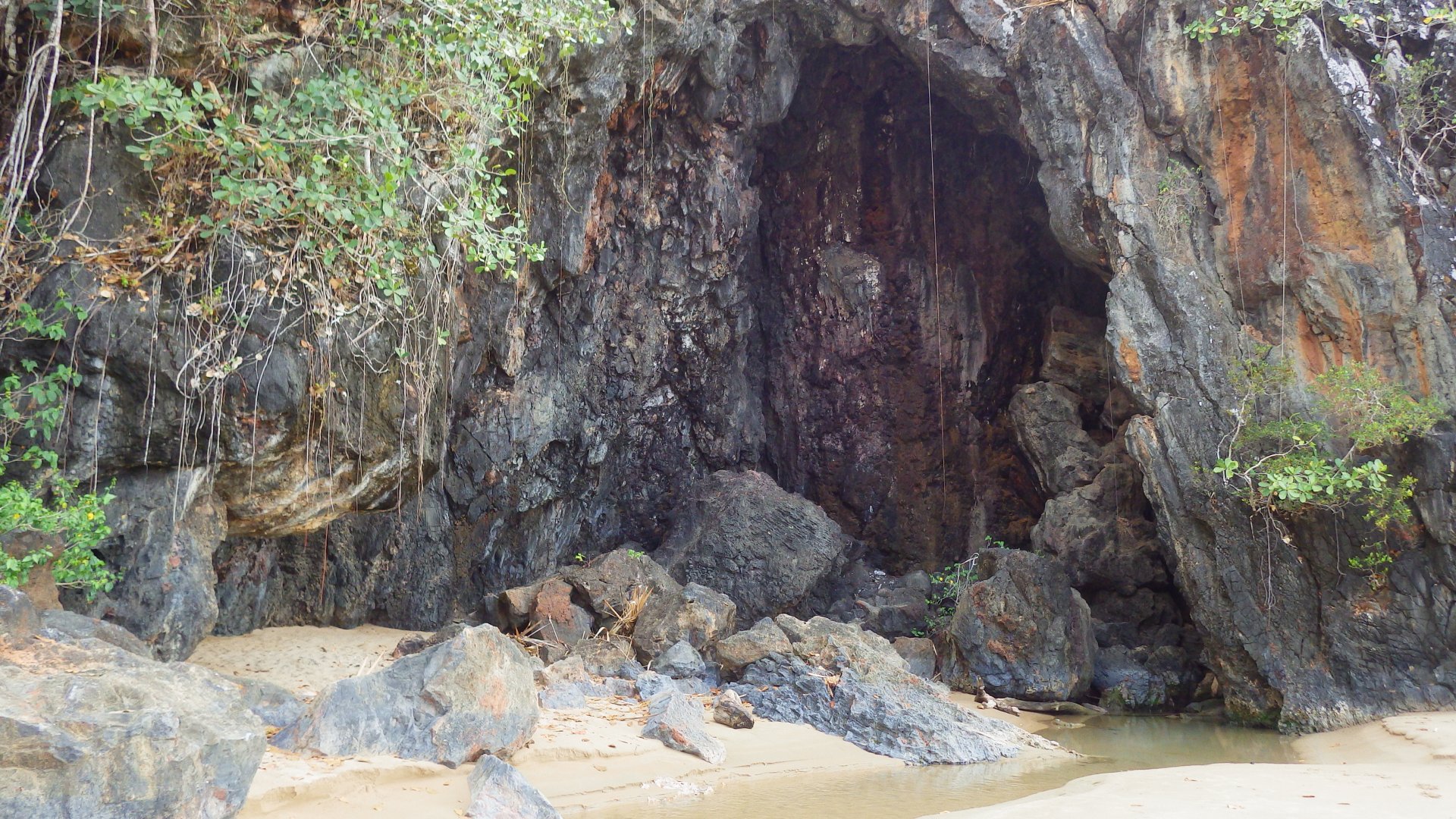
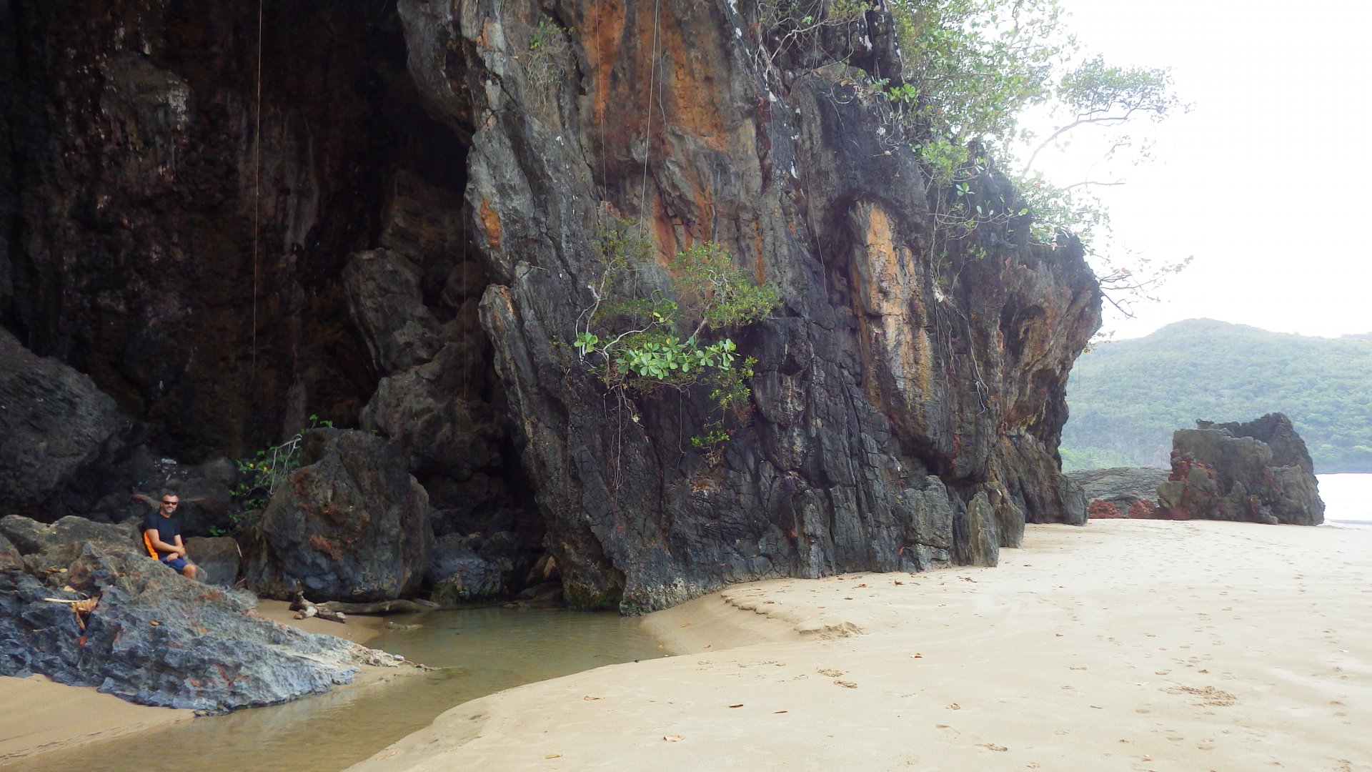
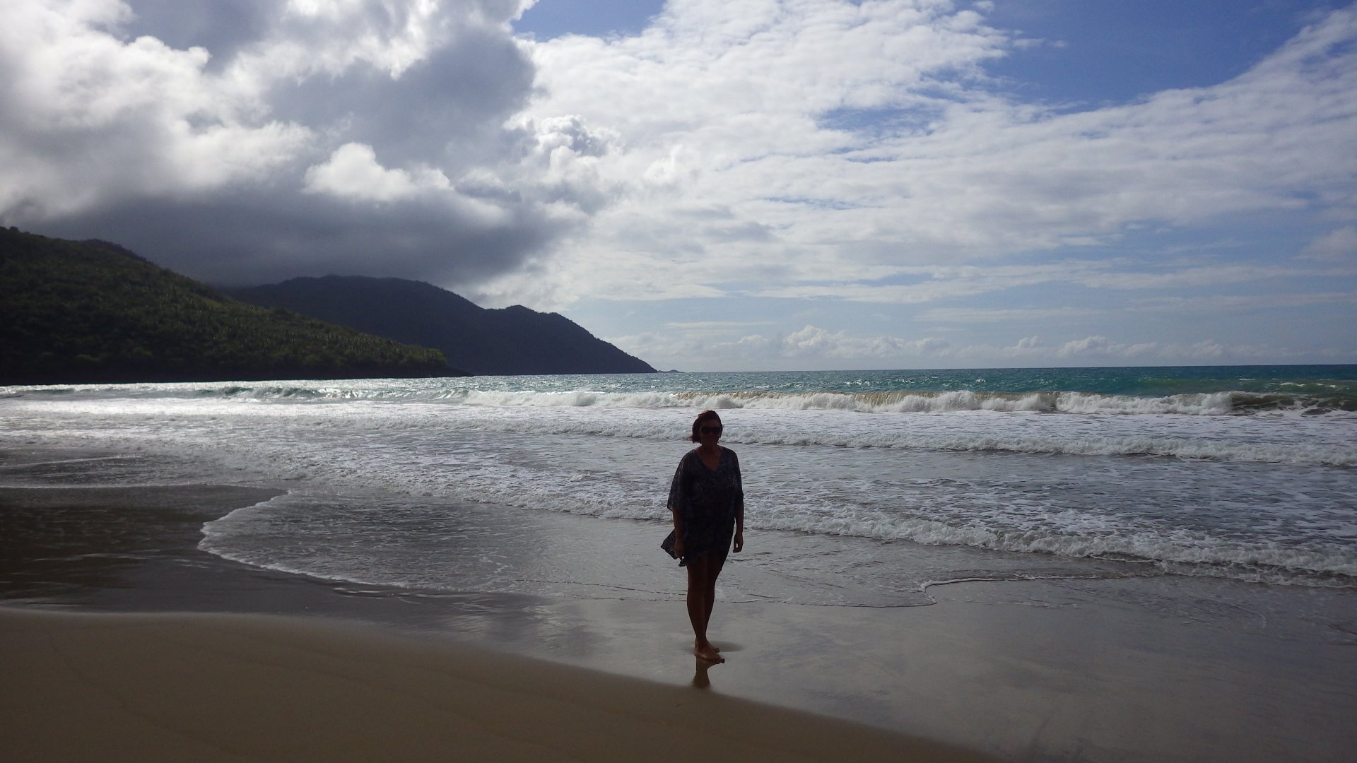
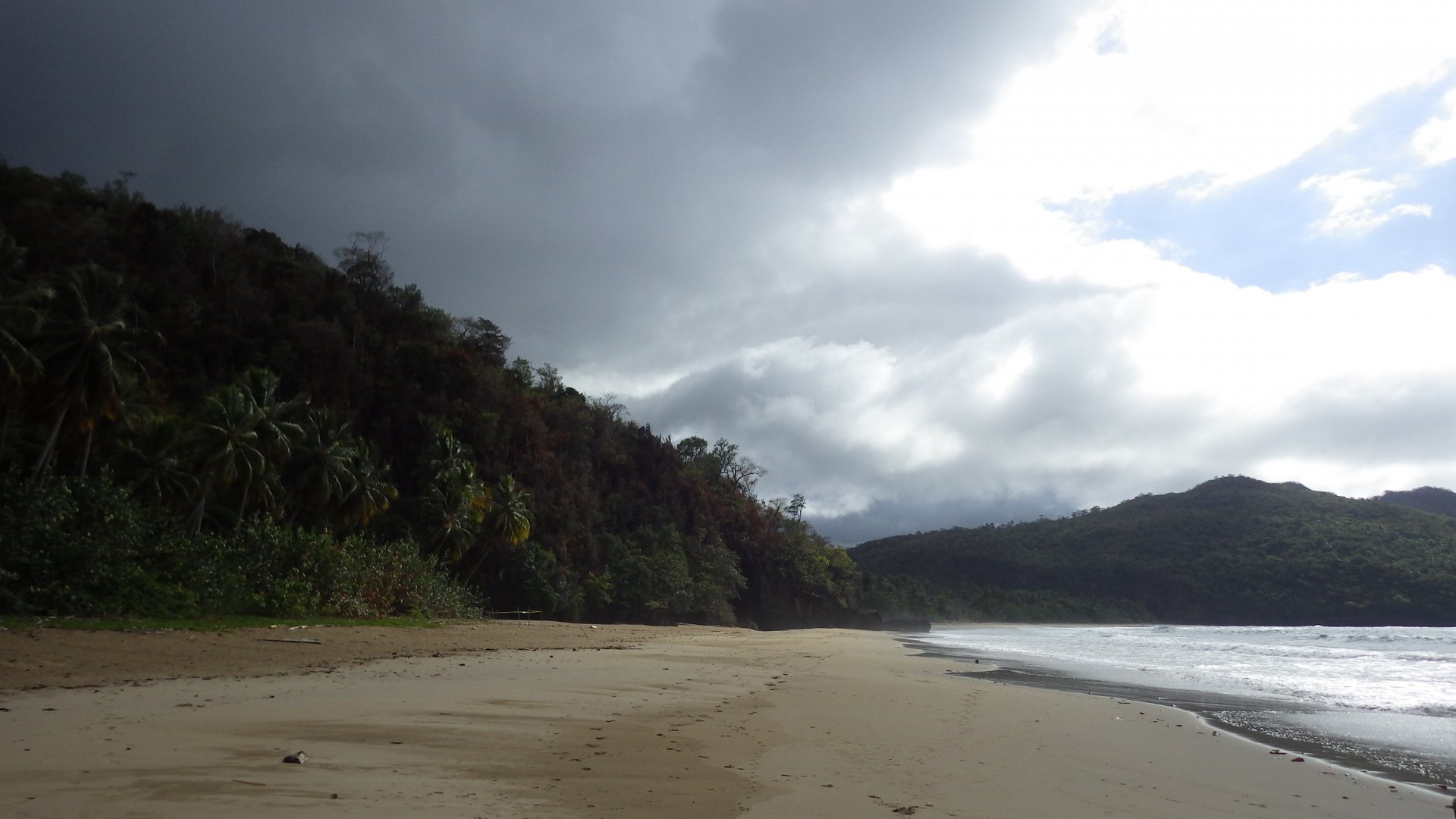
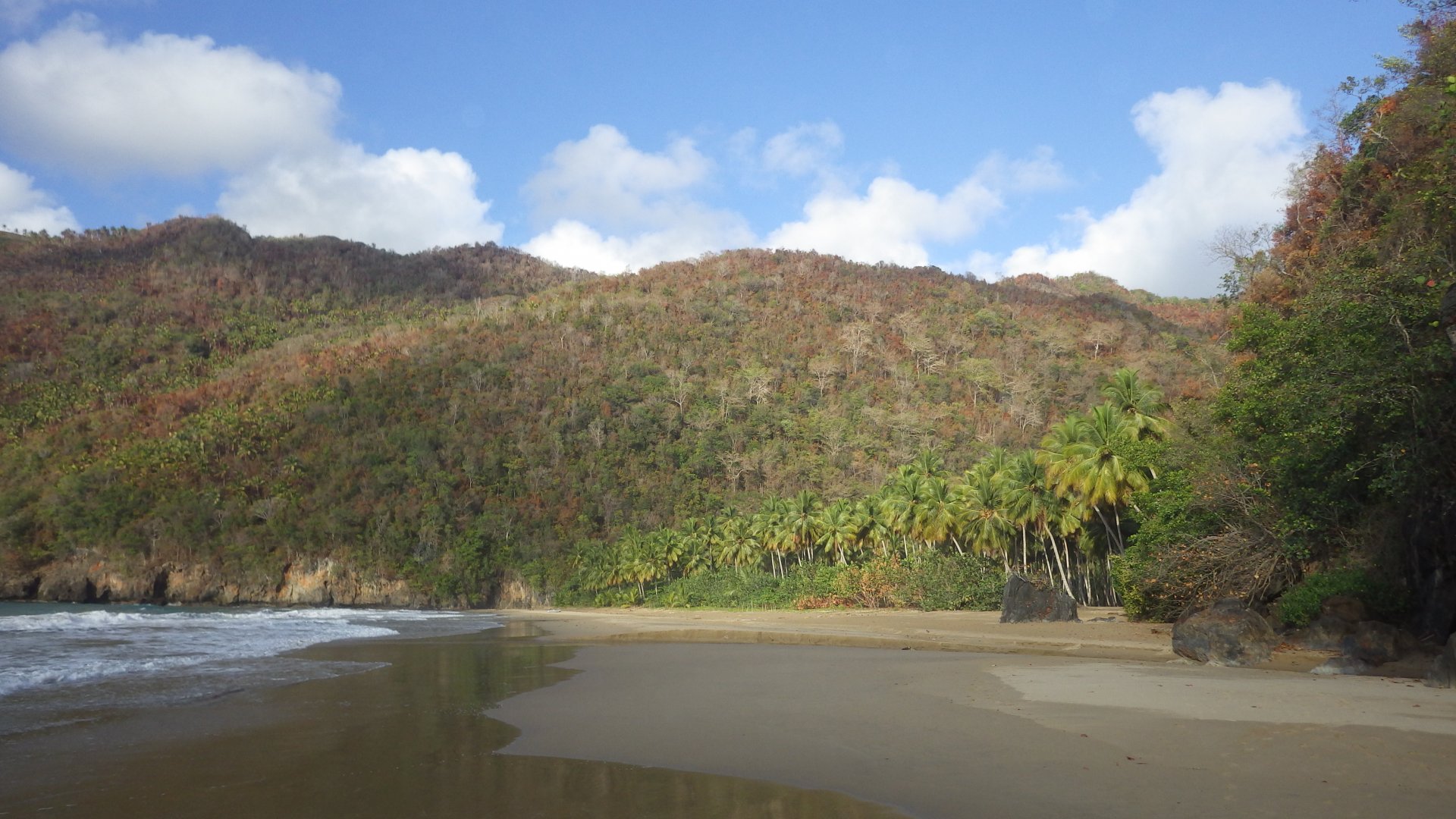
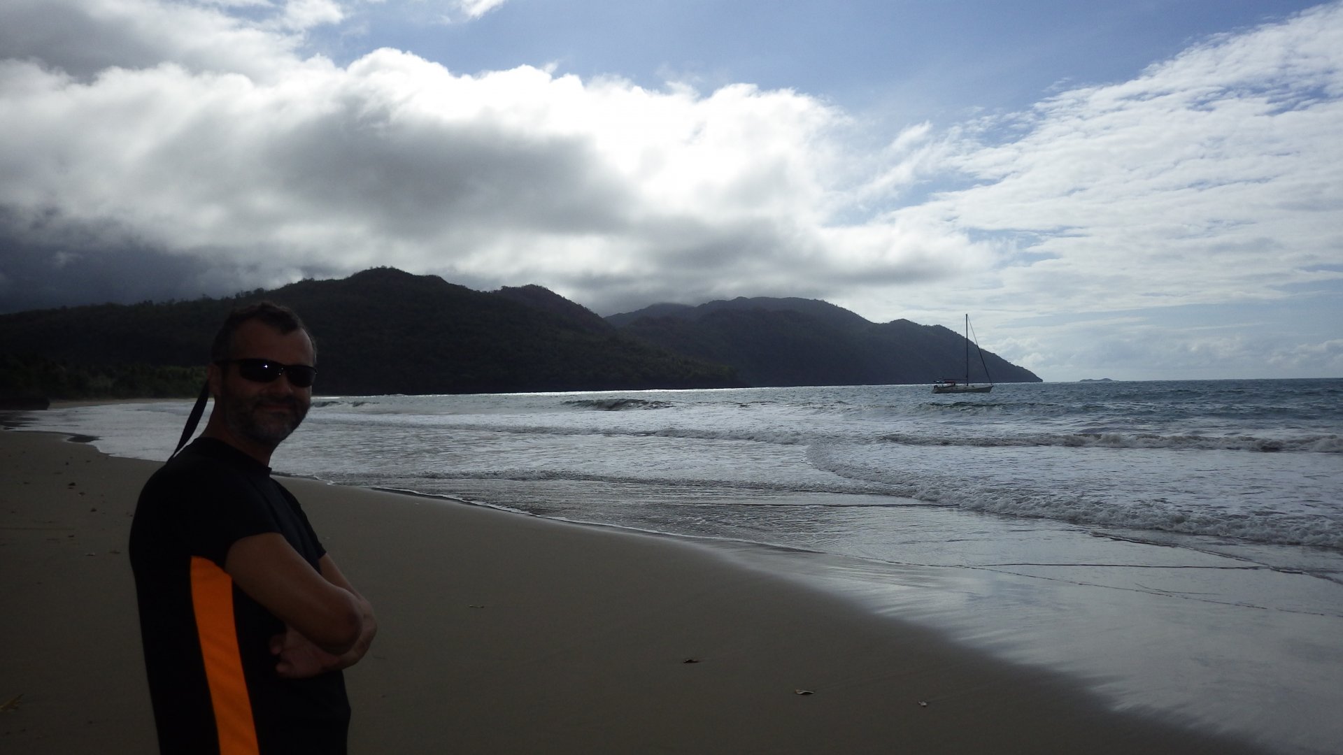
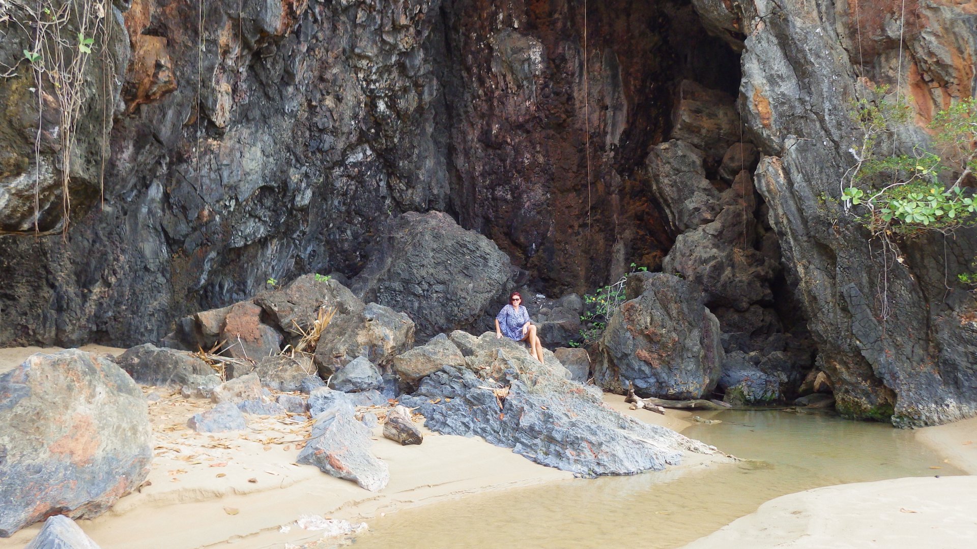
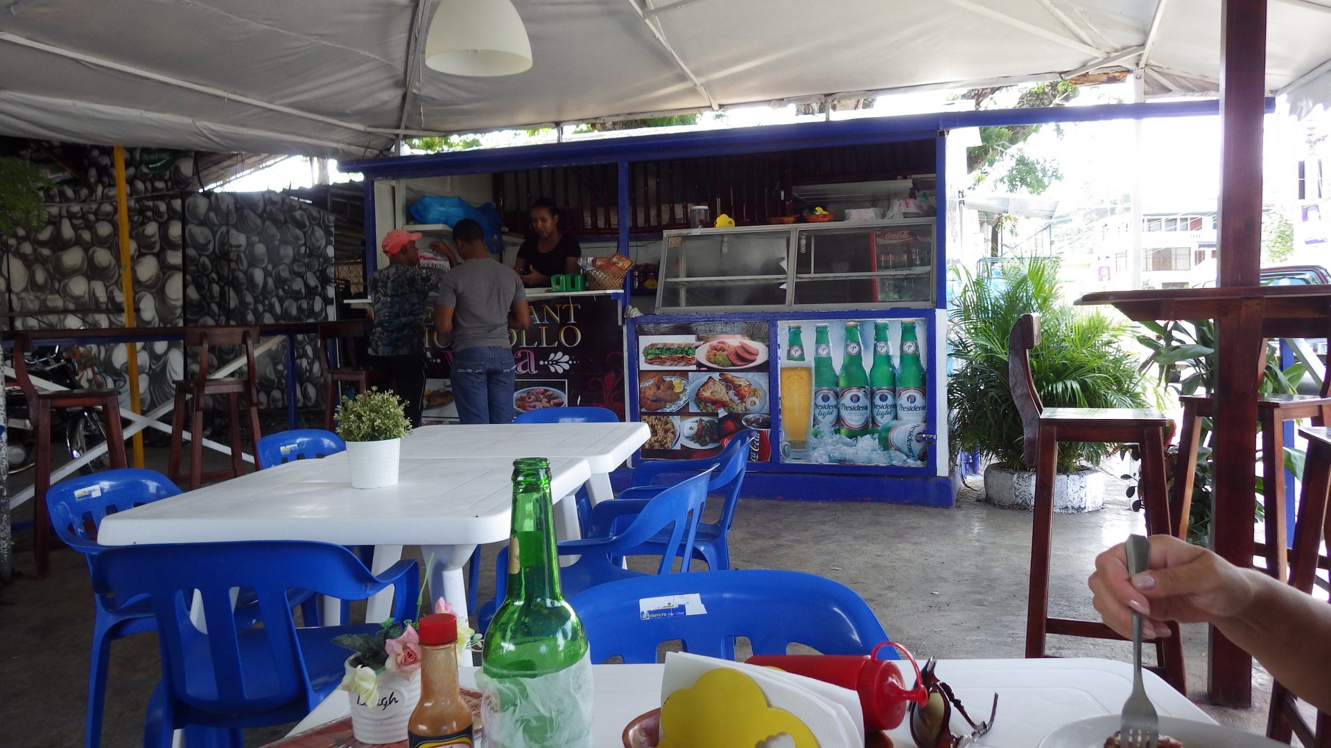
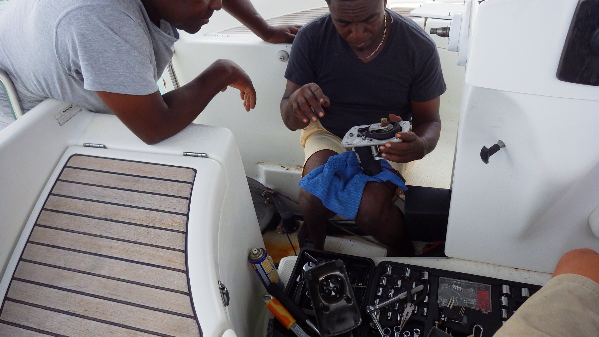
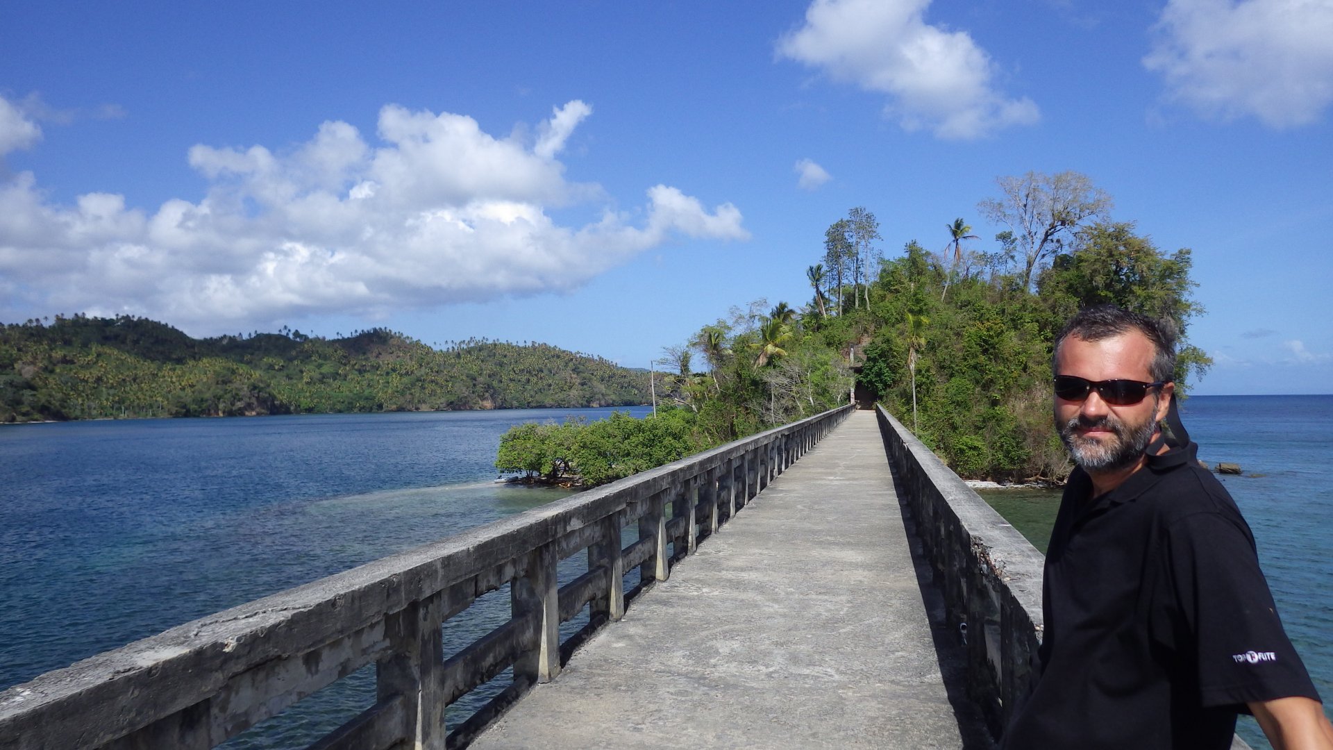
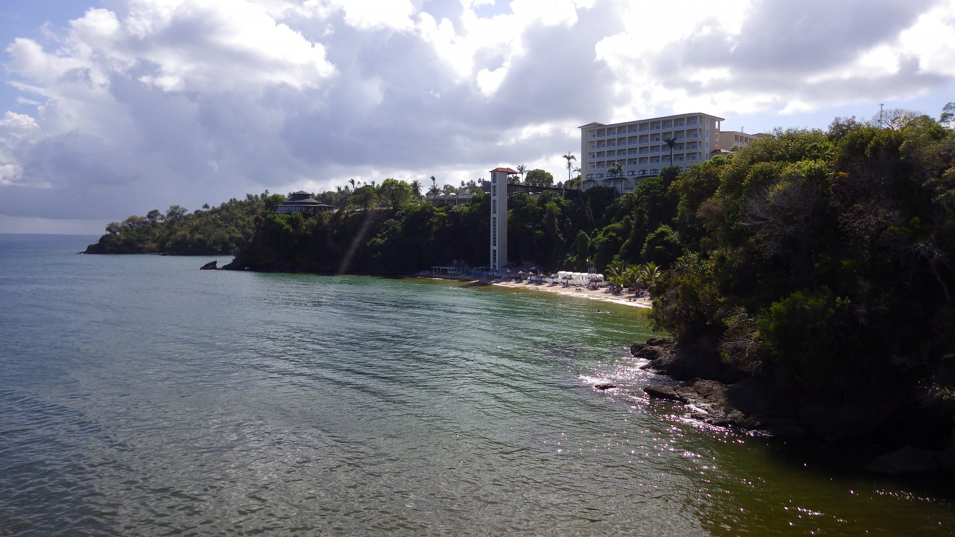
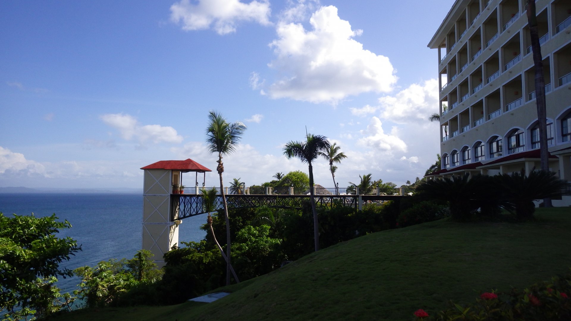
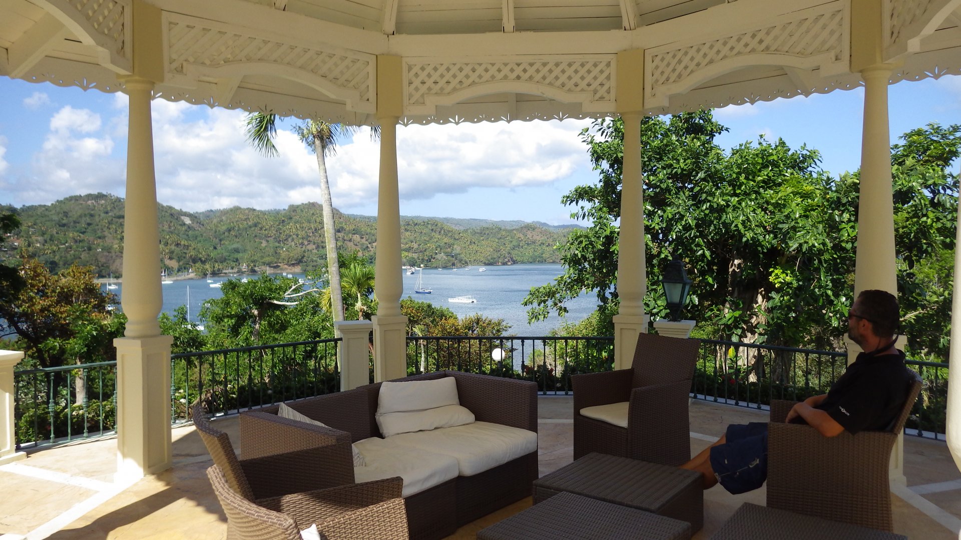
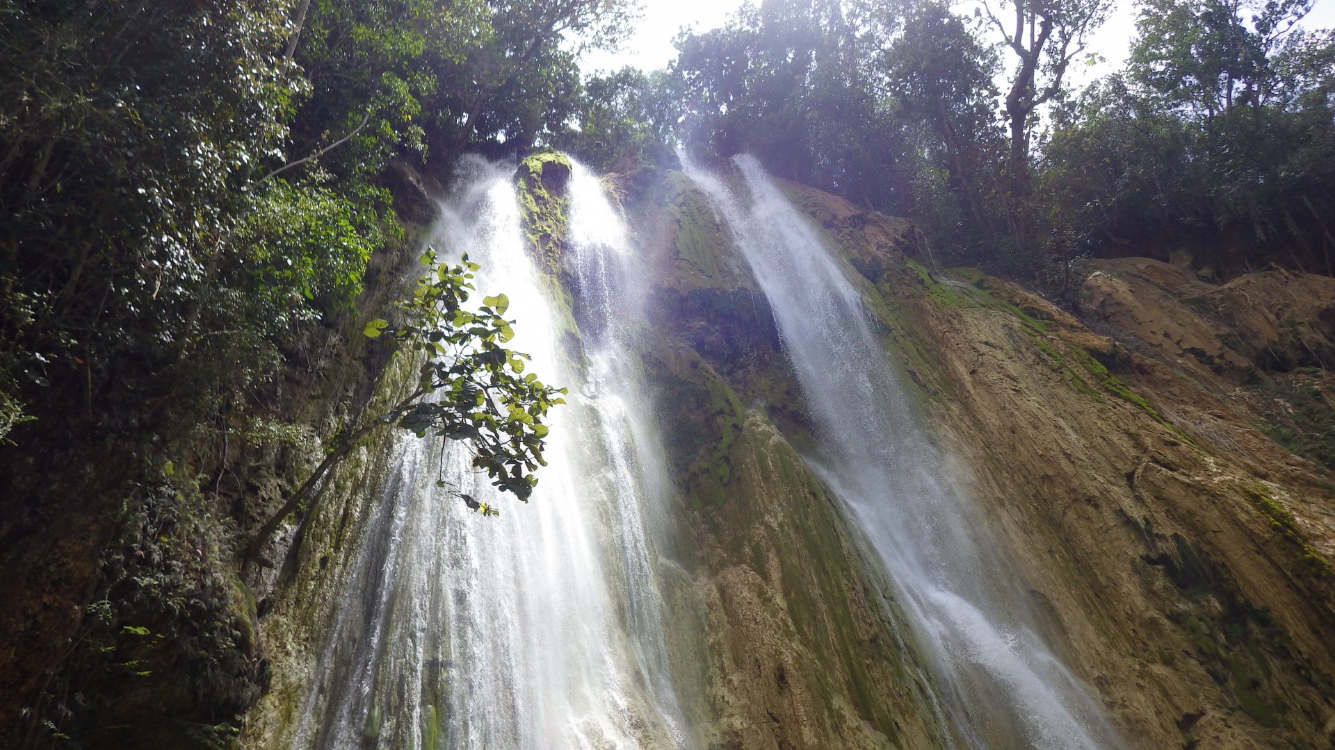
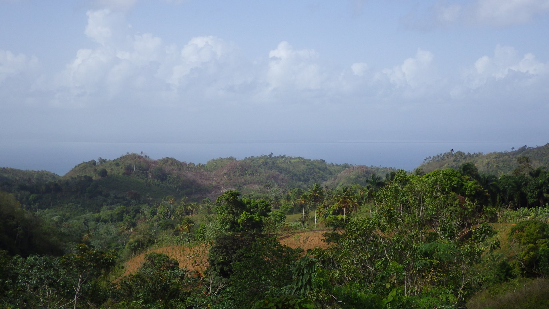
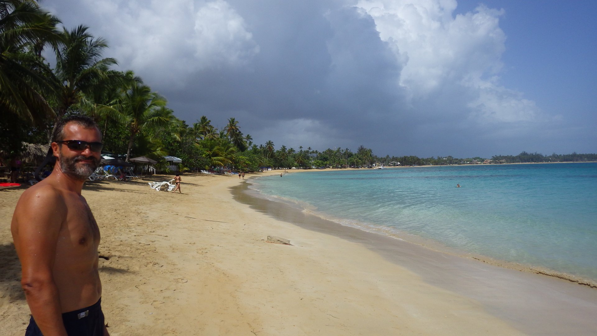
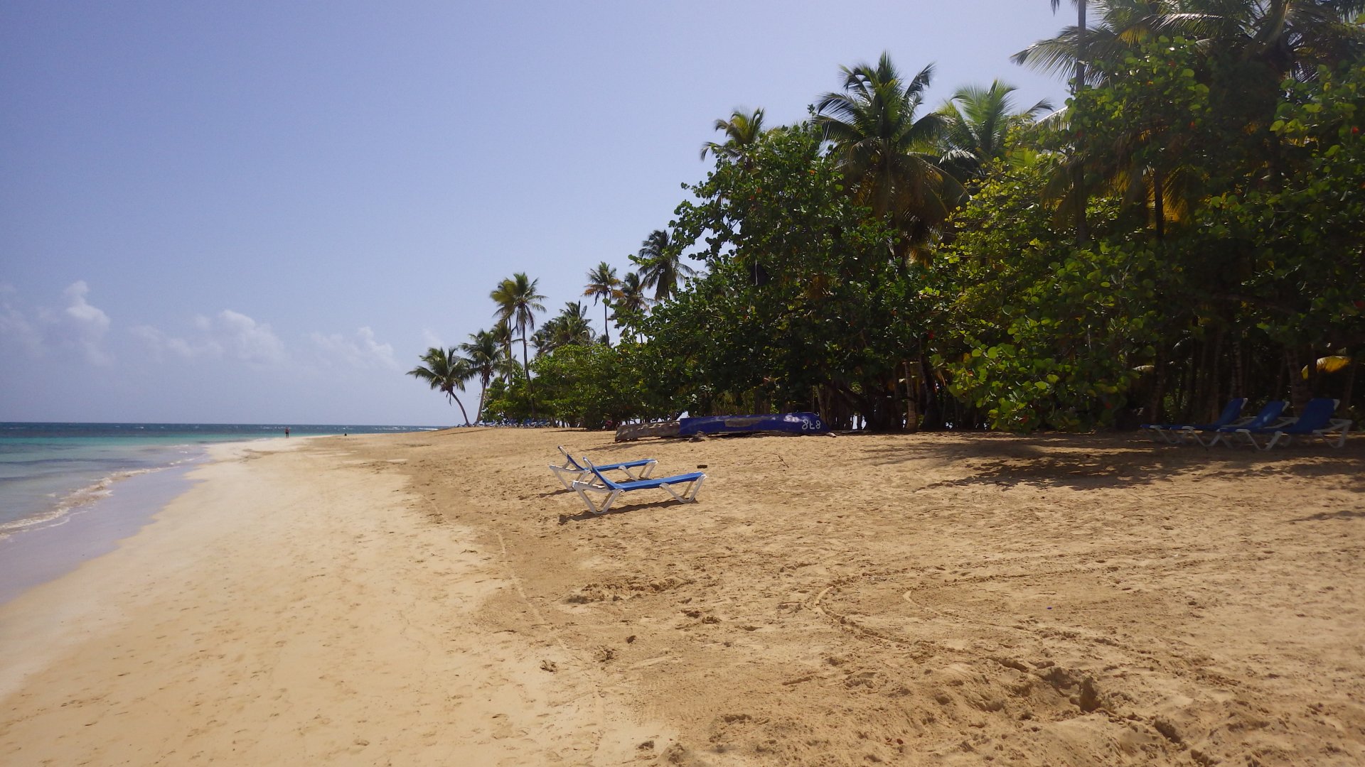
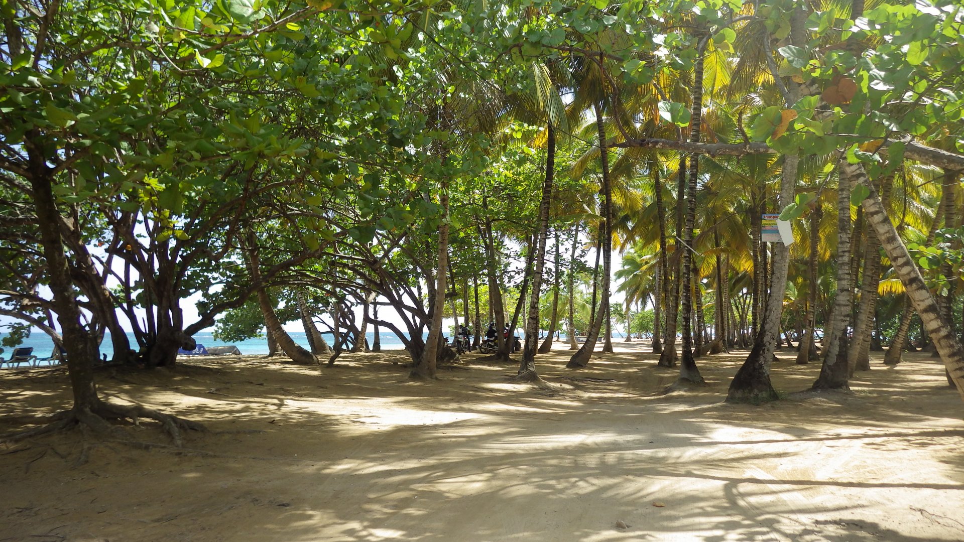
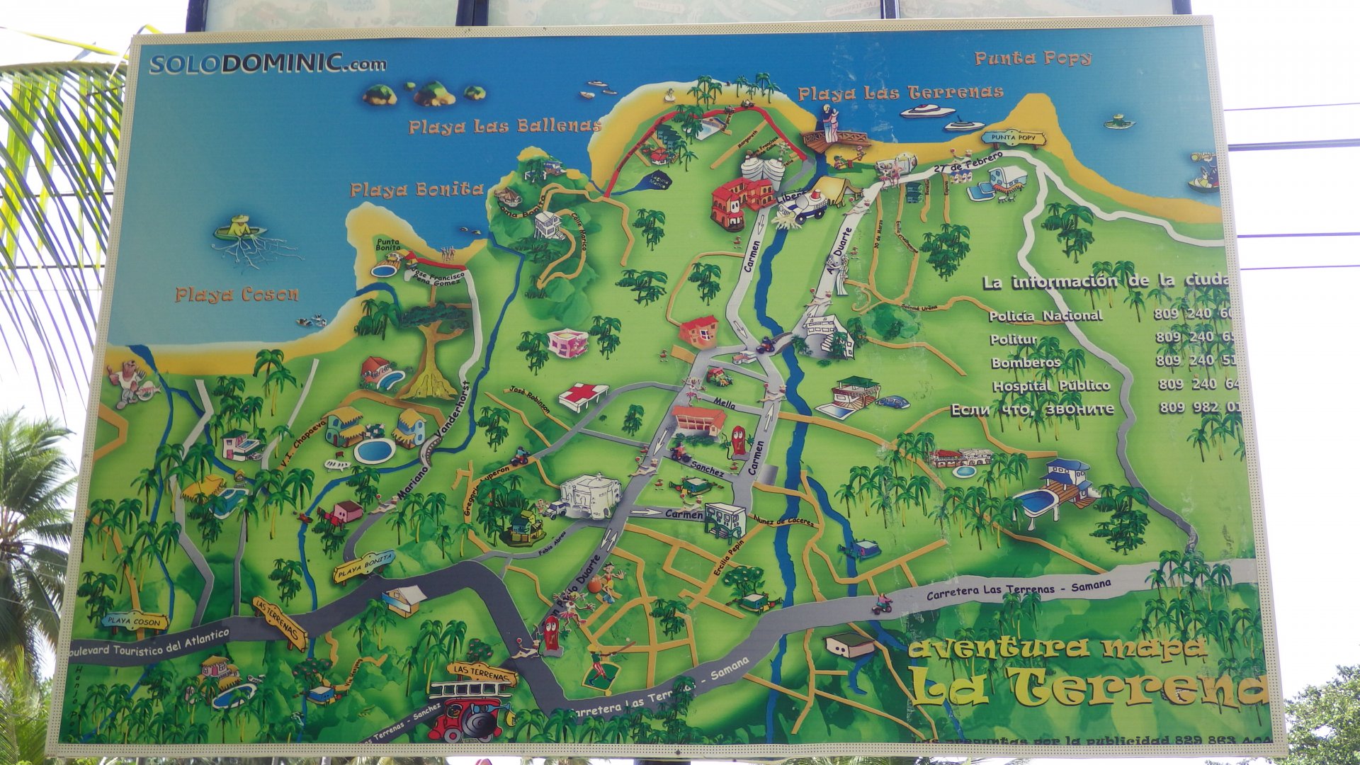
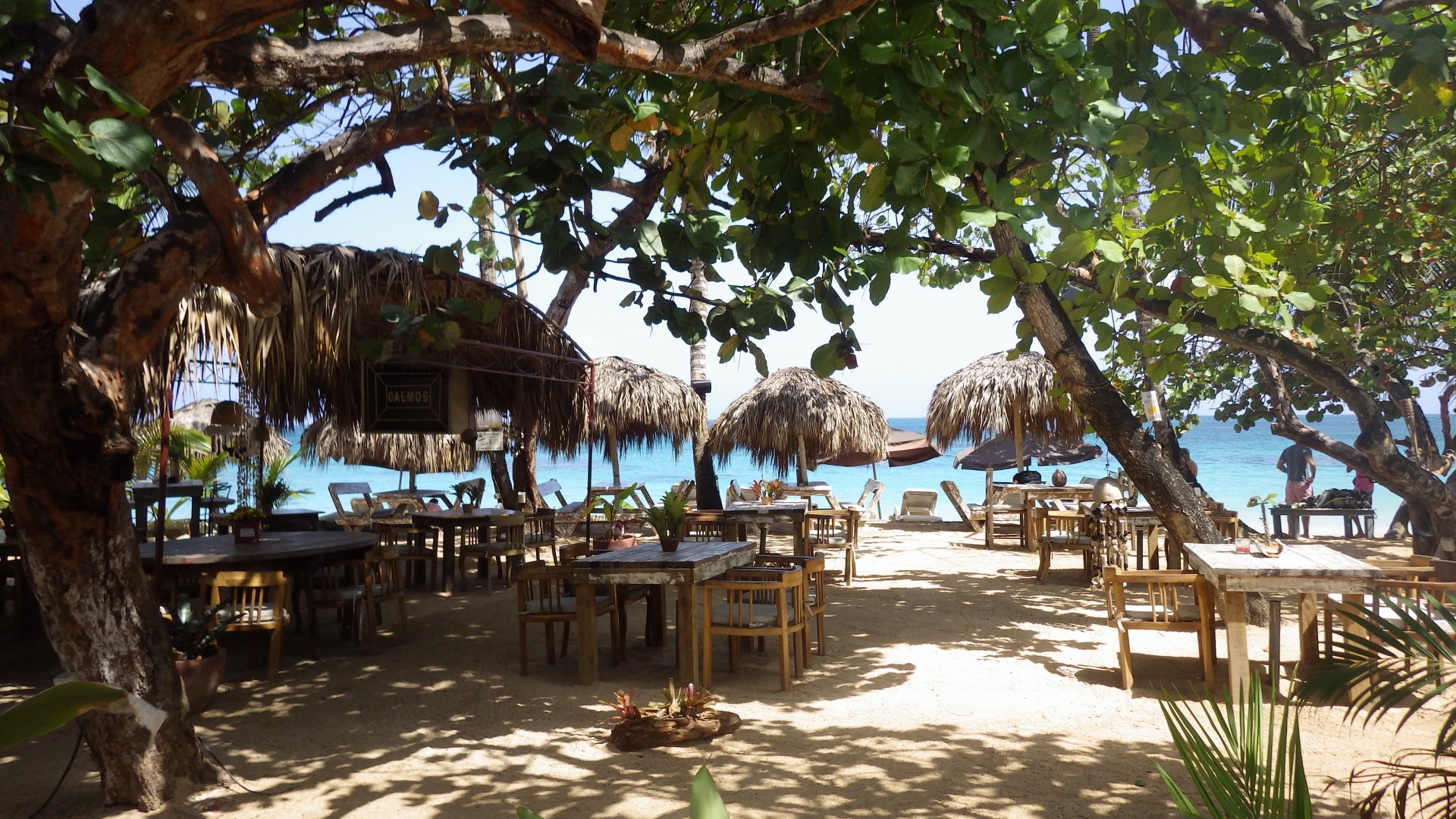
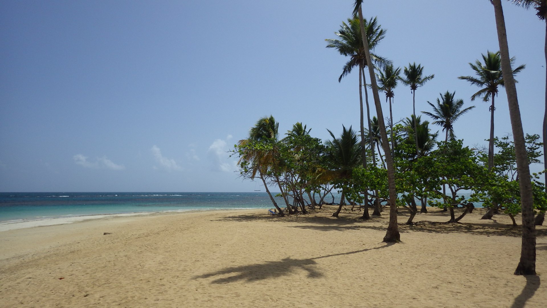
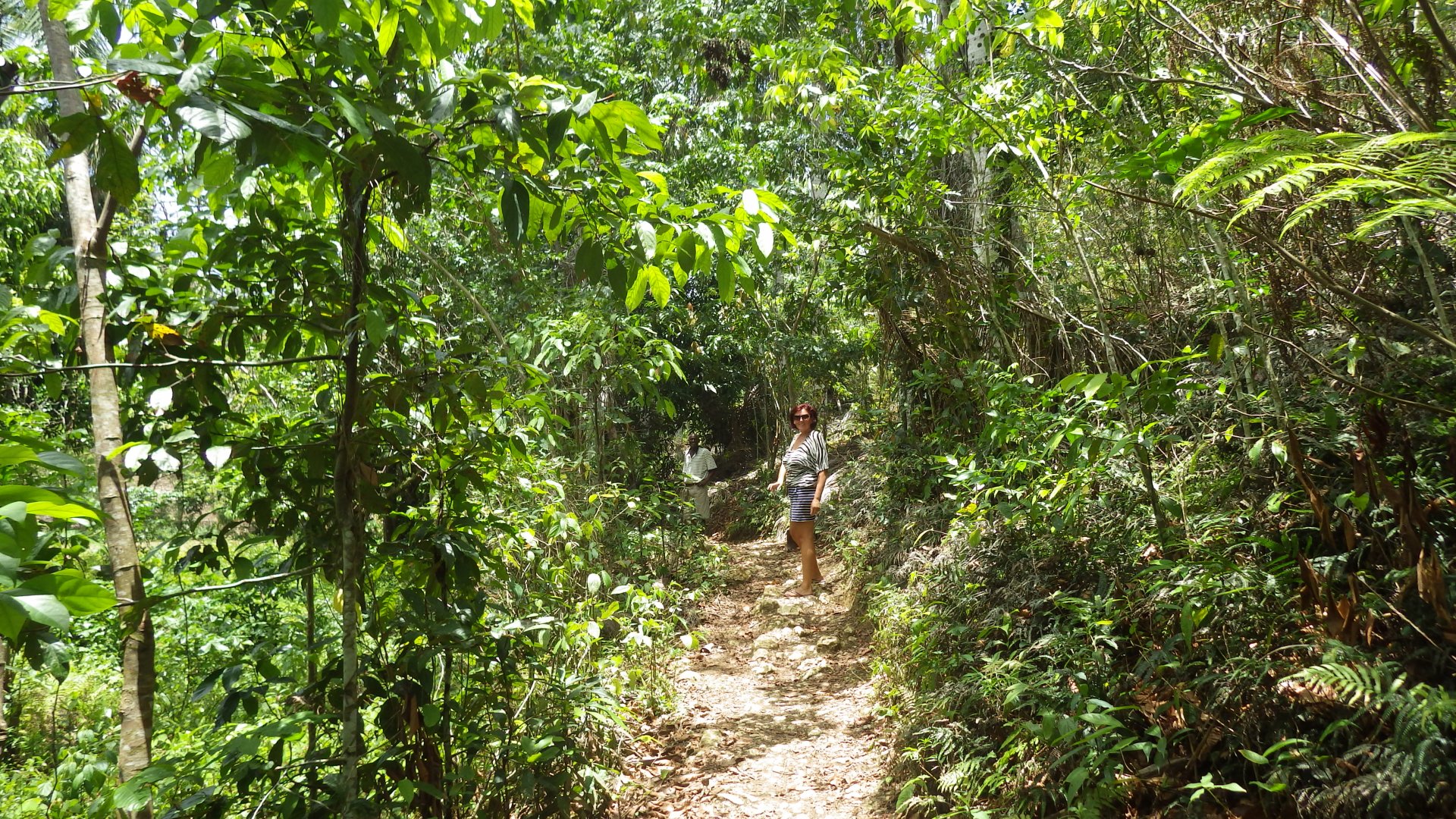
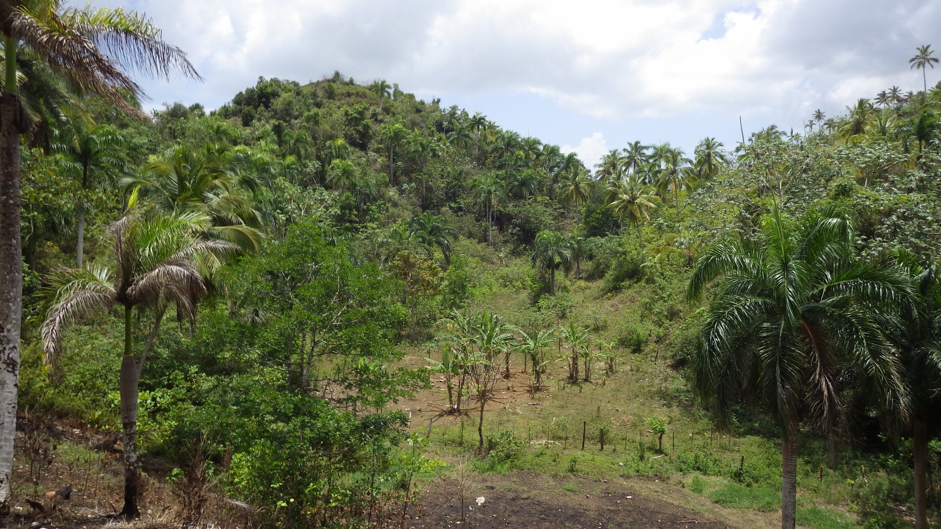
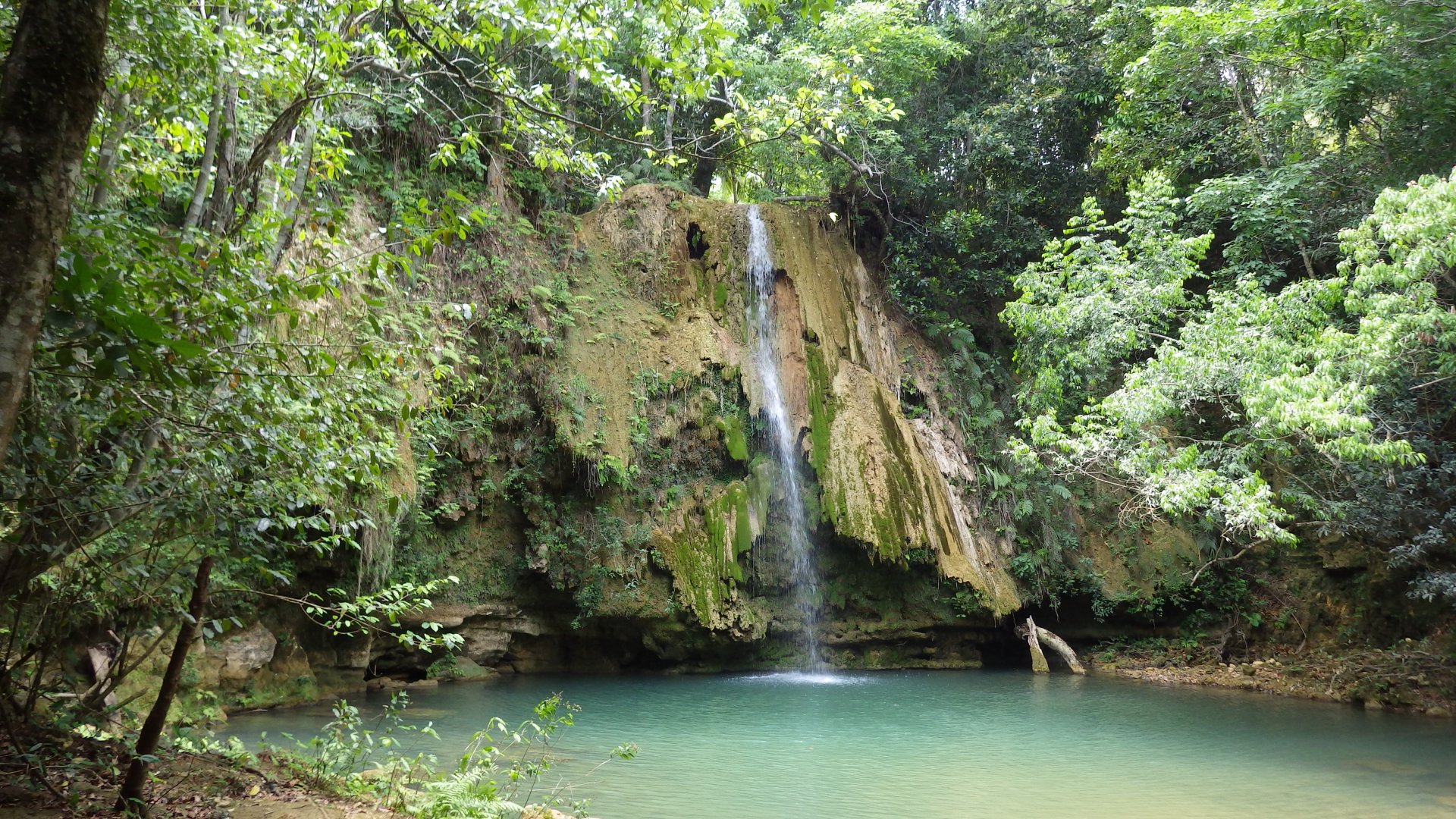
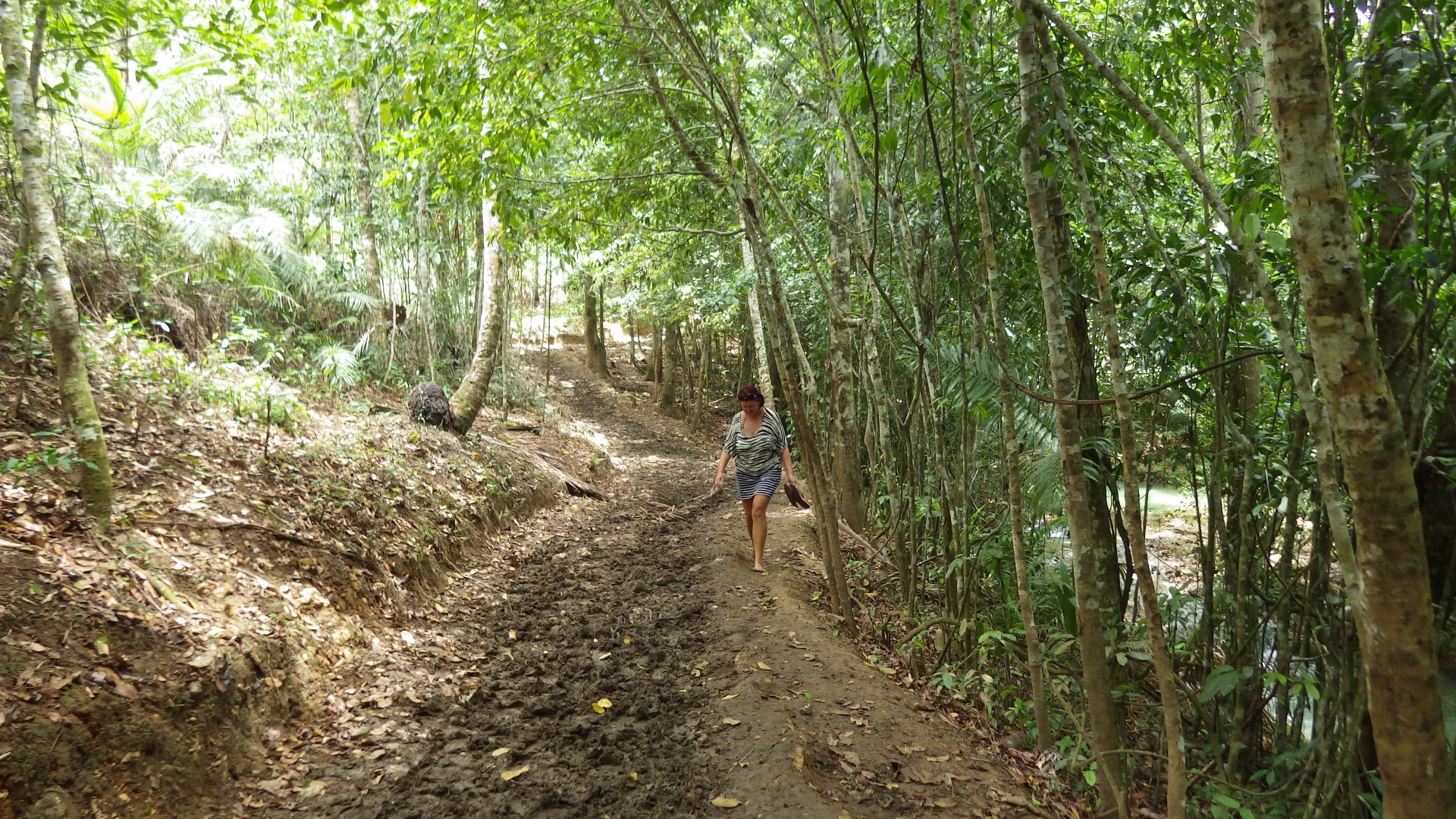
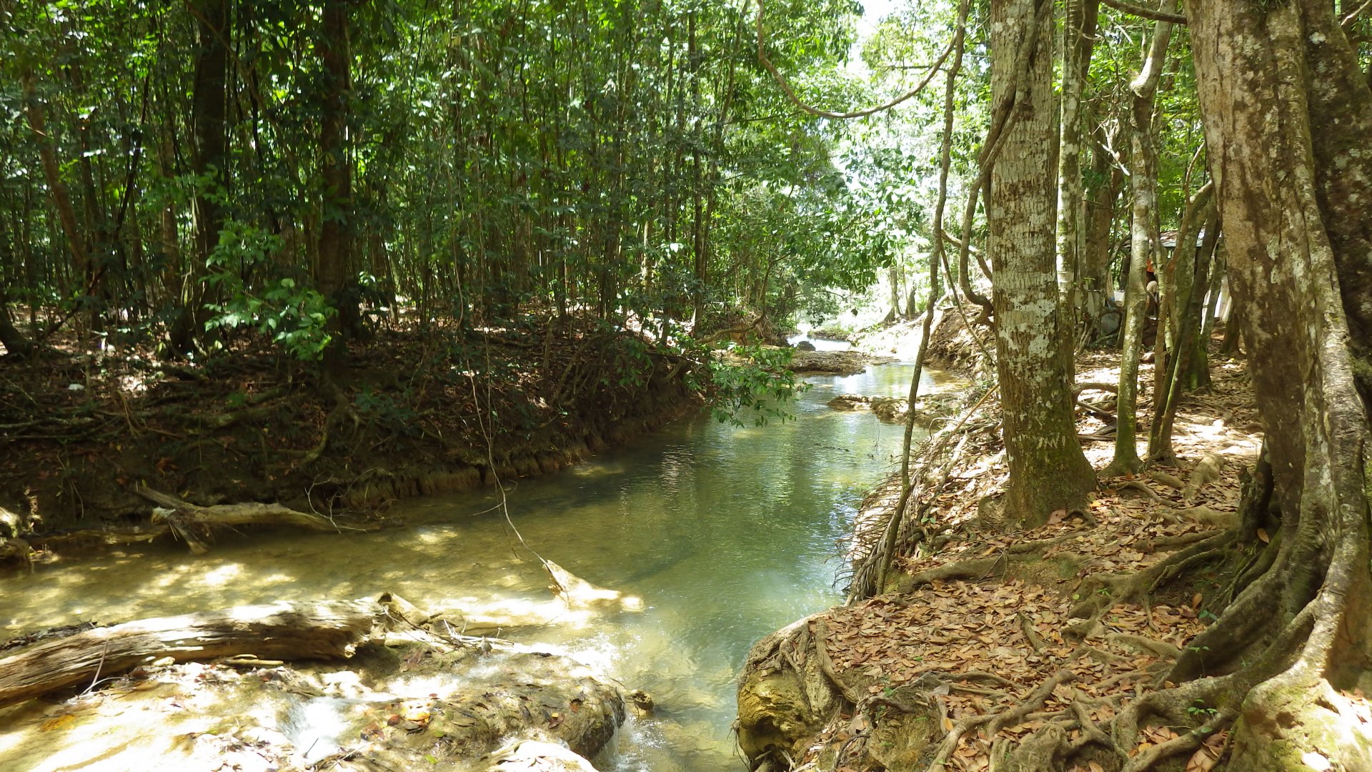
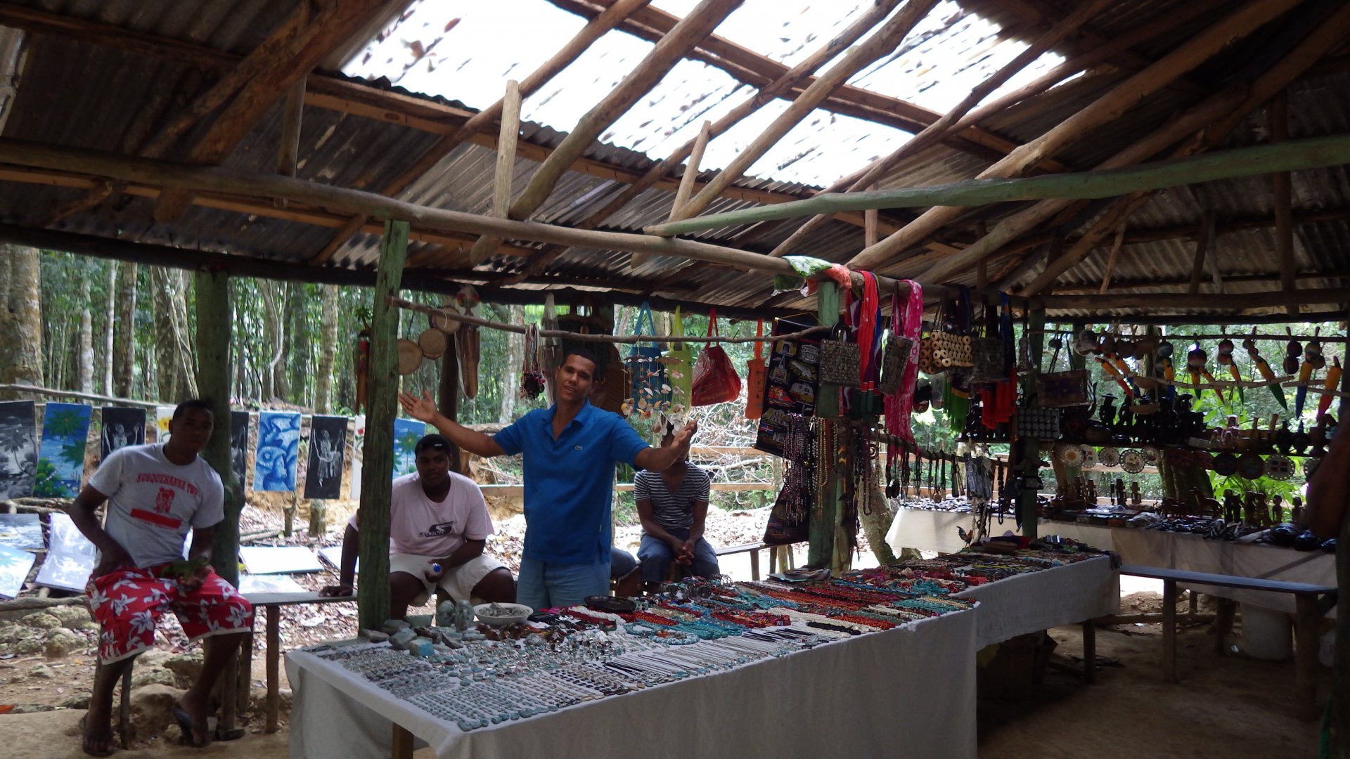
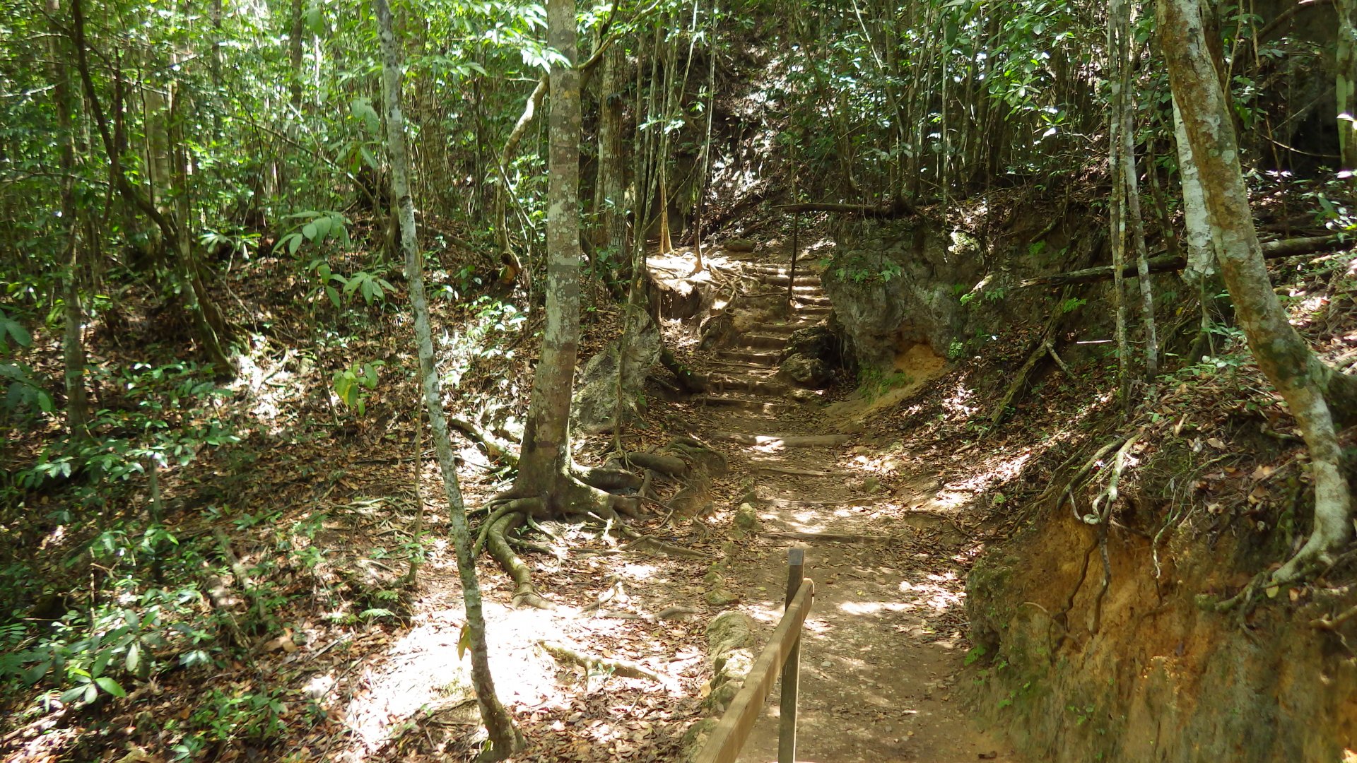
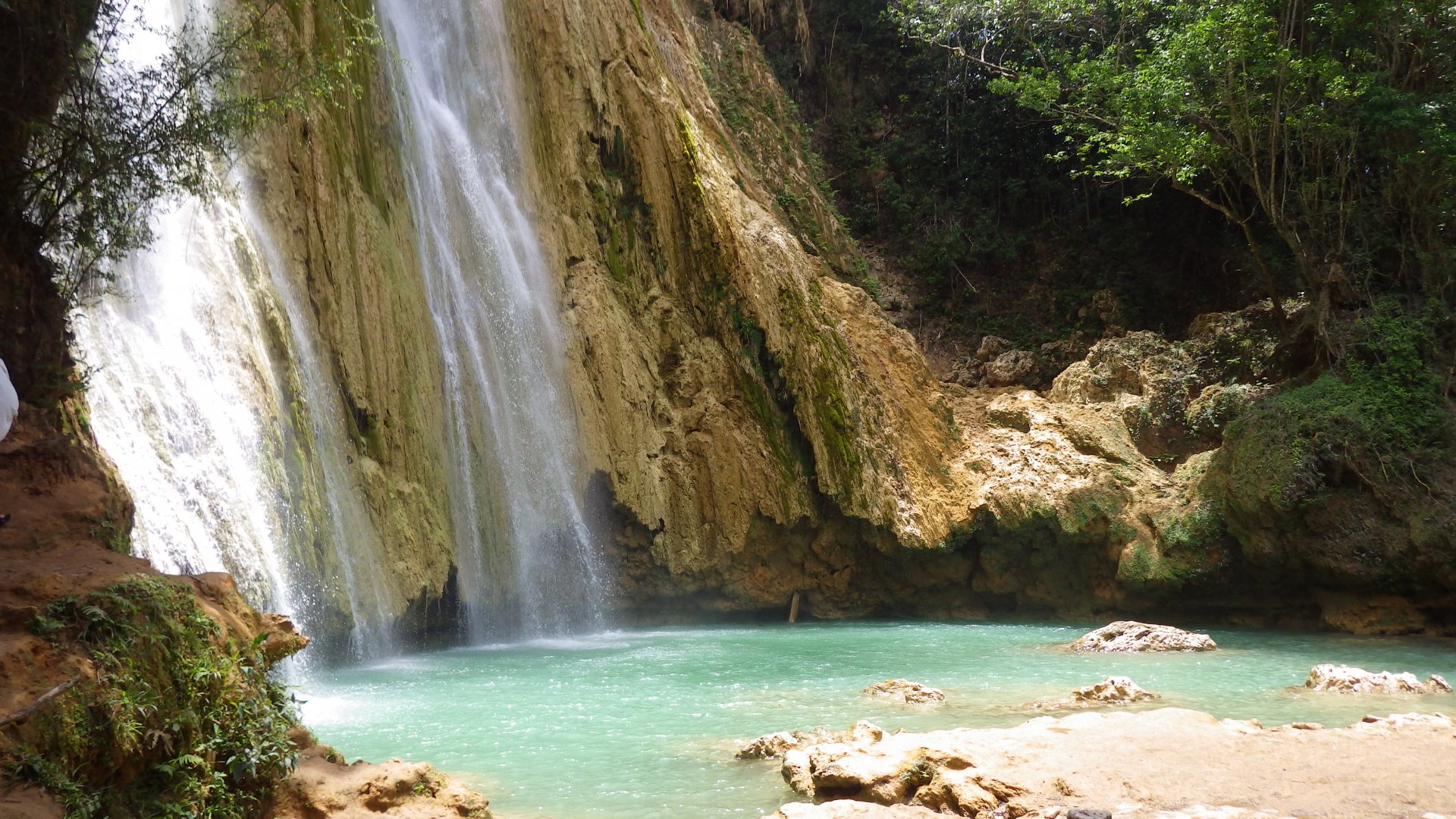
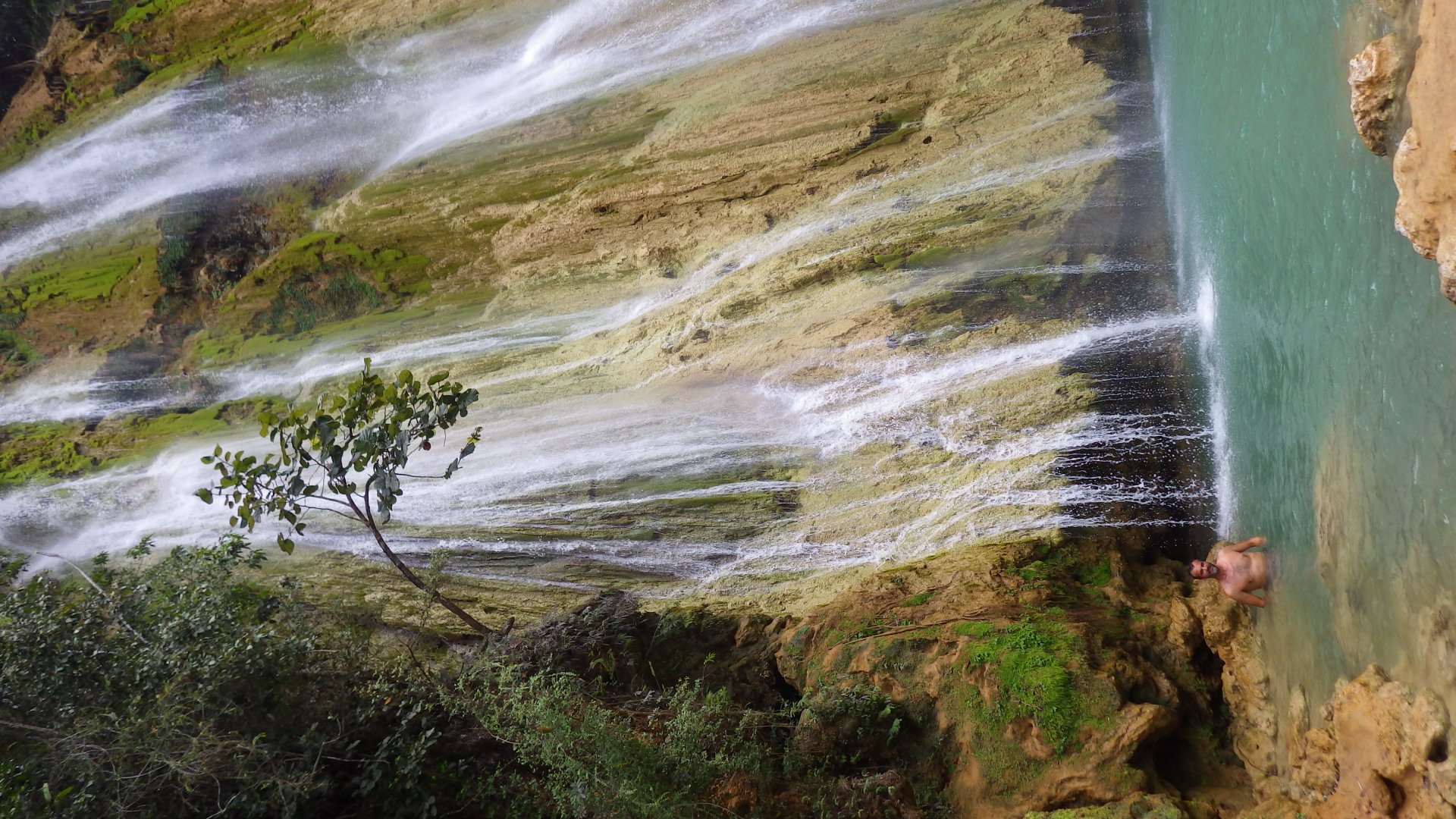
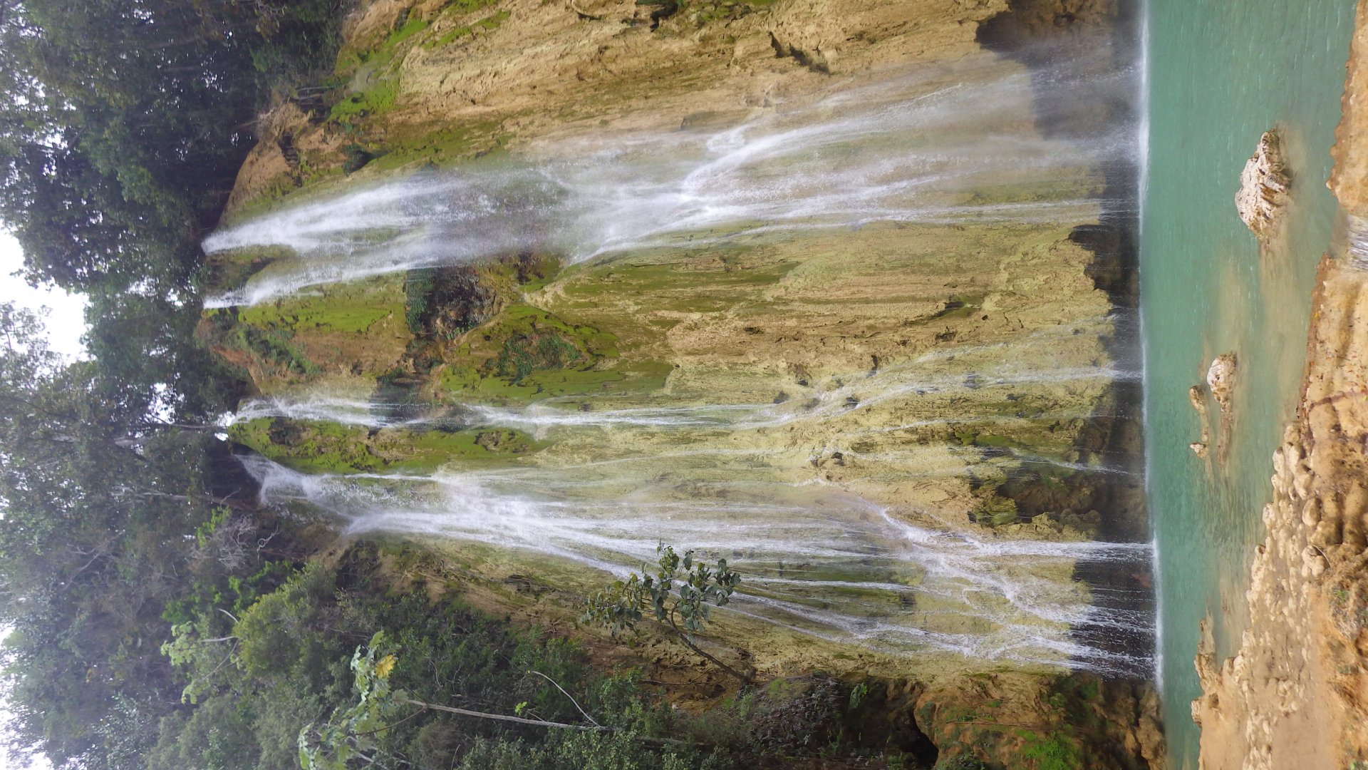
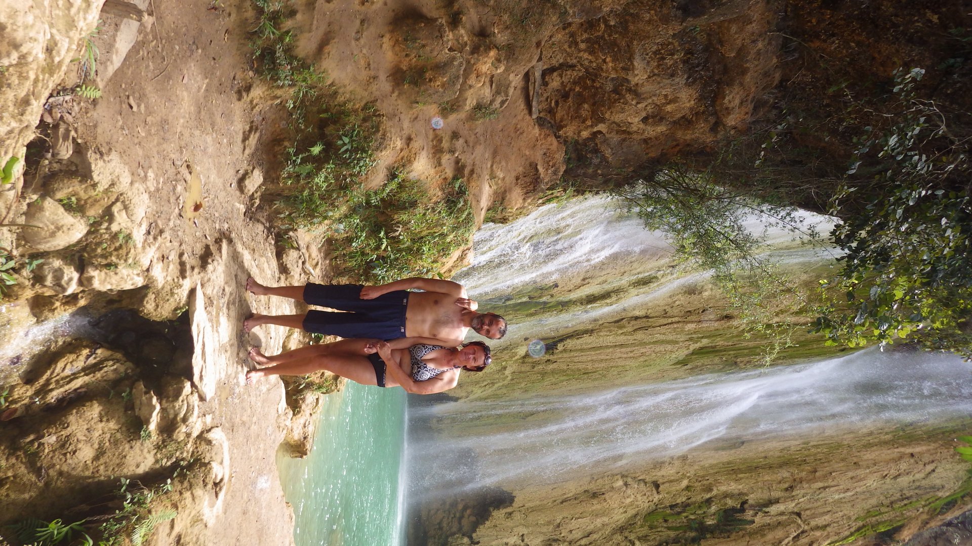
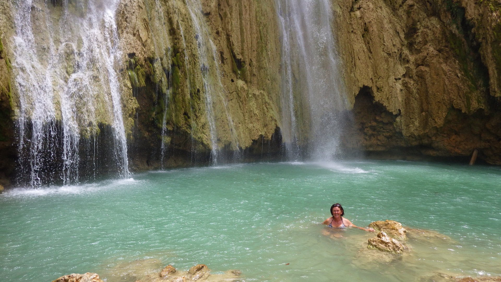
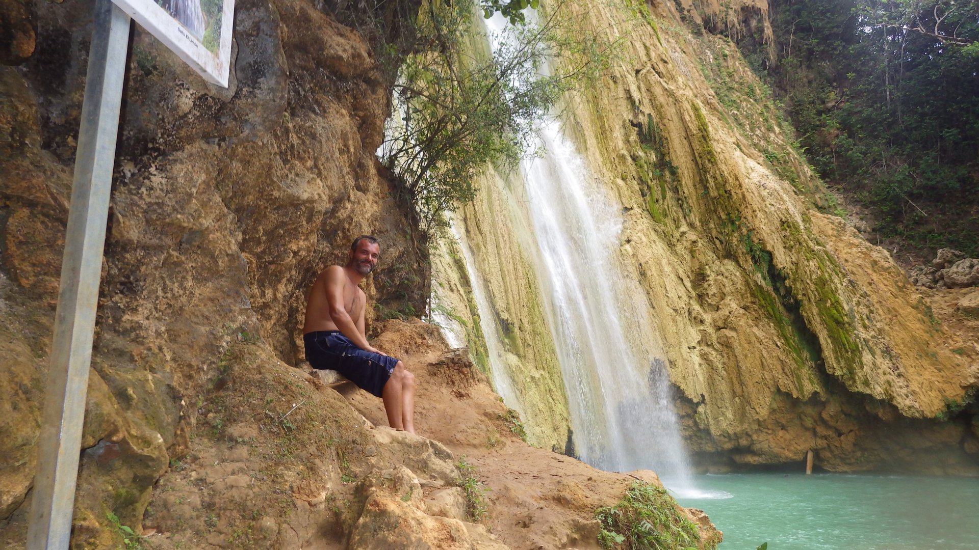
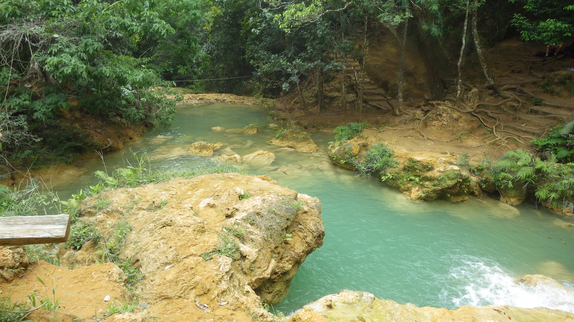
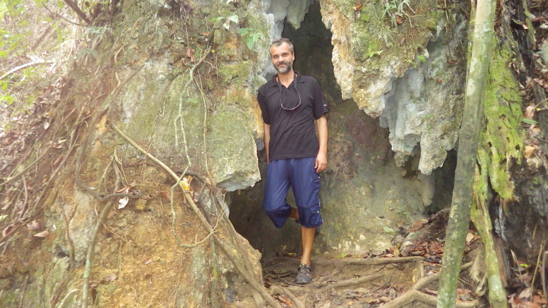
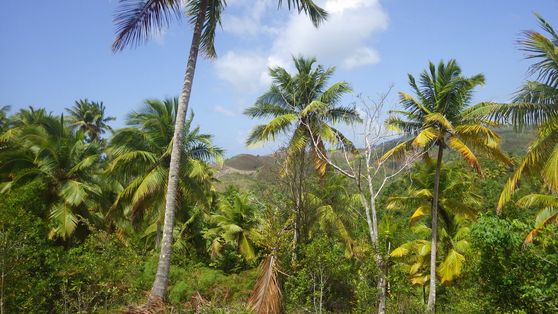
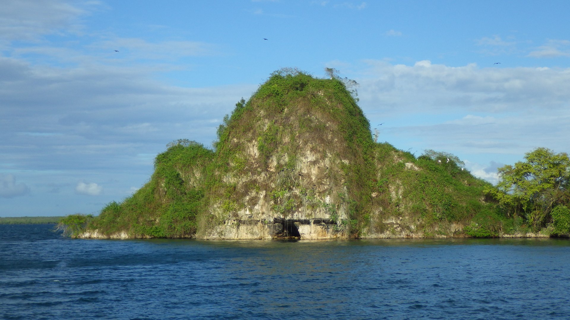
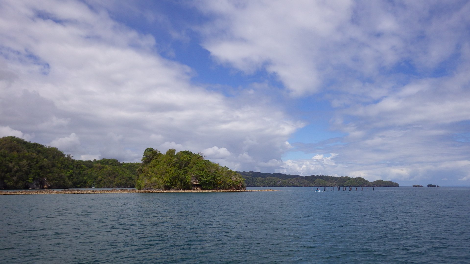
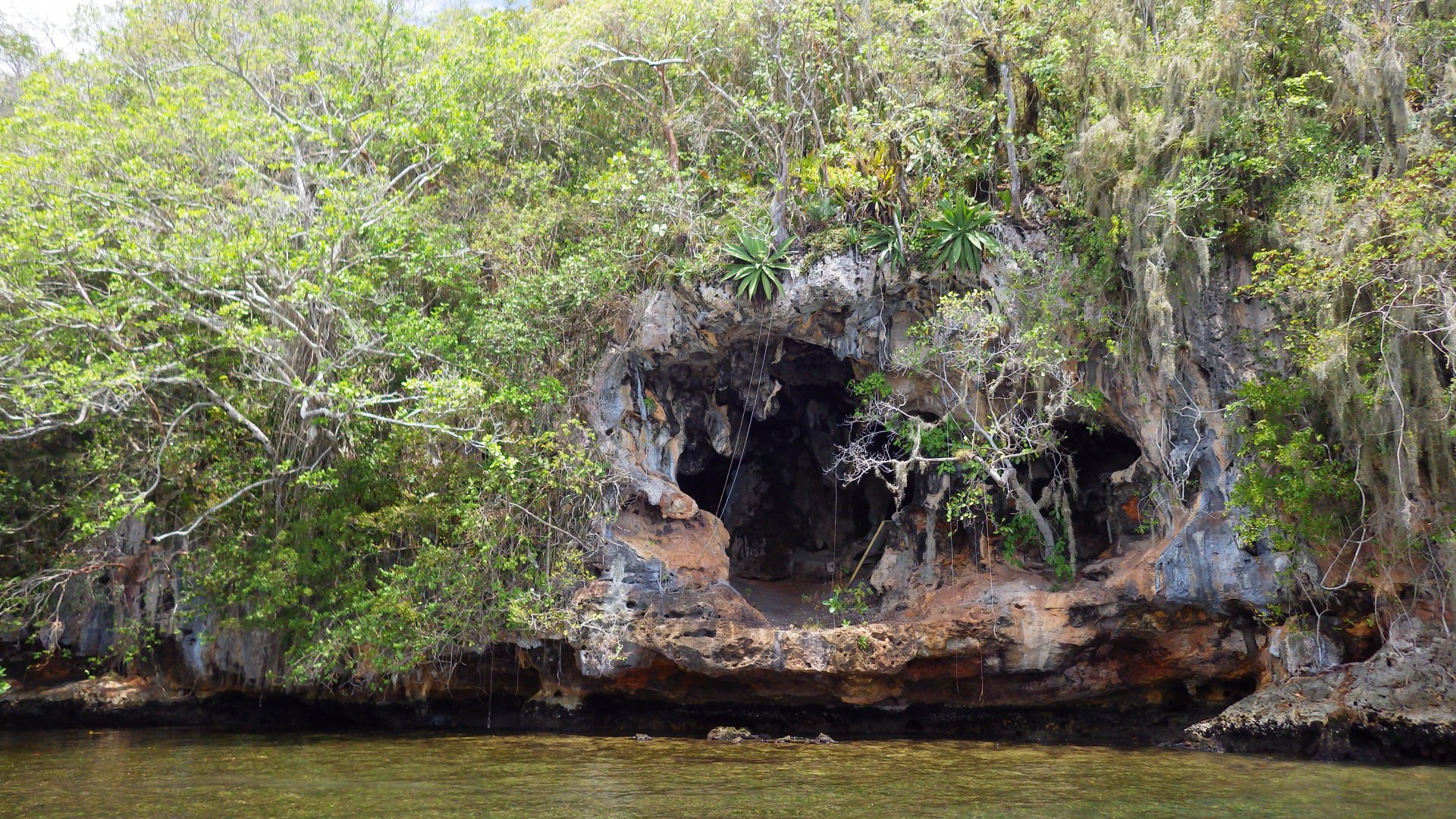
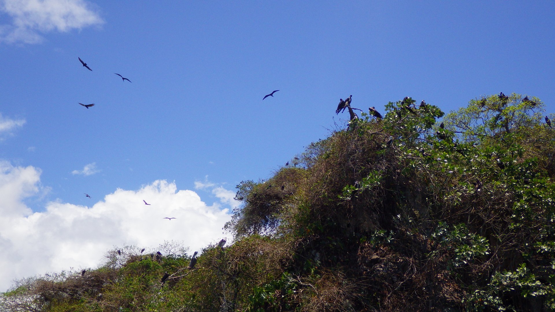
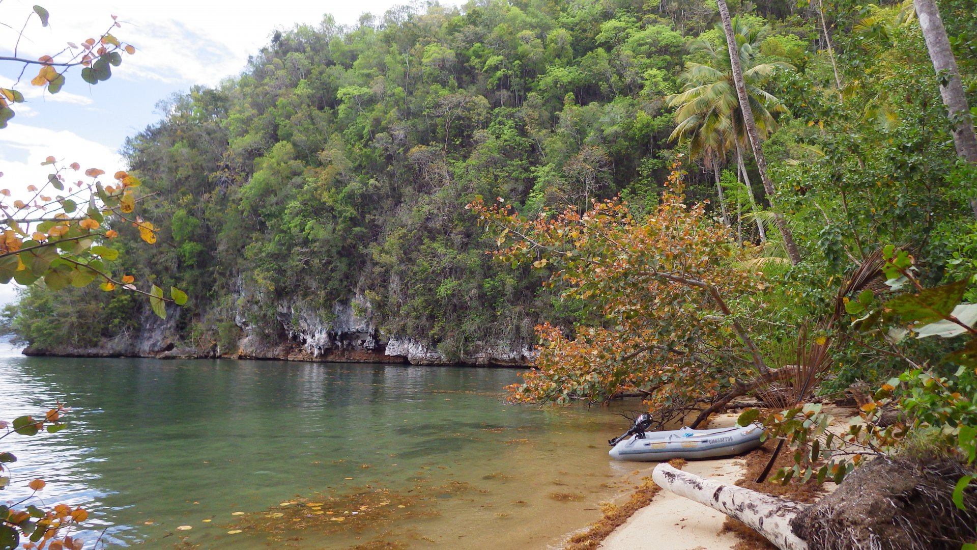
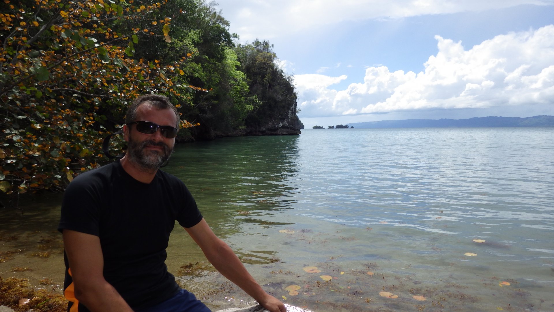
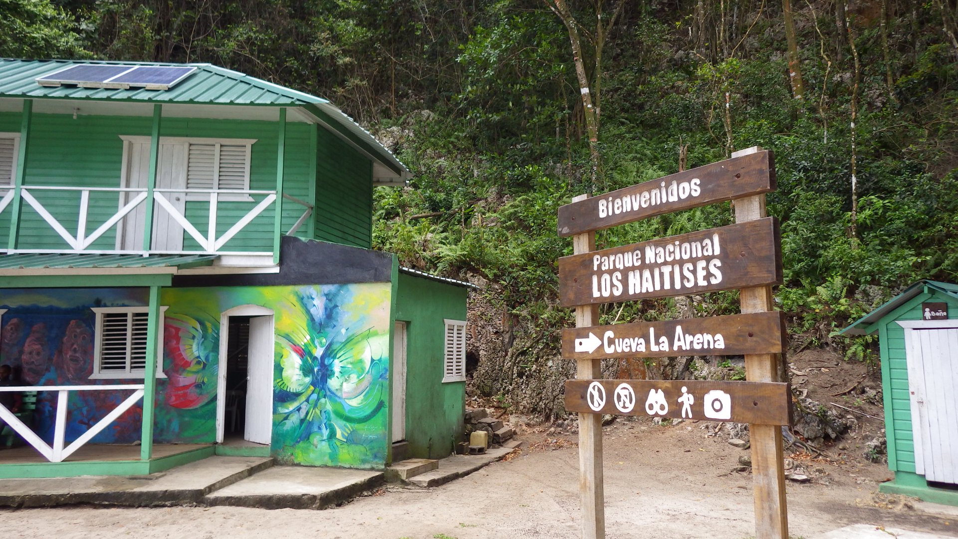
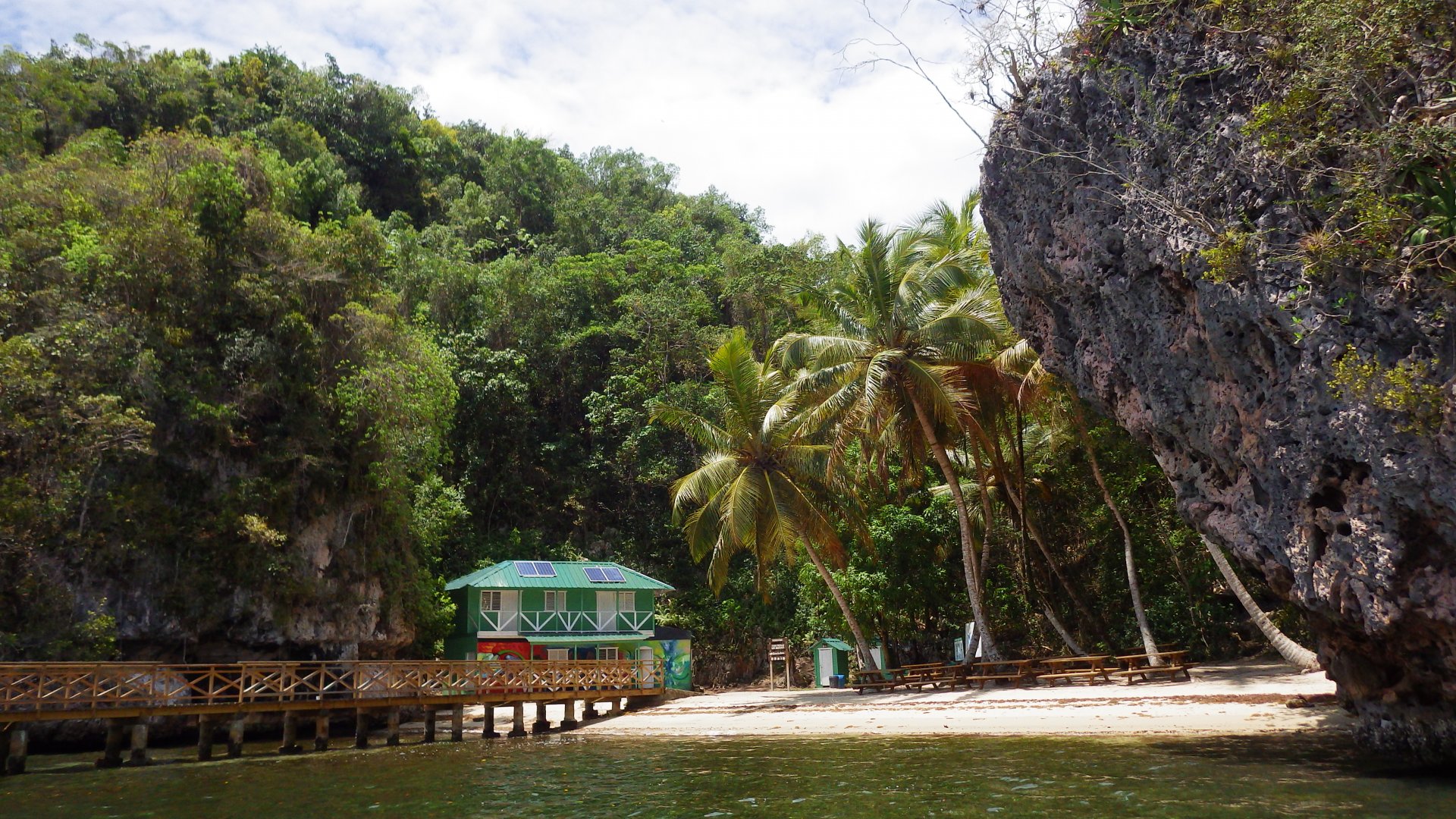
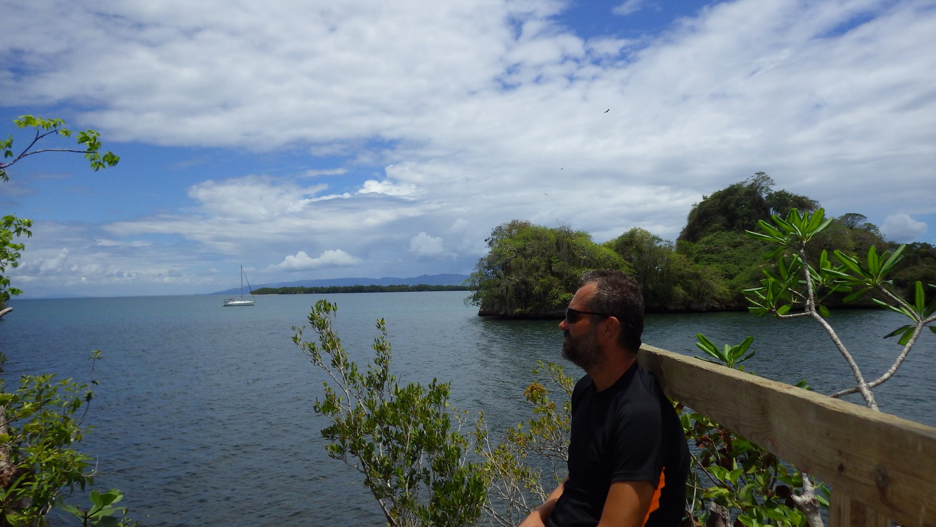
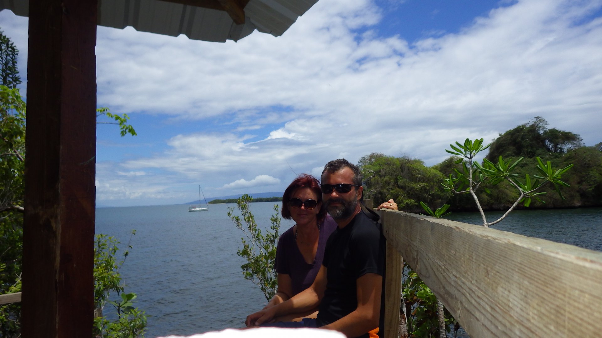
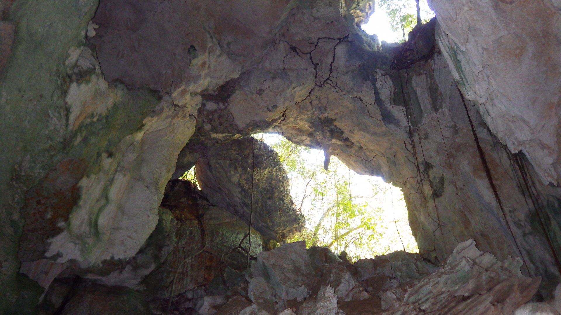
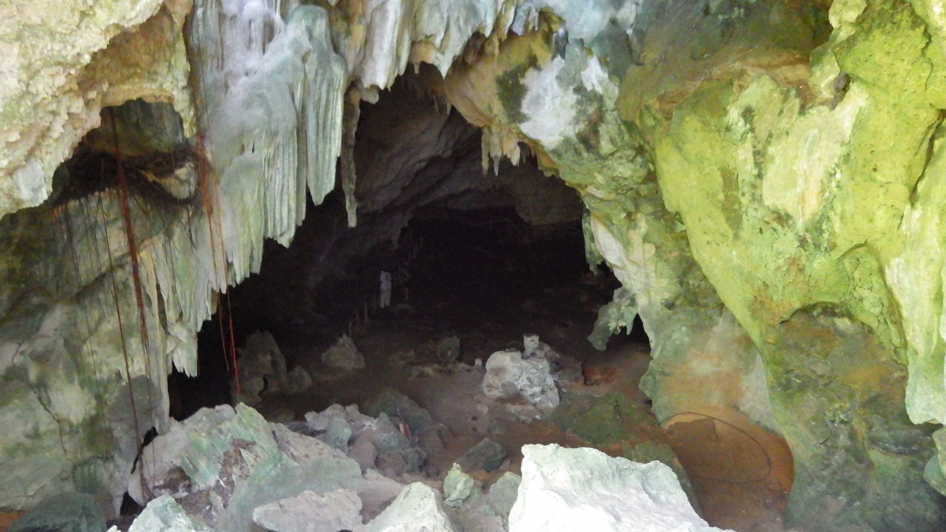
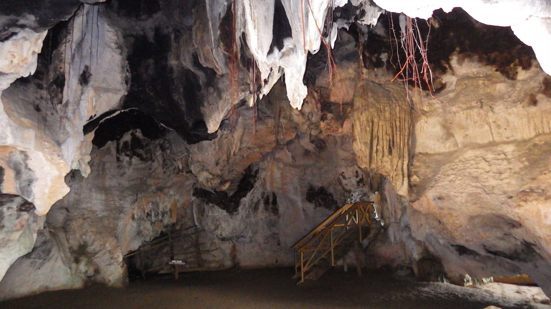
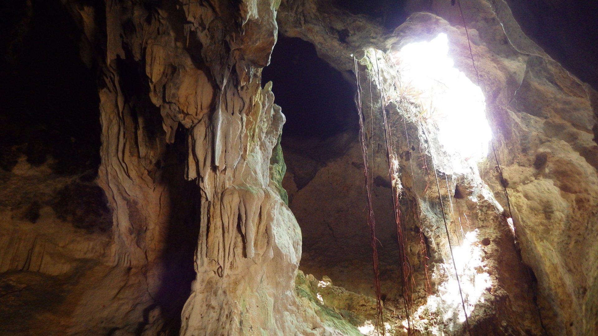
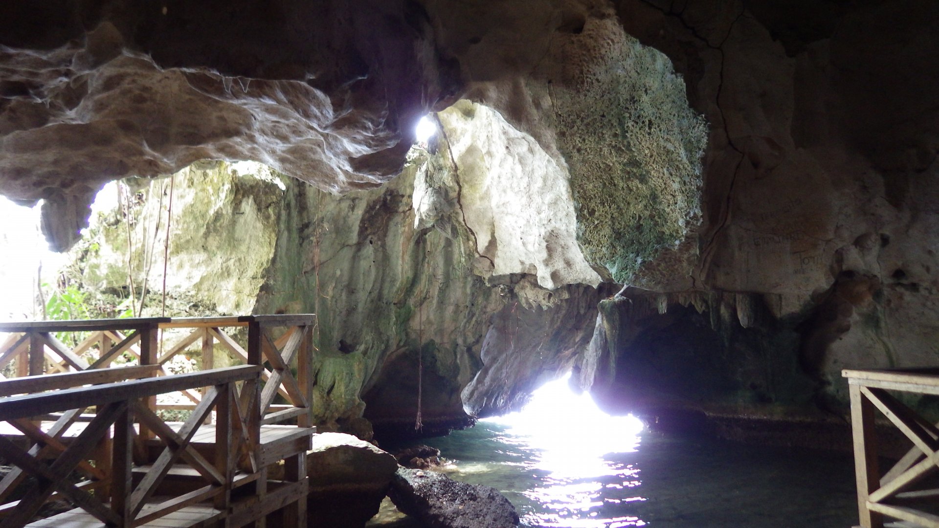
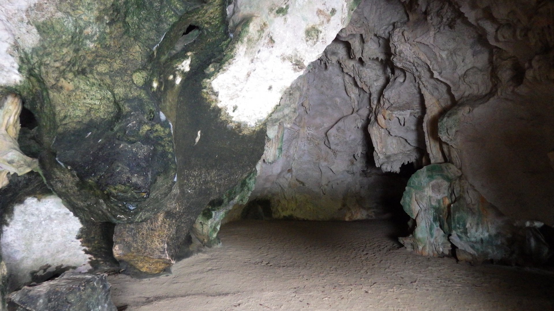
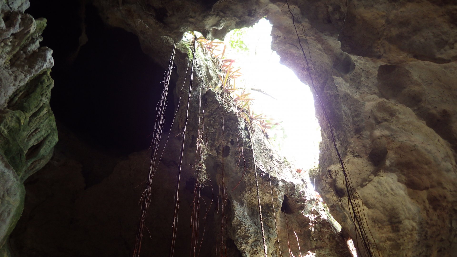
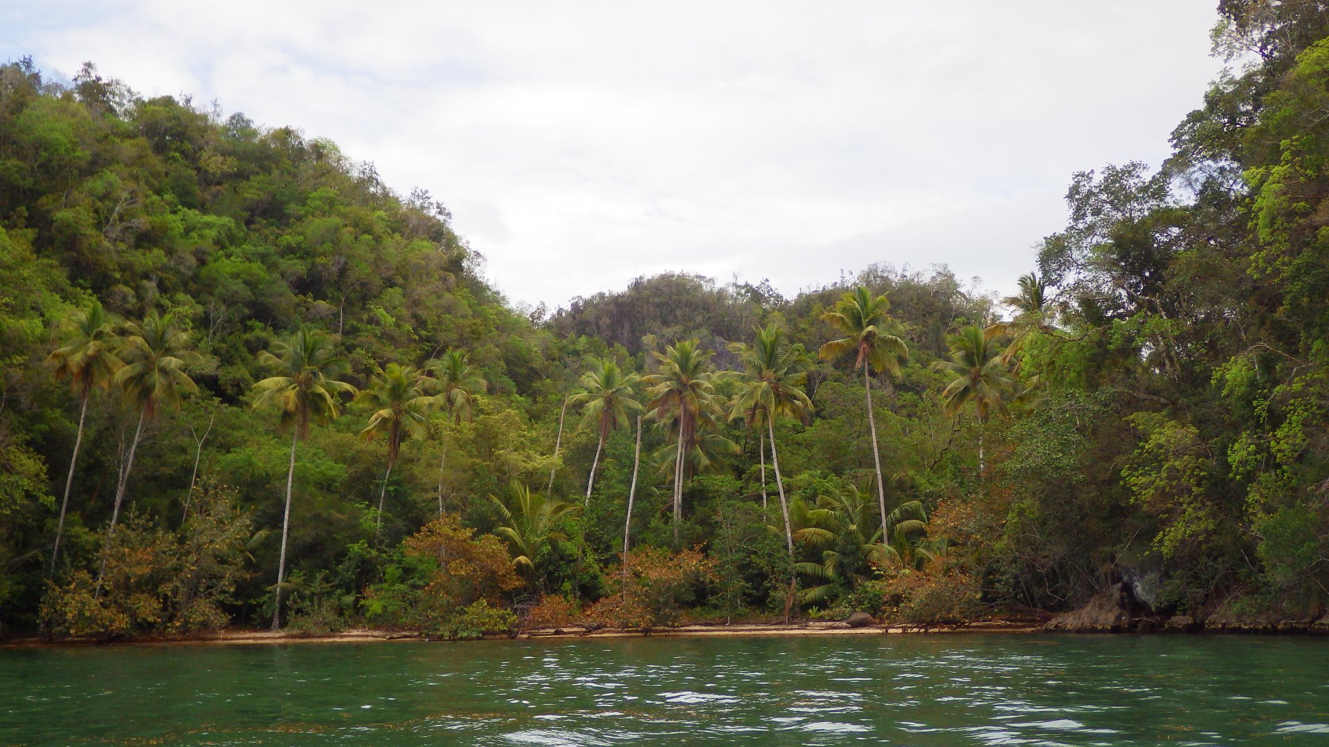
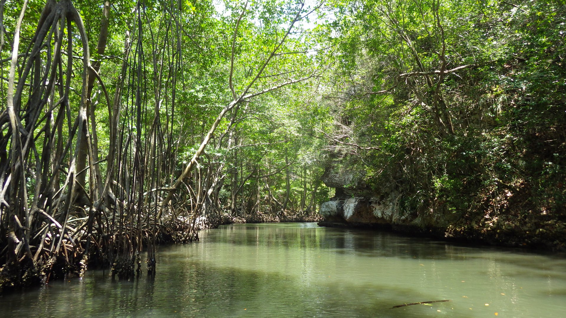
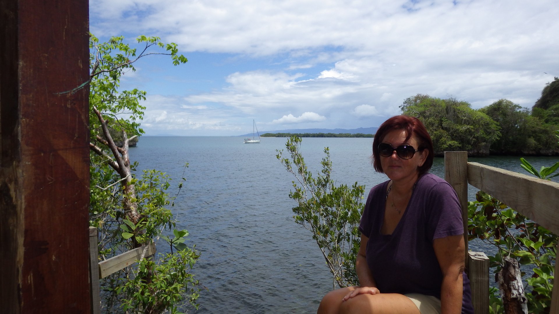
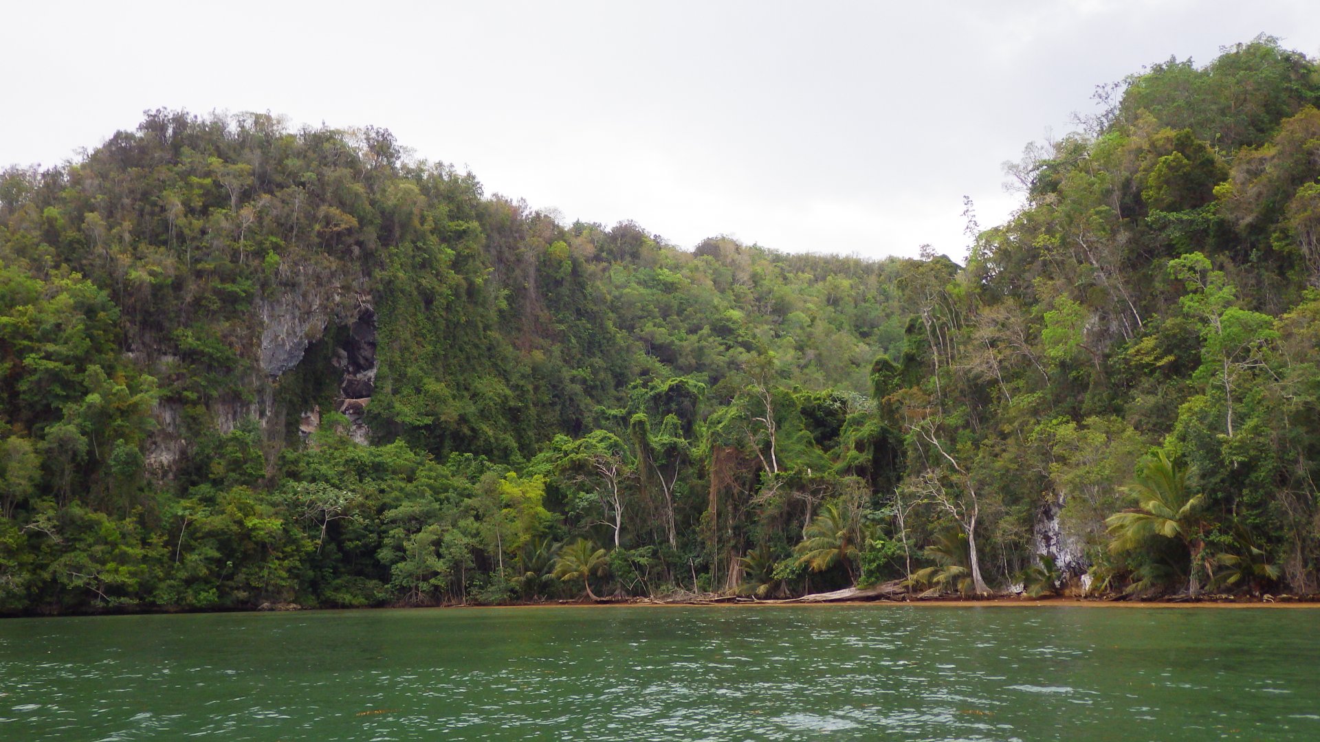
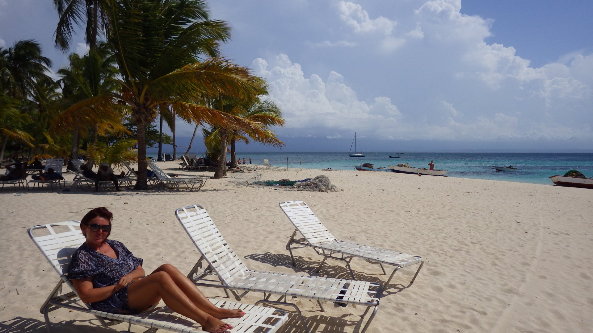
Staying here for couple weeks, exploring the area and taking some onshore trips.

Luperon Harbour View Approaching Luperon Good Morning Luperon Harbour Luperon  Map In Central Park Luperon Corner Stret Luperon Street Luperon Street Street View Luperon Street Central Park At Luperon Poduce Store Street Luperon Building DLa France Restaurant Harbour View Luperon Harbour in the Morning Fisherman Boat Boat Dock in Mangrooes Sotball Game Back Street Tropical Flower Our Food Our Food Fishing Boats Boat Dock in Mangrooves Anchored Boats Neighbours Harbour View Docked Boats Boats Anchored at Luperon Harbour Fishing Boat in Harbour Moto Fishing Boat Mangrove Cove At the Bar At the Restaurant At the Restaurant L Stairs At the Marina Restaurnat Icecream in Park House up the Hill House up the Hill Fishing Boat At Sunset Anchored Ketch Local Beach Maina Restaurant Marina Restaurant DR Rum Local Beer Dinghy Growth Another Sunset At Luperon Har bour Sunset at Luperon Harbour
Pigeons in the Cental Park

Trip to Puerto Plata

Log#: 104
LatLon: 19°48.013'N, 070°45.518'W

While staying in Luperon, we took an onshore trip to Puerto Plata. Used local bus system to get there, and took taxi back.

Supposedly a touristy town, however only few attractions. Visited Amber museum, walked local streets around the Central Park and shore, stopped at few shops, did provisioning at the large department store.

It was Larysa's birthday, so we went to a restaurant to celebrate.

Monuments at Central park Street View at Central Park Local Street Park Puerto Plata Local Street Locals at the Park Shoreline Shoreline Playing with Pigeons Playing with Pigeons Street Puerto Palata Casa Windy Shore Anothe Small Park Rural Road View Rural House Rural Roadside Homes Rural Street Wendor Rural Stand Mountain View
Beach Resort

Trip to Beach and Closed Down Resort

Log#: 105
LatLon: 19°54.510'N, 070°56.968'W

The Luperon harbour does not have a clean beach, so we went over the hill to the beach in the ocean shore couple times.

The beach is near a closed down resort. We had a quick peak, but I can only guess why this lush resort was eventually closed. Perhaps the rocky and turbulent (windward) nature of the beach was at least a contributing factor. I stepped on a sea urchin while swimming there - ouch!

Otherwise we had a good day, having this picturesque beach mostly to ourselves.

Road to the Beach Treed Beach Treed Beach Small Bar at Treed Beach Resort Beach Beach Palm Tree Palm Beach Ocean View Palmed Beach Hores down the road Entrance to Closed Down Beach Resort Resort Entrance to Closed Down Beach Resort Beach Resort Closed Resort Closed Resort Closed Resort Closed Resort Resort Resort Resort Path to Beach Treed Beach Treed Beach Beach View Siesta Time Coconuts on the Beach Sea Urchins View From Ticki Hut At the Beach Bench
Resort at Sosua

Sosua

Log#: 106
LatLon: 19°46.253'N, 070°31.017'W

It was time to leave Luperon and head further East.
Our first overnight stop was town Sosua, near Puerto Plata. It is the area hosting several tourist resorts.

Passing Puerto Plata Mountain Shore Puerto Plata Mountain View Resort 1 Resort 2 Resort 3 Resort 4 Resort 5 Shore View Bay View Pta Plata Mountain in Cloud Neighbouring Boat Local Boat at Sunset Sunset at Sosua Sailbot Sailing into Sunset
Town Rio San Juan

Rio San Juan

Log#: 107
LatLon: 19°38.570'N, 070°05.172'W

A quick atop at Rio San Juan anchorage.
We were visited by the local Coast Guard officials on a small fishing boat. They just checked our papers and left.

Morning Sailing North Dominican Republic Shore Rio San Juan Delta Officials Leaving Fisherman Boat Anchored Fishing Boats
Acnhored at Escondido

Escondido

Log#: 108
LatLon: 19°17.131'N, 069°19.677'W

Esondido is a very scenic place, like from the move. It was the first one of this kind we have encountered on our trip. Just amazingly beautiful.

Went on shore, walked around, explored.
Got stuck on shore for a while - coming there was fine, but on the way back the incoming waves were too big for our dinghy and we could not return to our anchored boat. Luckily, two young locals helped us. Lesson learned.

Approaching Escondido Approaching Escondido Fog Early Morning Fisherman Rain at Sea Foggy Mountain Foggy Mountains Fog in Mountains Mountain Beah Coconut Palm Beach Huts on Beach Anchored Yacht Big Rocks Coconut Pulms Dark Sand Beach Anchored at Escondido Palmed Beach Large Beach Rock Local Fishermen and their Boats Huts Local Trades At Fishing Boats Escondido Panoramic View Cave At the Cave Entrance Beach Siluette CloudyBeach View Beach Palms and Mountans At the Escondido Beach At the Cave Coconut Palms Waves Lee Shore Esondido Just atfter Sunset Sunset Anchored at Escondido
Samana

Santa Barbara De Samana

Log#: 109
LatLon: 19°11.992'N, 069°19.691'W

Staying at Santa Barbara de Samana for couple weeks.

It is a vibrant, typically Caribbean, pleasant coastal town. Full of local activity, plenty of restaurants, "typico" local type of food places, various stores, lots of loud activity at night. Although, a bit too many tourist souvenir shops and "helpers" around.
Overall, we liked the place.

Our autopilot started to malfunction during one of the sailing trips around the bay - luckily, I was able to find a professional to repair it.

Dominican Republic is a paradise for the fresh fruit and vegetable lover like me - all tastes richer, and you can try some exotic tropical fruits didn't even now exist. I would go to a fresh produce stand and pick something new to me to try. Yummy!

Cabo Samana Resorts Along the Shore Fisherman Sailing Skiff Approaching Samana Welcome to Samana Along the Samana Boardwalk Samana Rotonda 1 Tourist Shops Samana Bay Motoconcho Corner Rotonda 2 Buggy Boats Anchored Samana Bay View Samana Hilltop Houses Local Tipico Restaurant Typico Meal Interesting House Local Street Hotel Anchored Boats Three Wheel Motoconcho Riding Motoconcho Church Fresh Produce Market Samana at Night 1 Samana at Night 2 Samana at Night Music Cars Family Under the Mango Tree At Night From Street Cafe Cemetery Small bar From Street Restaurant At Small Marina Repairing Autopilot Local Fisherman Anchored at Samana Bay Bar Pina Colada Bar Lounge Bridge to Nowhere Samana Bay Open View Samana Bay Palm Trees Bridge to Nowhere Empty Island Park At Empty Island Park Samana Bay Open View Cayo Paloma and Cayo Levantado Cove View Bridge to Cayo Vigio At Cayo Vigio Bridge Hotel Hotel Elevator At Hotel Gazebo At Hotel View From Hotel Restaurant Fillig Diesel and Water Tanks Santa Barbara de Samana Bay View Puerto Bahia Samana Marina Samana bay View Samana Laundry Foulled Anchor Rode Smanana Bay Evening View Dusk Samana Bay at Sunset Samana View After Sunset
El Limon Waterfalls

El Limon Waterfalls, Las Terrenas Town

While staying at Samana, we took a shore trip to El Limon Waterfalls and Las Terrenas resort town on another side of the Samana peninsula.

Located in the middle of the jungle, there is quite a walk from the road to the waterfalls, but the trip is well worth it - waterfalls are quite remarkable.

Mountain View Ar Las Terenas Beach Las Terrenas Beach Under Beach Trees Las Terrenas Map Beach Bar Las Terrenas Beach at Las Terrenas Beach Lunch at Typico Small Town Street Path to Waterfalls Banana Trees Tropical Mountains Hut along the Path Smaller Waterfal Muddy Trail Jungle River Souvenir Shop in the Jungle Jungle Stairs El Limon Waterfall El Limon Waterfall El Limon Waterfall Under El Limon Waterfall El Limon Waterfall At the El Limon Waterfall Swiming El Limon Waterfall At the El Limon Waterfall Waterfall River At the Cave Mountaun Jungle View on the Way Back
Los Haitises National Park

Los Haitises National Park, Bahia de San Lorenzo

Log#: 111
LatLon: 19°04.945'N, 069°28.037'W

Los Haitises National Park is a truly remarkable anchorage, rated among the best in the Caribbean. A.k.a. the Caribbean version of Bora Bora.
The scenery simply overwhelms at first.

Lush mountains, high cliffs, ancient caves, mangrove rivers, palm tree beaches, tropical greenery, wildlife, numerous coves to anchor...
Pictures don’t do enough justice.

Anchored at the Los Haitises National Park Islands Dock Ruins Cliff Cave Cliff Moss on Cliff Passage Ridig Dinghy in the Los Haitises National Park Cliffs Island Cliff Moss Anchored at the Los Haitises National Park Cliffs Overhang Birds Island Snail in hand Beatle in hand Wild Flower Plant Beached Dinghy at the Small Beach Cove Dock Park Sign Ranger Station at Ranger Station Wondering at the Los Haitises National Park At the Los Haitises National Park Cave Cave Cave Cave Cave Cave Cave Palm Beach Mangrove River Mangrove River Mangrove River Mangrove River River Walking the Small Beach At the Park Cliff and Island Jungle Beach Mangrove River Local Fishermen Fishermaen Boat at Dusk Hes Looking at Me Evening at Los Haitises National Park Anchored at Los Haitises National Park
Cayo Levantado Beach Park

Cayo Levantado

Log#: 112
LatLon: 19°09.975'N, 069°16.865'W

When leaving Samana, made a stop at nearby Cayo Levantado. It is a pretty beach island popular with tourists and locals.

While anchored there just before the dinner, we have been approached by a boat with local fishermen who offered us fresh lobsters. Our planned dinner menu suddenly changed.

Cayo Levantado Island View Cayo Levanado Beach Resort and Dock Area Entrance to Park Souvenir Shops Beach Park Beach Park Path Beach Park At the Beach Cayo Levantado Beach Fresh Lobster Dinner Aproaching Squall
Punta Macao Beach

Punta Macao

Log#: 113
LatLon: 18°46.447'N, 068°31.921'W

I was time to leave Dominican Republic.

Our last stop in this country was Punta Macao. It is a beautiful beach, with some fishing activity. The place is also very popular with tourists from nearby resorts during the days, and locals having good time at night.

Leaving for Puerto Rico early morning, across the Mona Passage.

Abandoned Resort Nearby Fishing Boats at Punta Macao Punta macao Cliffs Popular Beach At Night
<< Older Entries     Logs Archive     Newer Entries >>

Copyright© 2000-2024 www.slow-cruise.com